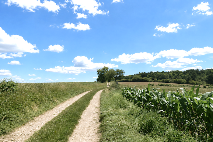
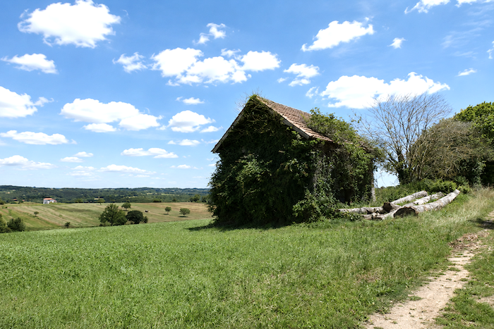
Often across a magnificent causse
DIDIER HEUMANN, ANDREAS PAPASAVVAS
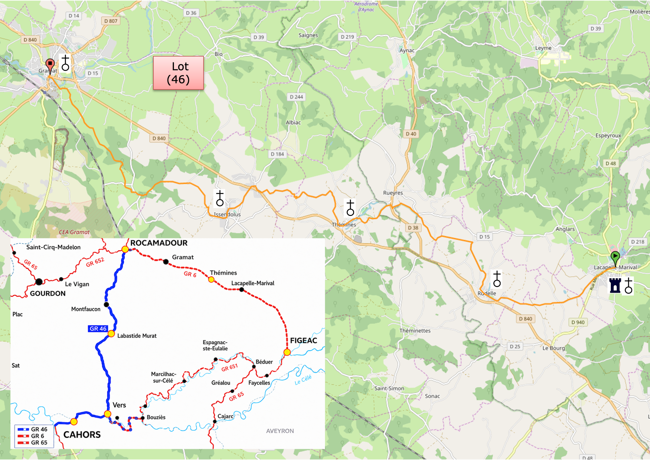
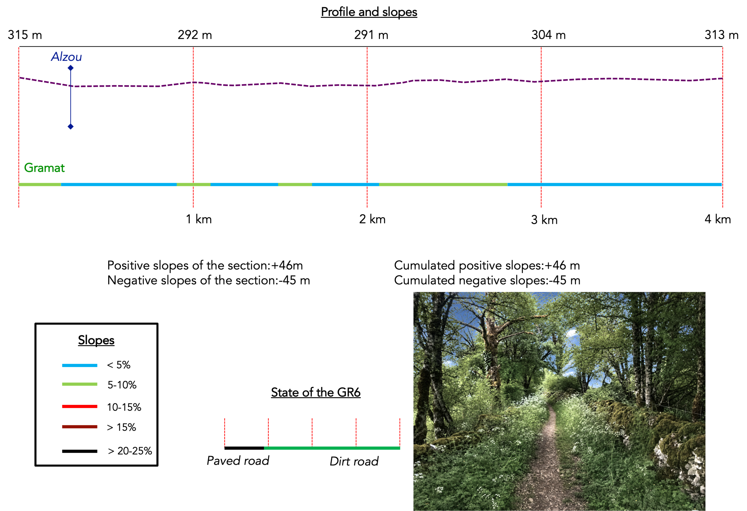
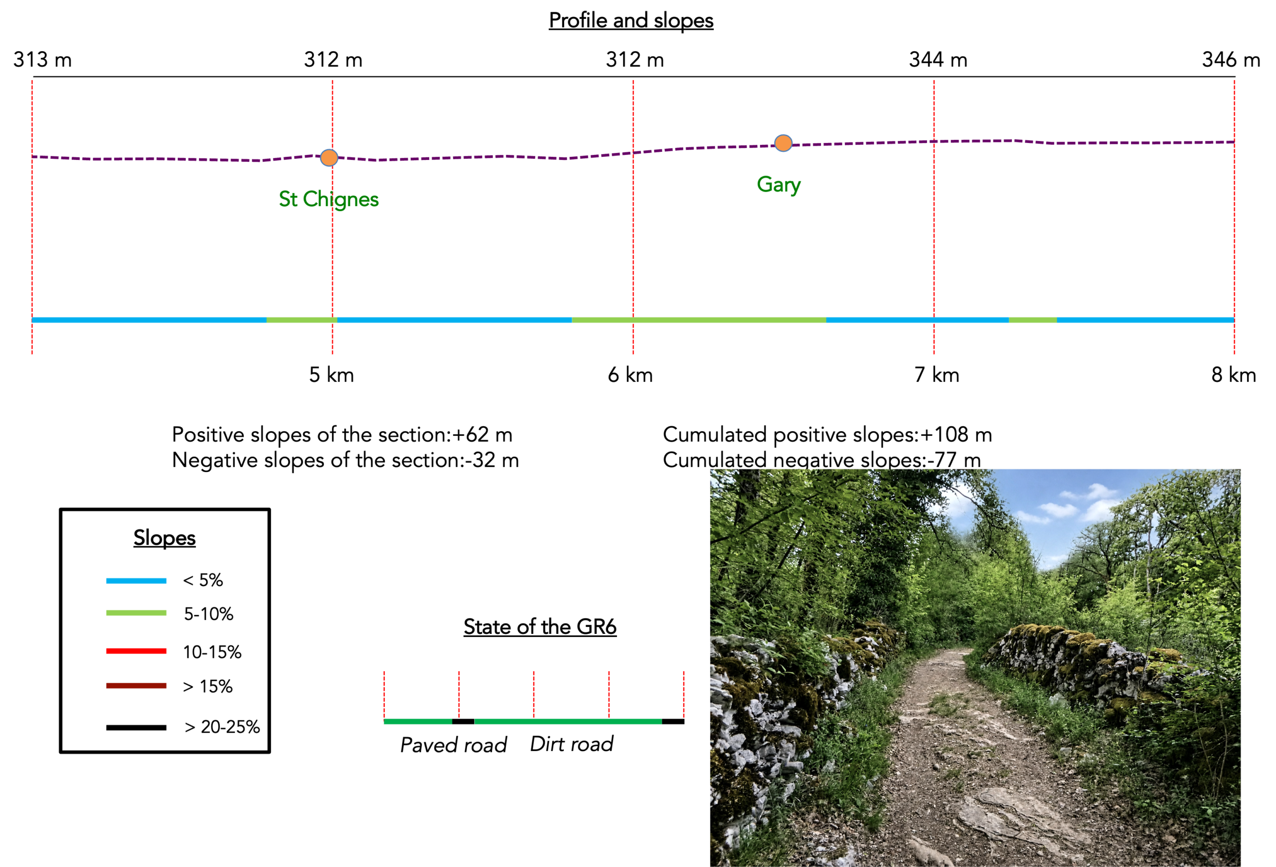
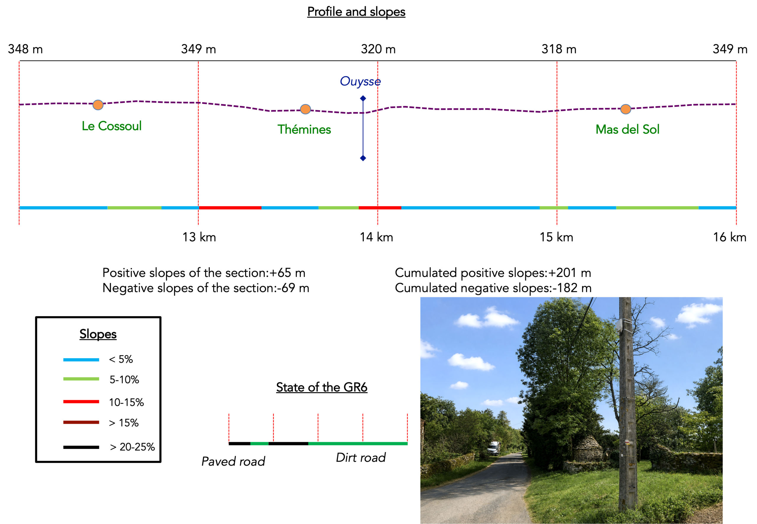
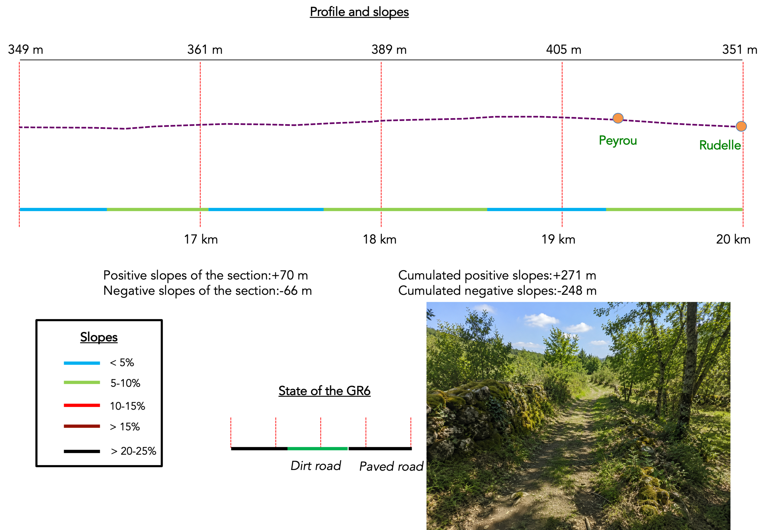
We divided the course into several sections to make it easier to see. For each section, the maps show the course, the slopes found on the course, and the state of the route (paved or dirt roads). The courses were drawn on the « Wikilocs » platform. Today, it is no longer necessary to walk around with detailed maps in your pocket or bag. If you have a mobile phone or tablet, you can easily follow routes live.
For this stage, here is the link:
https://fr.wikiloc.com/itineraires-randonnee/de-gramat-a-lacapelle-marival-par-le-gr6-variante-de-rocamadour-237830741
| This is obviously not the case for all pilgrims, who may not feel comfortable reading GPS tracks and routes on a mobile phone, and there are still many places without an Internet connection. For this reason, you can find on Amazon a book that covers this route.
If you only want to consult lodging of the stage, go directly to the bottom of the page. |
 |
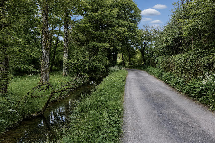
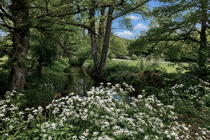
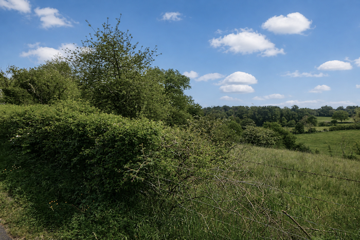
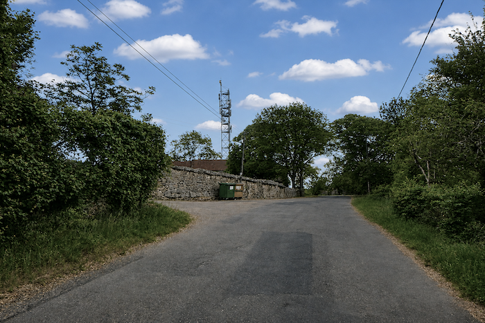
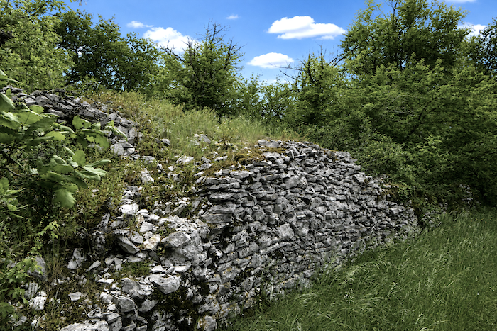
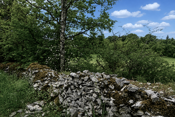
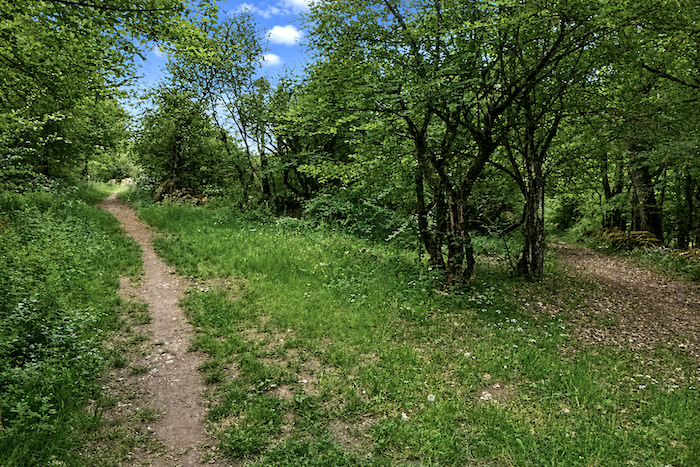
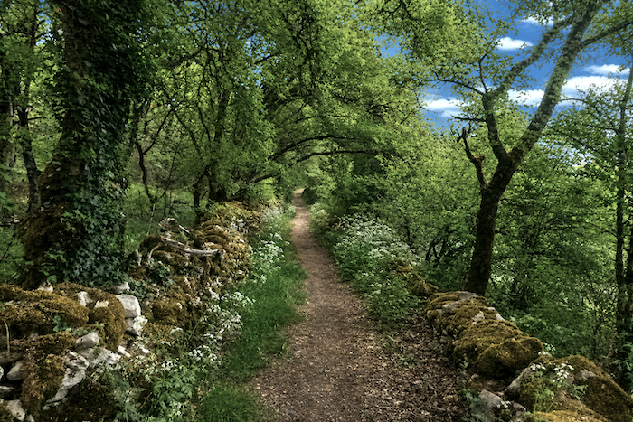
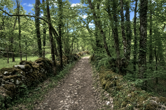
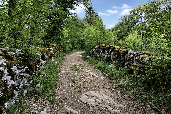
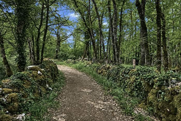
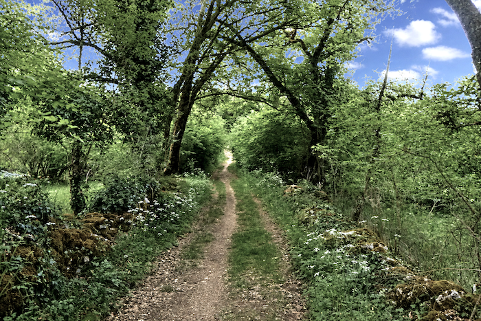
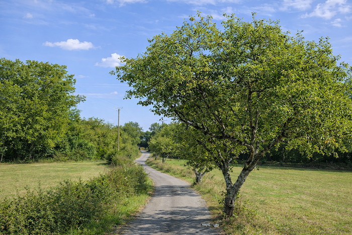
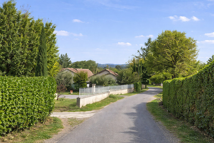
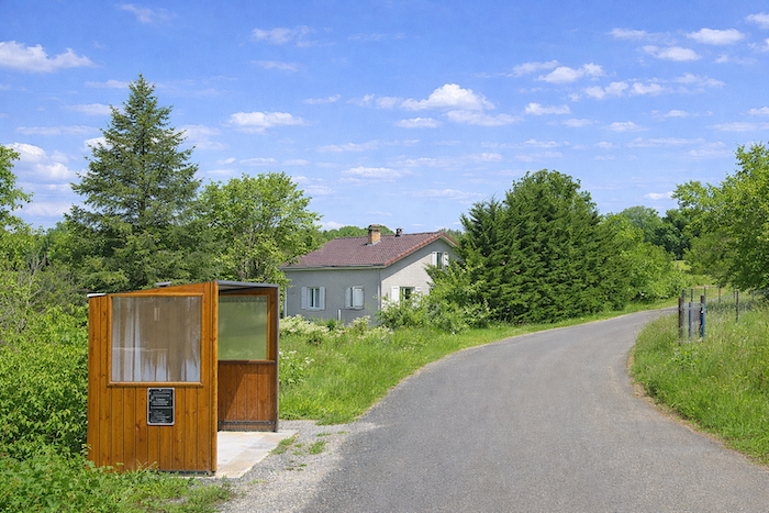
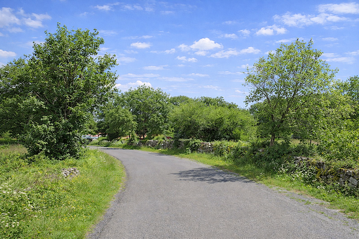
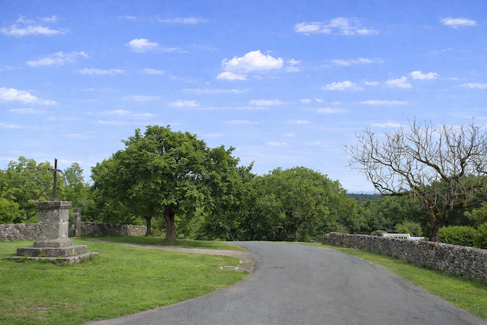
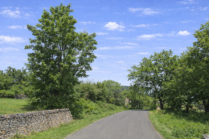
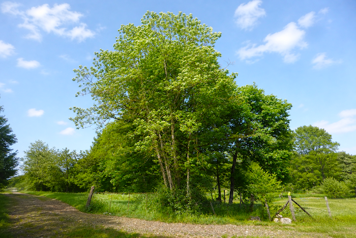
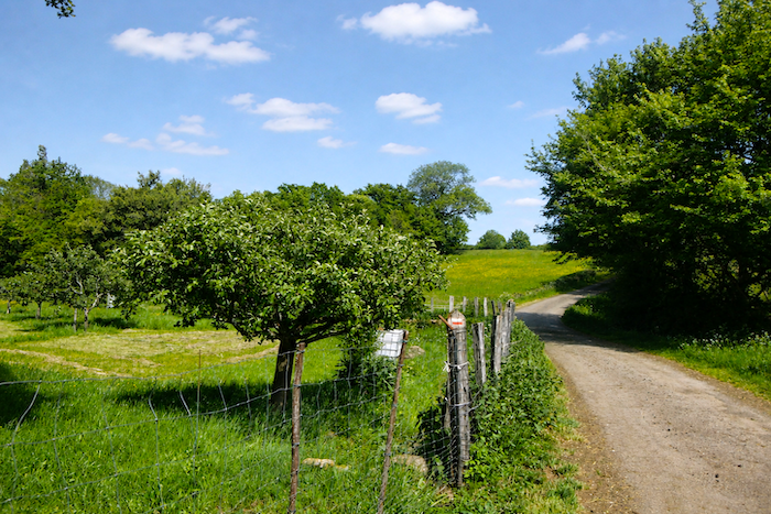
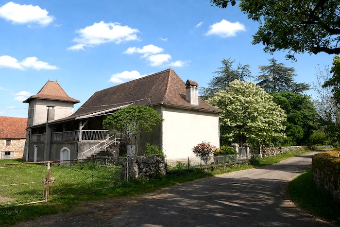
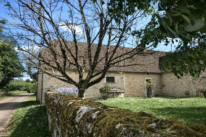
This stage is very different from the one between Rocamadour and Gramat. While the Alzou Valley is both spectacular and intimate, the route from Gramat to Lacapelle-Marival is an opportunity to discover the Causse du Quercy, here once again the Causse de Gramat, in all its authenticity. Leaving Gramat, the route gradually leaves the deep valleys behind and returns to the wide-open spaces of the causse. The terrain becomes gentler, the horizons broaden, and light once again takes center stage. This is a less spectacular hike than the one from Rocamadour, but it is more representative of rural Quercy. Here, dry-stone walls, stunted oak trees, grazing meadows and old farmsteads tell the story of centuries of adaptation to a land where stone is everywhere and water is often scarce. The atmosphere is far more agricultural than tourist-oriented.
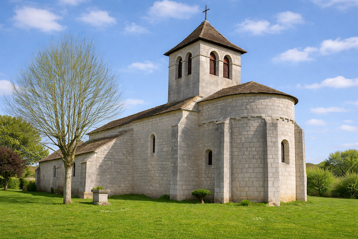
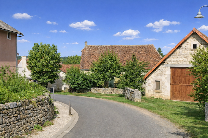
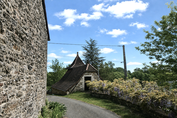
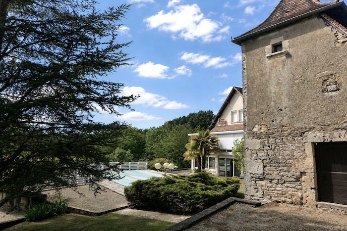
The route runs through several small, typical villages where time seems to have stood still. The traditional farmhouses of Quercy reflect an architecture perfectly adapted to the climate of the causse. Roofs of flat tiles or stone slabs, dovecotes and barns form a remarkably well-preserved rural heritage. As the route approaches Lacapelle-Marival, the landscape becomes slightly more undulating. At last, the village comes into view, dominated by its remarkable medieval castle, one of the finest in the Lot département. With its massive towers and elegant silhouette, it marks the end of a stage defined more by rural heritage than by spectacular natural landmarks. This could be described as a stage of tranquility. You do not come here in search of the emotions inspired by the cliffs of Rocamadour or the Alzou Canyon, but rather for the understated beauty of a landscape shaped by generations of farmers. This is a more secluded, more intimate Quercy, where you can walk for long stretches in silence, among oak trees, dry-stone walls and meadows, with the impression that the landscape has changed very little over the centuries.
This stage follows the variant leading towards Rocamadour, generally walked in the opposite direction by pilgrims travelling from Figeac to Cahors. Here, the route is followed in reverse, and one need only read the landscape backwards to rediscover its underlying logic. You walk along the GR36/46, a discreet yet faithful thread linking these lands of stone and water.
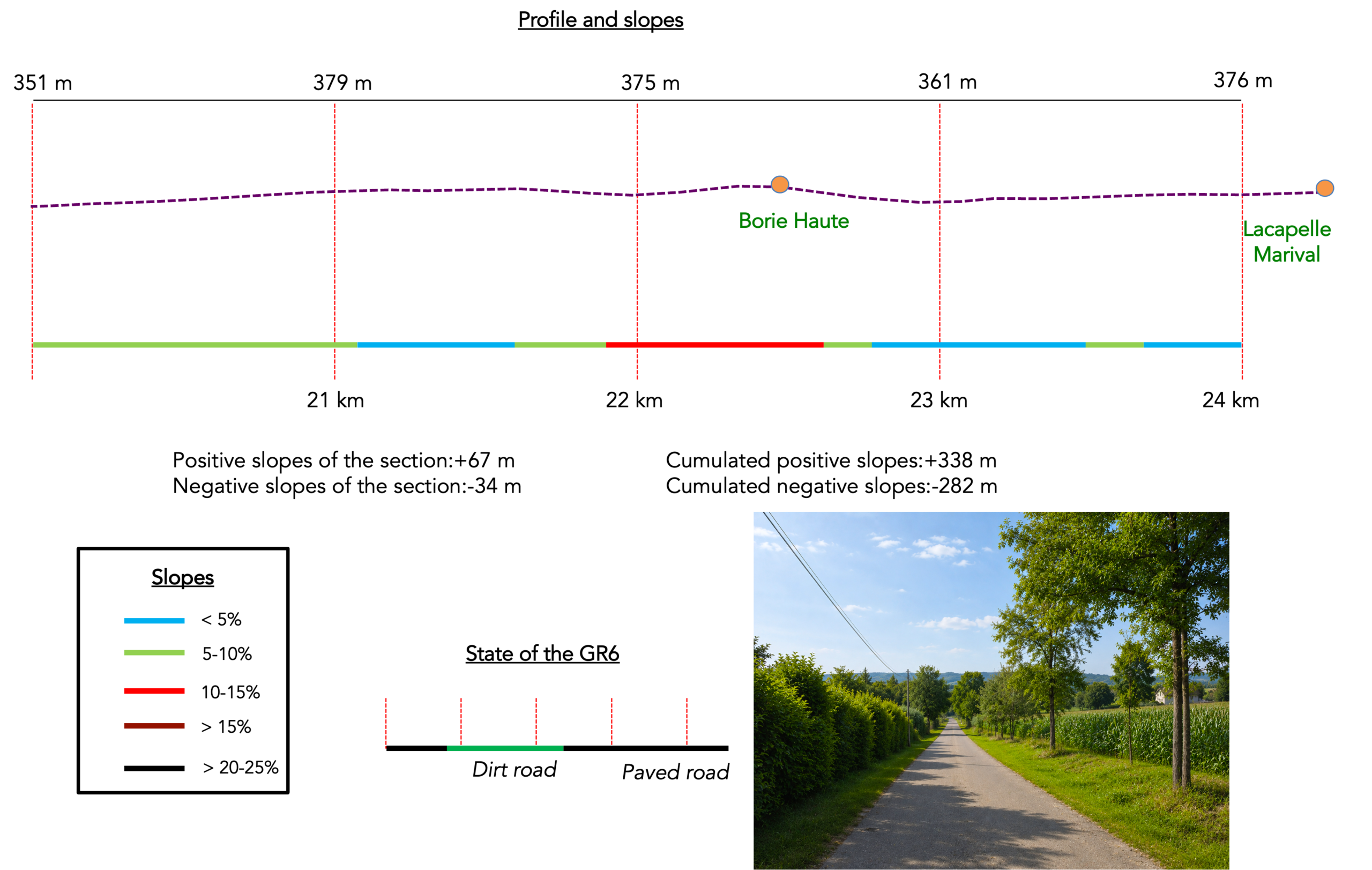
Difficulty level: The day’s elevation changes are very reasonable /+ 338 meters/- 282 meters), particularly given that the stage is fairly long, at nearly 25 km. Steep gradients are rare on a stage that rolls gently across the causse.
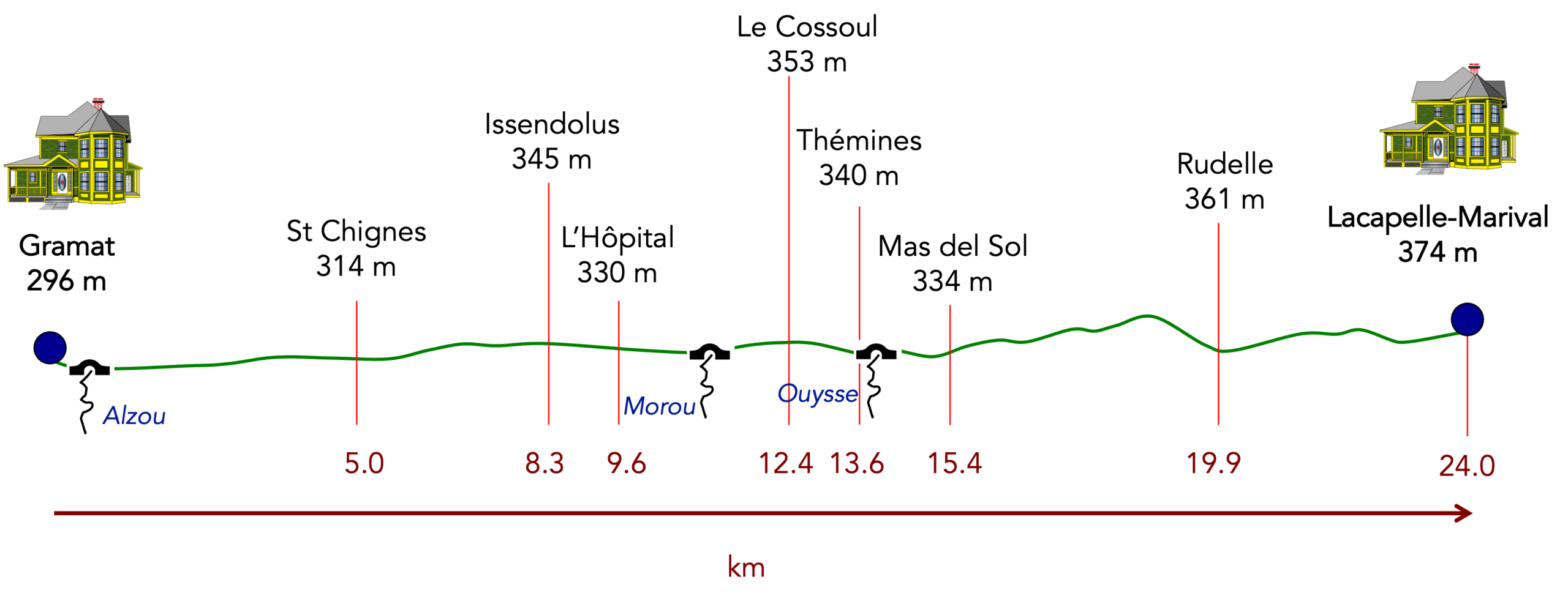
State of the route: The balance between roads and paths is fairly even:
- Paved roads: 11.6 km
- Dirt roads: 12.8 km
Sometimes, for reasons of logistics or housing possibilities, these stages mix routes operated on different days, having passed several times on these routes. From then on, the skies, the rain, or the seasons can vary. But, generally this is not the case, and in fact this does not change the description of the course.
It is very difficult to specify with certainty the incline of the slopes, whatever the system you use.
For those seeking « true elevations » and enthusiasts of genuine altimetric challenges, carefully review the information on mileage at the beginning of the guide.

Section 1:Through a causse of incredible beauty
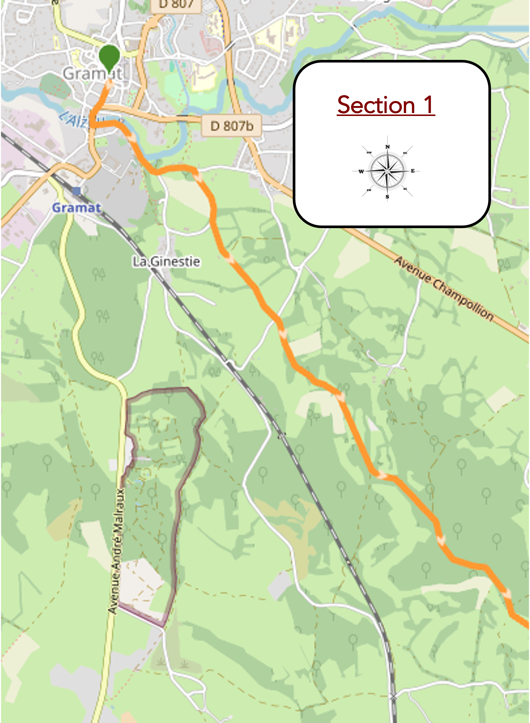
Overview of the route’s challenges : a route with no particular difficulty.
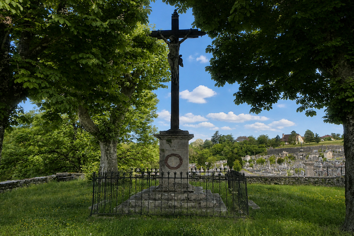
| It takes a real feat of mental gymnastics to find your way out of Gramat, especially when the previous evening has faded away amid the lights of the town center. You have to retrace your steps, turning back towards the place you came from the day before, near the old cemetery. |
 |
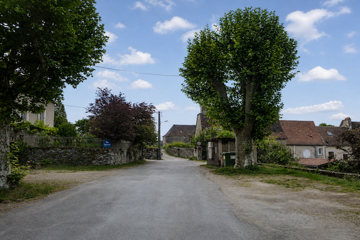 |
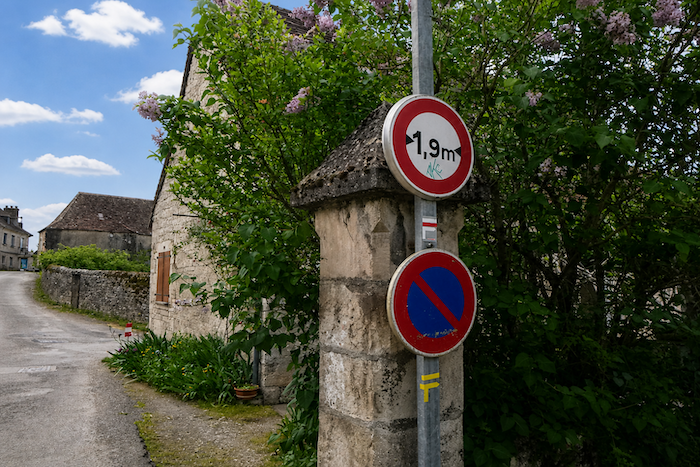
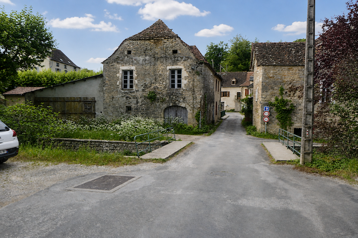
| This is where Rue du Barry begins, an unassuming street that slowly descends towards the lower reaches of the town. |
 |
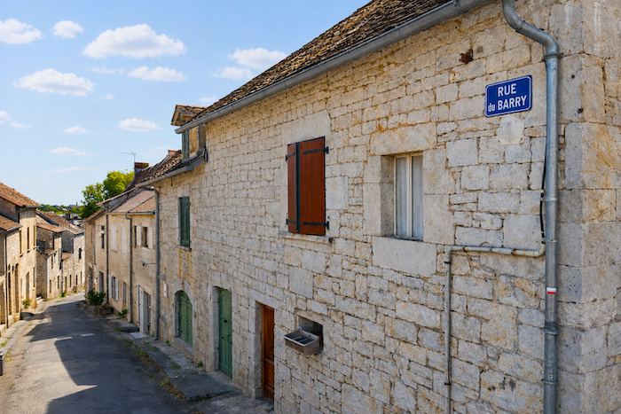 |
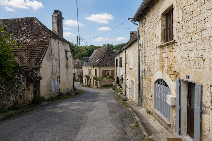
| The slope leads the pilgrim through an old suburb, lined with charming stone houses filled with the silent stories of the past. Little by little, the street descends towards the Alzou stream, that familiar companion already followed since Rocamadour. |
 |
 |
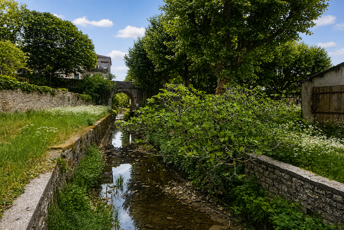
| Here, the Alzou has lost the impetuous spirit that animated its waters the previous day. It now surrenders itself to an almost wild landscape, where the water seems to dream beneath the weight of time. |
 |
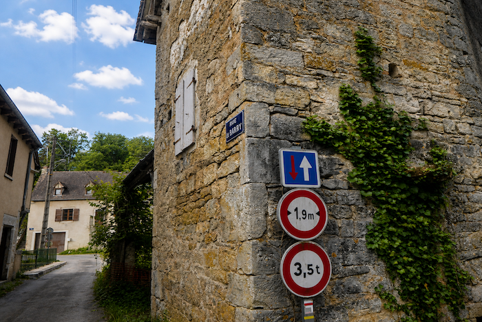 |
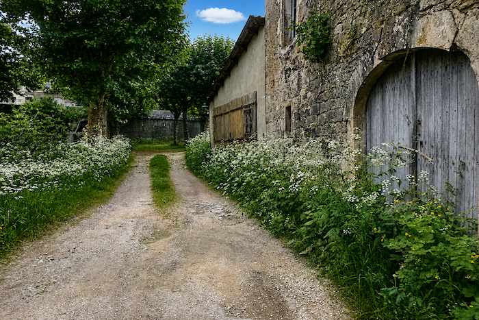
| The road then follows the meanders of the stream, slipping through the tall grasses as though trying not to disturb the tranquility of the surroundings. |
 |
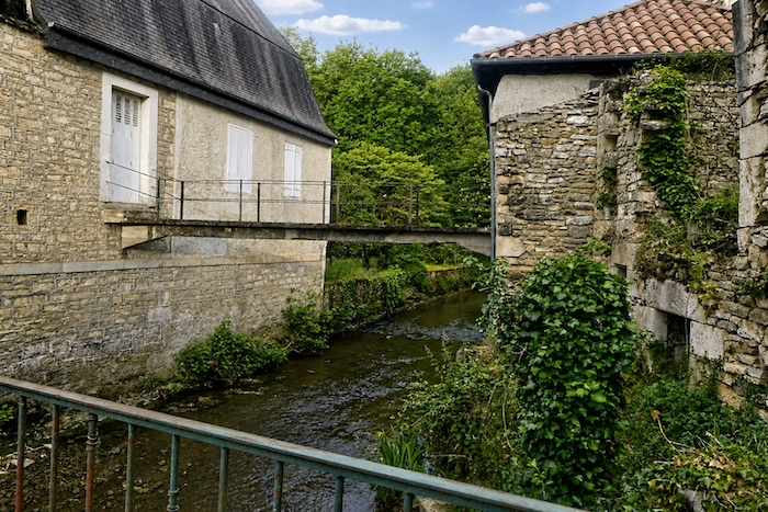 |
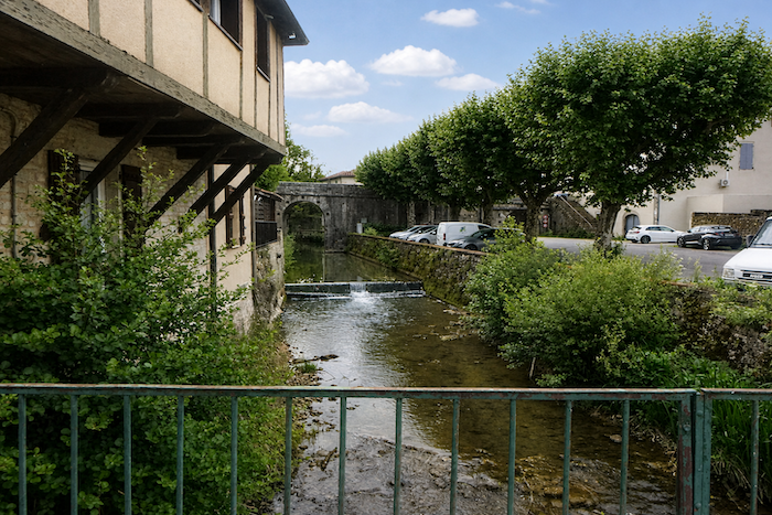
| The road then turns away once more, crosses the water again and reaches a small square on the outskirts of town, like a final threshold before the countryside begins. |
 |
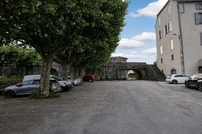 |
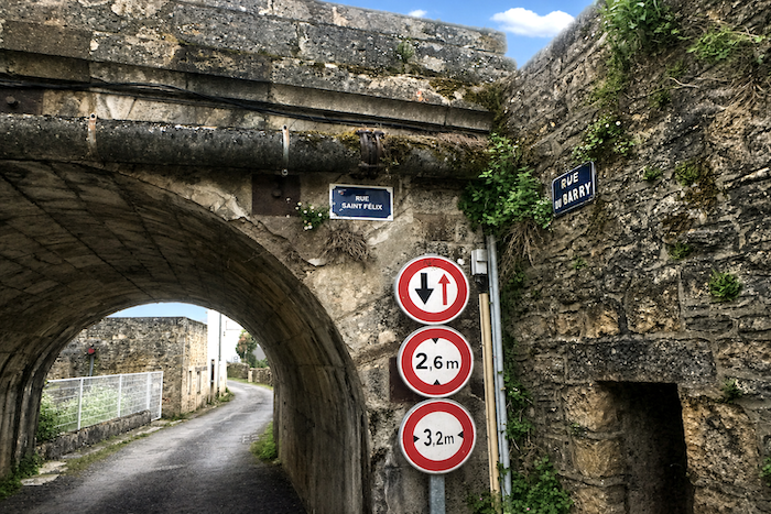
| The GR6 then passes beneath a tunnel at the end of Rue du Barry before emerging onto Rue d’Arruflens. |
 |
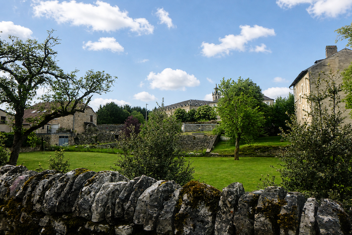 |
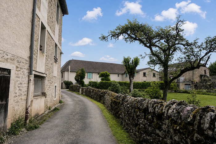
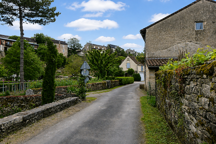
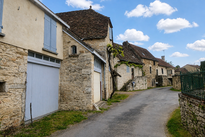
| This street winds through a maze of stone houses that seem to have watched several centuries pass by. It also runs alongside the town convent, austere and motionless amid the silence of the old stones. |
 |
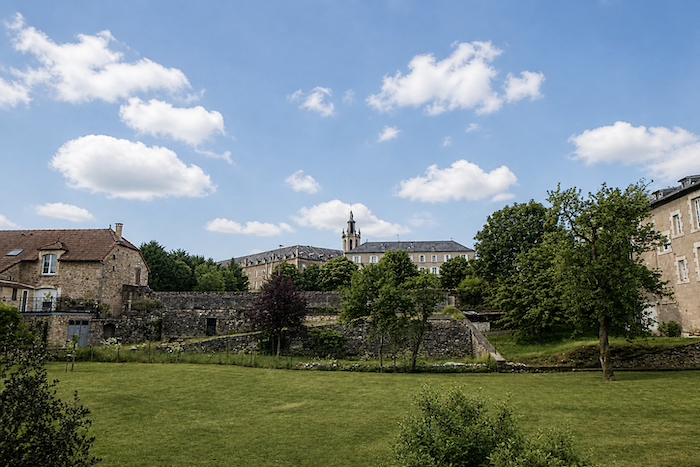 |
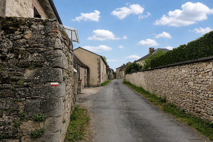
| In this suburb from another age, everything speaks of the enduring strength of stone, the houses, the walls, the low stone walls, even the landscape itself, which seems to have been shaped from rock. |
 |
 |
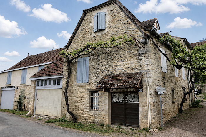
| The local heritage even preserves the memory of the Arruflens Mill, a relic of a world that vanished long ago. |
 |
 |
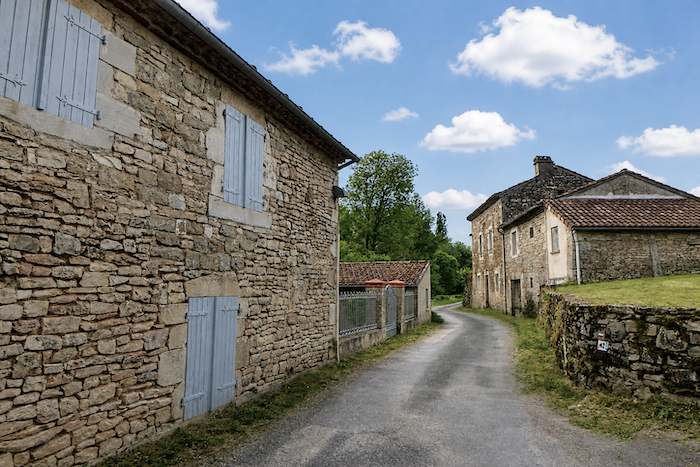
| Here, the suburbs finally disappear behind you. The last traces of human life gradually recede, giving way to untouched nature. A weary road follows the stream, while here and there a few stone houses hide discreetly behind their small gardens. |
 |
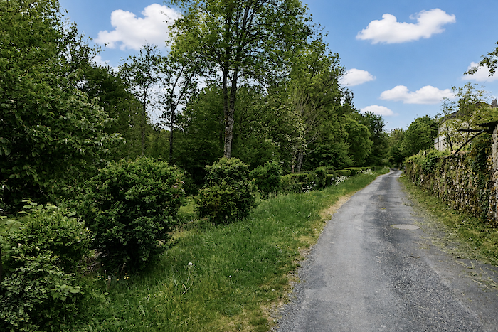 |
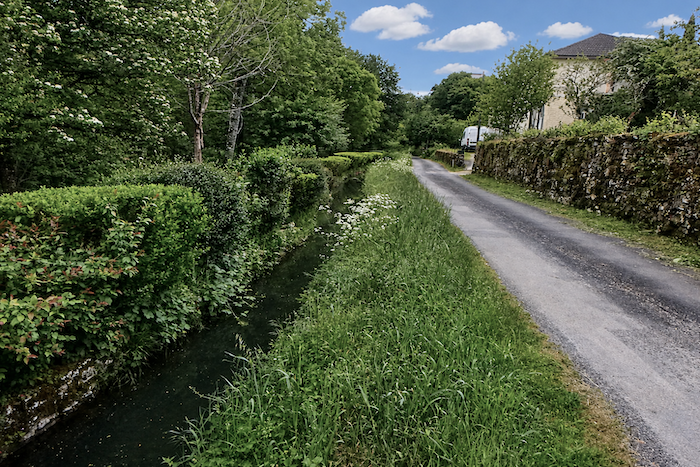
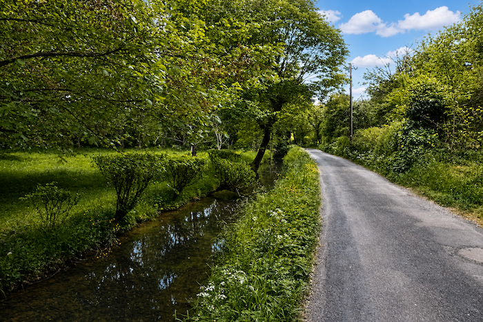
| The water now lies still beneath the shade of tall deciduous trees, wrapped in a peaceful softness that lends the landscape the quality of a dream. |
 |
 |
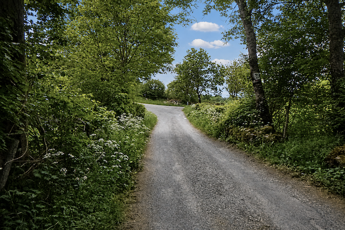
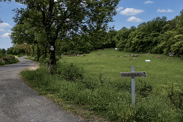
| The route then leaves the murmur of the stream behind and joins a wider road that skirts the town, in the area where the village of Aureilles lies tucked away, some distance from the route. |
 |
 |
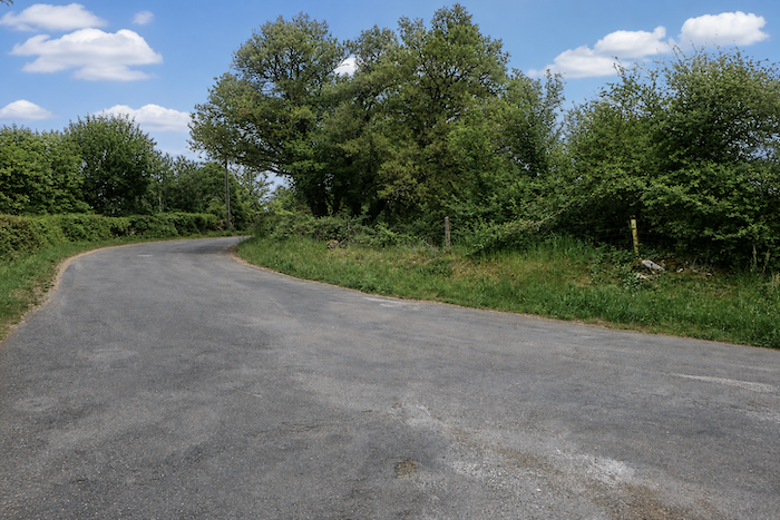
| The gradient now begins to make itself felt, gentle yet persistent, like a slow invitation to leave the last inhabited folds of the landscape behind and climb towards higher ground. |
 |
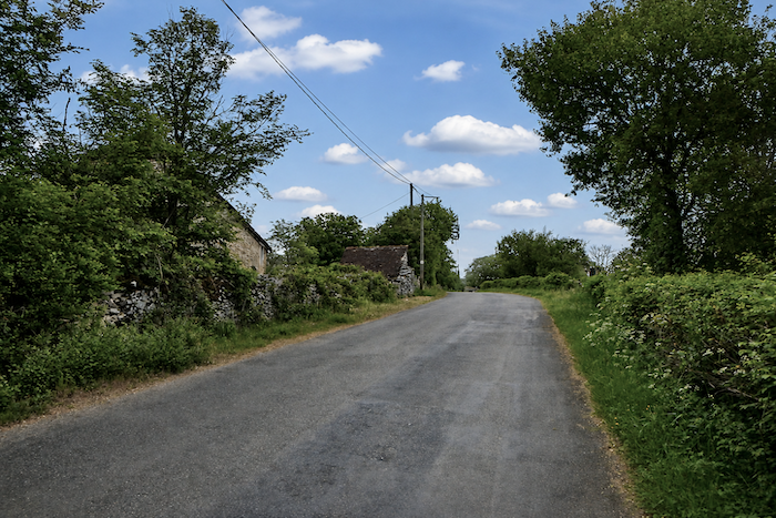 |
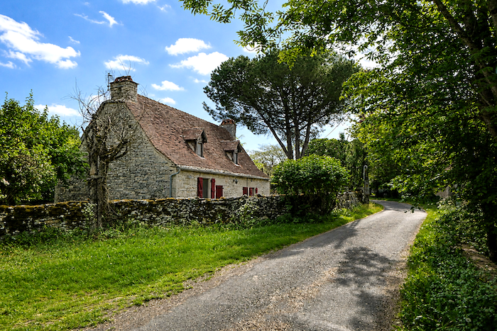
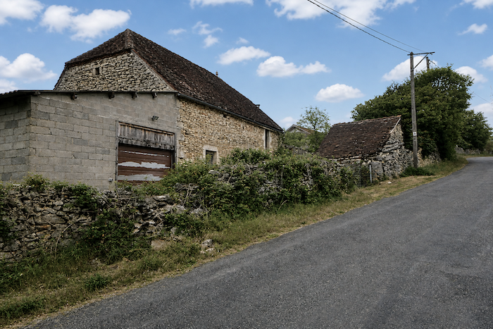
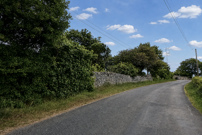
| Here, the road passes stone houses from another age, some already being consumed by ruin and silence. Everywhere, the dry-stone walls seem to guard ancient secrets that the pilgrim was never meant to know, as though every façade carried within it the fading memory of forgotten lives. |
 |
 |
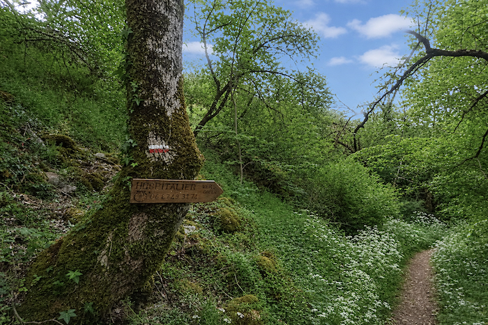
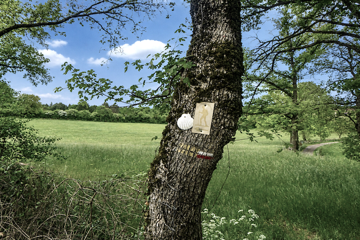
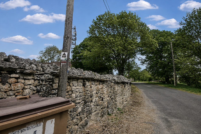
| You will then reach a point where it is best not to let your attention wander. The route seems to draw you straight ahead along the road, with deceptive certainty. But this is not the way to go. A sign dispels the illusion and points, almost discreetly, towards a trail branching off to the right, below the road. |
 |
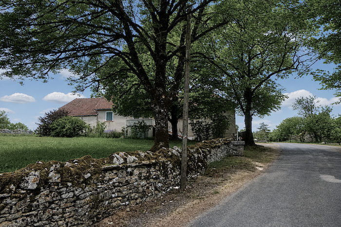 |
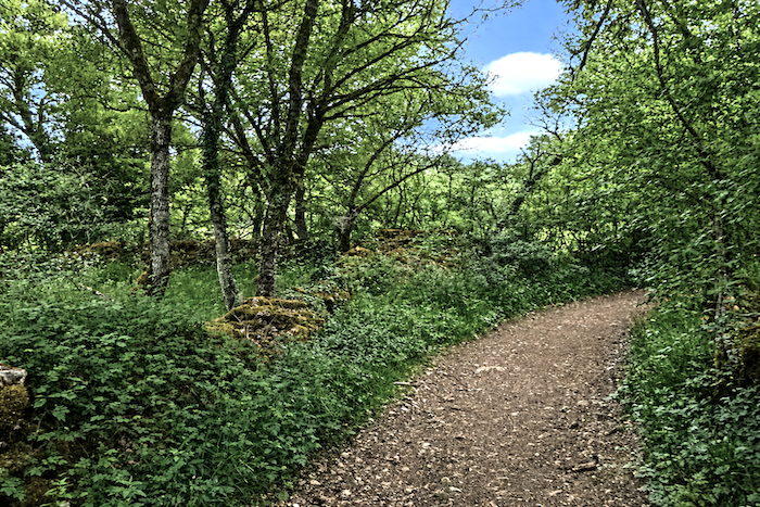
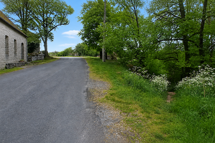
| A narrow trail slips beneath the road before descending into the small dale, patiently following the old stone walls that have shaped the landscape for generations. |
 |
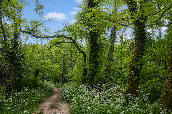 |
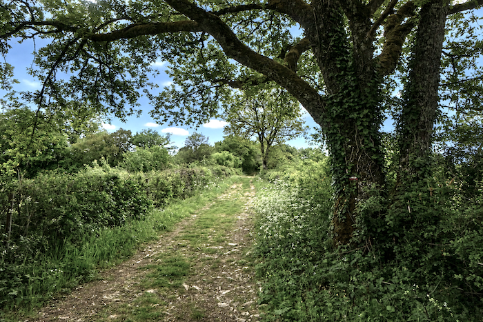
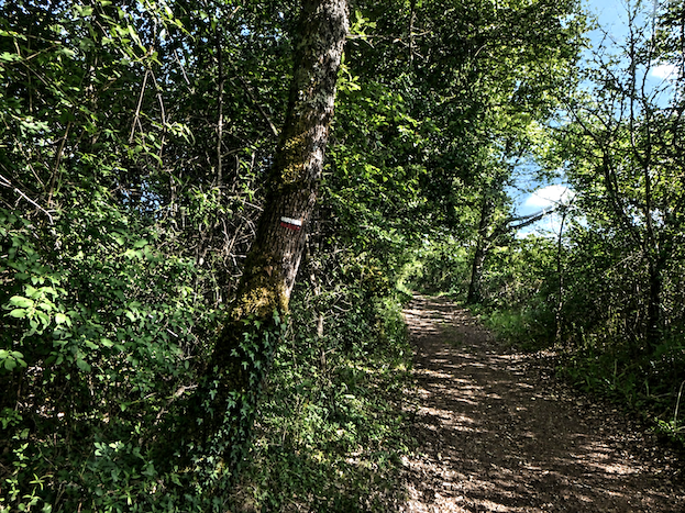
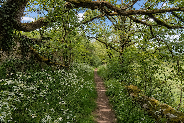
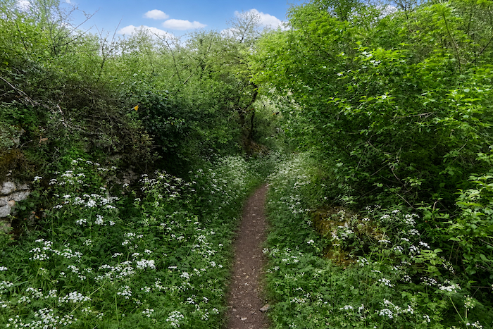
| Here, the generous shade of the tall deciduous trees offers a welcome coolness, like a protective canopy above the trail. |
 |
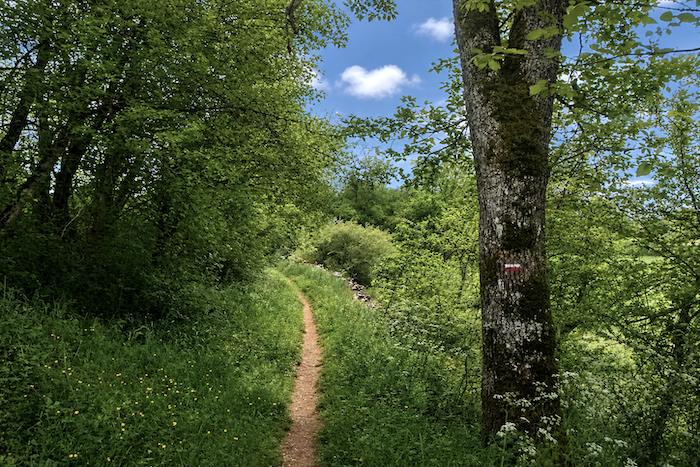 |
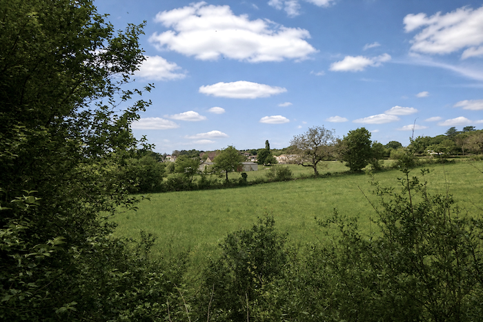
| At times, when the woodland thins and allows more light to filter through, your gaze wanders to the right, where the village of La Ginestie appears, nestled into the landscape. |
 |
 |
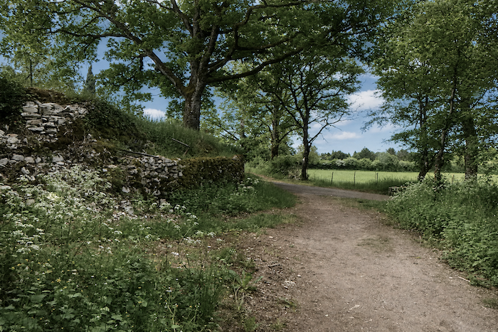
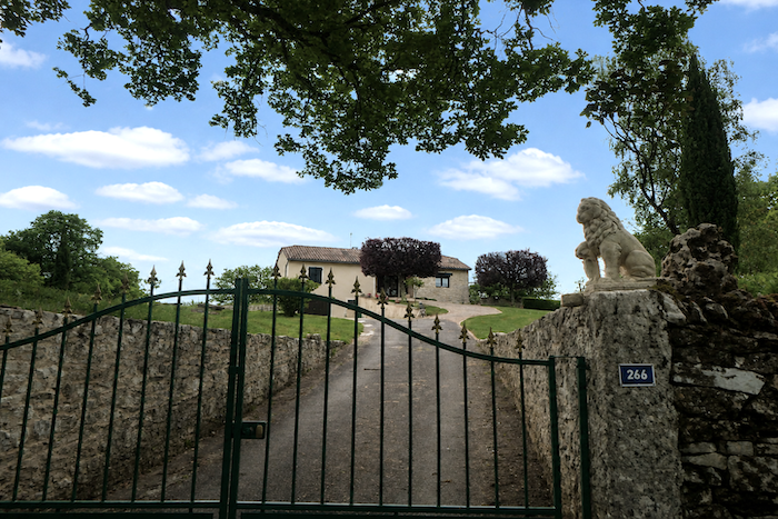
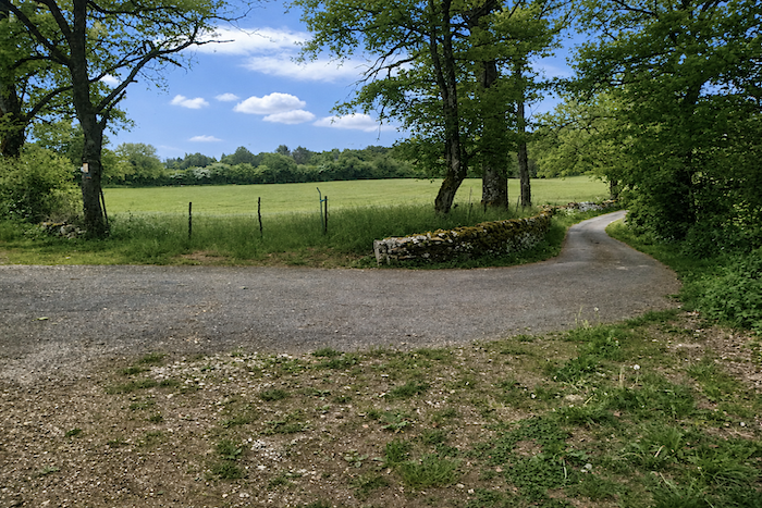
| At the bottom of the descent, the trail joins a dirt road, discreetly reserved for the owners of the magnificent dressed-stone houses that stand here. In this region, limestone reigns everywhere, revealing shades that range from warm ochre to mineral grey. |
 |
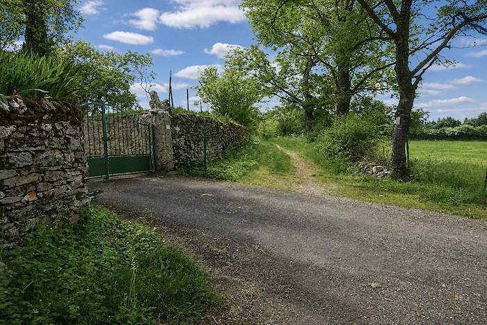 |
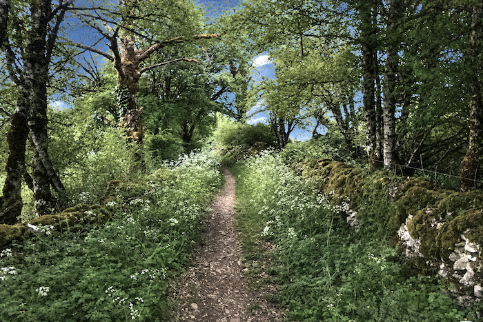
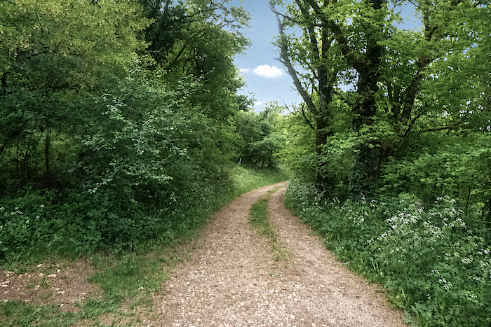
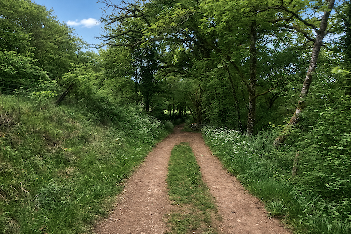
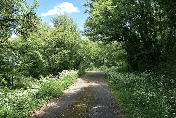
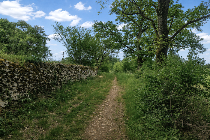
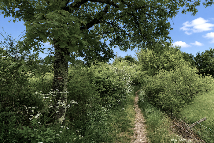
| An enchanting crossing of the causse now begins, amid wild grasses, bushes and living banks. At this time of year, the roadsides are covered with wild carrots and towering hogweed, their delicately unfurled flower heads resembling botanical parasols offered up to the wind. |
 |
 |
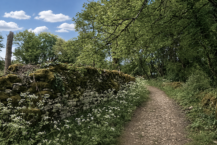
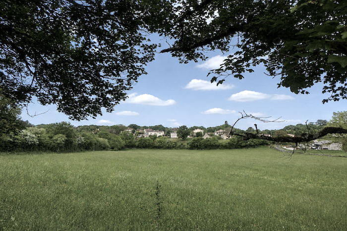
| Beyond the stone walls, where moss took root long ago, the village of La Ginestie remains constantly in sight, like a silent landmark in the landscape. |
 |
 |
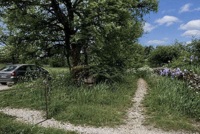
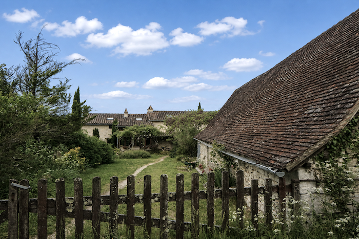
| At the place known as Le Gravier, another magnificent stone house appears behind its small garden, discreet and elegant in its setting of greenery. |
 |
 |
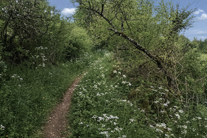
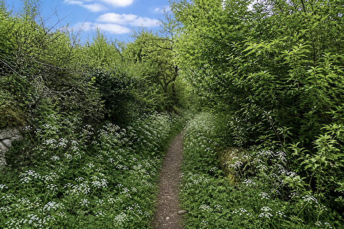
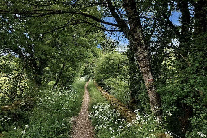
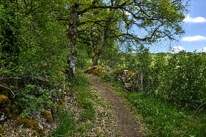
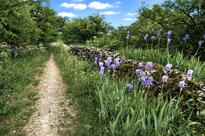
| Then another narrow trail appears, guiding your steps between stone walls, fields of umbellifers trembling in the breeze, and the wild scrub that borders the path. |
 |
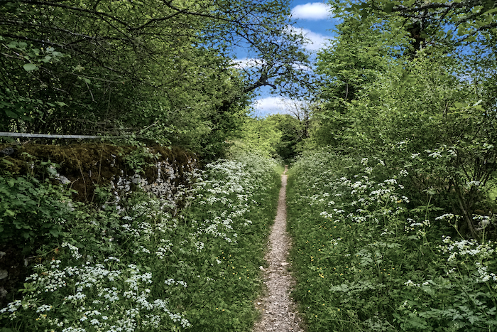 |
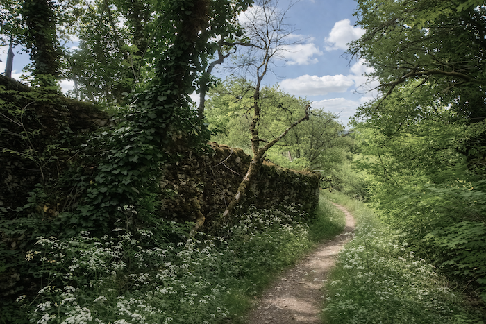
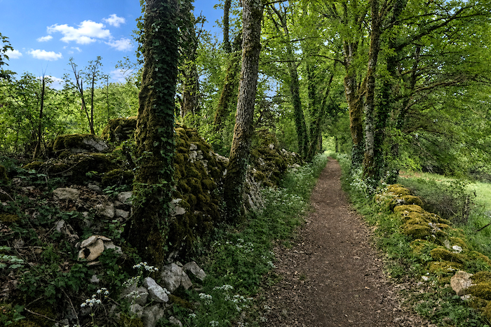
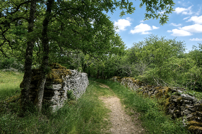
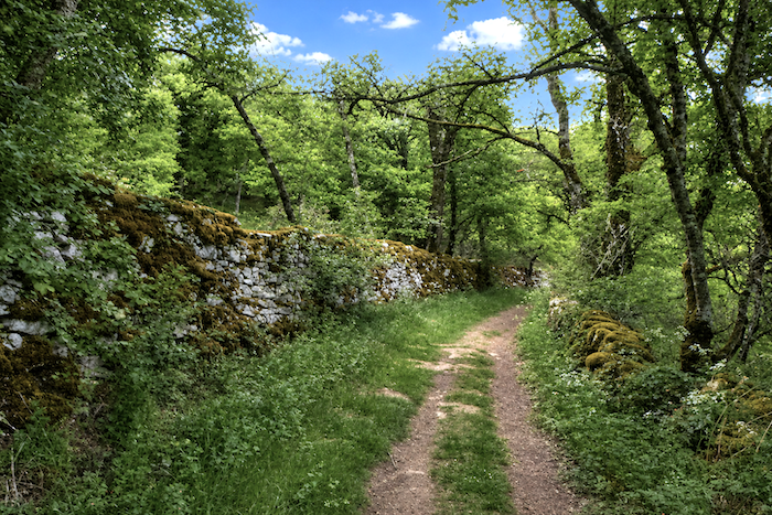
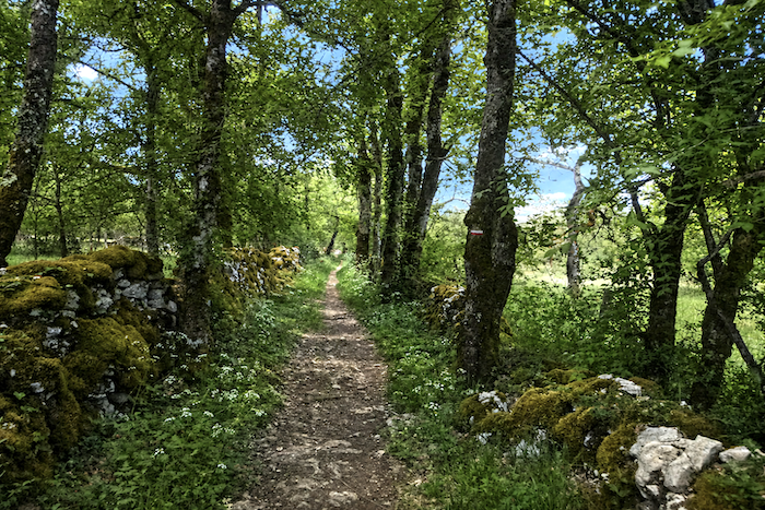
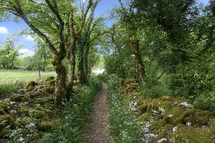
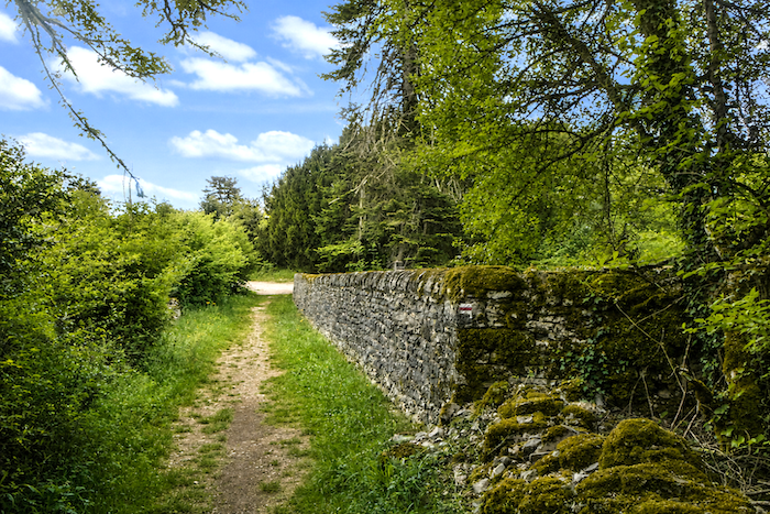
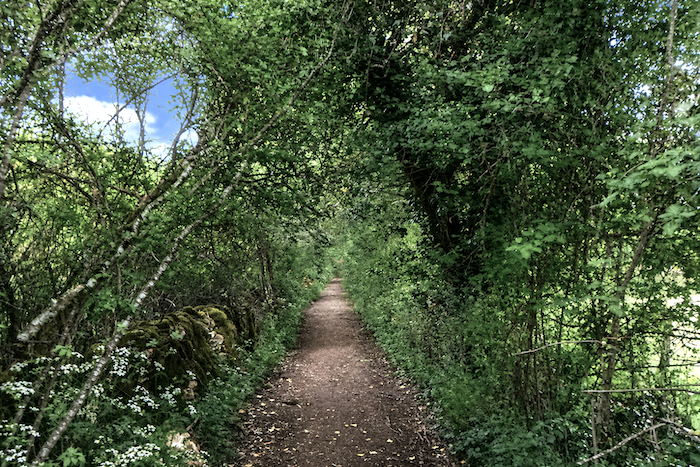
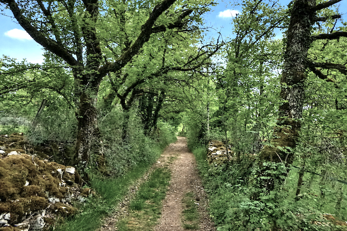
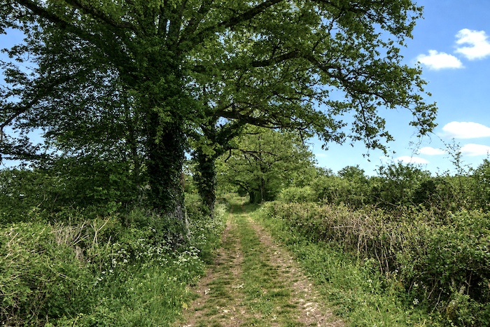
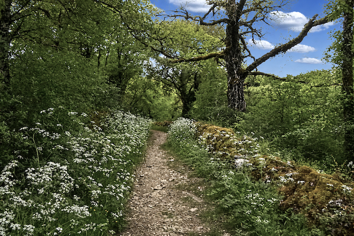
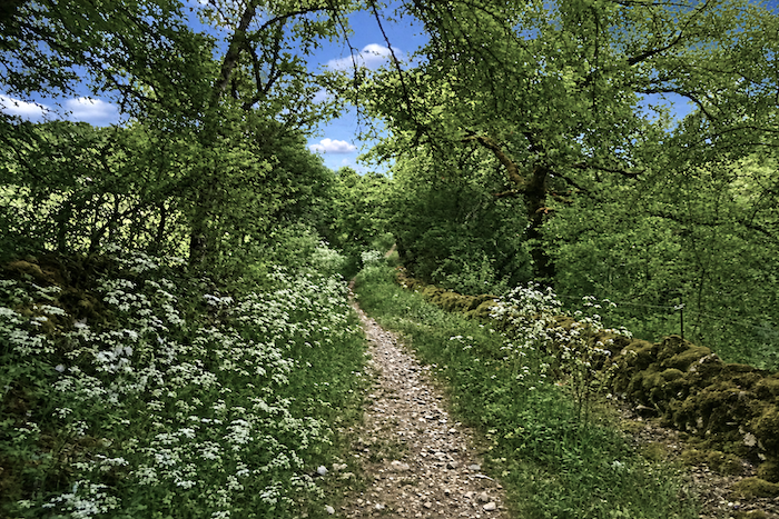
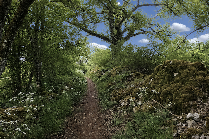
| These paths seem to have been drawn for the footsteps of dreamers. They wind between moss-covered stone walls, beneath the lofty guardianship of trees whose branches intertwine like the vaults of a living cathedral. |
 |
 |
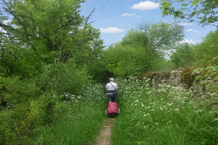
| Here, a couple moves silently beneath the canopy of trees, while the man pulls a modest luggage cart behind him. The woodland is dominated by mighty oaks and maples with delicate foliage. Not a single conifer disturbs this harmony of deciduous trees, where soft shadows and deep shades of green reign everywhere. |
 |
 |
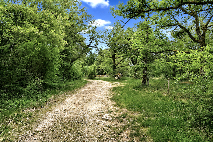
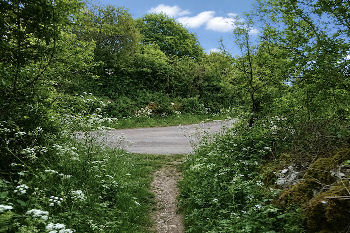
| Soon afterwards, the trail meets a dirt road at the edge of the woodland, as though the forest had suddenly agreed to release the walker back into the wide-open landscape of the causse. |
 |
 |
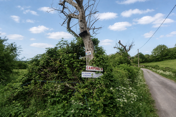
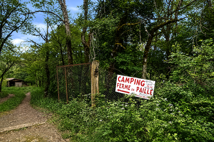
| A sign here points towards the Gravier farm and campsite, a valuable landmark for walkers, as accommodation options remain scarce along this section of the route. |
 |
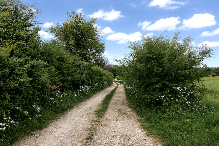 |
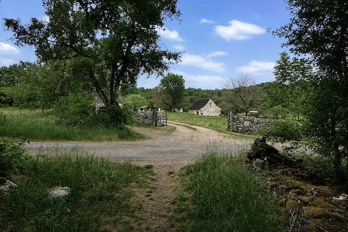
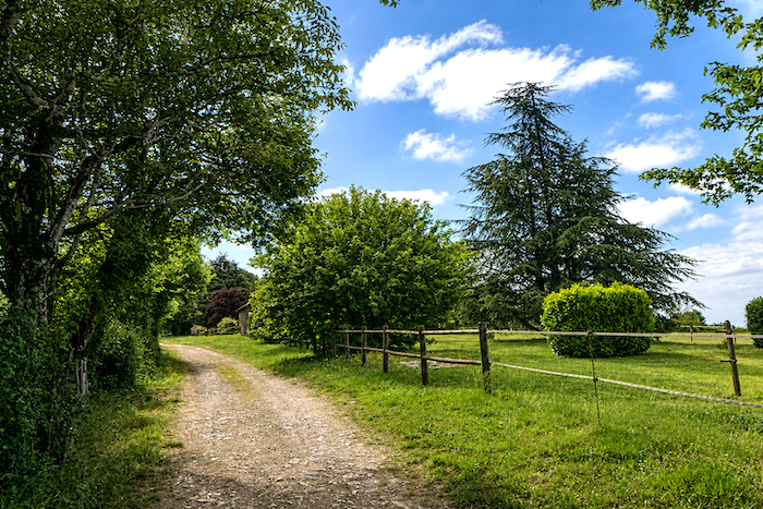
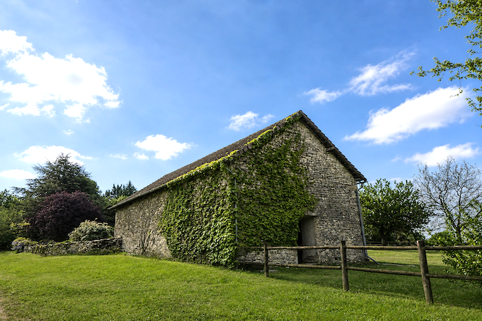
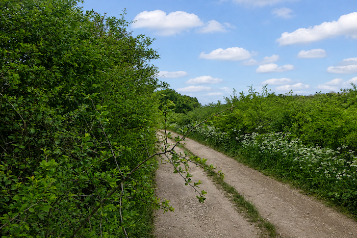
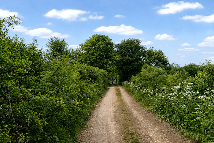
| The dirt road then stretches through more open countryside, where the view can breathe more freely after the wooded passages. Below the path, you can see the Gravier farm, resting among meadows and stone walls in the tranquil simplicity of the causse landscape. . |
 |
 |
| Farther on, you reach the junction leading to the campsite, which also lies slightly away from the main route, as though hidden within the tranquility of the countryside. |
 |
 |
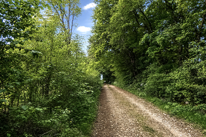
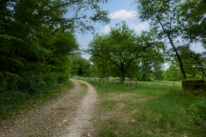
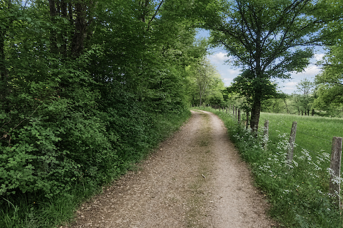
| The path then continues for several hundred meters along this dirt road, still sheltered by the welcome shade of the deciduous trees. |
 |
 |
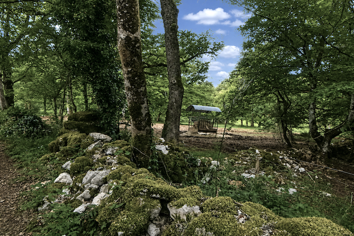
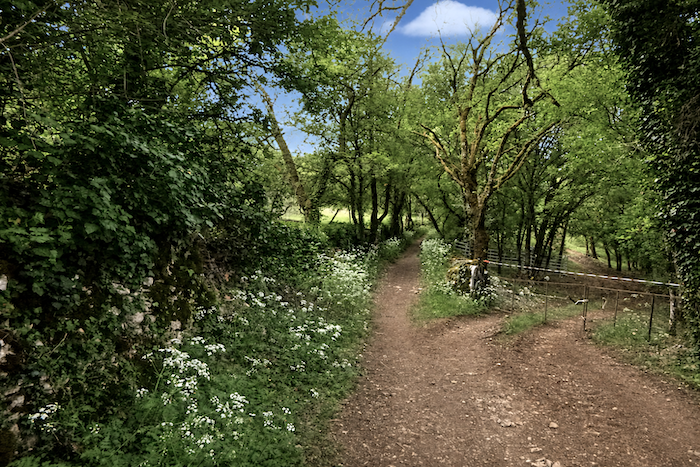
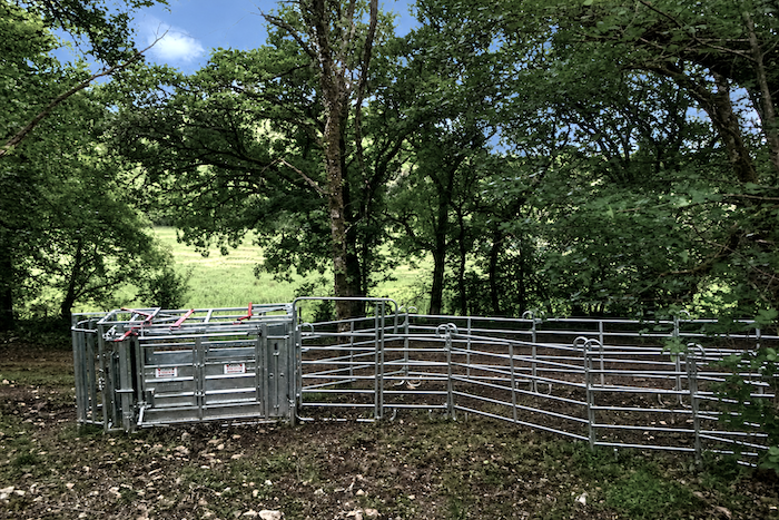
| The dirt road then narrows once more into a trail that returns to the cool shade of the woodland, close to a livestock enclosure whose presence can be sensed even though the farm to which it belongs remains out of sight. Here, you walk almost alone along the route, encountering only a handful of hikers scattered across the peaceful immensity of the causse. |
 |
 |
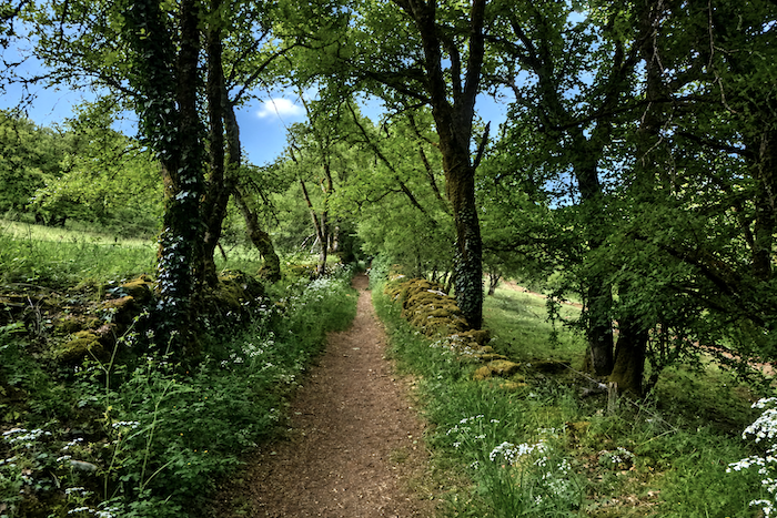
| As you continue along this easy path, the light plays among the leaves, filtering through in shifting patches that dance across the white stones and wild grasses bordering the way. |
 |
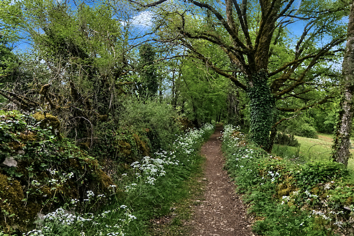 |
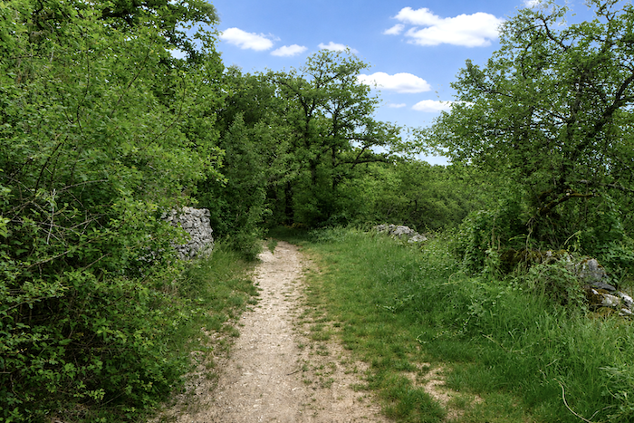
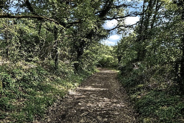
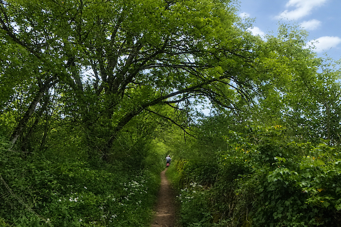
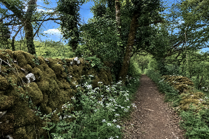
| The narrow, winding trail sometimes disappears into a veritable tunnel of greenery before emerging again farther on, as though inviting the pilgrim to pursue some ancient secret hidden deep within the woods. |
 |
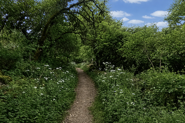 |
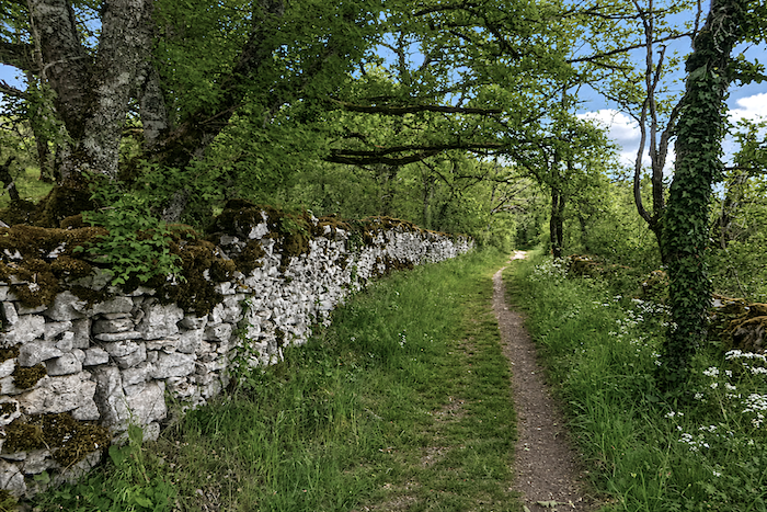
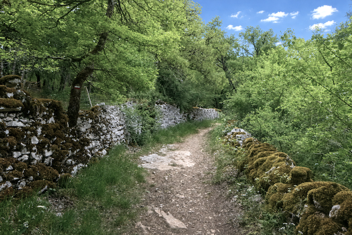
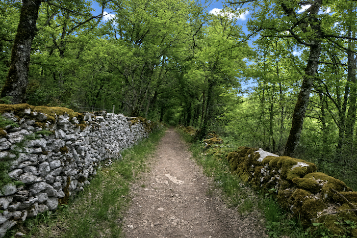
| Here, everything seems to whisper of the slow patience of the centuries, the lichen-covered stones, the gnarled trunks leaning over the passage, the moss that has embraced the stone walls for generations. Even the silence seems alive, disturbed only by the rustling of leaves and the occasional distant cry of a bird. |
 |
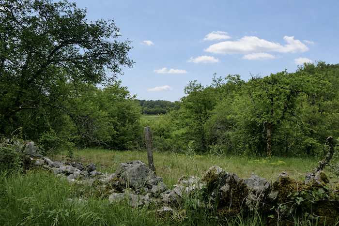 |
| To walk these paths across the causse is to enter a secret land where, at every turn, nature creates a living picture woven from shadow, light and the wild scents of the woodland. |
 |
 |
Section 2: Through a causse of incredible beauty
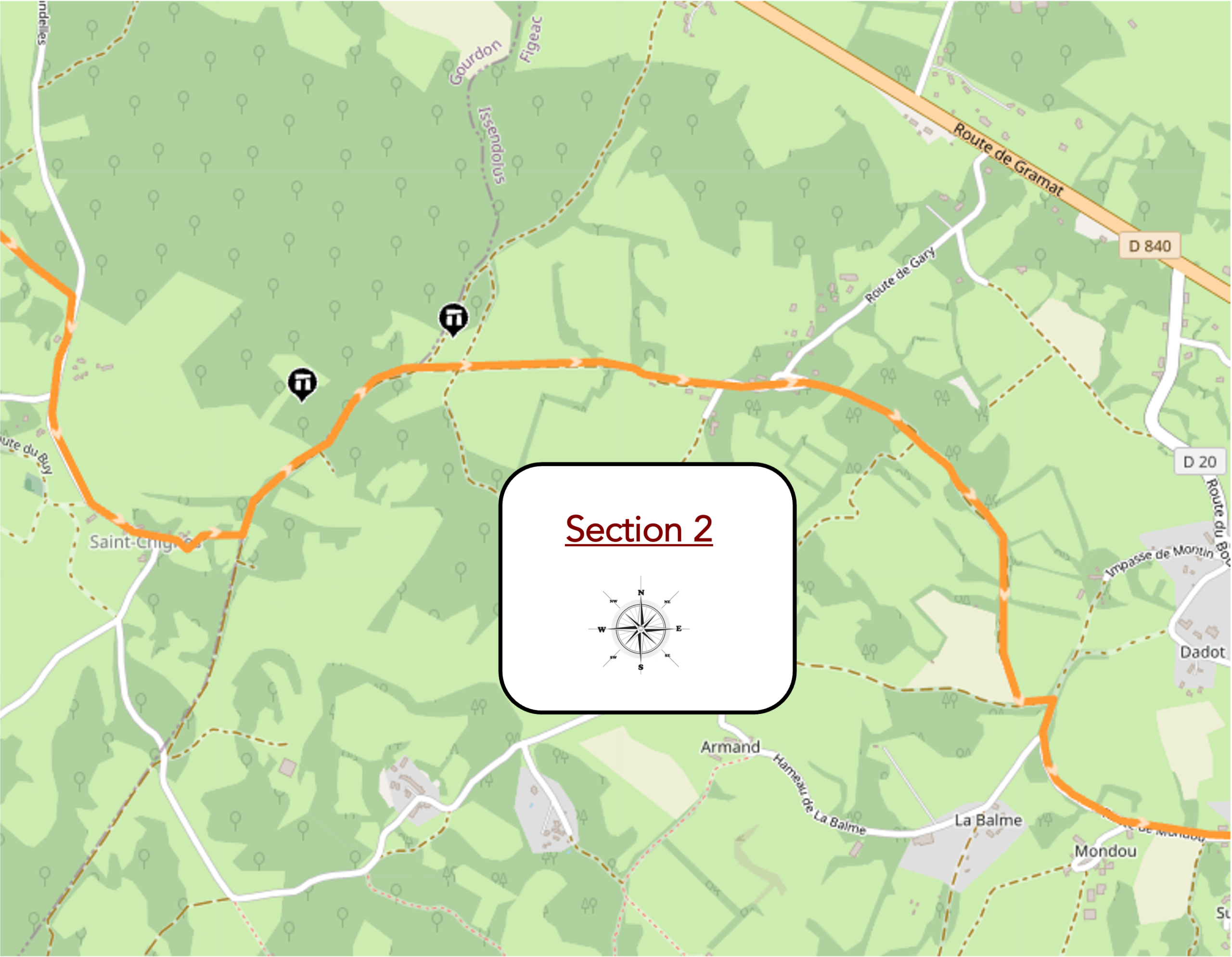
Overview of the route’s challenges : a route with no particular difficulty.
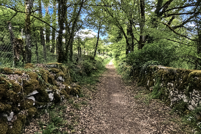
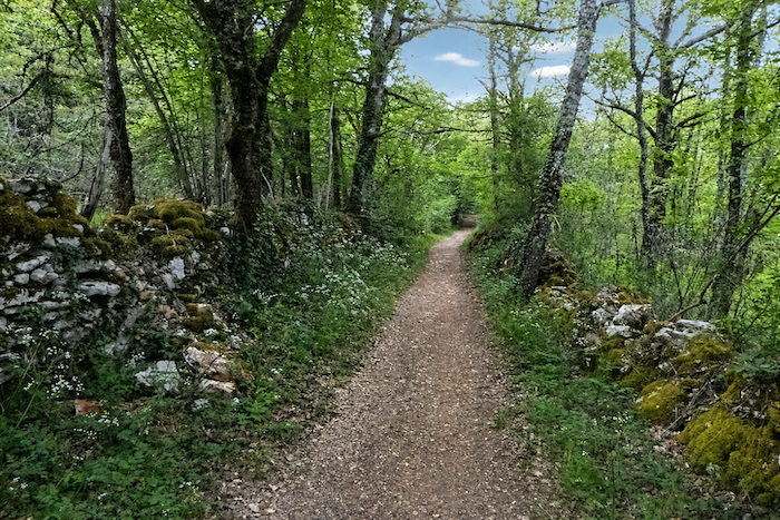
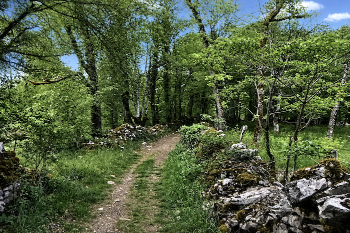
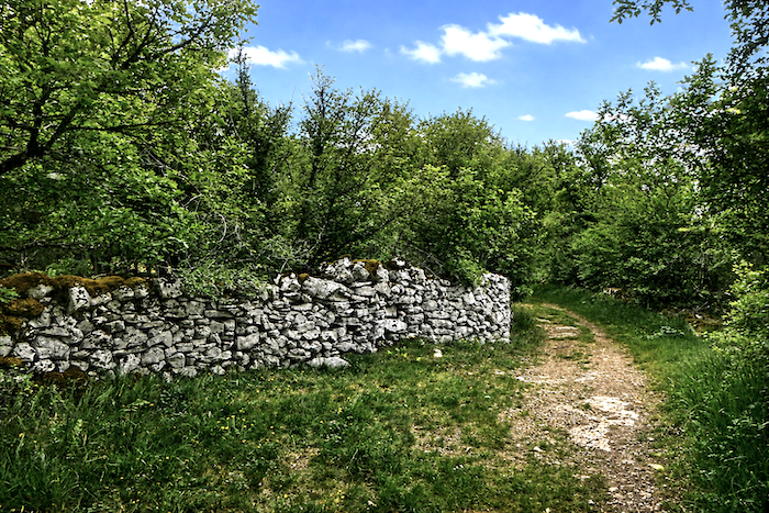
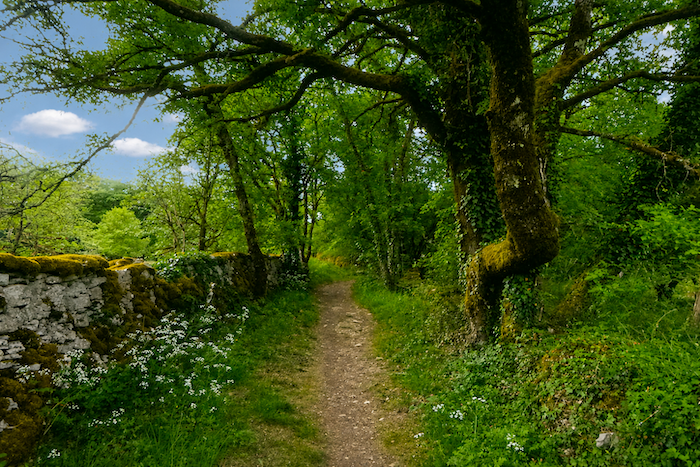
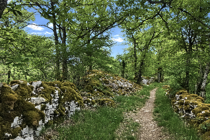
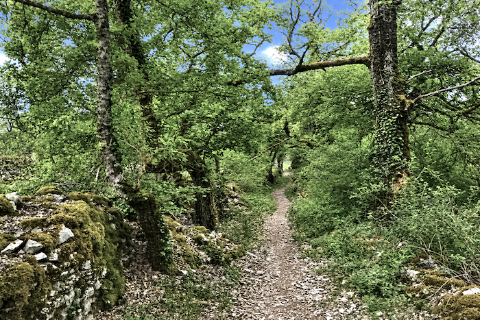
| Between dry-stone walls thickly draped in velvety moss, the trail, occasionally a little stony, winds gently beneath the luminous canopy of deciduous trees. |
 |
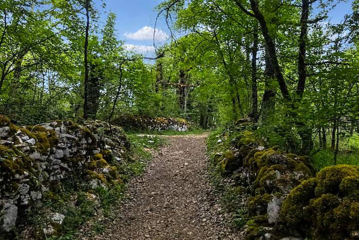 |
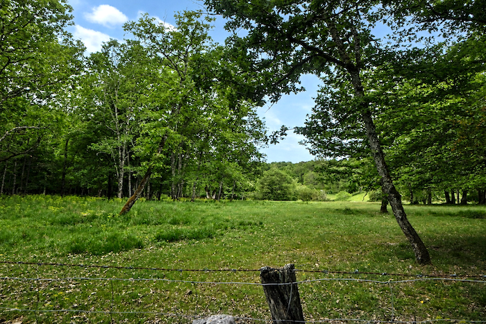
| Here and there, a rare opening in the woodland suddenly reveals a small clearing, like a breath of light in the heart of this sea of greenery. |
 |
 |
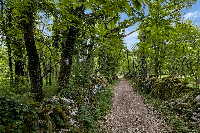
| Every stone seems to have been placed there by time itself, as though nature and humankind had shaped this silent and timeless landscape together, century after century. |
 |
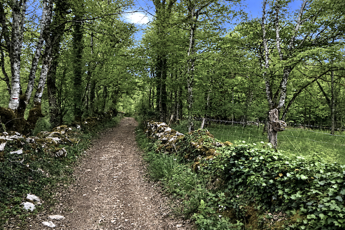 |
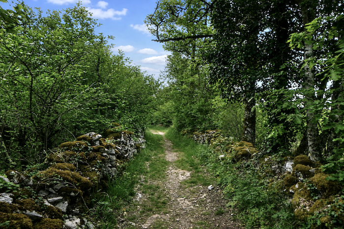
| The poetry of this place is born from the subtle harmony between the mineral harshness of the causse and the almost unreal softness of the woodland. Thick moss envelops the old walls in a living mantle, while the trees stretch their branches above the path as though seeking to shelter the hiker from the turmoil of the world. |
 |
 |
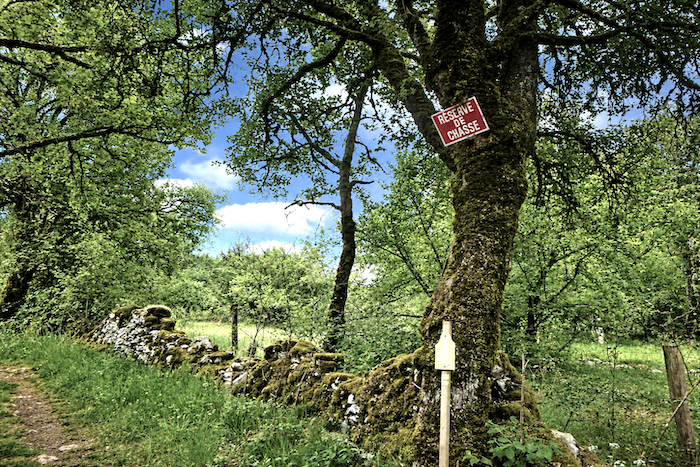
| Yet humankind is never entirely absent from these solitary places, as the hunting signs that occasionally appear along the path remind us, a discreet indication that this natural world remains a living and shared territory. Even so, every bend continues to give the impression of venturing a little deeper into the secret soul of the causse. |
 |
 |
| A few more steps through this wild landscape and the trail suddenly emerges into the open, joining a small paved road bathed in light. After the depths of the woodland, this opening almost feels like a return to the world of humankind. |
 |
 |
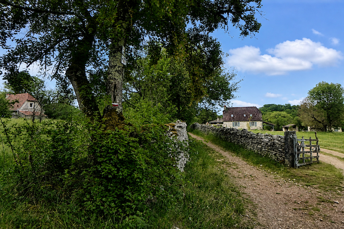
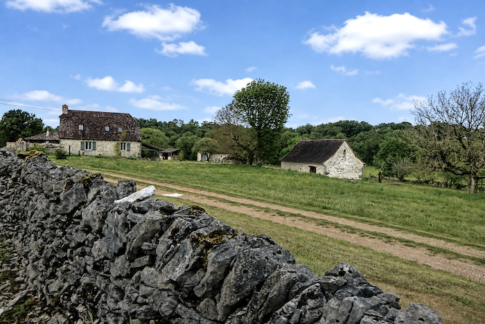
| The path, however, merely crosses the road before continuing straight ahead. It is surprising to think that a few farmers have chosen to live here, sheltered behind their high stone walls, amid this mineral solitude that the causse seems to have protected since time immemorial. |
 |
 |
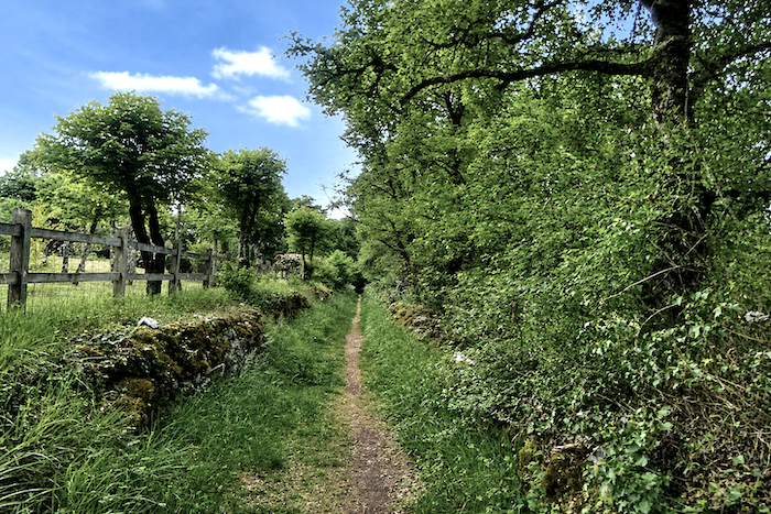
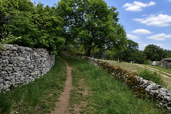
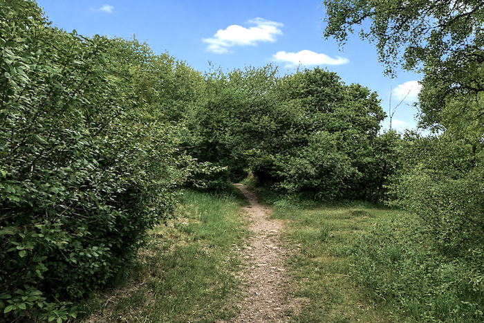
| Very soon, the moss-covered stone walls return, bordering a narrow trail that once again slips between the trees and undergrowth. |
 |
 |
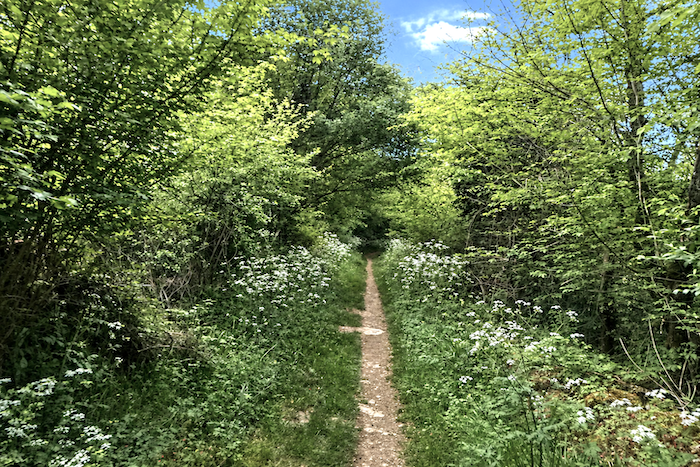
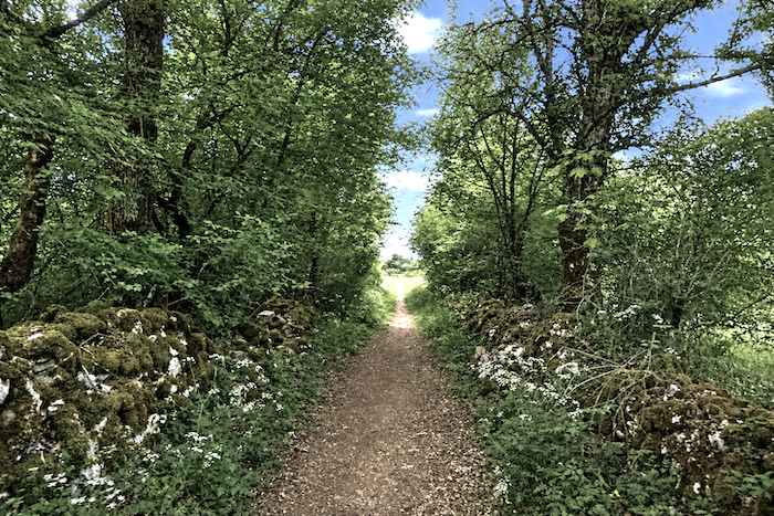
| Here, however, the causse seems a little less wild. Gradually, the path draws closer to a more inhabited, more civilized world, where the presence of people becomes increasingly apparent behind the walls, paths and stone roofs. |
 |
 |
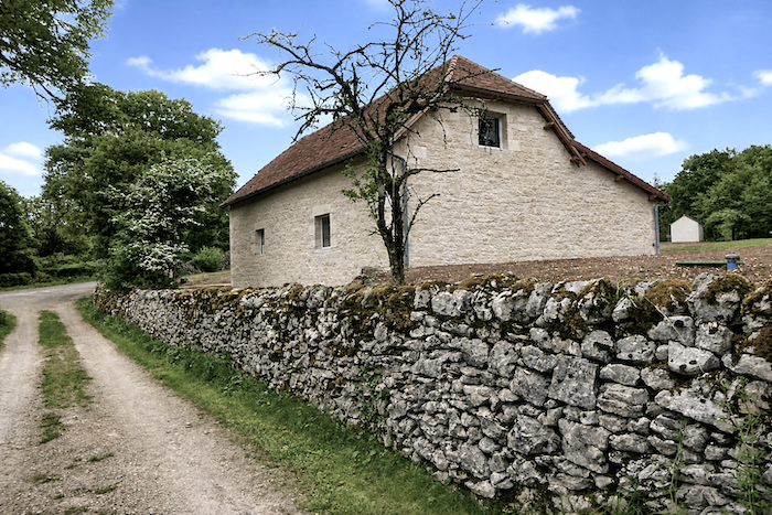
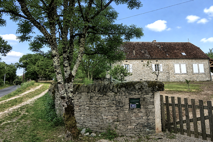
| The trail then reaches a paved road near farms and houses that almost resemble fortresses, so imposing are their walls, as though they had been built to defy time and the changing seasons. |
 |
 |
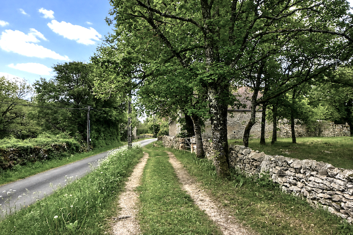
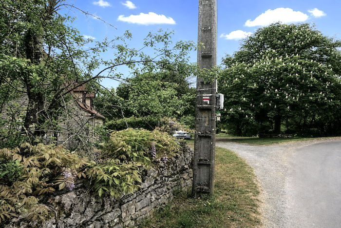
| Soon, the road reaches the crossroads of St Chignes, an unobtrusive meeting point lost in the heart of the causse. |
 |
 |
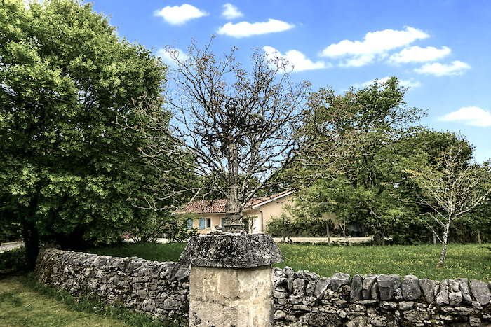
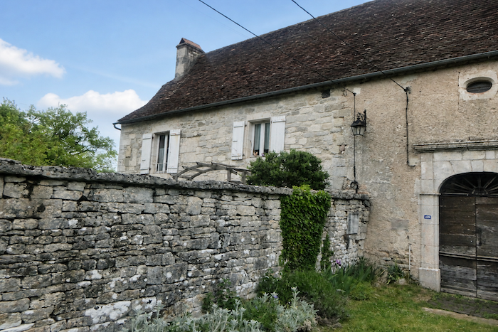
| Here, an iron cross silently watches over the few inhabitants who still live in this austere and peaceful countryside. There is indeed a church here, Saint-Aignan, but today it seems abandoned to silence, almost forsaken, as though time itself had slowly deserted the place, leaving behind only the human presence of those who still live within its walls. |
 |
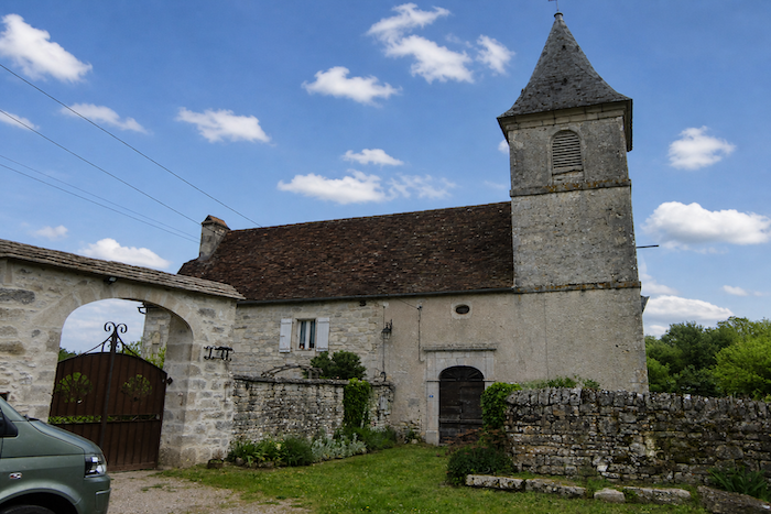 |
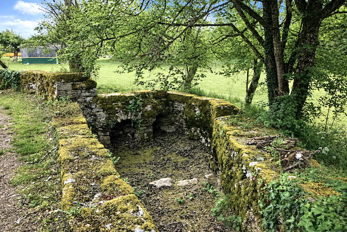
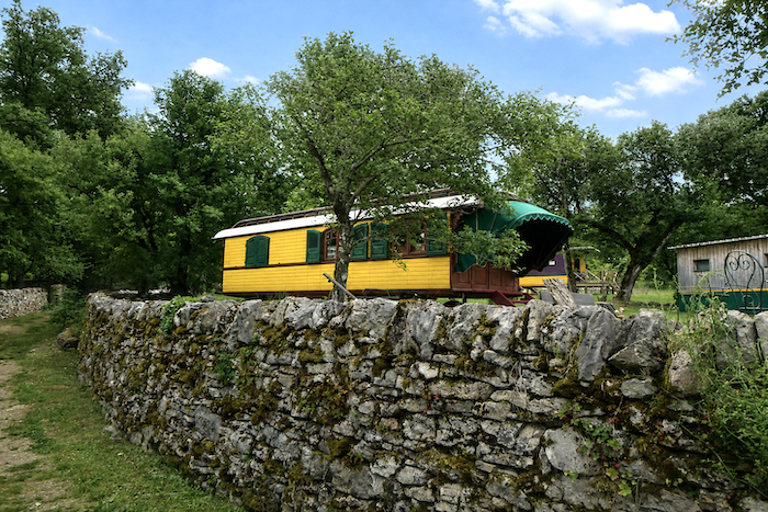
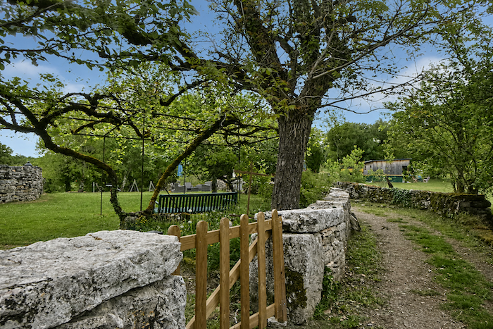
| Behind the inhabited part of the church, beside an old well dried out by successive summers, a few brightly colored caravans provide accommodation for passing travelers. Their unexpected presence suddenly brings a bohemian, almost cheerful touch to the mineral solitude of the causse. |
 |
 |
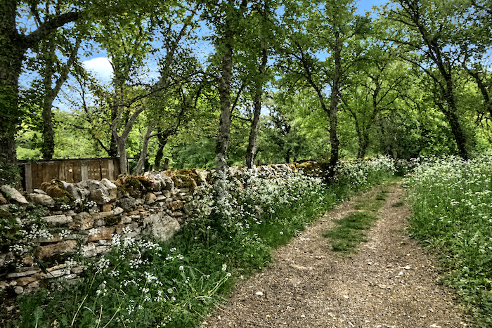
| You then return to those irresistible paths that give this crossing of the causse its uniquely captivating charm. |
 |
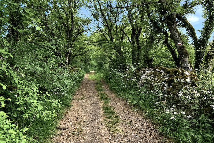 |
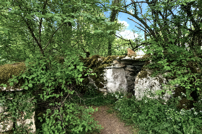
| Nature immediately becomes wild and untamed once again, as though it had been left entirely to itself for centuries. Tall grasses spill over the banks, while scrub steadily encroaches upon the edges of the trail. |
 |
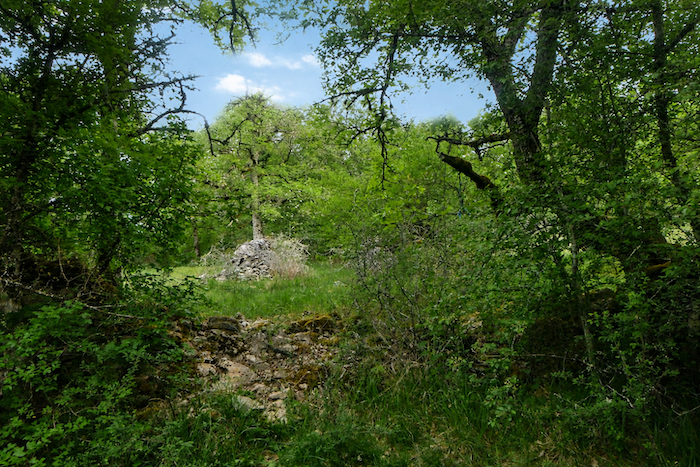 |
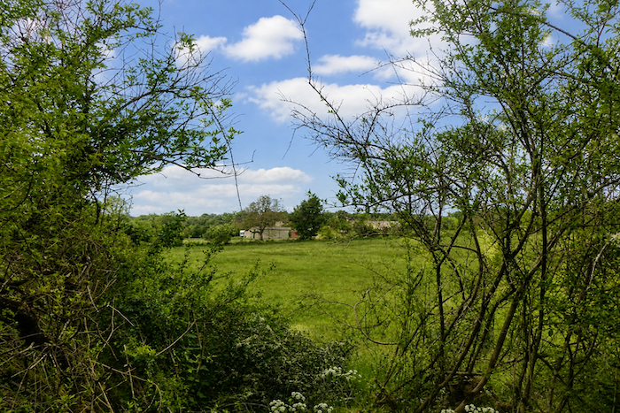
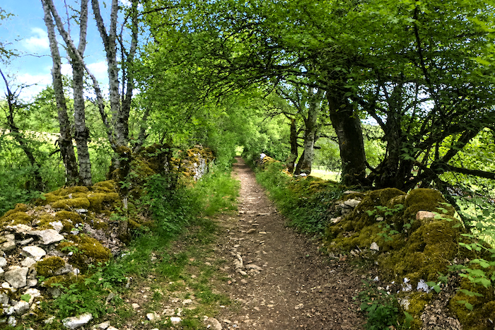
| Farther on, the path finally leaves the woodland and emerges into a luminous clearing. This is almost the first truly open landscape since setting out, like a sudden breath of space after the long intimacy of the woodland paths. |
 |
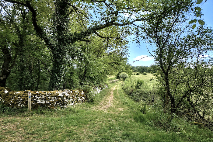 |
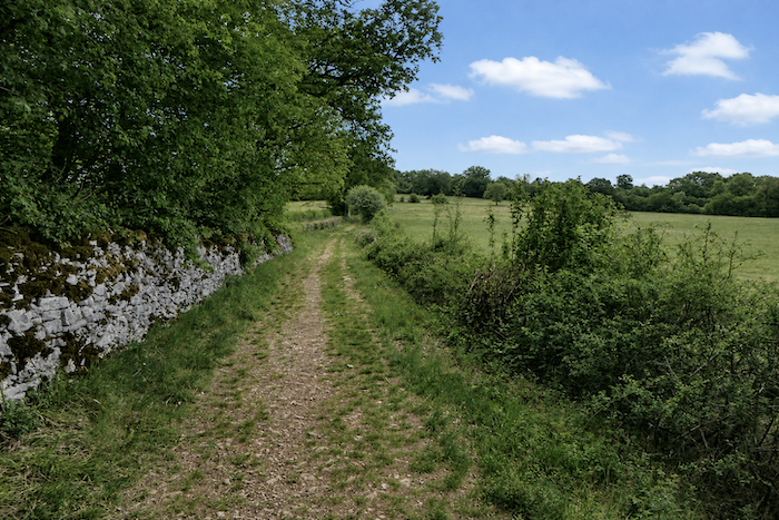
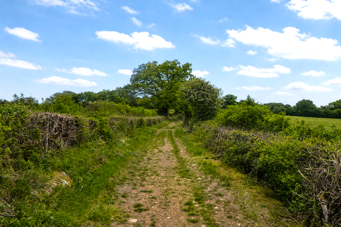
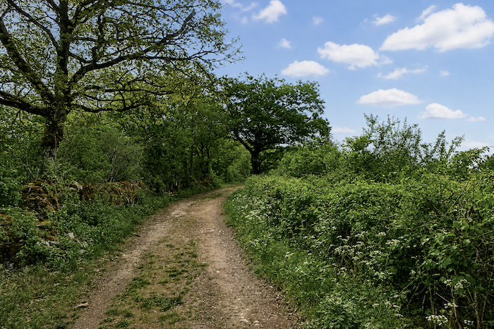
| A broad path then climbs gently up the hillside, through grasses and flower-covered banks, occasionally accompanied by the majestic shade of great solitary oaks. |
 |
 |
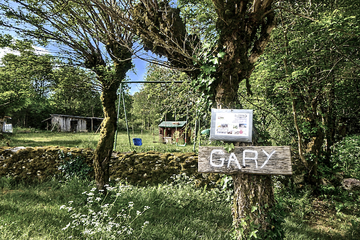
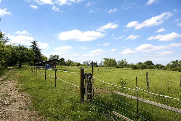
| At the top of this peaceful climb, a wooden farmhouse appears, followed by a handsome stone building, marking the return to a paved road in the hamlet of Gary, discreetly nestled on the heights of the causse. |
 |
 |
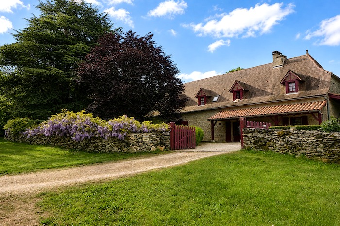
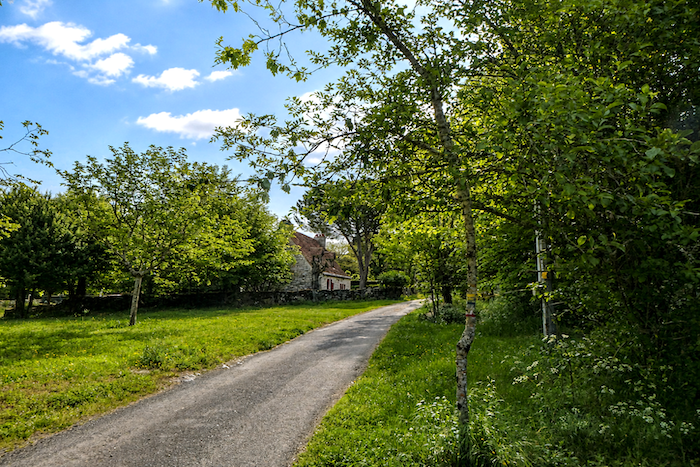
| Gary is a particularly pleasant hamlet, where handsome and comfortable houses suggest a quiet and gentle way of life. One senses the presence of retirees who have happily chosen this peaceful corner of the causse, sharing the landscape with a handful of farms and local farmers. |
 |
 |
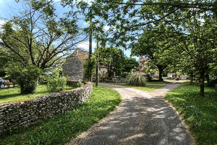
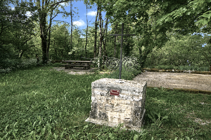
| A lovely little park sheltered beneath the trees offers a welcome place to rest, with a picnic table set in the cool shade of the foliage. . |
 |
 |
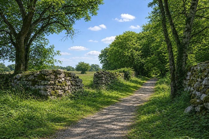
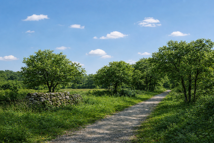
| As you leave the hamlet, the ever-present stone walls reappear, accompanying the traveller like a thread running through the landscape. This time, however, the path crosses more open countryside, allowing the gaze to wander farther across the meadows and hills of the causse. |
 |
 |
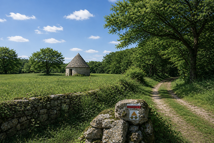
At the edge of a wood, a “caselle” suddenly appears, standing there like a great stone mushroom forgotten among the grasses and scrub.
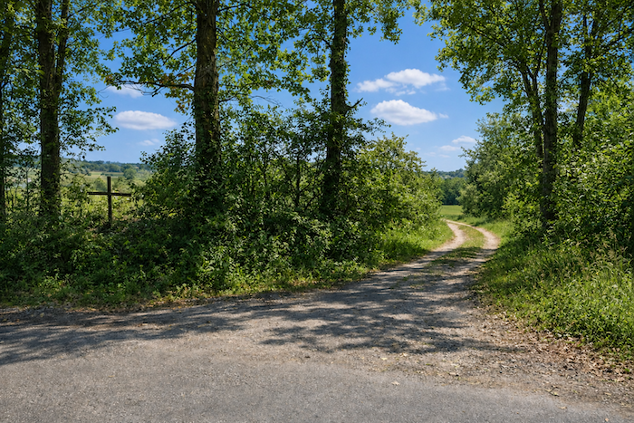
| The path then descends gently between meadows and copses to reach the plain, before emerging onto a quiet country road watched over by a solitary iron cross. |
 |
 |
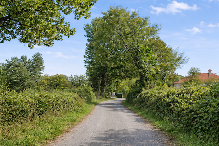
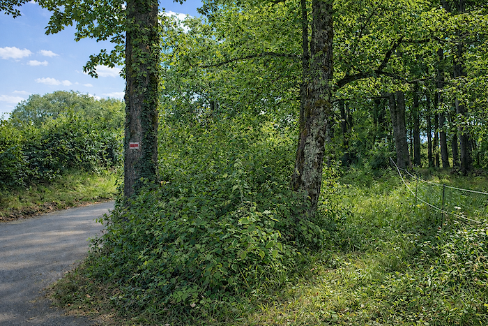
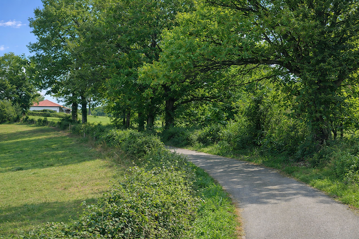
| This peaceful little road then runs alongside copses and the occasional house hidden among the foliage, heading towards Issendolus, which seems quite close amid the immense tranquility of the landscape. |
 |
 |
Section 3: Small villages at the edge of the causse
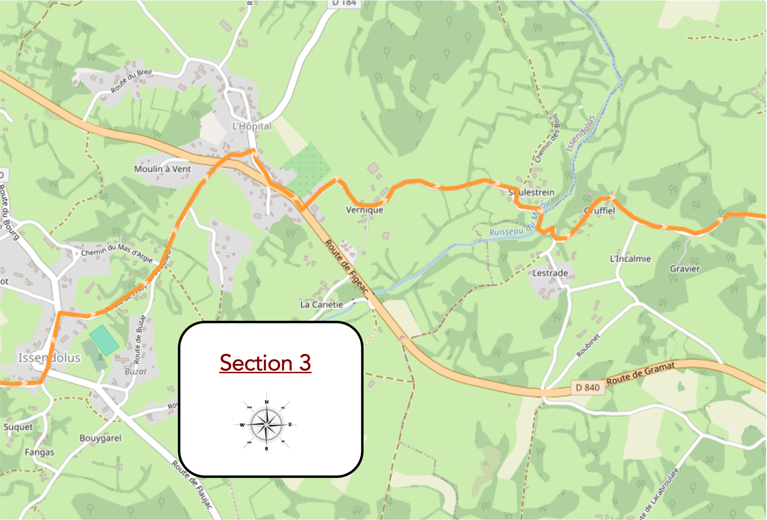
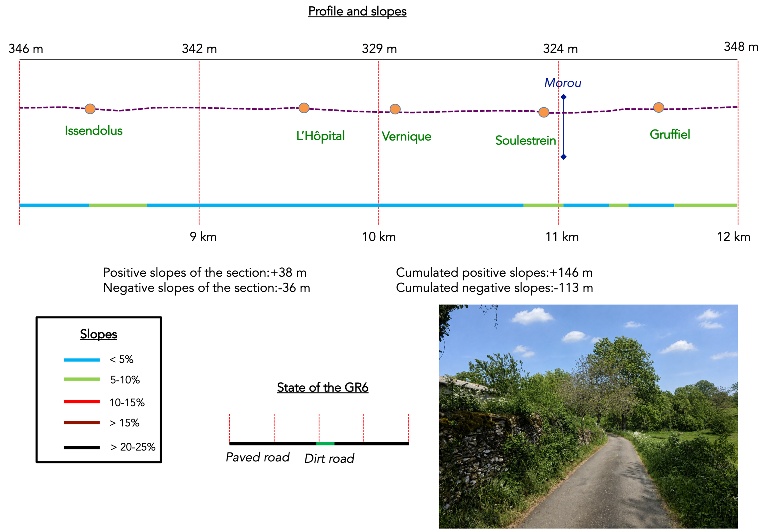
Overview of the route’s challenges : a route with no particular difficulty.
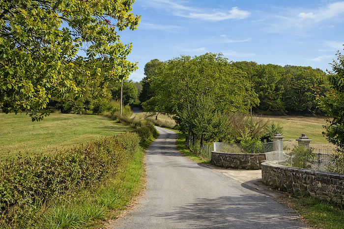
| The road seems to linger for a while before finally reaching the first houses of the village, as though the causse were still reluctant to leave its wild open spaces behind and return to inhabited land. |
 |
 |
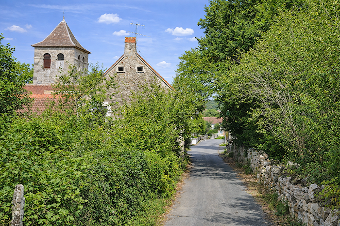
| The houses then come into view, solid and substantial in their ancient stone, with that elegant austerity so characteristic of the villages of Quercy. The church itself seems to breathe the memory of centuries, steeped in the presence of old golden stones weathered by time. |
 |
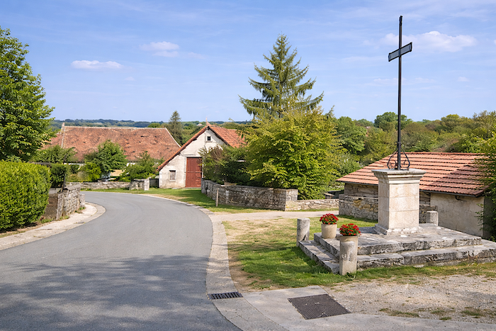 |
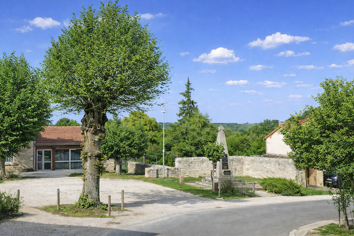
| Leaving the village, near the war memorial, the route joins a larger road heading towards L’Hôpital-Beaulieu. |
 |
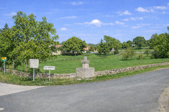 |
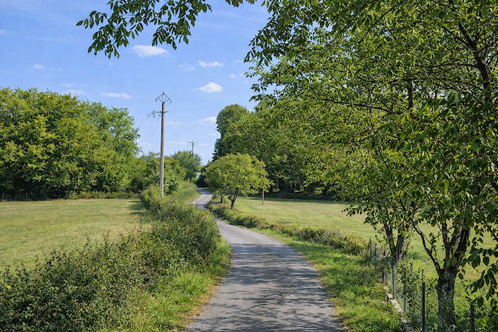
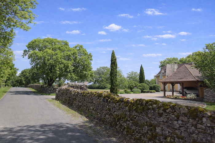
| This is probably not the most appealing stretch of the day, as you have to walk alongside the road. Yet traffic remains sparse, and the tranquility of the causse continues to accompany the walker despite the tarmac. |
 |
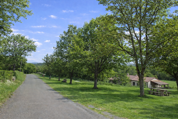 |
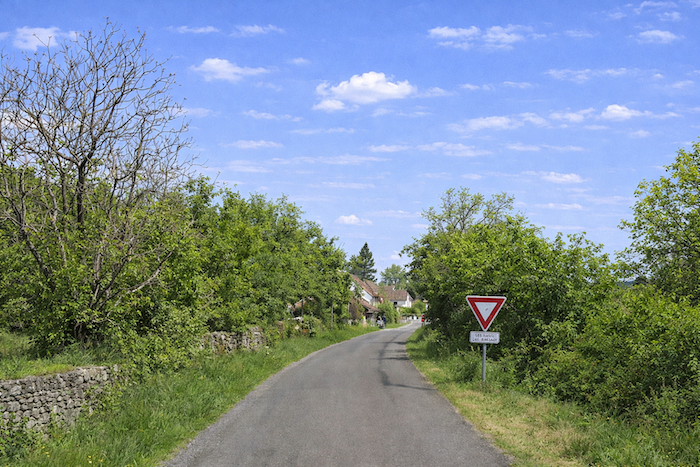
| At the end of this long straight stretch comes the junction with the D840, a major departmental road that descends in long, straight lines from Gramat to this point, cutting across the causse like a modern scar in the ancient landscape of stone. |
 |
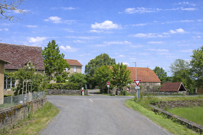 |
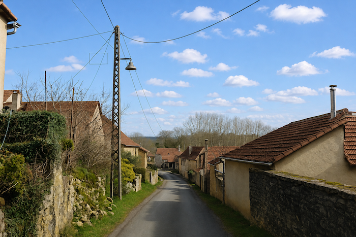
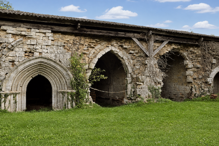
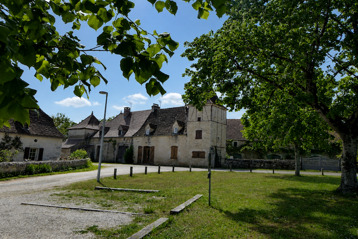
| The route then winds through the village of L’Hôpital-Beaulieu, whose name still carries the memory of the pilgrims and travelers of the Middle Ages. This isolated place was once an important hospice, founded in the thirteenth century to welcome and care for those travelling along the paths leading to Rocamadour or Santiago de Compostela. It belonged to the Order of the Hospitallers of Saint John of Jerusalem, the religious knights who protected pilgrimage roads throughout Christian Europe. Even today, despite the silence of the stones and the scattered ruins, the site retains something profoundly spiritual and mysterious. L’Hôpital-Beaulieu is also closely associated with a community of Hospitaller nuns. Although the establishment was under the authority of the Hospitallers of Saint John of Jerusalem, from an early period it was home to sisters entrusted with caring for the poor, the sick and the pilgrims crossing the solitude of the causse. The site once formed a vast monastic complex, with a cloister, walls, convent buildings and halls for receiving pilgrims, a true refuge of stone lost amid the plateaus of Quercy. But this religious settlement was swept away in the turmoil of the French Revolution. The church and monastery were set on fire and then stripped of their treasures. Today, only a few sections of the old enclosing walls remain, along with some remarkable sculpted keystones. |
 |
 |
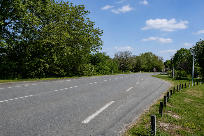
| The GR6 then rejoins the departmental road, returning for a moment to the more ordinary world of tarmac and straight lines. |
 |
 |
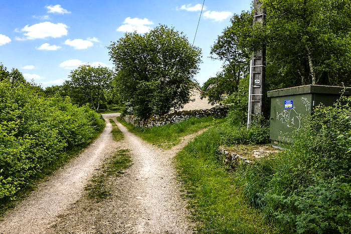
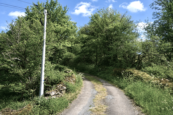
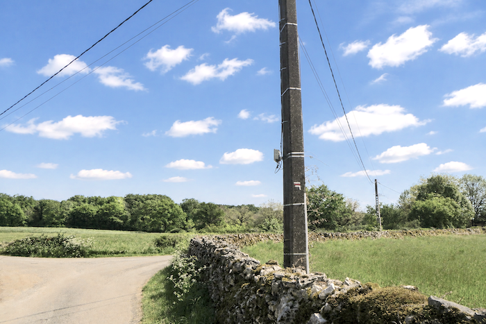
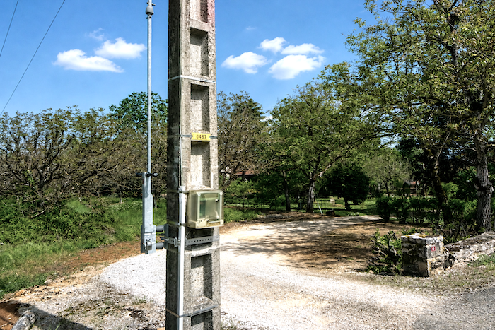
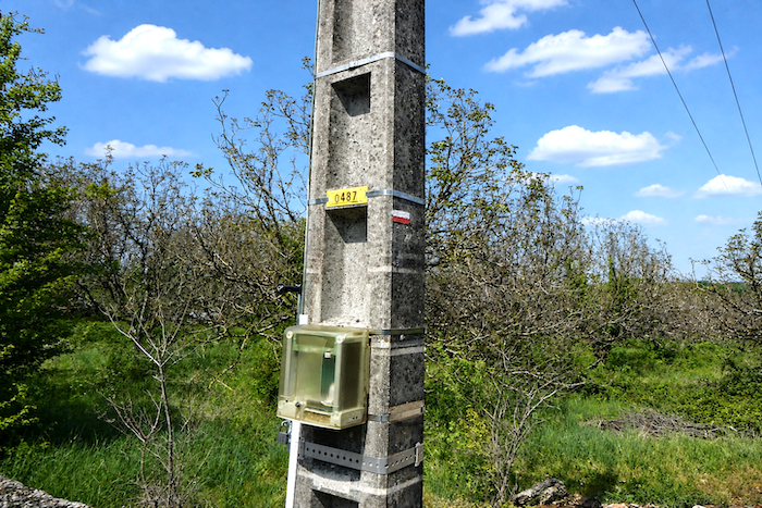
| This stretch does not last long, however, and particular care is needed here to avoid continuing too far along the departmental road. After only a few hundred meters, just before the campsite, a discreet path branches off to the left beside an electricity pole, almost hidden in the landscape, like a secret invitation to rediscover the charm of the causse at once. |
 |
 |
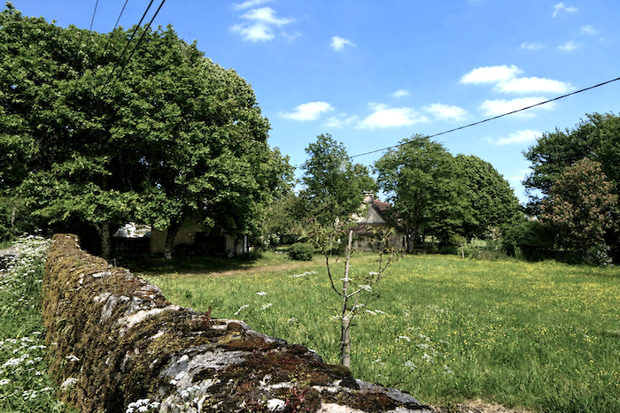
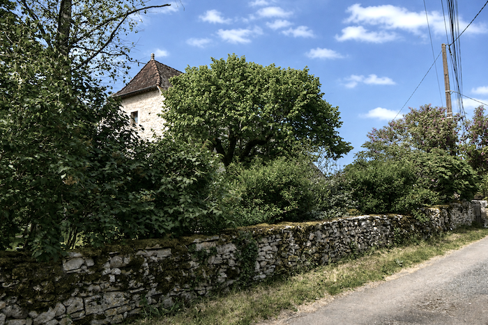
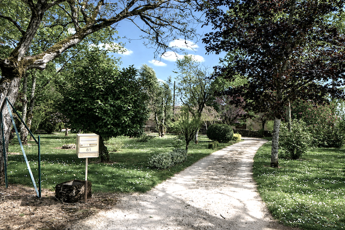
| A dirt path meanders playfully through peaceful grounds dominated by a beautiful stone house, standing there with quiet elegance. It is easy to imagine the gentle way of life enjoyed here, among the trees and the silence of the causse. . |
 |
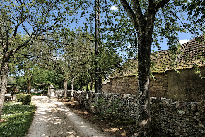 |
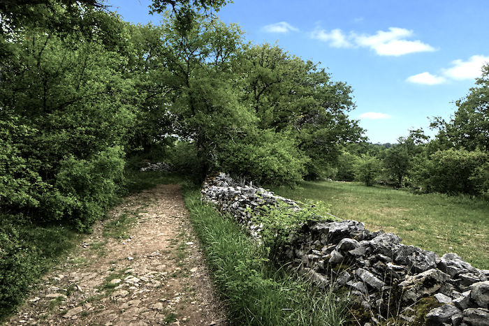
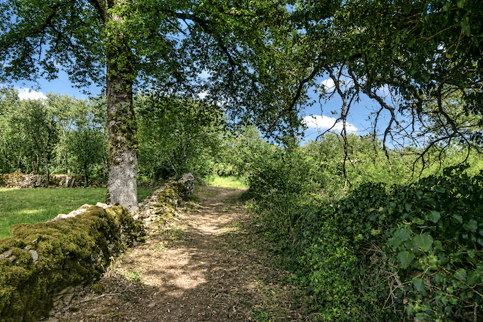
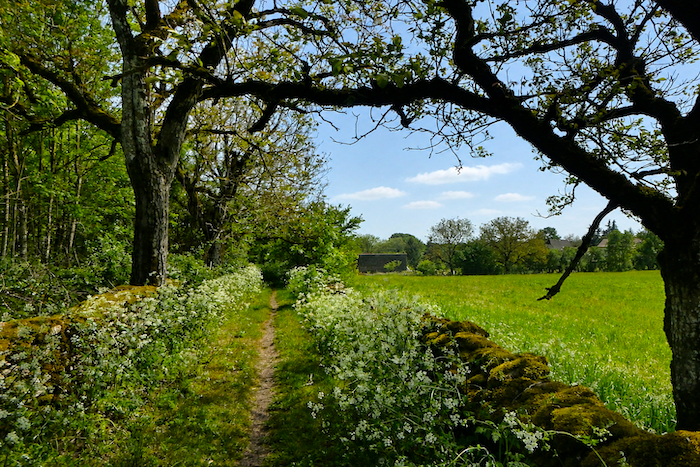
| The route then returns to the ever-present stone walls of the Causse du Quercy, faithful companions of the thiker that one could never tire of, so completely do they seem to belong to the landscape itself. |
 |
 |
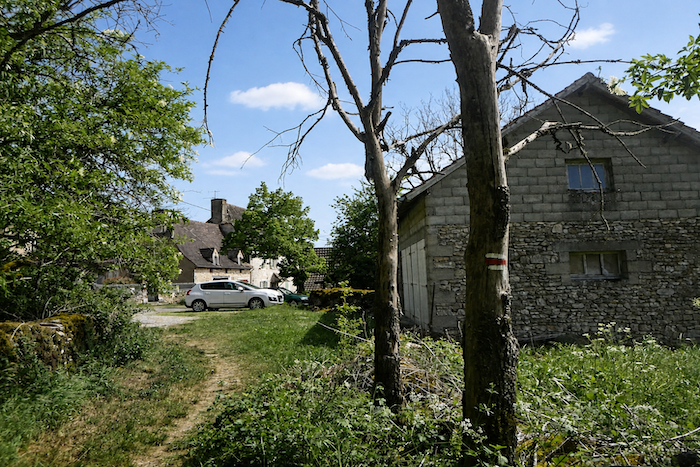
| Farther on, the path emerges into the small hamlet of Vernique, discreetly nestled in the Quercy countryside. |
 |
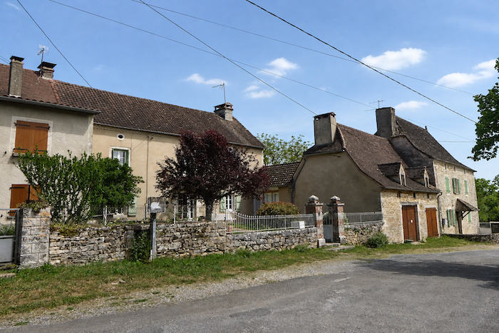 |
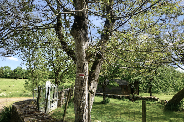
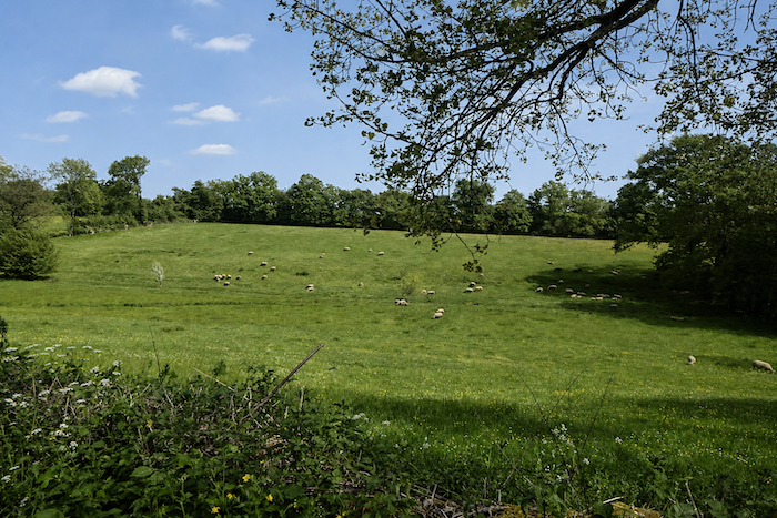
| As always in this region, the waymarking remains impeccable despite the many changes of direction imposed by the paths and fields of the causse. Here, the meadows are home mainly to sheep, far more than cattle, as the dry, stony ground seems poorly suited to large herds of cows. |
 |
 |
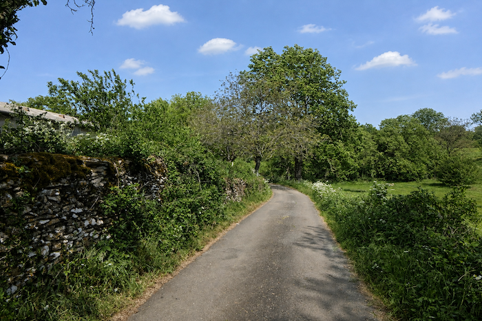
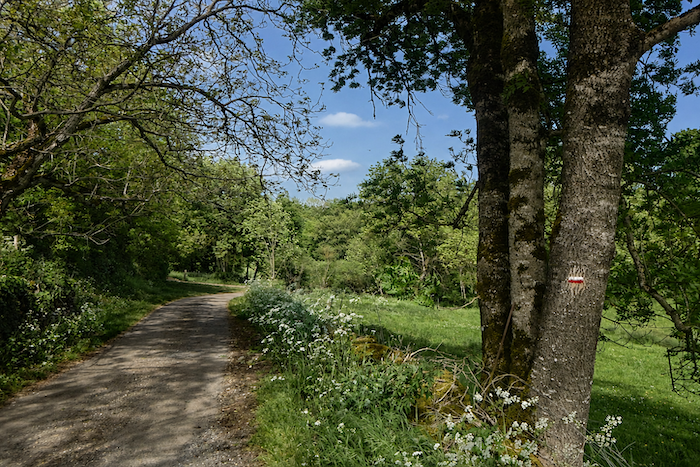
| The road then gently leads the walker between meadows and copses, through the peaceful alternation of open spaces and small woodlands that so perfectly characterizes the landscape. |
 |
 |
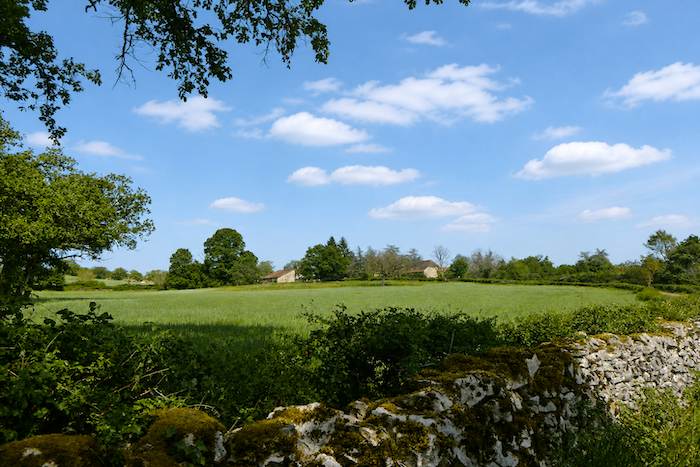
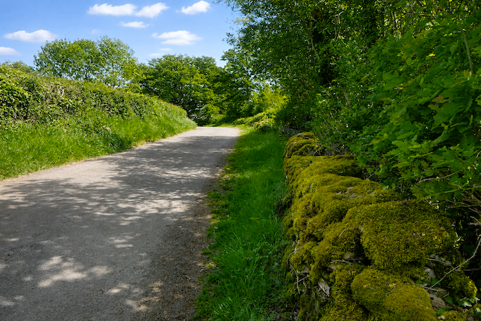
| From time to time, a moss-fringed dry-stone wall immediately reminds you that you are still walking in the heart of the causse, in this land of stone where nature and humankind have shaped the paths together. |
 |
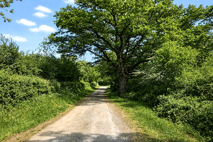 |
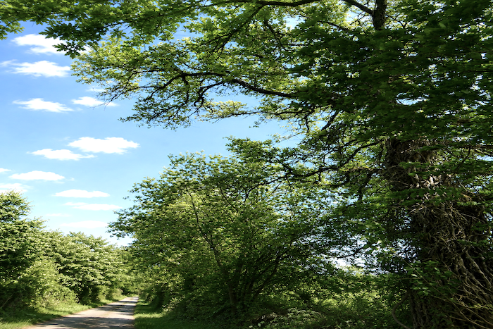
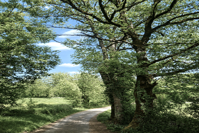
| As everywhere on the plateau, oaks reign supreme, although maples, ash trees and occasionally even a few chestnut trees also appear, adding different shades to the foliage. |
 |
 |
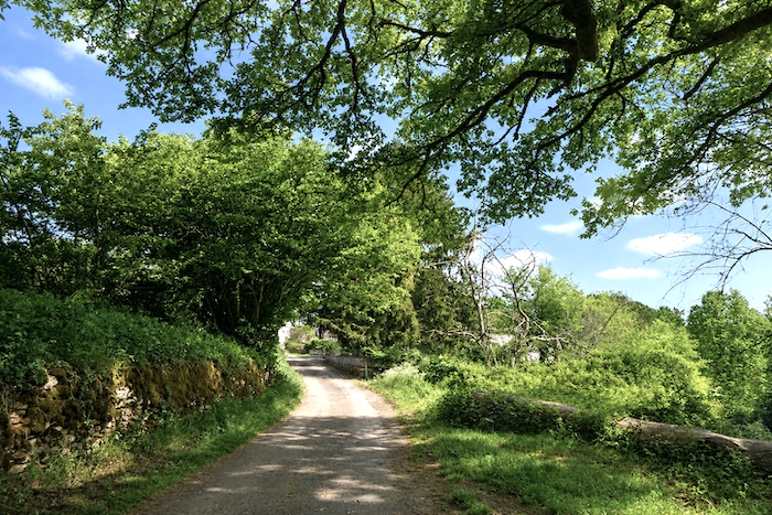
| Almost without noticing, so peaceful and steady is the walking, the road eventually reaches Soulestrein, quite naturally, around a bend among the meadows and trees. |
 |
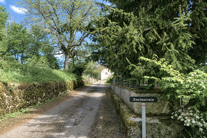 |
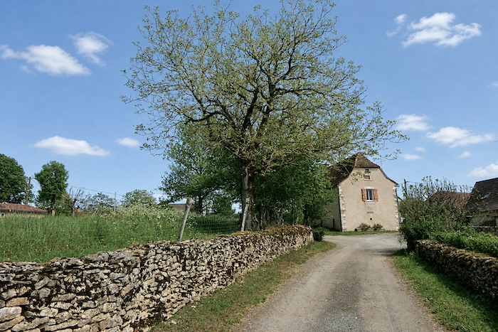
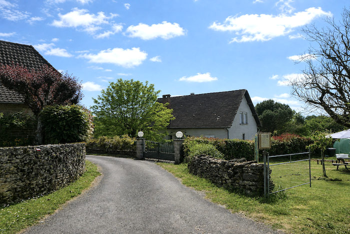
| This is yet another peaceful hamlet, where many beautiful stone houses seem to exist far removed from the turmoil of the world, in an almost timeless tranquility. |
 |
 |
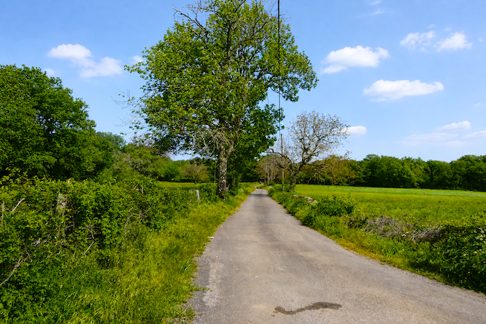
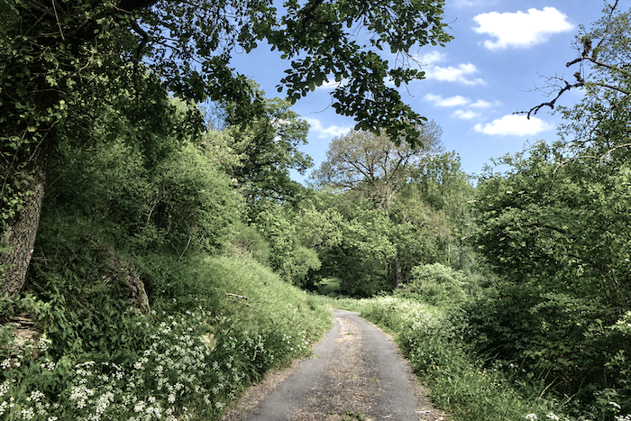
| From here, the route follows a modest road with worn tarmac as it winds into the peaceful countryside. The gradient becomes slightly steeper on the climb, while the road traces a broad curve between meadows and copses. |
 |
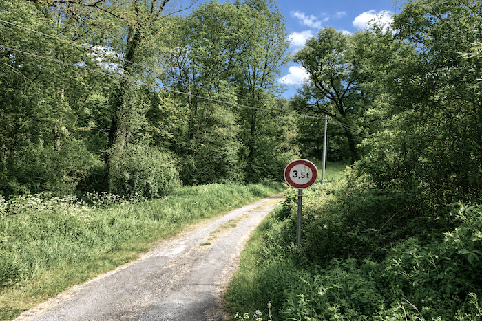 |
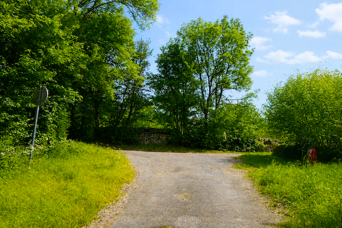
| At the top of this climb, the hamlet of Grufiel appears, discreetly perched on the heights of the causse. |
 |
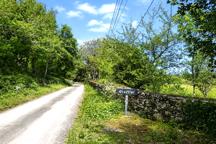 |
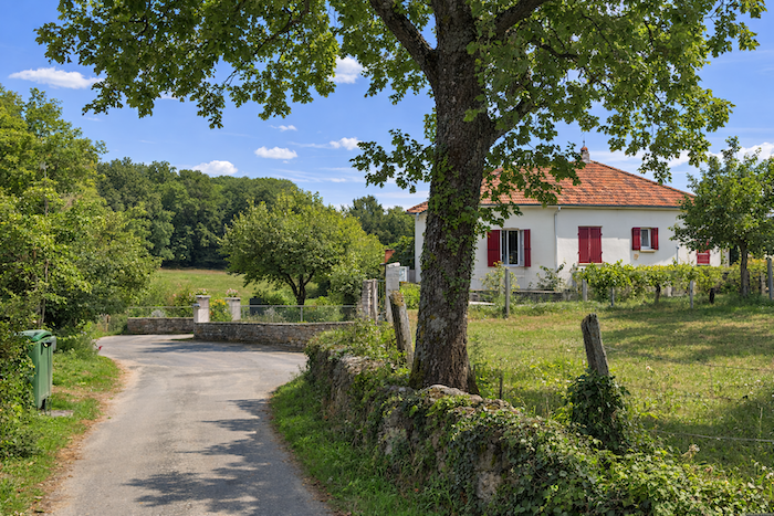
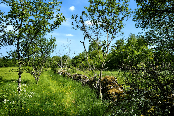
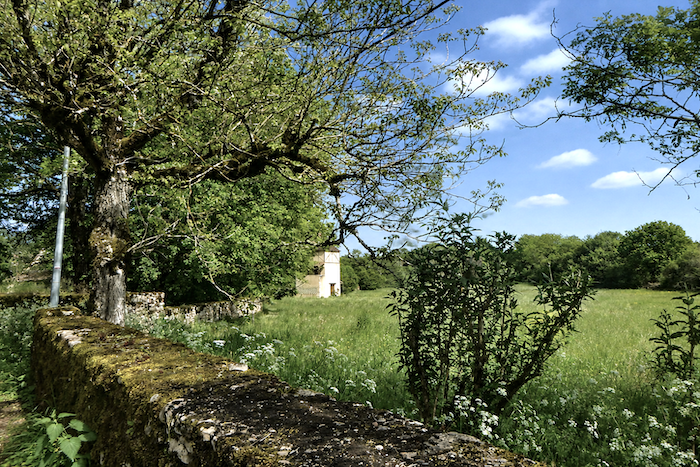
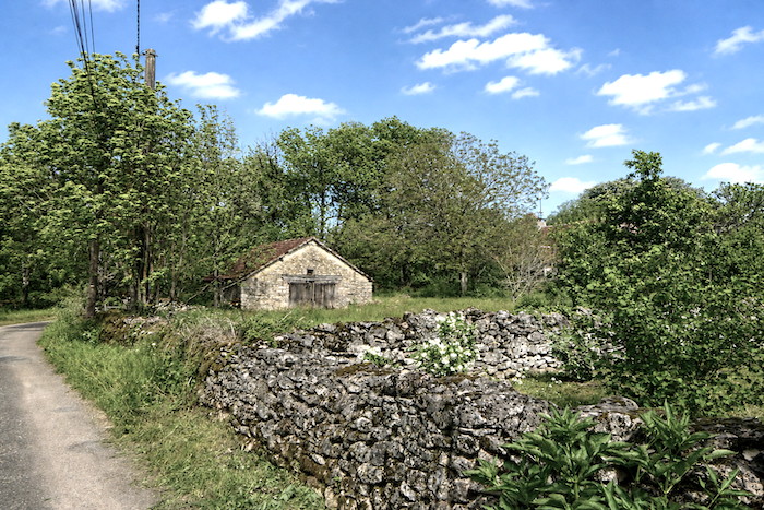
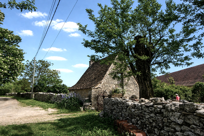
| Here again, the road is bordered by stone walls, beyond which stand the few farms and houses built of handsome dressed stone, solid and luminous beneath the Quercy sky. |
 |
 |
| Here too, one senses the presence of retirees who have come to these landscapes in search of the peace and slower rhythm of a simpler life, far from the cities and their bustle. |
 |
 |
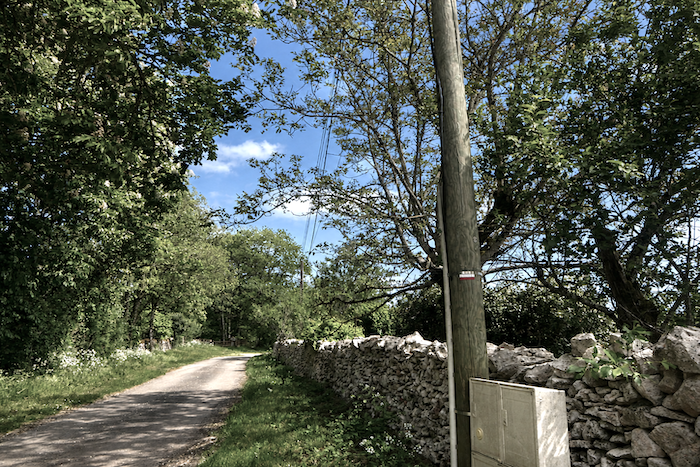
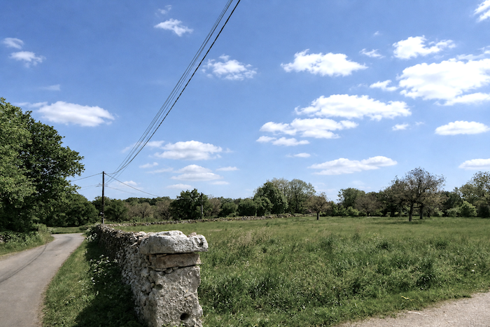
| From the hamlet, the road continues alongside the stone walls, through rustic yet more open countryside, where the horizons of the causse gradually seem to regain their full breadth. |
 |
 |
Section 4: Crossing the Ouysse, the region’s main stream
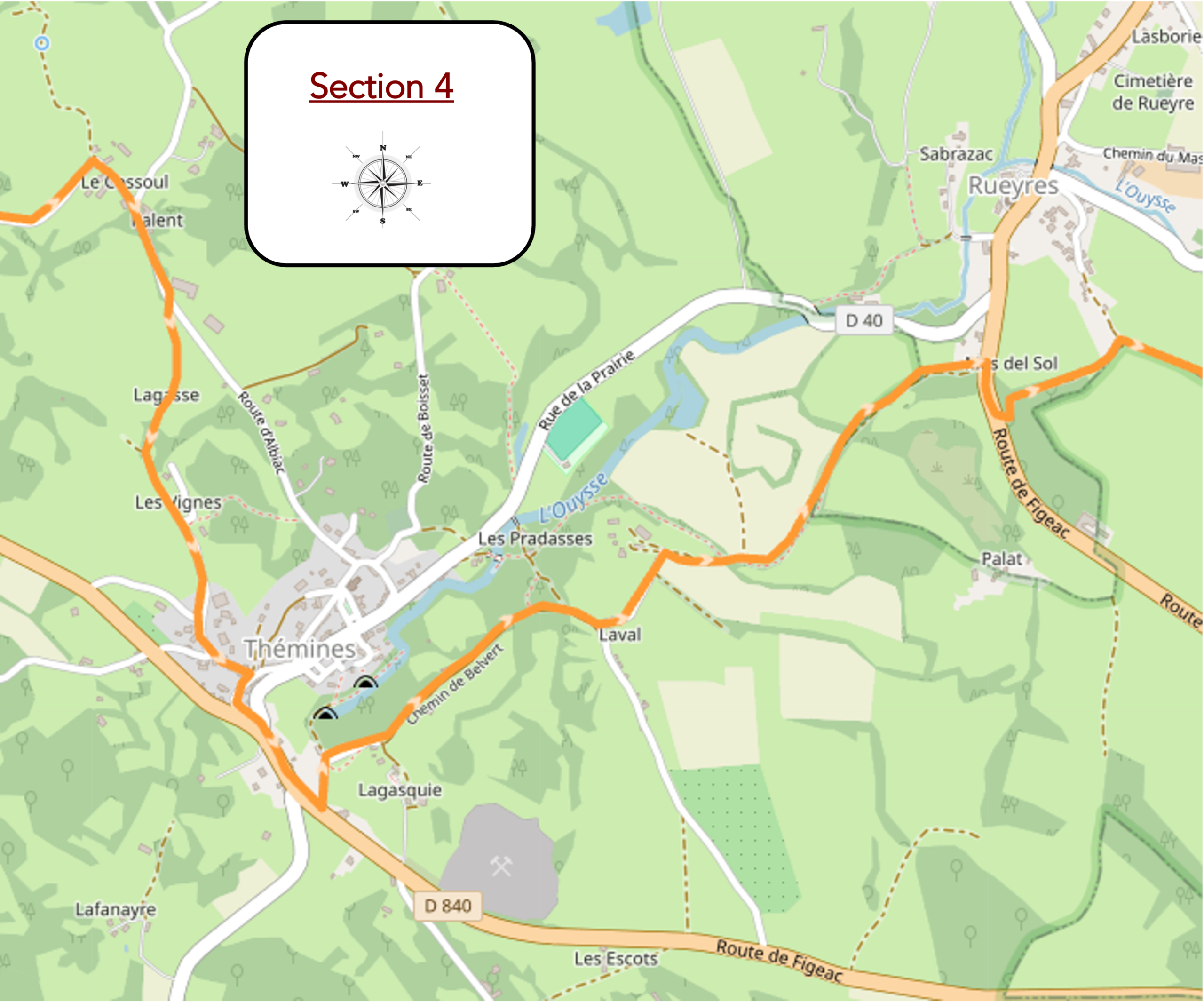
Overview of the route’s challenges : a route with no particular difficulty.
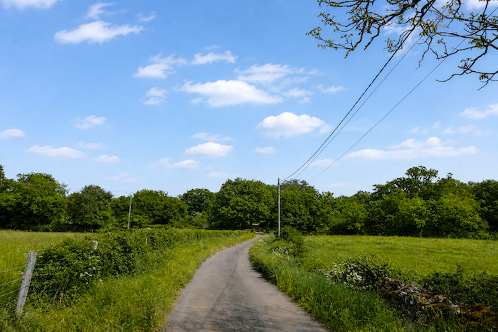
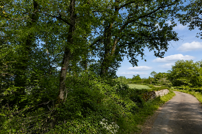
| Nothing seems to disturb these beautiful, almost empty landscapes. Here, there is little more than the rustic beauty of the causse, stony expanses, wild grasses and, occasionally, a few sheep grazing quietly in the silence. The human presence is minimal, limited to a handful of discreet inhabitants and passing hikers crossing these peaceful, solitary landscapes. |
 |
 |
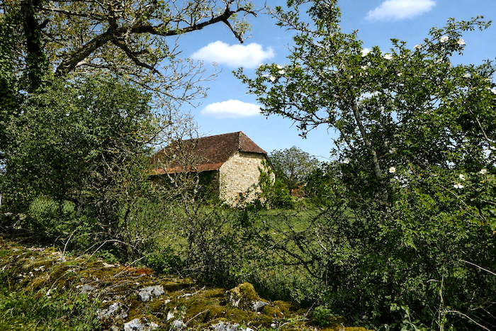
| Soon afterwards, the road runs through the hamlet of Cossoul, quietly nestled in the Quercy countryside. |
 |
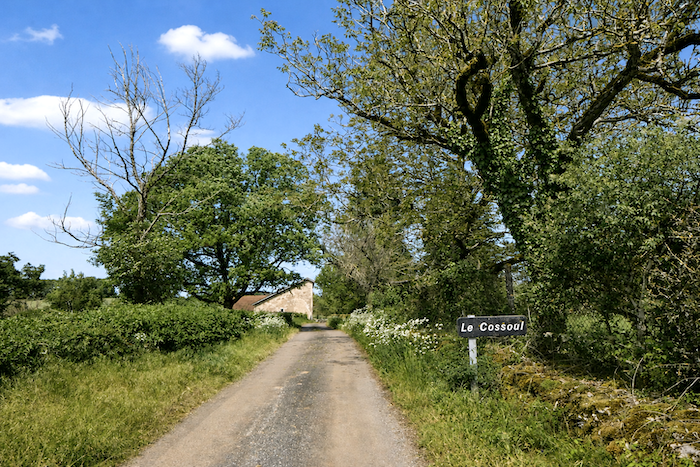 |
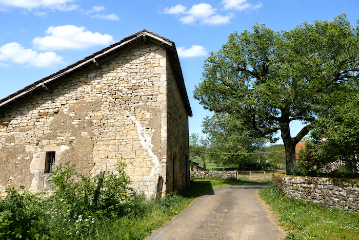
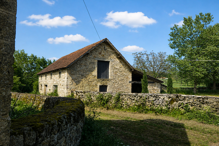
| Here, you find the same stone houses, the same understated mineral charm seen in all the hamlets of the region, that blend of ruggedness and elegance which gradually becomes familiar to the pilgrim. |
 |
 |
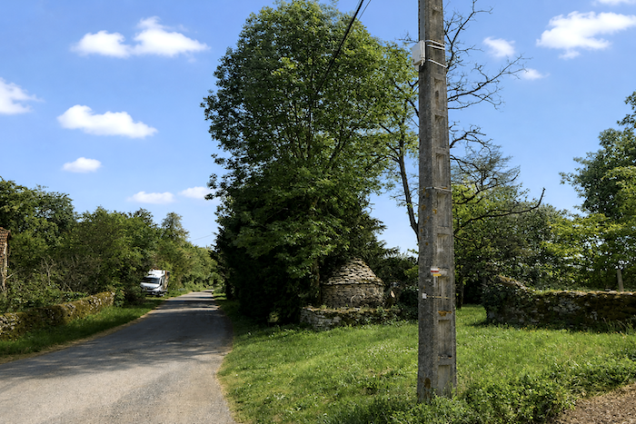
| The route then makes a sharp right-angle turn along the road, near a “caselle” hidden behind the trees, like a final silent witness to the ancient way of life on the causse. |
 |
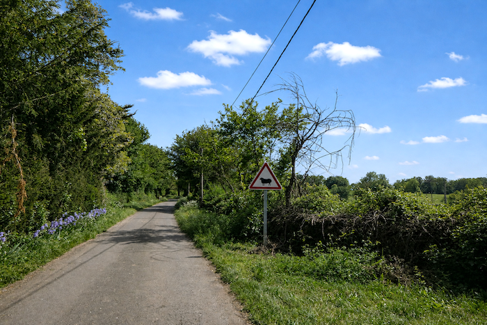 |
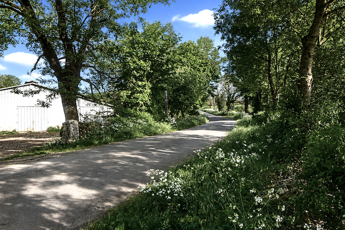
| After a somewhat monotonous stretch on tarmac, the path leaves the road near a more modern farm and turns right onto the “Chemin de Ladoasse”, returning once again to the pleasure of wilder paths. |
 |
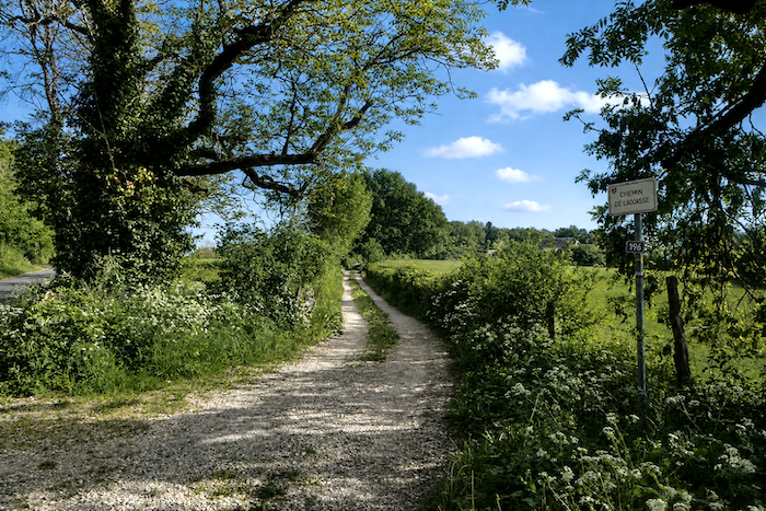 |
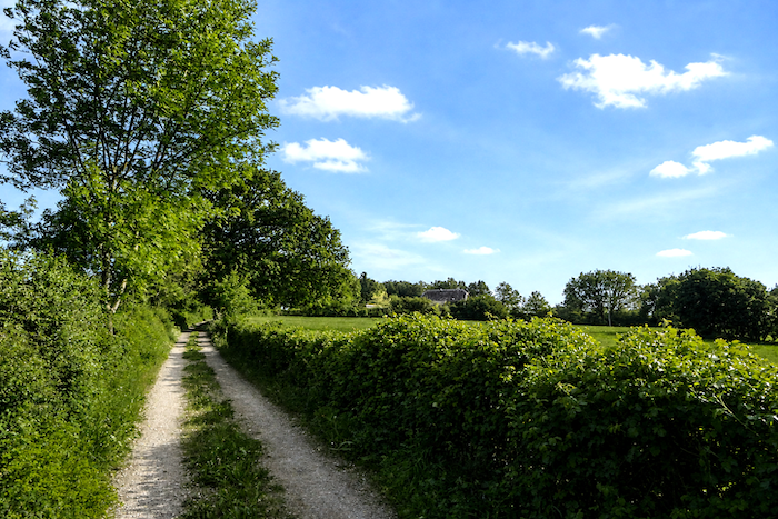
| A fairly broad and somewhat stony path then climbs gently towards the top of a small hill, beneath the tranquil light of the causse. |
 |
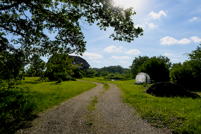 |
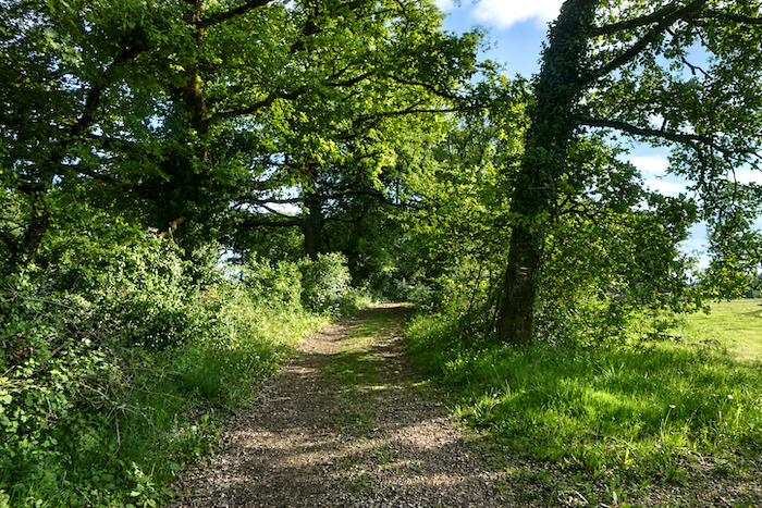
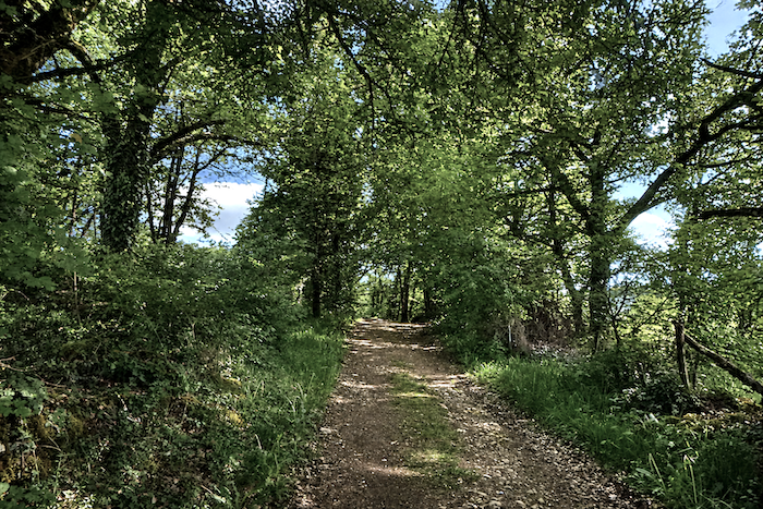
| The path then enters woodland typical of the Quercy plateaus. Here, however, the ever-present stone walls have disappeared, as though the landscape were gradually changing without you quite noticing. |
 |
 |
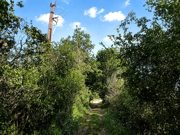
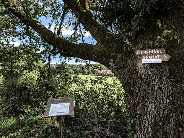
| At the edge of the woodland, several signs invite the walker to discover the heritage and attractions of Thémines, gradually heralding a return to more inhabited surroundings. |
 |
 |
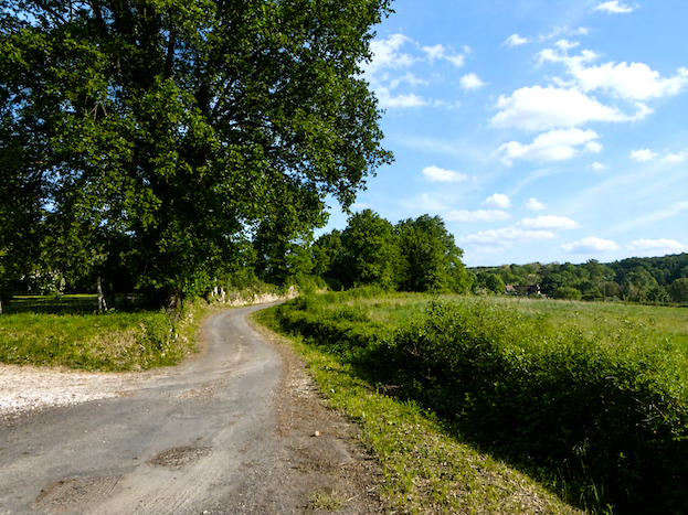
| A dirt road then takes over from the woodland path. |
 |
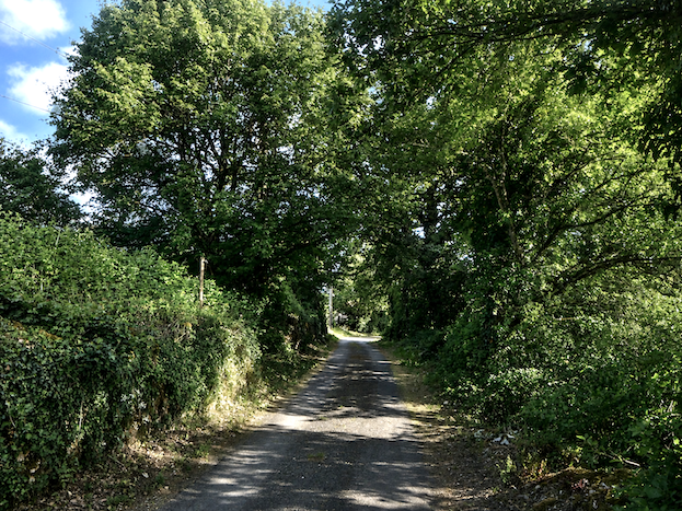 |
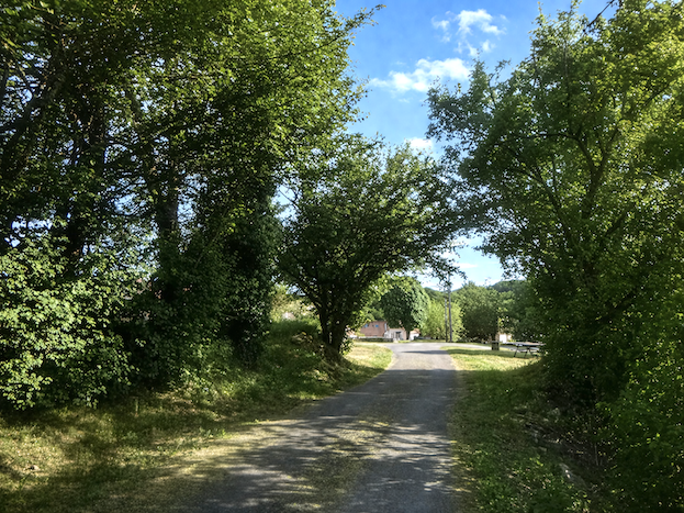
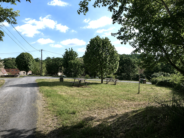
| It does not continue for long before reaching a broad open area equipped with picnic tables, set on the heights above Thémines in peaceful surroundings overlooking the landscapes of the causse. |
 |
 |
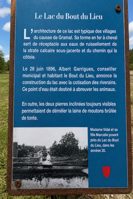
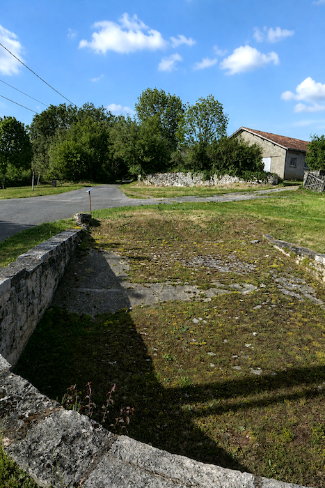
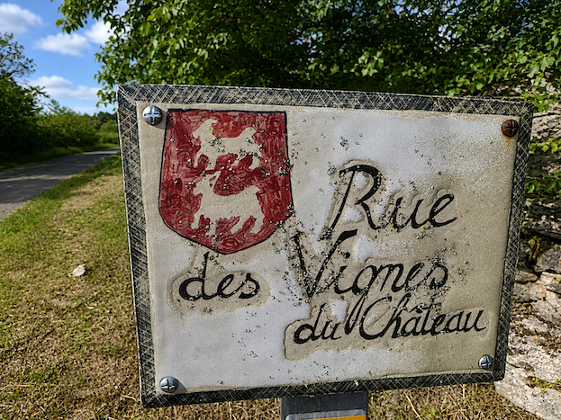
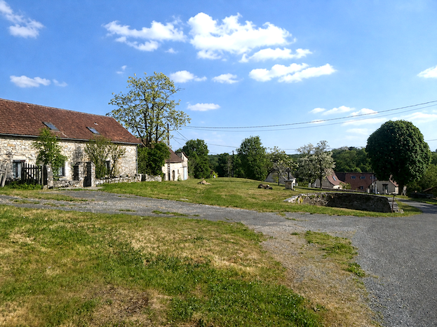
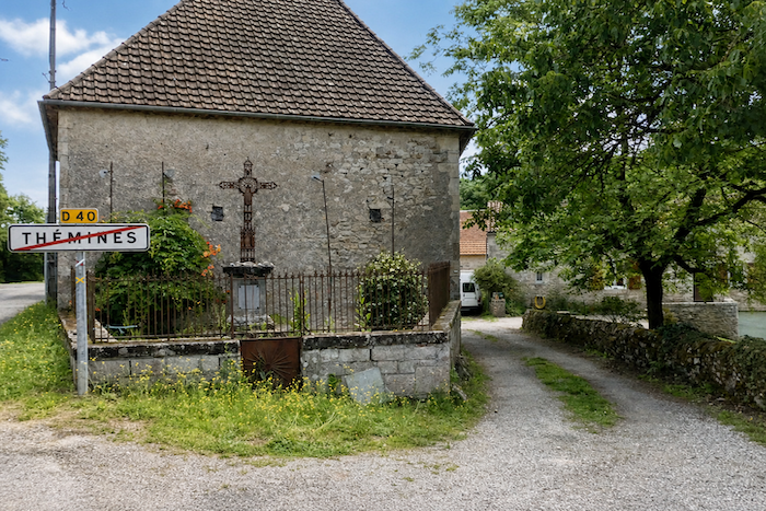
| Throughout this region, villages have preserved old basins, sometimes former washhouses or water reservoirs designed to collect runoff, reminders of a time when every source of water was precious on these dry, stony causses. Here, however, the site has something exceptional, the “Lac du Bout du Lieu”, a modest pond created to provide water for livestock and retain water from the plateau. Even the street names seem to be written in old-fashioned lettering, further deepening the impression of travelling back through time. |
 |
 |
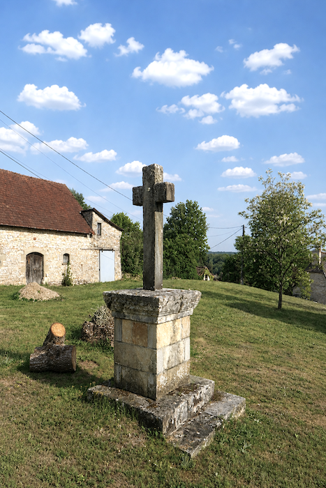
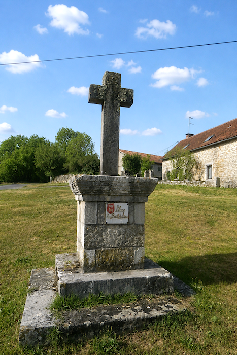
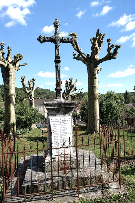
| A large granite cross rises in the middle of the site, a silent guardian of this place and of the centuries that still seem to inhabit the stones of the causse. |
 |
 |
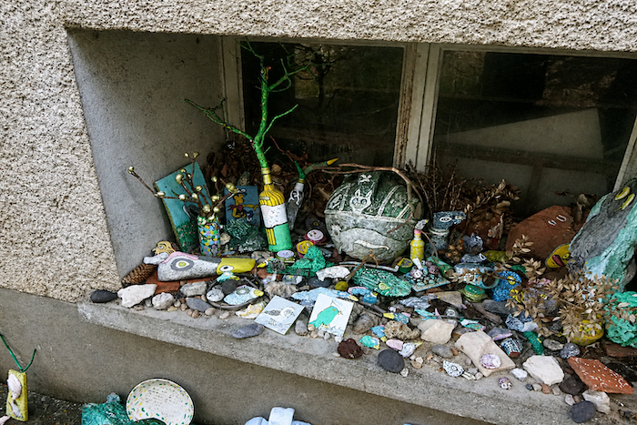
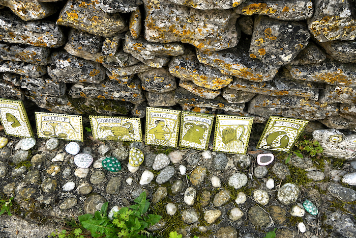
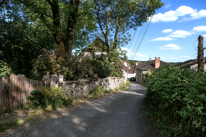
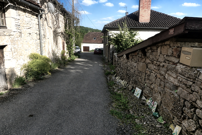
| The road plunges steeply towards the village, where one remarkable resident has become the master of an astonishing form of naïve art on ceramic tiles, creating a profusion of mosaics in which signs of the zodiac, unusual objects and almost heretical fantasies mingle together, as though they had escaped from some exuberant folk dream. |
 |
 |
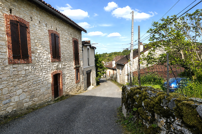
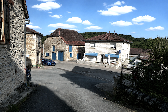
| The sloping road soon reaches the heart of the village, nestled in a fold of the causse. |
 |
 |
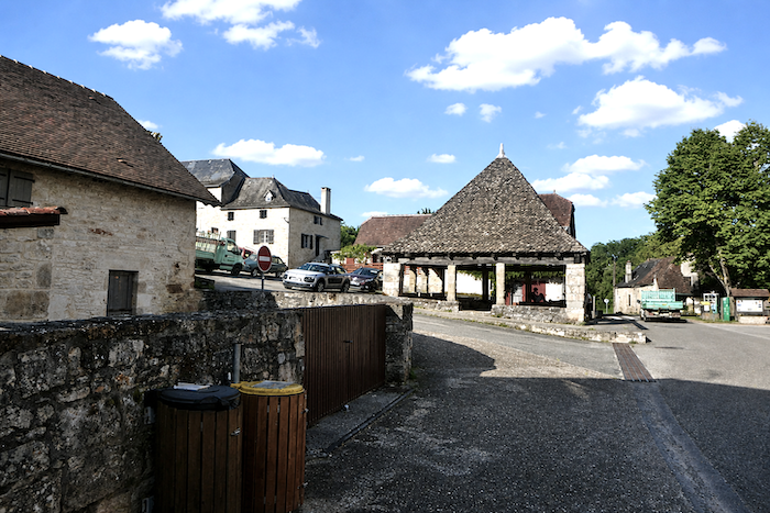
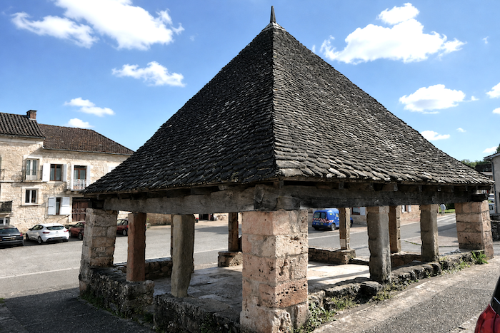
| At its center stands a seventeenth-century market hall, roofed with heavy stone slabs and listed as a historic monument. Beneath its timber frame, weathered by the centuries, the echoes of old markets still seem to linger, their existence recorded in chronicles as far back as the thirteenth century. |
 |
 |
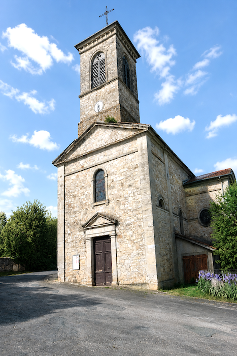
| Overlooking the market hall like a discreet spiritual promontory, the nineteenth-century Church of St Martin watches over the village rooftops. |
 |
 |
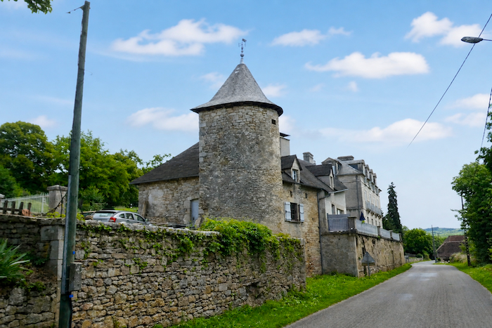
| The GR6 quickly leaves the last houses behind, but not before offering a glimpse of an unusual dwelling whose dovecote seems to have been absorbed into the house itself, as though rural architecture had decided to play with its own traditions. |
 |
 |
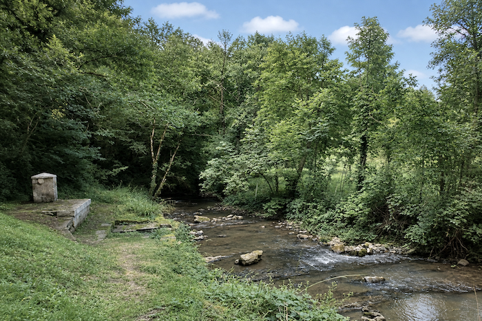
A path then crosses the Ouysse, a river as secretive as it is unpredictable. A tributary of the Dordogne, it cuts through the Causse de Gramat in deep canyons similar to those around Rocamadour. Yet in places its waters fade away and disappear into the limestone depths. No one can truly follow its underground course, for the causses here resemble an immense block of mineral Swiss cheese, riddled with caves, fissures and invisible chasms.
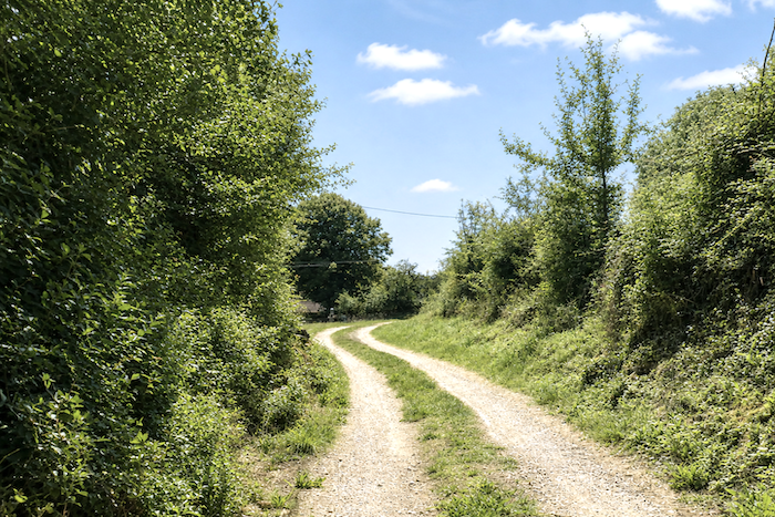
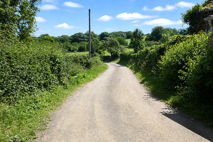
| Beyond the river, the GR6 begins to climb gently again beneath the canopy of deciduous trees, initially over soft and silent earth, then along a steeper gradient where tarmac makes the walking harder underfoot. |
 |
 |
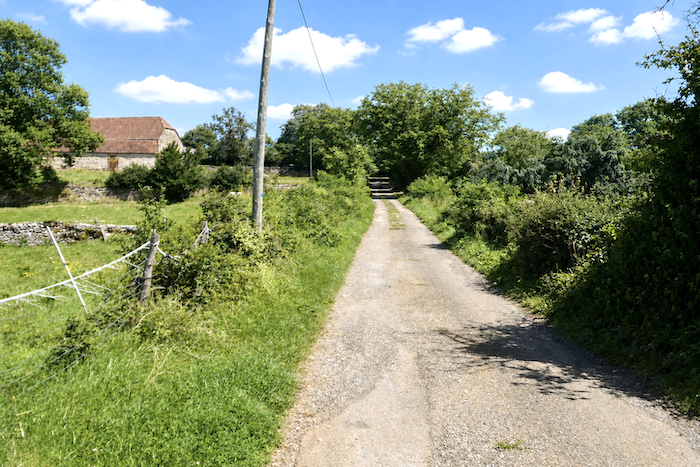
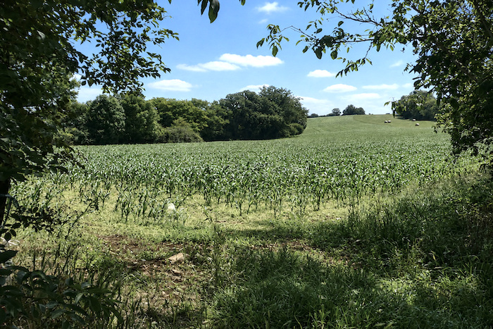
| Here, the soils are slightly more generous than elsewhere on the causse, allowing a few fields of maize to appear in striking contrast with the mineral austerity of the plateaus. The soil of the causses remains poor, however, and farmers generally manage to coax little more than sparse cereal crops from the land, with maize being rarer still. |
 |
 |
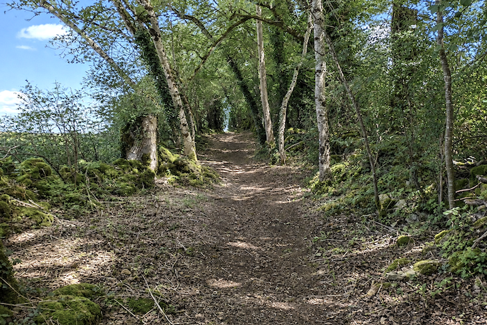
| The route then returns to the woodland. Among the ferns and shifting shadows, the old moss-covered stone walls reappear, silent remnants of generations of patient farming labour that the forest seems gradually intent on reclaiming. |
 |
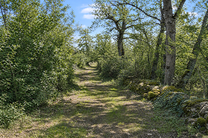 |
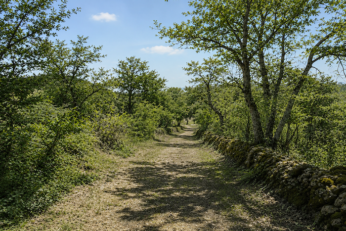
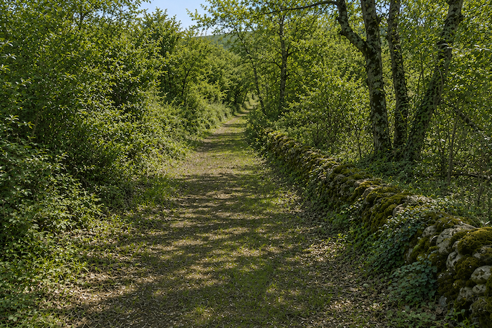
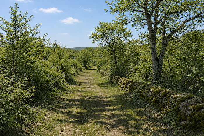
| The path then begins to wind gently through this woodland, still imbued with the wild magic of the causses, where every bend seems to conceal a secret. |
 |
 |
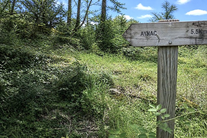
| Along the way, a sign points towards Aynac. Yet the village never truly reveals itself to the hiker following the GR6, as though it had deliberately chosen to remain apart from both the world and the path. |
 |
 |
Soon afterwards, at the place known as Mas del Sol, a beautiful stone house appears, slowly being reclaimed by time in an almost melancholy silence.
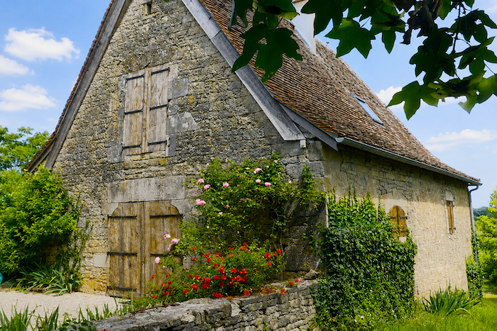
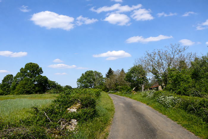
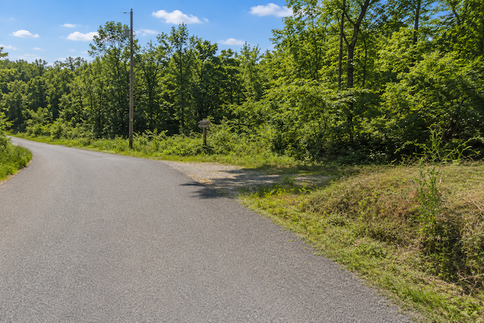
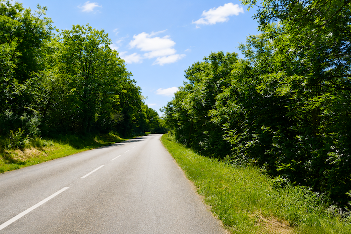
| At Mas del Sol, the village of Ruyère lies only a short distance away, yet the route deliberately passes it by. The path then joins the quiet D238 departmental road, following it for only about a hundred meters. |
 |
 |
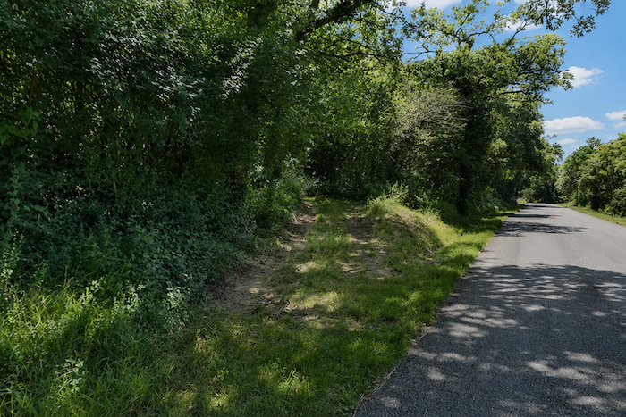
| Here, the GR6 returns to those causse paths that are so instantly captivating, narrow and stony, bordered by untamed vegetation and steeped in peaceful solitude. |
 |
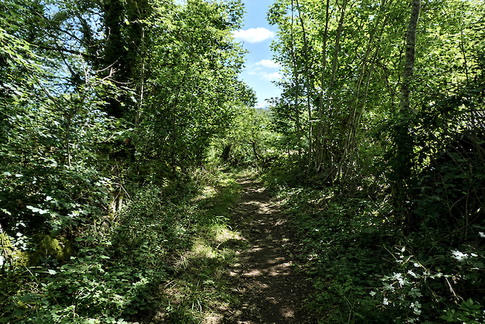 |
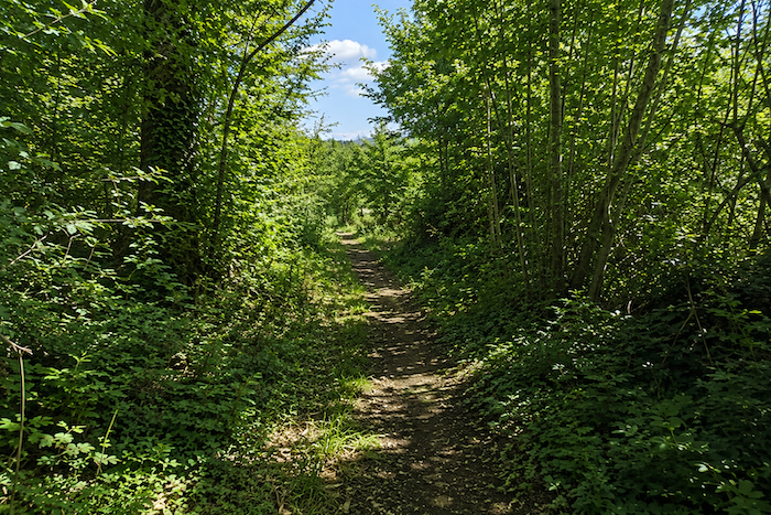
| All the magic of the causse returns in darker woodland dominated by countless oaks. Ash trees and even a few wild walnut trees grow among them, while maples become less common here. |
 |
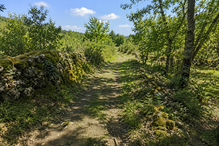 |
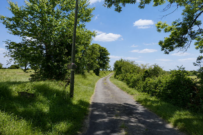
| But the woodland crossing does not last forever, and soon tarmac once again replaces the path of earth and grass, gradually leading the walker back towards more open landscapes. |
 |
 |
Section 5: A walk through meadows and woodland
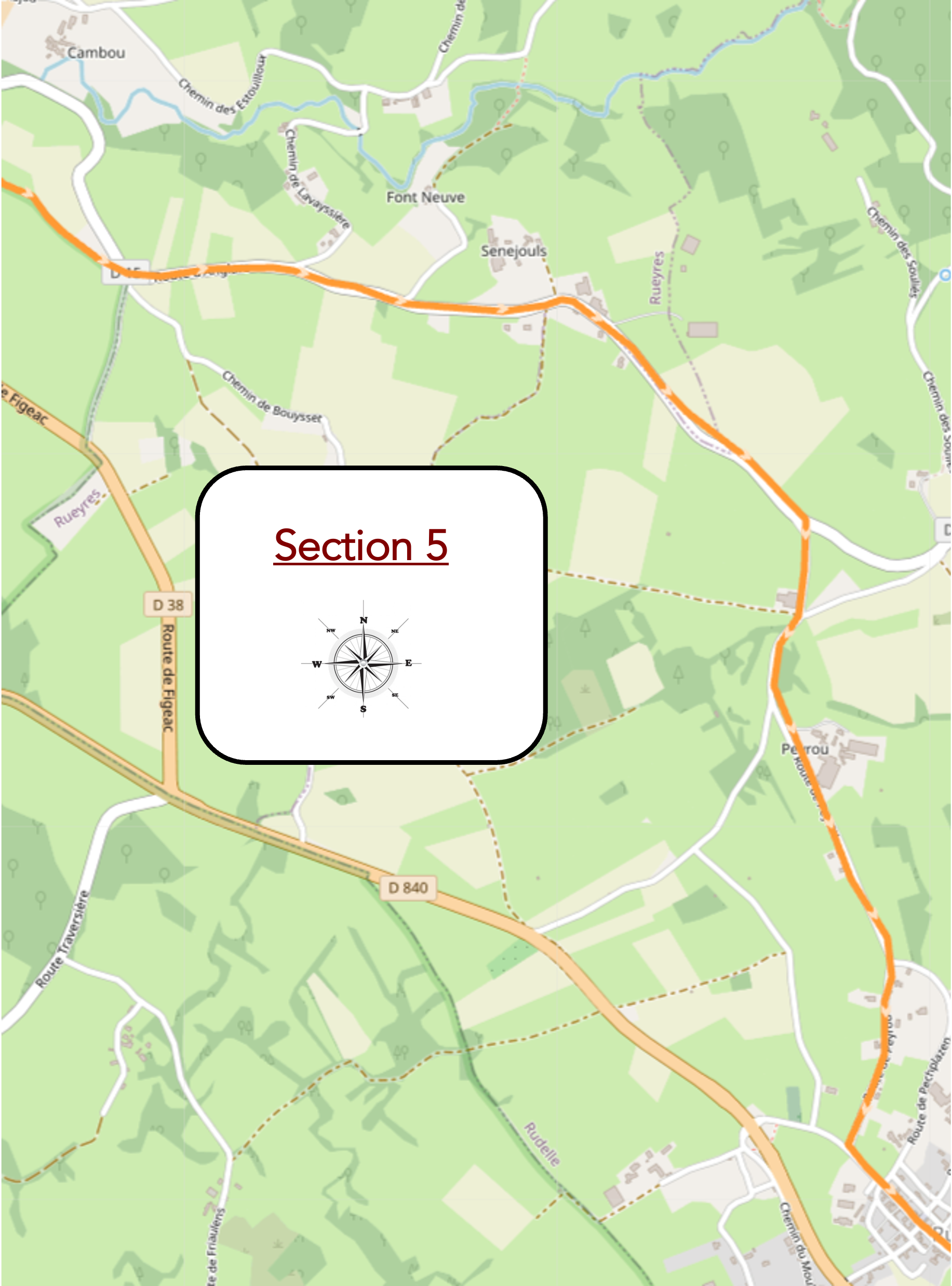
Overview of the route’s challenges : a route with no particular difficulty.
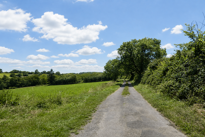
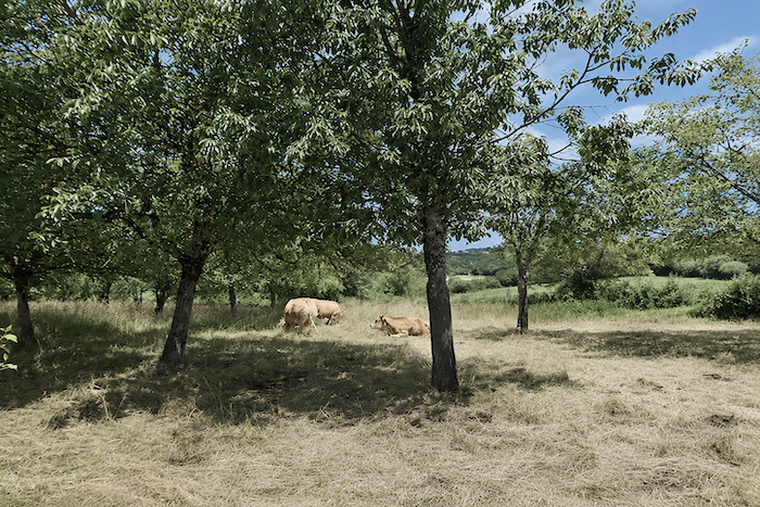
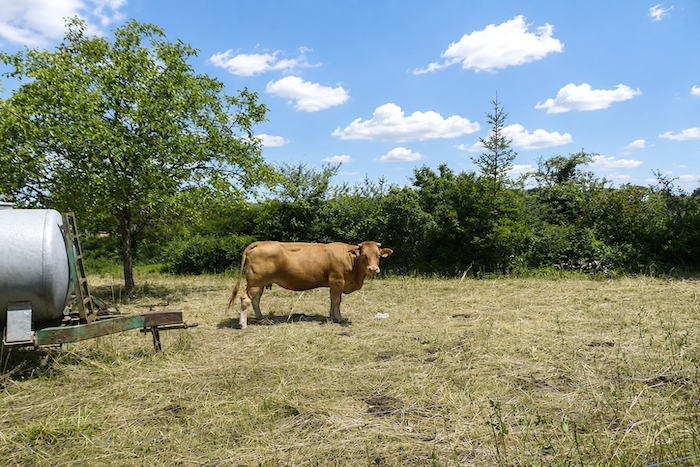
| The road now becomes a narrow, broken stretch, almost reclaimed by nature, with grass growing between the stones as it winds through the meadows. The Aubrac cattle, true to their placid reputation, are more than happy to surrender to an afternoon nap. Perhaps they are still sulking over the horns that have been taken from them. |
 |
 |
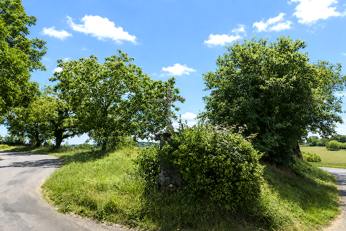
Farther on, the GR6 reaches a junction where several roads intertwine, watched over by a humble iron cross standing beside the path.
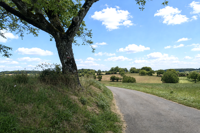
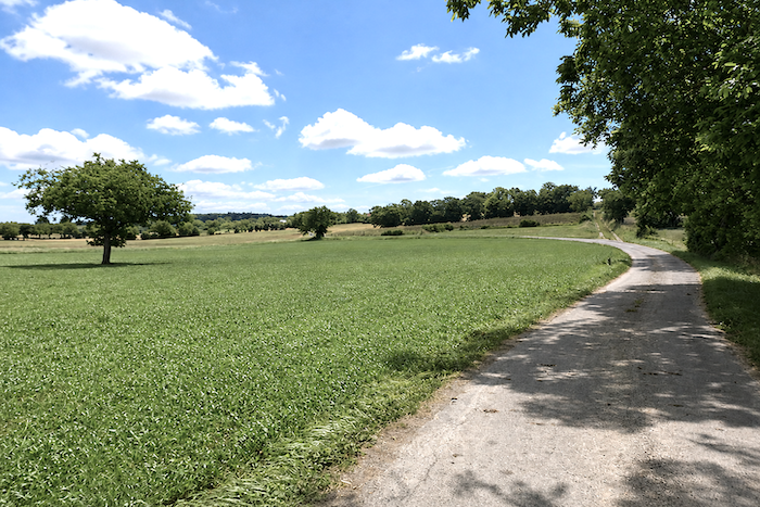
| Here, however, the route leaves the main road behind and continues through the open countryside, along a road that wavers between worn tarmac and packed earth. In these more open landscapes, the oaks gradually surrender their kingdom to ash trees. |
 |
 |
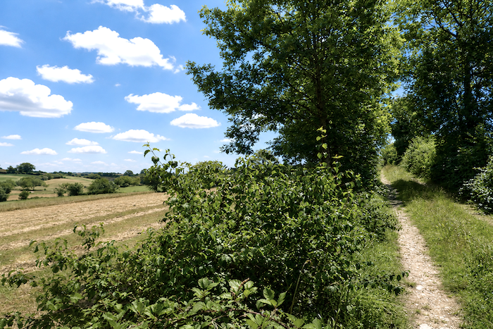
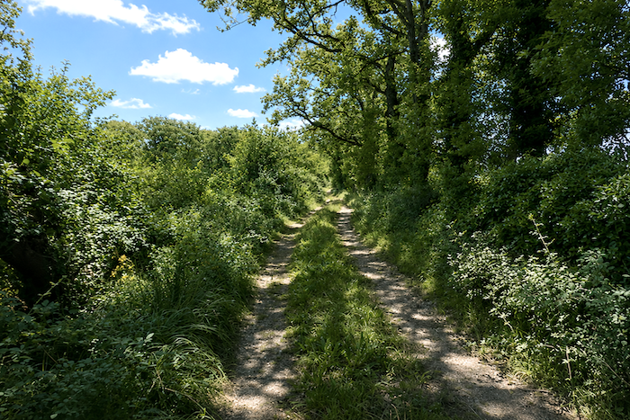
| The GR6 then enters open woodland, where soft grass alternates with packed earth. Here, the paths are surprisingly free of stones, something unusual enough on the causses to be worth noting. In these woods, the vegetation now seems less exuberant. It is almost as though the wild causse had gradually receded behind you. Yet oaks, maples and ash trees still remain, mingling with brambles, dogwoods, privet, viburnums and wild blackthorn. If you pass this way in early summer, the fruits of the blackthorn offer the hungry walker a free and tasty treat. |
 |
 |
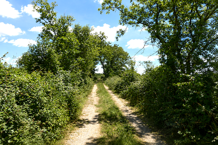
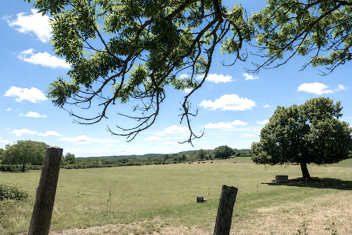
| The character of the landscape has clearly changed. Earlier, the austere expanses of the wild causse held sway, while here nature becomes more generous, almost more welcoming. On the horizon, a small herd occasionally appears, lost among the meadows. The cattle, which have now replaced the sheep, seem to have found more space here, a gentler land where they can roam freely. |
 |
 |
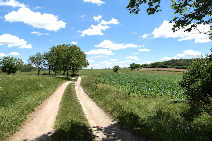
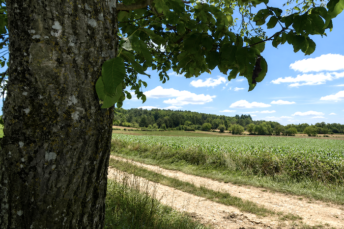
| The path then crosses a small, peaceful plateau where walnut and ash trees appear here and there, along with several fields of maize. There are even ancient chestnut trees, silent witnesses to a land that is undoubtedly less unforgiving than the heart of the causse. Indeed, stones become surprisingly scarce beneath the walker’s feet here. |
 |
 |
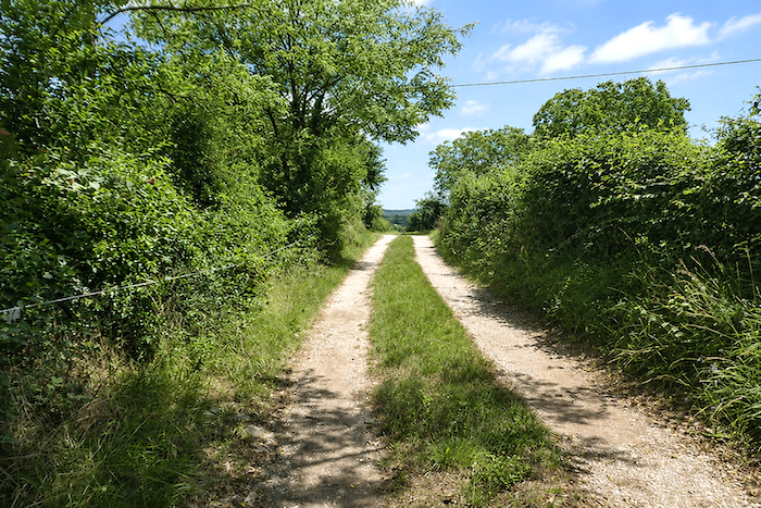
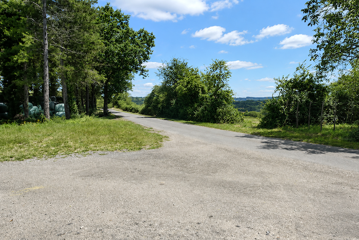
| There, it joins a quiet little road. |
 |
 |
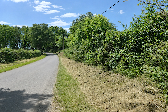
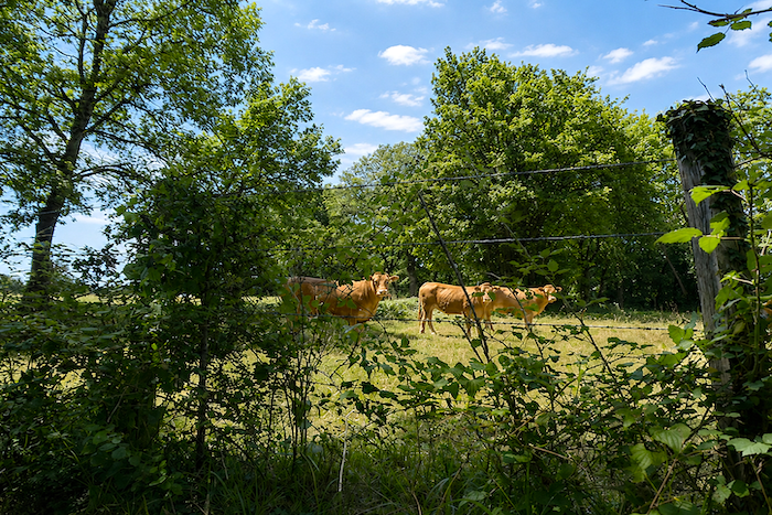
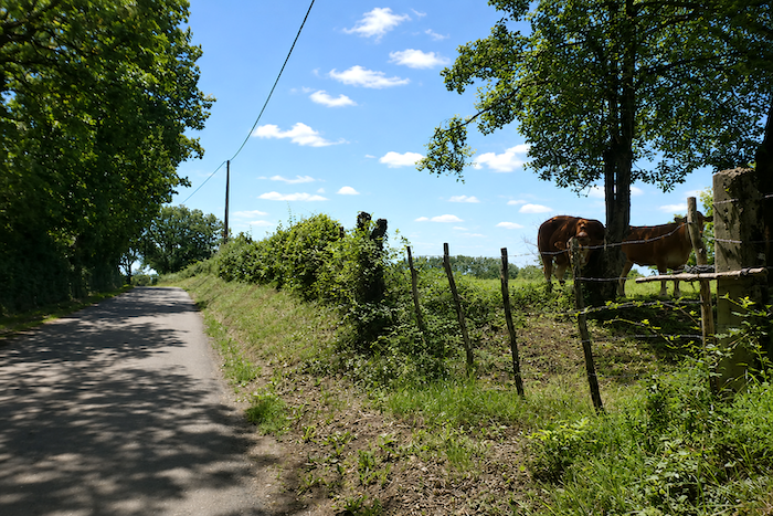
| The road then descends gently from the hill among young Aubrac cattle, whose quiet curiosity accompanies the walker passing by. |
 |
 |
| It soon skirts the hamlet of Peyrou, barely visible beyond a few scattered farms resting modestly in the landscape. |
 |
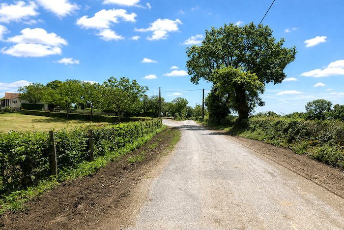 |
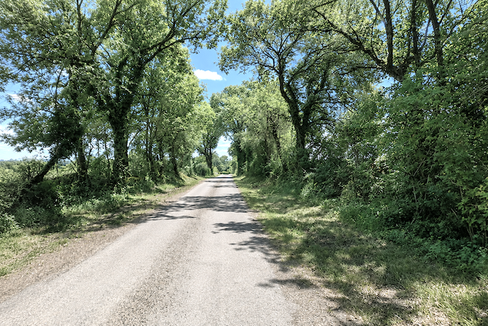
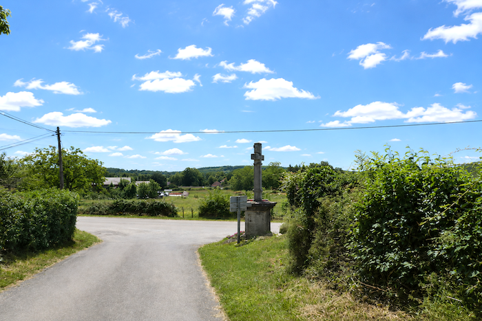
| The descent then continues beneath tall deciduous trees, generous providers of shade, their widely spaced silhouettes accompanying the road as far as a crossroads marked by a tall stone cross. |
 |
 |
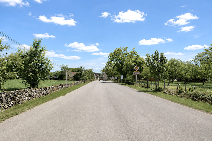
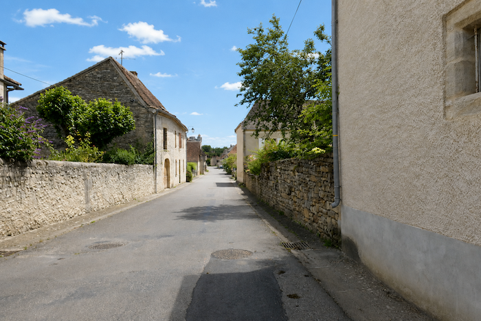
| The small village of Rudelle is now only a short distance away, with its luminous limestone houses catching the daylight. There are no shops here, an absence that has become almost familiar in these quiet corners of the Quercy countryside. |
 |
 |
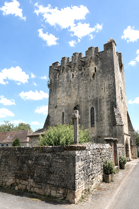
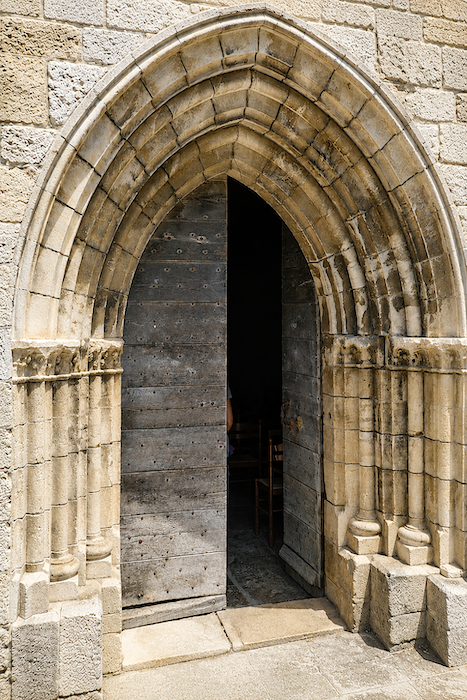
| But the true distinction of the village is its fortified church. Dedicated to Saint Martial, it was originally no more than a simple thirteenth-century chapel associated with a bastide and a hospice that welcomed passing pilgrims. Over the centuries, as wars ravaged the region, the building was profoundly transformed. The roof was removed to make way for fortifications designed to protect the inhabitants. The final alterations date from the late nineteenth century, adding yet another layer to this long history of stone and refuge. |
 |
 |
Section 6: The beautiful small town of Lacapelle-Marival at the end of the route
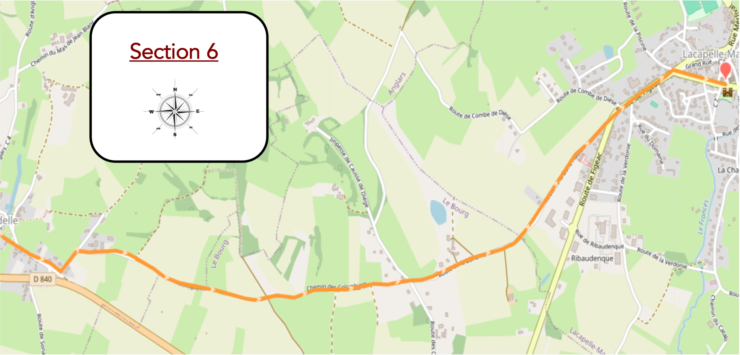
Overview of the route’s challenges : a route with no particular difficulty.
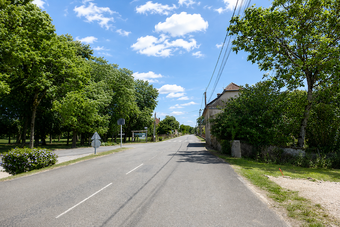
| The GR6 leaves Rudelle along the road, passing a park that seems almost disproportionately large for such a modest village, like a vast green breathing space at the very edge of the houses. |
 |
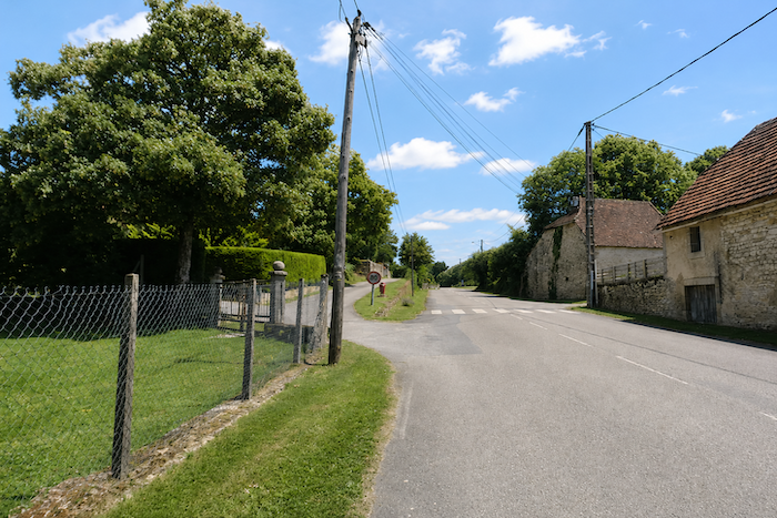 |
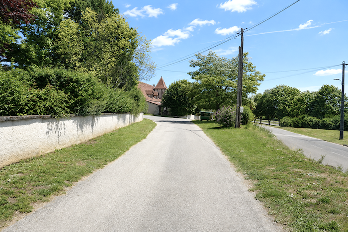
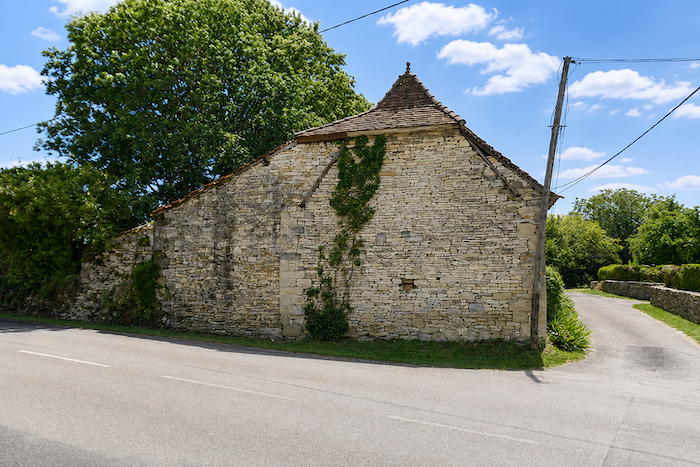
| Very soon, however, it leaves the main road for a quieter, narrower one. Here stand beautiful houses built of carefully dressed limestone, their luminous façades suggesting a certain degree of rural prosperity. On the grander properties, dovecotes still raise their elegant silhouettes above the rooftops. |
 |
 |
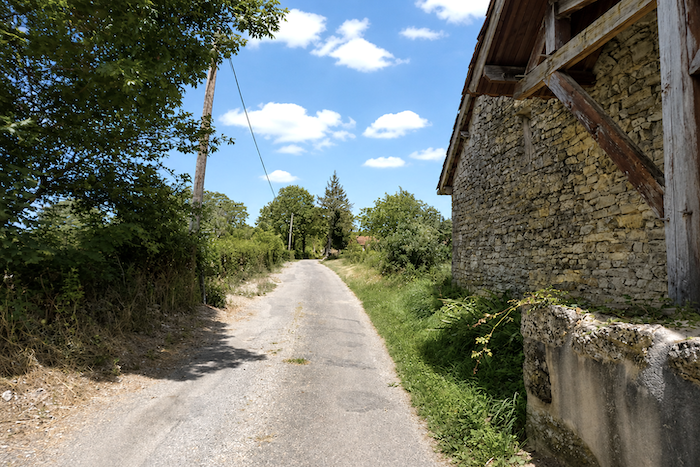
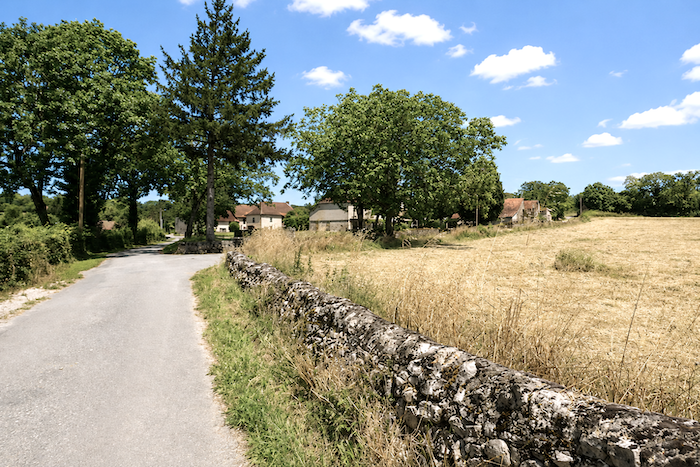
| Soon afterwards, the hamlet of La Montagne appears, with its modest scattered crops and grey stone houses half hidden among the trees. |
 |
 |
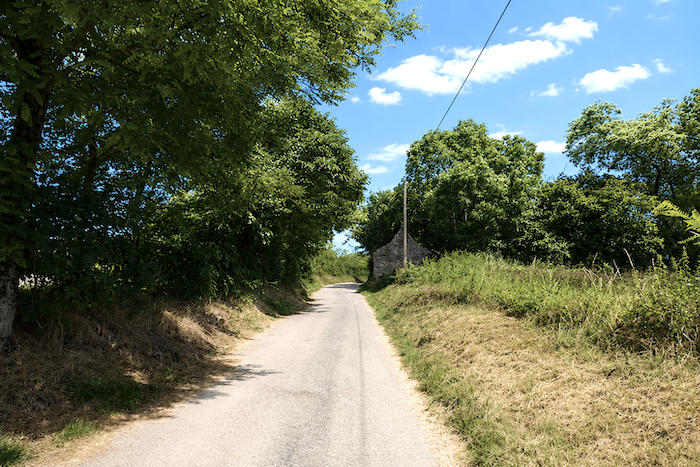
| Another small “caselle” stands watch beside the road before the tarmac finally gives way to a path of earth and grass. |
 |
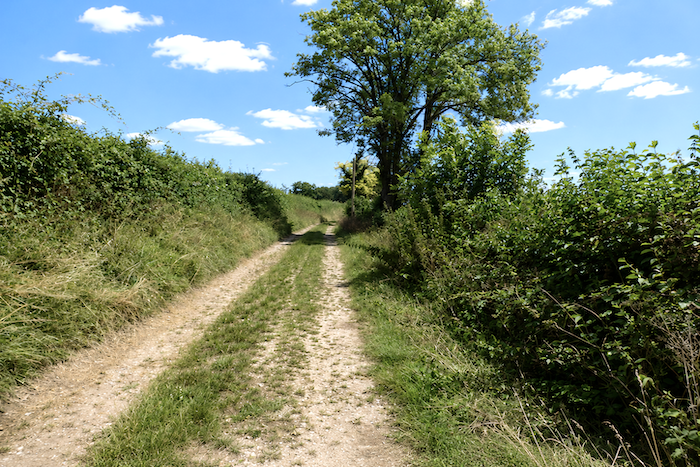 |
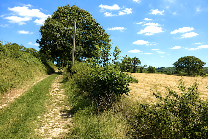
| The path then slopes up gently alongside thick hedges, punctuated by a few deciduous trees rooted into the banks. Sparse cereal crops grow here, along with the occasional field of sunflowers, bringing a more southern touch to the landscape. |
 |
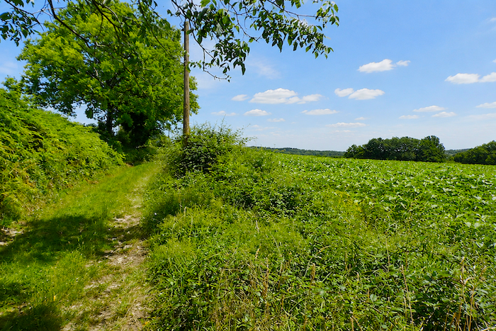 |
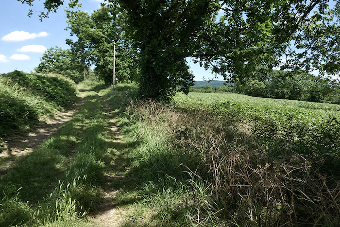
| Higher up, the grass beneath your feet also disappears, giving way to a narrow track of packed earth. |
 |
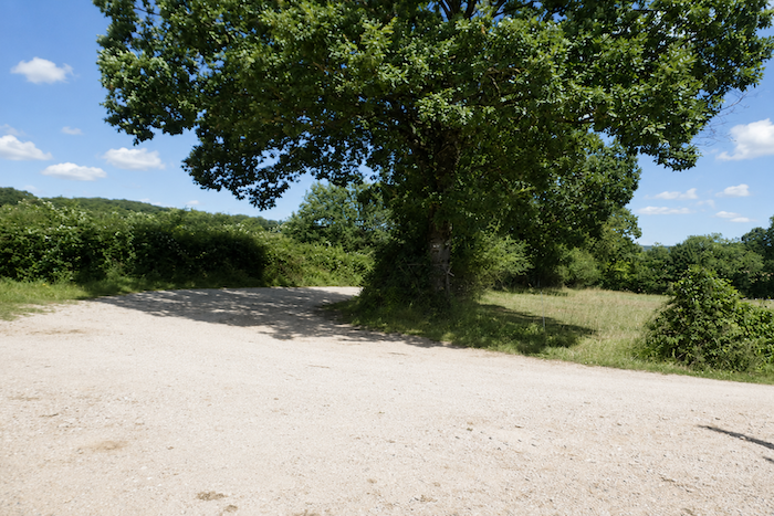 |
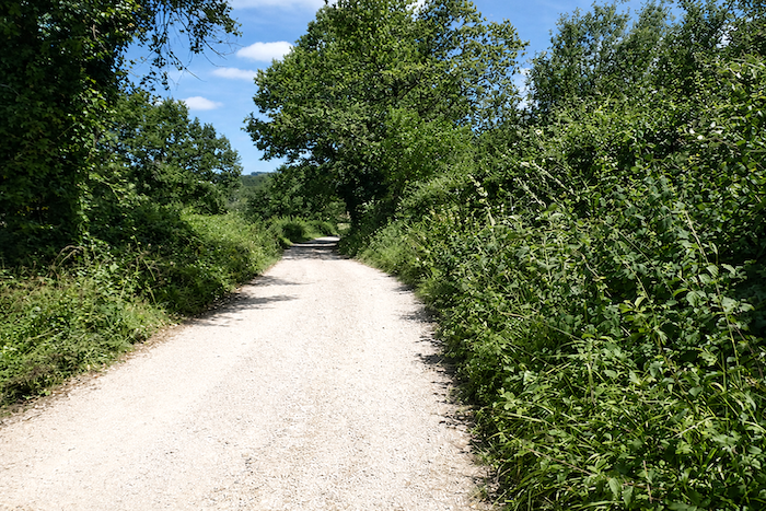
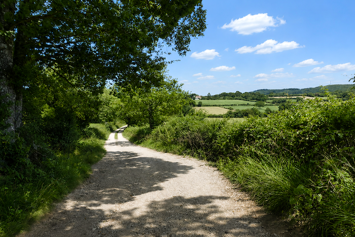
| The route then undulates for a long while between hedges, ash trees and walnut trees, through widely open countryside. It is easy for the walker to realize that, for the time being at least, the mineral austerity of the causses and their arid lands has been left behind, replaced by a gentler landscape of cultivated fields, meadows and peaceful horizons. |
 |
 |
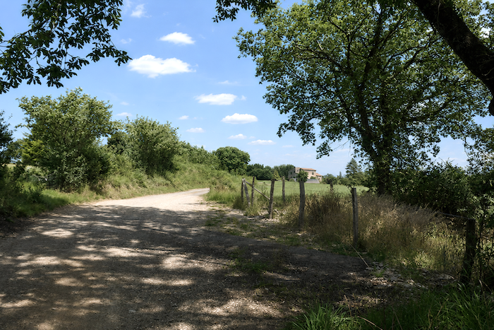
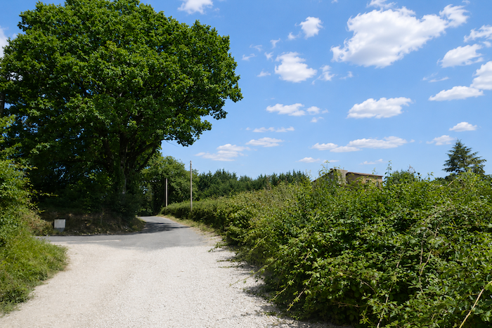
| Then, true to the constant alternation that has given rhythm to the day’s walk, the dirt path joins a modest country road. . |
 |
 |
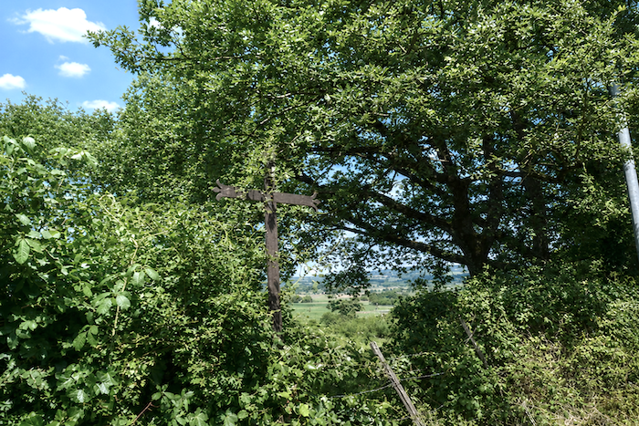
| Beyond an iron cross standing beneath the trees, the road seems to stir gently before surrendering itself to the tall deciduous trees that envelop it in shade and silence. |
 |
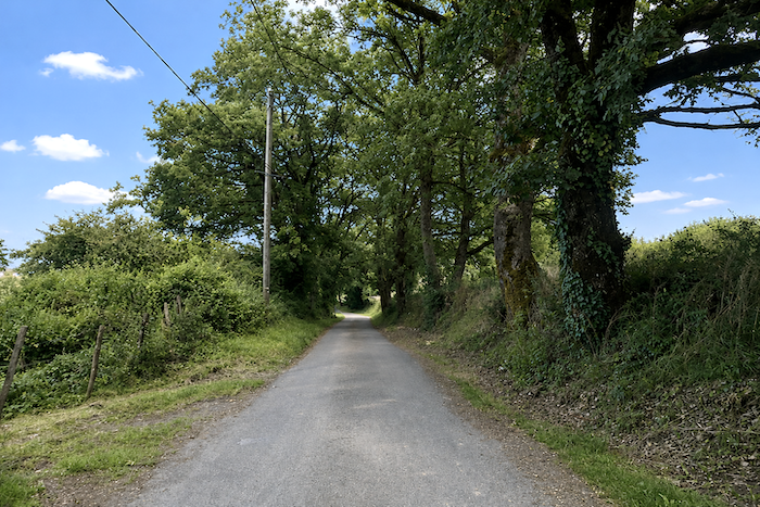 |
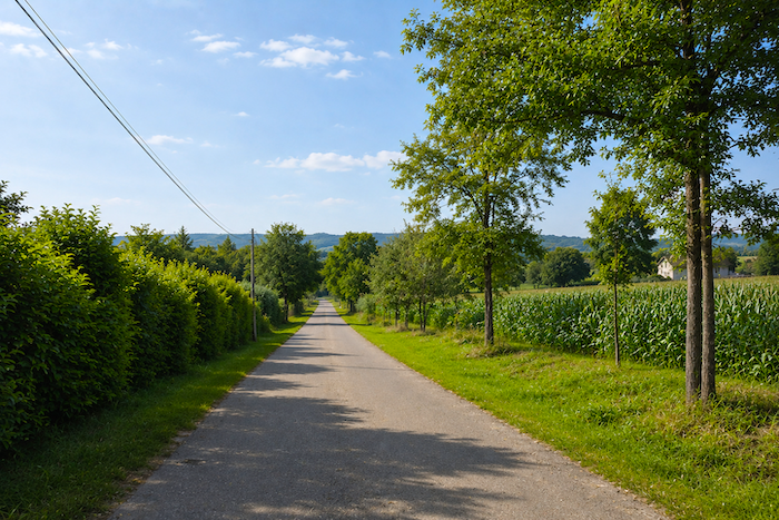
| Walking here becomes almost disarmingly easy. All you need to do is put one foot in front of the other and allow yourself to be carried along by the tranquility of the landscape. |
 |
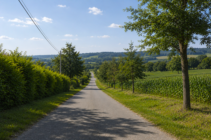 |
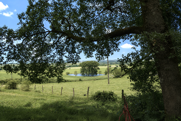
| There are even a few scattered walnut trees and some magnificent lime trees, whose broad canopies lend an even greater softness to the surroundings. Below the road, a small lake makes a vain attempt to bring a little freshness to the lingering dryness of the causse. |
 |
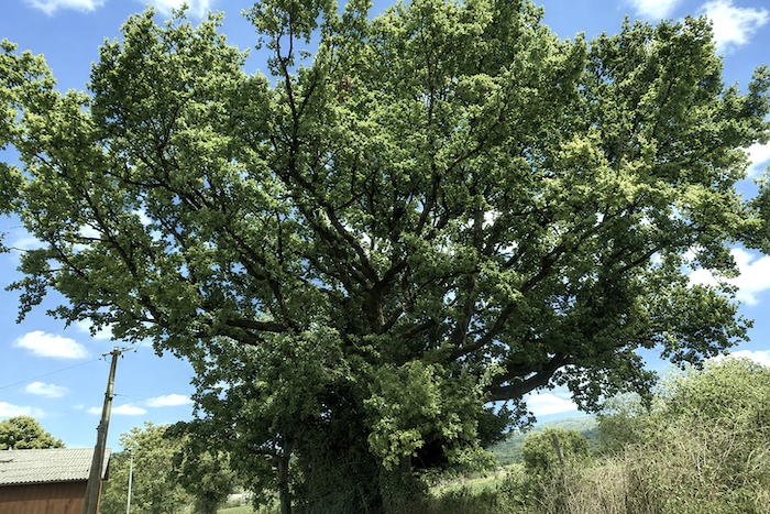 |
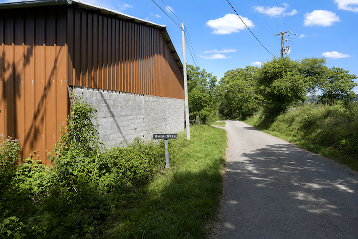
| The road then runs through the place known as Borie Haute, slipping beneath tall lime trees before descending gently into the valley. |
 |
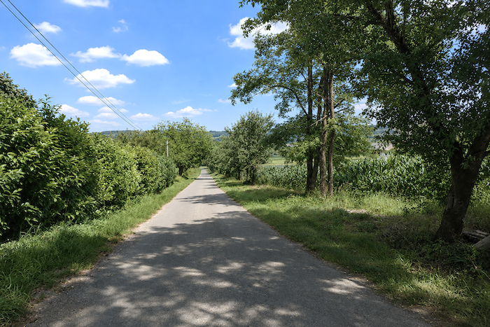 |
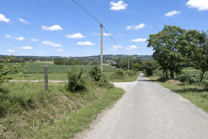
| Lacapelle-Marival soon appears ahead, resting in the landscape with the quiet sense of permanence so characteristic of the old towns and villages of Quercy. |
 |
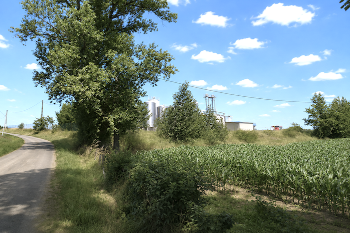 |
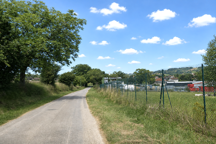
| The road then crosses an agricultural area followed by a modest zone of workshops and industrial buildings, creating a somewhat abrupt transition between the countryside and the small town. |
 |
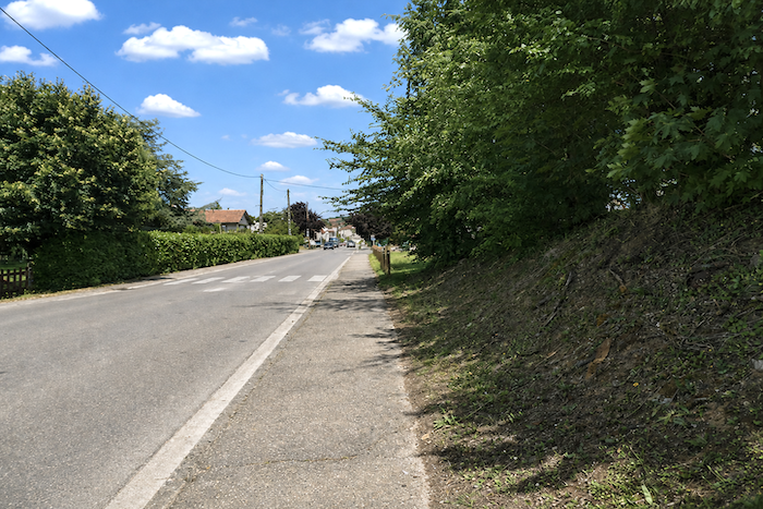 |
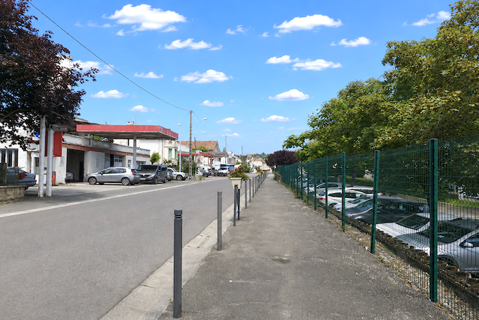
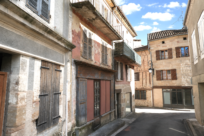
| The arrival in Lacapelle-Marival is easy and completely level. Yet as soon as you leave the main road, you enter the narrow, silent streets of the historic center. The small town, with a population of around 1,200, has long enjoyed remarkable demographic stability, largely escaping the massive rural exodus that emptied so many French villages. Its history remains closely linked to the powerful Cardaillac family, who ruled here for centuries until the seventeenth century, before the Montet family succeeded them. In the nineteenth century, Lacapelle-Marival became an important centre for agricultural fairs, where walnuts, cereals and livestock were traded. The village also endured darker times during the German Occupation. Even today, despite being listed among the Most Beautiful Villages of France, the town retains a remarkably peaceful atmosphere. Many of its charming little streets seem almost deserted, as though suspended in the slow provincial rhythm of another age. |
 |
 |
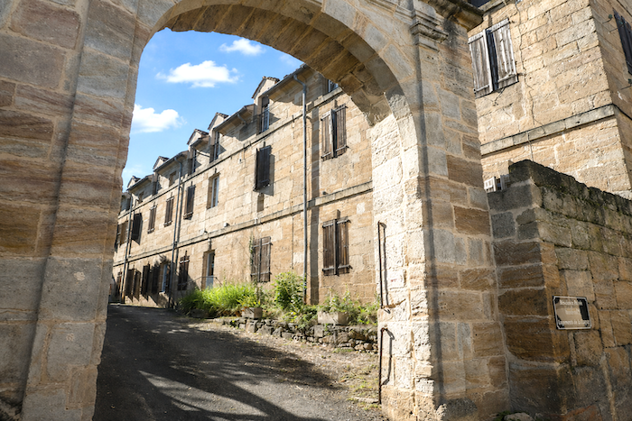
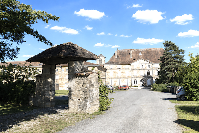
| Lacapelle-Marival also has a large retirement home housed in the buildings of the former convent of the Benedictine Sisters of Calvary, known as Moutier-Notre-Dame. The nuns’ cells have given way to rooms for elderly residents, while the monastic silence seems to have been transformed into a peaceful retreat for those spending their later years on the causse. The village is also home to several facilities for older people, and services connected with retirees now play an important role in local life. Residents arriving from across the département account for a significant share of the population, perhaps helping to explain the almost motionless sense of tranquility that seems to hover over the town. |
 |
 |
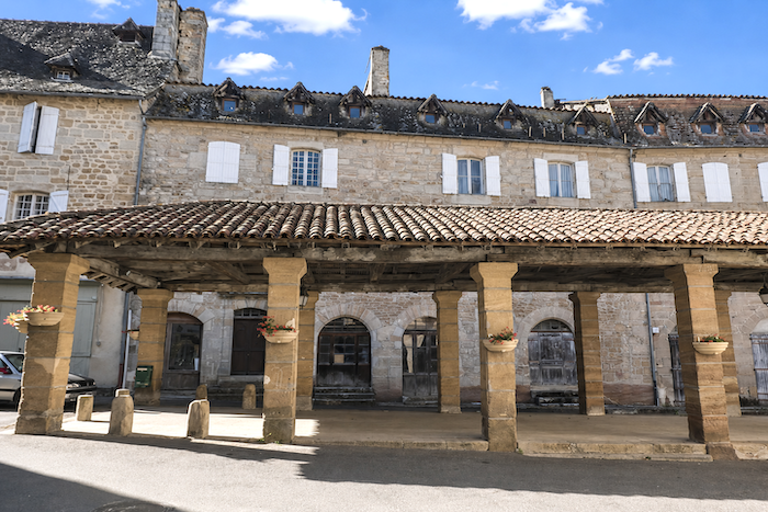
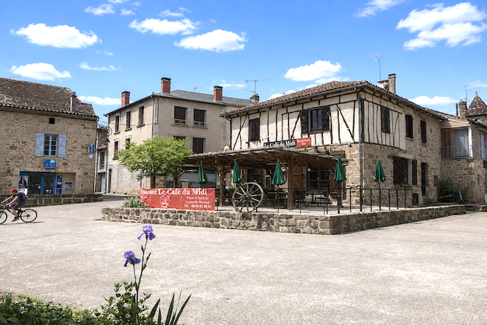
| At the center stands a magnificent fifteenth-century market hall, open on all four sides, its vast timber frame still seeming to await the agricultural fairs of centuries past. What social activity remains in the village appears to be concentrated mainly around the church and the main square. |
 |
 |
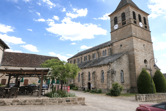
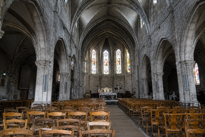
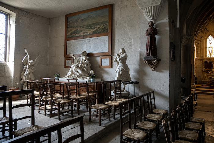
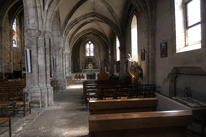
| The Church of the Assumption, built in the sixteenth century and altered in the nineteenth, subtly combines Neo-Gothic influences with more austere Romanesque remains. Its sturdy simplicity is striking, almost rustic in character and perfectly in keeping with the spirit of Quercy. Inside, a gentle half-light filters through the stained-glass windows, creating a place where silence seems naturally at home. |
 |
 |
 |
 |
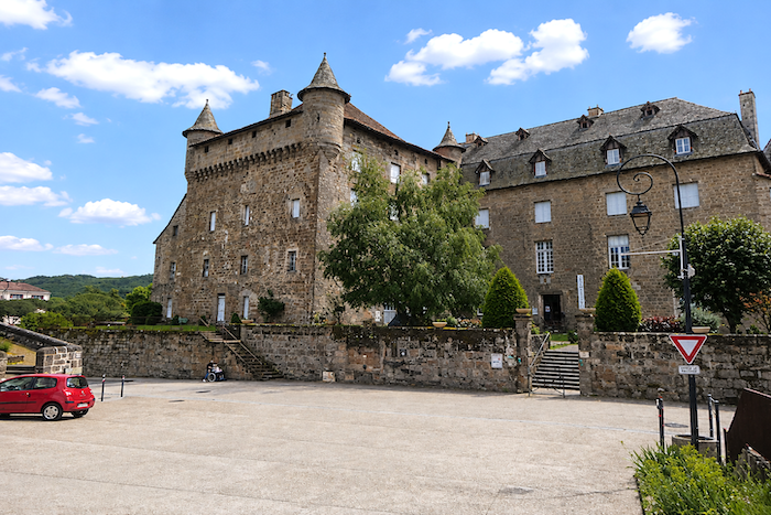
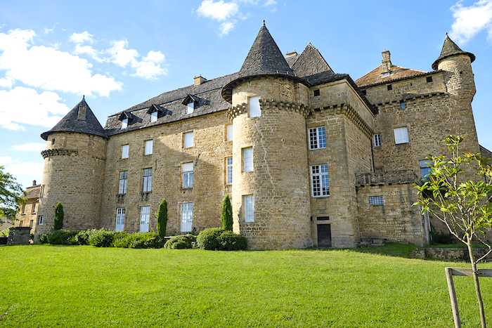
| Lacapelle-Marival thus appears as one of those Quercy towns poised between two worlds, with the stony, austere causses on one side and the richer, greener lands of the Limargue and Ségala on the other. This contrast undoubtedly explains the village’s distinctive atmosphere, less rugged than the great limestone plateaus yet still deeply rural and medieval in character. Its fame rests above all on the imposing Château des Cardaillac, a vast mass of stone that still dominates the houses of the town. The present building was constructed after the Hundred Years’ War, beginning in the 1460s, by the powerful Cardaillac-Lacapelle family. The massive square keep, almost intimidating in its proportions and crowned with machicolations, retains all the appearance of a medieval fortress. Yet behind this martial exterior lies a more refined aristocratic residence, already heralding the noble houses of the Renaissance. |
 |
 |
Listed accommodations on the Rocamadour Way
- Camping A la Ferme en Paille, Le Gravier; 06 84 48 67 99; Gîte, cuisine
- Chambres d’hôte Le Domaine du Gravier, Le Gravier; 06 70 05 00 74; Guestroom, breakfast
- Roulottes du Lot-Le Presbytère, St Chignes; 06 81 67 38 54; Guestroom, breakfast, cuisine
- Gîte Le Sansouci, Soulestrein; 07 69 86 31 91; Gîte, dinner, breakfast, cuisine
- Gîte L’Étape de la Halle-Snack, Thémines;06 49 89 91 36; Gîte and Guestroom, dinner, breakfast, cuisine
- Gîte et chambres d’hôte Lacarrière, Thémines; 05 65 40 85 03/06 70 40 17 58; Gîte et Guestroom, breakfast
- Aire naturelle des Pèlerins, Rudelle; 06 88 59 65 19; camping (tents), dinner, breakfast, cuisine
- Gîte Le Cèdre Bleu, Marie (pèlerine), 191 Rue Merlival, Lacapelle-Marival; 06 09 01 84 77; Gîte, dinner, breakfast, cuisine
- Camping Le Bois de Sophie, Route d’Aynac, Lacapelle-Marival; 06 80 59 79 86; tents, mobil homes, dinner, breakfast, cuisine
- Bergerie du Château, 395 Rue du Château, Lacapelle-Marival; 06 80 59 79 86; Hotel, dinner, breakfast
This information was updated in 2026. If you access this site later, it may no longer be accurate. Along these routes, some establishments open every year while others close. One solution is to purchase, among other resources, Miam Miam Dodo, the essential guide for eating and accommodation, which also lists places to stay off the route. For our part, we will only include accommodations located directly on or very close to the route. There are also other options, such as guidebooks or the internet, which also lists Airbnb accommodations. However, even though the valley is a tourist area, Airbnb options are rare. No application is as well documented as Miam Miam Dodo, especially since the small book, available online, is updated every year. If you do not have Miam Miam Dodo, we recommend booking in advance and checking directly with accommodation providers about the details of their services (meals, sheets, toilets, showers, and other amenities). Likewise, inquire at the previous stage about the opening hours of grocery stores and bars, which are often closed during parts of the day or week. On the Rocamadour variant, accommodation options are very limited, but only a few pilgrims pass through here. However, there are also hikers. Therefore, book in advance if possible. Finding a bed at the last minute can sometimes be a matter of luck. It’s better not to rely on that every day.
Accommodation should not be a problem on this stage, with plenty of options available along the route. There are water points in Isendolus, Thémines and Rudelle, as well as toilets in Rudelle. Lacapelle-Marival offers a full range of services and amenities. For those who would like to have their luggage transported, or arrange transport for themselves, La Malle Postale is a good option..
Feel free to add comments. This is often how you move up the Google hierarchy, and how more pilgrims will have access to the site.
|
 |
Next stage : Stage 6: From Lacapelle-Marival to Figeac |
|
 |
Back to menu |