The incredible work of a small river
DIDIER HEUMANN, ANDREAS PAPASAVVAS
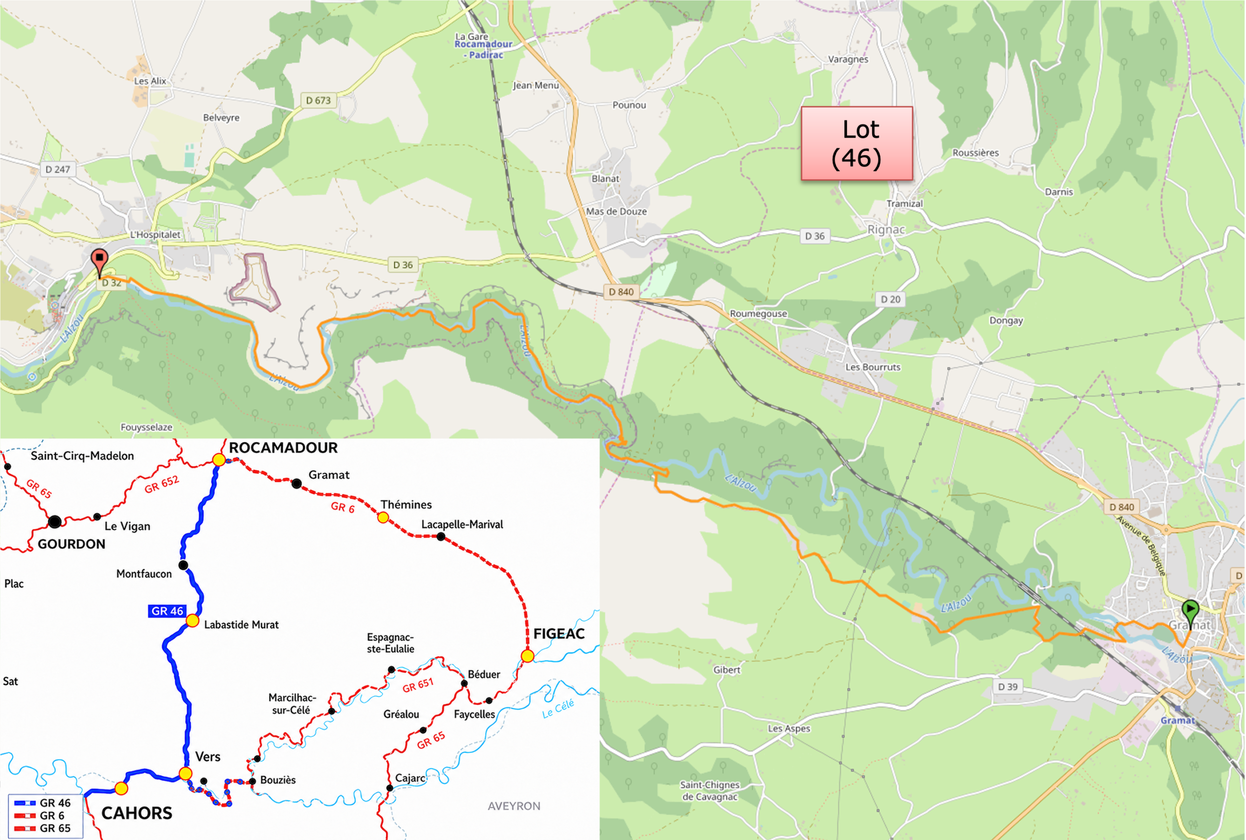
We divided the course into several sections to make it easier to see. For each section, the maps show the course, the slopes found on the course, and the state of the route (paved or dirt roads). The courses were drawn on the « Wikilocs » platform. Today, it is no longer necessary to walk around with detailed maps in your pocket or bag. If you have a mobile phone or tablet, you can easily follow routes live.
For this stage, here is the link:
https://fr.wikiloc.com/itineraires-randonnee/de-rocamadour-a-gramat-par-le-gr6-variante-de-rocamadour-237805085
| This is obviously not the case for all pilgrims, who may not feel comfortable reading GPS tracks and routes on a mobile phone, and there are still many places without an Internet connection. For this reason, you can find on Amazon a book that covers this route.
If you only want to consult lodging of the stage, go directly to the bottom of the page. |
 |
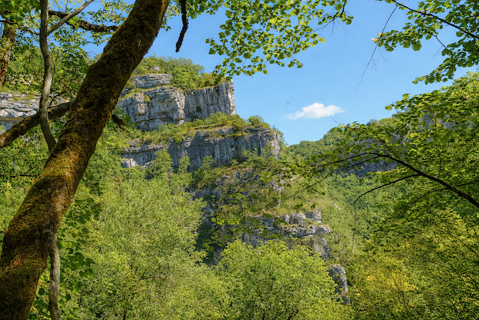
From the top of the ramparts of Rocamadour, the eye takes in the deep Alzou Valley. Over millions of years, this modest river patiently cut into the limestone plateau of the Causses, carving out a spectacular canyon nearly 150 metres deep. This slow work of the water shaped the steep cliffs on which Rocamadour now seems to hang. Without the relentless erosion of the Alzou, the site would never have provided the exceptional natural refuge that encouraged hermits to settle here, followed by the development of the medieval sanctuary.
he Alzou, modest though it may be, possessed a power that cannot be measured by its present-day flow. Drop after drop, century after century, the river sculpted the limestone cliffs, carving a vertiginous canyon where Rocamadour seems to defy the laws of balance. This patient process of erosion, continuing over millions of years, created one of the most impressive landscapes in Quercy. The Alzou is a typically karstic river. Some of its water regularly disappears into cracks in the limestone, flowing through a vast underground network before resurfacing at natural springs. This particular geology explains both its apparently low summer flow and the abundance of caves, chasms and springs that characterise the entire region around Rocamadour and the Causse de Gramat.
This stage follows the variant leading towards Rocamadour, generally walked in the opposite direction by pilgrims travelling from Figeac to Cahors. Here, the route is followed in reverse, and one need only read the landscape backwards to rediscover its underlying logic. You walk along the GR36/46, a discreet yet faithful thread linking these lands of stone and water.
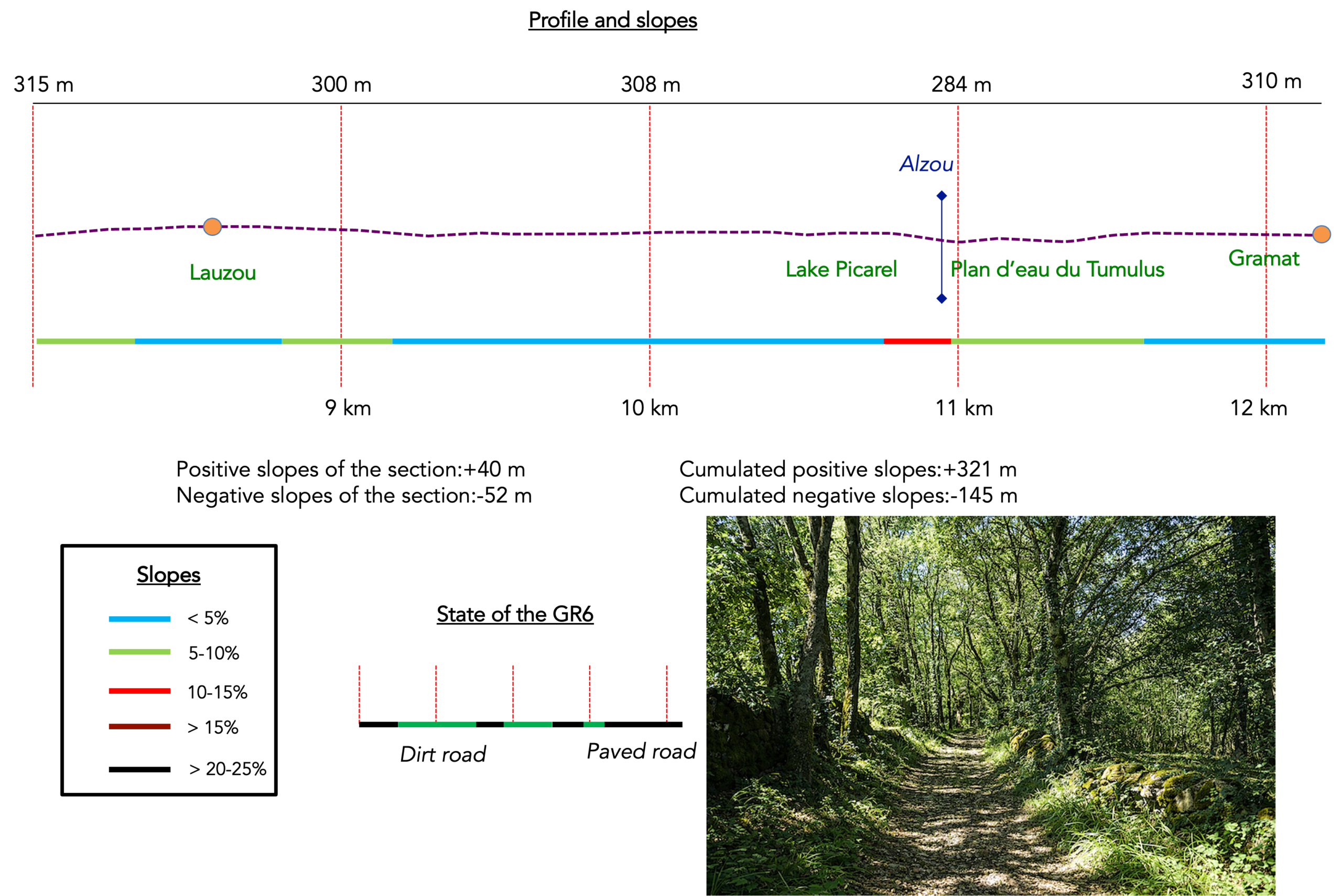
Difficulty level: The difficulty remains moderate. This is a peaceful stage with manageable elevation changes (+321 m / –145 m), and only the climb towards the Moulin du Saut will really put your legs to the test.
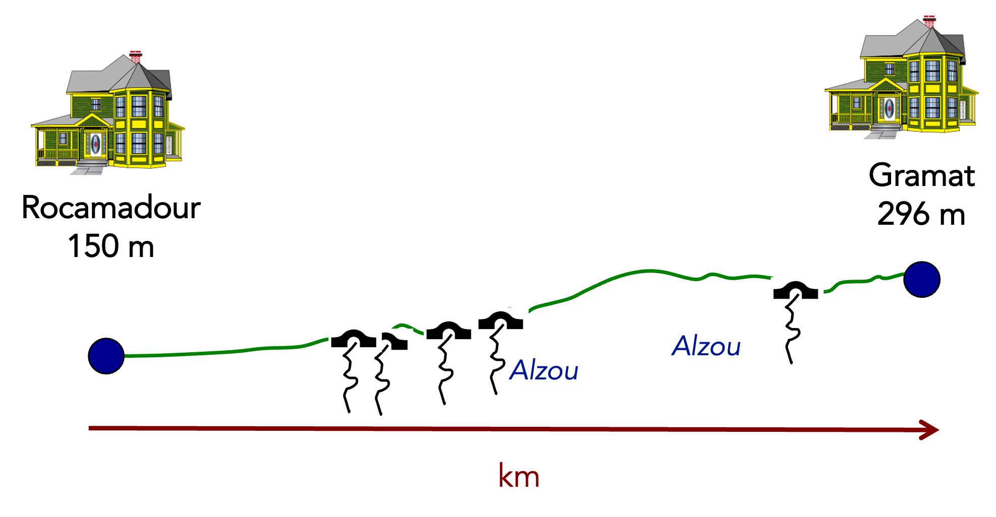
State of the route: Paths clearly predominate over roads:
- Paved roads: 3.6 km
- Dirt roads: 8.6 km
Sometimes, for reasons of logistics or housing possibilities, these stages mix routes operated on different days, having passed several times on these routes. From then on, the skies, the rain, or the seasons can vary. But, generally this is not the case, and in fact this does not change the description of the course.
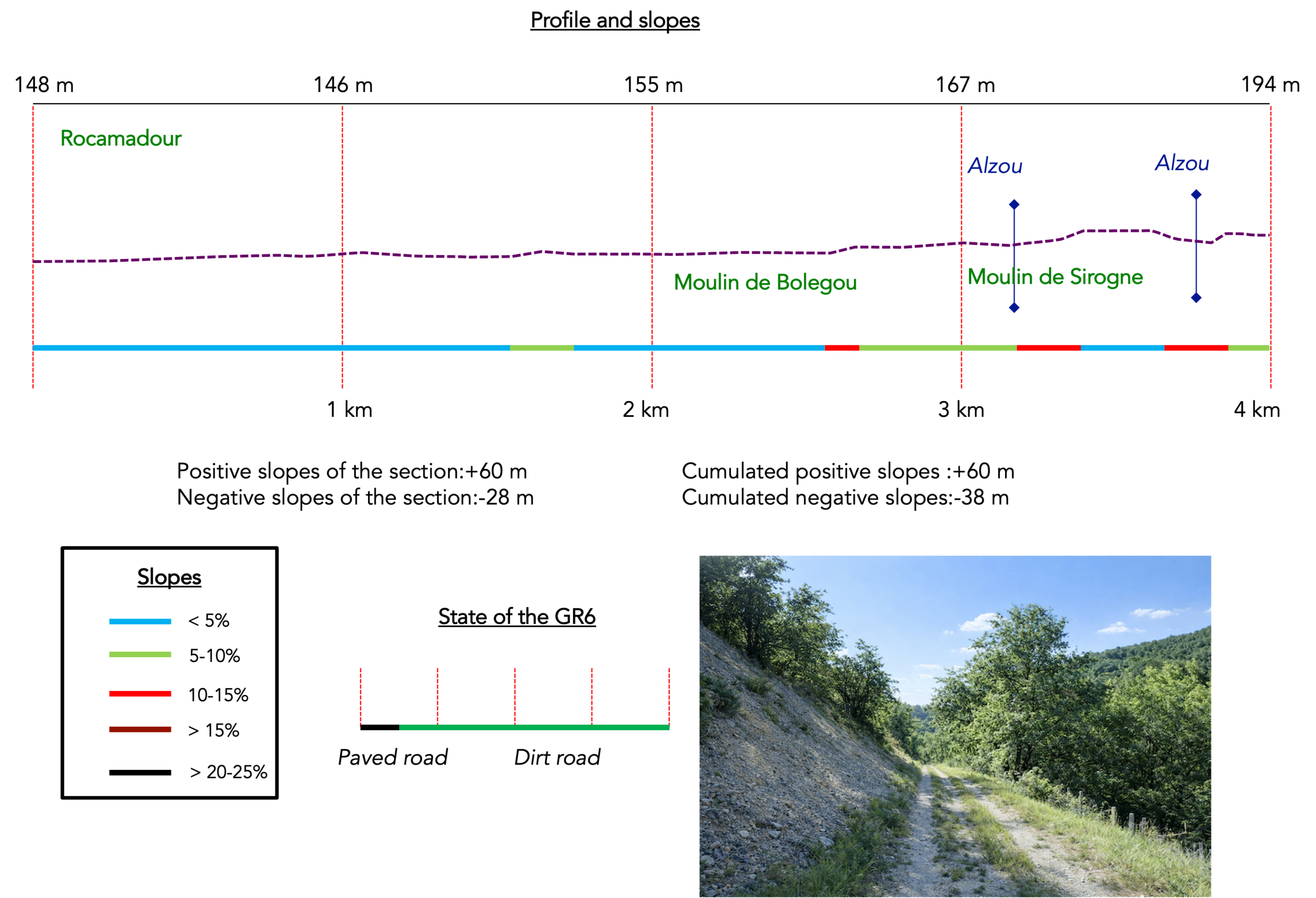
It is very difficult to specify with certainty the incline of the slopes, whatever the system you use.
For those seeking « true elevations » and enthusiasts of genuine altimetric challenges, carefully review the information on mileage at the beginning of the guide.

Section 1: Along the old mills of the Alzou River
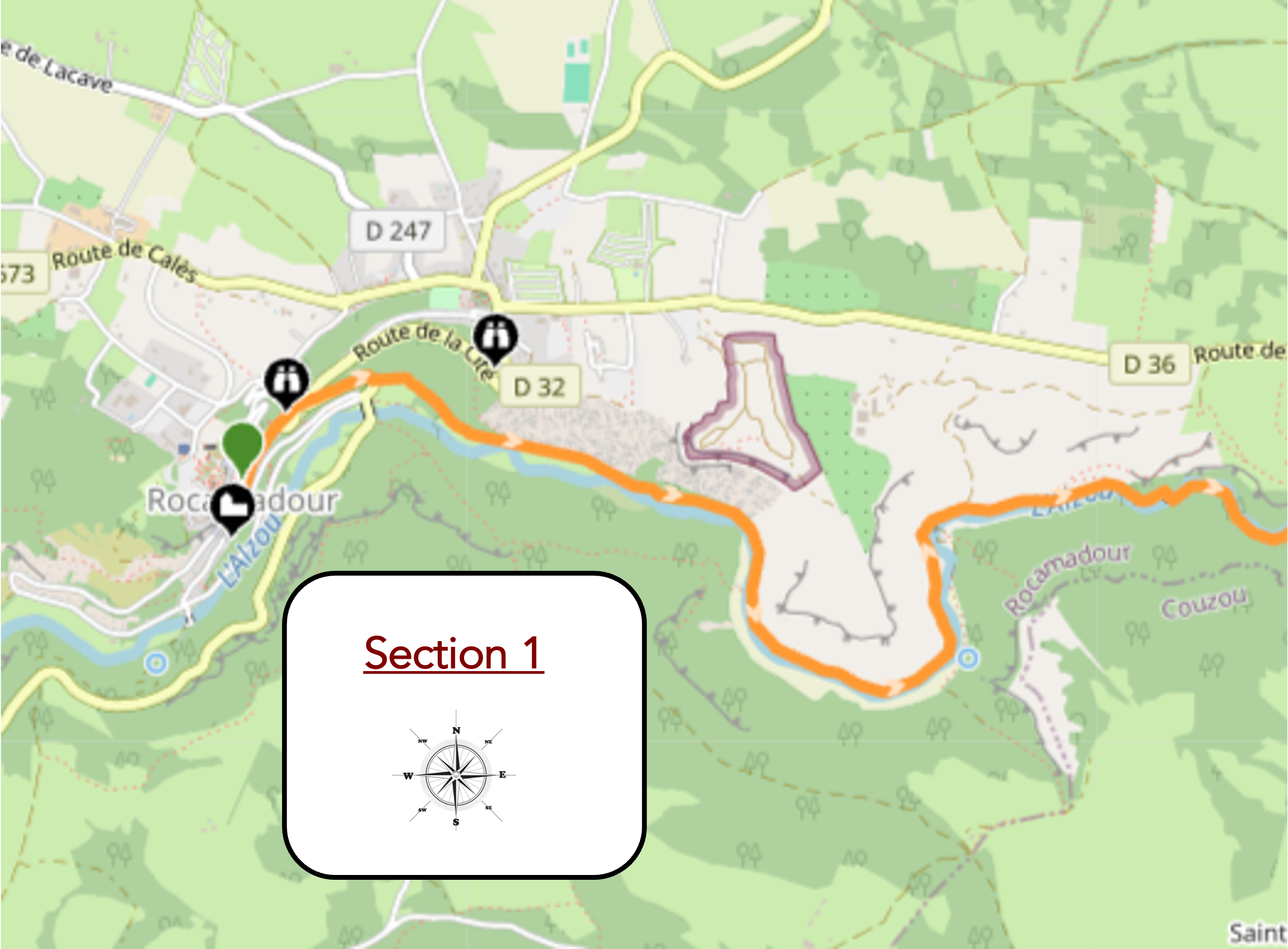
Overview of the route’s challenges : The route presents no particular difficulty.
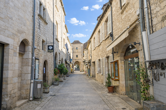
| In the early morning, when the pilgrims leave Rocamadour, the tourists are still fast asleep. The town then regains a serenity that is difficult to imagine just a few hours later. |
 |
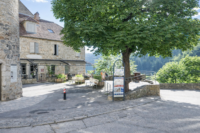 |
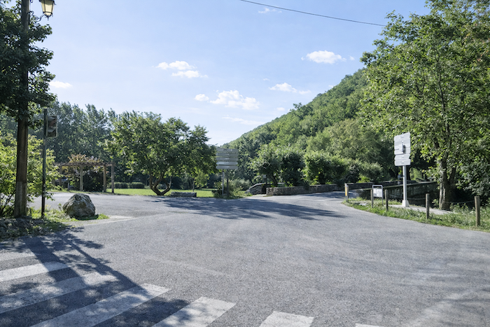
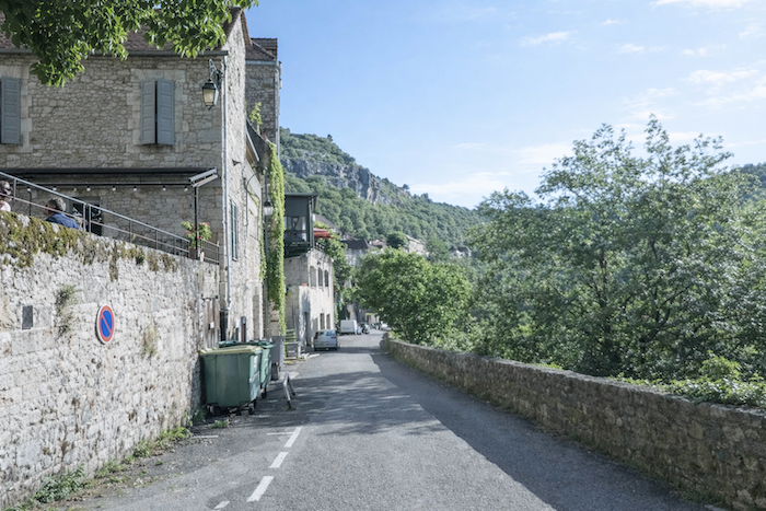
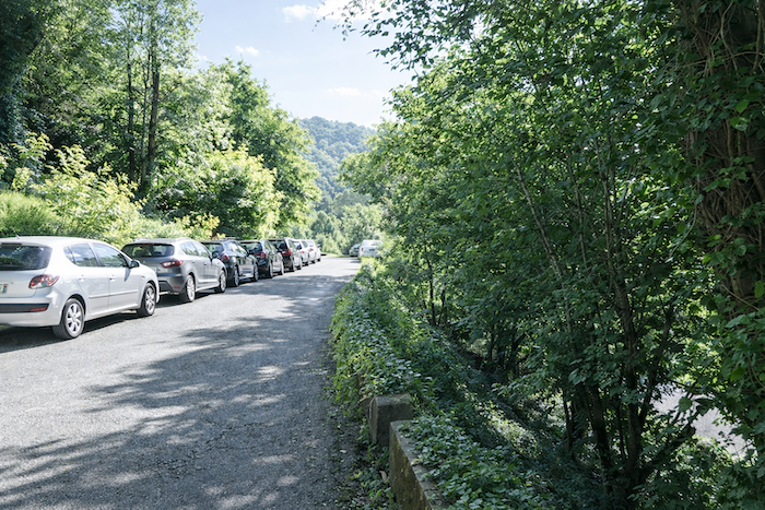
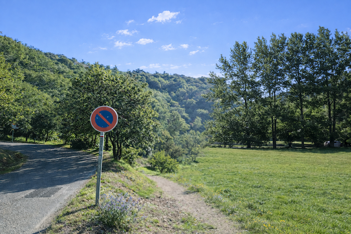
| The route leaves the village along a small road that descends towards the stream, passing the car parks laid out outside the historic site. Parking is not permitted within the medieval village itself. |
 |
 |
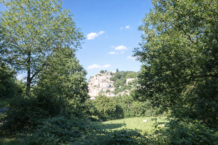
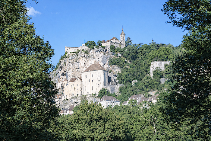
| From the bottom of the valley, the view of the village, the sanctuaries and the château remain breathtaking, all clinging to the cliff as if suspended in mid-air. |
 |
 |
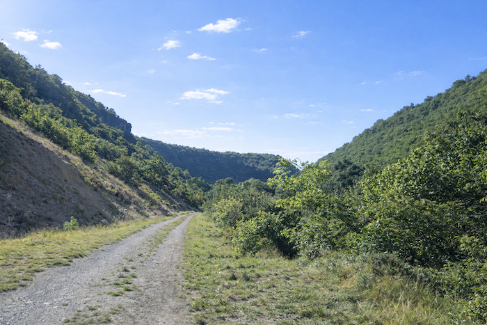
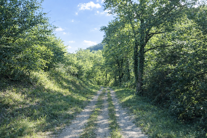
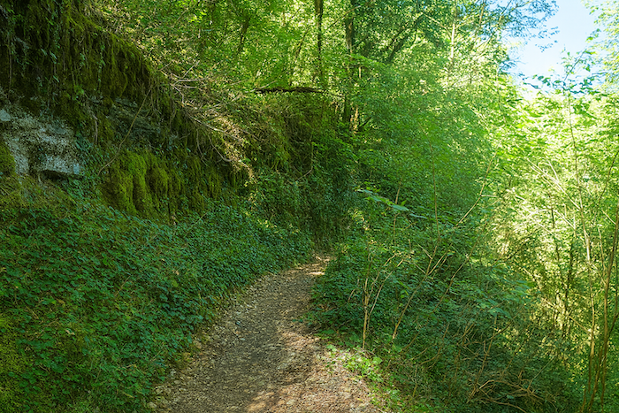
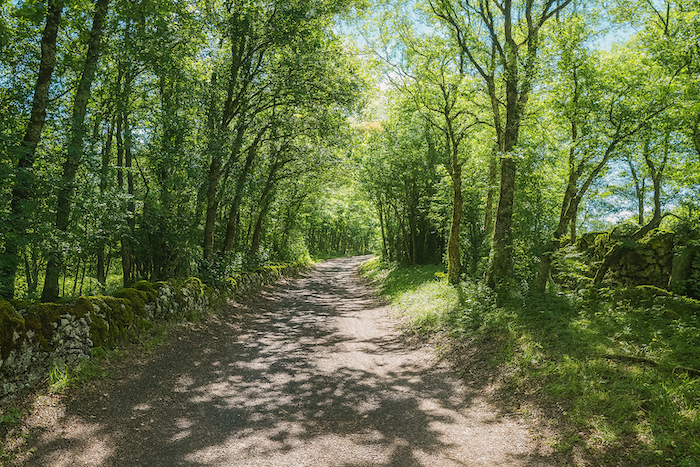
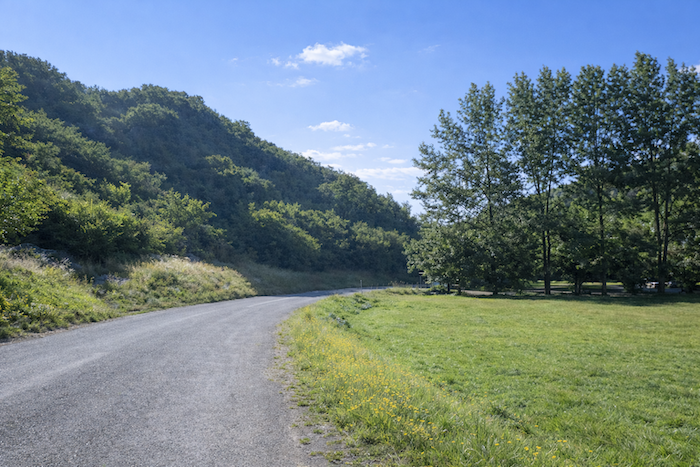
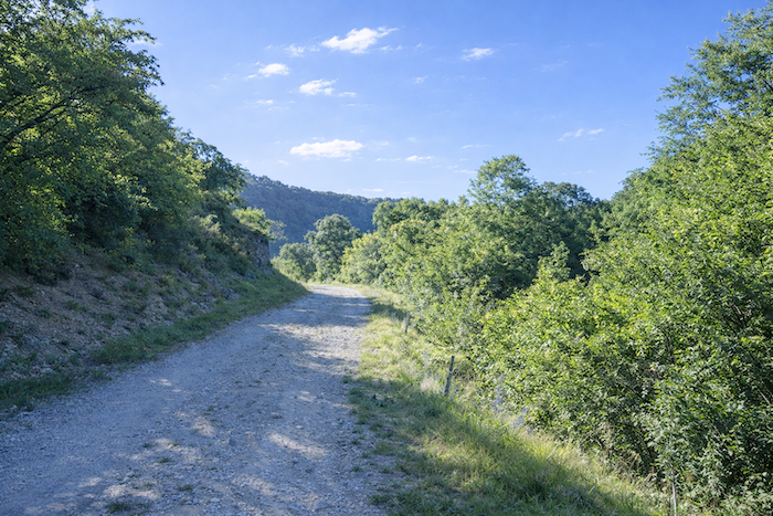
| Very soon, the asphalt gives way to a wide dirt track that follows the valley floor, almost level at first, then climbing gently. |
 |
 |
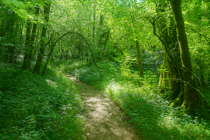
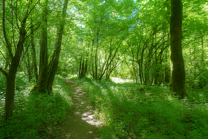
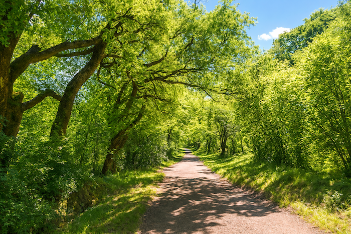
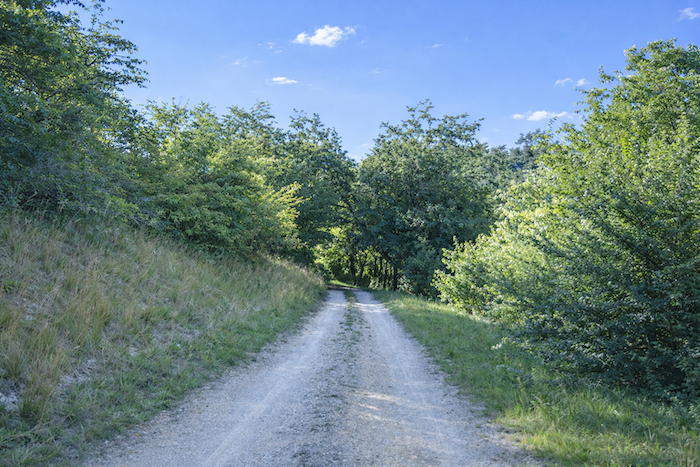
| Here, the ground takes on a pale grey hue, characteristic of limestone terrain. The forest is dominated by deciduous trees, mainly downy oaks and maples, while conifers are almost entirely absent. The woodland is open and airy, allowing plenty of light to filter through. |
 |
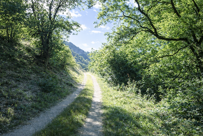 |
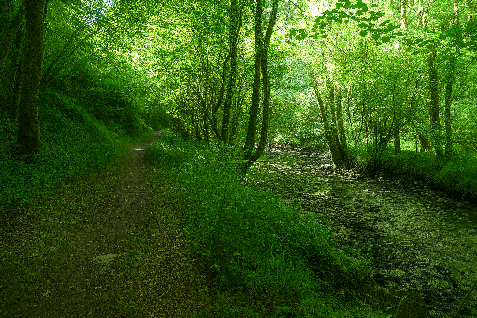
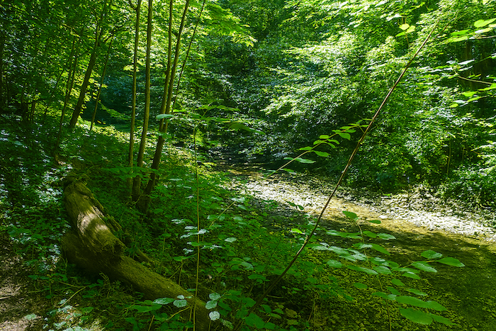
| The Alzou winds its way along the bottom of the valley. Over millions of years, this modest river slowly cut into the limestone plateau, carving out the valley beneath the impressive cliffs of Rocamadour. Even today, despite its low flow, it continues its relentless work of erosion, a reminder that the grandest landscapes are often the result of infinite patience. |
 |
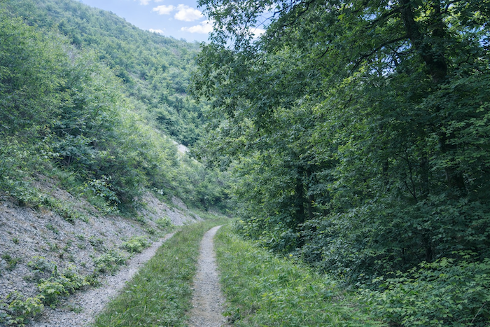 |
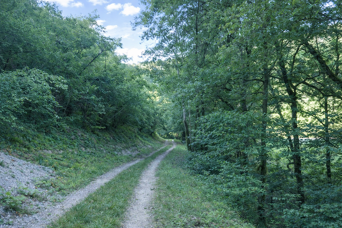
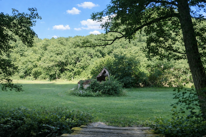
| The first remains of the old mills that once lined the course of the Alzou now begin to appear. Their ruins bear witness to the activity that once filled this valley, where the power of the water turned millstones, fulling mills and other installations essential to everyday life. |
 |
 |
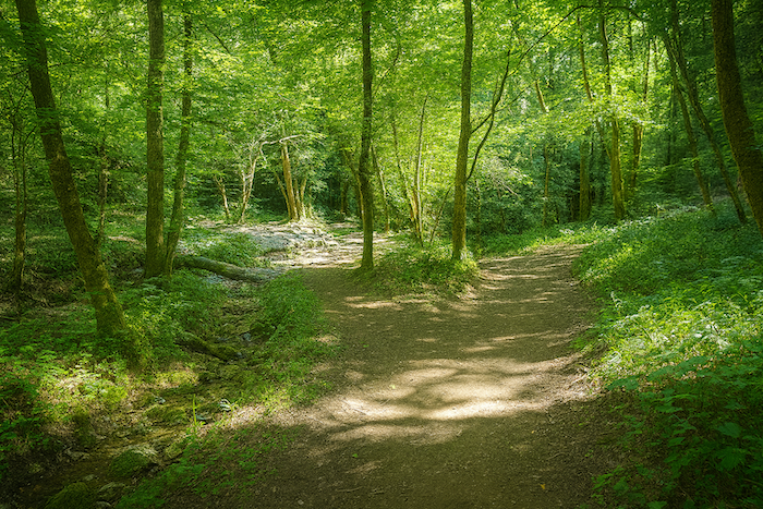
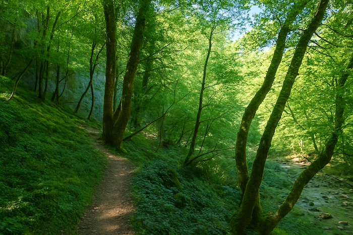
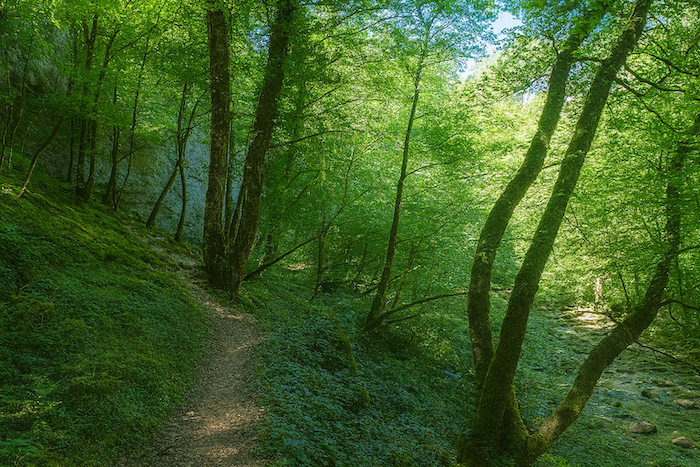
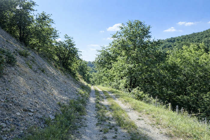
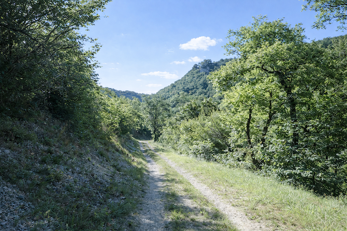
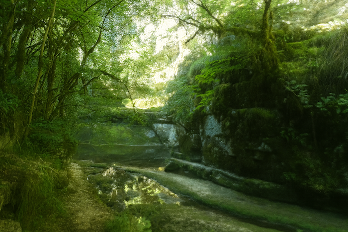
| The path follows the valley floor peacefully. Between the dark grey limestone scree and the deep green of the forest, the light creates a scene of remarkable softness. With every step, the bustle of Rocamadour recedes a little further into the distance. Here, only the murmur of the wind through the leaves and the sound of footsteps disturb the silence of a valley that the Alzou has been patiently shaping for millions of years. |
 |
 |
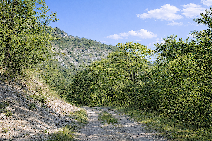
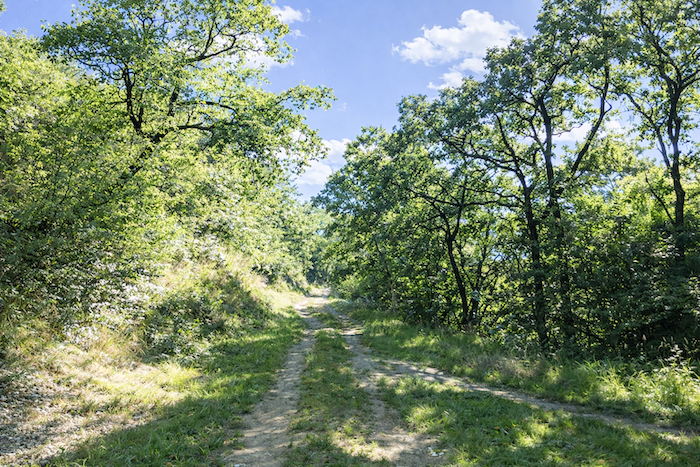
| Around a bend in the path, the valley opens out like a vast amphitheater of stone. Limestone cliffs rise above a sea of greenery, where oaks cling to the steepest slopes. For millions of years, water, frost and wind have tirelessly shaped this landscape, slowly sending stones tumbling down towards the path. The walker moves through a setting where the power of the elements blends with the gentle rhythm of walking. . |
 |
 |
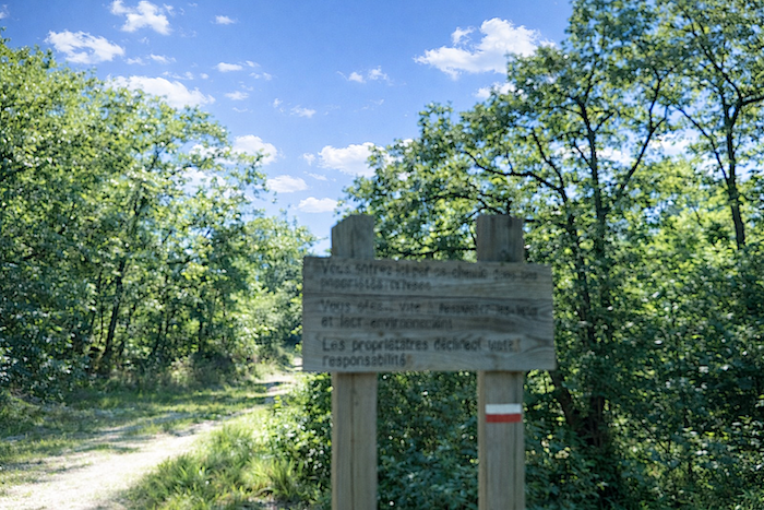
| Without necessarily realizing it, you are now following a private path. A discreet sign reminds walkers that the owners accept no liability in the event of an accident. |
 |
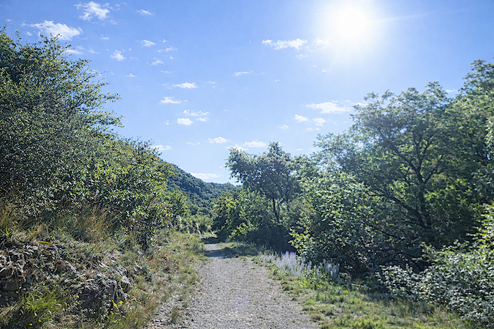 |
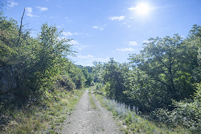
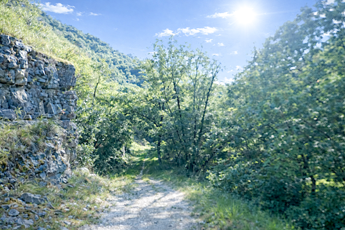
| A little further on, the path almost brushes against the cliff. The limestone towers above the walker, while vegetation gradually reclaims the rock. |
 |
 |
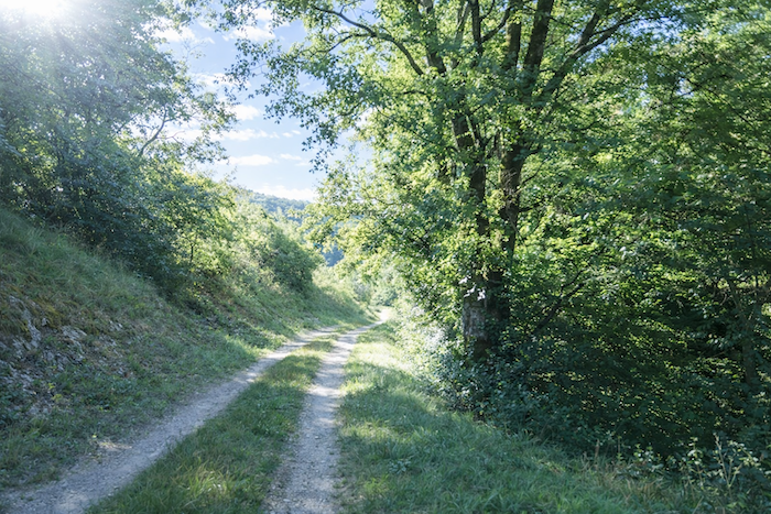
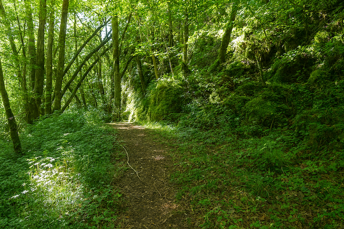
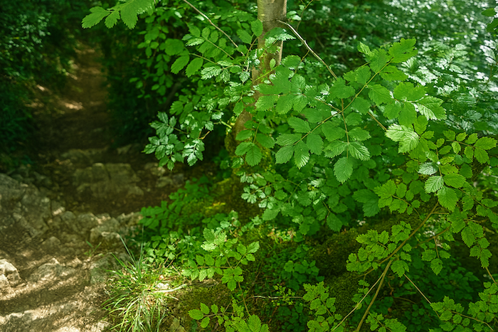
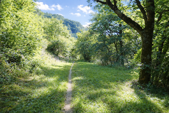
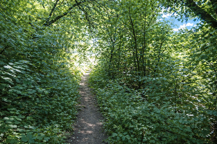
| The wide track then gives way to a narrower trail that leads into increasingly dense woodland. |
 |
 |
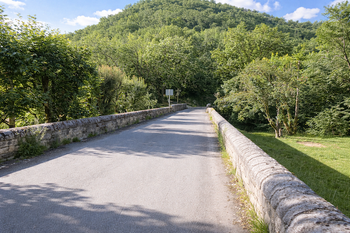
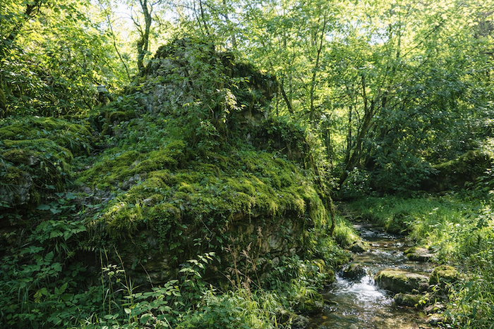
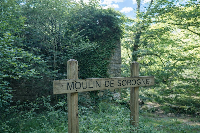
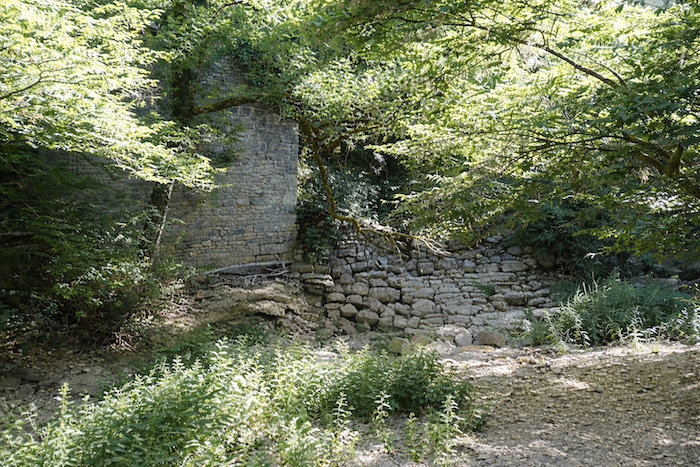
| At last, the Alzou comes into view. Today, the stream is remarkably discreet, almost silent. Beside it stand the ruins of the Sirogne Mill, whose walls, millrace and old two-arched stone bridge still evoke the activity that once filled this valley. Rebuilt after the original structure collapsed, the bridge is now one of the most picturesque sights in the Alzou Canyon. |
 |
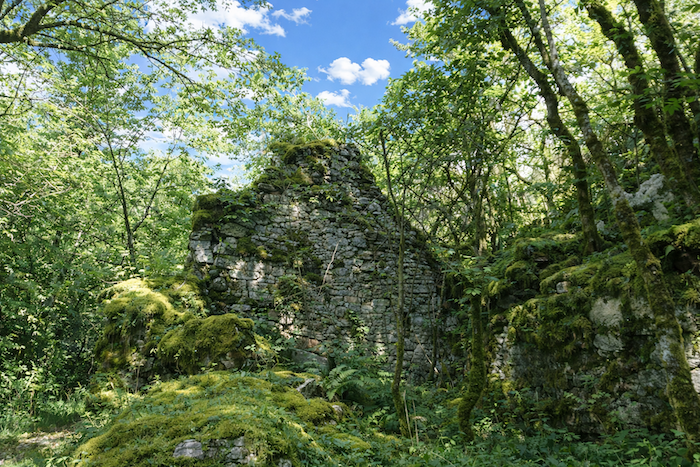 |
| Little is known about the history of the Sirogne Mill, but there is little doubt about its purpose. Probably built during the Middle Ages and altered over the centuries, it harnessed the power of the Alzou to grind grain for the inhabitants of the valley. Like the other mills along the river, it relied on an ingenious network of dams and millraces designed to make use of a watercourse whose flow was often irregular. These ruins remind us that, long before the Alzou Valley became a popular destination for walkers, it was a place where people lived and worked. Until the nineteenth century, nearly thirty mills stood along the river. While many produced flour, others also powered various traditional crafts. Despite the low summer water levels, local inhabitants had learned to control the river through reservoirs and remarkably careful management of this precious resource. Today, the remains of several of these mills still survive, silent witnesses to a heritage as discreet as it is fascinating. |
 |
 |
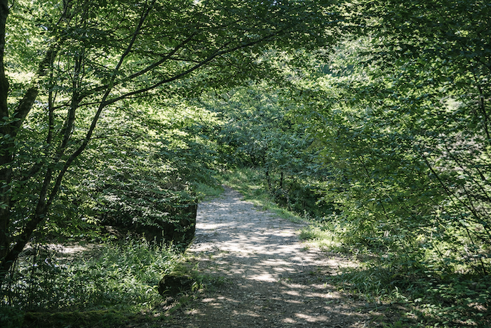
| Here, the trail crosses the Alzou and reaches the opposite bank. Gradually, it enters the cool shade of increasingly deep woodland. |
 |
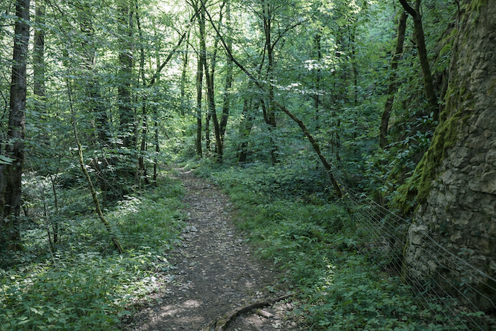 |
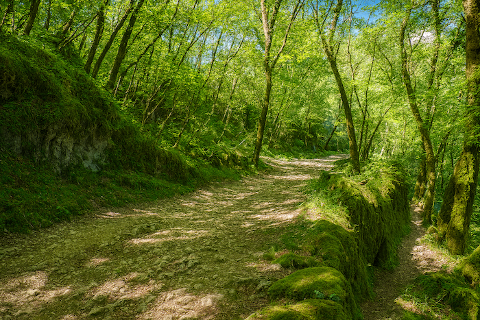
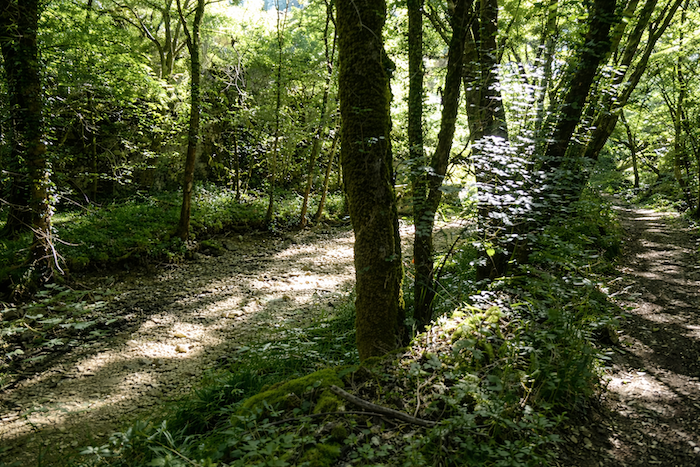
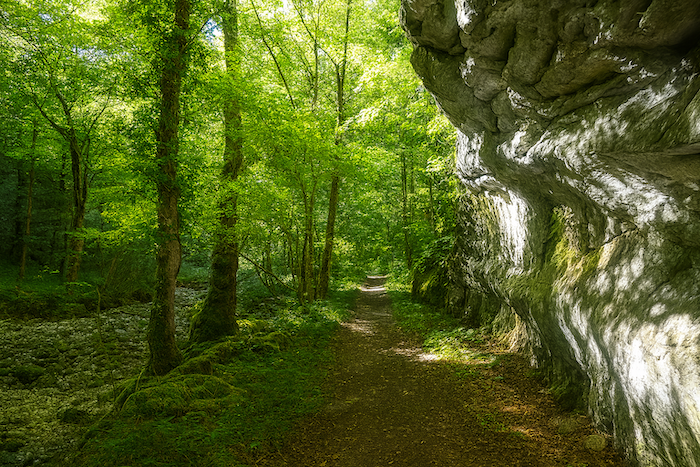
| Beneath the great deciduous trees, generous providers of shade, the trail winds along the foot of folded cliffs, whose limestone strata tell the story of millions of years of geological history |
 |
 |
Section 2: The dance of the old mills of the Alzou River
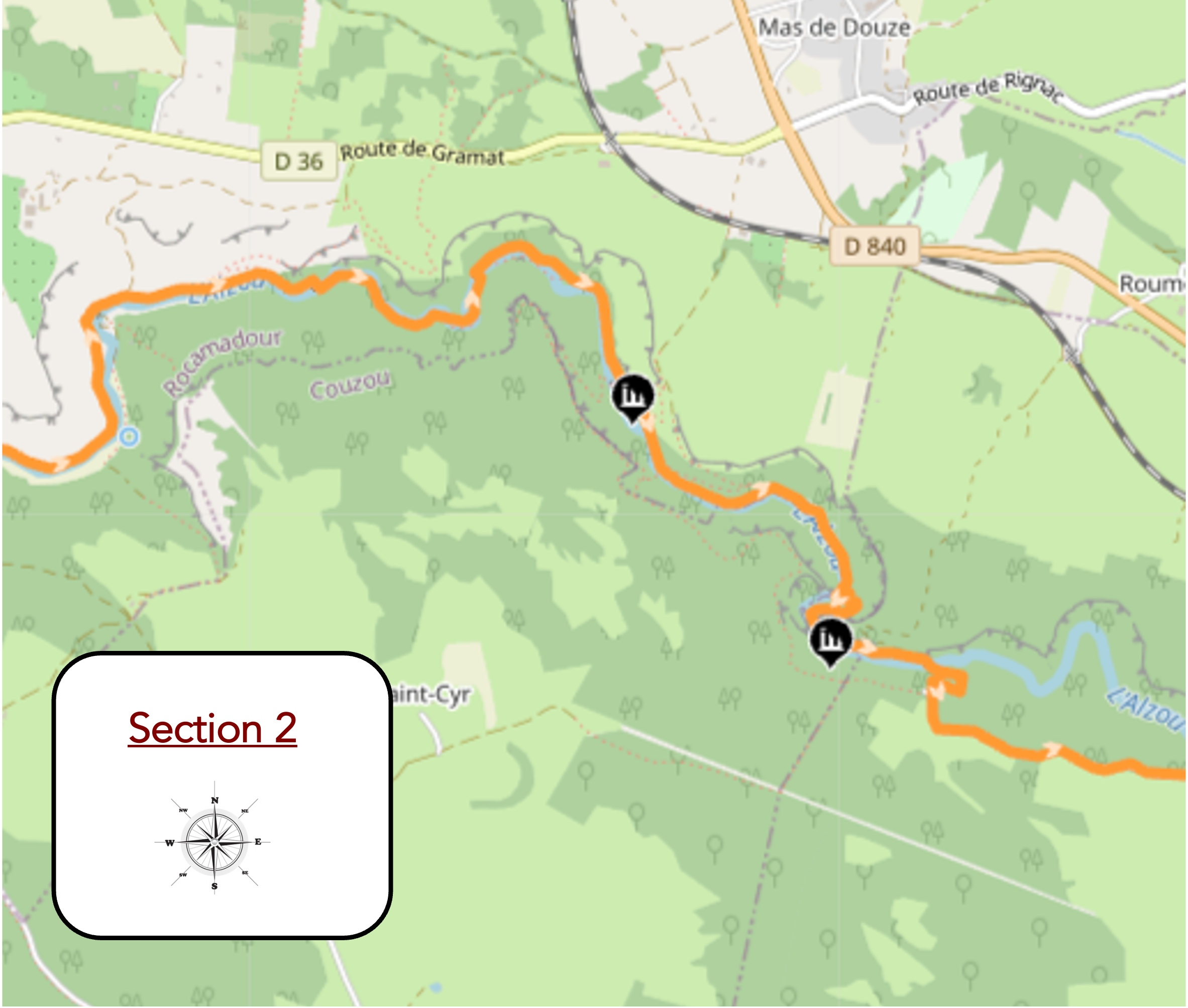
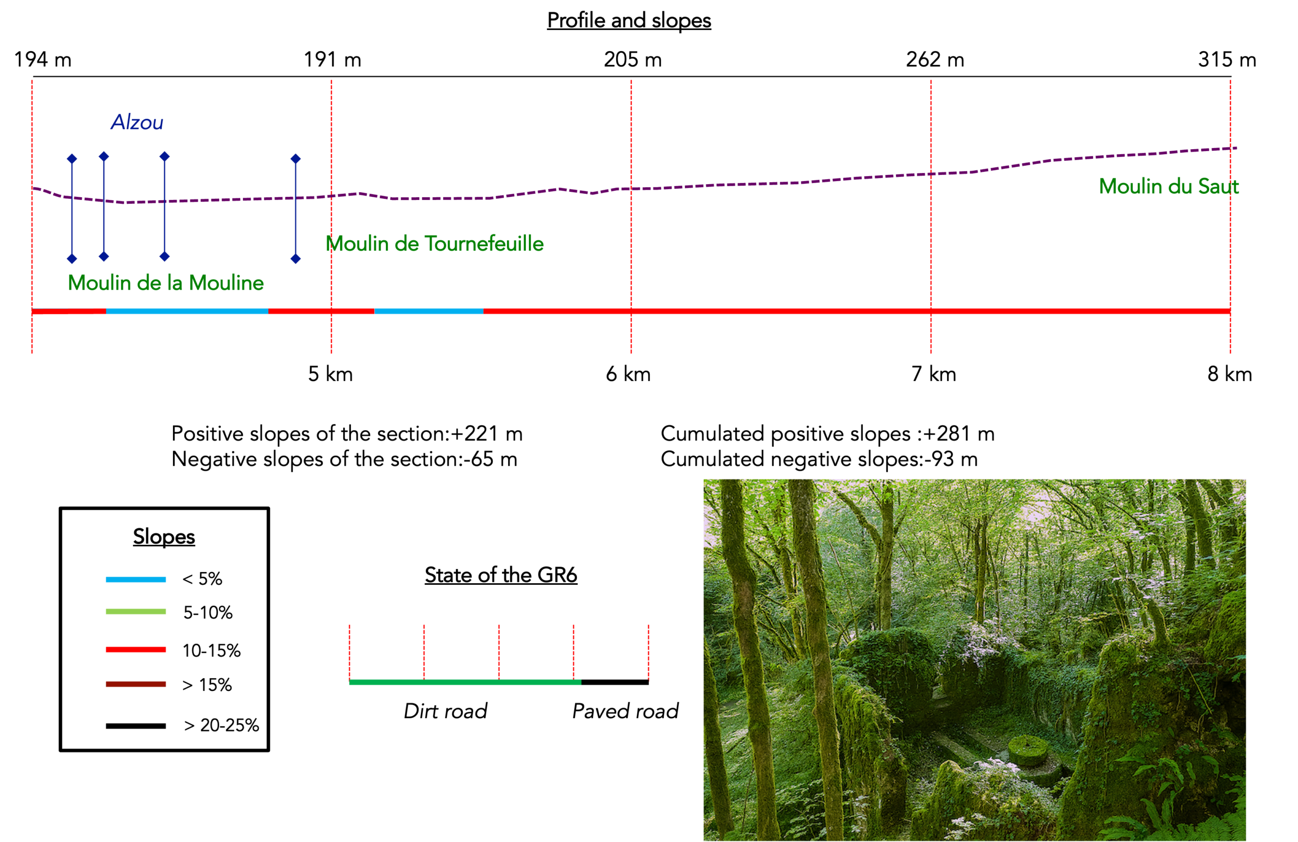
Overview of the route’s challenges : often steep slopes within the valley.
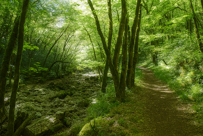
| The trail then follows the stream, often reduced to a mere trickle of water in summer, as far as the ruins of the Mouline Mill. . |
 |
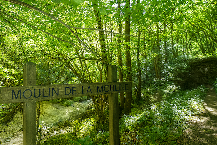 |
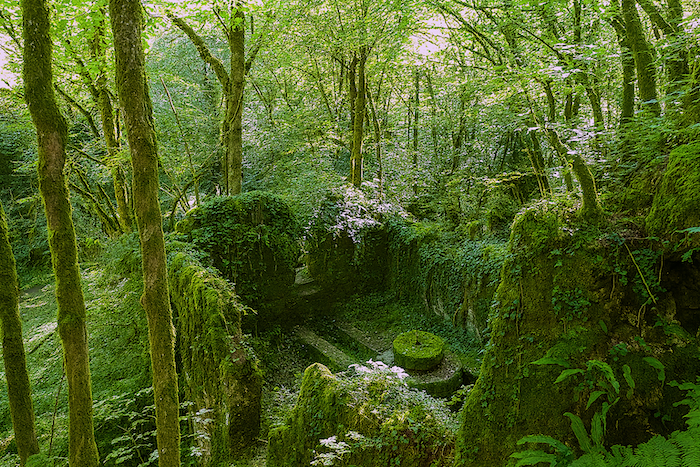
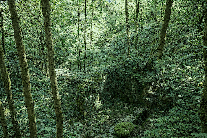
| There is something magical about this place. The ruins of the Mouline Mill are among the most evocative in the entire valley. The millstones can still be seen, along with the millrace that carried the water and the turbine chamber that provided the power needed for grinding. These remains give a sense of the ingenuity of the millers, who managed to harness a river with an unpredictable flow through a carefully designed network of channels and reservoirs. The silence that reigns here today contrasts sharply with the activity that once filled the banks of the Alzou. The gradual abandonment of these installations during the twentieth century accompanied the decline of traditional milling and the rural exodus. Standing before these stones, now slowly being reclaimed by vegetation, it is difficult not to imagine the sound of the millstones, the rush of the water and the activity of the people who once brought this valley to life. |
 |
 |
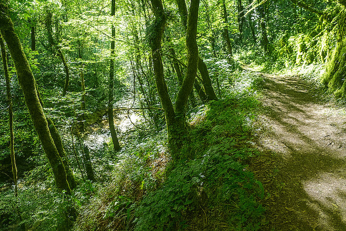
| The slope becomes somewhat steeper beneath the tall deciduous trees lining the stream. Oaks, maples and ash trees form a leafy canopy that shelters the walker from the heat. |
 |
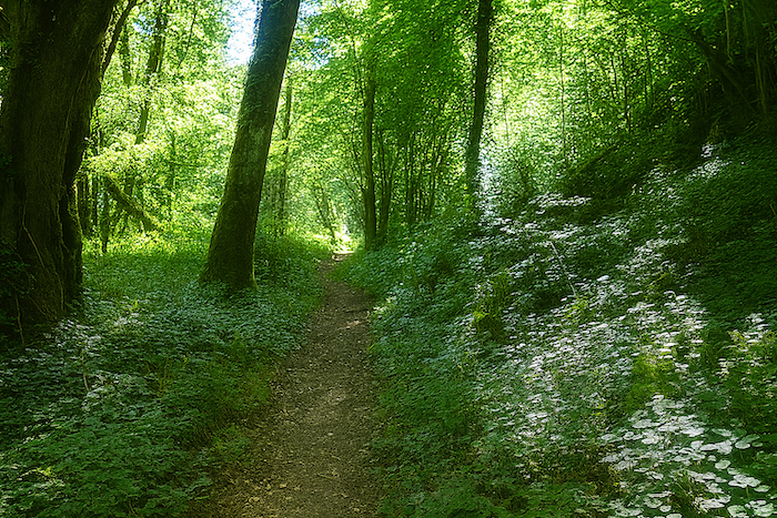 |
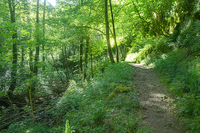
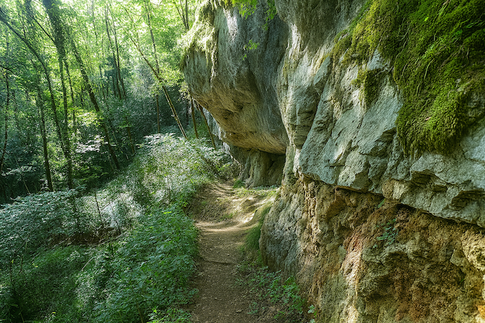
| In places, the narrow trail runs alongside the limestone cliffs, slowly worn away by water, frost and the elements. The folds in the rock bear witness to the immense work of nature over thousands of years. |
 |
 |
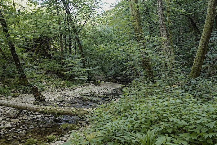
| Yet the Alzou remains remarkably discreet. Its modest flow contrasts with the scale of the canyon it has carved. Here, the valley has retained a deeply wild character. Nature follows its own rhythm, free to evolve without seeking to charm in any way other than through its authenticity. |
 |
 |
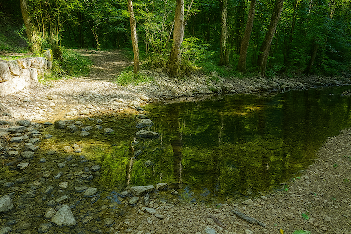
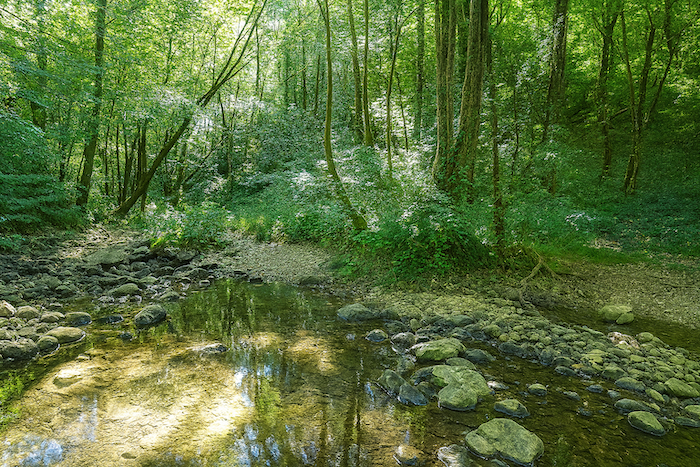
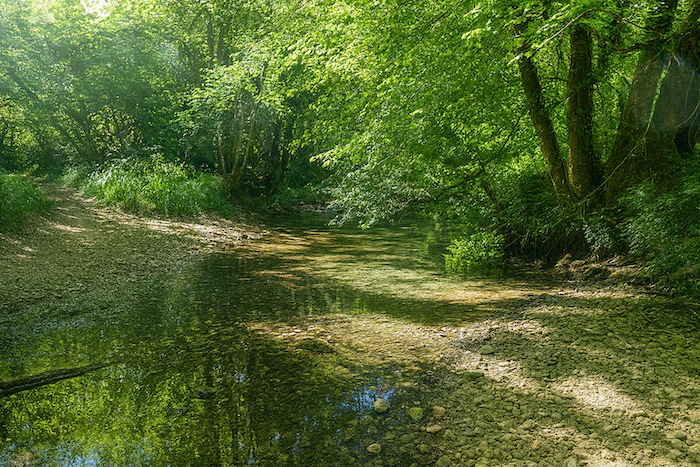
| A little further upstream, the stream forms a peaceful pool. Looking carefully along the banks, you can still make out the remains of the structures that once supplied water to the mills of the valley. . |
 |
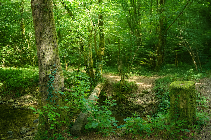 |
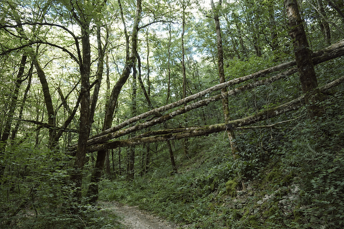
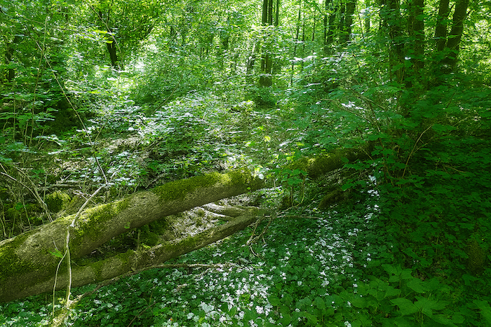
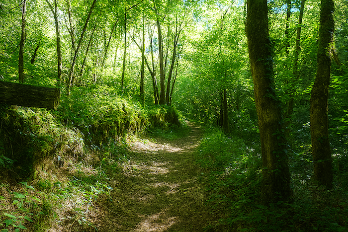
| The trail then playfully crosses the stream or follows it closely along its banks. Storms have sometimes brought down great trees across the valley, allowing nature to reclaim the landscape. In this cool, damp atmosphere, ferns, mosses and lichens cover the stones, tree trunks and old walls. |
 |
 |
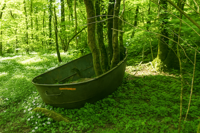
| Signs of abandonment sometimes appear in the most unexpected details. Amid the vegetation, a tree has grown from the heart of an enormous rusting metal tank. Its branches rise like the masts of a ship stranded at the bottom of the valley, creating an almost surreal scene for the passing walker. |
 |
 |
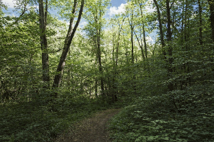
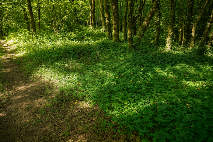
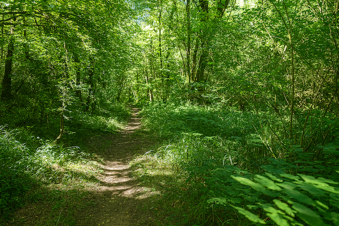
| Some walks possess a soul of their own, and this is undoubtedly one of them. The slope becomes gentler, the silence almost tangible, and time itself seems to stand still. You are no longer simply walking through a valley, but moving through a landscape where nature, history and the memories of those who once lived here blend together in remarkable harmony. . |
 |
 |
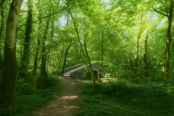
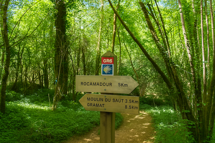
| Shortly afterwards, the trail crosses a stone bridge. You have already covered almost 5 kilometers from Rocamadour, with approximately another 8.5 kilometers remaining before you reach Gramat. |
 |
 |
The ruins of the Tournefeuille Mill suddenly appear in a vast clearing beneath the limestone cliffs. More imposing than the remains of the other mills in the valley, they bear witness to the importance this site once held. The small stone bridge, the tall walls still standing and the remains of the buildings recall a time when the waters of the Alzou supported a thriving milling industry. Today, the forest is gradually enveloping the ruins, giving the site a peaceful, almost timeless atmosphere. The Tournefeuille Mill is often considered the most photogenic mill in the Alzou Valley, with the towering cliffs above it creating a particularly spectacular setting.
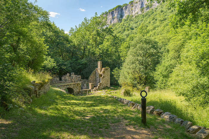
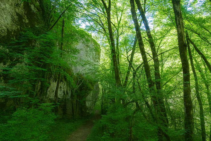
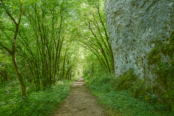
| From here, the slope becomes noticeably steeper. The trail runs beneath enormous pale grey limestone cliffs, whose sheer walls tower high above the valley. |
 |
 |
A sign confirms that the “Moulin du Saut” is still some distance ahead. The walk is far from over.
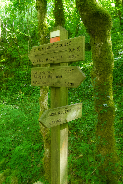
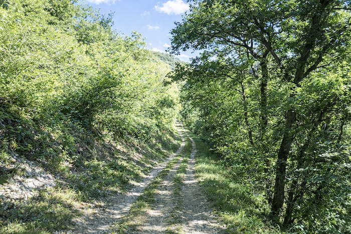
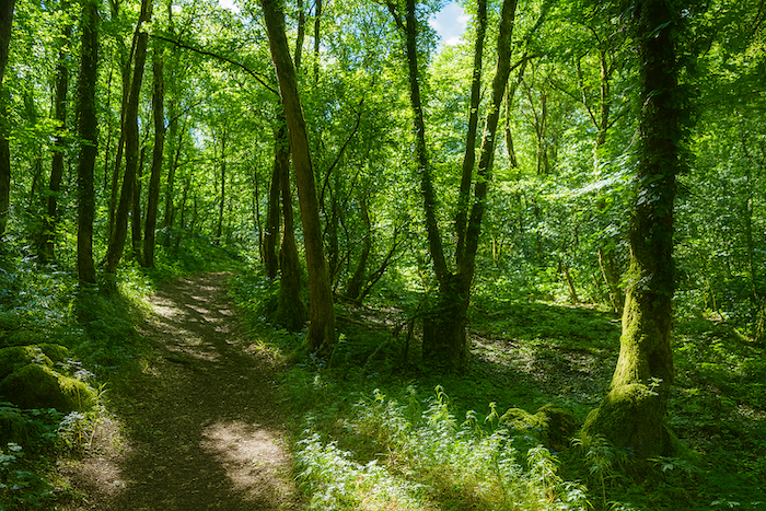
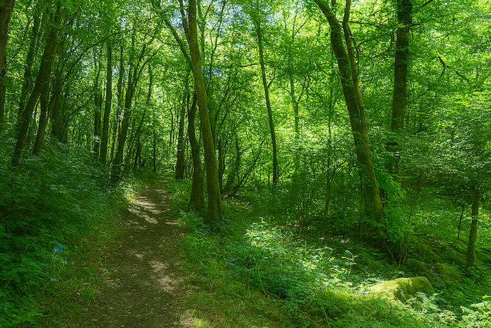
| The trail then begins to gain height in a steady, sustained climb, with gradients frequently ranging between 10 and 15%. Each bend brings you a few meters higher above the valley floor. |
 |
 |
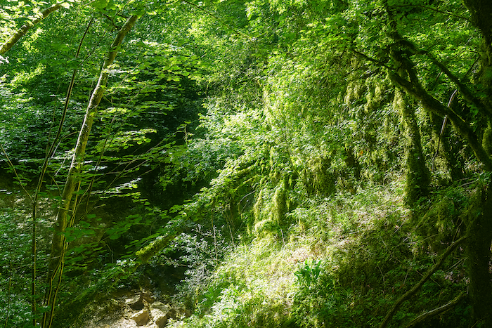
| The woodland becomes denser. Beneath deciduous trees with twisted trunks, mosses and lichens cover the bark, evidence of the constant humidity that lingers at the foot of the cliffs. |
 |
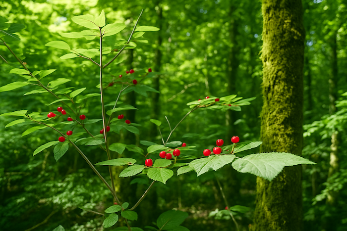 |
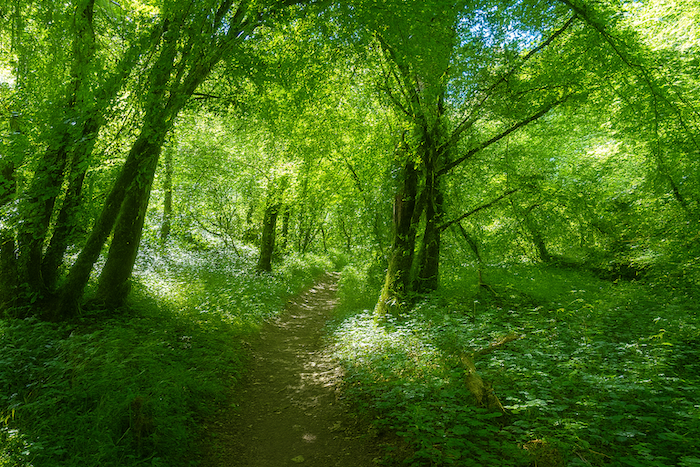
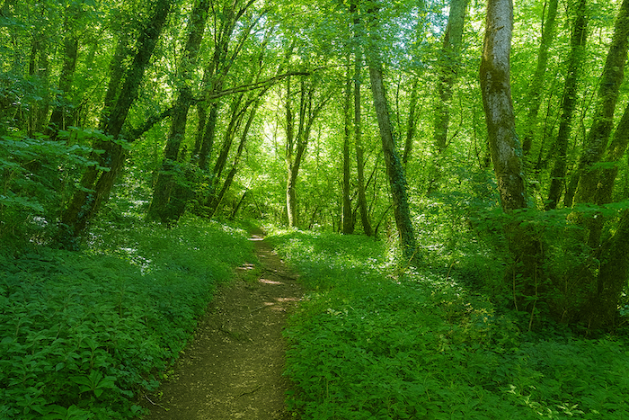
| At times, the light struggles to penetrate this thick leafy canopy. Yet despite the effort required by the climb, the walk remains particularly enjoyable, helped by the coolness of the woodland and the profound tranquility of the valley.. |
 |
 |
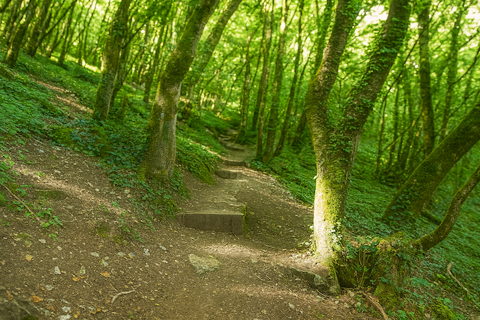
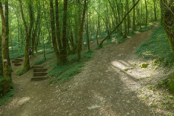
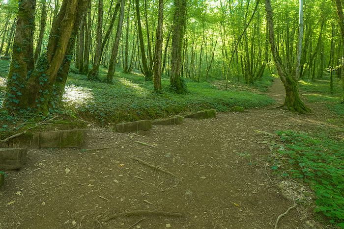
| Higher up, wooden logs have been laid across the trail to ease the steepest sections. They hold back the ochre-colored earth, enriched by centuries of decomposing leaves, and make the climb easier. |
 |
 |
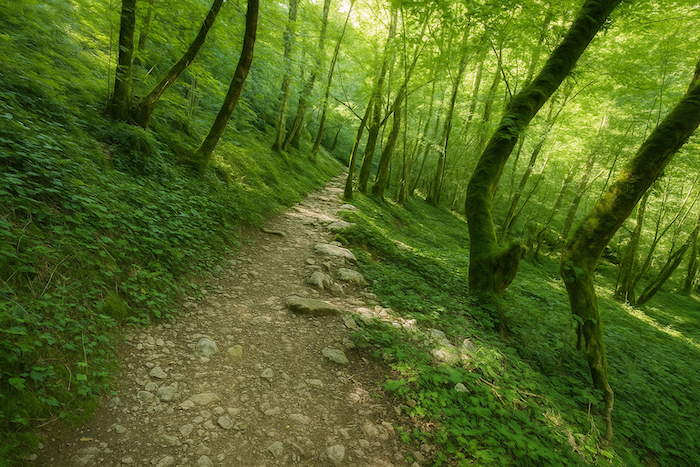
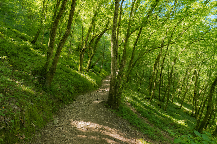
| The trail continues its relentless ascent. Gradually, the forest begins to thin and daylight reappears around the cliffs. After the long hours spent in the shade of the valley, seeing the blue sky once again brings a genuine sense of freedom. |
 |
 |
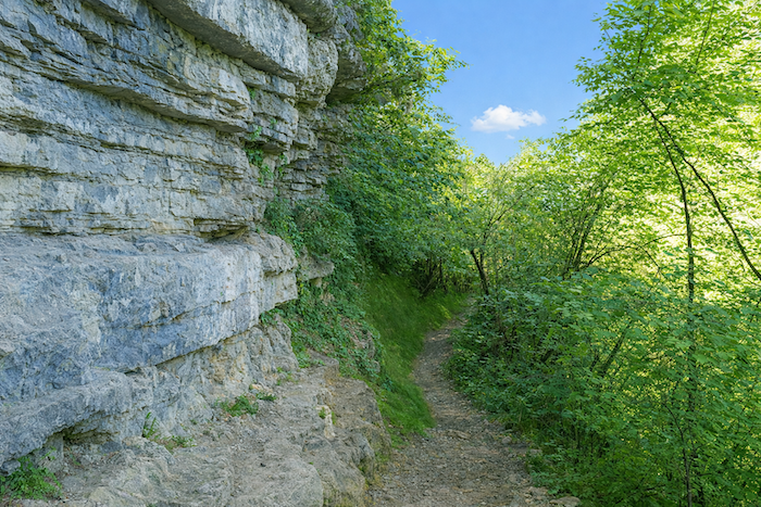
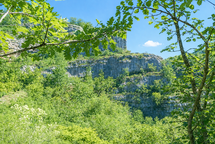
| The trail then follows the cliffs through a landscape that seems to evoke the earliest ages of the world. Limestone, forest and silence combine to create a setting of extraordinary power, where nature appears never to have been disturbed. |
 |
 |
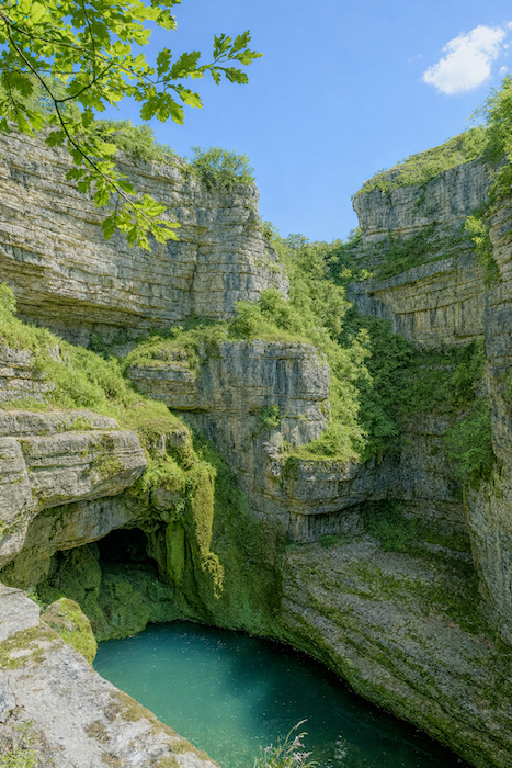
| A few hundred meters further on, the extraordinary “Moulin du Saut” comes into view. Nestled beside a small waterfall and a broad natural pool carved out by the Alzou, the site appears almost unexpectedly amid the vegetation. |
 |
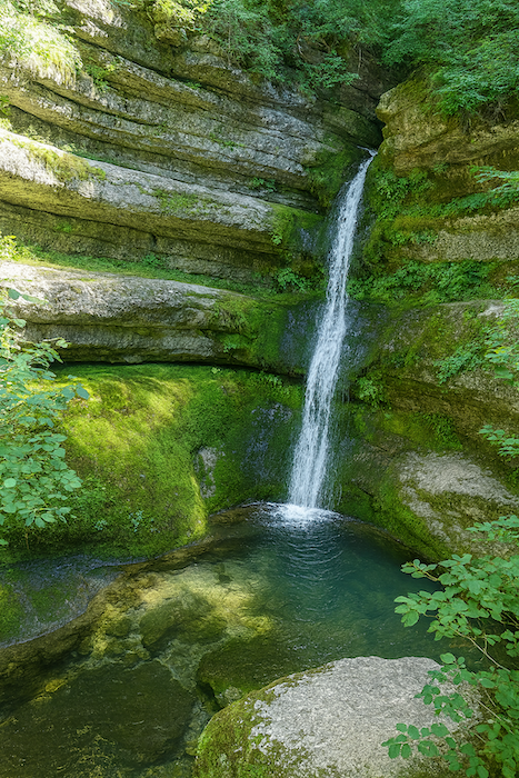 |
| The ruins of the “Moulin du Saut” are a reminder that, in earlier times, every meter of the Alzou was put to use. Through an ingenious system of dams, millraces and sluice gates, the millers managed to harness a river whose flow was often modest. The mill probably takes its name from the jump of water (“Saut”), the small waterfall that increased the hydraulic power needed to turn the millstones.
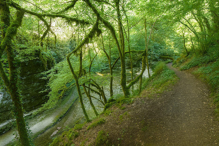
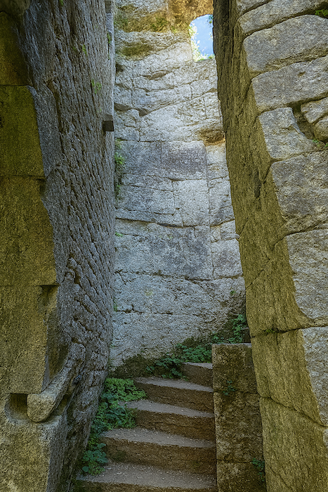
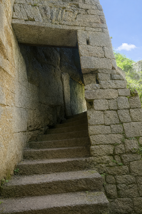
While Tournefeuille impresses through the scale of its buildings, the « Moulin du Saut » is undoubtedly the most spectacular mill in the entire valley. Its ruins blend beautifully into the contours of the landscape and seem almost to have become part of the forest itself. The stone steps descending towards the millrace give the impression of plunging into the void, suspended between the cliff and the river. Together, stone, water and vegetation create a romantic setting of rare harmony. It is easy to understand why so many walkers consider this the most beautiful mill in the Alzou Valley. . |
 |
 |
 |
 |
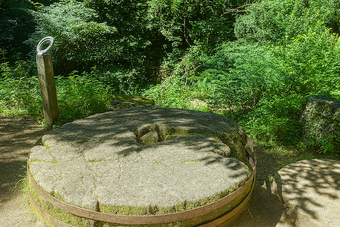
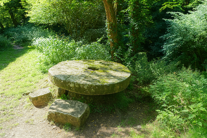
| Close to the ruins lies an enormous stone millstone, a silent witness to the craftsmanship of the millers of old. Its impressive diameter is matched by the delicate grooves carved into its surface, designed to guide the grain between the two stones as it was ground into flour. Motionless today, partly covered in moss and bathed in light filtered through the leaves, it seems to tell, all by itself, the story of several centuries of life along the Alzou. |
 |
 |
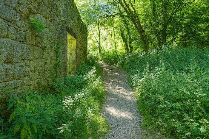
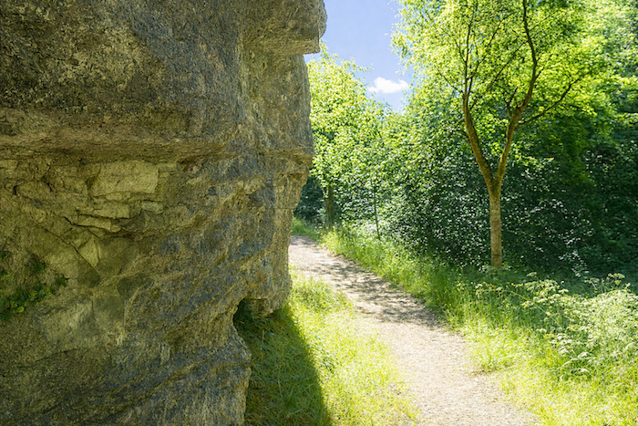
| The trail then brushes past the last walls of the mill before running close against the cliff. For a few moments, the walker moves between the sheer rock face and the remains of human endeavor, through a landscape where time seems to have stood still. |
 |
 |
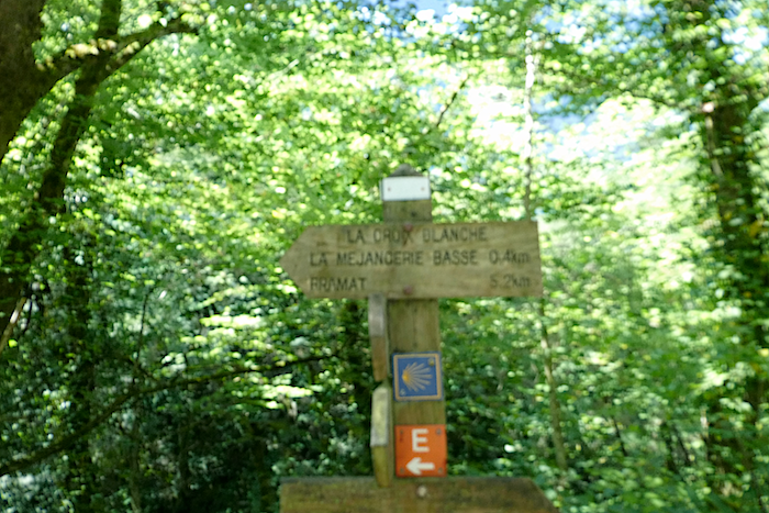
| You then reach the locality known as Croix Blanche, close to La Méjangerie Basse. Only five kilometers remain before reaching Gramat. |
 |
 |
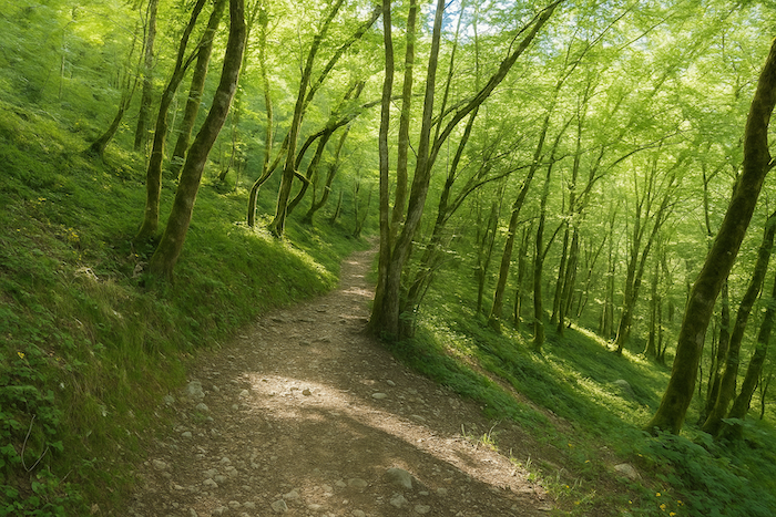
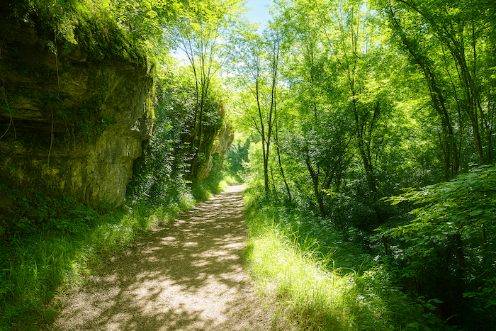
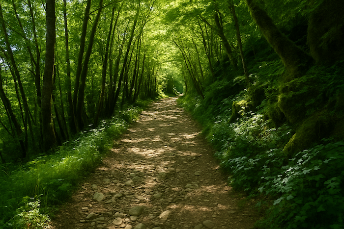
| From the “Moulin du Saut” onwards, the trail becomes wider. Now stonier underfoot, it continues to climb for a while through a landscape that remains wonderfully wild, where forest and cliffs still seem to reign supreme. |
 |
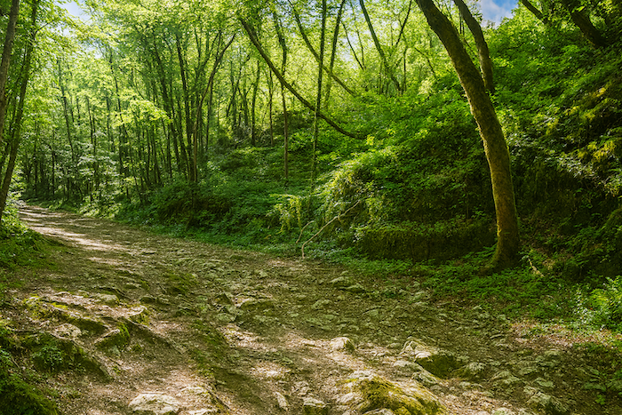 |
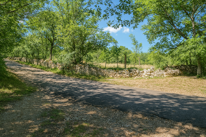
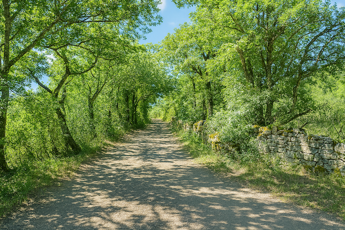
| Before long, however, the landscape begins to change. The first dry-stone walls, carefully tended meadows and better maintained paths gradually signal the return of human presence. After many kilometers spent in the solitude of the Alzou Canyon, civilization quietly begins to reappear, providing a natural transition between the wild world of the valley and the open landscapes of the causse that lead towards Gramat. |
 |
 |
Section 3: A walk towards Gramat
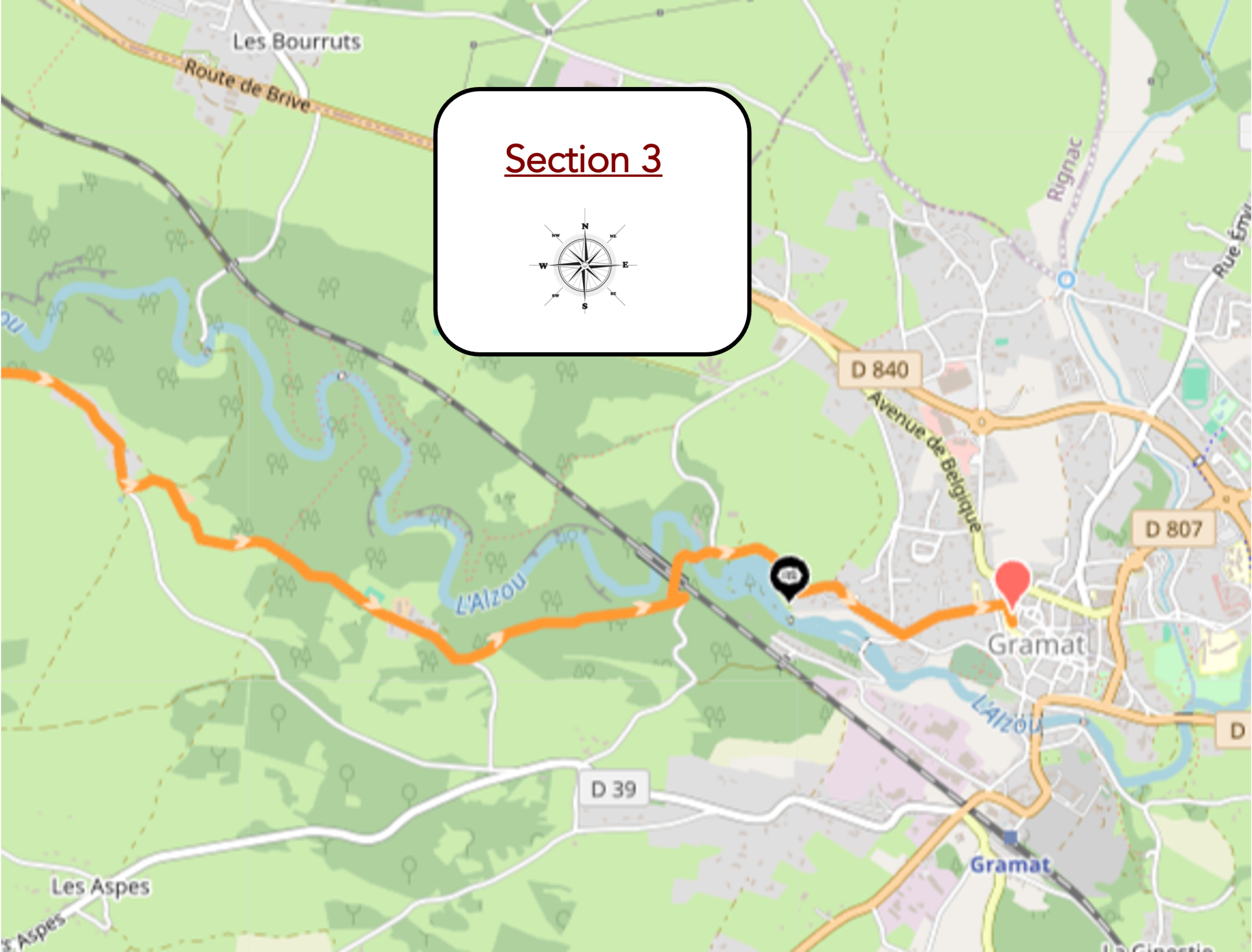
Overview of the route’s challenges : The route presents no major difficulty.
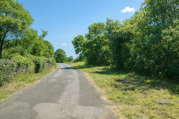
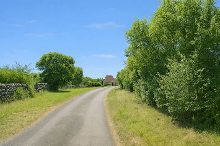
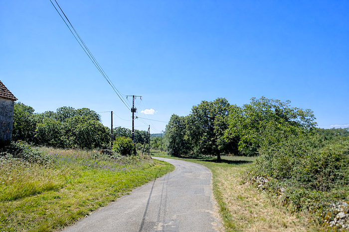
| The path then joins a small paved road that crosses a more cultivated landscape. The presence of man is more noticeable here, yet the spirit of the causse remains intact. |
 |
 |
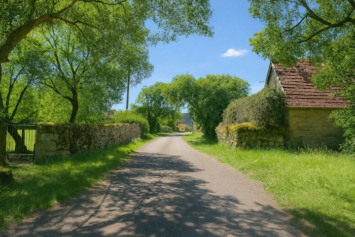
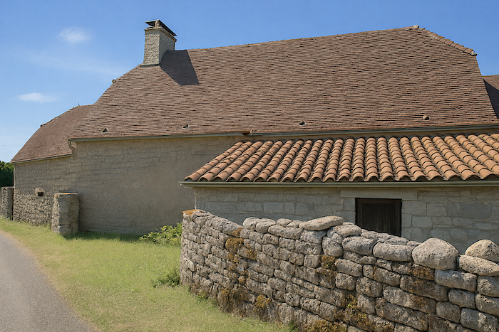
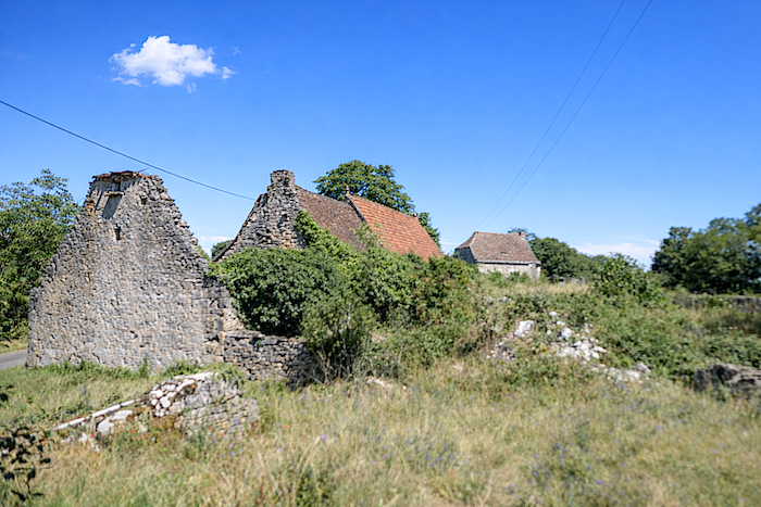
| A few hundred meters further on, the hamlet of Lauzou comes into view, with its warm limestone houses topped with red-tiled roofs. The houses are simple and blend perfectly into a landscape they have inhabited for centuries. |
 |
 |
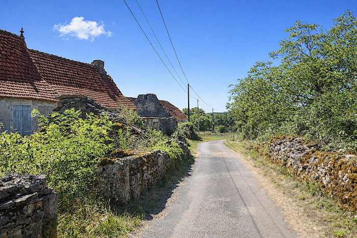
| Yet life here has gradually faded away. Some houses now stand closed, while others are slowly falling into ruin, silent witnesses to a rural world that is disappearing. |
 |
 |
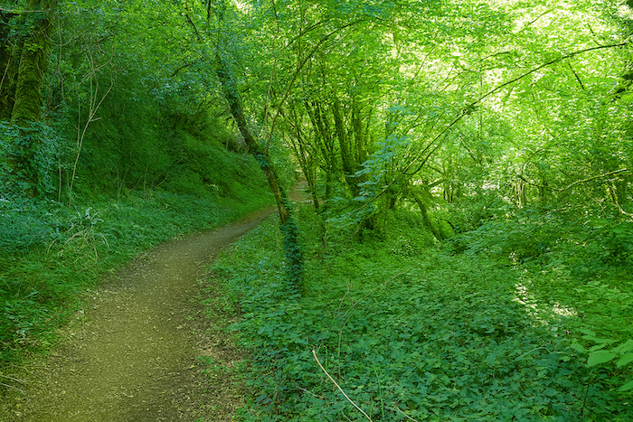
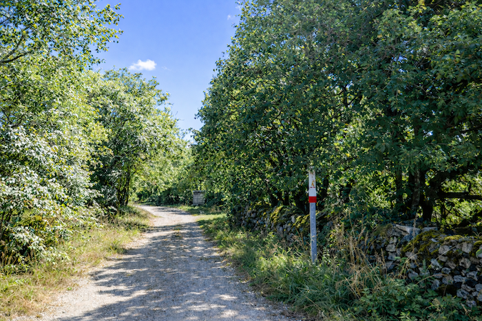
| After a short stretch along the road, the route soon returns to an unpaved surface. Beneath the shade of tall deciduous trees, the path once again leaves the houses behind. |
 |
 |
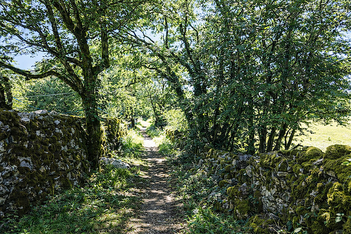
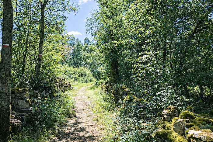
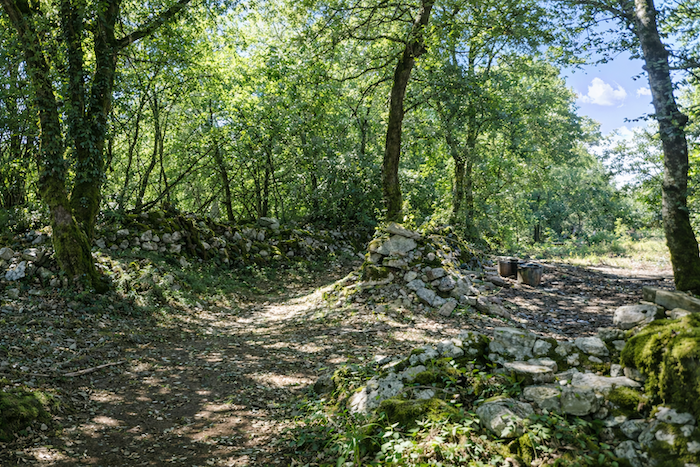
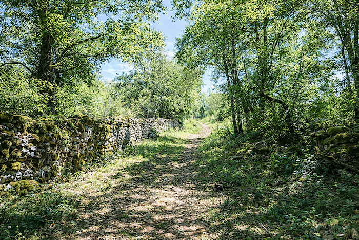
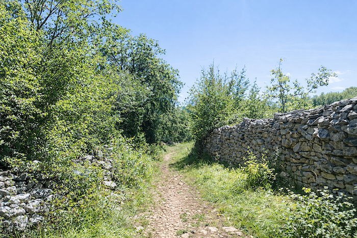
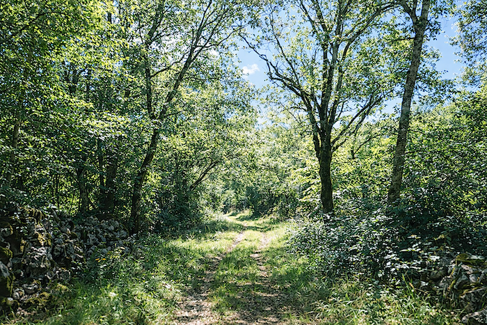
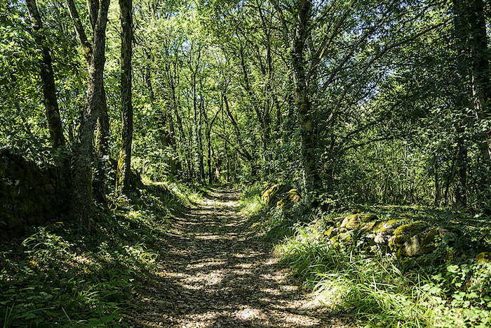
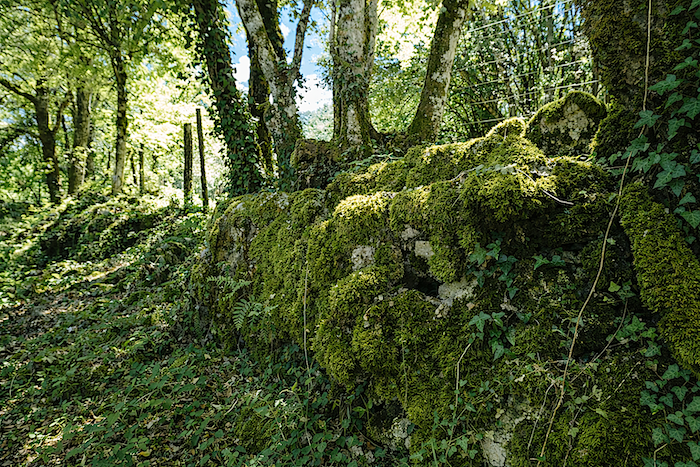
| The valley has now disappeared behind the walker. Tall dry-stone walls reappear, marking the ancient boundaries of plots that past generations patiently carved out of the causse. The path winds between these centuries-old walls, now covered in moss, while the roots of the oaks seem to embrace the stones and hold them in place. The trail becomes a passage between two worlds. Behind you, the deep shadows of the canyon slowly fade away, while ahead lies the causse, brighter and more peaceful. The old walls, weathered by centuries, guide the walker like the pages of an open book telling the history of Quercy. |
 |
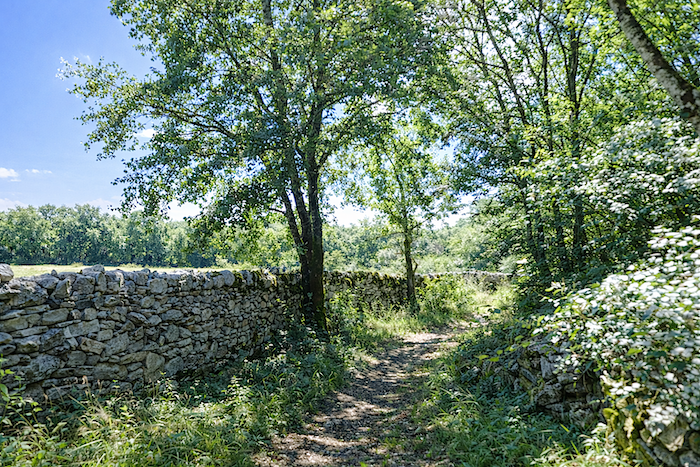 |
| You walk on with the feeling that time came to a standstill here long ago. Silence reigns over the landscape. |
 |
 |
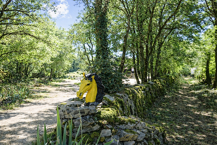
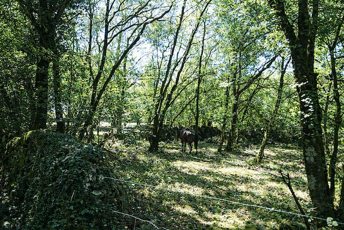
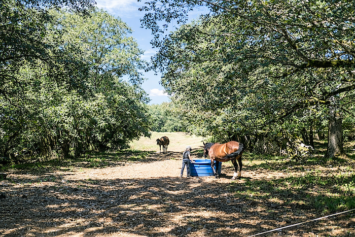
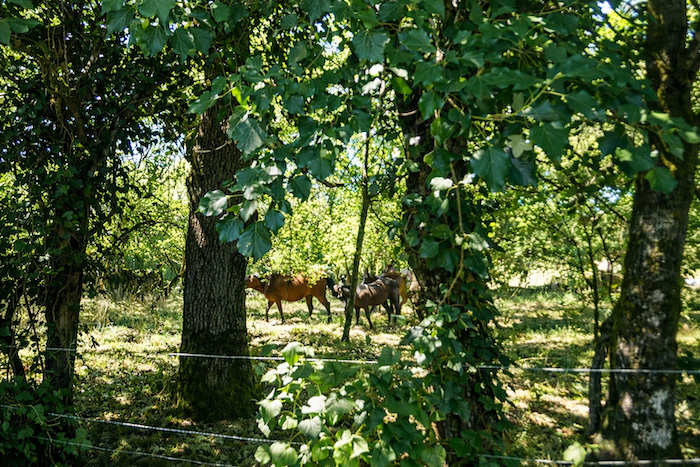
| Yet life has not completely withdrawn from the causse. The path passes a horse farm, whose pastures bring a gentle touch to this rocky landscape. |
 |
 |
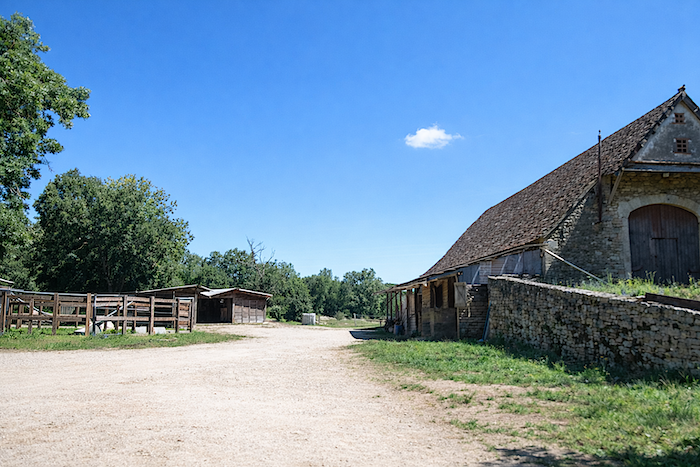
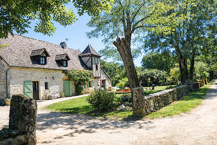
| A little further on stands a large farm, together with an elegant manor house surrounded by a beautifully maintained garden. This residence is a reminder that the causse was also a land of agricultural prosperity, where some families learned to make the most of this otherwise austere territory. |
 |
 |
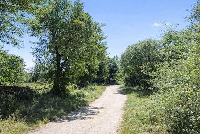
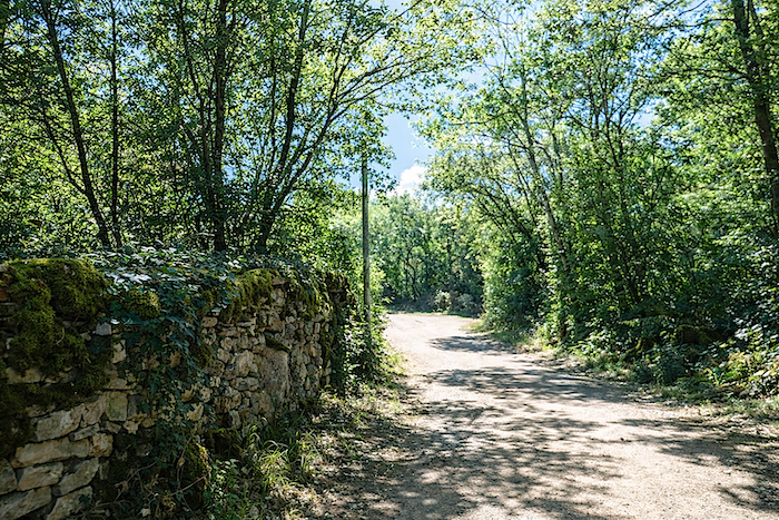
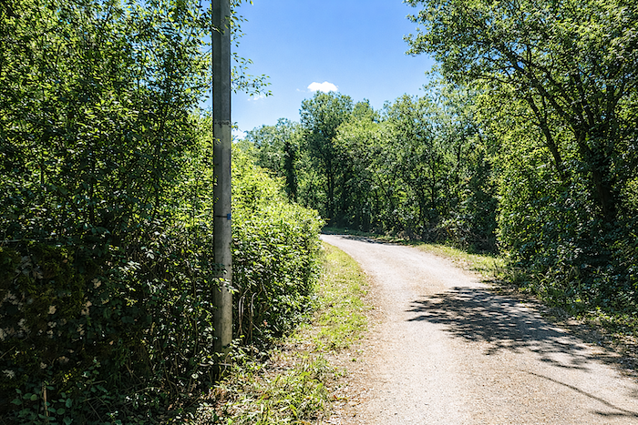
| But this brief return to inhabited surroundings does not last long. The dirt road soon leaves the buildings behind and returns to the scrubland, oaks and white stones that characterize the causse. |
 |
 |
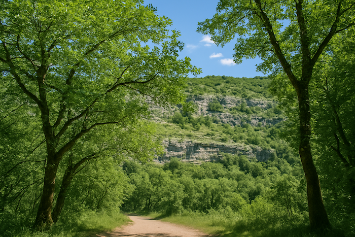
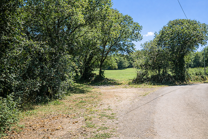
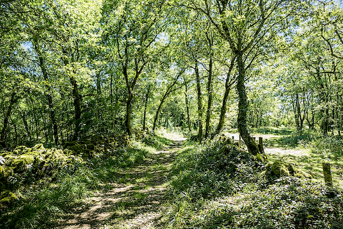
| Then comes the return to the vastness of the causse. Once again, open spaces, dry-stone walls, stunted oaks and silence dominate the landscape. The causse recovers its mysterious, austere and deeply captivating character, giving the walker that rare feeling of travelling through a landscape that has remained true to itself over the centuries. . |
 |
 |
 |
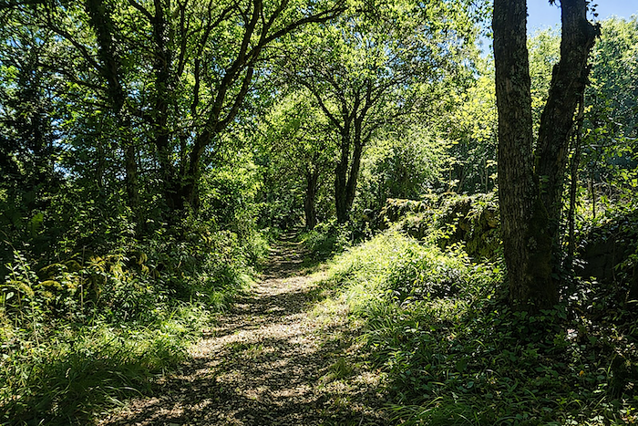 |
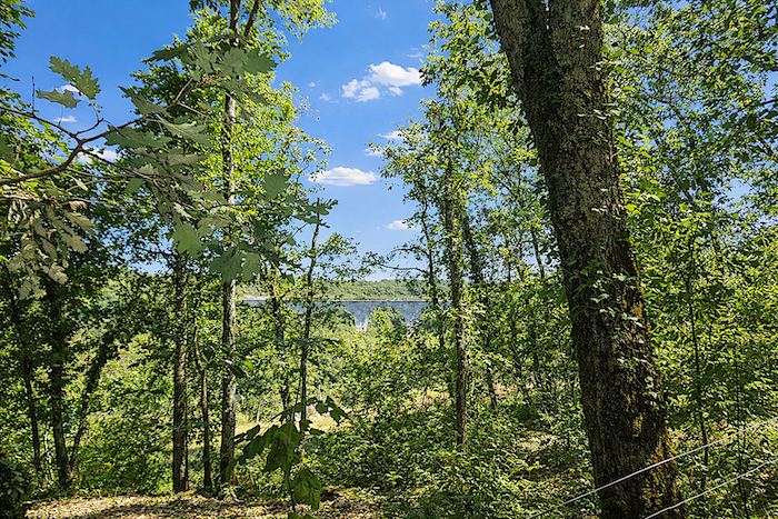
| In the distance, through the dense forest, Lake Picarel comes into view, although the path never actually approaches it. This peaceful stretch of water comes as a surprise in a limestone landscape where water is usually so discreet. The lake, however, is not natural. In the 1950s, a dam was built to retain the waters of a karst spring and create a reservoir for agricultural use, while also providing the people of Gramat with a pleasant place to walk. But the causse does not hold its water easily. Gradually, cracks in the limestone allowed part of the reservoir to drain away, leaving the lake much smaller than it once was. It perfectly illustrates how the Causses work. Here, water is everywhere, but most of the time it is hidden underground. |
 |
 |
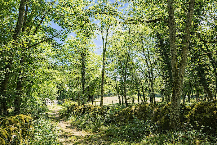
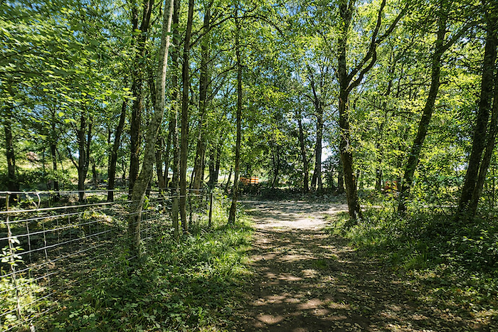
| The route then alternates between unpaved stretches and short sections of asphalt, while remaining almost constantly sheltered beneath the woodland canopy. . |
 |
 |
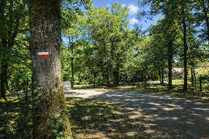
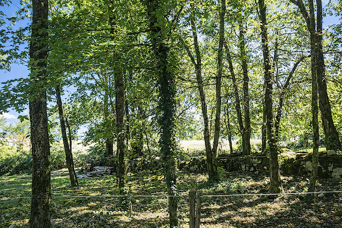
| The walker continues to follow the Alzou, whose discreet waters make their way along the bottom of the valley. Rising upstream from Gramat, the river flows towards Rocamadour, where it patiently carved the spectacular canyon for which the site is now famous. But the Alzou is a typically karstic river. During dry periods, much of its water disappears into cracks in the limestone downstream from Gramat and continues its journey through an underground network. This is why its riverbed often appears almost dry during the summer. After heavy rain or during the winter, these underground channels can no longer absorb the entire flow, and the river once again runs above ground all the way to Rocamadour. This unusual behavior is a reminder that beneath the Causses lies an immense hidden world, where water tirelessly continues its work far from sight. |
 |
 |
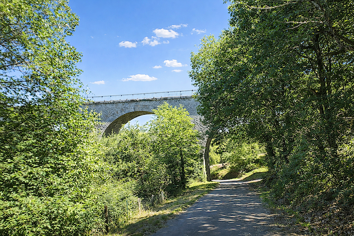
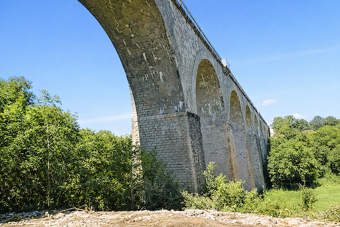
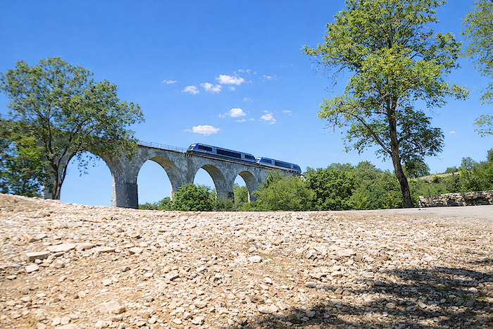
| The GR6 now gradually returns to the world of human activity. The dirt road passes beneath the great arch of the railway line linking Brive-la-Gaillarde with Figeac via Gramat. This line serves Rocamadour-Padirac station, located several kilometers from the medieval town. Travelers arriving by train must therefore walk or take a shuttle to reach the medieval town itself. |
 |
 |
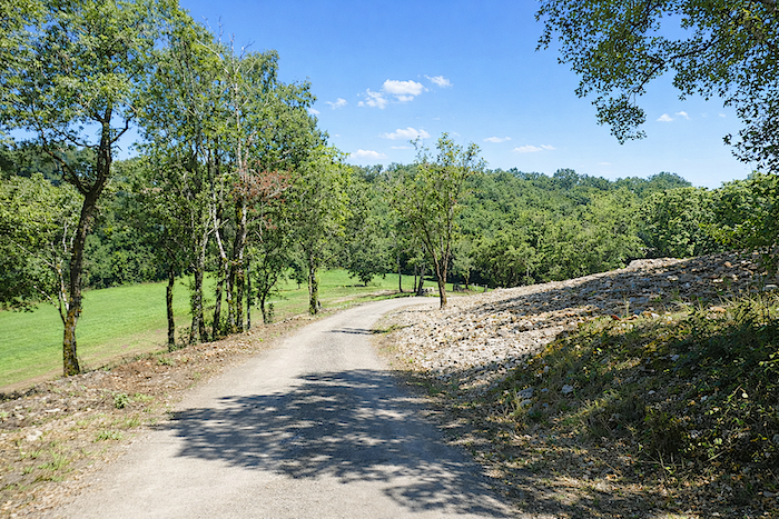
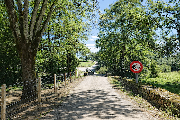
| The path then crosses the Alzou one final time, as the river quietly continues its journey towards Rocamadour before eventually joining the Ouysse.. |
 |
 |
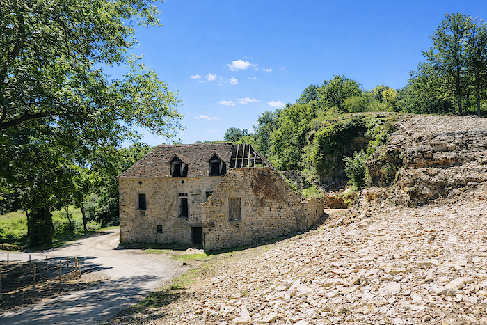
| Around a bend appears an old ruined farmhouse, standing beneath a vast slope of limestone scree. The walls are still standing, but part of the roof has collapsed and vegetation is gradually reclaiming the site. The same stone was used to build the house as forms the cliff rising above it. It becomes difficult to tell where the work of man ends and that of nature begins. The silence surrounding these ruins lends them a discreet, almost moving beauty, as if they still preserved the memory of those who once lived on this austere causse. |
 |
 |
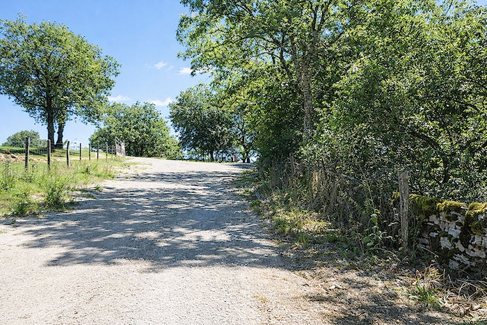
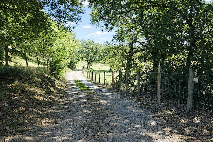
| The path then climbs gently towards Gramat. Gradually, the valley disappears behind the walker and the landscape opens once more onto the wide spaces of the causse. |
 |
 |
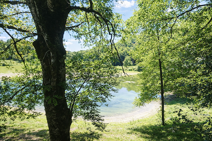
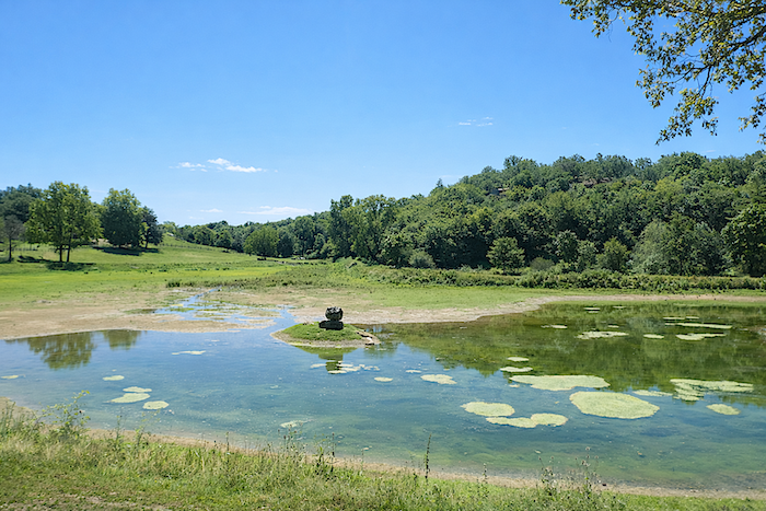
| Along the way, the Tumulus lake comes into view, just outside Gramat. This artificial reservoir contrasts with the surrounding karst landscape, where expanses of open water are rare. Shallow and heavily silted, the lake is now a pleasant place for a walk, while reeds and aquatic vegetation are gradually spreading along its banks. |
 |
 |
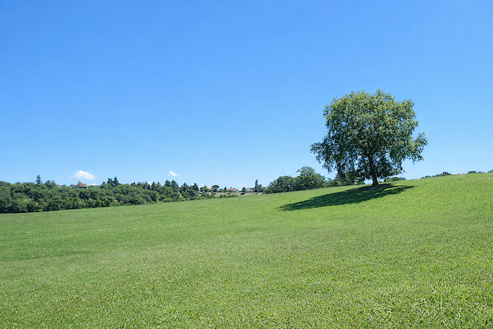
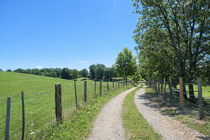
| A wide and fairly stony path finally continues its ascent through gently sloping meadows, announcing the imminent arrival in Gramat. After the enclosed gorges of the Alzou, the causse once again reveals its full breadth and open horizon. |
 |
 |
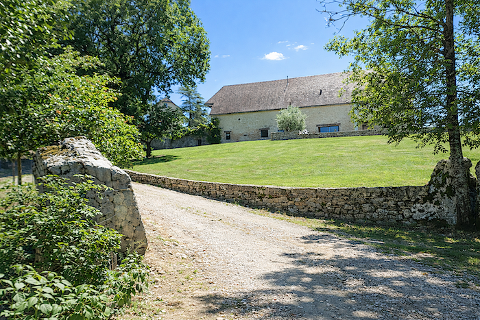
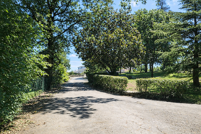
| What appears to be a large farmhouse surrounded by a beautiful garden stands at the top of the climb, signaling the entrance to Gramat. |
 |
 |
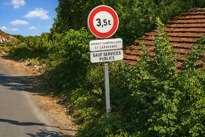
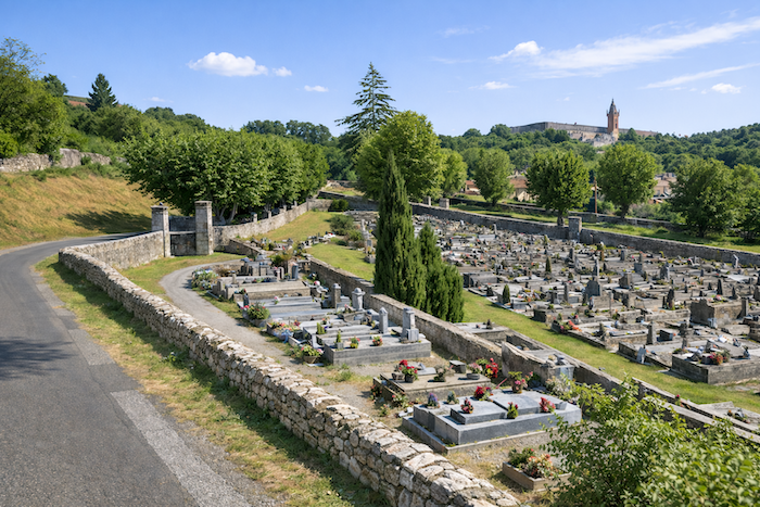
| Shortly afterwards, a small road leads towards the cemetery, situated slightly outside the small town. |
 |
 |
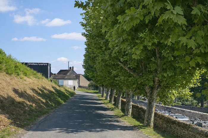
| The route then follows the edge of this peaceful place before reaching a pleasant square shaded by tall trees. |
 |
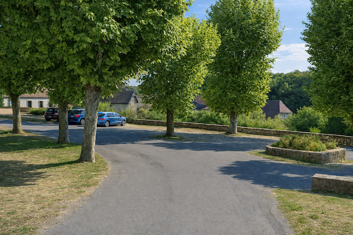 |
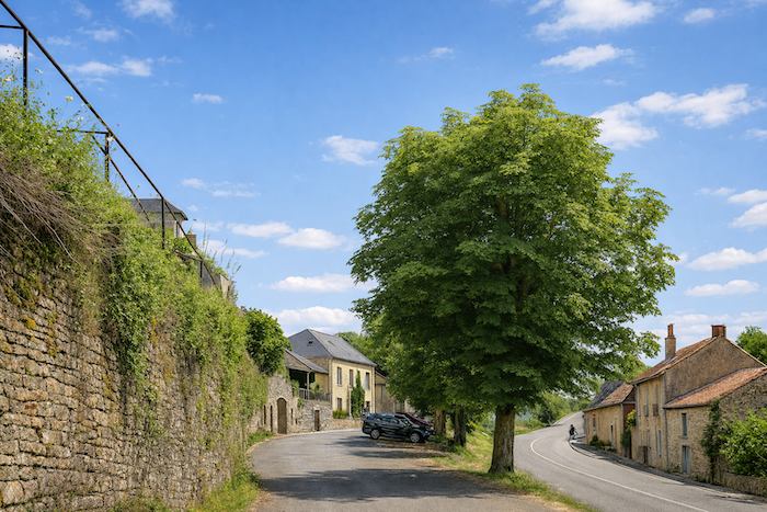
| Crossing Gramat can seem somewhat confusing. The path winds through the streets without any obvious direction, as the GR6 waymarking does not lead into the town center. With around 3,500 inhabitants, Gramat is the main town of the causse that bears its name. .
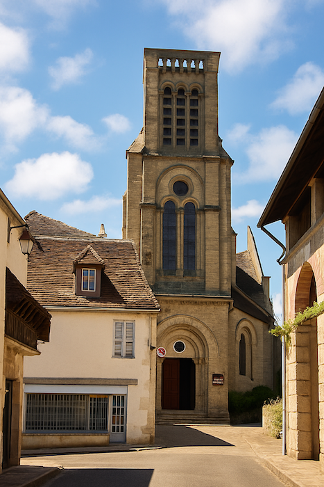
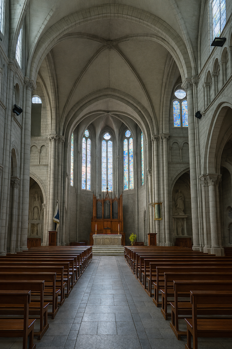
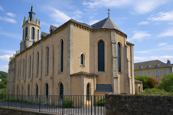
At the entrance to the town stands the Church of Saint-Pierre. Rebuilt in the nineteenth century on the site of an older sanctuary destroyed during the Wars of Religion, it rises peacefully above Gramat. Its elegant Neo-Gothic silhouette, tall pointed-arch windows and slender bell tower contrast with the simplicity of the traditional houses of Quercy. Built from the same limestone as the cliffs of Rocamadour and the dry-stone walls of the causse, the church brings into the heart of the town the same mineral landscape through which the walker has just traveled, |
 |
 |
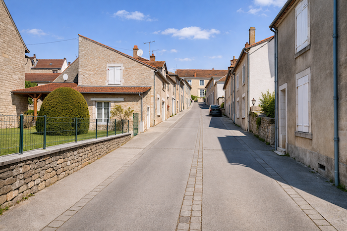
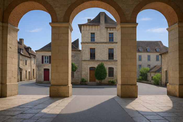
| Gramat is an understated town, often overshadowed by the fame of Rocamadour. Yet for centuries it has been the true capital of the Quercy causse. To reach its historic center, you must climb a few gently sloping streets where life passes peacefully, far from the bustle of the major tourist sites. Only on market days do the squares and streets become lively. |
 |
 |
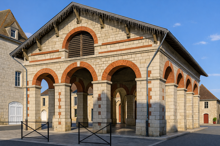
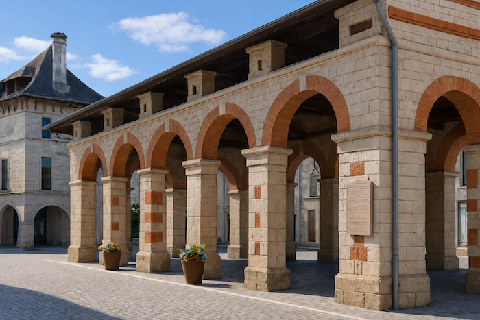
| At the center of the town stands the covered market hall, a true symbol of Gramat’s trading history. Since the Middle Ages, livestock breeders and farmers from across the Causses have gathered here to sell grain, sheep, cheeses, poultry and other local produce. The present market hall, built in the nineteenth century on the site of earlier halls, continues this tradition. Its elegant limestone arches, highlighted with red brick, give it a distinctly Quercy character. Even today, it hosts the weekly market and remains the vibrant heart of Gramat. |
 |
 |
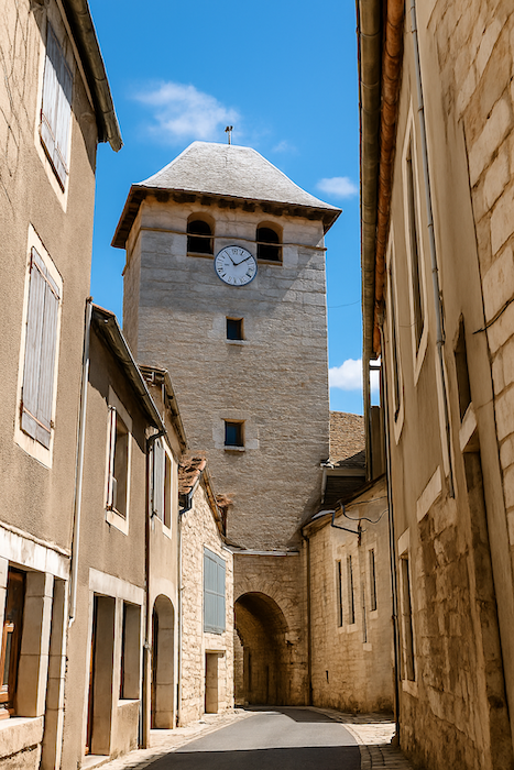
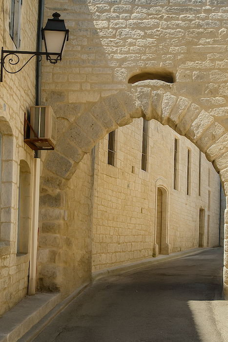
| Around the market hall, the historic center retains a number of beautiful warm limestone houses, reminders of a town that was long the main commercial crossroads of the causse. Gramat may not possess the prestige of Rocamadour, but it charms through its authenticity and gentle pace of life. It is a town best discovered slowly, wandering through its shaded squares, quiet streets and markets, which continue a tradition stretching back several centuries. |
 |
 |
Listed accommodations on the Rocamadour Way
-
- Gîte Les Petits Cailloux, 1 Avenue Louis Mazet, Gramat; 05 65 40 79 36/06 58 12 11 83; Gîte, dinner, breakfast
- Gîte-Hôtel Le Grand Couvent, 33 Avenue Louis Mzet, Gramat; 06 65 38 73 29; Gîte and hotel, dinner, breakfast, cuisine
- Chambres d’hôte Chervet, 191 Route d’Areuilles, Gramat; 07 84 79 30 34; Guestroom, dinner, breakfast, cuisine, donativo
- Domaine de la Croze, 4 Rue Luis Fajolles, Gramat; 06 77 99 57 97; Guestroom, breakfast, cuisine
This information was updated in 2026. If you access this site later, it may no longer be accurate. Along these routes, some establishments open every year while others close. One solution is to purchase, among other resources, Miam Miam Dodo, the essential guide for eating and accommodation, which also lists places to stay off the route. For our part, we will only include accommodations located directly on or very close to the route. There are also other options, such as guidebooks or the internet, which also lists Airbnb accommodations. However, even though the valley is a tourist area, Airbnb options are rare. No application is as well documented as Miam Miam Dodo, especially since the small book, available online, is updated every year. If you do not have Miam Miam Dodo, we recommend booking in advance and checking directly with accommodation providers about the details of their services (meals, sheets, toilets, showers, and other amenities). Likewise, inquire at the previous stage about the opening hours of grocery stores and bars, which are often closed during parts of the day or week. On the Rocamadour variant, accommodation options are very limited, but only a few pilgrims pass through here. However, there are also hikers. Therefore, book in advance if possible. Finding a bed at the last minute can sometimes be a matter of luck. It’s better not to rely on that every day.
Accommodation should not be a problem on this stage. There are no services along the way before reaching Gramat, where there are 45 beds in gîtes and 15 in guesthouses. In addition, there are seven hotel-restaurants (see online for details). There are no water points or toilets along the route. Gramat offers a full range of services and amenities. For those who would like to have their luggage transported, or arrange transport for themselves, La Malle Postale is a good option. And as an added bonus, Gramat also has an SNCF train station.
Feel free to add comments. This is often how you move up the Google hierarchy, and how more pilgrims will have access to the site.
|
 |
Next stage : Stage 5: From Gramat to Lacapelle-Marival |
|
 |
Back to menu |