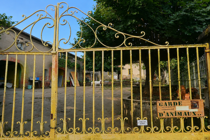
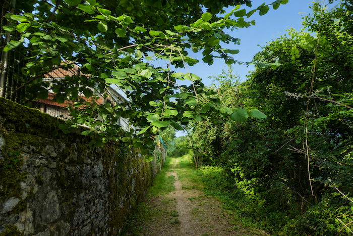
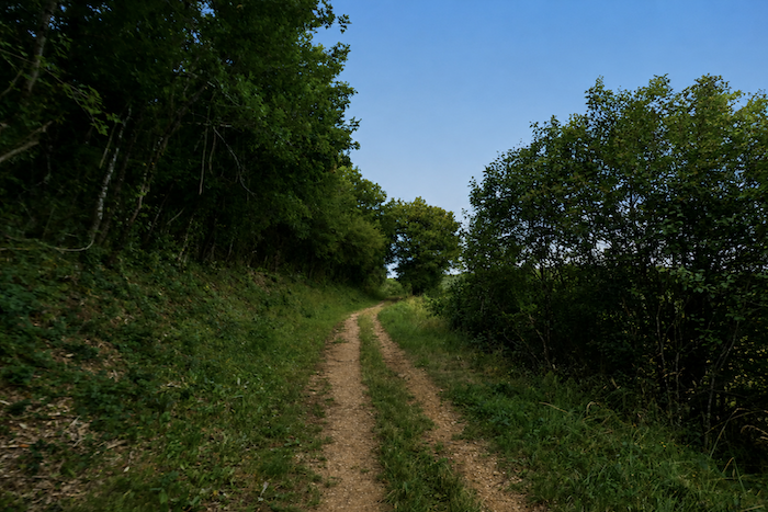
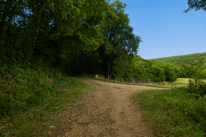
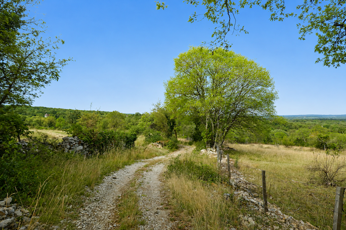
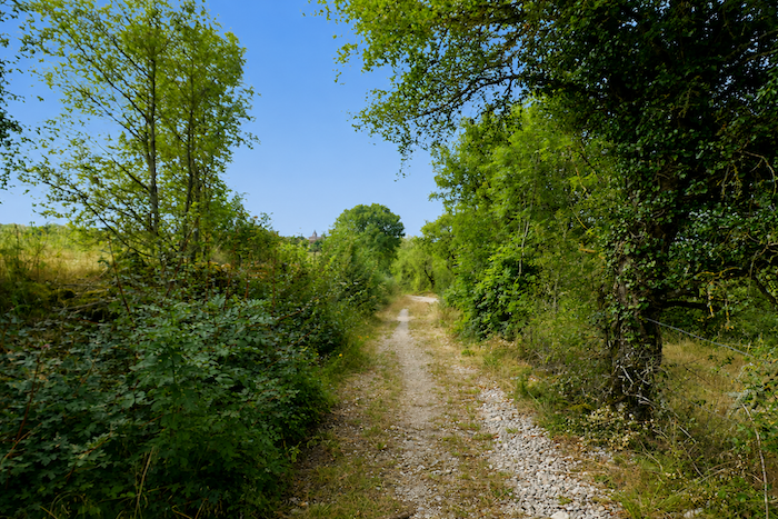
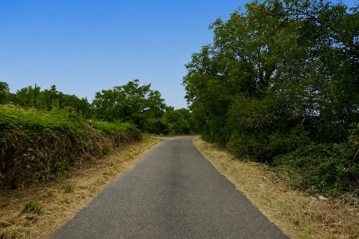
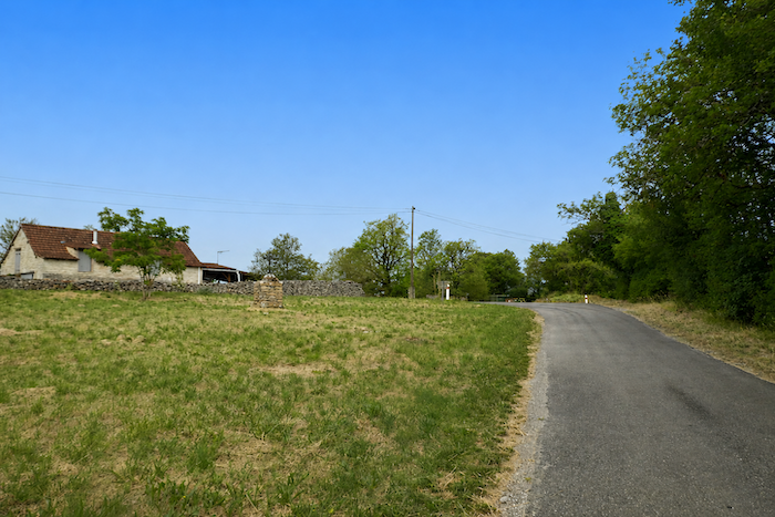
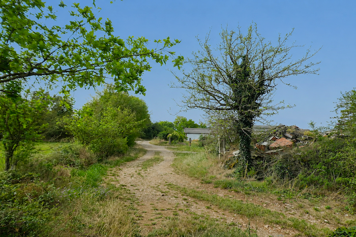
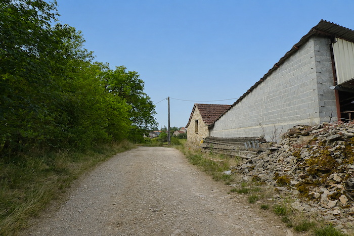
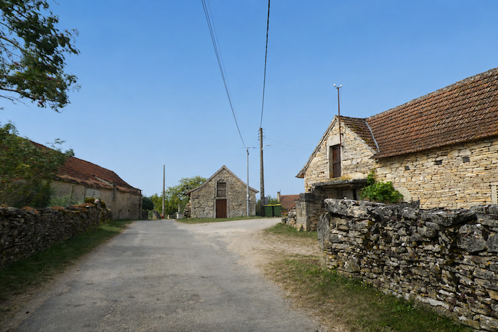
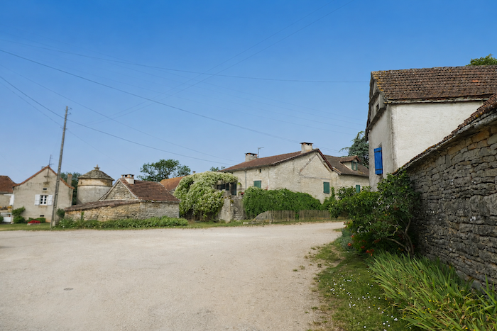
Somewhere among the vernacular heritage of the vast Limogne Causse
DIDIER HEUMANN, MILENA DALLA PIAZZA, ANDREAS PAPASAVVAS
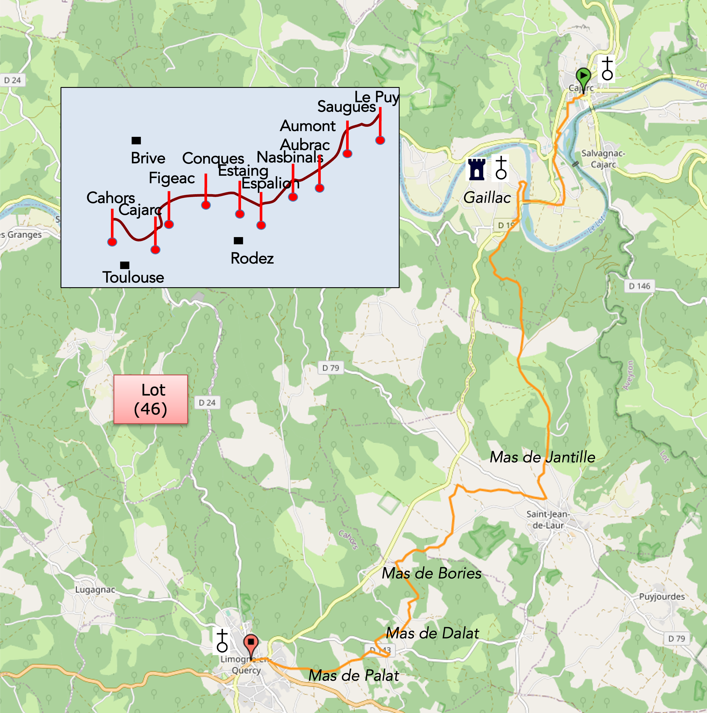
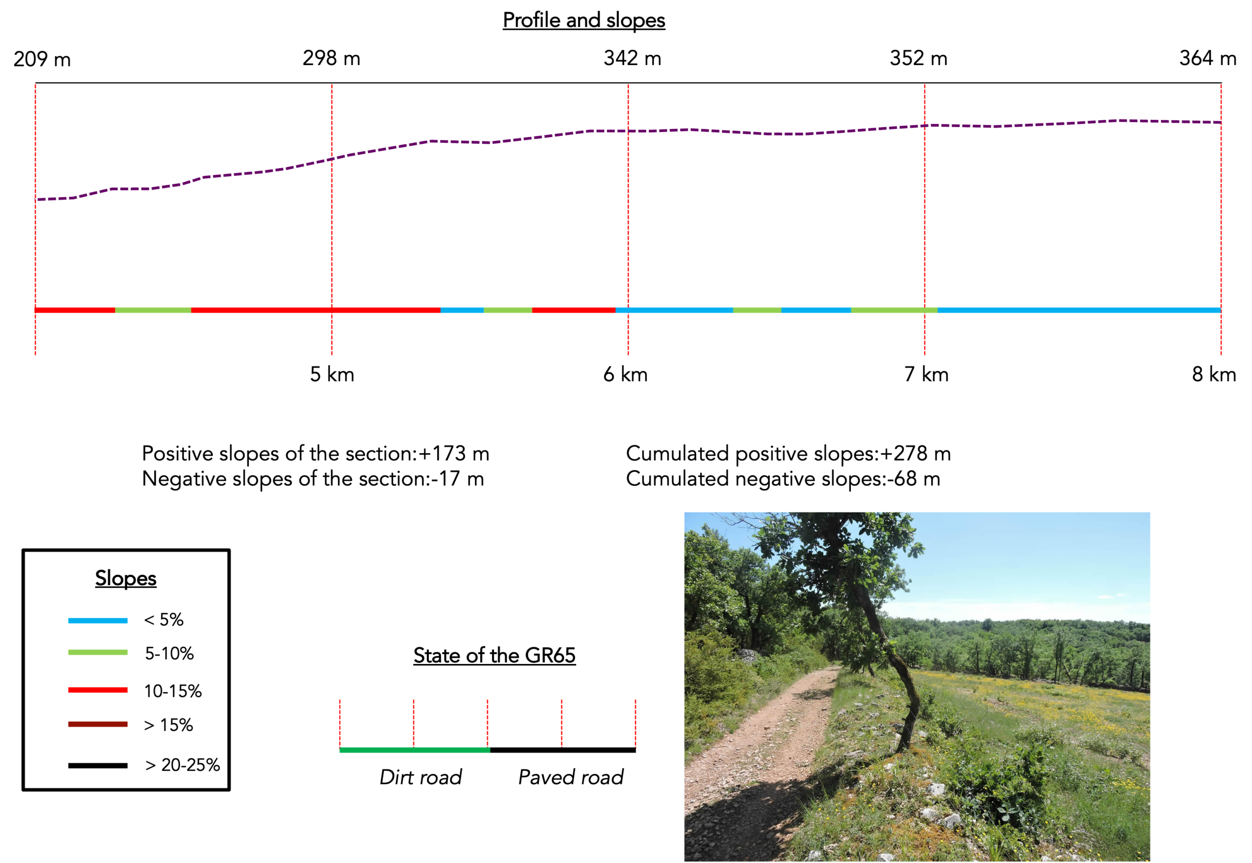
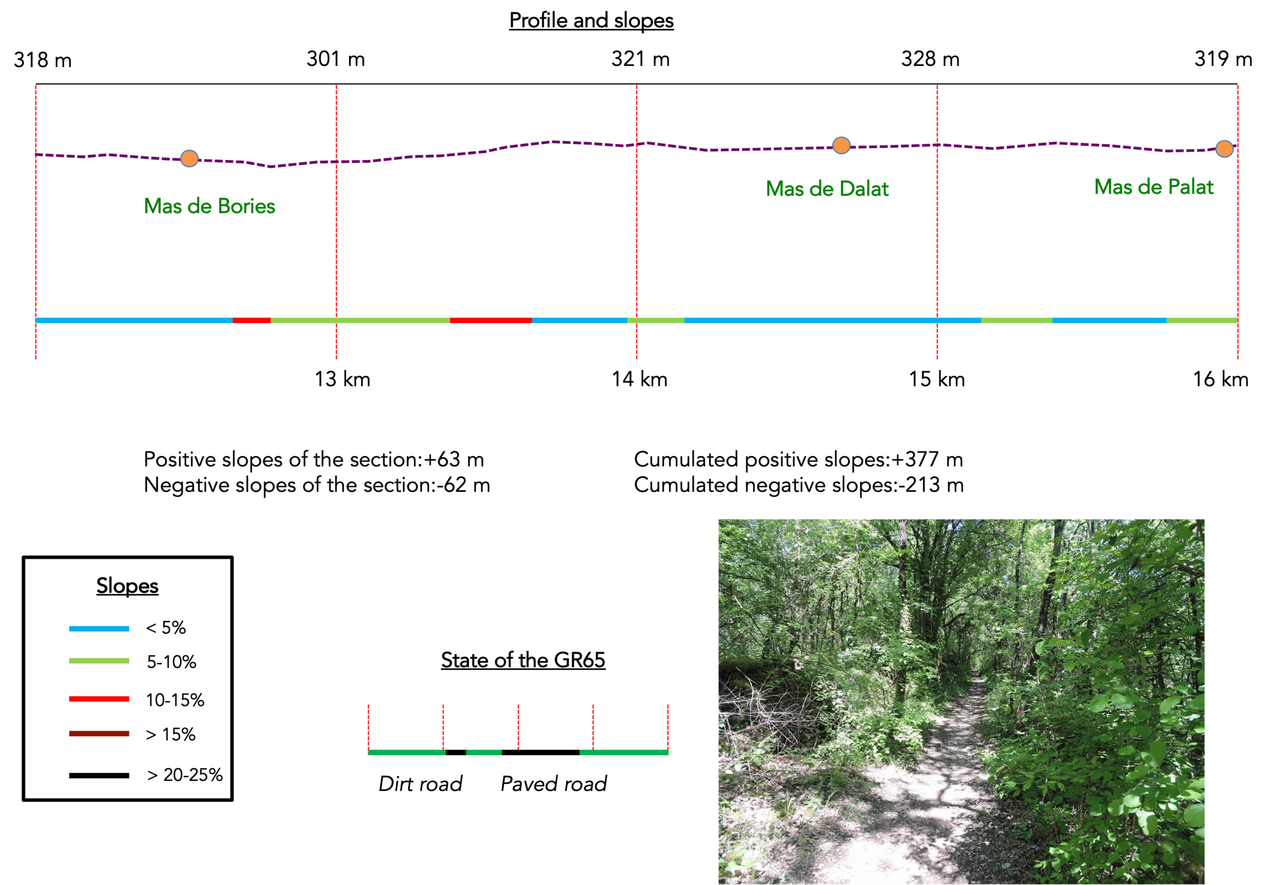
We divided the course into several sections to make it easier to see. For each section, the maps show the course, the slopes found on the course, and the state of the roads. The courses were drawn on the “Wikilocs” platform. Today, it is no longer necessary to walk around with detailed maps in your pocket or bag. If you have a mobile phone or tablet, you can easily follow routes live.
For this stage, here is the link:
https://fr.wikiloc.com/itineraires-randonnee/de-cajarc-a-limogne-en-quercy-par-le-nouveau-gr65-57399660
|
Not all pilgrims are necessarily comfortable using GPS devices or navigating with a smartphone, especially since there are still many areas without Internet access. That is why, to make your journey easier, a book dedicated to the Via Podiensis from Le Puy-en-Velay to Cahors is available on Amazon. Much more than a simple practical guide, this book accompanies you step by step, kilometer after kilometer, providing all the information you need for smooth planning and avoiding unpleasant surprises. Beyond its practical advice, it immerses you in the enchanting atmosphere of the Camino, capturing the beauty of the landscapes, the majesty of the trees, and the very essence of this spiritual adventure. Only the pictures are missing, everything else is there to transport you.
In addition, we have also published a second book which, with slightly fewer details but all the essential information, covers the entire route from Le Puy-en-Velay to Saint-Jean-Pied-de-Port. The choice of your journey is yours.
. |
 |
 |
If you only want to consult lodging of the stage, go directly to the bottom of the page.
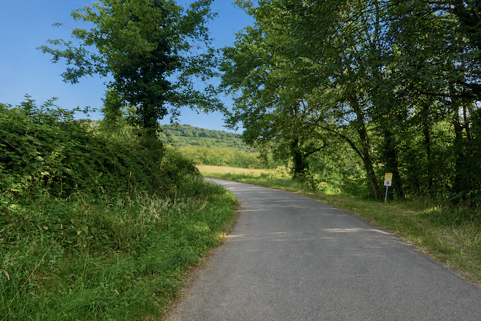
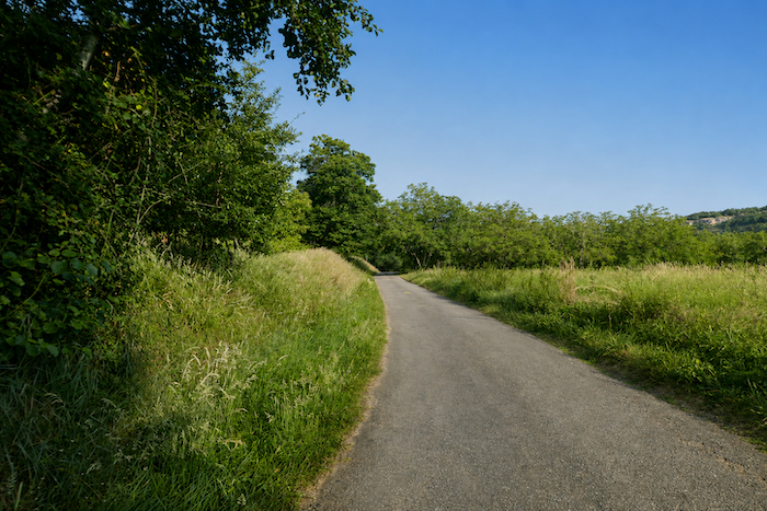
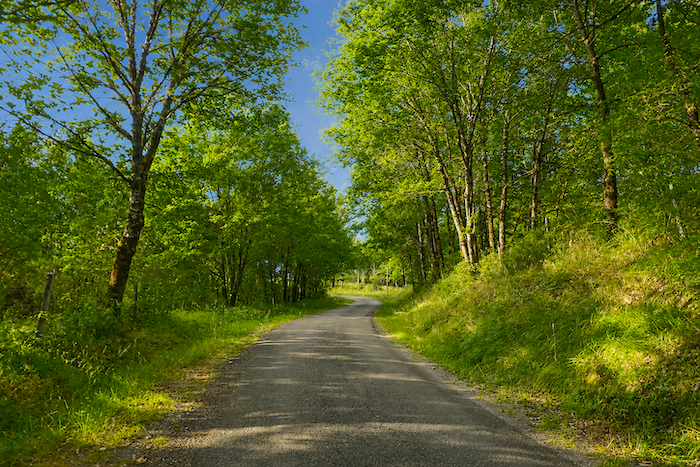
Today’s stage unfolds across the Limogne Causse, which also forms part of the Regional Natural Park of the Causses du Quercy. You leave the lush Lot Valley behind and enter the stark, dry landscapes of the causse. In this kingdom of stone and oak trees, truffles sometimes grow at the foot of ancient dolmens. Today, the route turns its back on the Lot Valley and heads south through the Lot department. There are no mountains on the horizon here, only the quiet majesty of the causse.
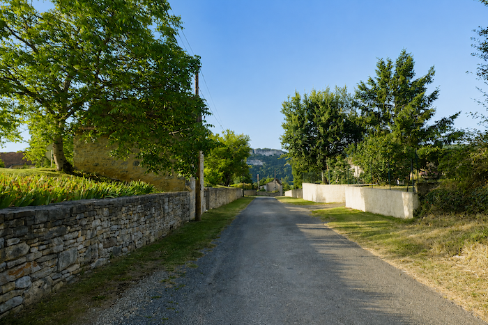
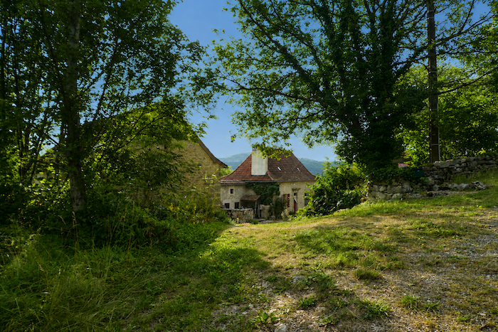
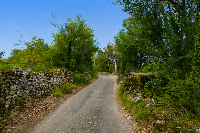
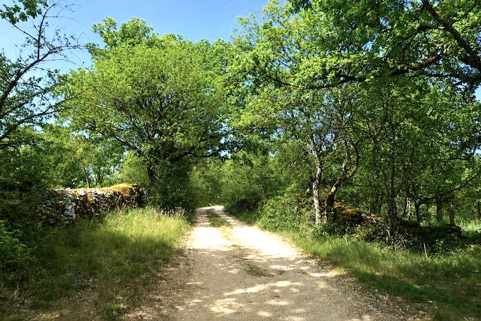
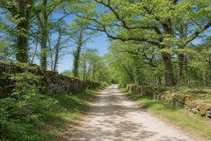
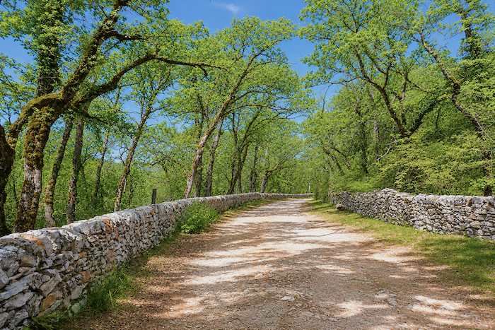
The region’s vernacular heritage is everywhere along this stage. The countryside is crisscrossed by countless dry-stone walls lining the paths, known locally as “cayrous”, even more numerous than the “caselles” or “gariottes” that you have now come to know well. Like the “caselles”, the “cayrous” originated from the clearing of stones from cultivated fields to make sowing possible. Yet these same stones were also used to create remarkable clusters of flat stone buildings. Near water sources stand unusual washhouses known as “lavoirs à papillons”, which remained in use for washing clothes until the twentieth century. Equally remarkable are the magnificent dovecotes, each displaying its own distinctive style and architectural character. Once known as pigeon houses, they were built to attract pigeons, whose droppings provided a highly valued natural fertilizer. Owning such a building was once a visible symbol of prosperity. Time, however, has taken its toll. Many dovecotes and dry-stone structures now stand abandoned or have fallen into serious disrepair. Yet this quiet decline is also part of the causse’s enduring charm. There are no large villages here, only small clusters of houses known locally as mas. More than a dozen of these tiny hamlets is scattered across the region.
Here too, the route has been altered in recent years near Gaillac. The change is only a minor one, adding roughly one kilometre to the former route, a detour that many would consider unnecessary.
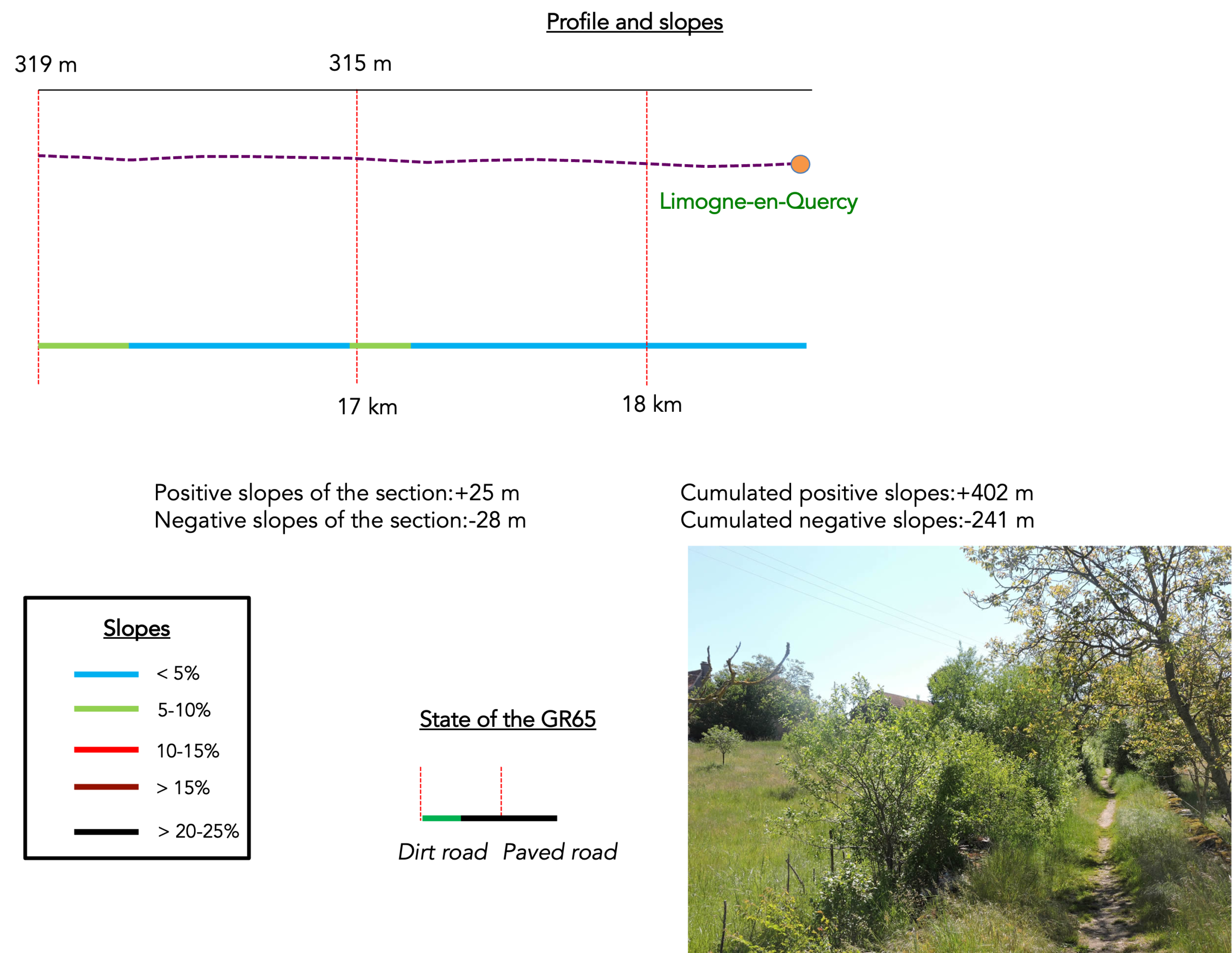
Difficulty level: The elevation gain of 402 metres and the descent of 241 metres are perfectly reasonable, and the stage itself is relatively short. As is often the case on the Camino de Santiago, the stage towns lie down in the valleys while the route spends most of its time on the higher ground. Today’s stage is no exception. You first leave the Lot Valley and climb onto the causse. From there, the route rises and falls in a gentle roller coaster, without presenting any significant difficulties.
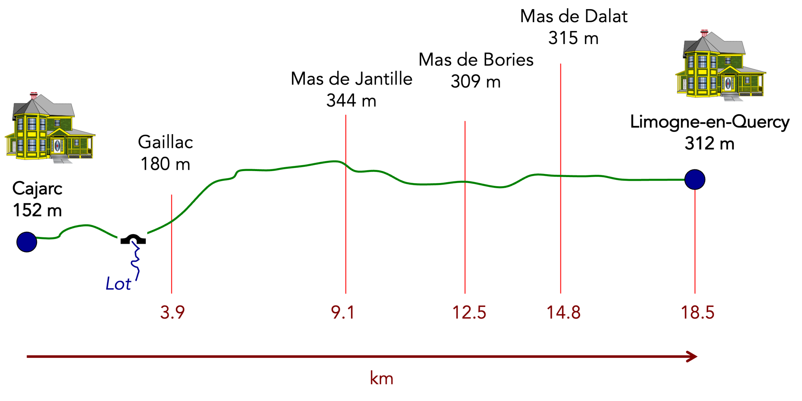
State of the GR65: This is a stage where you will spend almost as much time walking on paved roads as on paths:
- Paved roads: 9.0 km
- Dirt roads:9.4 km
Sometimes, for reasons of logistics or housing possibilities, these stages mix routes operated on different days, having passed several times on Via Podiensis. From then on, the skies, the rain, or the seasons can vary. But, generally this is not the case, and in fact this does not change the description of the course.
It is very difficult to specify with certainty the incline of the slopes, whatever the system you use.
For « real slopes », reread the mileage manual on the home page.

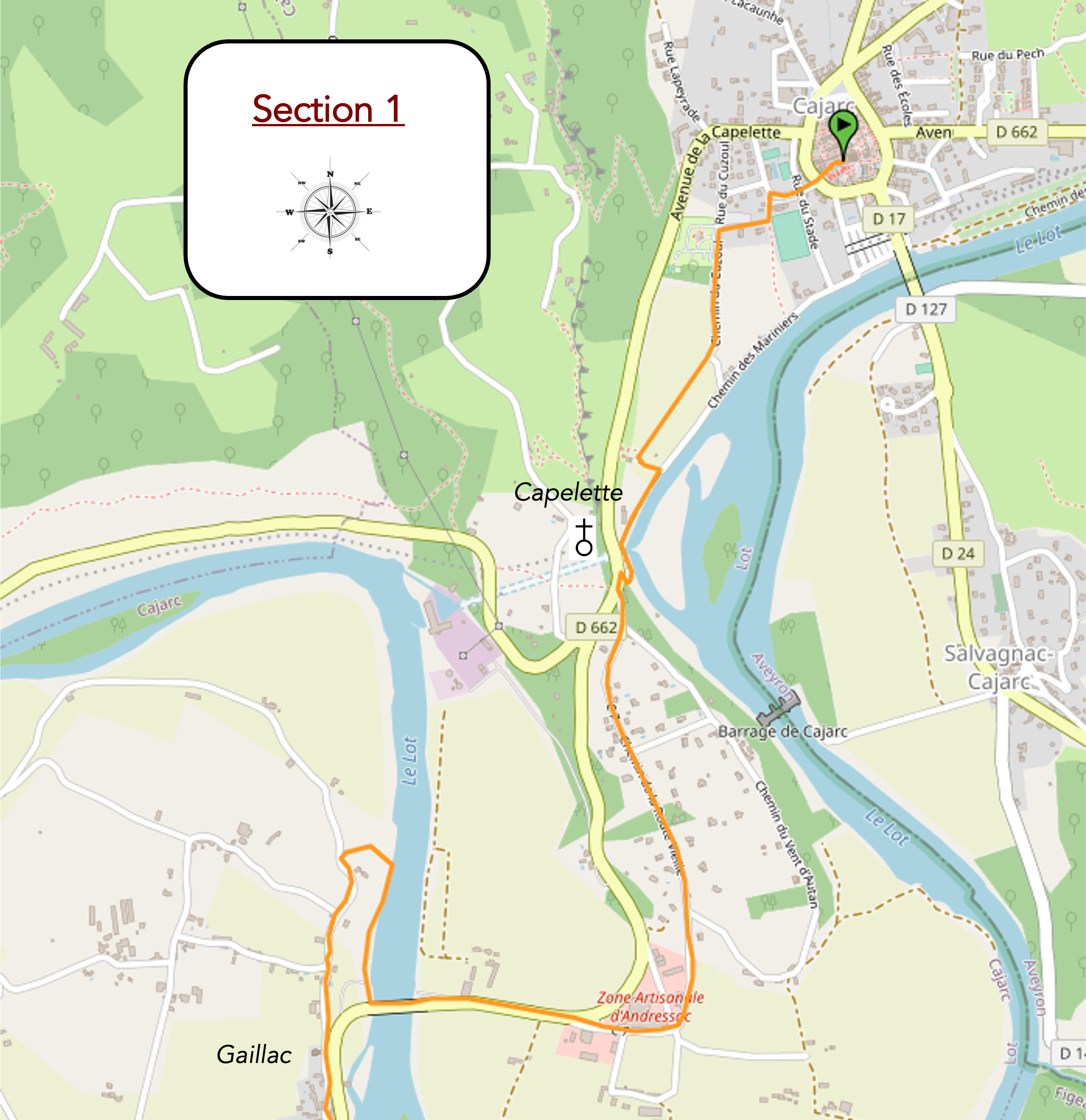
Section 1: A short journey around one of the great bends of the Lot River
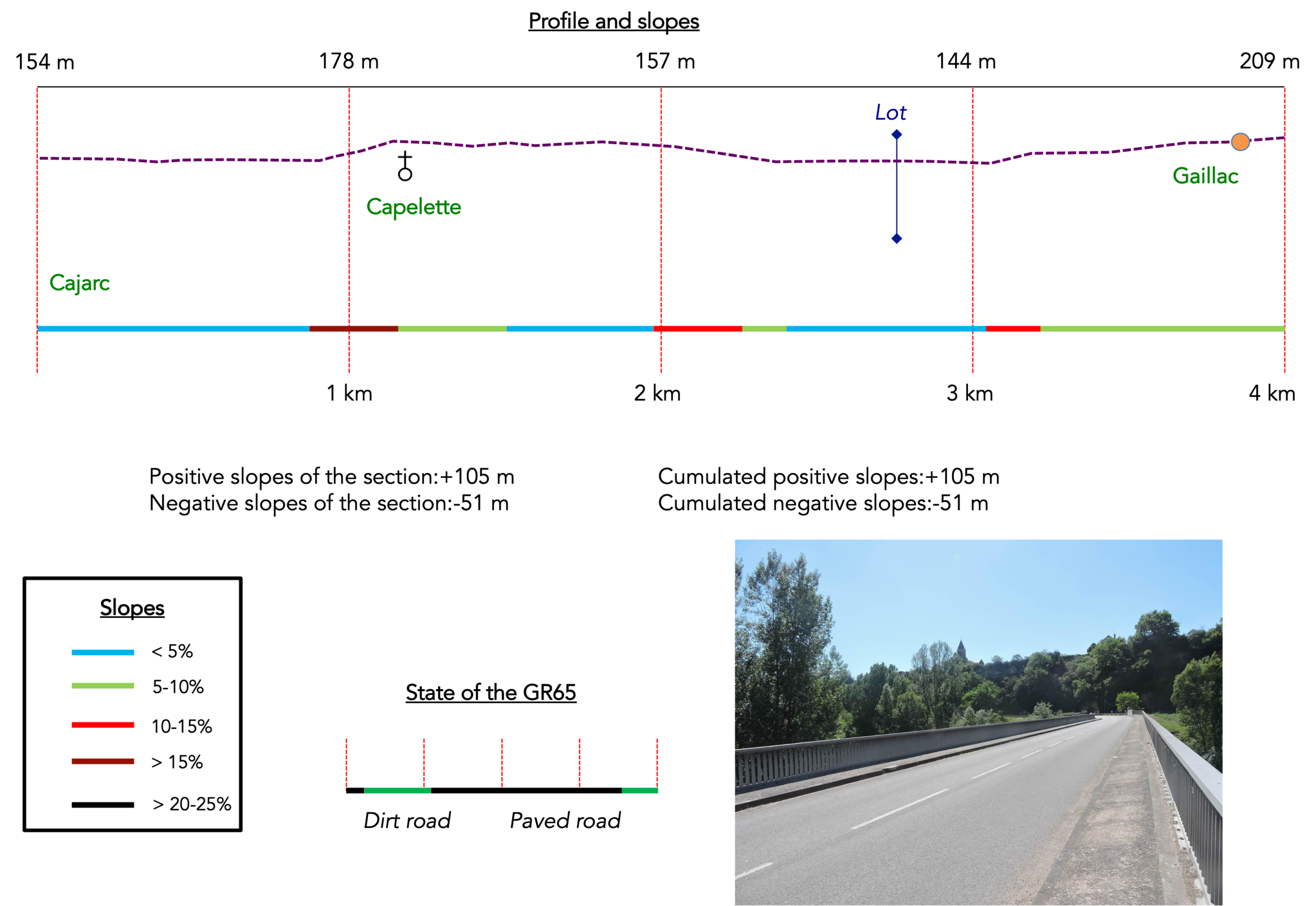
Overview of the route’s challenges: generally, a gentle climb as far as Gaillac, apart from a few short, steep pitches before the chapel on leaving Cajarc.
|
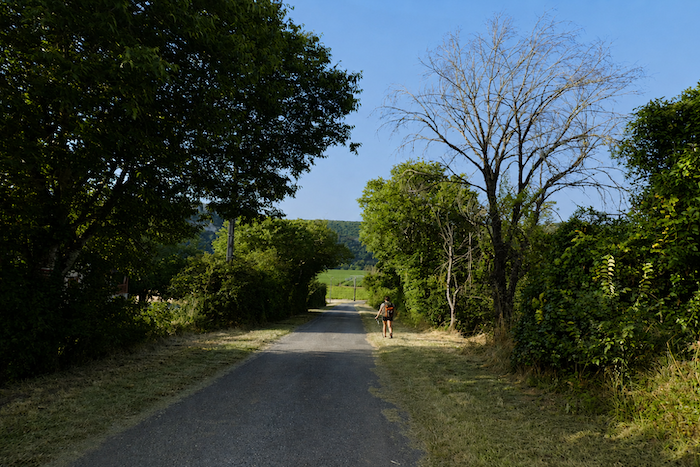
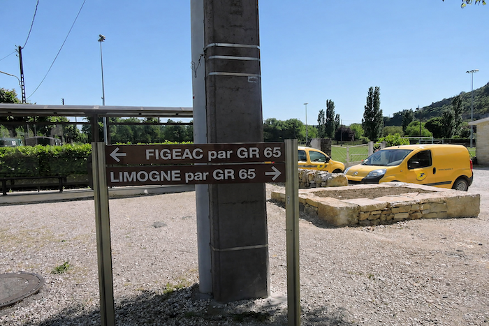
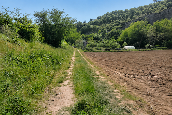
Leaving Cajarc, the route chooses not to cross the Lot. Instead, it lingers along the riverbank, quietly following the graceful meanders of the valley through meadows and cultivated fields, in a gentle flat landscape that contrasts with what awaits a little farther on.
|
 |
 |
|
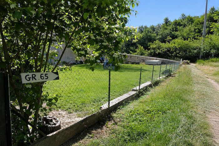
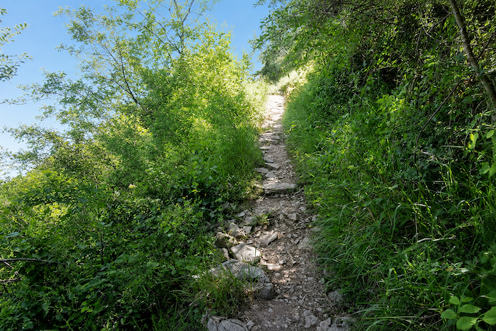
On the Camino de Santiago, every pilgrim soon learns that the plains offer only a temporary respite. Sooner or later, the route must climb to higher ground. Beyond the fields, a narrow trail slips through the grass and suddenly rises up a short, rocky, sun-baked slope before reaching the Gaillac road.
|
 |
 |
|
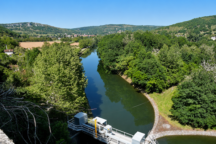
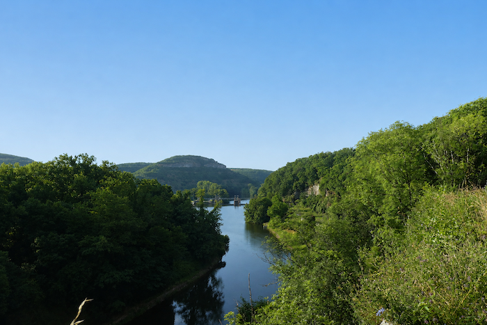
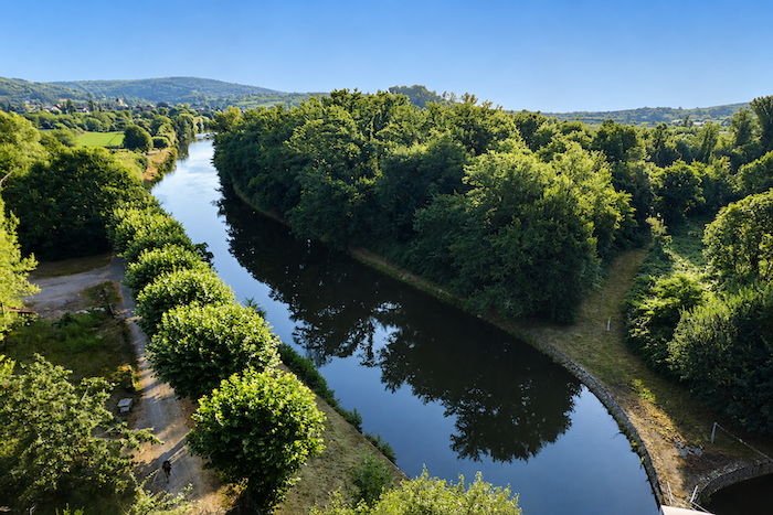
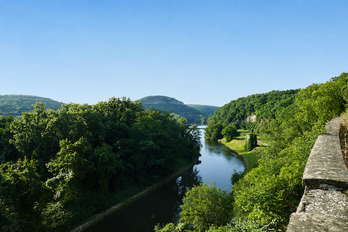
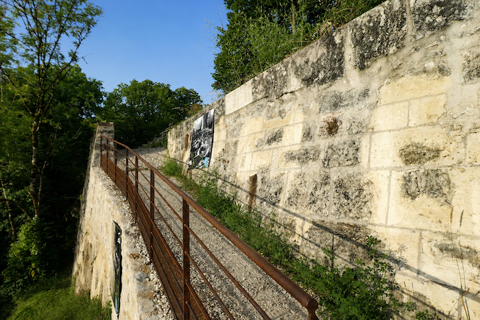
As you gain elevation, your gaze still reaches the former railway line, now abandoned, which once linked Figeac with Cahors. Below, the dams on the Lot create a striking presence in the landscape. It is easy to imagine the days when Cajarc prospered through river traffic, as barges laden with wine, phosphate and timber drifted slowly downstream towards Cahors. That prosperous era now belongs to the past. The construction of a hydroelectric power station brought navigation to an end. The water level was raised by a dam built downstream from the entrance to a tunnel that once allowed boats to bypass one of the Lot’s great meanders.
|
 |
 |
|
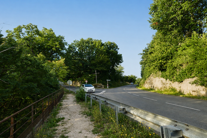
Higher up, the path, still steadily climbing, finally rejoins the road.
|
 |
 |
|
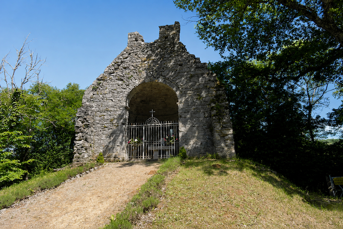
Almost immediately, overlooking both the valley and the Lot River, stands the Chapel of Saint Mary Magdalene, more commonly known as the Capelette of Cajarc. Associated with a leper hospital founded in the thirteenth century, it once offered shelter and assistance to hikers and pilgrims crossing the causse.
|
 |
 |
|
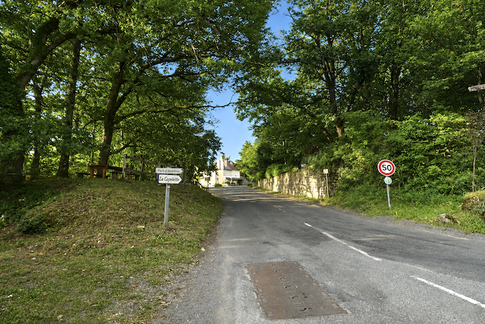
Near the chapel, beside the picnic area, the GR65 leaves the main road and follows a small road descending towards Andressac.
|
 |
 |
|
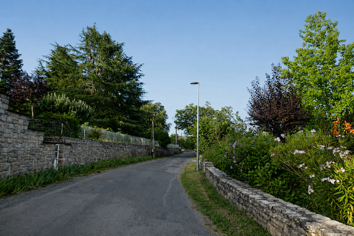
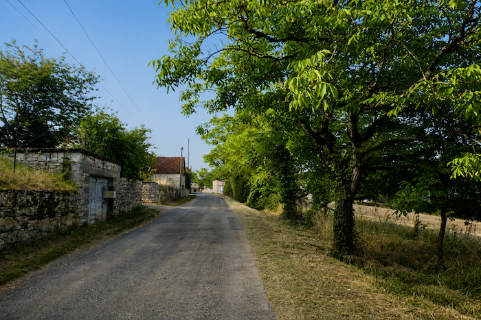
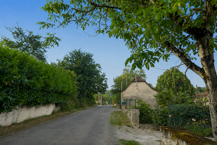
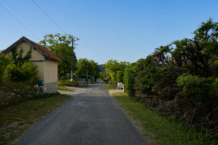
The road then continues towards Andressac, nestled within one of the countless loops that have become the Lot River’s unmistakable signature. Straight stretches are so rare here that you could almost count them on the fingers of one hand. Unfortunately, this part of the route is not among its most inspiring. Still on tarmac, the walker passes a succession of discreet villas, older housing estates and more recent developments, all rather ordinary, like the unremarkable outskirts of a Cajarc that has gradually spread beyond its historic center.
|
 |
 |
|
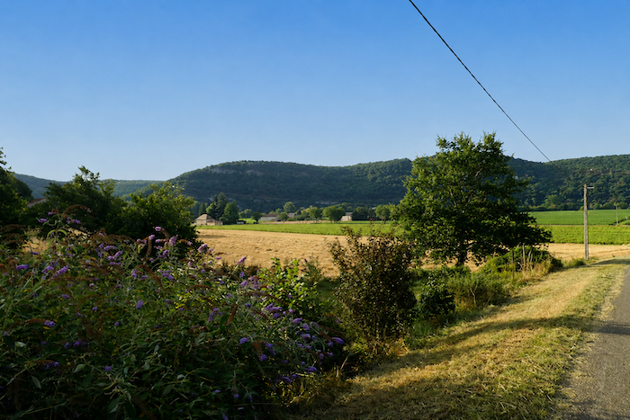
At the end of the descent, the road reaches the broad alluvial plain where the Lot flows quietly through the valley.
|
 |
 |
|
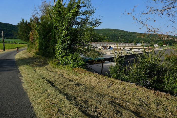
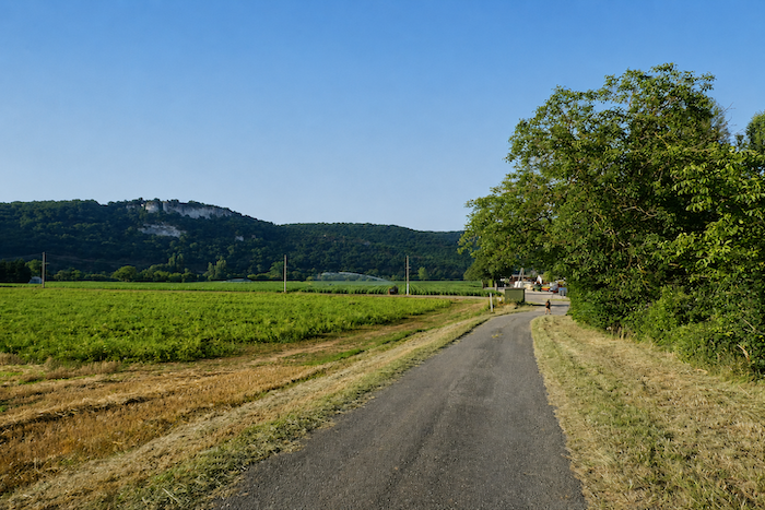
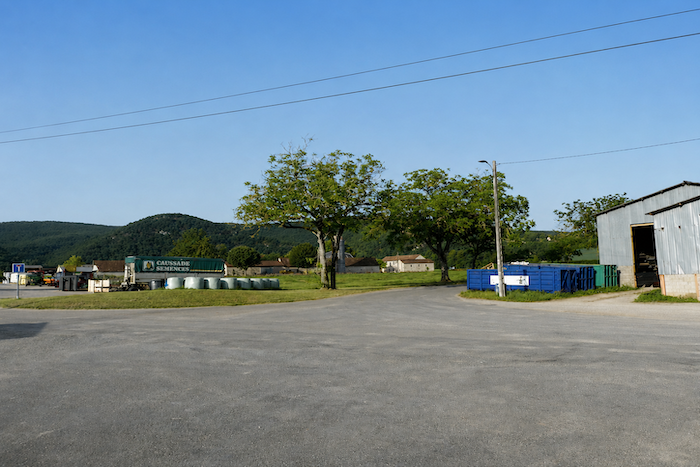
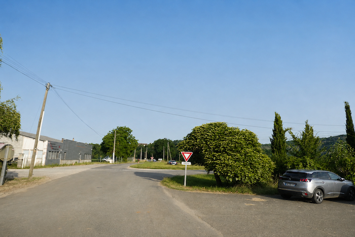
The route then crosses the somewhat monotonous industrial area of Andressac, which stretches across the full length of the plain.
|
 |
 |
|
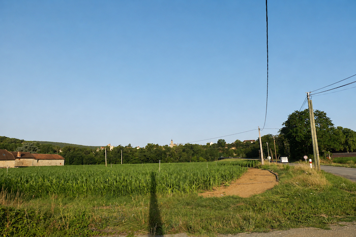
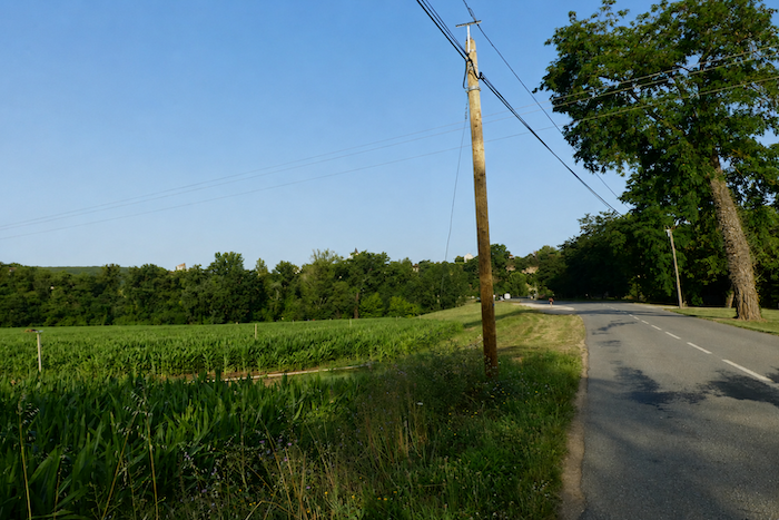
This unremarkable section must simply be accepted before more attractive scenery returns. Soon, the church tower of Gaillac rises above the hills, serving as a welcome landmark and a promise of more appealing landscapes ahead.
|
 |
 |
|
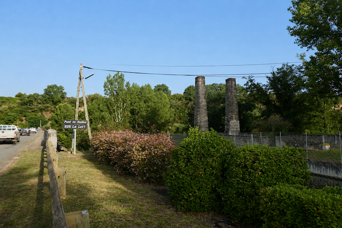
The road then approaches the remains of the old bridge, whose surviving piers still stand as silent witnesses to another age.
|
 |
 |
|
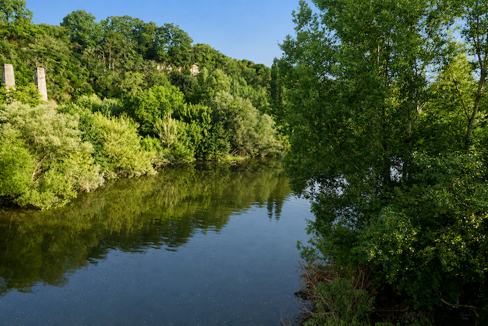
A few steps farther on, the Lot quietly carries its blue green waters beneath the new bridge.
|
 |
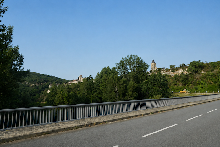 |
From this bridge, the church of Gaillac can already be seen just a short distance away, nestled within a natural amphitheatre of hills. In the past, after crossing the river, it was enough to follow the road that gently traced the riverbank to reach the first houses of the village. Today, however, the designers of the Camino have chosen a different approach. Wishing to keep walkers as far as possible from the departmental roads, they introduced a detour of about one kilometre so that pilgrims could discover the charms of Gaillac. Many walkers, having carefully studied their maps before setting out, know that the route rejoins its former alignment farther ahead and are therefore reluctant to take this additional loop. Nevertheless, since our role is to follow the waymarked route faithfully, we too will make this detour through Gaillac. .
|
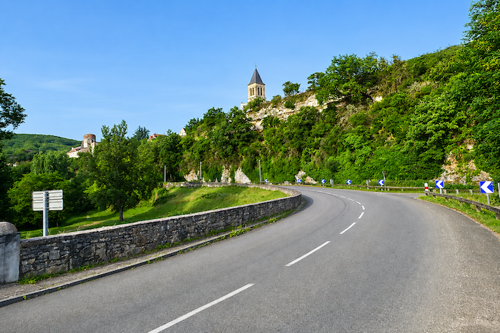
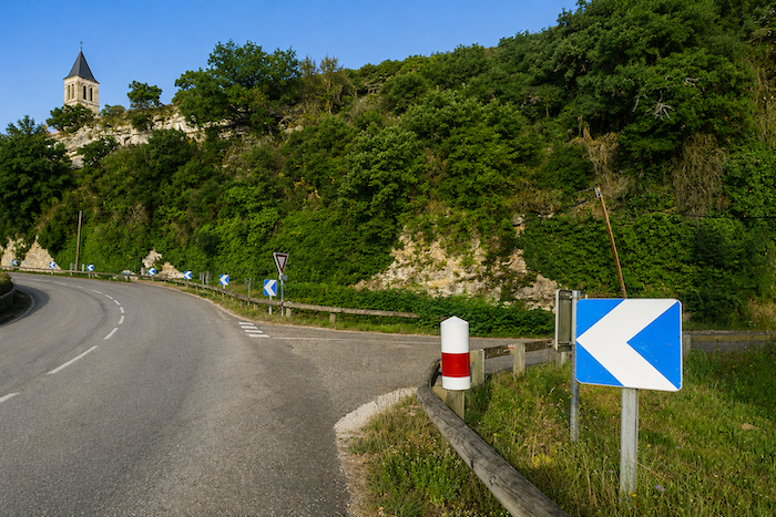
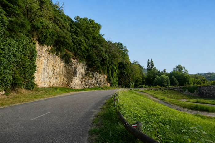
Along this diversion, a small road first seems to double back on itself. It winds along the foot of the cliffs, following the river beneath the cool shade cast by the towering rock faces.
|
 |
 |
|
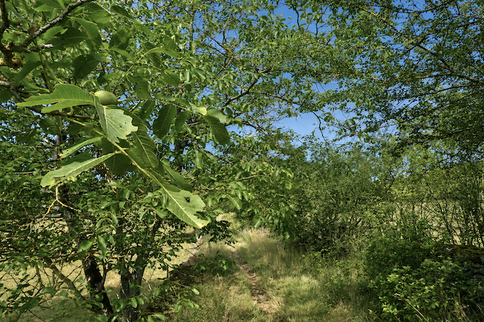
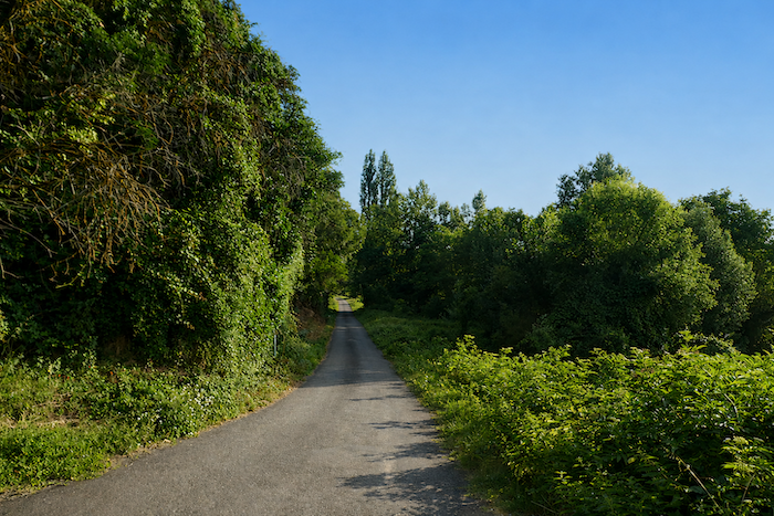
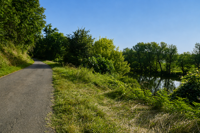
Farther on, the road sweeps in a broad curve as it returns towards the village. The route runs through a richly wooded countryside where broadleaved trees mingle with the many walnut trees that thrive throughout this valley.
|
 |
 |
|
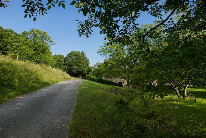
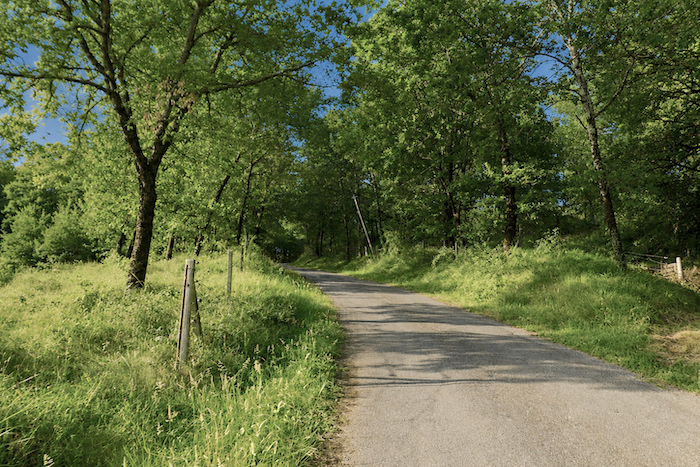
The gradient gradually steepens, approaching 10%, requiring one final effort before the first houses are reached. In this peaceful countryside, the village is approached slowly, at the rhythm of the climb.
|
 |
 |
|
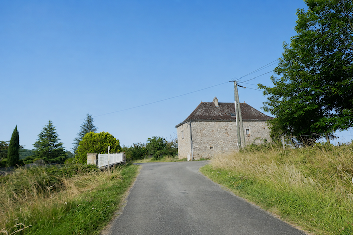
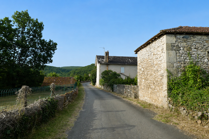
On the hillside, the houses appear one by one with quiet discretion. Generally modest in size, these stone dwellings seem to have settled naturally into the landscape, perfectly in harmony with the surrounding terrain and fields.
|
 |
 |
|
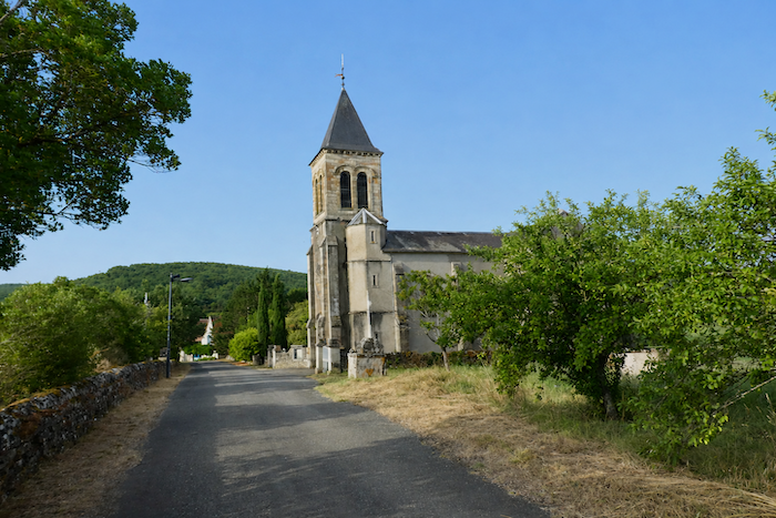
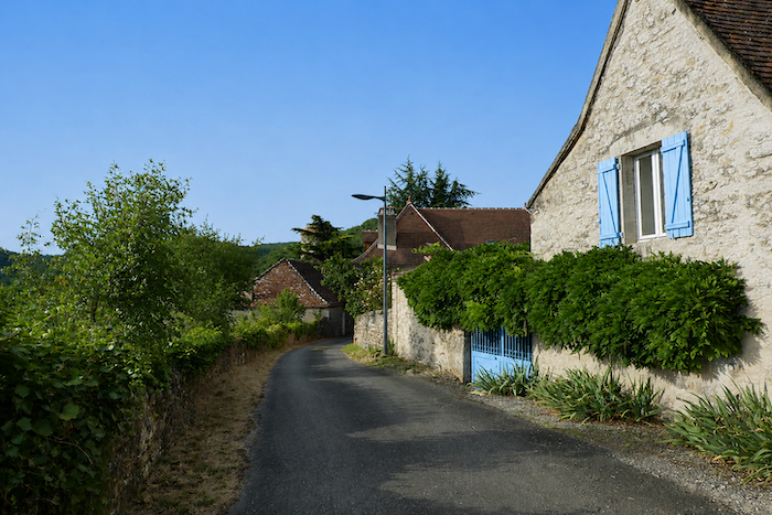
The road then crosses a fairly extensive village, passing in front of the church, a simple building whose charm lies more in its modesty than in any remarkable architectural distinction.
|
 |
 |
|
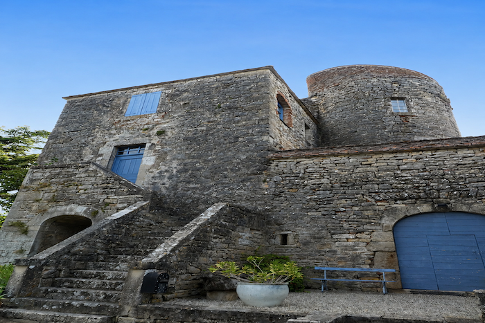
The village nevertheless preserves a remarkable witness to its past, the Château de Salvagnac-Cajarc. Behind its austere appearance lies a long history, as its origins date back to the thirteenth century. Extensively altered over the centuries, it gradually lost its defensive role and became a private residence.
|
 |
 |
|
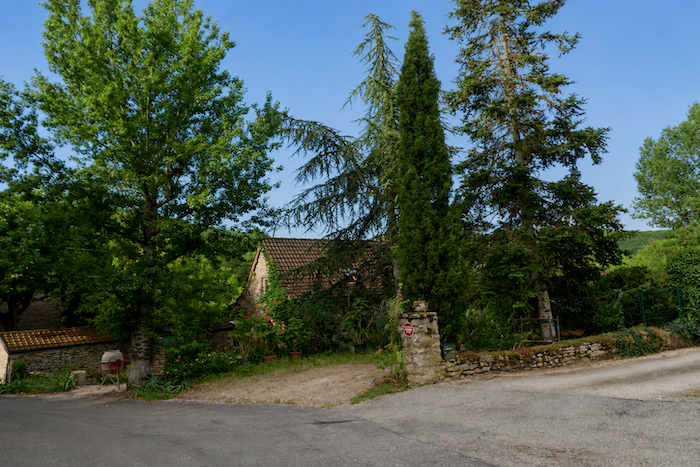
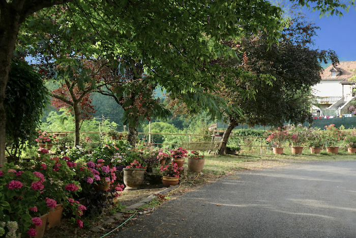
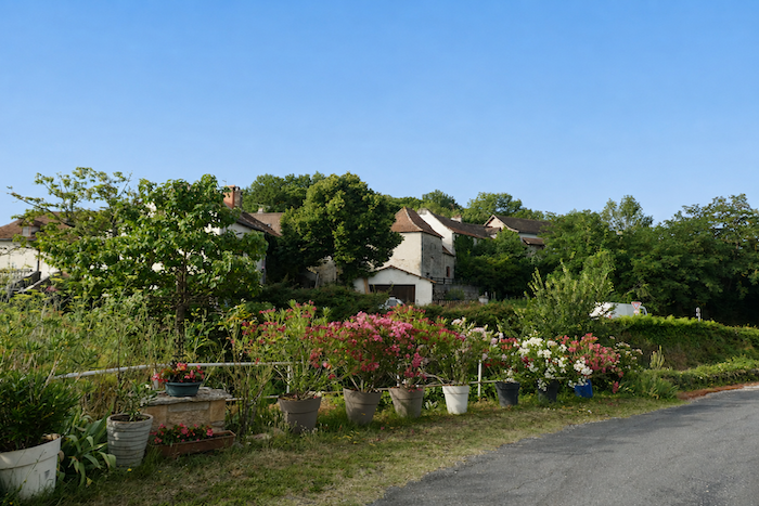
A few flower beds bring welcome touches of color and cheerfulness to the surroundings. Even so, the village remains divided in two by the departmental road that runs straight through its centre, imposing its presence at the very heart of the community.
|
 |
 |
Section 2: A causse just as you may love it
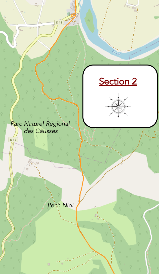
Overview of the route’s challenges: sustained climbs, often exceeding 10%, to reach the causse, nearly 150 meters of elevation gain in just over one kilometer, followed by gentle undulations of little consequence.
|
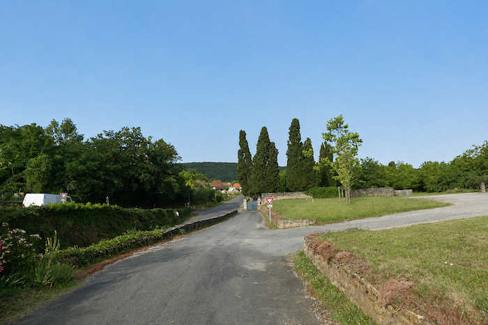
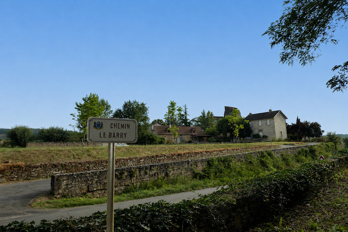
The GR65 then leaves the village by descending towards the departmental road, which it crosses before rejoining the former alignment of the path and climbing back towards the other side of the village. Whether this detour is worth the extra effort is for each walker to decide. As far as we are concerned, its appeal seems rather limited.
|
 |
 |
|
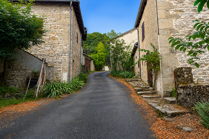
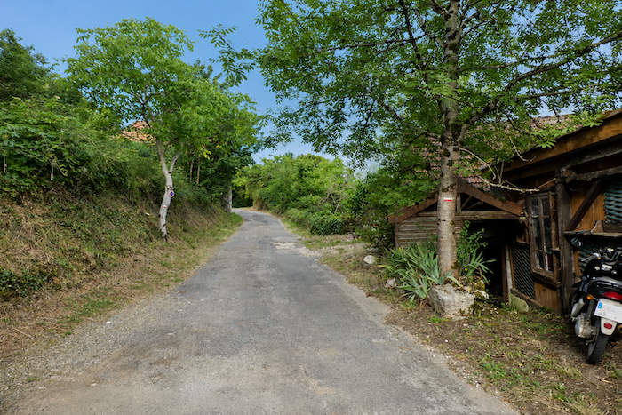
In this part of the village, the houses are noticeably more modest than those seen on the opposite side of the road. They have retained a more rural character, more genuinely rooted in farming life, as though the countryside had never quite ceased to inhabit their walls.
|
 |
 |
|
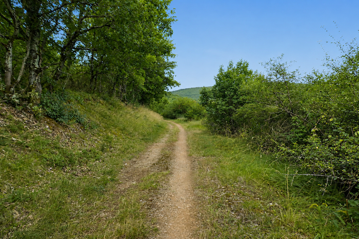
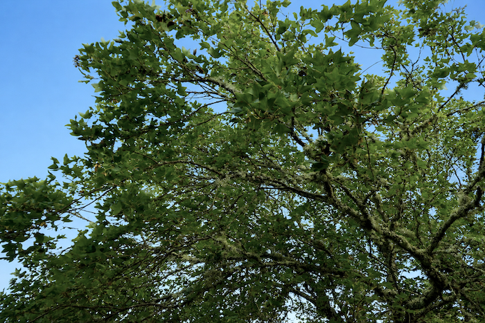
Beyond the last houses, a broad dirt path leaves the village on an almost imperceptible incline along the edge of the woodland. Among the trees lining the path, the Montpellier maple, easily recognized by its three lobed leaves, is particularly abundant here.
|
 |
 |
|
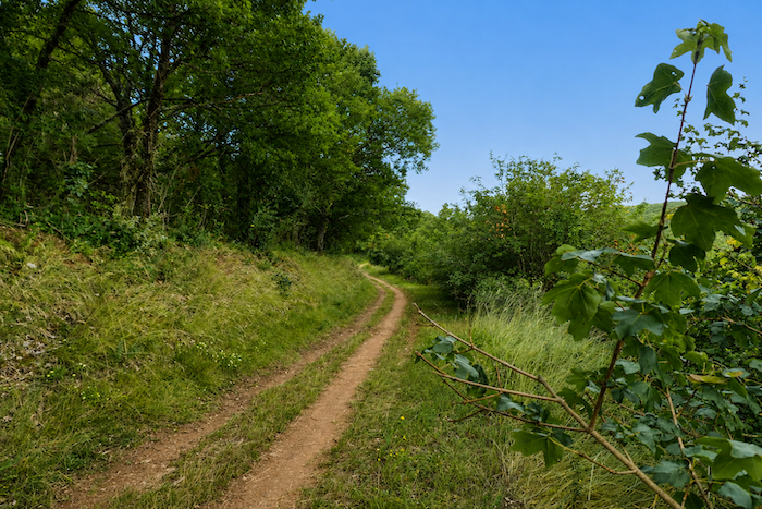
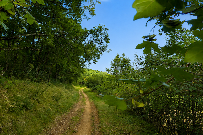
Gradually, the path approaches the Pech Bézet Forest, the true gateway to the causse. The landscape slowly changes in character. The cultivated countryside gives way to a more mineral and austere environment, already announcing the vast limestone plateaus awaiting the walker.
|
 |
 |
|
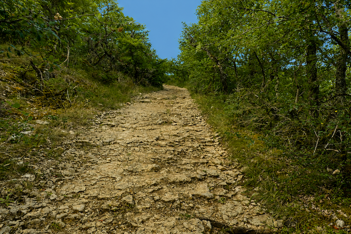
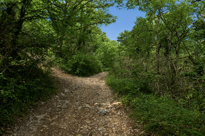
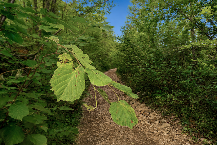
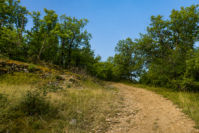
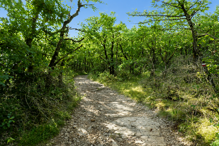
Then the climb begins. Without pause and without ceremony, the path steadily gains height. Broad but heavily strewn with stones, it winds upwards in tight bends across the hillside. This is a genuine causse path, rugged and unembellished, imposing its own rhythm on everyone who follows it.
|
 |
 |
|
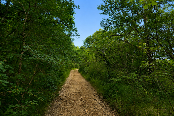
In places, the ground resembles a natural pavement of schist polished by centuries of footsteps. Elsewhere, warm dust rises beneath your boots, as though the stones themselves had stored the sun’s heat throughout the day. Here, the earth breathes dryness and light.
|
 |
 |
|
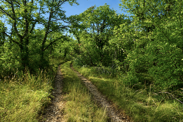
The vegetation is discreet yet remarkably resilient. A few scattered box trees, more numerous dogwoods, junipers clinging to the slopes, wild grasses and occasional clumps of wild lavender bring life to the rocky ground. Yet it is the oak that reigns almost without rival. Standing tall and closely packed together, the oaks form the very essence of these woodlands. Some, worn by age, twist their gnarled silhouettes above the trail, their bare branches swaying gently in the wind. Hornbeam shoots, field maple and Montpellier maple complete this restrained plant community, so characteristic of the Causses du Quercy.
|
 |
 |
|
 |
 |
|
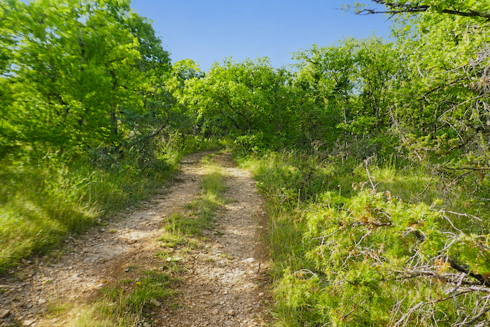
It must be said that climbing onto the causse is no mere formality. From the banks of the Lot, at an elevation of about 150 meters, the pilgrim must reach the plateau, which here rises to around 340 meters. The climb is never dramatic, yet its steady persistence makes itself felt. In places, the ochre soil is almost smooth, but more often it is covered with sharp edged limestone rocks. Beneath your feet, loose stones constantly shift, adding their own small challenge to the ascent.
|
 |
 |
|
 |
 |
|
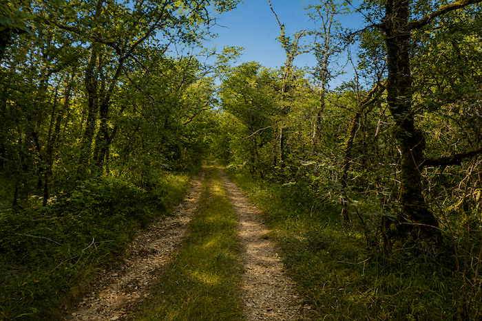
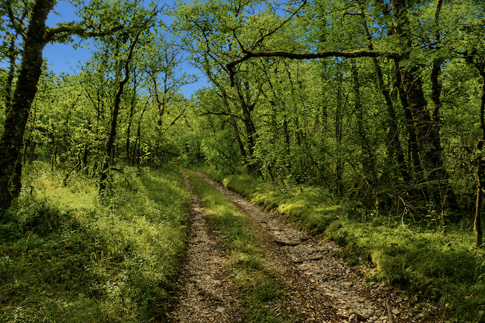
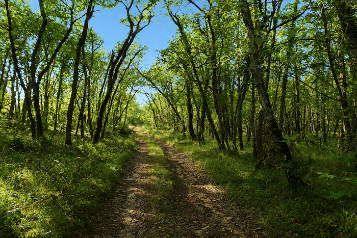
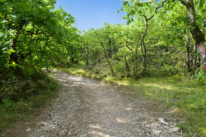
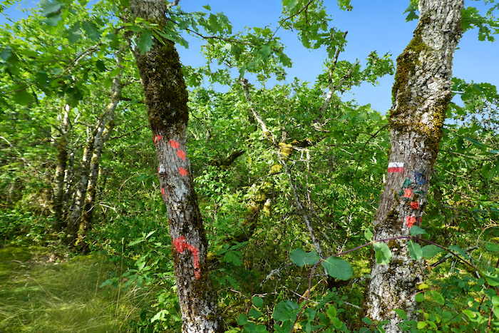
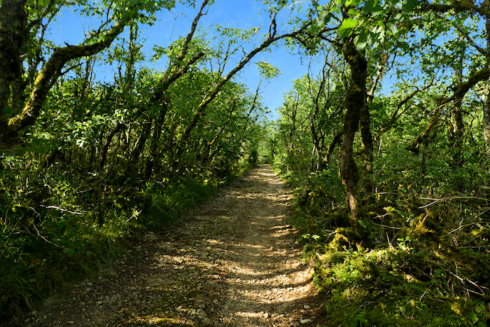
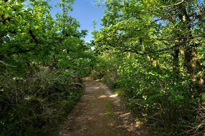
Step by step, the stony path climbs relentlessly among roots and weathered white rocks. It soon disappears beneath a true canopy of vegetation where branches leaning towards one another seem almost to meet above the walker. Gnarled trunks draped in mosses and lichens form a wild hedge on either side, filtering the light without ever shutting it out. Nothing disturbs the silence of this woodland passage except the gentle whisper of the wind through the branches. The air carries the mingled scents of damp earth, living wood and moss, offering the pilgrim a few welcome moments of coolness and solitude before the more open expanses of the causse.
|
 |
 |
|
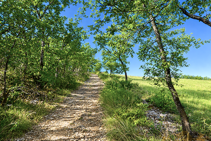
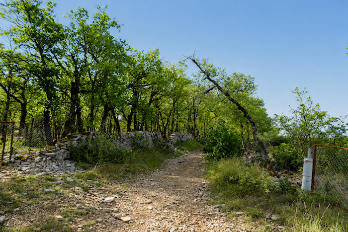
At last, the path breaks free from the embrace of the forest and suddenly emerges onto the heights of the causse. The landscape opens in every direction, broad and luminous, like a reward offered to the walker after the effort of the climb.
|
 |
 |
|
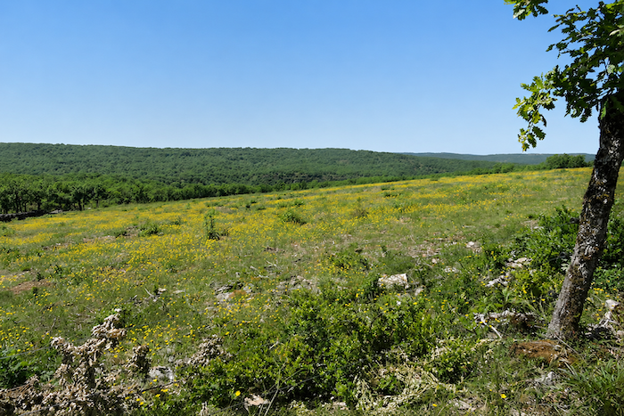
There are places where magic works without warning, where light, sky and landscape come together in perfect harmony, especially after reaching such heights following a long ascent. For a brief moment, breathing slows, time itself seems to pause, and the eye wanders across the endless rolling heathlands where the woodlands gradually fade into a limitless horizon. This is one of those landscapes that invites contemplation even more than it encourages forward movement.
|
 |
 |
|
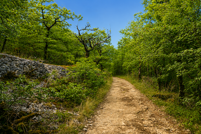
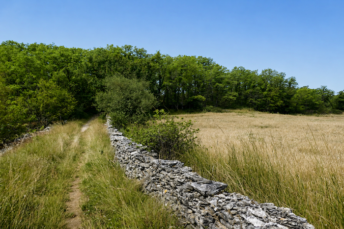
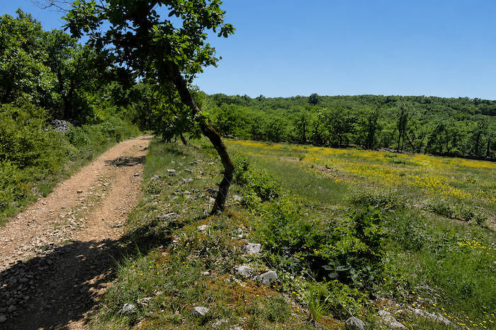
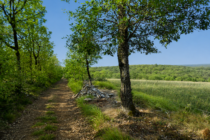
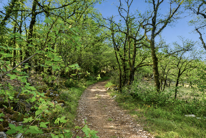
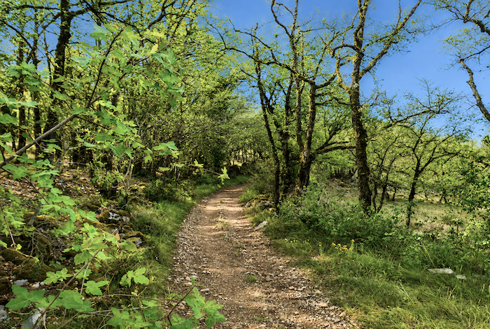
The path then continues almost level, winding across the causse and following the dry-stone walls that have divided these fields for generations.
|
 |
 |
|
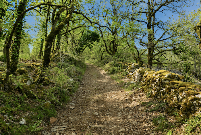
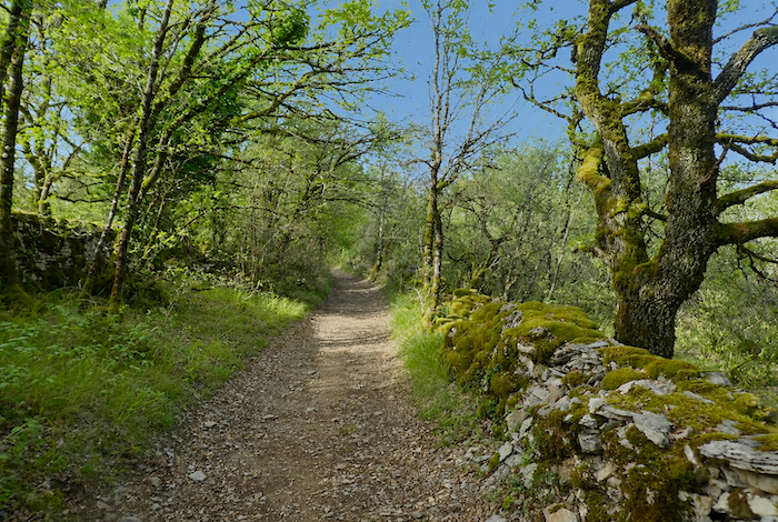
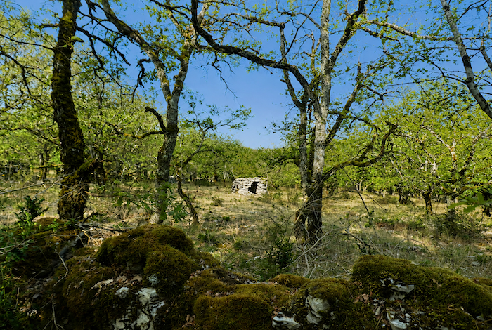
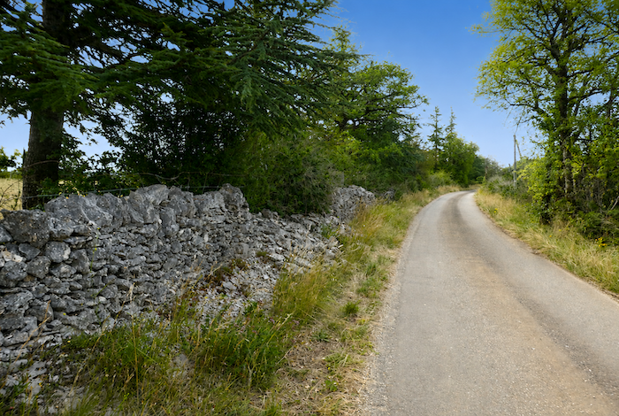
Magnificent dry-stone walls, patiently assembled by human hands, line the trail. Over the years, moss has woven a thick green mantle across the stones, softening their rugged appearance. Beneath the light shade of oaks and Montpellier maples, these humble structures contribute fully to the timeless beauty of the landscape.
|
 |
 |
|
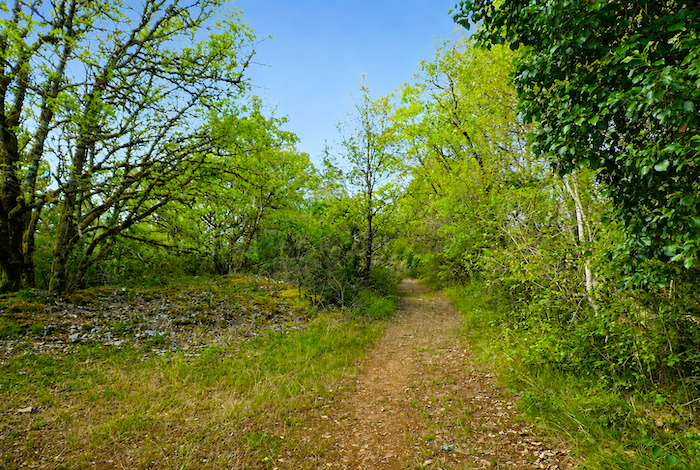
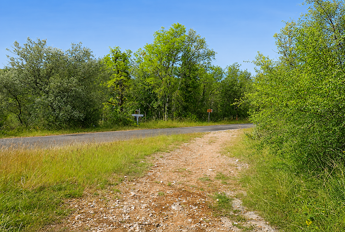
Reluctantly, the path leaves this enchanting scenery and soon rejoins a paved road.
|
 |
 |
|
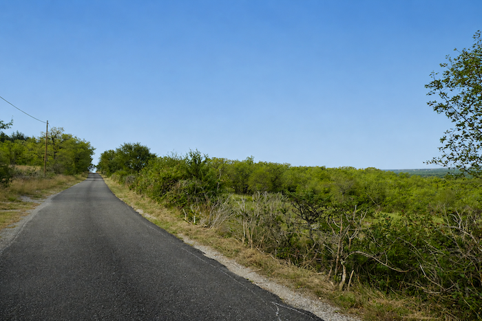
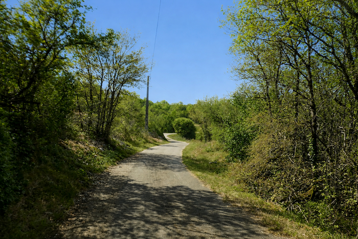
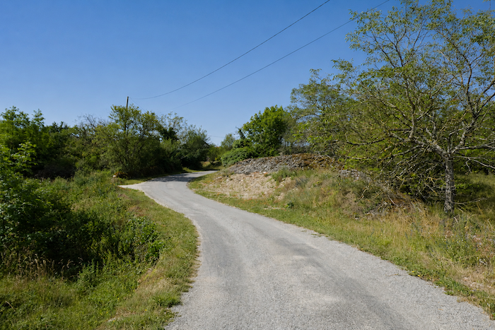
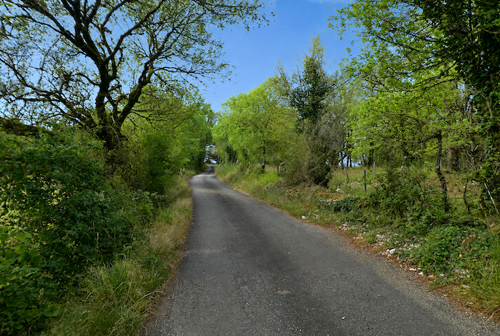
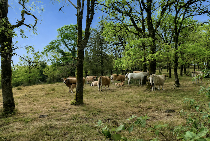
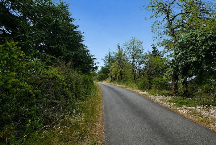
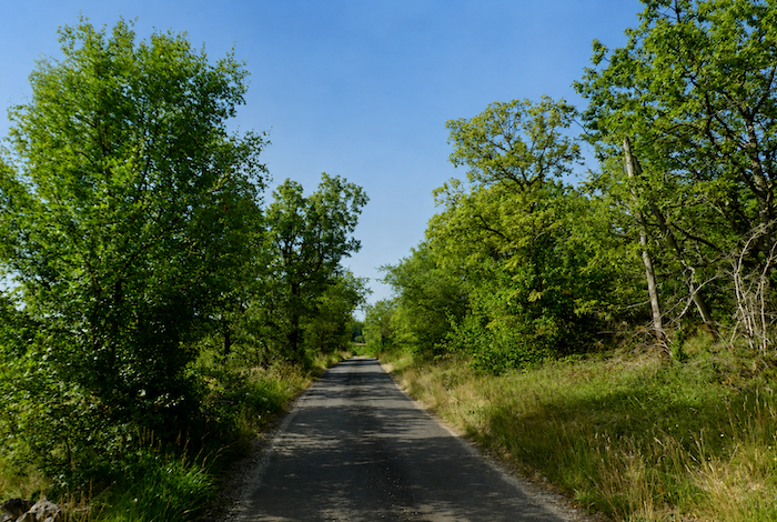
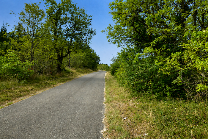
The strip of asphalt accompanies the walker for more than a kilometre. It gently rises and falls across the plateau in a succession of false flats and gentle roller coaster slopes. The climb continues for a while longer towards Pech Niol, the highest point in the area at almost 370 meters above sea level. In the neighboring pastures, Aubrac cattle sometimes raise their heads to watch these curious figures carrying backpacks across their land.
|
 |
 |
|
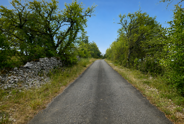
The beauty of the causse remains untouched, even though asphalt has now replaced earth and stone beneath your feet. The horizon is still immense, the light as generous as ever, and the wide-open spaces lose none of their quiet appeal.
|
 |
 |
|
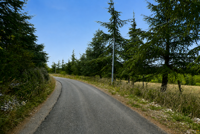
In places, extensive plantations of silver fir line the road. Their dark, orderly silhouettes contrast sharply with the native trees, adding an almost unexpected note to the landscape, so foreign do these conifers seem to the natural identity of the causse.
|
 |
 |
|
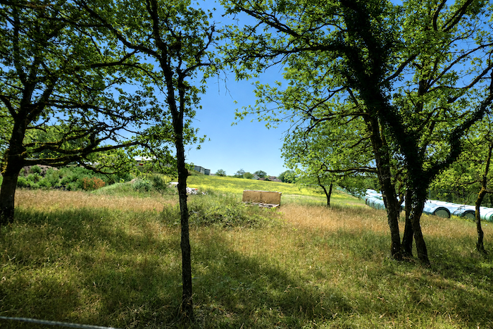
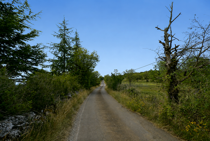
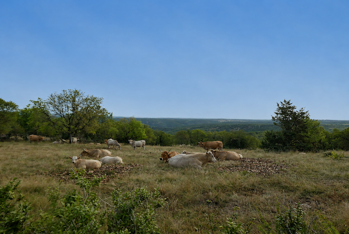
Here, villages are few and far between, and livestock farming appears to be the only real human activity. In the sparse meadows that the forest has spared, cattle and sheep graze peacefully, left to themselves in complete tranquility. Although the Aubrac Plateau now lies far behind, the sturdy Aubrac cattle continue to dominate these limestone lands. Their golden coats, dark outlined eyes and long sweeping horns create one of the most iconic images of these open landscapes.
|
 |
 |
Section 3: Among the vernacular heritage of the Limogne Causse
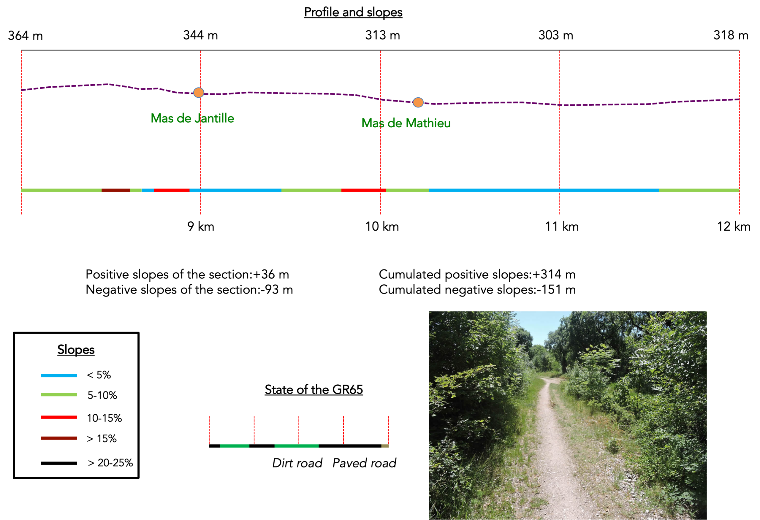
Overview of the route’s challenges: an entirely easy route with no significant challenges.
|
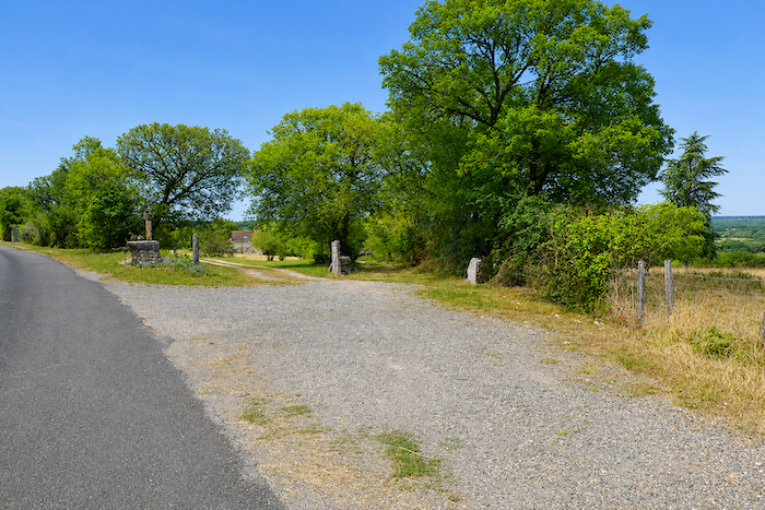
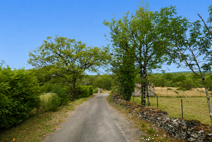
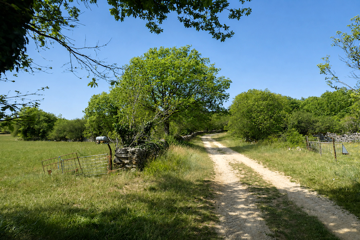
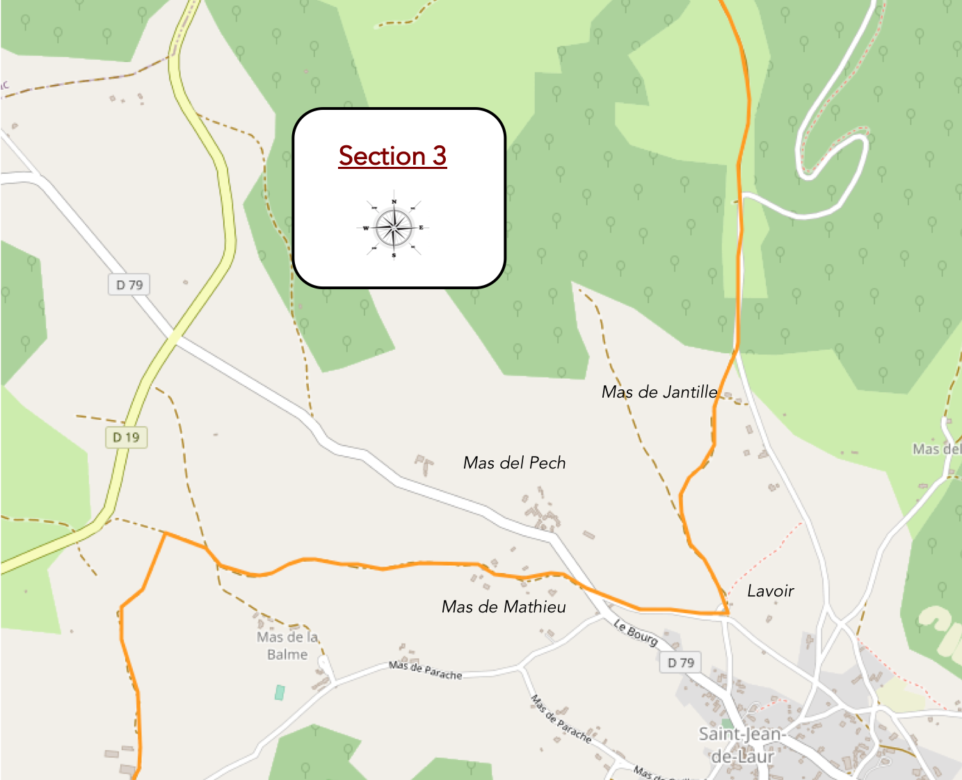
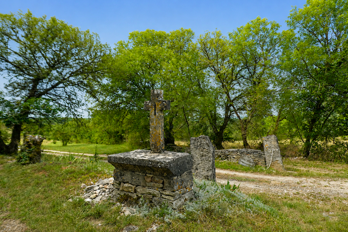
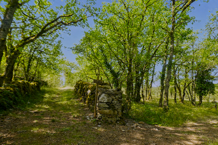
The road continues across the causse, running from one dry stone wall to the next, from small groves of trees to open clearings, until it reaches a path descending towards the Mas de Jantille. At the junction stands an elegant stone cross dating from the middle of the eighteenth century, a silent sentinel that has watched over passing pilgrims for generations.
|
 |
 |
|
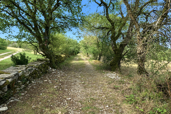
Throughout the route, pilgrims have left their marks. Shells, crosses, carefully stacked stones and simple messages bear witness to those who have walked here before. Religious symbols line the path like spiritual landmarks across the landscape of the causse. The path then descends gently between the dry-stone walls that accompany its course.
|
 |
 |
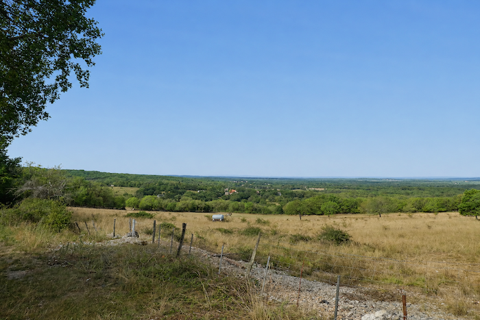
Gradually, the many mas scattered across the hills come into view. These modest hamlets seem to rise from the very stone itself, resting quietly among the gentle folds of the landscape.
|
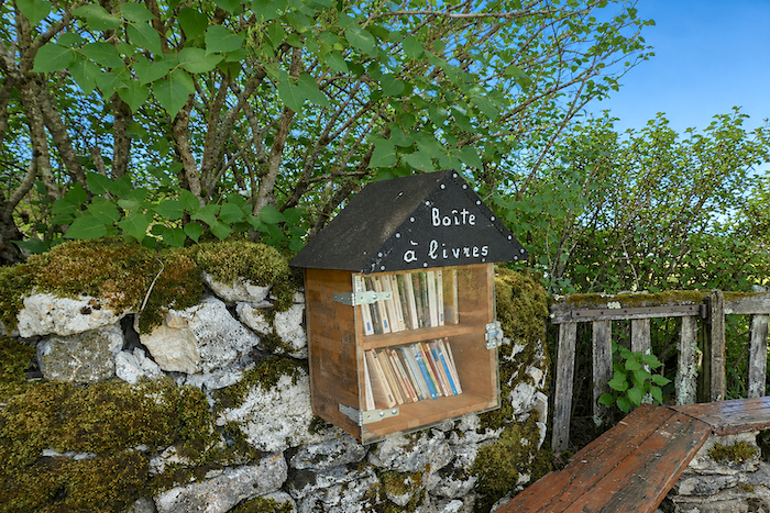
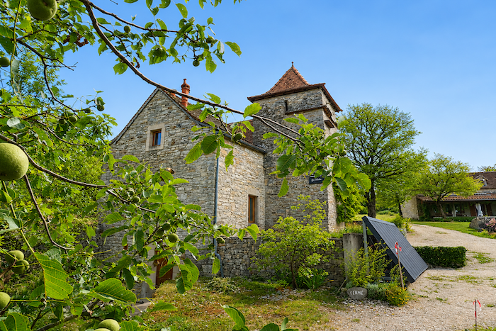
The path soon reaches the Mas de Jantille, nestled beneath the generous shade of walnut trees. A handful of sturdy stone houses form a modest yet harmonious settlement, deeply rooted in its rural surroundings.
|
 |
 |
|
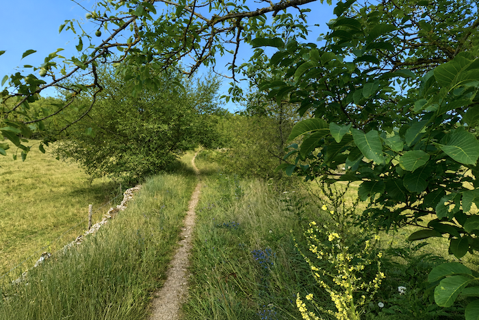
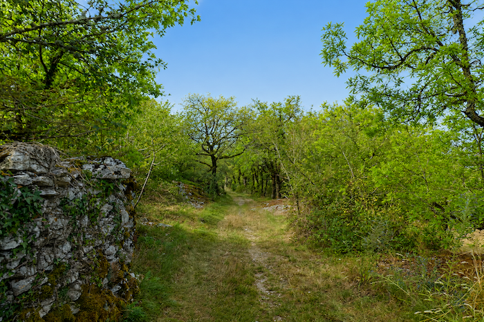
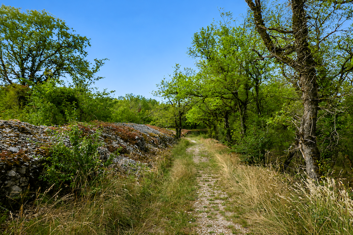
A broad grassy path then takes over, continuing downhill between hedgerows, dry stone walls and limestone embankments. Moss clings to the stones while patches of heather bring touches of color to the edges of the trail. At the slightest disturbance, lizards dart into the cracks of the limestone with astonishing speed, like tiny living shadows bringing movement to the margins of the path.
|
 |
 |
|
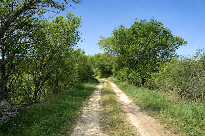
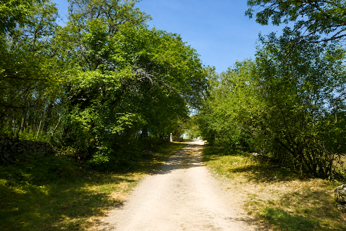
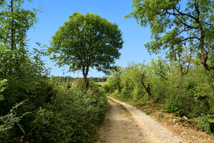
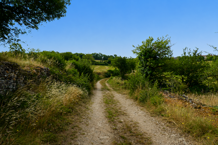
The white path then winds across the causse like a thread laid gently between the hills. Nothing disturbs the tranquility of this landscape. No village yet appears on the horizon, and no sound breaks the silence of this countryside bathed in light. Between hedgerows, meadows and scattered woodlands, the trail seems to disappear into the peaceful immensity of the plateau. Everything here evokes space, slowness and the unique serenity of the Quercy causses, where stone, grass and sky seem to have formed an ancient alliance.
|
 |
 |
|
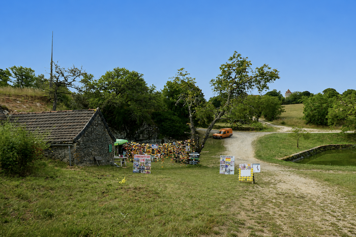
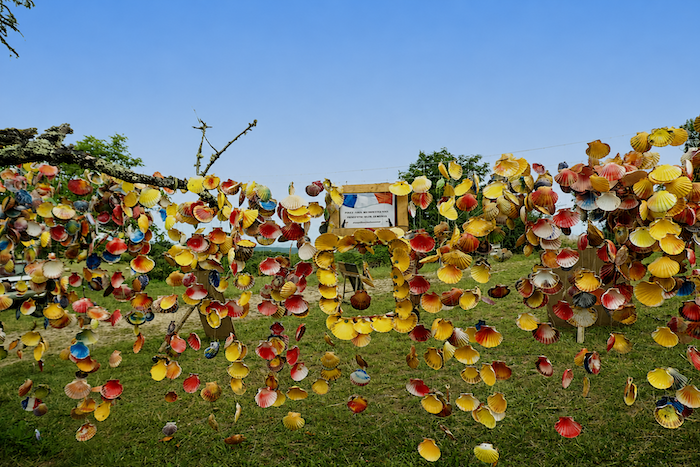
Then comes one of the most appreciated stopping places of the stage, a water point that has gradually become a genuine meeting place for pilgrims. For those who have been walking for hours beneath the sun, the appearance of this spring feels almost miraculous. Smiles immediately appear as walkers finally refill water bottles that have often become nearly empty. A small refreshment stand also welcomes pilgrims, who are drawn as much by the cool drinks as by the encounters they encourage. Above the tables flutter garlands of scallop shells and colorful little flags, recalling the festive village squares of Latin America.
|
 |
 |
|
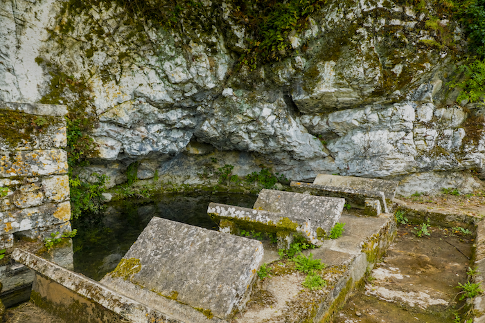
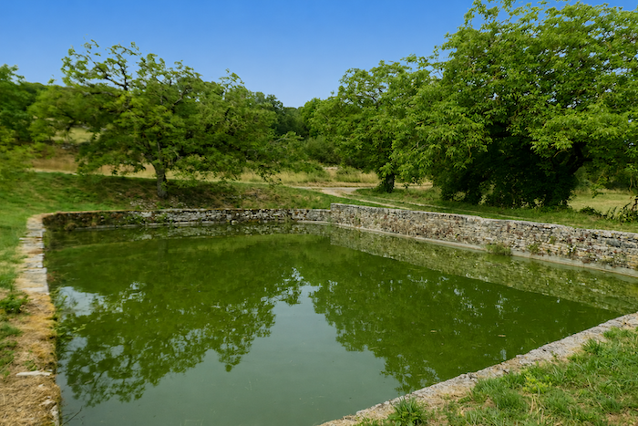
Just a few steps away, sheltered beneath welcoming oak trees and protected by a low stone wall, lies a remarkable “lavoir à papillons”, or butterfly washhouse. Before washing machines transformed daily life, washhouses played an essential role in every rural community. On the Limogne Causse, this pond and its unusual washhouse now appear almost like a mirage from another age. Several times each year, the women of the surrounding villages gathered here for the great communal wash. After boiling their laundry at home in water mixed with ashes to whiten the fabric, they carried sheets and clothing to this place. Long hours of work then unfolded, accompanied by conversation, laughter and occasional confidences. The stones arranged opposite one another, giving the washhouse its distinctive butterfly shape, allowed the washerwomen to lean comfortably while chatting as they worked. Today those voices have long since fallen silent. Only the carp in the basin have taken the place of the women who once gathered here. As for the greenish water of the neighboring pond, animated each spring by the chorus of toads, it still preserves part of the mystery that surrounds these peaceful surroundings. In recent years, even the carp seem to have abandoned the butterfly basin in favor of the nearby pond.
|
 |
 |
|
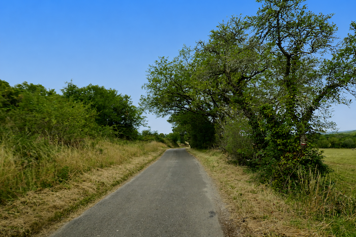
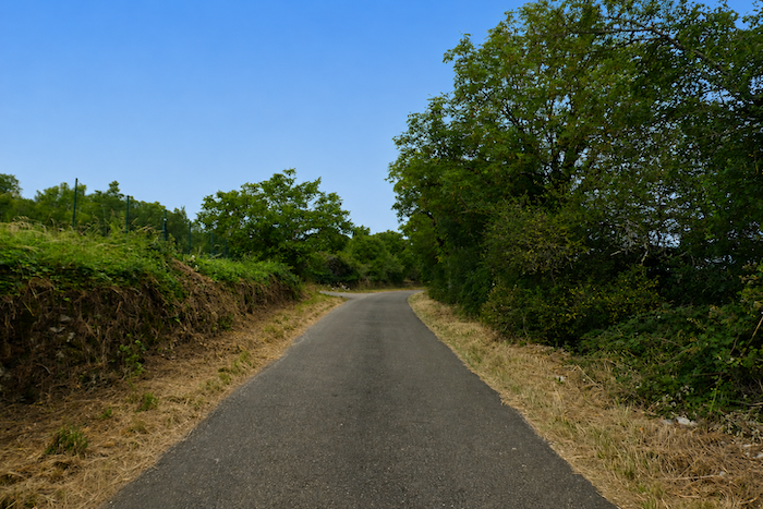
Not far from here lies St Jean-de-Laur, a small village of about two hundred inhabitants, remarkable for its blond stone houses and its characteristic dovecotes. The presence of dolmens and burial mounds reminds us that these lands have been inhabited since prehistoric times. Yet, as in so many rural parts of Quercy, the population has gradually declined. The phosphate mines fell silent, the vineyards disappeared, and today only sheep farming and truffle cultivation preserve part of the region’s traditional way of life. The GR65, however, does not pass through the village. Instead, it continues along a small departmental road towards the Mas de Mathieu and then the Mas del Pech.
|
 |
 |
|
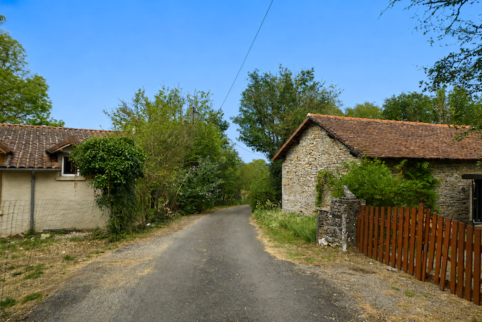
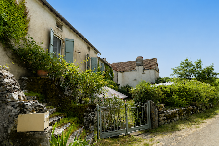
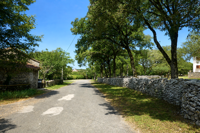
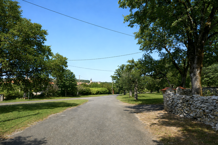
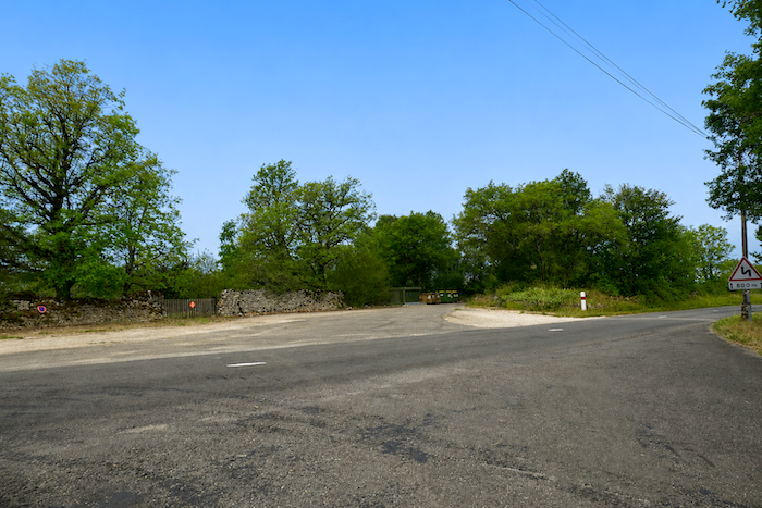
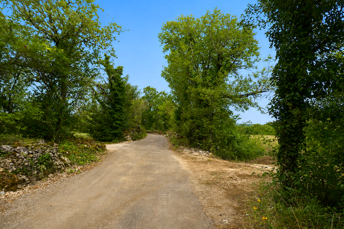
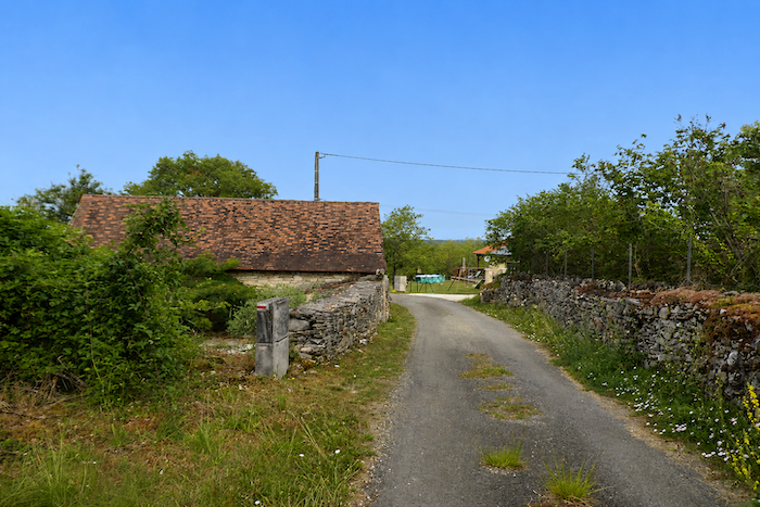
The road then runs through these scattered hamlets, each little more than a handful of houses gathered around a courtyard or an old well. Here, stone reigns supreme, giving the buildings a unity and simplicity perfectly suited to the surrounding landscape.
|
 |
 |
|
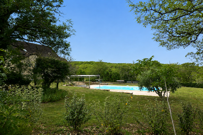
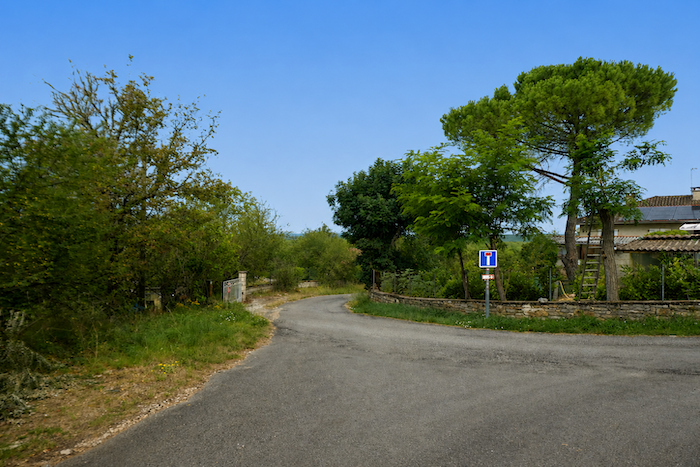
In places, larger country houses also appear, carefully hidden behind trees and enclosed gardens. Barely visible from the road, they lend a quiet elegance to a countryside where prosperity has always been expressed with discretion.
|
 |
 |
|
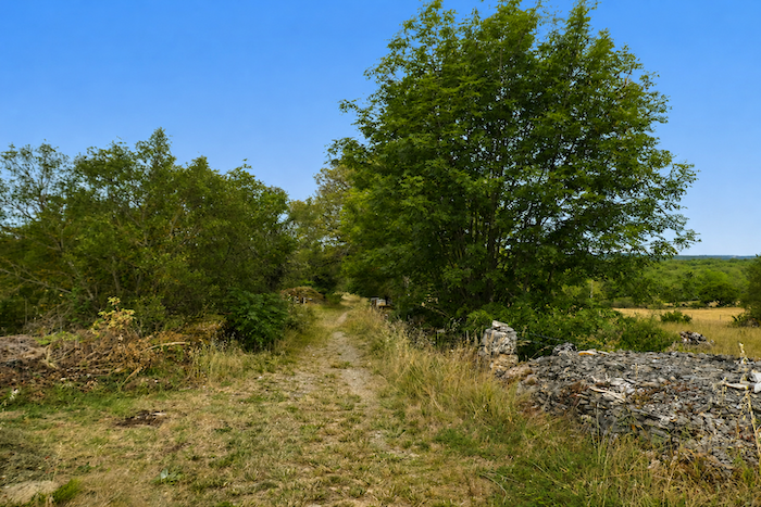
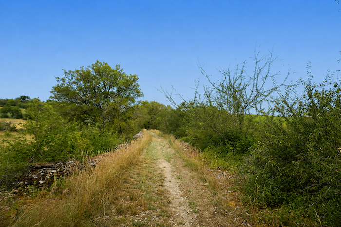
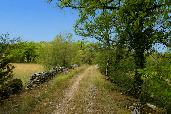
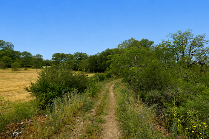
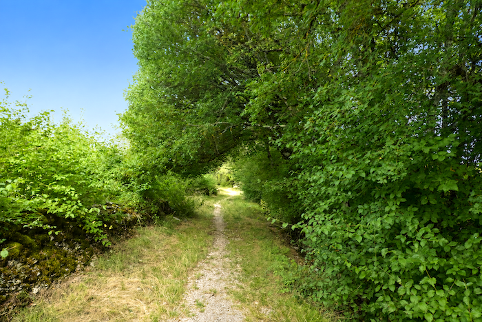
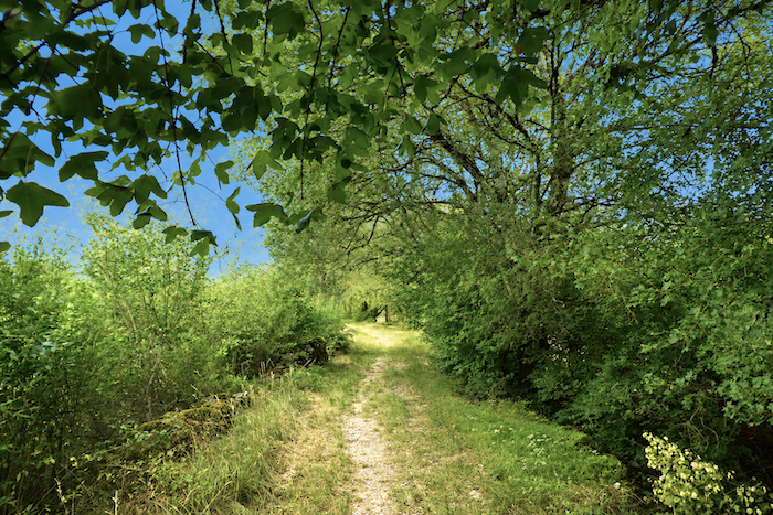
Farther on, the GR65 surrenders once again to the gentle character of the causse, lingering along a path that seems undecided between stone and grass. Sheltered by oak trees and accompanied by field maples and Montpellier maples, it follows its uneven course through clusters of dogwoods whose dense foliage borders the path. Nothing urges the walker onward here. The landscape imposes its own unhurried rhythm, that of broad rural spaces shaped more by time than by human hands.
|
 |
 |
|
 |
 |
|
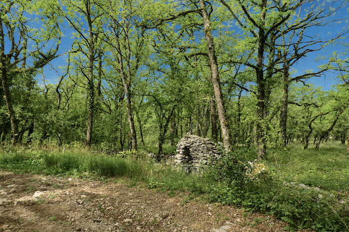
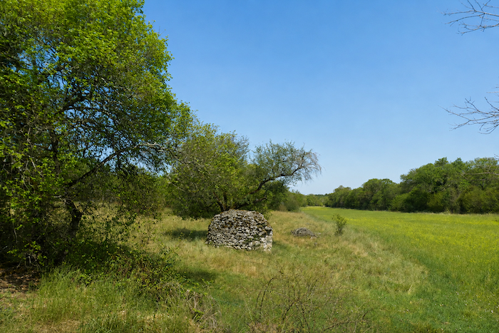
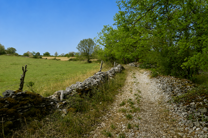
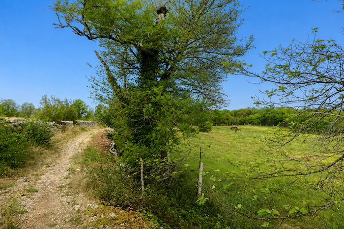
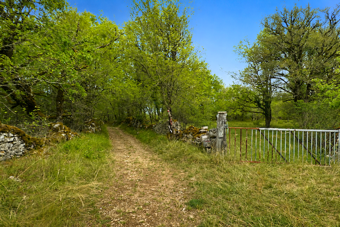
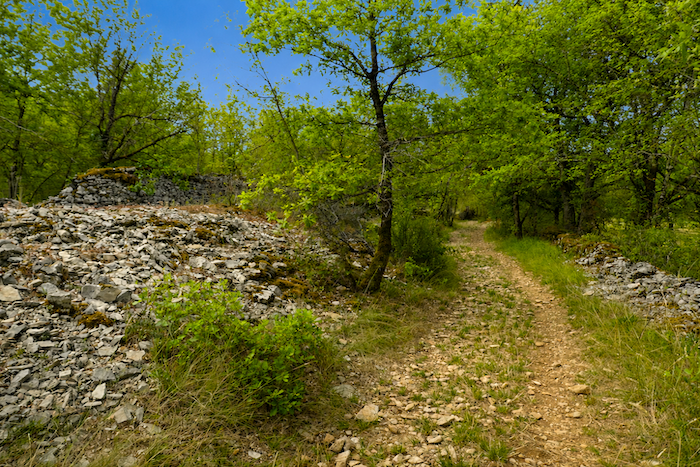
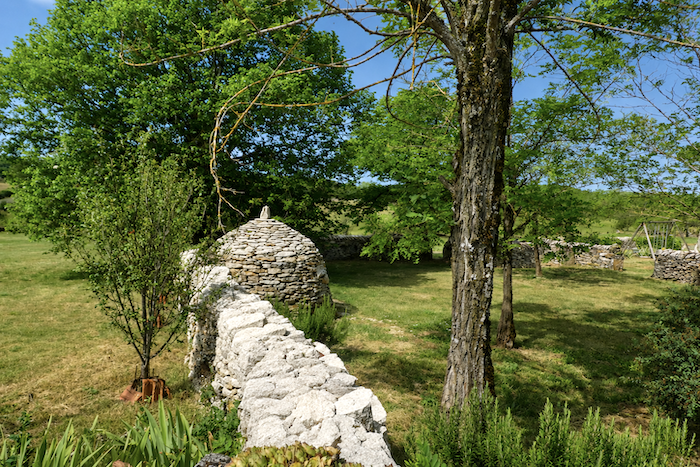
Modest broadleaved trees with occasionally twisted silhouettes, dry stone walls stretching so far that they disappear into the distance, discreet meadows where human activity seems content with only the essentials, such is the scenery accompanying the walker. Stone is everywhere. It forms the magnificent dry-stone walls, the “cayrous” as they are known here, true structural lines of the landscape standing like silent sentinels beside the paths. Yet stone is also the soul of the “caselles”, those small round or squat stone huts, now often abandoned, which still tell the story of the hard lives lived by earlier generations.
|
 |
 |
|
 |
 |
|
Everywhere, carefully arranged piles of stone, or sometimes simple heaps, stand along the edges of the fields. For centuries, farmers have tirelessly removed the ever-present limestone from the soil to gain just a little more cultivable land. Every field seems to bear witness to this patient struggle between people and rock. Here and there, a few cereal crops manage to grow in this reluctant soil. In the heat of the day, flies become the faithful companions of the solitary walker, buzzing insistently as though to remind us that life persists even in the most austere landscapes.
|
 |
 |
|
 |
 |
|
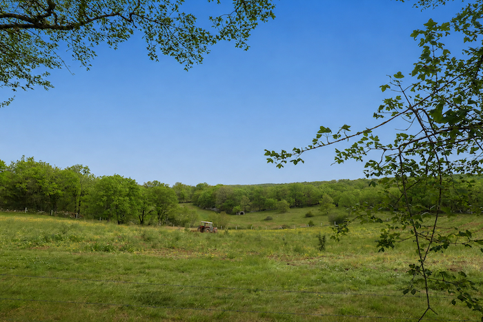
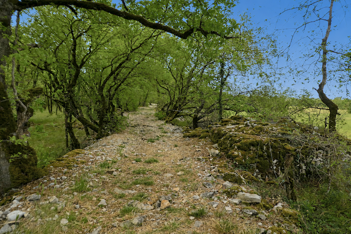
Everywhere, the rugged and untamed beauty of the causses reveals itself. Even their name seems to balance between the warmth of the sun and the harshness of stone, for these two elements together define their character. Limestone constantly breaks through the surface, in the fields, along the paths, within the dry-stone walls and even in the houses themselves. Water never lingers here for long. It disappears almost immediately into the fissured depths of the limestone beneath, leaving behind thin, demanding soils. Sheep are content with the sparse vegetation that, in places, resembles a true steppe. Cattle occasionally enjoy more favorable conditions in richer pastures nestled among the oak woodlands scattered across the plateau. Such is life on the causses, simple, discreet and profoundly attuned to this world of stone, light and wind.
|
 |
 |
Section 4: From one “Mas “to another
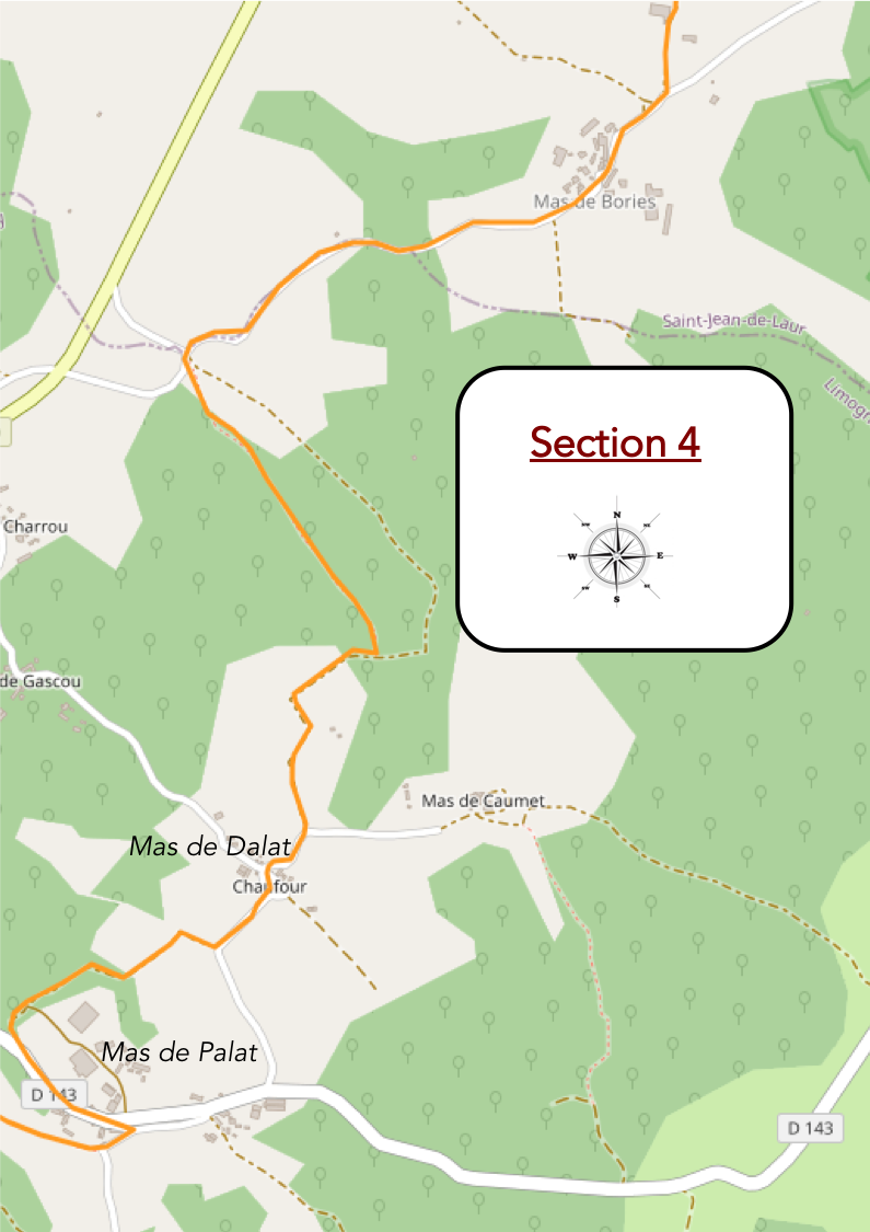
Overview of the route’s challenges: an easy section with no significant difficulties.
|
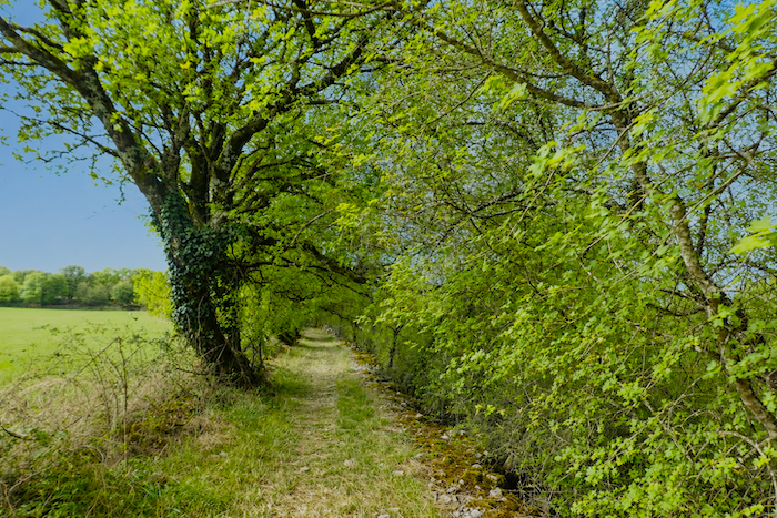
The path gradually leaves the woodland behind as it approaches the Mas des Bories.
|
|
 |
|
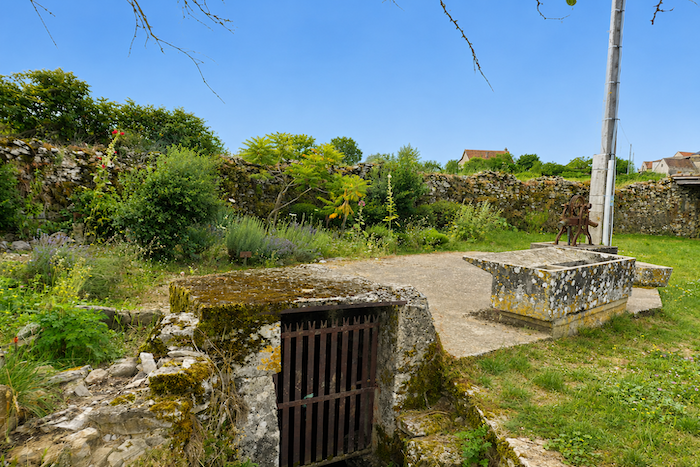
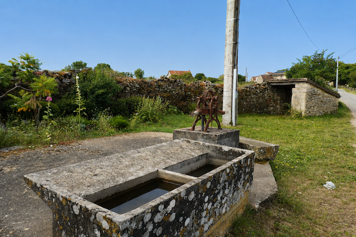
At the foot of the village, the Middle Ages still seem very much alive beside the path through its vernacular heritage, that humble rural heritage made up of modest treasures whose original purpose has gradually faded with time. Who would still use this butterfly washhouse, its limestone worn away by the centuries and now covered with mosses and fungi? Who could still draw water from this rusty hand pump that hardly anyone would know how to operate today?
|
 |
 |
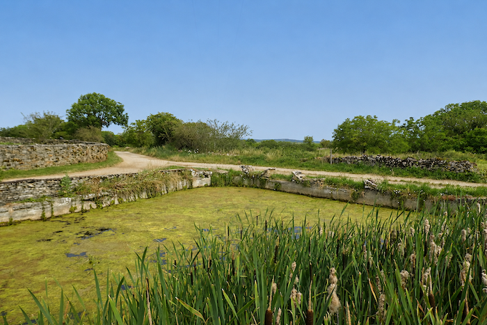
And who, apart from the toads at the end of spring, would dare dip their feet into the stagnant waters of the old pond?
|
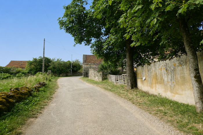
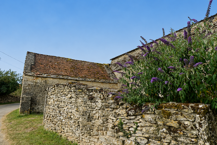
Within the hamlet, magnificent dovecotes and low, almost flattened stone houses brighten the landscape. A few years ago, the communal bread oven was carefully restored. Some hamlets decline less rapidly than others. The houses grow old, yet they do not die, thanks to the devoted care of those who still look after them. The village appears deserted, yet signs of life remain everywhere. Outside one doorway lies the equipment once used for milking goats, a wide mouthed funnel, a skimmer and an assortment of buckets.
|
 |
 |
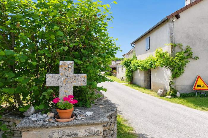
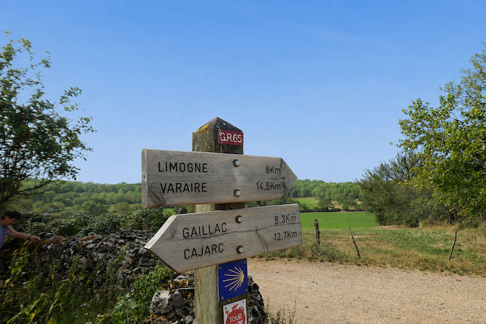
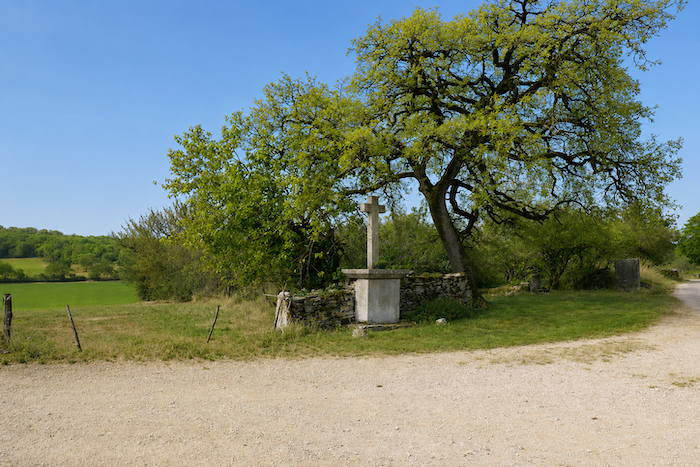
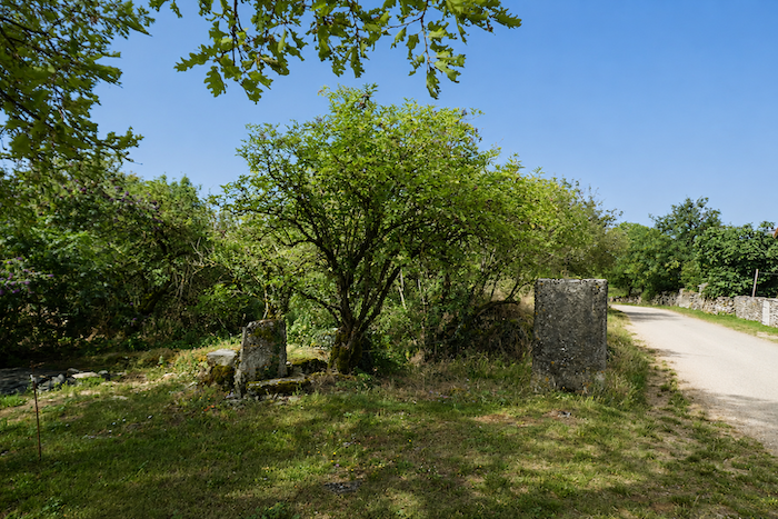
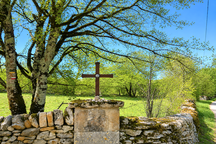
You then leave the Mas des Bories and its stone cross behind. Whether they are calvaries, mission crosses, boundary crosses or small roadside shrines, these crosses have always served as landmarks, both religious and practical, for pilgrims along the path. From here, Limogne-en-Quercy lies six kilometers away.
|
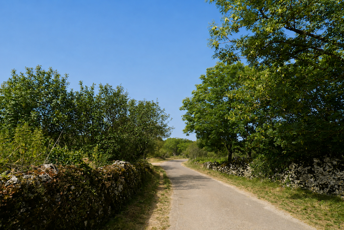
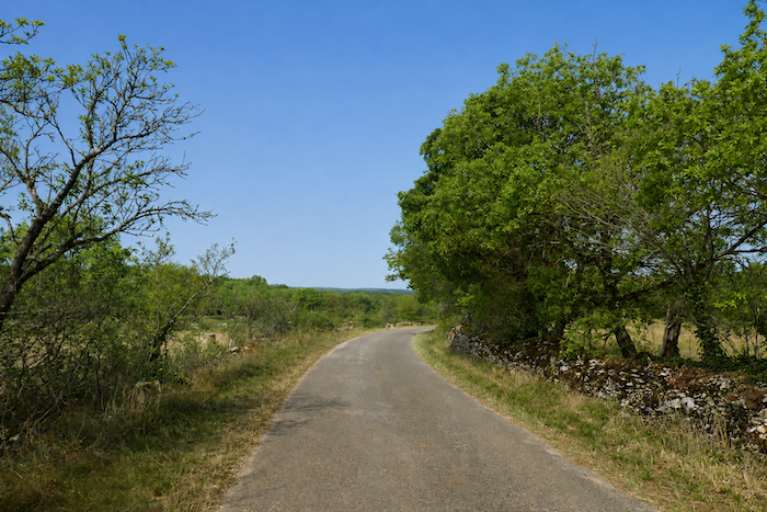
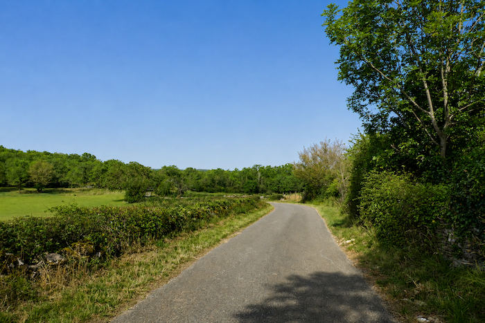
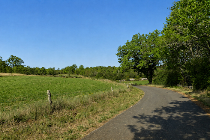
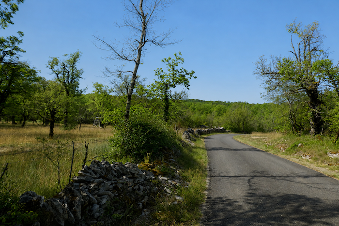
Leaving the Mas des Bories, the GR65 resumes its course with a gentle descent along a narrow paved road. On either side, the hedgerows weave together wild roses, dogwoods and brambles, forming untamed borders where nature flourishes freely. Box trees, once abundant across these limestone lands, have now become scarce. The devastation caused by the box tree moth has left behind countless dried silhouettes, discreet reminders of the profound changes that have recently affected the landscape.
|
 |
 |
|
 |
 |
|
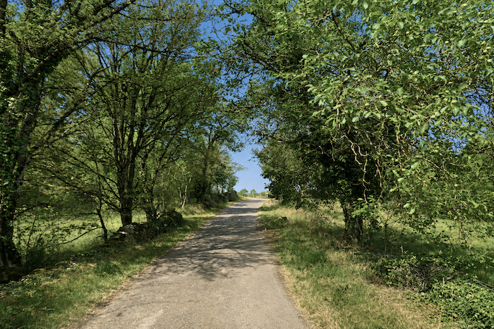
Like everywhere on the causses, dogwoods hold a special place here. In a way, they are the mimosas of Quercy. When spring returns, their delicate blossoms brighten the paths and herald the great awakening of nature. It is the season when hikers return in large numbers, as trees and shrubs dress themselves in an endless range of fresh, luminous greens. Others will prefer the blazing colors of autumn or the long summer days, when the brilliant light floods the landscape and the flowers have already given way to the fruits and seeds of the coming season.
|
 |
 |
|
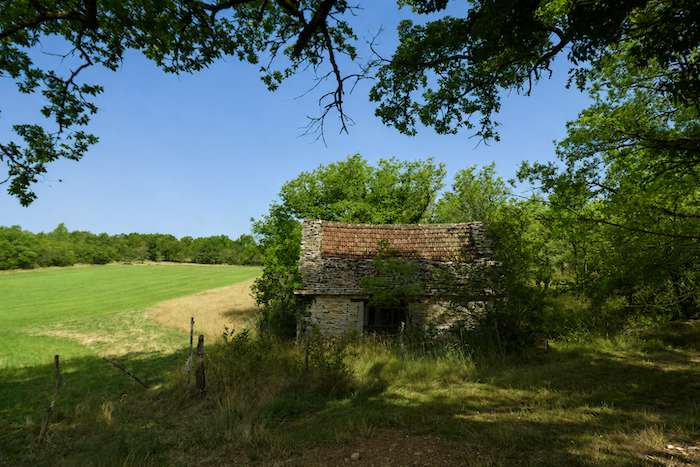
The road continues beneath the shelter of the trees. Around a bend, old stone barns occasionally appear, their present purpose difficult to guess. Do they still serve the needs of farming, or have they become nothing more than silent guardians of a vanished past? No one can say for certain. Sheltered beneath the broadleaved trees, they seem suspended somewhere between reality and memory, offering the walker a presence that is at once familiar and mysterious.
|
 |
 |
|
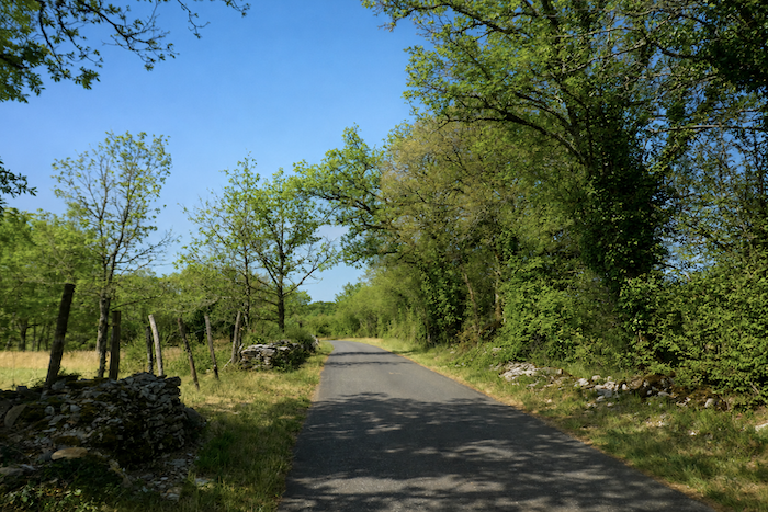
From time to time, dedicated enthusiasts still restore the old dry-stone walls. In doing so, they preserve a traditional craft that shaped this entire landscape. These endless stone boundaries were built block by block, mainly during the nineteenth century, when the population of the Lot was almost twice what it is today. Every parcel reclaimed from the forest represented precious wealth. Stones were tirelessly removed from the ground to enlarge fields and pastures. Every square meter gained promised a little more grain or a little more grazing for livestock. Then came the decline of small-scale farming and the rural exodus towards the towns. The countryside gradually emptied, allowing the forest to reclaim the land that generations had once cultivated. Today, the stone walls remain as the last witnesses to that remarkable human endeavor. Some still stand proudly, while others slowly collapse beneath ivy, mosses, brambles and the passing years. Yet they continue to lend the landscape that extra measure of soul so greatly appreciated by walkers and by those who remain deeply attached to this land.
|
 |
 |
|
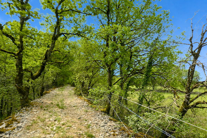
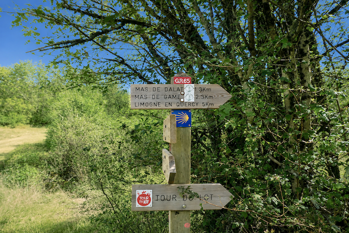
After about one kilometer on the road, the GR65 happily returns to the shade of the causse woodland. Everything here speaks of dryness. Stone emerges everywhere, while water remains elusive. Streams are rare and rivers absent. The plateau seems to live with an ancient thirst, relieved only by occasional rain before the water once again disappears into the depths of the limestone.
|
 |
 |
|
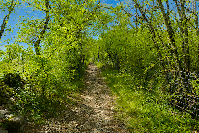
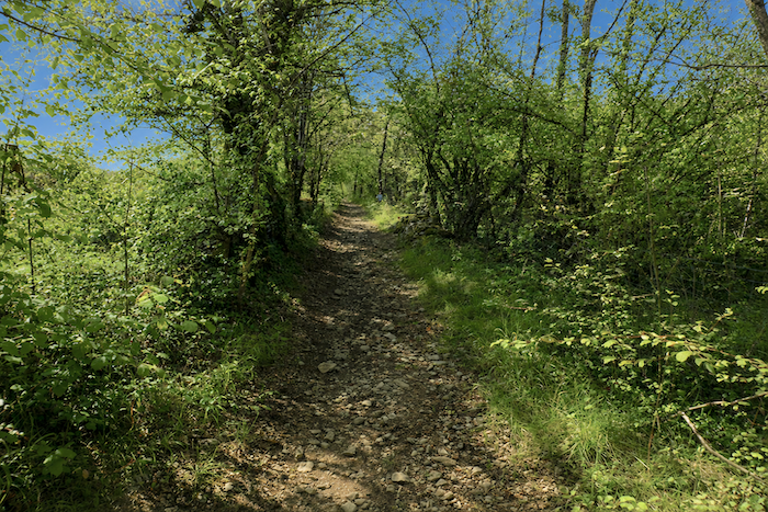
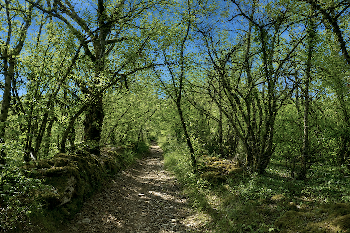
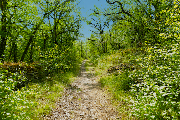
A narrow forest trail first climbs rather steeply before gradually easing beneath the canopy. The stony ground, where limestone frequently breaks through the surface, reminds the walker with every step that the causse never offers anything without effort. Yet these sun scorched limestone slabs and poor soils support a remarkable vegetation adapted to drought, junipers, privets, broom, wild dogwoods and many other hardy shrubs that have long learned to make the most of every trace of moisture. As for the lichens and mosses, they seem determined to conquer every mineral surface. They cloak the rocks, invade the old stone walls and sometimes even drape the trunks themselves in shades of green and silver.
|
 |
 |
|
 |
 |
|
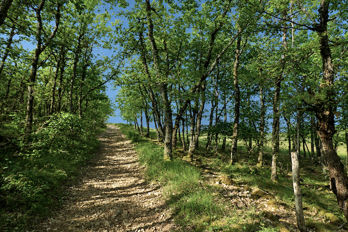
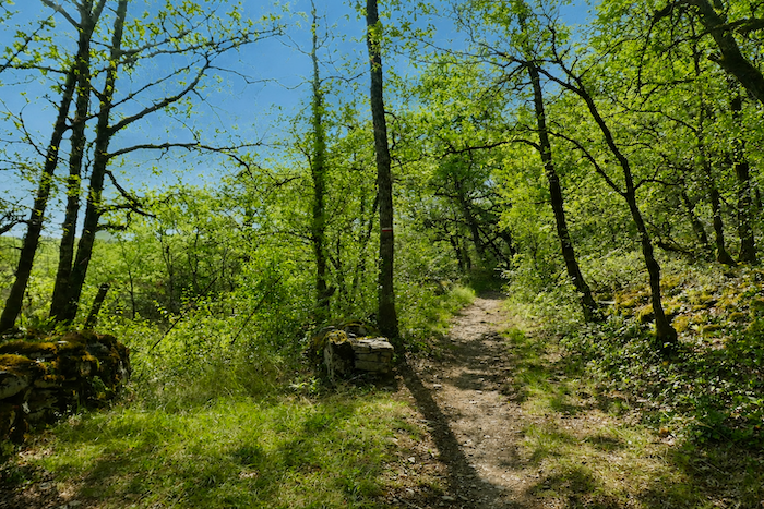
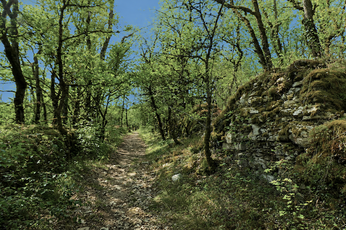
Could there be a softer resting place than these thick carpets of moss spread by nature beneath the oaks? Their slender trunks, standing as straight as a giant game of pick-up sticks abandoned by some playful creator, rise towards the light to form a woodland that is at once simple and elegant.
|
 |
 |
|
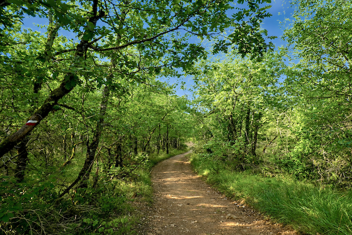
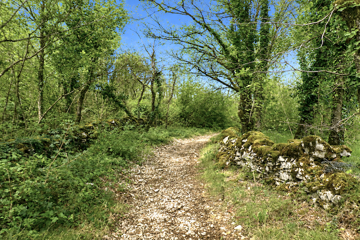
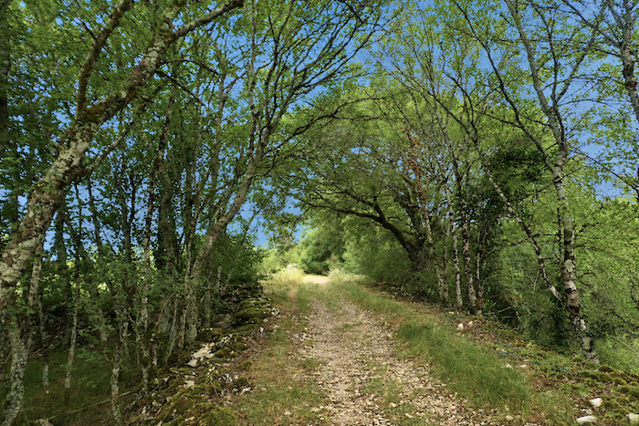
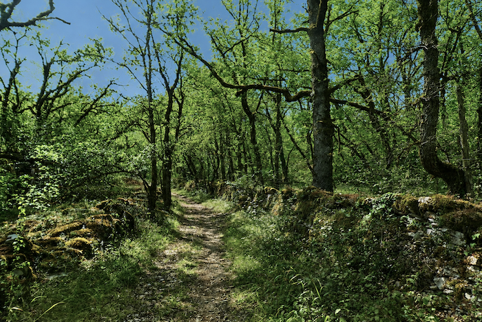
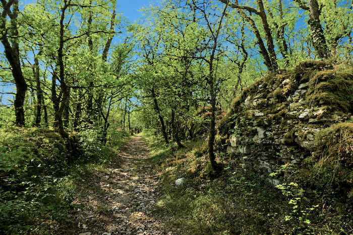
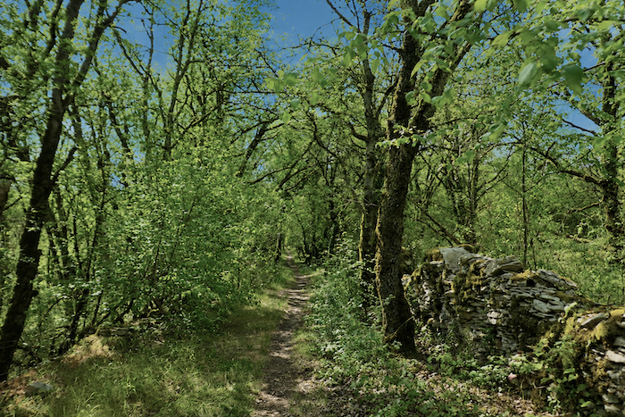
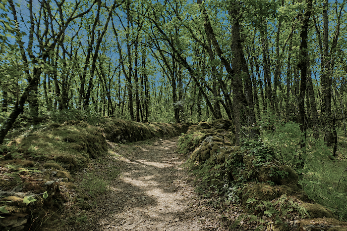
The path then disappears into the cool shade of the woodland, as though drawn into a true cathedral of greenery. On either side, the dry-stone walls gradually vanish beneath a thick blanket of moss while young broadleaved trees interlace their branches above the trail. Here, maples and oaks create a light canopy that filters the sunlight without ever completely shutting it out.
|
 |
 |
|
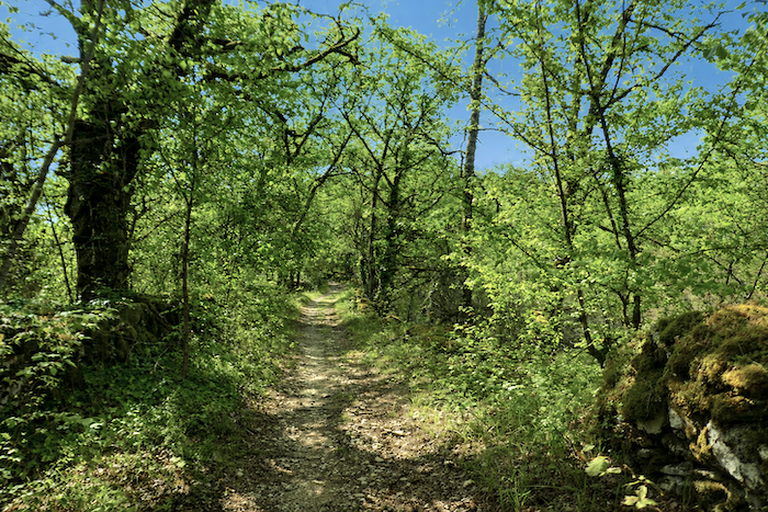
Beneath your feet, the stony earth winds between roots and limestone outcrops. Your eyes naturally follow the path as it threads its way through generous, silent vegetation. For a while, the walker moves through a living tunnel where every bend and every shaft of light seems to promise the discovery of yet another beautiful landscape. During these peaceful moments, the harshness of the causse is forgotten, replaced by the profound tranquility of this luminous forest.
|
 |
 |
|
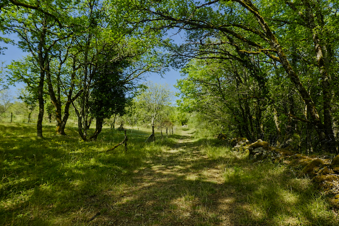
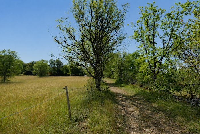
Gradually, the path leaves the cool woodland behind. The trees become more widely spaced, the light once again takes possession of the landscape and the first meadows reappear between the groves. After the intimacy of the forest, the scenery opens once more into the broad expanses so characteristic of the causses.
|
 |
 |
|
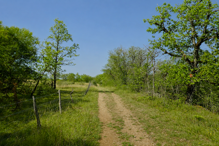
Here and there, plantations of truffle oaks appear. Those familiar with truffle cultivation easily recognize them by the mark left by the underground mycelium around the base of the trees, a darker, almost bare circle where little vegetation manages to grow. Limogne-en-Quercy is one of the leading centers of truffle production in the Lot region.
|
 |
 |
|
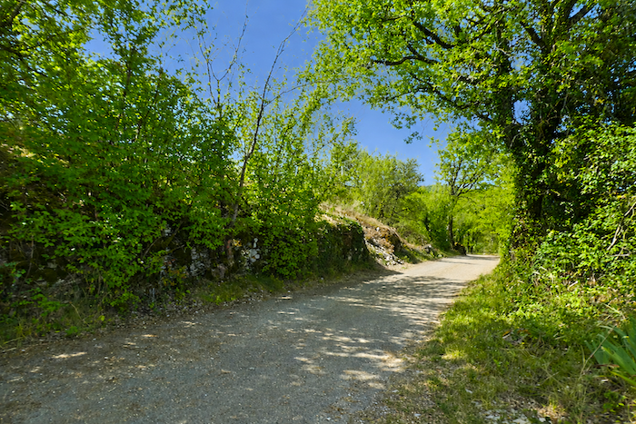
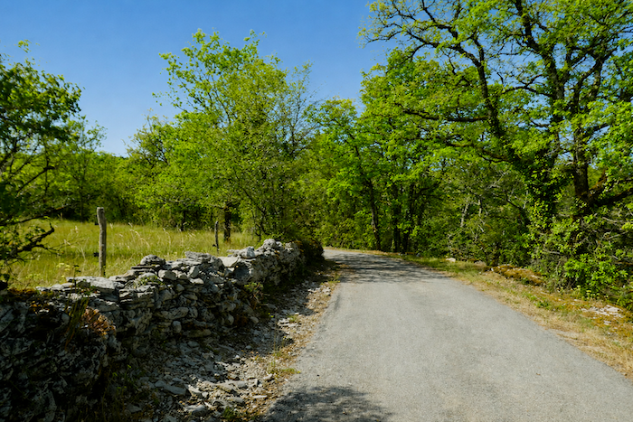
Soon the soles of your boots meet asphalt once again. The causse has lost none of its beauty, yet paved roads always introduce a slight interruption in the dialogue between the walker and the landscape. The road descends gently before climbing once more towards the hamlet of the Mas de Dalat.
|
 |
 |
|
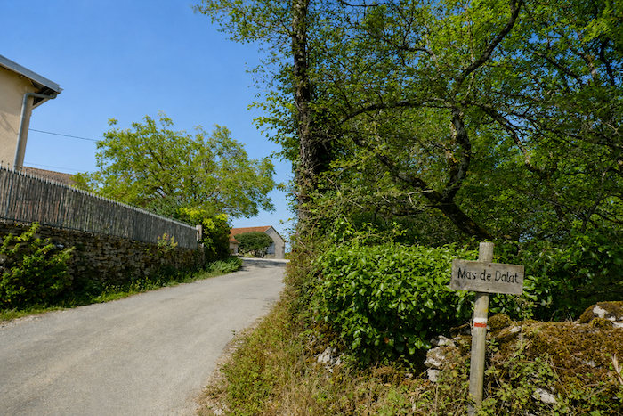
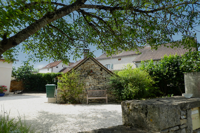
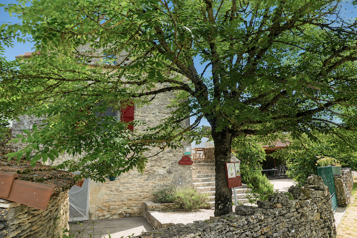
At the entrance to the hamlet, an elegant granite cross has watched over the crossroads for generations. Around it stand beautiful stone houses whose façades capture the light with remarkable warmth. The blond and grey tones of the limestone sometimes seem almost to glow beneath the sun. Alongside these old dwellings stand a few more recent, practical buildings, reminding us that life continues to adapt to the demands of the present day.
|
 |
 |
|
Some properties even proudly display their own “caselle” in a corner of the garden. These small dry-stone huts, emblematic of the causse, have gradually become much more than simple shelters. They have come to embody part of the very identity of this region.
|
 |
 |
|
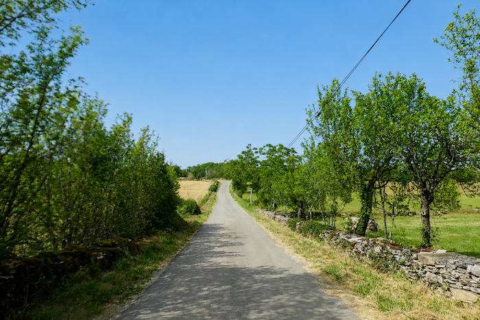
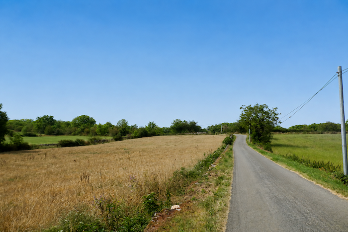
At the Mas de Dalat, for the first time in quite a while, the eye once again embraces the full openness of the causse. The horizon widens, the relief softens and cultivated fields reappear. Quite unusually for these generally poor and stony lands, a number of cereal fields can still be seen growing here.
|
 |
 |
|
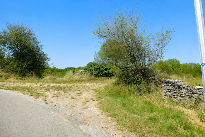
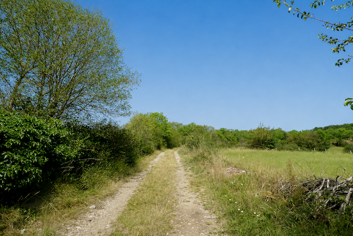
Yet this interlude on asphalt is brief. Before long, the GR65 leaves the outskirts of the hamlet and returns to its traditional alignment. The path once again enters the familiar world of the causses, among dry stone walls, scattered oaks and tracks where limestone constantly emerges beneath the pilgrim’s feet.
|
 |
 |
|
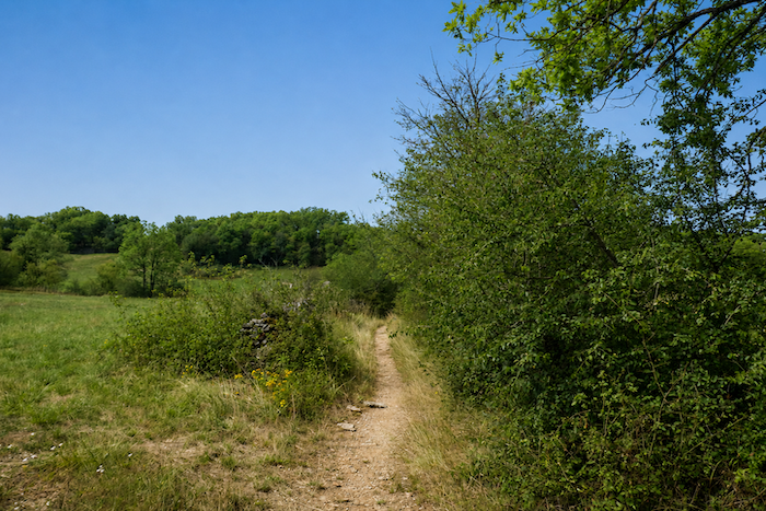
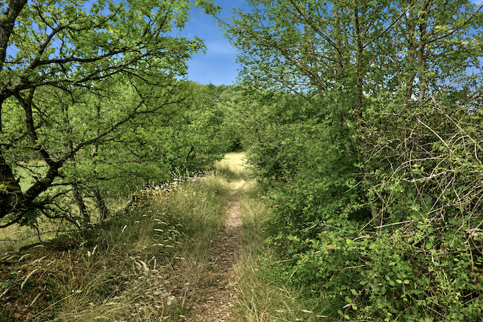
The GR65 then follows a narrower trail, a path wavering between hardened earth and countless fragments of exposed limestone beneath your boots. It threads its way between dry stone walls, brushes past tall grasses and crosses stretches of scrub where shrubs seem eager to reclaim the passage.
|
 |
 |
|
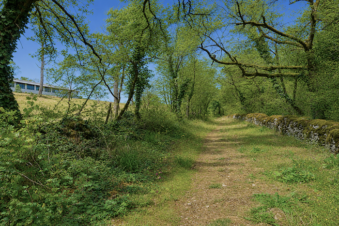
Little by little, however, the causse loses a little of its wild enchantment. Human activity has left a more visible mark here, one far less discreet than that of the generations who patiently built the stone walls. Above the path stand modern livestock buildings where animals are housed in large concrete structures that contrast sharply with the mineral harmony of the surrounding landscape. They are perhaps pig farms.
|
 |
 |
|
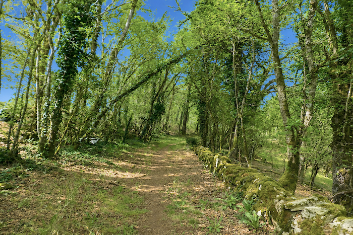
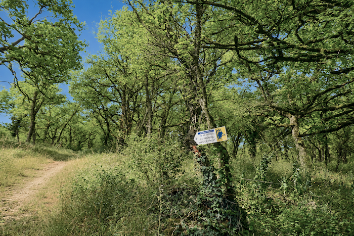
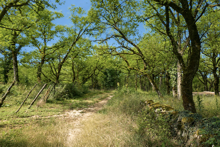
Yet it should also be remembered that these lands are not a frozen landscape. They remain alive thanks to the people who continue to work them. Here, as elsewhere, farmers are the true guardians of the causse. Not far from the path, an old “caselle” continues its quiet dialogue with time, leaning against the very stone from which it was built. Around Cahors, such shelters are more commonly known as “gariottes”, but whatever the name, they remain among the most endearing symbols of landscapes patiently shaped by generations of determined men and women.
|
 |
 |
|
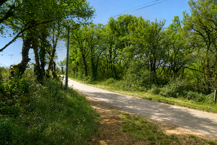
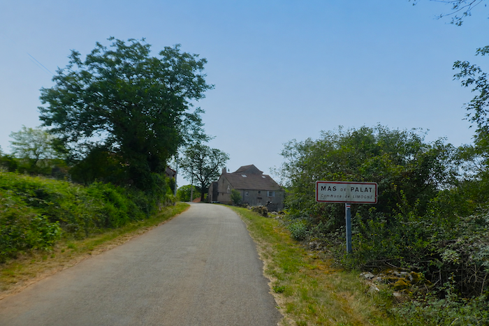
A small road then takes over, climbing gently towards the Mas de Palat.
|
 |
 |
|
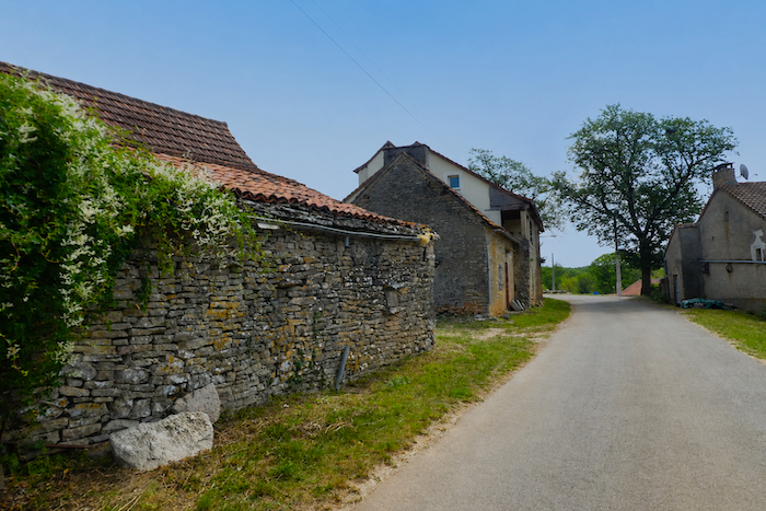
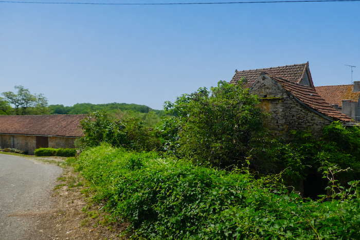
The hamlet soon comes into view, modest and peaceful. A handful of houses built of grey sandstone and limestone rubble gather beside the road, their façades displaying the restrained and harmonious colors of the local stone.
|
 |
 |
|
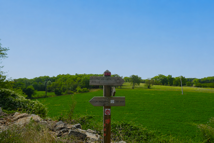
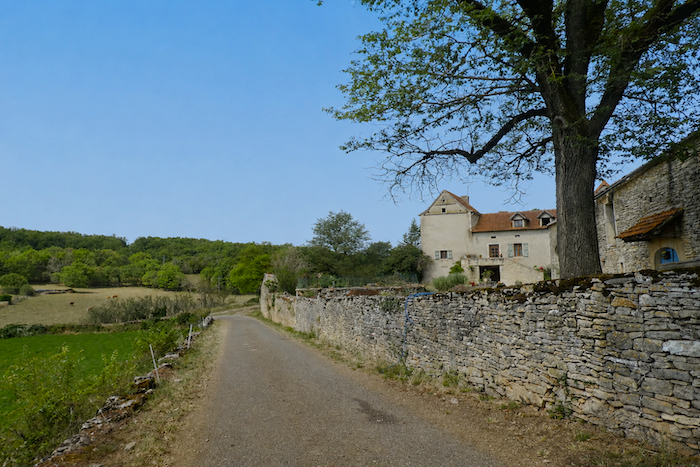
Beyond the last houses, the road descends gently below the village. There, a larger farm seems to preside over the surrounding countryside. Overlooking the neighboring fields and meadows, it occupies the place of the local lord, reminding us that on the causse, agriculture remains, even today, the true master of the land.
|
 |
 |
Section 5: Limogne-en-Quercy, in the land of the black truffle
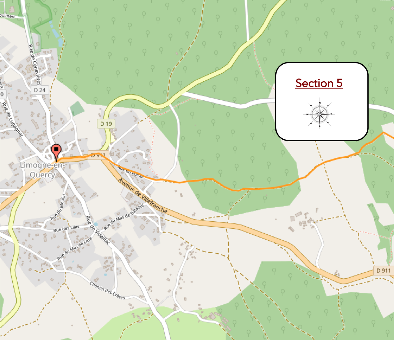
Overview of the route’s challenges: an easy route with no significant difficulties.
|
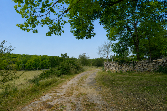
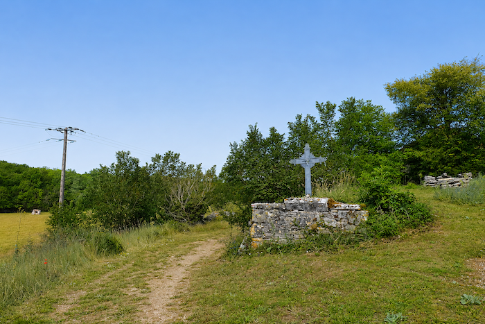
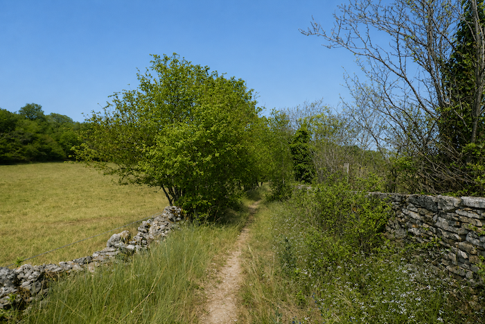
Near a simple metal cross standing beside the path, the GR65 once again encounters what truly defines the soul of the causses. Oak trees reclaim the landscape, dogwoods accompany the walker, and the endless dry-stone walls reappear on either side of the trail. Even more than the trees or the houses, these walls are the true ambassadors of these limestone plateaus, silent witnesses to the patient dialogue between people and stone.
|
 |
 |
|
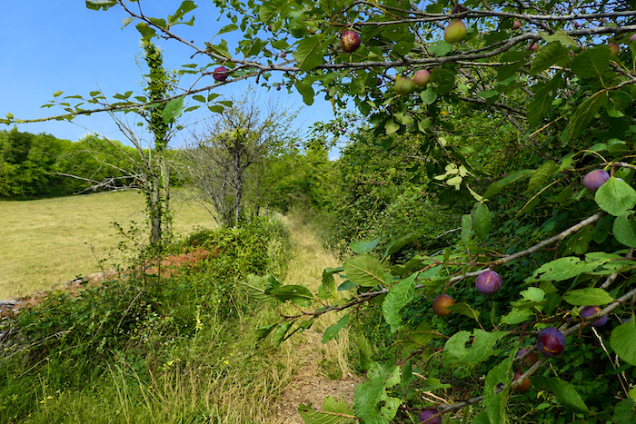
Along the route grow fig trees, walnut trees and wild blackthorns. Each seems perfectly at home in this austere landscape. The walnuts, well protected inside their shells, easily resist the walker’s temptation. As for the figs and prunes, you simply have to be fortunate enough to pass through at the right season. Although wild blackthorn grows on the Limogne Causse, it is less common here than on the more southerly lands of the Rocamadour Causse.
|
 |
 |
|
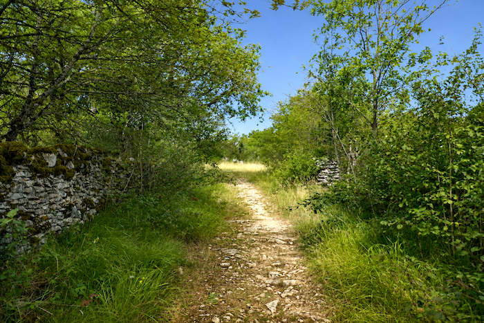
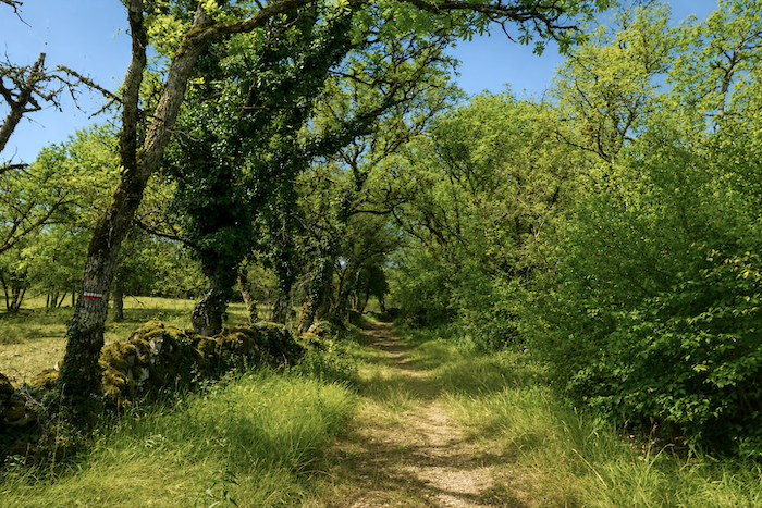
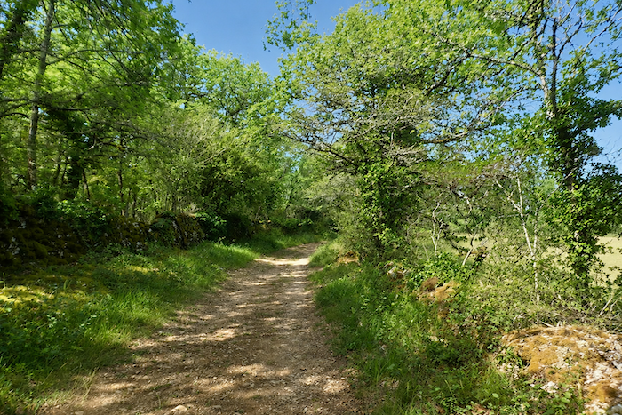
The path continues its gentle undulations across the shallow folds of the plateau. It winds between slight hollows and gentle rises beneath the canopy of trees. At first narrow and carpeted with grass, it gradually widens into a more mineral path where stone slowly reclaims its place. Everywhere, thick moss blankets the old dry-stone walls, giving them the appearance of enchanted ruins from another age.
|
 |
 |
|
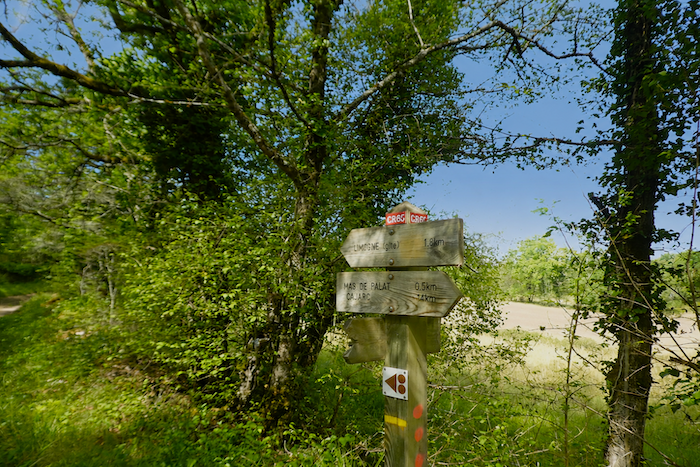
As so often on the causses, silence reigns supreme. Nothing truly disturbs the walk except the wind whispering through the leaves or the brief song of an unseen bird. This peaceful atmosphere accompanies the pilgrim until the outskirts of Limogne-en-Quercy, now only a few kilometers away.
|
 |
 |
|
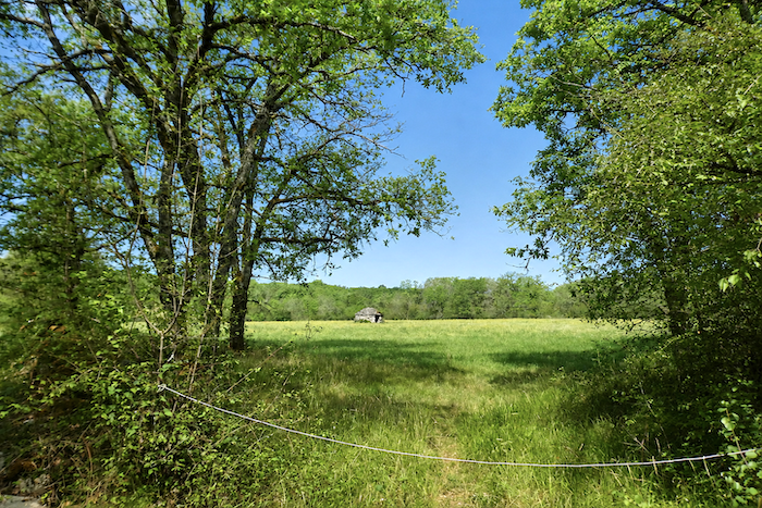
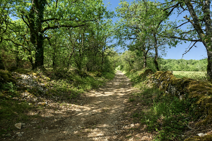
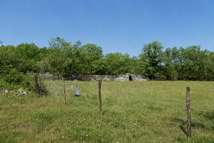
Then comes another uninterrupted display of the causse’s remarkable heritage. Moss covered stone walls stretch endlessly into the distance, while “gariottes” appear at the edge of woodlands, beside fields or half hidden among the undergrowth. Some still stand proudly, while others slowly seem to return to the stone from which they were born. Here, vernacular heritage is not simply part of the scenery, it is the landscape itself. Every wall, every stone hut and every carefully placed rock tells its own story of centuries of rural life.
|
 |
 |
|
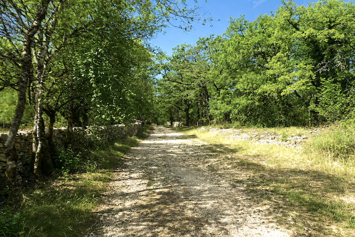
Gradually, the landscape opens up. The trees become less dense and the light spreads more freely across the plateau. The path grows broader and more open, while the dry-stone walls become higher and more imposing, as though the causse wished to offer one final demonstration of its remarkable craftsmanship before the approach to the village.
|
 |
 |
|
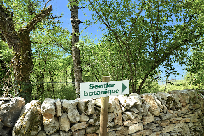
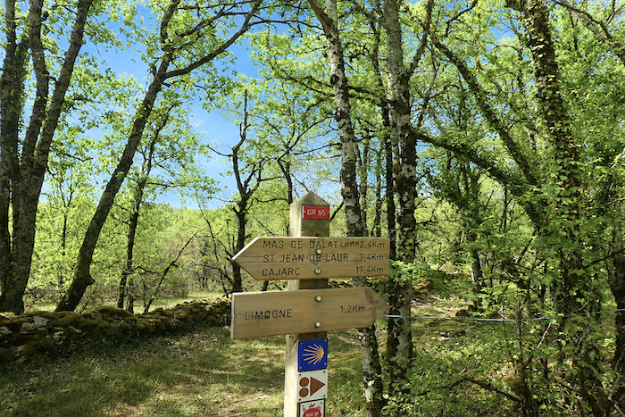
Soon afterwards, the GR65 joins a botanical trail laid out through the final landscapes of the causse. This pleasant diversion gives the walker another opportunity to appreciate the quiet richness of a natural world that is too often crossed without being fully observed.
|
 |
 |
|
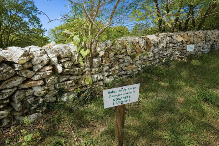
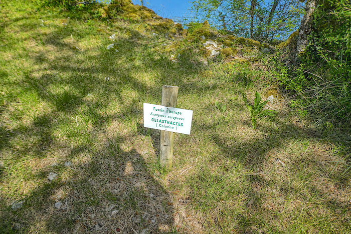
Between the great dry-stone walls bordering the route, it becomes easier to identify the trees and shrubs encountered throughout the stage. Downy oaks, Montpellier maples, hornbeams, dogwoods, blackthorns and junipers form a patient botanical inventory that quietly reveals the true identity of the Causses du Quercy.
|
 |
 |
|
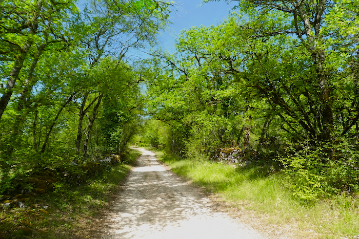
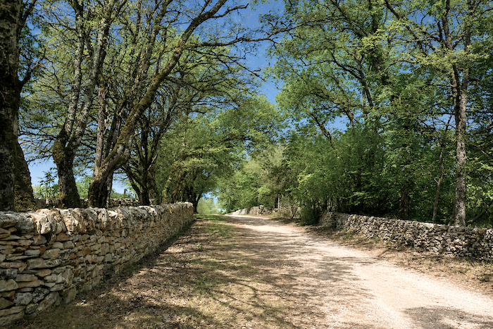
Along this broad avenue filled with charm and tranquility, the path now advances confidently towards Limogne-en-Quercy. Sunlight dances through the leaves, the dry-stone walls continue their endless course between the trees, and the walker savours the final moments of this immersion in the landscapes of the causse.
|
 |
 |
|
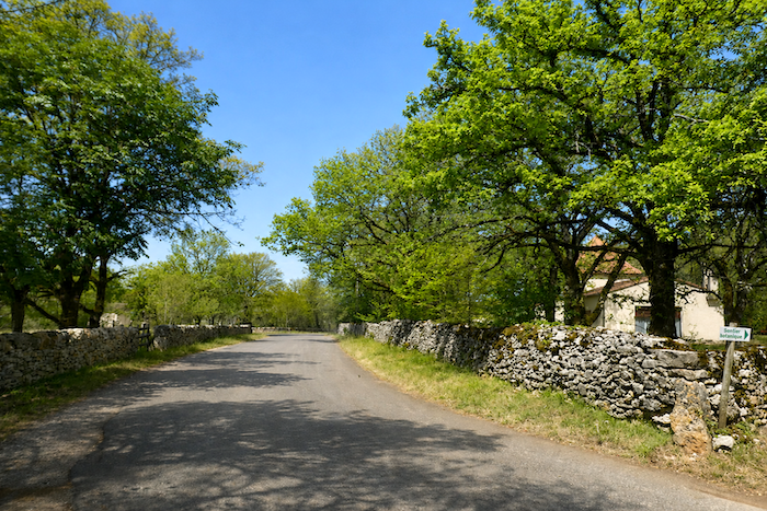
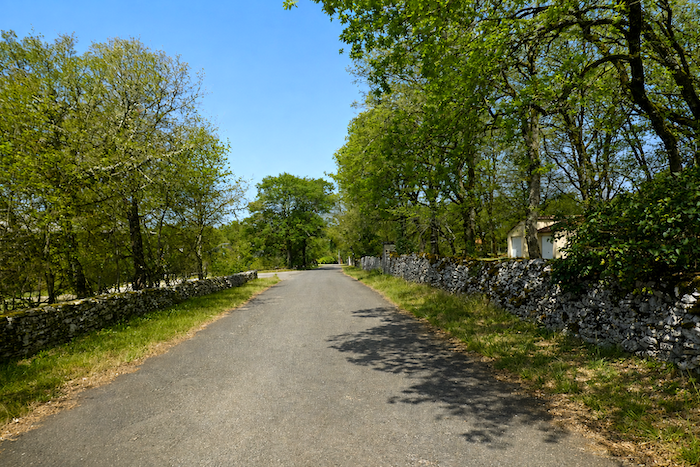
After crossing a broad wooded area, the path finally reaches the outskirts of the village. The first houses gradually appear, announcing the end of this long crossing of the limestone plateaus.
|
 |
 |
|
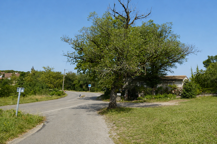
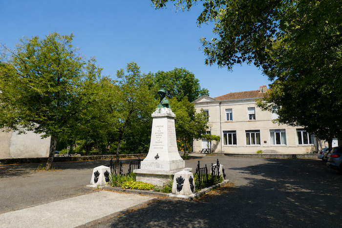
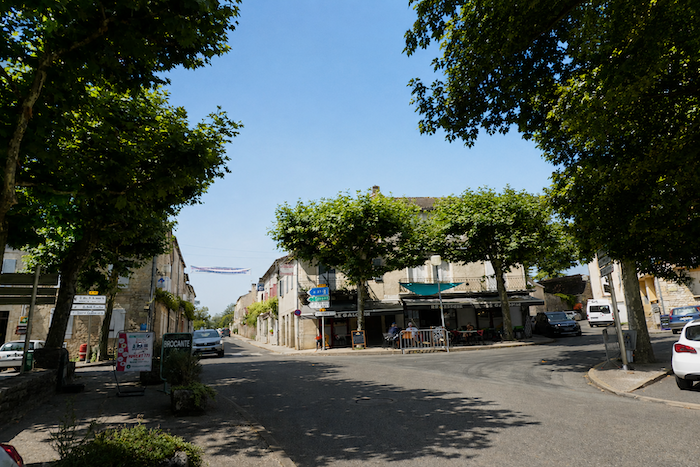
The departmental road divides the village in two. It passes the communal pilgrim hostel, continues by the memorial dedicated to the village’s departed inhabitants, and naturally leads towards the center, where the shops, cafés and local services are gathered. After long hours of solitude along the paths, returning to the lively atmosphere of a small rural community provides a welcome contrast.
|
 |
 |
|
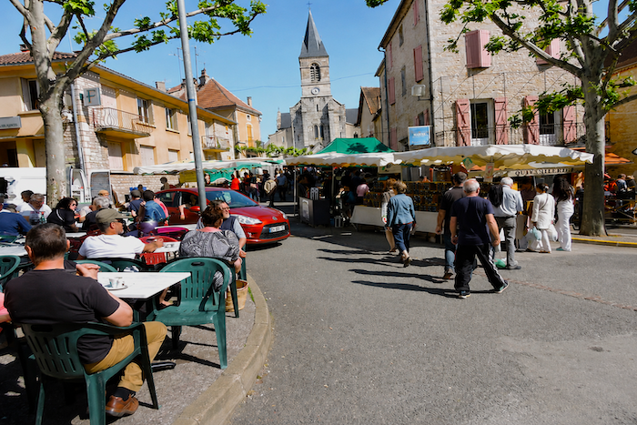
Today, Limogne-en-Quercy has fewer than eight hundred inhabitants. Yet its reputation extends far beyond the boundaries of the surrounding district. Pilgrims on the Camino de Santiago have stopped here for centuries, but they are far from being its only visitors. Lovers of the causse landscapes come in search of the authenticity of this remarkably well-preserved region. Above all, Limogne remains one of the great centers of the famous black truffle of Quercy. From December to March, and again from June to August, regular truffle markets bring the village to life, attracting growers, chefs and knowledgeable enthusiasts. In this field, however, there is one local rival, Lalbenque, located a little farther south along the route and regarded by many as the true capital of the Quercy truffle. Sundays belong to the traditional market, which continues to fill the heart of the village with local produce, lively conversations and the timeless atmosphere beneath the plane trees.
|
 |
 |
Accommodation on Via Podiensis
- Chambres d’hôtes Delvit, 618 Ch. de la Route Vieille, Pech d’Andressac; 06 24 11 11 69; Guestroom, breakfast, cuisine
- Chambres d’hôtes Escarrié, Chemin de la Rivière, Gaillac; 06 41 80 37 72/06 56 89 00 47; Guestroom, dinner, breakfast
- Gîte La Grange du Marcheur, 162 Chemin du Château, Gaillac; 06 74 93 77 20/06 19 85 60 08; Gîte, dinner, breakfast
- Les Chambres du Chat, 813 Chemin d’Ebral, Gaillac; 06 58 27 01 09; Guestroom, dinner, breakfast
- Gîte Au Chemin Partagé, Place de l’Église, St Jean-de-Laur; 06 10 36 07 20; Gîte, dinner, breakfast, cuisine
- Gîte La Maisonnette, 149 Route de Cajarc, St Jean-de-Laur; 06 03 27 60 91; Gîte, breakfast, cuisine
- Chambres d’hôtes Arenas, Mas Delpech; 05 65 11 46 95/06 21 09 60 61; Guestroom, dinner, breakfast
- Chambres d’hôtes La Hulotte**, Mas de Games; 05 65 31 58 51/06 17 38 84 47; Guestroom, dinner, breakfast
- Gîte du Cartographe, Mas de Gascou; 06 75 37 35 49; Gîte and Guestroom, dinner, breakfast
- Chambres d’hôtes La Hulotte**, Mas de Games; 05 65 31 58 51/06 17 38 84 47; Guestroom, dinner, breakfast
- Camping Bel-Air**, 311 Rue de la Piscine, Limogne-en-Quercy; 06 79 23 30 99; Gîte, dinner, breakfast, cuisine
- Gîte La Maison en Chemin, 99 Rue de Lugagnac, Limogne-en-Quercy; 05 65 23 24 41/06 85 37 20 59; Gîte, dinner, breakfast
- Gîte Au Bon Marché, 8 Rue du Grainetier, Limogne-en-Quercy; 06 95 19 40 18; Gîte, dinner, breakfast
- Gîte communal, Route de la Halle, Limogne-en-Quercy; 06 12 84 86 47; Gîte, cuisine
- Gîte A l’Omre des Tilleuls, 110 Rue de Lescure, Limogne-en-Quercy; 06 82 93 24 36; Gîte, breakfast, cuisine
Year after year, the Camino de Santiago changes and reinvents itself with the seasons and the footsteps of pilgrims. Some accommodations close their doors, while others, modest or unexpected, come into being. It would therefore be unrealistic to claim to provide a fixed and exhaustive list. This guide includes only accommodations located directly on the route or within one kilometer of it. The selection was updated in 2026 and should therefore not undergo any major changes in the coming years. For those wishing to go further, one publication stands out as the essential reference: Miam Miam Dodo, easily available online. The main strength of this guide lies in its yearly updates. It not only lists accommodations located directly on the route, but also addresses slightly off the route, a valuable resource when heavy pilgrim traffic makes overnight stops more uncertain. It also contains a wealth of practical information: welcoming bars, restaurants along the way, and providential bakeries, all of which punctuate the journey. Alongside these traditional resources, another presence has become unavoidable: Airbnb. The platform has established itself as a major reference in the tourism landscape, even in the most discreet or less developed regions. However, as everyone knows, exact addresses are not displayed directly, which requires a degree of anticipation. On the Camino, finding a bed at the last minute can sometimes depend on sheer luck. But luck, by its very nature, cannot be considered a strategy. Booking ahead is therefore strongly recommended. Finally, when making arrangements, be sure to inquire about dinner and breakfast options. These details, seemingly minor, can greatly soften the hardships of a stage.
If we take stock of the accommodation available, there are only around 90 beds before reaching Limogne, with a further 85 beds in Limogne itself. During the peak walking season, the number of pilgrims on the Via Podiensis generally ranges between 100 and 200 per day. Accommodation can therefore become scarce, particularly during busy periods or when the campsite is also occupied by tourists. If you plan to spend the night in Limogne, booking your accommodation well in advance is strongly recommended. Otherwise, you may have to stop before or continue beyond the village. This is not always an ideal solution, however, as accommodation options remain relatively limited further along the route. Planning ahead is therefore the best way to avoid extending your day’s walk in search of an available bed.
These routes, winding through often sparsely populated countryside, offer relatively few services. Restaurants are scarce, as are grocery stores, which are often little more than small village shops or bread depots selling a limited selection of vegetables and dairy products. It is, however, possible to find a meal a short distance off the route in Saint-Jean-de-Laur. There is also an excellent water point at Mas de Jantille, which operates as a refreshment stand during the walking season, as well as another water point in Saint-Jean-de-Laur. At the end of the stage, Limogne provides all the amenities a walker might need, including several restaurants and grocery stores. Finally, many companies offer luggage transfer services or transportation back to the starting point. Among them, one stands out as the benchmark for pilgrims on the Camino routes: La Malle Postale.
Feel free to add comments. This is often how you move up the Google hierarchy, and how more pilgrims will have access to the site.
|
 |
Next stage : Stage 2: From St Privat d’Allier to Saugues |
|
 |
Back to menu |