
On guard, gentlemen!
DIDIER HEUMANN, MILENA DALLA PIAZZA, ANDREAS PAPASAVVAS
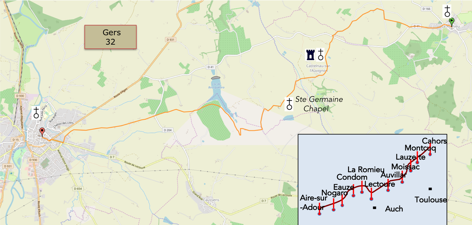
We divided the course into several sections to make it easier to see. For each section, the maps show the course, the slopes found on the course, and the state of the roads. The courses were drawn on the « Wikilocs » platform. Today, it is no longer necessary to walk around with detailed maps in your pocket or bag. If you have a mobile phone or tablet, you can easily follow routes live.
For this stage, here is the link:
https://fr.wikiloc.com/itineraires-randonnee/de-la-romieu-a-condom-par-le-gr65-30707857
|
Not all pilgrims are necessarily comfortable using GPS devices or navigating with a smartphone, especially since there are still many areas without Internet access. That is why, to make your journey easier, a book dedicated to the Via Podiensis from Cahors to Le-Puy-en-Velay is available on Amazon. Much more than a simple practical guide, this book accompanies you step by step, kilometer after kilometer, providing all the information you need for smooth planning and avoiding unpleasant surprises. Beyond its practical advice, it immerses you in the enchanting atmosphere of the Camino, capturing the beauty of the landscapes, the majesty of the trees, and the very essence of this spiritual adventure. Only the pictures are missing, everything else is there to transport you. In addition, we have also published a second book which, with slightly fewer details but all the essential information, covers the entire route from Le Puy-en-Velay to Saint-Jean-Pied-de-Port. The choice of your journey is yours. |
|
 |
 |
If you only want to consult lodging of the stage, go directly to the bottom of the page.
Today, you leave Lomagne behind and enter the Ténarèze, a land of passage that takes its name from one of Gascony’s legendary ancient roads. This was Caesar’s Path, also known as the Ténarèze, a road that ran from the Pyrenees to Bordeaux without crossing a single bridge, following the watershed between the Garonne and Adour river basins.
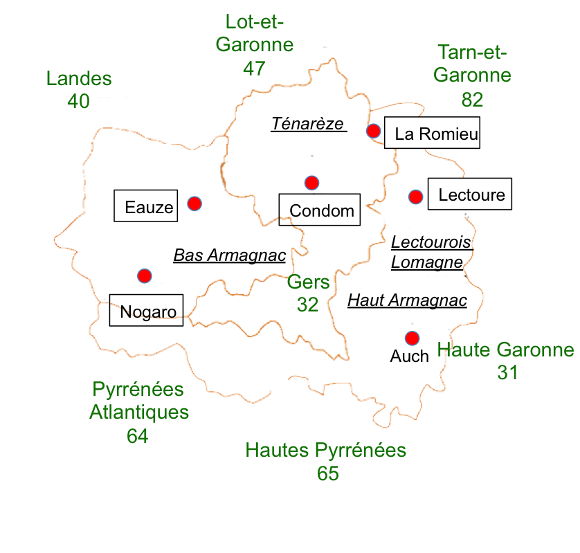
Today’s route takes you through the Ténarèze, more precisely into the Condomois, a sparsely wooded region that merges almost imperceptibly with the neighboring Lectourois. The route heads southwest, towards the Pyrenees. The landscape is made up of low plateaus of moderate altitude and a broad, gently undulating valley shaped by the Baïse River. The farther west you travel, the more vineyards appear, stretching towards Bas-Armagnac. The Ténarèze accounts for 38% of the Gers’ vineyards and orchards. It is the second-largest production area for Armagnac. Floc de Gascogne and local country wines enjoy only a modest reputation. Cattle farming, once widespread, has become increasingly rare, if not almost nonexistent. Yet, as in neighbouring Lomagne, the countryside remains a patchwork of fields of varying sizes, where cereals, sunflowers, orchards and vegetable crops flourish. Garlic and melons are also grown here. The most fertile soils are devoted to wheat and other cereal crops, while the poorer land is generally reserved for vines. On the least productive ground, often along the lower reaches of streams, patches of scrubland have also taken hold. In the Ténarèze, the terrain is lower than in Lomagne. The scattered groves become even sparser, gradually giving way to open, almost treeless landscapes dominated by vast cultivated fields.
|
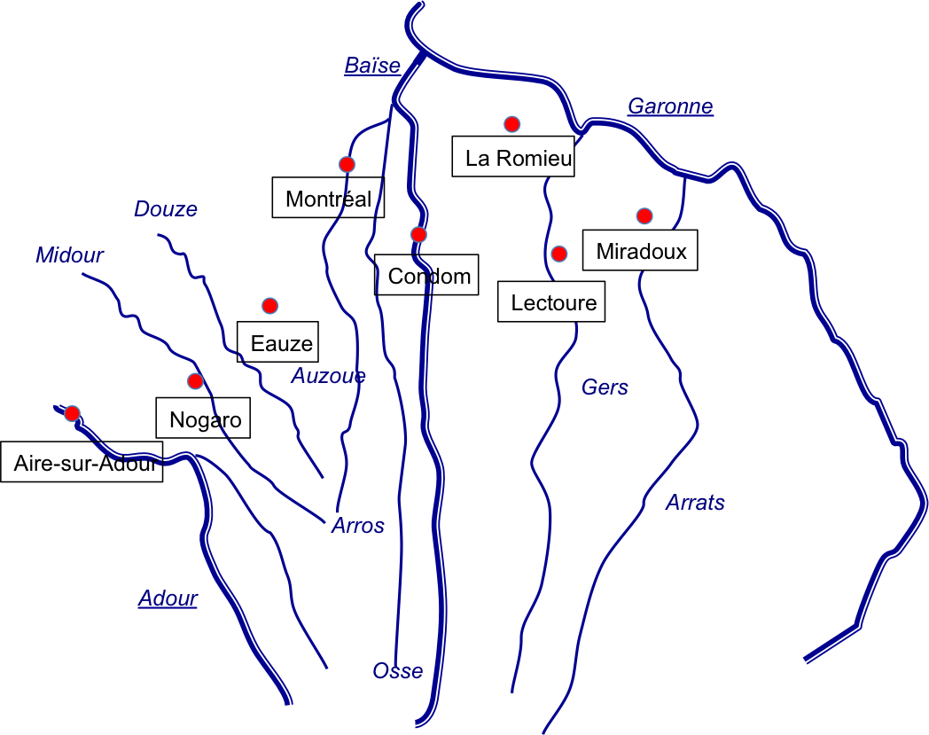
The Ténarèze is, in a sense, the keystone of the great Gascon fan. A fan, you might ask? One only has to look at the rivers flowing through the Gers to understand the image. Most of these rivers rise in the surrounding uplands or farther away in the Hautes-Pyrénées, then cross the Gers before joining the Garonne to the north or the Adour to the west. You have already crossed the Arrats near Miradoux and the Gers near Lectoure. Today, it is the turn of the Baïse basin. |
 |
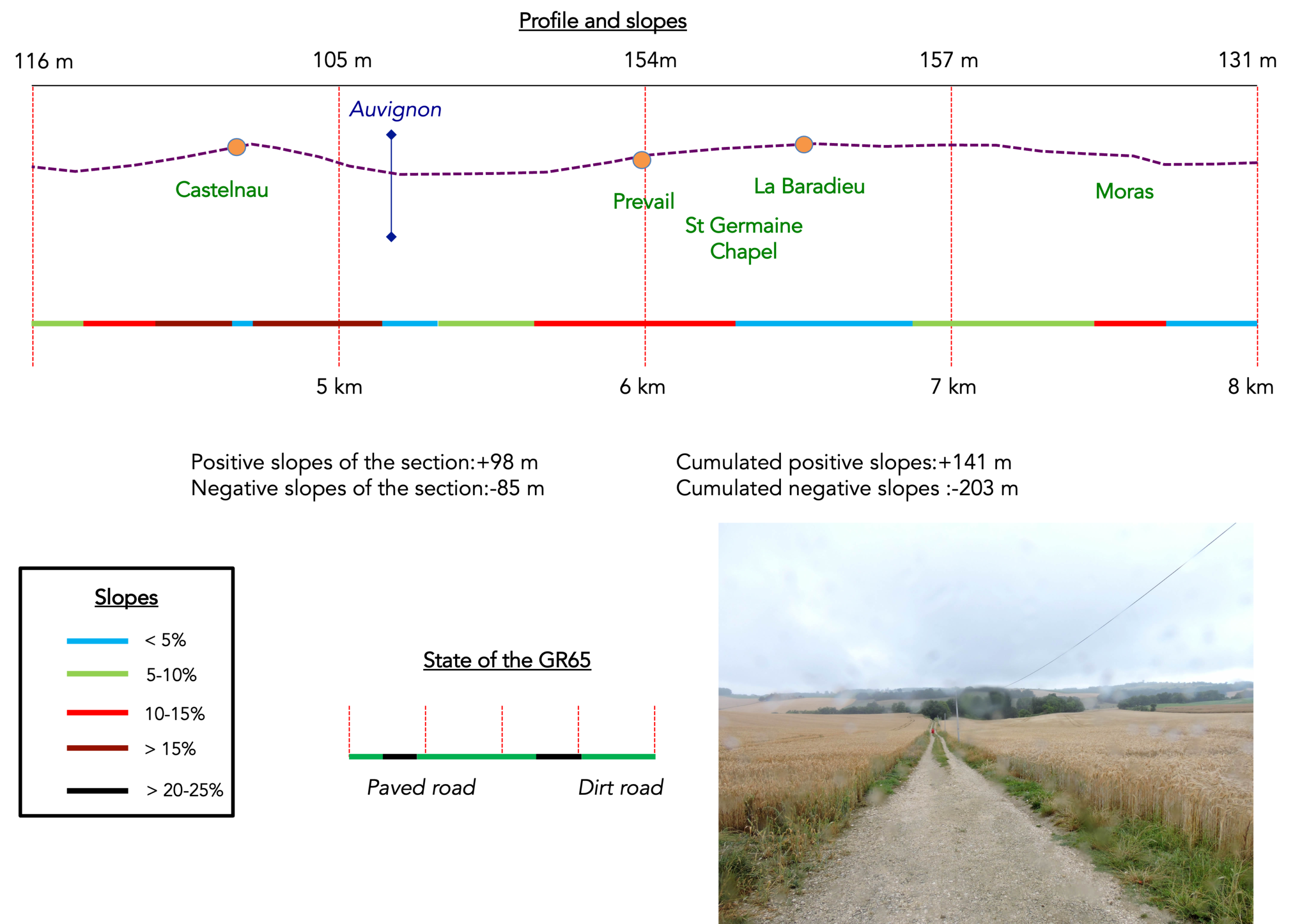
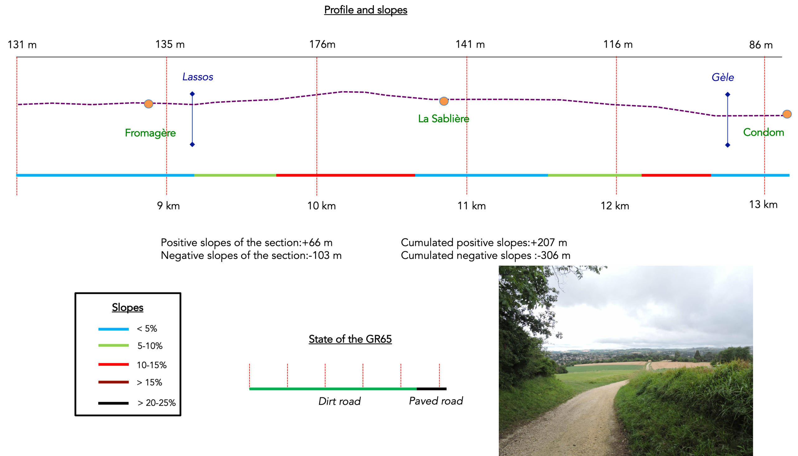
Difficulty of the course: Today’s elevation changes are very modest (+ 207 meters/-306 meters). The stage is short, very short indeed. But this is often the case in this region, where accommodation is scarce outside the main towns and villages. Besides, Condom is well worth a stop. The route presents no major difficulties. It is simply a succession of gentle ups and downs, from one hill to the next, from one small dale to another, with gradients rarely exceeding 10%, except perhaps around Castelnau-sur-Auvignon. Along the way, the route runs beside the beautiful Lake Bousquètara.
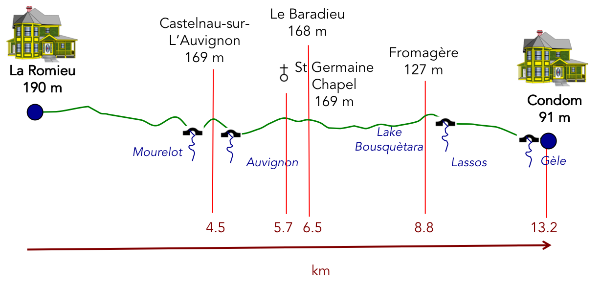
State of the GR65: In this stage, you will walk a little more on pathways than on paved road:
- Paved roads: 5.5 km
- Dirt roads: 7.7 km
Sometimes, for reasons of logistics or housing possibilities, these stages mix routes operated on different days, having passed several times on Via Podiensis. From then on, the skies, the rain, or the seasons can vary. But, generally this is not the case, and in fact this does not change the description of the course.
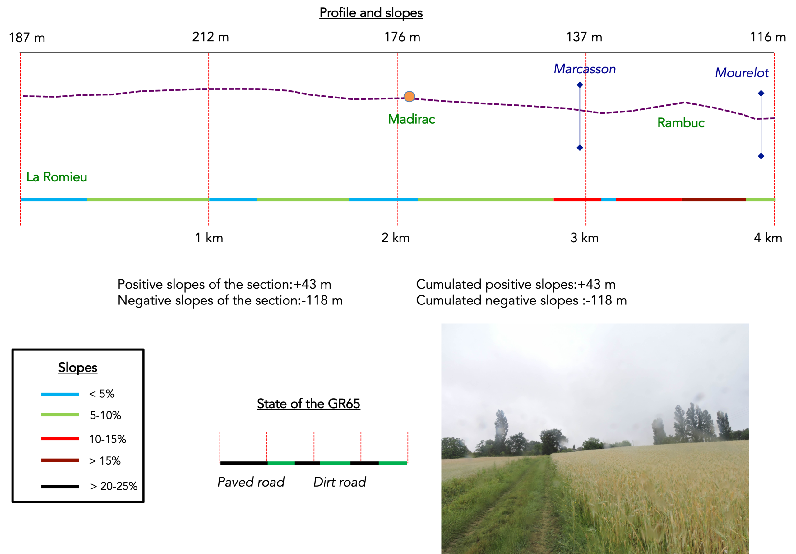
It is very difficult to specify with certainty the incline of the slopes, whatever the system you use.
For « real slopes », reread the mileage manual on the home page.

Through fields of cereals and sunflowers
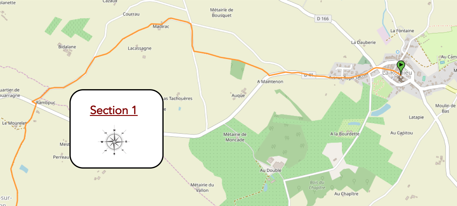
Overview of the route’s challenges: no particular difficulties, apart from the short climb over the hill at Rampbuc.
|
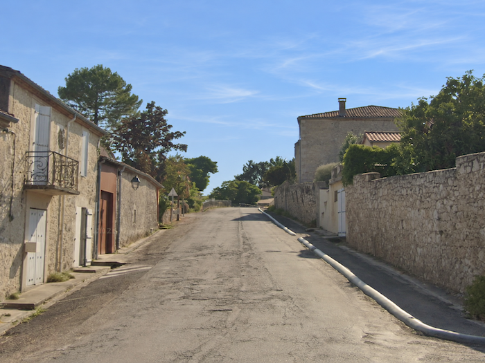
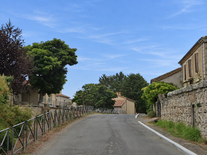
Barely beyond the last houses of La Romieu, the GR65 follows the D41 departmental road. |
|
 |
 |
|
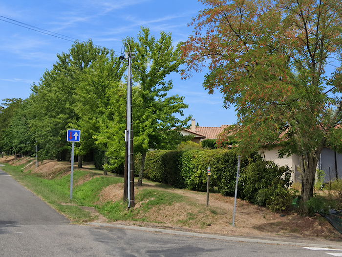
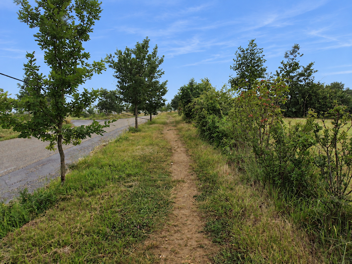
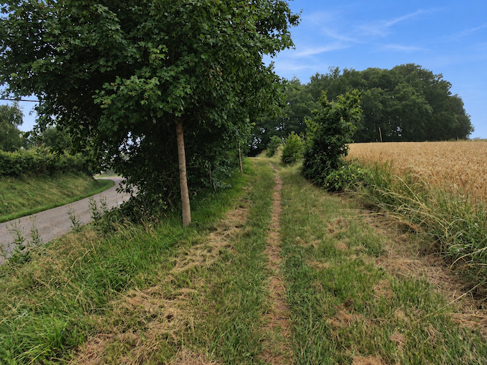
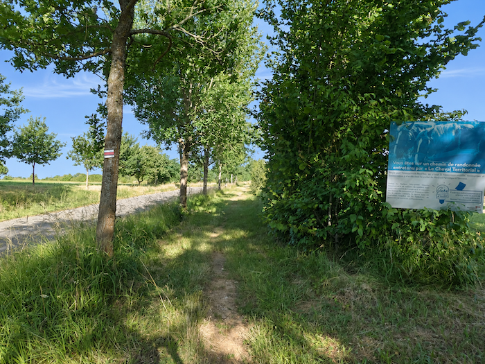
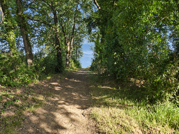
Very soon, a path emerges through the grass, sheltered by trees, running parallel to the road and passing a few scattered houses on the outskirts of the village. Beneath the generous canopy of tall oaks and the more delicate foliage of maples, a few hornbeams mingle their branches with this gentle architecture of greenery. Thus begins a delightful interlude of verdant countryside, where light and shade blend in perfect harmony. |
|
 |
 |
 |
 |
|
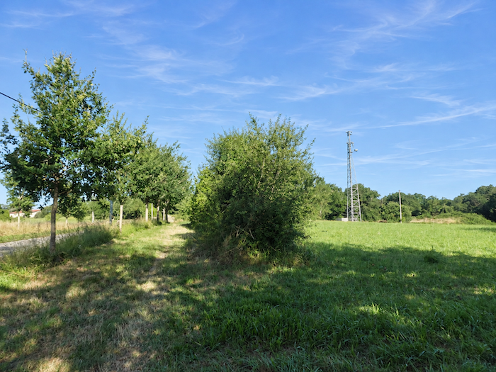
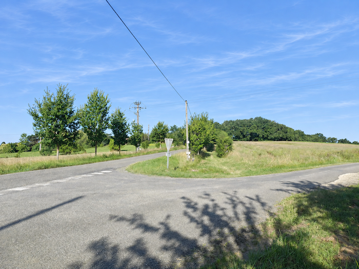
Farther on, this peaceful passage leads to a crossroads. |
|
 |
 |
|
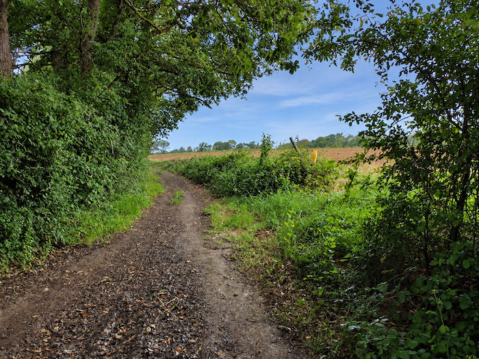
The GR65 crosses it without hesitation and continues along a broad path bordered by hedgerows, skirting the edges of vast cultivated fields. |
|
 |
 |
|
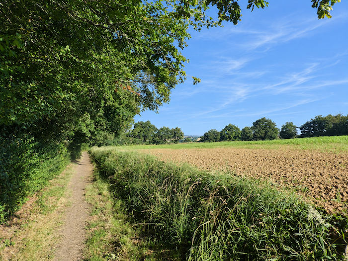
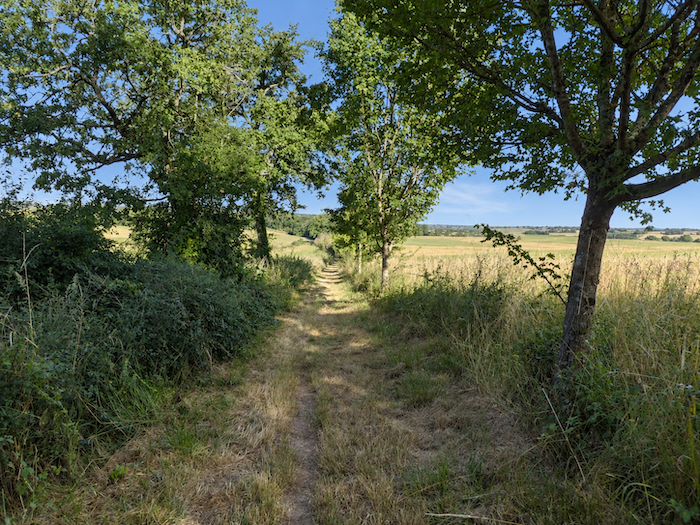
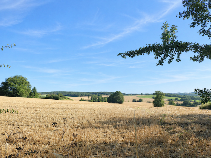
Here, the familiar face of the Gers countryside reveals itself, with its broad expanses of cereals, sunflowers and fallow land. It is an agricultural patchwork of ever-changing colors, its shades constantly renewed by the passing seasons. |
|
 |
 |
|
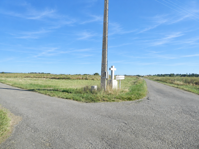
Shortly afterwards, at the edge of these vast fields, the path emerges onto a narrow farm road. Where the woodland ends, a modest cross stands at the crossroads, a humble stone sentinel keeping watch over the solitude of the countryside. Here, the GR65 changes direction once again, following another small road towards Maridac. |
|
 |
 |
|
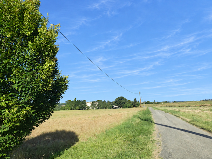
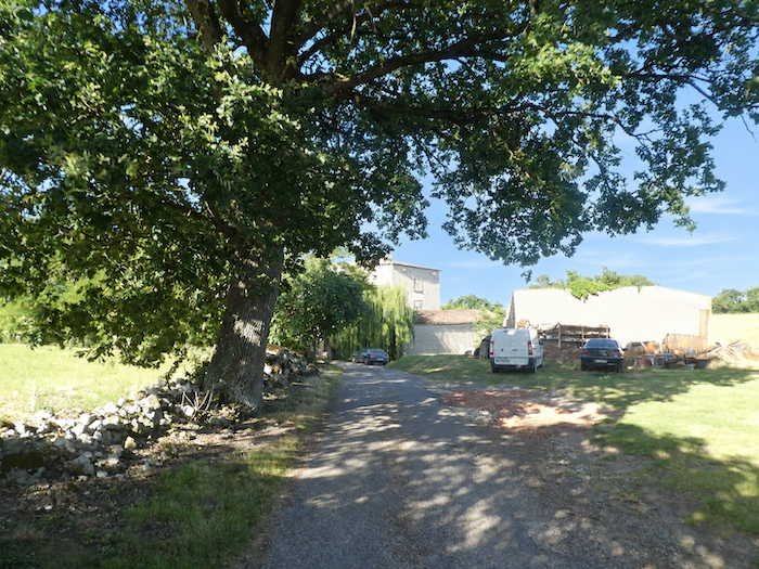
The ribbon of tarmac then runs straight through the fields until, in the midst of this open countryside, an imposing building appears, bearing a rather grand name: Château Maridac. |
|
 |
 |
|
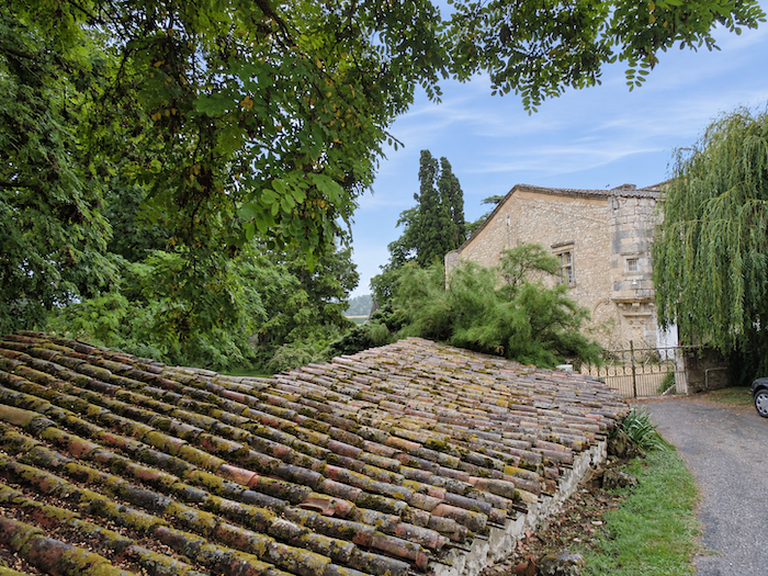
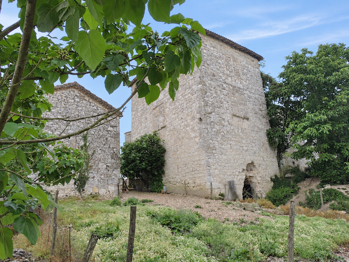
Do not expect the splendors of Fontainebleau! Behind this impressive name lies, in fact, a farmhouse. But what a farmhouse! One of those magnificent old rural dwellings whose sturdy silhouette seems to defy the passing centuries. In the Gers, stone houses are most often built of limestone rubble, traditionally covered with lime render. Only the finely dressed stones, carefully arranged around doors and windows, are generally left exposed, escaping this protective coating. Here, however, things are quite different. The stone stands proudly bare, displaying its natural character without restraint and lending the façades an almost austere strength. The buildings form a powerful, square mass, firmly established beneath an immense roof whose broad slopes seem to embrace the entire structure. Rising beyond the main building, a tall, four-sided tower breaks the otherwise massive symmetry. Perhaps it is the remnant of an old dovecote, a discreet reminder of the former prosperity of this agricultural estate. |
|
 |
 |
|
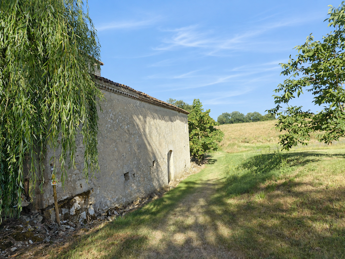
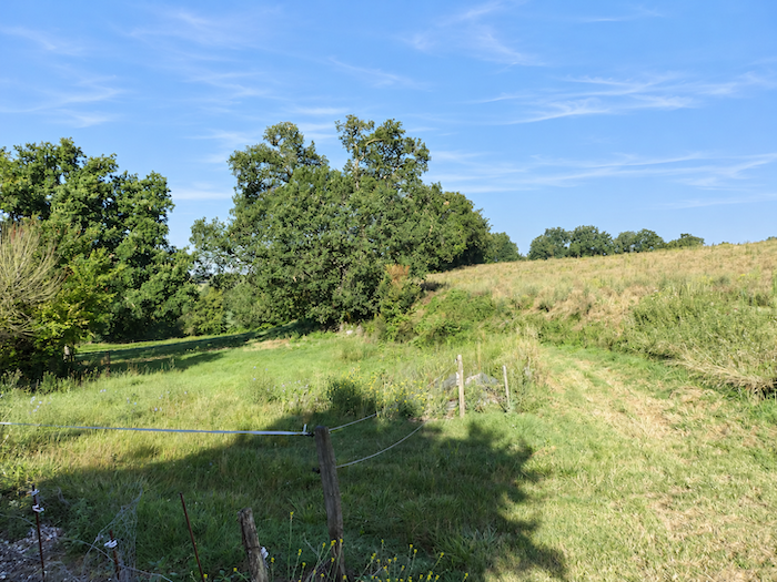
Just beyond the farmhouse, the landscape returns to a more intimate scale. A narrow grassy path slips away between the fields and begins a gentle descent towards a small grove. |
|
 |
 |
|
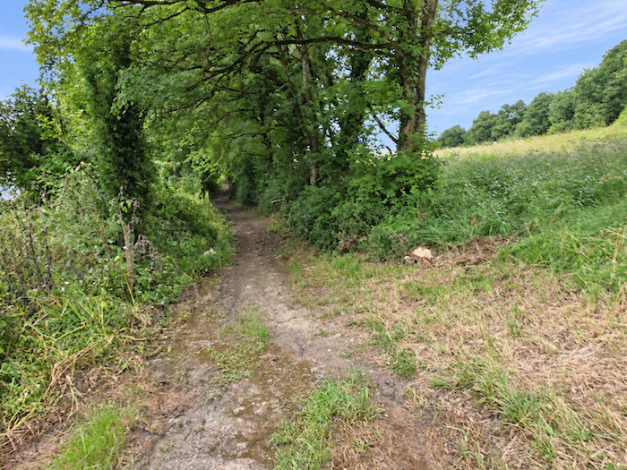
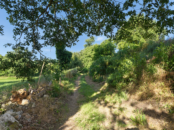
The slope becomes noticeably steeper in the heart of a dense grove, where maples reign almost unchallenged, leaving only a modest place for the oaks. |
|
 |
 |
|
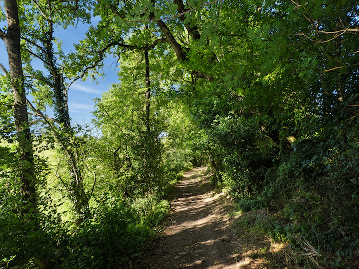
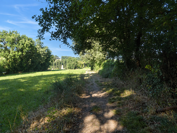
Farther down, the dense woodland gradually thins, allowing the light to reclaim the landscape and revealing a few peaceful clearings between the trees. |
|
 |
 |
|
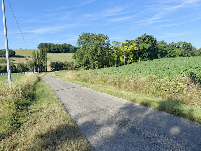
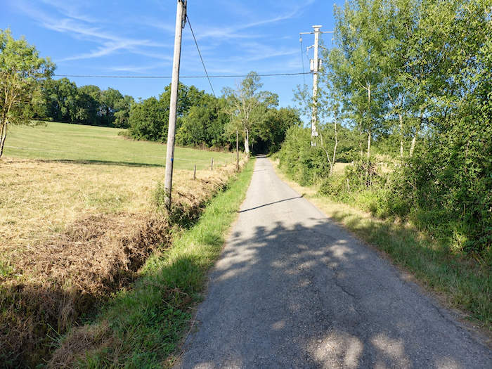
Here, the GR65 returns to the tarmac of a narrow road that descends towards the bottom of the dale, passing meadows and sunflower fields. After crossing the Marcasson, a modest stream nestled between the hills, the road immediately begins climbing the opposite slope. |
|
 |
 |
|
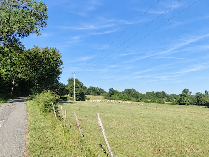
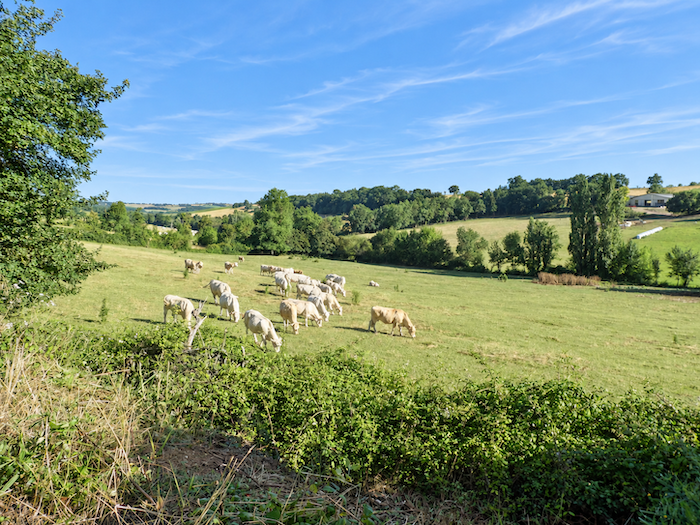
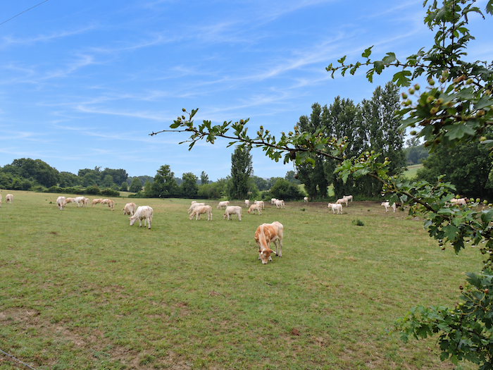
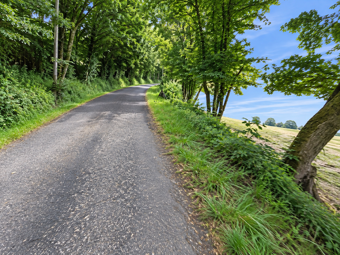
The climb offers little mercy to walkers, with gradients exceeding 10% in places. Fortunately, the mingled foliage of maples and ash trees provides some welcome shade and makes the effort a little more bearable. In the meadows clinging to the hillside, a few “Blonde d’Aquitaine” cattle graze with the majestic calm so characteristic of ruminants, utterly indifferent to the pilgrim’s exertions. Their pale coats stand out against the green pastures, bringing a touch of gentleness to the rigors of the ascent. |
|
 |
 |
 |
 |
|
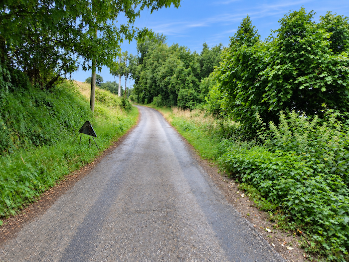
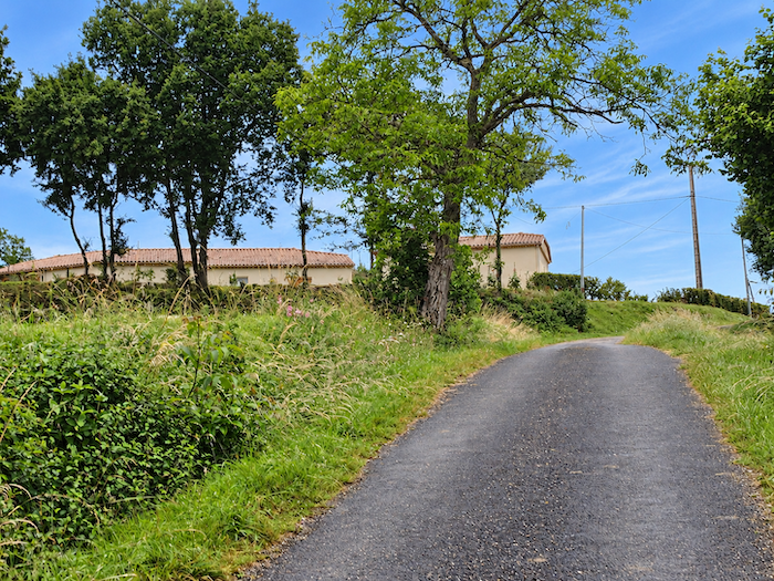
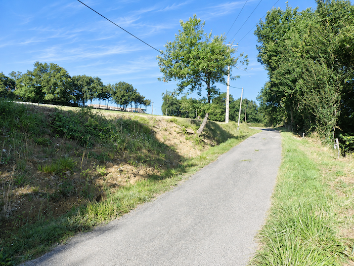
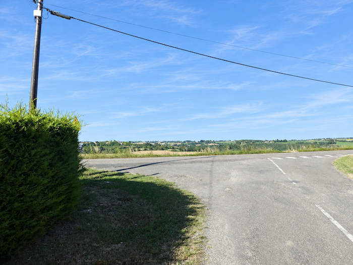
At the end of this demanding climb, between the last meadows and the edge of the woodland, the GR65 reaches the hamlet of Rampbuc, where it rejoins the D41 departmental road. Across the dale, perched on the crest of a neighboring hill, the silhouette of Castelnau-sur-l’Auvignon rises against the horizon. Seen from here, almost within arm’s reach, the village appears remarkably close. But the landscapes of Gascony are fond of such illusions. Between the two heights lies another deep hollow, reminding walkers that, in this land of rolling hills, distances cannot be measured as the crow flies. |
|
 |
 |
 |
 |
|
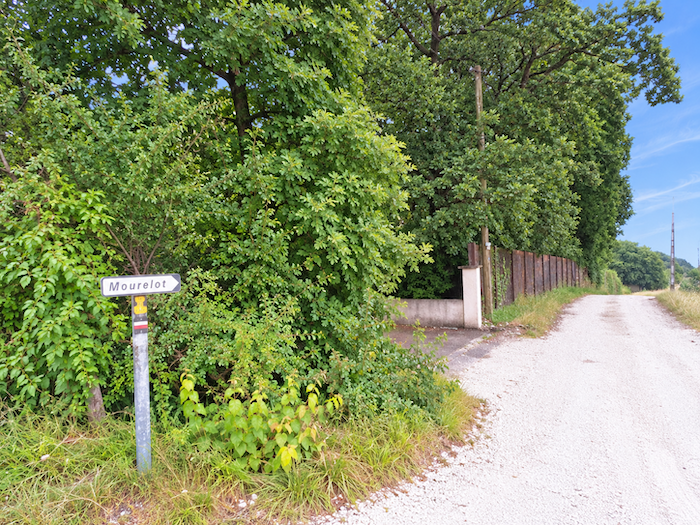
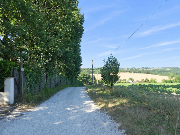
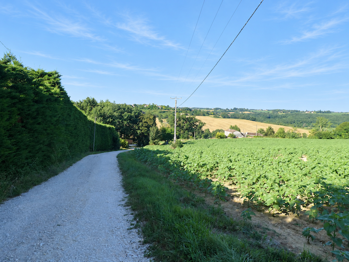
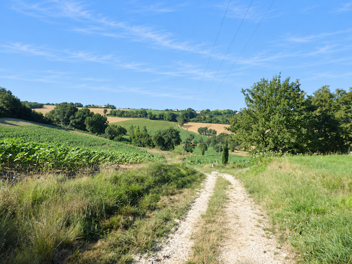
A broad dirt path now opens before the walker, plunging towards Mourelot through richly cultivated countryside. Sunflowers, soybeans and cereals share the fields according to the seasons and the rhythm of crop rotation. Yet beneath this idyllic appearance, the descent holds a few surprises. Along its initial stretch, the slope becomes particularly steep, approaching 20% in places. It is a timely reminder that the hills of Gascony, for all their inviting, rounded contours, are not always as gentle as they seem. |
|
 |
 |
 |
 |
|
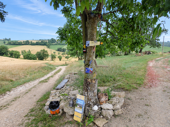
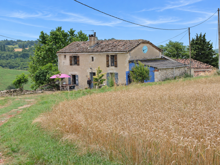
Along the way, pilgrims find a welcome opportunity to rest at a donativo gîte, which upholds the tradition of hospitality in which everyone contributes according to their means and gratitude, rather than paying a fixed price. It is a way of preserving, stage after stage, the spirit of generosity and sharing that remains one of the most appealing traditions of the Way of St James. |
|
 |
 |
|
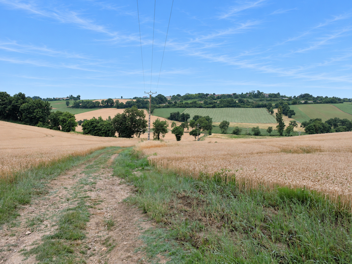
All around, the landscape changes its appearance with the rhythm of the crops. Where wheat fields ripple today, sunflowers may tomorrow raise their great golden heads towards the sky. Sometimes the two grow side by side, creating that familiar patchwork of yellows and greens so characteristic of the Gers countryside. |
|
|
 |
|
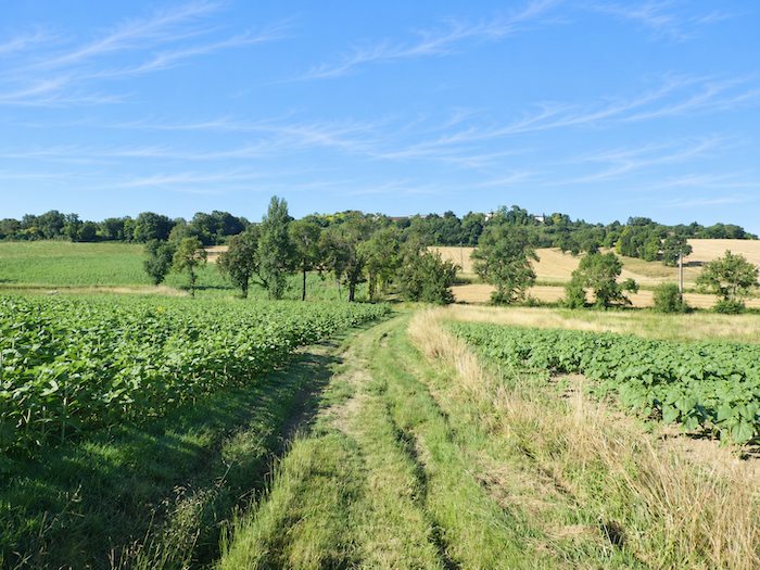
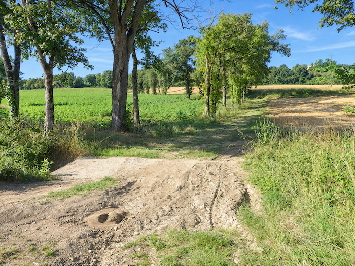
At the bottom of the dale, the path crosses the Mourelot stream, a slender ribbon of water winding discreetly between cultivated fields and the last patches of wild vegetation. Its presence is barely noticeable, yet it marks the lowest point of this latest undulation in the landscape. . |
|
 |
 |
|
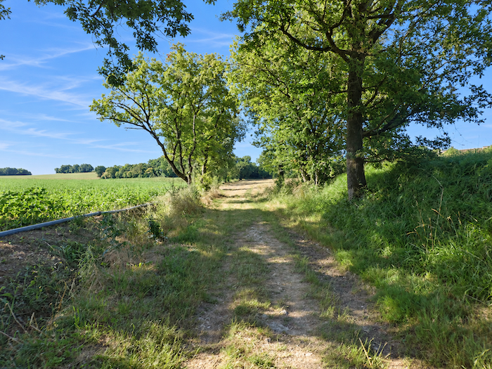
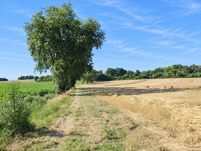
On the opposite hillside, the ascent begins gently. A broad grassy path gradually gains height between cultivated fields, where sunflowers still compete with cereals for space. Here, the Gers countryside unfolds in all its familiar beauty, with open fields, successive rolling hills and crops whose colors change with the passing seasons. |
|
 |
 |
Section 2: Through the heart of the World War II resistance
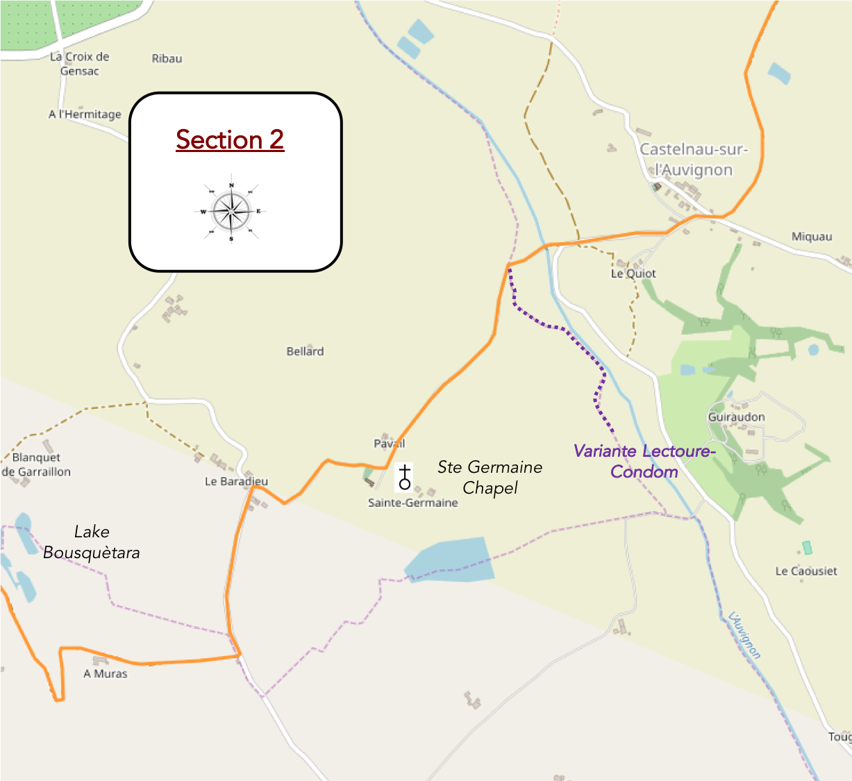
Overview of the route’s challenges: The passage through Castelnau requires a little effort, with gradients often approaching 20%, particularly on the climbs.
|
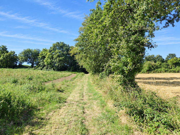
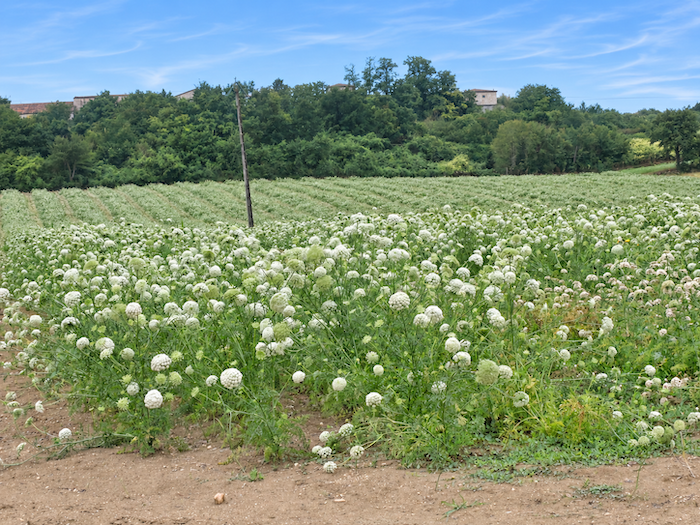
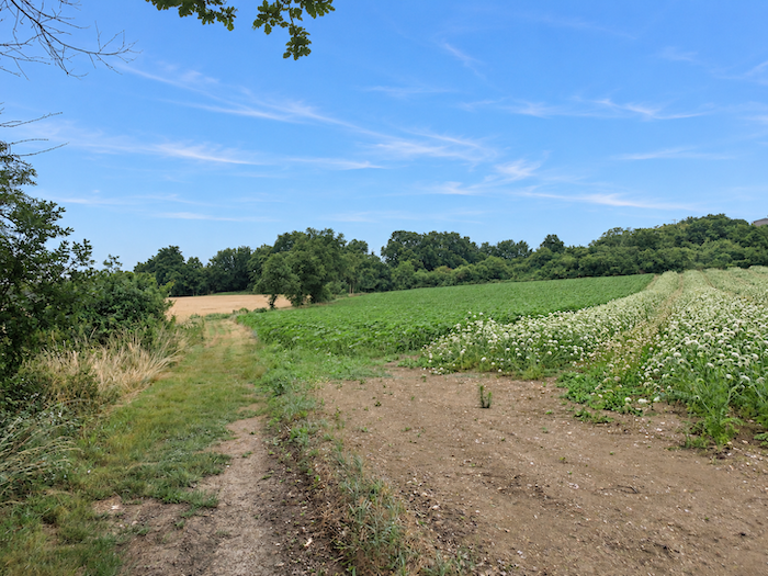
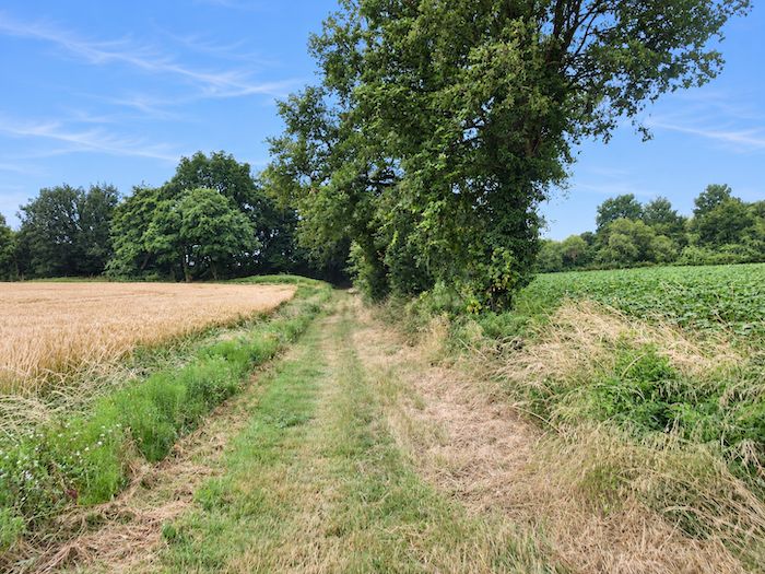
Among these cultivated fields that stretch to the edges of the woodland, an unexpected sight sometimes catches the eye: a few plots of garlic, a crop sufficiently uncommon in this countryside to deserve a closer look. It is an unusual presence amid the traditional expanses of cereals and sunflowers. |
|
 |
 |
 |
 |
|
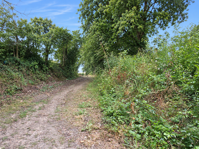
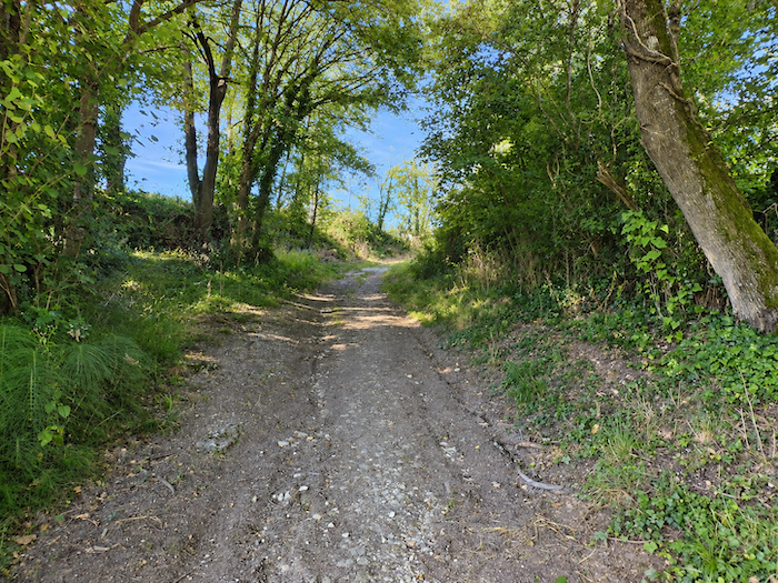
Farther uphill, the path enters the shelter of the trees, while the slope becomes steeper once again, with gradients ranging from 10 to 20%. In this dense undergrowth, where branches intertwine and foliage competes for the light, oaks and maples reign supreme. . |
|
 |
 |
|
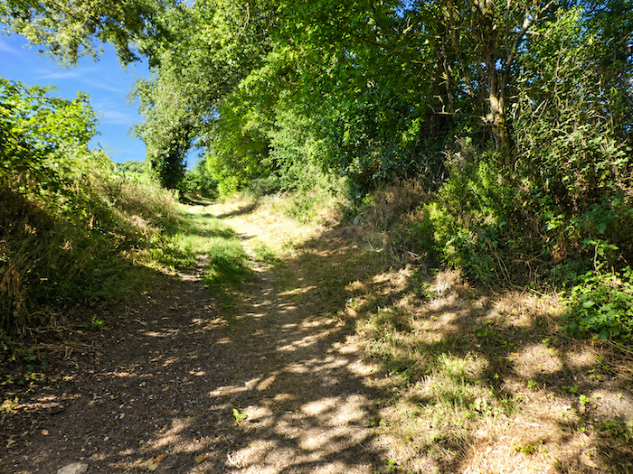
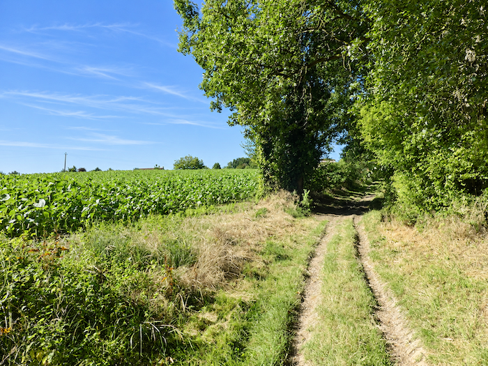
Farther on, at the edge of the forest, the cultivated landscape reclaims its territory. Depending on the season and the changing patterns of crop rotation, sunflowers and cereals cover the hillside. |
|
 |
 |
|
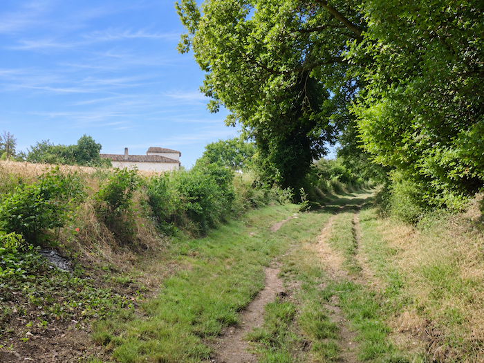
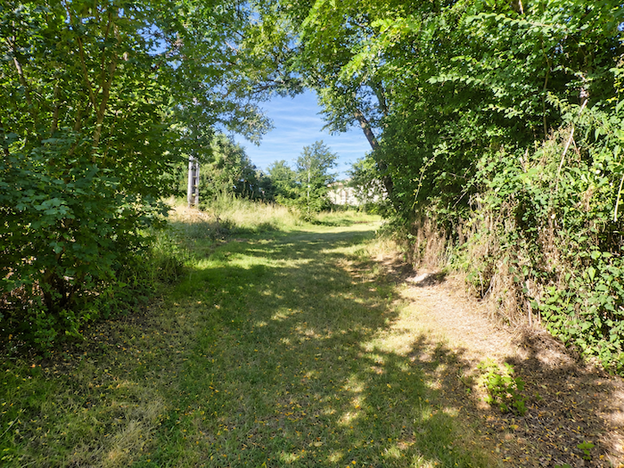
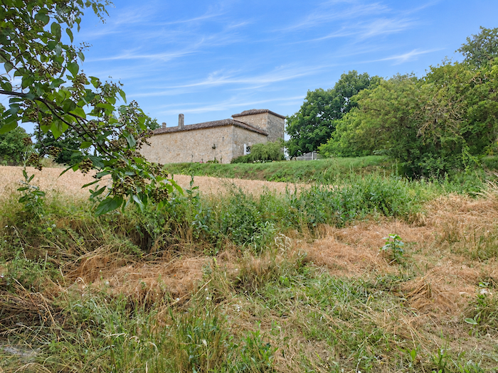
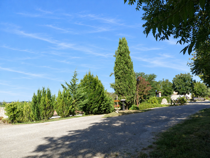
Finally, at the end of this climb through the depths of the woodland, the GR65 emerges once more into full daylight and reaches the road to Castelnau-sur-l’Auvignon. |
|
 |
 |
 |
 |
|
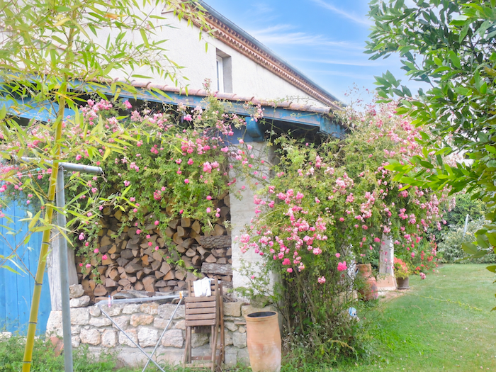
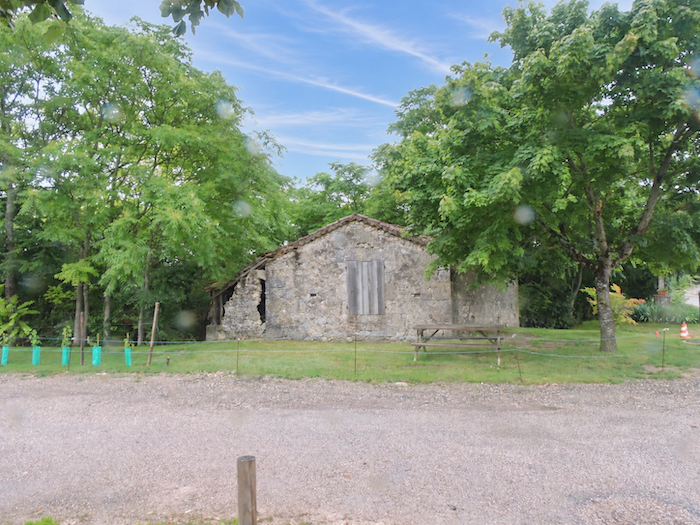
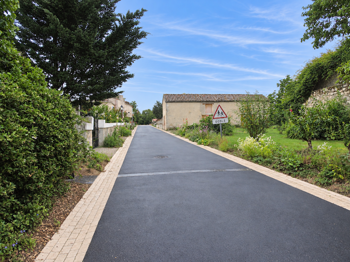
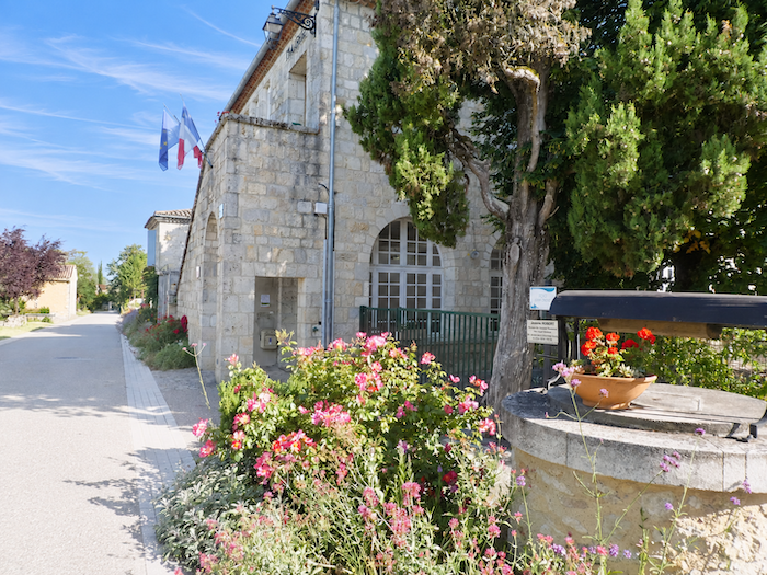
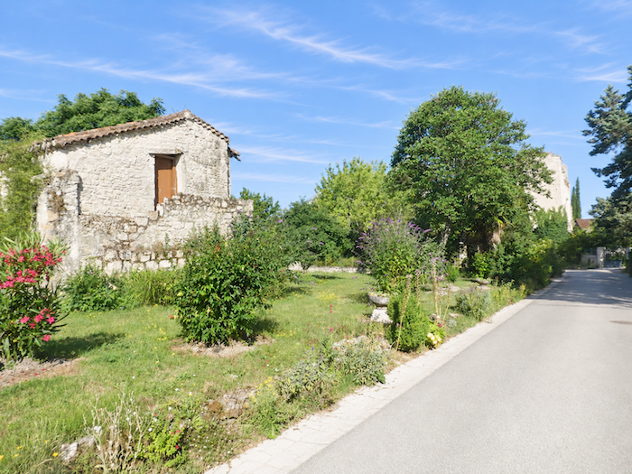
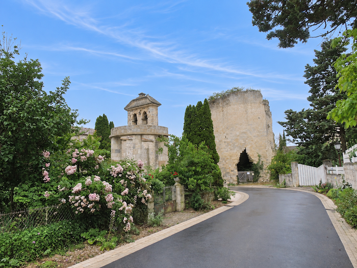
Castelnau-sur-l’Auvignon nestles on a small stretch of level ground, surrounded by old stone buildings and charming houses whose flower-adorned façades lend a touch of gentleness to the tranquility of the village. At first glance, nothing suggests the tragic events these walls once witnessed. |
|
 |
 |
 |
 |
|
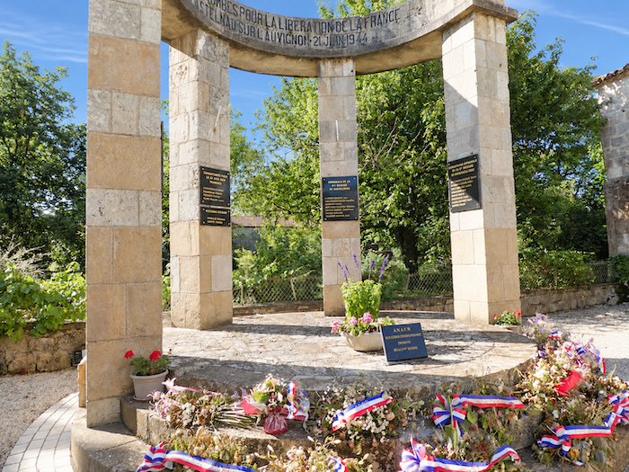
With its population of around 175 inhabitants, Castelnau-sur-l’Auvignon has regained the peaceful charm and well-kept appearance of a Gascon village. Yet behind its carefully restored houses and narrow cobbled street lies a far more turbulent history, that of a village devastated by war which became one of the centers of the Resistance in the Gers during the Second World War. In the past, the GR65 bypassed this place of remembrance, descending directly down the hillside towards the river. How fortunate that its route has since been altered to lead pilgrims through the heart of the village! For some detours are worth far more than the extra steps they demand, especially when they invite us to remember the courage of those who, during the darkest years of the last century, refused to bow their heads. |
|
 |
 |
|
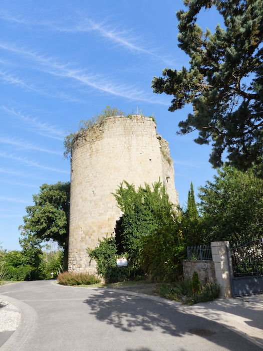
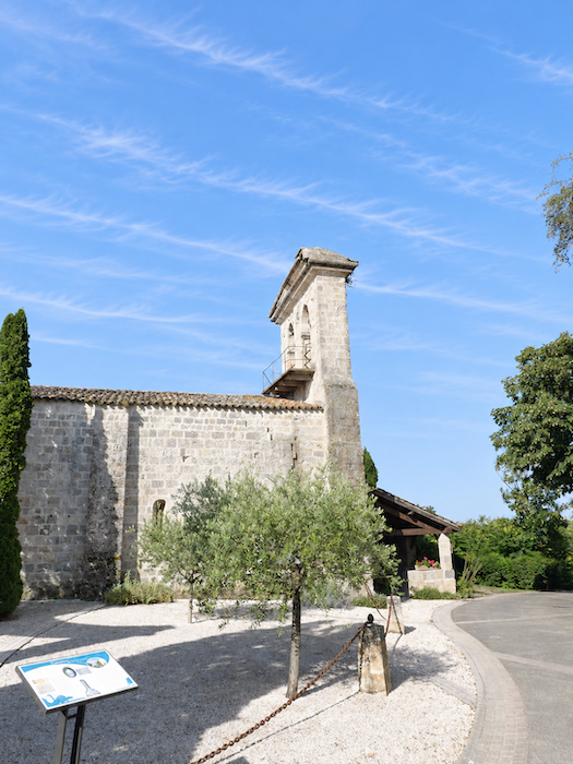
The little church and the remains of the medieval tower still bear the scars of this painful history in their battered stones. |
|
 |
 |
|
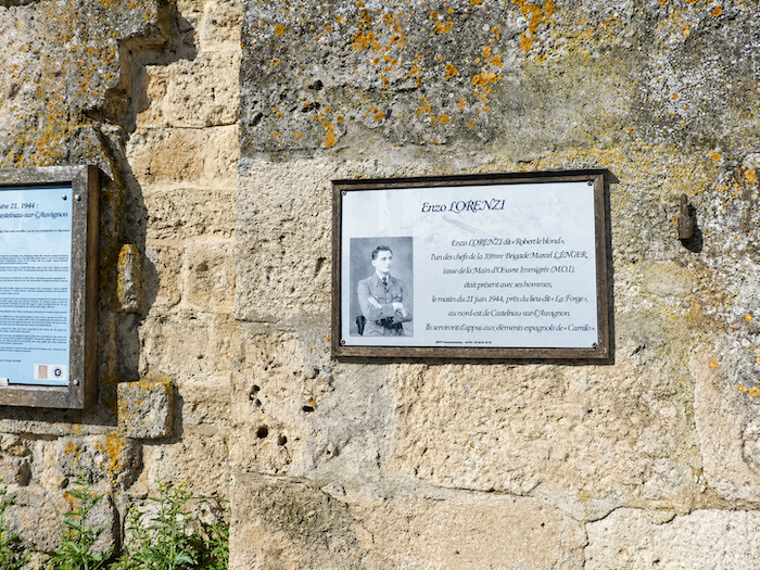
In 1942, British Major George Reginald Starr, known as Colonel Hilaire, an officer of the Special Operations Executive (SOE), established his Resistance network in the region. He organized and armed the local Resistance fighters, who were soon joined by Spanish guerrillas, veterans of the Civil War that began in 1936, who had found refuge on this side of the Pyrenees without abandoning their struggle against fascism. At dawn on 21 June 1944, a German column arriving from Lectoure surrounded Castelnau-sur-l’Auvignon. The Resistance fighters put up a fierce defense, but the superior strength of the enemy eventually made their position impossible to hold. The inhabitants were evacuated. Before withdrawing, the last Resistance fighters blew up the tower of the medieval castle, inflicting casualties on the German troops. The fighting also left many dead and wounded among the French and Spanish Resistance fighters. The retaliation was merciless. In reprisal, German troops almost completely destroyed the village, leaving behind little but ruins and devastation. Castelnau-sur-l’Auvignon has preserved the memory of this tragedy, a sacrifice now commemorated by the award of the “Croix de Guerre” 1939-1945. Behind the restored serenity of its narrow streets, the stones continue to tell, to anyone willing to listen, the price of freedom. |
|
 |
 |
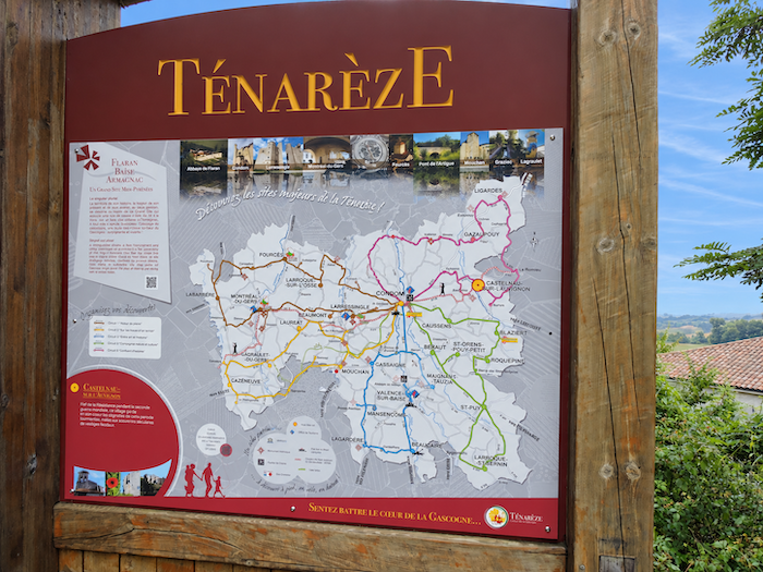
From here onwards, the walk enters a territory steeped in an even more ancient history: the Ténarèze. This name refers to an ancient thoroughfare whose origins disappear into prehistory. Long before the pilgrims of Santiago de Compostela, travelers were already following this natural route, established along the high ground separating the Adour and Garonne river basins. Later used by the Gauls, then improved and strengthened by the Romans, the Ténarèze road crossed Gascony from north to south, following the ridgelines wherever possible. This choice was far from accidental. By avoiding the valley floors, the road spared travelers the dangers of river fords, unpredictable waterways and, in later centuries, bridges where costly tolls were sometimes collected. Thus, often without realizing it, today’s pilgrim follows in the footsteps of countless generations of travelers, merchants and soldiers.
|
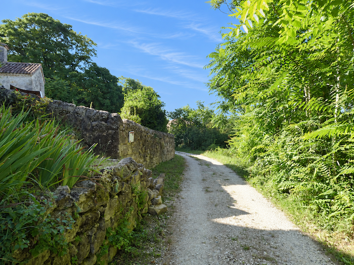
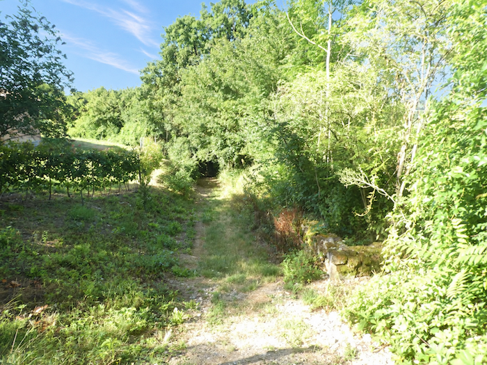
Leaving this village and its memories behind, the GR65 plunges into the shade of dense woodland, where maples spread their branches beneath the last houses. The descent soon reveals its true character, as the gradient suddenly steepens, approaching 20% in places. Beneath the dark canopy of leaves, the path plunges down the hillside with a vigor that contrasts sharply with the tranquility of the village streets left behind only moments earlier. |
|
 |
 |
|
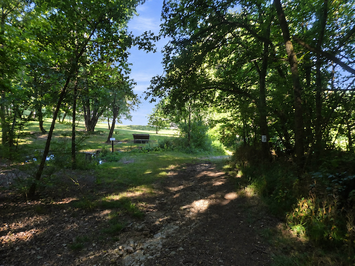
At the bottom of the descent, the path reaches a peaceful stretch of water, its still surface reflecting the surrounding vegetation. Here, the alternative GR65 route, which bypasses La Romieu after leaving Marsolan, rejoins the main trail. Having followed their separate courses through the Gascon hills, the two routes now come together on the traditional Way of St James. |
|
 |
 |
|
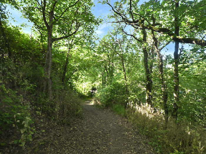
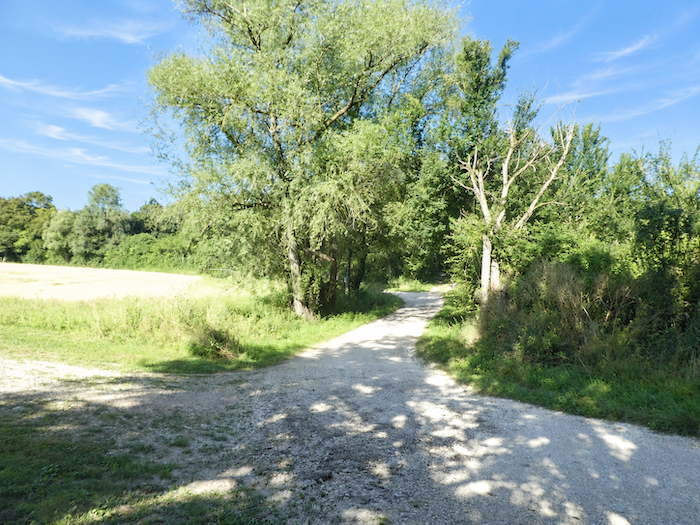
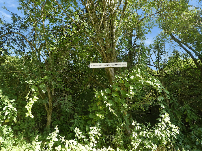
The GR65 then continues its route towards the chapel of Sainte-Germaine, returning to the intimacy of particularly lush woodland. Maples and ash trees mingle their foliage overhead, forming a thick canopy. |
|
 |
 |
|
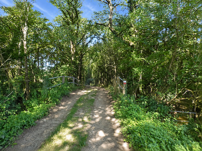
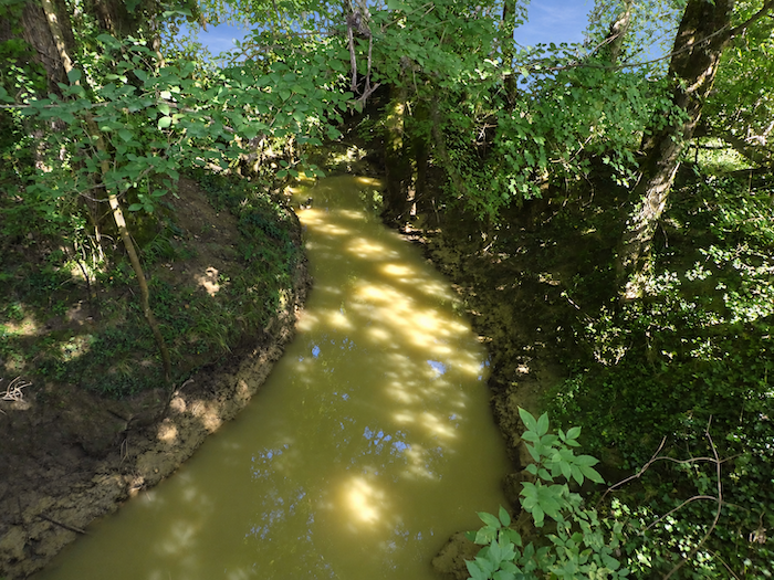
Deep within this dense undergrowth, a bridge crosses the Auvignon. Here, the little river resembles a lively stream rather than a majestic waterway, carrying the muddy, clouded waters so characteristic of the Gascon countryside. |
|
 |
 |
|
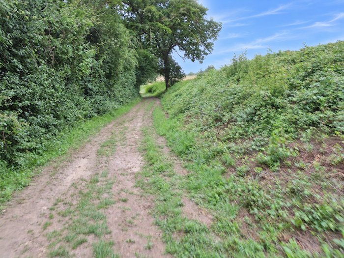
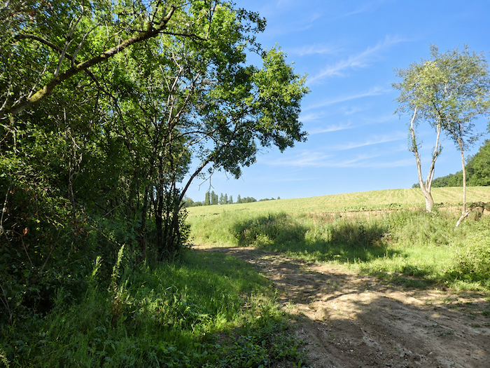
The path soon leaves the banks of the Auvignon behind, winding between the last clearings before returning to the more geometric outlines of cultivated fields. The forest gradually recedes, giving way to the open horizons of the countryside. |
|
 |
 |
|
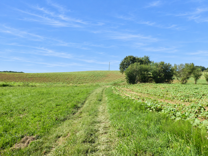
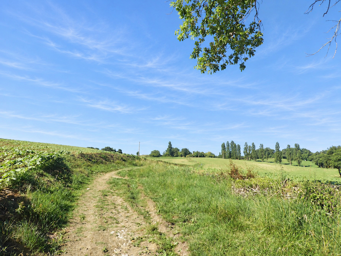
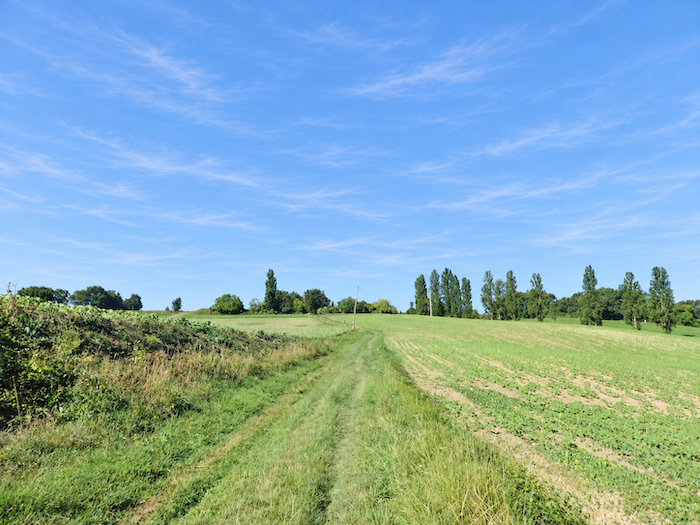
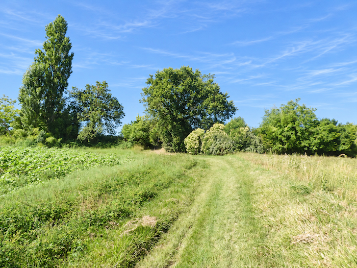
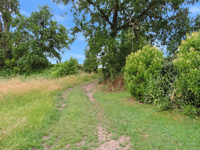
A broad grassy track then begins climbing the hillside. Gentle at first, the slope gradually becomes more demanding as the path threads its way between fields of oilseed crops. In this part of the Gers, farmland has long since encroached upon the wooded areas, leaving substantial stretches of woodland only near the rivers. Elsewhere, isolated tall trees, mostly oaks, with an occasional maple, rise above the cultivated fields. |
|
 |
 |
 |
 |
|
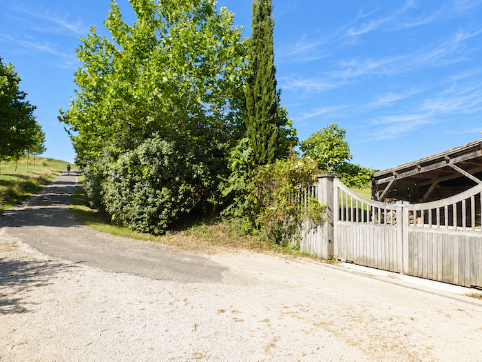
Farther uphill, the climb saves its final challenges for the last stretch. The gradient steepens considerably as the path approaches the hamlet of Prevail, which it skirts before continuing its ascent. |
|
 |
 |
|
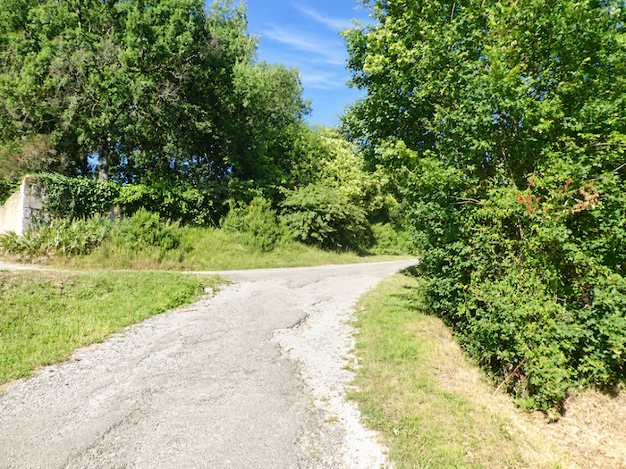
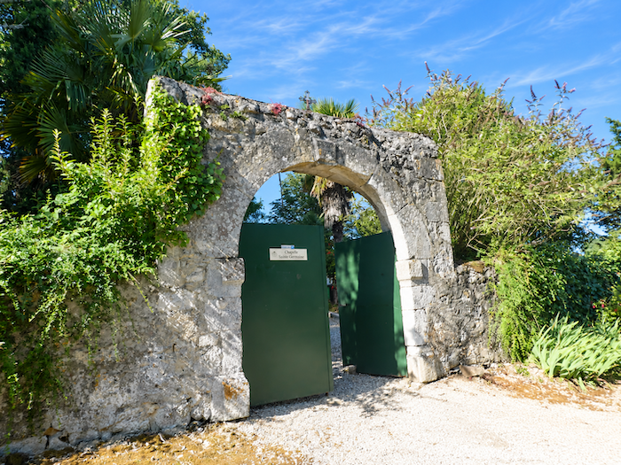
The effort finally comes to an end when the GR65 emerges onto a narrow road, just a few steps from the chapel of Sainte-Germaine. |
|
 |
 |
|
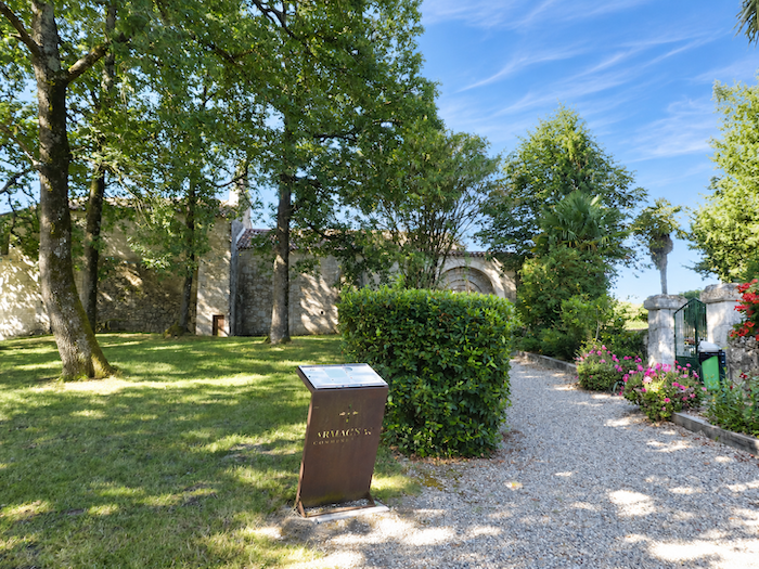
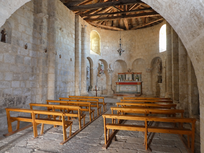
Nestled in a leafy park, the chapel of Sainte-Germaine possesses the discreet charm of places that time seems to have forgotten. There is nothing ostentatious about this modest building, only a peaceful, almost homely simplicity that naturally invites passers-by to slow their pace. As so often with these rural sanctuaries, history and legend have become so closely intertwined over the centuries that it is difficult to separate one from the other. According to tradition, a hermit named Arnold Sans once found refuge here, accompanied by two Benedictine nuns, Prima and Hermana. The latter is said to have met a tragic end, killed by the Normans. As she fell, her body supposedly left its imprint in the stone of a rock, giving rise to a tradition of popular devotion. The place was then credited with remarkable healing powers. Nine visits, so it was said, were enough to relieve the faithful of headaches and colic. Faith, in those distant times, could sometimes display an almost medical degree of precision! Over the centuries, as the language evolved, Sancta Hermana is believed to have become Sancta Germana, eventually giving the chapel its present name of Sainte-Germaine. Today, an association of volunteers works to preserve and restore this modest piece of heritage, keeping alive, in its own way, a history stretching back several centuries. Pilgrims, meanwhile, continue to stop here. Is it out of religious devotion, curiosity about old chapels and the cemeteries that surround them, or simply the desire to enjoy a few moments of peace? There is no shortage of reasons. And let us certainly not accuse them of some morbid fascination with ancient stones and graves! For another marvel awaits them here, one of a much more down-to-earth nature: a fountain whose cool water refreshes the garden flowers just as generously as the throats left parched by the climbs of Gascony. |
|
 |
 |
|
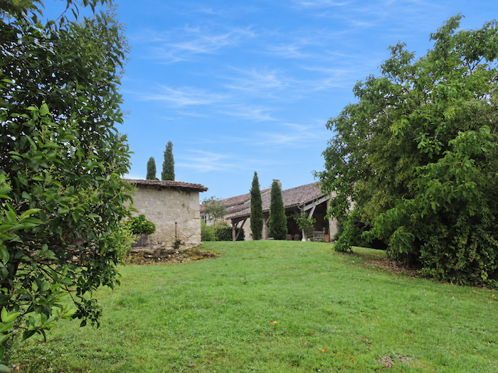
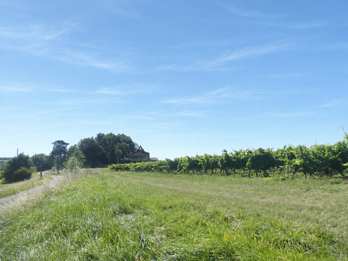
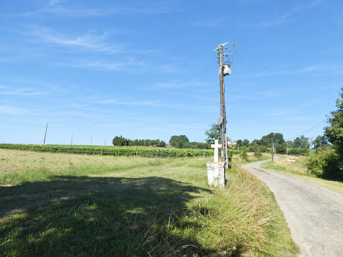
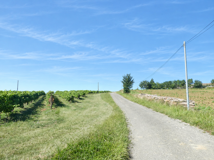
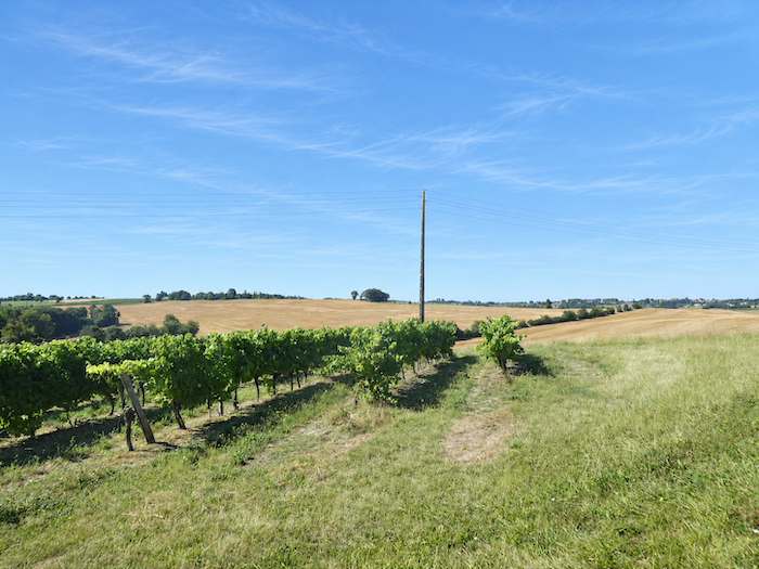
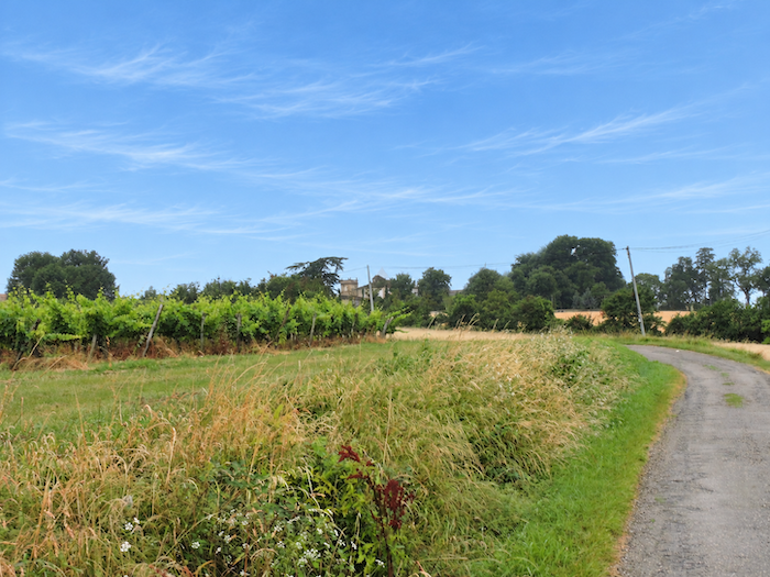
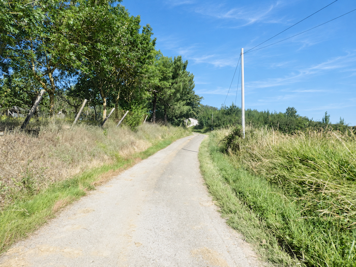
Beyond the chapel, the road continues through the hills, venturing among the vineyards that cloak the slopes. |
|
 |
 |
|
Step by step, the road leads you into the heart of the land that produces one of Gascony’s most celebrated nectars: Armagnac. Yet the vineyards do not reign alone over these fertile hillsides. Sunflowers and cereals continue to share the fields. |
|
 |
 |
 |
 |
|
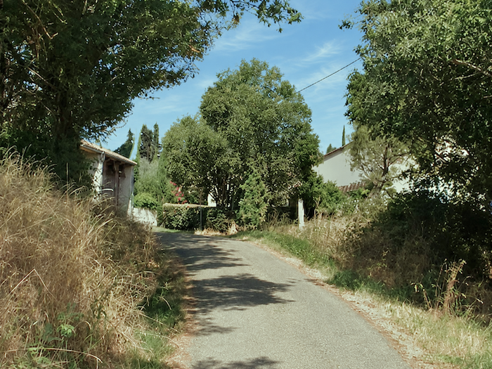
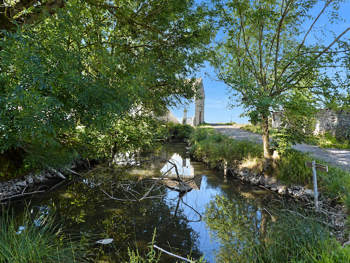
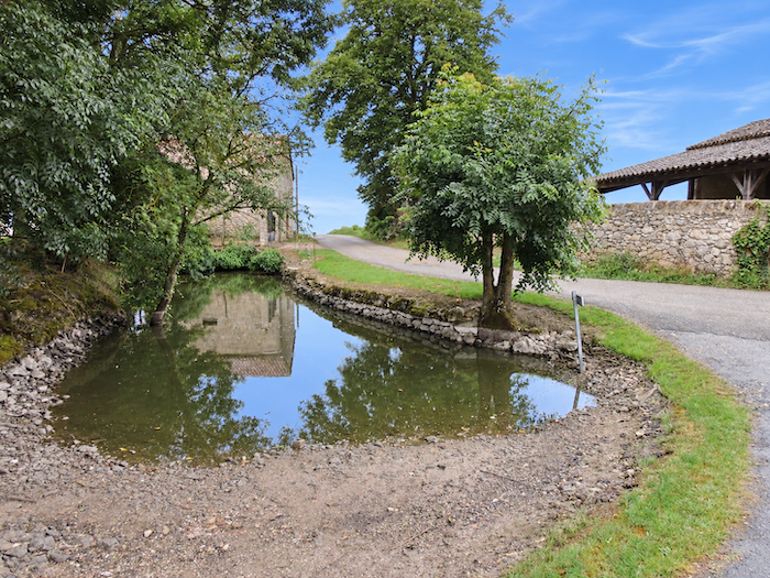
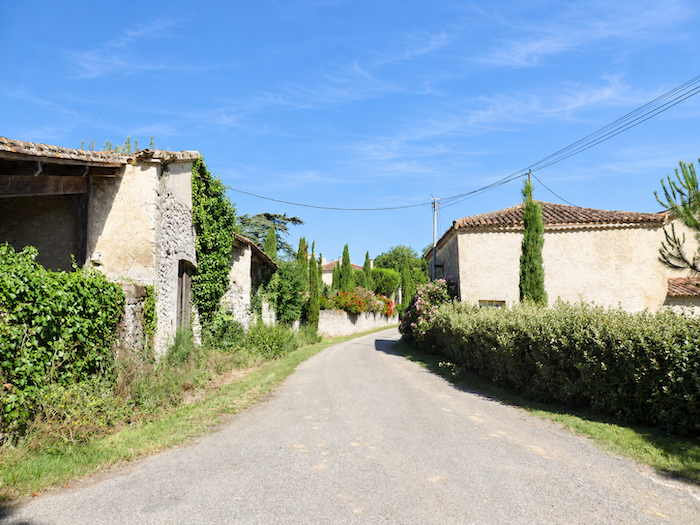
The road continues its ascent, now almost imperceptible, until it reaches the first houses of the hamlet of Le Baradieu. Nearby, a delightful little pond lies peacefully beneath the shelter of the trees. |
|
 |
 |
 |
 |
|
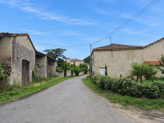
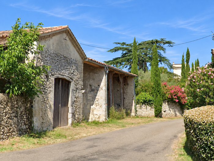
Several handsome country houses catch the eye here. Their façades, built of carefully laid rubble stone, proudly display the natural nobility of the material. |
|
 |
 |
 |
 |
|
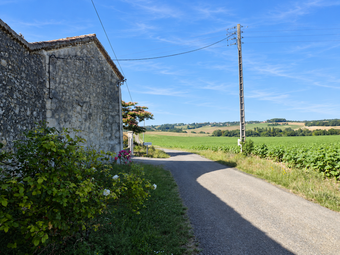
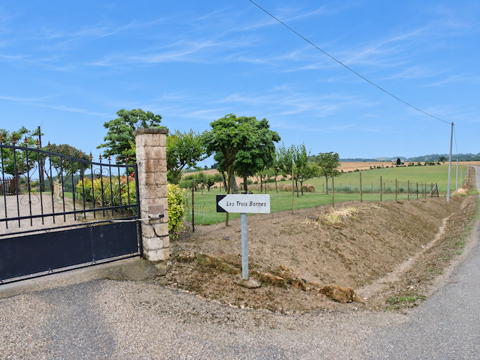
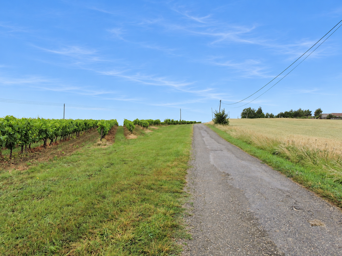
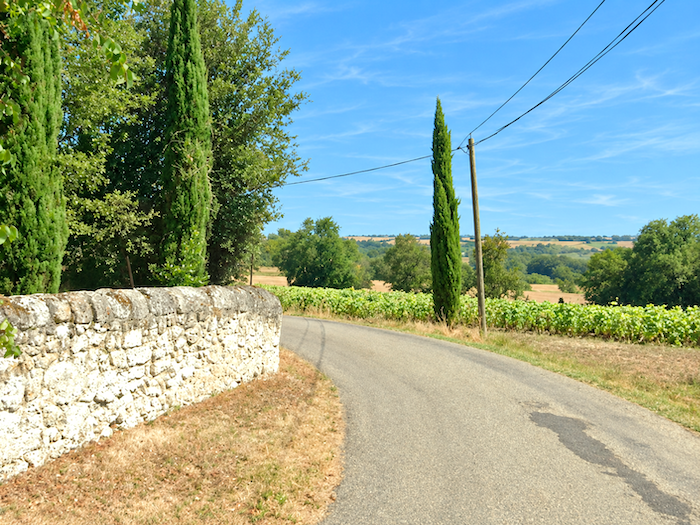
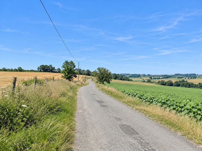
Beyond the hamlet, the road continues its gentle climb towards a broad plateau where the eye can once again wander freely. Neatly ordered rows of vines alternate with cereal fields and great expanses of sunflowers. |
|
 |
 |
 |
 |
|
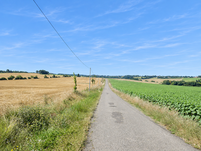
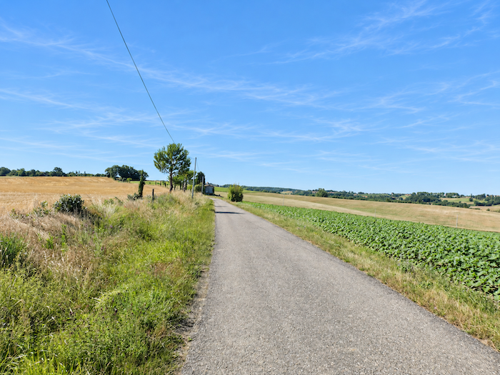
Here, there is no longer any woodland or generous hedgerow to interrupt the view or offer welcome shade. Cultivated fields occupy almost every inch of the landscape, stretching towards the most distant horizons. A few solitary trees, rare survivors of this agricultural conquest, stand here and there amid the crops. Above this wide-open countryside, the sky seems immense. |
|
 |
 |
|
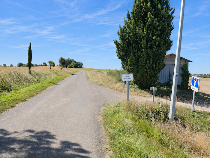
The road continues to gain height gently until it reaches a junction where the GR65 leaves the tarmac to follow the path of Le Baradieu. A broad dirt track stretches away between the fields and begins its descent. |
|
 |
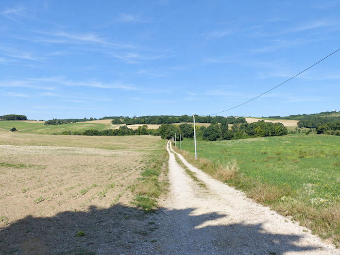 |
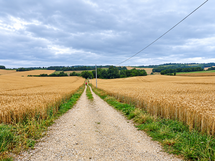
Today, sunflowers and soybeans dominate the landscape, interspersed with vast plots sown with green manure crops. But the Gascon countryside never remains fixed in a single pattern, and the crops change from one year to the next. On one of our previous visits, beneath a gloomy sky, wheat still covered these fields. A female pilgrim had ventured among the golden ears, making her way merrily downhill like a mischievous incarnation of Little Red Riding Hood. Perhaps she was taking a few cakes to her grandmother? Unless the Big Bad Wolf was waiting for her just around the next bend in the path…
|
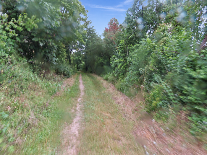
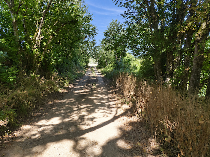
The GR65 soon reaches the locality of Moras, where the vast cultivated fields once again give way to the intimacy of woodland. |
|
 |
 |
|
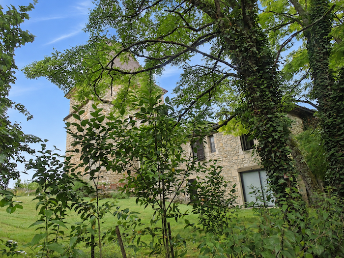
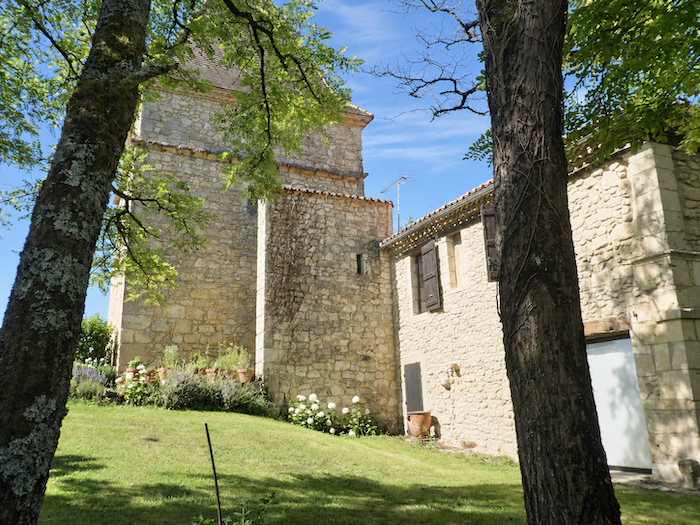
And then, around a bend amid this luxuriant vegetation, an imposing stone residence suddenly appears, as majestic as it is unexpected. Its proportions and elegant architecture give it the appearance of a palace lost among the trees. One almost expects Sleeping Beauty to appear behind one of its silent windows, having waited for centuries for an adventurous prince to disturb her slumber. After Little Red Riding Hood, it seems that the fairy tales of our childhood have truly made themselves at home in this corner of Gascony! |
|
 |
 |
|
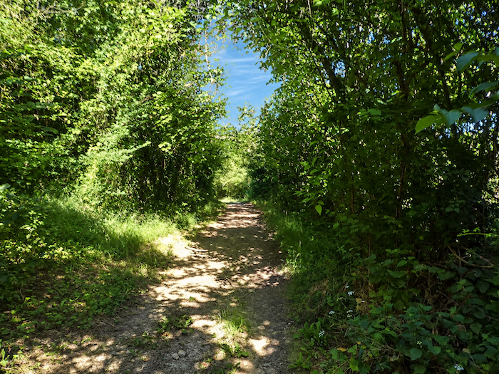
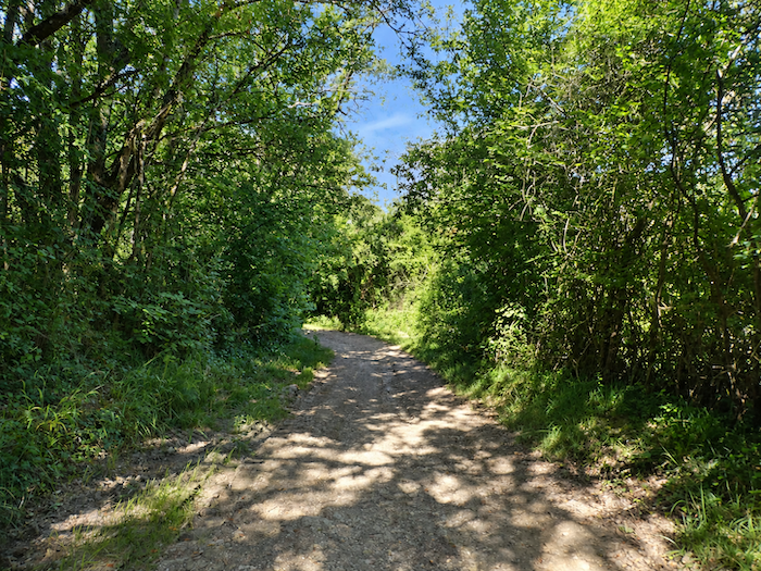
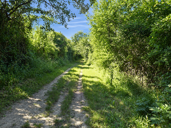
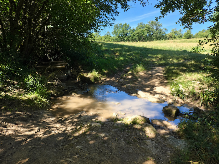
Beyond this almost magical apparition, the GR65 returns to the depths of the woodland. The vegetation grows denser, sometimes forming a veritable tunnel of greenery, where field maples and ash trees compete for the light. Beneath their canopy, the path winds through the cool half-light before reaching a small stream. There is no bridge to cross its waters. Instead, a few carefully placed stones serve the purpose, inviting walkers to step from one to another with particular caution. The crossing may seem insignificant when the current is gentle, but it becomes quite another matter after heavy rain, when the swollen stream turns this modest passage into a far more delicate undertaking. |
|
 |
 |
 |
 |
Section 3: Heading for the land of the Musketeers, via a peaceful lake
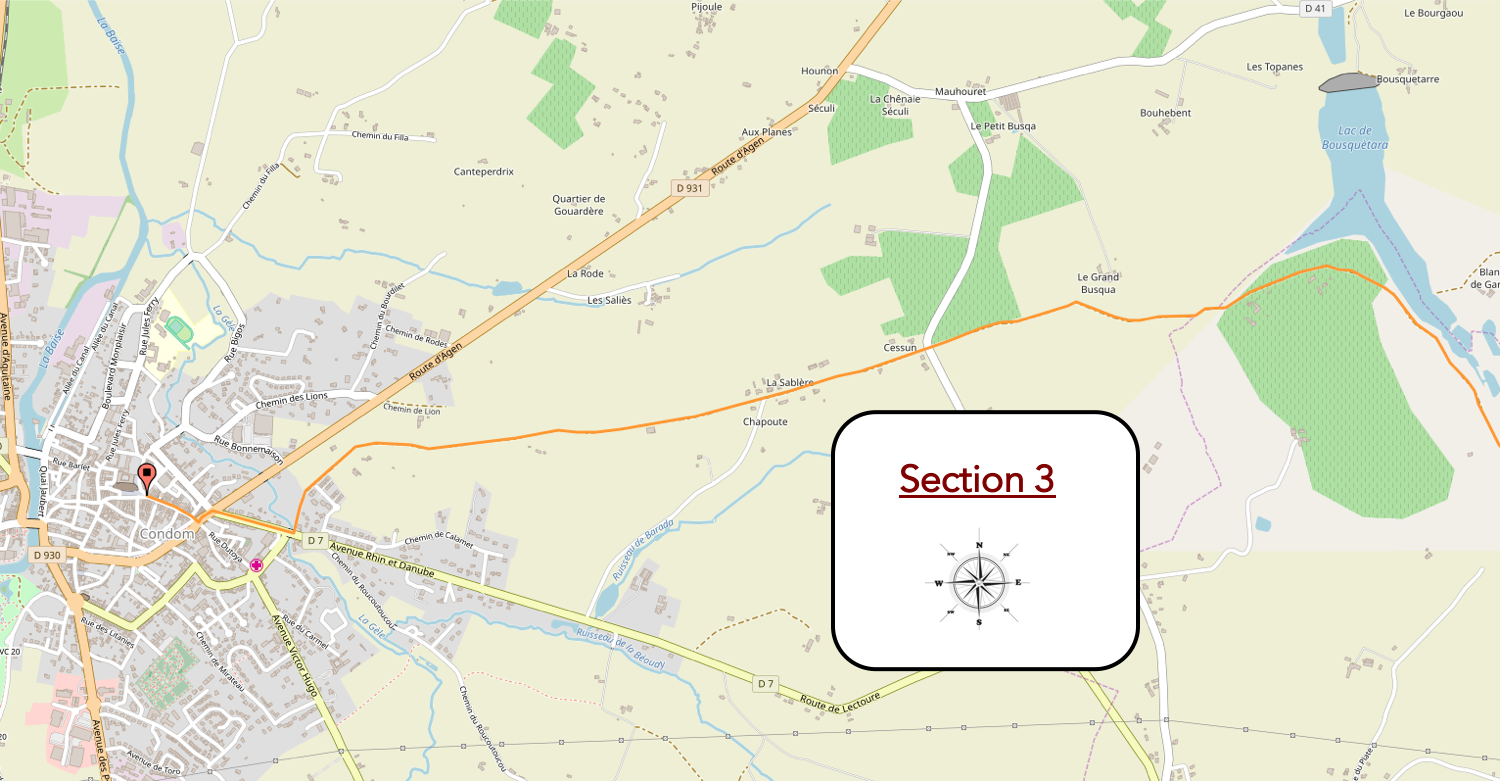
Overview the route’s challenges: an easy route with no particular difficulties.
|
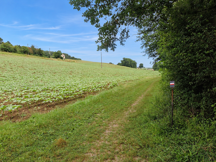
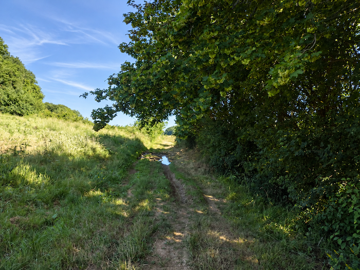
The path continues for a while along the edge of the woodland, wavering between the shade of the trees and the sunlight falling across the cultivated fields. |
|
 |
 |
|
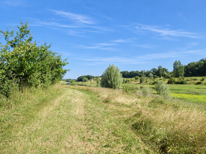
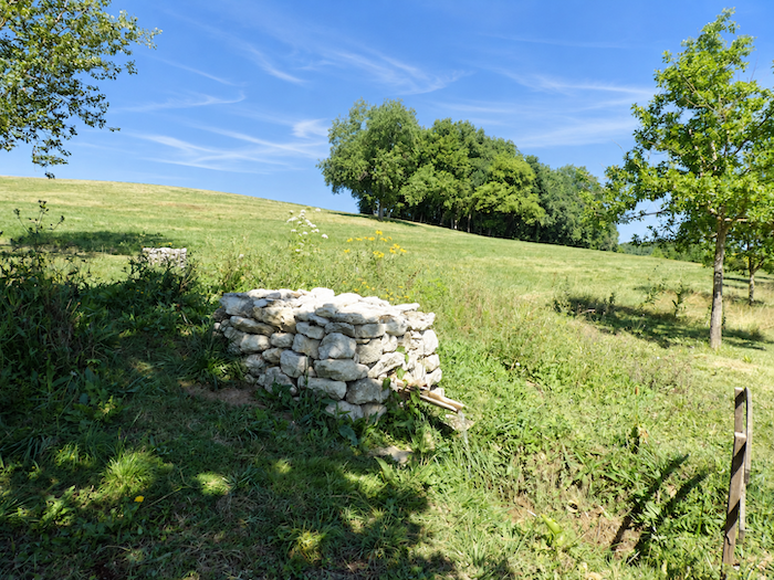
Soon, the GR65 finally emerges from the forest shadows and sets off across a broad expanse of open heathland. The horizon widens, sunlight reclaims the landscape, and the path makes its way towards the tranquil waters of Lake Bousquètara. |
|
 |
 |
|
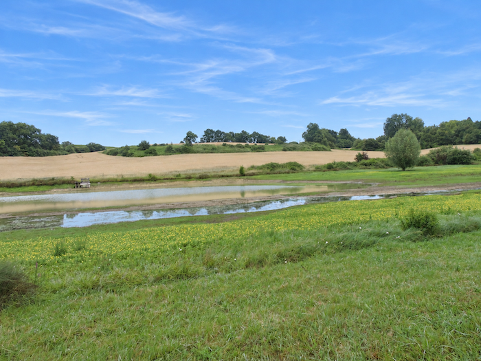
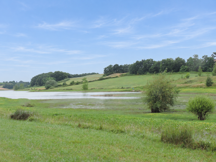
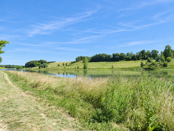
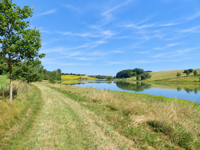
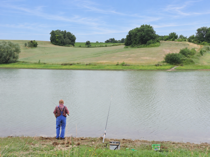
Here, the landscape suddenly seems to hold its breath. Nestled in the heart of this secluded countryside, the lake spreads its vast mirror beneath the light, its surface barely disturbed by a few fleeting ripples. The peaceful shores, the motionless vegetation and the surrounding silence create a scene of almost unreal serenity. Nothing seems willing to disturb this tranquility, as though time itself had agreed to slow its pace. One could happily linger here much longer, savoring this delightful solitude, far from the bustle of human activity and the restless demands of the journey. |
|
 |
 |
 |
 |
|
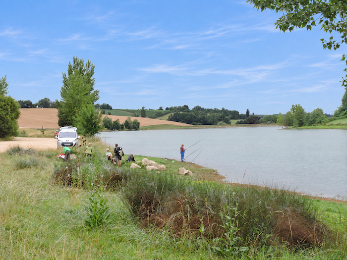
These calm waters have long been the kingdom of carp, much to the delight of anglers who come here seeking a few hours of patience and tranquility. But according to one of these motionless figures sitting at the end of his fishing rod, a newcomer is now disturbing the peaceful order of the lake: the catfish. This giant of freshwater, whose appetite and enormous size have inspired countless fishing tales, is causing concern among regular visitors, who fear that their favorite fishing grounds may gradually fall under new ownership. . |
|
 |
 |
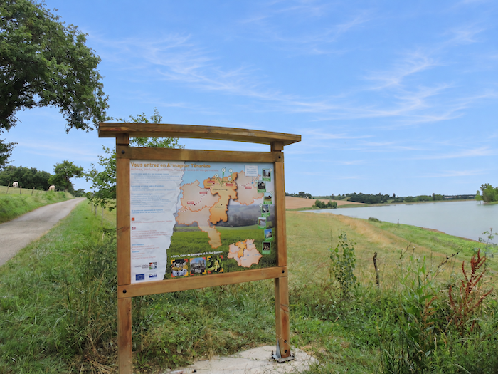
About halfway along the lake, the GR65 leaves the dirt path and returns to the tarmac of a narrow road. This also marks the entrance to the Armagnac-Ténarèze region, where hills, vineyards and large farmhouses continue to shape the familiar scenery of rural Gascony.
|
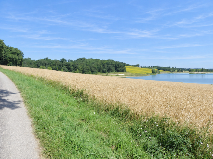
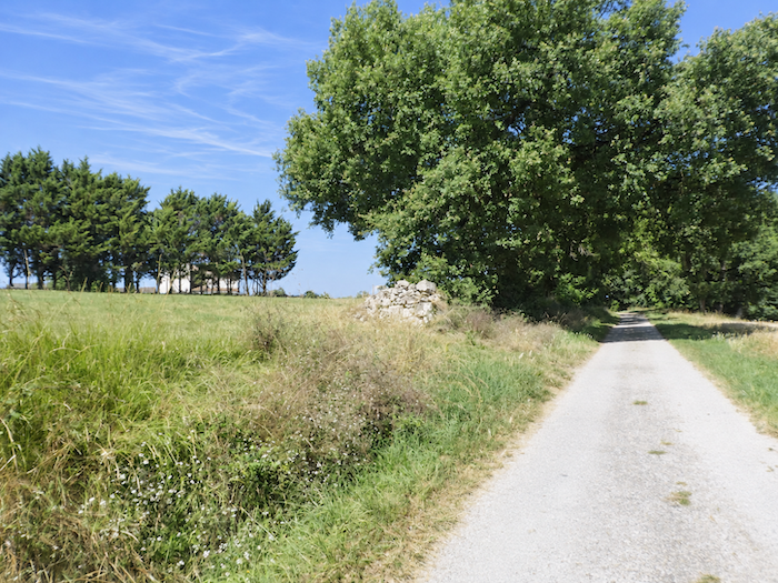
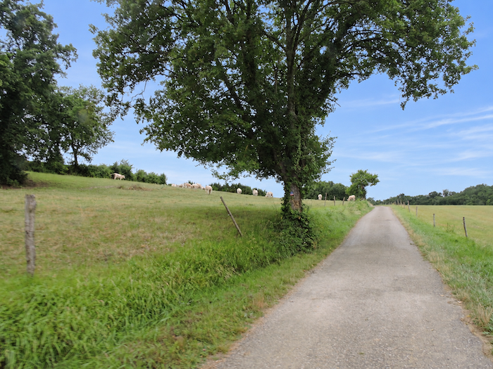
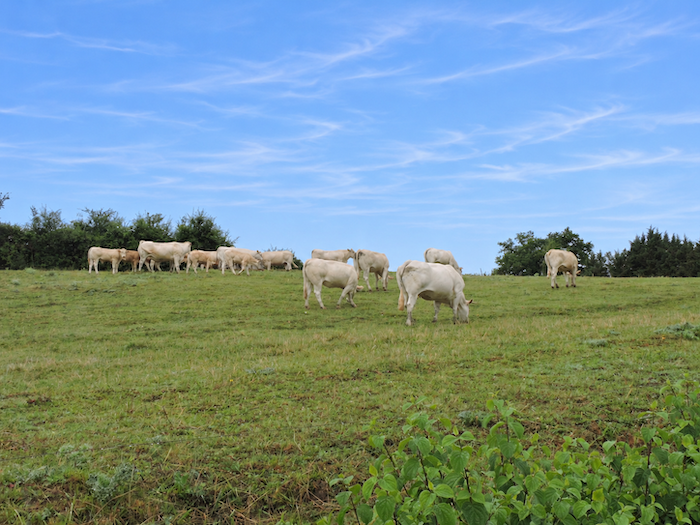
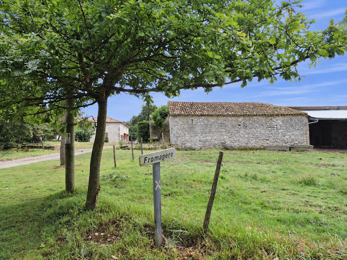
The road then begins a steady climb towards Fromagères, without ever imposing the hardships of the previous hillsides. With a name like that, one might easily imagine a little kingdom devoted to the pleasures of milk and cheese! And indeed, cattle become increasingly numerous in the surrounding meadows. Among them, the imposing “Blonde d’Aquitaine” cattle, recognizable by their pale coats and powerful muscular build, seem to reign over these pastures with an entirely bovine serenity. One should not, however, mistake them for generous dairy cows, as this handsome breed from southwestern France owes its reputation above all to the quality of its beef. |
|
 |
 |
 |
 |
|
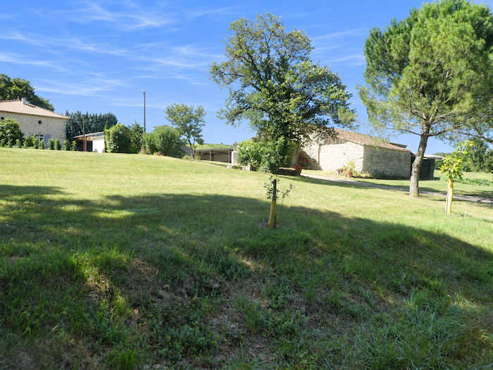
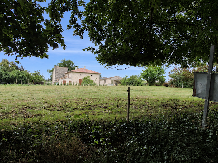
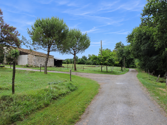
The climb ends at the hamlet, where a large, solidly built farmhouse seems to stand guard over the surrounding land. |
|
 |
 |
 |
 |
|
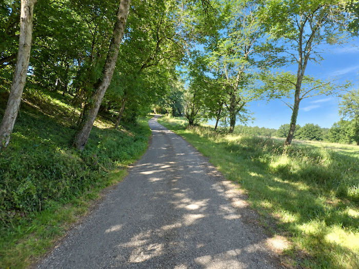
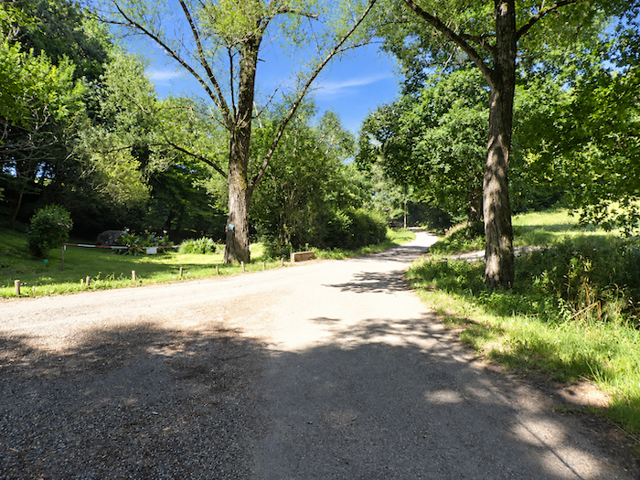
Beyond the hamlet, a narrow winding road slips beneath the shelter of the trees, accompanied by oaks, sycamore maples, poplars and hornbeams, while the tarmac descends gently towards the Lassos stream. |
|
 |
 |
|
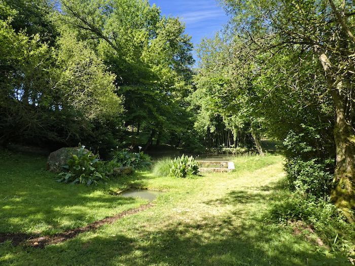
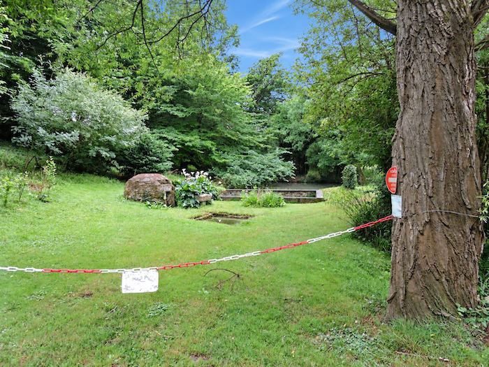
Nearby, a pond lies hidden in a fold of greenery, almost concealed from view by the dense foliage. What a delightful refuge this corner of the countryside offers, where water, trees and light seem to have conspired to create a scene of rare gentleness! One could happily linger here, if only to savor the silence, set down the weight of a backpack for a few moments and allow one’s thoughts to wander among the reflections. Some places need neither grandeur nor spectacle to cast their spell. |
|
 |
 |
|
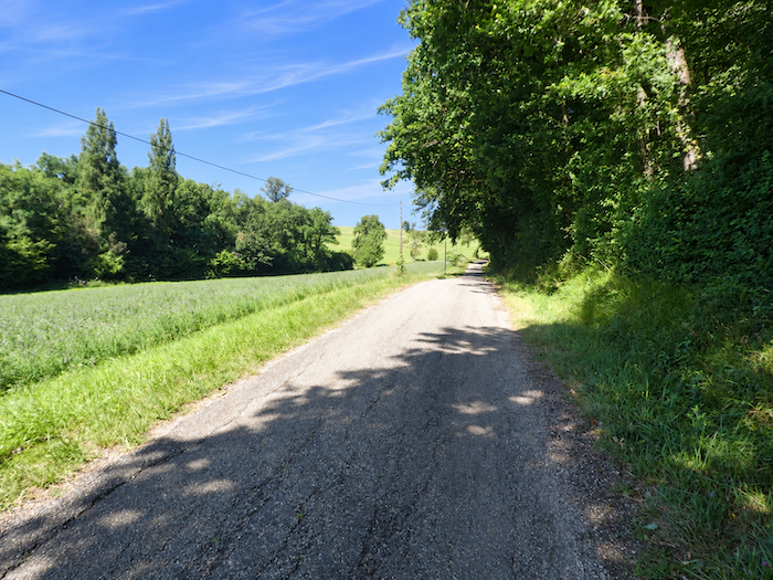
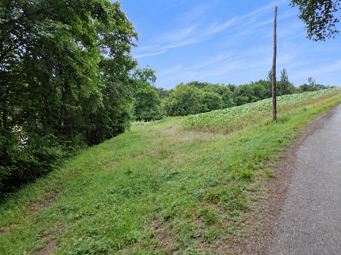
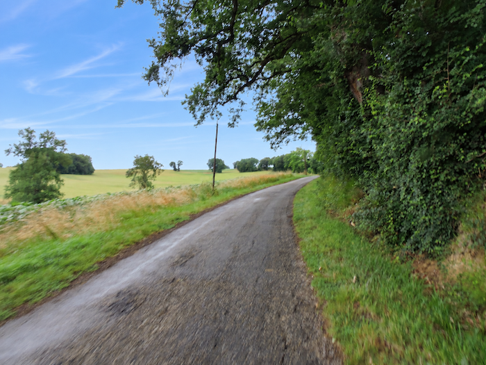
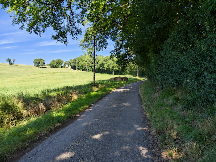
But along the Way of St James, daydreams are seldom allowed to last forever. Sooner or later, the kilometers still to be covered remind walkers of their obligations. It is time to continue along the road, which winds its way between leafy woodland and meadows. |
|
 |
 |
 |
 |
|
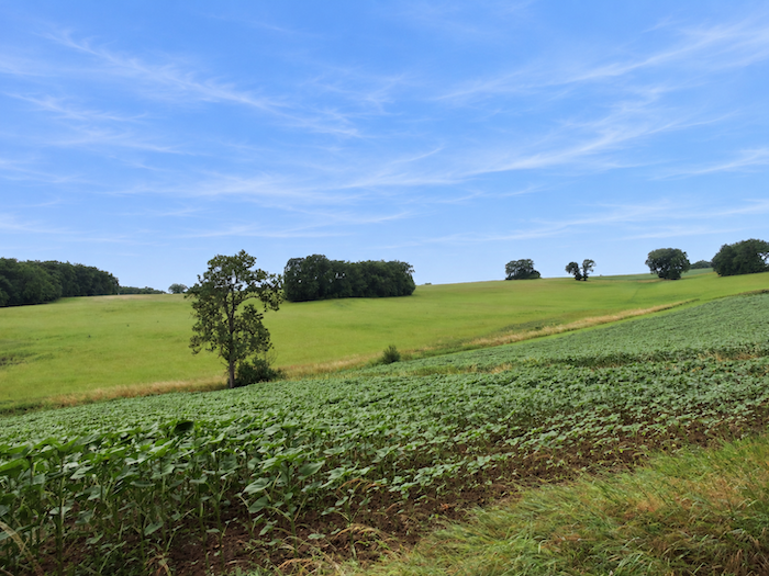
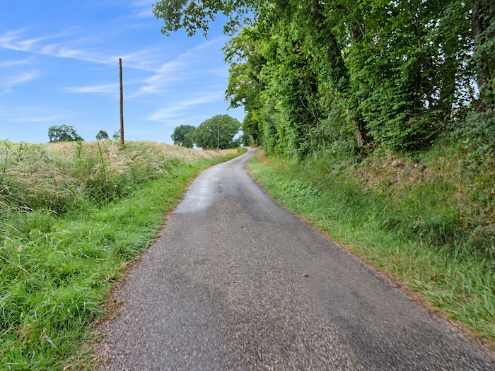
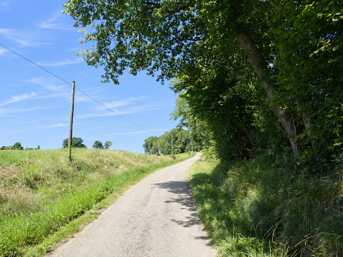
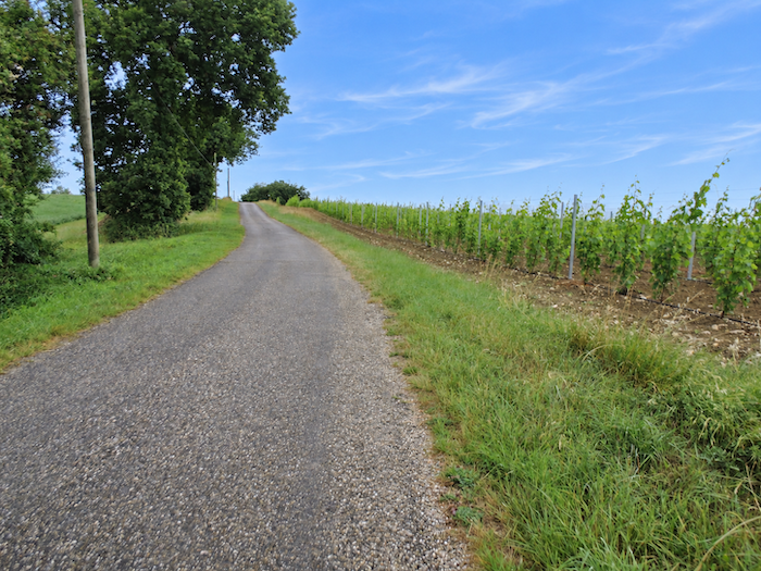
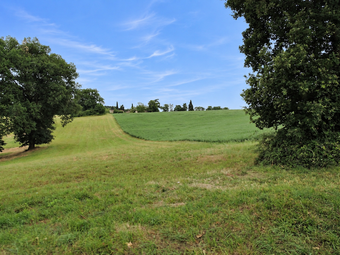
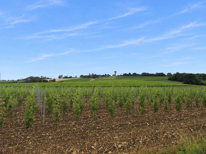
Shortly afterwards, the gentle nature of the route gives way to a more pronounced climb. The road steepens as it rises towards the heights of another hill, while the landscape gradually changes character. The great expanses of cultivated fields become less prominent. A few sunflower fields remain, but meadows now occupy a more important place, and on the neighboring slopes, vineyards begin to impose their neatly ordered rows. The vines, which so profoundly shape the identity of this part of the Gers, are now claiming their territory. |
|
 |
 |
 |
 |
|
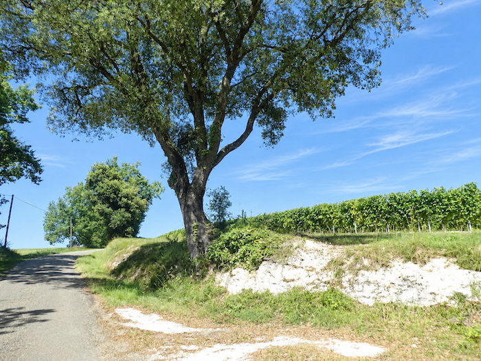
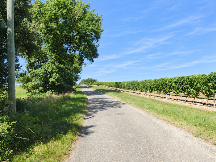
Up on the ridgeline, the vines stand in rows of almost military precision, watched over by tall ash trees rising above the fields. One would like to believe that the air already carries some promise of the subtle aromas of Armagnac. Unfortunately, the scents are sometimes of an entirely different nature. The acrid smell of agricultural chemical treatments occasionally serves as a reminder that behind the poetry of the vineyards lies a form of farming whose practices are not always quite so appealing. |
|
 |
 |
 |
 |
|
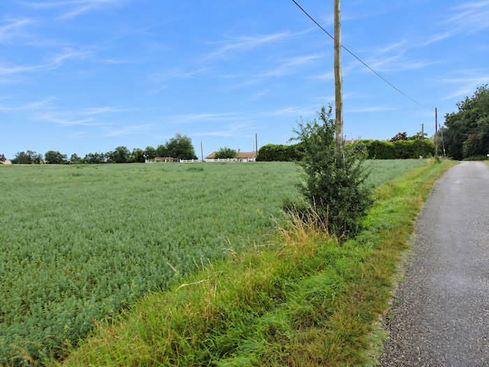
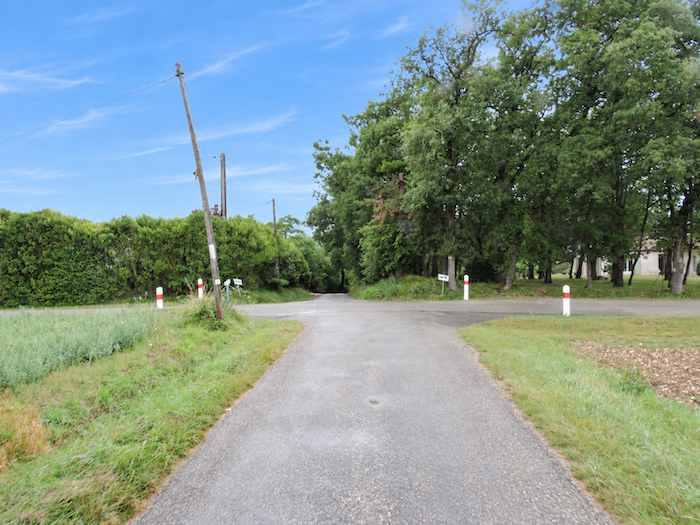
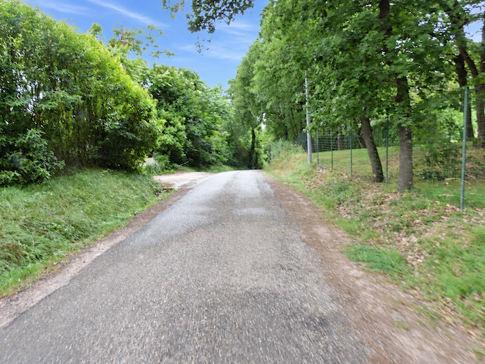
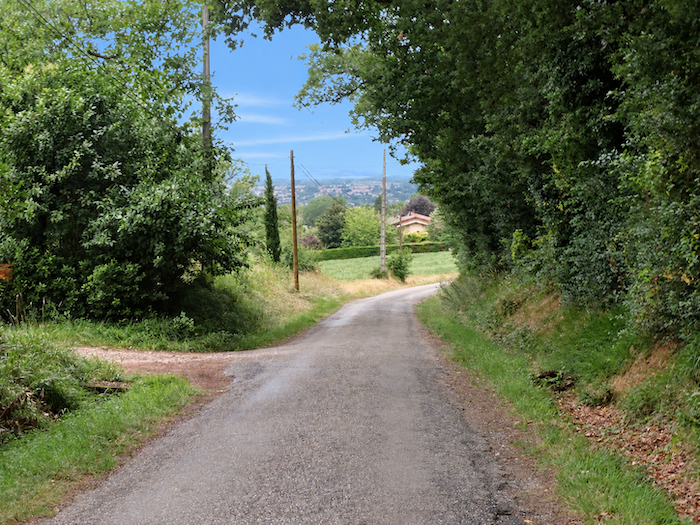
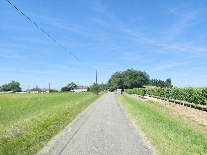
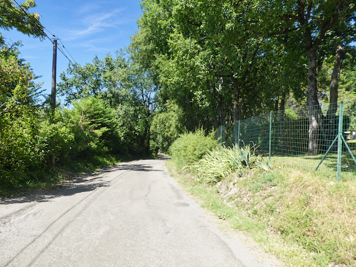
The countryside becomes more inhabited here. Behind the hedgerows lining the road, scattered houses can be glimpsed, sometimes barely visible beneath their cloak of greenery. The tarmac begins its descent towards La Sablière, a place that could hardly be described as a proper village. There is no village center, no cluster of houses gathered around a square, merely a succession of dwellings scattered along either side of the road. Beyond these houses, the view already stretches towards the plain, where the still-distant silhouette of Condom begins to take shape. |
|
 |
 |
 |
 |
|
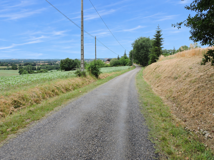
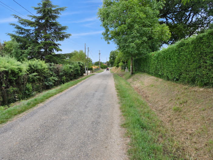
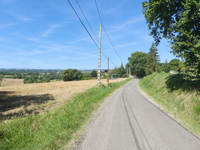
On either side of the road, vast fields stretch into the distance, interrupted only occasionally by small plots of vines. The ever-present sunflowers still dominate the scene, while tractors busy at work in the fields remind us that this countryside is not merely a landscape offered for the enjoyment of passing pilgrims, but a working land from which people earn their living. Everywhere, the scenery bears the imprint of agricultural labor, with its seasons, machinery and harvests. |
|
 |
 |
 |
 |
|
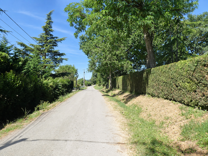
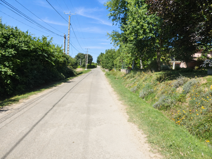
The farmers’ houses, meanwhile, maintain an almost fierce discretion. Set back from the road and sheltered behind thick hedgerows, they often reveal little more to passers-by than a stretch of roof, a gateway or a few stones glimpsed through the foliage. |
|
 |
 |
 |
 |
|
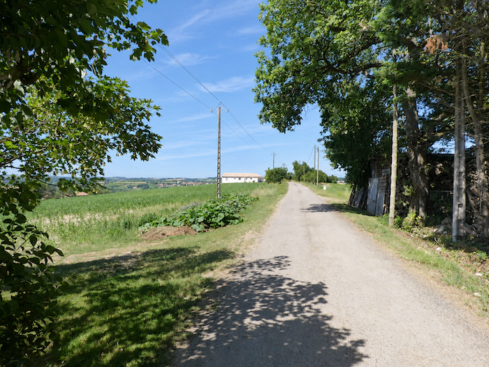
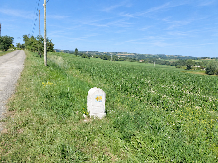
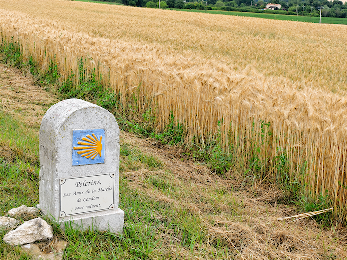
Yet this apparent reserve does not exclude a warm welcome. Here and there, a few welcoming messages bear witness to the consideration shown towards passing pilgrims. As for the crops, they continue their endless game of changing places. Today, maize occupies the fields bordering the path, whereas on an earlier visit, wheat grew here. Walkers may retrace their steps, but they never encounter quite the same landscape twice. |
|
 |
 |
|
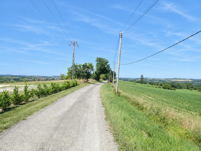
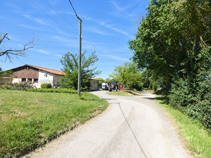
The narrow paved road finally continues its descent until it comes to a dead end beside a large agricultural property. |
|
 |
 |
|
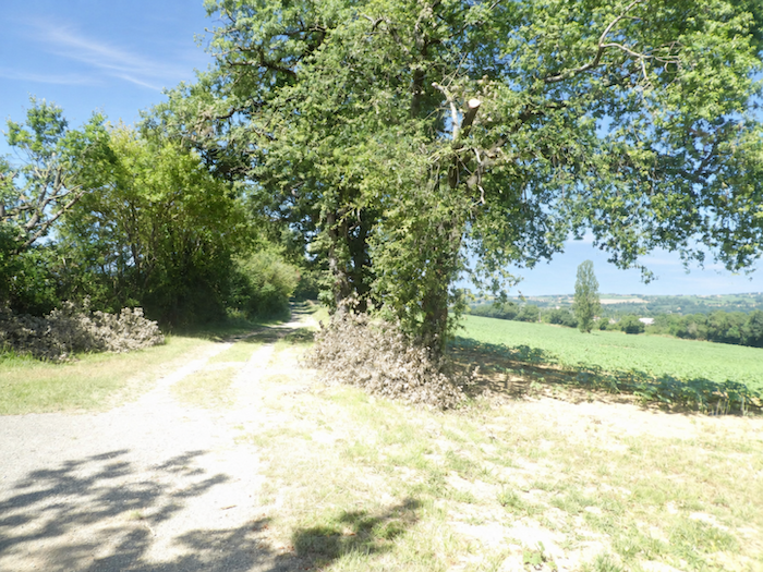
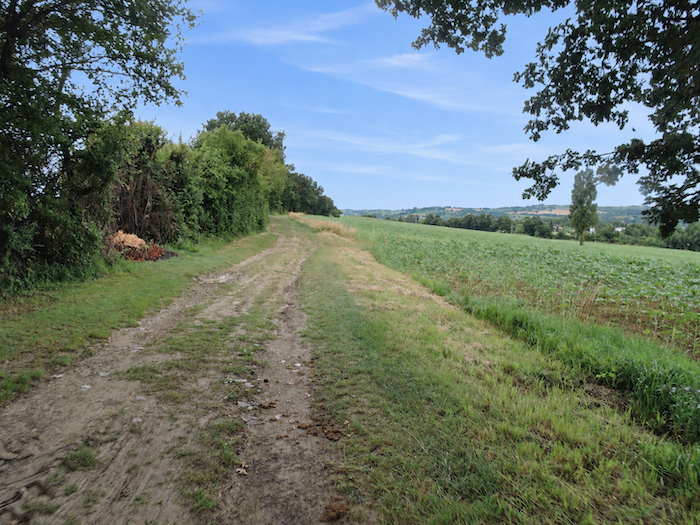
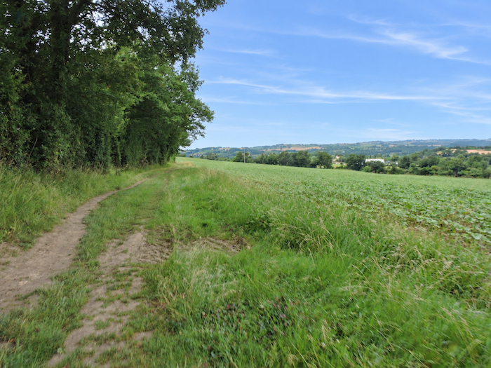
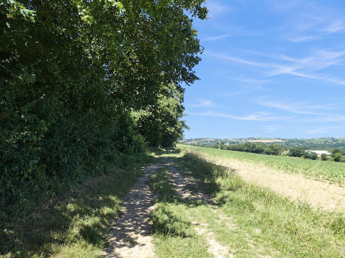
Farther on, a broad path continues its undulating course along the hillside, following the contours of woodland where maples and oaks mingle. Below, vast sunflower fields spread across the landscape, like a final tribute to the agricultural scenery that has accompanied the walker’s footsteps for so long through the hills of Gascony. |
|
 |
 |
 |
 |
|
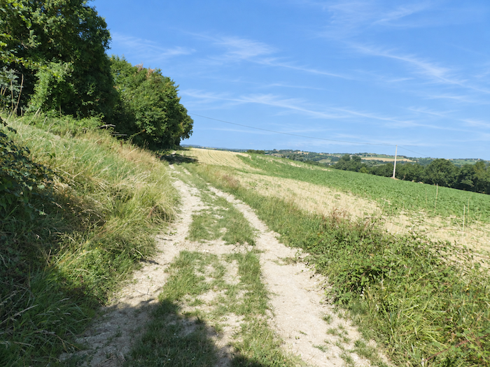
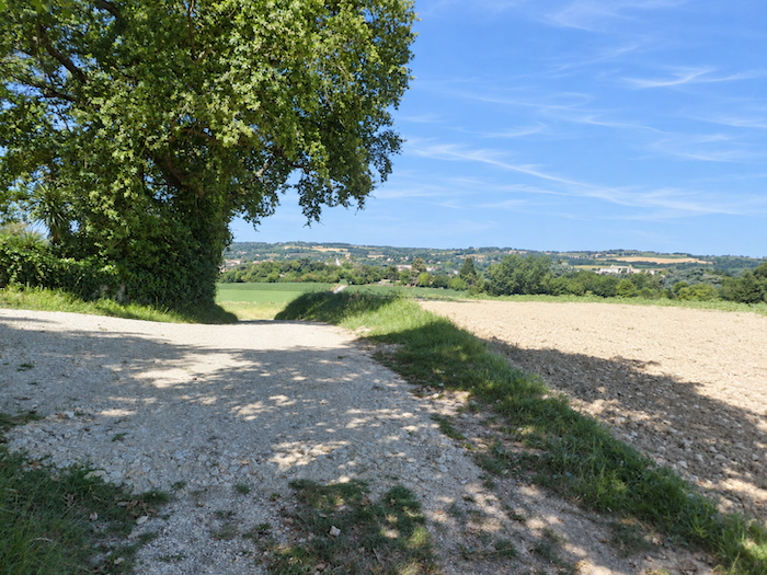
Condom is now drawing rapidly closer. The town, glimpsed for so long in the distance, seems gradually to emerge from the horizon and assume its true place in the landscape. |
|
 |
 |
|
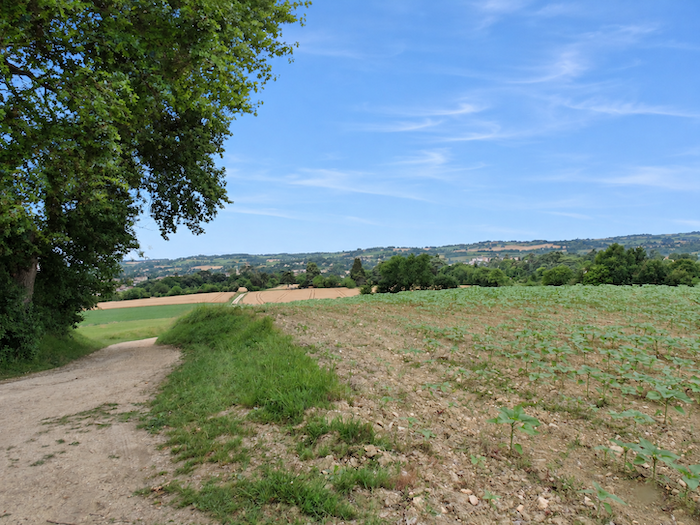
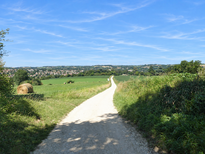
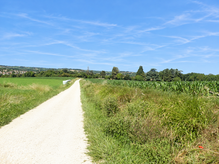
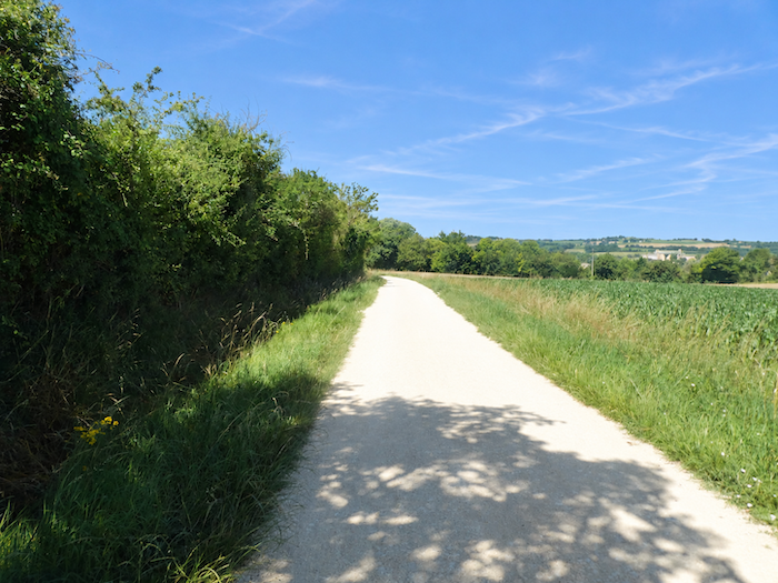
Arrival seems imminent, but the GR65 still has a few detours in store. The broad path begins another descent through cultivated fields, gradually leaving the open countryside behind as it approaches the edge of a wooded area. |
|
 |
 |
 |
 |
|
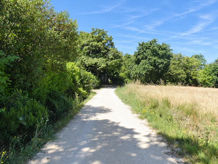
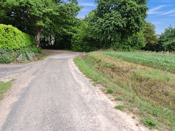
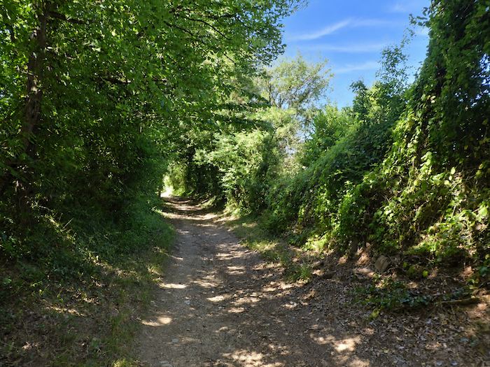
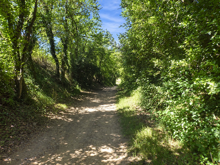
At the bottom of the slope, the scenery changes abruptly. The path plunges into dense woodland, where tangled undergrowth and closely interwoven branches seem determined to conceal walkers from the outside world. |
|
 |
 |
|
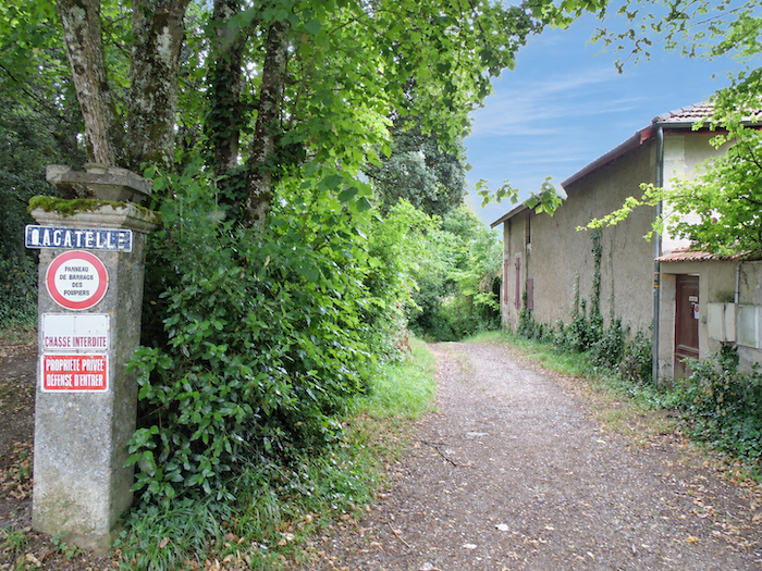
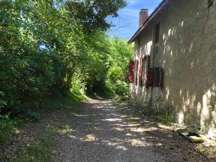
This is surely one of the surprises of the approach to Condom. Just a short distance from a town of nearly 7,000 inhabitants, one suddenly finds oneself immersed in almost wild vegetation, as though the path had deliberately chosen to postpone its encounter with the town until the very last moment. After the wide-open horizons of the countryside, this descent through the thickets comes as something of a surprise. One could easily imagine being deep in the heart of a forest, even though the first streets are now only a few steps away. |
|
 |
 |
 |
 |
|
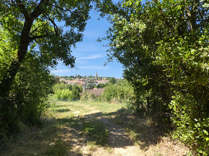
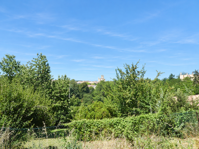
Then, between the leaves, the first stone buildings of the town begin to appear. Below stands the church of Saint-Barthélemy, now devoted to sacred art. A little farther away, rising above the dark mass of the trees, the silhouette of the cathedral comes into view. |
|
 |
 |
|
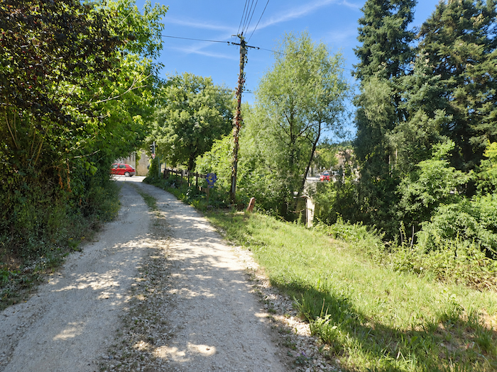
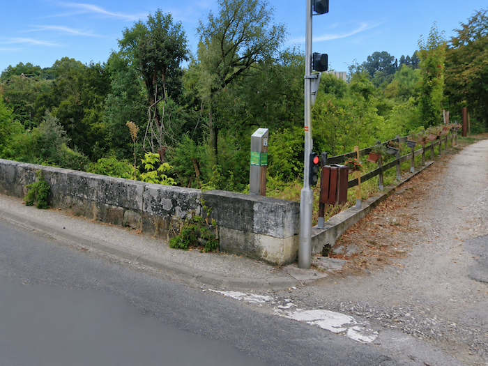
The GR65 then completes its passage through this final enclave of greenery and joins the departmental road, right at the entrance to the town. |
|
 |
 |
|
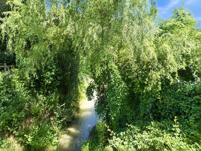
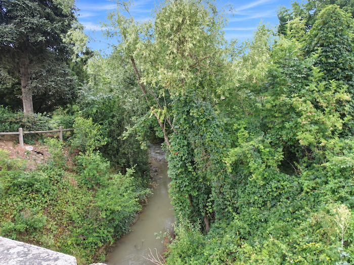
Here flows the Gèle, a modest river whose banks still retain a surprisingly wild character despite the proximity of houses. Farther downstream, it joins the Baïse, a much more substantial waterway. It is precisely from this meeting of the waters that Condom is believed to have taken its name. The ancient Gaulish term Condomagos, generally interpreted as the « market at the confluence », reminds us that geography had already marked this place as a natural meeting point and center of trade. |
|
 |
 |
A brief visit to Condom
|
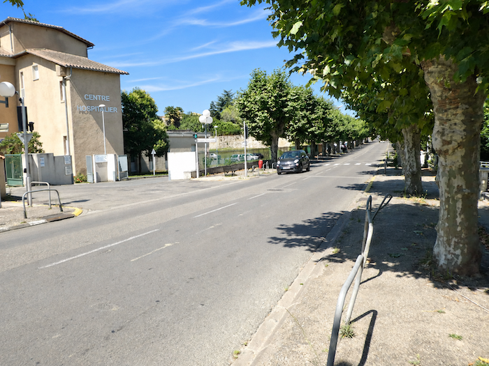
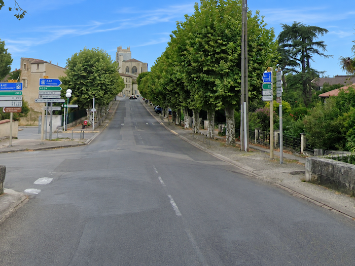
The GR65 enters Condom through the hospital district and gradually makes its way towards the town center. |
|
 |
 |
|
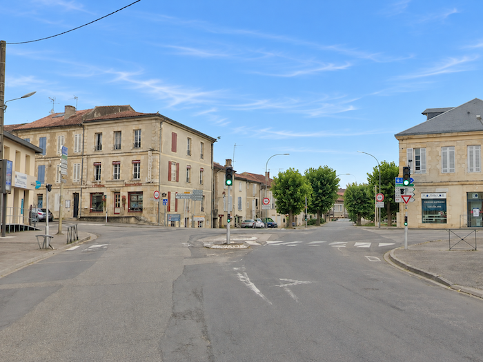
A large crossroads marks the entrance to the town center. Among the shopfronts, one deserves particular attention from walkers: “Caminoloc”, a veritable Aladdin’s cave for anyone travelling the routes to Santiago de Compostela. Here, pilgrims can find everything they need to equip themselves, replace missing essentials and sometimes even discover that indispensable accessory they never knew they needed. At the helm are Serge and his companions, seasoned pilgrims who know the demands of the Way from long personal experience. Serge formerly ran a pilgrim hostel and a similar establishment in Cahors, both of which have since closed. |
|
 |
 |
|
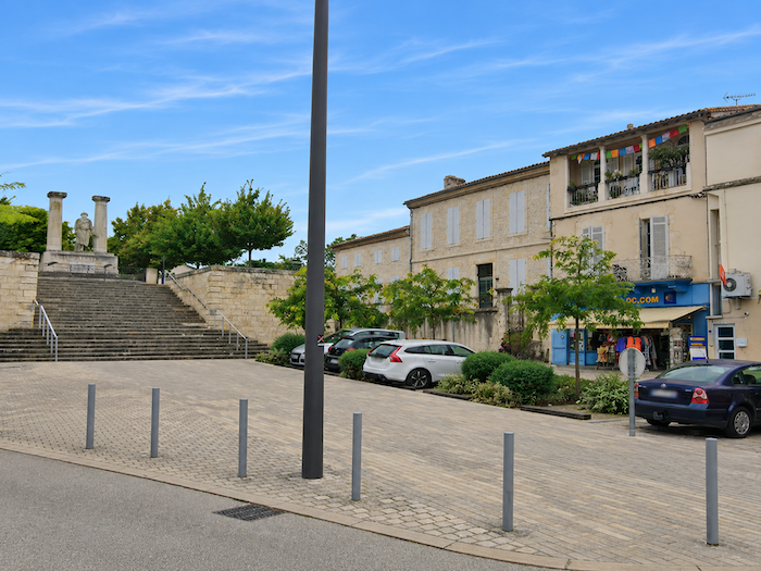
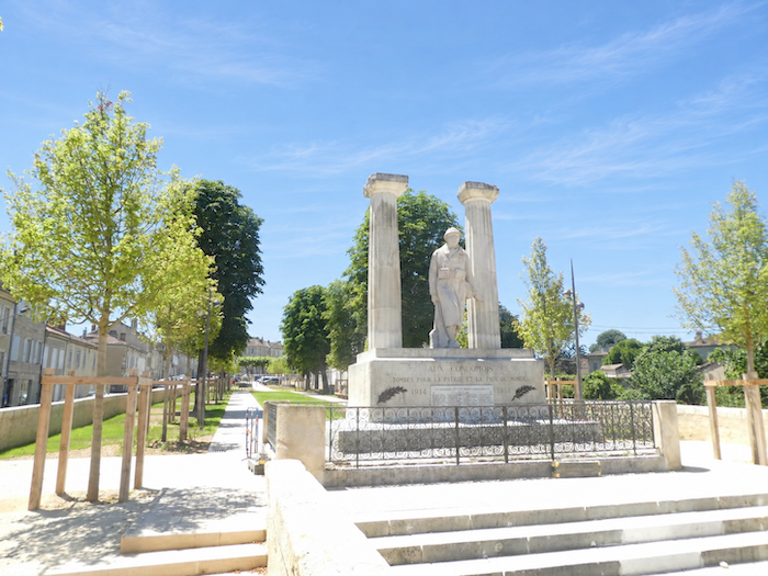
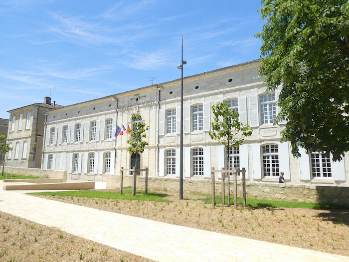
Just a few steps farther on, the surroundings suddenly take on unexpected proportions. An immense esplanade accommodates the war memorial, while the town hall commands a broad terrace. The whole ensemble displays a monumentality that seems almost bewildering for a town of this size. Faced with so much space and solemn grandeur, one could easily imagine oneself in a metropolis of a million inhabitants rather than in this peaceful Gascon town. |
|
 |
 |
|
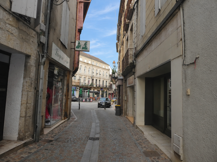
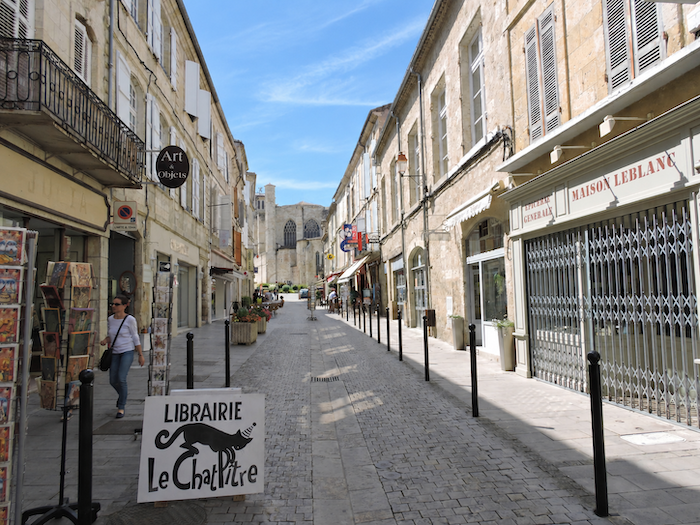
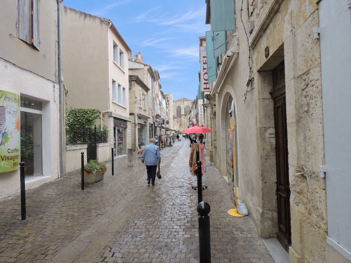
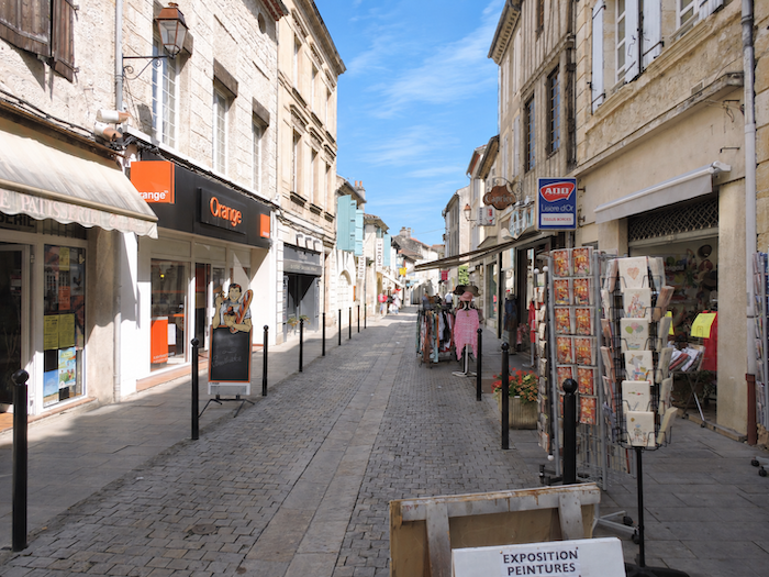
The historic heart of Condom, though only a short distance away, returns to a much more familiar scale. A lively shopping street, lined with shops and inviting window displays, leads towards the cathedral square. |
|
 |
 |
 |
 |
|
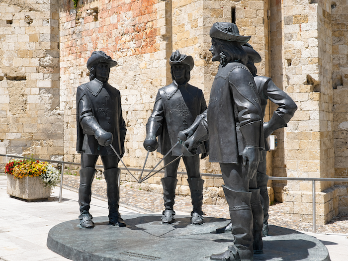
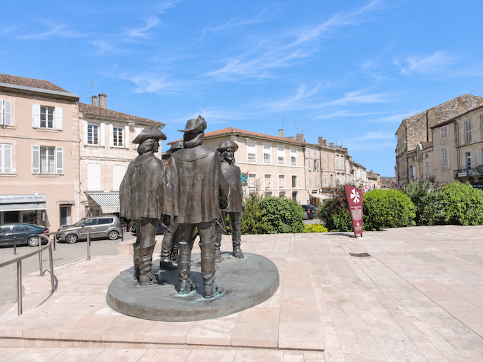
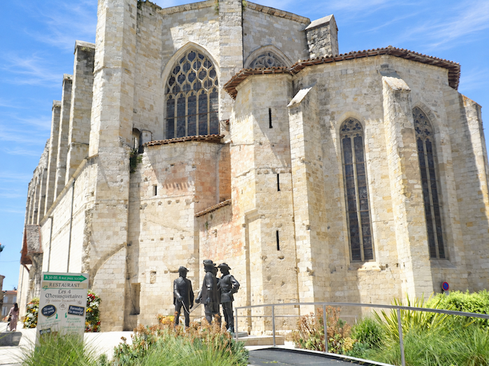
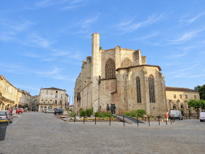
In the cathedral square, an unexpected encounter awaits visitors: d’Artagnan and his three inseparable companions, Athos, Porthos and Aramis, have drawn their swords and appear ready for battle. This imposing bronze sculpture, installed in 2010, is the work of a Georgian artist fascinated by the world of the Musketeers. And so our four swordsmen stand together for eternity, watched with amusement by passers-by, in a town where one almost expects to hear them proclaim their famous motto: « All for one, and one for all! » |
|
 |
 |
|
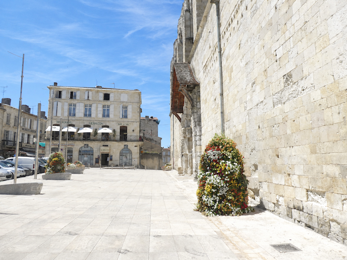
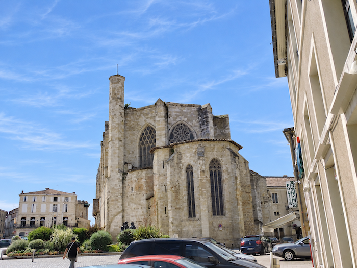
Standing magnificently on the Place des Mousquetaires, Saint-Pierre Cathedral immediately commands attention with its powerful silhouette. This splendid 16th-century building recalls the days when Condom was the seat of an important bishopric, long since abolished. With its towering walls of golden limestone and deep buttresses, it resembles, from a distance, an imposing fortified vessel, firmly anchored above the town. |
|
 |
 |
 |
 |
|
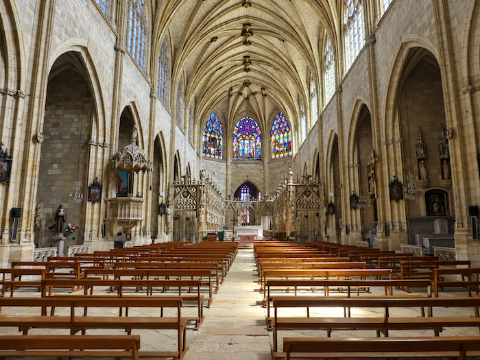
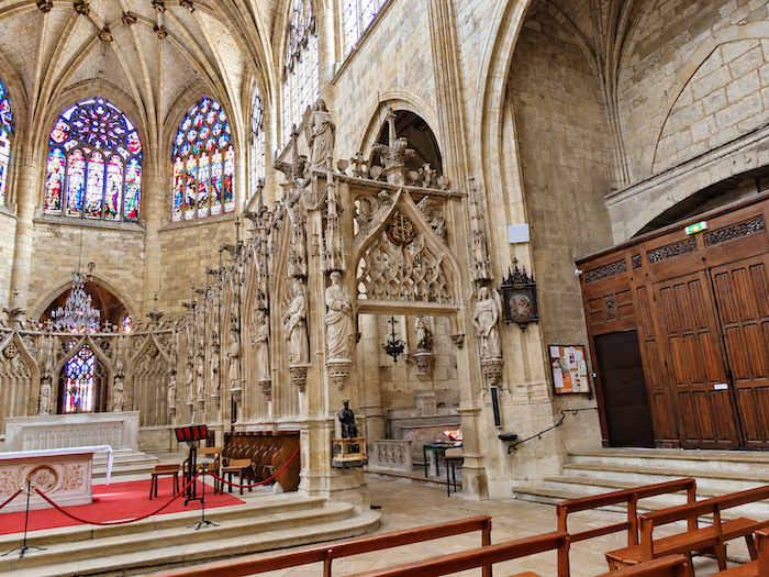
Built in the 16th century on the remains of an 11th-century abbey church, the cathedral belongs to the great Gothic tradition. Its vast single nave, flanked by side chapels nestled between the buttresses, displays an architecture that is both restrained and monumental. The narrow windows and contemplative half-light of the chapels contrast with the brightness of the great central space, generously illuminated by the tall windows of the Flamboyant Gothic style. Yet it is undoubtedly the nave itself that holds the visitor’s gaze the longest. Breathtaking in its proportions, it rises into a beautiful light that softens the severity of the stone and emphasizes the soaring elegance of the vaults. |
|
 |
 |
|
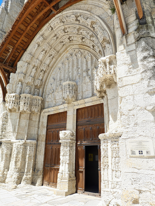
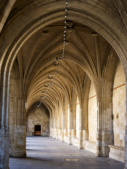
The cathedral’s tympanum is equally appealing in its majestic simplicity. Adjoining the building, the cloister is one of the finest surviving treasures of the former episcopal town. Built in the 16th century, shortly after the cathedral itself, it impresses as much through its generous dimensions as through the harmony of its arcades. |
|
 |
 |
|
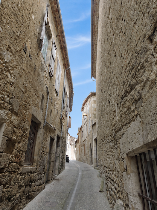
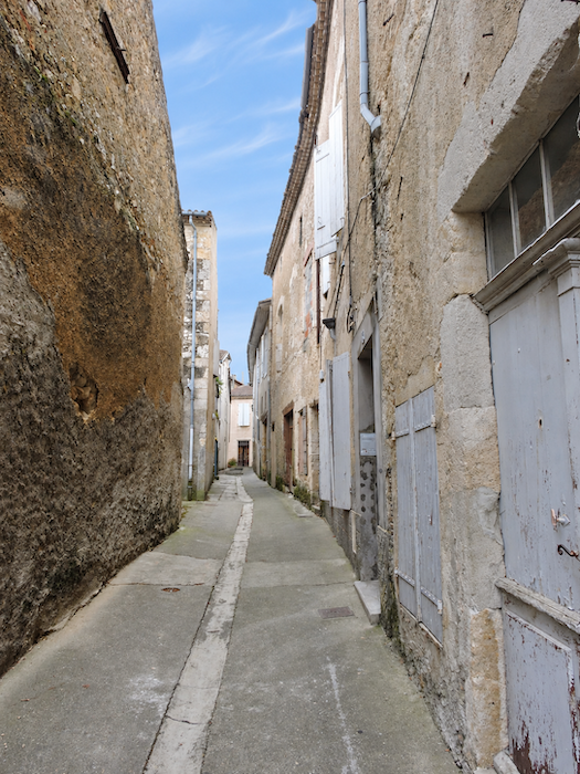
But Condom does not reveal all its charms around the cathedral. Another town, more discreet and perhaps even more endearing, awaits discovery below, along the banks of the Baïse River. The GR65 will lead pilgrims there the following morning, when they resume their journey. Nothing, however, prevents curious visitors from exploring it today, following the narrow, picturesque streets that descend towards the river. Among the old façades, houses of exposed rubble stone and tightly enclosed passages, one discovers a more intimate town, shaped by the centuries and still preserving something of its former character, far removed from the grand monumental perspectives above. |
|
 |
 |
|
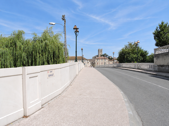
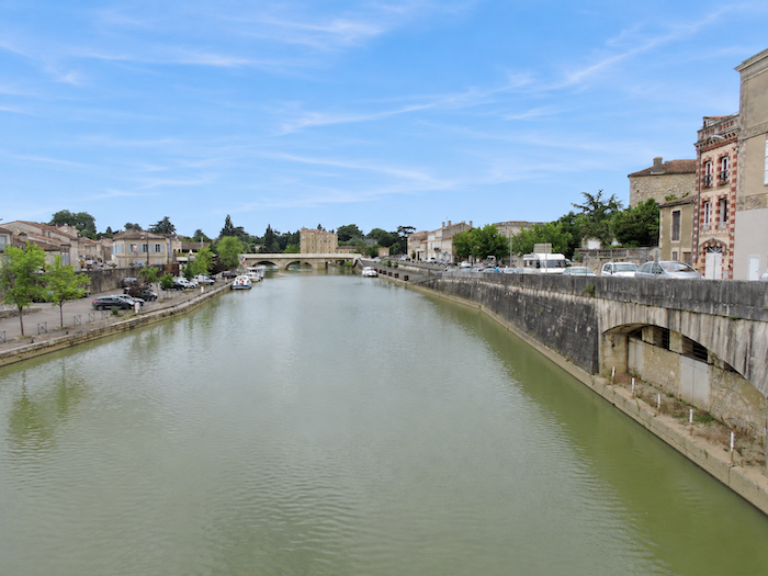
On the banks of the Baïse, the Barlet Bridge tells another chapter of this long history. Built in the 13th century and subsequently altered on several occasions to remedy structural weaknesses, it has survived the centuries thanks to numerous repairs. Its ancient stones seem to preserve the memory of the generations who crossed it, at a time when the river was one of the region’s principal routes for transport and trade. For the Baïse was not always the peaceful waterway that visitors contemplate today from its banks. In former times, it supported a much livelier river trade, carrying passengers and goods aboard boats travelling with the rhythm of the current. A little farther downstream, another bridge spans the river, extending this pleasant waterside walk. |
|
 |
 |
|
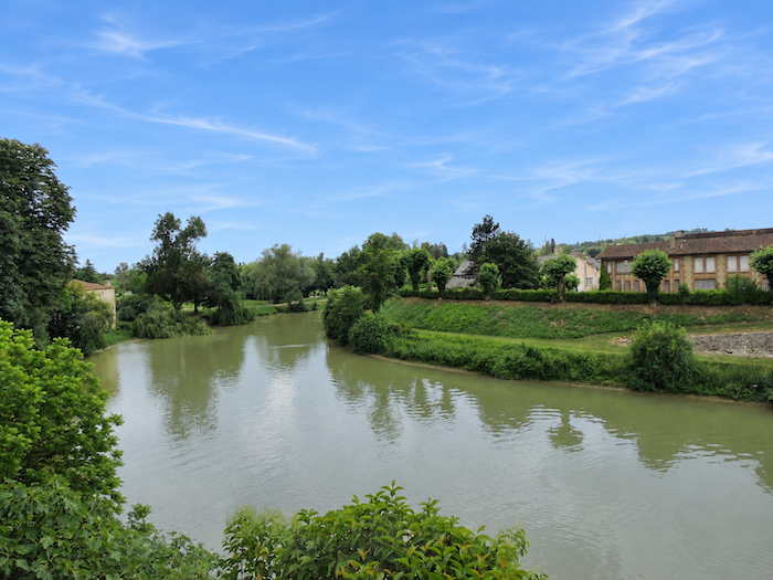
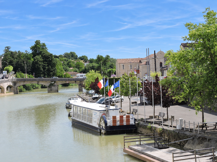
It is a pleasure to wander along the banks of the Baïse, where the river flows gently past the old houses and a modest amount of boating activity still survives. A few boats, the reflections of façades shimmering in the water and the tranquility of the quays all invite visitors to linger a little longer. |
|
 |
 |
|
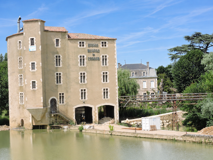
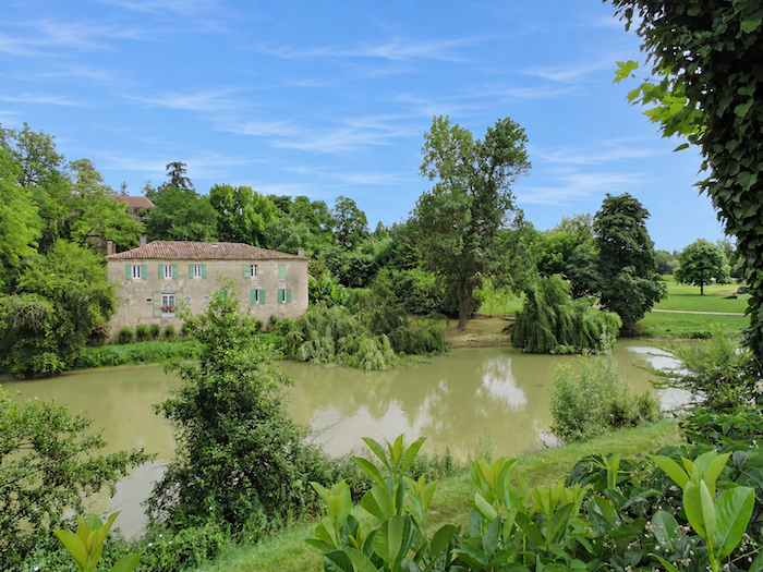
On opposite sides of the river, two old mills face one another, like witnesses to the same history, shaped differently by the passing centuries. Both date back to the 13th century, but time has treated them very differently. One of the Barlet mills has preserved almost intact its original appearance, while the larger Barlet mills have undergone numerous alterations and transformations over the generations. Despite their now contrasting silhouettes, these buildings recall the days when the river played an essential role in the prosperity of the town. |
|
 |
 |
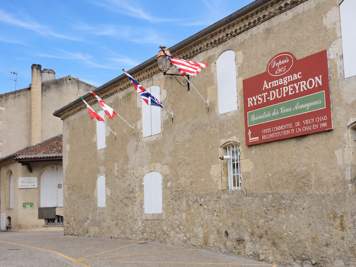
In Condom, the history of pilgrimage can also be traced, almost discreetly, behind the façades and along the old streets. As early as the beginning of the 14th century, a first pilgrim hospital welcomed pilgrims bound for Santiago de Compostela. A century later, a second establishment continued this tradition of hospitality near the little church of Saint-Jacques de la Bouquerie, just a few steps from the Barlet Bridge. Nothing remains of these buildings today except their memory, but their former existence bears witness to the important place the town already occupied along the great pilgrimage routes. The Baïse, meanwhile, was improved and made navigable to facilitate trade, particularly the shipment of Armagnac towards Bordeaux. This waterway opened the doors of a much wider commercial world to Gascon products and contributed greatly to Condom’s prosperity. Yet Armagnac has even older and more colorful connections with the routes to Santiago de Compostela. According to a tradition still fondly recounted in the region, pilgrims played a considerable part in spreading the reputation of this brandy far beyond its native land. In former times, it was credited with medicinal virtues: a few drops to disinfect wounds, a few more to restore flagging strength and, why not, to warm a faltering spirit. Walkers are said to have carried small flasks of it, both on their outward journey and on their return, spreading the reputation of this precious spirit from one stopping place to the next. This charming story must, however, be allowed its share of legend, for Armagnac also owes much of its fame to merchants and established trade routes. Even today, a few wine and spirits cellars in Condom perpetuate this long association with Gascony’s celebrated brandy, although the principal production areas lie farther to the south and west.
|
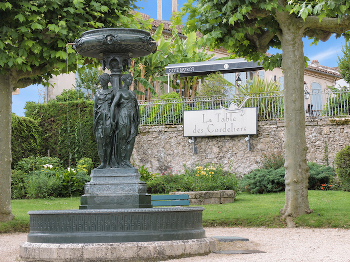
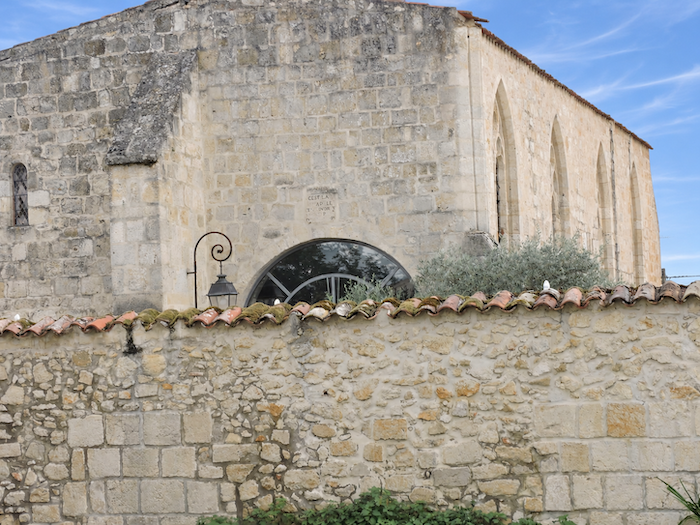
And how could one leave Condom without mentioning another of its claims to fame, its gastronomy? In this respect, La Table des Cordeliers once occupied a place of its own. Housed in a former chapel, the restaurant offered its guests a setting as unusual as it was prestigious. During the 1970s, the establishment ranked among the most renowned dining destinations in France, attracting gourmets from far beyond the borders of Gascony. But the years passed, its reputation gradually faded, and the once-great restaurant entered a long period of decline. Various attempts were made to restore its former splendor, but none succeeded in bringing back its glory days for long. Who knows? Perhaps one day the kitchens of Les Cordeliers will come alive once more? |
|
 |
 |
Accommodation on Via Podiensis
- Gîte Le Relais du Maçon, Le Maçon; 06 16 93 84 70; Gîte, dinner, breakfast, cuisine
- Gîte L’Encre, Le Mourelot; 07 45 42 61 19; Gîte donativo, dinner, breakfast
- Gîte-Chambre d’hôtes Les Jardins des Arroucasses, Castelnau-sur-L’Auvignon; 07 70 03 95 93; Gîte and Guestroom, dinner, breakfast
- Camping de l’Argenté, Chemin de L’Argenté, Condom; 07 69 48 64 80; Camping, tents
- Gîte L’Ancien Carmel, 35 Avenue Victor Hugo, Condom; 05 62 29 41 56/07 67 34 02 32; Gîte, dinner, breakfast
- Gîte de Gabarre, 42 Avenue des Mousquetaires, Condom; 06 86 41 58 39; Gîte, dinner, breakfast, cuisine
- Gîte La Halle du Kiosque, 2 Square Salvandry, Condom; 06 84 32 30 01/05 62 68 37 76; Gîte, dinner, breakfast
- Gîte Le Réconfort, Frank (pèlerin), 12 Avenue des Anciens Combattants, Condom; 06 71 70 15 80/05 31 10 30 04; Gîte, dinner, breakfast
- Gîte L’Étape du Canal, 7 Allée du Canal, Condom; 06 71 70 15 80/05 31 10 30 04; Gîte and Guestroom, dinner, breakfast
- Gîte Au Plaisir d’Étape, 37 Blvd Clémenceau, Condom; 06 42 31 84 17/06 30 74 71 88; Gîte and Guestroom, dinner, breakfast
- Gîte Le Champ des Etoiles, Florian (pèlerin),18 Avenue du Maréchal Joffre, Condom; 06 08 05 26 84; Gîte and Guestroom, dinner, breakfast
- Gîte Pause ton Sac, Virgine (pèlerine), 2 Avenue du Maréchal Joffre, Condom; 06 78 89 62 30; Gîte and Guestroom, breakfast
- Gîte L’Aller Simple, 14 Place de la Liberté, Condom; 05 62 28 27 31/06 82 59 06 52; Gîte, breakfast, cuisine
- Gîte La Tanière des Pèlerin, 40 Rue Gambetta, Condom; 06 34 96 03 90; Gîte and Guestroom, breakfast, cuisine
- Gîte White Chapel, Louise (pèlerine), 48 Blvd de la Libération, Condom; 06 74 15 77 23; Gîte and Guestroom, breakfast, cuisine
- Chambres d’hôtes Les Angelots, 3 Quai Laboupillère, Condom; 05 62 28 82 02/06 71 14 02 93; Guestroom, dinner, breakfast
- Chambres d’hôtes L’Escale, 8 Place du Cardinal, Condom; 06 82 35 39 87; Guestroom, breakfast, cuisine
- Hôtel-restaurant Le Continental***-Spa, 20 Rue du Marchal Foch, Condom; 05 62 68 37 00; Hotel, dinner, breakfast
- Hôtel Logis des Cordeliers, Rue de la Paix, Condom; 05 62 68 37 00; Hotel, breakfast
Year after year, the Camino de Santiago changes and reinvents itself, shaped by the seasons and the footsteps of its pilgrims. Some places to stay close their doors, while others, modest or unexpected, spring up along the way. It would therefore be unrealistic to claim that any list could ever be both permanent and exhaustive. The following selection includes only accommodation located directly on the route or within one kilometer of it. It was updated in 2026 and should therefore remain largely reliable over the next few years. For those wishing to explore further, one guide stands out as an essential reference: Miam Miam Dodo, readily available online. Its greatest strength lies in the fact that it is updated every year. Rather than limiting itself strictly to accommodation along the route, it also lists places to stay further afield, a particularly valuable resource when large numbers of pilgrims make finding a bed at the usual stopping points more uncertain. It also contains a wealth of practical information: welcoming bars, restaurants along the way, and conveniently located bakeries. all welcome stops that punctuate the journey. Alongside these traditional resources, another presence has now become impossible to ignore: Airbnb. The platform has established itself as a major player in the tourism landscape, even in quieter or less prosperous regions. However, as most travelers know, exact addresses are not displayed upfront, which means that some advance planning is required. On the Camino, finding a bed at the last minute can sometimes come down to a fortunate stroke of luck. But luck, by its very nature, is no strategy. Booking ahead is therefore strongly recommended. Finally, when making your arrangements, be sure to ask about dinner and breakfast options. Such details may seem insignificant, but they can make a long day on the Camino considerably more comfortable.
If we take stock of the available accommodation, there are approximately 35 beds before reaching Condom, suggesting that relatively few pilgrims choose to stop along the way. In Condom itself, accommodation capacity rises to 280 beds. While the number of walkers on the Via Podiensis generally ranges between 100 and 200, pilgrim numbers tend to decrease after Cahors. Finding accommodation on this stage should therefore not be a problem.
These routes wind through often sparsely populated areas, where shops and other services are few and far between. Restaurants are scarce, as are grocery stores, which are often little more than small village shops or bread depots offering a limited selection of vegetables and dairy products. There are no drinking water points along the route. Upon arrival, Condom, a small town, offers a full range of dining options, shops and essential services. Finally, several companies provide luggage transfer services or transport back to the starting point. Among them, one stands out as a particularly well-established and reliable option: La Malle Postale.
Feel free to add comments. This is often how you move up the Google hierarchy, and how more pilgrims will have access to the site.
 |
Next stage : Stage 27: From Condom to Montréal-de-Gers |
 |
Back to menu |