
Canadian pilgrims are always very curious to stop here
DIDIER HEUMANN, MILENA DALLA PIAZZA, ANDREAS PAPASAVVAS
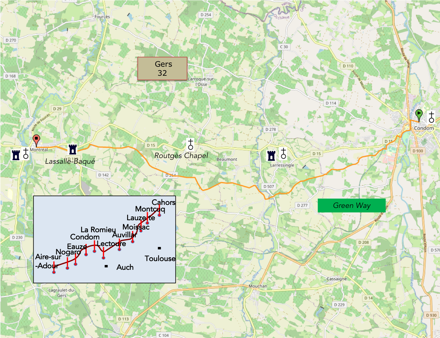
We divided the course into several sections to make it easier to see. For each section, the maps show the course, the slopes found on the course, and the state of the roads. The courses were drawn on the « Wikilocs » platform. Today, it is no longer necessary to walk around with detailed maps in your pocket or bag. If you have a mobile phone or tablet, you can easily follow routes live.
For this stage, here is the link:
https://fr.wikiloc.com/itineraires-randonnee/de-condom-a-montreal-de-gers-sr-le-gr65-55852265
|
Not all pilgrims are necessarily comfortable using GPS devices or navigating with a smartphone, especially since there are still many areas without Internet access. That is why, to make your journey easier, a book dedicated to the Via Podiensis from Cahors to Le-Puy-en-Velay is available on Amazon. Much more than a simple practical guide, this book accompanies you step by step, kilometer after kilometer, providing all the information you need for smooth planning and avoiding unpleasant surprises. Beyond its practical advice, it immerses you in the enchanting atmosphere of the Camino, capturing the beauty of the landscapes, the majesty of the trees, and the very essence of this spiritual adventure. Only the pictures are missing, everything else is there to transport you. In addition, we have also published a second book which, with slightly fewer details but all the essential information, covers the entire route from Le Puy-en-Velay to Saint-Jean-Pied-de-Port. The choice of your journey is yours. |
|
 |
 |
If you only want to consult lodging of the stage, go directly to the bottom of the page.
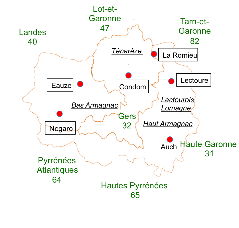
Today, you will walk between the Ténarèze and Bas Armagnac regions, as the route continues westwards. At first glance, the landscapes of the Gers appear fairly uniform, a land where small hills, dales, slopes and valleys alternate endlessly, at elevations ranging from 80 to 250 metres. Here, there are no dramatic contrasts, no sudden changes in the scenery. Wherever your gaze falls on the horizon, all you see is the endless succession of hills and dales. The countryside stretches as far as the eye can see. Above all, the Gers is a land of farmers, a deeply rural department where 70% of the land is still devoted to agriculture. It is sparsely populated, with little urban development and almost no industry to speak of. Auch, its largest town, has only 23,000 inhabitants. The villages are modest in size, and settlements are widely scattered, consisting mainly of hamlets and a few isolated farms.
On the whole, the land is renowned for its fertility, thanks to the weathering of limestone mixed with clay, which produces magnificent soil for growing wheat. The low rainfall here does not favour maize cultivation. Nevertheless, ducks are still raised in the region.
There are few extensive wooded areas in this countryside. All that remains of the traditional bocage landscape is a scattering of small groves and hedgerows. The old patchwork of enclosed fields and the paths that once crossed them have gradually disappeared. Land consolidation has profoundly altered the countryside, and vegetation now clings here and there to the few spaces left untouched by agriculture. These are the last refuges of oak trees and occasional patches of heathland. Maples, ash trees and poplars also find room to grow. Today’s stage takes you from the Ténarèze, with its wheat and sunflower fields, into Bas Armagnac, where the crops begin to change. Here, beans are grown for cassoulet, and maize is sometimes cultivated as well. Let us not forget that southwestern France is the land of duck and cassoulet. Large quantities of maize are needed to fatten ducks for foie gras. But Bas Armagnac is, of course, also the home of Armagnac brandy. Vineyards will therefore accompany you along part of the route.
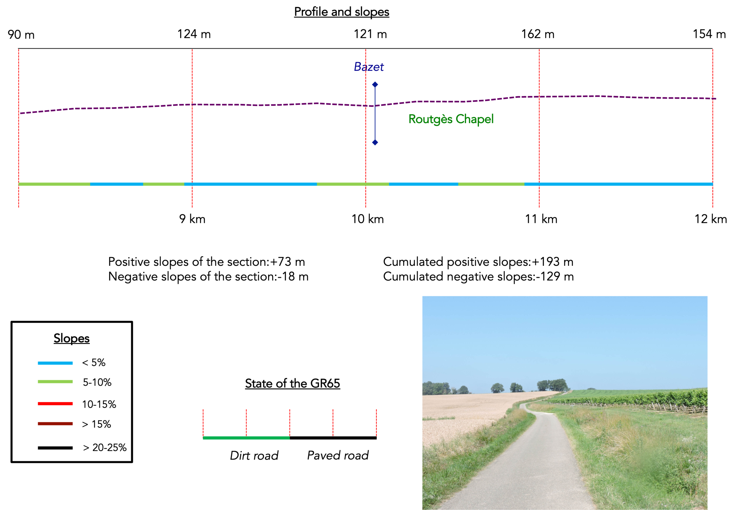
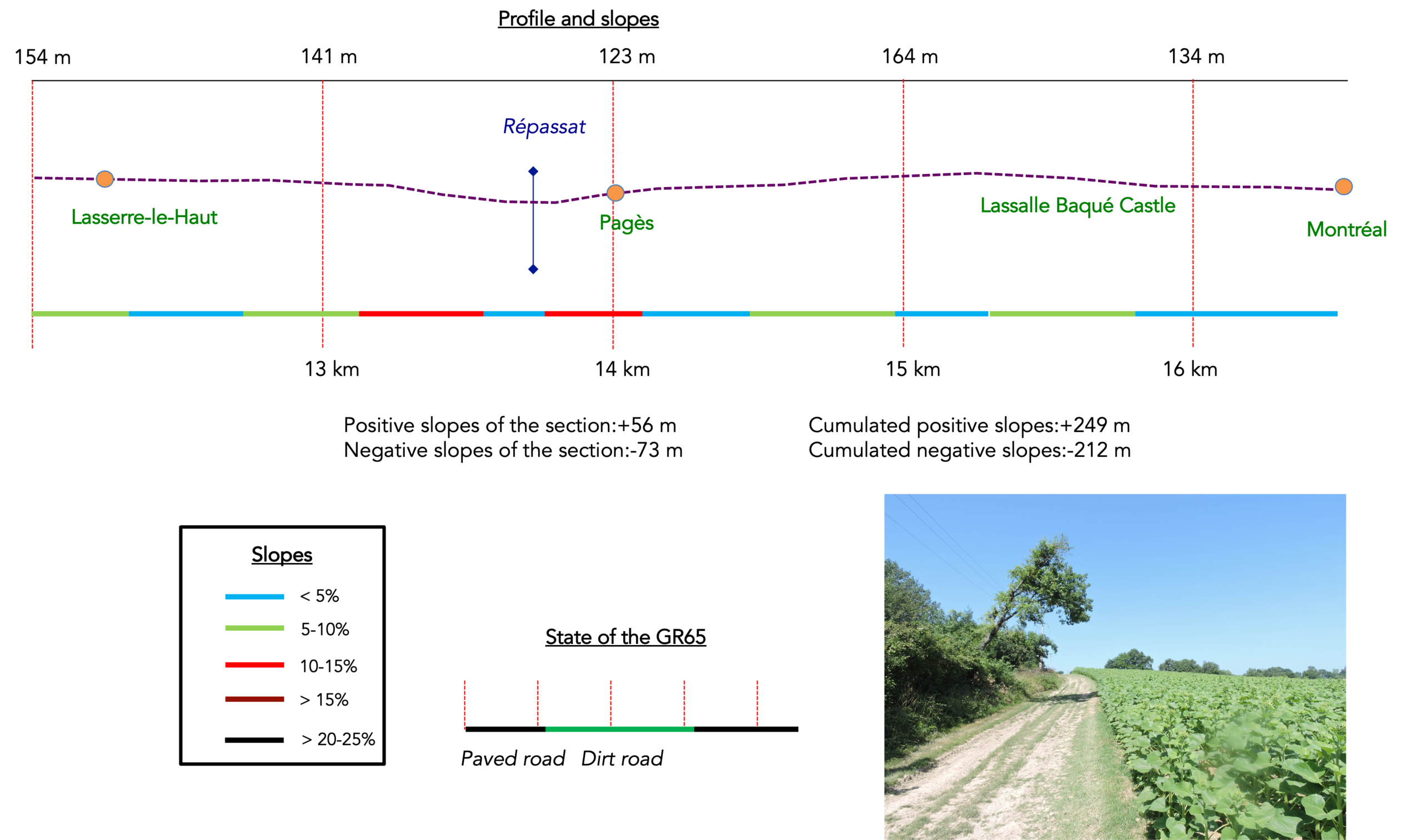
Difficulty level: The elevation changes (+249 meters / -212 meters) are gentle. There are no major difficulties along the route, which follows a succession of very mild ups and downs. The more determined walkers do not stop at Montréal-de-Gers but press on as far as Eauze. That, however, means walking 34 kilometers in a single day. So let us stop at Montréal-de-Gers, as the Canadian pilgrims we met along the path do, after walking 17 kilometers from Condom. And since today’s stage is short, why not take the opportunity to make a little detour to the fortress of Larressingle, a true marvel just a stone’s throw from the GR65? Naturally, we point out this detour, since the GR65 itself does not pass through the fortress. Why not?
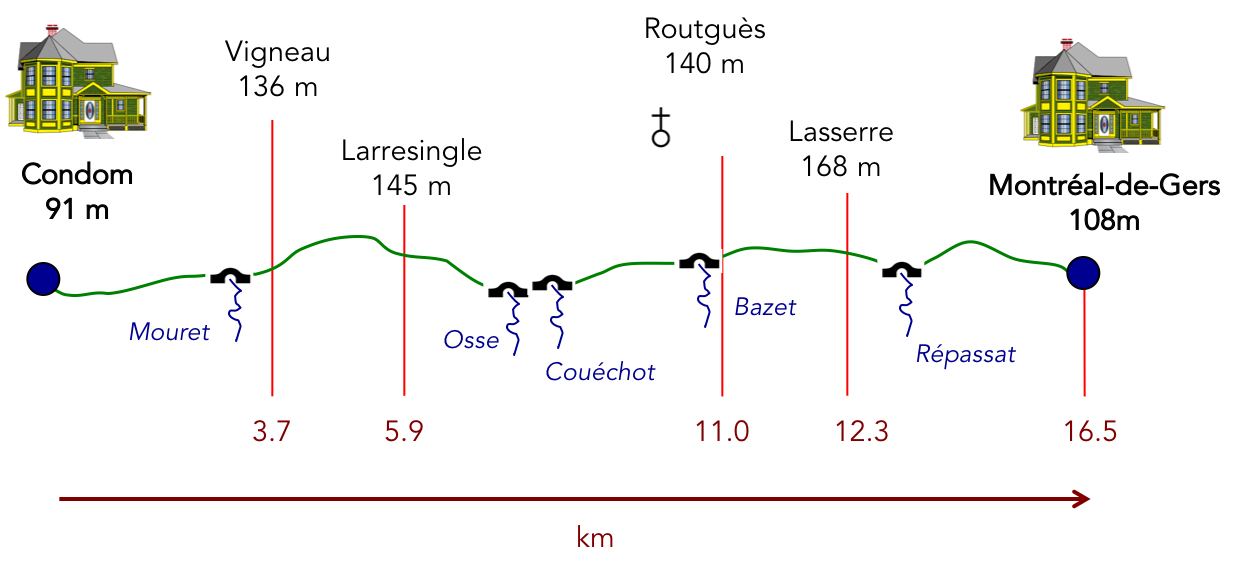
State of the GR65: On this stage, paved roads once again account for slightly more of the distance than paths:
- Paved roads: 9.1 km
- Dirt roads: 7.4 km
Sometimes, for reasons of logistics or housing possibilities, these stages mix routes operated on different days, having passed several times on Via Podiensis. From then on, the skies, the rain, or the seasons can vary. But, generally this is not the case, and in fact this does not change the description of the course.
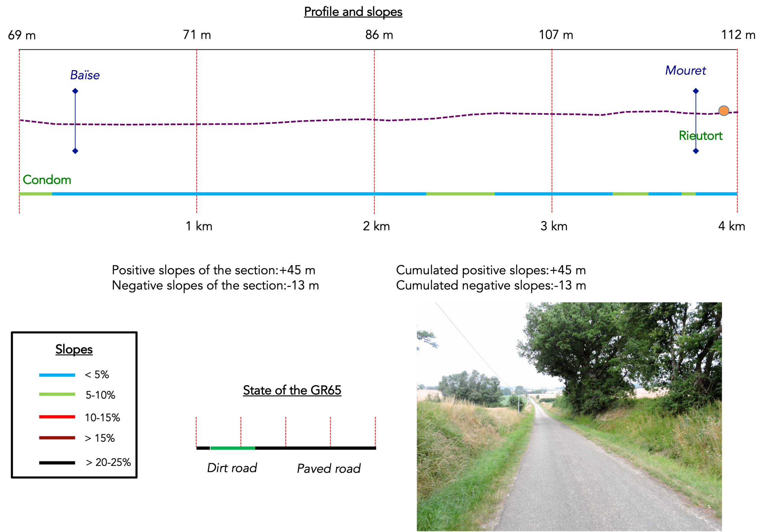
It is very difficult to specify with certainty the incline of the slopes, whatever the system you use.
For « real slopes », reread the mileage manual on the home page.

Section 1: Between cassoulet, bread and wine
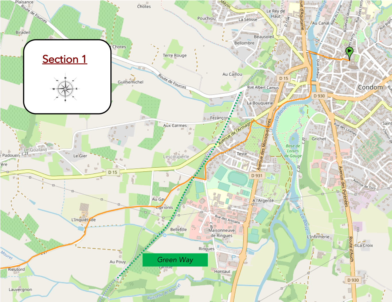
Overview of the route’s challenges: course without any difficulty.
|
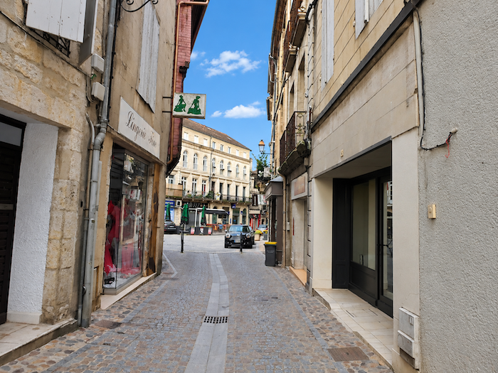
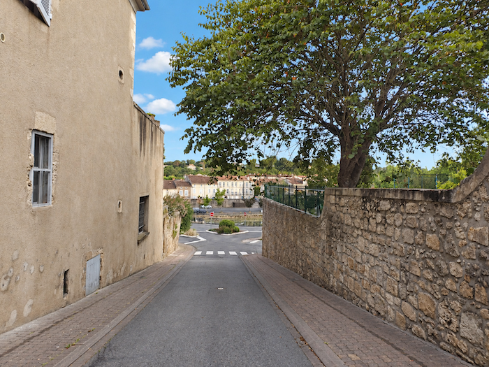
If you spent the night in the heart of Condom, you must first make your way down towards the river, where the town gently meets the waters of the Baïse River. |
|
 |
 |
|
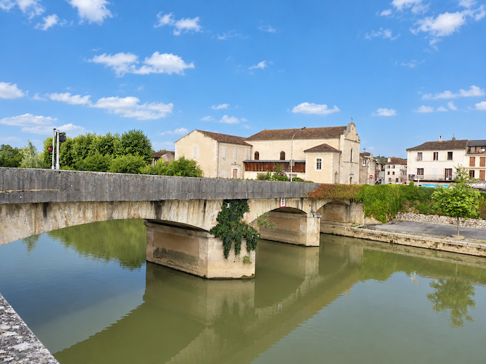
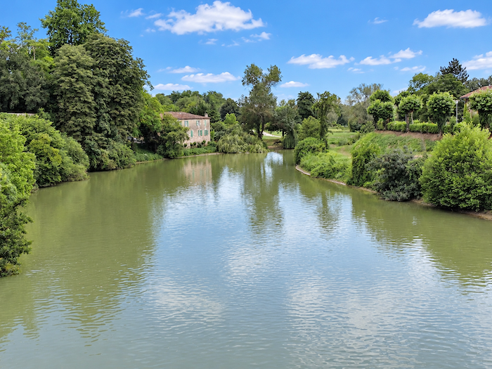
The GR65 leaves Condom by crossing the Baïse. Before you stretches the river, almost majestic, its beauty lying above all in the serenity that seems to belong to ancient waters. Today, it flows unhurriedly, as though dozing beneath the daylight. But what dreams might occupy the old mill standing on the opposite bank? It has been many years since the current last turned its heavy millstone and grains of wheat ceased to pass beneath the stone. Now freed from its labor, the venerable building slumbers among the trees and lawns of a beautiful park. At its feet, the Baïse continues on its way, silent and muddy, indifferent to the passing hours. |
|
 |
 |
|
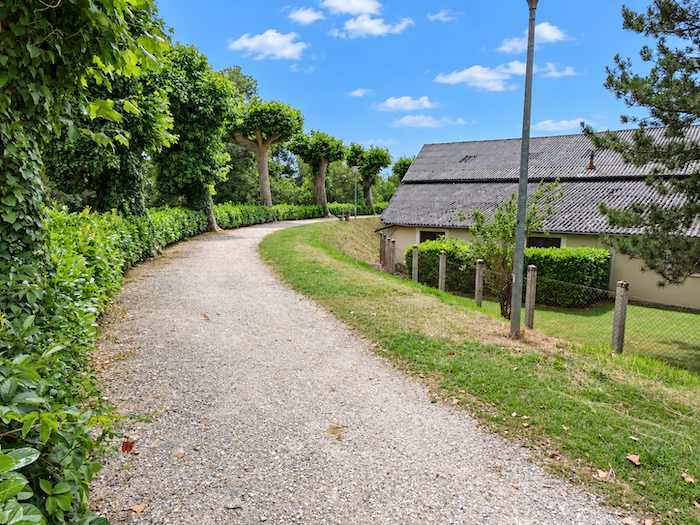
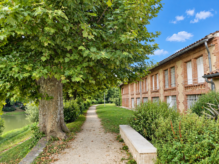
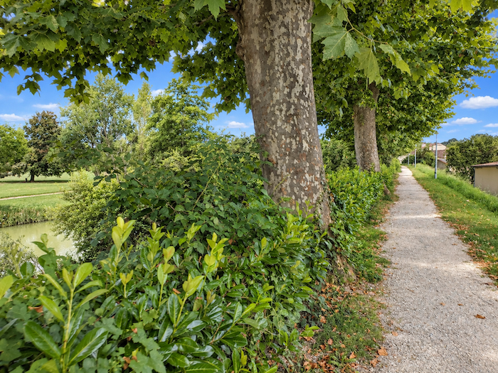
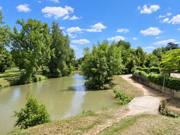
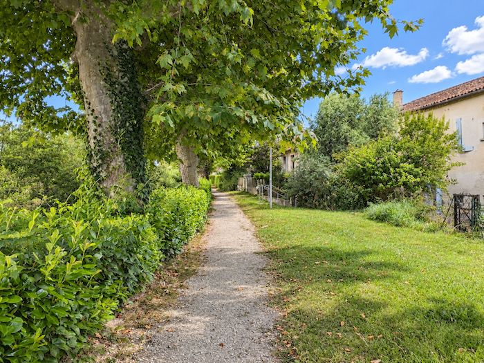
A broad, hard-packed earth path follows the bends of the river beneath a canopy of plane trees, whose long branches bend down until they almost brush the water. This riverside promenade belongs to everyone. First to the pilgrims, walking at a steady pace, their shoulders bearing the weight of their journey. Then to the local strollers and, depending on the hour, to young mothers pushing their prams in the welcome coolness of the great trees. |
|
 |
 |
|
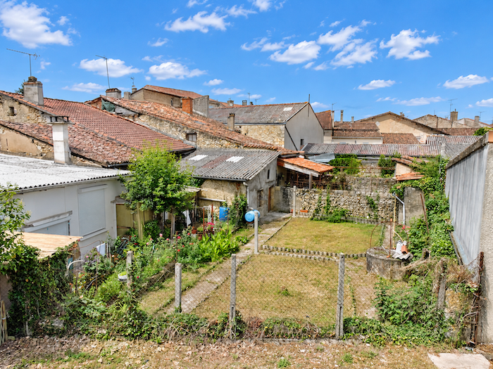
Along the water’s edge, the plane trees spread their majestic branches, some dipping into the river where a few ducks splash and play. Below the path, charming little houses seem to have stood there for centuries. Huddled close together, they form small clusters of stone, nestled at the foot of the promenade as though seeking shelter from time and the changing seasons. |
|
 |
 |
|
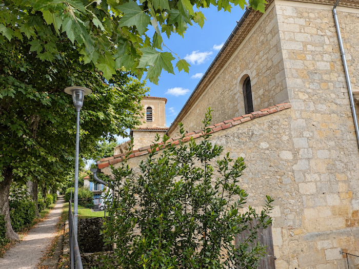
A little further on appears the Church of Saint-Jacques, a discreet guardian of a history that the river has not always allowed to remain peaceful. For the Baïse, so tranquil today, can also become fearsome when its waters rise in fury. One of its floods swept away the original thirteenth-century church, which then stood beside a hospital offering shelter to passing pilgrims. On the foundations of this vanished sanctuary, a new church was erected in the eighteenth century, as though people had wished to confront the violence of the waters with the stubborn patience of stone. |
|
 |
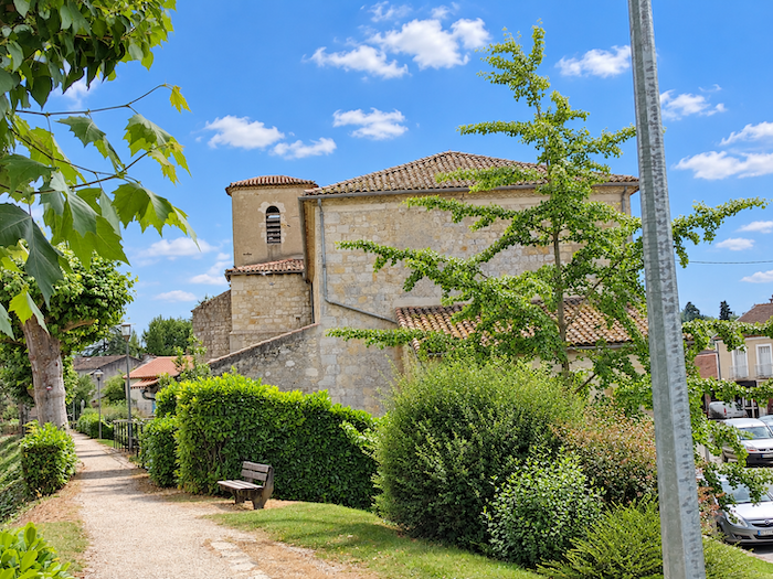 |
|
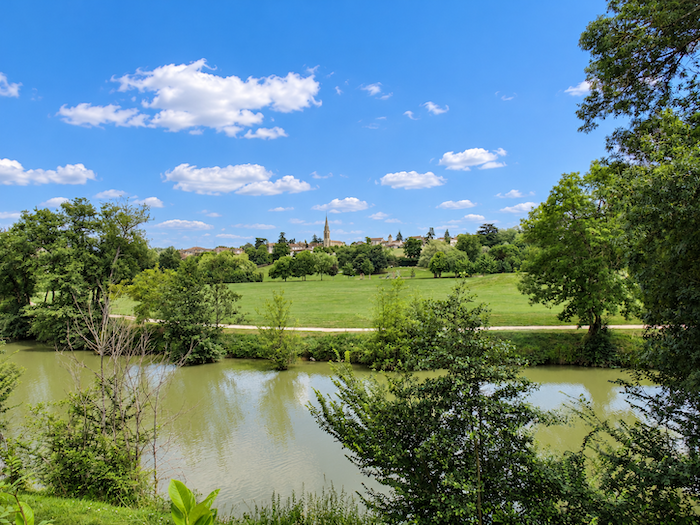
From time to time, between the trunks of the great trees, your gaze wanders towards the river flowing below. The Baïse reveals itself only in glimpses, sometimes hidden behind the foliage, sometimes catching the light through an opening in the greenery. In this way, it accompanies the walkers without ever quite revealing itself completely. |
|
 |
 |
|
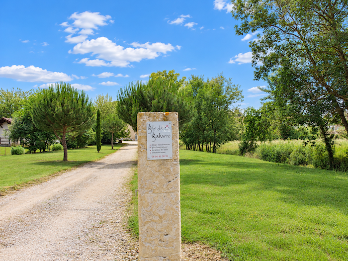
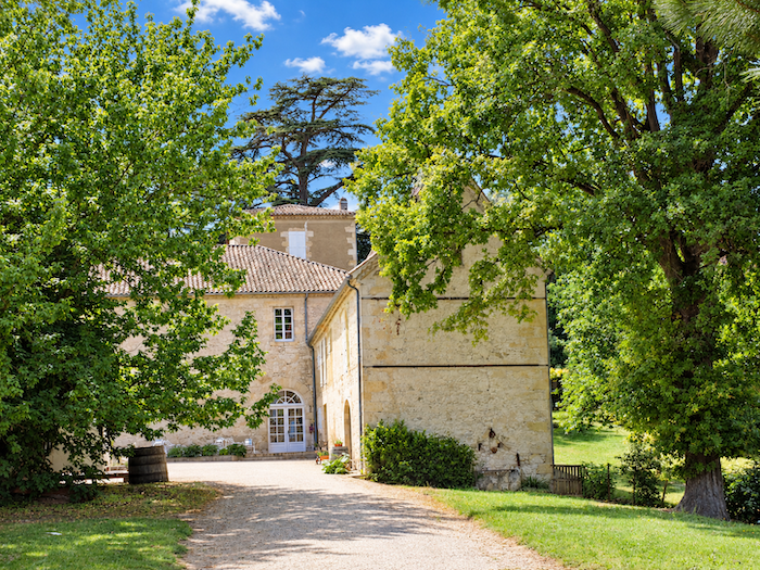
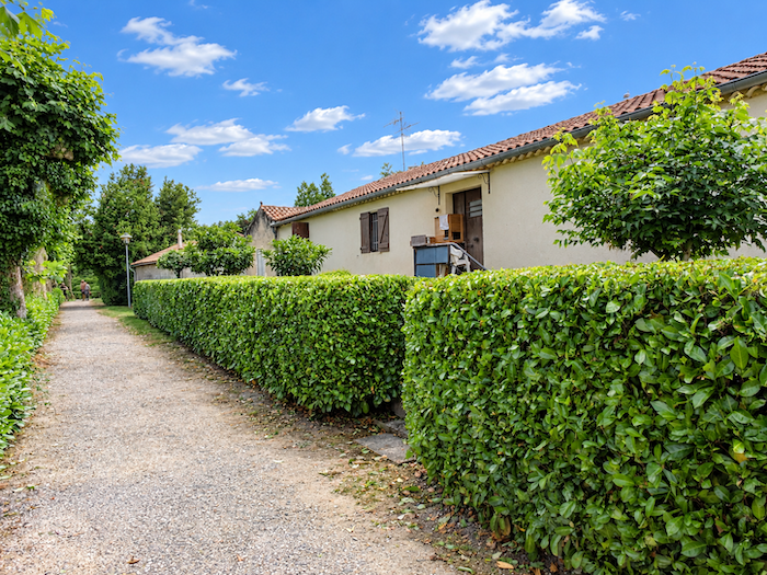
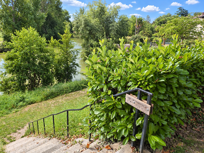
A few hundred meters further on, a staircase leaves the promenade and descends towards the riverbanks. It leads to the Gabarre pilgrim gîte, an imposing and magnificent stone building nestled in the middle of a vast park. |
|
 |
 |
|
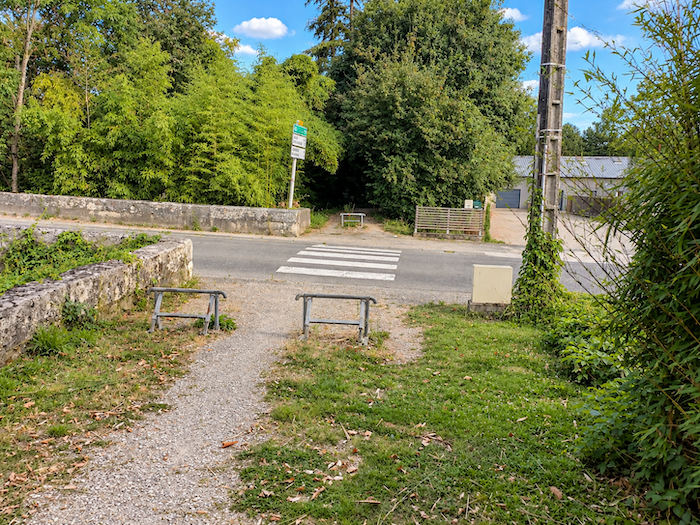
But every promenade must eventually come to an end, and soon you must reluctantly leave the river behind. At the end of this long, leisurely stroll, the GR65 bids farewell to the Baïse, crosses the D931 departmental road and enters a wooded area. |
|
 |
 |
 |
 |
|
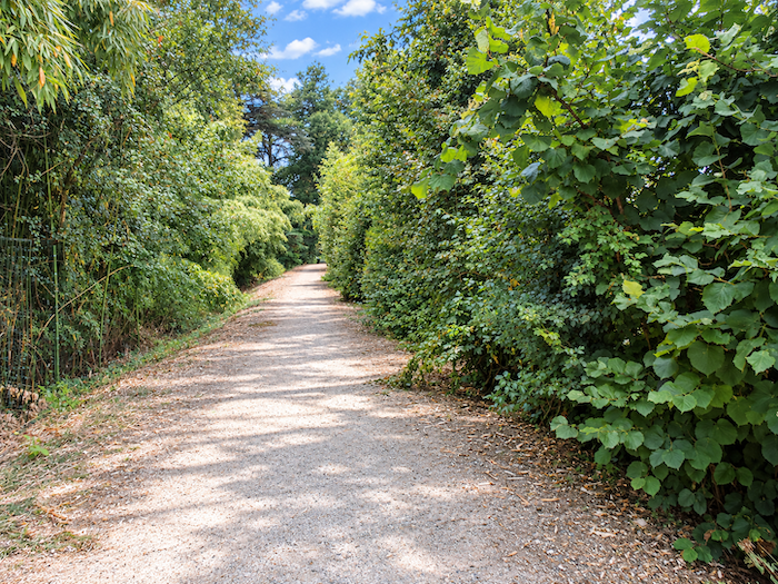
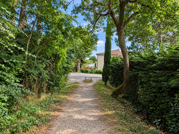
The stretch along the hard-packed earth path, in the cool shade of the woodland, is only a brief interlude of greenery. |
|
 |
 |
|
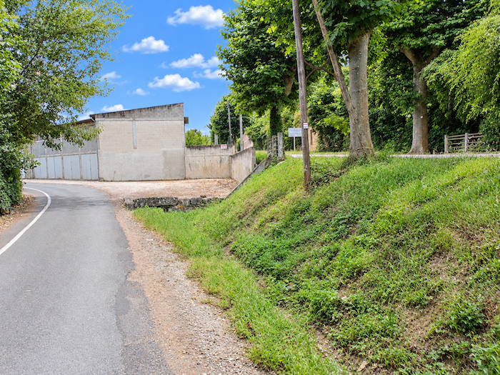
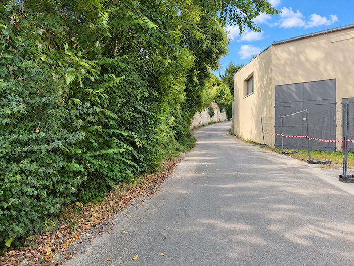
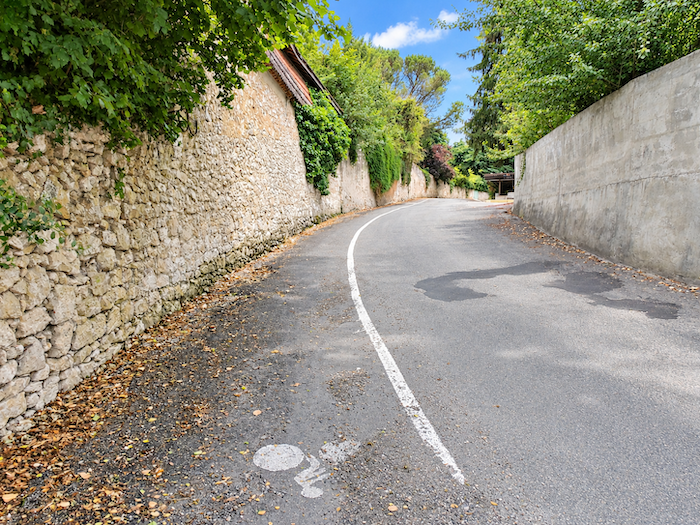
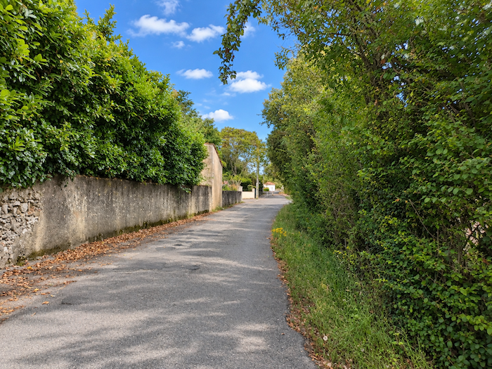
The GR65 then ventures into the outskirts of Condom, returning to the asphalt and winding through small streets of little distinction. This is a suburb like so many others, born of the ordinary kind of urban development that seems to have scattered the same houses, the same fences and the same neatly tended gardens everywhere. |
|
 |
 |
 |
 |
|
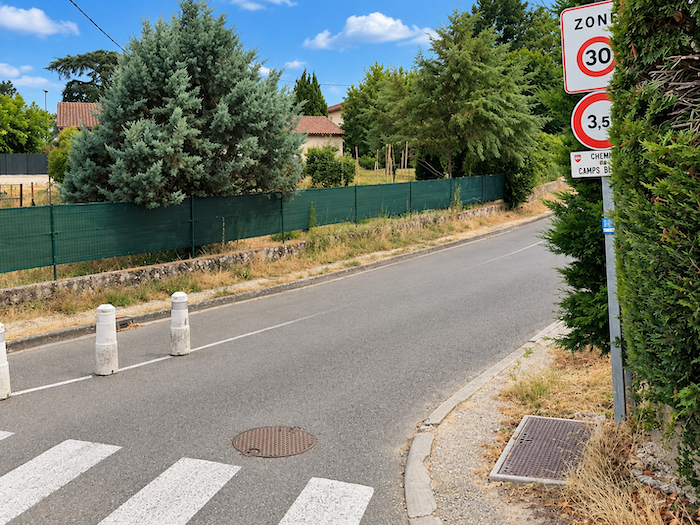
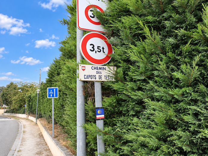
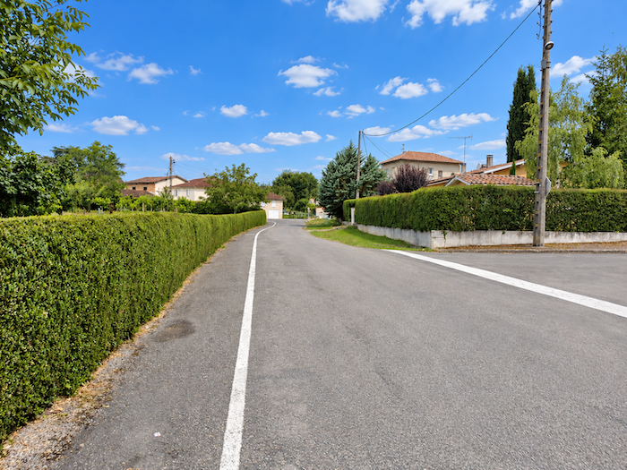
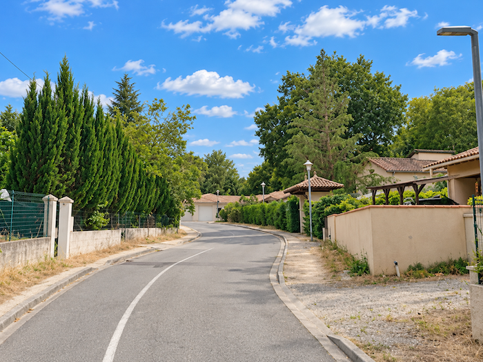
The passage through the outskirts drags on somewhat, as though Condom were reluctant to let its pilgrims go. Street follows street, house follows house, and the promised countryside is slow to appear. Further on, the road crosses the Teste district, continuing this long escape from the town. |
|
 |
 |
 |
 |
|
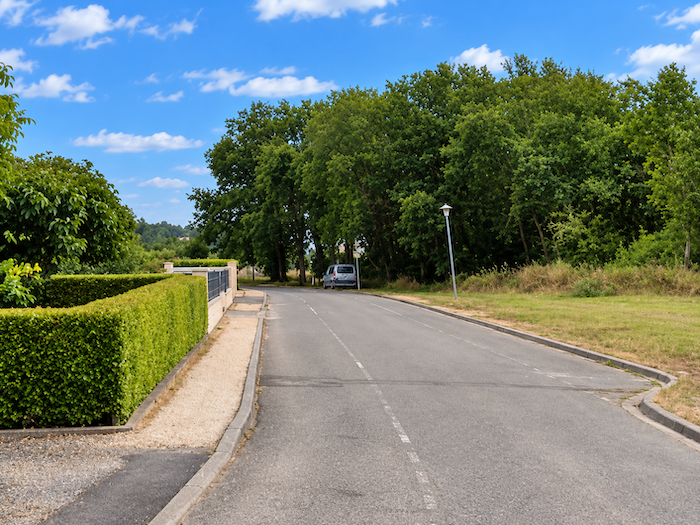
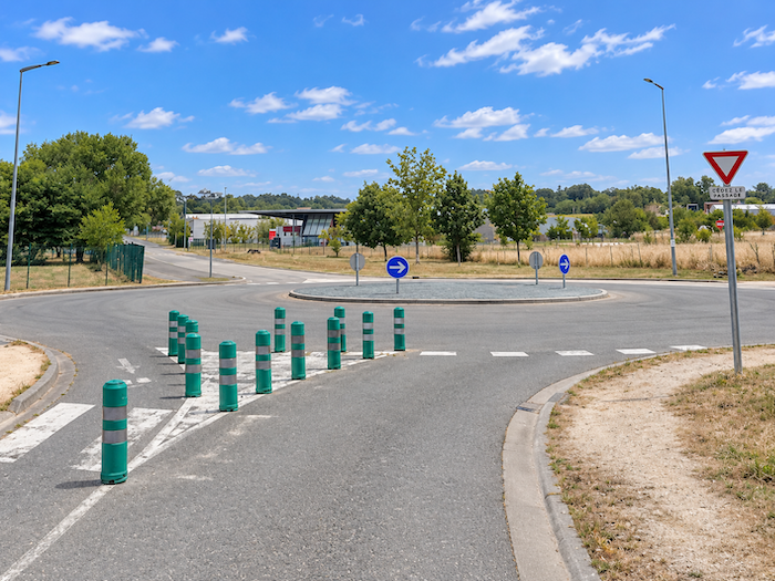
At the far end of the district, the route emerges near a large roundabout, not far from the sports complex. It is one of those modern junctions where cars reign supreme and walkers must pay particular attention to pick up the thread of their route again. |
|
 |
 |
|
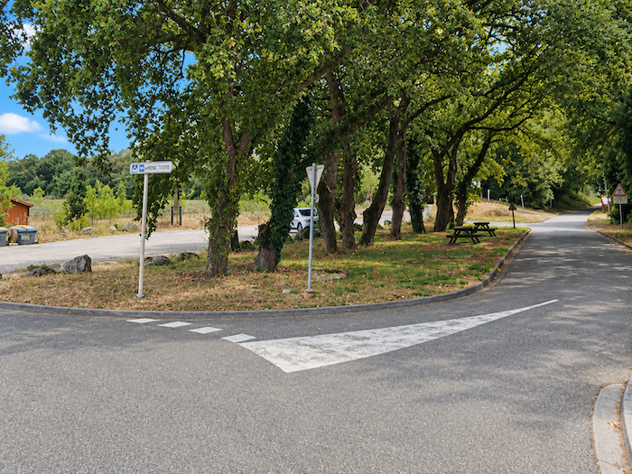
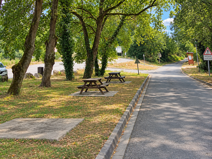
Fortunately, a large shaded park offers a welcome place to rest. Beneath the shelter of the trees, picnic tables invite you to unpack your lunch and give your legs a break. Cyclists will also find it a pleasant stopping place, as the cycle path is just a stone’s throw away. |
|
 |
 |
|
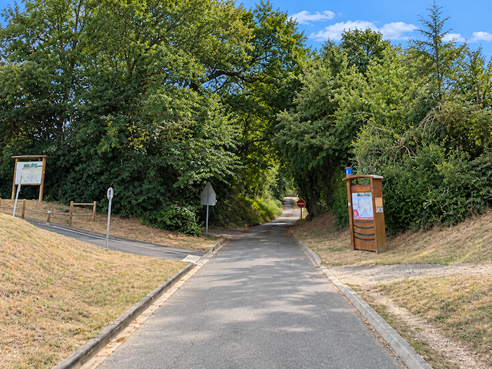
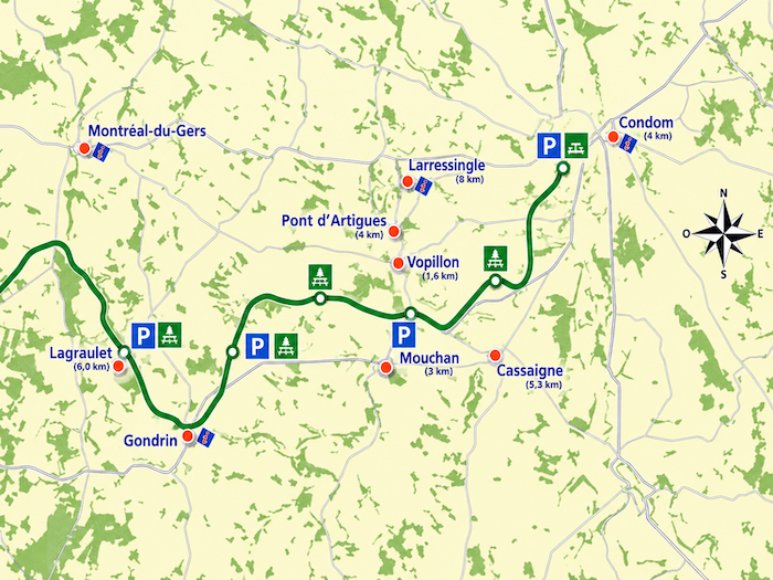
But this is precisely where you need to keep your eyes open, for another route could easily lead you astray. This is the “Voie Verte de l’Armagnac”, a greenway laid out along the former railway line that once connected Condom to Eauze. The prospect is tempting: an old railway track, gentle gradients and the promise of a peaceful journey through the Gers countryside. Enough to tempt more than one walker, and cyclists even more so. The trouble is that the most inviting paths do not always lead where you want to go. |
|
 |
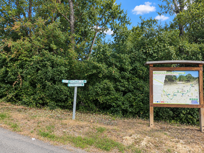 |
We discovered this for ourselves one day. Having met a friendly lady on a bicycle, we asked her whether this greenway passed through Larressingle and the Pont de Lartigue. She assured us that it did. That was all we needed to hear, and off we went, full of confidence, along the old railway line. Unfortunately, although the route does pass through the vicinity of both places, it leaves them some distance away, which is not quite the same thing! To regain the GR65, we therefore had to indulge in a few geographical contortions. On a bicycle, such a detour is not too troublesome; on foot, it is a considerably less cheerful affair. So here is a word of advice: if you wish to follow the Way of Saint James faithfully and discover Larressingle, the Pont de Lartigue and Montréal-de-Gers, do not be tempted by this greenway.
There is, however, a qualification to this warning. Depending on your destination, the route we advise you to avoid might still have something to offer. If you intend to stop at Montréal-de-Gers, the matter is easily settled: the greenway does not lead there. On the other hand, an extension as far as Eauze has been announced for some time. According to information available on the Internet, work is reportedly under way, with completion expected in the near future. Perhaps one day pilgrims will be seen following this old railway line, now transformed into another way of making their journey towards Compostela. Who knows whether the course of the GR65 itself might one day undergo some changes? Time will tell. In the meantime, it is best to enquire in Condom about the state of the improvements and the actual possibilities of rejoining your intended route. On the Ways of Saint James, as elsewhere, good information can sometimes save many unnecessary kilometers.
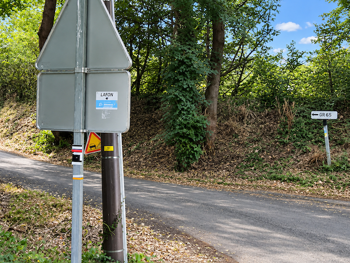
| It is therefore essential to look carefully for the GR65 waymarks, a few dozen meters after the beginning of the greenway. | |
 |
 |
|
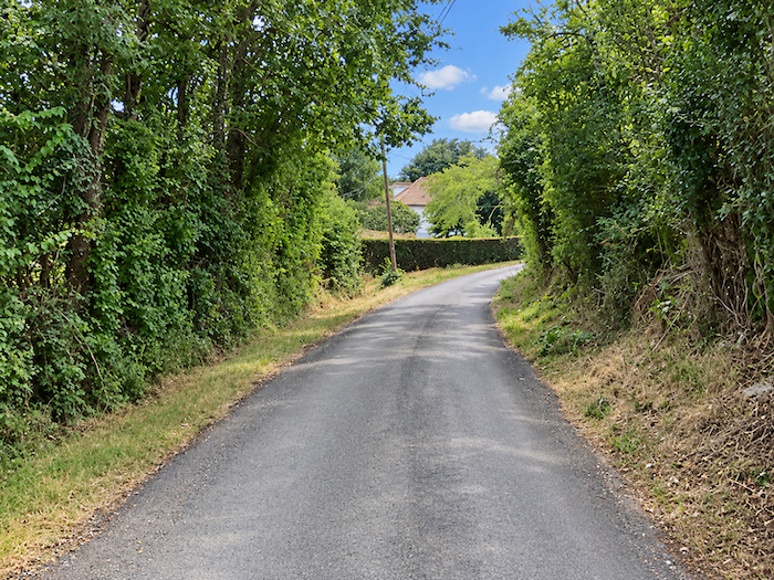
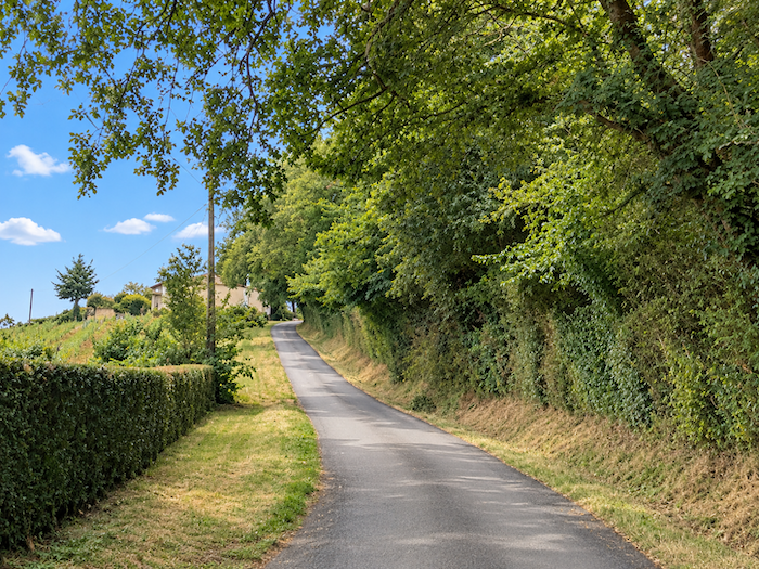
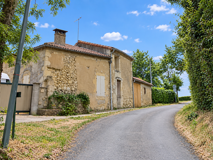
The GR65 climbs gently towards the imposing farms of Le Gay. |
|
 |
 |
|
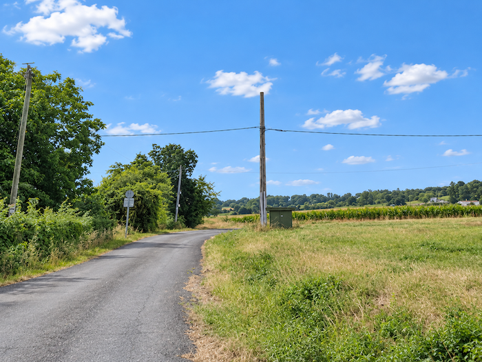
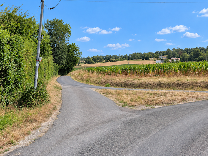
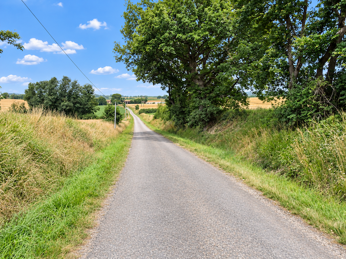
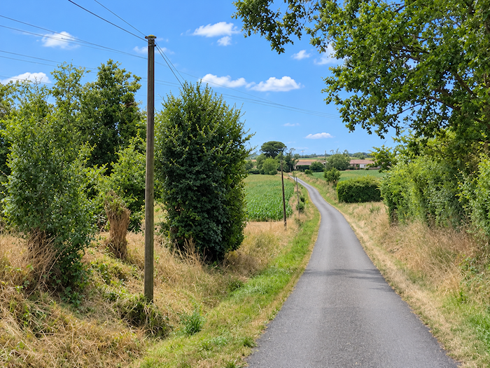
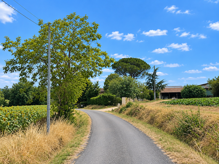
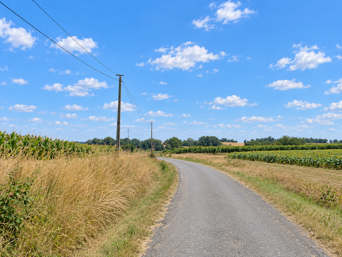
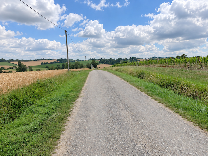
The little road stretches ahead, long and peaceful, between fields of cereals, sunflowers and beans. It seems in no hurry to cross this land of generous soil, where one field follows another, separated only by the gentle undulations of the terrain. The eye can wander far into the distance, gliding over the crops that clothe the hills in their changing colors. |
|
 |
 |
 |
 |
|
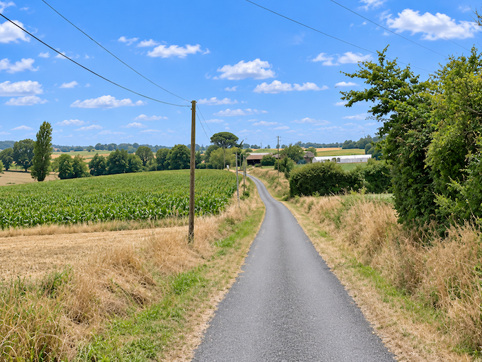
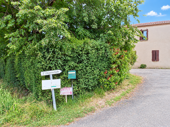
This is beautiful countryside, the genuine kind, which makes no effort to charm and owes its beauty to the patient labor of those who work the land. A little further on, the route passes near a farm with a curious name: L’Inquiétude, or « Anxiety ». What troubled soul, what melancholy poet, could possibly have given such a name to this peaceful corner of the countryside? |
|
 |
 |
 |
 |
|
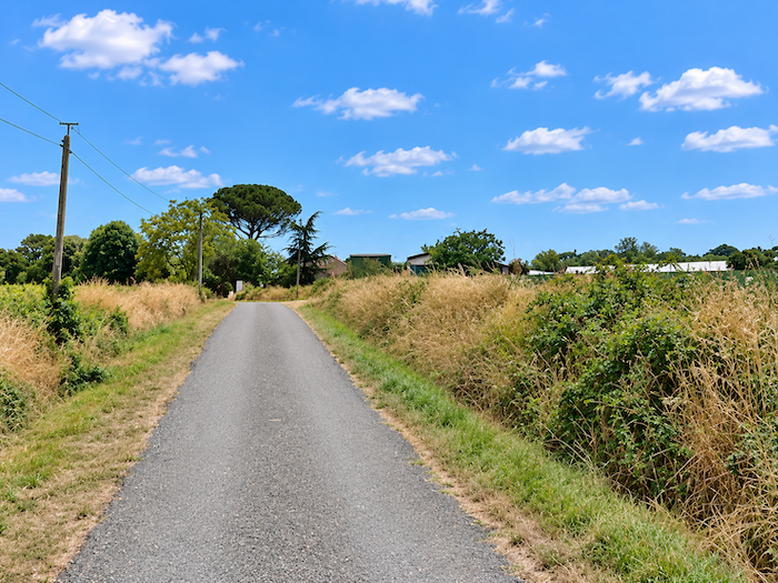
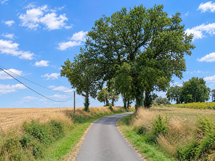
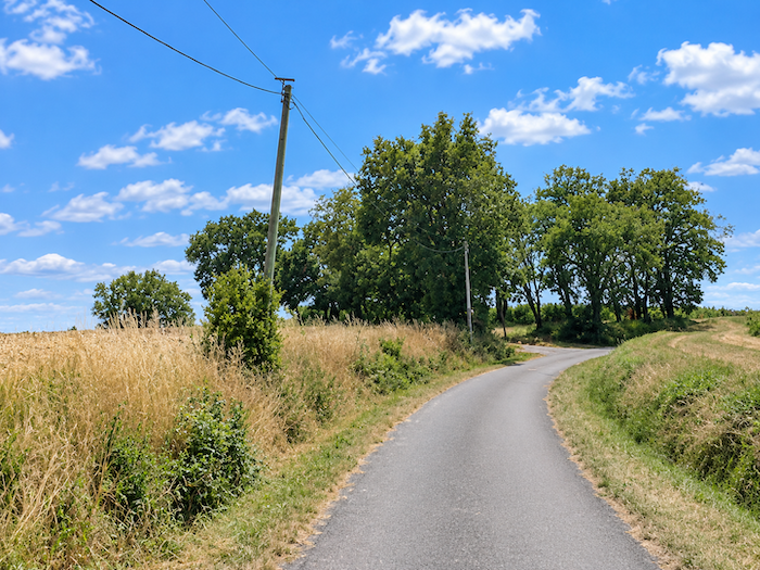
Here, the road usually runs straight ahead, without troubling itself with unnecessary detours. It is the hills that bring movement to the landscape, their long, gentle undulations revealing, from one slope to the next, the ceaseless activity of those who work the land. Everywhere, the soil is cultivated, tended and shaped, as though every plot had found its rightful place in this vast agricultural mosaic. |
|
 |
 |
 |
 |
|
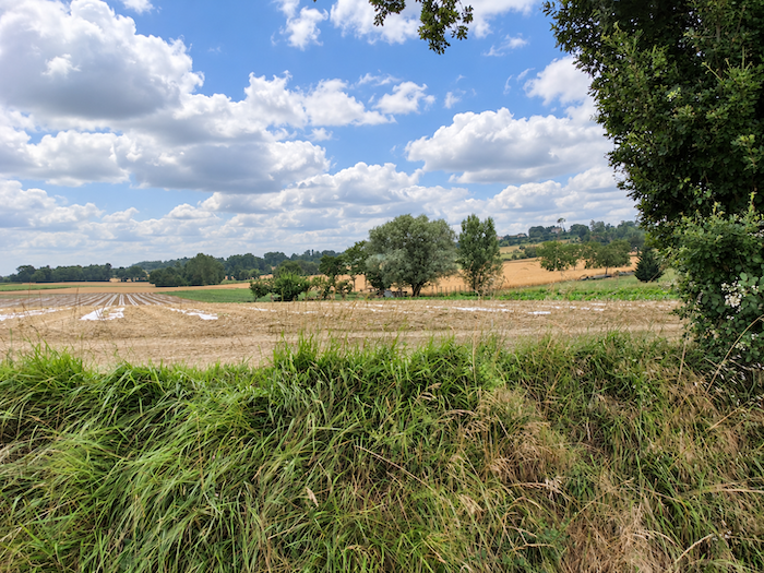
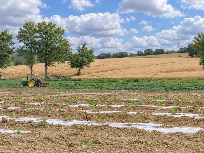
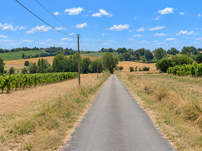
The road continues across these fertile lands, where tractors hum around the farms scattered throughout the countryside. Pulling their heavy machinery behind them, they crisscross the fields, travelling back and forth along the edges of the plots, among cereals, sunflowers and beans, whose crops seem to stretch away towards the horizon. The silence of the countryside is only an illusion here. This is a land that works, produces and lives to the rhythm of the seasons and the harvests. And now, still rather timidly, the first vines begin to show their rows, already announcing the landscapes of Armagnac. |
|
 |
 |
 |
 |
|
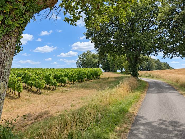
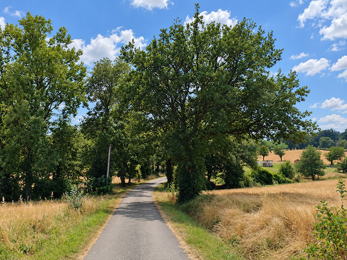
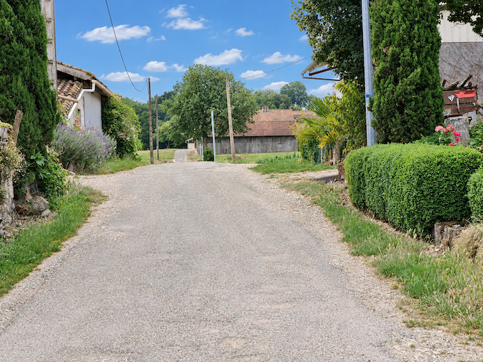
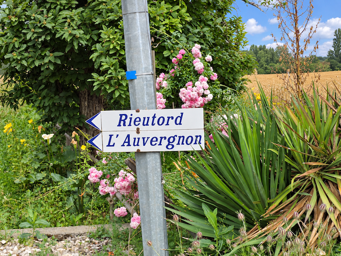
Further on, the vineyards gradually begin to spread out, arranging their rows with a geometric precision that contrasts so beautifully with the gentle curves of the hills. From time to time, a small wood breaks the orderly pattern of the cultivated fields, a modest haven of greenery beside the road. Then Rieutort comes into view, a place that might suggest a hamlet but is, in reality, nothing more than a large agricultural estate. For here, there is no village, nor even a true hamlet, only vast isolated farms standing amid their fields, each like a little agricultural kingdom in its own right. |
|
 |
 |
 |
 |
Section 2: Larressingle Is well worth a detour
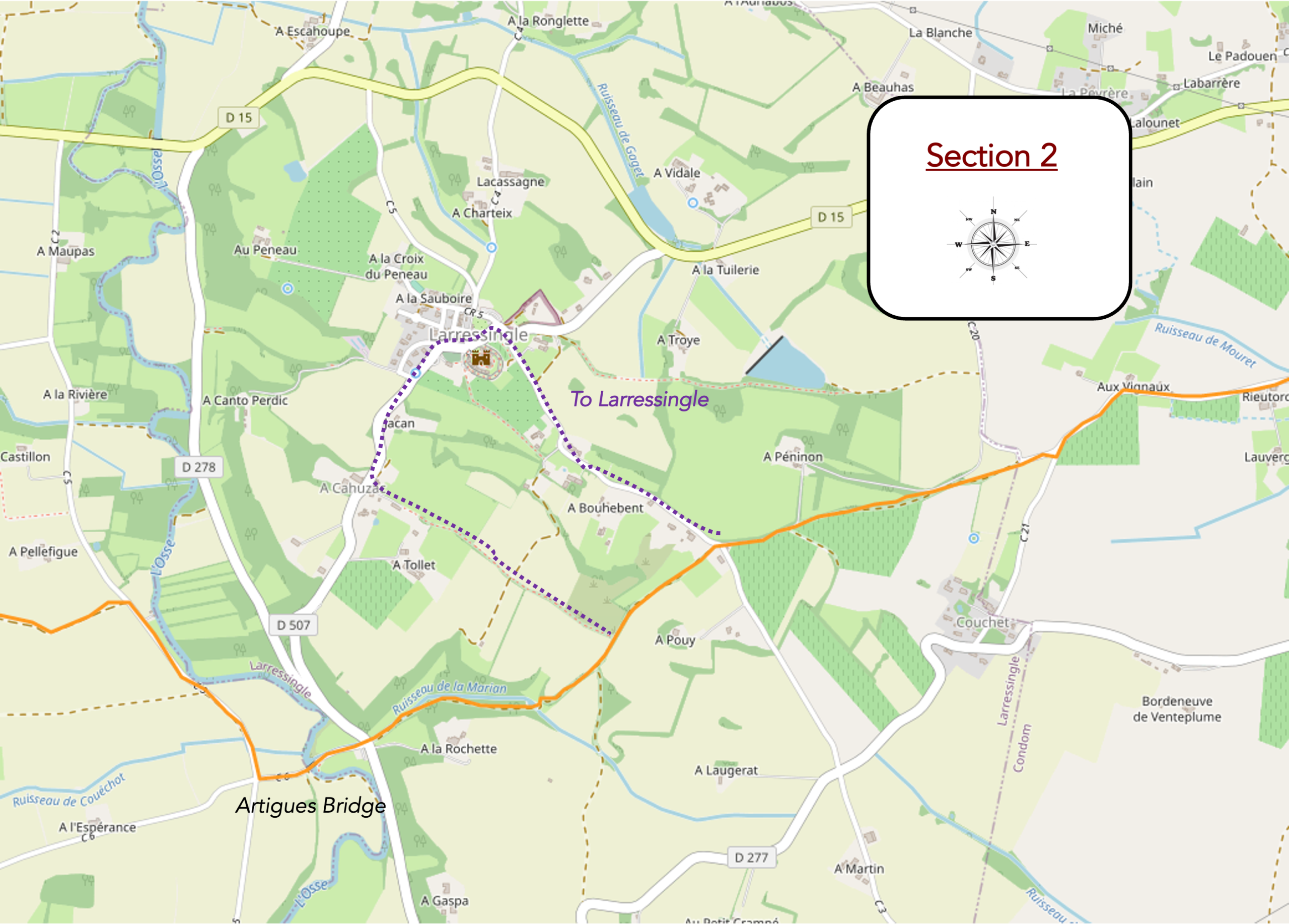
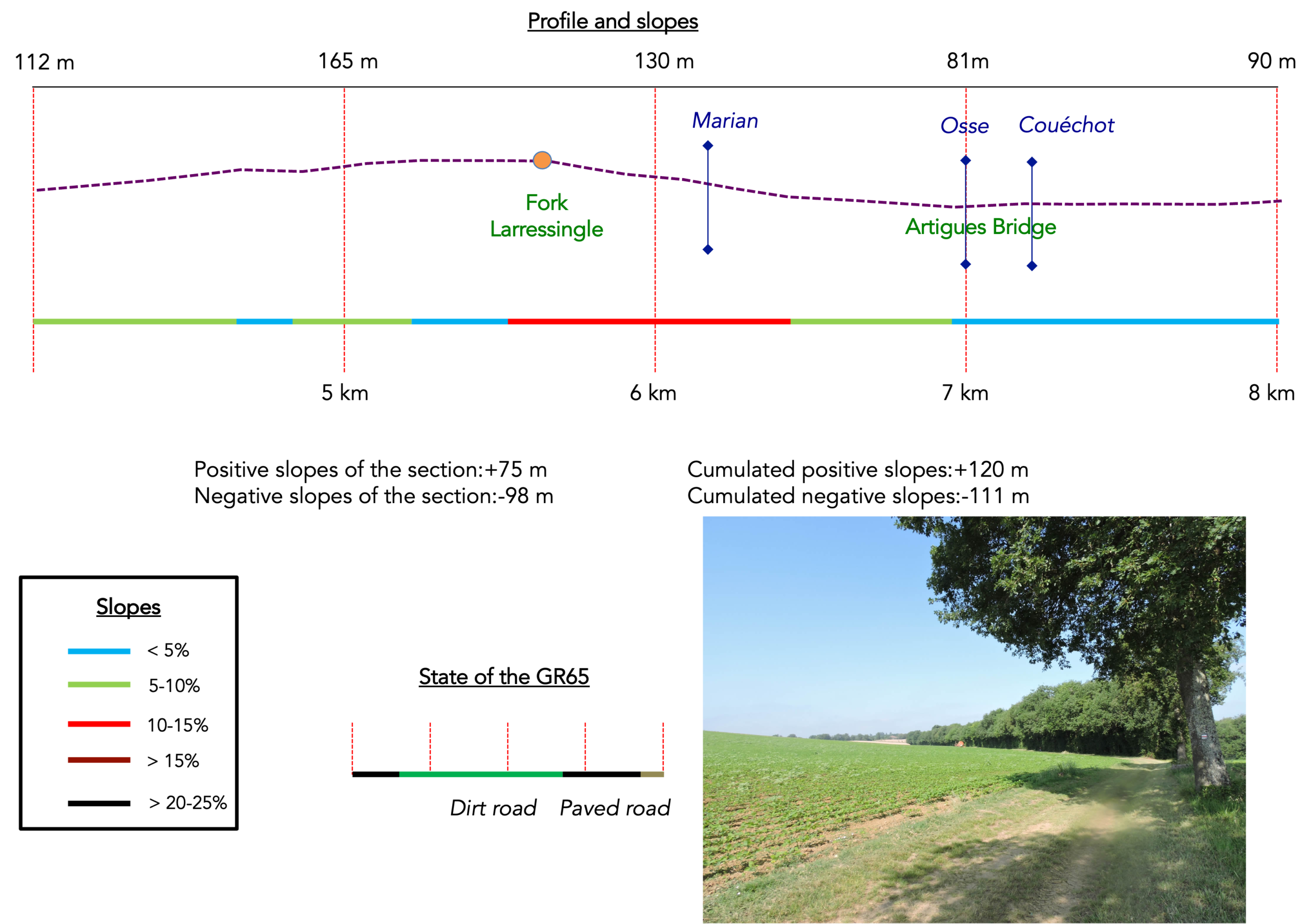
Overview of the route’s challenges: a route with no particular difficulties, apart from the descent towards the Osse River.
|
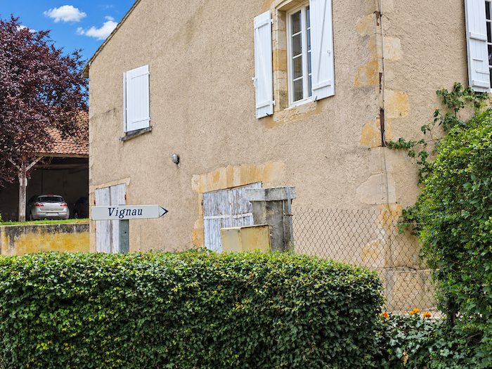
The gradient now becomes a little more pronounced, and the small road climbs towards another agricultural estate, the Vignau farm. |
|
 |
 |
 |
 |
|
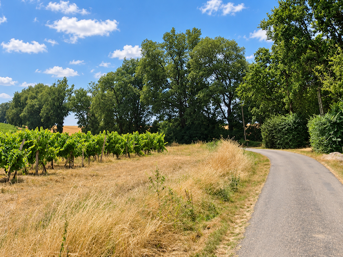
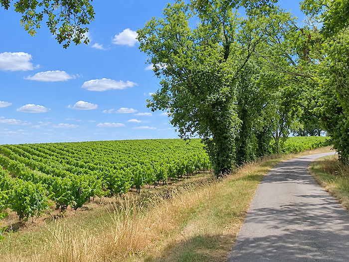
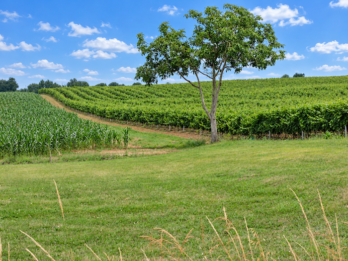
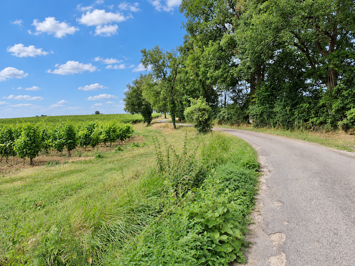
The place certainly lives up to its name. Everywhere, rows of vines follow the curves of the hills, climb the rounded hilltops and spread their immaculate lines across slopes sometimes crowned by a few solitary oak trees. Vineyards now reign over the landscape, their almost geometric order softened by the gentle undulations of the land. Some produce simple, unpretentious wines, while others yield wines of greater substance and character. And behind these vineyards looms the venerable presence of Armagnac, that time-honored brandy which slowly matures over the years in the quiet secrecy of the cellars. |
|
 |
 |
|
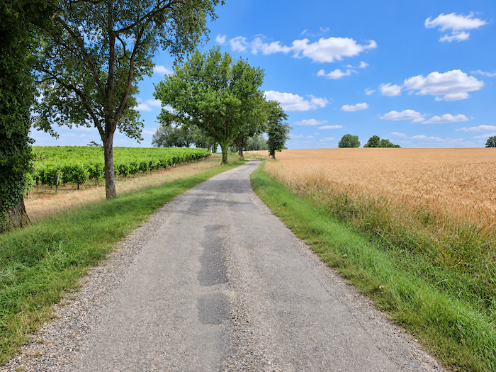
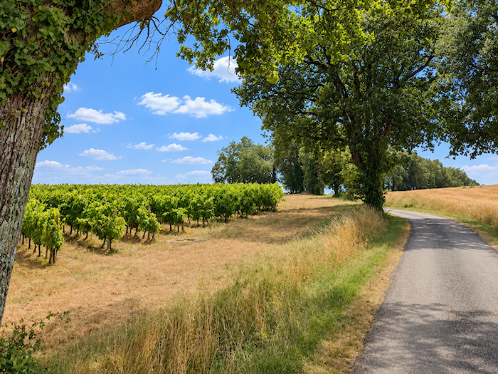
The road continues its patient ascent through the vineyards, with occasional fields of cereals breaking the elegant order of the vines. You are now in the land of Côtes de Gascogne, where the wines seem to have inherited the generosity of southwestern France. The whites, made notably from Ugni Blanc and Colombard grapes, charm with their freshness and fruity aromas. The reds, produced from Tannat, Merlot and Cabernet varieties, display deep colors and a vigorous character. |
|
 |
 |
|
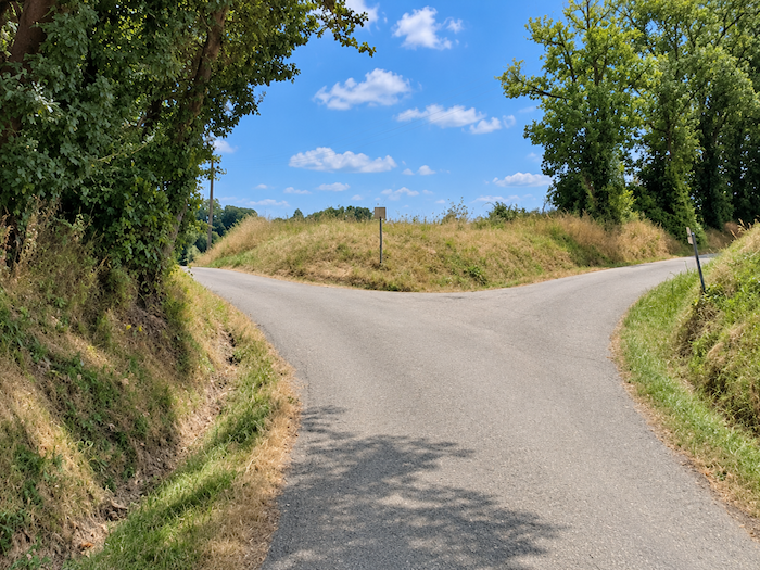
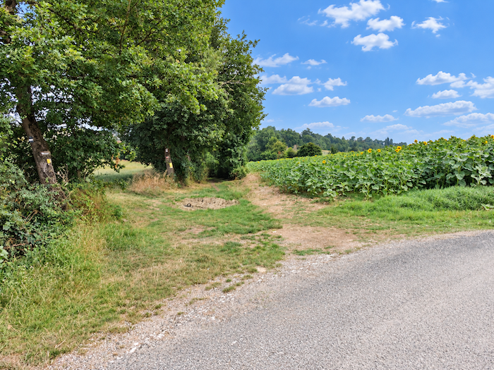
At the top of the hill, the GR65 finally leaves the asphalt behind and turns onto an earth path. Today, sunflowers provide the escort. After the strict discipline of the vineyard rows, the landscape regains something freer, almost exuberant. |
|
 |
 |
|
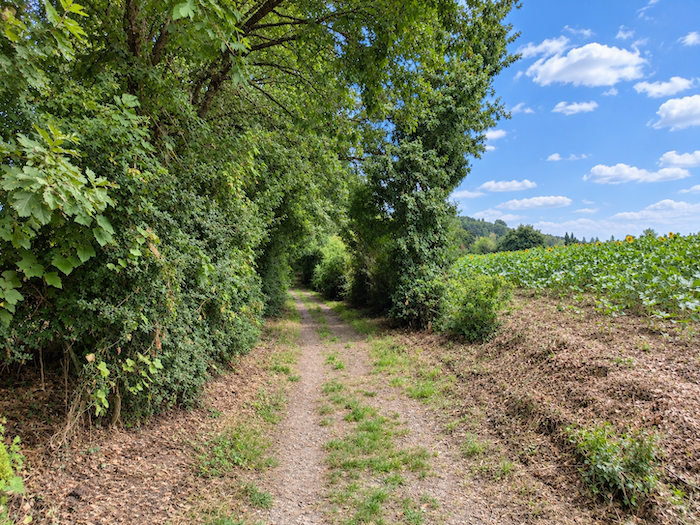
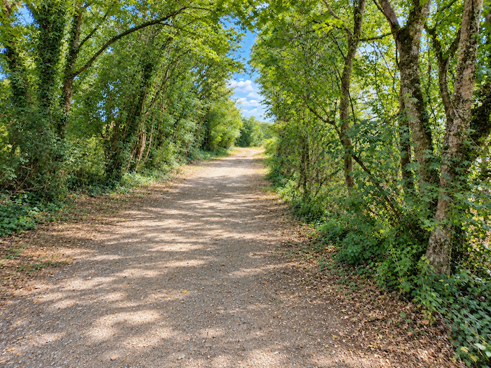
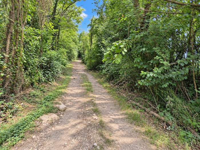
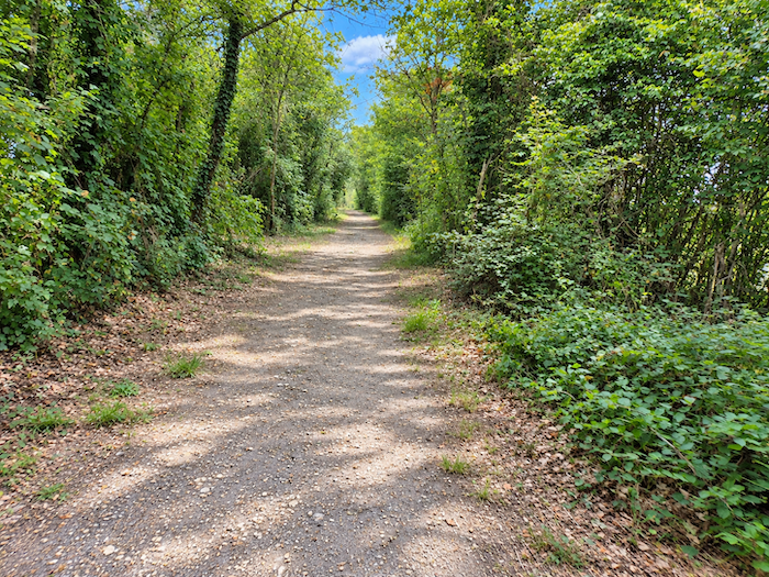
Broad and almost level, the earth path now advances beneath a canopy of deciduous trees. The vegetation grows lush, sometimes almost overflowing, as though nature, temporarily freed from the discipline of cultivated fields, were reclaiming its rightful place. |
|
 |
 |
 |
 |
|
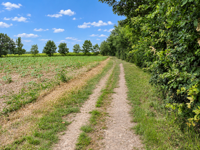
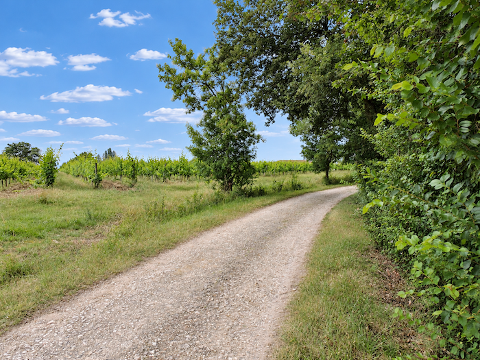
The path then follows the edge of the woodland, and the sunflowers reappear. The vineyards, so prominent only moments earlier, have quietly vanished from sight. |
|
 |
 |
|
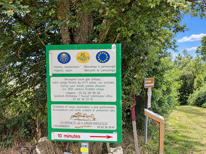
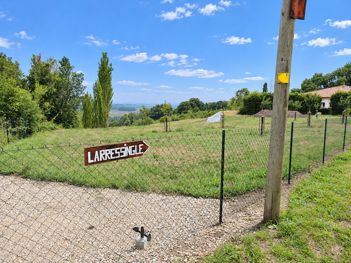
This pleasant walk continues to a junction where a sign points towards Larressingle. The name deserves a little attention, for behind it lies one of the most remarkable fortified villages in Gascony, a small medieval settlement whose ramparts seem to have survived the centuries without the slightest concern for the passing of time. |
|
 |
 |
|
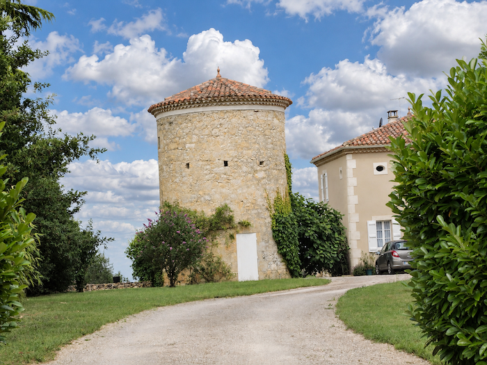
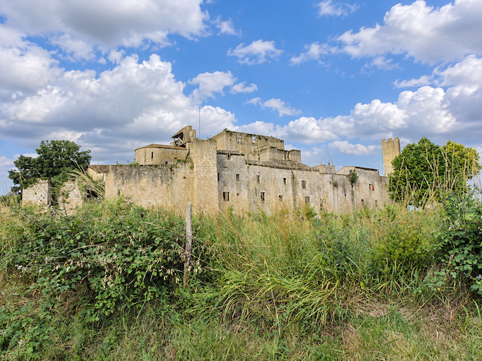
Here, a choice must be made. Some pilgrims, eager to continue their journey, pass by Larressingle and descend directly towards the Pont de Lartigue. They are mistaken, at least in our opinion, for this little medieval jewel is well worth a detour. Just ten minutes are enough to reach it, and afterwards the GR65 can easily be rejoined. Why deny yourself such a pleasure? Off we go! As the road descends towards the village, it passes one of those magnificent dovecotes that so beautifully punctuate the countryside of southern France. They come in all shapes and sizes, perched on pillars, raised above arcades or crowned with the stepped roofs known as “pied-de-mulet”, or mule’s foot. This particular example belongs to the family of circular, ground-standing dovecotes, whose sturdy silhouette and characteristic roof recall an age when breeding pigeons was both a valuable resource and a sign of prestige. Large dovecotes were often the privilege of local lords, although more modest structures also belonged to commoners. But already, around a bend in the road, a far more striking sight captures your attention. There stands Larressingle, its fortress and walls rising above the countryside, like a fragment of the Middle Ages miraculously washed ashore in the present day. |
|
 |
 |
|
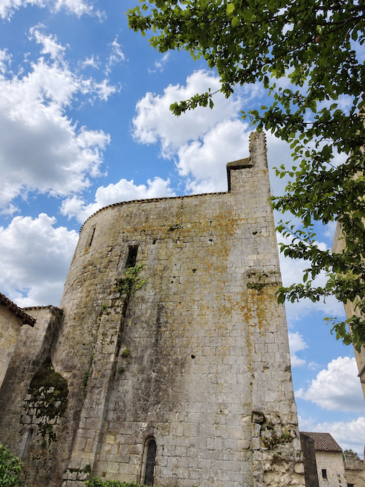
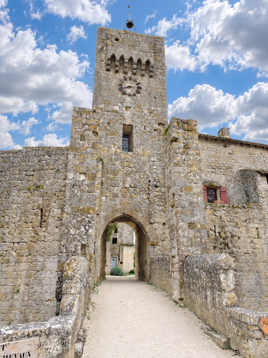
You enter the fortified village through a tall defensive gateway, beneath the stern gaze of ancient stones. The history of Larressingle stretches far into the past, but it was during the thirteenth century, under the reign of Saint Louis, that the village truly acquired the appearance of a stronghold. Gascony was then a disputed territory between the crowns of France and England, and solid walls offered welcome protection against the uncertainties of the age. Larressingle belonged to the bishops of Condom, who made it a fortified residence rather than an episcopal seat in the strict sense. Yet despite the wars and religious conflicts that shook the region, the little town was relatively spared from widespread destruction. Most of its defensive enclosure survived until the French Revolution, when Church property was nationalised. Its decline, however, had already begun. The removal of building materials and a lack of maintenance had weakened the structures. Gradually, roofs collapsed, walls deteriorated and the ancient fortress, abandoned to its fate, threatened to disappear beneath the ravages of time. |
|
 |
 |
|
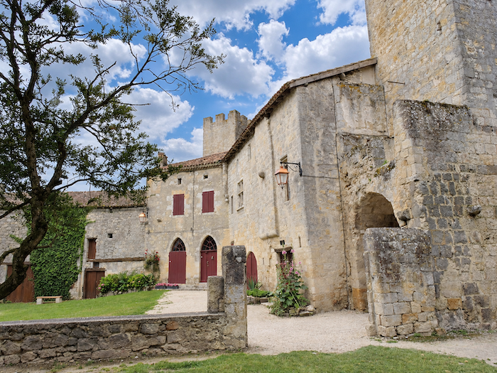
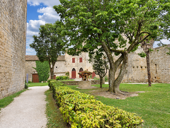
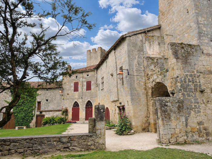
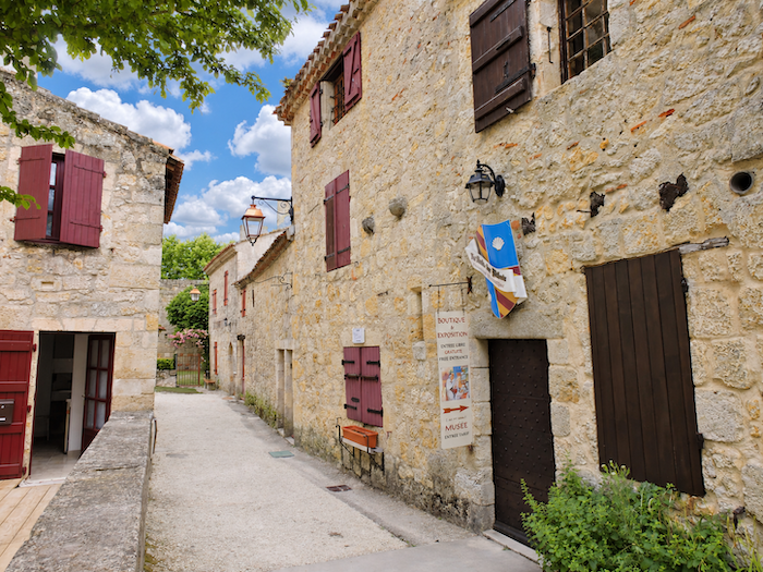
Fortunately, at the beginning of the twentieth century, a handful of enthusiasts devoted to historic buildings, together with generous benefactors, decided to save whatever could still be rescued. Thanks to their determination, Larressingle gradually recovered its proud silhouette as a medieval fortified village. It is often affectionately called the « Little Carcassonne of the Gers », a flattering comparison, certainly, but one that seems entirely justified when faced with this astonishing ensemble of ramparts and towers. So, cross the stone bridge spanning the old moat, pass beneath the arches of the fortified entrance and allow yourself to fall under the spell of the place. There is no need to hurry here. The curtain walls, moats, Church of Saint-Sigismond, fortified castle and medieval houses nestled against the ramparts create a setting where every stone seems to preserve the memory of centuries of history. It is a pleasure simply to wander through the narrow streets, look up at the ancient façades, imagine guards patrolling the walls and picture the life that once animated this little stronghold. Larressingle is not merely a place to visit. It is a place to savour, slowly and unhurriedly, like a brief escape from time itself. |
|
 |
 |
 |
 |
|
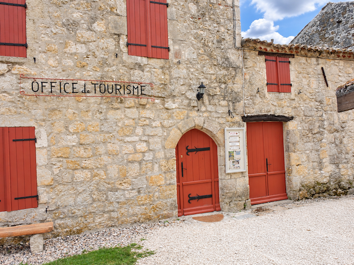
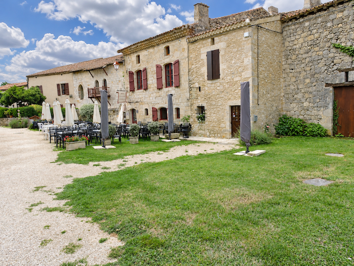
And since the charm of the place invites you to linger, you should know that food and accommodation are available within the medieval village or in its immediate surroundings. All the more reason to give in, without too much guilt, to the temptation of staying a little longer. After all, Compostela is not going anywhere! |
|
 |
 |
|
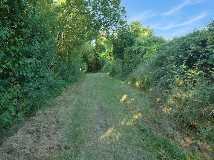
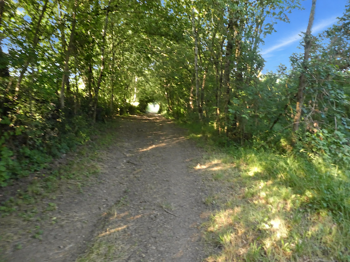
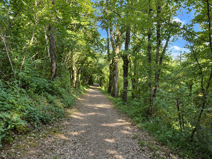
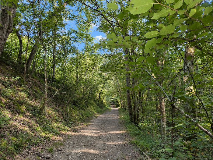
Whatever your choice, whether you have succumbed to the charms of Larressingle or preferred to continue directly on your way, both routes will soon lead you towards the « Pont d’Artigues », over the Osse. So let us return to the Larressingle junction on the GR65. Here, a path plunges into a wooded dale, leaving behind the broad horizons of the countryside for the intimate atmosphere of dense woodland. Oak trees reign supreme, accompanied by field maples, hornbeams and dogwoods, while a profusion of undergrowth competes for every patch of sunlight. Nature seems to have reclaimed all its rights in a cheerful tangle of vegetation. |
|
|
 |
|
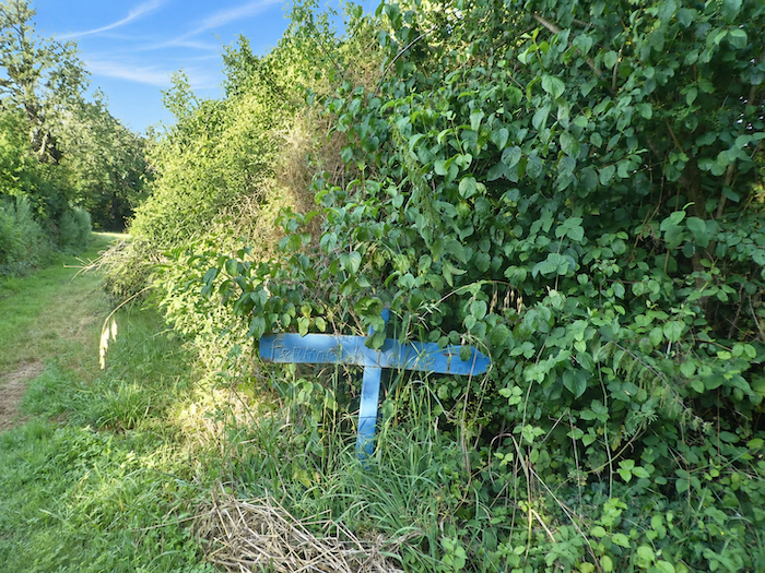
The descent is quite steep, with gradients frequently approaching 15%. Your legs must work to hold back your momentum, especially when the ground becomes slippery. Along the way, a sign points towards a pilgrim hostel, a discreet reminder that even in the heart of this exuberant vegetation, the hospitality offered along the Way of Saint James is never very far away. |
|
 |
 |
|
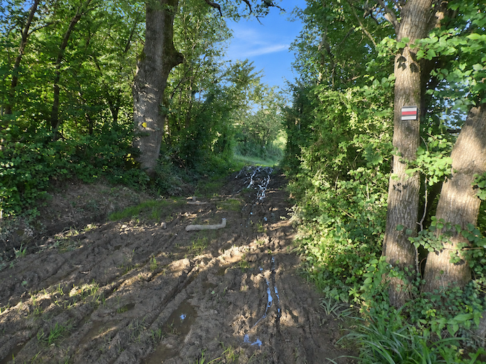
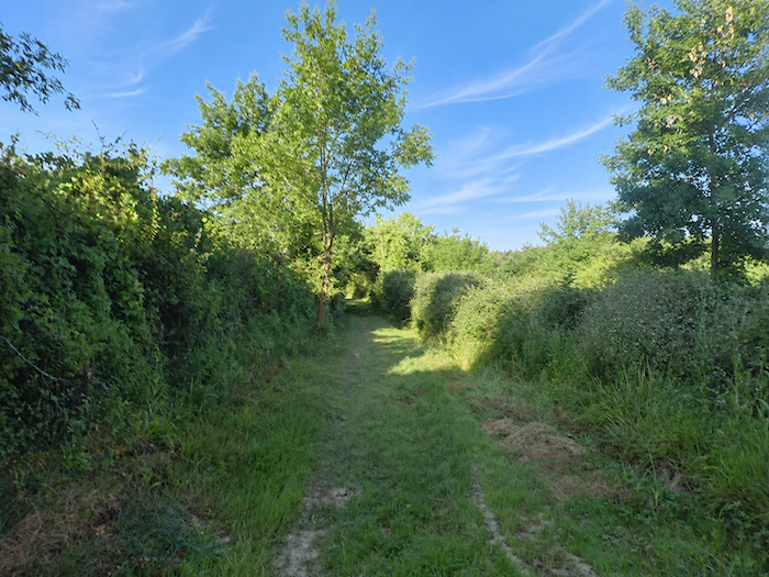
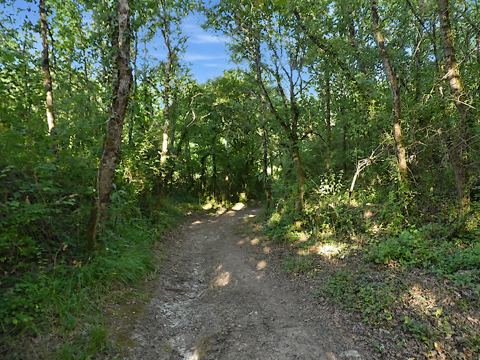
Beneath the trees, the ground becomes treacherous. Mud lingers here even in fine weather, sustained by the dampness of the little Marian stream, which winds through this wild and somewhat disorderly vegetation. In places, the trail tries to escape the muddy hollows by slipping through the grass, while small clearings reveal ash trees and a few chestnuts. Here, walking loses its pleasant regularity. You must choose carefully where to place your feet, skirt the puddles and adapt to the whims of terrain that has little regard for the comfort of pilgrims. |
|
 |
 |
|
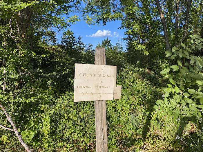
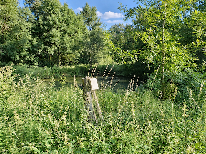
A little further down, amid the tall grasses, a signpost seems to have been planted there specifically to spare walkers an unnecessary adventure. Nearby, the vegetation grows thicker around a small pond through which the Marian stream flows. It is a veritable miniature jungle, a tangled confusion of branches, grasses and foliage where one could easily lose track of the path. Better, then, to follow the waymarks sensibly rather than surrender to the temptations of this overflowing wilderness. |
|
 |
 |
 |
 |
|
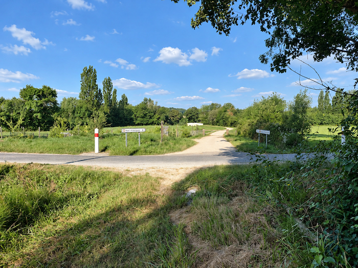
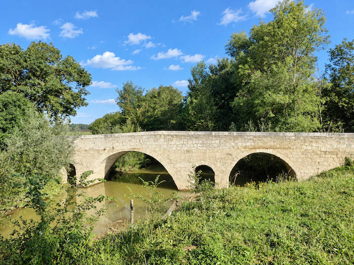
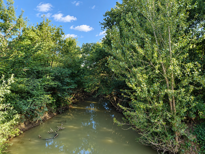
Further down still, as you approach the bottom of the dale, the gradient finally eases. The GR65 continues its descent beneath the dense canopy of tall deciduous trees, then emerges onto a small road, and suddenly you are approaching the famous “Pont d’Artigues”, spanning the waters of the Osse. After crossing this dale, it becomes easier to understand the difficulties medieval pilgrims must have faced. Before paths were improved and the land drained, these damp valley bottoms, probably marshy in places, must have presented serious obstacles. Mud, streams and waterlogged ground made passage uncertain. The bridge therefore assumed tremendous importance. Far more than a simple stone structure, it offered the promise of crossing the water without too great a risk of becoming hopelessly bogged down. |
|
 |
 |
|
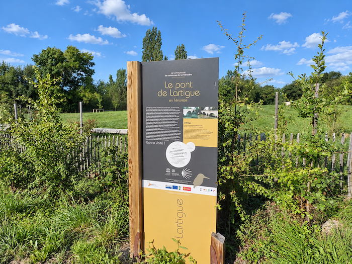
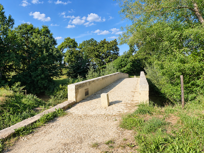
This venerable Romanesque bridge, whose origins date back to the twelfth and thirteenth centuries, was built to allow pilgrims to cross the Osse on their long route towards Compostela. Today, it is included on the UNESCO World Heritage List as part of the Routes of Santiago de Compostela in France, bearing witness to the importance this crossing once held. For the site was much more than a few arches spanning the river. A hospital welcomed pilgrims, a church watched over their prayers, and a commandery belonging to the Order of the Knights of Saint John of Jerusalem maintained a presence in this corner of Gascony. Nothing remains of this once-bustling complex. Only the bridge survives, like an old stone sentinel guarding the memory of the countless footsteps that have crossed it. |
|
 |
 |
|
But the Osse has never been an entirely obedient river. When heavy rains swell its waters, it can unleash a violence from which the old bridge has often suffered. Floods have battered it over the centuries and continue to threaten its foundations. The structure admired today, built of dressed stone and distinguished by its alternating large and small arches, thus bears the marks of a long struggle between the patience of its builders and the fury of the river. Restored and rebuilt on several occasions, notably in the seventeenth and nineteenth centuries and again more recently, it has survived the ages thanks to considerable care. People repair it, the water persists in its assaults, and still the bridge holds firm. |
|
 |
 |
|
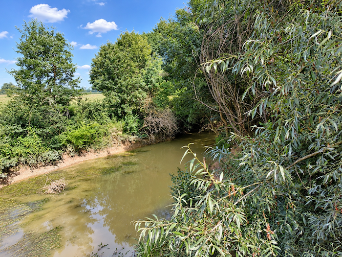
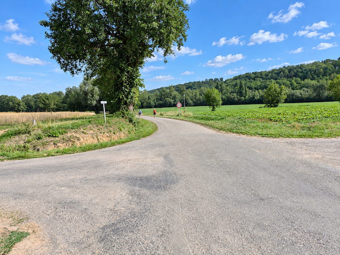
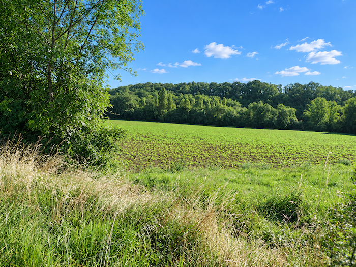
As soon as you have crossed the muddy waters of the Osse, the GR65 follows a small road for a while along a vast agricultural plain. Here, beans seem to have conquered a large proportion of the fields. But which variety are they? There is no one in sight to tell us whether these rows will yield the famous “Tarbais beans”, one of the great culinary treasures of southwestern France. |
|
 |
 |
|
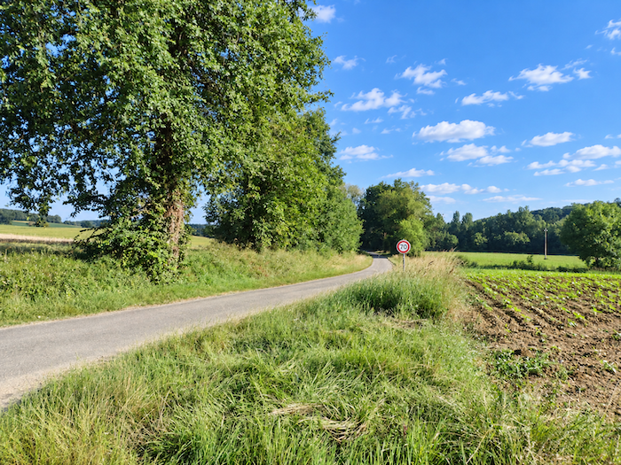
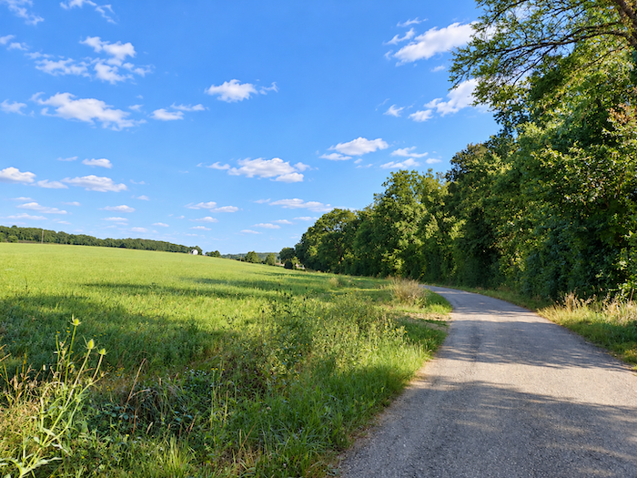
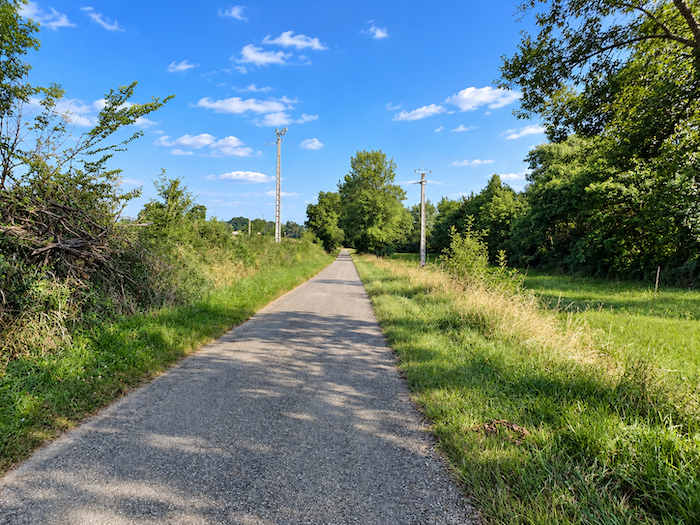
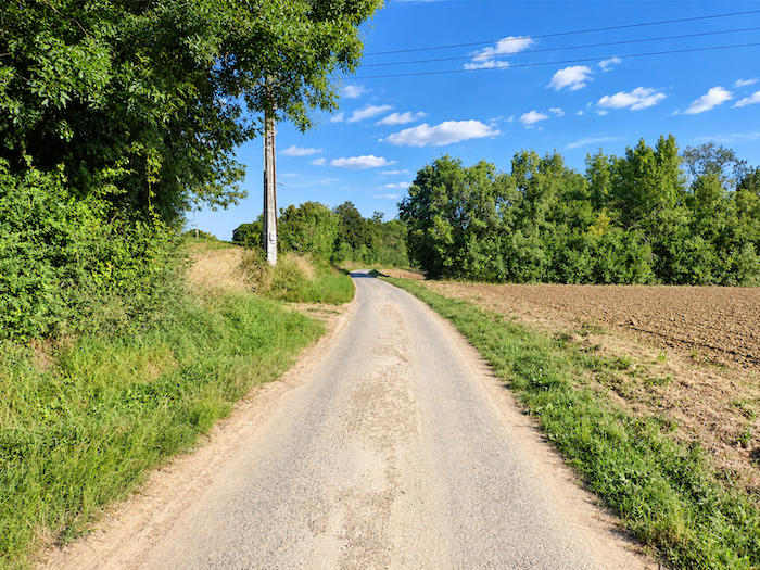
The little road continues its leisurely course between cultivated fields and meadows, beneath the tall silhouettes of ash trees that offer welcome patches of shade here and there. It takes its time, follows the contours of the countryside and allows your gaze to wander freely over these peaceful lands, where agriculture sets the rhythm of the seasons. |
|
 |
 |
 |
 |
|
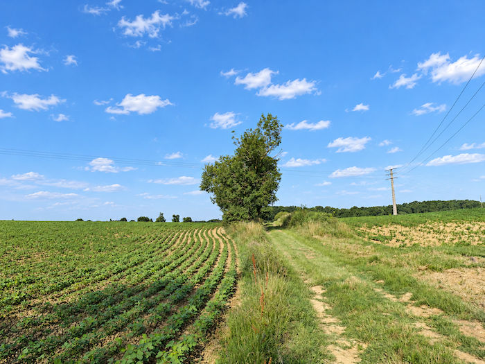
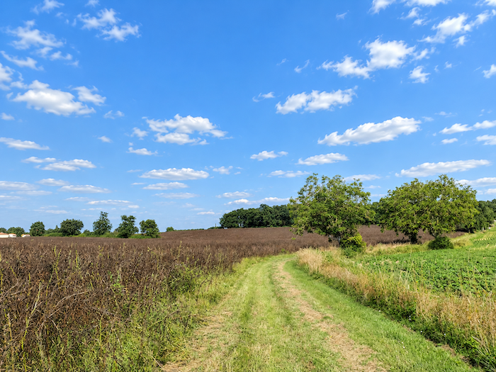
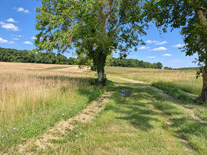
The GR65 then bids farewell to the asphalt and escapes into the grass, beginning the ascent of a hill whose slopes are fortunately very gentle. |
|
 |
 |
|
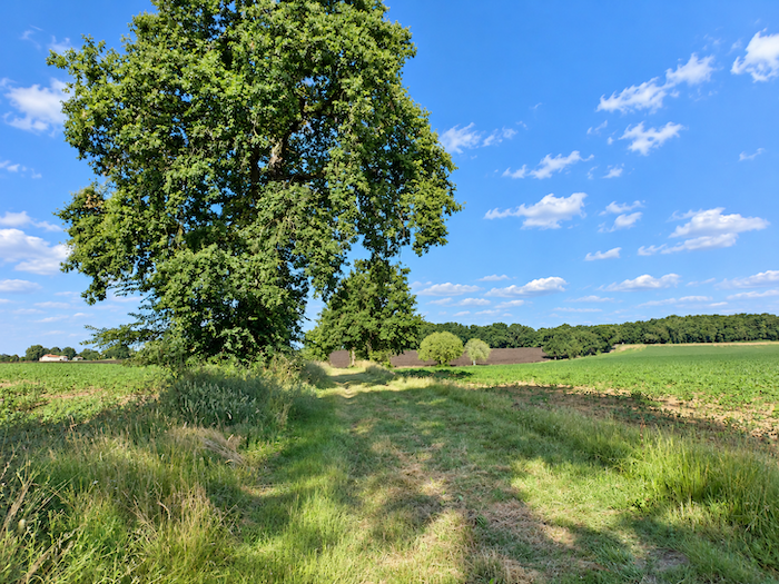
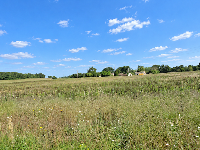
The plain stretches widely around you, exposed to the sun and the winds. The ever-present sunflowers grow alongside cereals and bean fields, forming that agricultural mosaic so characteristic of Gascony. In places, large plots of miscanthus also appear, a tall perennial grass that, from a distance, might be mistaken for curious expanses of reeds. Generally harvested in late winter or early spring, when its stems are thoroughly dry, this plant now has numerous uses, particularly as mulch, animal bedding or raw material for energy production. It is a less traditional crop than the others, but one that has now found its place in the agricultural landscape. |
|
 |
 |
 |
 |
|
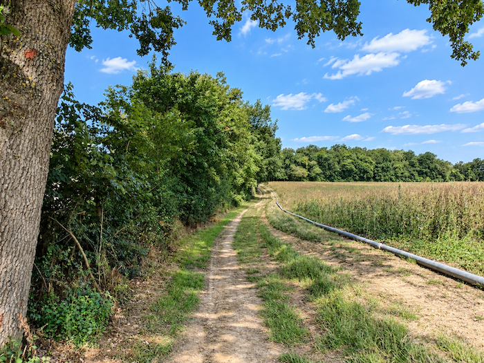
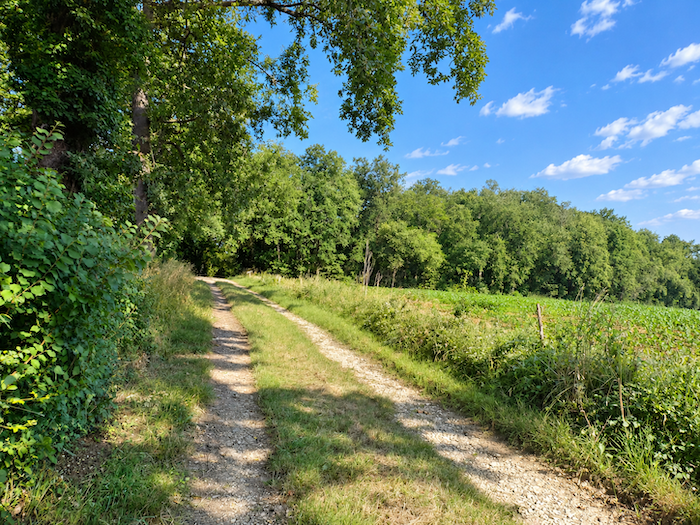
Gradually, the path, sometimes grassy and sometimes earthy, approaches a wooded area, slowly leaving the great expanses of cultivated land behind. Trees begin to take over, the horizons draw closer, and the open countryside gently gives way to a more intimate world of vegetation. |
|
 |
 |
Section 3: Still among the cereals, sunflowers, beans and vineyards of the Gers
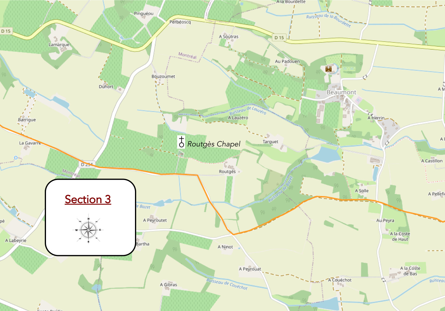
Overview of the route’s challenges: a route with no particular difficulties.
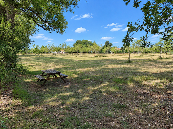
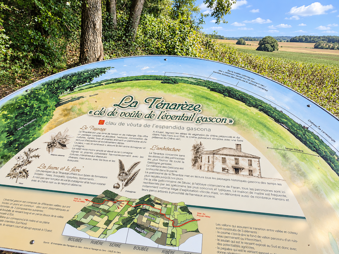
| A little further uphill, at the edge of a wooded area, a picnic spot offers walkers the welcome coolness of its shade. A sign reminds you that you are still in Ténarèze, in the heart of Gascony, just in case the landscapes had allowed you to forget. | |
 |
 |
|
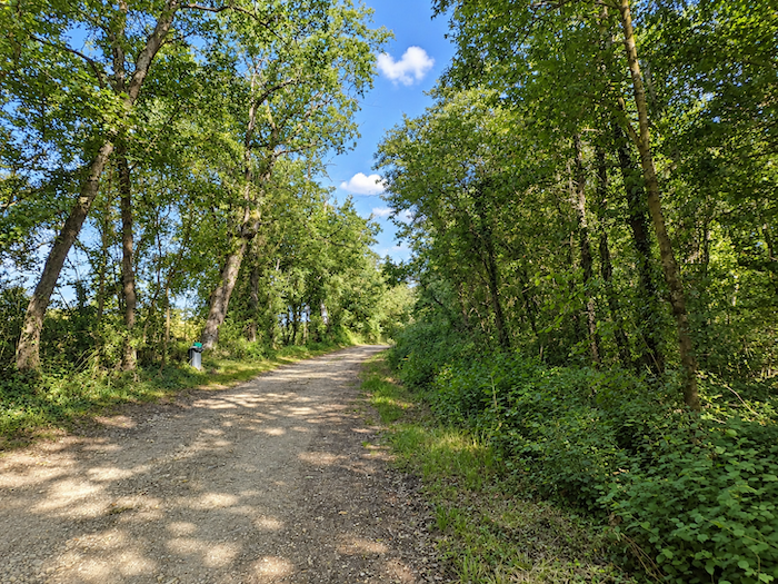
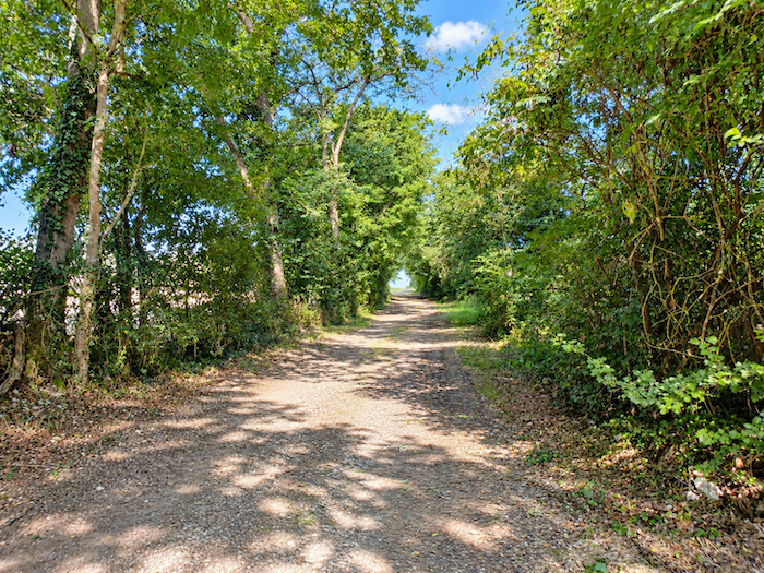
The GR65 continues along a broad, slightly stony path, sheltered by oak and ash trees. |
|
 |
 |
|
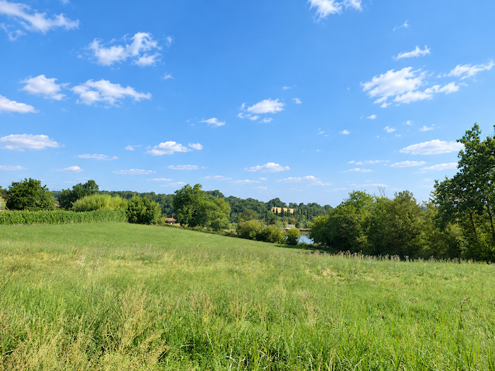
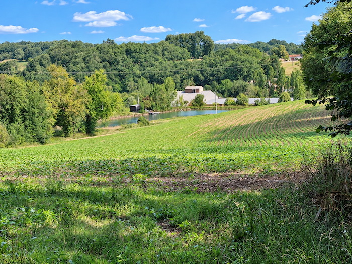
A short, leisurely stroll beneath the trees brings you to the heights overlooking the little Lake Solle. The landscape then opens onto gentle, restful countryside, quite different from the dense thickets and damp valley bottoms crossed before reaching the « Pont d’Artigues ». Here, nature seems to have regained its tranquility. |
|
 |
 |
|
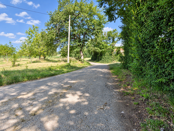
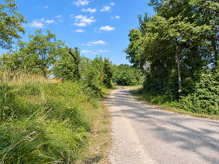
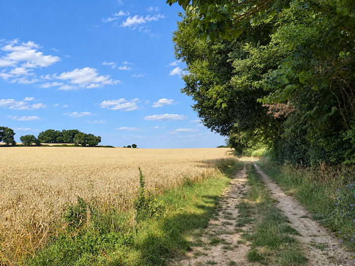
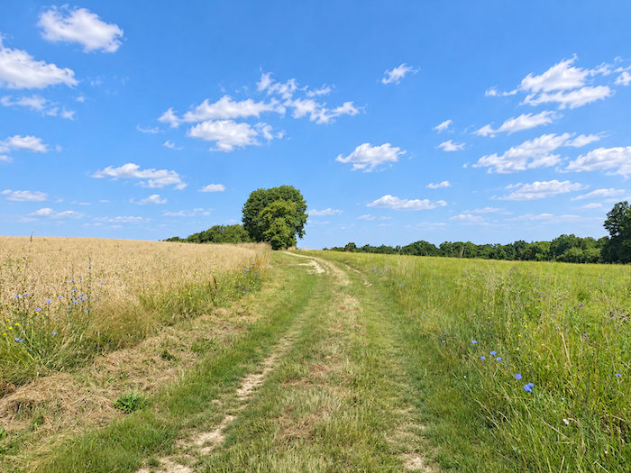
The GR65 then follows a wider earth path winding through cultivated fields. Nothing particularly new beneath the Gascon sun: field follows field, with the quiet persistence of land devoted to agriculture. Cereals dominate, spreading across long expanses bordered by oak hedgerows that mark the boundaries of the plots. There is something repetitive about the landscape, certainly, but this very monotony tells the story of a region whose deepest vocation is farming, where the land is rarely allowed to rest. |
|
 |
 |
 |
 |
|
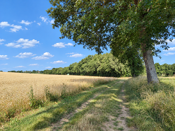
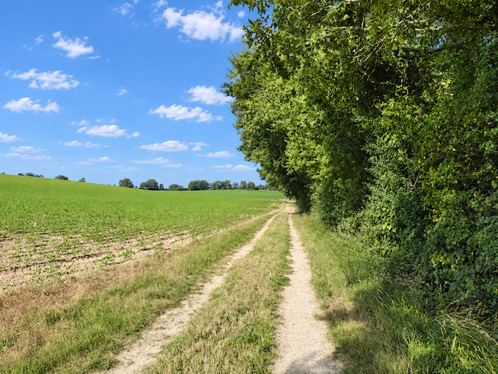
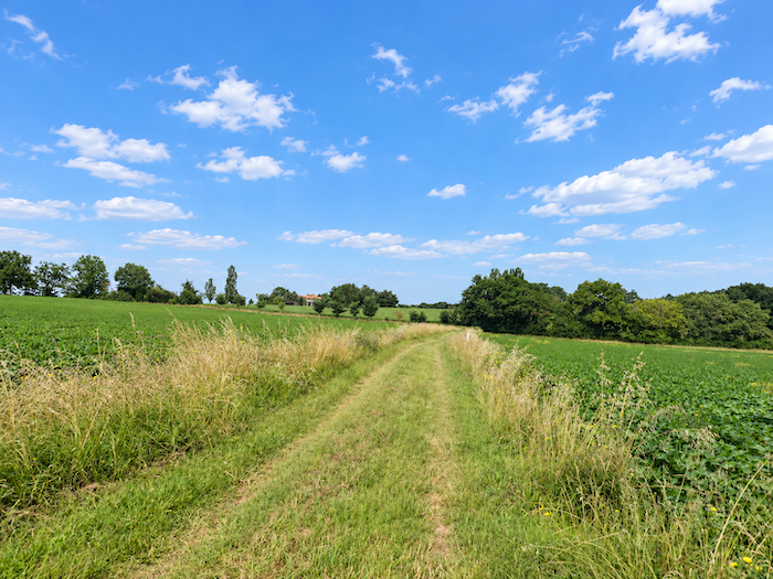
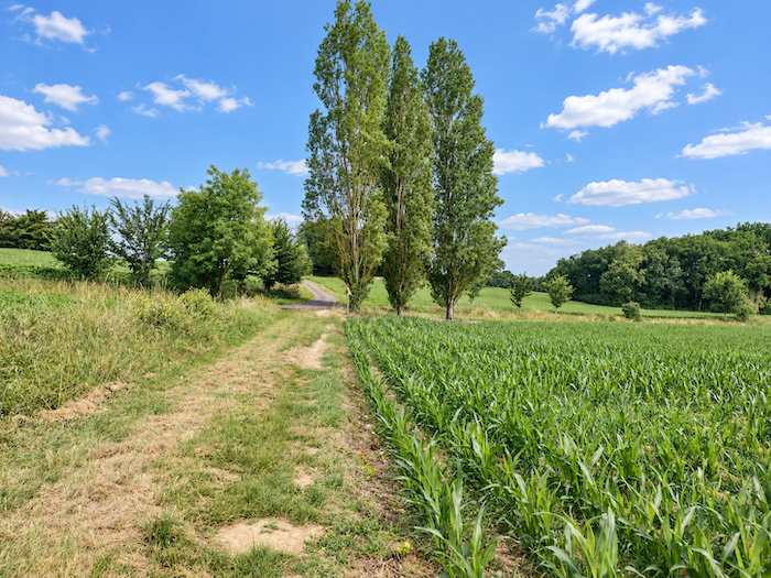
But the countryside knows how to vary its pleasures. Here come the sunflowers again, those faithful companions of the paths of the Gers. Soybeans now mingle with the other crops, while maize begins to occupy more space. The agricultural mosaic gradually changes its pattern without ever losing the generosity that characterizes the Gascon countryside. |
|
 |
 |
 |
 |
|
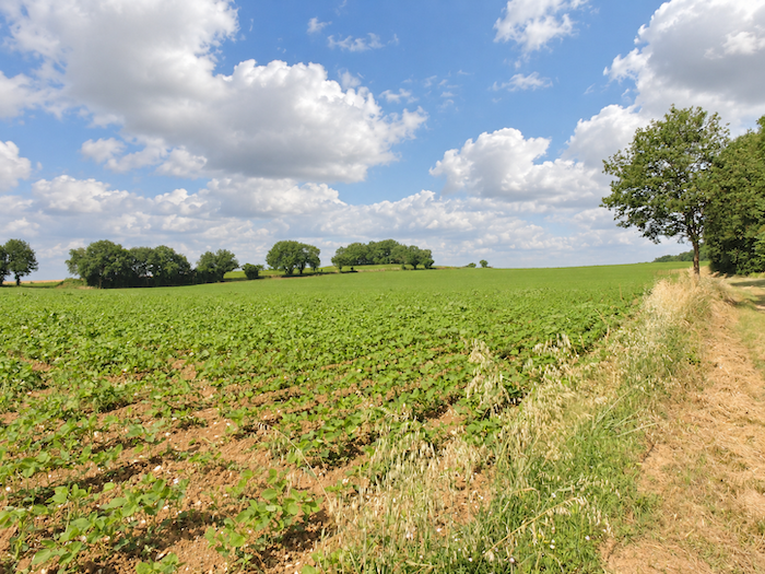
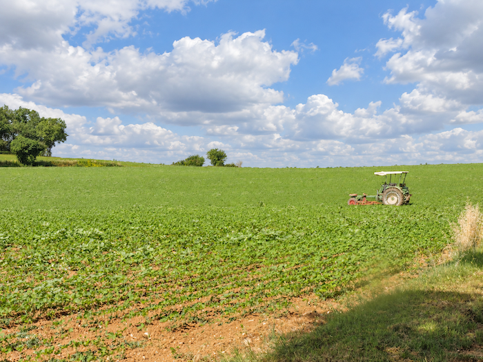
And the beans have not had their last word either! Here they are again, reappearing among the fields, clearly determined not to surrender all the land to cereals and oilseed crops. In this countryside, where every crop seems to await its turn, the humble bean valiantly defends its little patch of earth. |
|
 |
 |
|
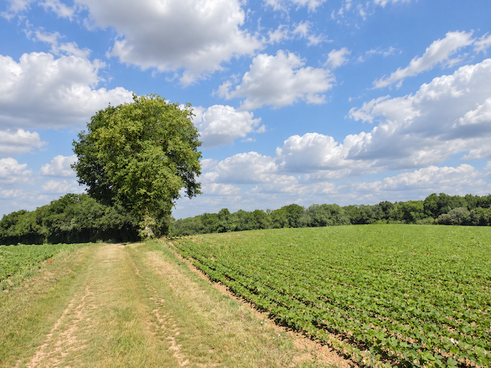
Then the seemingly endless alternation of cereals and oilseed crops resumes, according to the fields and the rhythm of crop rotation. Sunflowers, soybeans and grain fields follow one another in an arrangement that only the farmers themselves seem to know by heart. For the walker, the landscapes sometimes begin to look remarkably alike. |
|
 |
 |
 |
 |
|
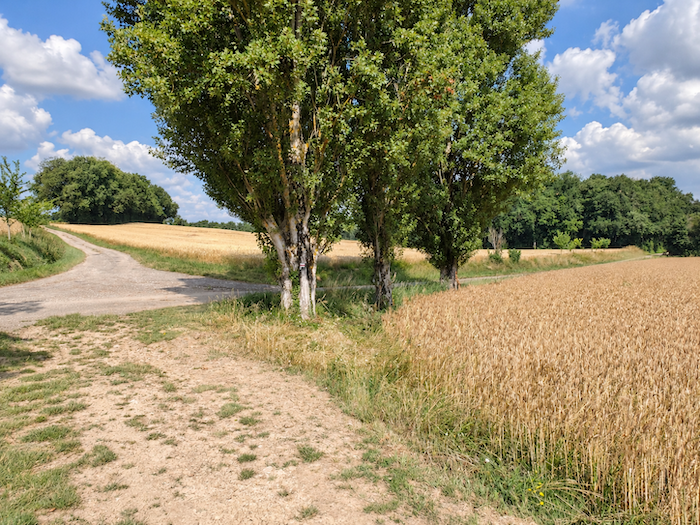
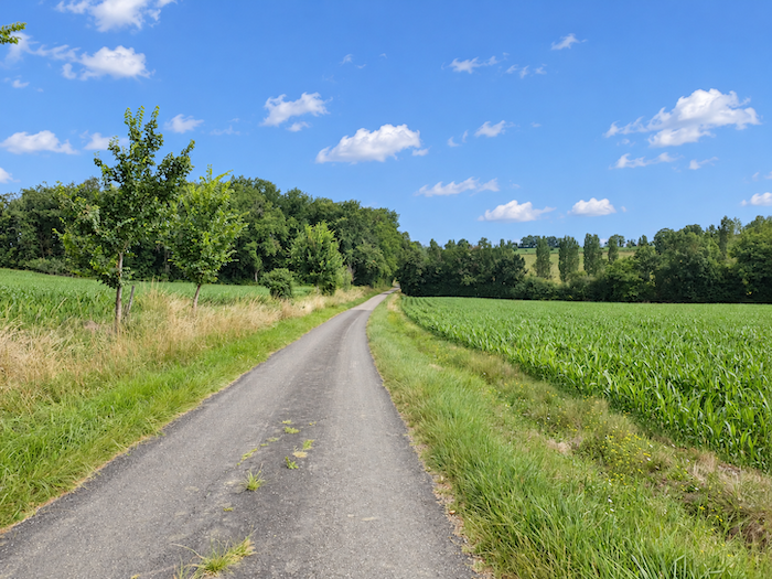
Then comes a change of scenery. The GR65 approaches a paved road beneath the tall silhouettes of a few poplars, trees encountered less frequently here than oaks and ashes. |
|
 |
 |
|
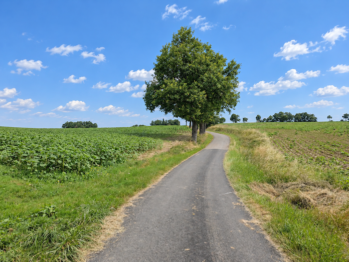
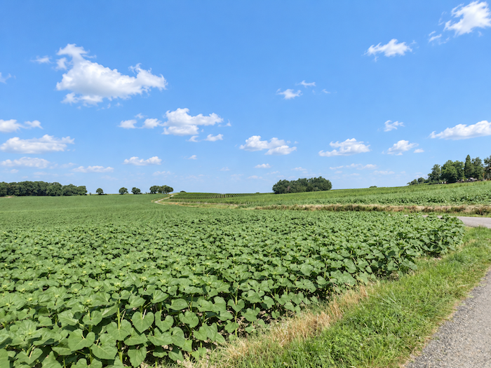
The road resumes its climb towards the top of the hill, passing through immense fields of oilseed crops that seem ready to swallow the entire horizon. Clearly, this year, the Gers has given pride of place to sunflowers! |
|
 |
 |
|
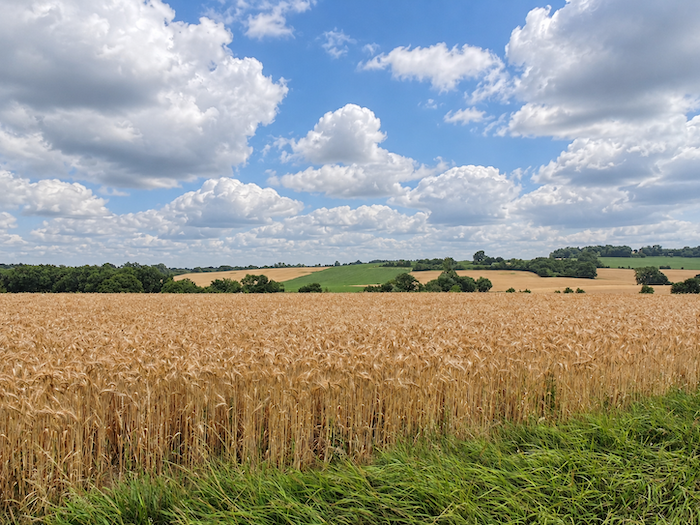
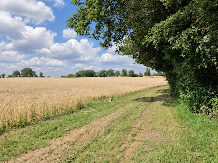
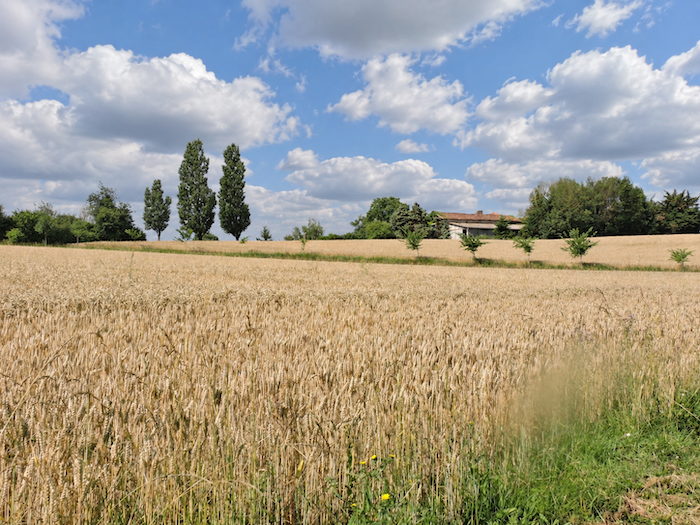
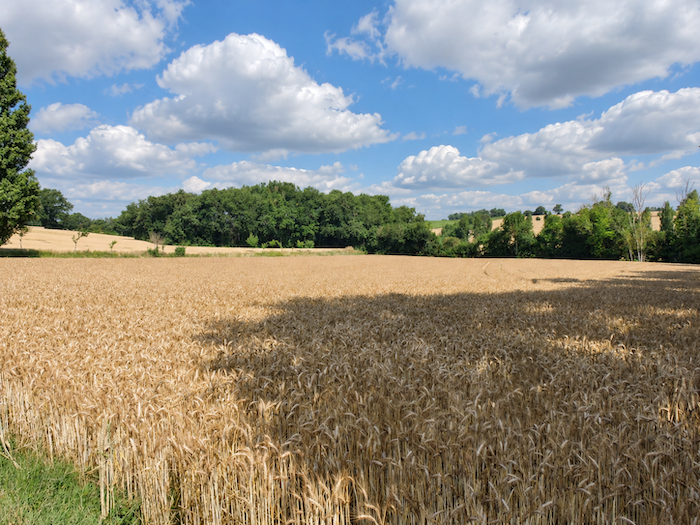
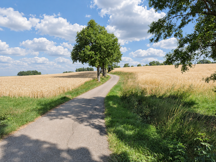
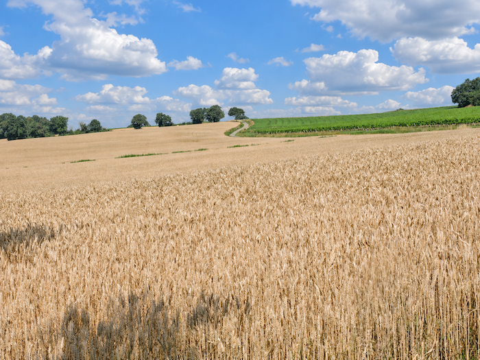
Yet on an earlier visit, the scenery was entirely different. In place of the sunflowers stretched a majestic, almost boundless sea of golden wheat. Wheat as far as the eye could see, everywhere you looked! The ears of grain swayed in the breeze, sending long golden waves rolling towards the horizon. The entire countryside seemed to breathe warmth and light, as though summer had spread its finest harvests across the hills. |
|
 |
 |
|
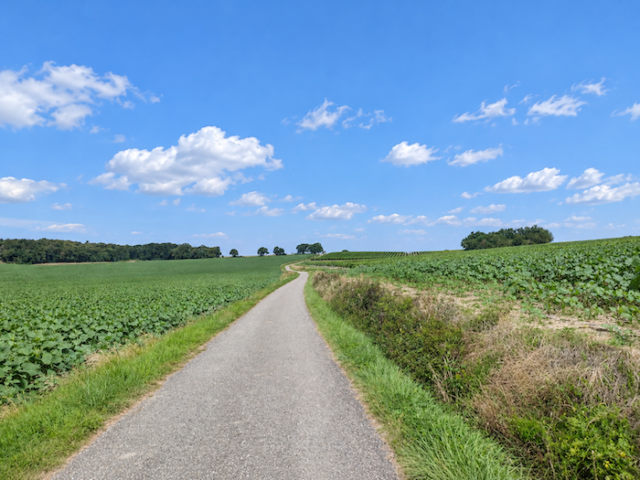
And the road stretches on, long, very long, along the crest of the hill, through lands that the seasons and passing years dress in different colors. For farmers cannot always sow what they would like. Crop rotation, of course, responds to the needs of the soil, which must be carefully managed to preserve its fertility. But market forces also have their say. Harvests are often destined for agricultural cooperatives or large companies whose contracts, prices and outlets strongly influence the choice of crops. Thus, behind the apparent freedom of these vast horizons lies a whole world of economic constraints. Farmers cultivate their land, but they must also contend with the demands of a market whose decisions are sometimes made far from their fields. |
|
|
 |
|
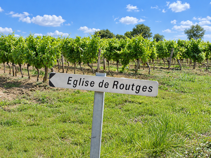
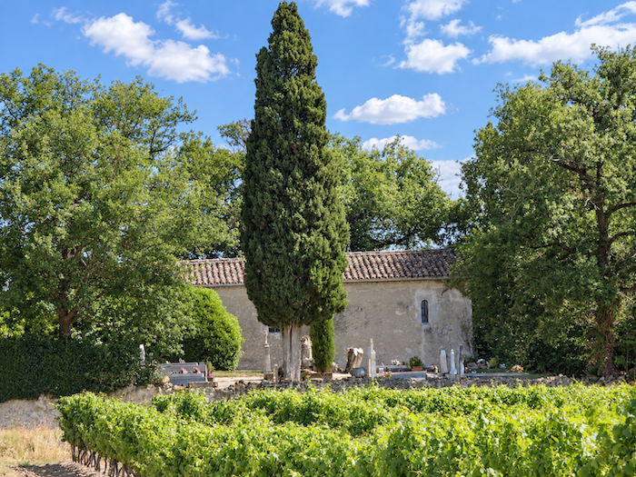
A little above the road, half hidden among the trees, nestles the small Chapel of Routgès. This modest sanctuary, clinging to the hillside, watches over a neighboring cemetery, with a water point nearby. The place seems removed from the bustle of passing pilgrims, wrapped in that slightly melancholy tranquility so often found around ancient places of worship. Pilgrims probably continue on their way without climbing up to it, perhaps unaware that it even exists. |
|
 |
 |
|
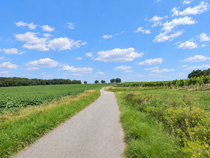
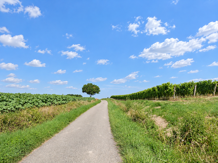
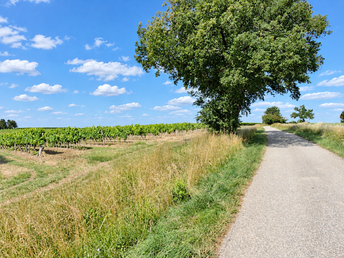
As you approach the summit of the hill, a few vineyards finally break the languid monotony of the vast oilseed fields. Here, as on many other slopes in Ténarèze, white grape varieties dominate the vineyards: Ugni Blanc, Colombard, Chenin, Sauvignon, Chardonnay and Gros Manseng. A few kilometers from Eauze, the “Domaine de Tariquet” is one of the region’s most celebrated estates, carrying the reputation of these lively, generous white wines far beyond the borders of Gascony. |
|
 |
 |
 |
 |
|
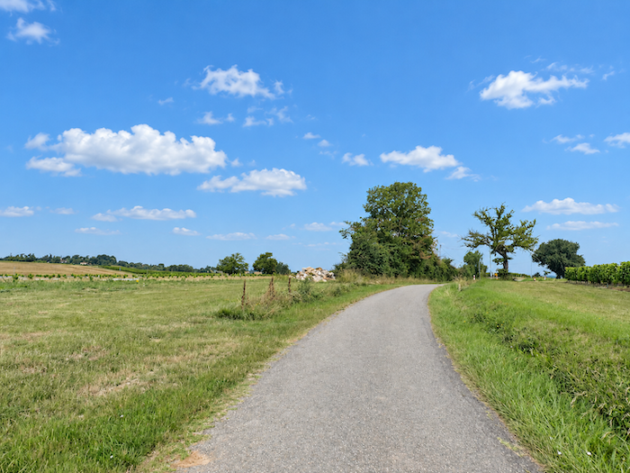
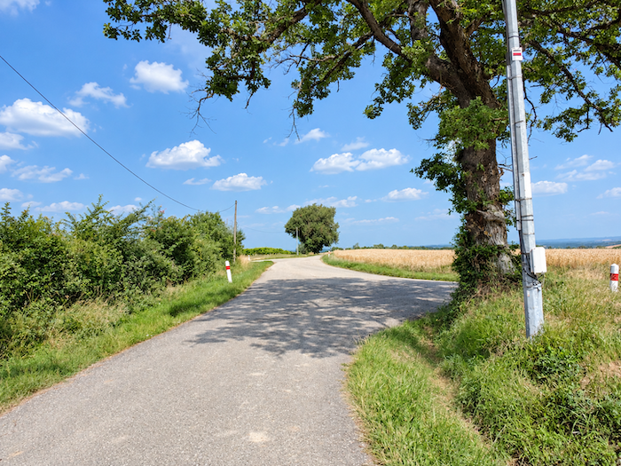
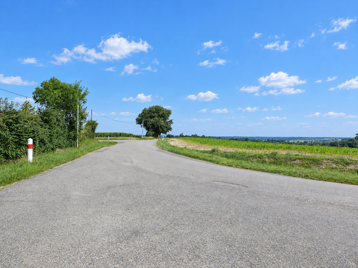
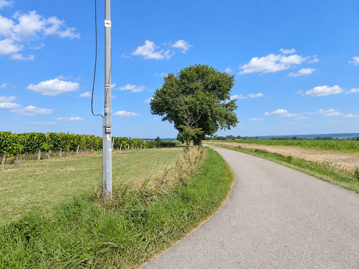
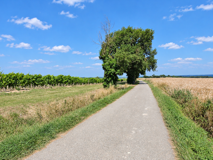
The road then seems to grow drowsy along the ridge, running almost level between enormous expanses of cultivated land and occasional vineyards. Nothing is in a hurry here. The hills stretch lazily beneath the sky, the fields follow one another with an almost hypnotic regularity, and the road itself seems to surrender to the languor that envelops the wide-open spaces of Gascony. |
|
 |
 |
 |
 |
|
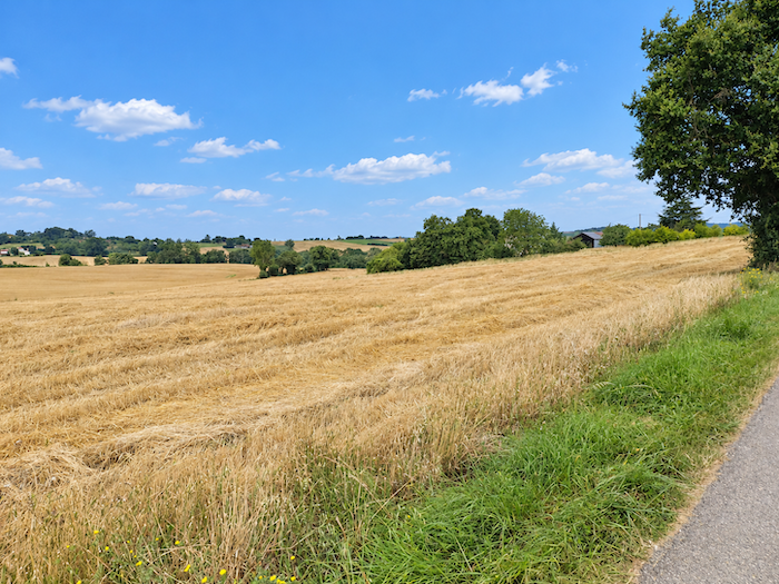
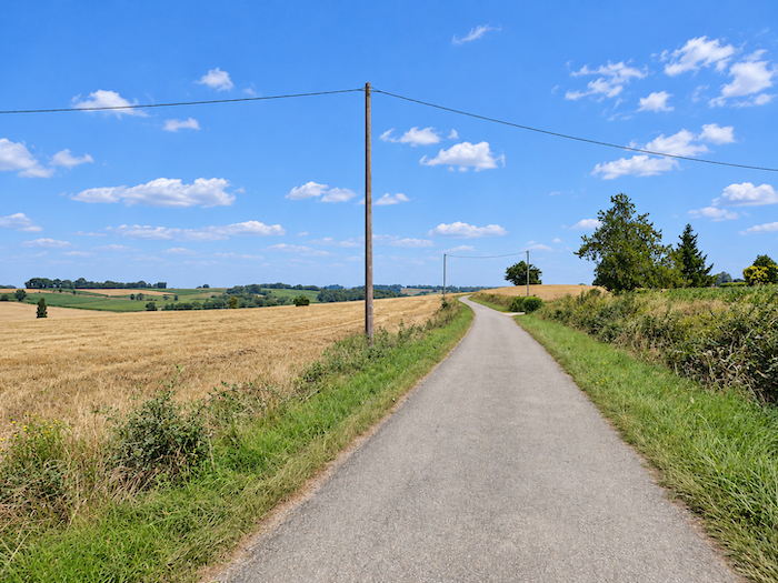
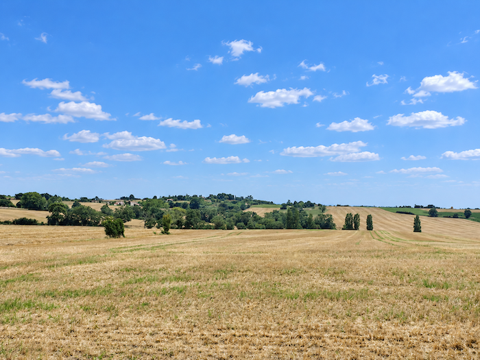
In places, the fields assume almost unimaginable proportions. They stretch so far that their boundaries merge with the haze on the horizon, as though the cultivated land might never come to an end. As far as the eye can see, the same landscape begins again, immense and silent, barely disturbed by the gentle undulations of the hills. |
|
 |
 |
|
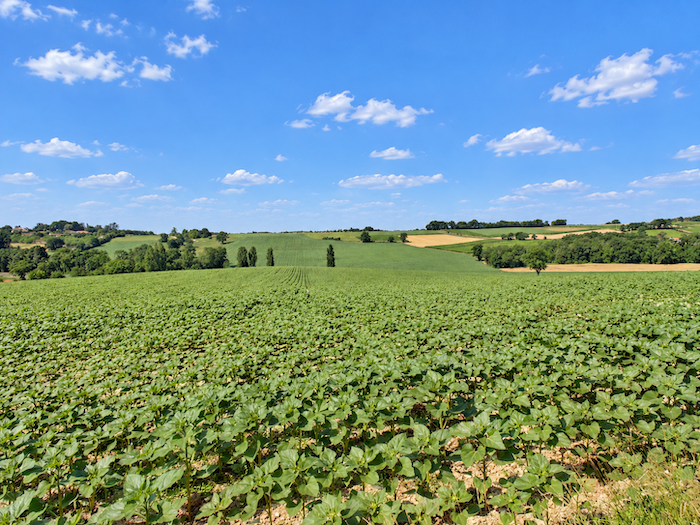
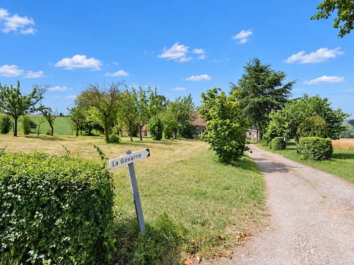
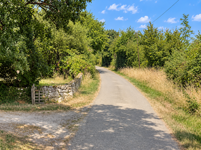
The Gers is a place whose charms either captivate you or leave you unmoved. You need to appreciate immense horizons and these almost deserted stretches of countryside where the eye travels faster than the feet. Here, there are no villages clustered around their church steeples, no houses huddled closely together. Yet behind this apparent solitude live people, families and farming communities who keep the land alive. Their homes stand apart, isolated among the fields or beside the road, like La Gavarre, a modest little island of life lost in an ocean of cultivated land. |
|
 |
 |
|
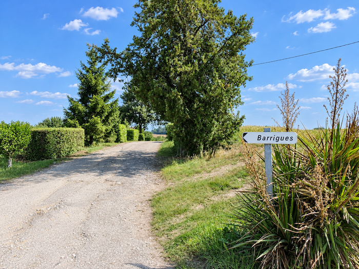
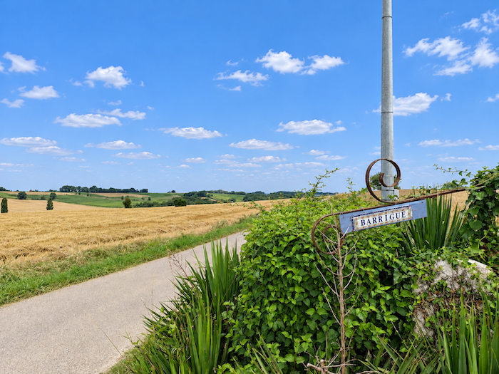
A little further on, Barrigues presents the same discreet face of the Gascon countryside. A few agricultural buildings, scattered houses and perhaps a farm larger than its neighbors are all that interrupt the immensity of the fields. Here, the named localities often have more names than houses, and you pass through these tiny settlements almost without noticing them, before returning once more to the long solitude of the countryside. |
|
 |
 |
 |
 |
Section 4: Over hill and dale towards Montréal-de-Gers
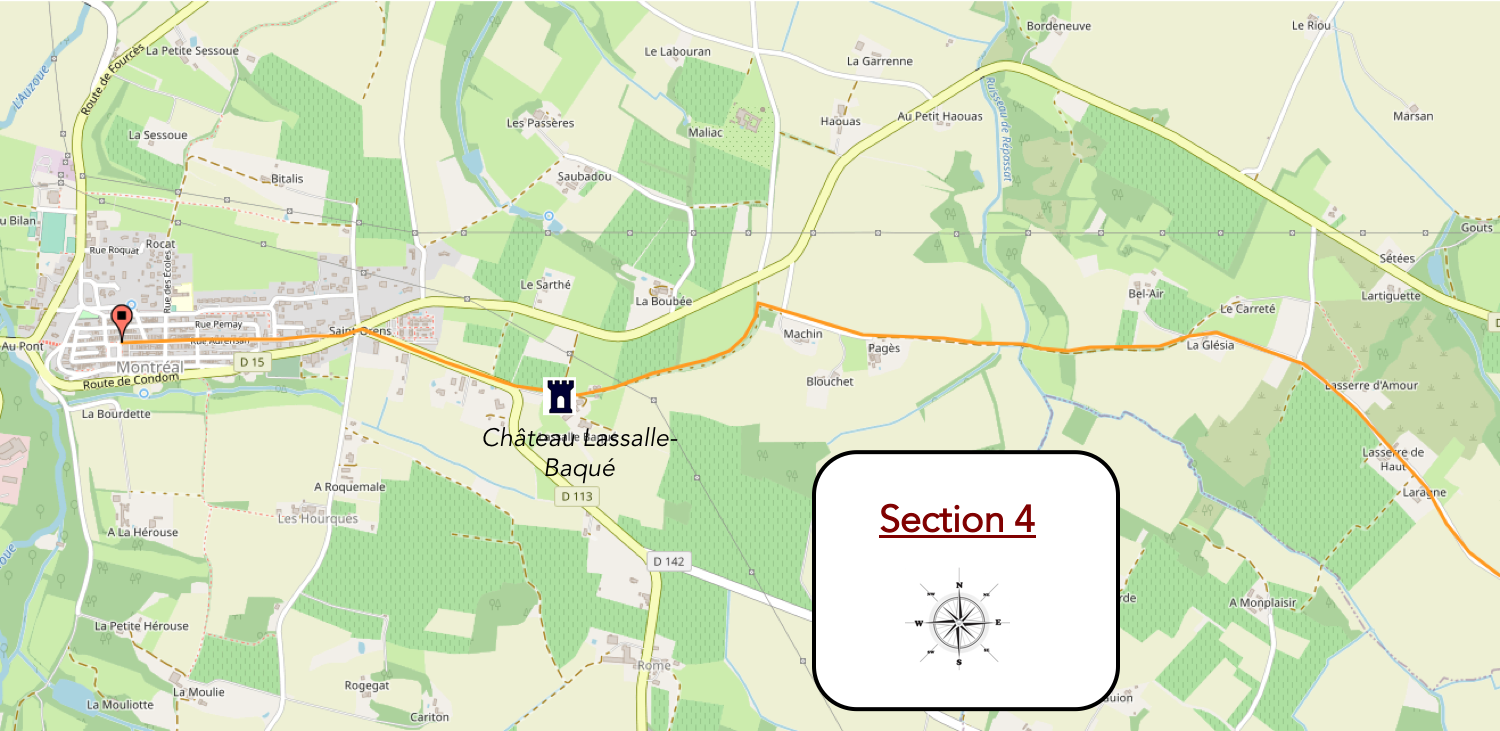
Overview of the route’s challenges: a route with no particular difficulties, apart from a few gentle slopes.
|
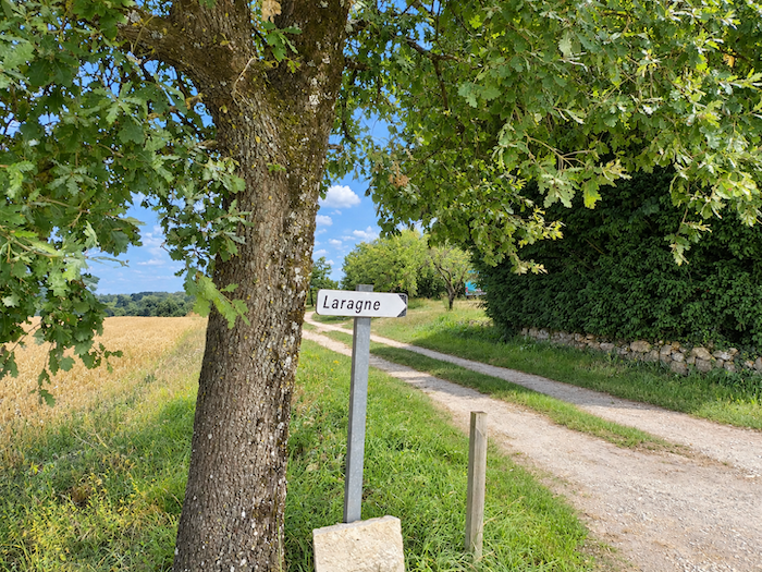
From Barrigues, the road continues its slow ascent through fields whose dimensions seem to defy all measurement. Everything here is gigantic. Sunflowers compete with wheat for possession of these vast expanses, and some plots reach almost dizzying proportions. Soon the Laragne farm comes into view, standing a little apart, nestled beneath a few trees. For trees have become the great absentees from this countryside given over to cultivation. Many have been sacrificed to enlarge the fields, leaving only a few modest groves here and there, like little havens of shade around isolated farmhouses. |
|
 |
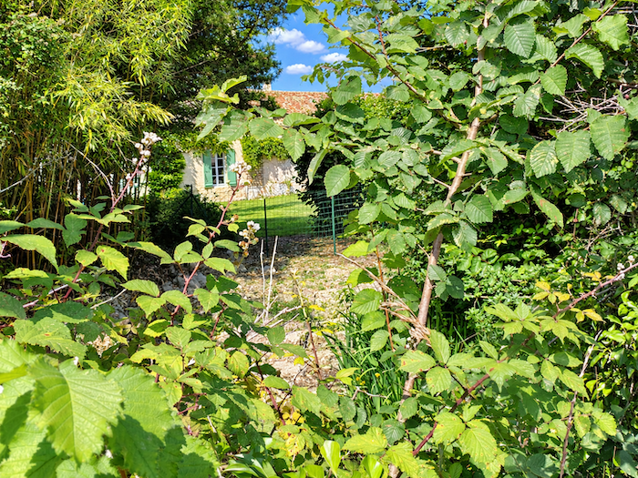 |
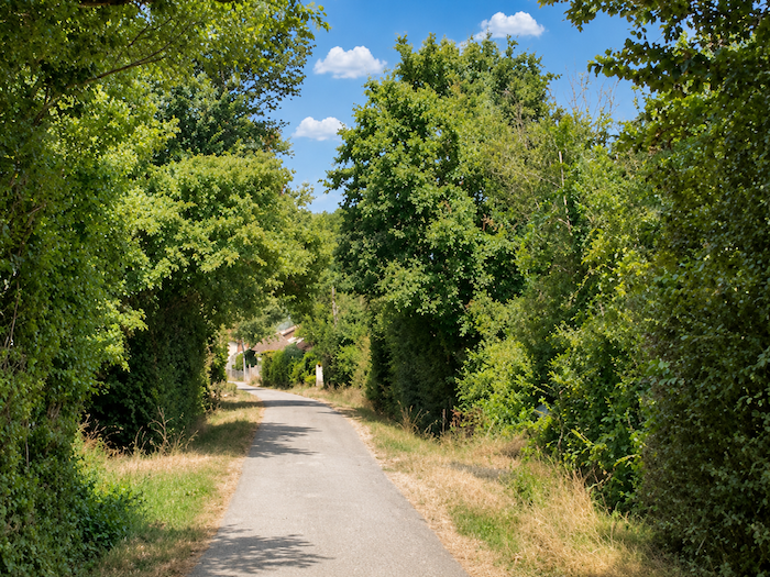
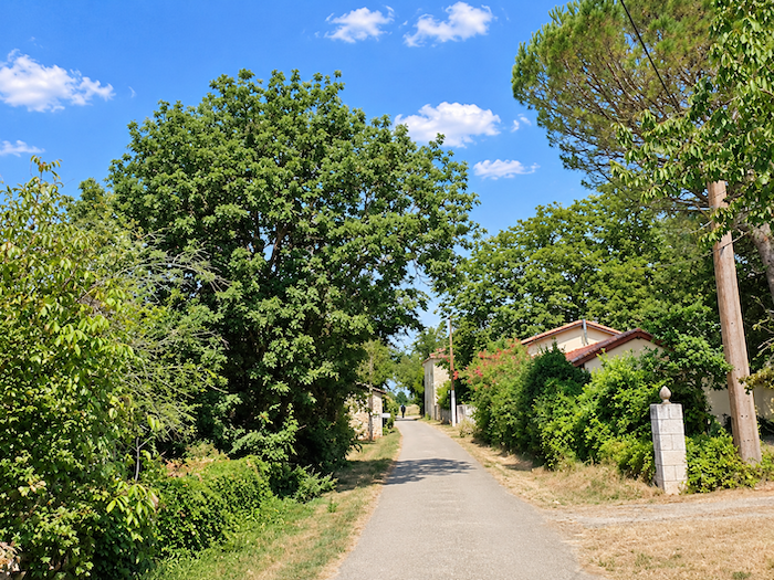
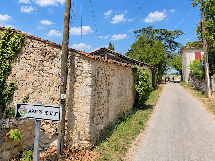
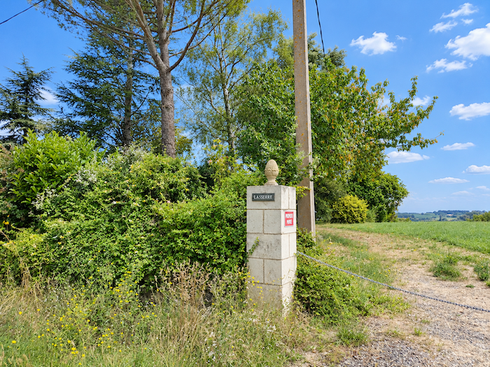
| At the top of the hill appears Lasserre-de-Haut, where trees begin to reclaim some of their territory and houses become more numerous. | |
 |
 |
 |
 |
|
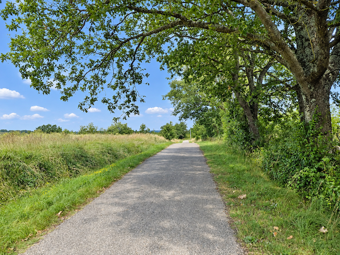
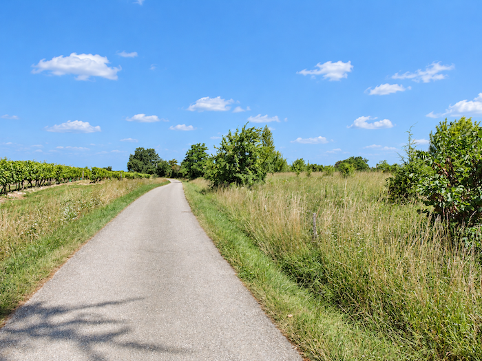
Beyond Lasserre-de-Haut, the road continues for a while along the ridge. But the landscape gradually begins to change its appearance. Cultivated fields become less overwhelming, and oak trees reappear along the roadside. |
|
 |
 |
 |
 |
|
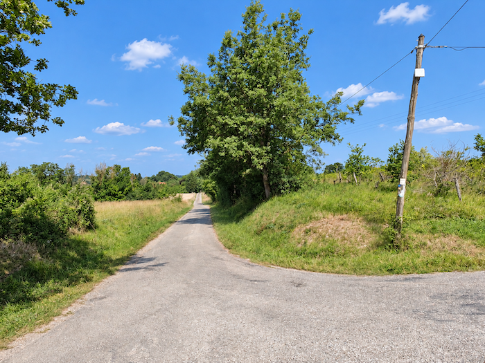
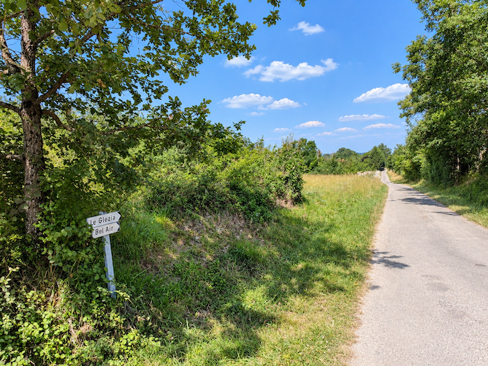
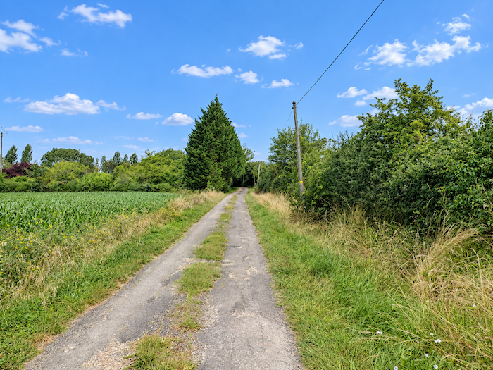
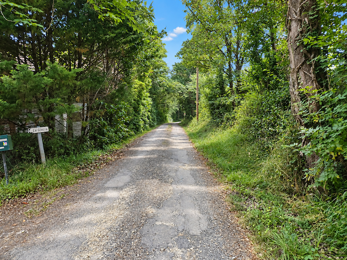
This time, there can be no doubt that you are entering a different world. The endless cereal fields, sunflowers and occasional plots of maize gradually fade behind you. Near the locality known as Le Glézia, even the asphalt finally gives way to earth. The path at last regains something of its rustic character. |
|
 |
 |
|
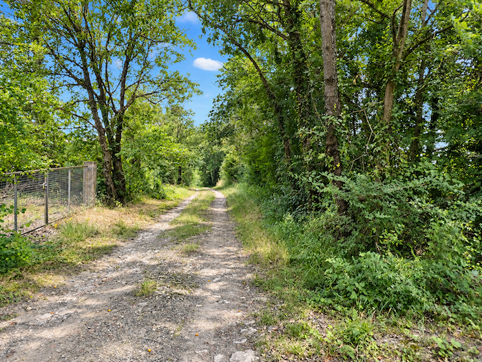
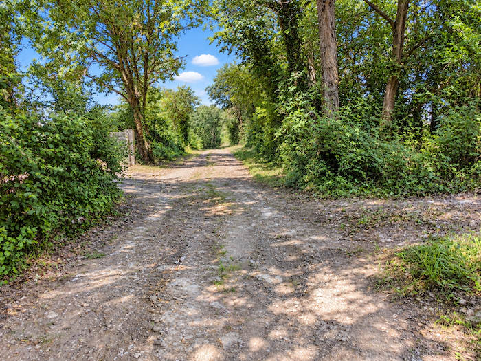
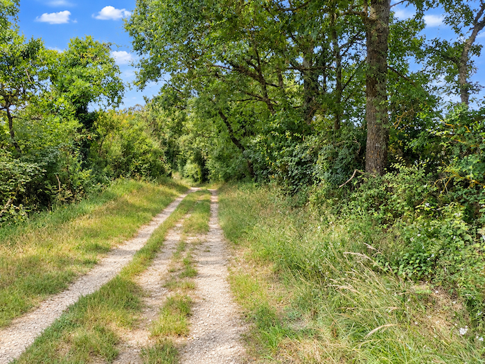
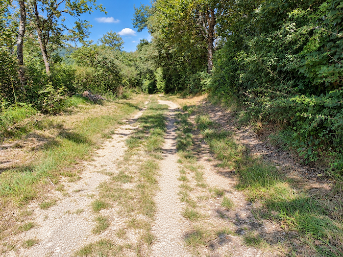
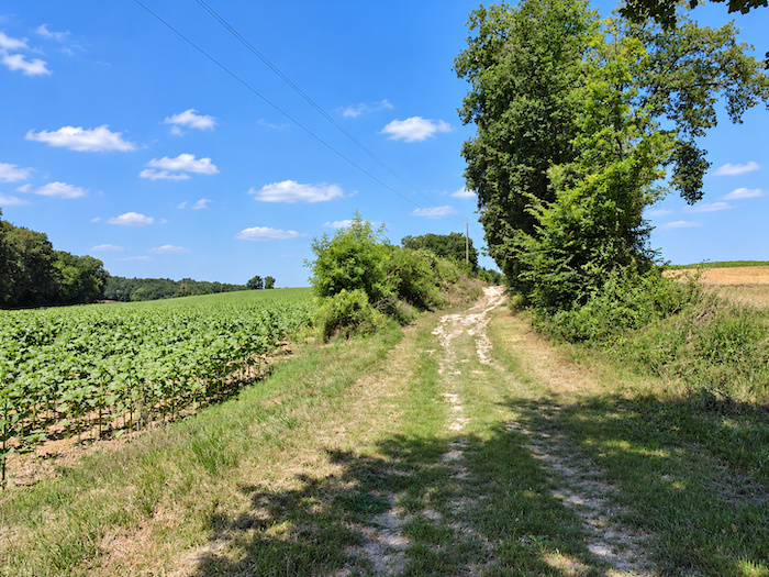
Broad, sometimes earthy and sometimes carpeted with grass, the path now begins a fairly steep descent through sparse deciduous woodland. Conifers, meanwhile, are almost entirely absent, so rare are they in this part of the Gers. |
|
 |
 |
 |
 |
|
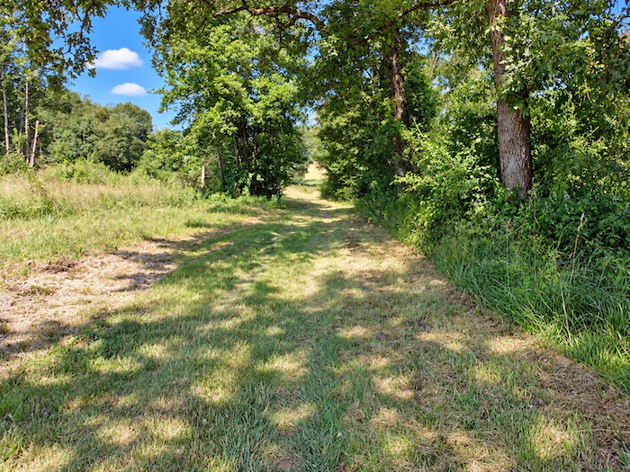
Further down, the slope becomes steeper between patches of woodland and grassy clearings. The path winds from one opening in the trees to another, sometimes sheltered beneath the foliage, sometimes exposed to the full light of day. |
|
 |
 |
|
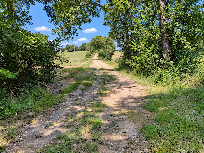
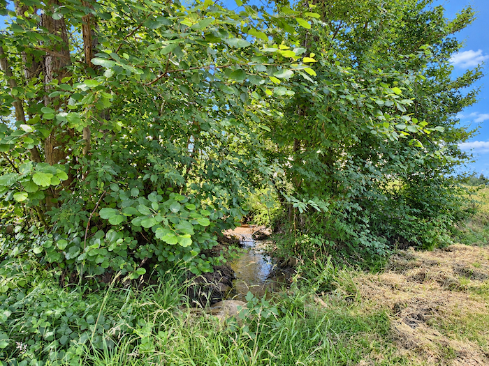
At the bottom of the dale, it meets the modest Répassat stream, whose sleepy waters seem to have forgotten the very notion of haste. But the respite is short-lived. As soon as you have crossed this discreet trickle of water, you must climb the opposite slope, where the gradient becomes distinctly steeper for a few moments. |
|
 |
 |
|
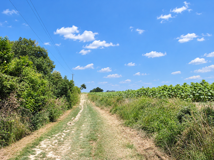
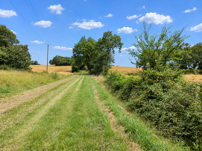
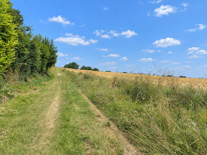
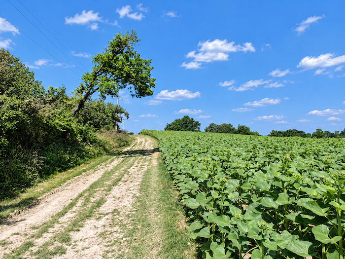
Then, as you gain height once more, cultivated fields begin to reappear. They reclaim the hillsides, spreading their broad plots across slopes where the woodland had seemed, only moments earlier, to reign supreme. |
|
 |
 |
 |
 |
|
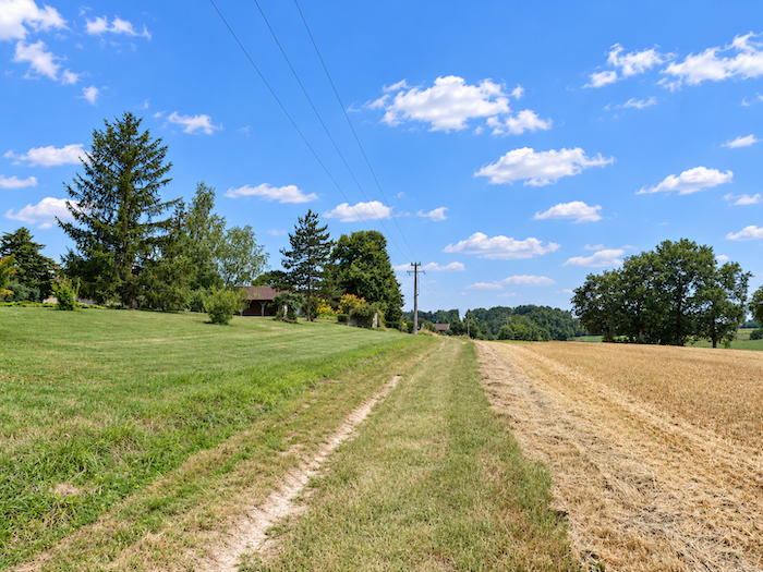
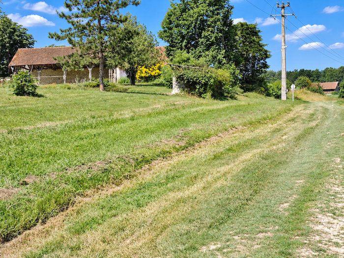
At the top of the climb, the path passes the few farms of Pagès, modest signs of human presence amid these wide-open lands. There is nothing here resembling a proper village, only agricultural buildings and isolated homes, discreet witnesses to rural life. |
|
 |
 |
|
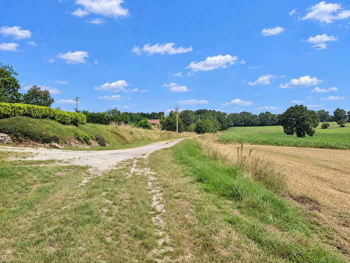
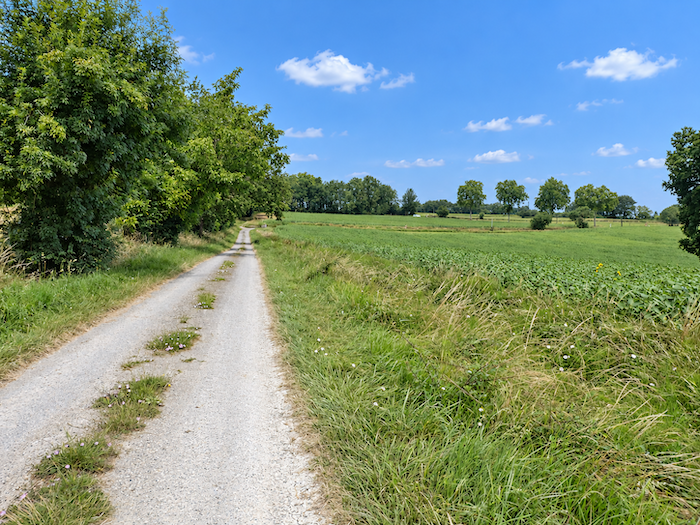
Near the hamlet, the path becomes broader and more spacious, opening into a wide earth track. It continues its gentle ascent between meadows and cultivated fields, through countryside where grassy spaces finally begin to soften the dominance of ploughed land. . |
|
 |
 |
|
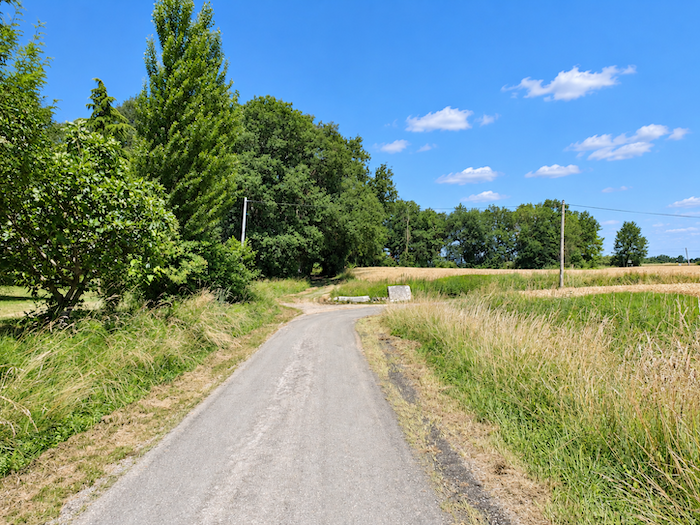
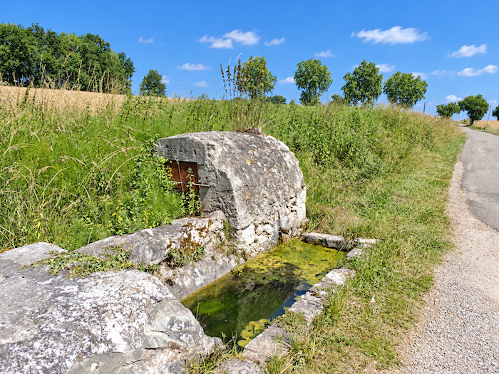
The GR65 then joins a small road and passes an old-fashioned fountain whose original purpose seems to have faded from memory. The toads, however, are hardly troubled by such historical questions. . |
|
 |
 |
|
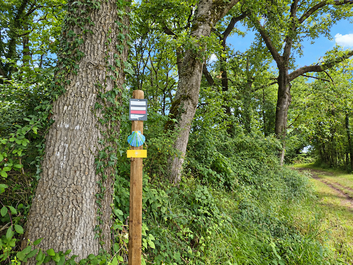
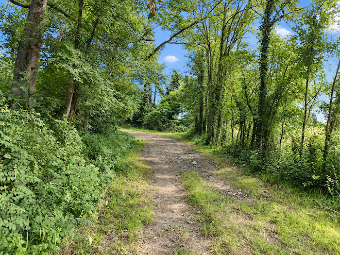
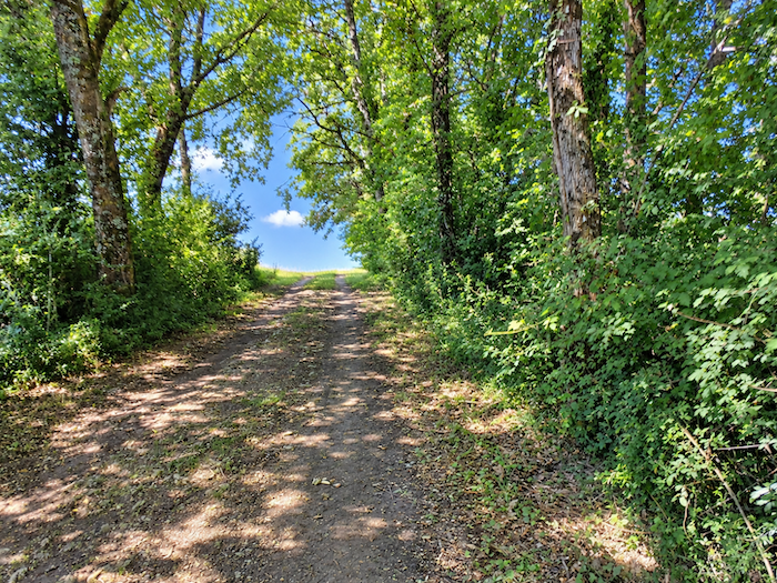
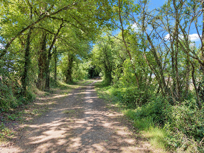
Then the hard-packed earth takes over once more, leading the walker into the coolness of a wooded area. The great trees gradually close their branches above the path, creating a leafy canopy through which daylight penetrates only in scattered patches. |
|
 |
 |
|
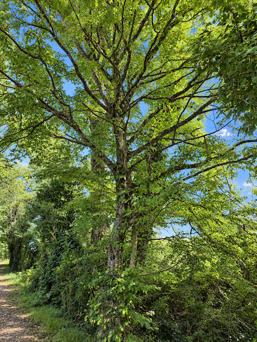
Here, oaks and chestnut trees compete in grace and height. Their mingled foliage forms a magnificent green cathedral, where the eye willingly loses itself among the interwoven branches. . |
|
 |
 |
|
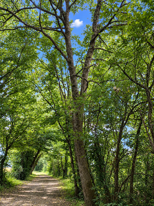
The woodland is particularly beautiful in this area. The path slips peacefully through it, sheltered by the tall deciduous trees, in an atmosphere of calm and coolness. |
|
|
 |
 |
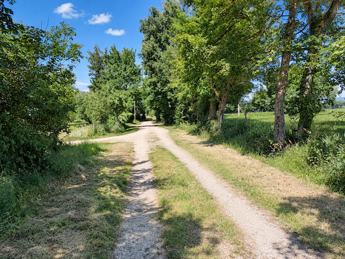 |
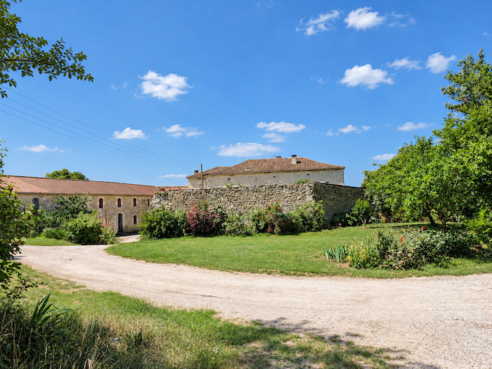
At the top of the ridge stands the « Château de Lassalle-Baqué », hidden behind its high walls. Well, a château… Without wishing to offend its owner, we can hardly pretend that it rivals the splendors of Chambord or Chenonceau! Every province, after all, must be allowed its own grandeur and its own modest charms.
|
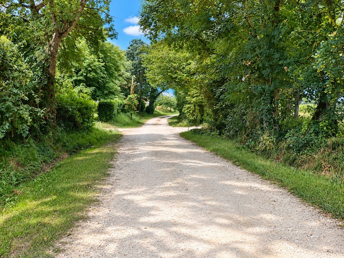
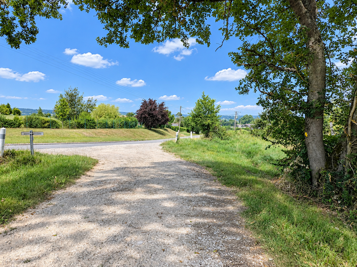
You are now only a short distance from Montréal-de-Gers. The GR65 rejoins the road on the heights above the village. |
|
 |
 |
|
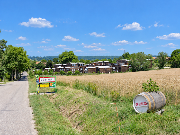
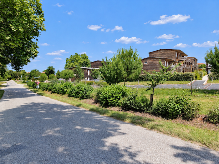
The road then slopes gently downhill between vineyards before reaching a rather unusual housing development at the entrance to Montréal-de-Gers. Its buildings bear a curious resemblance to the wooden cabins of the great Canadian wilderness. Could this be a playful reference to that other Montréal, the one stretching along the banks of the St. Lawrence River? The coincidence brings a smile. And it is easy to imagine the delight of a pilgrim from Quebec discovering, around a bend in a Gascon hillside, the familiar name of a distant metropolis. |
|
 |
 |
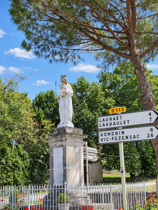
And watching over this little corner of Gascony stands the Virgin and Child, faithful protectress of villages and paths. Her presence will hardly surprise the pilgrim, for such guardian figures have marked the roads of Christendom for centuries.
|
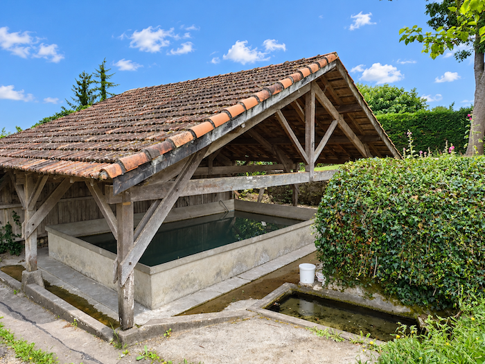
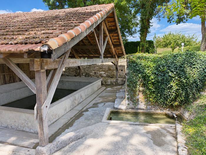
The road then passes near a magnificent communal washhouse, accompanied by a pleasant picnic area. These old washing basins, witnesses to a way of life that has now disappeared, belong to that modest heritage known as vernacular architecture, which often tells the story of past generations more vividly than grand monuments ever could. Here, there are none of the butterfly-shaped washhouses found in the limestone plateaus of the Causses, with their sloping stones arranged like wings. The structures are more substantial, often roofed, built to last and to offer at least some shelter to the women who came here to perform one of the most exhausting tasks of domestic life. For in former times, doing the laundry was a serious undertaking, almost a ceremony, and certainly not something accomplished by pressing a button. The great wash, often organized twice a year, in spring and autumn, could occupy entire families for three long days. Everything began at home, around a large washing tub into which the linen was piled. Hot water was repeatedly poured over the fabrics and wood ashes, whose potash acted as a cleaning agent. Even the choice of wood required some discernment. Oak was avoided because its ashes were believed to stain the linen, while those of poplar, fir and certain fruit trees were preferred. A few fragrant plants might also be added to perfume this domestic alchemy. Then came the ordeal of the washhouse. From early morning, the women arrived carrying their damp laundry, which had to be beaten, scrubbed, rinsed and sometimes washed all over again, their hands plunged into water that was not always considerate enough to be lukewarm. With their backs bent over the stones and their arms hard at work, they performed a long and exhausting task. But the washhouse was also a meeting place. Women helped one another, exchanged news, discussed village events, and sometimes their tongues moved just as quickly as their washing paddles! It was at once a place of solidarity, companionship and, let us admit it, gossip, where all the little and great stories of the community circulated freely. During the nineteenth century, manufactured soap gradually became more widespread, making these traditional washing practices somewhat less arduous. |
|
 |
 |
|
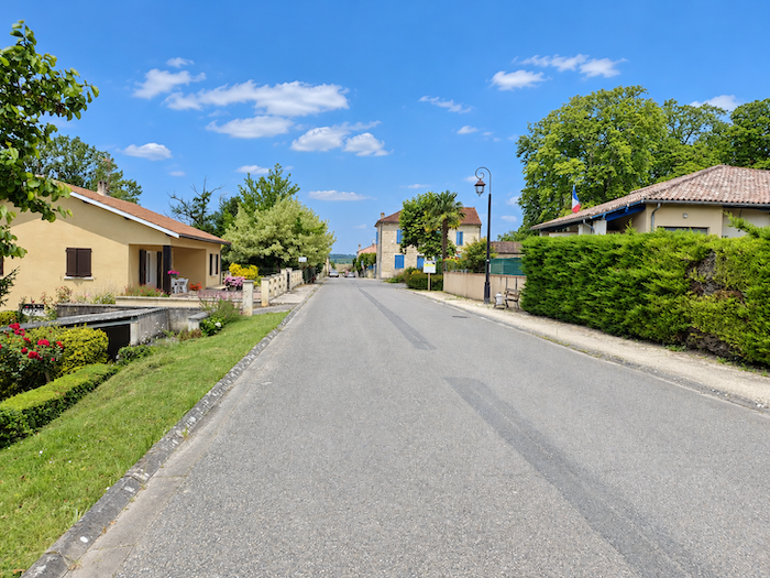
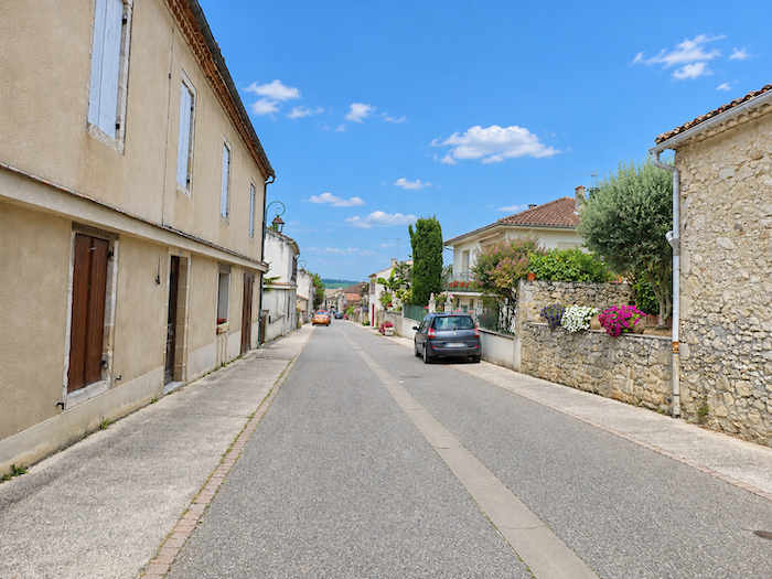
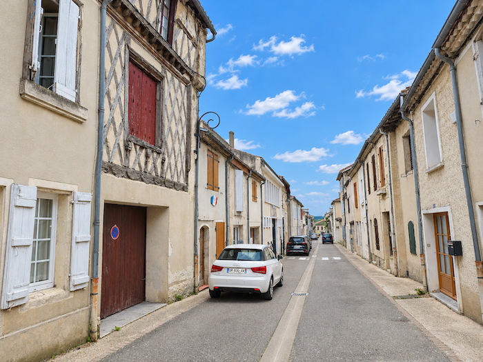
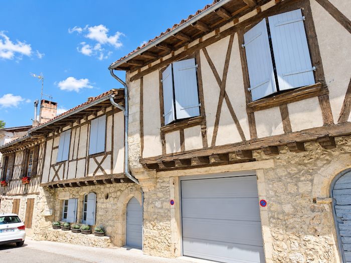
Perched on its rocky spur, the bastide of Montréal-de-Gers, home to some 1,100 inhabitants and once the capital of Ténarèze, stretches its long silhouette above the surrounding countryside. Its streets have preserved the discreet charm of old Gascon towns, with beautiful half-timbered houses appearing here and there. There is nothing ostentatious about the place. This little town cultivates the quiet elegance of settlements that have no need to make a grand display to win the hearts of visitors. |
|
 |
 |
 |
 |
|
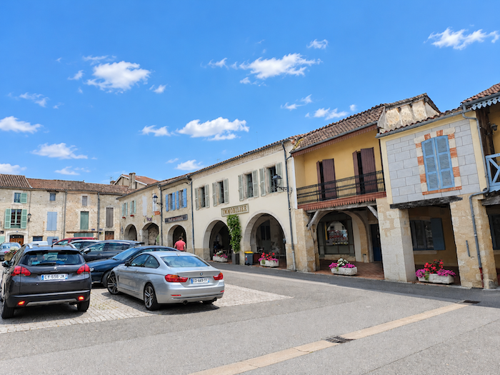
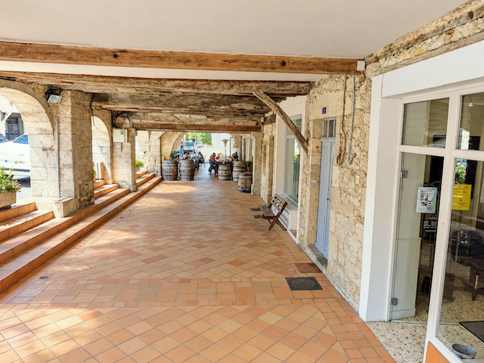
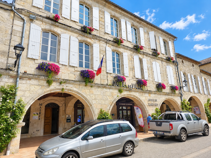
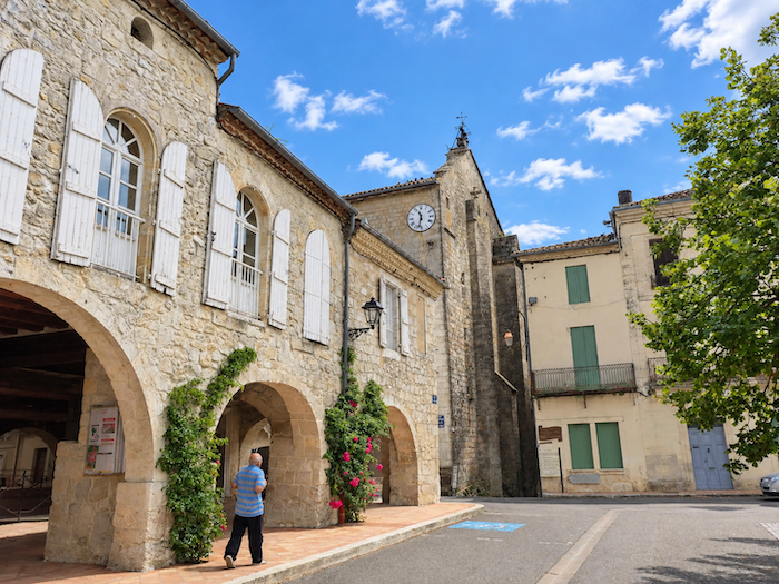
The long main street leads naturally to the central square, the true beating heart of the bastide. Bordered by arcades and half-timbered houses, it displays that familiar harmony of southwestern French squares, where architecture seems to have been designed as much for everyday life as for the pleasure of the eye. Even today, it is around this charming square, between the town hall and the church, that most of the town’s social and tourist life revolves. |
|
 |
 |
 |
 |
|
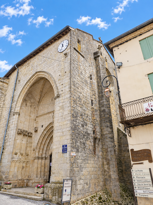
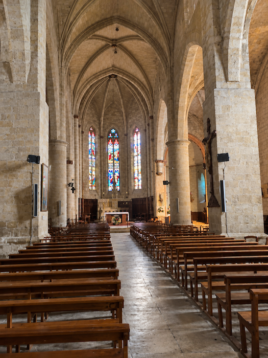
At the heart of the bastide rises the imposing Collegiate Church of Saint-Philippe-et-Saint-Jacques, with its austere silhouette. Built largely in the early fourteenth century on the site of an older sanctuary, it has retained something of the rugged character of medieval times. Its bell tower served as a watchtower, while its walls formed part of the town’s defenses. And the centuries have hardly treated it gently. Caught up in the turmoil of the conflicts between France and England, then severely tested by the Wars of Religion, it endured successive episodes of destruction, damage and reconstruction. |
|
 |
 |
Accommodation on Via Podiensis
- Hôtel-restaurant de Larressingle, Larressingle; 05 62 28 29 67; Hotel, dinner, breakfast
- Ferme de Tollet, Larressingle; 06 36 23 41 21/06 87 36 04 34; Gîte, dinner, breakfast, cuisine
- Gîte la Halte de Larressingle, Larressingle; 07 66 85 16 75; Gîte and Guestroom, dinner, breakfast, cuisine
- Gîte Le Relais de l’Espérance, Pont d’Artigues; 06 07 28 53 95; Gîte, dinner, breakfast
- Gîte-Hôtel Le Montréal, 1 Place de l’hôtel de Ville, Montréal-du-Gers; 06 07 41 46 11; Guestroom, dinner, breakfast
- Gîte la Halte du Rempart, Elia (pèlerine), 11 Place de l’hôtel de Ville, Montréal-du-Gers; 05 81 68 10 55/06 15 15 34 38; Gîte and Guestroom, dinner, breakfast, cuisine
- Gîte Amis sur le Chemin, 29 Rue du 11 Novembre, Montréal-du-Gers; 06 82 22 71 52; Guestroom, dinner, breakfast
- Gîte Armonica, 1 Rue Permay, Montréal-du-Gers; 07 71 73 91 73; gîte.
- Chambres d’hôtes Victoian Lodge, 14 Rue Aurensan, Montréal-du-Gers; 07 71 73 91 73/05 62 29 42 35; Guestroom, breakfast
Year after year, the Camino de Santiago changes and reinvents itself, shaped by the seasons and the footsteps of its pilgrims. Some places to stay close their doors, while others, modest or unexpected, spring up along the way. It would therefore be unrealistic to claim that any list could ever be both permanent and exhaustive. The following selection includes only accommodation located directly on the route or within one kilometer of it. It was updated in 2026 and should therefore remain largely reliable over the next few years. For those wishing to explore further, one guide stands out as an essential reference: Miam Miam Dodo, readily available online. Its greatest strength lies in the fact that it is updated every year. Rather than limiting itself strictly to accommodation along the route, it also lists places to stay further afield, a particularly valuable resource when large numbers of pilgrims make finding a bed at the usual stopping points more uncertain. It also contains a wealth of practical information: welcoming bars, restaurants along the way, and conveniently located bakeries. all welcome stops that punctuate the journey. Alongside these traditional resources, another presence has now become impossible to ignore: Airbnb. The platform has established itself as a major player in the tourism landscape, even in quieter or less prosperous regions. However, as most travelers know, exact addresses are not displayed upfront, which means that some advance planning is required. On the Camino, finding a bed at the last minute can sometimes come down to a fortunate stroke of luck. But luck, by its very nature, is no strategy. Booking ahead is therefore strongly recommended. Finally, when making your arrangements, be sure to ask about dinner and breakfast options. Such details may seem insignificant, but they can make a long day on the Camino considerably more comfortable.
If we take stock of the available accommodation, there are approximately 55 beds in Larressingle and 65 in Montréal. While the number of walkers on the Via Podiensis generally ranges between 100 and 200, pilgrim numbers tend to decrease after Cahors. Finding accommodation on this stage could therefore prove somewhat challenging. However, it is worth noting that the more determined pilgrims complete the entire stretch from Condom to Eauze in a single day, although this means covering nearly 35 km. If you plan to stop here, booking in advance is therefore recommended as a precaution.
These routes wind through often sparsely populated areas, where shops and other services are few and far between. Restaurants are scarce, as are grocery stores, which are often little more than small village shops or bread depots offering a limited selection of vegetables and dairy products. There is a drinking water point at the Chapelle de Rougès and another in Larressingle, where toilet facilities are also available. Upon arrival, Montréal offers a full range of dining options, shops and essential services, including a pharmacy. Finally, several companies provide luggage transfer services or transport back to the starting point. Among them, one stands out as a particularly well-established and reliable option: La Malle Postale.
Feel free to add comments. This is often how you move up the Google hierarchy, and how more pilgrims will have access to the site.
 |
Next stage : Stage 28: From Montréal-de-Gers to Eauze |
 |
Back to menu |