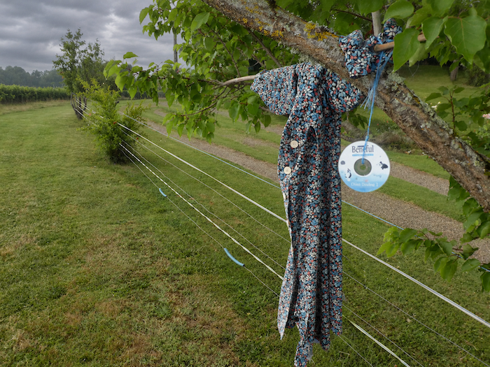
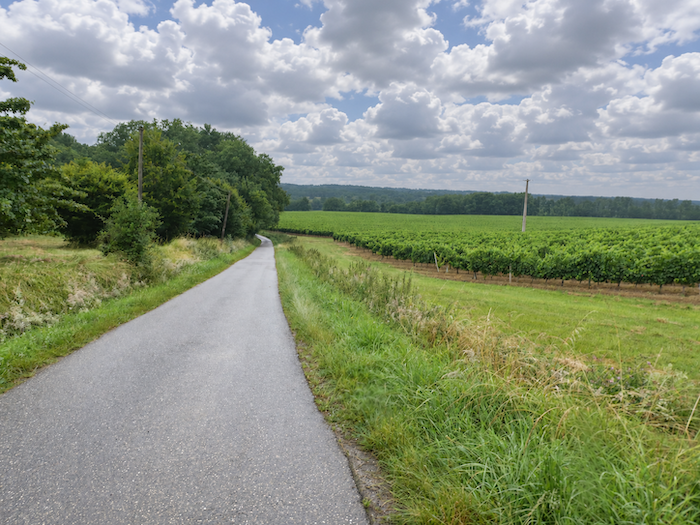
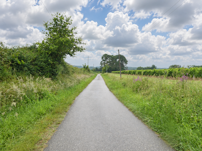
Between grain fields and vineyards, before the railway line that has already breathed its last
DIDIER HEUMANN, MILENA DALLA PIAZZA, ANDREAS PAPASAVVAS
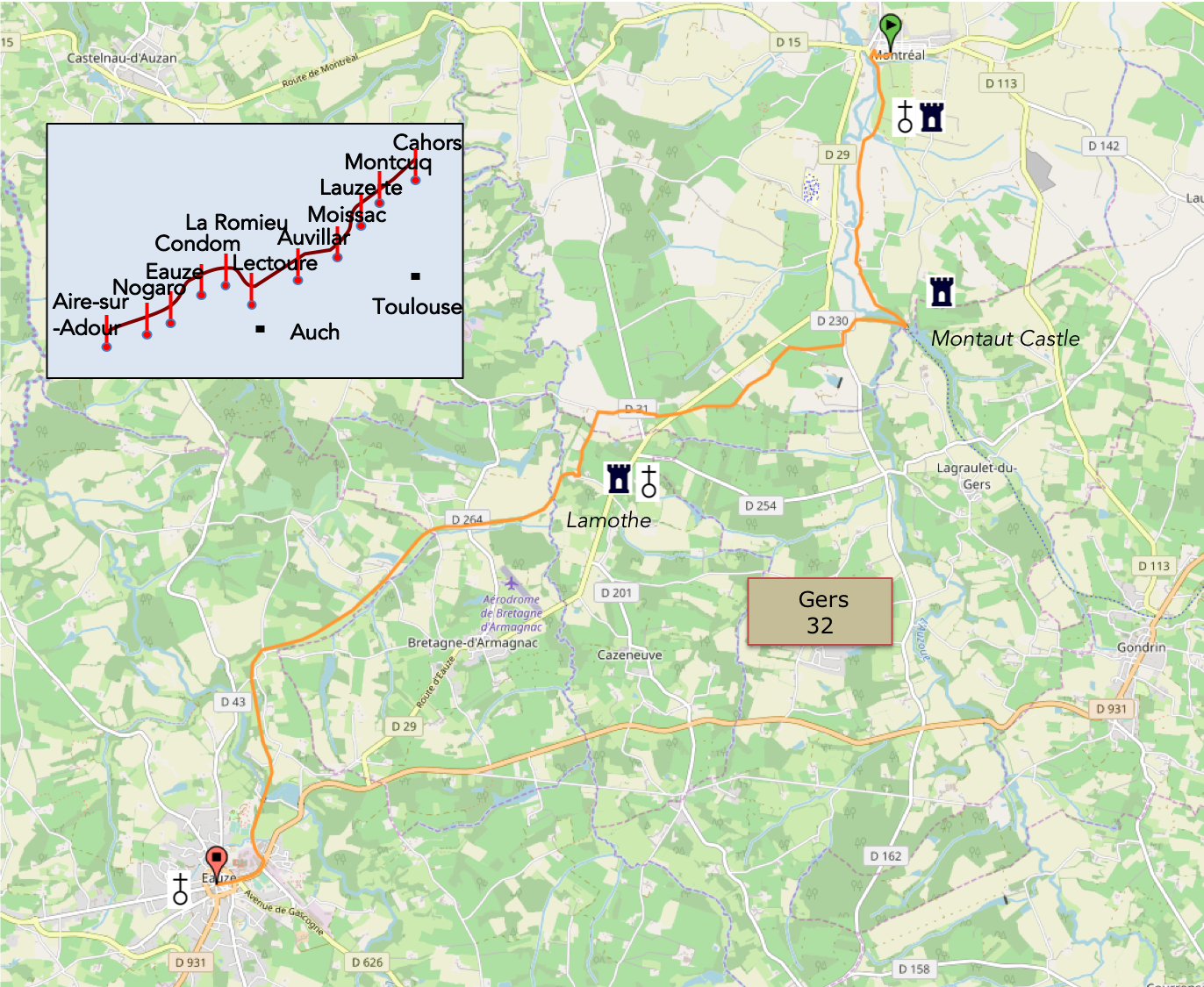
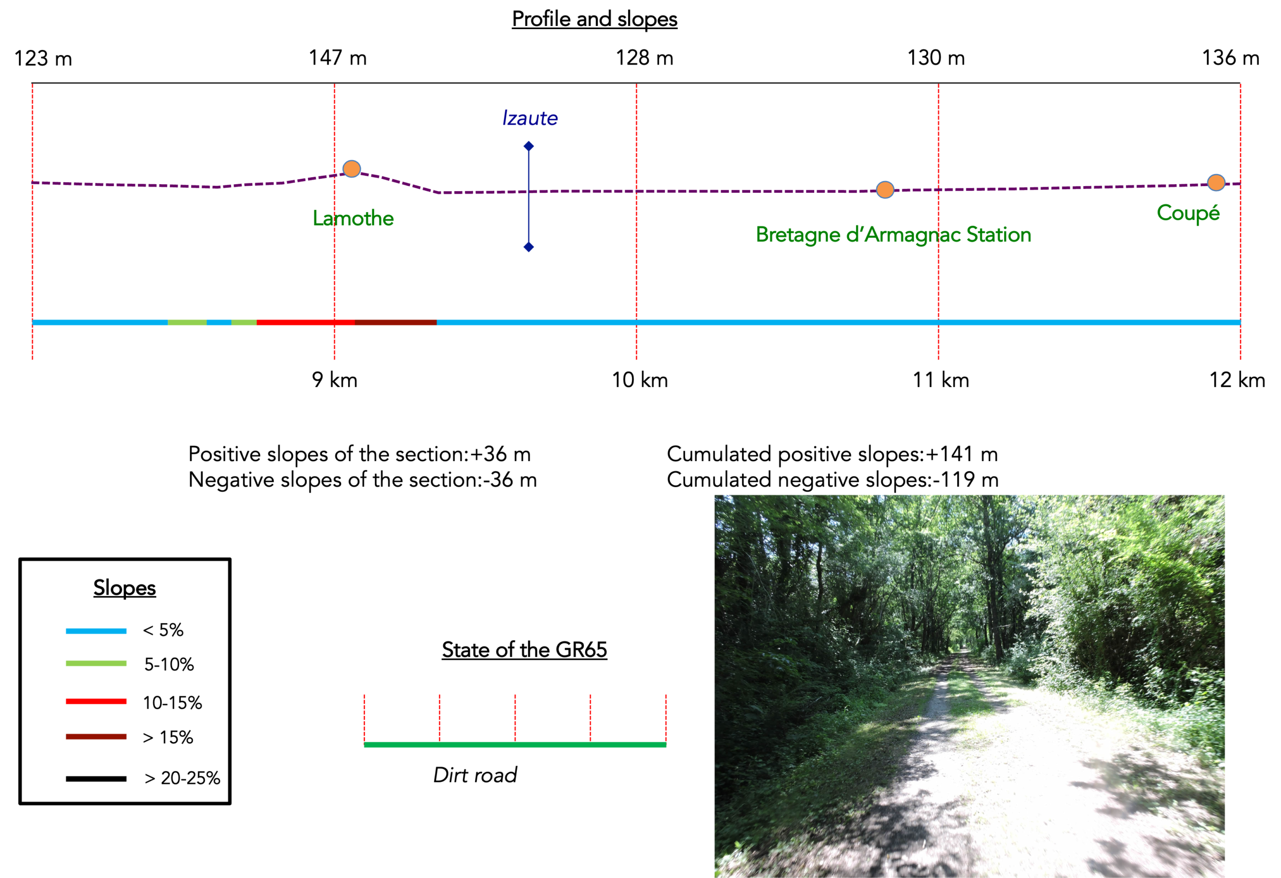
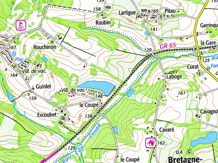
We divided the course into several sections to make it easier to see. For each section, the maps show the course, the slopes found on the course, and the state of the roads. The courses were drawn on the « Wikilocs » platform. Today, it is no longer necessary to walk around with detailed maps in your pocket or bag. If you have a mobile phone or tablet, you can easily follow routes live.
For this stage, here is the link:
https://fr.wikiloc.com/itineraires-randonnee/de-montreal-de-gers-a-eauze-par-le-gr65-30738574
|
Not all pilgrims are necessarily comfortable using GPS devices or navigating with a smartphone, especially since there are still many areas without Internet access. That is why, to make your journey easier, a book dedicated to the Via Podiensis from Cahors to Le-Puy-en-Velay is available on Amazon. Much more than a simple practical guide, this book accompanies you step by step, kilometer after kilometer, providing all the information you need for smooth planning and avoiding unpleasant surprises. Beyond its practical advice, it immerses you in the enchanting atmosphere of the Camino, capturing the beauty of the landscapes, the majesty of the trees, and the very essence of this spiritual adventure. Only the pictures are missing, everything else is there to transport you.
In addition, we have also published a second book which, with slightly fewer details but all the essential information, covers the entire route from Le Puy-en-Velay to Saint-Jean-Pied-de-Port. The choice of your journey is yours.
|
 |
 |
If you only want to consult lodging of the stage, go directly to the bottom of the page.
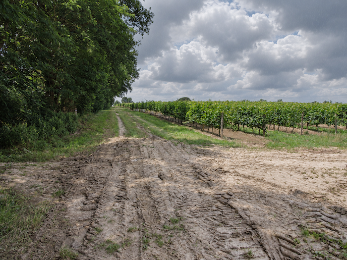
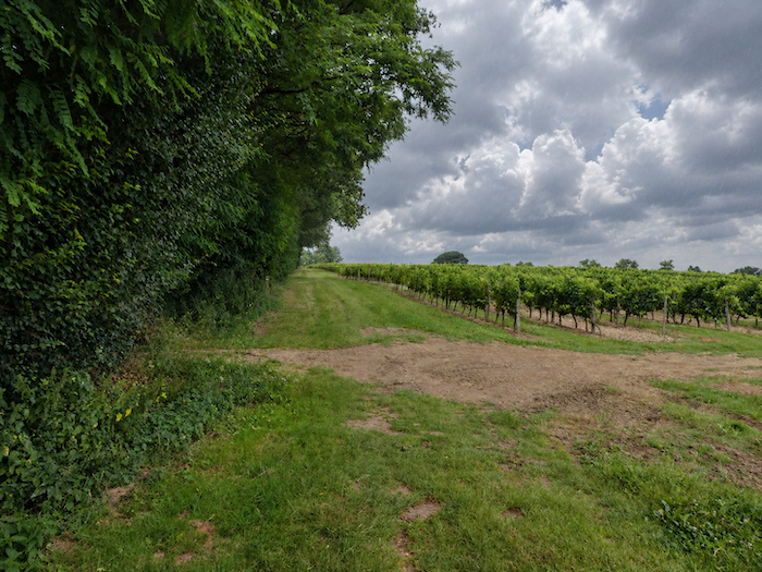
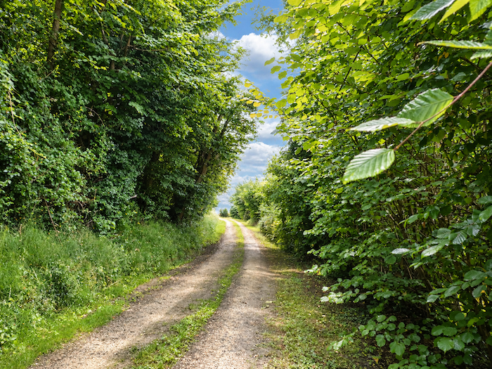
Today’s stage leaves Montréal-de-Gers, the capital of the Ténarèze, and heads towards Bas-Armagnac. Bas-Armagnac is, of course, the home of Armagnac brandy. Vineyards will therefore stretch across much of the route. From time to time, they give way to fields of grain, mainly wheat, with a little maize here and there and patches of woodland, before the stage ends on level ground along the former railway line.
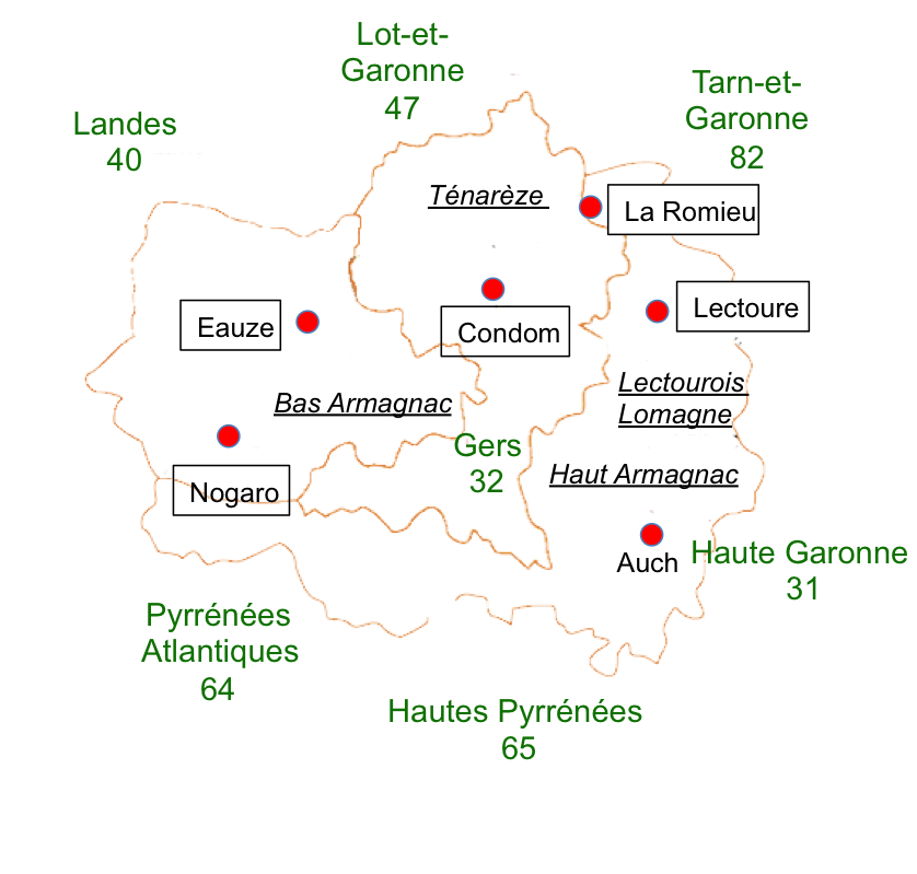
The old railway line once connected Auch, the capital of the Gers, to Eauze, passing through Montréal. This single-track line was closed and dismantled in 1954. The Gers remains the department in Occitanie with the poorest transport connections to its neighbors, a situation that also helps explain the region’s difficulties. Yet the disappearance of railway lines is by no means unique to the Gers. All along the Way of St James through France, the trains have vanished, probably never to return. Some 10,000 kilometers of railway lines have already been closed since 1945, and there are plans to eliminate another 6,000 kilometers. Why run trains twice a day when they carry only a handful of passengers? Everyone has a car, don’t they? And trains are far too expensive. Replacing trains with buses would allow more frequent services at a lower cost. That was the idea championed by President Macron. But there is a catch. The Macron buses run along the same corridors as the trains. It is simply competition. Search as much as you like, you will not find a single Macron coach serving the Way of St James through the Gers, or indeed anywhere else along the route. If you walk short stages and plan to return home by train, there is often only one solution: make your way to an SNCF railway station. From there, you either head north to Paris or south to Marseille, hoping to find a connection back to your starting point, assuming there is a railway station anywhere near your home. Such are the joys of public transport in France.
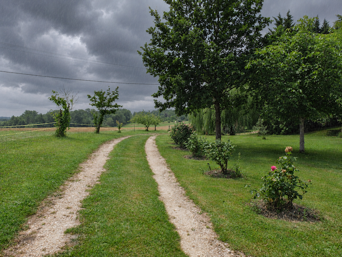
Today, we will walk for a while beneath a heavy, overcast sky, sometimes through driving rain. It is worth showing, from time to time, stages where life is rather harder for the pilgrim. We should point out that when you cross this region, you will encounter the Voie Verte, the greenway following the former railway line between Condom and Eauze. As we have not walked this way in recent years, it is quite likely that you will find certain sections somewhat different from those we describe here. Fundamentally, however, the route should remain much the same.
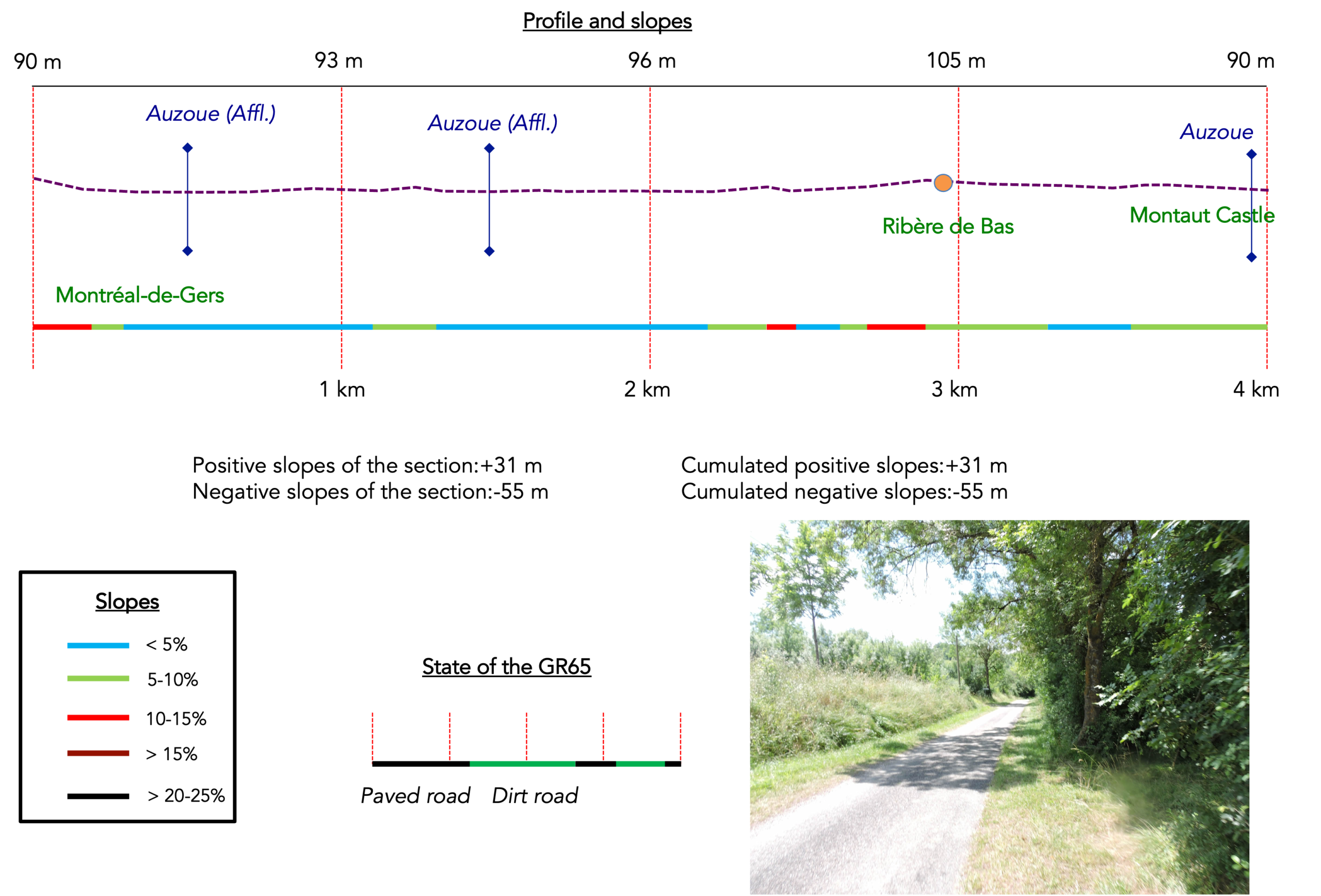
Difficulty level: The elevation changes (+185 meters / -156 meters) are very modest. The route presents no particular difficulties, with only a few gentle ups and downs.
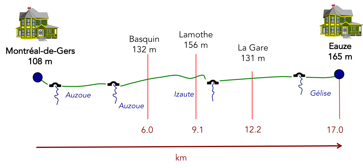
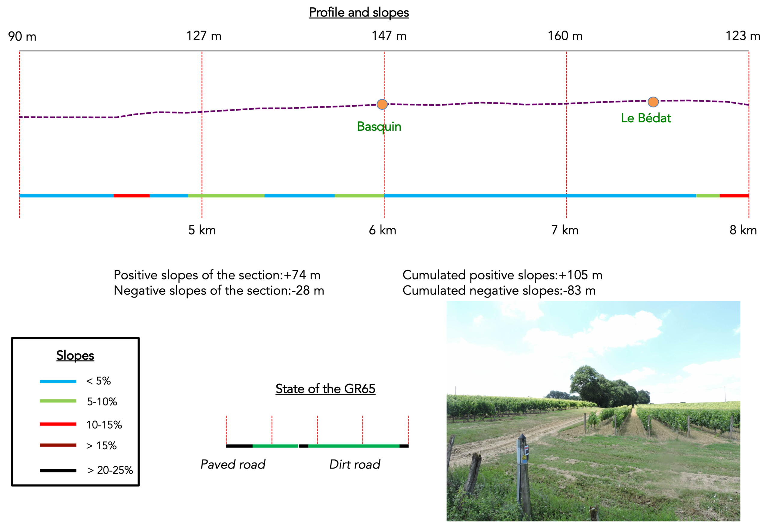
State of the GR65: On this stage, paths clearly predominate. However, this is not entirely accurate, as the sections along the new “Voie Verte” are paved:
- Paved roads: 4.9 km
- Dirt roads: 12.1 km
Sometimes, for reasons of logistics or housing possibilities, these stages mix routes operated on different days, having passed several times on Via Podiensis. From then on, the skies, the rain, or the seasons can vary. But, generally this is not the case, and in fact this does not change the description of the course.
It is very difficult to specify with certainty the incline of the slopes, whatever the system you use.
For « real slopes », reread the mileage manual on the home page.

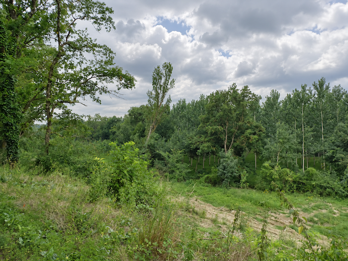
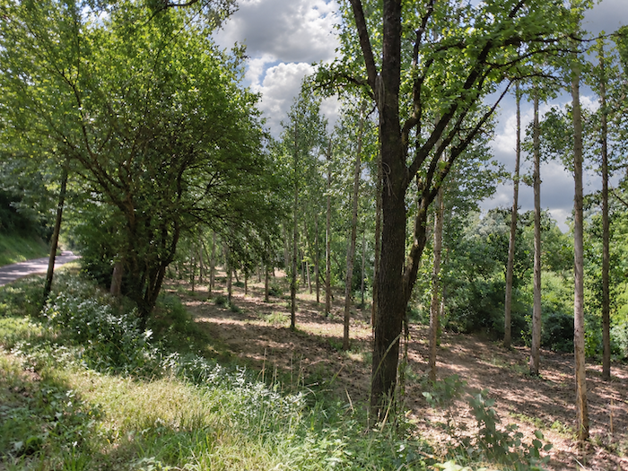
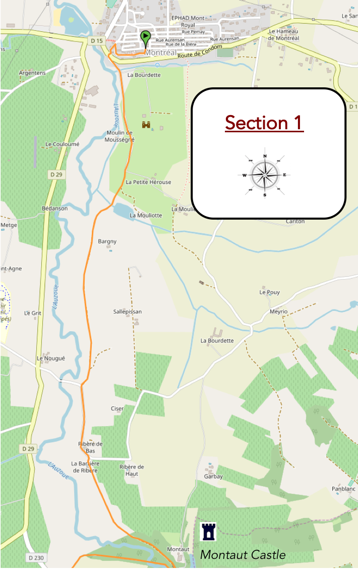
Through the woodlands, near the banks of the Auzoue
Overview of the route’s challenges: an easy route with no particular difficulties.
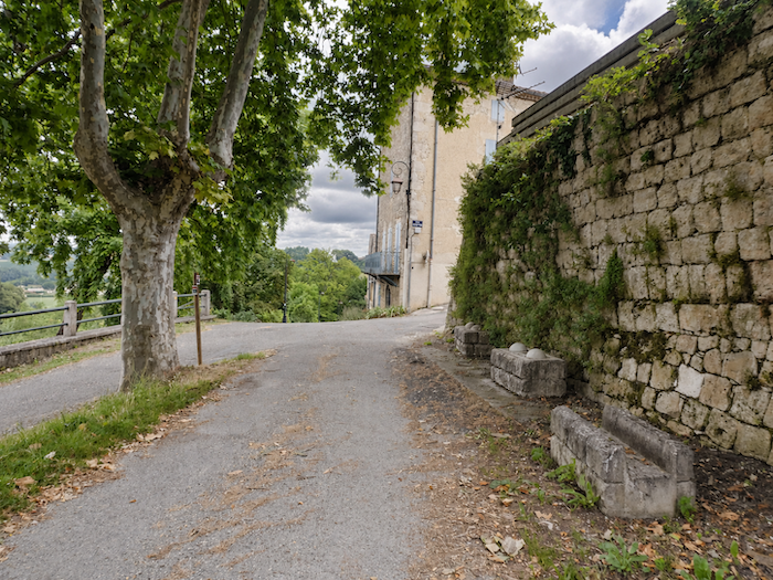
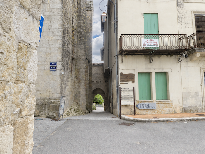
| The GR65 leaves Montréal through the old fortified enclosure, whose imposing ramparts still stand on this side of the bastide, their massive, silent presence a reminder of the town’s former strength. |
 |
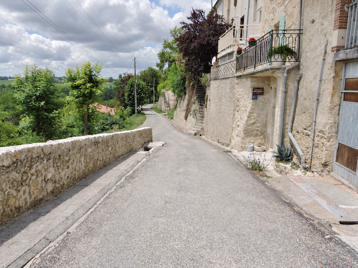 |
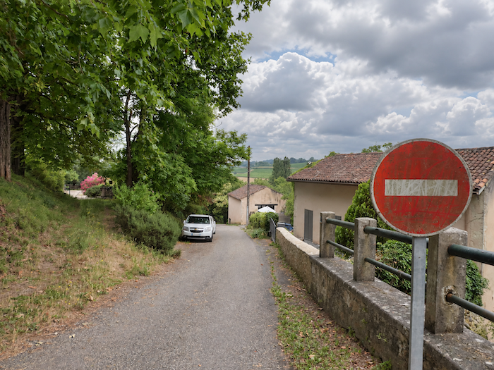
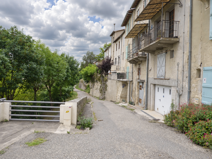
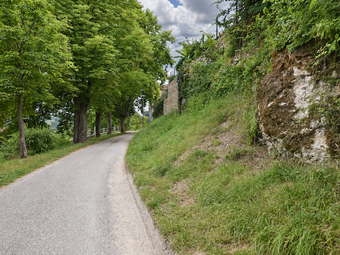
| Skirting the high walls, the little road seems reluctant to bid farewell to the old town. Then the slope steepens, the last houses fade from view, and a landscape unfolds in which woodland reigns almost unchallenged. |
 |
 |
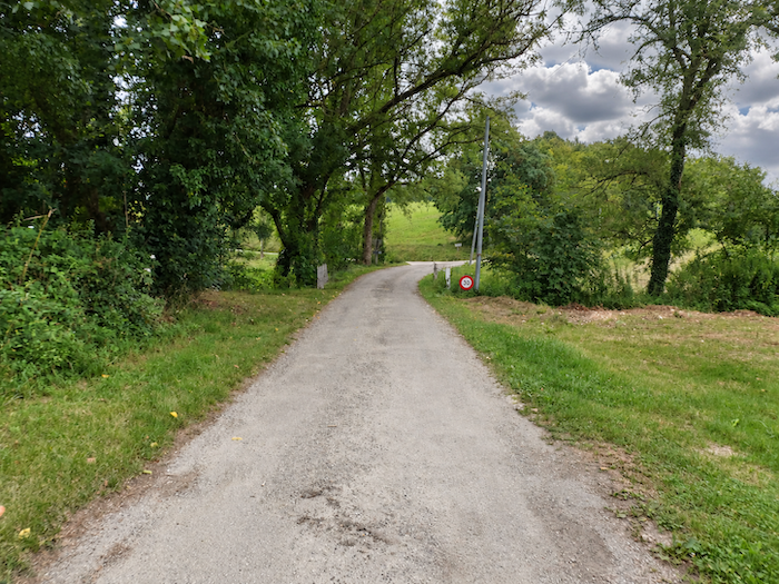
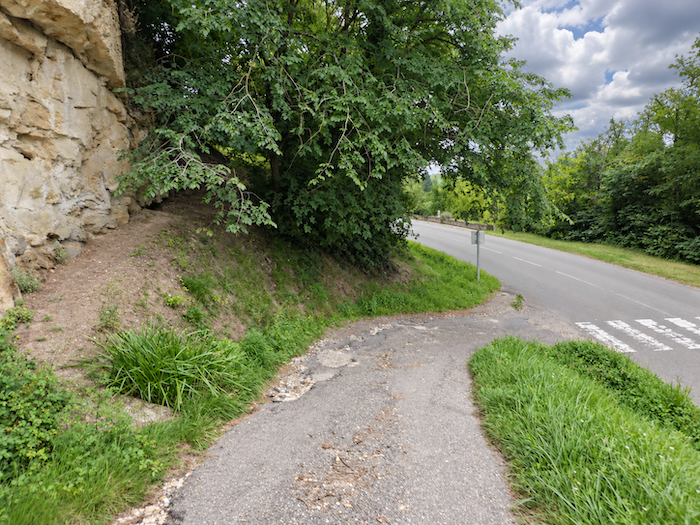
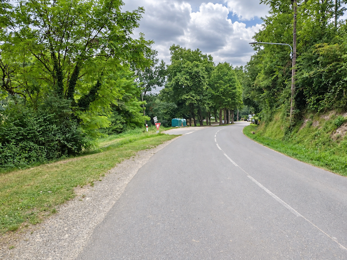
| At the foot of the descent, the little road meets the departmental road, but only for a few moments. Almost immediately, it turns away to the left and returns to the peace and quiet of a country road. |
 |
 |
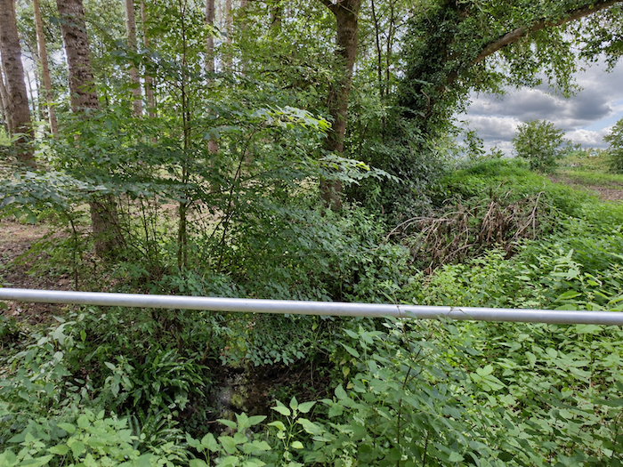
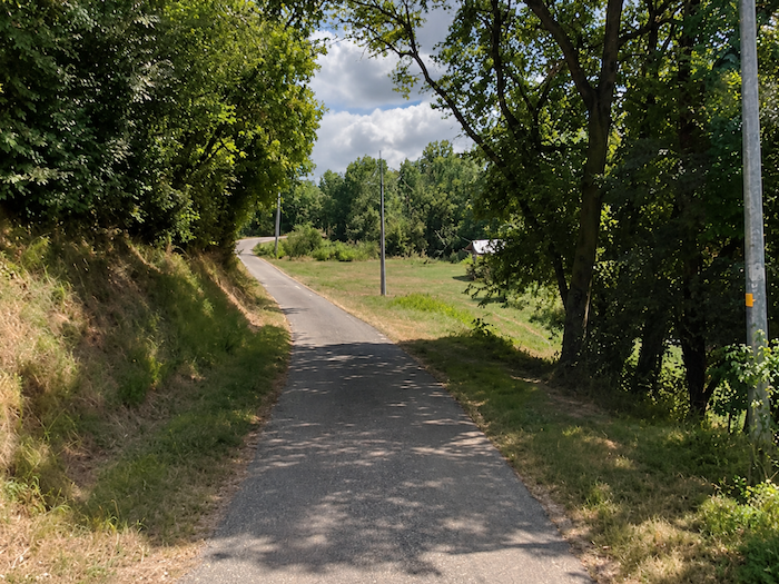
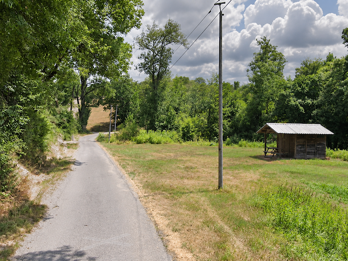
| The road descends towards a modest wooded dale, through which the Auzoue winds its way. This peaceful little river, said to be rich in fish, continues its journey towards the Gélise, whose waters eventually join those of the Baïse. Here, however, walkers will mostly have to imagine its presence, so fond is it of hiding behind the foliage and the folds of the landscape. |
 |
 |
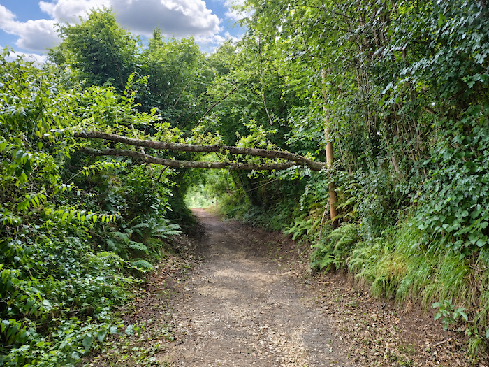
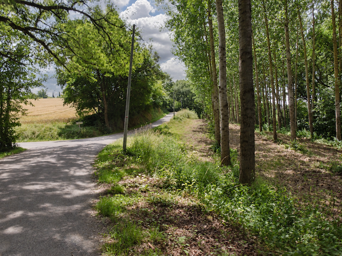
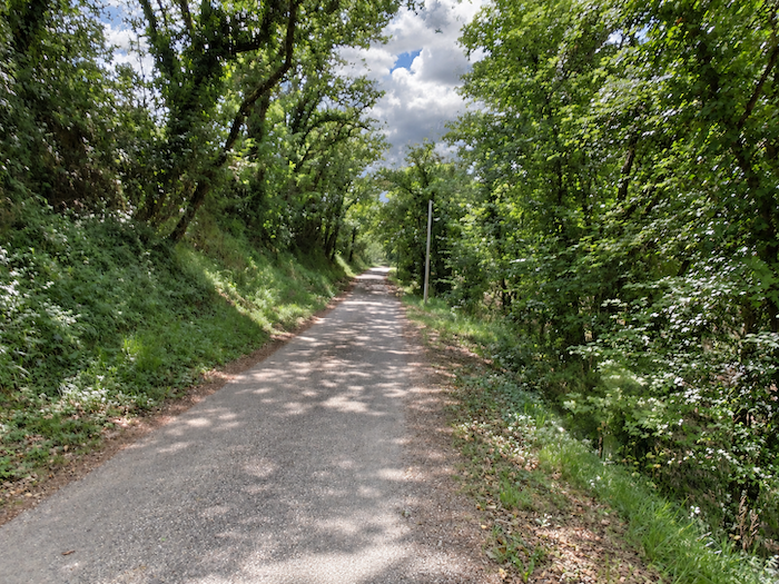
| After brushing past the stream, the road disappears beneath a canopy of deciduous trees, amid a profusion of vegetation where the oaks seem to compete for every ray of light. Maples keep a discreet presence, while wild chestnut trees are rarer still. It therefore comes as something of a surprise to discover young ash trees, carefully planted amid this exuberant growth, as though human hands had wished to add their own touch to a natural world that scarcely needed any assistance. |
 |
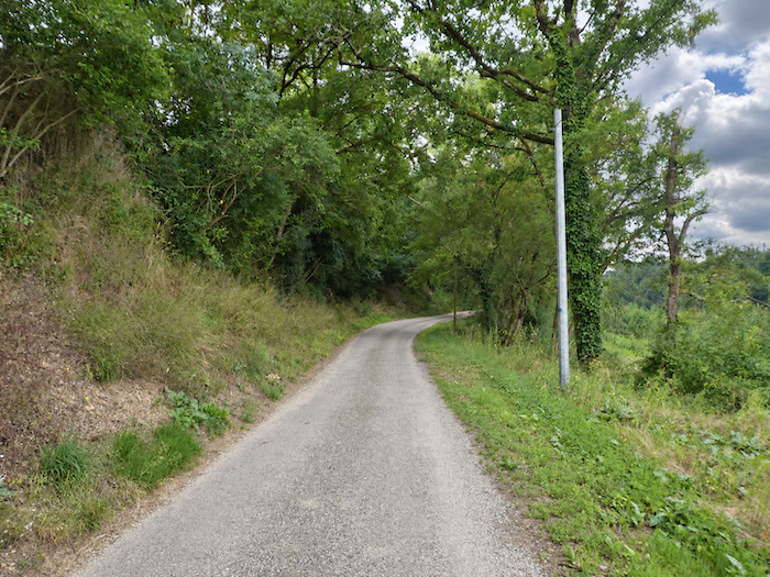 |
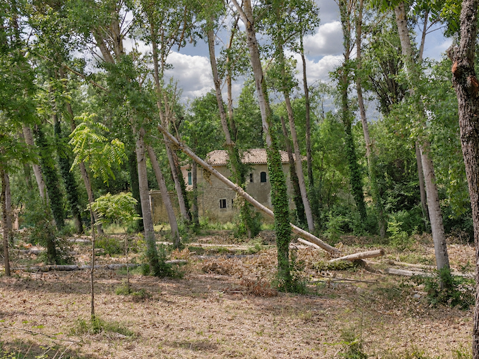
| Down below, close to the river, nestles the old Moussègne mill, seemingly abandoned to its fate, surrendered to the patient passage of the years and the indifference of passers-by. It belongs to that vanished world of watermills whose wheels once brought life to the waterways of Armagnac. As many as seventy-five once stood in the region, but most have now disappeared. |
 |
 |
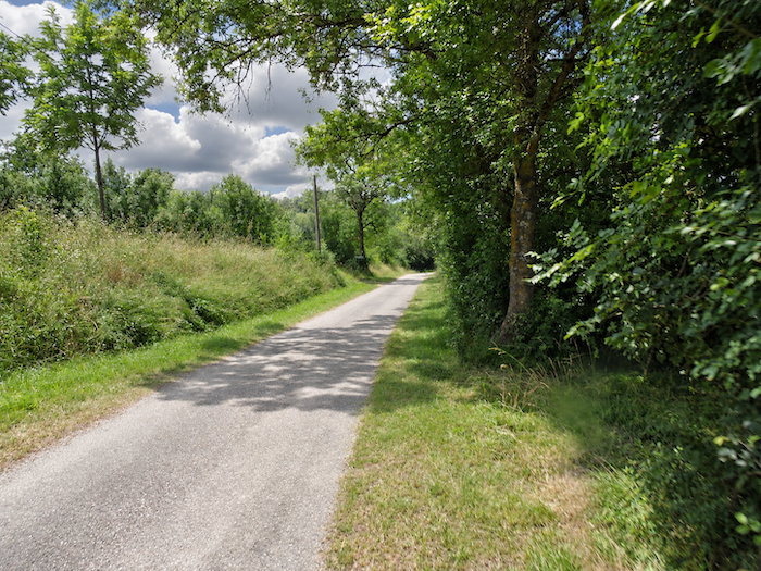
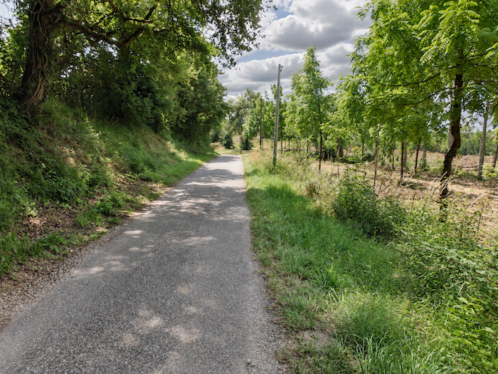
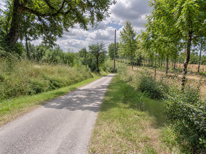
| The climb then resumes gently, beneath a canopy often so dense that daylight struggles to find its way down to the ground. |
 |
 |
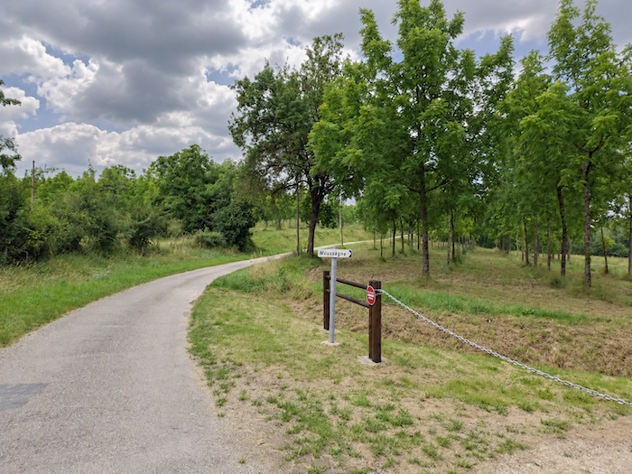
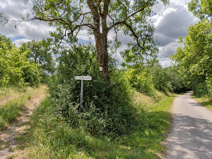
| Higher up, an unexpected junction appears, signposting the hamlet of Mouliotte, somewhere far from the well-travelled roads. One of those secluded destinations that one can easily imagine lying at the end of a forgotten path. |
 |
 |
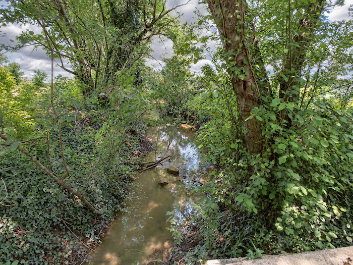
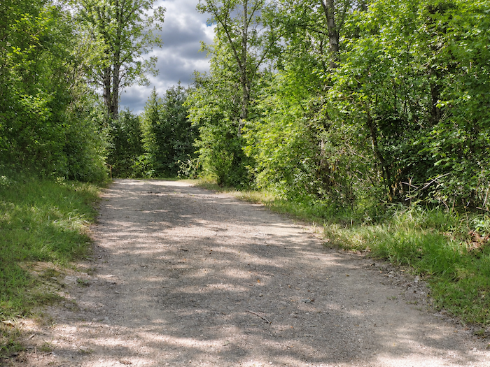
| A little farther on, the beaten earth takes over once more. The Auzoue, meanwhile, continues to play hide-and-seek, sometimes concealed by vegetation, sometimes left far below in its dale, while the path gains a little height and seems to lose all interest in the river’s winding course. |
 |
 |
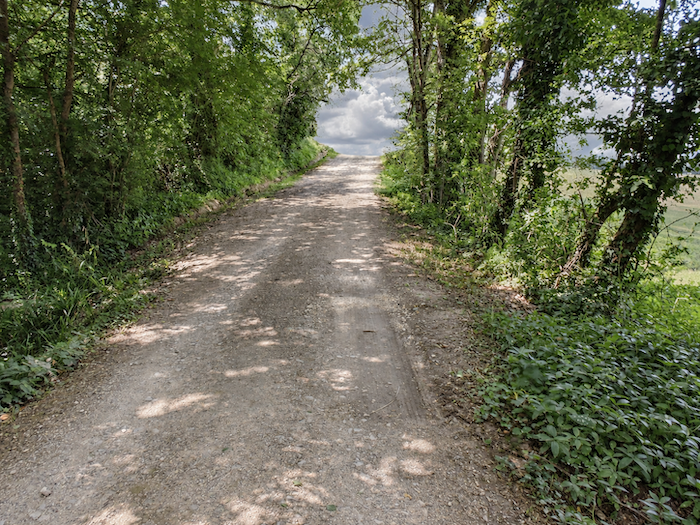
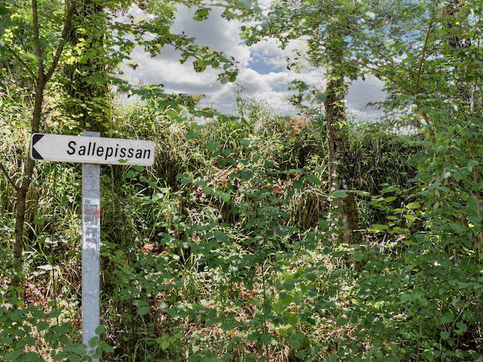
| Here is another destination with an almost enigmatic name: Sallepissan. One of those places lost among the folds of the Gascon countryside, whose very name is enough to evoke remoteness and solitude. |
 |
 |
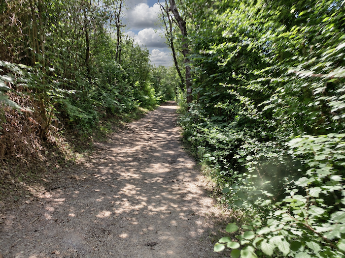
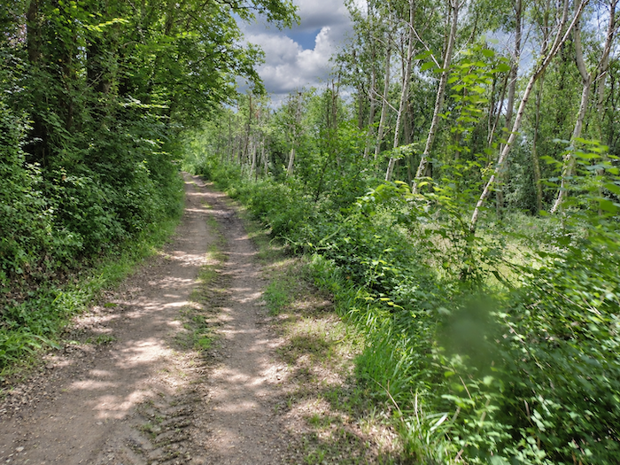
| Nature here has little that is tame about it. It retains something wild, unruly, almost primitive. Beneath the tangled branches and the thick canopy of leaves, one might imagine oneself transported into a forgotten forest, where time itself had come to a standstill. |
 |
 |
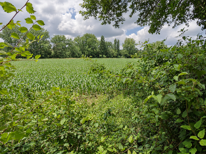
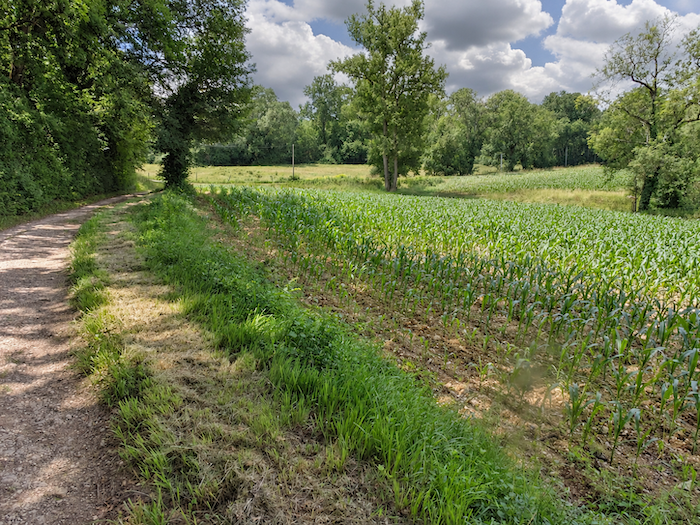
| Yet people have not entirely abandoned these parts. When the path finally emerges a little from the shadows of the woodland, the first maize fields appear, reminding us that this countryside, however untamed it may seem, is also a land shaped by human labor. This is almost our first real encounter with this cereal crop since entering the Gers. But make no mistake, this is merely an appetizer, for maize promises to reign supreme over the landscapes that lie ahead! |
 |
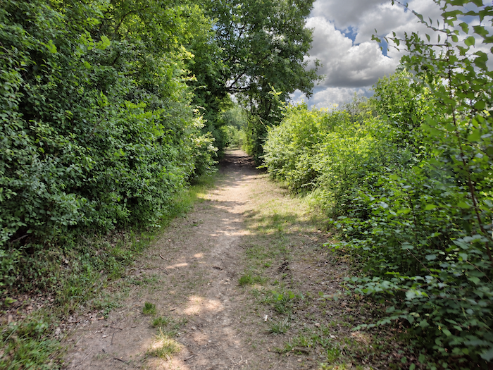 |
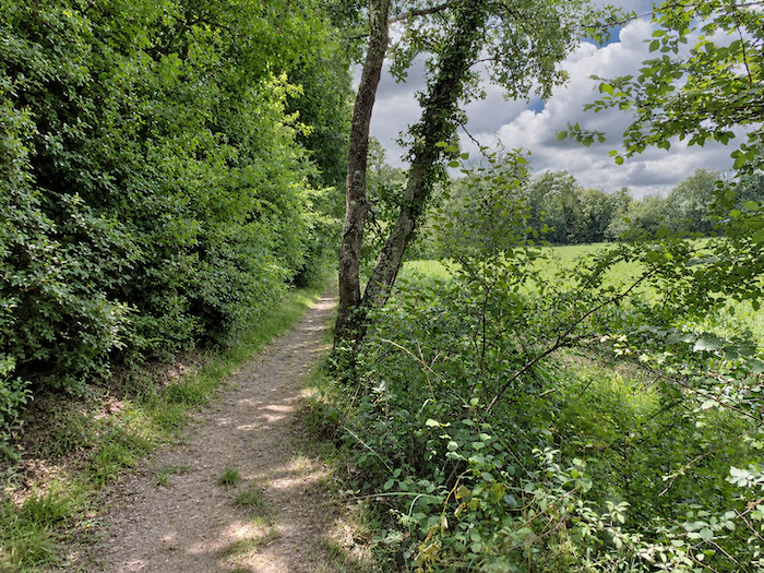
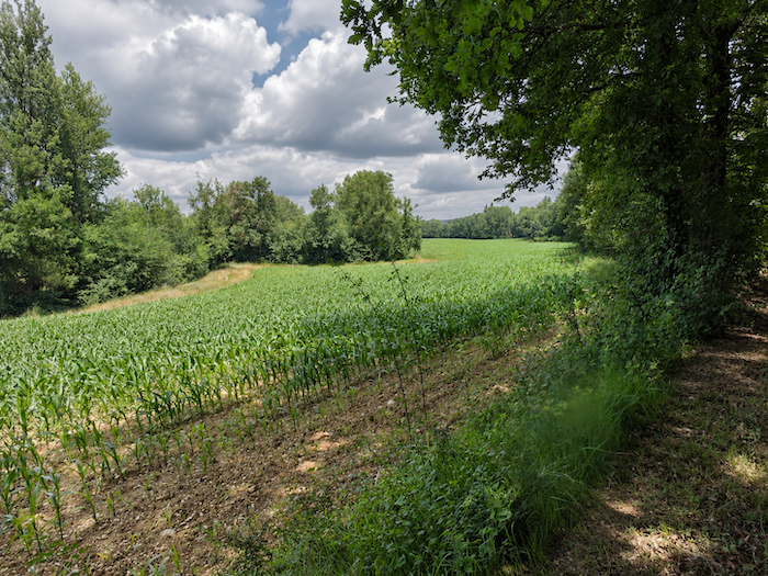
| Farther on, the woodland finally gives way, and the pilgrim rediscovers space and daylight among the maize fields. After the long intimacy of the woods, the horizon suddenly seems to stretch out once more. The nearby streams, and the moisture they bring to the surrounding soil, favor the cultivation of this particularly thirsty crop. |
 |
 |
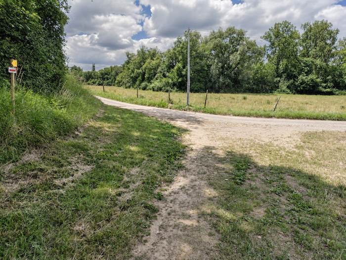
| Before long, the path meets a small road branching off at right angles, inviting the walker to make a sudden change of direction. |
 |
 |
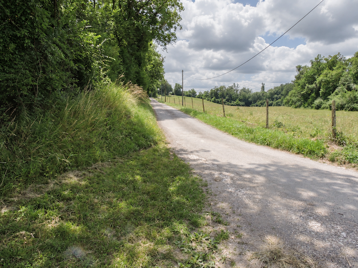
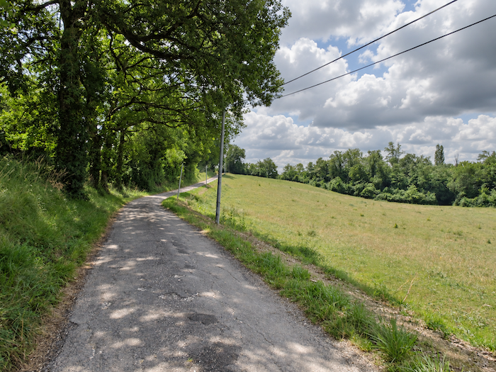
| This time, the slope is no longer playing games. It climbs boldly up the hillside, following the lines of trees bordering the meadows, while every step demands its own small tribute of effort. |
 |
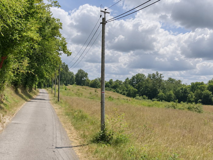 |
| This is a dale given over to solitude, where nothing seems to disturb the silence except the breathing of the walker struggling uphill. Here, the landscape must be earned. |
 |
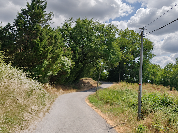 |
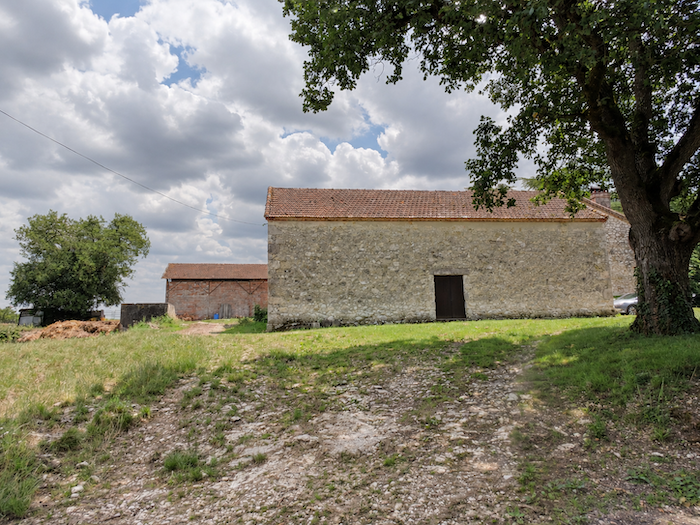
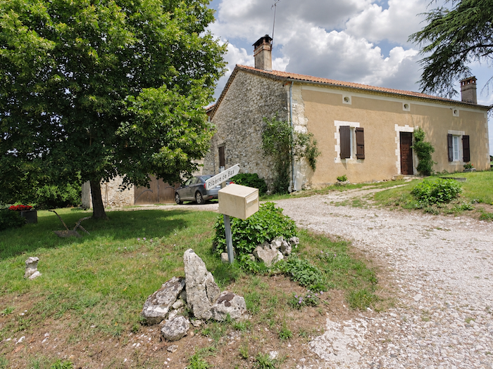
| Fortunately, at the top of the ridge, the effort finds its reward. Here stand the magnificent stone houses of Ribère-le-Bas, isolated on the heights, possessing that quiet nobility of old rural homes that seem to defy the passing of time. |
 |
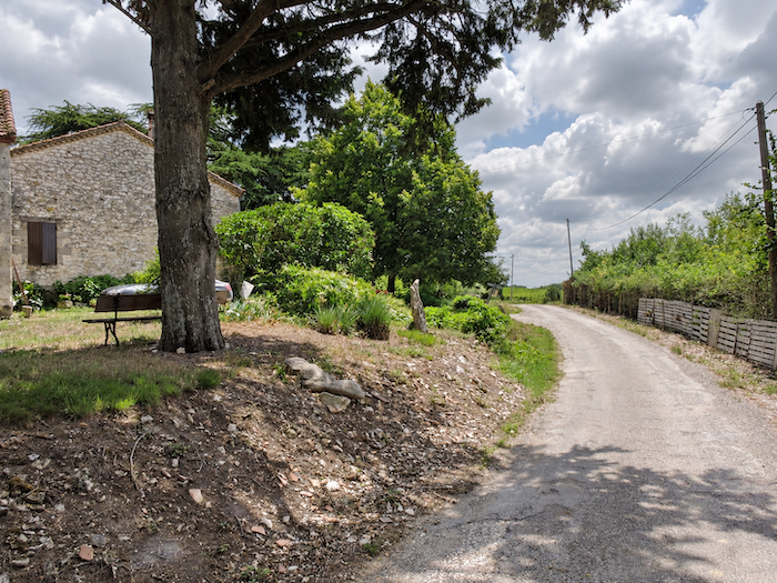 |
| But the GR65 is hardly inclined to linger in contemplation. No sooner has it conquered the heights than it abandons them, plunging without delay back towards the bottom of the dale. |
 |
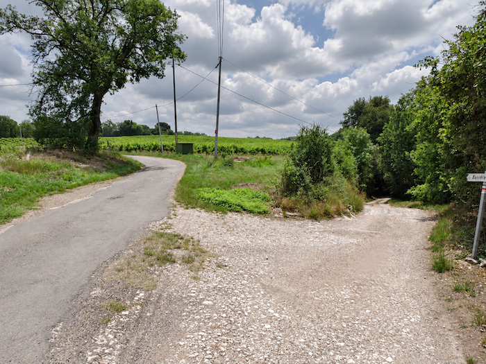 |
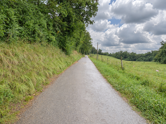
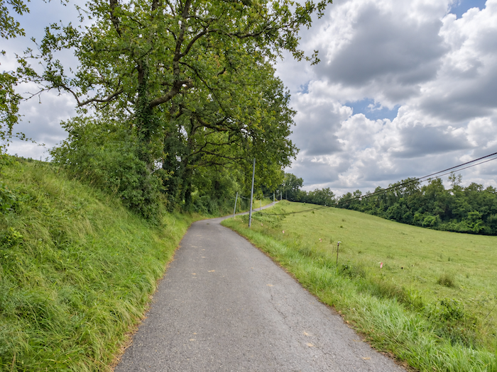
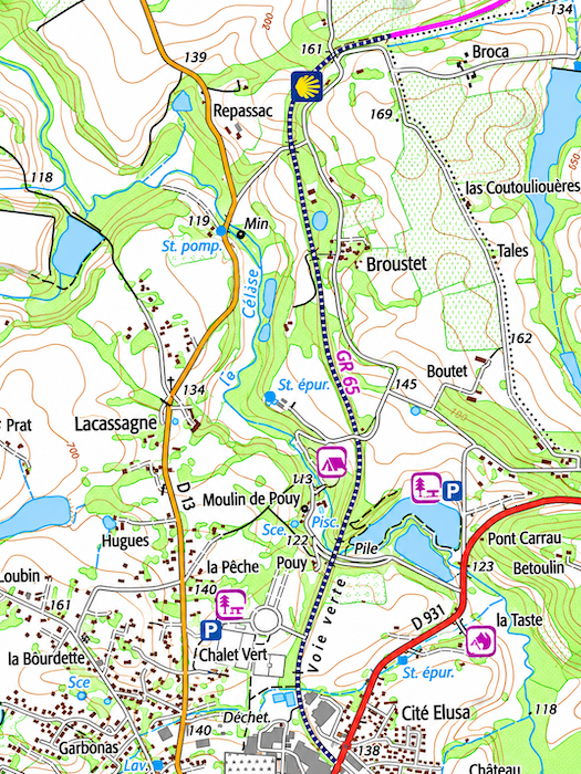
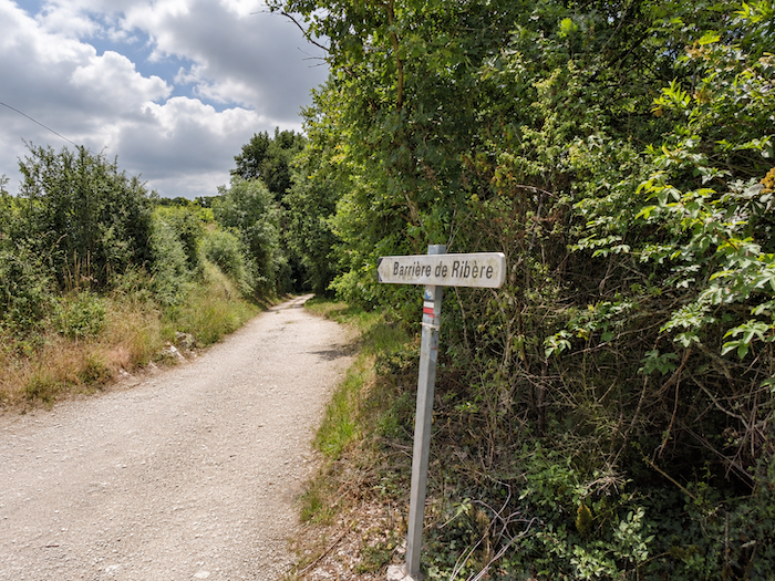
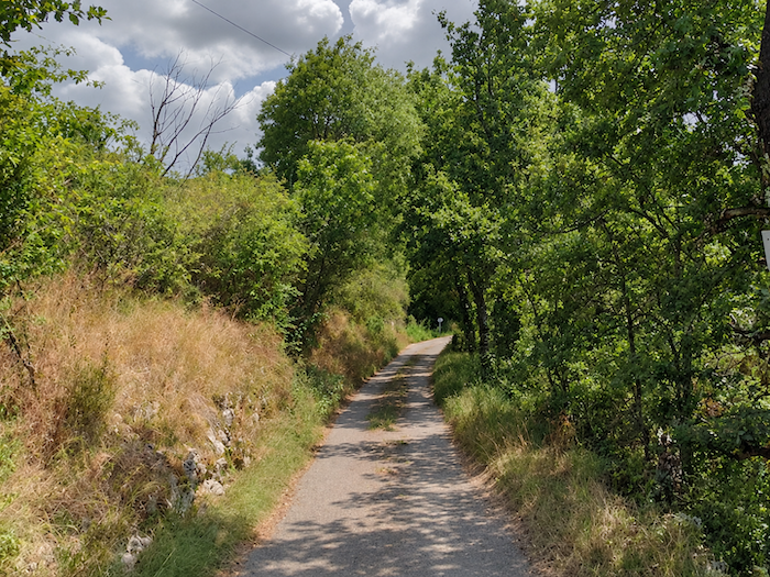
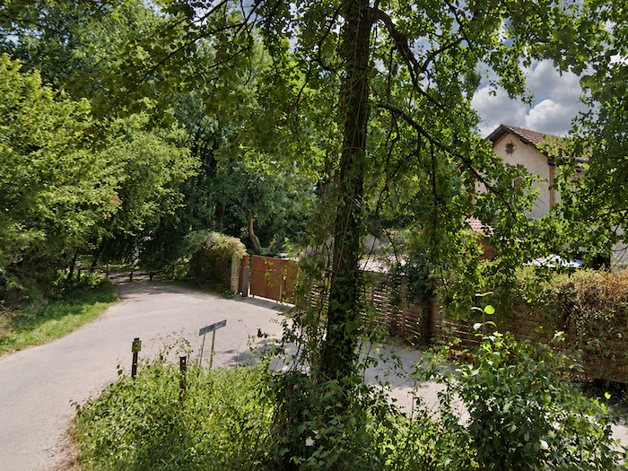
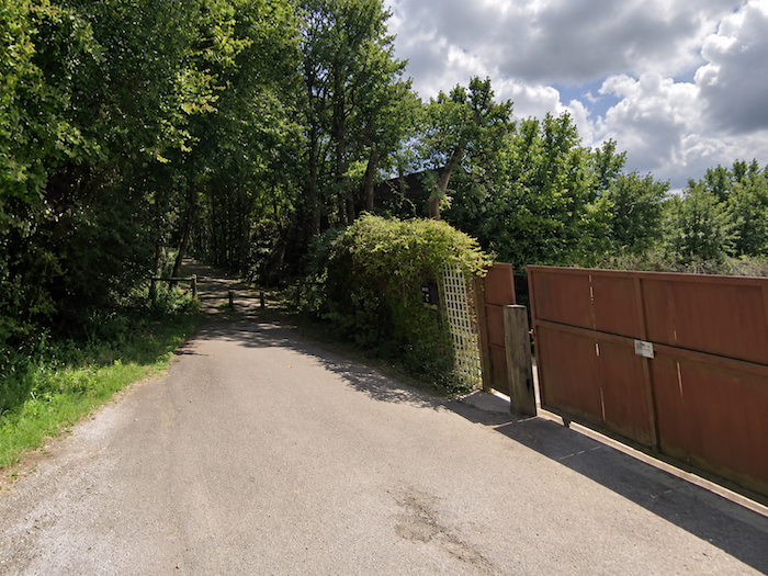
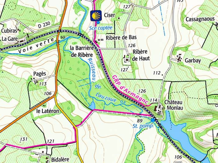
| A little farther down lies Barrière de Ribère, where the itinerary has undergone a few changes. The GR65 now follows the “Voie Verte” (Green Way) for a short distance, along the former railway corridor that has been converted into a greenway for the enjoyment of walkers and cyclists. |
 |
 |
 |
 |
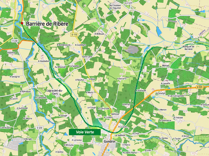
| From Condom, the “Voie Verte” has already covered twenty kilometers to reach this point. Its planned extension towards Eauze would bring the total length to thirty-four kilometers, roughly the distance covered by pilgrims following the Way of St James. This offers another way of approaching the stage, following the course of the former railway line, wherever the greenway has already been developed, rather than submitting to the whims of the GR65. After all, unlike pilgrims, trains have never been particularly fond of roller-coaster terrain. Even so, thirty-four kilometers make for a substantial day’s walk, especially as accommodation along the route is far from plentiful. Cyclists, of course, swallow up such distances like the wind, scarcely troubling themselves about the passing hours. On foot, it is another matter entirely. Every kilometer has to be negotiated with the legs, and the last few sometimes have the unpleasant habit of seeming longer than the first. For the time being, however, some of this remains a promise for the future. Perhaps one day it will be possible to reach Eauze by peacefully following this old railway line, without having to climb every hill that the Way of St James so delights in placing beneath the pilgrim’s feet. |
 |
 |
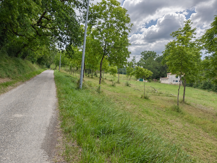
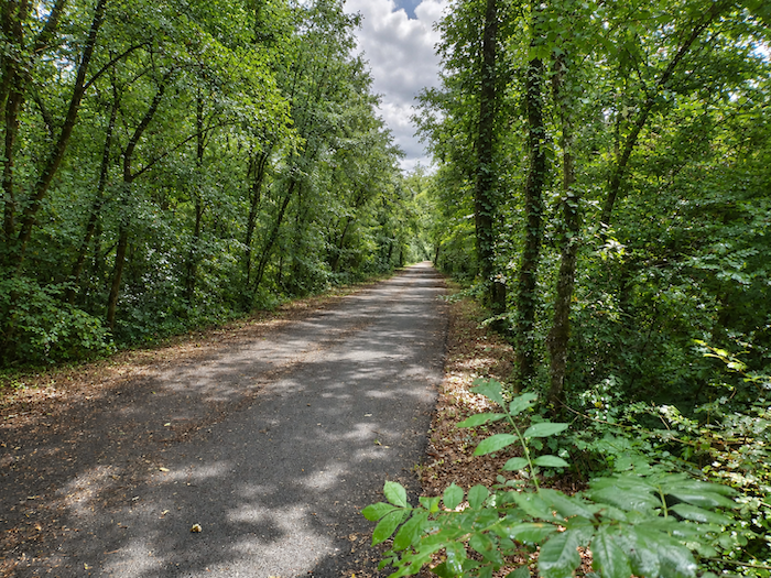
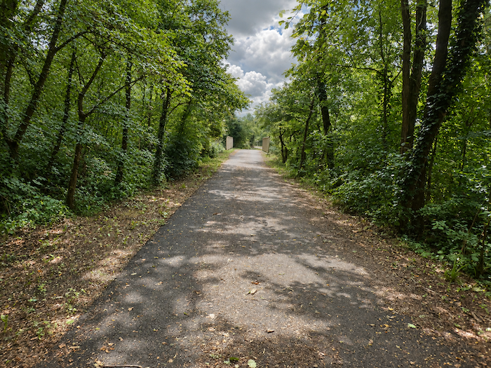
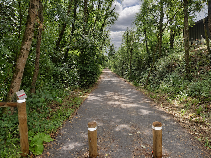
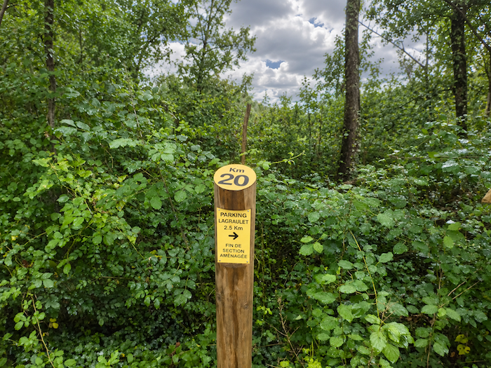
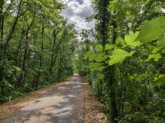
| Here, the “Voie Verte” takes the form of a long ribbon of asphalt winding between the trees, sheltered beneath their generous shade. Having already walked a section of it before Larressingle, we can offer a few useful details to anyone who might one day be tempted to follow it. No village interrupts its course, but signposts appear regularly along the route, indicating distances and the various parking areas. So do not be confused by certain signs that might give you the impression you are walking in the wrong direction. The greenway can be followed both ways, and there is no obligation to continue all the way to the parking area indicated. . |
 |
 |
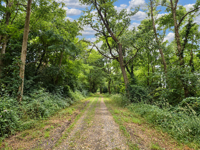
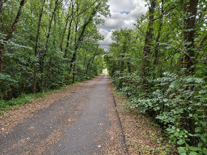
| Beneath the leafy canopy, the “Voie Verte” enjoys an almost monastic tranquility. Oaks mingle with maples, hornbeams and chestnut trees, while the graceful foliage of the hornbeam hedges lends its own discreet elegance to this leafy gathering. |
 |
 |
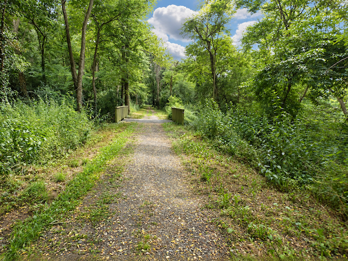
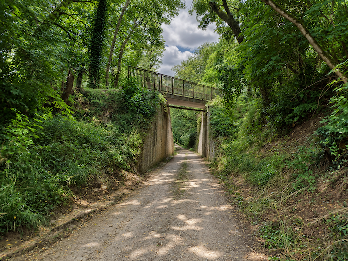
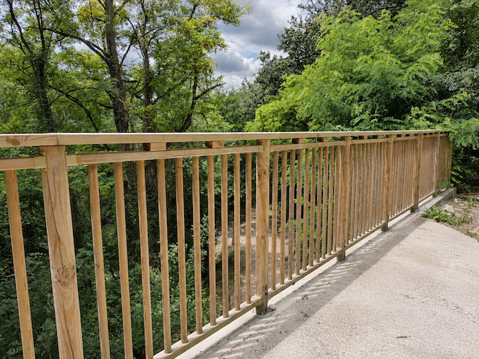
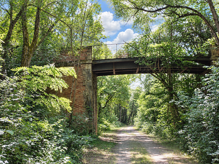
| Here and there, a few surviving engineering structures remind us that this peaceful walking route was once the domain of the railway. Bridges and other constructions inherited from the old line have outlived the trains themselves. Nature has reclaimed its freedom, but the work of the engineers remains etched into the landscape. |
 |
 |
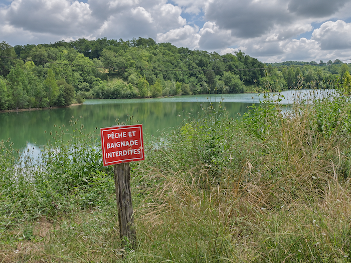
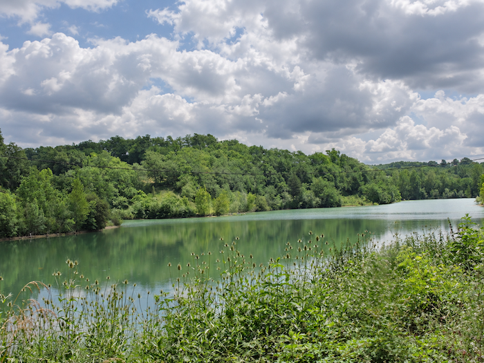
| The route soon approaches a small lake, not far from the Château de Montaut, which the GR65 leaves to one side. The setting offers a refreshing interlude of peace and serenity, with its still waters surrounded by lush greenery. But do not let this seemingly inviting scene put any tempting ideas into your head: both swimming and fishing are prohibited here. It is also at this point that the GR65 parts company with the “Voie Verte”, or at least that was still the case when we last passed through. After all, routes too can have their moods and occasional changes of direction! |
 |
 |
Section 2: Sunflowers and vineyards once more
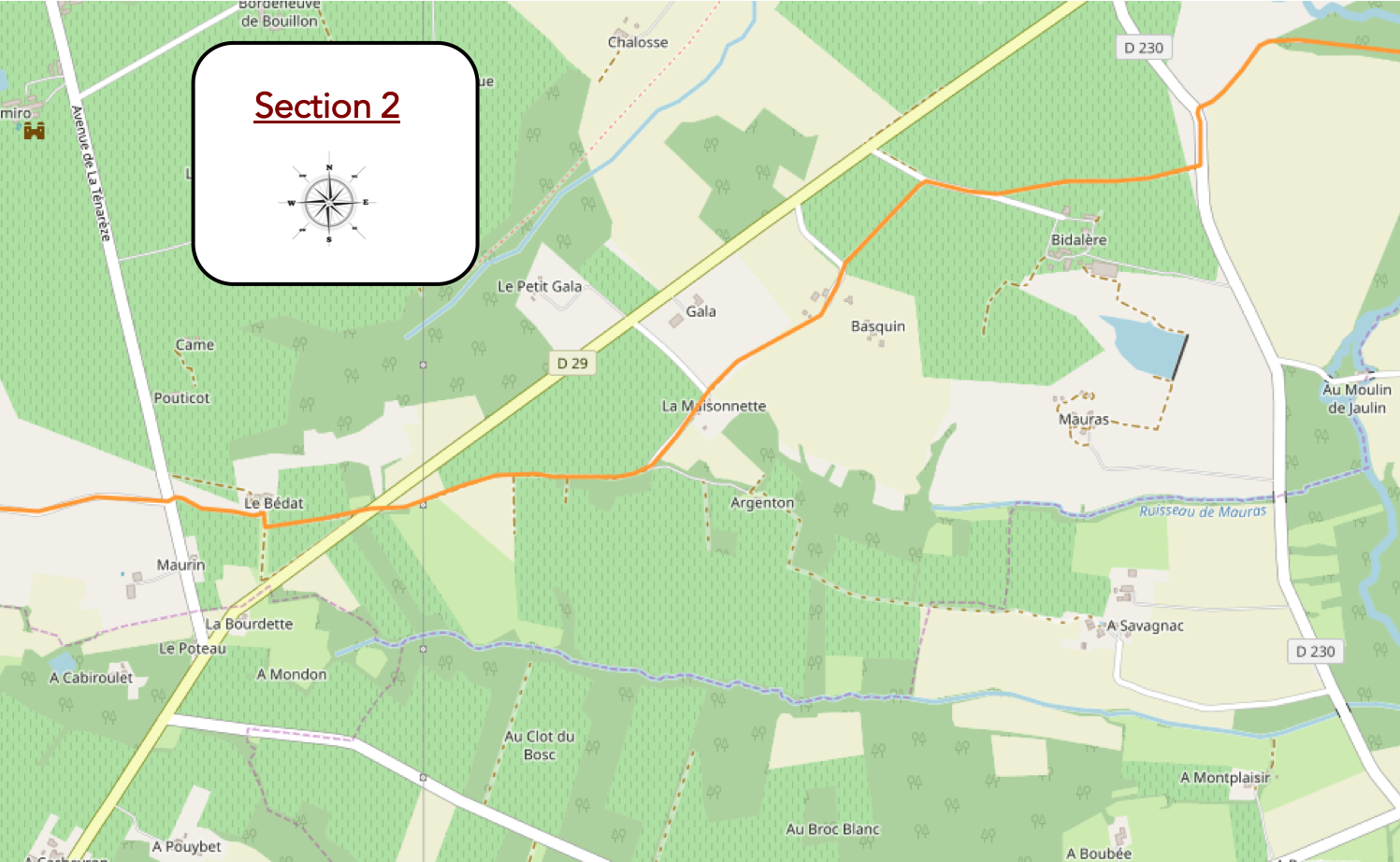
Overview of the route’s challenges: an easy route with no particular difficulties.
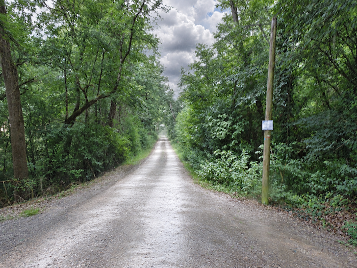
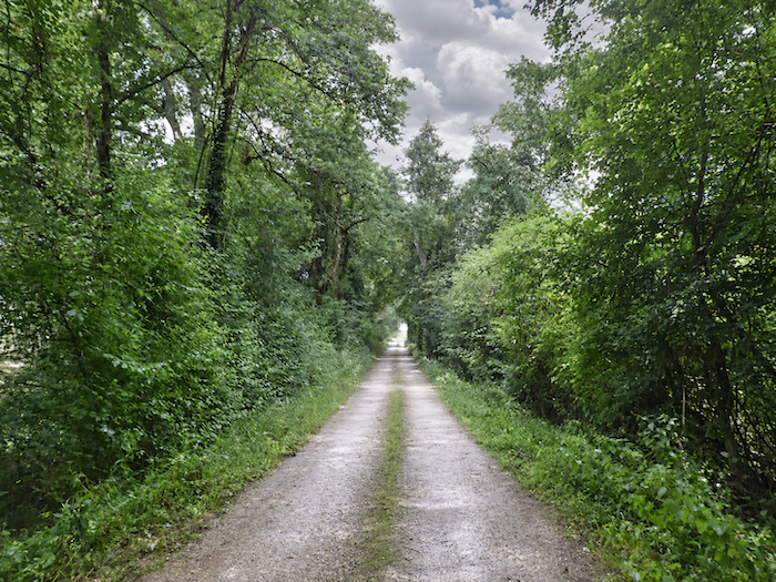
| The GR65 continues on its way and enters a long, shaded avenue, where the trees seem to have joined their leafy crowns to shelter walkers from the fierce heat of the sun. |
 |
 |
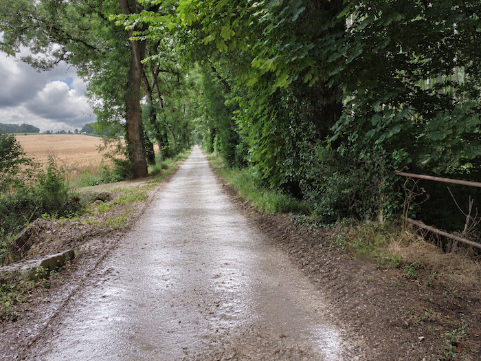
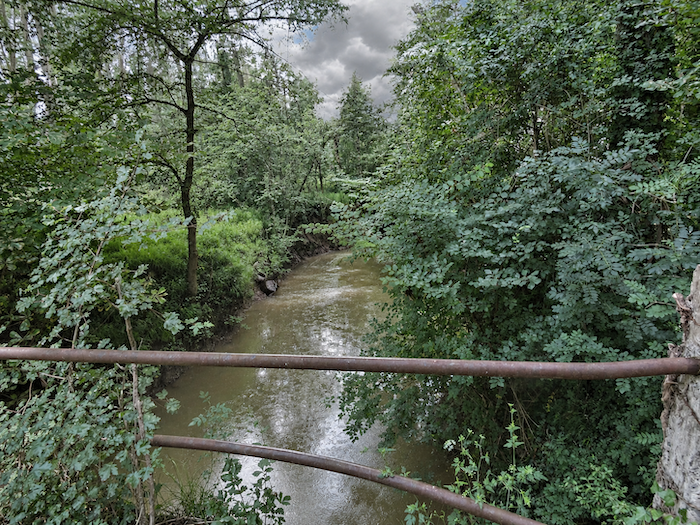
| Before long, the Auzoue reappears in the landscape, as discreet as ever, almost invisible behind its curtain of greenery. Although the little river refuses to reveal itself, its gentle murmur can still be heard. |
 |
 |
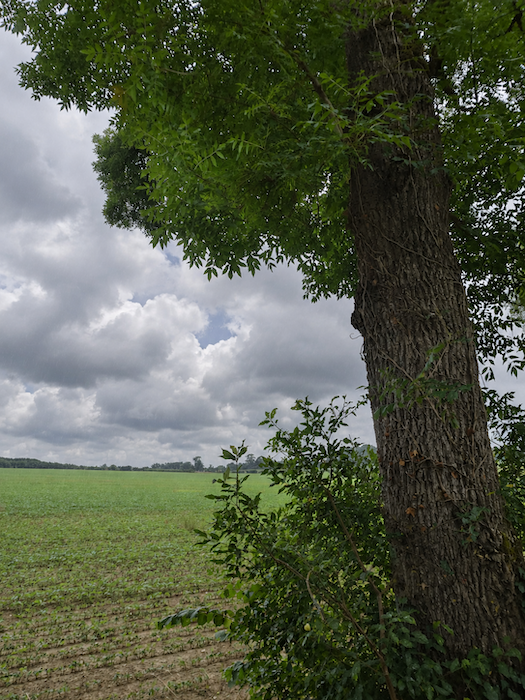
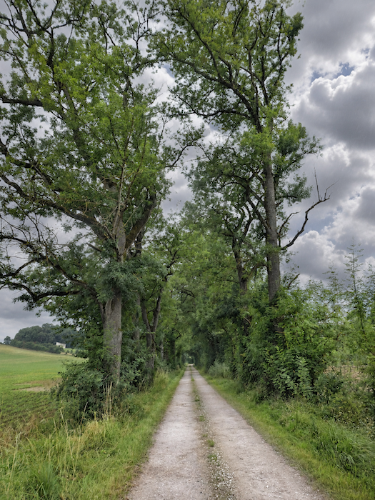
| The route then disappears beneath a majestic avenue lined with ash trees, whose tall silhouettes form a veritable colonnade of greenery. One might imagine walking along the grand entrance to an old château, so solemnly do these trees seem to stand guard over the passing walkers. |
 |
 |
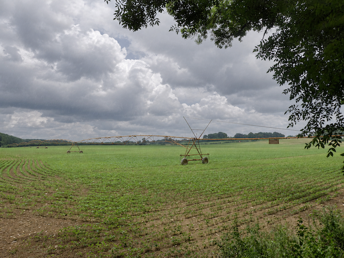
| Yet this countryside, with all the elegance of an aristocratic park, remains above all a working landscape. Farmers have installed impressive irrigation systems, a reminder that even generous soil does not dispense with human effort. Water from the river is put to work to quench the thirst of the crops. |
 |
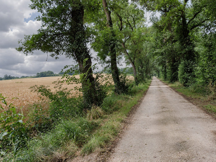 |
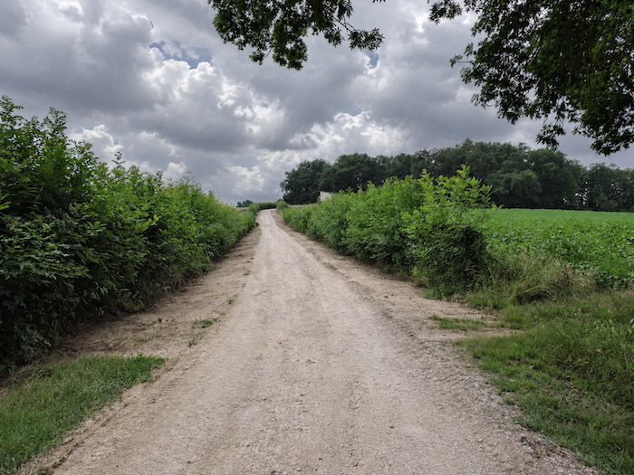
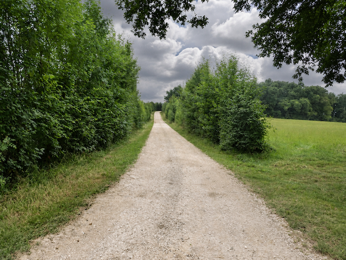
| Beneath the pilgrims’ feet, the beaten earth unfurls its ochre carpet, as though the path wished, for a few moments longer, to recapture the simplicity of the old rural tracks. |
 |
 |
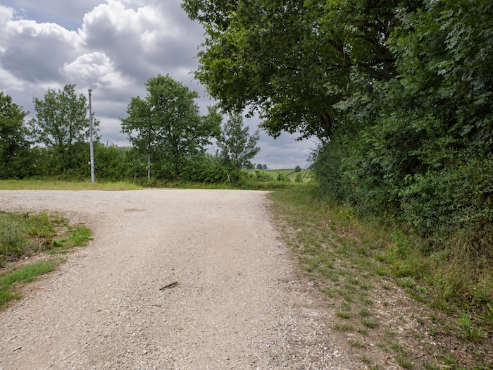
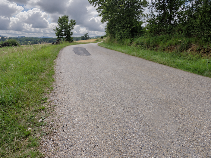
| At the end of this venerable avenue, the GR65 suddenly changes direction. Earth gives way to asphalt, and a small road begins to climb gently above the plain where the Auzoue continues to wind through its peaceful meanders, in no particular hurry. |
 |
 |
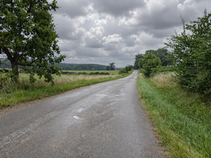
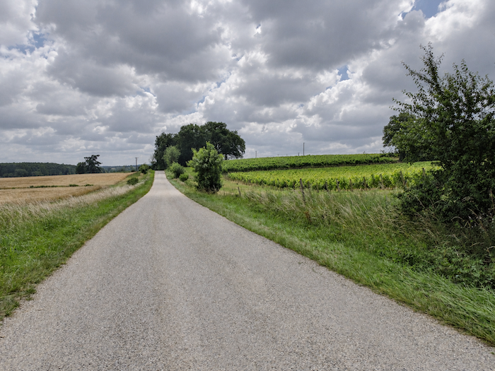
| Little by little, the landscape prepares to reveal a different face. Meadows and cereal fields, which have so far dominated the countryside, will soon give way to vineyards. Another rural world is approaching, that of the Gascon hillsides, where rows of vines trace their patient lines across the slopes, and where the wines of Gascony and Armagnac begin to make their presence felt. |
 |
 |
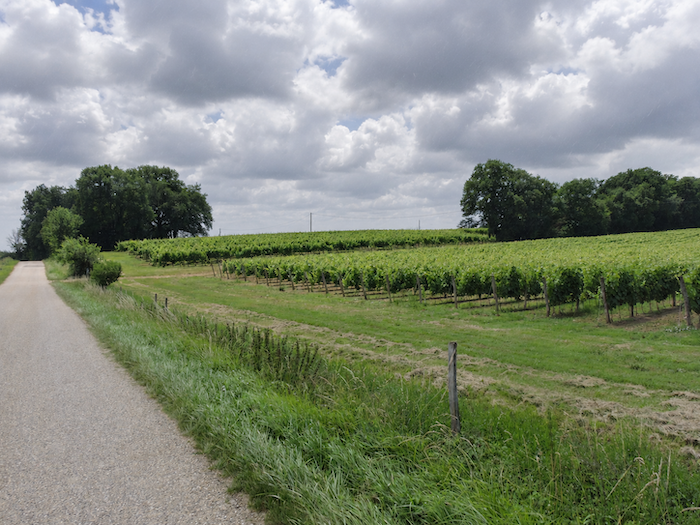
| Higher up, the asphalt gives way to the earth of the vineyards, and the path slips between the rows of vines, as though determined to linger in the very heart of this landscape shaped by winegrowing. |
 |
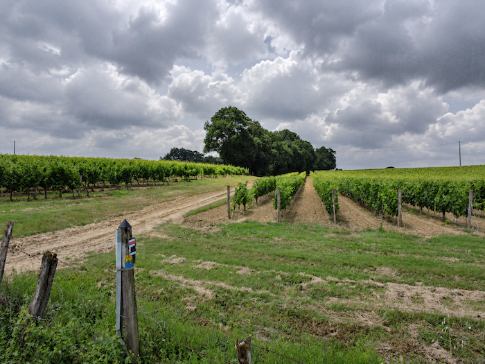 |
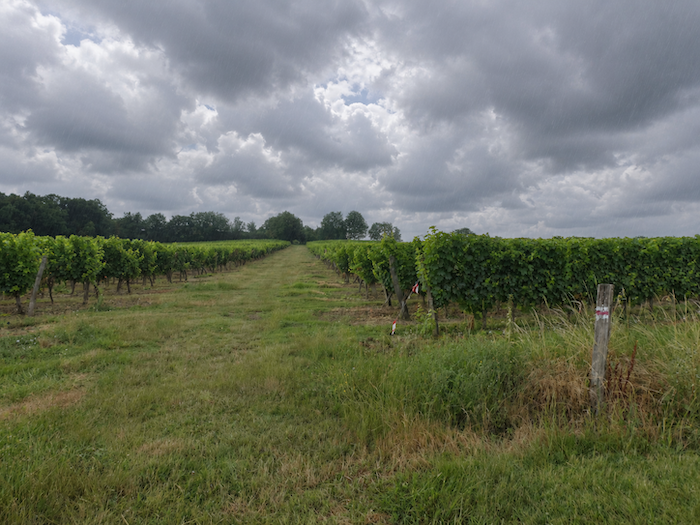
| Today, however, the sky seems unwilling to share this enthusiasm. Since our departure, a stubborn blanket of grey has accompanied us, and the increasingly heavy air suggests that a downpour is not far away.
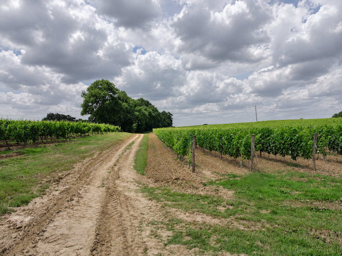
As far as the eye can see, the vineyards stretch out in orderly rows, bearing witness to generations of patient labor, inherited skills, attachment to the land and the quiet perseverance demanded by the cultivation of grapes. Beneath the gloomy light, the vineyards take on a particular solemnity, as though suspended in anticipation of the rain. |
 |
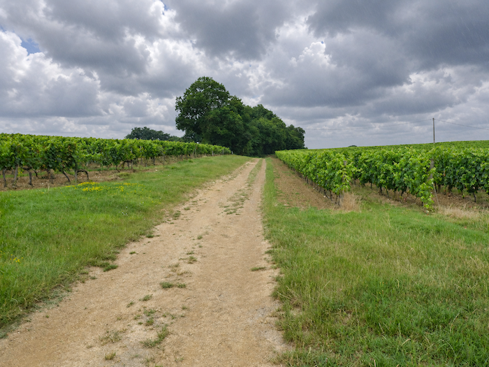 |
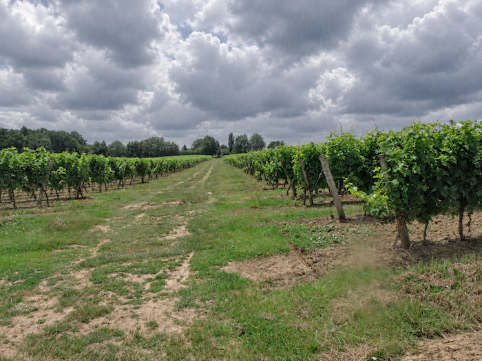
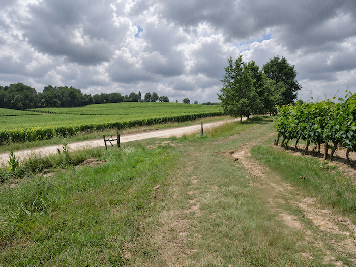
| Farther on, the path once again approaches the road, but carefully avoids joining it, preferring to continue its journey among the vines. What a pleasure it is to see these vineyards following the gentle undulations of the hillside, their rows unfolding across a landscape where human labor has learned to work with the whims of the terrain! There is something elegant, almost soothing, about this living geometry. |
 |
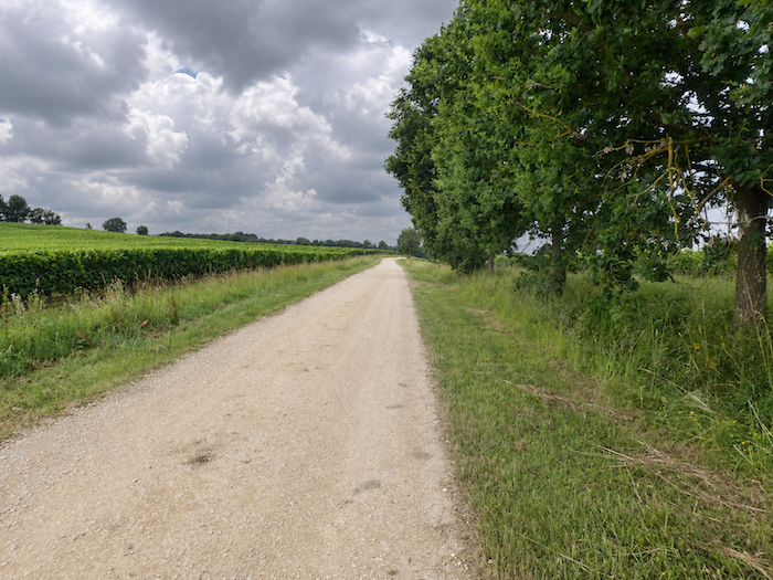 |
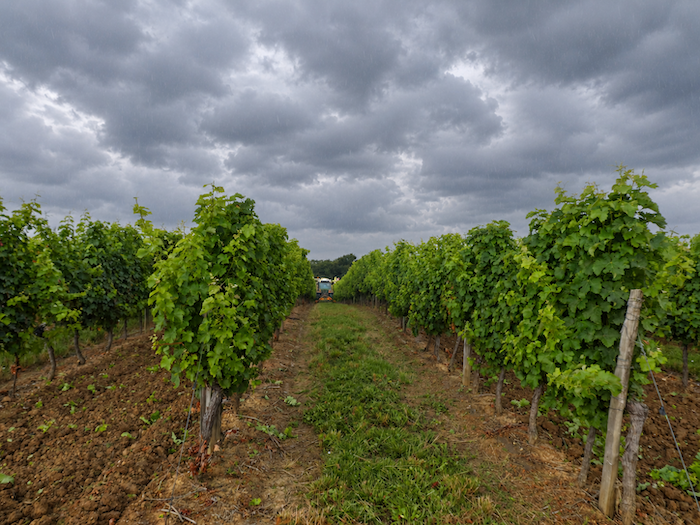
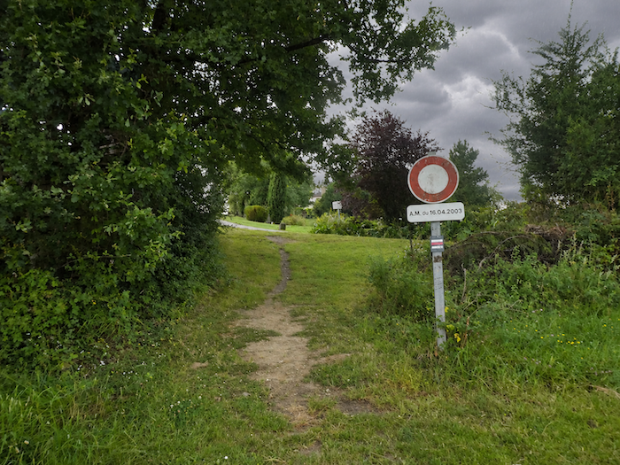
| Here, the earth displays beautiful shades of ochre, as though wishing to proclaim its generosity through its very colors. The rows of vines are given plenty of room, a far cry from the closely planted vineyards of Burgundy. It is another way of arranging the vines, another rhythm to the landscape beneath the vast Gascon sky. |
 |
 |
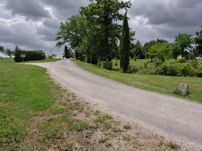
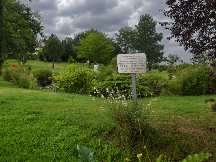
| Farther still, the GR65 ventures into a private estate at a place called Basquin, where a small pond adorned with water lilies lies hidden away. After the strict order of the vineyards, this little stretch of water offers an unexpected touch of whimsy, a secret garden where nature seems, for a moment, to rediscover its taste for the unpredictable. |
 |
 |
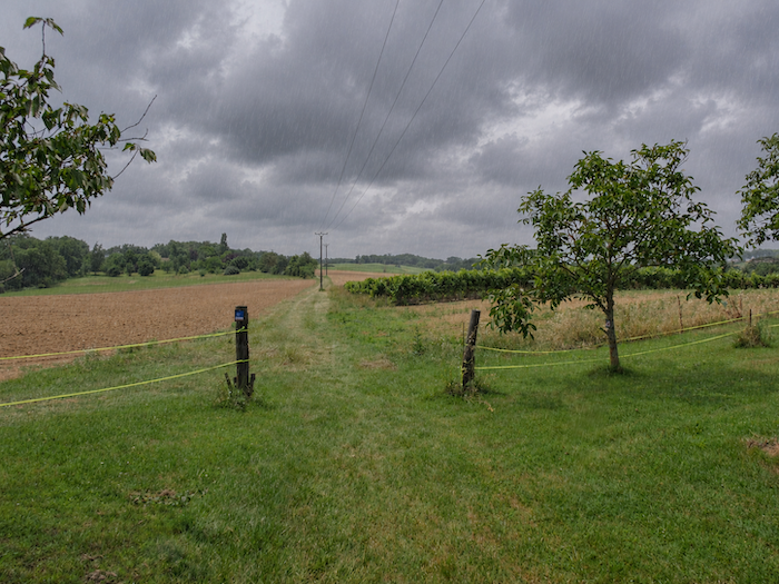
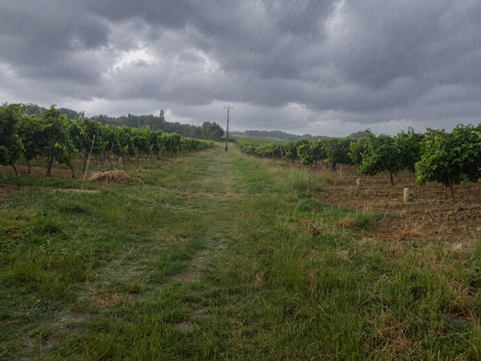
| But the sky, threatening for so long, finally makes good on its promises. Rain now pours down in torrents, showing not the slightest consideration for the pilgrims.
Undeterred, the GR65 continues through fields, fallow land and vineyards, threading its way between rows of vines whose impeccable alignment resembles a silent army standing beneath the downpour. The landscape, so peaceful only moments before, suddenly takes on the appearance of countryside battered by the elements. |
 |
 |
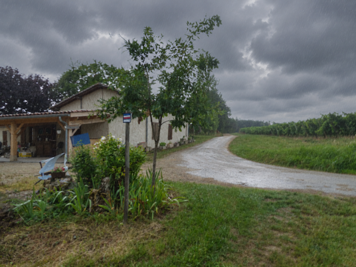
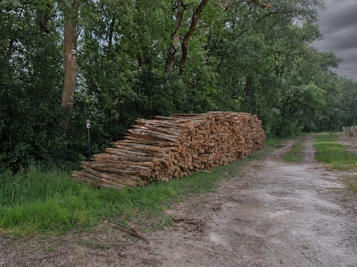
| Before long, the GR65 rejoins a paved road, only to leave it almost immediately and resume its wanderings along the vineyards. The terrain here is remarkably gentle, almost reluctant to offer any significant changes in elevation. You are far from the prestigious hillsides so readily associated with great wines, but Gascony has other claims to distinction. For these lands, however modest they may appear, contribute to the creation of Armagnac, that celebrated brandy whose character and reputation have been patiently refined over the centuries. |
 |
 |
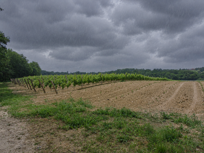
| In this corner of the Gers, livestock are discreet, almost entirely absent from these broad expanses where vines reign virtually unchallenged. The herds seem to have deserted the countryside, leaving most of the land to the vines and the winegrowers to shape its appearance. |
 |
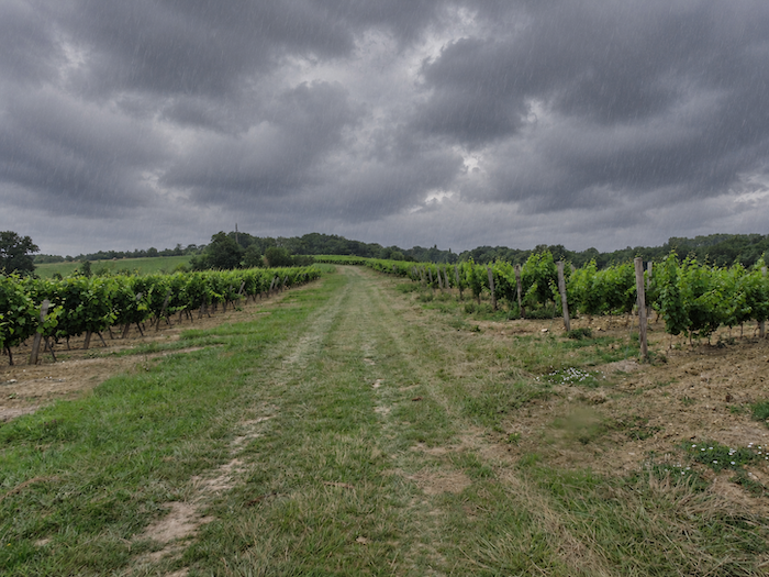 |
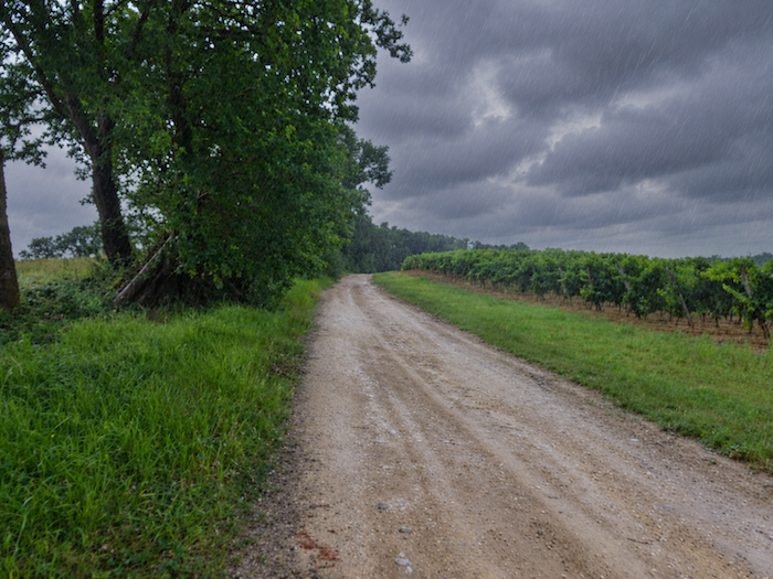
| But when the heavens open, even the romance of the vineyards begins to lose its charm. The beautiful vistas fade behind a curtain of rain, the colors grow dull, and the rows of vines, so elegant in the sunshine, suddenly take on a much less inviting appearance. |
 |
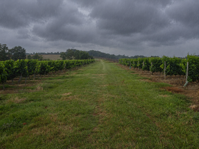 |
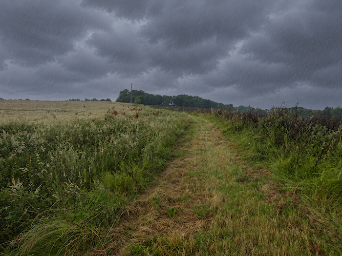
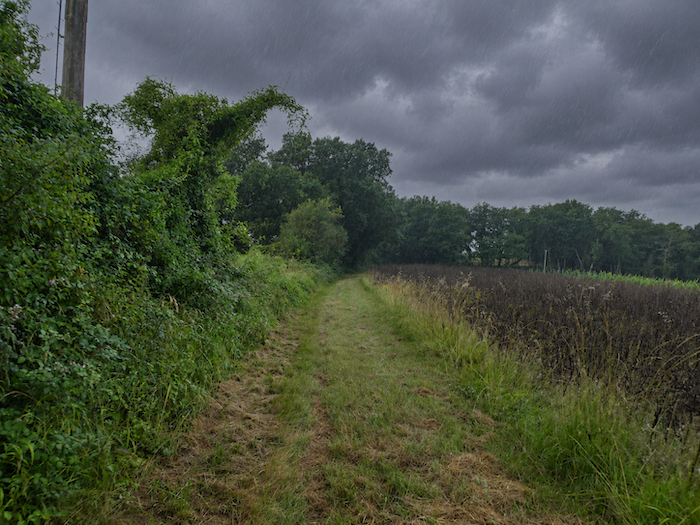
| By now, the rain is coming down in torrents. Water streams across the beaten earth, turns the passages into muddy quagmires and wraps the vineyards in an unrelenting greyness. These are the moments when the poetry of the landscape abruptly gives way to the pilgrim’s far more practical concerns. For a serious downpour immediately raises a few logistical questions. As soon as heavy clouds begin to gather, the sensible walker generally starts rummaging through the depths of their rucksack in search of that saving rain poncho. But that assumes they have seen the storm coming! Caught unprepared, there is no longer any question of admiring the vines or reflecting on the beauties of Gascony. The urgent priority is to keep a few clothes dry for the end of the stage. And while everyone copes as best they can with the whims of the weather, the walk continues, first between the rain-soaked vines, then across fallow fields where the waterlogged grass has become an enormous sponge beneath every footstep. |
 |
 |
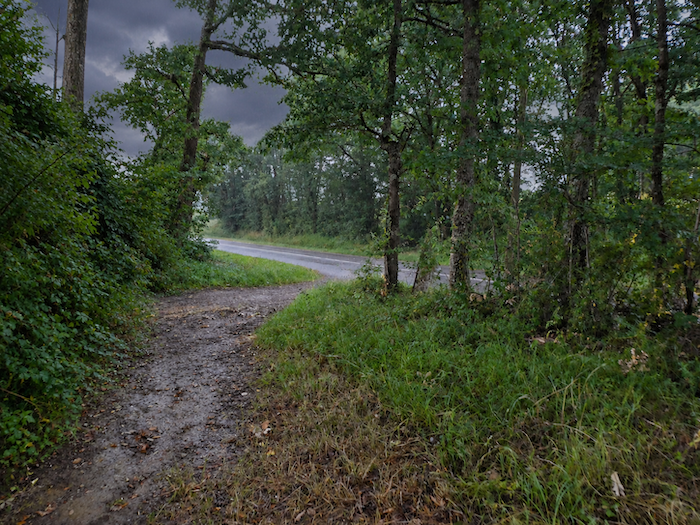
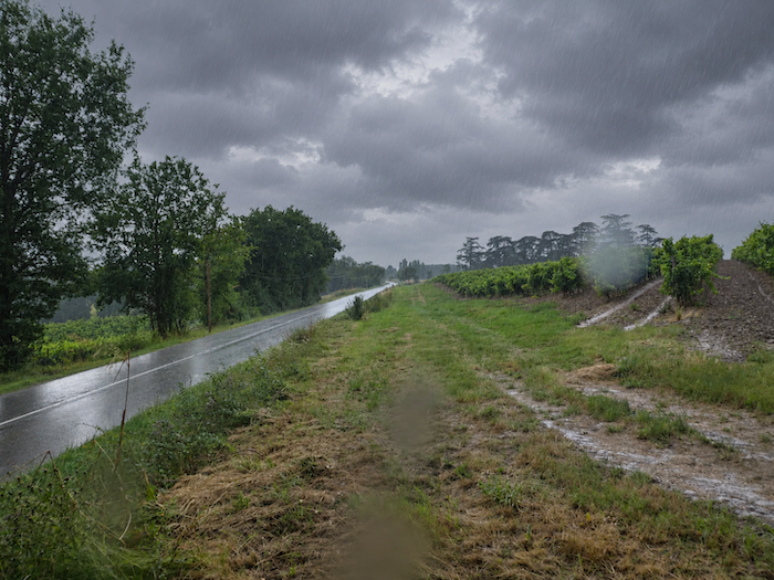
| Shortly afterwards, the GR65 finally returns to a paved road near a patch of woodland. After the sodden earth and dripping grass, the firmness of the asphalt feels almost comforting. Sometimes it takes very little to bring a smile back to the face of a pilgrim walking in the rain! |
 |
 |
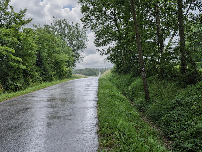
| The GR65 does not linger long on the rain-soaked road. Soon, a new path appears through the grass, inviting the walker to return to the damp earth and the uncertain pleasures of a country trail. It heads towards Bédat, through a landscape that the rain has not yet finished tormenting. |
 |
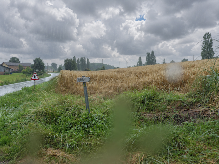 |
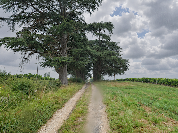
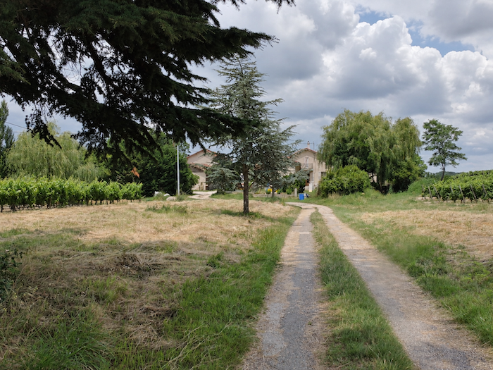
| Approaching Bédat, a few modest houses emerge discreetly beneath the branches of willows and cedars. The hamlet seems asleep, wrapped in a silence that nothing comes to disturb. As in so many places along the Way of St James, the closed shutters preserve their share of mystery. Do they simply conceal residents enjoying the peace of their homes, or have they been closed for good on houses long since abandoned? Not a car, not a face, not the slightest sign of activity. One passes through these places with the strange impression that life has quietly slipped away on tiptoe. |
 |
 |
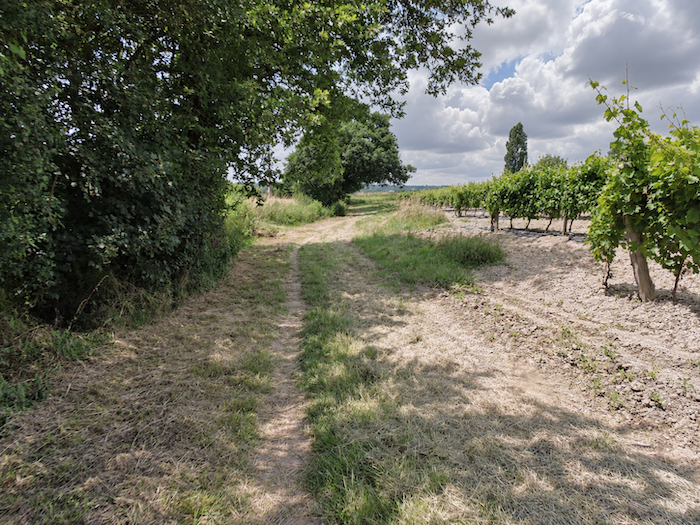
| At Bédat, different crops still share the landscape, between the gentle waves of the cereal fields and the more rigorous geometry of the vineyards. But the GR65 soon returns to the vines, heading deeper into a countryside where vineyards seem determined to impose their rule everywhere. |
 |
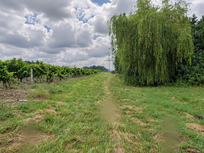 |
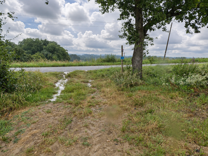
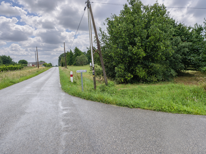
| Then comes another return to asphalt, although the scenery scarcely changes. The vineyards continue to spread their rows across almost level ground, far removed from the steep hillsides so often associated with the finest wines. |
 |
 |
Section 3: A short stop in Lamothe, before the railway line?
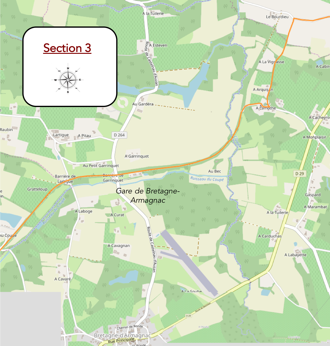
Overview of the route’s challenges: an easy route with no particular difficulties.
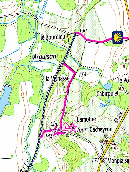
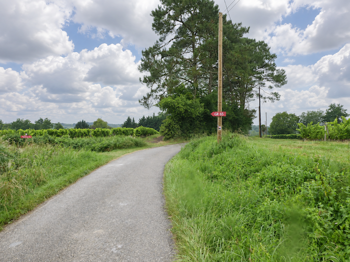
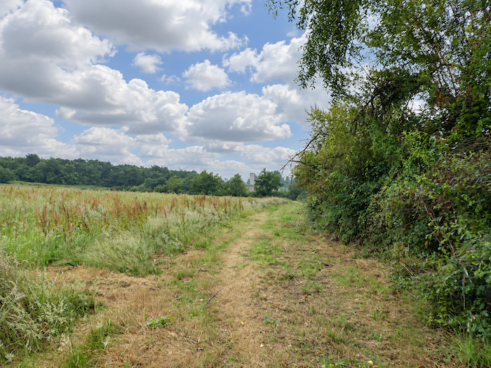
| After a long, straight stretch, the GR65 gradually enters a different landscape. The vineyards, until now omnipresent, finally loosen their grip, giving way to fallow land, small groves and less disciplined vegetation. Amid this transformation, the route takes a path towards Lamothe, whose château is beginning to reveal its silhouette on a distant hill. |
 |
 |
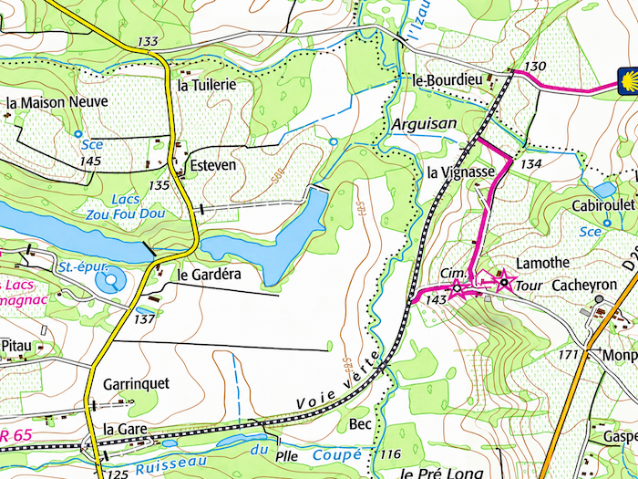
| The last time we passed through here, the “Voie Verte” did not yet exist in this area. However, if you consult the French road maps showing the GR routes in 2026, you will see that the “Voie Verte” now extends from here all the way to Eauze, apart from a few short sections that have yet to be completed. The only difference, therefore, is that you will find asphalt rather than beaten earth along the route. But these maps also show that the Way of St James still runs through Lamothe, outside the official GR route, as confirmed by the 2026 edition of Miam Miam Dodo. Who knows what the situation will be by the time you walk through here ? |
 |
 |
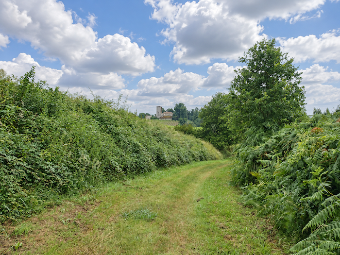
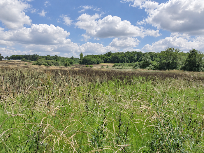
| The path winds between clearings and woodland, sheltered by oaks, maples and chestnut trees. The dampness nourishes luxuriant vegetation, where tall ferns compete for space with undergrowth and young shoots. As we advance through this almost secret countryside, the château grows more imposing, emerging ever more clearly from its setting of greenery. |
 |
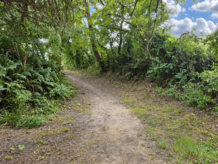 |
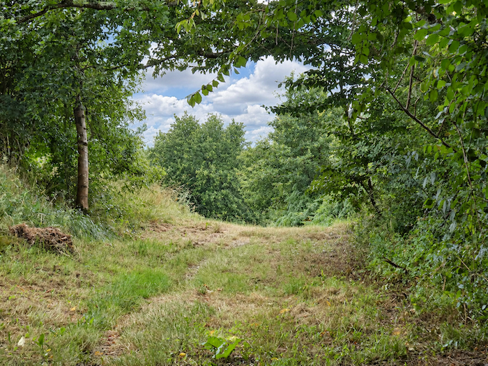
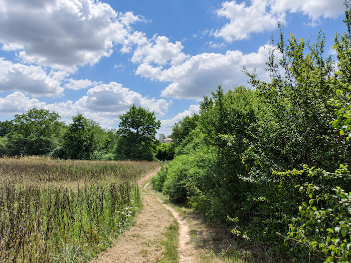
| Before long, nature regains all its exuberance. Everywhere, foliage spills over, ferns flourish and grasses grow with abandon, in a damp atmosphere that seems to encourage every kind of botanical excess. Here once again is that slightly wild, untidy Gascony, where the woods sometimes appear determined to reclaim the paths that human hands once wrested from them. |
 |
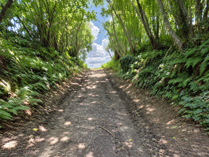 |
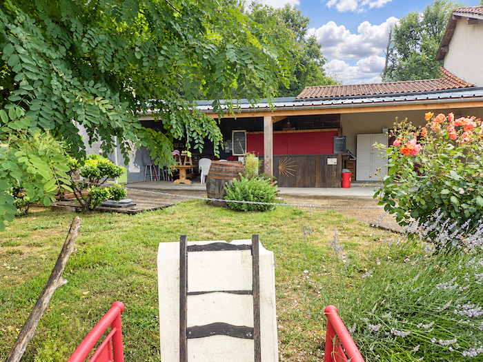
| But reaching Lamothe still requires paying a final tribute to the hill. The broad dirt track climbs steeply, imposing one last trial on legs that would gladly have done without it. Fortunately, at the summit, the reward is well worth the effort. A welcoming pilgrim shelter, complete with a generously stocked bar, opens its arms to weary walkers. Surely enough to reconcile even the most reluctant with the demands of the Way! |
 |
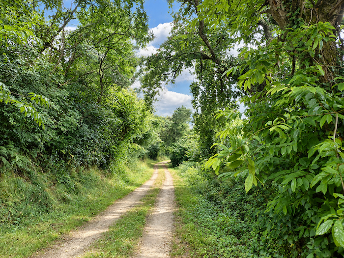 |
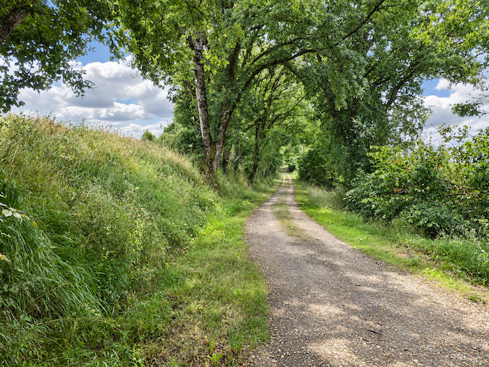
| Those who have undertaken the long stage from Condom without stopping in Montréal will find an additional reason to take heart. They are promised seven kilometers of almost level walking all the way to Eauze, beneath the welcome shade of a « royal avenue ». After so many climbs and descents, such a prospect feels like a blessing. In the excitement of this happy news, some might almost forget to look up at the tower of Lamothe, a stone sentinel dating from the twelfth century, which has watched over the Izeute valley from its lofty position for centuries |
 |
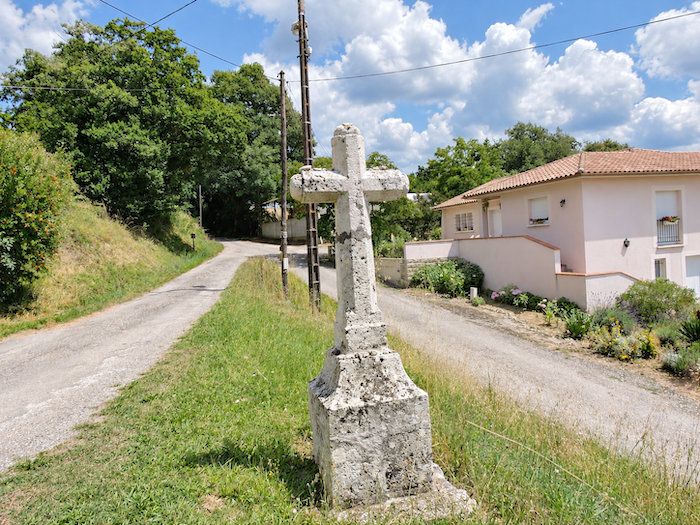 |
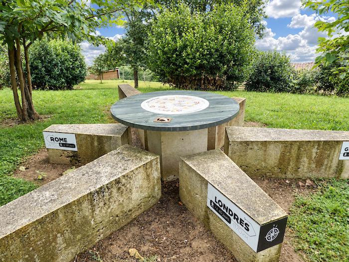
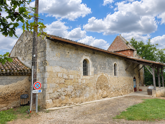
| Descending from the hill, the path encounters a modest map of the world, a curious sight beside the route, reminding travellers of the great directions of the globe. Perhaps it is a way of putting one’s thoughts back in order after the pleasures of the stopover, and of finding one’s bearings before continuing the journey. Beside it stands the beautiful Romanesque chapel of Lamothe, whose origins are believed to date back to the eleventh century. Preserved through the ages, it is now dedicated to Saint Vincent, the patron saint of winegrowers. A particularly fitting dedication in the heart of a region where vines occupy such an important place, not only in the landscape but also in local traditions and devotions. |
 |
 |
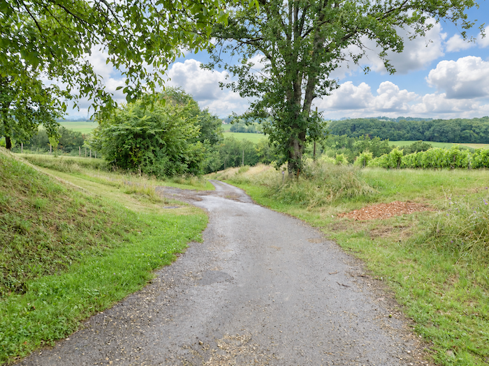
| From here, a broad path of beaten earth plunges decisively towards the woodland, down a slope that shows little mercy to the knees. |
 |
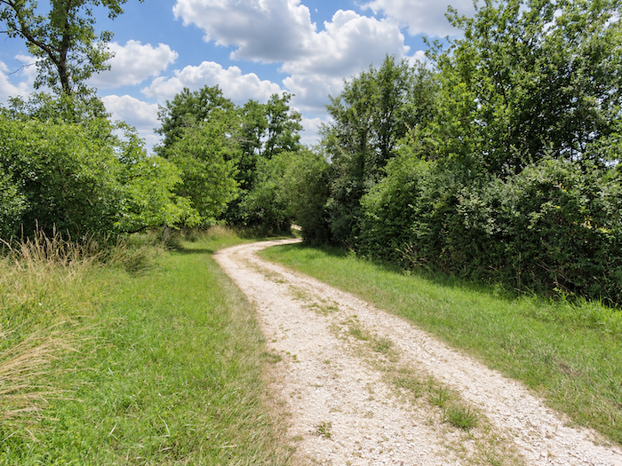 |
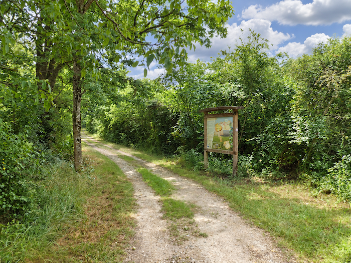
| It is here that we bid farewell to the Ténarèze and enter Bas-Armagnac. An unobtrusive boundary, marked by no ceremony other than a change in the character of the land, yet one that signals a new chapter in this long journey through the landscapes of Gascony.
From this point onwards, you should therefore be following the new “Voie Verte”, on a paved surface. |
 |
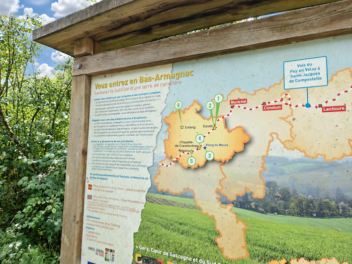 |
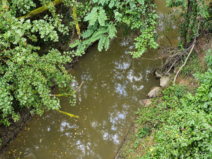
| The path soon reaches the plain and crosses the Izeute, whose dark, silt-laden waters recall those of the other rivers encountered since entering the Gers. Modest though it may appear, this watercourse nevertheless serves as a natural boundary between the Ténarèze and Bas-Armagnac. Thus, from one bank to the other, the pilgrim passes from one region into another almost without noticing. |
 |
 |
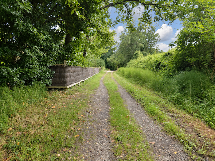
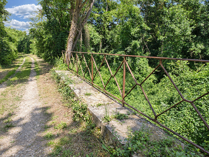
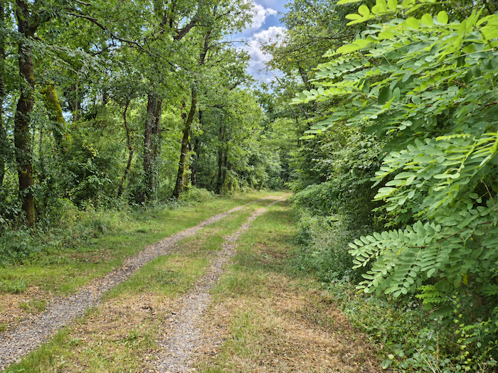
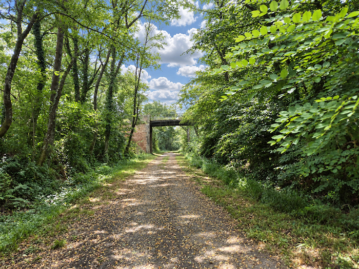
| It is then that the former railway corridor comes into view, its course now guiding our footsteps towards Eauze. A few surviving engineering structures, discreet reminders of the days when trains travelled through this countryside, still bear witness to the skills of the engineers of bygone days. Bridges and other constructions punctuate this line now reclaimed by walkers, each one a reminder of a vanished world. So onwards towards that famous « royal avenue », as the locals call it, promising a peaceful walk at last after the endless undulations of the Gascon countryside. |
 |
 |
 |
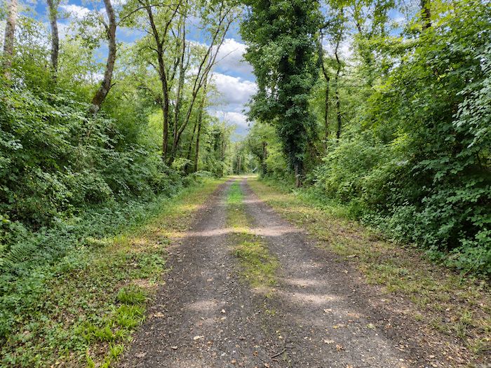 |
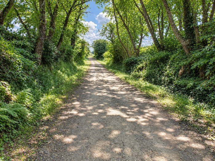
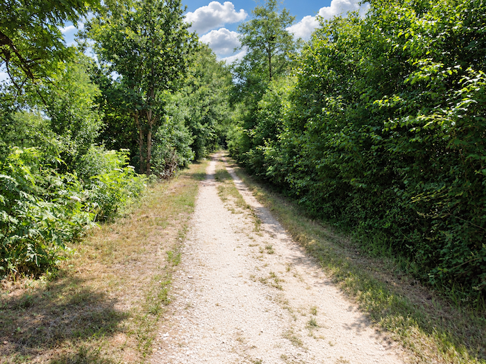
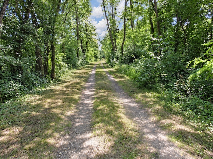
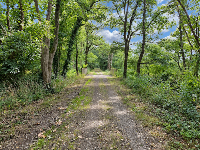
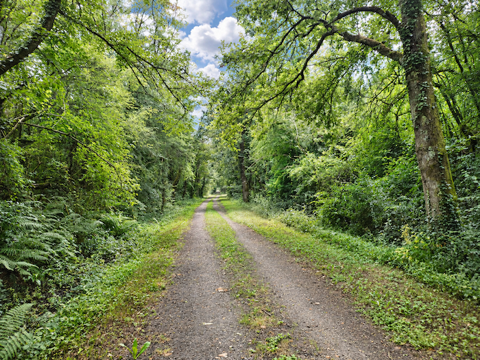
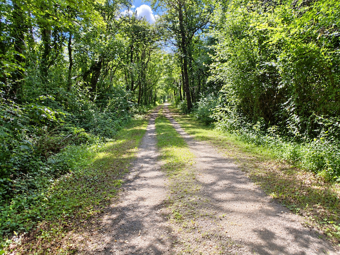
| The former railway line now unfurls its broad ribbon beneath a majestic canopy of greenery. On either side, tall trees rise like the columns of a leafy nave, creating an almost solemn perspective. Their branches meet above the path, providing generous shade and enveloping the walk in gentle tranquility. Occasional gaps between the trunks offer fleeting glimpses of the surrounding countryside. Yet this woodland, which appears so natural, owes much to human intervention. The plantations and embankments that once bordered the railway have gradually formed a genuine wooded corridor, isolating travelers from the surrounding landscape, just as passengers aboard the trains once travelled through a world of their own. Here and there, however, traces left by the latest showers remind us that even an avenue as royal as this one cannot always escape the whims of the Gascon weather. |
 |
 |
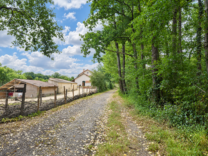
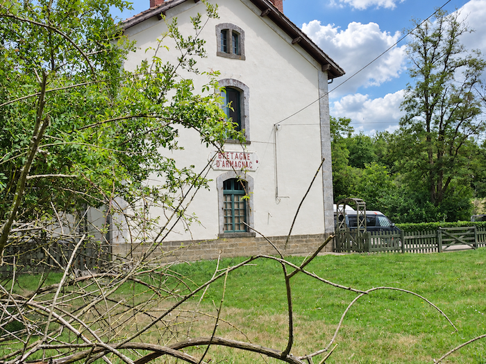
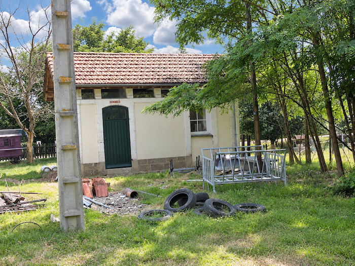
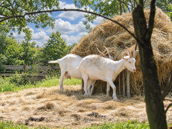
| Let us indulge in a little more dreaming. In the blink of an eye, the train pulls into Bretagne-d’Armagnac station. « Bretagne-Armagnac, everybody off! » echoes a voice from the past. Yet not so very long ago, goats were peacefully holding council among old tyres, in the shadow of the men’s urinal. Nowadays, the irony has reached its peak: an Englishman has bought the station, despite speaking only a few scraps of French. In its day, this single-track railway stretched for 56 kilometers, linking Auch to Eauze via Condom and Montréal. Opened in 1909, it was permanently closed and eventually dismantled in 1954. Here, the sad fate of the French railway system becomes all too apparent, for the Way of St James frequently crosses the remains of abandoned railway lines. Some still bear the scars of their old, rusting rails, while others have lost every trace of the iron teeth that once lined their tracks. In the world of French railways, there are the big cities, and then there is everywhere else. It is a familiar refrain. Yet distant whispers suggest that perhaps, one day, these old lines might be brought back to life. But here, the Englishman has sworn that such a thing will certainly never happen. A declaration that rings with particular irony in the very heart of this countryside, still steeped in memories of its railway past. |
 |
 |
 |
 |
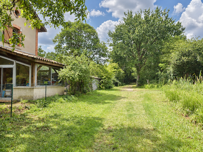
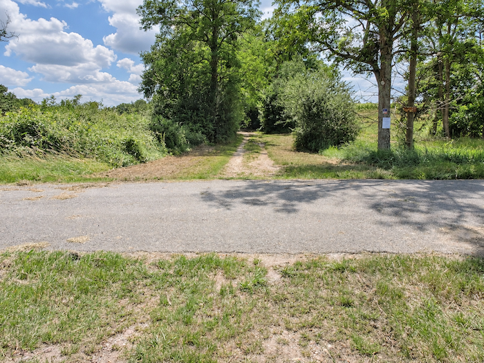
| Near the former station, a small road branches off from the route, leading to accommodation situated a little way from the GR65. |
 |
 |
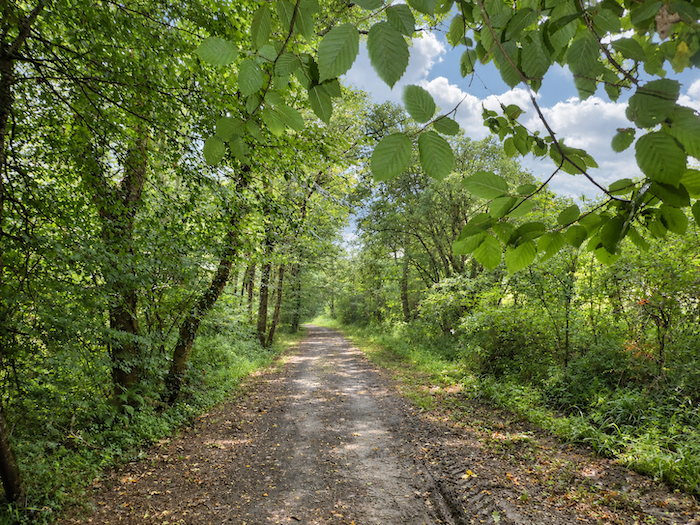
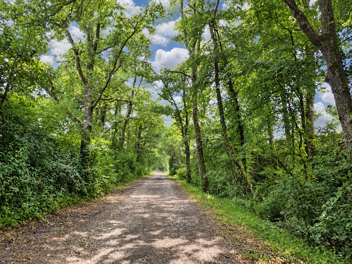
| Along the GR65, the royal avenue continues its seemingly endless course beneath a canopy of greenery whose majesty never fades. Oaks take pride of place, but they do not reign alone over this leafy kingdom. Ash trees and chestnuts mingle their branches with theirs, while the more discreet sycamore maple occasionally slips its silhouette among this gathering of lofty trees. It is a veritable procession of trees, each species contributing its own subtle note to the harmony of the surroundings. |
 |
 |
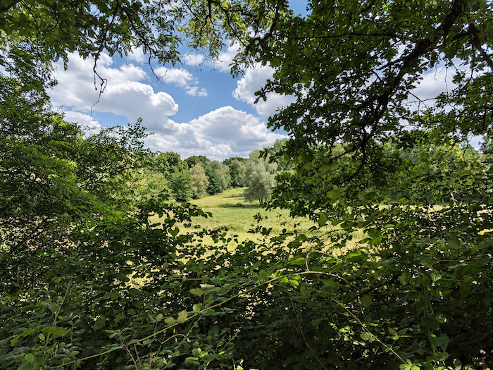
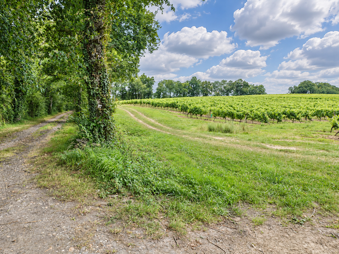
| At times, a gap in this wall of greenery allows the eye to wander beyond the path for a few moments. Then the Gascon countryside reappears, with its open meadows and vineyards, whose orderly rows contrast with the apparent disorder of the foliage. |
 |
 |
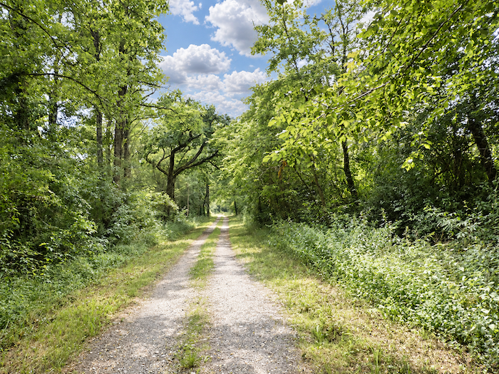
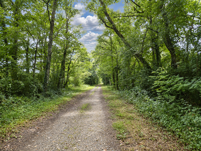
| Then the view closes in once more, and the GR65 resumes its peaceful course beneath the lofty shelter of the deciduous trees, passing a sign indicating another place to stay away from the path. Nothing seems likely to interrupt this long walk in the shade of the great trees. The path runs straight ahead, with that unwavering regularity inherited from the railway, while footsteps follow one another in an almost hypnotic tranquility. |
 |
 |
Section 4: Eauze, a quiet little town at the end of the railway line
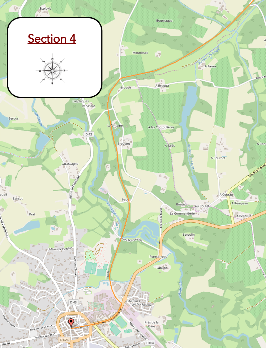
Overview of the route’s challenges: an easy route with no particular difficulties.
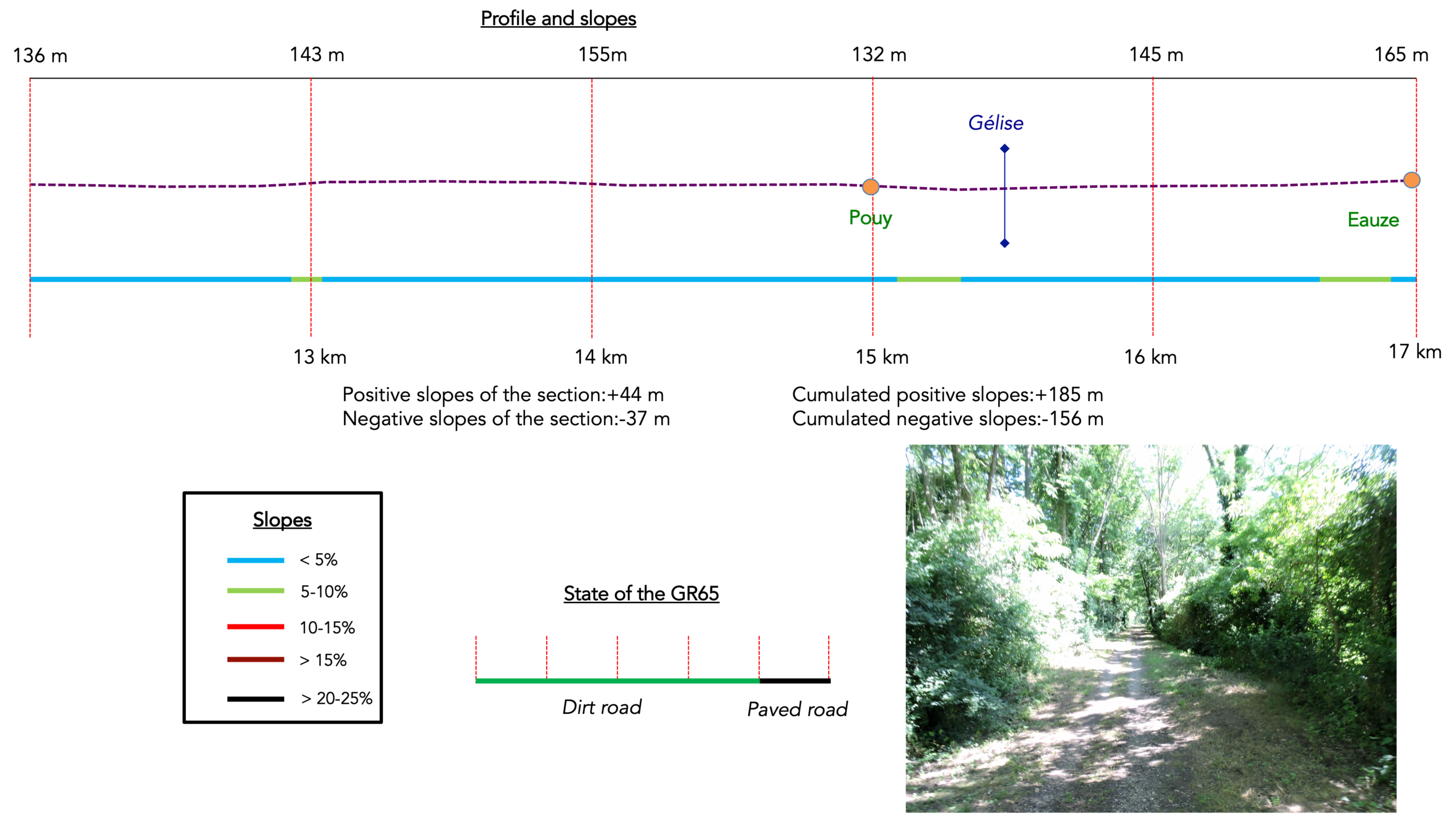
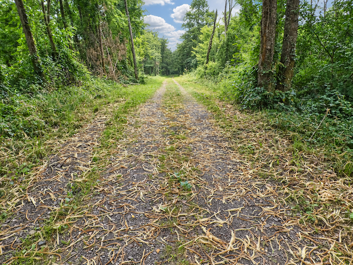
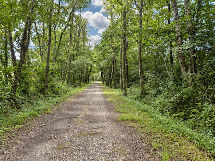
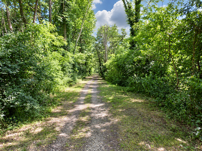
| And the landscape continues its long, unchanging melody, with scarcely any variation in the scenery. Beneath the trees, silence reigns. With the planned extension of the Voie Verte all the way to Eauze, asphalt may well replace the beaten earth entirely, imposing its smooth regularity on this former railway line. Progress will undoubtedly bring greater convenience, though perhaps at the expense of some of the charm that pilgrims have come to appreciate. Yet information available online suggests that a strip of pale gravel is still reserved for pedestrians. |
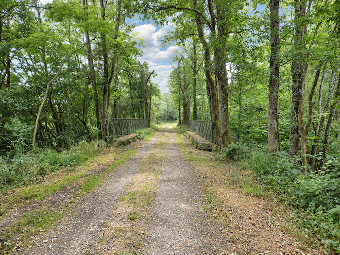 |
 |
| The engineering structures of the old railway, meanwhile, should survive this transformation without losing their role as witnesses to the past. Bridges, crossings and structures built of stone or masonry continue to punctuate the routes. |
 |
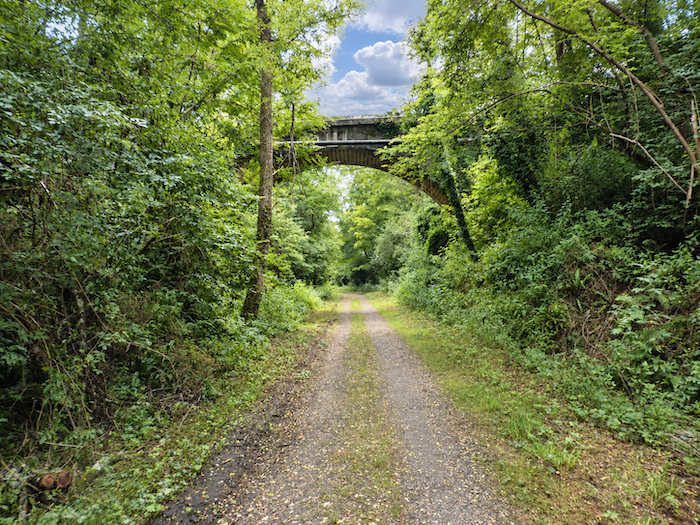 |
| Could this already be a return to civilization? The railway structures become more numerous and more imposing, as though the old line were gradually recovering the signs of its former activity. |
 |
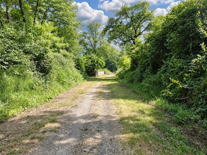 |
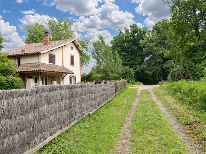
| And indeed, Eauze is beginning to make its presence felt. A house appears beside the path, standing alone in almost deserted surroundings. Its appearance arouses curiosity. Could it be an old railway halt, an outbuilding once belonging to the line, or simply a house that chance happened to place here? It is difficult to say. |
 |
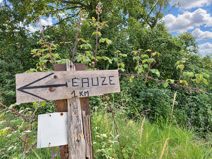 |
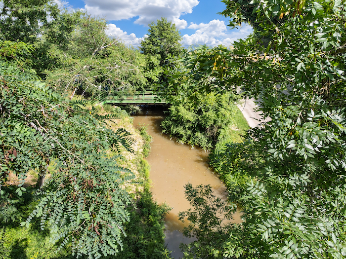
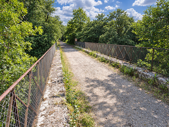
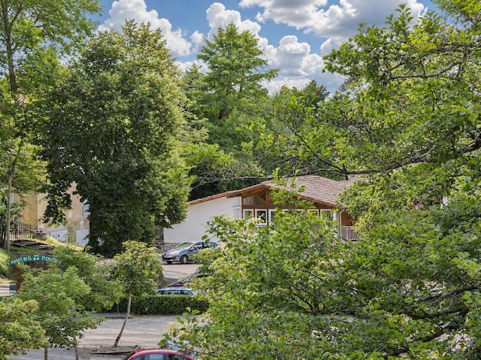
| On the approach to Eauze, not far from the Moulin du Puy campsite, the GR65 crosses the Gélise River. |
 |
 |
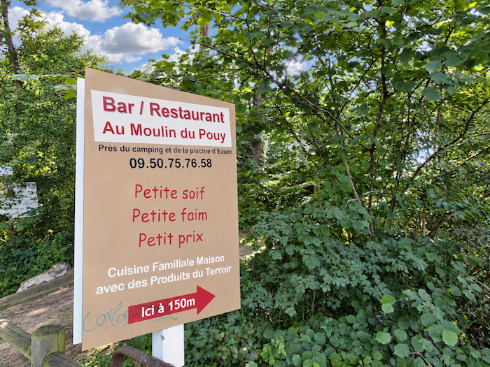
| Camping does offer a place to stop and rest, but only for those who have taken the trouble to carry their home on their backs. |
 |
 |
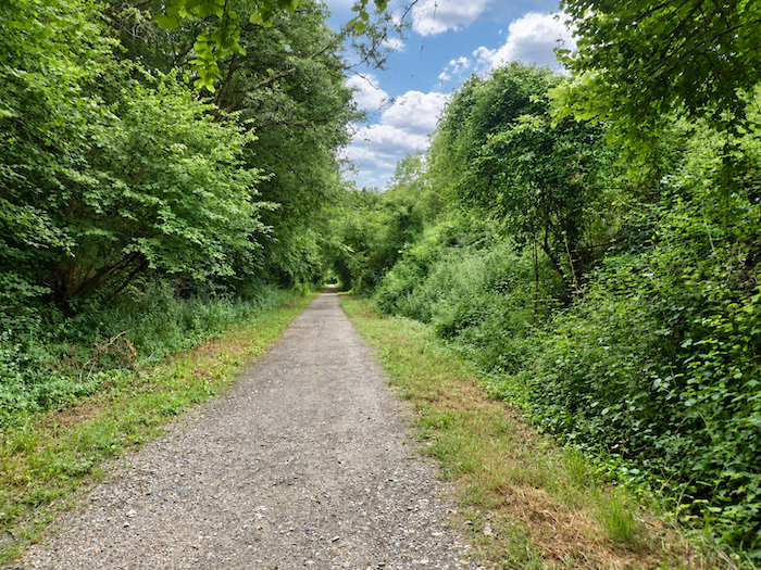
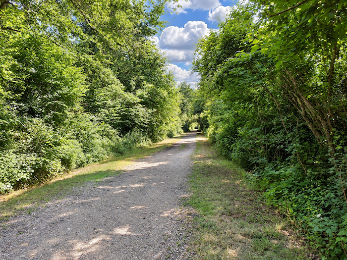
| One final stretch through the woodland prolongs the charm of this long avenue for a few moments more. The trees seem reluctant to release the walker from their shade. But already, beyond the foliage, Eauze is drawing near. |
 |
 |
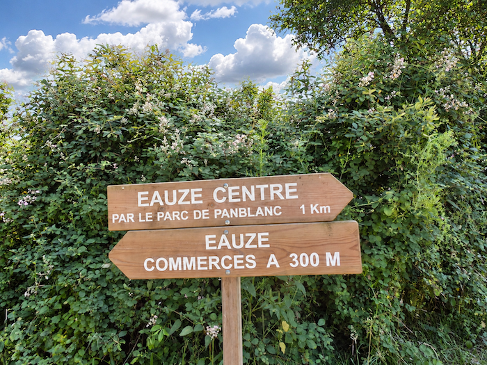
| Emerging from the woodland, the route offers two possible ways of reaching the town. In one direction lie the shops and the bustle of the commercial district, with its procession of buildings and traffic. In the other, a passage through the park promises to prolong the tranquility of the last few kilometers amid the greenery. The choice hardly requires a moment’s thought. Let the cars go about their business while we enjoy one last stroll beneath the trees. Through the park it shall be! |
 |
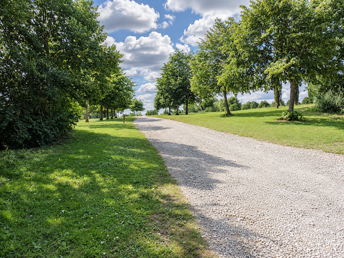 |
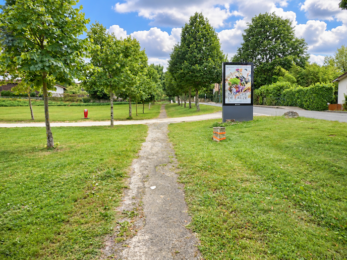
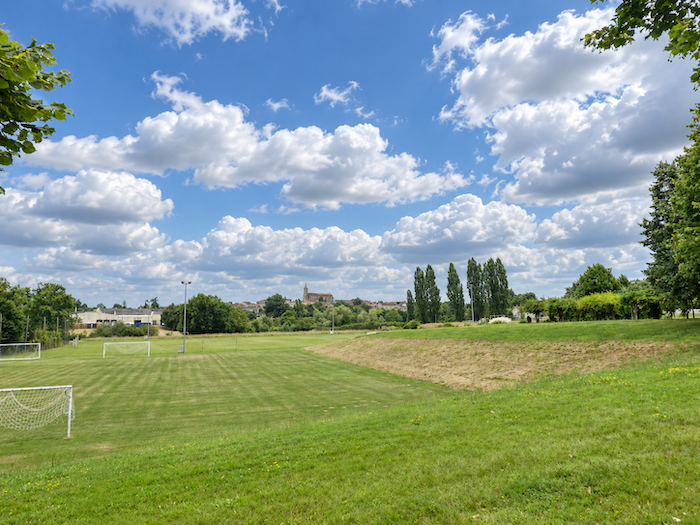
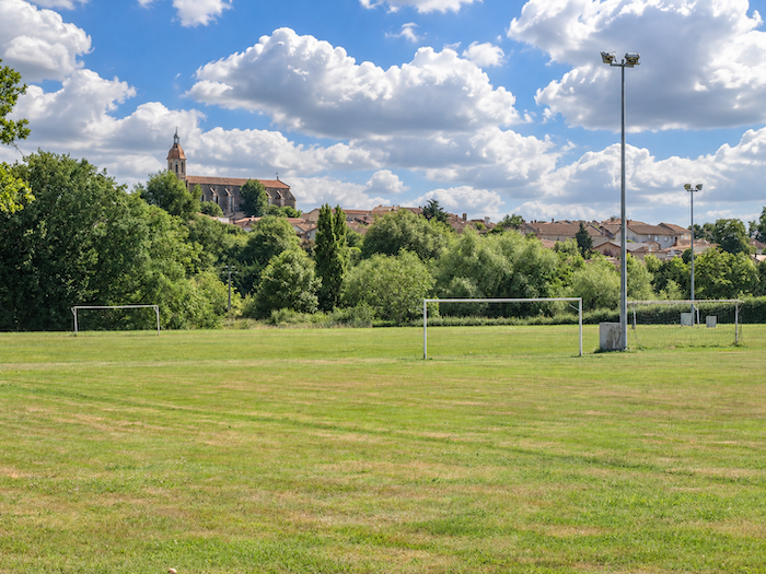
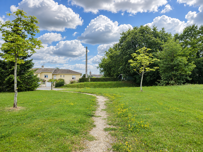
| The GR65 now winds through a spacious park, skirting the facilities of the sports complex. In the distance, above the treetops, the outline of the church begins to emerge, the first tangible sign that we are approaching the heart of Eauze. |
 |
 |
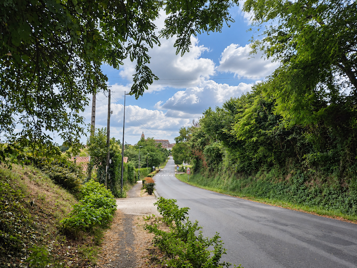
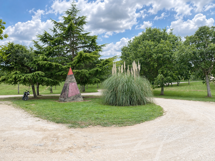
| Leaving the park, the GR65 ventures into the outskirts of the town, still wavering between the asphalt of the streets and the softness of the lawns. The scenery has changed. Houses draw closer together, gardens take the place of woodland, and the countryside gradually surrenders its last foothold to the town. |
 |
 |
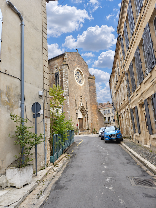
| A few narrow lanes then take over, drawing the walker into a maze of old façades. |
 |
 |
| Eauze has little more than four thousand inhabitants, yet its history gives it a stature that its present population would scarcely suggest. Known in antiquity as Elusa, it was originally the settlement of the Elusates, an Aquitanian people whose origins are lost in the depths of history. It later became an important town in Roman Gaul, enjoying remarkable prosperity until it rose to become the capital of the province of Novempopulania. The centuries that followed were less kind. The upheavals of the early Middle Ages brought about its decline, before a new community began to take shape around the tenth century, near a religious establishment dedicated to Saint Lupercus. The medieval town was subsequently enclosed by ramparts and defensive ditches, traces of which have largely disappeared, particularly following the upheavals and demolitions of the modern era. |
 |
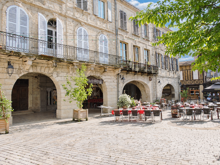 |
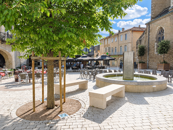
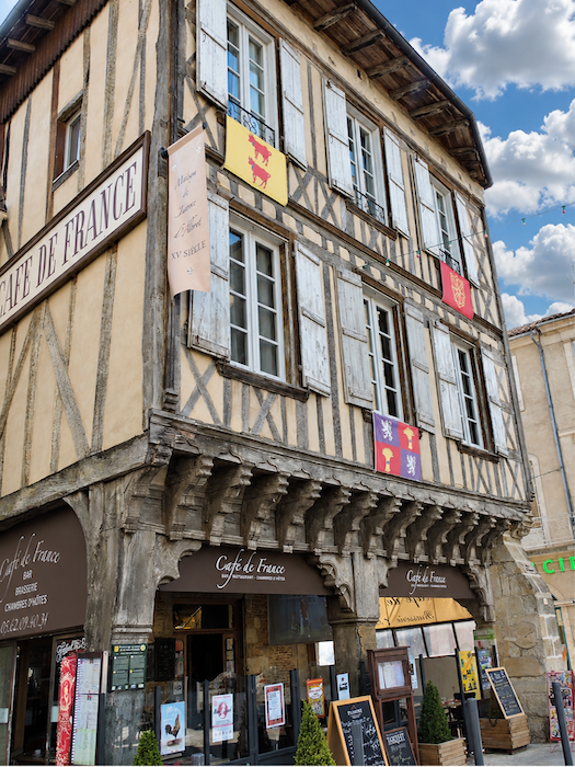
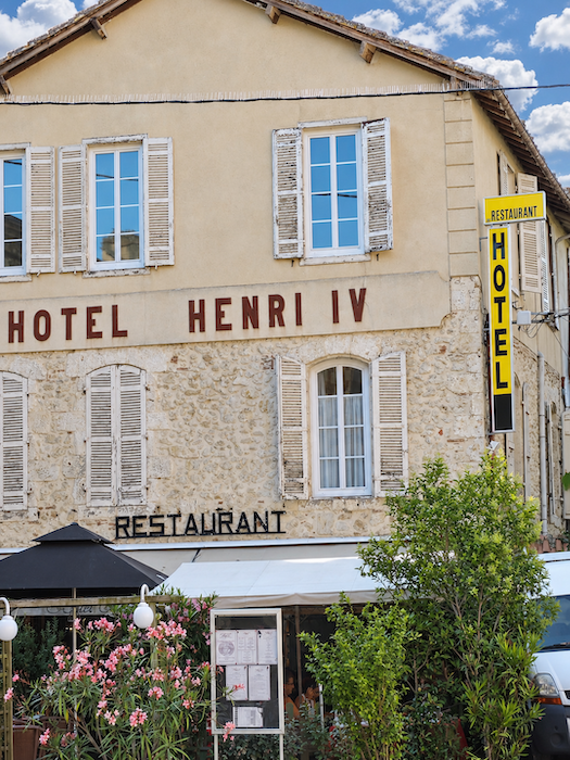
| Today, life in Eauze centers largely on the Place d’Armagnac, whose elegant arcades form one of the most appealing settings in the old town. Here, the memory of Jeanne d’Albret, mother of the future Henry IV, lives on in local tradition, which associates her with a half-timbered house that later became the Café de France. It is also said that the young Henry of Navarre, the future King of France, stayed here with his wife, Marguerite de Valois, the famous Queen Margot. Whether the passing centuries have mingled history with legend hardly matters. These old façades retain more than enough character to stir the imagination. And since royalty seems to have left a few memories behind in Eauze, the nearby hotels are not above adopting prestigious names themselves. Whether their lofty ambitions earn them a place in the pages of Miam Miam Dodo remains to be seen. After all, that faithful companion of the pilgrim is generally more concerned with finding a comfortable bed than tracing a royal genealogy! |
 |
 |
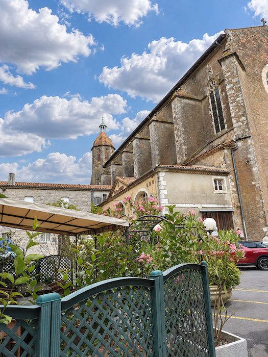
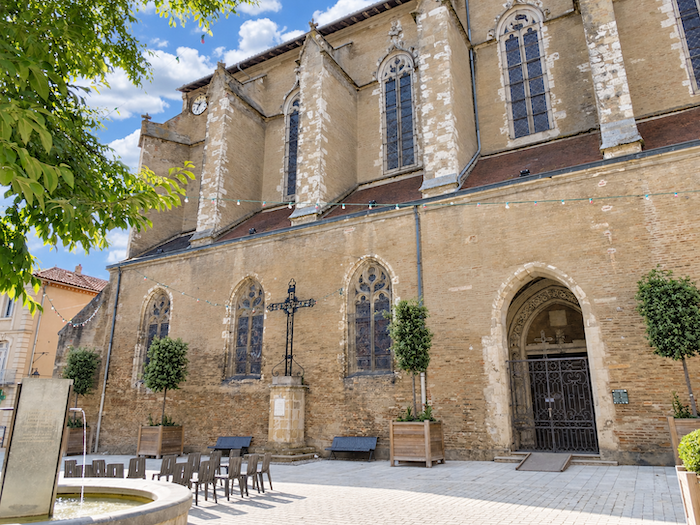
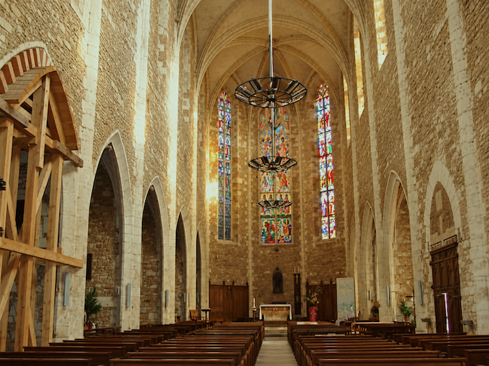
| Rising above the old town, the Church of Saint-Luperc displays its imposing Gothic silhouette, dating largely from the major building campaigns of the late fifteenth and early sixteenth centuries. Its lofty proportions and restrained architecture recall the religious importance of ancient Elusa, which was once the seat of a bishopric. |
 |
 |
Accommodation on Via Podiensis
- Gîte-Epicerie le Mille Bornes, Lamothe; 06 50 62 13 46; Gîte, dinner, breakfast, cuisine
- Gîte Couette et Tartinettes, Route de Laboge, Bretagne d’Armagnac; 06 61 86 94 99; Gîte and tents, dinner, breakfast, cuisine
- Hôtel Les Loges d’Eauze, Route de Guinlet, Le Coupé; 05 62 08 29 01; Hotel, dinner, breakfast
- Camping municipal, Le Pouy; 05 62 03 45 02 ; Camping, only for campers
- Gîte-Accueil Béthanie, 34 Avenue de Sauboires, Eauze; 07 87 72 07 82; gîte donativo, cuisine
- Gîte Chez Nadine, 43 Avenue de Sauboires, Eauze; 06 68 94 82 46/06 50 09 60 42; Gîte, dinner, breakfast
- Gîte Au Pousse Pèlerins, 4 Avenue de la Ténarèze, Eauze; 06 61 24 48 04; Gîte, dinner, breakfast
- Gîte L’Elus Halte, 19 Rue Carbonas, Eauze; 05 62 09 92 95/06 83 40 19 64; Gîte, cuisine
- Gîte communal Le D’Artagnan, 19 Rue Carbonas, Eauze; 05 62 09 85 62/07 56 25 03 46; Gîte, dinner, breakfast, cuisine
- Gîte-Chambres d’hôte En Chemin, 15 Allée du Fossé Neuf, Eauze; 06 63 08 21 91; Gîte and Guestroom, dinner, breakfast
- Hôtel-restaurant Henri IV, 1 Place St Taurin, Eauze; 05 62 08 45 40; Hôtel, dinner, petit déj
- Hôtel-restaurant Café de France, 2 Place d’Armagnac, Eauze; 06 61 94 47 22; Hôtel, dinner, breakfast
Year after year, the Camino de Santiago changes and reinvents itself, shaped by the seasons and the footsteps of its pilgrims. Some places to stay close their doors, while others, modest or unexpected, spring up along the way. It would therefore be unrealistic to claim that any list could ever be both permanent and exhaustive. The following selection includes only accommodation located directly on the route or within one kilometer of it. It was updated in 2026 and should therefore remain largely reliable over the next few years. For those wishing to explore further, one guide stands out as an essential reference: Miam Miam Dodo, readily available online. Its greatest strength lies in the fact that it is updated every year. Rather than limiting itself strictly to accommodation along the route, it also lists places to stay further afield, a particularly valuable resource when large numbers of pilgrims make finding a bed at the usual stopping points more uncertain. It also contains a wealth of practical information: welcoming bars, restaurants along the way, and conveniently located bakeries. all welcome stops that punctuate the journey. Alongside these traditional resources, another presence has now become impossible to ignore: Airbnb. The platform has established itself as a major player in the tourism landscape, even in quieter or less prosperous regions. However, as most travelers know, exact addresses are not displayed upfront, which means that some advance planning is required. On the Camino, finding a bed at the last minute can sometimes come down to a fortunate stroke of luck. But luck, by its very nature, is no strategy. Booking ahead is therefore strongly recommended. Finally, when making your arrangements, be sure to ask about dinner and breakfast options. Such details may seem insignificant, but they can make a long day on the Camino considerably more comfortable.
If we take stock of the available accommodation, there are approximately 35 beds before reaching Eauze, suggesting that many pilgrims choose to stop along the way. In Eauze itself, accommodation capacity rises to nearly 110 beds, including two hotels not listed in the Miam Miam Dodo guide. While the number of walkers on the Via Podiensis generally ranges between 100 and 200, pilgrim numbers tend to decrease after Cahors. Finding accommodation on this stage should therefore not pose any major difficulties, although booking in advance is always advisable.
These routes wind through often sparsely populated areas, where shops and other services are few and far between. Restaurants are scarce, as are grocery stores, which are often little more than small village shops or bread depots offering a limited selection of vegetables and dairy products. Along today’s route, there is only one drinking water point, located in Lamothe, where a small convenience store is also available for basic supplies. Upon arrival, Eauze offers a full range of dining options. Finally, several companies provide luggage transfer services or transport back to the starting point. Among them, one stands out as a particularly well-established and reliable option: La Malle Postale.
Feel free to add comments. This is often how you move up the Google hierarchy, and how more pilgrims will have access to the site.
|
 |
Next stage : Stage 29: From Eauze to Nogaro |
|
 |
Back to menu |