A little bit of Floc or Armagnac to make “vroom-vroom”
DIDIER HEUMANN, MILENA DALLA PIAZZA, ANDREAS PAPASAVVAS
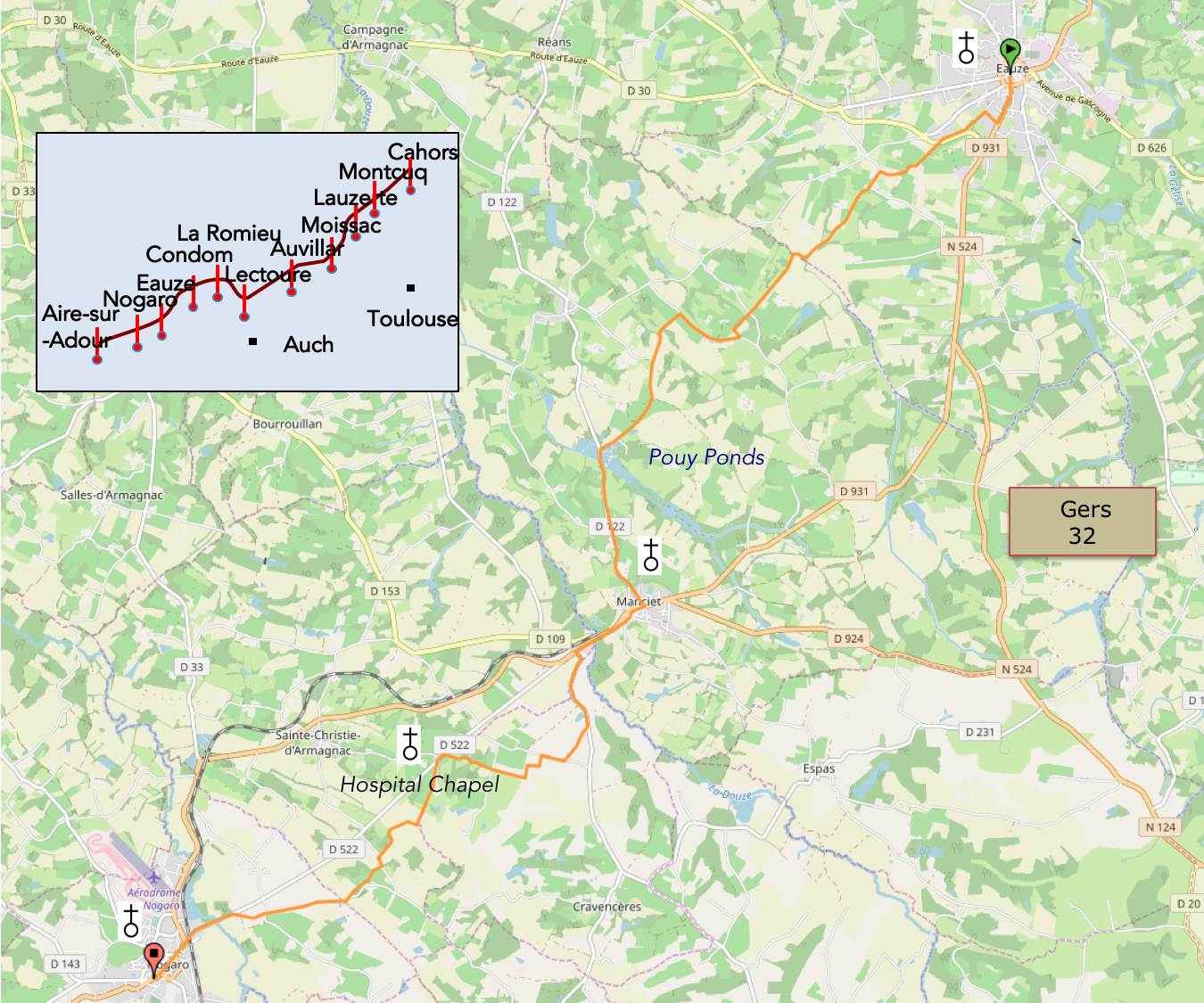
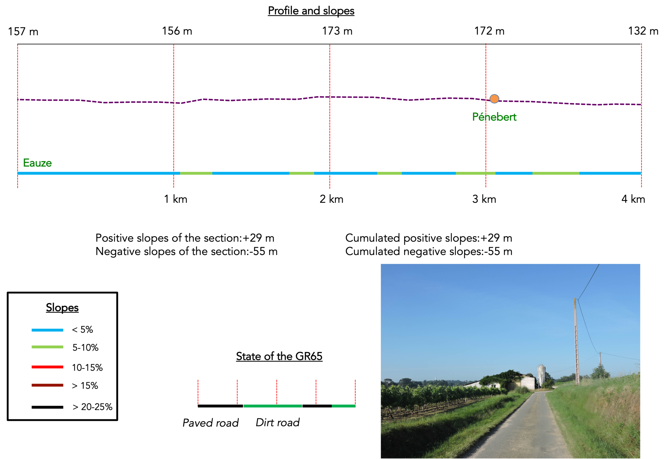
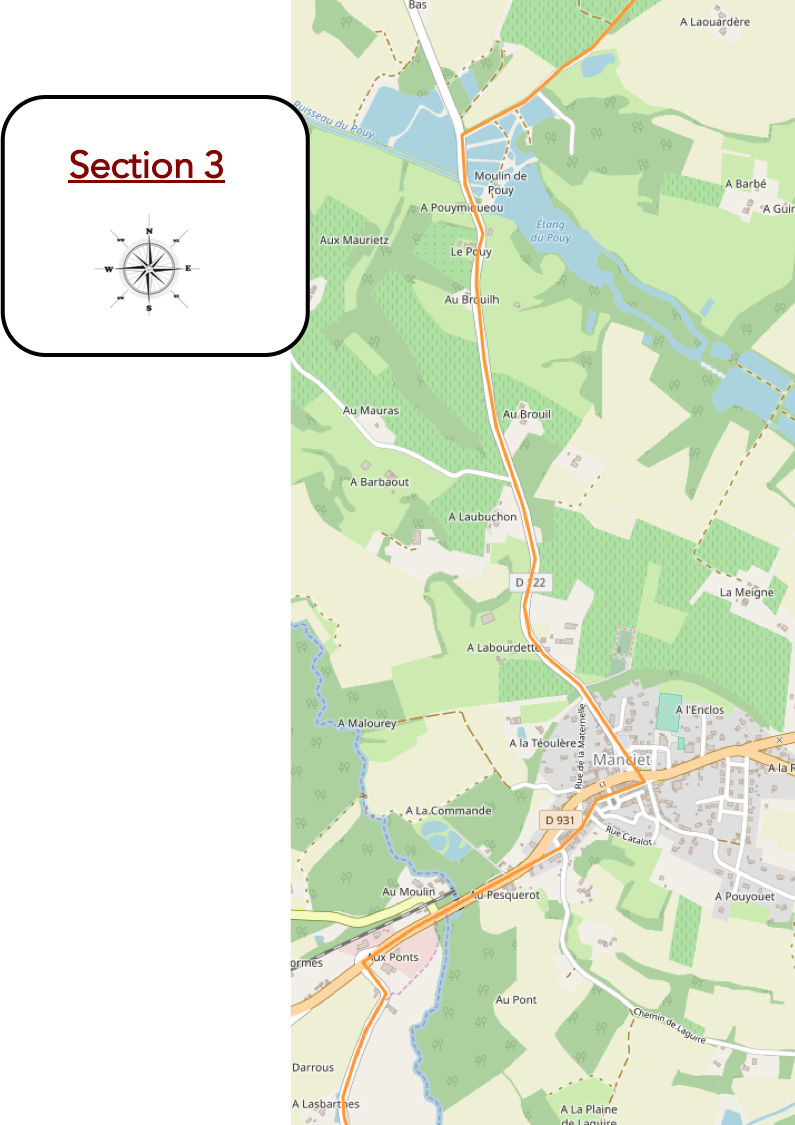
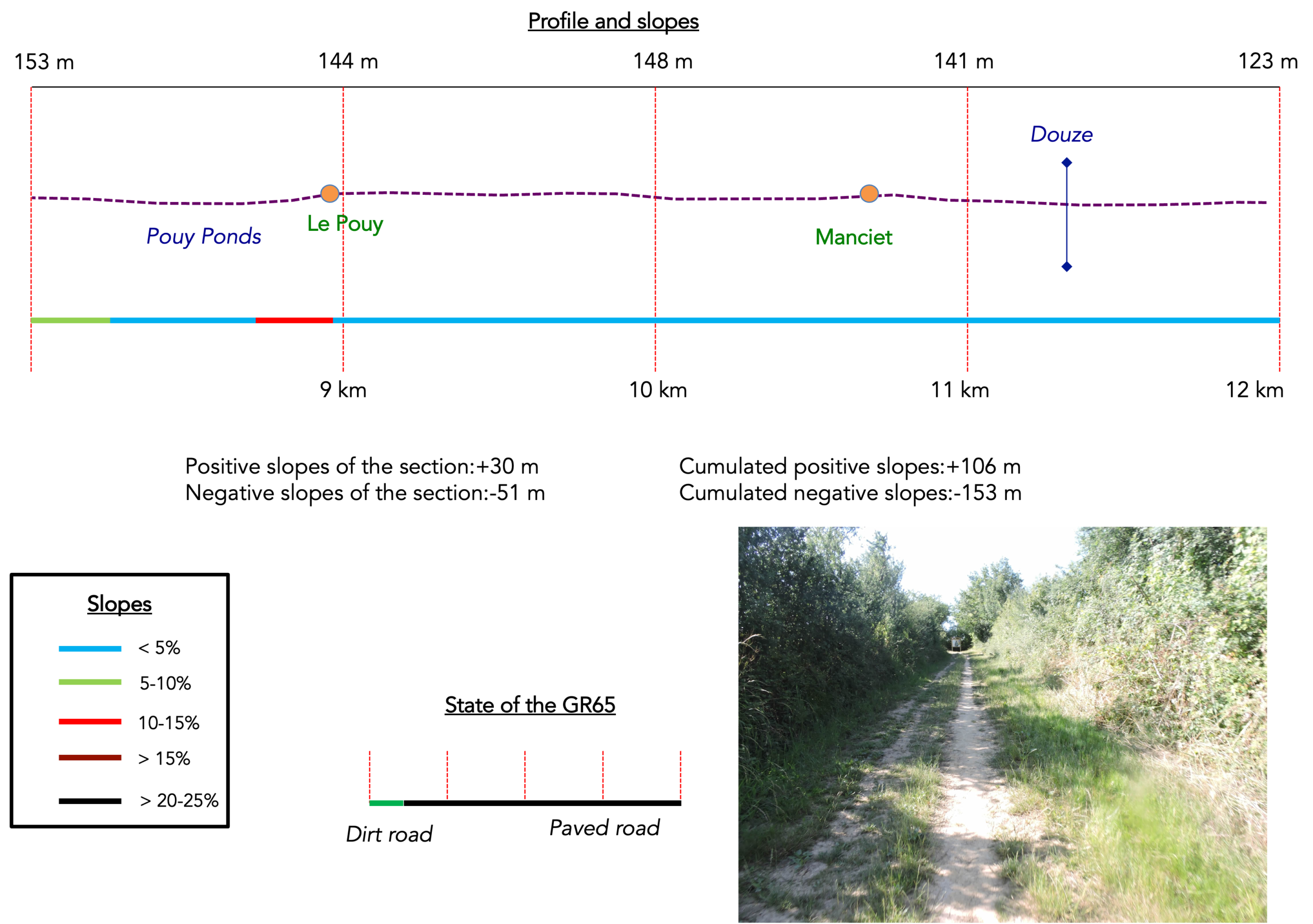
We divided the course into several sections to make it easier to see. For each section, the maps show the course, the slopes found on the course, and the state of the roads. The courses were drawn on the « Wikilocs » platform. Today, it is no longer necessary to walk around with detailed maps in your pocket or bag. If you have a mobile phone or tablet, you can easily follow routes live.
For this stage, here is the link:
https://fr.wikiloc.com/itineraires-randonnee/de-eauze-a-nogaro-par-le-gr65-30854621
|
Not all pilgrims are necessarily comfortable using GPS devices or navigating with a smartphone, especially since there are still many areas without Internet access. That is why, to make your journey easier, a book dedicated to the Via Podiensis from Cahors to Le-Puy-en-Velay is available on Amazon. Much more than a simple practical guide, this book accompanies you step by step, kilometer after kilometer, providing all the information you need for smooth planning and avoiding unpleasant surprises. Beyond its practical advice, it immerses you in the enchanting atmosphere of the Camino, capturing the beauty of the landscapes, the majesty of the trees, and the very essence of this spiritual adventure. Only the pictures are missing, everything else is there to transport you.
In addition, we have also published a second book which, with slightly fewer details but all the essential information, covers the entire route from Le Puy-en-Velay to Saint-Jean-Pied-de-Port. The choice of your journey is yours.
|
 |
 |
If you only want to consult lodging of the stage, go directly to the bottom of the page.
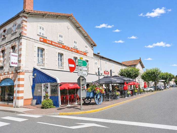
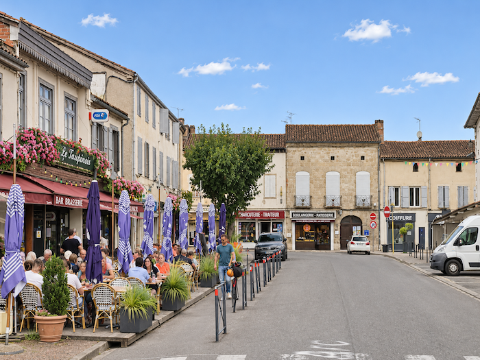
Today, you are walking through Bas-Armagnac, and the GR65 continues its southwestward course. By the end of the stage, you will reach Nogaro, a small town at the far end of the Gers department, where engines go “vroom-vroom”.
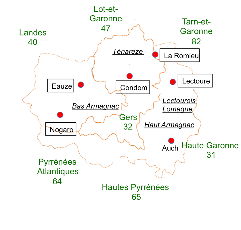
But where there is Bas-Armagnac, there is also Armagnac brandy. In 2011, of the 12,000 hectares devoted to Armagnac production, the vast majority were located in the Gers, with the remainder in the Landes and Lot-et-Garonne departments. This is a far cry from the 80,000 hectares devoted to cognac production. A substantial proportion of these vineyards also produce wines sold directly as regional or table wines, particularly Côtes de Gascogne. Along the route, you will come across several of these regional appellations, notably Saint-Mont and Côtes de Gascogne.
Naturally, the flavor and subtlety of Armagnac are closely linked to the terroir from which it comes. Or so we are led to believe. The most refined Armagnac is said to come from Bas-Armagnac, also known as Armagnac Noir. It has a distinctly woody character and is produced across western Gers, around Nogaro and Eauze, and southeastern Landes, near Villeneuve-de-Marsan. The landscape consists of gently sloping hills, carved by the valleys of the Douze and Midour rivers, which flow northwestwards before joining the Adour. Beneath the surface lies a thick layer of clay, mixed with clayey, iron-rich sands, known locally as “boulbènes”. The terraces and valley floors, formed from molasse deposits, are not used for growing vines. Long live clay, which gives us such delicate, fruity and wonderfully complex spirits!
Armagnac is also produced in the Ténarèze and Condomois regions, stretching across northern Gers, around Condom, and southern Lot-et-Garonne. Here, the landscape is divided by the valleys of the Gélise, Auzoue, Osse and Baïse, rivers that all flow northwards towards the Garonne. Limestone clearly predominates over clay. The soil is shallower than in Bas-Armagnac, and the resulting Armagnacs are fuller-bodied and better suited to ageing. But do not draw too many conclusions from all this geological mumbo-jumbo. Winegrowing is far more subtle than that. Admittedly, the great Pétrus has its roots firmly planted in clay, but the finest Burgundies all grow on limestone. Parker will know which are his favourites, and he may well prefer the Armagnacs of Ténarèze to those of Aire-sur-l’Adour! In Haut-Armagnac, in the eastern part of the appellation, the brandy is known as Armagnac Blanc, because of the pale hills composed of marl, molasse and pebbles. Why is Armagnac less celebrated here? Who knows? It remains something of a mystery… But before sampling a little Armagnac, should the temptation arise, you will probably have eaten duck, duck and more duck, prepared in every imaginable way, in the gîtes, guesthouses and restaurants along the way. And yet, as you follow the path, you may not see a single duck. They are there, nevertheless, hidden away indoors. A grain silo beside a farm is often a telltale sign of their presence. Feeding all these birds requires enormous quantities of maize, and maize is certainly not in short supply here. It has largely replaced wheat and other cereal crops.
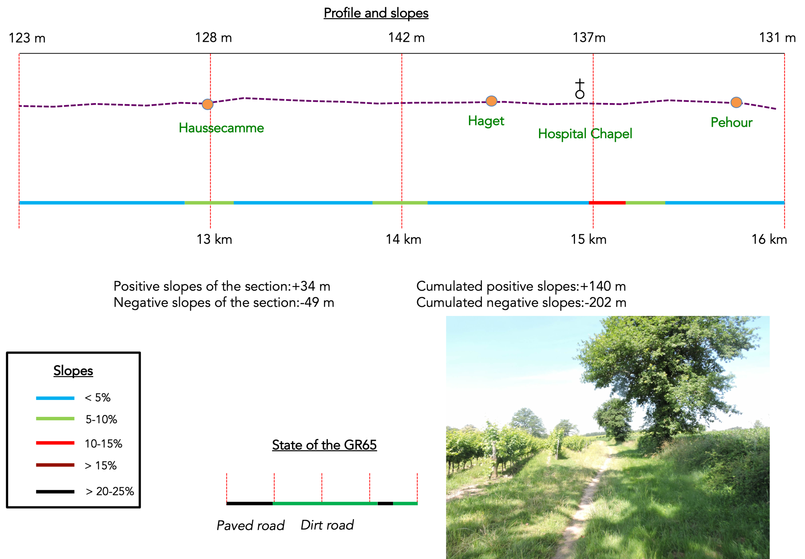
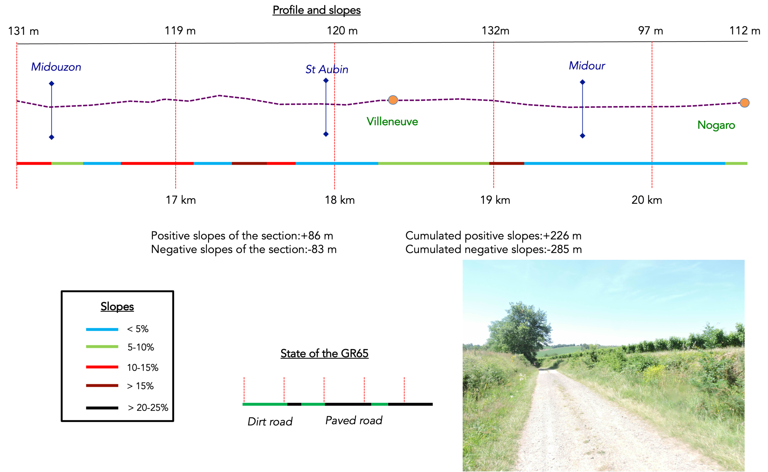
Difficulty level: Today’s elevation changes are almost negligible (+226 meters /- 285 meters). The stage is relatively short and presents no particular difficulty. The slopes occasionally become a little steeper as you descend towards a stream and climb back up towards the next one.
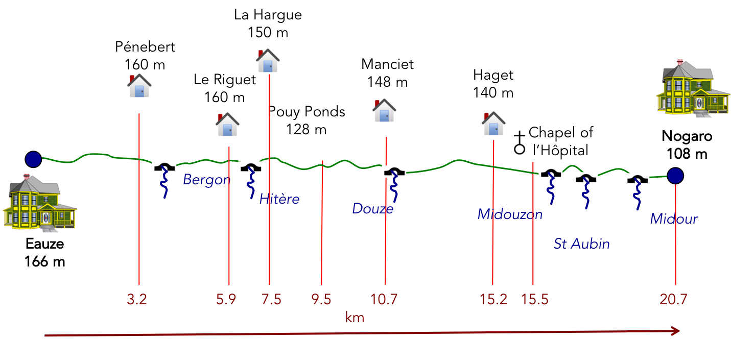
State of the GR65: Once again, as has now become something of a habit, this stage involves almost equal distances on paved roads and on dirt or grassy paths:
- Paved roads: 10.2 km
- Dirt roads: 10.5 km
Sometimes, for reasons of logistics or housing possibilities, these stages mix routes operated on different days, having passed several times on Via Podiensis. From then on, the skies, the rain, or the seasons can vary. But, generally this is not the case, and in fact this does not change the description of the course.
It is very difficult to specify with certainty the incline of the slopes, whatever the system you use.
For « real slopes », reread the mileage manual on the home page.

Section 1: On the way to the first ducks of the Camino de Santiago
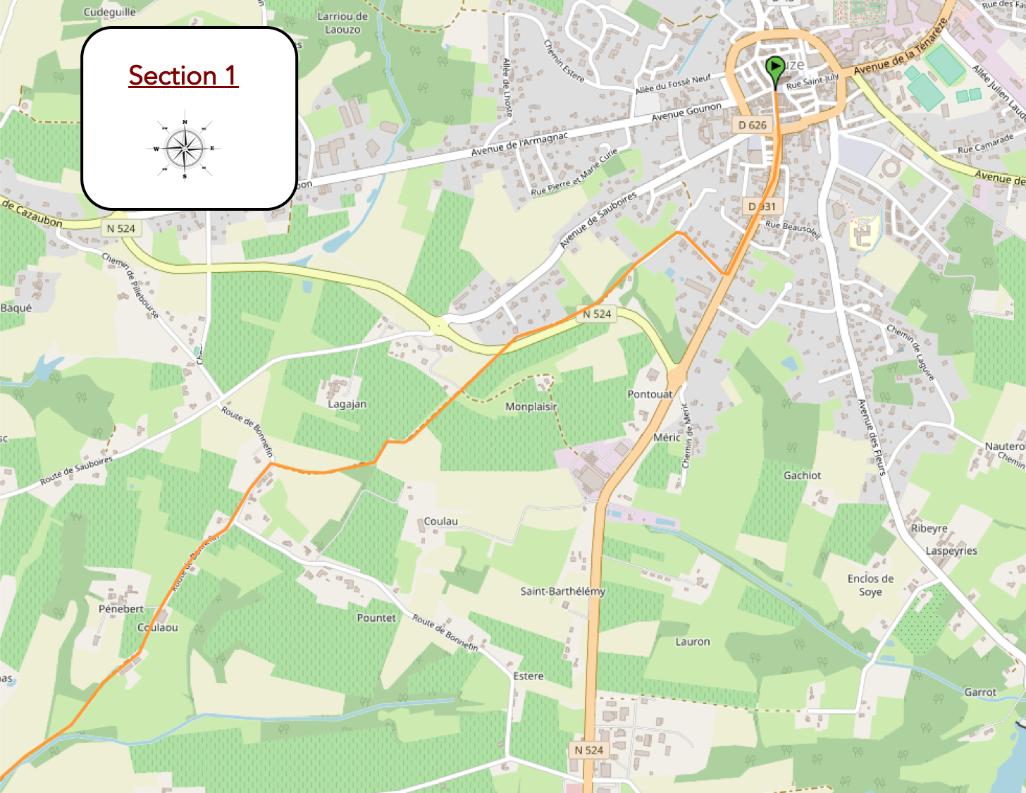
Overview of the route’s challenges: a route presenting no particular difficulty.
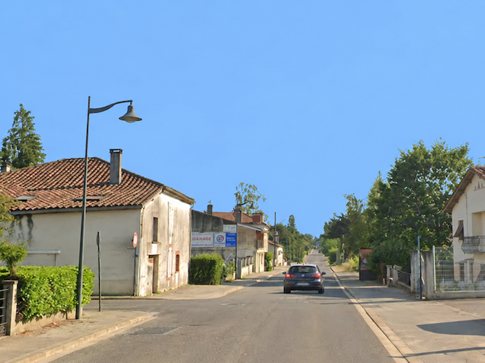
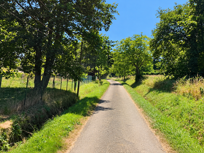
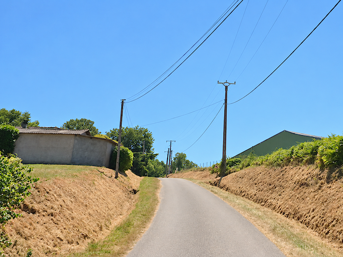
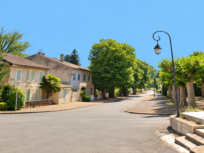
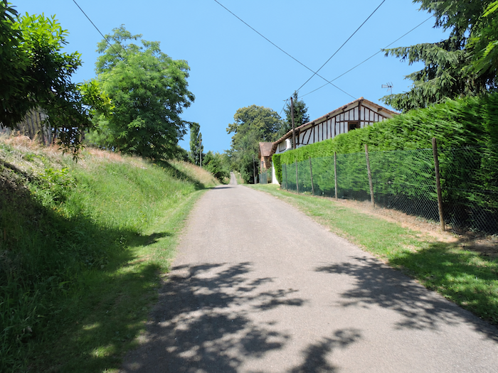
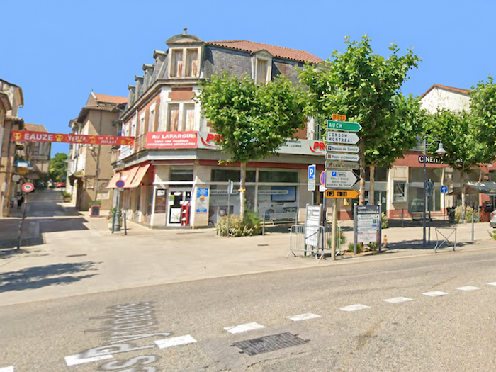
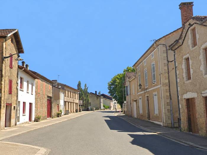
| The GR65 leaves Eauze through its southern outskirts, climbing “Avenue des Pyrénées”, where the main road stretches its ribbon of asphalt between the last closely packed buildings of the town. |
 |
 |
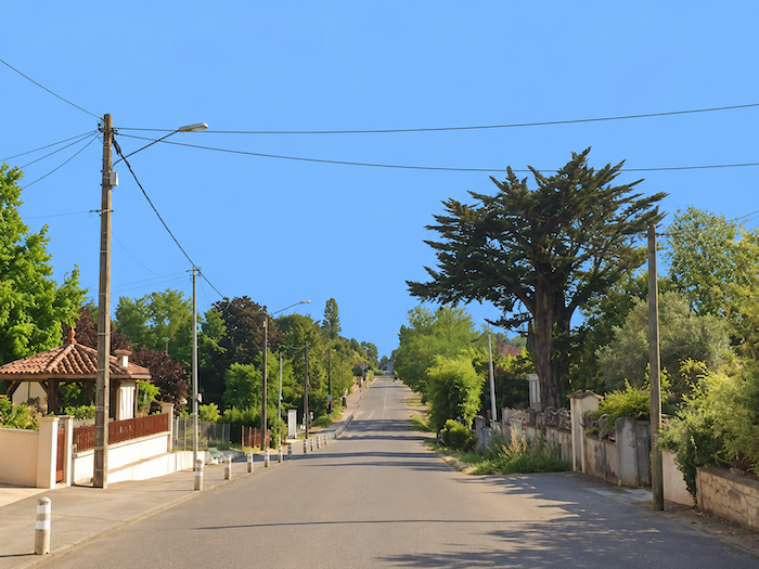
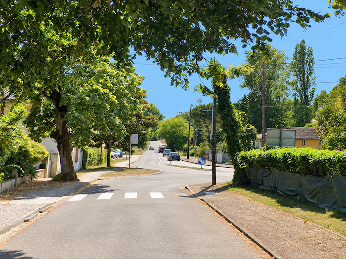
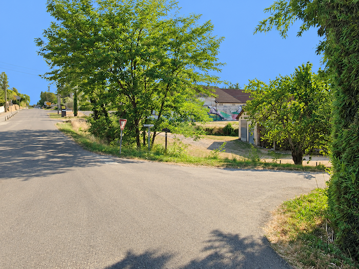
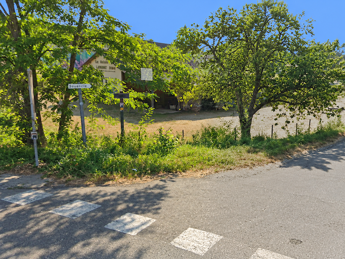
| Before long, however, the main thoroughfare is abandoned in favor of a quieter road, winding between scattered villas in that uncertain landscape where the town gradually begins to give way to the countryside. |
 |
 |
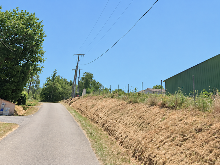
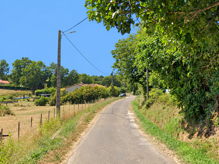
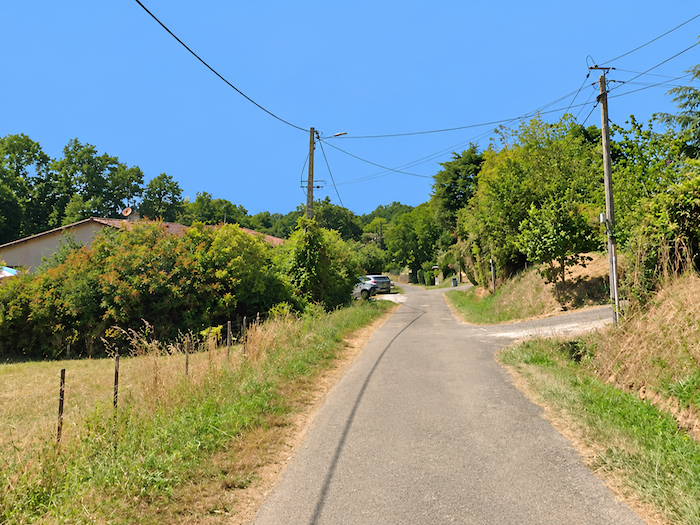
| Beyond the last houses of the suburb, the gradient increases ever so slightly. Small, carefully tended gardens, hedges bordering private properties and a few discreet fences accompany the climb towards higher ground, while the rural horizon gradually emerges beyond the final dwellings. |
 |
 |
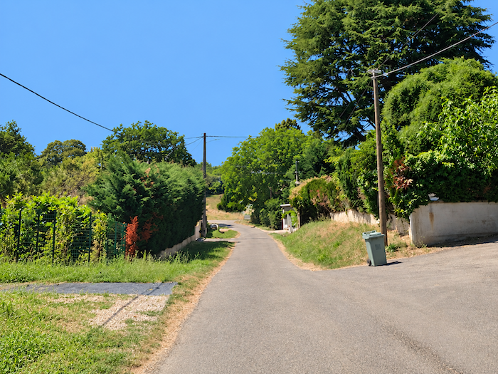
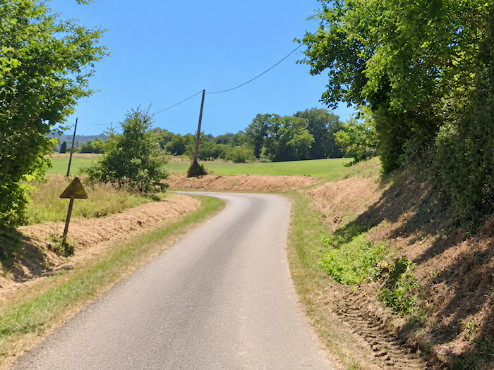
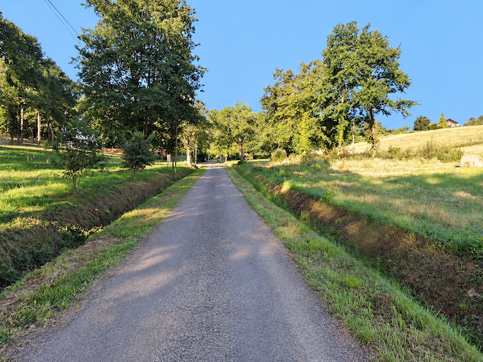
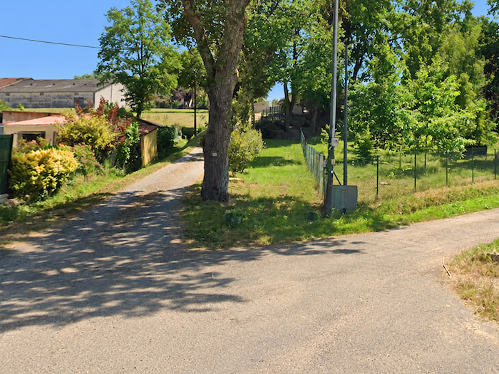
| Higher up, the road changes direction once again and continues its ascent through a series of gentle bends, slipping almost unnoticed between the last villas perched on the heights above the town. Buildings become fewer, gardens fade away and vegetation gradually reclaims its territory. |
 |
 |
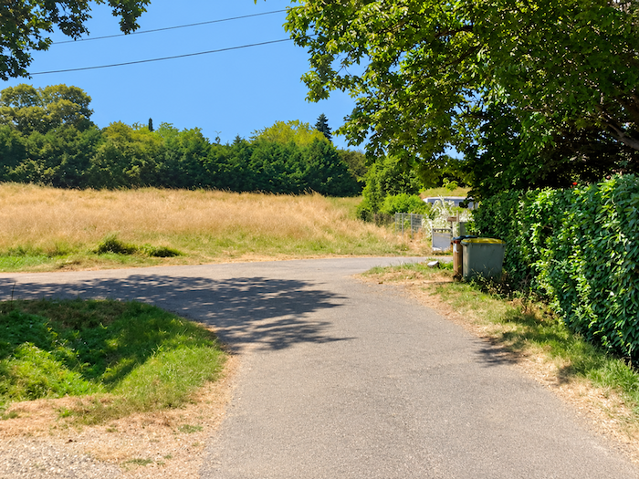
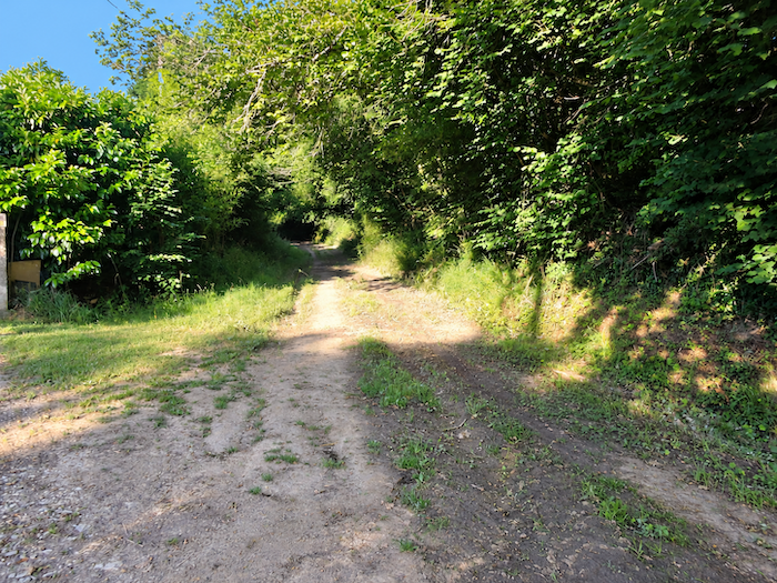
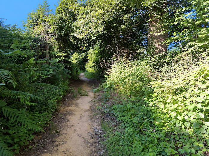
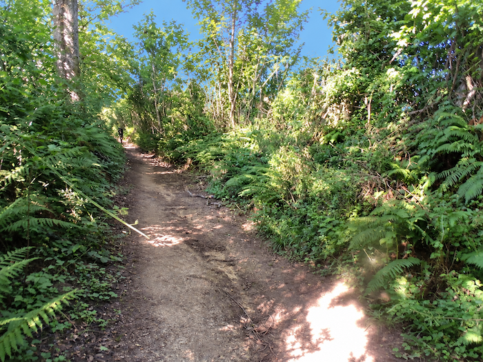
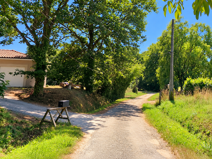
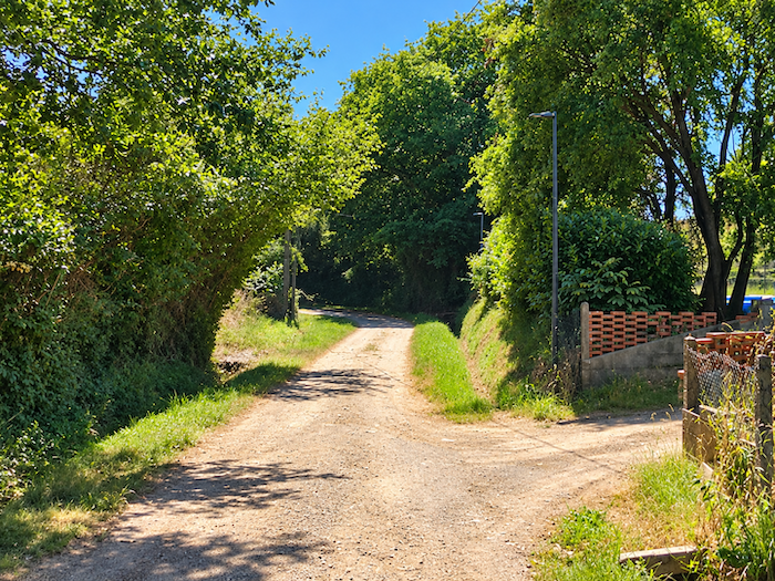
| The asphalt eventually comes to an end at a dead end. A dirt path then takes over, climbing beneath the trees, through tall grasses and bushes that gradually narrow the passage. The sounds of the suburbs are now a distant memory, and the walker rediscovers the intimacy of a woodland undergrowth where nature shapes the surroundings according to its own designs. |
 |
 |
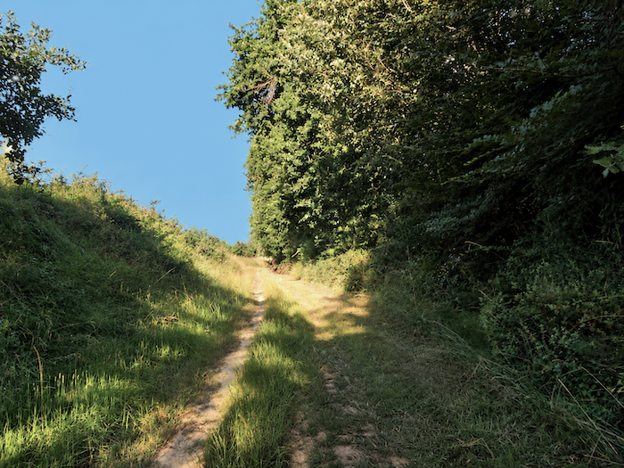
| Here, oaks reign supreme. Their branches spread above a dense, almost tangled undergrowth, where shrubs and thickets form a vigorous jumble of vegetation. |
 |
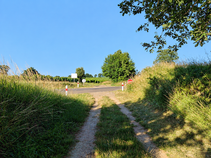 |
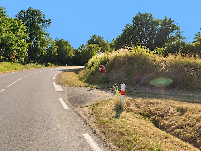
| At the top of the climb, the GR65 returns to asphalt near the first vineyards, around the locality of Monplaisir. A sign announces that you are entering the territory of Côtes de Gascogne. The information is mildly amusing, since walkers have already been crossing Gascon soil for several stages, and its identity extends far beyond the boundaries of a wine-growing region. Admittedly, the borders of Gascony have shifted over the centuries, following the twists and turns of history. Yet this ancient province, shaped more by its language, traditions and distinctive way of life than by administrative boundaries, remains firmly rooted today in the Gers, Landes and Hautes-Pyrénées departments. |
 |
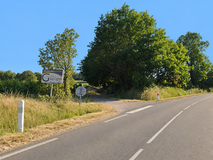 |
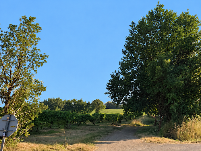
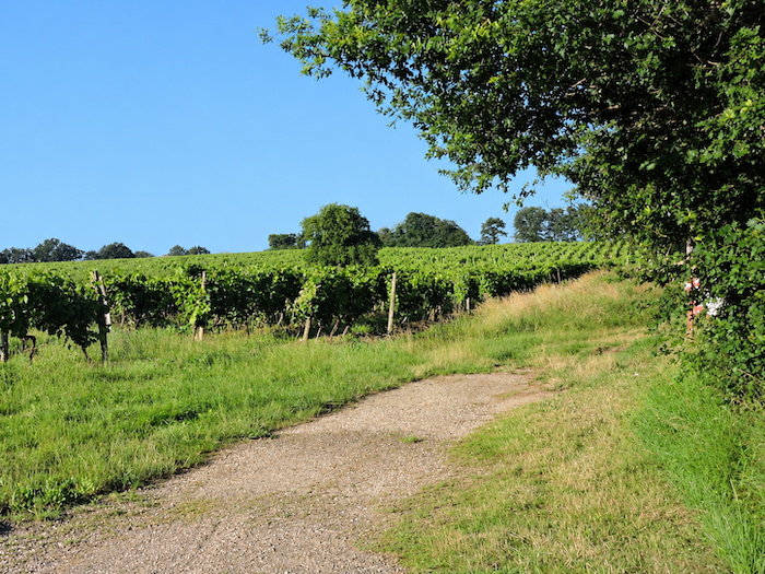
| The GR65 spends little time on the asphalt. Almost as soon as it reaches the road, it crosses it and heads into the rows of vines. Although southwestern France proudly maintains its tradition of red wines, Côtes de Gascogne shows a marked preference for whites, whether dry or sweet. Most of its vineyards lie within the Gers, extending only slightly into the Landes. A substantial proportion of production is exported, while certain grape varieties, particularly Ugni Blanc, are also used in the making of Armagnac. This same Ugni Blanc, grown in abundance, even finds its way onto supermarket shelves across Europe. |
 |
 |
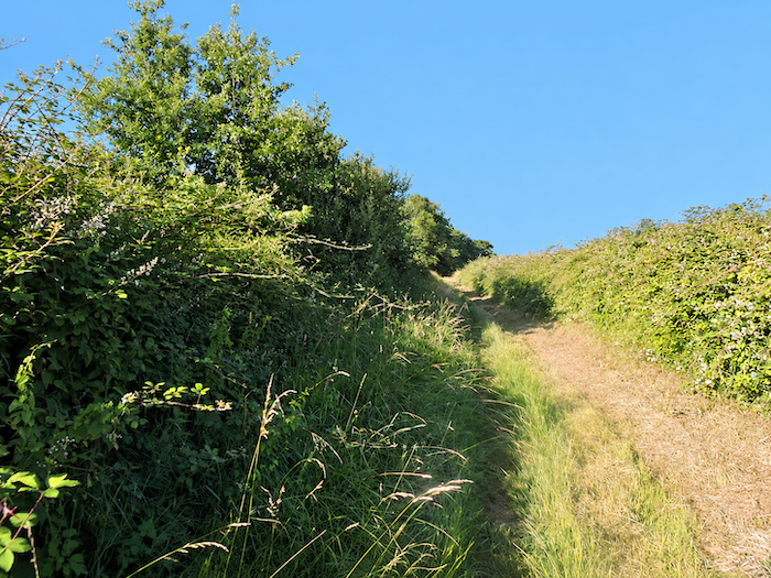
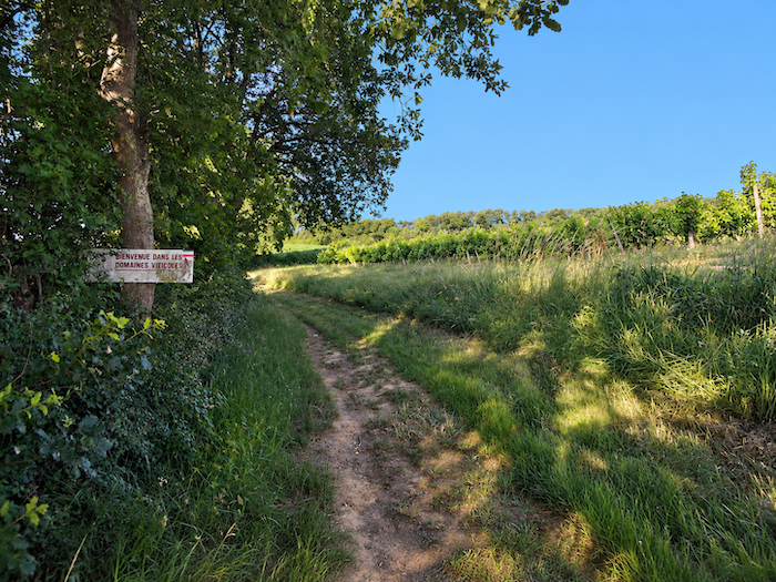
| Gradually, the walk loses its carefully manicured appearance. The path becomes more rustic, almost wild, running alongside the thick hedges that border the vineyard plots. Vegetation grows denser here, as though the countryside were already seeking to reclaim the neatly ordered rows of vines. |
 |
 |
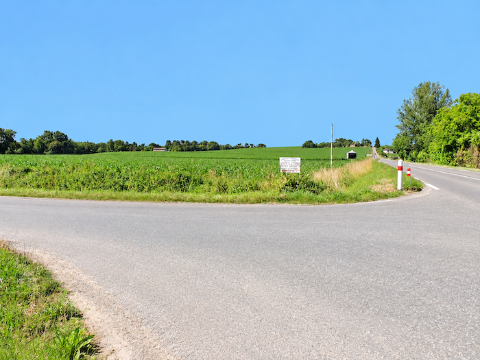
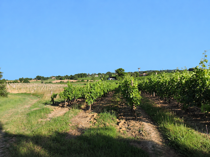
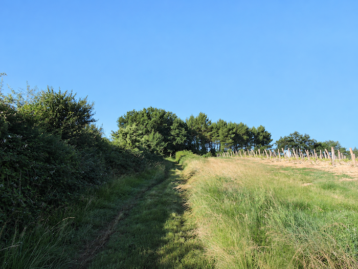
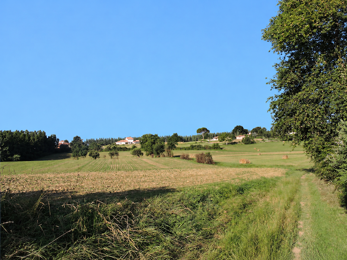
| The vineyards are still very much present, but their dominance is soon coming to an end. Other crops now compete for space in the landscape, particularly maize, but also soybeans and sugar beet. Across these gently sloping hillsides, the climb continues without difficulty, through generously cultivated countryside where the fields form an ever-changing mosaic. Here and there, traditional farmhouses remind us that these lands are not merely devoted to harvests, but remain places where people live and work. |
 |
 |
| A little higher up, the dirt path gives way to a paved road. |
 |
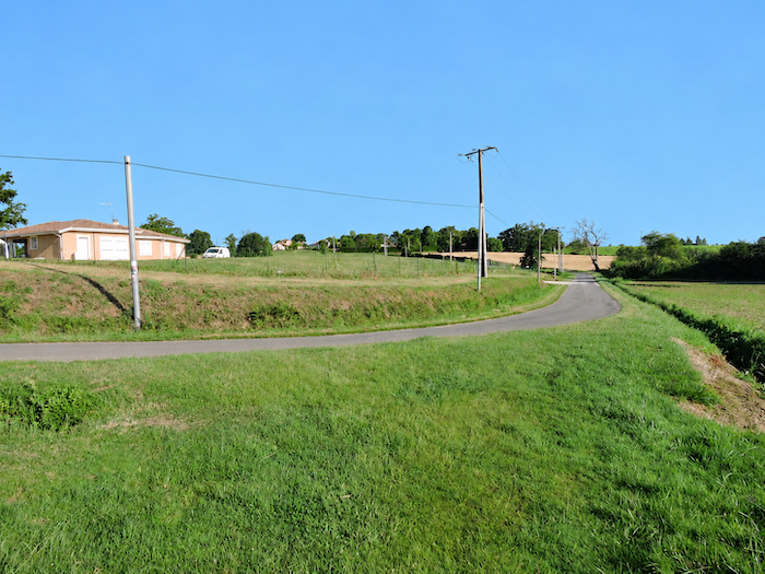 |
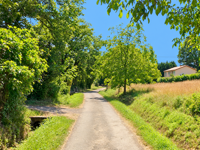
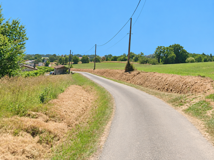
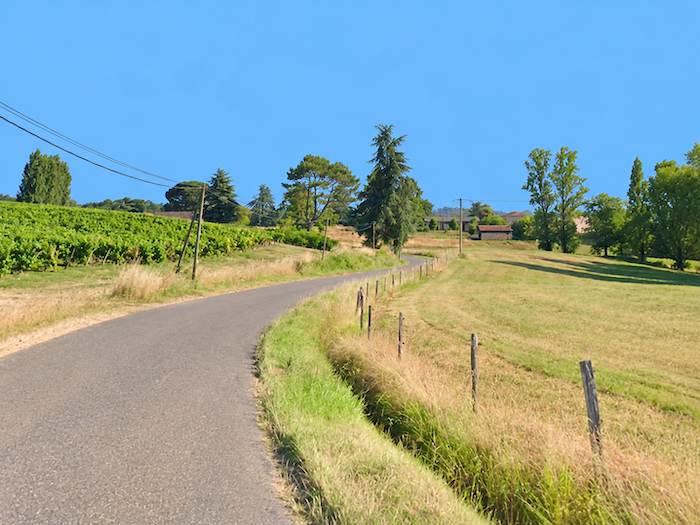
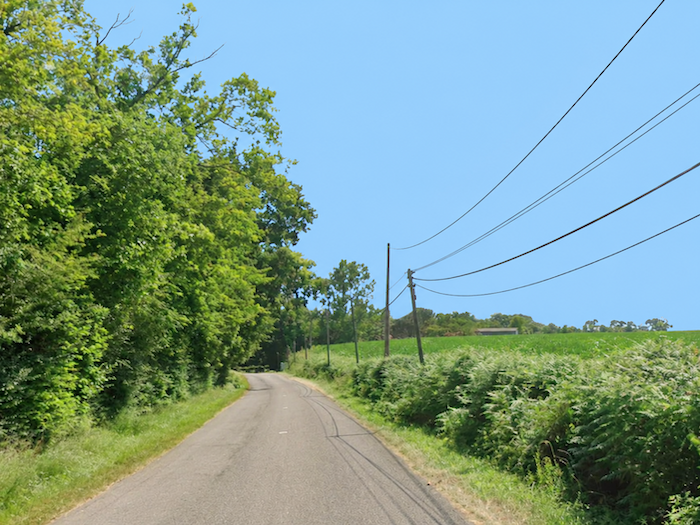
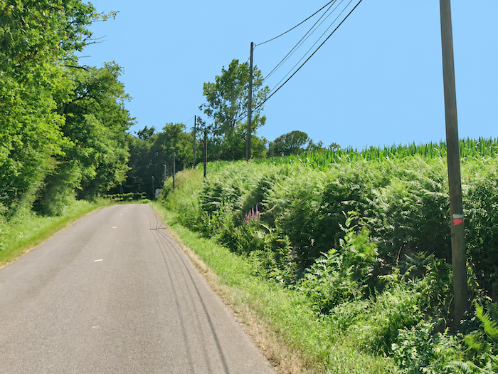
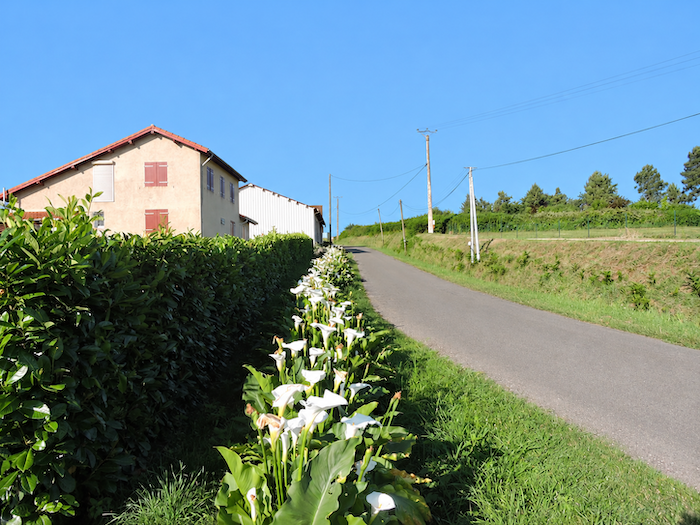
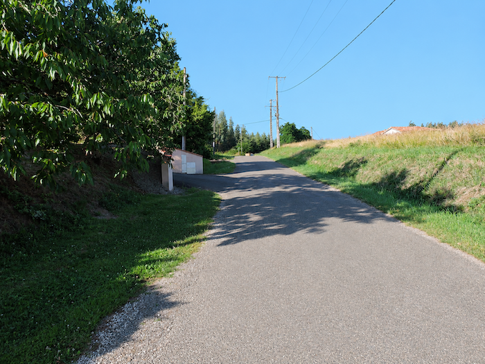
| The road continues climbing through countryside that is far from deserted. Small farms, isolated villas and agricultural sheds punctuate the roadside, while oaks and ash trees spread their leafy canopies above the banks. Rural life makes its presence felt at every turn, in this succession of modest buildings, cultivated plots and clusters of trees. |
 |
 |
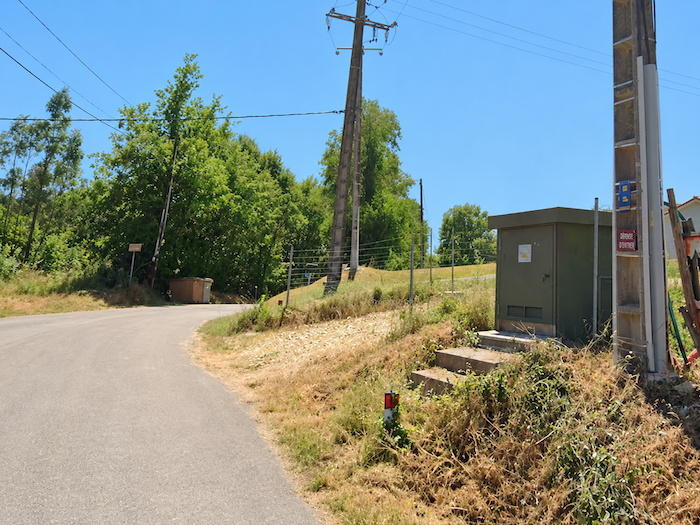
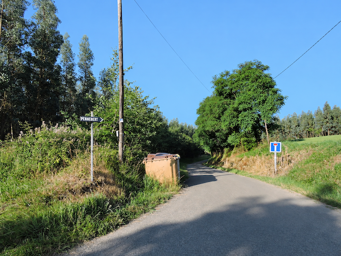
| The route now heads towards Pénebert, through countryside where pastures, occasional vineyard plots and cereal fields lie side by side. Sunflowers, once such a familiar feature of southwestern landscapes, seem to have disappeared from these parts, leaving other crops to clothe the hills. |
 |
 |
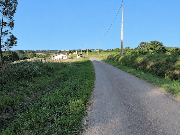
| The climb eases as the road approaches a small plateau near the hamlet. The terrain becomes gentler, opening up broader views across this peaceful, hard-working countryside. |
 |
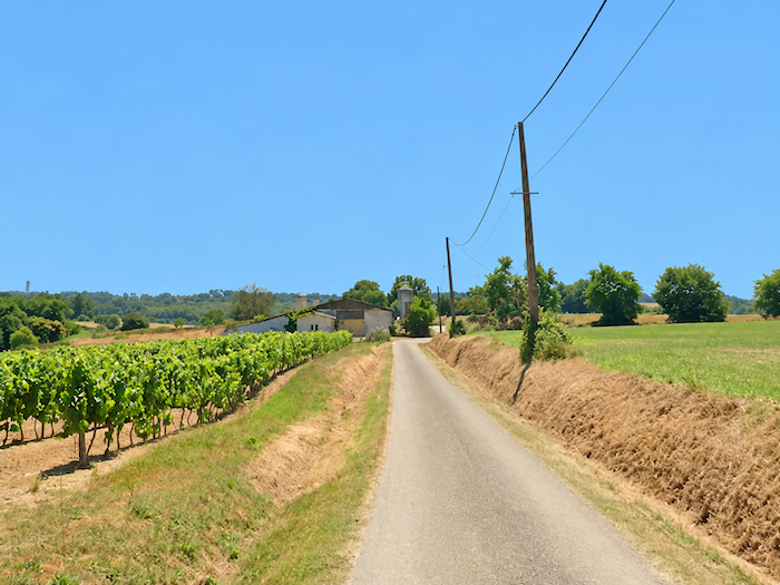 |
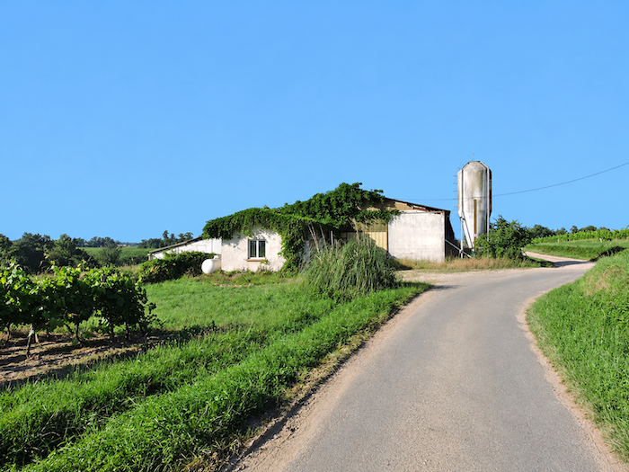
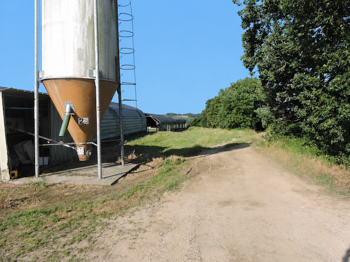
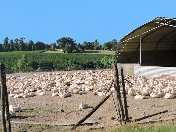
| The silos standing here are certainly not intended to hold the grape harvest! This is the first of these agricultural storage tanks encountered since setting out, but certainly not the last. They are as much a part of the landscape as they are essential equipment for local farms, particularly for feeding poultry and, above all, ducks, whose breeding plays an important and vital role in the rural economy of Gascony. |
 |
 |
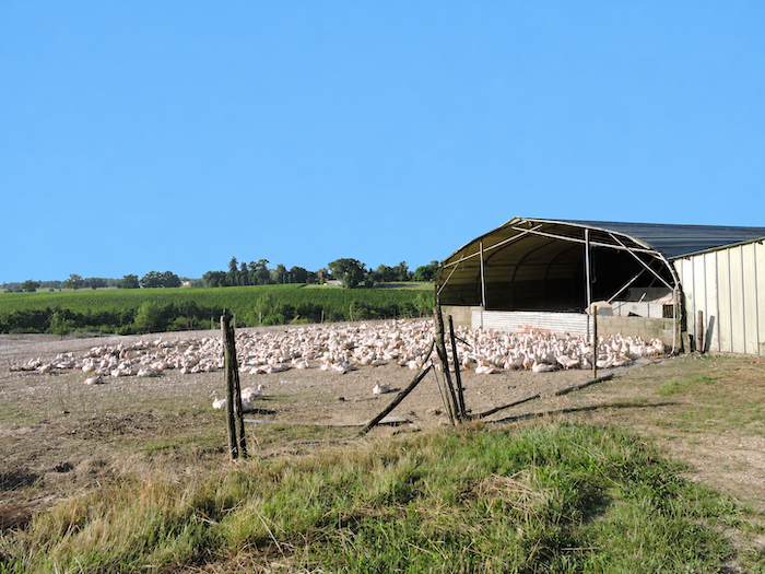
| As for the feathered inhabitants of this countryside, ducks are often all you can hope to see. Even then, you must be fortunate enough to catch them outdoors, since their appearances in the open air are increasingly rare. So, when the opportunity arises, take a moment to observe these birds huddled closely together, gathered in anticipation of a fate that is hardly enviable. A pastoral scene, certainly, but one whose apparent tranquility may be deceptive. What a privilege, indeed, to see them enjoying their precious few moments of freedom! |
 |
 |
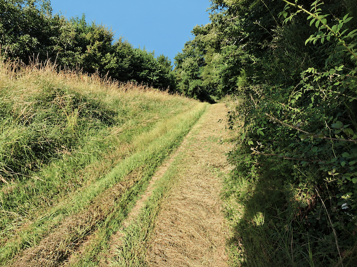
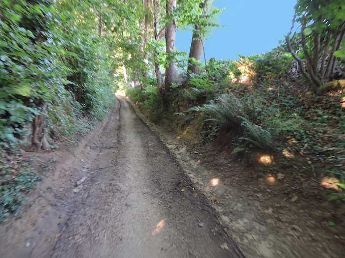
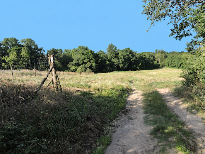
| Beyond the maize silo, the asphalt and cultivated fields give way to a trail of earth and grass, often muddy after rain. The descent begins through woodland, where the trail winds gently between the trees and the edges of the meadows. |
 |
 |
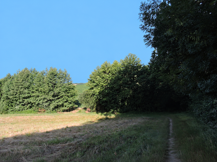
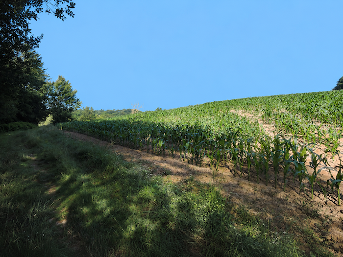
| Further down, maize once again takes possession of the landscape, at the bottom of the dale, where the soil retains its moisture for longer. This water-hungry crop thrives particularly well in the hollows of the terrain, close to streams and damp soils, where conditions are especially favorable to its growth. |
 |
 |
Section 2 : The first extensive maize fields along the Camino de Santiago
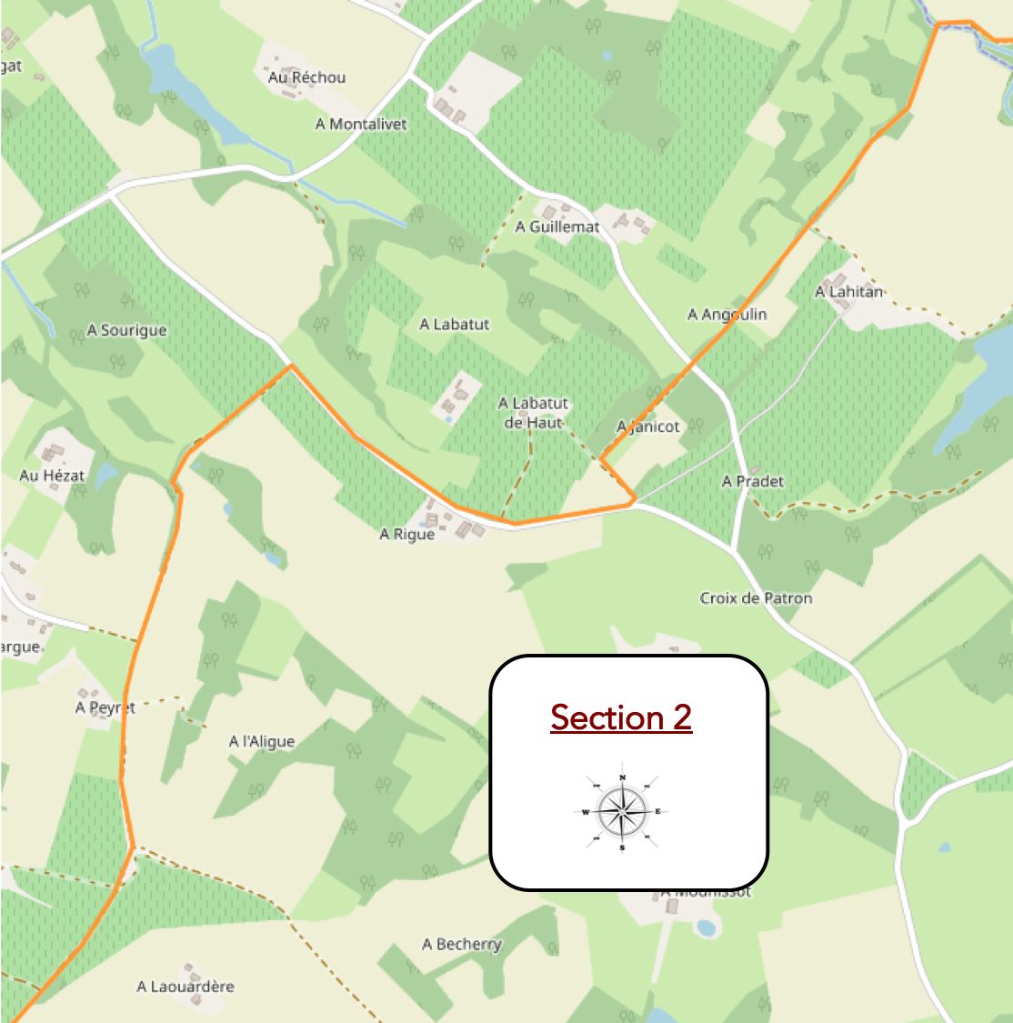
Overview of the route’s challenges: a route presenting no particular difficulty.
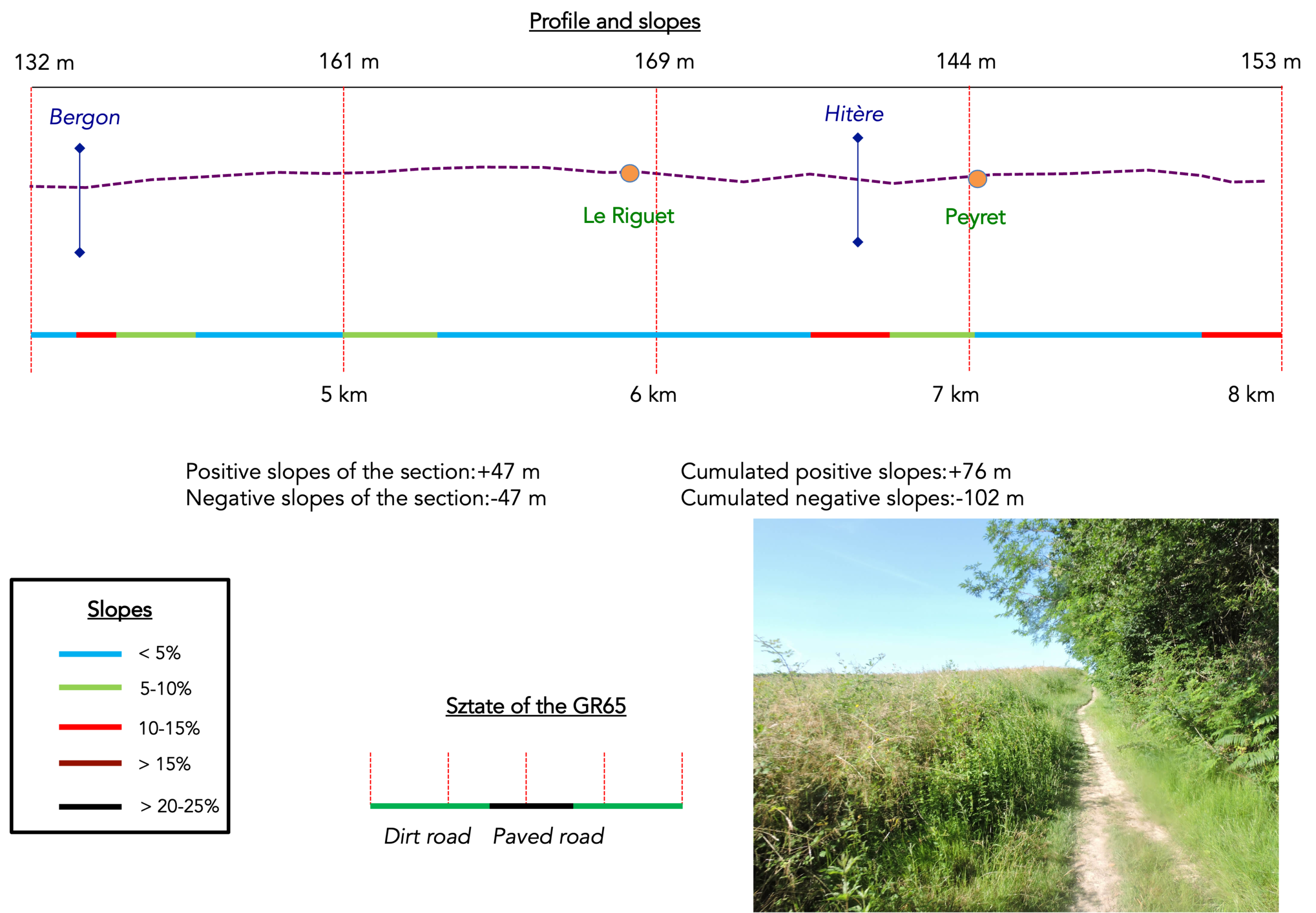
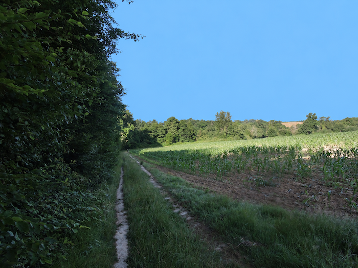
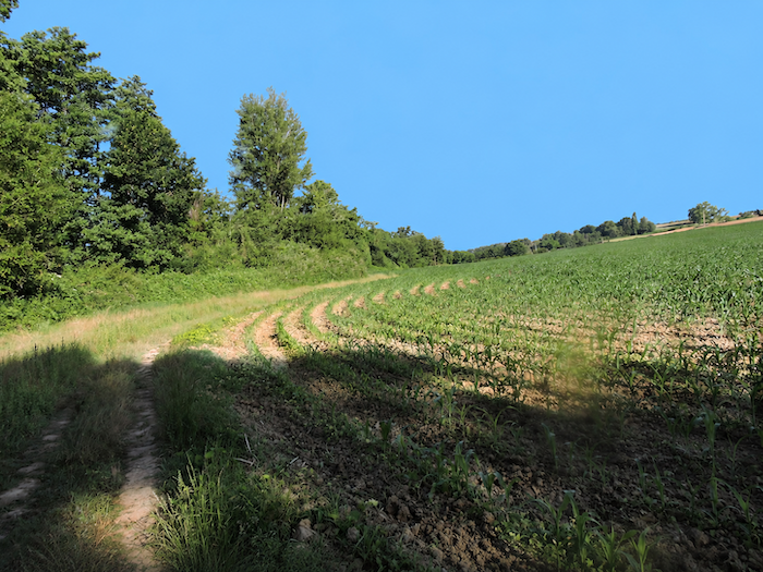
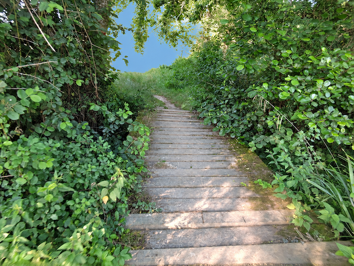
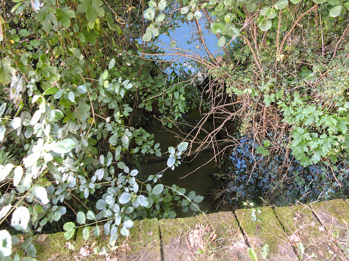
| Further on, the path reaches the end of the small basin and crosses the Bergon, a modest stream whose waters flow with little generosity. There is nothing here to suggest a raging torrent. The thin trickle of water simply continues its discreet journey along the bottom of the dale. |
 |
 |
 |
 |
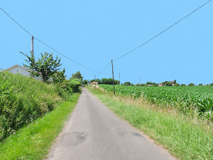
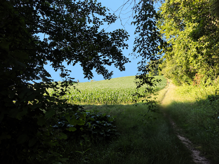
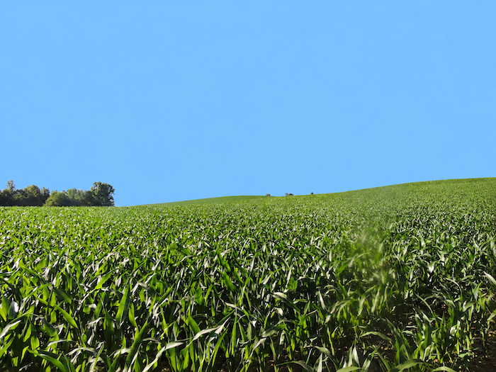
| Leaving the Bergon below, the route begins climbing back towards higher ground, through the exuberant expanse of vast maize fields. Ordinarily, these crops, stretching in endless rows towards the horizon, offer little more than a monotonous sea of greenery. Yet here, they somehow work their charm. The breadth of the hillside, the elegance of its curves and the sheer extent of the cultivated plots lend these fields an unexpected grandeur. The nearby streams may carry only a meagre flow, but the water must come from somewhere, whether from underground reserves or irrigation. Maize is a demanding crop. It is estimated that nearly 500 liters of water are needed to produce a kilogram of grain, sometimes less than for wheat. Without sufficient moisture, the plant suffers from water stress, and the prospects of a good harvest rapidly diminish. |
 |
 |
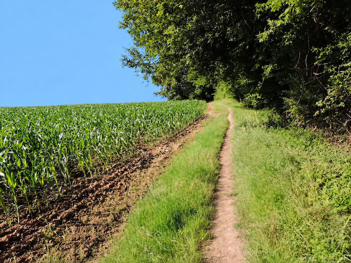
| The climb is no mere formality. The gradient becomes quite steep, demanding a little effort from the walker, until the great expanses of maize finally give way to the welcoming shade of the woodland. |
 |
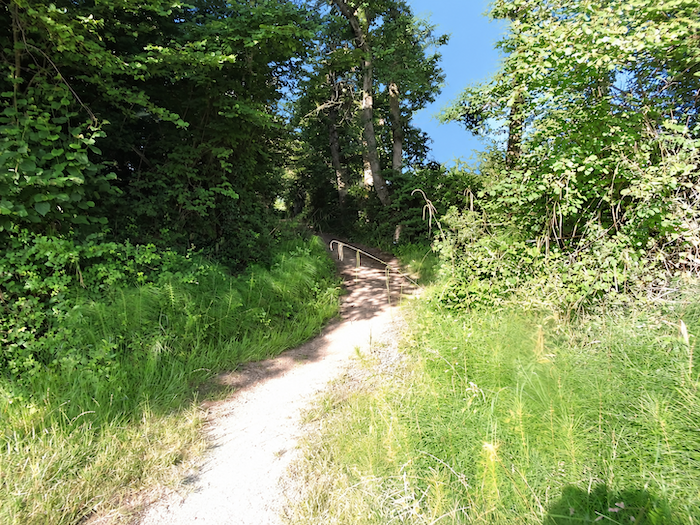 |
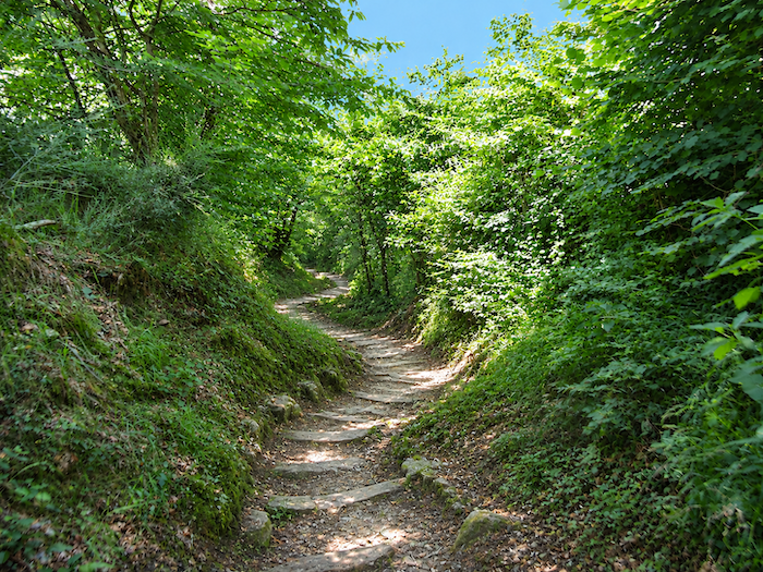
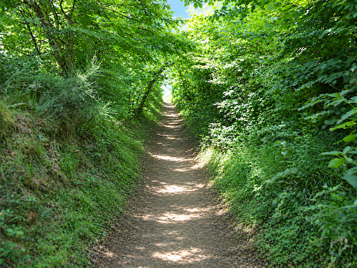
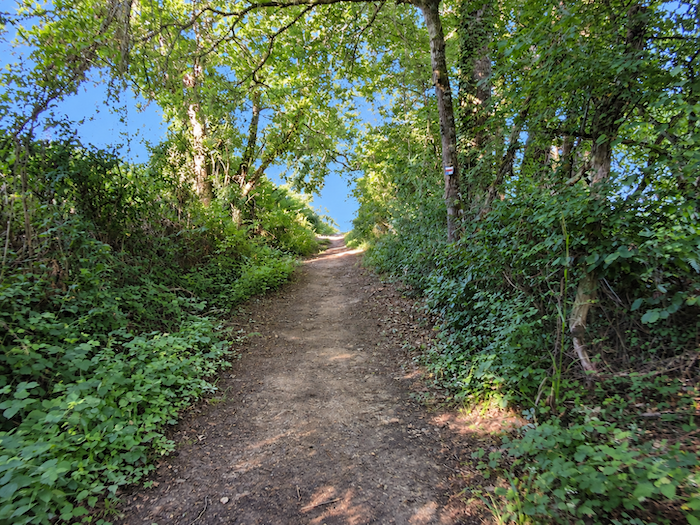
| A narrow passage then plunges into a dense stand of oaks, maples and chestnut trees. The vegetation closes in, branches and foliage intertwine, and the woodland takes on the appearance of a green corridor. The trees seem to be holding some secret conversation among themselves, their branches leaning so close to the walker that they almost appear eager to include him in their confidences. |
 |
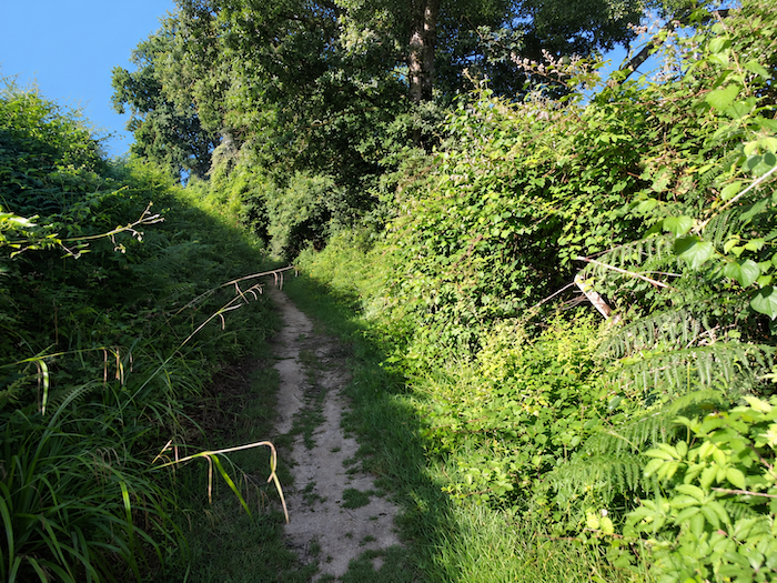 |
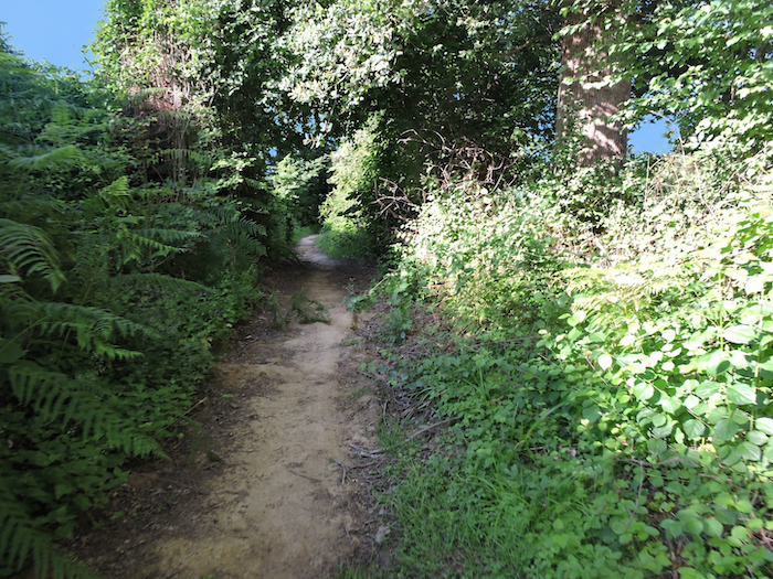
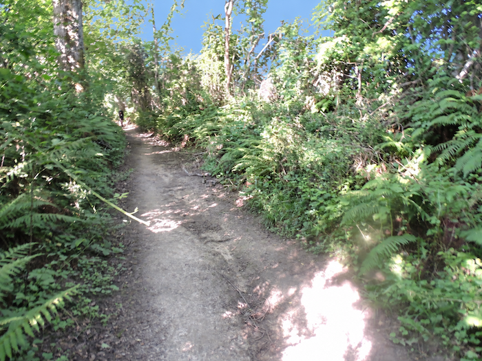
| Beneath this leafy canopy, the slope remains steep in places. The clay soil, often damp and slippery, calls for a little care, while undergrowth, viburnum bushes and the heavy fronds of ferns spill over the edges of the trail. Here, nature no longer merely accompanies the walk. It almost seems intent on narrowing the passage itself. |
 |
 |
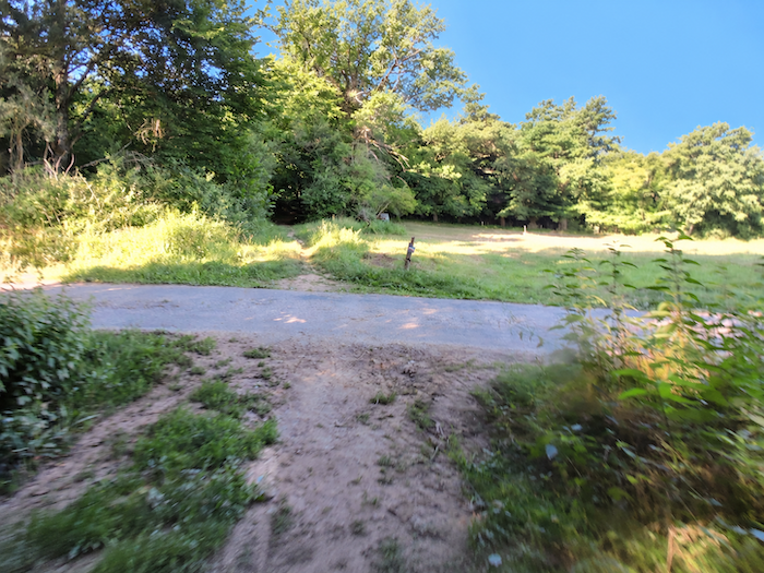
| Higher up, the path crosses a small farm road before resuming its ascent, now considerably gentler, towards the top of the ridge. It continues to skirt the woodland, as though reluctant to leave its protective shade behind for good. |
 |
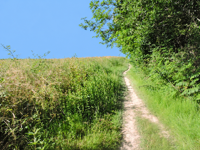 |
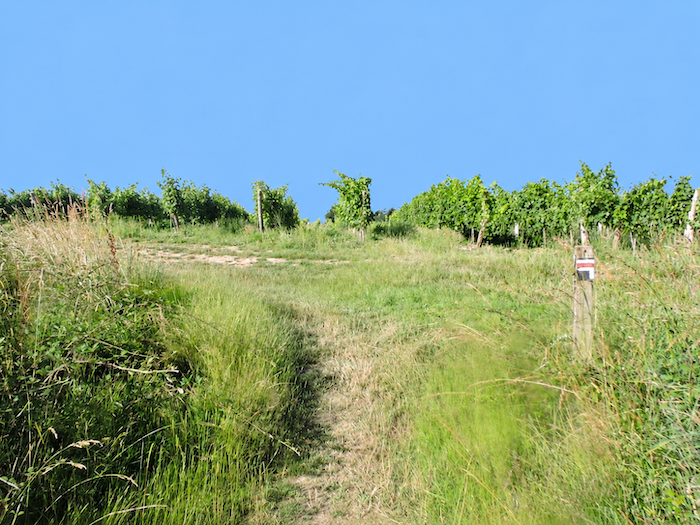
| Emerging from the trees, the landscape suddenly opens out once more. The air circulates freely again, and vineyards reappear on the higher ground. This is certainly no longer the Gers of the earlier stages, with its vast cereal-growing horizons and fields of sunflowers. Here, the relief imposes a different order on the countryside. Maize occupies the slopes and the bottoms of the dales, woodland crowns the hillsides, while vineyards reclaim the heights. Between these different territories, small streams wind through the hollows of the land. And here are the vines once again, impeccably aligned, row upon row, like battalions of soldiers standing to attention. A few wheat fields still dare to show themselves amid this viticultural discipline, like intruders disturbing an order that seems almost too perfectly arranged. |
 |
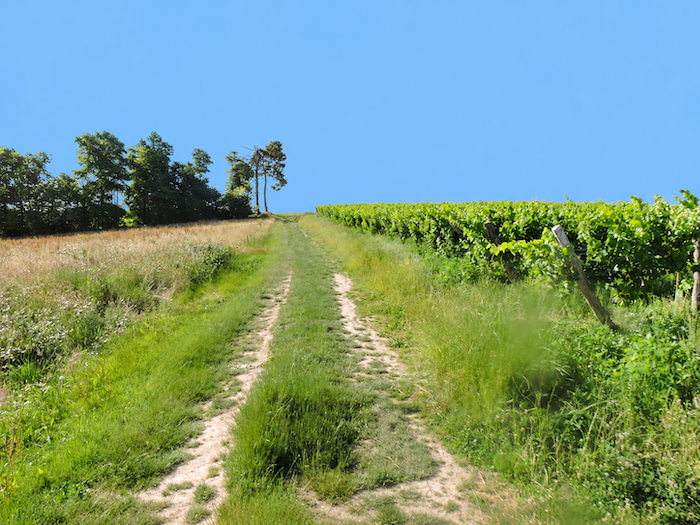 |
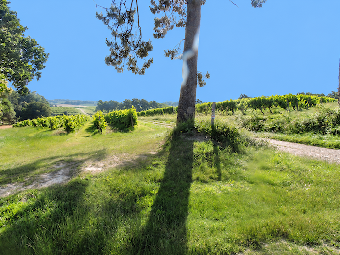
| At the top of the ridge, the GR65 returns to the familiar comfort of asphalt. The road then begins a gentle descent towards the Riguet, gradually leaving behind the heights and their vineyards to reach the lower ground. |
 |
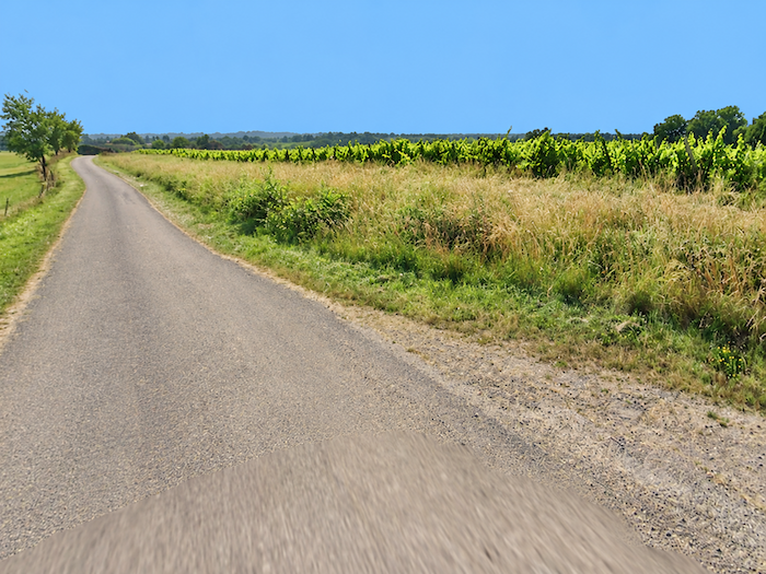 |
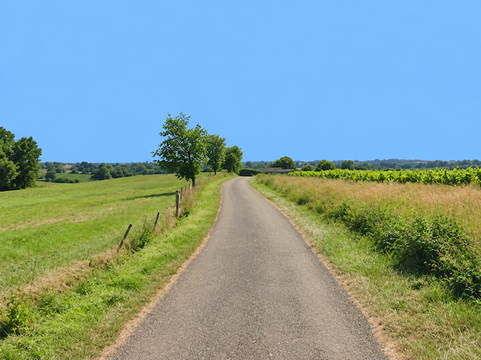
| Do not imagine for a moment that farmers leave the choice of their crops to chance, as though spinning some agricultural roulette wheel. Admittedly, they may occasionally follow their neighbor’s example, but generations of experience have taught them to understand the whims of their land. Why does wheat flourish better here than elsewhere? Why does the vine favor this slope rather than the next? They have probably never needed to consult a soil scientist to unravel these mysteries. Through years of ploughing, sowing and harvesting, and sometimes enduring a few disappointments along the way, they have acquired a wealth of practical knowledge that books cannot always replace. And so, wheat settles here, while vines establish themselves a little further away. Each crop has its own terroir, and each has its rightful place. |
 |
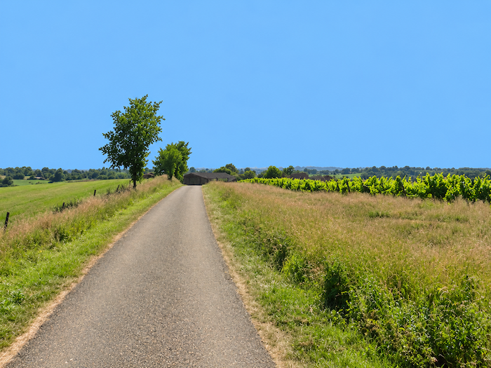 |
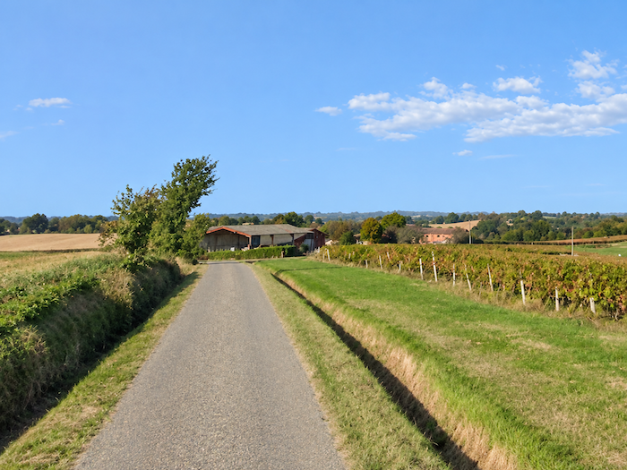
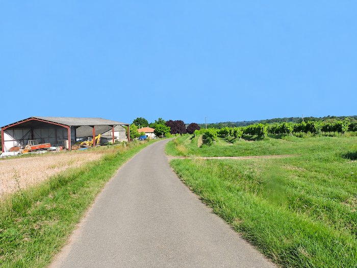
| The road continues along the ridge, between vineyard plots, cultivated fields and open meadows. It passes close to a large agricultural shed where the farm machinery is kept, an entire mechanical arsenal that has become indispensable to modern farming. |
 |
 |
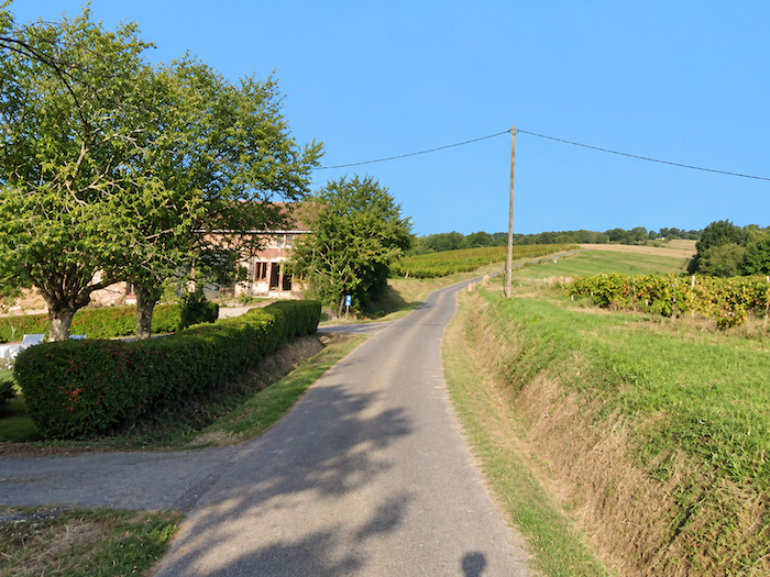
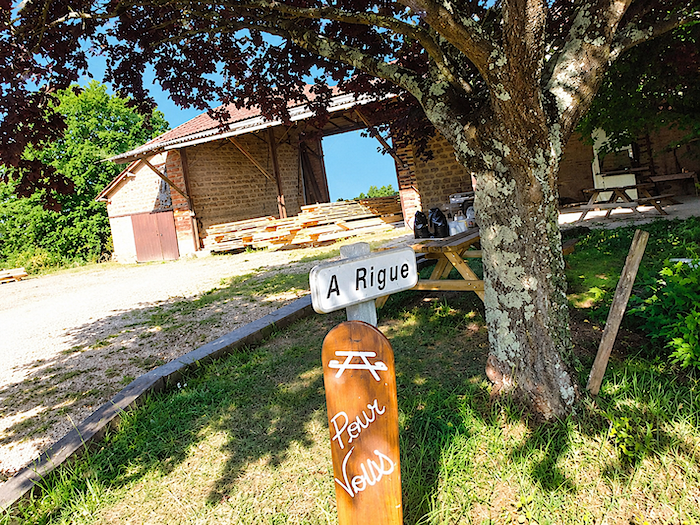
| Houses are few and far between along this country road. One encounters little more than a farm at the locality known as À Rigue, where a picnic table offers walkers a welcome opportunity to rest for a while. |
 |
 |
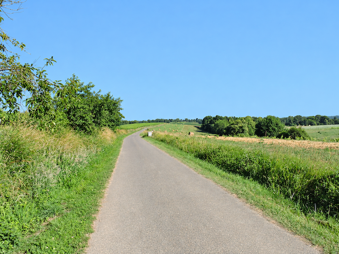
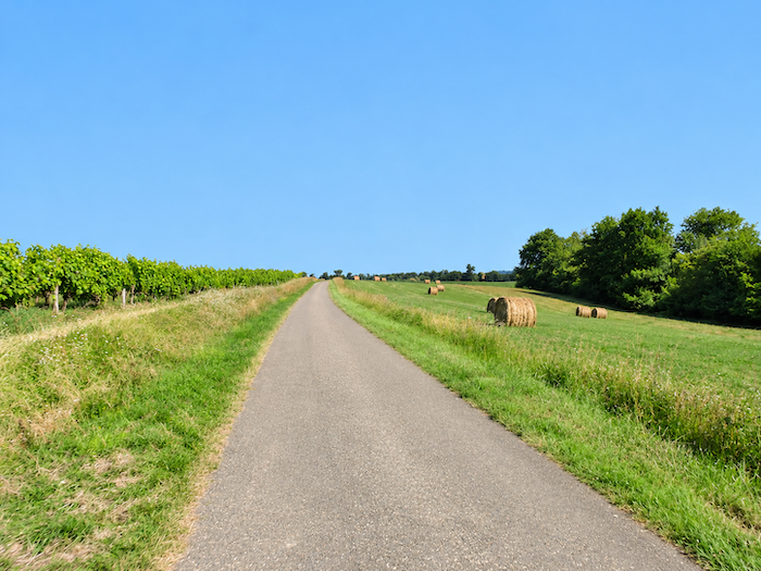
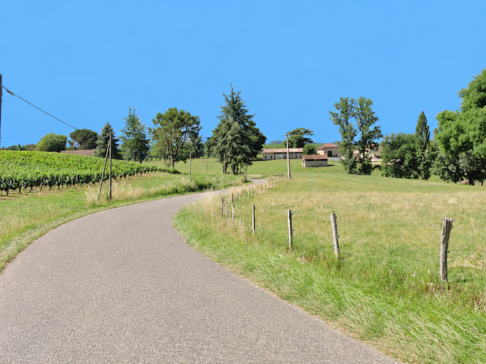
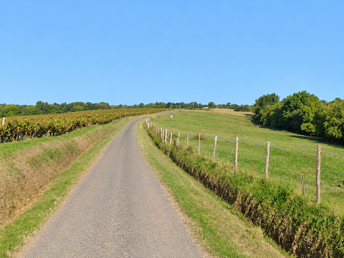
| Then the little road seems to drift into a peaceful slumber as the hours stretch on, lazily unrolling its ribbon of asphalt along an apparently endless ridge. On either side, vineyards and meadows succeed one another in almost unchanging tranquility. Nothing seems inclined to disturb this leisurely crossing of the heights, where the landscape unfolds its gentle undulations without the slightest hurry. |
 |
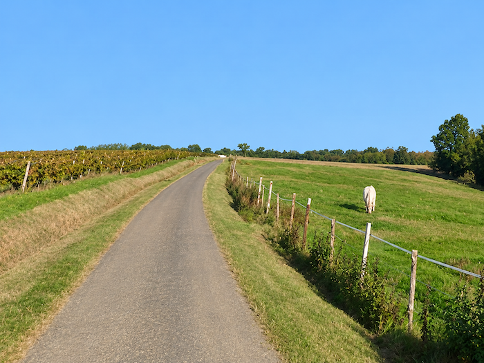 |
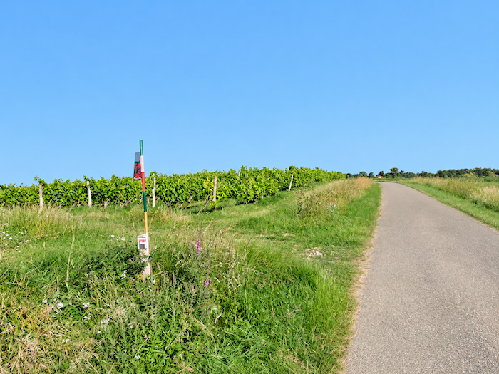
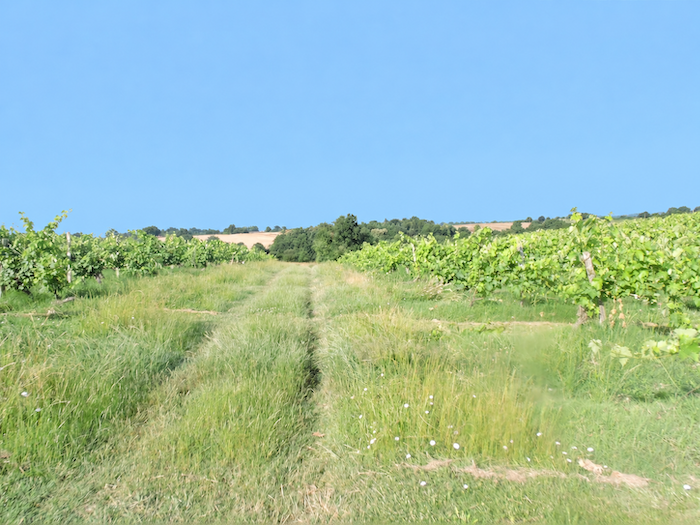
| But after following the whims of the asphalt for so long, the GR65 eventually seems to tire of it. It turns onto a grassy strip winding between the vines, rediscovering the softer feel of earth beneath the feet. Between the rows of vines, pilgrims are not the only travelers. They must share the passage with the winegrowers’ tractors, rather noisier companions on this stroll through the vineyards. |
 |
 |
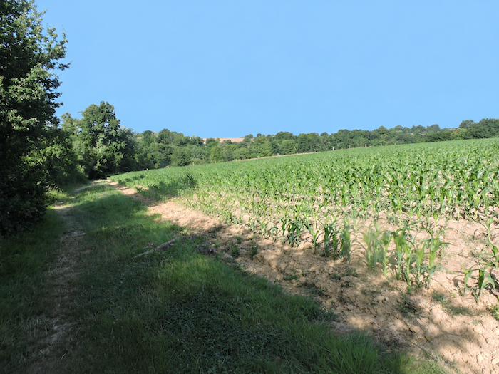
| A little further on, the vineyards take their leave, and maize fields return once again. Hardly surprising, really. In this countryside, where hills and dales follow one another with almost stubborn regularity, the walker can already guess what lies ahead. Another descent into a hollow, down towards some modest stream where one could almost dip one’s feet. And so the dance begins again, among tall grasses, beneath the intermingled branches of oaks, hornbeams, ash trees, field maples and wild chestnuts. This whole leafy company accompanies the descent in cheerful disorder. |
 |
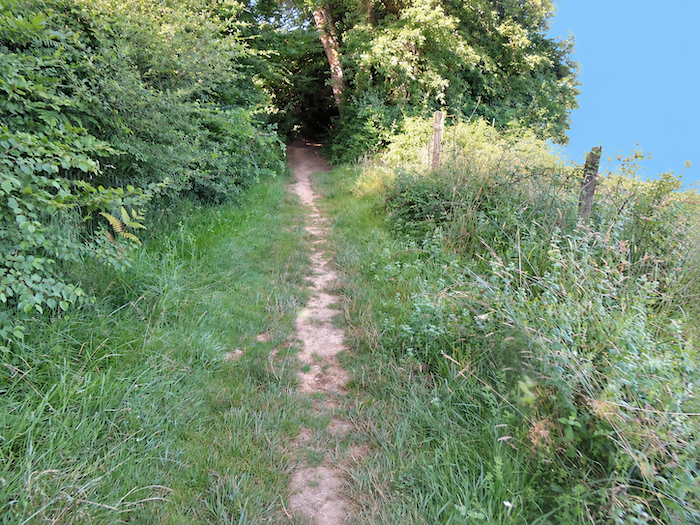 |
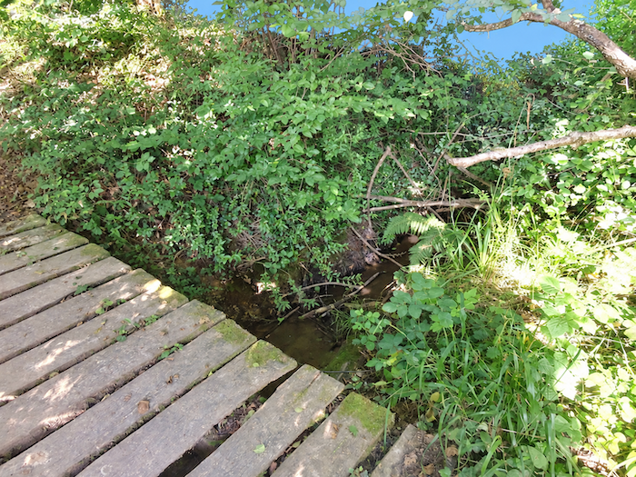
| The landscape thus resumes its familiar refrain. At the bottom of the dale, the discreet Hittère stream is crossed without ceremony. Then, true to what has now become a well-established habit, the path begins climbing back towards the heights, tracing a few gentle zigzags between the young maize plants. No sooner has one hill been left behind than it is already time to think about conquering the next. |
 |
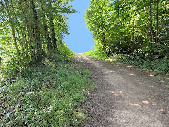 |
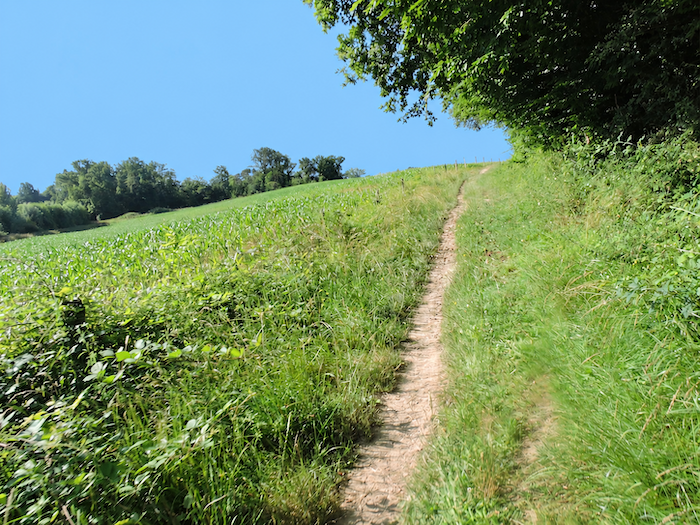
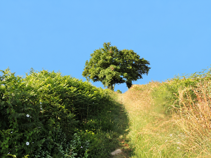
| This time, however, the countryside proves more forgiving. The climb is less demanding and, above all, shorter than the ascent from the Bergon dale. Between the maize fields and the woodland edges, the trail quietly gains height without requiring the same effort as before. |
 |
 |
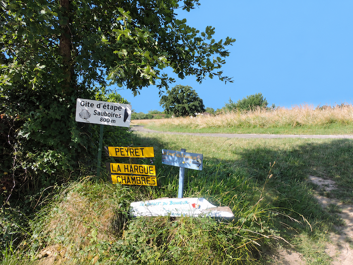
At the top of the ridge, the GR65 emerges at the La Hague crossroads, where a few signs indicate accommodation options in the surrounding area.
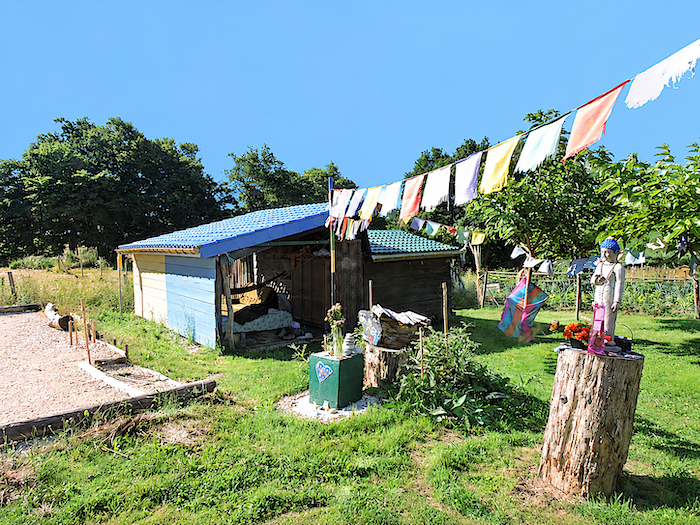
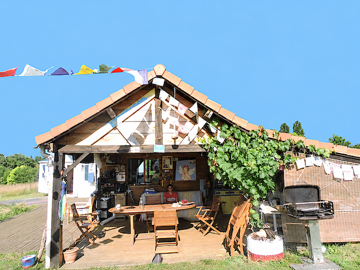
| Just a stone’s throw from the route, a rather unusual stopping place awaits pilgrims: the Chalet du Bonheur. The place cultivates an eclectic, almost surreal charm, as though its objects, colors and whimsical decorations had collectively decided to free themselves from the conventional rules of good taste. One readily stops here out of curiosity, perhaps lingers for pleasure, and some may even choose to spend the night. |
 |
 |
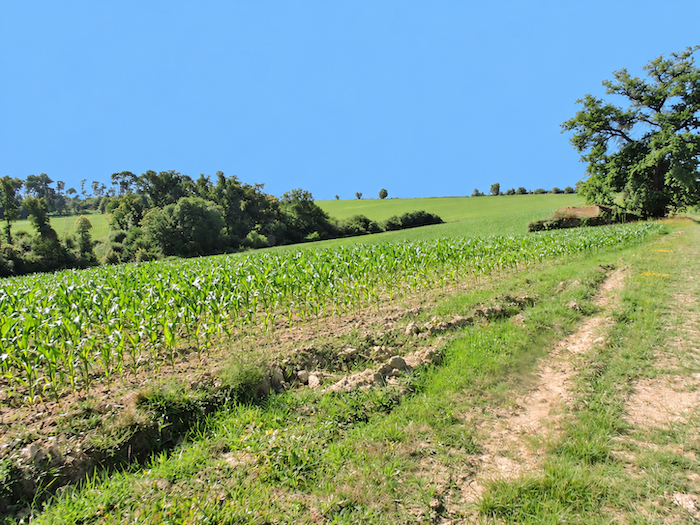
| From the La Hague crossroads, the dirt path continues climbing for a while through the maize fields, heading towards another stretch of woodland. The vineyards have now disappeared from the scene, while the earth beneath the feet takes on the texture of pale, loose sand. This change in the character of the soil is a reminder of just how many different faces these Gascon hills can reveal from one slope to the next. |
 |
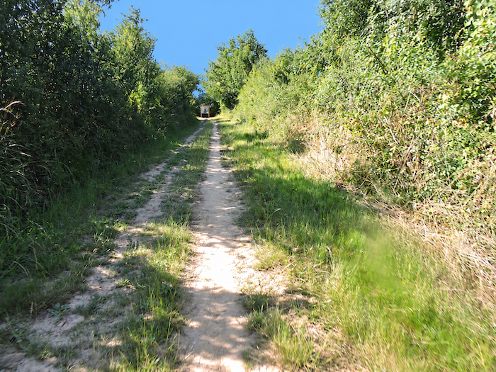 |
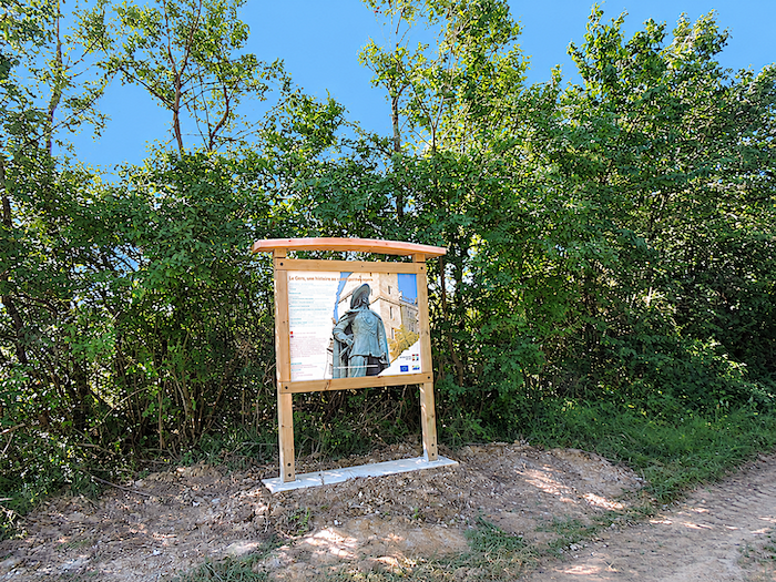
| In this woodland, a little imagination is all it takes to conjure up figures wearing feathered hats, swords at their sides and magnificent, swaggering moustaches. Perhaps the musketeers are not far away, lurking behind an oak tree, ready to leap out at the next bend in the trail. After all, we are still in Gascony, the homeland of d’Artagnan, and these woods sometimes seem to retain something of those old adventures of swords, cloaks and daring exploits. |
 |
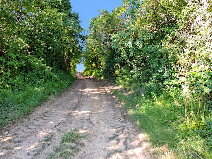 |
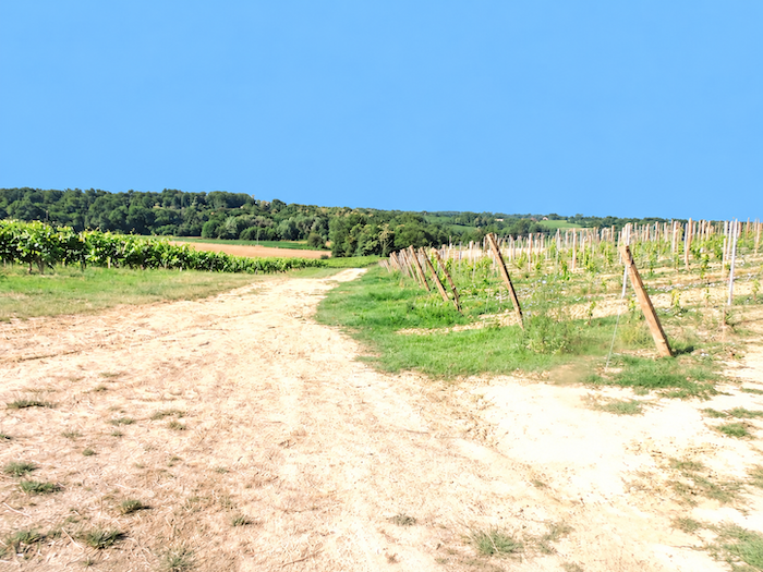
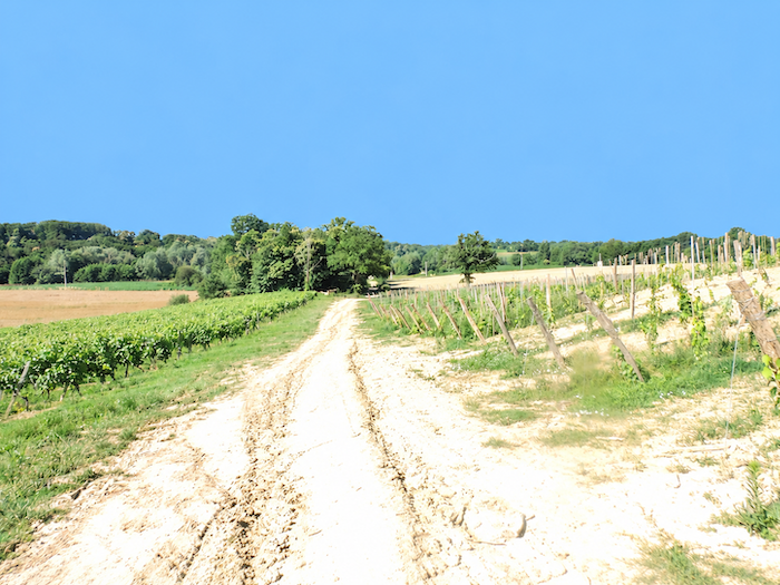
| But such chivalrous daydreams can last only so long. From the ridge, the GR65 plunges once more towards the lower ground, following a fairly steep descent over whitish, almost sandy soil. At the foot of the slope, vineyards make their appearance again, as though to remind the walker that, in this land of hills, landscapes delight in repeating themselves without ever looking quite the same. |
 |
 |
Section 3: Passing by the beautiful Pouy Ponds
Overview of the route’s challenges: a route presenting no particular difficulty.
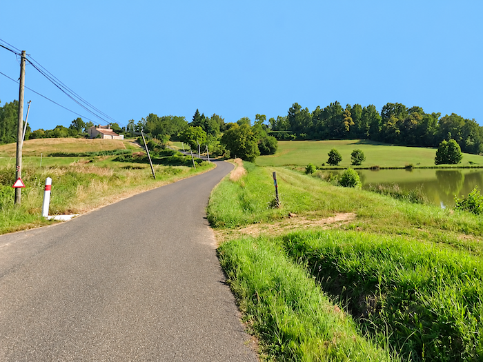
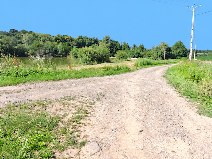
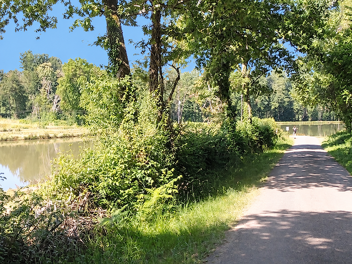
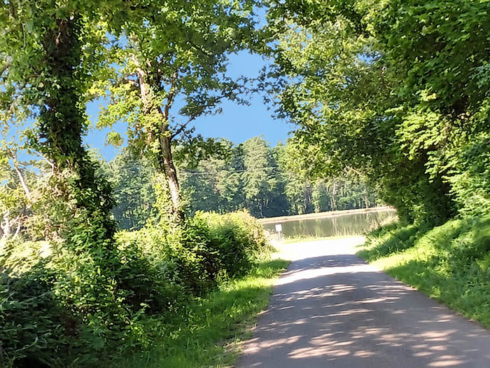
| On this whitish, almost sandy soil, the GR65 slips between the rows of vines before quickly reaching the Pouy ponds, where deciduous trees dip their roots into the still waters. After the cultivated hills and woodlands, an entirely different world unfolds, one of wetlands where water seems to have taken possession of the landscape. |
 |
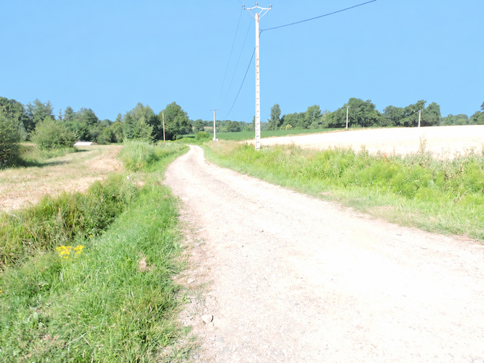 |
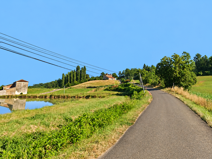
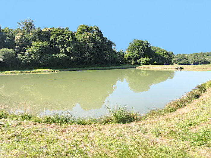
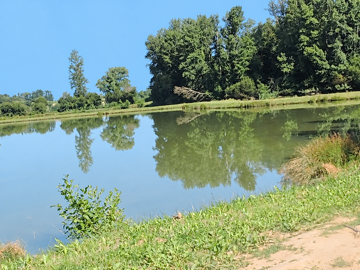
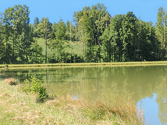
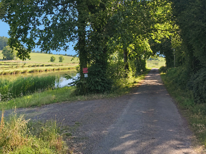
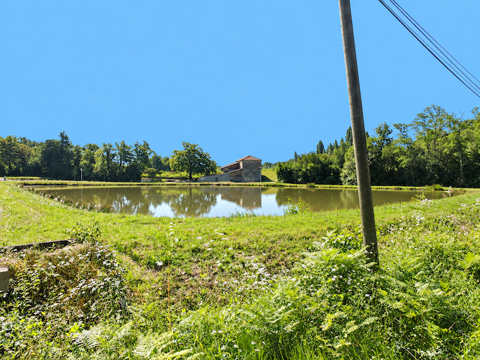
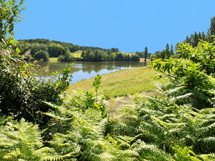
| The ponds follow one another in considerable numbers, sometimes hidden behind a curtain of vegetation, while the path occasionally wanders away from them to meander through the fields. The place has an almost unreal charm, a peaceful beauty that contrasts with the orderly vineyards encountered so far. Arranged in a cascade, the Pouy ponds spread their sheets of water along the stream of the same name, a modest tributary of the Douze. They form a little chain of watery jewels, each basin seemingly holding a fragment of the sky and the surrounding landscape. |
 |
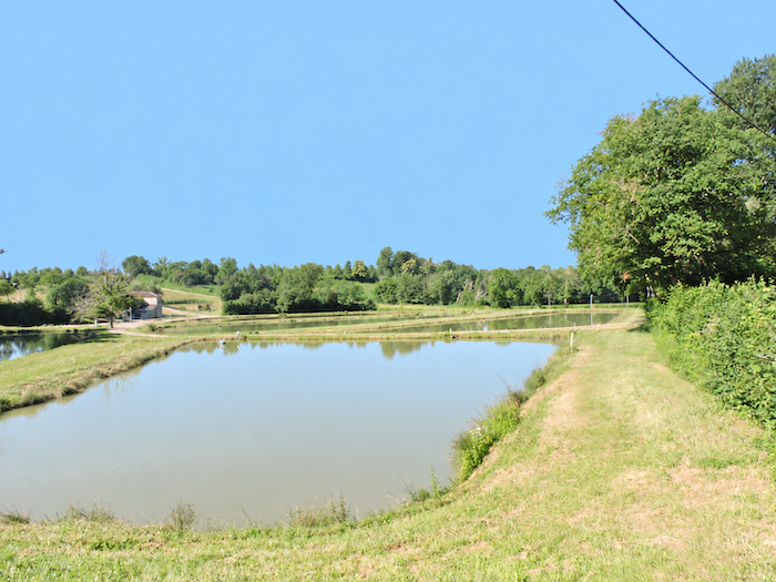 |
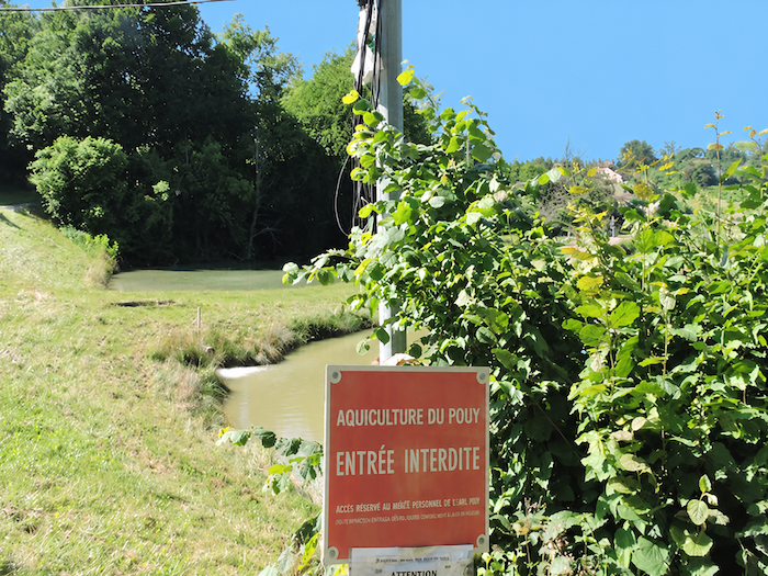
| These beautiful stretches of water are by no means recent. Dating back to the Middle Ages, they bear witness to a long tradition of creating ponds for fish farming. Over the centuries, however, nature has gradually reclaimed its freedom, shaping a wetland environment of remarkable richness. Aquatic vegetation floats on the green, almost motionless waters, while the banks disappear into a tangle of marshes, rushes, reeds and alder trees. Great oaks stand guard beside the ponds, offering their branches, as the seasons change, to a whole population of migratory birds seeking refuge and tranquility here. Beneath this apparent serenity, however, the ponds accumulate substantial quantities of silt, a legacy of the intensively cultivated lands of the Manciet catchment area, whose waters carry their load of sediment downstream. Some of the ponds now seem somewhat neglected, although most appear to retain their original purpose of fish farming. |
 |
 |
 |
 |
| Fish have been introduced into these abundant waters, but fishing enthusiasts had better put away their rods, for fishing is forbidden here! The cormorants, however, pay little attention to such regulations, and neither do the crayfish that inhabit these waters. Each takes full advantage of this providential abundance, helping itself without paying a penny to the stocks maintained by the associations responsible for preserving the ponds. It seems that, in this little aquatic paradise, privileges are not distributed equally among the species. |
 |
 |
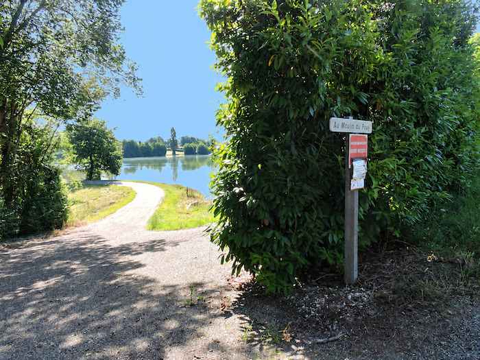
| After this interlude in the realm of still waters, the GR65 returns to a paved road that skirts the ponds. The walker resumes the journey, leaving behind the greenish reflections on the water and the leafy branches leaning over the banks. |
 |
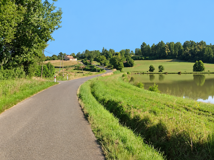 |
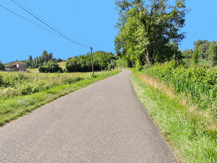
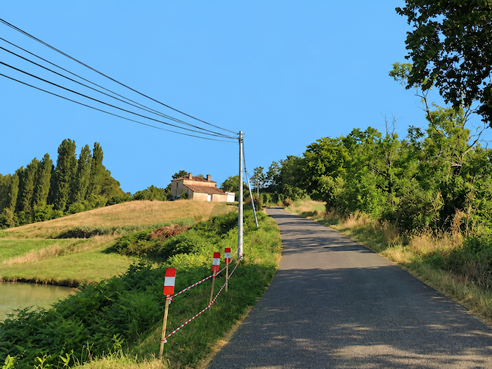
| Further on, the road begins climbing again towards the locality known as Le Moulin du Puy, which overlooks the ponds from its elevated position. As the road gains height, the stretches of water reveal themselves from a different angle, nestled in their setting of greenery. |
 |
 |
| From here, allow yourself one last look at these spectacular expanses of water, whose reflections and wooded banks create one of the finest scenes of this stage. Treasure the memory, for it may prove a welcome consolation when, a little further on, you encounter the endless monotony of maize hedges once again. For the Gascon countryside, generous as it is with unexpected beauty, also knows how to inflict upon the walker a few landscapes of utter insignificance. |
 |
 |
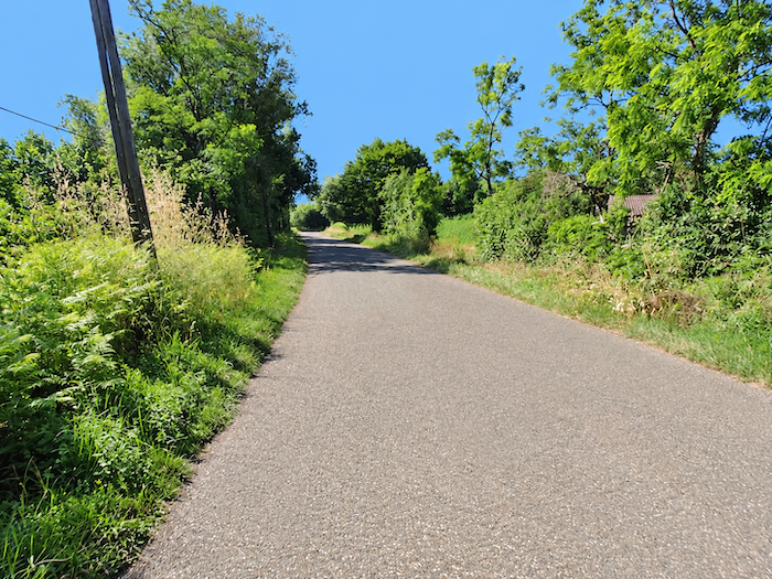
| Higher up, the GR65 returns to less poetic considerations. Asphalt takes over once more, and the road continues its gentle ascent through the Pouy countryside. |
 |
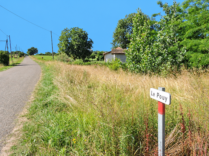 |
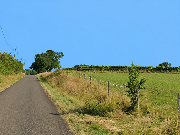
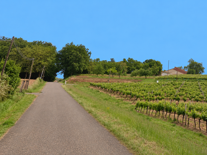
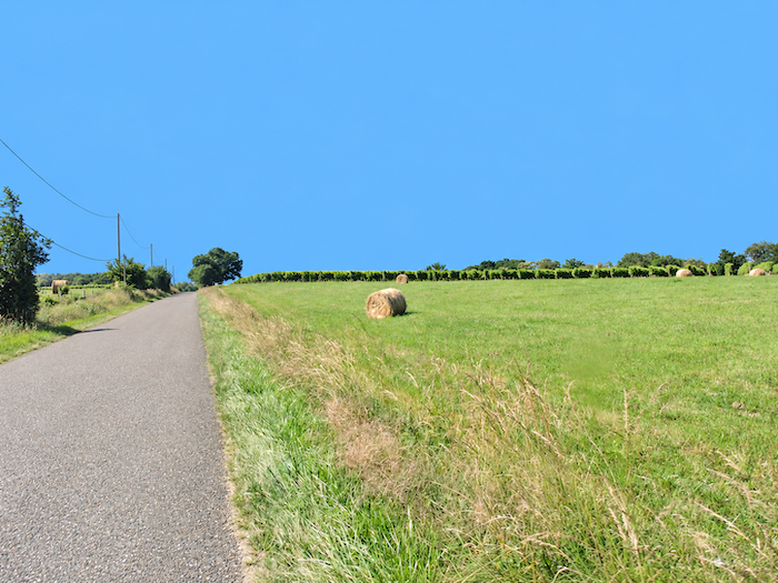
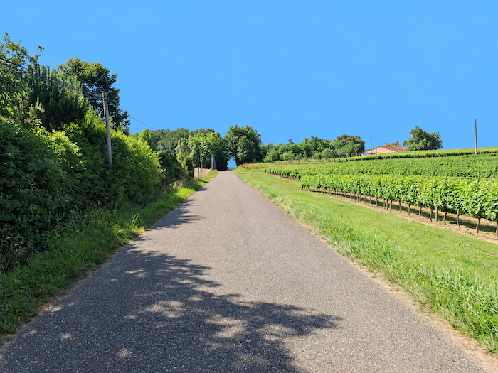
| A little further on, the road reaches a small plateau, where the horizons broaden once again. Along the hillside, vast vineyards spread out in impeccably ordered rows. |
 |
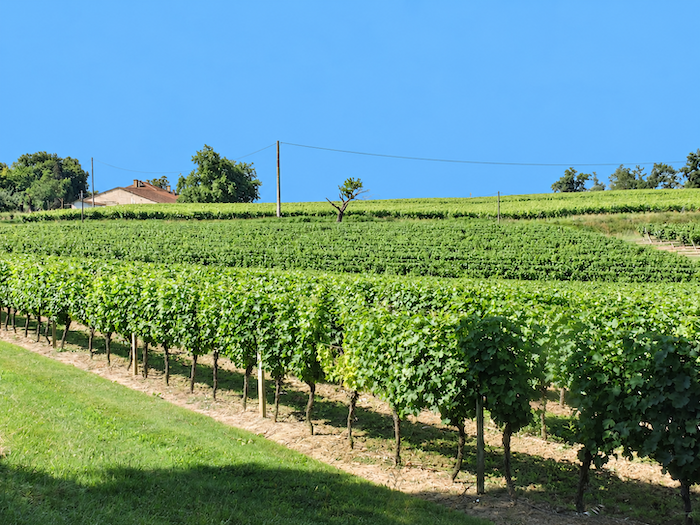 |
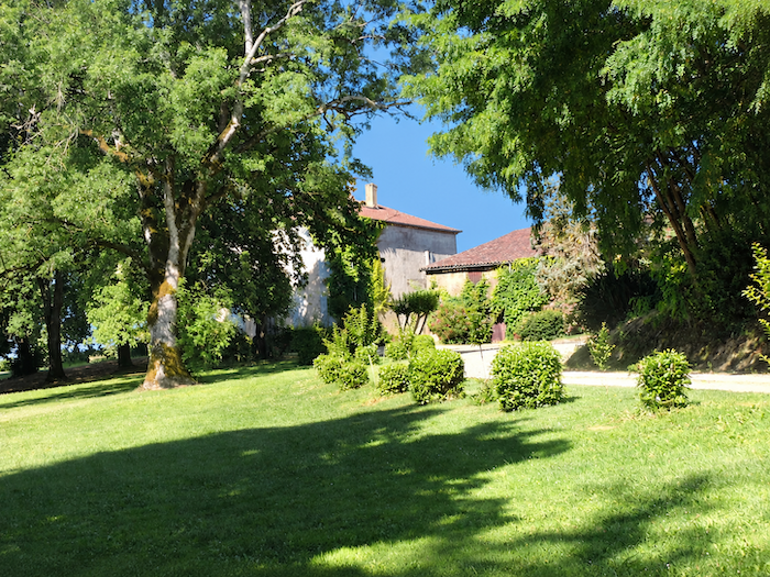
| Here and there, a few handsome stone houses hide beneath the protective canopy of trees at the edge of the vineyards. |
 |
 |
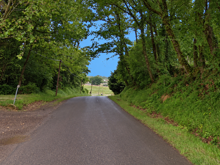
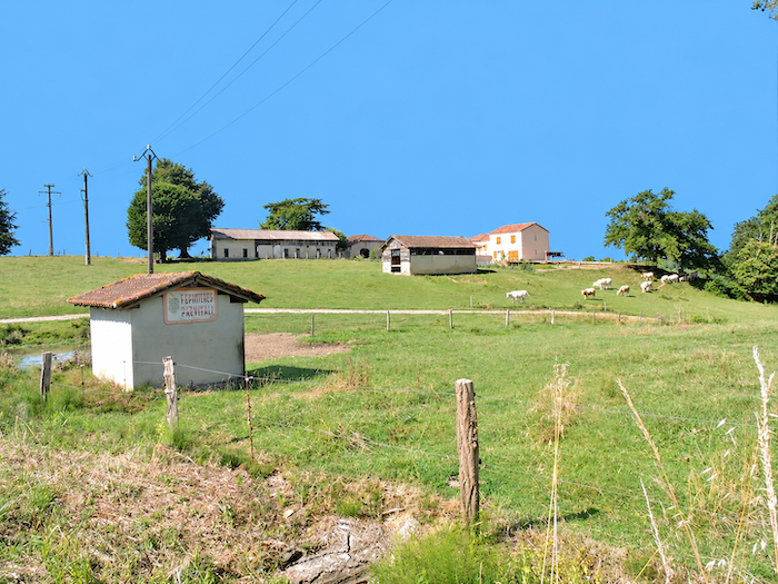
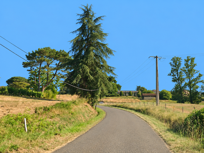
| Manciet gradually draws nearer. The landscape takes on a pastoral air, with its peaceful meadows, vineyards arranged along the hillsides and clusters of trees softening the contours of the terrain. Everything seems bathed in rural serenity. |
 |
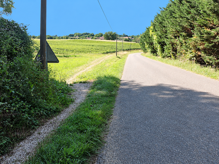 |
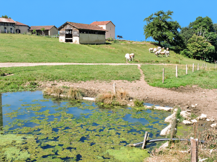
| Life must be fairly peaceful on these hills, where small houses are scattered across the heights, not far from ponds whose tranquil waters are carpeted with water lilies. Yet the countryside is not entirely silent. Dogs bark back and forth from one farm to another, while the lowing of cattle answers them in a much deeper voice. |
 |
 |
| The road eventually reaches the first houses in the lower part of Manciet. |
 |
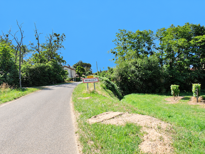 |
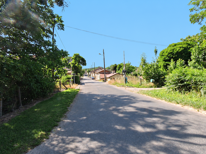
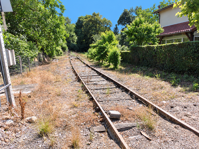
| Manciet is a substantial rural village, firmly established in the heart of the Gascon countryside. In days gone by, trains stopped here on the railway line that crossed the Gers, traces of which we had already followed before reaching Eauze. Those were the days when the railway aspired to free the countryside of southwestern France from its isolation, connecting agricultural villages to markets and major transport routes. The line from Condom to Riscle, which also made it possible to reach Aire-sur-l’Adour by changing trains, was fully opened in 1893. But the reign of steam was not destined to last forever. In 1940, passenger trains ceased running, gradually leaving cars and lorries to conquer a countryside once crisscrossed by locomotives. |
 |
 |
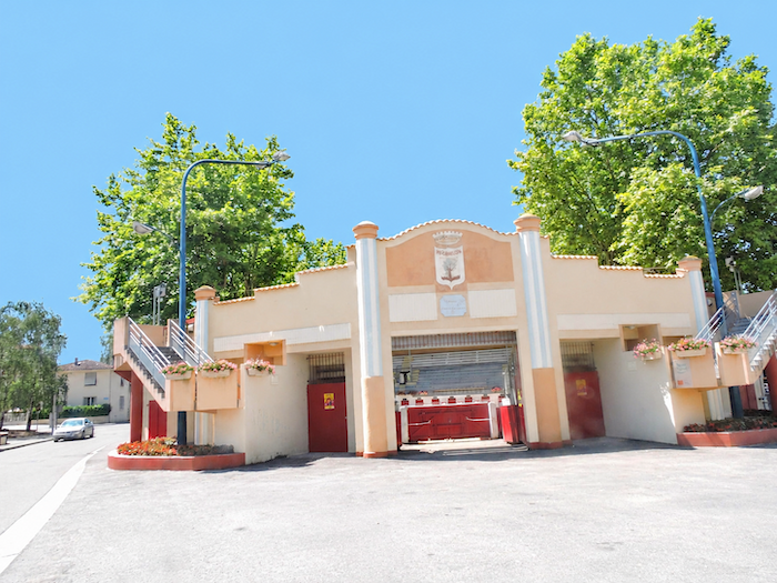
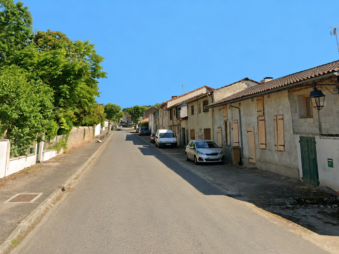
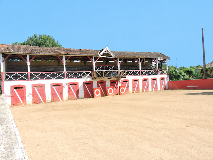
| The road then runs alongside the neatly aligned houses in the lower part of the village and passes the bullring, a reminder of a Gascon tradition that has lost none of its vitality.
In the Gers, as in the Landes, bullrings, sometimes called plazas, are far more than simple venues for public entertainment. They embody a part of the Gascon soul. This is where the “course landaise” takes place, a tradition deeply rooted in these two departments and, to a lesser extent, in the neighboring Pyrenees. But make no mistake, this is a far cry from Spanish bullfighting. No animal is killed, either during or after the event. The stars of the arena are brave fighting cows, the famous “coursières”, bred by “ganaderos”, particularly in the Landes, between Dax and Aire-sur-l’Adour. Each breeding establishment displays its own colors and presents its animals, while the men compete in skill and composure. The entire art lies in dodging the charging animal at the very last moment, with an almost insolently precise sidestep, or leaping spectacularly over its back. Several teams and performers take turns in the arena, under the watchful eyes of a jury that assesses individual performances. At the end of the event, the three best “écarteurs”, the men who dodge the charging cows, are invited to climb the steps of the “escalot”, the podium where their rewards await them. Here, courage is measured not by the number of animals killed, but by the elegance with which their horns are avoided. |
 |
 |
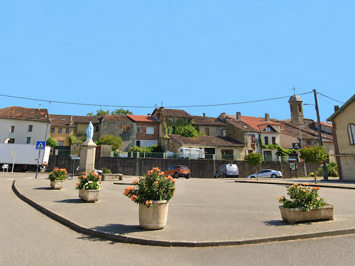
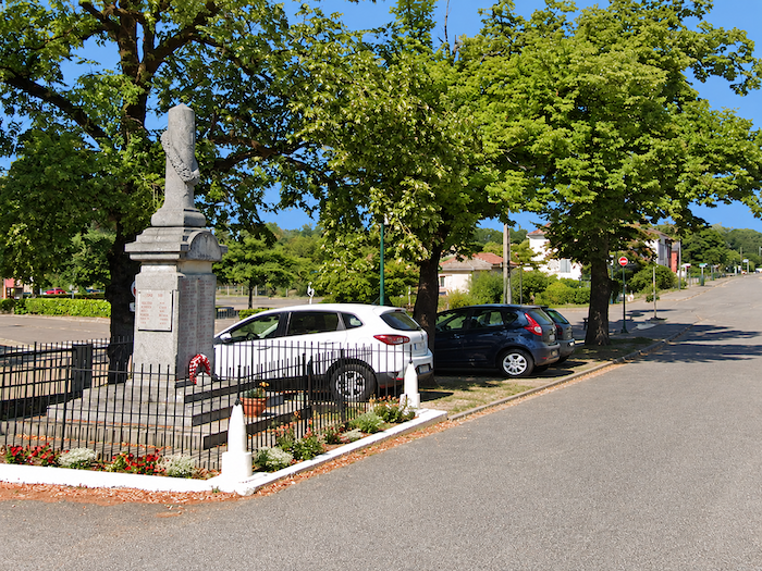
| Just a stone’s throw from the bullring, on a small square, a statue of the Virgin Mary watches over the inhabitants, in keeping with the age-old village custom of entrusting their peace and safety to a heavenly protector. The heart of Manciet, however, lies on the other side of the D931 departmental road, a fairly busy thoroughfare that contrasts somewhat with the tranquility of the old streets. |
 |
 |
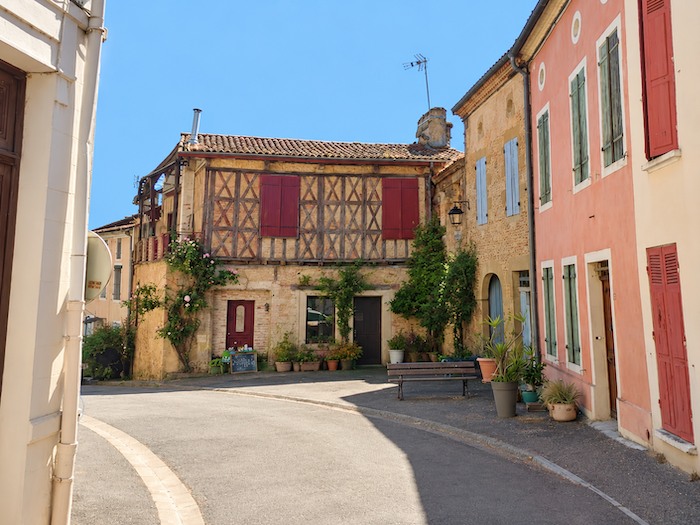
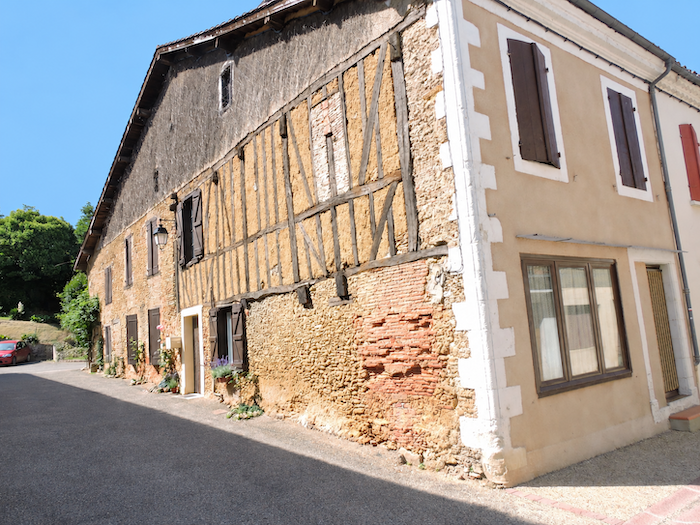
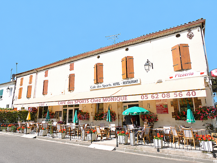
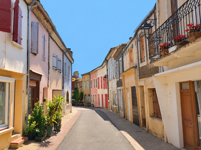
| With its population of around 770 inhabitants, Manciet offers pilgrims places to eat and a roof over their heads for the night. Yet this village, now best known as a stopping place along the Camino de Santiago, has a far more eventful past than its present tranquility might suggest. Already inhabited in Roman times, it welcomed the Knights Templar in the twelfth century, whose possessions later became associated with the reception of pilgrims. In the centuries that followed, the upheavals of history hardly spared the village. Its castle, linked to the rulers of Béarn, disappeared amid the turmoil of the Wars of Religion, when Catholics and Protestants fiercely contested both territory and religious allegiance. Among the surviving traces of this long history is a narrow street crossing the old village, lined with a few ancient half-timbered houses. They seem to huddle together, as though seeking strength in numbers against the passage of time. |
 |
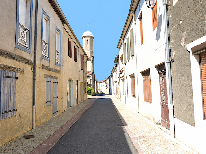 |
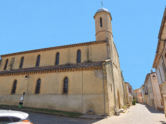
| The Church of Notre-Dame-de-la-Pitié, built around 1545, was no more fortunate in escaping the violence of its age. Damaged during the religious conflicts, it was subsequently enlarged and restored according to the needs and fortunes of the community. Its massive bell tower also suffered the whims of fate. Lightning struck it towards the end of the nineteenth century, causing its destruction. Walking down the village’s narrow street, between the old façades and half-timbered houses, one can still occasionally feel as though passing through a scene inherited from the closing years of the Middle Ages. |
 |
 |
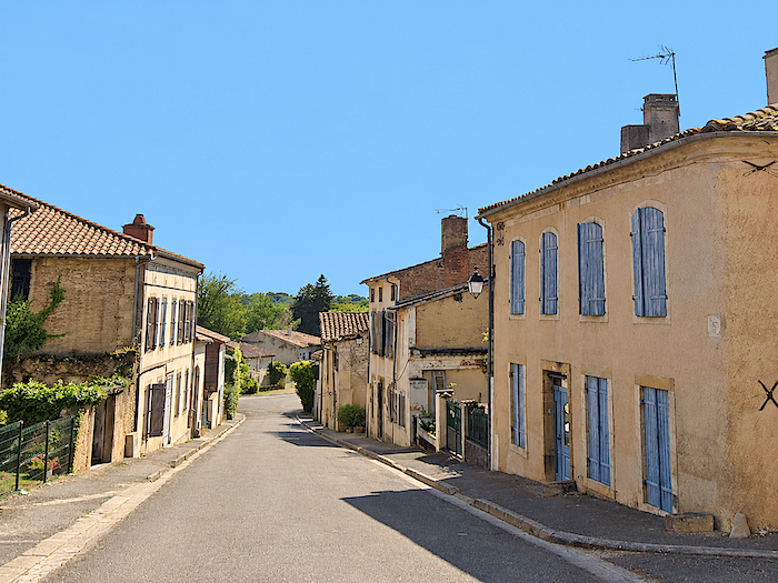
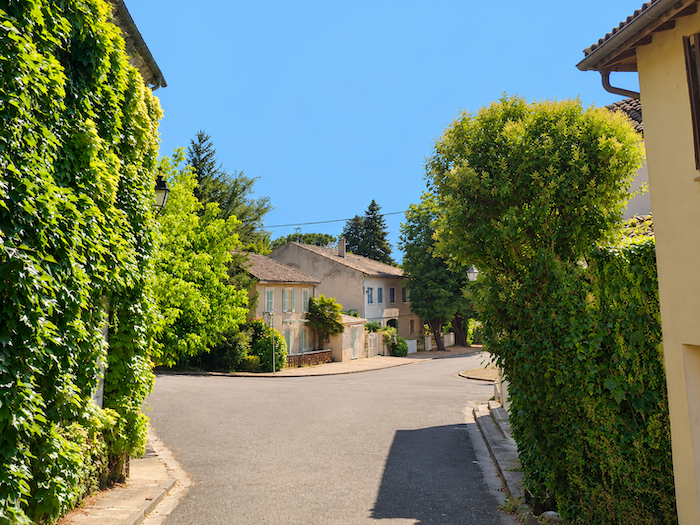
| The GR65 gradually bids farewell to Manciet, leaving behind the last houses of the village beneath the generous foliage of horse chestnut trees. |
 |
 |
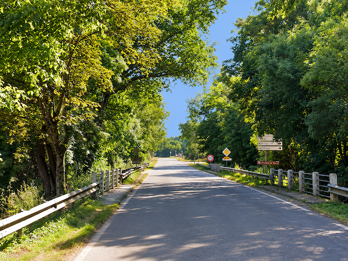
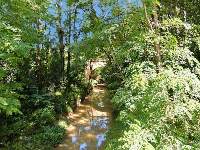
| At the edge of the village, the route follows the D931 departmental road, near the place where the medieval pilgrims’ hospital is believed to have once stood. It then crosses the Douze, whose murky, silt-laden waters display that muddy color so characteristic of the rivers of the Gers. In former times, pilgrims travelling towards Santiago de Compostela enjoyed a welcome privilege here. They were exempt from the toll normally charged for crossing the river. Rest assured, the passing centuries have done nothing to diminish this advantage. You, too, may cross without paying a single penny! |
 |
 |
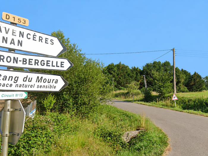
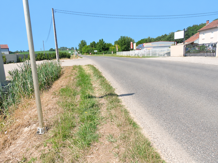
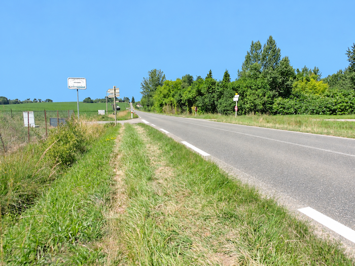
| Fortunately, the GR65’s companionship with the busy departmental road is short-lived. It soon leaves it behind, turning left onto the D153, a quieter road that prefers the peaceful twists and turns of the countryside to long, straight stretches of asphalt. |
 |
 |
Section 4: Passing by the Church of the Hospital
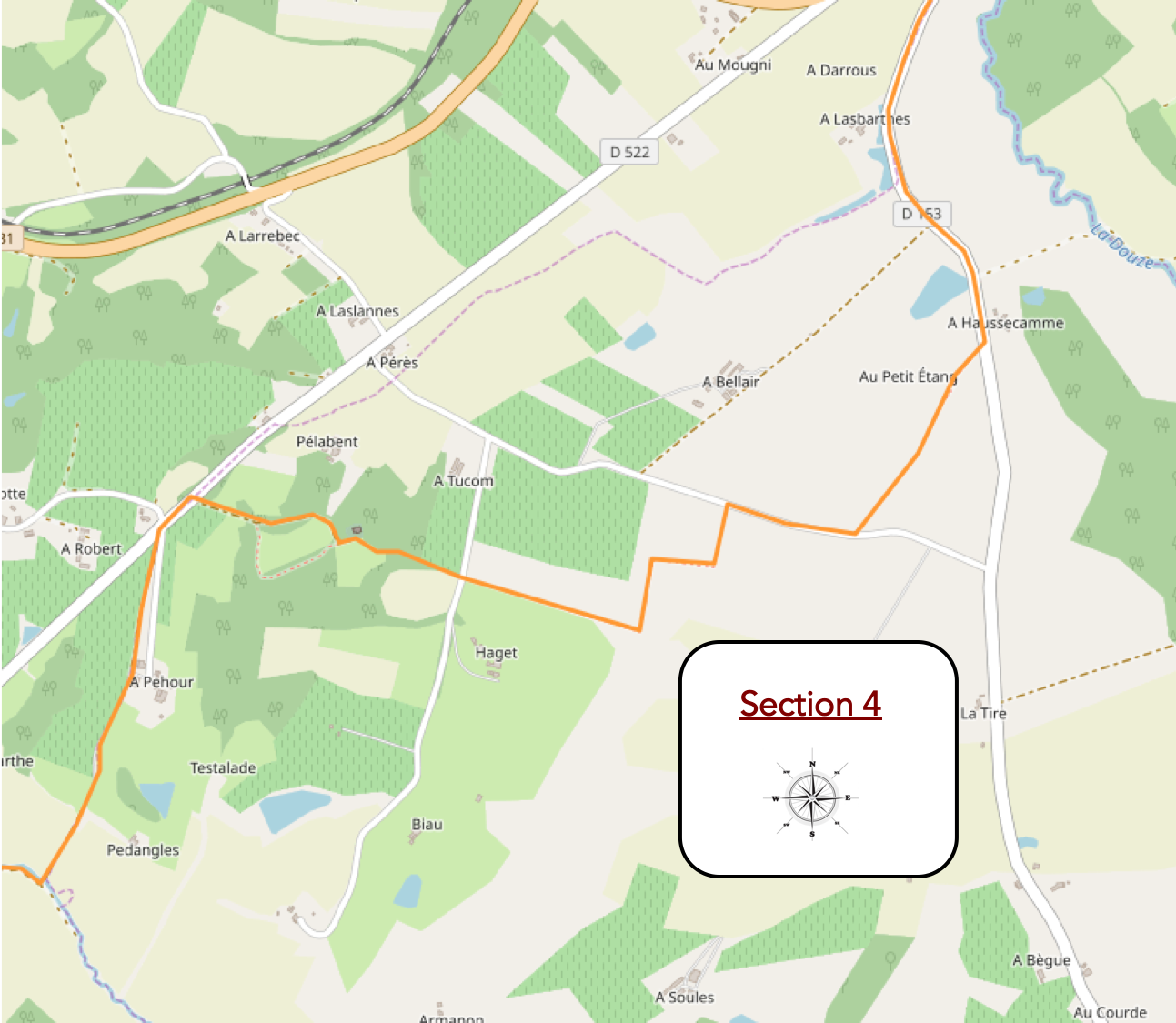
Overview of the route’s challenges: a route presenting no particular difficulty.
|
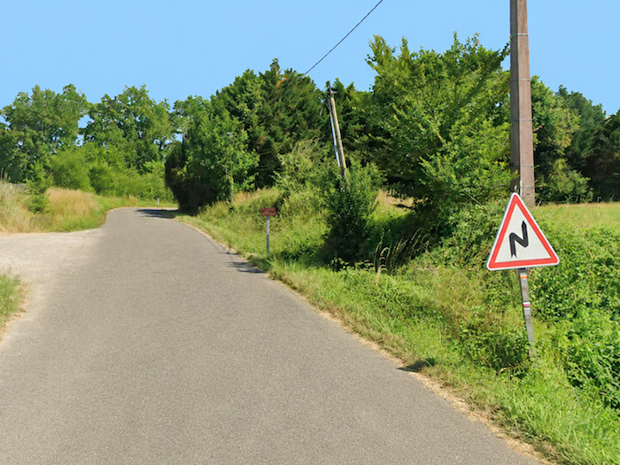
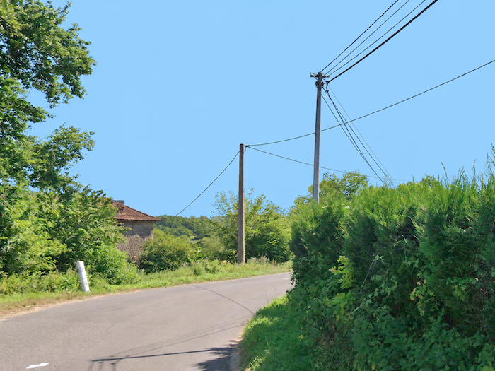
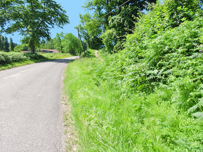
The little departmental road twists and turns with carefree rural charm between hedges and maize fields, through countryside that seems to have made its peace with time. Bend follows bend, with no apparent ambition other than to follow the gentle undulations of the land. |
 |
 |
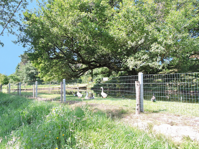
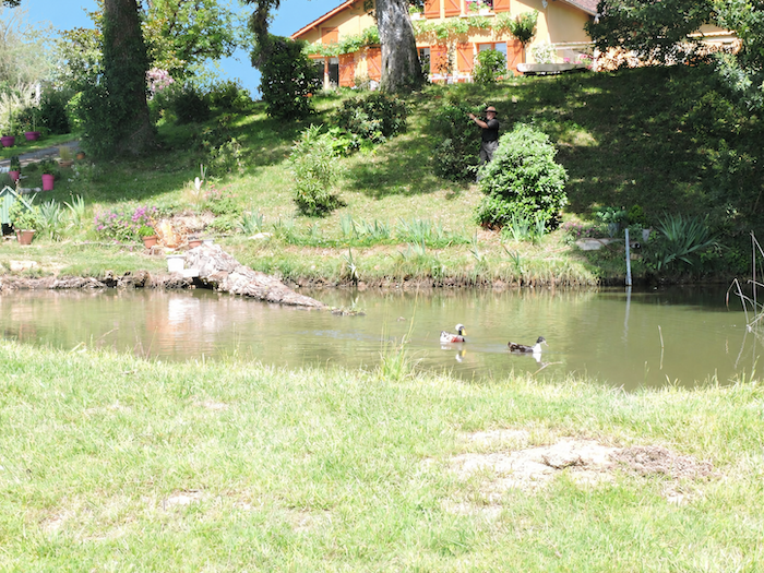
| At the locality known as Las Barthes, a few geese and ducks paddle peacefully in a small pond, utterly indifferent to the passing travelers. These fortunate waterfowl seem to have drawn the winning ticket in the farmyard lottery. Watching them enjoy the pleasures of open water, one cannot help hoping that no cooking pot will disturb their happiness any time soon. |
 |
 |
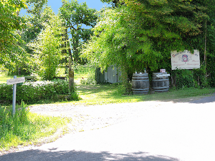
| A little further on, the GR65 leaves the asphalt and follows a trail winding through the woodland before emerging at the hamlet of Haussecame. Here, barrels seem to welcome the walker, a reminder that this is still a land where vines produce far more than wine alone. Yet the pilgrim will have little opportunity to linger over a tasting of Armagnac or savor a small glass of Floc. The latter, whose tradition is said to date back to the sixteenth century, is one of Gascony’s most beloved creations. Its name, lou floc, means « bouquet of flowers » in Occitan, a delicate name for a drink born of the marriage between the sweetness of fresh grape must and the strength of young Armagnac. White or red, it readily accompanies the pleasures of the table, from aperitif to dessert. Its admirers defend it with almost militant devotion, while others, less enthusiastic, regard it as a rather ordinary sweet drink. As so often in matters of taste, arguments are endless and judgements deeply personal. One day, perhaps, you can settle the question for yourself. |
 |
 |
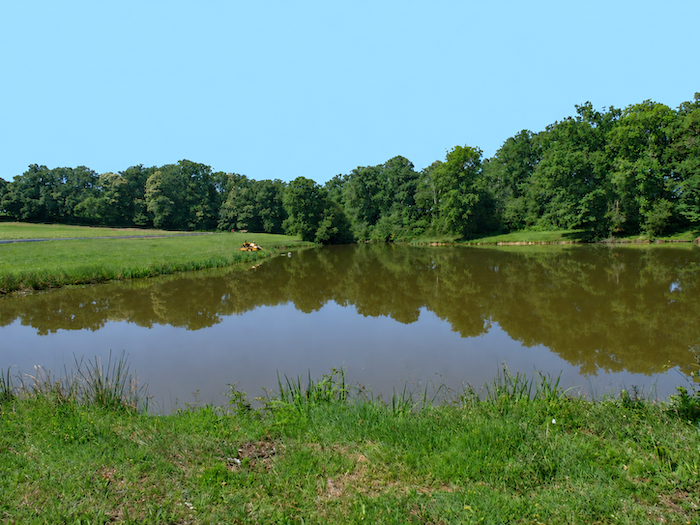
| Beyond Haussecame, a narrow trail lingers with evident pleasure beside a small lake of dark waters. Vegetation encloses this tranquil expanse, lending it a somewhat secretive atmosphere, as though the path were reluctant to leave this cool, secluded corner and return to the great expanses of cultivated land. |
 |
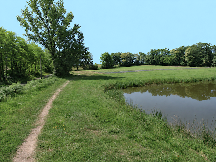 |
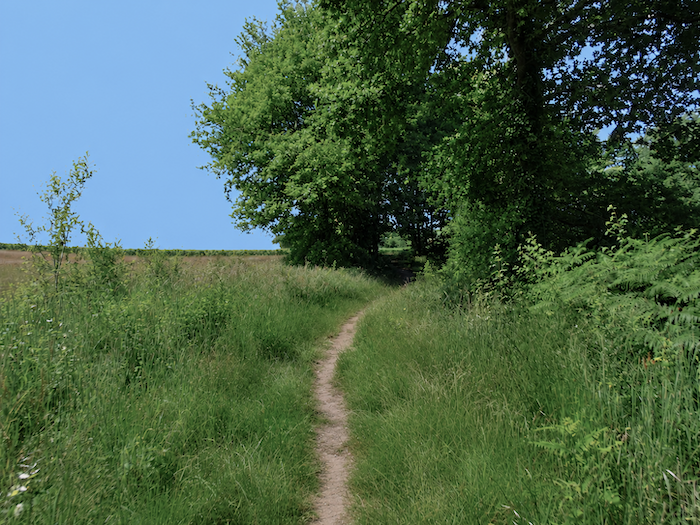
| But soon it is time to gain height once again. The passage climbs gently through tall grasses, skirting maize fields whose tightly packed rows gradually reclaim the landscape. |
 |
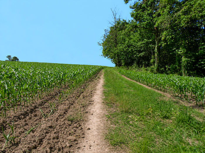 |
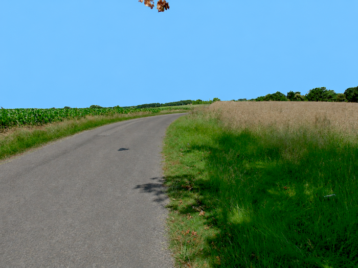
| The path then joins a small paved road in the midst of wide-open, almost bare countryside. In this part of the Gers, maize has not yet imposed its monotonous supremacy everywhere. A few cereal fields and meadows still manage to compete for space, offering the eye a welcome diversity. As for livestock, they are conspicuous mainly by their absence. Pastures certainly exist, but the herds are so discreet that one could cross long stretches of countryside without encountering a single cow. |
 |
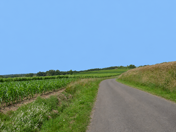 |
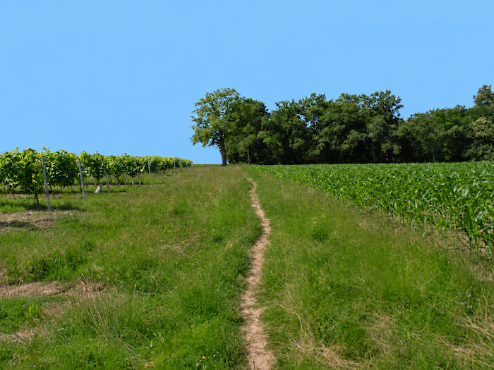
| The GR65 follows this road for a while before returning to the more rustic feel of a trail combining packed earth and grass. On either side, vines and maize continue their endless game of hide-and-seek, each taking its turn to occupy the plots allotted to it by the contours of the land and local farming traditions. |
 |
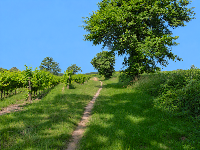 |
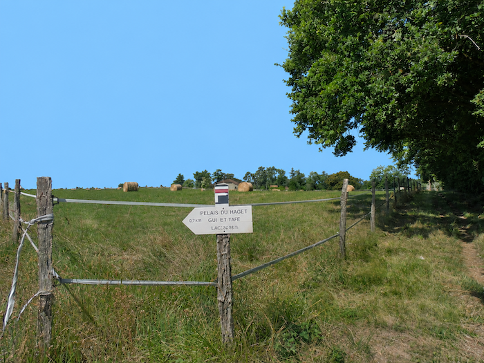
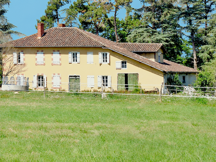
| A little higher up, although the climb is hardly an ordeal, this alternating pattern of crops continues until the route reaches a broad plateau opening out among the fields. Here stands the Domaine du Haguet, an imposing and handsome property whose buildings seem to preside over the surrounding farmland. Pilgrims can also find accommodation here. |
 |
 |
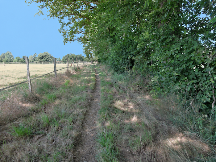
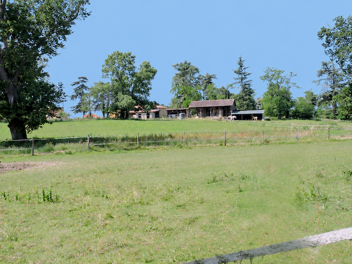
| A rough track, somewhat battered by passing vehicles and the weather, runs alongside the farm buildings before reaching the edge of the woodland. |
 |
 |
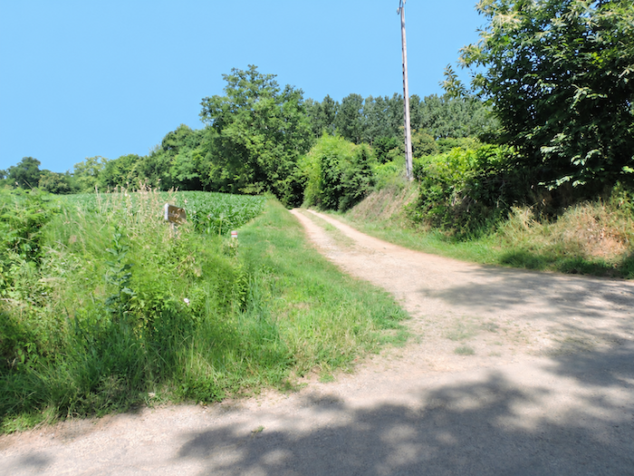
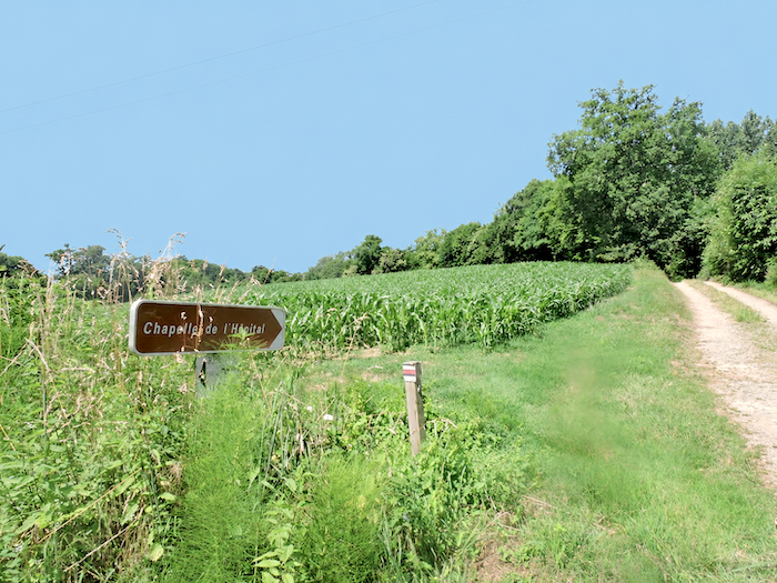
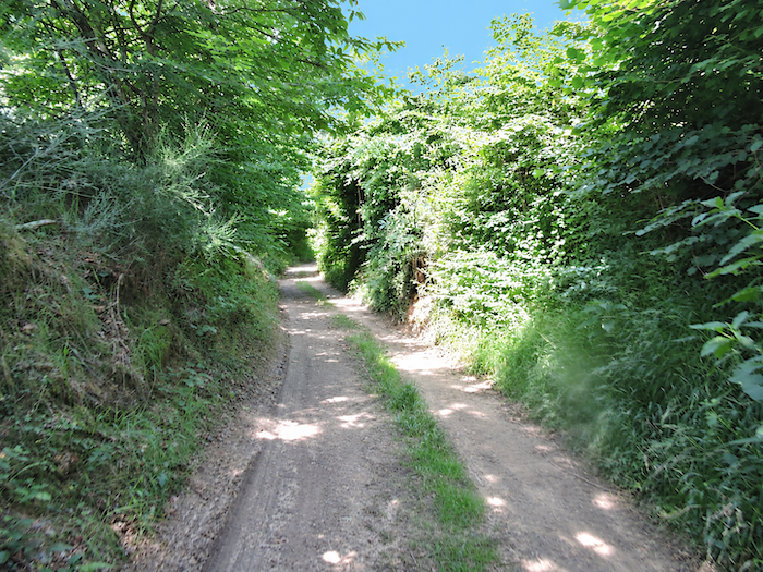
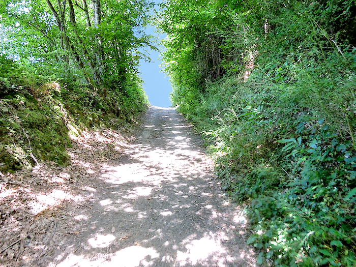
| Shortly beyond the farm, a dirt track enters the trees and leads to the Chapel of the Hospital, discreetly nestled in its setting of greenery. Nothing in the darkness of the woodland yet hints at the presence of this ancient sanctuary. |
 |
 |
 |
 |
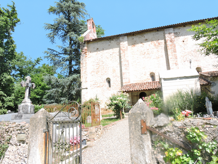
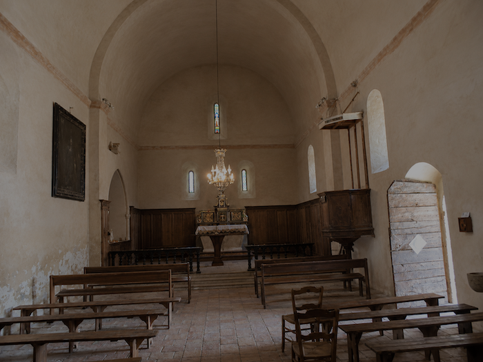
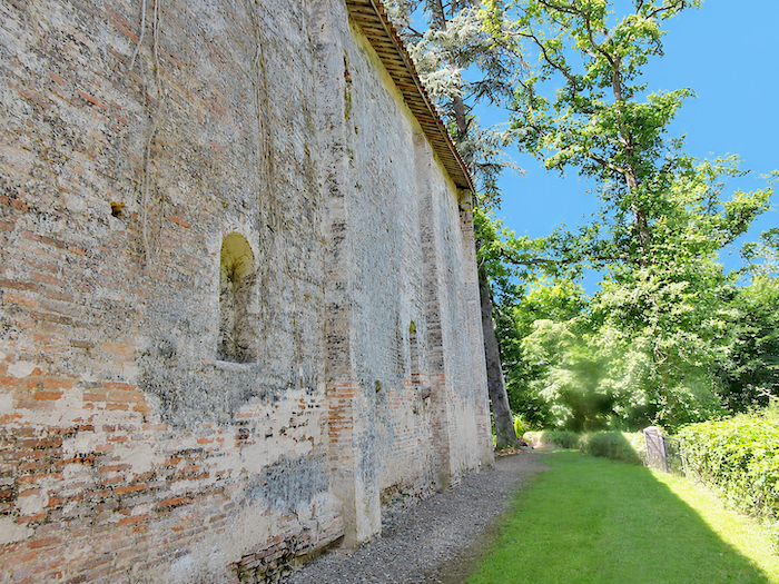
| Then, emerging from the shade, the chapel suddenly appears in dazzling sunlight. Its tall brick silhouette stands out against the surrounding foliage, as though some architect had wished to erect a little monument to light in the midst of this rural solitude. But step across the threshold, and the contrast is striking. Inside, semi-darkness reigns almost supreme. One might imagine oneself in a tunnel, so reluctant does the daylight seem to penetrate these ancient walls. Nearby, a water tap awaits walkers. Experienced pilgrims are well acquainted with this little piece of wisdom from the Camino: near churches, chapels and cemeteries, there is often a tap, for the flowers on graves and altars need a drink too. Yet this solitary chapel has a far longer history than its modest appearance might suggest. This was once the site of a commandery known as the Hôpital Sainte-Christine, belonging to the Order of Saint John of Jerusalem, which later became the Order of Malta. Pilgrims found shelter, food and care here, in an age when the long roads to Santiago de Compostela held many hardships for those who travelled them. The Wars of Religion brought devastation to this establishment, as they did to so many other religious buildings subjected to the violence and iconoclastic destruction of the period. All that survives today of this vanished complex is this elegant, unusually tall brick chapel, almost lost among the trees and fields, now dedicated to Saint Clare. |
 |
 |
| Behind the chapel, the GR65 returns without ceremony to the woodland path, once again entering the intimate world of the trees. |
 |
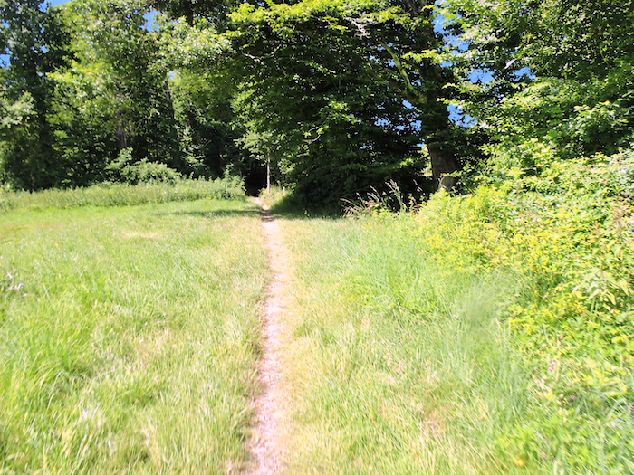 |
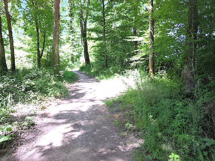
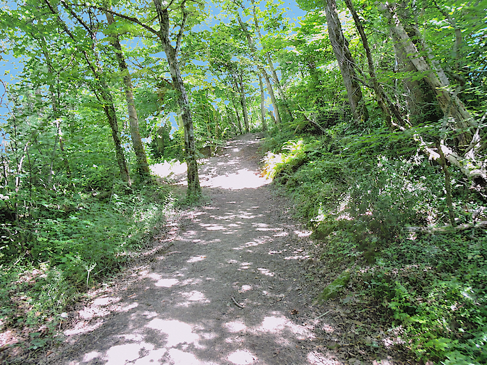
| The trail continues to wind through a forest that is sometimes dense, sometimes more open, where patches of sunlight alternate with shaded passages. Beneath your boots lies packed earth, real earth, with all its irregularities, roots and that yielding softness which asphalt can never offer. Here, the light delights in creating delicate contrasts of brightness and shadow, slipping between the leaves to awaken the tender greens of oaks, ash trees, maples and chestnuts. |
 |
 |
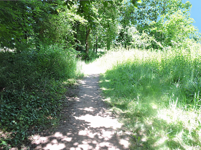
| Eventually, the trail emerges from the thick woodland, although it does not entirely turn its back on the trees. Instead, it now follows the forest edge through the meadows. |
 |
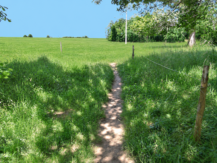 |
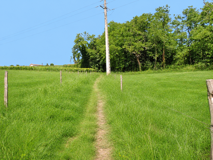
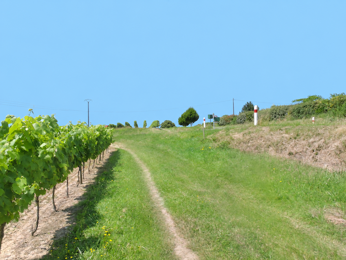
| A little higher up, vineyards make their appearance once again, reminding the walker that the vines are never far away on these Gascon hills. |
 |
 |
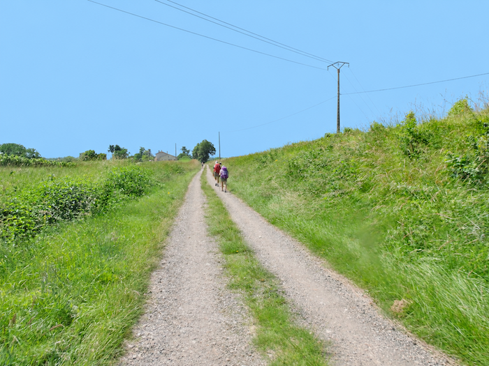
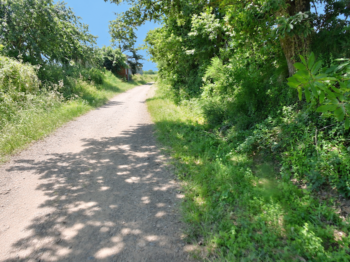
| The GR65 then approaches the D522 departmental road, following it for a few hundred meters towards the hamlet of Pehour. The hamlet itself, however, remains outside the route. The path heads in its direction without ever entering its cluster of houses, continuing instead through the countryside. |
 |
 |
Section 5: You will reach Nogaro, alas, without your Ferrari
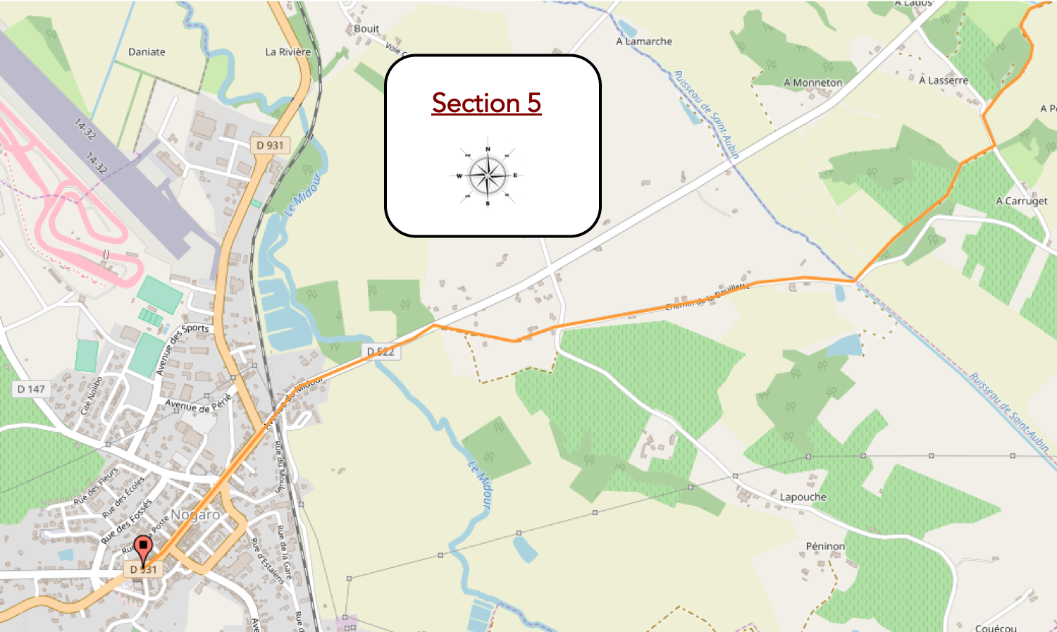
Overview of the route’s challenges: a route presenting no particular difficulty.
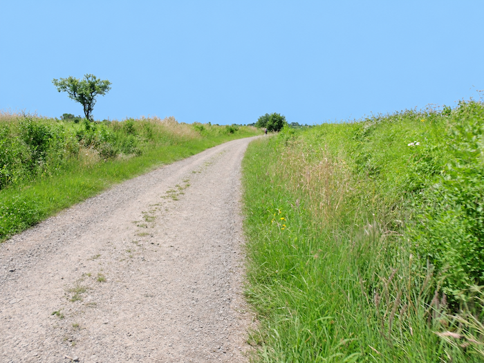
| On the outskirts of Péhour, the landscape promises a few more surprises in the terrain. A broad gravel path continues climbing for a while towards the top of the ridge, before bending away and plunging back down among the vineyards. The Gascon hills clearly have no intention of allowing walkers to settle into the monotony of flat ground. |
 |
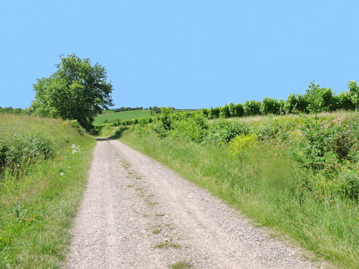 |
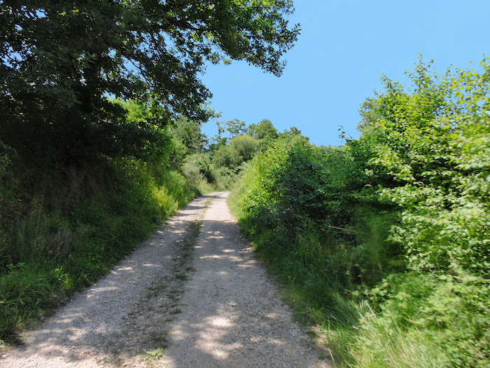
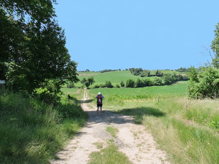
| You can almost guess what comes next with your eyes closed. Where there is a descent, there must surely be a dale, and at the bottom of it, some little stream awaiting its moment of glory. You can hardly contain your anticipation. And sure enough, you are right! Maize fields rise on either side of the path, forming veritable guards of honor to accompany your descent into the hollow of the dale. |
 |
 |
At the bottom of the dale flows the Midouzon, whose modest waters almost invite you to take a little dip. There is hardly any danger of losing your footing, let alone drowning. But let a heavy thunderstorm break, and this peaceful trickle might suddenly develop the ambitions of a raging torrent. With Gascon streams, it is never wise to take anything for granted.
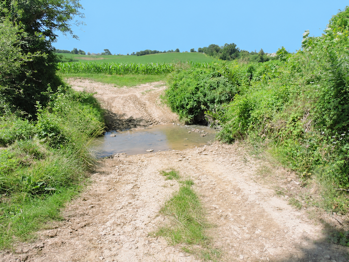
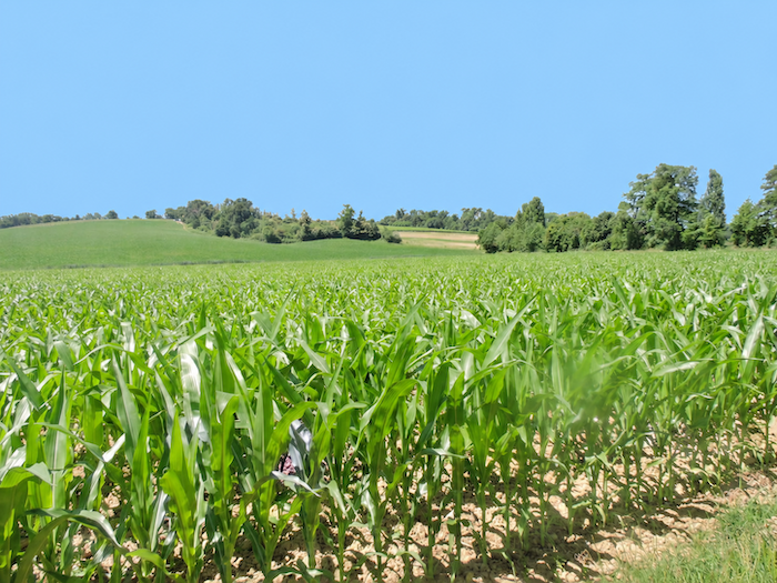
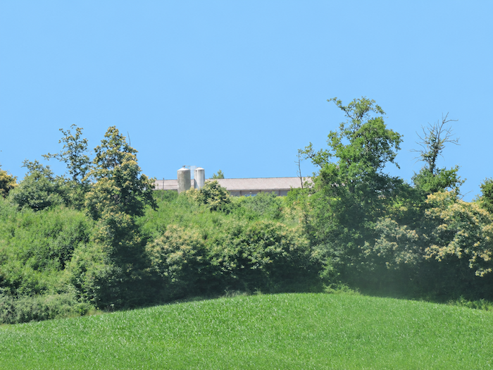
| A stream at the bottom of a dale is hardly extraordinary. Indeed, one might say that this is precisely where it belongs. For the walker, however, the consequences are rather less delightful. Having descended one hillside, there is inevitably another to climb. And so, the GR65 begins gaining height again amid the maize fields, faithful companions of these low-lying lands. Up on the hill, a few agricultural silos raise their distinctive silhouettes. Duck farms cannot be far away, for in this countryside, these great feed reservoirs are often the discreet sentinels of poultry farmss. |
 |
 |
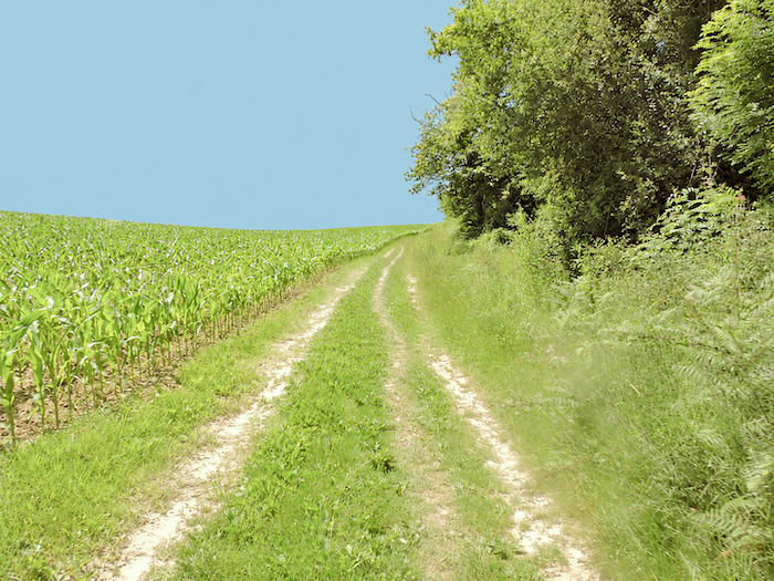
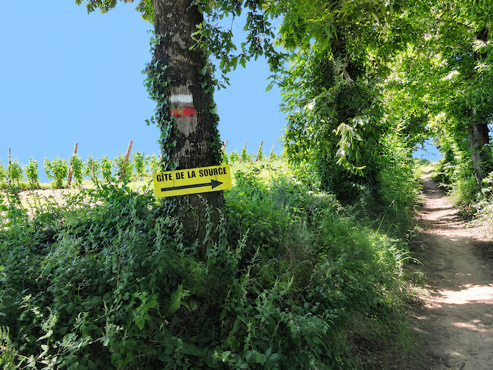
| And the familiar machinery of the Gascon landscape starts turning once again. As soon as the path tackles the hillsides, the same characters return to the stage: maize, always maize, and the woodlands that compete with it for the slopes. This time, the climb is no laughing matter, with gradients exceeding 10% in places. Along the way, a sign indicates a gîte a short distance from the route. |
 |
 |
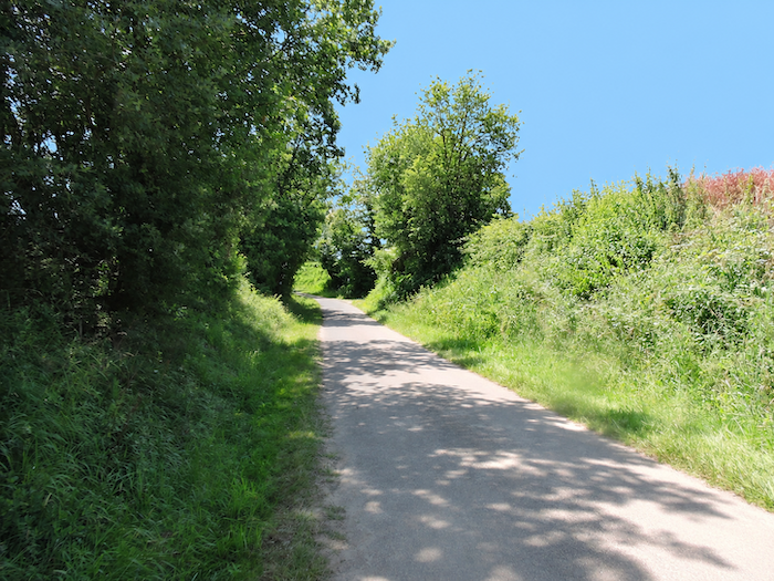
| Higher up, the grass disappears beneath your feet, replaced by packed earth, while the path gradually widens. The ascent continues through more open countryside. |
 |
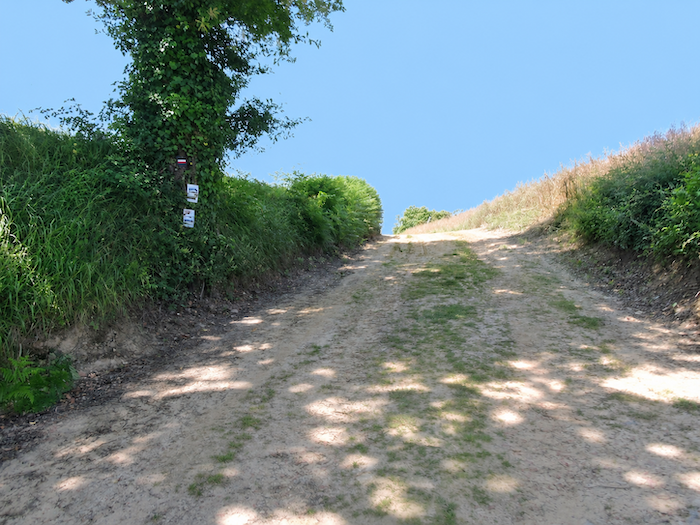 |
And then, quite unexpectedly, without the slightest fanfare, you cross the Greenwich Meridian. This imaginary line, dividing the globe into eastern and western longitudes, passes through the Gascon countryside with remarkable discretion. No upheaval in the landscape, no change in the sun’s course, everything continues as though nothing had happened. Yet almost instinctively, you glance at your watch, just to make sure that time itself has not taken advantage of the occasion to play a little trick.
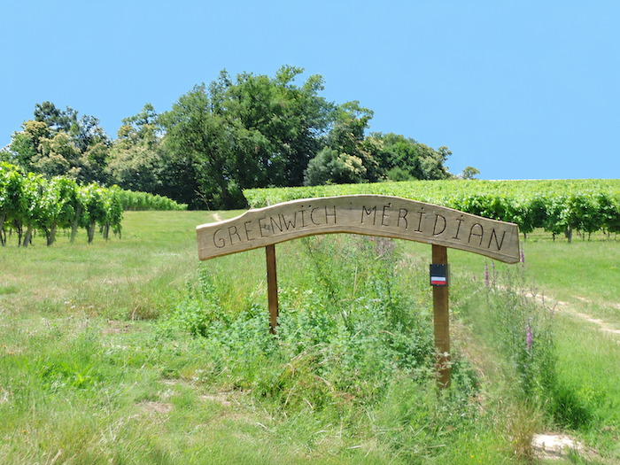
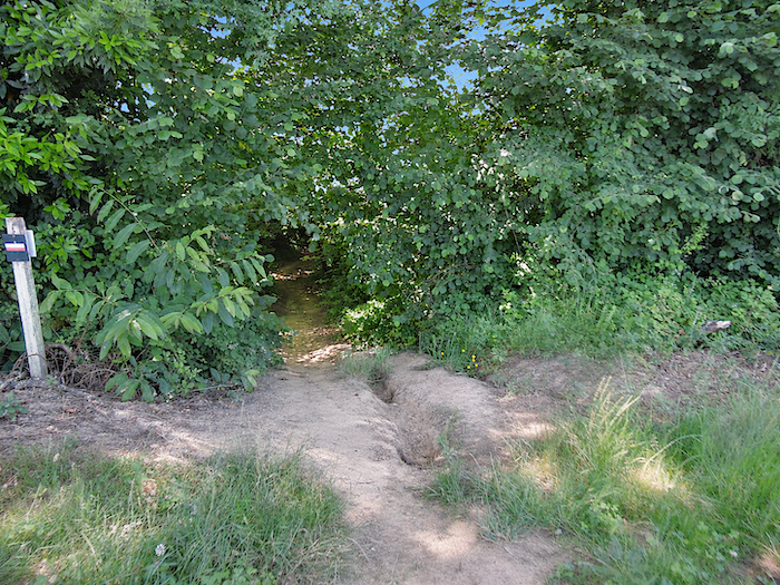
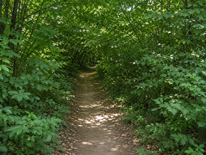
| Could the Greenwich Meridian, through some geographical whim, be a natural boundary? Who knows! Whatever the case, on either side of this imaginary line, the Gascon hills continue their endless little game, utterly undisturbed. The GR65 therefore sets off in search of yet another stream, which, as always, means sacrificing a little altitude. This time, the descent is anything but half-hearted. The path plunges through rather austere woodland, down a particularly steep slope where nature seems to have forgotten all about the comfort of walkers. |
 |
 |
| Fortunately, the ordeal is short-lived. The trail soon reaches a small paved road running alongside the maize fields. |
 |
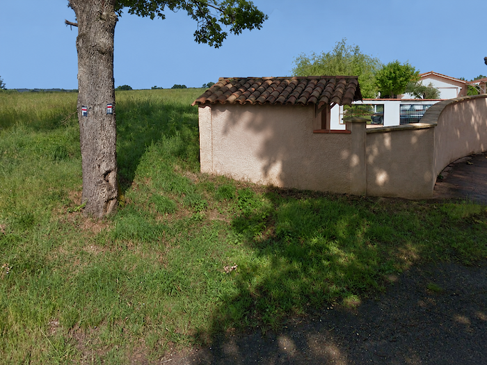 |
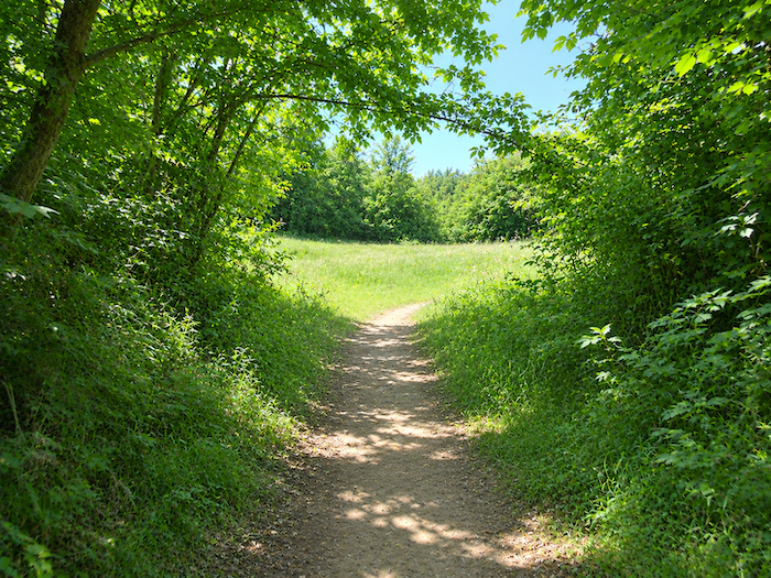
| And suddenly, the horizon opens wide. Vast meadows take possession of the landscape, spreading their grassy expanses where, only moments earlier, the trees seemed determined to conceal every last patch of sky. |
 |
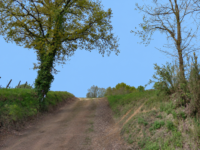 |
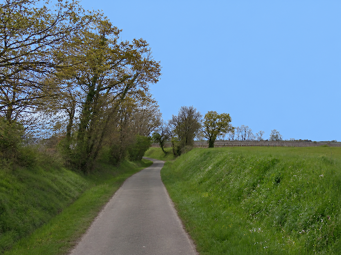
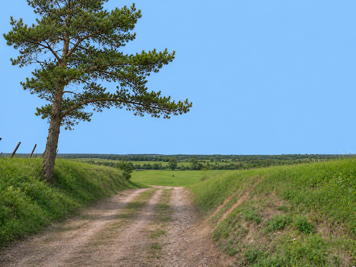
| But this escape into open country does not last long. The GR65 seems decidedly fonder of the intimacy of woodland than the generous openness of meadows. It plunges back among the trees and, a little further down, reaches a small road buried beneath dense vegetation, as though the forest had decided to keep it entirely to itself. |
 |
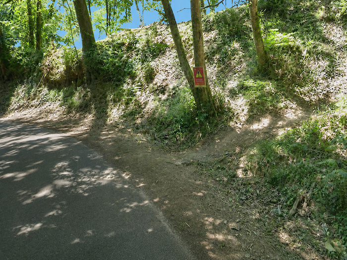 |
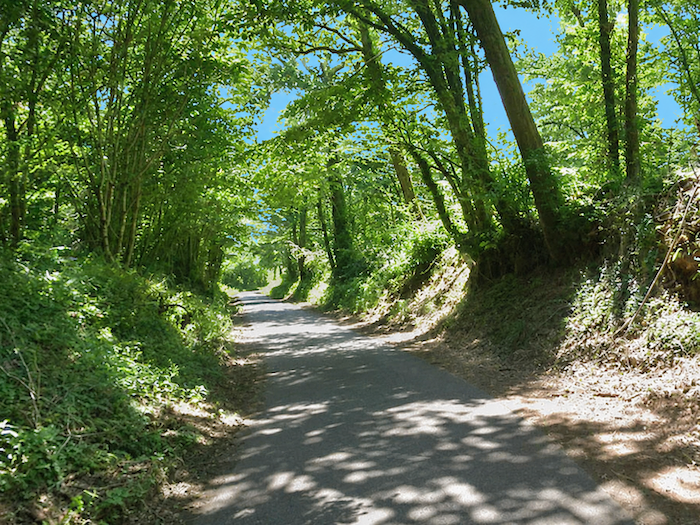
| The road then begins twisting and turning beneath the shade of tall deciduous trees, following every whim of the terrain. Gradually, the trees loosen their embrace, and the road emerges into daylight again, through more open countryside where fields reclaim their place between clusters of greenery. |
 |
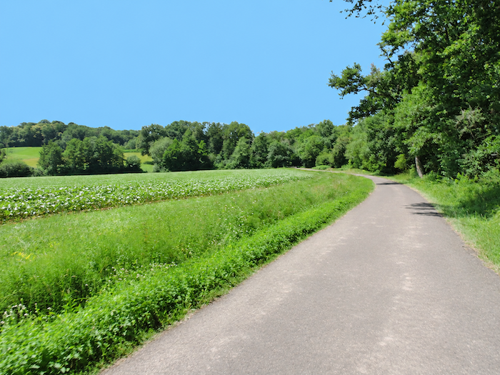 |
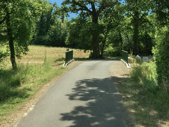
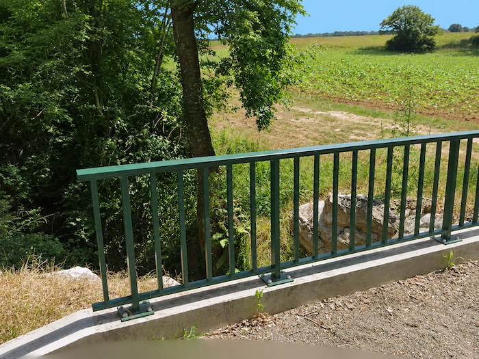
| Here it crosses the Saint-Aubin stream, so discreet that you might pass over it without even suspecting its presence. Hidden beneath a thick curtain of foliage, the little watercourse continues its quiet existence out of sight, barely betraying its passage through the dense vegetation. |
 |
 |
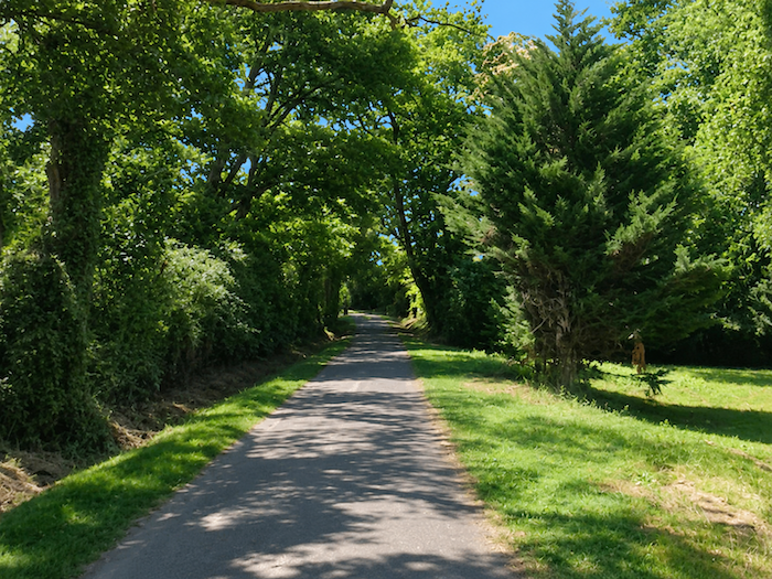
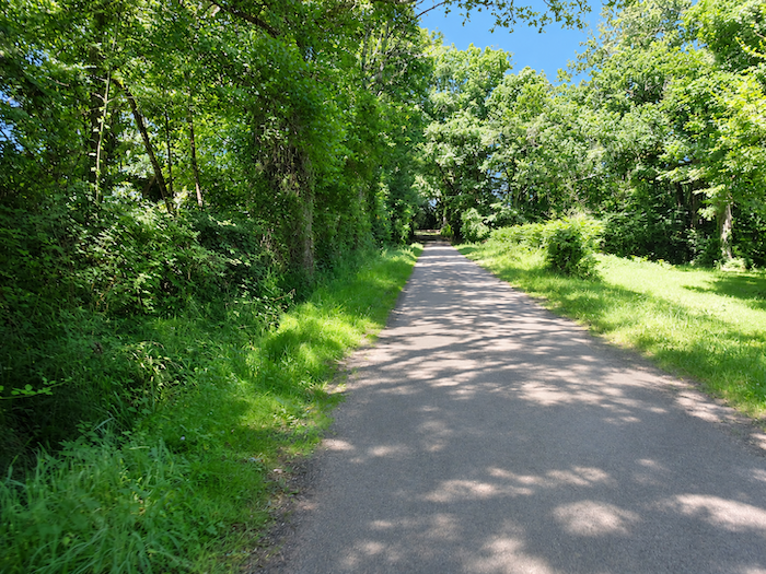
| After crossing the Saint-Aubin stream, the road begins climbing gently towards the hamlet of Villeneuve. The ascent starts beneath the trees, through woodland where the foliage continues to accompany the walker for a while before finally allowing more daylight to filter through. |
 |
 |
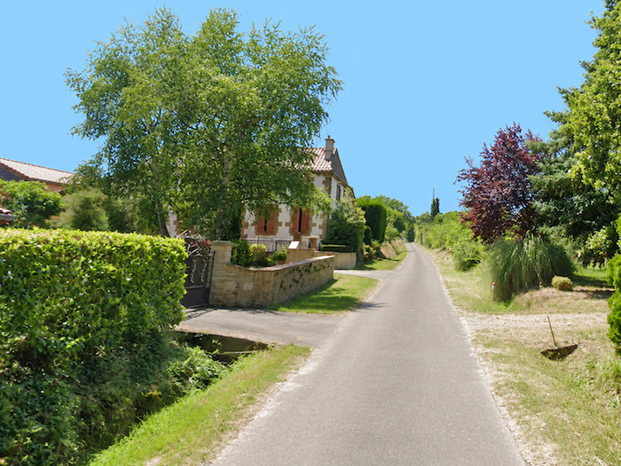
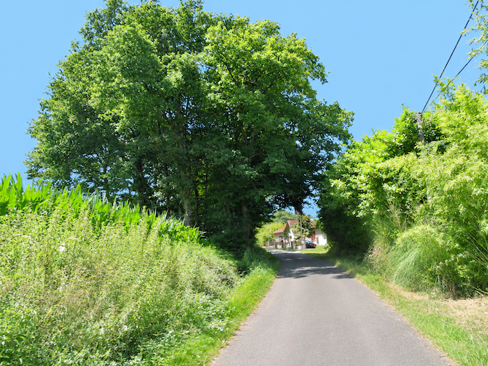
| Then the countryside gradually opens out. The road winds between the scattered houses of Villeneuve, modest dwellings dotted among the maize fields. There is no real village center here. The houses seem to have preferred keeping their distance from one another, each comfortably settled amid the cultivated land. |
 |
 |
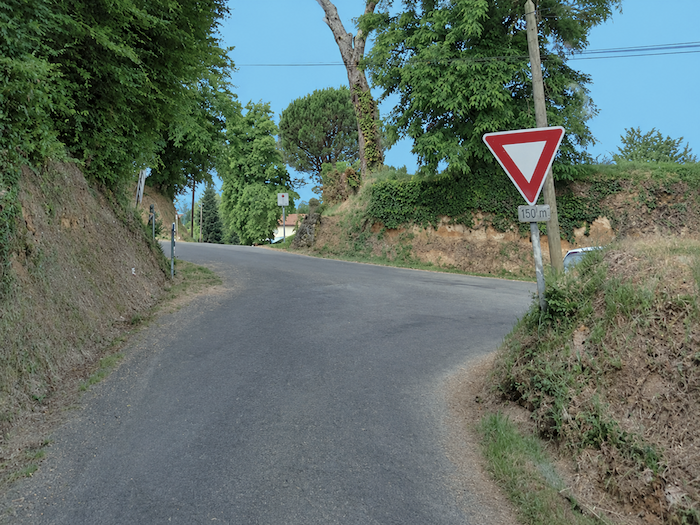
| At the end of this little road, the GR65 reaches a crossroads where several roads and paths present themselves to the eye, though not necessarily to the pilgrim’s feet. Some are blocked, as though the countryside had decided to reserve its paths for a privileged few. You will therefore have to follow the waymarked route. |
 |
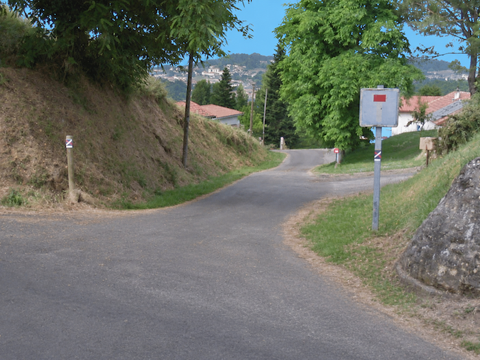 |
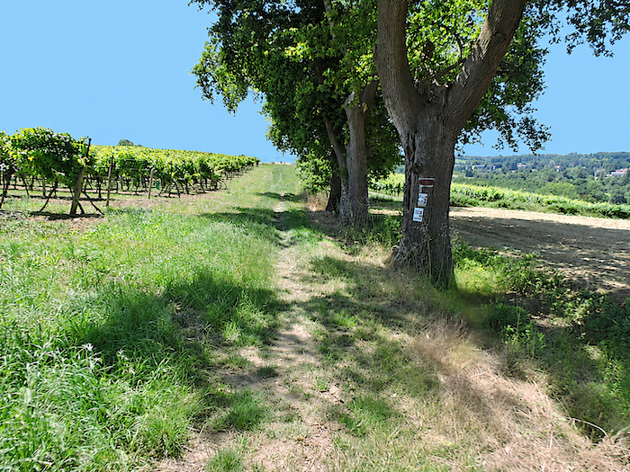
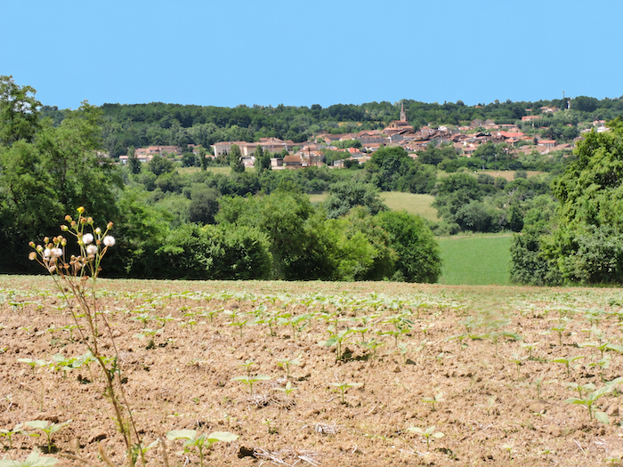
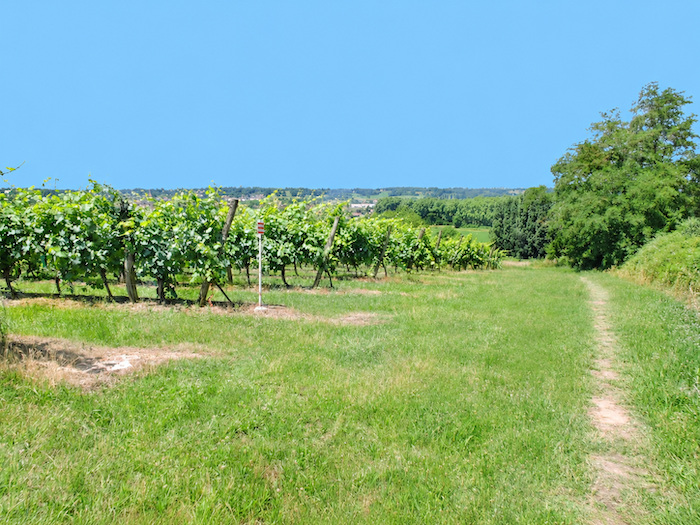
| Yet the town is now only a stone’s throw away, and its silhouette is already taking shape on the horizon. Seen from these heights, Nogaro forms a surprisingly compact cluster of buildings, almost huddled together, where pink and ochre façades mingle with red-tiled roofs. It is a charming picture of a Gascon town, its harmonious colors lending it a quiet elegance. But to reach it, the GR65 has no intention of obediently following the road. Instead, it turns away onto a path that tumbles down the hillside through the vineyards. One last whim of the terrain, just to remind your legs that the day’s walking is not quite over. |
 |
 |
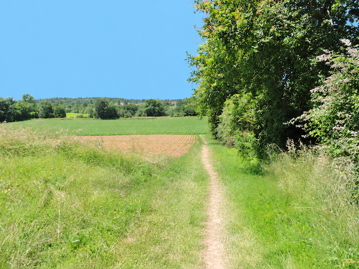
| At the foot of the descent, the landscape settles down and returns to extensive farmland. The path crosses a small plain where maize fields stand alongside sunflowers. |
 |
 |
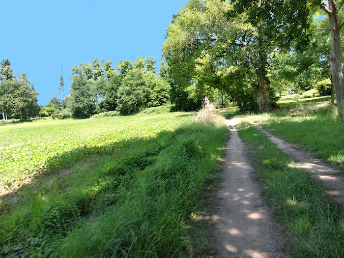
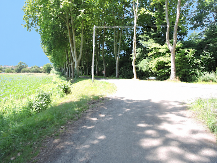
| Soon you reach the locality known as Pouy de Bouit, on the outskirts of Nogaro. Here, the GR65 joins the D522 departmental road, beneath the imposing presence of tall plane trees whose leafy canopies accompany the approach to town. |
 |
 |
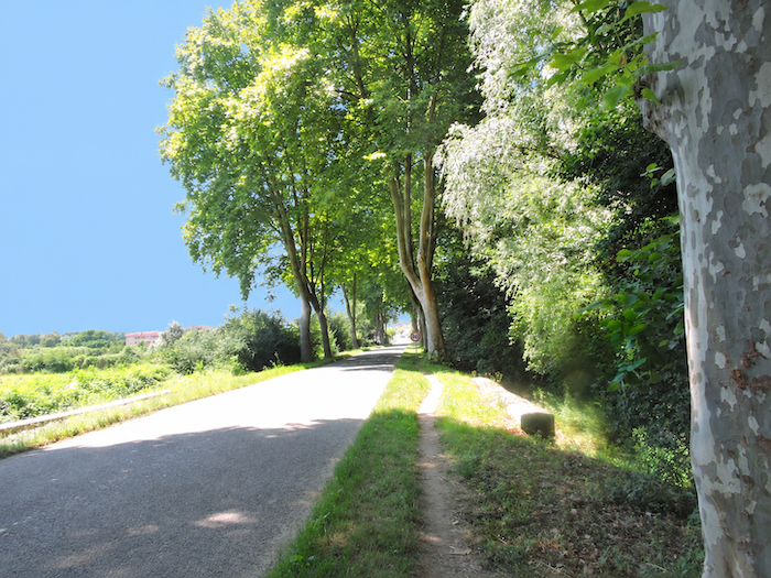
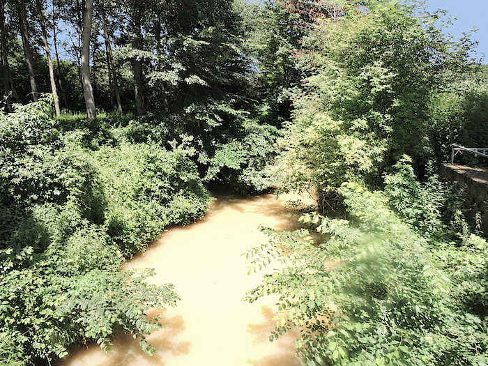
| The broad, tree-lined avenue then leads towards Nogaro and crosses the Midour, whose waters are hardly inviting for a swim. Their murky, often unappealing color is a reminder that Gascon rivers readily carry particles washed from the soils of their catchment areas. The region’s limestone and clay soils contribute to these sediment-laden waters, which rarely possess the transparency of mountain torrents. Nevertheless, the Midour continues its peaceful journey, utterly indifferent to the aesthetic judgements of the pilgrims crossing it. |
 |
 |
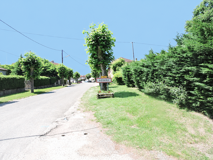
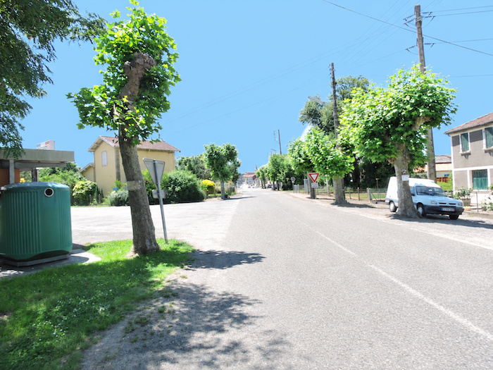
| At last, you have reached Nogaro, a small Gascon town of around 2,000 inhabitants. With a little luck, you will arrive on one of those blessed days when the town seems to enjoy perfect peace, lulled by birdsong among the leafy branches of the large park that welcomes travelers at its entrance. An almost idyllic arrival, giving little hint of the extraordinary outbursts of noise of which this place is sometimes capable. |
 |
 |
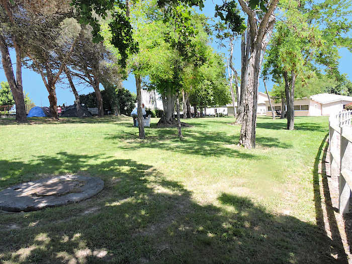
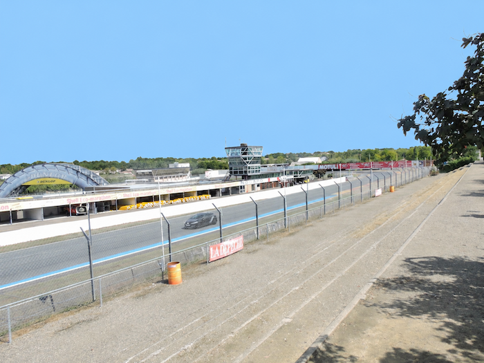
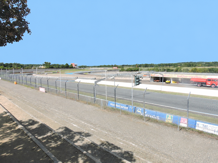
| For Nogaro has one rather remarkable peculiarity. An immense park, where local residents enjoy gathering and lingering at weekends, stands right beside the famous Paul Armagnac motor racing circuit. Two very different worlds thus exist side by side, that of walkers seeking greenery and tranquility, and that of motoring enthusiasts, whose expectations of peace and quiet are not always quite the same. |
 |
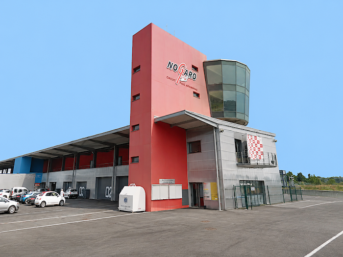 |
| Fortunately, there are days, and even nights, when the circuit returns to a more moderate, almost familiar level of activity. Ordinary motorists can then treat themselves to a few thrills behind the wheel of their own little cars, pretend for a moment to be racing drivers and make their tyres squeal around the bends. All in all, a fairly harmless way of enjoying a little excitement, provided they leave their racing ambitions within the circuit grounds. |
 |
 |
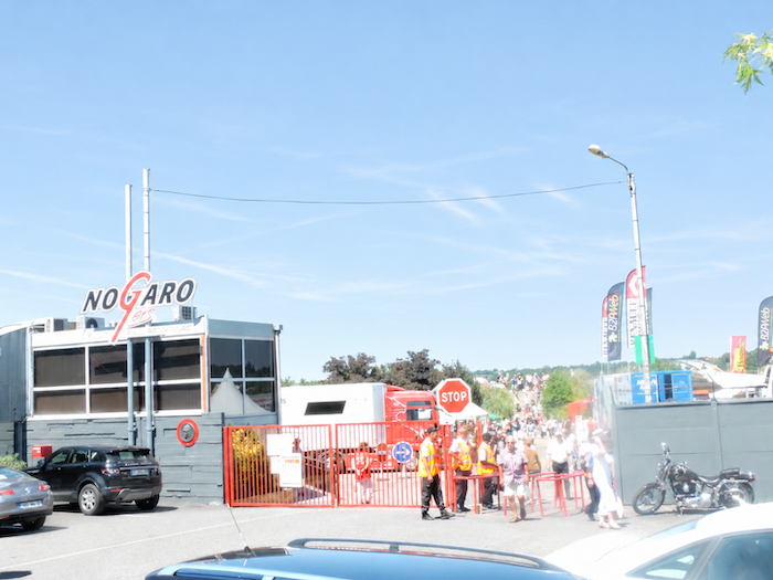
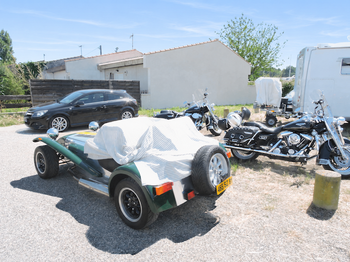
| But there are also days when Nogaro suddenly changes character, and the peaceful little town seems gripped by a genuine mechanical fever. During one of our visits, the town was hosting a round of the European Truck Racing Championship. Just imagine the scene: tens of thousands of engine enthusiasts, many of them clad from head to toe in leather, descending upon this normally tranquil little town. Motorcyclists, motorists, lovers of powerful engines and collectors of vintage vehicles converge on the circuit as though making a pilgrimage. Each comes to celebrate a personal form of worship, devoted to horsepower, gleaming bodywork and thunderous exhausts. The great park and the surrounding suburbs are transformed into an enormous encampment of caravans, motorhomes and trailers. All these visitors have to sleep somewhere, and the accommodation available in this little town could never absorb such an invasion. So, everyone settles wherever space can be found, ready for a weekend devoted to engines and good company. Everywhere, tables are unfolded, barbecues are lit, sausages and bottles are brought out. People feast, chat and slice their way through endless rounds of cured sausage, in a cheerful closeness where neighboring campers quickly become companions in adventure. And above all, there is noise. A deep, continuous rumble rises from the circuit, soon joined by the explosive crackling of engines, blasts of horns and the roaring of these steel monsters, each seemingly determined to make more windows rattle than the next. At times, the din reaches such intensity that you might imagine yourself in the middle of a battlefield, with exhaust pipes simply taking the place of cannons. So, you may ask, what possible pleasure can there be in sitting peacefully at a café terrace near the bullring, sipping a mint lemonade while these enormous metal beasts parade right under your nose? And yet, the spectacle has a certain charm. Drivers greet you with enthusiastic blasts of their horns, displaying such demonstrative affection that you almost jump out of your chair. You never asked for any of this, but here you are, drawn against your will into the great brotherhood of engine worshippers. On certain days in Nogaro, even the most contemplative pilgrim must resign himself to sharing his search for serenity with several thousand horsepower. |
 |
 |
 |
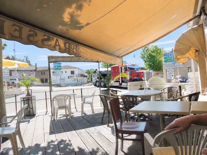 |
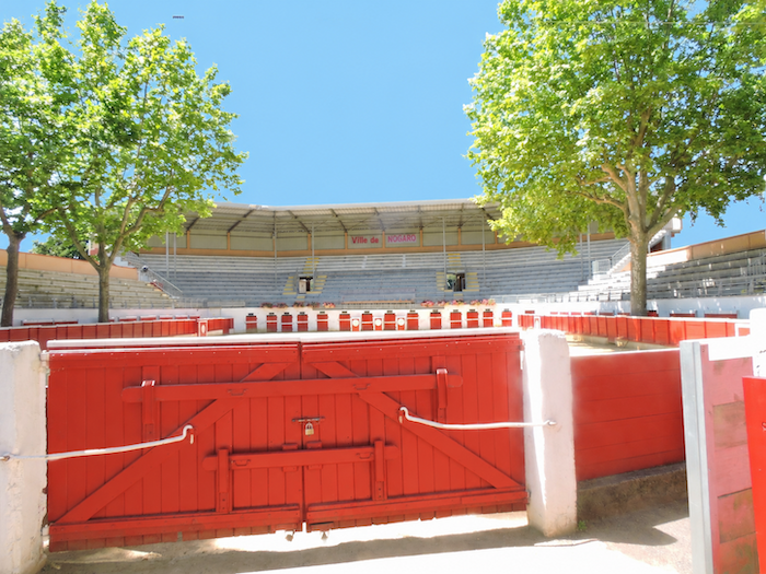
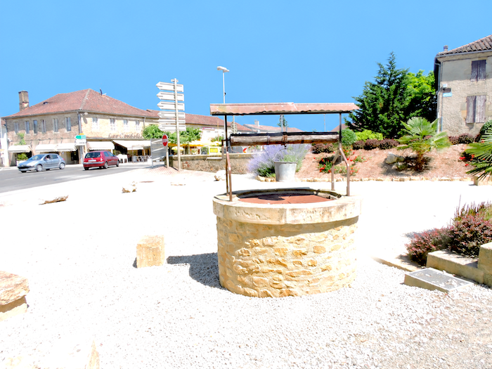
| In the lower part of Nogaro stand the bullring and its arena, devoted to the “course landaise”, another Gascon passion in which the skill and courage of the men are tested against the agility of the fighting cows, the “coursières”. This is also one of the liveliest parts of town, close to a major crossroads where travelers and residents mingle, amid a hotel, a restaurant and the constant coming and going of traffic. Here, the little town displays all the ordinary bustle of its streets. |
 |
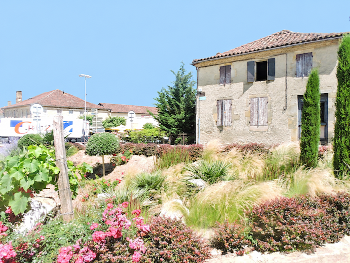 |
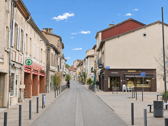
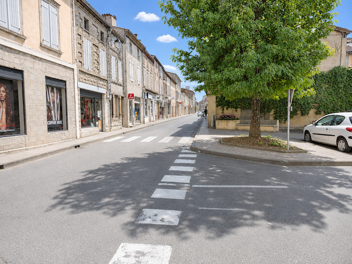
| A sloping street then climbs towards the heart of the town, where the atmosphere becomes more intimate. A small square, far more attractive than the crossroads below, offers a few restaurants beneath the shade of the trees. Their terraces invite you to slow down, linger over a drink or enjoy a meal. After the roaring engines of the racing circuit, the contrast is delightfully soothing. |
 |
 |
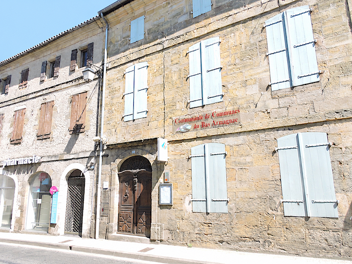
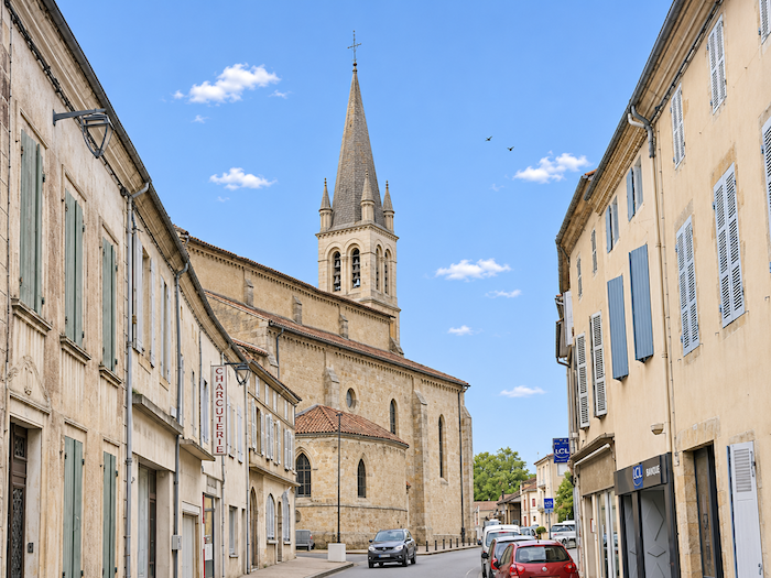
| Higher up, near the edge of the town, stands the Collegiate Church of Saint-Nicolas, a venerable witness to nearly a thousand years of history. Consecrated in 1060, this Romanesque church was once among the fortified sanctuaries of the region, with its powerful dressed-stone buttresses and narrow openings reminiscent of arrow slits. But the centuries have treated it harshly. Wars, damage and successive alterations have profoundly changed its appearance, to the point that, during one particularly inglorious chapter of its existence, it was even reduced to serving as a coal warehouse. |
 |
 |
Accommodation on Via Podiensis
- Gîte Chalet du Bonheur, Alexandra (pèlerine), Peyret; 06 29 75 72 84; Gîte donativo, dinner, breakfast
- Gîte-Chambres d’hôtes, Domaine de la Hargue, La Hargue; 07 63 44 96 26/09 53 38 70 17; Gîte and Guestroom, dinner, breakfast, cuisine
- Gîte A Deux Pas du Chemin, Sauboires; 06 31 58 21 07; Gîte, dinner, breakfast
- Gîte-Le Chemin en Chantant, Rue des Remparts, Manciet; 07 87 72 07 82; gîte donativo, cuisine
- Chez Ernesto, Manciet; 05 62 08 56 40 bar-restaurant, Guestroom, dinner, breakfast
- Chambres d’hôte Black Pig, Manciet; 06 31 86 21 16; Guestroom, dinner, petit déj
- Gîte-Chambres d’hôtes, Le Relais du Haget, Le Haget; 05 62 08 54 02/06 11 66 13 98; Gîte and Guestroom, dinner, breakfast, cuisine
- Gîte-Chambres d’hôtes, Le Domaine de la Source, Monneton; 06 10 78 35 22; Gîte and Guestroom, dinner, breakfast, cuisine
- Gîte le Repos des Rêves, Vincent (pèlerin), 9 Rue des Fossés, Nogaro; 06 28 90 20 57; Gîte, dinner, breakfast
- Gîte communal, 11 Avenue des Sports, Nogaro; 05 62 69 06 15/06 80 12 47 56; Gîte, breakfast, cuisine
- Gîte du Pied Levé, 7 Avenue de Daniate, Nogaro; 06 71 23 73 26; Gîte, cuisine
- Gîte Maison Nogaro Centre, 5 Rue du Midour, Nogaro; 06 39 69 51 65; Gîte, cuisine
- Gîte-Chambres d’hôtes Nogapalio, 89 Rue de la République, Nogaro; 05 62 03 32 83; Gîte and Guestroom, dinner, breakfast, cuisine
- Chambres d’hôtes Huck, 9 Avenue du docteur Couécou, Nogaro; 06 32 94 44 56; Guestroom, breakfast,
- Chambres d’hôtes Grosjean, 140 Chemin de la Pisciculture, Nogaro; 06 87 76 11 68; Guestroom, breakfast,
- Chambres d’hôtes Baul, 1 Rue des Mousquetaires, Nogaro; 06 77 78 86 34; Guestroom, breakfast,
- Hôtel-restaurant Le Commerce**, 2 Place des Cordeliers, Nogaro; 05 62 09 00 95; Hotel, dinner, breakfast
Year after year, the Camino de Santiago changes and reinvents itself, shaped by the seasons and the footsteps of its pilgrims. Some places to stay close their doors, while others, modest or unexpected, spring up along the way. It would therefore be unrealistic to claim that any list could ever be both permanent and exhaustive. The following selection includes only accommodation located directly on the route or within one kilometer of it. It was updated in 2026 and should therefore remain largely reliable over the next few years. For those wishing to explore further, one guide stands out as an essential reference: Miam Miam Dodo, readily available online. Its greatest strength lies in the fact that it is updated every year. Rather than limiting itself strictly to accommodation along the route, it also lists places to stay further afield, a particularly valuable resource when large numbers of pilgrims make finding a bed at the usual stopping points more uncertain. It also contains a wealth of practical information: welcoming bars, restaurants along the way, and conveniently located bakeries. all welcome stops that punctuate the journey. Alongside these traditional resources, another presence has now become impossible to ignore: Airbnb. The platform has established itself as a major player in the tourism landscape, even in quieter or less prosperous regions. However, as most travelers know, exact addresses are not displayed upfront, which means that some advance planning is required. On the Camino, finding a bed at the last minute can sometimes come down to a fortunate stroke of luck. But luck, by its very nature, is no strategy. Booking ahead is therefore strongly recommended. Finally, when making your arrangements, be sure to ask about dinner and breakfast options. Such details may seem insignificant, but they can make a long day on the Camino considerably more comfortable.
If we take stock of the available accommodation, there are approximately 75 beds before reaching Nogaro, suggesting that many pilgrims choose to stop along the way. In Nogaro itself, accommodation capacity rises to nearly 110 beds. While the number of walkers on the Via Podiensis generally ranges between 100 and 200, pilgrim numbers tend to decrease after Cahors. Finding accommodation on this stage should therefore not pose any major difficulties, unless you happen to arrive on a motor racing day. Booking in advance is therefore recommended.
These routes wind through often sparsely populated areas, where shops and other services are few and far between. Restaurants are scarce, as are grocery stores, which are often little more than small village shops or bread depots offering a limited selection of vegetables and dairy products. Along today’s route, there is only one drinking water point, located at the church of L’Hôpital. Manciet and Nogaro both offer a full range of dining options, as well as pharmacies. Finally, several companies provide luggage transfer services or transport back to the starting point. Among them, one stands out as a particularly well-established and reliable option: La Malle Postale.
Feel free to add comments. This is often how you move up the Google hierarchy, and how more pilgrims will have access to the site.
|
 |
Next stage : Stage 30: From Nogaro to Aire-sur-L’Adour |
|
 |
Back to menu |