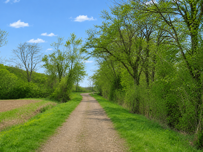
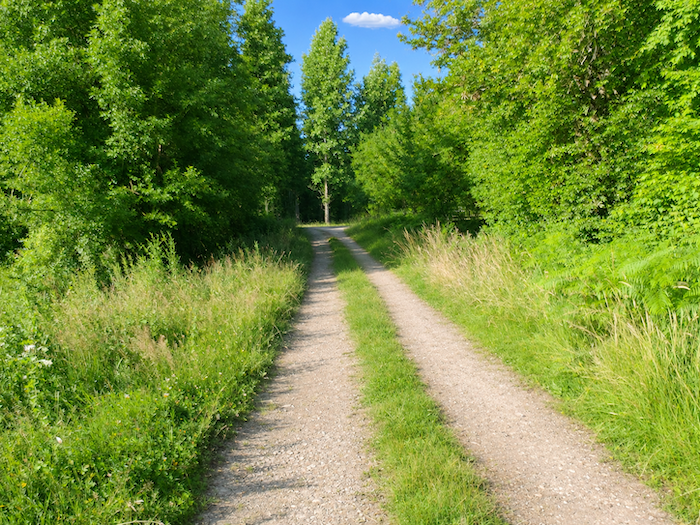
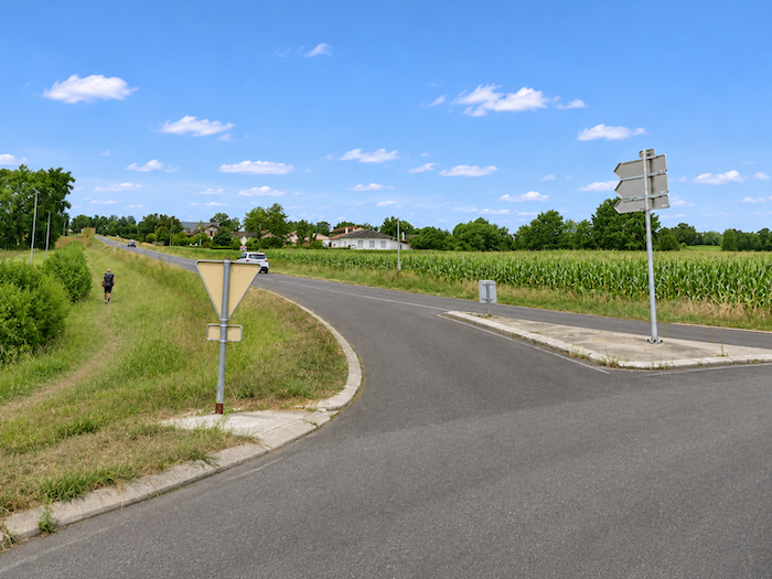
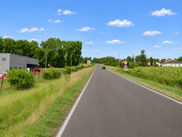
Long live corn!
,DIDIER HEUMANN, MILENA DALLA PIAZZA,ANDREAS PAPASAVVAS
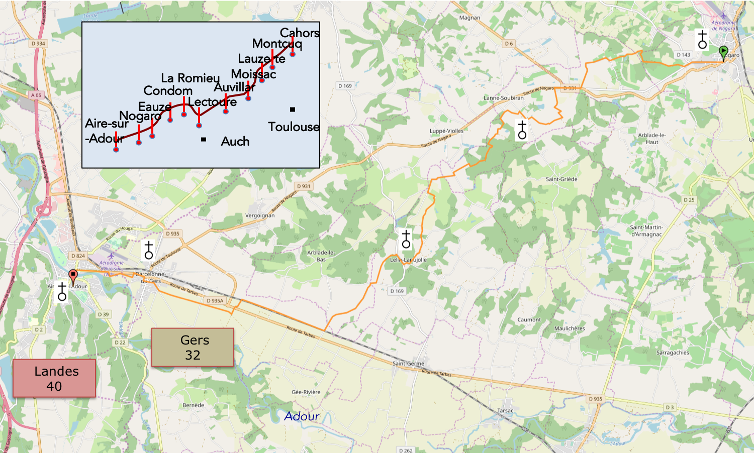
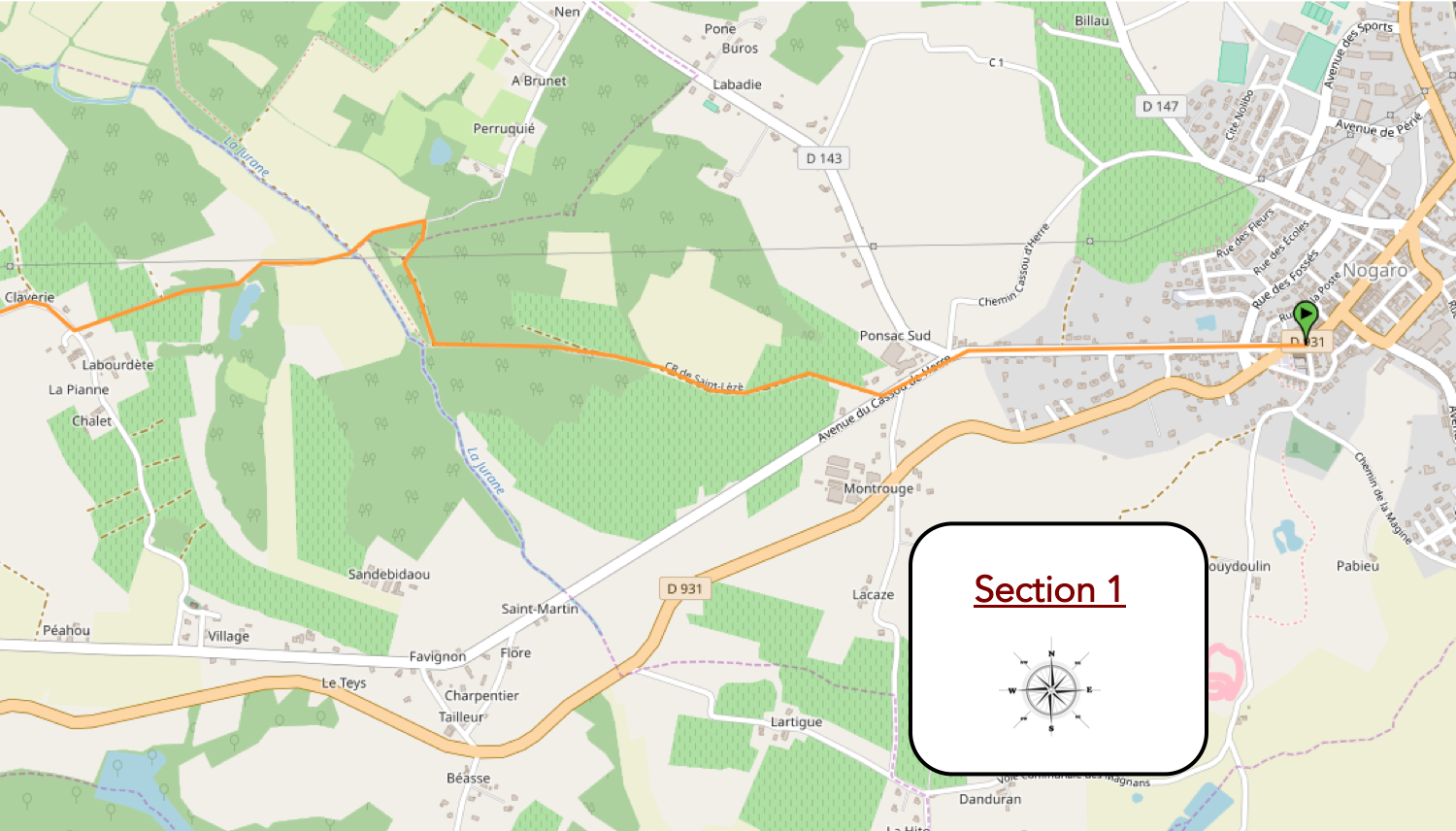
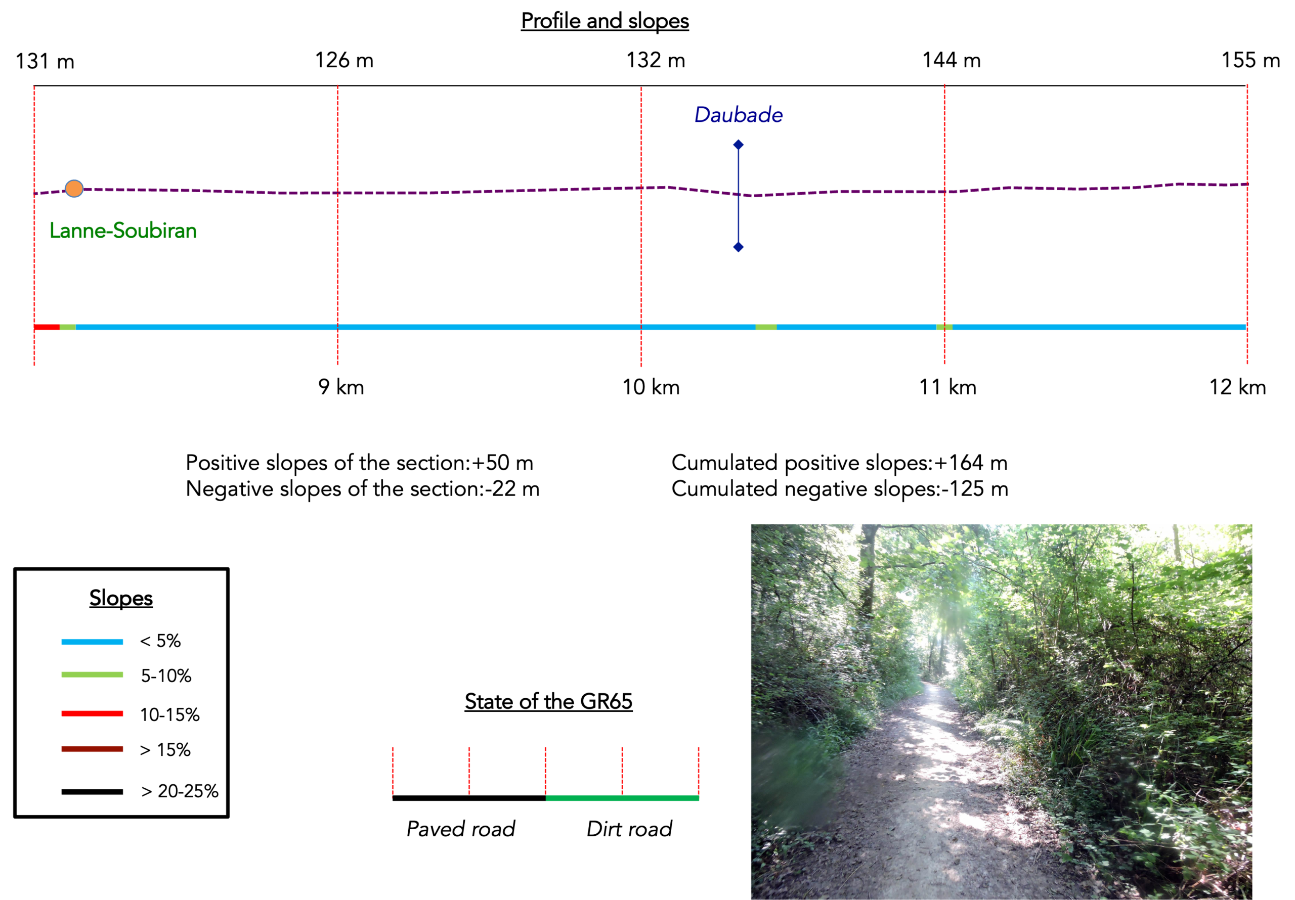
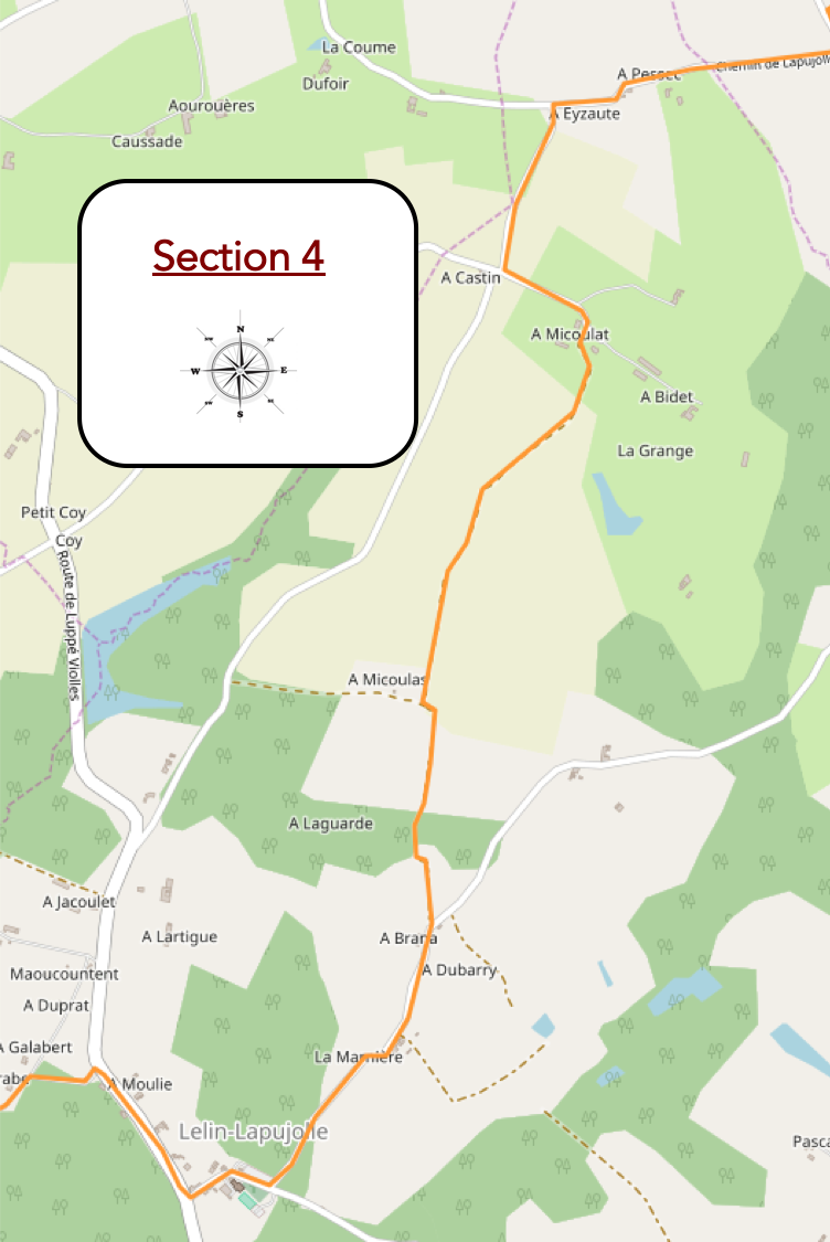
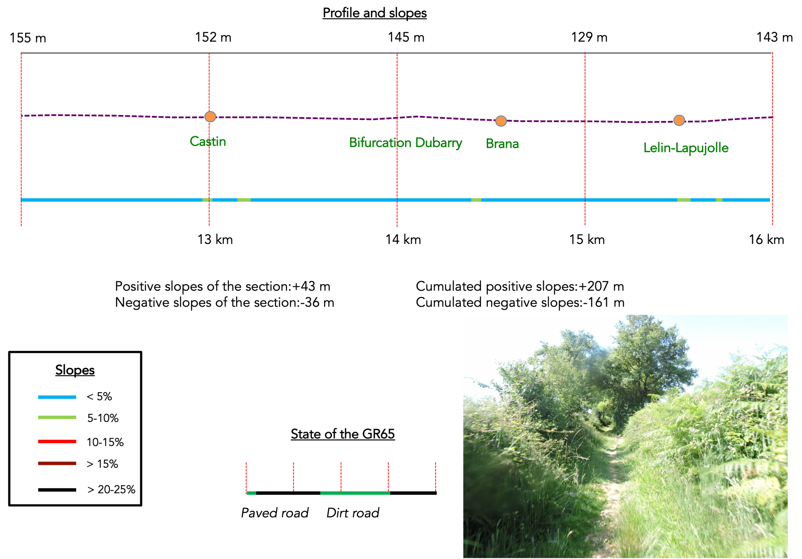
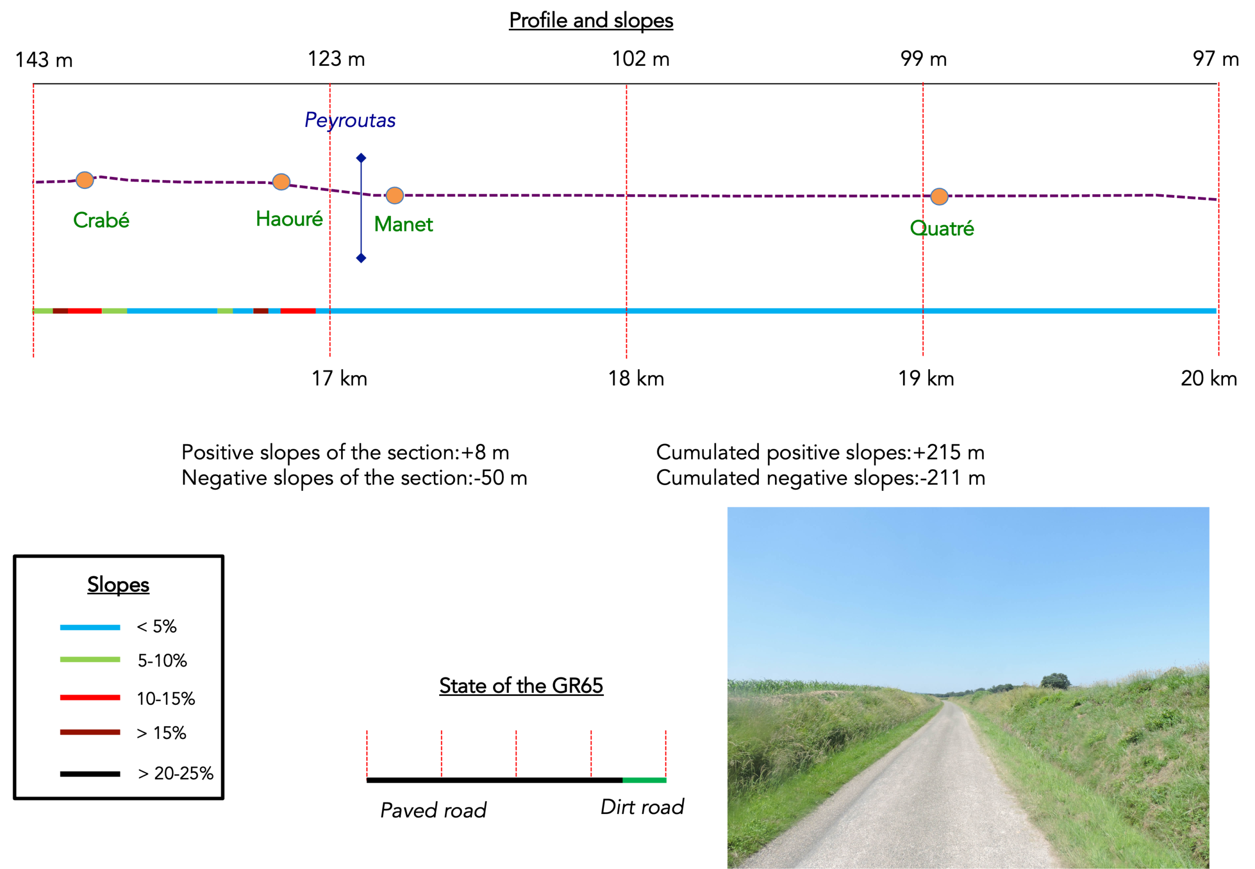
We divided the course into several sections to make it easier to see. For each section, the maps show the course, the slopes found on the course, and the state of the roads. The courses were drawn on the “Wikilocs” platform. Today, it is no longer necessary to walk around with detailed maps in your pocket or bag. If you have a mobile phone or tablet, you can easily follow routes live.
For this stage, here is the link:
https://fr.wikiloc.com/itineraires-randonnee/de-nogaro-a-aire-sur-adour-par-le-gr65-30880843
|
Not all pilgrims are necessarily comfortable using GPS devices or navigating with a smartphone, especially since there are still many areas without Internet access. That is why, to make your journey easier, a book dedicated to the Via Podiensis from Cahors to Le-Puy-en-Velay is available on Amazon. Much more than a simple practical guide, this book accompanies you step by step, kilometer after kilometer, providing all the information you need for smooth planning and avoiding unpleasant surprises. Beyond its practical advice, it immerses you in the enchanting atmosphere of the Camino, capturing the beauty of the landscapes, the majesty of the trees, and the very essence of this spiritual adventure. Only the pictures are missing, everything else is there to transport you.
In addition, we have also published a second book which, with slightly fewer details but all the essential information, covers the entire route from Le Puy-en-Velay to Saint-Jean-Pied-de-Port. The choice of your journey is yours.
|
 |
 |
If you only want to consult lodging of the stage, go directly to the bottom of the page.
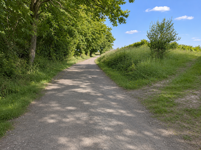
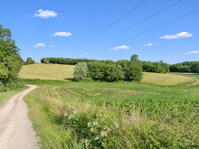
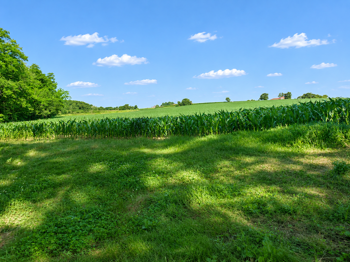
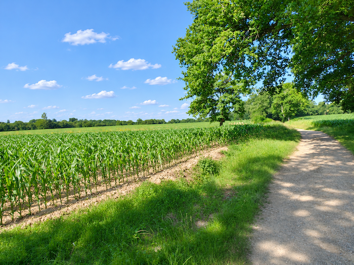
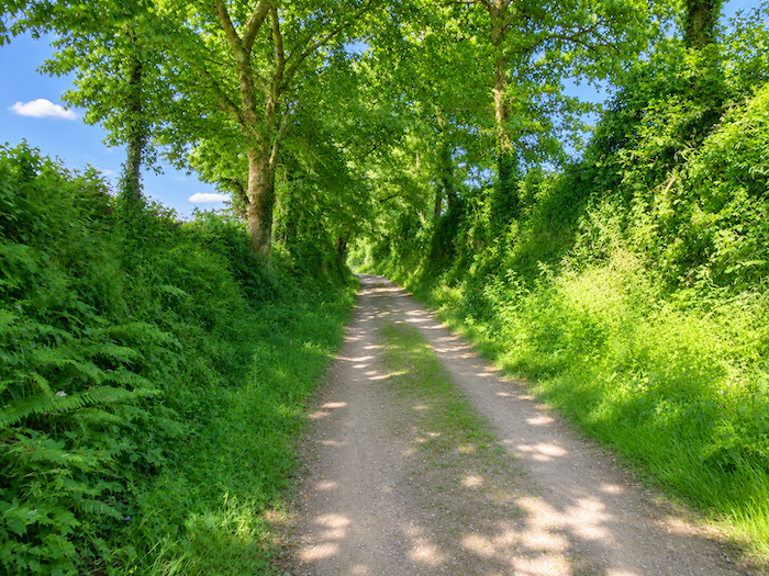
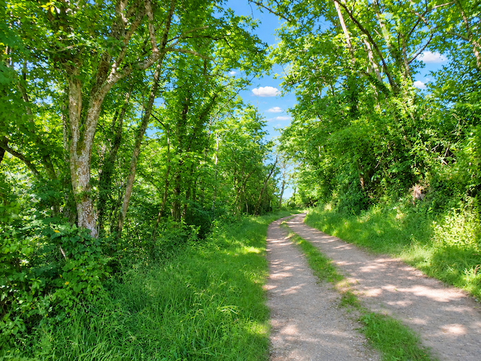
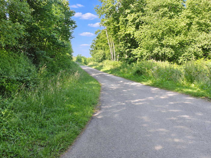
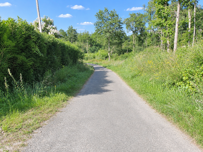
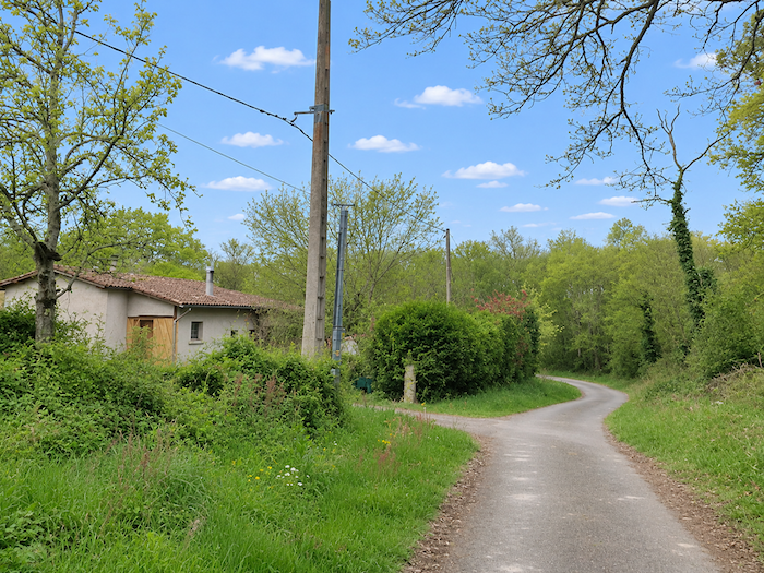
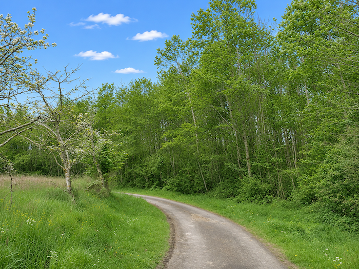
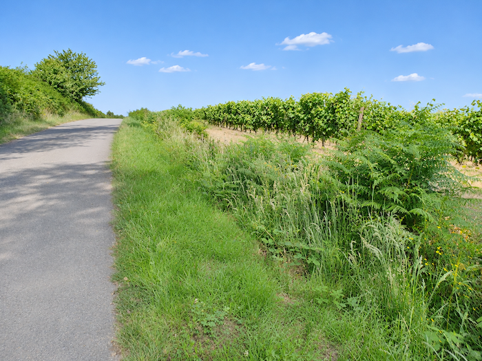
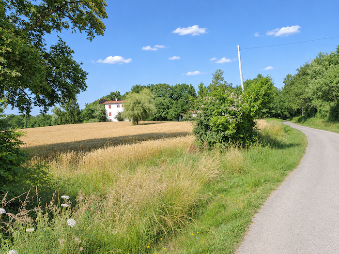
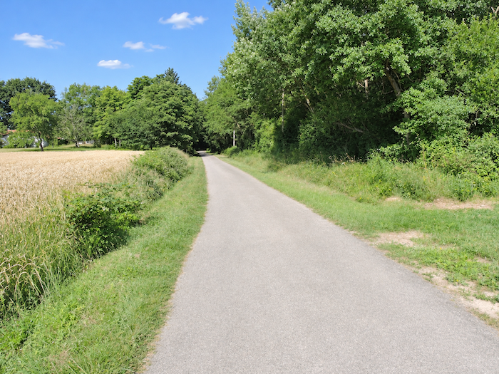
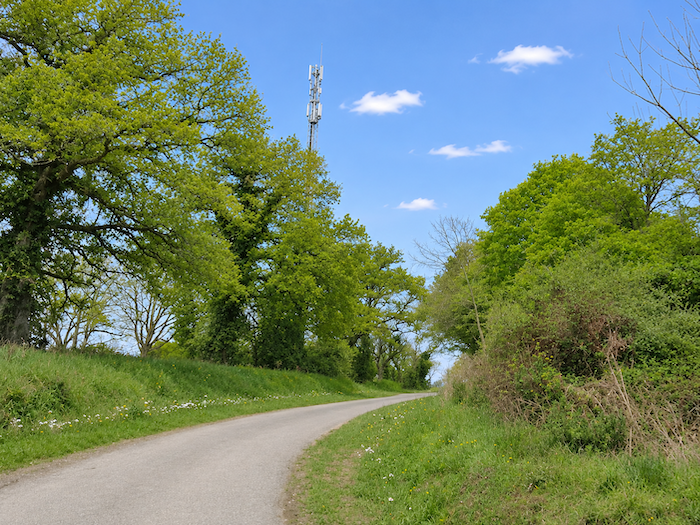
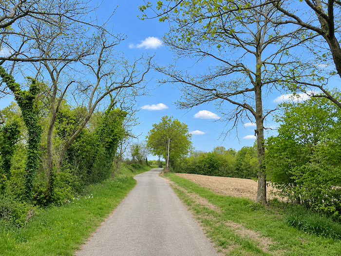
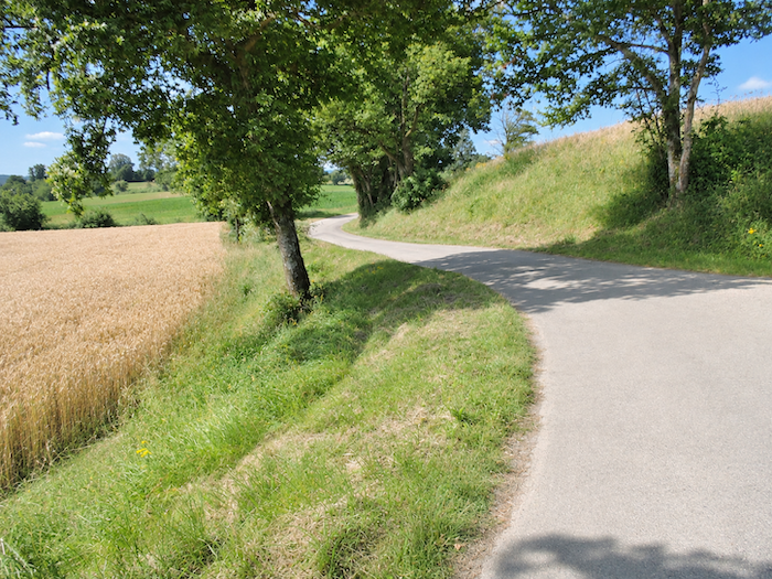
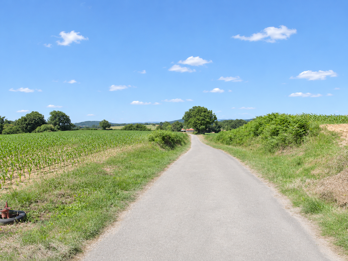
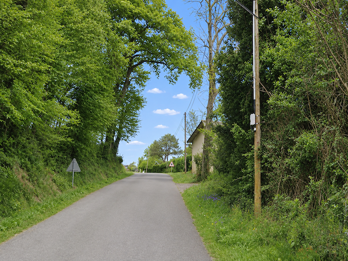
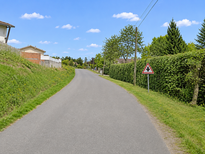
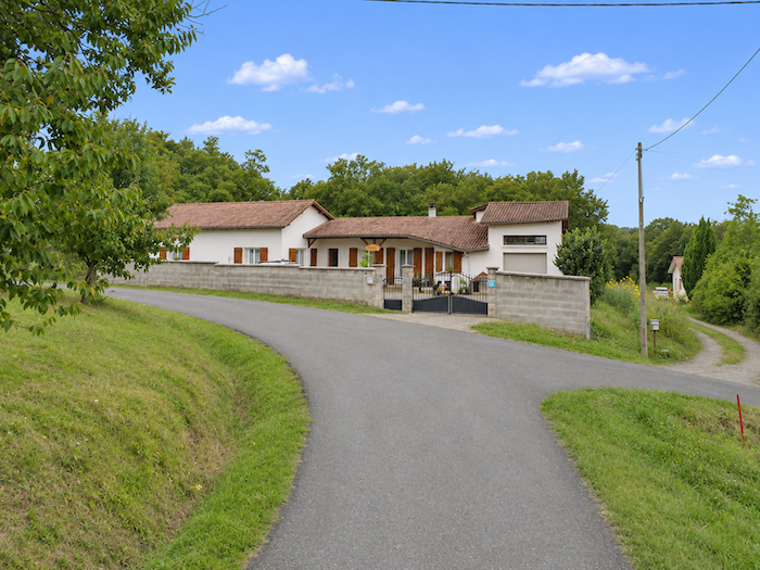
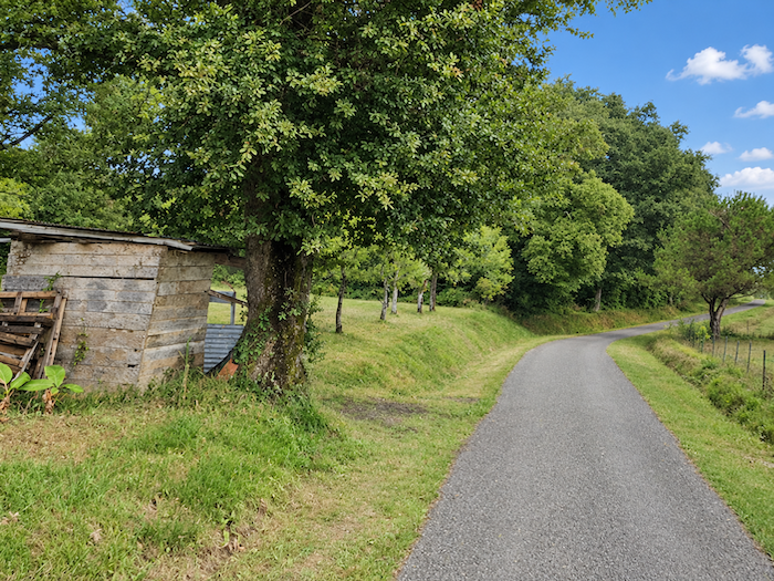
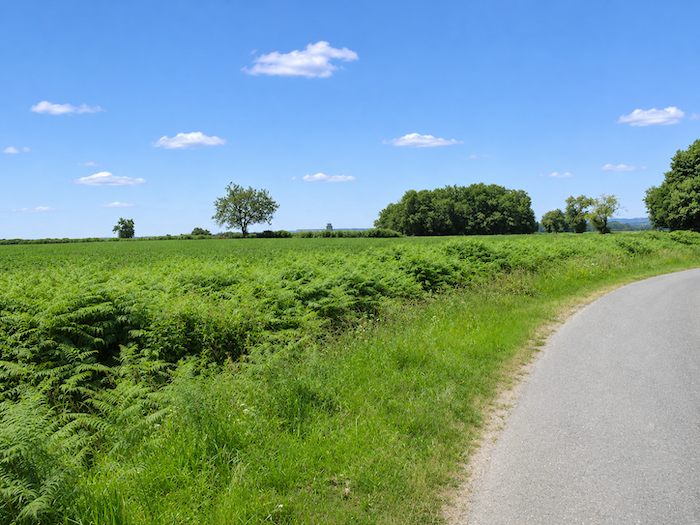
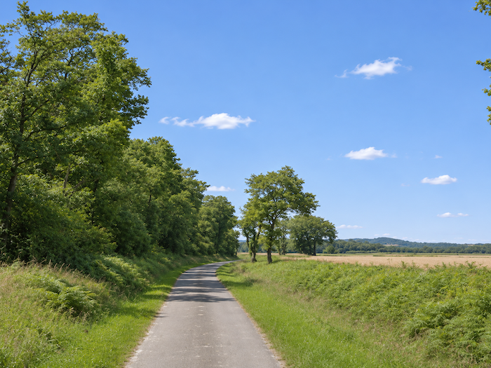
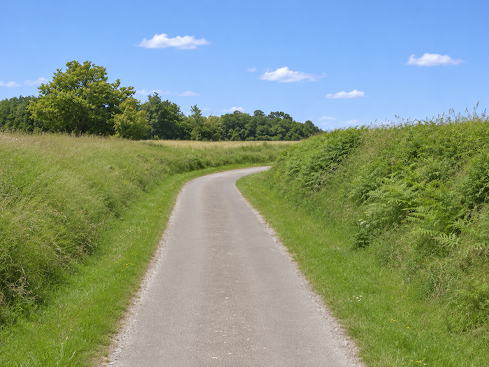
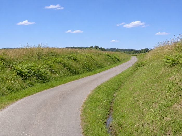
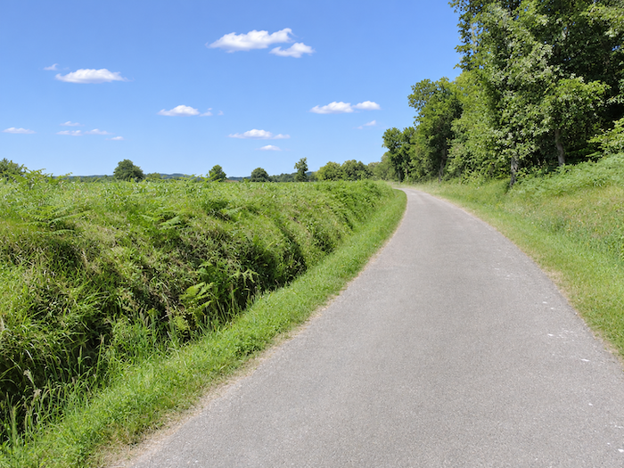
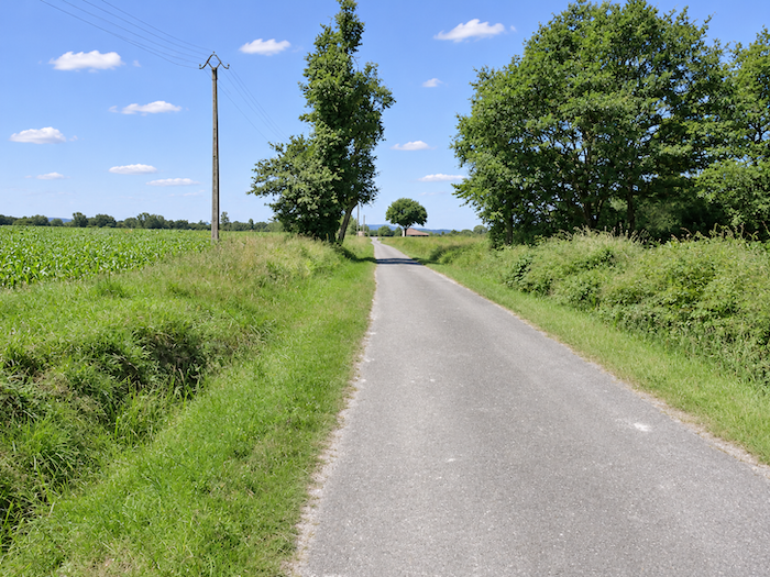
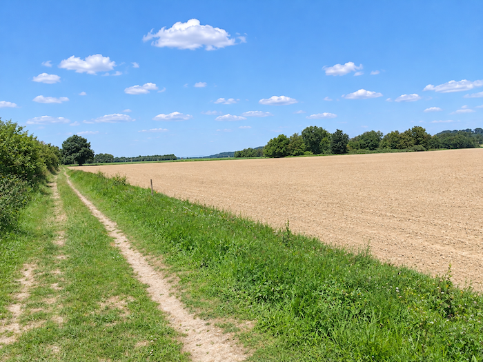
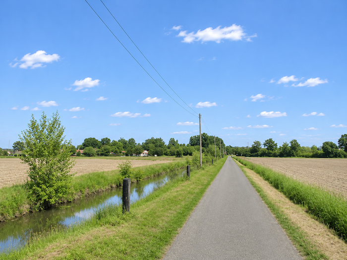
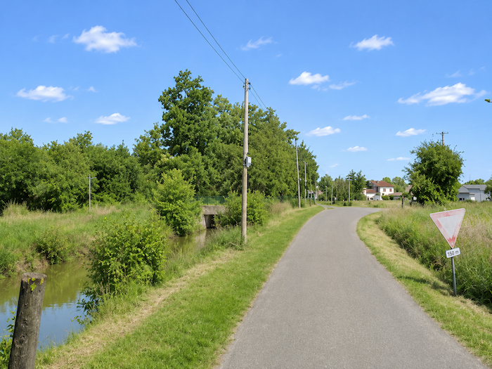
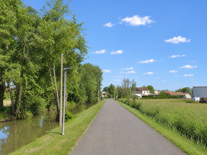
Another day, or almost, spent wandering through the gentle, rolling hills of the Gers, among vast expanses of cornfields sweeping down the slopes towards the broad plain of the Adour. Today, the GR65 heads resolutely westward, crossing the last stretches of Gers countryside before dipping its feet into the waters of the Adour, at the gateway to the Landes, that vast department opening the way towards the Atlantic. Emerging from the Pyrenees, the river first makes its way across the long plain of Bigorre before winding through the lush landscapes of Bas-Armagnac, nestled in the heart of a fertile and prosperous valley. At Aire-sur-L’Adour, it enters the Landes, watering lands of remarkable fertility along the way. Here, corn reigns almost unchallenged, yielding only a few scattered plots to orchards and vineyards. Rows of vines still compete here and there with this conquering crop, while the unsightly green plastic tunnels are already coming into view, crowded with ducks, far more numerous than geese, destined for the lavish tables of Southwestern French gastronomy.
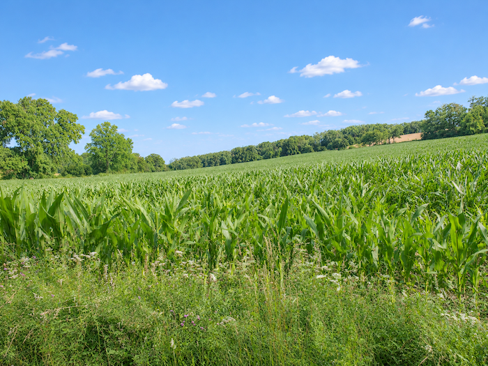
You have already had a taste of corn while crossing the Gers. But that was only a prelude. In this transitional region between the hills of the Gers, the Landes and the Pyrénées-Atlantiques, you will be swallowing up mile after mile of cornfields, almost to the point of indigestion! For you are entering one of France’s great corn-growing heartlands, a region where this crop has gradually come to shape the entire landscape. In the Landes, no less than 69% of all agricultural land is devoted to corn! It takes an extraordinary quantity of those beautiful golden kernels to feed the roughly 11 million ducks and geese raised in the department, including 8 million destined for force-feeding. On this scale, the Landes ranks as France’s leading department for the production of these birds, accounting for nearly a quarter of the national total. Yet the vine has not had its last word. The Armagnac vineyards still extend as far as the surroundings of Aire-sur-L’Adour, while the hillsides are home to another distinctive wine-growing area, that of Saint-Mont. You will cross these vineyard landscapes, where the vines cling to the slopes of the soft, sedimentary hills, creating little islands of carefully ordered greenery amid the endless ocean of corn. A final touch of diversity in an agricultural landscape that this mighty cereal seems determined to conquer entirely.
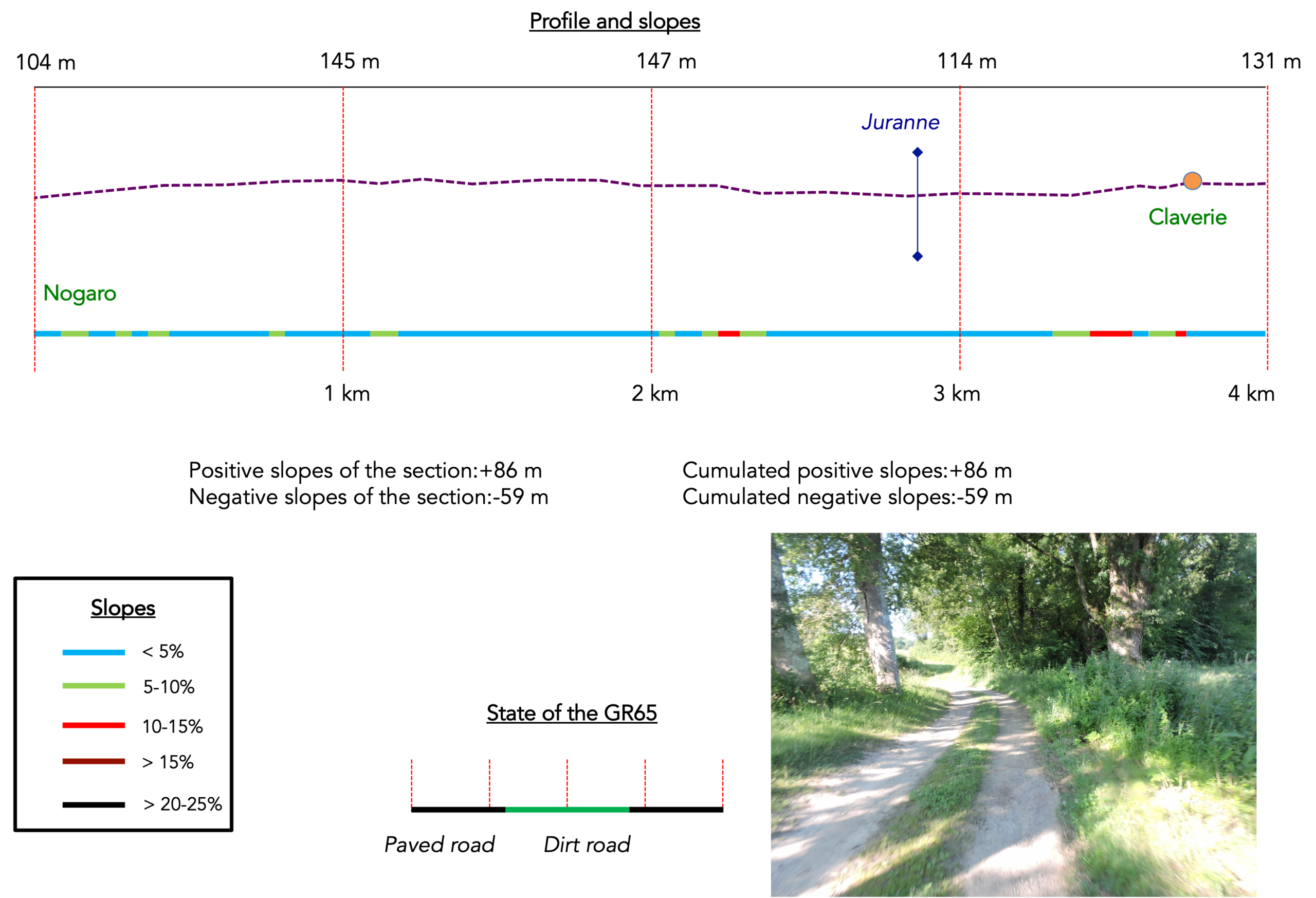
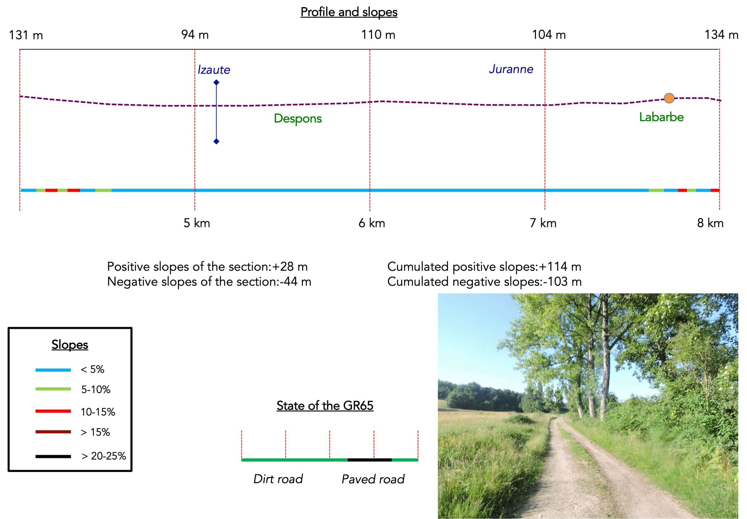
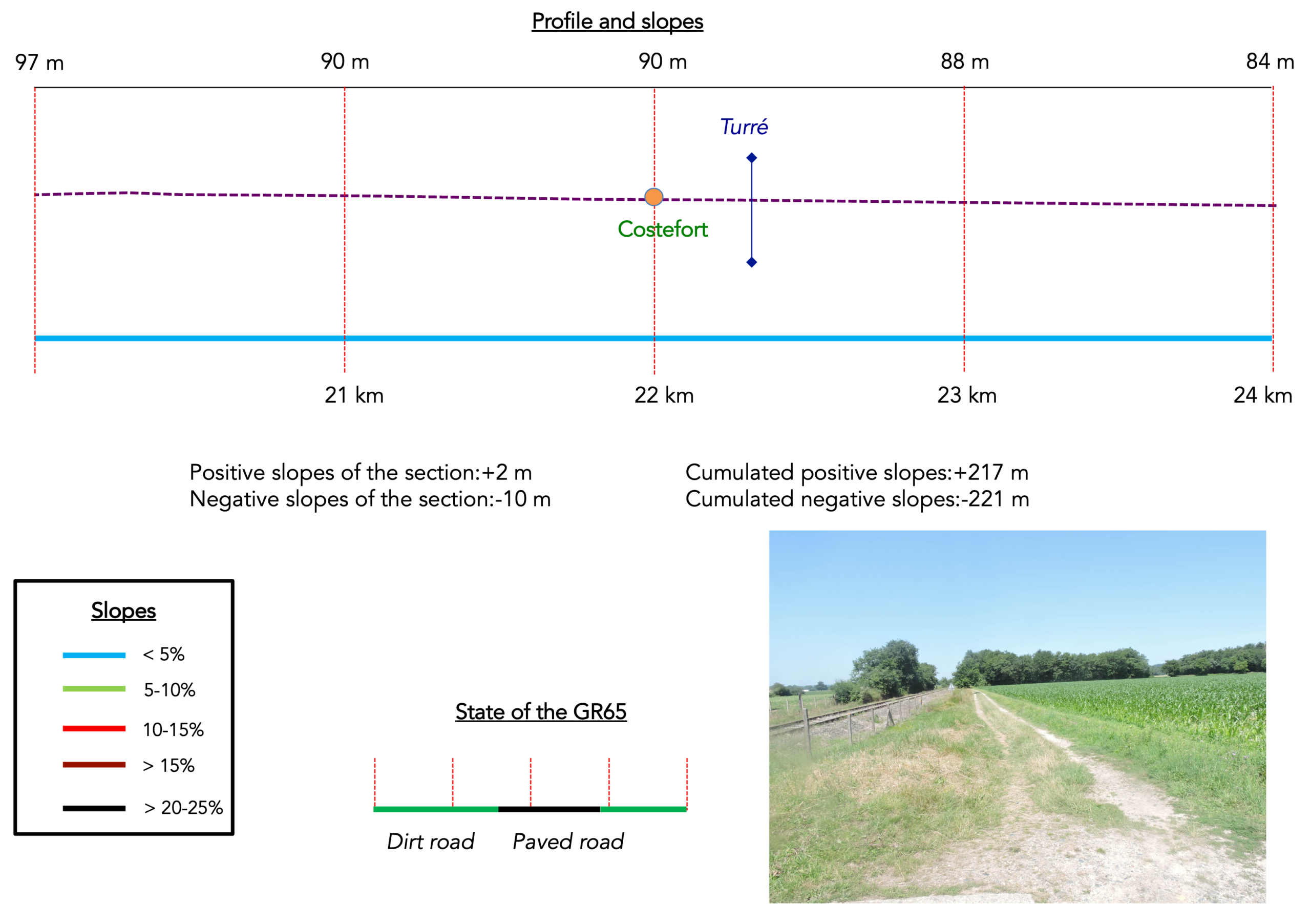
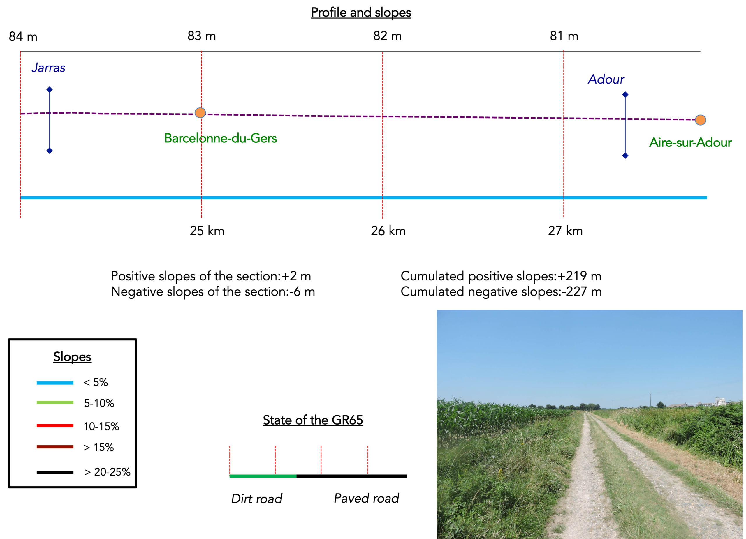
Difficulty level: Today’s route presents no particular difficulties, beginning with gently rolling terrain before continuing on flat ground along the former railway line. Elevation changes are once again very modest (+ 219 meters/- 227 meters).
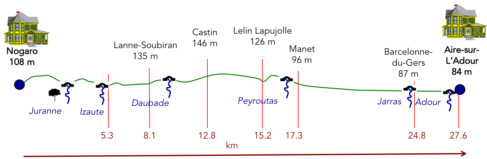
State of the GR65: Paved road sections considerably outnumber stretches along dirt or grassy paths:
- Paved roads: 16.8 km
- Dirt roads: 10.8 km
Sometimes, for reasons of logistics or housing possibilities, these stages mix routes operated on different days, having passed several times on Via Podiensis. From then on, the skies, the rain, or the seasons can vary. But, generally this is not the case, and in fact this does not change the description of the course.
It is very difficult to specify with certainty the incline of the slopes, whatever the system you use.
For « real slopes », reread the mileage manual on the home page.

Section 1: Gentle undulations between vineyards, cornfields and woodland
Overview of the route’s challenges: an easy route with no particular difficulties.
|
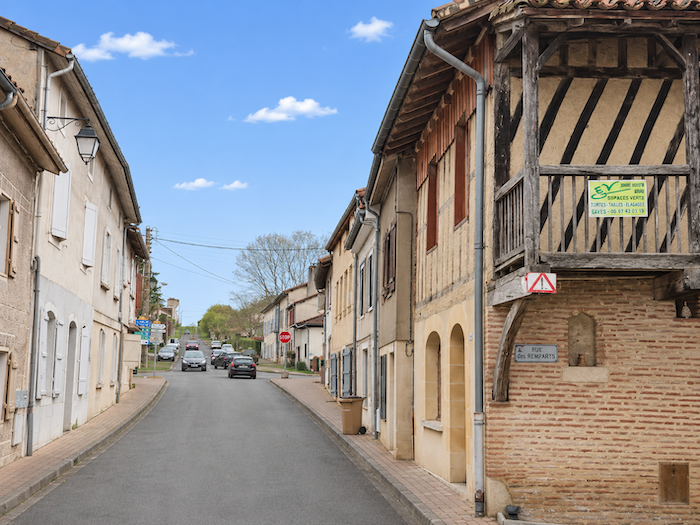
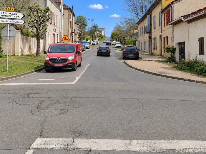
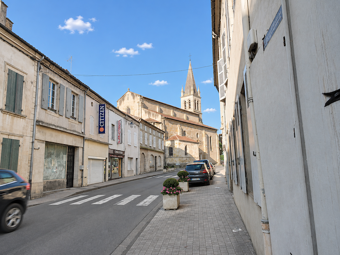
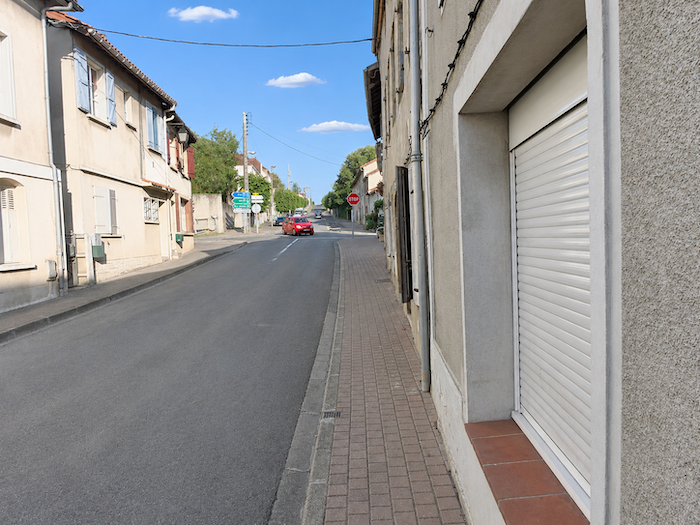
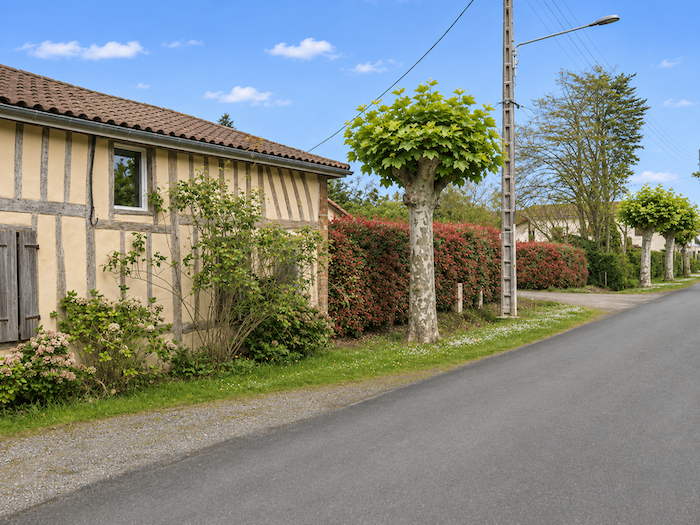
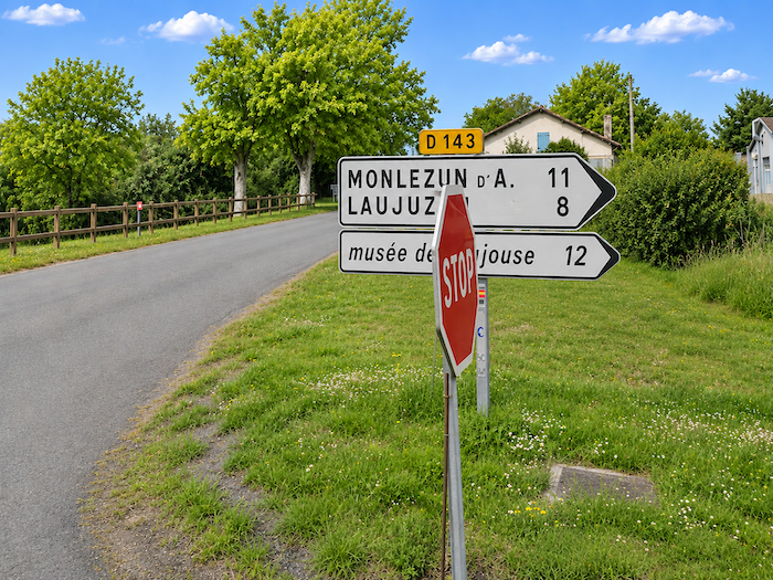
The GR65 leaves Nogaro, climbing gently past the church along the narrow D143 departmental road. From one crossroads to the next, it winds through the outskirts, gradually leaving the heart of the town behind.
|
 |
 |
|
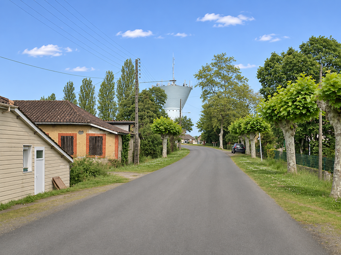
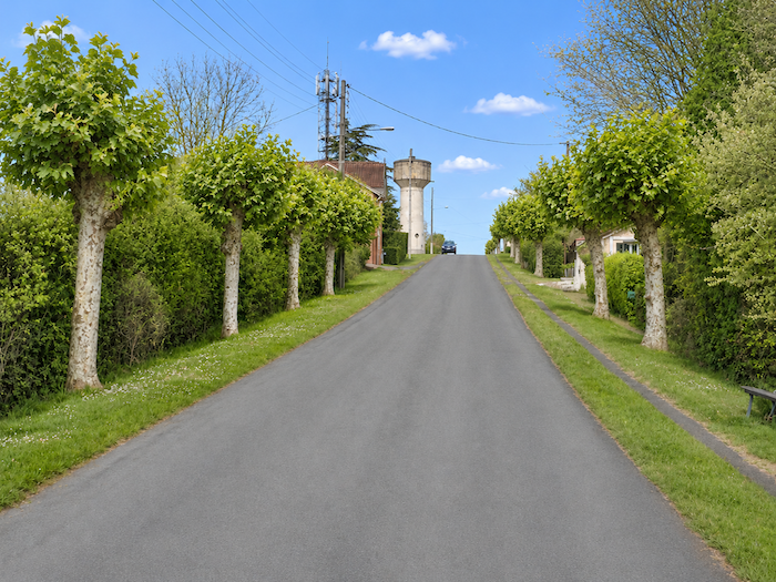
The first water tower soon rises on the horizon, standing like a sentinel above the last houses.
|
 |
 |
|
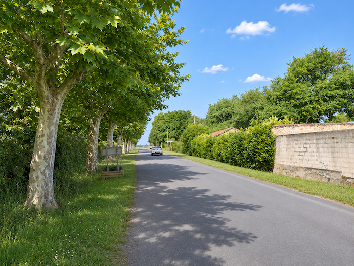
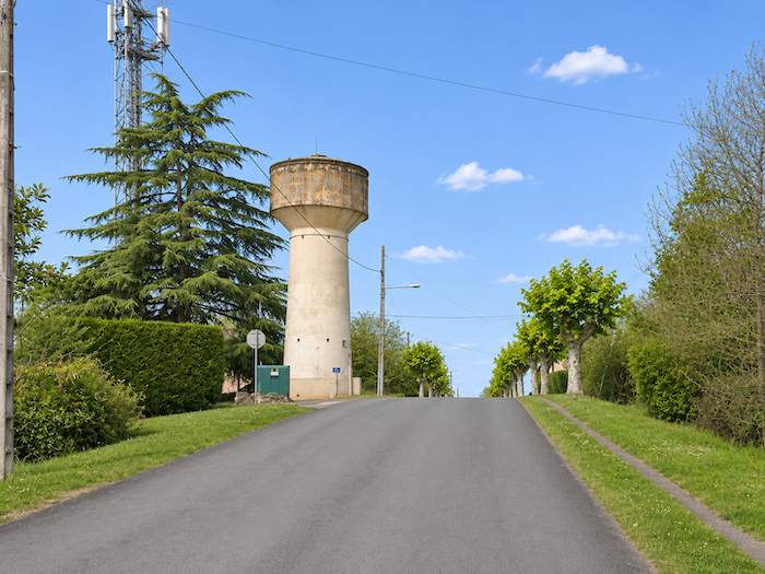
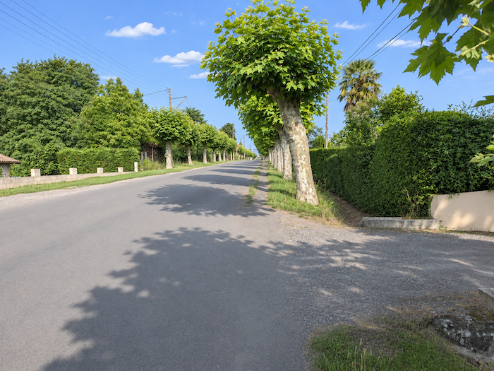
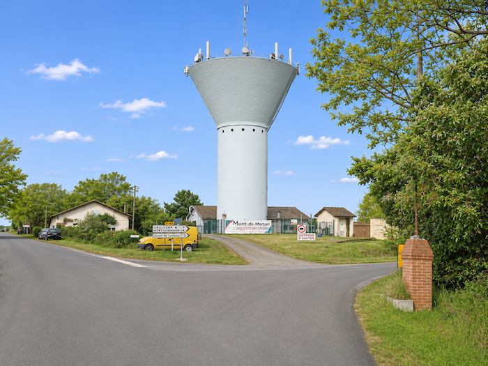
The road continues between villas, beneath the shade of chestnut trees, until another water tower comes into view, this one bristling with antennas.
|
 |
 |
|
At this point, the GR65 changes direction to follow another minor departmental road. But where exactly did medieval pilgrims walk? No one really knows anymore. New roads, housing developments and the transformation of the countryside have long since blurred the traces of the ancient routes. A new itinerary therefore had to be pieced together, with every effort made to spare walkers as much asphalt as possible. But there are limits to what can be achieved! Today, more than half of the Way of St James follows paved roads. Enough to inspire a few disgruntled souls to suggest renaming the venerable « Way of St James » the « Asphalt Way of St James ».
|
 |
 |
|
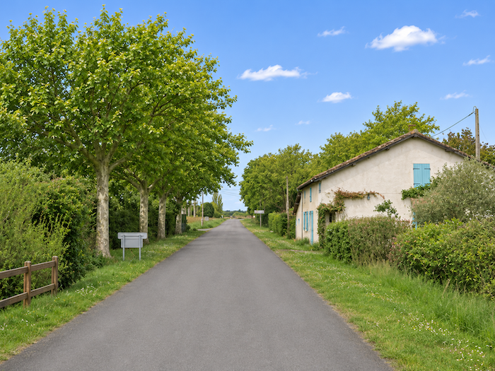
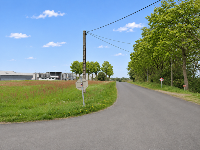
Gradually, the houses grow farther apart, small gardens give way to fields, and the countryside reclaims its rightful places.
|
 |
 |
|
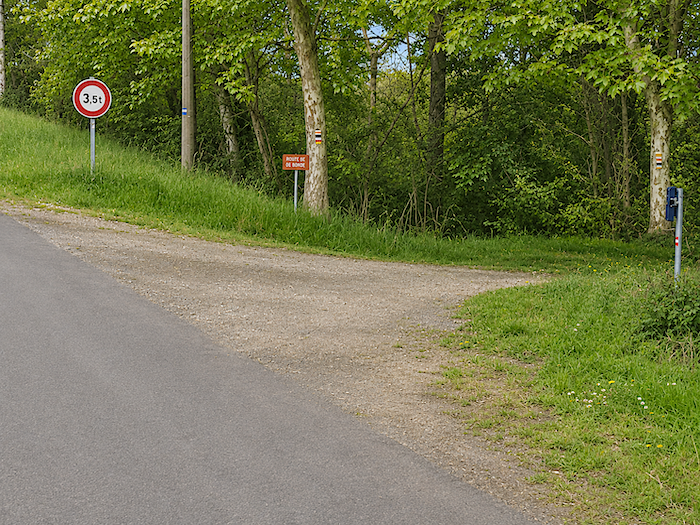
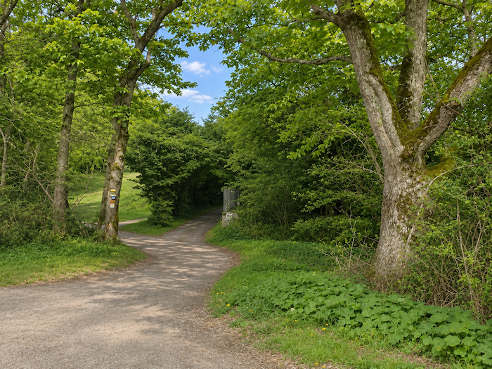
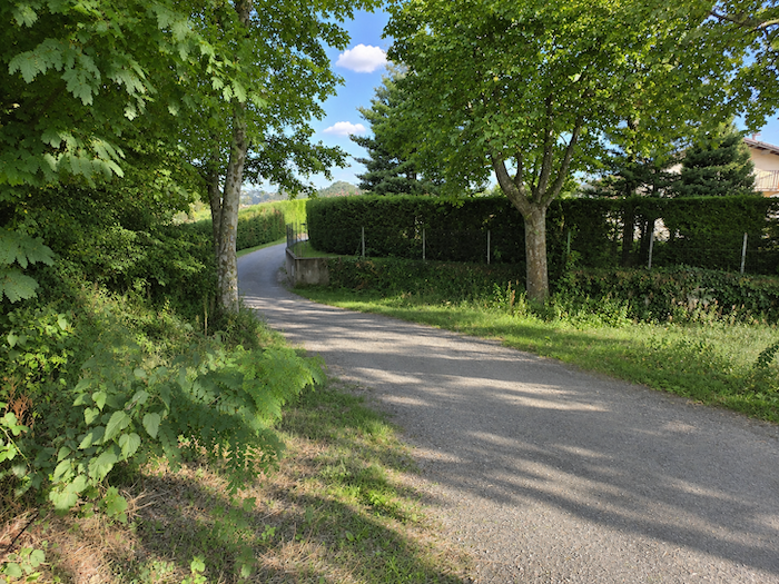
The narrow road continues for a while longer before a discreet turning allows the GR65 to escape the asphalt and slip into the cool shade of the woodland.
|
 |
 |
|
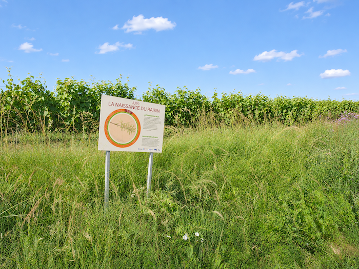
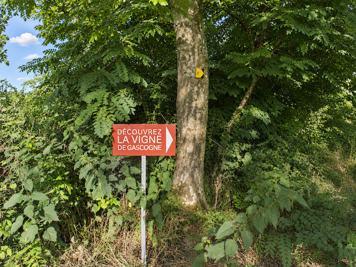
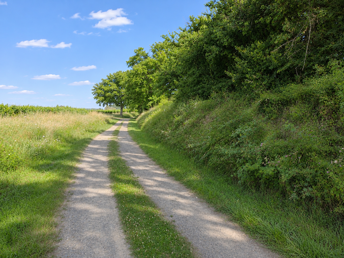
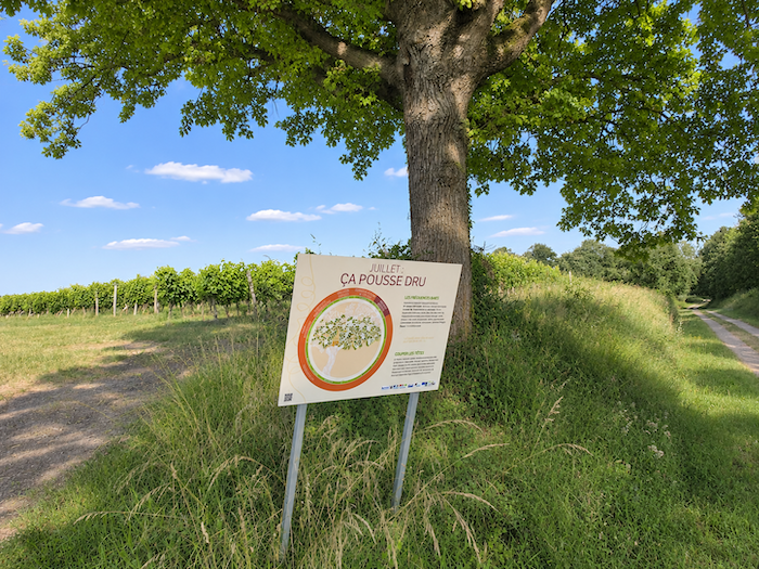
A long and pleasant walk then begins along the boundary between the trees and the vineyards. Moving between sunlight and shade, the route follows the contours of the vine plots, accompanied by educational panels describing the various stages in the long transformation of grapes into wine.
|
 |
 |
|
Panel after panel, the vineyard calendar unfolds month by month, from the first tasks of winter to the autumn grape harvest. Some walkers may pick up a little new knowledge along the way. Others, no doubt, will learn very little. Yet these brief educational interludes, rather uncommon along the Way of St James, have at least the merit of encouraging pilgrims to lift their eyes from their boots, which seem to grow heavier with each passing day as the kilometers accumulate and the stages slowly slip by.
|
 |
 |
|
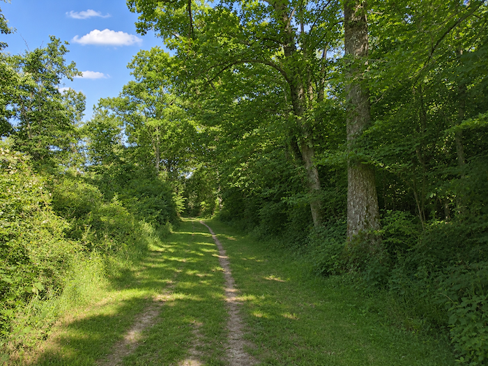
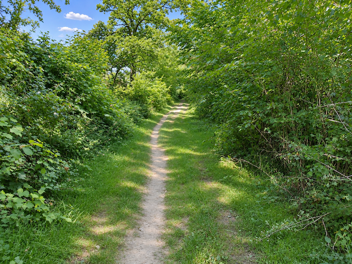
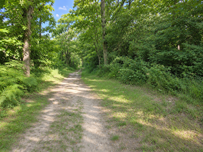
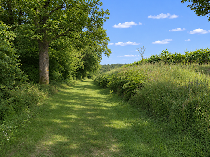
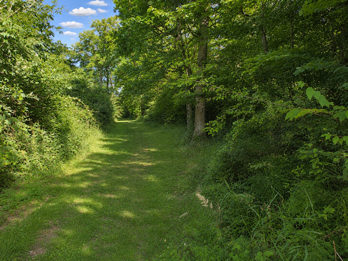
Gradually, the broad grassy path leaves the last rows of vines behind and ventures deeper into the woodland, sometimes dense and tangled, sometimes more open, allowing occasional shafts of sunlight to filter through the foliage.
|
 |
 |
|
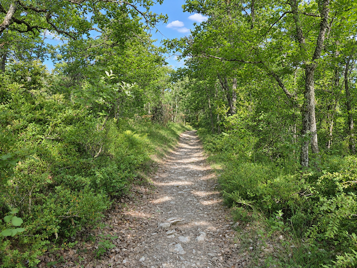
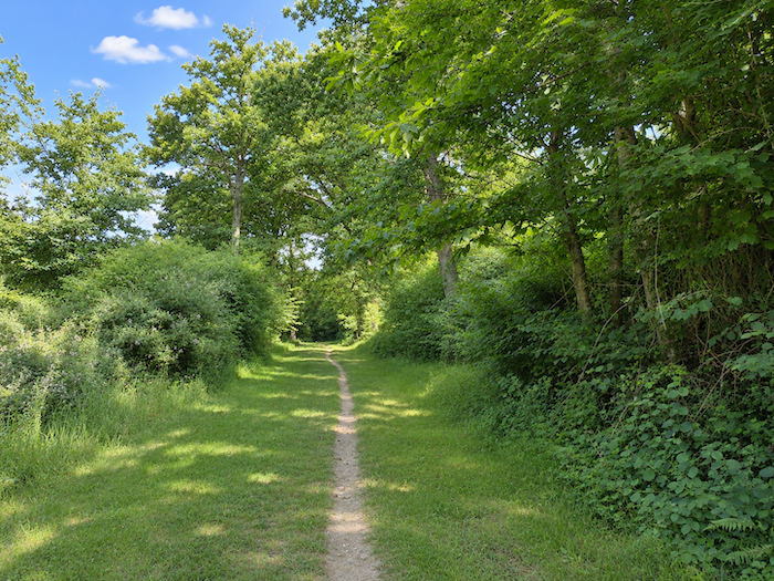
Here, oaks reign supreme, towering above the other deciduous trees. As for conifers, they are conspicuous by their absence, or almost. The Gers is clearly not their favorite territory.
|
 |
 |
|
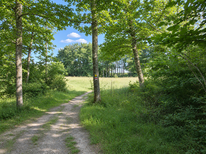
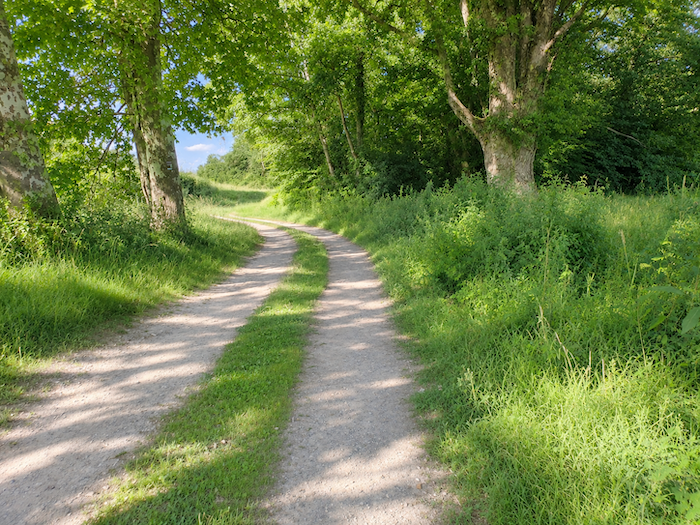
Farther on, the woodland gradually loosens its embrace. Sunlight begins to reclaim the ground, and in the first clearings, cornfields make their appearance, already heralding the vast cultivated expanses awaiting the walker farther ahead.
|
 |
 |
|
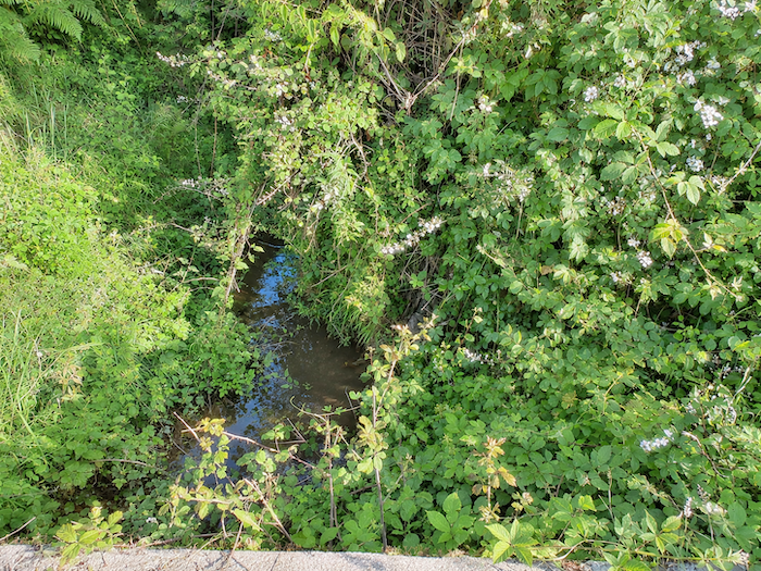
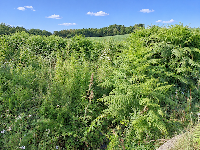
Shortly afterwards, the GR65 crosses the Juranne stream, a modest trickle of water almost lost among the undergrowth, remarkably inconspicuous for a watercourse important enough to have earned a place on the map.
|
 |
 |
|
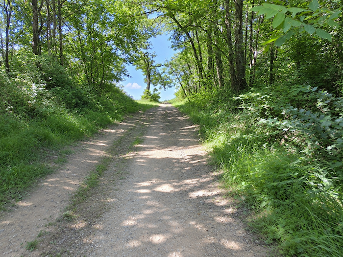
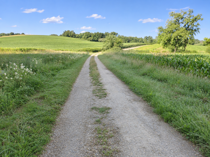
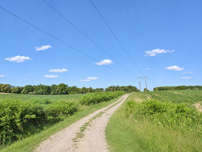
Beyond the stream, a broad dirt path begins a long climb through increasingly open countryside. Meadows and cornfields share the slopes of the hill, leaving a little room here and there for other cereal crops. There is no shortage of space on this wide track, which winds past clusters of oak trees beneath the rather less picturesque presence of a high-voltage power line.
|
 |
 |
|
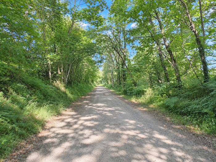
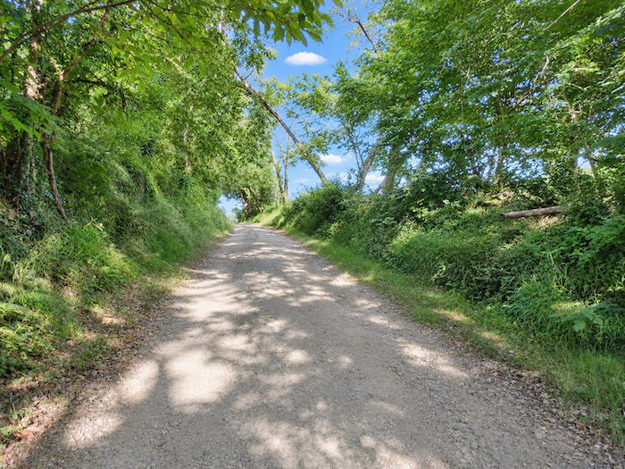
A few hundred meters beneath the trees then interrupt this passage through the open countryside, like one last woodland interlude before the route returns to higher ground.
|
 |
 |
|
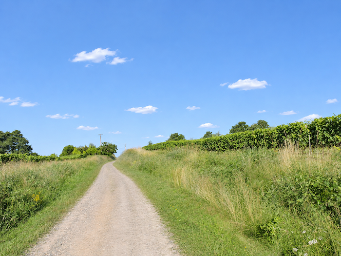
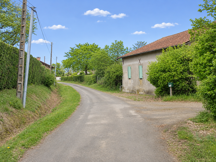
Farther uphill, the GR65 returns to the asphalt of a narrow road near the hamlet of Claverie.
|
 |
 |
|
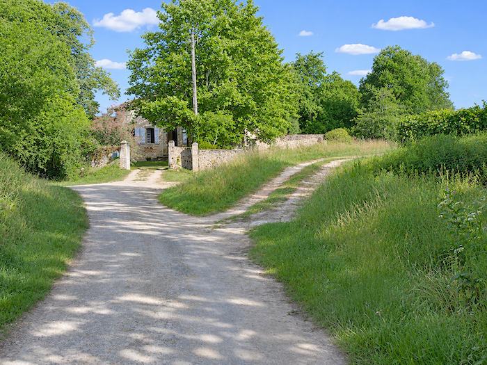
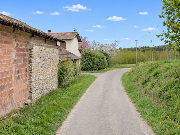
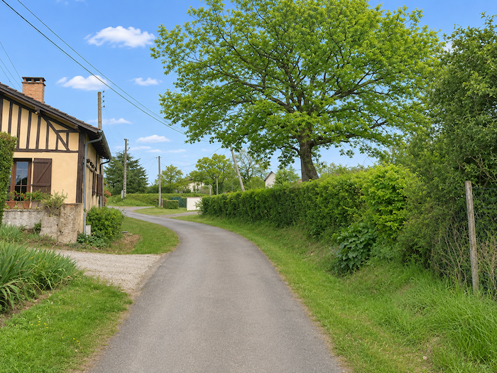
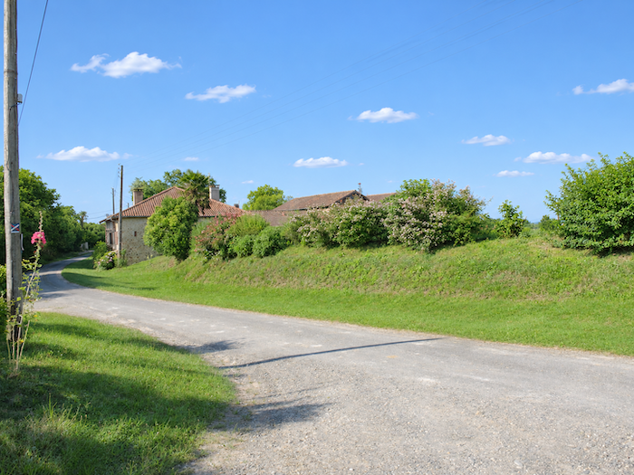
A few farmhouses scattered among the greenery beside the road make up the entire hamlet. There is nothing here resembling a village clustered around its church steeple, but rather a handful of homes sprinkled across the countryside. From Claverie, the road begins its descent, gradually leaving the heights of the hill behind.
|
 |
 |
Section 2 : The route returns to the plain
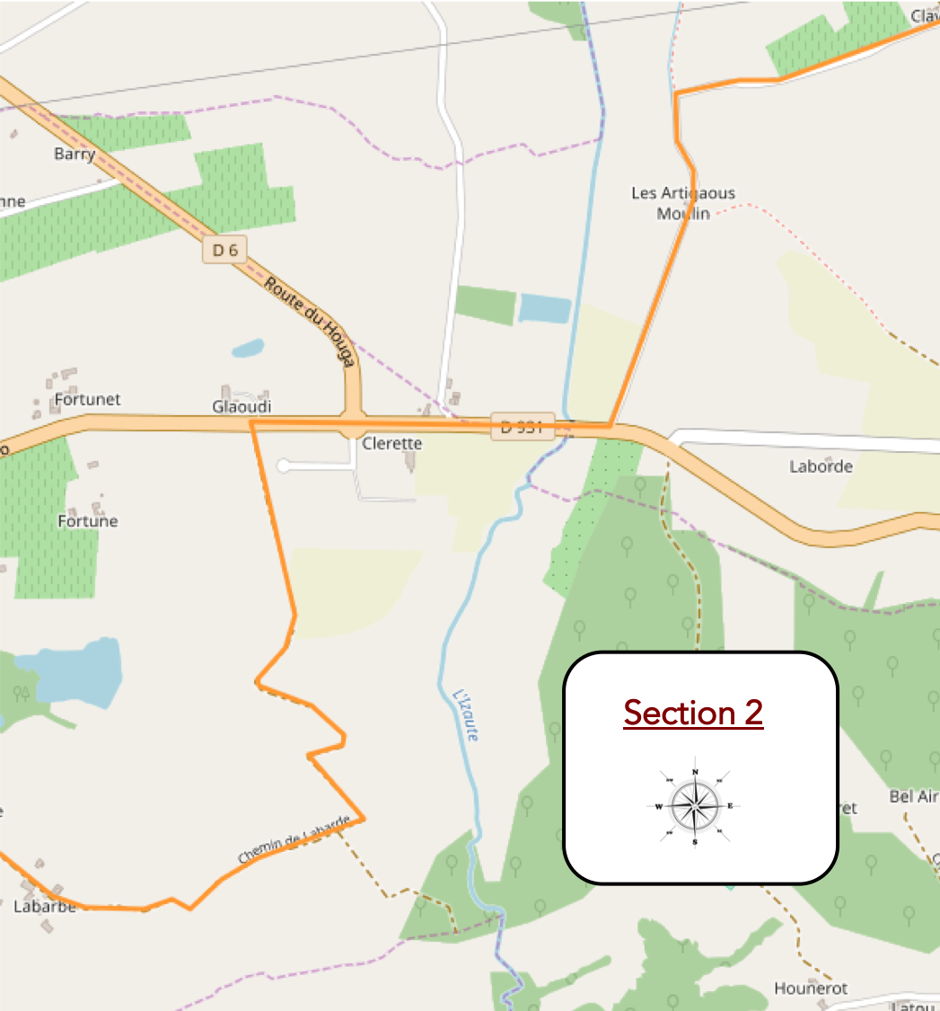
Overview of the route’s challenges: an easy route with no particular difficulties.
|
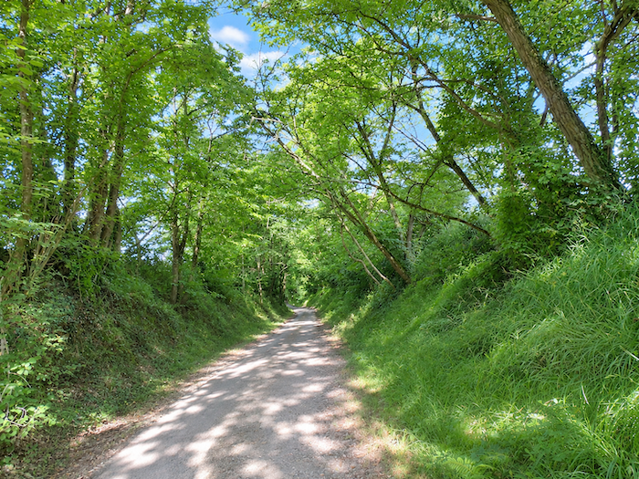
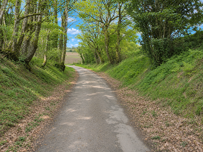
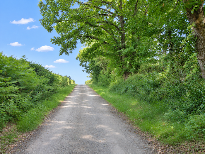
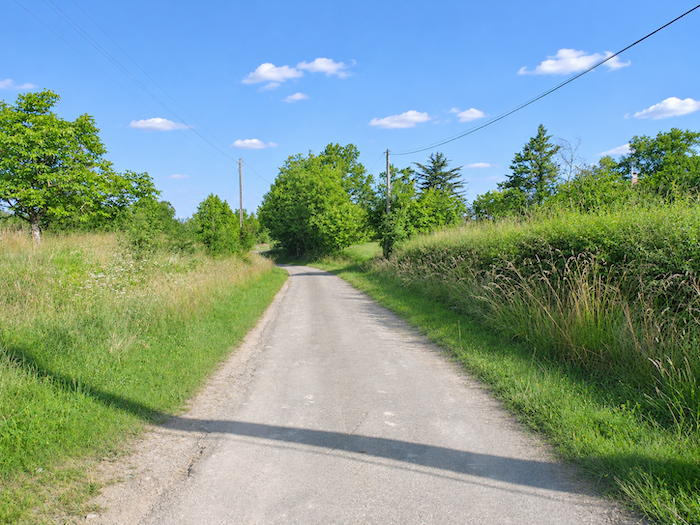
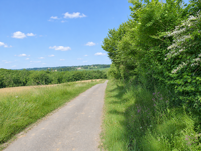
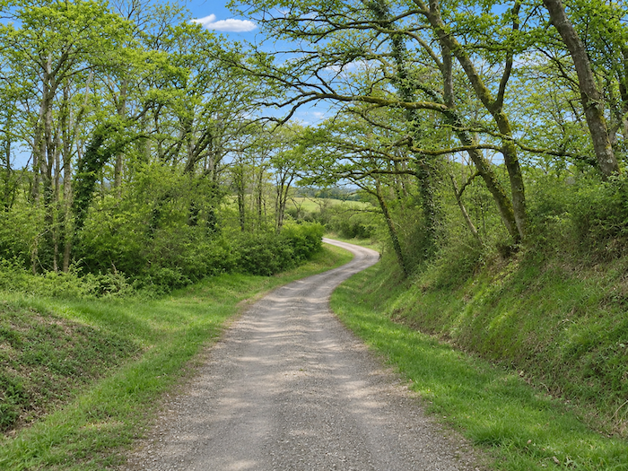
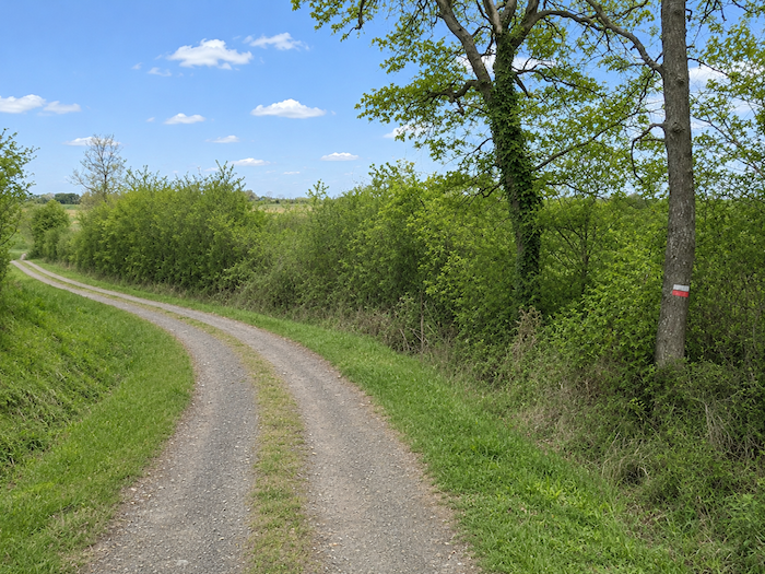
The GR65 leaves the hamlet along a quiet paved road, so modest that it almost resembles a country path. It descends gently from the ridge towards the plain, winding among oaks, ash trees and chestnut trees, whose leafy canopies accompany the first bends of the descent.
|
 |
 |
|
 |
 |
|
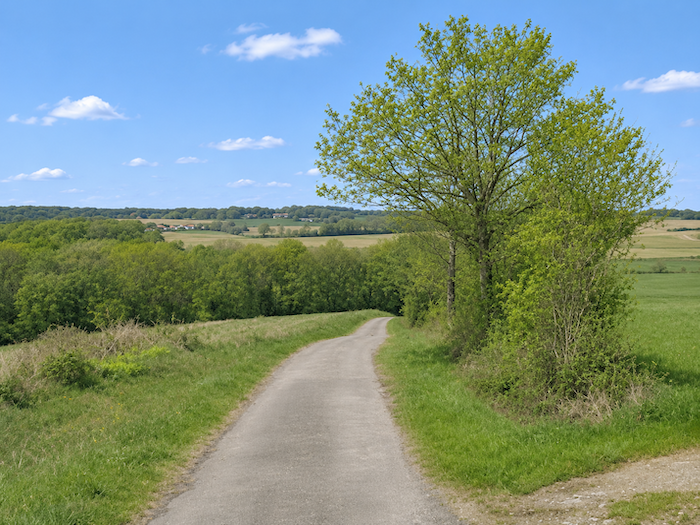
Left to its own devices, nature has little regard for geometry. It scatters trees and bushes according to its whims, with no concern for alignment or symmetry. It does not plant like a gardener, and it is precisely this apparent disorder that gives it its charm. In the hollows of the dales, near streams, it still retains something of this freedom. But man sees the landscape through different eyes. He studies the soil, measures the slopes, assesses the moisture in the ground and arranges his crops accordingly. The fanciful disorder of vegetation then gives way to the strict geometry of cultivated plots. Corn, a thirsty crop, readily finds its place on valley floors, close to streams and rivers. Vines prefer well-exposed hillsides, often drier, while wheat occupies fertile ground, particularly halfway up the slopes. Thus, from hill to dale, a patchwork of farmland takes shape, as the hand of man gradually imposes its own order upon that of nature.
|
 |
 |
|
 |
 |
|
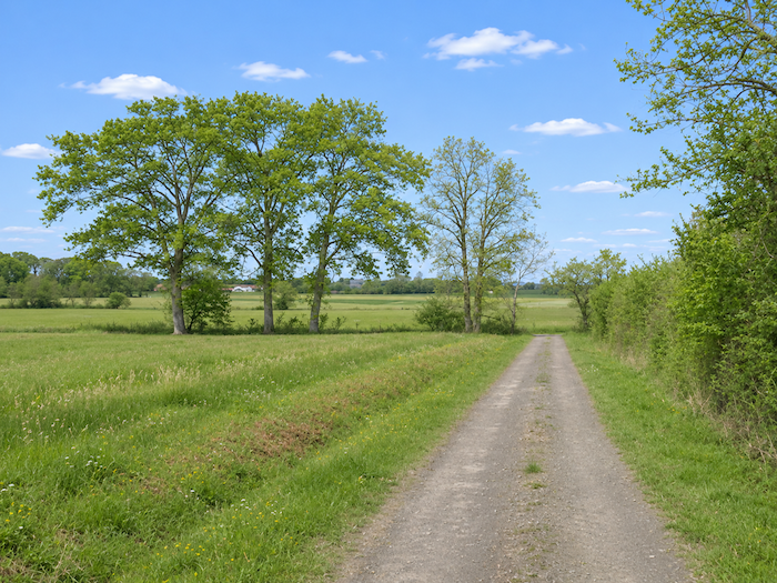
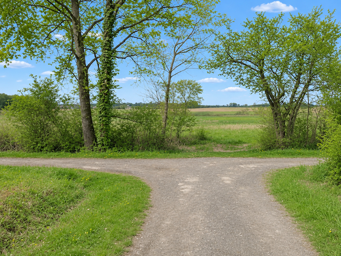
The descent ends on the plain, where the asphalt gives way to a broad dirt track. At a junction, several directions present themselves to the walker. The GR65 chooses its course and continues across the meadows, rediscovering the pleasure of a path entirely free of asphalt.
|
 |
 |
|
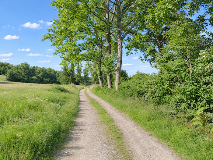
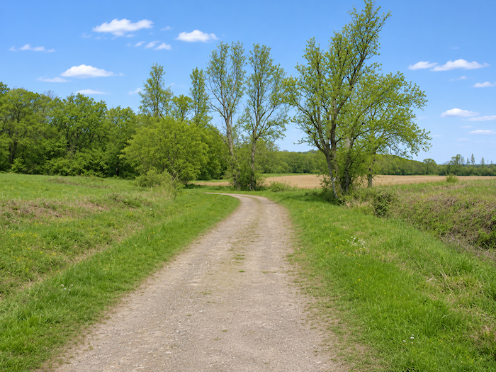
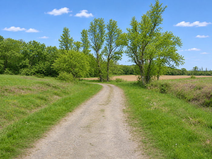
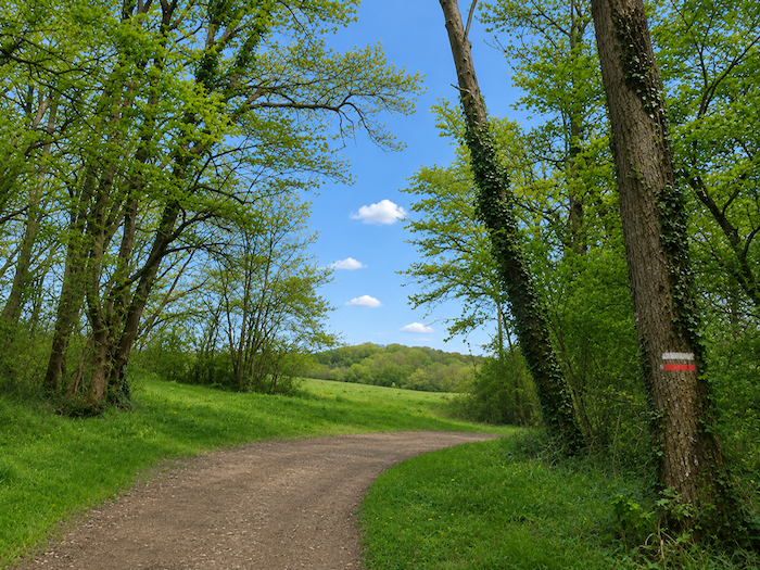
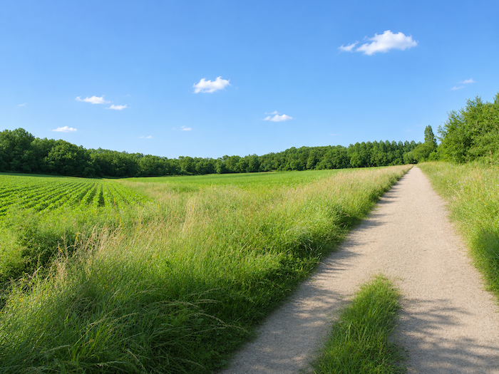
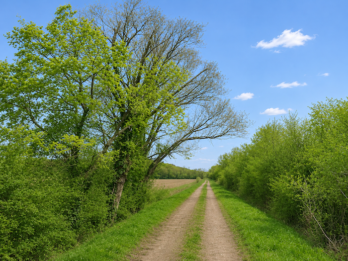
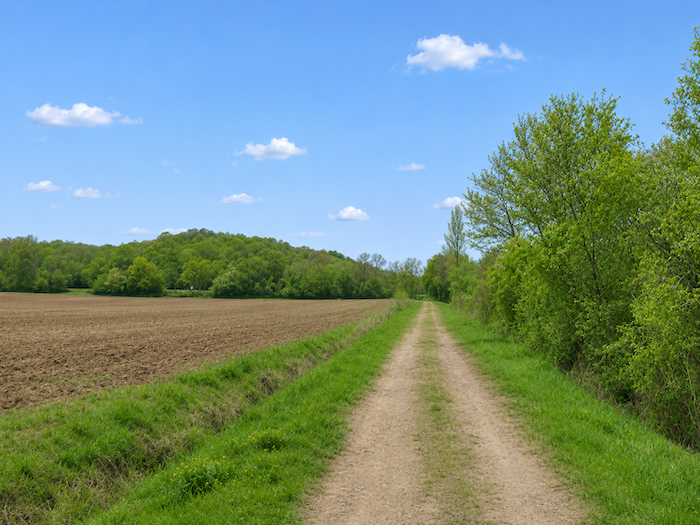
The track now stretches across wide-open countryside, between vast expanses of grassland and thick hedgerows. Tall deciduous trees, sometimes standing alone, sometimes gathered in small clusters, raise their imposing silhouettes beside the passage. Their branches tower above the bushes, while the fields extend peacefully towards the edges of the woodland. There is nothing grand or dramatic here, only the gentle contours of a rural landscape where open space and greenery seem to have reached a happy compromise.
|
 |
 |
|
 |
 |
|
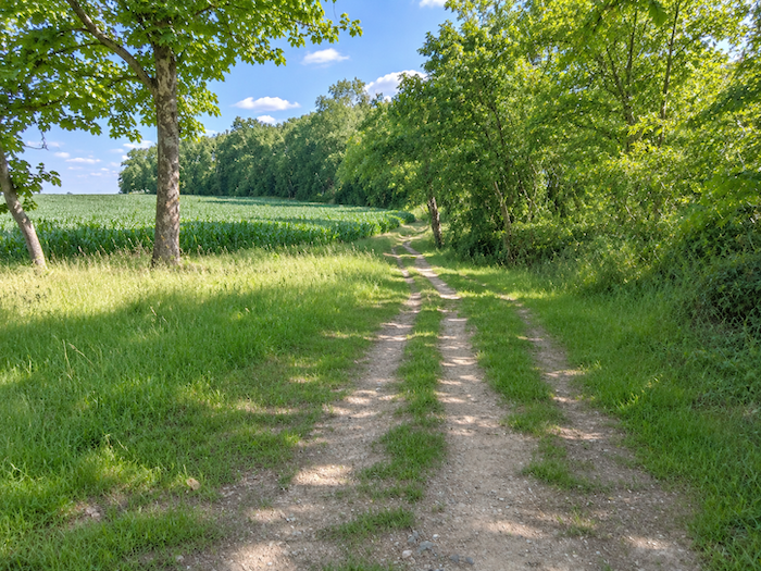
Sometimes straight, sometimes tracing a leisurely curve between the trees, the broad path continues through the tall grasses. Ditches and bushes mark its edges, allowing vegetation a freedom rarely granted to it in cultivated fields. Occasional gaps in the hedgerows offer lovely glimpses across the countryside, while tall trees, scattered without any apparent order, punctuate the walk with their light shadows. This is an unpretentious countryside, where the eye encounters neither monuments nor remarkable curiosities, yet whose quiet charm lies precisely in its simplicity.
|
 |
 |
|
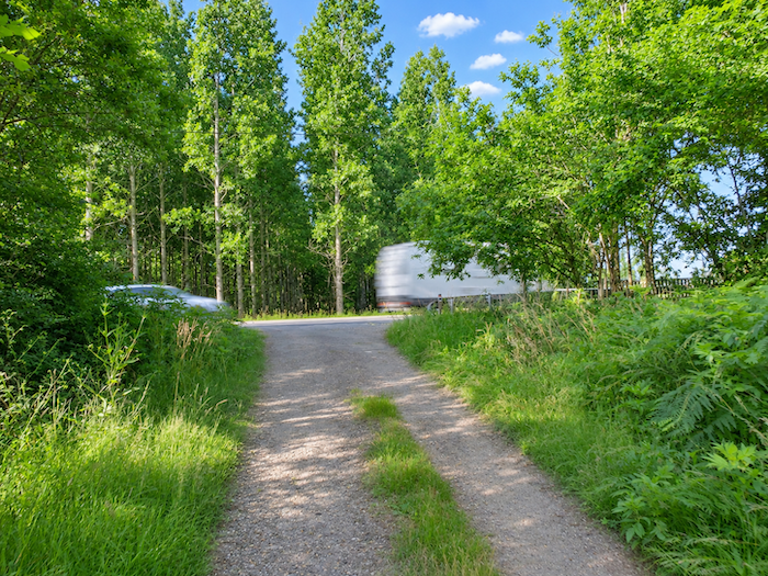
At the end of this peaceful crossing, the track rejoins the asphalt of the D143 departmental road.
|
 |
 |
|
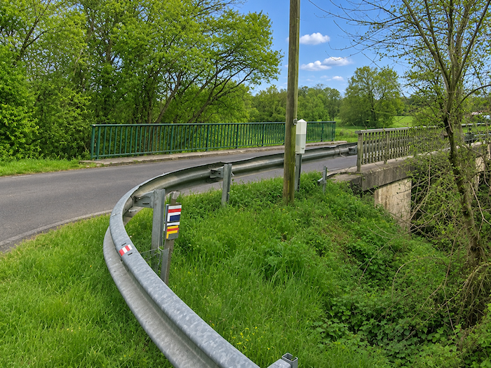
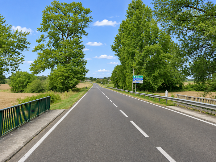
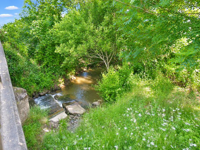
Here, the GR65 crosses the Izeute. The name might suggest a river of some importance, but here it is little more than a sizeable stream, winding modestly across the plain. Its waters are nonetheless precious in this agricultural region, where even the smallest reserve of moisture is bound to find a willing beneficiary.
|
 |
 |
|
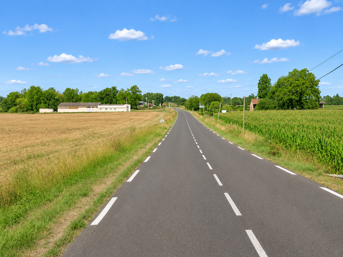
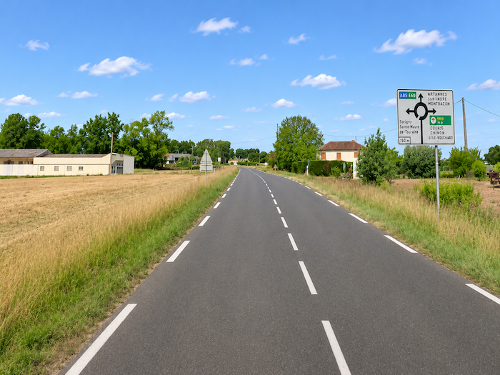
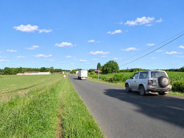
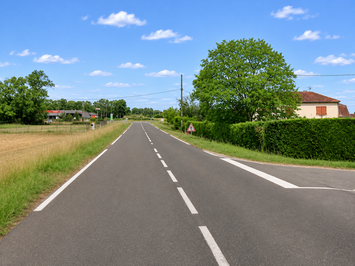
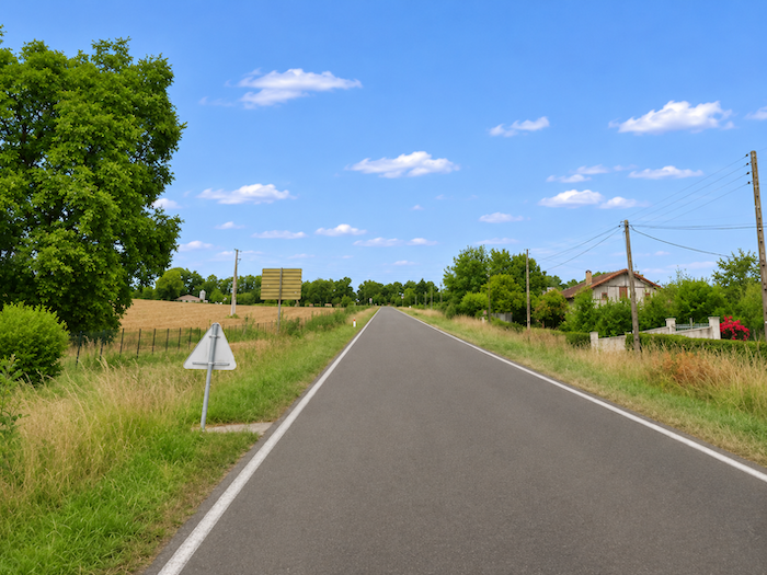
Now comes one of those delightful stretches that pilgrims simply adore, at least those who appreciate the charms of motor traffic. For quite some distance, the GR65 follows the departmental road, confined to a narrow strip of grass squeezed between the fields and the asphalt. The walker, who may have imagined leaving the bustle of the modern world behind to wander along peaceful country trails, is reunited here, with decidedly mixed feelings, with the hum of engines and the roar of trucks hurtling along the long straight road. Another way, no doubt, of savoring the pleasures of pilgrimage.
|
 |
 |
|
For a little variety, one might even be tempted to follow the signs towards the motorway to Pau. After all, why insist on walking when so much horsepower is ready and willing to carry you along? But the GR65, faithful to its calling, leaves motorists to enjoy the pleasures of speed and stubbornly continues on its way.
|
 |
 |
|
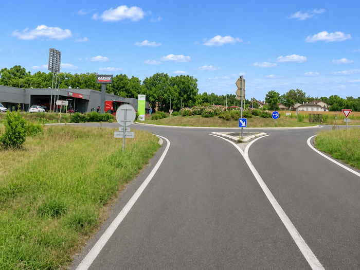
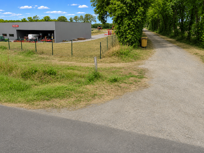
This charming companionship with the asphalt continues as far as the outskirts of Despons, where a small industrial estate takes over from the agricultural landscape. From crossroads to petrol station, the pilgrim now makes his way through a setting of warehouses, access roads and commercial premises, far removed from the gentle hills of the Gers.
|
 |
 |
|
At last, beyond the final buildings of the industrial estate, the GR65 bids farewell to this rather intrusive road. A dirt track offers a welcome escape, and the walker returns with relief to terrain more in keeping with his idea of the Way of St James.
|
 |
 |
|
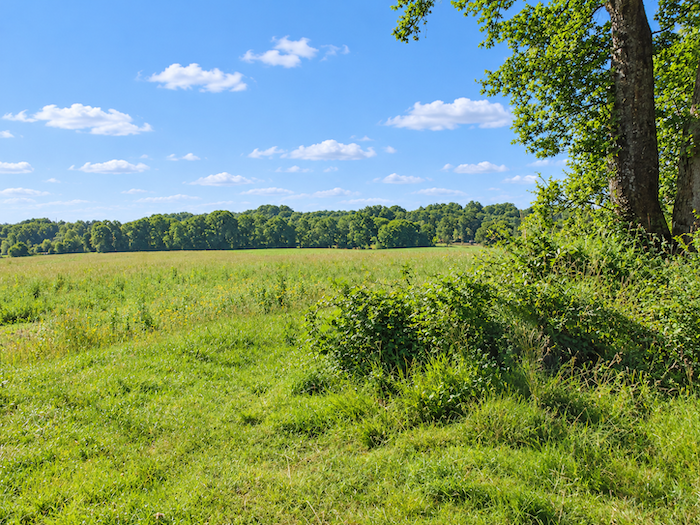
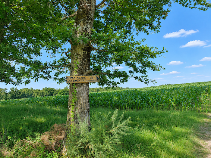
The broad dirt track now ventures into the kingdom of corn, between cultivated plots and fields left fallow. But these resting fields may only be enjoying a temporary reprieve, waiting for the great cereal crop to reclaim them the following year. Such, perhaps, is the rhythm of crop rotation in this region, where corn seems to have acquired an almost absolute right to rule.
|
 |
 |
|
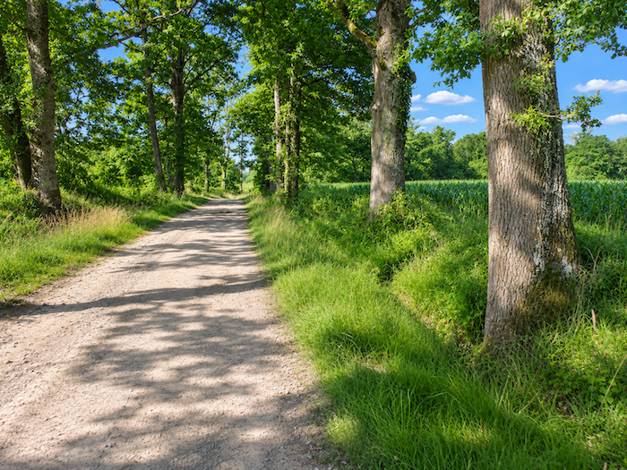
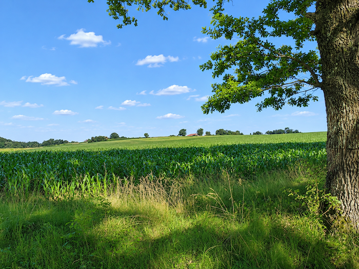
Sturdy oaks accompany the walk, their gnarled silhouettes rising beside the track. On either side, cornfields stretch in endless rows towards the horizon, with a persistence that almost overwhelms the eye. Fortunately, a few darker patches break the monotony of this green sea: a small grove forgotten amid the cultivated fields, a majestic oak spared by the clearing of the land, a solitary survivor of a landscape once far more wooded. These scattered landmarks offer the eye a little respite from the seemingly endless repetition of stalks and leavess.
|
 |
 |
|
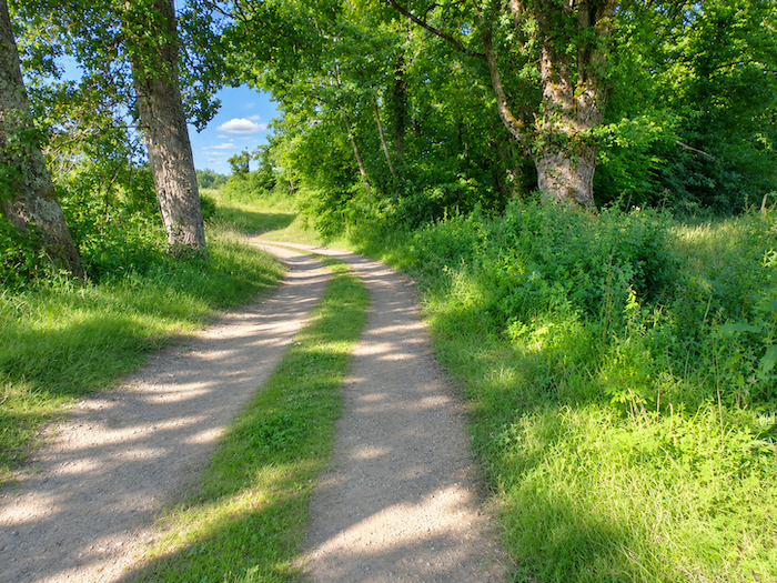
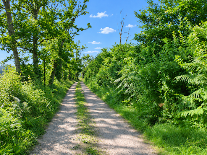
Yet, as Lanne-Soubiran approaches, the scenery finally agrees to change. The track draws closer to the woodland before entering it more fully. The cornfields retreat, gradually giving way to more luxuriant vegetation, where magnificent oaks spread their broad branches above the passage. The path recovers something of the intimacy of woodland trails.
|
 |
 |
|
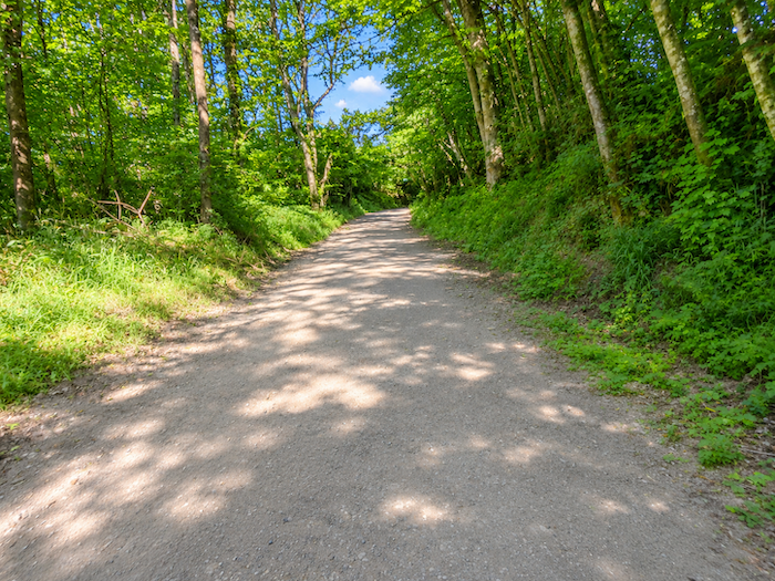
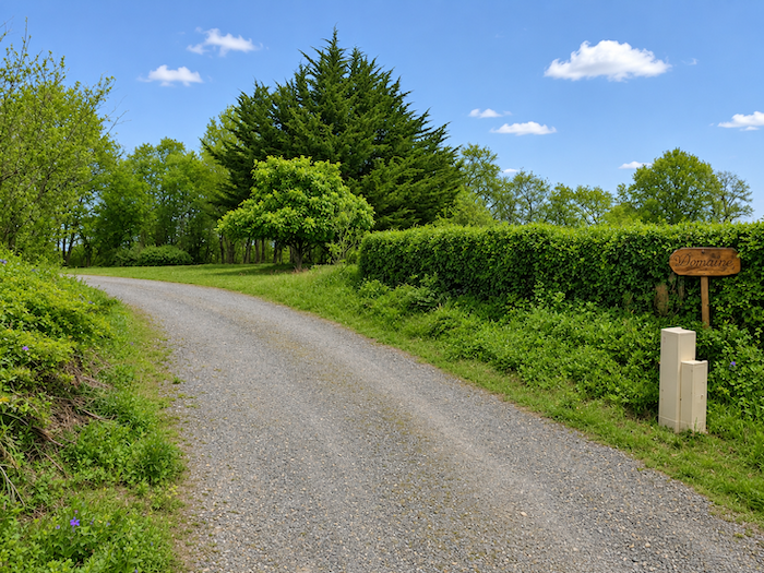
Farther on, the canopy begins to thin once again. The track approaches the first houses, the hedgerows open up, and the landscape gives way to more welcoming countryside, where signs of human habitation gradually become apparent.
|
 |
 |
|
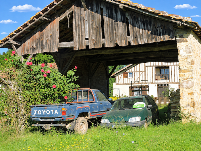
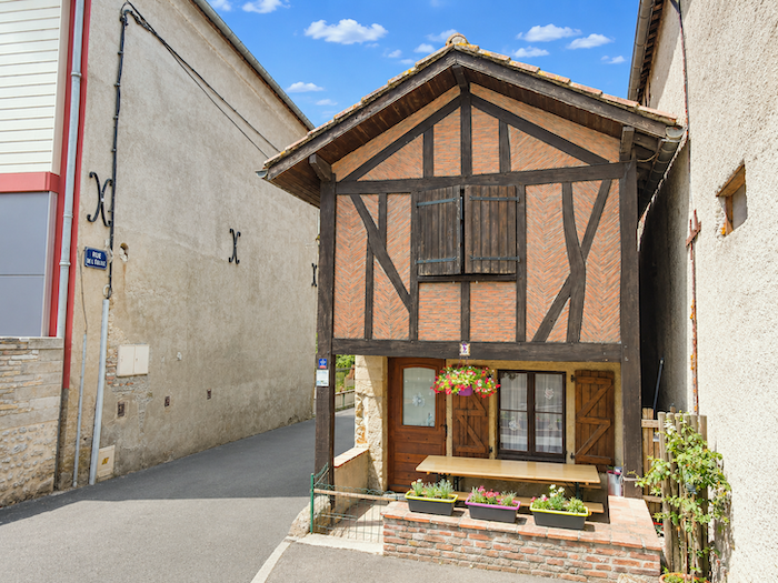
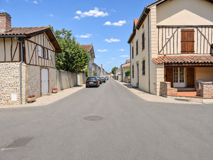
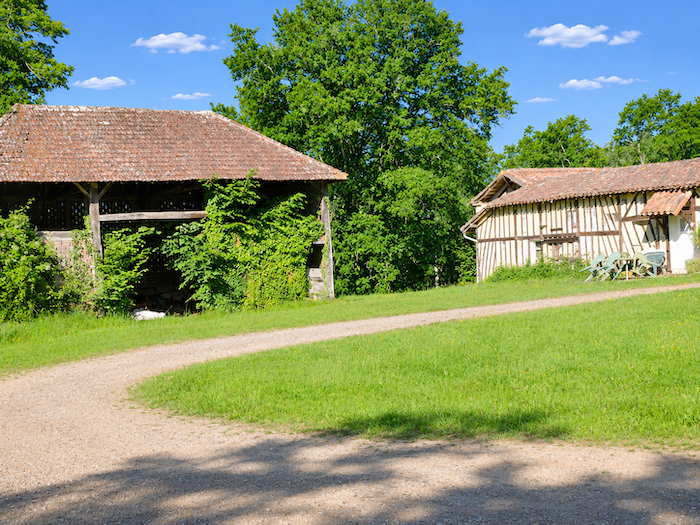
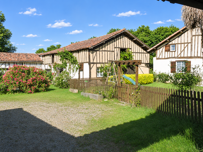
In this way, the GR65 reaches the hamlet of Labarbe, whose beautiful half-timbered houses lend a touch of charm to this corner of the Gers countryside. Their façades, patterned with wooden beams, recall a traditional building style largely abandoned by modern construction. A pilgrims’ hostel awaits walkers here, with flowers to welcome them.
|
 |
 |
|
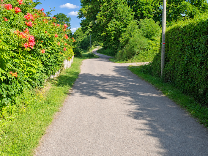
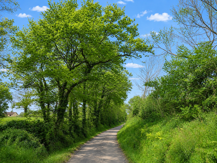
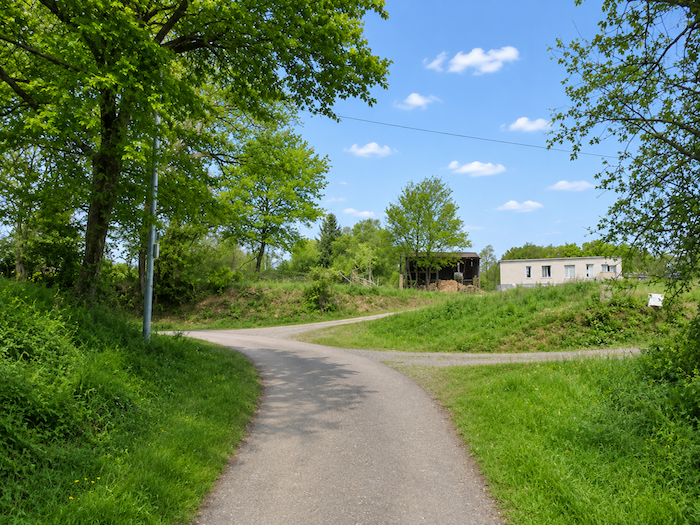
From here onwards, asphalt reclaims its territory. A narrow country road now accompanies the walker, winding between hedgerows bordering private properties and fields.
|
 |
 |
|
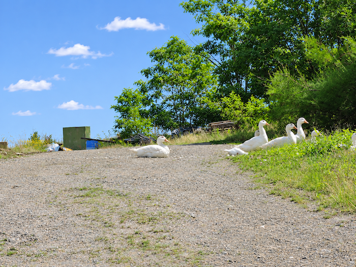
Around a bend in the road, from one farmyard to the next, you may have the chance to encounter a few plump geese, raised with some freedom to roam, whose honking is unlikely to go unnoticed. Some will watch you pass with sovereign indifference, while others, the moment you approach their enclosure, will launch into a deafening chorus of shrieks loud enough to split your eardrums. These birds certainly have their own peculiar sense of hospitality. One question remains, however, which local residents and pilgrims stopping here may sometimes ask themselves with a certain anxiety: do these noisy sentinels at least agree to keep quiet at night?
|
 |
 |
Section 3: Between woodland and farmland
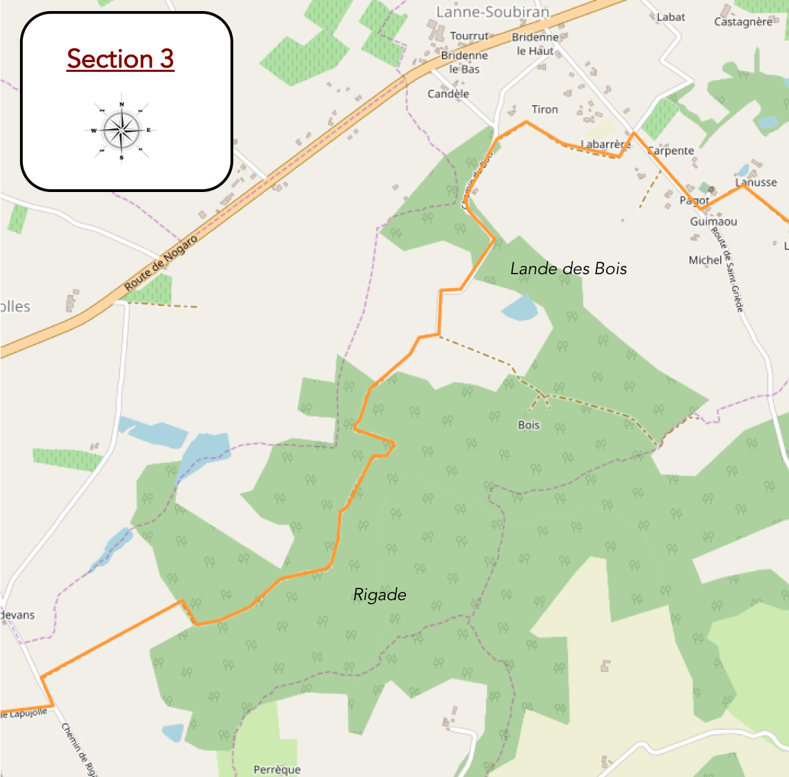
Overview of the route’s challenges: an easy route with no particular difficulties.
|
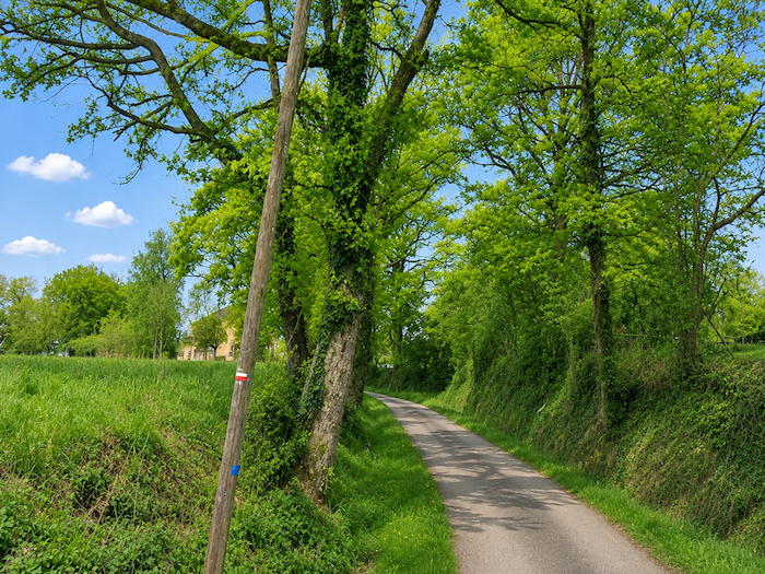
Soon, through the foliage, the silhouette of a church comes into view, its bell tower rising discreetly above the greenery.
|
 |
 |
|
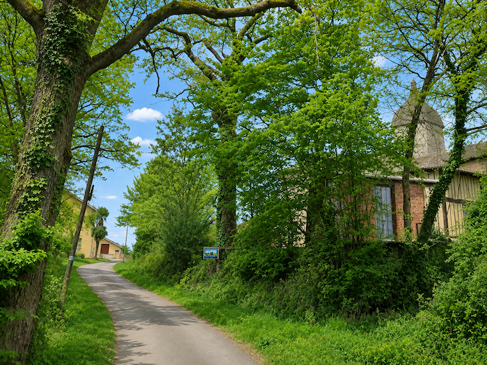
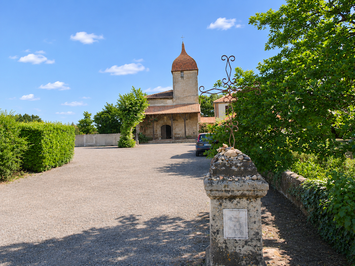
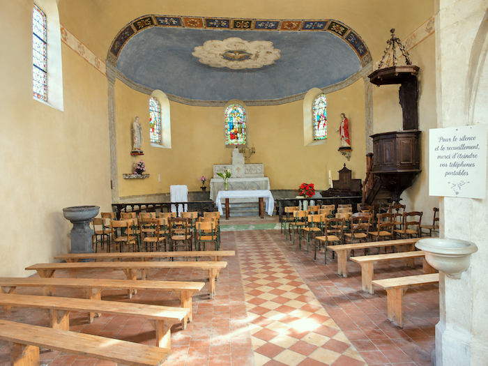
A little higher up the hill, the charming village of Lanne-Soubiran seems to have fallen asleep around its small church, in a silence disturbed by almost nothing. Its name, meaning « upper heathland », seems particularly fitting for this countryside of hills and open land. Dedicated to St Peter and St Paul, the church retains a few traces of its Romanesque origins, particularly in its porch, although the centuries have extensively altered the building, each leaving its own mark. Its unusual square bell tower gives it a distinctive silhouette, almost unexpected for such a modest sanctuary.
|
 |
 |
|
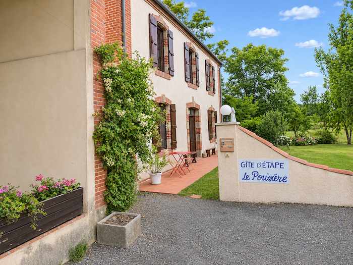
Just a few steps from the church, the former presbytery has found a new lease of life as a guesthouse. With its welcoming appearance and old-world charm, it seems to have exchanged the austerities of parish life for the earthlier pleasures of hospitality.
|
 |
 |
|
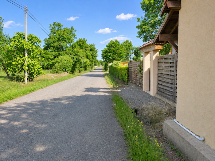
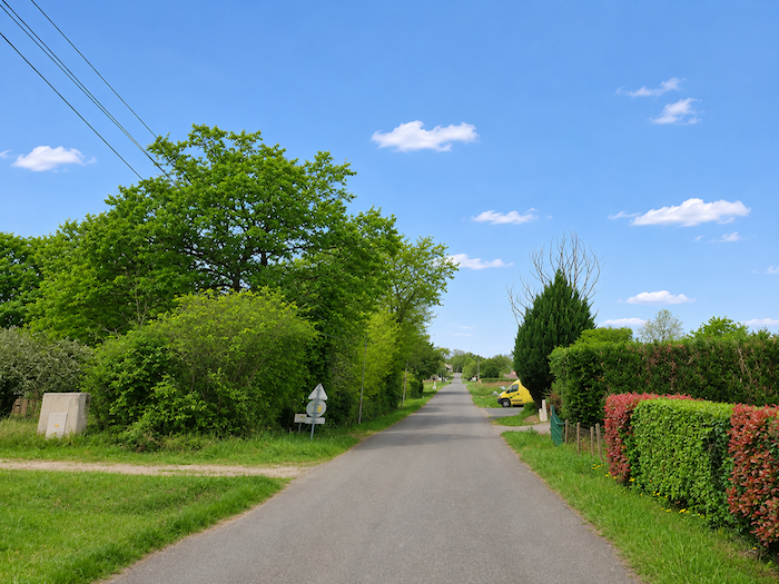
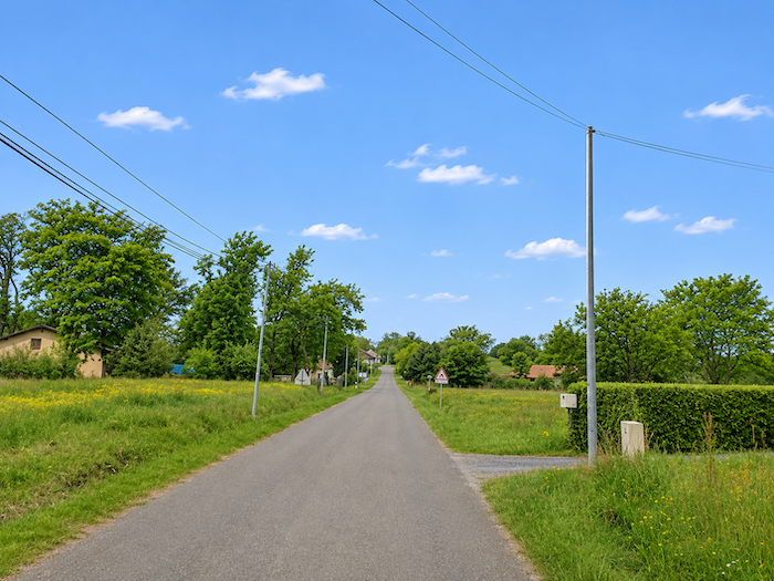
The road then continues straight through a commune where houses are widely scattered. There is no real village clustered tightly around its church steeple here. Isolated houses and small residential developments are spread across the countryside, while the main concentration of homes lies farther away, along the departmental road. Lanne-Soubiran has clearly chosen to give itself plenty of room to breathe.
|
 |
 |
|
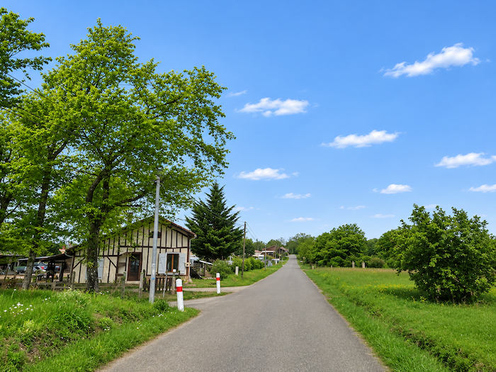
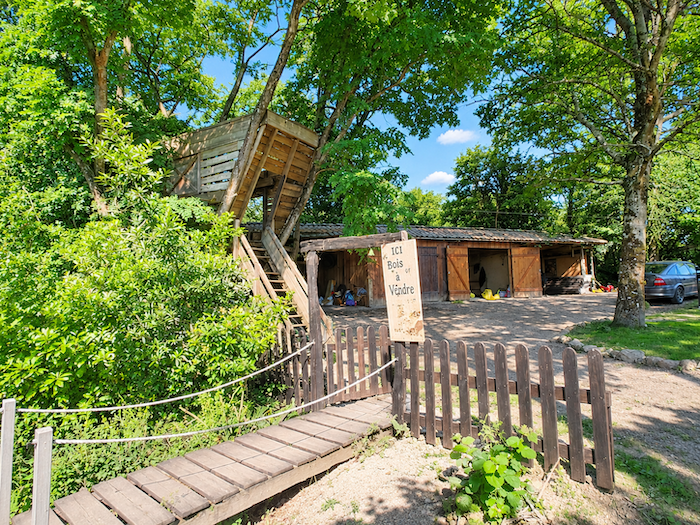
At the edge of a wood, a house holds a little surprise for walkers: a shelter perched in a tree, where visitors can also stop for refreshments and a bite to eat beneath the shade of the oaks. A welcome invitation to leave solid ground behind for a while! Nearby, several houses display the elegant timber framing that lends so much character to the region’s traditional homes.
|
 |
 |
|
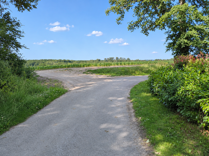
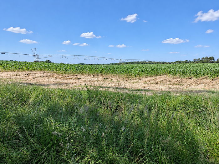
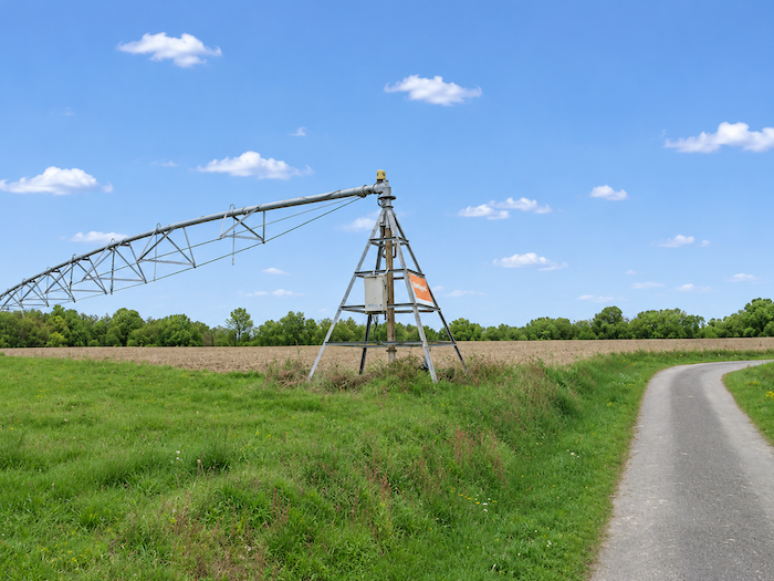
Beyond this stopping place, a narrow paved road resumes its course through the countryside. But corn, which for a moment seemed to have been left behind, immediately returns to center stage. Fields stretch out on either side, crossed by the long-articulated arms of irrigation systems. Like gigantic metal tentacles, these machines extend their pipes above the crops, distributing the water for which this thirsty cereal has such an appetite.
|
 |
 |
|
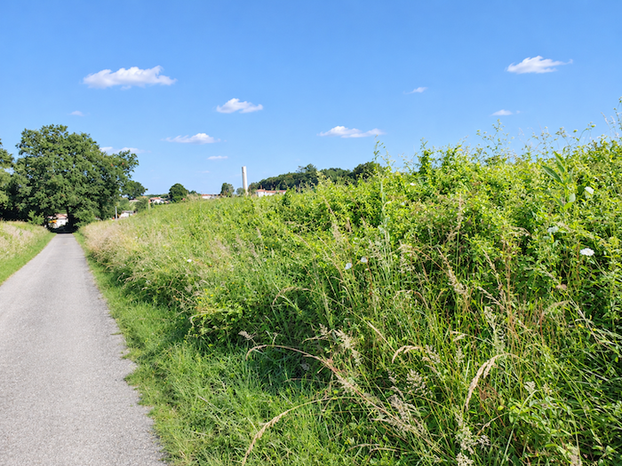
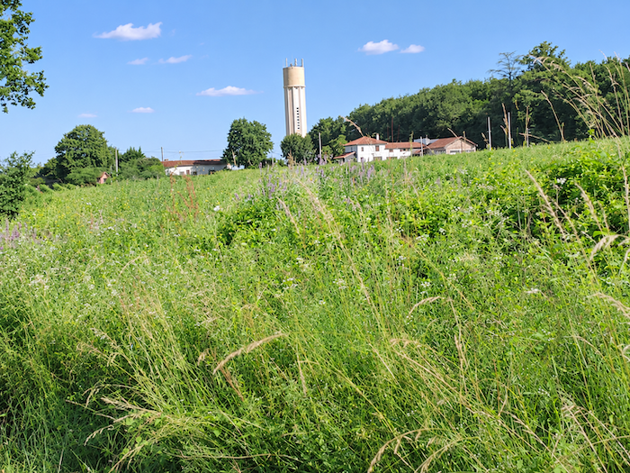
Yet this is by no means an entirely deserted countryside. Signs of human presence regularly remind the walker that people live here: a house around a bend in the road, a few farm buildings behind a hedge, homes scattered within easy reach of the route. This is inhabited countryside, where agricultural activities and residential life exist side by side, neither quite overshadowing the other.
|
 |
 |
|
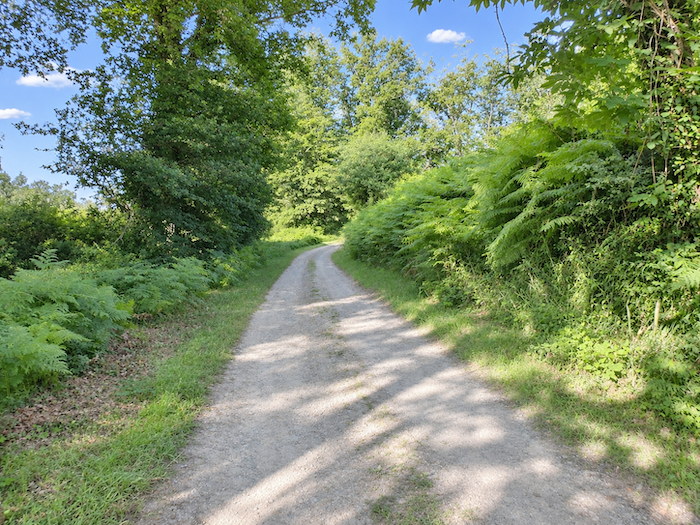
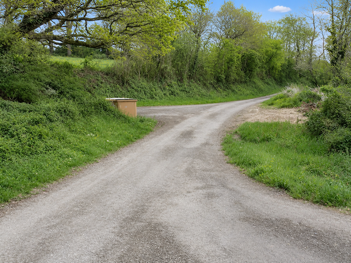
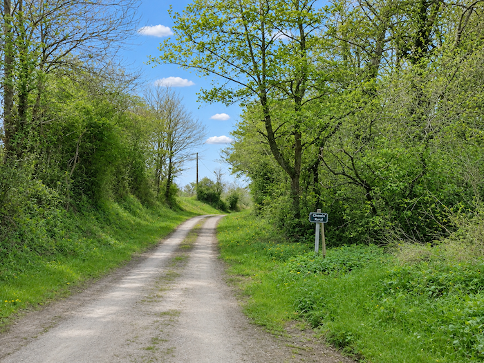
Farther on, the narrow road bids farewell to the cornfields and enters the forest of Lande du Bois. Yet there is little here that could truly be called heathland. Instead, the landscape closes in to form a genuine corridor of greenery, between banks carpeted with wild grasses and thick hedgerows where shrubs, brambles and young deciduous trees intertwine. A profusion of vegetation, far removed from the low, open heathland that the name might suggest.
|
 |
 |
|
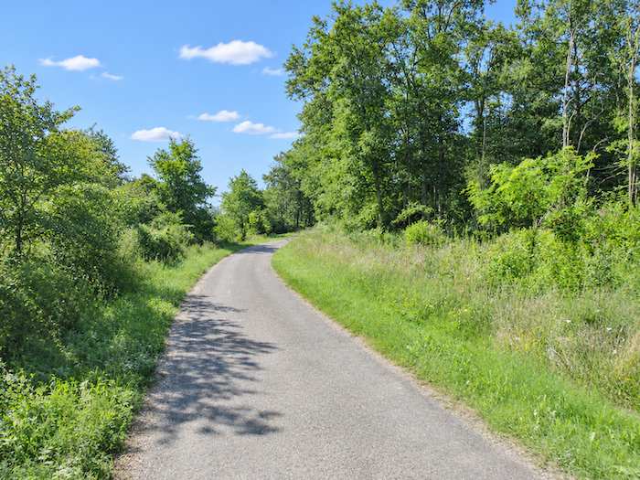
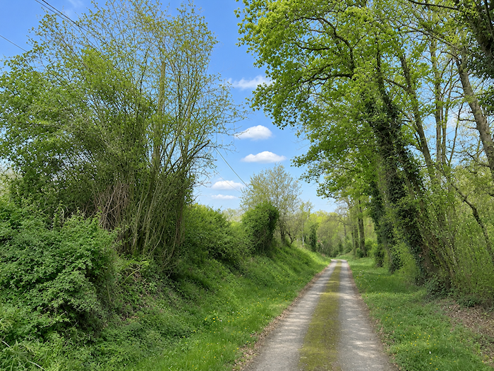
Tall trees spread their branches above the passage. Even the asphalt seems out of place in this world of branches and undergrowth, where everything grows according to its own whims. The road winds gently between these high walls of vegetation, offering the walker a pleasant retreat from the endless cornfields that so often impose their monotony on this part of the Gers.
|
 |
 |
|
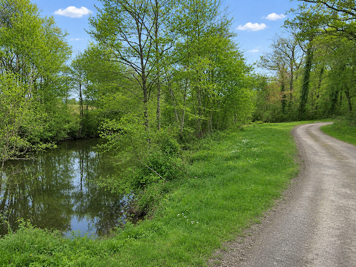
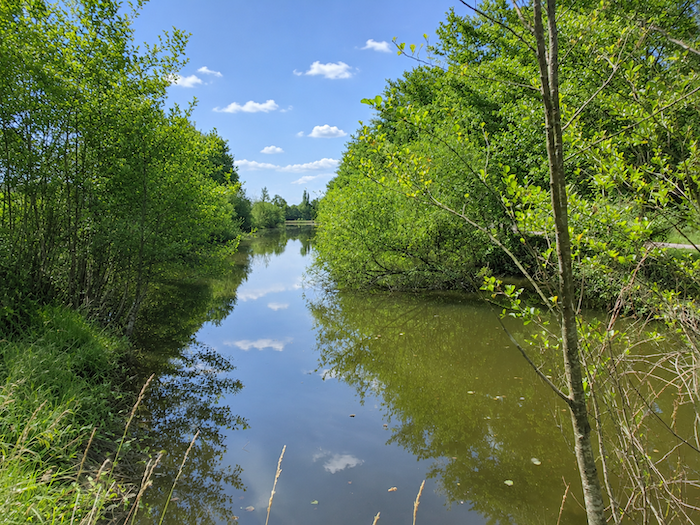
Hidden amid this luxuriant vegetation lies a lovely little lake, tucked away in a corner of the countryside where one would hardly expect to encounter such an expanse of water. Oaks and other deciduous trees crowd its banks, bending their branches until they almost brush the still, brown waters. A little world apart, almost secret, where the forest seems to contemplate its own reflection.
|
 |
 |
|
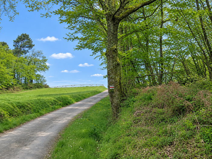
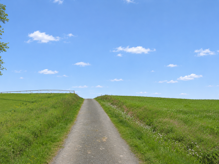
Beyond the lake, the road begins to climb gently once more. The trees grow farther apart, sunlight gains ground and, little by little, the horizon opens up, announcing the return of the great agricultural expanses.
|
 |
 |
|
The countryside suddenly opens out, spreading its fields beneath a vast sky. And, hardly surprisingly, here comes the corn again, as conquering as ever. It must be said that this crop finds everything it needs to quench its thirst here, for water is never far away. Beside the asphalt, a gigantic irrigation system stretches its long metal arm above the fields, resembling some strange mechanical creature extending its tentacles across the countryside. In this region, where corn occupies so much land, water is a serious matter. These enormous articulated machines have become as much a part of the agricultural landscape as the hedgerows and groves that still mark its boundaries.
|
 |
 |
|
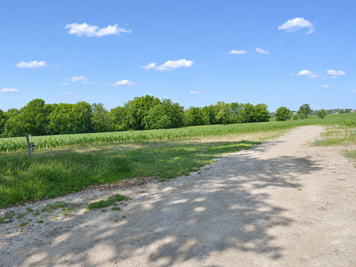
On either side, young corn plants stand in rows with almost military precision, while a thick fringe of deciduous trees closes the horizon in a long green ribbon. Other crops nevertheless manage to carve out a place for themselves within this agricultural geometry. Fields follow one another across the gentle undulations of the land, allowing the eye a freedom that the woodland had denied it only moments earlier. But this escape into the open countryside will be short-lived.
|
 |
 |
|
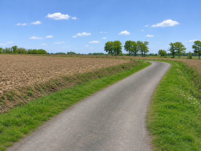
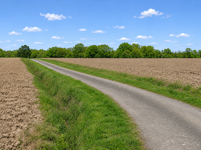
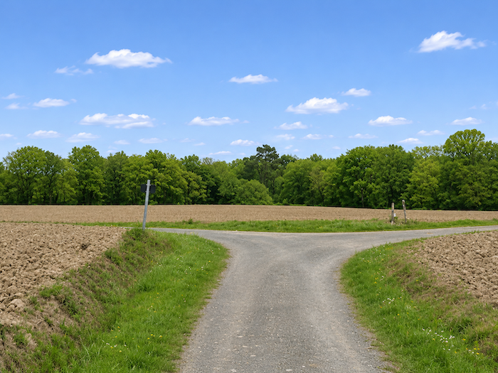
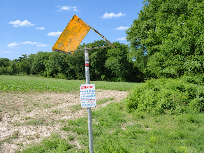
The GR65 soon leaves the narrow road and returns beneath the cover of the trees. This time, it is the Bois de la Rigade that welcomes the walker, another woodland interlude after this brief passage through the cultivated fields.
|
 |
 |
|
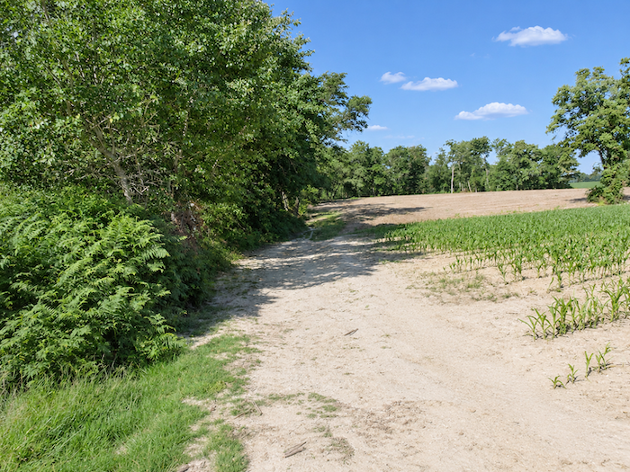
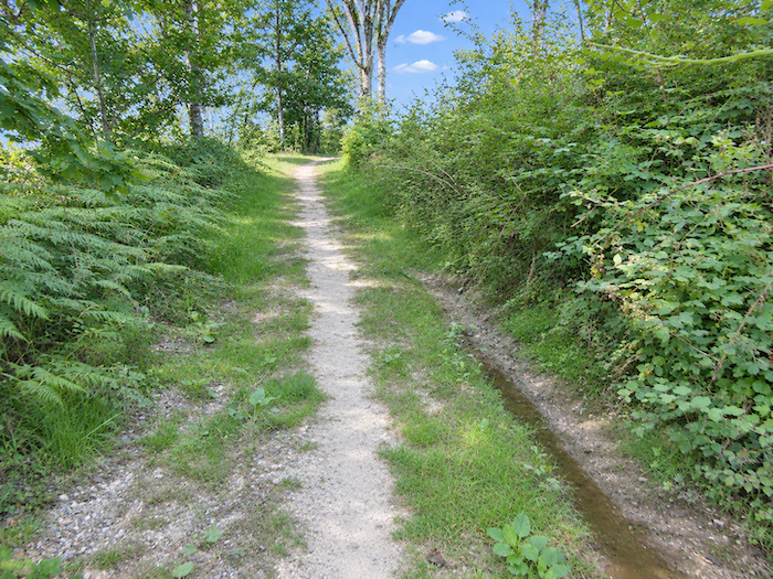
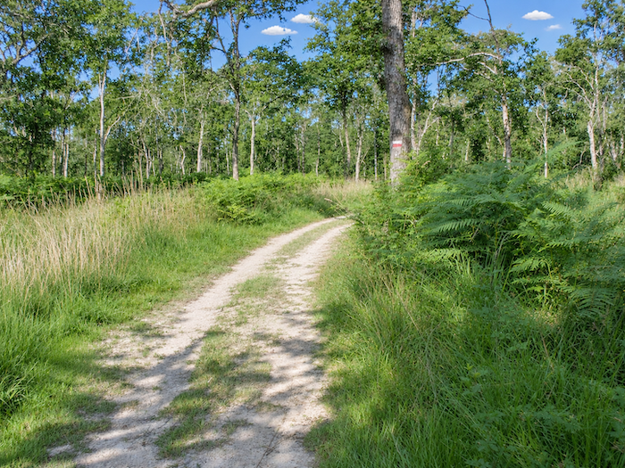
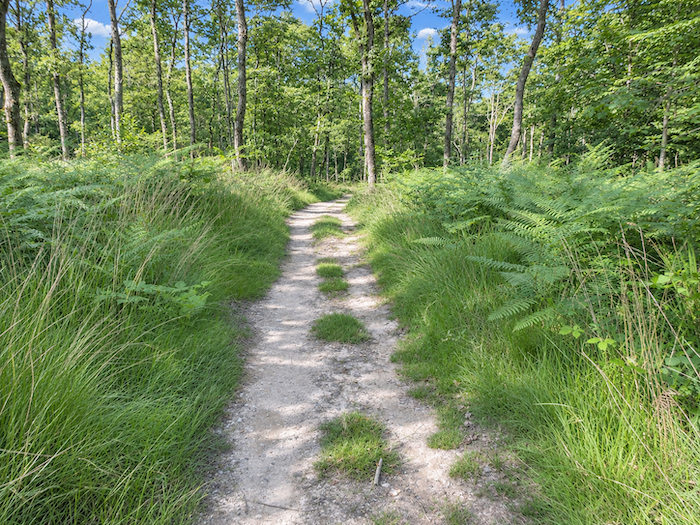
At first, the forest seems rather welcoming. A narrow trail winds through tall grasses beneath a canopy of trees that is still relatively sparse. The air is already heavy with moisture, however, hinting at woodland less hospitable than it first appears. Here, the oaks have lost their supremacy, displaced by hornbeams, ash trees, maples and wild chestnut trees, all competing for space and sunlight.
|
 |
 |
|
 |
 |
|
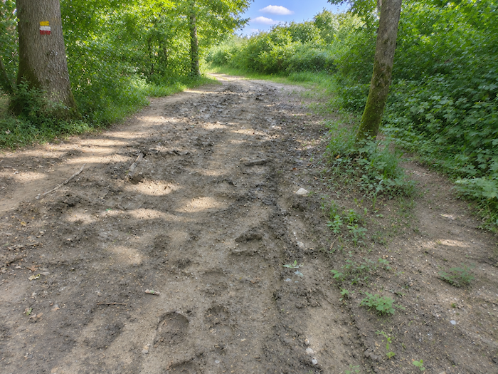
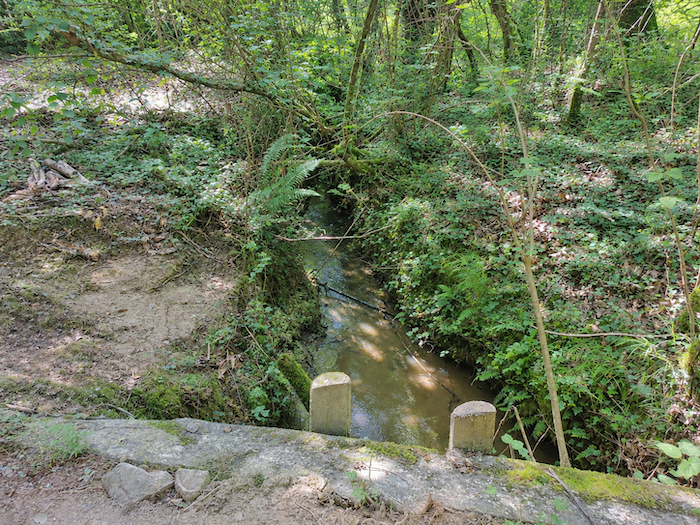
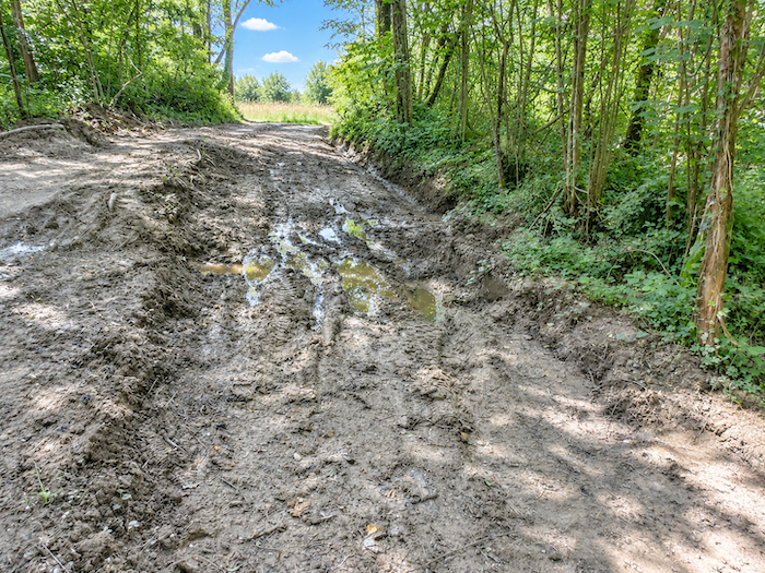
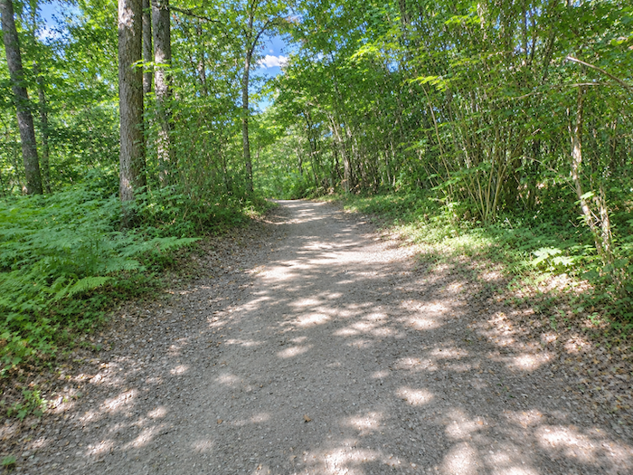
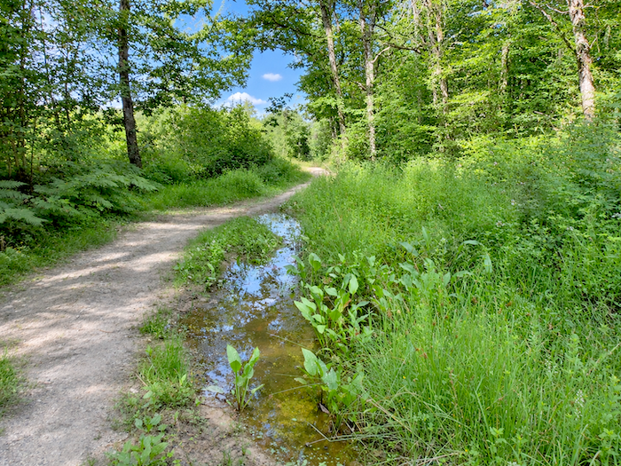
But this pleasant introduction does not last long. On the plateaus and hills, nature and man seem to have reached an understanding about how the landscape should be organized. Down in the depths of the dales, however, vegetation casts off all restraint. As the route approaches the streams, it grows thicker, more tangled, almost exuberant. Moisture permeates the surroundings, and the ground soon begins to show the effects. The trail shortly crosses the Daubade stream, a modest trickle of water barely distinguishable from the marshy ground around it. In this wood, mud seems to have taken up permanent residence, managing to retain water even in very dry weather. It is easy to imagine the delights of crossing this terrain after several days of rain, when boots sink into sticky clay that seems reluctant to release them. In the most troublesome sections, parallel trails have appeared beside the main route, created by those who prefer to skirt the obstacles rather than leave their footwear behind. And these alternative passages are certainly not all the work of wild boars!
|
 |
 |
|
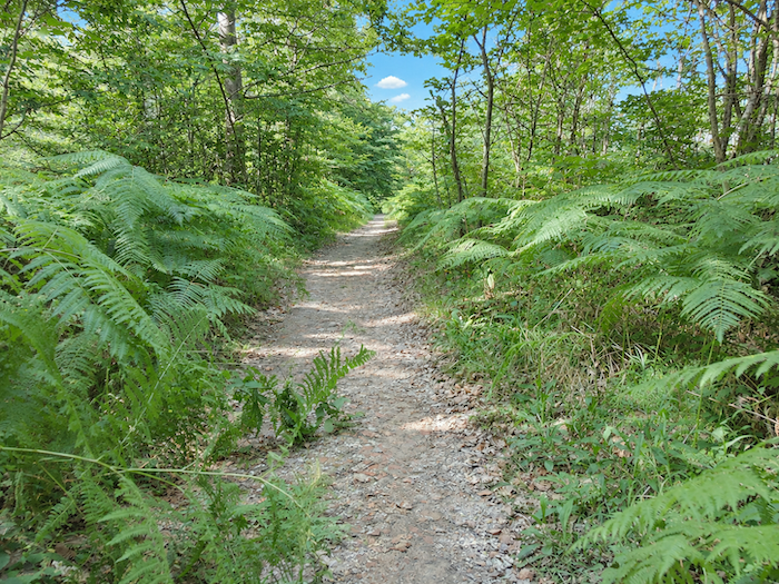
Farther uphill, the path finally escapes the waterlogged hollows and reaches somewhat firmer ground. One might almost say it has returned to dry land! The climb continues among ferns and bushes, which spread a soft green carpet beneath the trees. Here, shades of green follow one another endlessly, from the deep green of mature foliage to the almost luminous tones of young shoots. A whole palette of colors competing in freshness, as though the forest were trying to make amends for the unpleasantness of its muddy stretches.
|
 |
 |
|
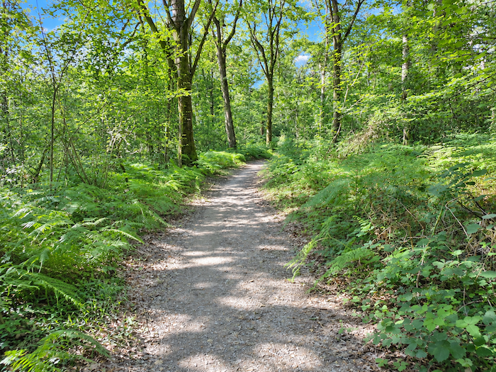
Yet the crossing of the wood eventually begins to feel rather long. The path stretches on beneath often dense vegetation, through surroundings that, despite a few lovely glimpses of greenery, do not always possess the charm one might expect from a woodland walk. The damp passages, tangled undergrowth and monotony of the forest gradually weigh on the walker’s spirits. So when daylight finally announces the exit, few pilgrims will probably regret leaving this rather ungracious woodland behind, a place whose departure brings more pleasure than the prospect of lingering any longer.
|
 |
 |
|
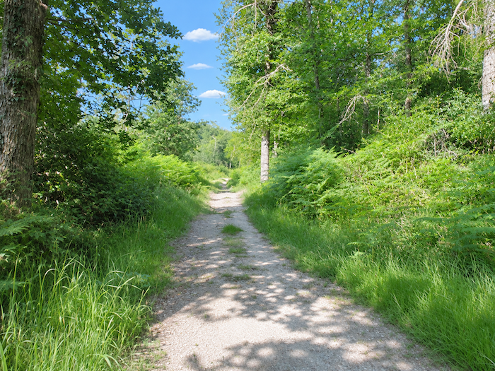
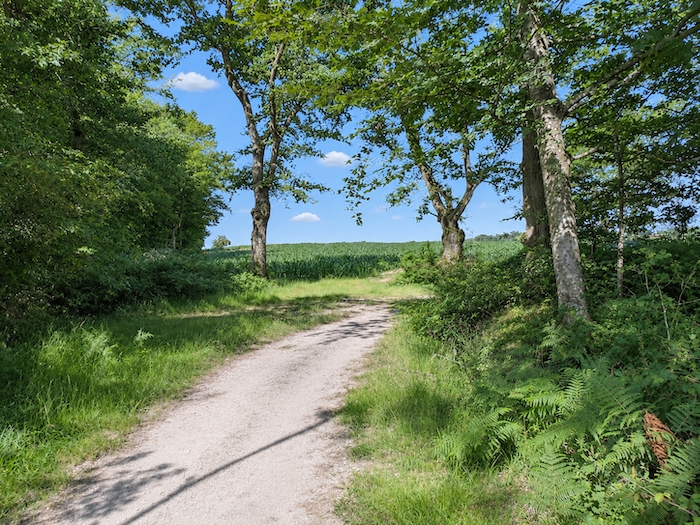
At the edge of the wood, the trees suddenly recover an entirely different grandeur. Majestic maples and towering ash trees spread their broad branches, as though offering the walker one final spectacle worthy of the name before leaving the forest behind.
|
 |
 |
|
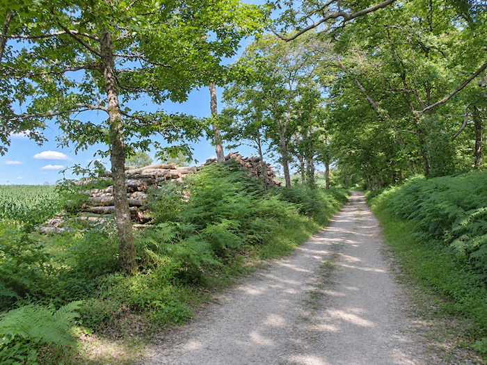
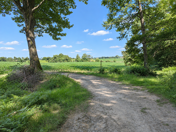
Then the landscape can breathe once more. The last trees fall away, and the eye is finally free to wander towards the open horizons of the countryside.
|
 |
 |
|
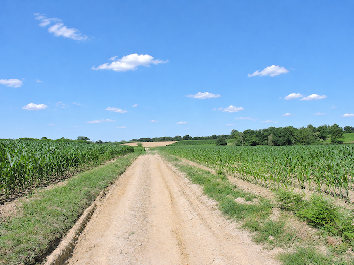
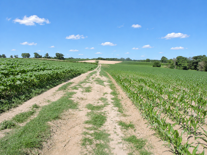
And what awaits the walker upon emerging from the forest? Corn, of course! But this time, sunflowers fortunately manage to claim a little of the land for themselves. The broad dirt path almost takes on the appearance of a stately avenue, like those running through the great parks of country estates. On either side stretches a veritable sea of cultivated fields, their regular patterns broken only by a few groves forming dark patches amid the crops.
|
 |
 |
Section 4: Vineyards, cereals and corn, of course
Overview of the route’s challenges: an easy route with no particular difficulties.
|
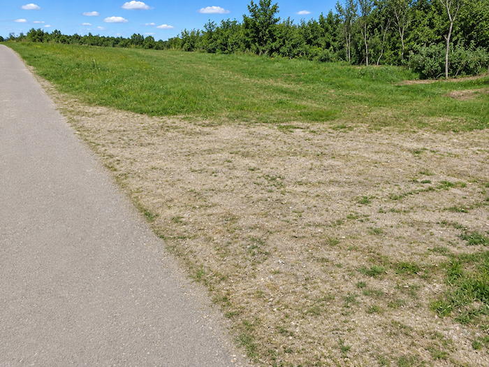
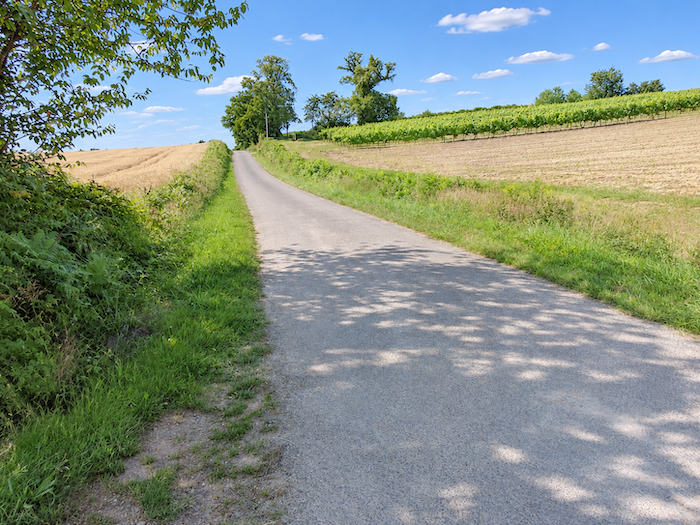
From here onwards, the landscape takes on an almost entirely different appearance. For a moment, you might imagine yourself transported to another country, so striking is the contrast with the damp woodland and endless cornfields. But this transformation will be short-lived. At the end of the long avenue, the GR65 returns to the asphalt and begins to gain a little height once more, climbing gently up the slopes of another hill.
|
 |
 |
|
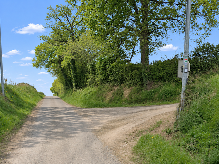
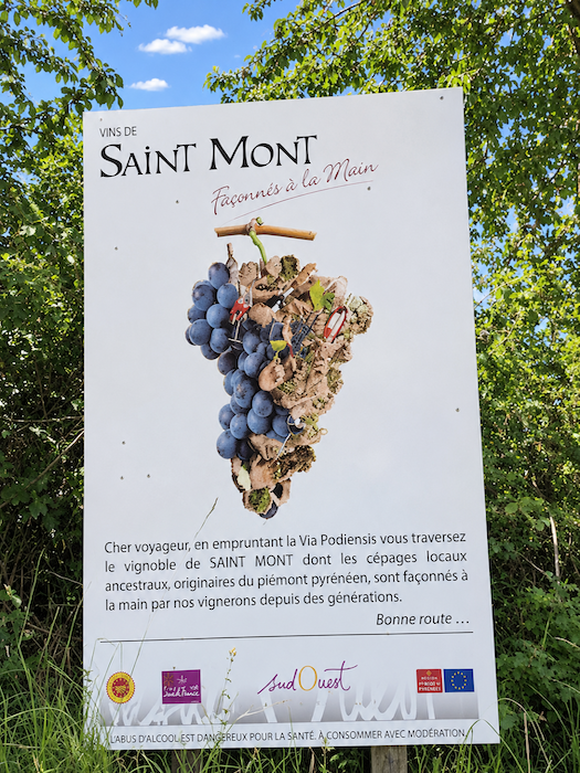
And in this corner of the Gers, higher ground often means vineyards. The hillsides now welcome the first plots of the great Saint-Mont wine-growing region, one of the jewels of local viticulture. After so much corn, here at last is a crop promising pleasures other than those of the poultry yard!
|
 |
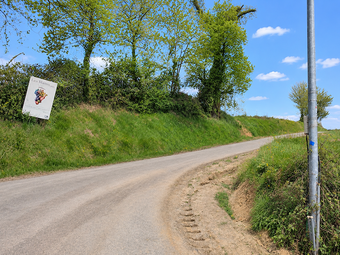 |
The Saint-Mont vineyards have their roots in a long tradition of winemaking. Renowned for their distinctive red, white and rosé wines, they owe their character to the diversity of their terroirs and the loyalty of local winegrowers to the traditional grape varieties of Southwestern France. Some plots even contain vines of venerable age, living witnesses to a winemaking heritage that successive generations have managed to preserve. Here, vines are not simply another crop. They are part of the history and identity of this land of rolling hills.
|
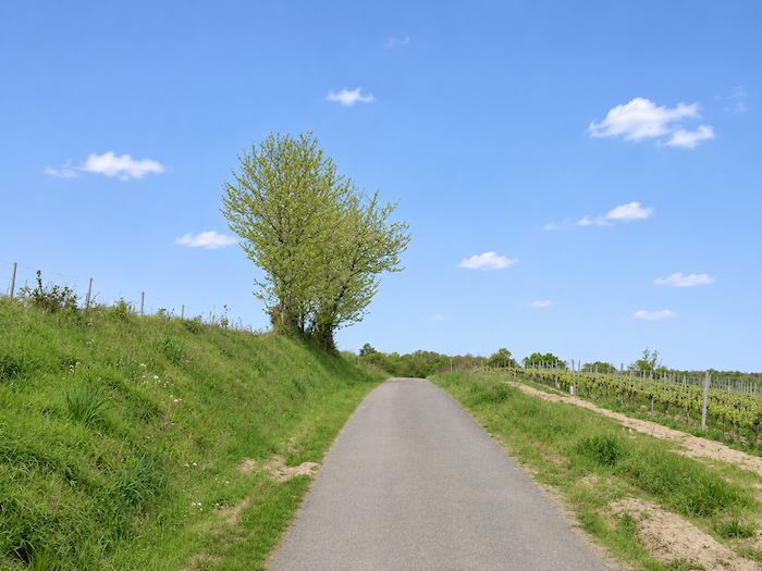
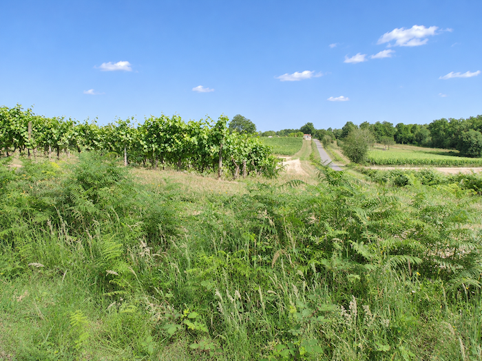
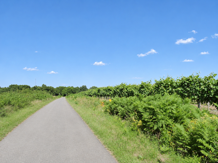
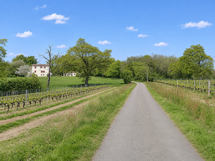
The narrow road now climbs among the rows of vines, patiently making its way up the hillside. The landscape opens out generously, freed from the hedgerows and woodland that had previously confined the view. The vines trace their regular lines across the slopes, accompanying the ascent almost to the summit.
|
 |
 |
|
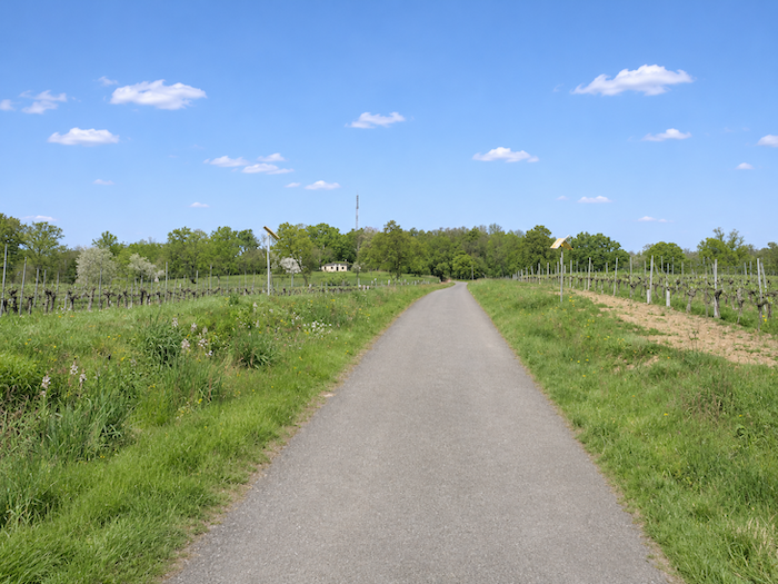
On the heights, the road takes its time, wandering leisurely through countryside where vineyards mingle with cereal fields. This alternation is a reminder of just how vast the Gers is, and how varied its landscapes can be. From the hills of Armagnac to the great cultivated expanses, one terroir gives way to another, never quite resembling the last. Here, on the western fringes of the department, corn and vines have gradually gained ground, relegating other cereals to a more modest place. This agricultural patchwork reveals its diversity far more clearly to those who cross it on foot than to those who merely study it on a map.
|
 |
 |
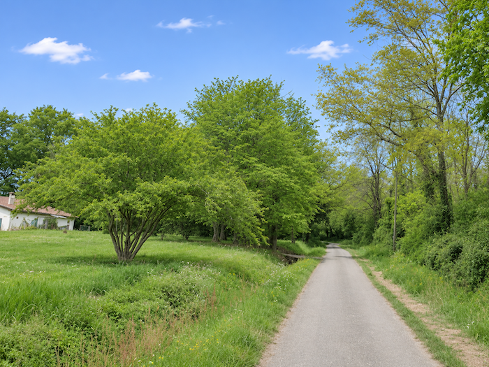
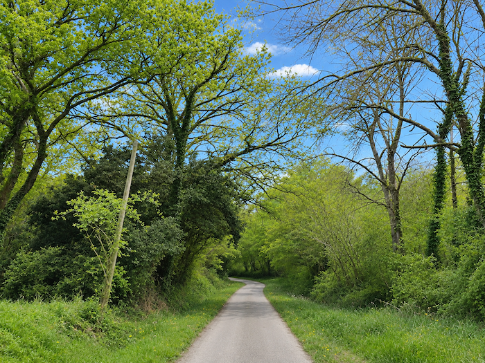
| Beyond the summit, the road begins its descent, skirting woodland where tall, slender trees raise their lofty silhouettes. The vineyards gradually recede, accompanying the walker towards the lower ground. |
 |
 |
|
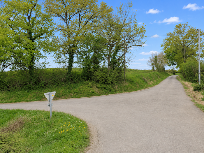
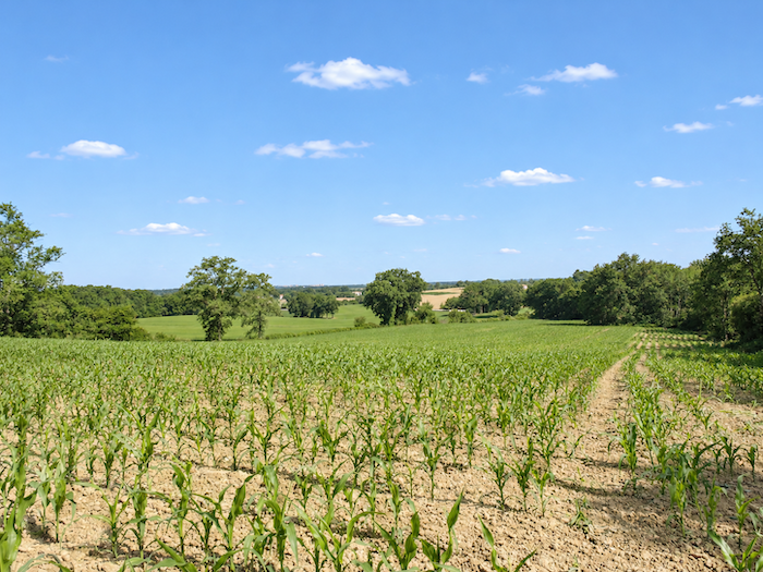
Farther down, the terrain becomes gentler and the road emerges onto a vast, almost level expanse, where cereal fields and cornfields once again take possession of the landscape. The crops spread out widely, interrupted only by occasional clusters of trees and the barely perceptible undulations of the land.
|
 |
 |
|
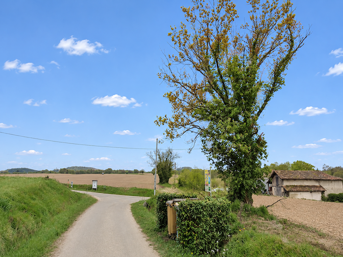
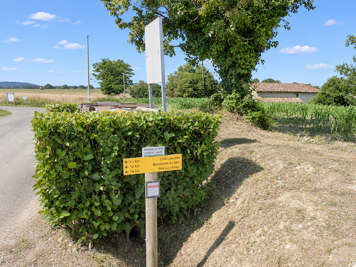
It is in this open countryside that the road passes Castin, an isolated farm on the plateau, some fourteen kilometers from Aire-sur-L’Adour. You have now reached the halfway point of the stage.
|
 |
 |
|
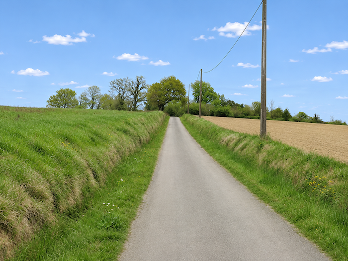
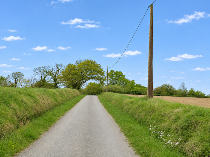
The road, however, does not linger long on this almost horizontal ground. It soon begins to gain a little altitude again, climbing gently towards the hamlet of La Grange, whose few houses punctuate the surrounding heights.
|
 |
 |
|
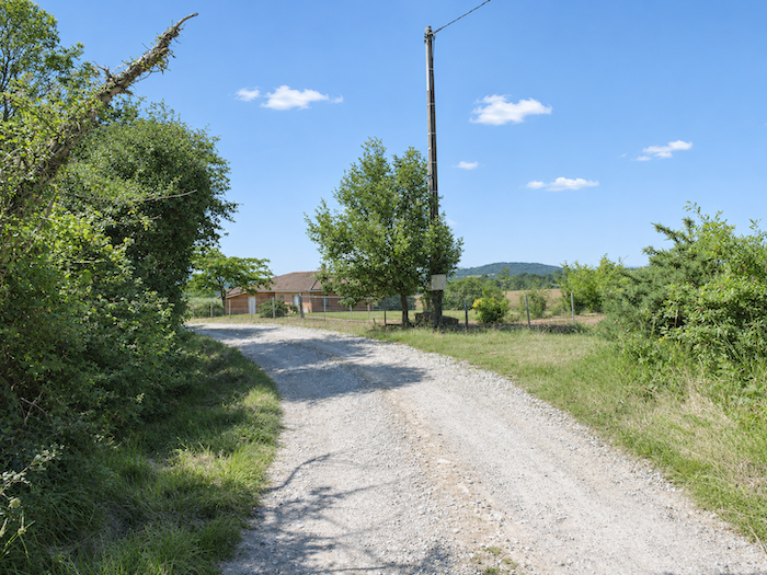
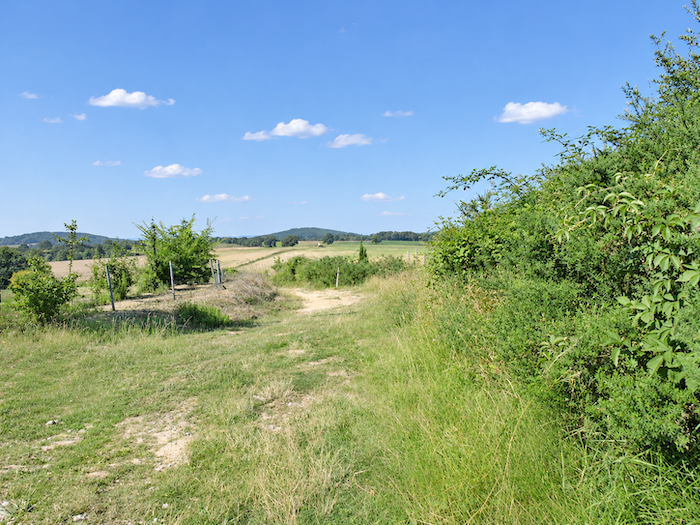
Near the scattered houses of the hamlet, the GR65 once again abandons the asphalt and ventures into the grass of the fields. The descent resumes, this time in more rural surroundings, amid cultivated land.
|
 |
 |
|
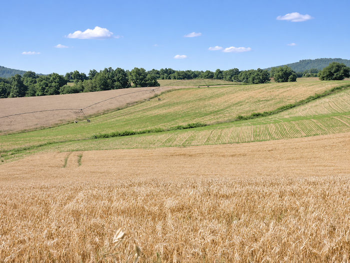
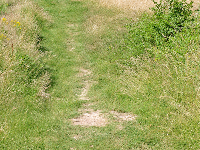
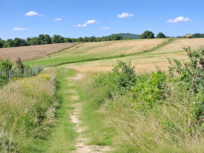
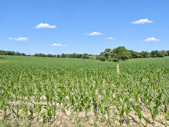
A crossing now begins among the great linear irrigation systems, those seemingly endless articulated metal arms that stretch their structures above the crops. Like the tentacles of some gigantic octopus, they seem to extend their limbs across the corn and wheat fields, supplying the water the plants need. A strange forest of metal in the middle of the farmland, where machinery lends a helping hand to a natural world that is apparently no longer trusted to manage entirely on its own.
|
 |
 |
|
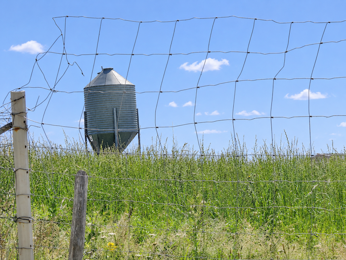
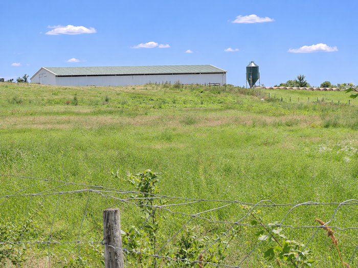
Perhaps you are beginning to wonder. You were promised a region where ducks and geese number in the millions, and yet, so far, you have hardly caught sight of any. Could the designers of the Way of St James have deliberately kept pilgrims away from the poultry farms, for fear of stuffing them with foie gras before they even reach Santiago? Hardly likely. You will encounter ducks farther along, in the Pyrénées-Atlantiques. Here, they must simply be keeping their distance from the route. After all, this extraordinary abundance of corn can hardly be intended solely to satisfy the appetites of sparrows! Looking at these fields stretching as far as the eye can see, one cannot help thinking that the ducks, and probably a few other kinds of poultry, cannot be very far away. And indeed, up there, behind a silo, a large shed might well be sheltering part of this feathered population that has remained so discreet. But come to think of it, what has become of the famous chickens of the Gers? Where on earth are they raised? Since setting out, we have not encountered a single one. It is almost as though all this poultry had decided to boycott the Way of St James.
|
 |
 |
|
 |
 |
|
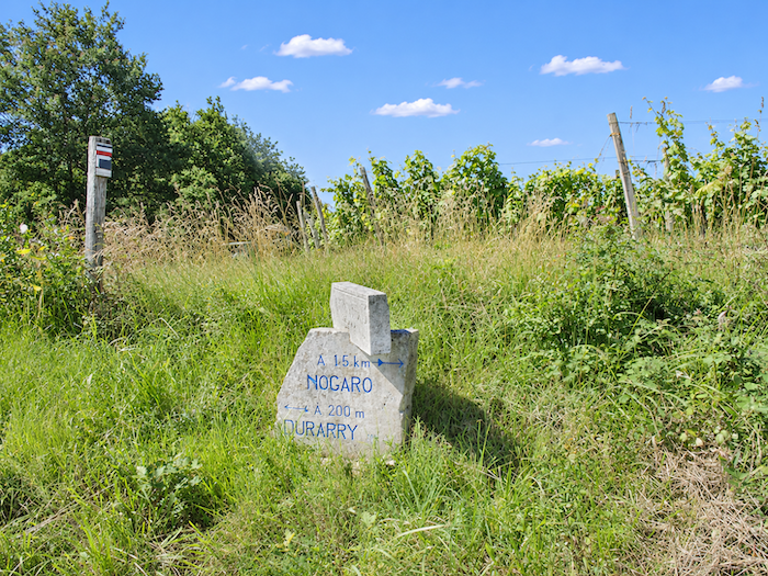
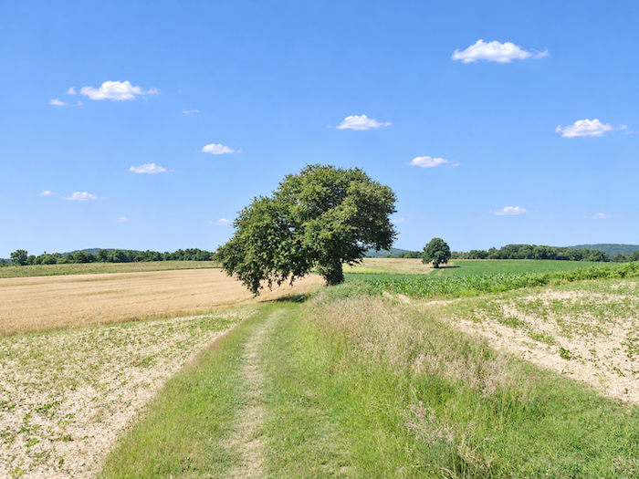
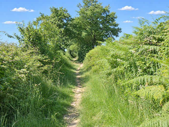
Farther on, the path begins to climb very gently again, making its way through tall grasses towards a junction. From there, a branch leads to the Dubarry farm, where walkers can find accommodation.
|
 |
 |
|
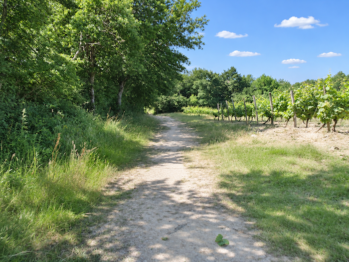
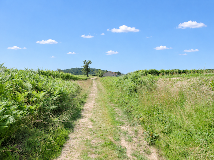
From the junction, the grassy path begins a leisurely descent along the edge of the woodland. Trees accompany the walk on one side, while rows of vines reappear on the other. After the seemingly endless reign of corn, the vineyard-covered hillsides thus reclaim a small place in the landscape.
|
 |
 |
|
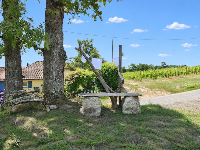
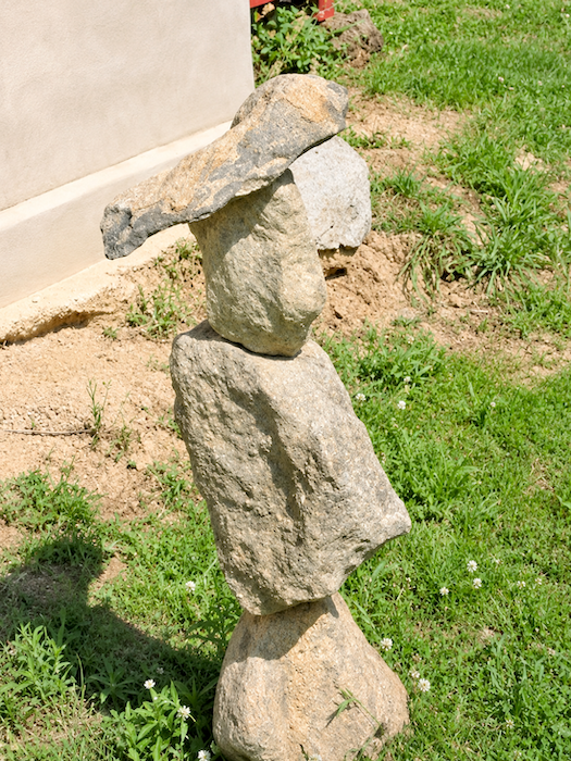
The GR65 soon returns to the asphalt in the hamlet of Brana, where a local resident seems to have taken pleasure in filling his garden with symbols familiar to pilgrims. Among them are cairns, those little structures made of stacked stones that can be encountered all along the Way of St James. They come in every size and degree of ambition, from modest piles of stones that seem to remain standing by some miracle to genuine feats of balance, where each stone appears to defy the laws of gravity.
|
 |
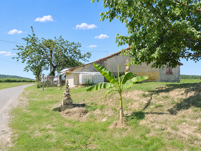 |
Some even take the shape of human figures, like little monuments erected in honor of passing walkers. An original way of greeting pilgrims without having to say a word.
|
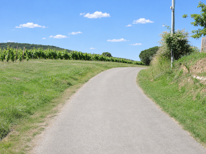
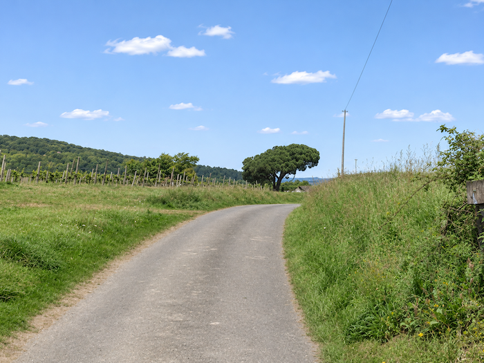
From the hamlet, a narrow paved road continues its gentle descent through the vineyards. Depending on the season of your visit, your nose may be less aware of the fragrances of the countryside than of the fumes from chemical treatments generously sprayed over the vines. The vine may give birth to noble wines, but the care lavished upon it is not always as delicate as the drink it promises.
|
 |
 |
|
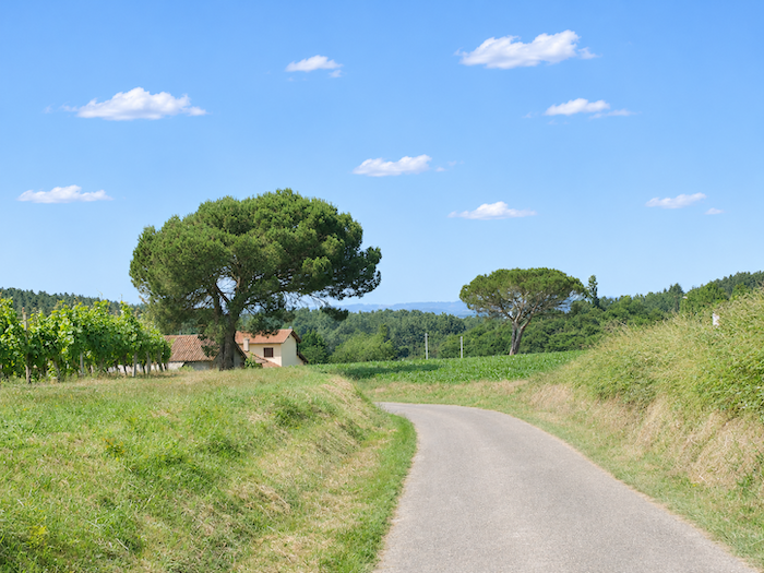
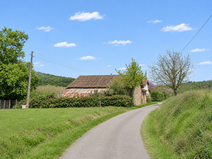
Farther down, the road winds through an agricultural landscape where plots of vines, cornfields and poplar plantations still coexist. A rather bedraggled barn, which seems to have seen better days, adds its weary silhouette to this rural scene. Tall poplars, standing in closely spaced rows beside the road, lend a touch of verticality to this gently undulating countryside.
|
 |
 |
|
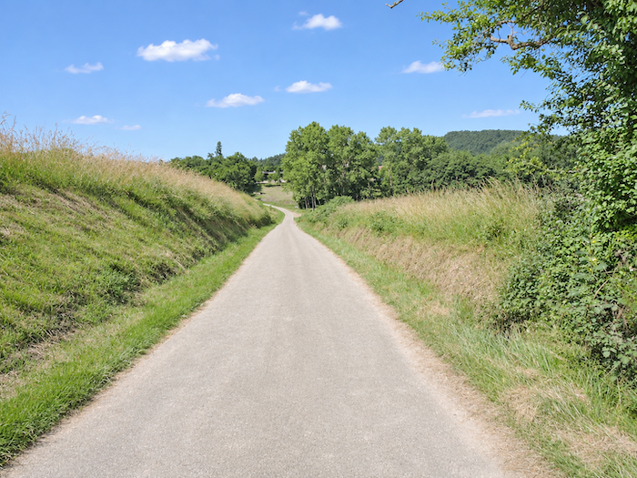
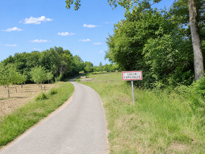
At the end of the descent, the narrow road reaches the first houses of Lelin-Lapujolle, a village discreetly nestled on the slopes of the hill.
|
 |
 |
|
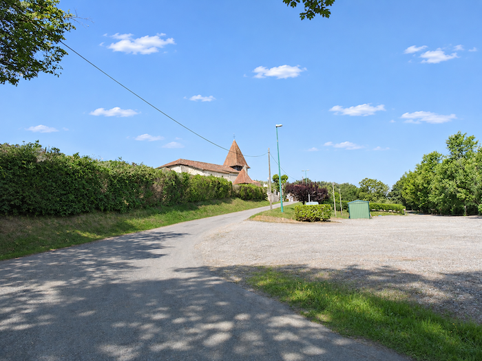
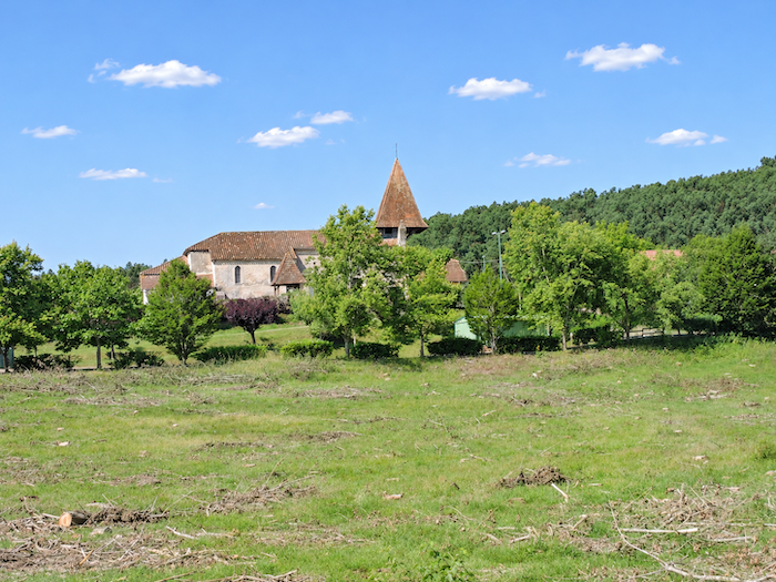
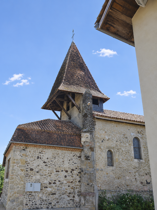
A slightly more sustained effort is then required to reach the church, perched above the village. The climb is short, but the gradient makes itself felt. Up there, the building reveals a truly astonishing architectural peculiarity: an unusual overhanging bell tower, half of which seems to be suspended in mid-air, as though its builders had decided to challenge the laws of balance.
|
 |
 |
|
The present church, originally a sixteenth-century chapel, stands on a site steeped in history. It is said to have been built on a Bronze Age burial mound, replacing an earlier Romanesque chapel. Quite a few centuries of history piled onto a single piece of hillside! Lovers of Baroque art would be mistaken to pass by without stepping inside. The interior houses a remarkable gilded and polychrome altarpiece made of acacia wood, officially listed as a historic monument. More surprising still, the town hall shares the walls of the religious building. In Lelin-Lapujolle, the affairs of heaven and those of the municipality have somehow managed to find a way of living together under the same roof.
|
 |
 |
|
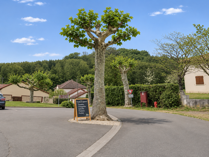
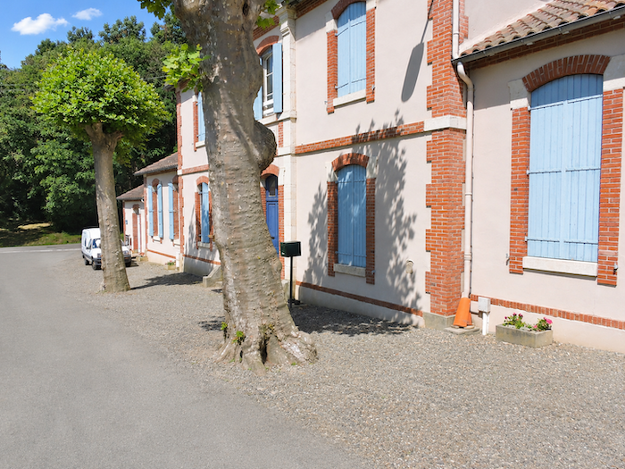
In the church square, walkers may sometimes find drinking water and a place to stop for a bite to eat. A welcome opportunity for a break, provided, of course, that these facilities are available when you pass through.
|
 |
 |
|
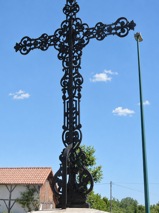
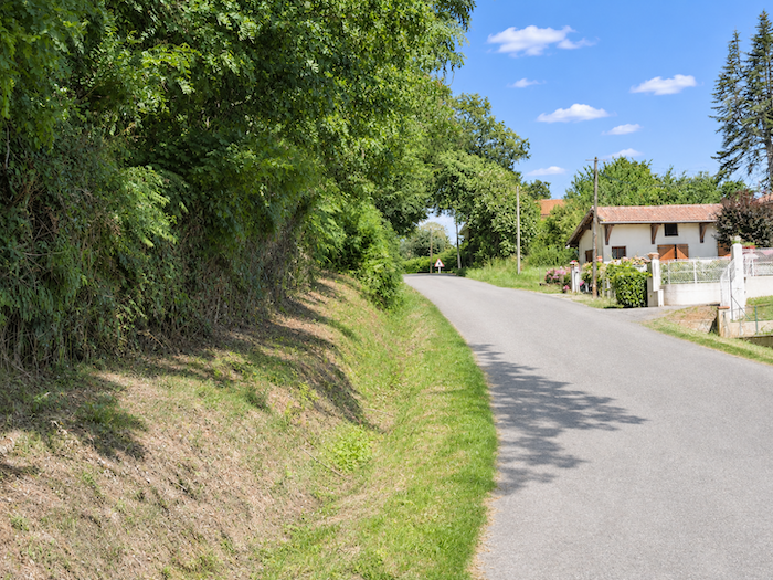
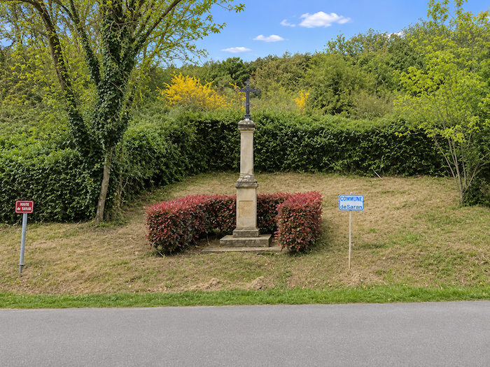
The GR65 then descends slightly towards the lower part of the village, where it joins the narrow D169 departmental road, near an iron cross standing beside the road.
|
 |
 |
|
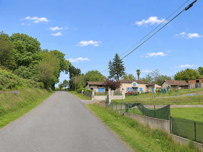
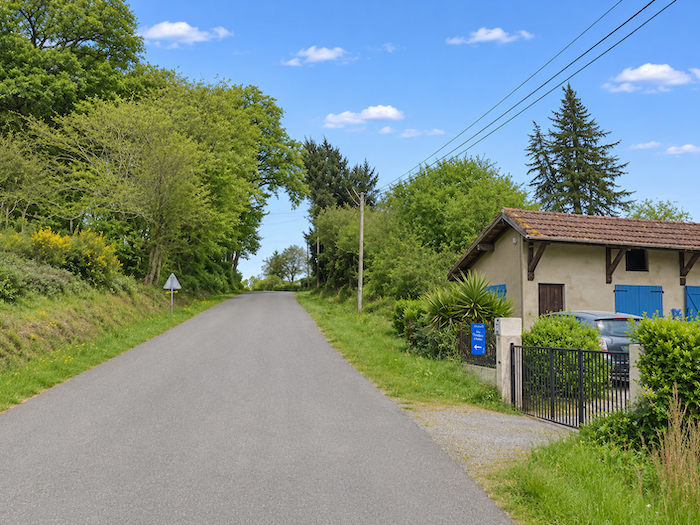
It follows the departmental road for a short distance, climbing gently towards the ridge among scattered houses. The homes succeed one another without really forming a street, in this countryside where villages sometimes seem to stretch far beyond their church steeples.
|
 |
 |
|
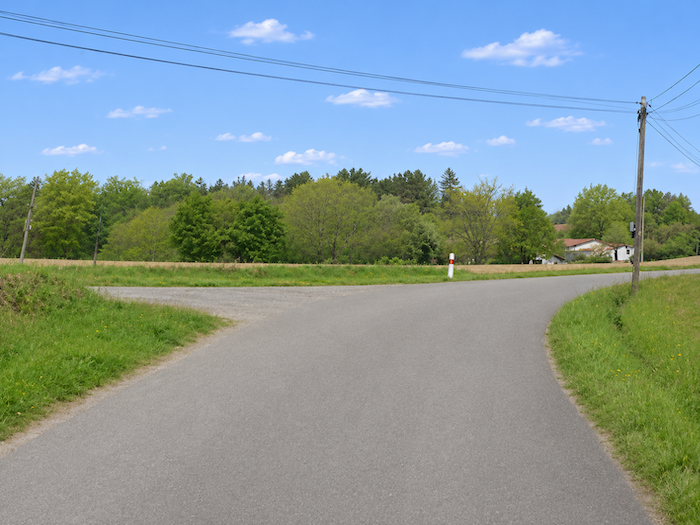
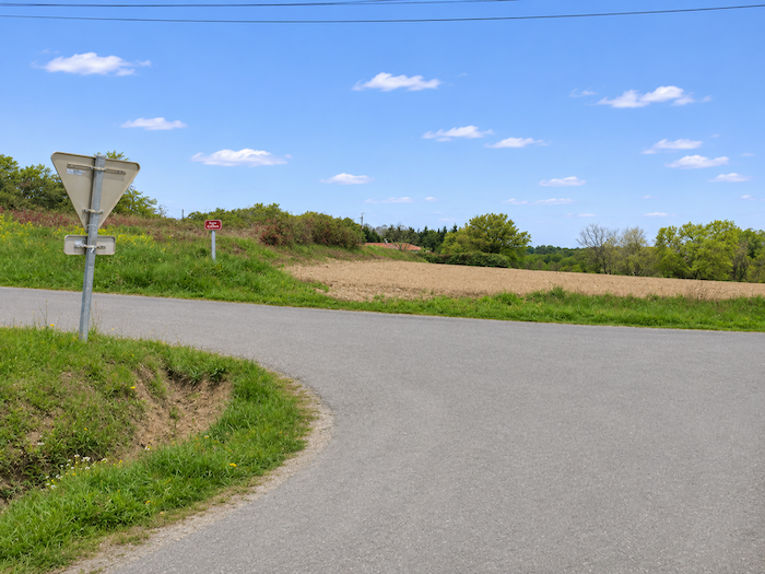
A little farther on, the GR65 leaves the departmental road and turns left onto a more modest road.
|
 |
 |
Section 5: Setting out across the immense Adour plain
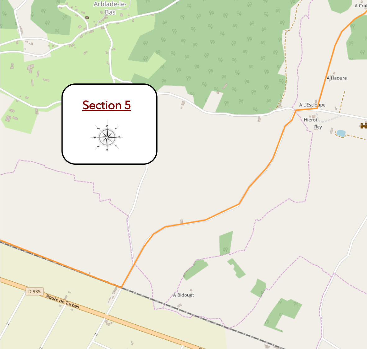
Overview of the route’s challenges: an easy route with no particular difficulties.
|
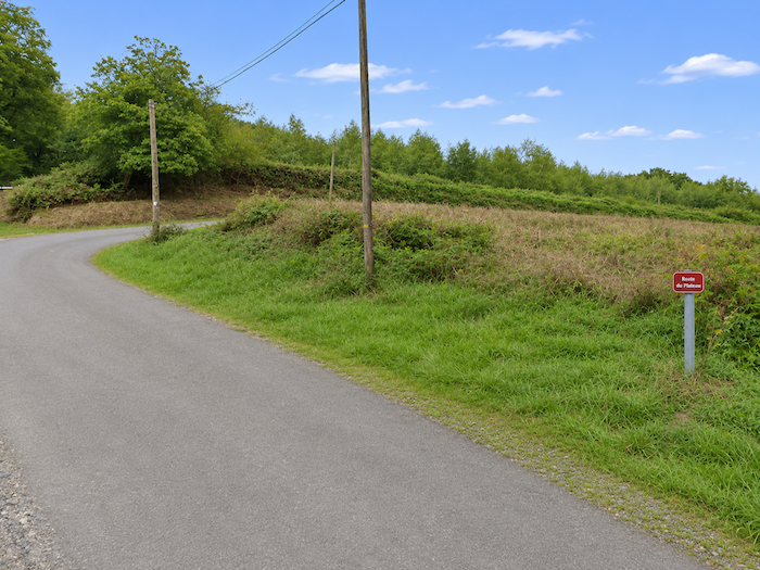
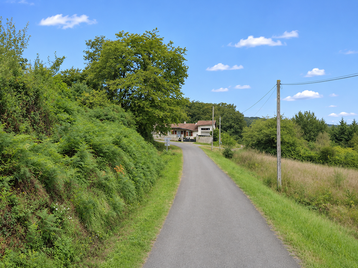
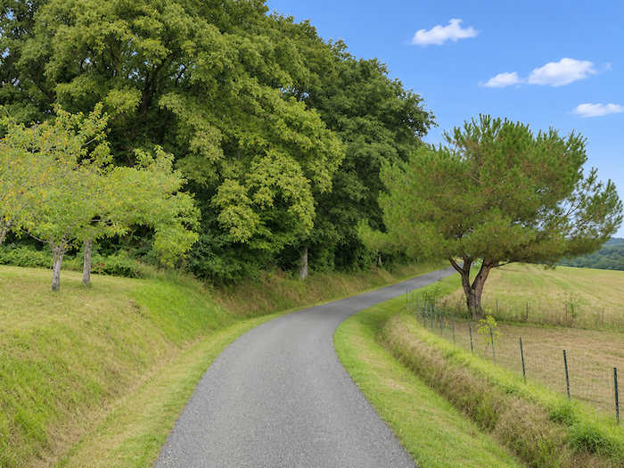
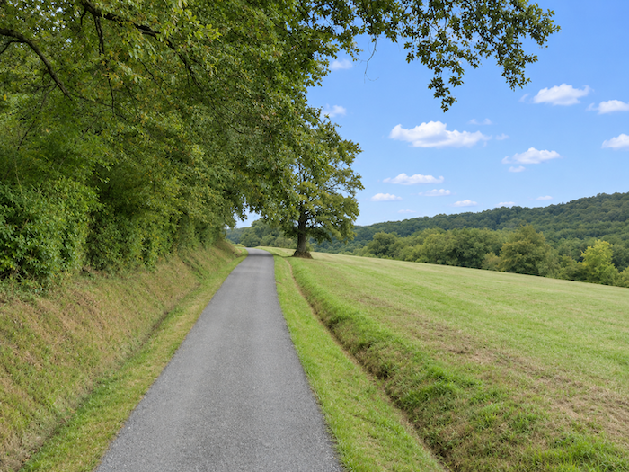
The narrow road now follows the ridge, passing through meadows dotted with sturdy oaks and tall ash trees with lighter foliage. A few scattered houses, nestled among the greenery, break the solitude of these peaceful heights. Here, the landscape has lost some of its agricultural rigidity. Trees grow more freely, hedgerows trace their own boundaries, and meadows spread their carpets of grass across the gentle undulations of the land.
|
 |
 |
|
Meadows now dominate the landscape, leaving little room for cultivated fields. Curiously, the livestock seem to have deserted the place. Not a cow, hardly an animal to bring these pastures to life. One begins to wonder who all this grass is growing for!
|
 |
 |
|
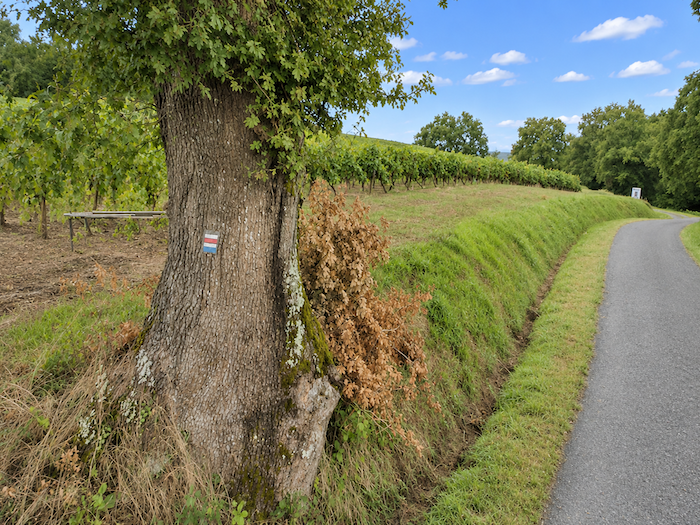
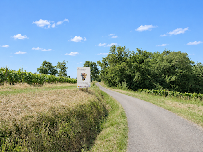
But the vines have not yet had their last word. Here they are again, reappearing on the hillsides, their rows displaying a geometric discipline that contrasts sharply with the freedom of the neighboring meadows. The Saint-Mont vineyards extend across a large part of this corner of the Gers, and well beyond the hills we are crossing. Indeed, have we ever really left them behind since our first encounter with their rows of vines? That is far from certain.
|
 |
 |
|
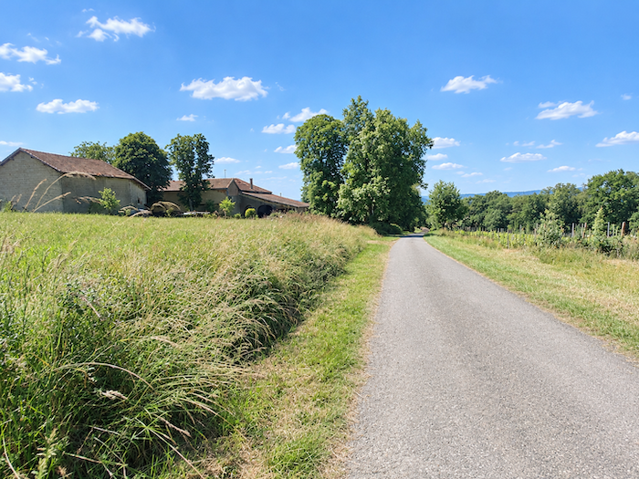
Farther on, the road passes the few farmhouses of the hamlet of Crabé, modestly scattered across the countryside. One of those tiny settlements that you might cross almost without noticing, were it not for a handful of buildings reminding you that these hills, peaceful though they may be, are very much inhabited.
|
 |
 |
|
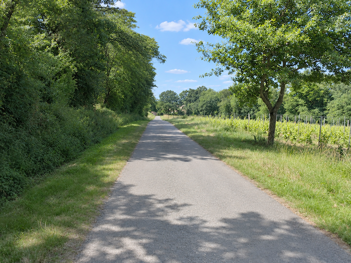
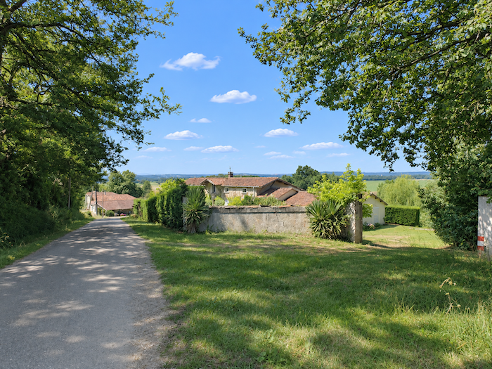
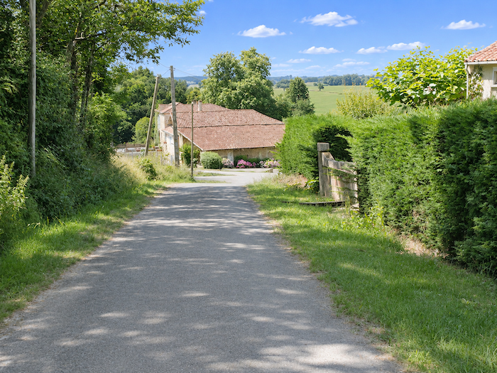
The road then begins another descent towards the hamlet of Houaré. A few stone farmhouses, topped with brown roof tiles, stand at intervals beside the road. Their warm-colored roofs and weathered walls form an unpretentious little rural ensemble, the kind that gives this countryside its deeply rooted, earthy character.
|
 |
 |
|
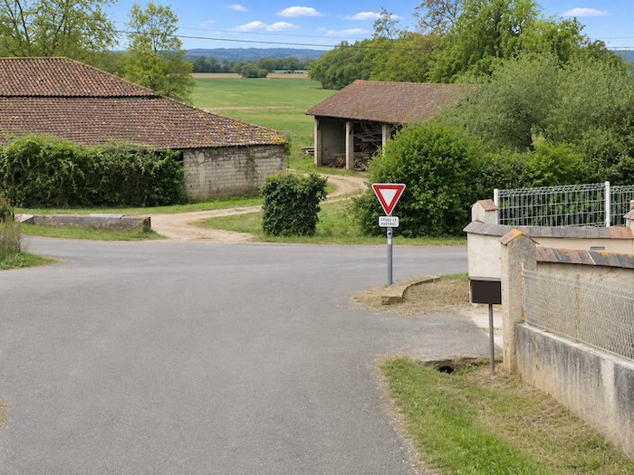
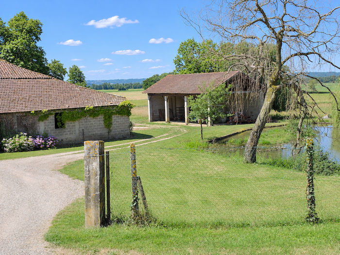
These are the last gentle convulsions of the Gers hills. The relief gradually subsides, the slopes grow gentler, and the road finally comes down to the lowlands, near a few farms established beside a pond. After so many climbs and descents, the hills at last seem willing to lay down their arms.
|
 |
 |
|
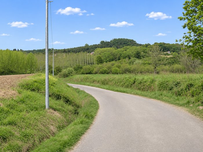
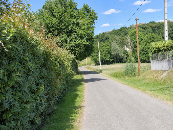
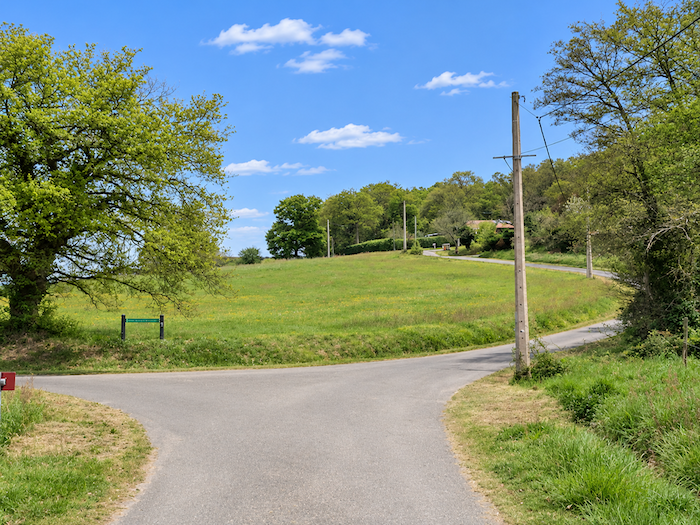
Ahead of you now lies the immense Adour plain, where the landscape will soon take on an entirely different scale. The last undulations of the Gers fade away before the river’s vast alluvial lands. The GR65 passes near the hamlet of Manet, leaving it to one side as the route continues towards broader horizons, where the hills finally surrender to the plain.
|
 |
 |
|
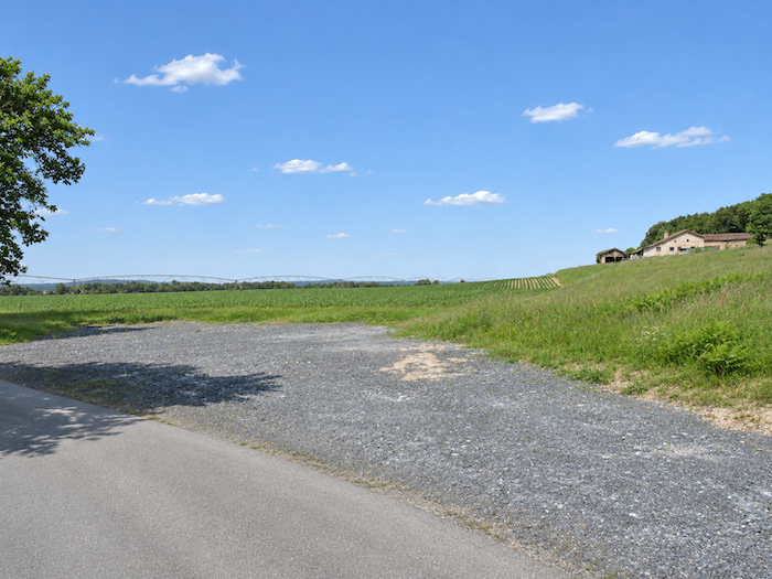
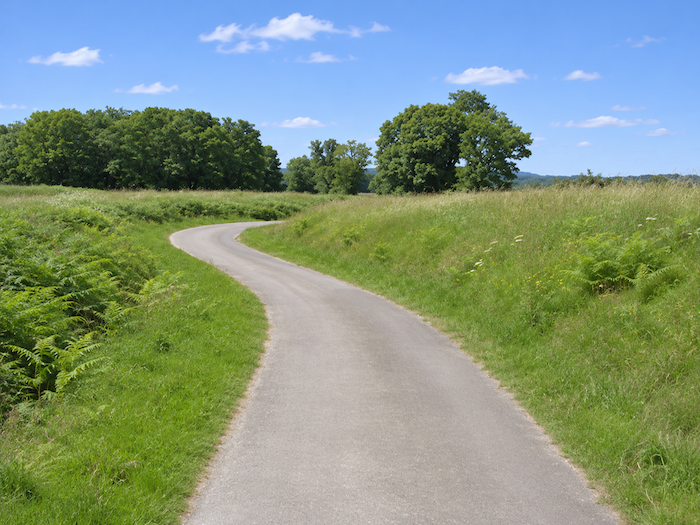
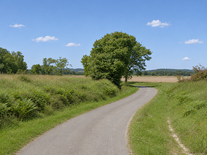
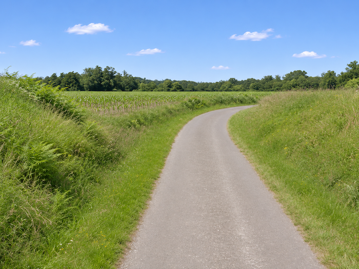
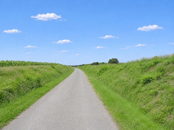
A narrow paved road now ventures into the immense Adour plain. The landscape takes on an almost lunar appearance, minus the craters. Vast expanses of bare, desolate grey gravel cut through the cultivated land like scars across this agricultural immensity. Here and there, enormous irrigation systems stretch their endless metal arms so far towards the horizon that one wonders whether their fingertips might eventually brush against the Pyrenees. A few farms, looking tiny in this ocean of open land, fortunately remind you that you are still in the Gers countryside and not on some abandoned planet.
|
 |
 |
|
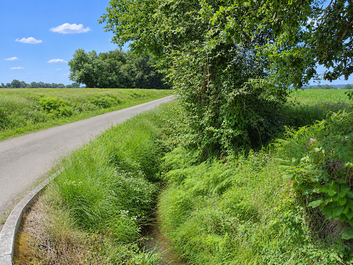
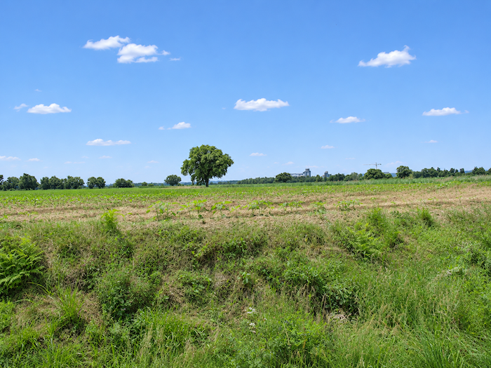
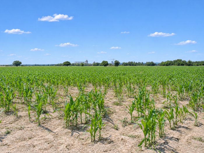
At first, a few oaks stubbornly continue to raise their silhouettes beside the road, as though they themselves were wondering what they had come to do in such an agricultural desert. But their presence soon becomes almost incidental. Before long, nothing remains but corn, fallow land and a few oilseed crops, spread beneath an immense sky that seems determined to occupy half the landscape all by itself.
|
 |
 |
|
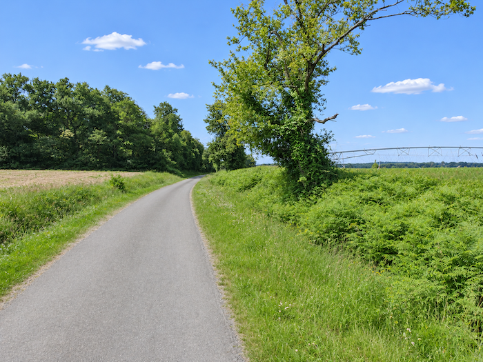
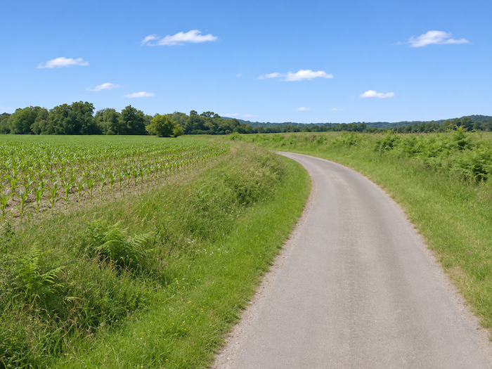
The narrow, solitary road then continues its seemingly endless undulations through this world of cultivated heathland, fallow fields and barely perceptible rises in the ground. Corn returns again and again, as reliable as ever, while the kilometers accumulate amid a monotony interrupted by almost nothing. You walk on, turn slightly, cross an almost imperceptible rise, and find yourself facing a landscape strangely similar to the one you have just left behind.
|
 |
 |
|
It is easy to imagine that the trees were driven from these lands long ago, sacrificed to the demands of an agriculture that prefers vast spaces free of obstacles. They now survive mainly along distant boundaries, tracing a thin, dark fringe against the horizon, like the last remnants of a wooded world of which little more than a memory remains here.
|
 |
 |
|
Beyond the cornfields and the rarer patches of sunflowers, a few industrial silhouettes stand out in the distance, over towards the Adour. They seem almost unreal, so greatly do distances appear to stretch across this featureless plain. When you cross these lands, you may begin to understand what infinity means. A very relative infinity, of course, by French standards, but one that can already assume considerable proportions for a walker carrying a backpack.
|
 |
 |
|
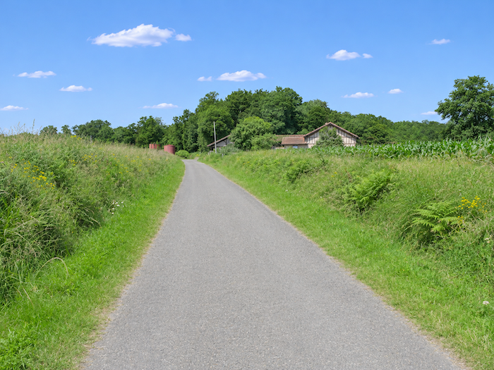
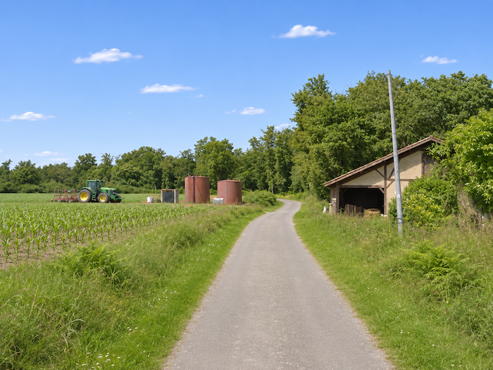
Farther on, the road passes near the isolated houses of Cachébot, lost in a landscape that seems utterly incapable of reinventing itself. Faced with these few buildings surrounded by such an immense expanse of cultivated land, a question almost automatically comes to mind: can a single farm really command so much territory? One imagines farmers driving their tractors for kilometers to reach plots scattered across every corner of the plain. Here, distances are probably not measured quite as they are in the tightly clustered little villages of the Gers hills.
|
 |
 |
|
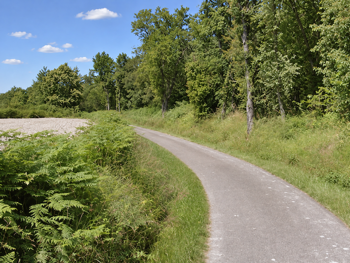
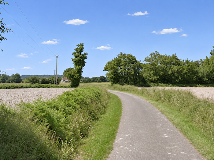
Then, as though to reward the walker for such patience, the route grants a brief respite beneath the trees.
|
 |
 |
|
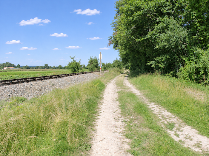
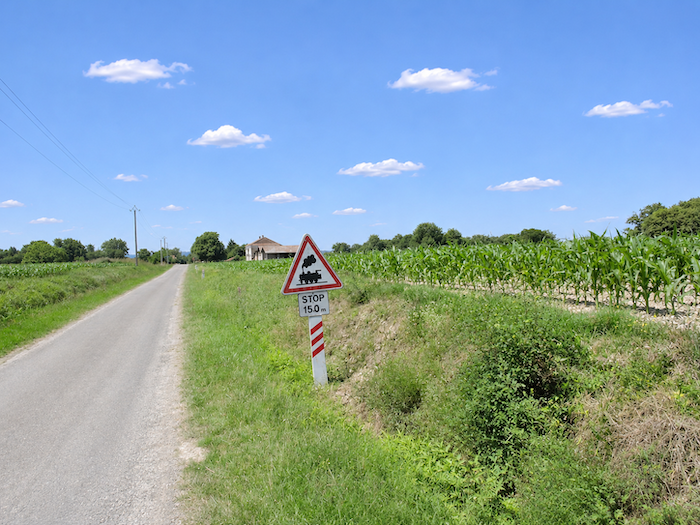
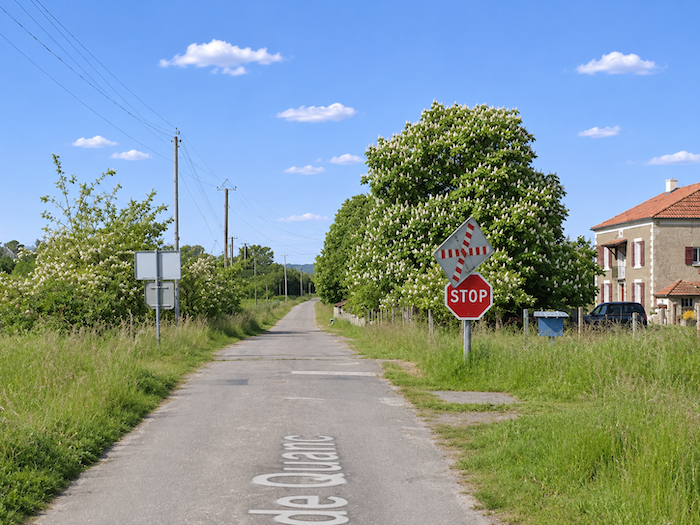
A train, here? You must be dreaming! Yet the remains of an old railway line recall a time when trains once crossed this plain, where the walker now feels so alone. But the railway has long since deserted the place. « Quatré Terminus, everybody off! » Have the rails been preserved in the hope of some hypothetical revival of the line? As for ever seeing another train pass this way, everyone is free to indulge their own illusions. After all, pilgrimage leaves a little room for miracles too.
|
 |
 |
|
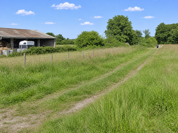
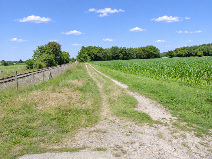
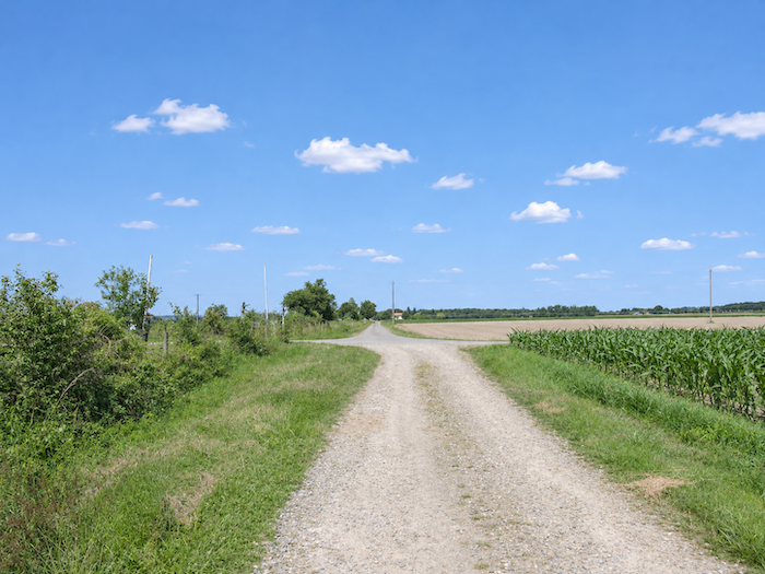
Another crossing now begins, seemingly endless and certainly memorable, through the fallow land and cornfields that accompany the former railway line. The asphalt has finally given way to dirt and grass, which is already some consolation for weary feet. But the scenery seems in no hurry to change. The cultivated fields still stretch as far as ever, the horizons remain stubbornly flat, and the old railway alignment accompanies the walk like a reminder of a time when these distances could perhaps be covered by something other than the strength of one’s calves.
|
 |
 |
|
In days gone by, a small refreshment stop here allowed walkers to cool off and recover some of their strength. The passing years have put an end to this modest oasis, which has disappeared without leaving much behind. Fortunately, nature, less sparing than mankind when it comes to hospitality, has preserved a few scattered clusters of oaks where you can put down your backpack for a while.
|
 |
 |
Section 6: Across the endless, dreary plain
Overview of the route’s challenges: an easy route with no particular difficulties.
|
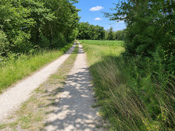
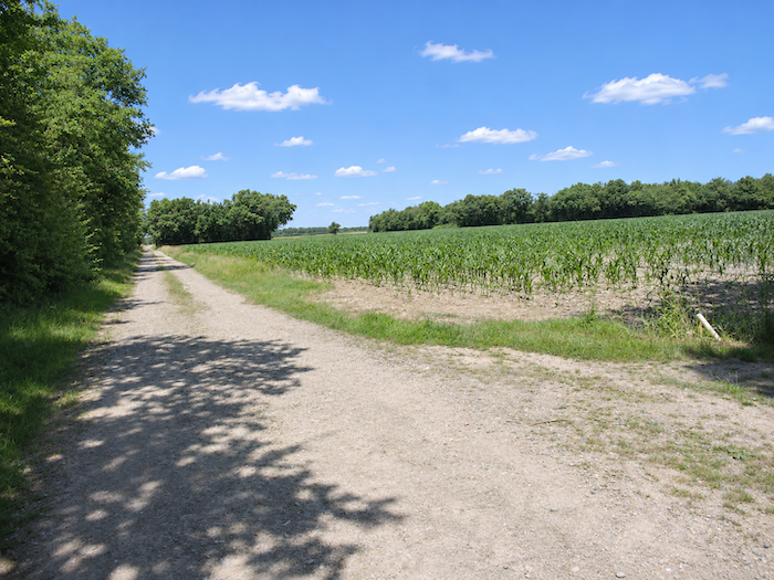
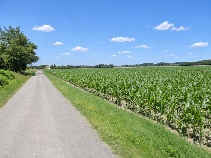
And still those dull, tasteless cornfields, devoid of soul or surprise, which seem to have taken complete possession of the landscape. Corn is everywhere, the undisputed ruler of this plain, where a few still-bare plots await their next crop, perhaps soybeans, just to introduce a little variety. Let there be no misunderstanding: this is certainly not an attempt to criticize the local farmers, who earn their living from these generous lands. But one has to admit that the Way of St James sometimes crosses regions where absolutely nothing seems to happen.
|
 |
 |
|
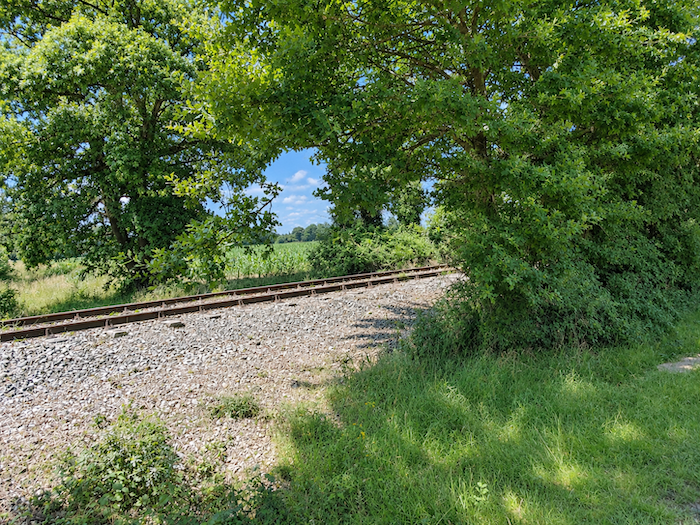
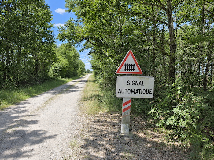
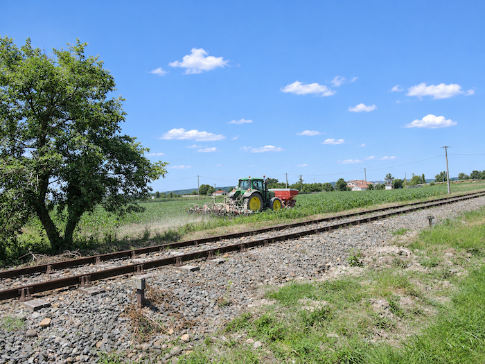
The kilometers slip by without the landscape showing the slightest hint of imagination. A dreary plain, devoid of relief or mystery, although its fertile soil undoubtedly brings great satisfaction to the farmers who cultivate it. Beside the path, the old railway line continues its silent course. The rails are rusty, admittedly, but the track remains clearly defined, and the railway signs seem to be waiting, with admirable patience, for the return of a train that no longer comes. Looking at them, one might almost be tempted to believe that the railway is about to rise from the dead. There is no harm in dreaming, especially after walking for hours through a landscape that offers so few other distractions.
|
 |
 |
|
 |
 |
|
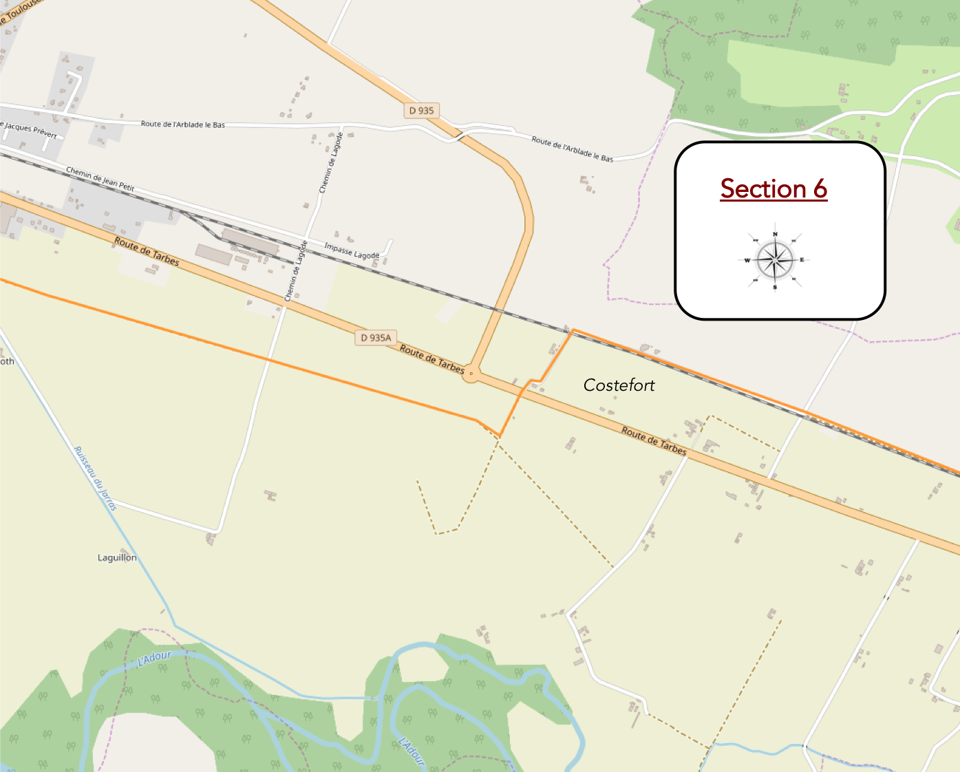
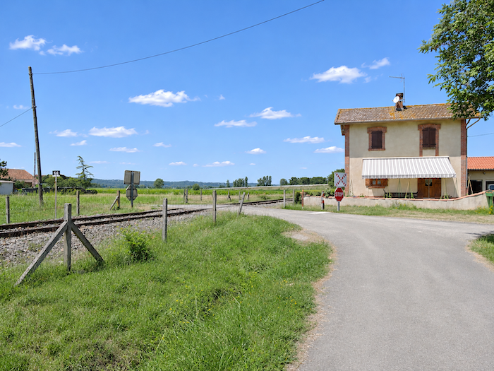
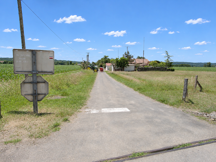
Farther on, for no obvious reason, the dirt track suddenly gives way to asphalt. The GR65 takes the opportunity to cross the old railway line at Costefort, where a few buildings hint at what may once have been a small railway stop. It is difficult to imagine crowds of passengers once jostling at the entrance to this hypothetical station, but the place at least marks the return of a faint trace of human life in this agricultural immensity. A few buildings, a crossroads, and there is almost enough to break the spell of solitude!
|
 |
 |
|
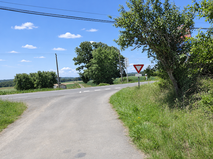
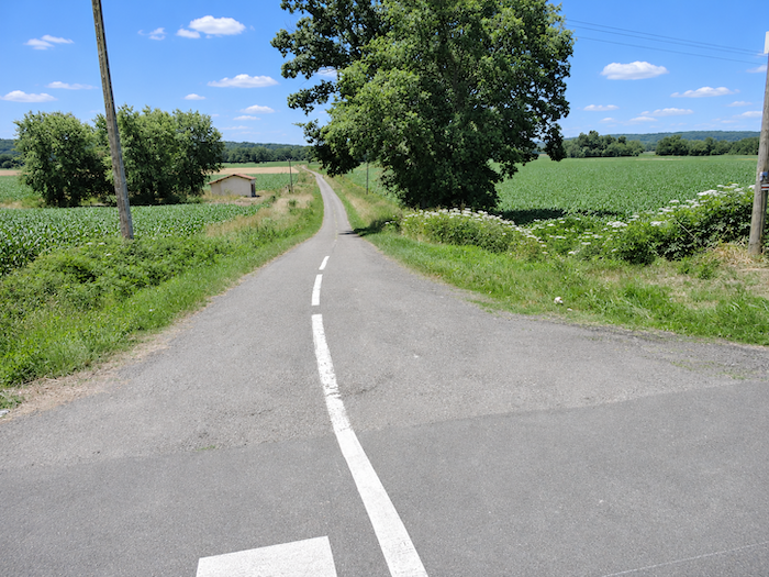
At Costefort, the GR65 crosses the D169 departmental road and continues on the other side, still heading towards Aire-sur-L’Adour.
|
 |
 |
|
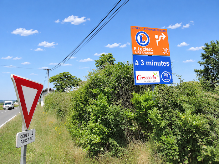
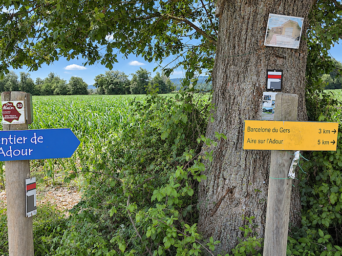
There are still some five kilometers to cover before reaching the end of the stage. Five kilometers which, in a landscape so reluctant to offer surprises, may well seem considerably longer. By car, the commercial districts would be only three kilometers away. But the pilgrim has not signed up for the shortcuts offered by the automobile. So, the little ordeal must continue, one step after another, with the sole consolation of knowing that every stage must eventually come to an end.
|
 |
 |
|
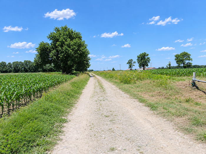
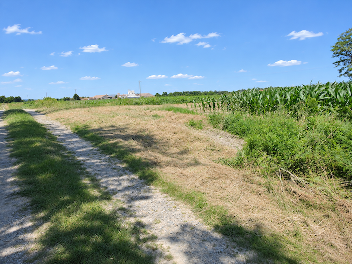
The scenery changes very little, except that heathland and fallow fields begin to gain a little ground over the cultivated land. Corn, meanwhile, remains faithfully at its post, as though it had sworn never to abandon the walker. Yet on the horizon, the first industrial buildings of Barcelonne-du-Gers and Aire-sur-L’Adour finally announce the approach of civilization. The GR65, once again a dirt path, continues along its seemingly endless straight stretches through this stubbornly flat countryside.
|
 |
 |
|
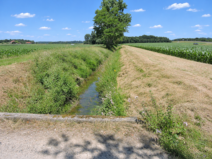
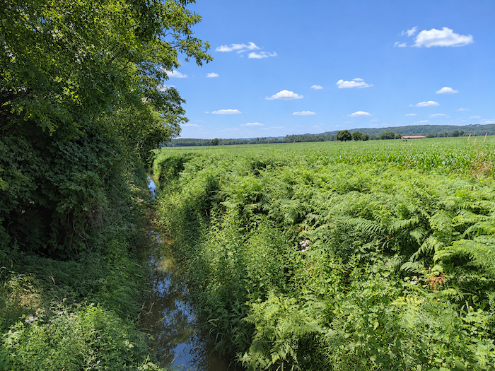
A little farther on, the Turré stream cuts across the route. A very modest watercourse, but one whose waters certainly do not go to waste. The ferns flourishing along its banks make the most of them, and the surrounding cornfields are unlikely to complain about this precious moisture either.
|
 |
 |
|
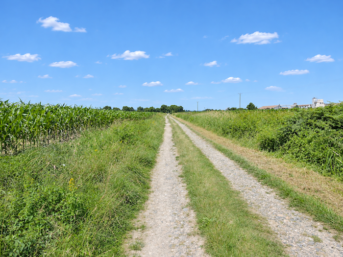
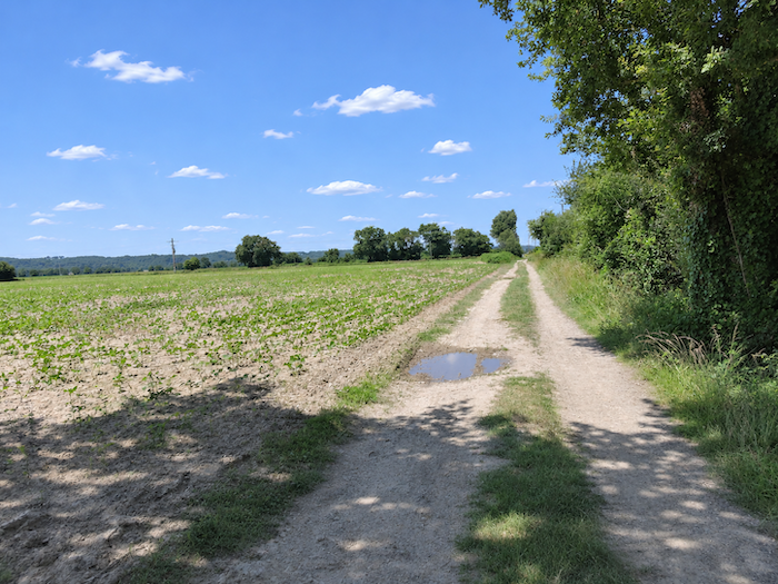
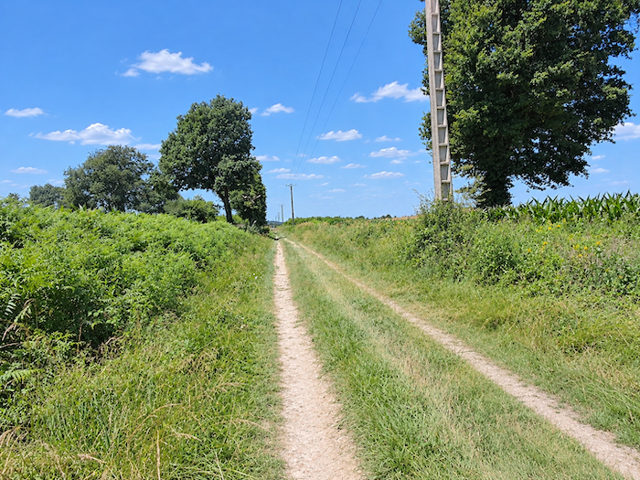
By now, monotony is no longer content merely to accompany the walk. It settles in, creeping into the legs as much as the mind, until it produces that particular weariness familiar to pilgrims on long, featureless stages. For kilometers on end, the same dirt track stretches across countryside that many will consider, not without reason, remarkably uninspiring.
|
 |
 |
|
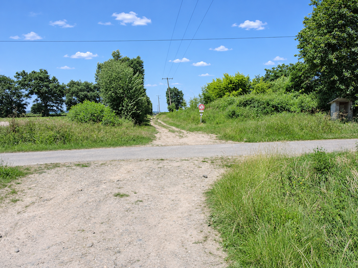
Only an occasional cluster of trees or a crossing road interrupts this interminable perspective. Ahead of you and behind you, other pilgrims make their way at their own pace, tiny silhouettes lost in the immensity of the cultivated fields.
|
 |
 |
|
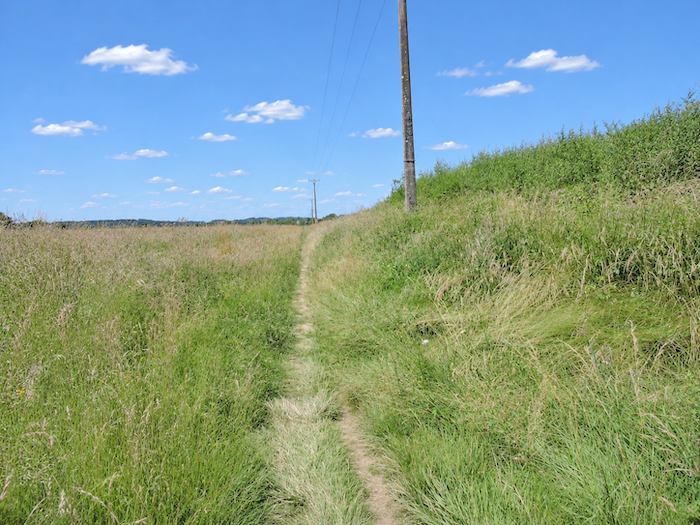
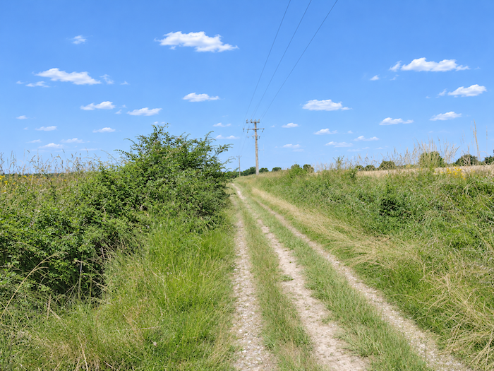
As Barcelonne-du-Gers approaches, heathland and fallow fields finally begin to take precedence over the corn. The path narrows, the grasses close in, but one thing remains unchanged: it continues straight ahead, as though the plain had definitively given up the idea of inventing bends.
|
 |
 |
Section 7: Fortunately, Aire-sur-L’Adour awaits at the end of the route
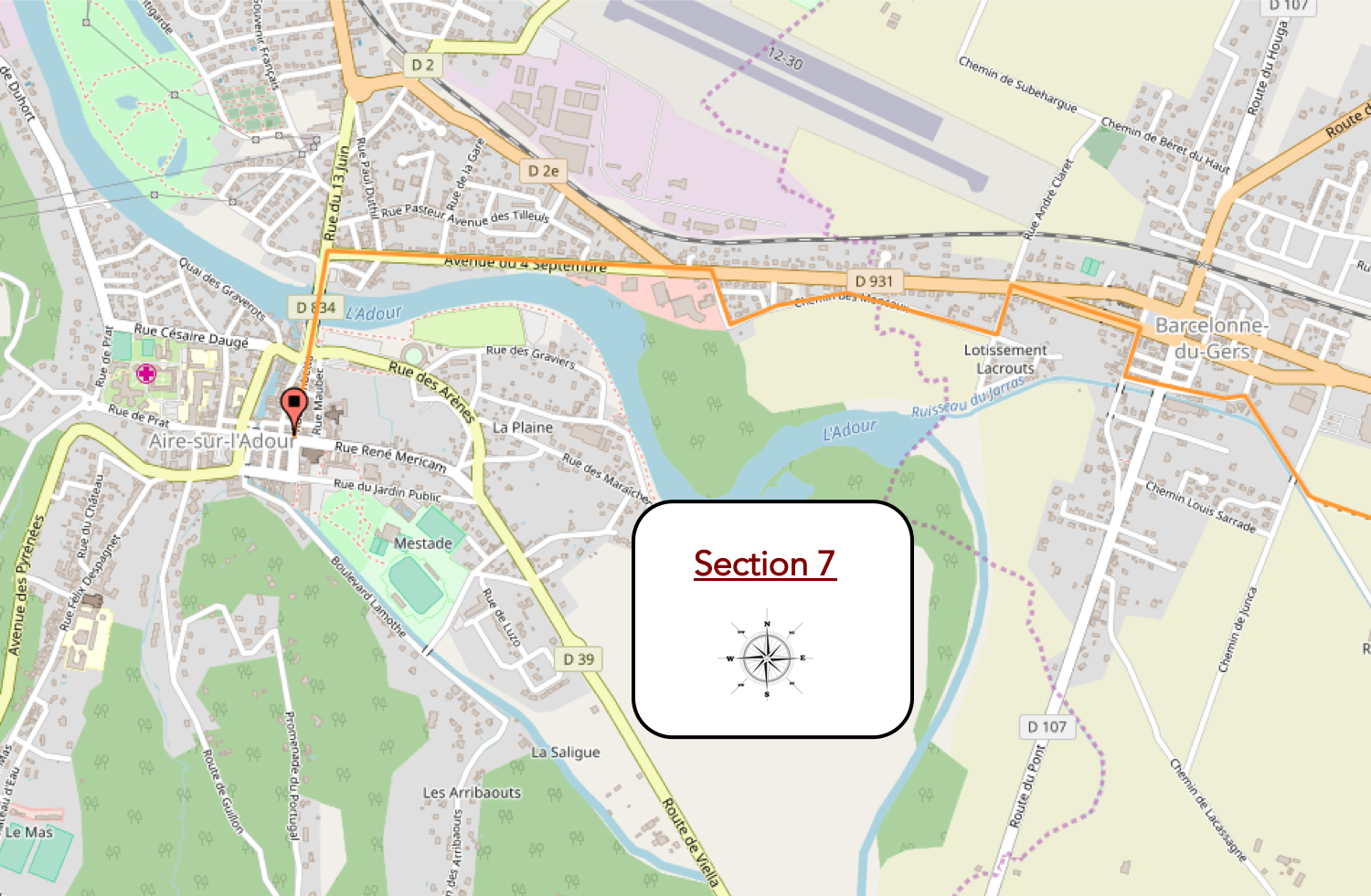
Overview of the route’s challenges: an easy route with no particular difficulties.
|
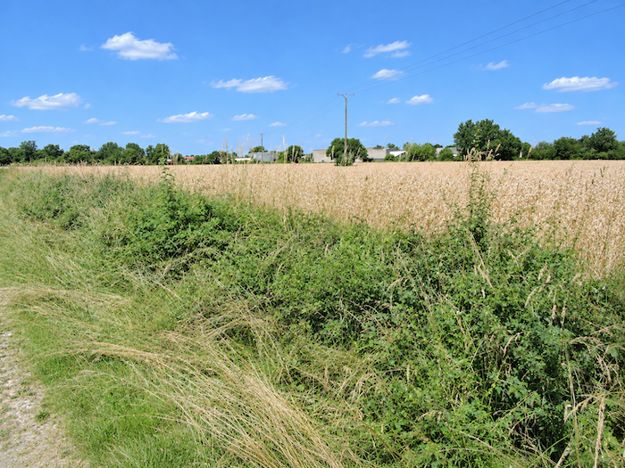
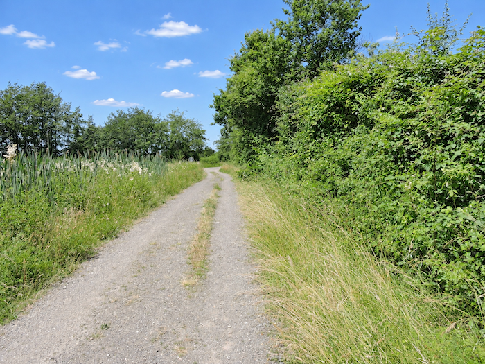
Then comes a small revolution in the architecture of the landscape: the path turns! Yes, you read that correctly. After all those kilometers of desperately straight walking, it finally agrees to trace a curve. An almost unexpected deliverance! At this stage of the walk, even the slightest bend feels like a major event.
|
 |
 |
|
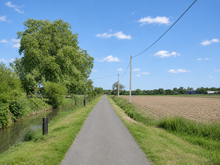
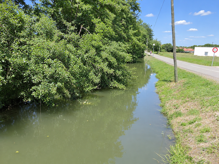
The GR65 soon approaches the outskirts of Barcelonne-du-Gers, following the Jarras, a modest river that accompanies the walker’s final steps through the countryside, along a long straight stretch. After the immensity of the cultivated fields, the presence of water and the first houses finally herald a return to a world that feels a little less deserted.
|
 |
 |
|
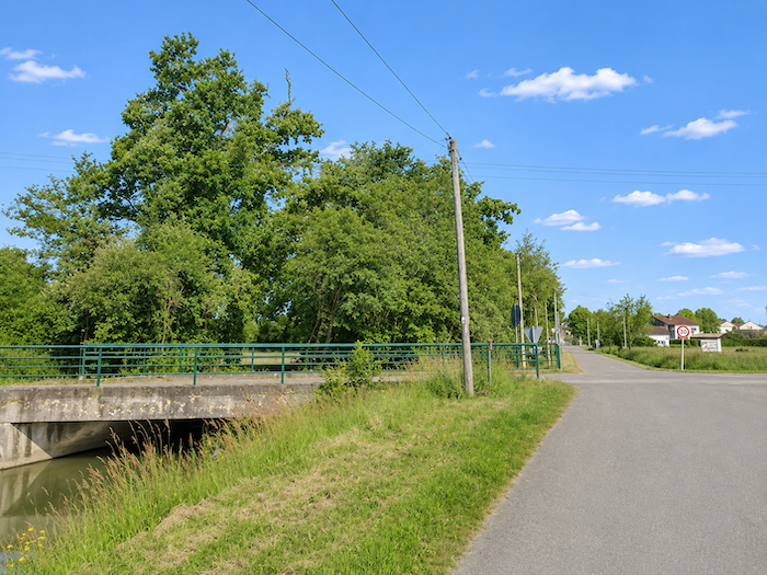
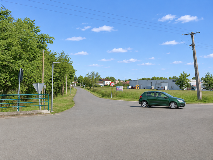
Gradually, the fields retreat before the houses. The countryside begins to fade away, and the road slowly enters the outskirts of the village. It is not quite a town yet, but it is no longer that vast agricultural plain where the kilometers seemed to stretch into infinity.
|
 |
 |
|
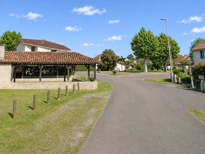
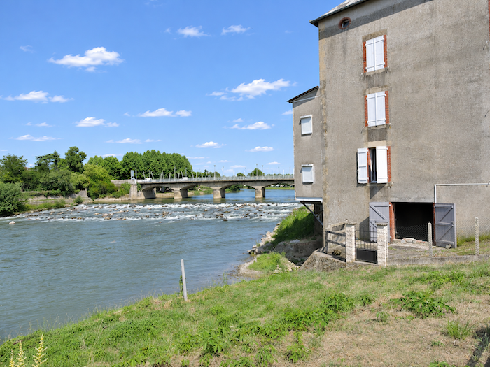
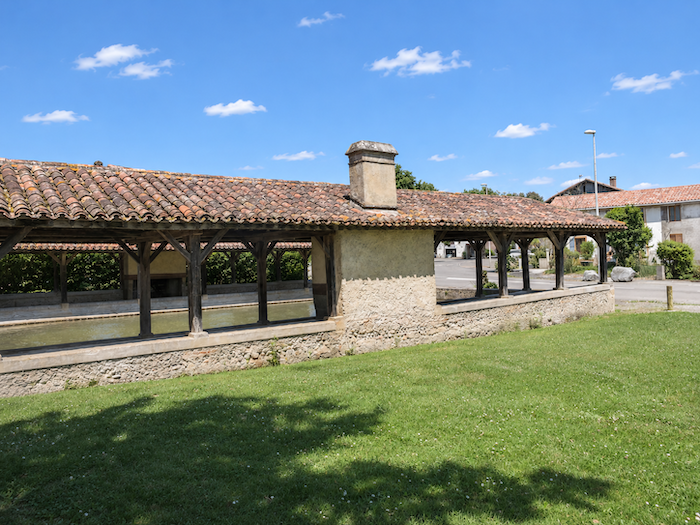
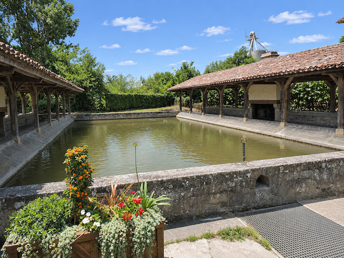
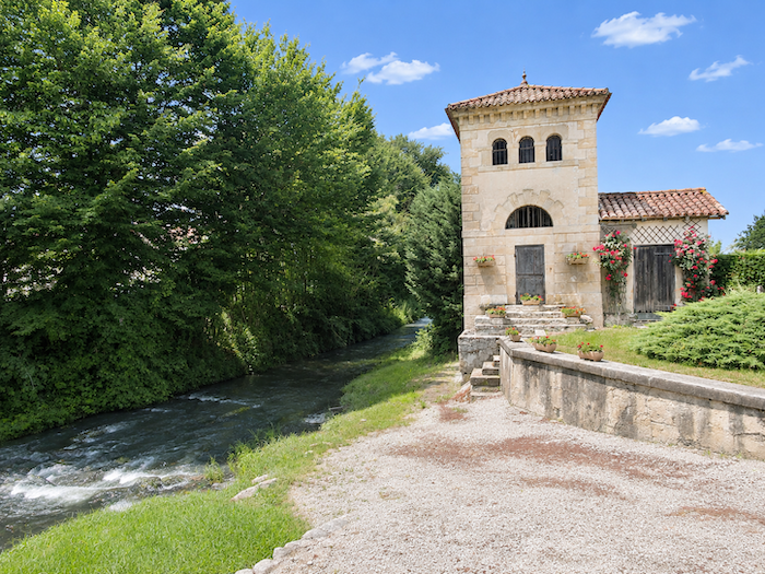
At the entrance to Barcelonne-du-Gers, a magnificent old washhouse fortunately breaks the monotony of the village outskirts. Built in the late nineteenth century, this elegant structure of stone and timber recalls the days when washerwomen came here to beat and rinse their laundry, exchange village gossip and put the world to rights to the rhythm of their washing. It is said to have remained in use until around the middle of the last century.
|
 |
 |
|
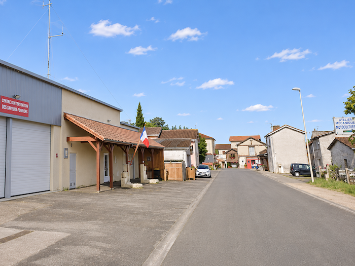
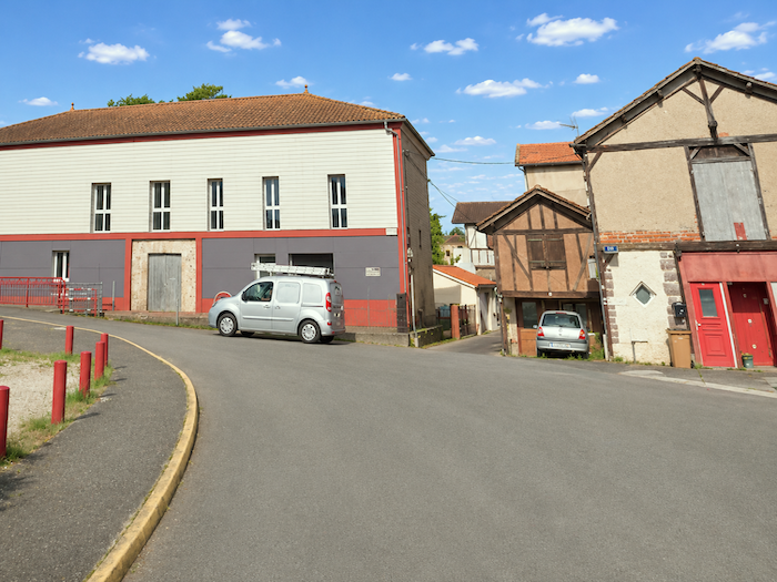
The GR65 then crosses Barcelonne-du-Gers, an old bastide town whose regular street plan recalls its medieval foundations, even though the village has not retained any particularly remarkable architectural character. The route follows the streets of the old quarter, close to the river, passing among the houses and buildings that make up this small rural center. Barcelonne-du-Gers and Aire-sur-l’Adour are so close, in fact, that their outskirts almost seem to merge, as though the two towns had gradually come to share the same space.
|
 |
 |
|
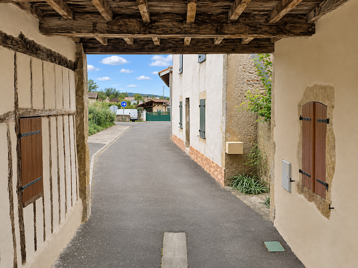
But the path beside the river does not allow the route to continue directly. The GR65 must therefore climb back towards the village center, returning to the streets and crossroads of a place where motor traffic has now replaced the silence of the fields.
|
 |
 |
|
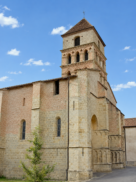
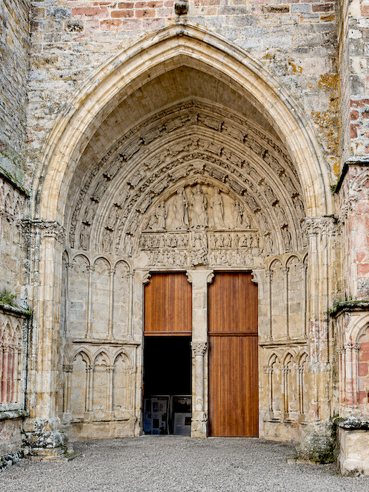
The route passes the Church of Notre-Dame-du-Mont-Carmel, whose origins date back to the sixteenth century. Altered several times over the centuries, the building bears the marks of successive transformations that have gradually changed its appearance.
|
 |
 |
|
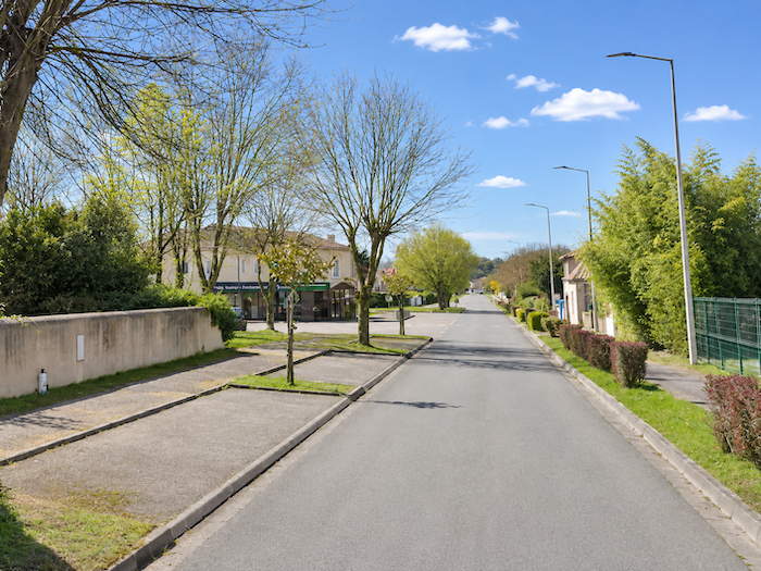
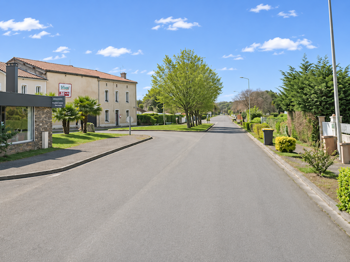
The GR65 then continues along a road linking the two towns. Barcelonne-du-Gers, with its approximately 1,400 inhabitants, occupies the westernmost lands of the Gers. Aire-sur-L’Adour, with a population of around 6,000, already belongs to the Landes department. Barely a few kilometers separate these two small towns, yet that is enough for the walker to cross a departmental boundary and enter a different region.
|
 |
 |
|
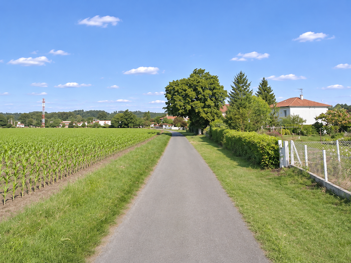
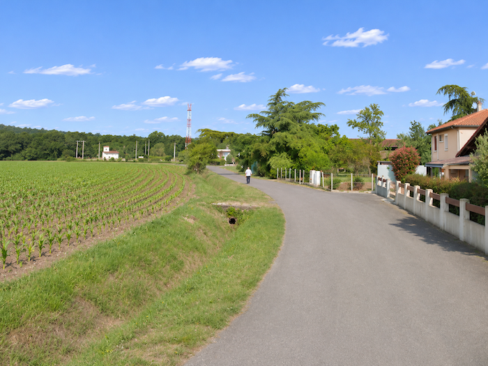
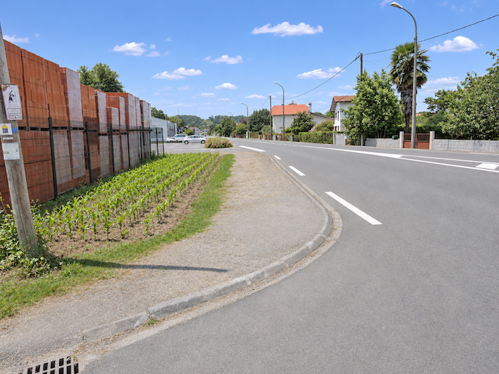
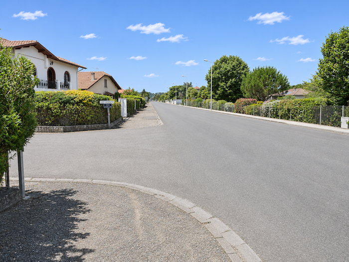
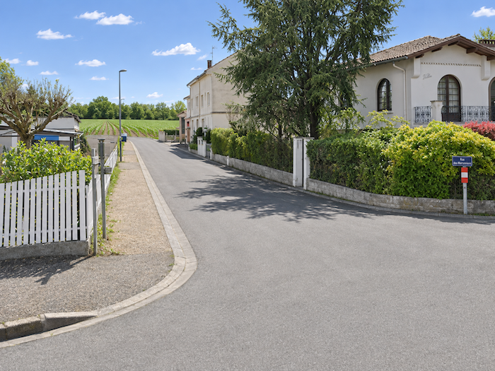
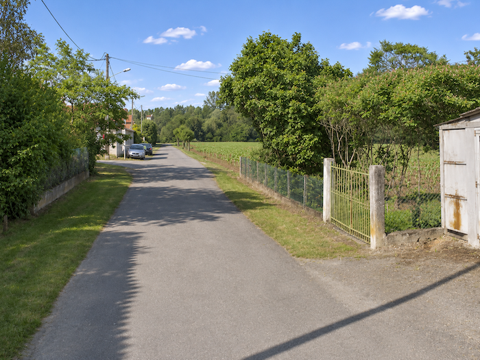
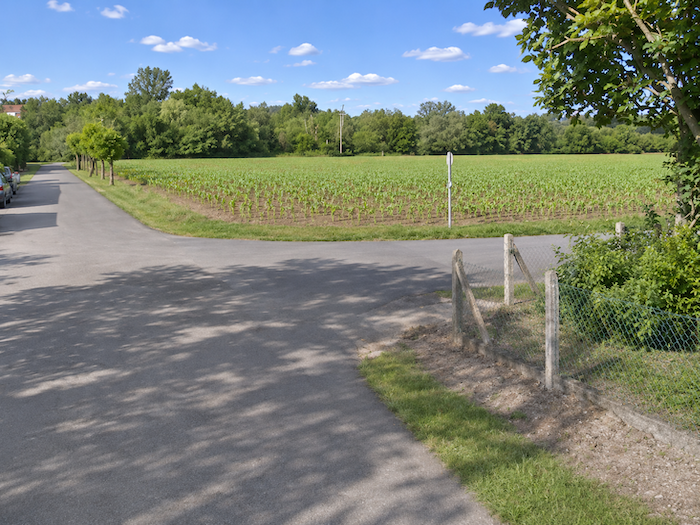
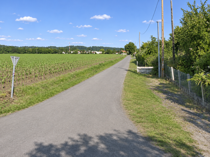
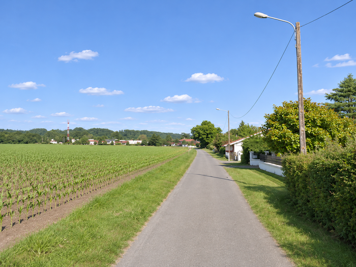
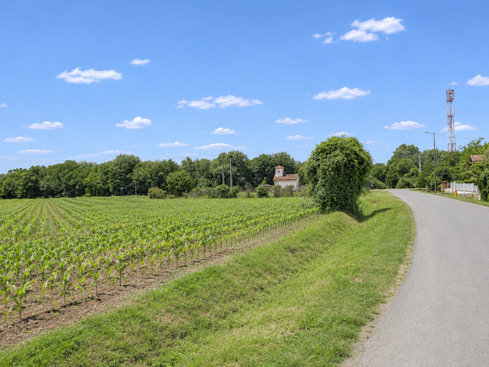
Farther on, as it leaves the outskirts of Barcelonne, the GR65, in its infinite generosity, treats the pilgrim to one final visual tasting of the great local agricultural specialty. You thought you had seen the last of the corn? How naive! Rather than continuing directly towards Aire-sur-L’Adour, the route leaves the main road and follows a parallel lane that ventures back into the countryside. One last little rural excursion, as though the designers of the route had been determined to offer you a final tribute to the cereal that has accompanied you for so many kilometers.
|
 |
 |
|
 |
 |
|
And there, what a surprise, immense cornfields once again stretch as far as the eye can see, almost brushing against the modest villas discreetly established beside the road, in this strange coexistence of residential housing and intensive agriculture. Here, corn seems to have pushed its advantage right up to people’s doorsteps. One might almost believe that, in this part of the world, it is impossible to live anywhere without having at least a few thousand stalks of this precious cereal as neighbors.
|
 |
 |
|
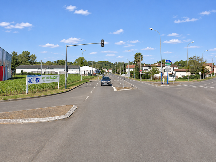
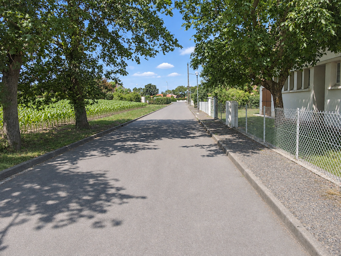
But this final excursion into the countryside is short-lived. After several long hundred meters, the GR65 rejoins the departmental road.
|
 |
 |
|
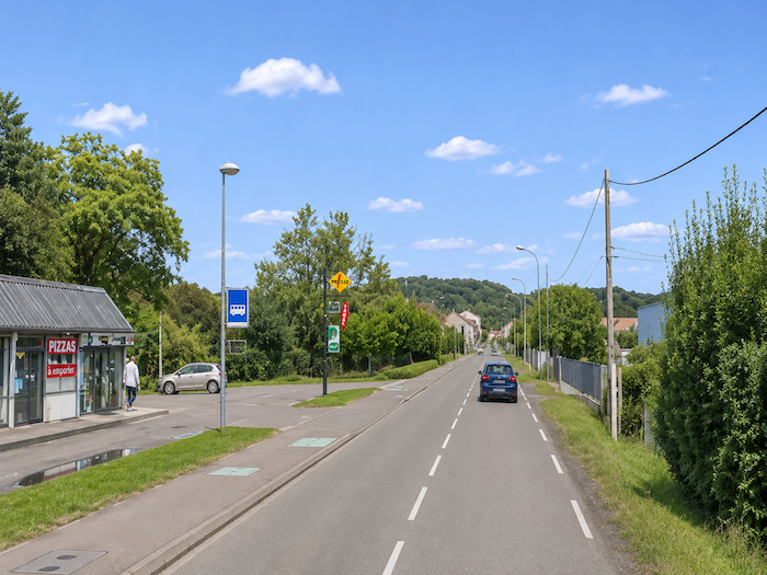
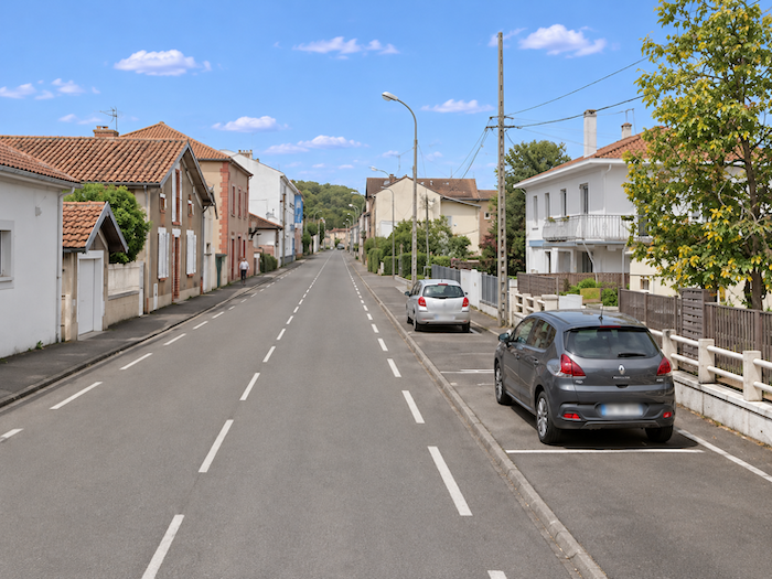
This time, Aire-sur-L’Adour is just a stone’s throw away. After so many kilometers spent wandering over the hills of the Gers and across endless expanses of cornfields, the prospect of finally reaching the town feels like a well-earned reward.
|
 |
 |
|
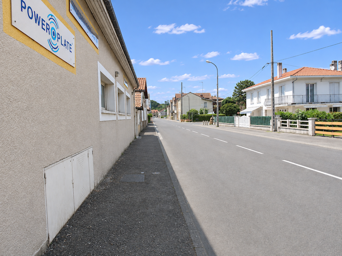
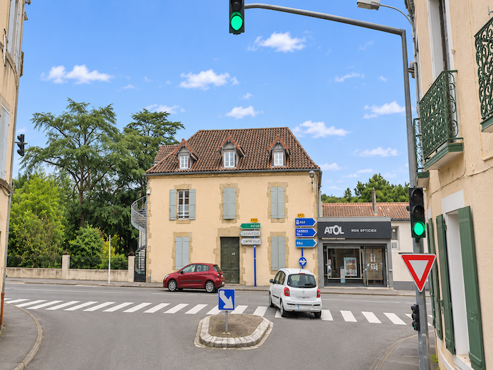
The departmental road soon leads to a crossroads where the GR65 turns left, heading resolutely towards the town center.
|
 |
 |
|
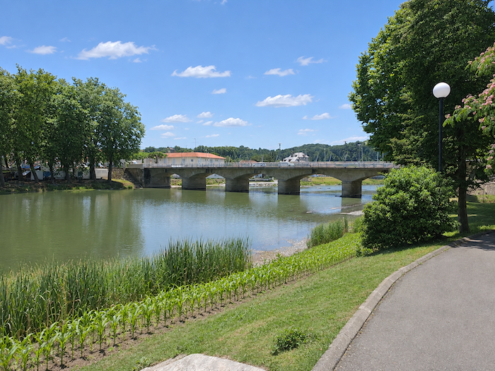
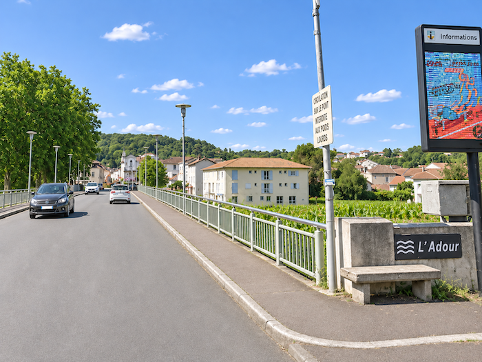
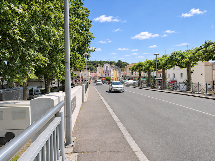
At the entrance to Aire-sur-L’Adour, a beautiful stone bridge finally spans the river from which the town takes its name. Built in 1852, this elegant five-arched structure stretches its sturdy masonry above the waters of the Adour. After the modest streams encountered throughout the stage, here at last is a river of an entirely different scale, flowing down from the Pyrenees to cross the plains of Southwestern France before continuing its journey towards the Atlantic.
|
 |
 |
A short visit to the town
|
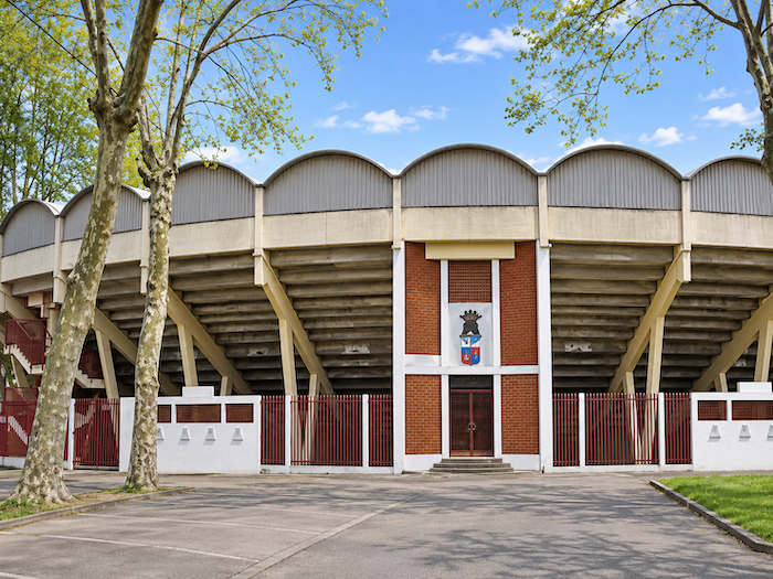
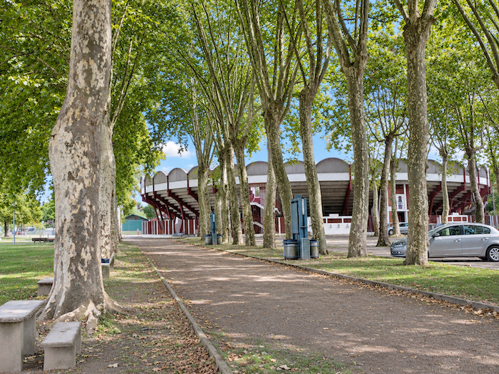
The banks of the Adour have been transformed into a pleasant promenade leading to the modern bullring. But beware, the spectacle changes dramatically here! Unlike the arenas encountered so far, where young cows were the stars of bullfighting games without any killing, Aire-sur-L’Adour follows the Spanish tradition of bullfighting, complete with matadors, sweeping cape movements and, ultimately, the death of the bull.
|
 |
 |
|
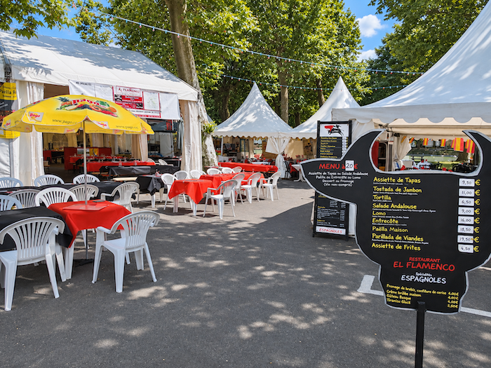
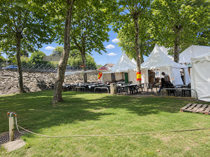
The people of the Landes and the Basque Country have festivities in their blood, and towns in Southwestern France rarely celebrate the arrival of fine weather quietly. So do not be surprised if you arrive in the middle of a feria, when the festivities stretch over several days and the town takes on an entirely different character. The squares come alive, while the riverbanks fill with stalls, refreshment stands and mobile restaurants.
|
 |
 |
|
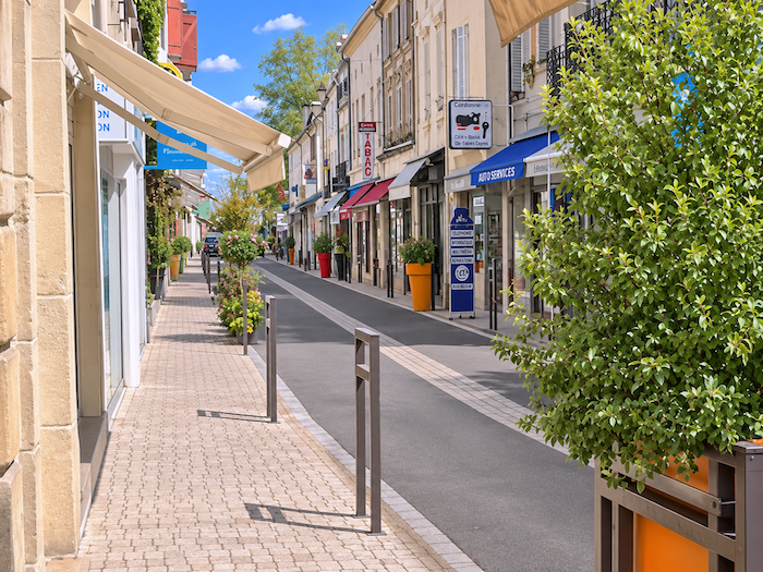
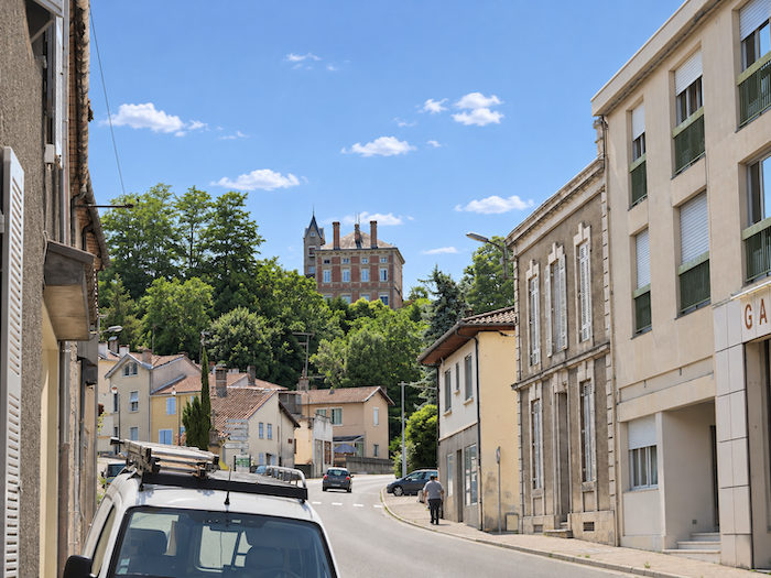
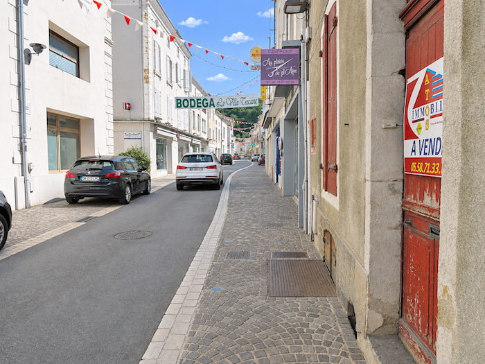
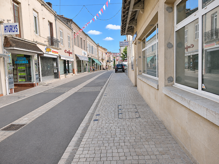
Aire-sur-L’Adour grew up around the river to which it owes its name and much of its history. Its shopping streets, quieter little lanes, squares and façades form a genuine small town, quite different from the villages and hamlets you have been crossing for so long.
|
 |
 |
|
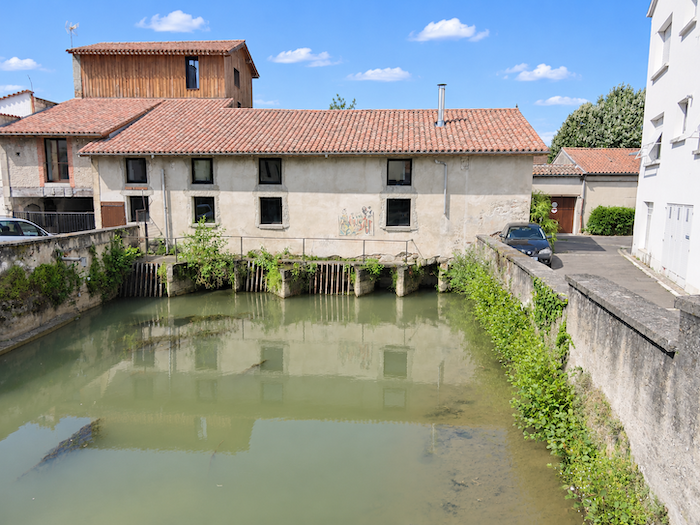
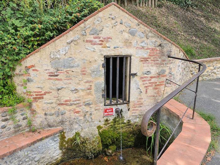
But the town also has its older, more secluded corners, where history readily mingles with legend. One such place is the Sainte-Quitterie fountain, whose waters are said to have sprung forth miraculously when the freshly severed head of the young martyr touched the ground. At least, that is what a tradition dating back many centuries tells us. For generations, local inhabitants and pilgrims attributed healing powers to this spring, believing that its waters could relieve all manner of ailments. Miracles, it seems, enjoyed a remarkably wide range of applications in those days!
|
 |
 |
|
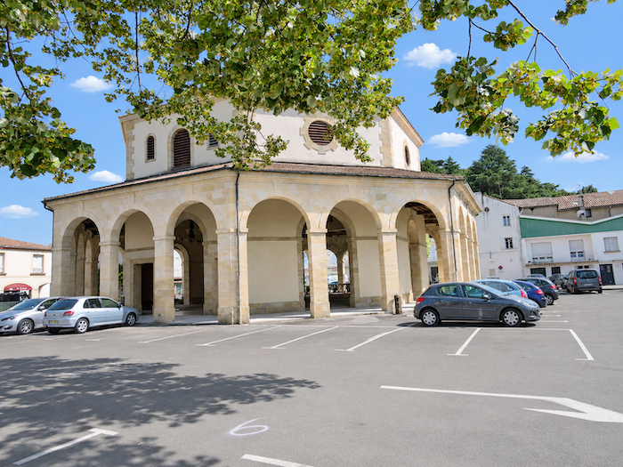
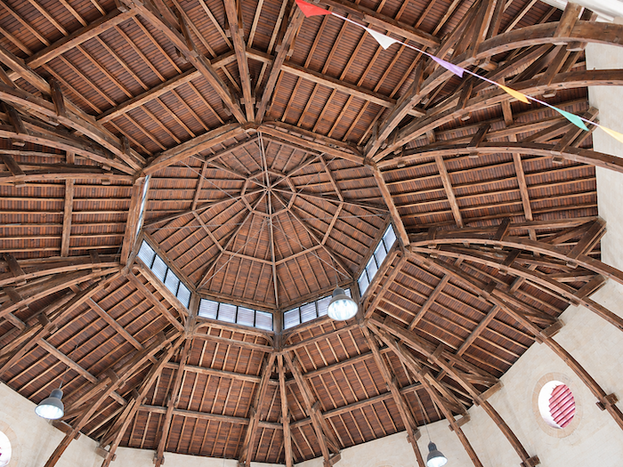
The “Halle aux Grains”, or Grain Market Hall, is also well worth a visit. Built in 1860, it displays beautiful stone arcades surrounding a covered space whose remarkable timber roof structure immediately catches the eye. This elegant example of nineteenth-century commercial architecture, officially listed as a historic monument, recalls the days when cereals were already bringing prosperity to the surrounding countryside. So corn certainly did not wait for our arrival to make a name for itself!
|
 |
 |
|
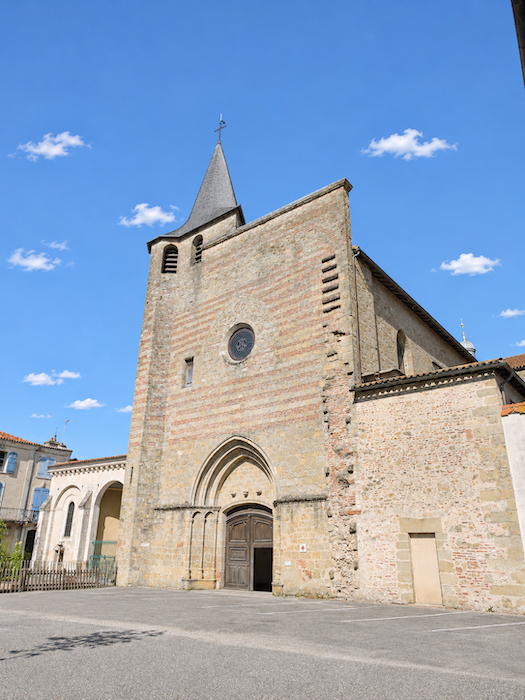
Not far away stands the Cathedral of Saint-Jean-Baptiste, another of the town’s major monuments. Aire-sur-L’Adour was once the seat of a bishopric, and the building preserves the memory of that religious status, now lost. Altered repeatedly over the centuries, the cathedral bears in its stones the traces of a long history, like so many churches in Southern France whose present appearance is the result of successive transformations.
|
 |
 |
|
 |
 |
|
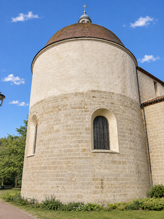
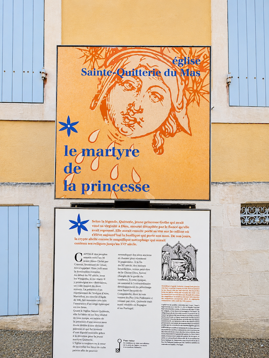
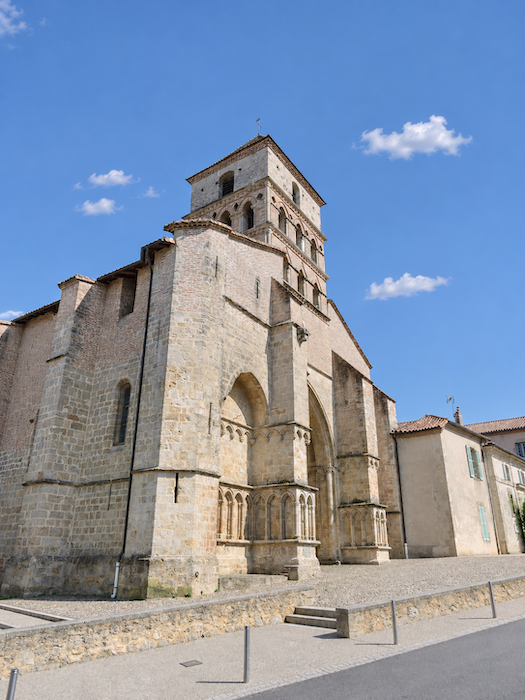
But the town’s two true jewels are to be found on the heights, some distance from the bustle of the shopping streets. The first is the Church of Sainte-Quitterie, associated with one of the most extraordinary legends of early Christianity. Quitterie is said to have been a young Visigothic princess of the fifth century, deeply devoted to her Christian faith. Refusing to marry the prince chosen for her by her father, she supposedly fled and sought refuge in Aire-sur-L’Adour. Her suitor, unwilling to accept her refusal, is said to have tracked her down and had her beheaded around the year 477. Up to this point, the story resembles many other accounts of martyrdom. But the legend does not end with this tragic conclusion. The young woman is said to have picked up her own head and walked to the place where she wished to be buried. An achievement that certainly surpasses the ordinary exploits of pilgrims, even the most enduring among them!
If you find the church closed, enquire at the tourist office. It is sometimes possible to arrange for the building to be opened by the person responsible for the nearby Ursuline pilgrims’ hostel. It is well worth making the effort, as the interior holds some wonderful discoveries.
|
 |
 |
|
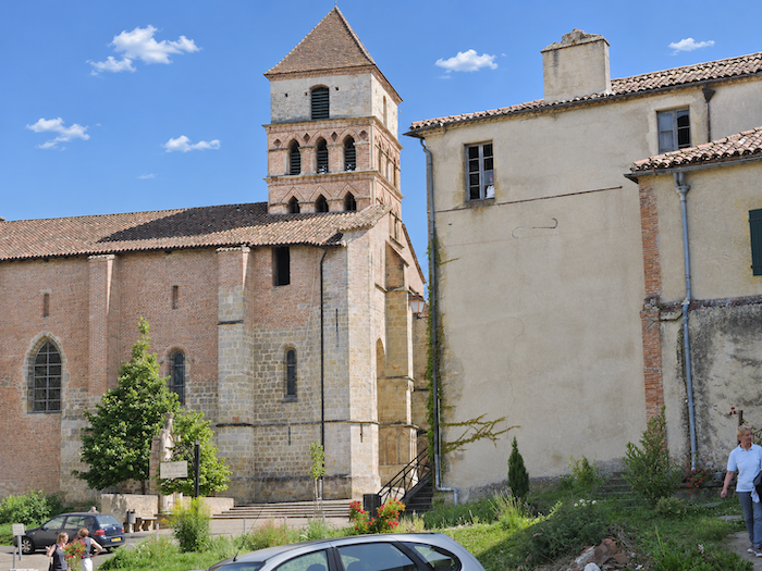
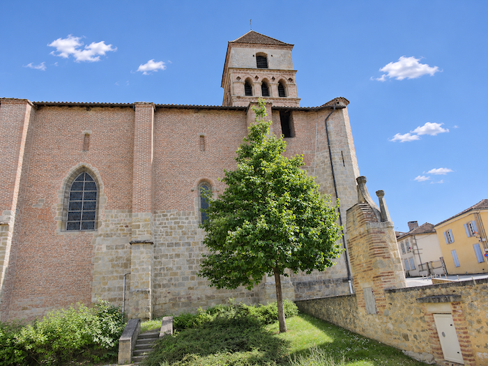
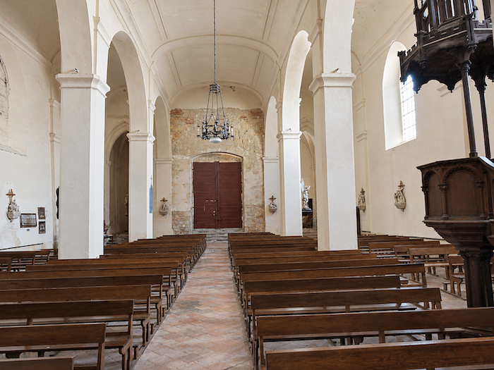
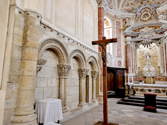
The site has a history far older than the present church. Its origins may date back to the fourth or fifth century, when an early Christian funerary building is believed to have occupied these heights. Construction of the church we know today began in the late eleventh century. The choir and the eastern end, in particular, survive from that period, preserving remarkable Romanesque features. The following centuries brought their share of alterations, gradually enriching the building with Gothic and later Baroque additions. As so often in ancient sanctuaries, each generation seems to have wanted to leave its signature, sometimes at the expense of the original harmony.
|
 |
 |
|
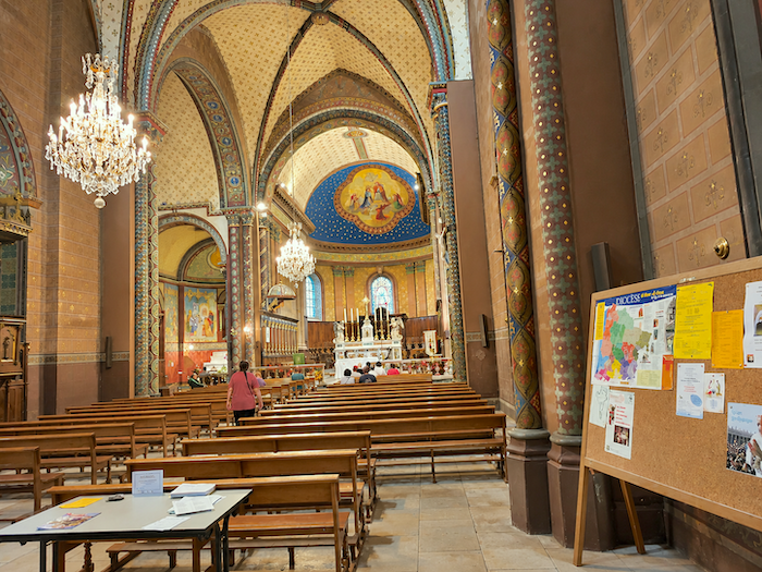
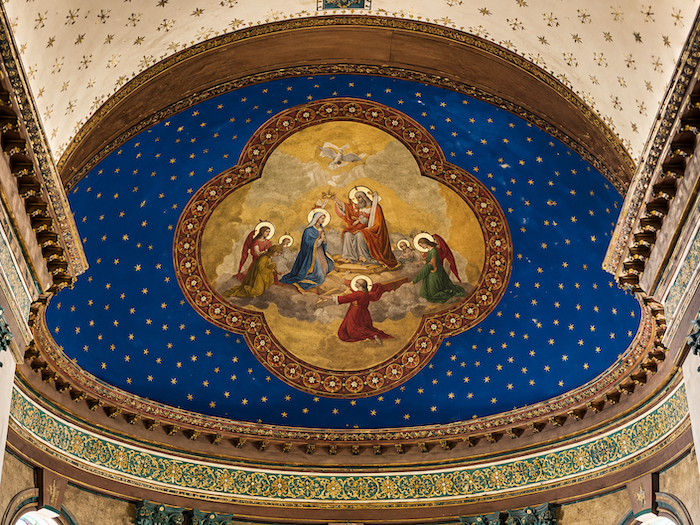
The interior of the church retains a certain simplicity, particularly noticeable in its Romanesque sections. But later alterations, especially those of the Baroque period, sometimes disturb this restraint with more lavish ornamentation. Admirers of medieval austerity may find some of these embellishments a little excessive.
|
 |
 |
|
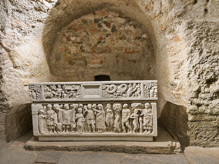
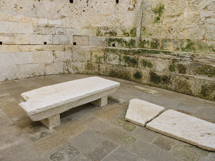
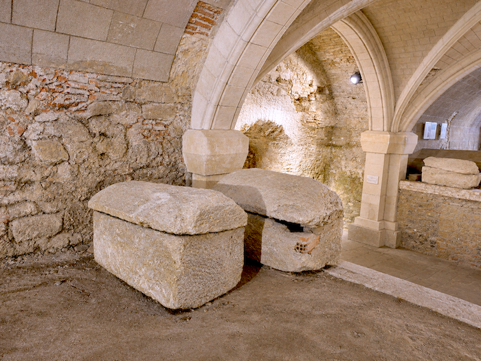
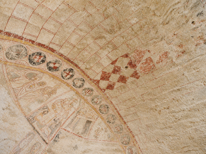
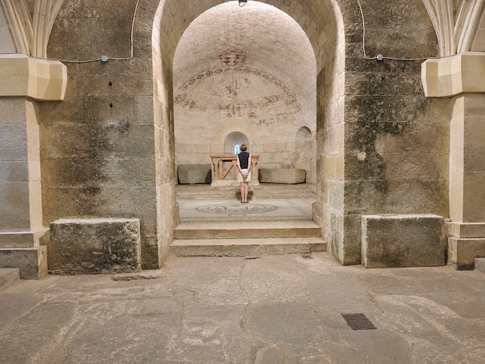
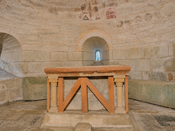
Yet it is perhaps when descending into the crypt that the Church of Sainte-Quitterie reveals its most extraordinary character. The history of the sanctuary, however, has been anything but peaceful. The building suffered destruction, the monastery went through periods of decline, and the ancient relics attributed to the saint eventually disappeared. Fortunately, the centuries have not swept away all its treasures. In the dim light of the crypt rests a magnificent white marble sarcophagus, traditionally associated with Saint Quitterie. But the crypt holds another curiosity, even more unexpected: an astonishing stone table to which unusual acoustic properties have been attributed. It is said to have been capable of amplifying or transmitting the human voice, leading some to regard it as a very early form of sound amplification.
|
 |
 |
|
 |
 |
|
 |
 |
|
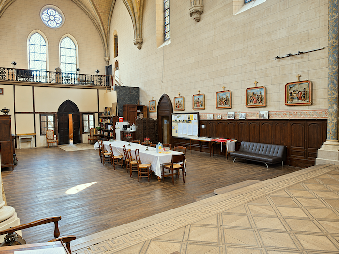
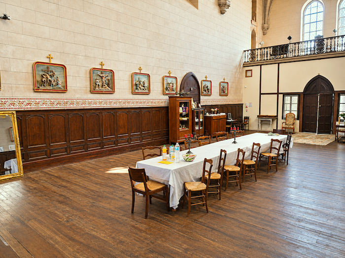
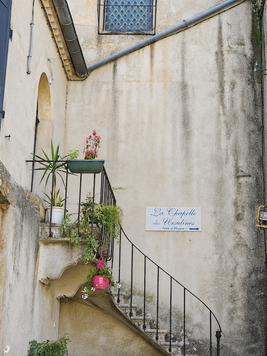
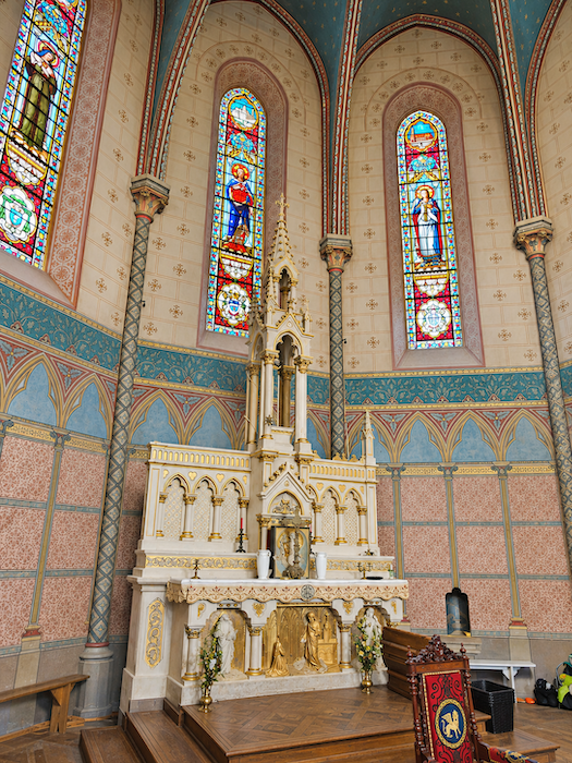
And then, directly opposite the church, another true marvel awaits you: the Ursuline Chapel. Built in the late nineteenth century, it belongs to an entirely different era and reflects a very different architectural sensibility. After serving as a place of prayer and religious life, it endured years of abandonment that almost brought its walls to ruin. Fortunately, it was saved from destruction and given a new purpose. Now deconsecrated, this former place of worship welcomes pilgrims as part of a gîte.
|
 |
 |
Accommodation on Via Podiensis
- Gîte-bar Maison Labarbe, Lanne-Soubiran; 06 66 29 44 55; Gîte and Guestroom, dinner, breakfast, cuisine
- Gîte Le Presbytère, Lanne-Soubiran; 05 62 09 70 24/06 43 34 99 45; Gîte and Guestroom, dinner, breakfast, cuisine
- Gîte La Grange à Dubarry, Dubarry; 06 41 31 73b79/06 15 7245 72; Gîte and Guestroom, dinner, breakfast, cuisine
- Gîte Chez Bruno, Patrice (pèlerin), 8 rue de l’Abattoir, Barcelonne-du-Gers; 07 61 79 66 84; Gîte and Guestroom, dinner, breakfast, cuisine
- Gîte-Chambres d’hôtes, Françoise (pèlerine), 1 Lotissement du Moulia, Barcelonne-du-Gers; 06 33 80 50 95; Gîte and Guestroom, dinner, breakfast, cuisine
- Chambres d’hôtes, Bastide du Cosset, 11 Place de la Garlande, Barcelonne-du-Gers; 05 62 09 4788/06 73 89 04 77; Guestroom, dinner, breakfast
- Gîte La Chapelle des Ursulines, 40 Rue Félix Despagnet, Aire-sur-L’Adour; 05 62 08 56 40; Gîte, dinner, breakfast, cuisine
- Gîte La Maison des Pèlerins, Isabelle (pèlerine), 4 Rue du Général Labat, Aire-sur-L’Adour; 07 80 04 11 40/07 80 39 36 58; Gîte and Guestroom, dinner, breakfast, cuisine
- Gîte Au Gré de l’Adour, 24 Route de Duhort, Aire-sur-L’Adour; 06 32 96 58 96; Gîte, dinner, breakfast, cuisine
- Gîte Au Petit Chêne**, 13 Route de Duhort, Aire-sur-L’Adour; 06 74 60 18 90; Gîte, dinner, breakfast, cuisine
- Gîte Au Passage e l’Adour, 30 Rue Césaire Daugué, Aire-sur-L’Adour; 06 51 43 68 18/07 50 49 60 68; Gîte, dinner, breakfast, cuisine
- Gîte Au Gré de l’Adour, 24 Route de Duhort, Aire-sur-L’Adour; 06 32 96 58 96; Gîte and Guestroom, dinner, breakfast, cuisine
- Gîte A la Maison, 13 Rue Félix Despagnet, Aire-sur-L’Adour; 06b02 56 31 20; Gîte and Guestroom, breakfast, cuisine
- Gîte-Chambres d’hôtes Le Jardin sur l’Eau, Juliette (pèlerine), 25 Rue Carnot, Aire-sur-L’Adour; 07 49 65 04 27; Gîte and Guestroom, dinner, breakfast, cuisine
- Chambres d’hôtes le Mas, 17 Rue du Château, Aire-sur-L’Adour; 06 15 44 36 82/05 58 71 91 28; Guestroom, dinner, breakfast
- N’Atura Hôtel**, 28 Avenue du 4 Septembre, Aire-sur-L’Adour; 05 58 71 66 17; Hotel, dinner, breakfast
- Hôtel-restaurant Les Platanes**, 2 Place de la Liberté, Aire-sur-L’Adour; 05 58 45 87 27; Hotel, dinner, breakfast
Year after year, the Camino de Santiago changes and reinvents itself, shaped by the seasons and the footsteps of its pilgrims. Some places to stay close their doors, while others, modest or unexpected, spring up along the way. It would therefore be unrealistic to claim that any list could ever be both permanent and exhaustive. The following selection includes only accommodation located directly on the route or within one kilometer of it. It was updated in 2026 and should therefore remain largely reliable over the next few years. For those wishing to explore further, one guide stands out as an essential reference: Miam Miam Dodo, readily available online. Its greatest strength lies in the fact that it is updated every year. Rather than limiting itself strictly to accommodation along the route, it also lists places to stay further afield, a particularly valuable resource when large numbers of pilgrims make finding a bed at the usual stopping points more uncertain. It also contains a wealth of practical information: welcoming bars, restaurants along the way, and conveniently located bakeries. all welcome stops that punctuate the journey. Alongside these traditional resources, another presence has now become impossible to ignore: Airbnb. The platform has established itself as a major player in the tourism landscape, even in quieter or less prosperous regions. However, as most travelers know, exact addresses are not displayed upfront, which means that some advance planning is required. On the Camino, finding a bed at the last minute can sometimes come down to a fortunate stroke of luck. But luck, by its very nature, is no strategy. Booking ahead is therefore strongly recommended. Finally, when making your arrangements, be sure to ask about dinner and breakfast options. Such details may seem insignificant, but they can make a long day on the Camino considerably more comfortable.
If we take stock of the available accommodation, there are approximately 75 beds before reaching Aire-sur-L’Adour, suggesting that many pilgrims choose to stop along the way. In Aire-sur-L’Adour itself, accommodation capacity rises to nearly 200 beds. While the number of walkers on the Via Podiensis generally ranges between 100 and 200, pilgrim numbers tend to decrease after Cahors. Finding accommodation on this stage should therefore not pose any major difficulties.
These routes wind through often sparsely populated areas, where shops and other services are few and far between. Restaurants are scarce, as are grocery stores, which are often little more than small village shops or bread depots offering a limited selection of vegetables and dairy products. Basic supplies can be found in Lanne-Soubiran and Lelin-Lapujolle. Along today’s route, there is only one drinking water point, located in Lelin-Lapujolle, where toilet facilities are also available. Barcelonne-du-Gers and Aire-sur-L’Adour both offer a full range of dining options, as well as pharmacies. Finally, several companies provide luggage transfer services or transport back to the starting point. Among them, one stands out as a particularly well-established and reliable option: La Malle Postale.
Feel free to add comments. This is often how you move up the Google hierarchy, and how more pilgrims will have access to the site.
|
 |
Next stage : Stage 31: From Aire-sur-L’Adour |
|
 |
Back to menu |