From Tarn-et-Garonne to Gers
DIDIER HEUMANN, MILENA DALLA PIAZZA, ANDREAS PAPASAVVAS
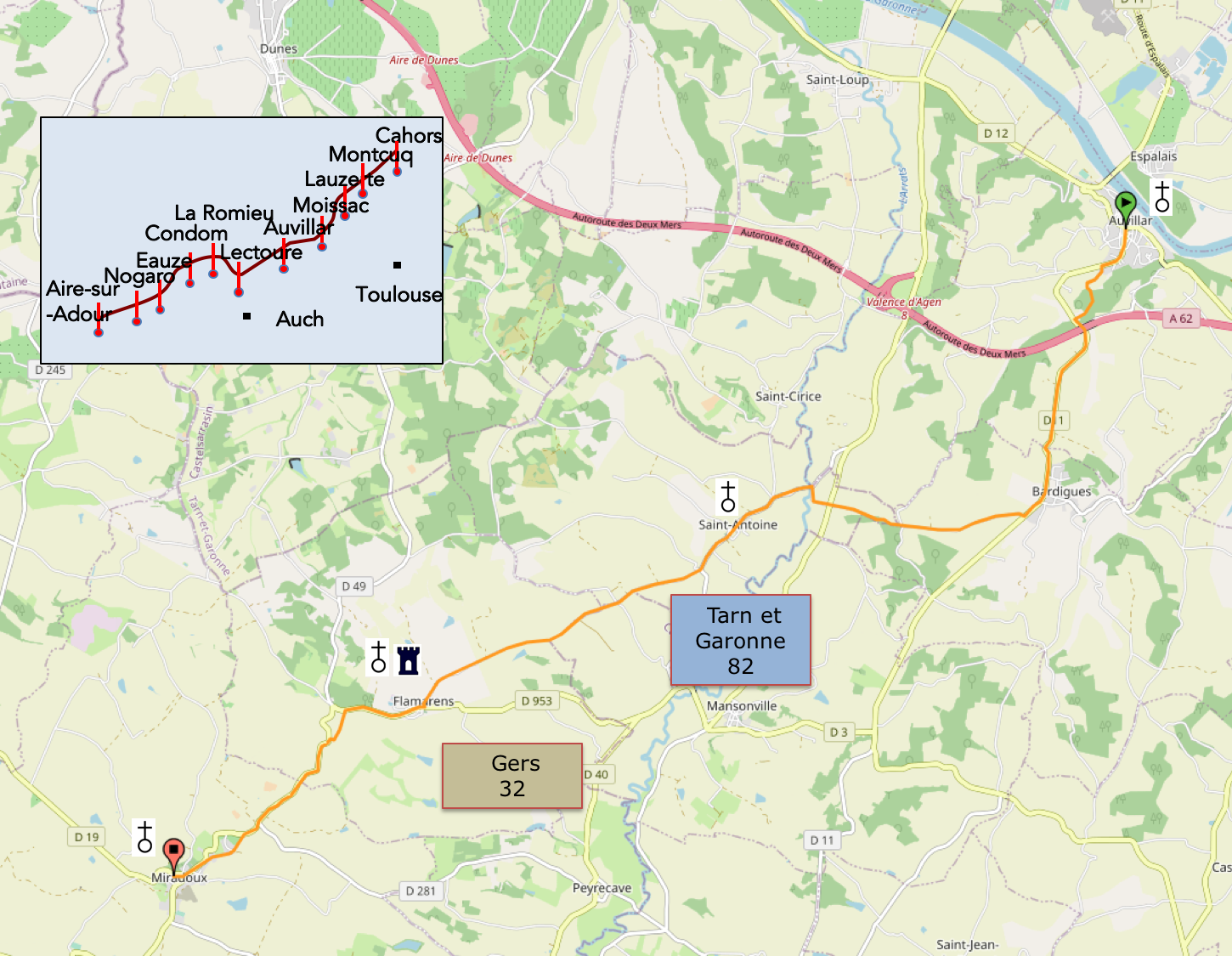
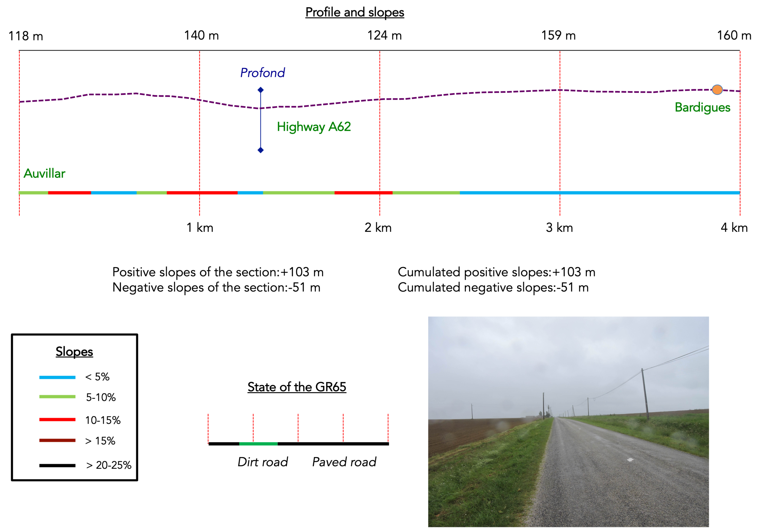
We divided the course into several sections to make it easier to see. For each section, the maps show the course, the slopes found on the course, and the state of the roads. The courses were drawn on the « Wikilocs » platform. Today, it is no longer necessary to walk around with detailed maps in your pocket or bag. If you have a mobile phone or tablet, you can easily follow routes live.
For this stage, here is the link:
https://fr.wikiloc.com/itineraires-randonnee/de-auvillar-a-miradoux-par-le-gr65-55201684
|
Not all pilgrims are necessarily comfortable using GPS devices or navigating with a smartphone, especially since there are still many areas without Internet access. That is why, to make your journey easier, a book dedicated to the Via Podiensis from Cahors to Le-Puy-en-Velay is available on Amazon. Much more than a simple practical guide, this book accompanies you step by step, kilometer after kilometer, providing all the information you need for smooth planning and avoiding unpleasant surprises. Beyond its practical advice, it immerses you in the enchanting atmosphere of the Camino, capturing the beauty of the landscapes, the majesty of the trees, and the very essence of this spiritual adventure. Only the pictures are missing, everything else is there to transport you.
In addition, we have also published a second book which, with slightly fewer details but all the essential information, covers the entire route from Le Puy-en-Velay to Saint-Jean-Pied-de-Port. The choice of your journey is yours.
|
 |
 |
If you only want to consult lodging of the stage, go directly to the bottom of the page.
| The Brulhois, whose name is thought to mean « thicket, cluster of trees, woodland » in Old Occitan, stretches across three departments: Lot-et-Garonne, south of Agen, northern Gers, and the westernmost part of Tarn-et-Garonne. In former times, the Brulhois was a heavily wooded region. The sand and gravel that had accumulated in terraces along the Garonne produced poor soils, better suited to woodland than to farming. In those days, the forests formed an almost continuous belt across the countryside. But poor soil can also be excellent soil for vines. During the 19th century, these gravelly lands were gradually transformed into vineyards. Today, the wines of the Brulhois enjoy a protected designation of origin. |
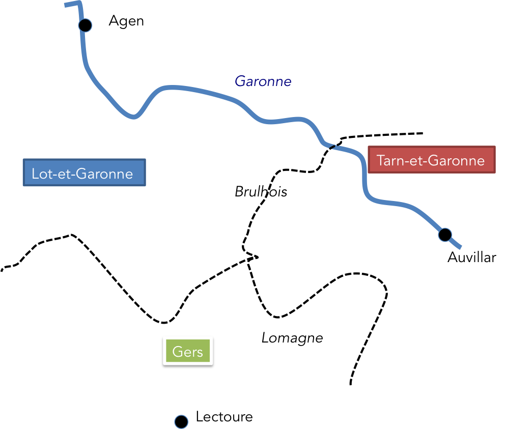 |
Today’s route continues steadily westwards, taking us from the department of Tarn-et-Garonne into Gers. Many of the more determined pilgrims walk all the way from Auvillar to Lectoure in a single day, but that is no small undertaking, with 32 kilometers to cover. In Lectoure, people like to say that pilgrims arrive on their knees, exhausted by the length of the stage and the final climb into the town. We have therefore decided to divide the journey into two stages, stopping at Miradoux, in the Lomagne region.
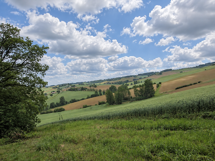
Today, we shall not venture into the vineyards that lie close to the Garonne. Instead, we shall merely skirt the Brulhois, passing through its countryside and woodlands around Saint-Antoine, before heading deeper into the Lomagne countryside of Gers, the northernmost part of the department. Gers is a region where cultivated land is more extensive than in the Brulhois. This is a landscape of large-scale agriculture, a kingdom of wheat and sunflowers. Maize is relatively uncommon because of the local agricultural and climatic conditions, particularly the comparatively low rainfall. There are also orchards, although fewer than in Tarn-et-Garonne, a few vineyards, and more specialised crops such as garlic and melons. Once a region devoted to cattle farming, it now has pastures confined to a handful of hillsides and the occasional valley floor. Grassland accounts for just 8% of the agricultural area, compared with 35% thirty years ago. As a result, livestock farming has become a marginal activity.
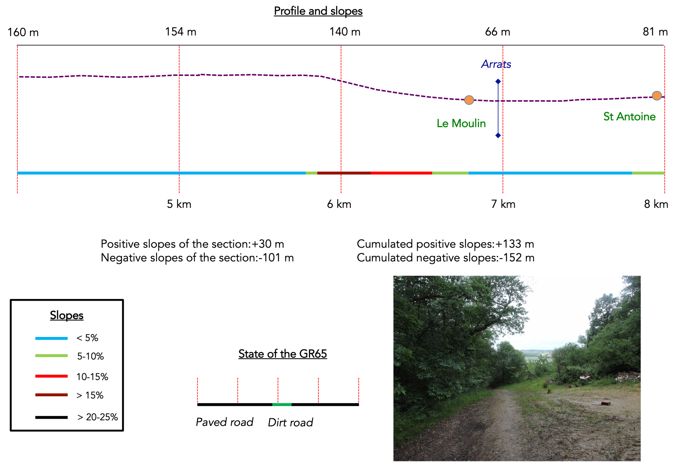
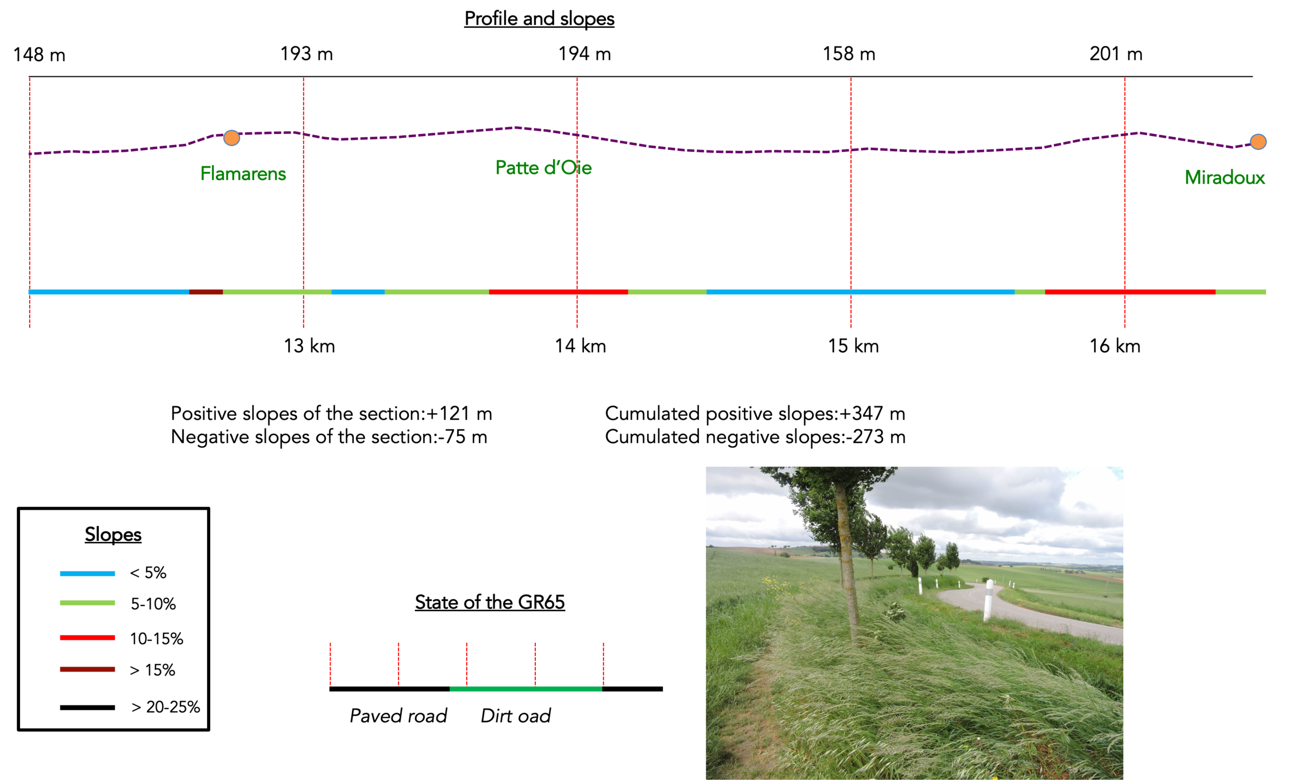
Difficulty of the course: Today’s elevation changes (+347 meters / -273 meters) are very reasonable. This stage presents no major difficulties. We shall rarely climb above 200 meters in altitude, and only a few short ascents and descents, first on leaving Auvillar and later around Flamarens and Miradoux, will demand a little extra effort. Some of these slopes exceed a gradient of 15%, so a little perspiration is to be expected. You will cross a vast expanse of countryside, dotted here and there with small groves of trees.
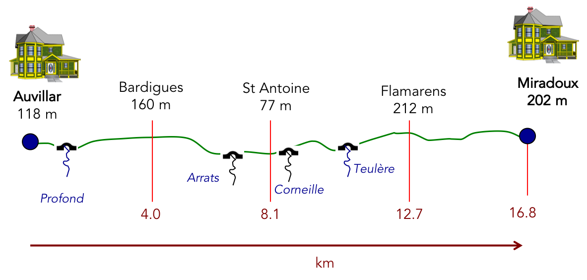
Sate of the GR65: There are fairly long stretches on paved roads, especially since, in this region, many paths are little more than strips of mown grass running alongside the tarmac, on either side of the road:
- Paved roads: 11.3 km
- Dirt roads: 5.5 km
Sometimes, for reasons of logistics or housing possibilities, these stages mix routes operated on different days, having passed several times on Via Podiensis. From then on, the skies, the rain, or the seasons can vary. But, generally this is not the case, and in fact this does not change the description of the course.
It is very difficult to specify with certainty the incline of the slopes, whatever the system you use.
For « real slopes », reread the mileage manual on the home page.

Section 1: An obstacle course leaving Auvillar to cross the motorway
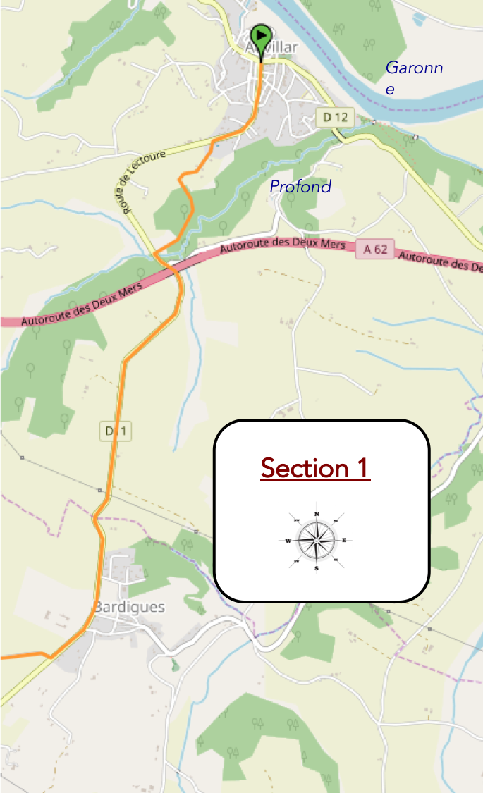
Overview of the route’s challenges: marked slopes around Auvillar, uphill and downhill towards the motorway. Then, course without any difficulty.
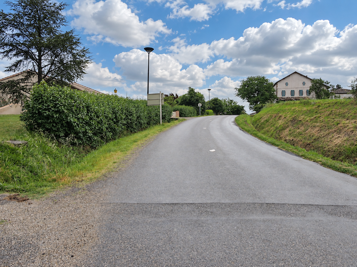
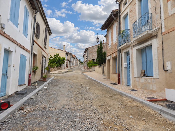
| The GR65 leaves Auvillar by way of a street so steep that it gives the legs scarcely any time to warm up. Hardly have we left the centre of the village behind before we must begin climbing, as though Auvillar were determined to hold back those who are leaving it one last time. |
 |
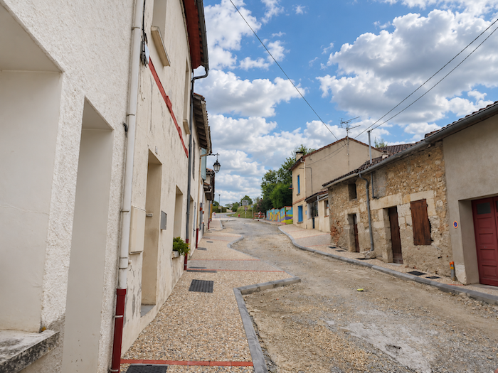 |
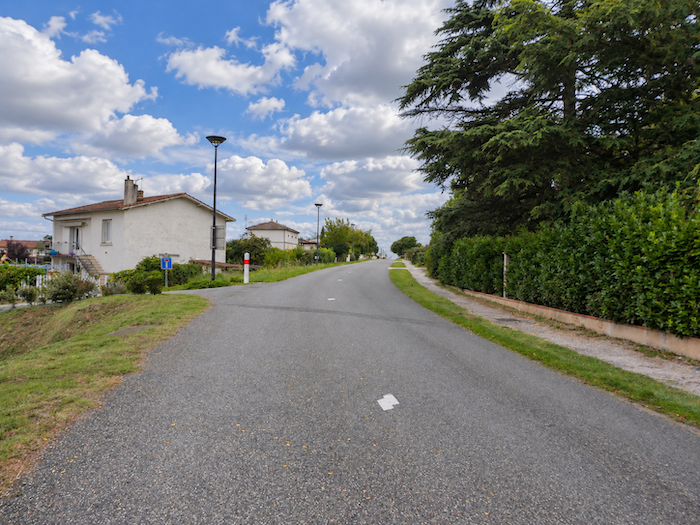
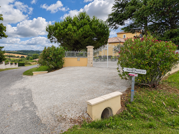
| The climb continues through recently built residential neighborhoods, where houses have gradually spread across the heights above the old village, as far as the locality known as Hautes Peyrières. |
 |
 |
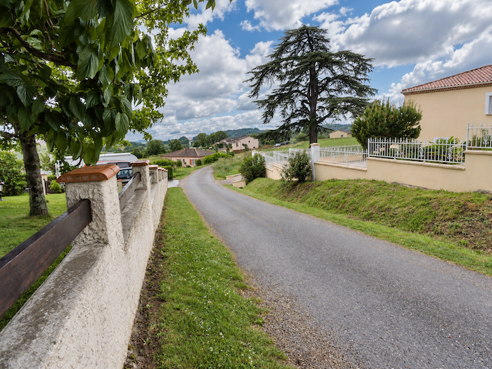
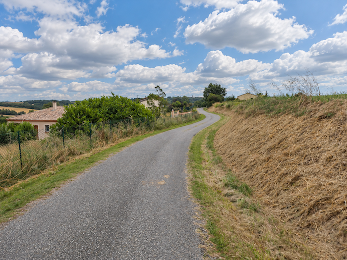
| At the top of the ridge, the terrain finally agrees to become gentler. The GR65 follows the road for a while longer before taking a path that plunges towards the motorway. Already, at the bottom of the valley, the imposing concrete structures come into view, their presence sharply contrasting with the gentle countryside around them. |
 |
 |
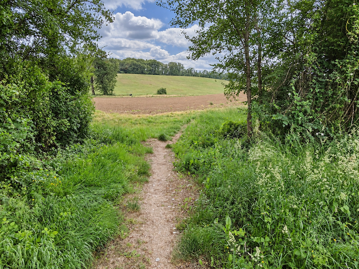
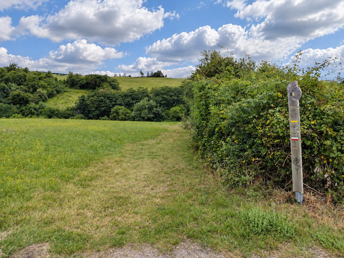
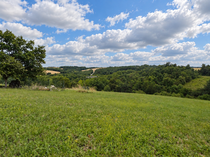
| The descent then begins across the meadows, along a path that follows the slope towards the edge of a wooded area. |
 |
 |
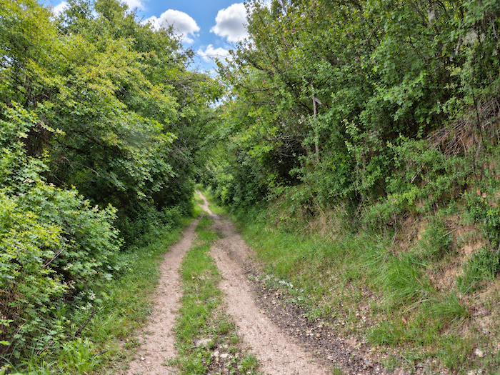
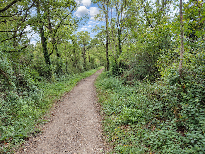
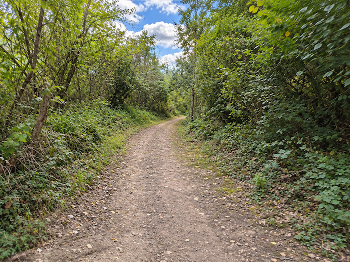
| Beneath the canopy of trees, the broad path suddenly becomes much steeper, with a gradient exceeding 10%. The vegetation closes in around the walker, a tangle of deciduous trees and dense bushes that gives this short woodland crossing the atmosphere of a secluded, shady retreat. |
 |
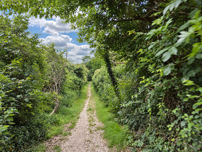 |
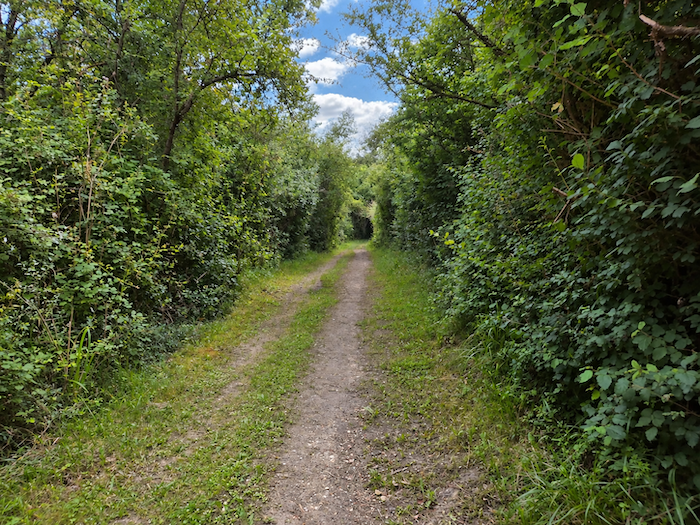
| Somewhere in the depths of this thick vegetation flows the Profond, a stream that certainly lives up to its name, so successfully does it hide from view. Concealed beneath undergrowth and thickets of hornbeam, it winds through the shade of oaks, ashes and maples. Chestnut trees and beeches are rare in these woods, while conifers are conspicuous by their absence. This is the kingdom of deciduous trees, a forest without any great display of grandeur, yet certainly not without character. |
 |
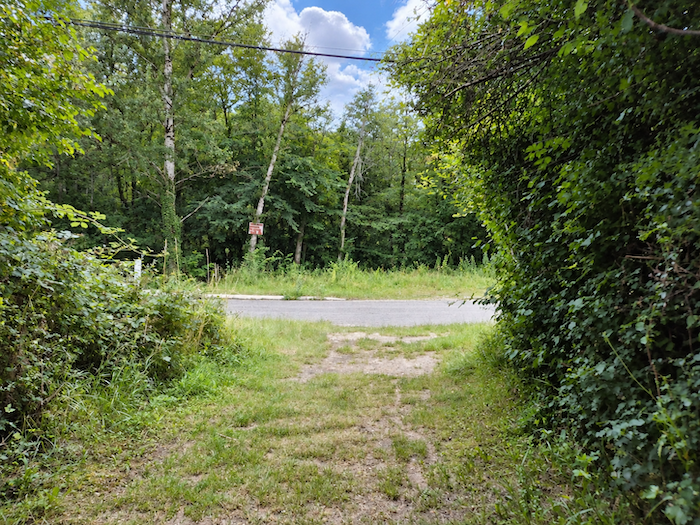 |
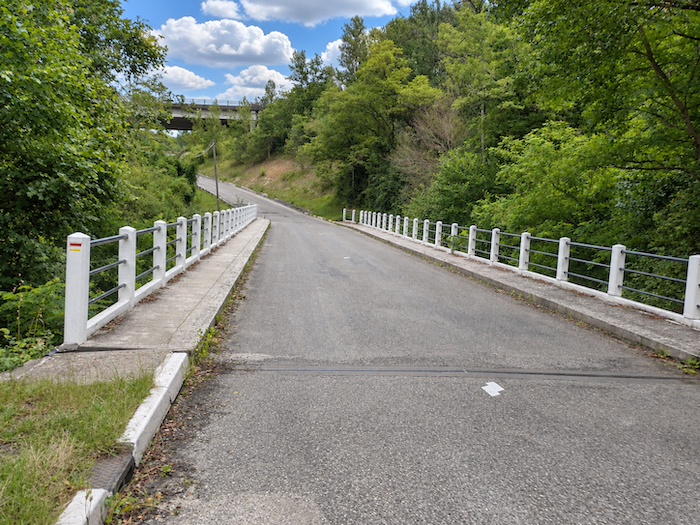
| At the end of the descent, the path reaches a narrow road tucked away at the bottom of the valley, where we must cross the stream before continuing up the opposite slope. |
 |
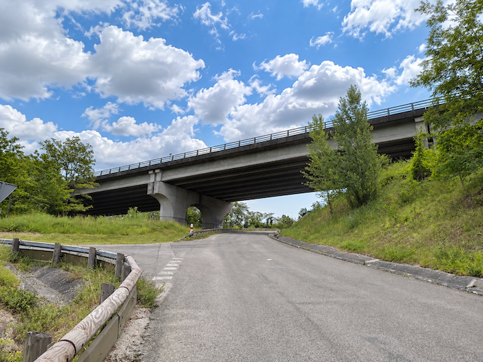 |
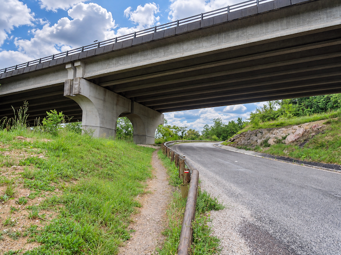
| The road soon climbs beneath the enormous structures of the A62 motorway, the great artery linking Toulouse and Bordeaux. Yet at this early hour, traffic remains surprisingly light, and this monster of modern engineering still seems half asleep. |
 |
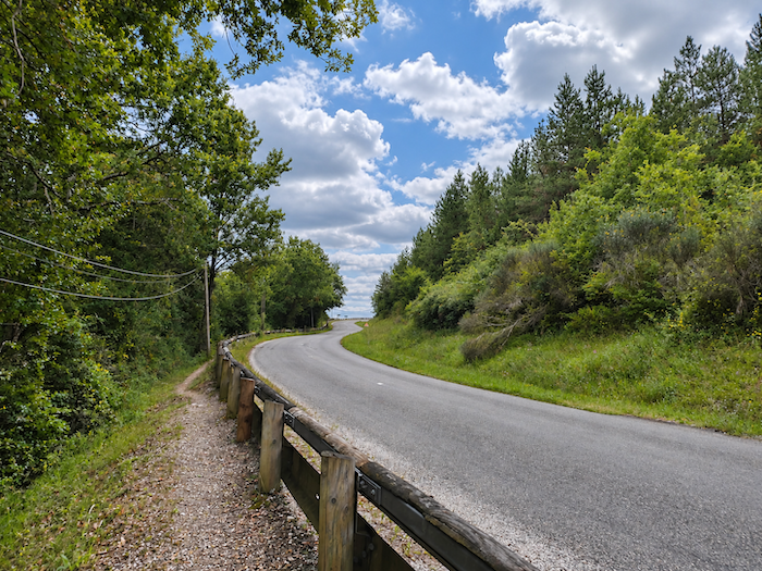 |
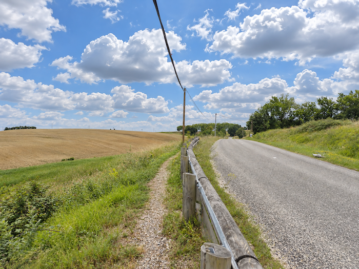
| A narrow strip of earth runs alongside the carriageway, offering walkers a passage away from the tarmac. Gradually, the trees grow farther apart, the woodland retreats, and the horizon widens. The intimacy of the valley gives way to vast open countryside, completely exposed to the sky and devoted to cultivation. |
 |
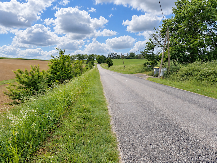 |
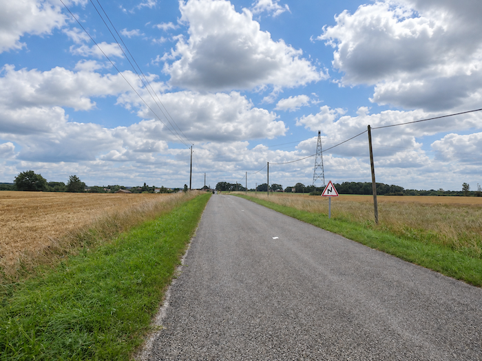
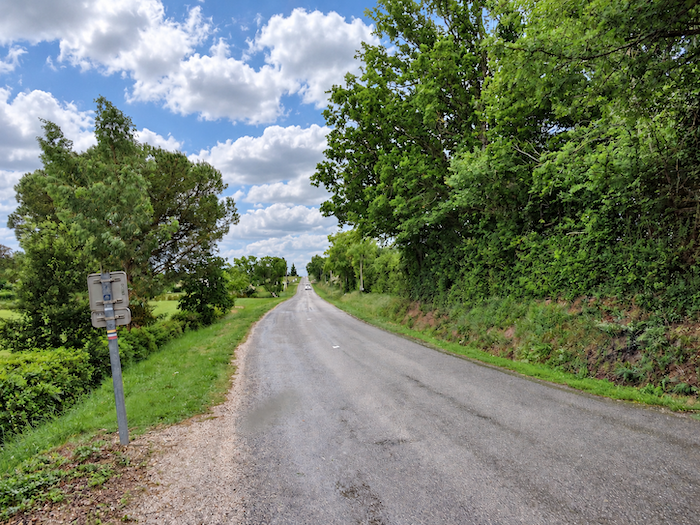
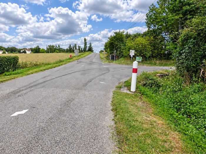
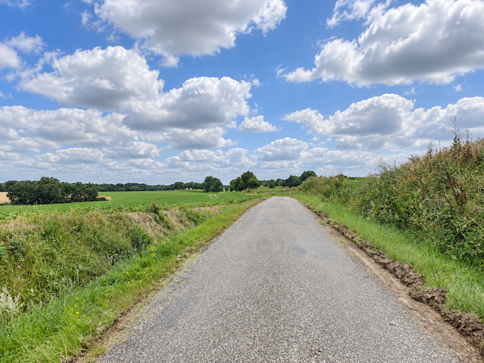
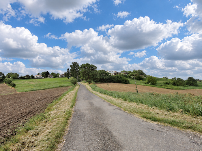
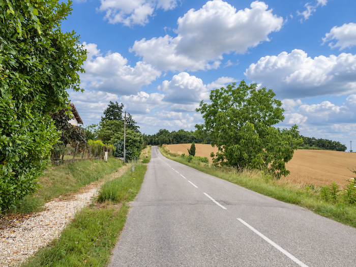
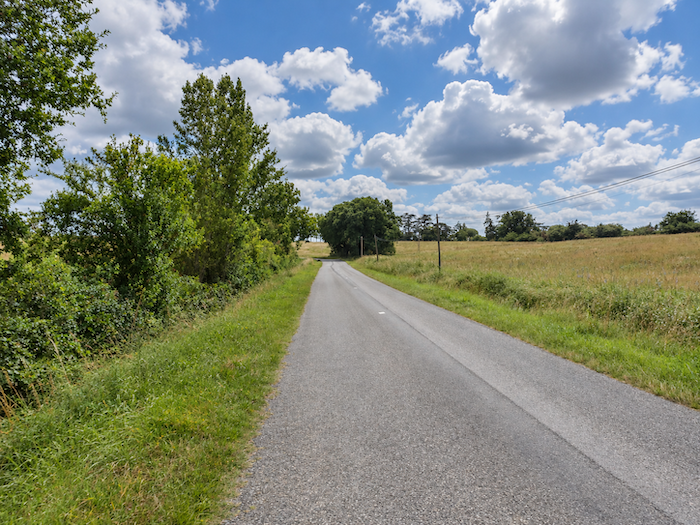
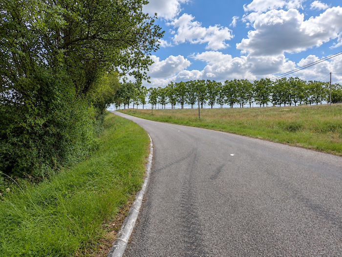
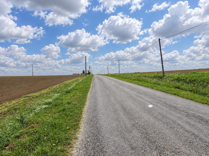
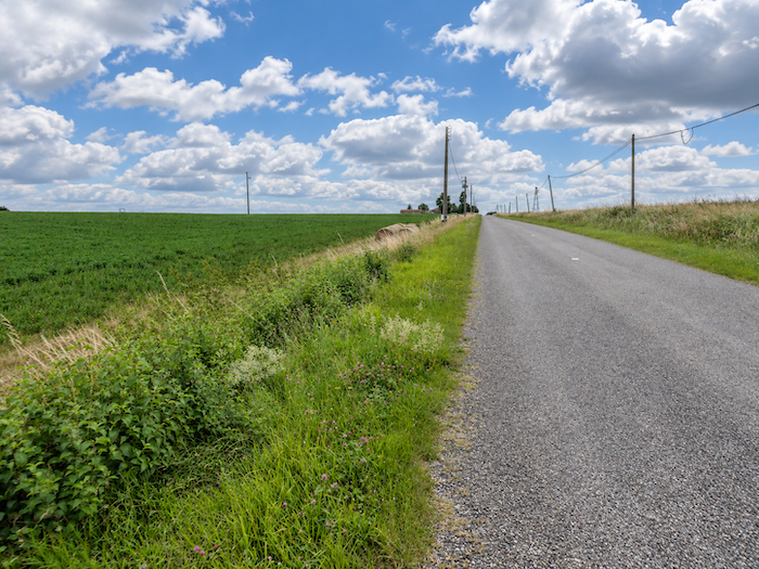
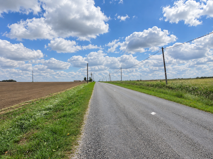
| On the plateau begins one of those stretches that walkers would gladly do without: long, seemingly endless straight roads, devoid of surprises, crossing a uniformly agricultural landscape. Fields of cereals alternate with sunflowers, fallow land spreads its greenery across the countryside, and almost nothing interrupts the monotony of these hardworking fields. After all, the pilgrim cannot always expect the sublime. Sometimes one must accept these graceless kilometers, where the landscape seems to have abandoned every trace of imagination. |
 |
 |
 |
 |
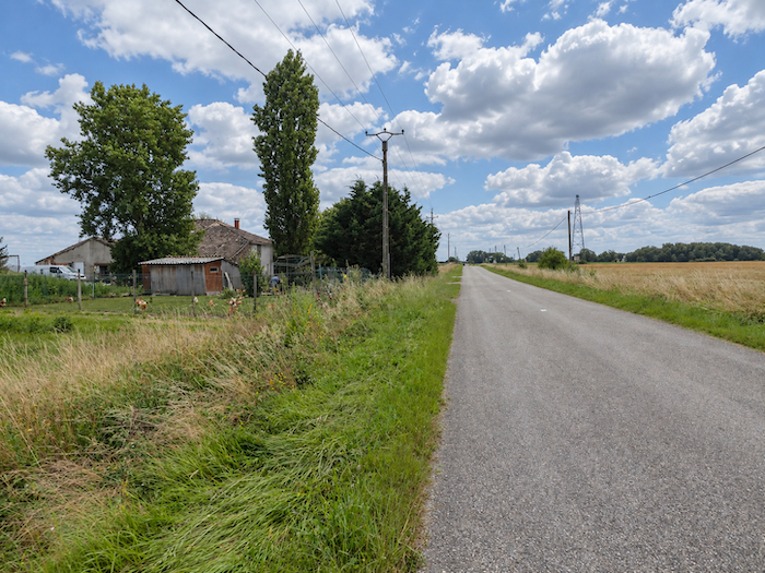
| And what can be said of these crossings when bad weather joins the party! We have experienced, in this very place, those days of dirty, clammy drizzle, that fine, persistent, penetrating rain which runs down the pilgrim’s cape, finds its way into everything, and eventually wraps the fields in a cheerless blanket of grey. The horizons close in, the colors fade, and the silence of the countryside takes on an almost oppressive severity. Fortunately, today the sky spares us that ordeal. |
 |
 |
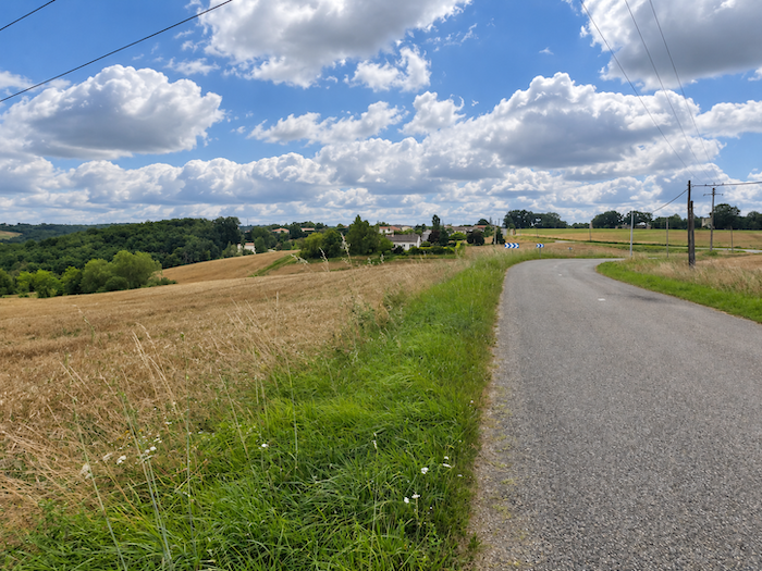
| One long stretch follows another, almost one eternity after another, until the road finally begins to approach Bardigues. As far as the eye can see, the land unfolds its fields and crops in an immense patchwork shaped by generations of farmers. People must, after all, make their living from this land, even if walkers do not always find happiness in it. We are merely stowaways in this working world, passing visitors in a landscape designed not for our pleasure, but to feed those who inhabit it. |
 |
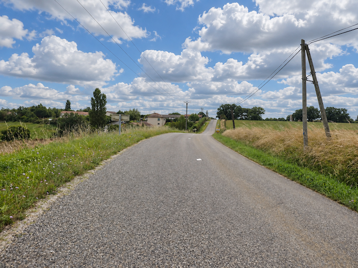 |
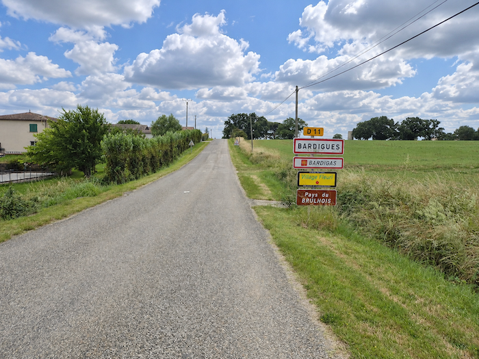
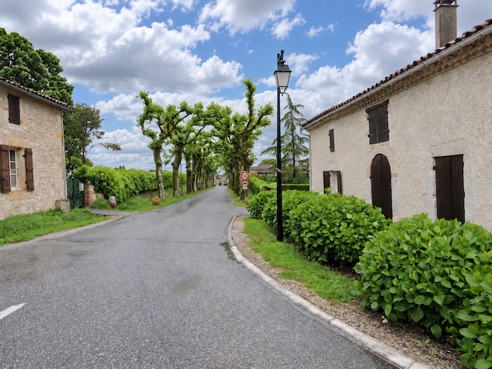
| Shortly afterwards, the road reaches Bardigues, in the heart of the Brulhois. Here, village names also appear in Occitan, as though to remind us that the local language has not entirely surrendered to the language of administration. Old customs are remarkably tenacious, especially when their roots reach back through several centuries of history. |
 |
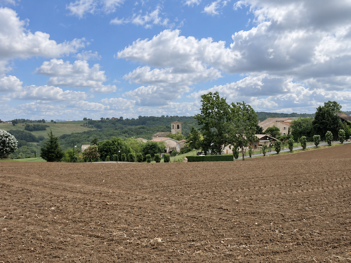 |
| The GR65, however, leaves Bardigues outside its itinerary. The village stands back from the road, and walkers merely skirt its outskirts without venturing into its narrow streets. |
 |
 |
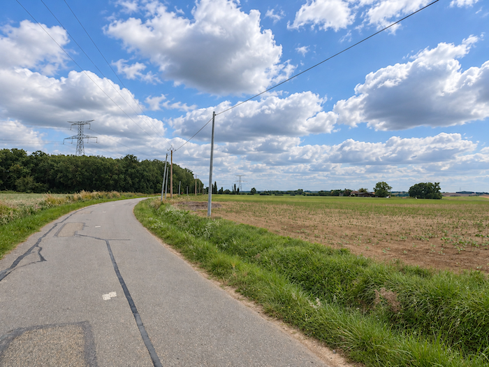
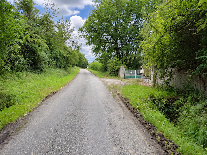
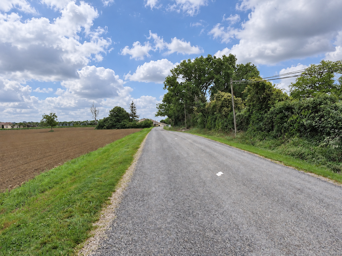
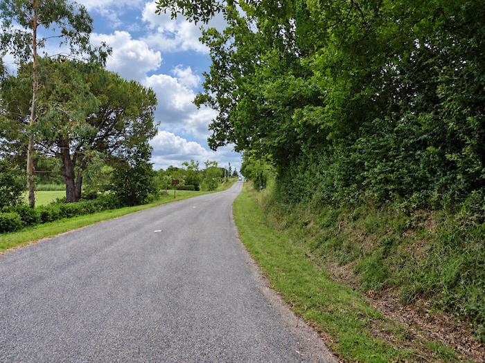
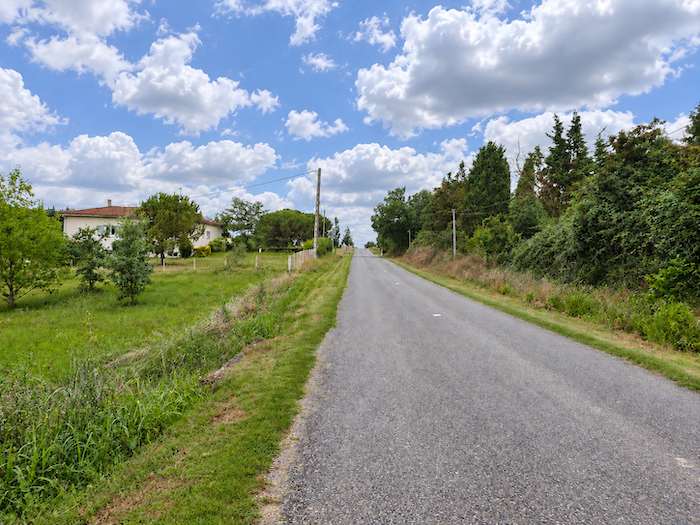
| The long straight road then reasserts itself, stretching its ribbon of tarmac across the countryside, past a few scattered houses. Traffic must be very sparse on this road, forgotten by the main streams of travelers, where tractors are undoubtedly a more familiar sight than cars. |
 |
 |
Section 2: Over hill and dale in the Brulhois
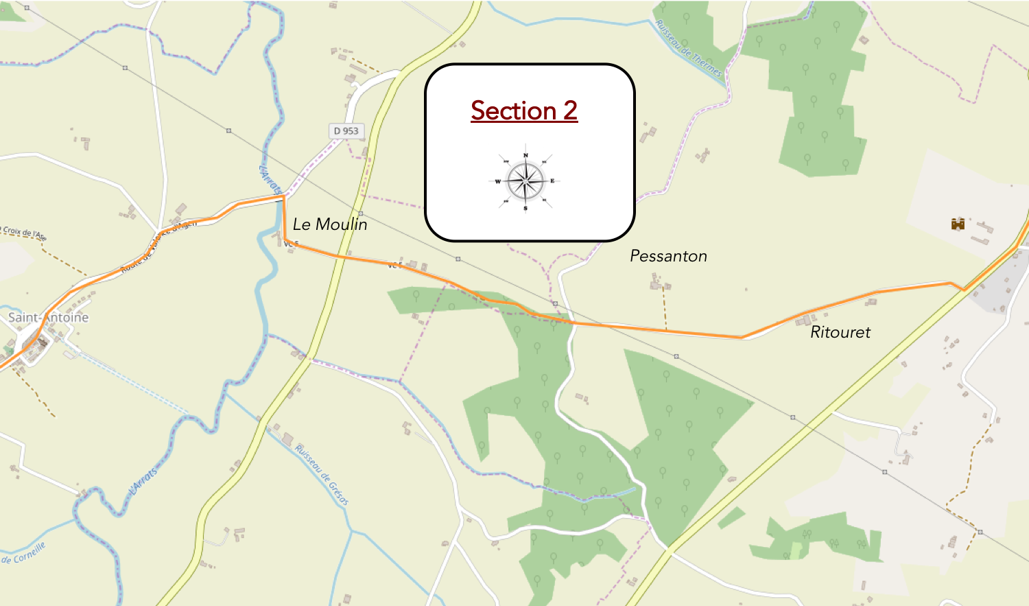
Overview of the route’s challenges: pThe route presents no particular difficulties, apart from the descent towards Le Moulin, with an elevation change of nearly 100 meters.
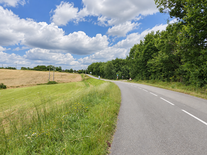
| Long after leaving Bardigues behind, the GR65 finally abandons the main road and turns onto a quieter, more modest one. |
 |
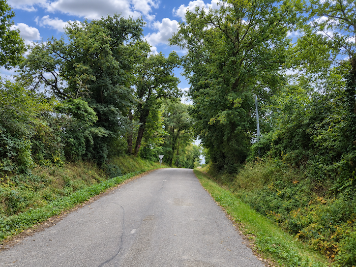 |
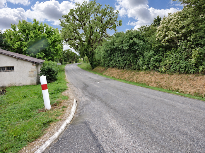
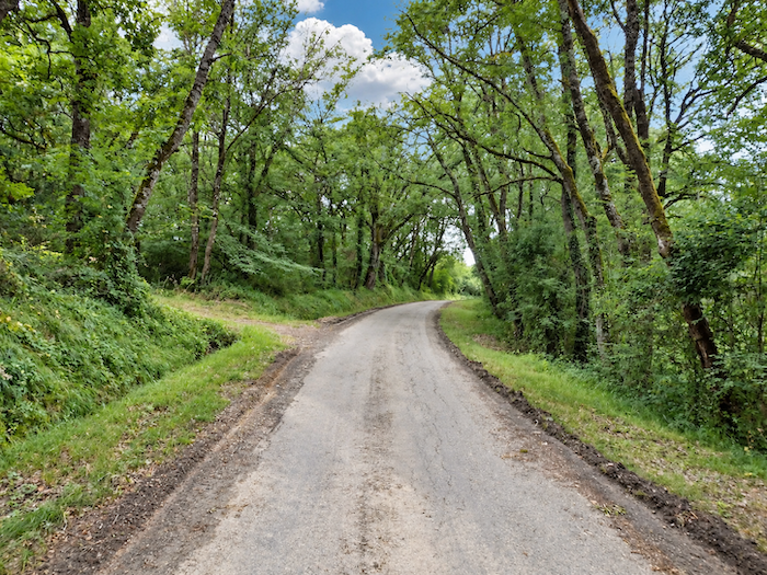
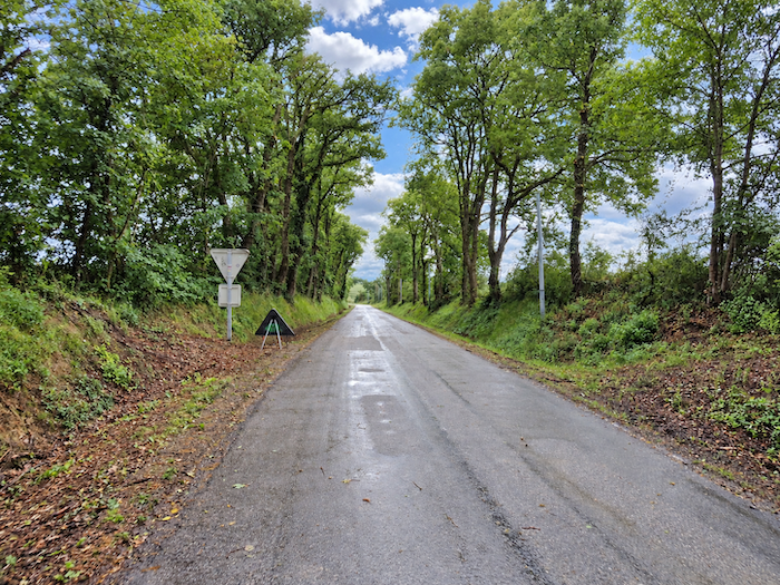
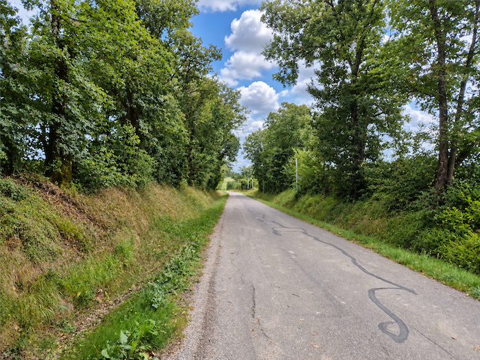
| The ribbon of tarmac winds gently beneath a canopy of deciduous trees, among oaks, ashes and maples that provide welcome shade here and there. After the interminable straight stretches of the plateau, these few bends almost seem like a delightful touch of whimsy. |
 |
 |
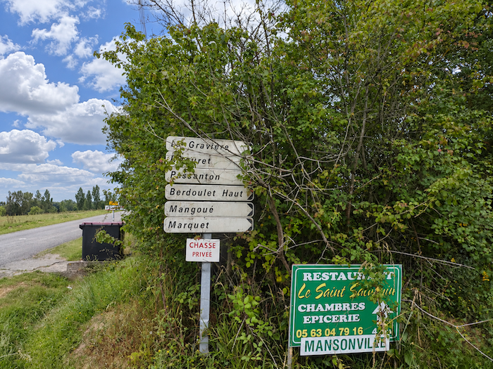
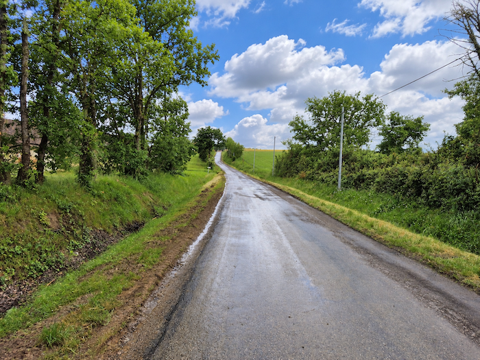
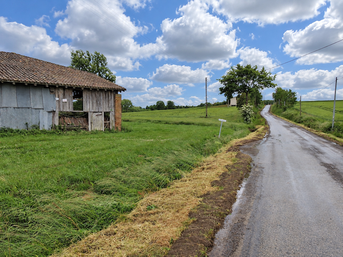
| Every so often, a farmhouse nestles beside the road, making little display of prosperity, as here in the locality known as La Gravière. In what is often called deep rural France, every isolated farmstead frequently has its own name, inherited from a past handed down through generations, even when its origins have long been forgotten. The smallest cluster of houses becomes a hamlet, without necessarily aspiring to the status of a municipality. Admittedly, France already has an almost unbelievable number of municipalities, as though every church steeple had once insisted on governing its own little corner of the country. |
 |
 |
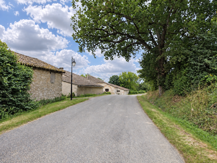
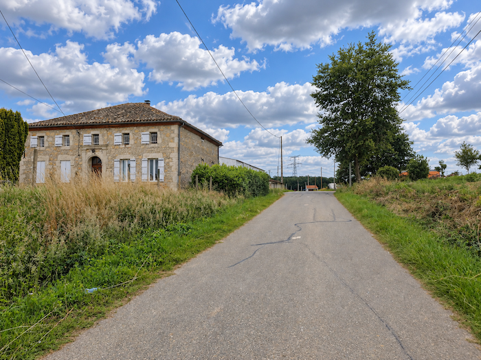
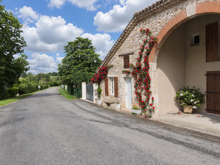
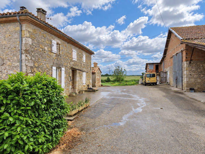
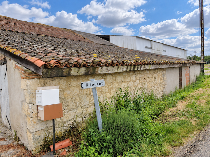
| A little farther on appears Le Ritouret, another tiny settlement, scarcely bigger than a pocket handkerchief, with its farms and a dwelling built of dressed stone. Here, sandstone and limestone give the buildings their colors and character. Rural architecture has little time for extravagance: square or rectangular buildings, simple shapes, all crowned with roofs of curved terracotta tiles. |
 |
 |
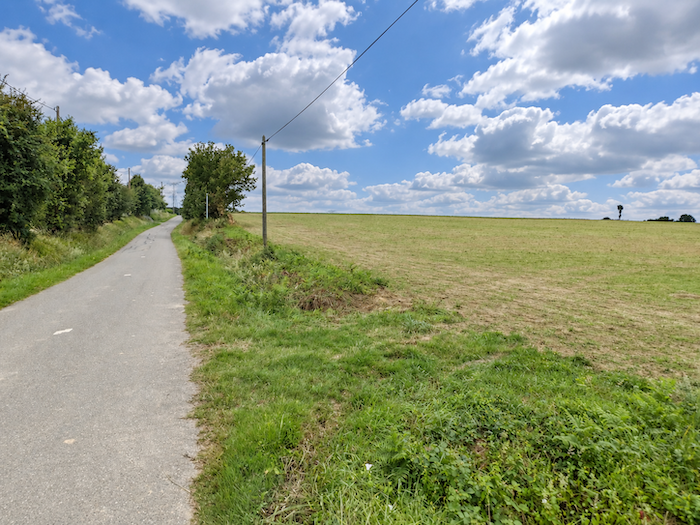
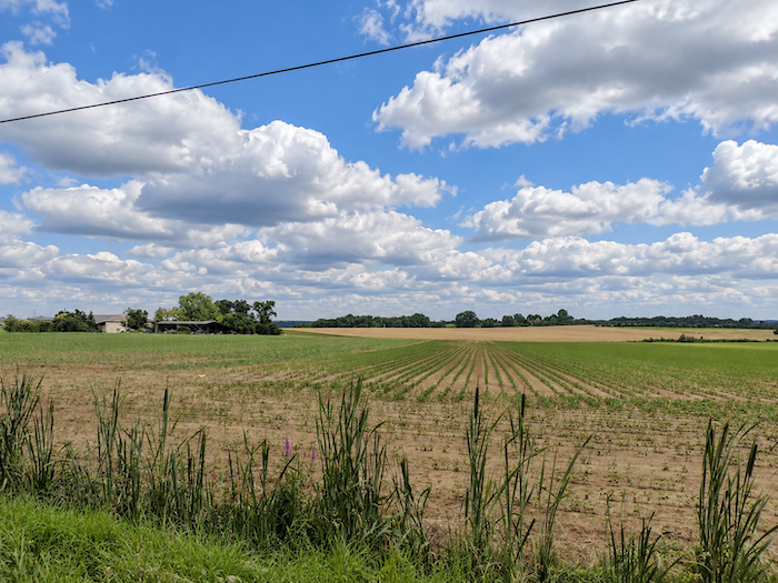
| Beyond, the road resumes its seemingly endless journey between hedges of deciduous trees, across countryside as flat as a pancake. Sunflowers, cereals and fallow plots, sometimes covered with green manure crops, share this land generously devoted to agriculture. The crops change, but the landscape rarely changes its face, and the horizon always seems to push the promise of an ending a little farther away. |
 |
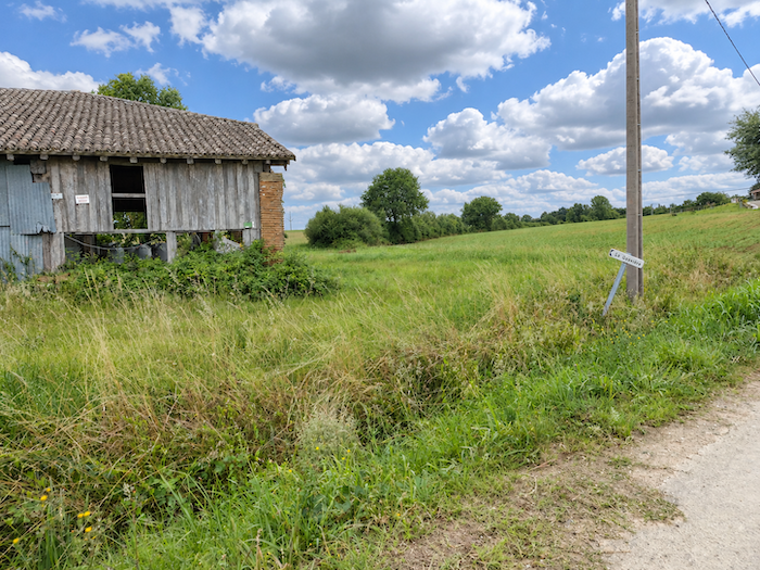 |
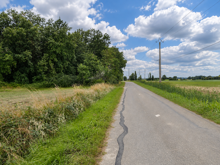
| Here, lovers of vast, monotonous landscapes will be thoroughly satisfied. The countryside unfolds without restraint, with an almost admirable consistency, and the kilometers follow one another in a uniformity that eventually becomes a spectacle in its own right. |
 |
 |
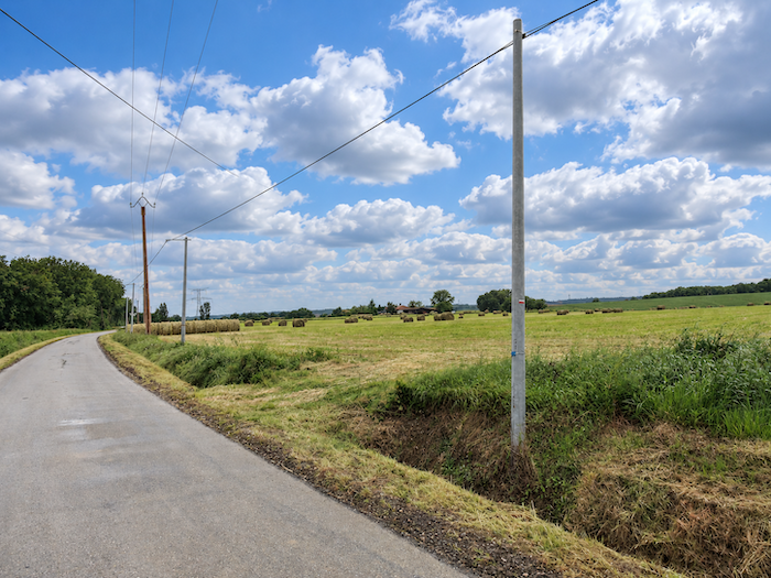
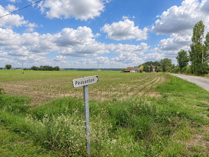
| Farther on, the farm of Pessanton rises amid its extensive fields, another sign of human presence in this agricultural immensity, where buildings sometimes seem remarkably small compared with the land they cultivate. |
 |
 |
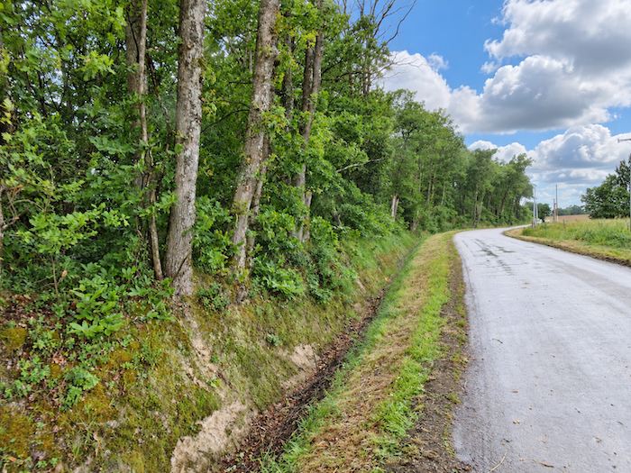
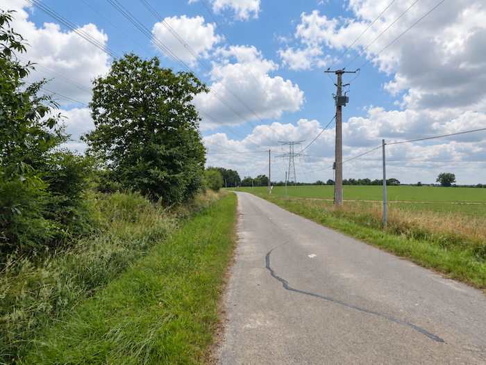
| Yet there is little here to hold the eye for long. Nothing really captures the attention, and the legs, more resigned than the mind, continue their work. One must keep moving. Sometimes that is the whole wisdom of the pilgrim. |
 |
 |
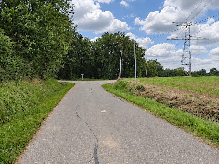
| Shortly afterwards, the GR65 finally prepares to change its character. Approaching a wooded area, it leaves the tarmac behind and returns to a path more in keeping with a walker’s aspirations. |
 |
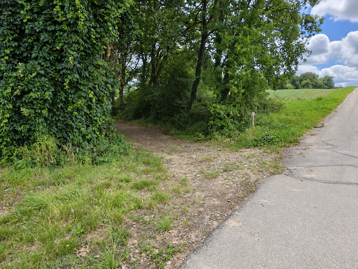 |
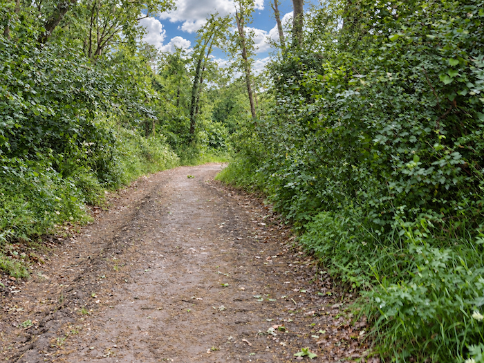
| A broad forest path then plunges into the woodland, immediately tackling a steep slope. |
 |
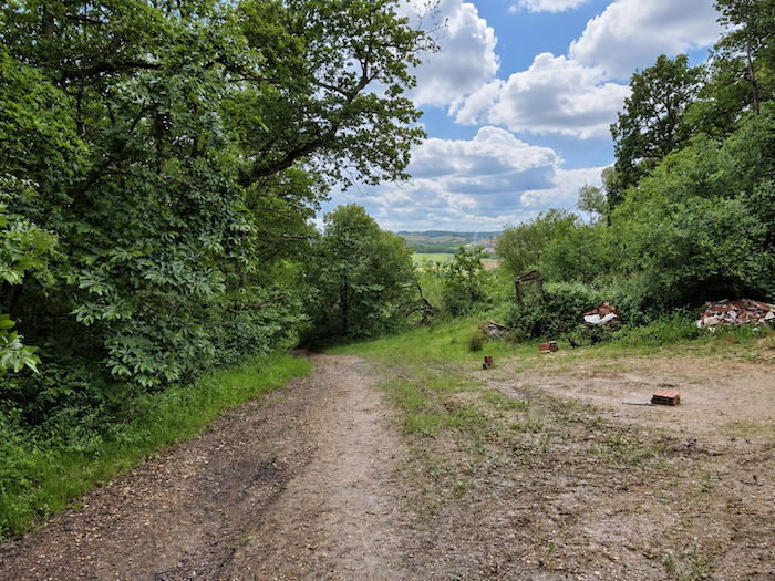 |
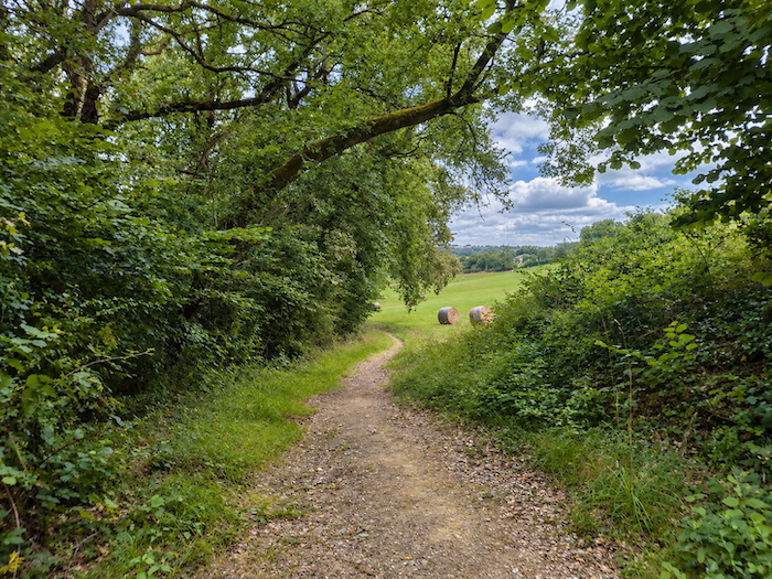
| But this woodland interlude is short-lived. Among the oaks and maples, chestnut trees become more numerous, although the canopy does not shelter the walker for long. The gradient, frequently exceeding 15%, offers little respite, and the path soon continues its headlong descent through the grass along the edge of the woodland. |
 |
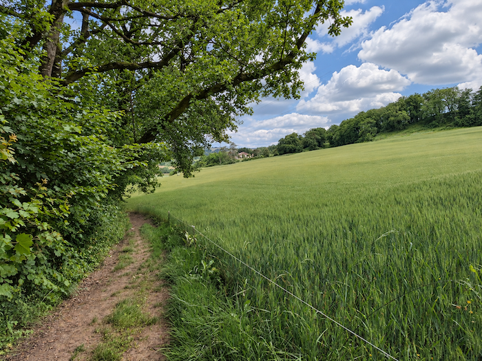 |
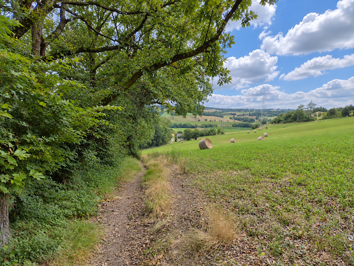
| Already, the landscape begins to announce the rolling hills of neighboring Gers. The almost motionless expanses of the plateau give way to more varied countryside, where the crops follow the curves of small hills. |
 |
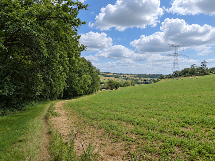 |
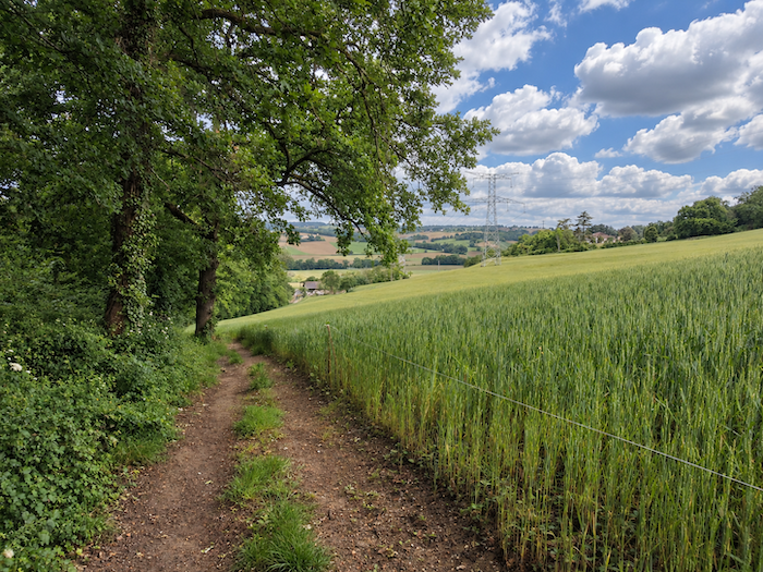
| On this fertile land, the beautiful ochre-colored soil provides ideal conditions for wheat. The crops raise their ears with flourishing confidence. |
 |
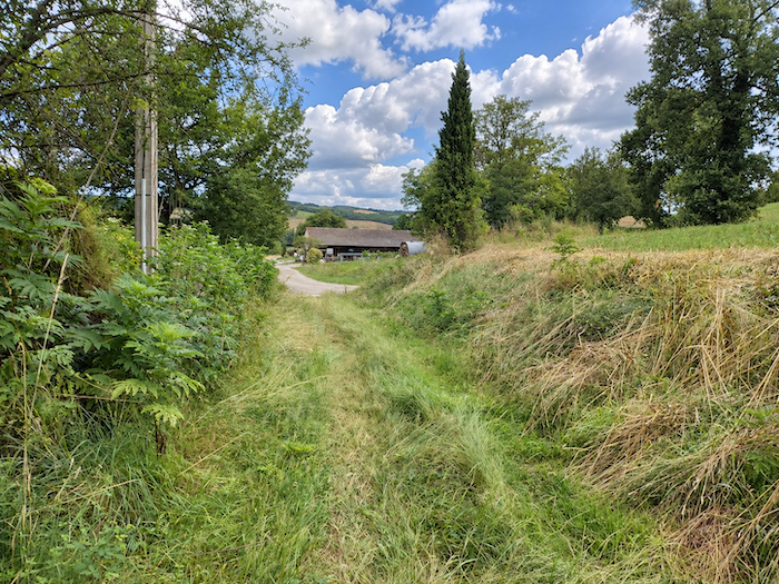 |
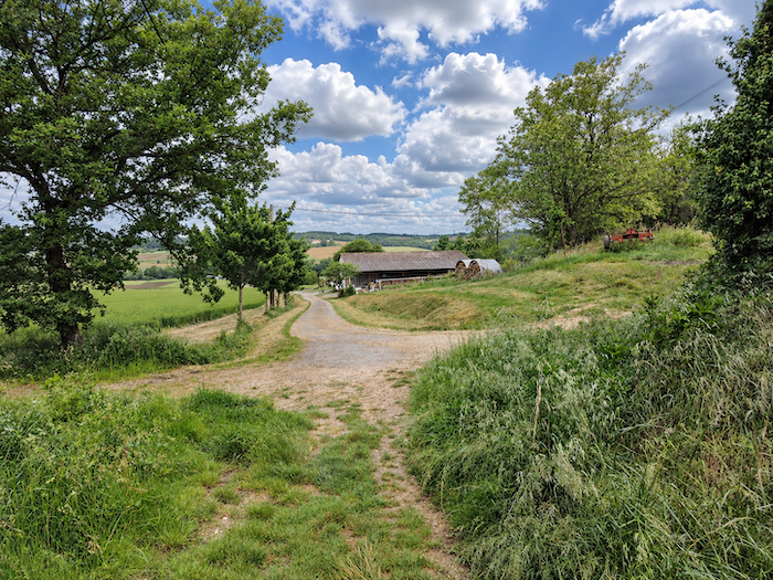
| Farther down, tarmac takes over once again from the dirt path, while the countryside opens onto even wider horizons. The trees grow farther apart, the fields spread out, and the landscape regains the peaceful spaciousness of great agricultural estates. |
 |
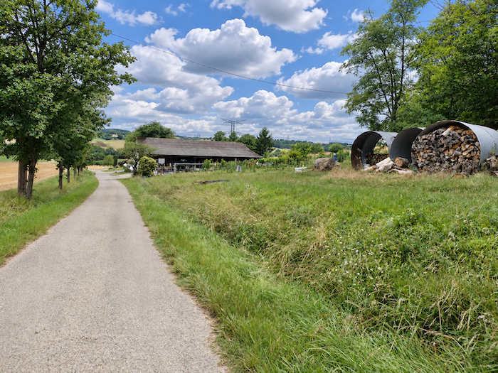 |
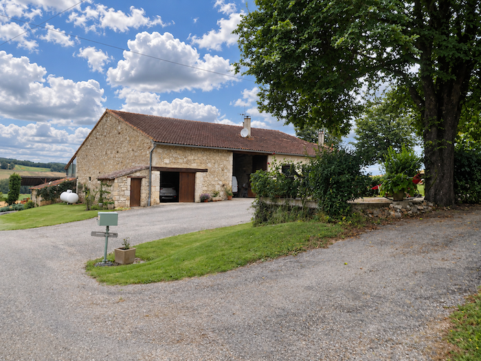
| An imposing farm complex then catches the eye, with architecture characteristic of the Lomagne region. Beneath an enormous roof with long, sweeping slopes, the dwelling, barn and stable are brought together in a single structure. Here, architecture makes little effort to charm. It responds first and foremost to the needs of the land, and perhaps that is precisely where its beauty lies. |
 |
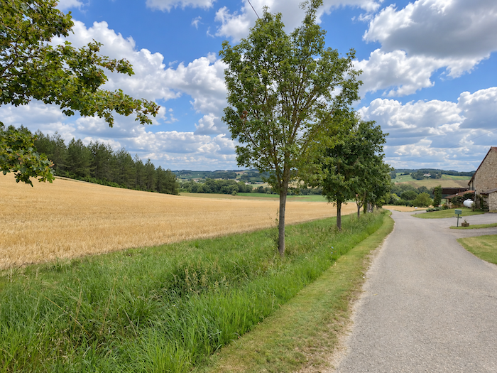 |
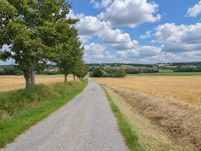
| A few fruit trees survive here and there, rare remnants of a landscape once much more generously planted with trees. But modern tractors have little affection for obstacles that interfere with their manoeuvres. Productivity has its demands, and trees have often been forced to give way. |
 |
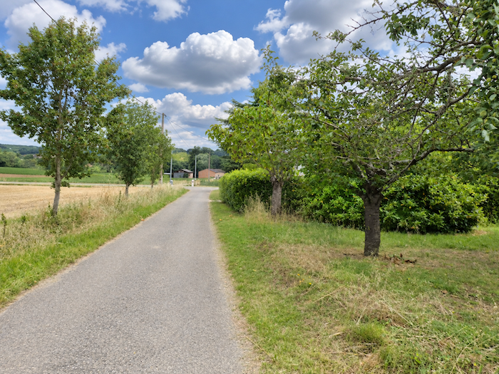 |
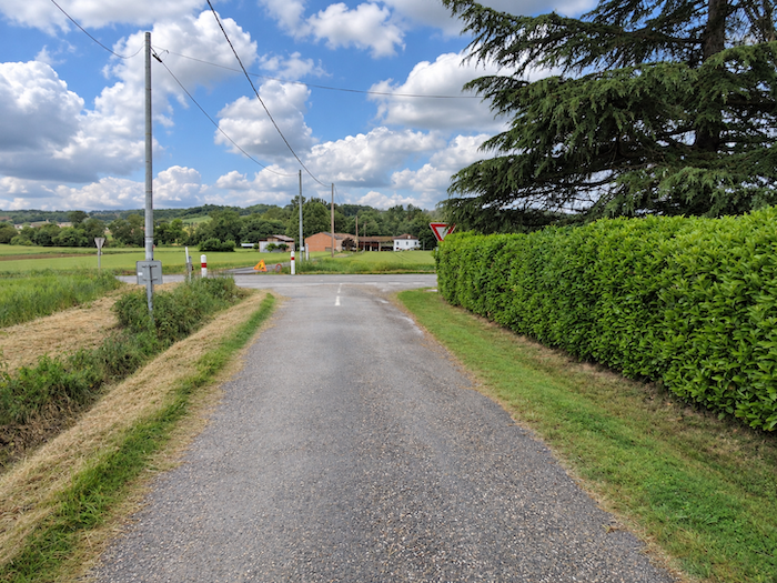
| At the foot of the descent, the GR65 finally reaches the small departmental road D88. |
 |
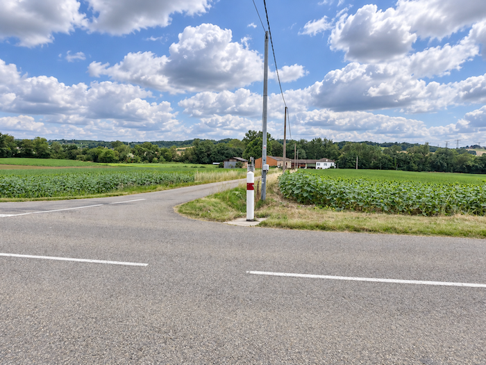 |
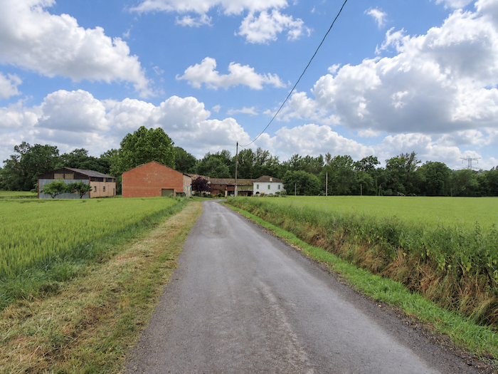
| The GR65 then joins a narrow local road leading towards Le Moulin, just a stone’s throw from Saint-Antoine-d’Arrats. |
 |
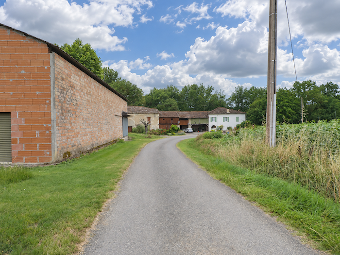 |
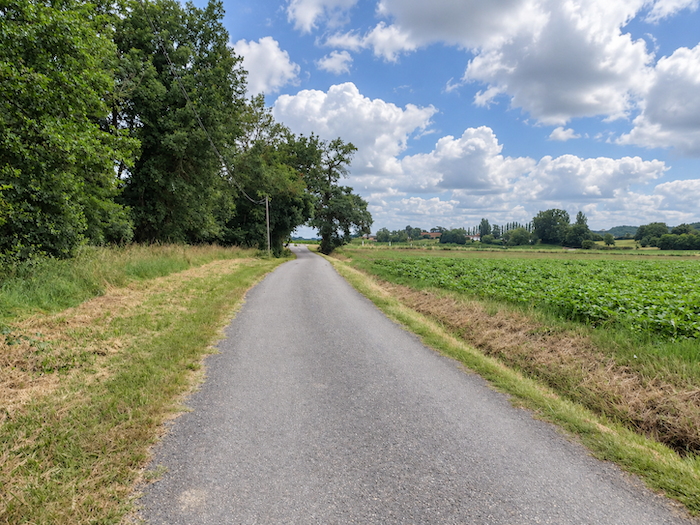
| Le Moulin is little more than a handful of houses scattered among the fields beside the river. |
 |
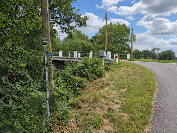 |
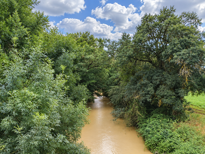
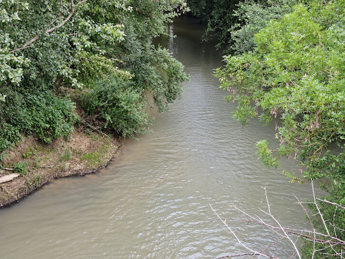
| The GR65 then crosses the Arrats, one of the region’s important rivers, which winds its way through the countryside in a succession of meanders. Its waters are distinctly muddy, at least judging by our repeated visits. We have never seen them otherwise, whether in rain or sunshine. This is often the case with rivers flowing through limestone and clay soils, whose particles are carried away by runoff and cloud the water. |
 |
 |
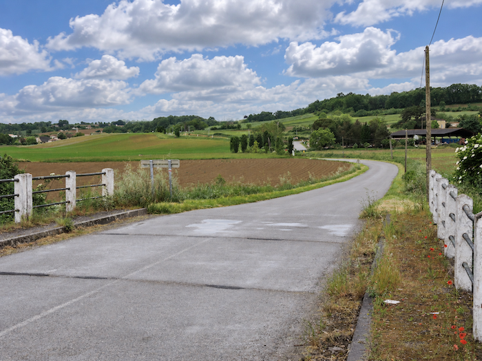
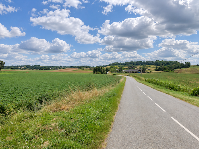
| Beyond the bridge, the plain of Saint-Antoine unfolds before the walker, opening a fresh perspective over this fertile countryside, where cultivated fields stretch towards the foot of the hills. |
 |
 |
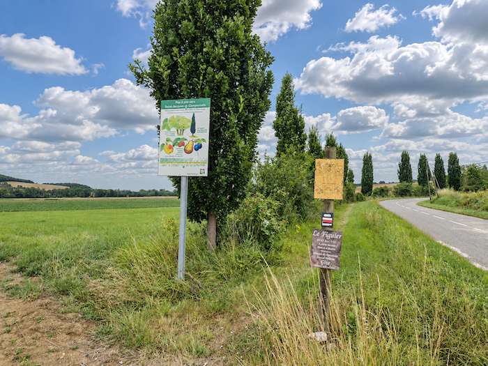
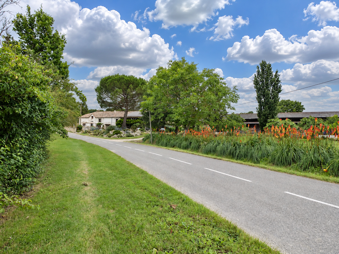
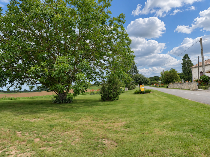
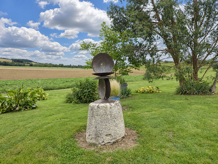
| Farther on, the GR65 crosses the carefully mown lawn of a large farm extending on both sides of the road. Flowers and exotic trees create an almost unexpected setting, as though the owners had wished to combine the pleasures of a garden with the productive purpose of their land. The estate specializes particularly in market gardening and fruit growing. |
 |
 |
| The route soon leaves this little haven of greenery and tranquility behind and returns to the meadows, where the countryside reasserts itself in a more understated setting. |
 |
 |
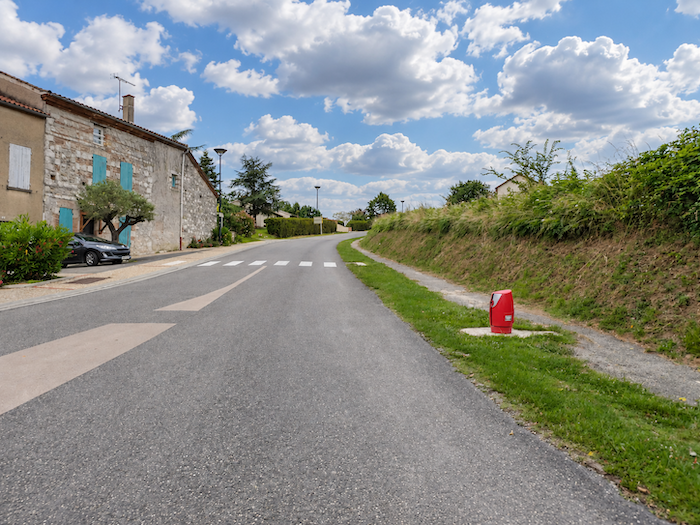
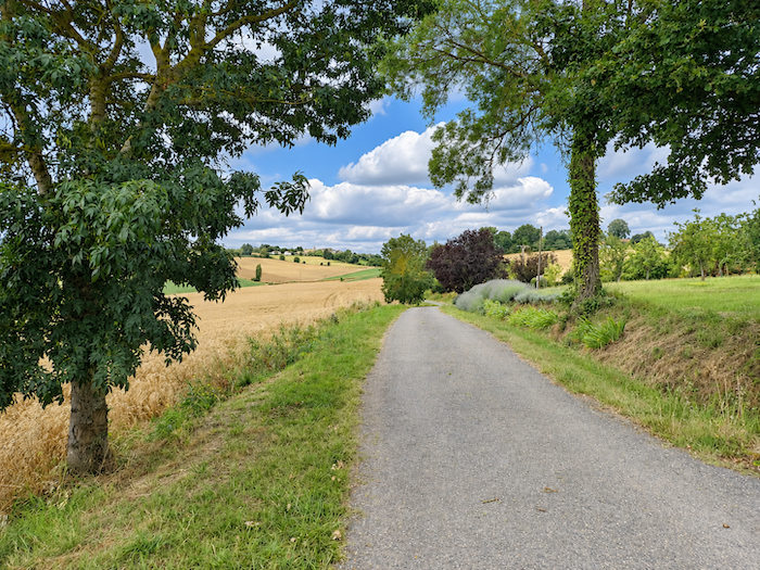
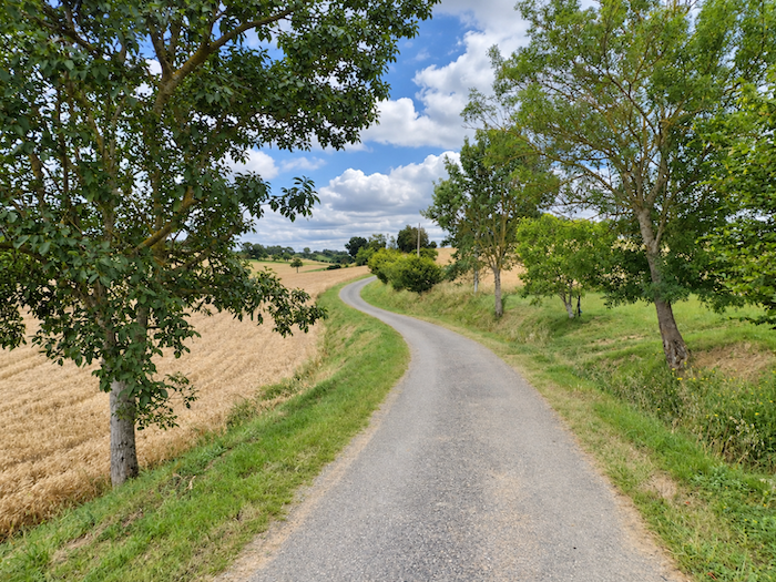
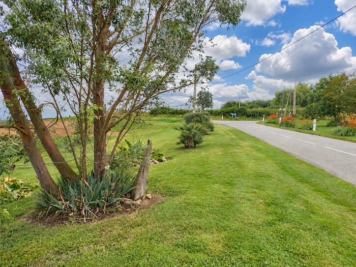
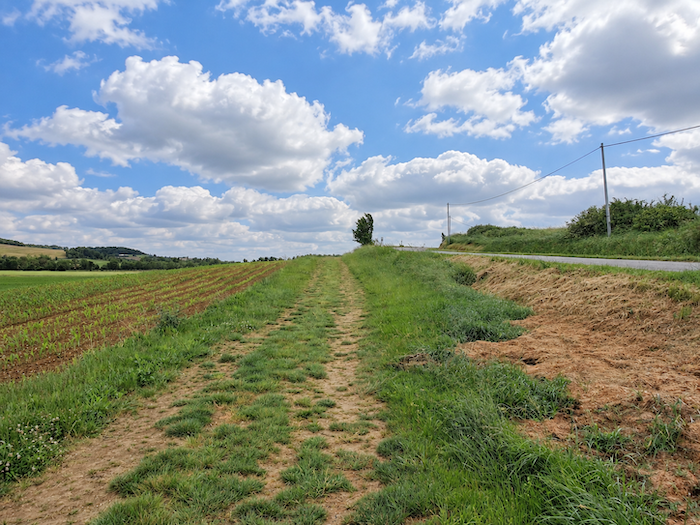
| Very soon, the GR65 follows a grassy strip climbing the small hill parallel to the road. In Tarn-et-Garonne, as in Gers, the Way of St James sometimes displays a rather special generosity towards walkers: long strips of carefully mown grass are reserved for them along the edges of paved roads. |
 |
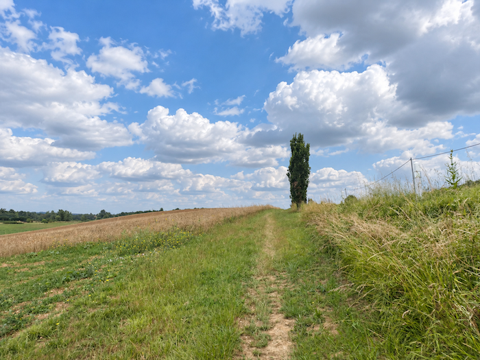 |
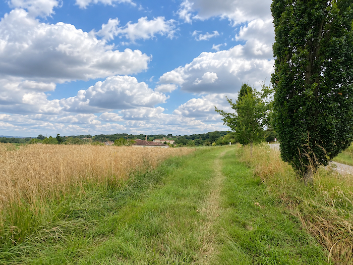
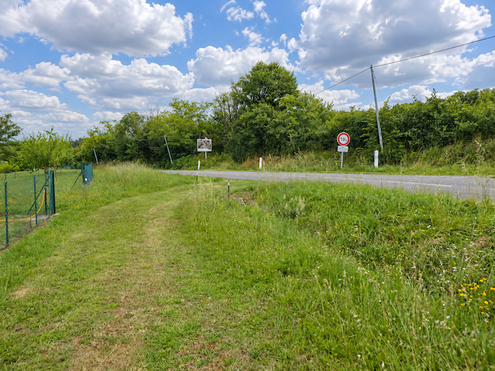
| A little higher up, this pleasant countryside diversion comes to an end, and the path rejoins the road at the entrance to Saint-Antoine. |
 |
 |
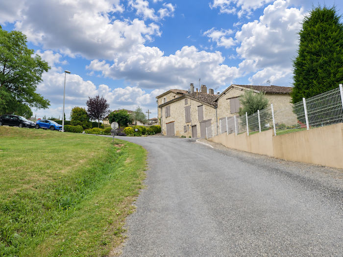
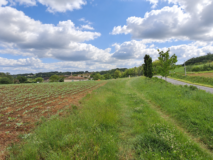
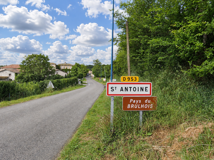
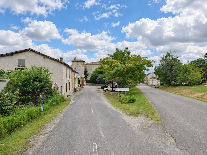
| The road then leads into the heart of Saint-Antoine, a small medieval village in the Brulhois with barely 206 inhabitants. |
 |
 |
| Yet behind its present modesty lies an unusual history. The village owes its foundation to the Antonine monks, a religious order whose great spiritual centre was at Saint-Antoine-l’Abbaye, in Isère, another stopping place on the pilgrimage routes to Santiago, along the itinerary leading towards Le Puy-en-Velay. |
 |
 |
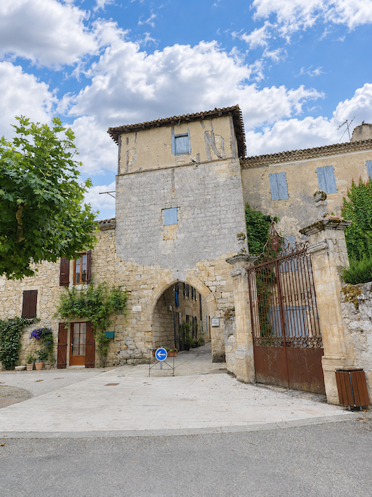
You enter the grounds of this former hospital establishment through a venerable gateway, whose ancient stones seem to have preserved the memory of the countless travellers who have passed beneath it over the centuries.
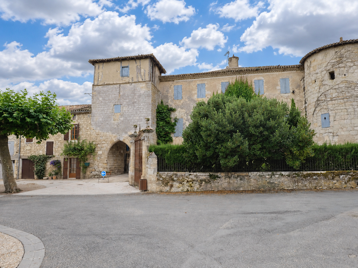
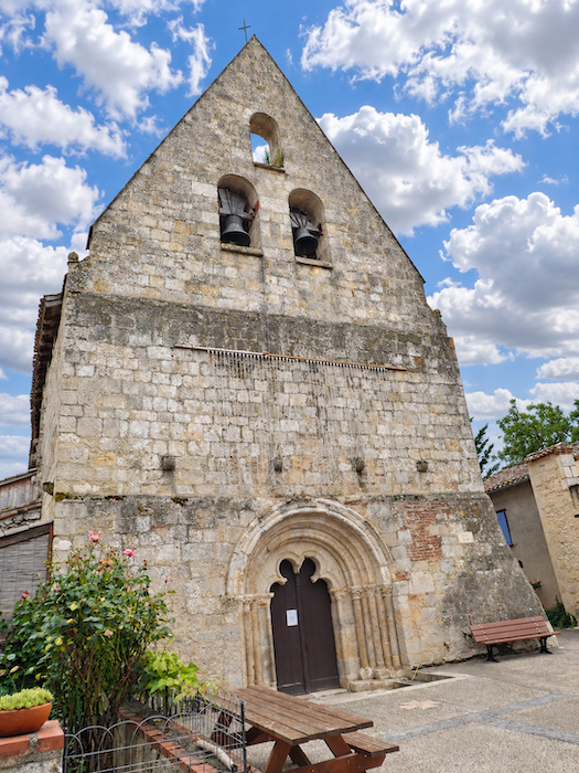
| As early as the 12th century, the Antonines built abbeys and hospitals to welcome and care for victims of the dreaded « St Anthony’s Fire », a disease caused by ergot-infected rye that once spread suffering and terror throughout the countryside. The monks remained here until the end of the 18th century, leaving behind a remarkable heritage. The church, listed as a Historic Monument, notably preserves wall paintings from the 14th and 15th centuries, rediscovered in relatively recent times. As for the fortified gateway guarding the entrance to the old settlement, it probably dates from the 13th century. All these are witnesses to a past in which faith, illness and hospitality were intimately intertwined. |
 |
 |
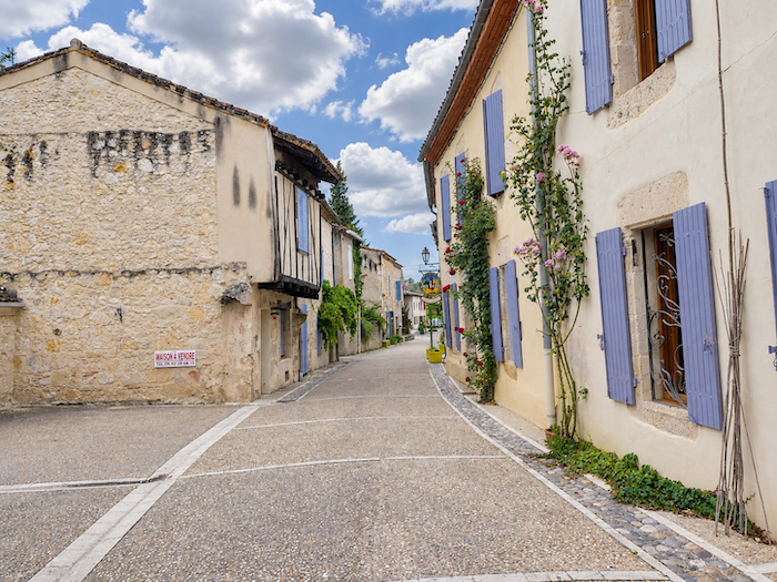
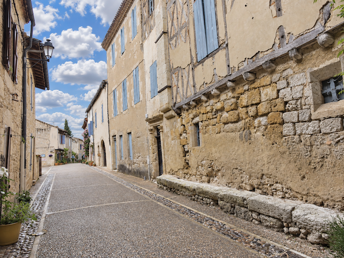
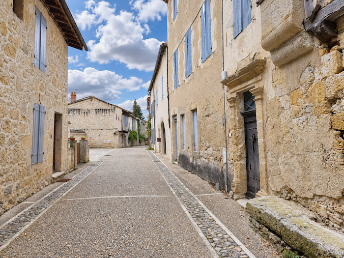
| In the main street, time seems to have stood still for centuries. Stone houses, sometimes adorned with timber framing, stand close together along the road, creating a medieval setting that modern alterations seem largely to have spared. In former times, many pilgrims stopped in this hospitable village, where welcoming travelers was almost a vocation. Today, accommodation has become considerably more limited, but the tradition has not entirely disappeared. The village inn continues to welcome pilgrims and passing tourists, preserving in its own way the age-old hospitality of the pilgrimage paths. |
 |
 |
Section 3: Over hill and dale among wheat fields and sunflowers
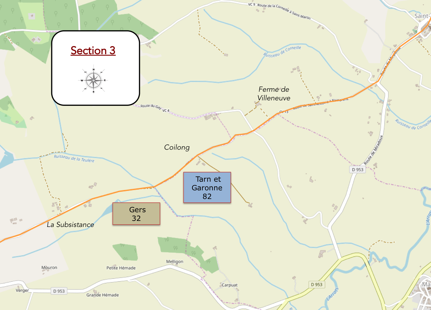
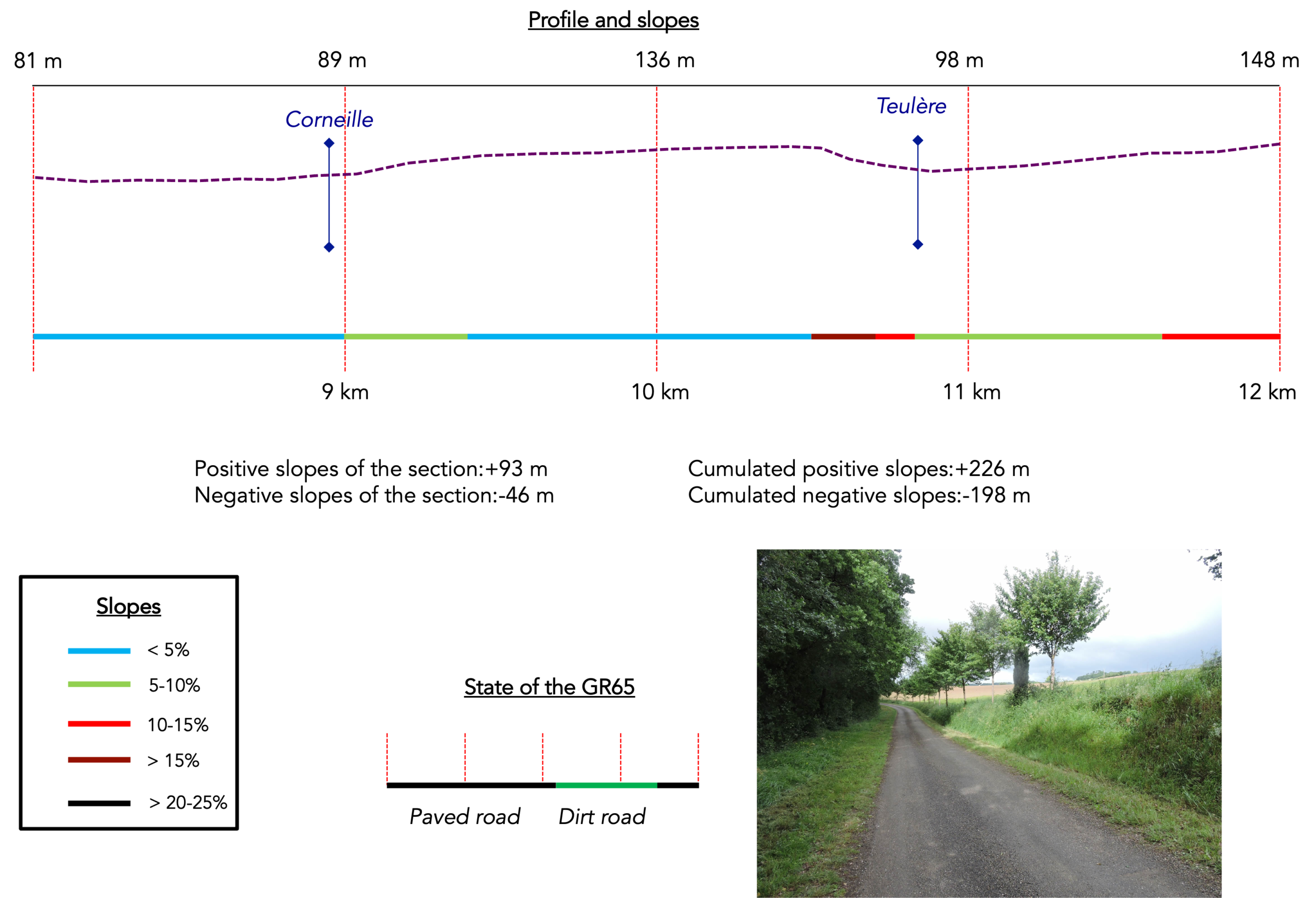
Overview of the route’s challenges: a gentle uphill climb, with a somewhat steeper descent along the way towards the Teulère stream.
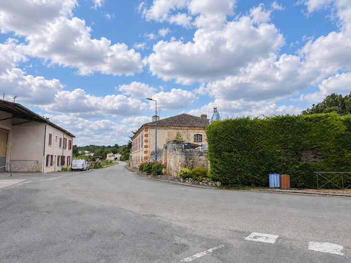
| Leaving Saint-Antoine, the road moves away from the old village, passing more recently built houses where the medieval settlement gradually gives way to more ordinary residential surroundings. |
 |
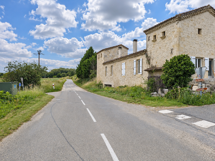 |
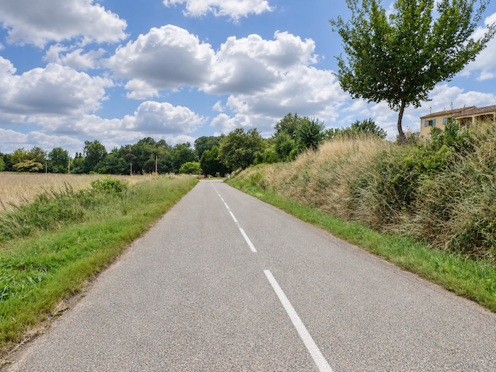
| The GR65 soon turns onto a narrow-paved road that climbs through the woodland near the Corneille stream. |
 |
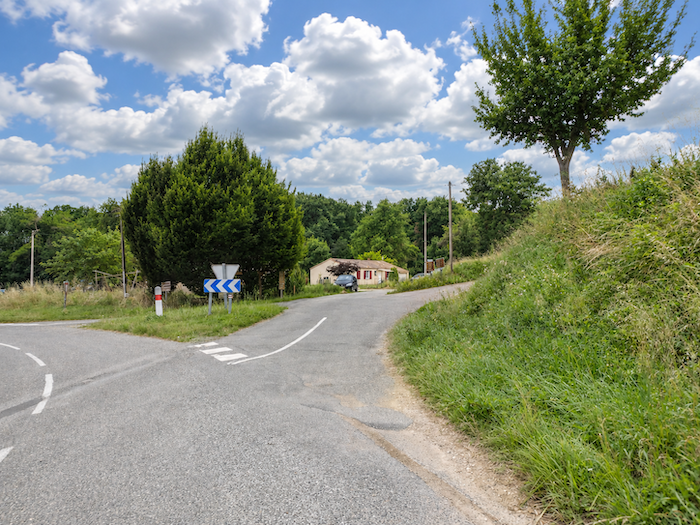 |
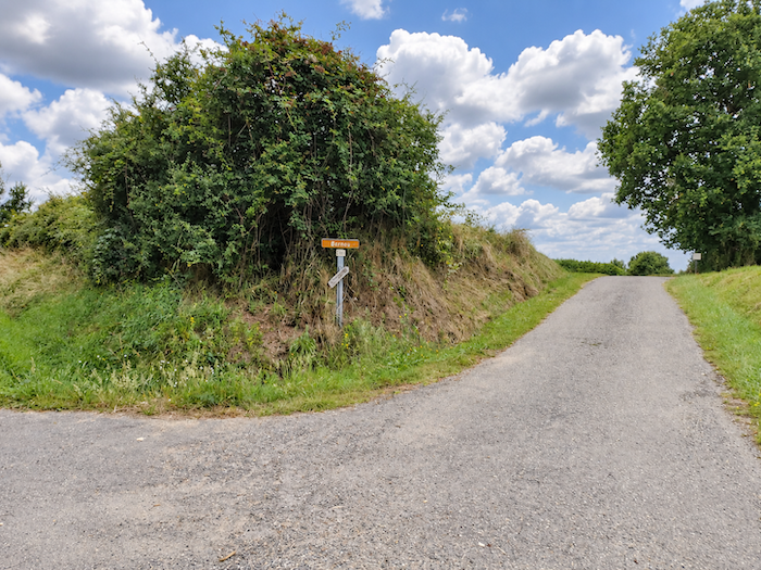
A signpost then lists a whole collection of local place names, which seem to belong to a geography known only to the people who live here. Each name identifies a farm or some little corner of the countryside to which tradition has given an identity, even when only a handful of buildings are enough to justify its existence.
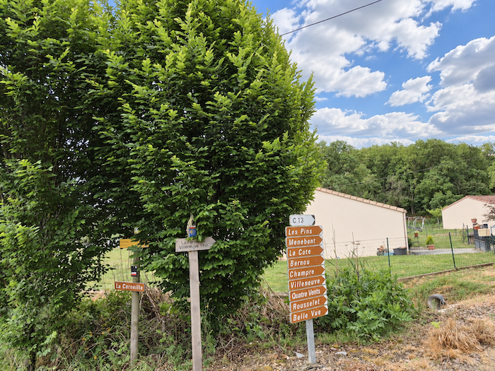
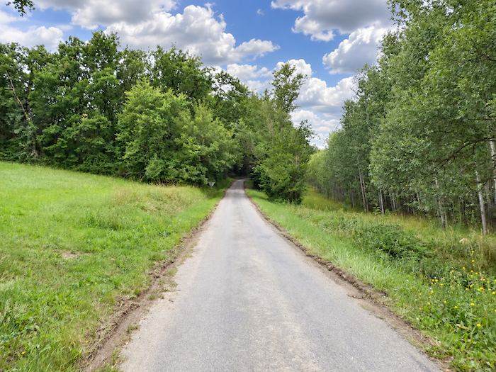
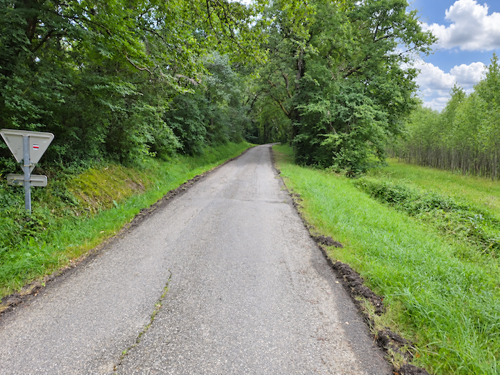
| The climb proceeds gently along the tarmac, beneath the lofty protection of deciduous trees. Oaks naturally have their place here, but they share the light with magnificent sycamore maples and tall ash trees whose crowns seem determined to scratch the sky. This leafy canopy provides pleasant company throughout the ascent. |
 |
 |
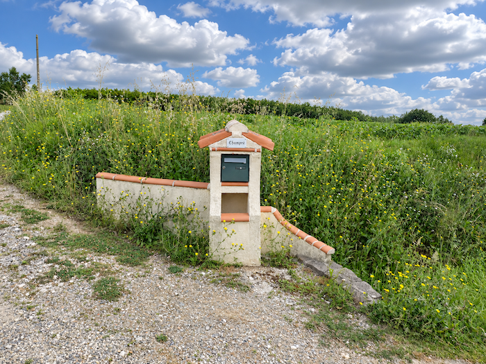
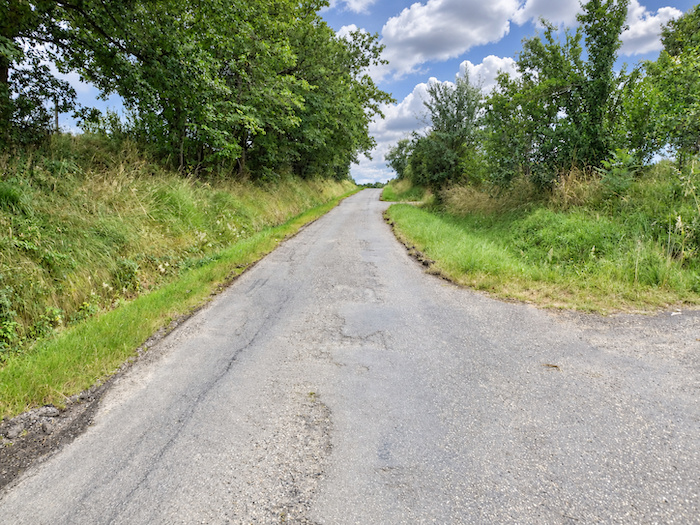
| Higher up, as you emerge from the woods, the landscape opens once again onto a vast expanse of countryside, where meadows alternate with a few cereal fields and seemingly endless stretches of sunflowers. Maize, on the other hand, appears to have deserted these heights. Every so often, a solitary letterbox stands beside the road, or a sign points in some unlikely direction towards an invisible farm, lost somewhere beyond the fields. In this scattered countryside, houses are often more easily imagined than seen. |
 |
 |
| Another local place name soon joins this collection of rural names, and the GR65 passes the farm of Villeneuve, where walkers can find accommodation. |
 |
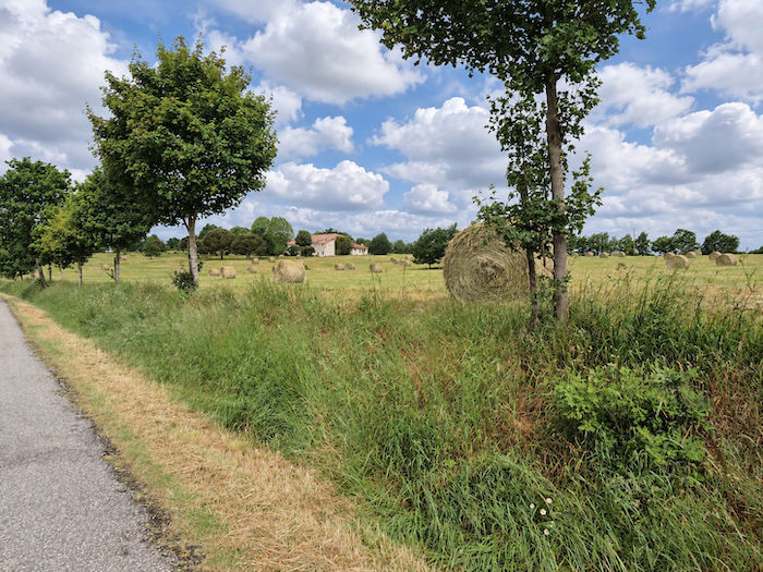 |
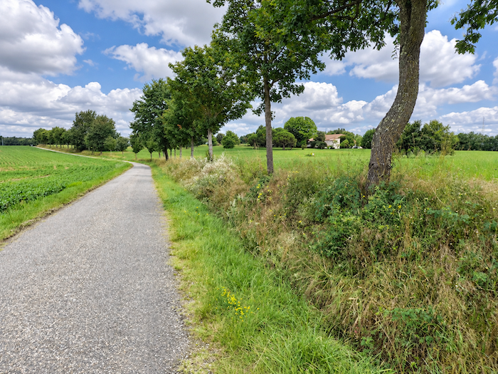
The road continues through vast expanses of sunflowers, occasionally interspersed with fields of soya beans. Large wheat fields seem to be more characteristic of neighboring Gers, which begins just a stone’s throw away. Yet the sunflower is a plant whose beauty lasts only a season. In spring and summer, its great yellow flower heads illuminate the countryside, turning their faces towards the light. By late autumn, the scene changes cruelly. The faded flowers, their heads bowed and curled in upon themselves, no longer celebrate the splendor of the warmer months.
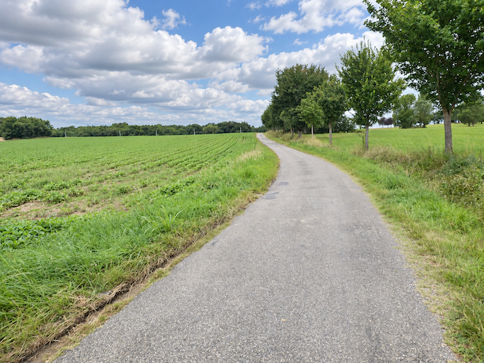
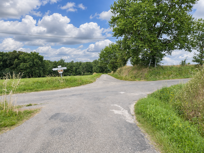
| Farther uphill, on a road whose gradient is barely perceptible, the GR65 continues straight ahead through a crossroads, paying no attention to the paths branching off in other directions. |
 |
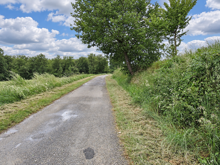 |
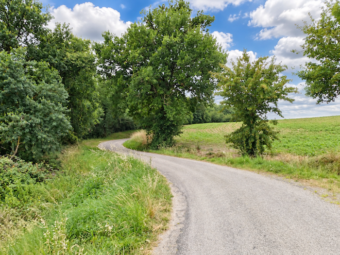
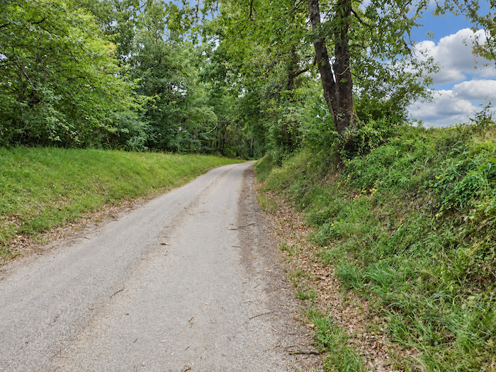
| The road then becomes more discreet, slipping here and there along the edge of wooded areas, where the trees interrupt the monotony of the great cultivated expanses. |
 |
 |
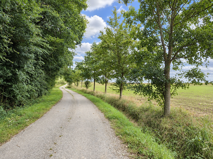
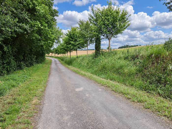
| Here, someone has even taken the trouble to plant maples. Now that is an initiative deserving a hearty round of applause! In countryside where mechanization has so often condemned trees to disappear, it is heartening to encounter farmers who are willing to give them a place once more. |
 |
 |
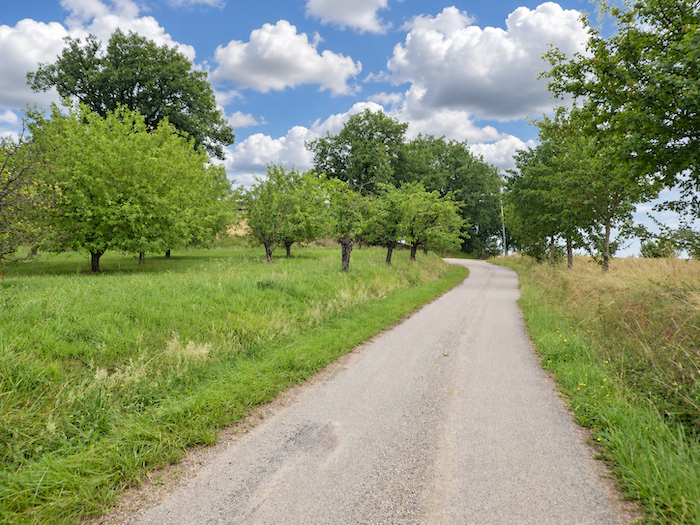
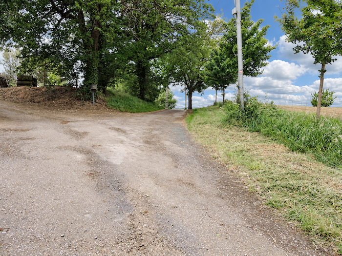
| Before long, the road reaches the top of the hill at Coilong, where we even discover a few fruit trees, now almost a curiosity in these vast agricultural lands. We are approaching the edge of Tarn-et-Garonne, which the GR65 is about to leave behind as it enters Gers. The departmental boundary lies concealed just below us, near the Teulère stream. It is a remarkably modest administrative frontier, and nothing in the landscape seems particularly eager to announce its presence. |
 |
 |
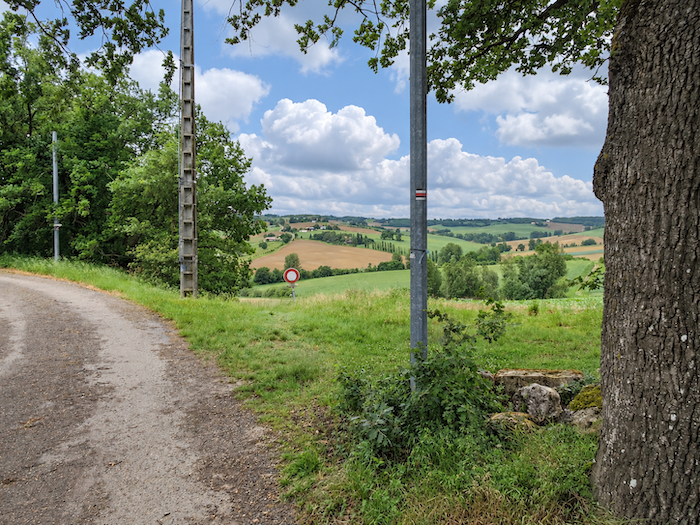
| From here, a path leaves the heights and plunges decisively into the woodland. The slope immediately regains a vigor that the road had made us forget, frequently exceeding a gradient of 15%. |
 |
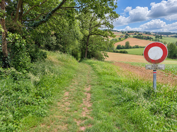 |
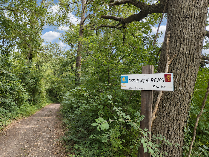
| Quite broad, the path descends steeply beneath the shelter of deciduous trees, in a shady woodland where chestnut trees are particularly numerous. They mingle with oaks, maples and small hornbeams, creating a more varied forest canopy than anything encountered in the countryside so far. |
 |
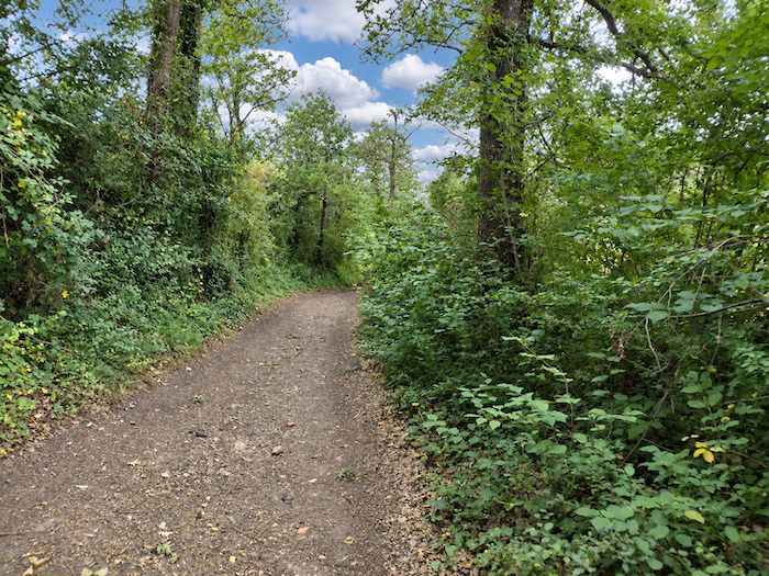 |
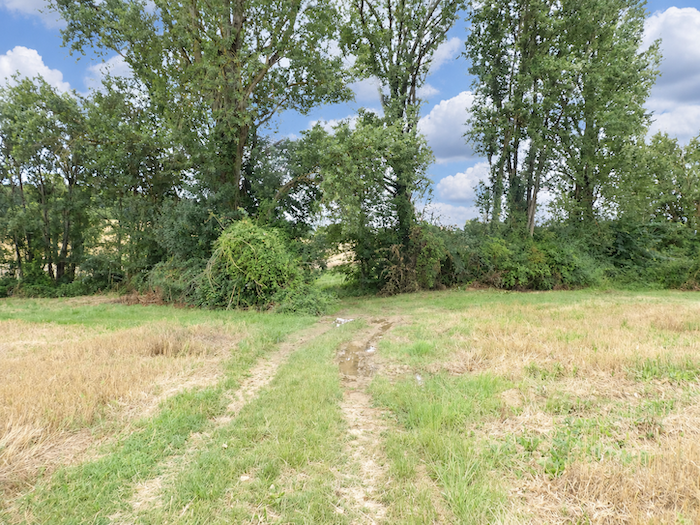
| But the descent is short-lived. Already, the path reaches the bottom of the little valley, close to the Teulère stream, so inconspicuous that one barely notices it. As for the boundary between Tarn-et-Garonne and Gers, it passes just as unnoticed. |
 |
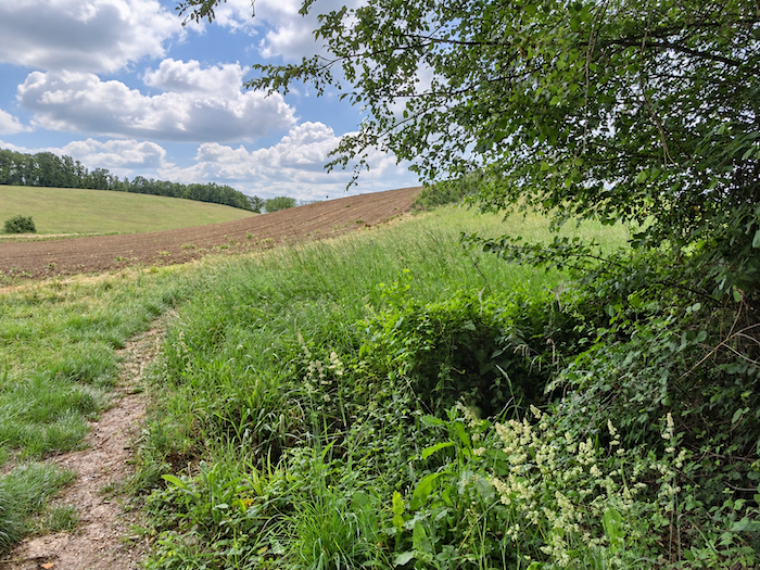 |
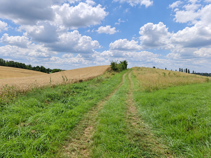
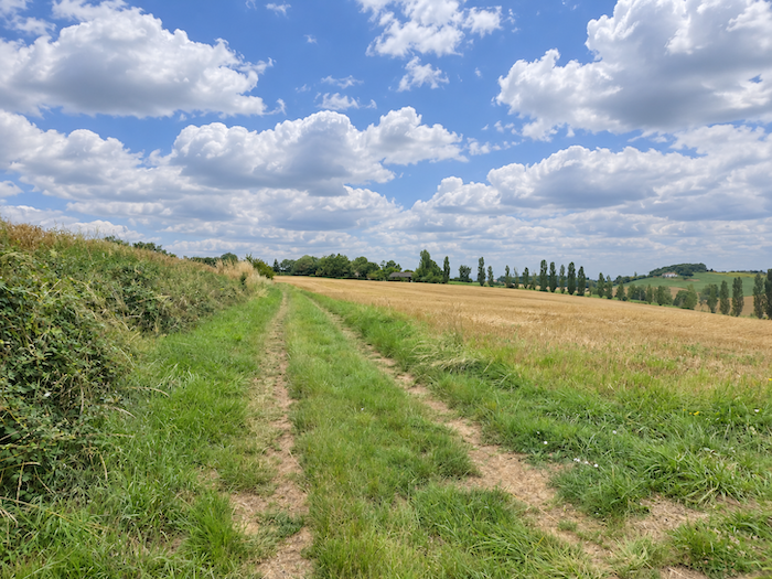
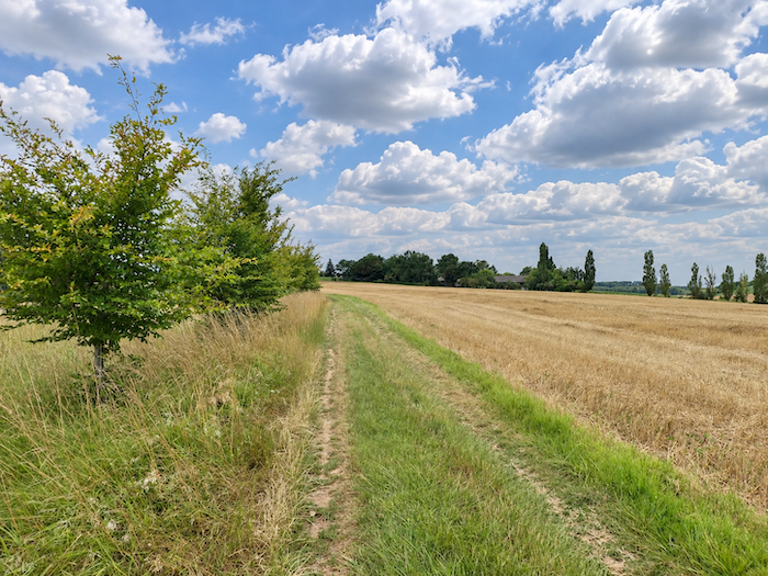
| Hardly have you crossed the stream before the path begins climbing the opposite slope, leaving the valley’s shade behind and returning to the light of the open countryside. We are now in Gers, with its gently rounded hills and fields stretching away as far as the eye can see. If you have never visited this region before, rest assured that the GR65 will give you plenty of time to discover its charms, but also to experience just how endless it can feel. Some pilgrims fall in love with it, captivated by its peaceful horizons and seemingly infinite undulations. Others, less susceptible to this quiet beauty, see nothing but an interminable succession of hills to climb and descend. Gers certainly does not inspire unanimous enthusiasm among walkers. |
 |
 |
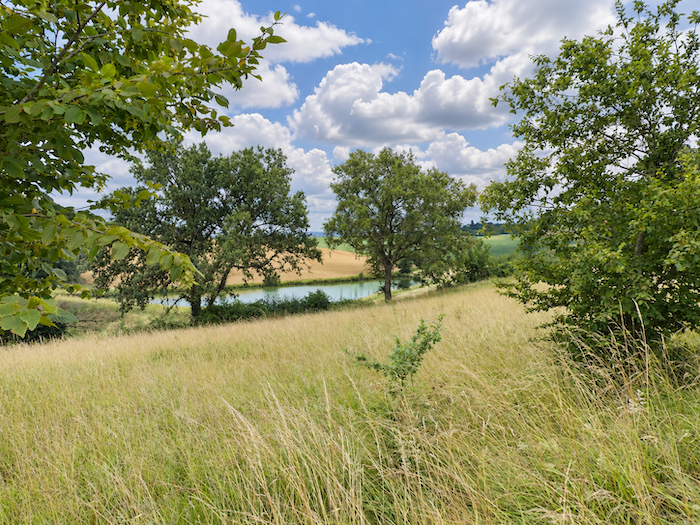
| In this land devoted to large-scale farming, farmers have created numerous reservoirs, veritable little artificial lakes nestled in the hollows of the valleys. These peaceful stretches of water, which might easily pass for charming whims of nature, exist above all to meet the needs of agriculture. |
 |
 |
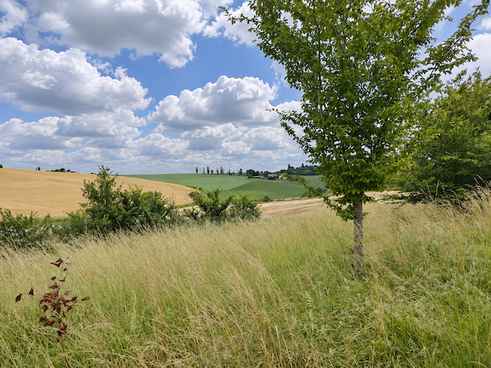
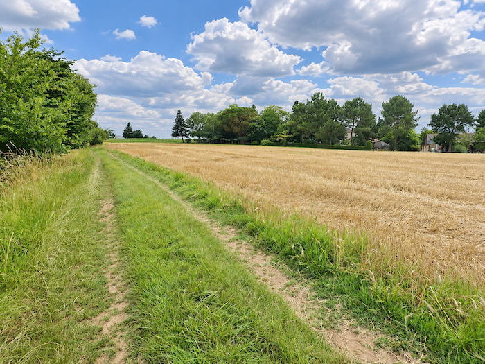
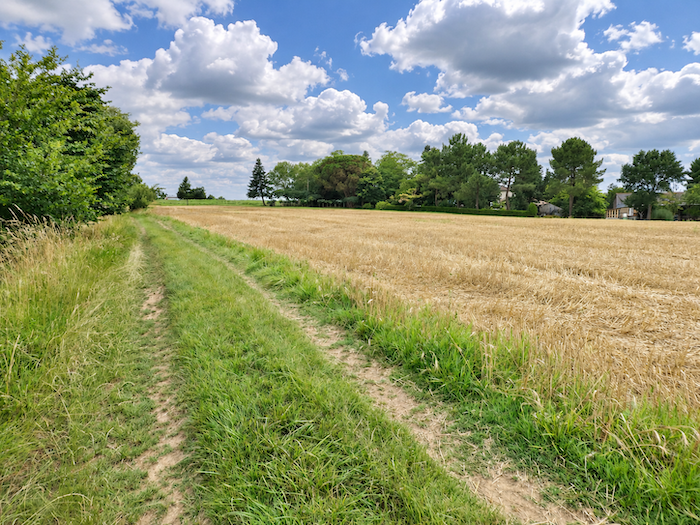
| Gers is also particularly well suited to wheat cultivation, thanks to soils that provide exceptionally favorable growing conditions. Farmers therefore tend to favor the finest varieties of this cereal, leaving a more modest place for triticale, barley and oats. Here, wheat reigns supreme over the hillsides, spreading its golden harvests across slopes where other cereals make only occasional appearances. |
 |
 |
 |
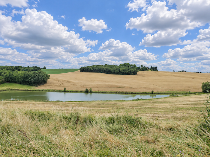 |
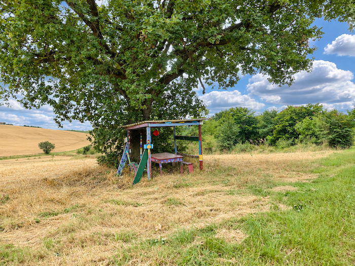
From the picnic table, the eye can linger at leisure over the mosaic of crops clothing the hills. Today, we are at the beginning of summer, after the wheat harvest, and the harvested fields have already lost some of their brilliance. Yet whenever our gaze wanders across this countryside, the same thought returns: how delightful it must be to cross this region in spring! When the still tender wheat ripples beneath the caress of the wind, when young sunflowers timidly stretch their leaves towards the light, and when the soya beans, too, begin to turn the hillsides green. At that time of year, the land has not yet acquired the weary appearance that follows the harvest, and the whole countryside seems intent on being reborn. For those fortunate enough to choose their season, spring undoubtedly holds the finest promises here.
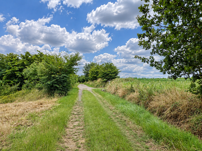
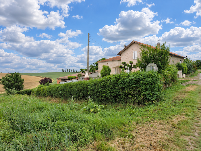
| Higher up, the path passes through a locality with a curious name: La Subsistance, or « Subsistence ». Quite a suggestive name for a handful of houses lost in the countryside! But there is no need to make a meal of it, since the hamlet offers little to detain the walker. The gradient, however, begins to make itself felt, while tarmac unceremoniously takes the place of the soft grass. High above, on the summit of the hill, the silhouette of Flamarens is already taking shape, promising yet another village perched above the fields. |
 |
 |
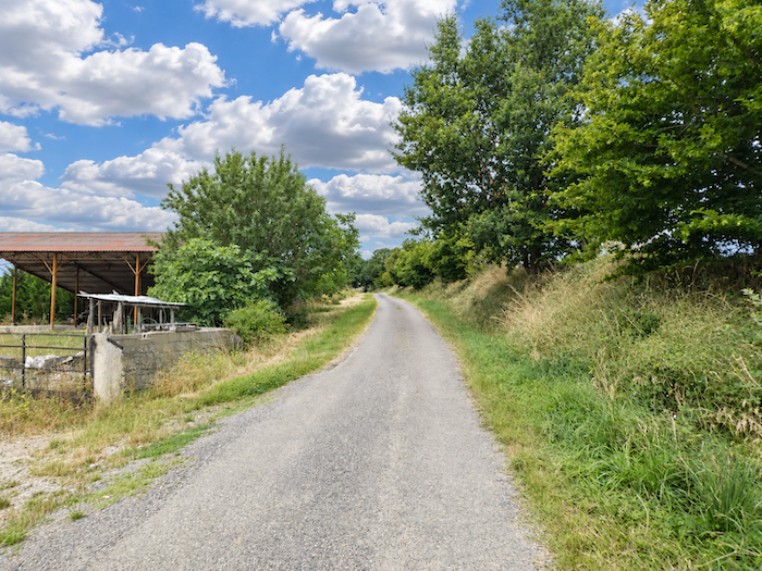
| The climb soon becomes more demanding. All around, the cultivated fields spread out in ever greater expanses, ever more ambitious, as though each plot were trying to push the limits of the horizon a little farther away. In this part of Gers, they certainly seem to produce more flour than poultry. Ducks, despite being such an emblematic feature of Gascon gastronomy, are conspicuous by their absence. |
 |
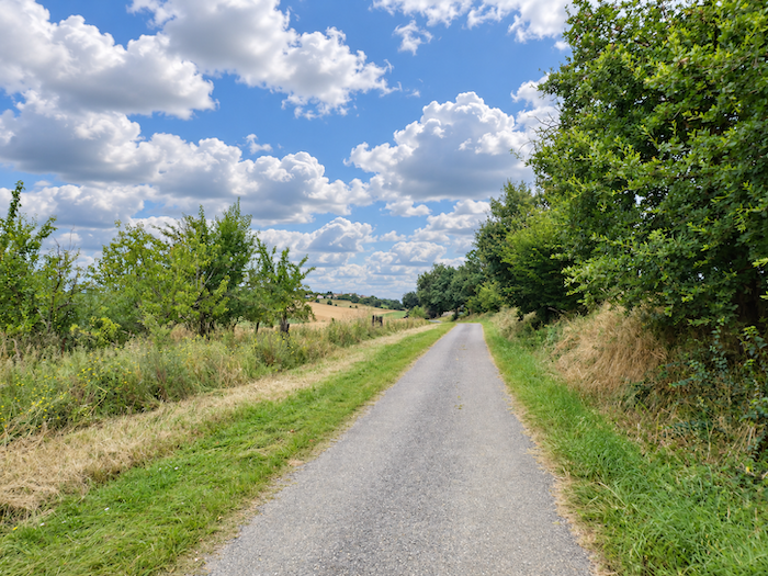 |
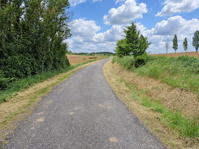
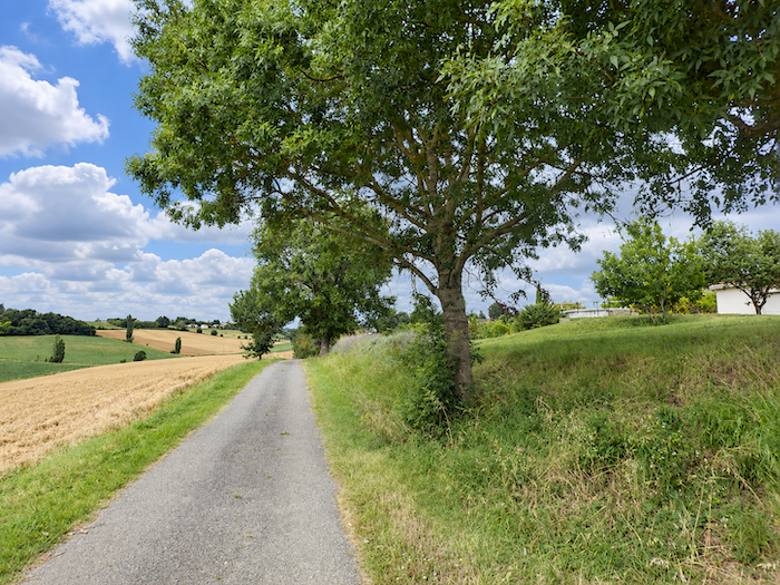
| The road still allows itself a few bends among the great wheat fields, offering a timid escape from the tyranny of straight lines. Here and there, a solitary tree punctuates the cultivated expanses, often an ash, a discreet remnant of the farming landscapes of former times. |
 |
 |
Section 4: From Flamarens, struggling to emerge from oblivion, to Miradoux
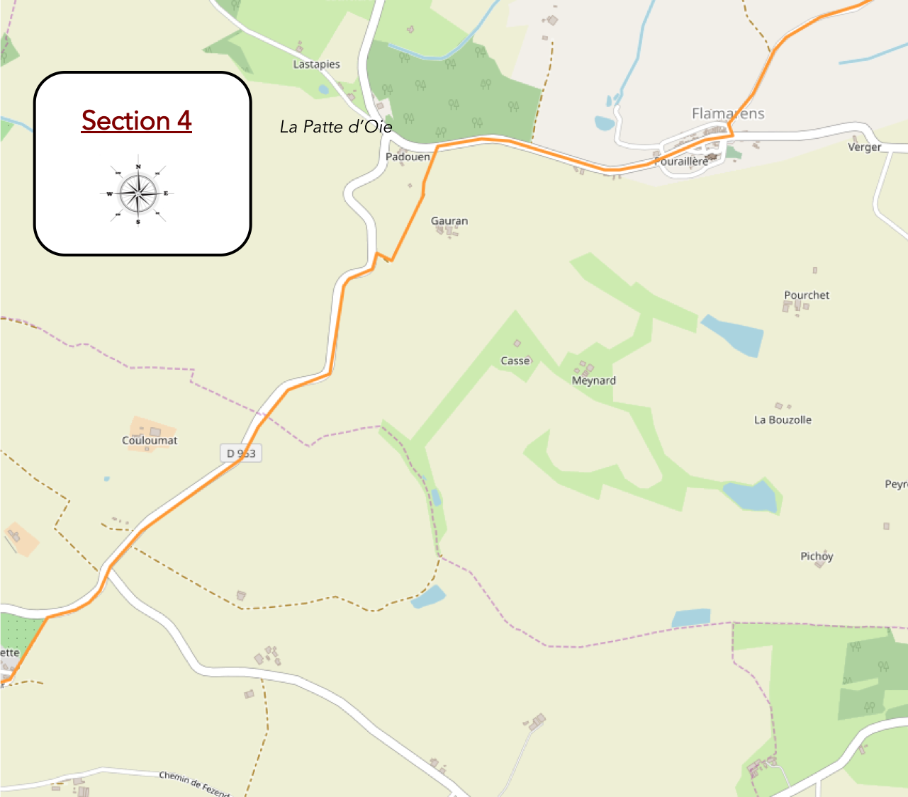
Overview of the route’s challenges: a fairly steep climb towards Flamarens, followed by gently rolling hills presenting no major difficulties.
|
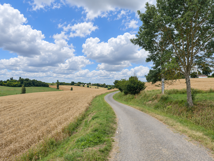
Flamarens gradually draws nearer, rising above the wheat fields and sunflowers that clothe the hillsides. It has been a long climb, almost two kilometers from the Teulère stream, through this Gers countryside where the horizons always seem to retreat as we advance. |
 |
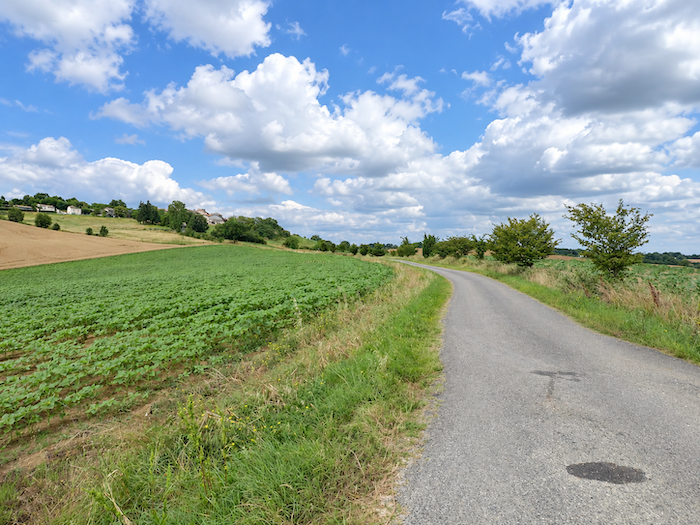 |
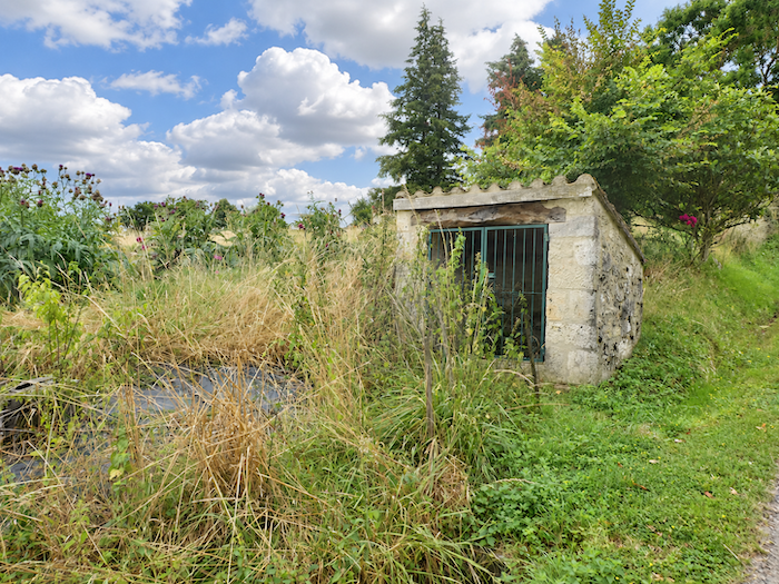
| Until now, the gradient has been relatively forgiving, allowing our legs to settle into a comfortable rhythm. But as we approach the village, the road abruptly changes character. The slope now approaches 20%, as though Flamarens, perched high on its promontory, were determined to make walkers pay for the privilege of visiting it. |
 |
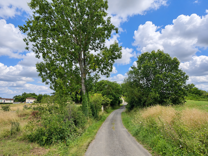 |
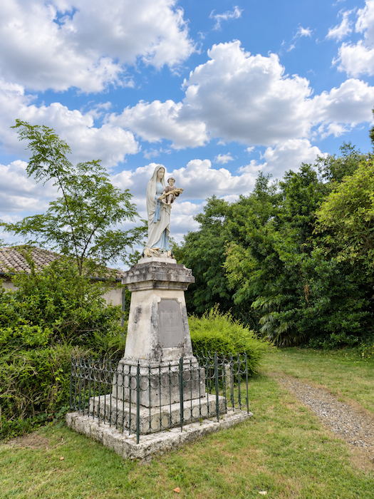
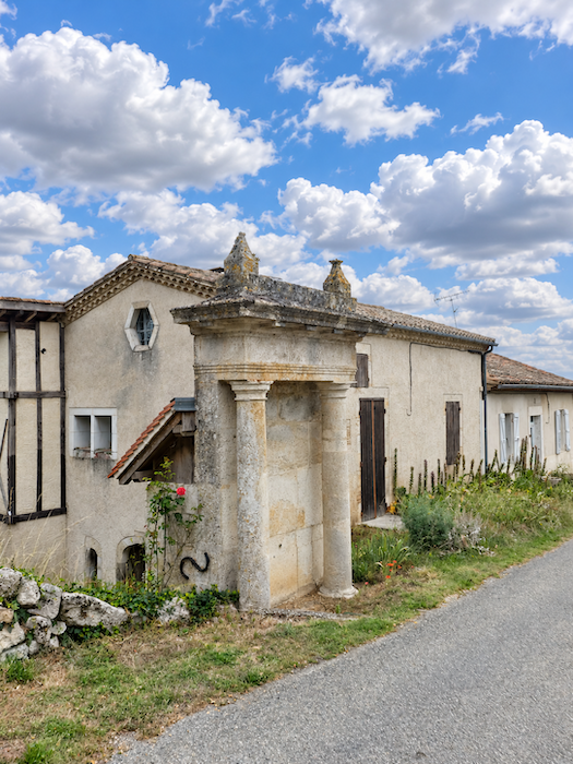
| At the entrance to the village, a statue of the Virgin Mary watches over the surroundings, following a custom still very much alive in many villages throughout the region. Nearby stands a curious portico with Ionic columns. Could these be the remains of an ancient fortified enclosure that once protected this hilltop settlement? |
 |
 |
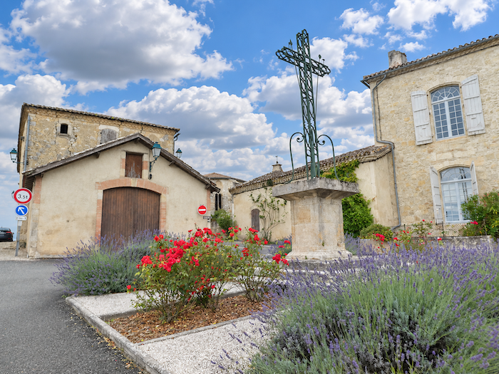
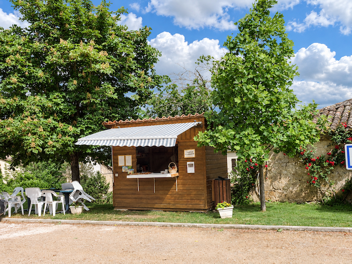
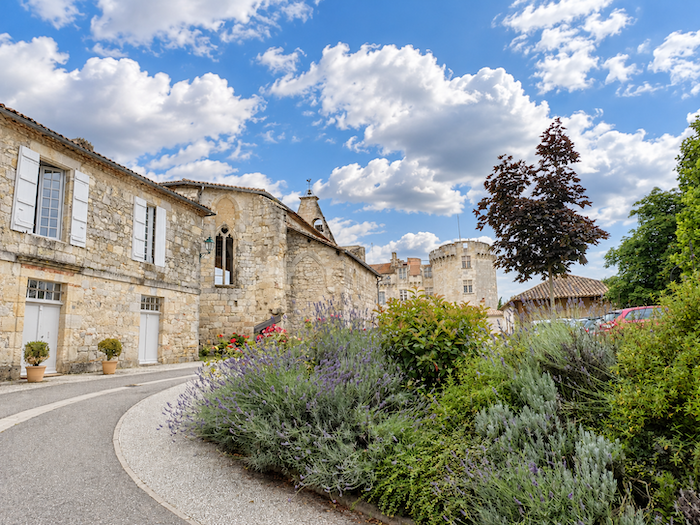
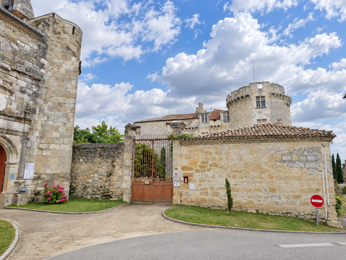
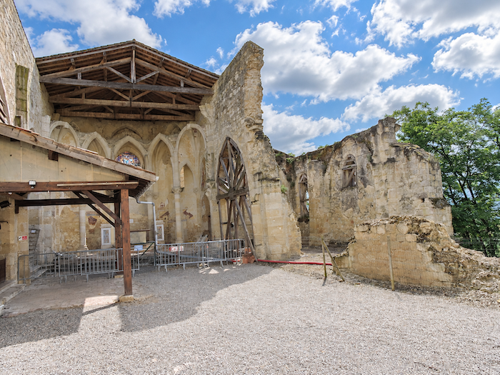
| In the village square, close to a picnic area, the church and the castle stand side by side, like the last two great witnesses to a vanished splendor. And perhaps Flamarens is wise to place itself under the Virgin’s protection, considering how relentlessly misfortune seems to have pursued its architectural heritage. Here, the centuries have left more than memories. They have also inflicted countless wounds. |
 |
 |
 |
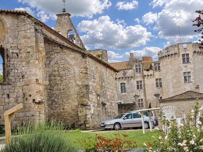 |
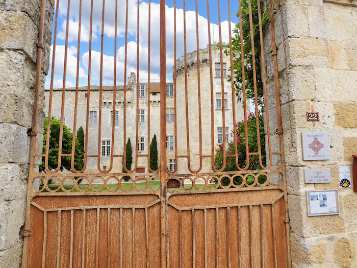
| For many years, Flamarens was a small feudal lordship associated with the viscounts of Lomagne, who built a fortress on this height overlooking the valley. The castle enjoyed its days of power and prestige before a slow decline began. In 1878, the disappearance of the great Grossoles family marked the end of an era. The estate was sold and passed into private hands, but its troubles were only beginning. During the 1930s, lacking the funds to repair a roof that allowed rainwater to penetrate, the castle was gradually abandoned to its fate. As though the ravages of time were not enough, lightning completed the disaster in 1943, setting the roof ablaze. An even darker period followed, during which the building was sold off piece by piece, stripped of its architectural features like an old mansion whose owners had given up trying to save its soul. Fortunately, the story does not end with this slow deterioration. Since then, restoration efforts have sought to rescue the monument from its ruins and restore something of its former dignity.
But restored stones alone are not enough to bring a village back to life. People, encounters and voices must return as well. This is the task undertaken by the association Art-Terre 32, which is determined to awaken Flamarens from its long slumber. In the castle’s great hall, the association organizes musical evenings of an excellent standard and develops cultural initiatives to breathe new life into this quiet corner of the countryside. Such an undertaking certainly deserves a round of applause! Indeed, one of our friends, an opera singer, has performed here, filling the hall with the beautiful strains of bel canto. |
 |
 |
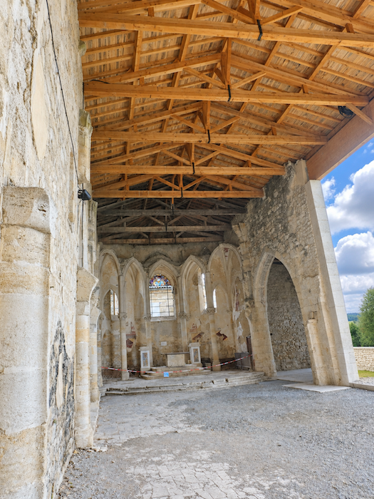
| And if the castle has endured many misfortunes, its neighbor, the Church of Saint-Saturnin, has hardly been spared. Dating from the 16th century, it has long lived under the threat of collapse, its ancient stones sometimes seeming ready to surrender the struggle. Yet here too, a handful of determined people refuse to let time complete its work of destruction. Thanks to the generosity of volunteers and a restoration programme pursued with remarkable perseverance, the building is gradually recovering its dignity. Admittedly, the façade still bears the scars of its injuries, with openings that remain in need of repair. But since our last visit, the roof framework has been rebuilt, tangible proof that these efforts are not in vain. We must pay tribute to those who, through patience, courage and often very limited resources, persist in saving the heritage entrusted to them by centuries of history. Congratulations! |
 |
 |
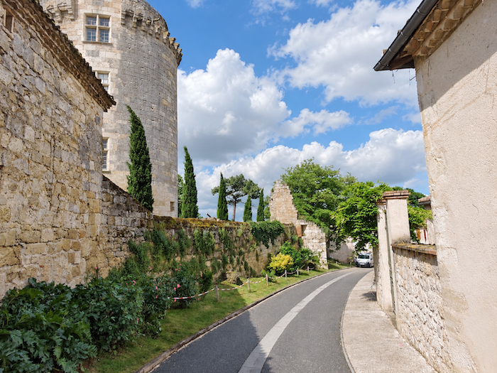
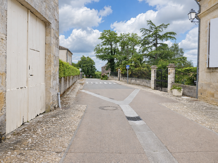
| Crossing Flamarens takes very little time, so tiny is the village. A few houses, a single street, and already the countryside reclaims its territory. |
 |
 |
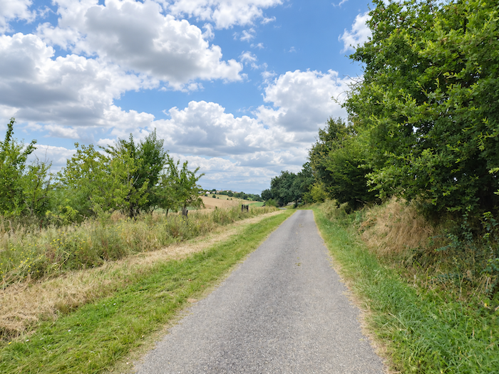
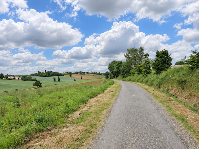
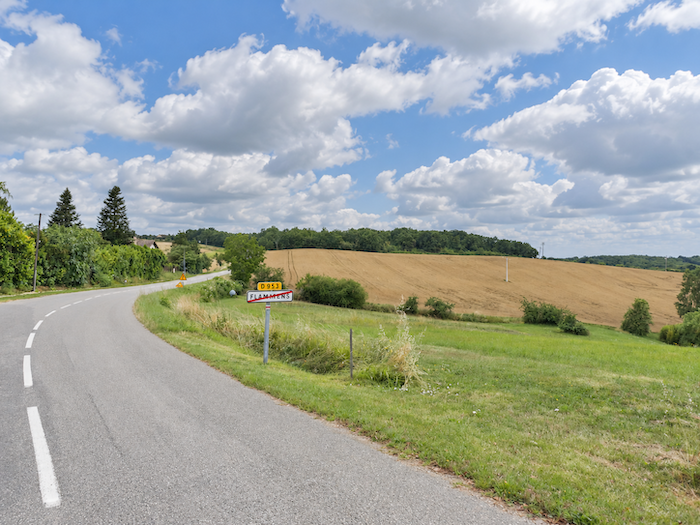
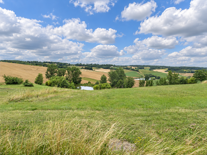
| The GR65 leaves Flamarens along a narrow-paved road descending through the countryside, overlooking several reservoirs scattered among the folds of the valleys. One must give Gers credit for its considerate treatment of walkers. On either side of the road, broad strips of regularly mown grass often make it possible to escape the tarmac. |
 |
 |
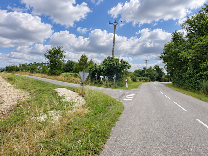
| A long, almost straight road then stretches its ribbon through the cultivated fields, as far as the locality known as La Patte d’Oie. |
 |
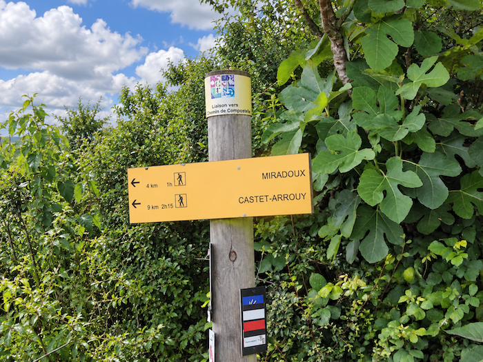 |
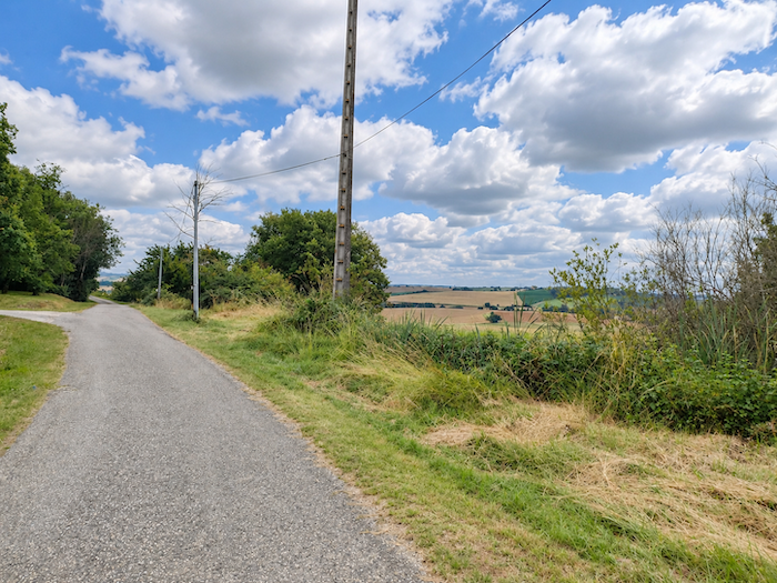
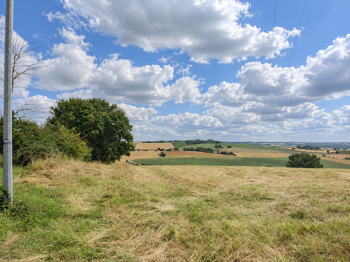
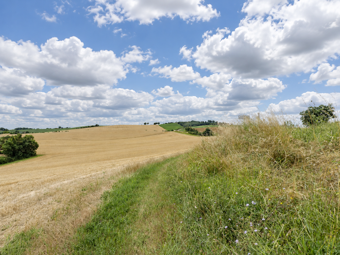
| Here, to avoid the sweeping bend in the departmental road, the GR65 prefers to take a smaller side road. The tarmac soon gives way to grass, and the route descends gently towards the departmental road. All around, the fields form a veritable patchwork, their adjoining plots displaying different shades of green, gold and brown. Wheat still reigns supreme, spreading its vast domains across the rolling landscape. |
 |
 |
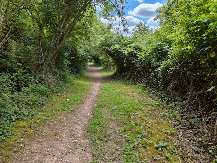
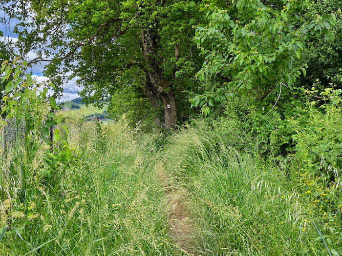
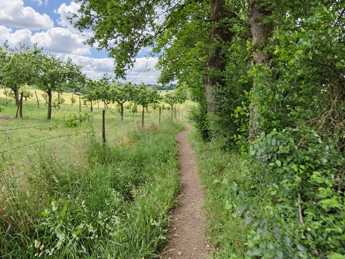
| Shortly afterwards, a little trail makes a brief excursion into the woodland. |
 |
 |
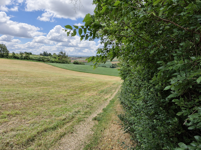
| Farther down, the GR65 rejoins the departmental road, which it now follows along a broad grassy strip at the edge of the cultivated fields. |
 |
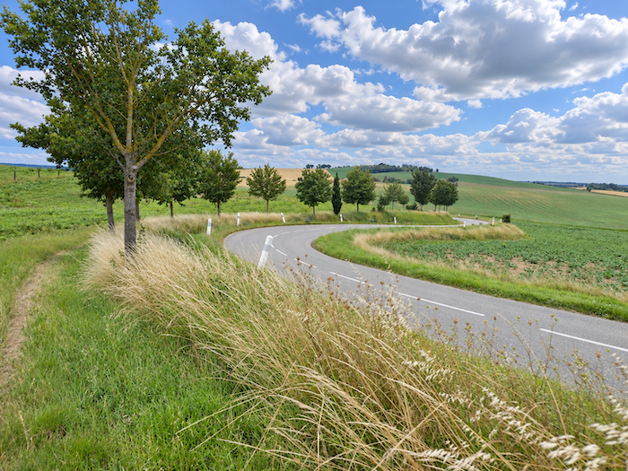 |
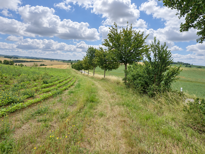
| The path continues its route parallel to the departmental road, through vast expanses of cereal fields. Here, someone has taken the trouble to plant hedges of field maples. Perhaps people had finally grown tired of seeing oaks reign almost unchallenged over the region’s countryside! Whatever the reason, this botanical diversity is most welcome. It brings a little variety back to these agricultural landscapes, where trees have too often become nothing more than isolated silhouettes standing in the middle of fields. |
 |
 |
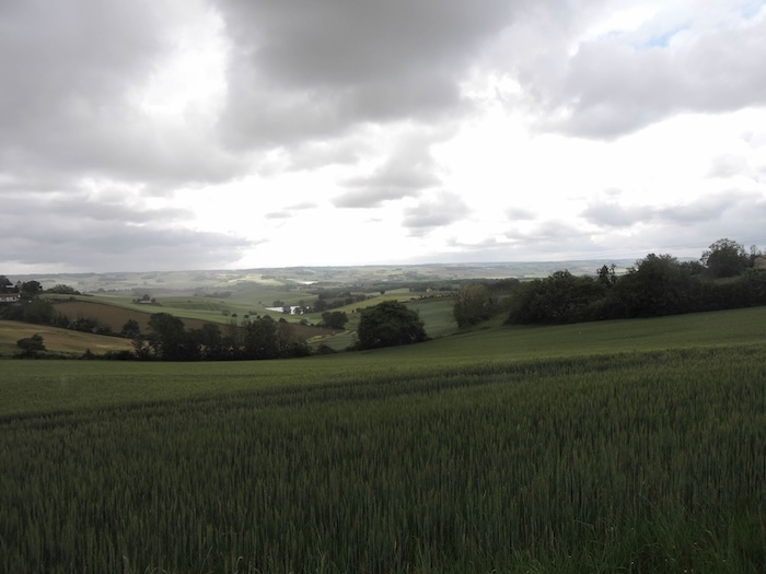
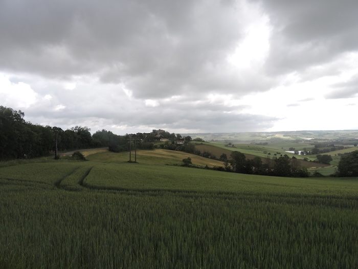
| Yet sometimes all it takes is a dark spring sky to transform landscapes we thought we knew. Beneath clouds heavy with rain, the hills assume unexpected colors, and we almost feel as though we have crossed some invisible frontier and entered another country. Isn’t it strange how light can change the entire face of the countryside? |
 |
 |
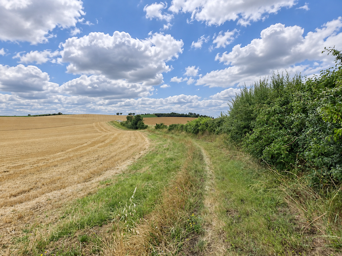
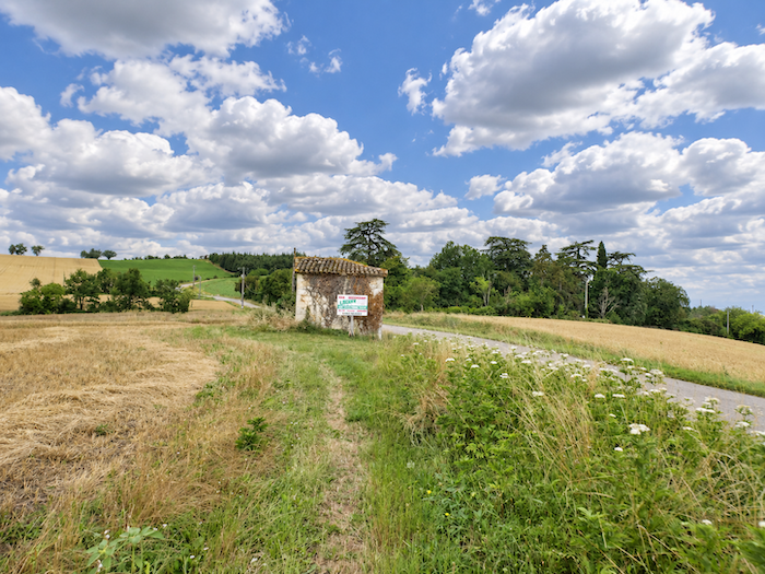
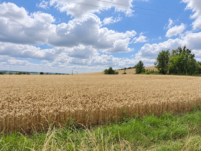
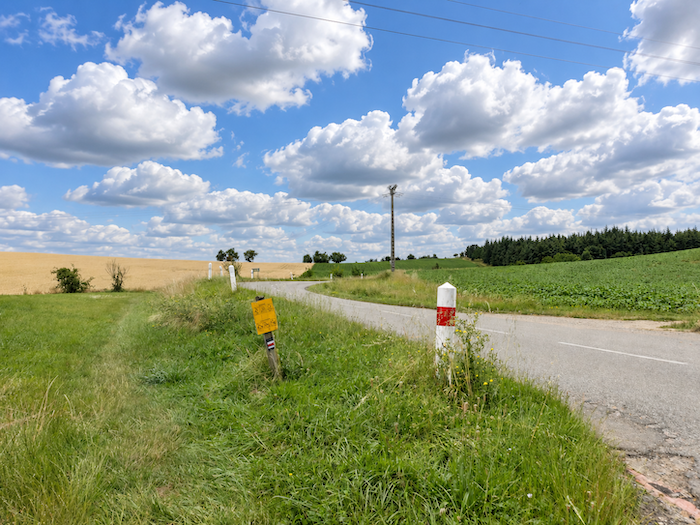
| Le chemin poursuit longtemps sa course parallèlement à la route, dans cet univers presque sans limites où les céréales déploient leurs majestueuses étendues. Lorsque les blés ont été moissonnés, bien malin serait celui qui saurait encore reconnaître, à la seule vue des chaumes, s’il s’agissait de blé d’hiver, de blé dur ou de froment. À vrai dire, peu importe au marcheur, qui n’a pas nécessairement vocation à devenir spécialiste des graminées. Il existe des dizaines de variétés de blé, et si cette partie du Gers accorde volontiers sa préférence aux blés nobles, d’autres campagnes font une place plus généreuse aux céréales fourragères, à l’orge ou à l’avoine. Pour le pèlerin, toutes ces cultures finissent par composer une même immensité agricole, dont les nuances échappent parfois au regard, mais dont l’ampleur ne cesse d’impressionner. |
 |
 |
 |
 |
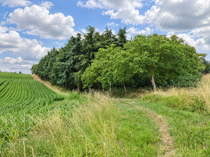
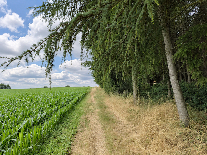
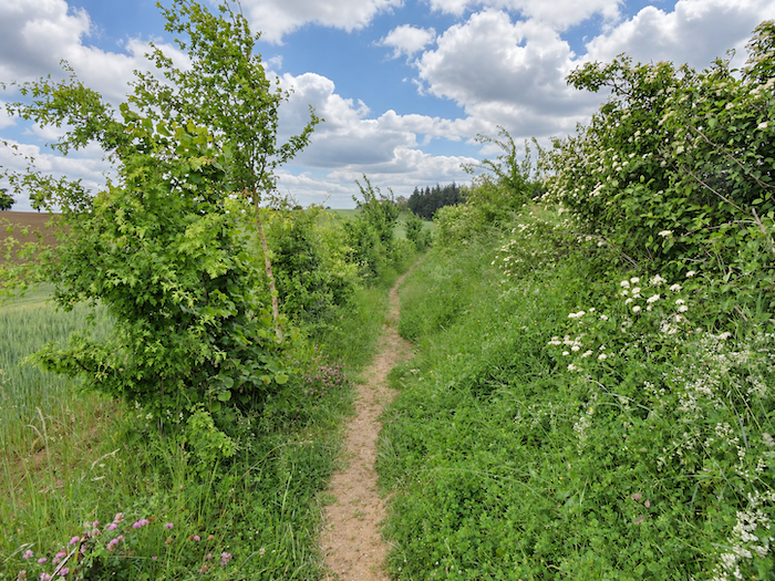
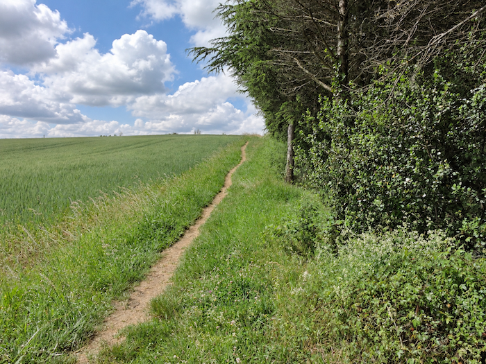
| Puis une colline se dresse devant le marcheur, comme pour lui rappeler que les longues traversées de champs ne dispensent jamais tout à fait des efforts de la montée. Le chemin attaque le versant avec une belle détermination, sur une pente soutenue qui avoisine les 15 %. De part et d’autre, les cultures de maïs voisinent avec des sapins blancs que l’on a plantés là, présence pour le moins inattendue dans cette campagne gersoise. |
 |
 |
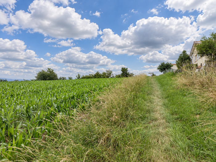
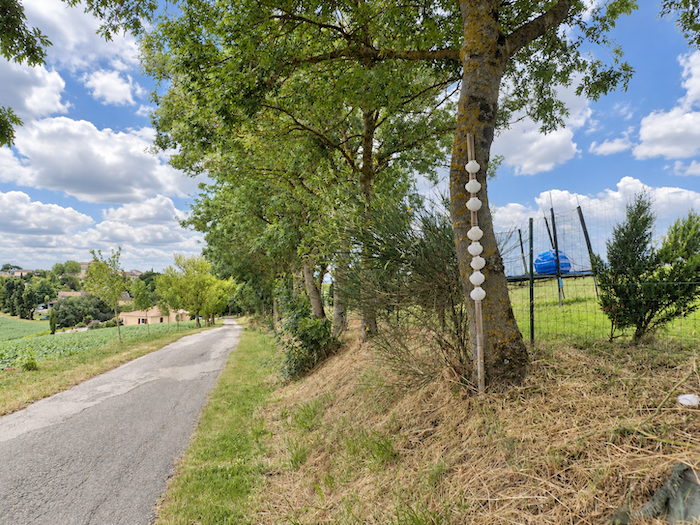
| Au sommet de la colline, l’effort trouve enfin son terme. Le chemin rejoint les hauteurs de Miradoux, où un lotissement de construction relativement récente annonce le retour à un paysage plus habité. |
 |
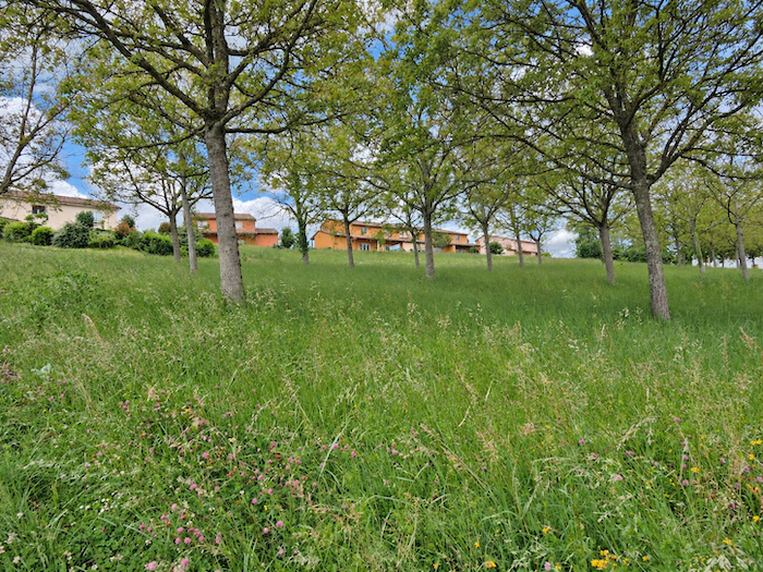 |
De là-haut, par-delà les champs de tournesols, le regard embrasse un panorama assez ébouriffant sur les douces collines du Gers.
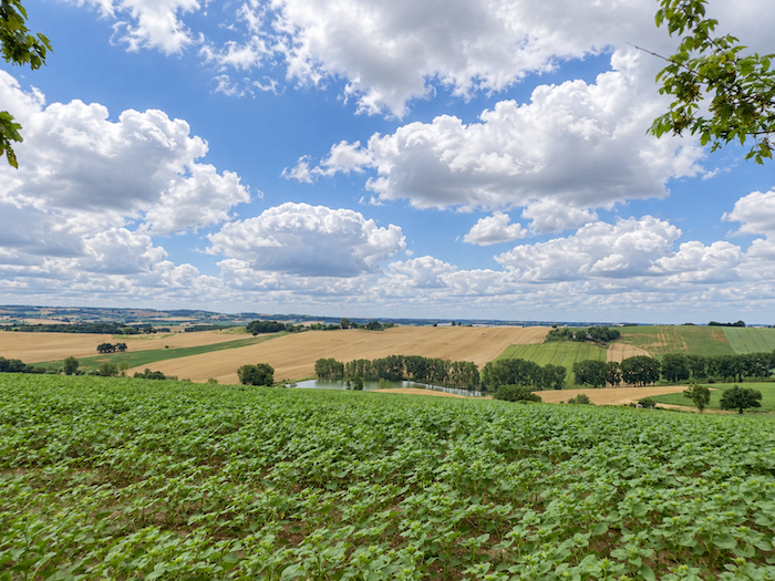
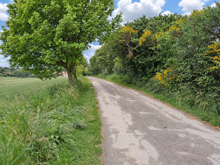
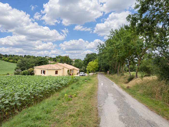
| Une petite route amorce alors la descente à travers les cultures, en longeant les lotissements récemment établis sur les hauteurs. Le goudron accompagne tranquillement le marcheur vers le village, tandis que les grandes étendues agricoles commencent à céder du terrain aux habitations. |
 |
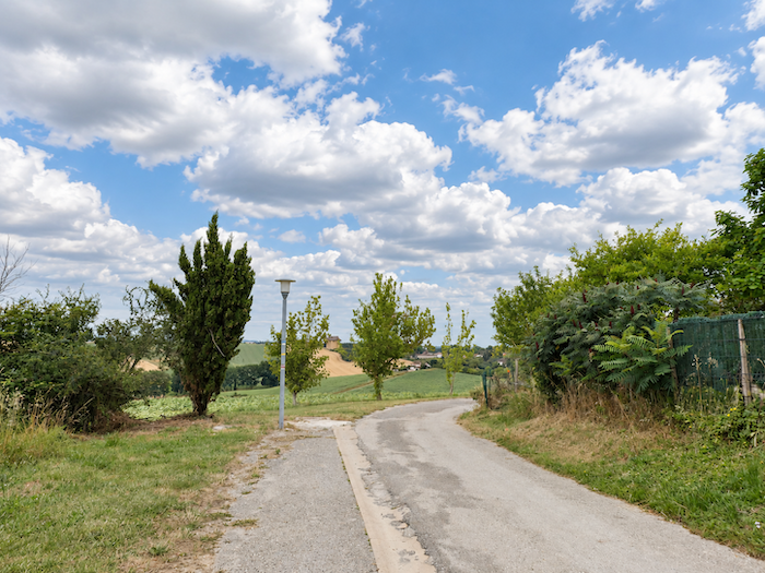 |
| Devant vous, les premières maisons de Miradoux s’égrènent sur la pente, annonçant le retour à un monde plus habité. |
 |
 |
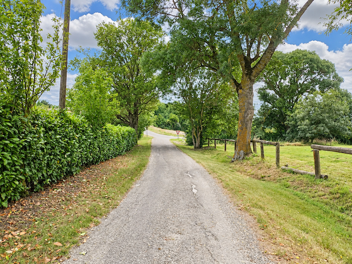
| Plus bas, sous l’ombre familière des frênes et des érables, le GR65 rejoint la route départementale qui traverse le village. |
 |
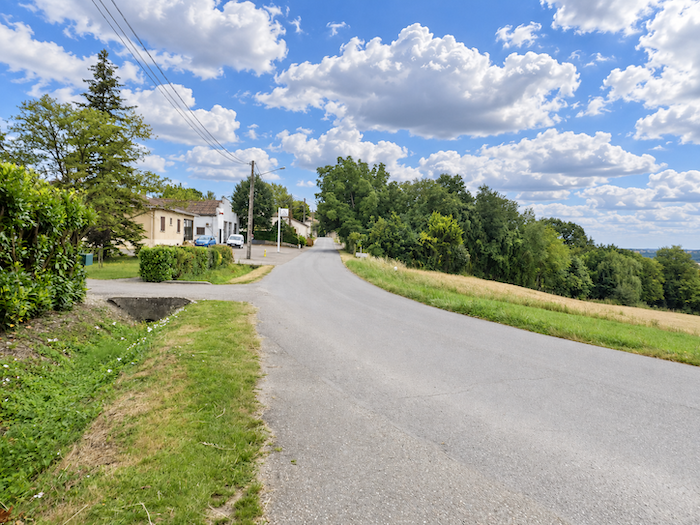 |
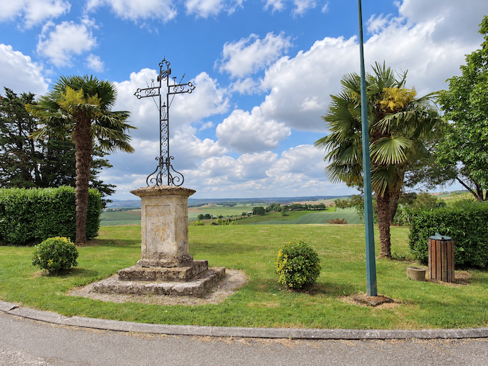
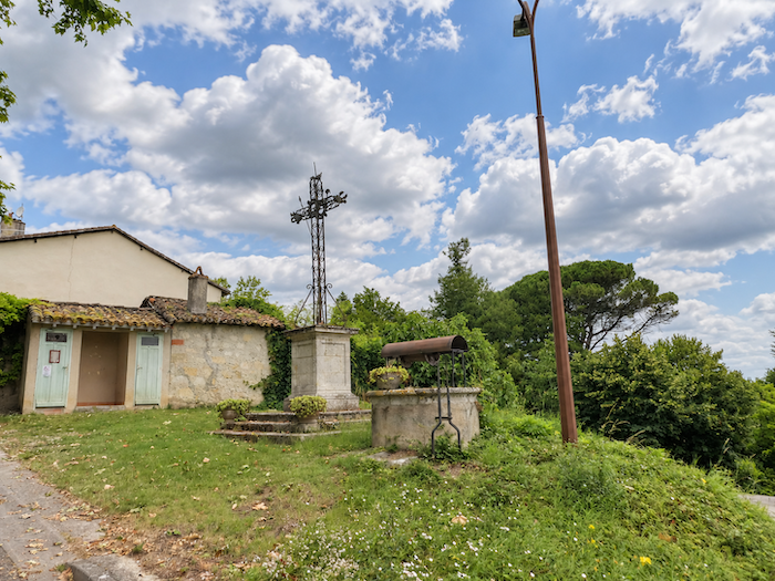
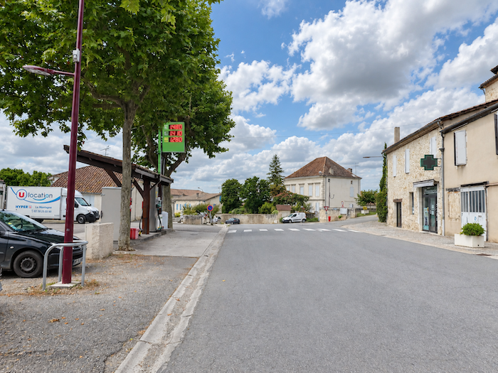
| Un peu plus loin, un carrefour marque l’entrée dans le bourg. Une grande croix de fer s’y dresse, sobre sentinelle de ces carrefours ruraux où la tradition religieuse a longtemps laissé son empreinte. |
 |
 |
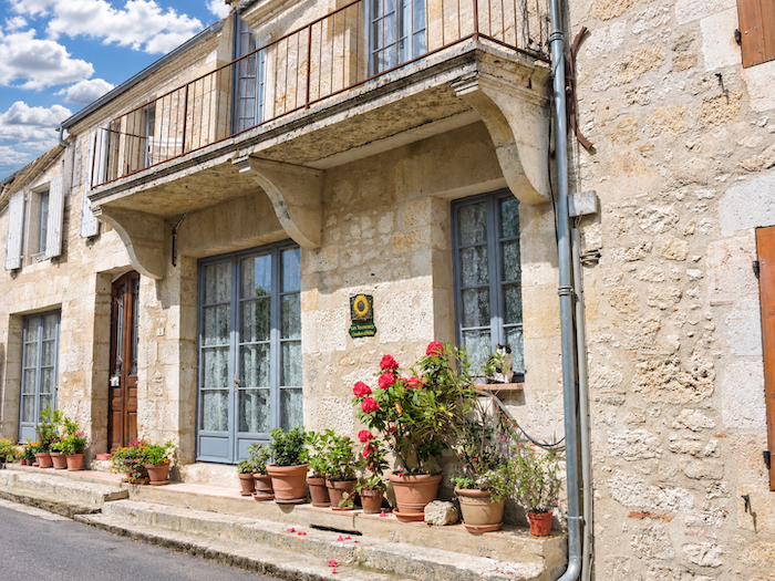
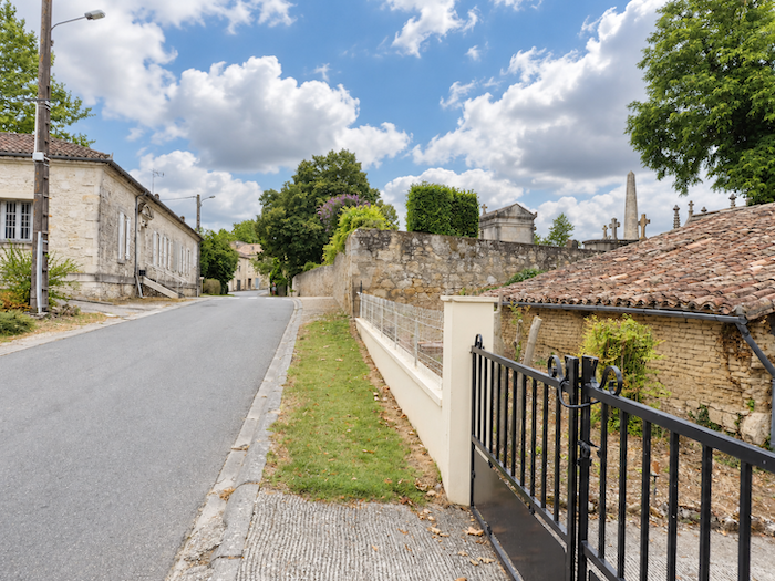
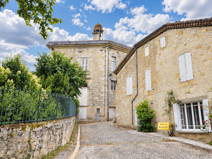
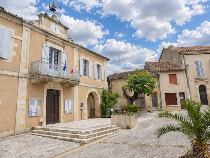
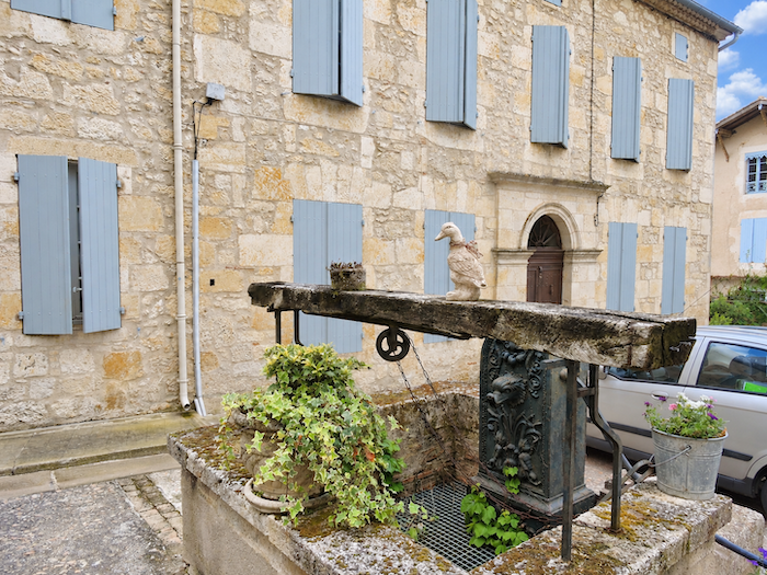
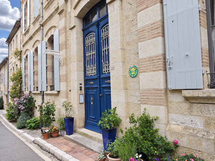
| Miradoux, avec ses quelque 540 habitants, est une ancienne bastide dont les vieilles maisons déclinent toute une palette de teintes, du gris tendre à l’ocre chaleureux. Derrière cette apparente modestie se devine encore l’ordonnance d’une cité médiévale, autrefois bien plus importante qu’elle ne paraît aujourd’hui. |
 |
 |
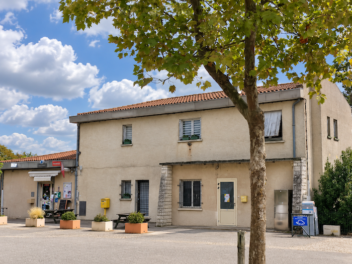
| Dans cette partie peu peuplée du département, où les commerces de proximité ne sont pas légion, les habitants ont fait preuve d’ingéniosité pour préserver un peu de vie locale. Une zone commerciale autogérée a ainsi vu le jour, avec des commerces ouverts une partie de la journée. Voilà qui évite de devoir prendre la route de Lectoure, ou de destinations plus lointaines, pour les achats les plus ordinaires. Dans ces campagnes où tant de bourgs ont vu disparaître leurs derniers commerces, pareille initiative mérite d’être saluée. |
 |
 |
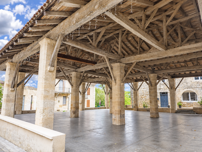
| Au centre du bourg trône une belle halle à grains, témoin d’une époque où le commerce des céréales occupait une place essentielle dans la prospérité des petites cités rurales. Dans ce pays de grandes cultures, posséder sa halle relevait presque autant de la nécessité économique que du prestige communal. |
 |
 |
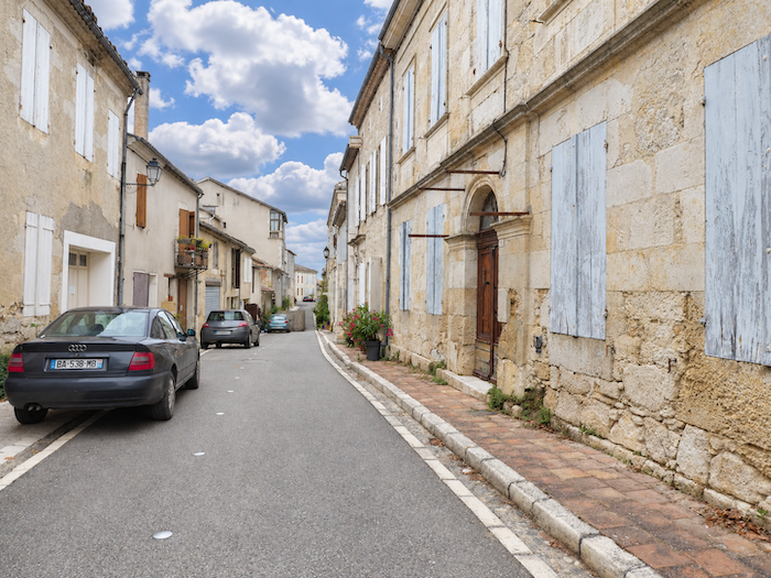
| Le village déroule ensuite ses rues assez étroites, qui descendent vers la partie basse du bourg et sa zone commerciale. Les maisons, souvent bâties en moellons de calcaire, affichent des façades claires dont l’harmonie tient davantage à la simplicité des matériaux qu’à quelque recherche architecturale. |
 |
 |
| De l’ancienne bastide et de son château, les siècles n’ont laissé que quelques reliques : un donjon, un escalier en colimaçon et des meurtrières, derniers témoins d’un passé où il fallait aussi songer à se défendre. |
 |
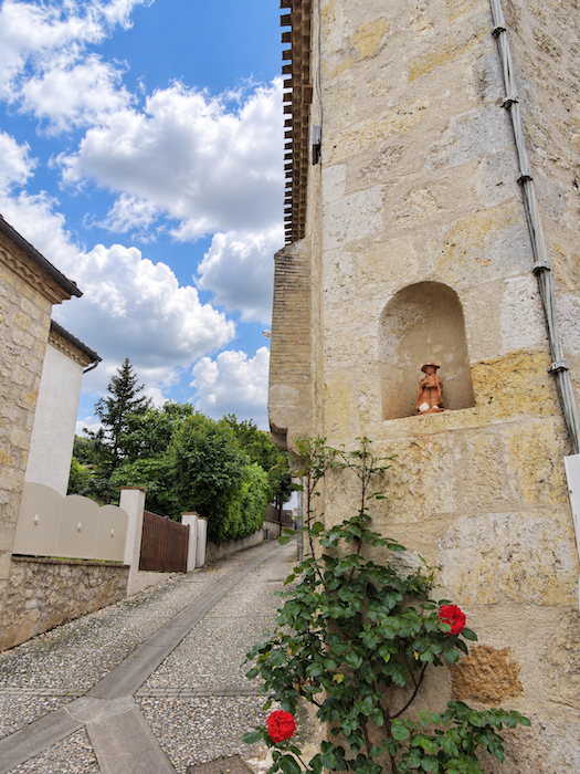 |
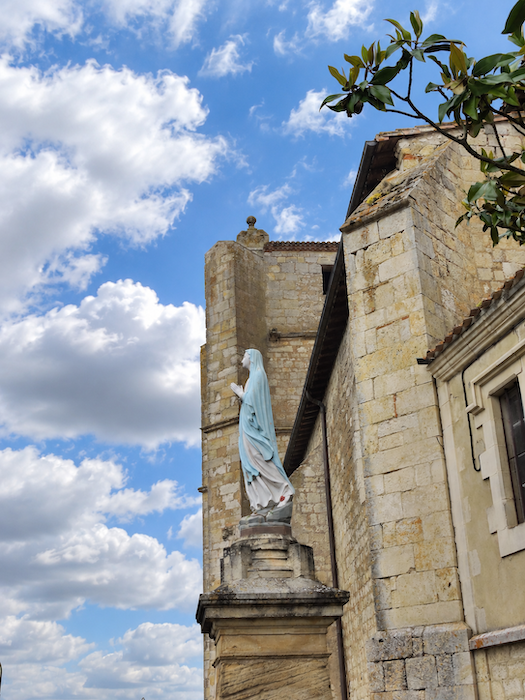
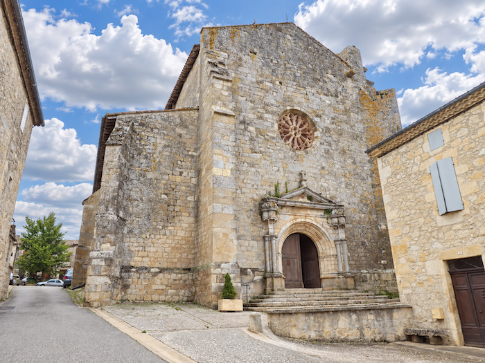
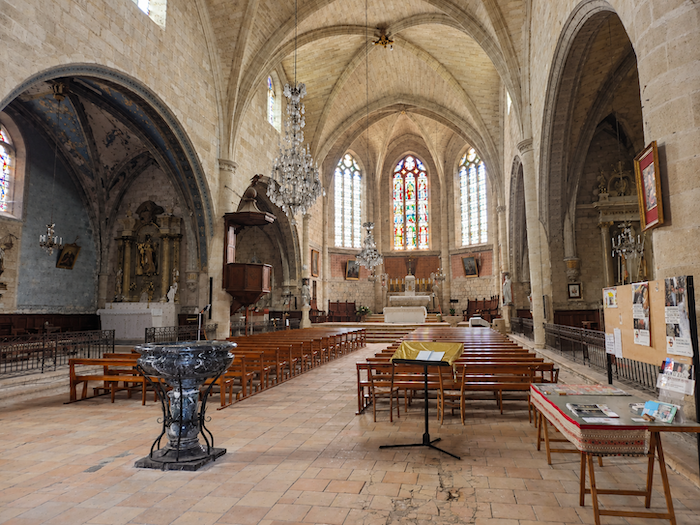
| C’est sur les ruines du château que fut reconstruite, au XIVe siècle, l’église du village. Remaniée à plusieurs reprises au fil des siècles, elle porte dans son architecture les traces de ces transformations successives. Aujourd’hui classée au titre des Monuments historiques, elle rappelle que Miradoux, malgré sa taille modeste et son apparente tranquillité, conserve un patrimoine hérité d’une histoire autrement plus mouvementée. |
 |
 |
Accommodation on Via Podiensis
- Accueil Pèlerins, 9145 Route d’Esbarbes de Lussan, Bardigues; 07 45 07 21 89/07 82 29 21 92; Gîte, dinner, breakfast, cuisine
- Gîte L’Atelier du Charron, 2 Rue des Amandiers Bardigues; 07 48 90 10 54; Gîte, dinner, breakfast
- Gîte La Plaine, La Plaine, St Antoine; 06 71 13 82 97; Gîte, dinner, breakfast, cuisine
- Gîte-Chambres d’hôtes La Mason du Bois, 3 Rue de la Commanderie, St Antoine; 06 50 27 65 59; Gîte and Guestroom, dinner, breakfast
- Gîte-Chambres d’hôtes Ferme de Villeneuve, Villeneuve, St Antoine; 07 86 42 87 21/06 70 35 55 75; Gîte and Guestroom, dinner, breakfast
- Gîte Château de Flamarens, Flamarens; 06 20 44 44 48/06 20 30 03 52; Gîte, dinner, breakfast
- Accueil Pèlerin, La Patte d’Oie, Flamarens; 07 84 92 75 15 ; Gîte donativo
- Gîte Le Patio, 9 Place du Foirail, Miradoux; 06 78 20 67 01/09,53 31 37 23; Gîte and Guestroom, dinner, breakfast, cuisine
- Gîte Au Jardin, 14 Chemin de Ronde, Miradoux;06 72 66 62 87/09 54 81 30 80; Guestroom, dinner, breakfast
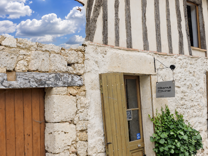
- Gîte Bonté Divine, 5 Rue Perte d’Uzan, Miradoux; 05 62 68 30 80/06 20 50 09 70; Gîte et Guestroom, dinner, breakfast
- Gîte Chez Nous chez Vous, Catherine (pèlerine), 1 Grand Rue, Miradoux; 05 62 29 3350; Gîte and Guestroom, dinner, breakfast
- Gîte-Chambres d’hôtes-Restaurant, 6 Route de Lectoure, Miradoux; 05 62 28 61 43 ; Gîte and Guestroom, dinner, breakfast
- Chambres d’hôtes Colibri d’Ailleurs, 12 Rue Major, Miradoux; 06 27 57 27 29; Guestroom, dinner, breakfast
- Chambres d’hôtes La Cordalie, 3 Place de la Mairie, Miradoux; 05 62 25 84 35/06 75 57 49 29; Guestroom, dinner, breakfast
- Chambres d’hôtes La Fazendes, 84 Route du Temple, Miradoux; 06 99 61 24 53; Guestroom, dinner, breakfast
Year after year, the Camino de Santiago changes and reinvents itself, shaped by the seasons and the footsteps of its pilgrims. Some places to stay close their doors, while others, modest or unexpected, spring up along the way. It would therefore be unrealistic to claim that any list could ever be both permanent and exhaustive. The following selection includes only accommodation located directly on the route or within one kilometer of it. It was updated in 2026 and should therefore remain largely reliable over the next few years. For those wishing to explore further, one guide stands out as an essential reference: Miam Miam Dodo, readily available online. Its greatest strength lies in the fact that it is updated every year. Rather than limiting itself strictly to accommodation along the route, it also lists places to stay further afield, a particularly valuable resource when large numbers of pilgrims make finding a bed at the usual stopping points more uncertain. It also contains a wealth of practical information: welcoming bars, restaurants along the way, and conveniently located bakeries. all welcome stops that punctuate the journey. Alongside these traditional resources, another presence has now become impossible to ignore: Airbnb. The platform has established itself as a major player in the tourism landscape, even in quieter or less prosperous regions. However, as most travelers know, exact addresses are not displayed upfront, which means that some advance planning is required. On the Camino, finding a bed at the last minute can sometimes come down to a fortunate stroke of luck. But luck, by its very nature, is no strategy. Booking ahead is therefore strongly recommended. Finally, when making your arrangements, be sure to ask about dinner and breakfast options. Such details may seem insignificant, but they can make a long day on the Camino considerably more comfortable.
If we take stock of the available accommodation, there are around 80 beds before reaching Miradoux, suggesting that many pilgrims choose to stop earlier along the route. In Miradoux itself, accommodation is somewhat limited, with around 65 beds available. While the Via Podiensis generally sees between 100 and 200 walkers, there tend to be fewer pilgrims after Cahors. Finding accommodation on this stage may therefore prove difficult. It is worth noting, however, that many pilgrims do not stop here and continue on to Lectoure. But it is said that by the time they reach Lectoure, they are practically on their knees!
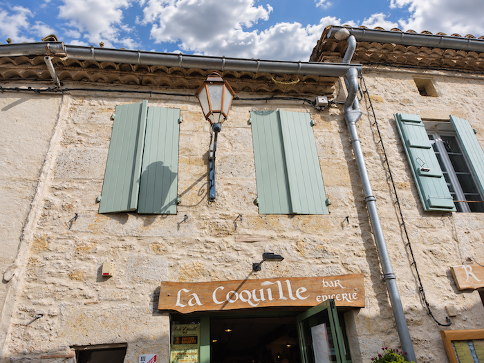
These routes wind through often sparsely populated areas, where shops and other services are limited. Restaurants are few and far between, as are grocery shops, which are often little more than small local outlets selling bread along with a limited selection of vegetables and dairy products. Food and refreshments are available along the route in Saint-Antoine and Flamarens, where there is a bar and a grocery shop. There is a water point in Flamarens, but no public toilets. On arrival, Miradoux offers a good range of places to eat and buy food. Finally, numerous companies provide luggage-transfer services or transport back to the starting point. Among them, one stands out as a particularly well-established option: La Malle Postale.
Feel free to add comments. This is often how you move up the Google hierarchy, and how more pilgrims will have access to the site.
|
 |
Next stage : Stage 24: From Miradoux to Lectoure |
|
 |
Back to menu |