Along the Garonne River canals
DIDIER HEUMANN, MILENA DALLA PIAZZA, ANDREAS PAPASAVVAS
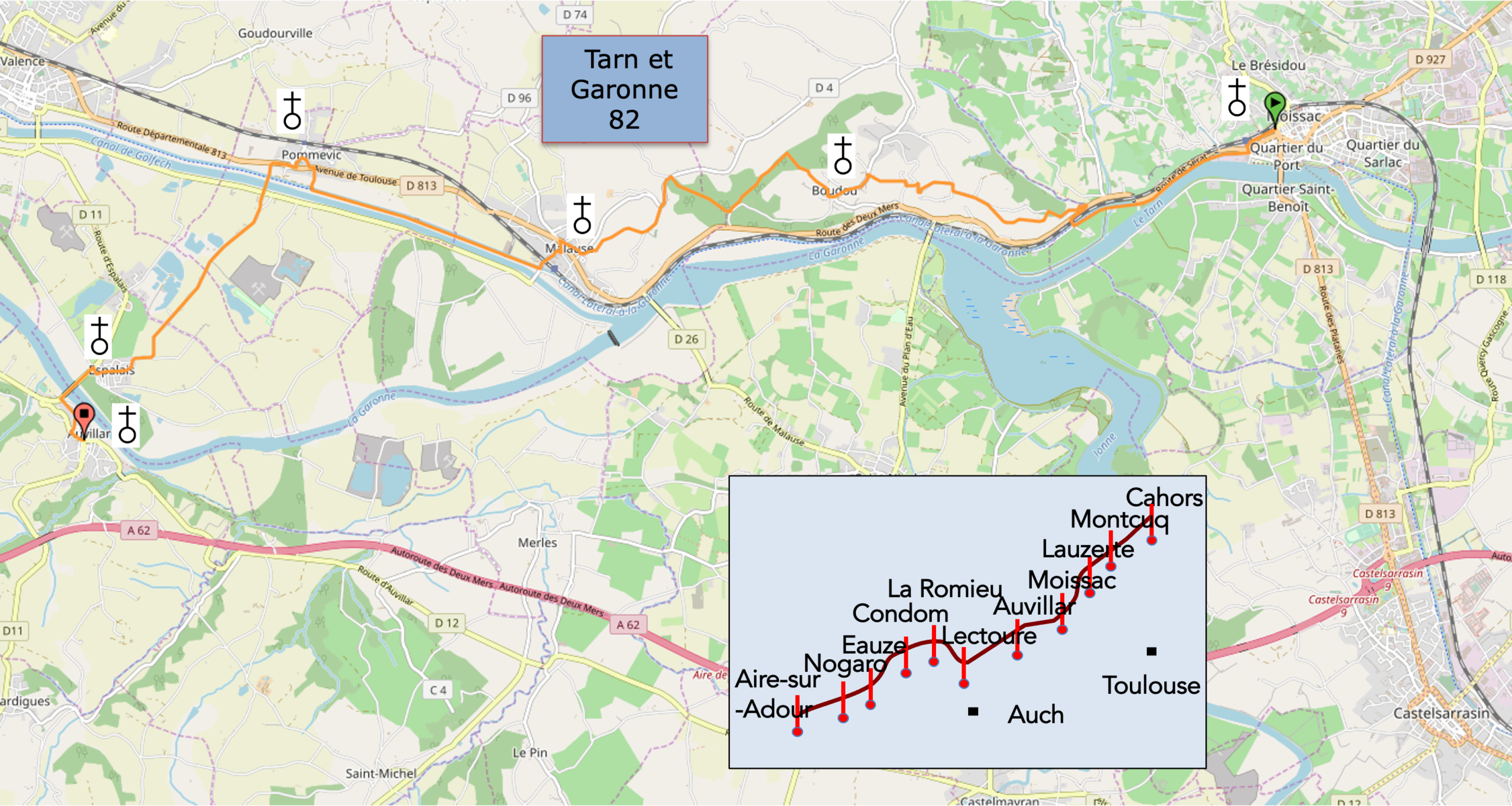
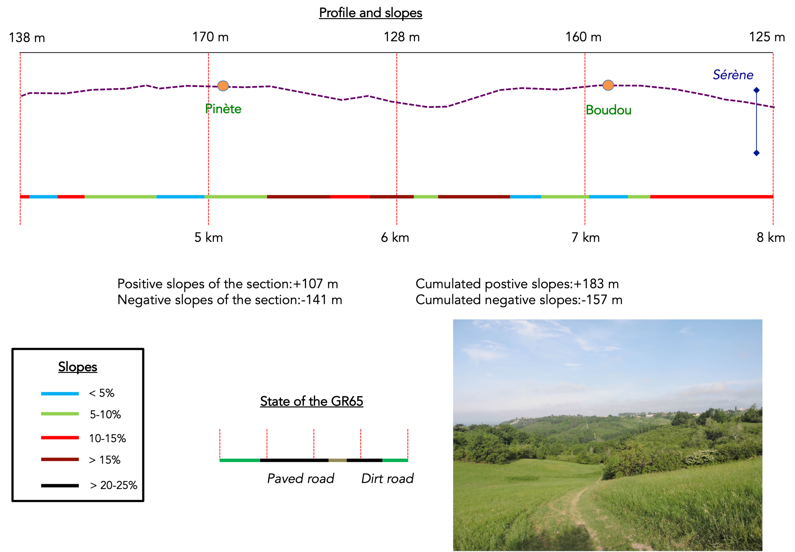
We divided the course into several sections to make it easier to see. For each section, the maps show the course, the slopes found on the course, and the state of the roads. The courses were drawn on the « Wikilocs » platform. Today, it is no longer necessary to walk around with detailed maps in your pocket or bag. If you have a mobile phone or tablet, you can easily follow routes live.
For this stage, here is the link:
https://fr.wikiloc.com/itineraires-randonnee/de-moissac-a-auvillar-par-le-gr65-30515206
|
Not all pilgrims are necessarily comfortable using GPS devices or navigating with a smartphone, especially since there are still many areas without Internet access. That is why, to make your journey easier, a book dedicated to the Via Podiensis from Cahors to LE-Puy-en-Velay is available on Amazon. Much more than a simple practical guide, this book accompanies you step by step, kilometer after kilometer, providing all the information you need for smooth planning and avoiding unpleasant surprises. Beyond its practical advice, it immerses you in the enchanting atmosphere of the Camino, capturing the beauty of the landscapes, the majesty of the trees, and the very essence of this spiritual adventure. Only the pictures are missing, everything else is there to transport you.
In addition, we have also published a second book which, with slightly fewer details but all the essential information, covers the entire route from Le Puy-en-Velay to Saint-Jean-Pied-de-Port. The choice of your journey is yours.
|
 |
 |
If you only want to consult lodging of the stage, go directly to the bottom of the page.
Today, your route continues through Tarn-et-Garonne, between Bas Quercy and Lomagne. The creation of this department has a long history. The people of Lot and Tarn-et-Garonne once lived in a vast province known as Quercy. They were of Celtic origin. In the 5th century, the region was overrun by hordes of Vandals, Suebi and Visigoths, who were eventually driven out by Clovis, only for the Normans to invade in turn. Quercy subsequently fell under English control. During the Wars of Religion, a fierce rivalry developed between the Catholics of Haut Quercy, centered around Cahors, and the Protestants of Bas Quercy, around Montauban. Napoleon I finally settled the matter by separating Bas Quercy to create the department of Tarn-et-Garonne, leaving Lot with Haut Quercy alone.
In 1681, the “Canal du Midi”, linking Sète and Toulouse, was completed. The obvious ambition was to extend the canal towards the Atlantic, allowing goods to be transported across the country. But Louis XIV had drained the royal treasury, and the project was abandoned for lack of funds. For another two long centuries, merchants had to rely on the good old Garonne, with all the dangers of navigating its unpredictable waters, to carry their goods down to Bordeaux. Whenever floods or droughts made the river unnavigable, ships had to take the long way round through Gibraltar, braving violent storms and attacks by pirates along the way. With the arrival of the Industrial Revolution, the project was revived. In 1856, the Atlantic extension of the Canal du Midi was finally inaugurated. This canal follows the Garonne for 193 kilometers, with 53 locks ensuring a pleasant passage for boats. Together, the waterways form the Canal des Deux Mers, stretching for more than 450 kilometers. The canal system, with its locks, bridges, aqueducts and dams, includes sections recognized as UNESCO World Heritage. Yet the canal is shallow, barely two meters deep, which has always posed difficulties for larger vessels. In the 1970s, substantial sums were invested in modernizing the Canal du Midi network, particularly in enlarging the locks to accommodate commercial barges. Then came the oil crisis of 1973, and river freight traffic fell by 50%. The opening of the Autoroute des Deux Mers dealt the final blow to commercial transport along the canal. In 1989, the last barge delivered its cargo of wine to Bordeaux. The French government then stopped funding further improvements, and the final commercial voyage took place in 2000. Nowadays, these canals are used exclusively by pleasure boats. Their banks have been transformed into greenways, much to the delight of countless walkers and touring cyclists who make their way beneath the welcome shade of plane trees and centuries-old poplars.
The canal goes by several names. Some call it the “Canal de Garonne”, while others simply refer to it as the “Canal Latéral”. Its official name is the “Canal latéral à la Garonne”. But since it continues the “Canal du Midi”, which links Toulouse to the Mediterranean, the entire waterway is also known as the “Canal des Deux Mers”, as it connects the Mediterranean Sea with the Atlantic Ocean.
Today, there are two ways to reach Auvillar. Most pilgrims will probably feel that the time has come for a gentler day, giving their aching joints a well-deserved rest. They will be perfectly happy to forgo the opportunity to discover whether the Tarn and Garonne rivers look even more beautiful from the surrounding hilltops. Having studied their route notes, they will have noticed that the canal alternative involves virtually no climbing at all until they reach the foot of Auvillar.
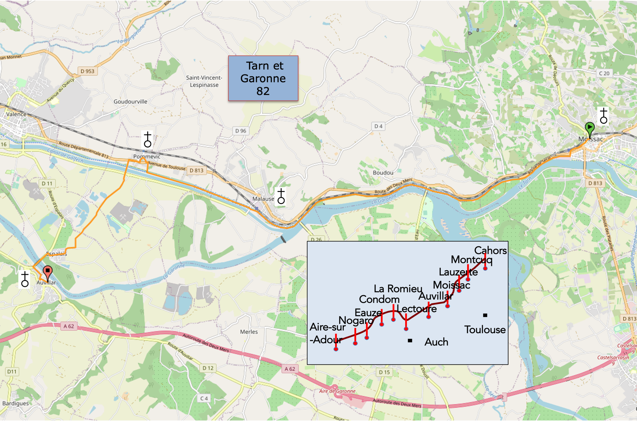
Difficulty of the course: Today’s elevation changes (+346 meters / -311 meters) are relatively modest. For those who choose the alternative route along the “Canal des Deux Mers” as far as Pommevic, this is a wonderfully peaceful and easy day. For the others, the two climbs towards Boudou and Malause conceal some serious challenges. But on the Way of St James, nothing is truly beyond reach. This is a path for everyone.
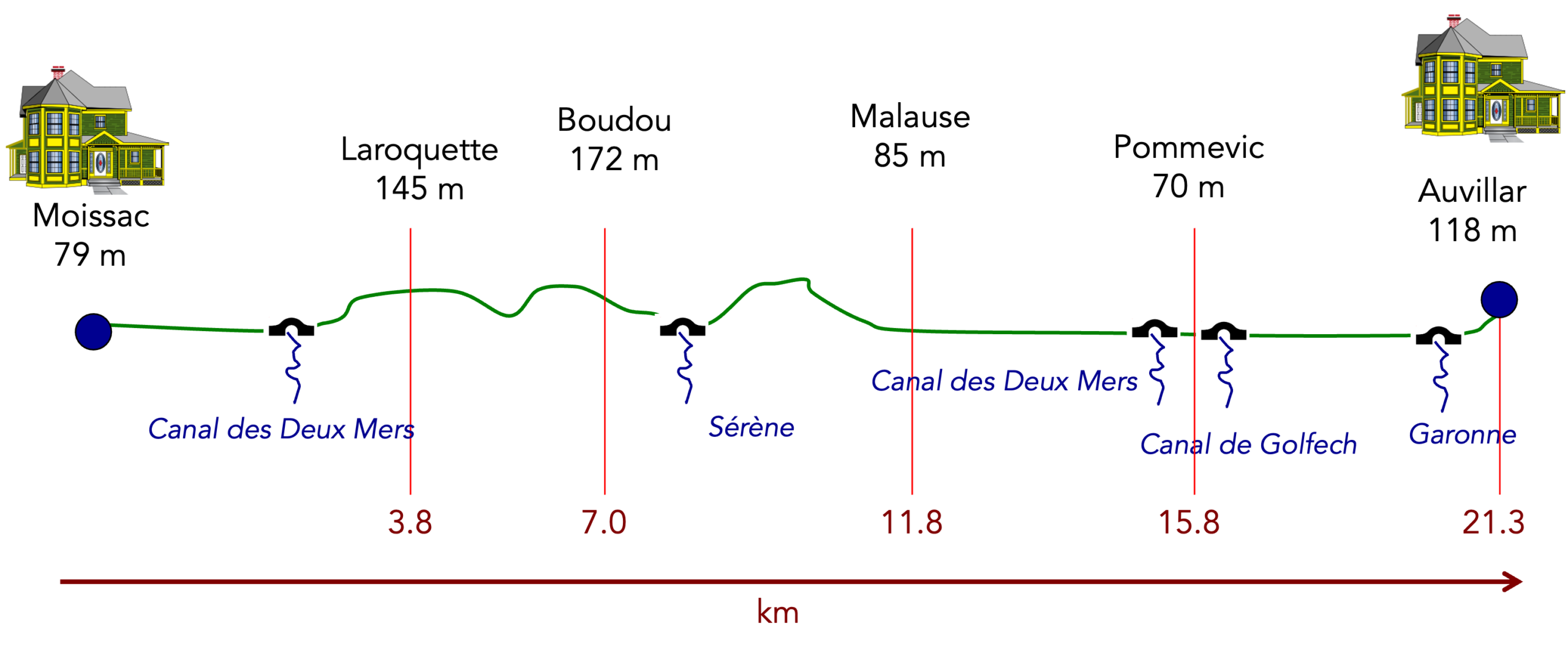
State of the GR65: For those taking the more demanding option, the distances covered on roads and paths are almost equal today. Of course, it all depends on what you consider to be a paved surface. The path beside the canal is entirely asphalted, but there is no motor vehicle traffic whatsoever:
- Paved roads: 10.9 km
- Pathways: 10.4 km
Sometimes, for reasons of logistics or housing possibilities, these stages mix routes operated on different days, having passed several times on Via Podiensis. From then on, the skies, the rain, or the seasons can vary. But, generally this is not the case, and in fact this does not change the description of the course.
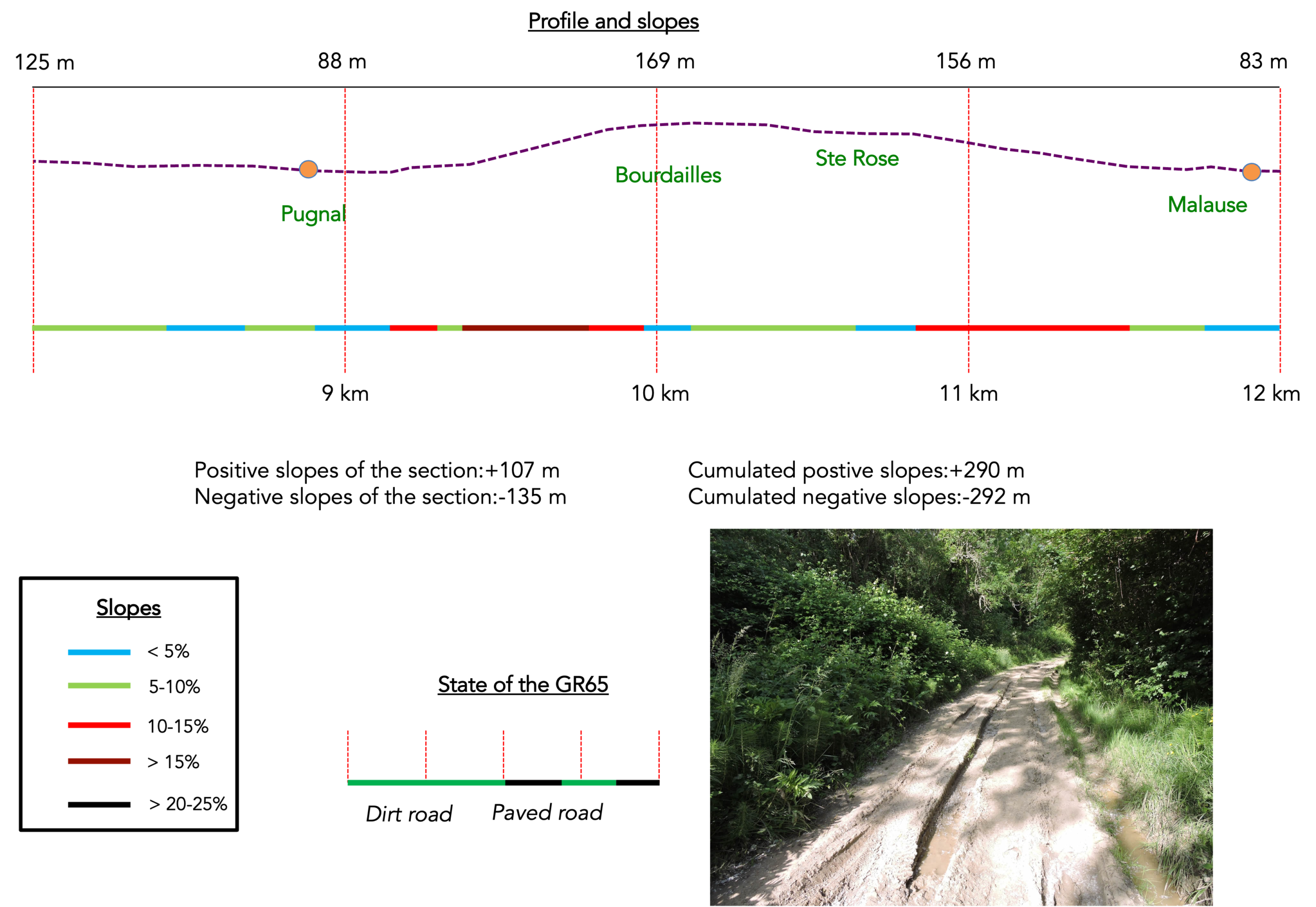
It is very difficult to specify with certainty the incline of the slopes, whatever the system you use.
For « real slopes », reread the mileage manual on the home page.

Section 1: A beautiful walk on the « Canal des Deux Mers »
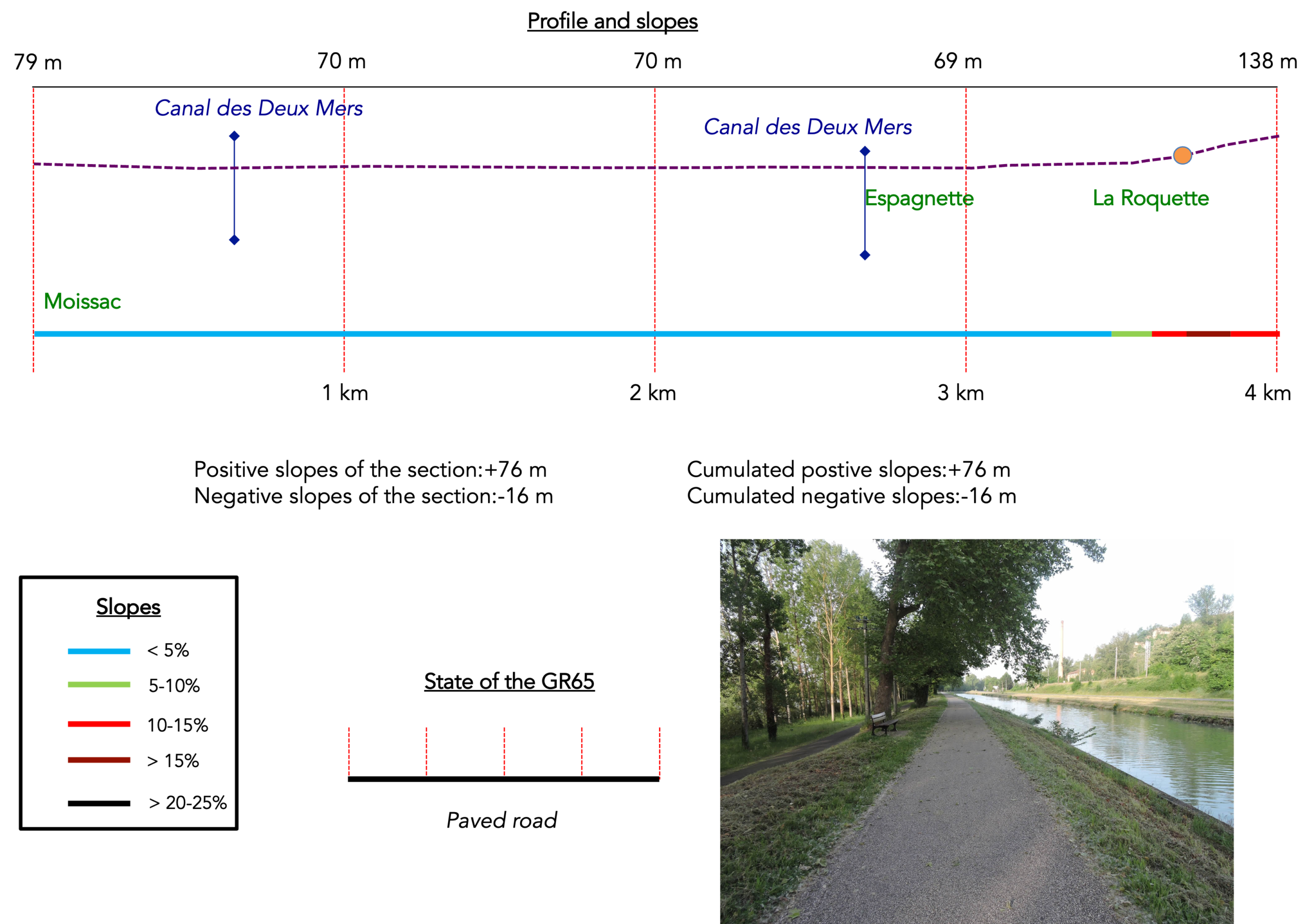
General overview of the difficulties of the route: without difficulty, before the climb to La Roquette.
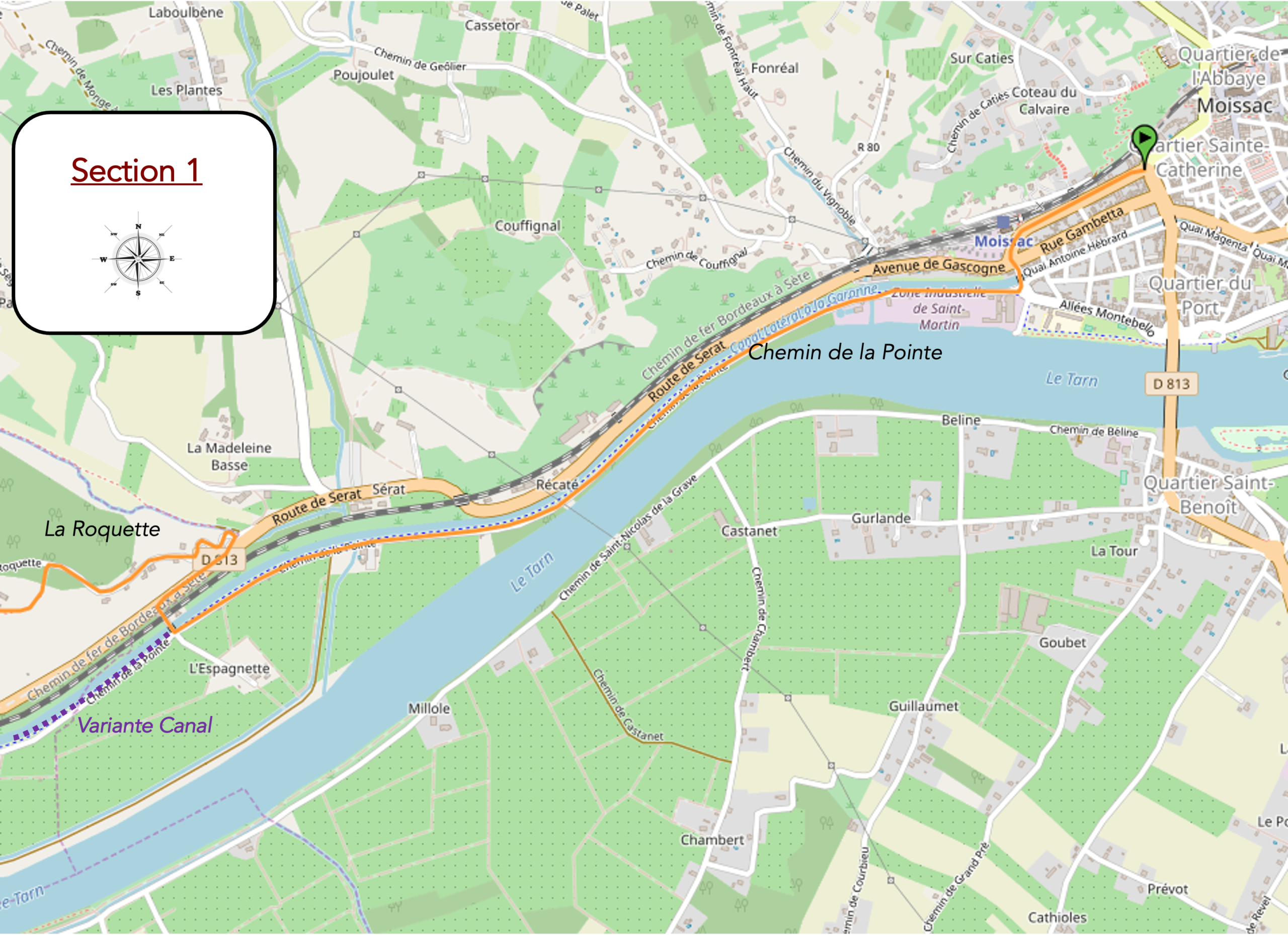
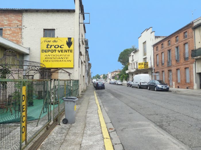
| Whichever alternative you choose, the route is the same as far as the first lock at L’Espagnette. The GR65 leaves Moissac near the railway station. |
 |
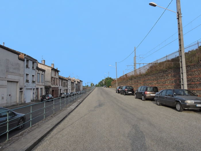 |
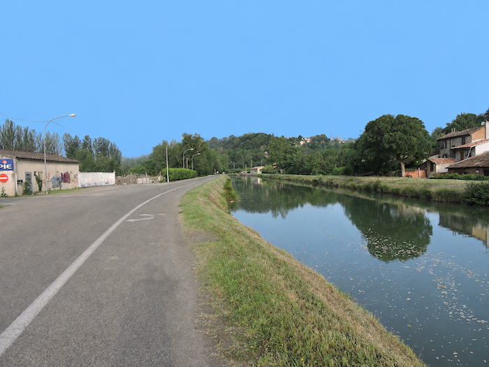
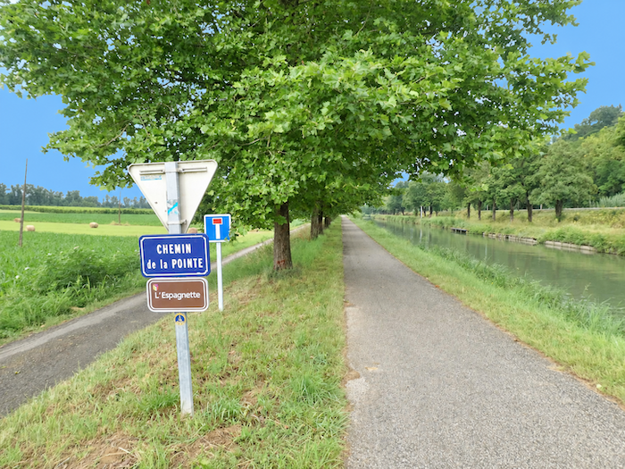
| It soon joins the “Chemin de la Pointe” and the long canals that accompany the Tarn and Garonne rivers. |
 |
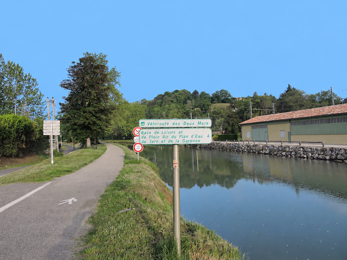 |
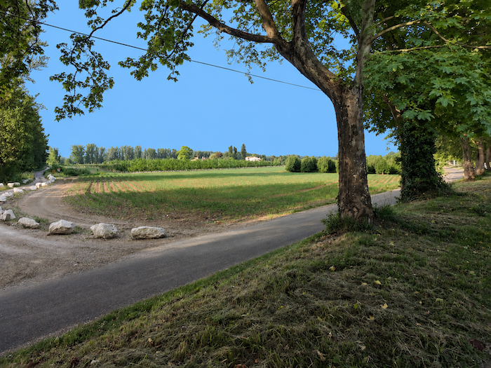
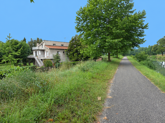
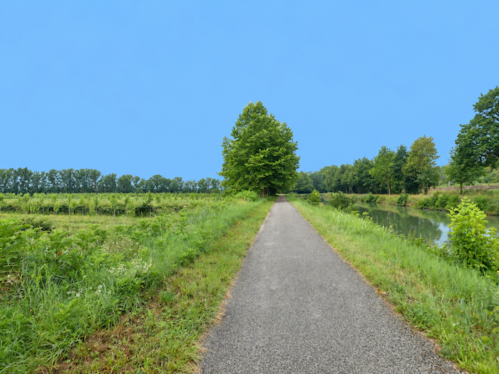
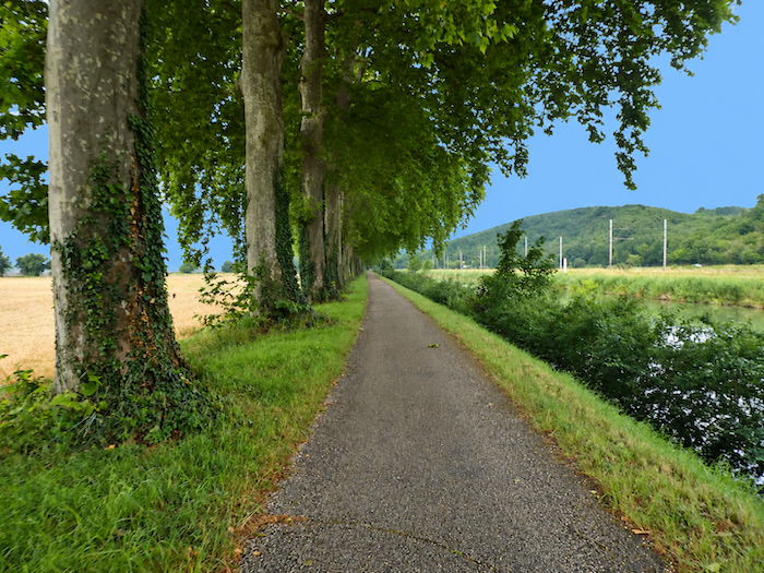
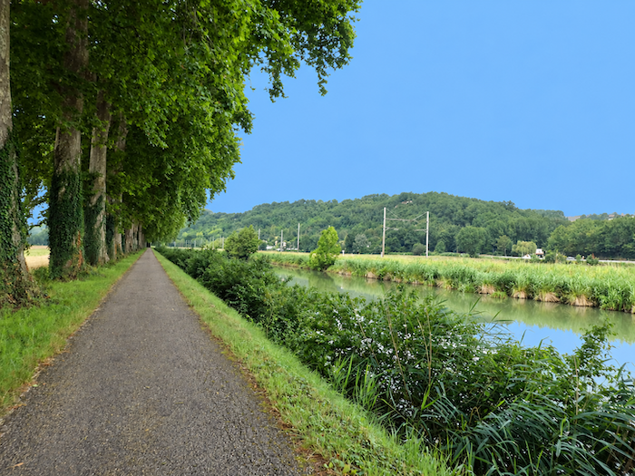
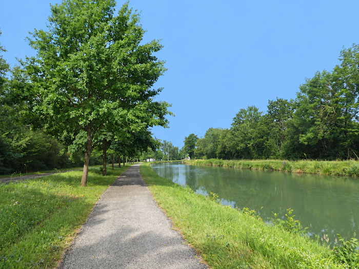
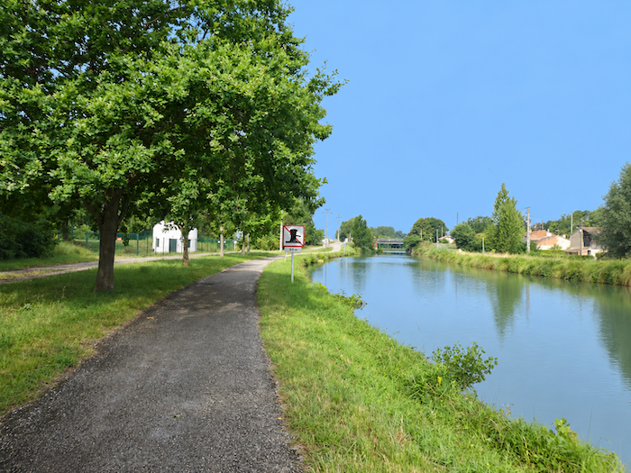
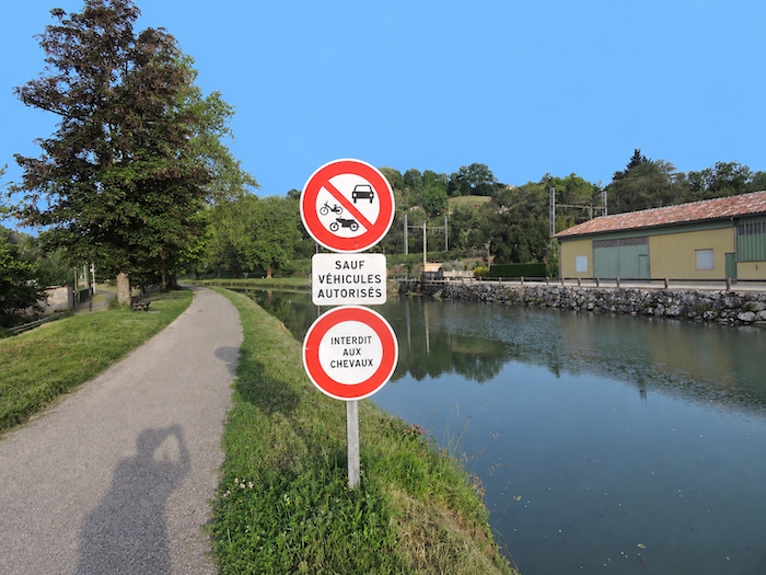
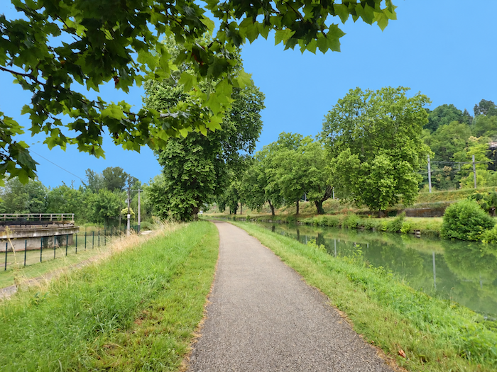
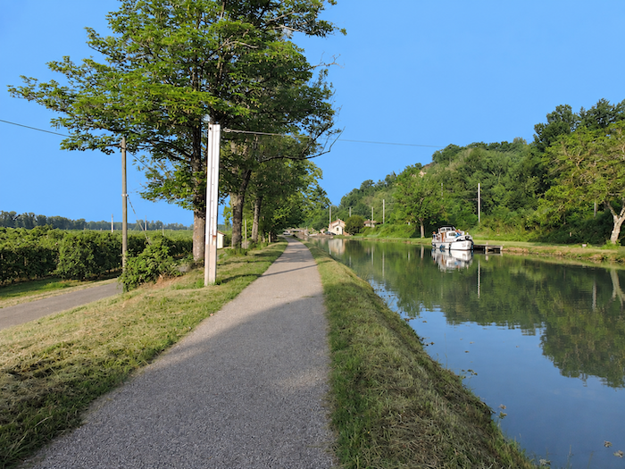
| The GR65 then joins the “Deux Mers cycle route”, which it follows for many kilometers. Beneath the towering plane trees, an atmosphere of peace and gentle serenity prevails. For simplicity, we shall refer to it as a « path », although the surface beneath your feet is actually a continuous ribbon of asphalt. |
 |
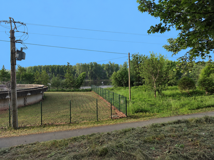 |
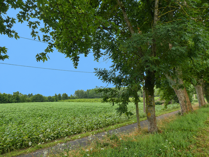
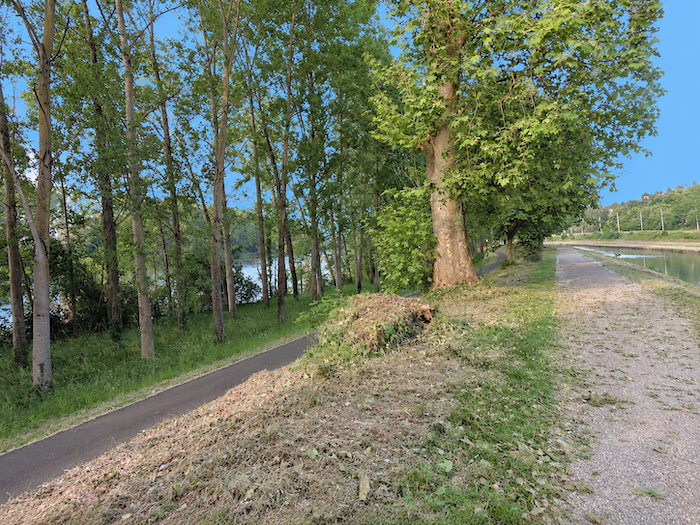
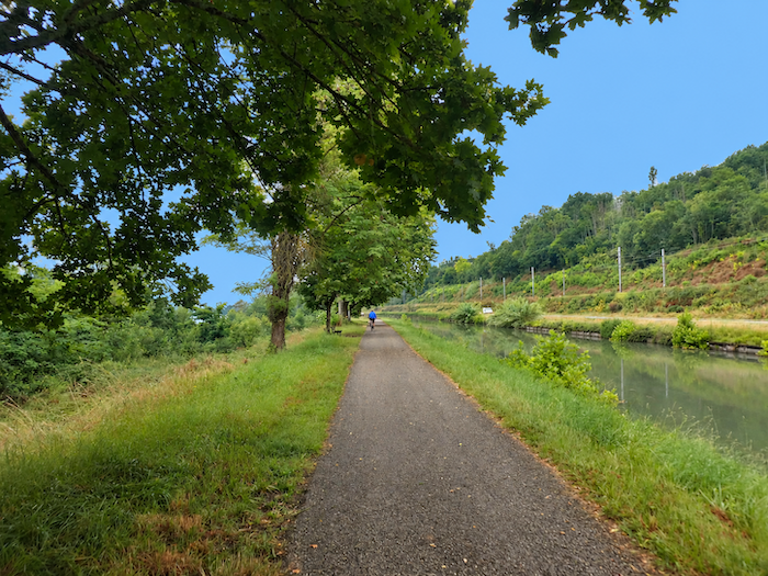
| At first, the path runs alongside the Tarn, which flows to the left, but only for a short distance. Soon, the canal stretches ahead like a long ribbon beneath majestic trees. It is often said that only plane trees grow along the canal, but this is not entirely true. They certainly dominate the landscape, yet a few magnificent sycamore maples also reach their branches towards the sky, their twisted, silent silhouettes patiently shaped by time and wind. Be careful, though, as the leaves of maples and plane trees look remarkably alike. Their fruits, however, are quite different and make them easy to distinguish. A few tall ash trees also join this long procession of greenery. |
 |
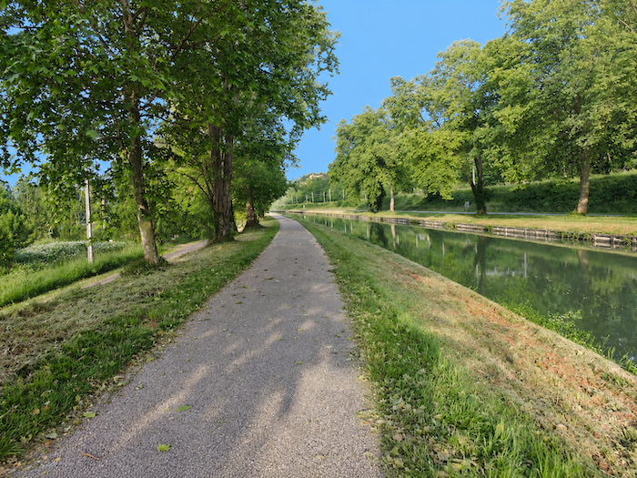 |
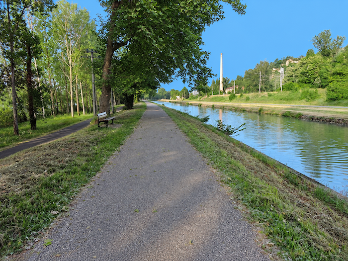
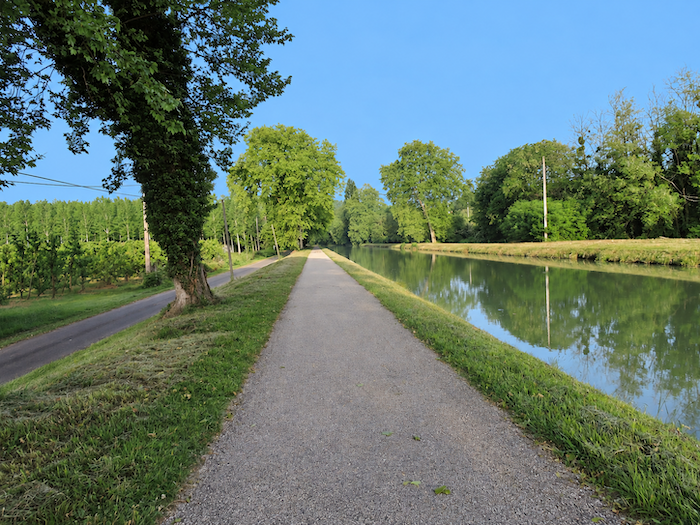
| The canal continues its course like an endless ribbon, winding through a palette of greens punctuated by sentinels of varying shades, the majestic trees standing guard along its banks. The great plane trees, resembling the masts of sailing ships, raise their enormous trunks towards the sky and seem to applaud the pilgrim as he passes. Tall and slender as giraffes, swaying gently in the breeze, they rock their branches first to the right, then to the left. Despite their immense size, their movements have an astonishing lightness. Other trees, fewer in number, ashes and maples, also stand watch beside the canal, their branches mingling with those of the plane trees to form a magnificent cathedral-like canopy, embracing the walker in its comforting, protective shade. |
 |
 |
| And yet, this miracle of nature may not last forever. Farther south, along the “Canal du Midi”, a devastating fungus is eating away at the plane trees, some of which have stood for several centuries. For now, the only remedy is the chainsaw, leaving dreadful gaps in what was once such a harmonious procession of trees. The story is far from over. Perhaps an effective treatment will eventually be found, but nothing is certain yet. In the meantime, hundreds of trees of other species are being planted. Since 2006, of the 42,000 plane trees that once lined the “Canal du Midi”, 25,000 have been felled and burned, while 10,000 new trees have been planted, mainly Turkey oaks, white poplars and hackberries, fast-growing species, some of which can live for more than five centuries. |
 |
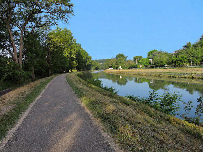 |
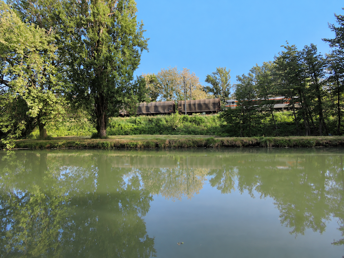
| Life unfolds peacefully along the canal. Only the occasional walker accompanied by a dog, or a passing jogger, disturbs the tranquility. On the departmental road, however, activity is noticeably livelier, reflecting the daily flow of people travelling to work in town. The Tarn remains hidden from view, although it flows parallel to the path on the left, concealed behind orchards and stretches of woodland. On the other side of the canal runs the railway line, from which the distant rumble of a train can sometimes be heard as it heads towards other horizons. |
 |
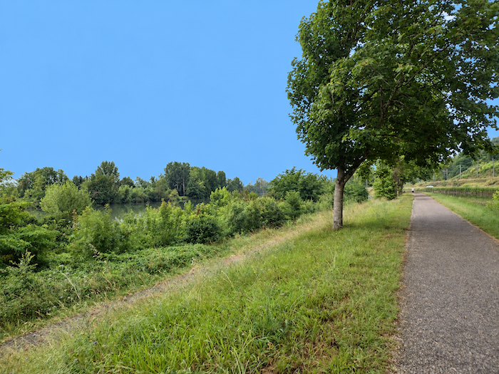 |
| A few farms occupy the left bank of the canal, and agriculture appears to flourish on these riverside lands, whose fertile soil seems particularly generous. To the right, the landscape narrows, leaving barely enough room for the departmental road and the railway line. |
 |
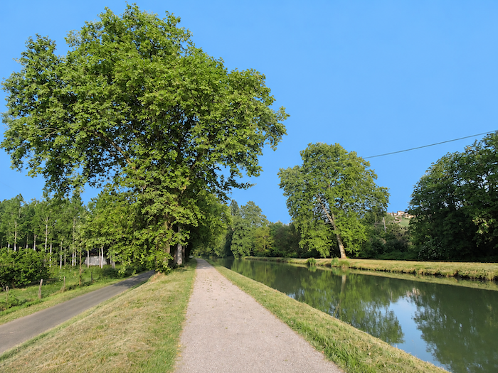 |
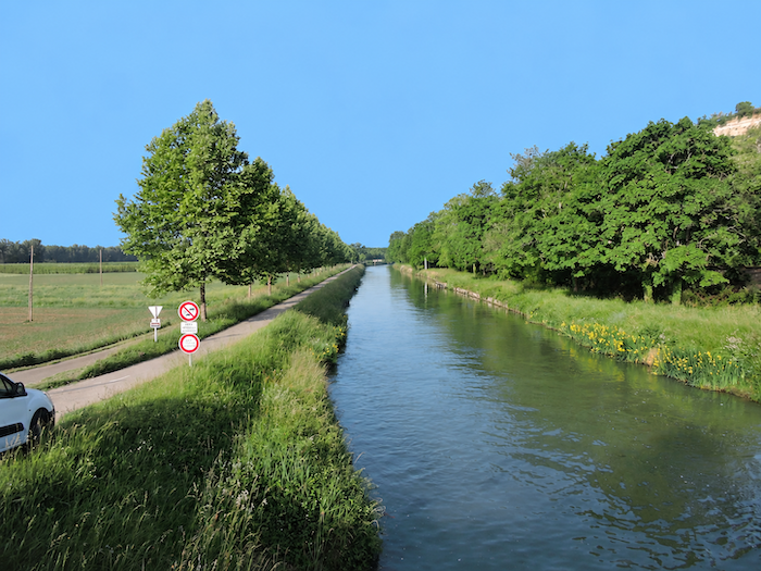
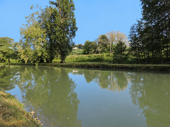
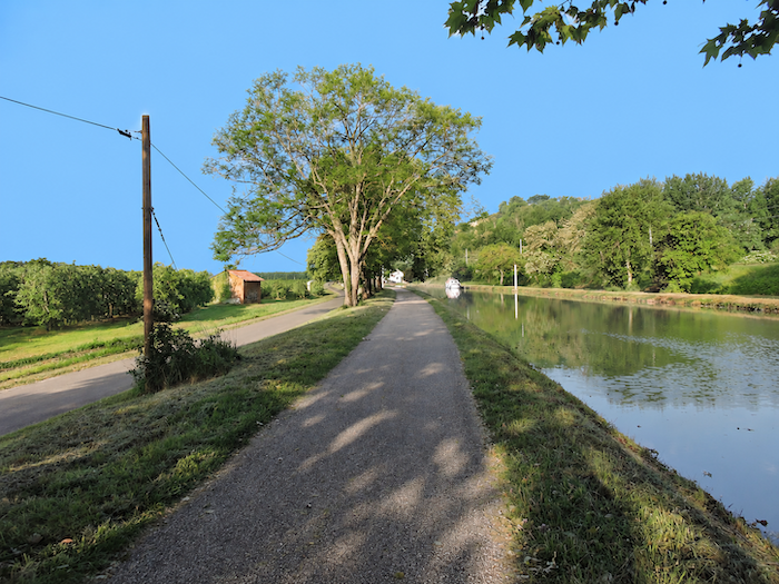
| Throughout its length, the canal water retains a greenish hue. Perhaps, on certain days, beneath a different light, it ventures into shades of blue. We cannot say. Amid this fascinating interplay of water and light, a few boats occasionally glide past, almost silently. They seem to move in slow motion, as though time itself had decided to ease their passage. They have all the time in the world. These are small pleasure cruisers, and no other significant river traffic disturbs the canal’s peaceful atmosphere. |
 |
 |
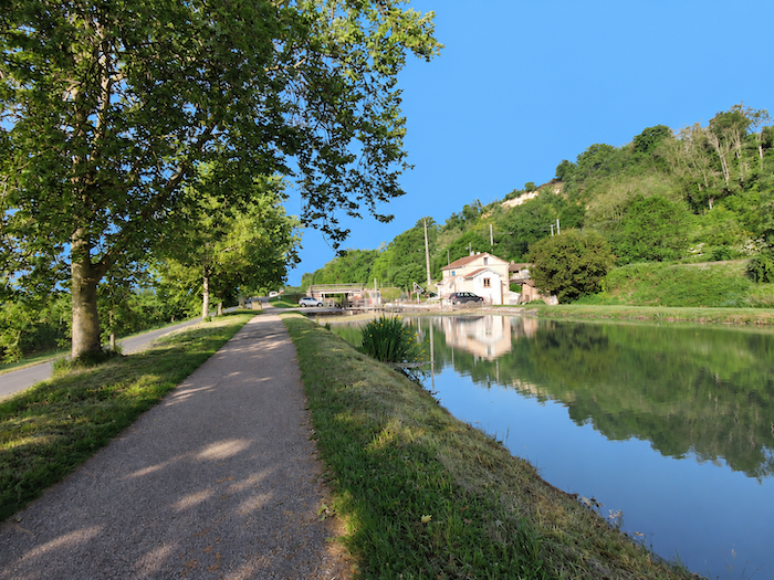
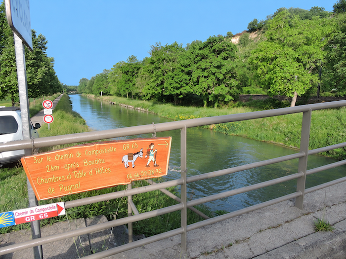
| The path then reaches the bridge and lock at L’Espagnette. This is Lock number 26. Along the « Canal des Deux Mers », locks and distances are carefully numbered in this way. It is easy to imagine that, in days gone by, these structures were like little railway stations on the water, places of passage, manoeuvres and encounters, where the everyday life of the canal unfolded. |
 |
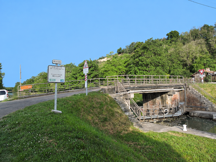 |
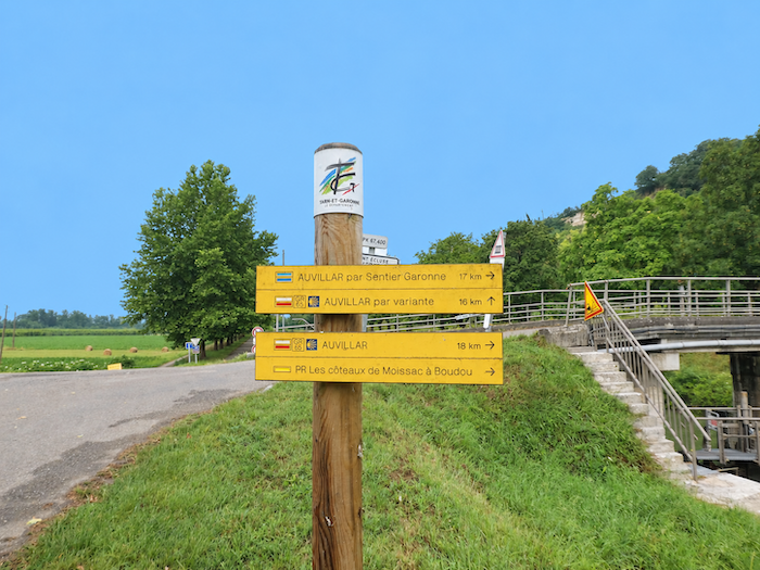
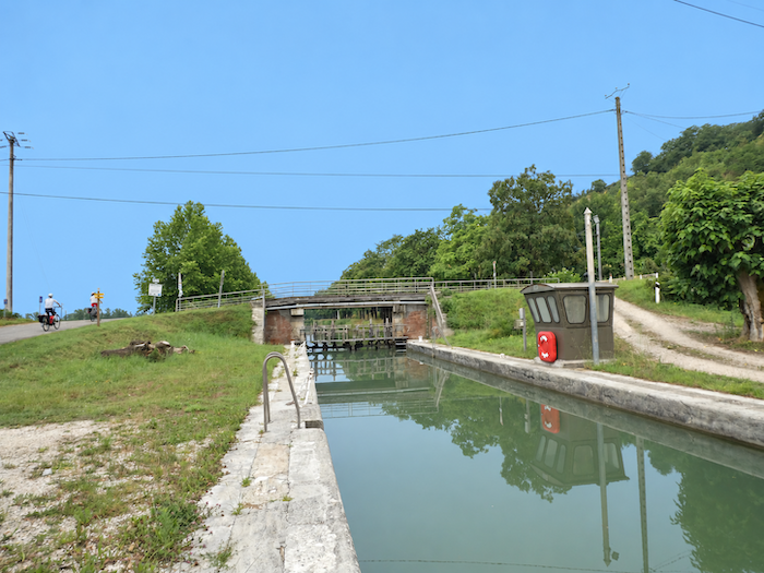
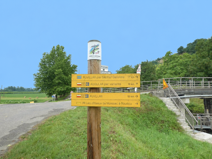
| This is an important crossroads. Following the GR65, there are still 18 kilometers to Auvillar, compared with 16 kilometers along the alternative route. But the real difference lies not in those two extra kilometers, but in the very nature of the journey. The GR65 becomes quite demanding, while the alternative simply follows the canal along an almost perfectly flat course. Many pilgrims therefore choose the easier option and continue peacefully beside the water. The more adventurous take the traditional GR65, leaving the canal behind to tackle the countryside rising above the Tarn and Garonne rivers. Here, we shall follow the more challenging GR65. You will find a description of the alternative route farther on, where the two routes meet again at Malause. |
 |
 |
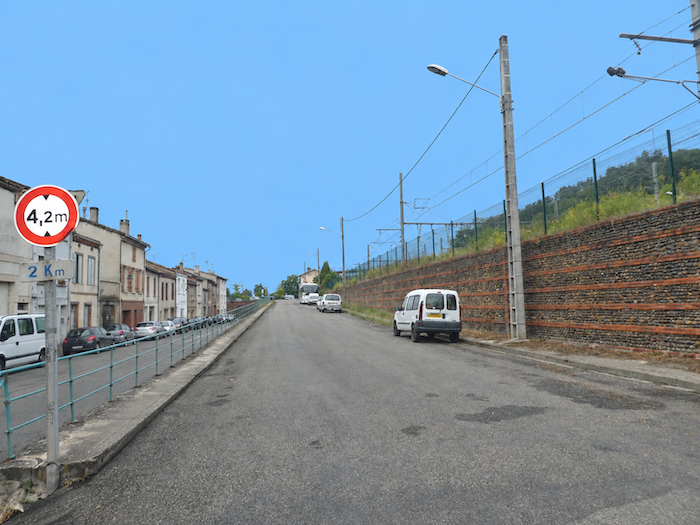
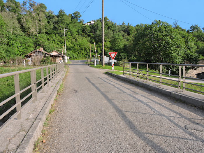
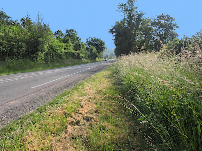
| The GR65 crosses the railway line, then follows the paved road leading back towards Moissac for a short distance. |
 |
 |
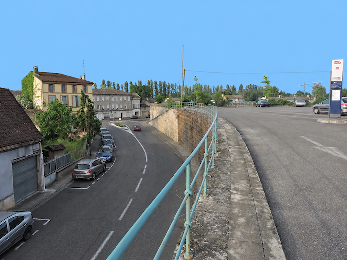
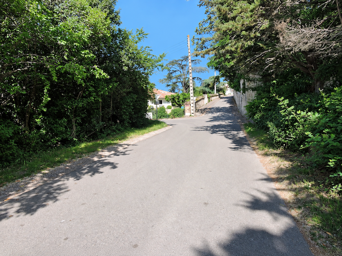
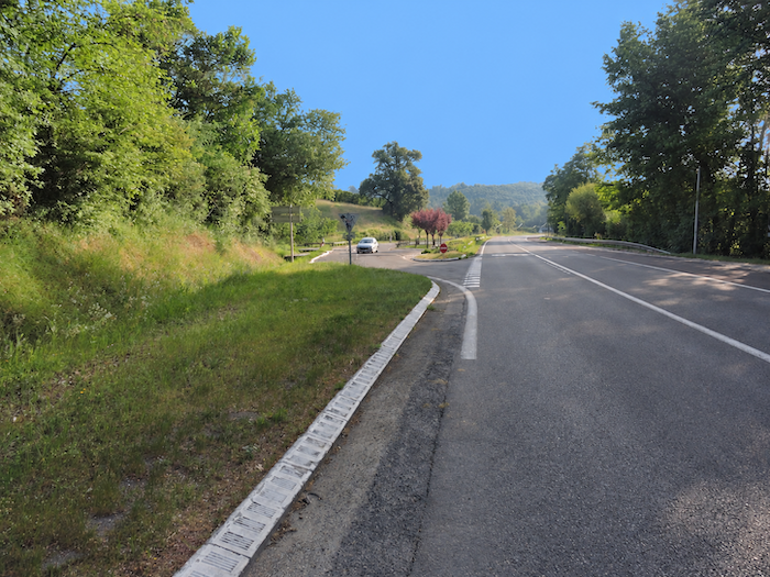
| Soon, at a junction, it leaves this main road and enters the first winding bends of a steep road climbing towards La Roquette. |
 |
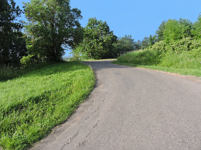 |
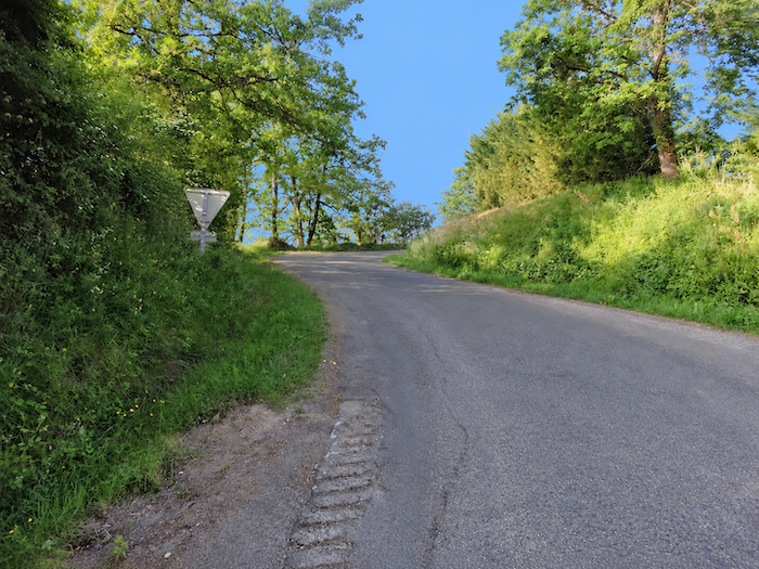
| It is easy to understand why some of Moissac’s inhabitants have chosen to make their homes on this hillside, away from the bustle of the town and the constant stream of tourists and pilgrims wandering through its streets. Here, a climb of just a few dozen meters is already enough to create the feeling of leaving the world behind. |
 |
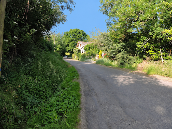 |
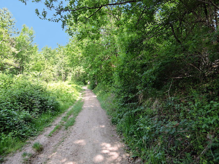
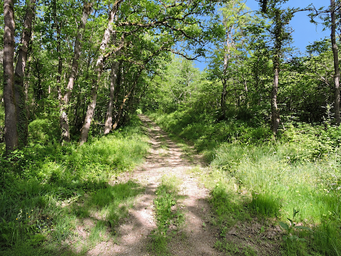
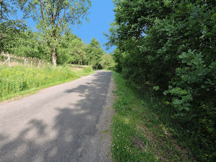
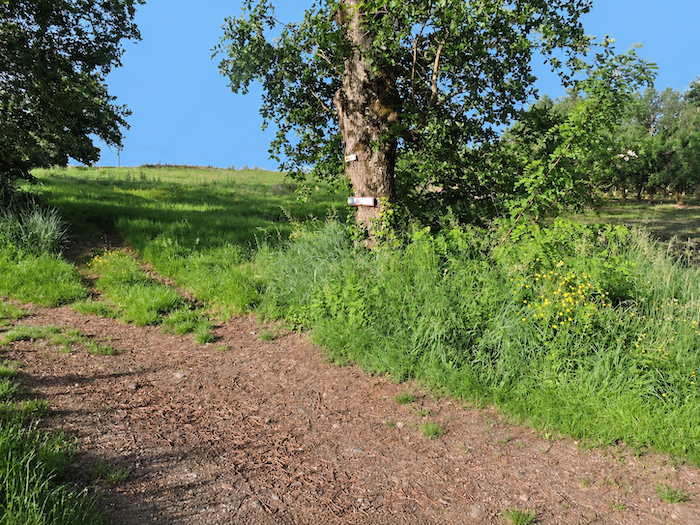
| The GR65 continues along the road for a little while longer before turning onto a path that climbs steeply up the hillside. Soon, the woodland closes around the walker, enveloping the path in shade. Oaks reign supreme here, accompanied here and there by a few hornbeams and maples that interrupt their dominance. |
 |
 |
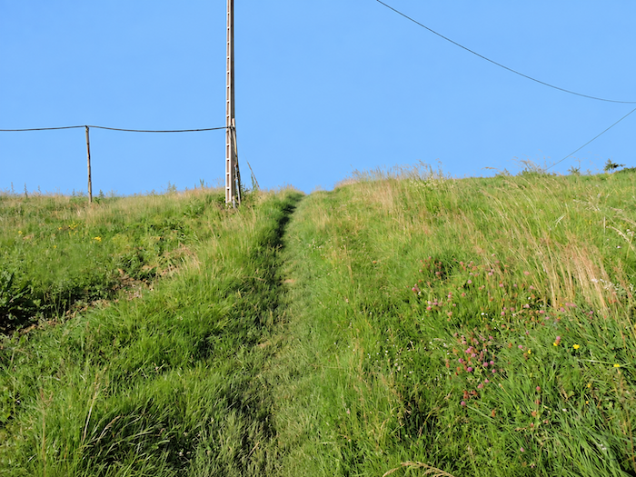
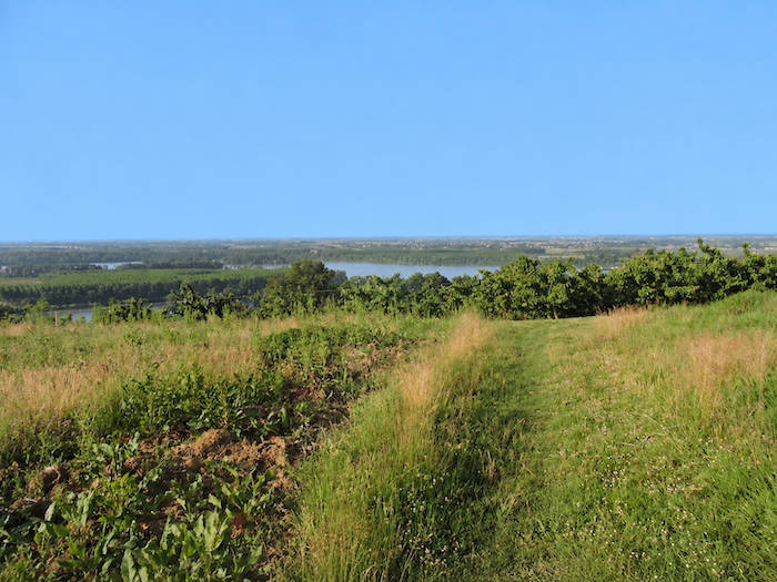
| Higher up, the path finally emerges from the woodland and opens onto the heathland crowning the hilltop. Up here, the panorama is magnificent, almost breathtaking after the dark intimacy of the trees. Far below, the Tarn unfurls its waters as it makes its way towards the nearby Garonne, while the latter is already winding away across the vast plain. After the effort of the climb, the landscape suddenly opens out, like an immense curtain drawn aside to reveal the world before the walker. |
 |
 |
Section 2: High above the confluence of the Tarn and Garonne
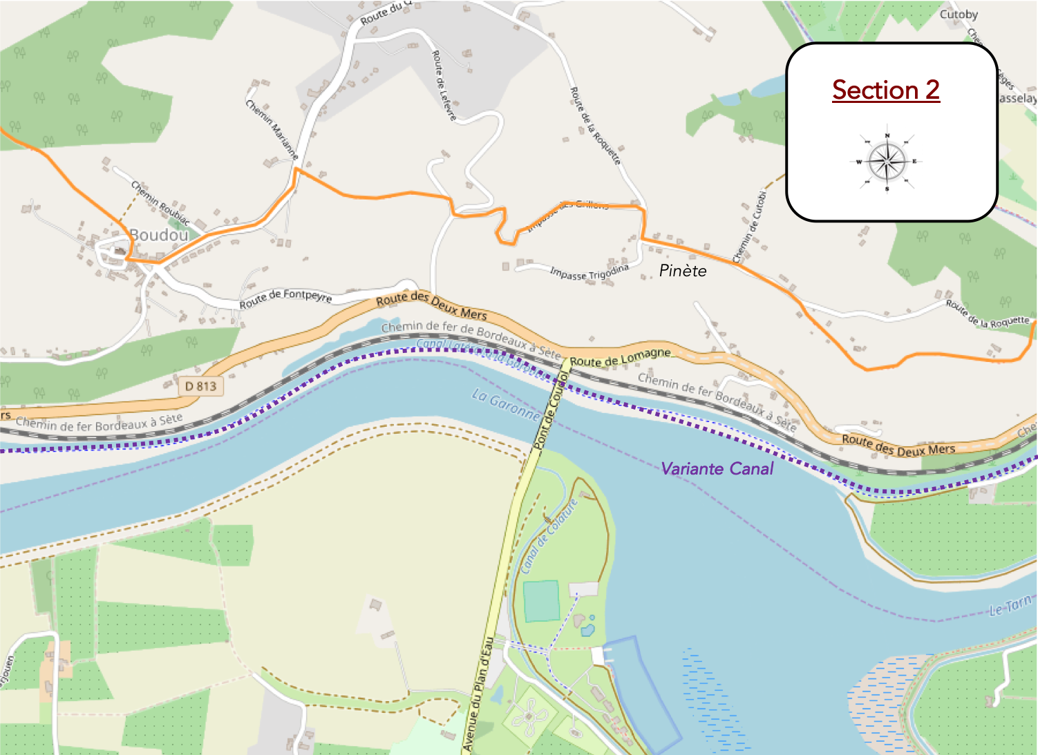
Overview of the route’s challenges: A truly demanding roller-coaster of a route, with gradients frequently exceeding 15%, both uphill and downhill, occasionally interrupted by flatter stretches.
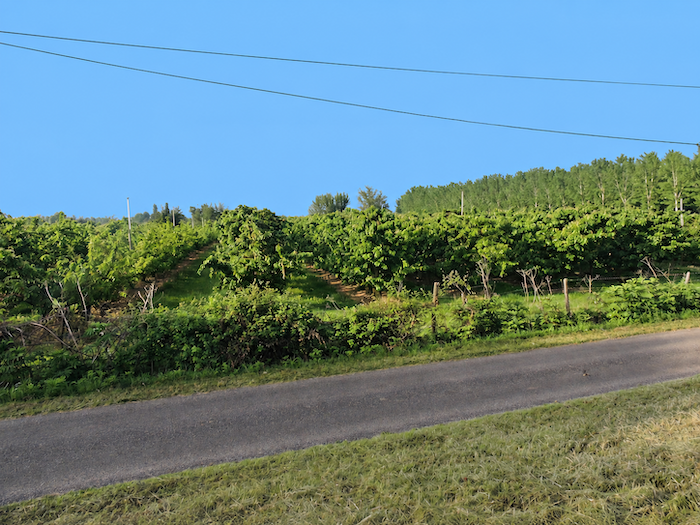
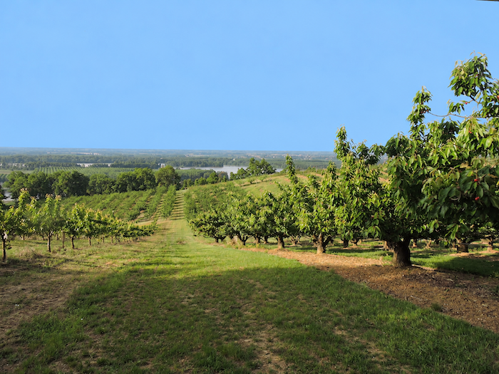
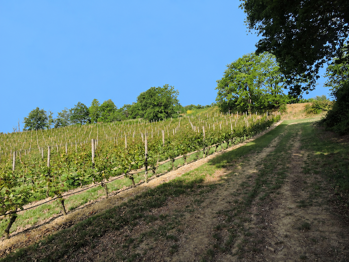
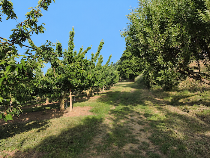
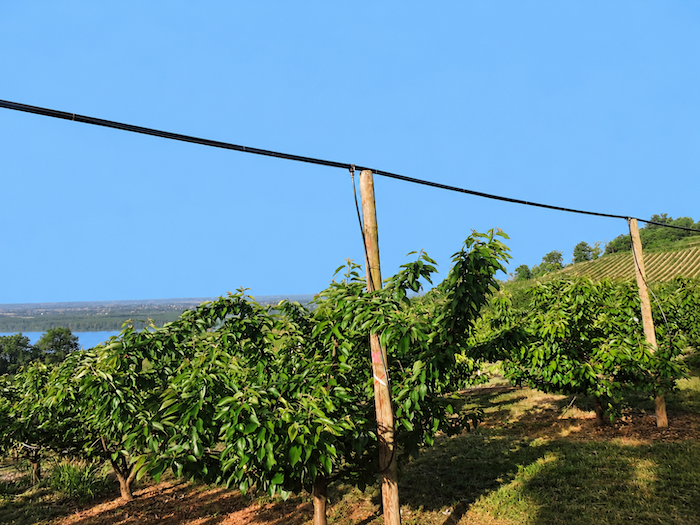
| Here, the hillsides have a cheerful, generous character. Orchards of plum and apricot trees, along with vineyards of “Chasselas grapes”, bask in the sunshine and, no doubt, in the autumn mists that bring their welcome coolness as the grape harvest approaches. |
 |
 |
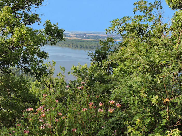
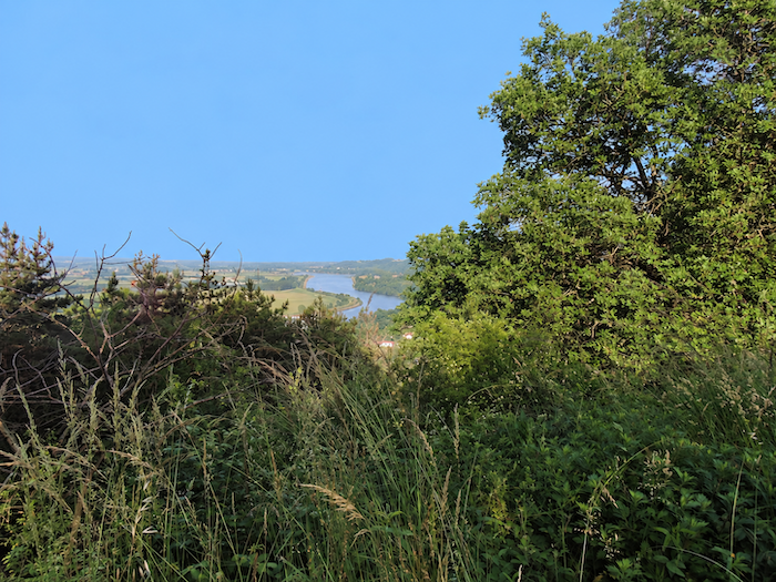
| It is a delight to breathe in the scent of honeysuckle here, its rich, intoxicating fragrance catching the walker by surprise. Far below, behind a curtain of oaks and fragrant climbing vines, the Tarn and Garonne mingle their waters, embracing and joining together, never to part again. How could anyone tear their eyes away from such a spectacle? |
 |
 |
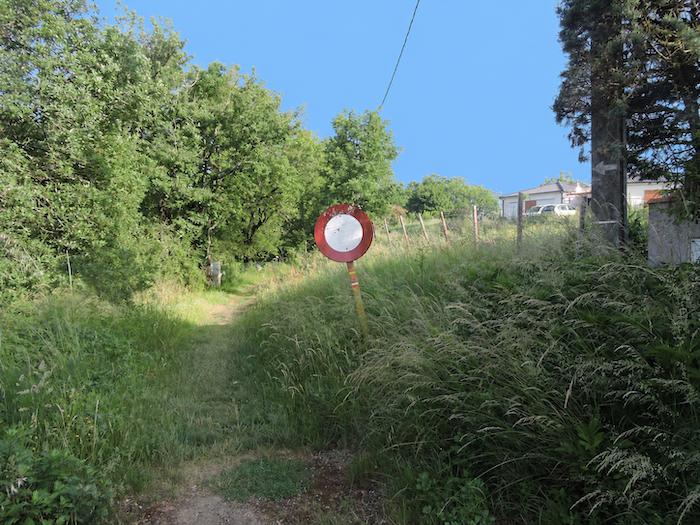
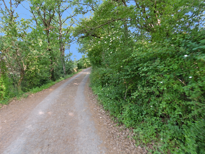
| Yet the realities of the path soon make themselves felt again. Beyond the orchards, the woodland closes around the walker, casting its shade once more, while the path resumes its climb towards the top of a small hill. |
 |
 |
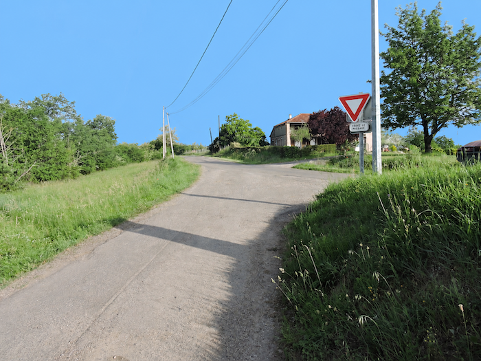
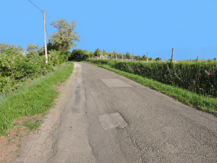
| Before long, the path emerges onto a road, where a small plateau stretches out among the farms and villas of Pinète. |
 |
 |
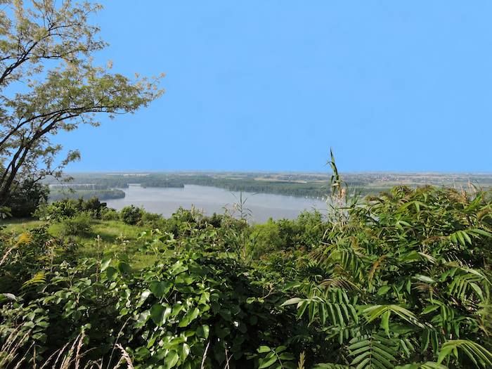
One last glance at the silent ballet of the two rivers, now so closely entwined that it is impossible to tell which is the mother and which the daughter, their waters having become one. On the horizon, the vast Garonne plain unfolds in all its immensity.
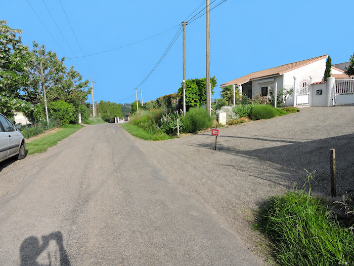
| The paved road follows the ridge for a while, passing small hamlets and isolated villas that have gradually appeared here over the years. |
 |
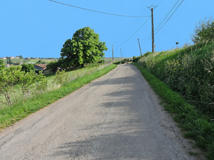 |
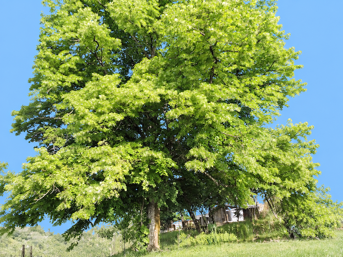
And how could anyone fail to feel tiny, almost like a dwarf, standing at the foot of this gigantic lime tree, a towering giant of the plant world rising beside the road near a peaceful villa?
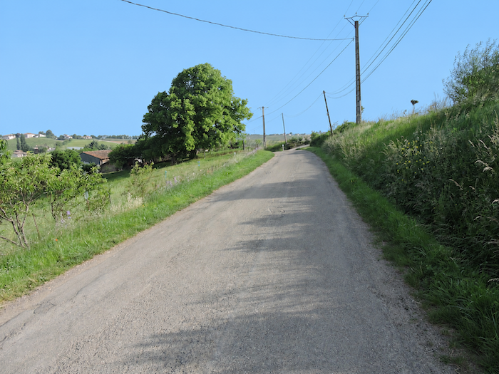
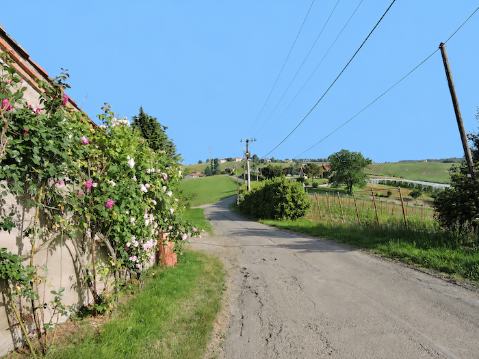
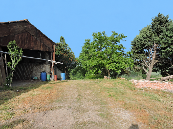
| The road then descends gently between villas and open countryside. In this region, people seem to have a genuine passion for roses. They climb the walls, frame the windows and generously adorn the façades of the houses. Farther on, near a farm beside the road, the GR65 leaves the asphalt behind and returns to an earthen path. |
 |
 |
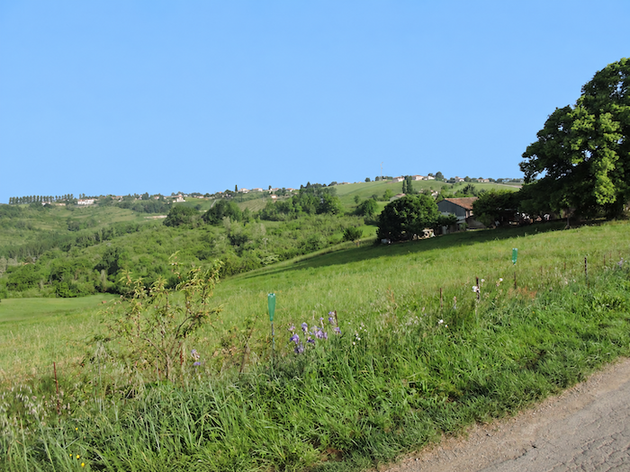
Ahead, the next challenge is already plain to see. The route must descend into a small valley before climbing the opposite slope. In the distance, the path traces something resembling a miniature Great Wall of China, rising and falling with the contours of the land before disappearing towards the horizon, swallowed by green meadows and dense foliage. .
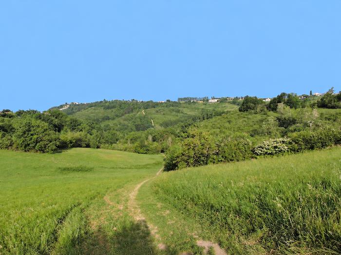
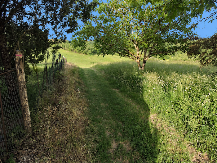
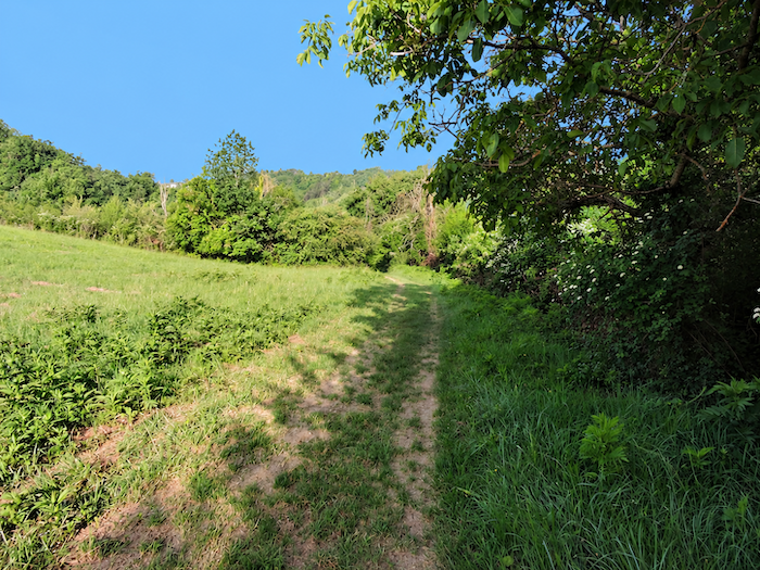
| Here, the orchards and vineyards are now behind you. A grassy path plunges steeply between meadows and woodland. Almost every time the Way of St James descends towards a stream, the landscape seems to reclaim its freedom. Wild grasses spread across the ground, bushes grow thicker, and the vegetation suddenly becomes more exuberant. |
 |
 |
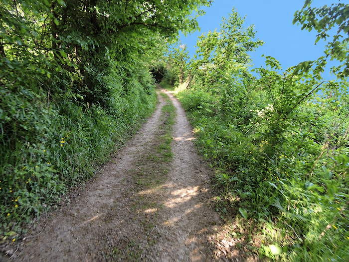
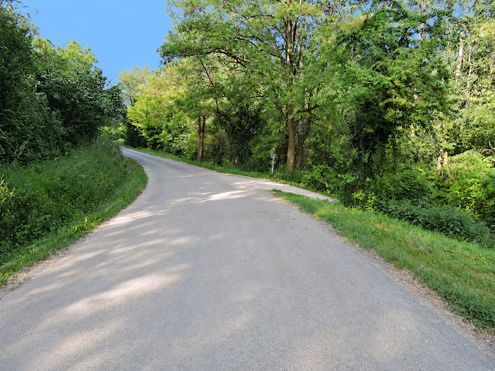
| The path reaches the bottom of the dale, where it returns to an earthen surface after briefly following a narrow road that presumably leads to one of the many hamlets perched along the surrounding ridges. |
 |
 |
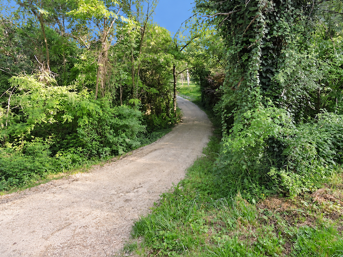
| For a while, the path wanders leisurely beside hedges of deciduous trees, as though determined to offer the walker one last moment of respite before the ordeal ahead. |
 |
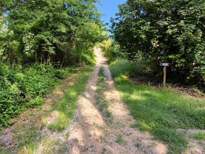 |
| As expected, though certainly not hoped for, the climb out of the valley demands its tribute in sweat. |
 |
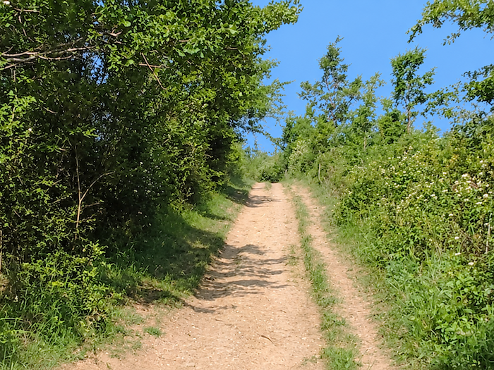 |
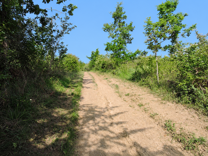
| The ochre soil seems particularly unforgiving in these little dales. Gone are the magnificent orchards, replaced by a tangled profusion of bushes scattered in glorious disorder across the heathland, on a slope that shows little mercy to the walker. In this dry, inhospitable terrain, oaks seem almost the only trees capable of clinging to the earth and defying the drought. |
 |
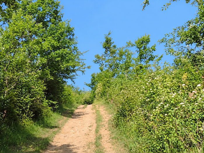 |
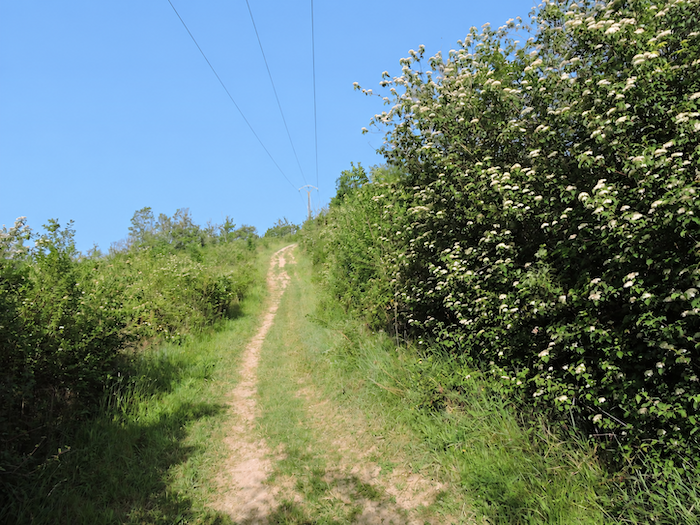
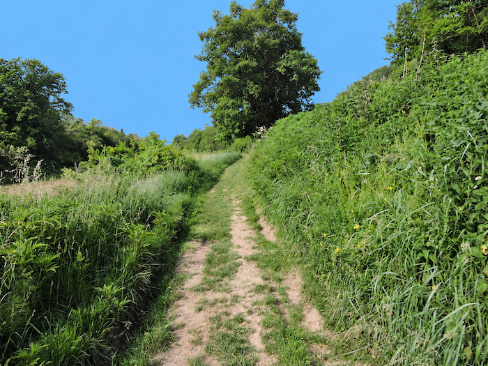
| The path slips through a profusion of greenery and white blossoms, a narrow corridor that spring itself seems eager to reclaim. It climbs towards the light, until it almost appears to vanish into the blue of the sky. |
 |
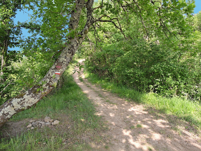 |
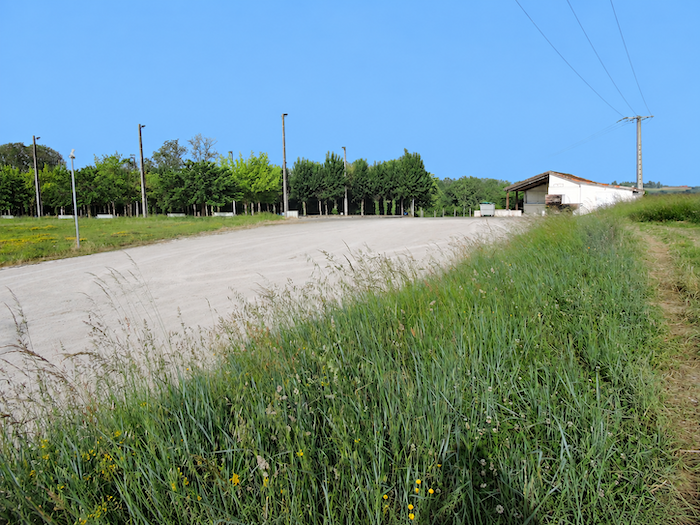
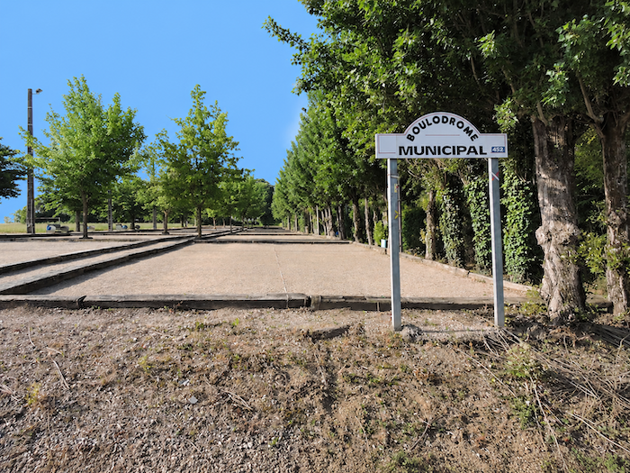
| At last, the climb comes to an end in the hamlet of Delbrel, near the pétanque grounds of Boudou. There are so many pétanque courts here that one cannot help thinking, with a smile, that it would take very little to organize the world championships on this very spot. |
 |
 |
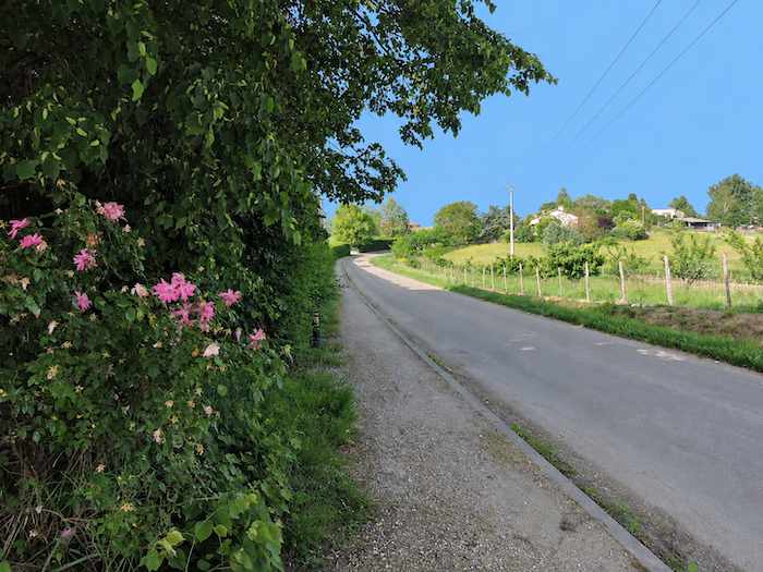
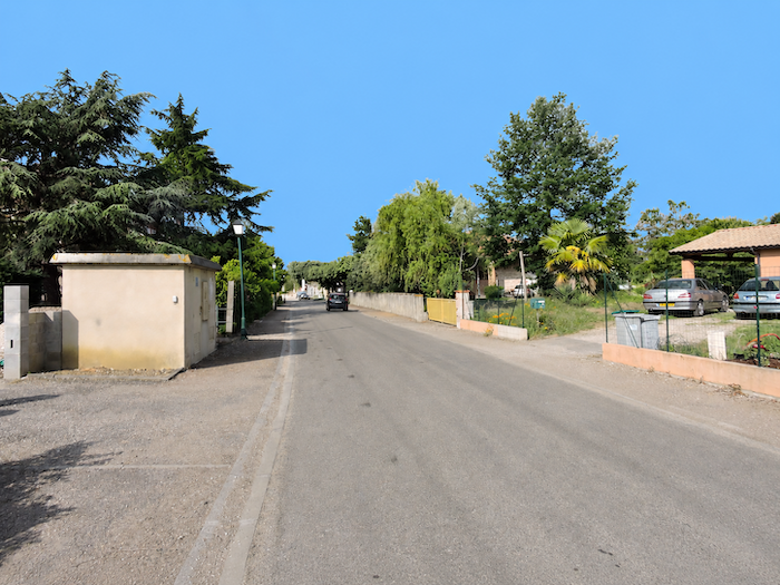
| Boudou nestles just below, beside the road. |
 |
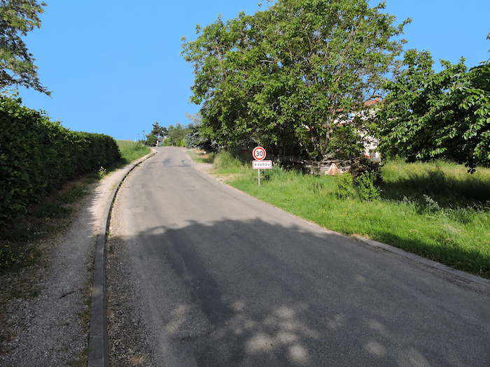 |
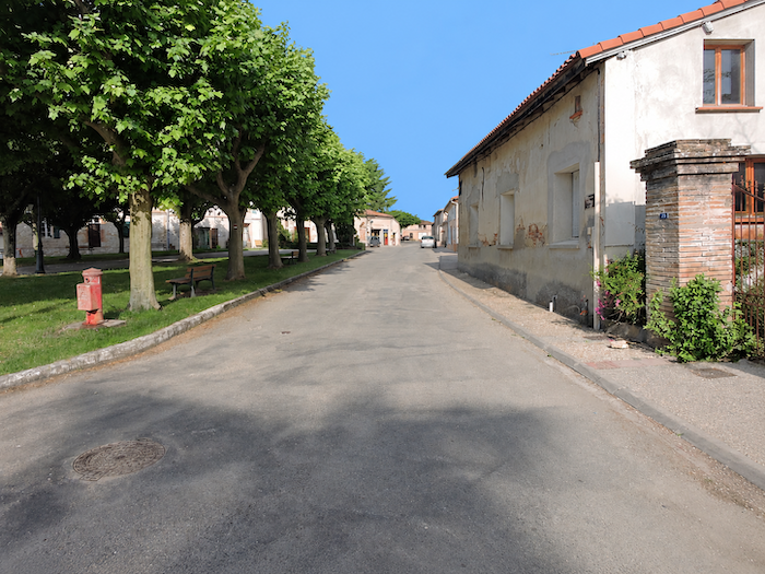
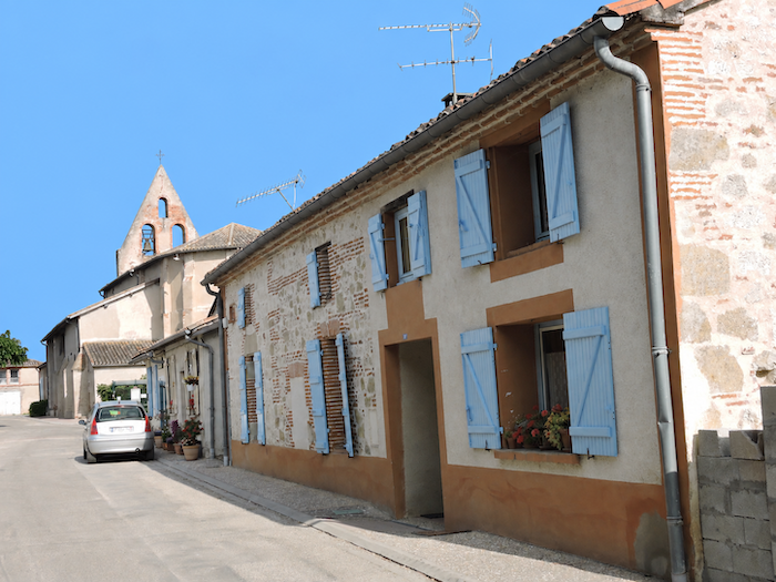
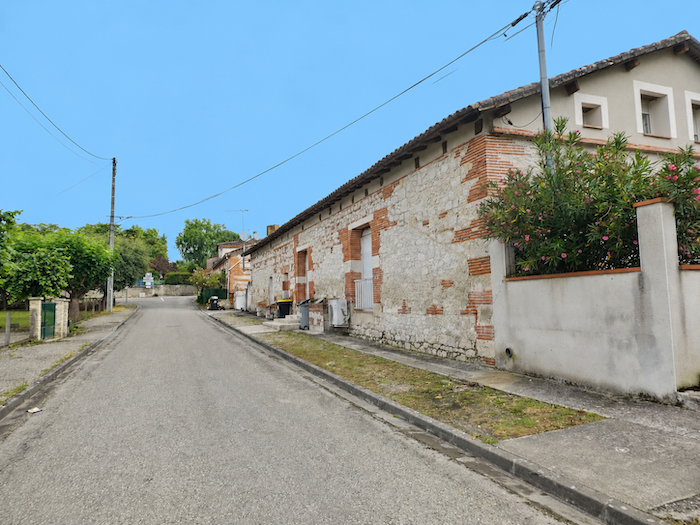
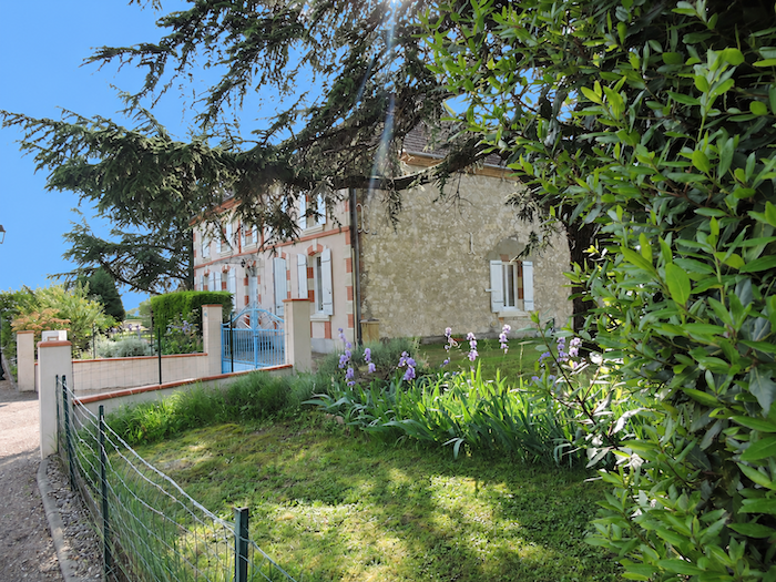
| Life in this small village, gathered around the Church of Saint-Pierre and its elegant bell gable, remains largely devoted to agriculture. Here, the distinctive architecture of the region is beautifully displayed in the traditional houses, where red brick emerges through the plasterwork, adding warm touches of color to the façades. Boudou has been known since ancient times as a stopping place on the Way of St James. A pilgrims’ hospital once stood here, but it has long since disappeared, like so many similar establishments that once dotted the routes to Santiago de Compostela. |
 |
 |
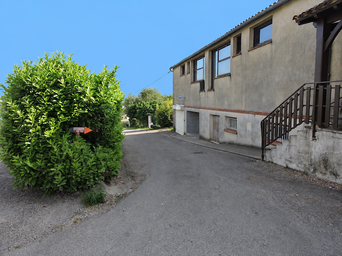
| At the edge of the village, the GR65 once again leaves the asphalt behind and returns to a dirt path. |
 |
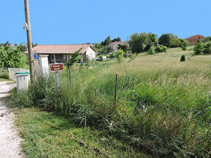 |
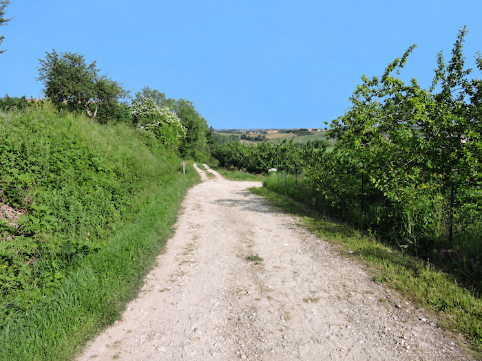
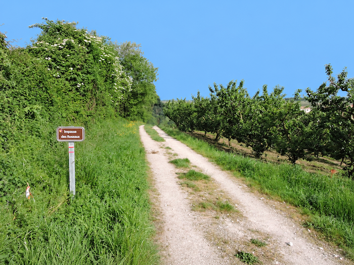
| For a while, the path returns to the orchards, rich with plum and apricot trees, whose almost geometric rows contrast sharply with the more whimsical character of the surrounding landscape. The soil must be generous here, judging by the promise of fine fruit carried by all these carefully tended trees. |
 |
 |
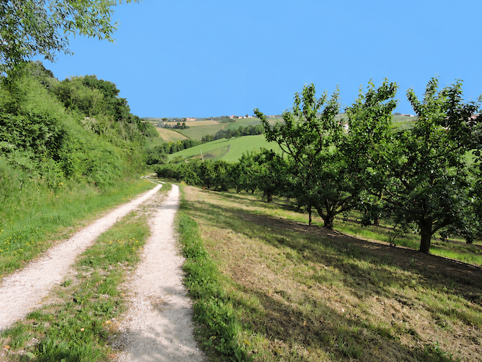
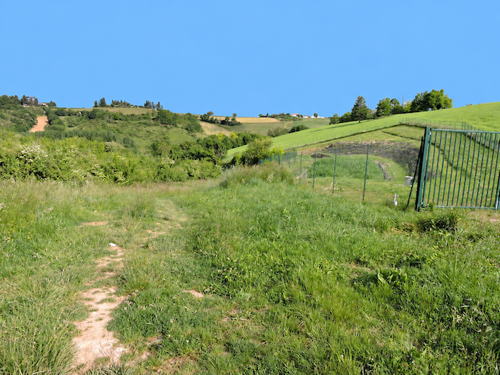
| This neat order stands in striking contrast to the tangled vegetation of the thickets that the path encounters a little farther down, as though nature, the moment the orchards are left behind, immediately reclaims its freedom. |
 |
 |
Section 3: Ups and downs above the plain
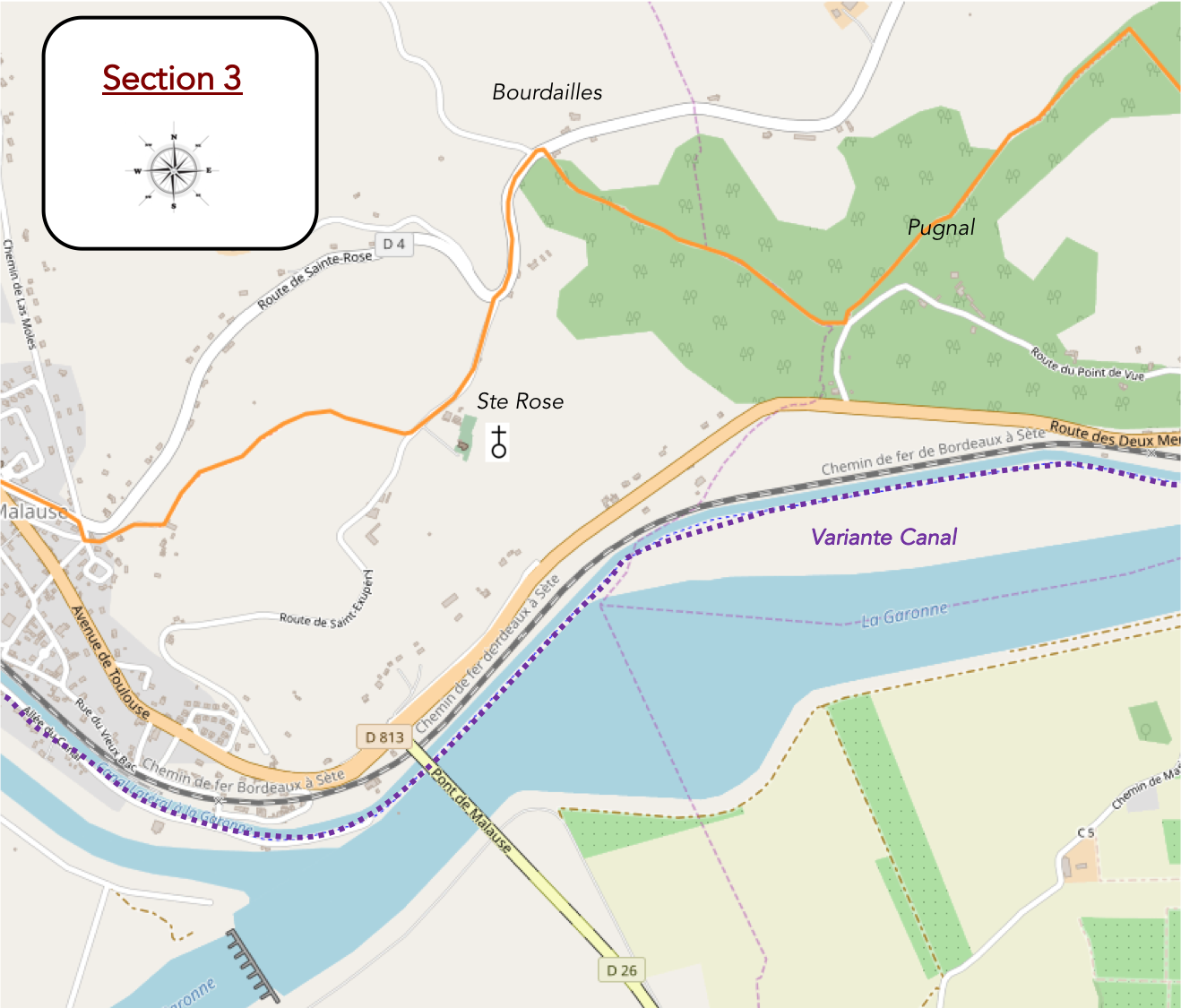
Overview of the route’s challenges another challenging climb awaits beyond Pugnal.
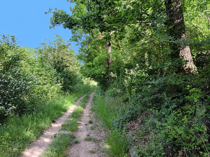
| The path gradually loses altitude as it approaches the Sérène stream, whose quiet waters remain hidden behind dense thickets. Its presence is more easily sensed than actually seen. |
 |
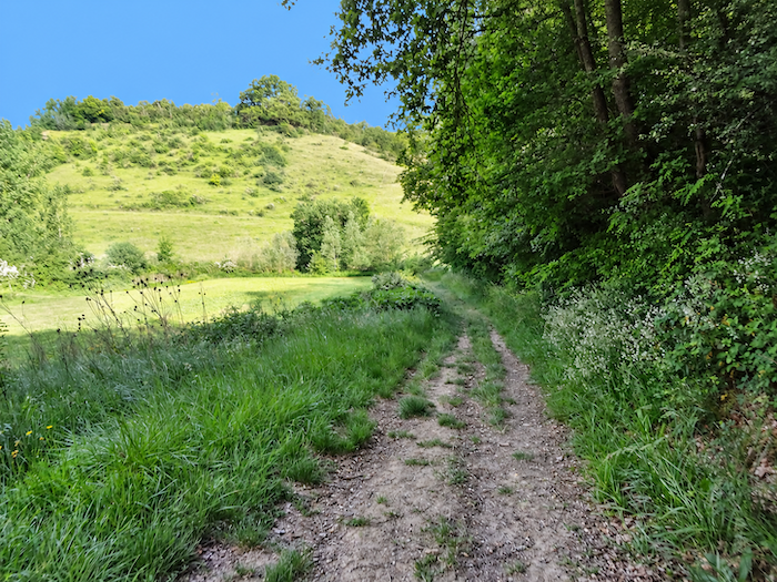 |
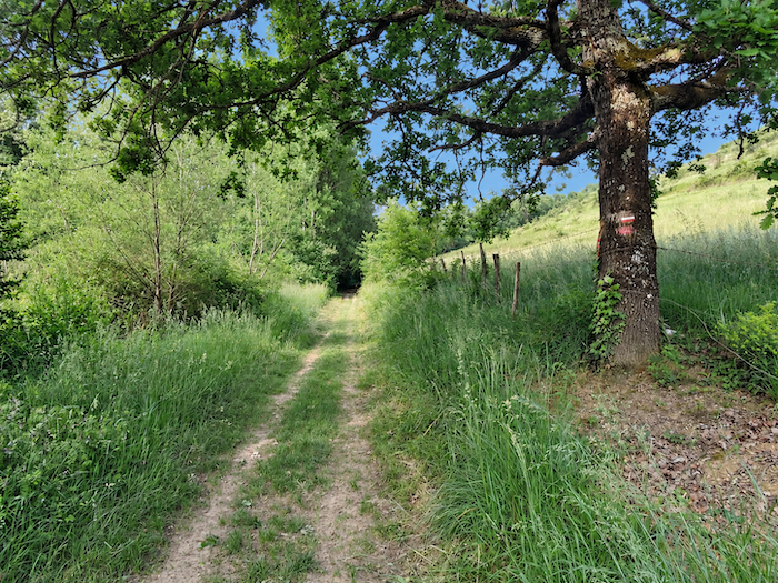
| Once across this modest watercourse, the route follows the gentle undulations of the terrain before climbing, almost without hesitation, towards higher ground on the opposite side of the dale. |
|
 |
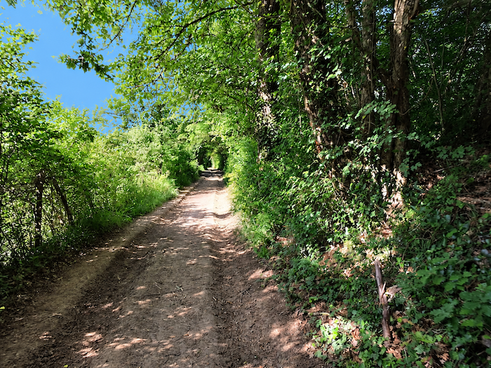
| A broad dirt track then takes over, winding beneath the leafy canopy of oaks and chestnut trees towards the large farm at Pugnal. In days gone by, pilgrims could find shelter and lodging here, beneath the welcoming shade of the great trees. |
 |
 |
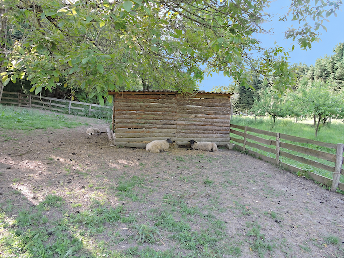
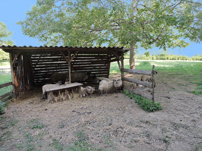
| The place has a pastoral charm that is difficult to resist. Beneath the canopy of towering trees, the sheep seem to have gathered especially to welcome the passing walker, forming a veritable guard of honor, though with that majestic indifference so characteristic of contented animals. It would be hard to imagine a more idyllic rural scene. |
 |
 |
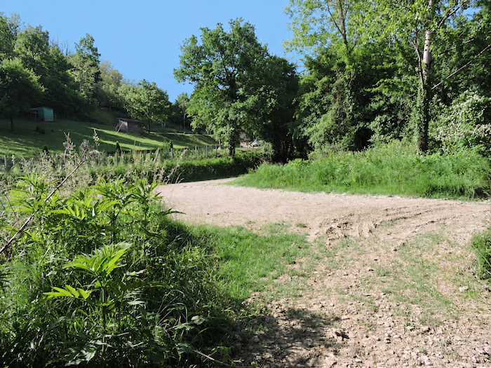
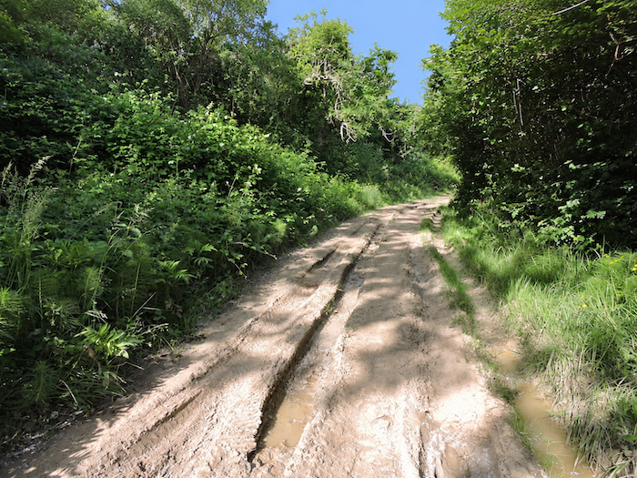
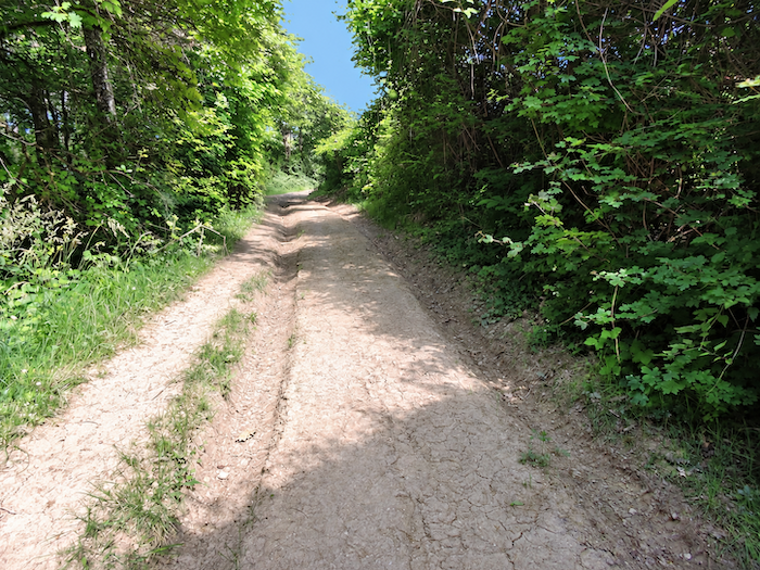
| Beyond Pugnal farm, things become considerably more demanding. The dirt path tackles the slope in earnest and plunges into the woodland. Before long, deep ruts appear, carved into the ochre-colored earth by tractor wheels. It takes little imagination to picture what such a climb must become after a heavy downpour, a long test of patience and balance. Indeed, repeated passages have gradually created alternative tracks here and there, offering a way around the worst of the mud. Unlike wild boars, pilgrims generally take little pleasure in wallowing in it. |
 |
 |
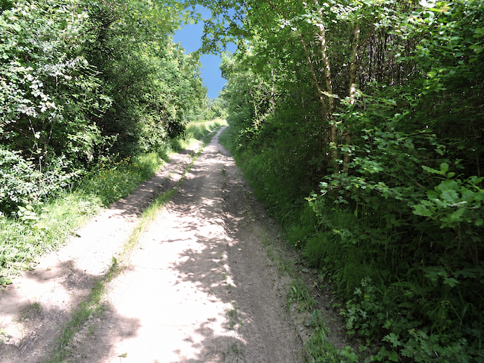
| Although the steep gradient puts your breathing to the test, nature here retains a profoundly wild character. Oaks, the undisputed rulers of these woods, mingle with maples, hornbeams and chestnut trees, creating a dense forest where human beings seem little more than passing guests. Walking through the heart of France, one might eventually come to believe that the entire country is nothing but one immense oak forest, a kingdom of wild boars and silent woodland. And to think that some naive souls still imagine France consists of little more than Paris, with a few scattered stretches of heathland around it! |
 |
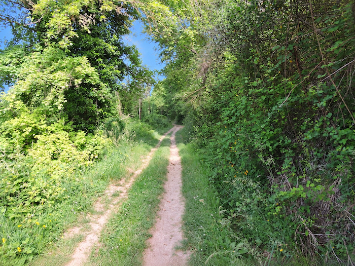 |
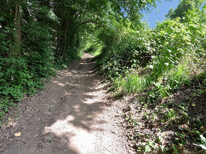
| The climb continues for nearly a kilometer, through deciduous trees and scrub, over earth compacted by countless passing feet. In places, the ground takes on the consistency of clay, that sticky substance which, on rainy days, turns walking into a feat of acrobatics. A real delight, naturally, for anyone who enjoys carrying several extra kilos of mud on the soles of their boots. |
 |
 |
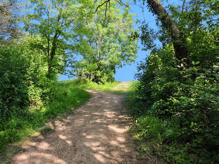
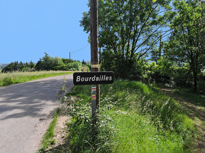
| As you gain height, the slope fortunately begins to ease. At the top of the hill, the path finally meets the asphalt of a narrow road near the locality of Bourdailles. |
 |
 |
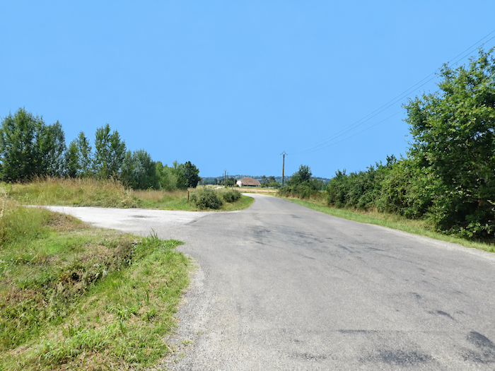
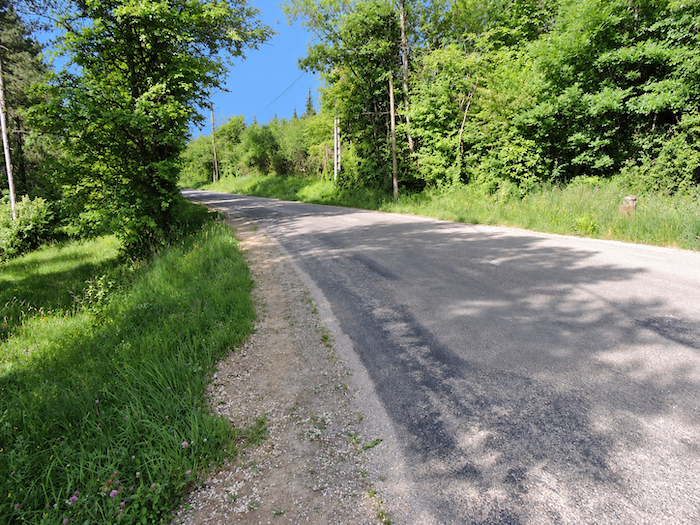
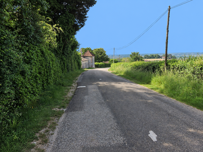
| The little road then begins a gentle descent towards Malause, winding between woodland edges, hedgerows and the open landscapes of the countryside. The horizons gradually broaden as the wooded slopes give way to cultivated fields. |
 |
 |
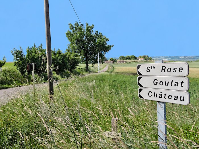
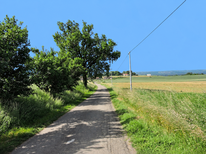
| A little farther down, another road branches off towards Sainte-Rose. Civilization seems to be making a tentative return. If only there were some inhabitants to be seen! For along these quiet country roads, the locals are conspicuous by their absence. Alone or in small groups, pilgrims continue on their way, often in silence, absorbed in their own thoughts. |
 |
 |
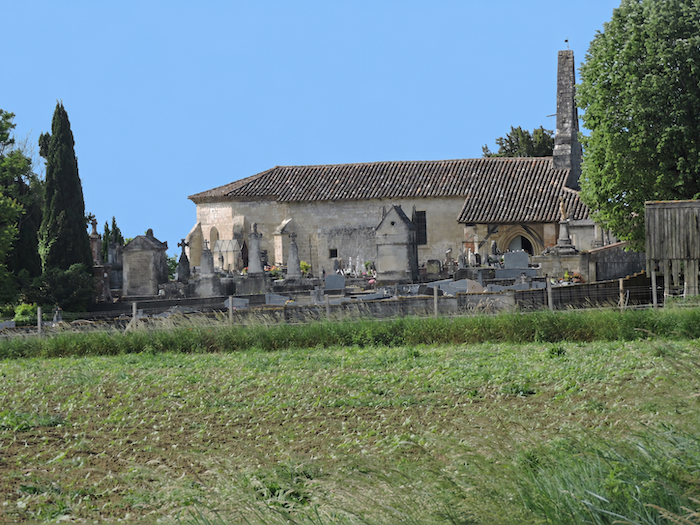
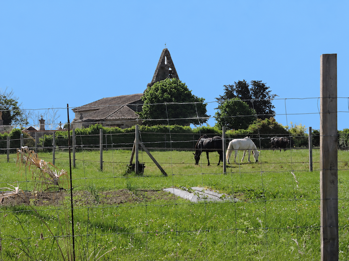
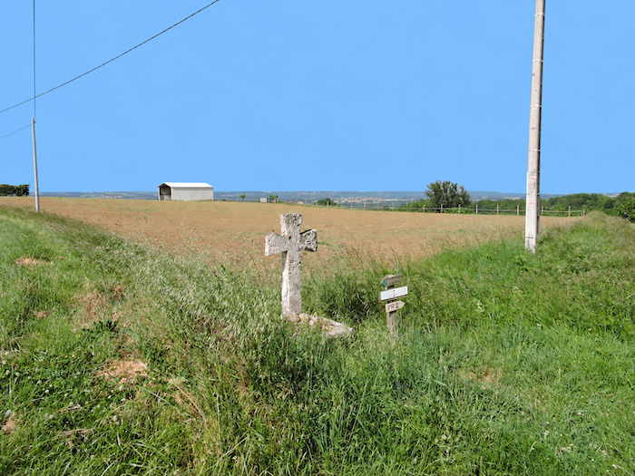
| The little church of Sainte-Rose seems to have lost its way amid the generous expanses of wheat fields surrounding it. Built between the 12th and 13th centuries, then altered many times over the centuries, the Church of Sainte-Rose-de-Viterbe has long since lost its original purpose. Today, it serves only as a modest cemetery chapel, a discreet guardian of a bygone age, still preserving a few traces of its distant past despite the passage of time. |
 |
 |
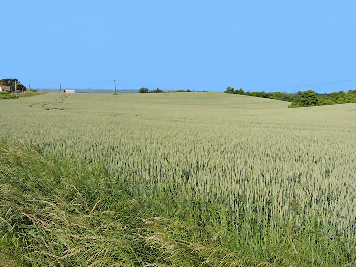
| From these heights, the eye once again takes in the majestic Garonne plain, an immense mosaic of cultivated land gently shaped by the rolling hills that surround it. |
 |
 |
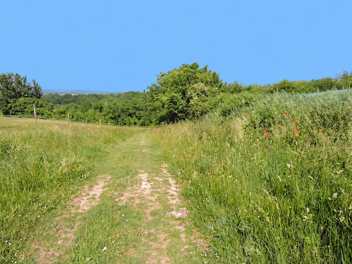
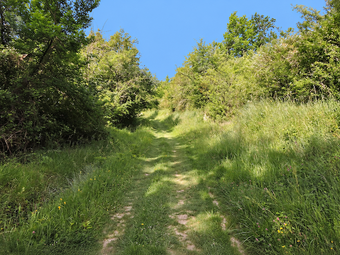
| Leaving Sainte-Rose, the GR65 first makes its way through the wheat fields before beginning a grassy descent between thickets and woodland. There, beneath the leafy canopy, the sweet, heady fragrance of honeysuckle still lingers in the air. |
 |
 |
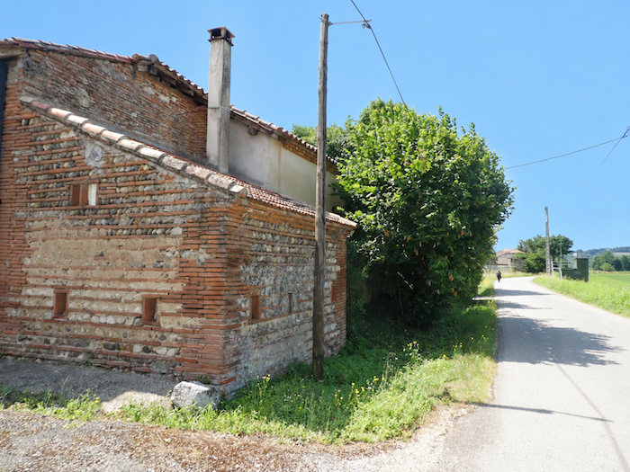
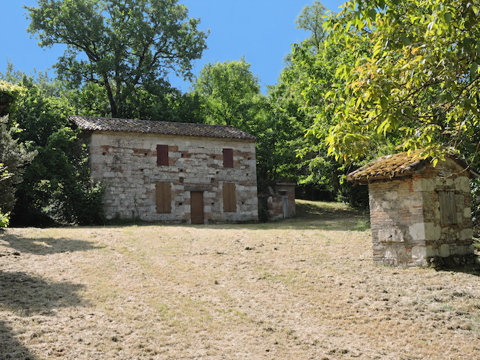
Around a bend in the path, a magnificent farmhouse comes into view, one of those buildings that give the region’s rural architecture its distinctive character. Its walls combine narrow red bricks, laid with lime mortar or cement, and rough-hewn limestone blocks, creating a beautiful harmony of stone and fired clay, mellowed by the passage of time. The house now seems abandoned to silence, as though life had quietly slipped away from it.
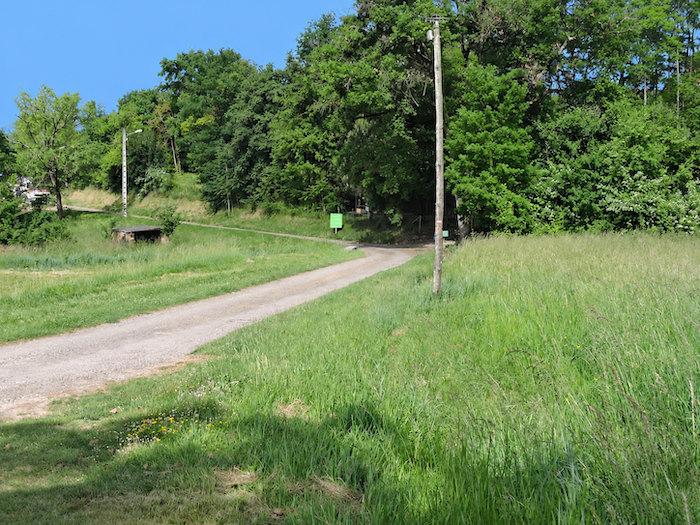
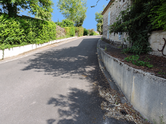
| Malause is now just a stone’s throw away, nestled immediately below. A narrow road leads straight towards it, completing the descent into the village. |
 |
 |
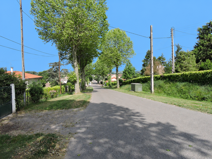
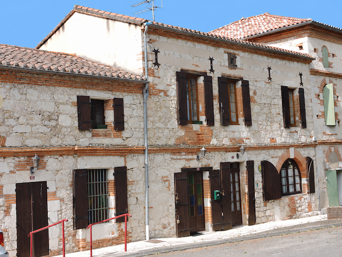
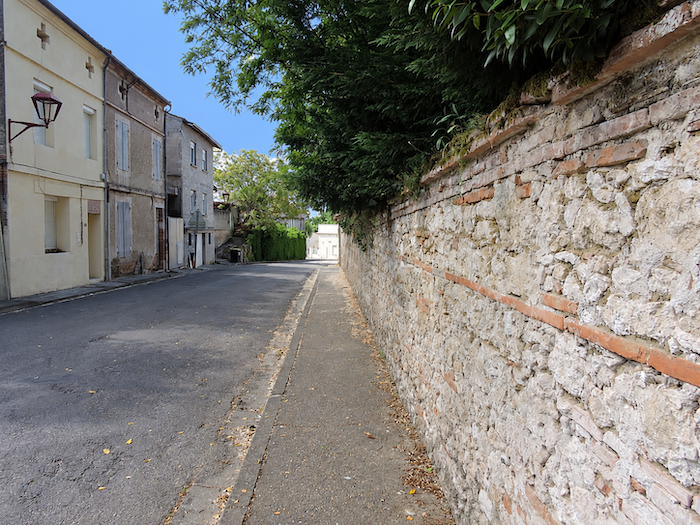
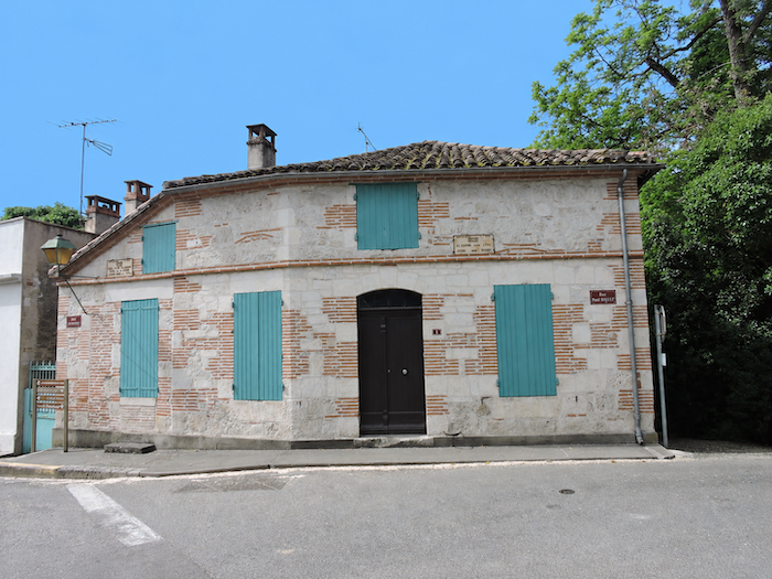
| In the streets of Malause, you once again come across the familiar masonry of narrow bricks and exposed mortar joints, a distinctive feature of the region’s traditional buildings. The Church of Saint-Jean-Baptiste, with its Neo-Romanesque lines, belongs to a much more recent period. Built in the 19th century, it reflects the taste for medieval forms that was so fashionable in religious architecture at the time. |
 |
 |
Section 4: Back along the magnificent “Canal des Deux Mers”
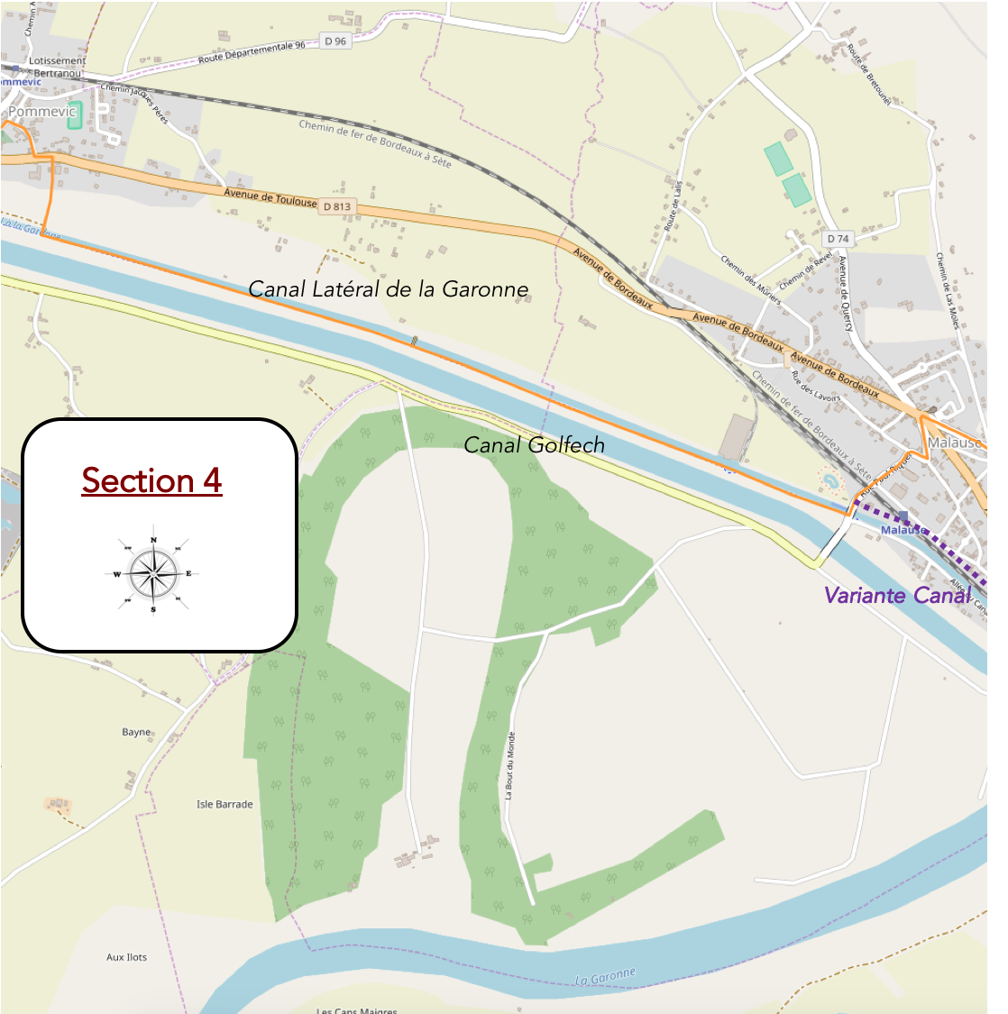
Overview of the route’s challenges: an easy route with no particular difficulties.
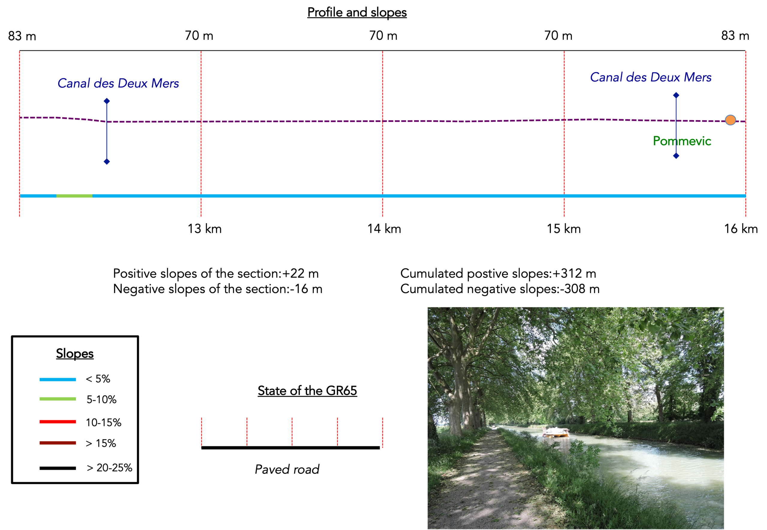
| The GR65 now begins its descent towards the lower part of the village, gradually leaving the heights behind as it makes its way down to the plain. |
 |
 |
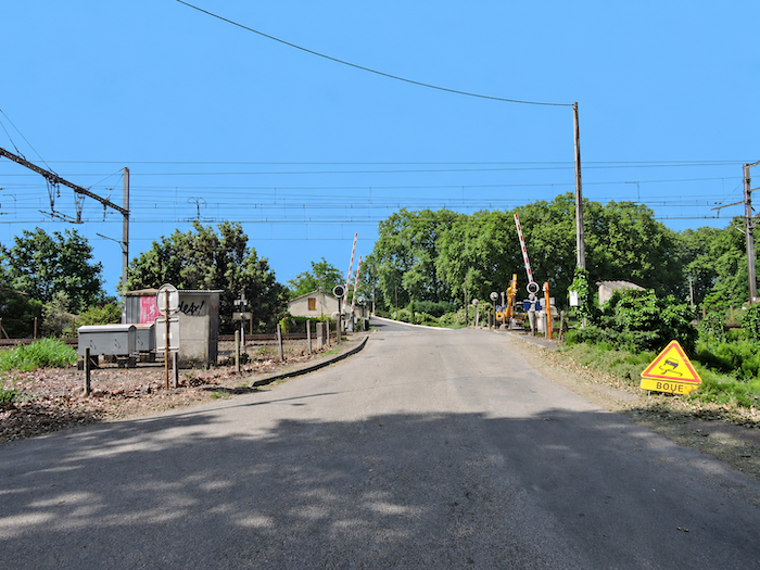
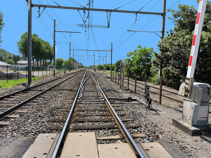
| The slope soon levels out, and the route leads towards the railway line, the last boundary before returning to the peaceful landscapes of the canal. |
 |
 |
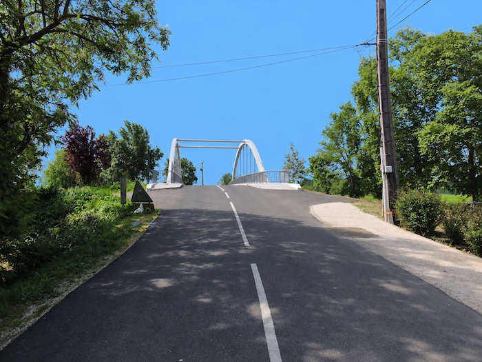
On the other side of the bridge, the route rejoins the GR65 alternative, which has also sought refuge along the banks of the “Canal latéral à la Garonne”. Judging by the number of pilgrims gathered here, the charms of the hillsides clearly do not appeal to everyone. Many prefer the tranquility of a flat path to the constant climbs and descents, where the kilometers pass without placing too much strain on their calves. To each their own, one might say. Or, more practically, each according to the condition of their joints!
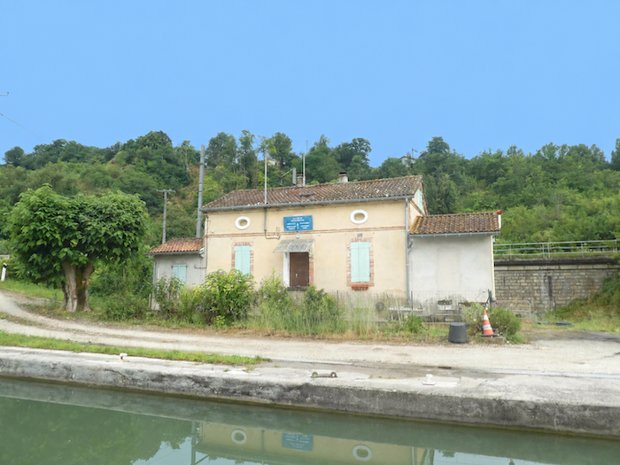
| But let us retrace our steps for a moment, back to the Espagnette lock, to discover what this alternative has in store for those who have chosen to leave the hills to others. |
 |
 |
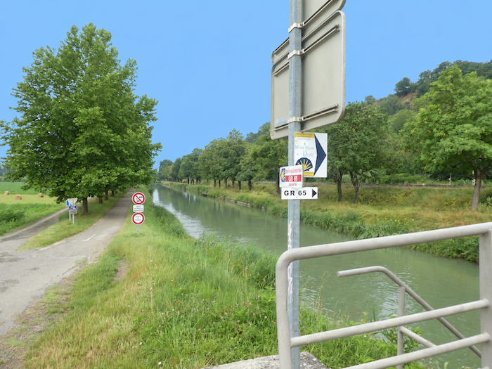
| Beneath the lofty canopy of plane trees and poplars, the path immediately returns to its peaceful rhythm, following the canal along the « Chemin de la Pointe ». The trees raise their majestic silhouettes like a guard of honor welcoming the walkers. From here, nearly six kilometers remain before the alternative rejoins the GR65 at Malause. |
 |
 |
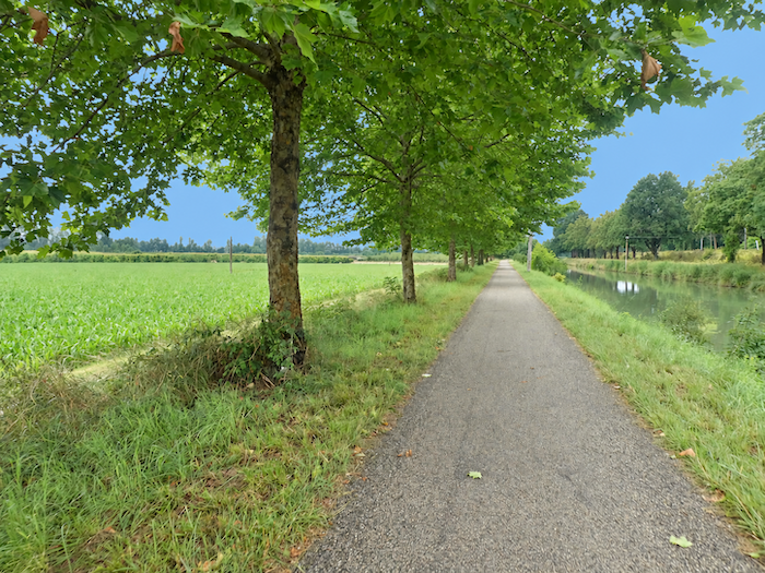
| On the left bank, houses are so few and far between that nature seems to have reclaimed the land. Human activity has largely settled on the right bank, near the departmental road, but even there, the houses can almost be counted on the fingers of one hand. Between the two banks, the canal continues its quiet existence, seemingly indifferent to this sparse human presence. |
 |
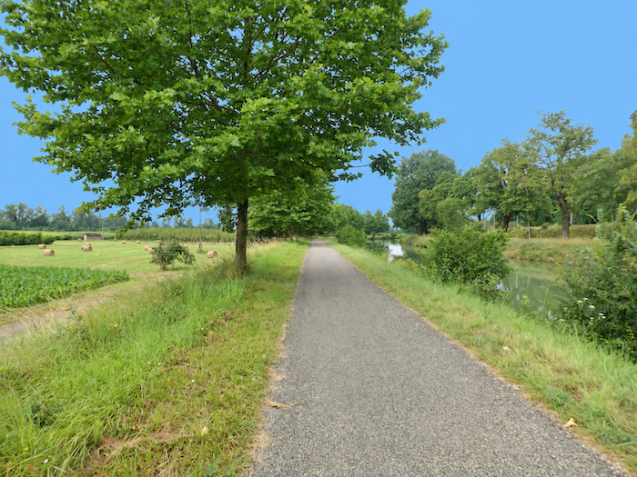 |
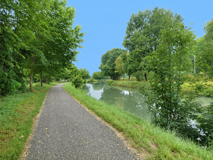
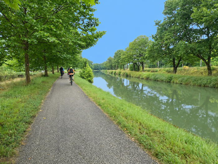
| Today, not a single pleasure boat disturbs the greenish surface of the canal. The water appears so motionless that one begins to wonder whether it flows at all and, if it does, in which direction it might be inclined to travel. The silence is so complete that the faint whisper of bicycle tyres is enough to announce a cyclist approaching from behind, long before they arrive. There is no need to ring a bell, as the pilgrim, warned by this discreet murmur, instinctively moves aside. |
 |
 |
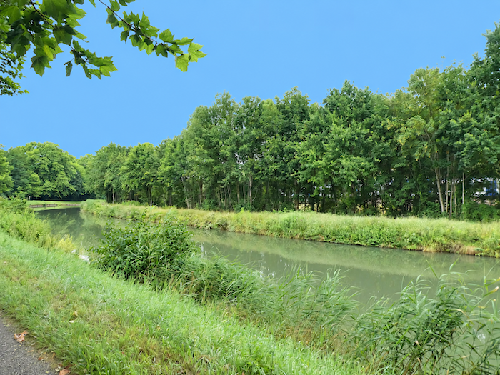
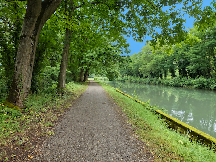
| Here, there is no need to hurry. Simply let your feet carry on with their work while your eyes linger on the tall silhouettes of the trees. Their foliage mingles with the reflections in the canal, creating such a profusion of greens that it soon becomes difficult to distinguish what belongs to the land and what belongs to the water. The landscape seems to have composed itself, with that effortless perfection whose secret nature so jealously guards. |
 |
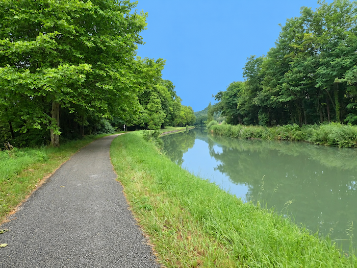 |
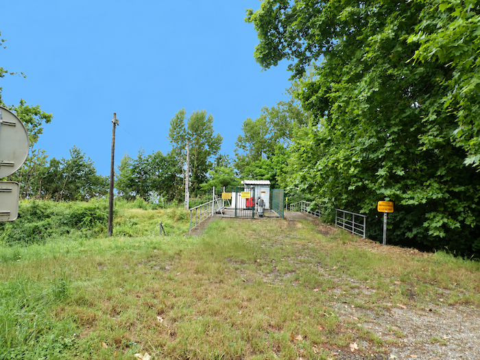
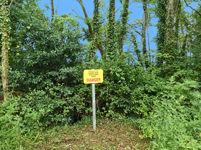
| One might imagine this little paradise reserved for dreamy walkers and leisurely Sunday cyclists, the undisputed masters of a realm where tranquility reigns supreme. Not at all! Just a stone’s throw from this idyllic waterside scene, EDF oversees installations of an entirely different scale. A nuclear power station reminds us that industry, too, knows how to find its place amid the most bucolic landscapes. Enough to temper the illusion of a natural world left entirely to its own devices! |
 |
 |
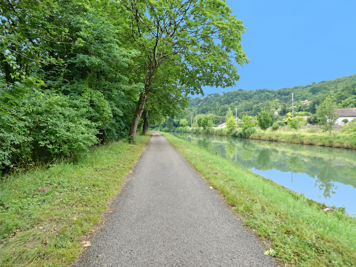
| It is not that this long walk beside the canal lacks charm. Quite the contrary, its very monotony invites daydreaming. But the human mind, that eternal wanderer, eventually begins to crave something new. It needs movement, a silhouette, some small detail on which to rest its thoughts. And so the slightest human presence, glimpsed on the opposite bank, suddenly becomes a little event, almost a welcome distraction amid this succession of motionless scenes. |
 |
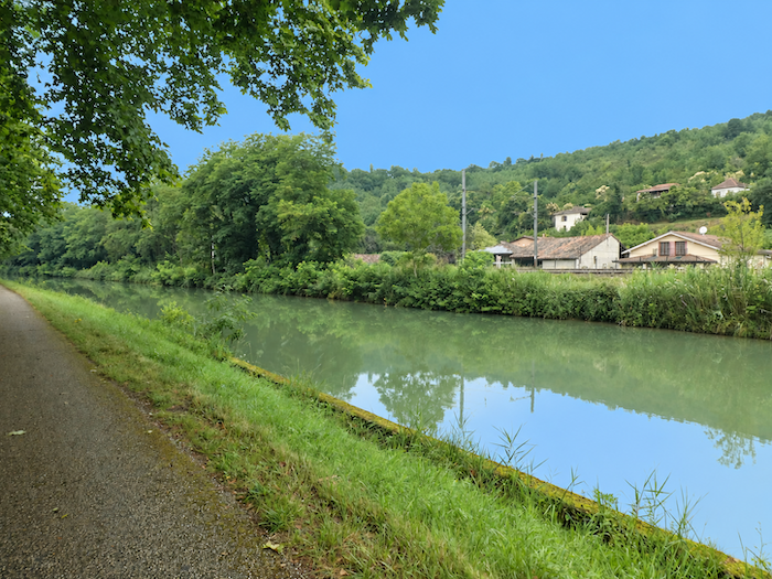 |
| At times, the landscape seems almost divine. There are those rare, privileged moments when everything appears to fall naturally into place, when trees, water and sky respond to one another in such perfect harmony that one hesitates to disturb it with a single word. Time itself seems to stand still, as though this modest ribbon of water, hidden beneath the foliage, had somehow managed to steal a few moments of eternity from the world. |
 |
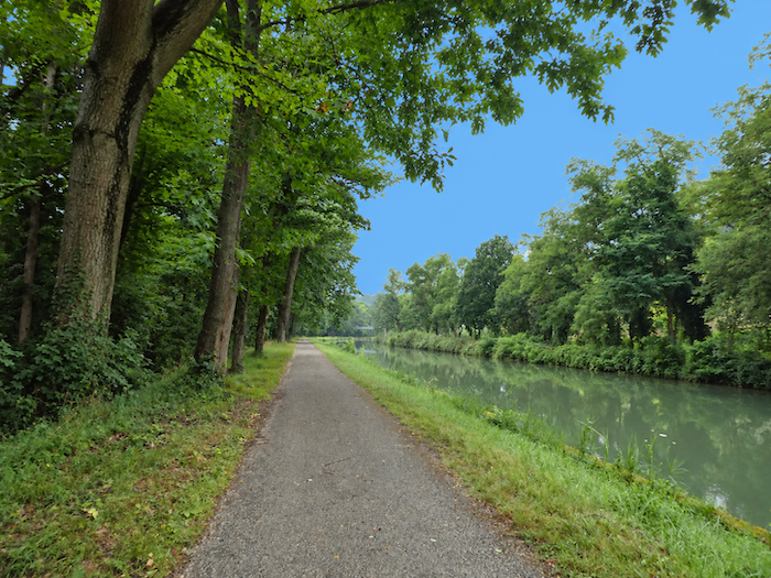 |
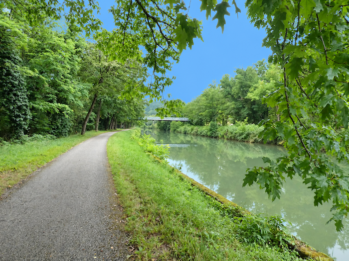
| Then, in the distance, a thin metallic line breaks the long perspective of the canal. At first, it is merely a slender stroke drawn across the horizon, but it gradually takes shape as you approach. |
 |
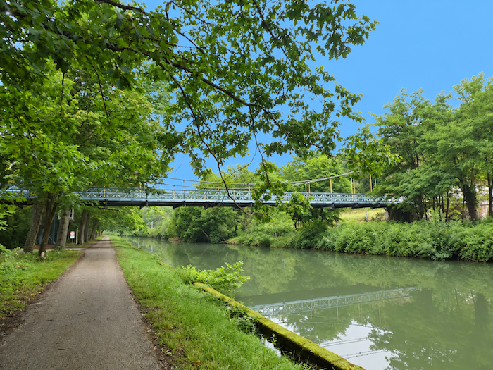 |
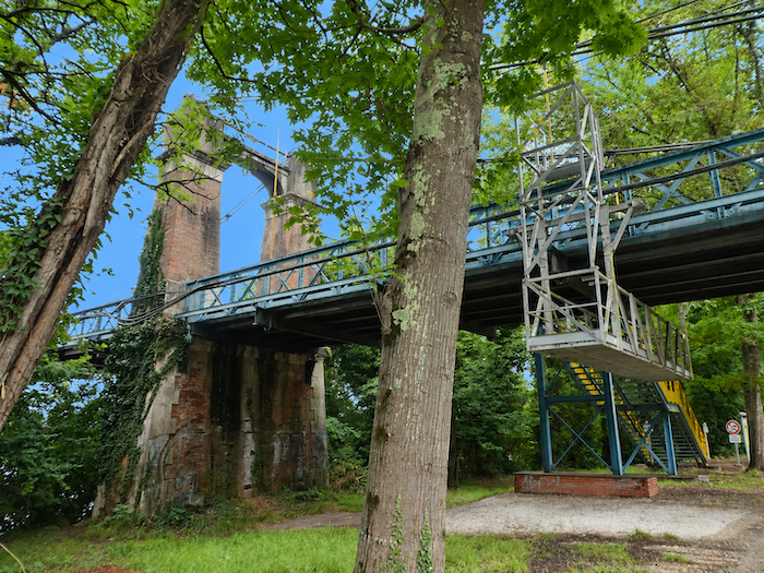
| Its outlines become clearer, its structure emerges. It is a bridge, slowly appearing from the greenery and bringing this long passage beneath the trees to an end. This magnificent iron bridge, whose elegant framework spans the water, opens the way towards the Saint-Nicolas-de-la-Grave leisure center and, beyond it, the countryside inland. |
 |
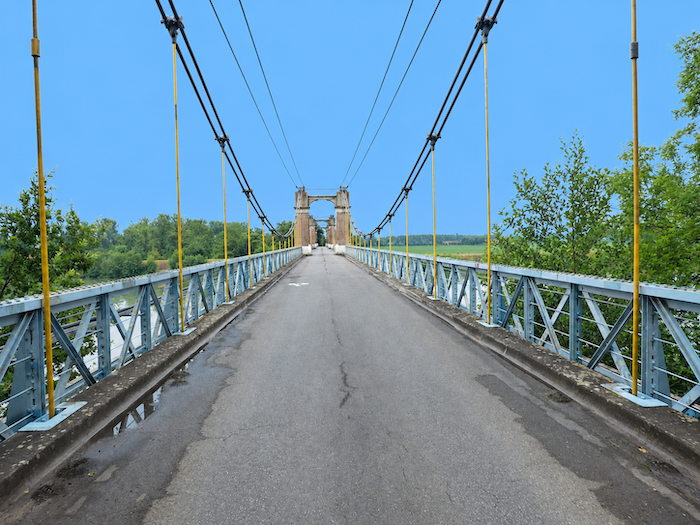 |
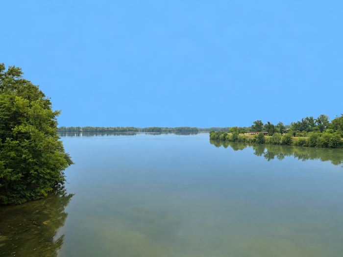
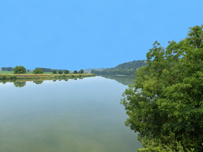
| But it is also from this metal footbridge that an even grander spectacle unfolds: the marriage of the Tarn and the Garonne. The waters of the great river extend so far into those of its tributary that their boundaries become blurred, until it is almost impossible to tell which water belongs to which river. But what does it matter? There is something magical about watching these two giants unite their destinies. One certainty remains, however. Here, the Tarn comes to the end of its independent existence, its waters merging forever with those of the Garonne. From now on, it is the Garonne that will accompany your footsteps. Such is the life of rivers: the larger ones almost always end up swallowing the smaller. |
 |
 |
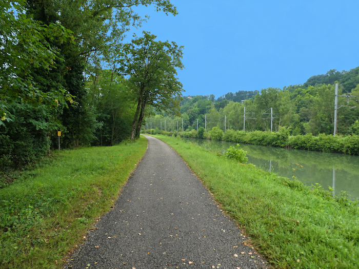
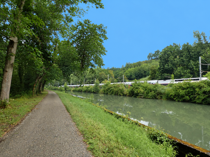
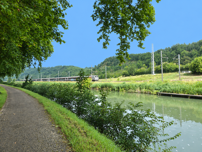
| Along the cycle path, nothing seems capable of disturbing the unchanging order of the surroundings. Only occasionally does a train hurtle past on the other side of the canal, briefly shattering the tranquility before disappearing as suddenly as it appeared. Then silence reclaims its kingdom, as though nothing had happened. |
 |
 |
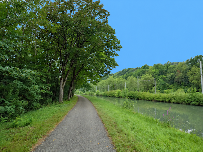
| And the canal continues to work its charm, generously revealing the beauty of its long, shaded perspectives. Behind the curtain of trees, the Garonne flows on, majestic and impassive. You know it is close, yet it never reveals itself, not even with a murmur to betray its presence. What a strange companionship this great invisible river provides, as you walk alongside its banks without ever catching the slightest glimpse of its waters. |
 |
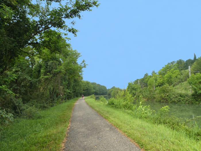 |
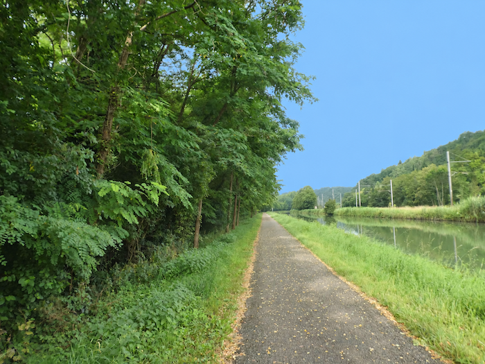
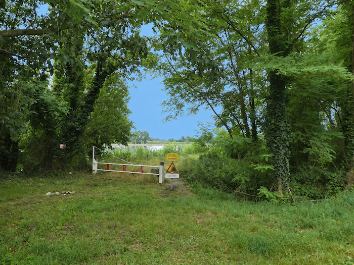
| To the left of the path, the Garonne is indeed continuing its journey. If only there were some way to be sure! EDF seems to have jealously monopolized the views of the river, allowing walkers only the occasional glimpse between the leaves. You must watch for the smallest opening in the foliage to make certain that the great waterway has not mysteriously vanished behind the ash trees, which sometimes even manage to dethrone the plane trees as guardians of the banks. |
 |
 |
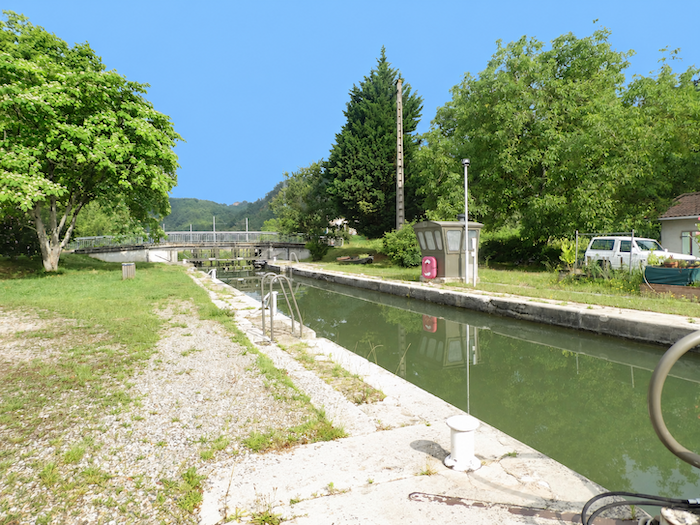
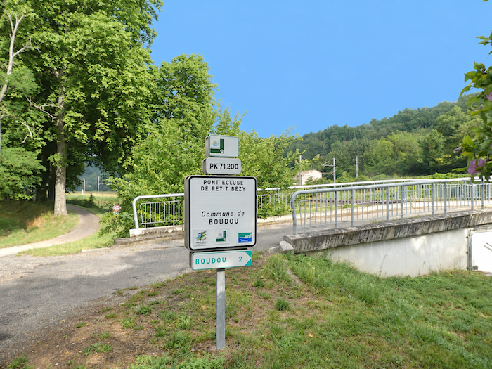
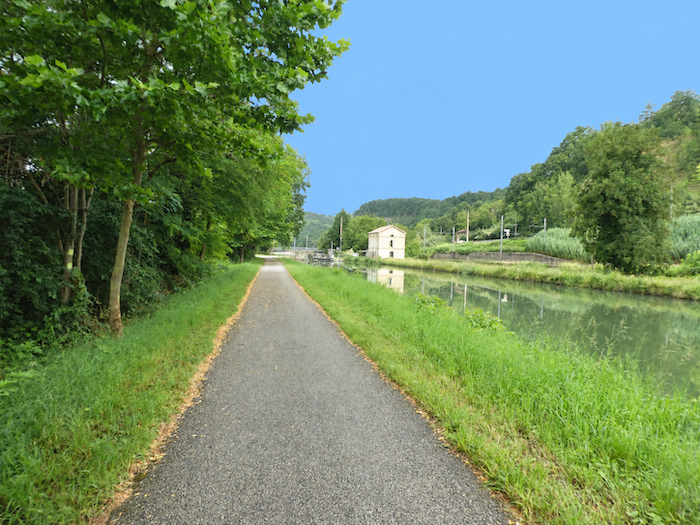
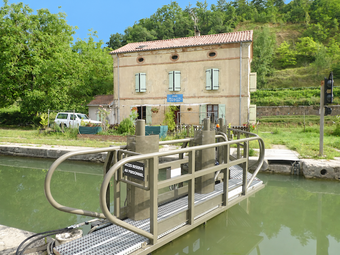
| Farther on, the path reaches the bridge and lock at Petit Bézy, a discreet reminder that this long ribbon of water, despite its seemingly deserted appearance, has not been left entirely to its own devices. After walking through such solitude, one might almost believe that nobody bothers to maintain it anymore. But appearances can be deceptive, and the activity here must vary with the days and seasons. When we passed through, an employee was busy clearing leaves trapped in the lock mechanism. |
 |
 |
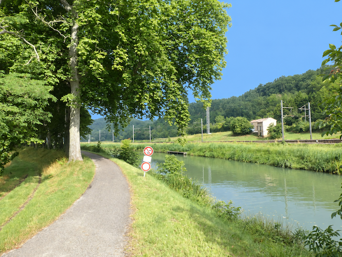
| Along the canal, the countryside seems to regain a little variety. Crops become more diverse, and cereal fields interrupt the succession of landscapes encountered so far. |
 |
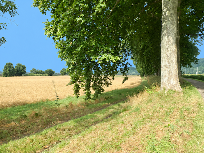 |
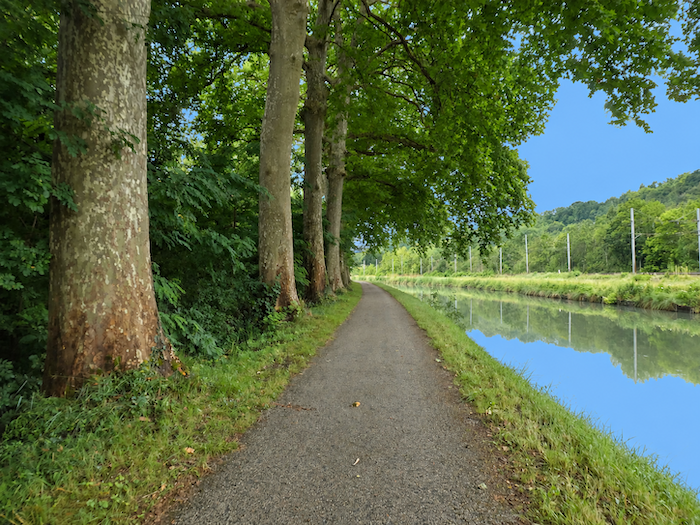
| In places, the plane trees display a majesty that commands admiration. How heartbreaking it would be to see these venerable giants disappear, like so many of their companions along the “Canal du Midi,” victims of canker stain, that dreadful fungal disease against which the chainsaw remains the last resort. One would like to believe these ancient patriarchs are safe from such a fate, so inseparable does their presence seem from the very soul of the canal. |
 |
 |
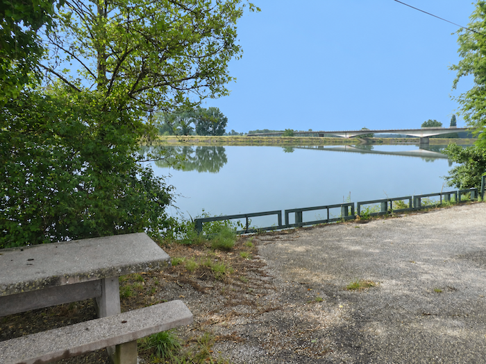
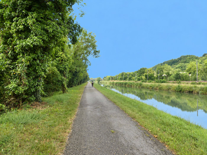
| Farther on, the silhouette of a bridge appears on the horizon. For once, EDF has not considered it necessary to put up its usual prohibition signs. The opportunity is too good to miss, offering a chance to look towards the Garonne and finally appreciate its impressive width. But make no mistake: although the river graciously allows itself to be admired, it remains out of reach. There is no access to its banks. You will have to content yourself with the pleasure of looking. . |
 |
 |
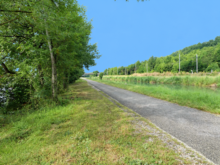
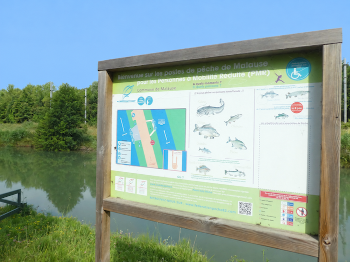
| Soon, access points reserved for anglers appear near the Malause bridge, which crosses the Garonne. A few discreet facilities remind us that the river, hidden from view for so long, also attracts visitors other than passing walkers. |
 |
 |
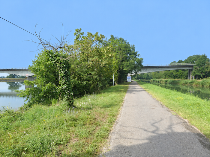
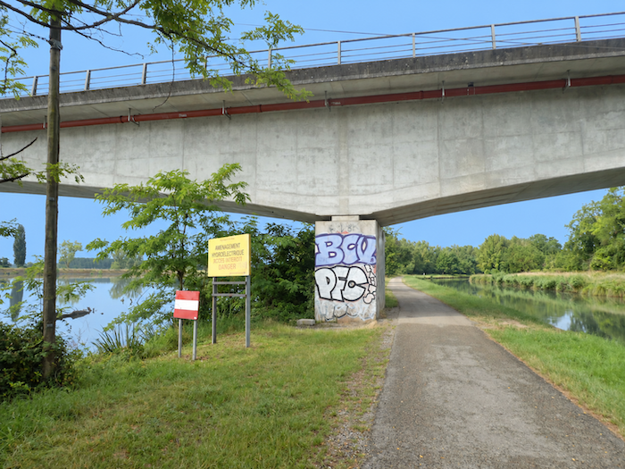
| The path then slips beneath the imposing structure, whose sheer mass contrasts sharply with the peaceful horizontal lines of the canal. Once beneath the bridge, Malause is not far away. |
 |
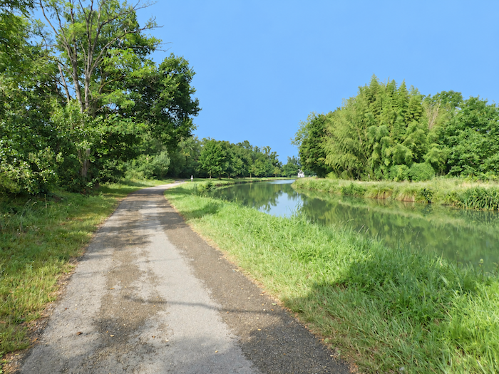 |
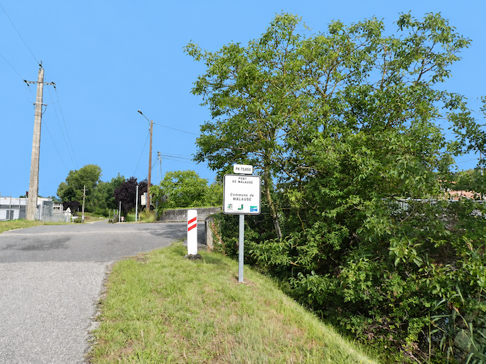
| Soon comes the Malause bridge and lock, the first invitation to leave the canal bank and head towards the village. But resist the temptation, for this is not yet your crossing. The alternative route has its own plans and intends to keep you beside the canal a little longer. |
 |
 |
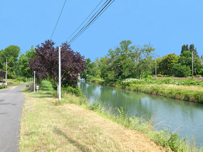
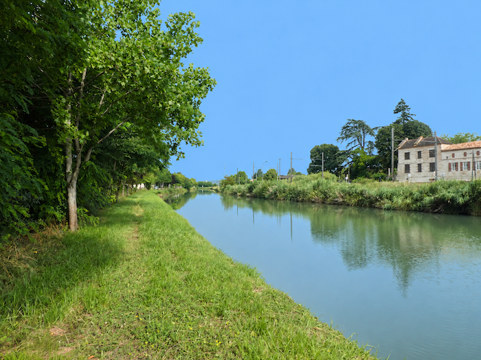
| For a while, the route changes character. It leaves the ribbon of asphalt, which has become almost second nature beneath your feet, and returns to the softness of grass right beside the water. The landscape takes on a more domestic appearance here. A small extension of Malause has developed along the canal, as though a few residents had preferred the tranquility of its banks to the livelier atmosphere of the village. |
 |
 |
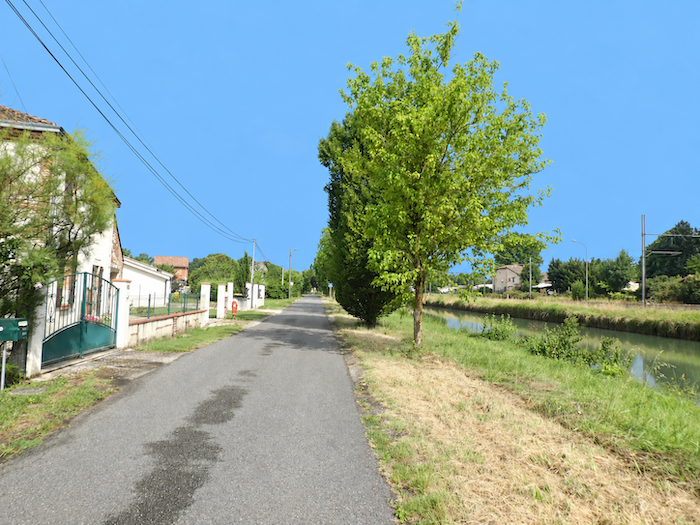
| Then the asphalt returns, and the walk continues past small villas whose gardens now border the canal. But this is only a foretaste of Malause. Most of the village lies on the opposite bank, beyond the railway line, leaving this waterside neighborhood with the slightly secluded charm of places through which travelers merely pass. |
 |
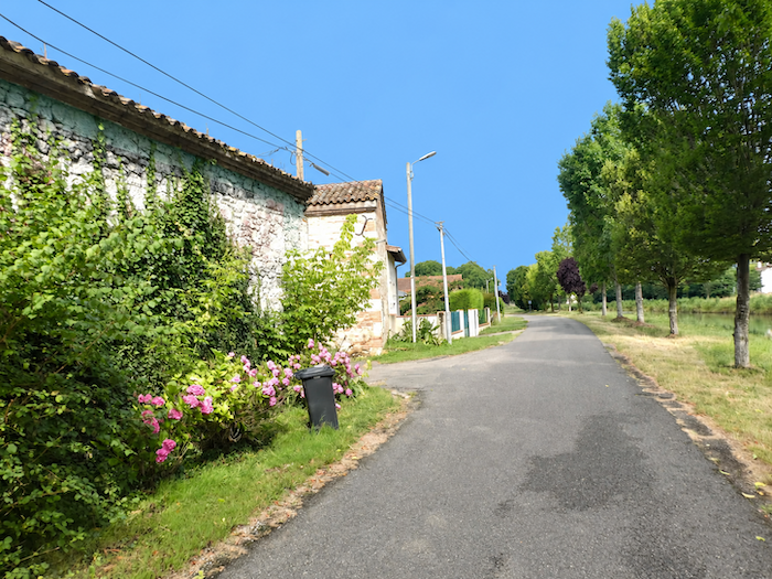 |
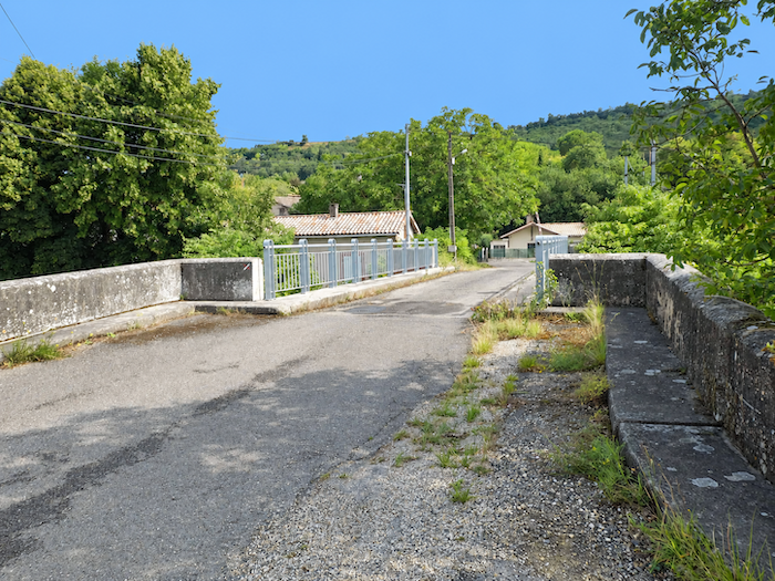
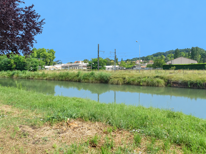
| At the end of the residential development, the Pont Palor finally comes into view. Here, the two routes are reunited. The alternative, which has faithfully followed the tranquil waters of the canal for kilometers, rejoins the GR65, descending from the heights after choosing the rolling hillsides over the easier passage along the banks. |
 |
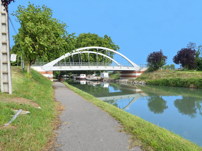 |
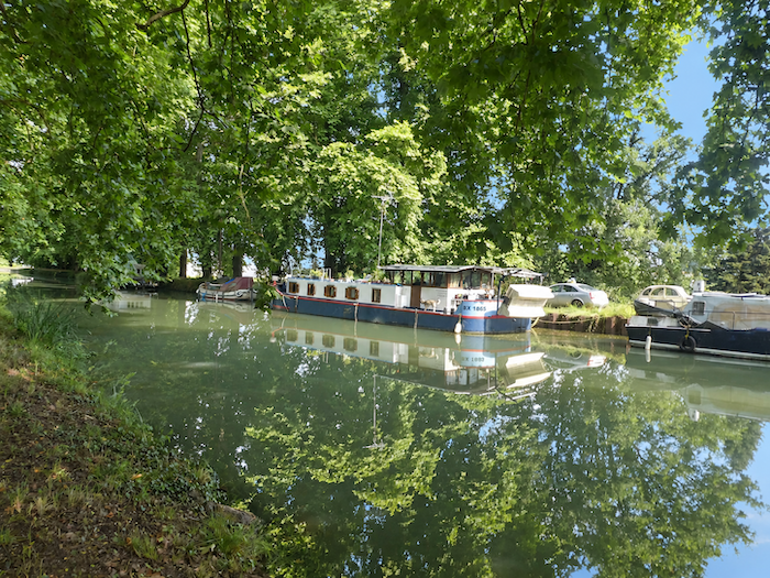
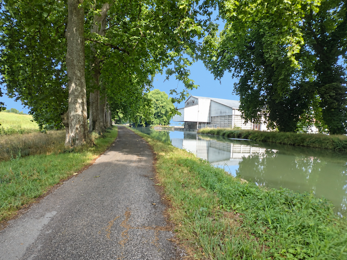
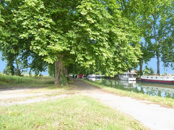
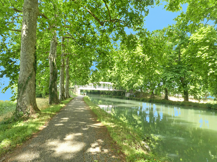
| For everyone, the path soon resumes its familiar course, unfolding its ribbon of asphalt beneath the majestic canopy of towering plane trees. Along the banks, barges lie moored one beside another, like a little fleet condemned to immobility. Have they simply dropped anchor between voyages, or has the housing crisis transformed these former queens of river transport into floating homes, more affordable than houses on dry land? The second explanation seems the more likely, as commercial freight has long since disappeared from the canal. |
 |
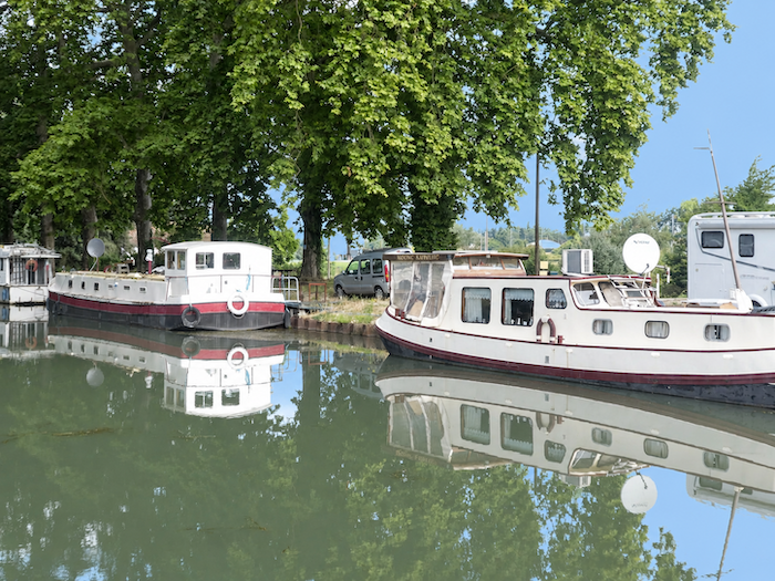 |
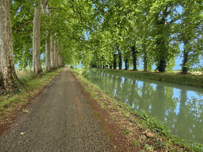
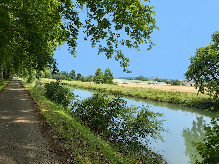
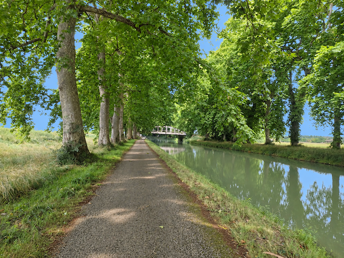
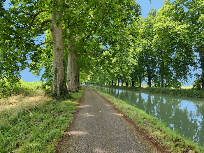
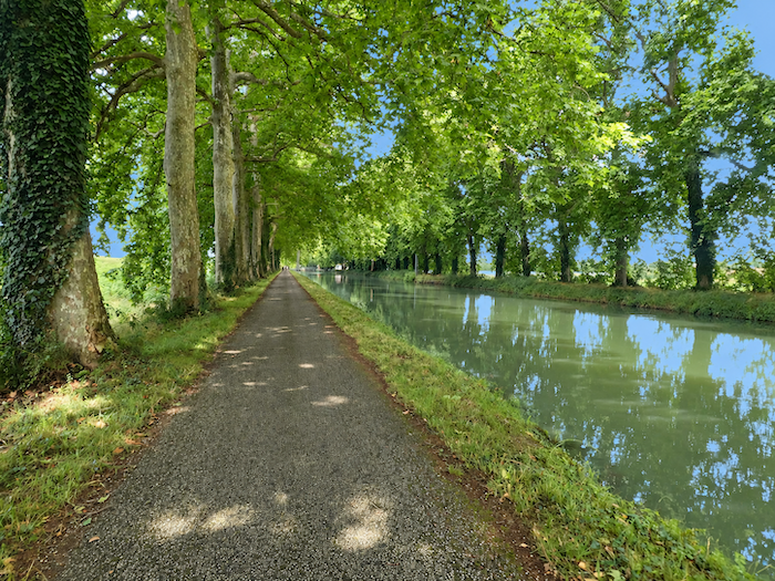
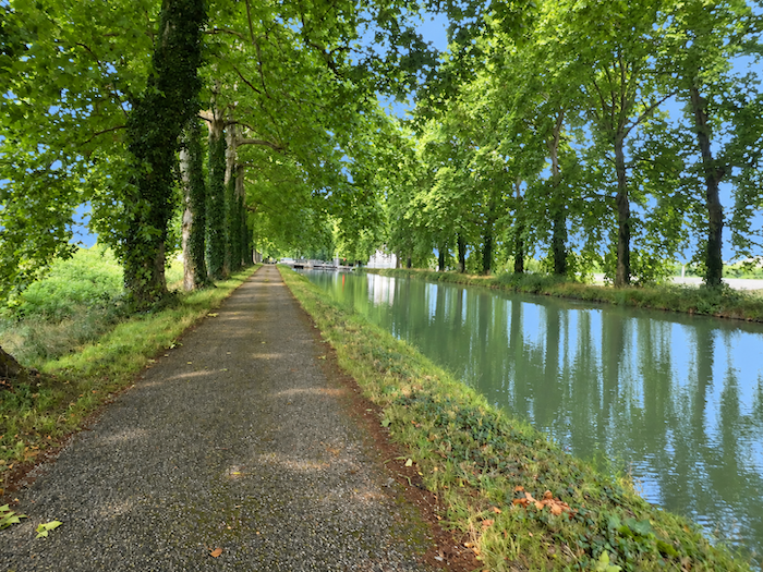
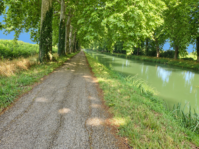
| The spectacle remains no less striking. As far as the eye can see, the canal stretches into seemingly endless perspectives, long liquid avenues bordered by enormous plane trees. Far from becoming tiresome, the monotony of these straight lines gradually exerts a strange fascination. |
 |
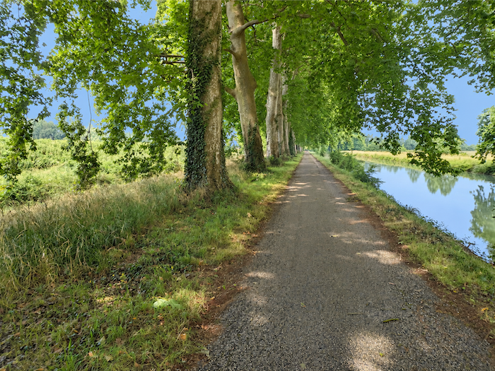 |
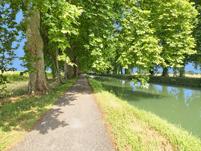
| On either side of this peaceful waterway, the countryside belongs entirely to agriculture. Cultivated fields occupy the land, orderly and industrious, while the meadows seem to have forgotten their grazing herds. |
 |
 |
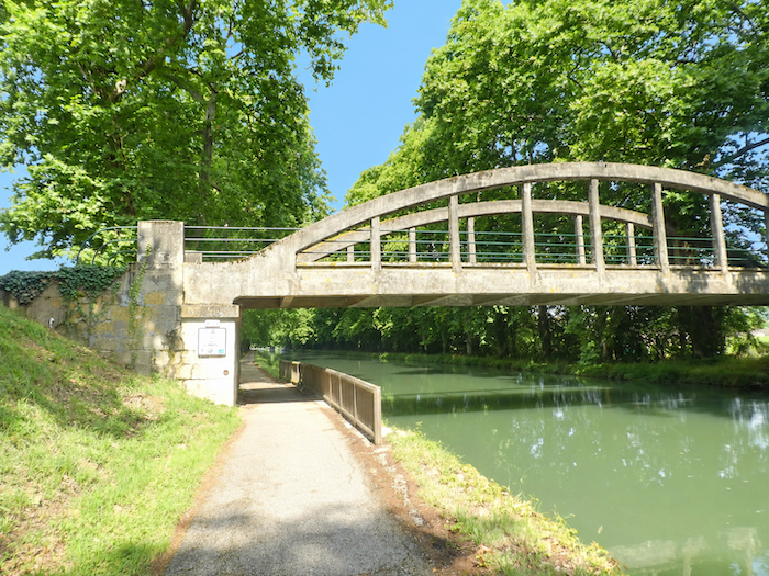
| As you approach a bridge across the canal, a motionless figure interrupts this long procession of greenery. An angler has set up his fishing lines beside the water. Beneath the opaque surface lives an entire aquatic population of carp, bream, roach, perch and catfish. The latter, recognizable by its long whiskers, is a familiar sight on Asian dining tables. Introduced into France at the end of the 19th century, it has since spread widely through the country’s freshwater habitats. Considered a nuisance but perfectly edible, it belongs to the great order of catfish, the Siluriformes, which also includes the enormous wels catfish, those whiskered monsters that sometimes reach extraordinary proportions and carry a fearsome reputation as the scourge of rivers. |
 |
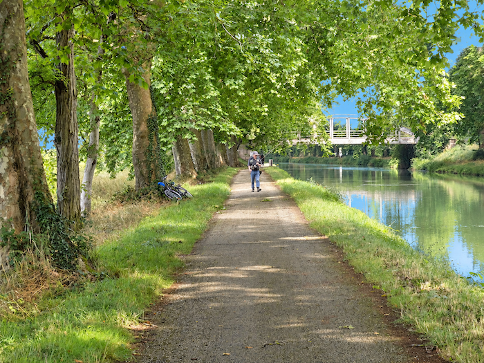 |
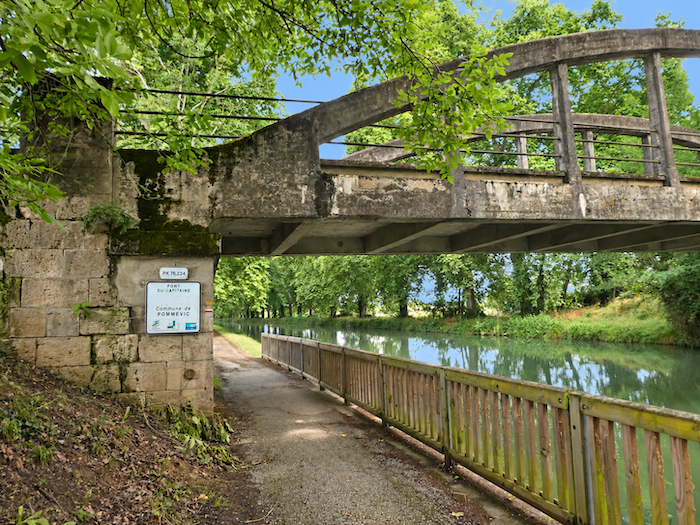
It is amid this almost unreal setting that the “Pont du Capitaine” appears. These modest structures, silent sentinels of stone or concrete, play much the same role here as lighthouses at sea. They punctuate the walk, mark the distances and give hikers the reassuring feeling that they have made a little progress against the infinity of the straight stretches.
| Along the banks, the ribbon of asphalt belongs to a small world of people on the move: Sunday walkers, hurried cyclists, dedicated joggers and long-distance pilgrims. At first glance, little seems to distinguish these travelers, apart perhaps from the weight of their backpacks and their different relationships with time. Some rush ahead, devouring the kilometers as though they had an appointment with the horizon. The pilgrim, however, has little obligation to obey the clock. He takes his time. Where others seek to save it, he seems to have chosen to enjoy it. |
 |
 |
| A little farther on, a lock interrupts the peaceful continuity of the canal. Looking across this countryside, flat as the palm of your hand, one might imagine that the water has only to follow its course, never encountering the slightest obstacle. But the terrain, however subtle its variations, sometimes insists on having its way. |
 |
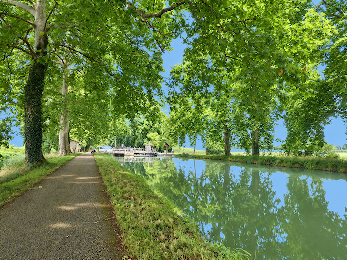 |
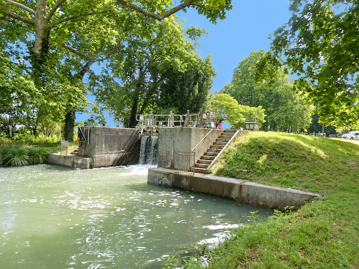
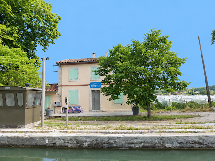
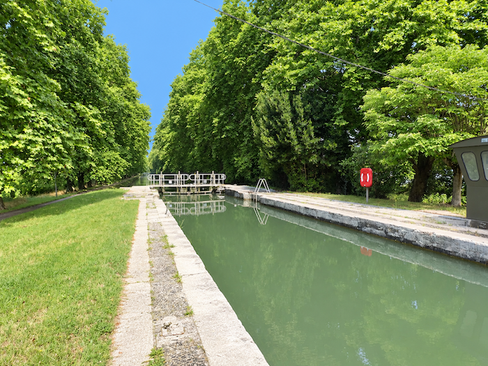
| Here is lock number 28, the Braguel lock, the last such stop on today’s route. The days of the traditional lockkeepers seem to be over. Perhaps a few students come during the summer months to lend a hand to passing boaters? Apart from such hypothetical assistance, pleasure boaters appear to be left to their own devices. They must still master the hydraulic controls, open and close the gates, allow water to fill or drain from the lock chamber, until their boat reaches the level of the next stretch of water. |
 |
 |
| On both banks, the countryside spreads out in generous expanses of fertile land, almost entirely devoted to cultivation, particularly oilseed crops whose fields extend as far as the eye can see. Enjoy this magnificent scenery while you can, this long interlude of greenery and silence, for your hours beside the water are now numbered. Soon, the route will turn its back on the magic of the canal, its endless perspectives and the protective shade of its plane trees. |
 |
 |
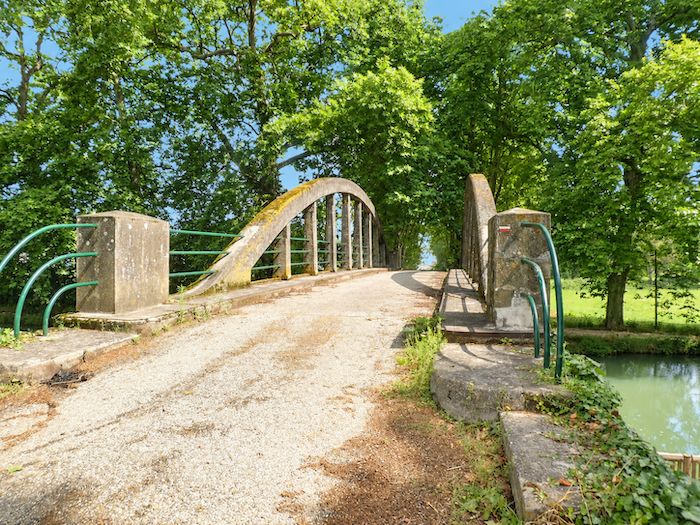
| Already, the final structure of this long waterside walk comes into view: the Pont de Pommevic. One would gladly prolong the enchantment, following these peaceful banks for a few more kilometers, where time seems to flow as slowly as the water itself. But here, the GR65 bids farewell to the canal and makes a short detour towards Pommevic, crossing the bridge. |
 |
 |
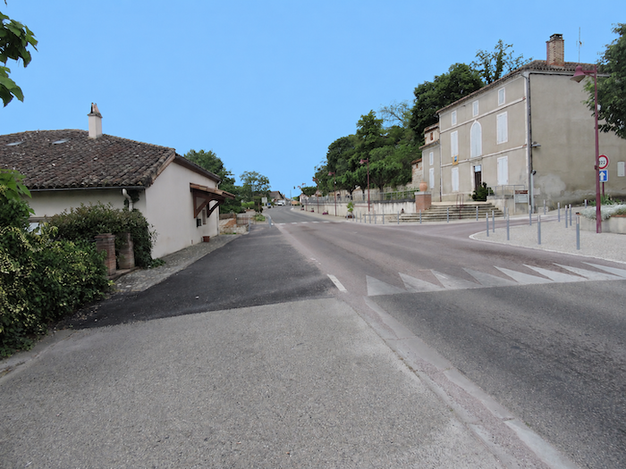
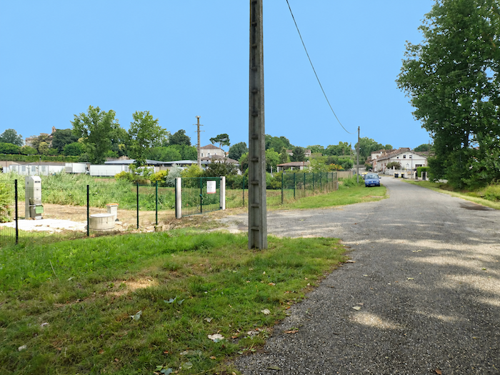
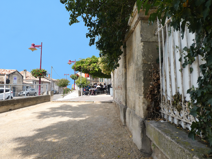
| Pommevic is just a stone’s throw away, nestled close to the canal along the main departmental road. Here and there, the village displays some of those traditional houses that lend the local architecture its understated charm. White and pink limestone mingle with brick, creating a pleasing combination of materials and colors, united by lime mortar joints with an unpretentious elegance. Nothing monumental, simply the quiet harmony of old houses that seem to have borrowed their colors from the very earth from which they rose. |
 |
 |
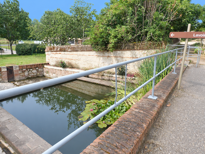
| Not far away stands an old washhouse, a humble reminder of the days when doing the laundry brought the village women together around the water to exchange the latest news. The nearby café, however, has lost none of its original purpose. Passing pilgrims and local regulars still gather there. |
 |
 |
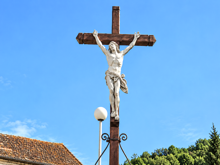
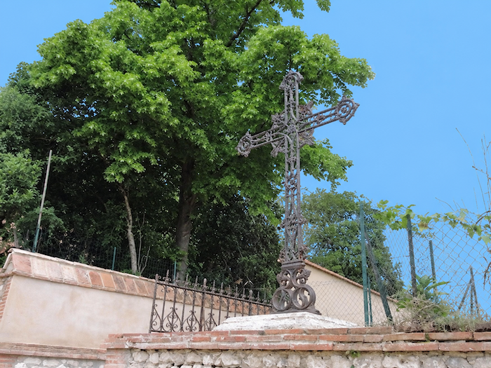
| A large metal cross then marks the beginning of a short detour through the village. It offers an opportunity to discover more brick façades, catch sight of the castle tower and continue as far as the church, modest reminders of a past that has not entirely vanished from these surroundings. |
 |
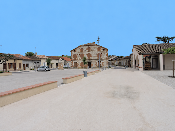 |
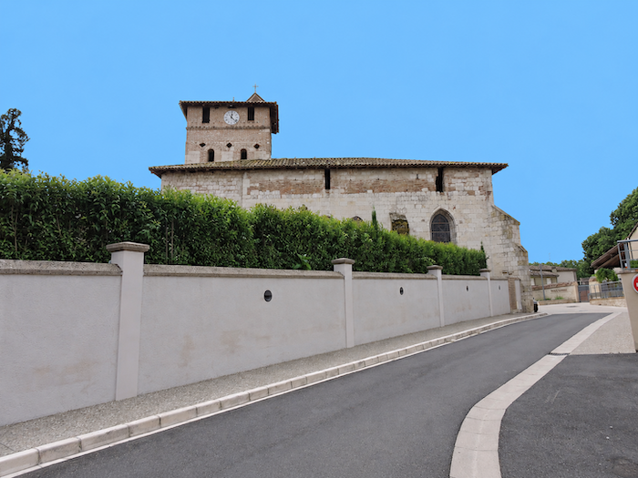
| The Church of Saint-Denis dates back to the 11th century, although little remains of its Romanesque origins beyond a section of wall, the base of the bell tower and the apse. The rest has undergone numerous transformations over the centuries, leaving little today to hold the attention of enthusiasts of historic architecture for very long. As for the rest of the detour, it makes for a pleasant stroll without revealing any truly exceptional treasures. |
 |
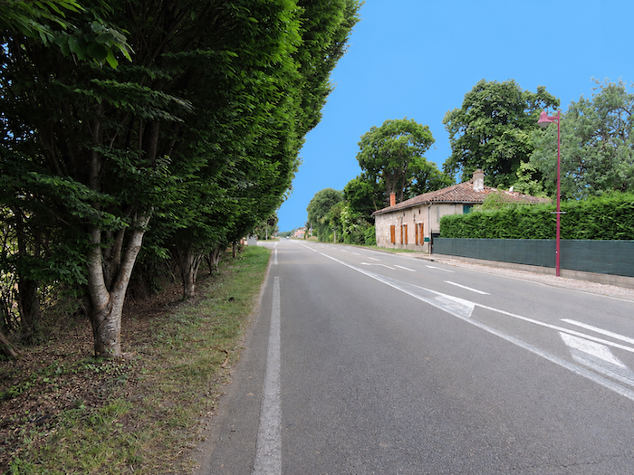 |
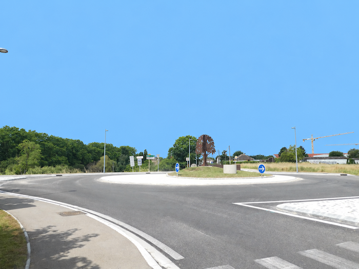
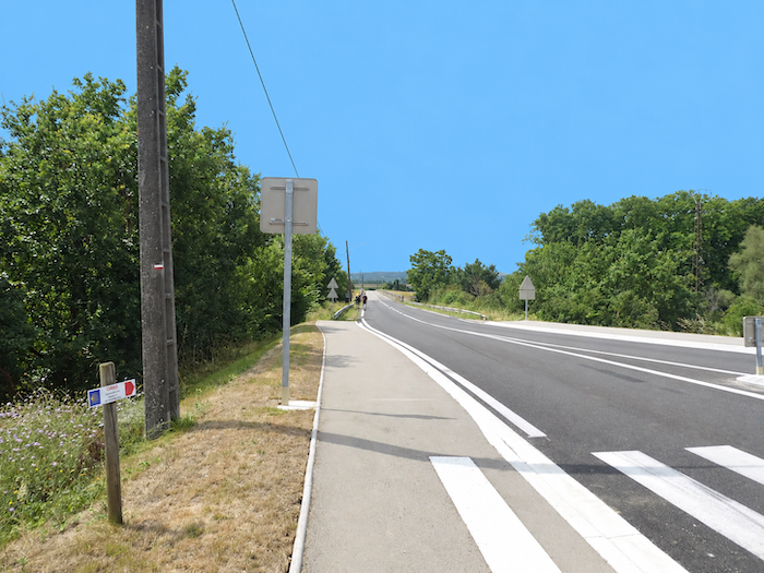
| The road then gradually leaves the village behind, passing through the less picturesque surroundings of its roundabouts before continuing towards the canals. |
 |
 |
Section 5: Across the dreary Garonne Plain before reaching Auvillar
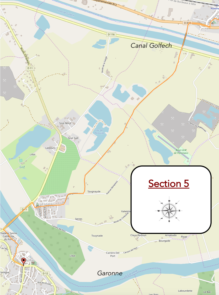
Overview of the route’s challenges: no particular difficulties, apart from the steep climb into the village.
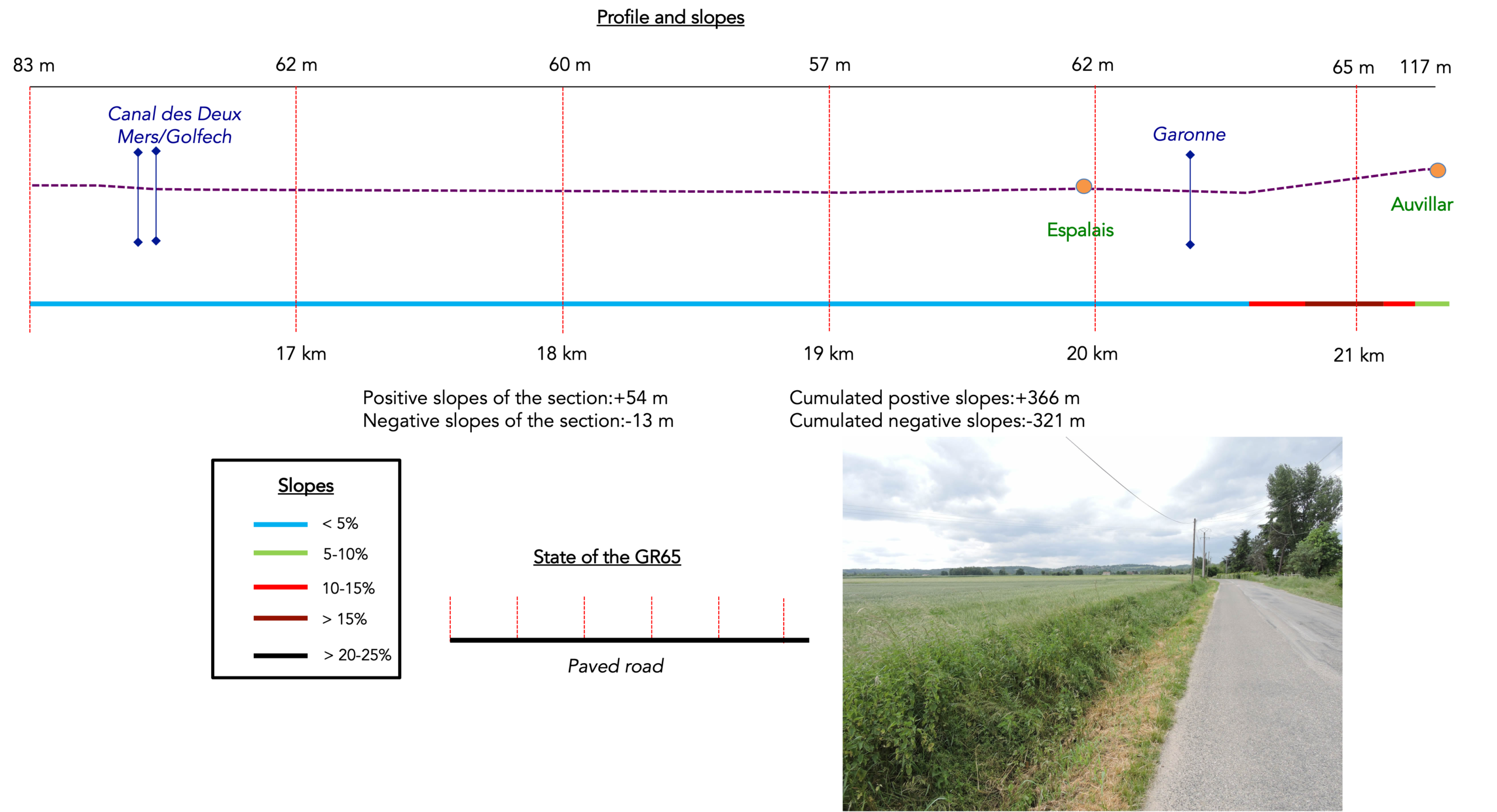
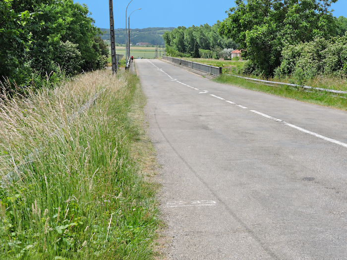
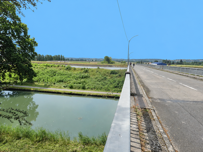
| From the junction, the GR65 follows the departmental road towards Auvillar. It crosses first the “Canal latéral à la Garonne”, then the “Golfech canal”, a diversion of the river that supplies water to the nuclear power station. The Garonne itself has chosen to wander away across the plain, leaving walkers to their own devices for a while. Its waters will reappear near Auvillar. |
 |
 |
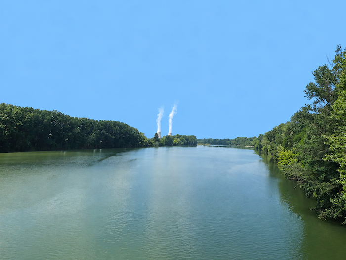
But now, two positively monstrous silhouettes rise on the horizon: the cooling towers of the Golfech nuclear power station. Monstrous is hardly an exaggeration. With its two reactors and cooling towers rising to 170 meters, the tallest in Europe, the complex imposes its enormous presence upon the entire region. Whichever hill you climb to admire the countryside, there is no escaping these two gigantic concrete eyesores, crowned by their endless plumes of steam. They dominate the horizon with quiet arrogance, as though modern technology had decided to remind the countryside who was now in charge.
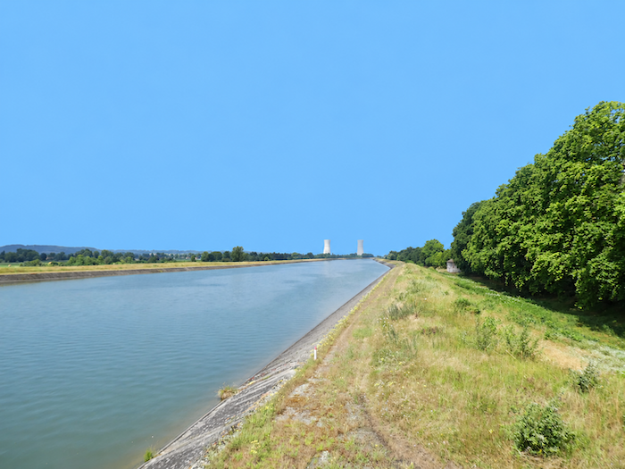
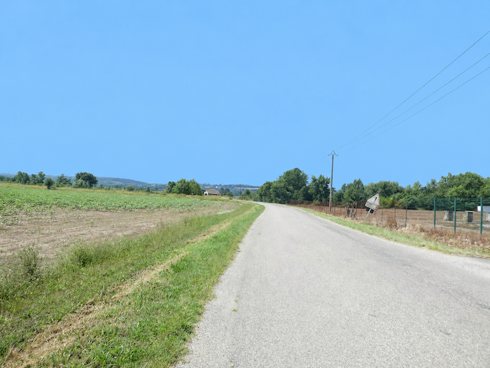
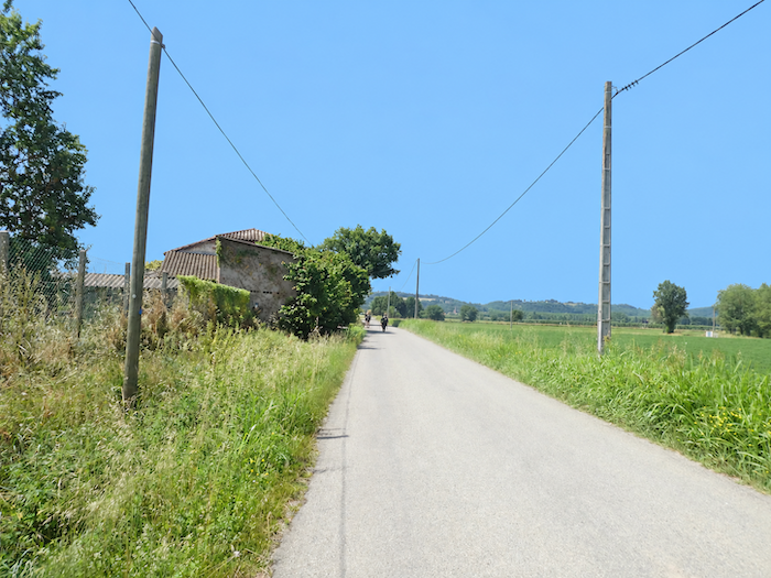
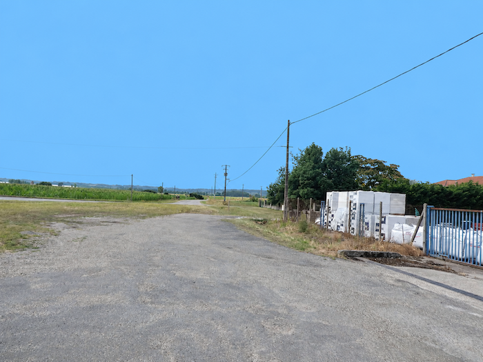
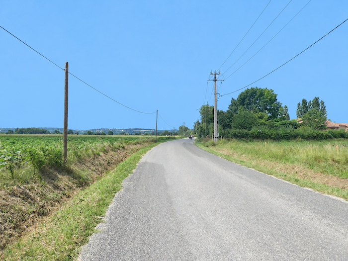
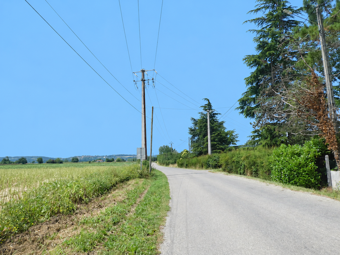
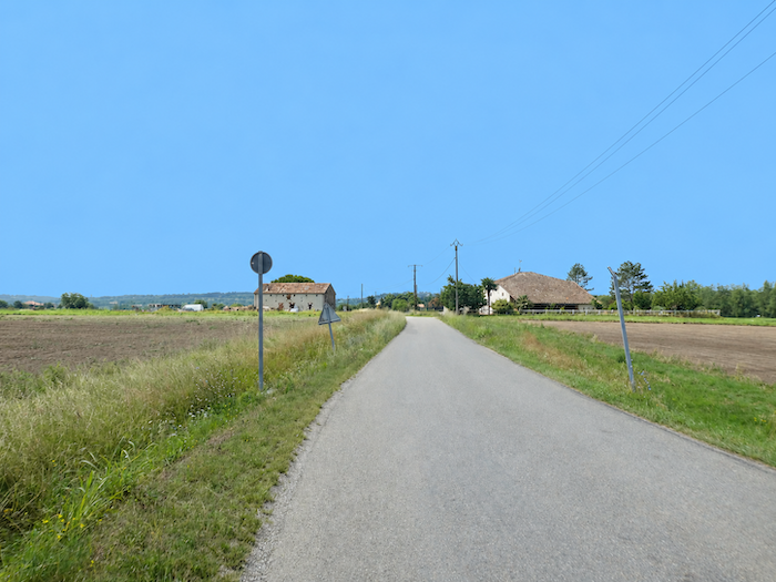
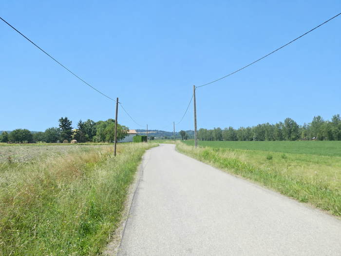
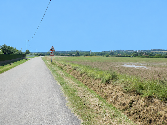
| As far as Espalais, walkers will need to be patient. The GR65 stretches along a narrow-paved road, relentlessly flat, crossing the countryside for several long kilometers. |
 |
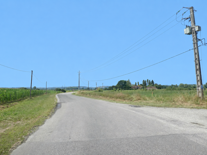 |
| Today, sunflowers and maize share the land, their fields extending as far as the eye can see. Tomorrow, as the seasons change and crops rotate, wheat may take their place. The harvests vary, but the landscape retains the same stubborn geometry, with vast fields and straight lines that seem determined never to end. |
 |
 |
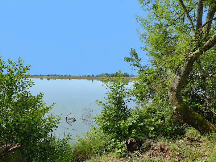
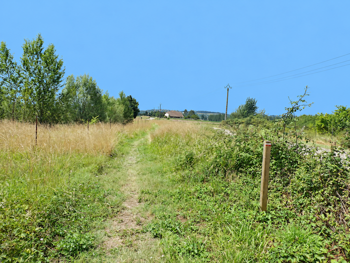
| A little farther on, those responsible for laying out the GR65 have at least allowed walkers a small indulgence: a few hundred meters across the grass, just enough to escape the tyranny of asphalt and skirt the shores of a small lake. The generously watered plain is dotted with ponds and stretches of water, scattered mirrors reflecting the sky amid this vast agricultural mosaic. |
 |
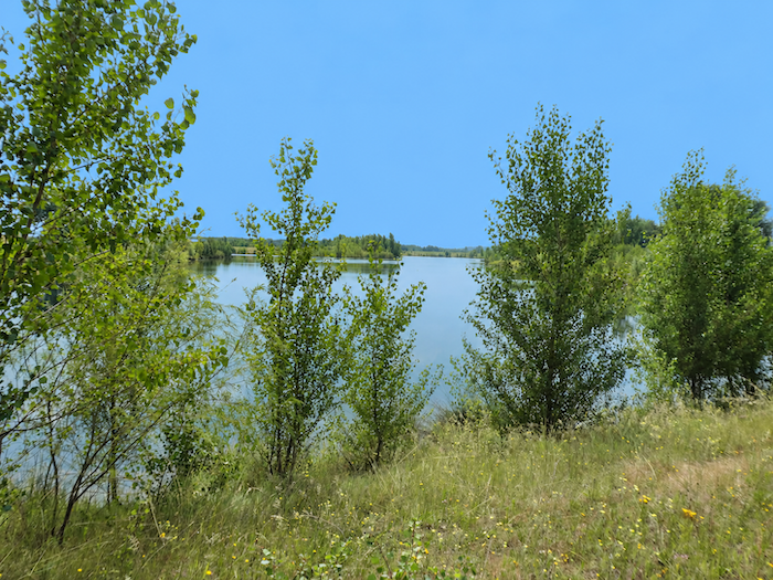 |
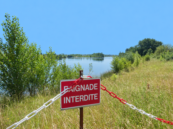
| But the illusion is short-lived. There is no welcoming bank on which to spread a picnic blanket, no inviting spot where tired, overheated feet might find relief in the water. The lake offers itself to the eye, but little more. And already, as though called back to order, the GR65 returns to the asphalt. |
 |
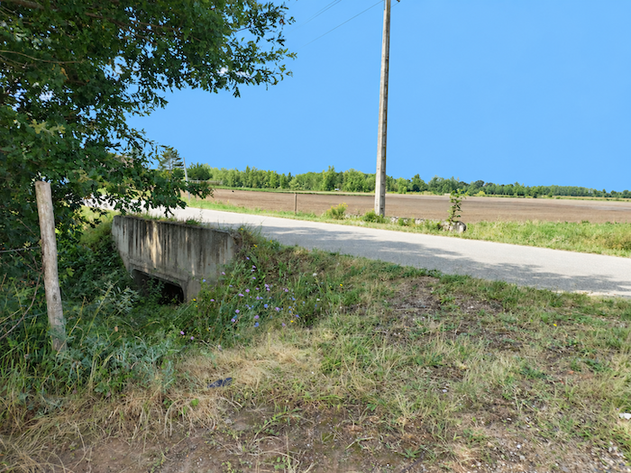 |
| Across this immense plain, where oilseed and cereal crops succeed one another, vegetable growing also occupies an important place. The land works, produces and nourishes, utterly indifferent to the pilgrim’s moods and reflections. Everything here speaks of industrious agriculture, but very little invites contemplation. |
 |
 |
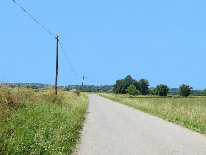
| Gradually, the road draws closer to Espalais. And then, above the plain, a silhouette finally breaks the monotony of the horizon. High on its hill, Auvillar begins to take shape, promising a change of scenery, ancient stone buildings and, perhaps, more welcoming streets. |
 |
 |
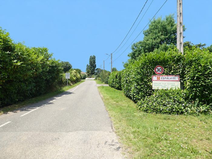
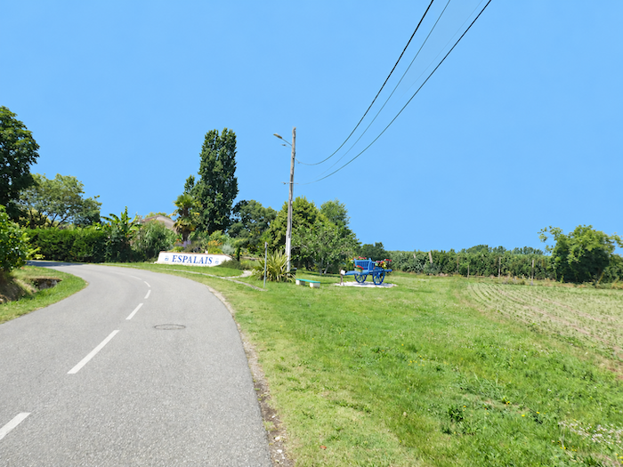
| As for Espalais, its arrival is now eagerly awaited as a deliverance. Not that the village necessarily promises any great wonders, but after this long and uneventful crossing, the mere prospect of finding houses, streets and some semblance of life is enough to put fresh energy into tired legs. |
 |
 |
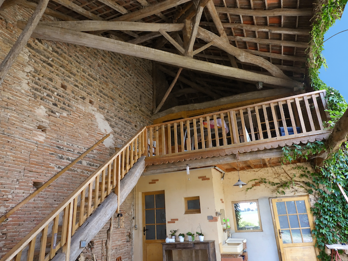
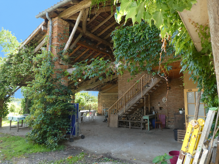
| Right at the entrance to Espalais, one stopping place deserves the pilgrim’s particular attention: Le Par’Chemin, undoubtedly one of the finest pilgrim hostels along the entire Way of St James. Here, hospitality is far more than an empty word. |
 |
 |
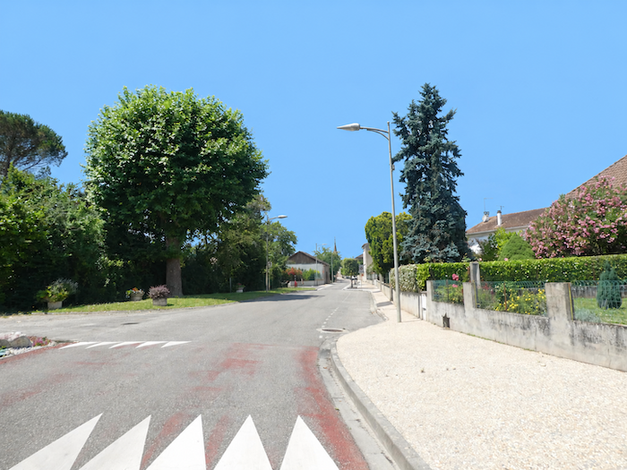
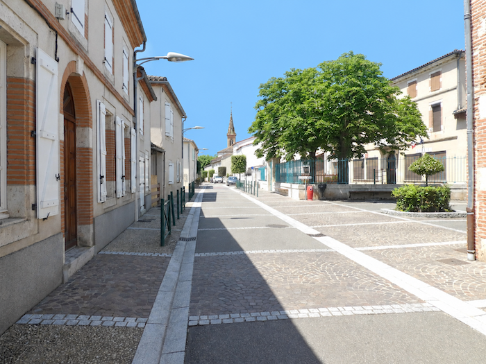
| Espalais then surprises visitors with its almost impeccable cleanliness. Not a stray leaf, not a scrap of paper abandoned to the wind. The streets are so spotless that one could almost lay a tablecloth on them and sit down to dinner. Could this municipal perfection be the result of EDF’s generosity, an attempt to make people forget the two concrete giants towering over the neighborhood? One is tempted to believe so. The Golfech power station, which employs nearly a thousand people, supports much of the local economy, and many of its employees have no doubt chosen to make their homes nearby. |
 |
 |
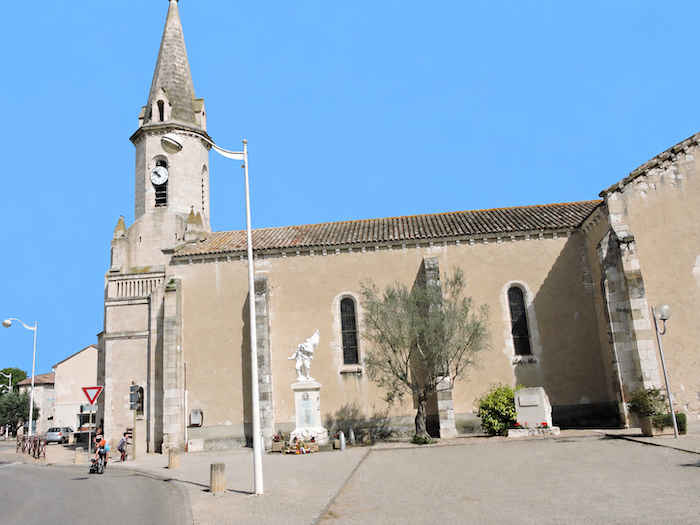
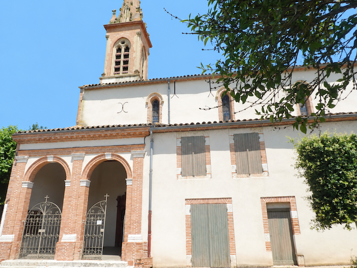
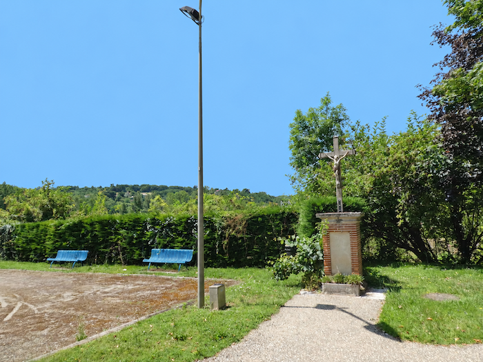
| The relatively recent Church of Saint-Orens makes little attempt to compete with the great sanctuaries steeped in centuries of history. Yet its small adjoining park offers pilgrims a welcome place to rest, somewhere to put down their backpacks and catch their breath. Beneath the gaze of the Virgin Mary and Christ, a thought almost inevitably comes to mind: may these heavenly protectors watch over the inhabitants of Espalais and spare them forever from the consequences of any possible nuclear accident! |
 |
 |
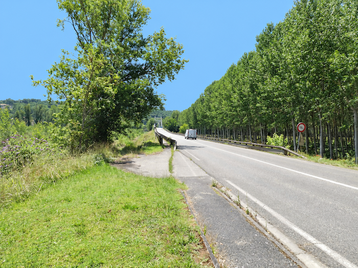
| Leaving the village, the GR65 continues towards the bridge across the Garonne River. At last, the great river reappears, like an old acquaintance whose whereabouts had temporarily been lost. |
 |
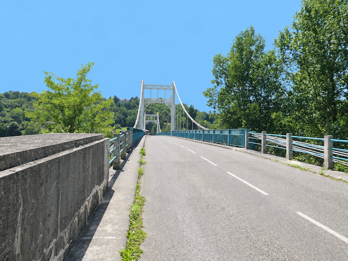 |
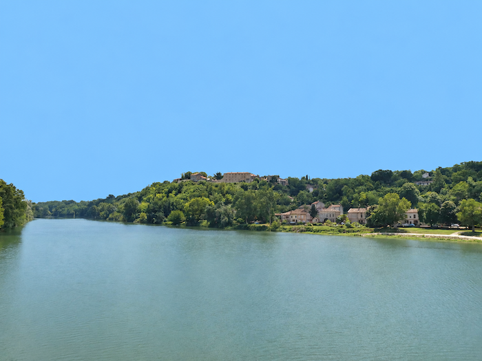
| On the other side of the bridge, Auvillar rises above the Garonne, already promising a very different setting. But before reaching its ancient stone buildings, one last glance takes in the plain and, inevitably, the Golfech power station. Its gigantic towers still dominate the view, while their plumes of steam rise into the blue sky like immense columns of incense offered to the heavens. What a strange prayer these industrial cathedrals seem to offer, their artificial clouds apparently determined to rival those of the Almighty himself. |
 |
 |
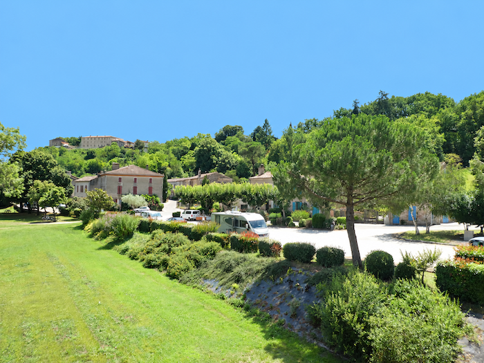
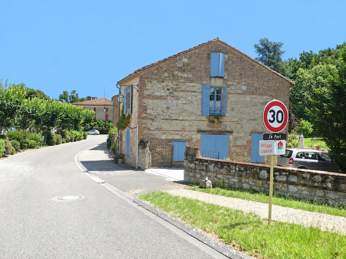
| Beyond the bridge, the road leads to the foot of Auvillar, near the old river port, where the Chapel of Sainte-Catherine-du-Port still stands. To discover the origins of this river trade, one must travel far back through the centuries, to a time when rivers served as the great commercial highways. Long before modern roads crisscrossed the country, the Garonne was already carrying its procession of goods, boatmen and travelers. A toll is documented here before the 12th century, and it is easy to imagine the bustle that must once have filled these banks. Boats came and went, men hurried about their work, tolls were collected, and inns prospered thanks to the constant passage of travelers and merchants. |
 |
 |
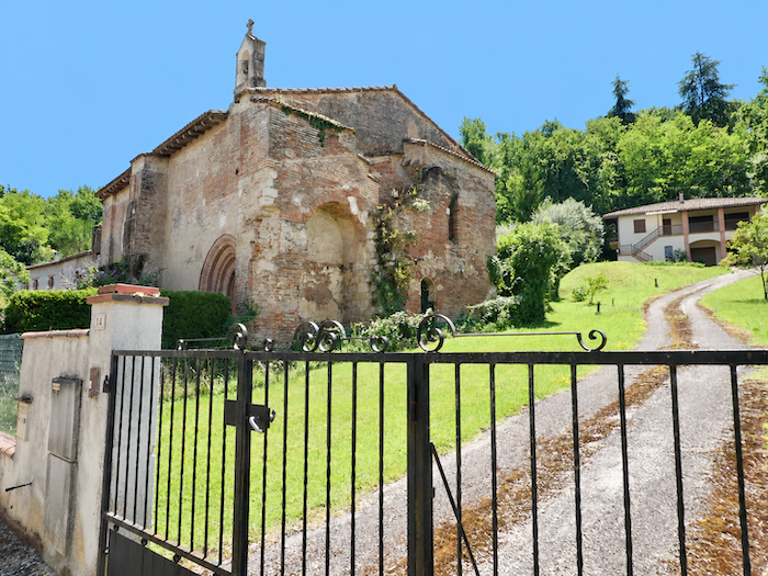
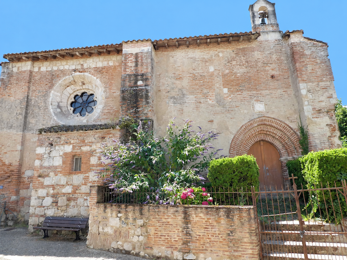
| During the Middle Ages, boatmen commonly built chapels dedicated to Saint Catherine in river towns where tolls were collected. She was regarded as a protector of river people and was also the patron saint of philosophers. The chapel at Auvillar has roots in a particularly distant past, which some traditions trace back to Carolingian times, well before the 10th century. The historical records, however, remain imprecise, and old stones, however much they may remember, do not always reveal their secrets. The building is said to have been partially reconstructed in the 14th century, under the influence of Pope Clement V. Whatever the truth, one need only look at the weathered walls to realize that this venerable old lady has been standing here for a very long time. Its masonry bears the unmistakable imprint of brick, so characteristic of the region’s architecture, giving it that mellow patina which only centuries can bestow. One detail, however, slightly disturbs this journey into the past: the driveway of the neighboring villa, running alongside the chapel with thoroughly modern nonchalance. What a curious partnership between a private residence and a chapel so richly laden with history. |
 |
 |
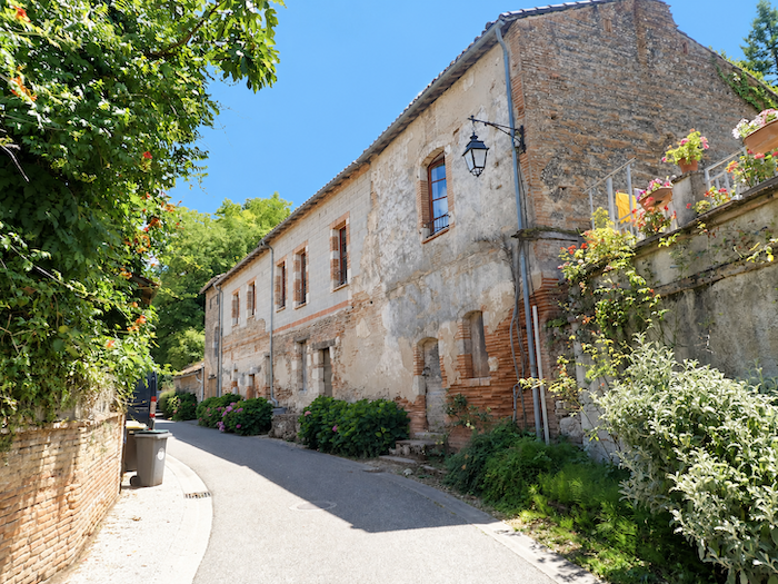
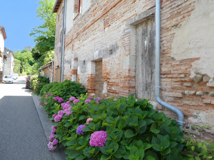
| Around the old port, the houses continue the architectural harmony established by the Chapel of Sainte-Catherine. Everywhere, brick mingles with stone and pale plasterwork, creating that distinctive combination of materials and colours which gives the villages of this region their unmistakable character. |
 |
 |
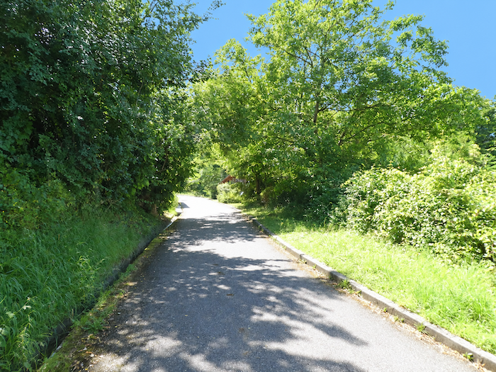
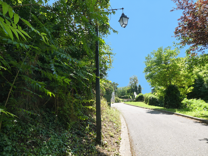
| But to reach the heart of Auvillar, one must first pay the price of the climb. From the port, the road rises with quite exceptional steepness. |
 |
 |
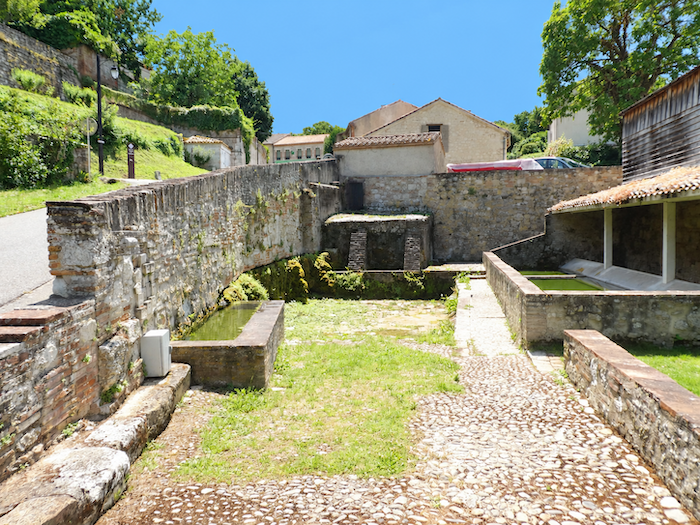
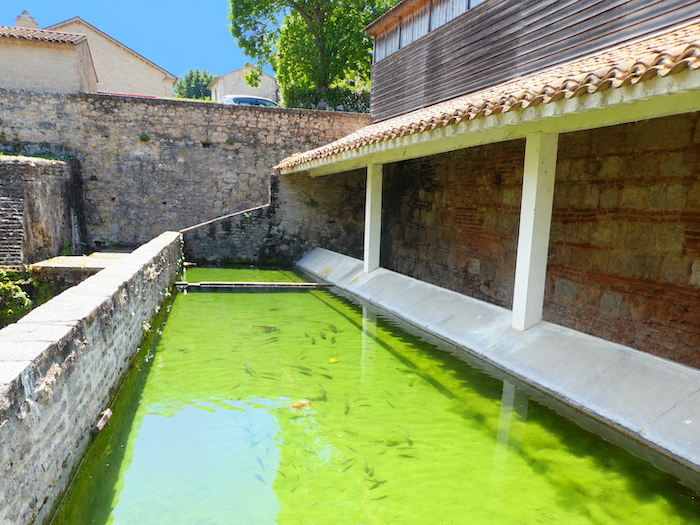
| Halfway up, a delightful surprise interrupts the ascent. Almost suspended against the hillside wall, an old washhouse seems to cling to the stone in defiance of the passing years. Partially restored, it retains the charm of those places where washerwomen once exchanged the latest news as they worked beside the water. |
 |
 |
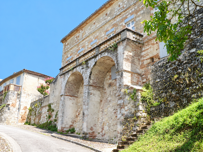
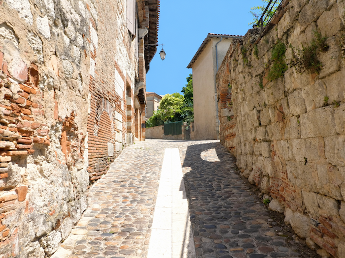
| At the top of this demanding climb, the road passes beneath the magnificent building housing the municipal pilgrim hostel. Then the streets grow narrower, cobblestones replace asphalt, and the high walls of old houses guide you towards the centre of the village. The façades range from pale yellow to pink, white and ochre, creating a harmonious blend of brick, stone and lime plaster. |
 |
 |
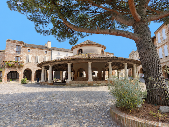
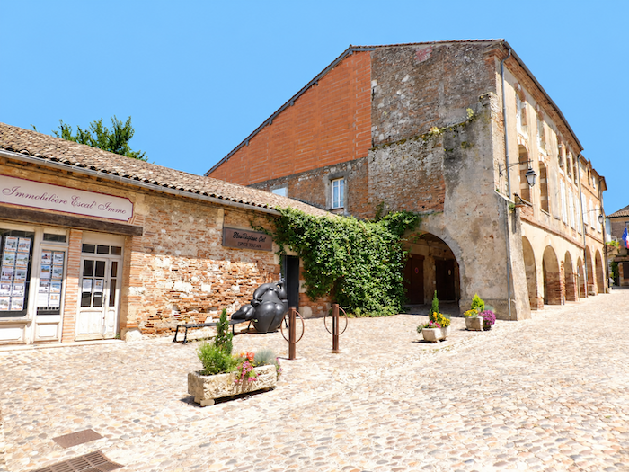
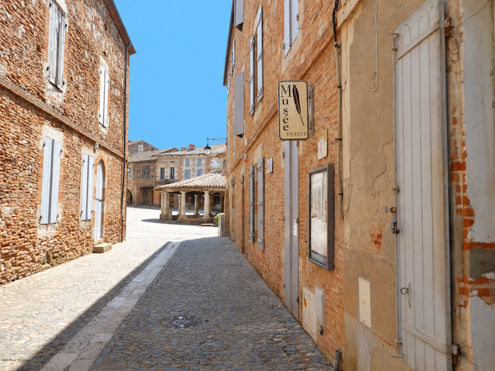
| With its thousand or so inhabitants, Auvillar belongs to the prestigious association of the Most Beautiful Villages of France. And for once, the title seems entirely deserved. Many villages display this distinction without possessing such remarkable architectural unity. At the heart of the cobbled square stands a marvel: a circular market hall built in 1825, a true architectural jewel, undoubtedly one of the finest in southwestern France, a region already rich in remarkable market halls. Its elegant proportions, beautifully balanced lines and the harmonious arrangement of the surrounding houses create a setting of rare coherence. Here, harmony reigns supreme. |
 |
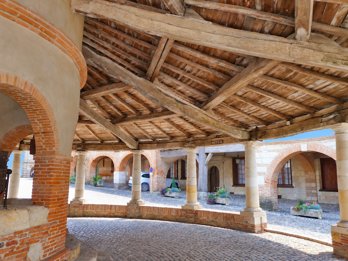 |
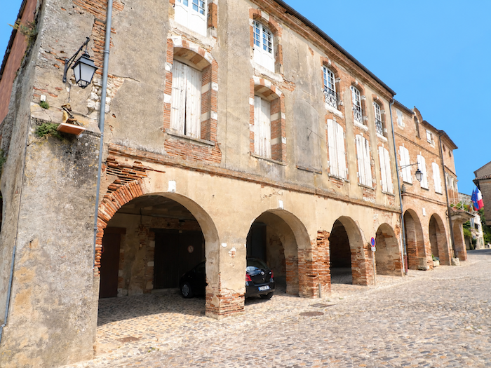
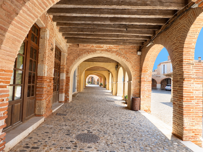
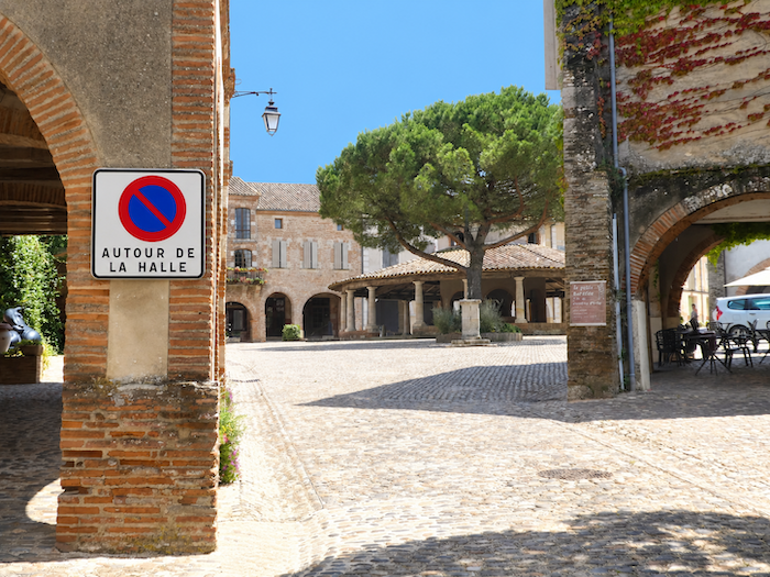
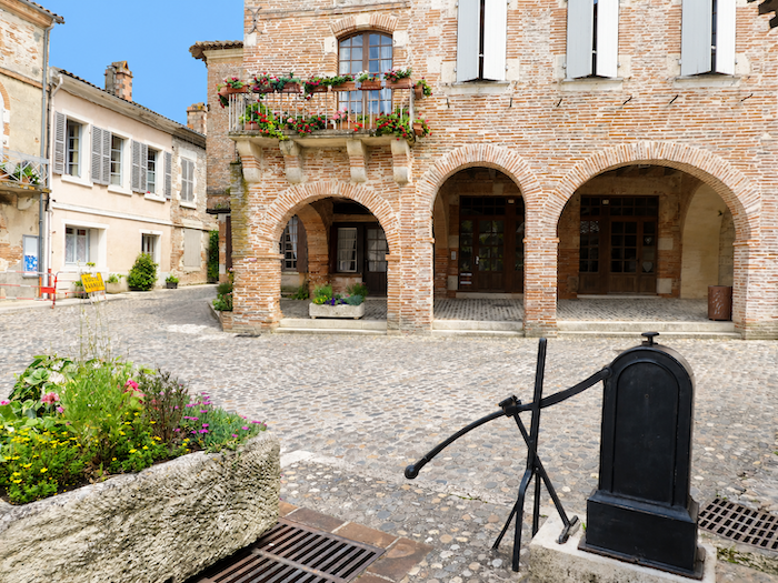
| All around the square, beautiful old houses stand beneath the arcades, their façades combining brick and lime plaster. They have weathered several centuries, although not all date back to the distant days of the early Middle Ages. Their precise age matters little. They possess that quiet dignity of buildings that have grown old together, preserving the harmony of their shapes and colors through the passing years. |
 |
 |
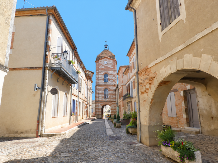
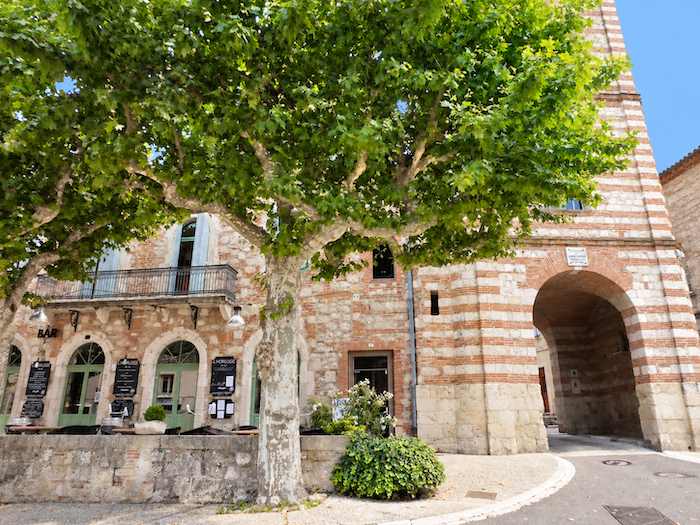
| Opposite the market hall rises the magnificent Clock Tower, a monumental 18th-century gateway marking the entrance to the old town. In a nearby lane, a small museum recalls the fame of Auvillar’s earthenware pottery during the 18th and 19th centuries. From the river port, boats once carried these precious ceramics to distant destinations along the Garonne, the great commercial artery of the region. |
 |
 |
| And how could one resist stopping to admire the local hotel beside the tower? Its beautifully balanced architecture and understated elegance add yet another touch of charm to this remarkable ensemble. In Auvillar, the façades seem to compete in grace without ever slipping into extravagance. |
 |
 |
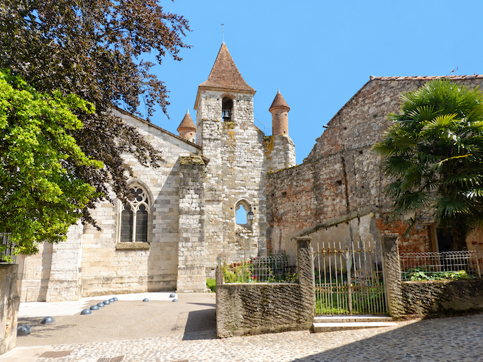
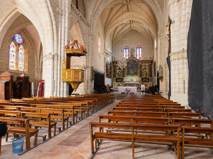
| A little farther on, the Church of Saint-Pierre is also well worth a visit. Originally part of a 12th-century Benedictine priory and altered repeatedly over the centuries, it combines Romanesque and Gothic influences while remaining faithful to the red brick so beloved by the region’s builders. Inside, the light softens the solemnity of the architecture and lends the whole interior a beautiful sense of serenity. |
 |
 |
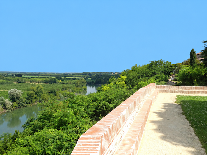
All that remains is to wander through the narrow streets, following the cobblestones wherever curiosity leads. Before leaving Auvillar, however, allow yourself one last look at the Garonne. Far below, at the foot of the hills, the great river continues its journey towards Bordeaux, the Gironde estuary and the ocean. One final glance at its waters, and it is time to bid it farewell,
Accommodation on Via Podiensis
- Gîte La Dilettante, Philippe (pèlerin), 13 Avenue de Toulouse, Malause; 07 67 16 32 23; Gîte, dinner, breakfast, cuisine
- Gîte de l’Écluse 28, 7 Impasse du Canal, Pommevic; 06 63 40 04 90; Gîte, dinner, breakfast
- Gîte Chez Yves, 8 Avenue de Toulouse, Pommevic; 06 62 40 10 55; Gîte, dinner, breakfast, cuisine
- Le Par’Chemin, 34 Avenue de Montplaisir, Espalais; 06 63 57 54 65; Gîte and tents, dinner, breakfast, cuisine
- Chambres d’hôtes Le Clos d’Espalais, 8 Route de Timbrune, Espalais; 06 19 10 91 28; Guestroom, dinner, breakfast
- Accueil Les Amis de St Jacques, Monique (pèlerine), 23 Blvd de la Papayette, Auvillar; 07 84 92 75 15; Gîte, dinner, breakfast, cuisine
- Gîte La P’tite Graine, Mathieu (pèlerin), 14 Place de la Halle, Auvillar; 07 89 31 42 59 Gîte donativo, dinner, breakfast, cuisine
- Gîte La Maison Necty, 6 Rue du Palais, Auvillar; 06 78 56 31 62; Gîte, dinner, breakfast, cuisine
- Gîte Sur le Chemin, 10 Rue du Palais, Auvillar; 06 83 41 17 03; Gîte and Guestroom, dinner, breakfast, cuisine
- Gîte Little India, 6 Rue de la Sauvetat, Auvillar; 07 89 31 42 59; Gîte, dinner, breakfast, cuisine
- Gîte Communal, Ancien Presbytère, Auvillar; 05 63 39 89 82; Gîte, cuisine
- Gîte Le Clos d’Alange, 470 Chemin du Moulin, Auvillar; 05 63 94 76 84/06 75 49 14 57; Gîte, cuisine
- Gîte Cellario, 59 Chemin du Moulin, Auvillar; 06 33 15 86 18/06 95 63 91 82; Gîte, cuisine
- Gîte Desprez, 761 Chemin du Moulin, Auvillar; 06 10 93 56 25; Gîte, dinner, breakfast, cuisine
- Gîte Place du Château, Elisabeth (pèlerine), 2 Place du Château, Auvillar; 06 6693 30 74/06 04 02 98 36; Gîte, dinner, breakfast, cuisine
- Chambres d’hôtes Les Gîtes du Marchet***, 11 Rue Marchet, Auvillar; 06 19 10 91 28; Guestroom, dinner, breakfast
- Chambres d’hôtes Les Moines, 1 Impasse des Moines, Auvillar; 06 85 20 74 35; Guestroom, dinner, breakfast
- Hôtel-restaurant de la Tour, 2 Place de l’Horloge, Auvillar; 05 63 04 20 85; Hotel, dinner, breakfast
Year after year, the Camino de Santiago changes and reinvents itself, shaped by the seasons and the footsteps of its pilgrims. Some places to stay close their doors, while others, modest or unexpected, spring up along the way. It would therefore be unrealistic to claim that any list could ever be both permanent and exhaustive. The following selection includes only accommodation located directly on the route or within one kilometer of it. It was updated in 2026 and should therefore remain largely reliable over the next few years. For those wishing to explore further, one guide stands out as an essential reference: Miam Miam Dodo, readily available online. Its greatest strength lies in the fact that it is updated every year. Rather than limiting itself strictly to accommodation along the route, it also lists places to stay further afield, a particularly valuable resource when large numbers of pilgrims make finding a bed at the usual stopping points more uncertain. It also contains a wealth of practical information: welcoming bars, restaurants along the way, and conveniently located bakeries. all welcome stops that punctuate the journey. Alongside these traditional resources, another presence has now become impossible to ignore: Airbnb. The platform has established itself as a major player in the tourism landscape, even in quieter or less prosperous regions. However, as most travelers know, exact addresses are not displayed upfront, which means that some advance planning is required. On the Camino, finding a bed at the last minute can sometimes come down to a fortunate stroke of luck. But luck, by its very nature, is no strategy. Booking ahead is therefore strongly recommended. Finally, when making your arrangements, be sure to ask about dinner and breakfast options. Such details may seem insignificant, but they can make a long day on the Camino considerably more comfortable.
An overview of accommodation capacity reveals approximately 60 beds available before reaching Auvillar, suggesting that many pilgrims choose to stop earlier along the route. In Auvillar itself, the choice expands considerably, with nearly 120 beds available. Although the number of walkers on the Via Podiensis generally ranges between 100 and 200, pilgrim numbers tend to decrease after Cahors. Finding accommodation on this stage should therefore not present any major difficulties, although booking ahead remains advisable.
These routes wind through often sparsely populated countryside, where shops and other services can be few and far between. Restaurants are scarce, as are grocery shops, which frequently take the form of small village stores or bread depots offering a limited selection of vegetables and dairy products. In Malause, there is a grocery shop, a bakery and a pharmacy. Food is also available in Pommevic. Drinking-water points can be found in Pommevic, where toilet facilities are also available, and in Espalais. Auvillar is a charming small town offering all the essential shops and services. Finally, numerous companies provide luggage transfer services or transport back to the starting point. Among them, one stands out as a particularly well-established and trusted choice: La Malle Postale.
Feel free to add comments. This is often how you move up the Google hierarchy, and how more pilgrims will have access to the site.
|
 |
Next stage : Stage 23: From Auvillar to Miradoux |
|
 |
Back to menu |