
Through the Tarn-et-Garonne countryside to admire another marvel of the religious Middle Ages
DIDIER HEUMANN, MILENA DALLA PIAZZA, ANDREAS PAPASAVVAS
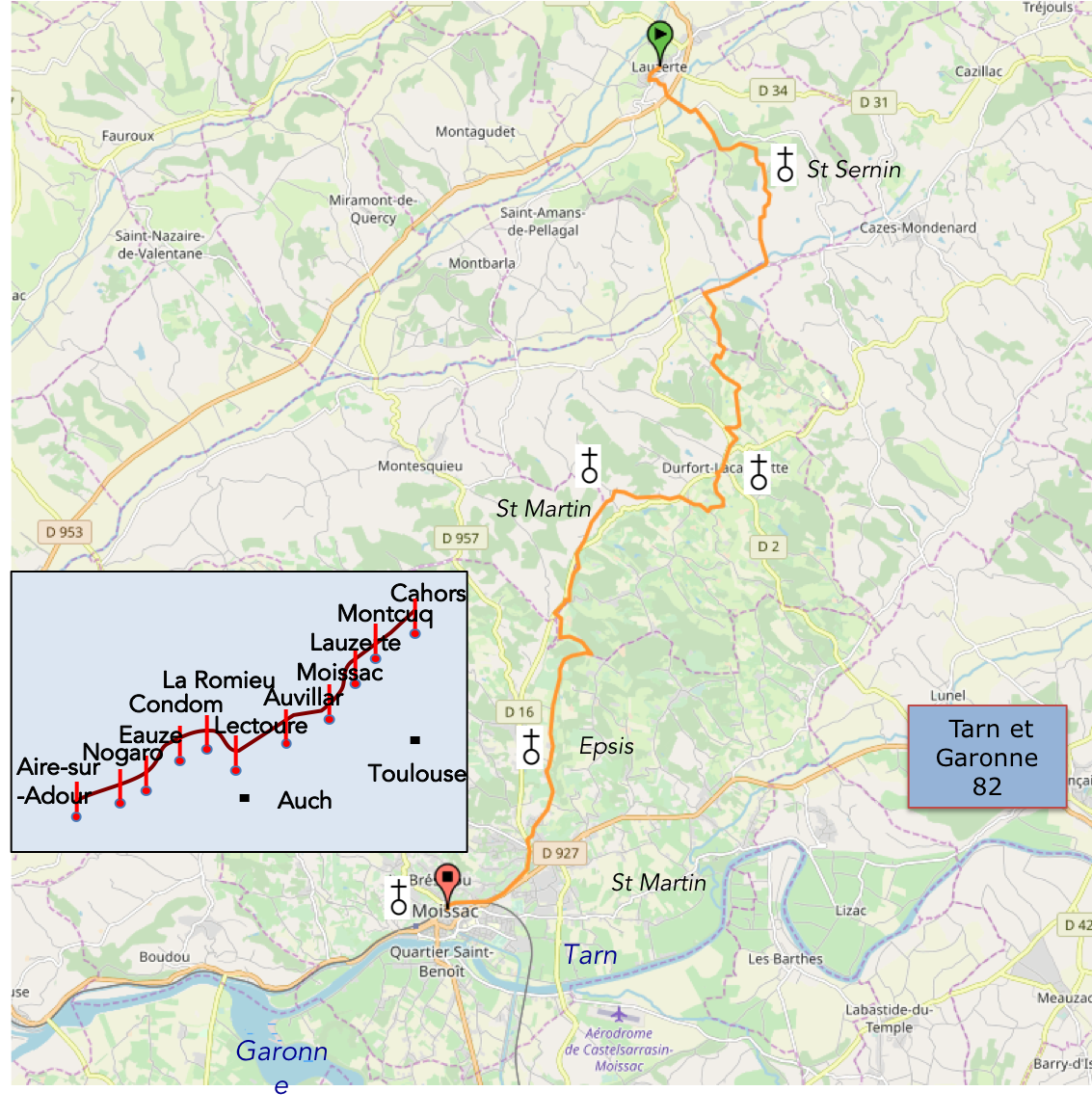
We divided the course into several sections to make it easier to see. For each section, the maps show the course, the slopes found on the course, and the state of the roads. The courses were drawn on the « Wikilocs » platform. Today, it is no longer necessary to walk around with detailed maps in your pocket or bag. If you have a mobile phone or tablet, you can easily follow routes live.
For this stage, here is the link:
https://fr.wikiloc.com/itineraires-randonnee/de-lauzerte-a-moissac-par-le-nouveau-gr65-54402723
|
Not all pilgrims are necessarily comfortable using GPS devices or navigating with a smartphone, especially since there are still many areas without Internet access. That is why, to make your journey easier, a book dedicated to the Via Podiensis from Cahors to Le-Puy-en-Velay is available on Amazon. Much more than a simple practical guide, this book accompanies you step by step, kilometer after kilometer, providing all the information you need for smooth planning and avoiding unpleasant surprises. Beyond its practical advice, it immerses you in the enchanting atmosphere of the Camino, capturing the beauty of the landscapes, the majesty of the trees, and the very essence of this spiritual adventure. Only the pictures are missing, everything else is there to transport you. In addition, we have also published a second book which, with slightly fewer details but all the essential information, covers the entire route from Le Puy-en-Velay to Saint-Jean-Pied-de-Port. The choice of your journey is yours. |
|
 |
 |
If you only want to consult lodging of the stage, go directly to the bottom of the page.
Tarn-et-Garonne is a complex department, mixing at the same time influences from Gascony, Quercy, Causses, hills and wide alluvial plains of Tarn and Garonne, in a country where the sea has deposited abundantly marls and limestones. Here, three large rivers meet: Tarn and Aveyron which descend from the Massif Central, and especially Garonne, the majestic river from the Pyrenees. It was from their meeting that these immense alluvial plains were born.
Today’s stage takes place in Tarn-et-Garonne in this region of Bas-Quercy which borders Lomagne area in neighboring Gers.

créé par Wikigraphists du Laboratoire de Graphique, France , Wikipedia
Hills encircle the plains. These are low hills, rarely rising above 300 meters in the Bas-Quercy that you will cross today. Further north, the heavier, more clay-rich soils have encouraged the growth of copses, pastureland and maize. High slopes have developed along the banks of the Tarn. The rich alluvial soils, composed of silt, sand, clay and gravel, favor mixed farming, with cereal crops and orchards flourishing side by side. Vast orchards were planted during the last century, some covering more than 200 hectares. Apple, plum, pear, peach and cherry trees grow here alongside kiwifruit. On the hillsides, the poorer soils have favored the cultivation of vines
Brick reigns supreme in the local architecture. It is a pleasure to admire the endless variety it brings to houses, churches and castles, through the changing shades and warmth of its color. Limestone rubble also has an important place. The two materials are often beautifully combined, with brick outlining windows and doorways. Red canal tiles dominate the rooftops. During the Middle Ages, “bastides” were a distinctive feature of south-western France. In these settlements, peasants were free and worked for the local lord or abbot. At the heart of the village stood the grain market hall. Many villages still preserve traces of this form of organization. At the end of the stage, the route reaches Moissac, a genuine little town, and a beautiful one at that.
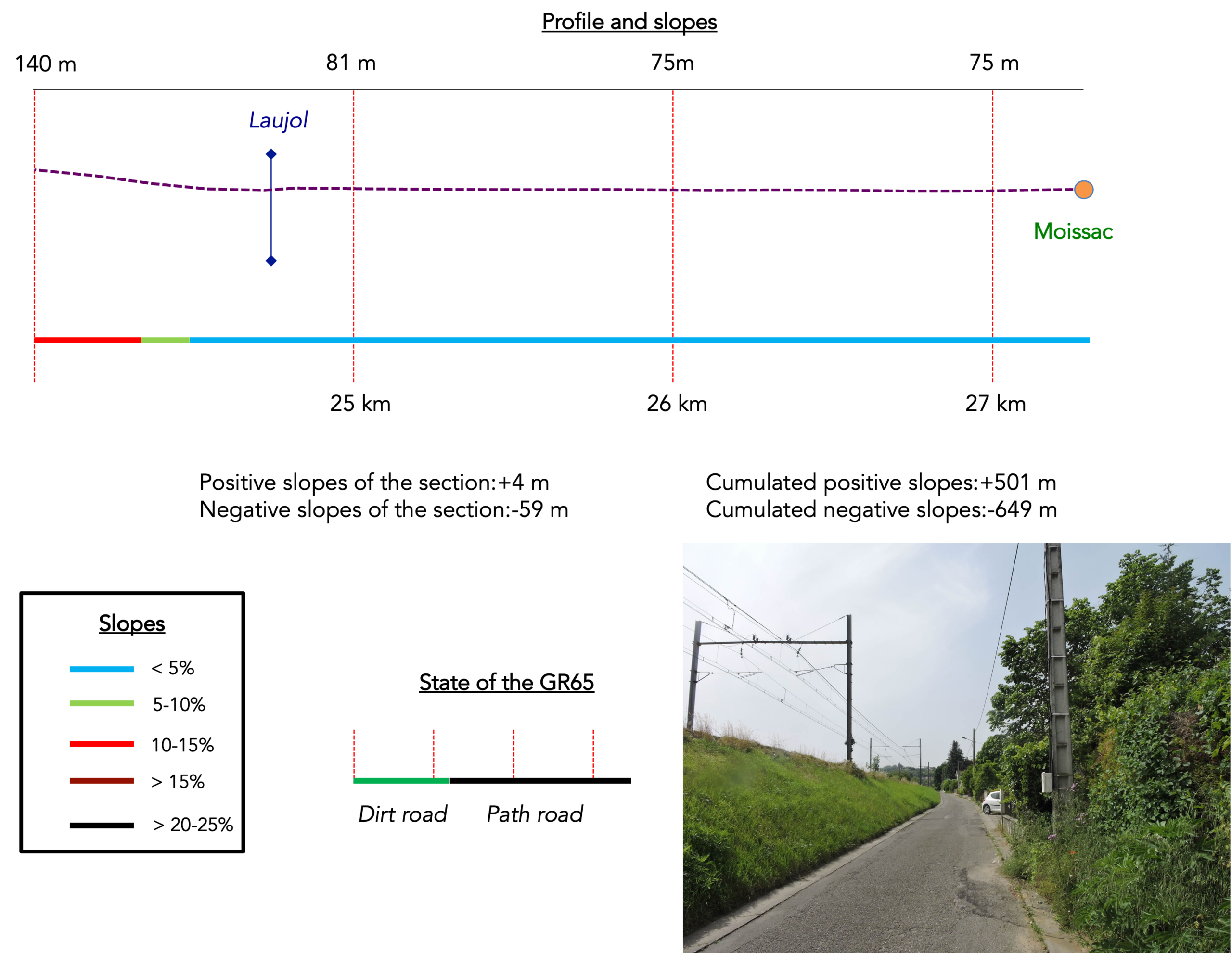
Difficulty level: Today’s elevation changes (+501 meters/ -649 meters) are not particularly significant for such a long stage. As far as the difficulties of the route are concerned, however, it is not always an easy day, even though the route often unfolds over gently rolling terrain, with gradients only rarely exceeding 10 to 15% uphill or downhill. There are nevertheless four somewhat steeper climbs: the ascent leading to Chartron near the beginning of the stage, the embankment to climb before Aube Nouvelle, and two climbs through the forest before Moissac.
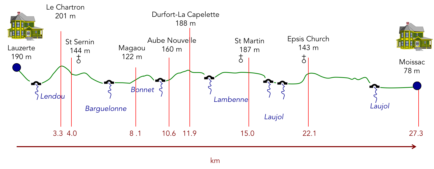
State of the GR65: Unfortunately, today involves a great deal of walking on roads:
- Paved roads: 16.6 km
- Dirt roads: 10.7 km
Sometimes, for reasons of logistics or housing possibilities, these stages mix routes operated on different days, having passed several times on Via Podiensis. From then on, the skies, the rain, or the seasons can vary. But, generally this is not the case, and in fact this does not change the description of the course.
It is very difficult to specify with certainty the incline of the slopes, whatever the system you use.
For « real slopes », reread the mileage manual on the home page.

Section 1: Towards the beautiful St Sernin du Bosc Chapel
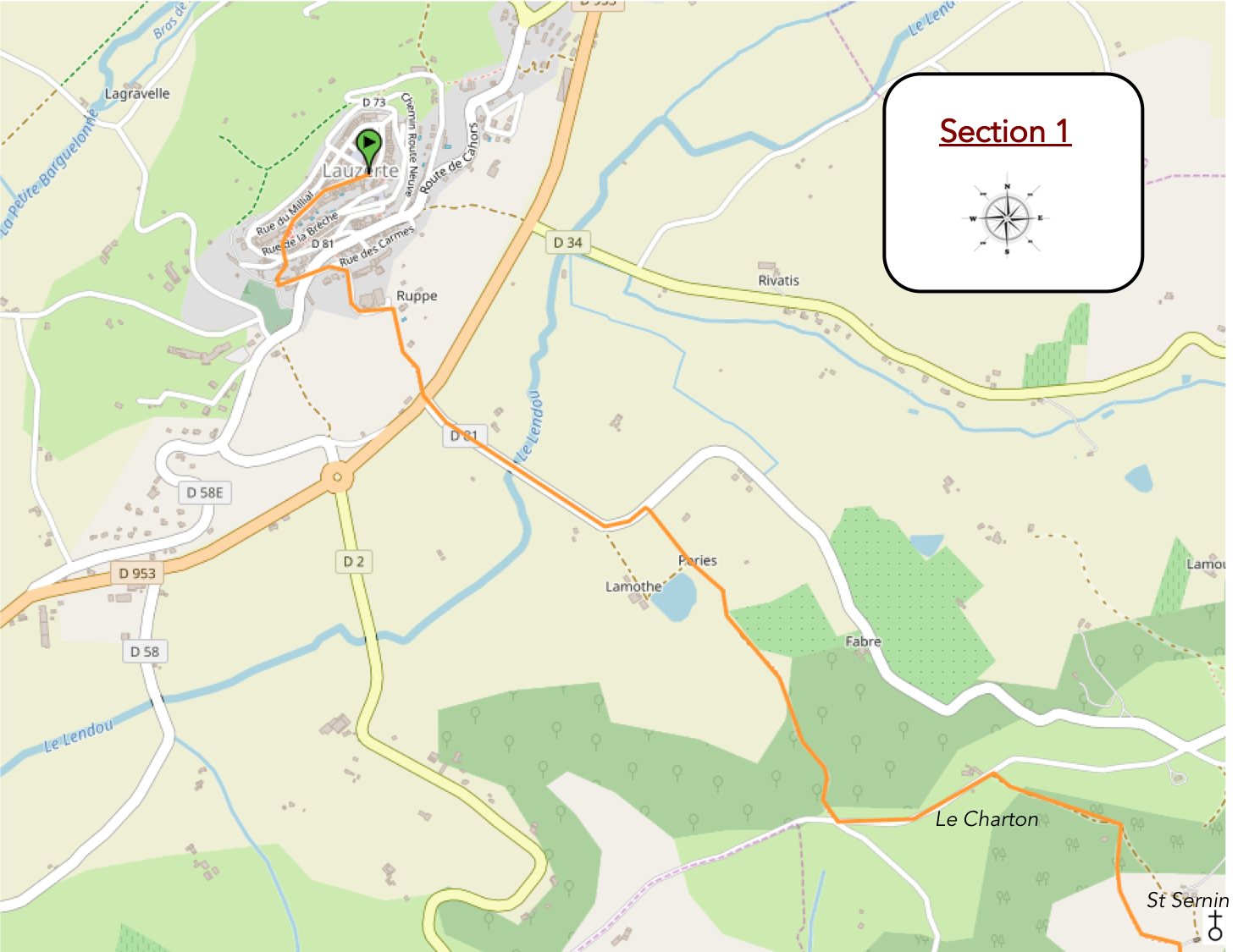
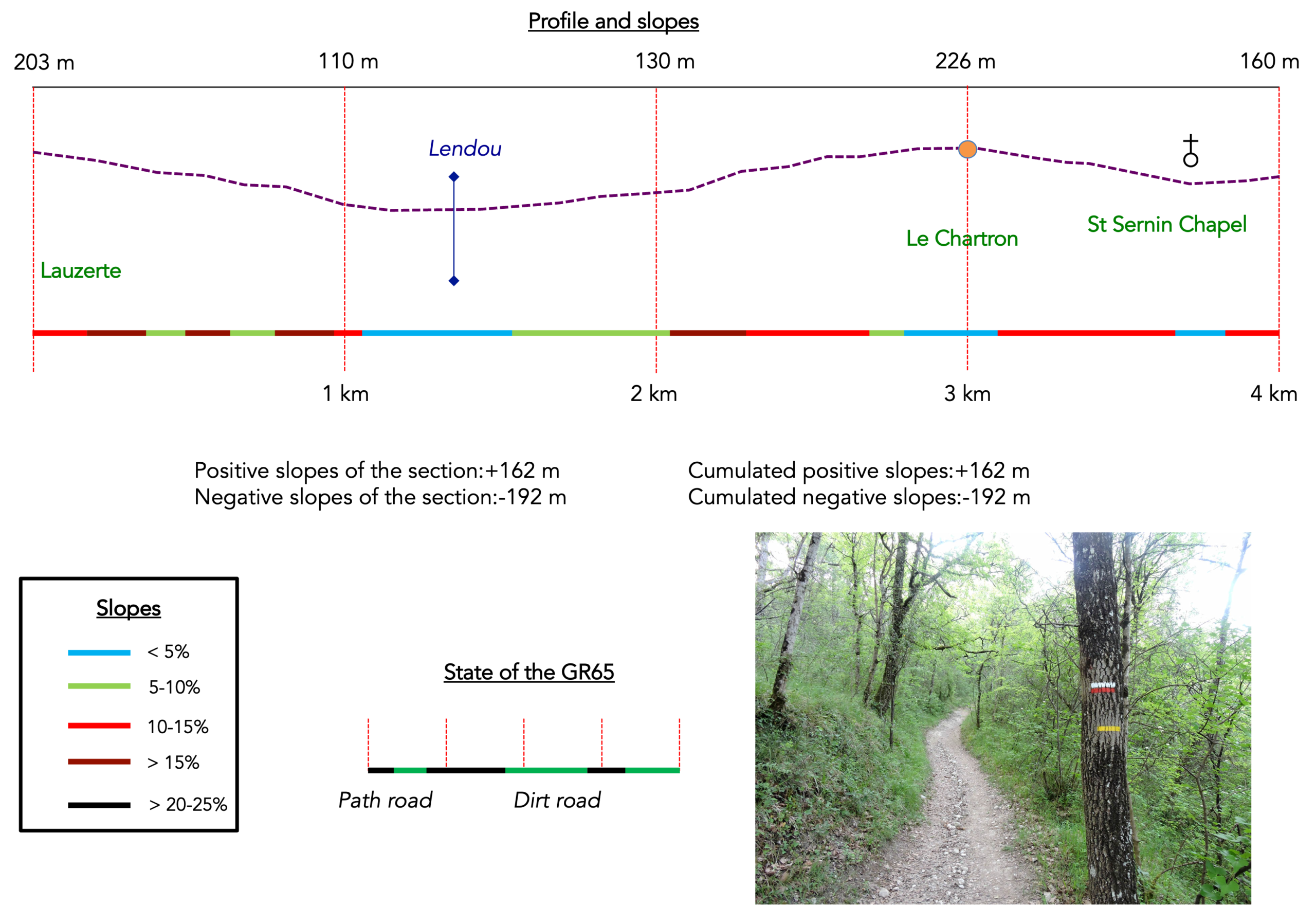
General overview of the difficulties of the route: at the beginning, steep descent from the citadel into the plain, and climb, sometimes very sloping, sometimes more than 20% in the forest towards Chartron.
|
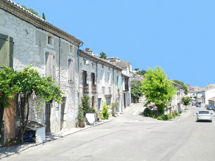
The town of Lauzerte unfolds in successive tiers, as though clinging to its hillside. From the heights of the town, Grand Rue gradually leads the walker down towards the lower quarters, leaving behind the houses clustered tightly around the summit. |
|
 |
 |
|
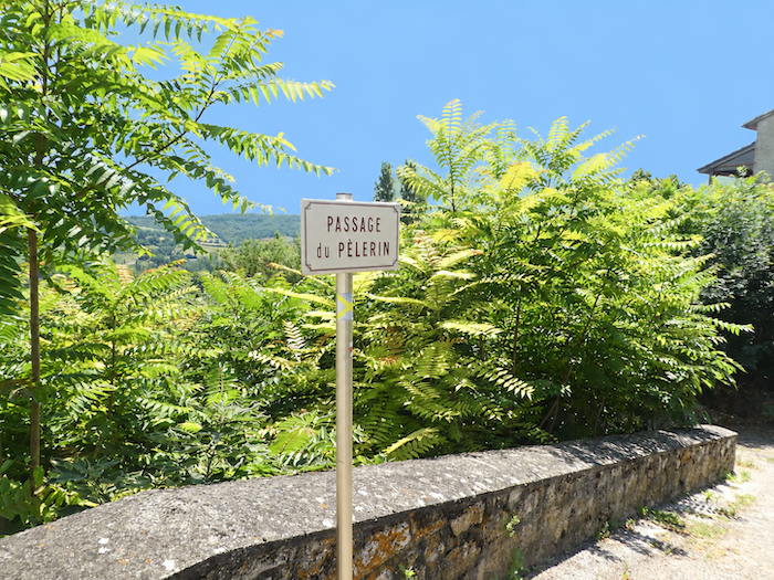
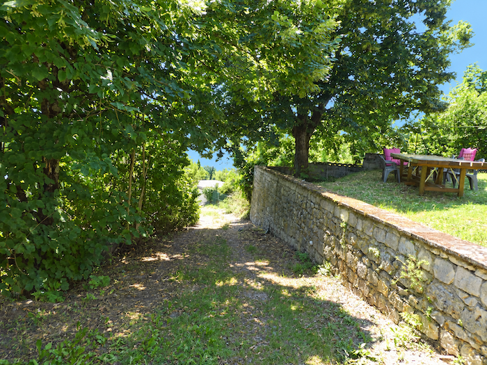
Further down, the “Chemin du Pèlerin” appears, inviting you to descend another level and continue towards the plain. |
|
 |
 |
|
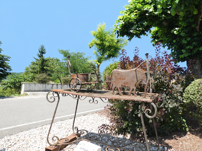
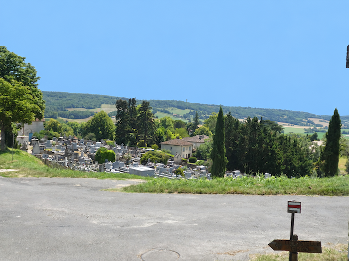
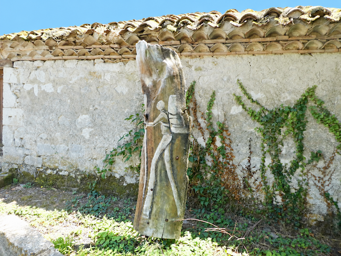
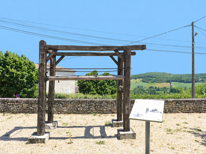
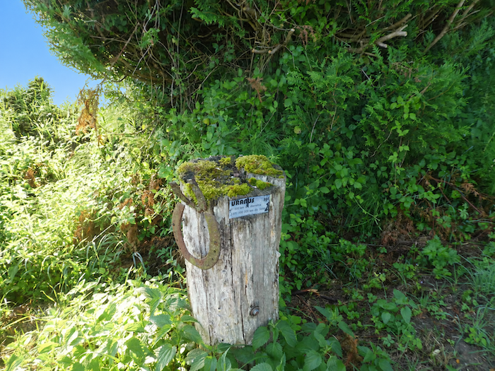
The route then slips along the upper edge of the cemetery, where you soon come across one of those old structures once used for shoeing oxen, familiar sights in the countryside crossed since the beginning of the journey. Here, however, wood has replaced stone. A relic of another age, it recalls a rural world that has long since vanished, for oxen disappeared from farm work many years ago. |
|
 |
 |
 |
 |
|
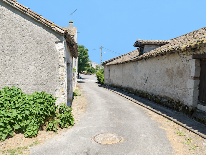
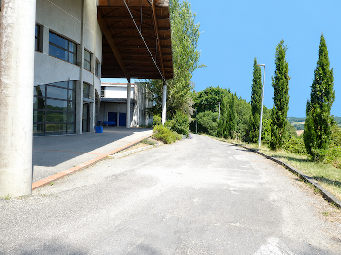
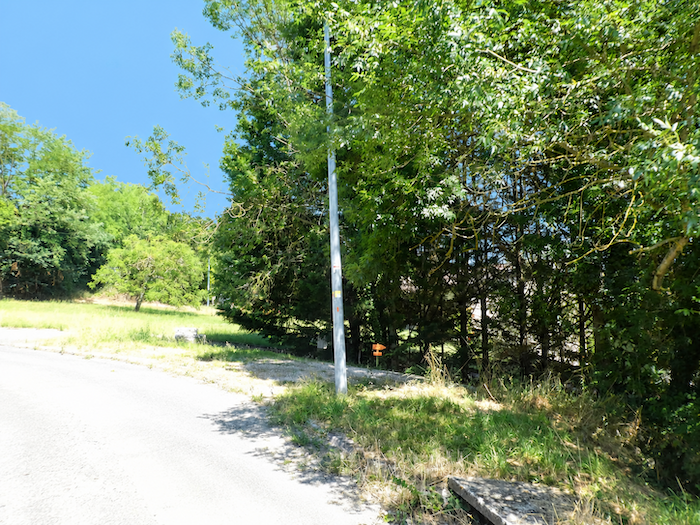
The GR65 then zigzags through the broad streets of lower Lauzerte, passes a building that appears to be devoted to leisure and cultural activities, then gradually leaves the last houses behind as it heads towards the edge of a small wood. |
|
 |
 |
|
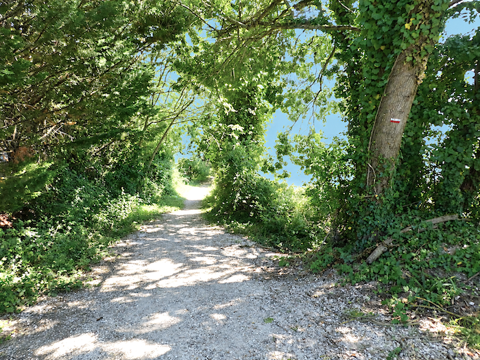
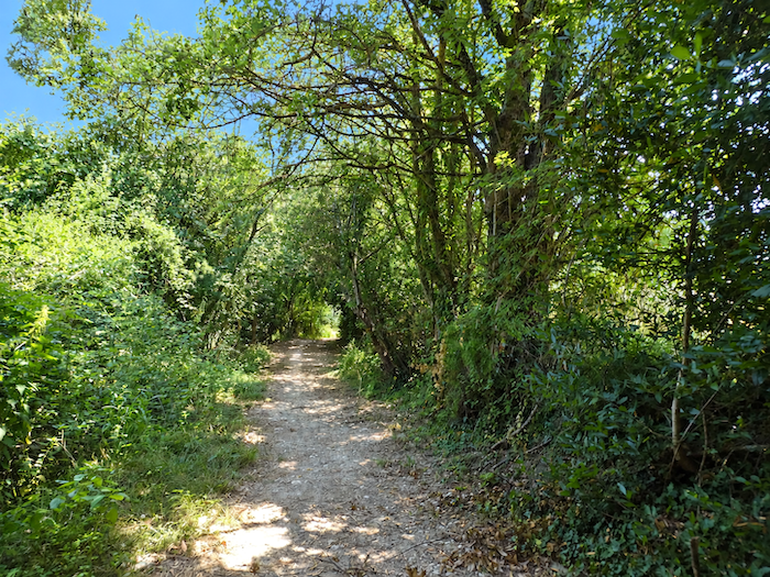
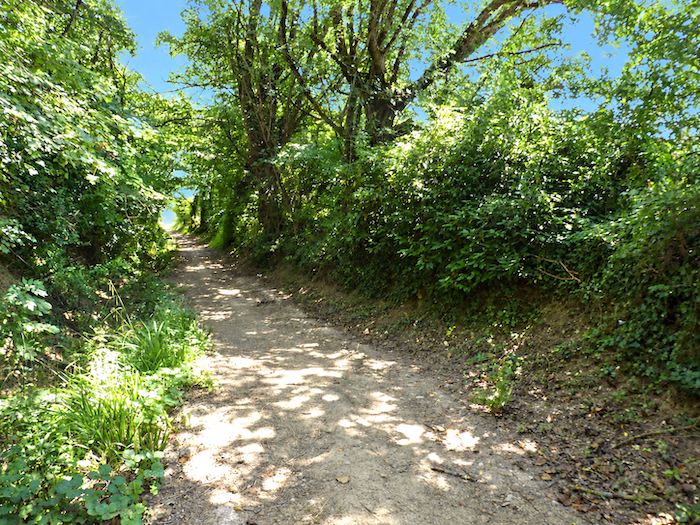
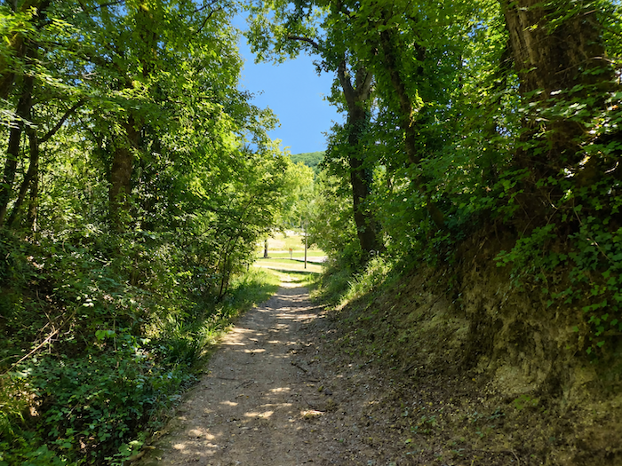
Beneath the darkened canopy of oaks and maples, a path plunges towards the plain. The slope is steeper than it first appears, and by the time you reach the lowlands, you have descended almost a hundred meters from the citadel. |
|
 |
 |
 |
 |
|
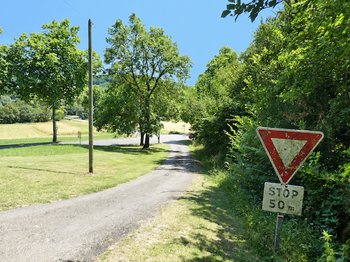
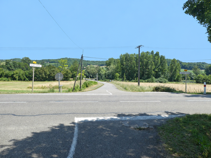
On emerging from the woodland, the descent continues as far as the D953 departmental road. As so often on the outskirts of towns and villages, the old walkers’ path must contend here with the road junctions of the modern world. . |
|
 |
 |
|
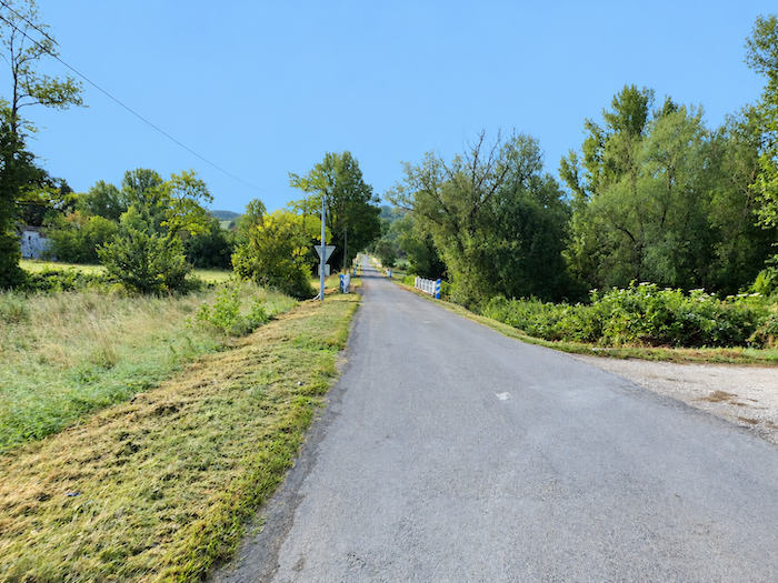
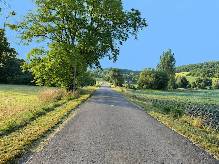
Once across the departmental road, the GR65 soon regains the tranquility of a small road and sets off across the plain. |
|
 |
 |
|
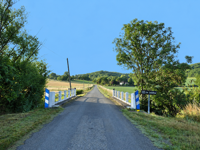
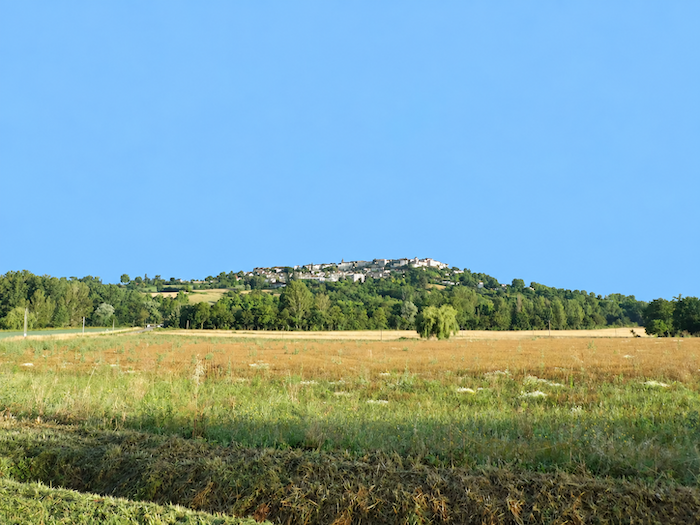
Below Lauzerte flows the Lendou, a modest river with numerous branches, whose waters accompany the cultivated fields stretching across the foot of the hill. The road then runs alongside a lagoon treatment pond, a natural forerunner of many modern wastewater treatment systems, where the water is patiently cleansed of its impurities before returning to the natural environment. A glance behind brings one more reward: high above, Lauzerte stands proudly outlined on its hill, overlooking the plain you have just reached. |
|
 |
 |
|
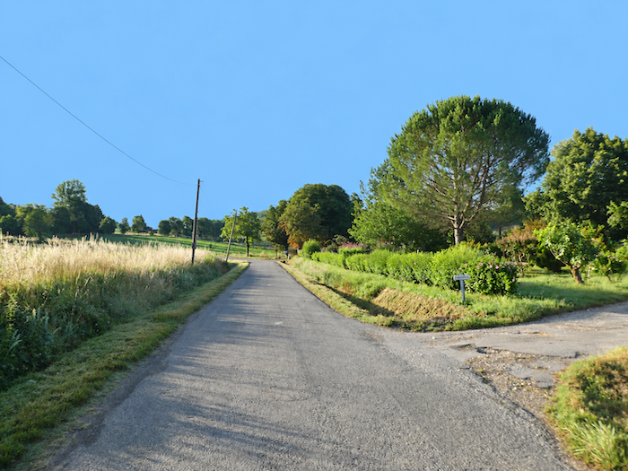
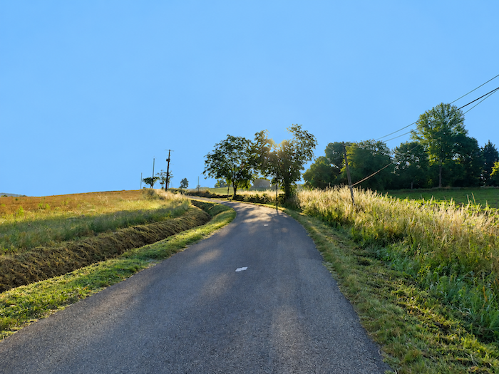
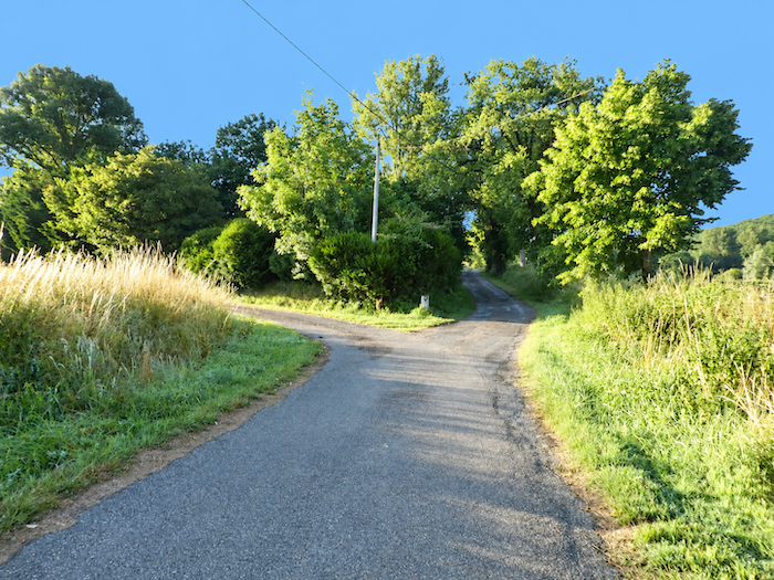
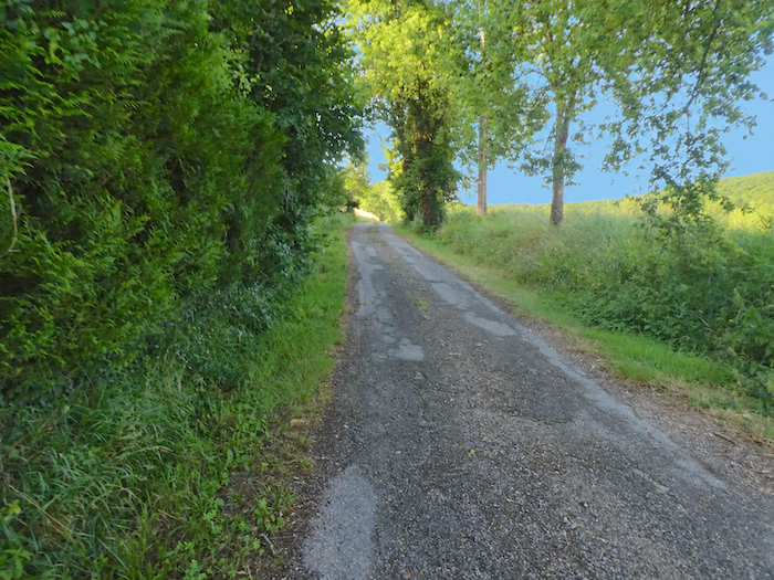
Soon afterwards, the GR65 follows a small asphalt road that rises gently between the fields and begins to reclaim the first slopes of the hill. |
|
 |
 |
 |
 |
|
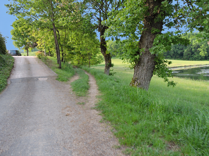
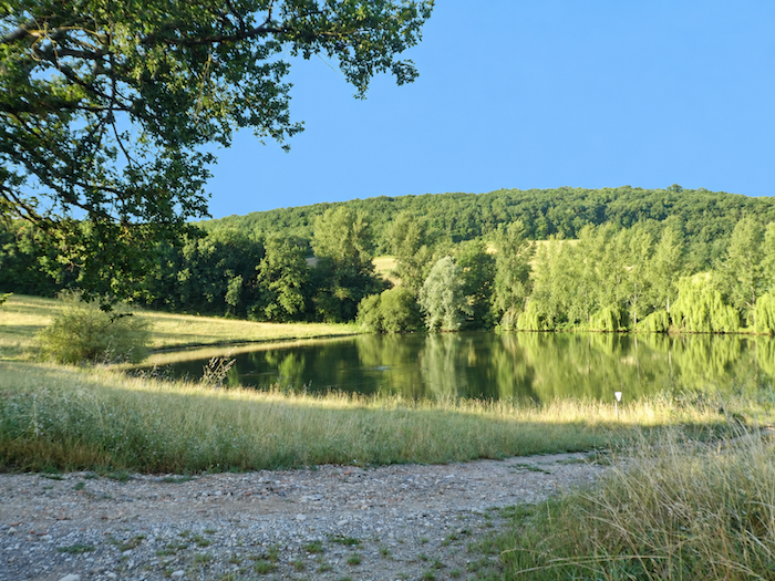
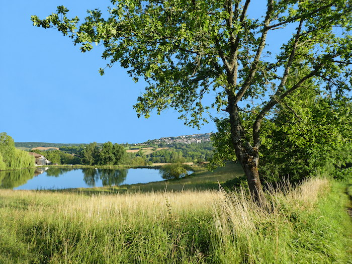
Around a bend in the climb, a charming little stretch of water comes into view, resting peacefully in the countryside, its greenish reflections adding a touch of softness to the landscape. |
|
 |
 |
 |
 |
|
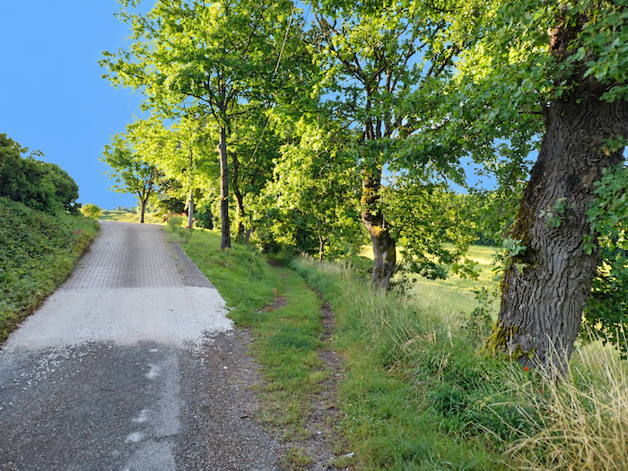
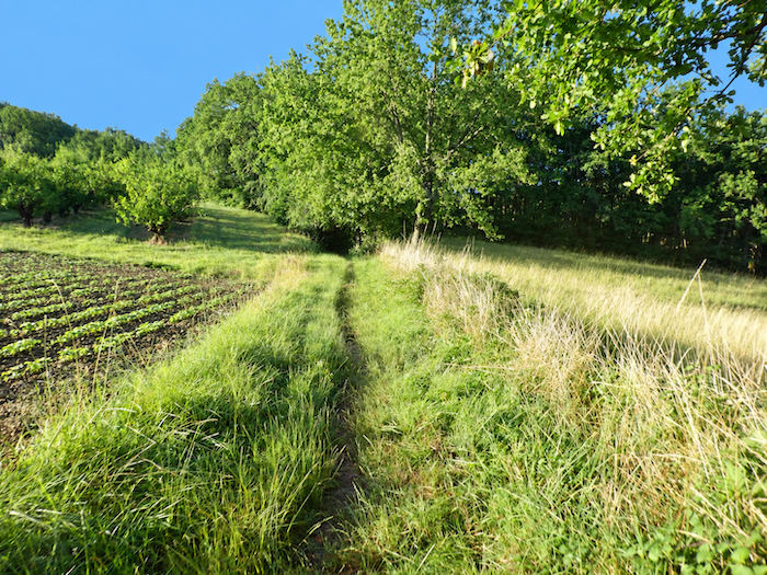
Higher up, the asphalt finally gives way to earth. A grassy path takes over, winding above the little lake among the fruit trees, while the water gradually disappears beneath the cover of vegetation. |
|
 |
 |
|
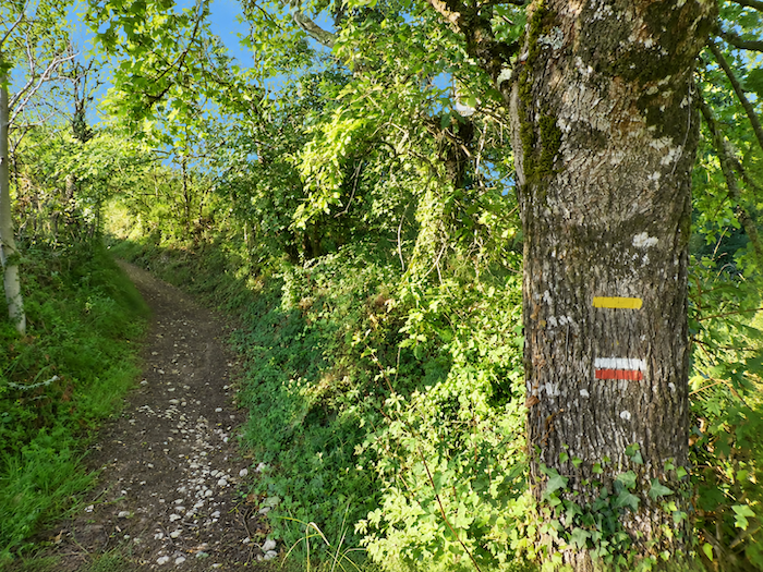
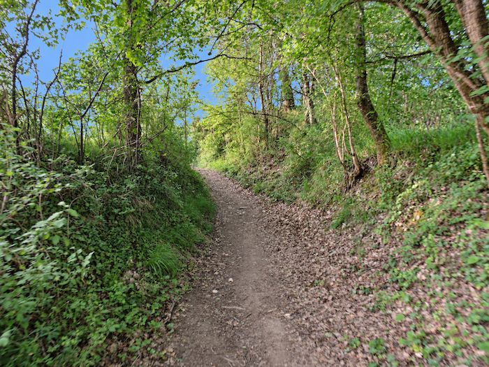
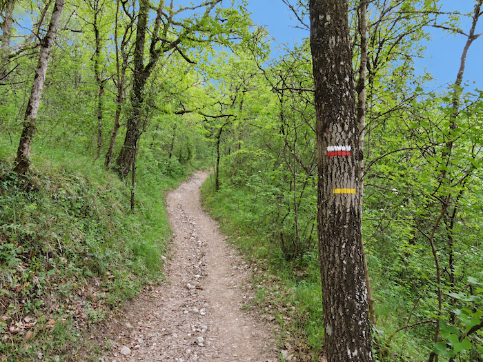
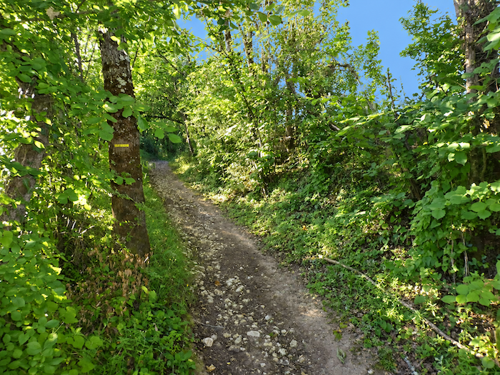
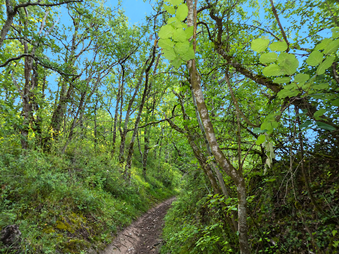
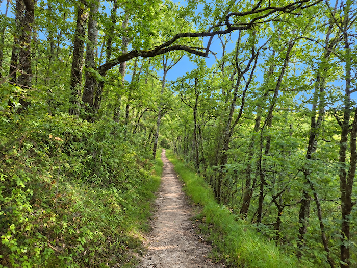
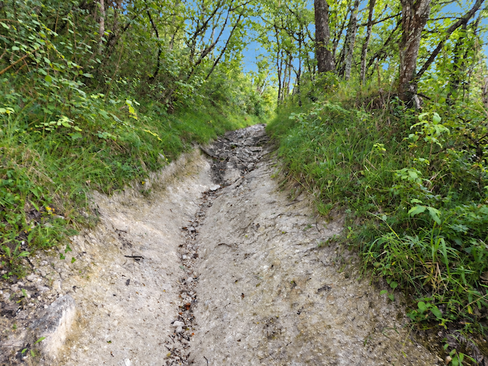
In a refrain that has become all too familiar to the walker, whenever woodland appears, a path soon begins to twist and turn and, almost inevitably, to climb. There is little exception to the rule here, either. You will have to climb, and then climb some more, all the way to the top of the hill. |
|
 |
 |
 |
 |
|
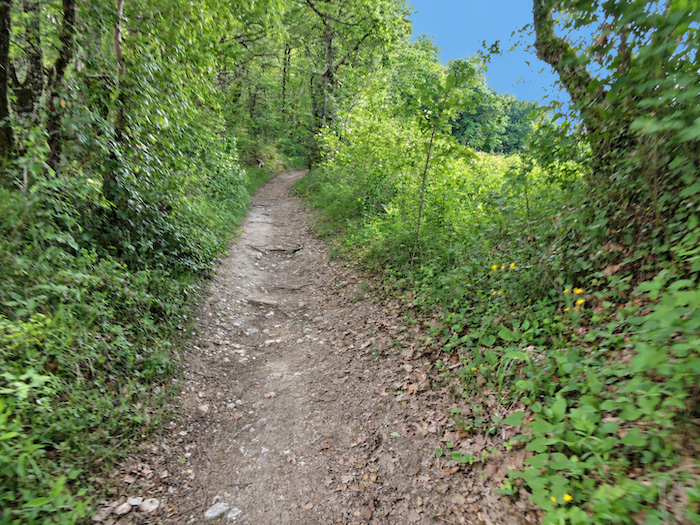
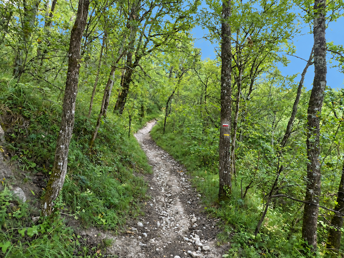
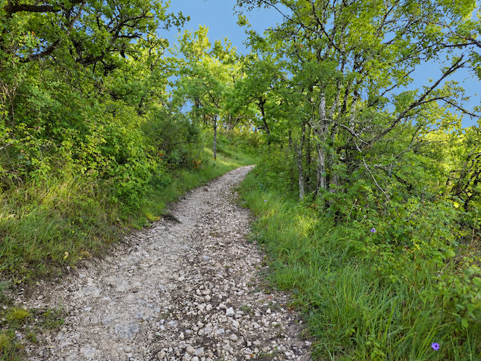
As the slope grows steep, stones spread freely across the narrow trail. Oaks largely dominate the other deciduous trees, although a few chestnuts and field maples mingle among them. Above all, however, it is the tall hornbeams that catch the eye, trees that are rather uncommon along the Camino de Santiago routes in France and lend this woodland a distinctive character. |
|
 |
 |
|
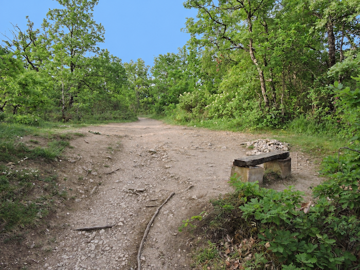
There is no pretending that this is a gentle stroll. Over almost a kilometer, the path gains close to a hundred meters in elevation. Fortunately, the day has only just begun and your muscles, still fresh, have not yet had time to beg for mercy. All that remains is to choose your poison: the dark earth, deeply gullied by the rain, or the large stones rolling beneath your feet? Both, of course. In any case, it hardly matters, as the path is not asking for your opinion. |
|
 |
 |
 |
 |
|
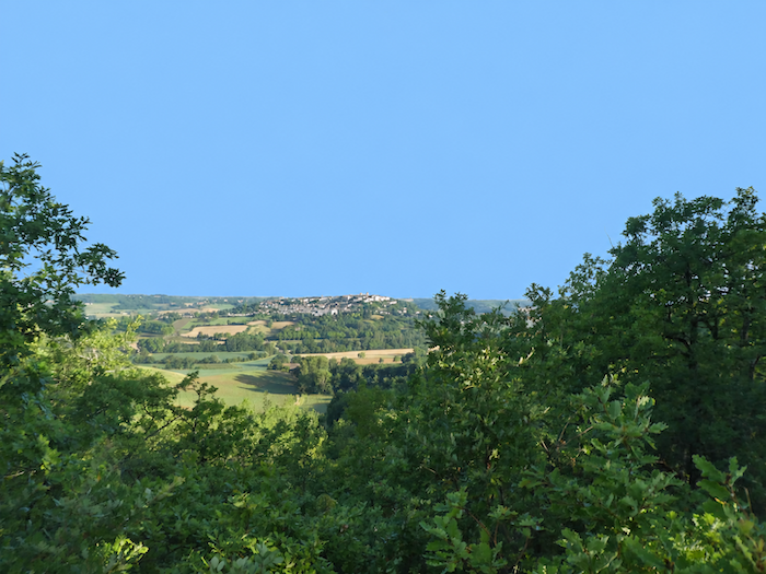
Below, through occasional gaps in the foliage, Lauzerte offers itself to the eye one last time before gradually disappearing behind the trees. It is hard to resist turning around for one final look. Yes, Lauzerte truly is a beautiful town. |
|
 |
 |
|
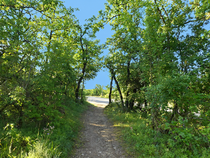
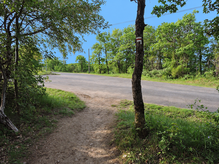
At the top of the hill, the slope finally relents and the path emerges onto a small road. |
|
 |
 |
|
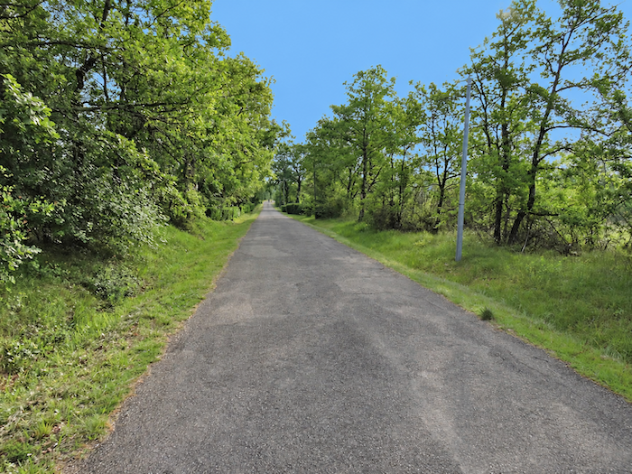
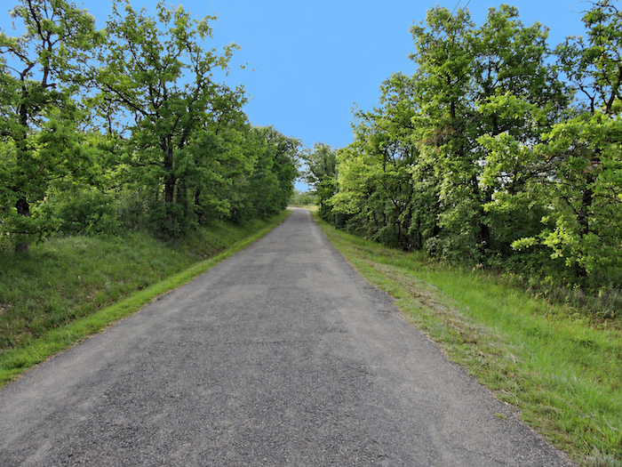
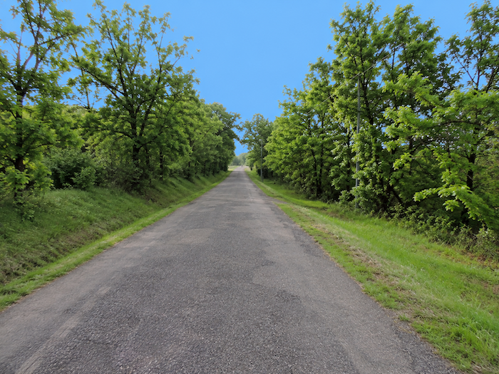
The GR65 follows it, continuing gently uphill along a long, almost perfectly straight ribbon of asphalt, sheltered beneath the high canopy of great deciduous trees. |
|
 |
 |
|
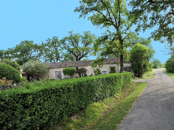
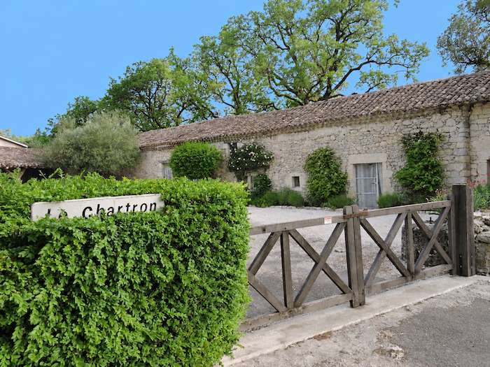
At the end of this long straight stretch, the road reaches the hamlet of Le Charton. |
|
 |
 |
|
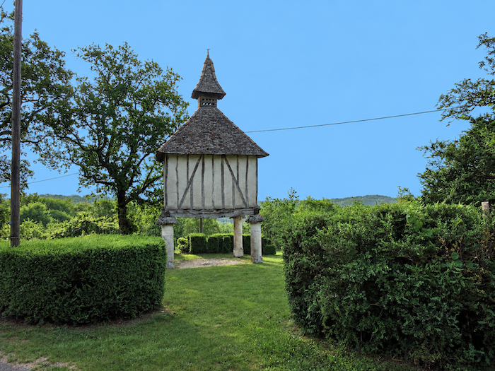
Here stands a magnificent dovecote, a familiar feature of a rural heritage that is particularly prominent in this region. Rectangular or polygonal, sometimes rising through several storeys, these structures seem to have left such a mark on the landscape that several hiking routes are now devoted to them. Their history also tells something of rural society itself. For centuries, their construction was regulated and associated with the privileges of the nobility, before gradually becoming more widespread. Pigeons were naturally raised for their meat, while their droppings provided valuable fertilizer. But owning a dovecote also said something about its owner. Standing prominently in the countryside, the building proclaimed prestige as much as practical usefulness. |
|
 |
 |
|
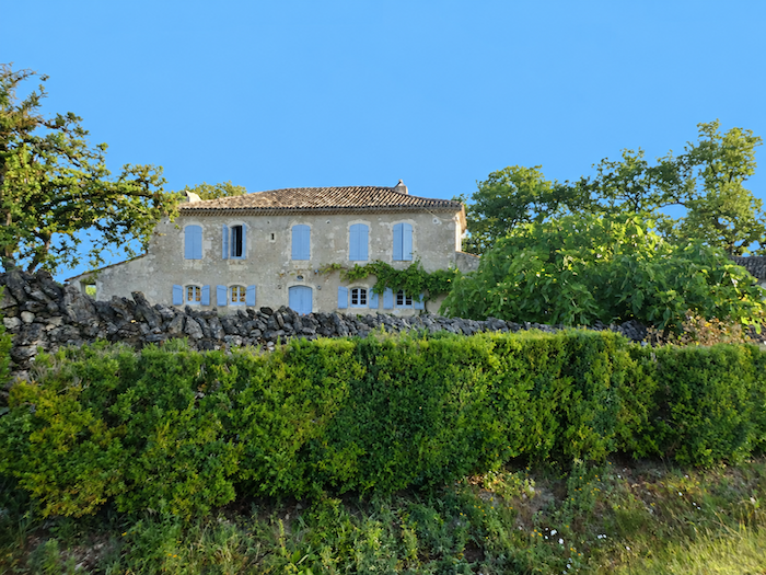
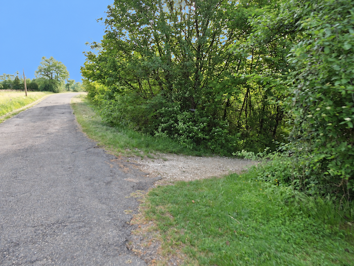
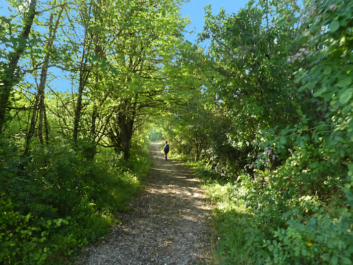
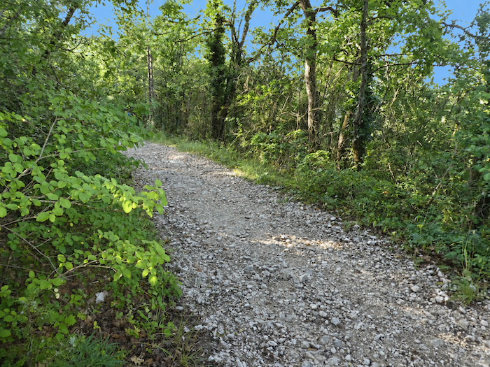
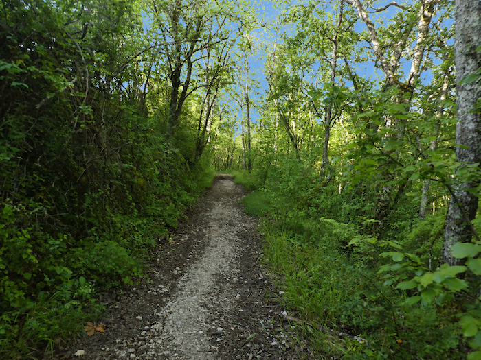
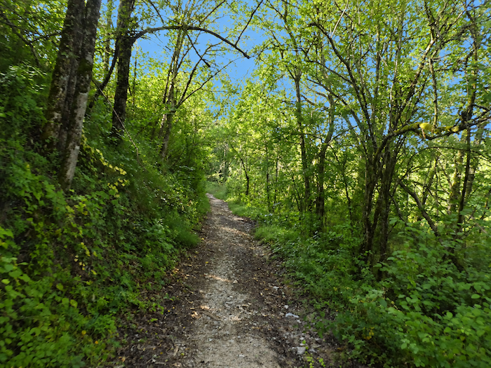
From Le Chartron, a broad path plunges once more into the woods and begins a definite descent. Underfoot, bare earth does not prevail for long, as stones immediately reclaim the ground. |
|
 |
 |
|
Long live the stones! These seem almost to take mischievous delight in slipping beneath the soles of your shoes. The slope shows little restraint either, ranging between 10 and 15%. Fortunately, above this stony carpet, the trees spread a generous and welcome shade that makes the descent considerably more pleasant. |
|
 |
 |
 |
 |
|
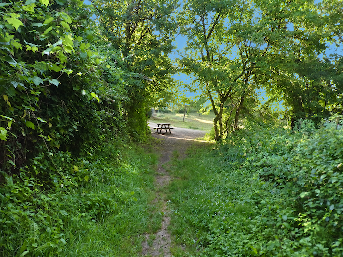
The gradient barely eases before the path leaves the woods. There, beneath the oaks and maples, a picnic area heralds a small haven of tranquility, with a chapel nestled close by. |
|
 |
 |
|
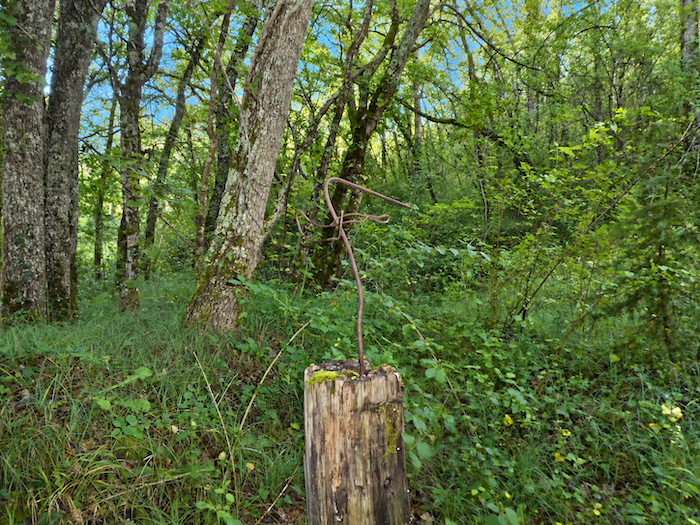
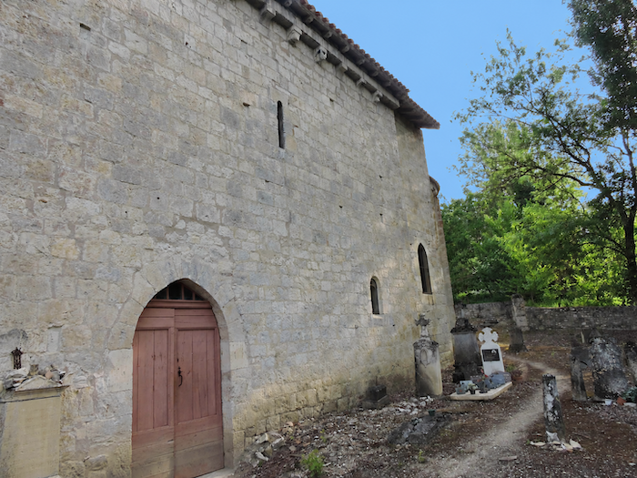
Nestled in a hollow with the delightful name of “Combe du Miel,” the peaceful chapel of Saint-Sernin-du-Bosc seems to have withdrawn from the passage of time. This Romanesque building has survived the centuries without undergoing any major alterations and still retains its remarkable apse with a half-dome vault. Around the chapel, crosses where pilgrims leave their modest offerings add a discreet sense of mystery and sacredness to the serenity of the place. In their simplicity and in the accumulation of these anonymous gestures, they recall the stones found beside certain Japanese temples, the same traces left by those who came before us, the same silent dialogue between traveler and place. Listed as a historic monument, the chapel is now approached from the cemetery side. |
|
 |
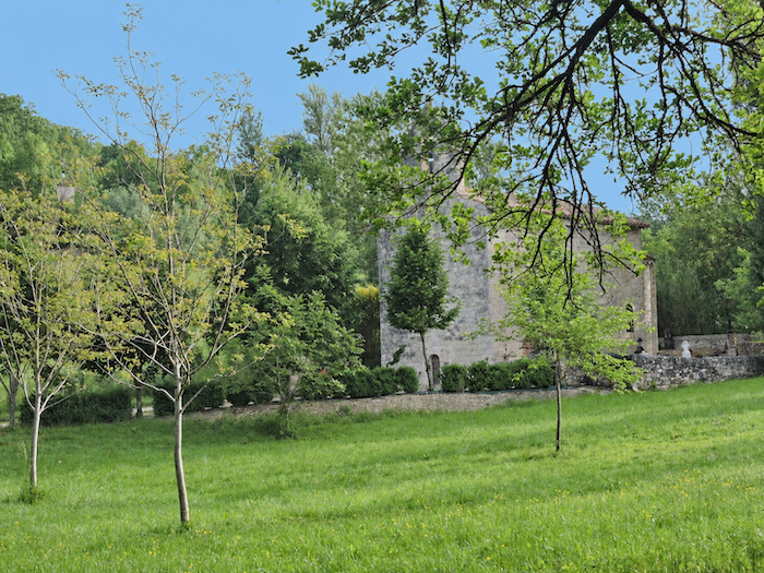 |
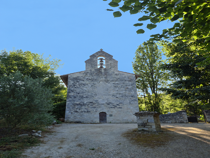
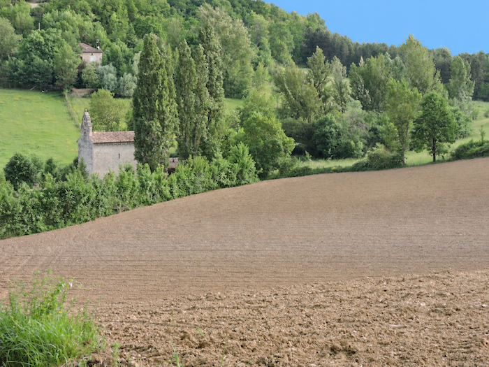
Above its ancient walls, a modest bell gable stands outlined against the sky, housing two bells one above the other, as though suspended in mid-air.
|
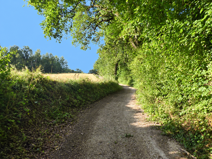
From the chapel, it is already time to leave the tranquility of the “Combe du Miel” behind. A broad dirt road slopes up out of the hollow and climbs towards the edge of the woods, between open countryside and leafy woodland. |
|
 |
 |
Section 2: Through the cereal fields of Tarn-et-Garonne
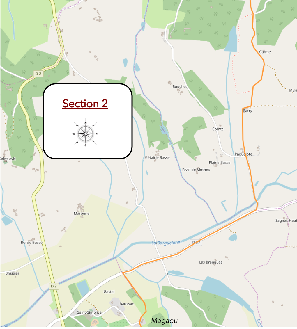
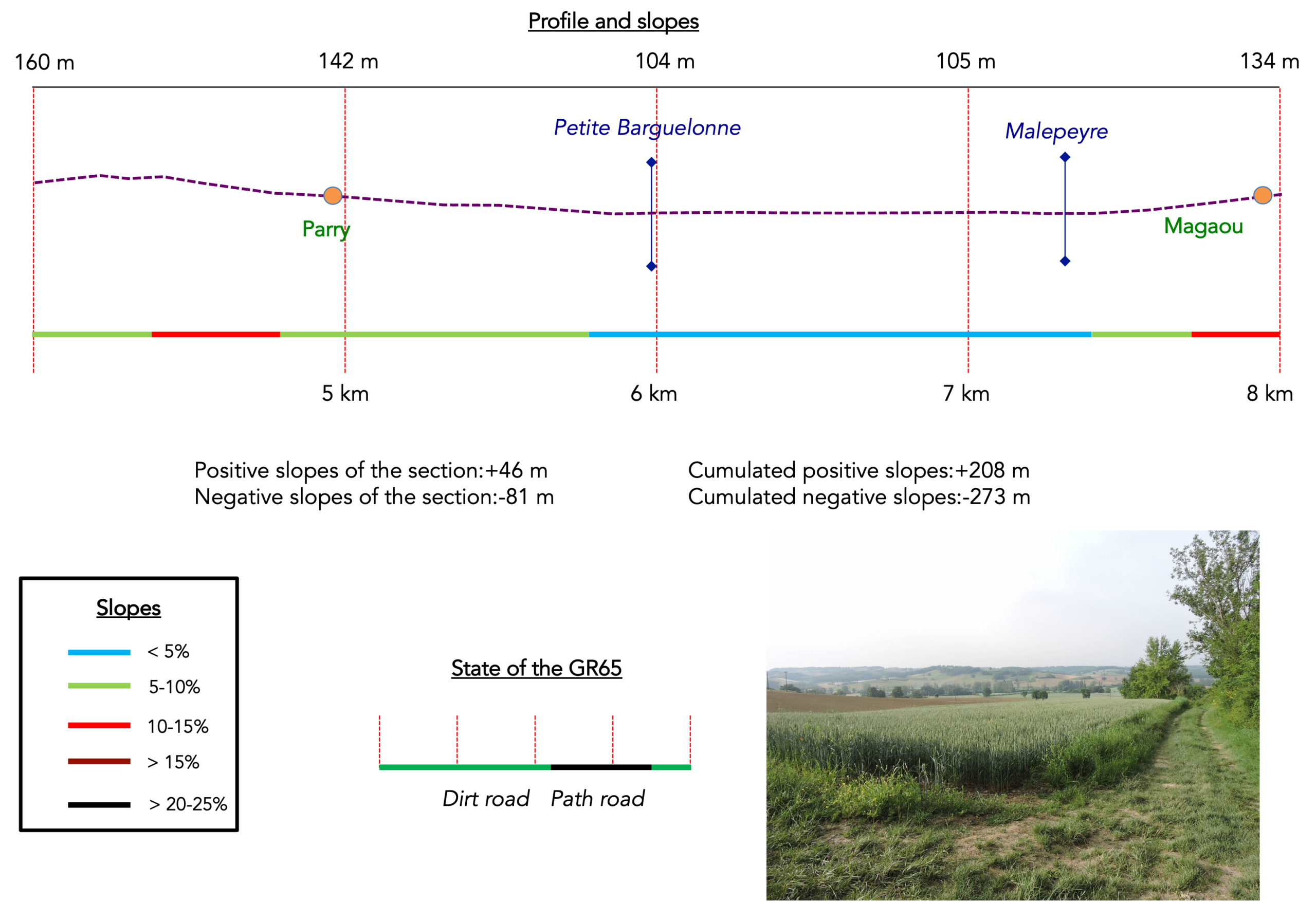
Overview of the route’s challenges : The route presents no difficulties whatsoever.
|
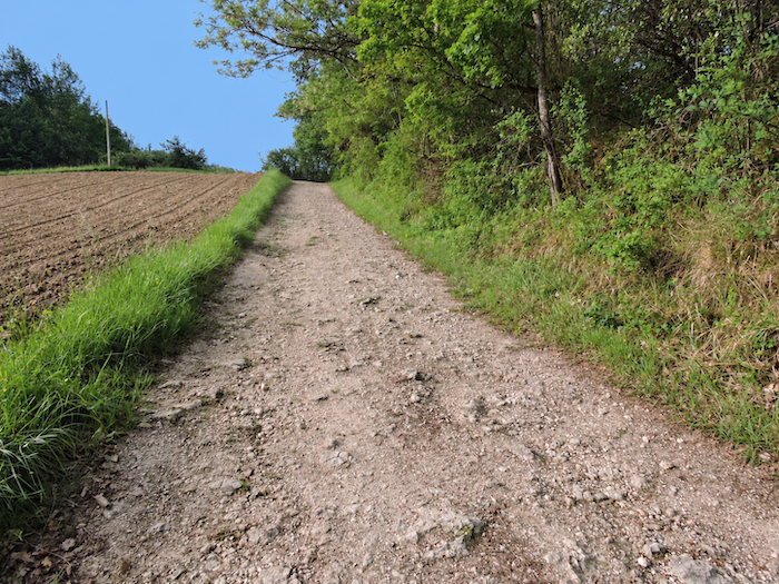
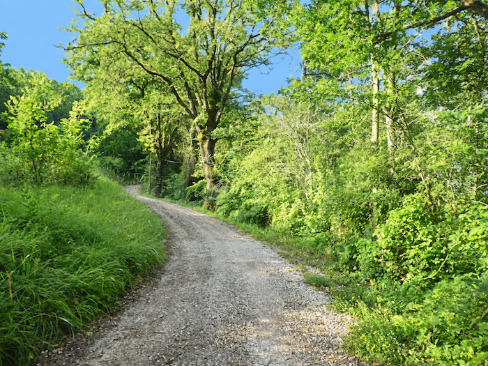
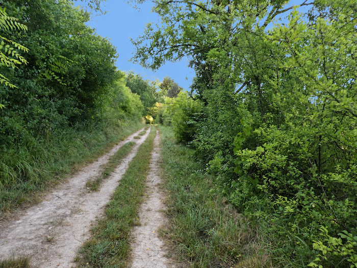
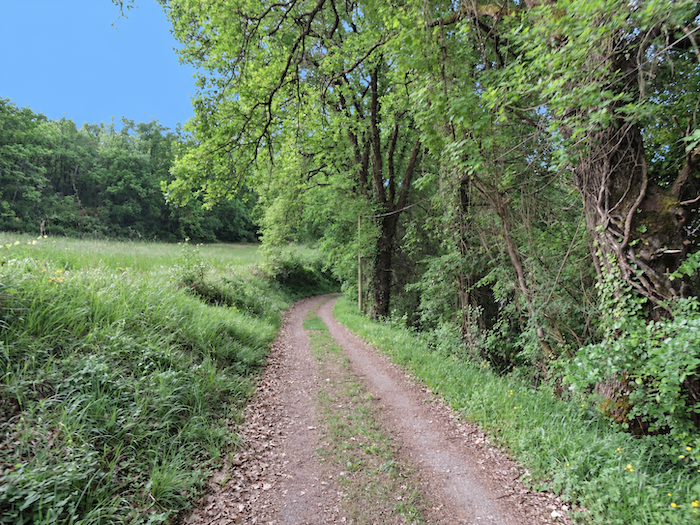
The dirt road gradually gains height, wavering between the shade of the woodland and the returning light of the open countryside. |
|
 |
 |
 |
 |
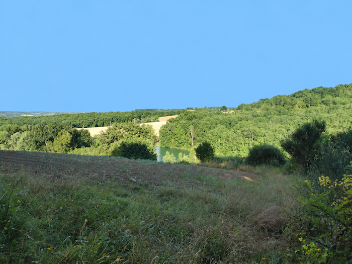
It soon passes above the little Lake Martret, set amid a veritable symphony of soft greens. Its tranquil waters may serve as a reservoir for irrigating the crops when summer turns scorching and the thirsty earth demands its share of water.
|
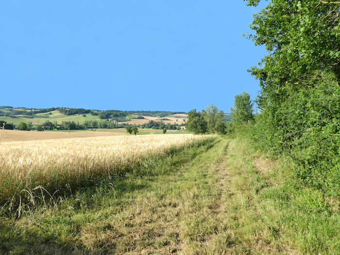
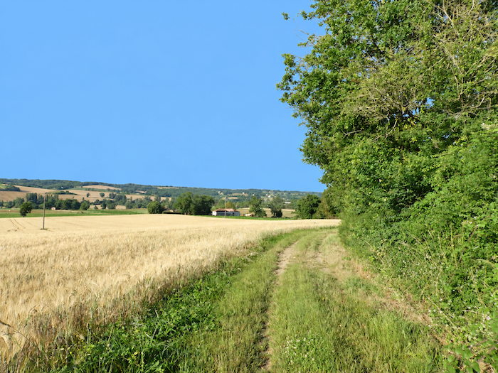
Sometimes, a simple turn in the path is enough to transform the scenery completely. For the next few kilometers at least, the oak groves and their shadowy world seem to belong to the past. Beyond the last trees, an immense landscape suddenly opens up, almost overwhelming after the intimacy of the woodland. Who would have imagined finding here something of those great horizons crossed on the Spanish Camino, when the Meseta stretches away to the very limits of sight? But let us not exaggerate, we are hardly in the American Midwest! Better to celebrate the countryside of Tarn-et-Garonne, with its fields of cereals and sunflowers and its orchards. |
|
 |
 |
|
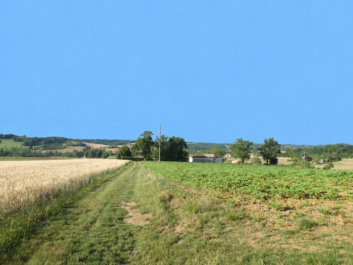
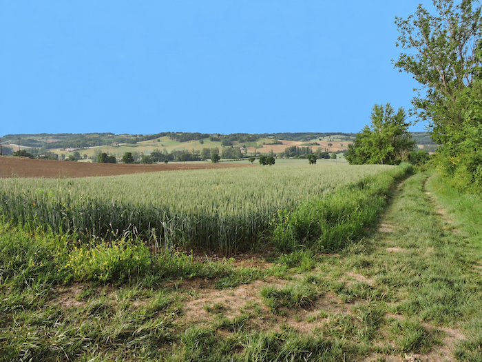
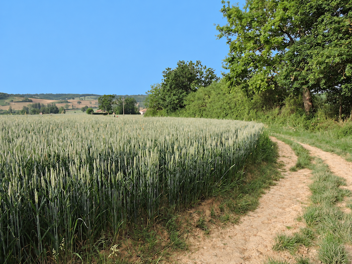
A grassy path then descends through this agricultural sea, skirting fields of wheat and sunflowers as it heads towards Parry Farm. The soil is generous here, and cereals have clearly found fertile ground. By early July, the winter wheat has already disappeared beneath the blades of the harvesters, while the later spring wheat is still standing in the fields. |
|
 |
 |
|
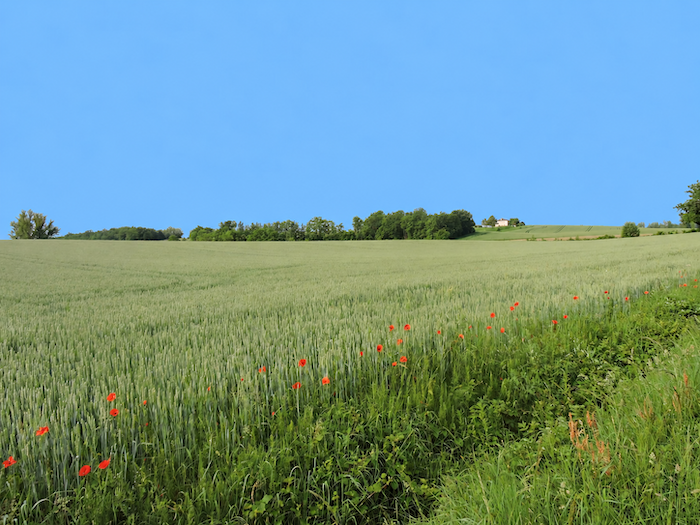
But let us cast our eyes for a moment over this same countryside a few months earlier, when spring completely transforms its appearance. In a gentle breeze, the young ears of wheat, still green, begin to tremble, then bow together in long waves of vegetation rolling from one end of the fields to the other. The plots are so vast that the walker has ample time to enjoy this delightful spectacle, while the soles of their shoes merely brush the short grass bordering the crops. In the midst of this green sea, poppies suddenly set the landscape ablaze, their red petals fluttering in the wind as though floating above the wheat. Since time immemorial, they have accompanied cereal crops, along with cornflowers and corncockles. Their extraordinary fertility partly explains this enduring companionship, as a single poppy can produce tens of thousands of seeds, some of which once became mixed with the harvested grain before returning to the fields with the following sowing. As we have already seen elsewhere, spring often knows how to flatter these landscapes more generously. But the walker cannot always choose the season in which the way calls. |
|
 |
 |
|
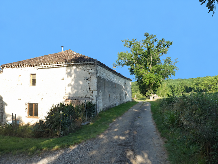
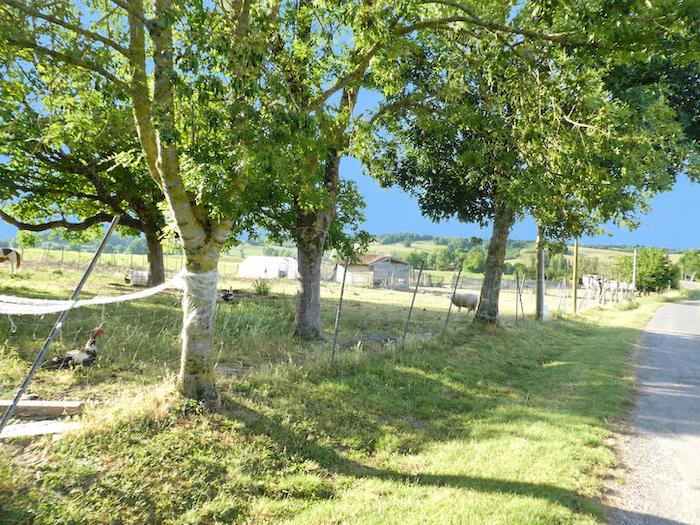
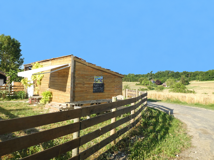
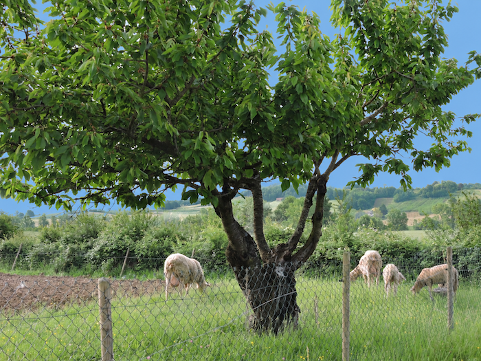
At Parry Farm, where pilgrims are welcomed at a gîte and refreshment stand, cereals no longer reign entirely alone. Livestock is raised here as well. In front of the enclosures, a great oak stands guard while geese scamper about and a few sheep graze peacefully, looking almost lost in this ocean of cultivated land. |
|
 |
 |
 |
 |
|
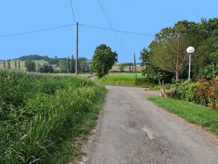
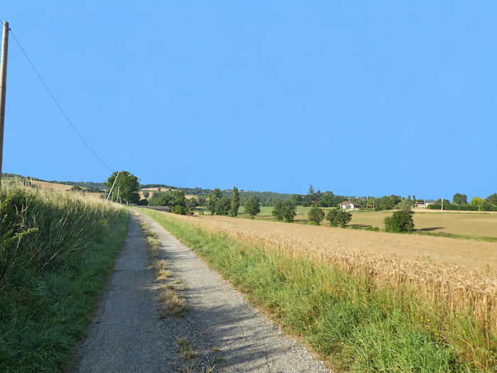
Across cereal-growing country, paths usually tend to alternate between bare earth and strips of grass. Here, however, asphalt reasserts itself. Even so, it cannot dispel the impression of space and infinity, so completely do the crops spread out in every direction. Immense fields of sunflowers and soybeans, sown in spring according to variety and conditions, alternate with the cereals, while occasional plots left fallow break the strict pattern of cultivation here and there. |
|
 |
 |
|
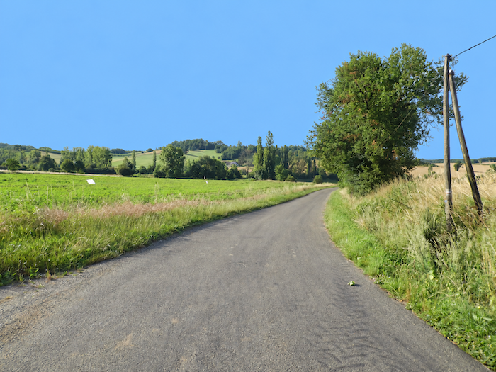
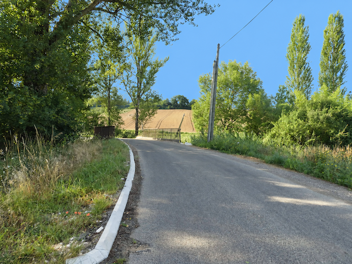
The great expanses then gradually descend, and the GR65 eventually reaches the D57 departmental road. |
|
 |
 |
|
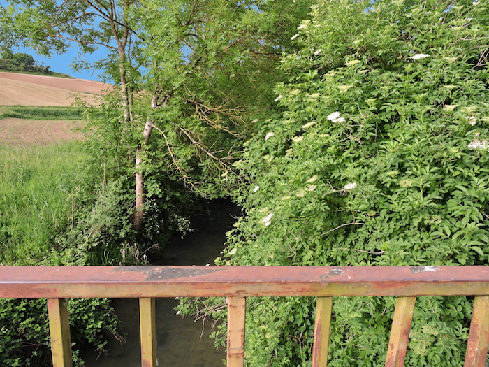
It then crosses the Barguelonne, which here is little more than a modest ribbon of water slipping quietly beneath the road before continuing its journey towards the Garonne. |
|
 |
 |
|
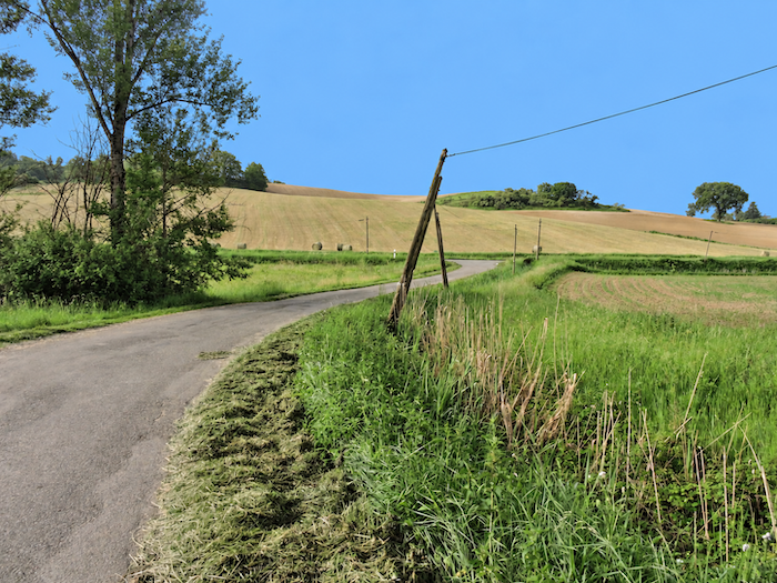
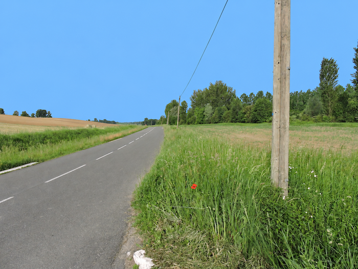
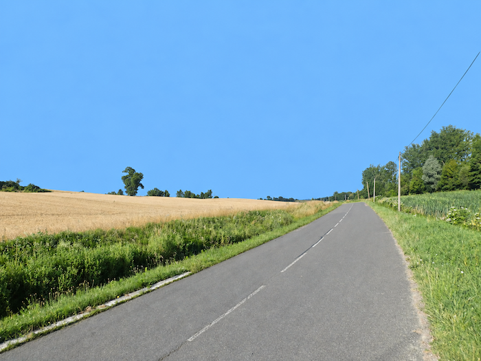
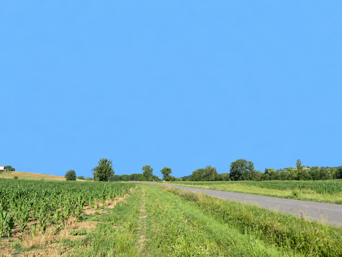
From the river begins one of those stretches that pilgrims would gladly do without, more than two kilometers on level ground, walking either on the asphalt of the departmental road or along its verges. Admittedly, traffic is hardly frantic in this sparsely populated countryside, but the monotony of the asphalt eventually begins to weigh on the feet. Yet this long straight road has one curious virtue, as it suddenly reveals that you are not alone on the Camino. Ahead and behind, the figures of pilgrims are scattered far into the distance, tiny moving dots along the ribbon of the road. If there is little scenery to contemplate, there is at least plenty of time to appreciate the small travelling multitude of which you yourself are a part. |
|
 |
 |
|
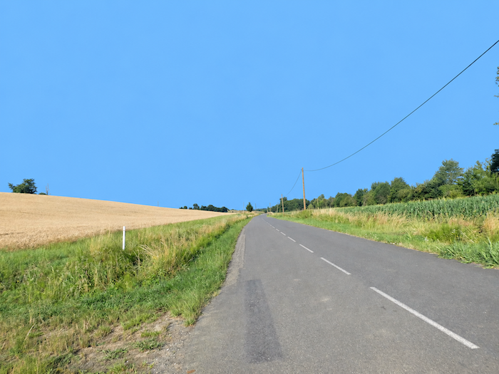
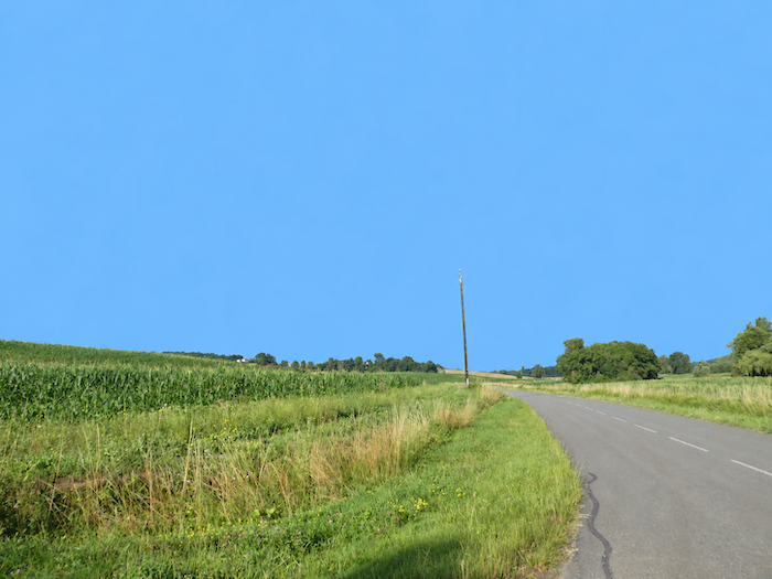
Long stretches of walking on the road are rarely appreciated, and some farmers, more generous than others, have agreed to surrender a narrow strip of their land to pilgrims. The path can then slip along the edges of fields of maize, wheat or sunflowers, escaping for a while from the asphalt and the proximity of passing cars. |
|
 |
 |
|
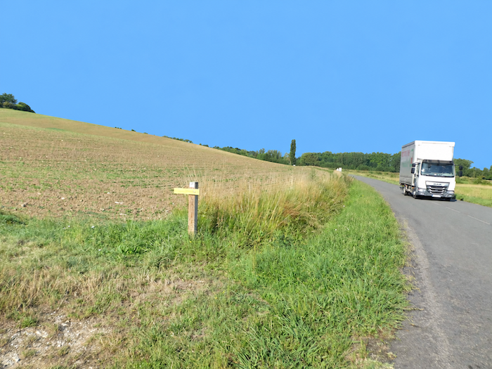
Much further on, just as the departmental road is beginning to seem endless, a small sign planted discreetly in the grass finally announces deliverance: the GR65 is about to return to the fields. It would be a pity to miss this modest escape route. Whatever you do, do not miss it! |
|
 |
 |
|
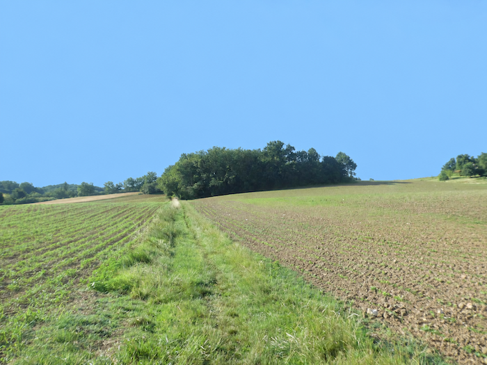
At once, the scenery changes character. A path makes its way through the grass and begins to climb the hillside. Around it, cereal fields once again spread across the landscape, interspersed with a few meadows and fragments of woodland. The asphalt already seems far away. |
|
 |
 |
|
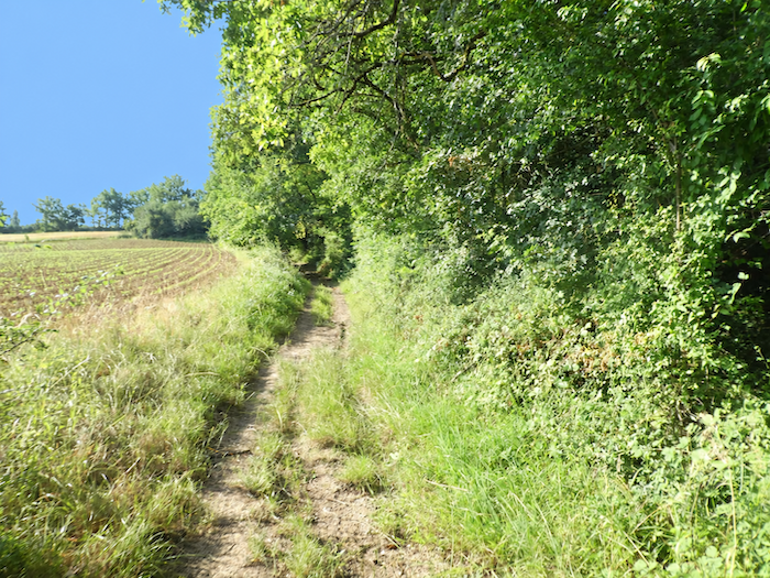
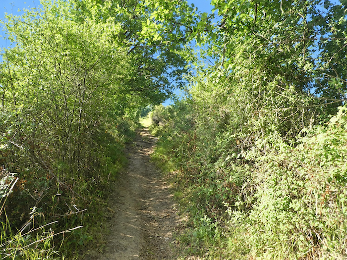
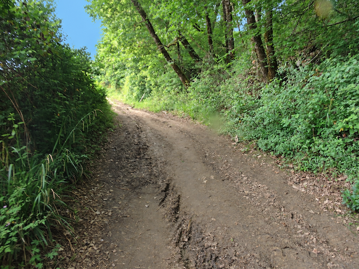
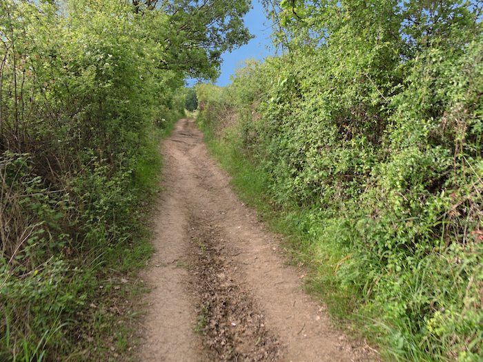
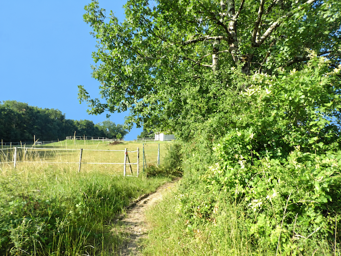
The path now plays with the landscape, sometimes swallowed by the shade of woodland, sometimes thrust back into full sunlight amid fields of cereals and oilseed crops. As you approach the hamlet of Magaou, the slope becomes more demanding. The first fruit trees also appear on the horizon, heralding another face of Tarn-et-Garonne. Houses, however, remain few and far between. In this countryside largely given over to cultivation, the human presence remains discreet, almost erased by the immensity of the land. |
|
 |
 |
 |
 |
Section 3: Through the orchards of Tarn-et-Garonne
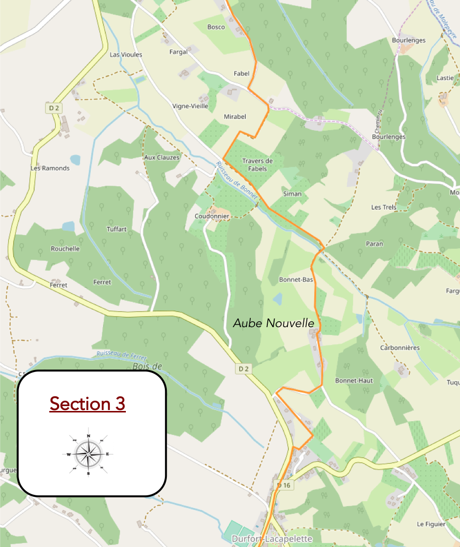
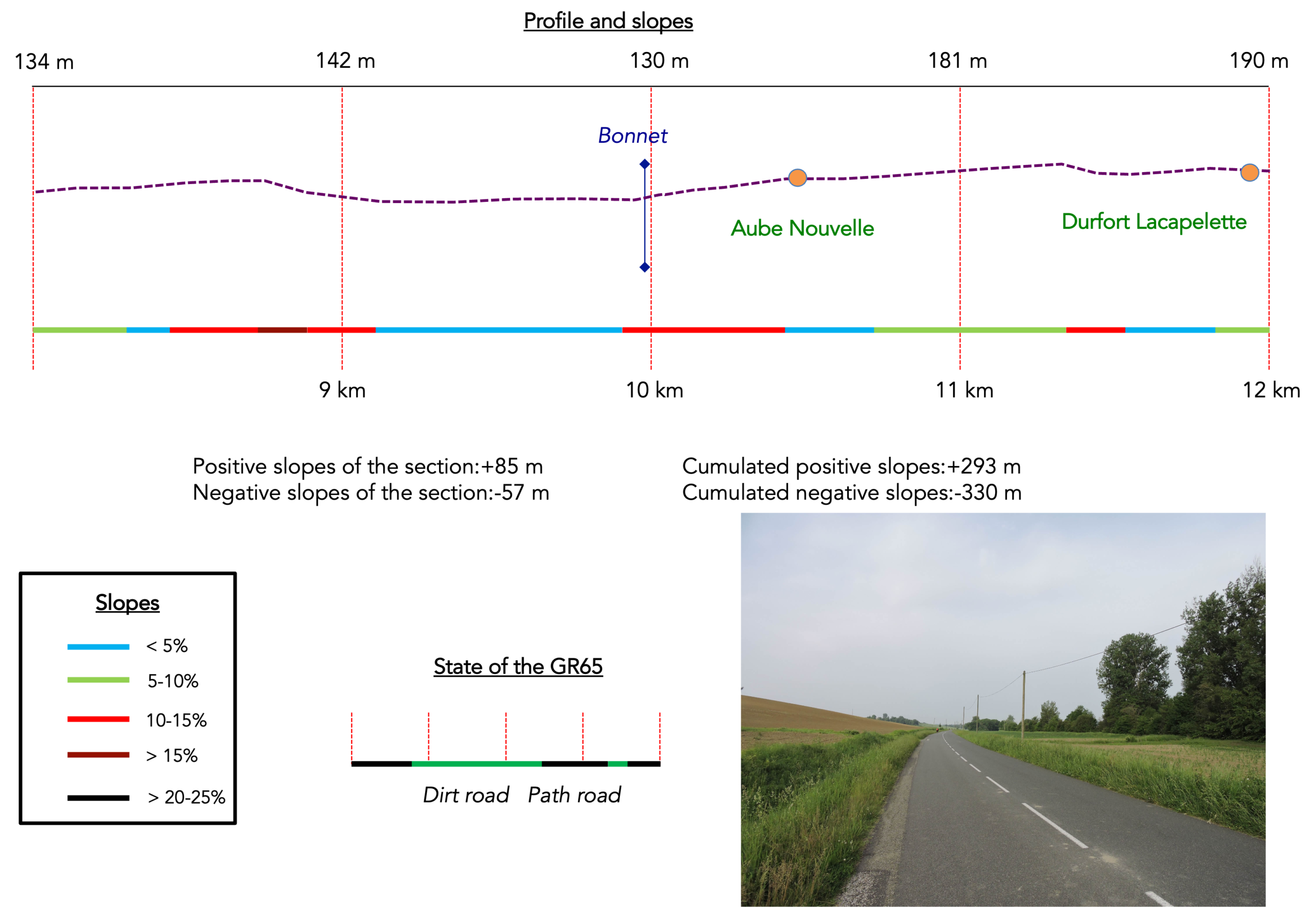
Overview of the route’s challenges: rolling terrain.
|
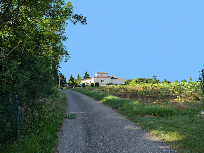
A road then begins to gain height gently, passing the scattered houses of Mirabel, dotted across the countryside as though to make the most of the surrounding space. |
|
 |
 |
|
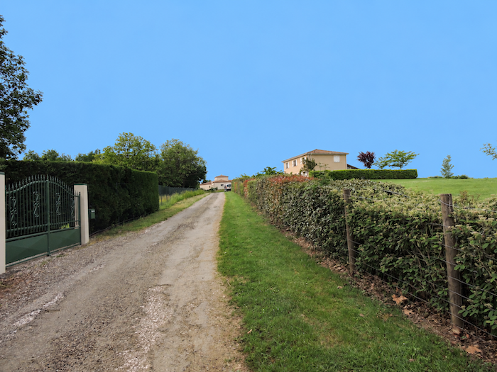
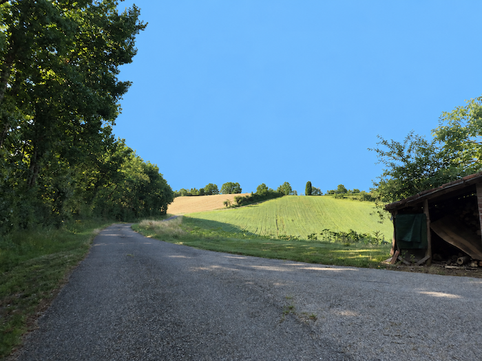
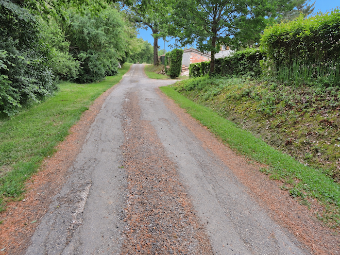
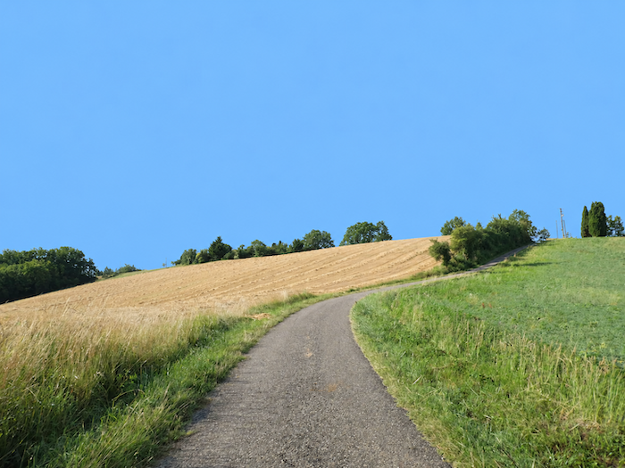
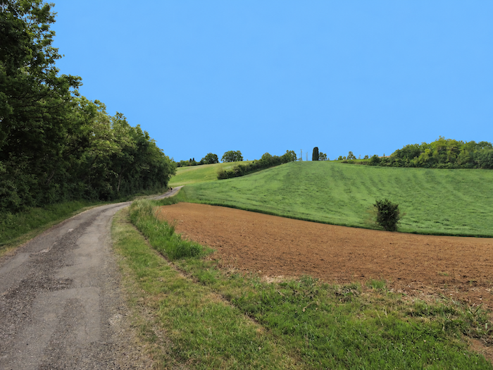
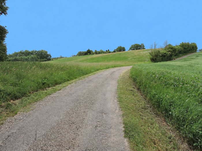
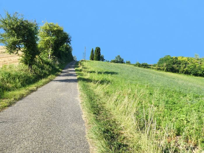
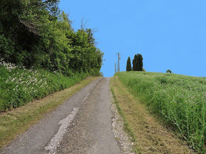
Reaching the top of the hill will require a little more effort from the muscles. The asphalt persists, and the gradient, fairly accommodating until now, gradually steepens as you gain height. |
|
 |
 |
 |
 |
|
Meadows and fields stretch away on either side, while the road unfurls its ribbon with almost relentless regularity. There is little variety in this open landscape. The climb becomes monotonous, occasionally demanding, and there is little to do but let your footsteps patiently eat away at the slope. |
|
 |
 |
 |
 |
|
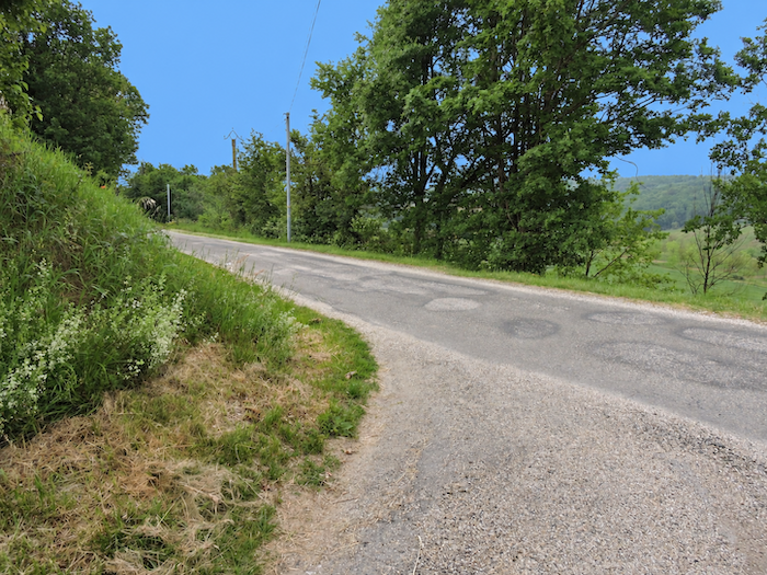
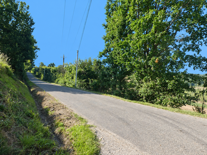
At the top of the climb, the GR65 abruptly changes direction and turns at a right angle to follow another small agricultural road, but only for a short while. |
|
 |
 |
|
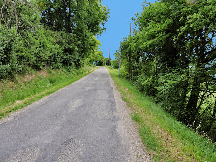
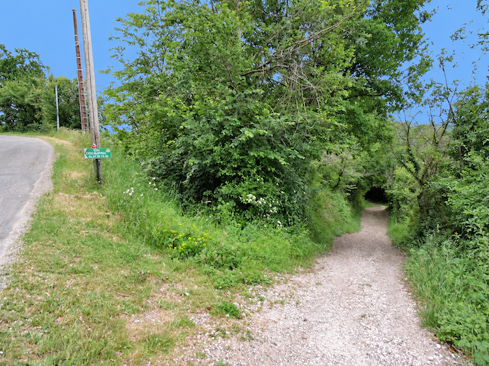
Fortunately, this encounter with the asphalt is brief. The route soon finds a path leading off across the countryside, returning the walker to terrain that feels more familiar beneath the feet. |
|
 |
 |
|
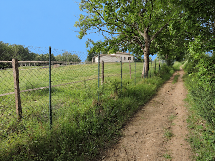
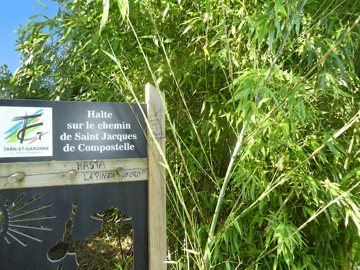
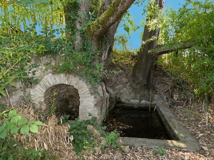
The path immediately slopes down towards the Bonnet stream. On the way, it passes an old grey fountain, a relic of another age almost swallowed by the vegetation. Hidden among reeds and wild grasses, it reveals murky water that hardly tempts you to fill your bottle. |
|
 |
 |
|
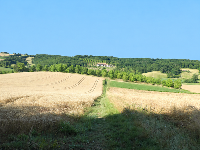
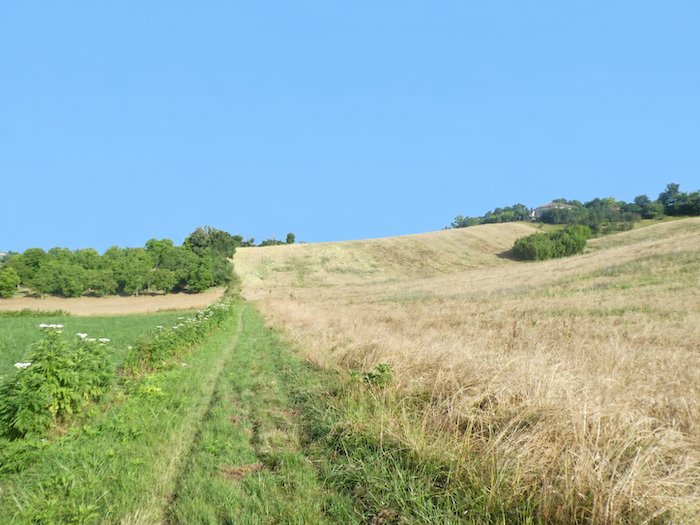
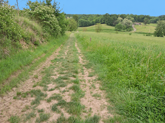
The path then plunges decisively into the grass and flows between the fields, as though drawn towards the bottom of the valley, which it soon reaches. |
|
 |
 |
|
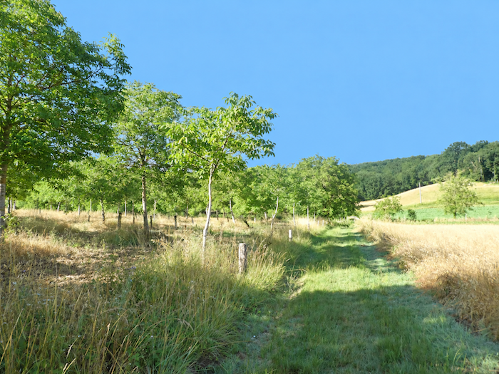
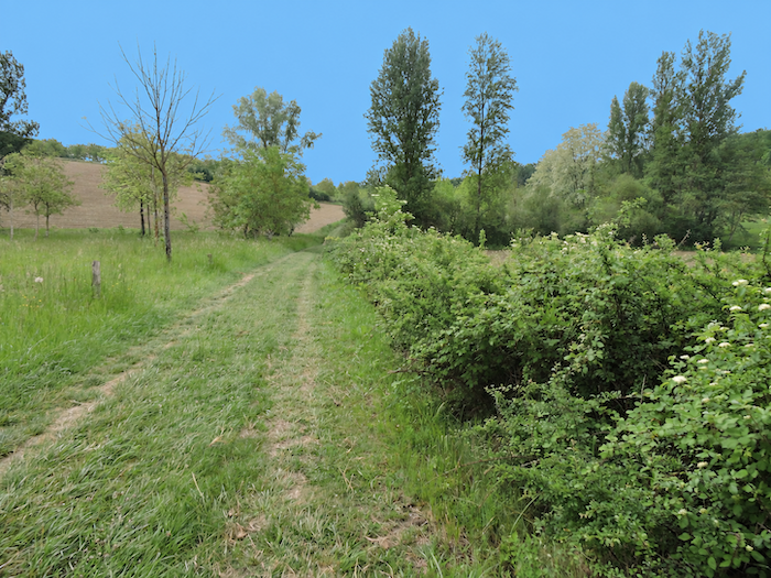
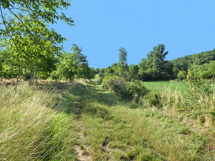
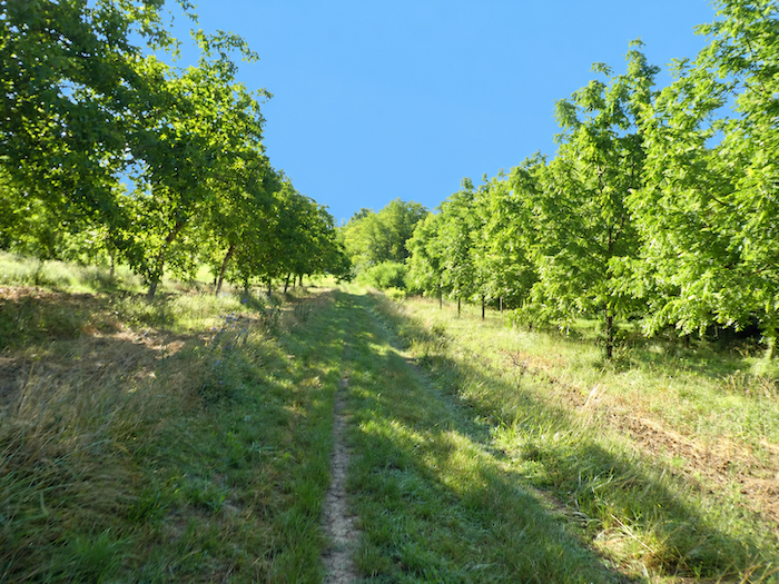
Down below, the landscape changes its language once again. The exuberant disorder of the tall grasses contrasts with the strict geometry of the carefully aligned crops on the slopes. To the right, rows of walnut trees extend for almost a kilometer in perfect order, while to the left, along the stream, deciduous trees reclaim the land, forming a curtain of greenery that is freer and wilder. The walker thus advances between two worlds, with countryside disciplined by human hands on one side, and vegetation still following its own whims on the other. |
|
 |
 |
 |
 |
|
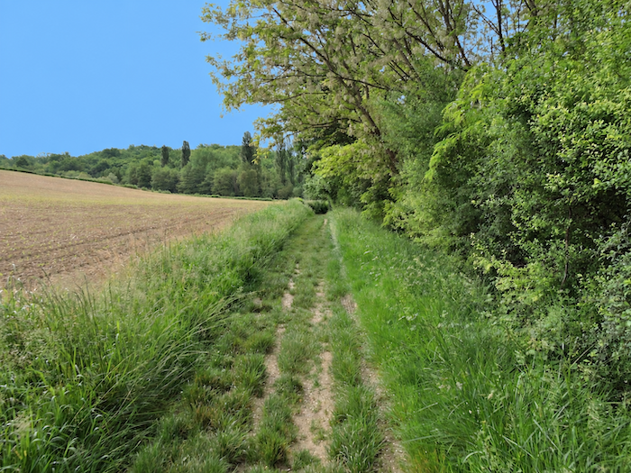
Further on, the rows of walnut trees eventually fade away. The path then draws closer to the stream and winds through the wild grasses crowding its banks. |
|
 |
 |
|
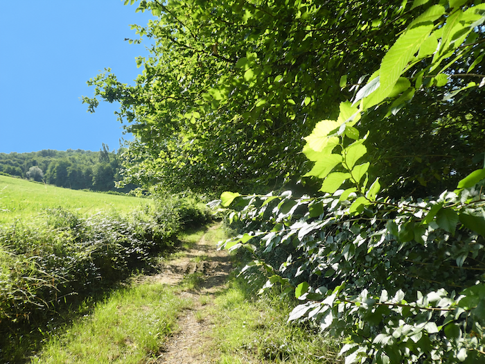
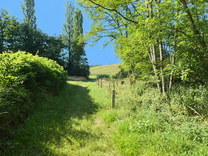
Where there is a stream, there is almost always freshness and moisture, even when the water itself seems intent on remaining hidden. Soon, you have to cross the Bonnet stream, so discreet beneath the vegetation that its thin trickle of water is barely visible. |
|
 |
 |
|
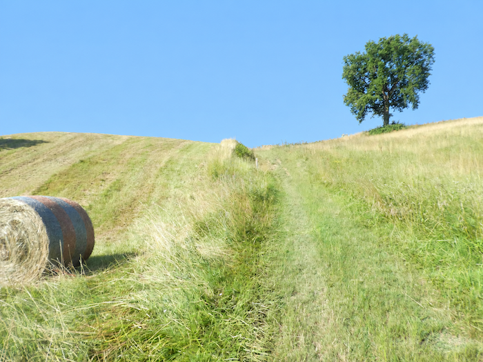
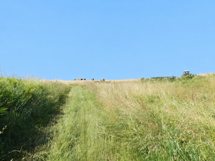
On the other side of the dale, the landscape once again changes dramatically. The path rises sharply and without mercy through grasses and other vegetation, with sections exceeding a 15% gradient. There is little point relying on the crops to find your bearings from one year to the next, as the farmers practice crop rotation and the fields regularly change their appearance. Today, they hold freshly harvested wheat. Another year, sunflowers may have taken its place, unless a green manure crop covers the land while it rests. In this ever-changing landscape, only one thing seems immutable: the slope. |
|
 |
 |
|
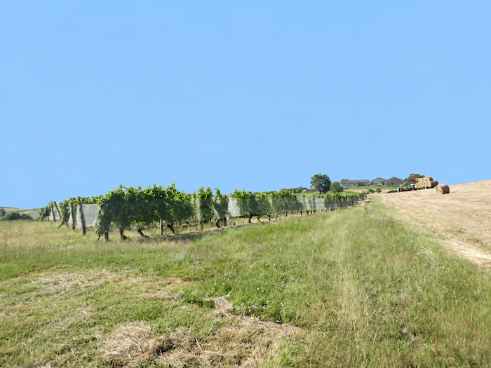
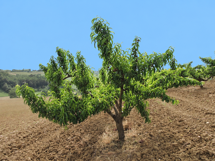
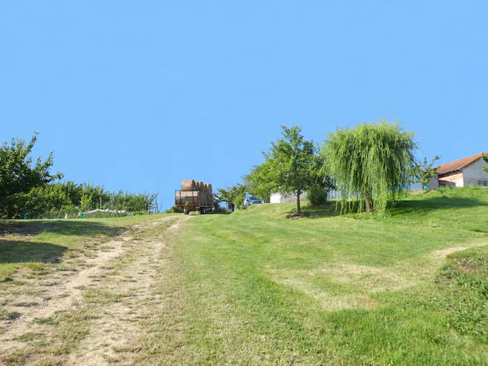
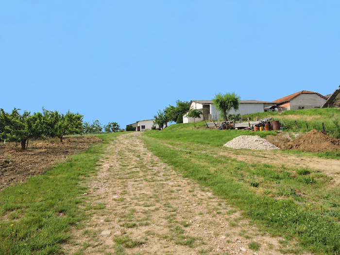
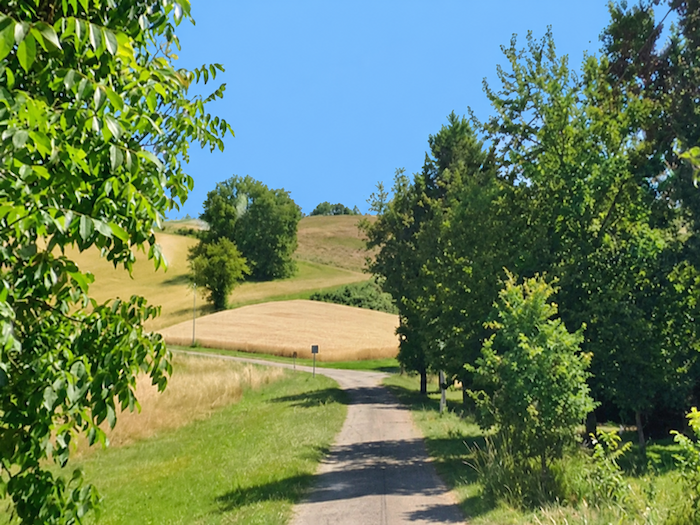
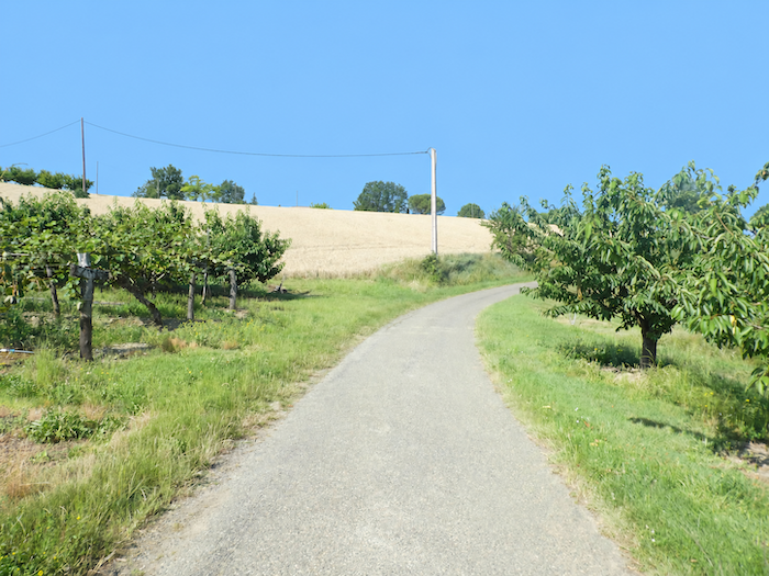
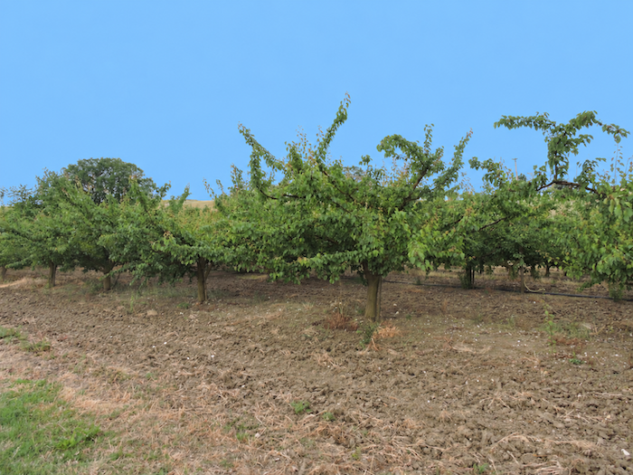
There is, however, another feature of the landscape that seems equally determined to endure: the orchards. At the top of the hill, the countryside suddenly regains all the precision of patiently ordered agriculture. The path reaches the hamlet of Bonnet, surrounded by vast plantations where vines beneath their protective netting mingle with plum, cherry and apricot trees. Everywhere, the trees stand in almost geometrically perfect rows, creating long perspectives that seem to stretch towards the horizon before descending the opposite side of the hill. |
|
 |
 |
 |
 |
|
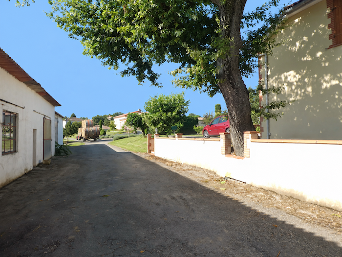
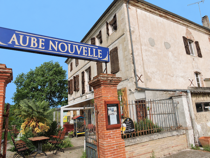
The path then crosses this little world devoted entirely to agriculture. A short distance further on, the GR65 reaches the locality of Aube Nouvelle, a charming name borrowed from the hotel that stands here. |
|
 |
 |
|
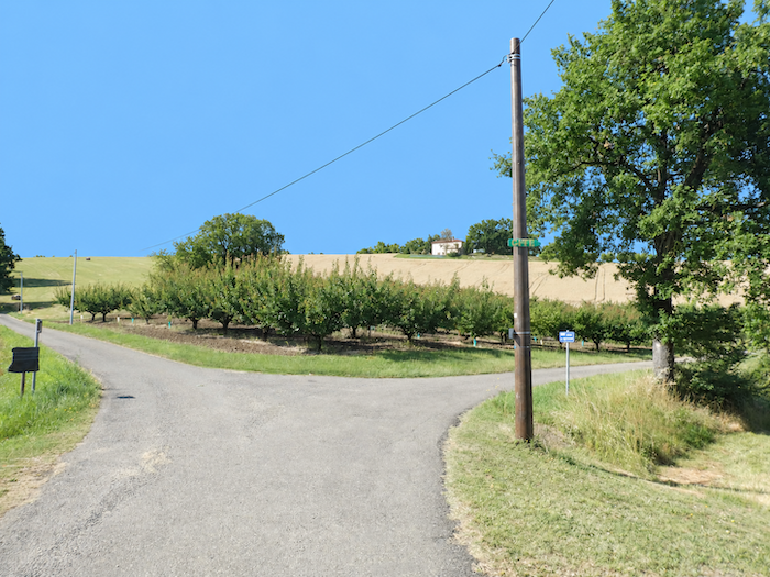
A road then resumes its ascent between meadows, cereal fields and orchards. Durfort-Lacapelette is not far away now, and the village awaits the walker only a short distance ahead, at the end of this broad sweep of open countryside. |
|
 |
 |
 |
 |
|
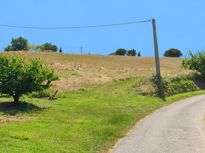
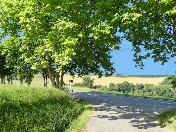
The orchards continue to set the rhythm of the walk, as elegant as ever in their impeccable rows. The walker now has two possibilities: follow a small local road or continue alongside the fruit trees and the great sycamore maples bordering the road. In the end, it matters little which variant you choose, as both lead to Durfort-Lacapelette. |
|
 |
 |
 |
 |
|
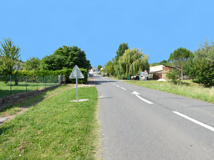
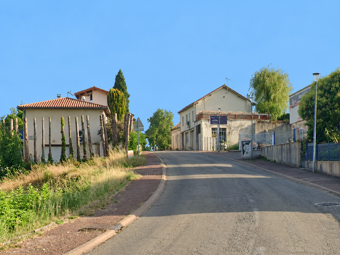
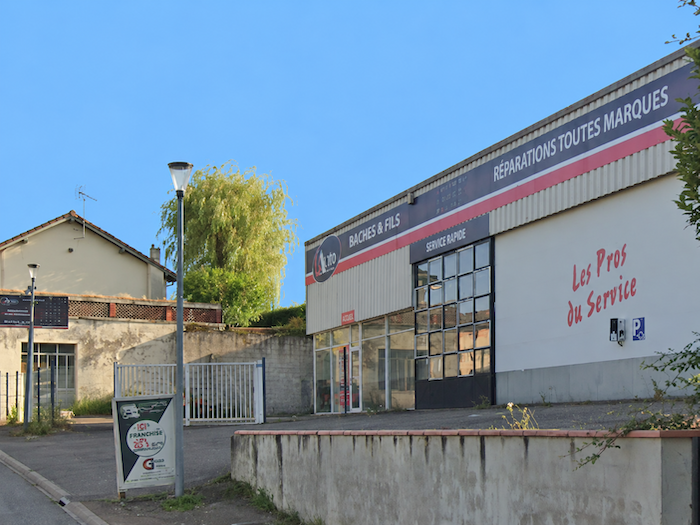
Durfort-Lacapelette is a village deeply rooted in this agricultural countryside. For pilgrims, it offers above all two welcome resources along the route: a gîte and a small shop, modest perhaps, but extremely useful when travelling on foot. |
|
 |
 |
Section 4: Between orchards and woodlands
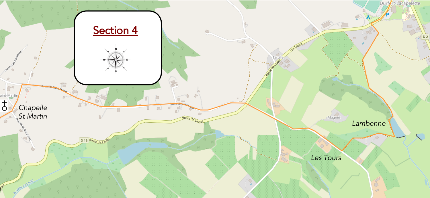
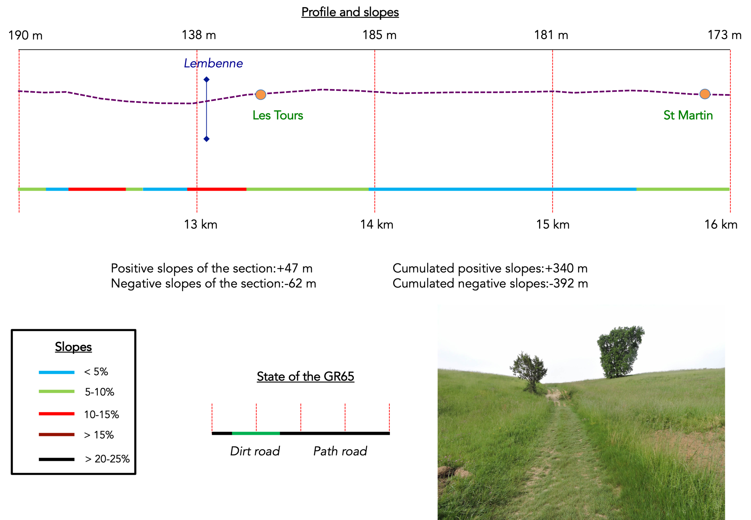
Overview of the route’s challenges: The route presents no particular difficulties.
|
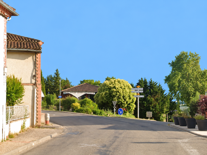
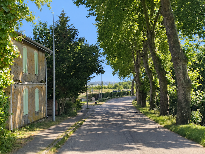
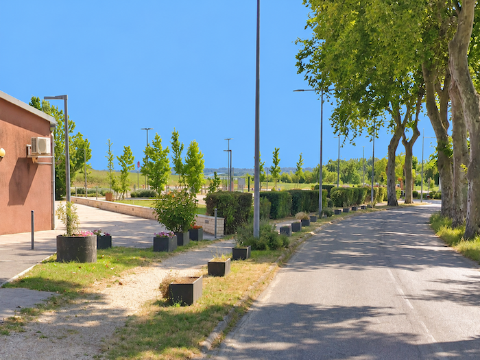
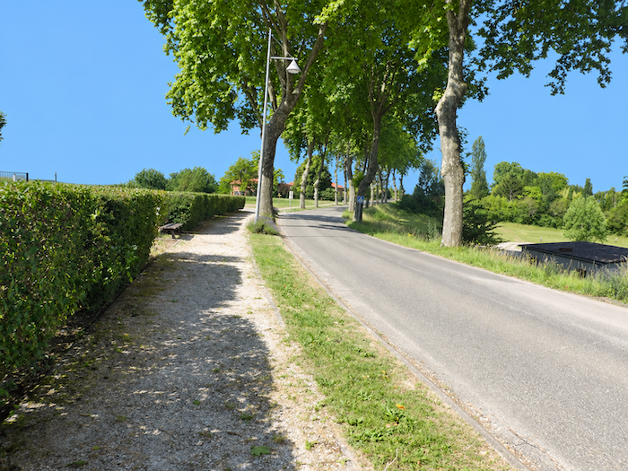
The asphalt road leaves Durfort-Lacapelette beneath the tall silhouettes of poplar trees, but the pilgrim will not keep it company for long. This is a land of hills and valleys, where every descent seems to be followed immediately by another climb. As you can imagine, the Camino de Santiago would hardly deprive you of such pleasures for long. |
|
 |
 |
 |
 |
|
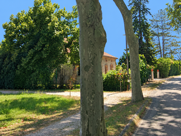
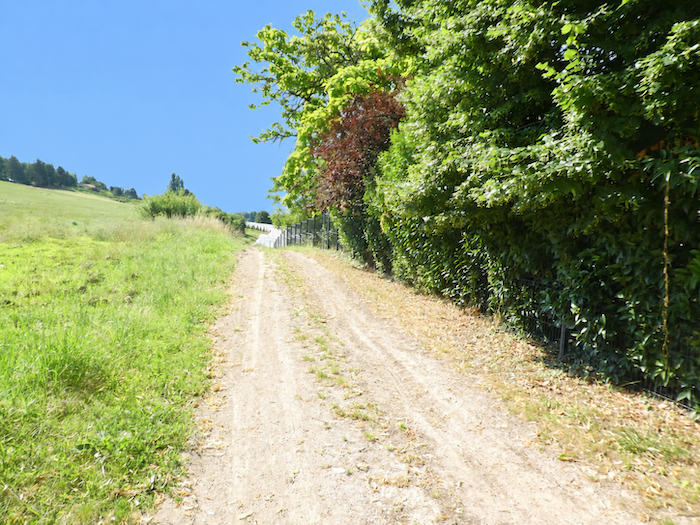
No sooner said than done. The asphalt disappears and a path heads down the slope towards the bottom of the dale. |
|
 |
 |
|
A few plots devoted to market gardening add a different touch to the agricultural landscape here. |
|
 |
 |
|
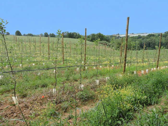
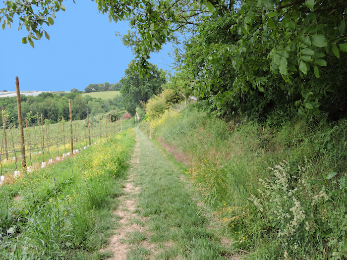
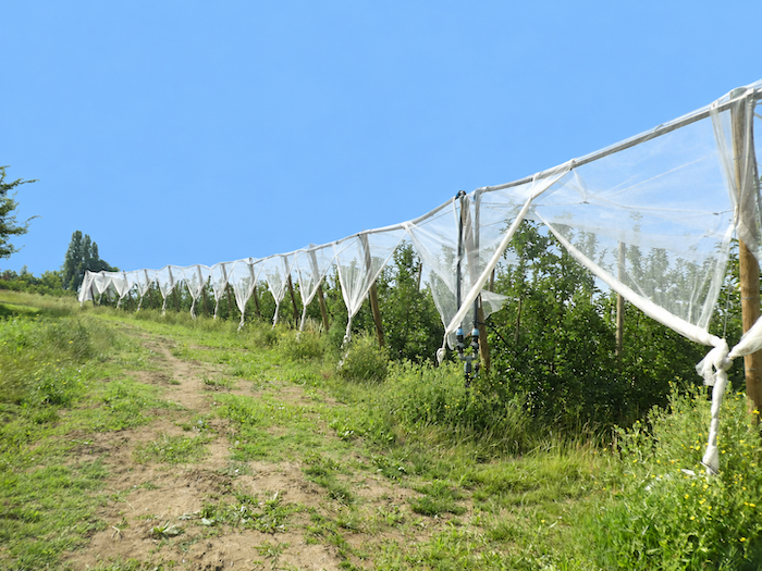
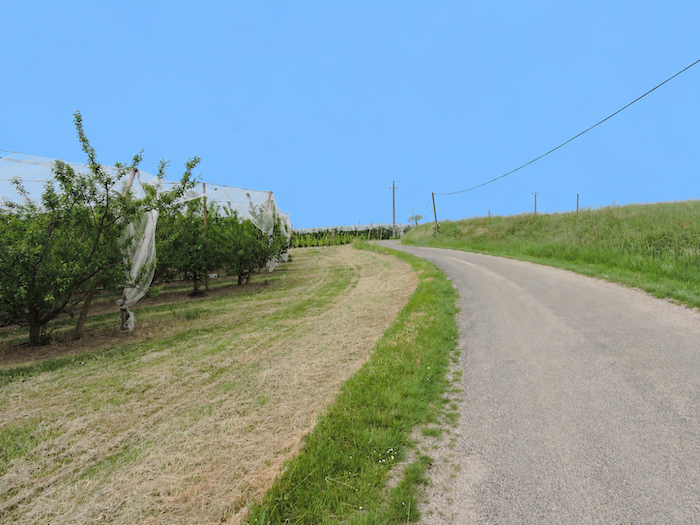
Below the village, orchards quickly reclaim the scenery. Their long rows of fruit trees disappear beneath immense protective nets, light ramparts raised against birds and the onslaught of hail. Take care, however, at the end of the orchard, as the path plays a small trick on the walker and the direction is far from obvious. Everything seems to invite you to continue straight ahead. But that is not the way. You need to turn at a right angle behind the orchard to continue the descent towards the bottom of the dale. |
|
 |
 |
|
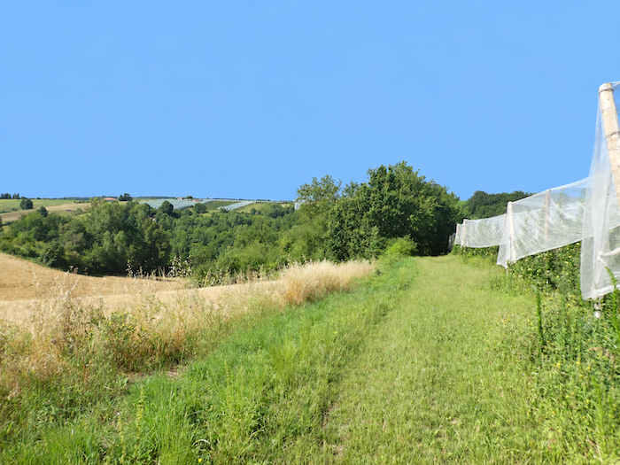
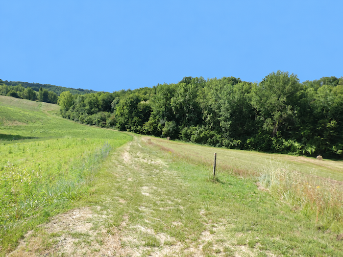
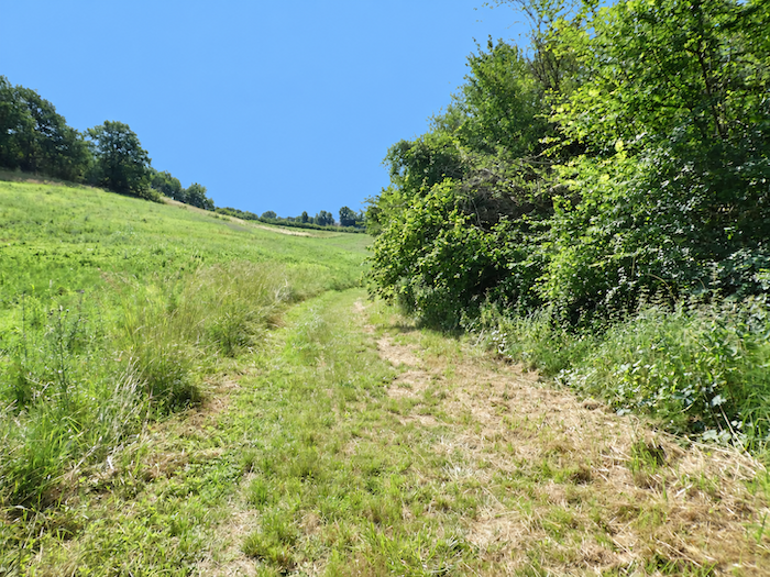
The path then plunges into the grass, wavering between the edge of the woodland and the fields occupying the low ground. As you approach the lake, the orderly pattern of cultivation begins to unravel and the anarchy of vegetation reasserts itself. Wild grasses, bushes and plants of every kind reclaim these margins where tractors rarely venture. Another kind of countryside expresses itself here, one that people have given up trying to discipline completely and where nature quietly regains its freedom. |
|
 |
 |
|
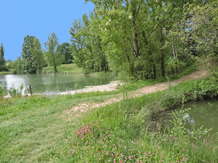
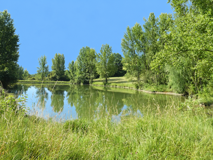
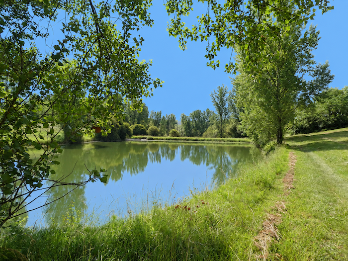
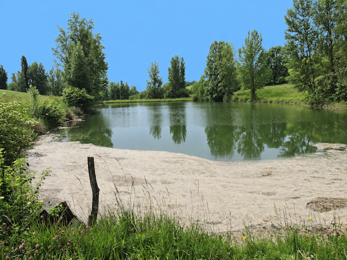
At the bottom of the dale, the ground becomes damp, almost marshy. The path crosses the Lambenne stream and soon discovers its lovely little lake, resting peacefully amid the vegetation. It is impossible to overstate just how comforting these modest stretches of water can be along the Camino. |
|
 |
 |
 |
 |
|
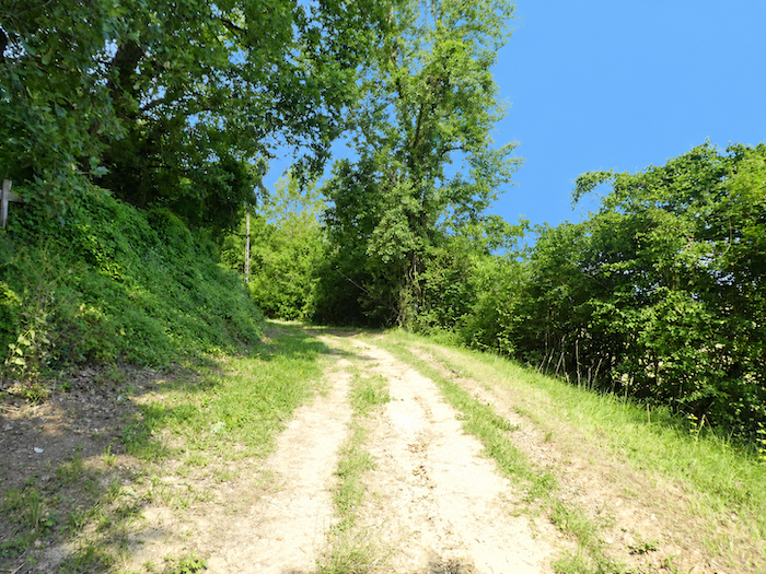
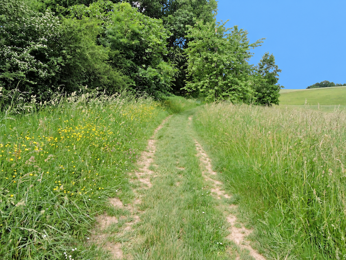
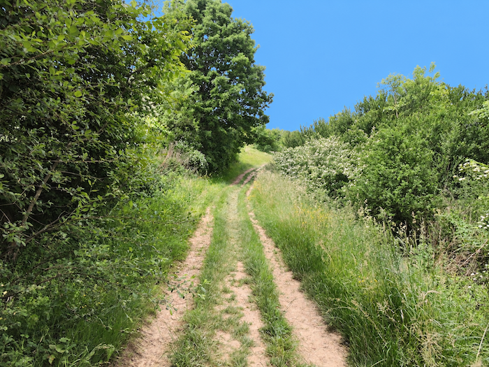
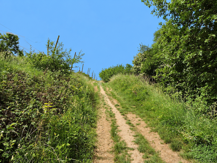
A broad path follows the shores of the lake for a while before leaving them behind to tackle the opposite slope. The gradient immediately gathers strength again, climbing steadily through the grass amid countryside that still retains something of its wild character. |
|
 |
 |
 |
 |
|
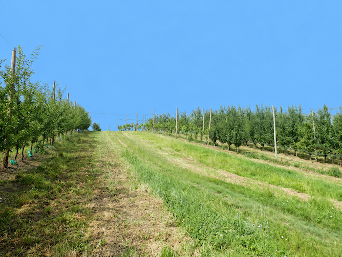
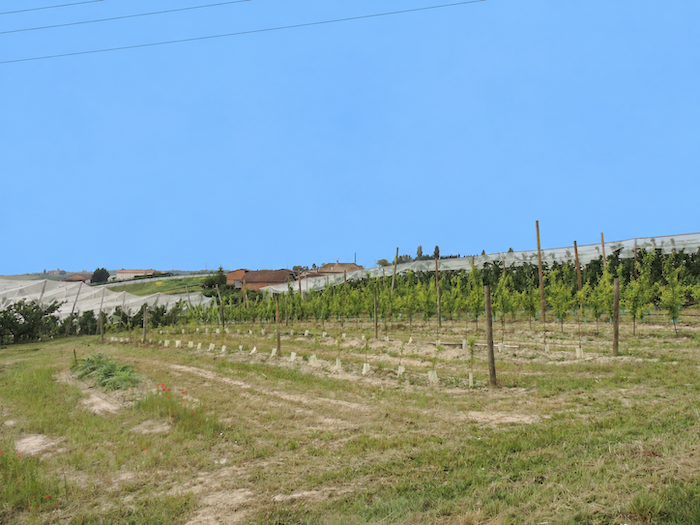
At the top of the climb, the landscape once again falls into order under the hand of man. Scrub and wild trees gradually give way to orchards and vineyards, whose regular rows reclaim the hillside. |
|
 |
 |
|
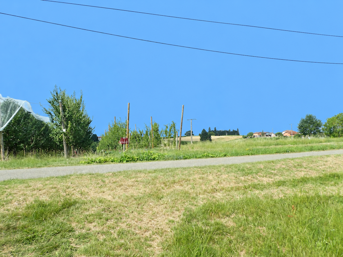
The path eventually meets the asphalt again at the locality of Les Tours. |
|
 |
 |
|
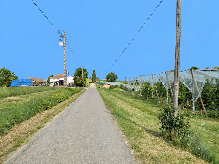
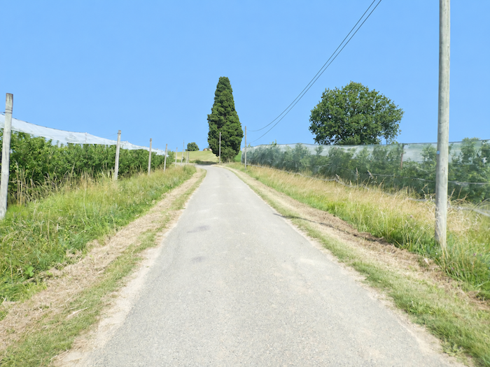
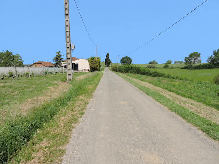
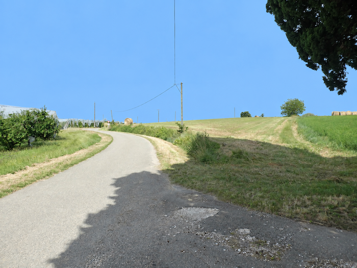
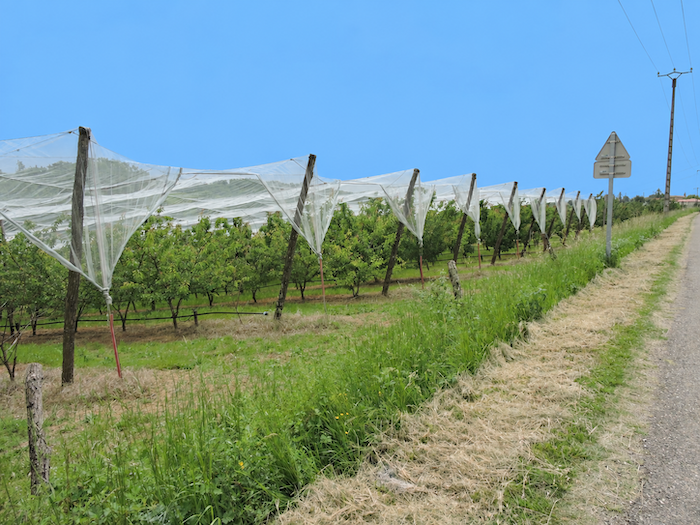
From here, the road stretches across level ground for many kilometers, and orchards once again take possession of the landscape. As far as the eye can see, the trees stand in rows of almost military precision beneath the vast nets spread above them. Here, man has stretched immense spider’s webs over his crops, not to catch insects, but to keep winged visitors at bay and protect the fruit from their appetites. |
|
 |
 |
 |
 |
|
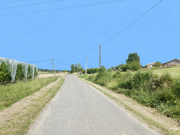
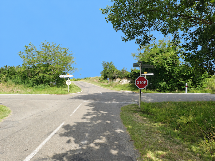
The road continues between cereal fields and orchards, plot after plot, like carefully fitted pieces in an immense agricultural mosaic. Eventually, it crosses the D16 departmental road before continuing straight across the plain. |
|
 |
 |
 |
 |
|
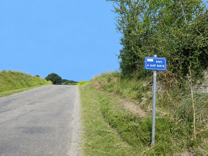
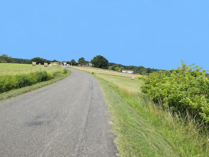
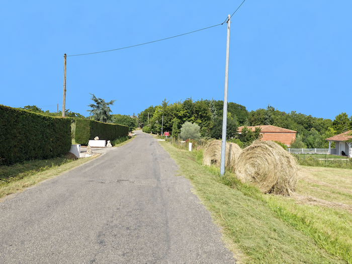
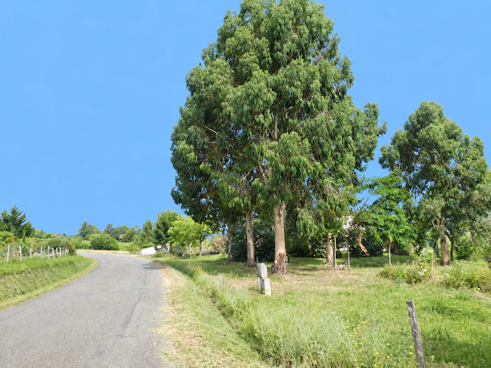
From then on, the little road seems in no hurry. It meanders at length between meadows and cultivated fields towards Saint-Martin-de-Durfort, while the landscape imperceptibly changes character. The orchards, until now omnipresent, gradually become scarcer and then disappear, giving way to cereals, sunflowers and meadows. Yet none of this has been left to chance. Beneath the apparent simplicity of this countryside lies a long history of observation, experimentation, successes and failures handed down from one generation to the next. The nature of the soil also imposes its own rules. In this largely limestone region of Tarn-et-Garonne, no two areas of land are quite alike, some with heavier soils, others with lighter ones, each suited to its own crops and uses. |
|
 |
 |
 |
 |
|
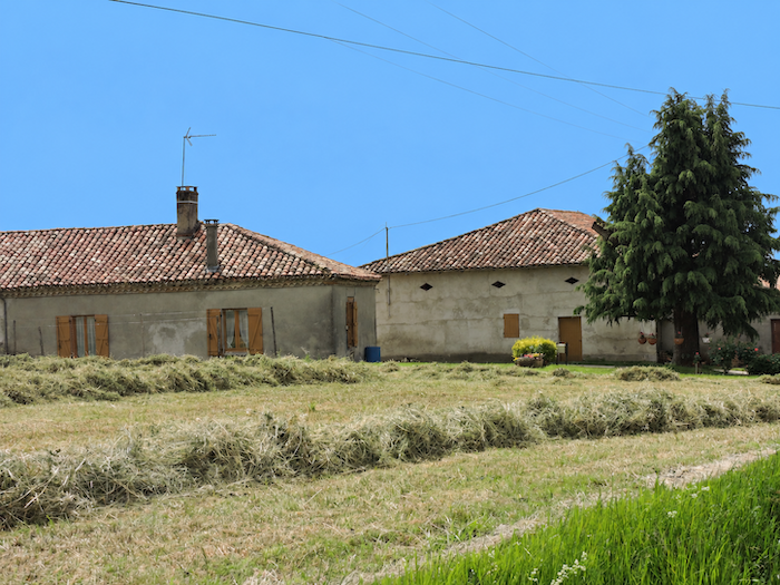
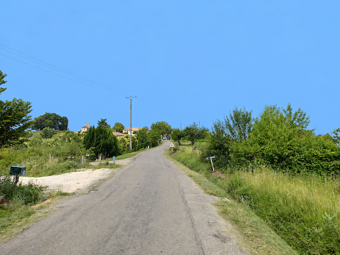
Across this little plain, now more inhabited, houses gradually become more numerous along the road, scattered among the meadows. And so the pattern of alternation continues: a house, a meadow, a few fields, then cultivated land once again, until the first buildings finally herald the little village of Saint-Martin-de-Durfort. |
|
 |
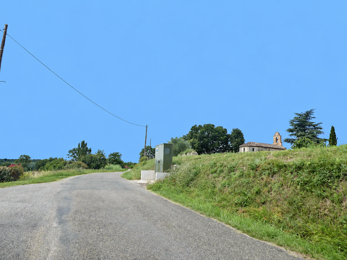 |
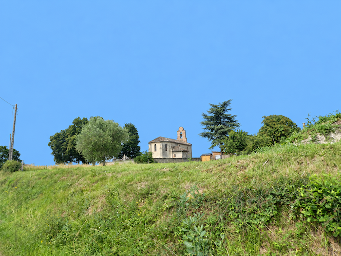
There, a modest chapel of stone and brick welcomes the walker. By combining these two materials, it reflects a style of construction so characteristic of the departement’s older buildings, where the pale ruggedness of stone readily mingles with the warmer tones of brick.
Section 5: Along the Laujol stream, but not only…
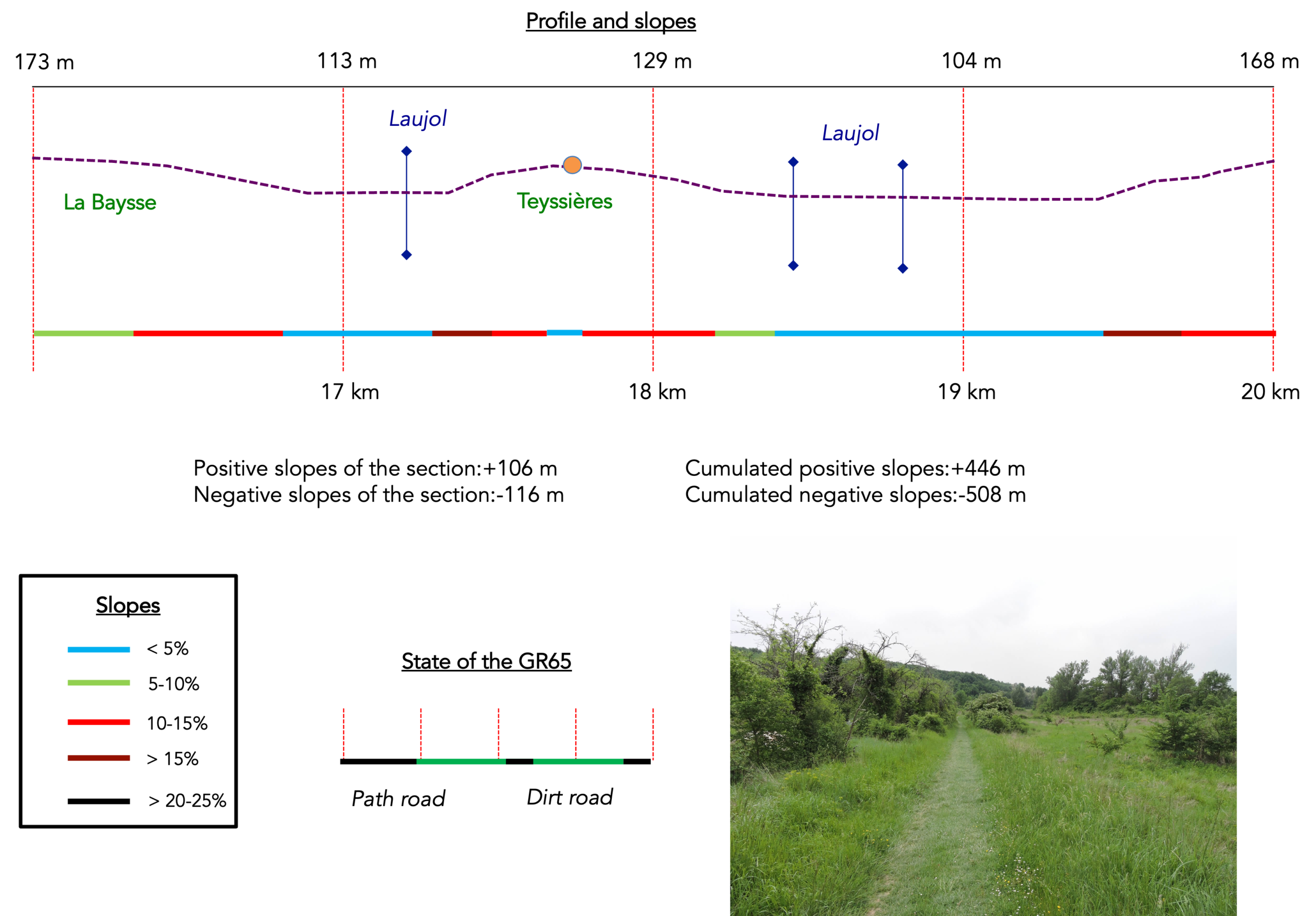
Overview of the route’s challenges: Steep gradients, sometimes exceeding 15%, both downhill and uphill.
|
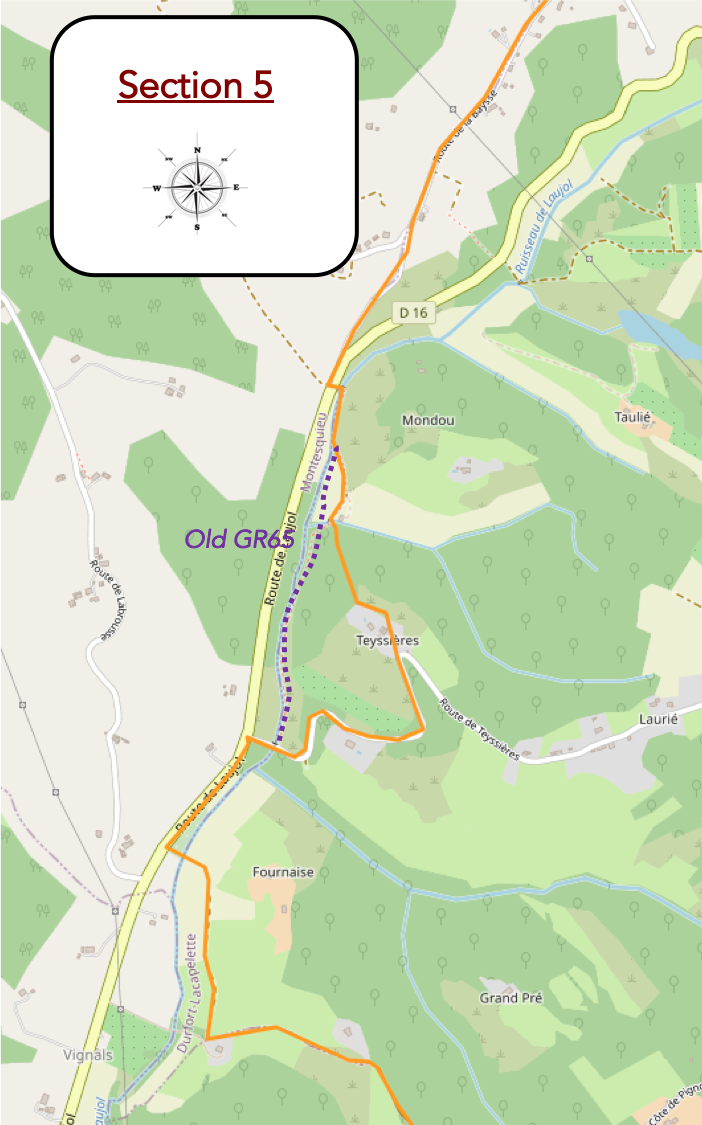
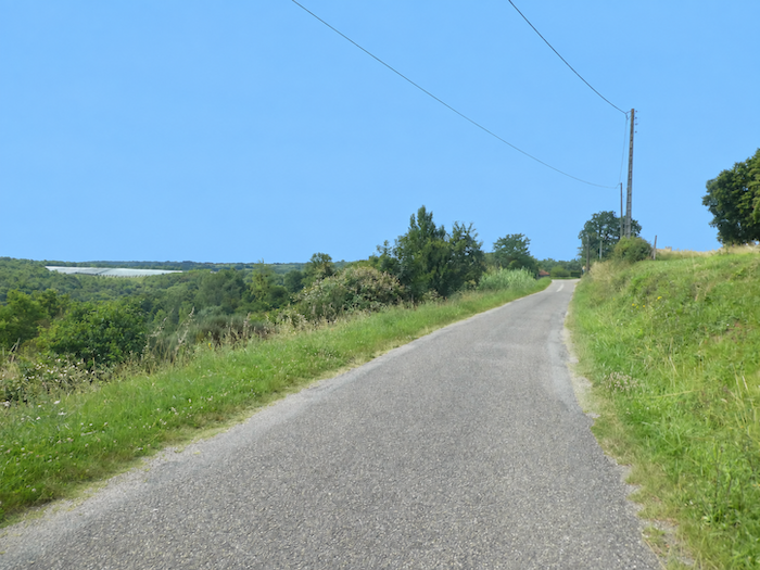
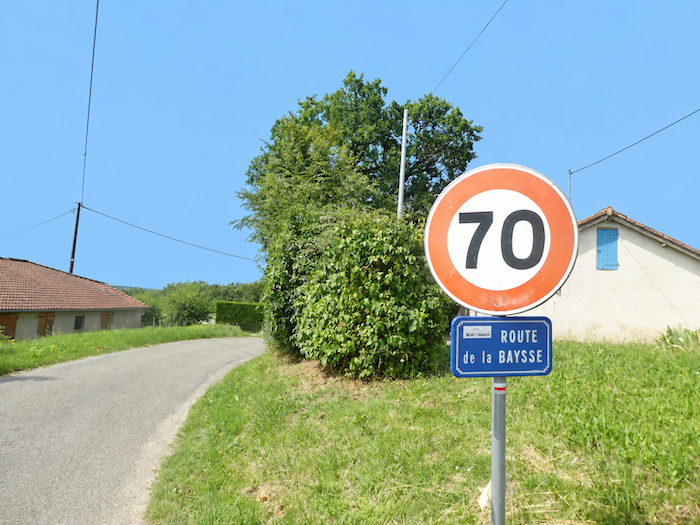
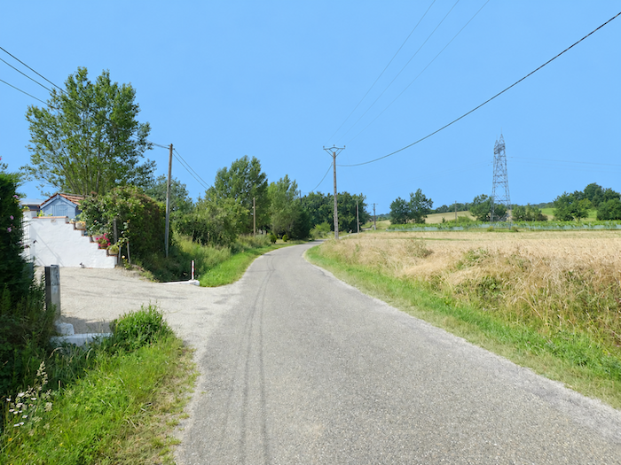
From Saint-Martin-de-Durfort, the GR65 gently follows the asphalt road downhill for well over a kilometer towards the locality known as La Baysse. Around it, nothing really disturbs the quiet order of the cereal fields and meadows that accompany the walk. |
|
 |
 |
|
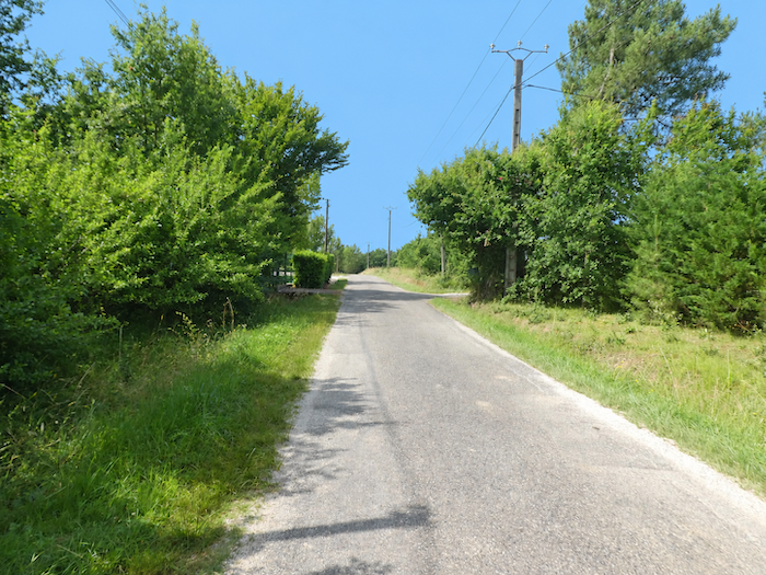
This is one of those stretches where the eye searches in vain for something to hold its attention. No monument, no sweeping landscape, no feature of the terrain to break the monotony. The pilgrim simply walks on, watching the road pass beneath their feet and, truth be told, merely waiting for the stretch to come to an end. |
|
 |
 |
|
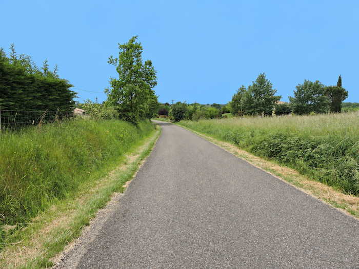
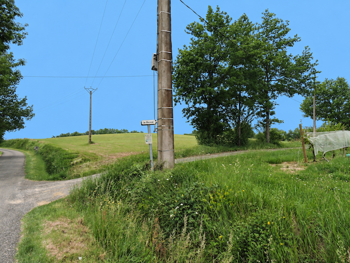
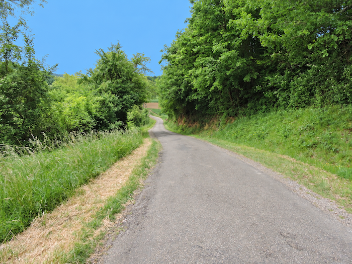
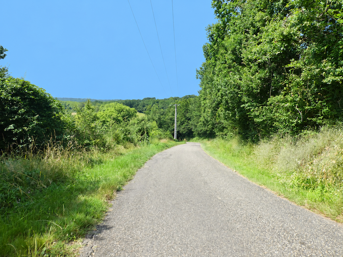
Further down, as La Baysse approaches, the road loses some of its easy-going character and begins to descend more steeply. A few scattered houses appear along the roadside, sparse signs of human presence in this still very open countryside. |
|
 |
 |
|
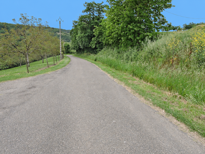
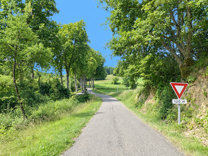
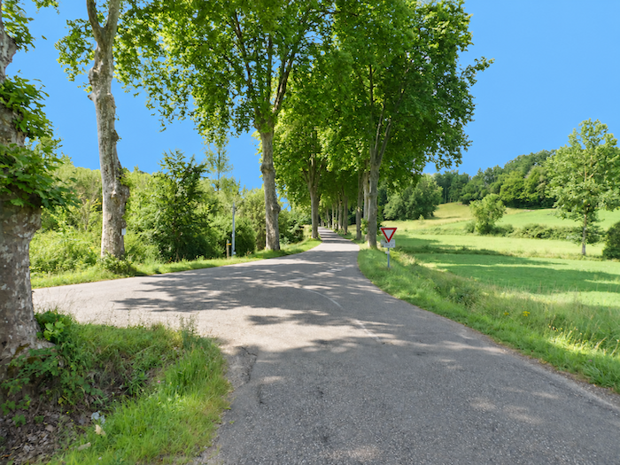
The descent saves its steepest gradients for the end. Beneath the lofty guard of the plane trees, the road plunges more sharply before coming up against the D16 departmental road. |
|
 |
 |
 |
 |
|
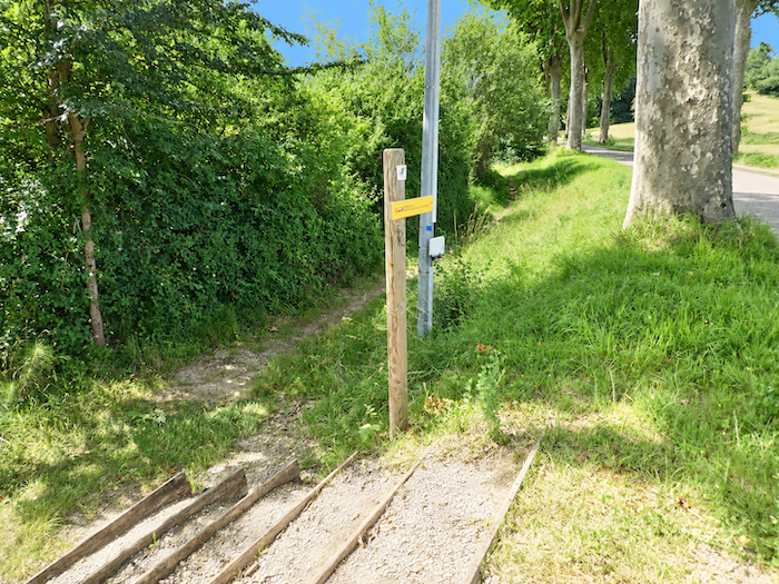
The GR65 crosses the departmental road and immediately takes refuge on a small path running alongside it, far enough away to restore a little tranquility to the walker. |
|
 |
 |
|
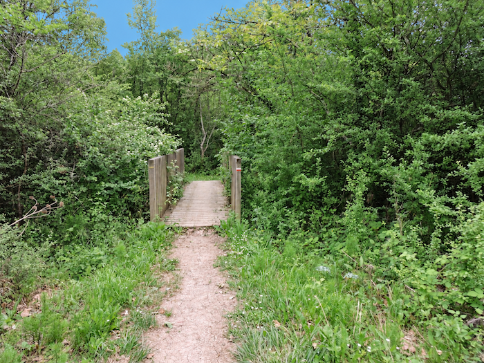
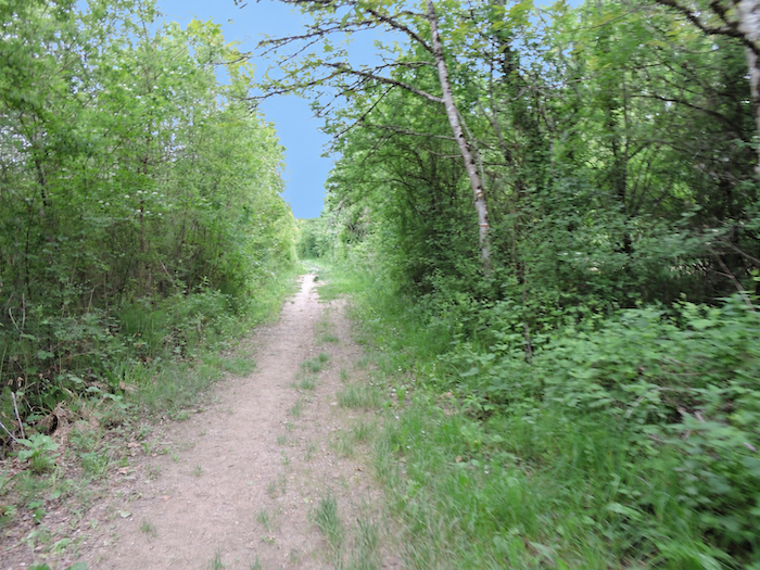
The Laujol stream soon appears, a modest ribbon of water winding along the bottom of the valley. Remember its name, for although it is a discreet companion for now, you will meet it again later on the outskirts of Moissac. For the moment, the path prefers to linger for a while beneath dense, luxuriant foliage, enjoying the welcome coolness of the woodland… |
|
 |
 |
|
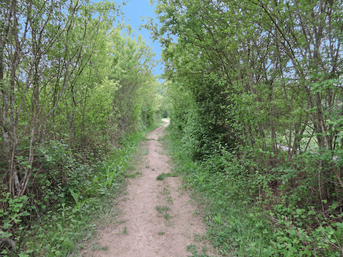
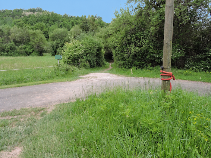
…until it emerges onto a small asphalt road that, at first glance, seems to lead nowhere. Nowhere, perhaps, except into the imagination of those who designed the new route of the GR65. For this is where a little joke begins, one the walker might happily have done without. In the past, the path continued peacefully through the woodland, on level ground, following the Laujol and running parallel to the departmental road. Admittedly, the distant hum of engines occasionally served as a reminder that the motorized world still existed, but there was nothing to seriously disturb this easy walk beside the stream. Apparently, such simplicity eventually came to seem suspicious. Someone must have decided that a pilgrim spared so much effort might become bored and that a little spice should be added to the proceedings. Since the new GR65 invites us this way, let us see what it has in store for us… |
|
 |
 |
|
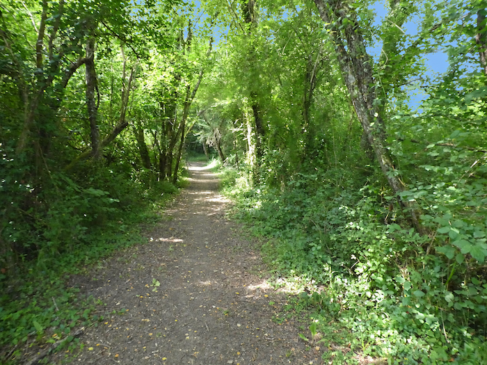
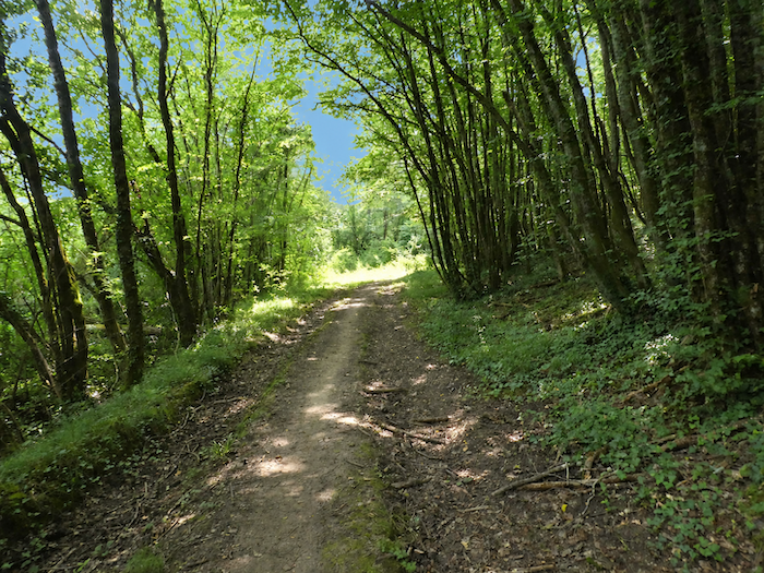
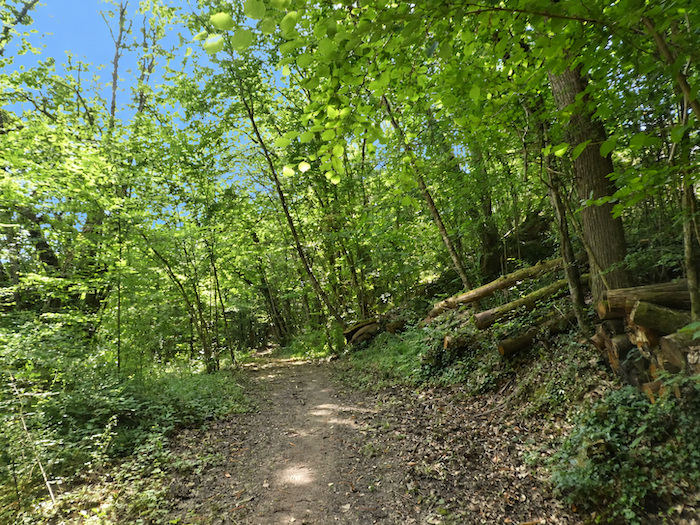
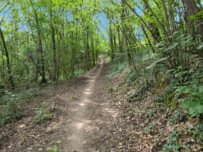
And here comes the promised spice. Without further ceremony, the path rears up and attacks the hillside abruptly, with sections where the gradient sometimes exceeds 20%. Beneath the woodland canopy crowd oaks, chestnuts, maples and those tall hornbeams that seem decidedly to have found these valleys very much to their liking. |
|
 |
 |
 |
 |
|
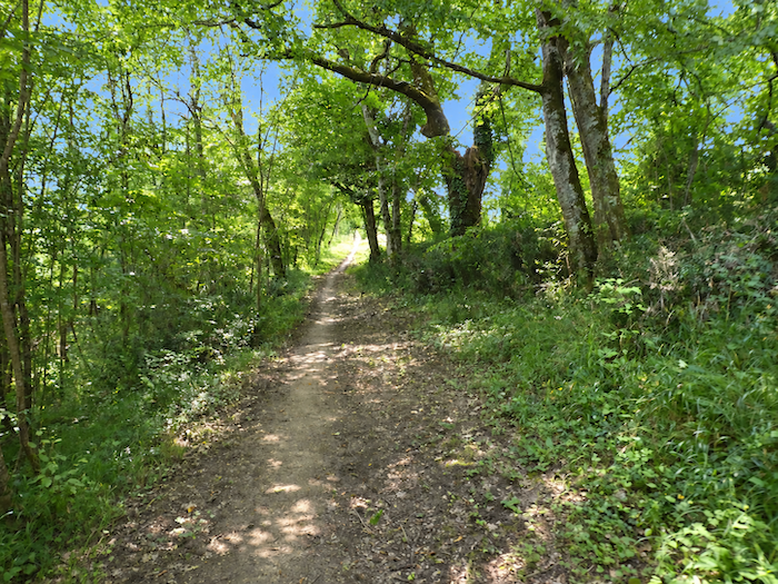
One thing is certain: the forest is magnificent. The ground, however, is sometimes rather less accommodating. When clay enters the picture, the soles of your shoes may find themselves with a companion considerably more clingy than the trees. |
|
 |
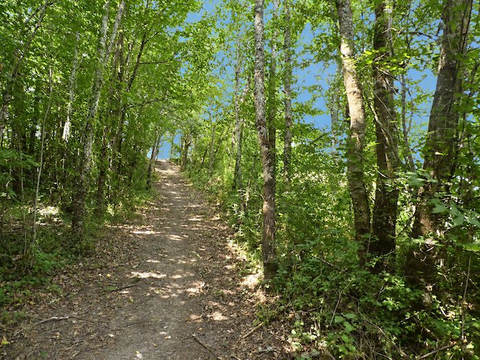 |
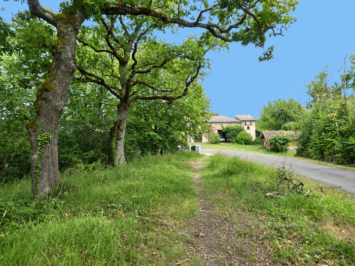
One final push and the slope eventually admits defeat. The path emerges onto the little plateau of Teyssières, where a few isolated houses rise from the countryside. After such a climb, you might imagine that your efforts are about to be rewarded.
|
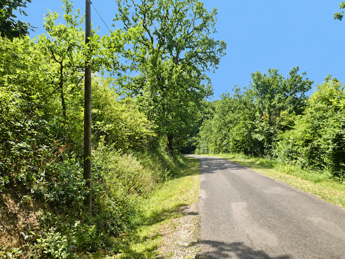
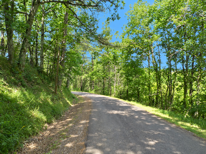
And this is precisely where the trick reveals itself. You have barely reached the top before it is already time to descend again. And not by some delightful trail winding beneath the trees. Instead, an asphalt road takes it upon itself to lead you back, for almost half a kilometer, towards the bottom of the valley you have just left. |
|
 |
 |
|
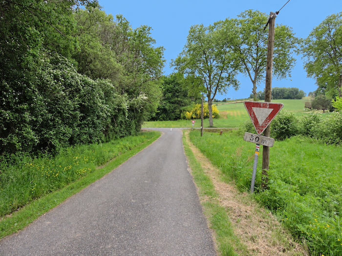
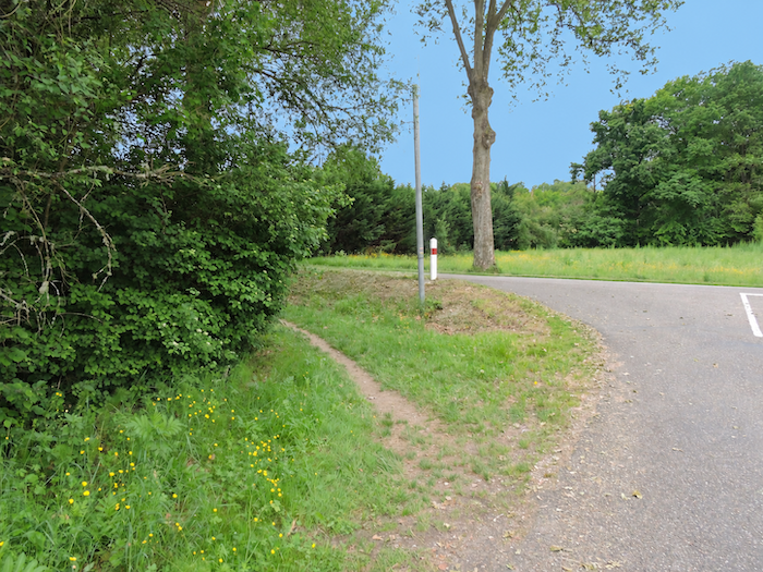
At the bottom of the descent comes a surprise, or rather confirmation of the joke, for here once again are the Laujol and the departmental road. In other words, you have climbed the hill only to find almost exactly what you left behind below. The old GR once continued on level ground beside the stream and brought you here without all that expenditure of energy, by a noticeably shorter route. It is therefore up to each walker, when passing this way, to decide whether the extra effort is worthwhile, particularly as it adds little additional charm to the stage. The day is already long enough that you can probably dispense with this little joke without too many regrets. |
|
 |
 |
|
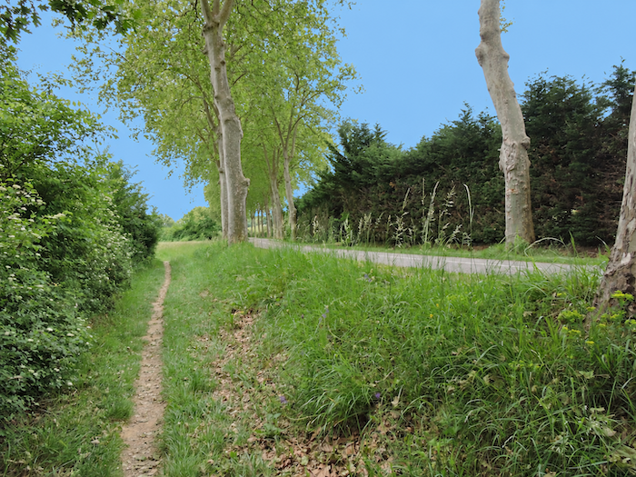
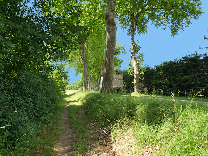
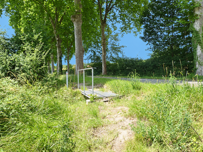
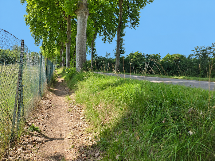
In any case, the GR65 then returns to its old habits. It sets off again along the verge of the departmental road and resumes its game with the Laujol, sometimes drawing closer to the stream, sometimes moving away from it as the dale twists and turns. |
|
 |
 |
 |
 |
|
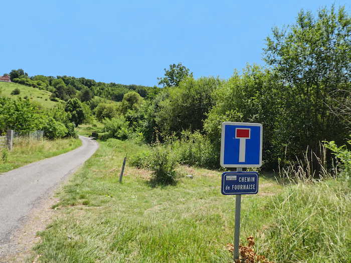
This companionship continues until the route reaches Chemin de la Fournaise, where the scenery changes once again. |
|
 |
 |
|
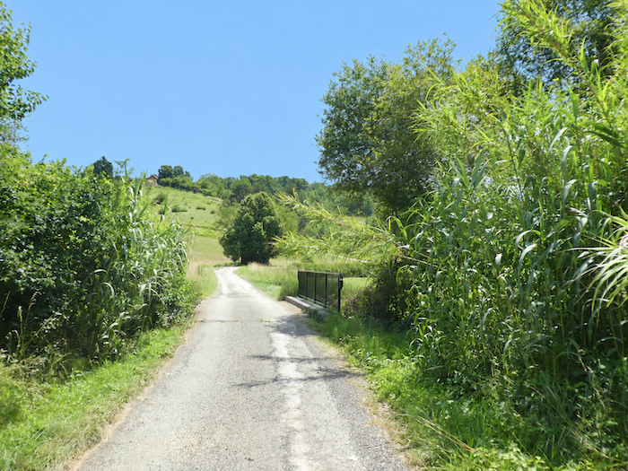
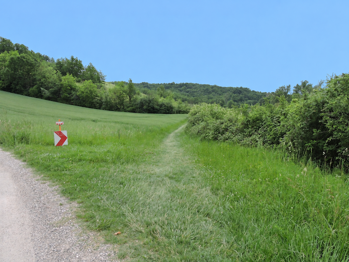
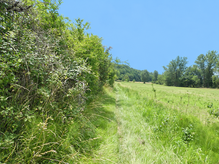
The GR65 crosses the stream once more, follows the road for a few hundred meters, then leaves it behind to return to the meadows. It then makes its way through the grass, accompanied by thick hedges rising on either side like walls of foliage. |
|
 |
 |
|
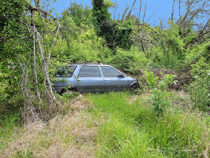
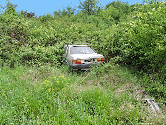
See how nature sometimes knows how to take its revenge. Only five years ago, a very strange kind of car park flourished here, a collection of old wrecks abandoned in the woodland. People have always found it convenient to entrust riverbanks and forgotten corners with things they no longer knew what to do with. But vegetation is patient. It crept beneath the chassis, pushed its branches through the doors, wrapped itself around the metalwork and gradually swallowed the vehicles beneath its foliage. Today, the cars have been devoured by greenery. Nature’s revenge is slow, silent, but relentless. We can safely wager that a few centuries from now, some puzzled archaeologist will excavate the site and devote learned pages to this strange buried mechanical graveyard. |
|
 |
 |
|
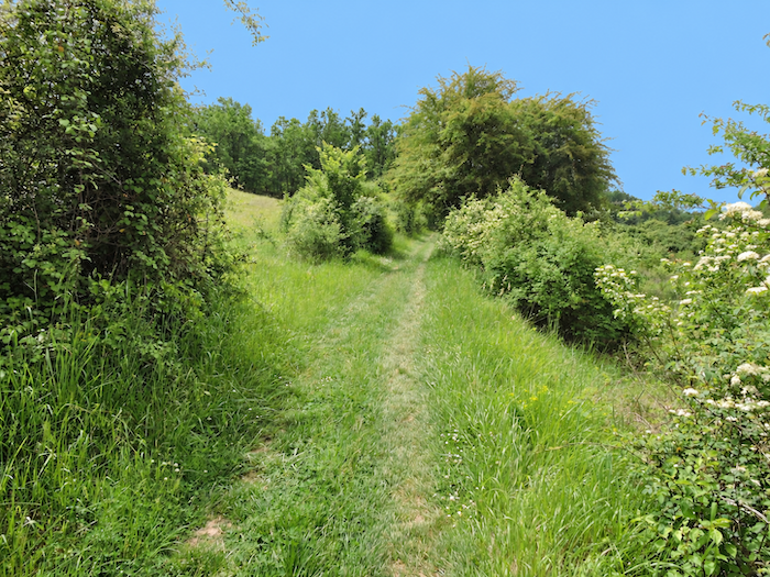
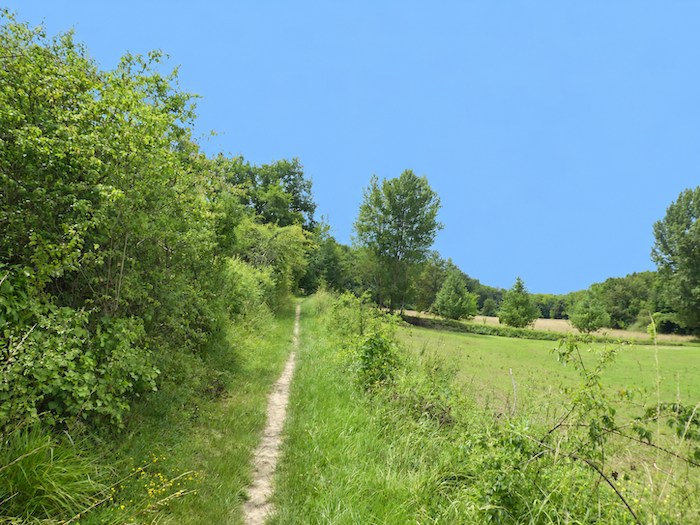
Leaving these relics of another age behind, the path continues across the meadows and gradually approaches the forest. The trees, at first no more than silhouettes on the horizon, eventually draw their curtain across the walker’s way. |
|
 |
 |
|
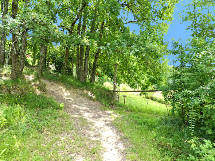
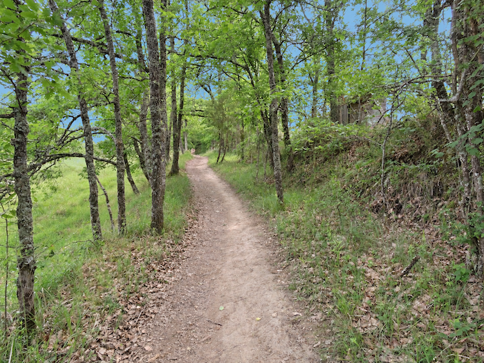
The gentleness of the meadows must then be left behind. The path steepens and once again attacks the hillside beneath the woodland canopy. |
|
 |
 |
|
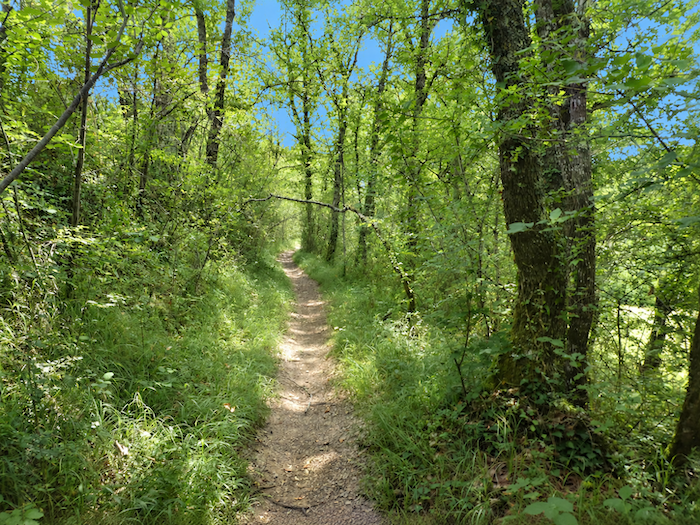
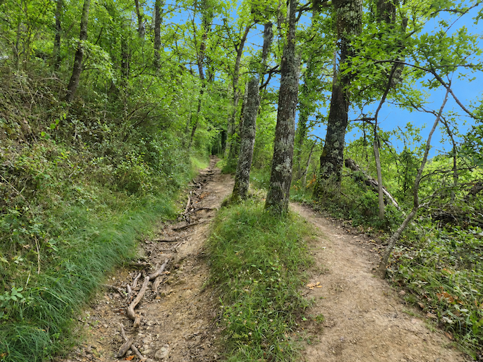
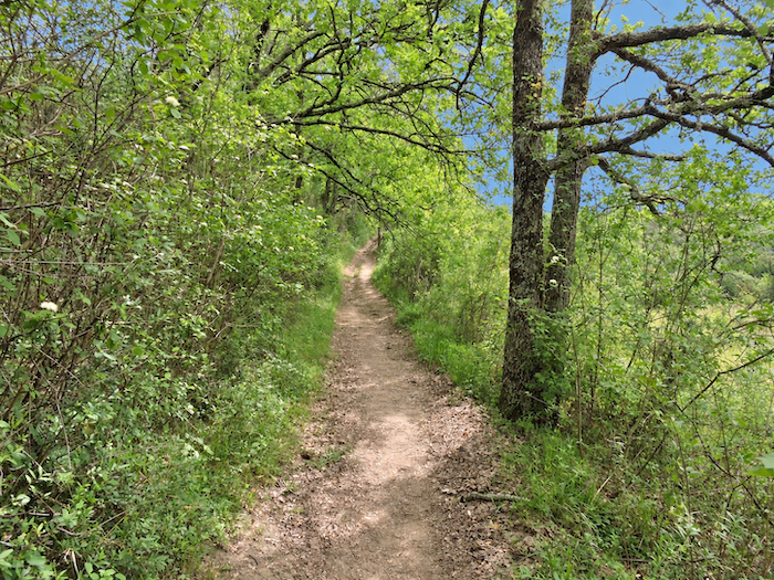
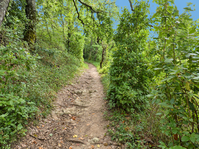
The trail is magnificent. Packed earth, small stones and tangled roots create a true forest trail beneath your feet, the kind the walker wishes might continue forever. But such beauty must be earned, as the slope is steep beneath the oaks, maples and chestnuts that reign over these heights. |
|
 |
 |
 |
 |
|
Nature now becomes wonderfully wild. The further you walk beneath the leafy canopy, the more distant the cultivated world seems. The trees crowd closer together, the foliage filters the light, roots snake beneath your feet, and the trail seems to lead deeper into a world that no longer belongs entirely to humankind. Wild, yes, and at times almost enchanting. |
|
 |
 |
Section 6: Between orchards and woodlands
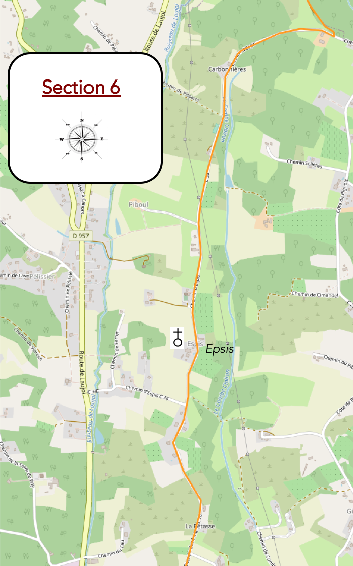
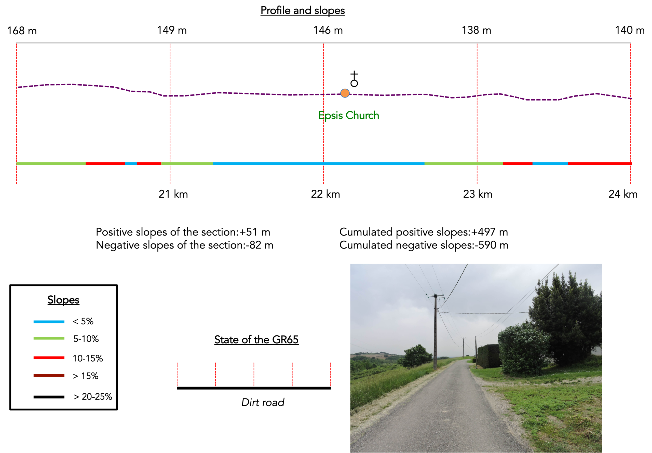
Overview of the route’s challenges: The route presents no particular difficulties.
|
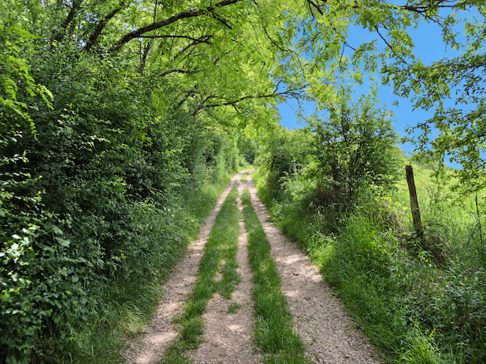
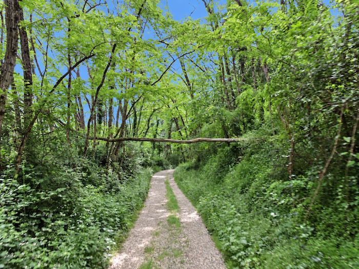
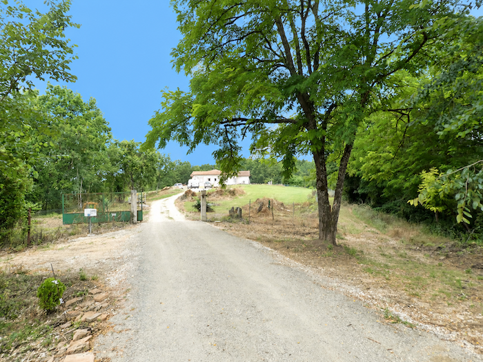
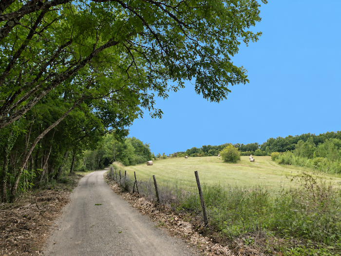
You have now reached the top of the demanding climb. At last, your legs can ease their efforts as a broad dirt road takes over, running peacefully along the ridge beneath the generous shade of oaks and ash trees. |
|
 |
 |
|
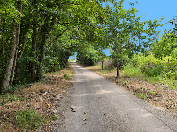
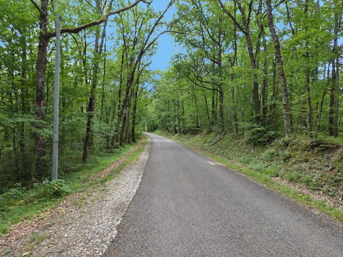
After the steep gradients of the forest, this peaceful track feels almost like a reward. It wavers between woodland and glimpses of open countryside, but most often prefers the company of the trees, unfurling its ribbon of earth beneath the leafy canopy until it reaches a small asphalt road. |
|
 |
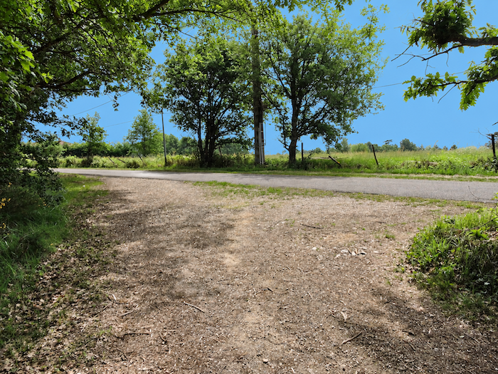 |
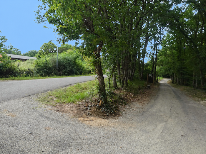
Take care here, however, as the path conceals a small navigational trap. When the dirt road meets the asphalt, the signpost is rather poorly positioned and everything seems to invite you to continue straight ahead. Many pilgrims make the mistake. Do not follow them. Here, the GR65 makes an almost complete 180-degree turn and heads back in the opposite direction.
|
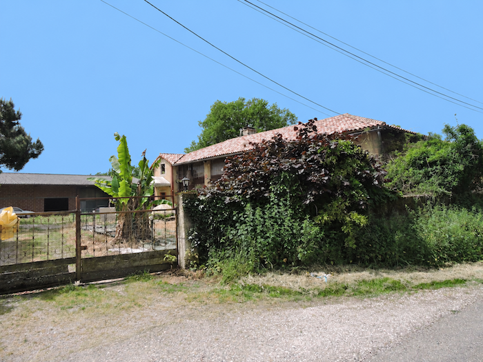
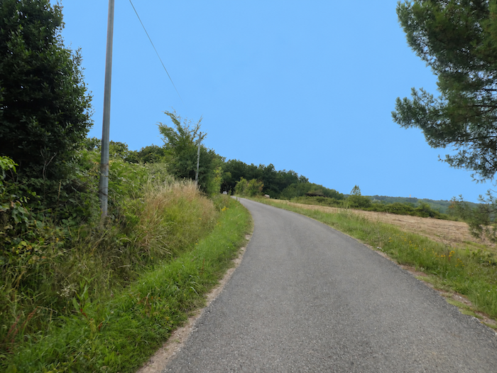
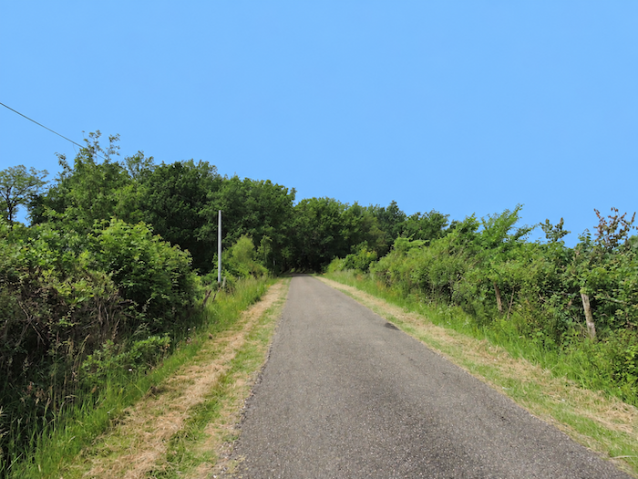
Houses are few and far between in this secluded countryside. The little road begins to meander lazily along the heights towards the church of Espis. For once, the terrain grants the walker a little respite, and progress requires virtually no effort. |
|
 |
 |
 |
 |
|
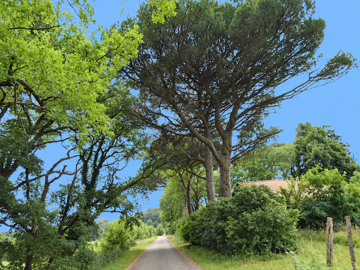
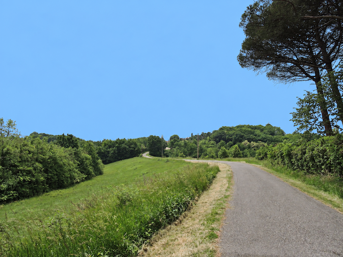
From time to time, a few pines cheekily challenge the deciduous trees that have reigned supreme for several kilometers. The forest itself has also grown taller here, the trees rising higher as though the ridge had given them more room to reach for the light. |
|
 |
 |
|
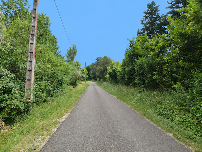
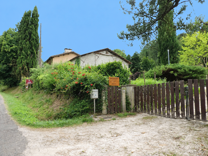
Further on, the road agrees to rise slightly and passes the “Moissac equestrian gîte”. As for those who dislike asphalt down to the very last meter, the Camino is rather generous here. A narrow strip of grass runs along both sides of the road, offering a softer alternative beneath the feet. |
|
 |
 |
|
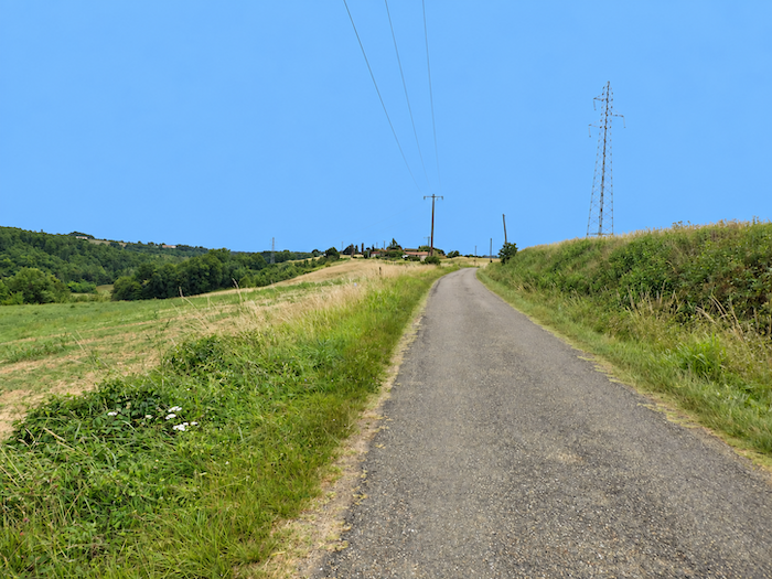
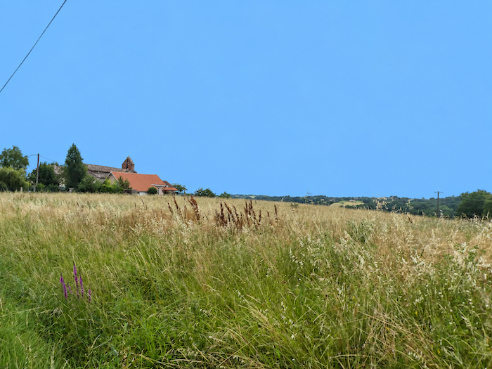
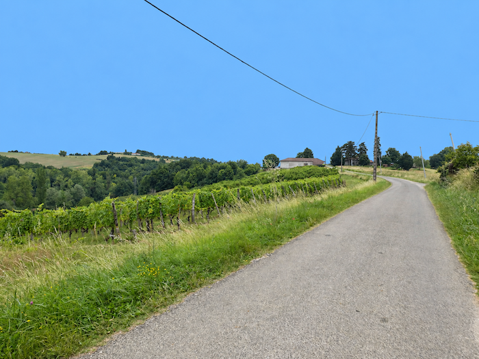
At the top of this modest climb, the newer housing developments of Espis come into view. Then, as you approach the church, the gradient eases once more and cultivated countryside reclaims the landscape. Here again are the beautiful orchards and Chasselas vineyards, their orderly rows restoring the familiar pattern encountered on the previous hills. |
|
 |
 |
 |
 |
|
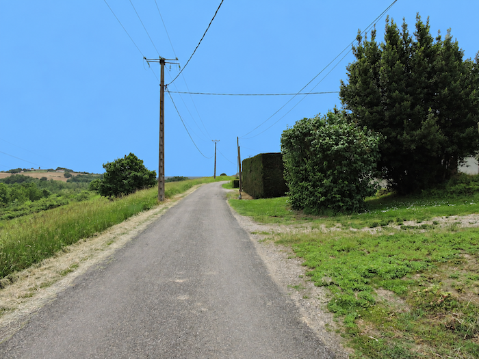
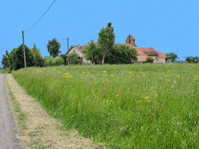
The road then continues along the top of the ridge, passing very close to the church of Espis. |
|
 |
 |
|
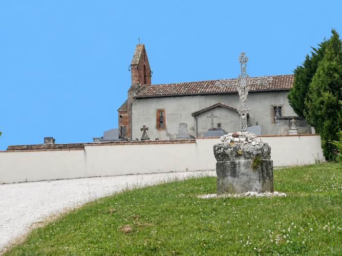
Notre-Dame-des-Pins d’Espis stands right beside the road. Listed as a Historic Monument, the church traces its origins back to the 11th century and reminds us once again how these modest rural sanctuaries have endured through the ages amid a countryside that has never ceased to change. But pilgrims do not always stop at churches solely in search of spiritual nourishment. Cemeteries often conceal a far more practical treasure; the tap used for watering flowers. Good news for thirsty water bottles, there happens to be one here. |
|
 |
 |
|
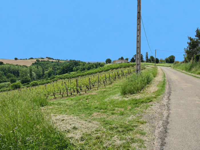
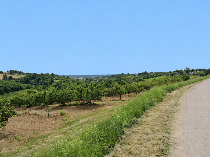
The road lingers for a while longer across the Espis plateau, between vineyards and fruit trees, as though reluctant to leave the heights just yet. |
|
 |
 |
|
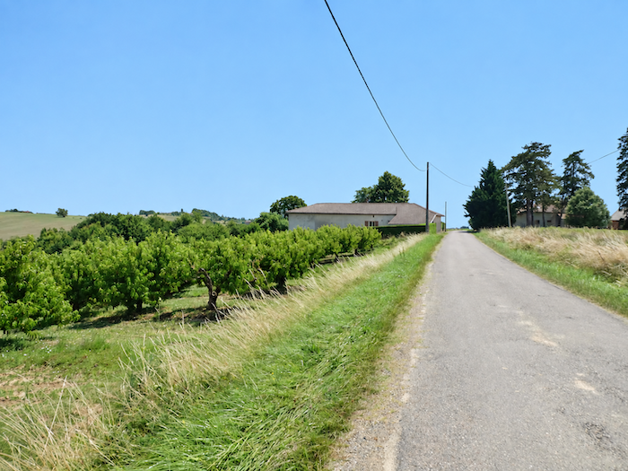
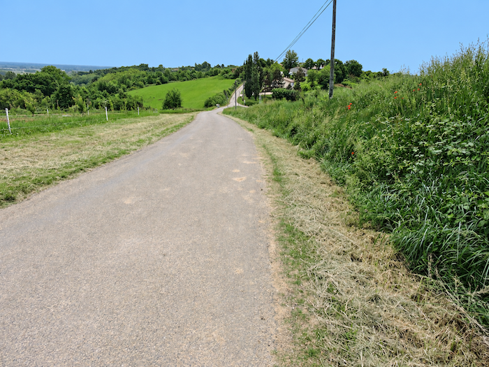
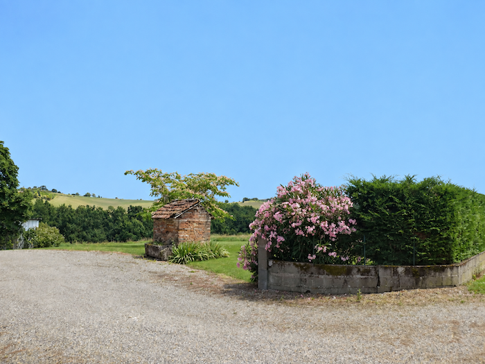
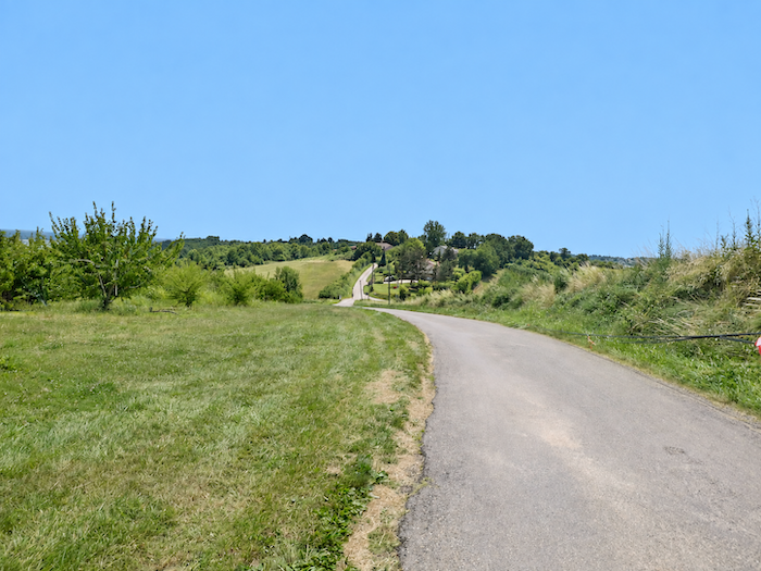
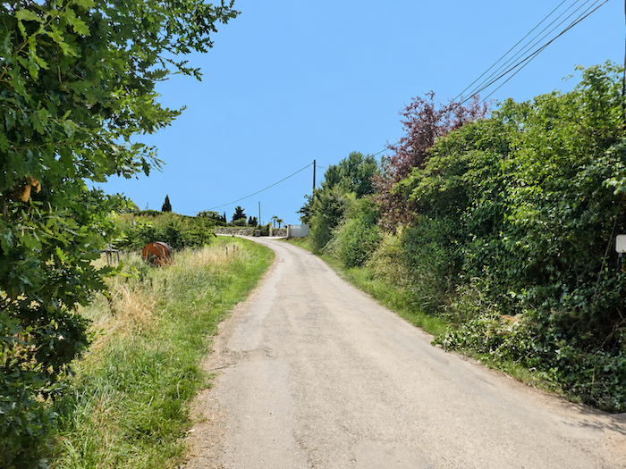
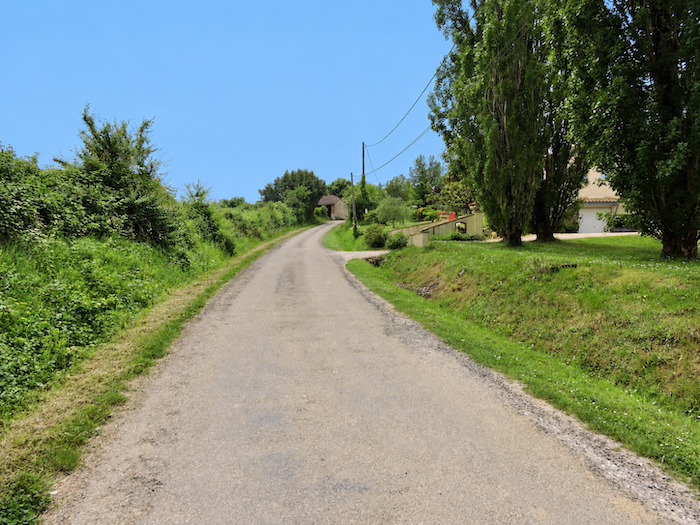
Then the landscape tips away and the long descent towards Moissac begins. The road plunges steadily between orchards and housing developments that are gradually spreading across the hillsides. From this abundance of fruit trees, it is easy to imagine how generous these soils must be and how particularly well suited they are to fruit growing. Yet the vineyards producing the famous “Chasselas de Moissac”, the white table grape emblematic of the region, remain relatively discreet in this landscape. You will need to descend further towards the sun-drenched land around Moissac before seeing the vines truly take possession of the hillsides. |
|
 |
 |
 |
 |
|
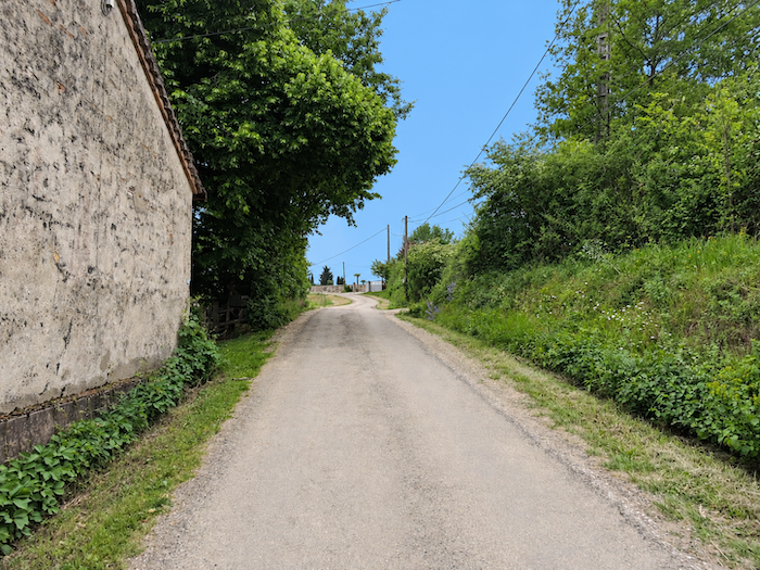
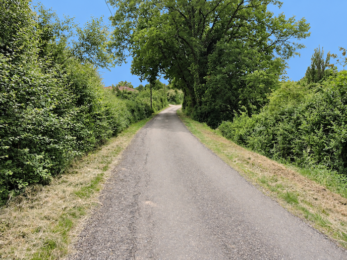
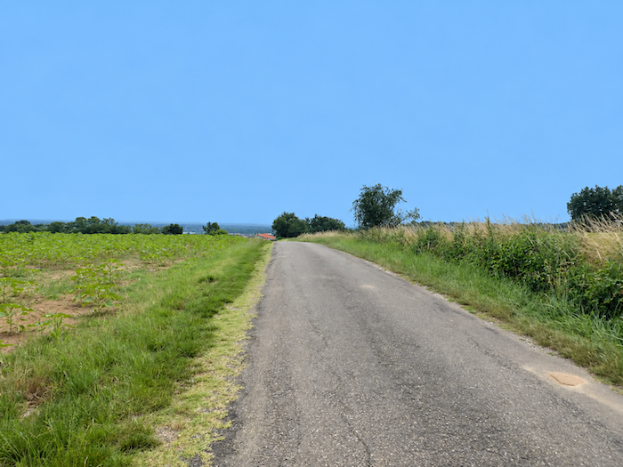
Do not imagine, however, that you can simply coast downhill all the way to the town. The terrain has not yet had its final say. The road descends, certainly, but occasionally changes its mind and climbs abruptly again, as though the hills were determined to keep the walker on their slopes a little longer. In either direction, the gradients can be quite serious, a reminder that right up to the outskirts of Moissac, the land is never entirely flat. |
|
 |
 |
 |
 |
|
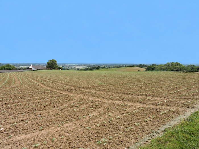
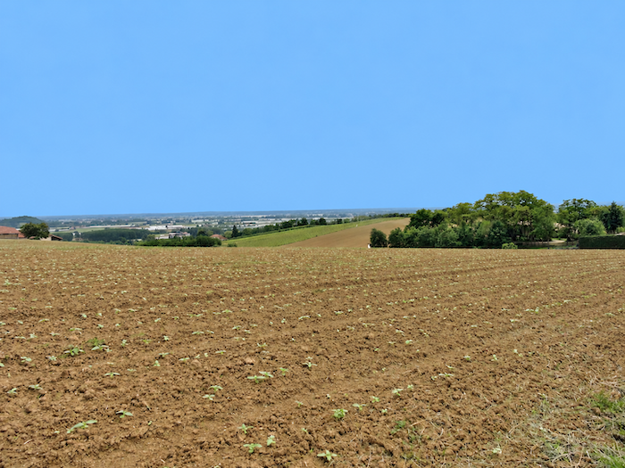
Nevertheless, the town is drawing closer, and the landscape gradually begins to lose its distinctly rural character. Further down, on land perhaps less favorable to fruit trees, sunflowers and soybeans take over, while houses are scattered somewhat haphazardly across the countryside. But you need only look beyond this first disorderly fringe of suburban development. On the plain stretching below, the vast protective nets covering the orchards and the market gardens already form an immense agricultural mosaic on the outskirts of Moissac. |
|
 |
 |
Section 7: On the way to Moissac, along the Tarn
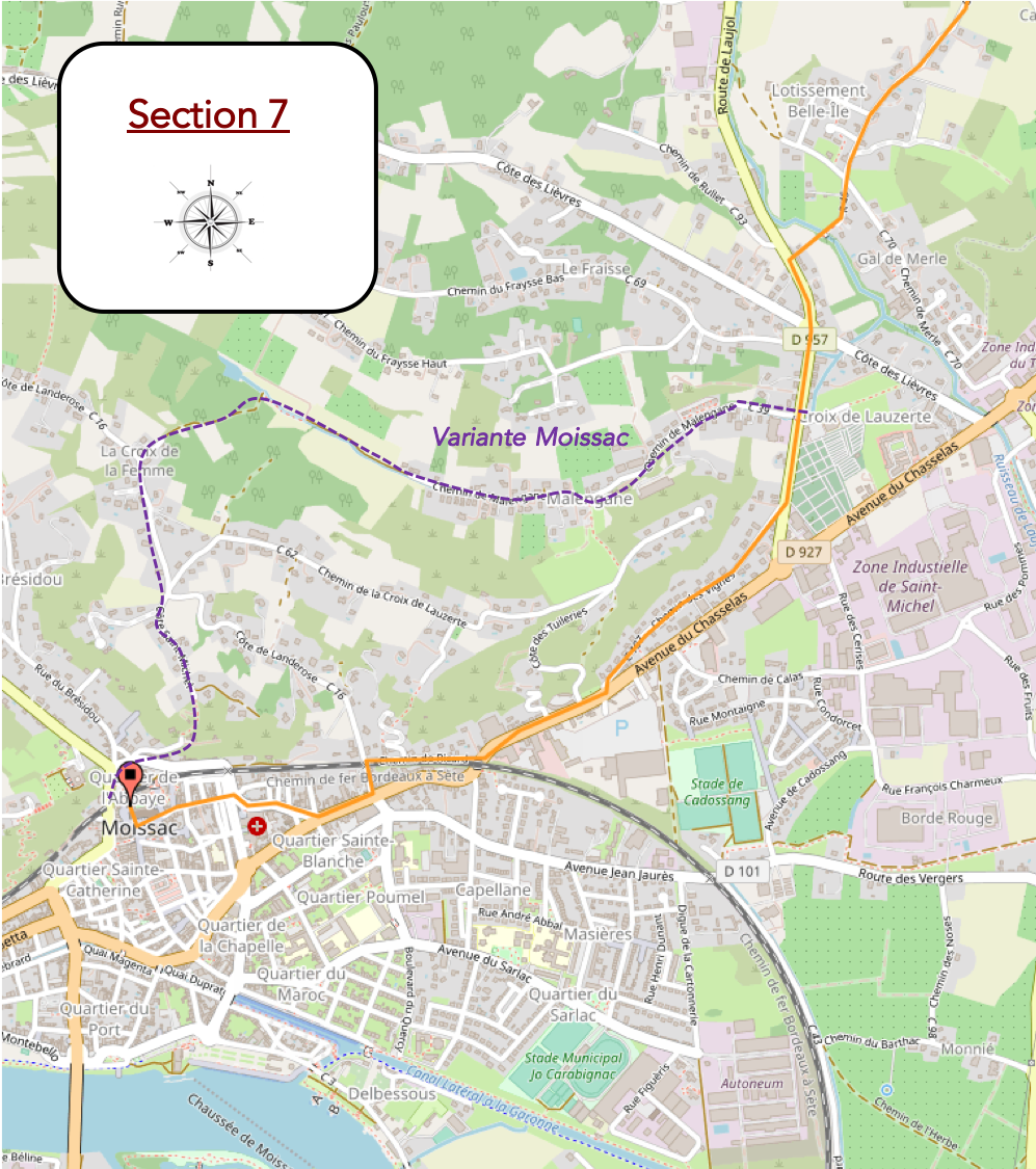
Overview of the route’s challenges: The route presents no particular difficulties.
|
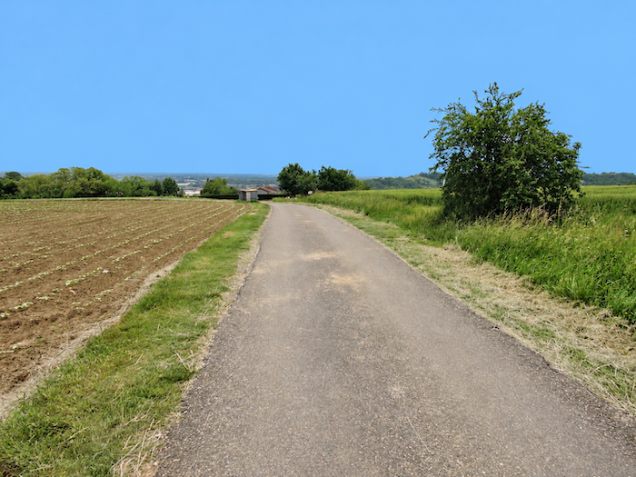
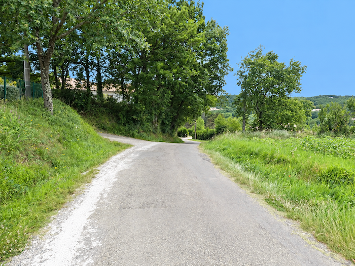
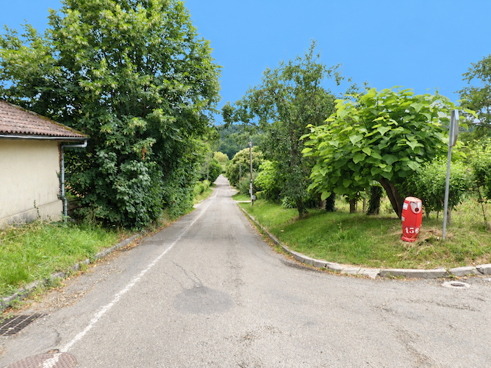
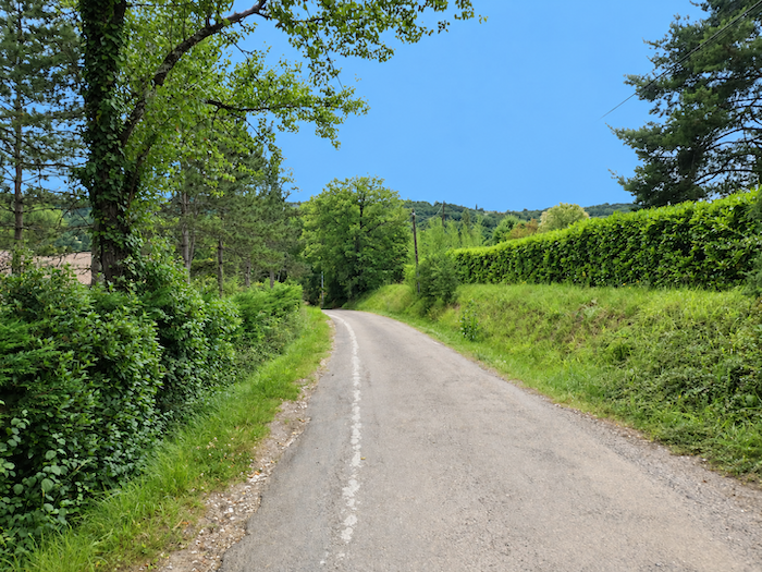
The road now runs through the residential neighborhoods clinging to the heights above Moissac. The countryside recedes and the houses draw closer together, but nature still has one final interlude in store for the walker: a stretch of woodland appears below. It will be the last of the day. |
|
 |
 |
 |
 |
|
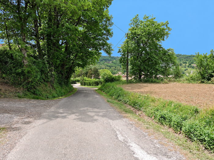
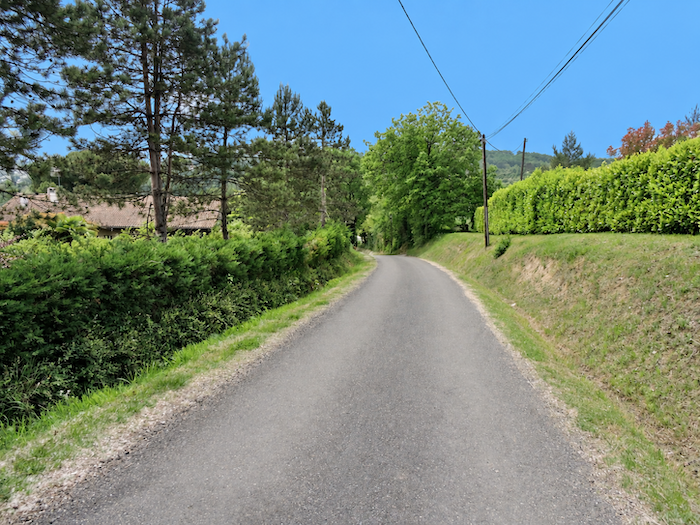
As you lose altitude, the gradient becomes more insistent. The town is close now, somewhere below, and the road seems almost determined to hurry the walker towards it. |
|
 |
 |
|
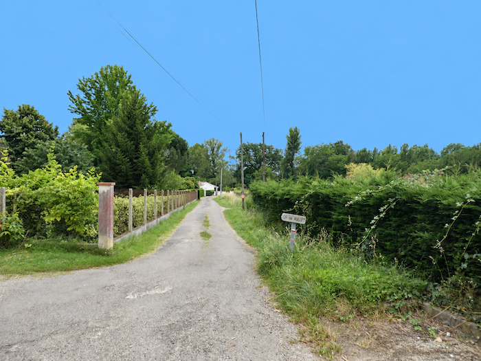
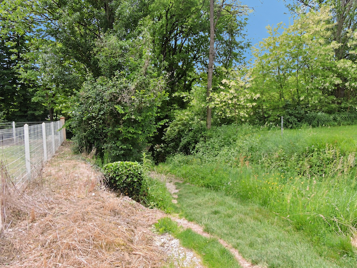
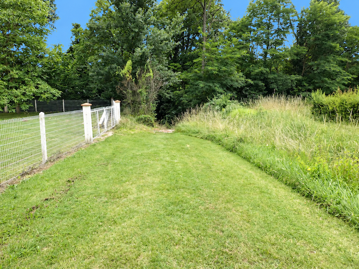
A little further down, the asphalt finally gives way to packed earth. The descent is no gentler for it, however, as the gradient exceeds 10% in places. |
|
 |
 |
|
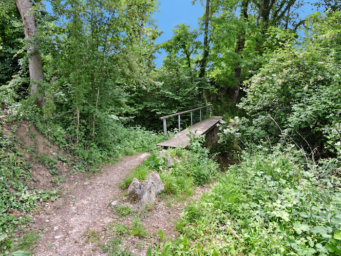
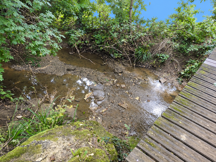
The path then tumbles down through the meadows towards the final stretch of woodland. In the hollow flows an old acquaintance, the Laujol. You cross it on a small bridge above muddy waters that seem to have gained both confidence and volume since the first trickles encountered much higher up the valley. |
|
 |
 |
 |
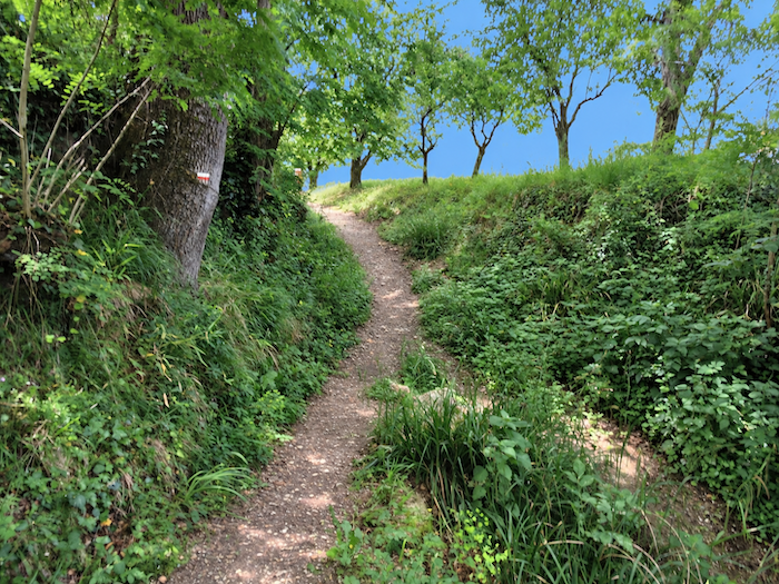 |
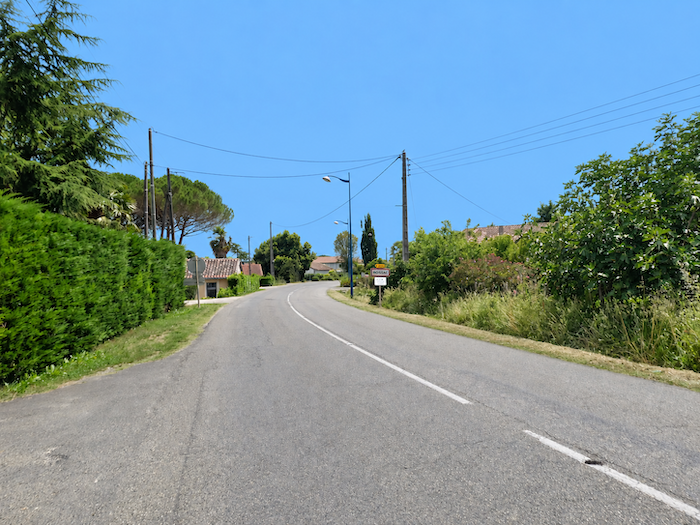
A few more steps bring you to the first outskirts of Moissac. But do not put away your walking stick too quickly, for entering the town does not mean you have arrived. Almost two kilometers still remain before reaching the center and the true end of the stage.
|
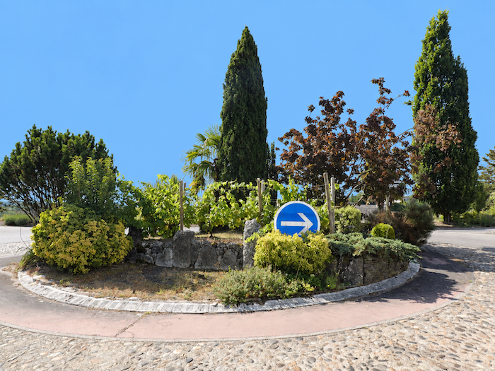
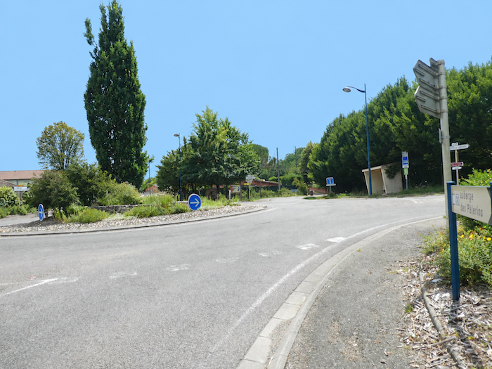
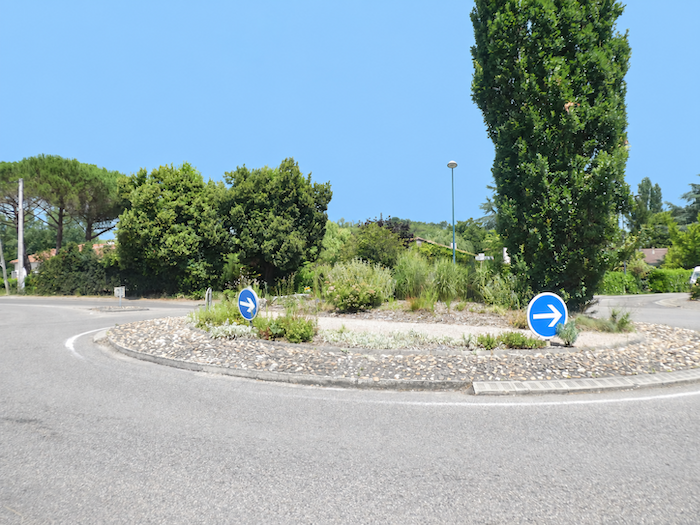
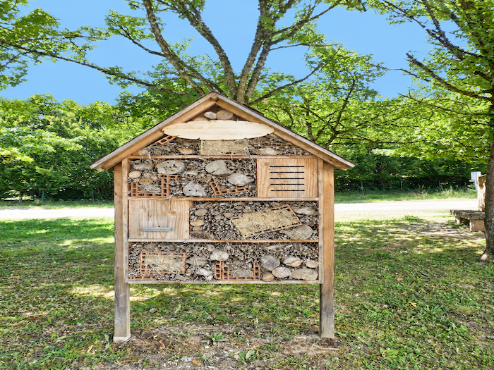
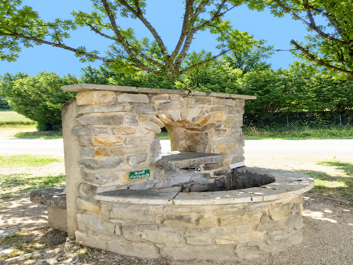
The transition is almost abrupt. In a matter of moments, the tranquility of the meadows and woodlands gives way to noise, cars and the growing bustle of the outskirts. On entering Moissac, the GR65 passes from one roundabout to another alongside the D957. It takes little imagination to guess which great route passes through the town, as the decorations on the roundabouts pay conspicuous tribute to the Camino de Santiago. |
|
 |
 |
 |
 |
|
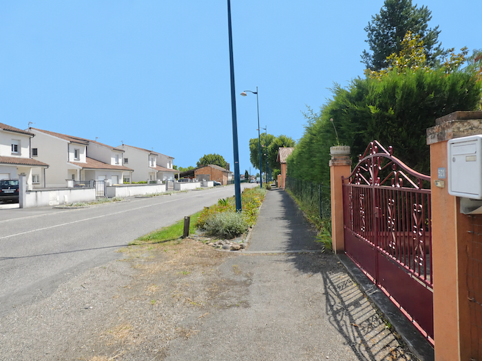
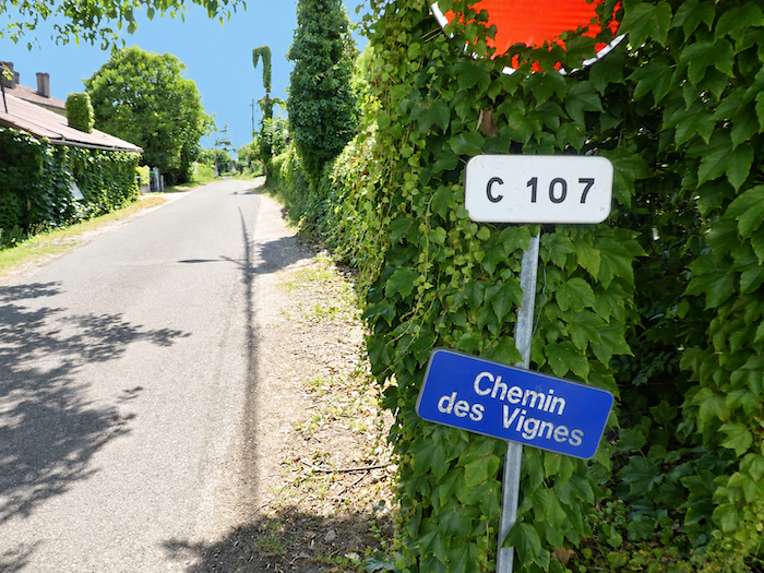
The GR65, however, does not take the most direct route into the heart of Moissac. Instead, it veers slightly away and follows the road known as Chemin des Vignes. There is even an alternative route that bypasses the town altogether, although few pilgrims are tempted by it. After so many paths, forests, valleys and fields, many prefer to rediscover a little bustle, a few shops, a café terrace, a restaurant, some faces, in short, a little life. |
|
 |
 |
|
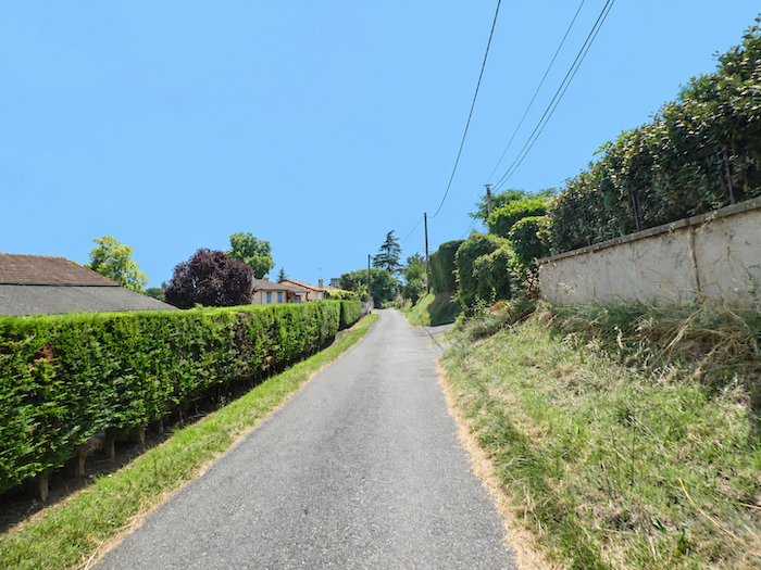
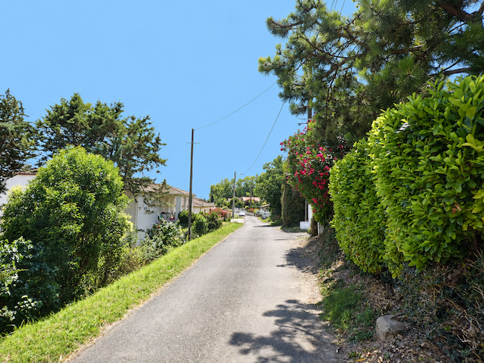
Chemin des Vignes runs through peaceful residential neighborhoods where the town still seems to hesitate between countryside and urban landscape. Houses follow one another quietly along this small road, which gradually leads towards the center. |
|
 |
 |
|
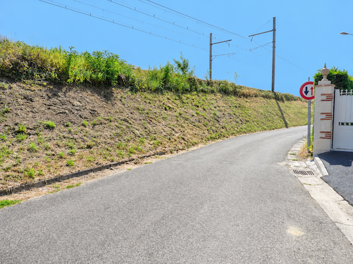
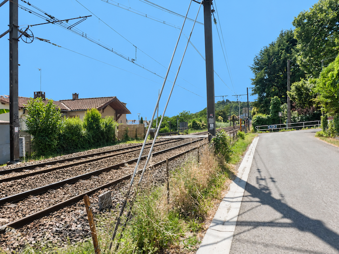
Further on, an unexpected companion appears on a pilgrimage route: the railway. The tracks cut across the urban landscape, suddenly reminding you that here, unlike on so many of the stages crossed until now, trains are part of the scenery. The GR65 then follows the railway for a while before reaching a dead end. This time there is little alternative, as the tracks must be crossed to continue towards the center. A railway station on a stage of the Camino de Santiago seems almost a curiosity after so many villages where the only means of transport sometimes appears to be the one carried at the end of your own legs. |
|
 |
 |
|
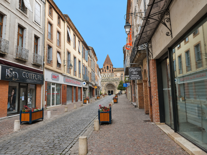
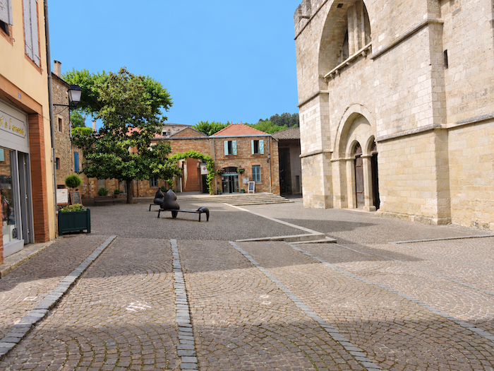
Once across the railway, the destination is finally close at hand. Just a few steps away stands the abbey church of Moissac. After the hills, orchards, long roads, streams and forests of the day, the imposing silhouette of the building can at last mark the end of the stage. |
|
 |
 |
|
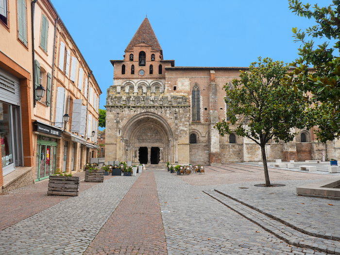
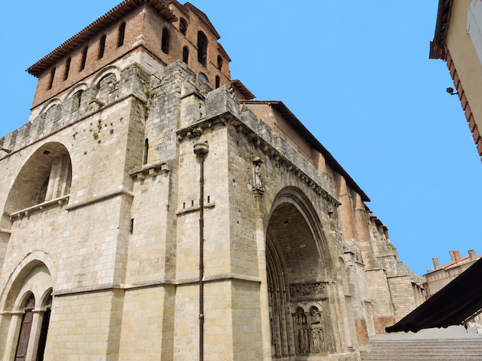
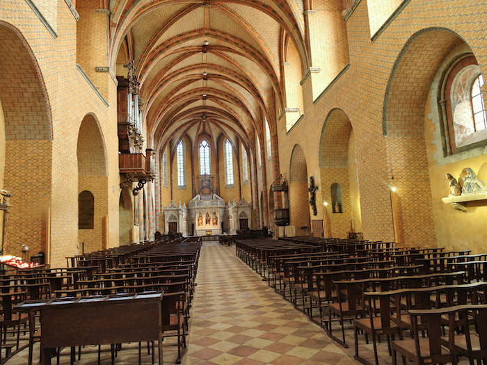
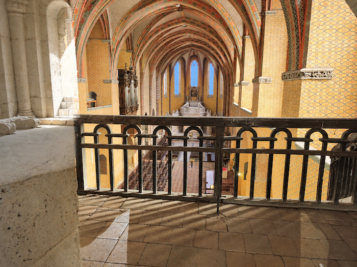
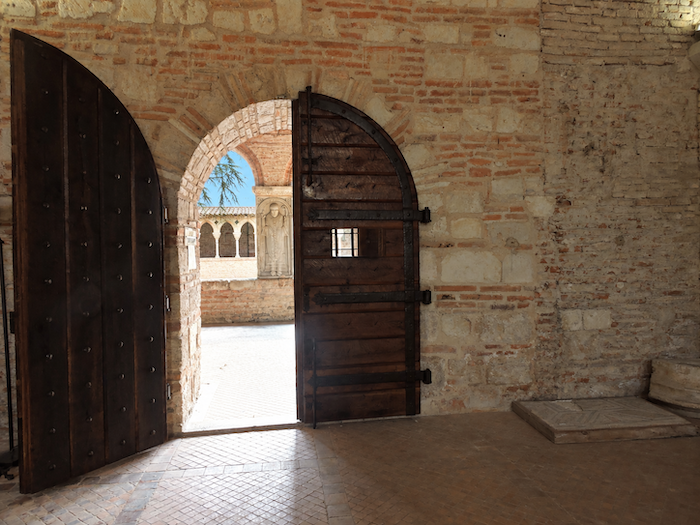
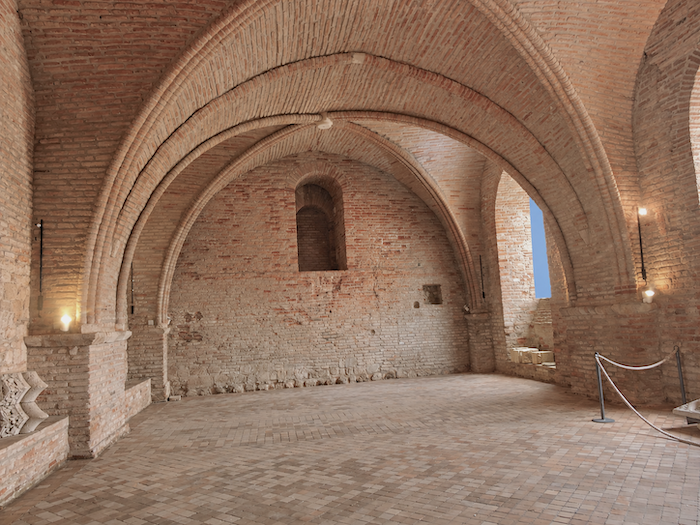
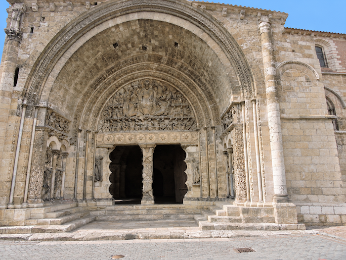
The portal of the Church of Saint-Pierre, a former Romanesque abbey church altered over the centuries, is a masterpiece of medieval sculpture. Its celebrated tympanum even served as a setting for the film The Name of the Rose, adapted from Umberto Eco’s novel. Above it, the massive bell tower and porch have the appearance of a fortress. Step inside the narthex and look upwards to appreciate its full height. Consecrated in 1063, the church was subsequently transformed over the centuries, notably in the Gothic style, as its pointed arches reveal. |
|
 |
 |
 |
 |
|
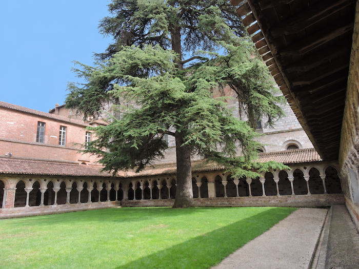
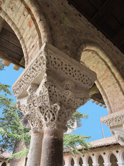
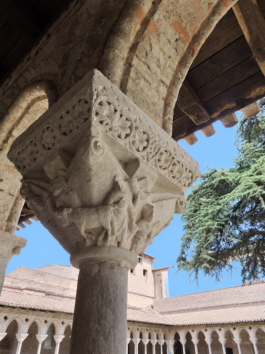
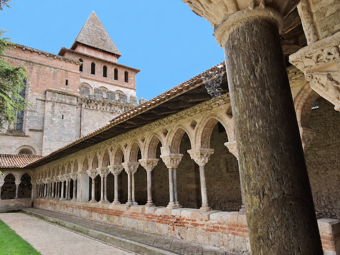
Beside the church, the cloister, completed at the very beginning of the 12th century, is exceptional. Considered one of the best-preserved Romanesque ensembles in the Western world, it captivates first and foremost through its tranquillity and remarkable sobriety. |
|
 |
 |
 |
 |
|
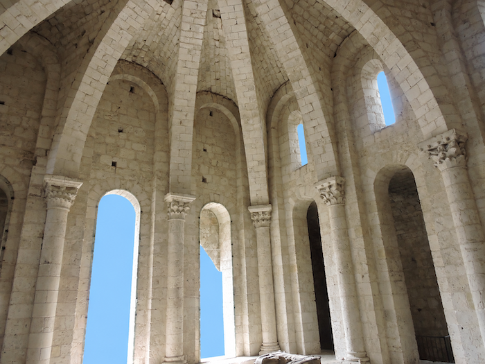
But its true treasure lies in the details: its slender marble columns and, above all, its sculpted capitals, alive with biblical scenes, animals and plant motifs. If narrow stairways do not deter you, make sure to climb to the upper levels, where the view opens out across Moissac and the Tarn valley. The abbey church and its cloister are among the monuments on the Routes of Santiago de Compostela in France inscribed on the UNESCO World Heritage List since 1998. |
|
 |
 |
|
Whether pilgrim or simple visitor, it is difficult to remain unmoved by such masterpieces. Above all, it is impossible not to raise your eyes towards the extraordinary Romanesque portal. At the center of the tympanum, Christ in Majesty presides over the figures of the Apocalypse, while the twenty-four elders converge towards him. Below, on the trumeau, the elongated figure of the prophet Jeremiah seems to ripple with the stone itself. Everywhere, figures, animals, draperies and foliage combine to form an extraordinary lacework of stone. |
|
 |
 |
|
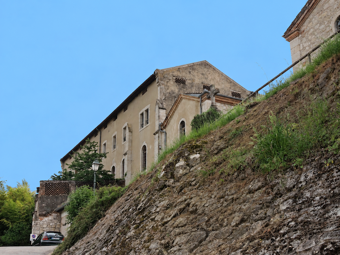
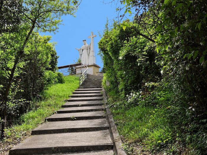
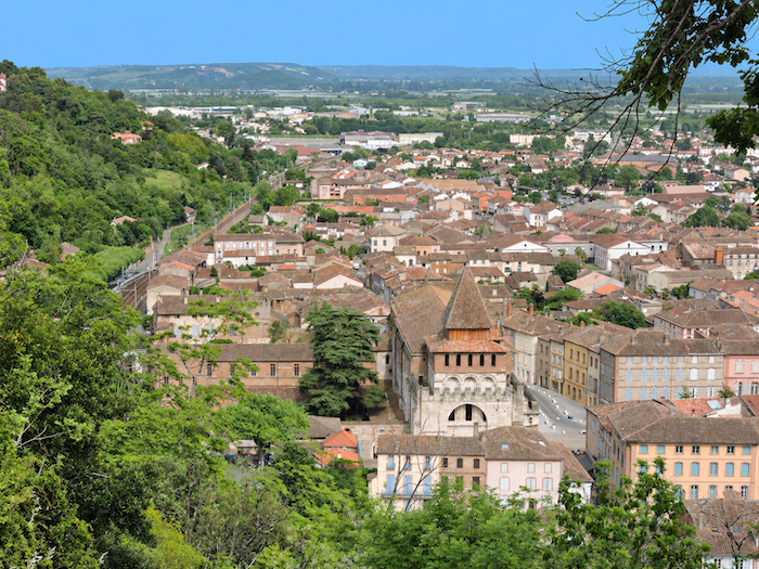
It is well worth making the effort to climb above the former Carmelite convent to the viewpoint overlooking the abbey church and its cloister. |
|
 |
 |
|
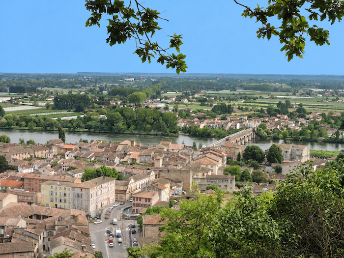
The climb is short, but certainly steep. The reward awaits at the top. The great cedar in the cloister, which almost seems to rival the bell tower when viewed from below, now looks no larger than a great bush. Beyond the rooftops of Moissac, the eye crosses the Pont Napoléon and ranges far across the Tarn plain. |
|
 |
 |
|
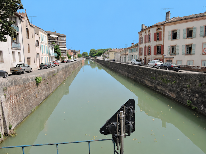
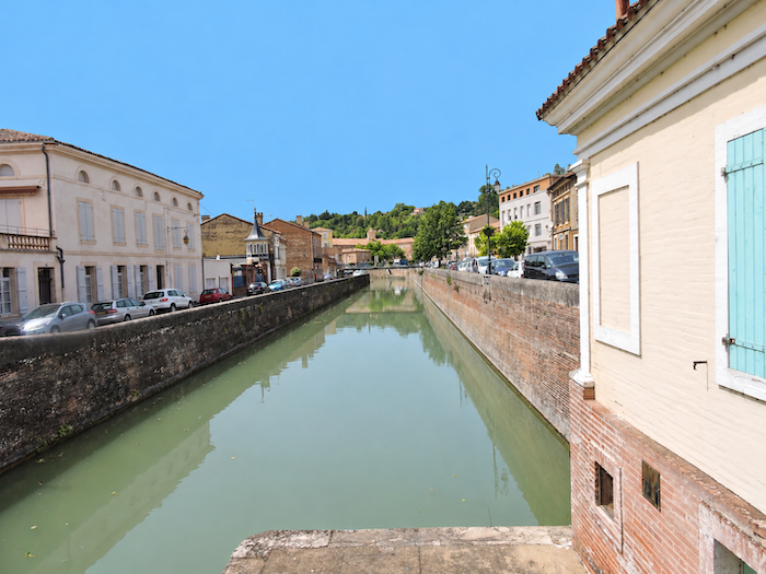
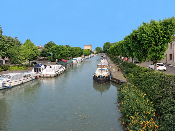
With some 12,500 inhabitants, Moissac is a charming little town lying not far from the confluence of the Tarn and Garonne. Since Le Puy-en-Velay, it is only the second true town encountered by the pilgrim after Cahors, and even then it remains pleasantly human in scale. At its feet flows the “Canal latéral à la Garonne”, part of the “Canal des Deux-Mers” waterway linking the Atlantic and the Mediterranean. |
|
 |
 |
|
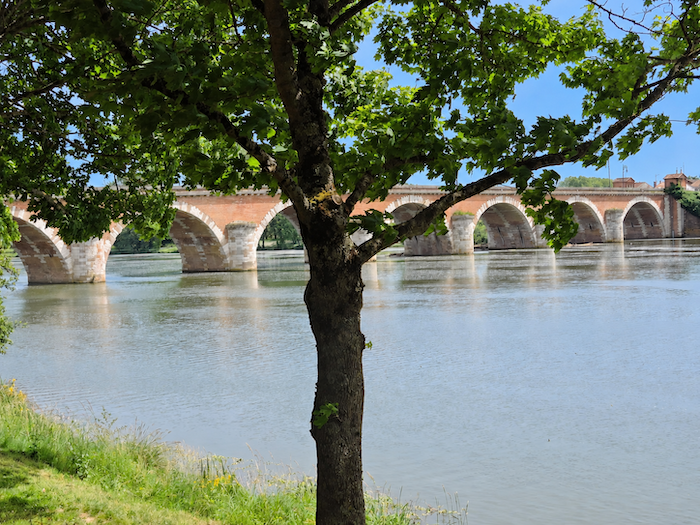
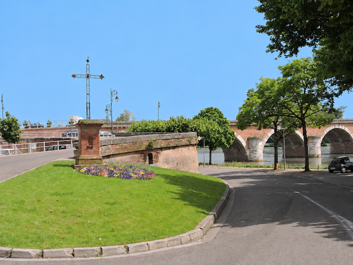
A little further down, the magnificent Pont Napoléon crosses the Tarn in a succession of arches that could almost make it look like an ancient Roman bridge. Nothing of the sort! Its construction was ordered under Napoleon I, and the bridge was not completed until 1826, during the reign of Charles X. The port of Moissac once stood in this area, bearing witness to a time when the river was a major artery of trade. The imposing townhouses of the neighborhood still evoke that former prosperity. |
|
 |
 |
|
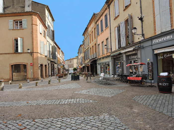
But above all, Moissac is a town made for wandering. A handful of pretty narrow streets, lively little squares, café terraces and charming houses invite you to set down your backpack and rediscover, for a few hours, the simple pleasures of urban life. |
|
 |
 |
Tomorrow, the pilgrim will have ample opportunity to become acquainted with the remarkable waterway that is the “Canal latéral à la Garonne”. After the hills and valleys of recent days, its long perspectives promise an entirely different landscape and, above all, a much flatter path, at least for part of the way.
Accommodation on Via Podiensis
- Gîte La Maison de Jean-Yves et Marie, Parry; 06 80 64 45 79; Gîte, dinner, breakfast
- Gîte du Soleil Levant, 20 Rue des Pèlerins, Durfort-Lacapelette; 06 14 96 00 30; Gîte, breakfast, cuisine
- Gîte St Martin, St Martin; 06 85 35 73 59; Gîte and tents, dinner, breakfast
- Chambre d’hôtes La Maison de Laujol, Laujol; 06 03 76 85 31/07 81 66 81 75; Guestroom, dinner, breakfast
- Gîte Colibri d’Epsis, Epsis; 06 16 48 07 29; Gîte and tents, dinner, breakfast, cuisine
- Gîte et Chambres d’hôtes Les Irondas, Chemin de Merle/Moissac; 06 68 64 09 45; Gîte and Guestroom, dinner, breakfast
- Chambres d’hôtes Les Loups Blancs, Chemin de Merle/Moissac; 06 19 10 91 28; Guestroom, dinner, breakfast
- Gîte l’Ancien Carmel, 5 Sente du Calvaire, Moissac; 05 63 04 62 21/09 64 48 71 99; Gîte, dinner, breakfast, cuisine
- Gîte Les Etoiles, Guy (pèlerin), 4 Rue Falhière, Moissac; 06 25 63 00 10; Gîte, dinner, breakfast
- Gîte l’Alienor de Moissac, 25 Avenue Maleveille, Moissac; 07 87 90 07 21; Gîte, dinner, breakfast
- Gîte Auberge des Chemins, Agnès (pèlerine), 17 Rue du Pont, Moissac; 06 24 34 80 87/05 81 78 68 39; Gîte, dinner, breakfast
- Gîte l’Escale du Bonheur, 33 Rue de l’Inondation, Moissac; 06 31 13 12 69; Gîte, dinner, breakfast, cuisine
- Gîte-Chambres d’hôtes Ultreia, 45 Avenue Chabrié, Moissac; 05 63 05 15 06/06 71 74 03 14; Gîte and Guestroom, dinner, breakfast
- Gîte-Chambres d’hôtes Comme un Air de Voyage,10 Blvd de Brienne, Moissac; 06 20 42 03 63; Gîte, tents and Guestroom, dinner, breakfast, cuisine
- Gîte-Chambres d’hôtes le Provensal***, 40 Rue Guilleran, Moissac; 05 63 04 07 88/06 86 13 94 66; Gîte et Guestroom, breakfast, cuisine
- Chambres d’hôtes Le Jardin Suspendu, 25 Blvd Cadel, Moissac; 06 07 81 33 15; Guestroom, dinner, breakfast
- Chambres d’hôtes La Halte d’Oc, 21 Rue des Religieuses, Moissac; 06 43 00 37 42/06 47 74 54 30; Guestroom, dinner, breakfast, cuisine
- Chambres d’hôtes La Fuite en Égypte, 29 Rue Guilleran, Moissac; 06 43 00 37 42/06 47 74 54 30; Guestroom, breakfast
- Chambres d’hôtes La Maison Lydia, 2 Quai Magenta, Moissac; 07 49 78 22 02; Guestroom, breakfast
- Hôtel-restaurant L’Armateur***, 1 Rue François Raynal, Moissac; 05 63 32 85 10; Hotel, dinner, breakfast
- Hôtel-restaurant Le Chapon Fin***, 3 Place des Récollets, Moissac; o5 63 95 59 49; Hotel, dinner, breakfast
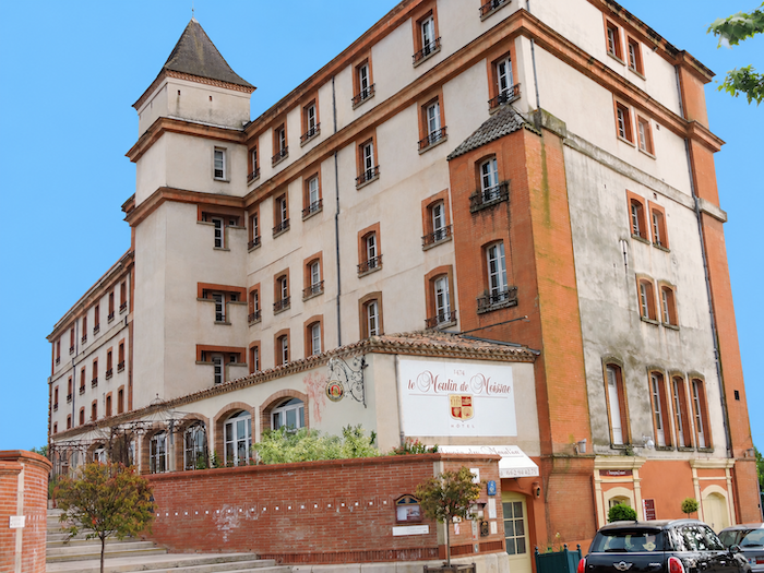
- Hôtel-restaurant -Spa Le Moulin de Moissac***, 1 Promenade Sancert, Moissac; 05 63 32 88 88; Hotel, dinner, breakfast
Year after year, the Camino de Santiago changes and reinvents itself, shaped by the seasons and the footsteps of its pilgrims. Some places to stay close their doors, while others, modest or unexpected, spring up along the way. It would therefore be unrealistic to claim that any list could ever be both permanent and exhaustive. The following selection includes only accommodation located directly on the route or within one kilometer of it. It was updated in 2026 and should therefore remain largely reliable over the next few years. For those wishing to explore further, one guide stands out as an essential reference: Miam Miam Dodo, readily available online. Its greatest strength lies in the fact that it is updated every year. Rather than limiting itself strictly to accommodation along the route, it also lists places to stay further afield, a particularly valuable resource when large numbers of pilgrims make finding a bed at the usual stopping points more uncertain. It also contains a wealth of practical information: welcoming bars, restaurants along the way, and conveniently located bakeries. all welcome stops that punctuate the journey. Alongside these traditional resources, another presence has now become impossible to ignore: Airbnb. The platform has established itself as a major player in the tourism landscape, even in quieter or less prosperous regions. However, as most travelers know, exact addresses are not displayed upfront, which means that some advance planning is required. On the Camino, finding a bed at the last minute can sometimes come down to a fortunate stroke of luck. But luck, by its very nature, is no strategy. Booking ahead is therefore strongly recommended. Finally, when making your arrangements, be sure to ask about dinner and breakfast options. Such details may seem insignificant, but they can make a long day on the Camino considerably more comfortable.
If we take stock of the available accommodation, there are around 75 beds before reaching Moissac, suggesting that many pilgrims choose to stop earlier along the route. In Moissac itself, the choice widens considerably, with nearly 400 beds available. While the Via Podiensis generally sees between 100 and 200 walkers, there tend to be fewer pilgrims after Cahors. Finding accommodation on this stage should therefore not present any major difficulty, although it is always advisable to book ahead.
These routes wind through often sparsely populated areas, where shops and other services are limited. Restaurants are few and far between, as are grocery shops, which are often little more than small local outlets selling bread along with a limited selection of vegetables and dairy products. Simple meals are available along the route at the farm in Parry and in Durfort-Lacapelette. Water points are available in Durfort, Saint-Martin and at the ’Epsis Church. There are no public toilets along the route. Moissac is a small town with a full range of shops and services. Finally, numerous companies provide luggage-transfer services or transport back to the starting point. Among them, one stands out as a particularly well-established option: La Malle Postale.
Feel free to add comments. This is often how you move up the Google hierarchy, and how more pilgrims will have access to the site.
 |
Next stage : Stage 22: From Moissac to Auvillar |
 |
Back to menu |