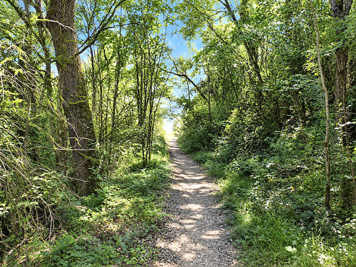
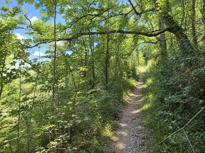
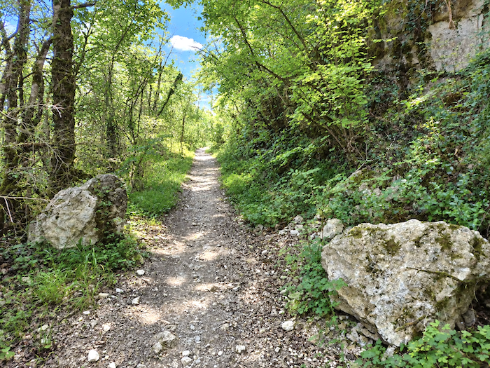
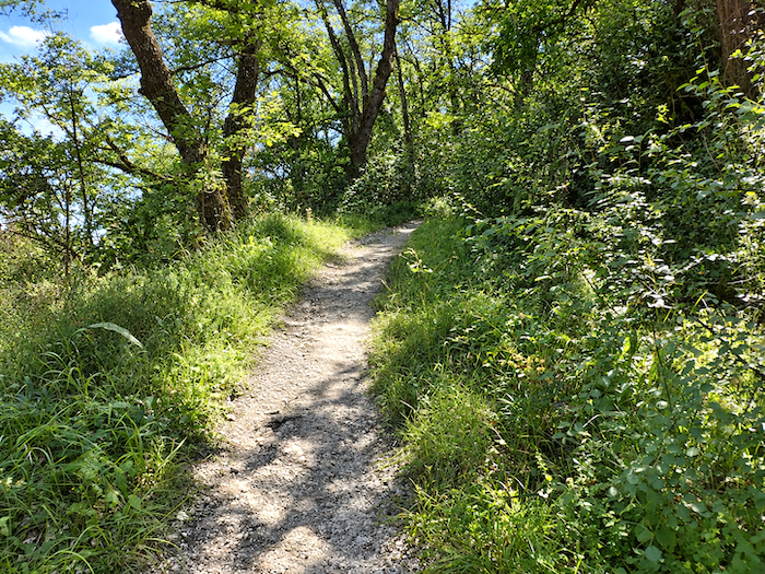
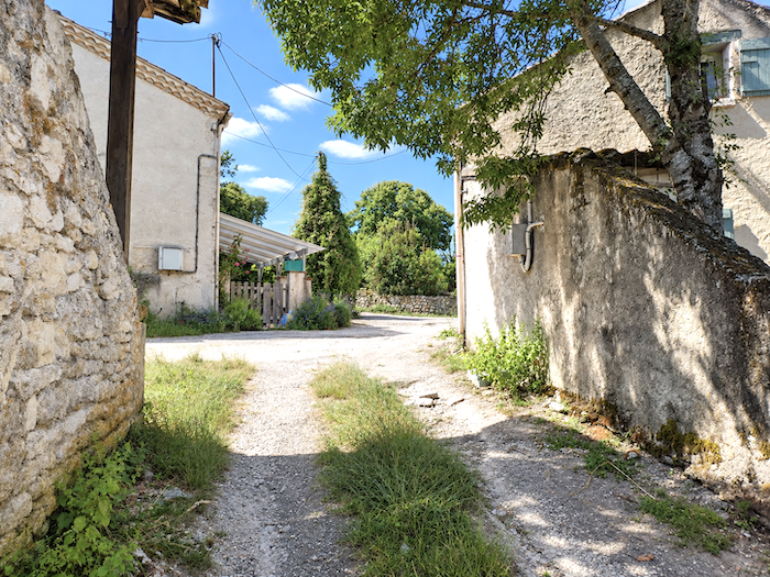
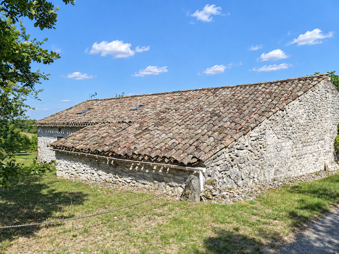
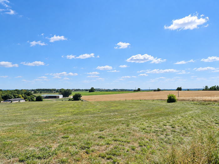
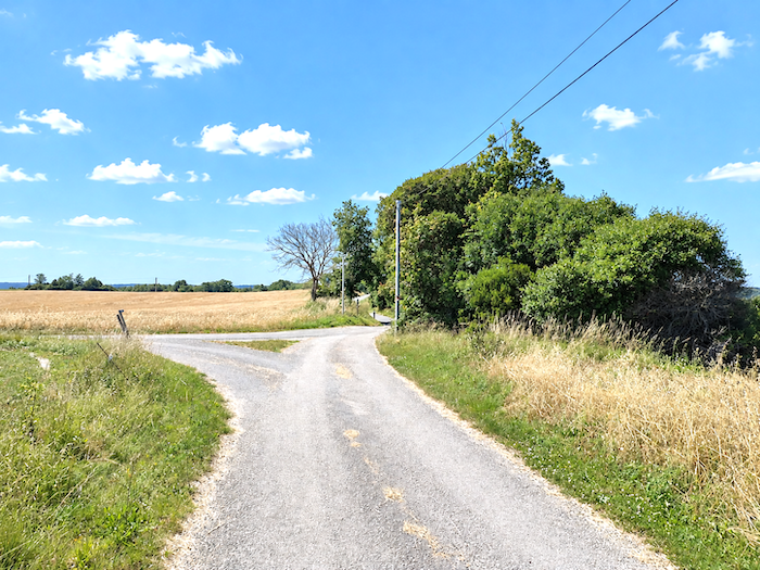
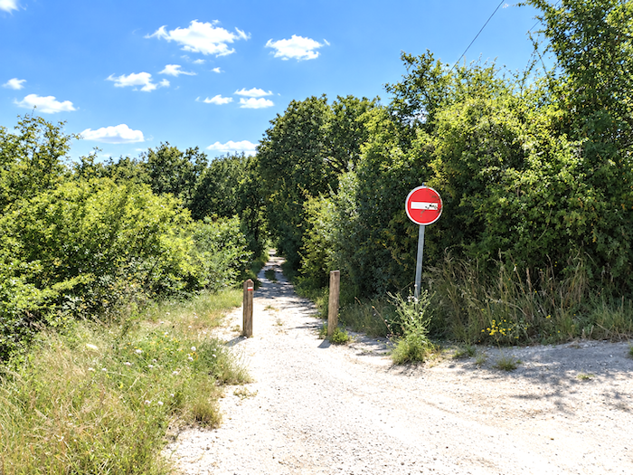
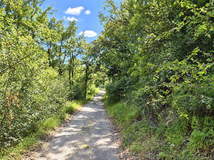
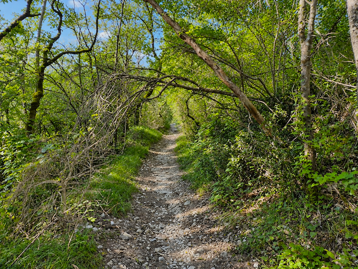
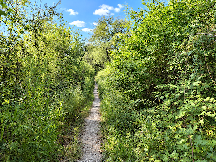
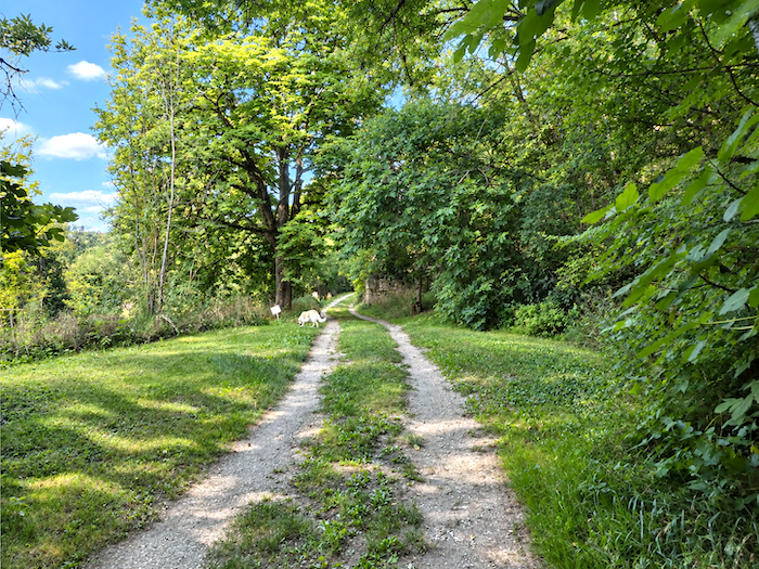
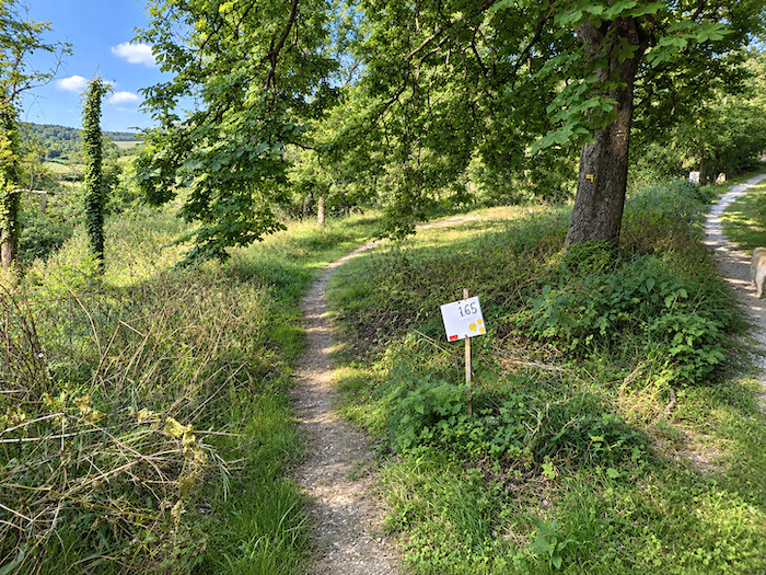
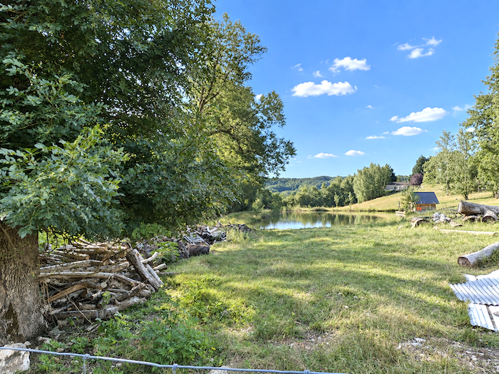
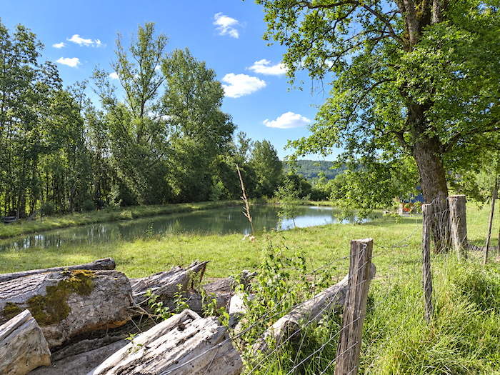
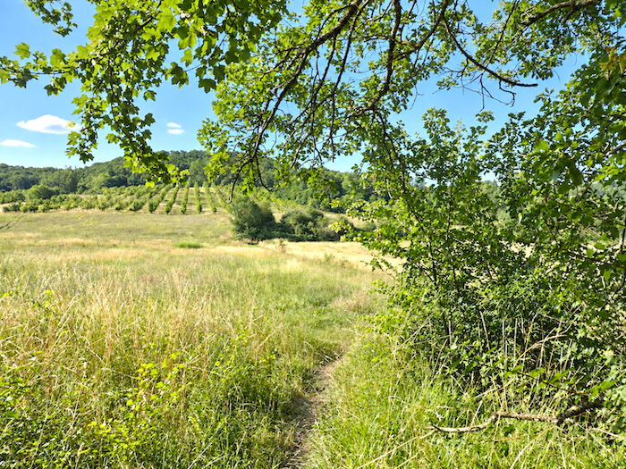
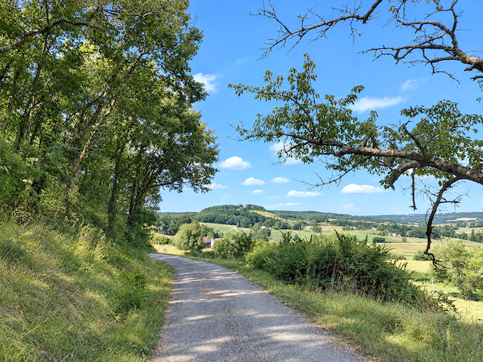
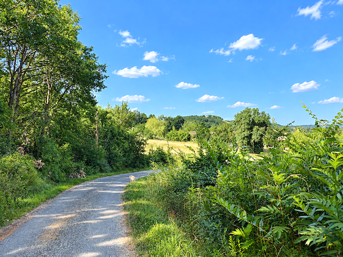
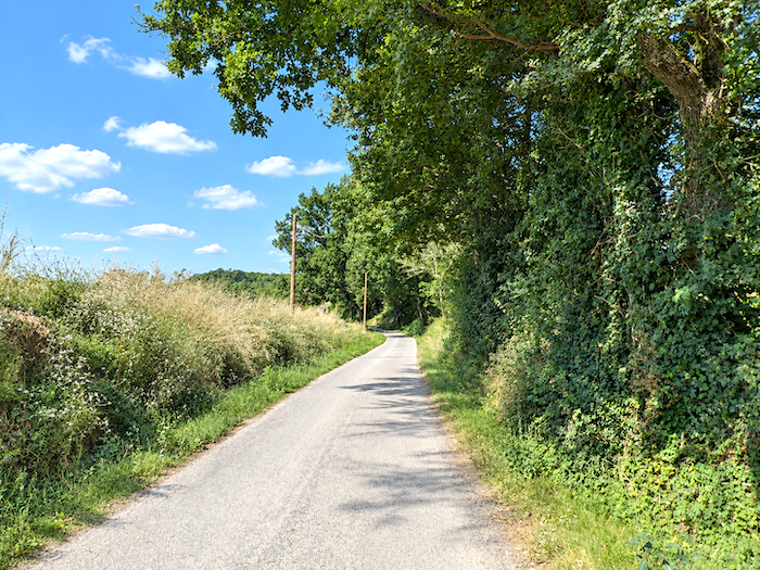
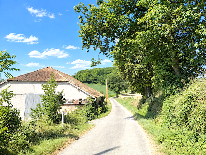
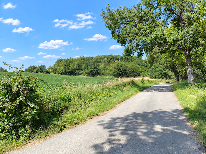
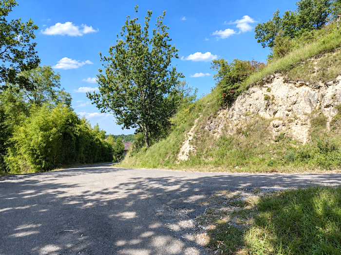
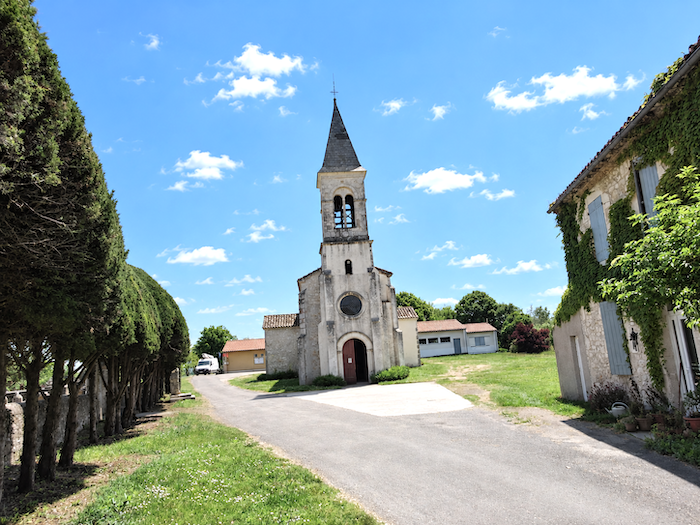
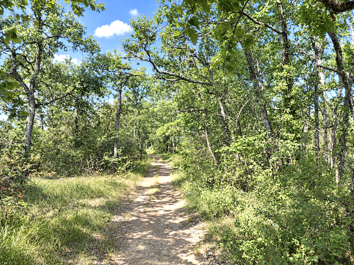
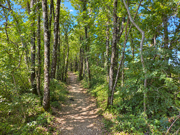
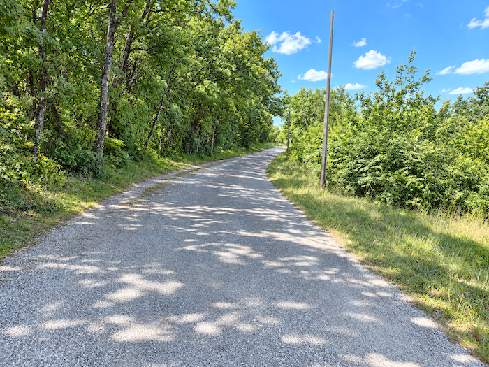
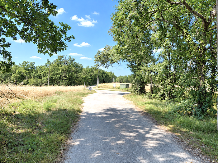
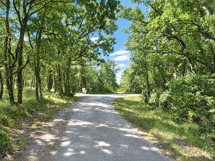
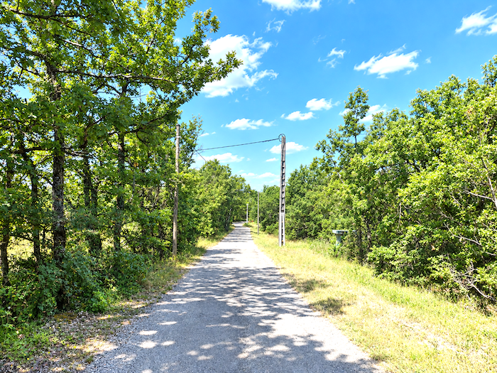
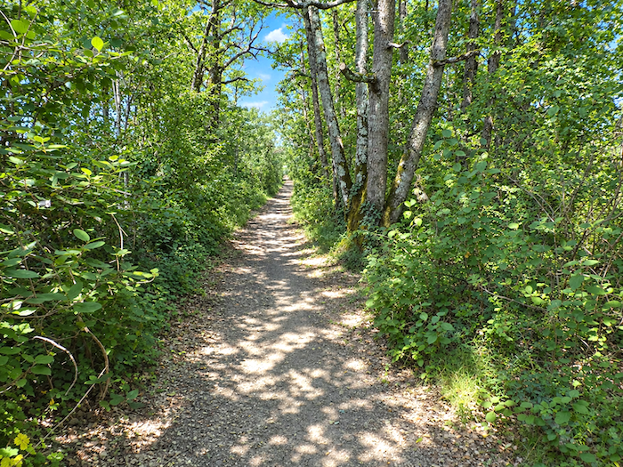
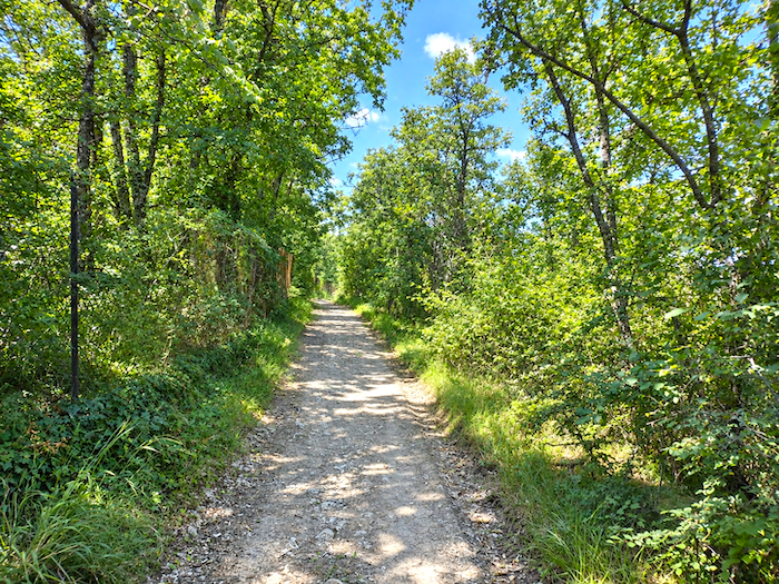
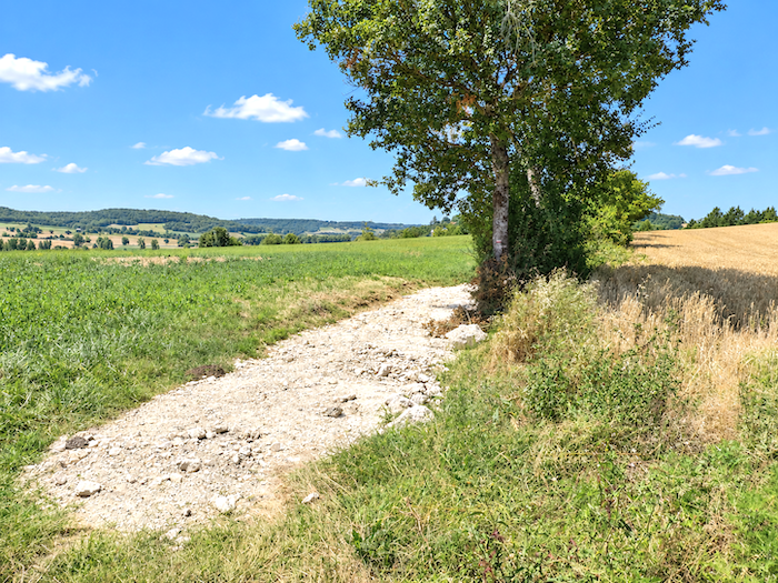
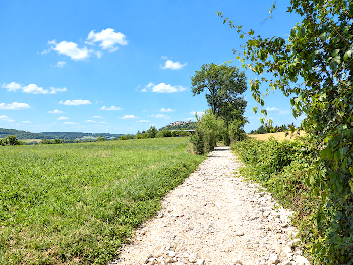
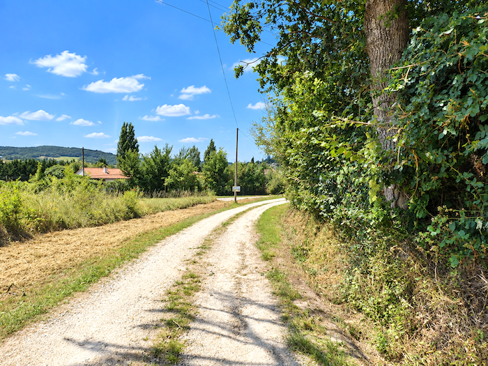
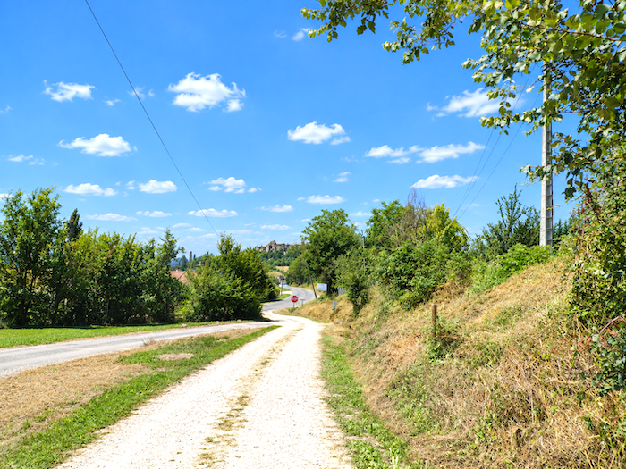
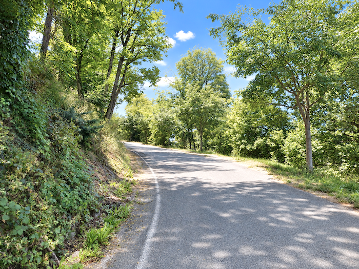
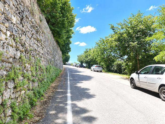
From one village to another, perched on the hills
DIDIER HEUMANN, MILENA DALLA PIAZZA, ANDREAS PAPASAVVAS
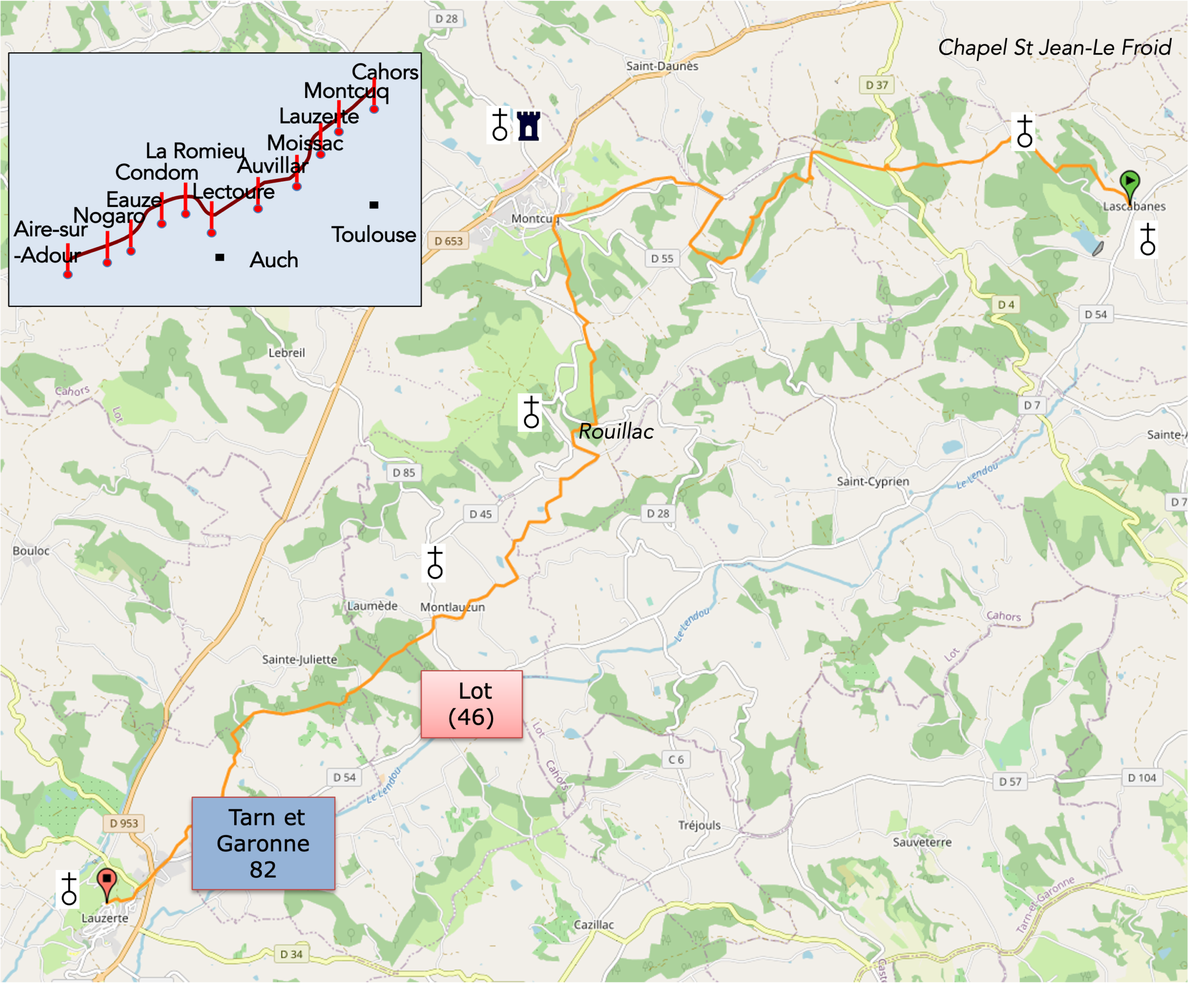
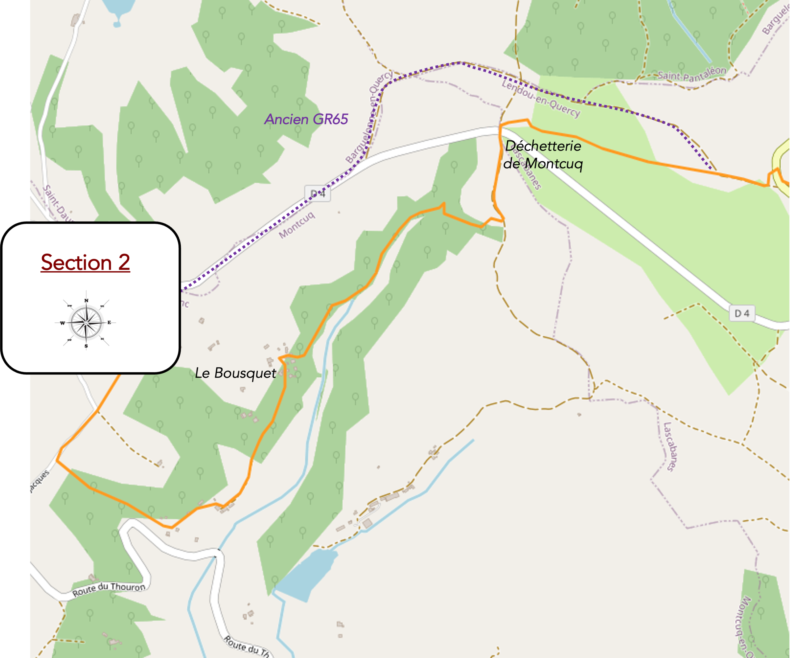
We divided the course into several sections to make it easier to see. For each section, the maps show the course, the slopes found on the course, and the state of the roads. The courses were drawn on the « Wikilocs » platform. Today, it is no longer necessary to walk around with detailed maps in your pocket or bag. If you have a mobile phone or tablet, you can easily follow routes live.
For this stage, here is the link:
https://fr.wikiloc.com/itineraires-randonnee/de-lascabannes-a-lauzerte-par-le-nouveau-gr65-54196085
|
Not all pilgrims are necessarily comfortable using GPS devices or navigating with a smartphone, especially since there are still many areas without Internet access. That is why, to make your journey easier, a book dedicated to the Via Podiensis from Cahors to Le-Puy-en-Velay is available on Amazon. Much more than a simple practical guide, this book accompanies you step by step, kilometer after kilometer, providing all the information you need for smooth planning and avoiding unpleasant surprises. Beyond its practical advice, it immerses you in the enchanting atmosphere of the Camino, capturing the beauty of the landscapes, the majesty of the trees, and the very essence of this spiritual adventure. Only the pictures are missing, everything else is there to transport you.
In addition, we have also published a second book which, with slightly fewer details but all the essential information, covers the entire route from Le Puy-en-Velay to Saint-Jean-Pied-de-Port. The choice of your journey is yours.
|
 |
 |
If you only want to consult lodging of the stage, go directly to the bottom of the page.
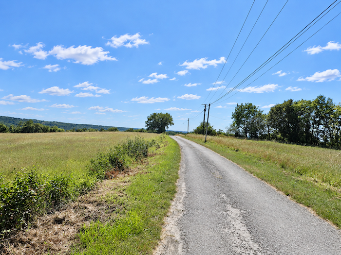
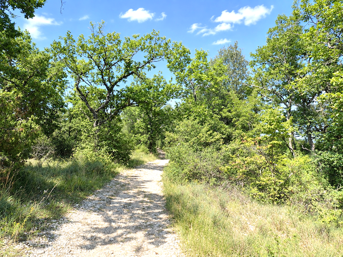
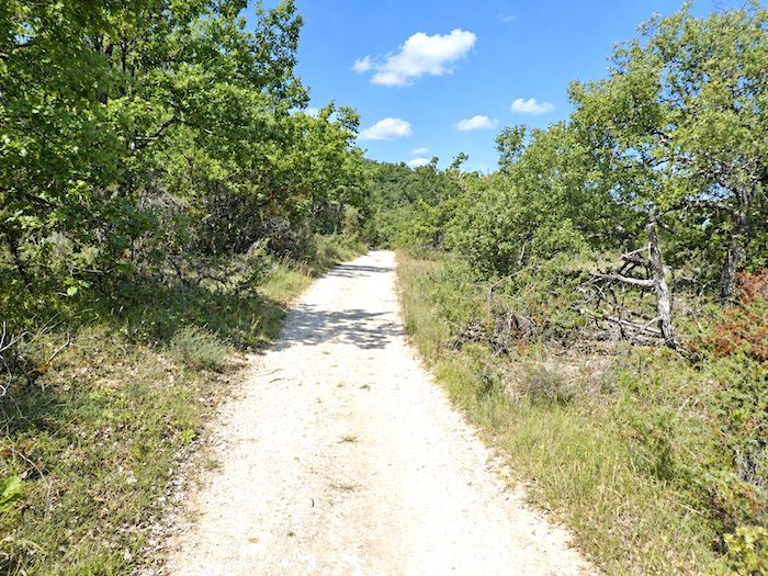
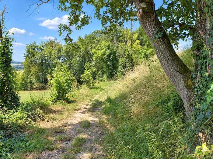
Today’s journey once again unfolds through the “Quercy Blanc”, that broad plateau gently stirred here and there by rolling hills, resting upon deep beds of limestone and marl. The soil, often composed of soft limestone, clay or sand, ranges in color from luminous white to pale shades of brown. In the changing light, the white limestone masonry of the region’s handsome houses seems almost to glow. The vegetation, meanwhile, is already beginning to take on an almost Mediterranean character. Small oaks still hold sway over much of the countryside, although maples, chestnut trees, dense clumps of boxwood and tangles of wild grasses also lend their colors and textures to the landscape. Between Cahors and Lascabannes, land reclaimed from the woodland was given over mainly to pasture. Here, cultivated fields increasingly outnumber meadows, while the forest itself gradually retreats. Today, the route wanders back and forth between the departments of Lot and Tarn-et-Garonne. A handful of shallow valleys carve gentle folds into an otherwise fairly level landscape. Little by little, the scenery opens towards the great fields of wheat and sunflowers that are so characteristic of Tarn-et-Garonne, a department you will enter towards the end of the stage. Much of the beauty of this countryside lies in the rhythm created by the succession of plateaus and dales. The hillsides sweep down in graceful curves, their contours accentuated by the furrows left by the plough. In the damper valleys, poplars, alders and plane trees rise among hedgerows, clusters of trees gathered around isolated farms, and the countless small oak groves scattered across the land. Elsewhere, the pastures lend the countryside a wilder, almost Mediterranean air. They spread across low hills bristling with stunted oaks, whose twisted silhouettes stand sharply against the sky, interspersed with juniper and broom that sway in the spring wind. The landscape constantly shifts between wide, open horizons on the plateaus, cool stretches beneath the woodland canopy, and sweeping views over secluded dales and shallow hills. In many ways, the plateaus form the great backdrop of the countryside, while the valleys trace their more intimate patterns across it. This is a land poised between mixed farming and livestock breeding. The remarkable diversity and richness of its soils have long encouraged a varied agricultural tradition, with cereal crops and fodder fields sharing the countryside.
The houses and farms that make up the rural heritage of the “Quercy Blanc” have their own distinctive architecture. Their gently sloping roofs are covered with traditional curved tiles, while their walls are built from carefully squared blocks of pale limestone. The medieval character of the region becomes even more apparent when the route passes through its villages, with their narrow lanes, small bastides and pointed Gothic windows. Here, the limestone once again displays its striking whiteness, occasionally softened by hints of yellow, pink or even blue. Numerous dovecotes still punctuate the countryside, enduring witnesses to an older rural world.
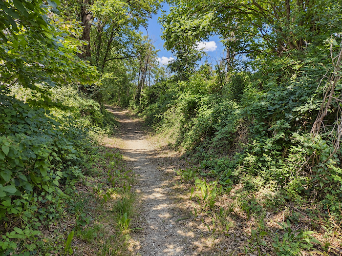
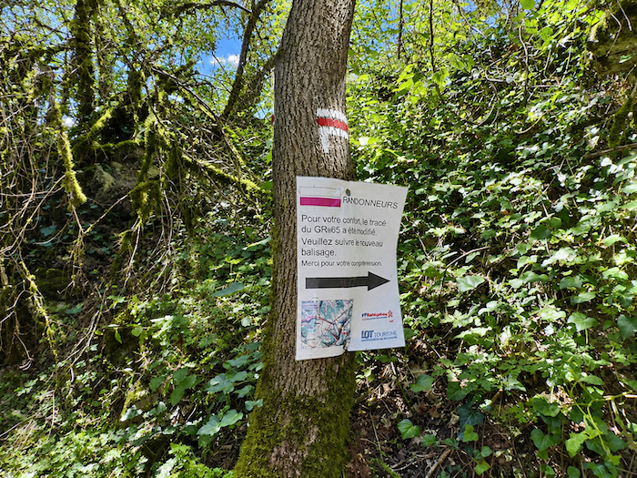
Here once again, the organizers have allowed themselves to alter the GR65. This makes nearly five stages in which the route has been changed over the past few years. Admittedly, the changes have not always been substantial, but even so! Here, however, unlike on the Livinhac stage, the alteration can be considered a welcome one. In the past, before reaching Montcuq, walkers had to follow the departmental road for a considerable distance. The route has now been redirected through a wonderful maze of paths twisting through the wild countryside. For that, many thanks.
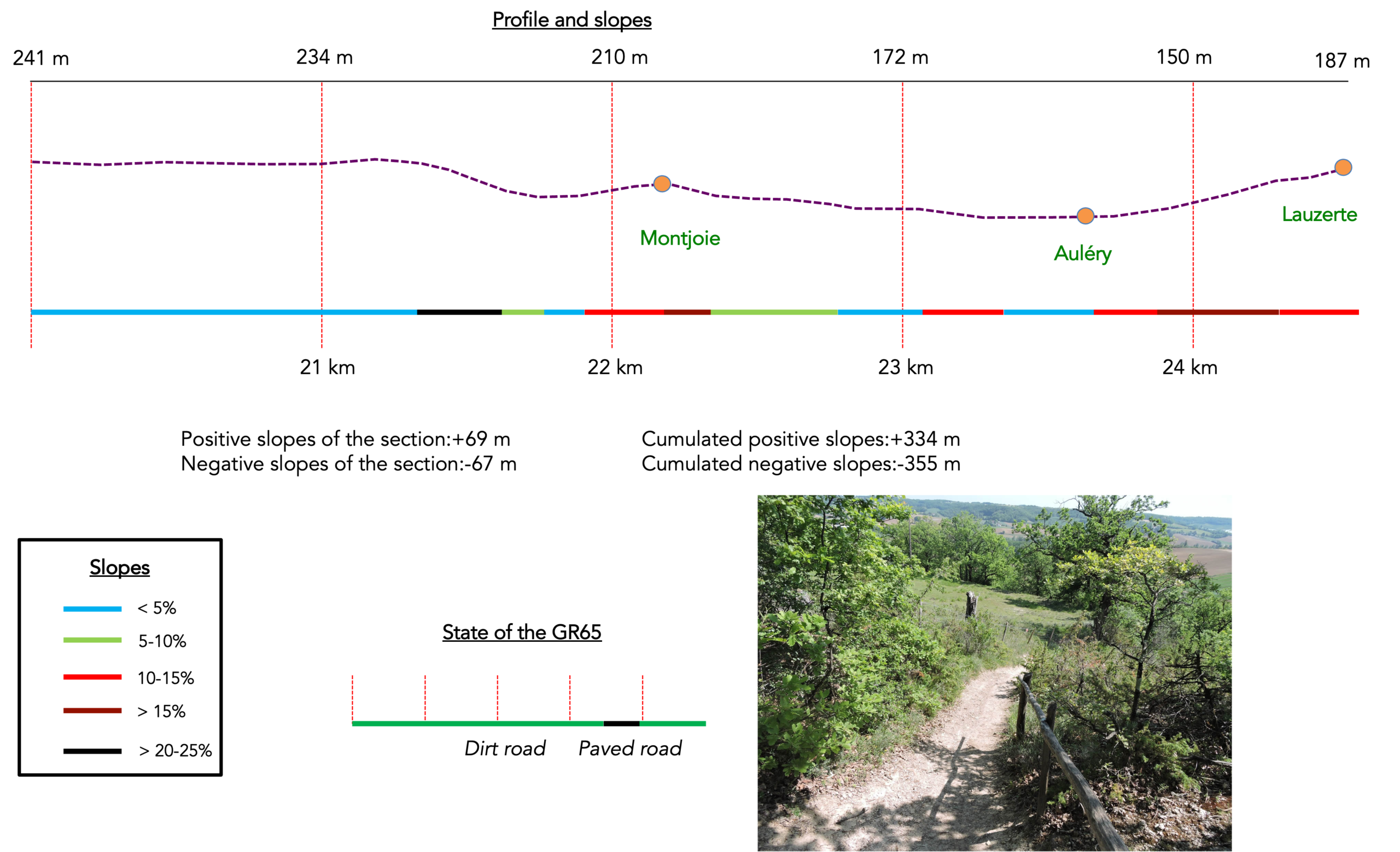
Difficulty level: For such a long stage, today’s elevation changes remain fairly reasonable (+ 538 meters /- 516 meters ). As far as the difficulties of the route are concerned, this is a relatively peaceful day. There is little to report apart from a steep climb near the beginning of the stage, followed by a demanding passage near Montlauzun. To these must be added the final steep climb up the hill to Lauzerte at the end of the day.
.
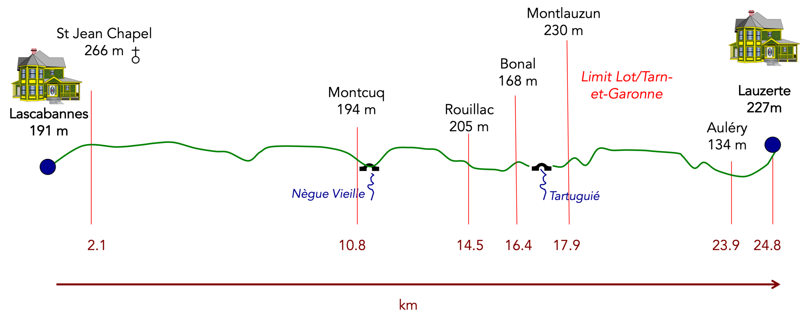
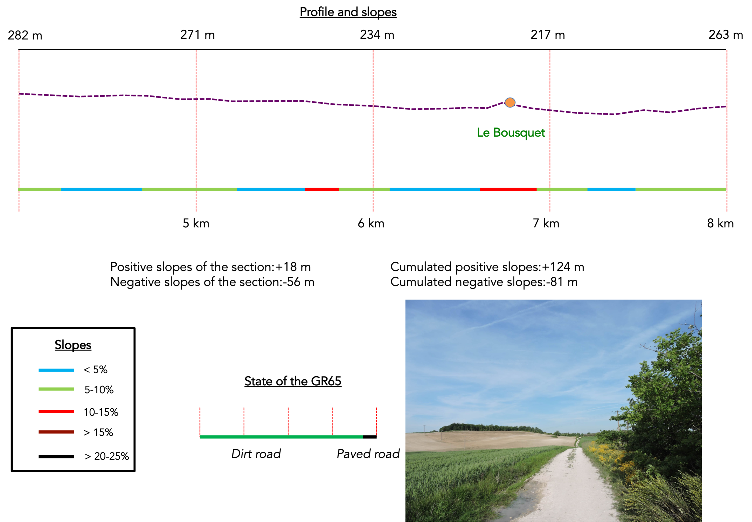
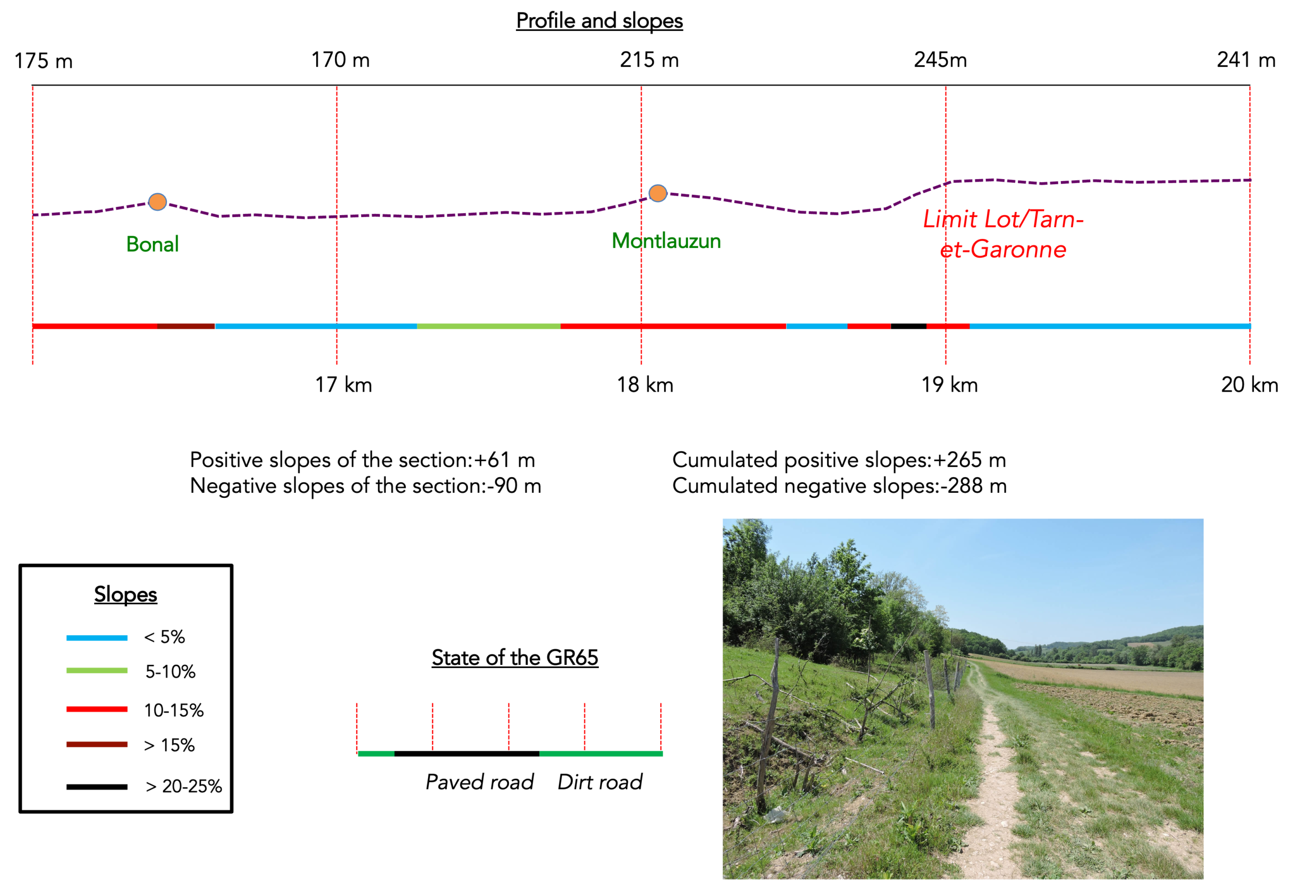
State of the GR65: Dirt roads are clearly to the advantage:
- Paved roads: 6.6 km
- Dirt roads: 18.2 km
Sometimes, for reasons of logistics or housing possibilities, these stages mix routes operated on different days, having passed several times on Via Podiensis. From then on, the skies, the rain, or the seasons can vary. But, generally this is not the case, and in fact this does not change the description of the course.
It is very difficult to specify with certainty the incline of the slopes, whatever the system you use.
For « real slopes », reread the mileage manual on the home page.

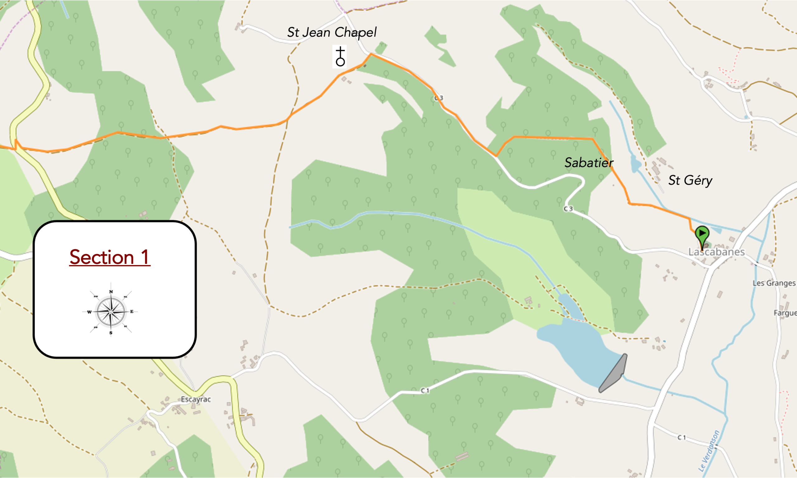
Section 1: To the end of the Quercy Causse
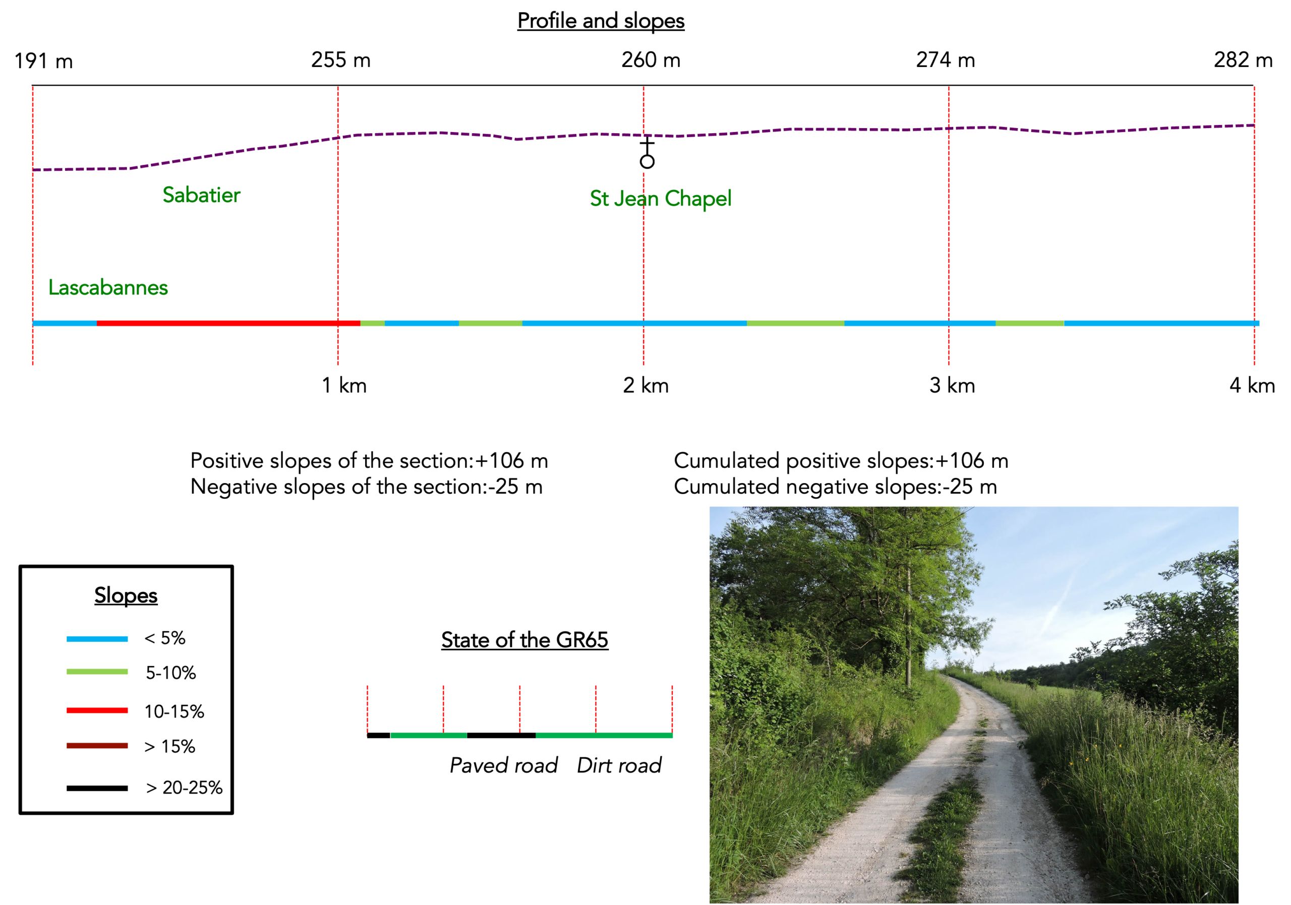
General overview of the difficulties of the route: some fairly steep slopes to climb to the chapel of St Jean, then route without any difficulty.
|
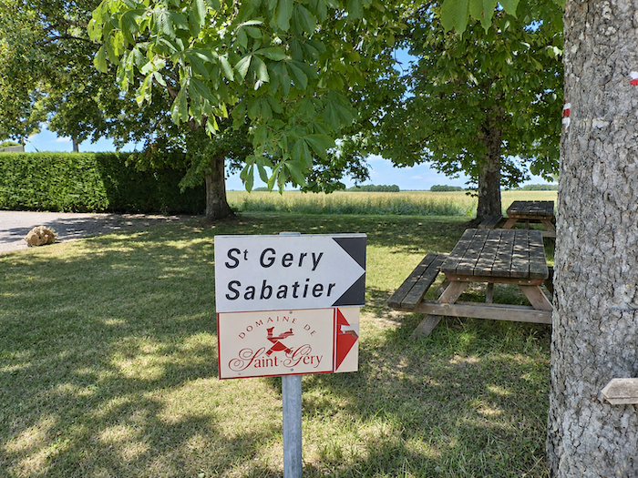
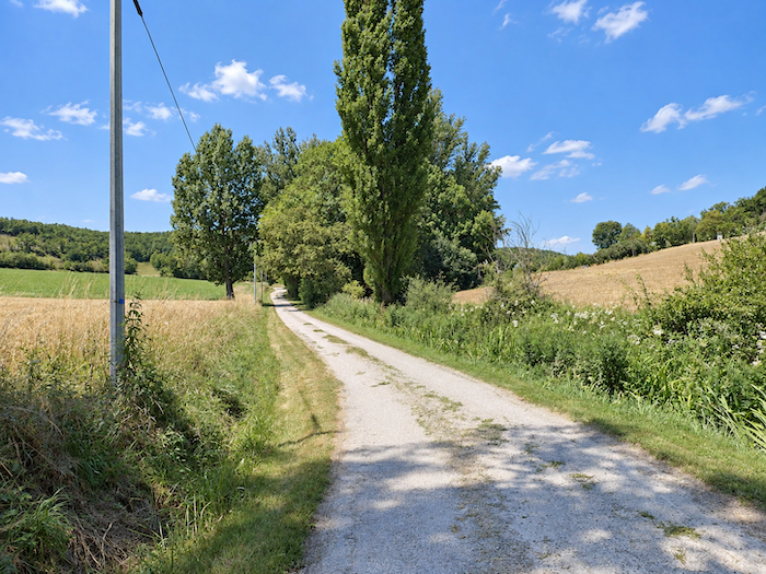
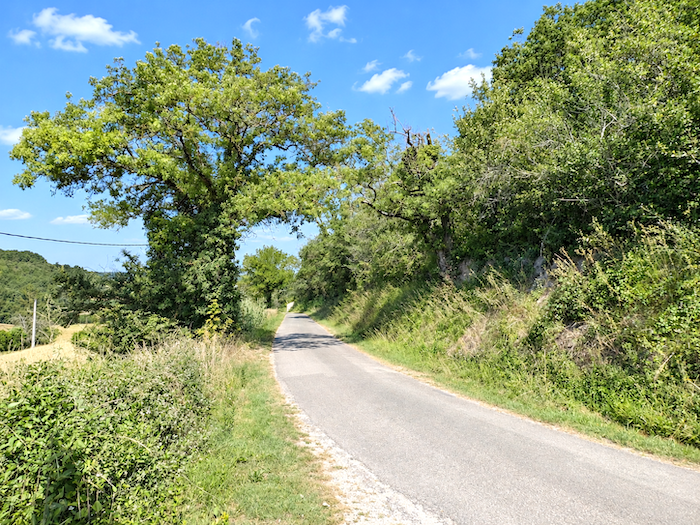
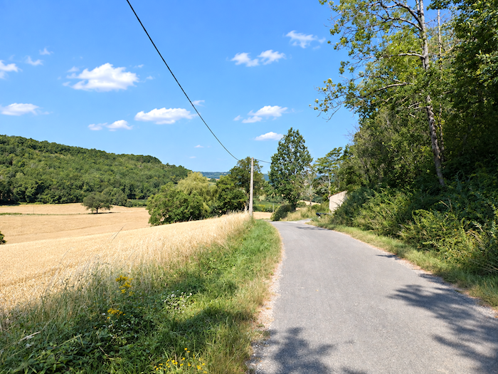
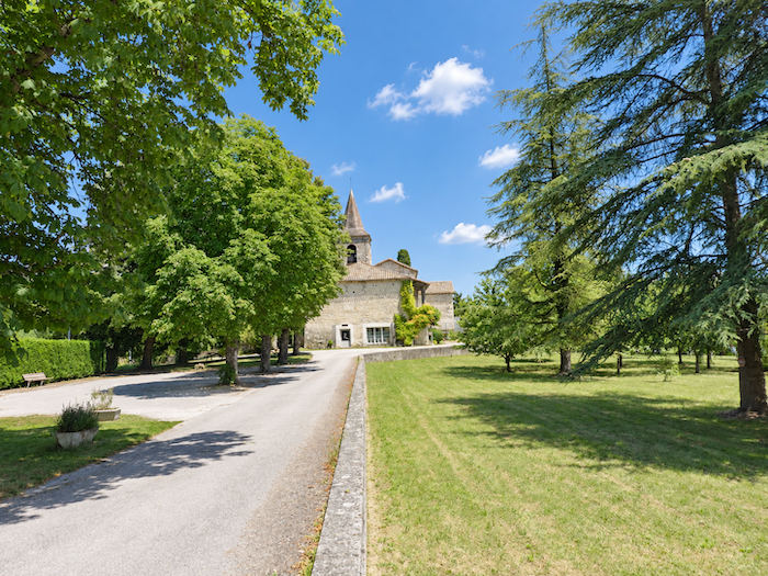
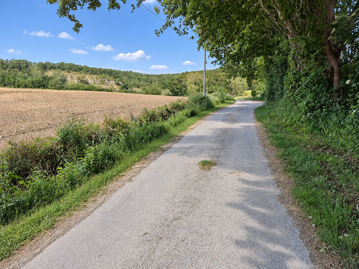
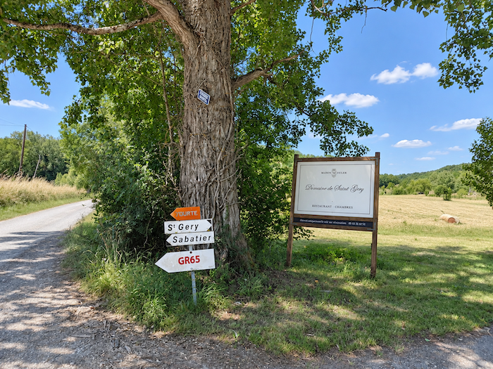
Today, the GR65 bids farewell to the church square and sets its course towards St Géry and Sabatier. The last houses have scarcely fallen behind when a small road begins to drift gently into the countryside, winding between meadows, sunflowers and fields of grain, before finally coming to an end at the entrance to the Domaine de St Géry.
|
 |
 |
Pilgrims, however, will not be passing through its gates. And really, what place would these long-distance wanderers have in such a noble retreat, with their packs on their backs and their boots caked with the dust and mud of hundreds of kilometers?
|
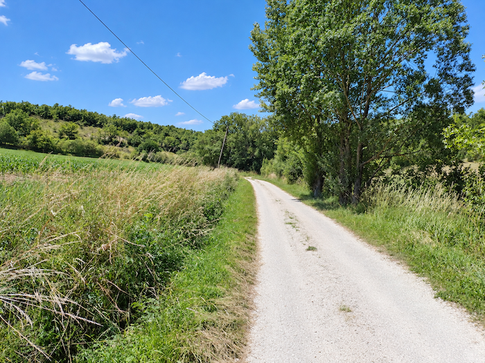
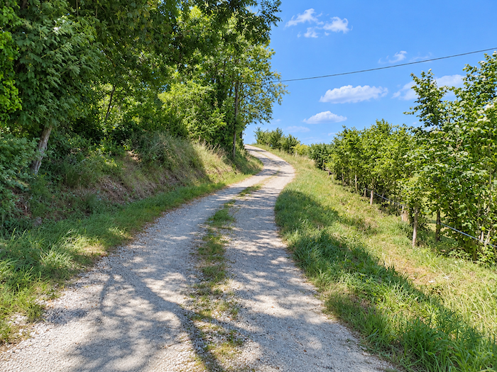
The road is theirs, then, although it soon sheds both its tarmac and its good manners, turning into a stony path with one very clear intention: to climb.
|
 |
 |
|
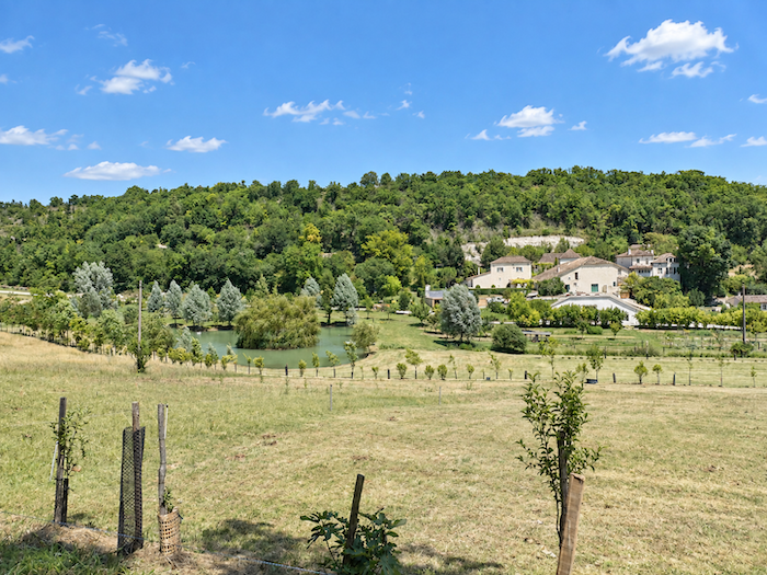
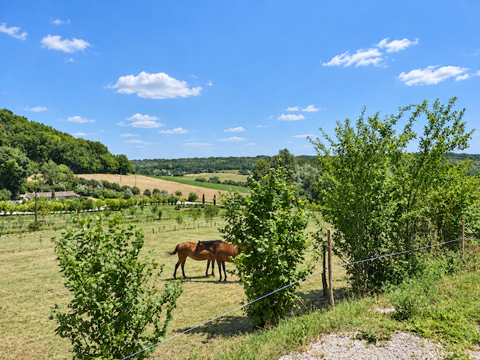
Below, the « Domaine de St Géry » gradually comes into view, an imposing and elegant country estate where, so it is said, the wealthy and even the occasional crowned head come to place a comfortable distance between their privacy and the lenses of the paparazzi. Seen from above, the estate resembles a tiny village in its own right, with a manor house, a barn, a dovecote and, set amid the greenery like a precious stone, a delightful little lake. Two worlds gaze upon one another here without ever truly meeting. Down below lies the sanctuary of the privileged, while up above pass the pilgrims, carrying their homes upon their backs. Needless to say, the latter are hardly expected to linger here. Indeed, one might safely say never.
|
 |
 |
|
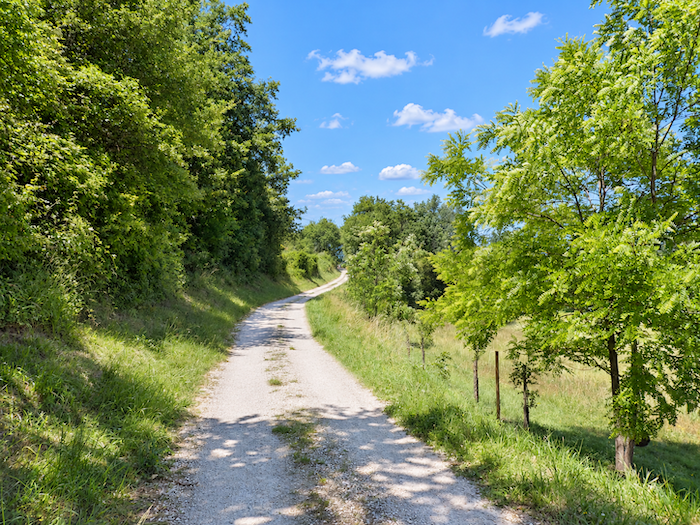
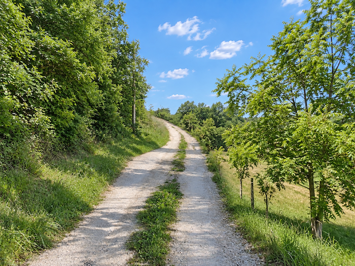
The dirt soon takes over, unfurling its long ribbon of clay-colored soil as it climbs towards the hilltop.
|
 |
 |
|
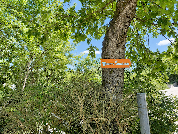
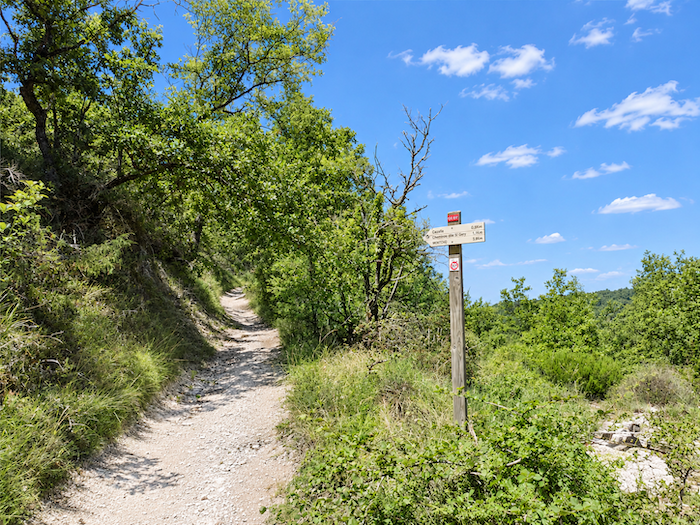
Oaks and ash trees soon form a guard of honor above the climb, which leads to the hamlet of Sabatier. Walkers looking for a slightly different sort of night can, for once, exchange dormitory bunks and conventional bedrooms for the circular comforts of a yurt. Once this little interlude is over, however, the causses reclaim their territory, and with them return their celebrated “delights”: stone beneath the soles and, for the calves, a gradient that cheerfully sails beyond 10%.
|
 |
 |
|
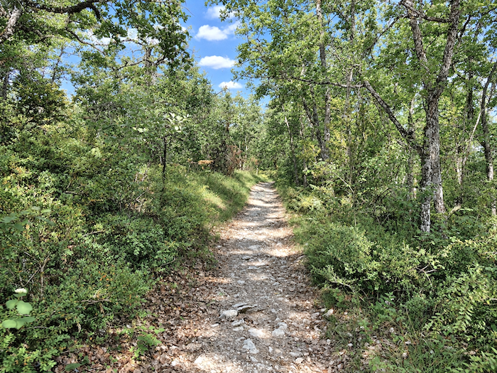
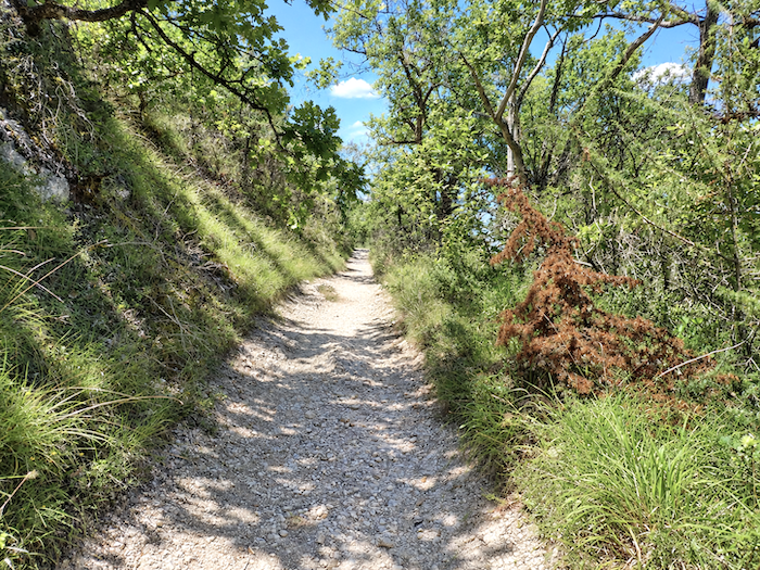
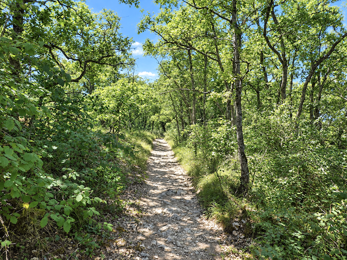
The scenery, for its part, has forgotten none of the local ingredients. There are stones in abundance, dense ranks of tightly packed oaks, yet more stone, and then a generous helping of loose rocks for anyone who might somehow feel they have not had enough. The causse has never believed in doing things by halves.
|
 |
 |
|
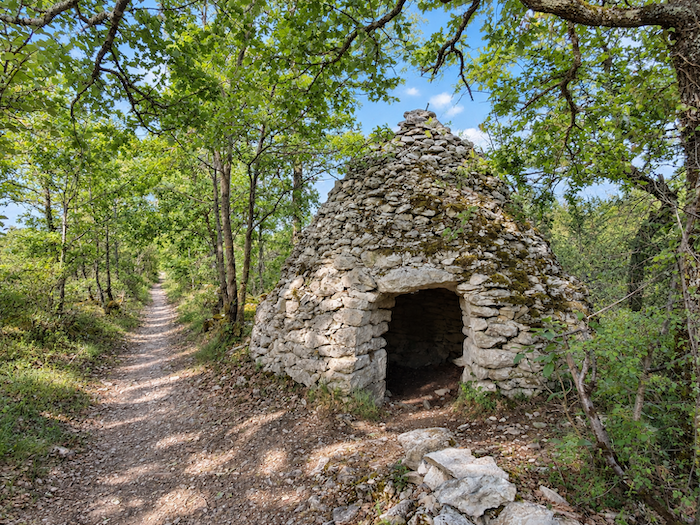
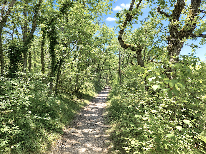
It is still the same causse, with its austere beauty and inevitable roughness. Yet beside the path, an old acquaintance suddenly reappears: a “caselle”, built from massive blocks of stone patiently nibbled away by years and moss. Well now! One had almost forgotten these dry-stone sentinels, once encountered so frequently along the route. This one seems to hold its doorway open to the passing walker as though offering a final farewell, for there is little chance of seeing many more of them farther along the route.
|
 |
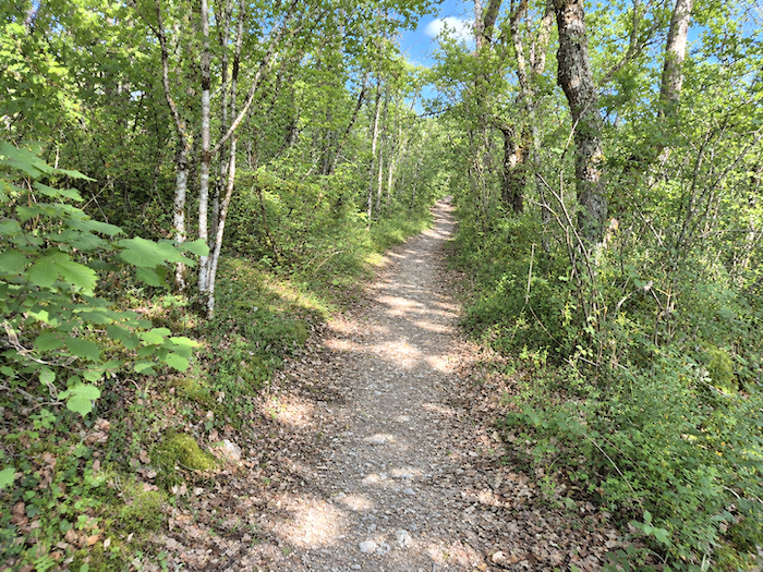 |
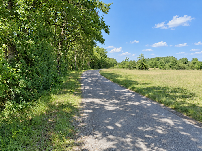
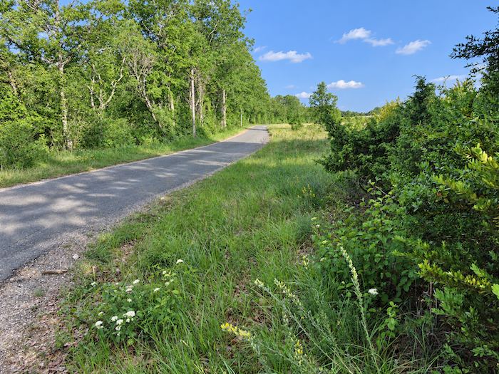
| One last moss-covered wall accompanies the walker for a few more steps, the final boundary of a mineral world that is already beginning to fade away. Then the causse withdraws, and beneath the soles returns that thankless companion one would happily do without: tarmac. |
 |
 |
|
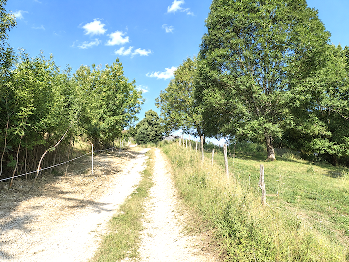
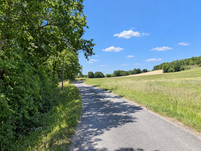
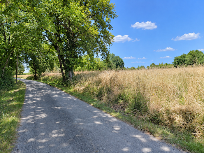
Fortunately, the slope now grows gentler. Between oaks and ash trees, the little road climbs peacefully through the countryside towards the crest of the hill.
|
 |
 |
|
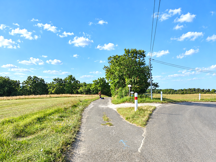
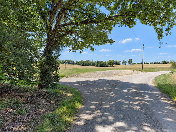
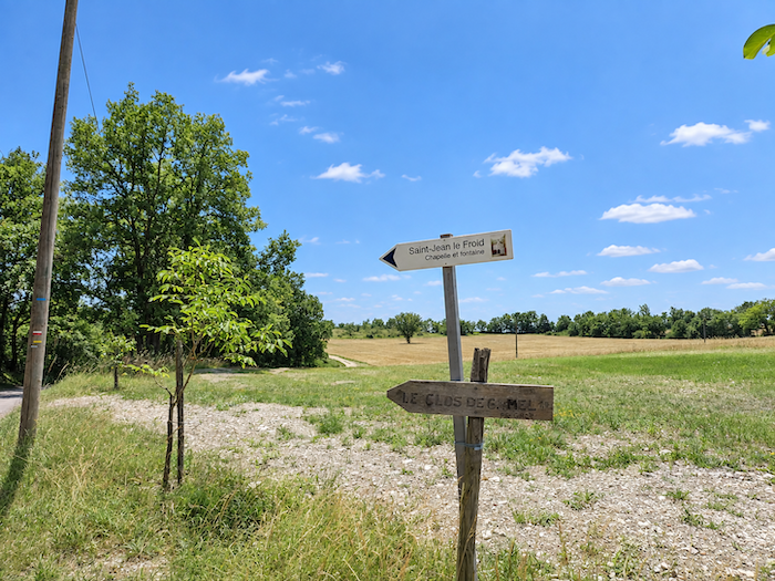
At the top, a sign presents the pilgrim with one of those minor dilemmas at which the path seems particularly adept. In one direction lies “Le Clos de Gamel”, a welcoming place to stay, but one situated away from the route. Eight hundred meters, of course, is almost nothing in ordinary life. At the end of a long day on foot, however, those same eight hundred meters can suddenly feel like a journey to the ends of the earth. Pilgrims therefore tend to think twice before consenting to such an expedition, and generally surrender to the idea only when beds elsewhere have become scarce. Miam Miam Dodo, that faithful guardian angel of empty stomachs and weary walkers in search of a roof, duly lists these places that require pilgrims to stray, however briefly, from the path. In the other direction, there is no need to bargain with tired legs, for the Chapel of St Jean Le Froid is only a stone’s throw away.
|
 |
 |
|
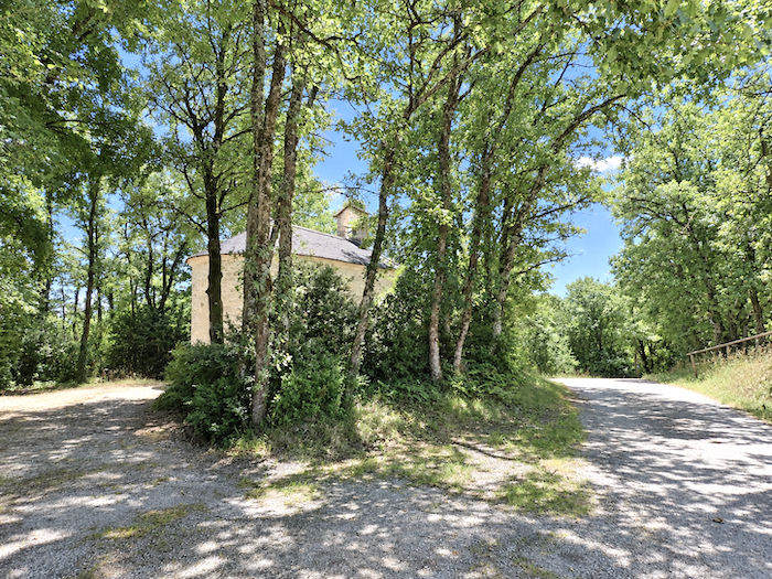
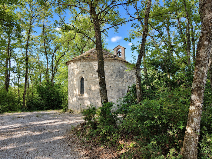
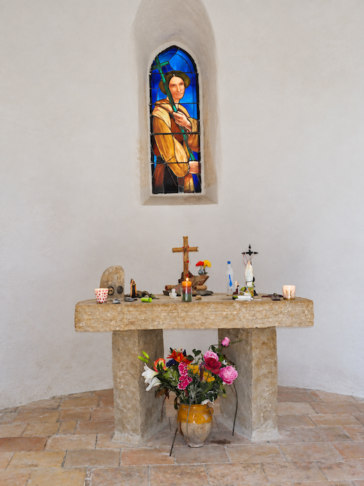
You still have to remember to look up if you want to see it. Beautiful and dignified, the chapel stands just above the path, almost hidden beneath the great vault of trees that shelters it from hurried eyes.
|
 |
 |
|
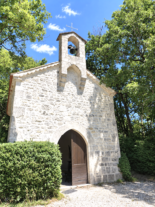
Recently restored, the Chapel of St Jean Le Froid watches over a place to which generations of people once attributed virtues extending far beyond the powers of prayer alone. For centuries, people made their way here to drink from a nearby spring or rub its water over their bodies, hoping their rheumatism might vanish as if by magic. With faith lending a helping hand, perhaps the miracle occasionally did occur. As for today’s pilgrims, after several hundred kilometers on foot, they might well ask the spring for a rather more modest wonder: the disappearance of blisters, corns and all the other afflictions that plague the long-distance walker!
|
 |
 |
|
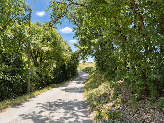
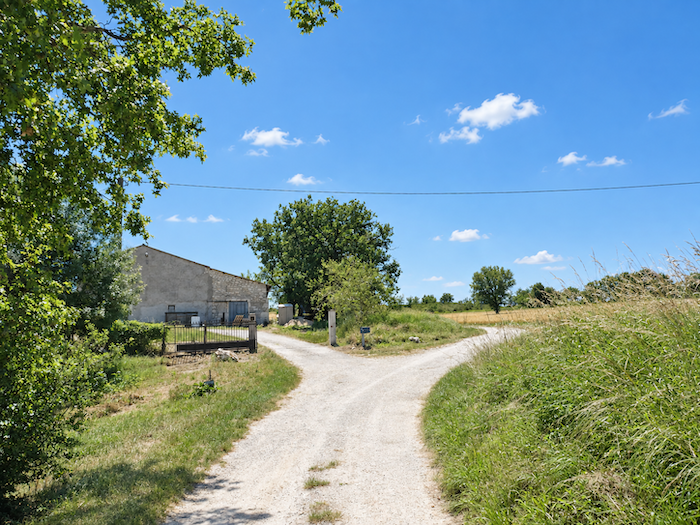
The moment the chapel is left behind, the landscape undergoes a transformation. For the next few hundred meters at least, the last echoes of the causse, its stones and its oak groves, give way to the broad cultivated fields of the Quercy Blanc, here on the very edge of the Lot department. The horizons, no longer so broken and enclosed, suddenly open wide, and the eye can travel so far that it seems almost to lose itself in some unreachable infinity. Here, the Way of St James finally turns its back on the foothills of the Massif Central. From now on, hills will be the pilgrim’s companions, until one day, far along the journey, the Pyrenees rise into view.
|
 |
 |
|
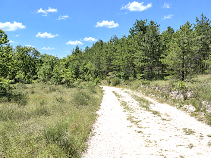
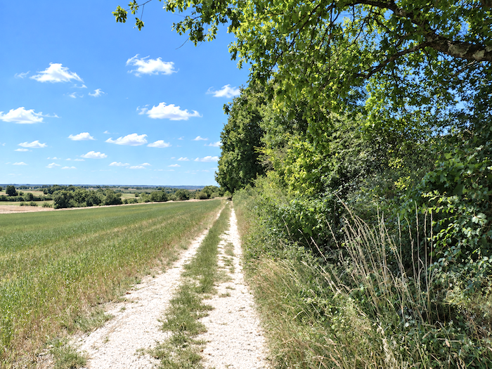
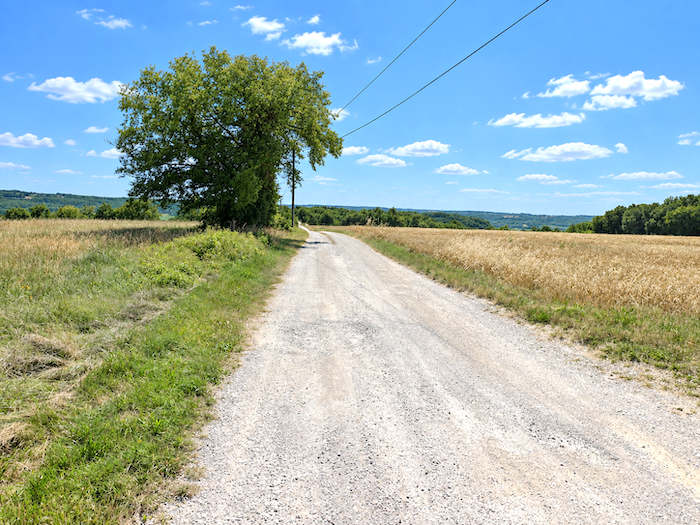
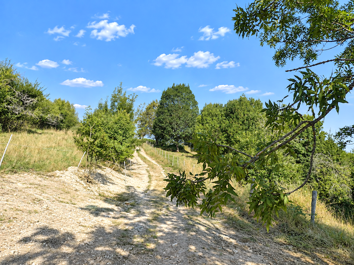
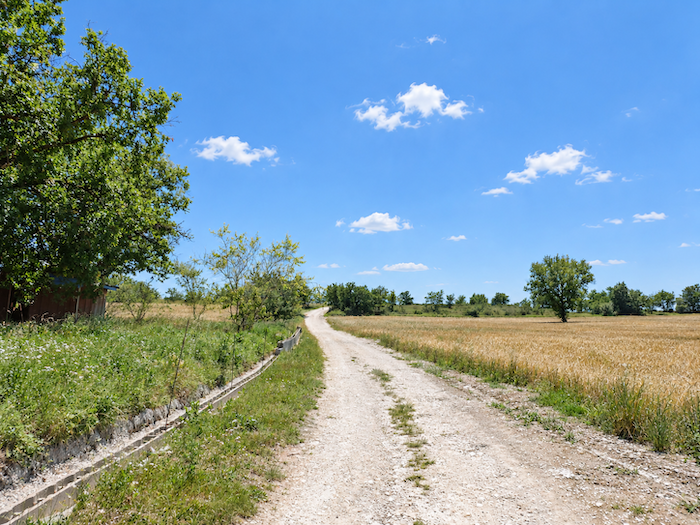
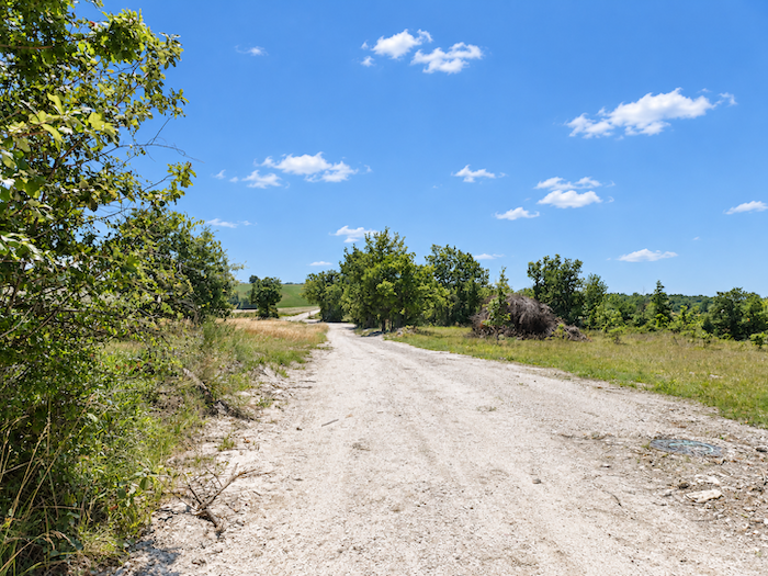
A broad dirt track runs straight between the fields. Beneath the walker’s feet, the soil is so pale that it could almost be mistaken for sand. But then again, are we not crossing the “Quercy Blanc”?
|
 |
 |
|
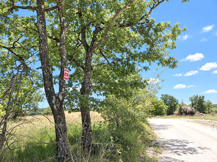
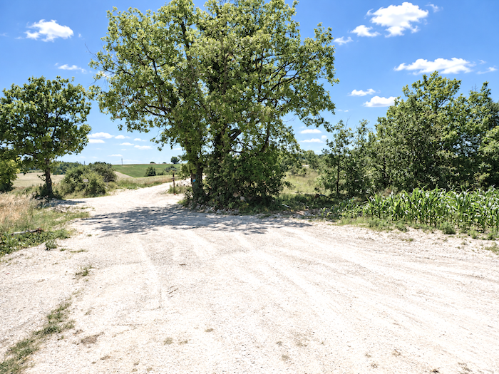
Since leaving Le Puy, the pilgrim has travelled mainly through moorland, high pastures, rocky country and forests, that slightly untamed world where it feels natural to meditate, daydream and wander among grazing herds. Others prefer the geometry of cultivated land to this amiable disorder, finding their pleasure instead in long perspectives and the elegant arrangement of vineyards, wheat fields and orchards. For them, this may well be Eden. A few solitary oaks and ash trees still haunt the immense expanse of farmland.
|
 |
 |
|
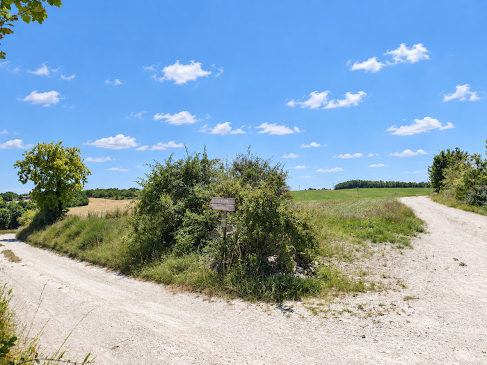
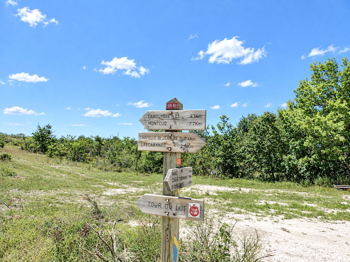
A little farther on, new signs point towards “Le Clos de Gamel” and Escayrac, where the sisters welcome pilgrims, both lying slightly away from the route.
|
 |
 |
|
Naturally, the countryside changes its face with the passing seasons. Sometimes only a few weeks are enough to make a place one thought familiar almost unrecognizable.
|
 |
 |
|
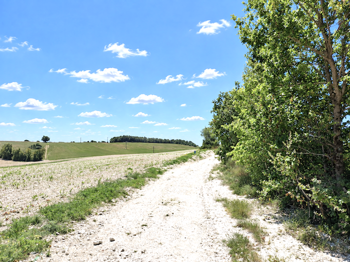
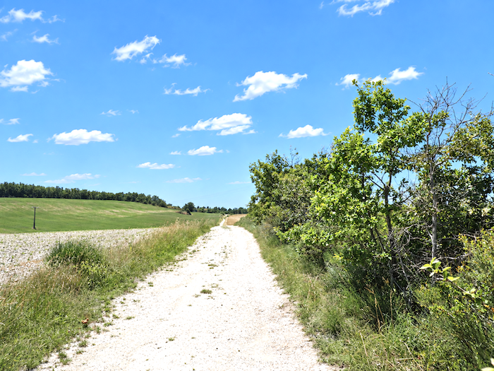
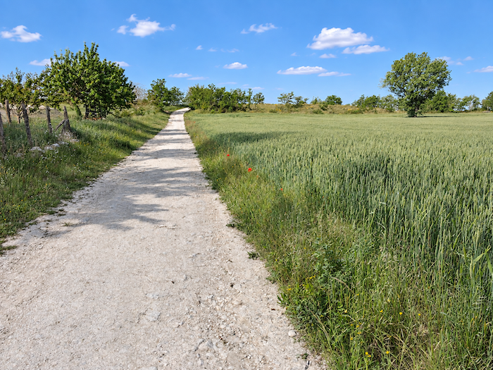
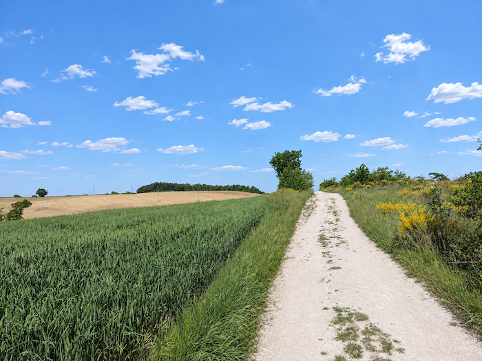
So let us play with the calendar for a moment. It is early summer, and much of the wheat has already been harvested, leaving the landscape stripped of some of its color. Now let us turn the clock back a few weeks, to late spring. The earth is just as white, but the broom is still in flower and the young wheat spreads its green carpet across the fields. Many prefer it this way, when the grain ripples beneath the wind like a vast green sea.
|
 |
 |
|
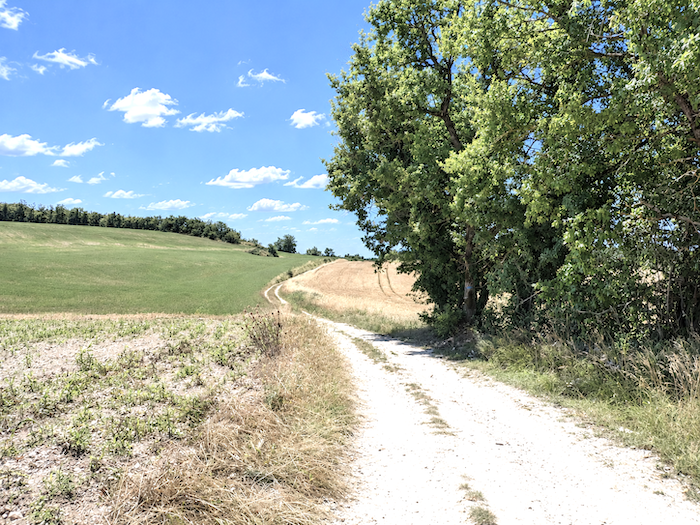
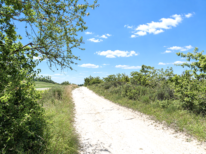
Here, the fields stretch almost as far as the eye can see, interrupted only by the occasional grove or line of trees. The countryside feels less fragmented now, its composition simpler, almost linear. By early July, both winter and spring wheat have already been harvested, leaving only the oats and triticale still awaiting the reaper. Elsewhere, stubble fields, fallow ground and bare earth awaiting the next crop follow one another across the landscape.
|
 |
 |
|
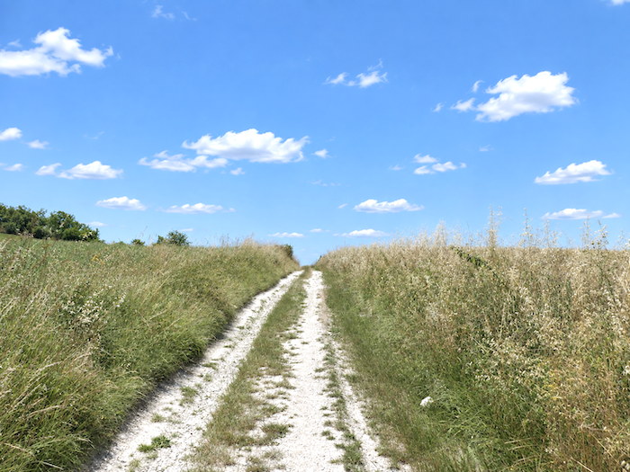
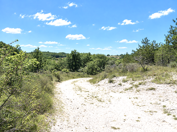
A little farther on, the land begins to ripple once again. One could almost imagine that the causse has returned to bid us a final farewell. Pines and ash trees reappear among the oaks, joined even by a few hornbeams, a relatively uncommon sight in this part of the country.
|
 |
 |
|
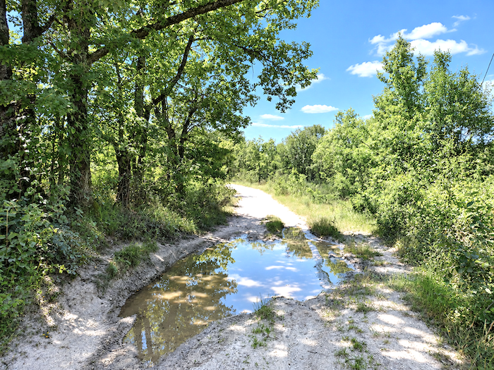
But the return is short-lived. Before long, the causse fades away once more, surrendering the countryside to cultivated fields.
|
 |
 |
|
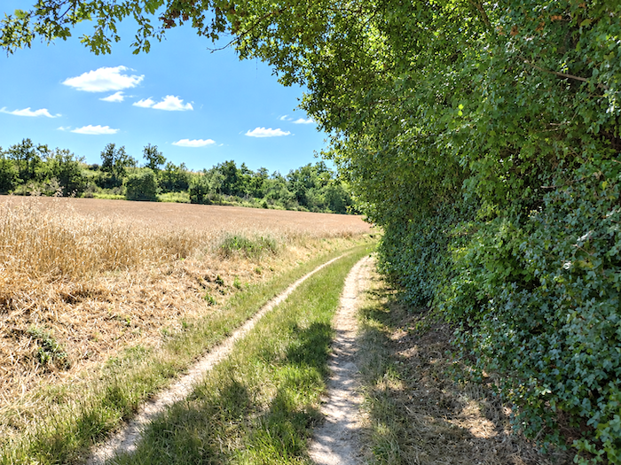
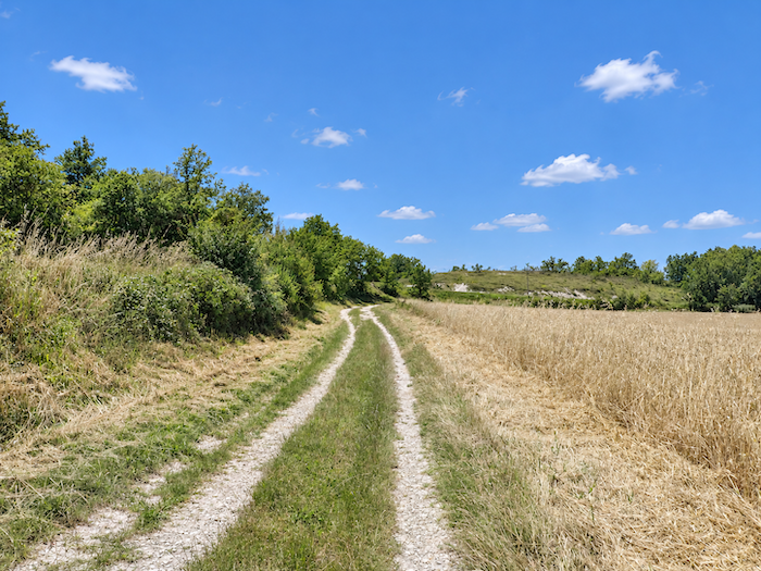
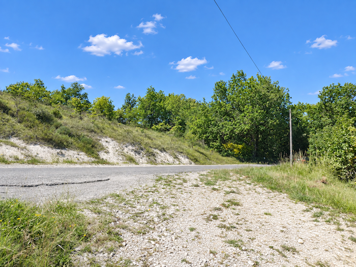
Soon afterwards, the path climbs over a small rise and joins a farm road, although it follows it for only a short distance.
|
 |
 |
Section 2: Through the wheatfields of the Lot
Overview of the route’s challenges: : a route presenting no particular difficulty.
|
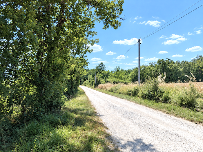
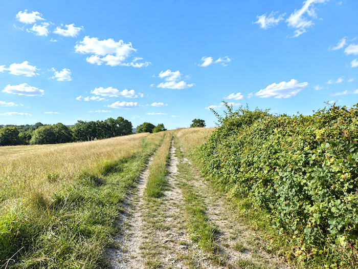
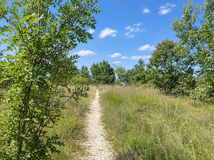
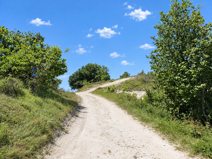
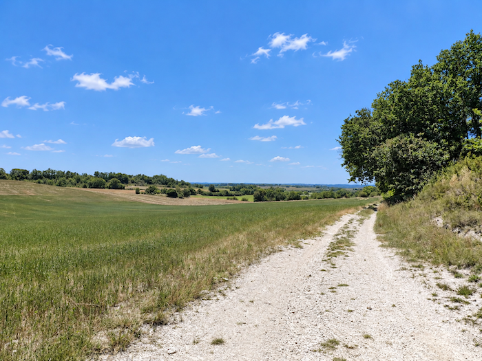
And the game continues along the ridge, on a dirt path that follows every gentle ripple of the land, passing from one rise to the next between hedgerows and fields of grain. Now it climbs a little, now it dips again, as though taking pleasure in following every whim of this softly rolling countryside.
|
 |
 |
|
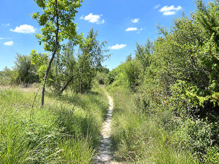
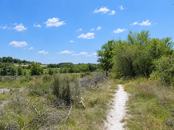
Then the GR65 changes character once again. The beaten earth gives way to a more discreet trail, slipping through the wild grasses before seeking refuge beneath the trees. Here too, the route has been altered. In the past, it crossed the fields a little higher up, following a broad dirt path exposed to the open countryside. Today, a more direct line has been preferred, plunging into the woodland along a narrow trail. Yet the shortcut is hardly spectacular, saving barely two hundred meters over the course of the stage.
|
 |
 |
|
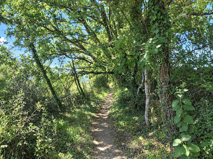
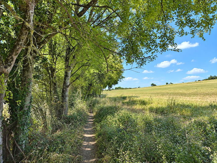
For a moment, it feels almost as though the causse has returned, with its familiar vegetation reclaiming the ground beneath the leafy canopy. Tall oaks dominate the woodland, accompanied by dogwoods, Montpellier maples, hornbeams and chestnut trees. For a brief while, the walker rediscovers something of the landscapes crossed earlier, a final echo of those limestone lands before the scenery changes once more.
|
 |
 |
|
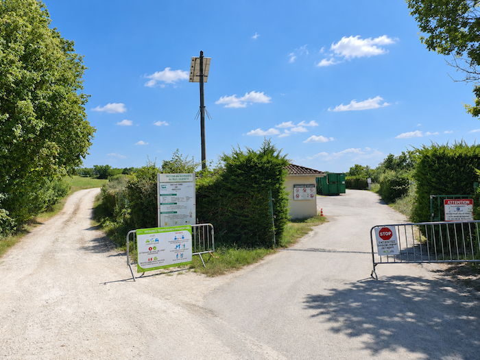
Emerging from beneath the trees, the trail steps back into the light and reaches the D4 departmental road. The change of scenery could hardly be more abrupt. After the intimacy of the trees and the luxuriant tangle of the woodland, you suddenly find yourself beside the Montcuq waste disposal center.
|
 |
 |
|
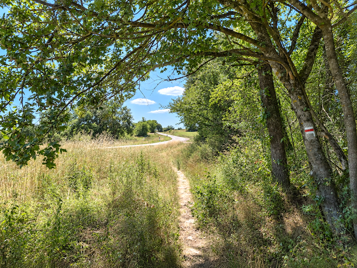
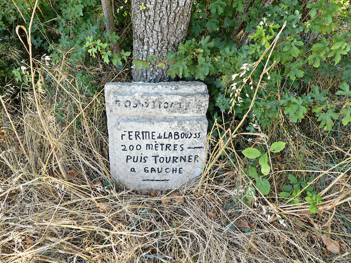
In former days, the path descended from slightly higher ground through an ocean of cereal fields where wheat held sway. The fields stretched as far as the eye could see, unfurling their golden waves across the folds of the countryside, a spectacle at once simple and majestic, the kind that makes you stop for a moment, first with your eyes and almost with your feet. Why was the route moved? Had the farmers grown weary of watching the long procession of pilgrims file through their land, season after season? Perhaps no one will ever know. But in the end, it hardly matters. The crossing through the fields may have been impressive, but farther down it led to the departmental road, which then had to be followed for some distance. So another passage was devised. Admittedly, it sacrifices those sweeping views across the wheatfields, but it is hardly without charms of its own.
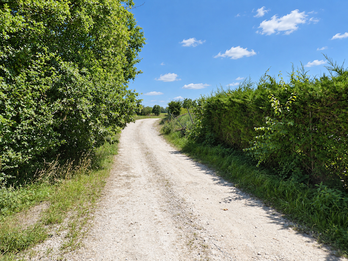
Today, the moment the road is reached, a broad path breaks away from it at a right angle and draws the walker back into the countryside.
|
 |
 |
|
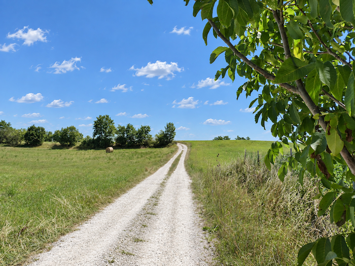
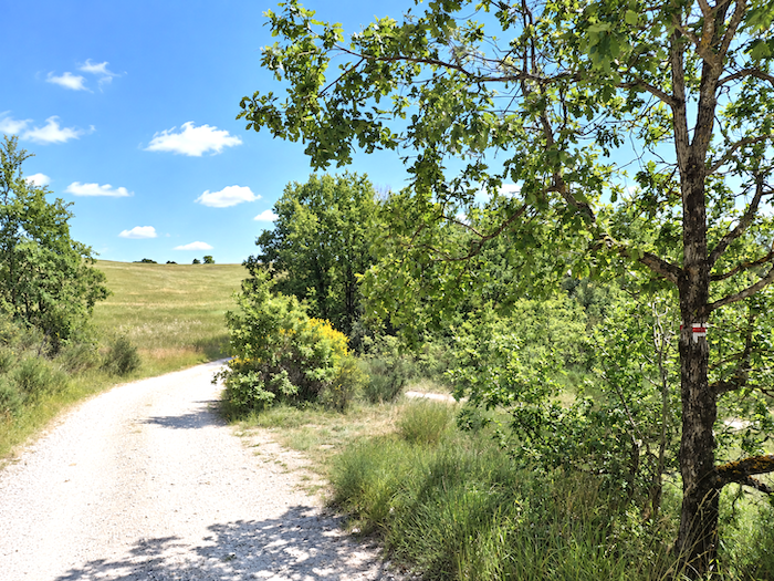
The dirt track now runs level through the meadows, across a landscape that briefly recovers its wide horizons. Nor is the oak the undisputed ruler here. Ash and walnut trees appear here and there, challenging its reign and mingling their silhouettes with the hedgerows lining the path.
|
 |
 |
|
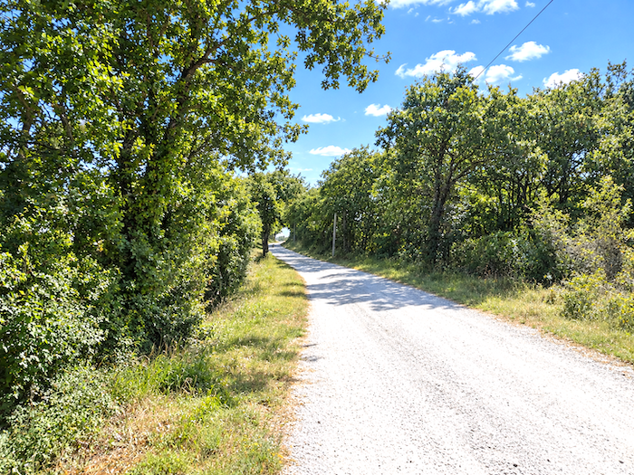
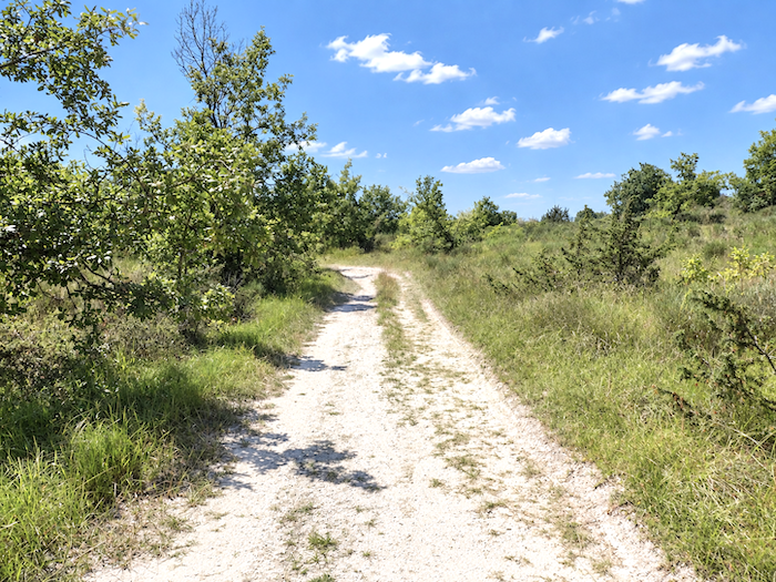
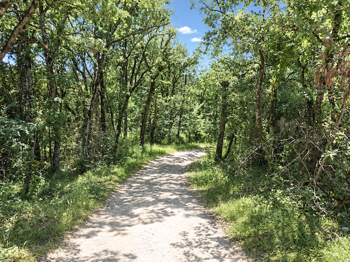
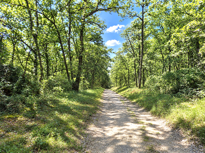
Then, little by little, the open countryside begins to disappear. The path leaves the meadows behind and slips beneath the trees, as though drawn irresistibly into the shadows of the woodland.
|
 |
 |
|
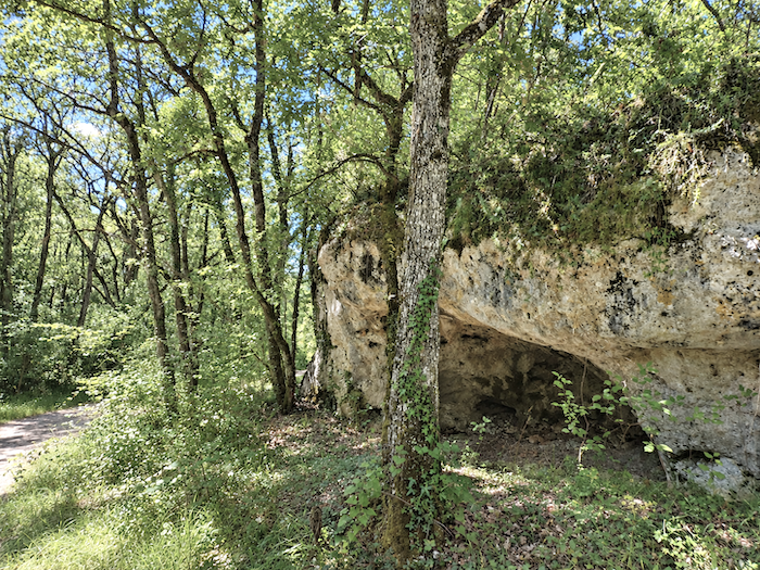
Soon it runs beneath a handsome canopy of deciduous trees, where daylight filters down only sparingly. Beside the way, a massive limestone outcrop suddenly emerges, slowly sculpted by the passing centuries and hollowed until it has taken on the appearance of a natural cave.
|
 |
 |
|
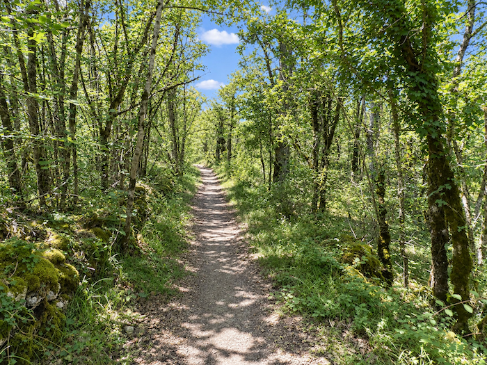
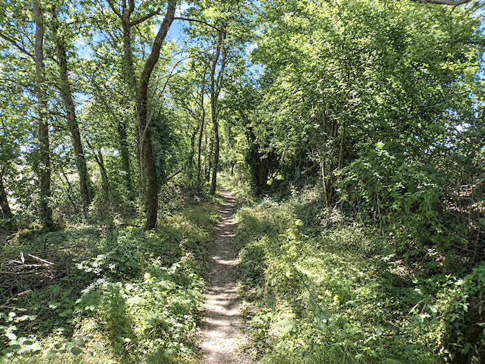
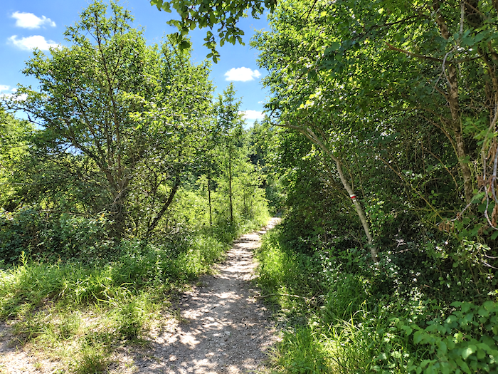
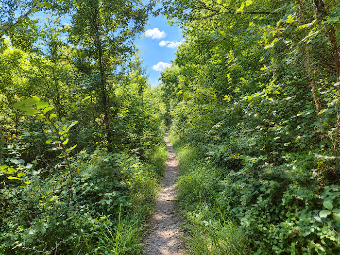
Walking here takes on an entirely different character. Beneath the thick foliage, the broad path gradually narrows until it becomes a simple trail. Oaks, chestnut trees, hornbeams, maples and dogwoods now weave a more secretive world, almost wrapping itself around the walker. The earth beneath your feet grows damper, and somewhere nearby, though still hidden from sight, water cannot be far away.
|
 |
 |
|
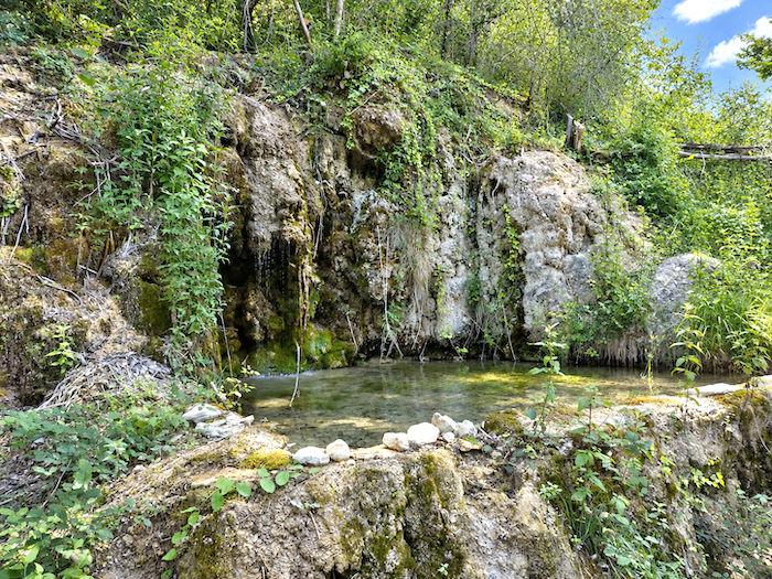
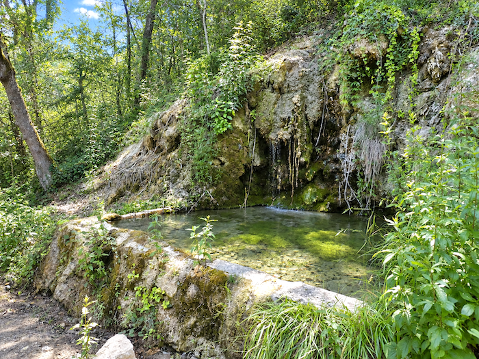
A little farther on, it finally reveals itself. The path comes upon a spring that seems to belong to another age. Water seeps directly from the rock, drop by drop, into the coolness of the woodland. Far from everything, in the heart of countryside that has grown almost wild, the place feels like a tiny oasis of freshness and peace.
|
 |
 |
|
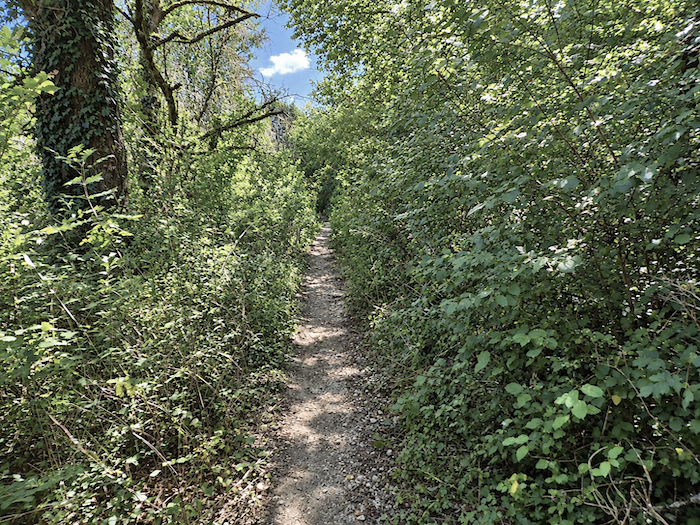
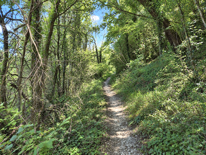
Beyond the spring, the forest tightens its embrace. The trail ventures beneath an ever-denser canopy, into a world where shadow almost succeeds in extinguishing the light. It climbs gently beside a modest limestone escarpment, barely discernible behind the curtain of trees.
|
 |
 |
|
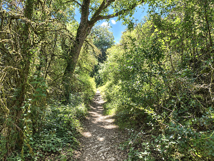
Before long, the gradient begins to sharpen and the woodland grows thicker still. The climb becomes more determined beneath a forest canopy that gives almost no hint of what may be waiting above. Here too, the route has recently been altered, adding yet another variation to the eventful history of the GR65.
|
 |
 |
|
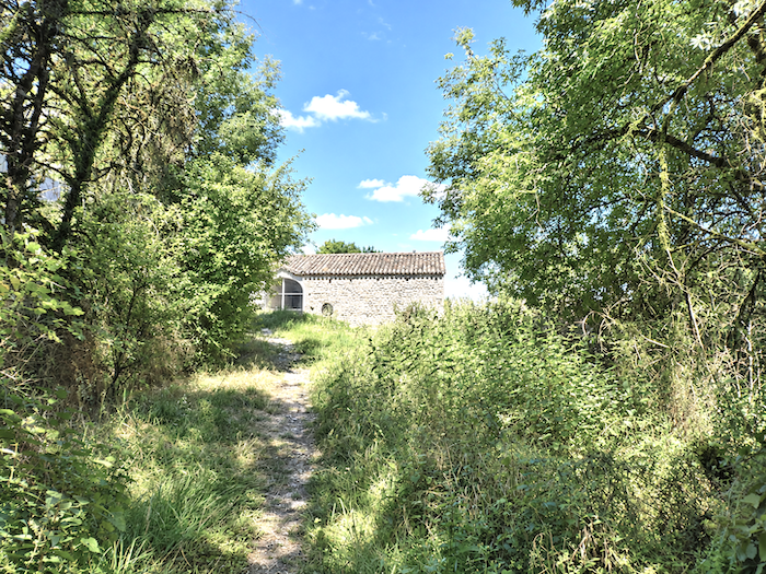
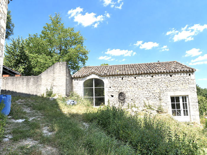
At the top of the climb, the forest finally loosens its grip. Tarmac reappears, and the route passes the sturdy stone houses of Le Bousquet, austere buildings rooted so firmly in the landscape that they might almost have grown there alongside the rocks themselves.
|
 |
 |
|
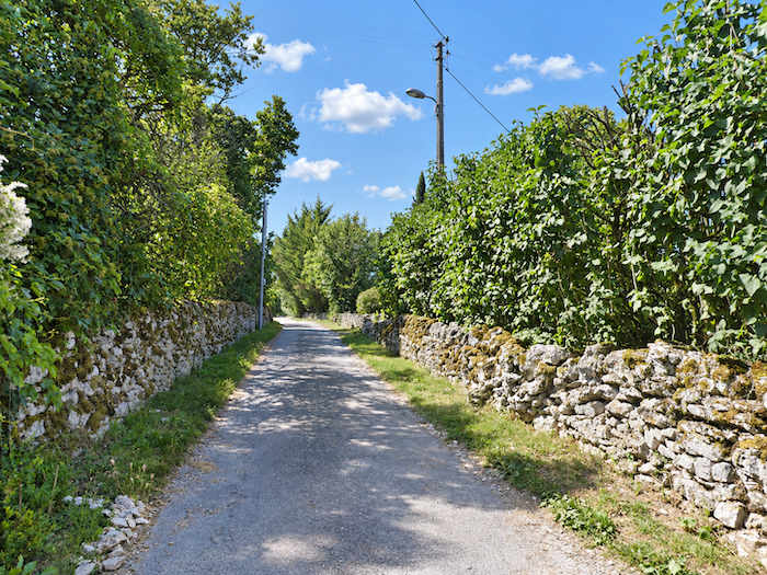
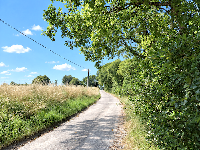
The path then skirts the village, accompanied for a while longer by the walls and stonework that trace its outlines across the landscape. Eventually, the last houses also slip away, and a small road escapes towards the open countryside, spreading space and horizon once more before the walker.
|
 |
 |
Section 3: Over hill and dale around Montcuq
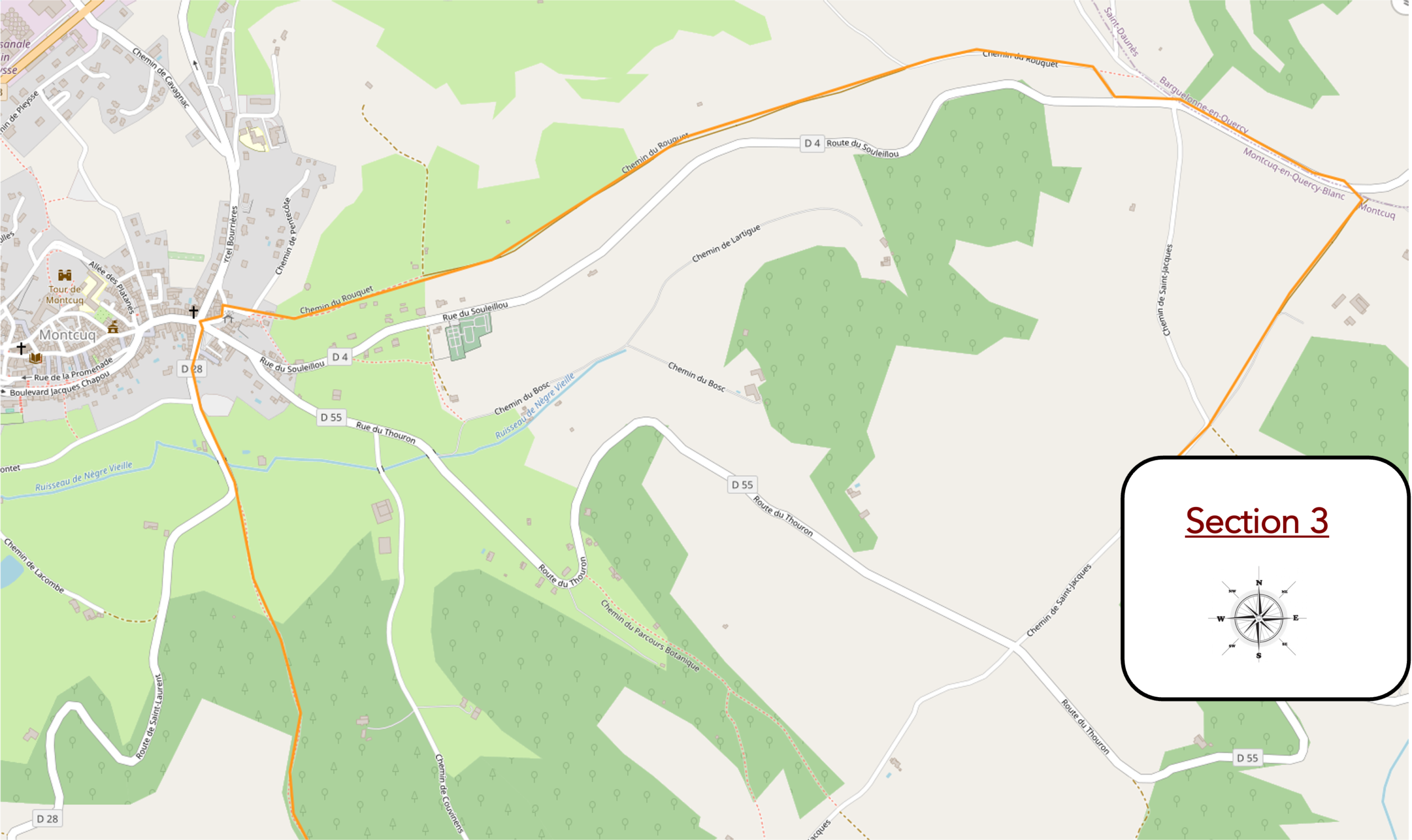
Overview of the route’s challenges: a rolling route, with some steep gradients after leaving Montcuq, often exceeding 15% in the woodland as the path climbs back up the hill.
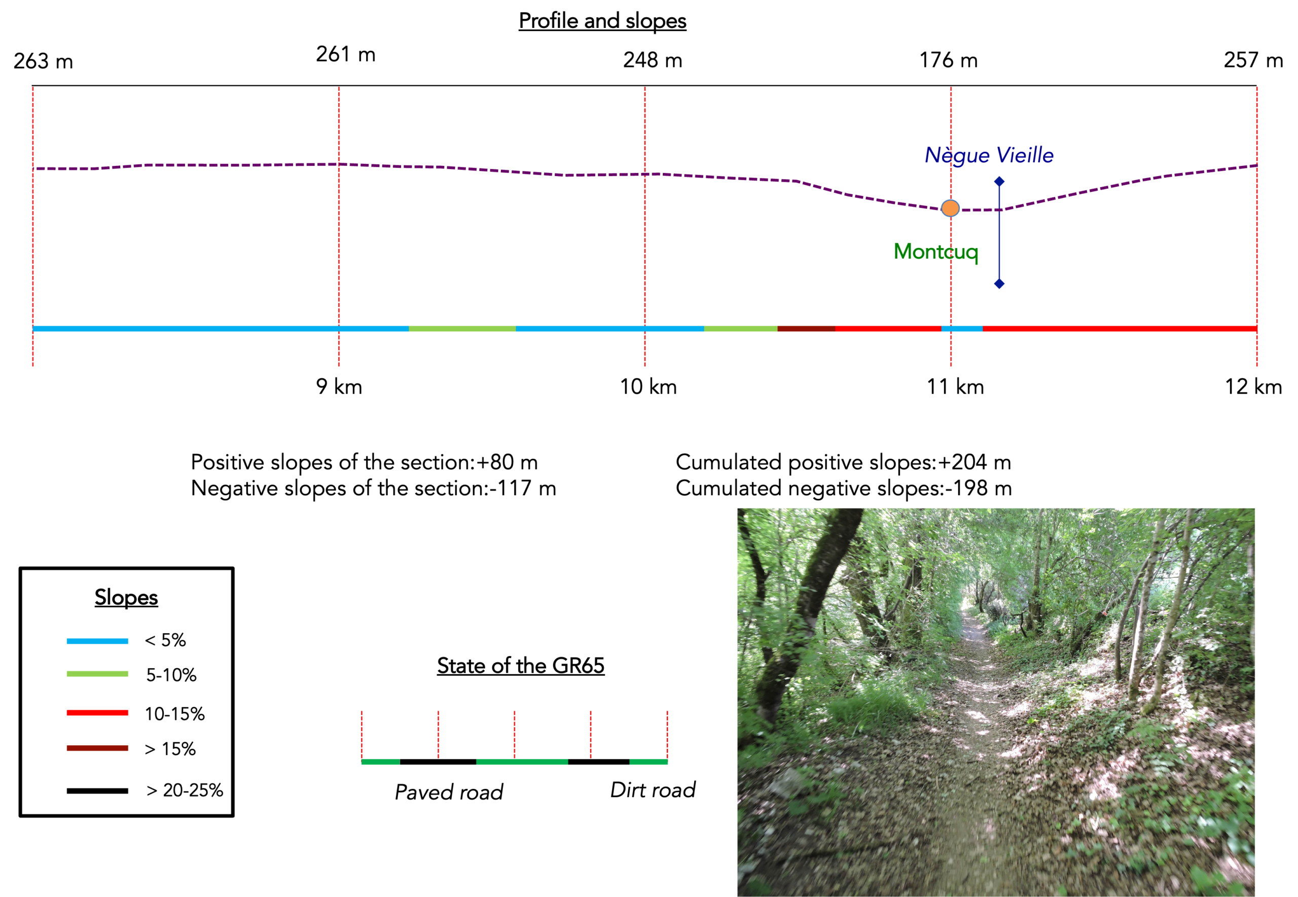
|
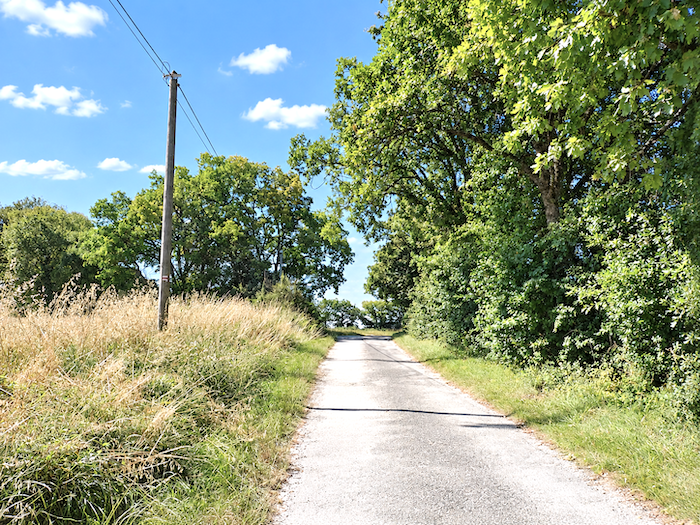
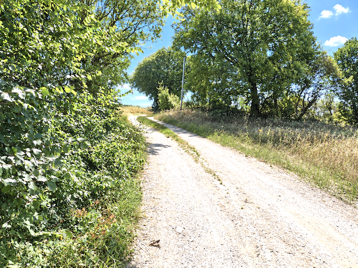
From here, the GR65 sets about rejoining its former route. Almost immediately, the tarmac vanishes beneath your feet and beaten earth reclaims the way.
|
 |
 |
|
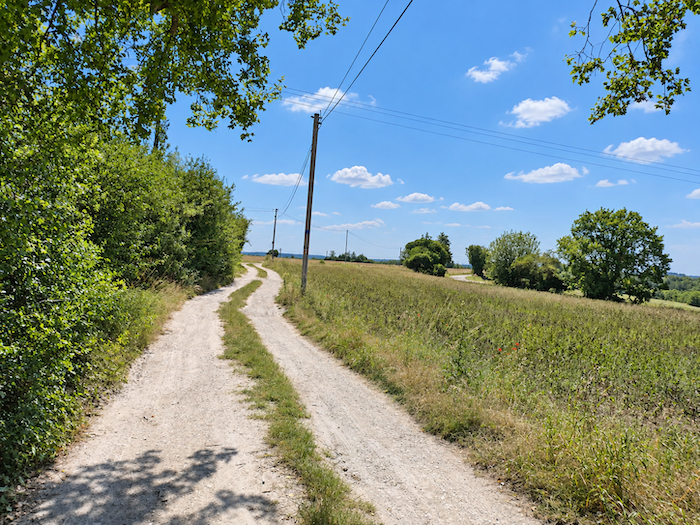
Yet as the departmental road draws near, the tarmac is already back. The little road skirts a vast expanse of countryside, flat as the palm of a hand, with a handful of farms scattered among the fields. The causses now lie far behind you. The landscape has grown gentler and the relief has faded away, leaving you to walk through the last stretches of countryside in the Lot.
|
 |
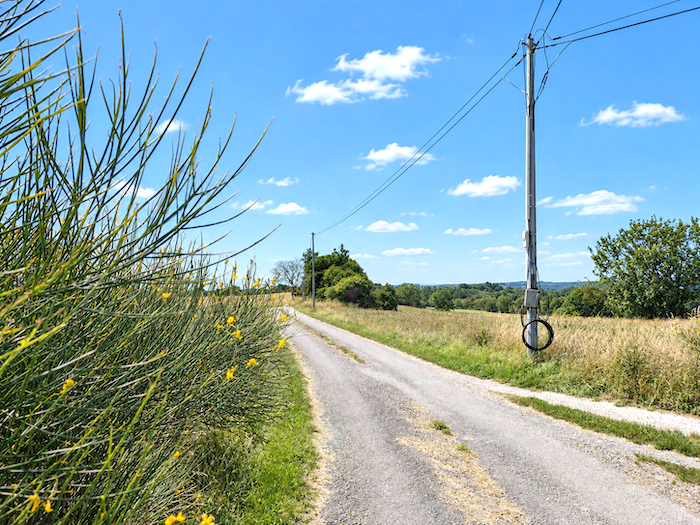 |
The GR65 then rejoins its former route along the D4 departmental road, just under two kilometers from Montcuq.
|
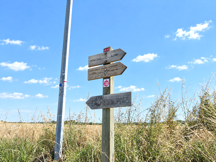
Nowadays, those responsible for the route are increasingly trying to provide a strip reserved for walkers alongside departmental roads. This is certainly welcome from a safety point of view, although, truth be told, traffic here can hardly be described as exuberant, for very few cars disturb the peace of the countryside.
|
 |
 |
|
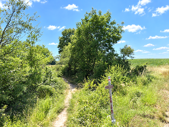
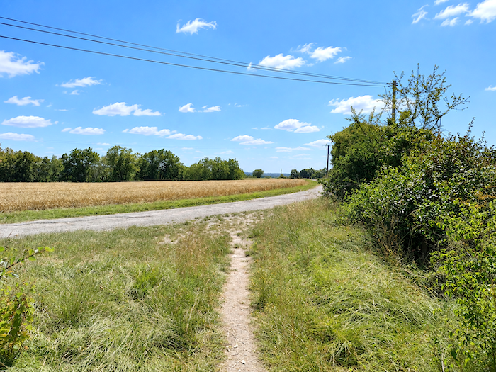
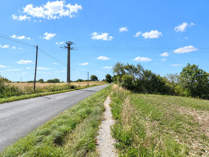
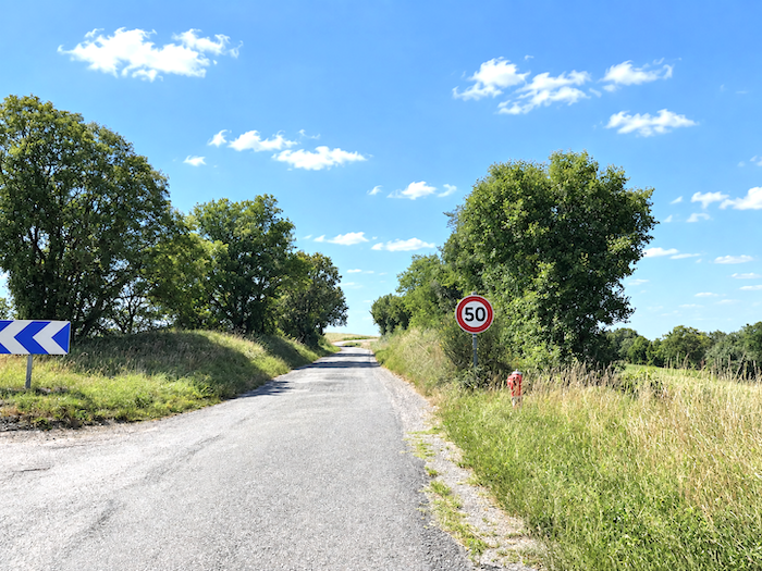
The GR65 keeps company with the departmental road for a while before slipping away in favor of a more modest road, the « Chemin du Rouquet ».
|
 |
 |
|
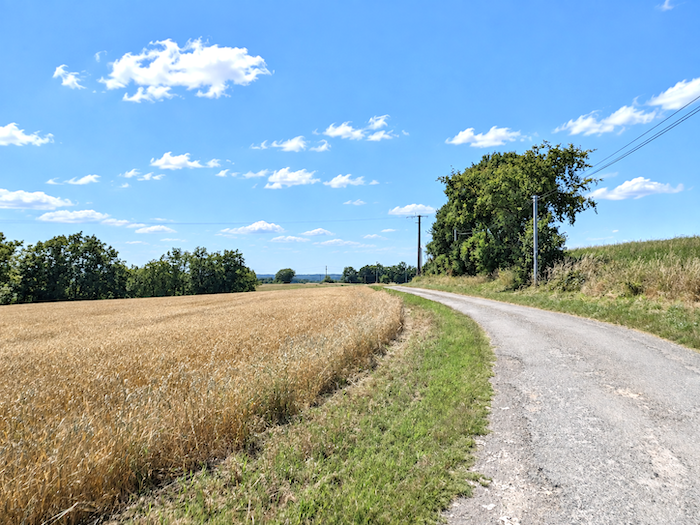
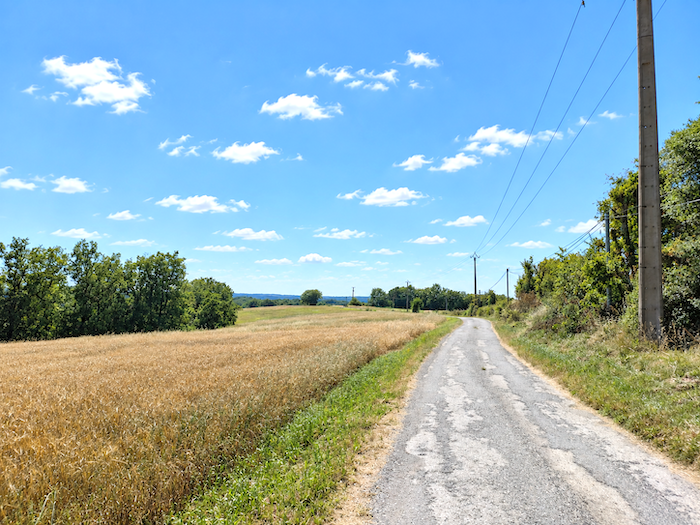
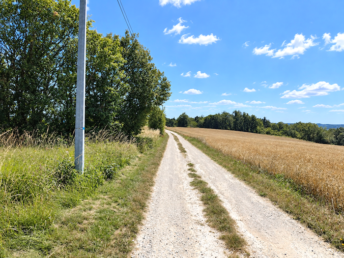
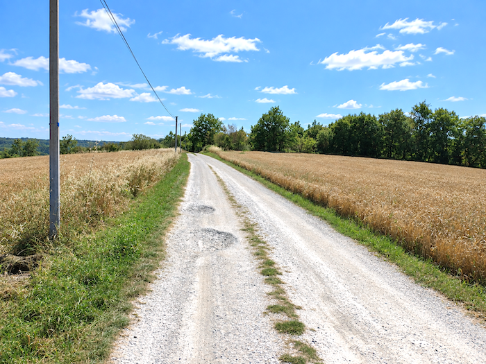
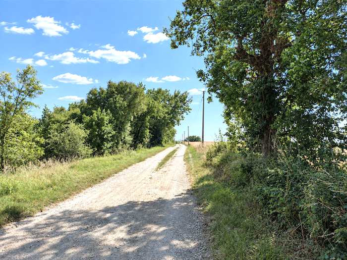
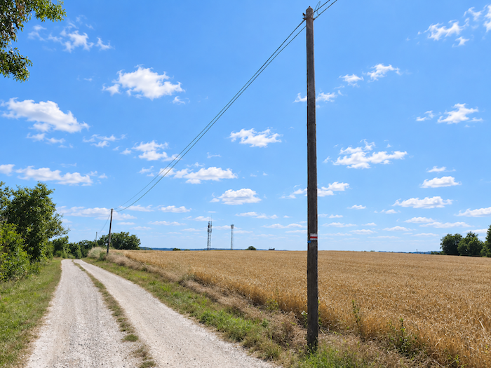
Then begin two kilometers tinged with melancholy. There is nothing spectacular here, no sudden twist in the landscape, scarcely a surprise to distract the walker. All that remains is to place one foot in front of the other and let the mind wander where it will. Every now and then, a tree may deserve a passing glance, while elsewhere the fields occupy the horizon, some crops still standing, others already harvested. Walking is reduced almost to its purest expression: simply moving forward.
|
 |
 |
|
And yet something must surely fill what, to the passing pilgrim, might seem like a great empty space. Empty, really? Certainly not to those who live and work here. Behind this apparent monotony lies the everyday world of the farmers, a landscape of meadows and crops governed by the slow, immutable calendar of agricultural work.
|
 |
 |
|
In this part of the country, the land is divided between pasture and cultivated fields. By this time of year, most of the great harvests are already over, and only a few later cereals are still waiting their turn. Yet to the untrained eye, identifying exactly what is growing in each field soon becomes a rather uncertain guessing game. Even wheat now comes in a multitude of varieties, some suitable for breadmaking and others not, some tall and others shorter, with certain varieties chosen as much for the straw they produce as for the grain itself. Among all these cereals, oats are often one of the last to meet the combine harvester.
|
 |
 |
|
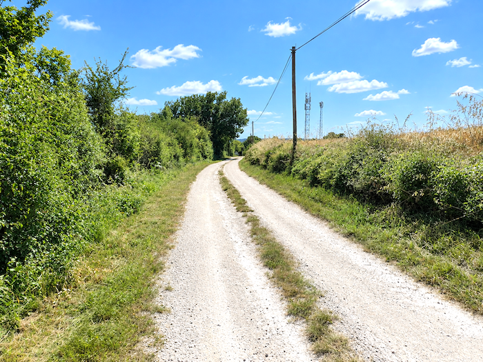
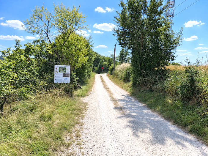
At last, comes deliverance for those whom these long straight stretches may have surrendered to boredom. At the end of this little rural penance, the land finally begins to tilt and the path starts its descent towards Montcuq. After so much horizontal countryside, the slightest gradient suddenly feels almost like an event.
|
 |
 |
|
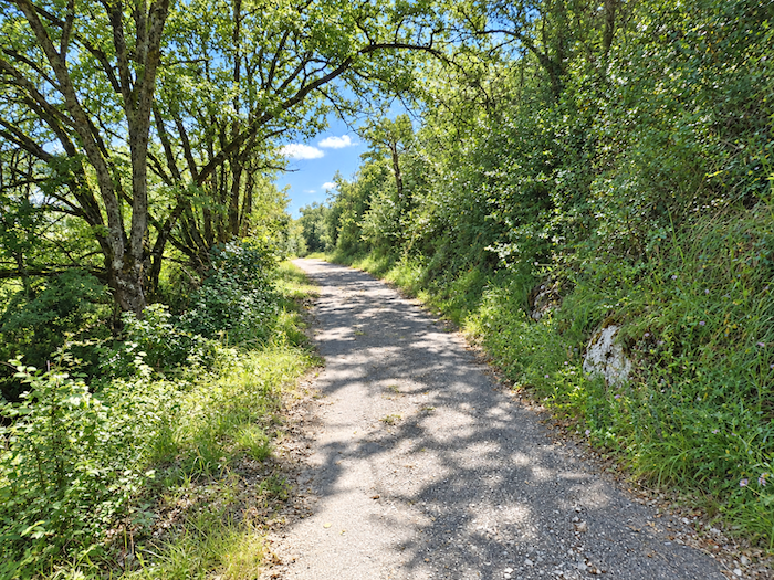
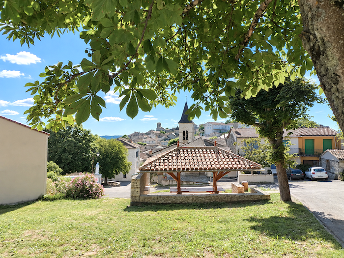
With scarcely any warning, Montcuq soon comes into view. The path emerges above the little town beside a modest covered market hall. Ahead, the old town clings to the slopes, its houses climbing steadily towards the summit of the hill.
|
 |
 |
|
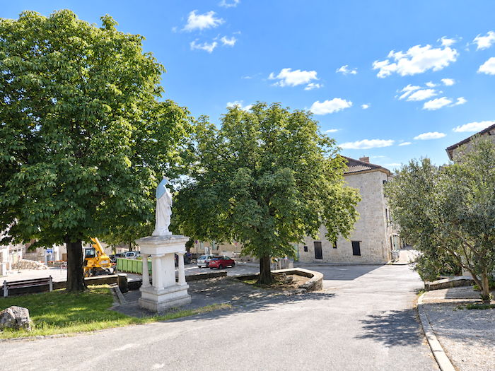
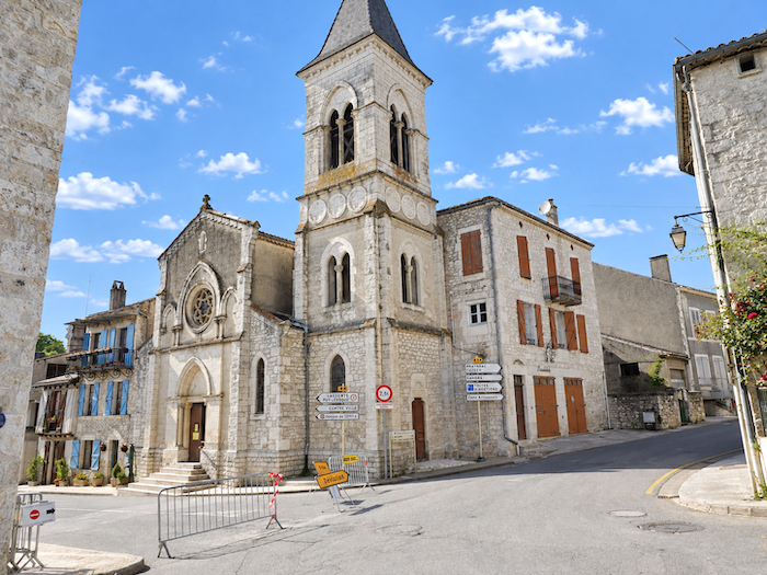
At the foot of the descent, beneath the watchful gaze of the Virgin overlooking the town, stands the austere Church of Saint-Privat, a seventeenth-century building whose sober silhouette marks the entrance to Montcuq.
|
 |
 |
|
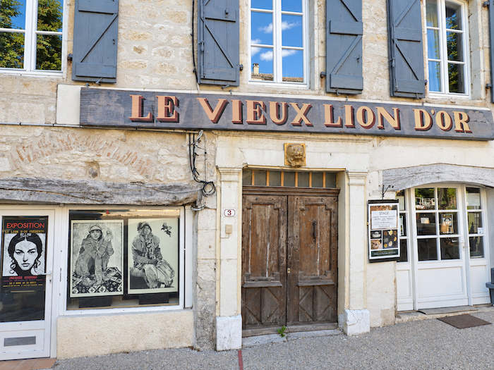
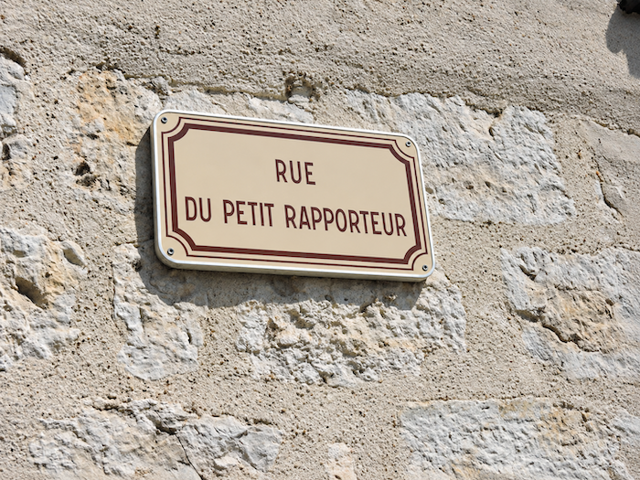
The GR65 itself does not venture into the old town. Yet it would be a pity simply to walk on, for this little town of fewer than 2,000 inhabitants is well worth the detour. Montcuq also owes an unexpected share of its fame throughout the French-speaking world to a celebrated television sketch broadcast in 1976 on Le Petit Rapporteur, Jacques Martin’s satirical television programme. In it, Daniel Prévost mischievously played with the suggestive sound of the name Montcuq in French, and the first street climbing towards the old quarter is now called Rue du Petit Rapporteur.
|
 |
 |
|
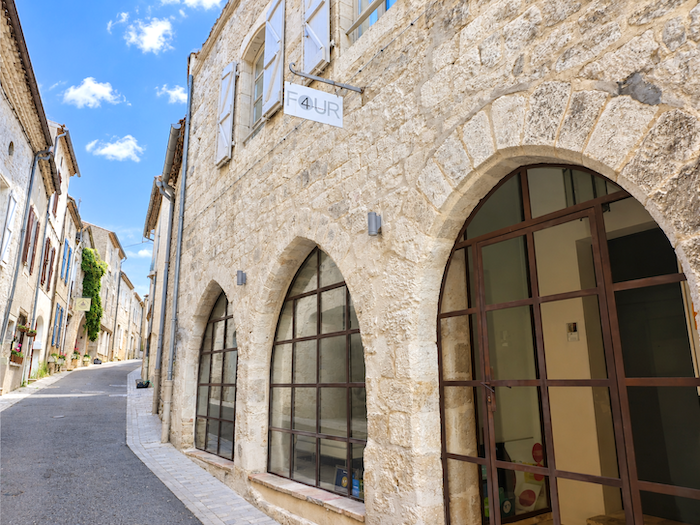
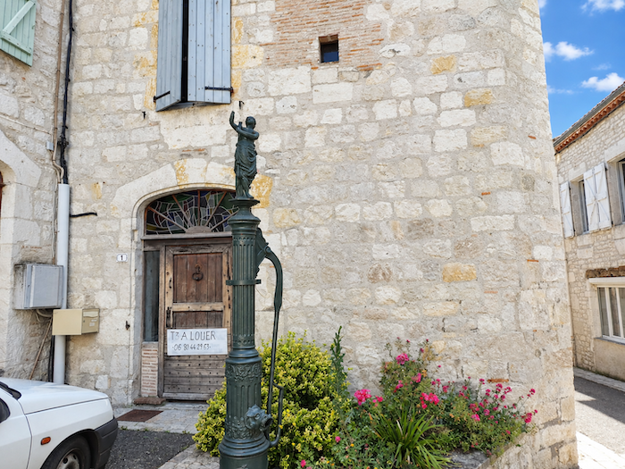
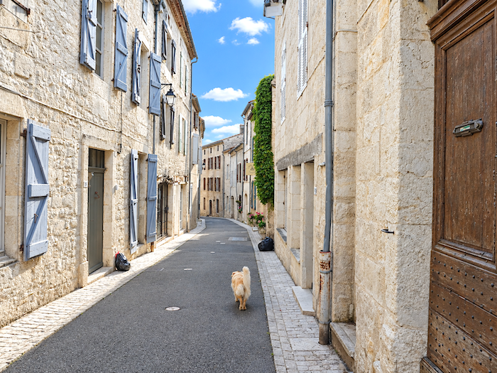
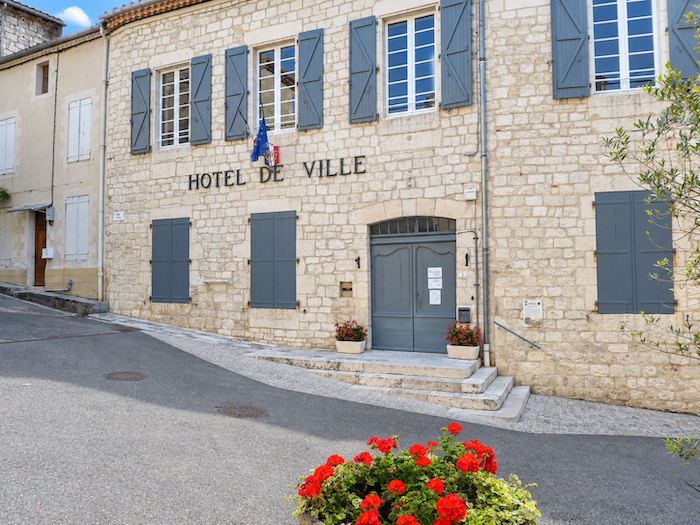
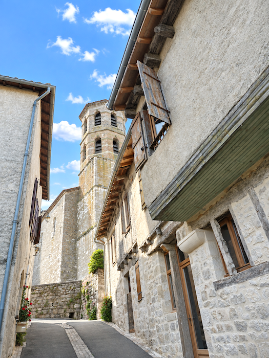
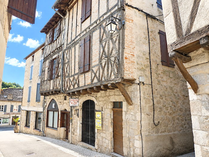
From the very first houses, the narrow lanes take on a distinctly medieval air. They climb determinedly up the hillside, threading their way between old façades and stone walls, gradually drawing the visitor towards the church and the remains of the castle that dominate the town.
|
 |
 |
|
 |
 |
|
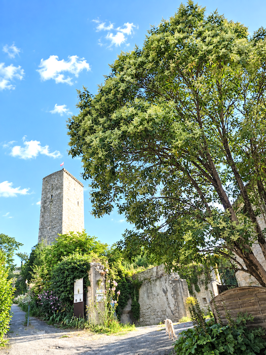
At the very top of the hill stands the Church of Saint-Hilaire, easily recognized by its octagonal bell tower. Its origins reach back to the twelfth century, although the building has endured a turbulent history. During the Wars of Religion in the sixteenth century, Protestants set fire to the church, sparing only the chevet, choir and apses. It was rebuilt and enlarged over the centuries, while the present bell tower and porch were added only in the nineteenth century. A few steps away, perched on its rocky dome, the keep of La Roque still stands guard. Rising twenty-four meters into the air, this mighty mass of stone is all that remains of the former fortified castle. Solitary above the rooftops, it is a reminder that long before its name became the subject of one of French television’s most famous jokes, Montcuq was first and foremost a stronghold firmly planted upon its hill.
|
 |
 |
|
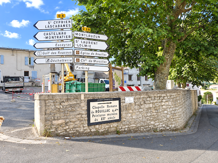
After this interlude among the heights of the old town, it is time to pick up the thread of the path once again. The GR65 leaves Montcuq behind and descends towards the foot of the village, now heading in the direction of Rouillac.
|
 |
 |
|
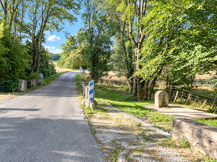
At the bottom of the descent, the GR65 crosses the modest “Nègue Vieille” stream, little more than a ribbon of water, yet almost enough in itself to mark a change of scenery.
|
 |
 |
|
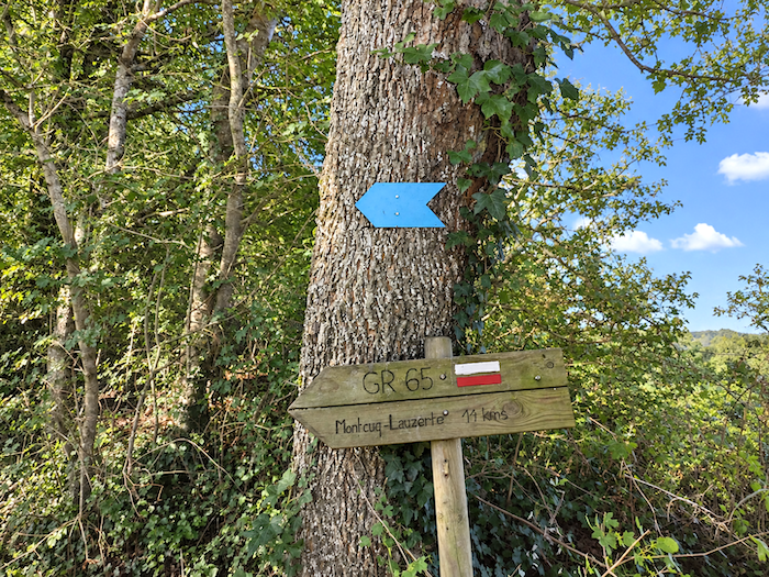
Here, the long and sometimes monotonous succession of cereal fields finally comes to an end. Suddenly, the landscape recovers a sense of mystery. Meadows nestle against the woodland, trees gradually draw the horizon closer, and shadow once again begins to challenge the light. After so many wide-open spaces, the walker returns to a more secretive countryside.
|
 |
 |
|
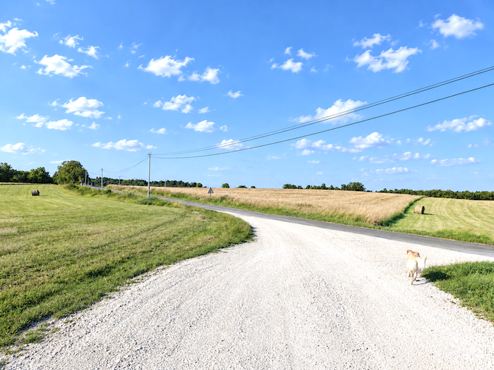
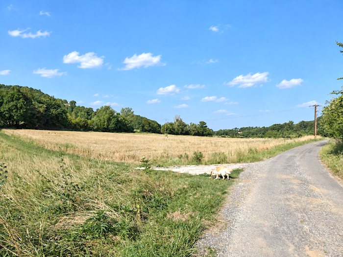
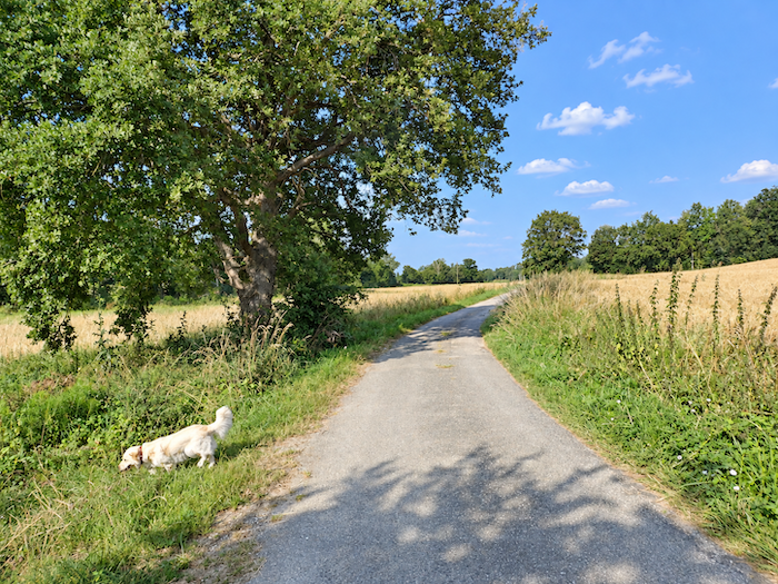
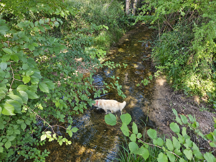
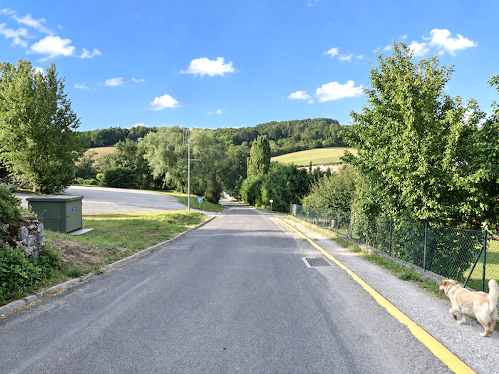
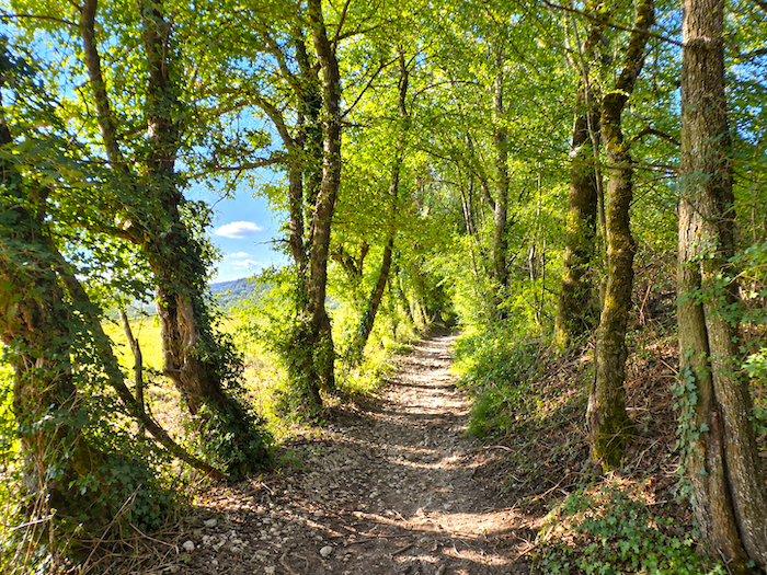
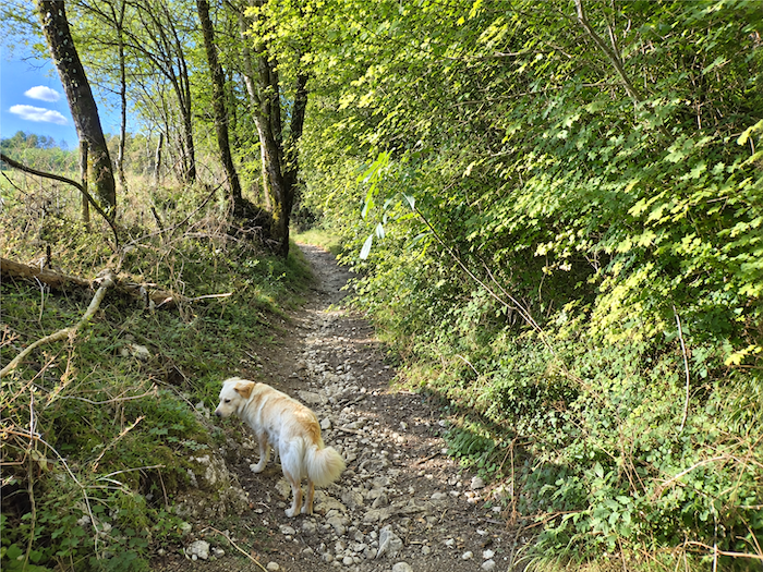
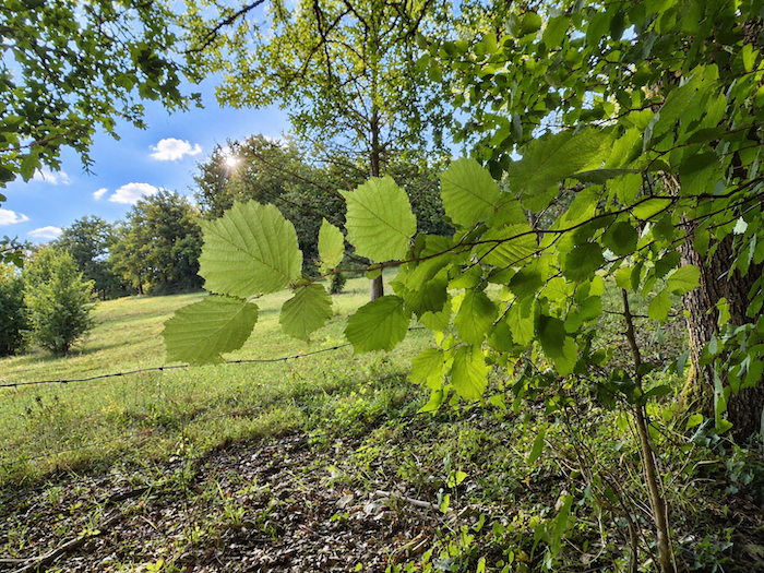
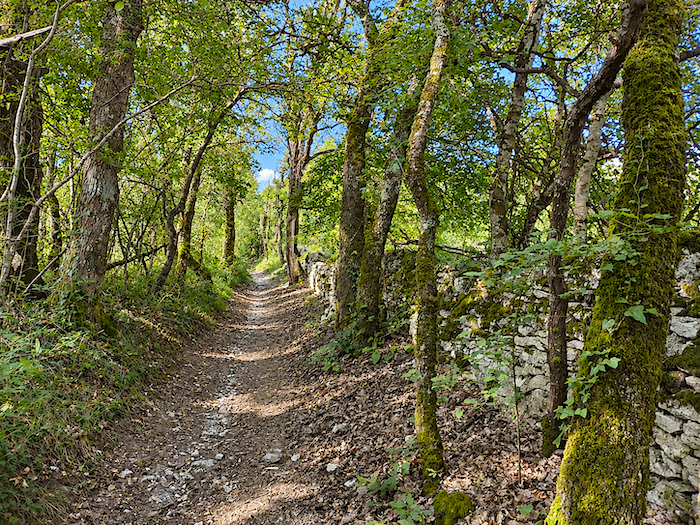
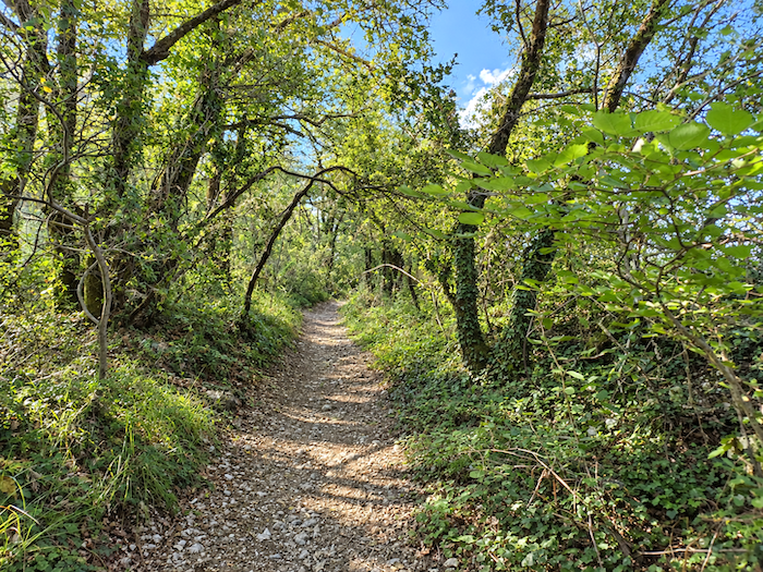
Very soon, a small stony path launches itself boldly up the hillside. The climb threads its way between maples, stunted oaks, spindly chestnut trees and hornbeam thickets, creating woodland that may lack grandeur but certainly not character. It is here that an unexpected companion joins the expedition. A Golden Retriever we met in Montcuq has quite simply taken us under his wing and seems firmly determined to accompany us for part of the way. Perhaps pilgrimage runs in the breed, for these dogs have a well-known taste for wandering and are only too happy to fall into step with passing walkers.
|
 |
 |
|
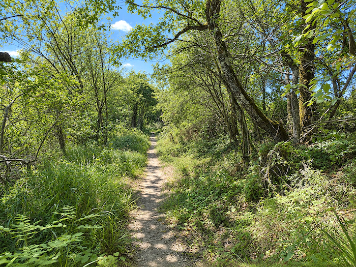
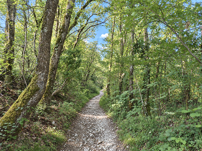
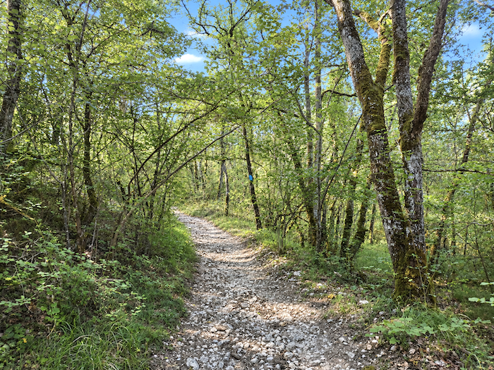
The trail, now narrow, becomes a genuine delight for the more athletic pilgrim, and perhaps rather less so for retirees whose legs are already beginning to feel the kilometers. Loose stones add their own little contribution to the proceedings, while the gradient frequently exceeds 10% for almost half a kilometer. A useful reminder that even far from the great mountain ranges, the path still knows how to show its teeth.
|
 |
 |
|
Here and there, low stone walls emerge beneath thick coats of moss, as though forgotten among the trees for generations. Damp earth, deep shade, ancient stones and the silence of the woodland, all that is missing are a few mushrooms to complete the picture. Almost paradise, really! Provided, of course, that you can forget for a moment the unforgiving slope still tugging relentlessly at your calves.
|
 |
 |
Section 4: Towards the beautiful church of Rouillac
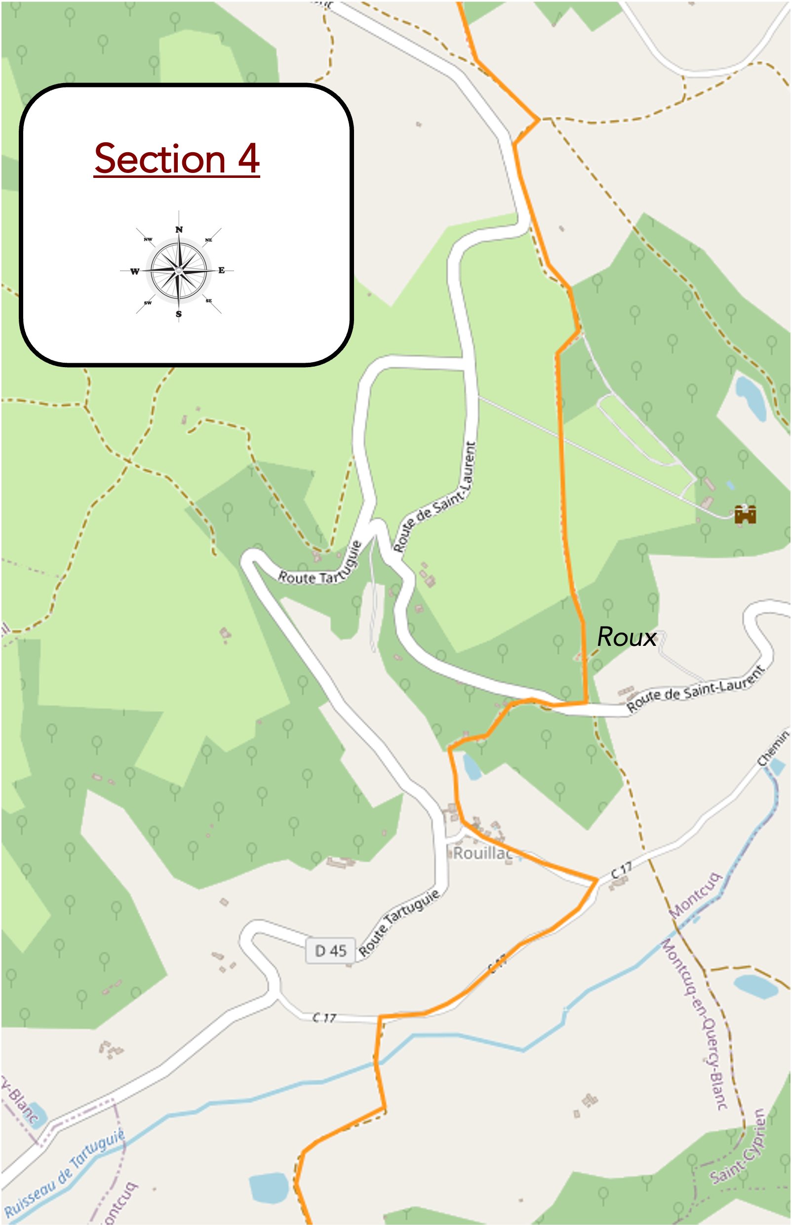
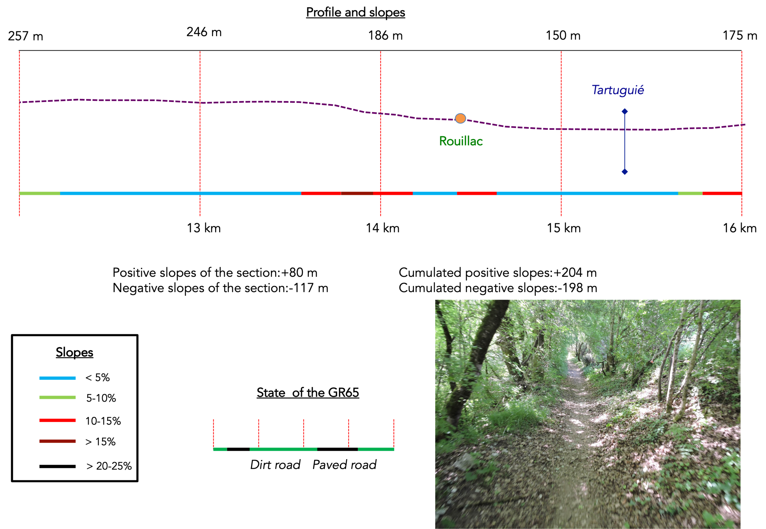
Overview of the route’s challenges: a route presenting no particular difficulty, apart from a fairly demanding climb towards Bonal.
|
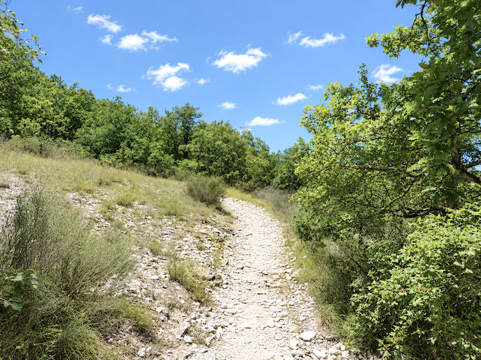
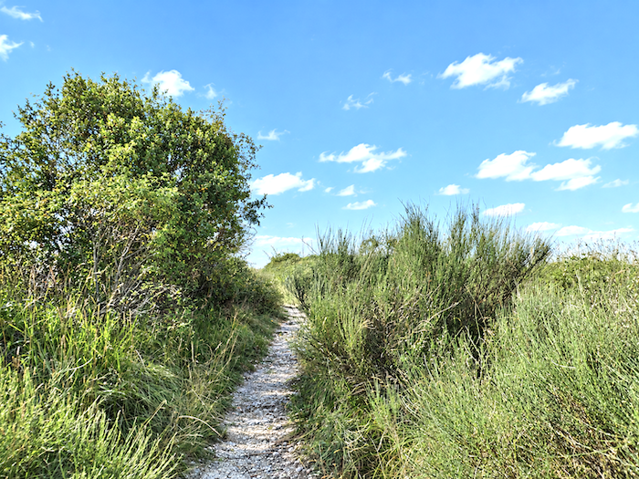
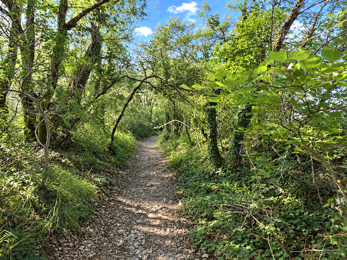
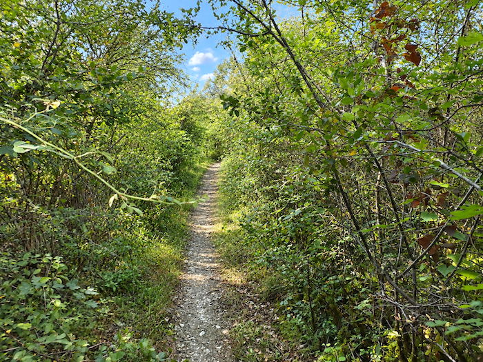
At the top of the climb, the landscape changes character once again. The tall woodland falls away and the vegetation becomes lower, almost hugging the ground. Bushes, grasses, dogwoods and broom now share the terrain, clinging to the last slopes of the hill.
|
 |
 |
|
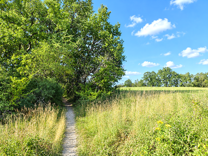
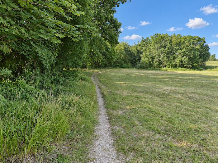
At last, the relief begins to soften. Once on the heights, the GR65 abandons its climbing ambitions and reaches a small plateau where meadows once again spread across the landscape.
|
 |
 |
|
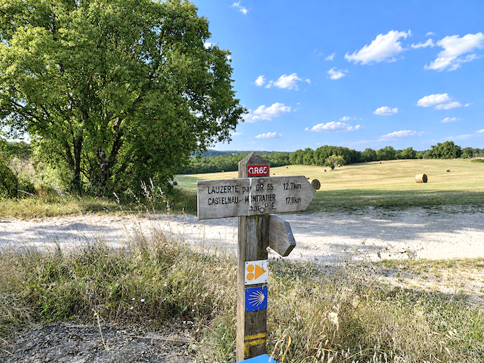
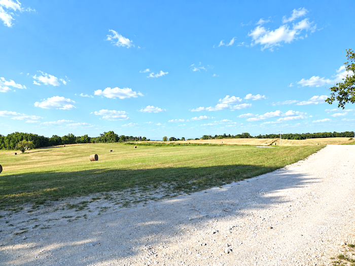
Lauzerte still lies more than thirteen kilometers away. For now, the GR65 runs level through the meadows along a small paved road. So often, this is how things seem to work on the Way of St James: the woodland and hillsides belong to the pilgrim, while the plateaus remain the kingdom of the farmers.
|
 |
 |
|
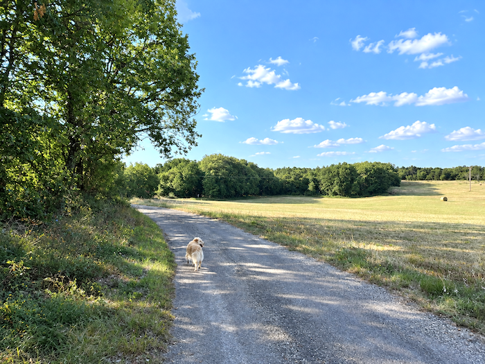
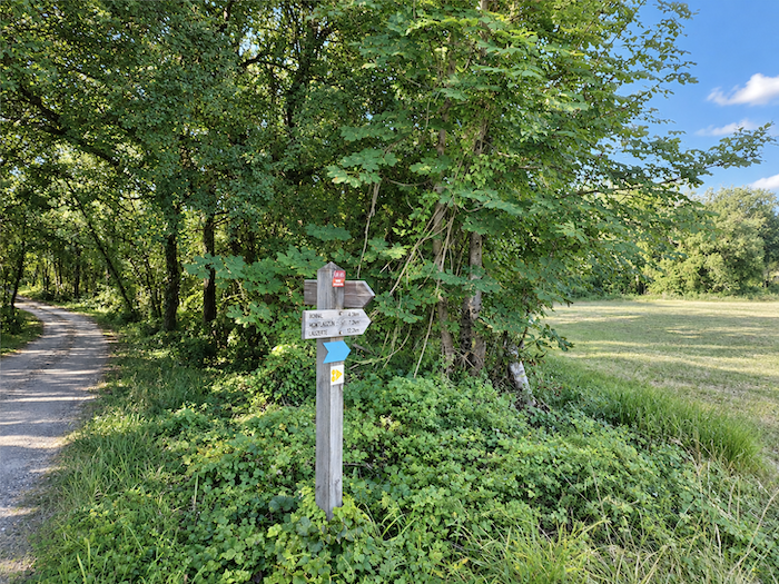
At the junction leading towards the hamlet of Charry, the GR65 parts company with the road. A trail slips away from it and soon leads the walker back towards the shade of the trees.
|
 |
 |
|
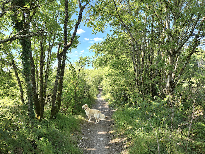
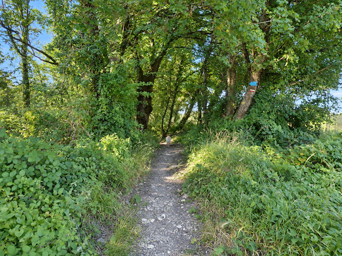
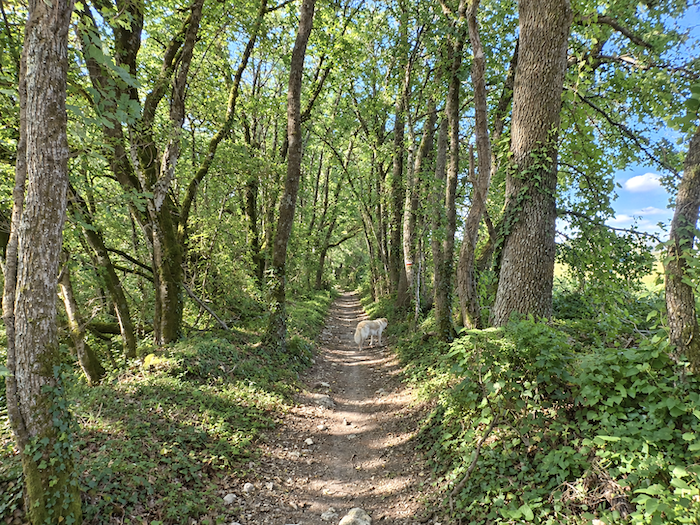
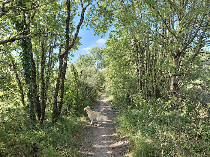
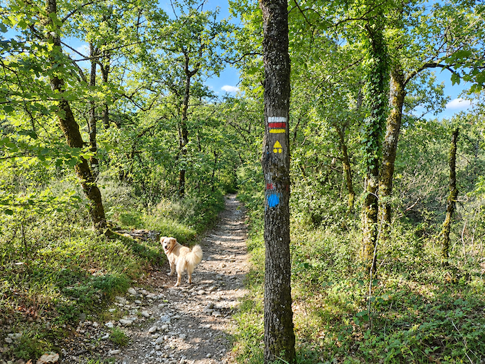
As for our four-legged companion, there can be little doubt about it: he knows the Camino de Santiago. Always out in front, our Golden seems to have a far better idea than we do of where his paws should carry him. The trail begins to weave between the meadows, brushes the edge of the woodland, then gradually allows itself to be swallowed by a denser forest.
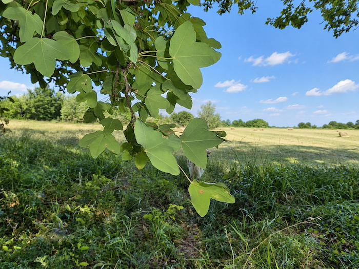
We have already encountered the Montpellier maple many times along the way, and here stands a particularly fine specimen. Unlike the larger maples, such as the sycamore, its leaf does not display the deeply cut outline so readily associated with the maple leaf on the Canadian flag. Undemanding, hardy and perfectly at home on dry limestone soils, it finds in the causses a land made to measure. Little wonder, then, that it so often keeps the pilgrim company along the way.
|
 |
 |
|
 |
 |
|
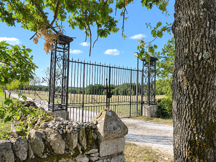
From time to time, the path draws closer to isolated farms and briefly returns to the world of human habitation. At the edge of the woods, a large property appears behind an imposing wrought-iron gate. Horses graze there peacefully, and our companion seems to have spotted them long before we have.
|
 |
 |
|
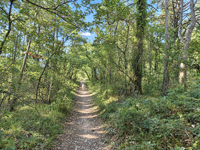
Indeed, he frequently turns around to make sure we are still following. His expression almost seems to speak for him: “Have you really nothing better to do than keep stopping to photograph things of no great interest?” he must be wondering as he catches sight of us lagging behind yet again.
|
 |
 |
|
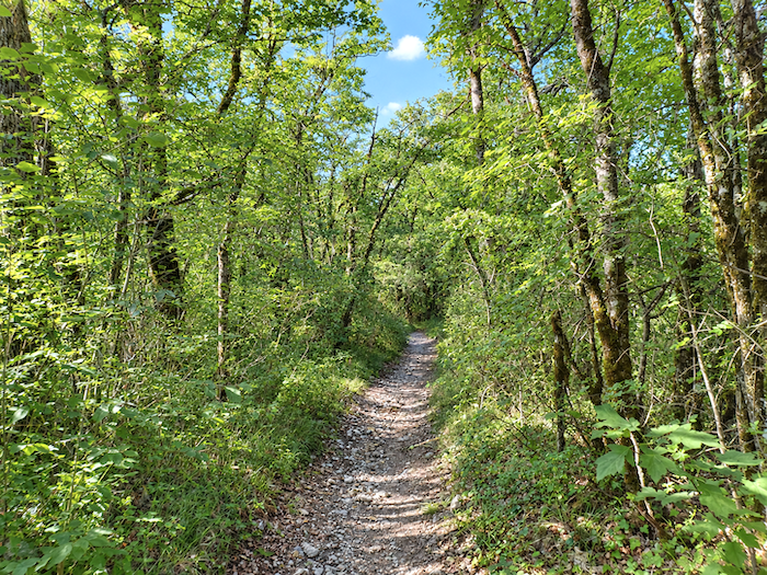
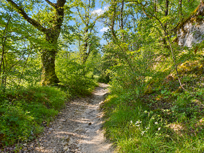
A little farther on, the path takes it upon itself to remind us that the walk is not always quite so bucolic. The trail suddenly plunges down a slope approaching 20%, strewn with unstable stones that are all too willing to roll beneath your feet.
|
 |
 |
|
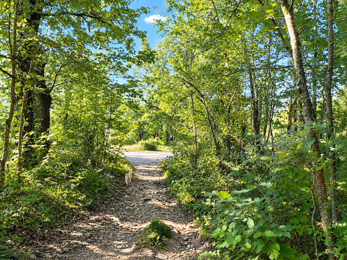
Fortunately, the episode is short-lived. The trail soon emerges onto the road at the locality known as Roux. A decidedly unwelcoming dog stands guard and makes his presence loudly known. This fellow, quite clearly, has very little in common with our placid travelling companion.
|
 |
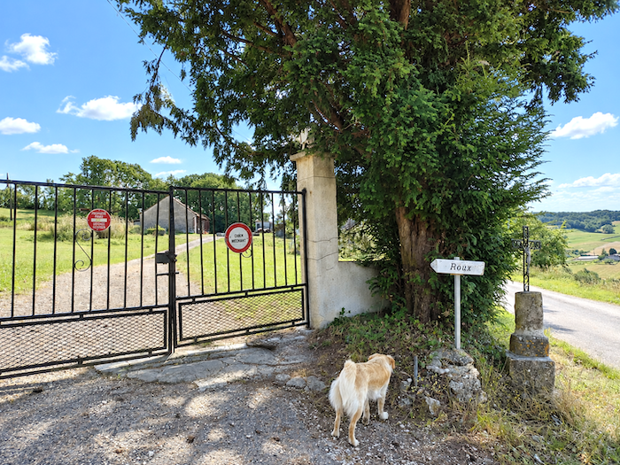 |
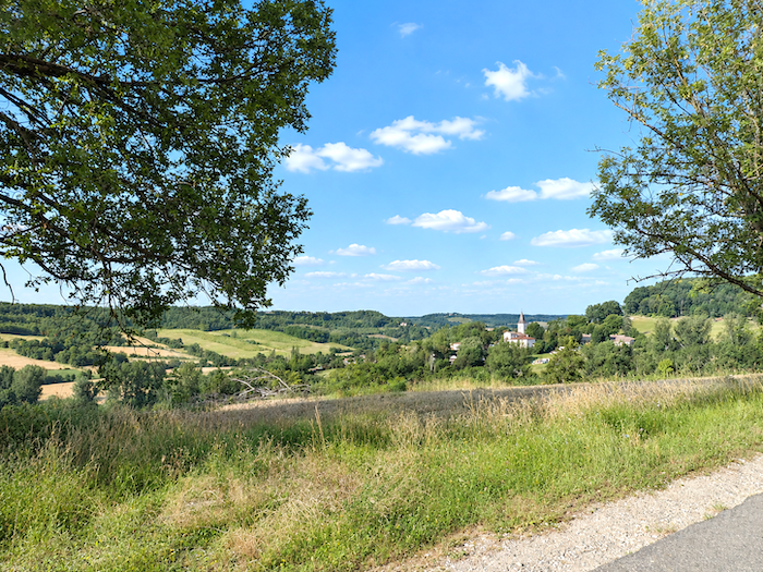
From here, Rouillac can already be seen on the other side of the road. The hamlet appears tantalizingly close, although the GR65 still has a few twists and turns in store before finally taking you there.
|
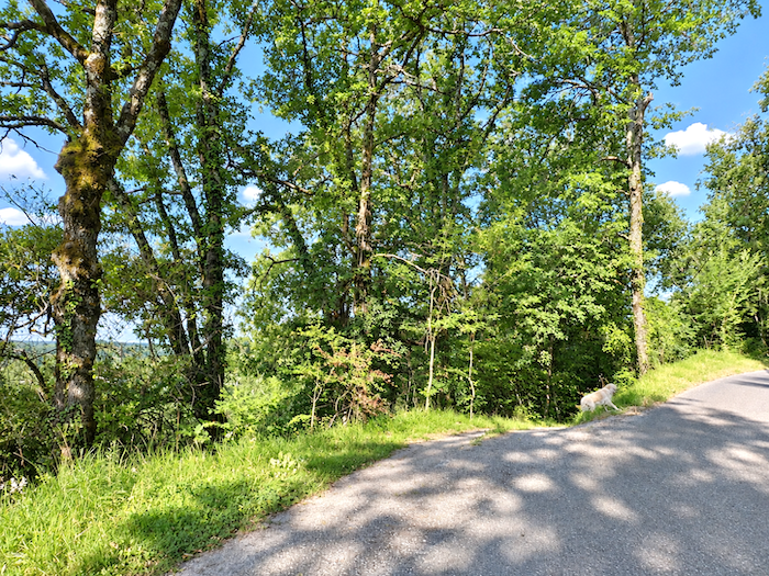
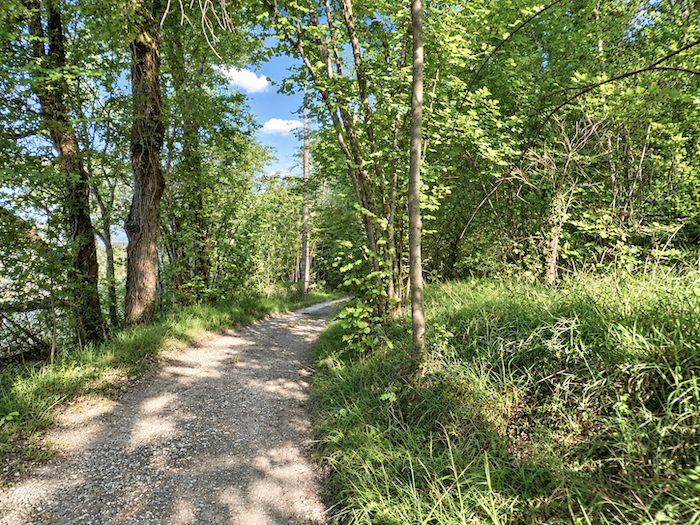
After briefly following the road uphill, the GR65 quickly abandons it and plunges into woodland that could scarcely be more idyllic. Once again, the scenery changes. Gone are the often modest, twisted trees of the causses. Here, cooler soil nourishes tall sycamore maples and hornbeams whose majestic branches spread high above the path.
|
 |
 |
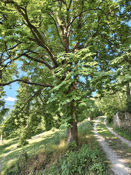
One of these hornbeams deserves a pause all to itself. A tree of such size and majesty is no common sight along the Way of St James. Hornbeam is far more often encountered here in the humbler form of hedges and thickets, tucked among the woodland and field boundaries.
|
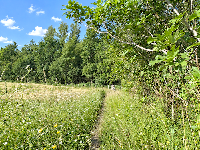
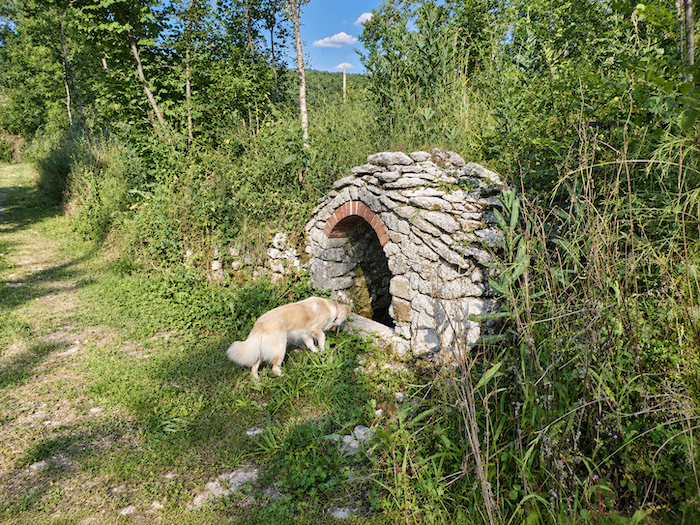
A little farther down lies a true jewel of a pond, nestled in its setting of greenery. Between the water, the ancient stones, the great trees and the dampness that seems to seep from every corner of the landscape, this secluded little place possesses a singular grace.
|
 |
 |
|
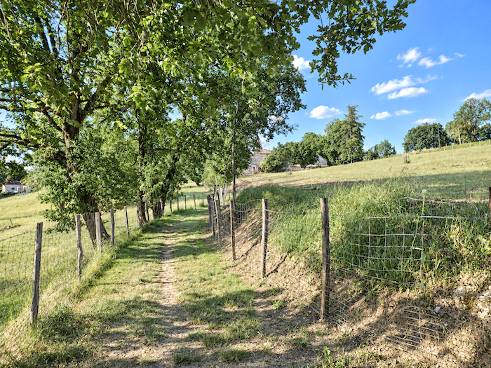
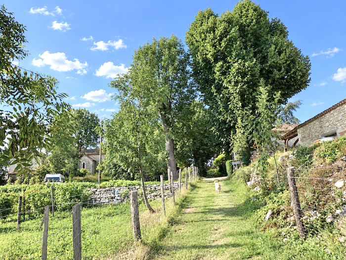
After this interlude of coolness and shade, the path gently begins to climb again, making its way back up towards the hamlet of Rouillac.
|
 |
 |
|
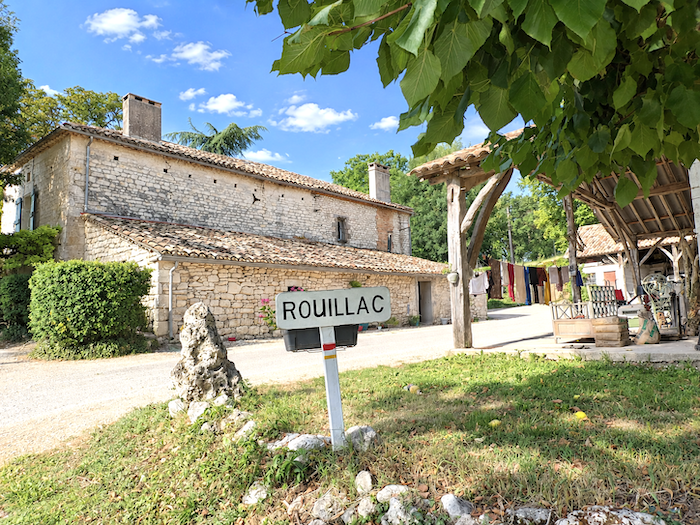
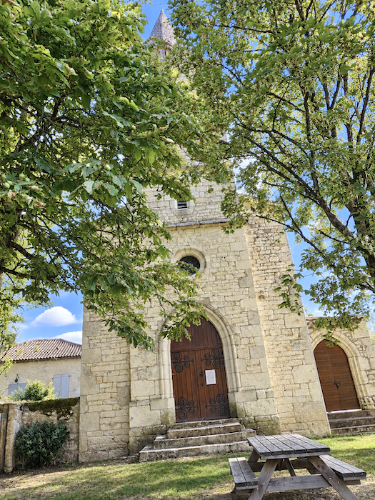
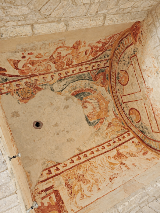
Arrival brings another surprise. Rouillac is certainly a welcome stopping place for its water point, but above all for the little treasure concealed within its church. The Romanesque building, whose origins reach back to the twelfth century, preserves remarkable wall paintings whose colors remain astonishingly vivid. They are, in their own way, words written by the past.
|
 |
 |
|
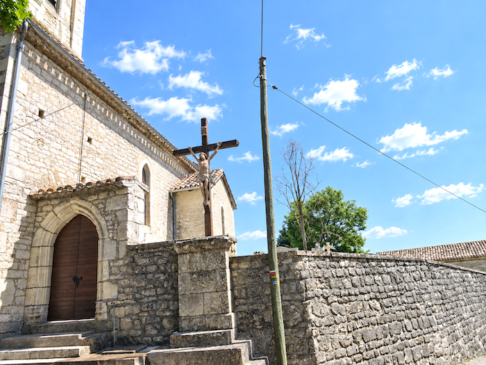
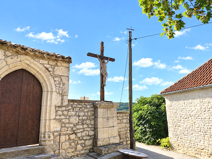
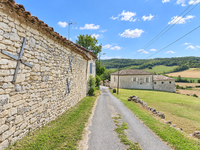
The GR65 leaves Rouillac by descending beneath the last houses of this charming hamlet. Their walls of pale stone rubble, at times almost white beneath the sunlight, are a reminder that we are now deep in the Quercy Blanc, the land whose very name comes from the pallor of its stone.
|
 |
 |
|
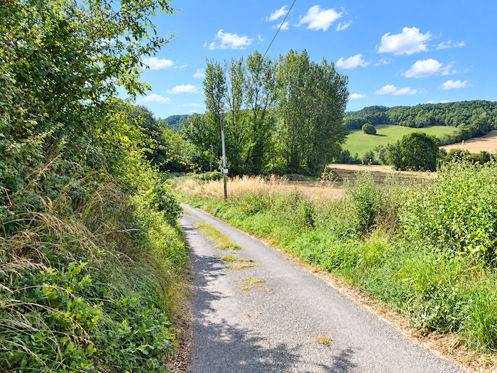
The gradient leaves little time for lingering over the scenery. The road plunges decisively towards the plain, with a slope exceeding 10%.
|
 |
 |
|
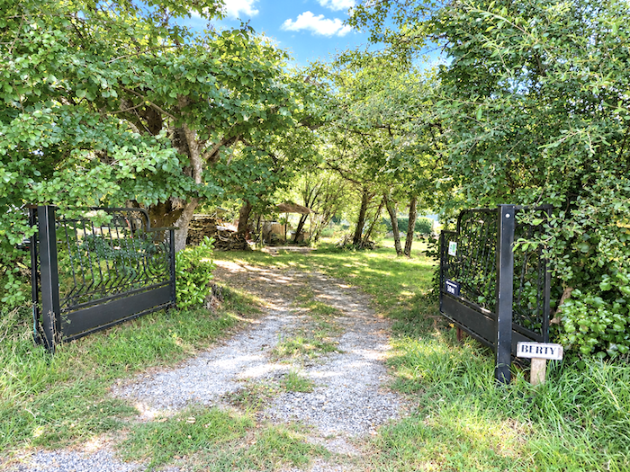
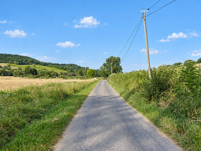
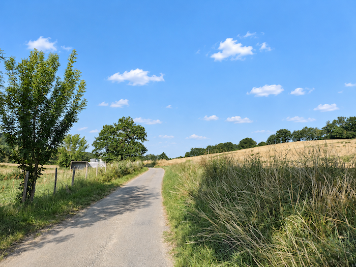
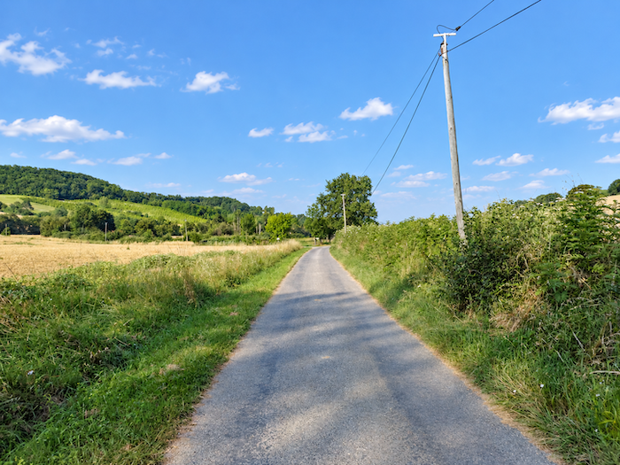
At the bottom of the descent, at the locality known as Berty, the rhythm changes. A paved road takes over, running level between meadows and cereal fields. The relief fades away, the horizon broadens, and for a while the walk settles back into a peaceful horizontality.
|
 |
 |
|
The road continues in this fashion for quite some distance, placid and offering little in the way of surprises.
|
 |
 |
|
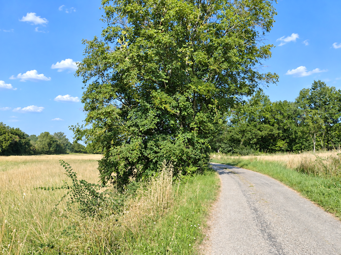
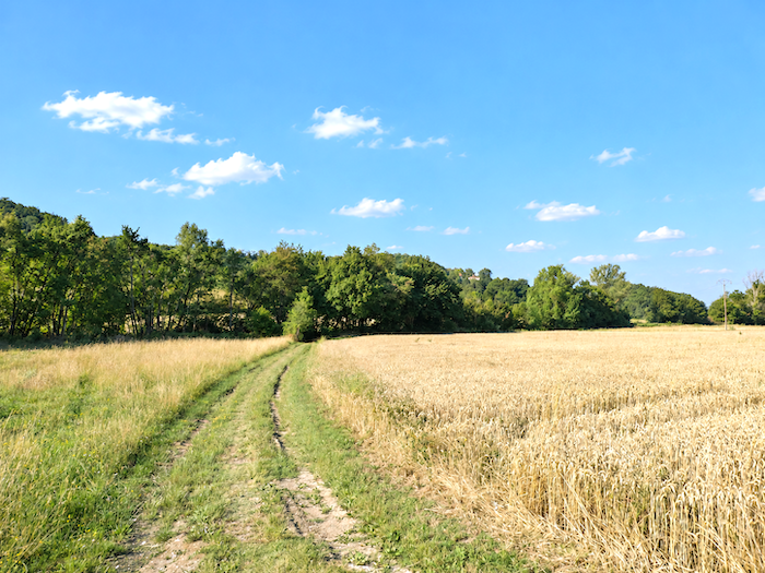
Our friend, however, has an unerring sense of direction. One might almost believe he knows the GR65 by heart. Without the slightest hesitation, he trots ahead of us to the exact spot where the path finally leaves the tarmac behind and returns to the meadows. A little farther on flows the Tartuguié stream. Perhaps that explains his confidence: our companion must know these parts well and probably comes here for a good splash whenever the opportunity arises.
|
 |
 |
|
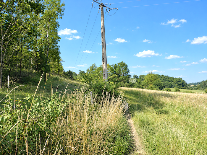
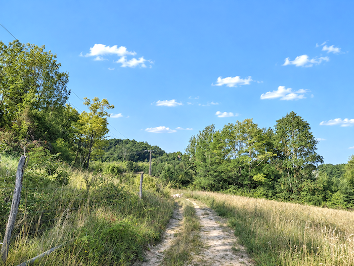
The GR65 now recovers a wilder character. It ventures into the tall grasses, follows the hedgerows tracing the boundaries of the fields, then gradually begins to climb.
|
 |
 |
|
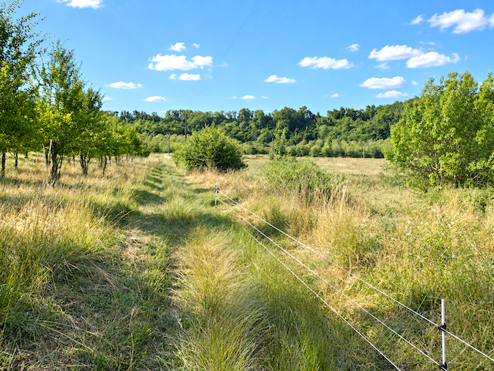
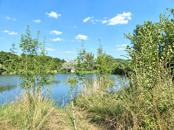
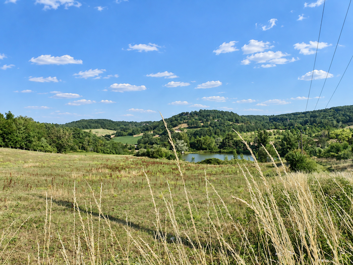
Halfway up the slope, a stretch of water appears almost by surprise, lost among the tall grasses. Half concealed by the vegetation, it forms a small, motionless interlude in the midst of the climb.
|
 |
 |
Section 5: From the Lot to Tarn-et-Garonne
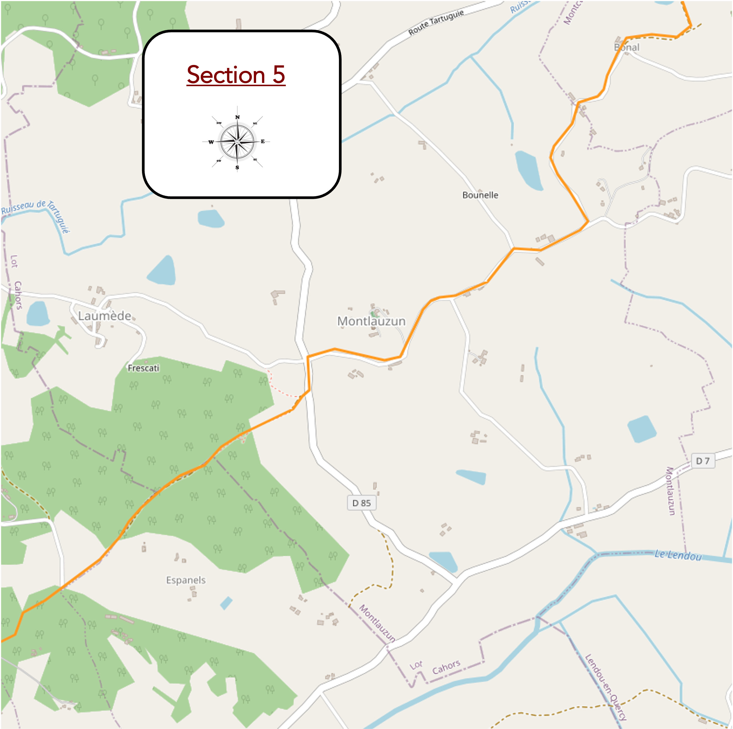
Overview of the route’s challenges: a demanding route when crossing from one department into the other.
|
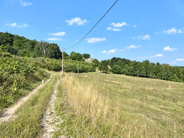
Above the little lake, the gradient suddenly bares its teeth again. With a slope approaching 15%, the path makes straight for the top of the hill, threading its way among deciduous trees and walnut trees before reaching the farm at Bonal.
|
 |
 |
|
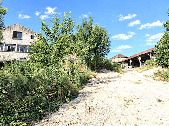
Bonal is little more than a handful of farms scattered across the heights. Around the buildings, a few plots devoted to market gardening bring a different note to a countryside where meadows and broad expanses of cultivated land otherwise occupy most of the space.
|
 |
 |
|
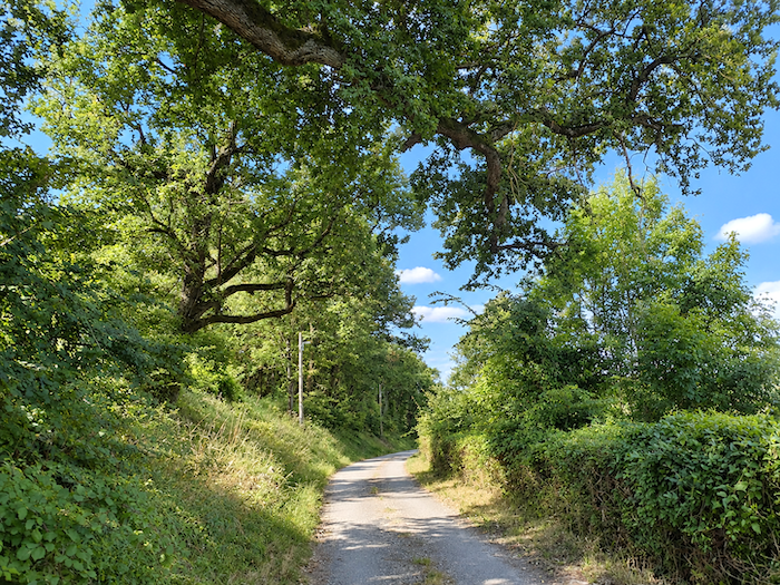
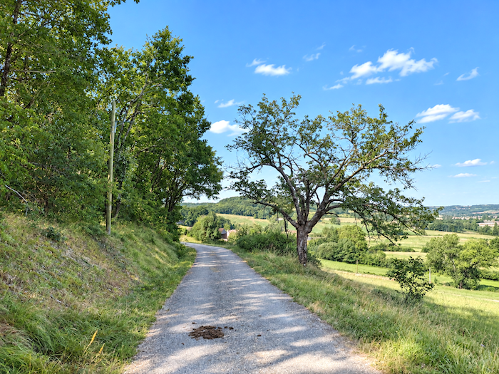
From Bonal, a small road descends peacefully through the countryside, following the edge of the woodland. Here, the forest displays almost the full palette of its deciduous trees. Oaks, maples, hornbeams and walnut trees mingle with ash trees, still plentiful along the roadsides, while here and there a few lime trees add their presence to this rich diversity.
|
 |
 |
|
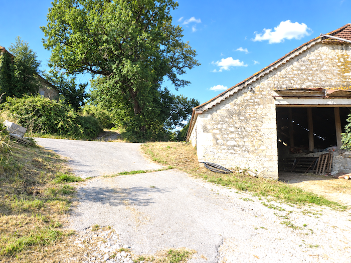
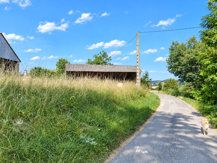
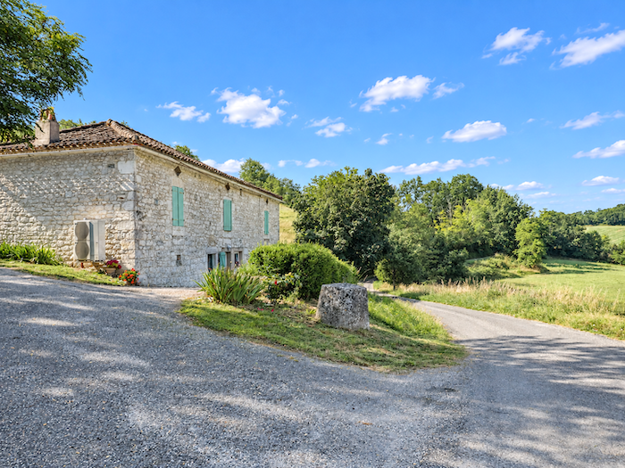
Several handsome stone farmhouses also punctuate the descent. Massive and firmly rooted beside the road, they seem almost inseparable from the countryside they have watched over for generations.
|
 |
 |
|
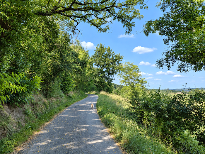
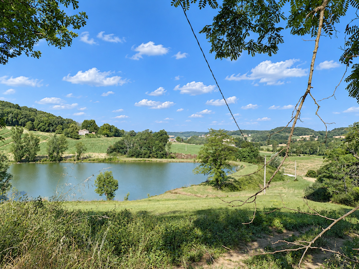
Farther down appears the little Lac du Sorbier. The surrounding vegetation is reflected in its waters in a veritable symphony of greens, some deep and shadowy, others luminous, one of those modest little landscapes that nevertheless have the power to slow your steps.
|
 |
 |
|
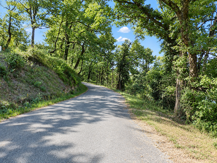
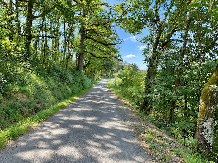
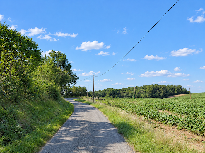
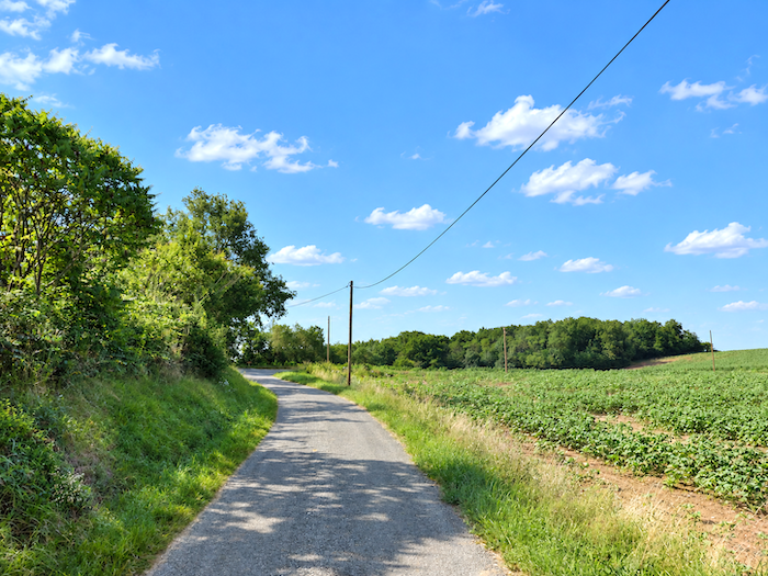
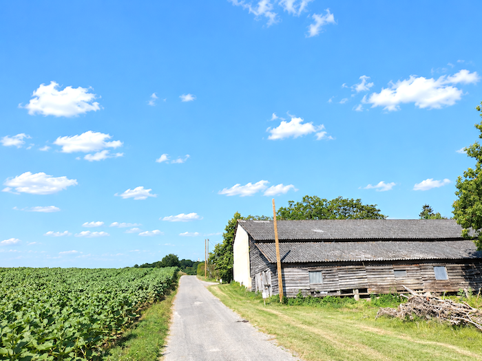
At the foot of the descent, cultivated land once again takes possession of the scenery. This year, the road passes through fields of sunflowers and soybeans. Another year, cereals may have taken their place. Such is the rhythm of the countryside, forever changing with crop rotation and the succession of plantings. Until now, we have encountered few large expanses devoted to oilseed crops in the Lot. They will become far more familiar in Tarn-et-Garonne, whose border is now close at hand.
|
 |
 |
|
 |
 |
|
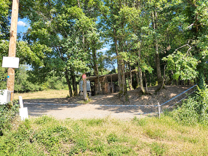
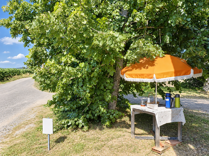
The road then begins to climb once more along the hillside. And suddenly, beside the path, appears one of those visions guaranteed to lift a pilgrim’s spirits: a farm, a few tables and a refreshment stall tucked beneath the lime trees. In such blessed places, few walkers can still summon a convincing reason to march straight past. Whether it is an official stop or merely a local initiative hardly matters. After several hours on foot, happiness can take wonderfully simple forms, and sitting in the shade with a coffee or a glass of cordial, perhaps with something to nibble on, is surely one of them.
This particular stop will also do us a service of quite another kind. It is here that our companionship with the Golden from Montcuq comes to an end. Our friend is indeed wearing a collar, but there is no telephone number on it with which to trace his owner. The man in charge of the place is clearly familiar with this sort of adventure. All you need to do, he explains, is keep these wandering dogs around for a while before letting them go again. Accustomed to falling into step with pilgrims, they then know perfectly well how to find their own way home.
|
 |
 |
|
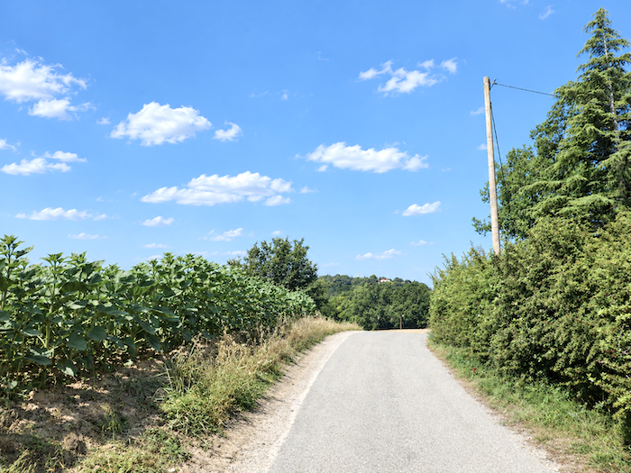
On setting off again, the road begins to gain height gently, almost without seeming to climb at all. It winds through peaceful countryside where cultivated fields alternate with the edges of woodland.
|
 |
 |
|
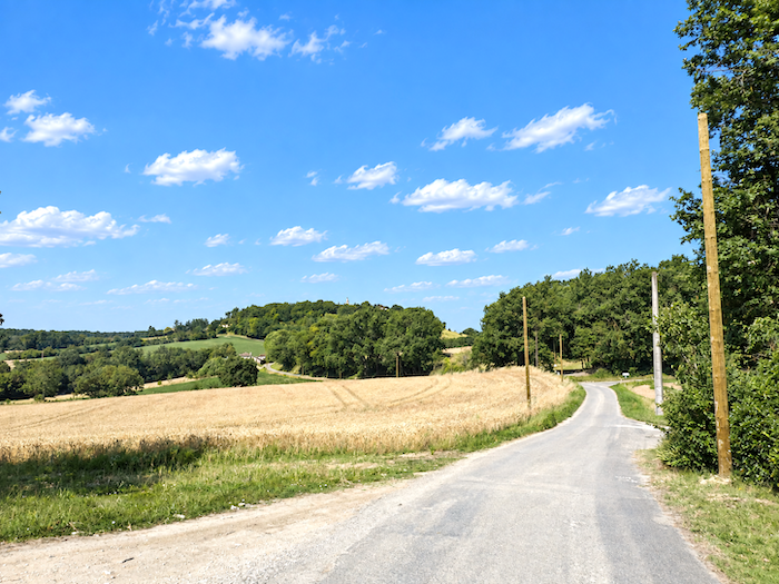
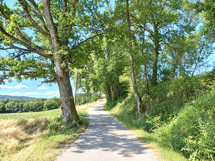
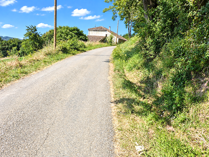
Little by little, however, the hill begins to make greater demands. The gradient steadily increases as the road continues upwards between fields of cereals and oilseed crops. Only a handful of isolated farms interrupt this broadly open countryside.
|
 |
 |
|
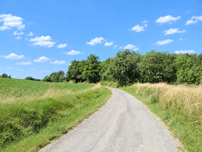
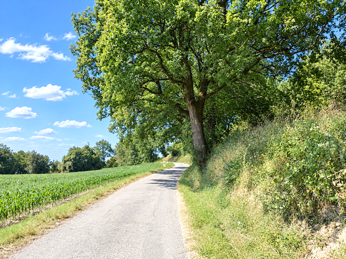
The final assault on the summit abandons any pretense of gentleness. The slope rears up in earnest, reaching 20% in places. A little more effort brings you to the Montlauzun junction, where the road finally returns to more reasonable gradients. The GR65 does not pass through the village itself. Yet those who still have a little courage left in their legs may wish to make the short detour. Montlauzun charms less through any spectacular monument than through the serenity of its setting, with a small church standing in the middle of the square, a handful of houses gathered around it, and the curious impression that time has chosen to slow its pace here.
|
 |
 |
|
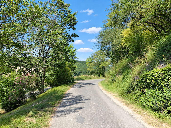
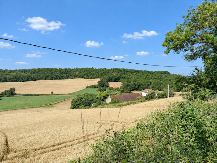
From Montlauzun, a road plunges towards a small valley with a gradient exceeding 10%.
|
 |
 |
|
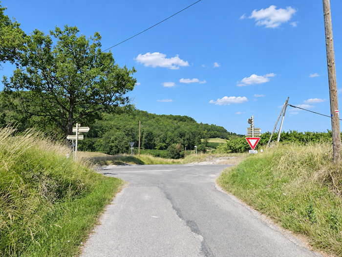
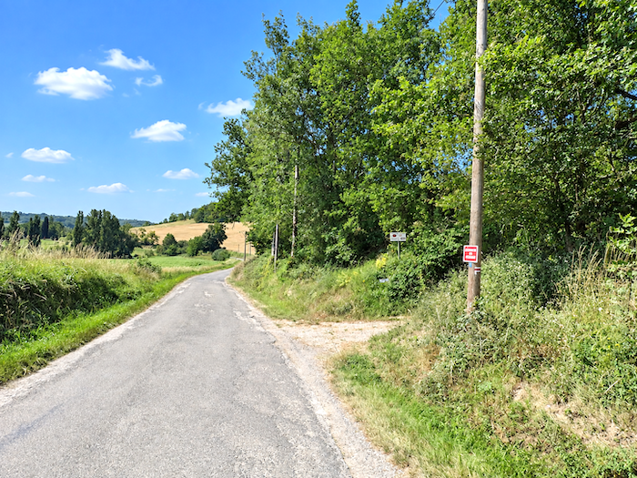
At the bottom of the dale, where it meets a larger road, both scenery and terrain change once again. The GR65 finally abandons the tarmac, turns its back on the road and sets off to conquer the next hill along a path disappearing into the woodland. After the open countryside and the hard surface of the road, the shade of the trees once more reclaims its territory
|
 |
 |
|
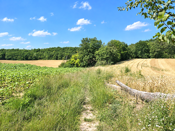
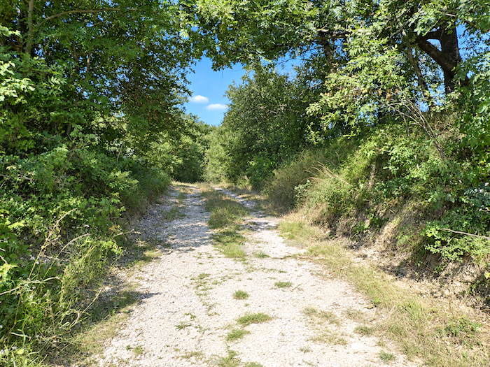
At first, the trail slips gently towards the woodland. It seems almost intent on making itself inconspicuous, quietly seeking the shelter of the trees before the hill reminds the walker that it has not yet had its final say.
|
 |
 |
|
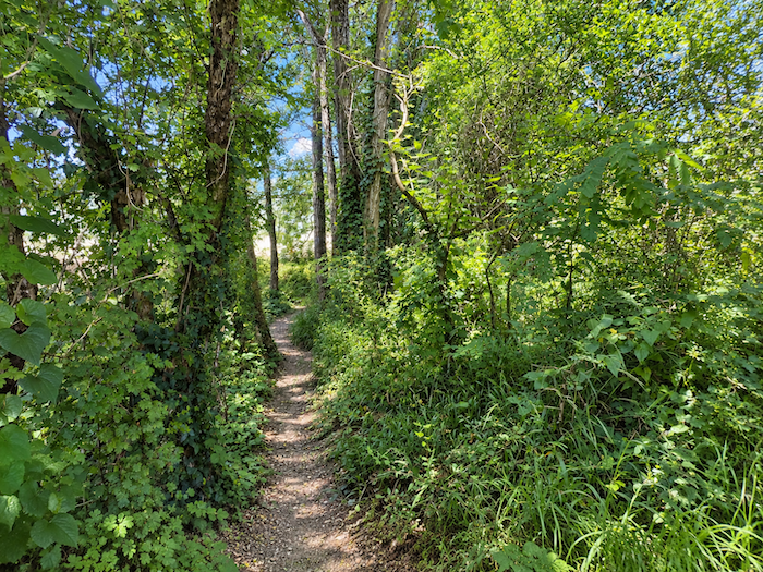
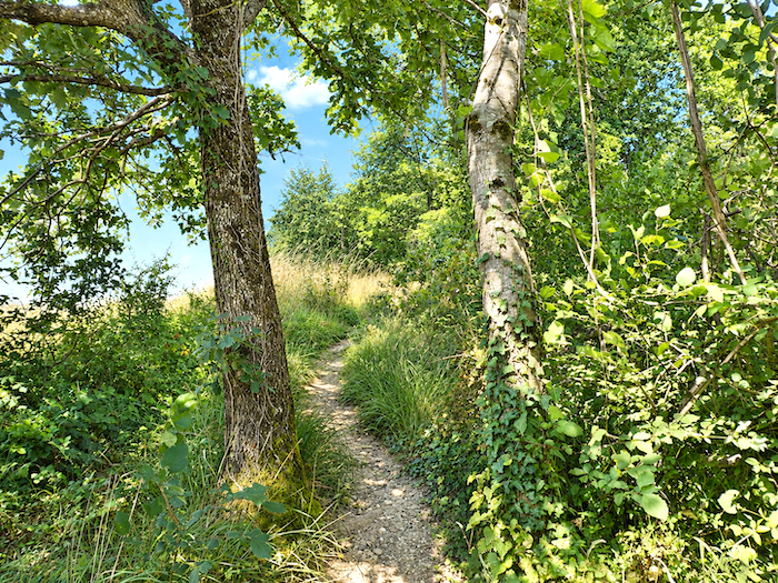
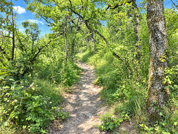
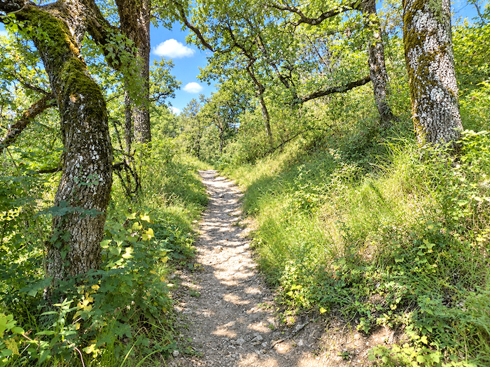
Very soon, indeed, the gradient grows more severe and exceeds 10%. The forest itself seems to change character. The oak no longer rules unchallenged, for maples and chestnut trees now appear in equal abundance.
|
 |
 |
|
Then, for one short stretch, the hill rears up in earnest. The gradient exceeds 20%, perhaps considerably more in places, while rocks break through the surface beneath your feet, turning the trail into a rough stone staircase improvised by nature. In former days, a rope had even been installed to lend a helping hand to less confident walkers. It has since disappeared, perhaps because those responsible for the route eventually decided that, after all, we were not exactly crossing the Alps. Even so, in wet weather, when the rocks become slippery and the earth treacherous, this little piece of scrambling must lose a considerable part of its charm.
|
 |
 |
|
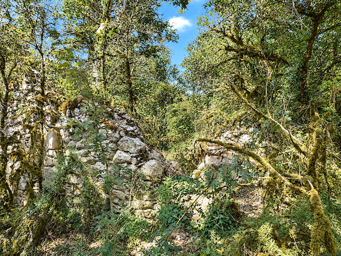
Higher up, the slope finally loosens its grip a little, while the vegetation grows denser still. Beside the path appears an old “caselle”, or rather what remains of one. A few stones still cling together, while others have collapsed and are slowly being reclaimed by grasses and undergrowth. Here, stone by stone, time quietly continues its patient work of demolition.
|
 |
 |
|
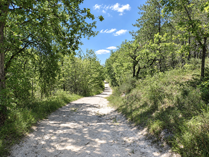
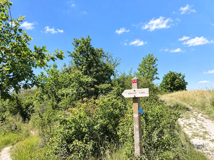
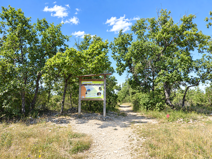
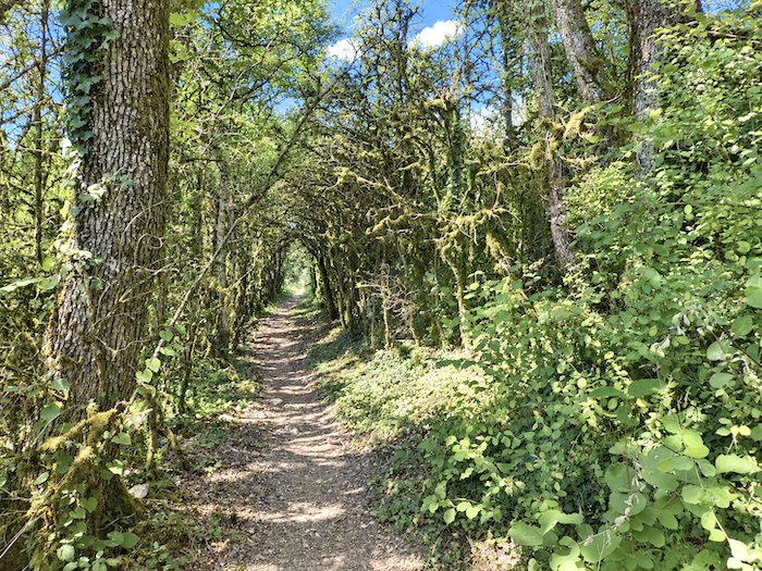
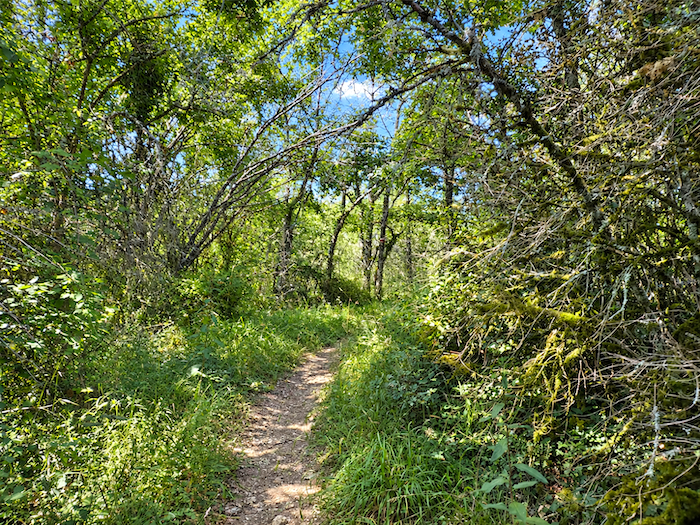
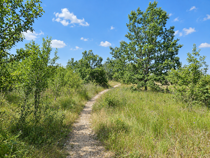
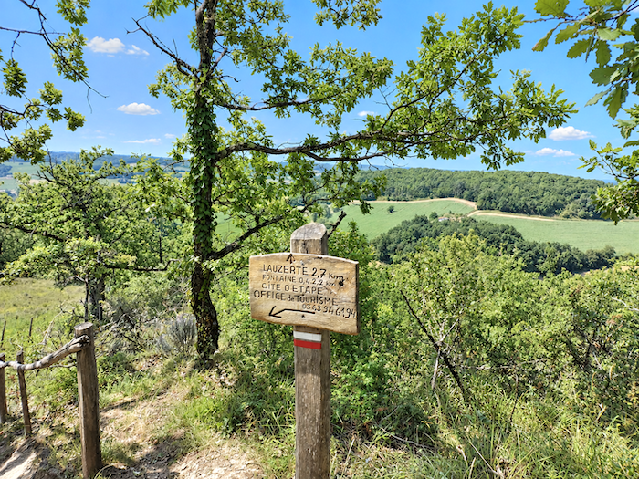
As the summit approaches, the hill finally becomes more accommodating. The trail emerges onto open heathland and returns to gentler gradients. Here, almost without ceremony, our long crossing of the Lot comes to an end. A few more steps and Tarn-et-Garonne begins. A sign beside the path already announces the delights awaiting the pilgrim farther ahead: Lauzerte, Moissac and Auvillar.
|
 |
 |
|
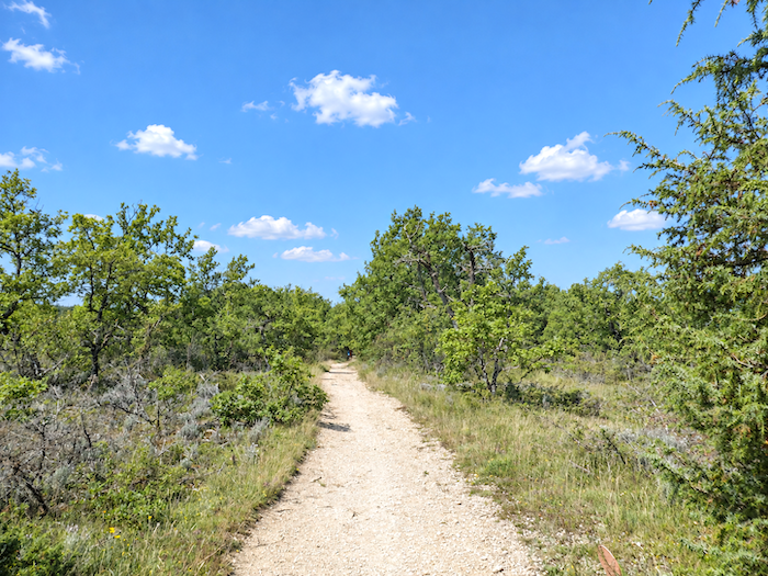
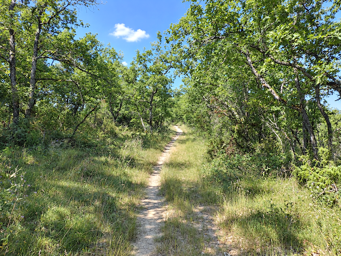
Borders, as everyone knows, are rather artificial things. They are convenient conventions, lines drawn by human hands across maps in an attempt to impose a little order upon the world. Nature could not care less. Here, nothing truly changes. The small oaks continue to proliferate with exactly the same stubbornness, and they will parade past the walker for kilometer after kilometrer, almost without interruption, all the way to Lespinasse.
|
 |
 |
|
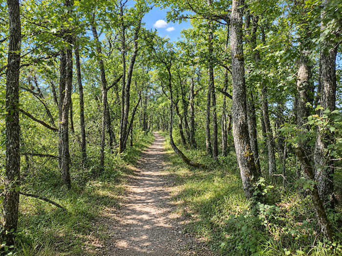
You could almost believe that the causses themselves had migrated here. The same poor soil, the same modest trees and the same tenacious vegetation seem to have crossed the border without even noticing it.
|
 |
 |
|
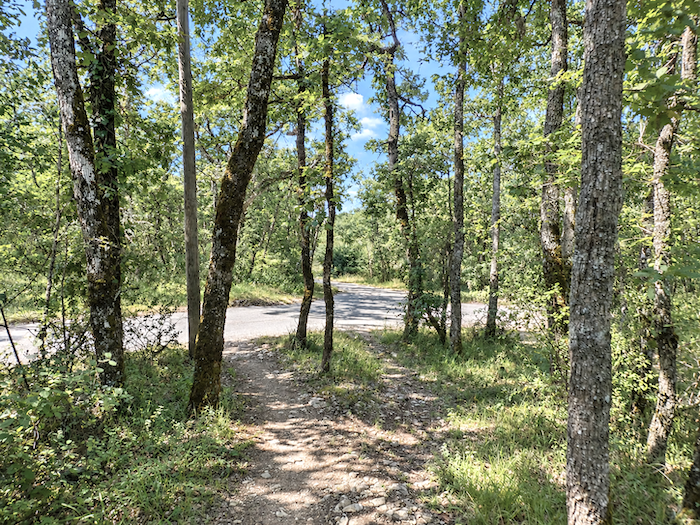
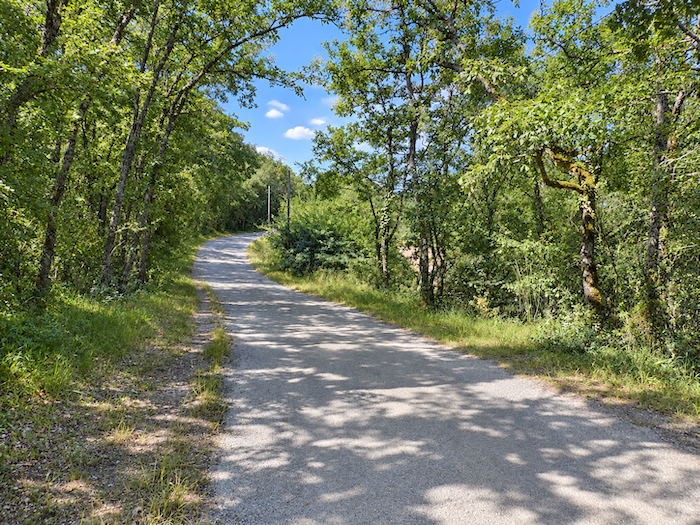
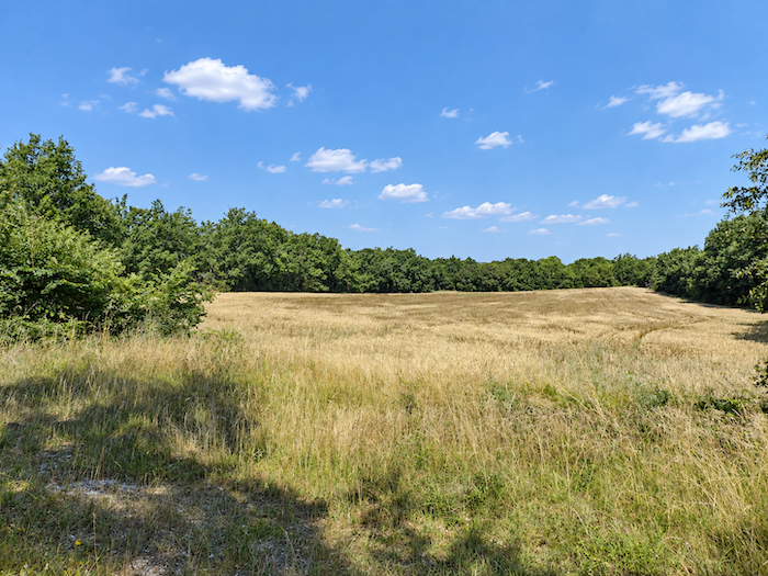
A little farther on, the trail broadens into a wide dirt track that wanders peacefully across level ground between the woodland and a few fields of oats, a crop that seems almost alone in being willing to come to terms with the poverty of the soil.
|
 |
 |
|
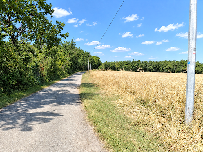
Cultivated fields, however, remain the exception here. Woodland occupies most of the landscape, unfurling an almost continuous curtain of foliage on either side of the path.
|
 |
 |
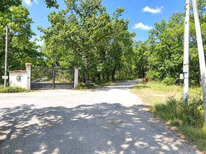
From time to time, a tiny country road branches away from the path and vanishes around the edge of the woods. It leads to some isolated house, perhaps a second home hidden among the greenery, perhaps an old farmhouse still inhabited by those who have chosen to make their lives in this quiet and secluded land.
Section 6: Lauzerte, high on Its hill
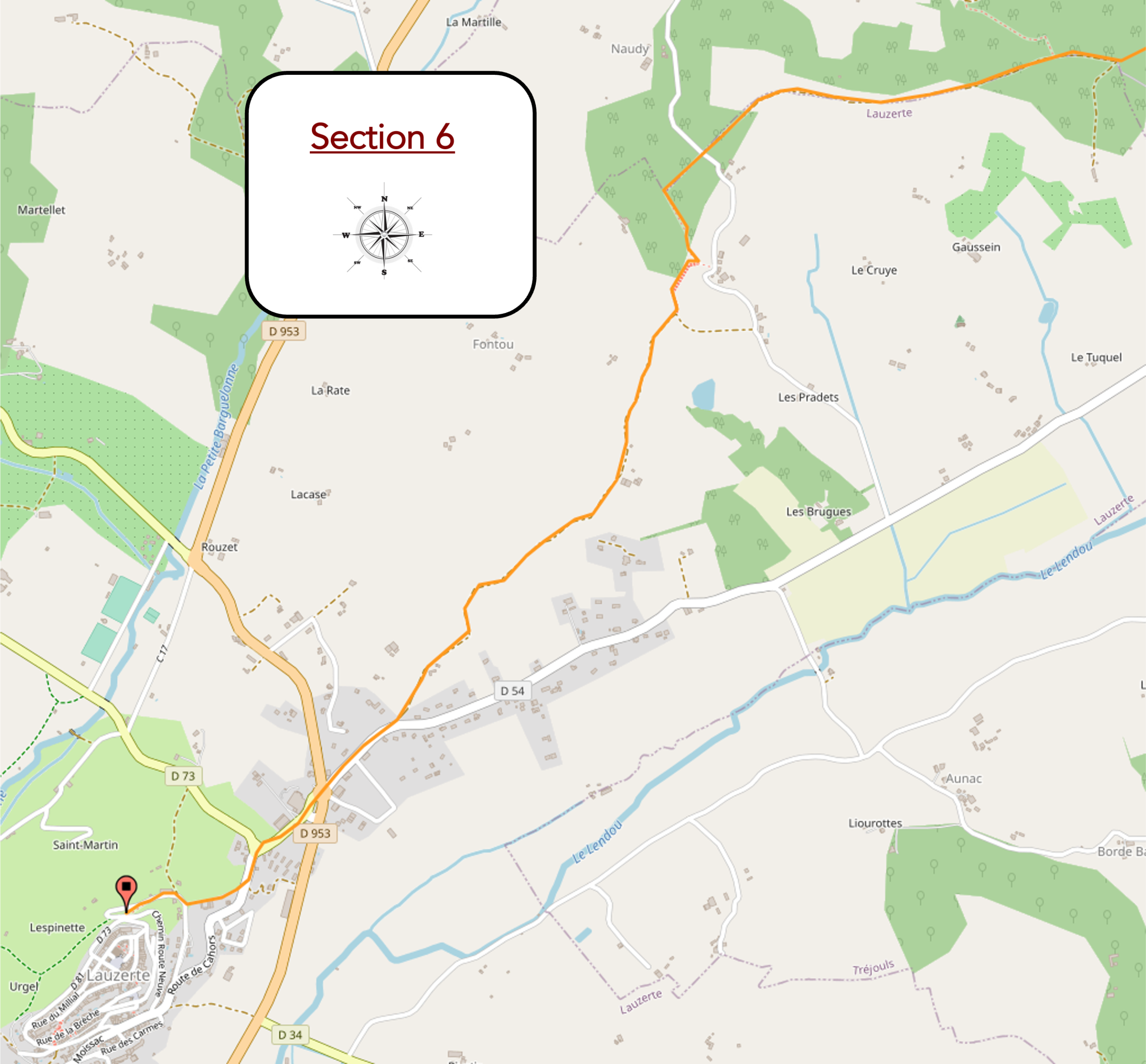
Overview of the route’s challenges: first, a steep descent, partly down steps, followed by a long, persistent climb to the top of the hill at Lauzerte.
|
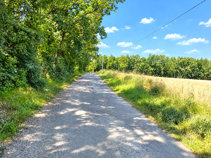
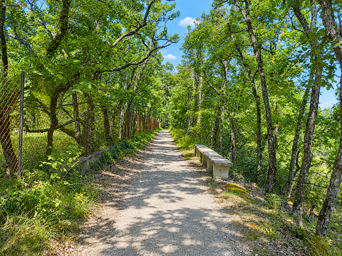
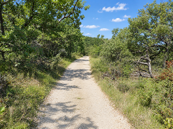
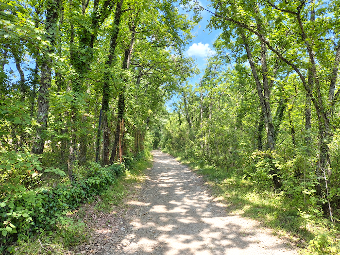
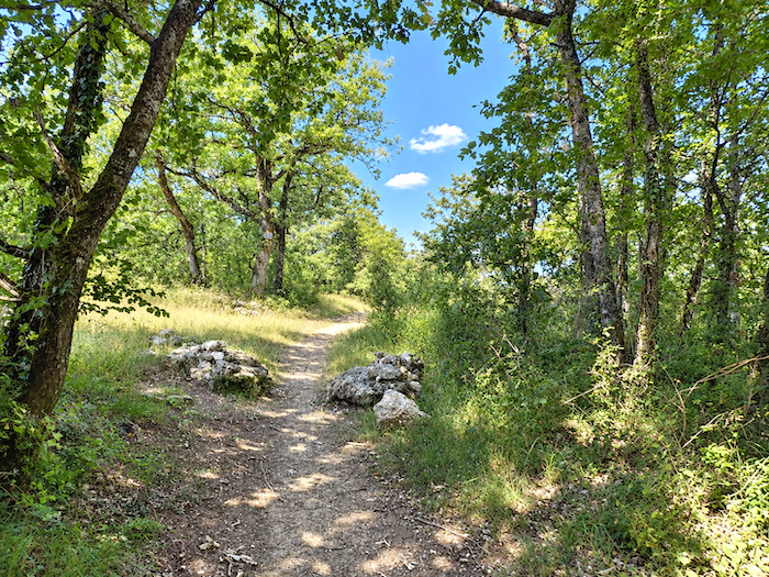
The broad path continues for almost another kilometer, wandering peacefully through this causse landscape that seems as though it might never end. The same poor soil, the same woodland, the same stubborn little oaks remain faithful companions.
|
 |
 |
|
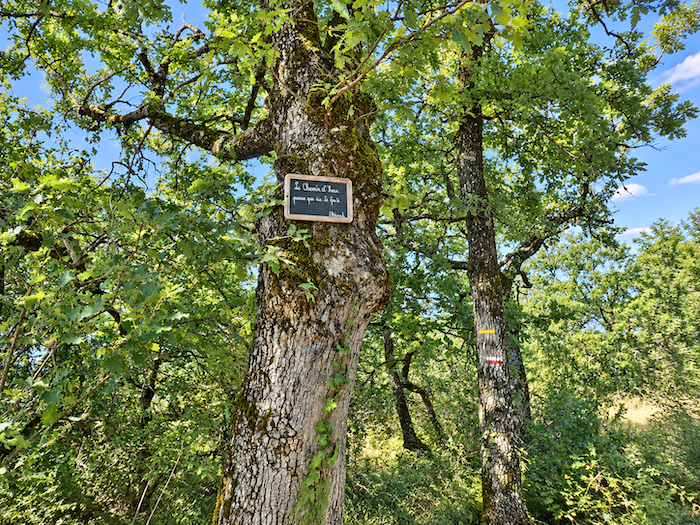
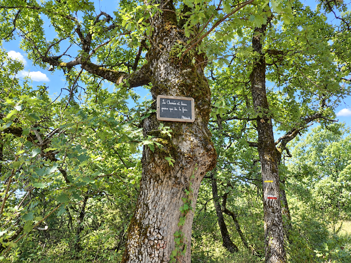
In places, the path even seems to have found refuge beneath a veritable cathedral of greenery. Ancient oaks, gnarled and powerful, stretch their branches high above the walker. On the trunk of one of these venerable guardians, a small slate offers the passer-by a mischievous little message: “Yesterday’s path passes this way and that.” It is almost as though, in this land where the trees seem older than the roads themselves, the path has somehow forgotten its own age.
|
 |
 |
|
The path may well continue onwards, but beneath these great oaks bathed in light, for once you could almost wish there were no need to hurry towards the destination.
|
 |
 |
|
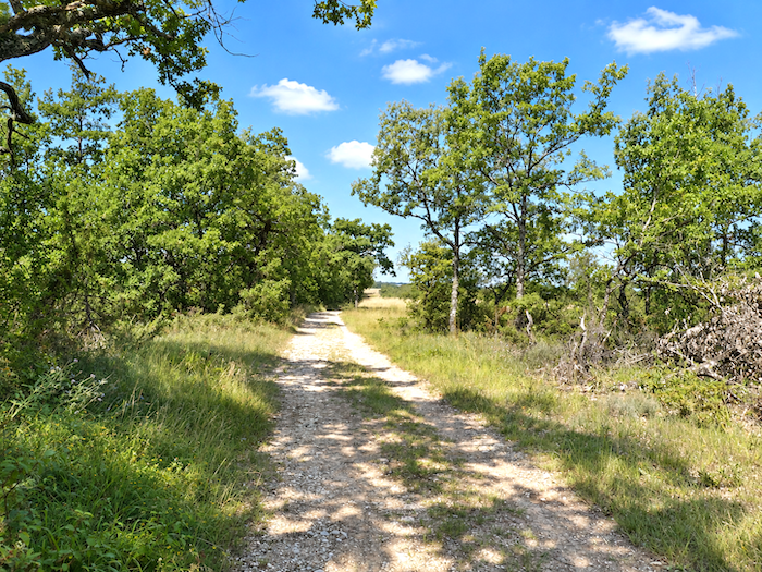
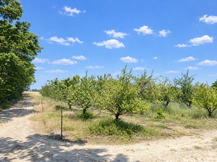
And then, a miracle! Around a bend in the path appears the first real orchard. Not a few trees scattered haphazardly across the fields, but long, immaculate rows, the trees standing to attention with almost military discipline. This time there can be no doubt about it: we really have entered Tarn-et-Garonne.
|
 |
 |
|
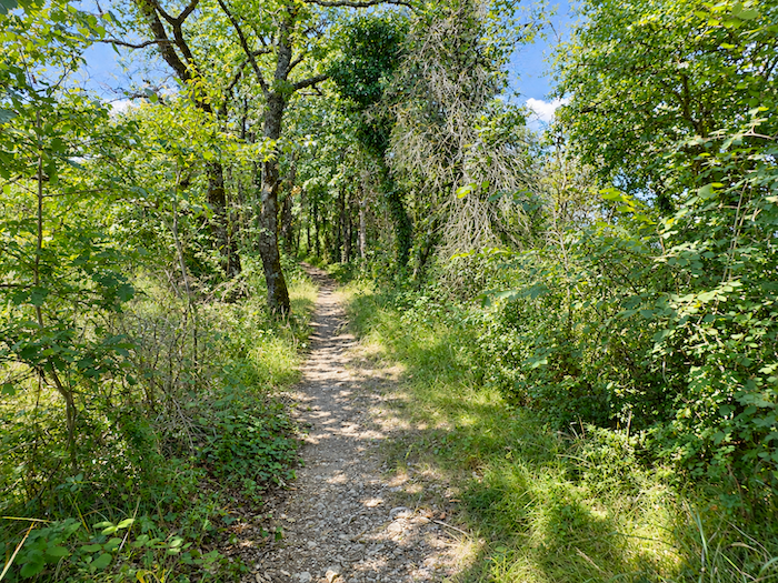
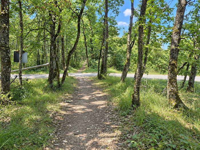
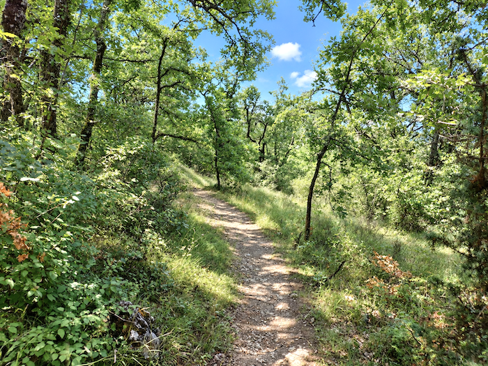
You might imagine that the countryside would now suddenly tip into another world, that orchards would follow orchards and the causse already belonged to the past. Not so. This first appearance was merely an advance guard. No sooner is the orchard behind you than the little oaks reclaim the land and the path returns to the familiar roughness of the causse.
|
 |
 |
|
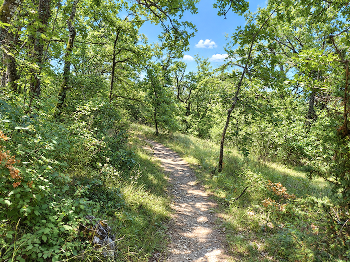
This time, however, its hours are numbered. Before long, the trail begins to lose altitude and starts its descent towards the plain.
|
 |
 |
|
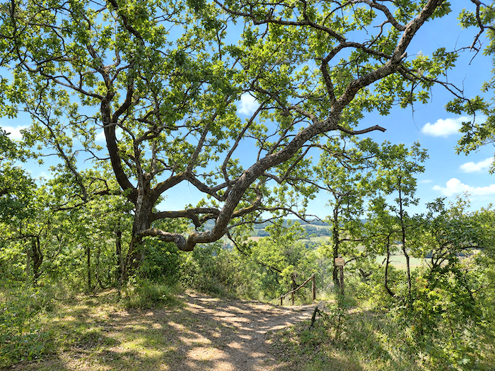
You then reach the locality known as Lespinasse. Here, the long crossing of the ridge truly comes to an end, and with it an entire chapter of the journey. After more than ten days spent walking among stones, stunted oaks, dry-stone walls, “caselles” and limestone country, you finally leave the world of the causses behind. Ahead, the plain opens onto another horizon, and Tarn-et-Garonne can at last begin in earnest.
|
 |
 |
|
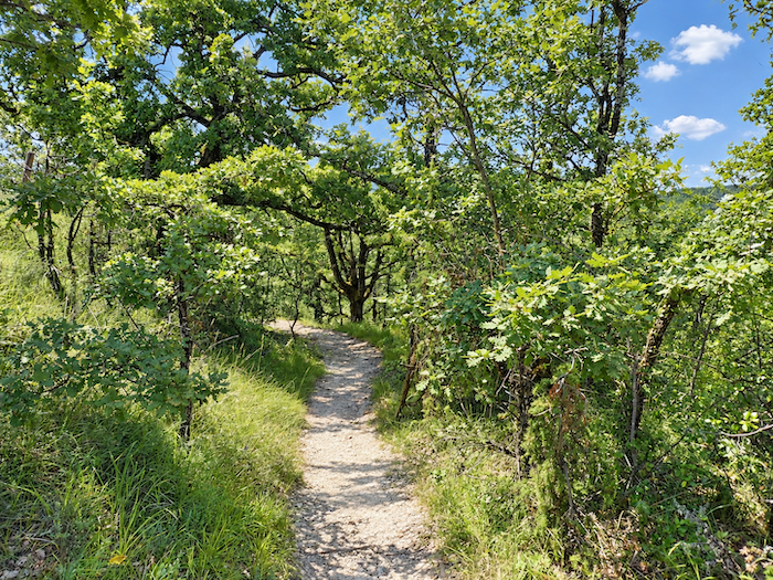
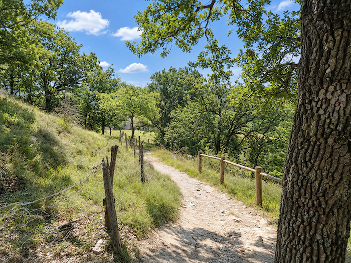
From here, the path stops playing games with the descent. It plunges decisively towards the lowlands, leaving the heights of the causse behind for good and carrying the walker down towards countryside of an entirely different character.
|
 |
 |
|
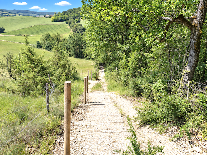
Much of this headlong descent takes place down broad concrete steps tumbling along the hillside.
|
 |
 |
|
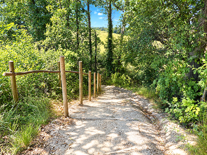
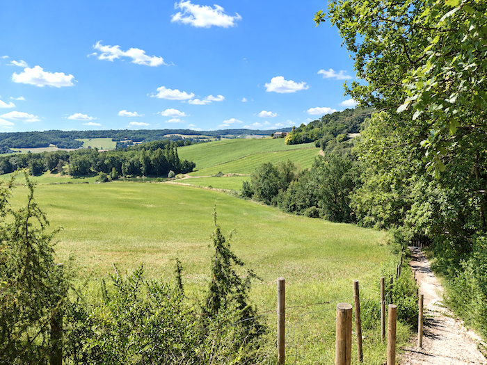
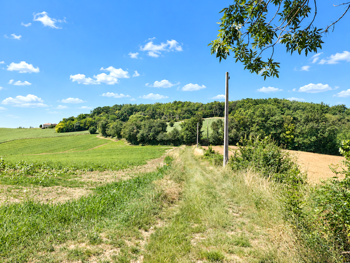
At the bottom, the GR65 recovers a more pastoral air. It crosses meadows, passing from one patch of woodland to the next through countryside where the vegetation has now become particularly lush.
|
 |
 |
|
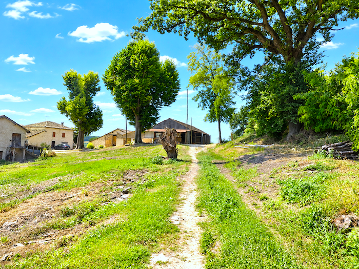
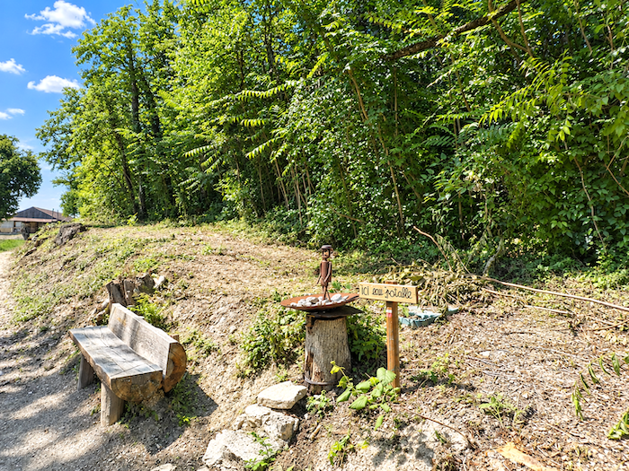
Yet already it is time to climb again. At the top of a fairly steep rise, the path reaches the small farming hamlet of Montjoie. Here, a simple water tap has generously been placed at the disposal of passing walkers. On the Way of St James, it sometimes takes very little to inspire immense gratitude. A few mouthfuls of cool water at the end of a climb can be worth all the treasures in the world.
|
 |
 |
|
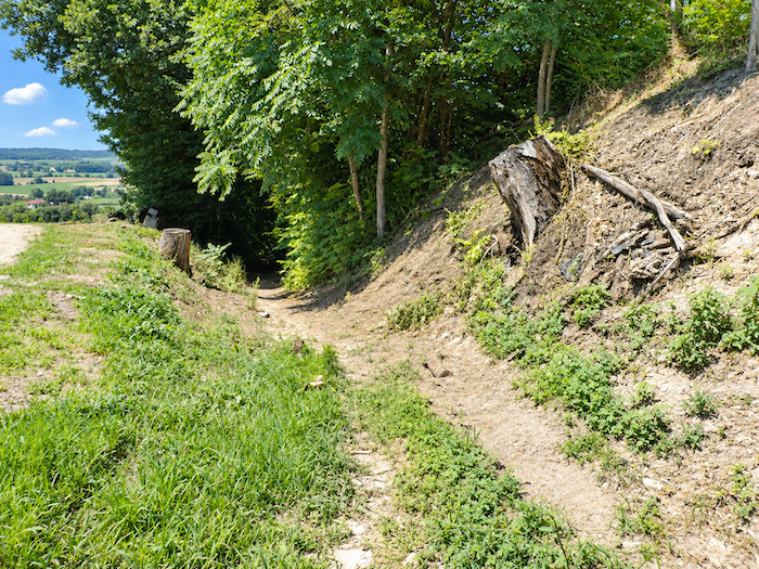
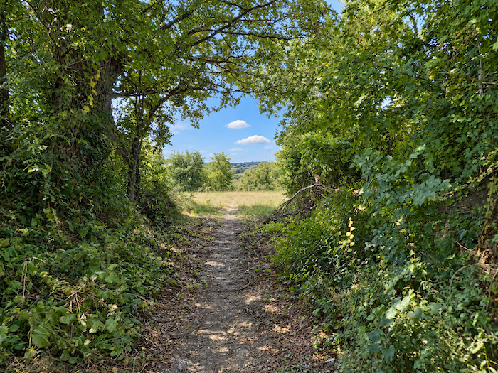
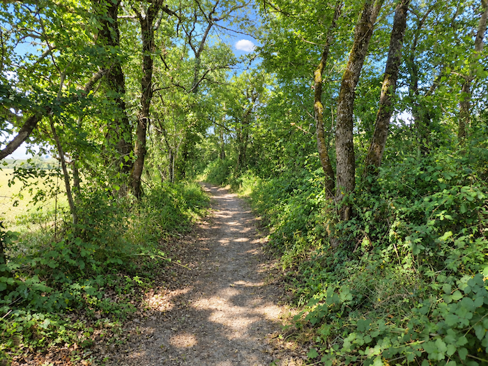
Beyond Montjoie, the GR65 continues its game of hide-and-seek between crops and trees. At times it brushes past the tall heads of sunflowers, at others it disappears beneath dense woodland. The oaks are still very much in evidence, as though stubbornly reluctant to abandon us, but ash trees are now becoming increasingly numerous in their turn.
|
 |
 |
|
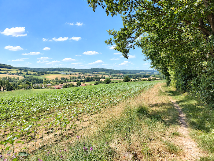
Between two stretches of woodland, the curtain of trees occasionally parts and suddenly gives the horizon back to the walker. For a few brief moments, the countryside unfolds into the distance before the path disappears once again beneath the foliages.
|
 |
 |
|
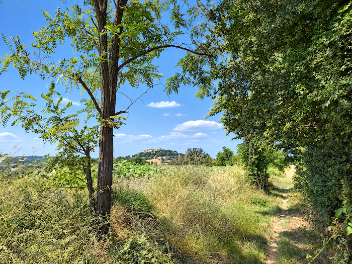
And then, around the edge of the woodland, there it is at last: Lauzerte, perched upon its hill and etched against the horizon. Seen from here, it looks tantalizingly close, almost within arm’s reach. But the experienced pilgrim has learned to be wary of such mirages along the path. Lauzerte is still no more than a promise resting on the horizon. It is rather like crossing a desert, where you crest one dune convinced that you have arrived, only to discover another waiting behind it.
|
 |
 |
|
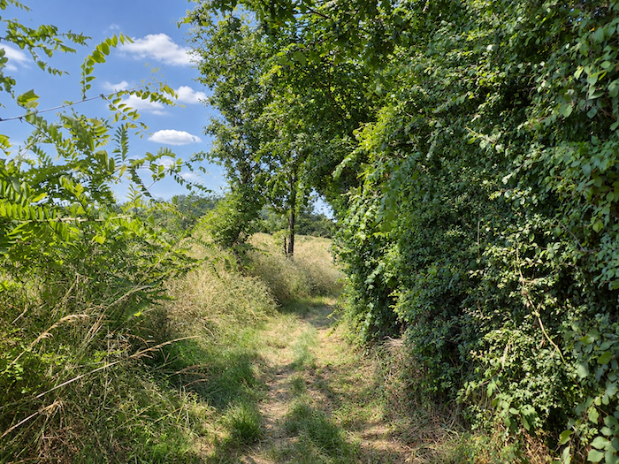
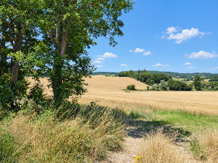
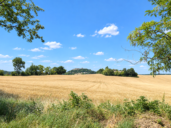
The path continues beneath the trees or, more often, along the edge of the woodland. Cereal fields, sunflowers and fallow land follow one another through countryside that has now opened out considerably. At every turn, Lauzerte reappears upon its hill, a little closer each time, as though the old town were deliberately teasing the walker’s impatience.
|
 |
 |
|
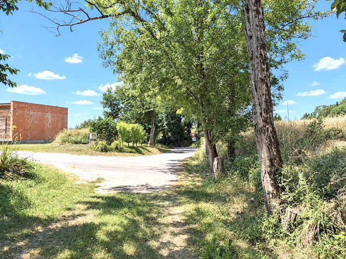
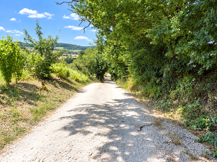
But there can be no doubt now: this time you really will reach it. A broad dirt track begins its descent and gradually draws closer to the town.
|
 |
 |
|
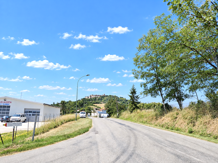
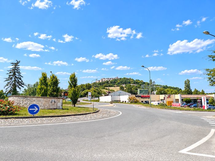
At the bottom of the descent, Lauzerte finally reveals itself without disguise, standing proudly high above on its hill. Before beginning the climb towards the old town, the GR65 joins the departmental road and heads towards Auléry, where Lauzerte’s commercial district has taken root.
|
 |
 |
|
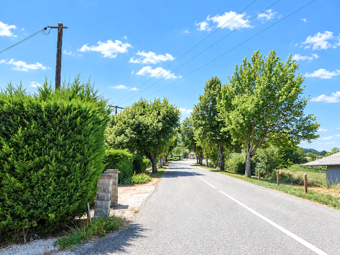
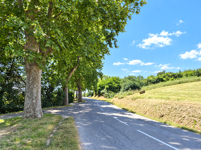
The end of the day, then? Not quite. One glance upwards is enough to understand what still remains to be done. The old town is perched high above, and somehow you are going to have to go and fetch it. A paved road begins by climbing gently towards the town, still allowing the comforting illusion that these final meters will be little more than a formality.
|
 |
 |
|
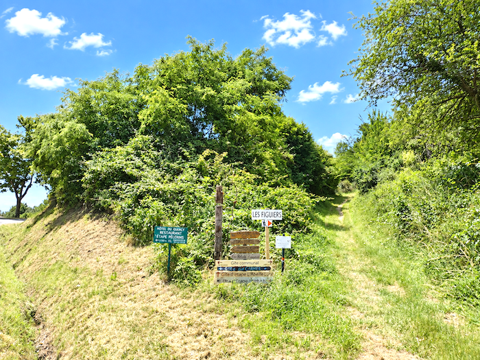
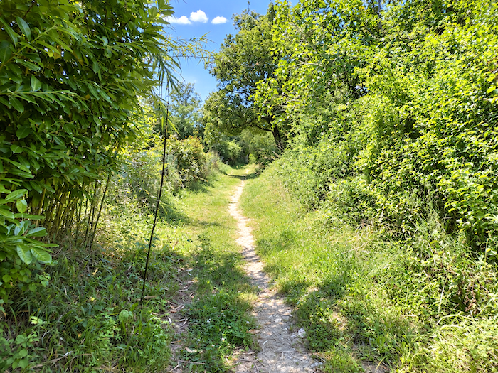
Lauzerte has to be earned. Before long, the GR65 abandons the road and chooses a much more direct approach to the old town, as a trail launches itself boldly up the hillside.
|
 |
 |
|
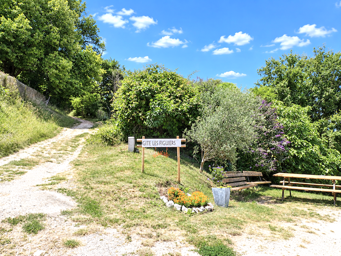
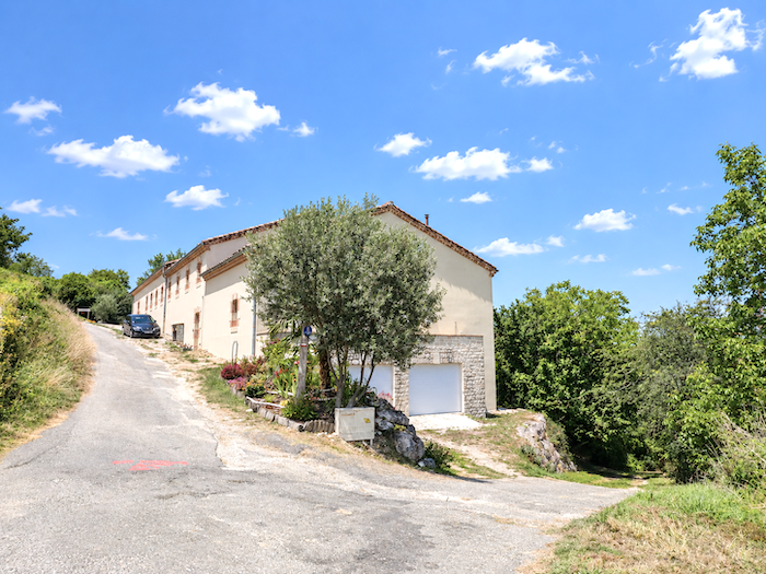
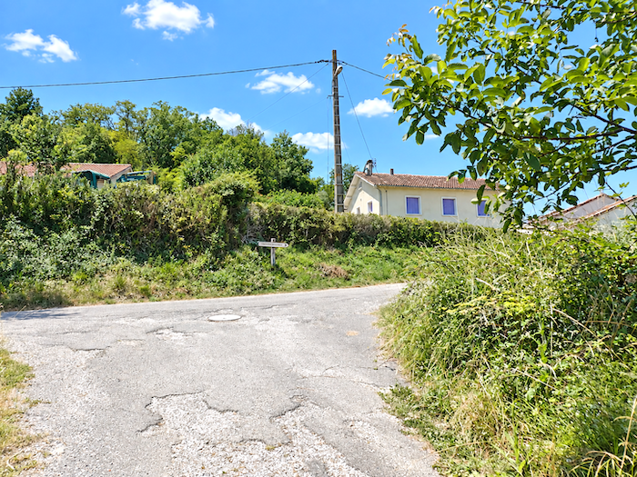
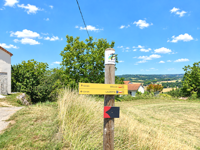
Higher up, the effort eases somewhat. The route still wavers between tarmac and beaten earth as it threads its way through the first heights of the town. It soon passes near the “Gîte des Figuiers”, a true gathering place for pilgrims in Lauzerte.
|
 |
 |
|
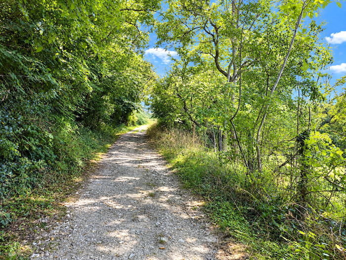
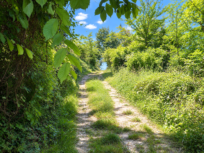
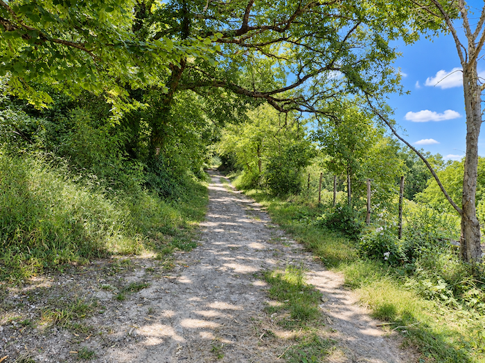
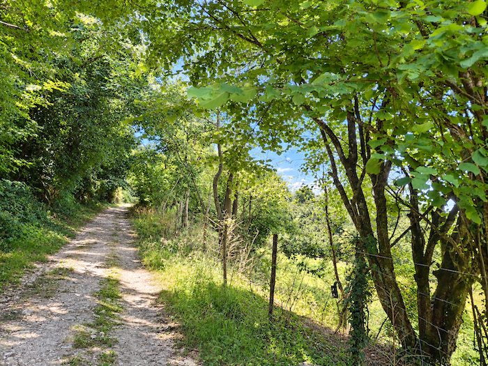
But the effort is not quite over yet. The citadel still refuses to surrender itself entirely to the walker. The climb continues through the woodland along a broad path that patiently gains height on the hillside.
|
 |
 |
|
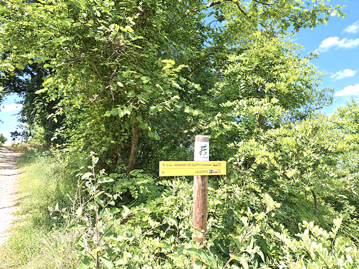
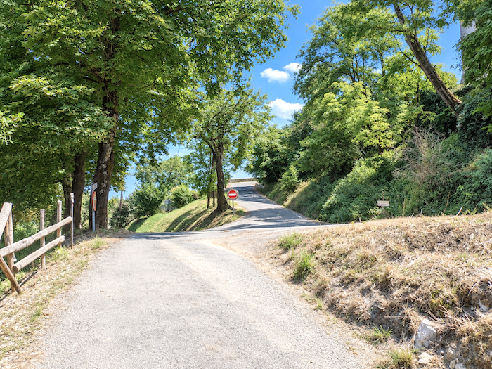
Then comes the final ramp. Tarmac reclaims the ground and the gradient steepens one last time towards the old walls.
|
 |
 |
|
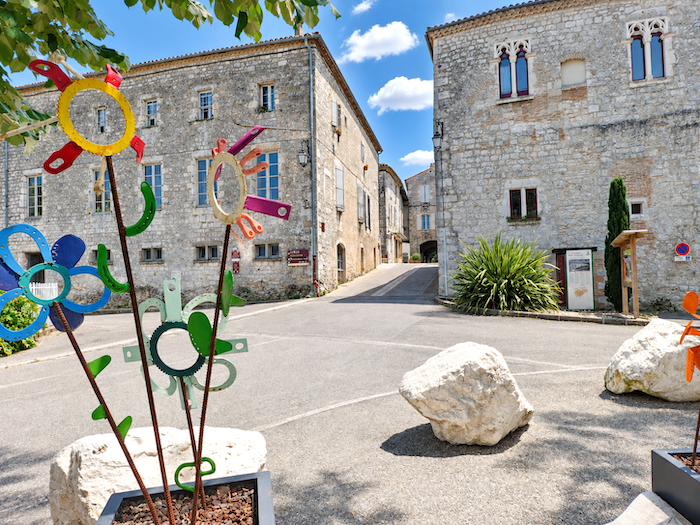
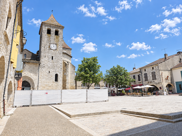
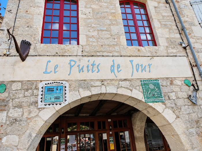
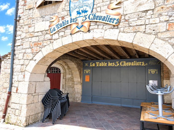
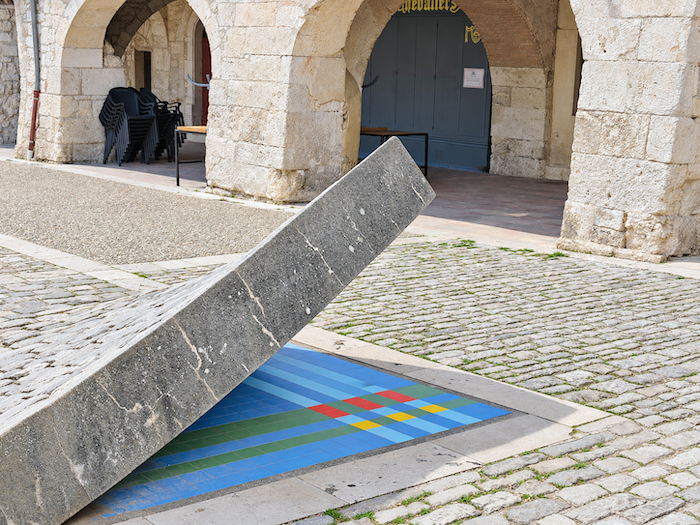
The route then emerges, almost theatrically, onto the “Place des Cornières”, an architectural jewel at the very heart of the old town. The Church of Saint-Barthélemy, whose origins date back to the fourteenth century, has been extensively altered over the centuries, while its restrained square bell tower rises above the square without ostentation. Around it also survive buildings associated with a former religious establishment founded during the Middle Ages. Honey-colored stone, arcades and ancient façades create a setting in which several centuries seem to have arranged to meet.
|
 |
 |
|
When the terraces are open, the square takes on an entirely different personality. Conversations echo beneath the arcades, glasses clink, and after kilometer upon kilometer of relative solitude along the path, the pilgrim suddenly rediscovers the delightful murmur of human company. You do, however, need to arrive at the right moment! Solving the mystery of the restaurants’ opening days and hours might almost require a private investigation. On this particular day, they were closed, leaving the Place des Cornières to a rather unexpected silence.
|
 |
 |
|
 |
 |
|
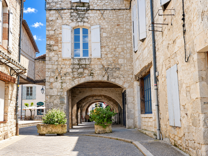
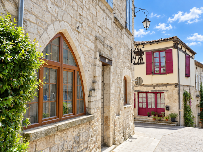
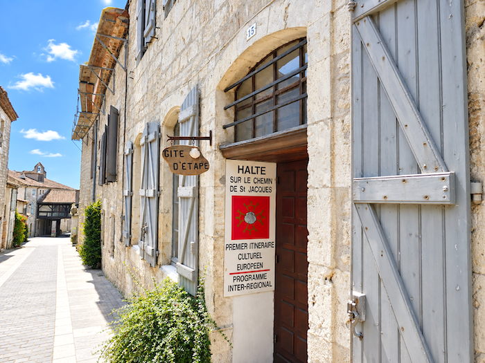
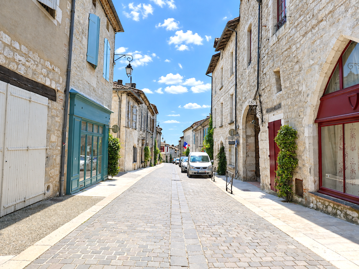
Lauzerte belongs to the select circle of the “Plus Beaux Villages de France,” and a walk through its streets soon reveals why it has earned that distinction. One tradition likes to trace its name back to Lucerna, meaning lamp or light, an image wonderfully suited to this hilltop town, visible from far across the countryside. The pilgrim knows this better than most. For kilometers, Lauzerte has appeared and disappeared at every turn of the path, high upon its hill, like a stubborn light set upon the horizon. The town was once far more populous than it is today, and as you wander through its streets, the prosperity of earlier centuries is still easy to discern. Behind Gothic and Renaissance façades, finely worked doorways and half-timbered houses, everything speaks of a town that was once wealthy, prosperous and bustling with trade. Some of its streets are magnificent.
|
 |
 |
|
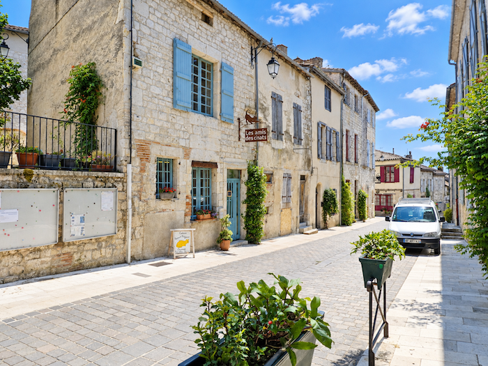
And yet, behind all this splendor, a certain melancholy remains. Lauzerte sometimes seems to be dozing within its own beauty. You need only walk down the magnificent Grand Rue to feel it. Here, a shutter remains closed; there, a splendid old house seems to have been waiting a very long time for one of its windows to open again. On a few façades, “For Sale” signs add their own quiet note of sadness to the scene. The stone eloquently tells the story of what the town once was, while the silence behind certain windows is a reminder of how difficult it can be to keep life flowing through these ancient hilltop communities. Beauty and fragility walk side by side here.
|
 |
 |
|
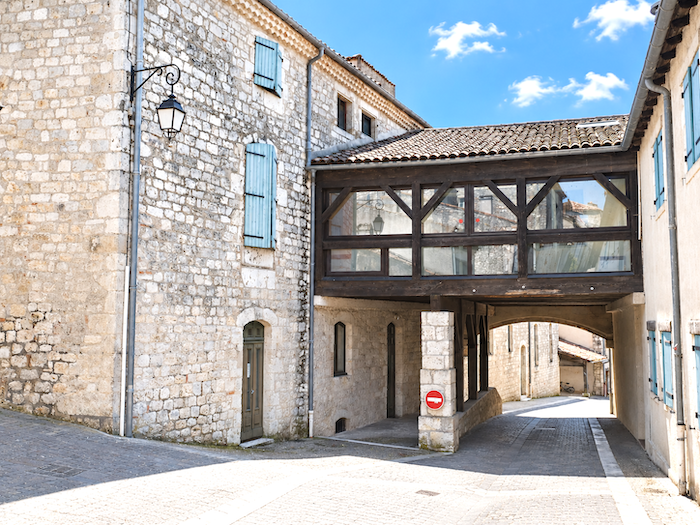
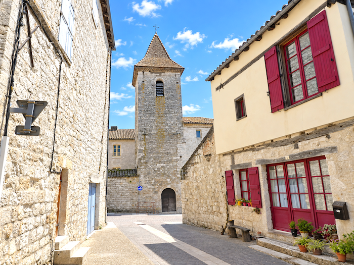
At the very bottom of the Grand Rue, an old defensive tower still keeps watch over the town. A surviving fragment of the fortifications that once protected Lauzerte, it brings the wander through the old quarter to an almost natural close.
|
 |
 |
Accommodation on Via Podiensis
- Chambres d’hôtes Le Petit Bousquet,402 Chemin du Bousquet, Montcuq; 06 75 15 47 10/05 65 31 85 86; Guestroom, dinner, breakfast, cuisine
- Gîte le Souleillou, 356 Rue du Souleillou, Montcuq; 0761 51 69 41; Gîte, dinner, breakfast
- Gîte le Cantourel, Pierre (pèlerin), 32 Rue du Faubourg St Privat, Montcuq; 07 61 51 69 41; Gîte, dinner, breakfast, cuisine
- Gîte L’Évidence, 8 Rue du Couvent des Cordeliers, Montcuq; 06 06 48 03 88; Gîte, dinner, breakfast, cuisine
- Gîte de la Tour, 20 Allée des Platanes, Montcuq; 07 84 95 09 65; Gîte, dinner, breakfast, cuisine
- Chambre d’hôtes Chez Jane, 22 Rue du Pontet, Montcuq; 05 65 21 15 29/06 63 15 16 56; Guestroom, breakfast
- Chambre d’hôtes Le Coucou, 4 Rue droite, Montcuq; 06 08 66 71 30; Guestroom, breakfast
- Chambre d’hôtes Maison St Privat, 12 Rue du Faubourg St Privat, Montcuq; 06 52 39 99 38/09 53 52 06 90; Guestroom, breakfast
- Chambre d’hôtes La Grandmaison, 8 Allée des Marronniers, Montcuq; 06 87 93 57 46; Guestroom, breakfast
- Hôtel-restaurant La Barguelonne, 2281 Avenue St Jean, Montcuq; 05 65 31 84 45; Hotel, dinner, breakfast
- Gîte du Tuc de St Paul, Tuc de St Paul, Lauzerte; 06 32 14 64 95; Gîte, dinner, breakfast, cuisine
- Gîte Chez Serge, 12 Rue de la Garrigue, Lauzerte; 06 72 24 19 85; Gîte, dinner, breakfast
- Gîte l’Abeille Lulu, 1 Chemin de la Fontaine, Lauzerte; 06 87 05 53 60; Gîte, dinner, breakfast, cuisine
- Gîte la Luciole du Chemin 3 Rue de la Brèche, Lauzerte; 07 78 47 63 77; Gîte, dinner, breakfast
- Gîte l’Esquirol, 23 Chemin du Coudounié, Lauzerte; 06 76 82 66 52; Gîte, cuisine
- Gîte-Chambre d’hôtes Les Figuiers, 25 Chemin du Coudonié, Lauzerte; 05 63 29 11 85/06 85 31 71 31; Gîte and Guestroom, dinner, breakfast
- Gîte-Chambre d’hôtes Pastel, 38 Rue du Meillet, Lauzerte; 06 58 20 19 58; Gîte and Guestroom, dinner, breakfast
- Gîte-Chambre d’hôtes Oasis de Compostelle, 16 Route de Moissac, Lauzerte; 06 80 33 69 18/06 32 89 68 321; Gîte and Guestroom, dinner, breakfast
- Hôtel-Restaurant du Query, Faubourg d’Auriac, Lauzerte; 05 63 94 66 36; Hotel, dinner, breakfast
Year after year, the Camino de Santiago changes and reinvents itself, shaped by the seasons and the footsteps of its pilgrims. Some places to stay close their doors, while others, modest or unexpected, spring up along the way. It would therefore be unrealistic to claim that any list could ever be both permanent and exhaustive. The following selection includes only accommodation located directly on the route or within one kilometer of it. It was updated in 2026 and should therefore remain largely reliable over the next few years. For those wishing to explore further, one guide stands out as an essential reference: Miam Miam Dodo, readily available online. Its greatest strength lies in the fact that it is updated every year. Rather than limiting itself strictly to accommodation along the route, it also lists places to stay further afield, a particularly valuable resource when large numbers of pilgrims make finding a bed at the usual stopping points more uncertain. It also contains a wealth of practical information: welcoming bars, restaurants along the way, and conveniently located bakeries. all welcome stops that punctuate the journey. Alongside these traditional resources, another presence has now become impossible to ignore: Airbnb. The platform has established itself as a major player in the tourism landscape, even in quieter or less prosperous regions. However, as most travelers know, exact addresses are not displayed upfront, which means that some advance planning is required. On the Camino, finding a bed at the last minute can sometimes come down to a fortunate stroke of luck. But luck, by its very nature, is no strategy. Booking ahead is therefore strongly recommended. Finally, when making your arrangements, be sure to ask about dinner and breakfast options. Such details may seem insignificant, but they can make a long day on the Camino considerably more comfortable.
If we take stock of the available accommodation, there are around 100 beds in Montcuq and along the way before reaching Lauzerte, suggesting that many pilgrims choose to stop earlier along the route. In Lauzerte itself, the choice widens further, with nearly 135 beds available. While the Via Podiensis generally sees between 100 and 200 walkers, there tend to be fewer pilgrims after Cahors. Finding accommodation on this stage should therefore not present any major difficulty, although it is always advisable to book ahead.
These routes wind through often sparsely populated areas, where shops and other services are limited. Restaurants are few and far between, as are grocery shops, which are often little more than small local outlets selling bread along with a limited selection of vegetables and dairy products. Montcuq and Lauzerte, however, offer a full range of places to eat and buy food. Water points are available in Rouillac and Montlauzun. There are no public toilets along the route. Finally, numerous companies provide luggage-transfer services or transport back to the starting point. Among them, one stands out as a particularly well-established option: La Malle Postale.
Feel free to add comments. This is often how you move up the Google hierarchy, and how more pilgrims will have access to the site.
|
 |
Next stage : Stage 21: From Lauzerte to Moissac |
|
 |
Back to menu |