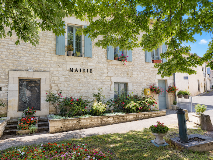
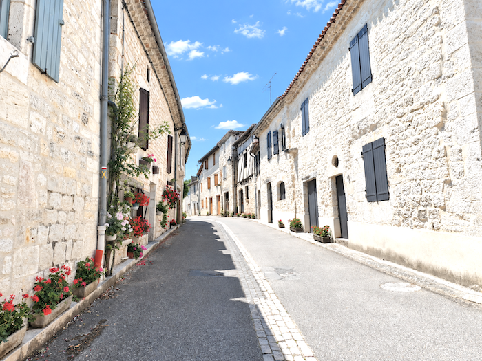
A first day in White Quercy
DIDIER HEUMANN, MILENA DALLA PIAZZA, ANDREAS PAPASAVVAS
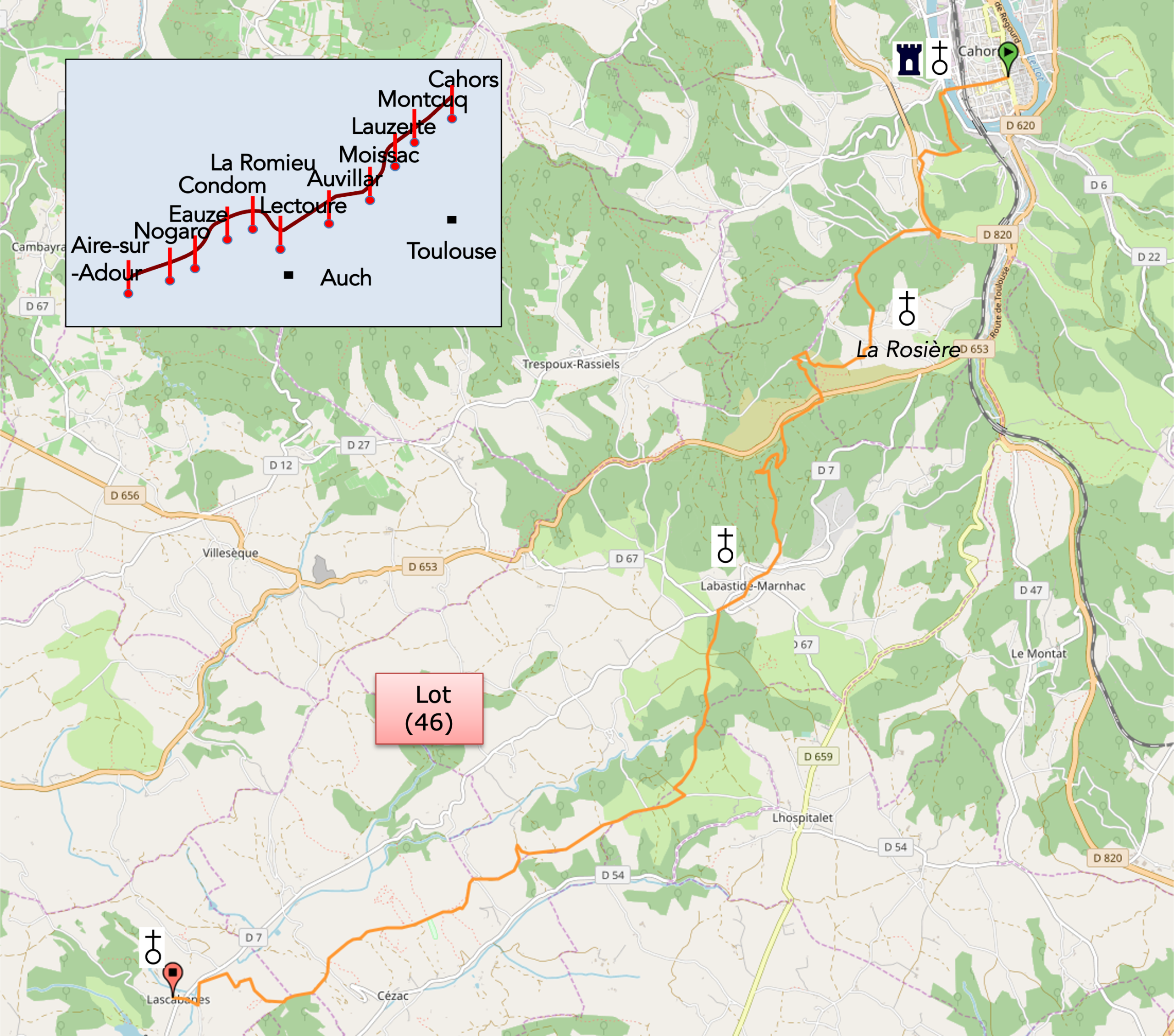
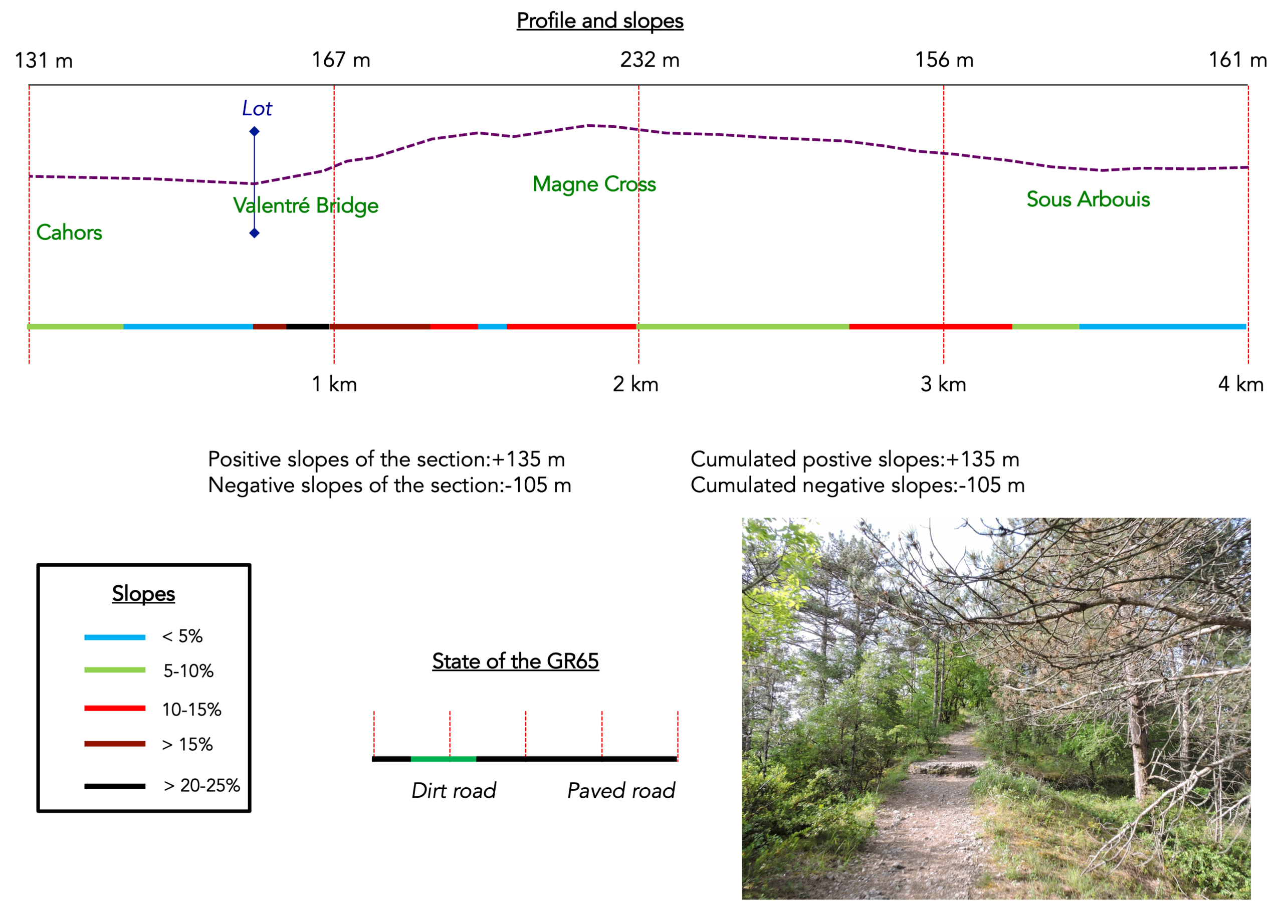
We divided the course into several sections to make it easier to see. For each section, the maps show the course, the slopes found on the course, and the state of the roads. The courses were drawn on the « Wikilocs » platform. Today, it is no longer necessary to walk around with detailed maps in your pocket or bag. If you have a mobile phone or tablet, you can easily follow routes live.
For this stage, here is the link:
https://fr.wikiloc.com/itineraires-randonnee/de-cahors-a-lascabannes-par-le-nouvau-gr65-53871606
|
Not all pilgrims are necessarily comfortable using GPS devices or navigating with a smartphone, especially since there are still many areas without Internet access. That is why, to make your journey easier, a book dedicated to the Via Podiensis from Cahors to LE-Puy-en-Velay is available on Amazon. Much more than a simple practical guide, this book accompanies you step by step, kilometer after kilometer, providing all the information you need for smooth planning and avoiding unpleasant surprises. Beyond its practical advice, it immerses you in the enchanting atmosphere of the Camino, capturing the beauty of the landscapes, the majesty of the trees, and the very essence of this spiritual adventure. Only the pictures are missing, everything else is there to transport you.
In addition, we have also published a second book which, with slightly fewer details but all the essential information, covers the entire route from Le Puy-en-Velay to Saint-Jean-Pied-de-Port. The choice of your journey is yours.
|
 |
 |
If you only want to consult lodging of the stage, go directly to the bottom of the page.
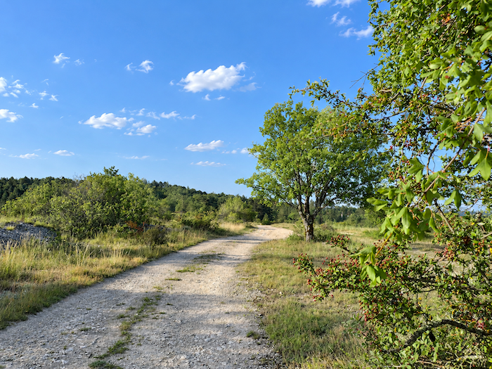
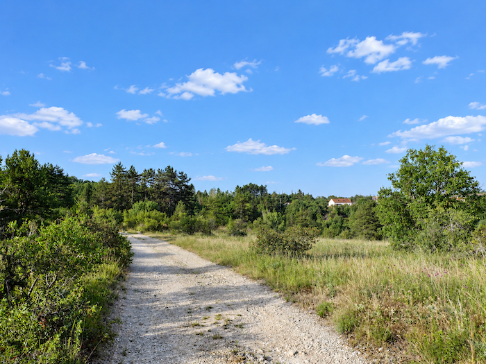
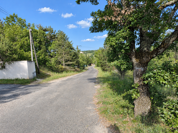
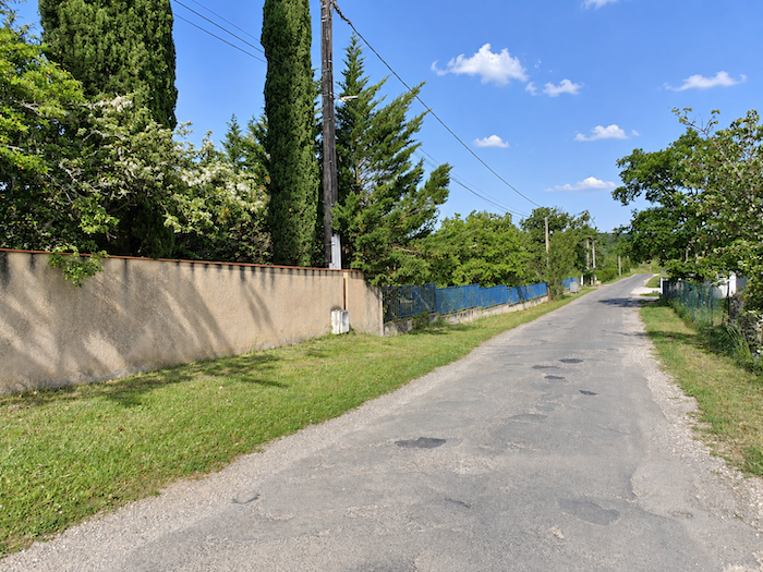
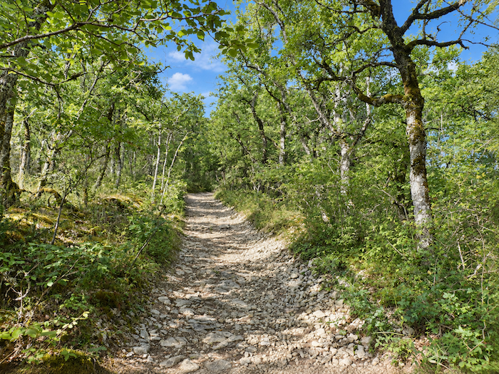
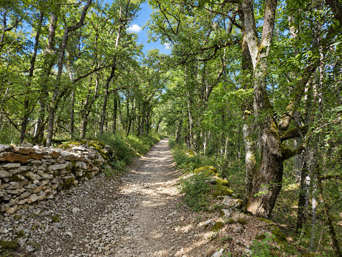
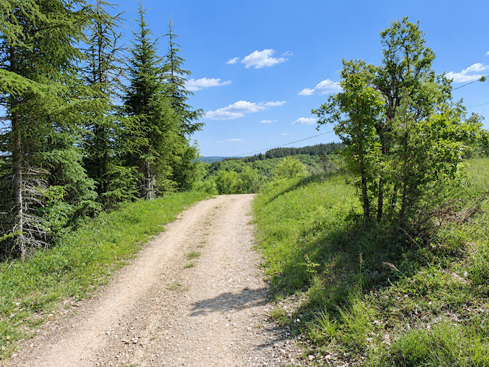
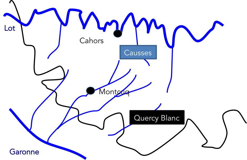
The “Quercy Blanc” is a kind of low-lying plateau carved by small valleys through which little rivers flow, scarcely wider than large streams, along the border between the Lot and Tarn-et-Garonne departments. Leaving Cahors, this is still very much a land of limestone plateaus, with an abundance of woodland and only the beginnings of cultivated farmland. Farther on, the limestone plateaus will finally be left behind as you gradually enter a landscape dominated by agriculture. From Cahors onwards, the Camino de Santiago gradually leaves the foothills of the Quercy limestone plateau behind and enters the “Quercy Blanc”. The “Quercy Blanc” lies along the watershed separating the drainage basins of the Lot and the Garonne. It extends across the departments of Lot and Tarn-et-Garonne. Where it meets the limestone plateaus, the “Quercy Blanc” is most readily recognized by the whiteness of its soil and the walls of its houses. The land is predominantly limestone, with a distinctly whitish hue, hence its name. The landscapes of the “Quercy Blanc” are shaped by successive layers of limestone and marl, as white as chalk, forming a plateau broken by spurs and broad valleys where the alluvial soil is rich. In places, however, the geology has also produced red clays rich in iron.
Today, you are still walking through the Lot department. The route heads south. Take care here! This is a stage where accommodation is limited, so book ahead. Another point to bear in mind is that the GR has recently been altered. In previous years, when you reached La Rosière, the route continued straight on towards Les Mathieux, where accommodation was available. Today, the route no longer goes there. At La Rosière, it follows a different road, and as a result, the entire climb towards Labastide-Marnhac has been changed. Altering the GR has now almost become a habit. Why, one wonders?
| A broad network of small parallel streams, with numerous branches, drains the whole of the “Quercy Blanc.” The physical character of the area is reminiscent of the Causses plateaus farther south in France, although the landscapes are more open and there are more buildings. Today, the natural areas still consist mainly of hay meadows and extensive woodlands of downy oak crowning the plateaus. The feeling is that you have not yet truly left the limestone plateaus behind, and that livestock farming still outweighs crop farming, at least during the first part of the journey. Tomorrow, as you continue downstream, you will see that the balance is reversed, with agricultural slopes becoming more prominent than wooded hills. Some pilgrims who do not enjoy long, monotonous stretches will say that, after Labastide-Marnhac, this is not, shall we say, an extraordinary stages. |
 |
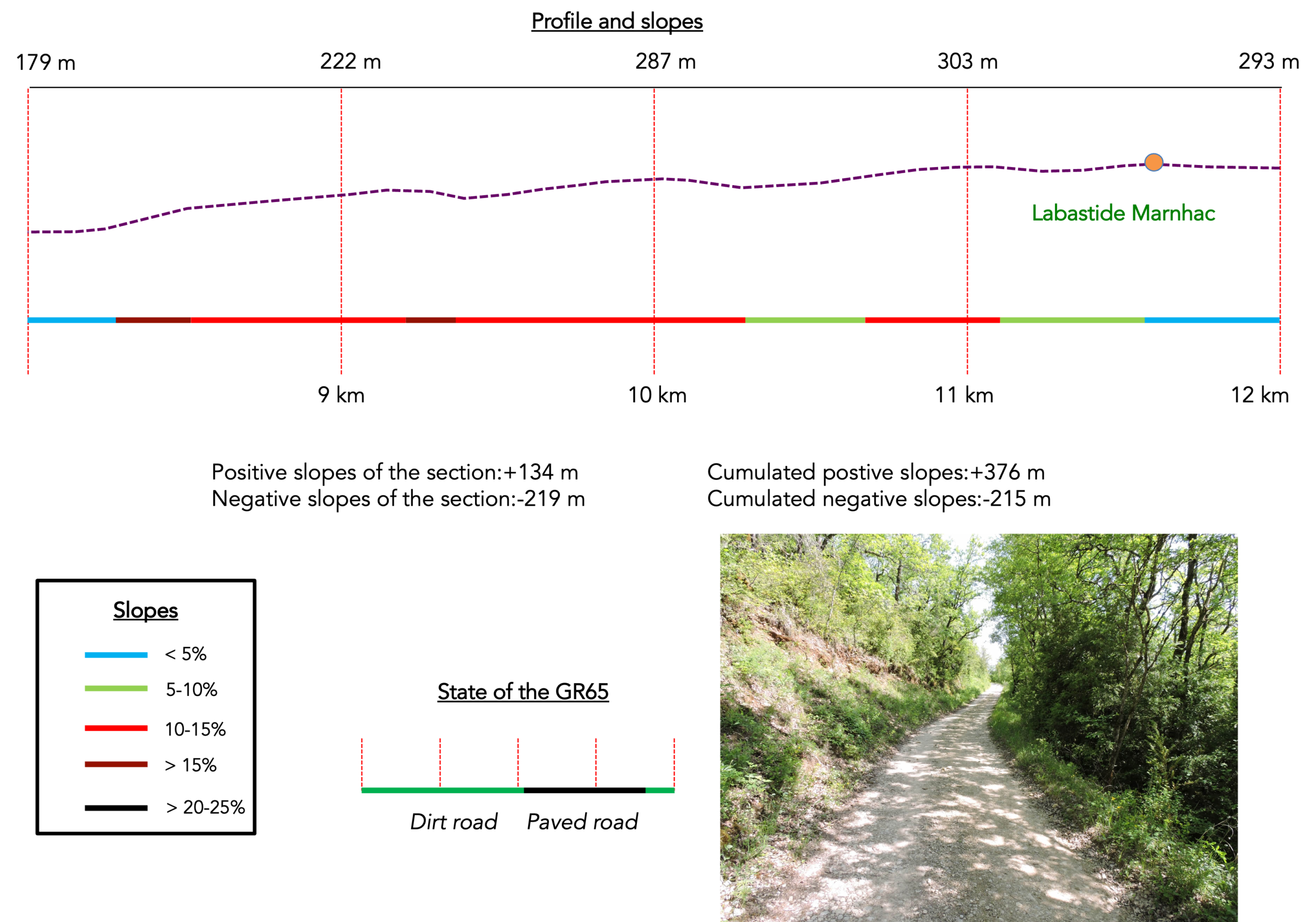
Difficulty level: Today, slope variations are very reasonable (+493 meters/439 meters). Admittedly, the route begins with a demanding climb above Cahors towards the « Croix de Magne ». Then the slope calms down, on a succession of ups and downs that you cross without problem, with however a rather demanding climb on the causse before Labastide-Marnhac. Then it’s easy for the rest of the stage.
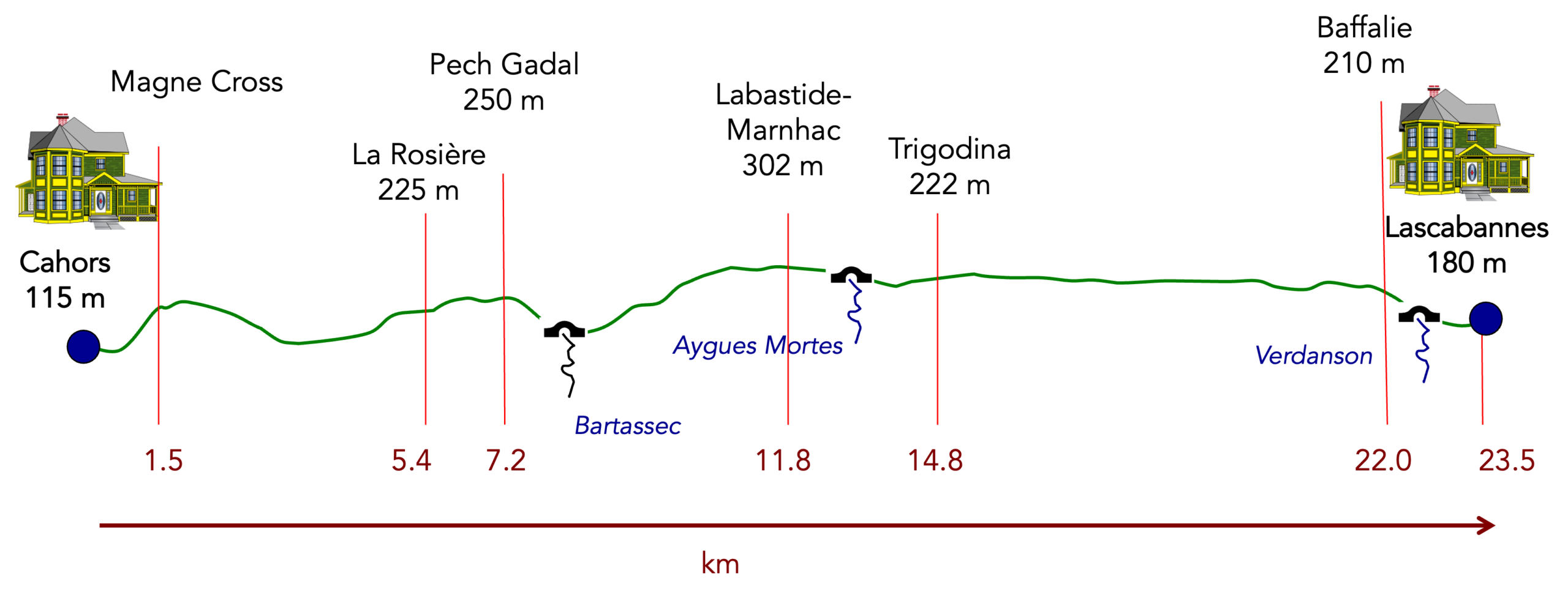
State of the GR65: It is a stage where the dirt and pebble pathways take precedence over the tarmac, which also deserves to be mentioned:
- Paved roads: 6.7 km
- Dirt roads: 14.8 km
Sometimes, for reasons of logistics or housing possibilities, these stages mix routes operated on different days, having passed several times on Via Podiensis. From then on, the skies, the rain, or the seasons can vary. But, generally this is not the case, and in fact this does not change the description of the course.
It is very difficult to specify with certainty the incline of the slopes, whatever the system you use.
For « real slopes », reread the mileage manual on the home page.

Section 1: A demanding climb above Cahors to the Magne Cross
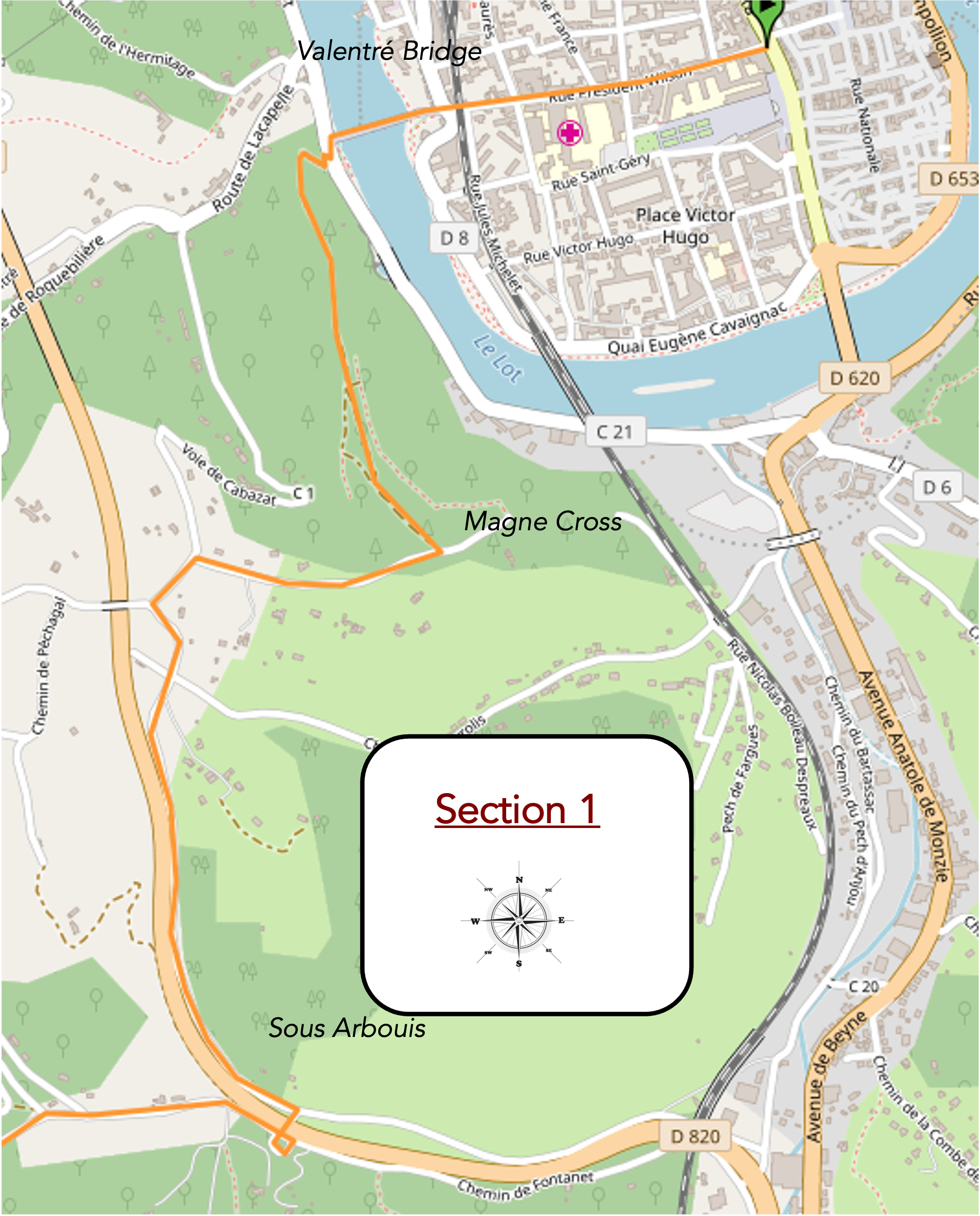
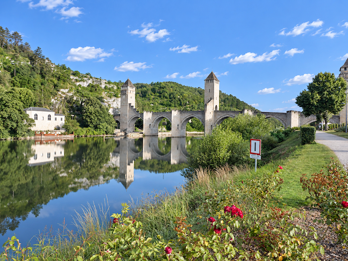
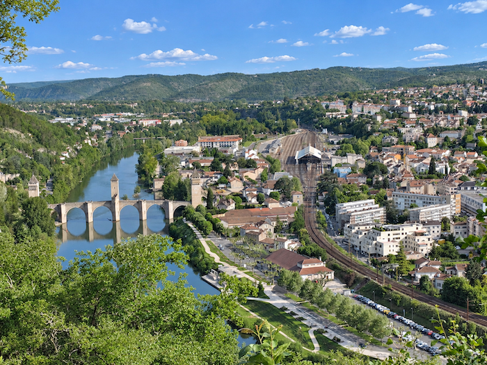
Overview of the route’s challenges: a tough climb to Magne Cross after having crossed the Lot River on the Valentré Bridge.
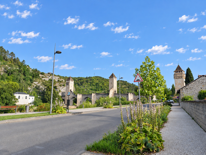
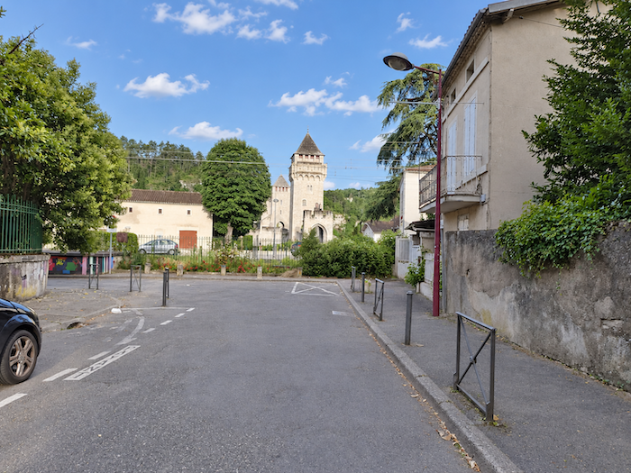
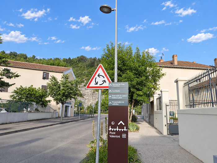
| If you spent the night in the center of Cahors, where most of the accommodation is concentrated, you must first make your way to the Pont Valentré, over the Lot. |
 |
 |
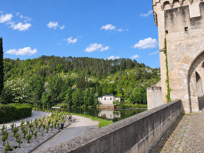
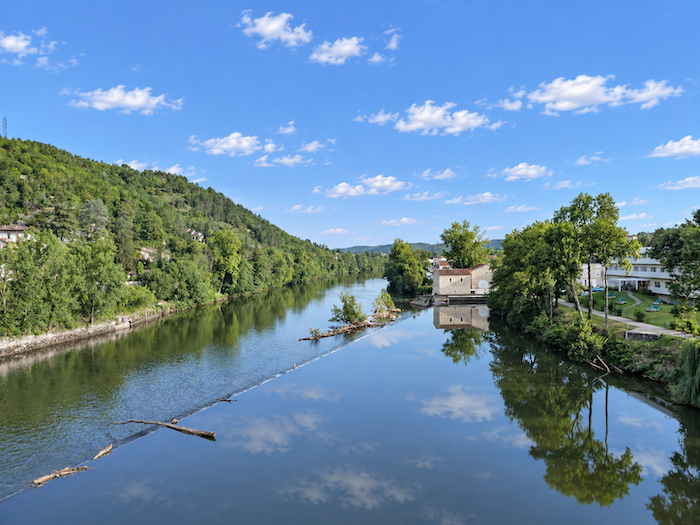
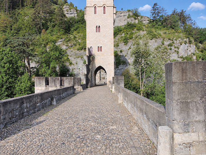
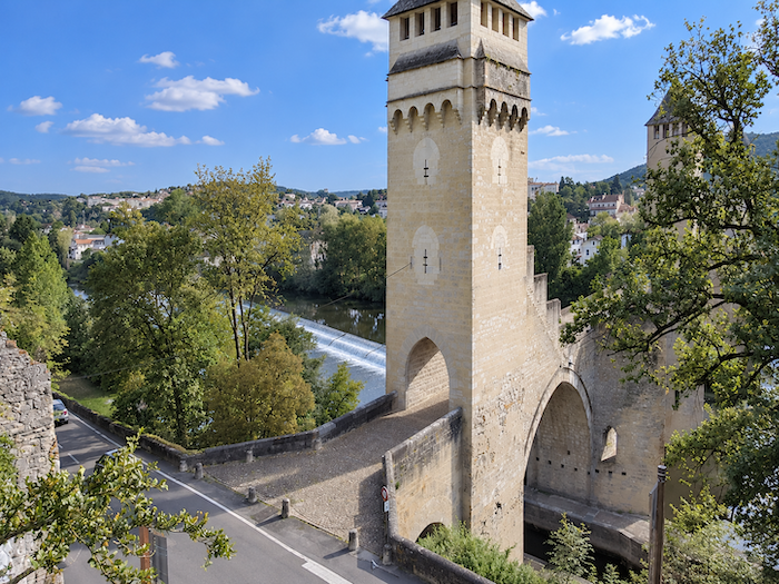
| “There are two things in a building: its use and its beauty. Its use belongs to its owner, its beauty to everyone.” (Victor Hugo, 1825) Some even go so far as to claim that bridges were built to allow pilgrims to cross rivers. Standing before this one, you can almost believe them. One could never tire of such a marvel. Beneath its arches, the Lot flows peacefully and majestically today. |
 |
 |
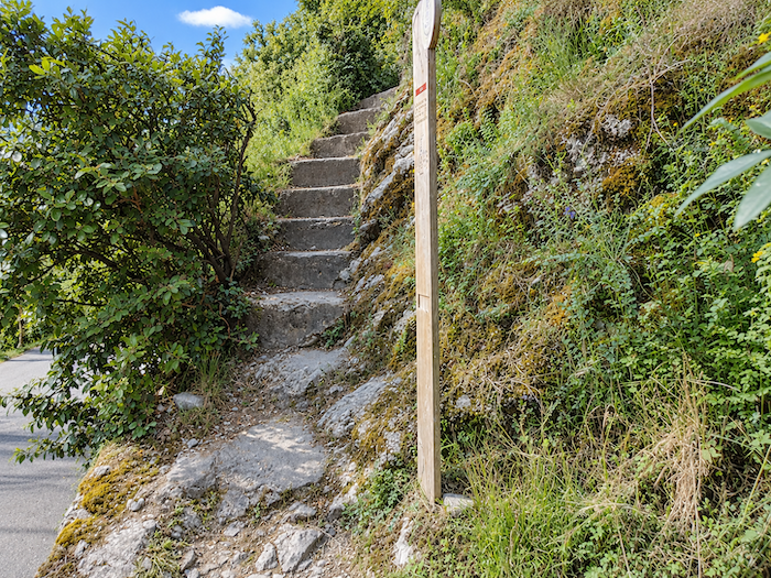
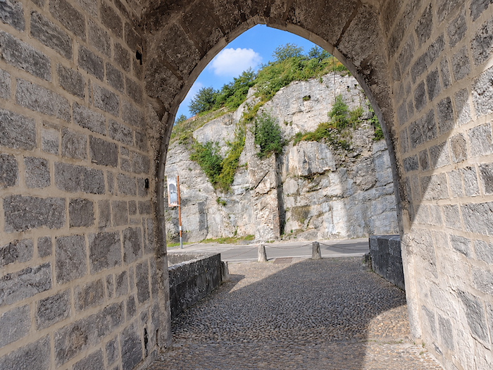
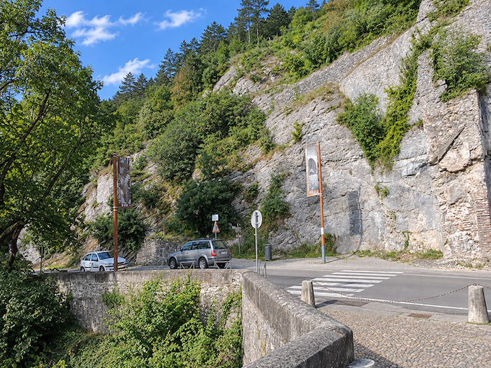
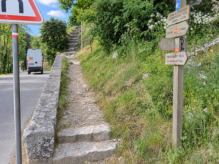
| No sooner have you crossed the Pont Valentré than the scenery changes completely. The GR65 climbs abruptly up one of the hills surrounding Cahors. Twenty minutes are enough to reach the ridge, but they immediately set the tone for what lies ahead. |
 |
 |
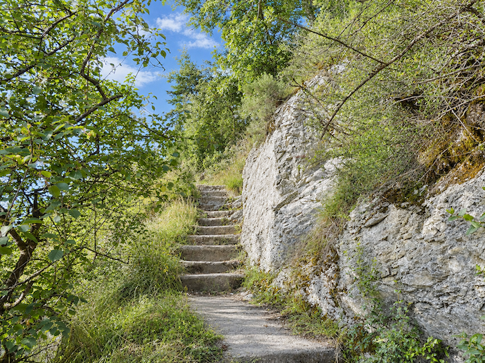
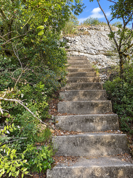
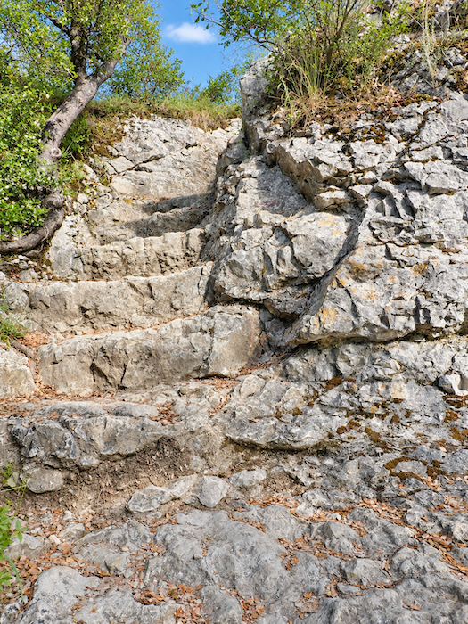
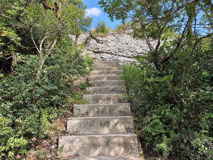
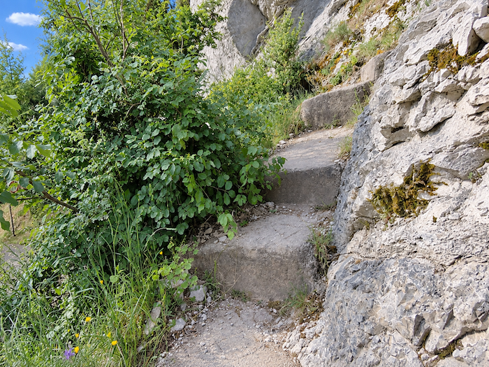
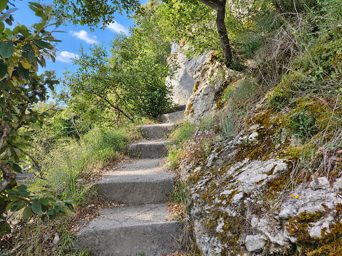
| As an opening course, it is rather demanding. Large concrete steps, set between the rocks, mark the beginning of the climb, and soon the steps are carved directly into the stone. |
 |
 |
| There is no respite, as the staircase maintains a steady, steep gradient. |
 |
 |
| But the effort brings its reward. With every flight of steps, Cahors sinks farther below and the Pont Valentré gradually disappears behind the rocks. Now and then it comes back into view, with its seven arches, three-pointed towers and crenellated parapets, a silhouette that speaks eloquently of the city’s power in the Middle Ages. |
 |
 |
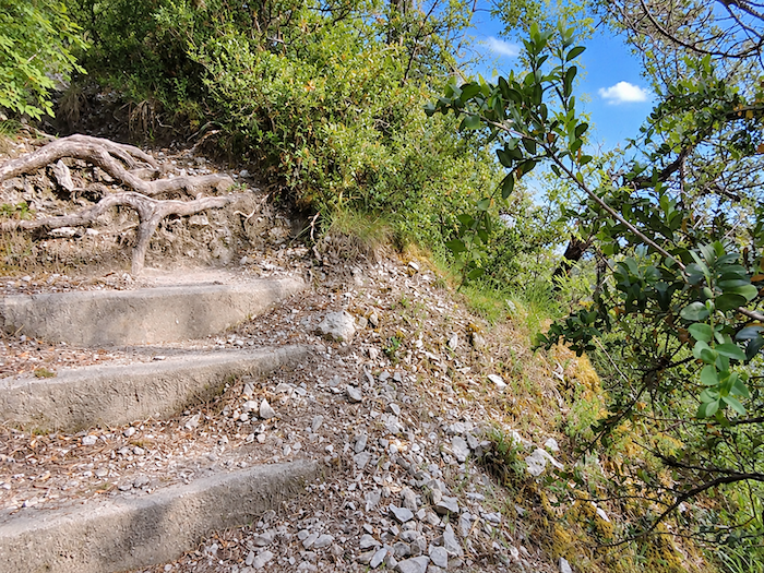
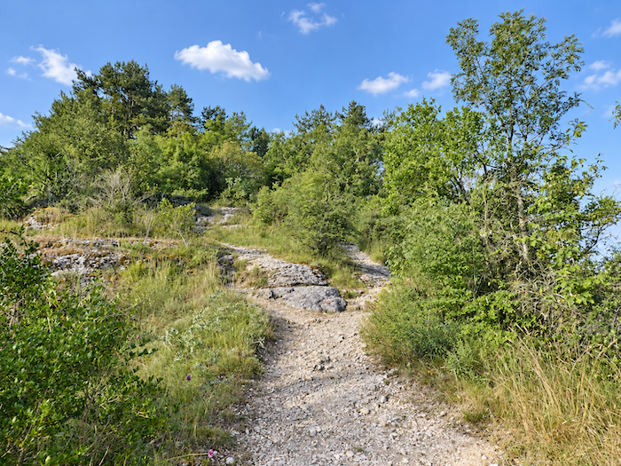
| Once the last steps are behind you, schist takes over underfoot and the gradient finally eases, |
 |
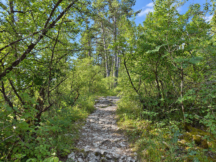 |
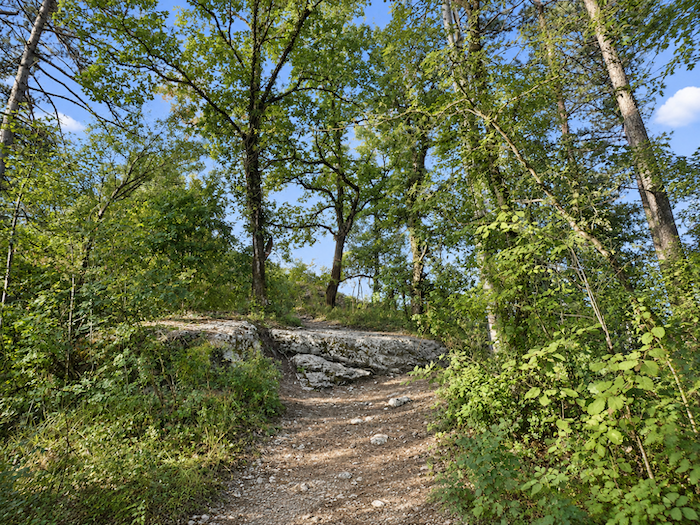
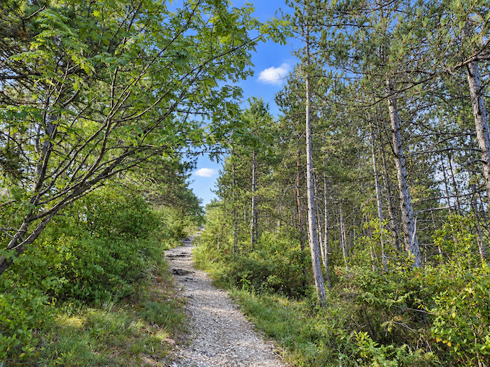
| Shade returns as well, a welcome relief after this demanding climb. Oaks, chestnut trees, ash trees and pines now accompany your progress. |
 |
 |
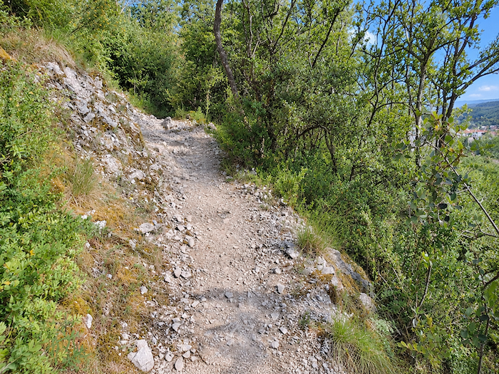
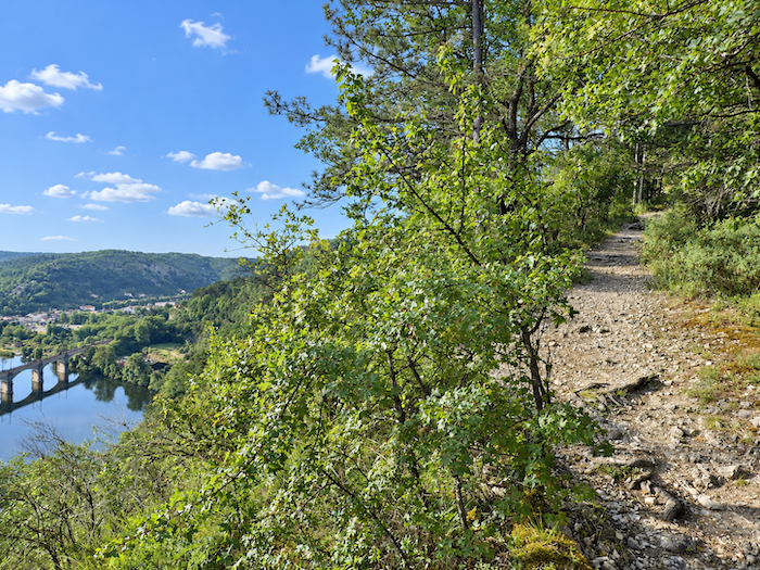
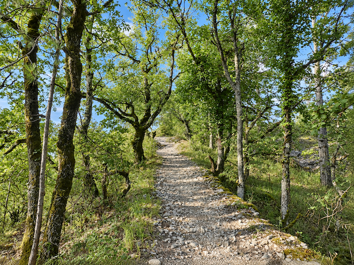
| Higher up, stones become increasingly numerous underfoot. For a while, the route skirts the edge of the escarpment and, between the trees, the Lot reappears far below. A few holm oaks cling to the hillside here, a fairly unusual sight along the French Camino de Santiago. |
 |
 |
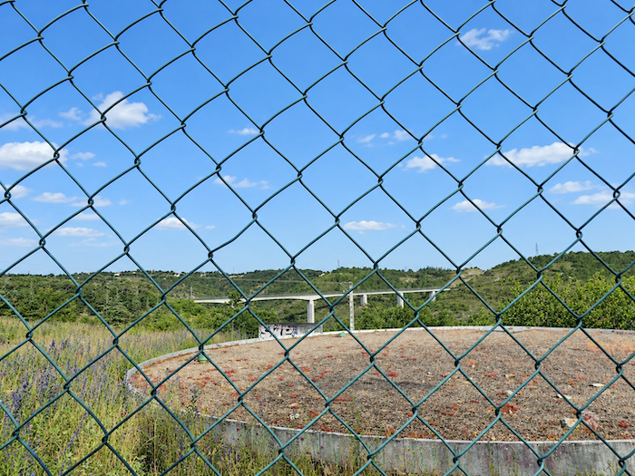
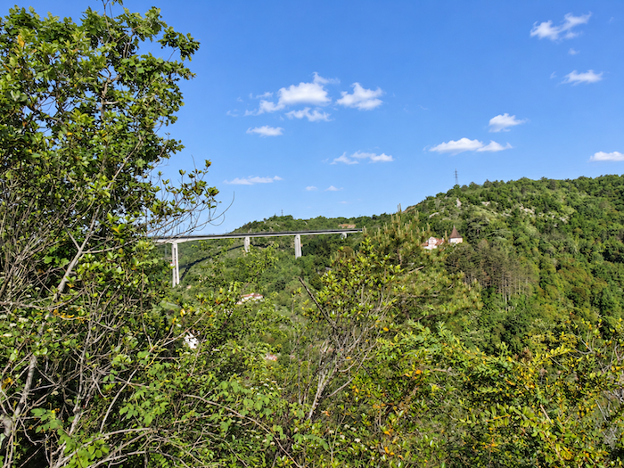
| Halfway up the hills, one of the many bridges that allow the main roads to bypass Cahors soon comes into view, the city enclosed within its great loop of the Lot. |
 |
 |
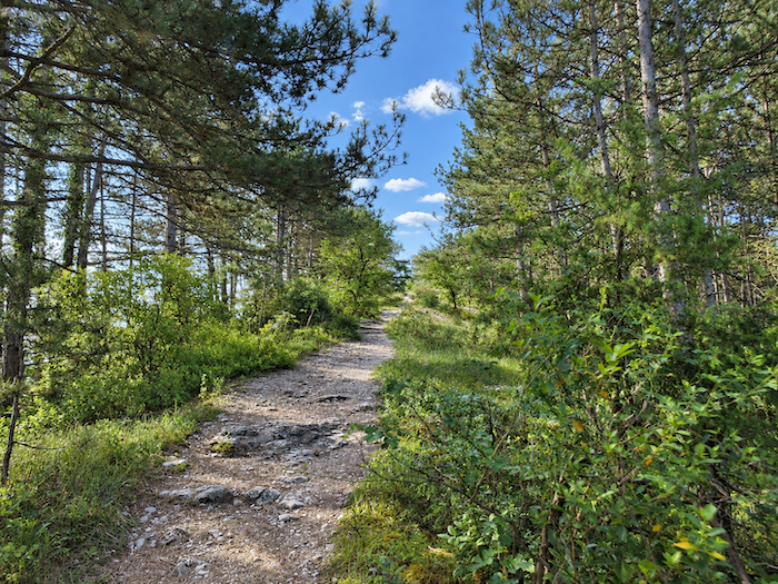
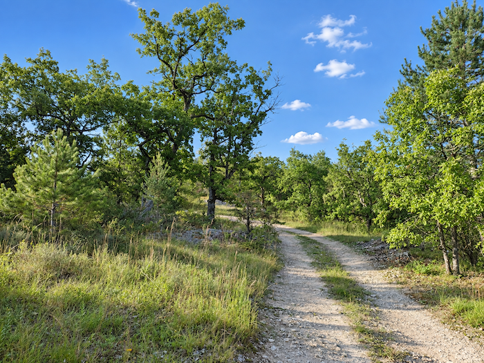
| Then you reach the ridge. The landscape, until now confined between the slope and the vegetation, suddenly opens out. A broad stretch of heathland replaces the woods, the trees become more widely spaced and, beneath your feet, the earth sometimes takes on the appearance of sand. |
 |
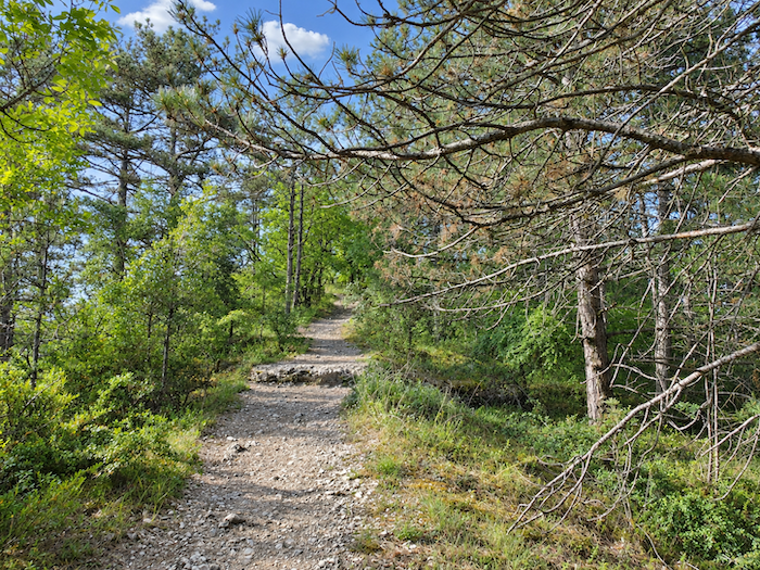 |
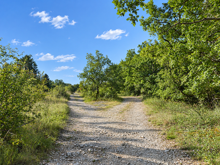
| After the steepness of the climb, the GR65 becomes gentler here and follows the crest of the ridge at an easy pace. |
 |
 |
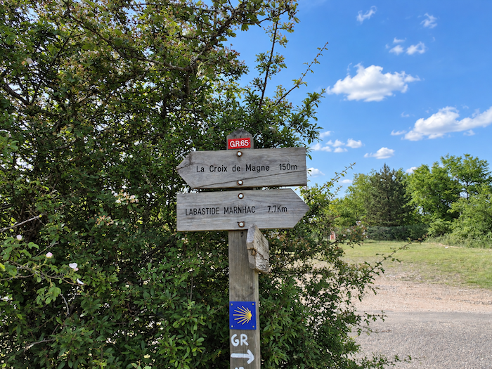
| About 150 meters from the route stands the “Croix de Magne”. |
 |
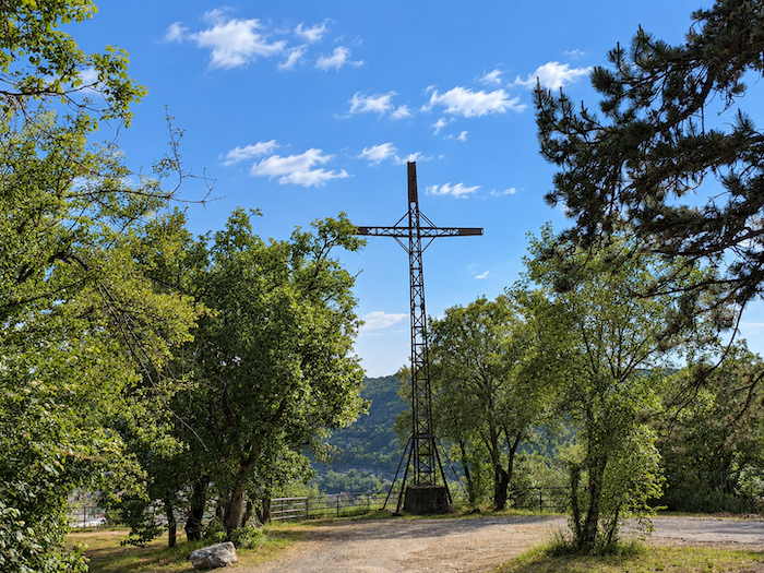 |
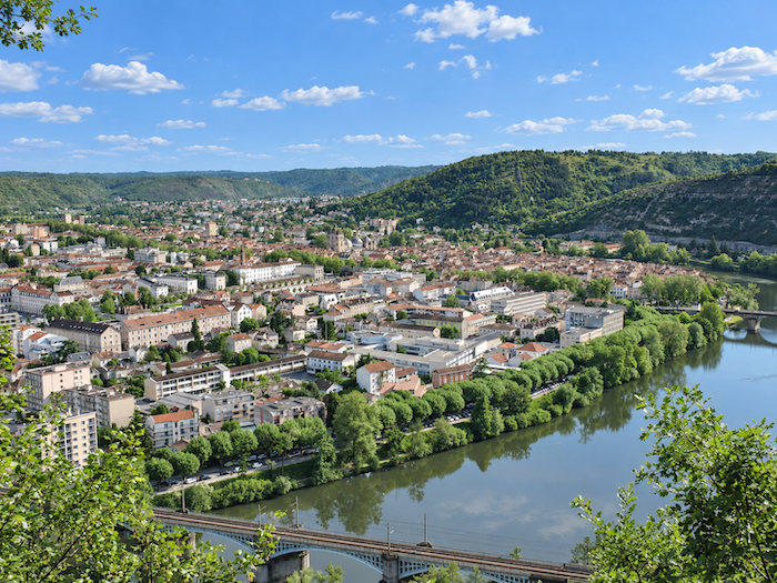
| It is well worth those few extra steps. Yet many pilgrims pass it by, preoccupied with keeping to their walking schedule. In doing so, they miss a magnificent viewpoint over Cahors, the entire city nestled within the blue loop of the Lot. The climb has transformed the proportions of the landscape. Far below, the Pont Valentré is now little more than a tiny figure cast across the river, while amid the tightly packed rooftops of the city, the cathedral domes look like small bowls. |
 |
 |
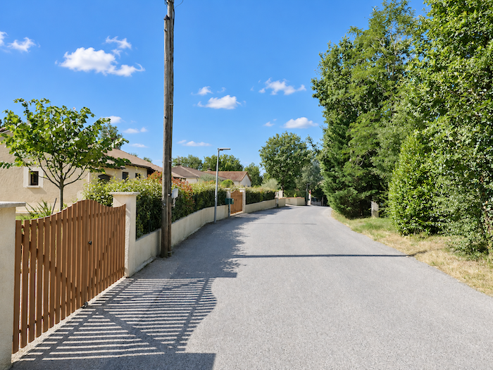
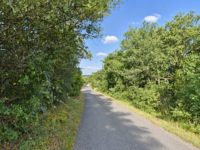
| Sadly, along the Camino de Santiago, beauty can sometimes give way all too quickly to the ordinary. From the “Croix de Magne”, a small paved road winds downhill between villas that often have little character, until it reaches a crossroads. |
 |
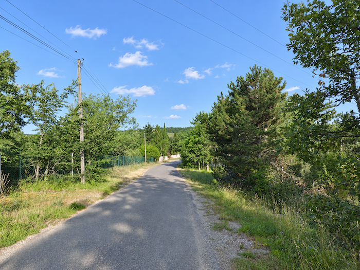 |
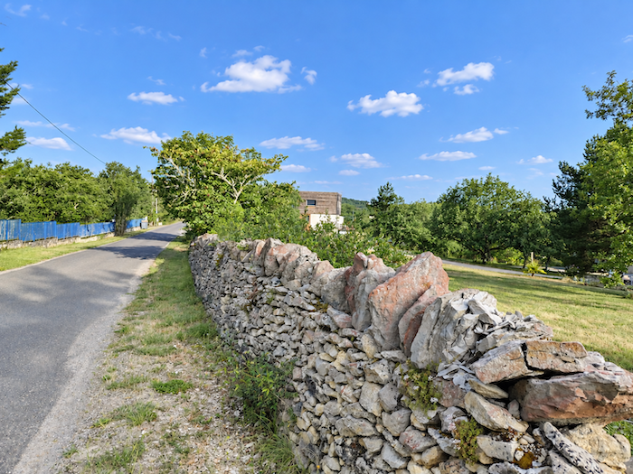
| Farther down, the landscape opens up. A few small roads cross one another through the countryside, among houses that are now more scattered. |
 |
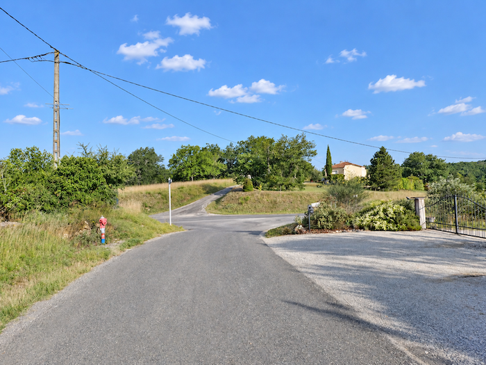 |
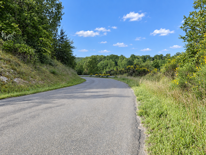
| The descent then becomes much more pronounced on the other side of the ridge, still on paved roads, as the D820 toad draws closer. When arriving in Cahors by road, it is difficult to appreciate what the walker has just climbed. The city lies tucked away at the very bottom of the valley and, to leave it, there is no choice but to climb back onto the heights. |
 |
 |
|
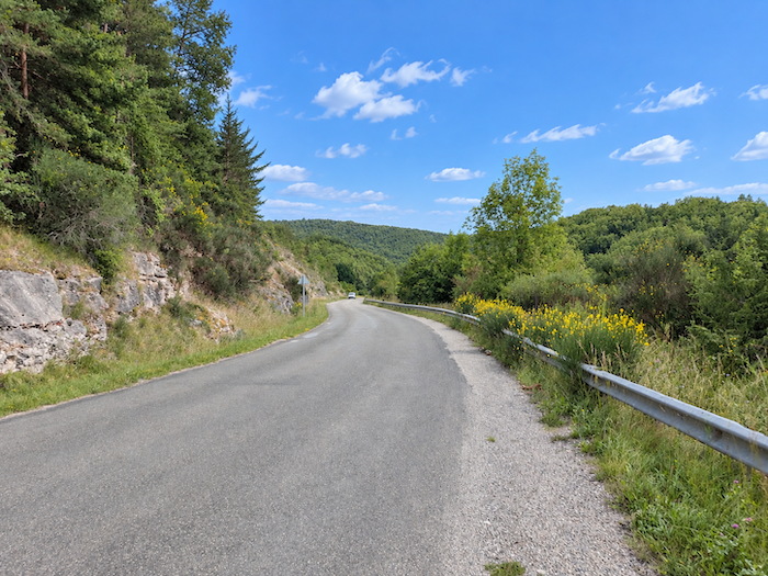
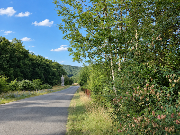
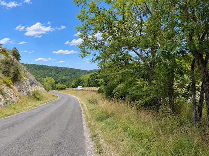
A long descent now begins. Along the edge of this quiet little road, a strip of earth and grass fortunately offers your feet an alternative to the pavement. Only a few meters away, the traffic on the main departmental road is a reminder of just how welcome this respite is.
|
 |
 |
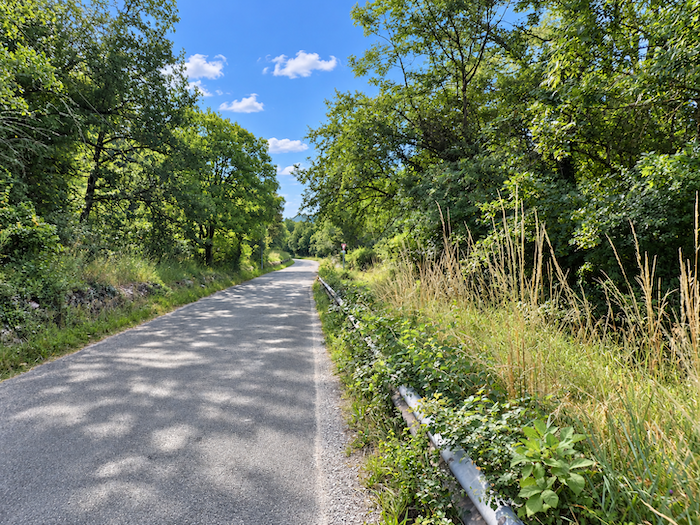
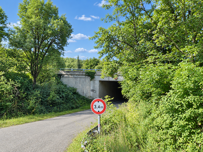
| At the bottom, the GR65 reaches the D820 road and crosses beneath it through a tunnel. |
 |
 |
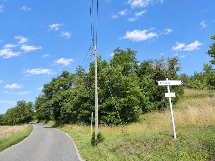
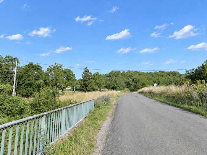
| On the other side, you immediately have to start climbing again. A small road rises towards La Rosière, passing through the locality known as Sous-Arbouis. |
 |
 |
Section 2: Through the countryside and oak woodlands
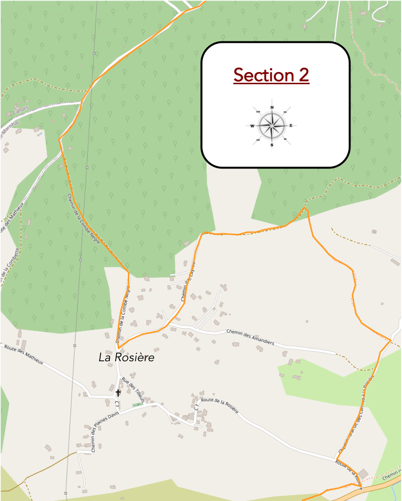
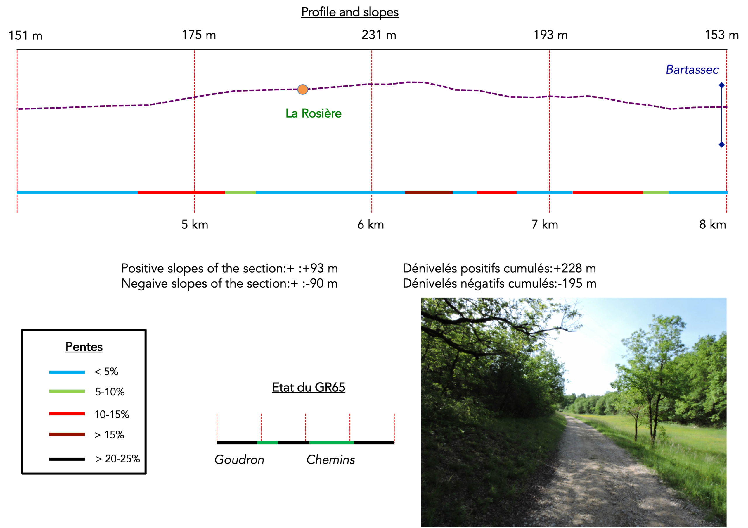
Overview of the route’s challenges: no particular difficulty, apart from a few steep slopes around La Rosière.
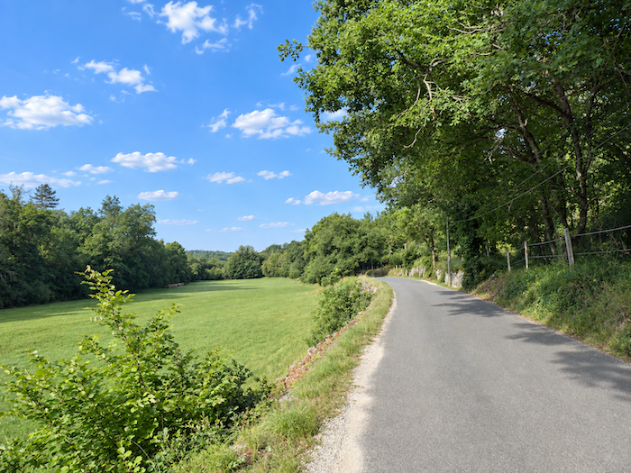
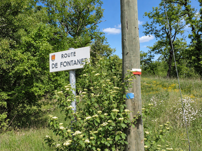
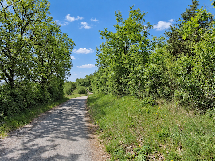
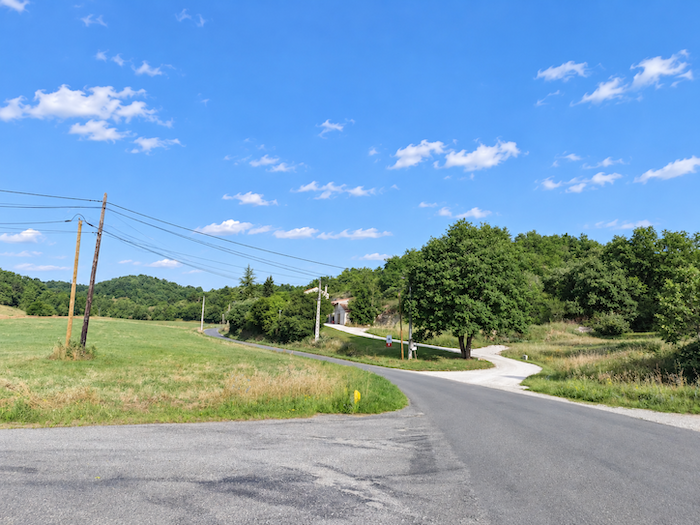
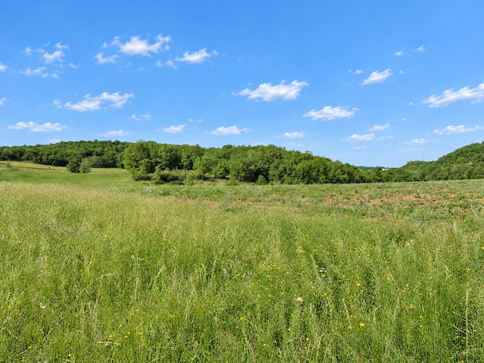
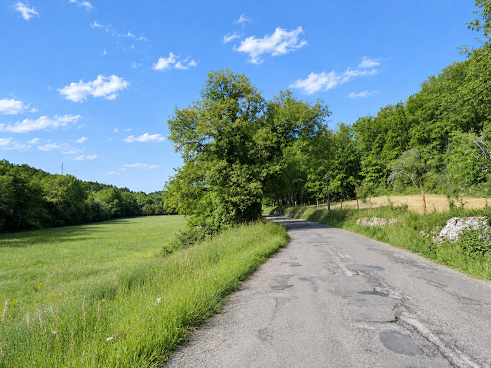
| For a good kilometer, the landscape changes very little. The Fontanet road slopes up gently between meadows dotted with groves of sessile and holm oaks. There is not a cultivated field in sight, here grass reigns supreme. |
 |
 |
| The climb continues in this way until it reaches an isolated house beside the road. |
 |
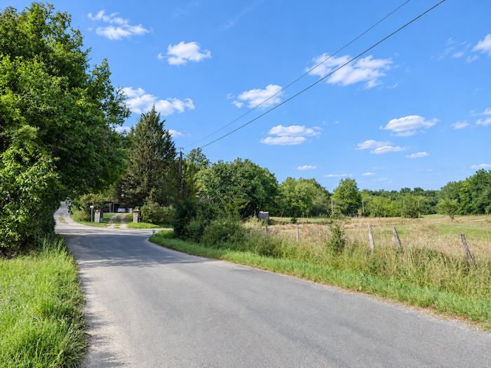 |
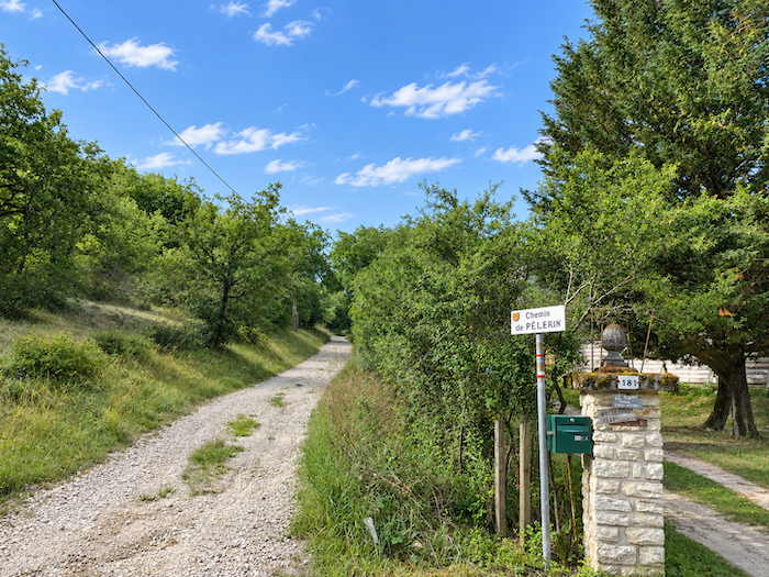
| The Camino de Santiago sometimes takes pity on the soles of its followers’ feet. Rather than continuing on the pavement, it leaves the road here and heads across the hillside towards La Rosière. But its generosity has its limits, underfoot, the broad path becomes stony and the gradient is steep in places. |
 |
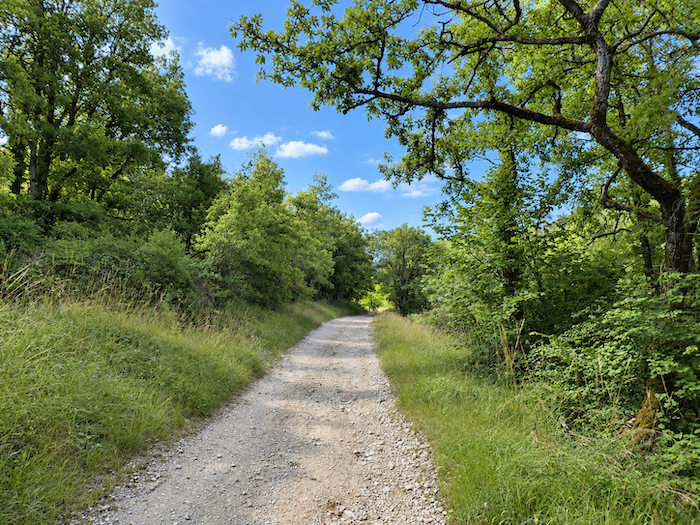 |
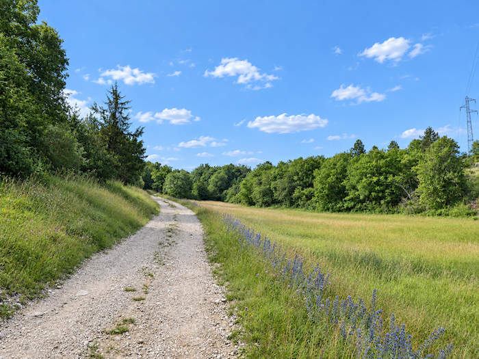
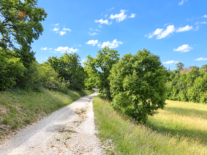
| There is little point in searching the hedgerows for a tree that is not an oak. A few Montpellier maples and hornbeams mingle with the bushes, but they are very much the exception. Across central France, one conclusion gradually becomes unavoidable, the oak has taken possession of the land and seems in no hurry to surrender its throne. Only chestnut trees, maples, ash trees and, occasionally, beeches manage to challenge its dominance here and there. |
 |
 |
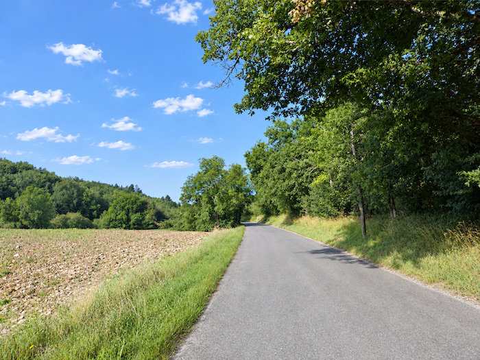
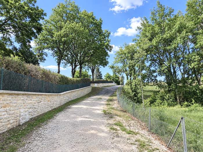
| At the end of the climb, the pavement reappears. A road runs almost level towards the village of La Rosière. |
 |
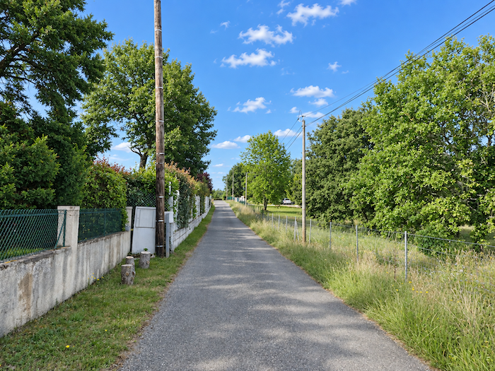 |
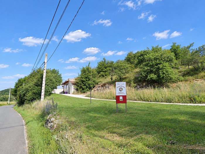
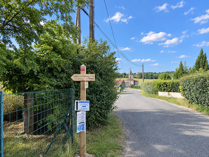
This is where the route of the GR65 has changed. In the past, it crossed La Rosière and continued straight towards Les Mathieux, and only a sign mentioning a gîte still remains along this former route. Today, the waymarking sends walkers off at a right angle. Yet this route is not actually new. It is said to follow an old route of the GR65, which has thus returned to its original course.
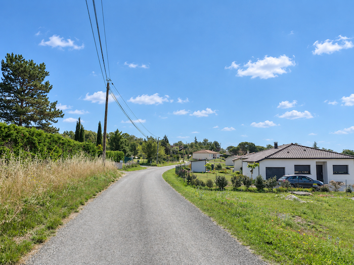
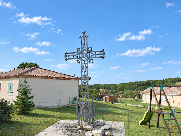
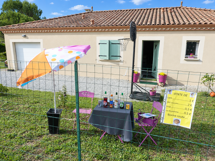
| The road begins climbing again through the recent housing developments that have spread across the upper part of the village. At the crossroads, you still find those beautiful crosses, never quite the same yet all somehow related, to which pilgrims entrust their wishes, leaving behind, as they pass, small traces of their hopes. |
 |
 |
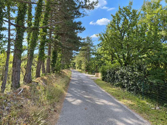
| Beyond a halt, no doubt makeshift and temporary, the paved road continues upwards, winding between the last houses before the woodland closes around the landscape once again. |
 |
 |
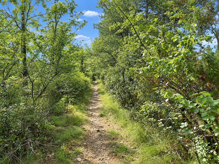
| At the end of the dead-end road, the road finally gives way. A trail takes over and plunges abruptly into the vegetation, following a bed of stones where the suddenly very steep gradient forces you to watch every step between bushes and deciduous trees. |
 |
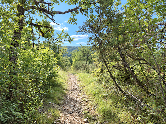 |
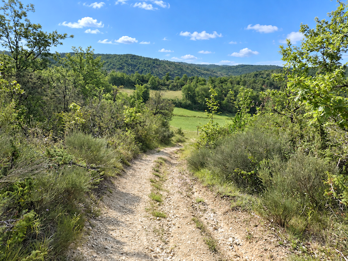
| The gradient scarcely eases when the canopy of trees comes to an end. The trail then emerges back into the light and descends swiftly through the countryside, between open meadows and the edges of the woodland. |
 |
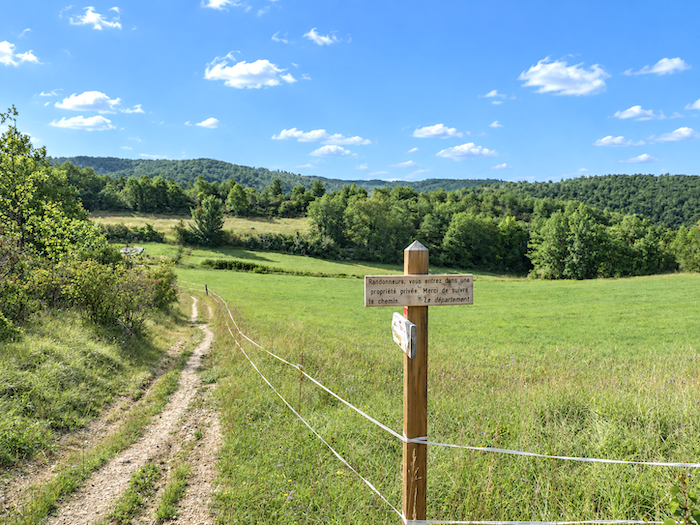 |
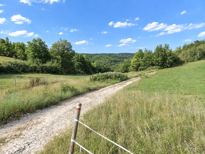
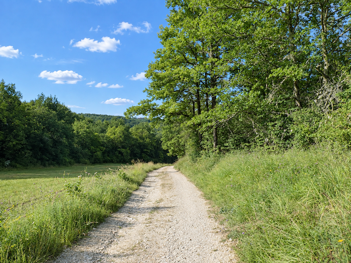
| Gradually, however, the descent becomes less demanding. As you approach the bottom of the dale, the gradient eases and you can walk more freely again. All around, beyond the meadows, the hills disappear beneath dense deciduous forests, as though the countryside had opened only a handful of clearings in an immense mantle of trees. |
 |
 |
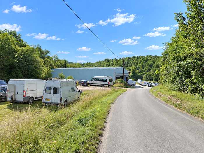
| At the very bottom, the trail joins a road coming from La Rosière. It, too, heads towards the D653, the main departmental road linking Cahors and Montcuq. |
 |
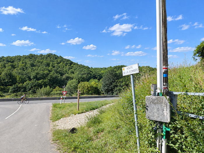 |
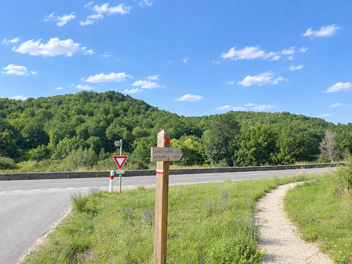
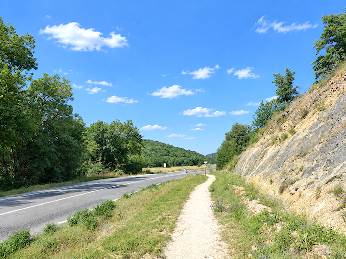
| The GR65 then has no choice but to run briefly alongside the departmental road. The Bartassec flows along the bottom of this dale, or rather, it once flowed freely here. Today, the road has taken over completely and seems to have swallowed the stream beneath its ribbon of asphalt. |
 |
 |
Section 3: Climbing towards the Labastide-Marnhac plateau
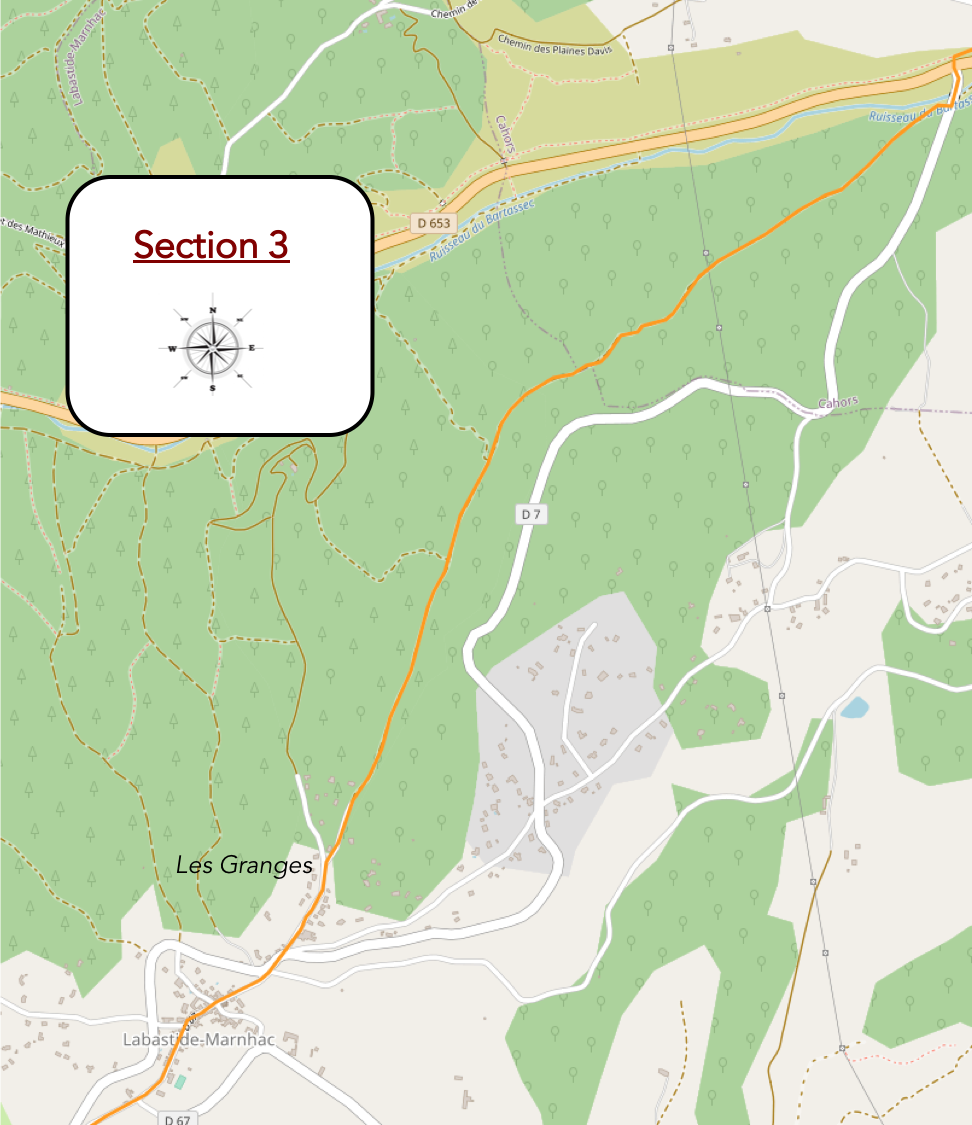
Overview of the route’s challenges: you still gain nearly 170 meters in elevation over 3 kilometers, often on steep gradients.
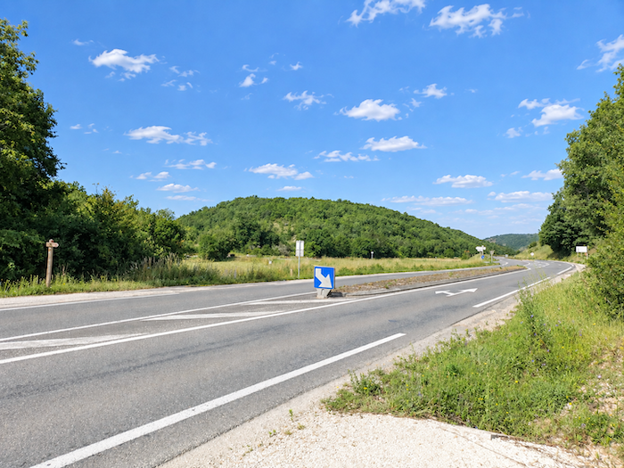
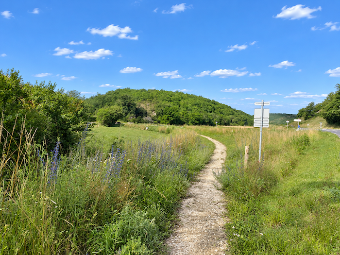
| Crossing the departmental road presents little difficulty, as traffic here is far from heavy. On the other side, a path leaves the pavement behind and crosses the small plain at an easy pace. |
 |
 |
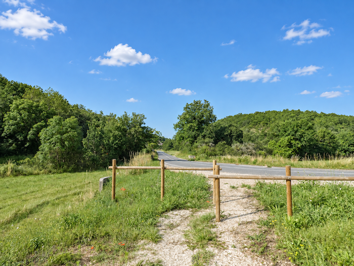
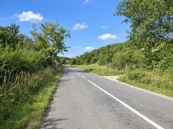
| The GR65 soon joins the road to Labastide-Marnhac. But take care, it follows it for only a short while before turning off to the right to tackle the limestone plateau. Keep your eyes open, as the junction is hardly announced with fanfare and trumpets. If you miss it and continue straight ahead, you will have no choice but to trudge along the pavement for quite some time. And that is hardly what you came all this way for, is it? |
 |
 |
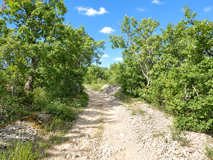
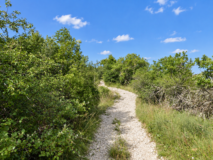
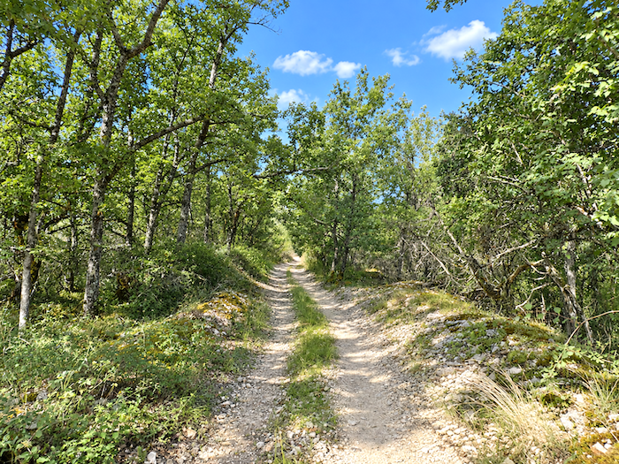
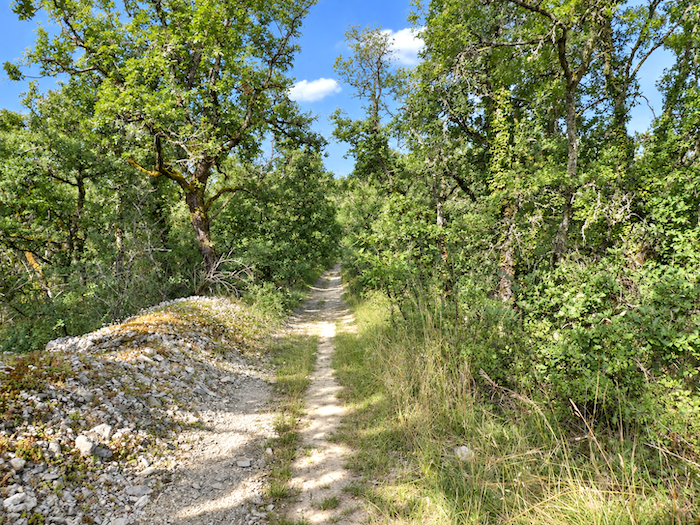
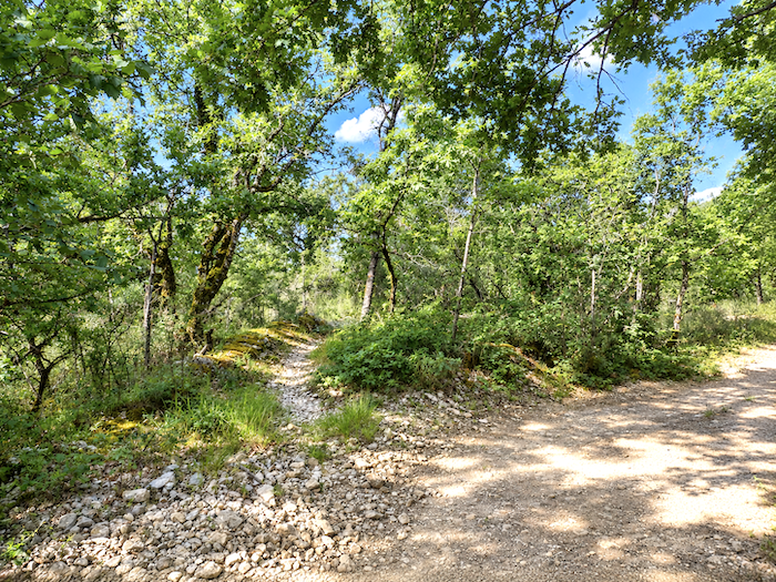
| In any case, any doubt soon disappears, the limestone plateau is well and truly back. With it return the sparse vegetation, the harsh gradient and the unstable limestone that rolls beneath your feet, reminding you with every step that this land does not surrender without resistance. |
 |
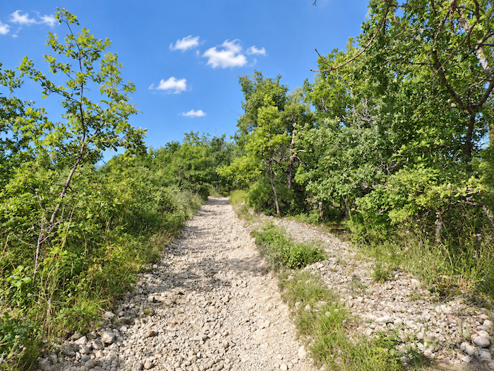 |
| As you climb, the landscape becomes increasingly bare. Holm oaks and sessile oaks have almost disappeared, and soon only small downy oaks stubbornly struggle to draw sustenance from this unforgiving soil. A few chestnut trees and Montpellier maples occasionally break the austerity, but they remain exceptions in this world of stone and dryness. |
 |
 |
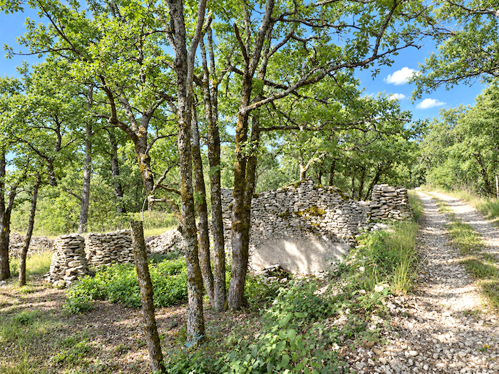
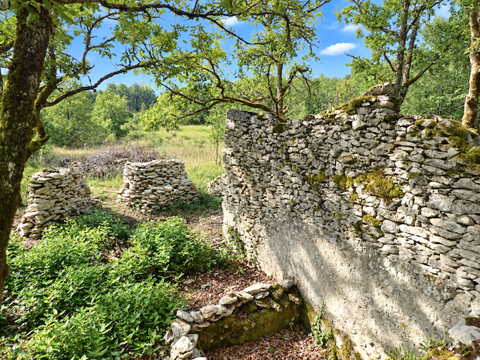
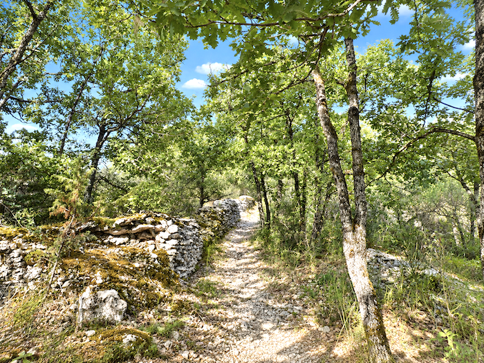
| Higher up, ruins emerge from the solitude. Only a few stones remain from an activity that disappeared long ago, yet they still bear the imprint of a chapter in the region’s history. What on earth could anyone have kept, or done, here in such a harsh and remote place? |
 |
 |
| Here, we should be grateful to those who restored this passage across the limestone plateau to the GR65. The new route crosses a landscape far wilder and more beautiful than the one followed in recent years. And if you were still wondering why this part of the Quercy is called the “Quercy Blanc”, simply look beneath your feet, the limestone itself provides the answer. |
 |
 |
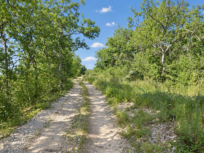
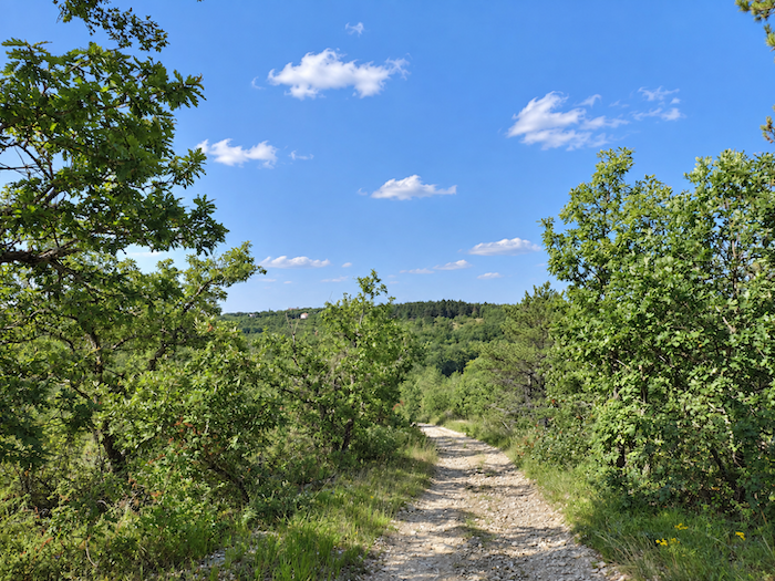
| A little higher up, the horizon opens out. The limestone plateau broadens and, surprisingly, the path even agrees to descend. The slope is short but pronounced, just enough to make you believe that the climb is finally behind you. Do not celebrate too soon, it is only an illusion. |
 |
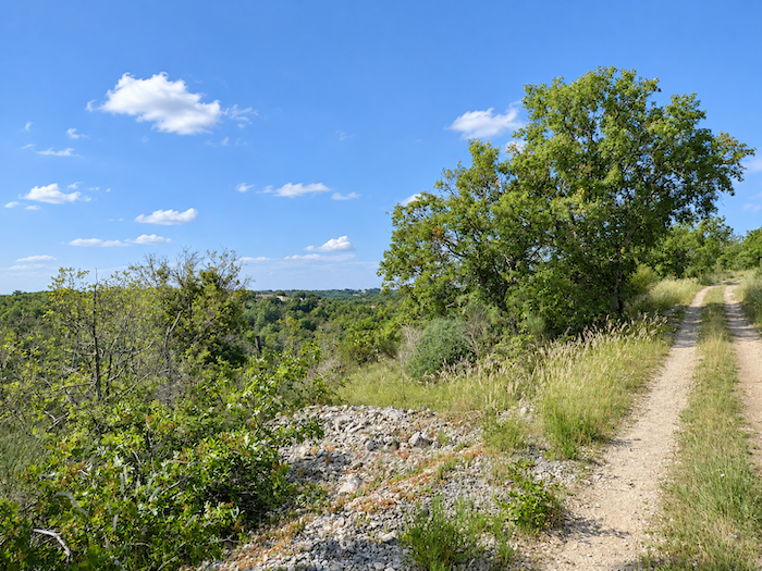 |
| No sooner has the trail lost a few meters of elevation than it begins climbing again. This time, you think you have the summit within reach. Not at all. The limestone plateau continues to stretch its stony back before you, almost as though it took mischievous pleasure in postponing the end of the climb. |
 |
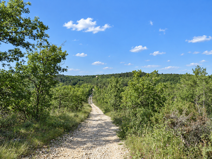 |
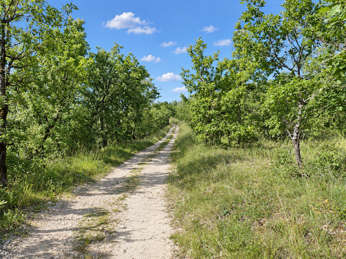
| There remains one final push. Human presence now seems far away, almost entirely absent from these expanses where silence and a strange harmony prevail. Stone, dry grasses and stunted oaks form a world that seems to have no need of anyone. This is an untamed, almost immutable landscape, one that was here long before you and is utterly indifferent to passing hikers like us. |
 |
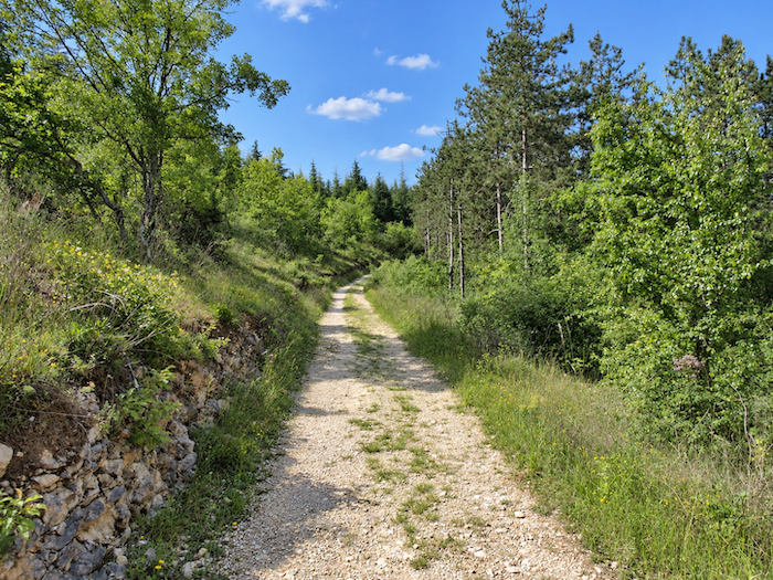 |
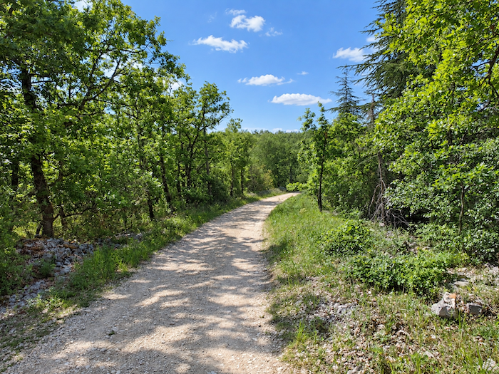
| Then, almost without warning, the limestone plateau releases its grip. The path leaves this world of stone behind and joins a road leading to Les Granges, among the recent housing developments scattered across the heights above the village. The wild interlude comes to an end, and houses and people reclaim the landscape. |
 |
 |
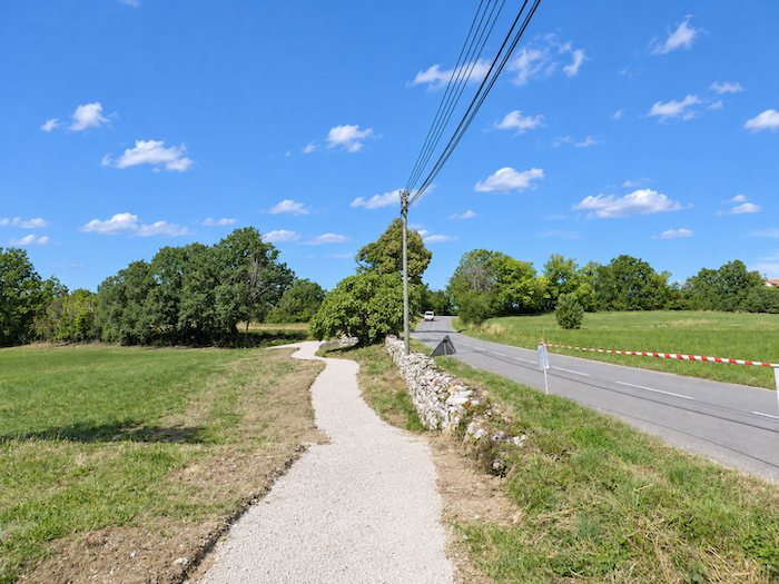
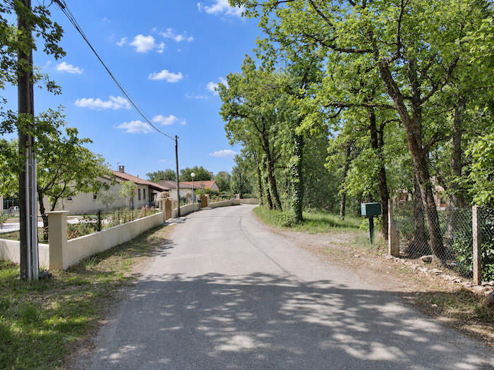
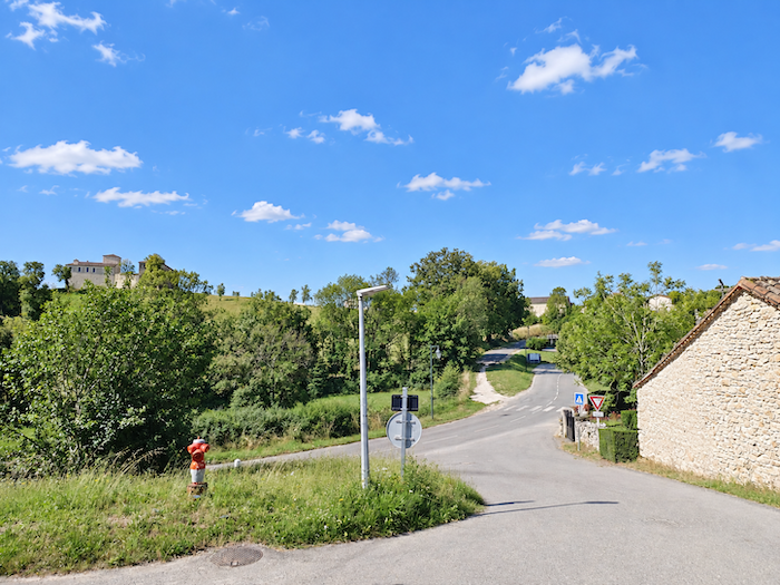
| A small road skirts the outskirts of the village before joining the departmental road that climbs up from the valley. After the stony solitude of the limestone plateau, houses and gardens signal a return to inhabited country. |
 |
 |
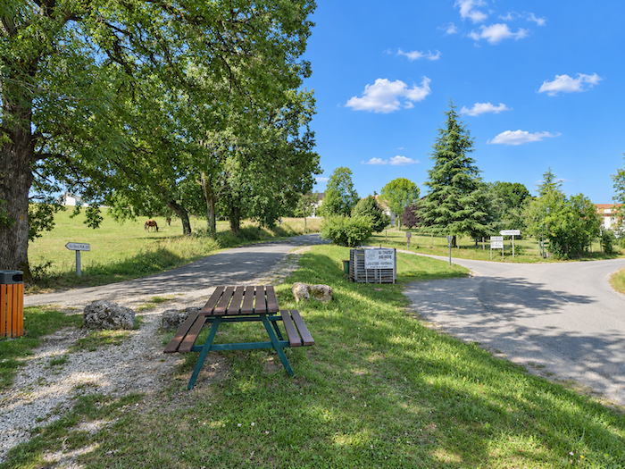
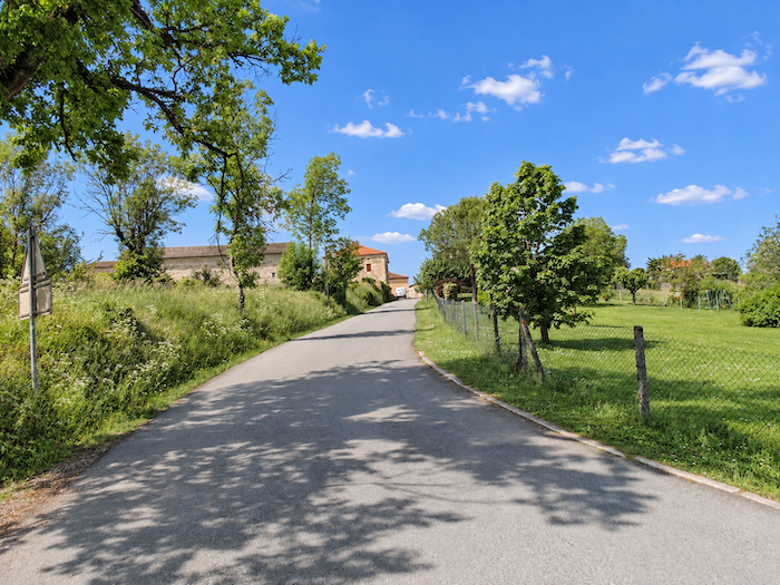
| A picnic area then appears at just the right moment, offering a welcome opportunity to rest your legs after the demanding climb. From here, the route continues at an easy pace towards the heart of Labastide-Marnhac. |
 |
 |
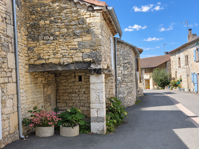
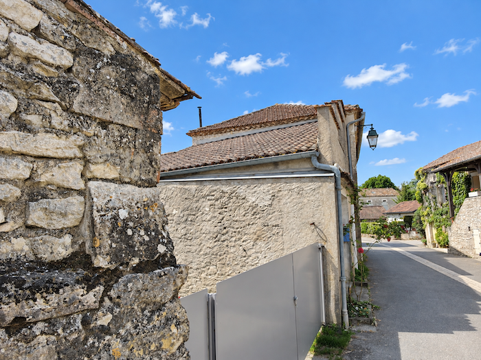
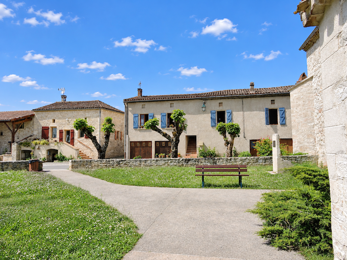
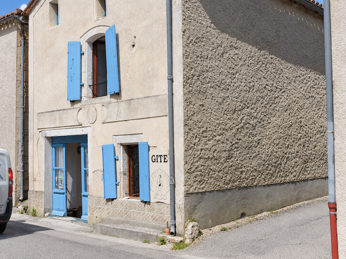
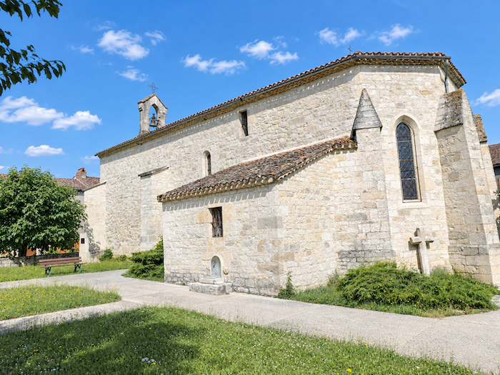
| In this part of the Quercy, there is little point in looking for large villages clustered close together. The villages remain modest in size and are often separated by long stretches of countryside. Everywhere, stone and lime create a luminous palette ranging from white to pale grey, giving the houses a shared character that expresses the identity of the region. Labastide-Marnhac is no exception, and offers walkers somewhere to eat and spend the night. |
 |
 |
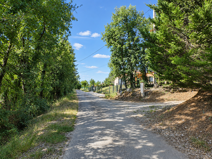
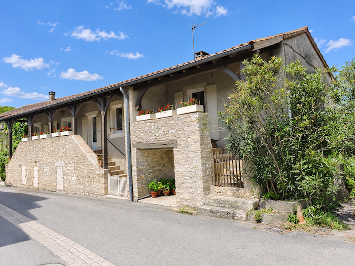
| You leave the village quietly, passing near the church and the town hall as the last houses gradually become more widely spaced. |
 |
 |
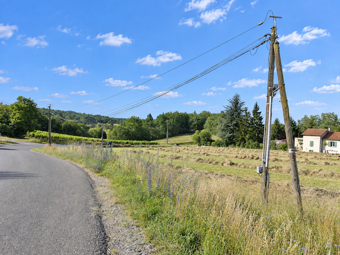
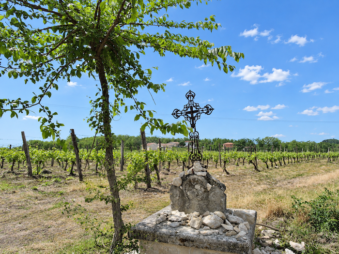
A few vineyards even begin to appear in the landscape. On this almost level ground, they may not seem destined to produce great vintages, but they add an unexpected touch to the scenery. Another, subtler change can also be seen, iron crosses gradually take the place of the stone crosses encountered so often along the Camino before Cahors. At their feet, however, the gesture remains the same, pilgrims continue to leave their wishes in the form of small stones, modest votive offerings placed beside the path.
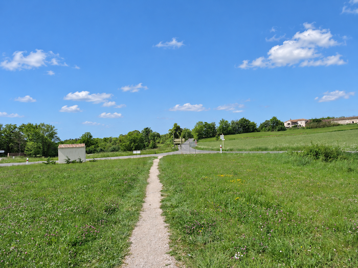
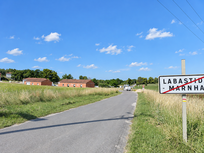
| On leaving Labastide-Marnhac, the GR65 reaches a roundabout, where it meets the D7 departmental road before continuing on its route. |
 |
 |
Section 4: Almost level across the causse
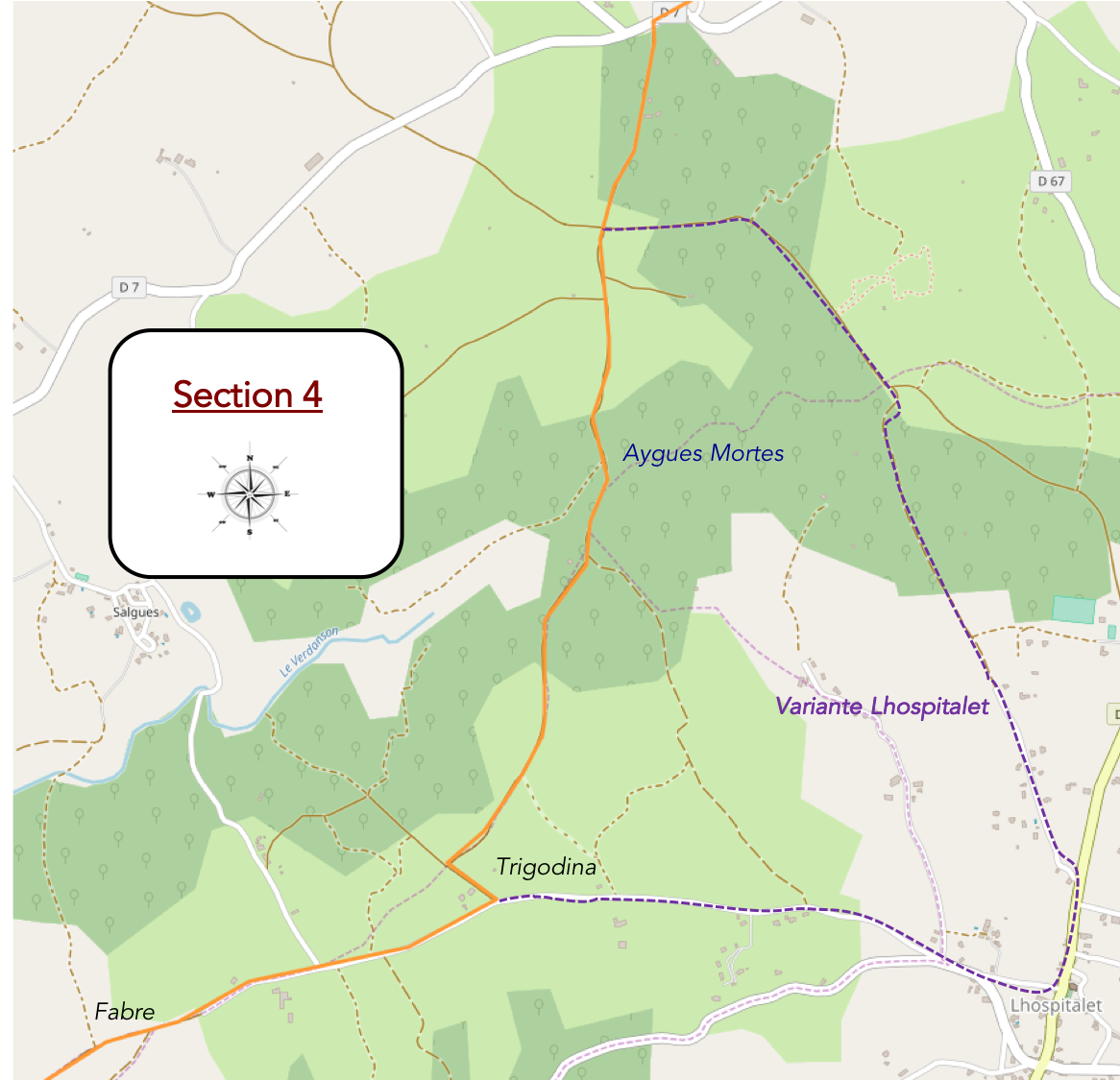
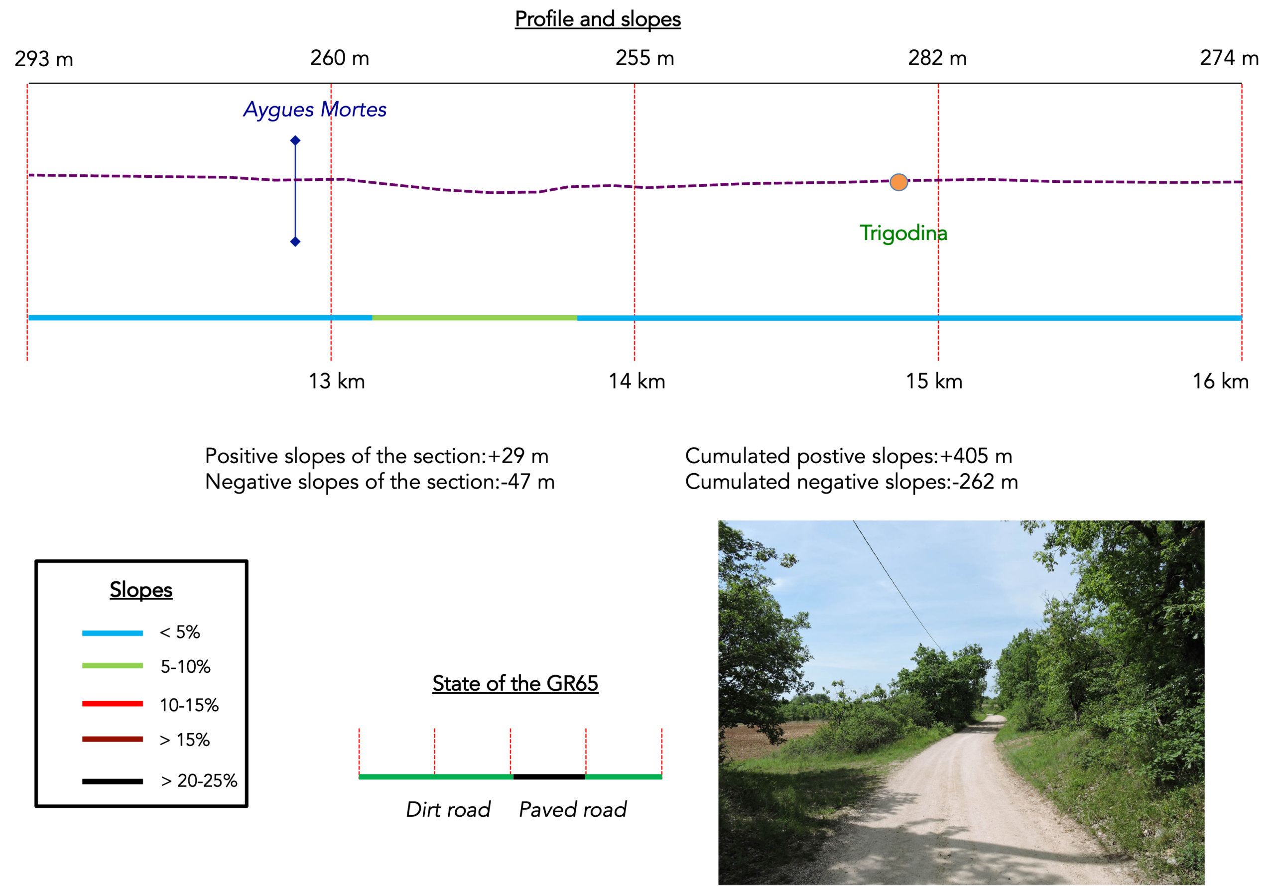
Overview of the route’s challenges: a route with no difficulty whatsoever.
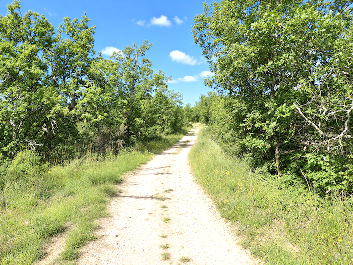
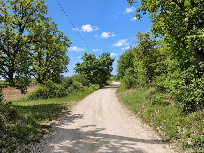
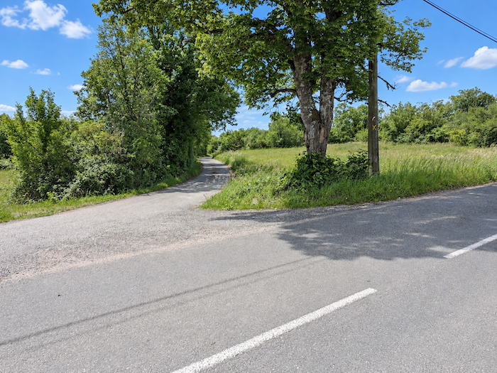
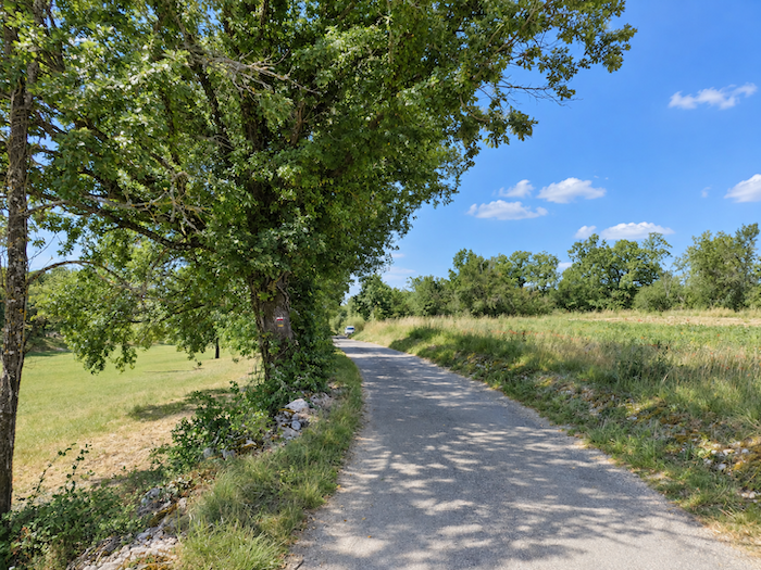
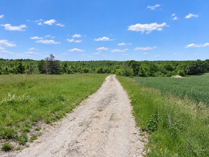
| The GR65 does not linger for long on the D7 departmental road. Very soon, it turns its back on it and returns to unpaved ground, following a broad path through open countryside and along the edges of woodland. |
 |
 |
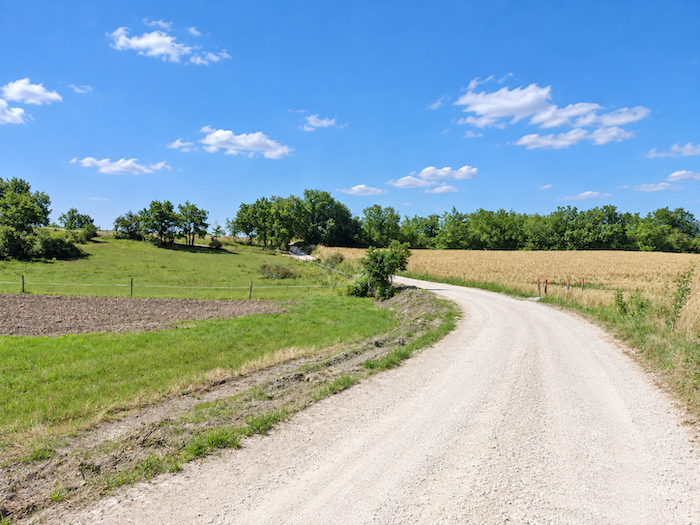
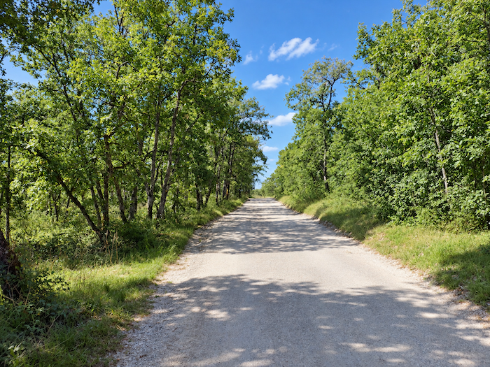
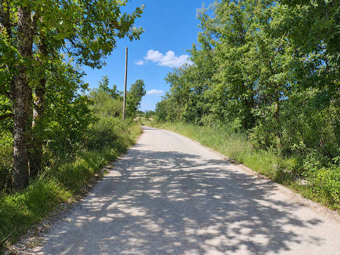
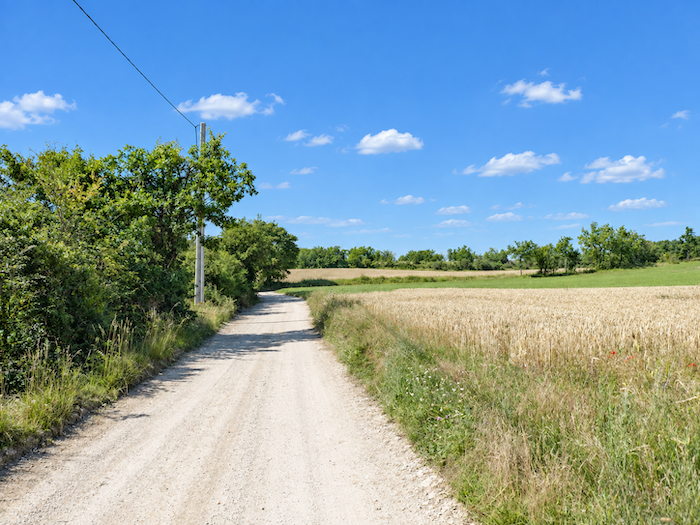
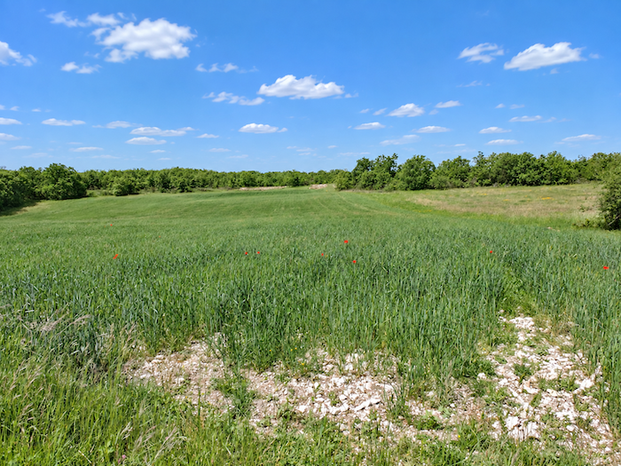
| But make no mistake, the majesty of the limestone plateau crossed a little earlier has vanished. Here, the land flattens out and the eye drifts across clusters of oaks that you will soon give up trying to count, interspersed with cereal fields. Barley, oats and triticale share this unforgiving soil, where the more prestigious varieties of wheat seem to have given up trying to grow. |
 |
 |
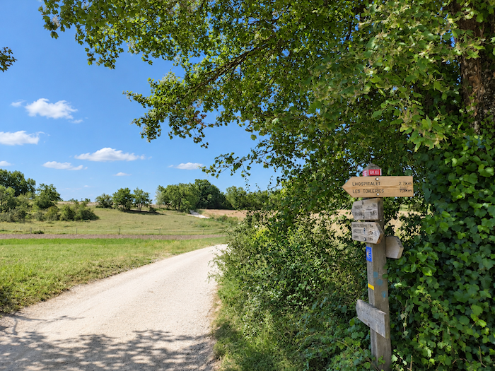
| As the landscape repeats itself, your attention gradually begins to drift. The pilgrim walks on, daydreaming, letting thoughts wander ahead and almost unconsciously waiting for something unexpected to break the long monotony of green. You will need to remain attentive, however, as a detour here leads to Lhospitalet, where accommodation is also available. This is worth remembering, given how scarce places to stay are along this stage. Ahead, a gently rounded hill finally brings some relief to the horizon. |
 |
 |
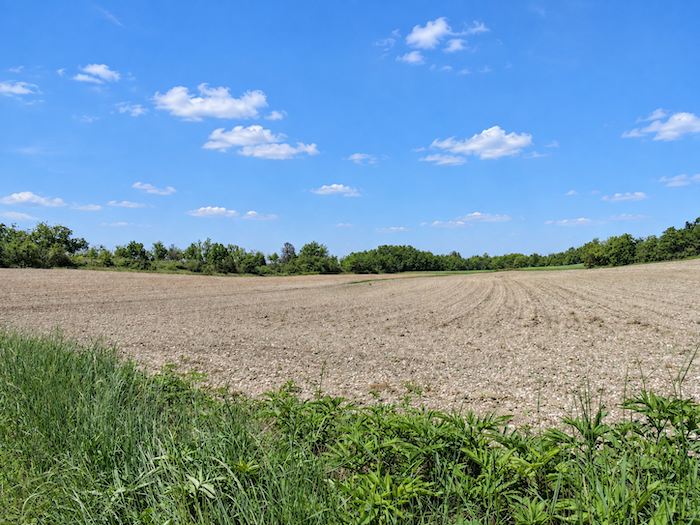
| The broad path continues across countryside where meadows greatly outnumber cultivated fields. A certain melancholy hangs over these hay meadows, long, almost bare ridges undulate beneath the sky, punctuated only by a few oaks with trembling leaves and, here and there, a Montpellier maple bold enough to break the solitude. |
 |
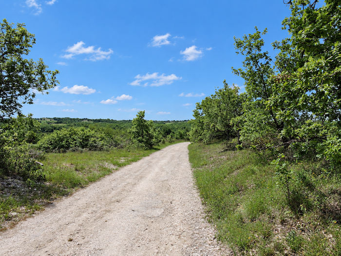 |
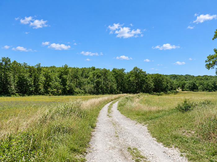
| Without ever really giving the impression of descending, the path gently loses a few meters before reaching the Aygues Mortes stream. In dry weather, you almost have to guess that it is there, so discreet is the water in this thirsty land. Those who dreamed of soothing their feet in its waters will have to be patient, on these arid lands, opportunities to dip them in water are few and far between. |
 |
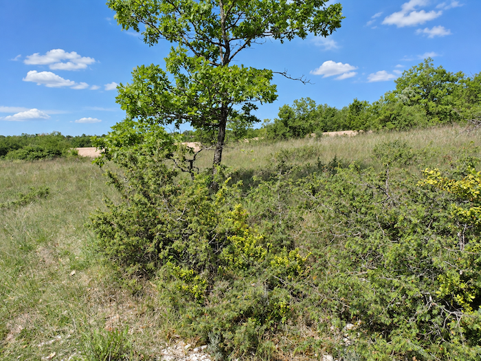 |
| Beyond, the path seems to hesitate between the shade of the groves and the light of the clearings, passing from one to the other without ever quite choosing between them. |
 |
 |
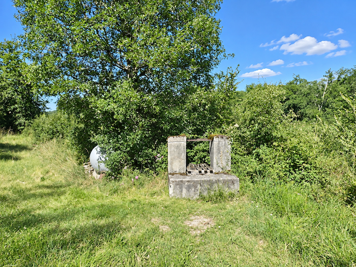
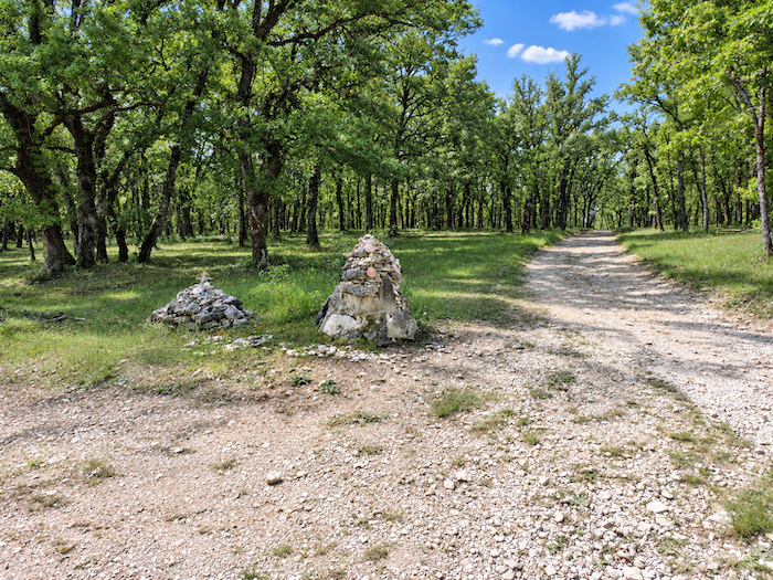
| It soon runs close to a mound of stones, perhaps built stone by stone by pilgrims, before slipping beneath the welcome canopy of great oaks. After so much open country, their shade feels almost like a refuge. . |
 |
 |
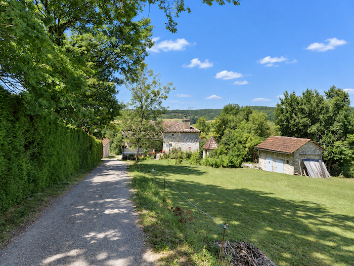
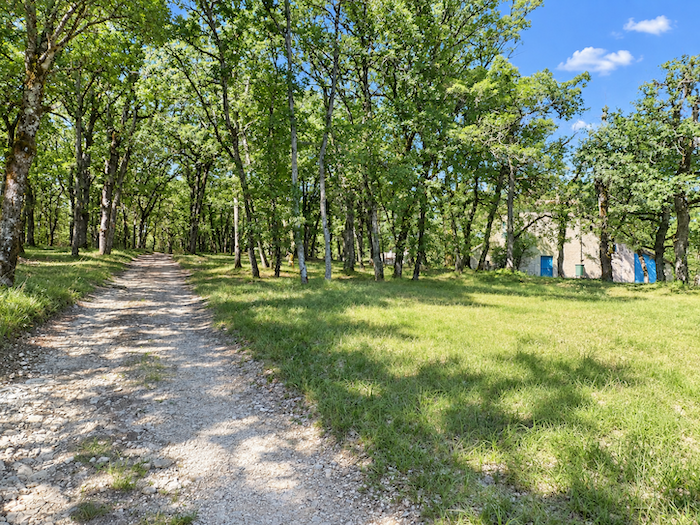
| A beautiful house then appears, nestled beneath the trees. Perhaps its doors are closed forever, yet behind its silence it retains a slightly old-fashioned charm, like the memory of a life that has withdrawn without entirely disappearing. |
 |
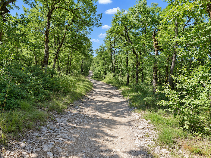 |
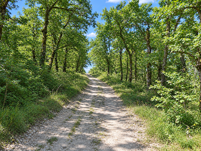
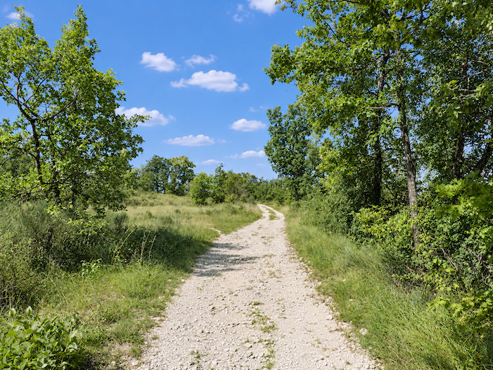
| Farther on, after this long and rather uneventful crossing, the landscape finally regains a sense of grandeur. The trees recover their majesty, the limestone plateau its character, and the walker, who had begun to move almost mechanically, raises his eyes once again. |
 |
 |
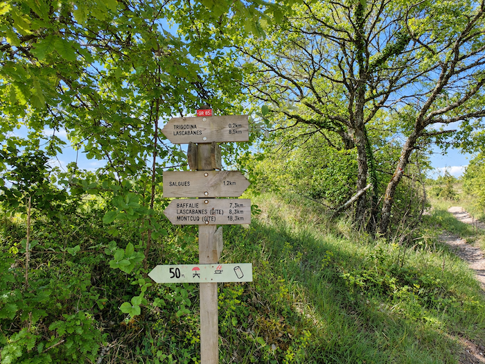
| Soon afterwards, the path approaches Trigodina. Lascabannes is still 8 kilometers away. |
 |
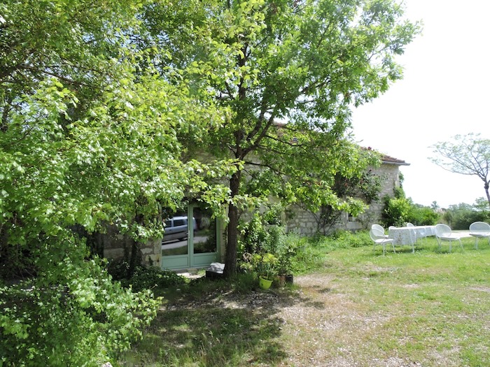 |
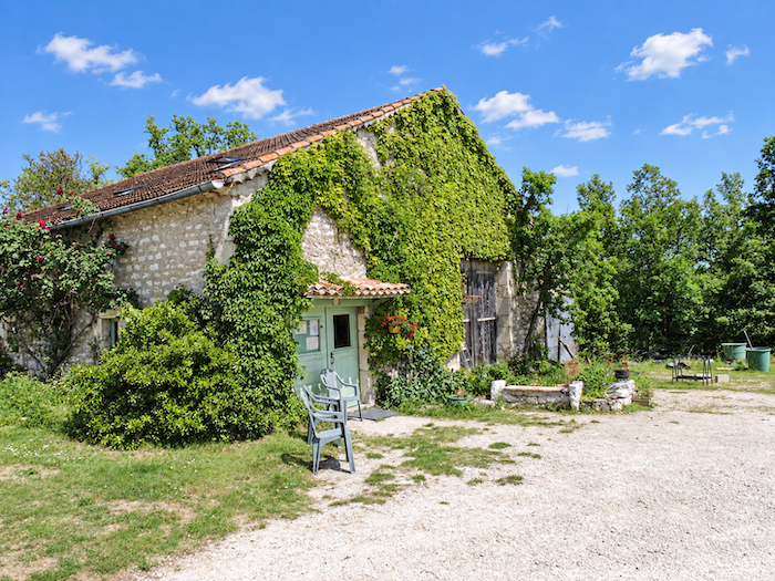
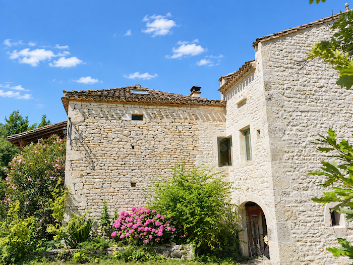
| At the locality of Trigodina, a beautiful white stone farmhouse provides a welcome break in the solitude. Accommodation and a small bar are available here, making it an especially welcome stop in an area where such opportunities are scarce. |
 |
 |
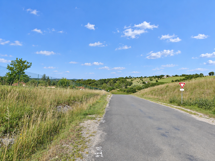
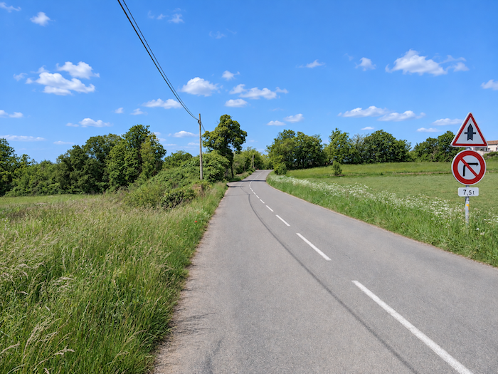
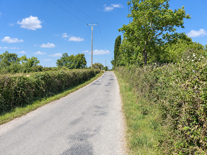
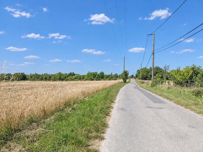
| Since Labastide-Marnhac, the limestone plateau has certainly not shown its most spectacular face. From Trigodina onwards, however, you will have to accept this austerity for a little while longer. A road takes over, initially stretching out almost level between hedgerows, meadows and cereal fields. |
 |
 |
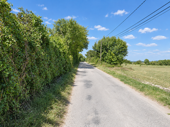
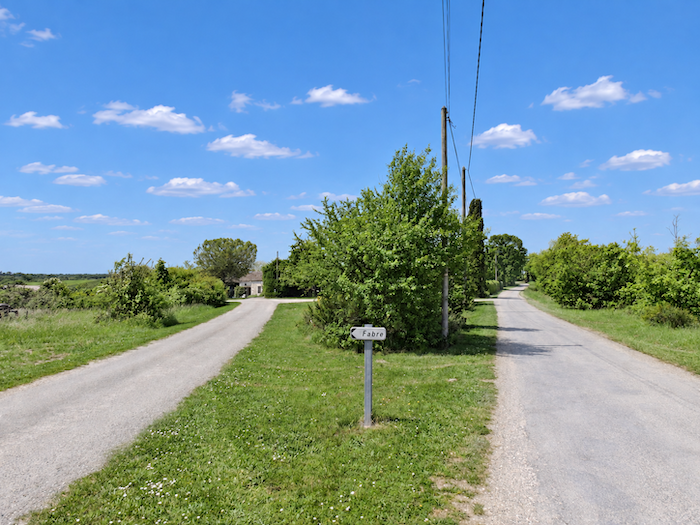
| Then the straight road seems as though it will never end. The ribbon of pavement runs relentlessly between the hedgerows, broken only by the occasional meadow. In the distance, the Fabre farm eventually comes into view, the only sign of human presence in this deserted landscape. For some pilgrims, these kilometers will seem endless, always the same road, the same hedgerows, the same horizon retreating as you move forward. |
 |
 |
Section 5: Back to the barren causse
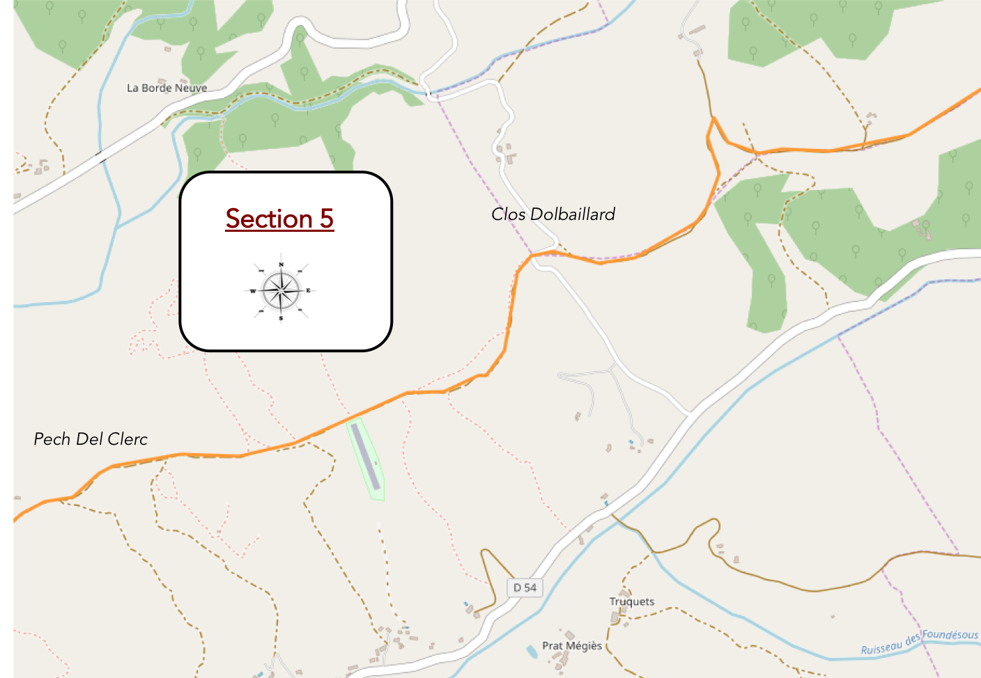
Overview of the route’s challenges: a route with no difficulty whatsoever.
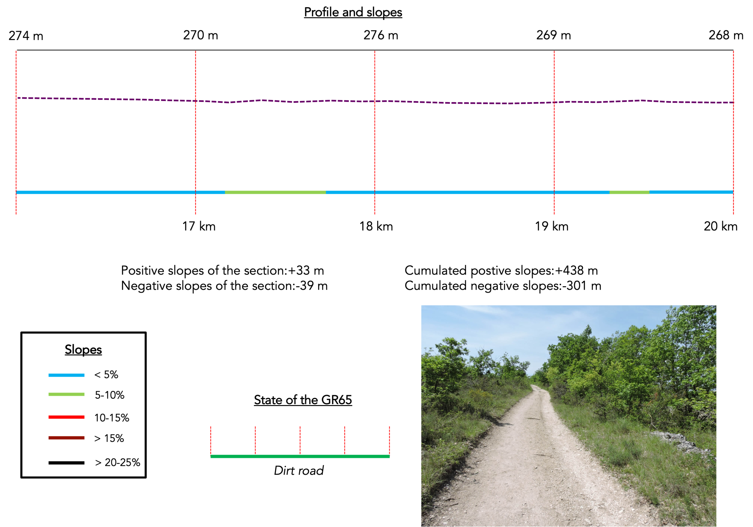
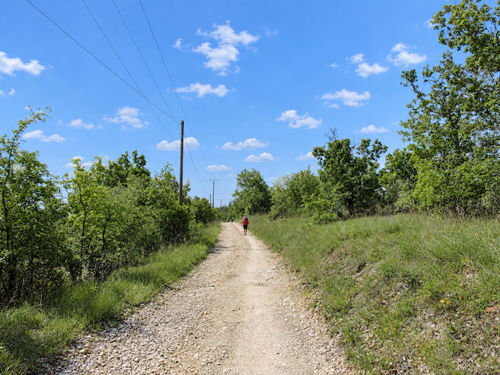
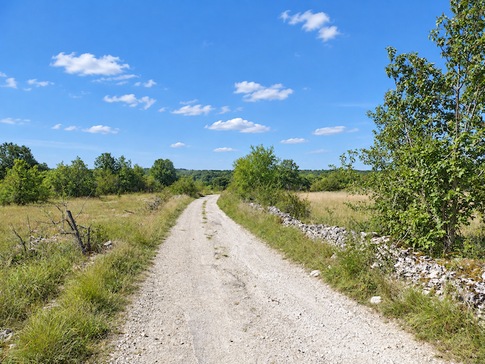
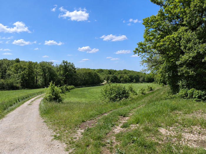
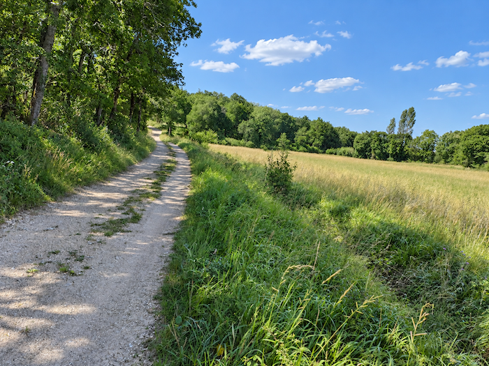
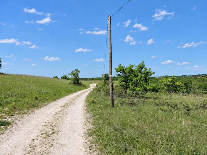
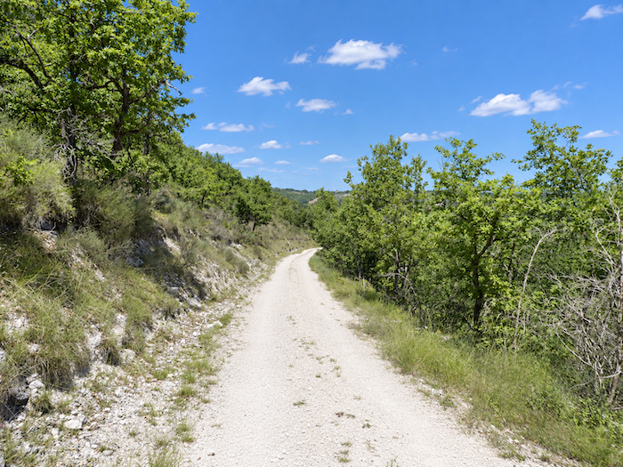
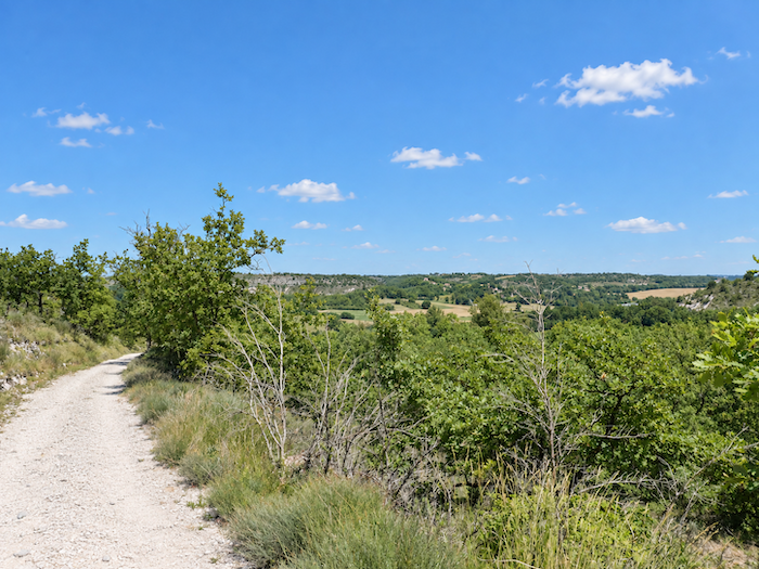
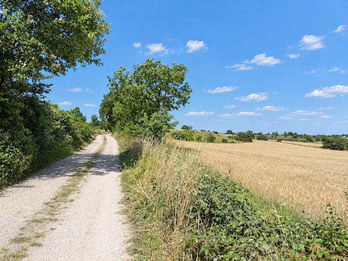
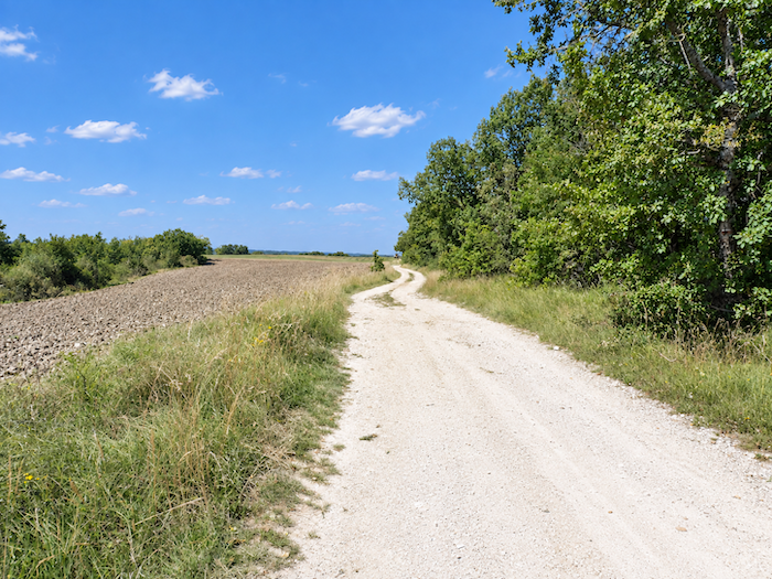
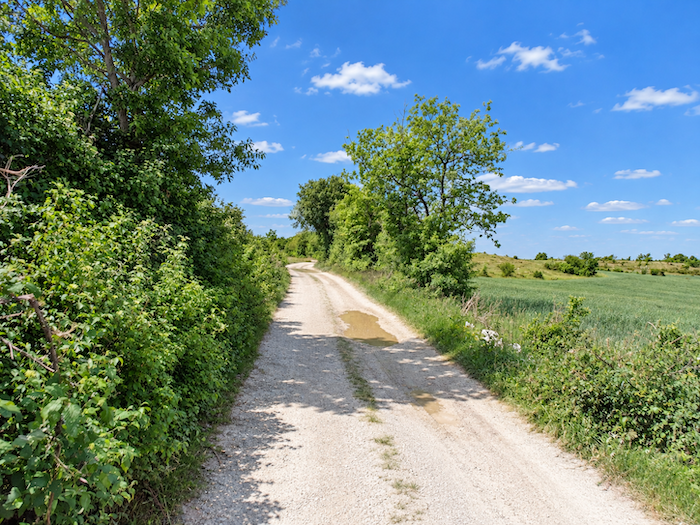
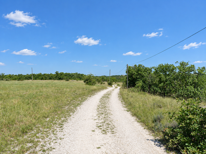
| From here begins a limestone plateau that seems to have no limits. There are no walls of rock, no mountain ranges to halt the gaze, almost nothing, in fact, that seeks to inspire wonder. The trees grow lower, while a tangle of shrubs thickens the undergrowth on either side of the track, whose bare earth seems to release beneath your feet all the heat it has absorbed from the sun. And yet, even from this seemingly unforgiving land, people still occasionally wrest a few plots from the wilderness and cultivate them. . |
 |
 |
 |
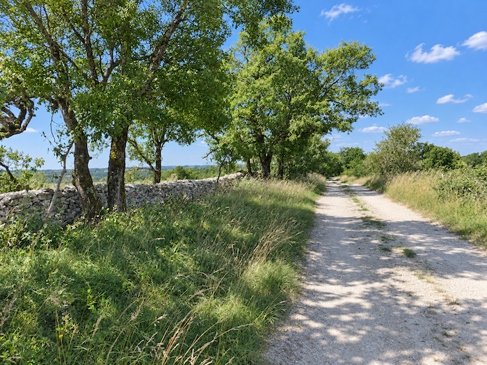 |
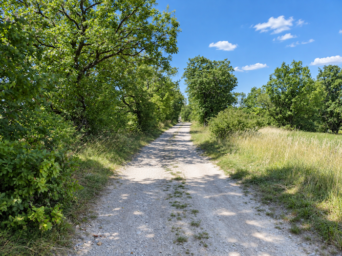
| Still just as flat, the limestone plateau unfolds through landscapes that follow one another until they eventually seem to merge. The track stretches ahead in endless straight lines, and nothing appears likely to break the monotony. On this plateau, free of any obstacle, the eye can travel far, very far indeed, as the lonely horizon recedes until it meets the vault of the sky somewhere at the very limits of sight. Maps give names to the localities you pass through, yet on the ground, neither houses nor human figures give them any substance. They are simply names placed upon emptiness. |
 |
 |
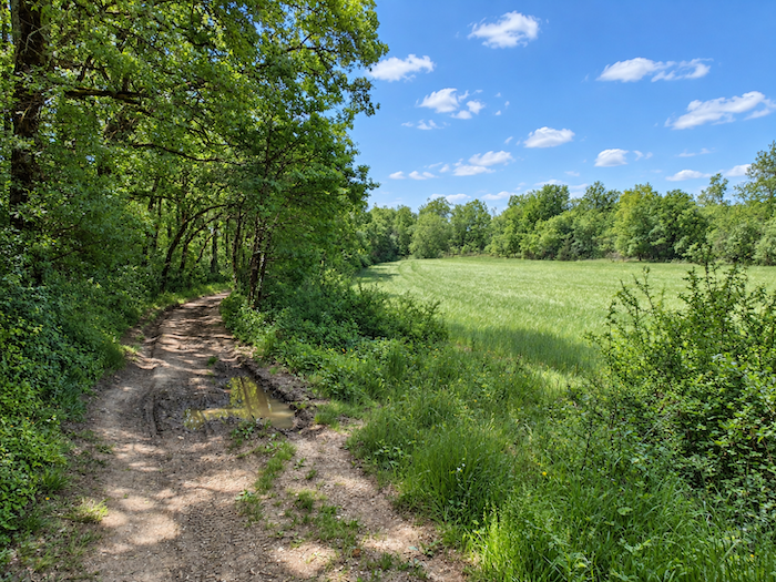
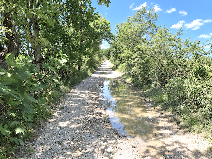
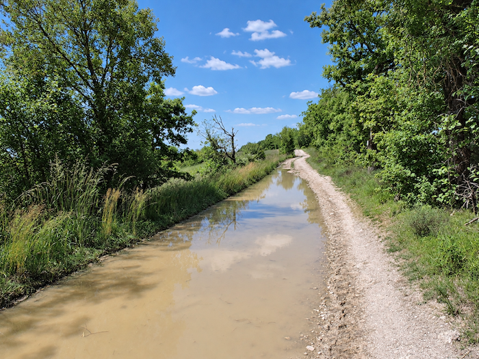
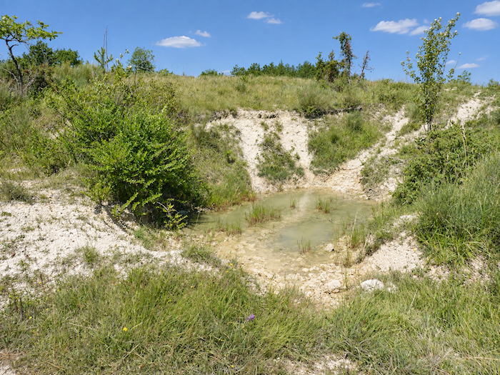
| From time to time, stones become more numerous beneath your feet, while elsewhere a puddle left behind by the last rains still glimmers in the hollow of a rut. You might almost wonder who could possibly make use of this water lost in the middle of the limestone plateau. The oaks, perhaps, or the maples and Montpellier maples that also manage to take root in this meagre soil. |
 |
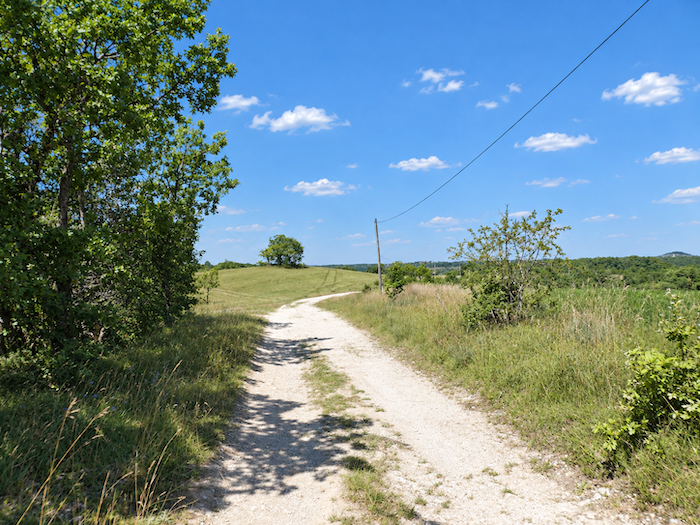 |
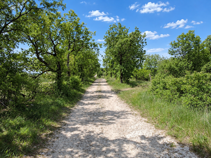
| One can hardly blame those pilgrims who have been bored to death on this limestone plateau. It is rather like the Spanish Meseta, for tens, sometimes hundreds of kilometers, nothing seems to happen except the relentless accumulation of kilometers beneath your feet. But boredom along a path is also a matter of perspective. Some suffer from these empty spaces, while others eventually come to appreciate their stark simplicity, the silence and that strange sensation of walking without any real destination. Here too, the track runs straight ahead as though it were leading nowhere. |
 |
 |
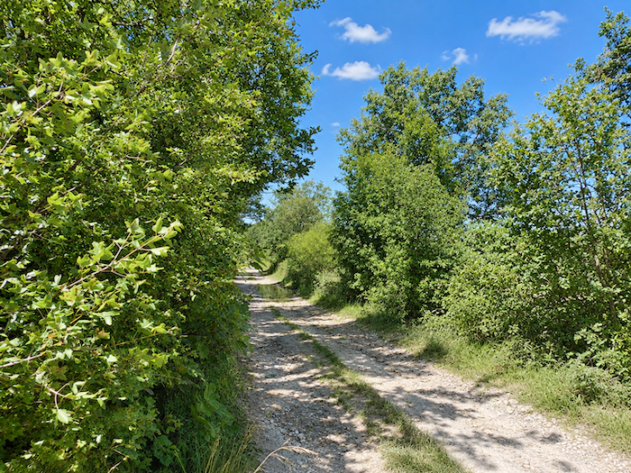
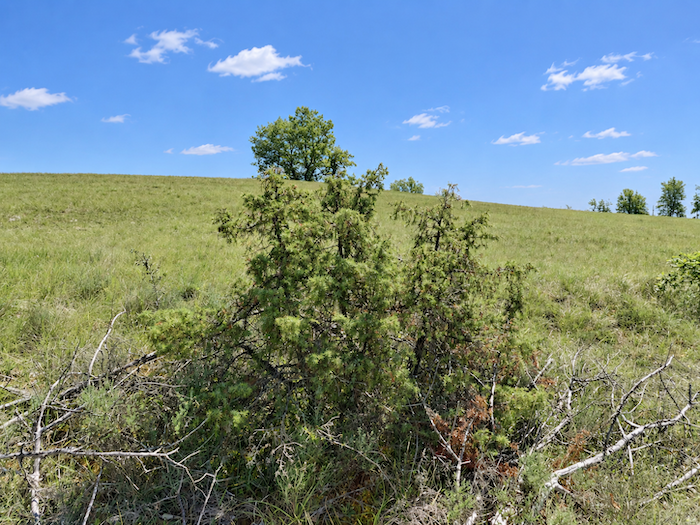
| Very occasionally, it narrows between the oaks and allows itself to be briefly enclosed by the vegetation, only to regain its breadth and open horizon almost immediately. Eventually, you begin to wonder what became of the sheep and cattle encountered during the earlier stages of the Camino, in Aubrac and elsewhere. What would they eat here? A few tufts of dry grass, perhaps, or some juniper bushes? There is not a farm on the horizon, nor a herd to bring life to the solitude. The owner of the gîte in Trigodina had told us as much, apparently, only one livestock farmer remains on these limestone plateaus, collecting other people’s hay to feed his animals. |
 |
 |
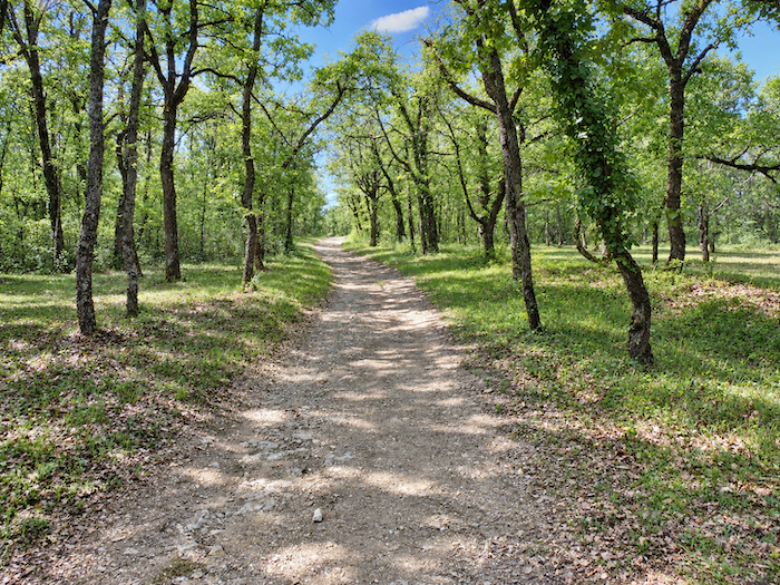
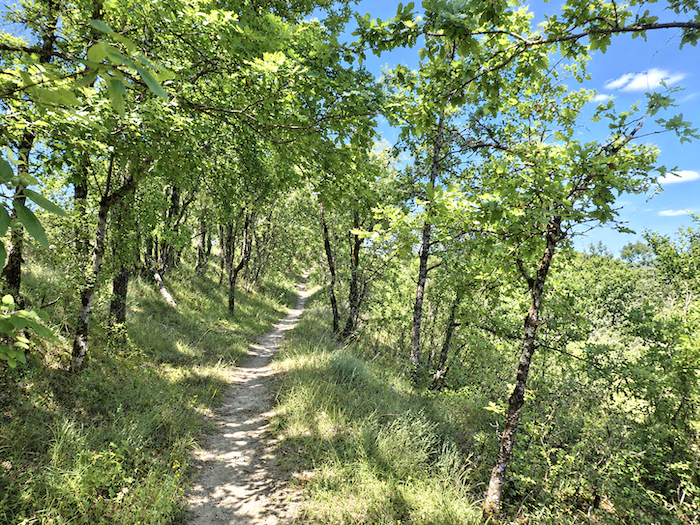
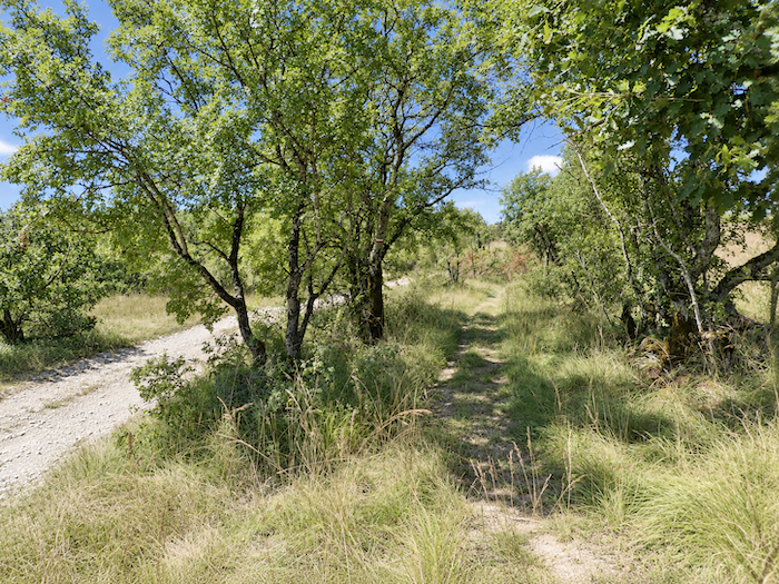
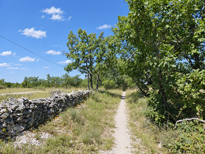
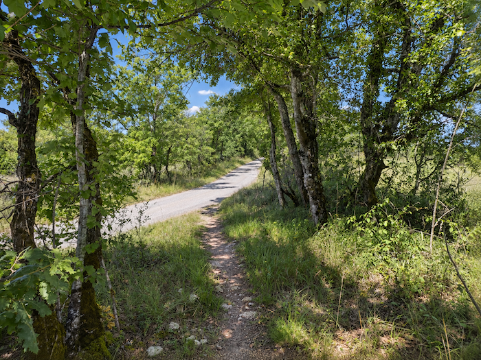
| Then, suddenly, something changes in the character of the limestone plateau. Nothing spectacular, the trees are still the same, faithfully standing their ground. But the terrain begins to ripple slightly, while the undergrowth closes in and regains some of its density. As if to take advantage of this modest variation in the landscape, those responsible for the Camino have laid out a narrow path running parallel to the broad dirt track. After so many straight lines, it takes little more than this to create the illusion of a dramatic change. |
 |
 |
| A kind of leapfrog now begins. Figuratively speaking, of course, since there are still no sheep to be seen between the narrow woodland path and the broad track, whose limestone becomes so white beneath the sun that it could almost be mistaken for sand. |
 |
 |
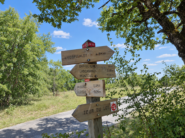
| A little farther on, amid this landscape that seems to belong to no one but itself, a sign suddenly reminds you of the existence of people. Most pilgrims will probably remember only one thing from it, Lascabannes is now just 5 kilometers away. Far fewer, no doubt, will sigh at the thought of having to leave the limestone plateau so soon. |
 |
 |
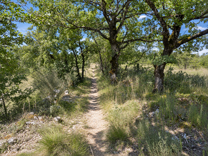
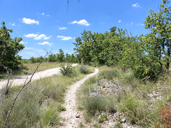
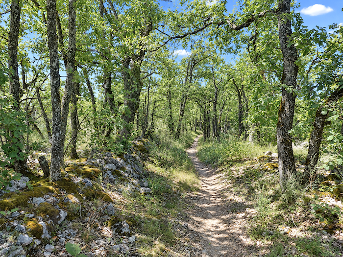
| And the little game of hide-and-seek continues, a stretch through the woodland, a few steps along the track, then back among the trees before returning once again to the harsh light of the plateau. Still, let us not be unfair, even if it offers few surprises, the limestone plateau has regained a magnificent wildness here, the kind found in places that have no need to charm you in order to make their presence felt. |
 |
 |
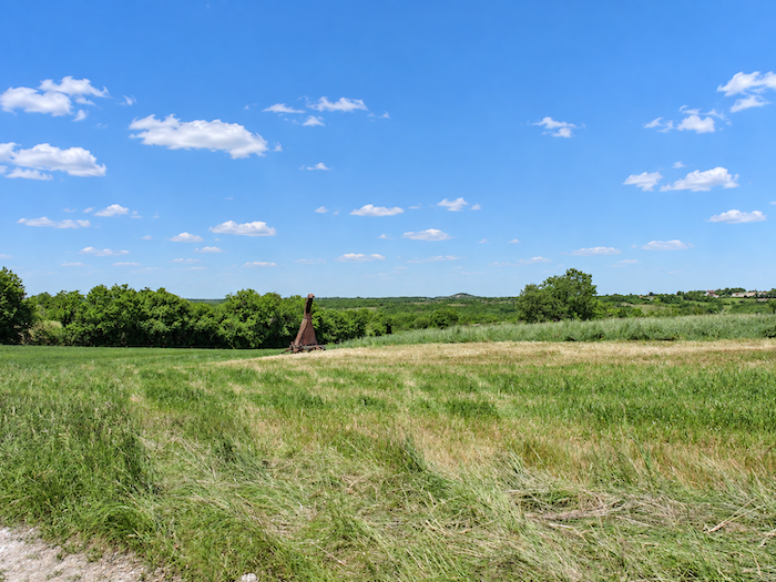
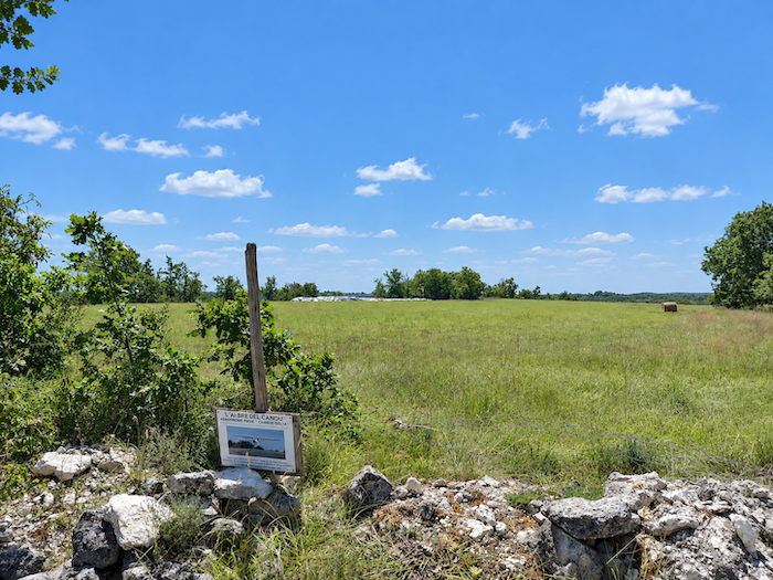
| Farther on, the trees draw apart and the limestone plateau opens onto broad meadows. It is here that something rather incongruous appears, a small airfield set in the middle of this vast, almost empty landscape. It is difficult to imagine travelers jostling at the gate to board their flights, in a landscape this lonely, even the airplanes must have plenty of room. |
 |
 |
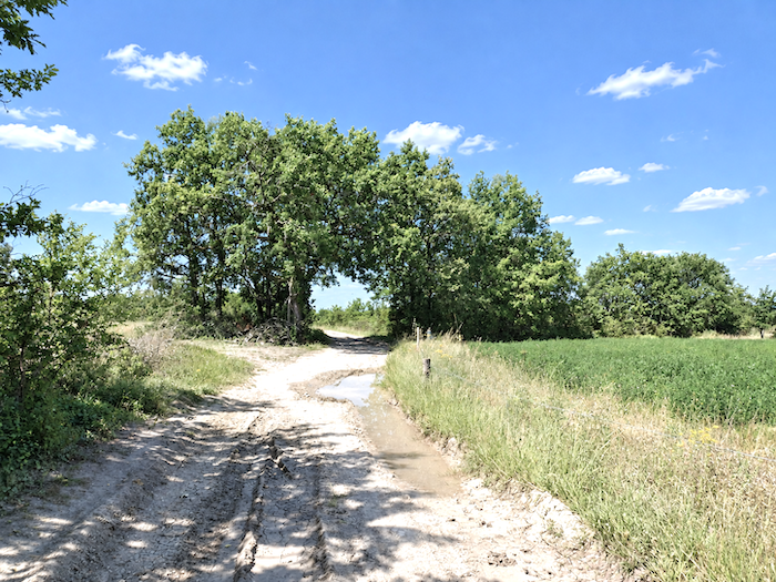
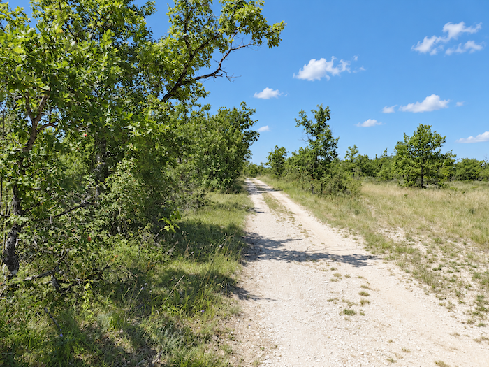
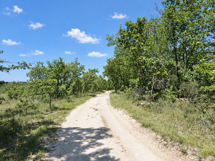
| Beyond this curiosity, the GR65 finally stops leading you back and forth between the woodland path and the track. The broad dirt track reclaims its place, wide, white and straight, drawn across the limestone plateau as if with a ruler. |
 |
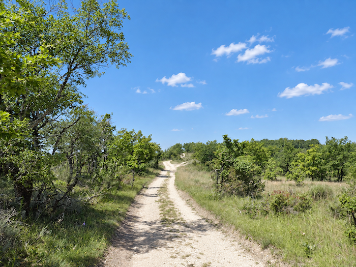 |
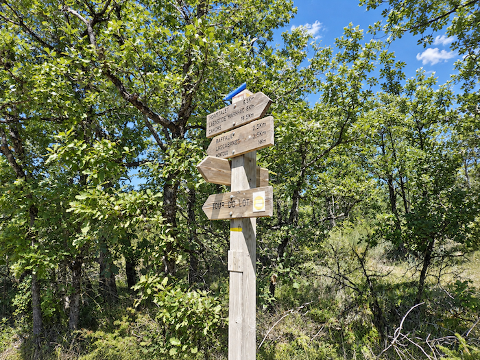
| Soon afterwards, a sign brings encouraging news, Lascabannes is now less than 4 kilometers away. “We’re going to make it out of here after all!” the more disgruntled walkers may think. The others can enjoy the solitude a little longer before the limestone plateau returns them to the inhabited world. |
 |
 |
Section 6: Nearing the end of the Quercy Causse
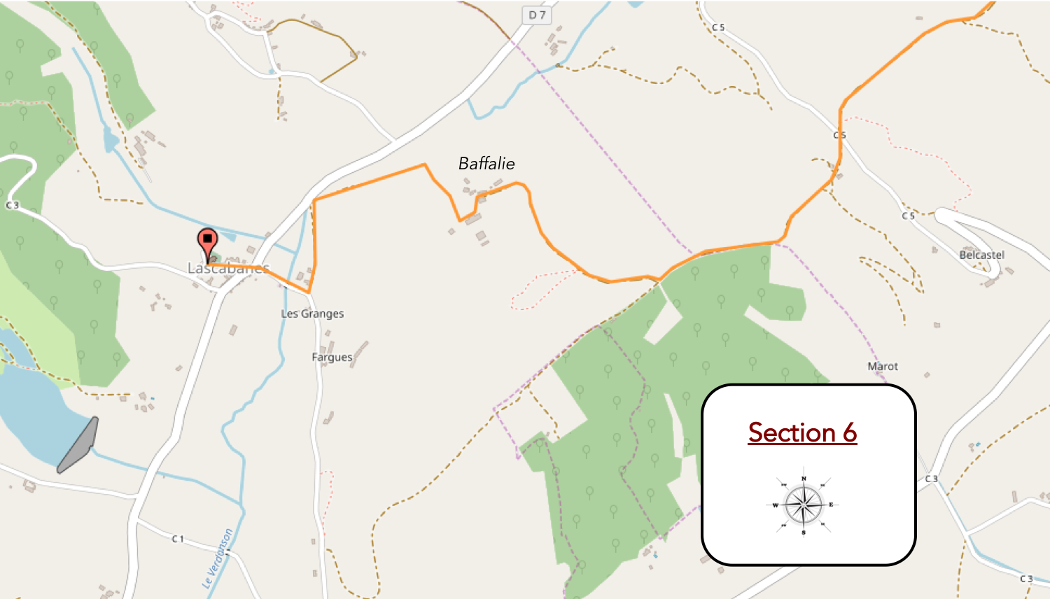
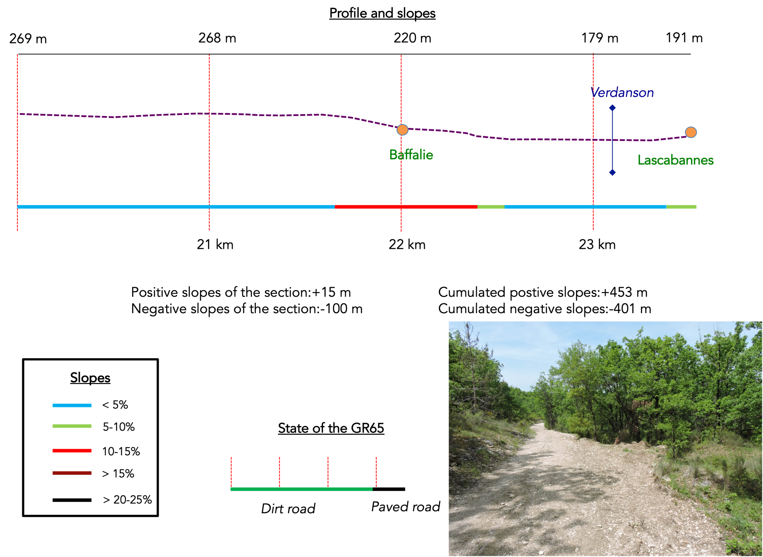
Overview of the route’s challenges : a route with no difficulty whatsoever.
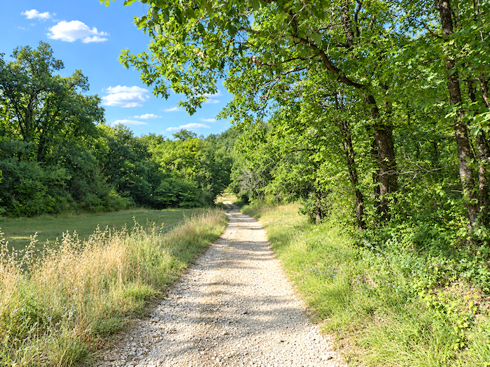
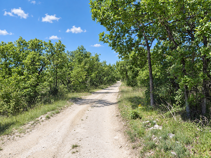
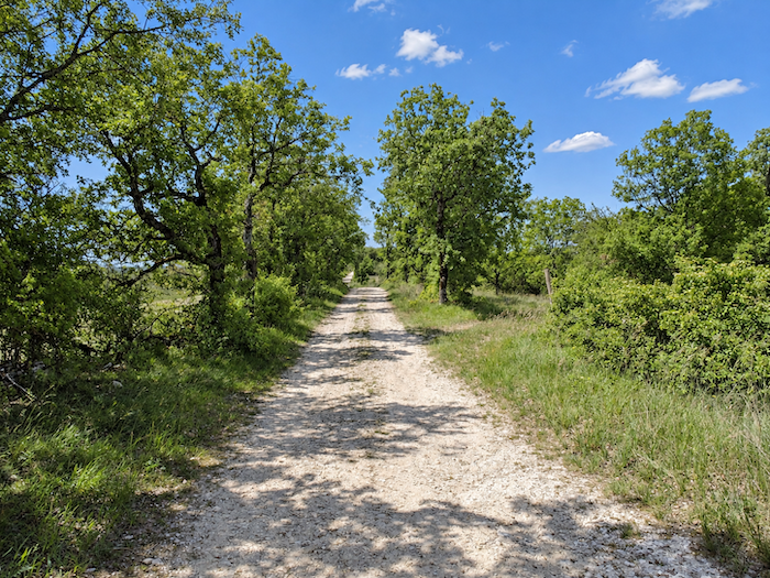
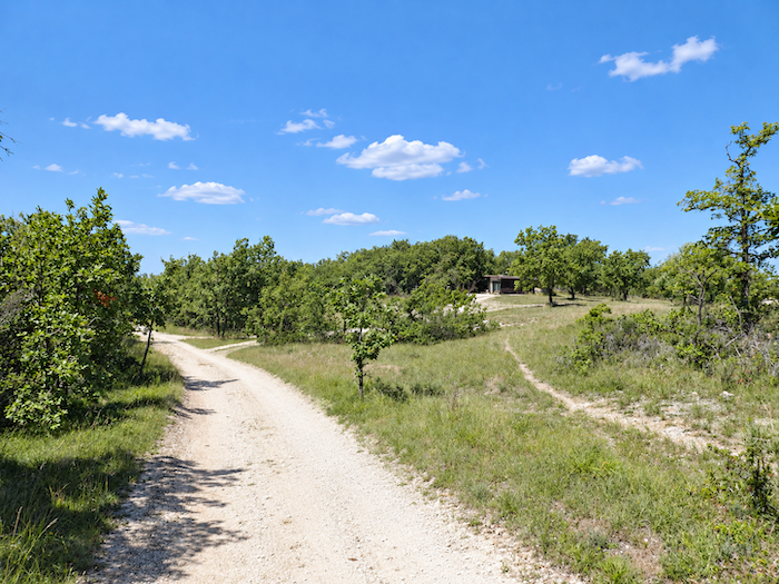
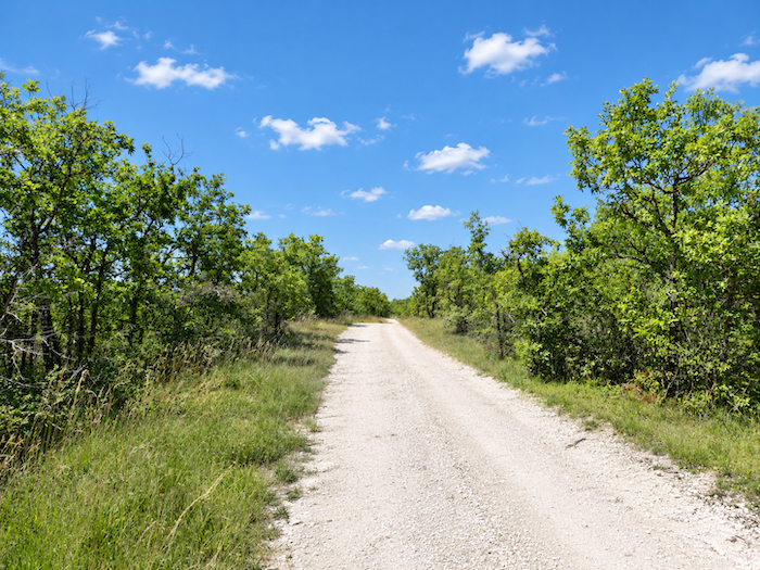
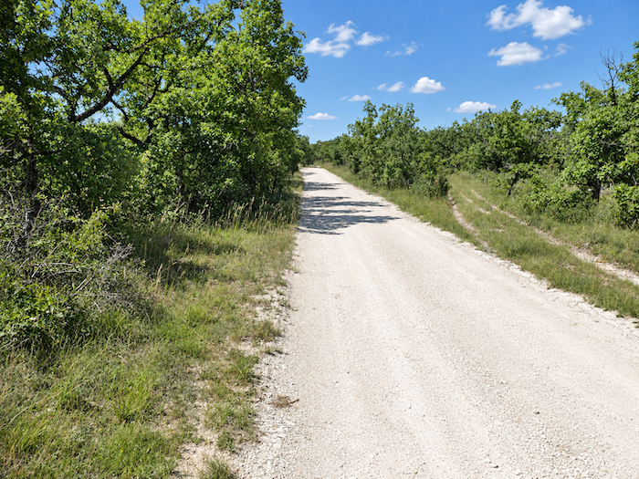
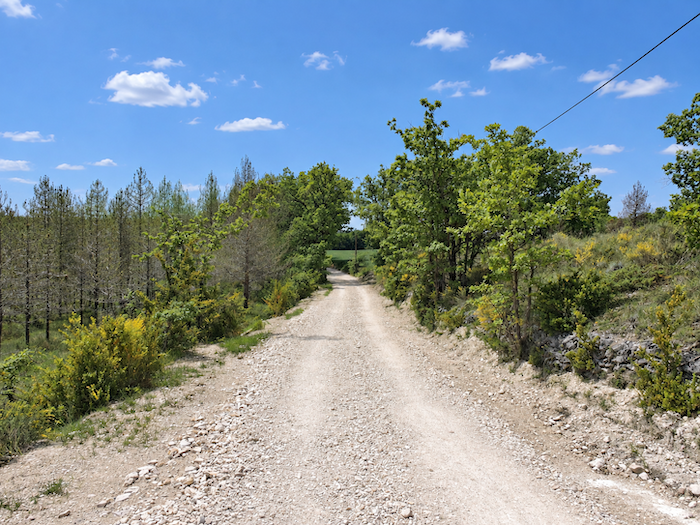
| Yet a sign alone is hardly enough to transform a landscape determined to change as little as possible. The broad dirt path continues almost level along its long, straight stretches, between the familiar groves of oaks, now joined by a few pines. Beneath your feet, everything comes in the same pale shades, the earth is white and the stones almost as white. Here, the “Quercy Blanc” lives up to its name without ambiguity, in all the starkness of its stony landscape. |
 |
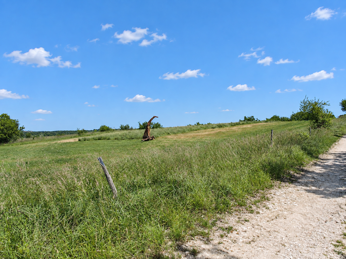 |
| A little farther on, a hut perched on a hill offers the faintest hint of human presence. After so much solitude, it takes very little to make you believe that people cannot be far away. |
 |
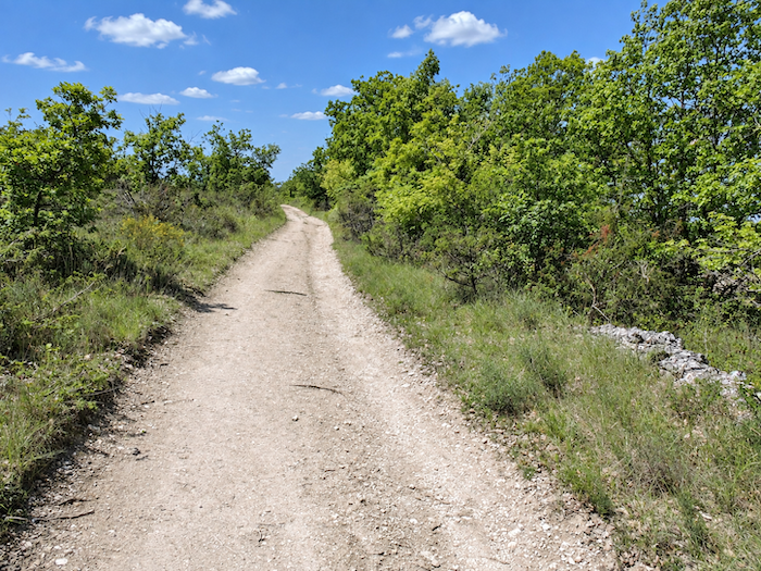 |
| But the illusion quickly fades. Ahead, the track resumes its endless white ribbon, long, bare and monotonous, as though nothing would ever come to disturb its course. |
 |
 |
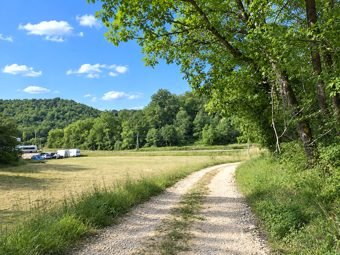
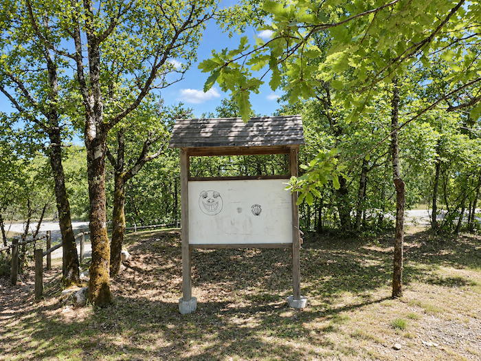
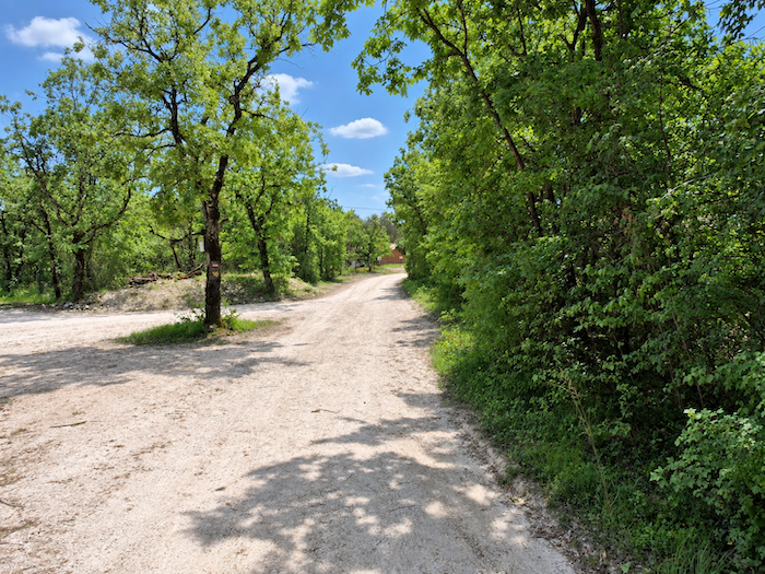
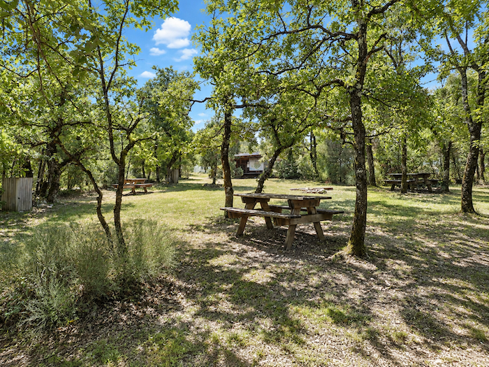
| Then, suddenly, something stirs in this unchanging landscape. A large park, a picnic area and even a few houses appear beside a paved road. This time there can be no doubt, Lascabannes must be very close. |
 |
 |
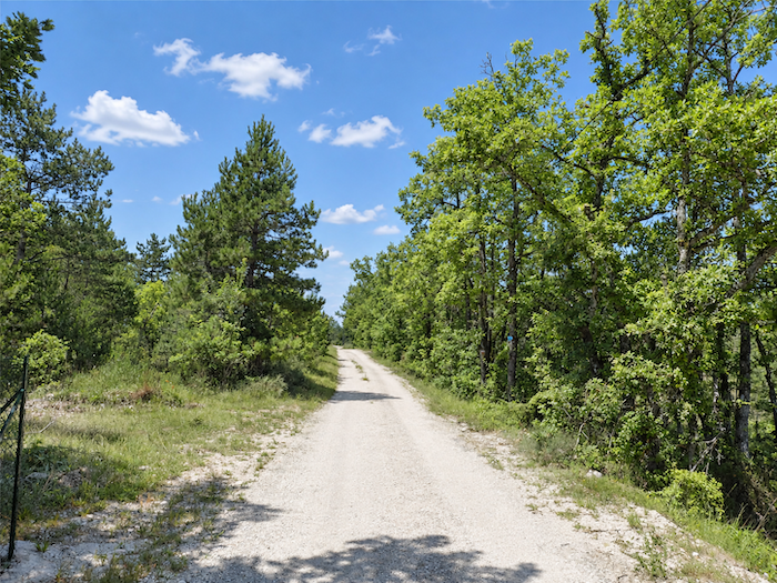
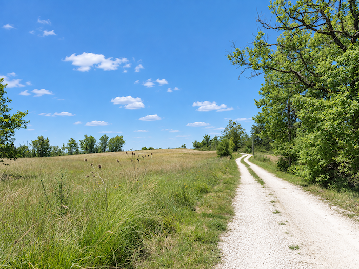
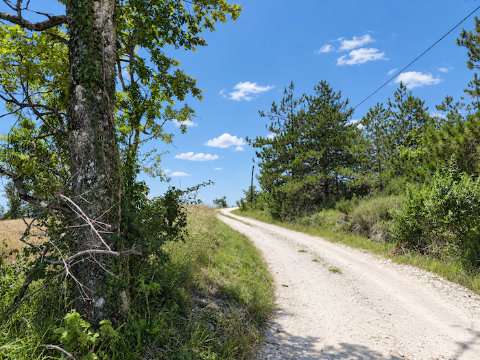
| Well, not quite. The limestone plateau has not finished with you yet. The long dirt track resumes its unruffled course, sometimes bordered by woodland, sometimes opening onto meadows, as though that brief glimpse of the inhabited world had been nothing more than a mirage. |
 |
 |
| Beneath your feet is still the same pale earth, somewhere between sand and chalk. What could possibly grow in such unforgiving soil? The oak, however, seems entirely unconcerned and continues to reign here almost unchallenged. |
 |
 |
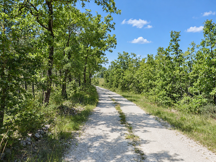
| This time, however, the end of the causse really is approaching. Lascabannes is less than two kilometers away, and Baffalie is almost within reach. After so many straight lines and receding horizons, the promise of arrival is finally beginning to seem credible. |
 |
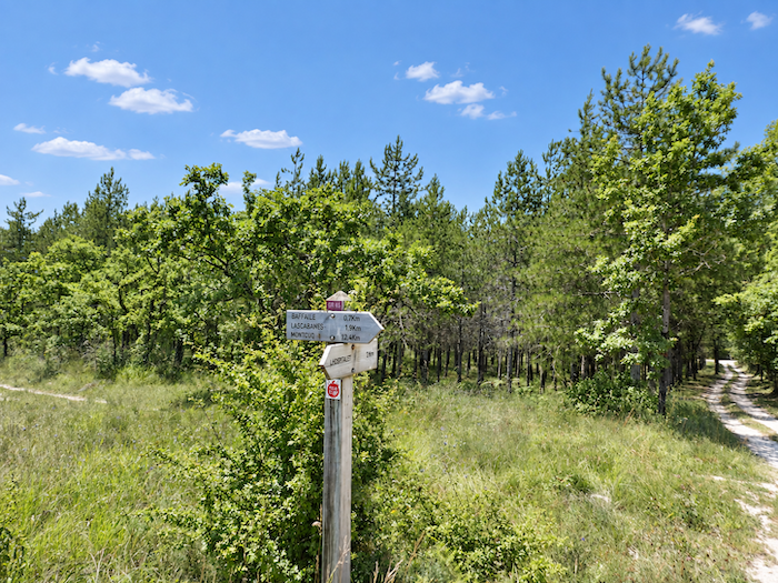 |
| The landscape itself seems determined to confirm it, the trees loosen their grip and the limestone plateau opens more widely onto the meadows. |
 |
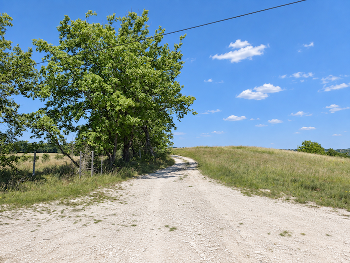 |
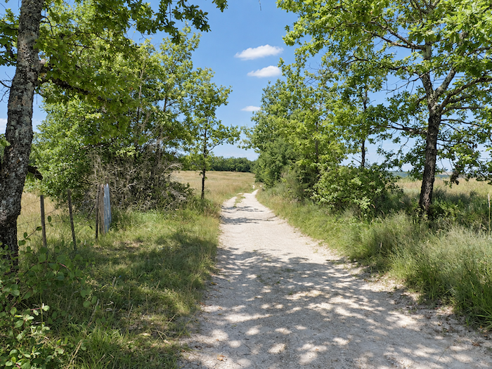
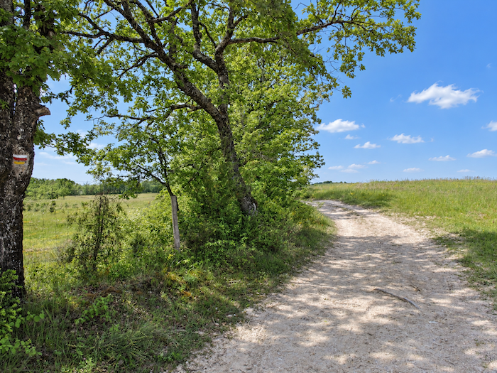
| Then, at last, comes what you have been waiting for over so many kilometers, the relief begins to change. The broad white track finally abandons its stubborn course across the plateau and starts to lose altitude. Ahead, the plain opens out below. After the seemingly endless flatness of the limestone plateau, the land finally begins to descend. |
 |
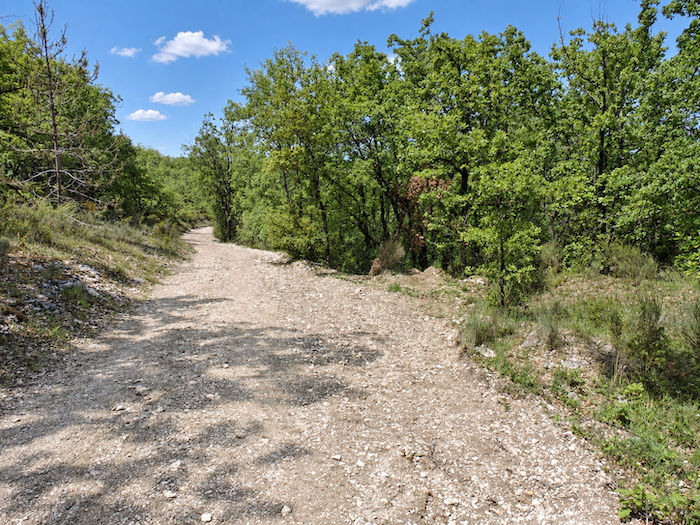 |
| The path then reaches Baffalie and its solid stone houses. After so much deserted limestone plateau, here at last are people again… well, so to speak, as the hamlet hardly gives the impression of a jubilant crowd. But by now, a few rooftops and stone walls are enough to break the solitude. |
 |
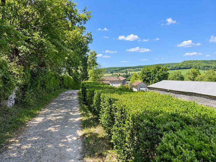 |
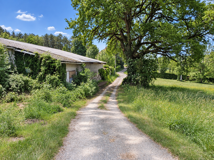
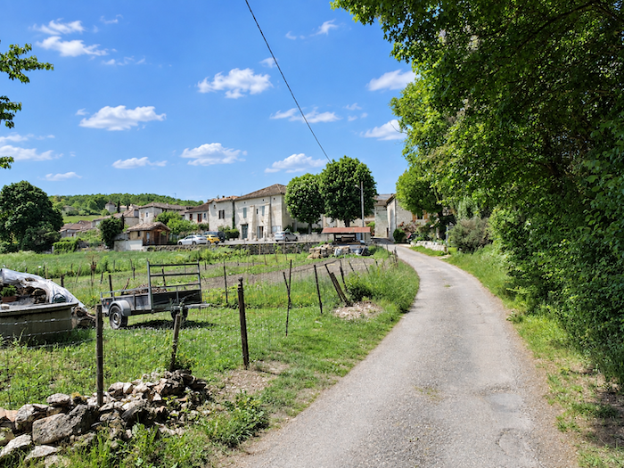
| This time, you really are nearing your destination. The GR65 leaves the heights behind and descends towards the plain, through meadows and the occasional cultivated field scattered across the countryside. After the austerity of the plateau, the landscape gradually takes on gentler contours. |
 |
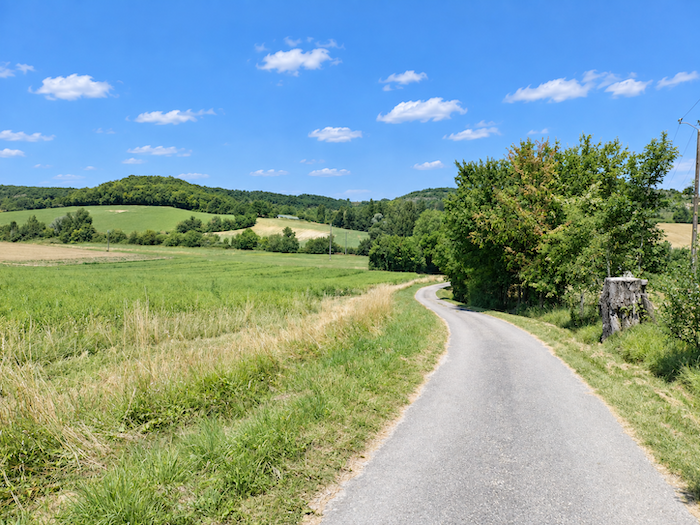 |
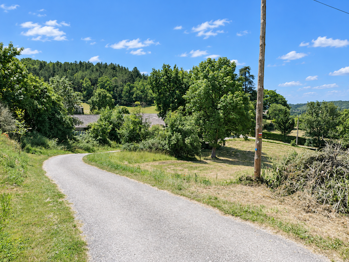
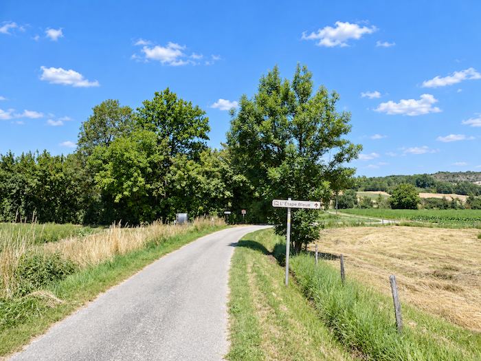
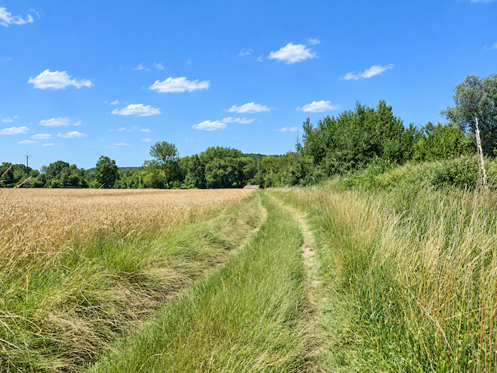
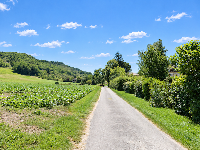
| At the bottom of the descent, grass reclaims the landscape. The path slips between the meadows, follows a hedgerow and even encounters something that had seemed almost to disappear from the limestone plateau, water, in the form of a small stream running quietly through the greenery. |
 |
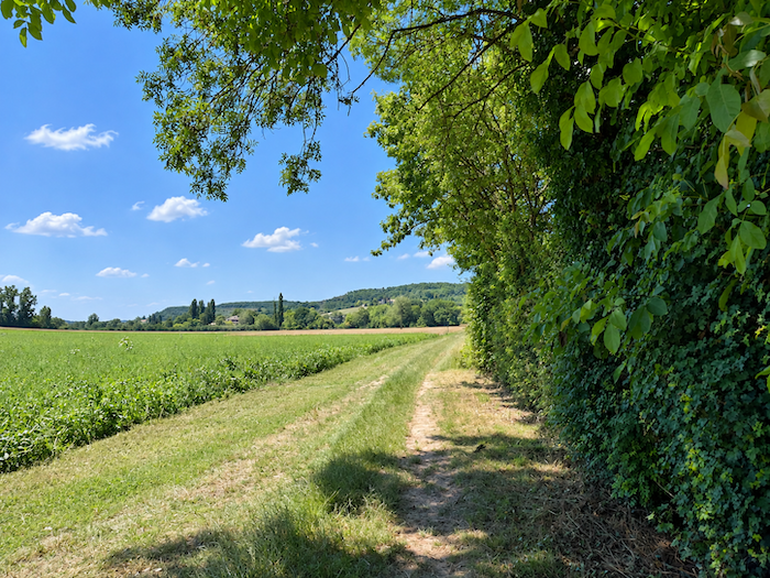 |
| A few more steps across this carpet of grass, then a small road takes over. It leads directly to Lascabannes. |
 |
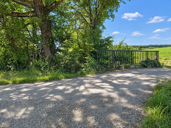 |
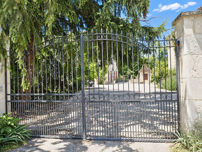
| Beside this road, an elegant manor house slumbers in the middle of a beautiful park. The setting might tempt you to put down your backpack, but there is no point in opening the gate, this is not where you will be spending the night. |
 |
 |
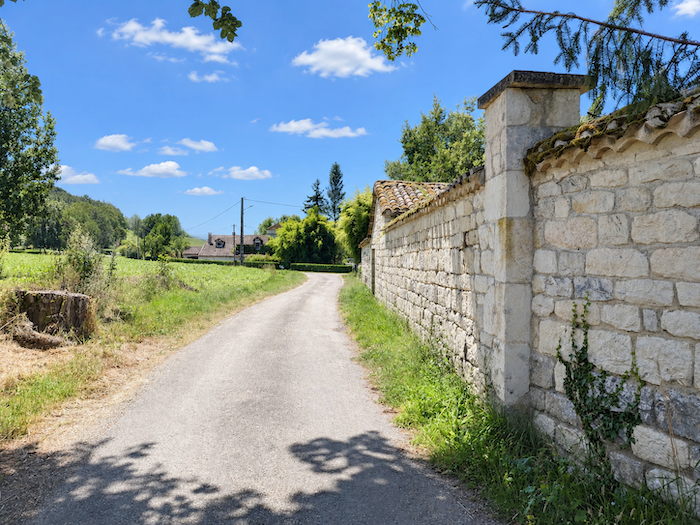
| The road follows the walls of the property, then crosses the Verdanson, a modest stream that runs along the bottom of the small valley. After the dry, whitish lands of the limestone plateau, all this water, discreet though it may be, almost feels like abundance. |
 |
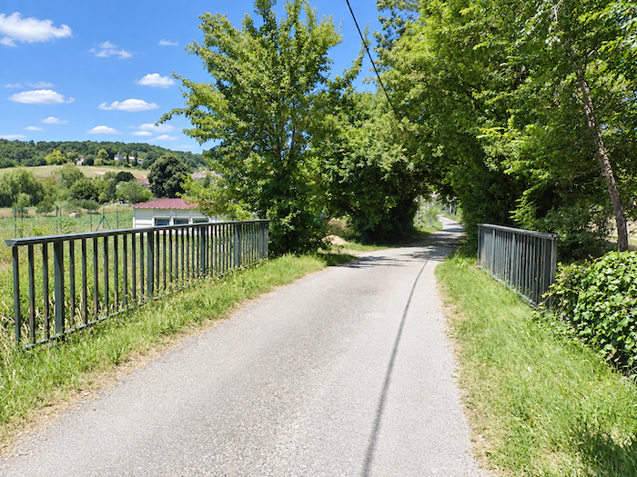 |
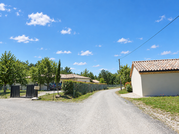
| From here, nothing really delays your arrival any longer, and the road soon reaches the first houses of the village. |
 |
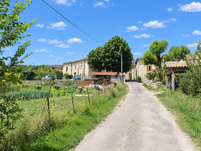 |
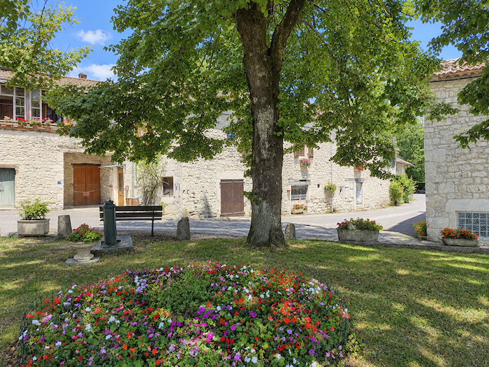
| Lascabannes feels like a peaceful haven after the long crossing of the limestone plateau. With fewer than 200 inhabitants, charming houses with white stone façades and a harmonious palette of pale tones, the village has a distinctive luminous character. Pilgrims on their way to Santiago de Compostela have been stopping here since the Middle Ages, eight centuries have passed, yet walkers still set down their backpacks here today. |
 |
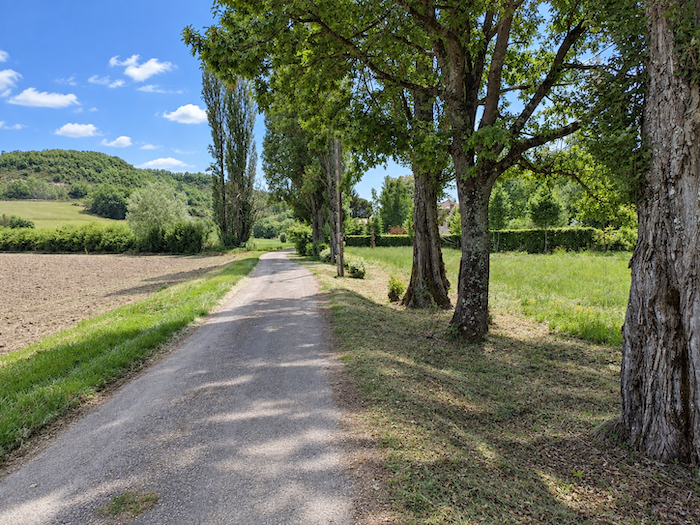 |
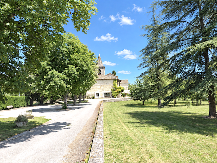
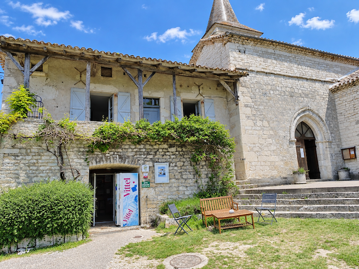
| A little apart from the village, the Church of Saint-Georges overlooks Lascabannes from the middle of a large park. Its former presbytery now houses a gîte and a small grocery shop, valuable services on a stage where accommodation remains limited. When there is no room, or simply because their legs are still willing to carry them farther, some pilgrims continue on to Montcuq, another 11 kilometers away. Others stop earlier at Le Clos de Gamel or make their way to Escayrac, away from the route of the GR65, where the sisters also welcome walkers. |
 |
 |
Accommodation on Via Podiensis
- Gîte- Chambres d’hôtes ,32 Rue des Tilleuls, La Rozière 06 87 08 54 94; Gîte and Guestroom, dinner, breakfast, cuisine
- Chambre d’hotes Le Clos de la Fontaine, 444 Chemin du Moulin, Labastide-Marnhac; 07 81 76 76 87; Guestroom, dinner, breakfast, cuisine
- Gîte de la Trigodina, Trigodina; 05 65 21 70 97; Gîte, dinner, breakfast, cuisine
- Gîte L’Hospitalet d’Aury, Cézac; 06 08 99 94 53; Gîte, donativo, cuisine
- Gîte-Chambres d’hôtes L’Étape Bleue, 704 Route de Durand, Lascabannes; 05 65 35 34 77/06 30 05 43 74; Gîte and Guestroom, dinner, breakfast, cuisine
- Gîte-Chambres d’hôtes Au Chemin de Traverse, 154 Chemin de Beral, Lascabannes; 06 14 08 66 46; Gîte and Guestroom, dinner, breakfast, cuisine.
- Chambres d’hôtes Les Hauts de Lascabannes, La Rivière, Lascabannes; 05 65 20 12 49/06 18 40 74 00; Guestroom, dinner, breakfast
- Gîte Le Nid des Anges, Ancien Presbytère, Lascabannes; 05 65 35 27 42/06 16 04 22 86; Gîte, dinner, breakfast, cuisine
- Gîte La Maison de Juliette, 32 Place des Pèlerins, Lascabannes; 06 56 79 17 59; Gîte, dinner, breakfast, cuisine
- Gîte Le Bouy, Lascabannes; 06 59 72 99 24/05 65 53 61 49; Gîte, dinner, breakfast, cuisine
- Gîte Le Sabatier, Sabatier, Lascabannes; 06 82 13 30 13/05 65 23 98 54; Yurt, dinner, breakfast, cuisine
- Chambre d’hôtes de Laniès, Laniès, Lascabannes; 05 65 35 06 47/06 22 56 32 61; Guestroom, dinner, breakfast
Year after year, the Camino de Santiago changes and reinvents itself with the seasons and the footsteps of pilgrims. Some accommodations close their doors, while others, modest or unexpected, come into being. It would therefore be unrealistic to claim to provide a fixed and exhaustive list. This guide includes only accommodations located directly on the route or within one kilometer of it. The selection was updated in 2026 and should therefore not undergo any major changes in the coming years. For those wishing to go further, one publication stands out as the essential reference: Miam Miam Dodo, easily available online. The main strength of this guide lies in its yearly updates. It not only lists accommodations located directly on the route, but also addresses slightly off the route, a valuable resource when heavy pilgrim traffic makes overnight stops more uncertain. It also contains a wealth of practical information: welcoming bars, restaurants along the way, and providential bakeries, all of which punctuate the journey. Alongside these traditional resources, another presence has become unavoidable: Airbnb. The platform has established itself as a major reference in the tourism landscape, even in the most discreet or less developed regions. However, as everyone knows, exact addresses are not displayed directly, which requires a degree of anticipation. On the Camino, finding a bed at the last minute can sometimes depend on sheer luck. But luck, by its very nature, cannot be considered a strategy. Booking ahead is therefore strongly recommended. Finally, when making arrangements, be sure to inquire about dinner and breakfast options. These details, seemingly minor, can greatly soften the hardships of a stage.
If we take stock of the available accommodation, there are around 40 beds before reaching Lascabanes, suggesting that many pilgrims choose to stop earlier along the route. In Lascabanes itself, the choice widens considerably, with nearly 80 beds available. Most accommodation on this stage is located within 1 km of the waymarked route. While the Via Podiensis generally sees between 100 and 200 walkers, there tend to be fewer pilgrims after Cahors. Even so, finding somewhere to stay on this stage may prove difficult. Booking ahead is therefore essential; otherwise, you may have to continue on to Gamel or Espeyrac (where accommodation is signposted from the route but lies more than 1 km away), or even as far as Montcuq, an additional 10 km!
These routes wind through often sparsely populated areas, where shops and other services are limited. Restaurants are few and far between, as are grocery shops, which are often little more than small local outlets selling bread along with a limited selection of vegetables and dairy products. Food is nevertheless available in Labastide-Marnhac and Trigodina. Water points are virtually non-existent along the route, and there are no public toilets. On arrival, Lascabanes has just one water point and a small grocery shop. Finally, numerous companies provide luggage-transfer services or transport back to the starting point. Among them, one stands out as a particularly well-established option: La Malle Postale.
Feel free to add comments. This is often how you move up the Google hierarchy, and how more pilgrims will have access to the site.
|
 |
Next stage : Stage 20: From Lascabannes to Lauzerte |
|
 |
Back to menu |