
On the route to the Causse de Gramat
DIDIER HEUMANN, ANDREAS PAPASAVVAS
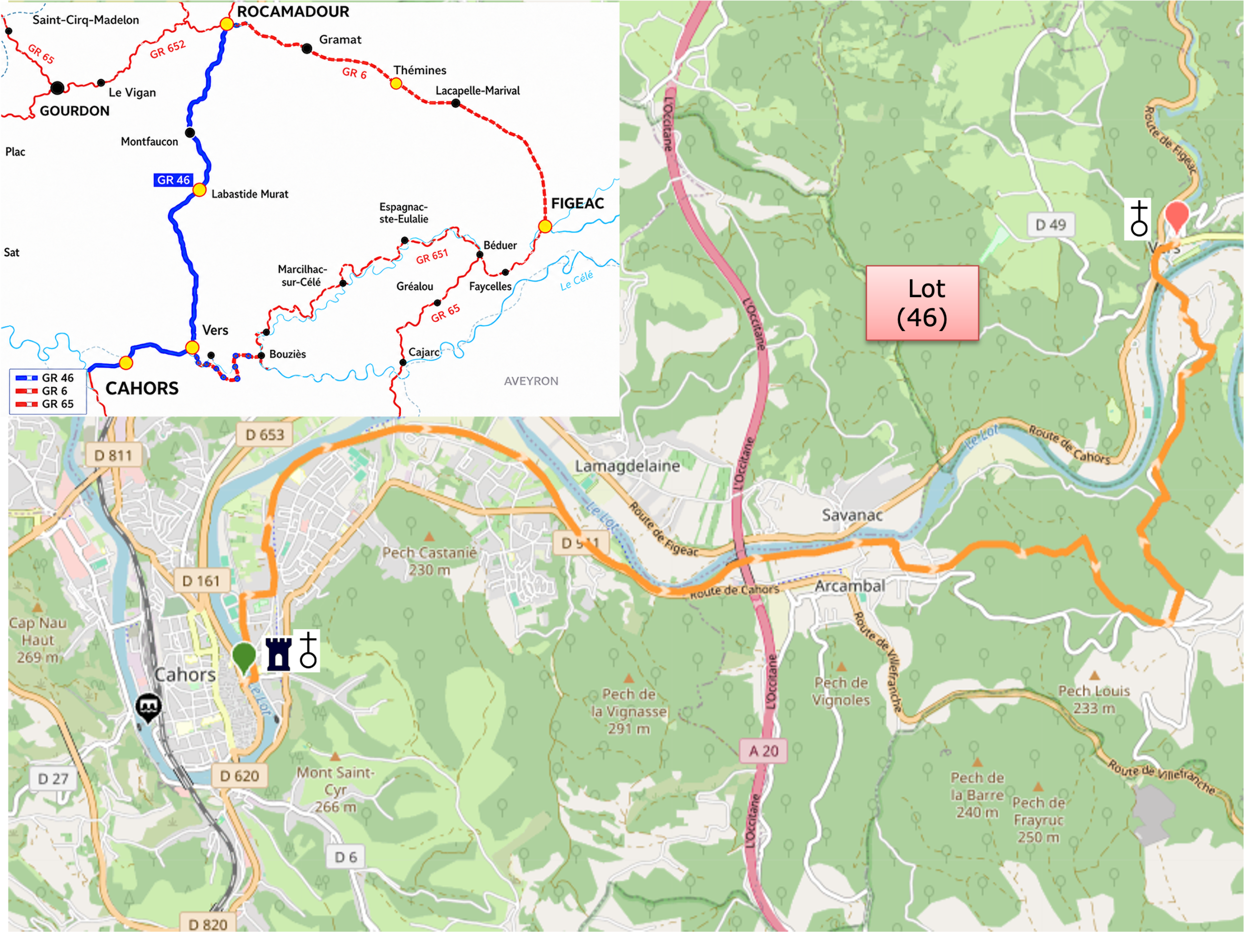
We divided the course into several sections to make it easier to see. For each section, the maps show the course, the slopes found on the course, and the state of the route (paved or dirt roads). The courses were drawn on the « Wikilocs » platform. Today, it is no longer necessary to walk around with detailed maps in your pocket or bag. If you have a mobile phone or tablet, you can easily follow routes live.
For this stage, here is the link:
| This is obviously not the case for all pilgrims, who may not feel comfortable reading GPS tracks and routes on a mobile phone, and there are still many places without an Internet connection. For this reason, you can find on Amazon a book that covers this route.
If you only want to consult lodging of the stage, go directly to the bottom of the page. |
 |
The Causse de Gramat, a vast stony ridge forming part of the Causses du Quercy, unfolds across a rugged, luminous landscape where rock seems to dictate its own laws and drought shapes every detail. Leaving Cahors, the route initially follows the peaceful twists and turns of the Lot, whose languid meanders wind between limestone cliffs, at times sheer, at others softened by the passage of time. The route follows these flowing curves with an almost contemplative faithfulness, offering walkers a succession of scenes where dark waters mirror the leafy canopy and wooded banks flourish in an almost secret tranquility. Here, the human presence is discreet, scattered among a few generous plots of cultivated land and fertile woodlands that make this valley a quiet haven for market gardeners and those who delight in growing their own food. Then, almost imperceptibly, the landscape narrows and grows more dramatic. The cliffs draw closer, rise higher, and eventually enclose the river within a true corridor of stone. The light, shimmering in reflections of gold and chalk, plays across the pale rock faces, while the contrast between the dark waters of the Lot and the whiteness of the limestone heightens the feeling of entering a secluded, almost hidden world.
Then comes a clear and unmistakable transition. To leave the river is to leave one world behind. The climb towards the causse begins, short but decisive, leading the walker into a radically different realm. Up above, the soil becomes sparse, stony and almost austere. The colors grow paler, shifting between grey and ochre, relieved only by touches of subdued, resilient green. The vegetation, modest yet tenacious, has adapted to these demanding conditions. It grows low, clings to the ground and endures. The horizon, meanwhile, opens wide, freeing the gaze and creating a profound mineral silence, broken only by dry-stone walls and a handful of rural buildings, modest guardians of this rugged land. Then, as though returning to a gentler world, the descent gradually leads back towards Vers. The landscape closes in once more, the valleys converge, and the presence of the Lot becomes familiar again, almost reassuring. The village finally comes into view, nestled in this sheltered hollow between river and cliffs, a natural resting place after crossing such contrasting worlds.
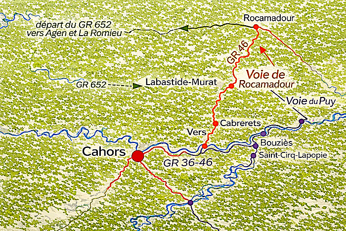
This stage follows the variant leading towards Rocamadour, generally walked in the opposite direction by pilgrims travelling from Figeac to Cahors. Here, the route is followed in reverse, and one need only read the landscape backwards to rediscover its underlying logic. You walk along the GR36/46, a discreet yet faithful thread linking these lands of stone and water.
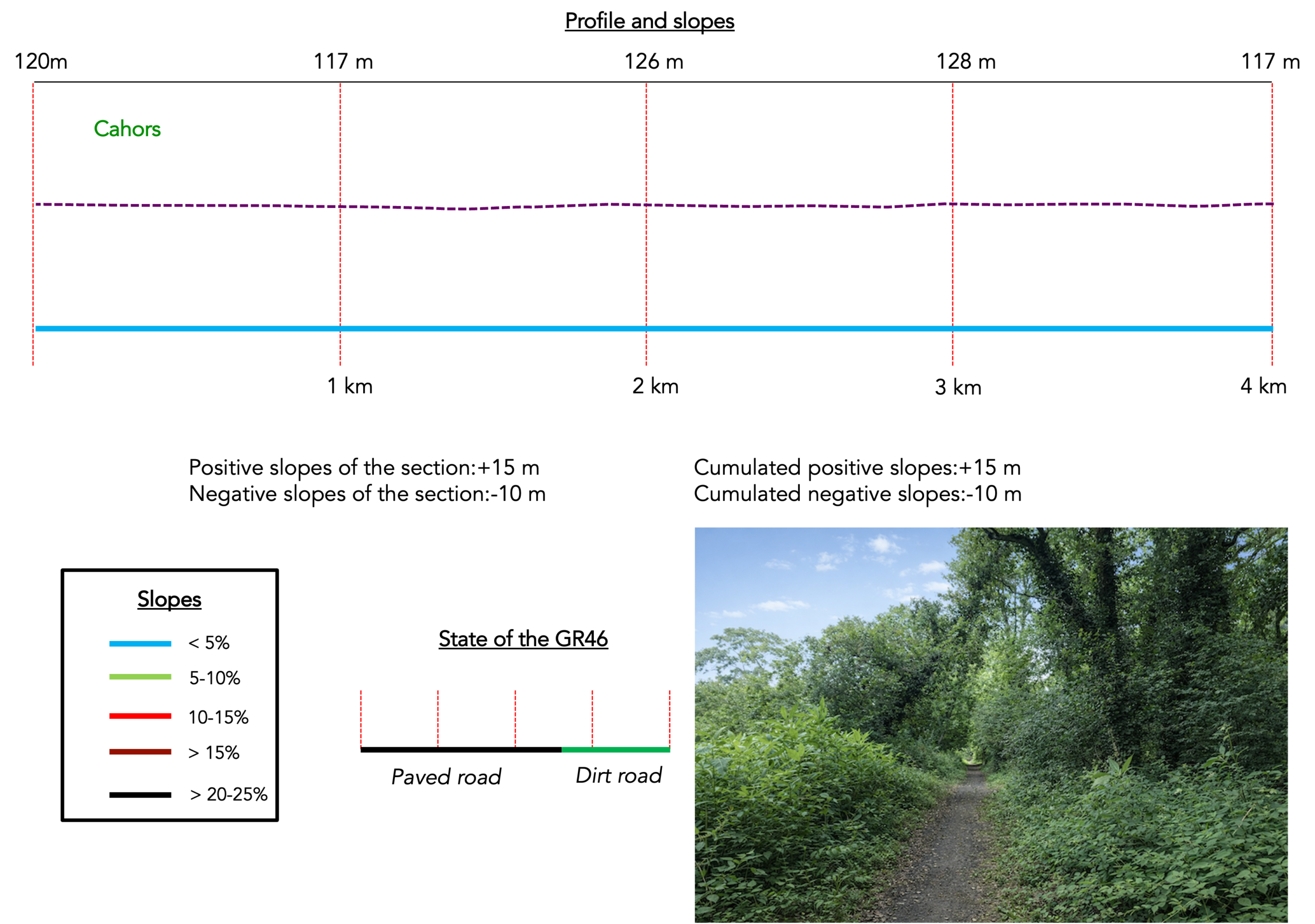
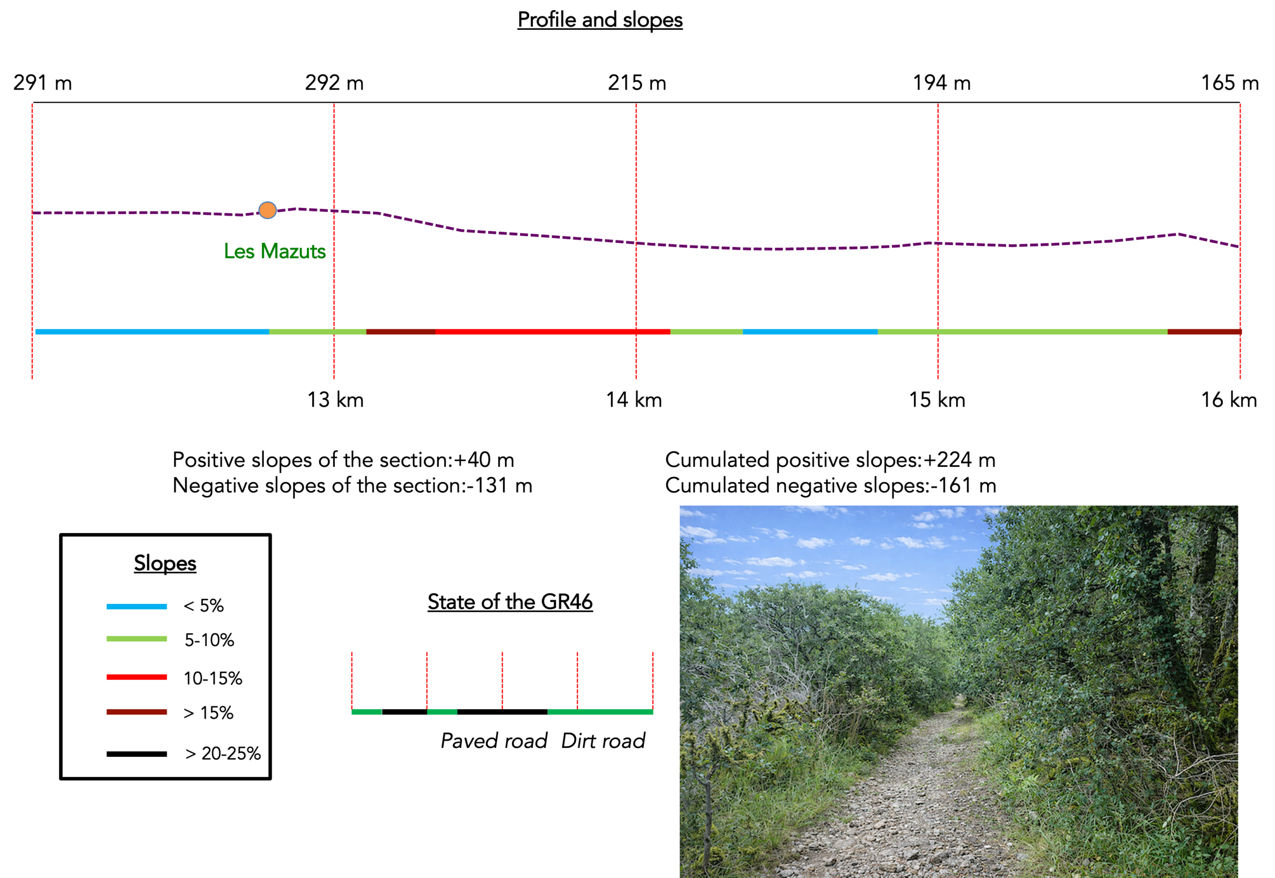
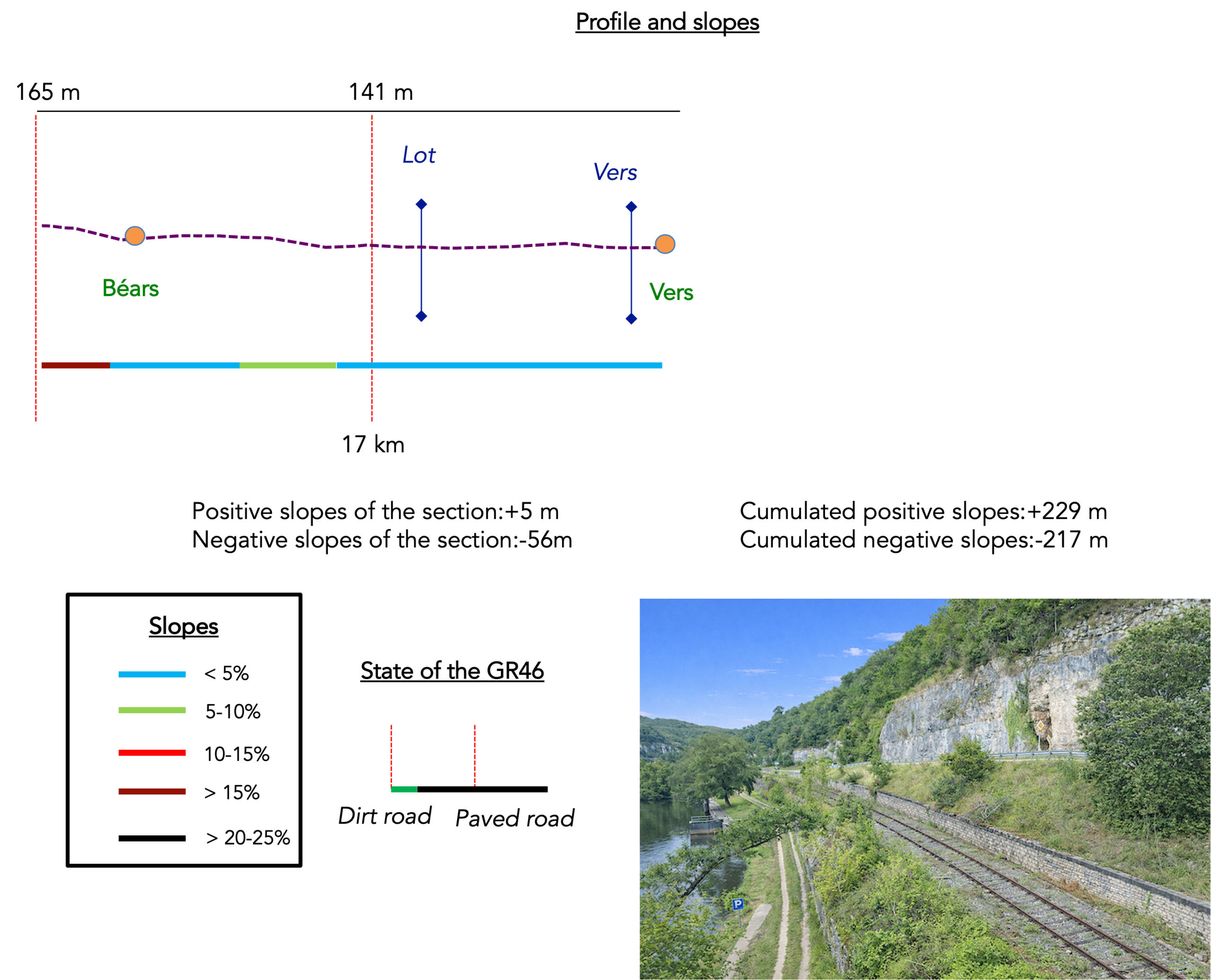
Difficulty level: The difficulty remains moderate, making this a peaceful stage with gentle elevation changes (+229 m / -217 m). Only the climb towards the causse, near Les Mazuts, will put a little extra warmth into your legs.
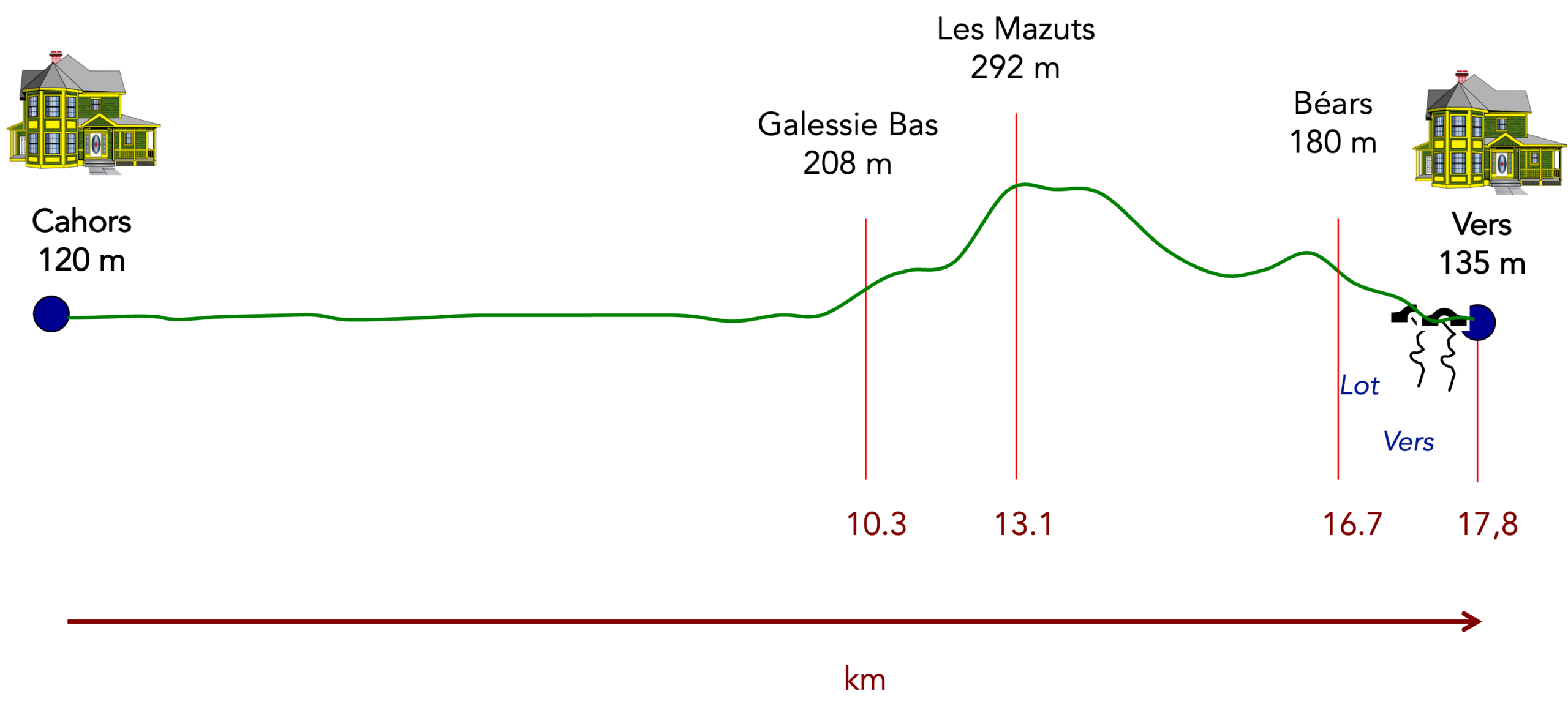
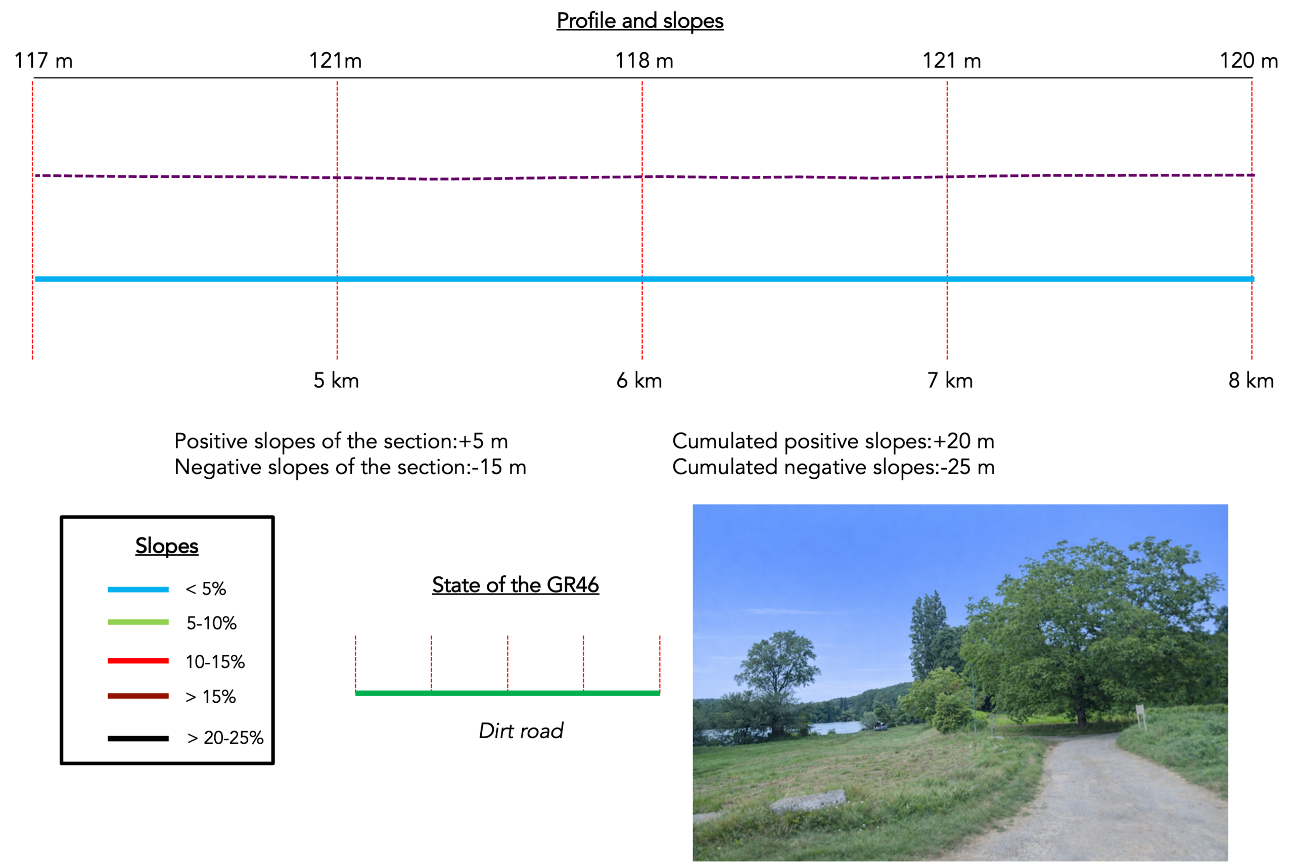
State of the route: Paths clearly have the upper hand over roads:
- Paved roads: 6.3 km
- Dirt roads: 11.4 km
Sometimes, for reasons of logistics or housing possibilities, these stages mix routes operated on different days, having passed several times on these routes. From then on, the skies, the rain, or the seasons can vary. But, generally this is not the case, and in fact this does not change the description of the course.
It is very difficult to specify with certainty the incline of the slopes, whatever the system you use.
For those seeking « true elevations » and enthusiasts of genuine altimetric challenges, carefully review the information on mileage at the beginning of the guide.

Section 1: Through the outskirts of Cahors
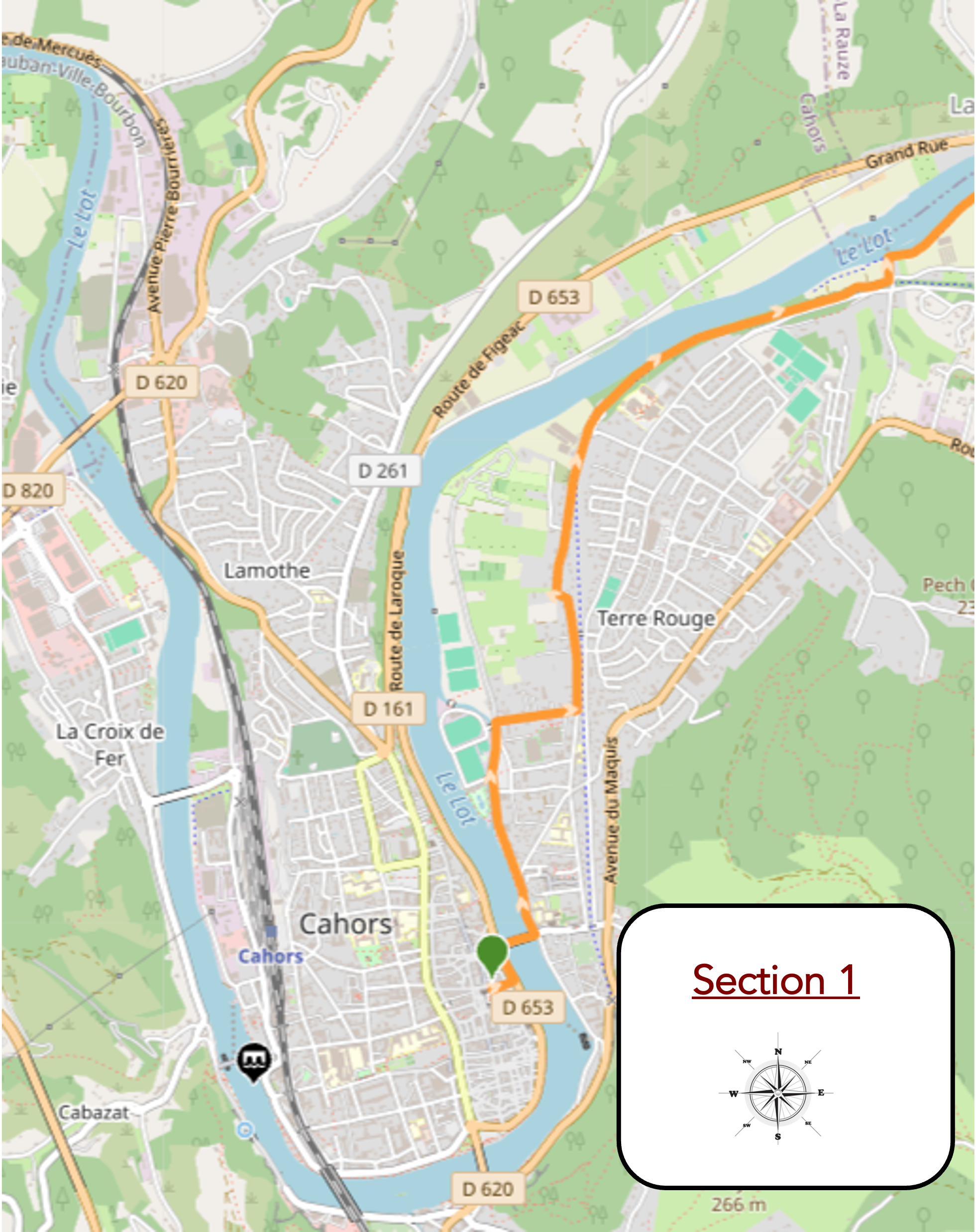
Overview of the route’s challenges : The route presents no particular difficulty.
|
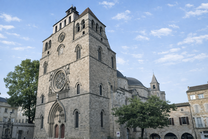
The wisest choice is to leave Cahors near St Étienne Cathedral, as though reluctantly tearing yourself away, with a certain sense of nostalgia, from the centuries-old heart of the city, before slowly making your way towards the river, where the urban landscape begins to loosen its grip and breathe in a different rhythm. |
|
 |
 |
|
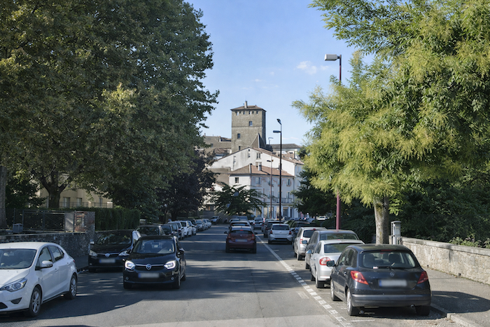
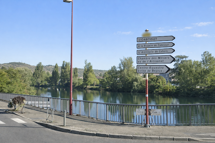
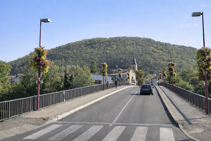
Very soon, after winding through narrow streets whose walls are steeped in history and then along the more open boulevard, your gaze is irresistibly drawn towards the silhouette of the Cabessut Bridge, rising ahead like a promise of departure, a threshold waiting to be crossed on the way towards somewhere new. |
|
 |
 |
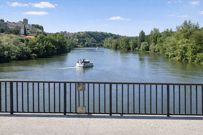
The Lot, this broad and majestic river with its ever-changing reflections, will remain your companion for a long while, sometimes flowing intimately close to the path, sometimes more distant yet always perceptible, until you meet it again at the end of the stage in Vers, like an old acquaintance encountered once more,
|
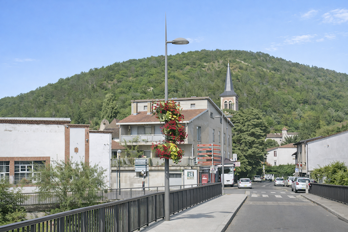
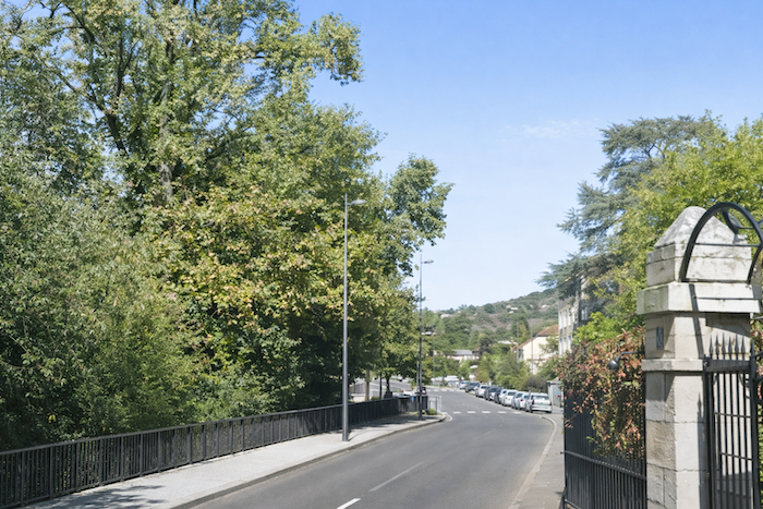
Beyond the bridge, the route crosses the Cabessut district, less appealing than the historic center, without the charm of time-worn stone or the tangled maze of medieval streets, yet animated by a more ordinary, almost utilitarian kind of life. It must be said that leaving a town rarely fills a walker with enthusiasm. |
|
 |
 |
|
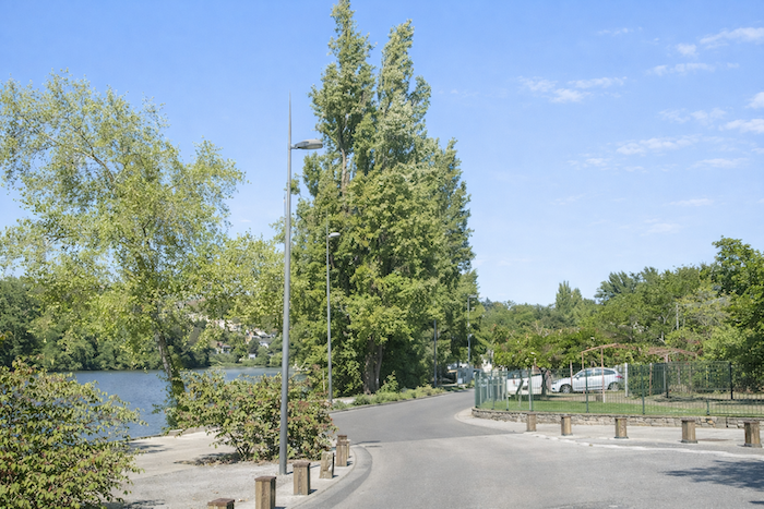
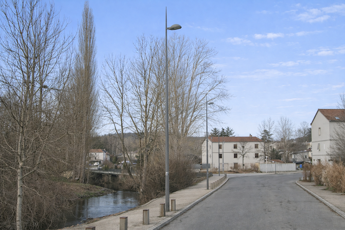
Yet the route soon draws closer to the river, and its presence brings a sense of calm and beauty to the walk. The water catches the light, the landscape opens up, and even the asphalt seems less burdensome beneath your feet. |
|
 |
 |
|
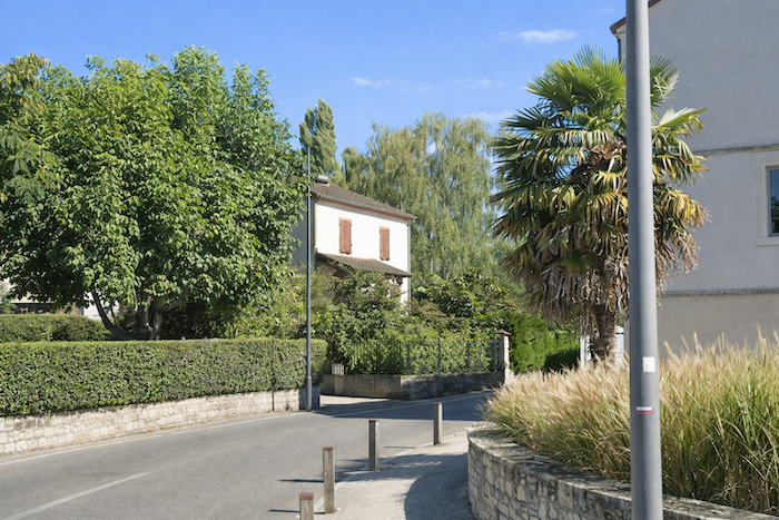
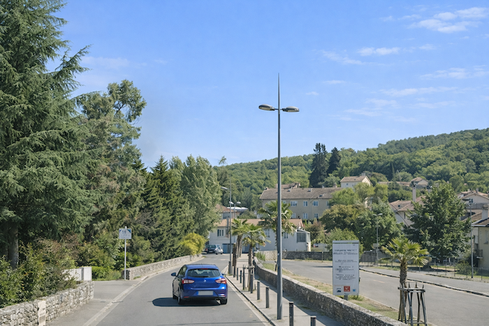
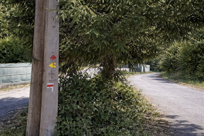
A little farther on, near the swimming pool, the route reluctantly turns away from the Lot and branches off to the right. Fortunately, the familiar red and white GR waymarks, faithful and reassuring, leave no room for hesitation. |
|
 |
 |
|
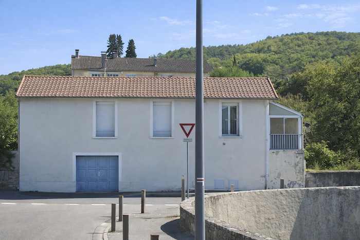
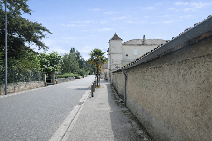
Shortly afterwards, the route veers left, passing peaceful villas that seem almost asleep behind their fences, along with their carefully tended gardens, where every planting seems to express a certain domestic gentleness. |
|
 |
 |
|
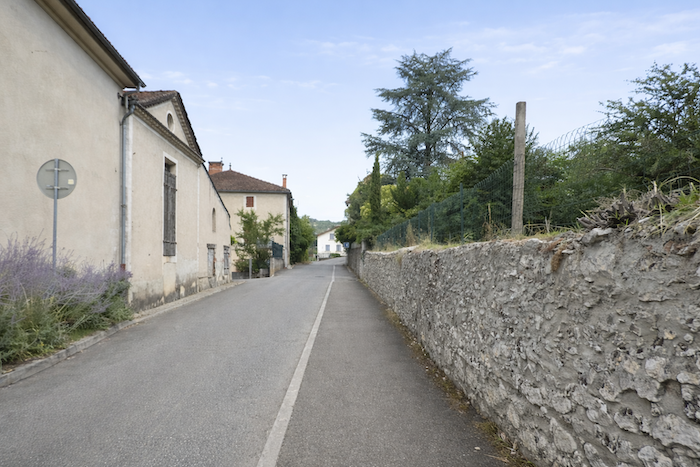
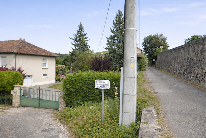
You then continue along the Route du Payrat. Along the way, you cross the “Chemin des Maraîchers de Cabessut”, and it is easy to understand why these rich and fertile alluvial soils have always attracted gardeners, whether seasoned professionals or enthusiastic Sunday amateurs. |
|
 |
 |
|
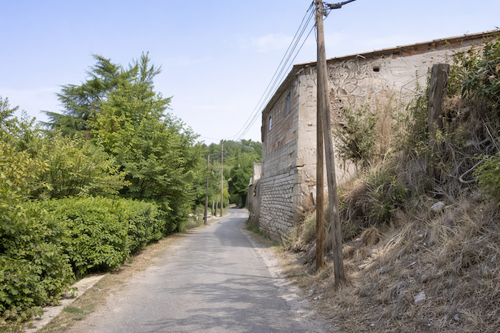
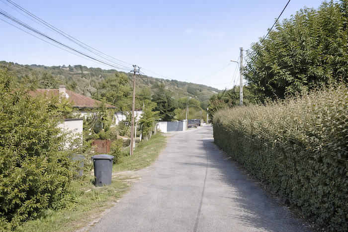
The road, predictable perhaps but not without its quiet charm, unfurls its narrow ribbon between modest country houses, their small gardens sometimes overflowing with vegetation, sometimes left to flourish in gentle freedom, while the old railway line runs alongside, silent and forgotten, largely hidden from view. |
|
 |
 |
|
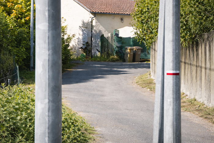
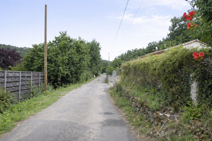
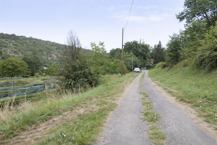
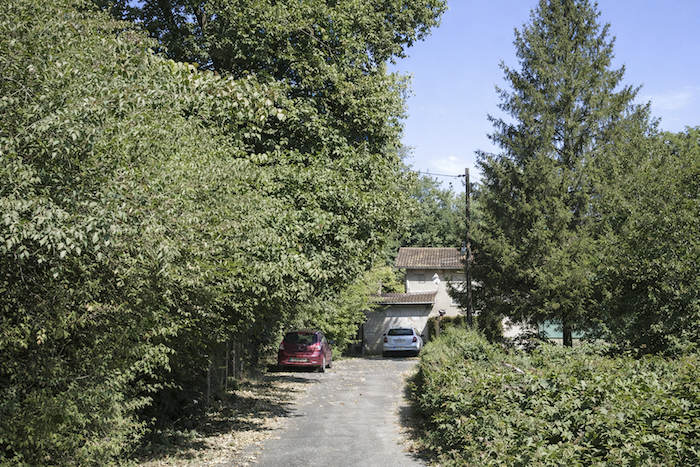
Farther on, the route changes name and becomes the “Chemin du Mas de Mansou”, yet nothing truly disturbs the distinctive atmosphere of this rural fringe, with its scattered little houses, uncertain fences and uneven plots of land, gradually thinning out, fading away and finally giving way to a more open natural landscape. |
|
 |
 |
 |
 |
|
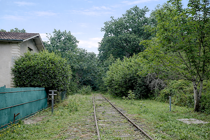
At the end of this inhabited fringe, after a little more than three kilometers of walking, the path turns left. Here, the weathered rails of an old railway line come into view, remnants of another age, abandoned long ago and seemingly frozen in a slow process of disappearance. It is difficult not to reflect on how, across France, these local railway lines, once so useful, are gradually vanishing, sacrificed in favor of the high-speed TGV trains that race through these now silent landscapes without stopping. |
|
 |
 |
|
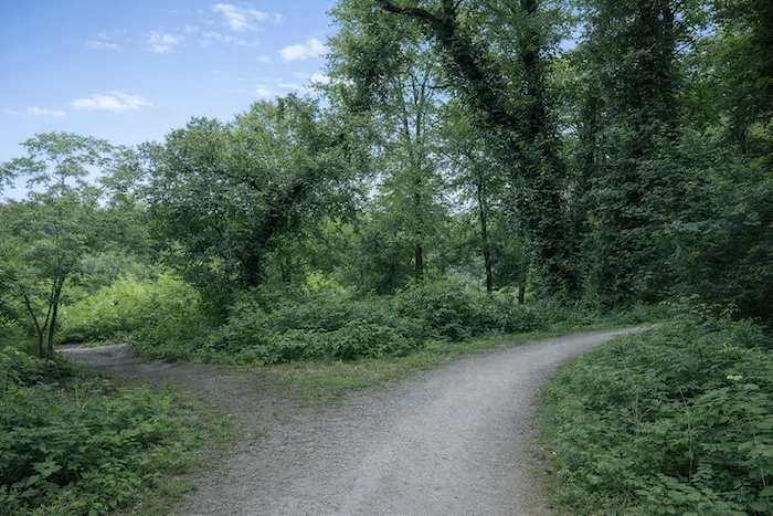
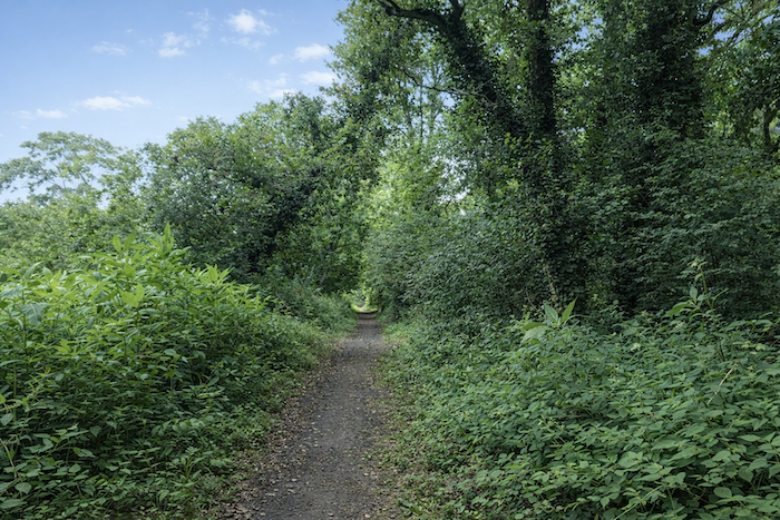
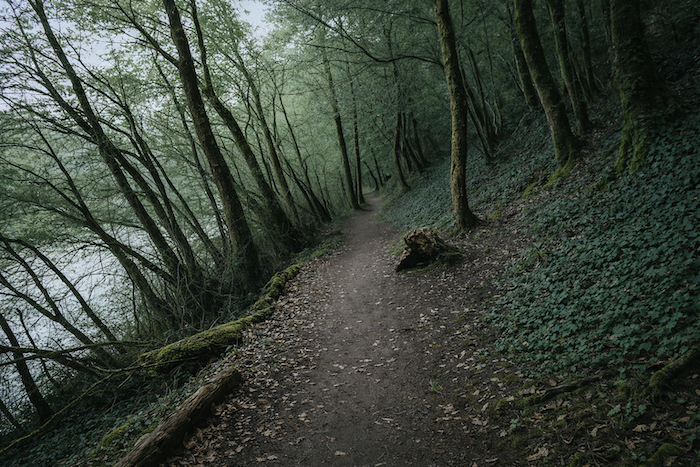
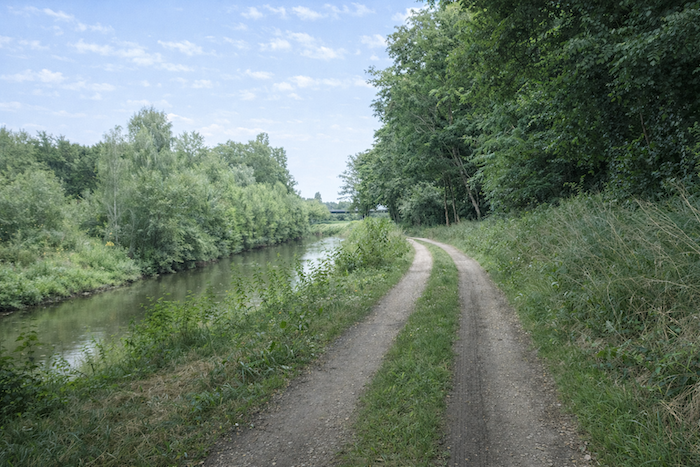
From here, the path finally escapes the hold of the urban landscape and ventures into nature, following the river like a quiet thread. The dark, compact earth bears the memory of countless floods, shaped over the centuries by the patient accumulation of alluvial deposits carried by the Lot. |
|
 |
 |
|
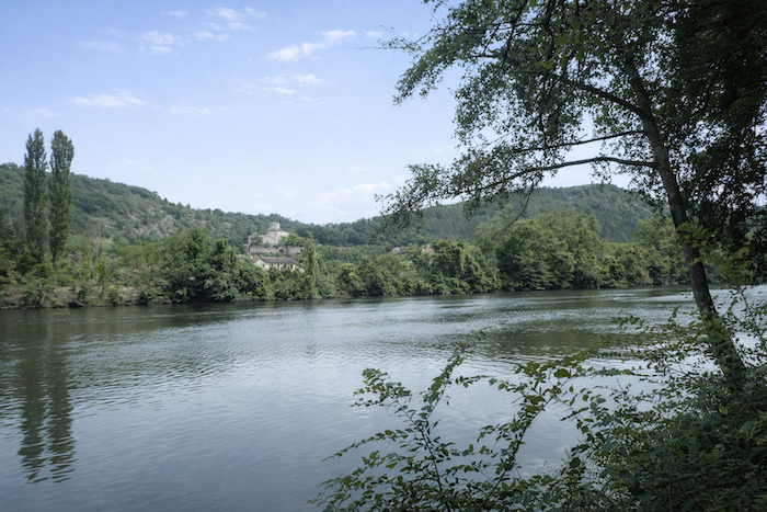
Oaks are abundant here, sturdy and deeply rooted, but they share this landscape with maples, alders and ash trees, all equally at home among this rich and varied vegetation. Across the Lot, the Château de Laroque can just be glimpsed, half concealed within the dense undergrowth, as though withdrawn from the world. |
|
 |
 |
|
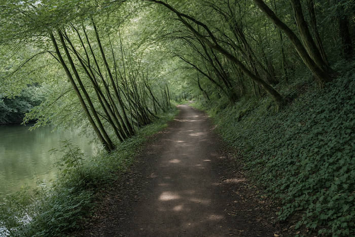
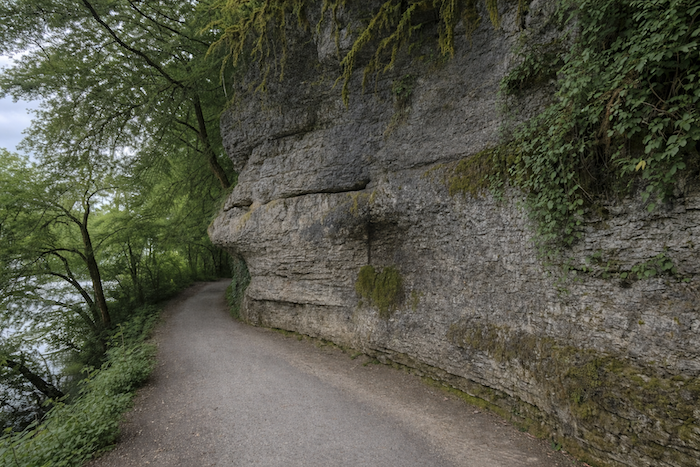
You can sense the strength of the winds that sweep through the valley in the persistent lean of certain trees, as though bent by some ancient habit. You can also see how, over time, the Lot has cut into the marl, revealing sheer rock faces here and there that suddenly emerge as the landscape unfolds before you. |
|
 |
 |
Section 2: Along the Lot
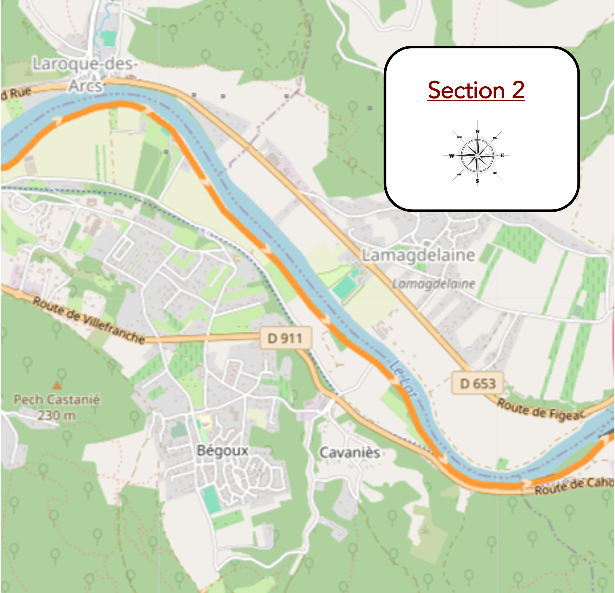
Overview of route’s challenges : The route presents no particular difficulty.
|
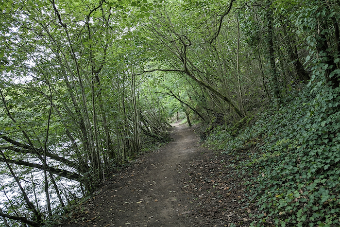
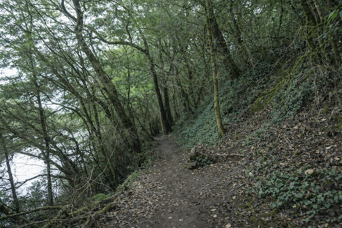
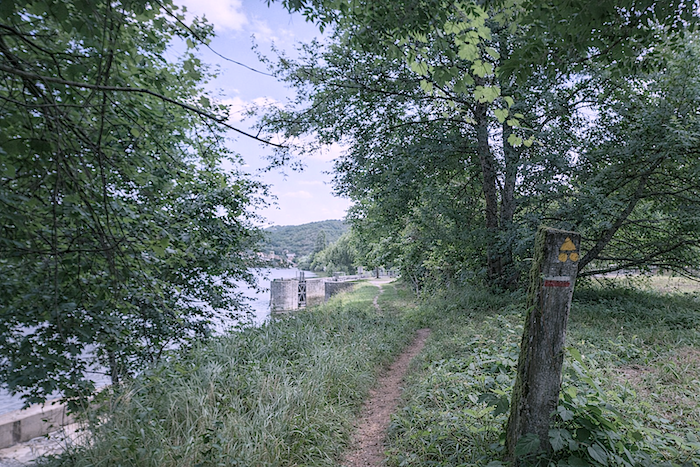
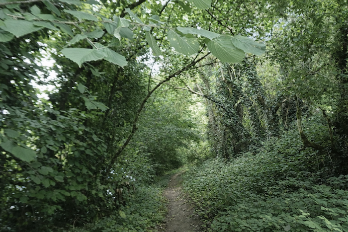
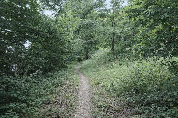
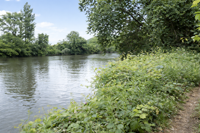
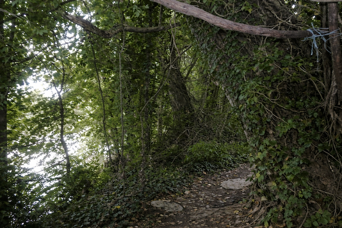
The stretch along the river offers a subtle alternation between paths through the woodland and more open expanses. Whenever the trail slips beneath the leafy canopy, it becomes narrow, almost secret, enclosed by dense foliage that filters the light and muffles every sound. |
|
 |
 |
|
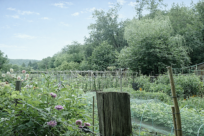
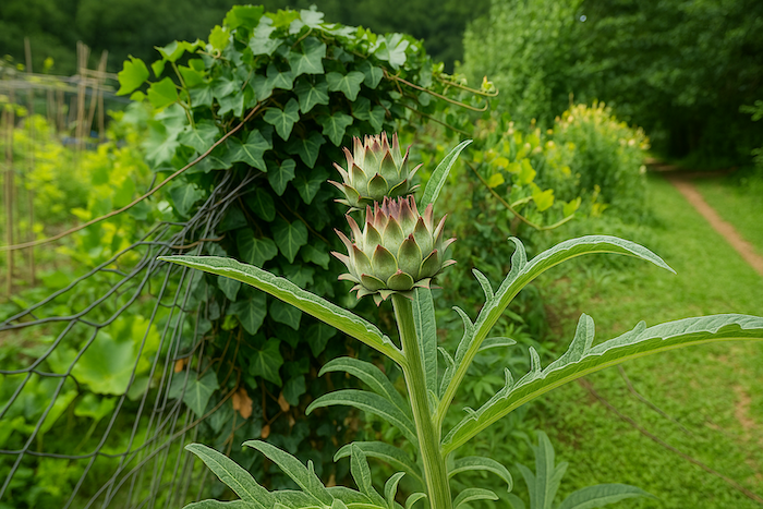
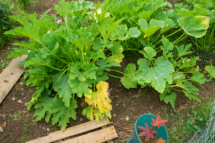
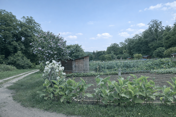
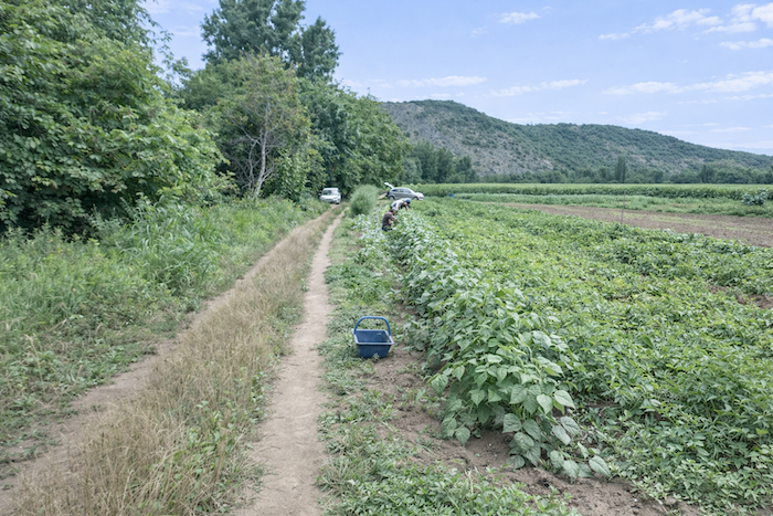
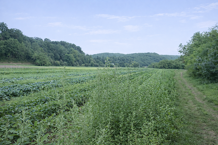
But as soon as it emerges into full daylight, the landscape is transformed. The valley broadens, grows more peaceful and opens onto cultivated land where the human hand once again makes its presence felt. Here, market gardeners occupy the land wherever the forest retreats, taking advantage of a remarkably fertile plain. The dark, deep soil, a rich mixture of silt and clay, seems to give without reserve. In season, asparagus, peas and even artichokes flourish here in generous abundance. |
|
 |
 |
|
You will often catch sight of Sunday gardeners quietly at work, bending over their plots with patience and care. These gardens, strung out along the water’s edge, form delightful little havens of their own. |
|
 |
 |
|
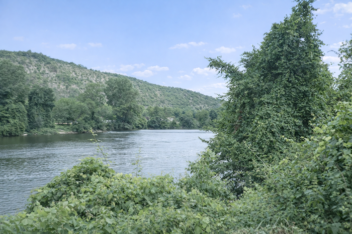
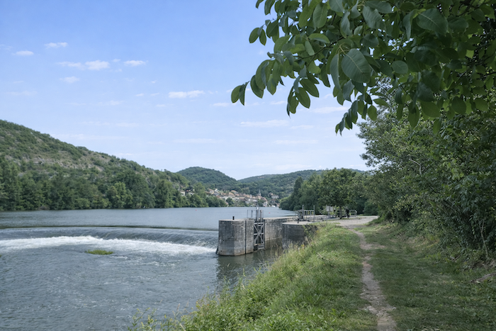
At the edge of the plain, the green of the leafy canopy gradually merges with the shifting shades of blue and deep green of the Lot, which stretches away slowly, almost lazily, as though taking the time to breathe. Here, the river is navigable, although only for modest pleasure boats or those exploring its waters by canoe or kayak. |
|
 |
 |
|
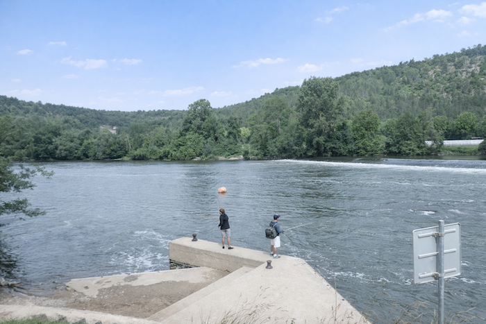
A little farther on, a concrete pontoon extends from the bank, where a few anglers wait patiently in silence. The spot is said to be ideal for catching carp, zander or pike, while others prefer to try their luck with perch or the more elusive catfish. |
|
 |
 |
|
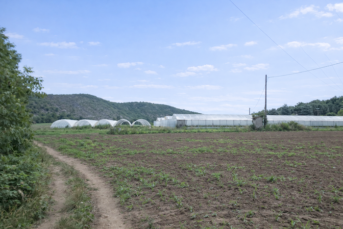
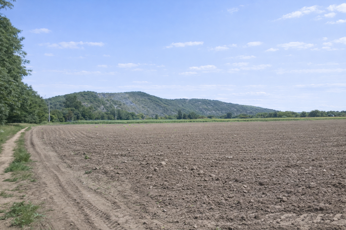
Here, the plain widens noticeably, as though the valley had suddenly drawn a deeper breath. Professional market gardeners have extended their domain across this fertile ground, gradually gaining land from the natural margins. The path is now little more than a strip of soft earth, sometimes heavy and sticky after rain, slowing your progress and making each step more laborious. |
|
 |
 |
 |
 |
|
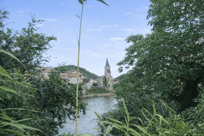
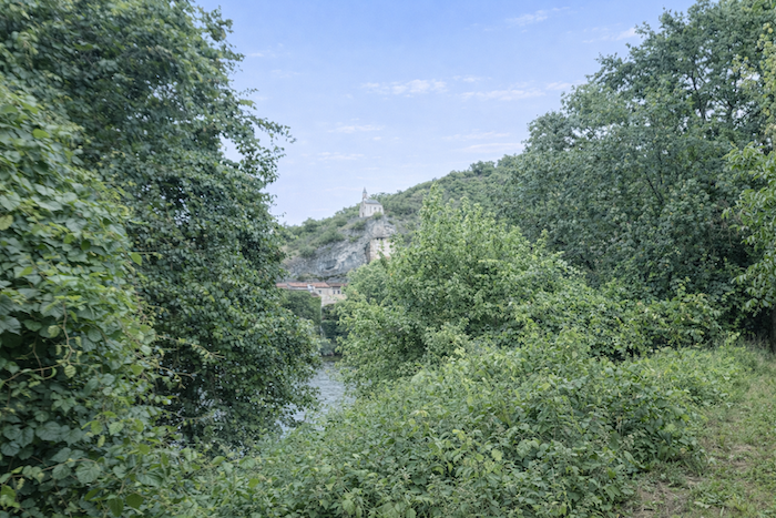
You are now close to the place known as La Bouriette. Across the Lot, Laroque-les-Arcs comes into view at the water’s edge, its houses seemingly clinging to the riverbank in harmonious unity. Yet there is no bridge here to cross the river before reaching Vers, as though the privilege of reaching the other bank still had to be earned. |
|
 |
 |
|
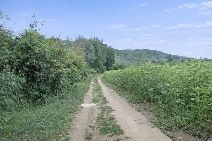
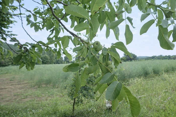
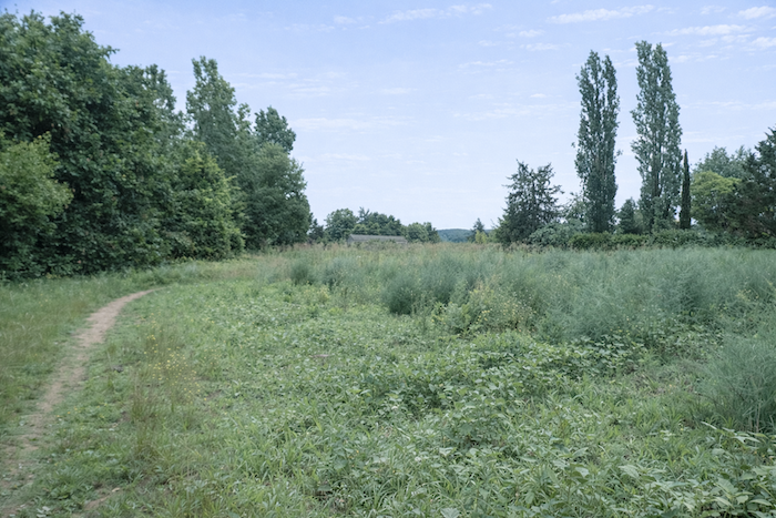
The path continues across the cultivated plain, where the plots, far removed from any strict geometry, seem to follow a more instinctive, almost haphazard arrangement. Nothing here appears bound by rigid order, and this irregularity lends the landscape a wonderful sense of freedom. |
|
 |
 |
|
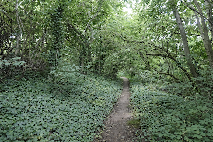
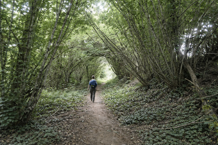
Shortly afterwards, the path makes a few fleeting incursions into the woodland, as though seeking a brief return to its shade and coolness. |
|
 |
 |
 |
 |
|
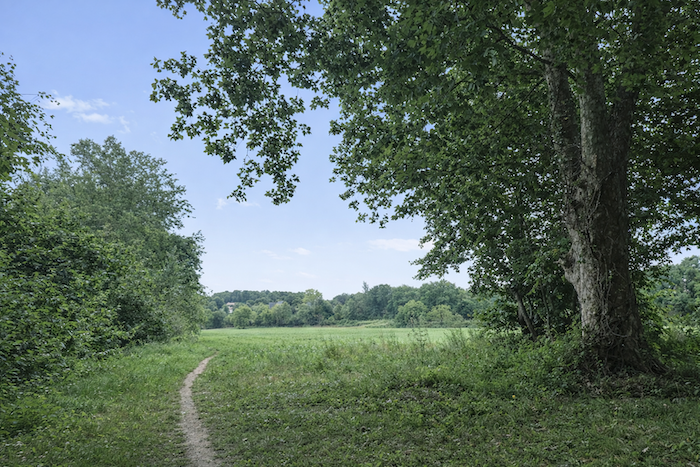
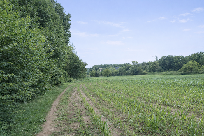
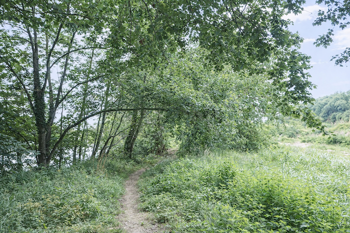
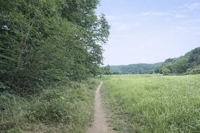
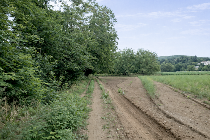
But these interludes are short-lived, and the path soon returns to the cultivated land. The structure of the landscape now becomes strikingly clear, with woodland fringing the Lot and faithfully following the river, while the cultivated plain lies farther back. From here onwards, the path frequently runs alongside lines of trees and hedgerows, slender green boundaries between two worlds that coexist without ever truly merging. |
|
 |
 |
 |
 |
|
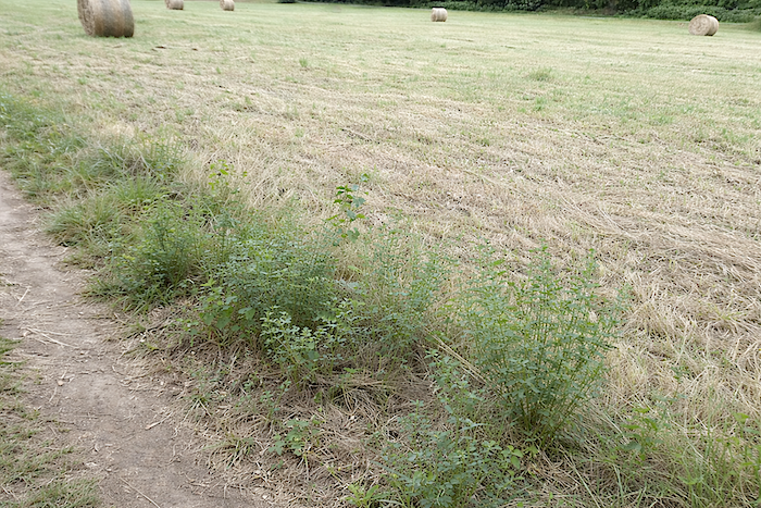
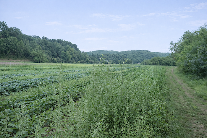
It is worth taking the time here to understand how people have shaped this landscape. They did not establish their villages directly beside the water. Instead, they preserved a fringe of hedgerows, woodland and trees along the river, creating a breathing space, almost a natural boundary. Farther back, they opened up broad plains for cultivation, taking full advantage of the rich and fertile soils. Beyond them, the hinterland was left to extend towards the villages and the outskirts of Cahors, on the very edge of the wild causses and their austere hills. |
|
 |
 |
 |
 |
|
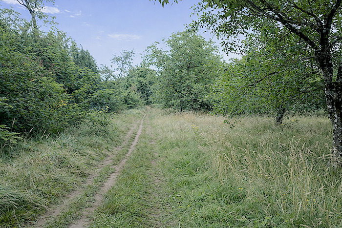
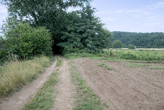
Farther on, the path seems to hesitate, wavering between the cultivated plain and the woodland, as though unwilling to surrender either the cool shade or the open landscape. |
|
 |
 |
|
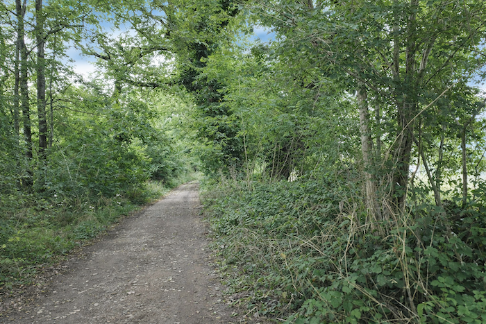
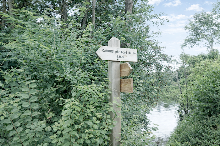
Shortly afterwards, the walker comes across a sign intended for those following the route in the opposite direction. Here, the GR46 takes a rather unusual course, making a broad detour towards the causse before eventually returning to Cahors. Most hikers, however, naturally choose the variant that follows the river, the very route you have taken, gentler, more direct and undoubtedly free of unnecessary exertion. |
|
 |
 |
|
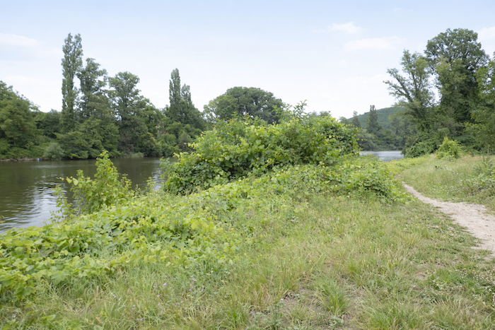
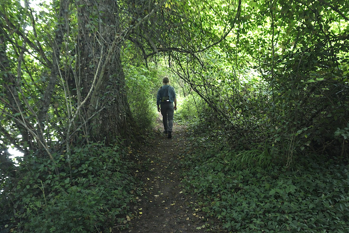
Farther on, the path once again slips into the woodland along the river. . |
|
 |
 |
 |
 |
Section 3: The route leaves the river for the causse
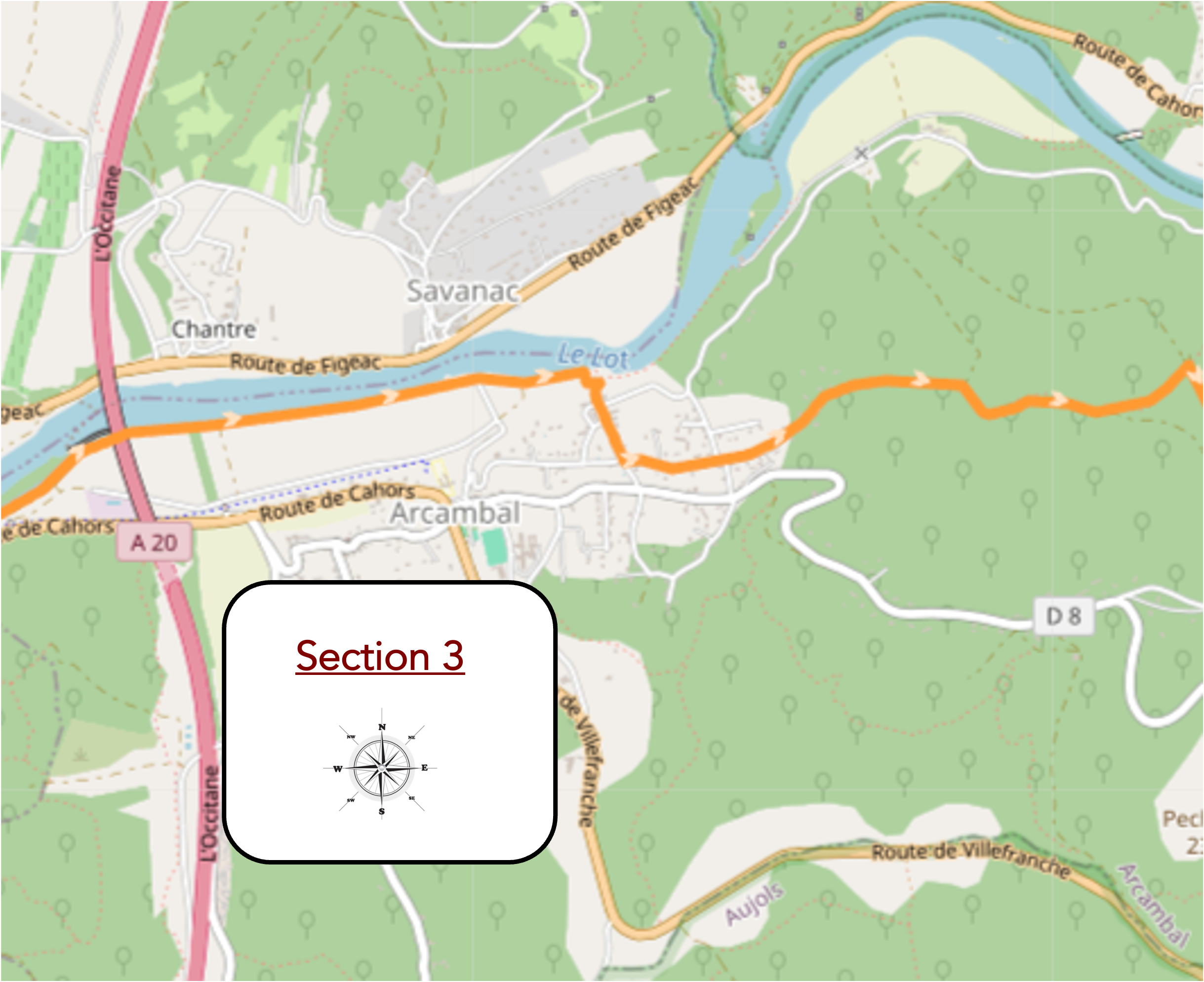
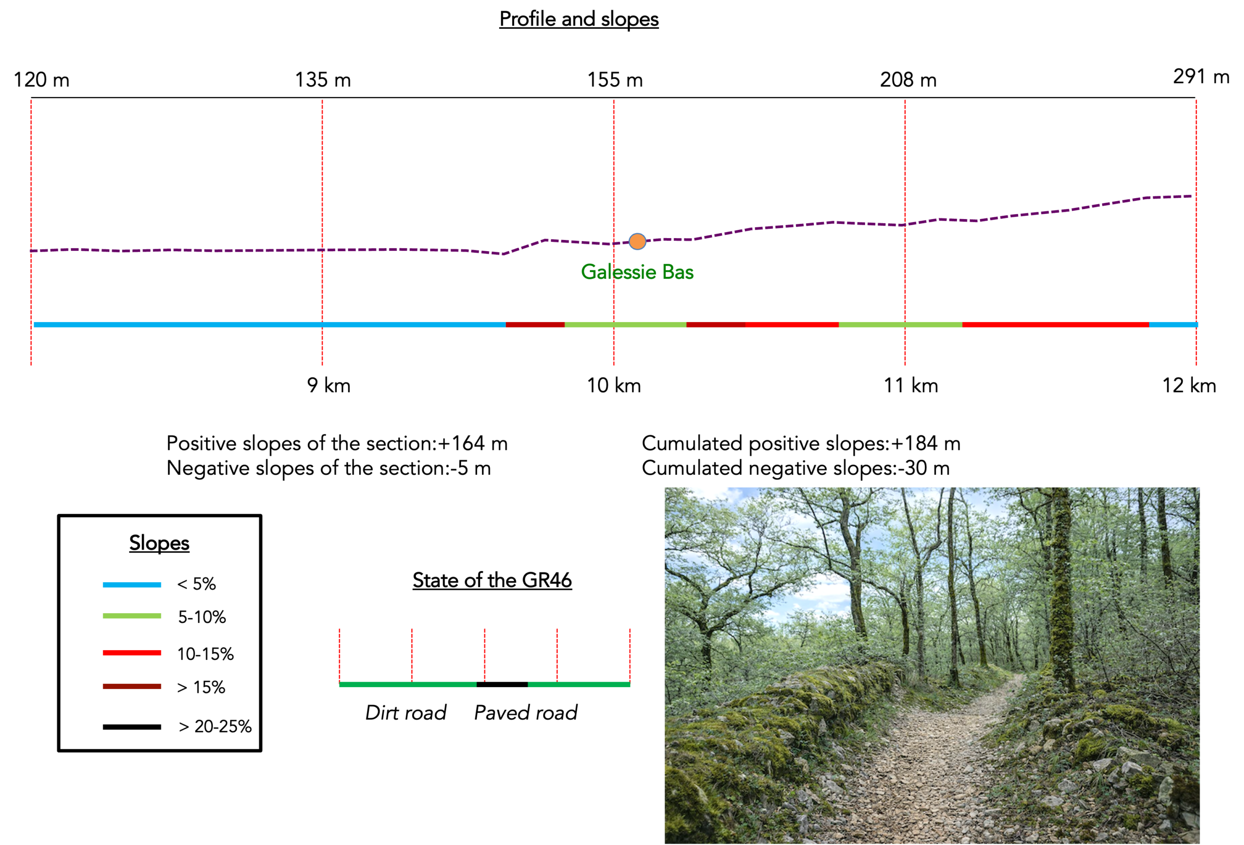
Overview of route’s challenges : a sustained, steep climb from Galessie Bas.
|
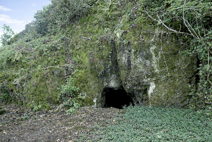
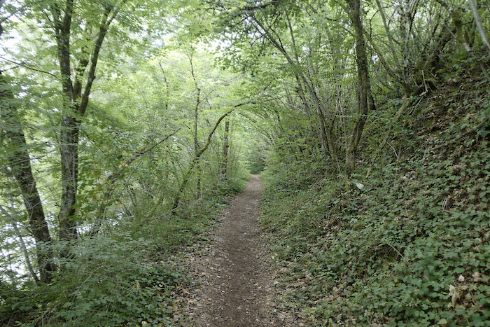
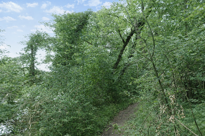
Narrow and confined, the path offers little real respite here. It rises and falls gently over modest embankments, crossing occasional limestone ledges that break through the surface like wrinkles etched into the landscape. |
|
 |
 |
|
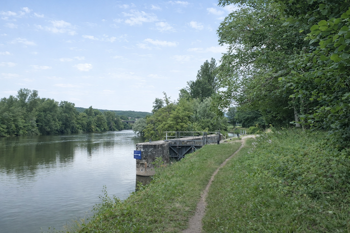
Leaving the woodland behind, the path emerges at the Arcambal landing stage, where an almost motionless tranquillity prevails. Boats are rare here, and the river seems to have been left entirely to itself. Only a few fishing rods set along the water’s edge disturb the calm surface of the river, tracing the faintest ripples across it. |
|
 |
 |
|
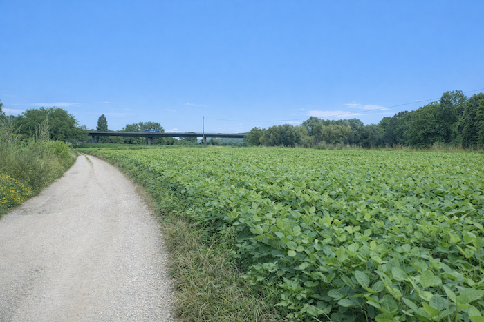
From the landing stage, the path broadens and now follows the course of the Lot with quiet obedience. In the distance, a silhouette gradually takes shape, a bridge interrupting the gentle line of the horizon. |
|
 |
 |
 |
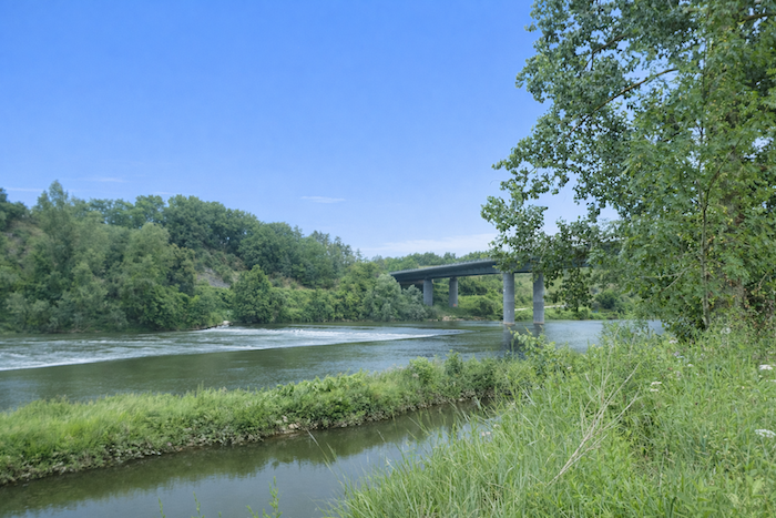 |
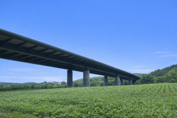
This vast structure, almost incongruous amid the delicacy of the landscape, looms as a modern intrusion. Its sole purpose, however, is to carry the A20 motorway, known as La route Occitane, high above this peaceful valley. The Occitane, which descends from Limoges through Brive on its way towards Toulouse, passes here near Cahors. The path runs beneath the pillars of the motorway bridge spanning the Lot.
|
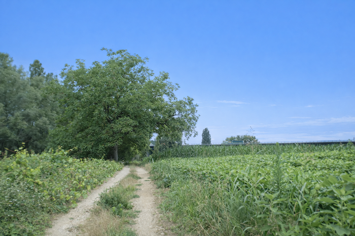
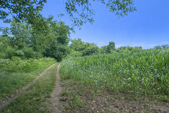
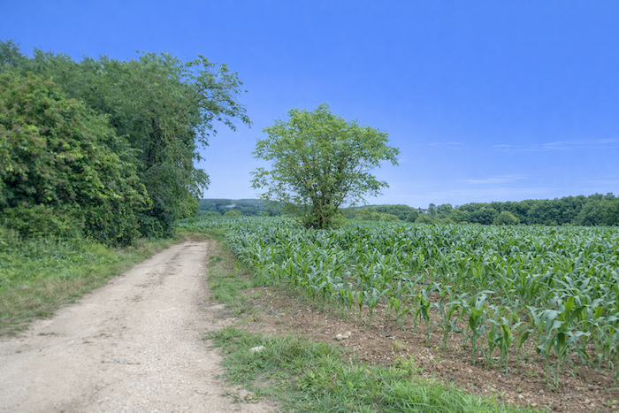
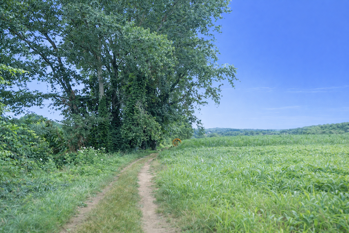
The path continues its playful course beside the water, constantly shifting between woodland and full daylight, from one field to the next, as though unable to choose between shade and open country. When we passed this way, sunflowers reigned supreme. |
|
 |
 |
 |
 |
|
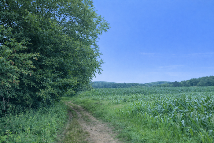
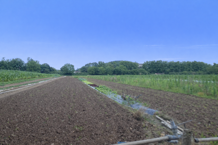
The market gardeners, however, have by no means disappeared. Many still work along the riverbank, faithful to these fertile soils that season after season hold out the promise of abundant harvests. At the right time of year, you may come across extensive fields of asparagus thriving in the soft, loose earth. |
|
 |
 |
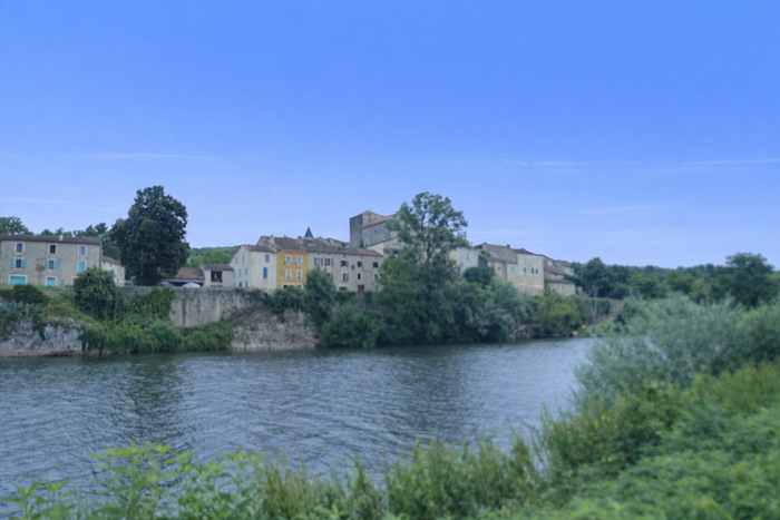
On the opposite bank lies Savanac. There, the villages seem to have followed a different logic, drawing as close to the water as possible, almost dipping their foundations into it, as though engaged in a constant dialogue with the river. .
|
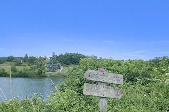
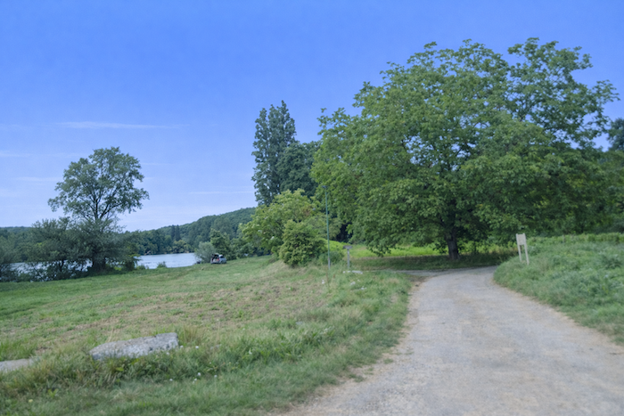
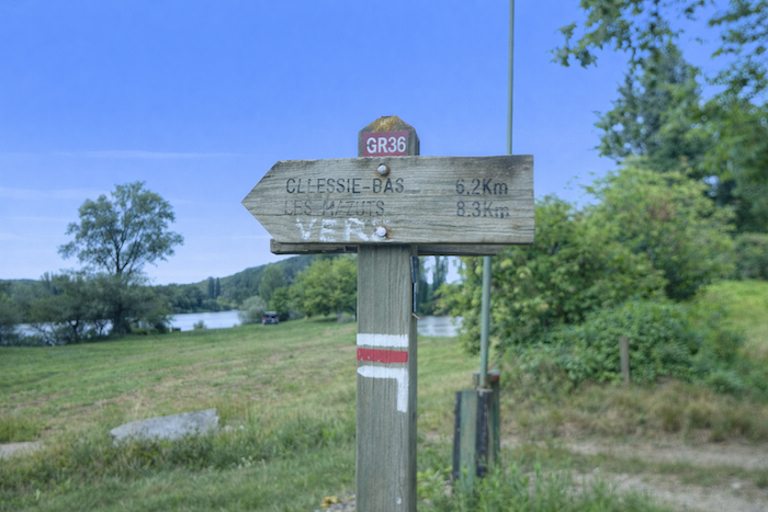
A little farther on, a junction offers the possibility of reaching Arcambal. Why leave the main route to go there when the route itself does not pass directly through the village? Most likely because accommodation can be found there, and perhaps even a small restaurant, modest but very welcome after a day’s walking. Drinking water is also available at the public toilets, always a valuable resource for hikers. The waymarks themselves point instead towards Galessie Bas and Les Mazuts, although the distances shown seem somewhat approximate. Perhaps the signs have since been changed. |
|
 |
 |
|
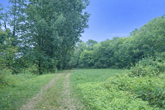
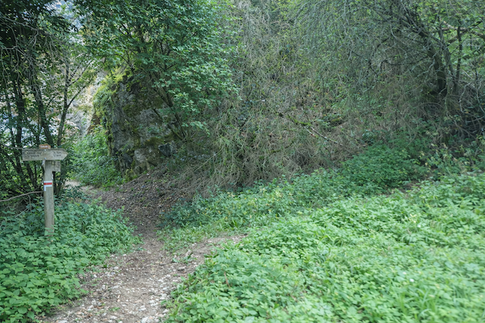
This is where, in a sense, the nature of your walk begins to change. The relative gentleness of the plain is now behind you, giving way to the causses, with their mineral harshness, more rugged terrain and unmistakable character. As an immediate taste of this new landscape, the route begins with a steep, almost brutal climb through wilder woodland towards Galessie Bas. |
|
 |
 |
|
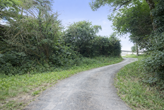
Fortunately, the climb is short. The trail, somewhat indistinct in places, soon reaches the asphalt road above, marking a clear transition between two worlds. |
|
 |
 |
|
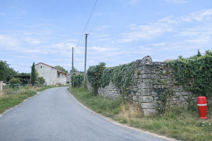
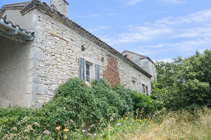
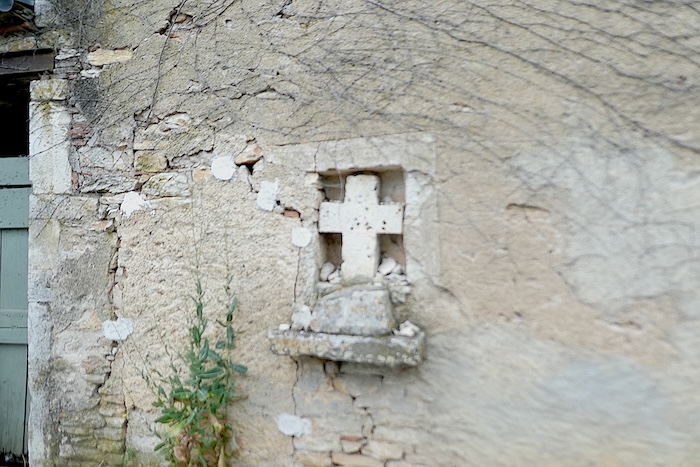
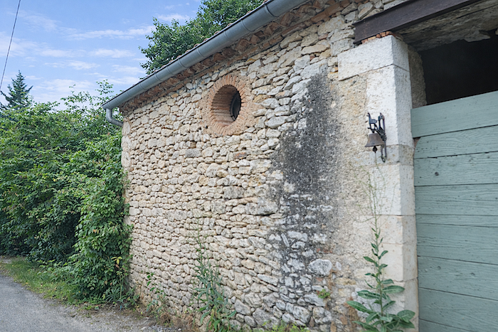
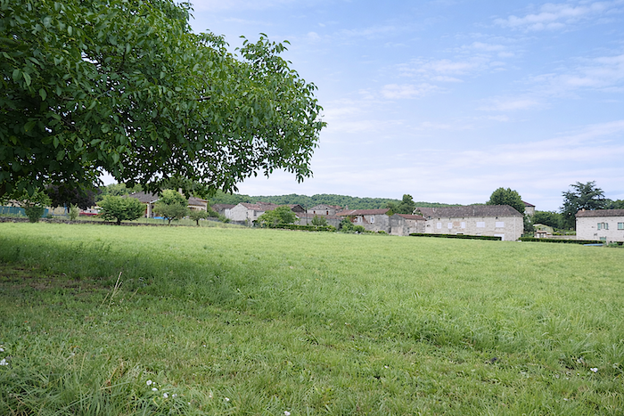
Here, blocks of limestone in mingled shades of grey and ochre still form the walls of the old houses, whose origins would be difficult to date with any precision. They seem untouched by time, silent witnesses to a deeply rooted rural heritage that still lives on in these villages of the Lot. |
|
 |
 |
 |
 |
|
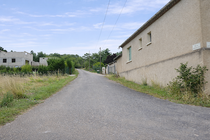
Of course, not everything here remains frozen in the past. In the upper parts of the village, a handful of more recent houses have joined the older buildings, creating a discreet sense of continuity between heritage and modern life. |
|
 |
 |
|
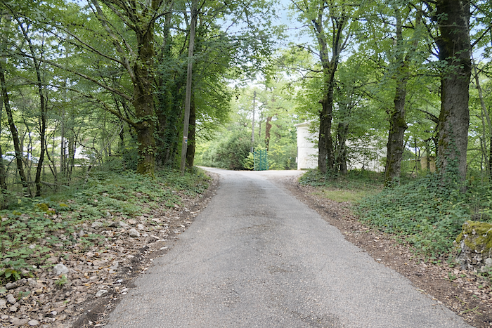
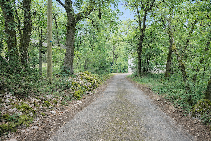
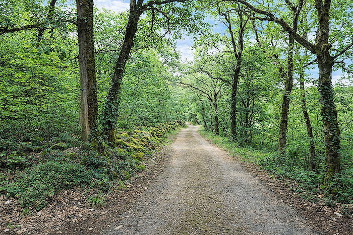
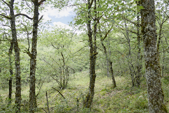
Higher still, the asphalt gradually gives way to beaten earth, and the broad path plunges into the forest, seemingly swallowed by the vegetation. You now enter the woodland so characteristic of the causses, dominated by downy oaks and Montpellier maples. A few rarer beeches and ash trees add to this diversity, while conifers remain very much in the background, almost entirely absent. |
|
 |
 |
|
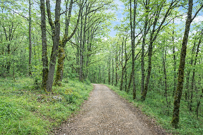
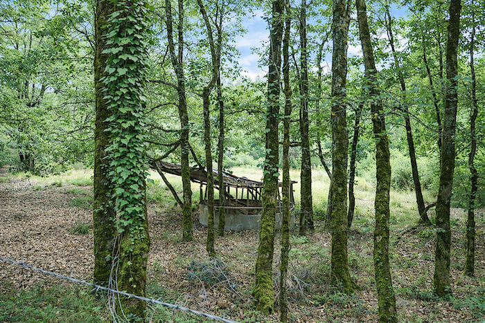
For the moment, the gradient remains gentle, giving the walker time to absorb the atmosphere of the surroundings until the path emerges into a small clearing. Perhaps livestock are fed here, or perhaps this is one of those secluded places where roe deer like to gather. Unless, of course, they come here to hold some mysterious council of their own, safely hidden from prying eyes. |
|
 |
 |
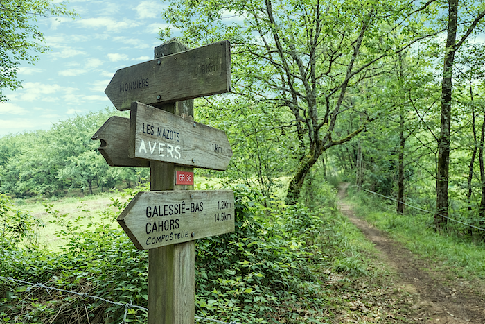
Another sign points towards Vers and Les Mazuts, with one kilometer still to climb across the causse.
|
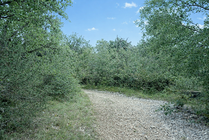
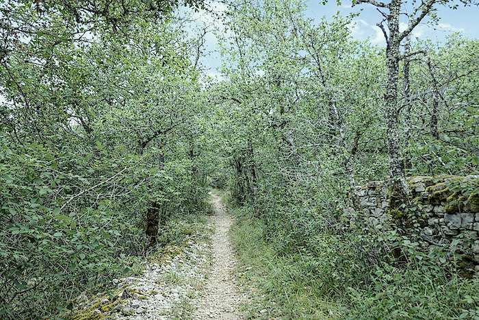
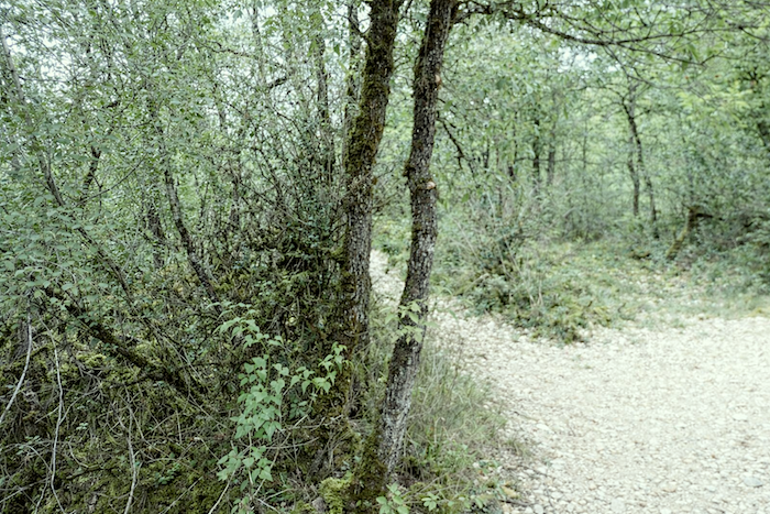
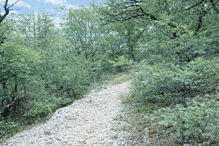
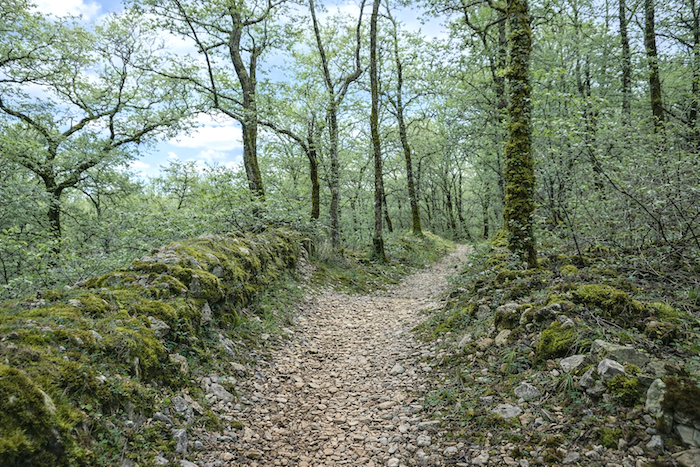
Here, the landscape changes beneath your feet. The trail narrows, bristling with stones like a rough ridge, and climbs stubbornly across the limestone plateau. |
|
 |
 |
 |
 |
|
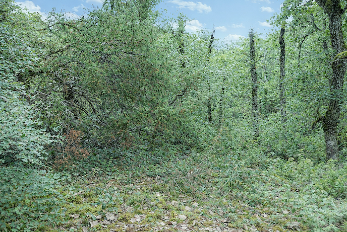
It would be easy to imagine that the causses belong to a realm of unrelenting dryness. The ground certainly looks parched, cracked like the skin of some ancient fruit, yet the trees are often adorned with greyish lichens, velvety moss and persistent ivy, reminders that rain does, from time to time, still deign to visit these heights. |
|
 |
 |
|
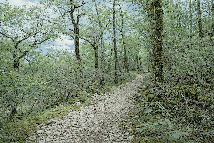
On this steep trail, the wilderness reaches its fullest expression. Seemingly untouched by time, the path feels better suited to testing the soles of your boots than offering the walker any hint of gentleness. Sharp, brittle stones crunch beneath every step, one of the unmistakable signatures of the causses. Pilgrims, more often than not, come to appreciate this ordeal as a quiet rite of passage. |
|
 |
 |
 |
 |
|
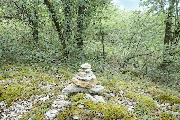
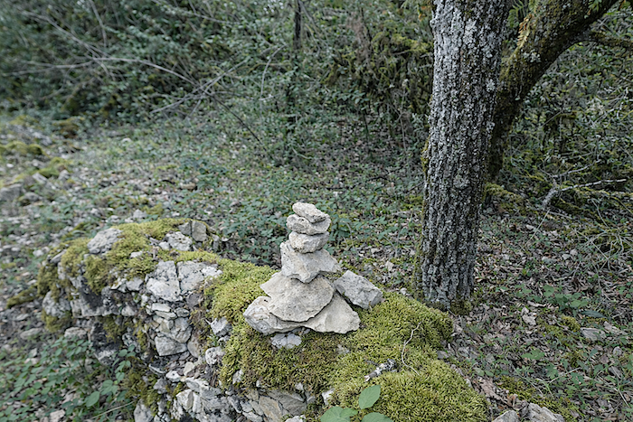
For hikers with a taste for ephemeral creations, the setting sometimes invites a little playful artistry, a cairn raised here, a small monument of stones there, a silent tribute to the glory of the causse. |
|
 |
 |
|
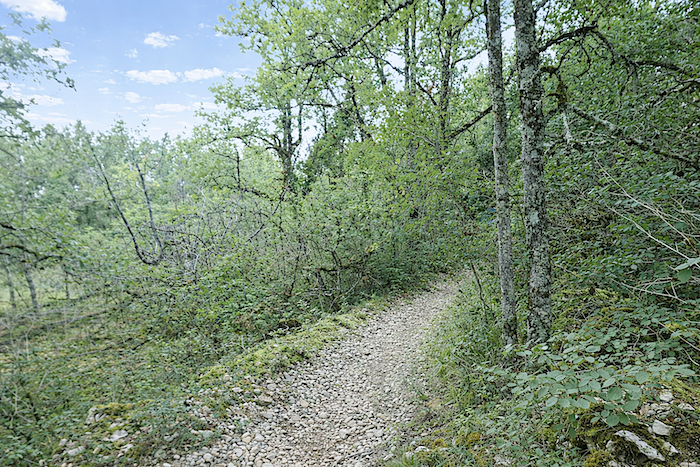
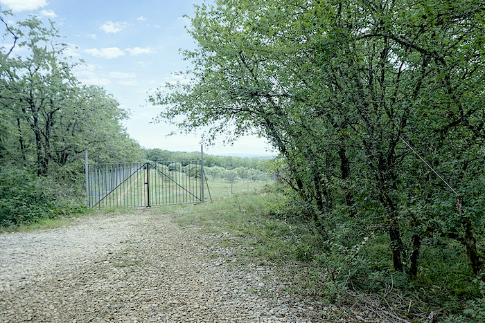
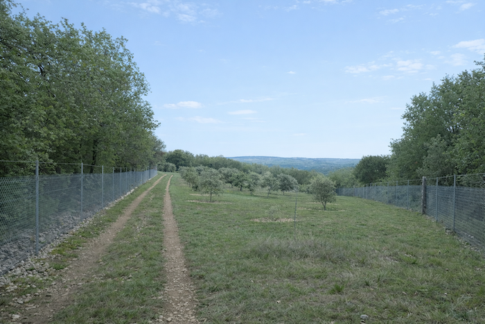
At the top of the climb, the gradient eases, the trail widens, and a broad path stretches ahead, gently tracing the hillside like a ribbon laid across the landscape. |
|
 |
 |
Section 4: Undulations across the causse
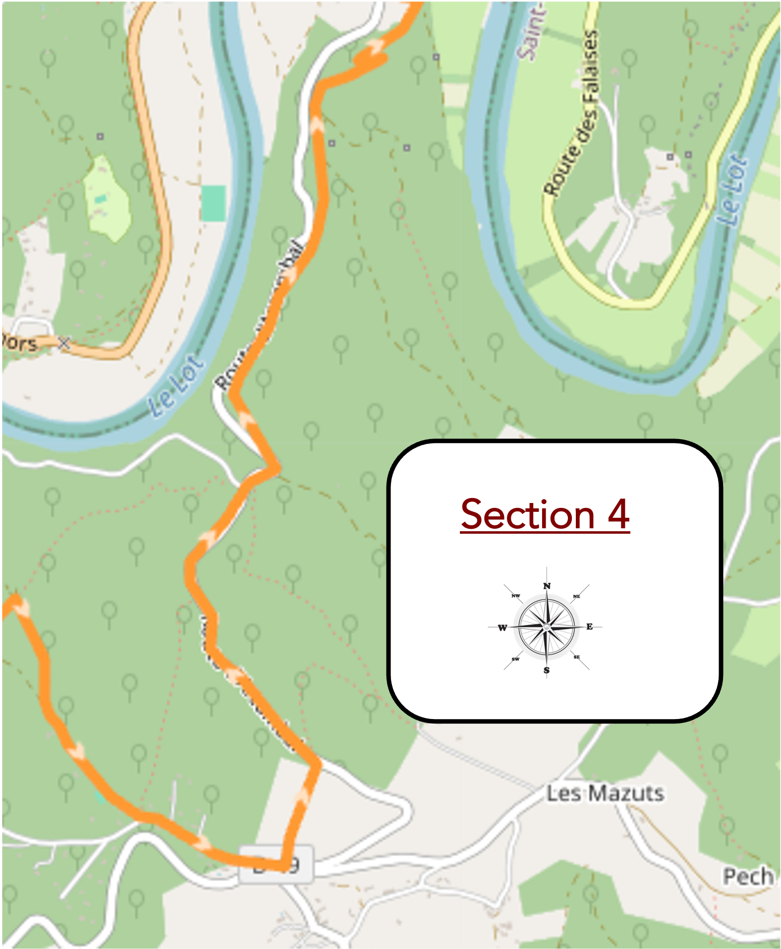
Overview of route’s challenges : continuous gradients, both downhill and uphill.
|
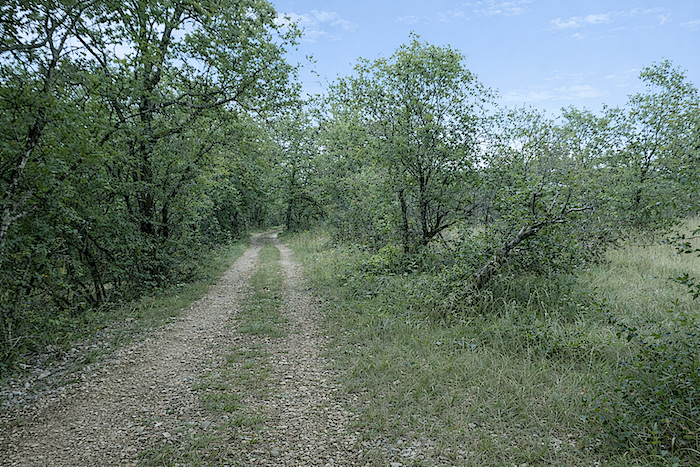
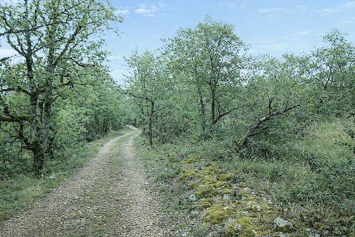
This broad avenue of beaten earth unfolds gently across the hill, like a path that has forgotten all sense of harshness. Stones, however, are still plentiful, continuing to crunch beneath your feet. |
|
 |
 |
|
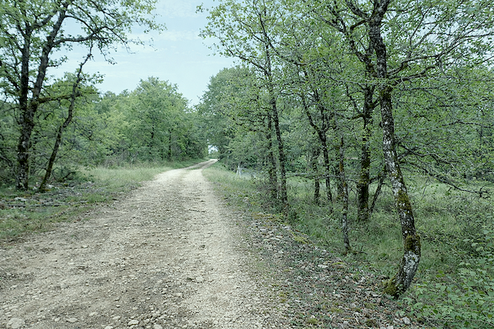
A little farther on, however, they become increasingly scarce until they almost disappear altogether, as though gradually erased by the passage of time. |
|
 |
 |
|
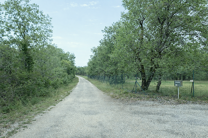
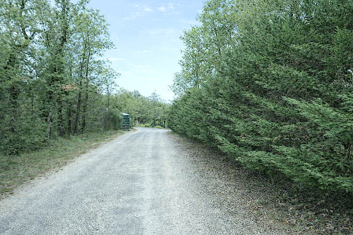
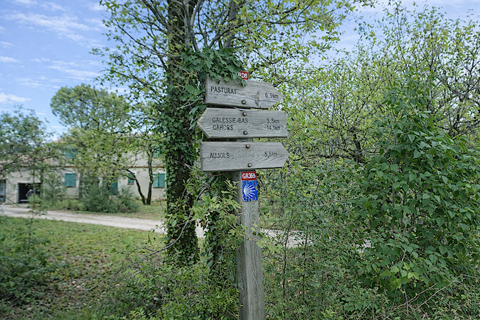
The track soon joins the asphalt road at the entrance to Les Mazuts. In the past, it was possible to stay here, but today, that is no longer the case. The direction to follow is Pasturat, 7 kilometers away, continuing faithfully along the GR36. |
|
 |
 |
|
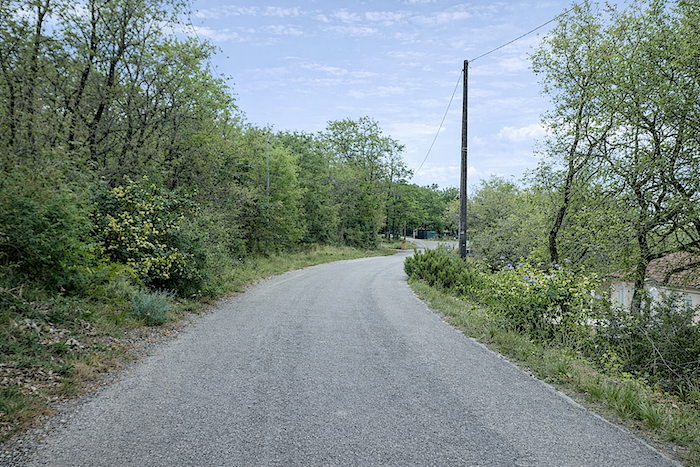
The route then follows the small D49b departmental road, which crosses the causse without ever truly entering the village, lying below as though quietly set apart from the world. |
|
 |
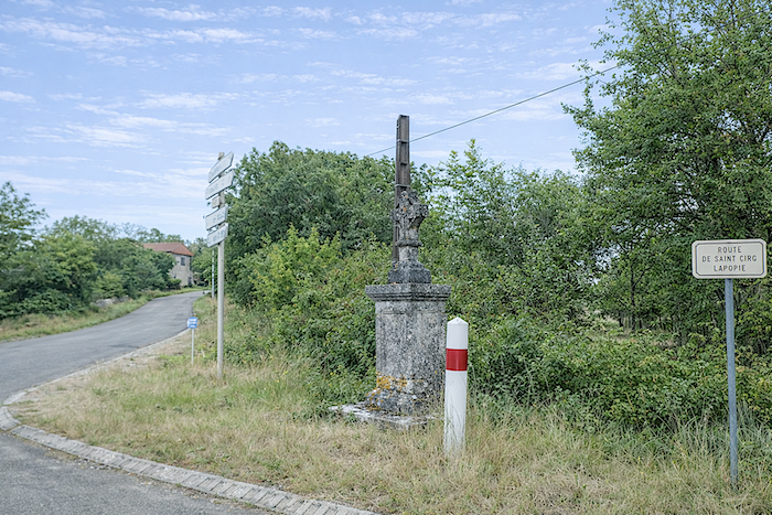 |
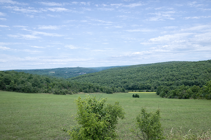
From the hill, the gaze wanders across the lush depths of the valley and the immense forests stretching below. There is no open horizon here, only an endless succession of wooded hills, echoing one another from one causse to the next, seemingly without end. Somewhere within this hushed landscape, the Lot continues its silent journey.
|
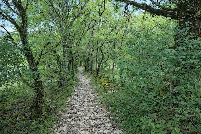
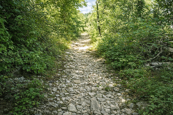
Here, rather than following the road as it descends obediently towards the valley, the route offers an experience of a very different kind. This is a path that would surely deserve first prize among the most daring variants. With gradients approaching 25%, loose little white stones, wild grasses tangled with nettles, and a narrow passage barely wide enough to place your foot, it is difficult not to see it as a challenge in its own right. Trails like this remain etched in the memory, timeless and unchanging, guarded by sentinels of oak trees and dense bushes. Your gaze becomes watchful, almost apprehensive. Could a viper suddenly appear, coiled somewhere in this mineral heat? The setting certainly seems made for one, yet none has shown itself so far. |
|
 |
 |
|
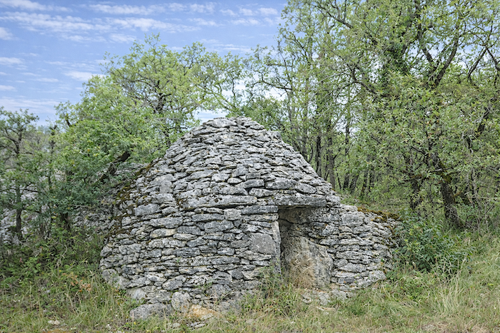
At the bottom of this descent, as demanding as it is captivating, the route rejoins the road near a magnificent round « caselle », shaped rather like a wasp’s nest resting upon the stone. |
|
 |
 |
|
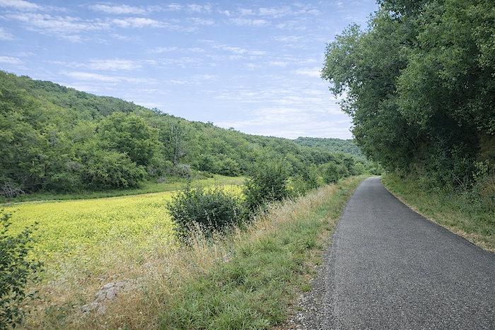
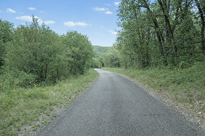
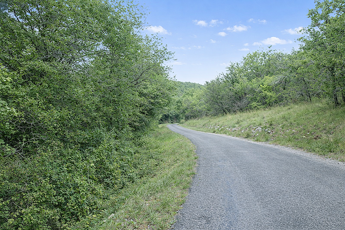
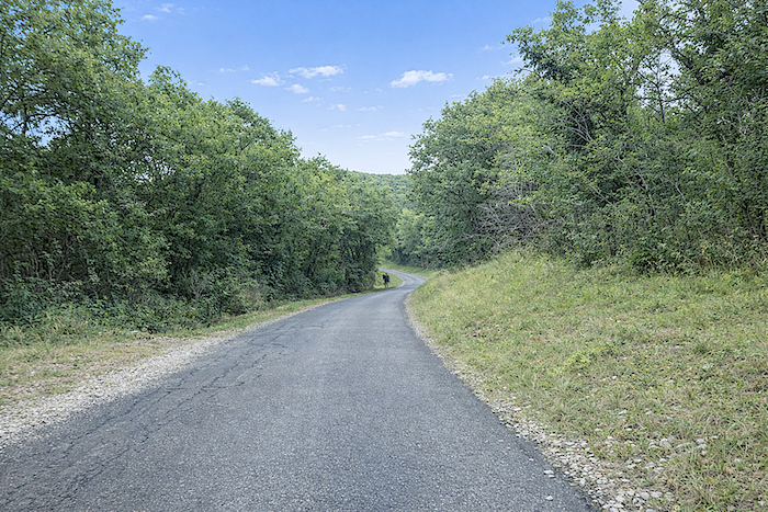
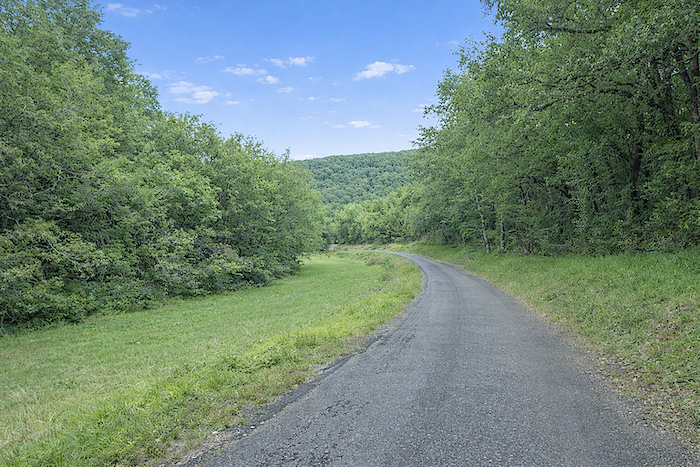
The road slopes gently downwards at a steady gradient that never becomes truly daunting, descending through open country towards the bottom of the valley and winding between groves of familiar-looking oaks. |
|
 |
 |
 |
 |
|
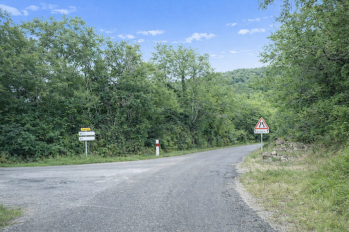
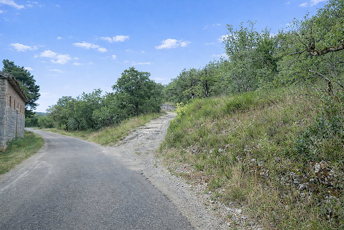
At the end of the descent, the route spends little time on the asphalt before quickly returning to a path that climbs once again towards the causse. The organizers of the Camino de Santiago have rightly favored this kind of route. Whenever a choice is available, they guide pilgrims towards these living paths, and one can only applaud them wholeheartedly for doing so. |
|
 |
 |
|
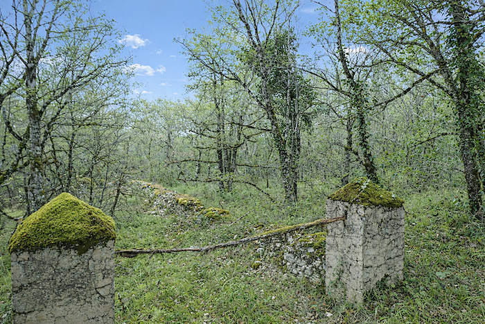
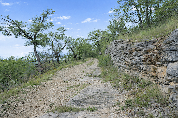
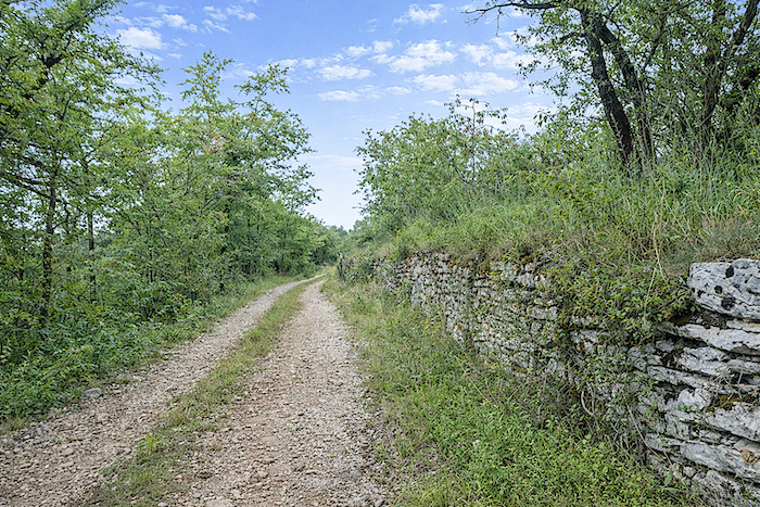
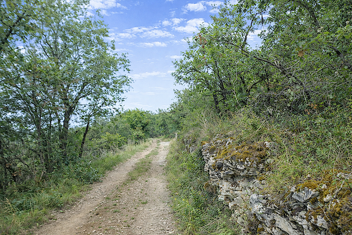
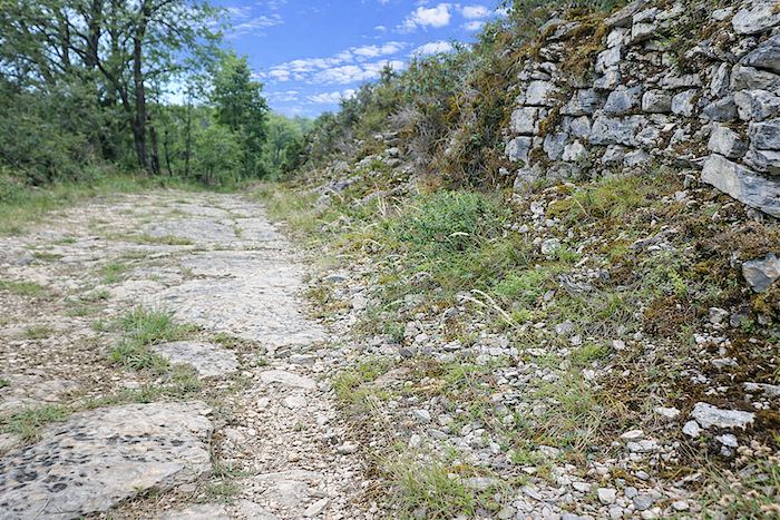
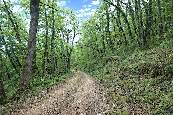
This is the kind of path walkers love, a measured climb that never becomes oppressive, reassuringly broad, with alternating limestone slabs and pale stones beneath your feet. Graceful dry-stone walls occasionally line the route, their surfaces slowly colonized by moss, while oaks multiply as far as the eye can see, like a quiet and endless gathering. |
|
 |
 |
|
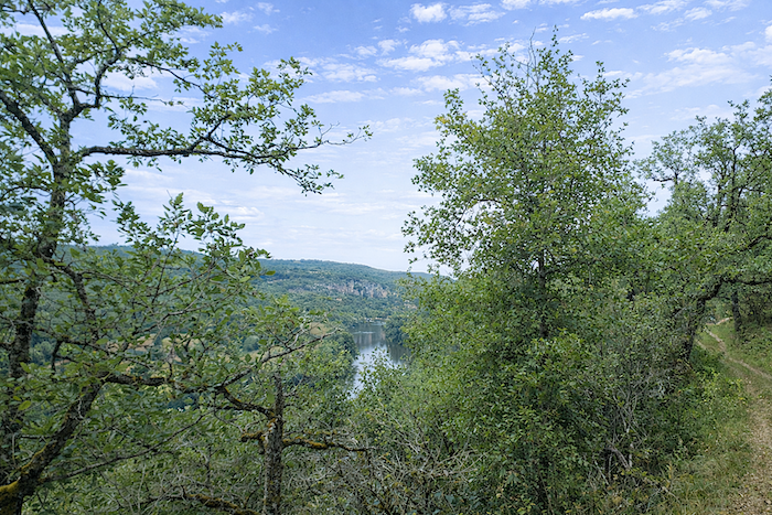
Below, the Lot flows on, dignified and almost secret, concealed among tall grasses and bushes, quietly continuing its journey with remarkable discretion. |
|
 |
 |
|
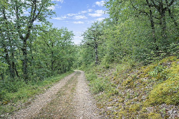
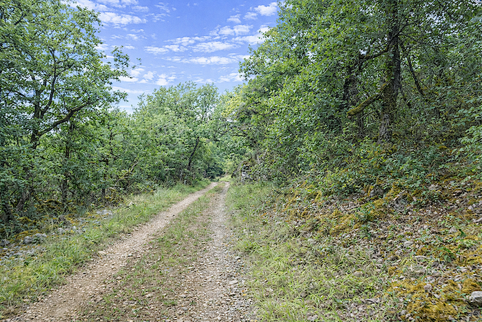
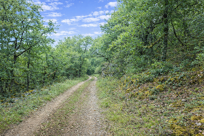
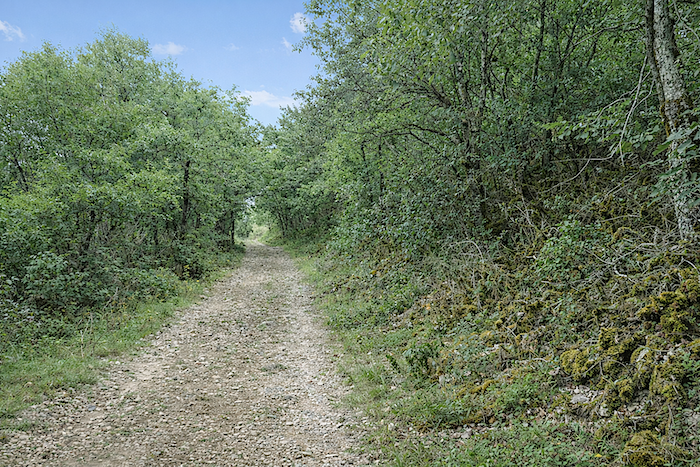
The gradient never becomes truly threatening, and your steps carry you onwards with an almost natural ease, as though borne along by the rhythm of the path itself. In places, the trees have been given more room to flourish and seem to grow taller and more majestic, stretching their silhouettes towards the sky. |
|
 |
 |
 |
 |
|
Below, towards the river, the bushes have taken possession of the land, forming a dense and unruly tangle of vegetation that seems intent on reclaiming the terrain. |
|
 |
 |
|
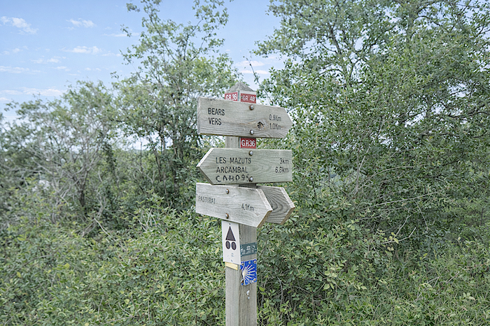
Soon you reach a junction, an unassuming yet decisive place where the GR36 and GR46 part ways. The intertwining of these two routes can seem confusing, so often do they cross and merge over the kilometers. From Cahors, you have in fact been walking along their shared route, the GR36/46. Here, their paths finally separate. If you continued towards Pasturat, you would remain on the GR36, followed in the opposite direction by pilgrims travelling to Cahors from Bouziès without passing through St Cirq-Lapopie. From this point onwards, however, it is the GR46 that beckons you, leading towards Vers and Rocamadour, like a new promise written into the landscape. |
|
 |
 |
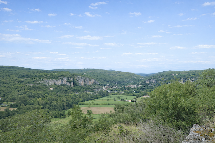
From here, there is a magnificent view over Vers and the Lot Valley. It is easy to see how, over the centuries, the Lot has carved its way through the limestone rock.
Section 5: Returning to the Lot River
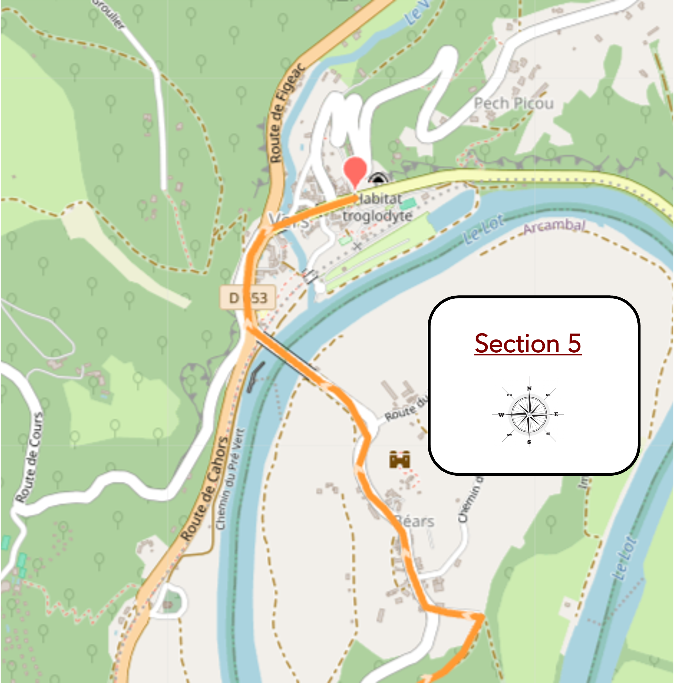
Overview of route’s challenges : another steep path leads back down into the valley.
|
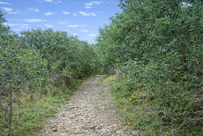
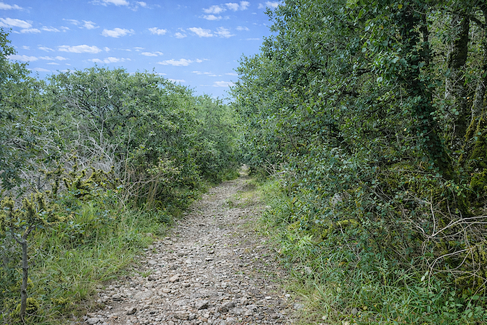
From the junction, a broad path gives itself over to the descent, plunging into a harsher landscape of dense bushes and scattered oaks. Beneath your feet, stones sometimes roll treacherously underfoot. In wet weather, this stretch must become a true nightmare for walkers. |
|
 |
 |
|
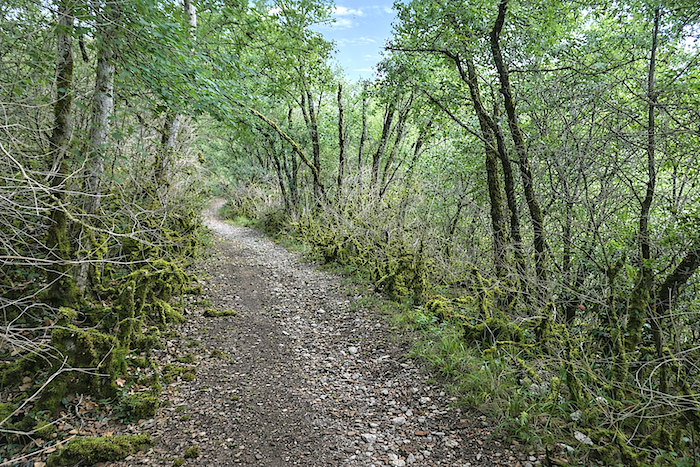
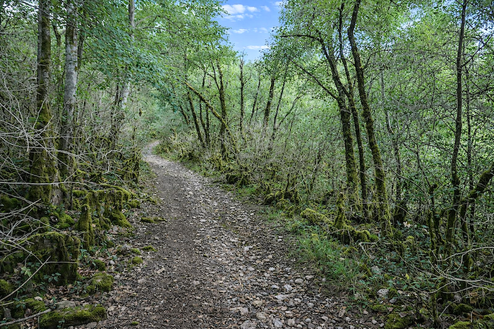
The path soon makes a sharp hairpin bend through the woodland. Here, the ground changes colour, turning a deep brown, almost black, as though saturated with shade and humus. |
|
 |
 |
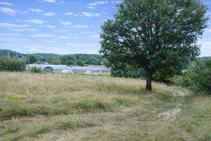
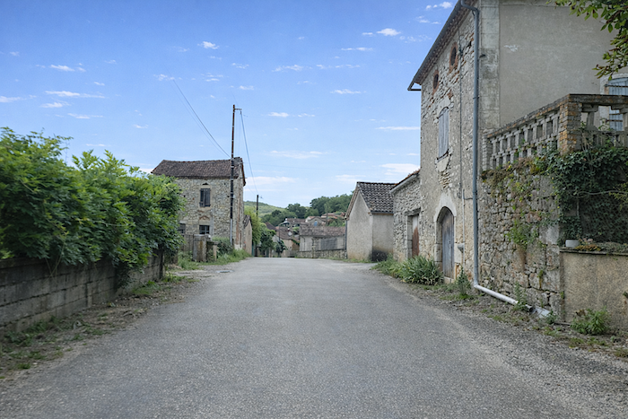
| At the bottom of the descent, the path joins the road leading towards the market gardens of Béars. The hamlet then comes into view, seemingly suspended outside time, a remarkable collection of silent stone houses weathered by the passing years. | |
 |
 |
|
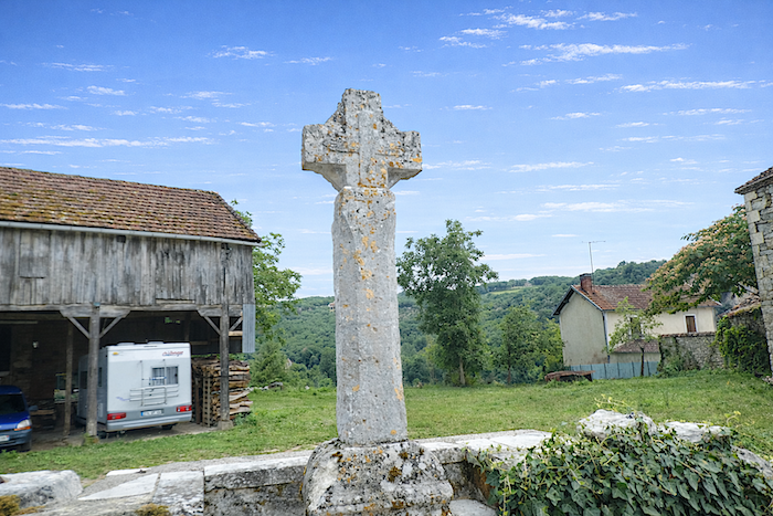
A beautiful stone cross, whose origins are lost in the mists of centuries, watches over the village, while the road continues its descent towards the bottom of the valley. |
|
 |
 |
|
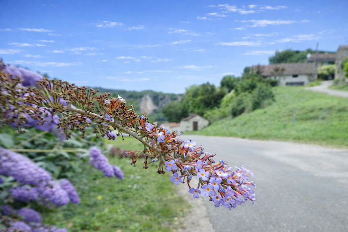
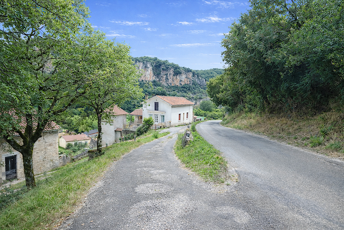
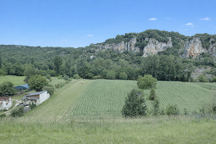
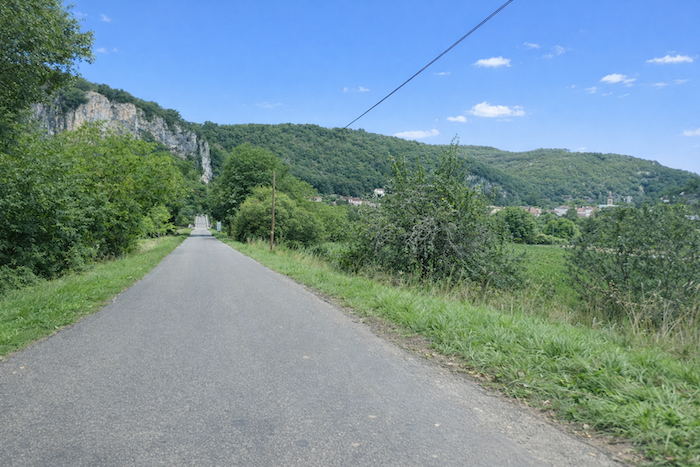
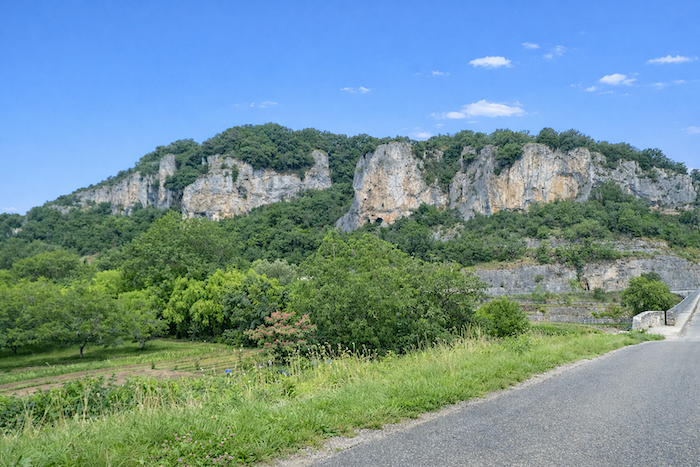
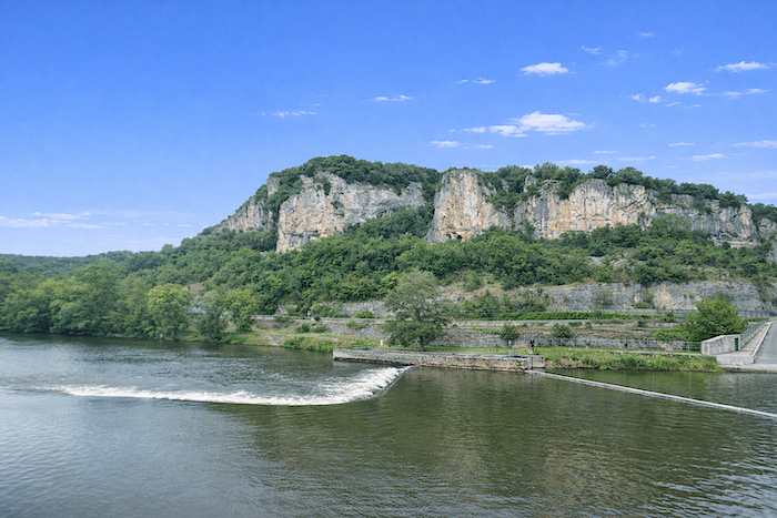
The plain stretching below is dotted with scattered crops, lying beneath the pale cliffs that the Lot has patiently carved into over the centuries without ever quite managing to make them disappear. |
|
 |
 |
 |
 |
|
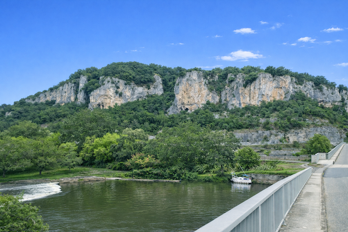
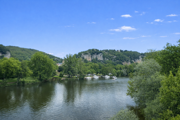
The D49 road then crosses the river. The setting becomes almost idyllic, with a handful of small pleasure boats resting quietly on the water, waiting for the weekend or the return of their owners before gently awakening to life once more. |
|
 |
 |
|
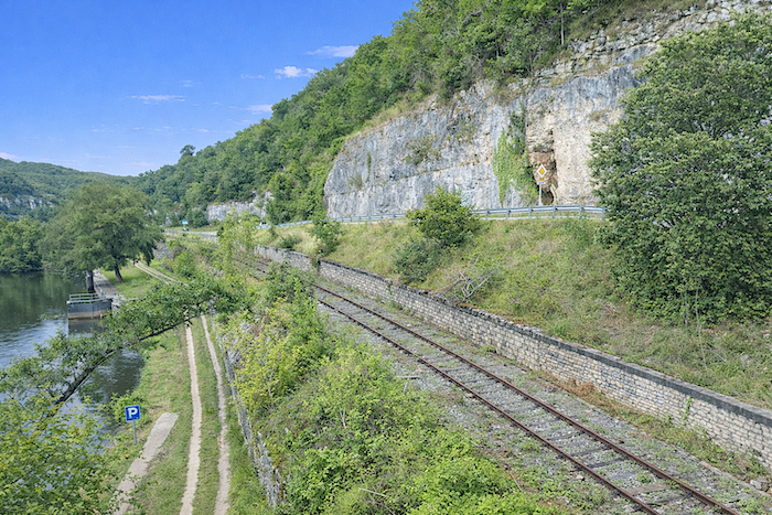
Here, the route joins the D633 departmental road linking Cahors with Figeac. Your gaze is drawn towards the nearby railway line, seemingly abandoned to its fate. Perhaps, in its stubborn silence, it is waiting for the day when the French government decides to breathe new life into these forgotten local lines. One can always dream, with eyes wide open. |
|
 |
 |
|
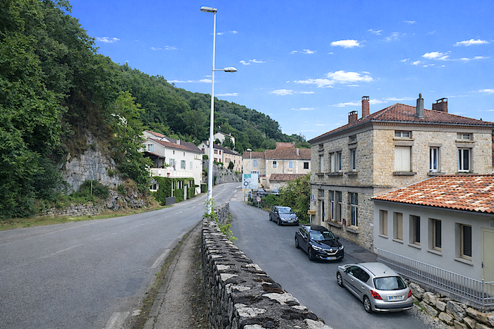
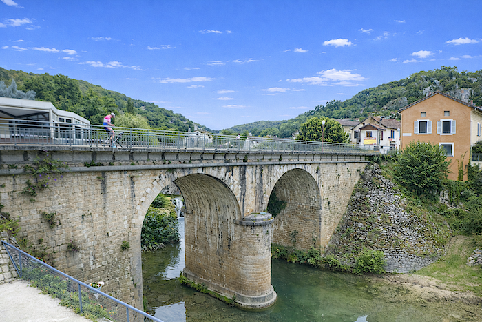
The road finally reaches Vers, where a bridge crosses the Vers, a stream flowing down from a neighboring valley to surrender its waters here to the Lot, its older and more powerful companion. |
|
 |
 |
|
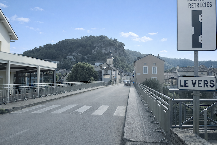
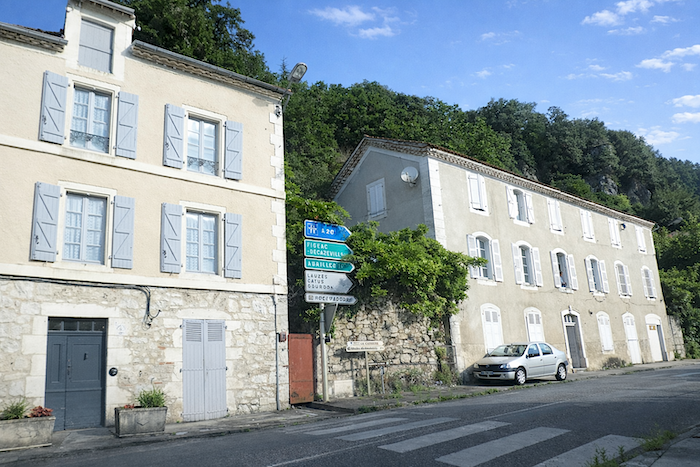
The departmental road passes through the village without lingering, continuing towards Figeac before eventually joining the main roads farther on. Vers nevertheless enjoys a direct connection with Cahors by bus, a rarity in these rural areas that deserves to be mentioned. |
|
 |
 |
|
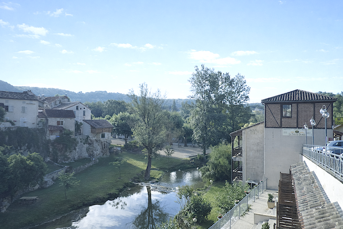
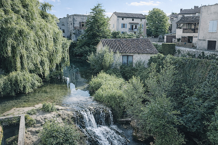
Not far away, a charming hotel stands beside the stream, as though placed there to listen more closely to the murmur of the water accompanying pilgrms on their way. |
|
 |
 |
Listed accommodations on the Rocamadour Way
-
-
- Chambres d’hôtes Les 3 Cochons d’Olt, Arcambal; 05 65 21 20 51/06 42 82 30 54; Guestroom, dinner, breakfast
- Gîte La Grange de Béars, Béars; 06 88 06 50 61; Gîte, dinner, breakfast., cuisine
- Camping municipal de de l’Arquette, Vers; 06 41 99 83 26/06 70 75 76 18; no service
- Gîte Le Monde Allant Vers, Vers; 06 85 65 30 78; Gîte, dinner, breakfast
- Hôtel*** La Truite Dorée, Vers; 05 65 31 41 61; Hotel, dinner, breakfast
This information was updated in 2026. If you access this site later, it may no longer be accurate. Along these routes, some establishments open every year while others close. One solution is to purchase, among other resources, Miam Miam Dodo, the essential guide for eating and accommodation, which also lists places to stay off the route. For our part, we will only include accommodations located directly on or very close to the route. There are also other options, such as guidebooks or the internet, which also lists Airbnb accommodations. However, even though the valley is a tourist area, Airbnb options are rare. No application is as well documented as Miam Miam Dodo, especially since the small book, available online, is updated every year. If you do not have Miam Miam Dodo, we recommend booking in advance and checking directly with accommodation providers about the details of their services (meals, sheets, toilets, showers, and other amenities). Likewise, inquire at the previous stage about the opening hours of grocery stores and bars, which are often closed during parts of the day or week. On the Rocamadour variant, accommodation options are very limited, but only a few pilgrims pass through here. However, there are also hikers. Therefore, book in advance if possible. Finding a bed at the last minute can sometimes be a matter of luck. It’s better not to rely on that every day.
Accommodation is very limited on this stage. Fortunately, the hotel in Vers has 34 rooms; otherwise, you might have had to spend the night under the stars! Along today’s stage, you can also stop for a break or something to eat in Arcambal, although it is slightly off the route. There are no water points or toilets along the route. In Vers, you will also find restaurants and a small grocery store. For those who would like to have their luggage transported, or arrange transport for themselves, La Malle Postale is a good option.
-
Feel free to add comments. This is often how you move up the Google hierarchy, and how more pilgrims will have access to the site.
 |
Next stage : Stage 2: From Vers to Labastide-Murat |
 |
Back to menu |