
In the Vers Valley
DIDIER HEUMANN, ANDREAS PAPASAVVAS
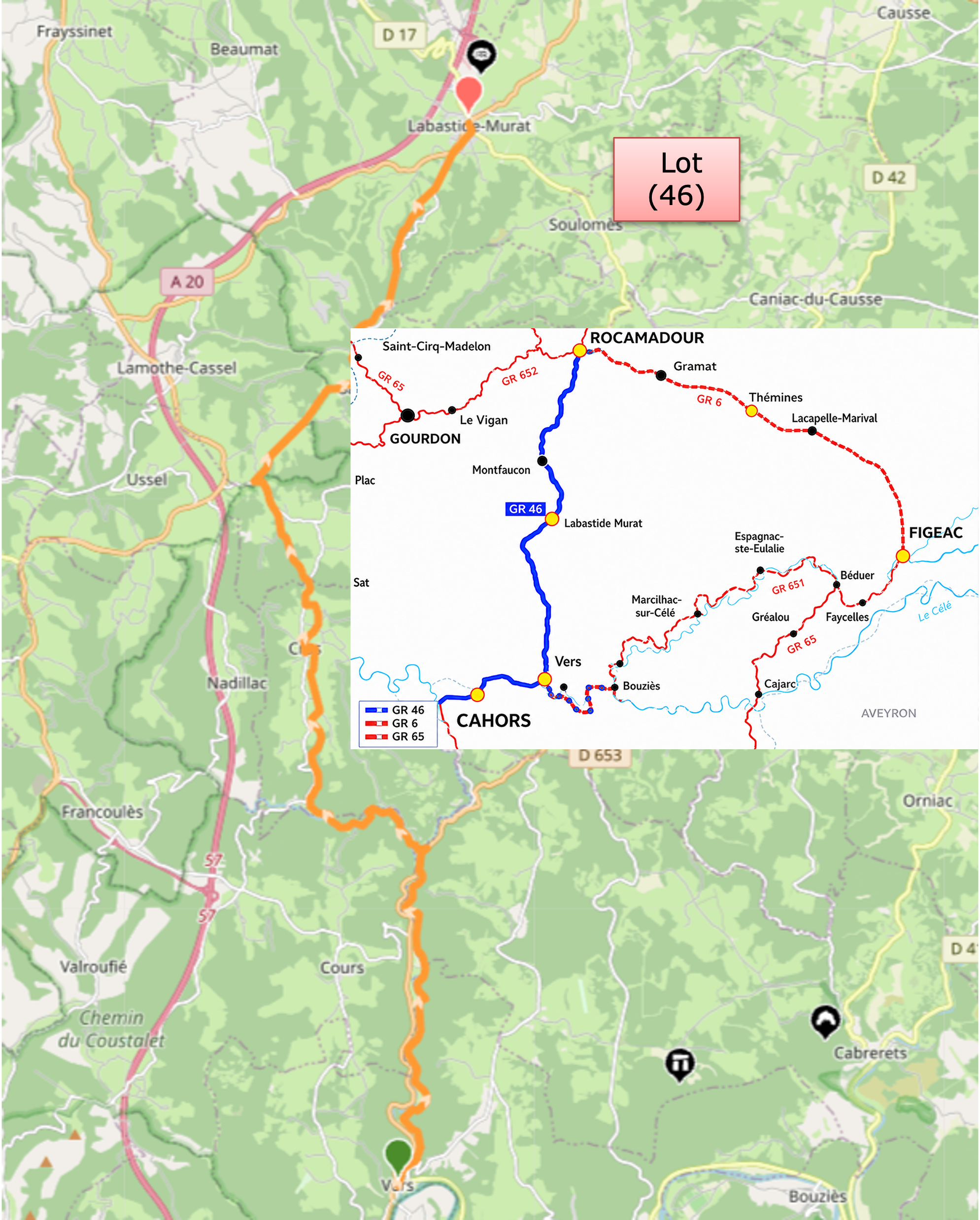
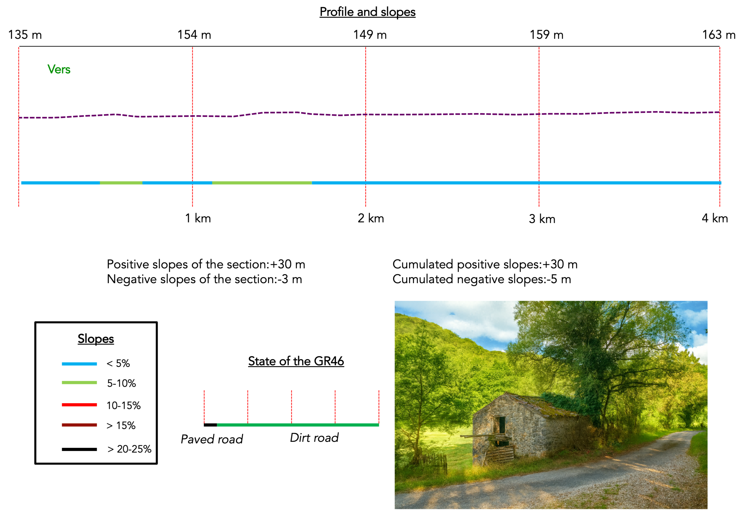
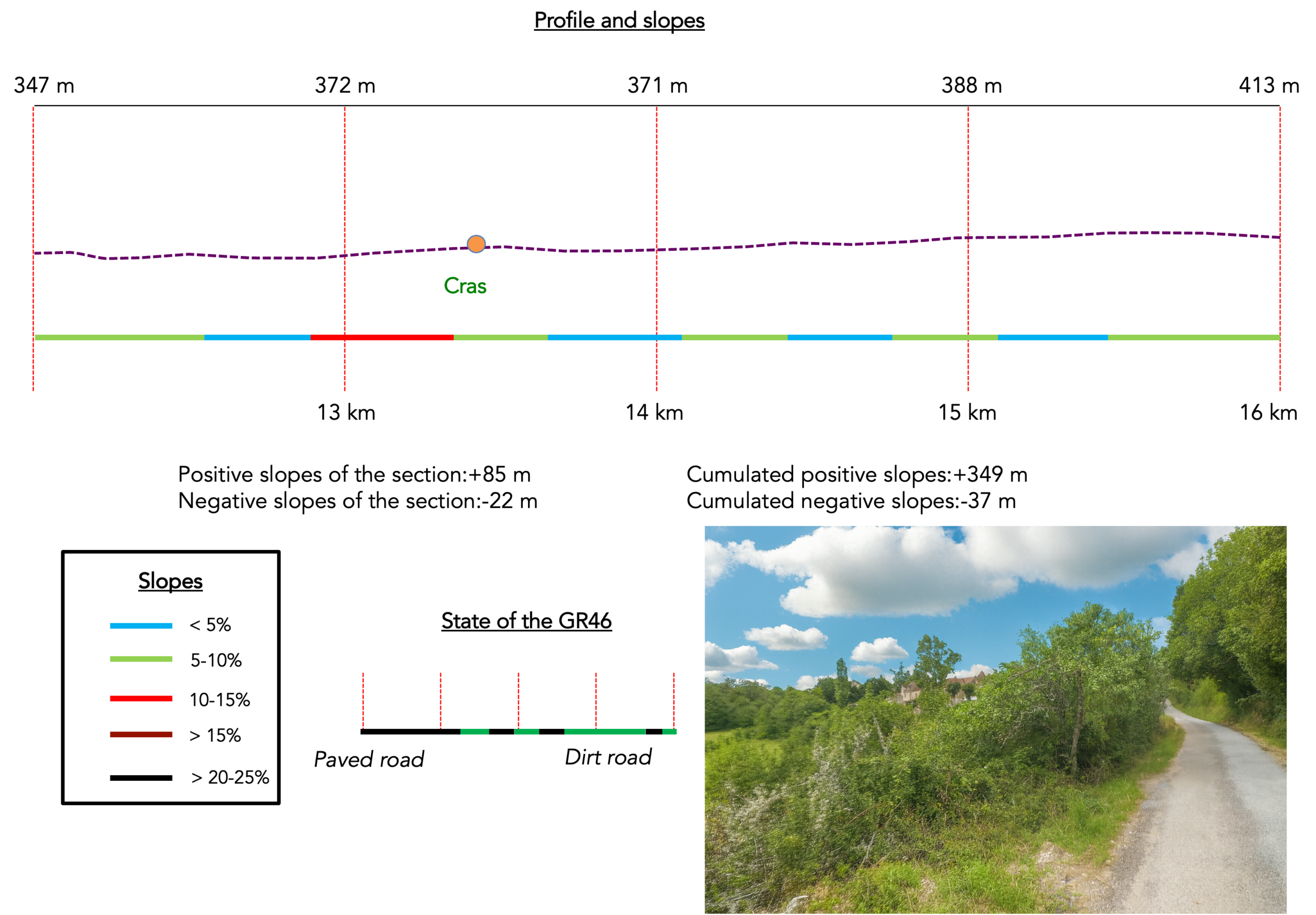
We divided the course into several sections to make it easier to see. For each section, the maps show the course, the slopes found on the course, and the state of the route (paved or dirt roads). The courses were drawn on the « Wikilocs » platform. Today, it is no longer necessary to walk around with detailed maps in your pocket or bag. If you have a mobile phone or tablet, you can easily follow routes live.
For this stage, here is the link:
| This is obviously not the case for all pilgrims, who may not feel comfortable reading GPS tracks and routes on a mobile phone, and there are still many places without an Internet connection. For this reason, you can find on Amazon a book that covers this route.
If you only want to consult lodging of the stage, go directly to the bottom of the page. |
 |
The valley through which the Vers stream flows forms a landscape that is both discreet and deeply characteristic of the limestone terrain of the Causse de Gramat, a region shaped by a distinctive geology and a strong landscape identity. The Vers rises among these limestone plateaus, sculpted by millions of years of erosion. As it flows onwards, it has gradually carved out a narrow, deeply enclosed valley bordered by pale, steep cliffs. These rocky walls contrast sharply with the valley floor, which is damper and greener, with meadows, groves and vegetation typical of cooler environments. This contrast between the dryness of the plateaus and the freshness of the valley floor is one of the most striking features of the landscape. The stream itself, modest in size, plays an essential role in maintaining this natural balance. Its clear waters, often delicately tinged with shades of turquoise, flow peacefully between the limestone rocks. Here and there, its course is punctuated by small waterfalls and quieter stretches of water, creating a remarkable variety of microhabitats. The Vers Valley is not merely a natural landscape, it has also been inhabited and shaped by people for centuries. Traditional stone houses, old mills and small bridges blend harmoniously into their surroundings. Its rural heritage remains remarkably well preserved, lending the valley an authentic and peaceful atmosphere.
At the end of the stage, you will arrive in the homeland of Joachim Murat (1767–1815), one of the most flamboyant figures of the Napoleonic era. A Marshal of the Empire and brother-in-law of Napoleon Bonaparte, he distinguished himself as an exceptional cavalry commander, renowned for his spectacular courage on the battlefield. Instantly recognizable by his extravagant uniforms and audacious style, Murat often led his charges from the front. He took part in many of the Empire’s major campaigns and played an important role in several victories. In 1808, he became King of Naples, where he attempted to modernize the kingdom. After Napoleon’s fall, however, he was captured and executed in 1815.
This stage follows the variant leading towards Rocamadour, generally walked in the opposite direction by pilgrims travelling from Figeac to Cahors. Here, the route is followed in reverse, and one need only read the landscape backwards to rediscover its underlying logic. You walk along the GR36/46, a discreet yet faithful thread linking these lands of stone and water.
Difficulty level: Today’s elevation changes are moderate (+445 m / -139 m). Although the day is relatively easy, there are nevertheless two significant climbs, the first leading to Cras and the final ascent to Labastide-Murat.
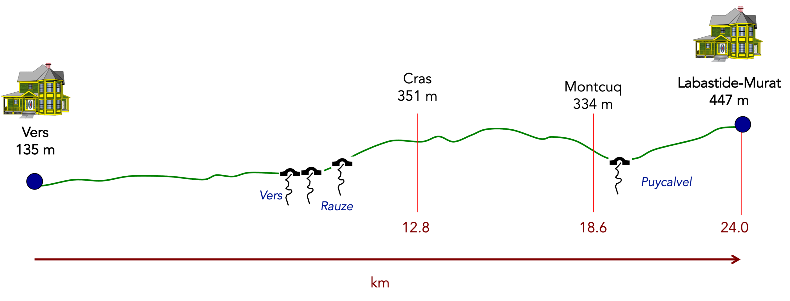
State of the route: In this beautiful landscape, paths clearly predominate:
- Paved roads: 7.8 km
- Dirt roads: 16.2 km
Sometimes, for reasons of logistics or housing possibilities, these stages mix routes operated on different days, having passed several times on these routes. From then on, the skies, the rain, or the seasons can vary. But, generally this is not the case, and in fact this does not change the description of the course.
It is very difficult to specify with certainty the incline of the slopes, whatever the system you use.
For those seeking « true elevations » and enthusiasts of genuine altimetric challenges, carefully review the information on mileage at the beginning of the guide.

Section 1: In the Vers Valley
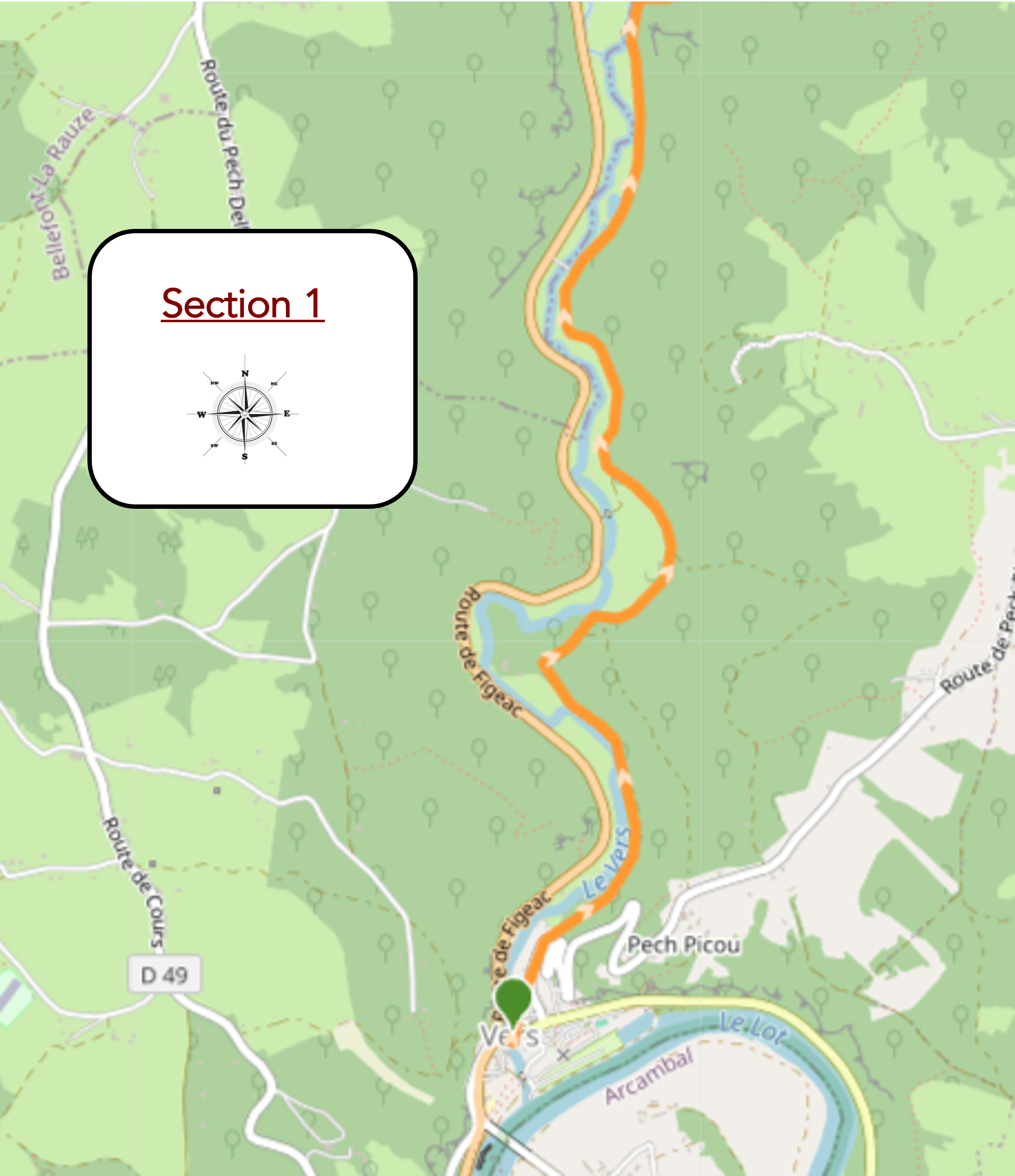
Overview of the route’s challenges : The route presents no particular difficulty.
|
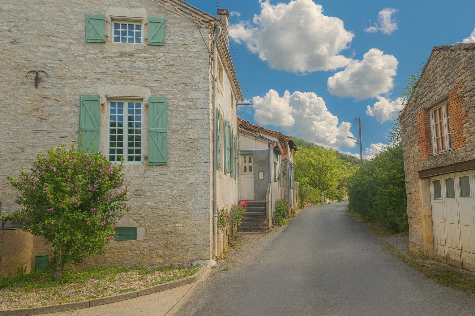
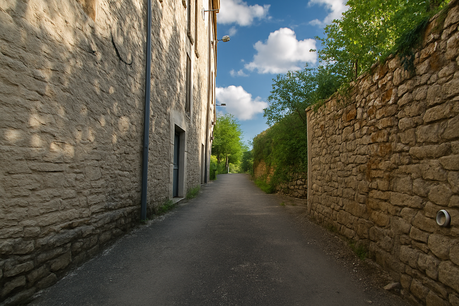
The route leaves Vers from the very heart of the village, brushing past the gentle murmur of the Vers stream before rising gradually at a steady gradient alongside the last houses, as though bidding a final farewell to human presence. |
|
 |
 |
|
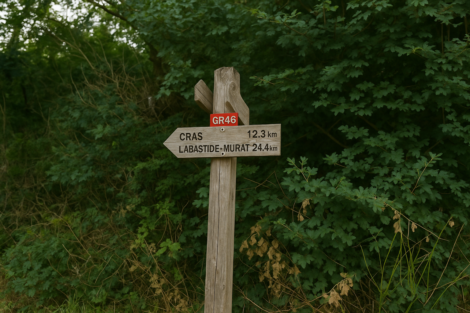
Very soon, the tone is set. This is a stage of seclusion and solitude, where villages will be few and far between. Cras, the first landmark along the way, does not appear until 12.3 kilometers, while Labastide-Murat, today’s destination, lies 24.4 kilometers away, a distance that immediately dispels any illusion of an easy day. |
|
 |
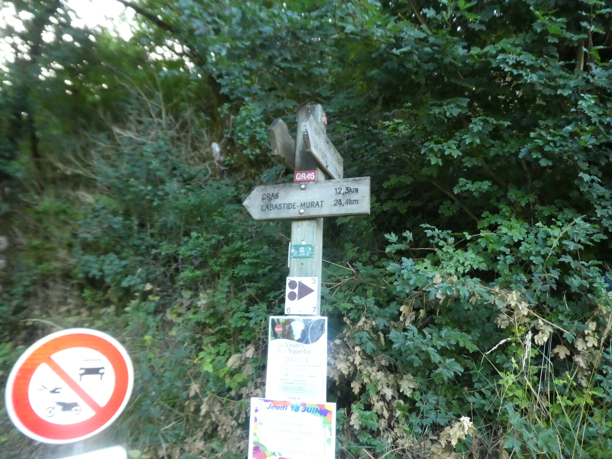 |
|
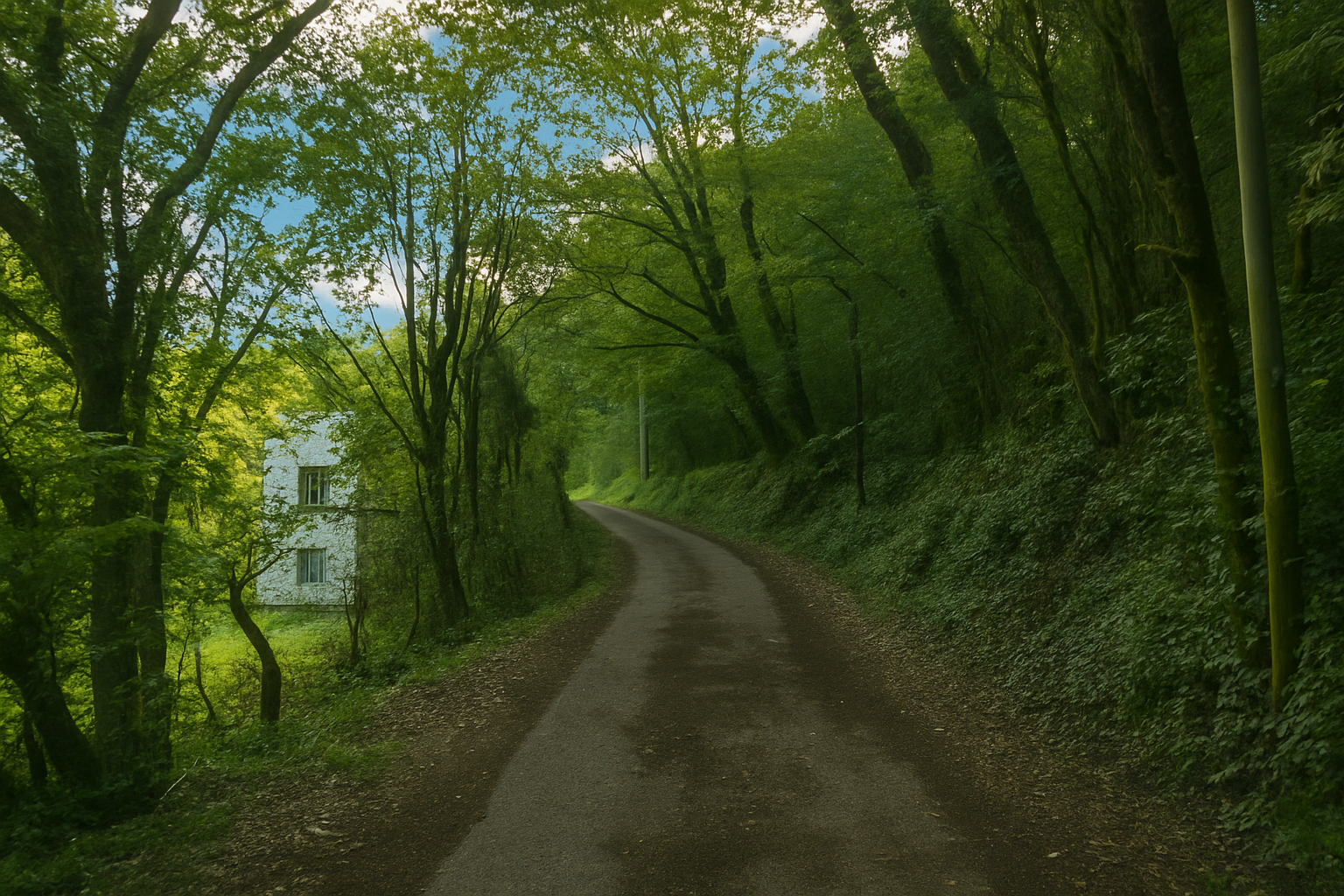
Before long, the asphalt disappears, giving way to rough, living earth that winds along a barely passable track, guiding the walker towards the silent heights of the valley. |
|
 |
 |
|
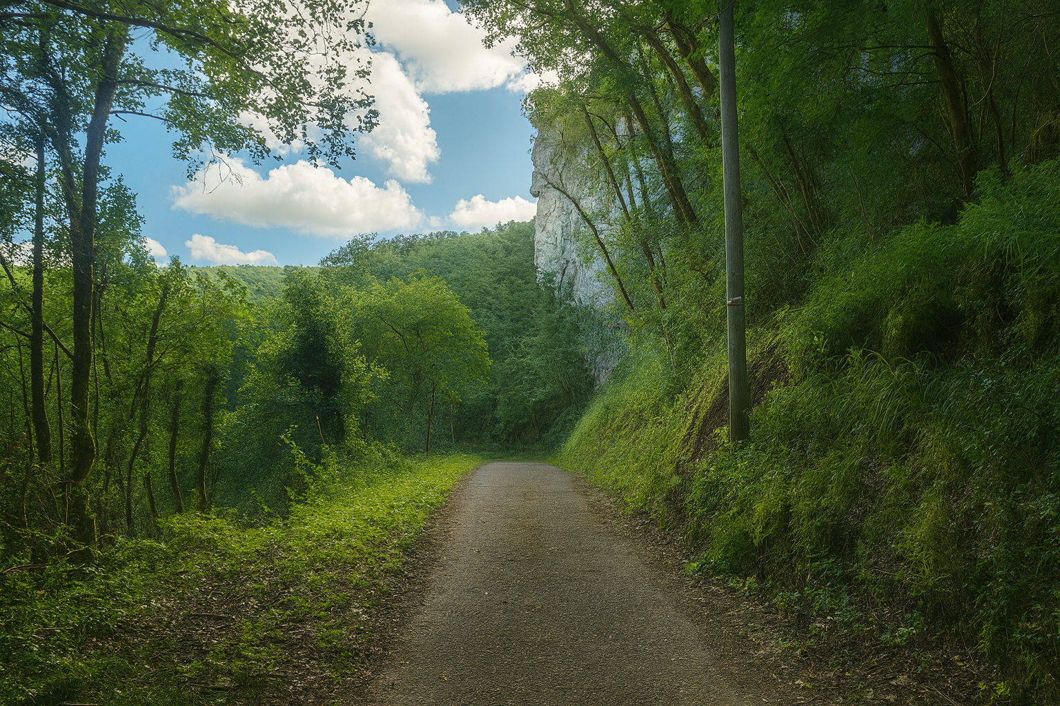
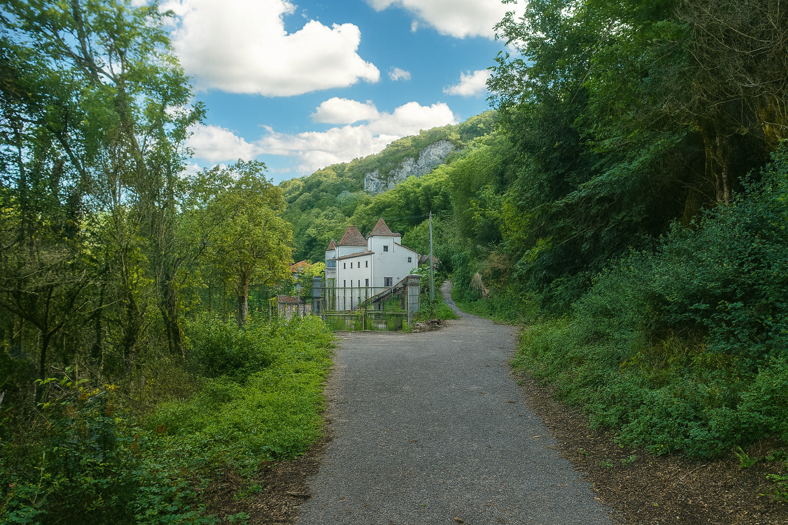
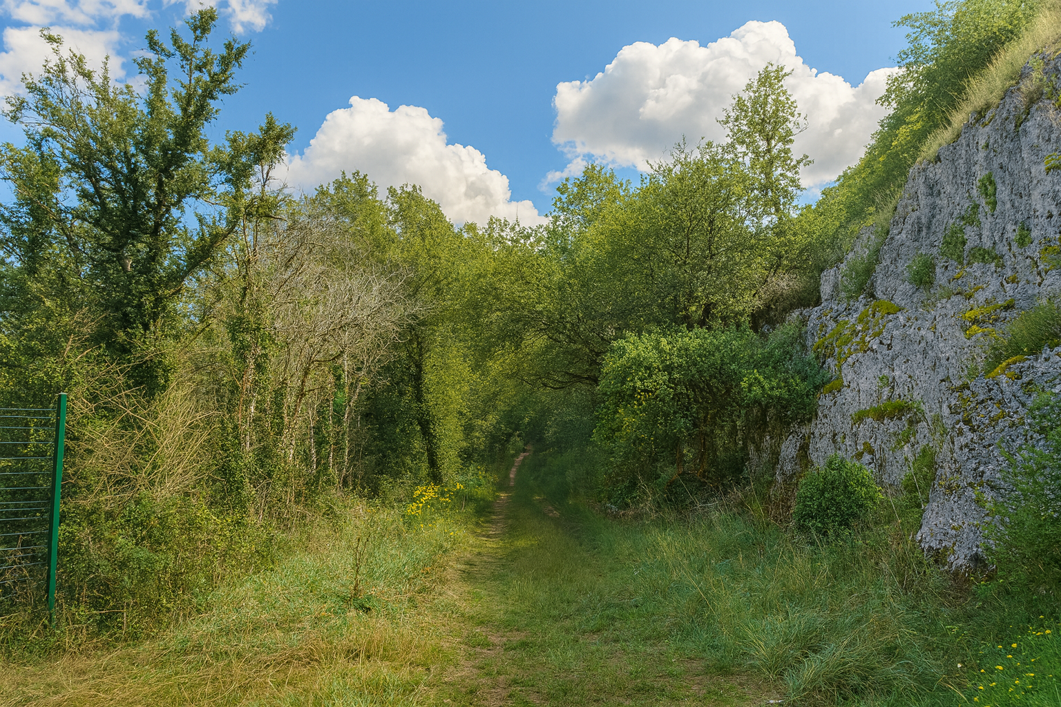
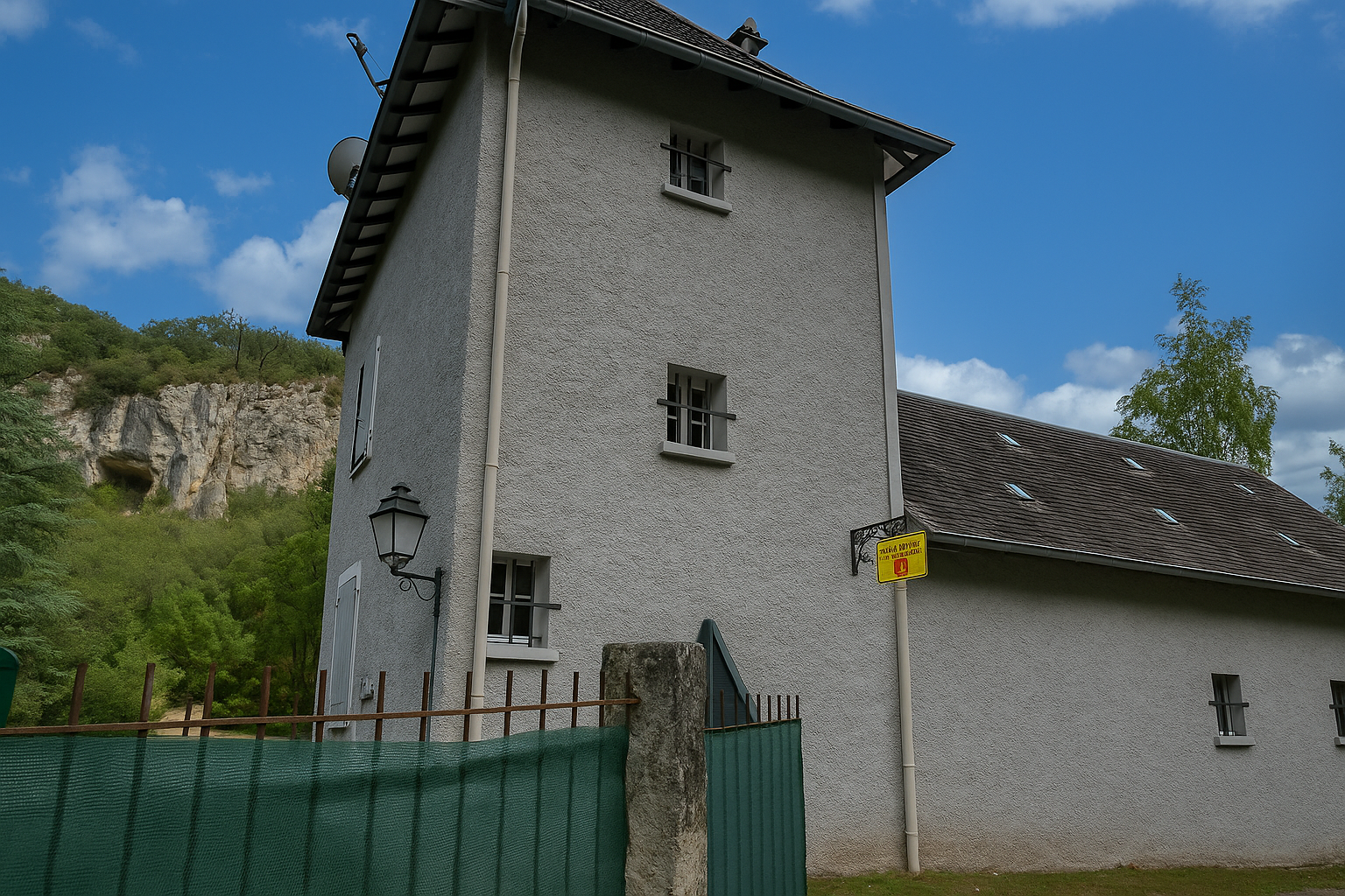
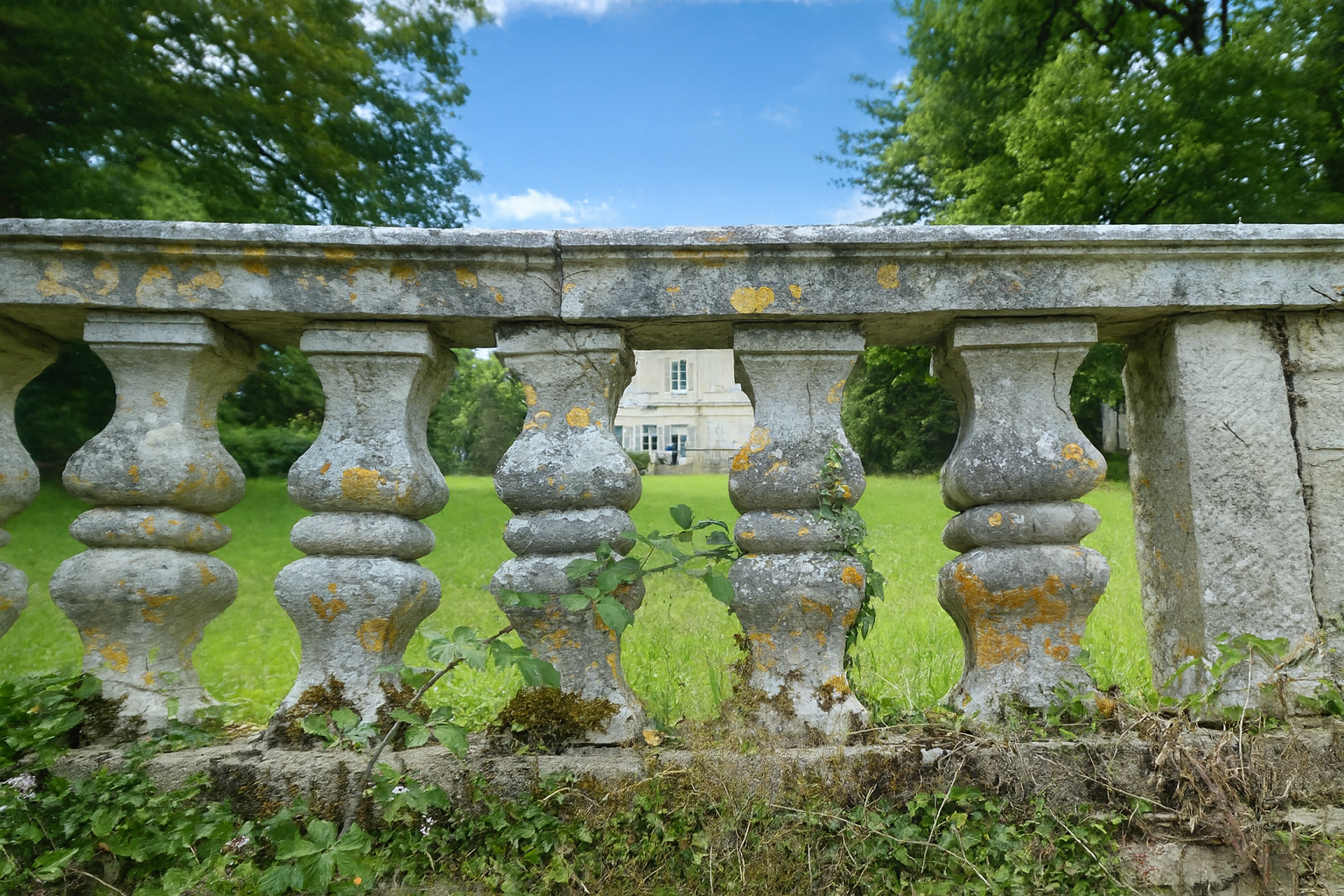
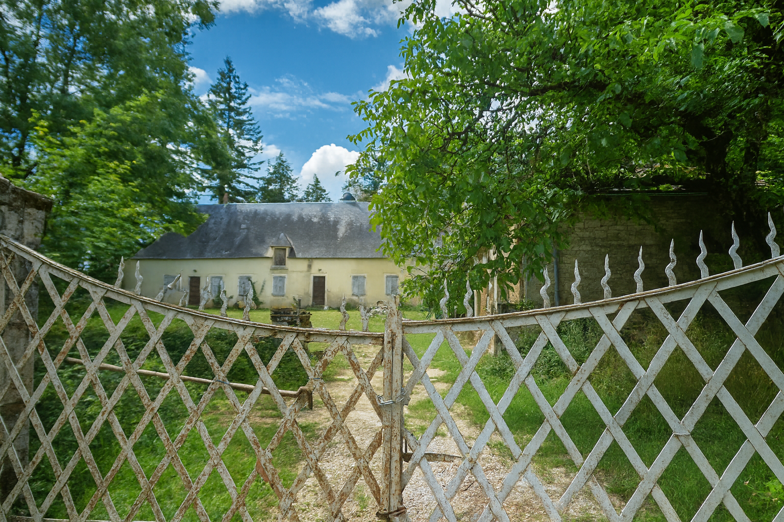
At the end of the climb, a white house suddenly appears, almost unreal, reminiscent of a château slumbering behind its gates, perhaps abandoned, or simply withdrawn from the world. From here, the route escapes onto a grassy path, surrendering itself to a freer natural world beneath the cliffs carved by the stream murmuring at the bottom of the valley. |
|
 |
 |
|
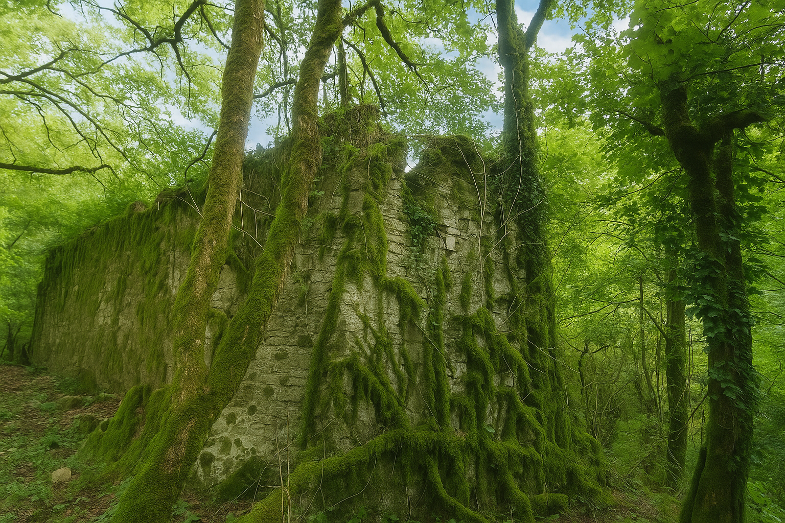
The path then leads to the « Moulin de Raffy ». This magnificent ruin already seems half withdrawn from the world, as though it survives through neglect rather than resistance. The stones, still standing yet wavering, bear the marks of time’s patient work. Thick, disjointed and cracked, they seem gradually to be yielding to a slow dissolution. Lichens spread their pale shades of grey, green and yellow across them, while dense, damp moss clings to every hollow as though trying to hold back what is slowly disappearing. Here, the ruin does not collapse, it dissolves. The very air seems motionless, almost heavy, and a strange impression begins to take hold, that these stones have not merely been abandoned, but are being reclaimed and absorbed. Shapes blur and outlines waver, as though invisible gorgons were slowly devouring even the memory of what once stood here. The Vers stream, 23 kilometers long, rises within the commune of Labastide-Murat. It is often described as wild, untouched, almost primeval. Yet this was far from always being the case. More than fifty mills once brought its waters to life, bearing witness to an activity that has now disappeared. As early as the 1st century AD, the lower reaches of the Vers were developed to supply what is now the town of Cahors by means of a Roman aqueduct. Almost nothing remains of this heritage. The mills have either vanished or are slowly crumbling away, like the « Moulin de Raffy » itself. None now echoes with the sound of millstones, only with the quieter sound of time erasing what remains. |
|
 |
 |
|
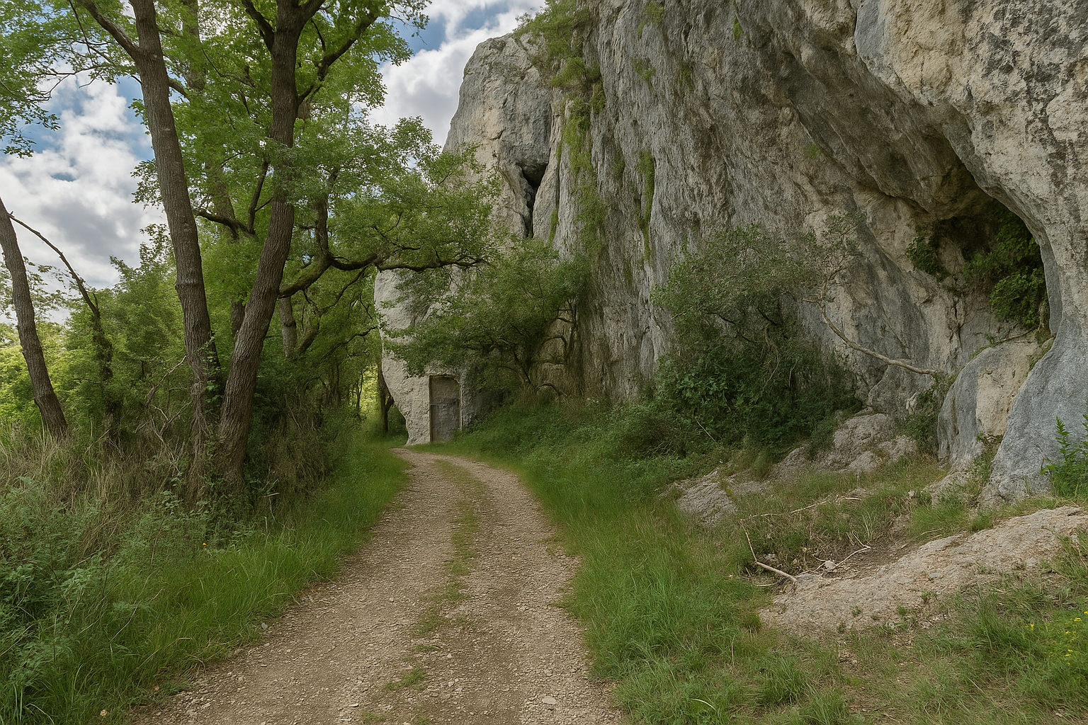
Just above, the path runs alongside the remains of a wall built against the cliff. This is no simple troglodyte dwelling, nor some prehistoric cave frozen in time. Could these be the remains of the second “Moulin de Raffy” mentioned in accounts of the region ? |
|
 |
 |
|
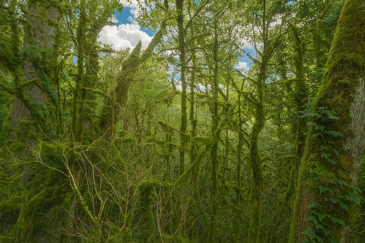
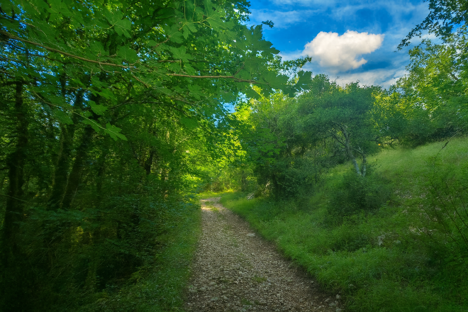
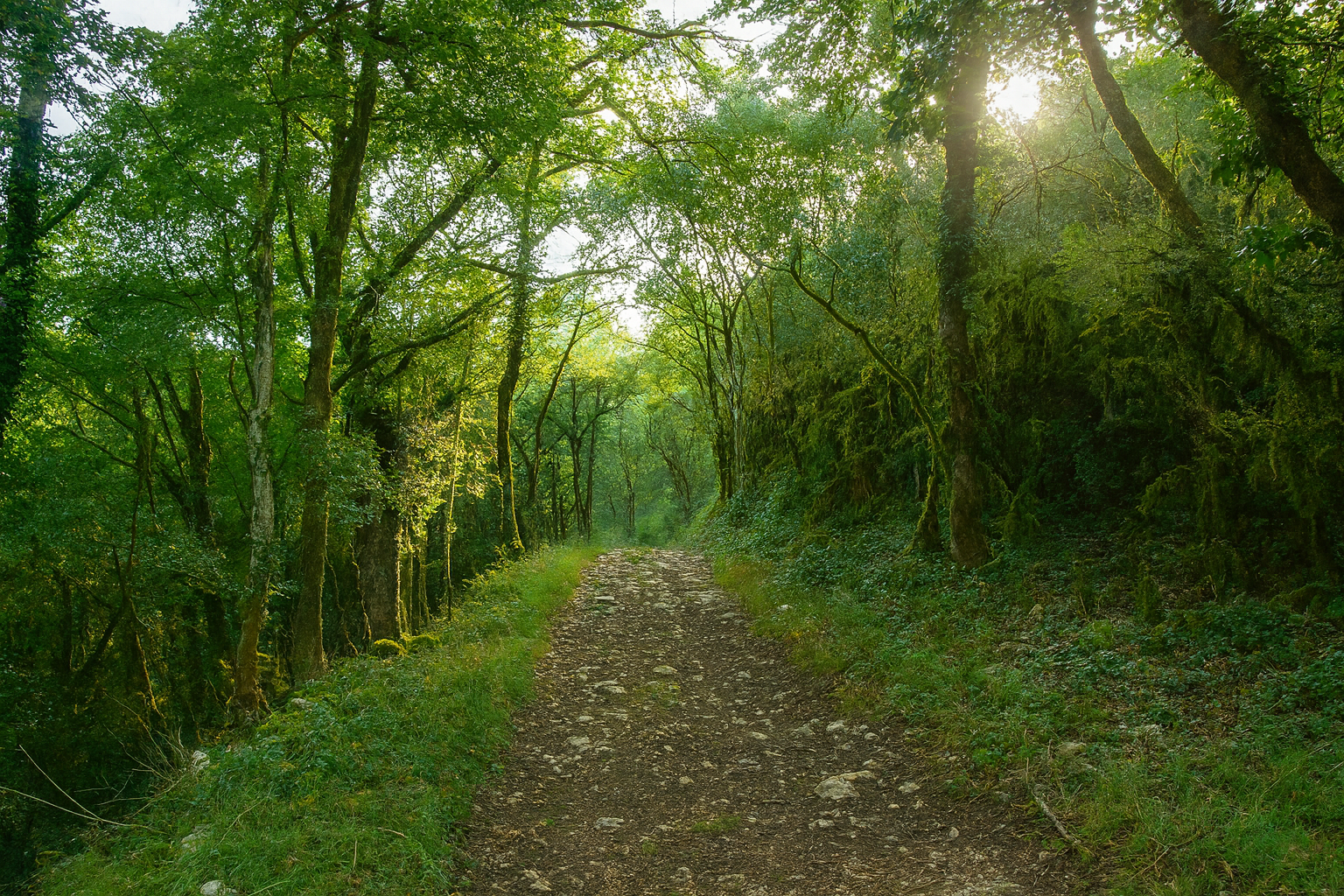
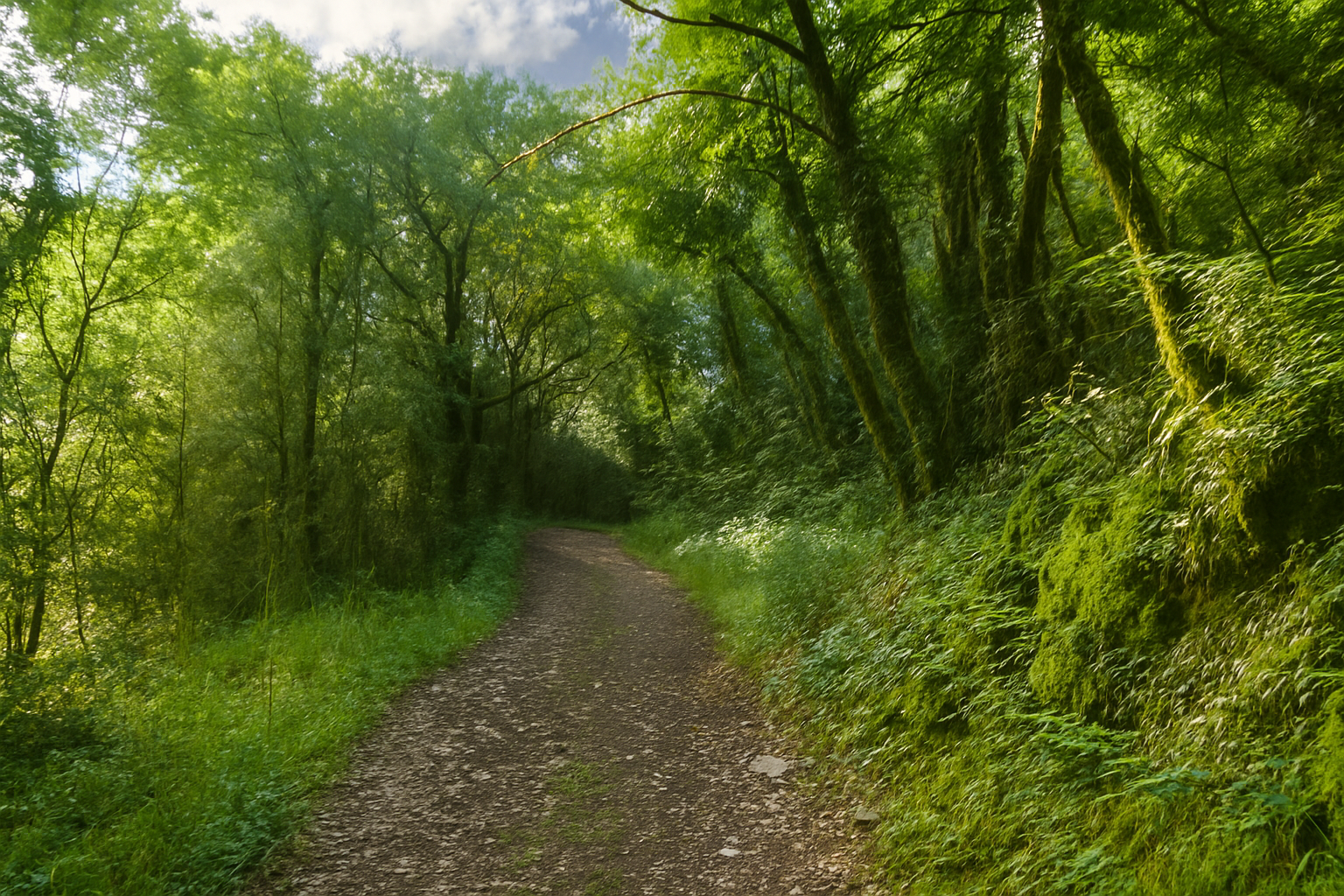
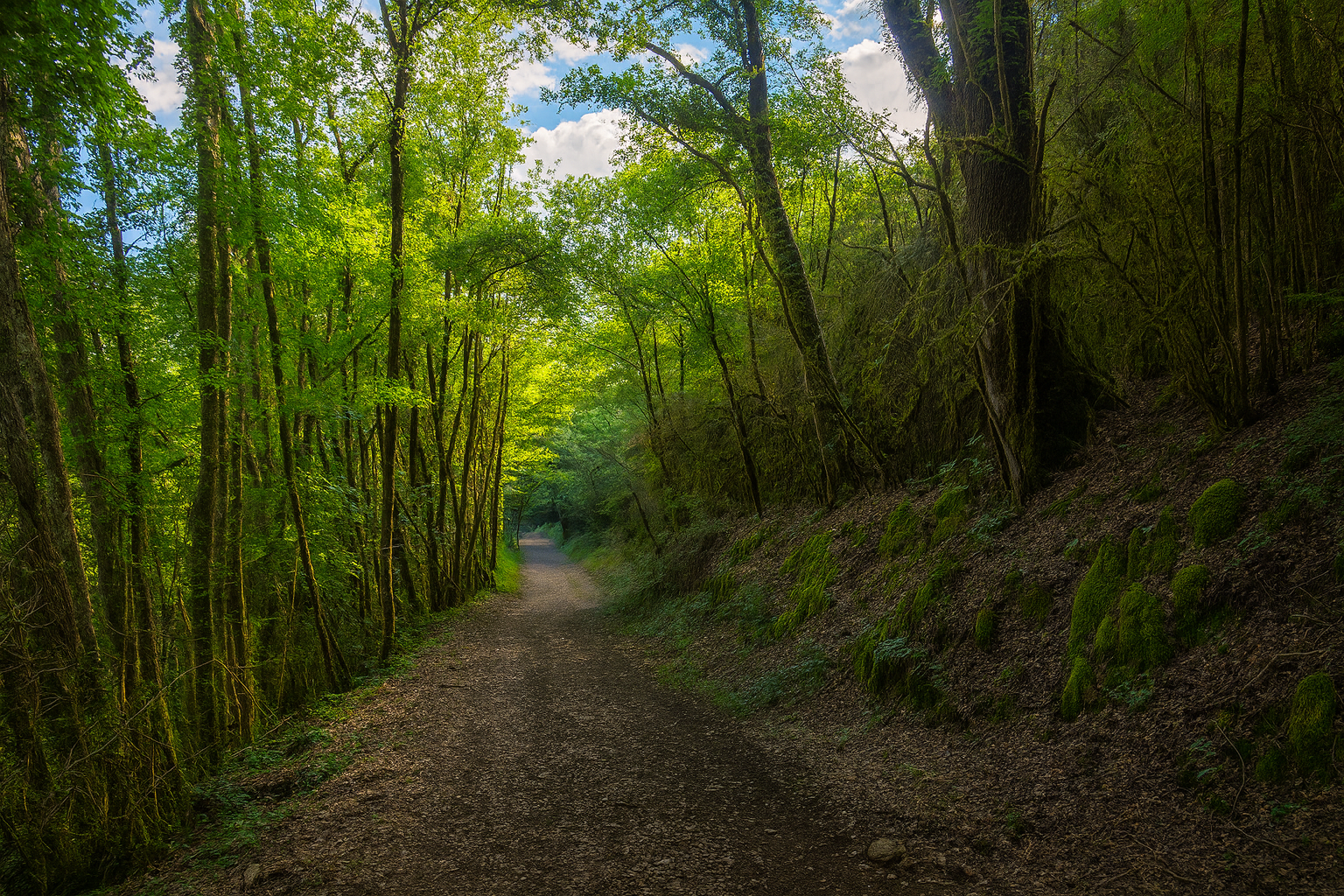
The path, known here as the “Chemin des Moulins”, then enters the woodland. The earth is dark and rich in humus, while scattered stones lie without any apparent order. The vegetation is typical of the causses, though softened here by the presence of water. A procession of downy oaks mingles with Montpellier maples, while ash trees, alders and beeches also flourish, benefiting from the moisture that envelops the woodland. Ferns and mosses carpet the banks, lending the surroundings an almost mystical aura, where every step seems to awaken some ancient secret. |
|
 |
 |
 |
 |
|
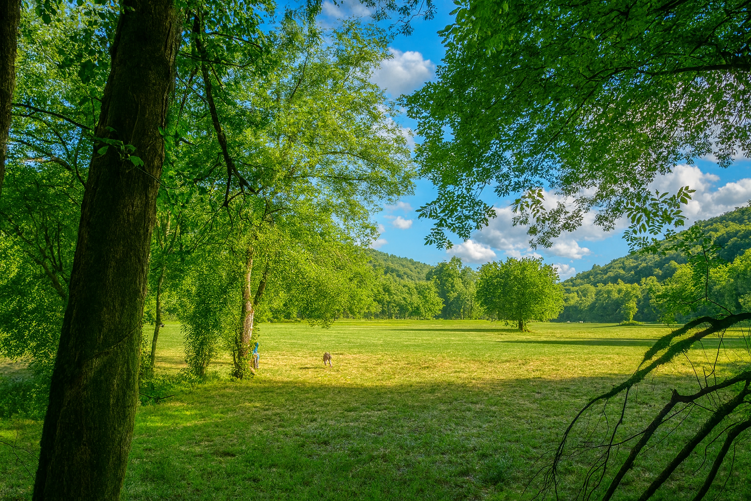
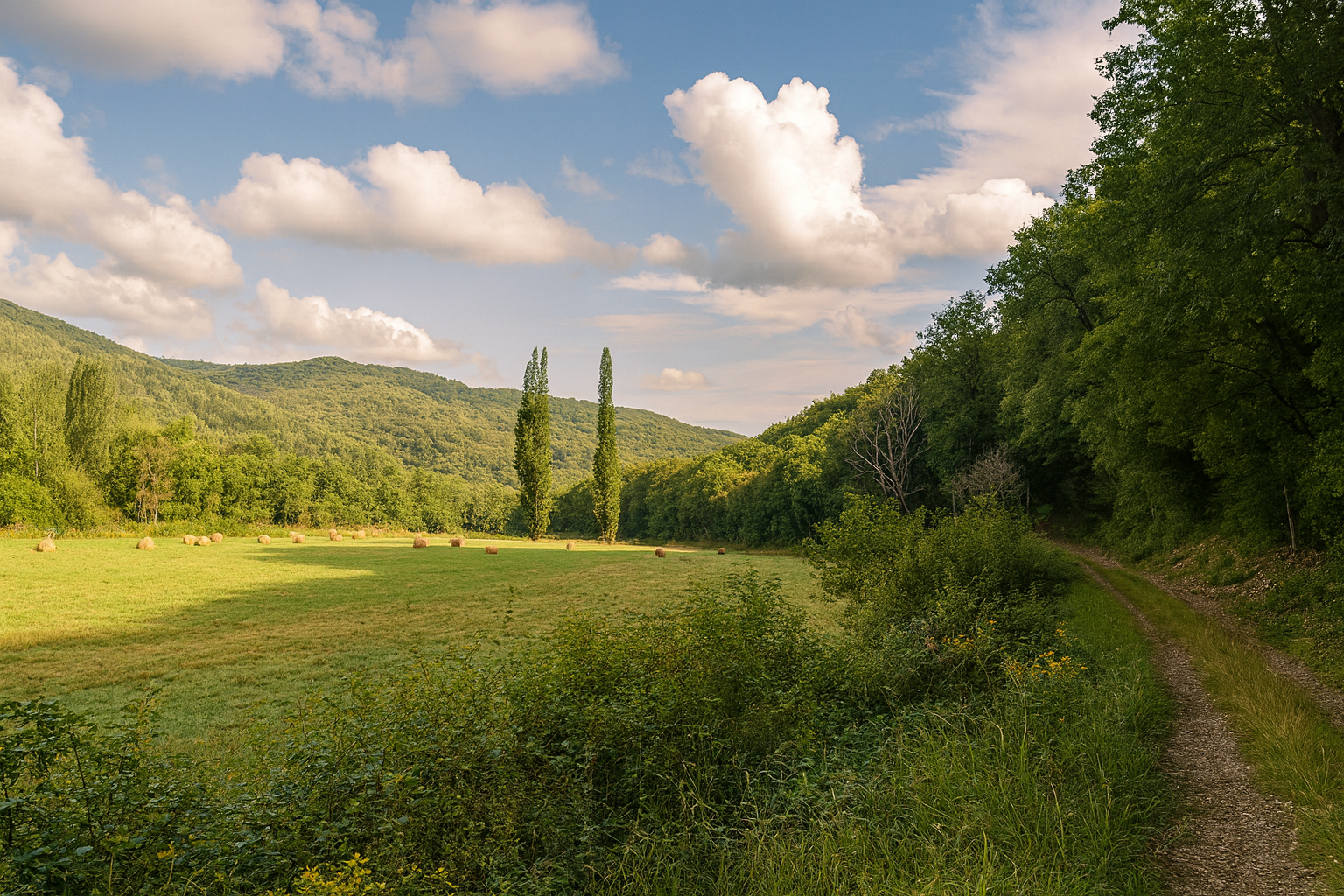
Farther on, the path emerges into clearings and stretches across meadows, where the land undulates with measured gentleness, without ostentation, as though opening before the gaze into a vast natural theatre, peaceful and breathing. |
|
 |
 |
|
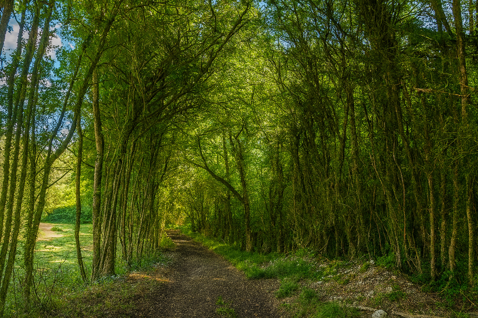
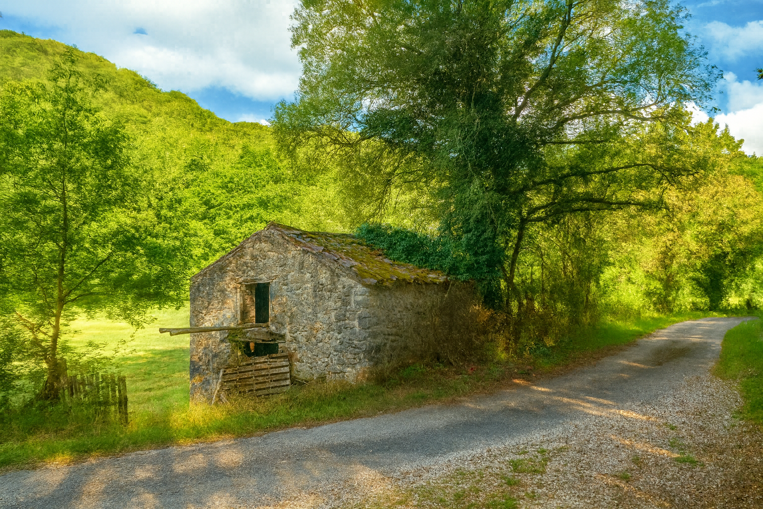
At the end of the clearing, the path escapes from between the closely packed tree trunks, as though seeking room to breathe, and widens slightly. It then passes an open stone barn, exposed to the winds, a silent witness to the labor of another age, of which only the imprint remains. |
|
 |
 |
|
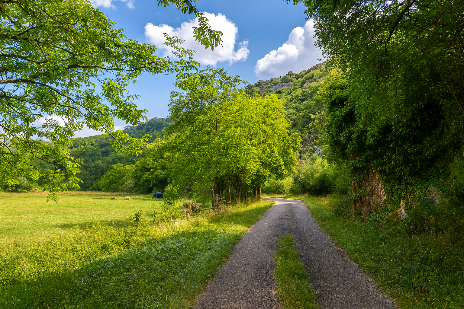
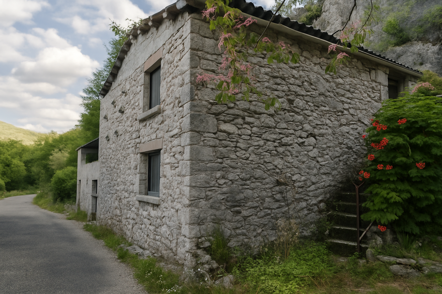
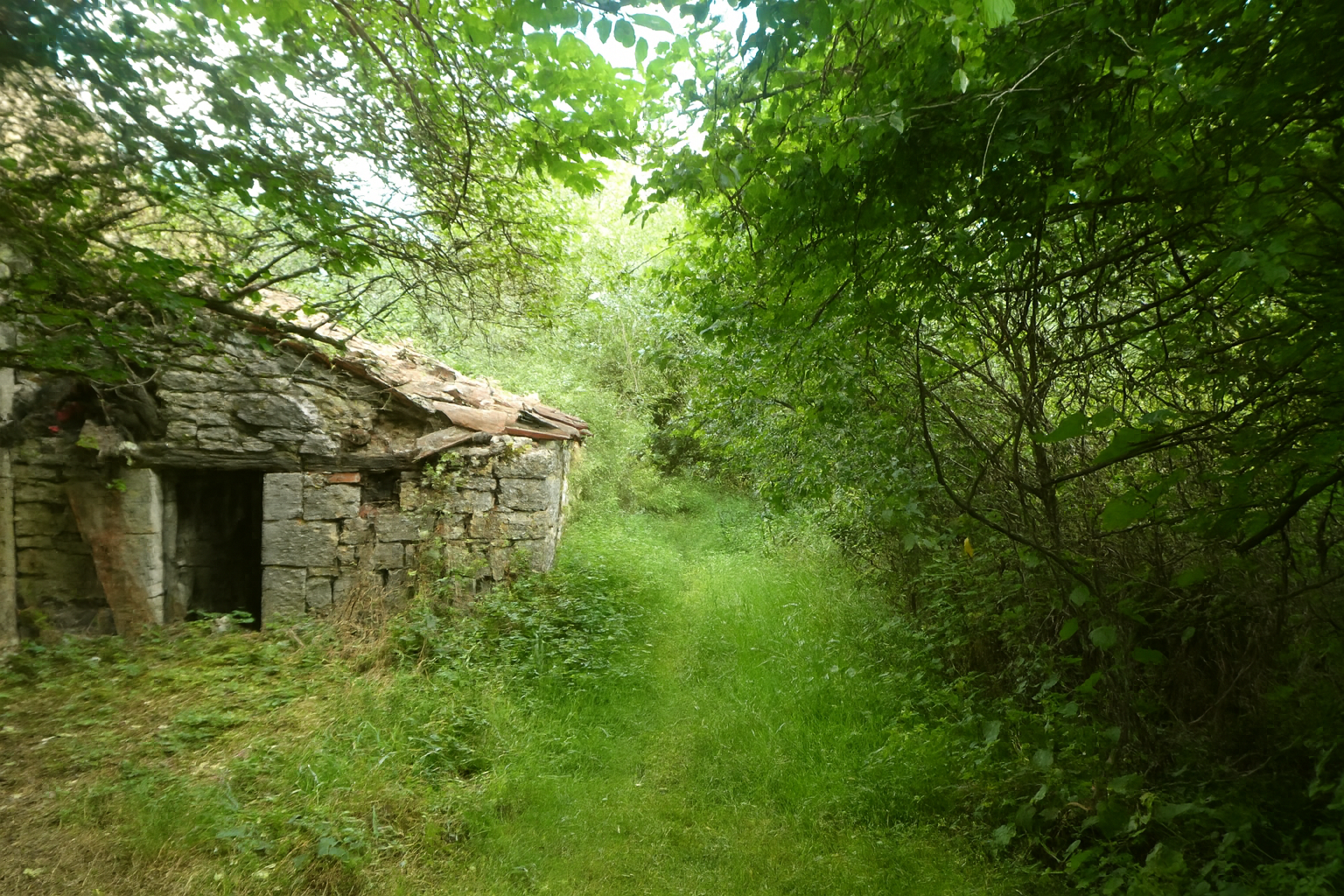
A little farther on, another stone dwelling appears, built against the cliff. Once again, life seems to have withdrawn, leaving behind a motionless scene, almost suspended in time. Yet watching this fragile heritage unfold along the way, struggling to survive despite the pressures and neglect of the modern world, remains a deeply moving experience. |
|
 |
 |
|
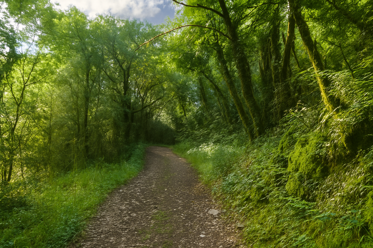
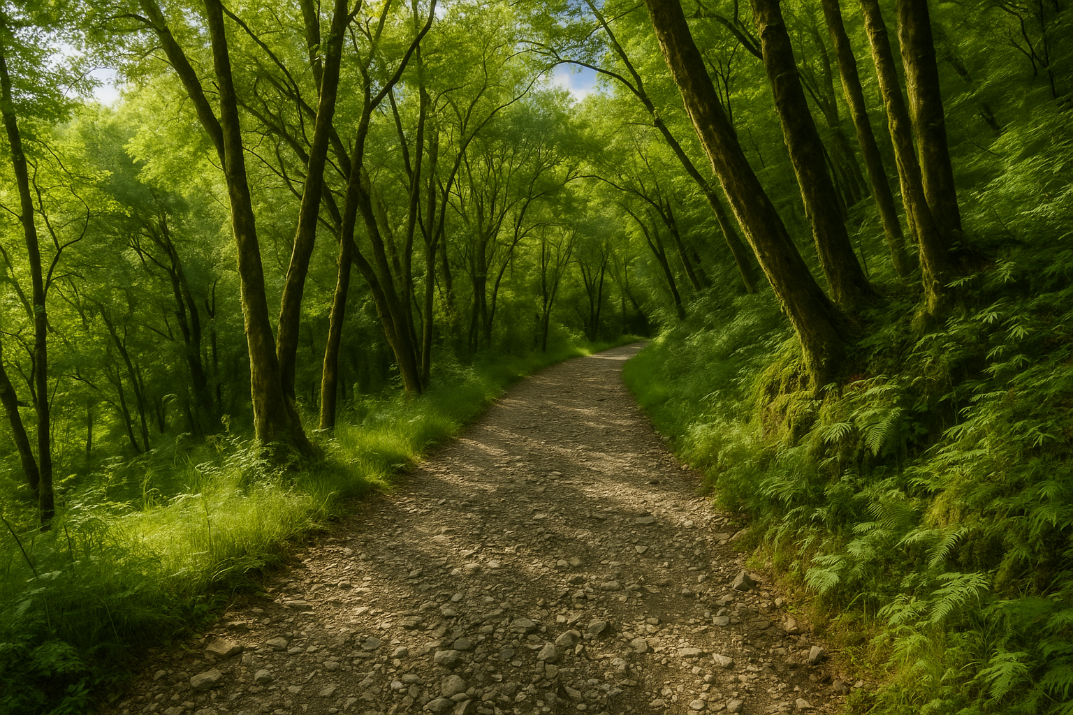
Puis le chemin, comme pris d’un goût pour l’alternance, replonge dans le sous-bois, retrouvant l’ombre protectrice des arbres. Le sol s’y fait plus rude, plus pierreux, rappelant à chaque pas la nature profonde de ces terres. |
|
 |
 |
|
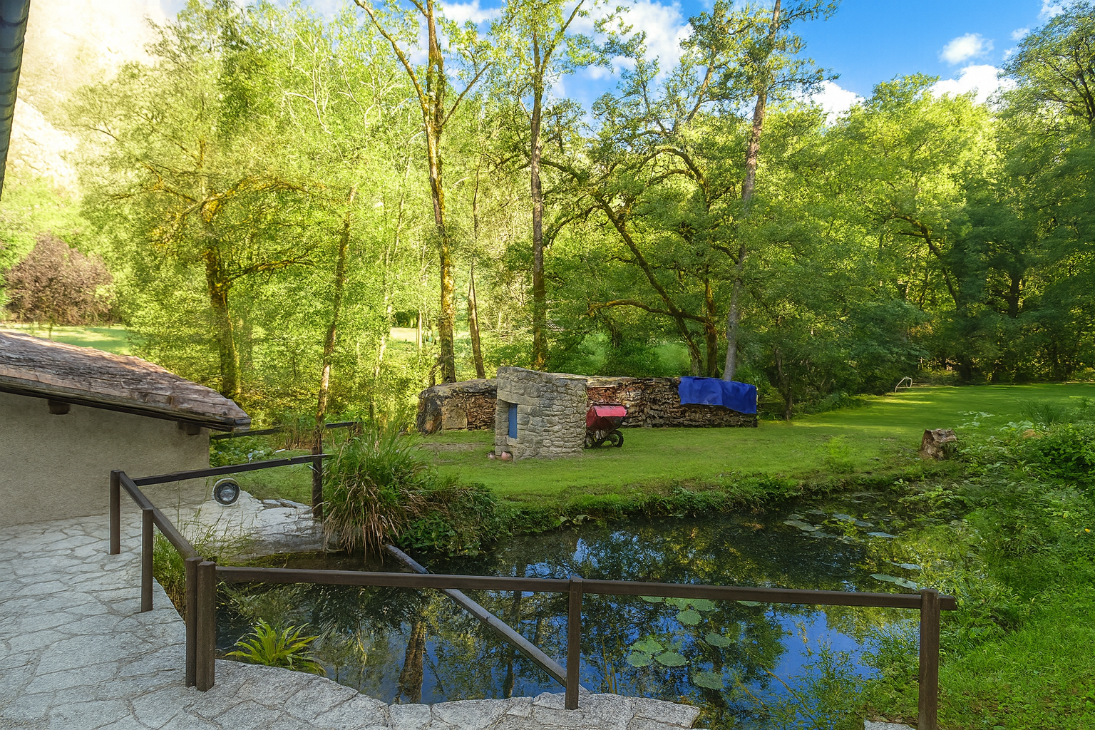
Shortly afterwards, a faint stirring of life reappears at the place known as La Carderie, close to the stream, where a paper mill probably once harnessed the power of the water. A small road coming from the nearby Figeac road joins the route here. Suddenly, simple yet eloquent signs of life appear, a log splitter and a carefully stacked pile of firewood. Modest evidence perhaps, but undeniable proof that life still persists here. |
|
 |
 |
|
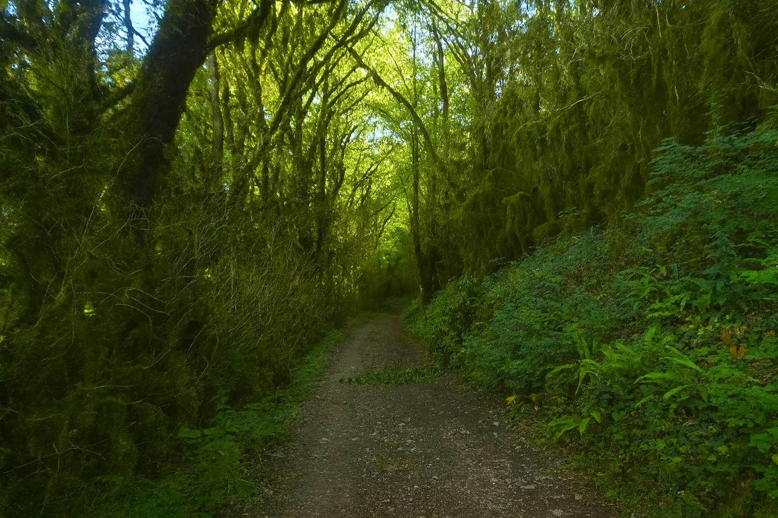
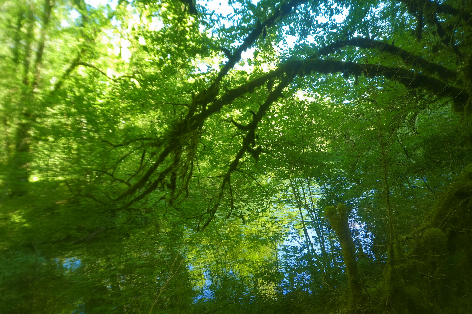
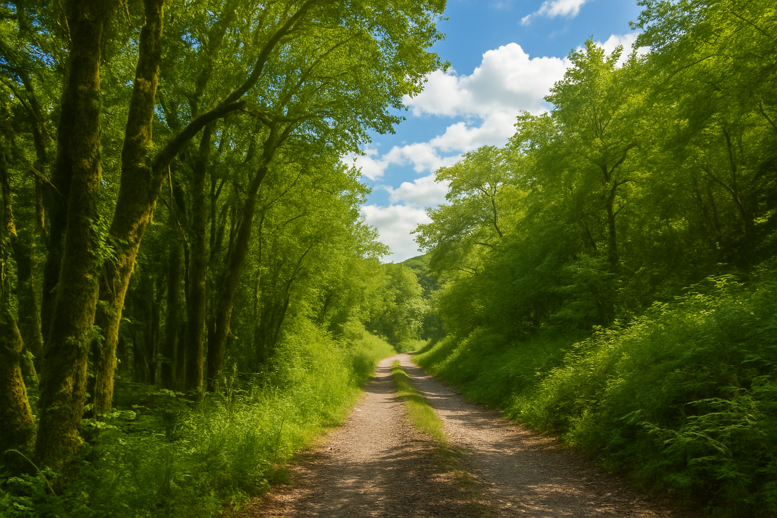
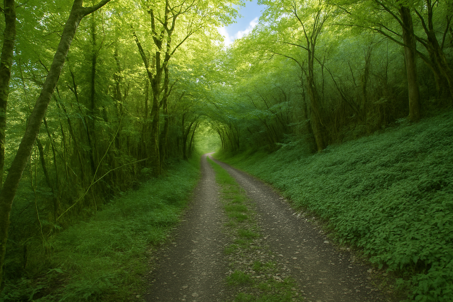
The path, now broader and known as the “Chemin des Candets”, once again disappears beneath a dense mantle of green, seemingly drawn into the depths of the valley. Moisture reigns supreme here, nourished by the discreet presence of the stream. Its influence can be seen in the moss carpeting tree trunks, stones and even the folds of the ground itself. This is one of the subtle paradoxes of the route, water is everywhere, yet the stream reveals itself only occasionally, almost reluctantly. |
|
 |
 |
|
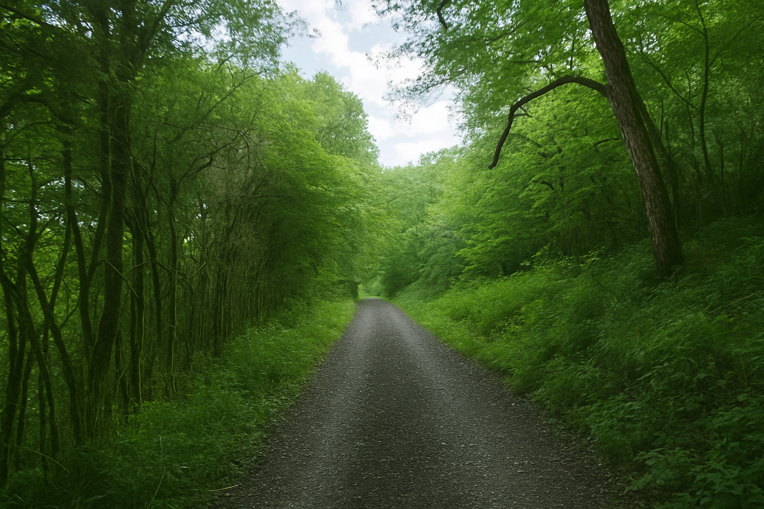
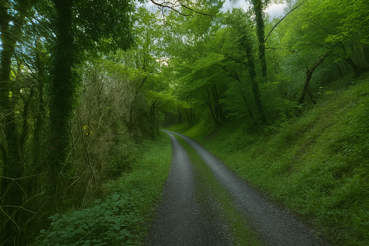
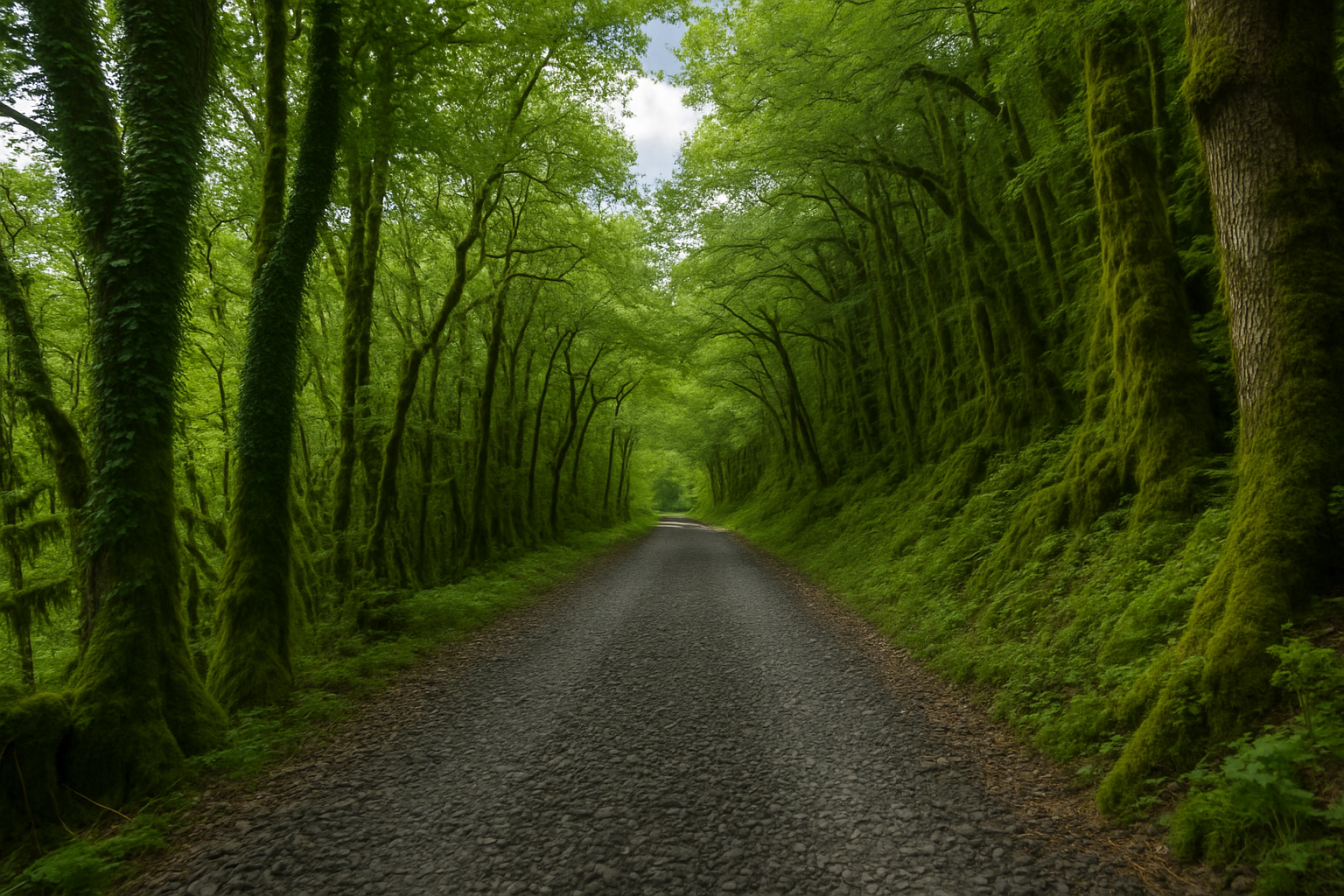
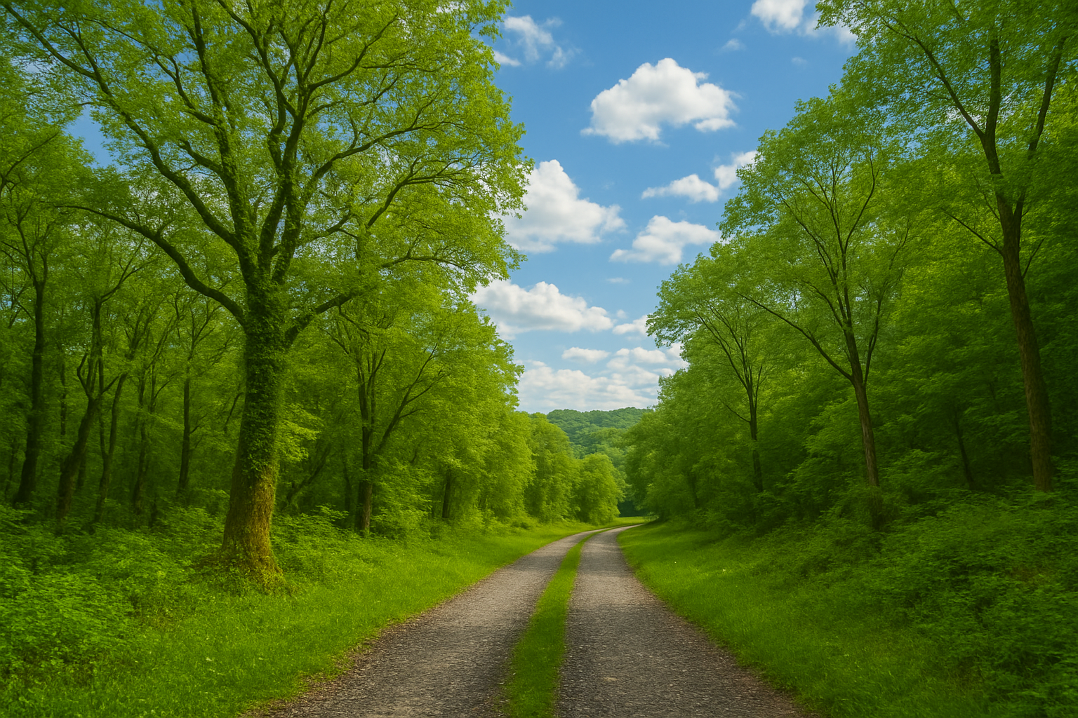
Farther on, the path broadens once more, taking on the appearance of a road wide enough for vehicles, yet still surfaced with beaten earth, soft beneath your feet and shaded by the canopy overhead. The gradient becomes almost imperceptible, as though the landscape itself were holding its breath. |
|
 |
 |
 |
 |
|
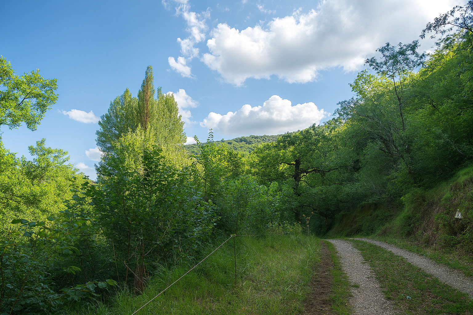
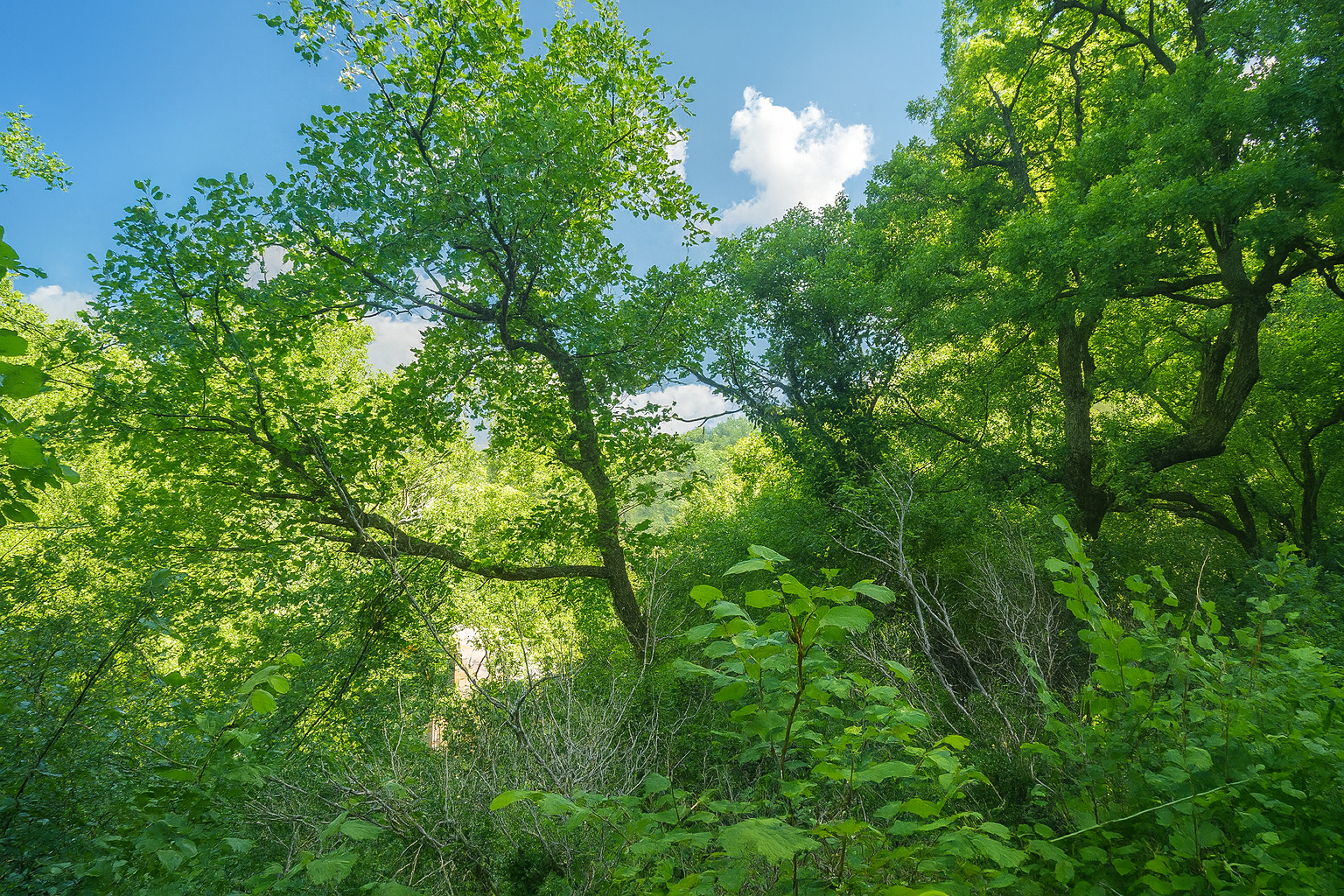
In places, the embrace of the trees loosens slightly, allowing more light to filter through. Yet nature remains sovereign, untouched and untamed. No human presence seems to inhabit these surroundings, probably not since the mills finally ceased their activity, taking with them the last echoes of a once industrious life. |
|
 |
 |
 |
 |
|
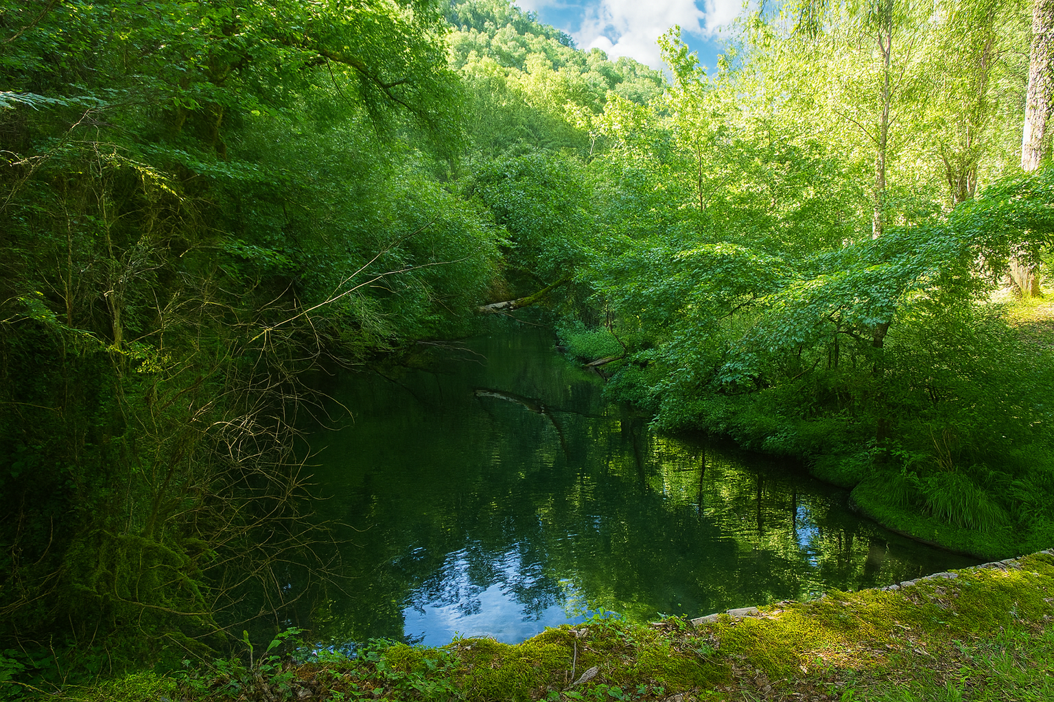
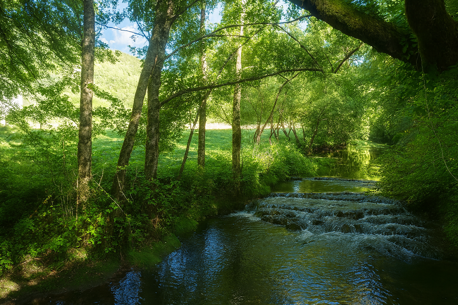
Then, as though to remind you of its existence, the stream finally consents to reappear, forming a few delicate cascades over polished stones with an almost confidential murmur. |
|
 |
 |
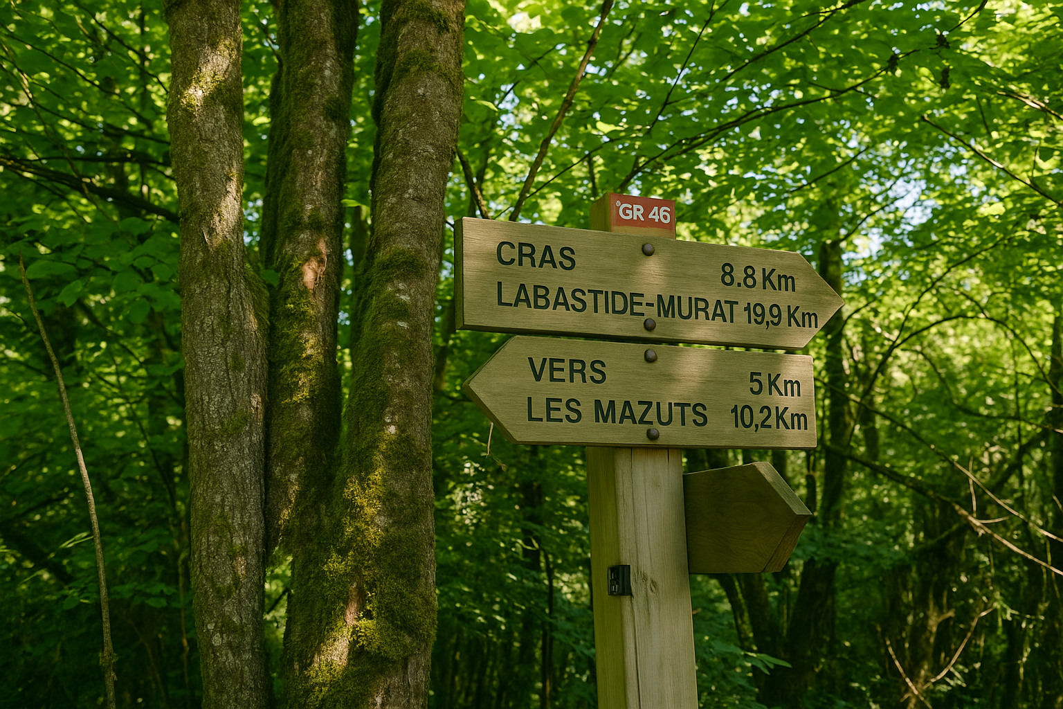
Here, you are at the place known as Bénédecty, 8.8 kilometers from Cras, still following the “Chemin des Candets”. The D653 departmental road is in fact only a few steps away, on the opposite side of the stream, climbing through the valley as it faithfully follows the course of the water. And yet it remains invisible, seemingly held at a distance by the dense embrace of the landscape.
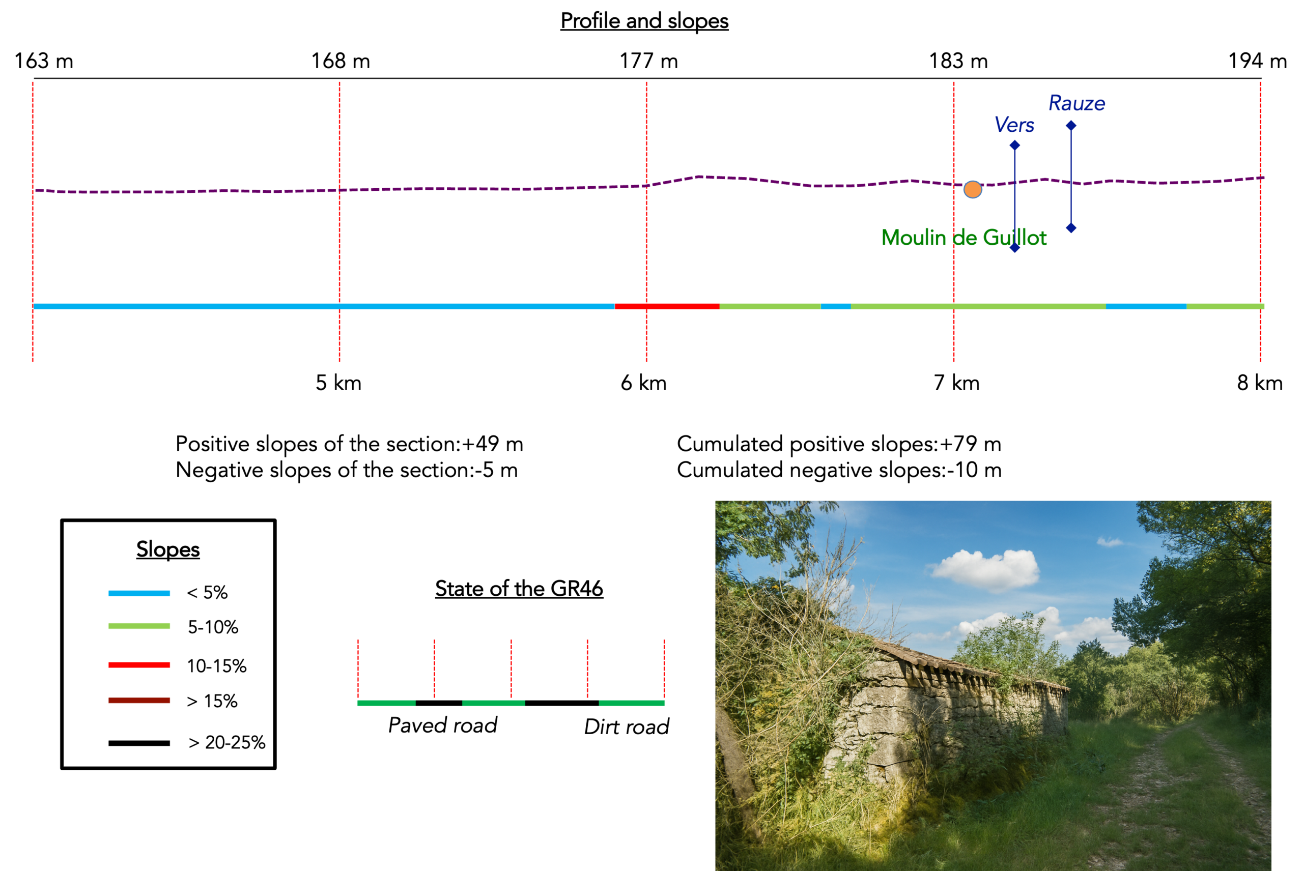
Section 2: A little more human presence in the Vers Valley
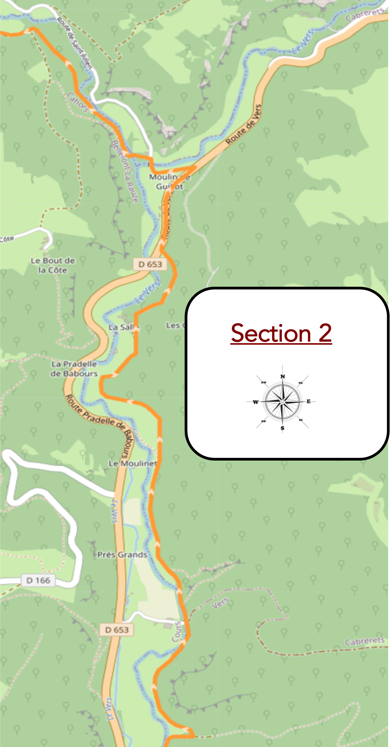
Overview of route’s challenges : The route presents no particular difficulty.
|
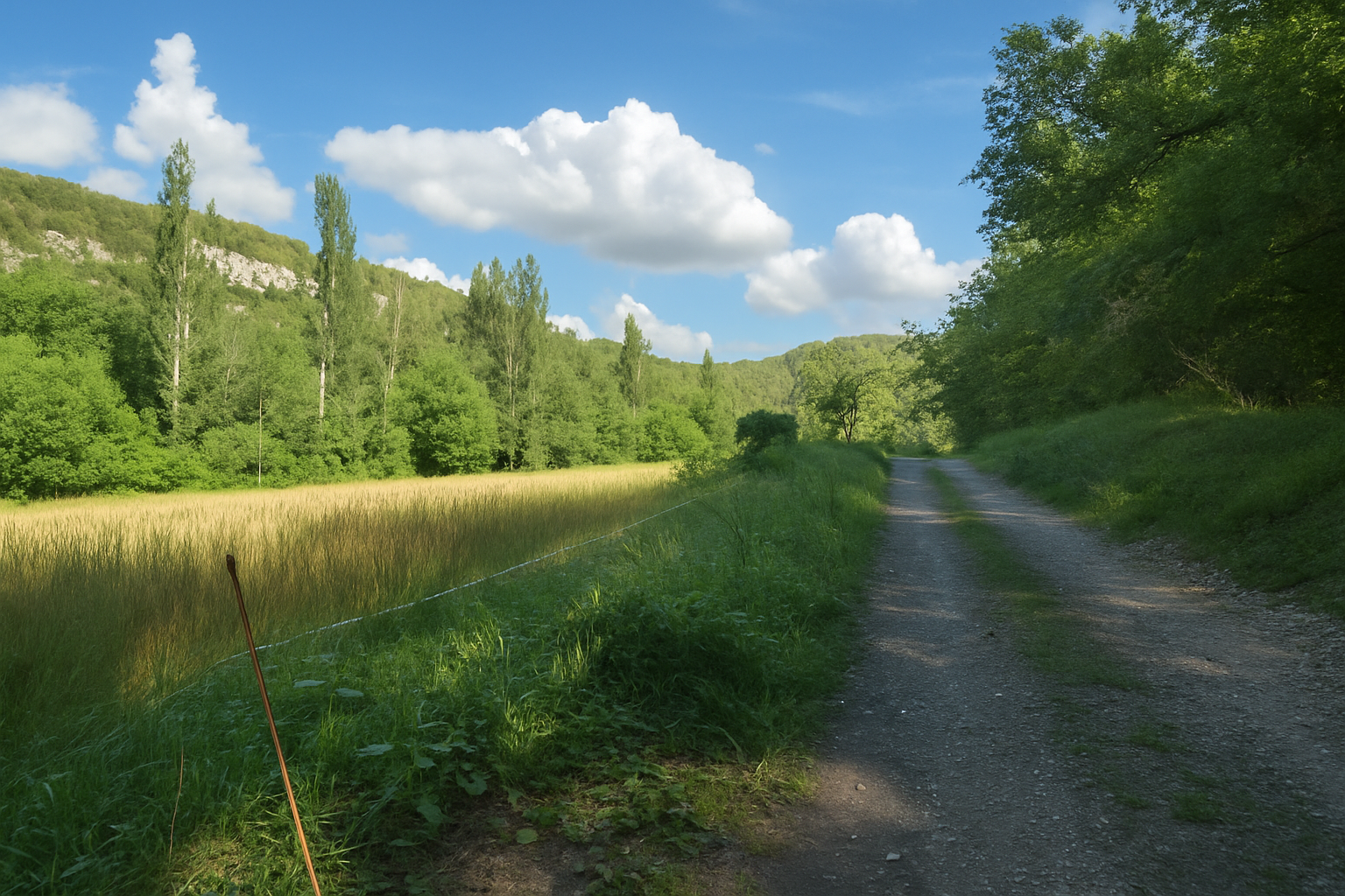
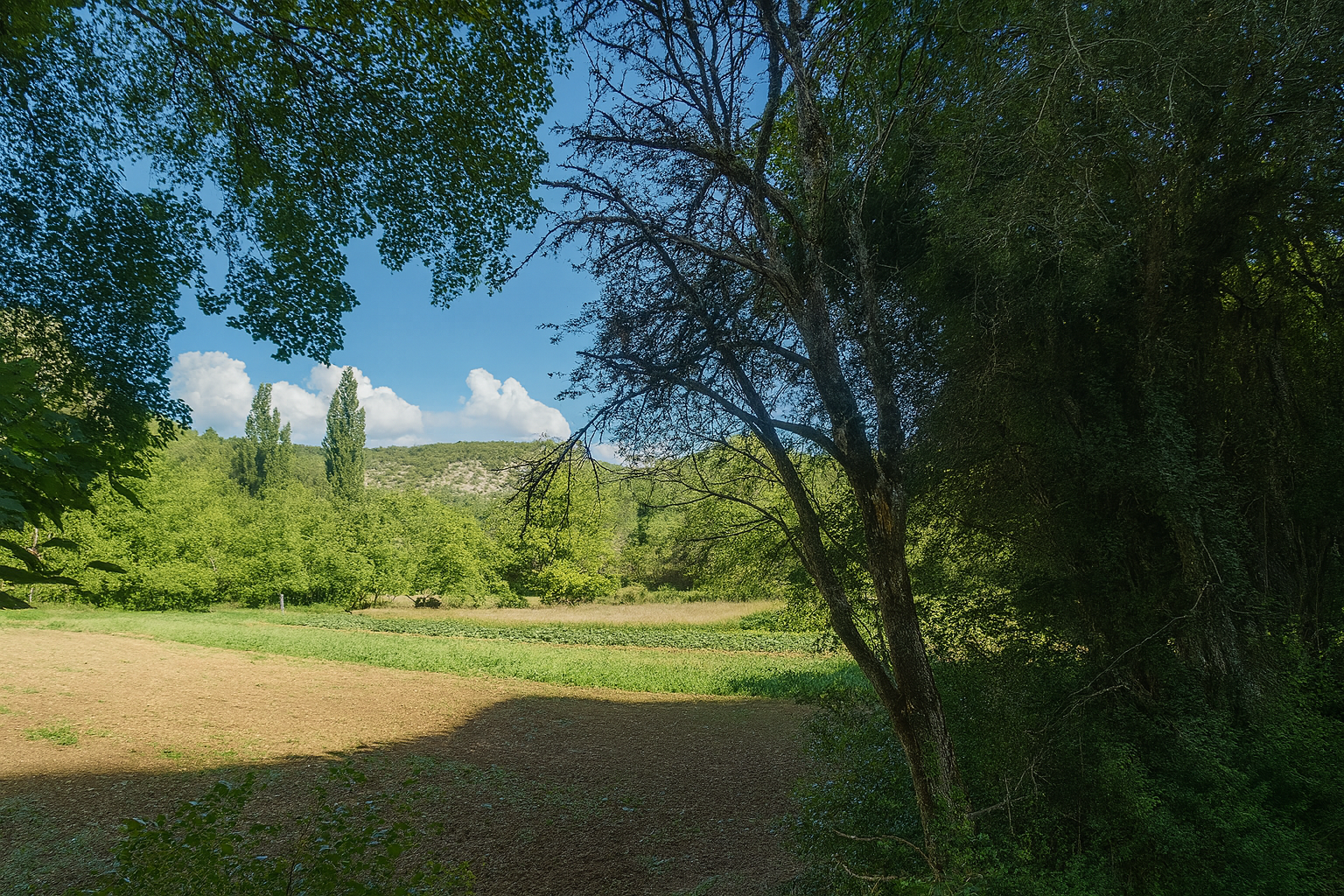
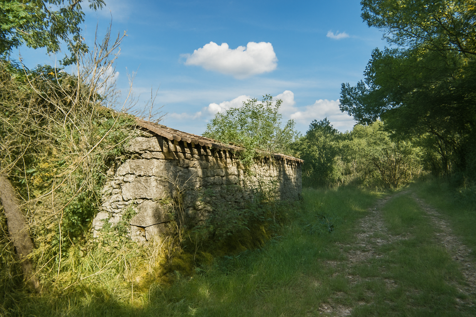
The path remains broad, stretching ahead over greyish beaten earth through a landscape that has now become more open, although groves of trees still punctuate the surroundings. Another building of rough stone suddenly comes into view, an enigmatic silhouette whose purpose is difficult to discern, whether it is still in use or has already withdrawn into the silence of the past. |
|
 |
 |
 |
 |
|
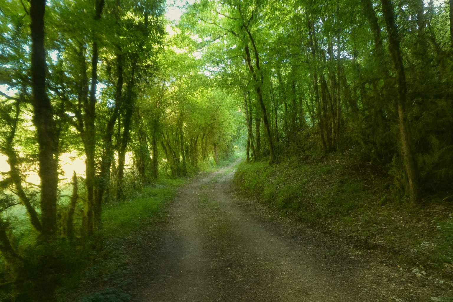
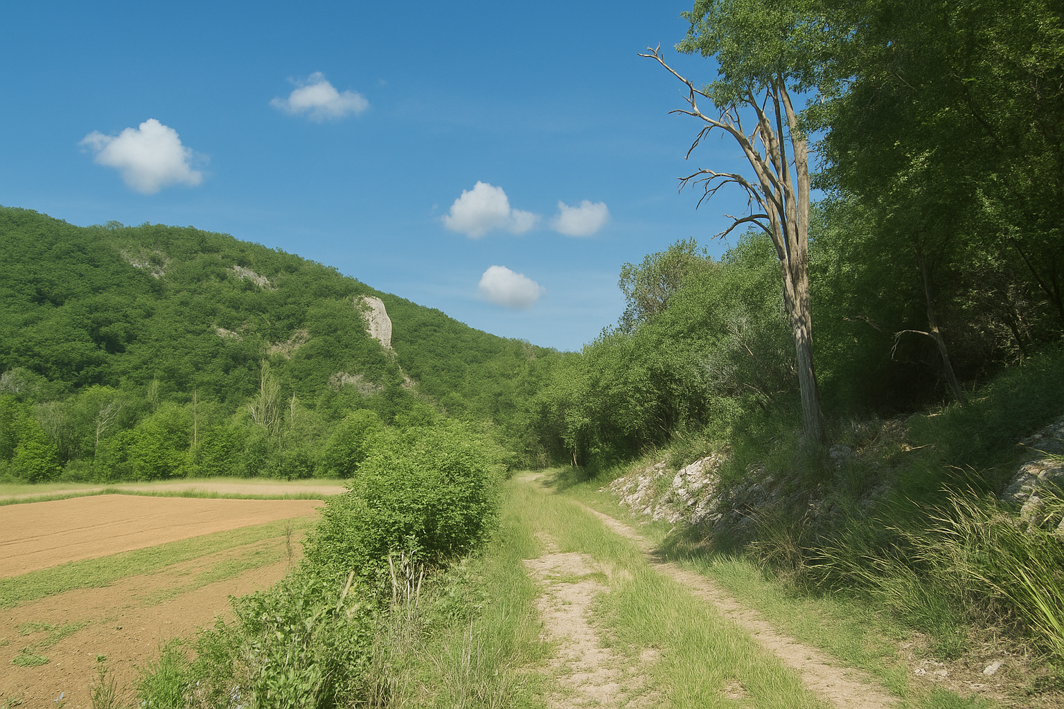
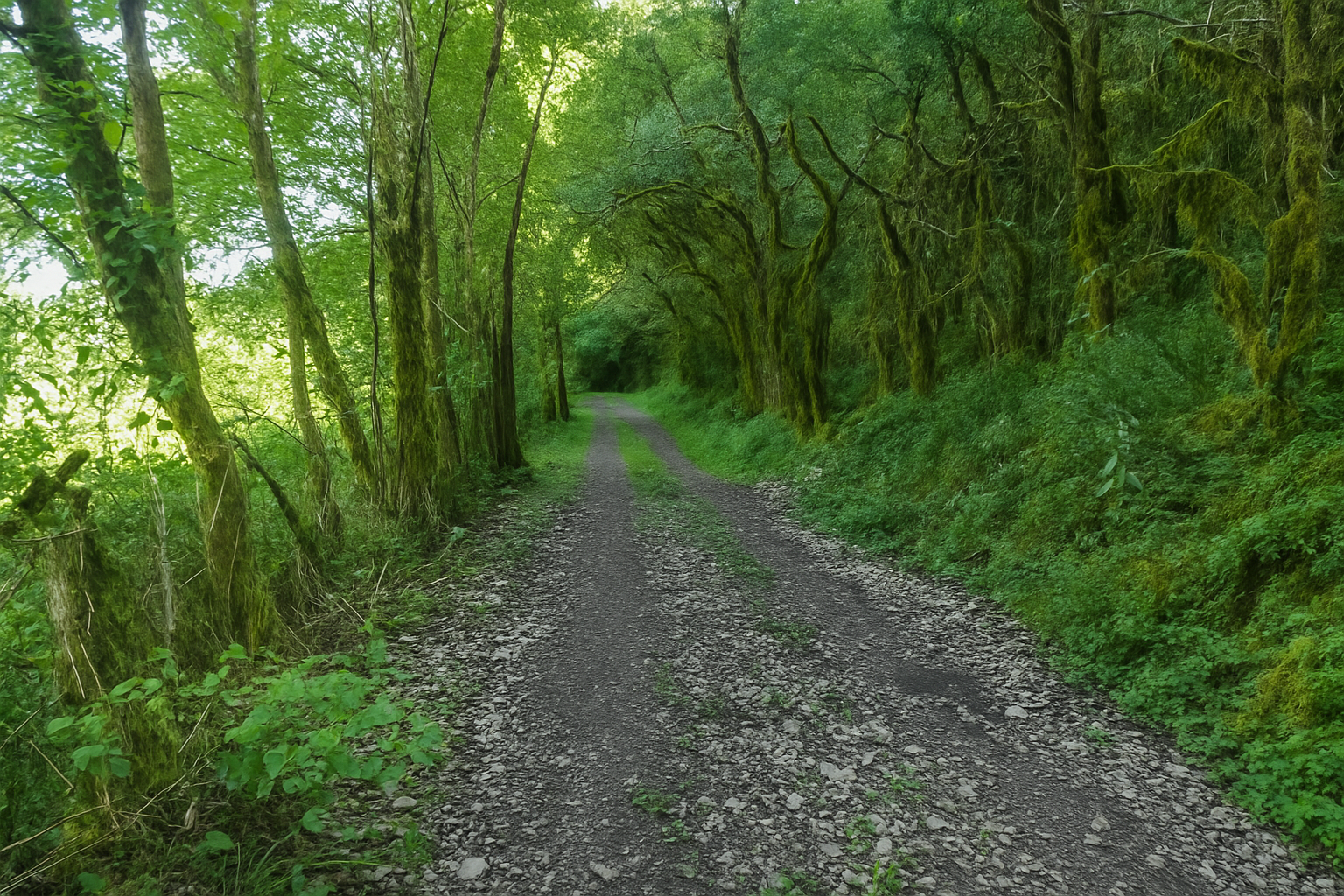
The “Chemin des Candets”, still just as broad, its surface alternating between soft grass and beaten earth, now runs level through the heart of a clearing. Yet all around, the landscape remains rugged, with steep slopes crowned by grey cliffs rising above, half concealed beneath a mantle of vegetation. |
|
 |
 |
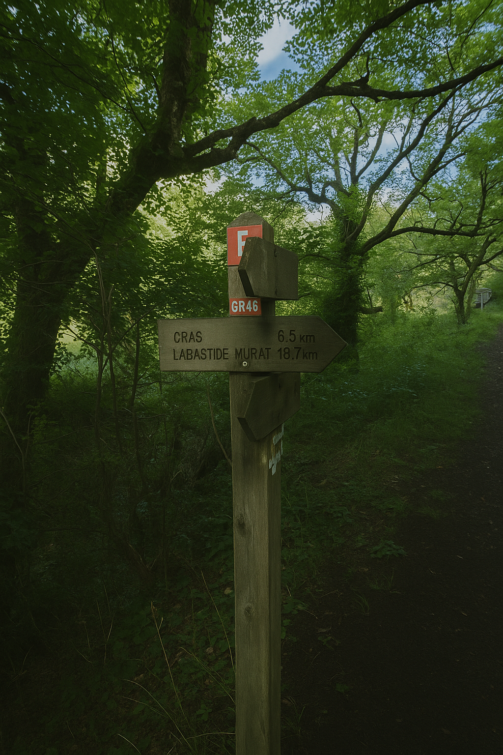
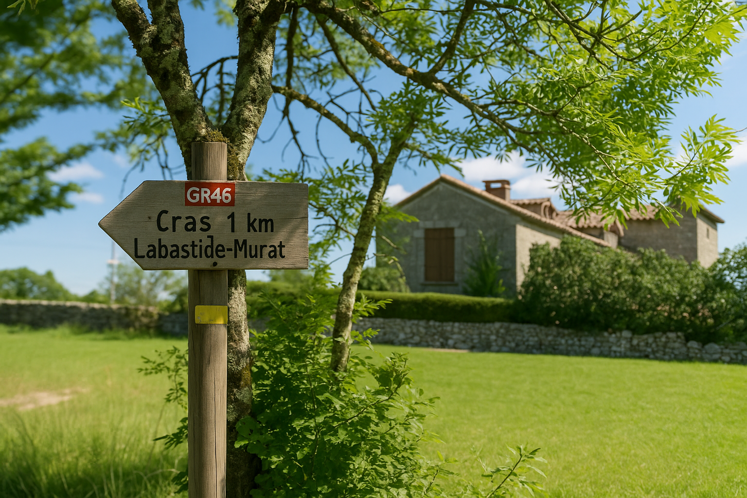
A discreet sign now points towards the village of Cras, 6.5 kilometers away along the GR46, like a promise still waiting in the distance.
|
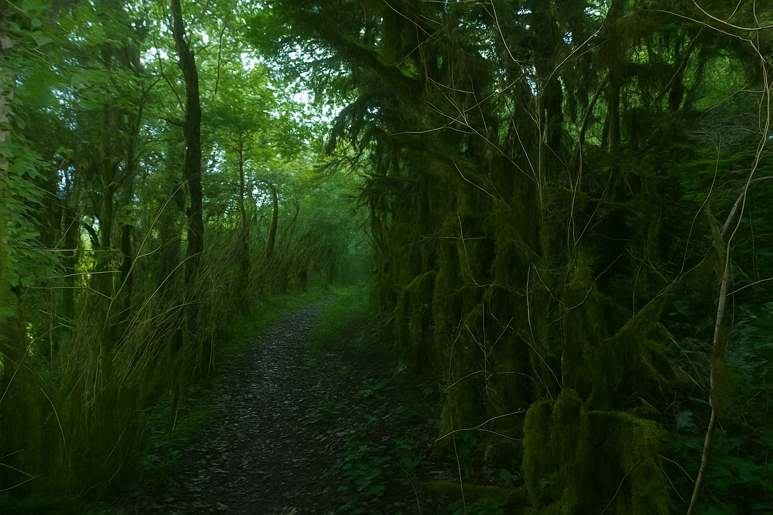
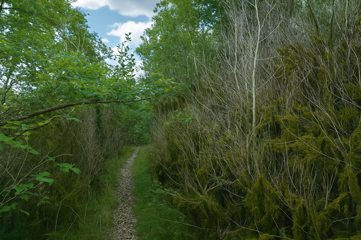
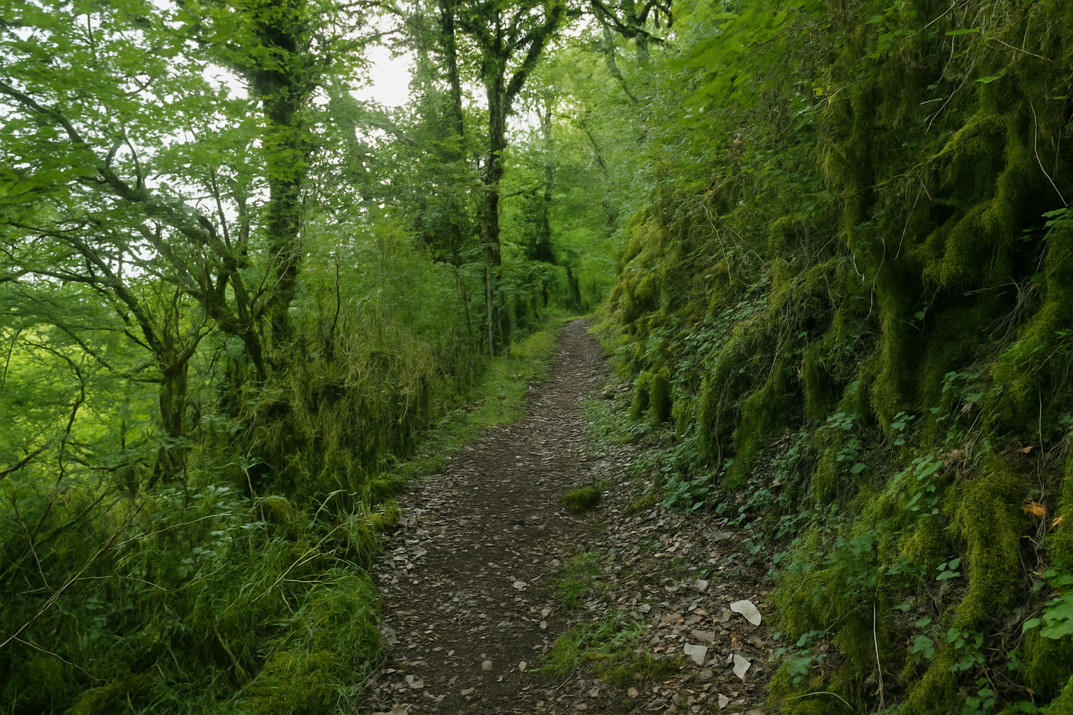
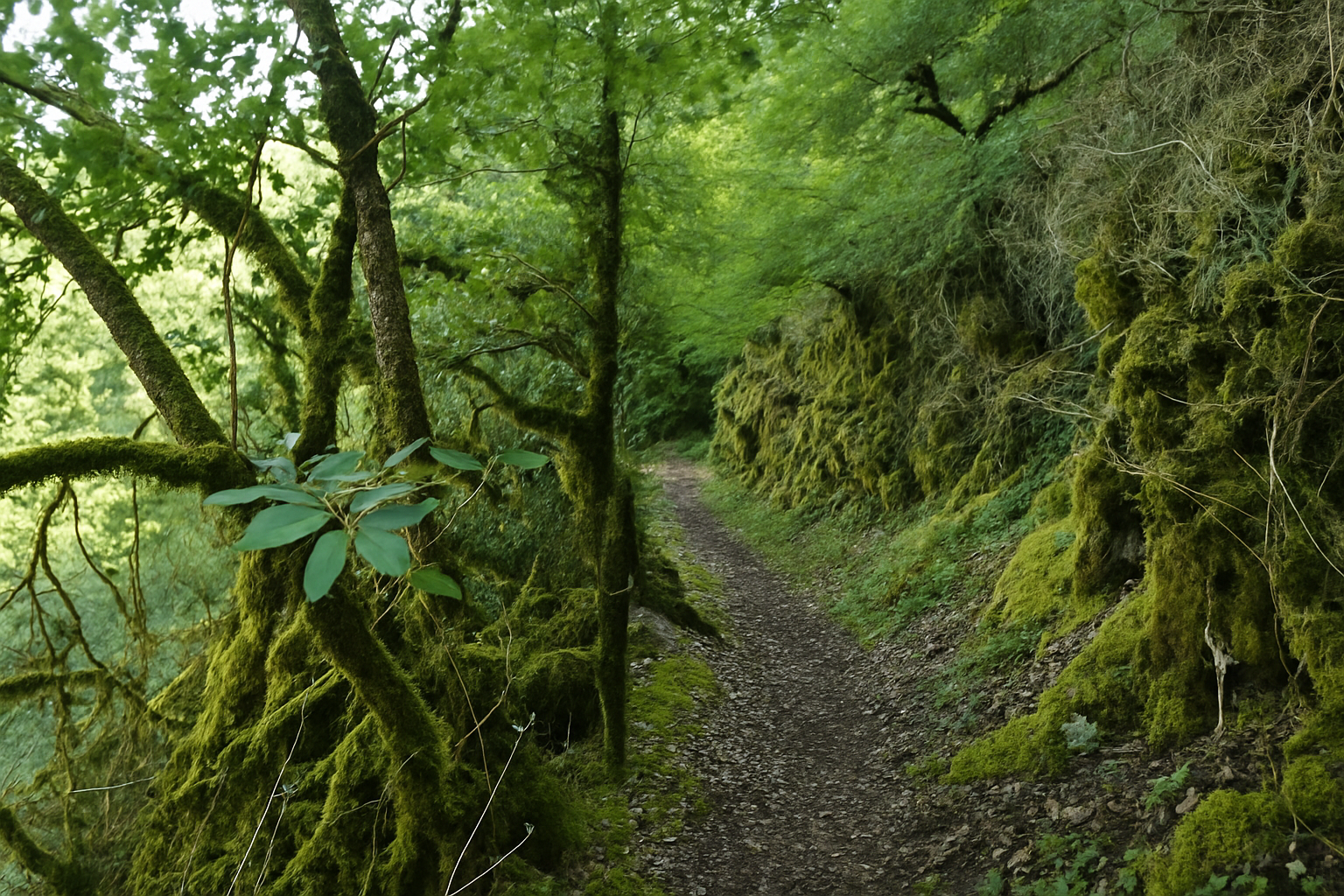
Before long, the path narrows, becoming stonier and climbing with a certain ruggedness as it ventures deeper into the same dense, almost untamed natural surroundings. |
|
 |
 |
 |
 |
|
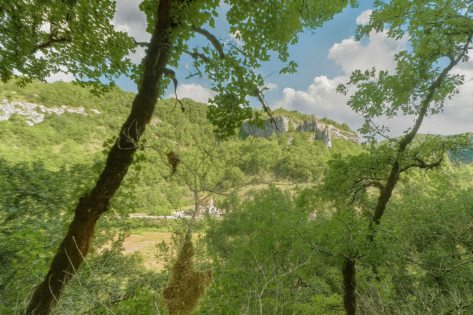
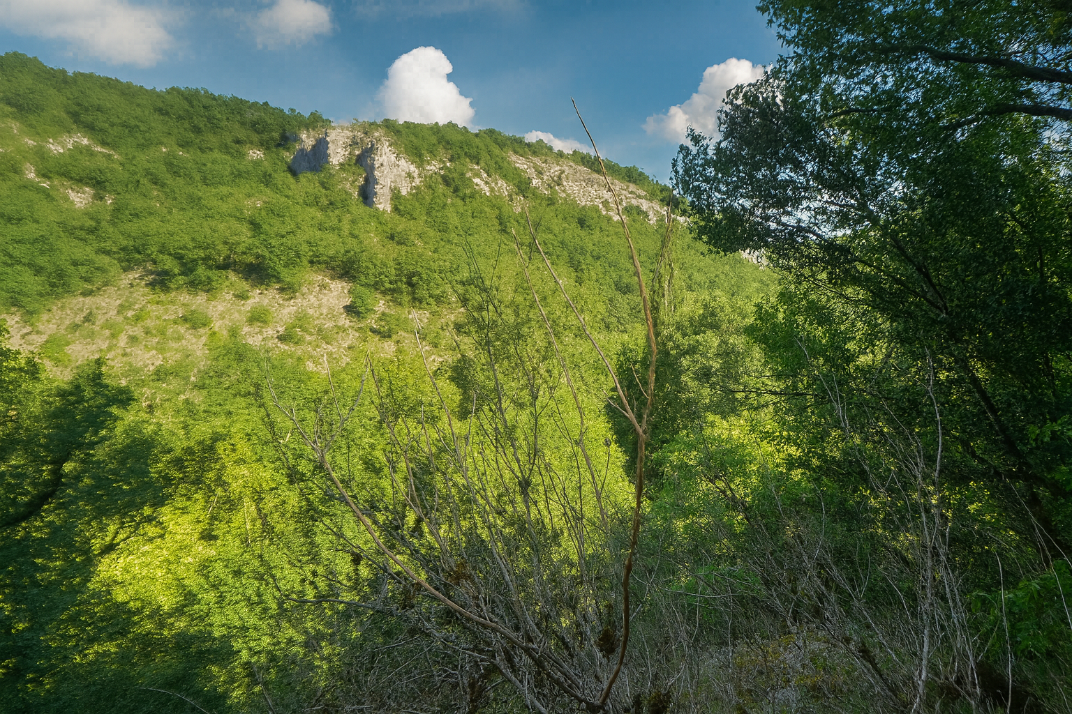
Behind the ash trees, slightly set back from the path, the landscape reveals itself in fragments, rugged contours, greyish cliffs and, in the distance, the faint line of the departmental road, glimpsed rather than ever fully seen. |
|
 |
 |
|
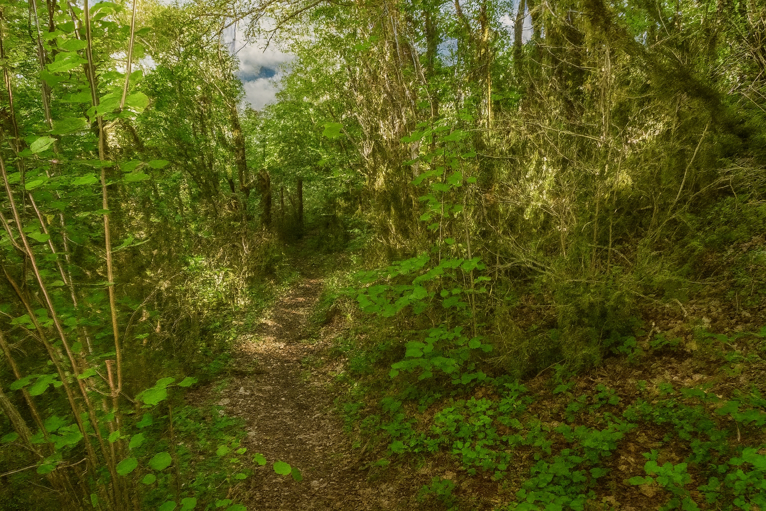
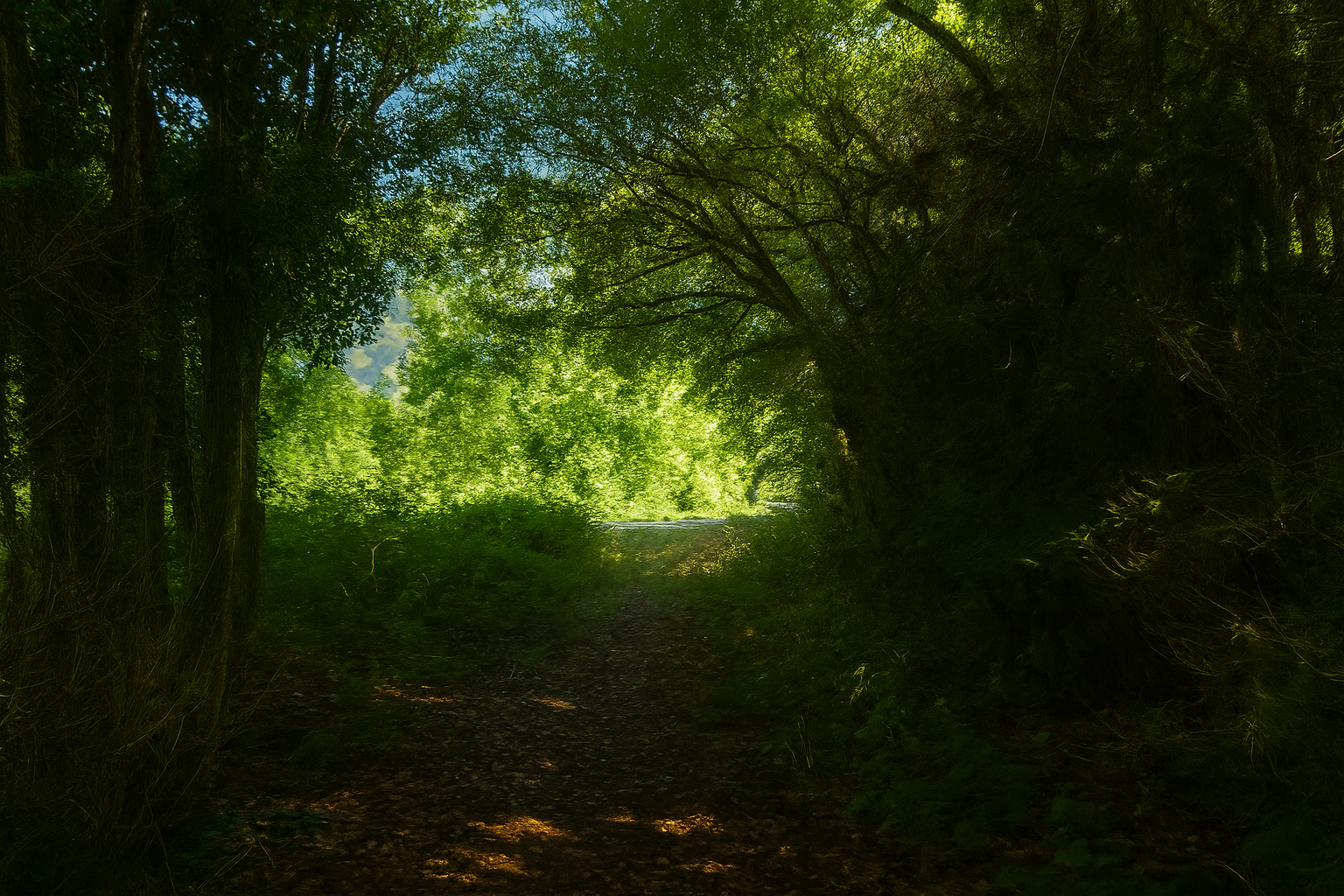
After a few more steps through this deep and mysterious landscape, the path eventually reaches the D653 departmental road. |
|
 |
 |
|
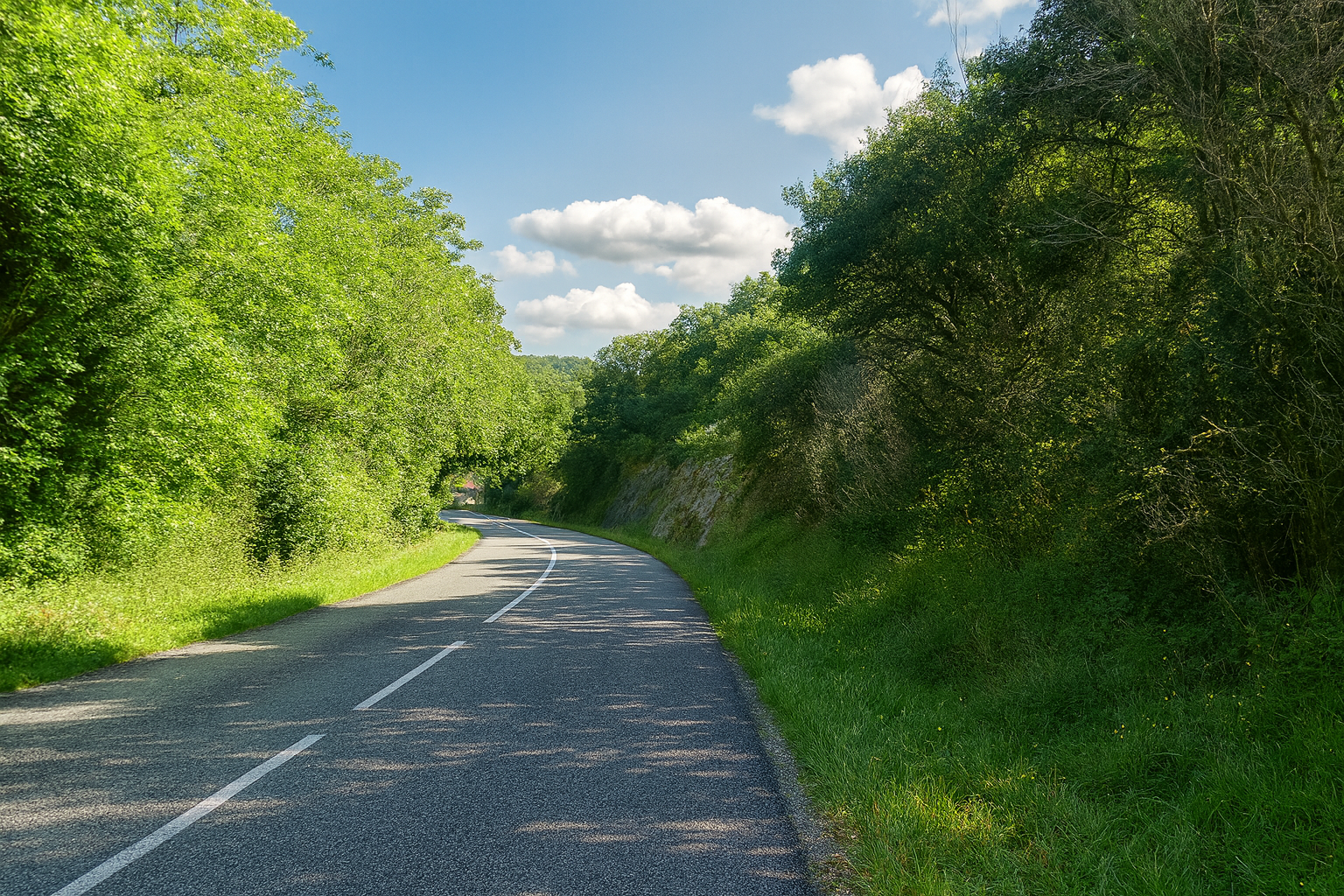
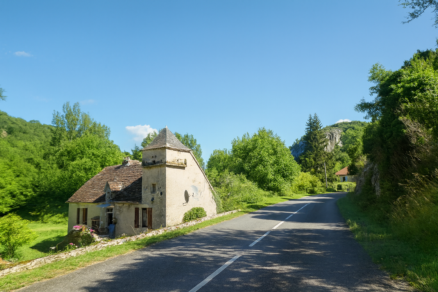
The route then follows a short stretch of asphalt towards the place known as Moulin de Guillot, offering a brief return to a more orderly world. |
|
 |
 |
|
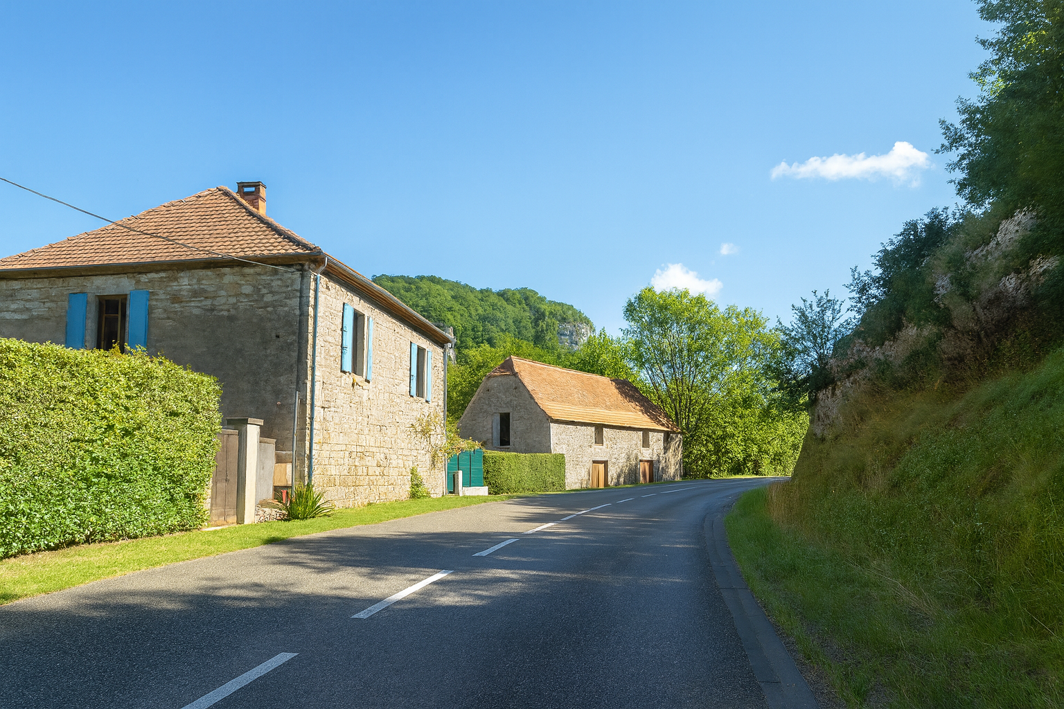
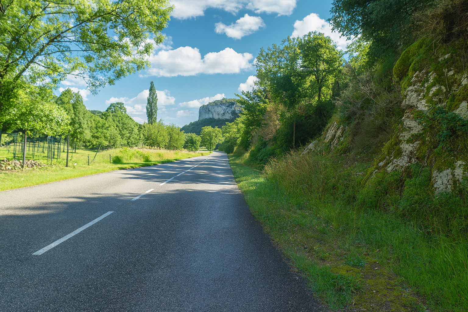
The landscape now softens, almost in contrast with everything that came before. Here and there, a few magnificent and rare stone houses appear, silent and precious witnesses to the architectural heritage of the Lot. |
|
 |
 |
|
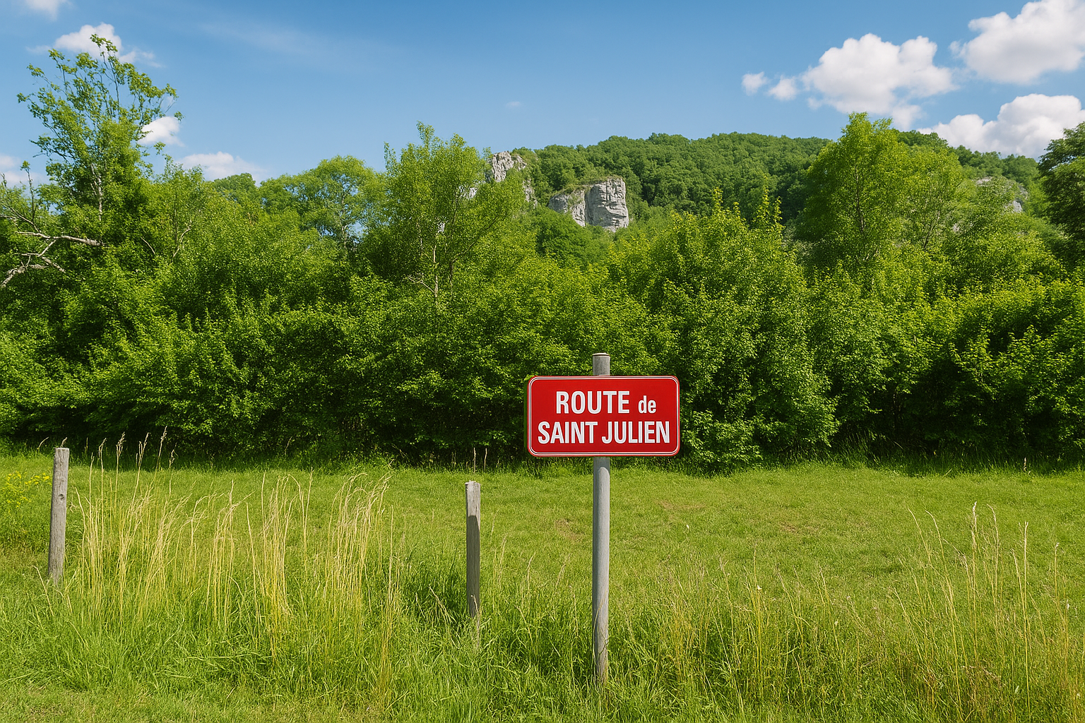
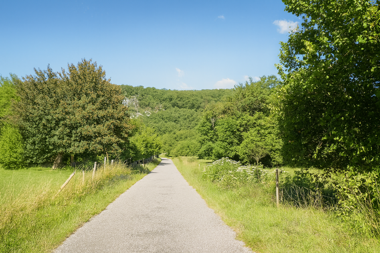
Shortly afterwards, the route turns left onto the “Route de Saint-Julien”, continuing its journey through a landscape woven with traces of memory. |
|
 |
 |
|
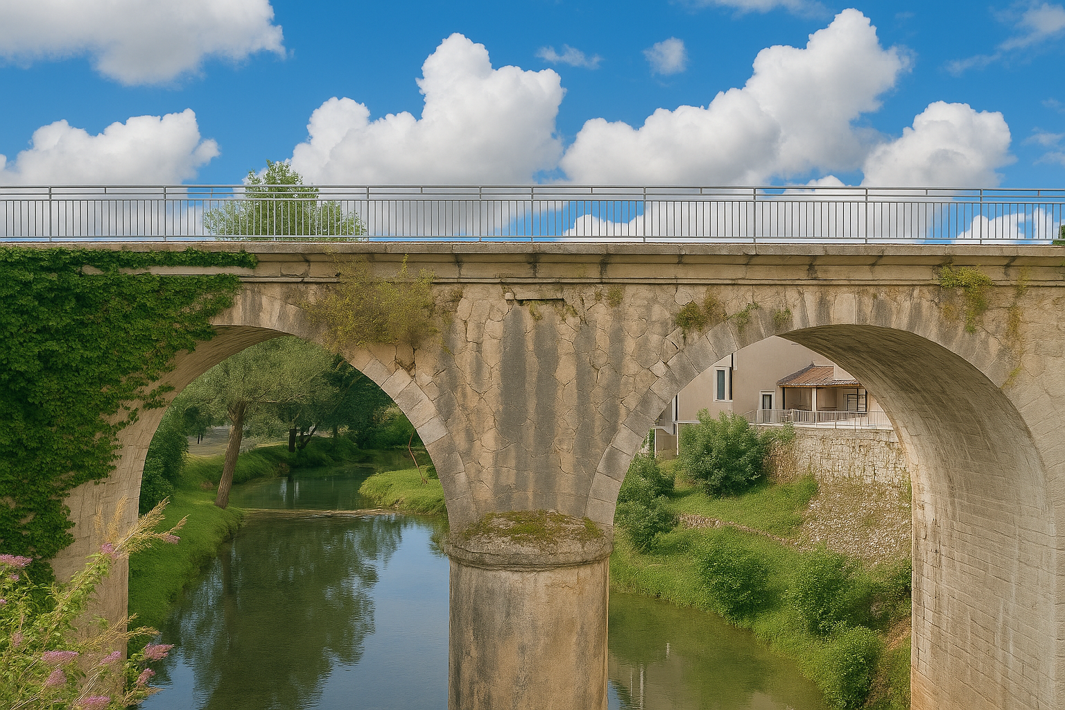
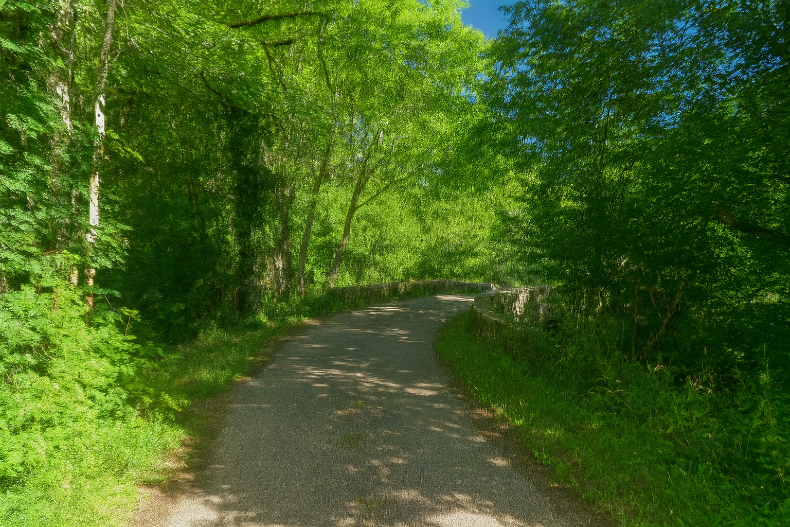
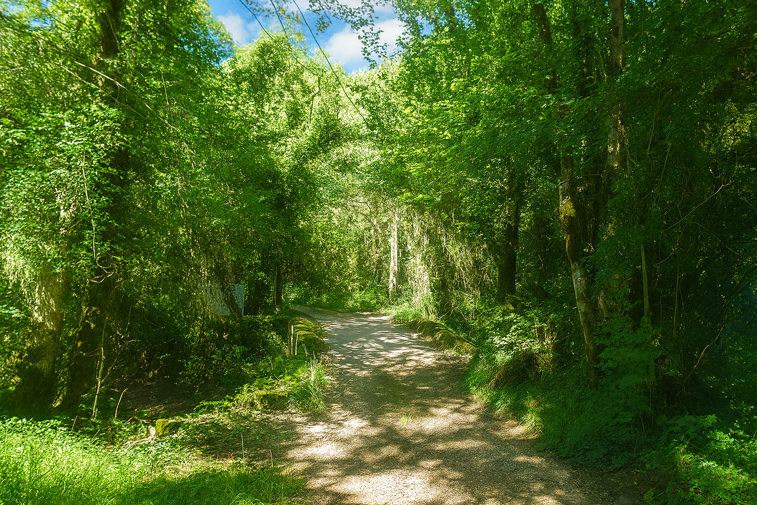
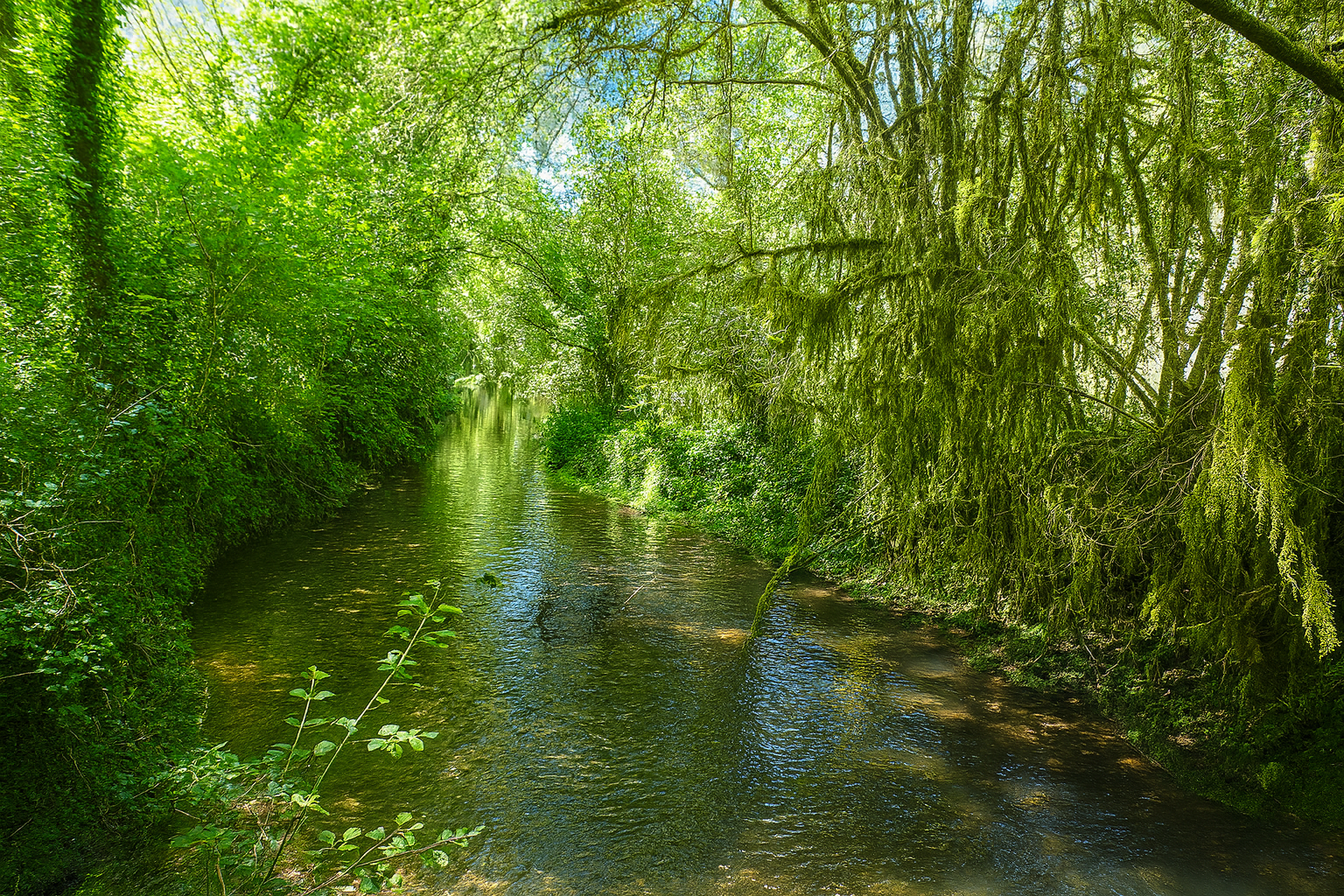
It then leaves the road to cross the Vers stream over an old stone bridge, resting there like a link between two banks in a landscape of almost unreal gentleness, filled with quiet charm. |
|
 |
 |
 |
 |
|
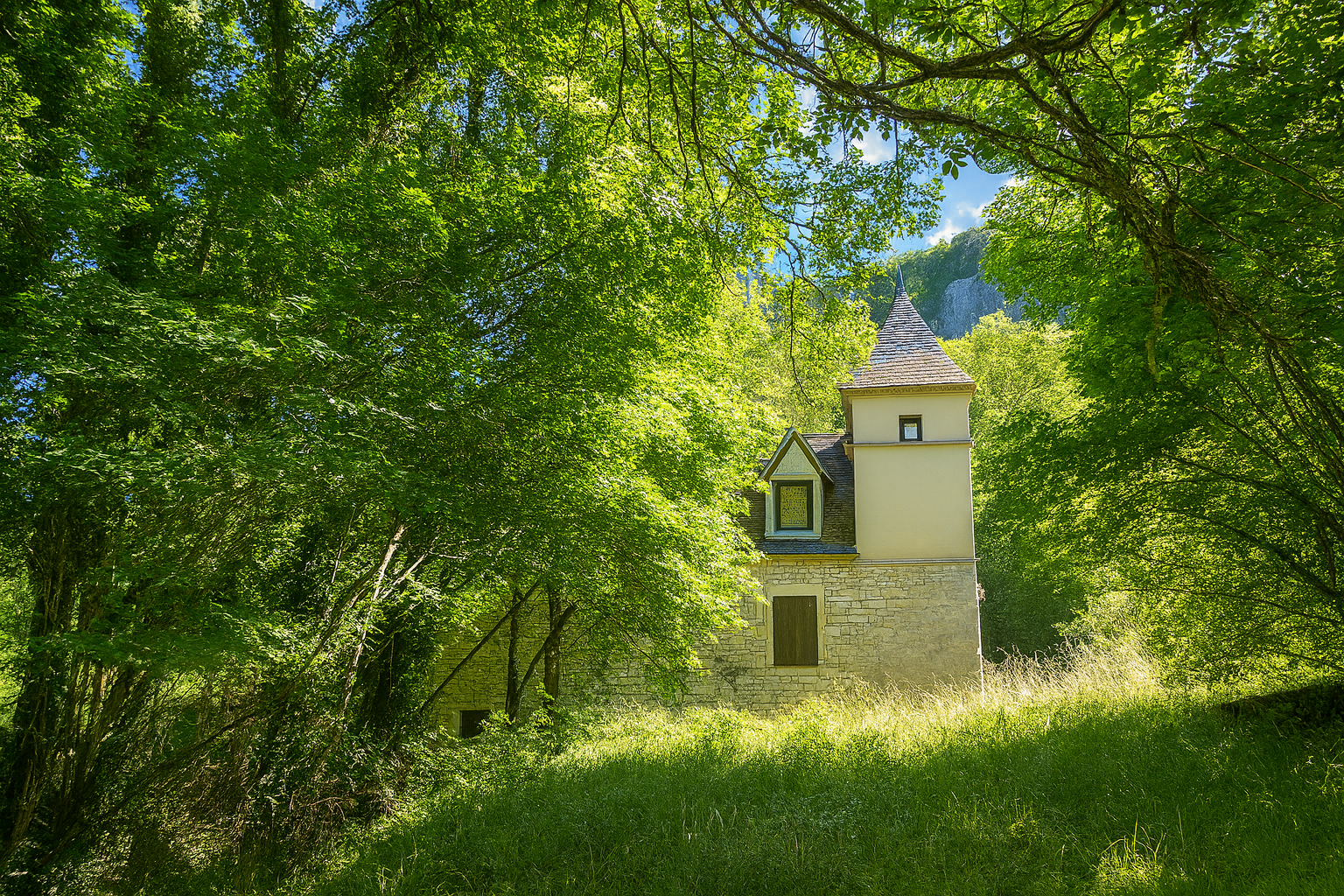
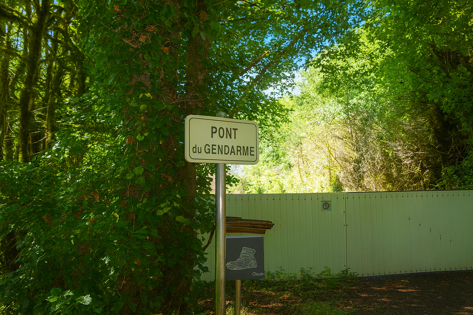
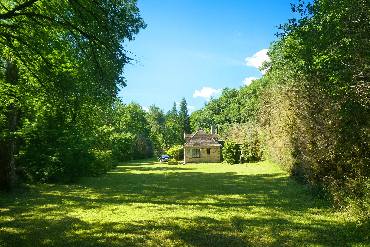
The route then changes streams, crossing the Rauze steam, which mingles its waters with those of the Vers here at the Pont du Gendarme. The setting becomes delightfully bucolic, almost idyllic, with a beautiful stone house nestled in a clearing as though sheltered from the outside world. It is remarkable how, in the space of just a few steps, the landscape can be transformed, becoming more orderly, more peaceful, almost domesticated, while remaining deeply rooted in the surrounding wilderness. |
|
 |
 |
|
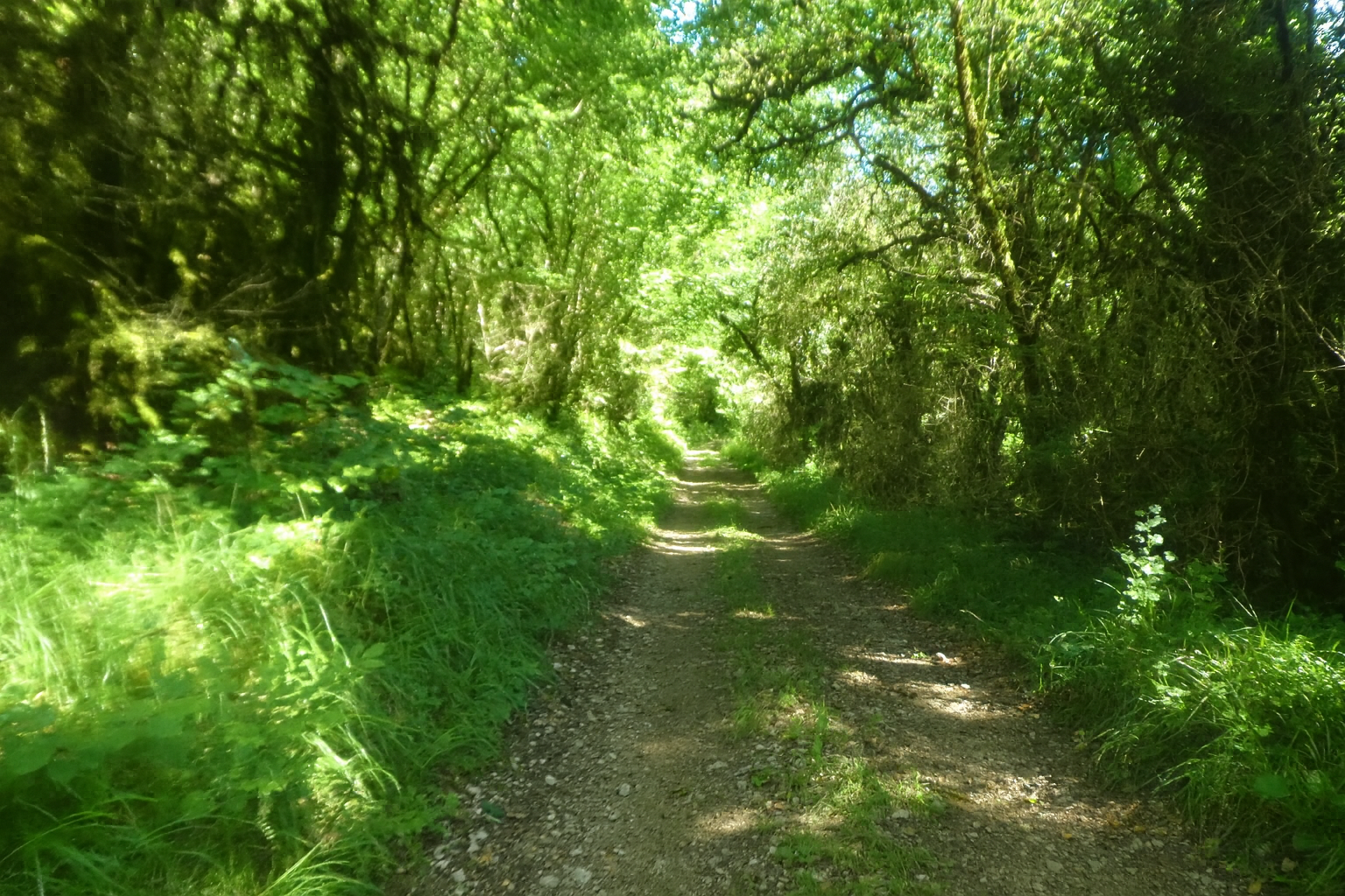
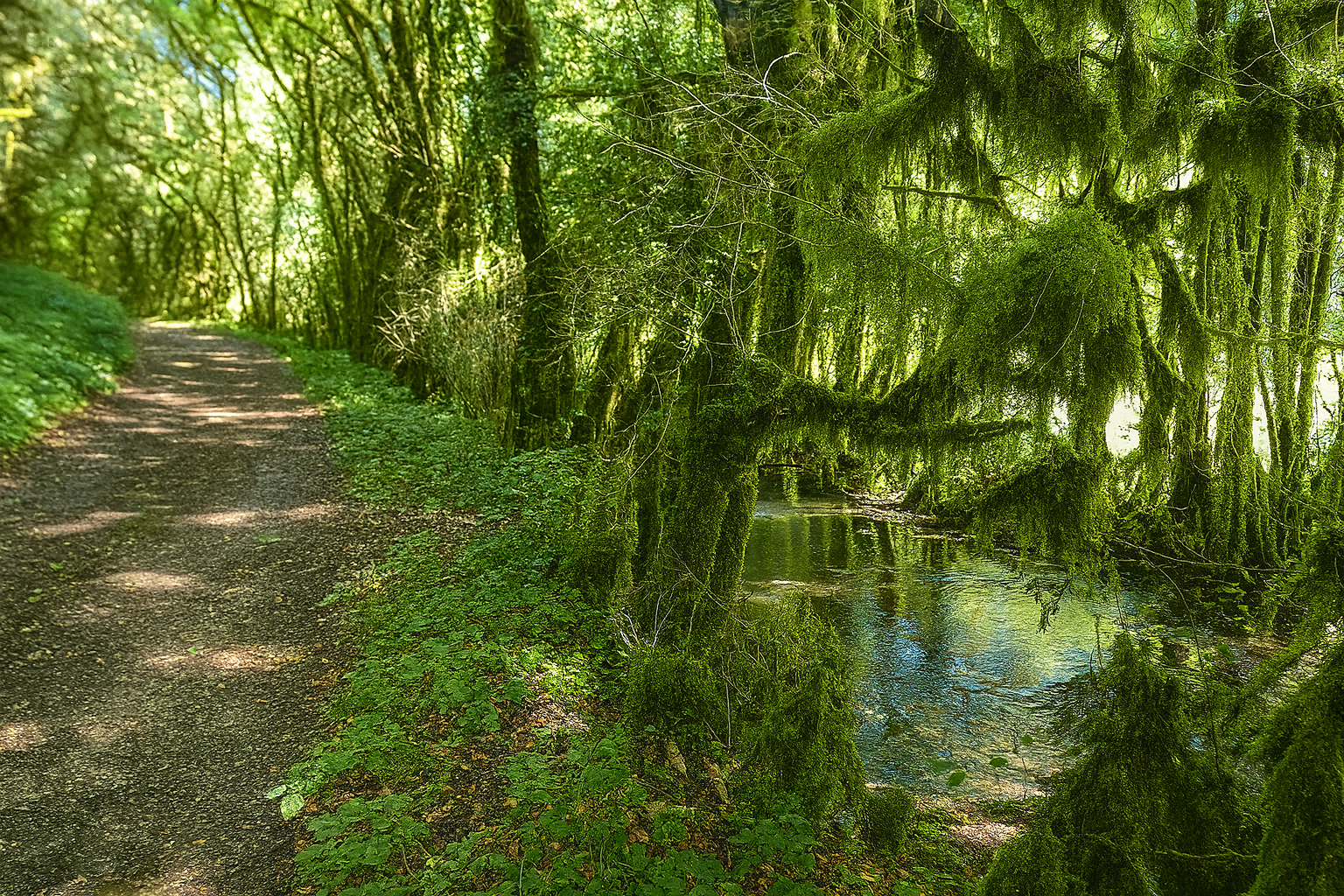
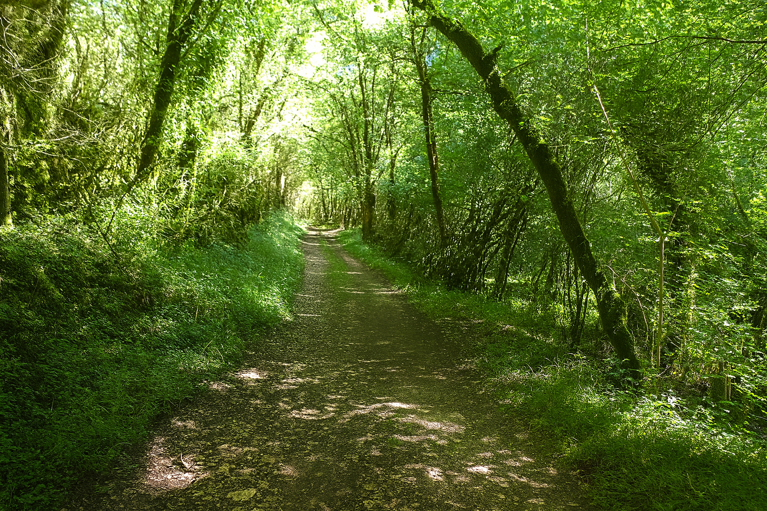
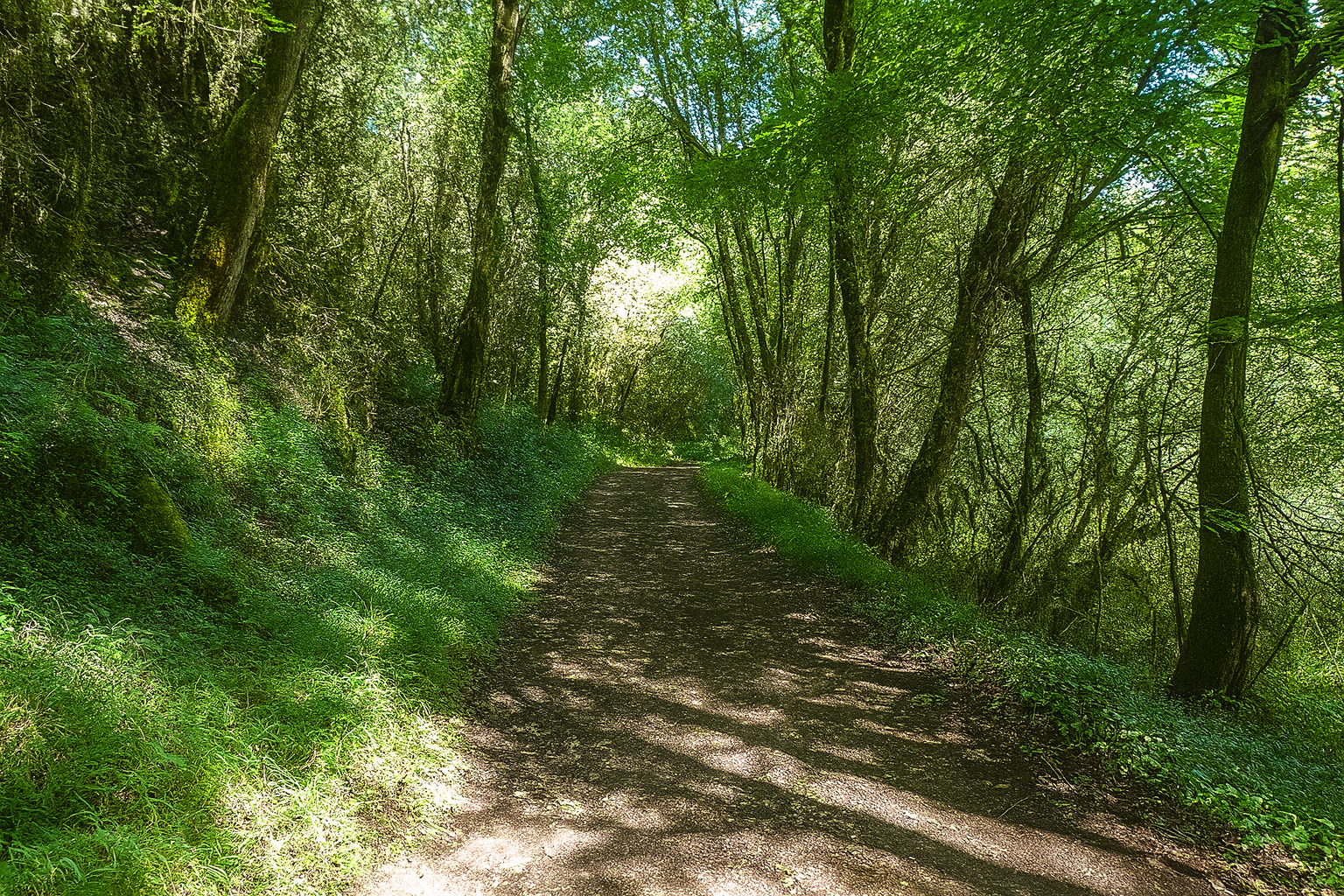
But this gentle interlude quickly fades. The path immediately returns to wilder surroundings, following the stream, whose presence is sensed more often than seen through its murmurs and fleeting glimmers of water between the leaves. |
|
 |
 |
 |
 |
Section 3: Along the Rauze stream before the climb to Cras
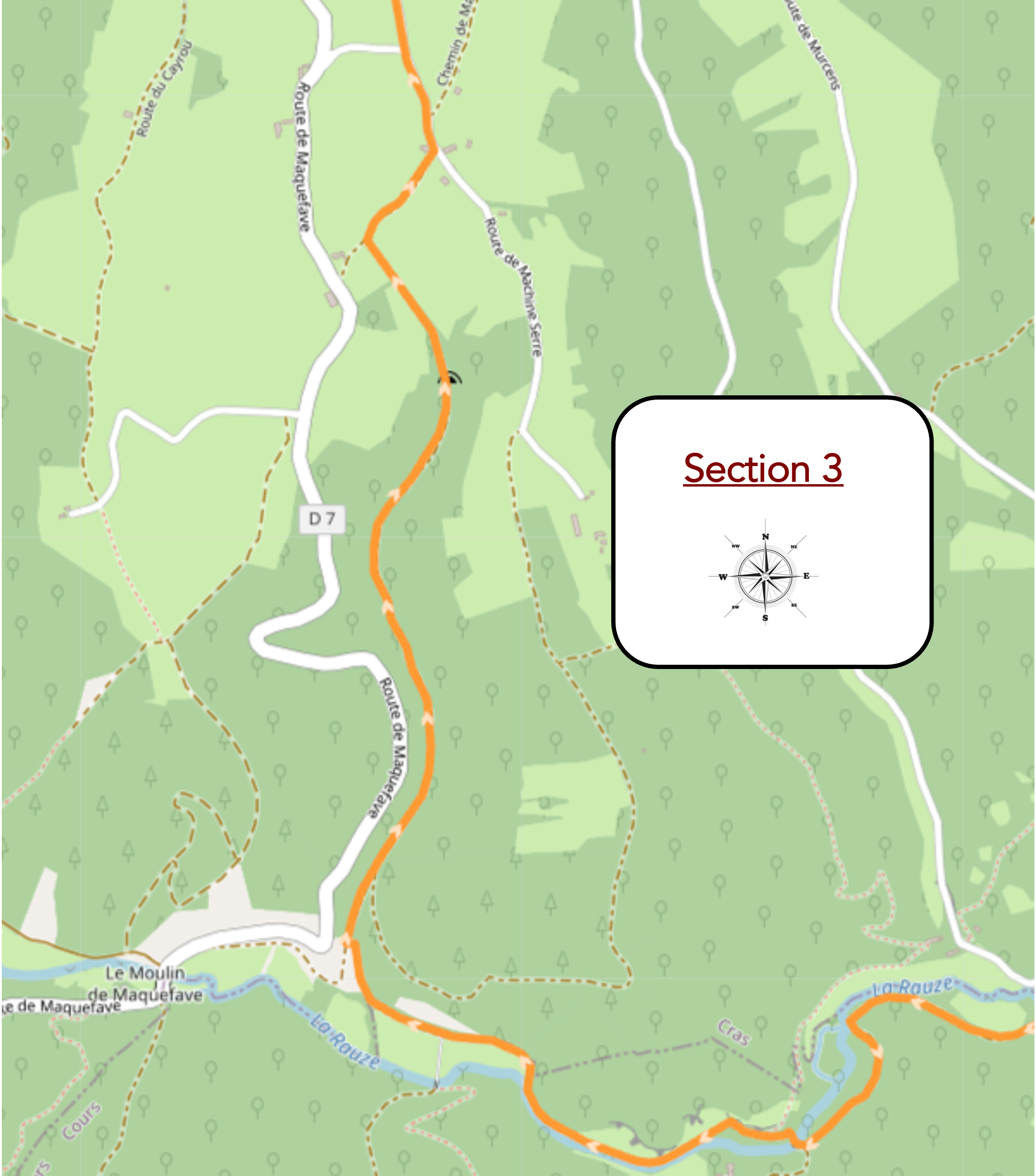
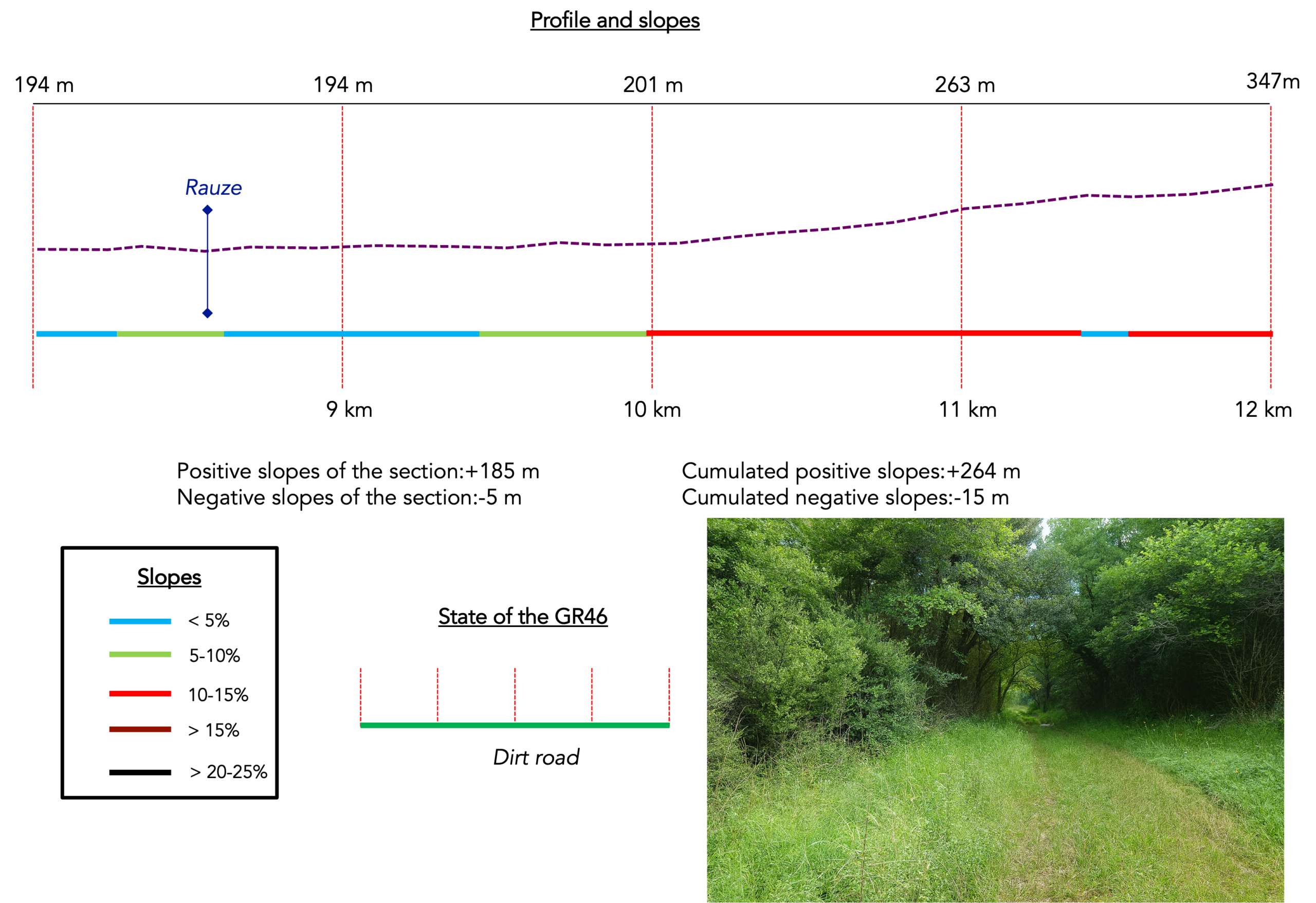
Overview of route’s challenges : The route becomes more rugged, with some steep gradients.
|
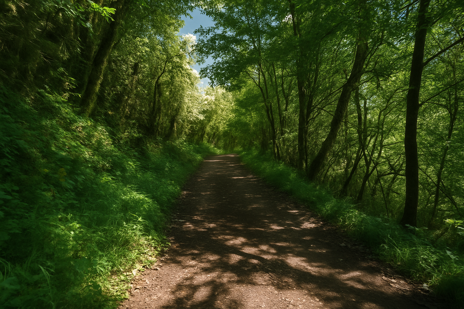
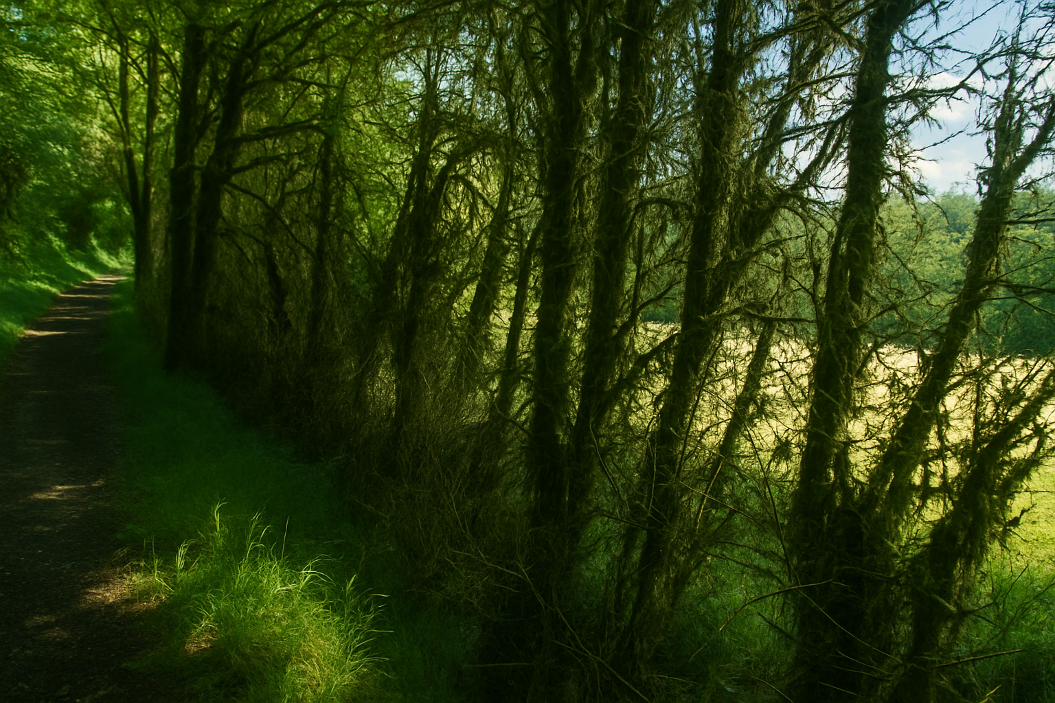
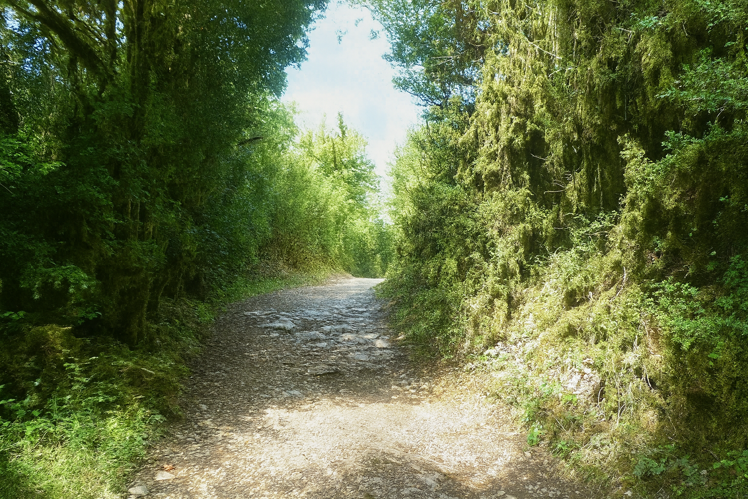
The path does not remain beside the stream for long. It often wanders away from it, venturing through wooded clearings where the light filters through only sparingly. |
|
 |
 |
|
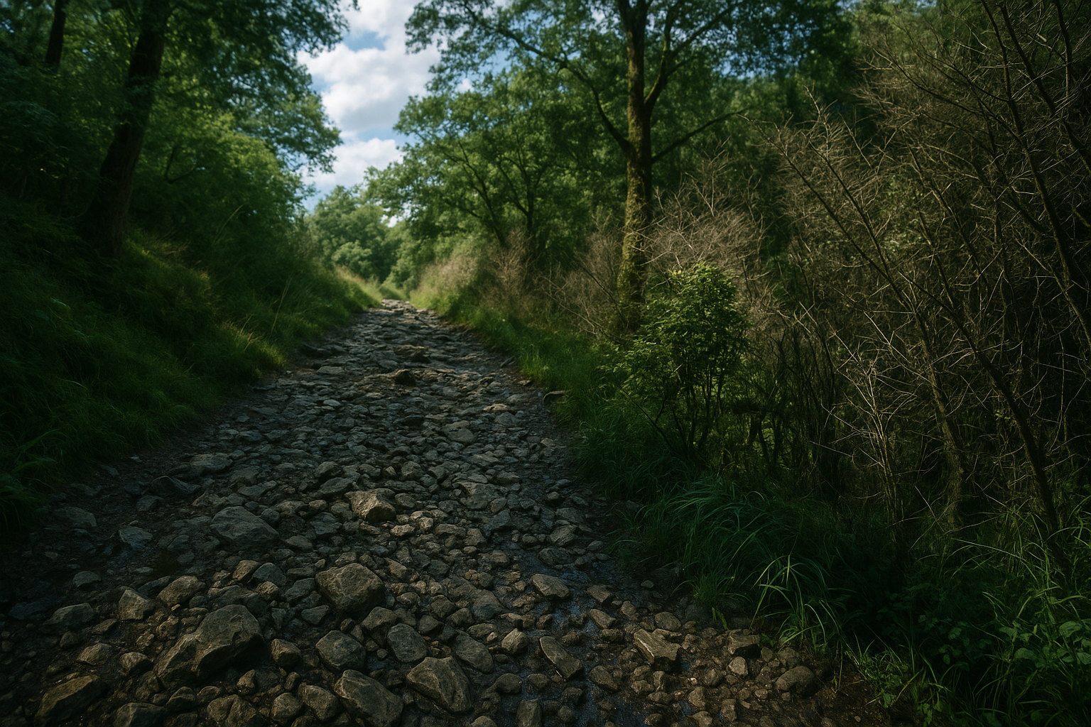
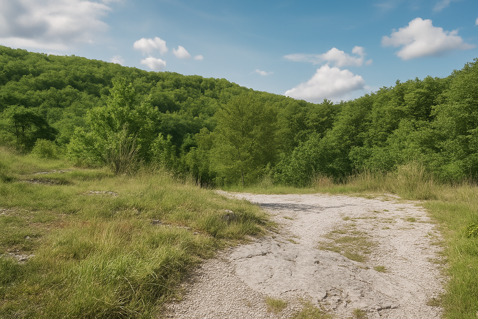
It even crosses a fine stretch of scree before running alongside outcrops of schist. Yet the route remains relatively gentle here, nestled within the sheltered contours of the wild valley. |
|
 |
 |
|
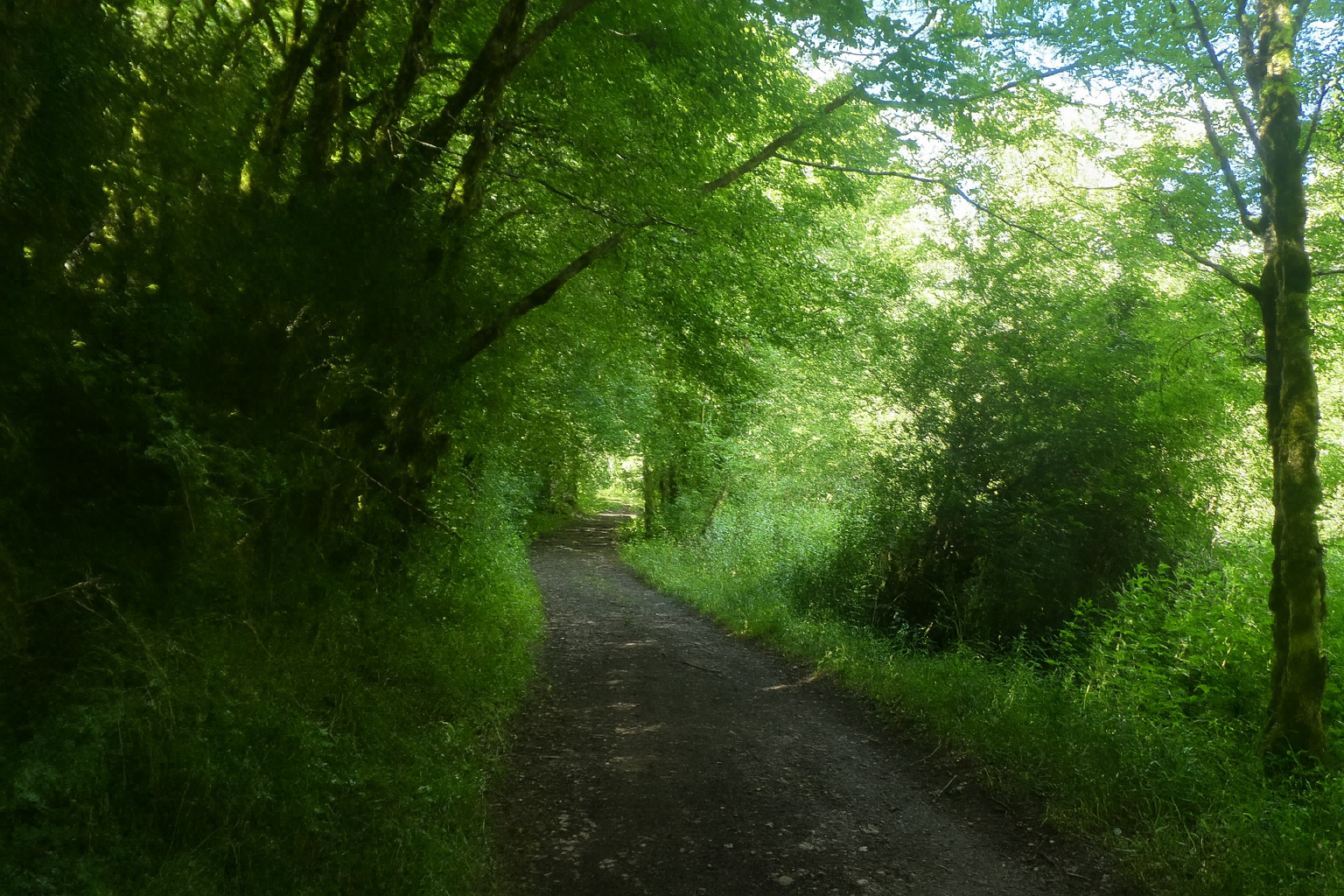
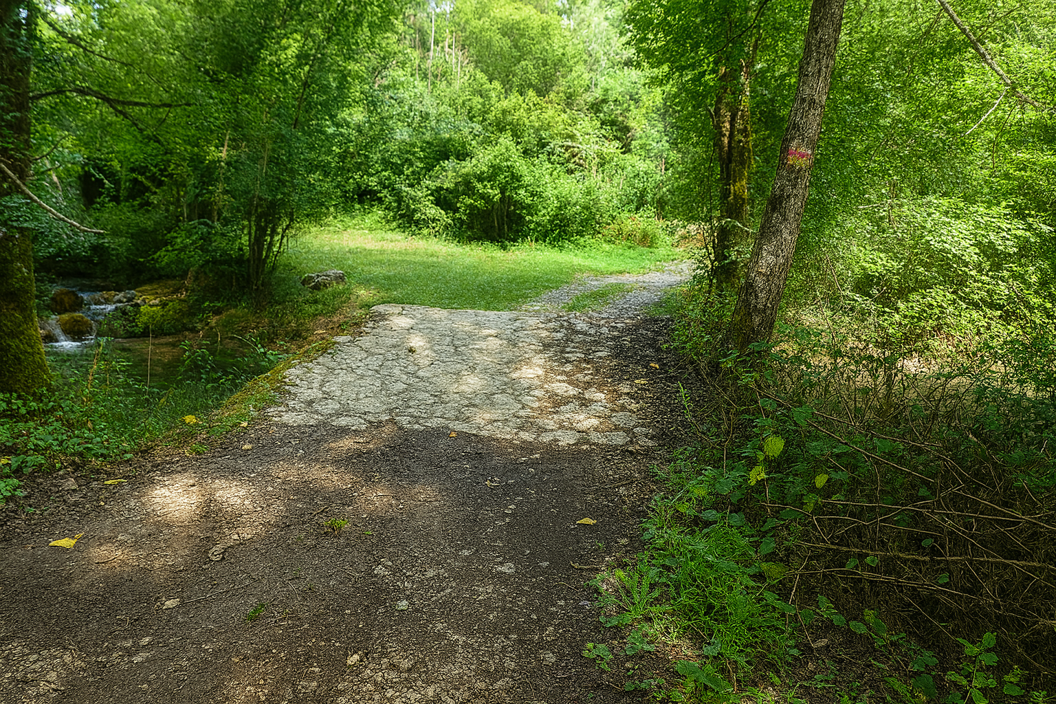
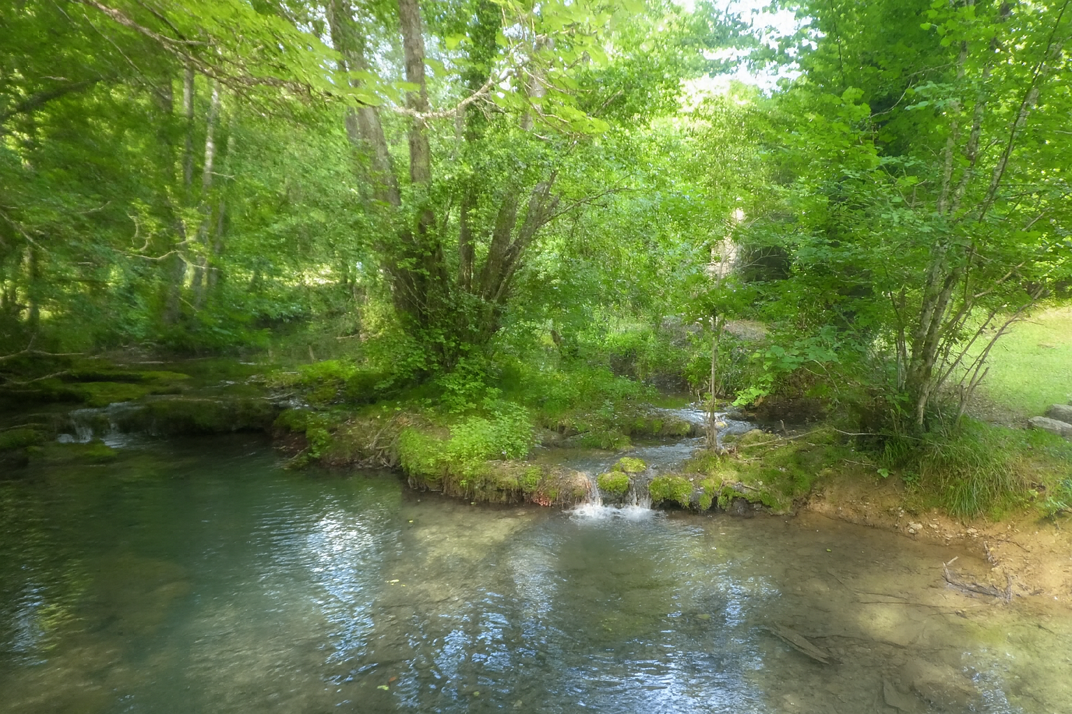
Then comes a more peaceful interlude as the path crosses the Rauze, which can be glimpsed slipping lightly between the stones with a gentle murmur. |
|
 |
 |
 |
 |
|
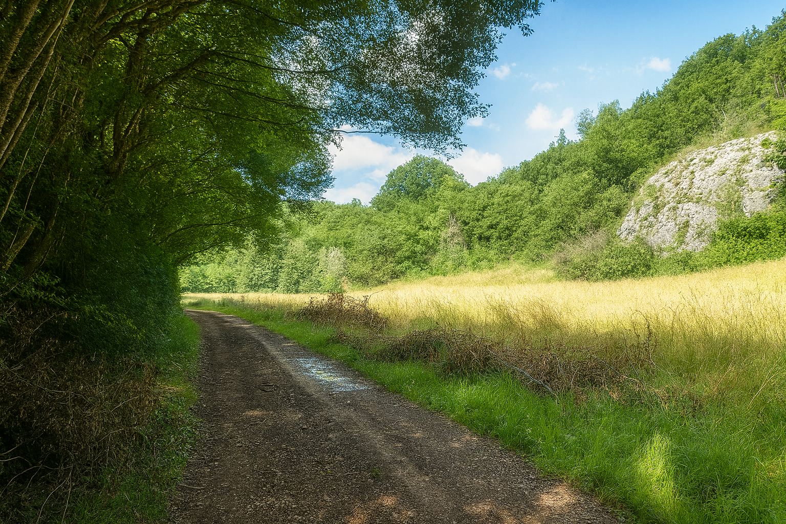
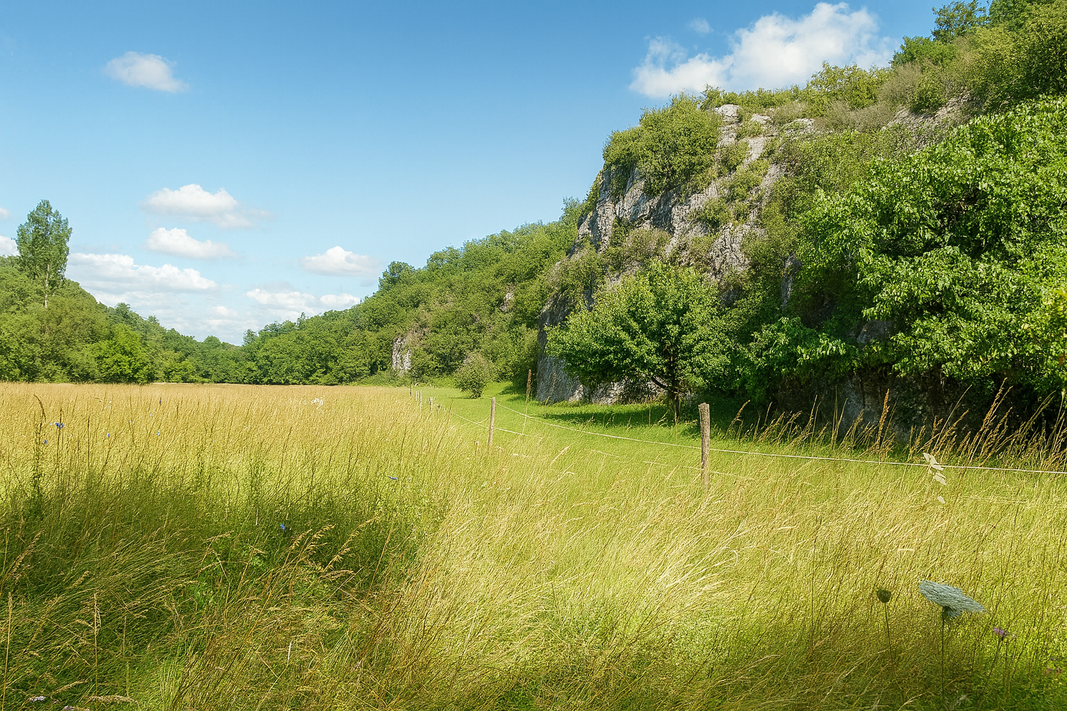
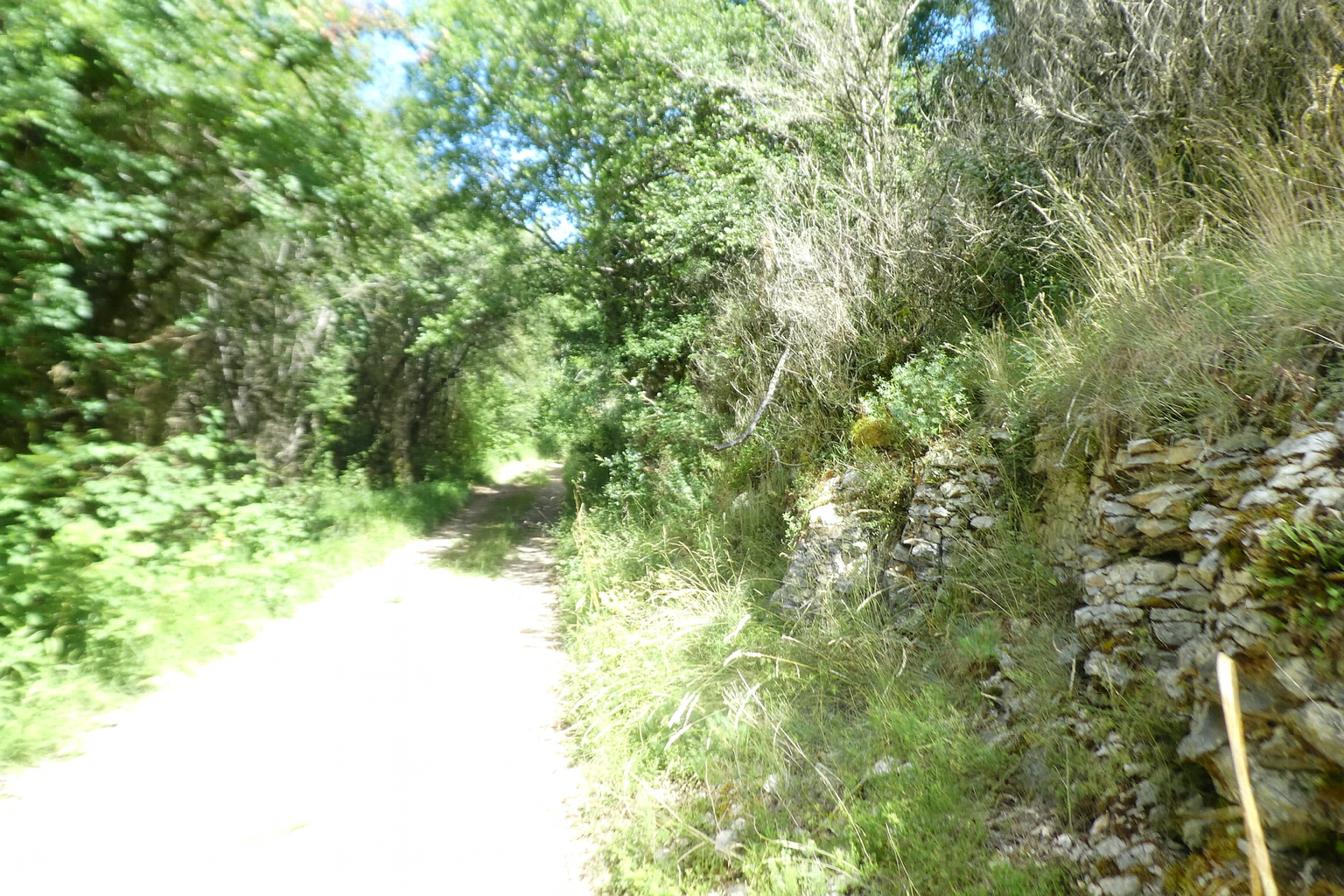
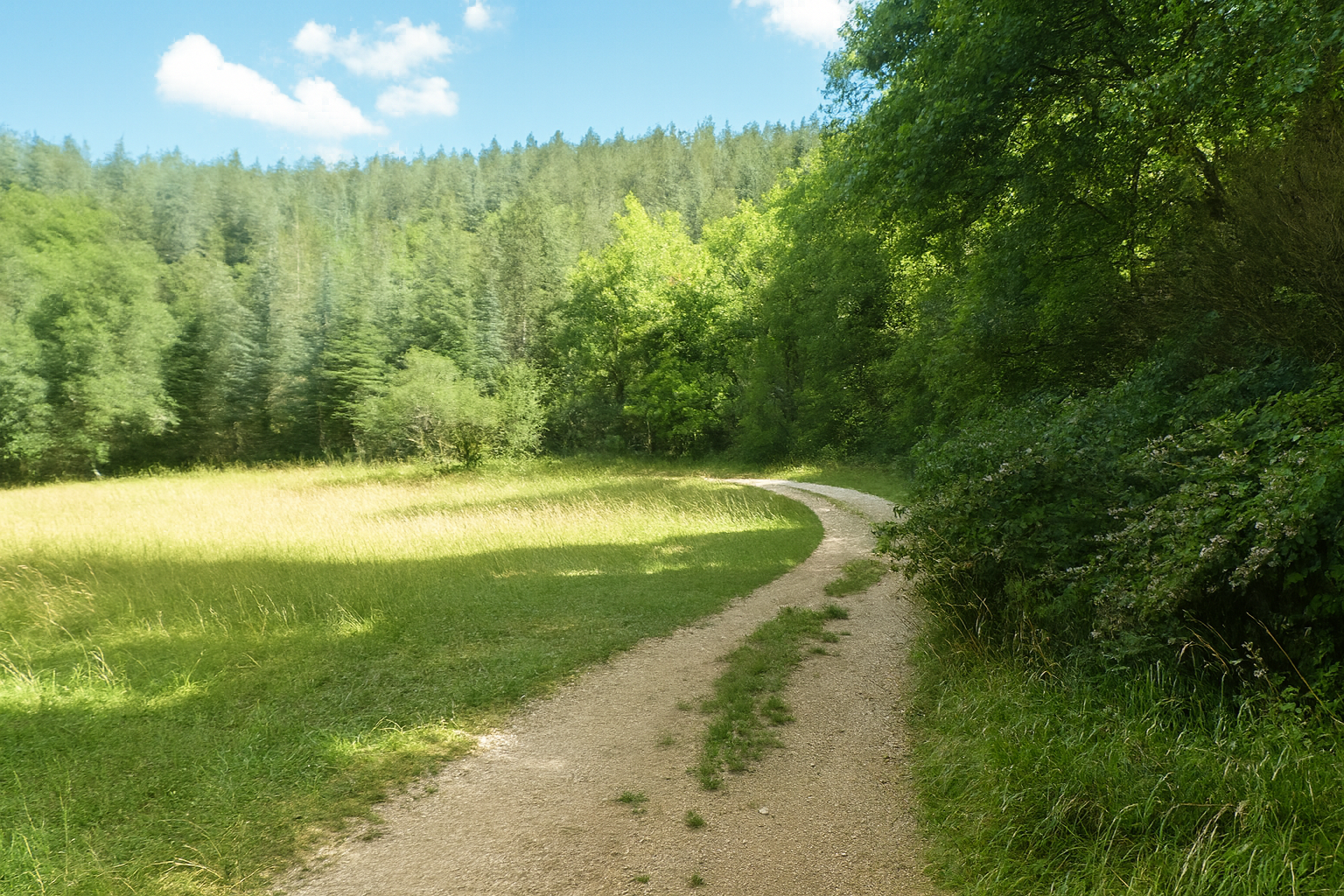
Before long, the stream disappears from view, and the path winds through meadows at the foot of cliffs that, far from seeming austere, appear almost benevolent here, gentle and soothing. |
|
 |
 |
 |
 |
|
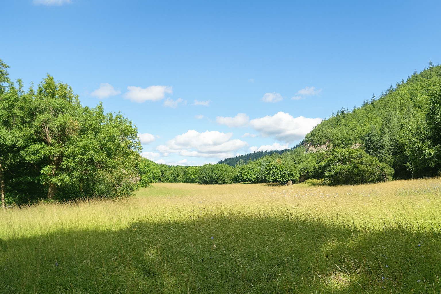
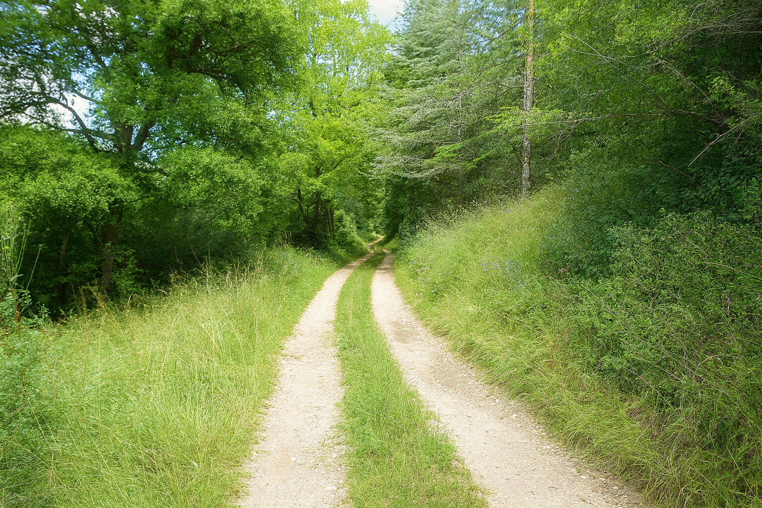
It is as though nature itself had suddenly grown calmer, opening onto a broader, almost luminous horizon. |
|
 |
 |
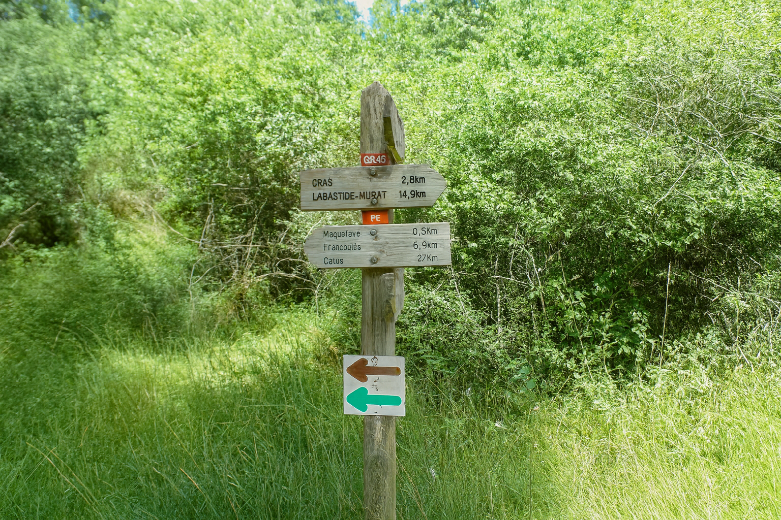
Farther on, a junction appears, with a sign indicating the village of Cras 2.8 kilometers away. The route then turns to the right, leaving the Rauze Valley behind as one might leave a familiar world to enter another.
|
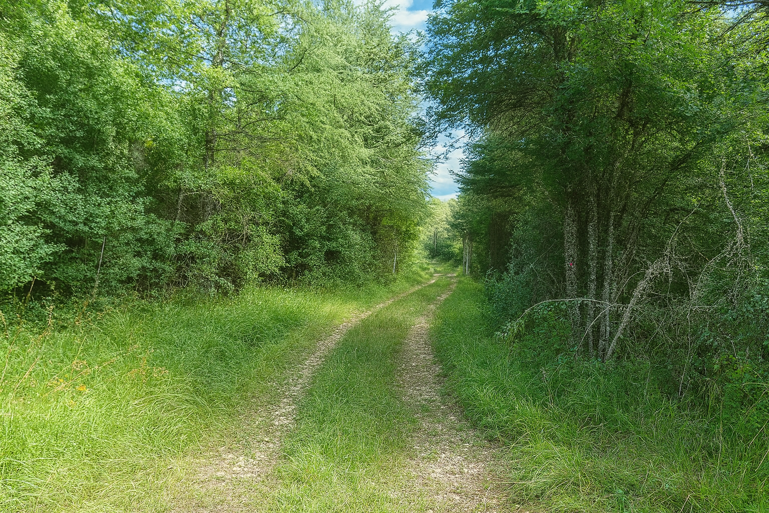
The path then subtly changes the character of the landscape through which it passes. The vegetation of the Causse de Gramat bears the unmistakable imprint of a harsh land shaped by stone, with dry, shallow limestone soils where the forest can never flourish entirely freely and must constantly adapt to its constraints. Downy oaks, gnarled and resilient, accompanied by Montpellier maples forming open woodland, now seem gradually to fade away. In the shelter of the humid valleys, where water lingers more readily than one might imagine, maples, alders and beeches have found refuge, lending the landscape a cooler and almost unexpected character. |
|
 |
 |
|
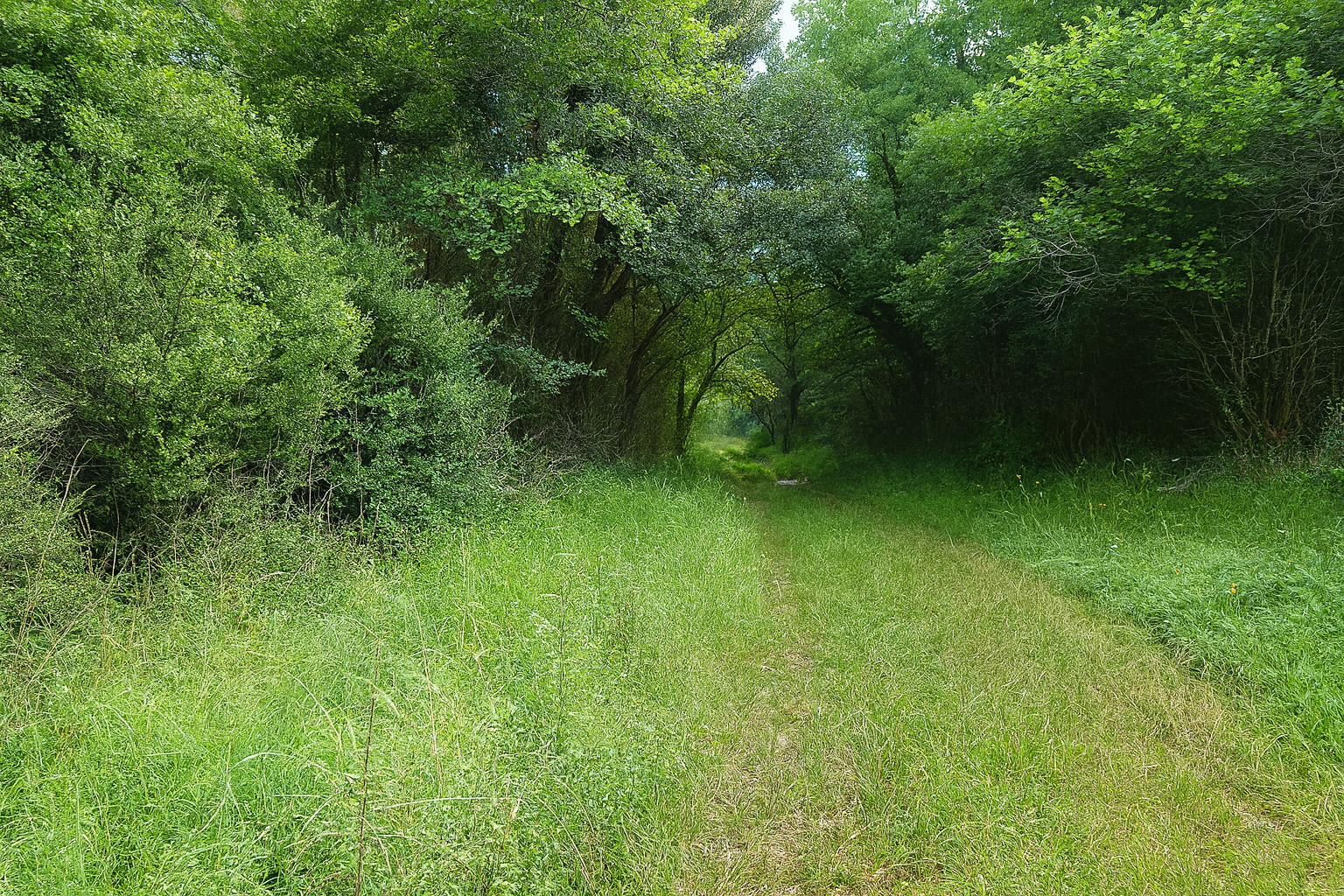
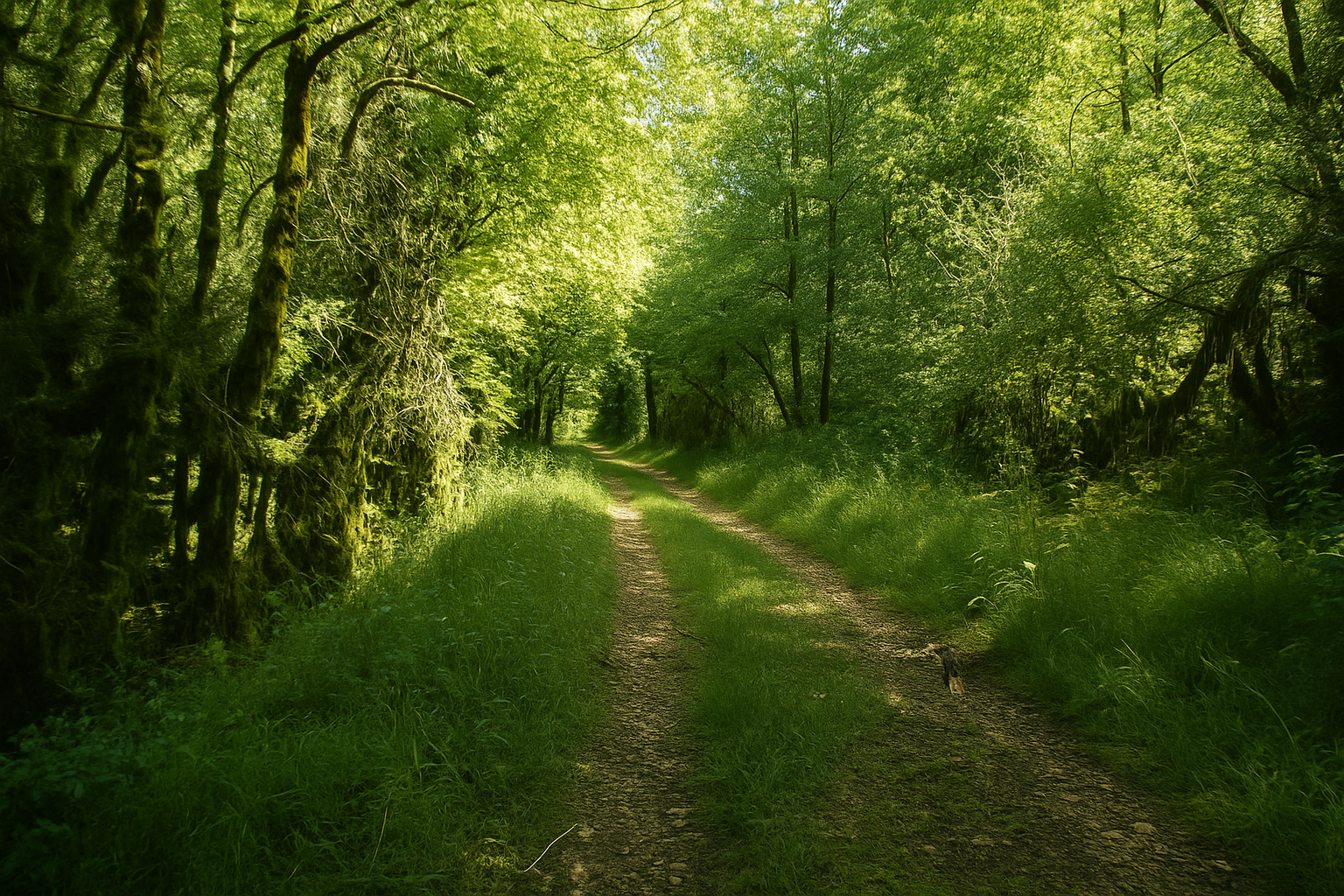
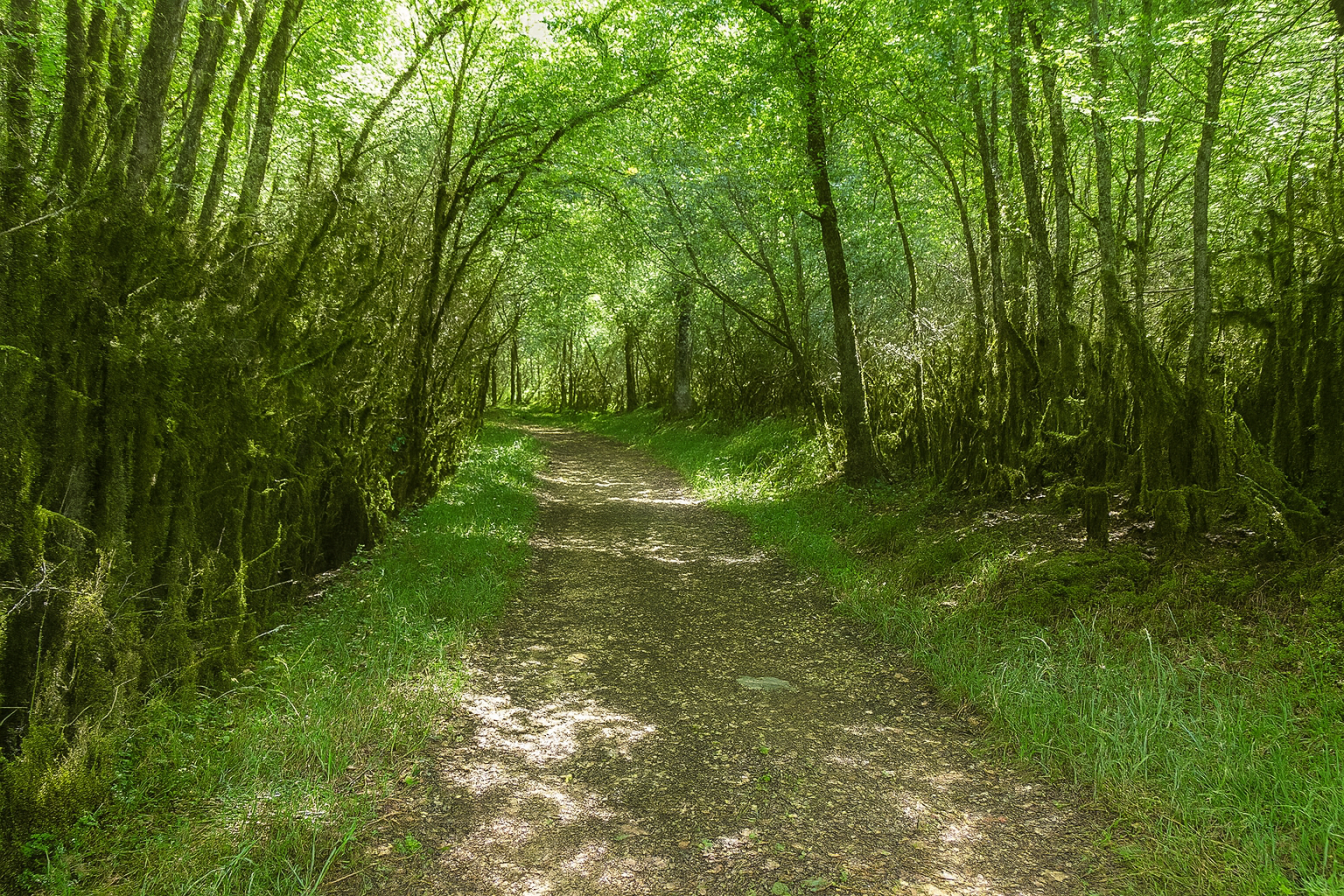
The path then ventures deeper into dense woodland, where the light struggles to penetrate and the atmosphere becomes increasingly hushed. |
|
 |
 |
|
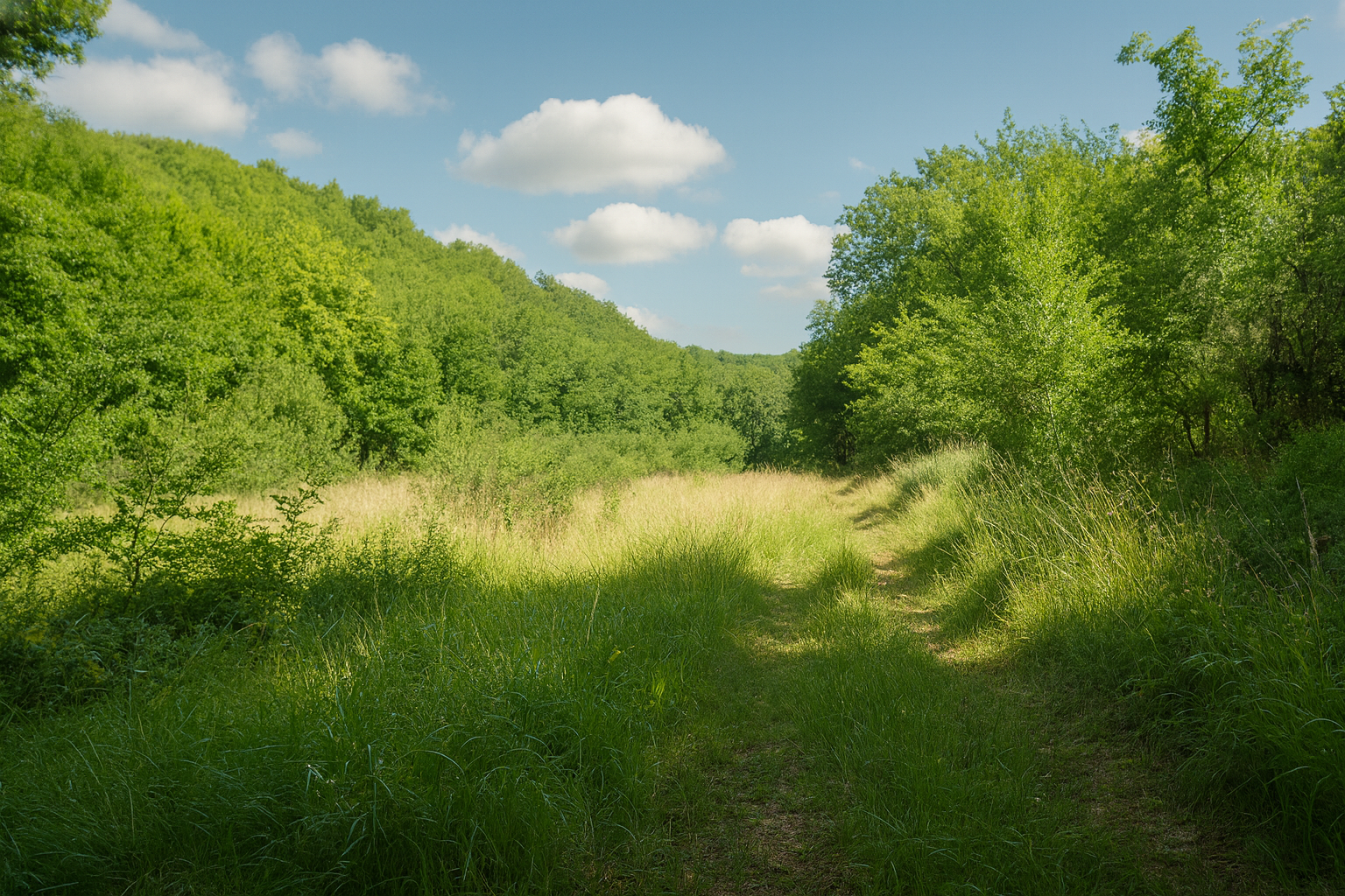
Higher up, however, the landscape opens once again. The Causse de Gramat reveals all its contrasts, constantly shifting between ruggedness and delicacy, between mineral austerity and the richness of the living world. The path climbs through dry grasslands, across short grass where thyme and thorny bushes form a discreet carpet of vegetation perfectly adapted to the arid conditions. |
|
 |
 |
|
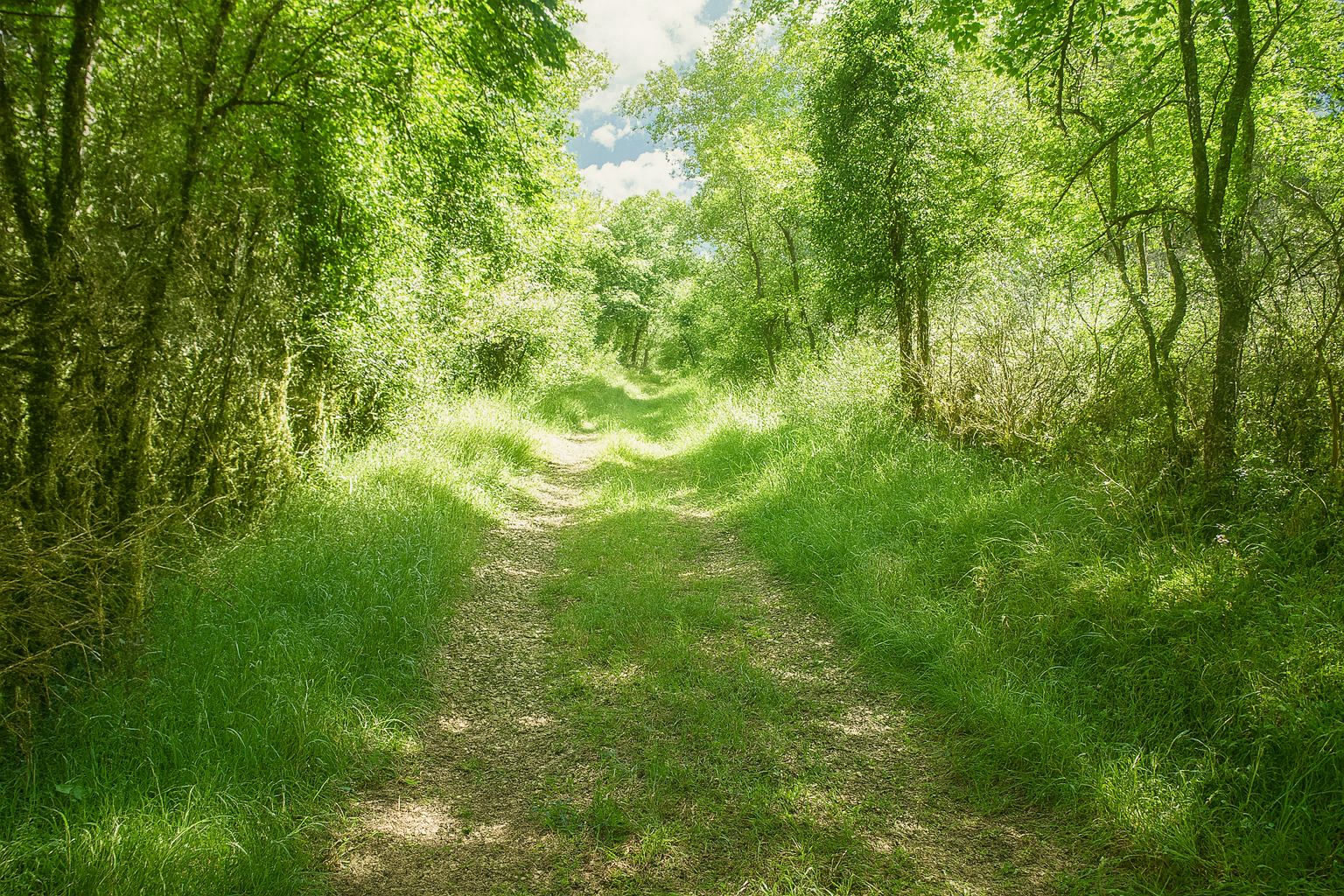
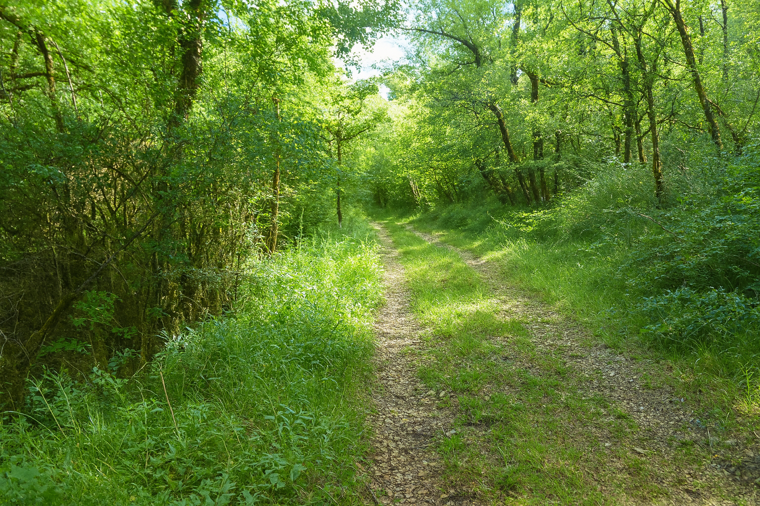
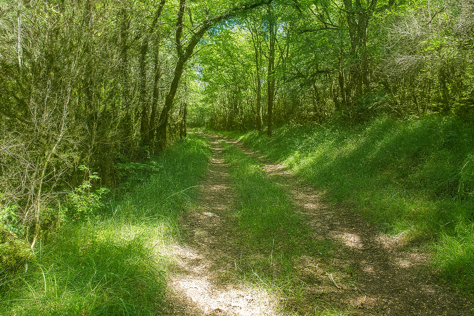
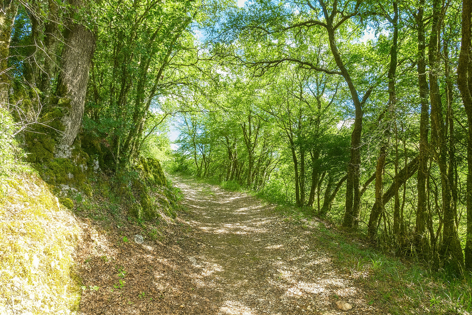
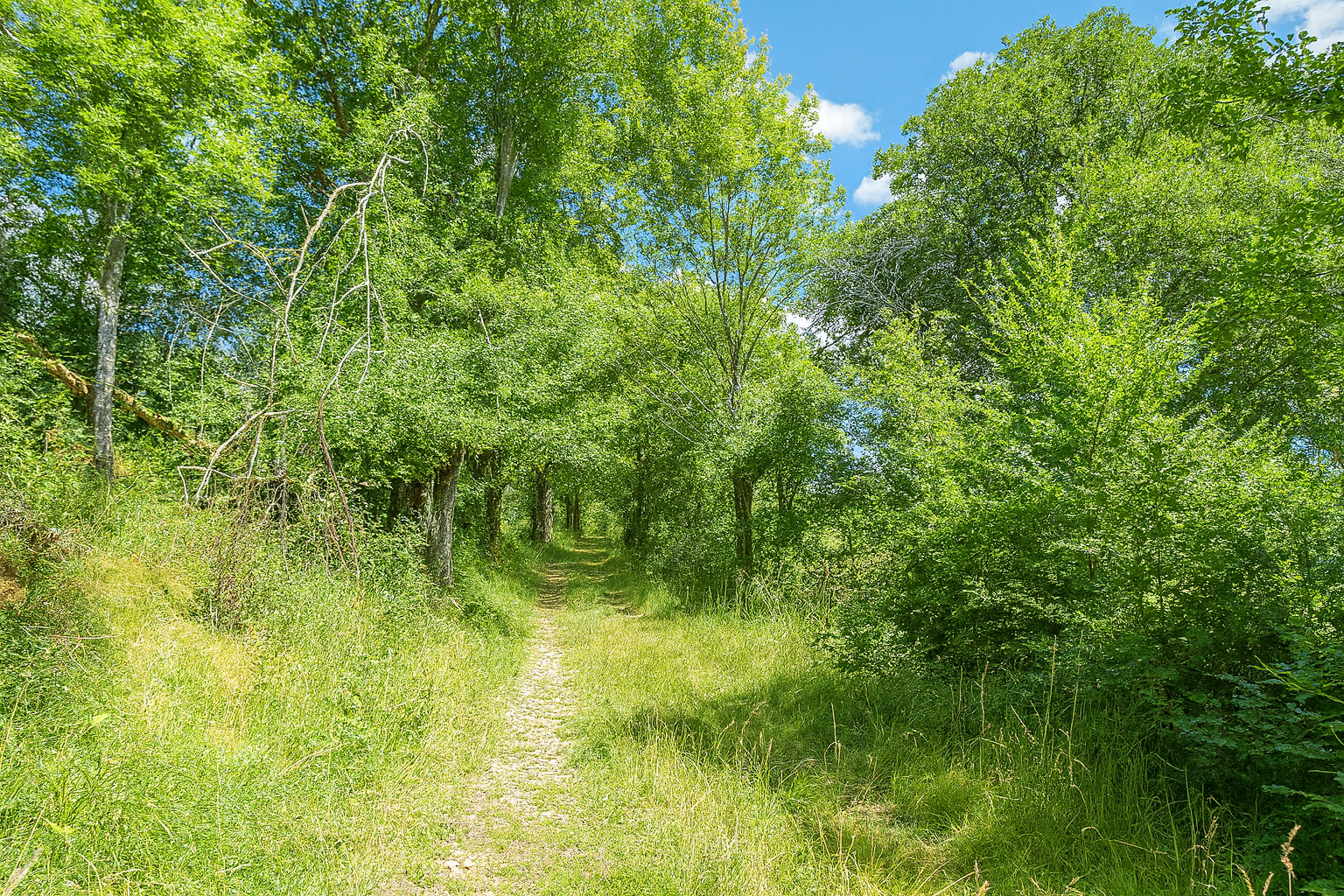
And so, from clearing to woodland, the path continues through this contrasting world as the gradient becomes more demanding, now reaching inclines of 10 to 15%, requiring a more sustained effort from the walker. |
|
 |
 |
 |
 |
|
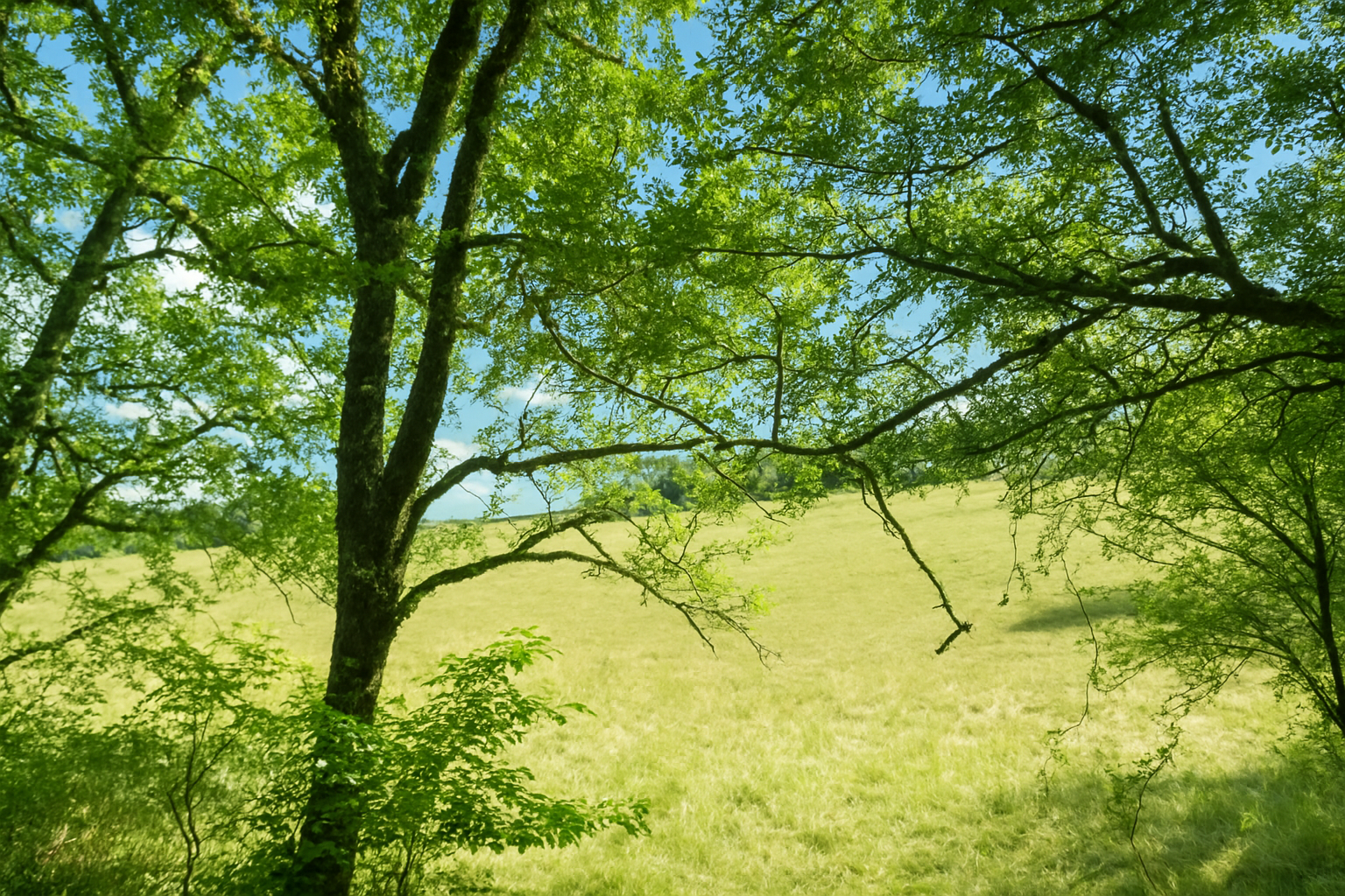
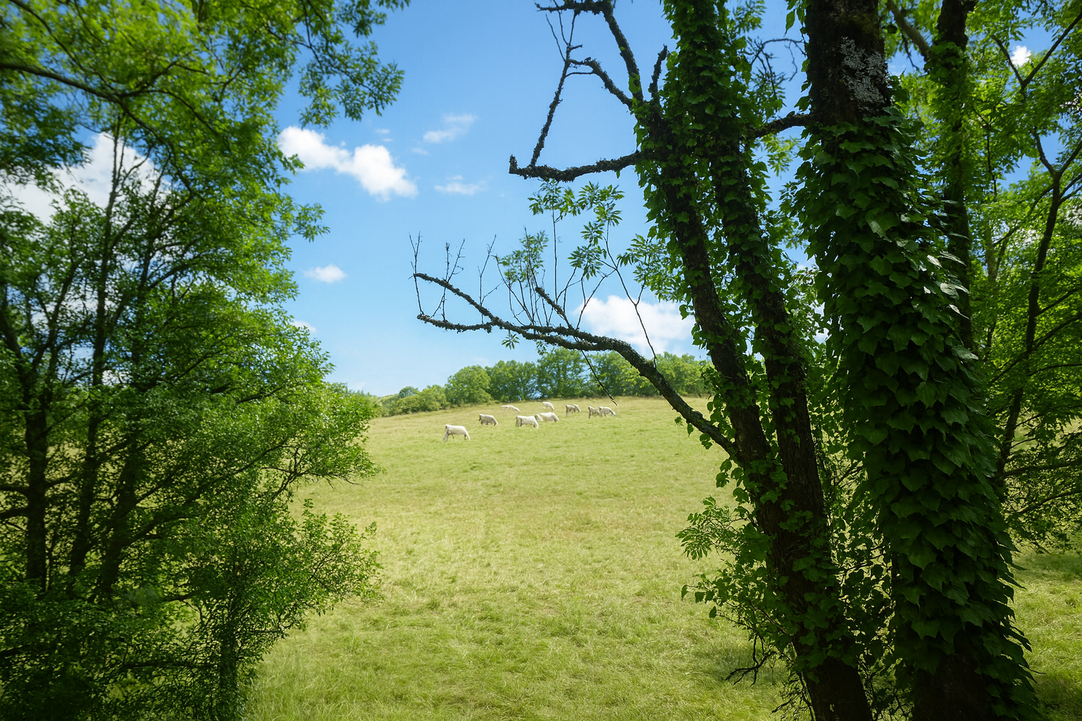
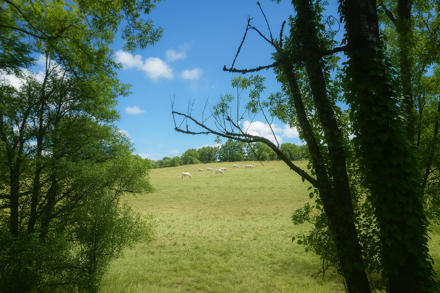
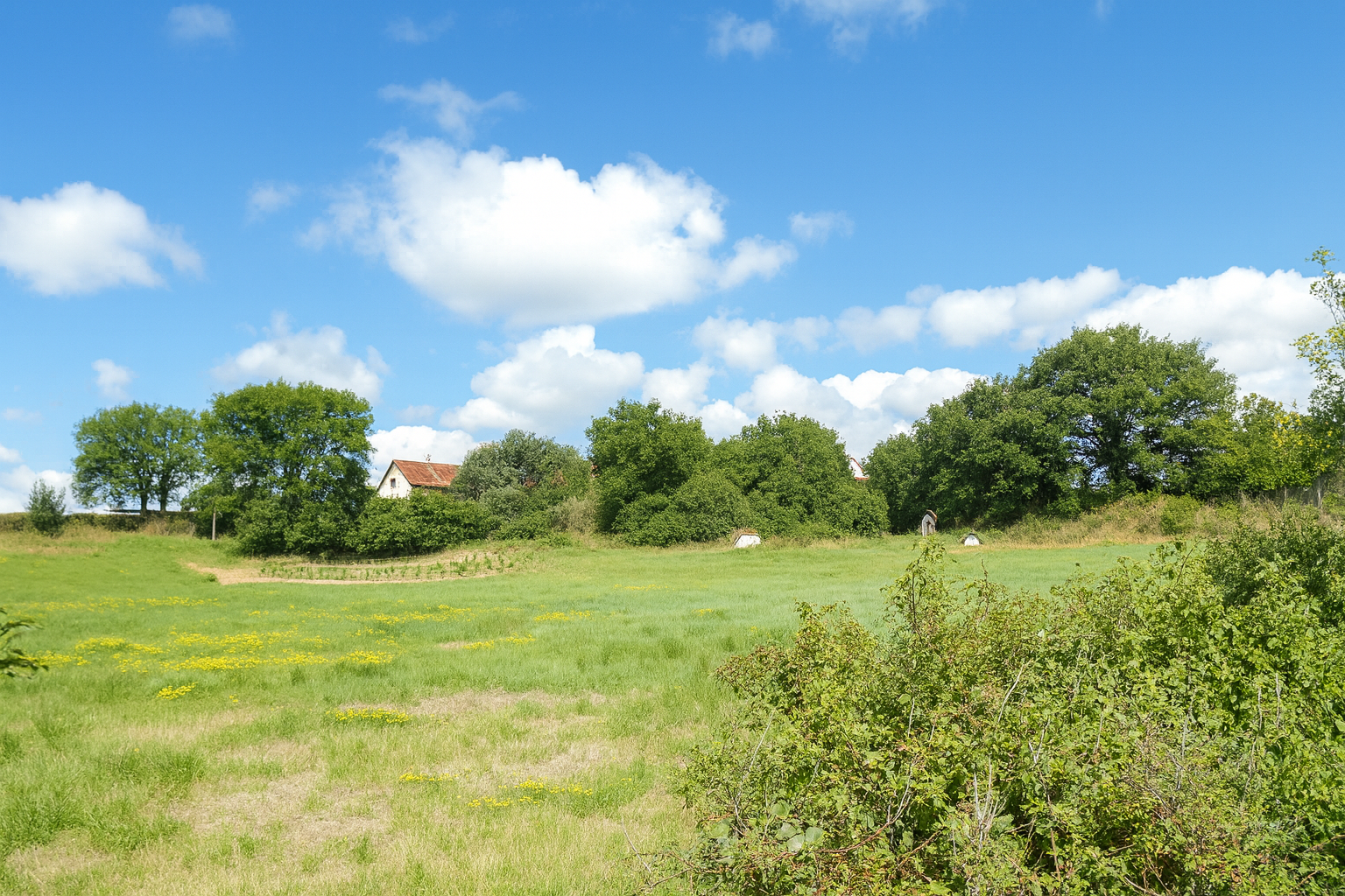
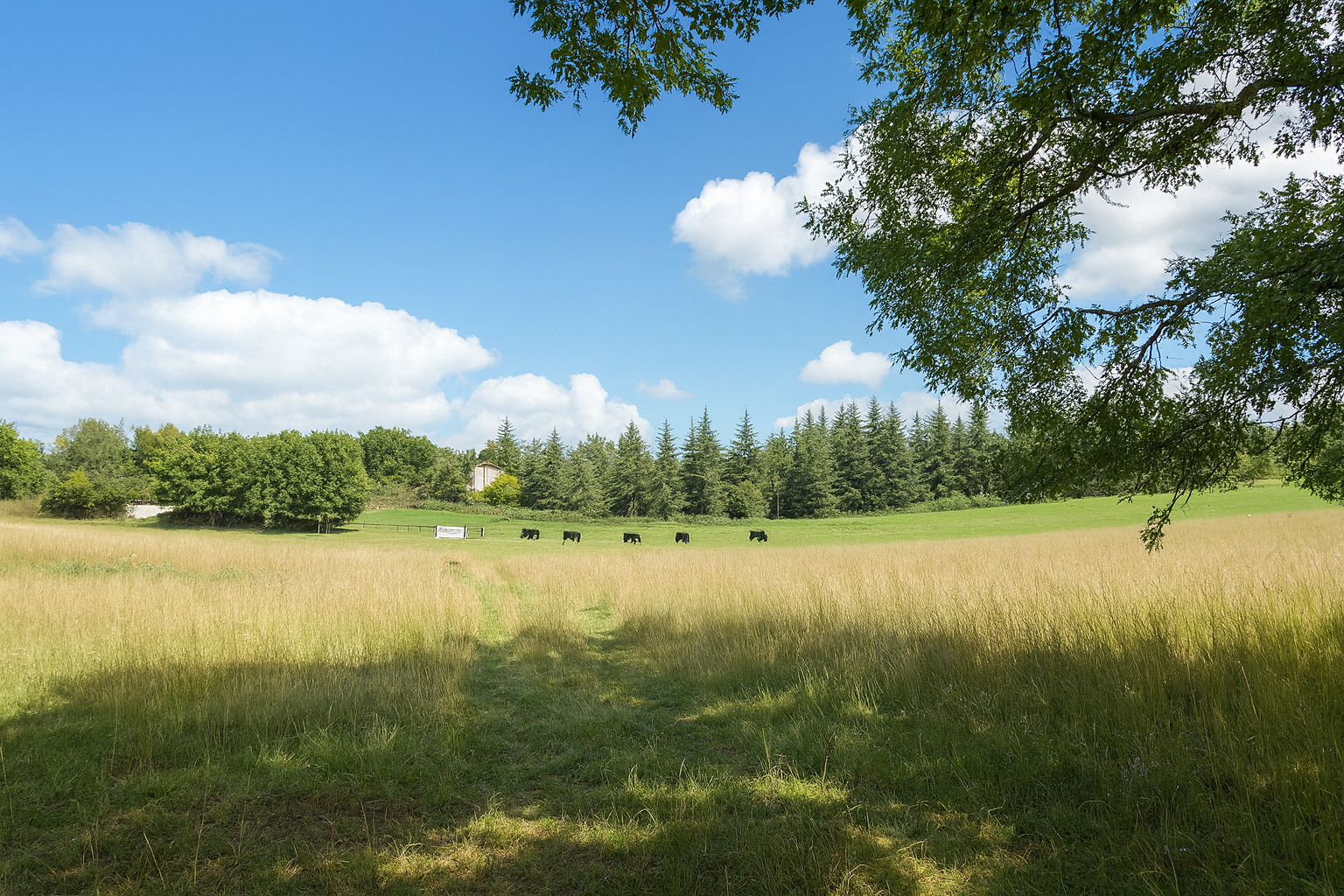
Higher still, the path finally emerges from the woodland into an open landscape of meadows, where cattle and sheep seem to cling to the slopes, calmly defying the rugged terrain with quiet confidence. |
|
 |
 |
 |
 |
|
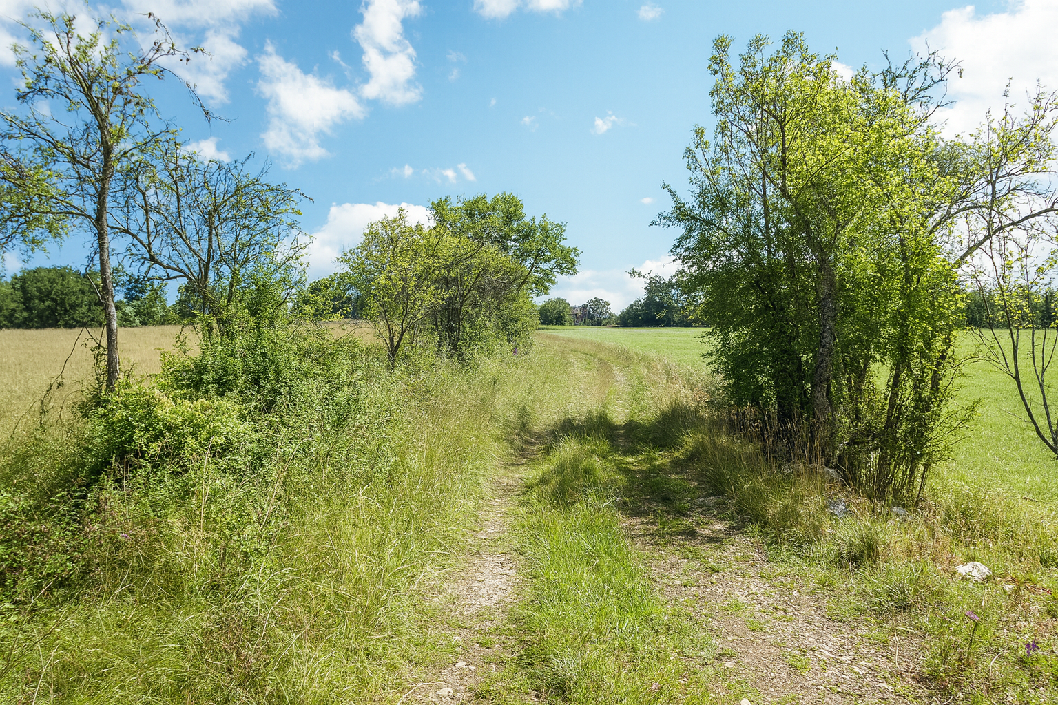
Gradually, the first signs of human presence begin to appear. A handful of scattered houses, perched on the hilltops like silent sentinels, herald the return to an inhabited world. |
|
 |
 |
Section 4: Across the plains of the Causse de Gramat
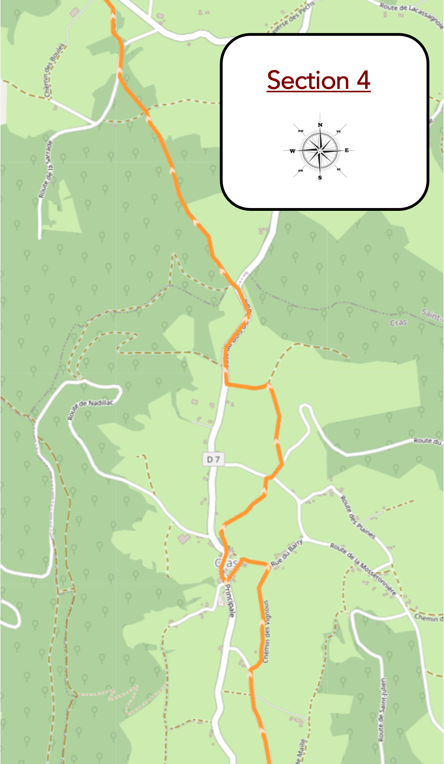
Overview of route’s challenges : The route presents no particular difficulty.
|
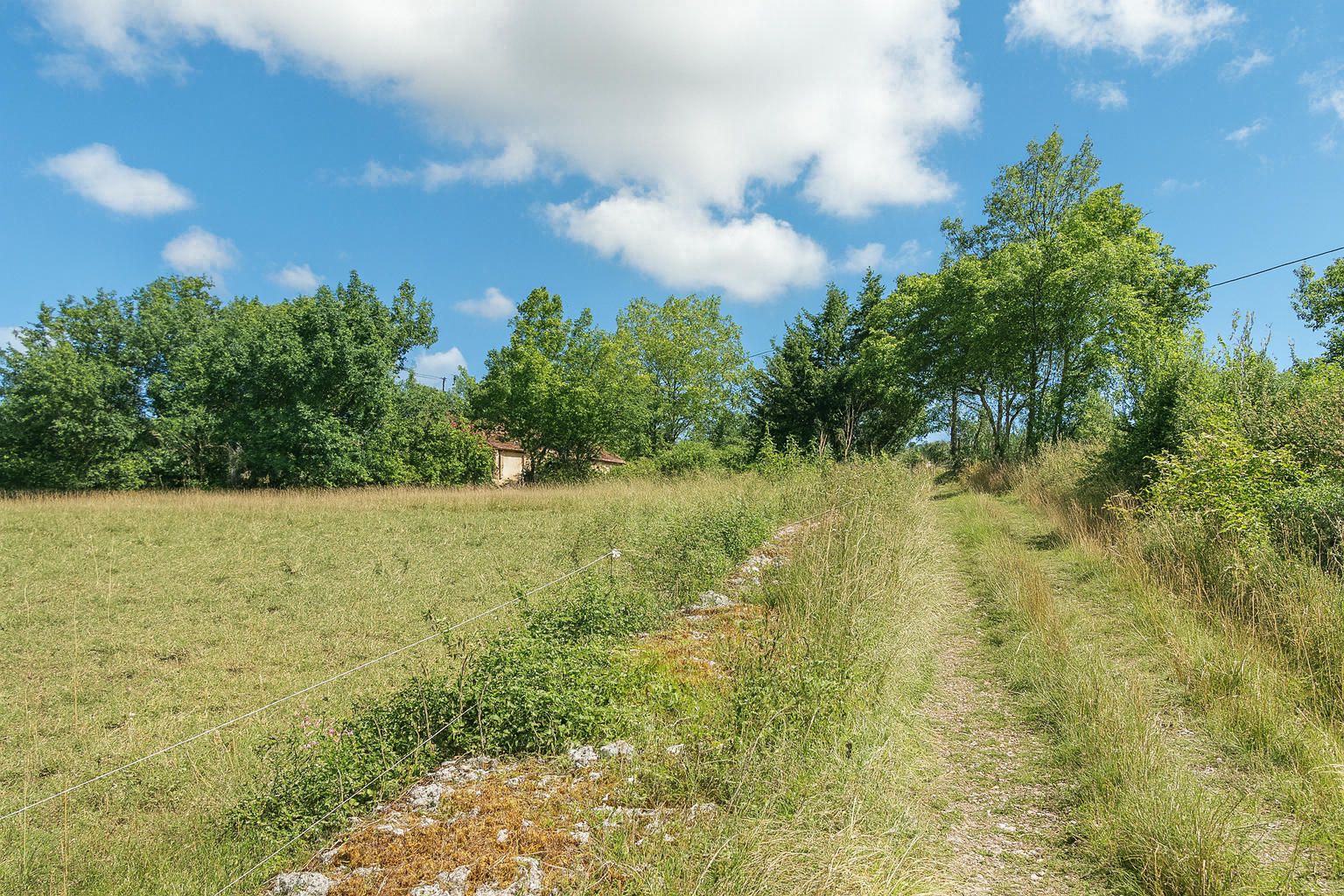
Here, a sign announces that the village of Cras is now close at hand, like a promise after the long crossing of the wild valleys, a welcome return to some form of civilization. |
|
 |
 |
|
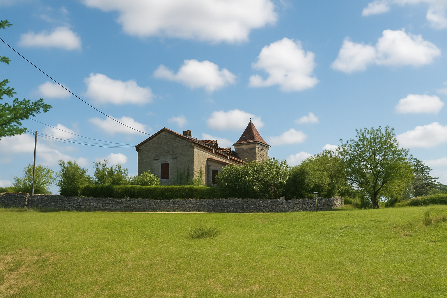
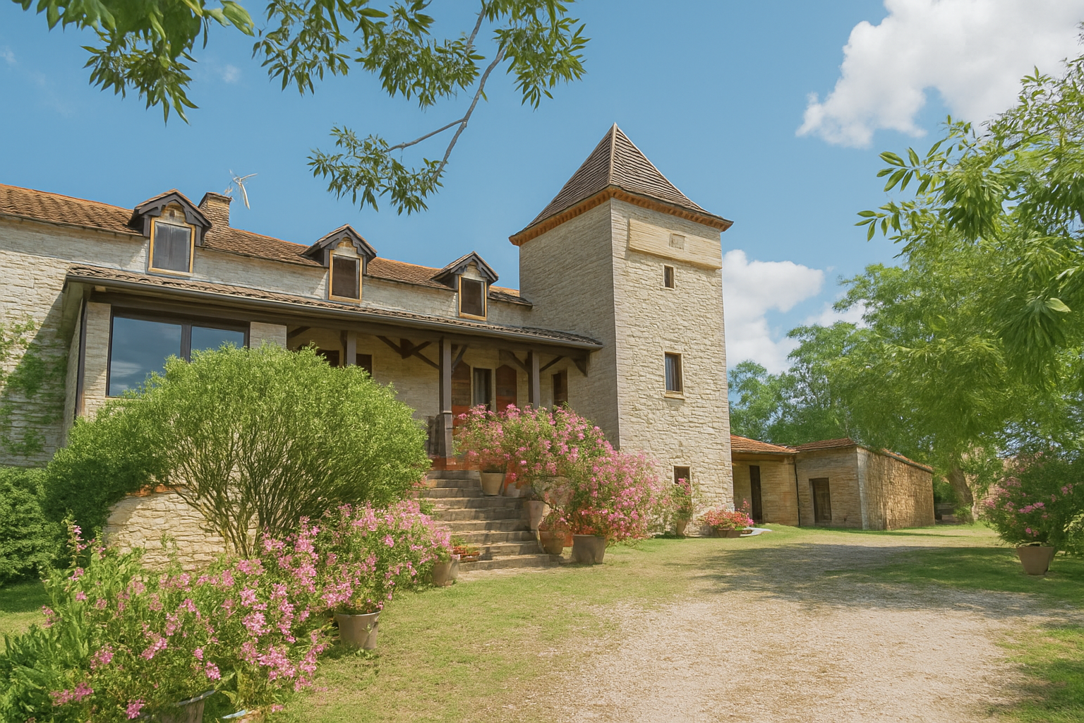
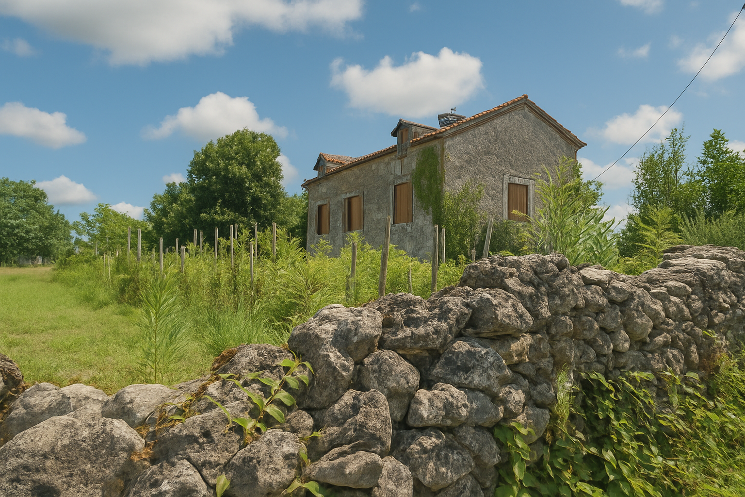
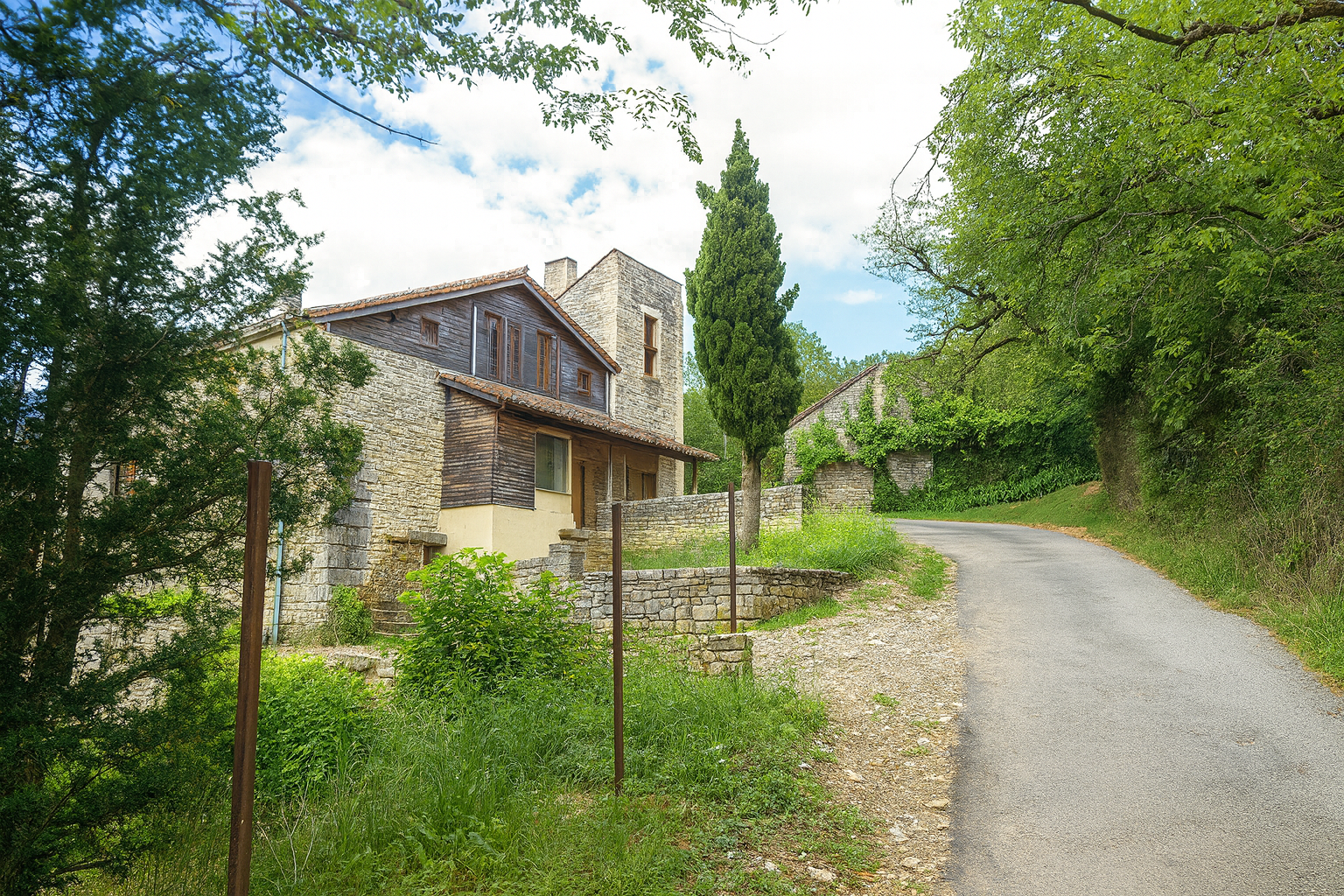
Beautiful stone houses now punctuate the landscape and accompany the walker like silent presences watching over the path. The route lingers briefly near them, allowing you to admire the detail of their weathered walls and the way they seem rooted in the land itself. |
|
 |
 |
 |
 |
|
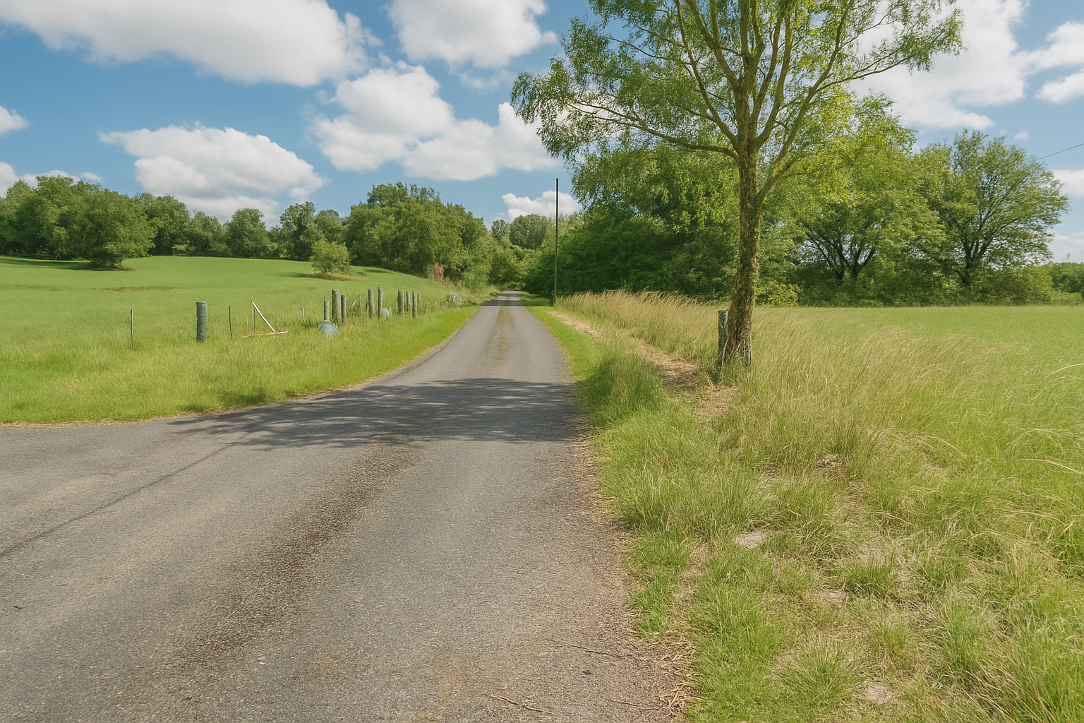
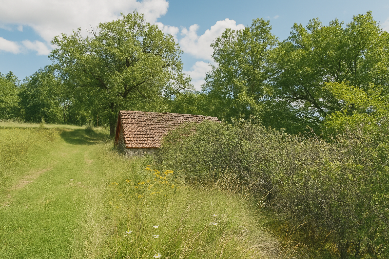
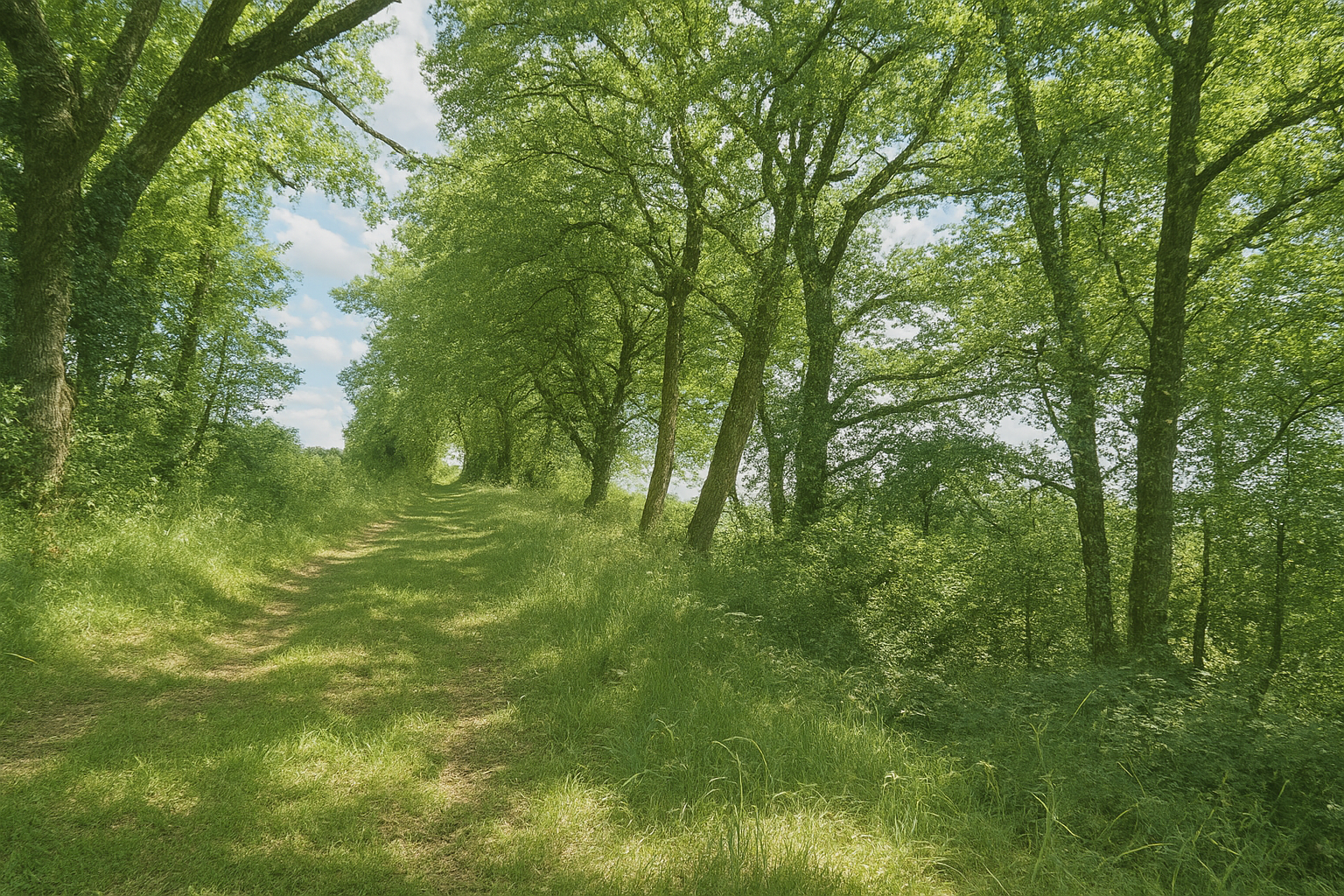
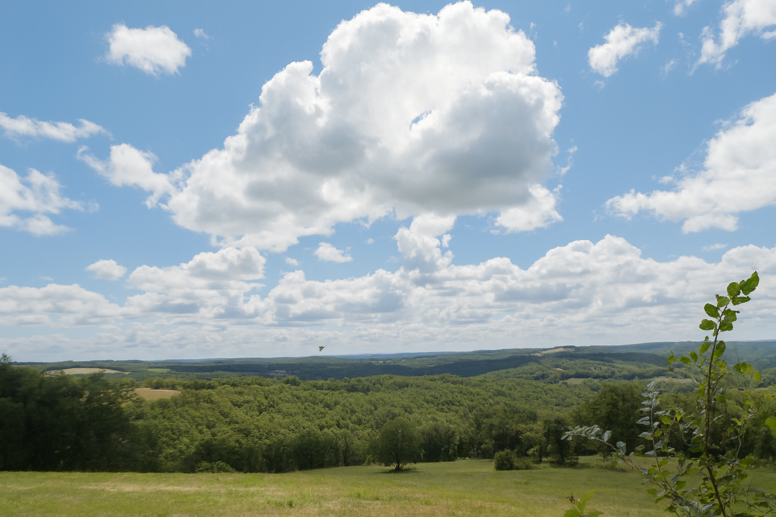
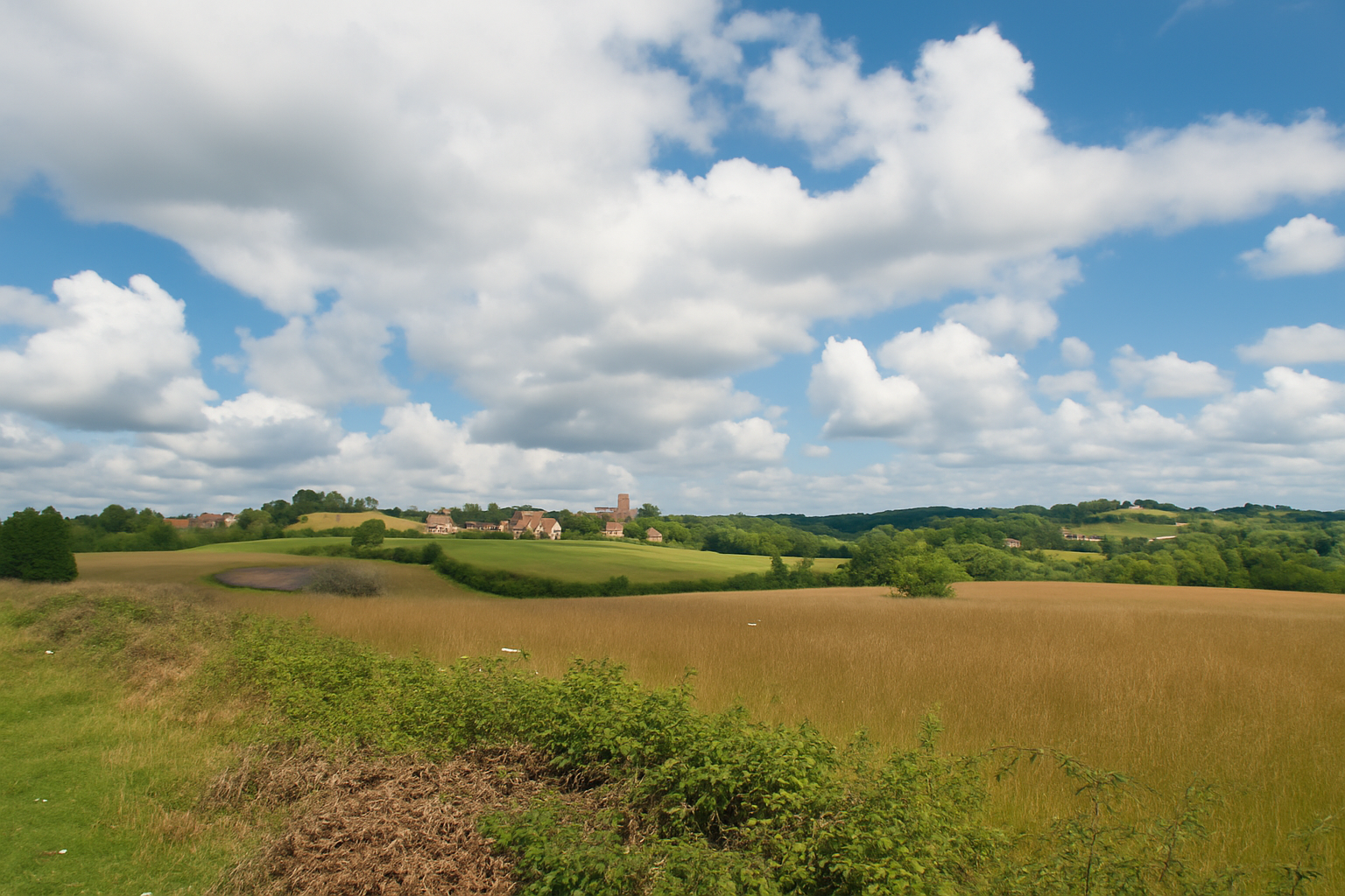
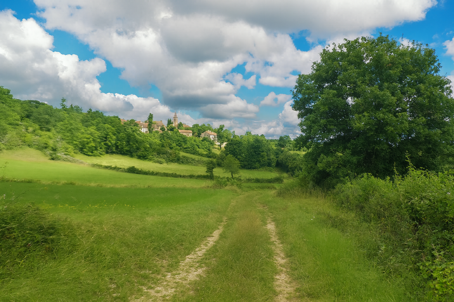
From here, it would be possible simply to continue along the road to the village. But the route offers a gentler alternative, one more faithful to the spirit of the surroundings, following the “Chemin de Maille”, which branches slightly away and slips through the meadows, as though prolonging the walk just a little before reaching the village. |
|
 |
 |
 |
 |
|
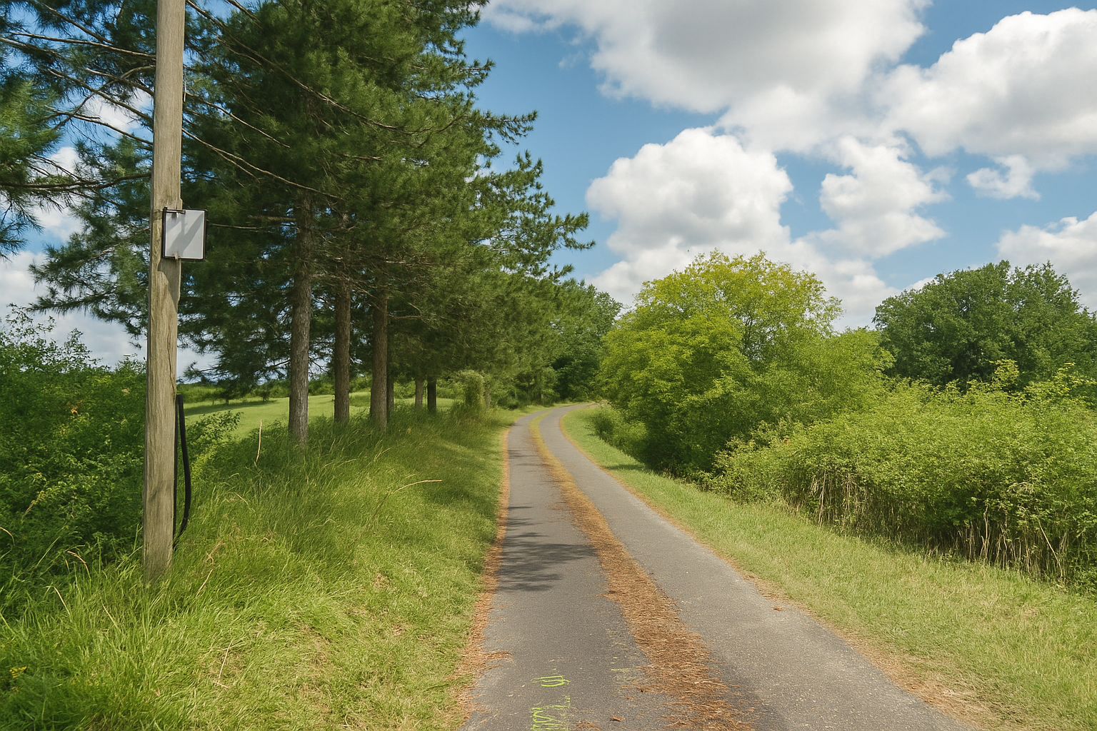
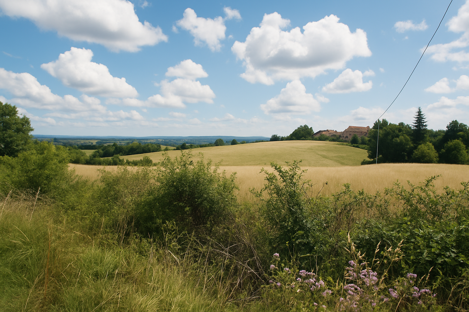
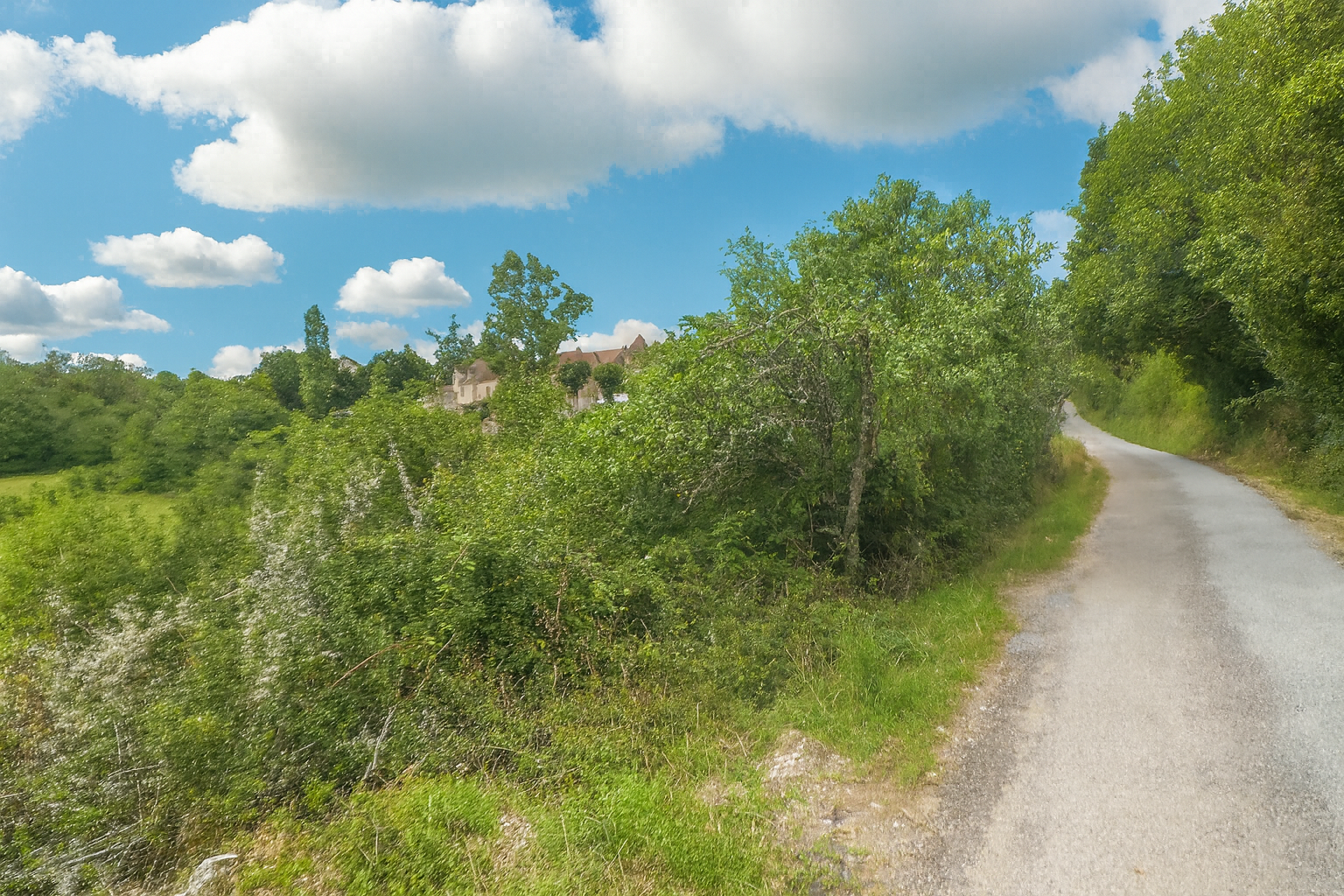
This detour then leads almost naturally back to the sloping road that climbs towards the village, a final effort before arrival. |
|
 |
 |
 |
 |
|
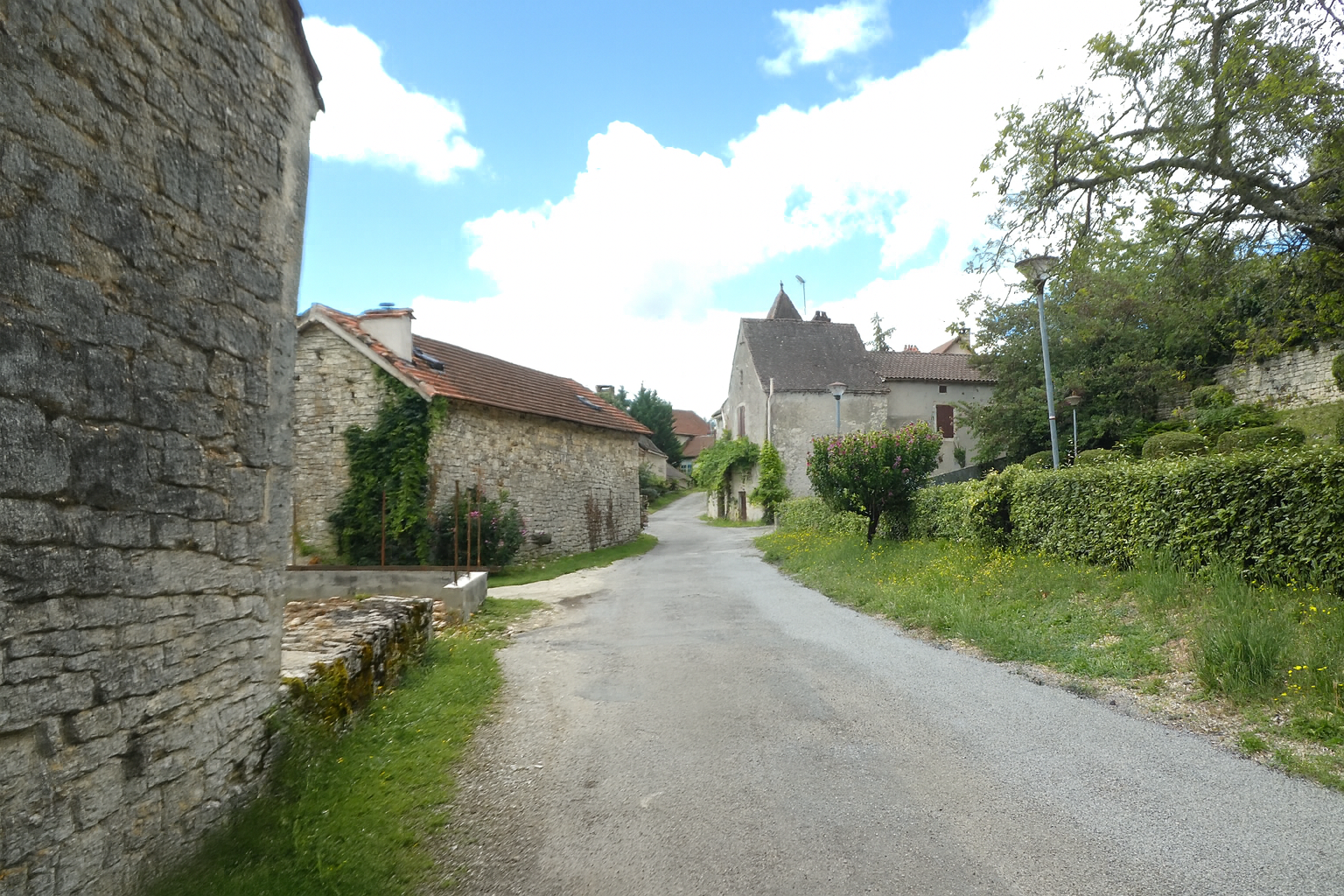
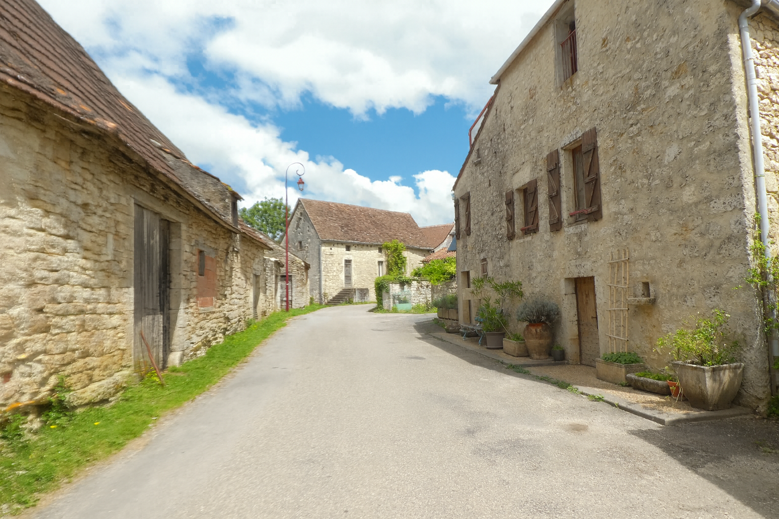
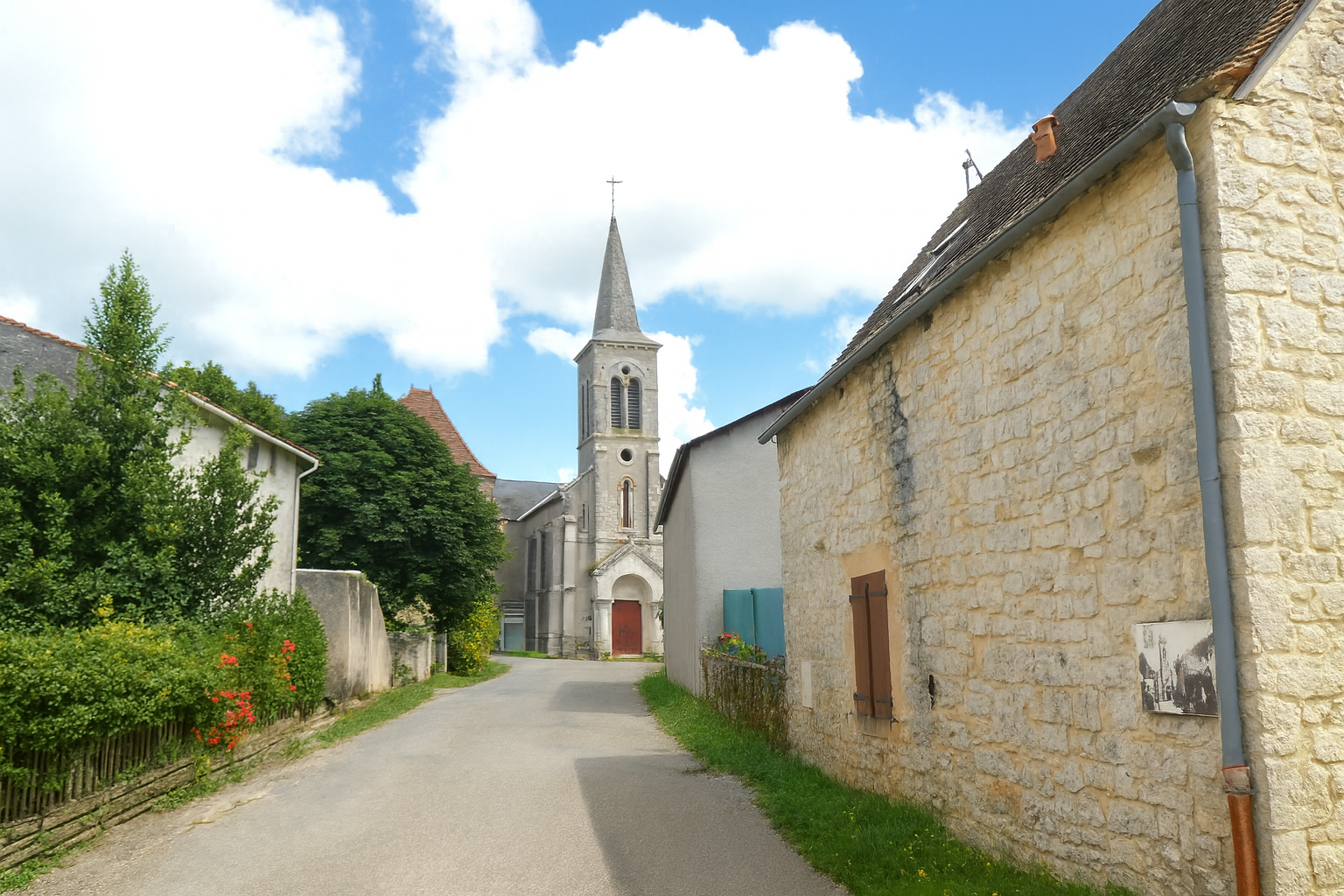
Cras then appears almost as a revelation, a reward at the end of the path. The village reveals itself with majestic simplicity, built entirely of warm-toned blocks of stone, every wall seemingly bearing the memory of time. Nothing here appears to have been left to chance. The buildings, solid and harmonious, are rooted in the landscape as though they had grown from the earth itself. Stone is everywhere, capturing the light and returning it softly, giving the village an atmosphere that is both peaceful and timeless. In the arrangement of the houses, the thickness of the walls and the sobriety of their lines, one senses an ancient intelligence, a way of living in harmony with the harshness of the causse. Cras does not impose itself upon the landscape. It blends into it and seems to extend its very soul. This is a place where the gaze naturally lingers, where every detail, a façade, a low wall, a roof, tells a silent story, like a quiet echo of the long journey through the wilderness that brought you here. |
|
 |
 |
 |
 |
|
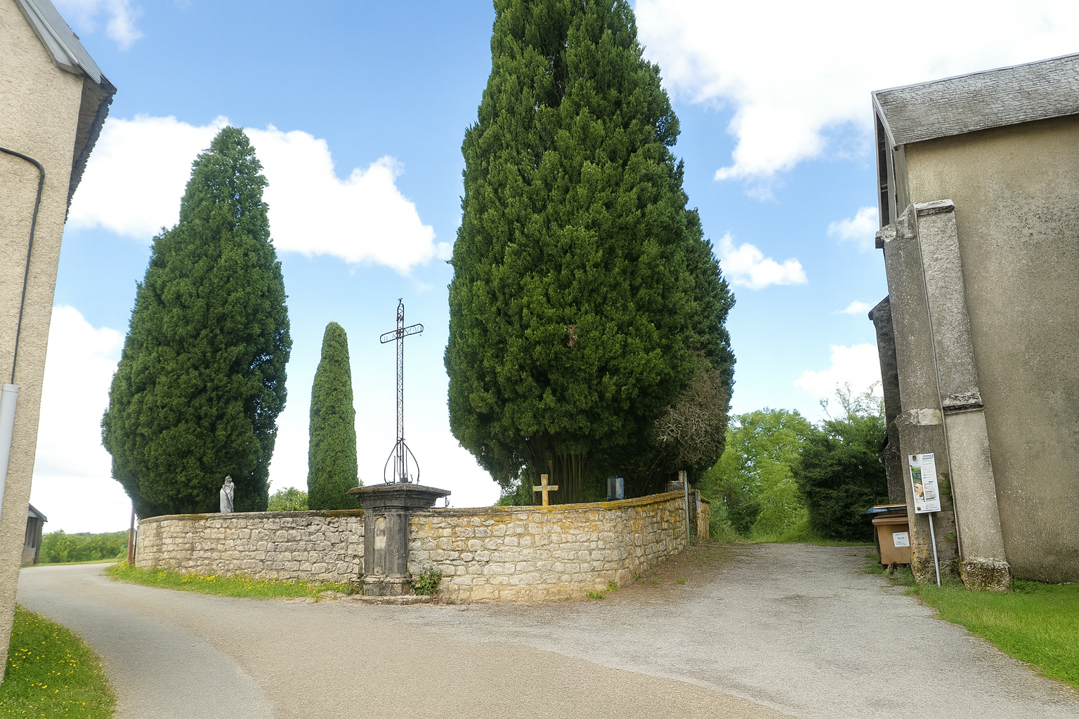
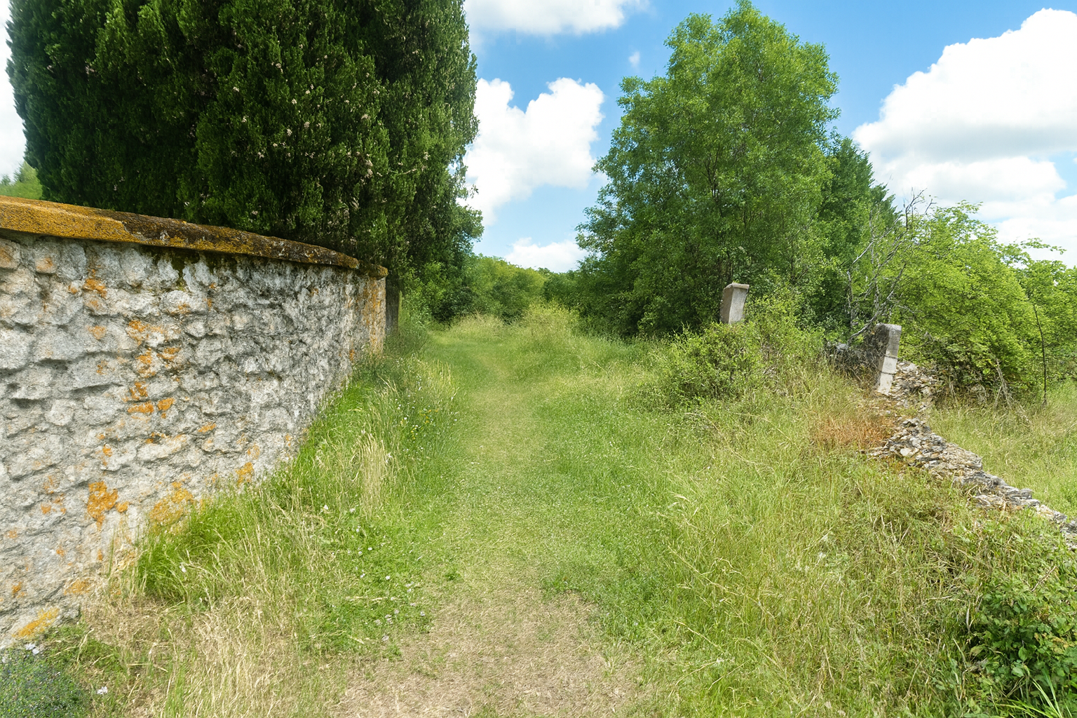
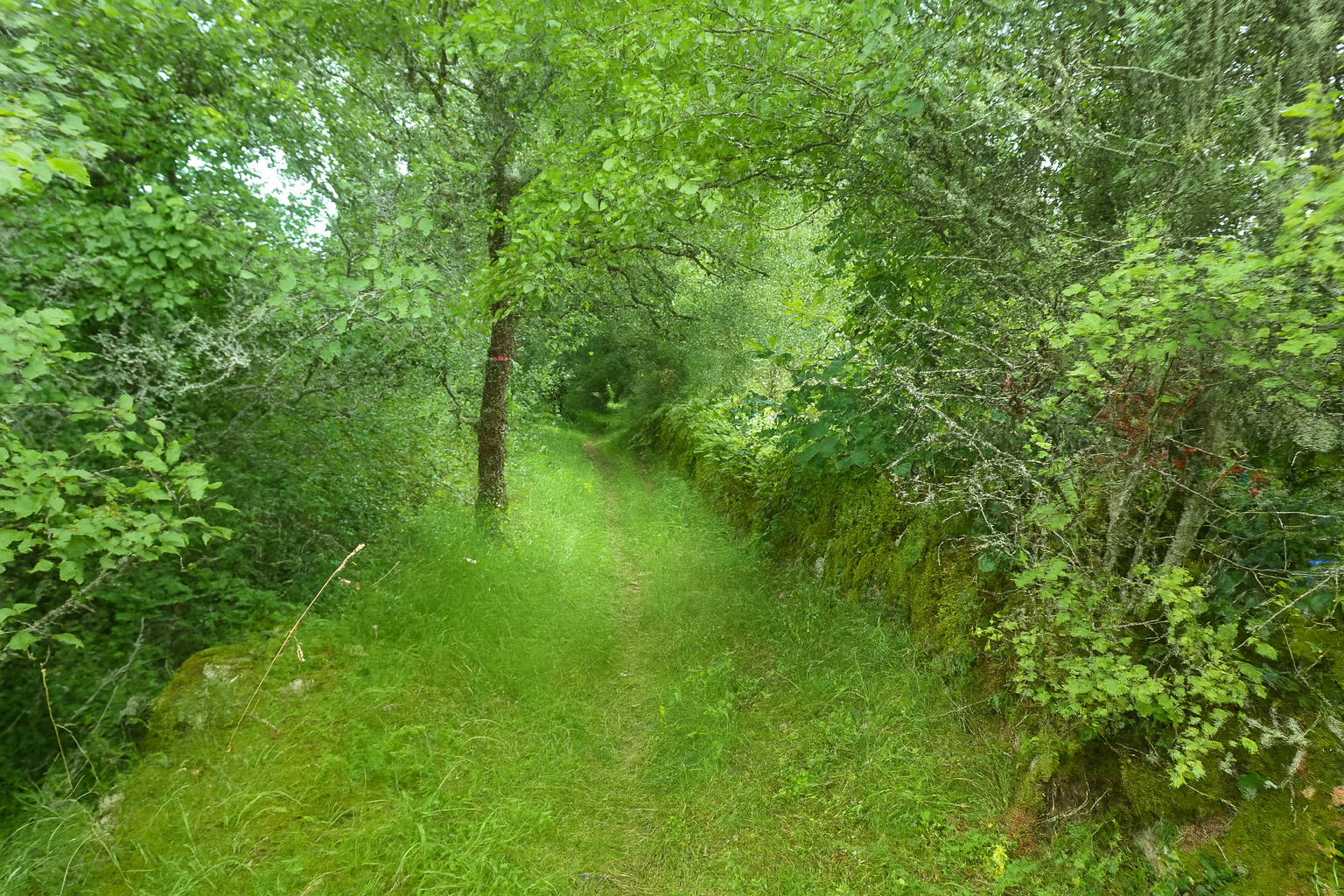
Behind the cemetery, a path slips gently downhill through the grass and wild vegetation, as though trying to make itself forgotten. |
|
 |
 |
 |
 |
|
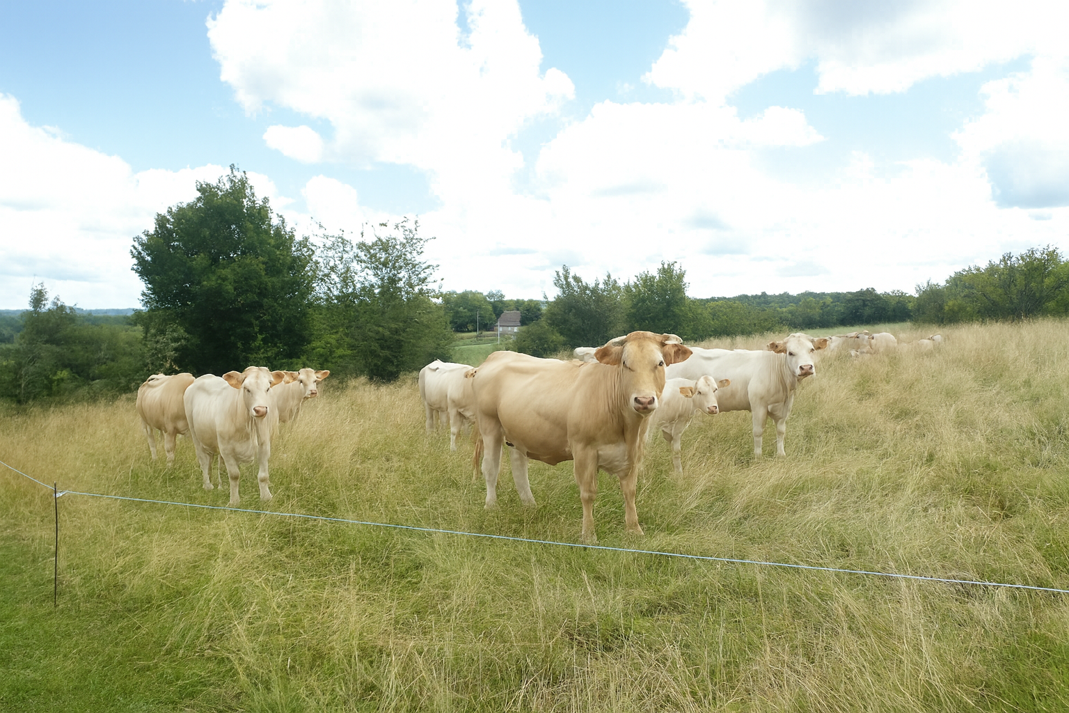
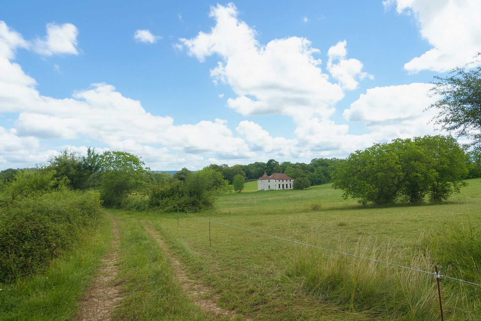
It soon leads to a plateau where a magnificent house stands, seemingly sleeping peacefully among the grazing livestock, indifferent to the passage of time and the succession of seasons. |
|
 |
 |
|
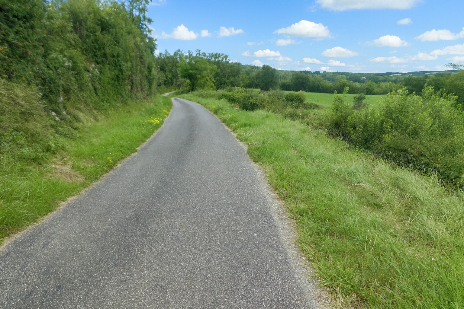
Farther on, the asphalt road continues towards the Oppidum de Murcens, away from the main route, like a discreet invitation to explore. |
|
 |
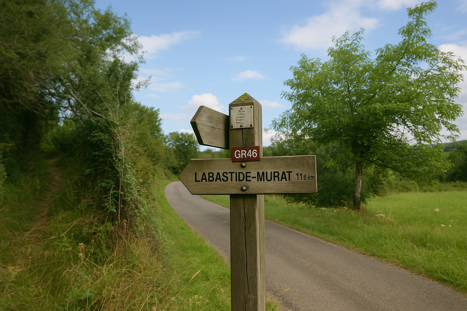 |
Very soon, however, the route leaves the asphalt and returns to a trail through open countryside, heading towards Labastide-Murat, still 11.6 kilometers away along the GR46. There is little chance of losing your way here. The route is clear, almost as though it were guiding you onwards, and the walk unfolds with a reassuring sense of serenity.
|
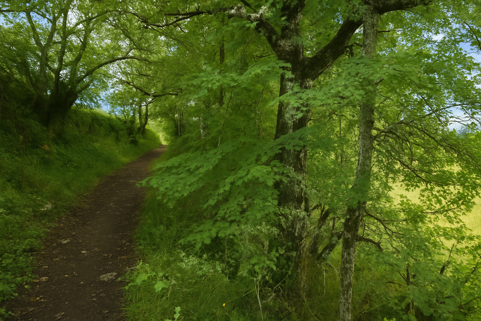
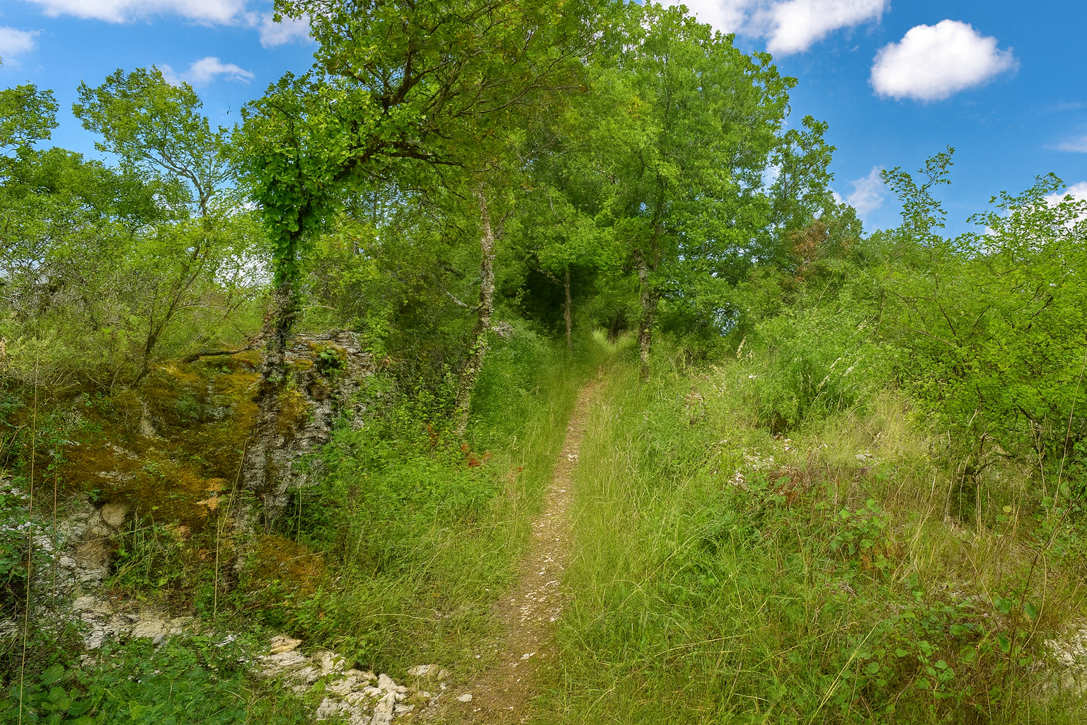
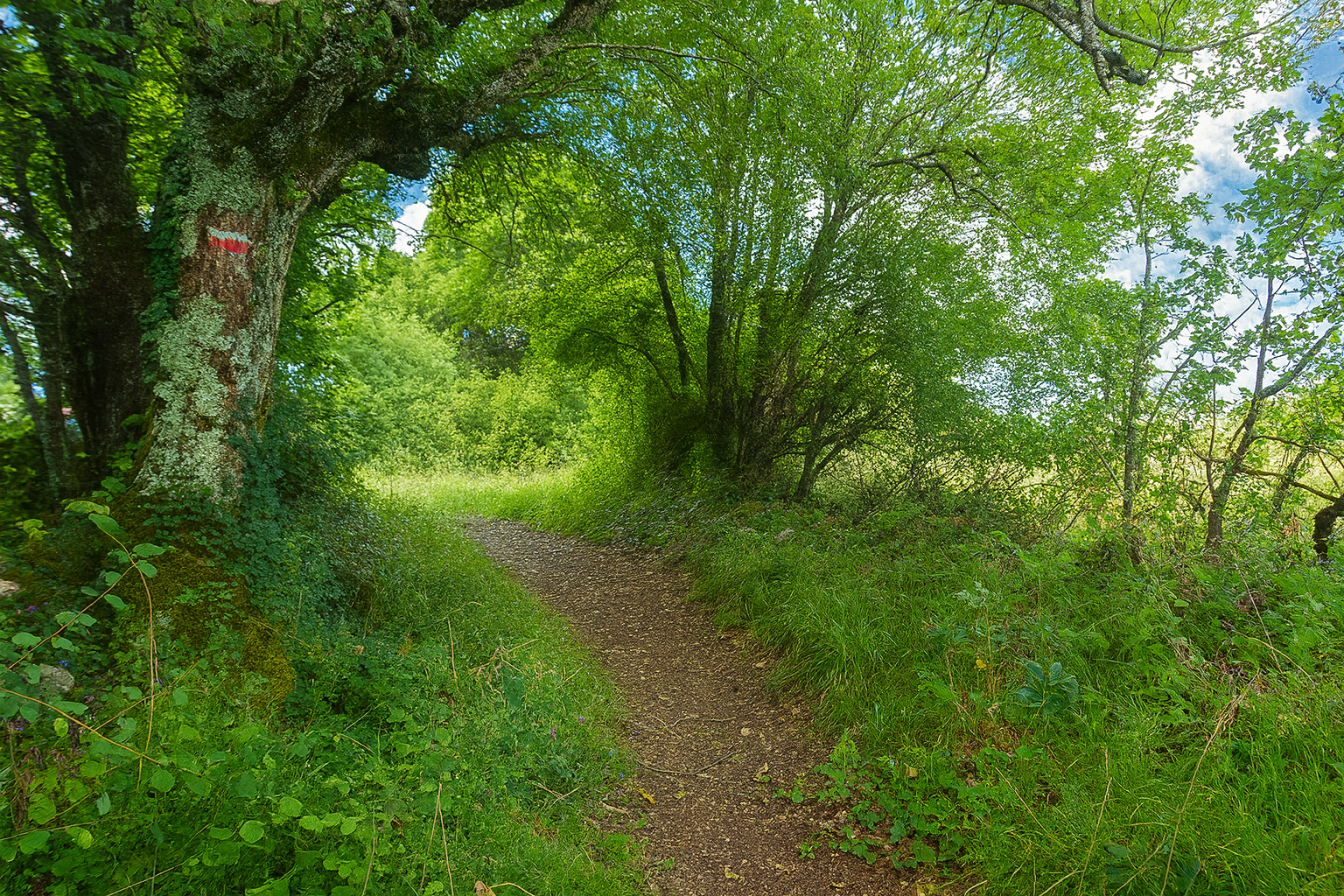
The trail then becomes more intimate, winding over dark earth beneath the protection of the trees. |
|
 |
 |
|
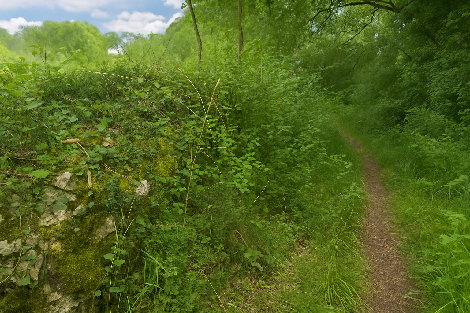
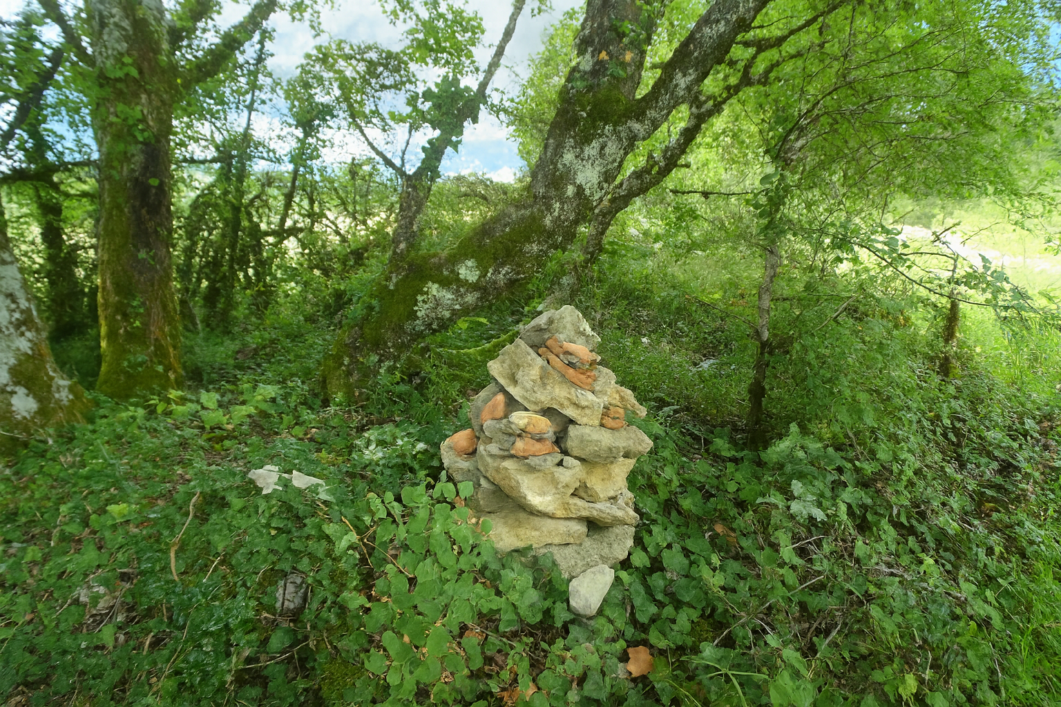
As though marking the way, small cairns rise from the banks, discreet yet reassuring, punctuating the path with their mineral presence. |
|
 |
 |
|
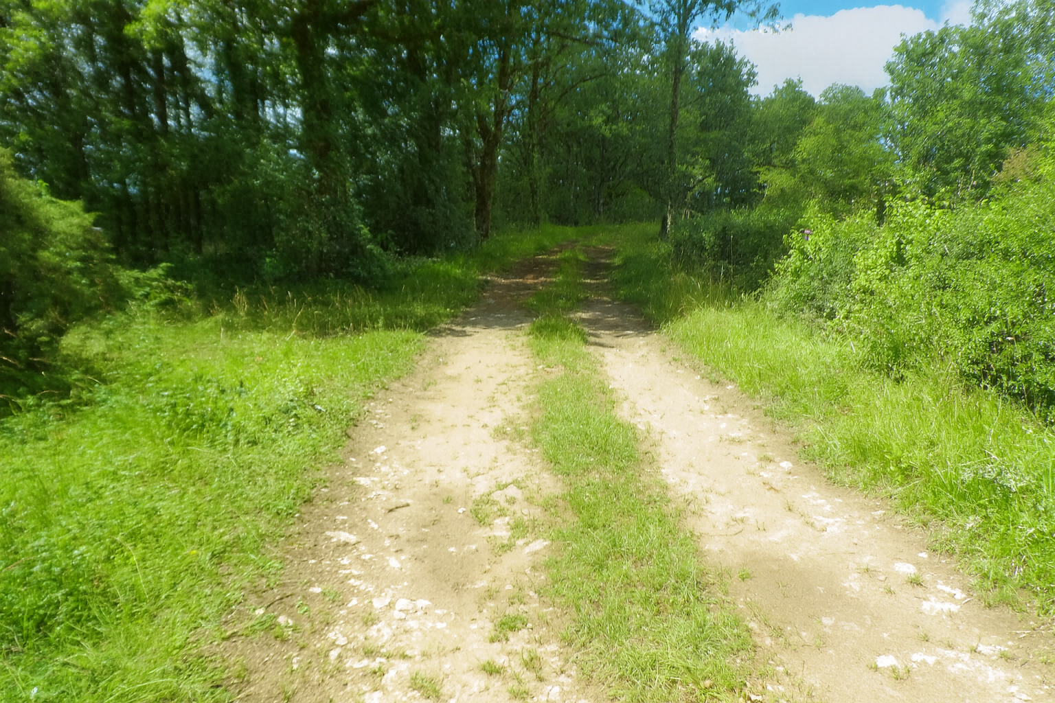
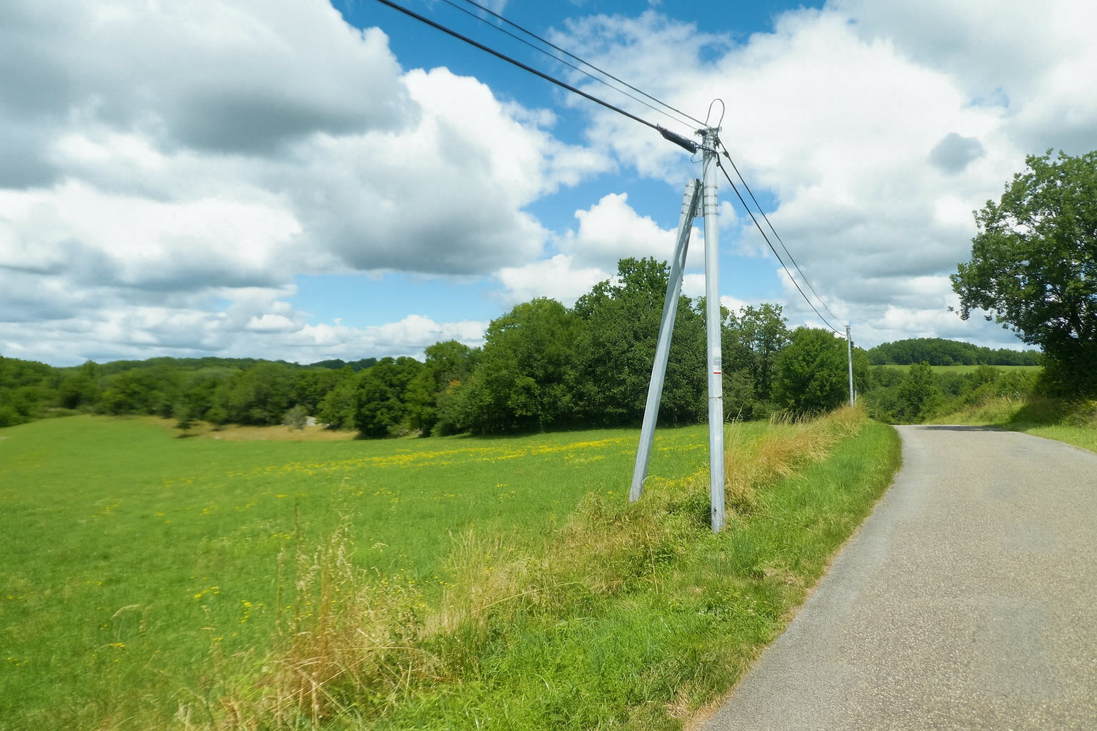
Shortly afterwards, the path broadens and briefly joins a small departmental road that winds through the surrounding countryside. . |
|
 |
 |
|
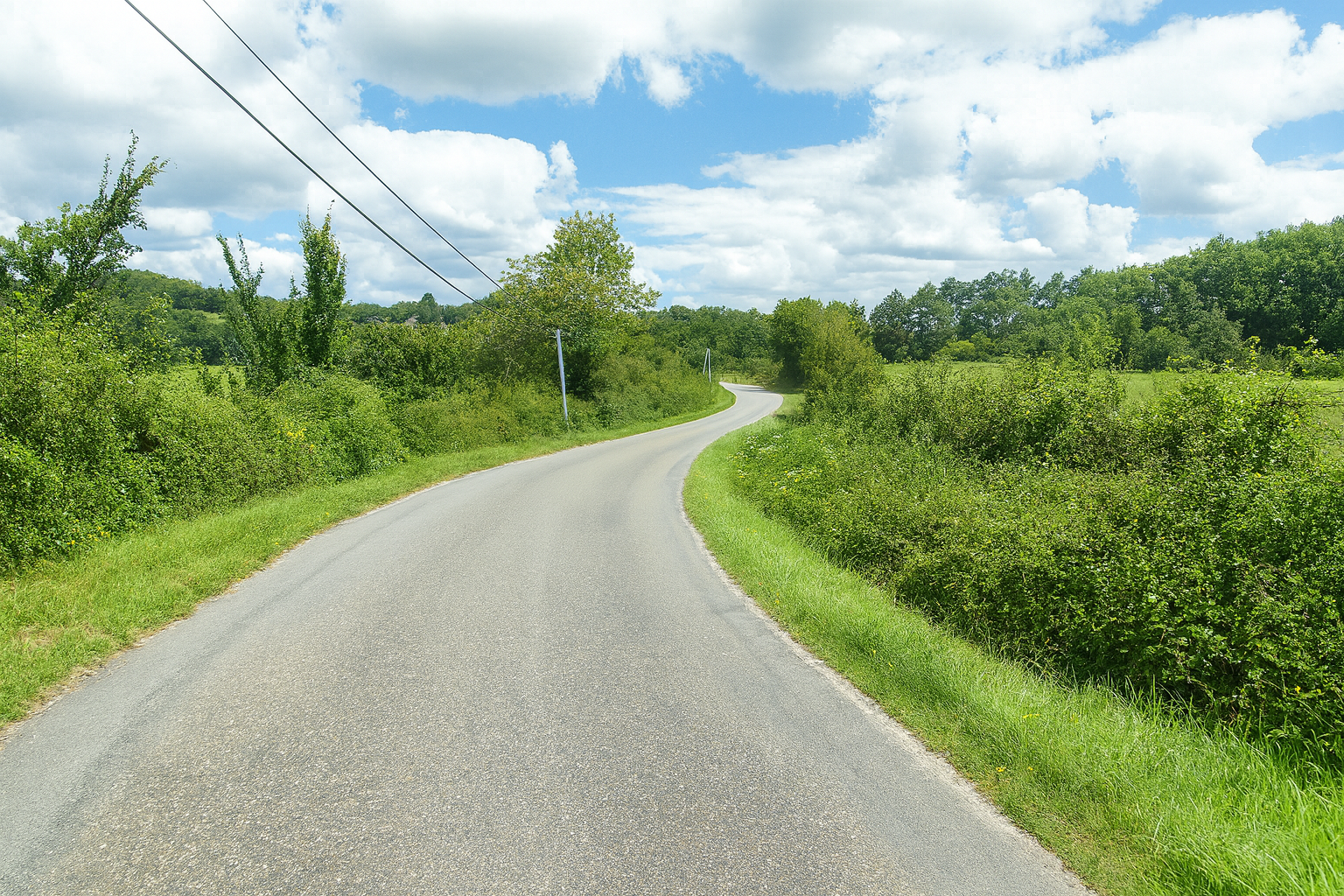
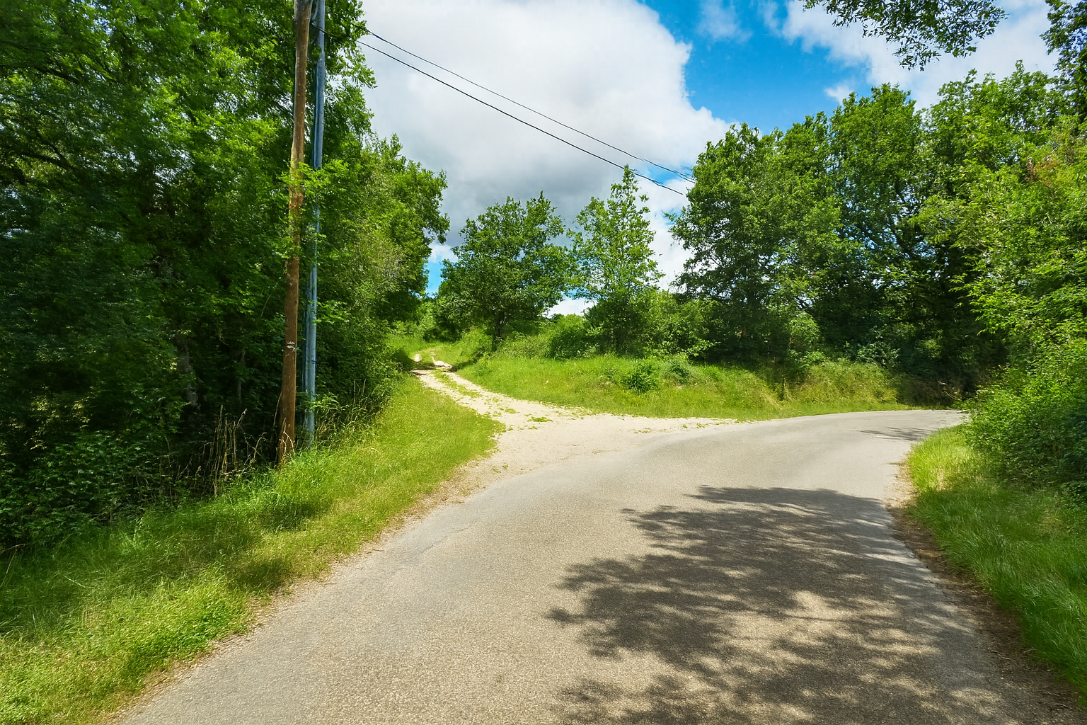
This stretch of asphalt is merely an interlude. Before long, the route finds another path, returning once more to nature and the silence of the woodland. |
|
 |
 |
|
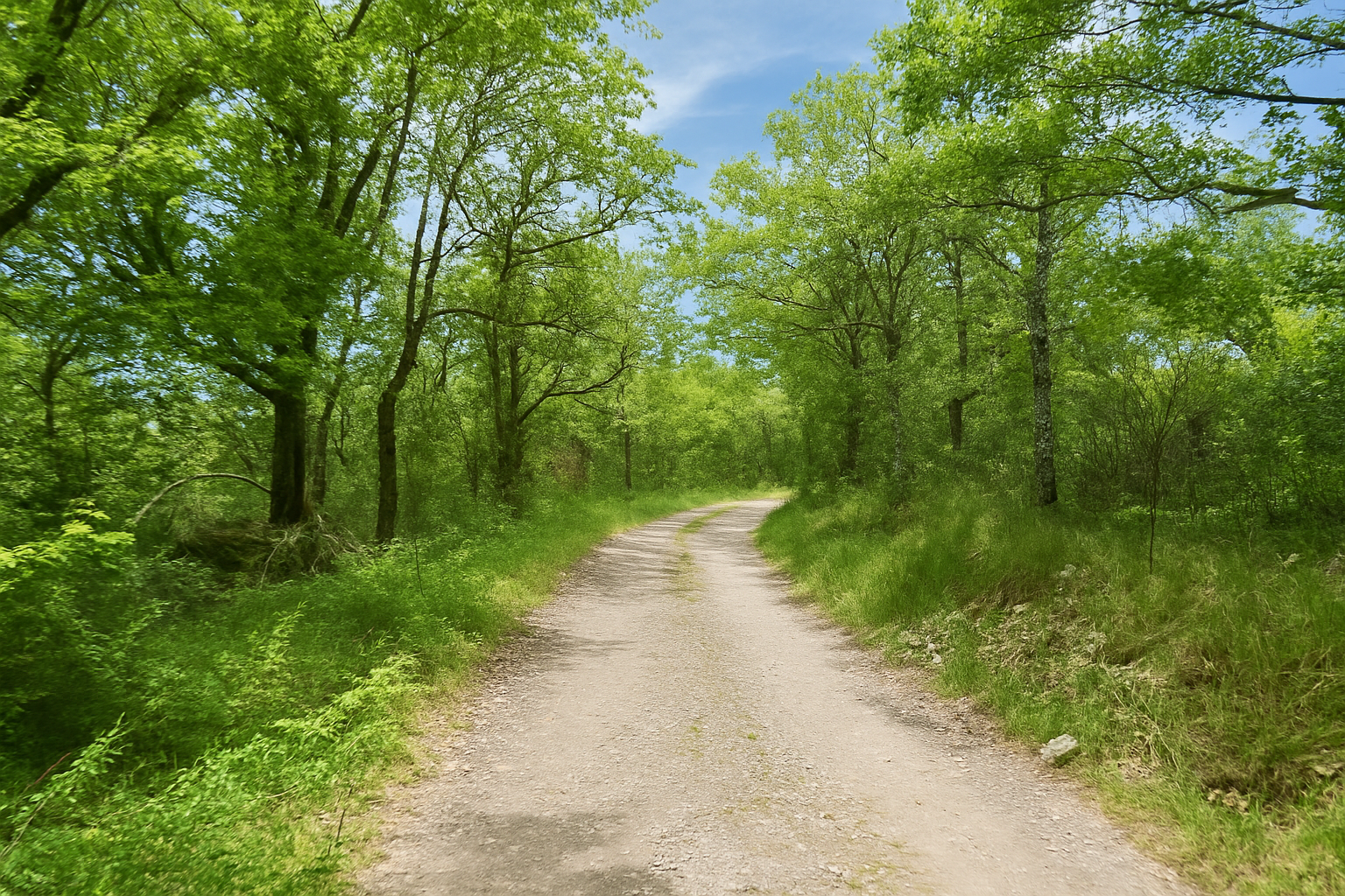
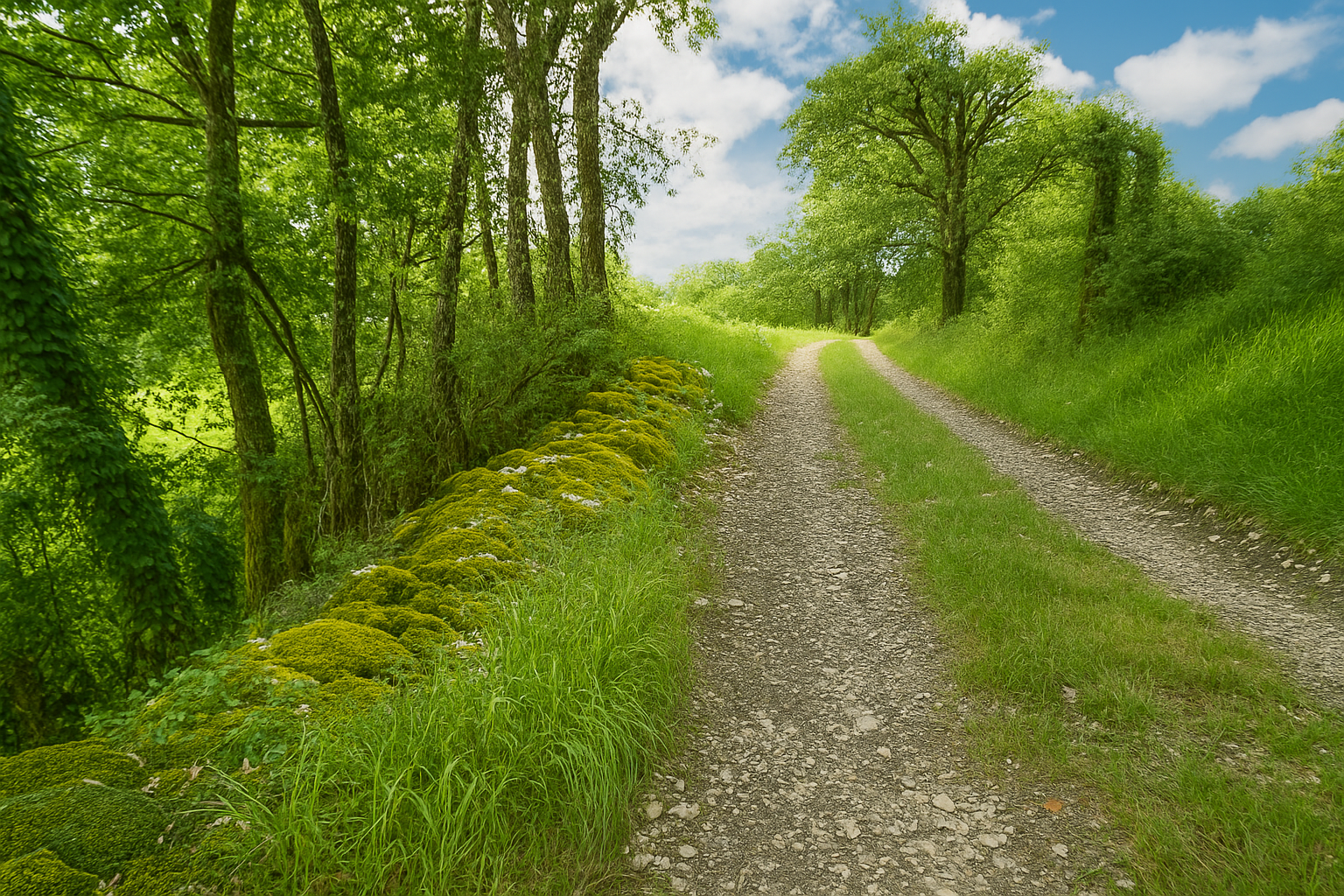
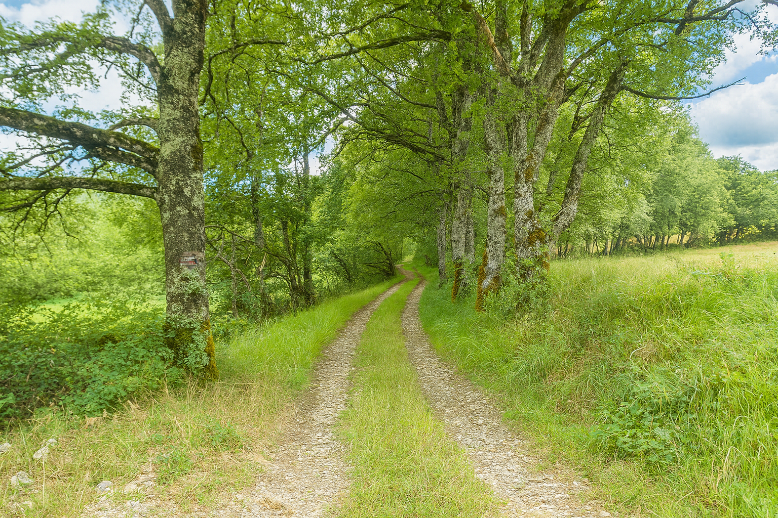
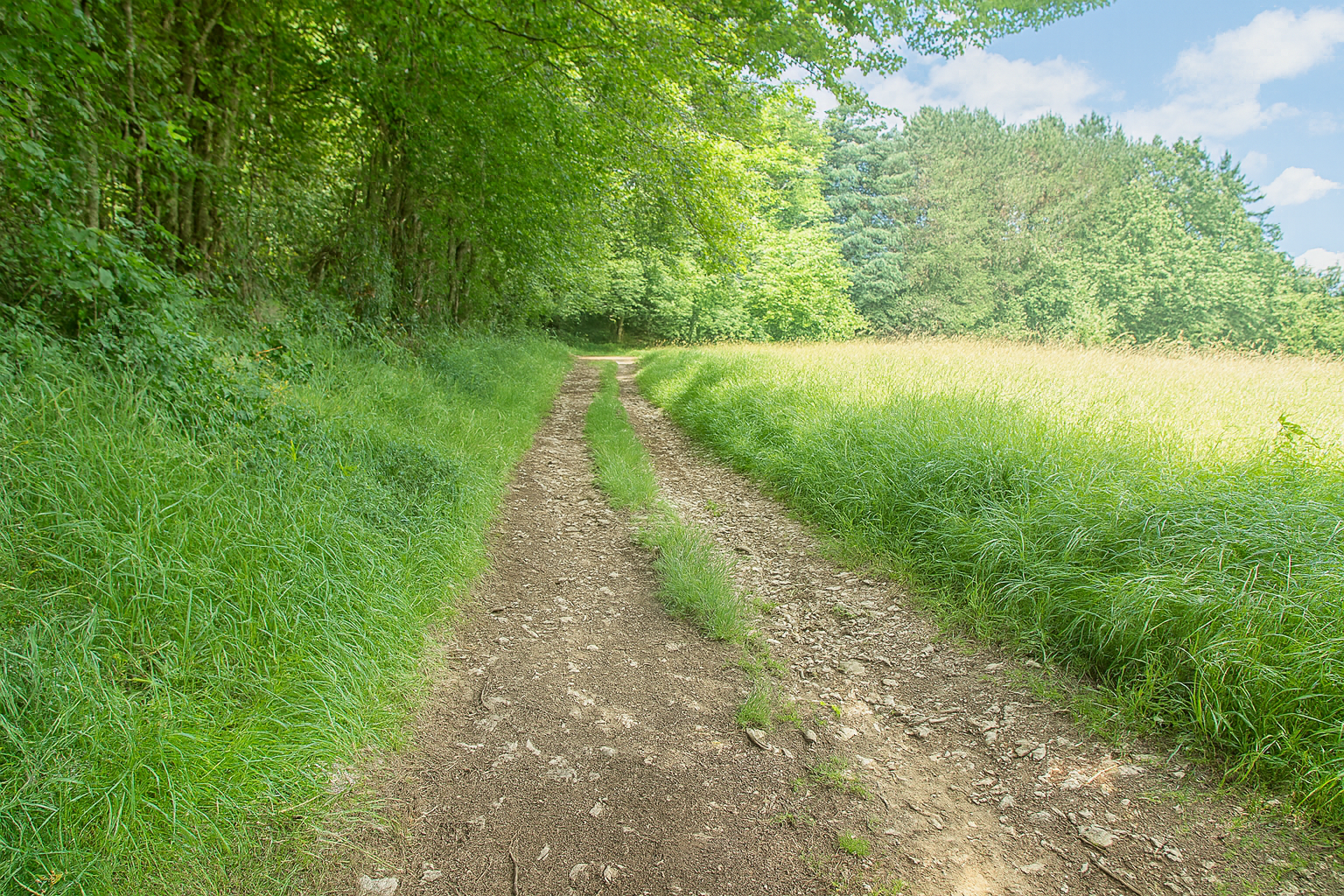
A broad path then stretches ahead, winding between open meadows and shaded woodland, punctuated here and there by modest moss-covered stone walls that lend the causses so much of their quiet charm. Here, the oaks regain their vigour, both in size and number, as though reclaiming possession of the landscape. |
|
 |
 |
 |
 |
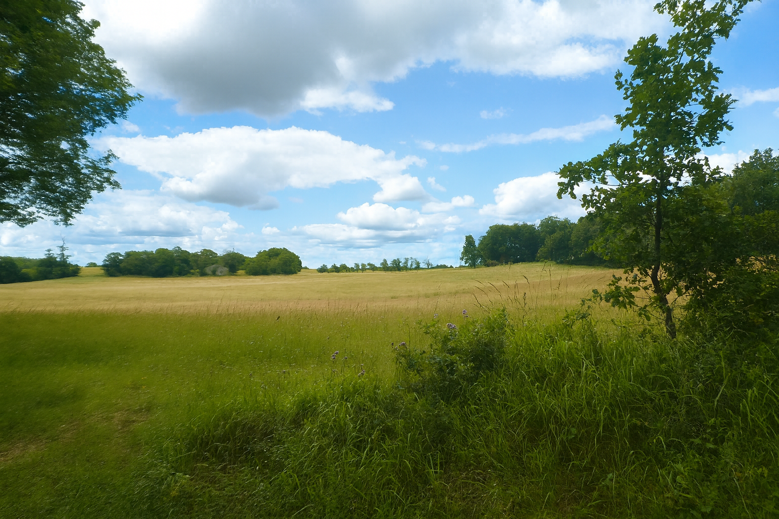
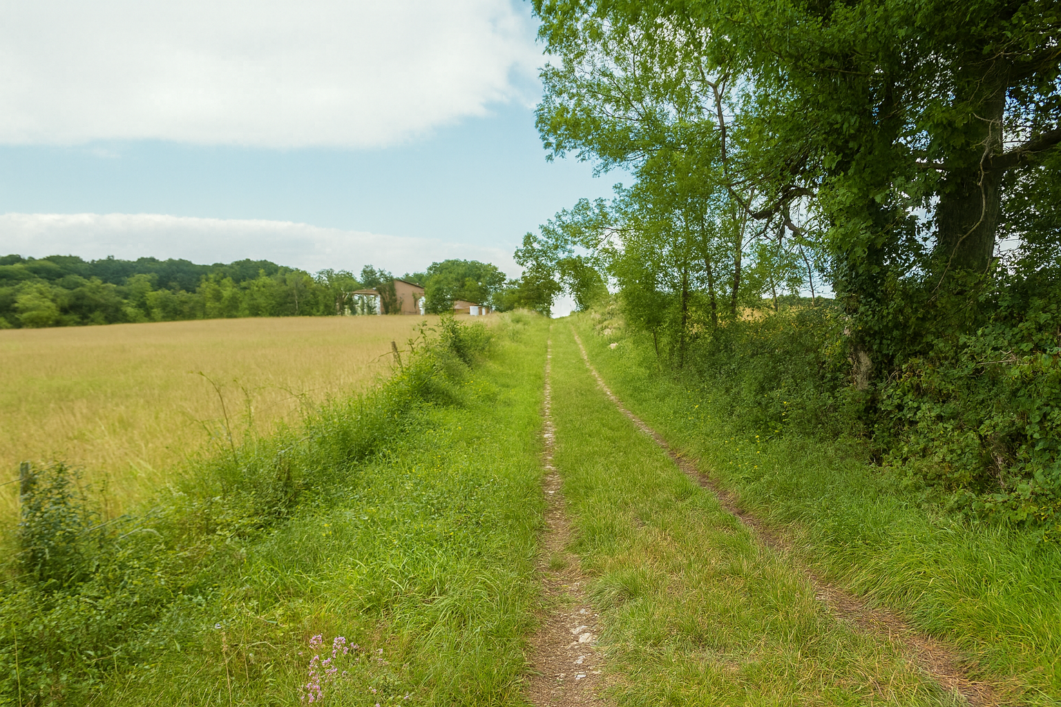
The landscape, often broad and generous, unfolds into peaceful expanses stretching as far as the eye can see. Often, the gaze encounters little more than meadows, perhaps occasionally cultivated, where a few cereal crops attempt to make their home in this austere soil.
|
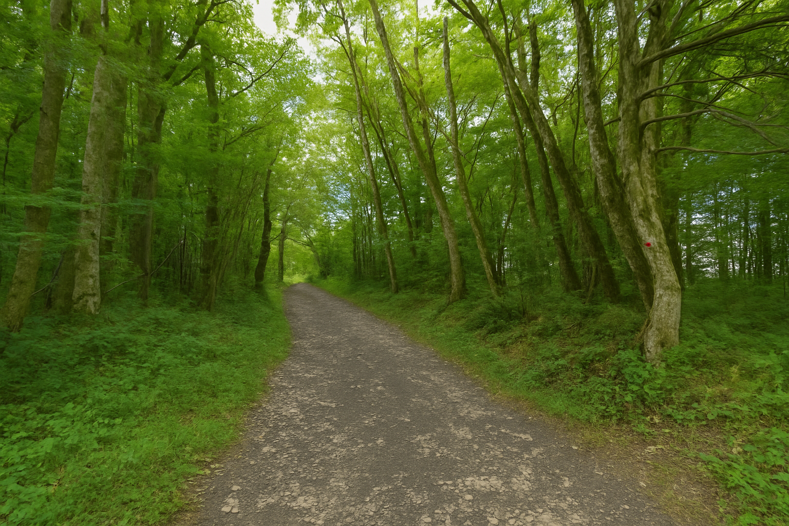
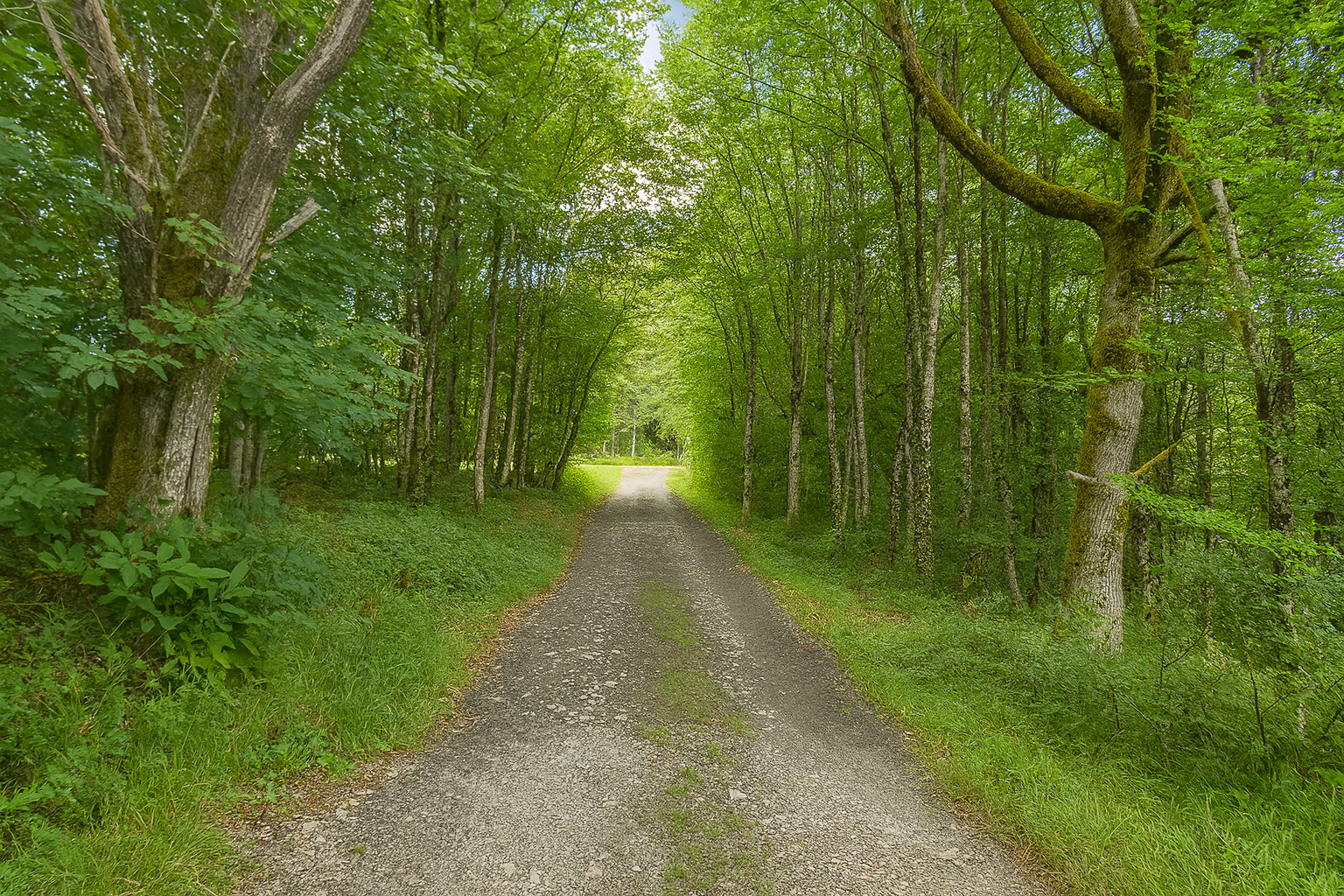
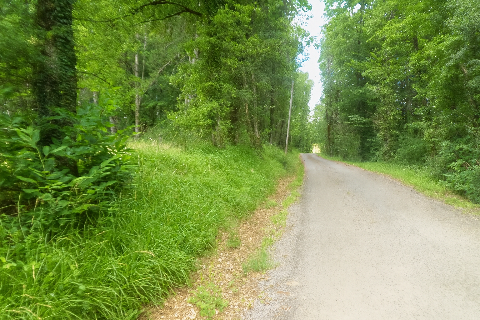
Farther on, the path changes character once again and briefly rejoins the asphalt road. Here, the route barely undulates, as though lulled to sleep by the gentleness of the terrain. |
|
 |
 |
|
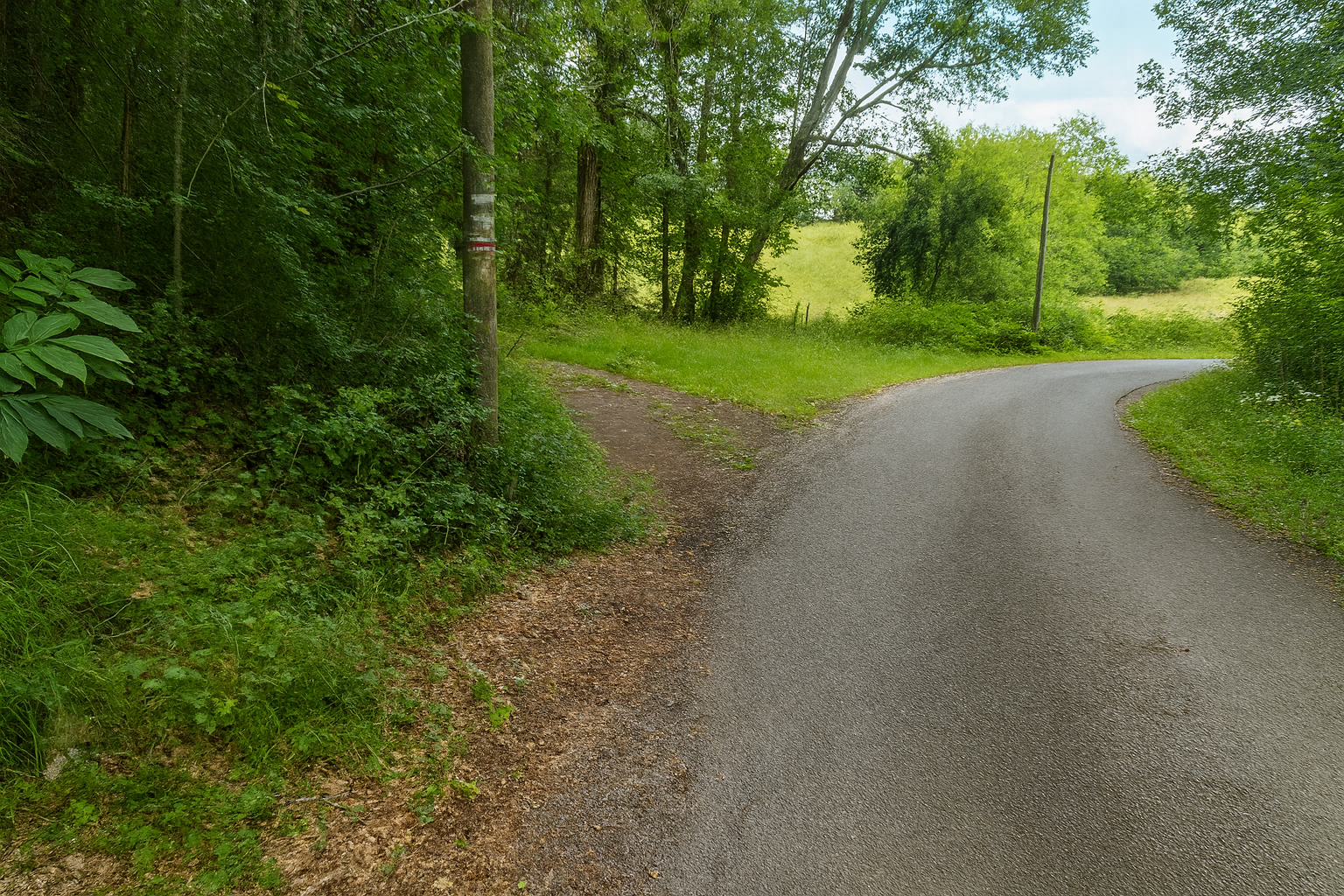
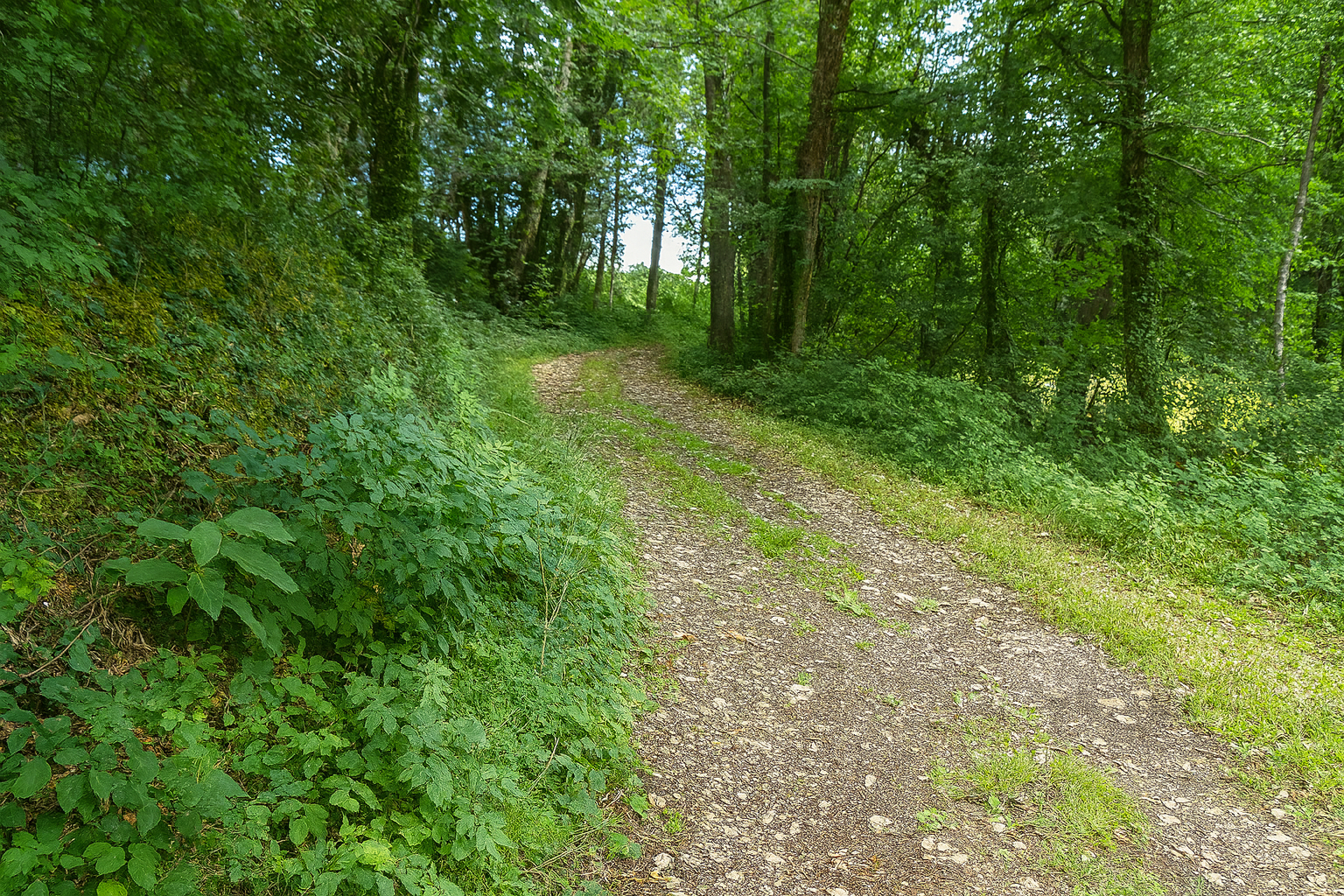
But this return to the asphalt lasts only a moment. The route soon turns away from it again to find a more intimate path nestled beneath the canopy of the trees. |
|
 |
 |
|
This detour exists only to avoid a bend in a nearby road, a simple precaution woven into the route. |
|
 |
 |
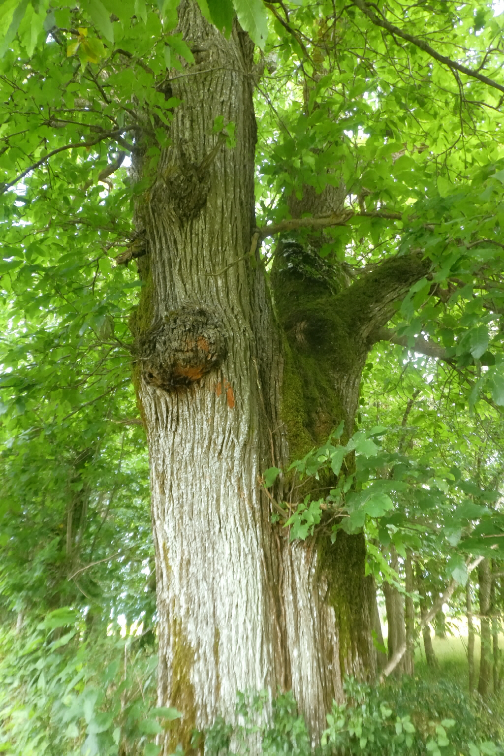
The chestnut tree, an uncommon species on the causses, then appears as an almost defiant exception to the usual character of the landscape. And what a specimen it is, a truly remarkable tree. An ancient chestnut is more than simply a tree, it asserts a presence, almost an authority. Its broad, tormented trunk seems to have been shaped by the slow labor of centuries. Its deeply fissured bark twists into rough spirals, as though the wood were patiently trying to free itself from within. In places, the bark opens into dark crevices, revealing a dense, almost black heart, a silent memory of all the seasons it has endured.
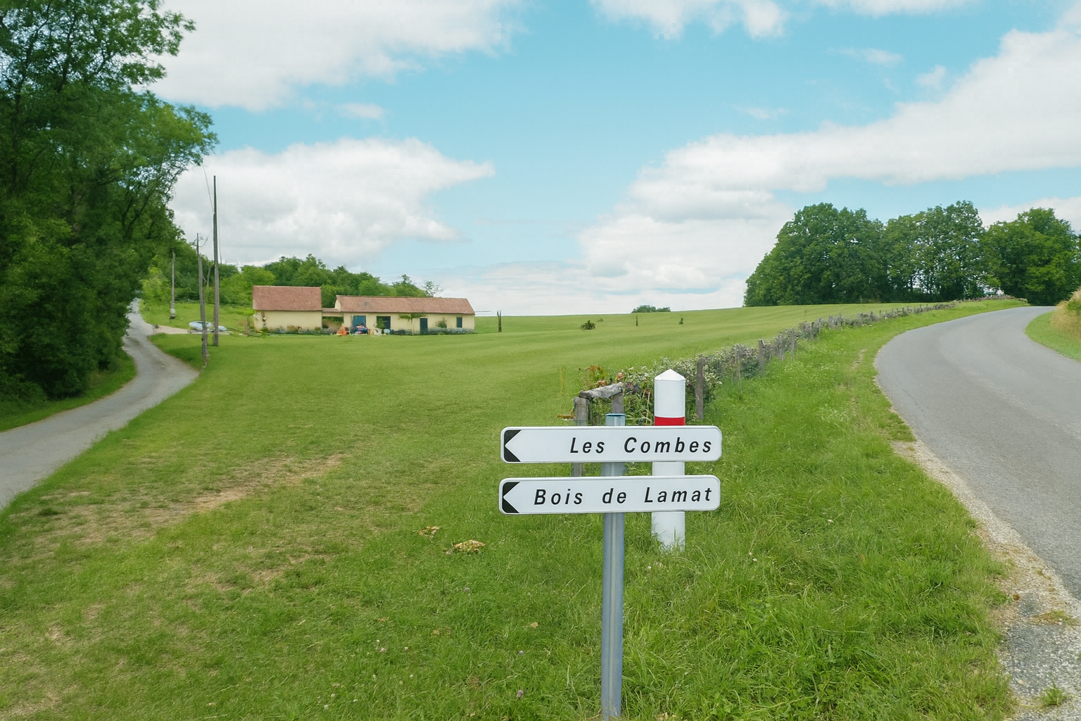
Farther on, the GR46 reaches a signposted junction, a point of decision along the path. Labastide-Murat is still 9.3 kilometers away. The instruction here is clear, follow the D13 towards the RN20.
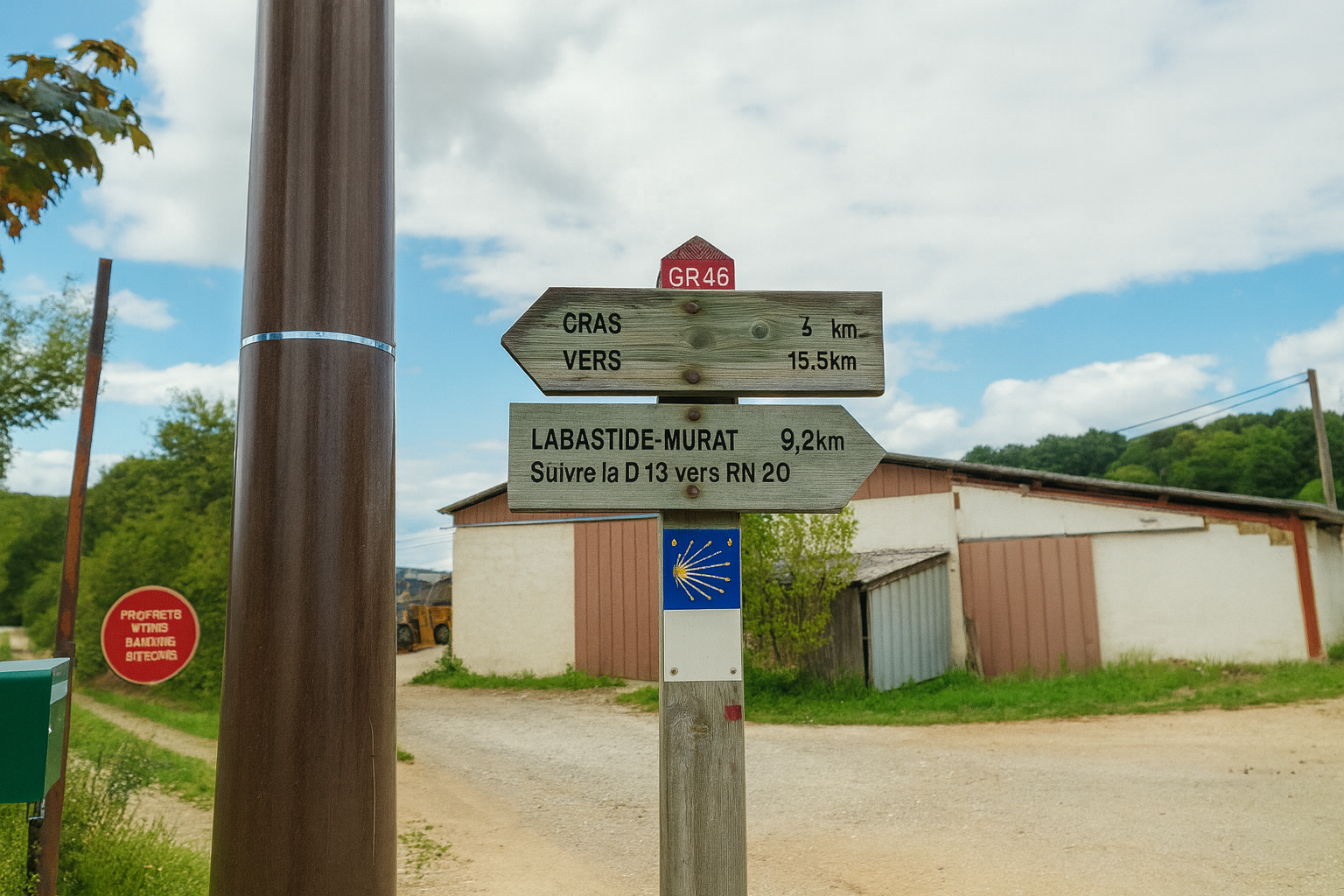
You should then continue straight ahead to the next junction, taking particular care not to be tempted by the secondary road on the left. The “Route des Combes” road must be avoided at all costs.
Section 5: Across the gentle hills of the Causse de Gramat
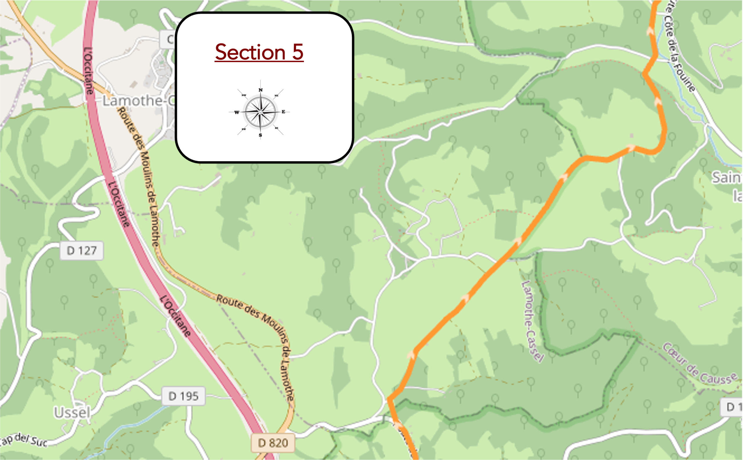
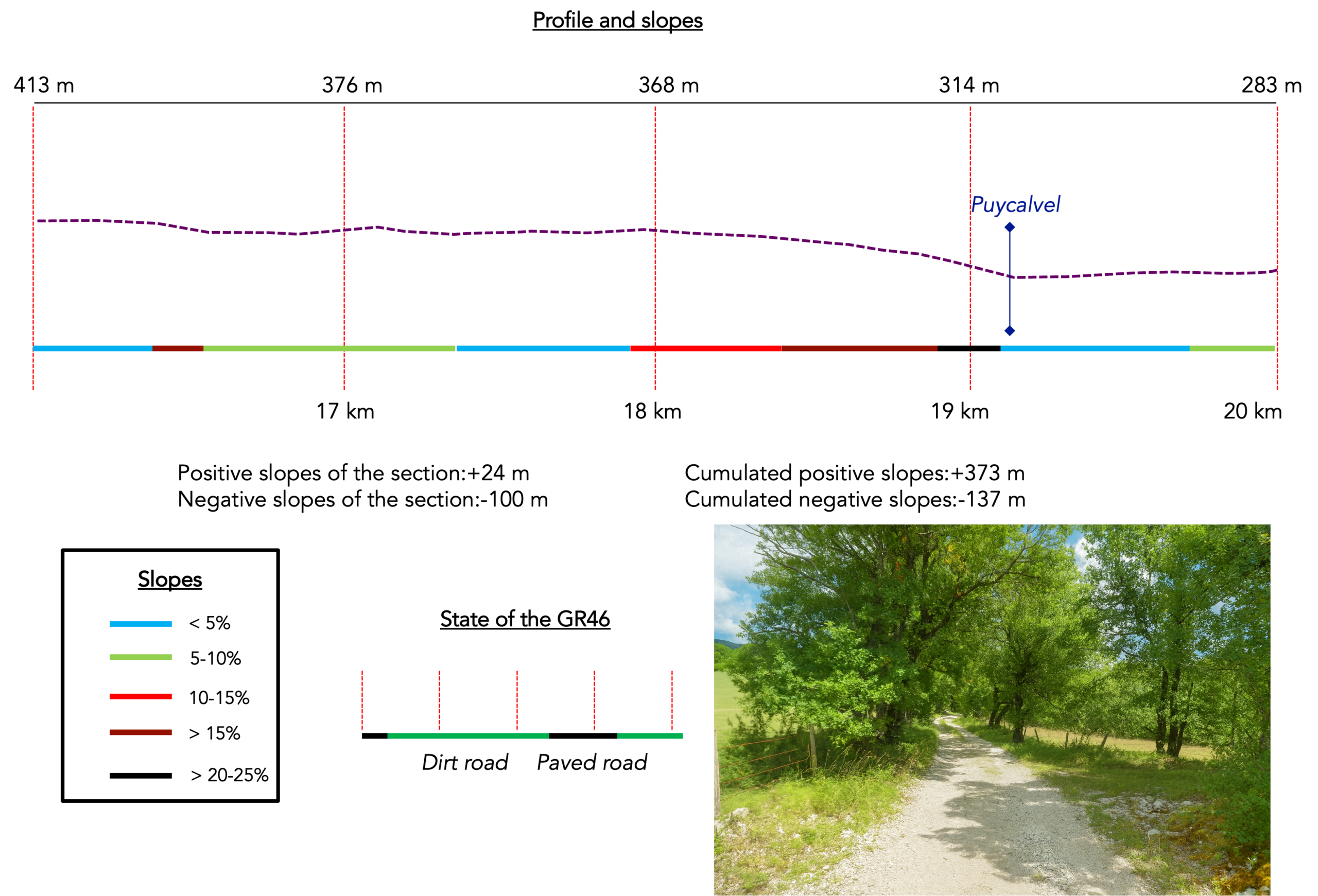
Overview of route’s challenges : The route presents no particular difficulty, apart from the steep descent towards the Puycalvel stream.
|
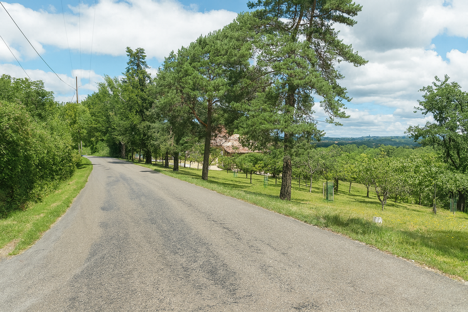
The road passes through the quiet hamlet of Farges, where beautiful houses seem to rest in perfect harmony amid the surrounding meadows. |
|
 |
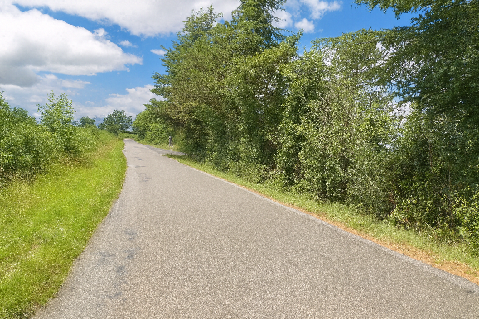 |
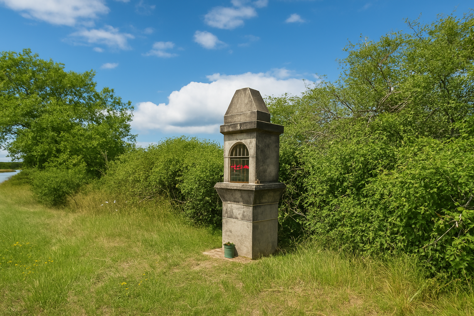
A little farther on, take care not to miss the junction with a small road that leaves the main road and heads off to the right towards the woodland.
|
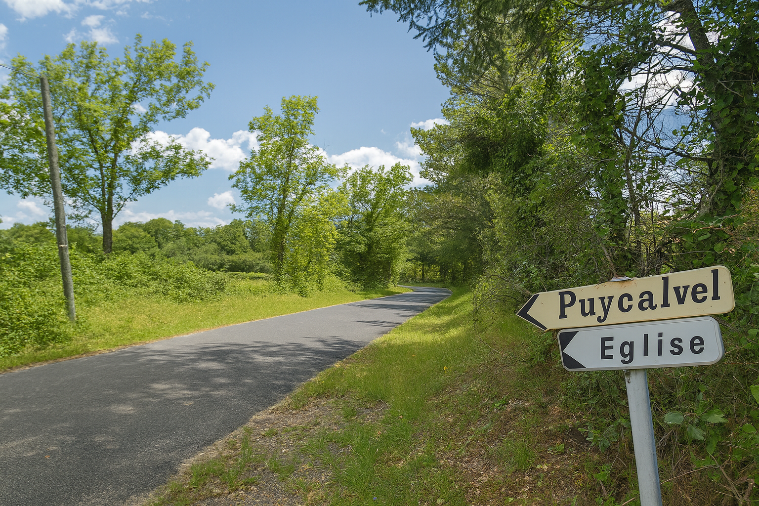
This road leads in the direction of Puycalvel, initially crossing open meadows. |
|
 |
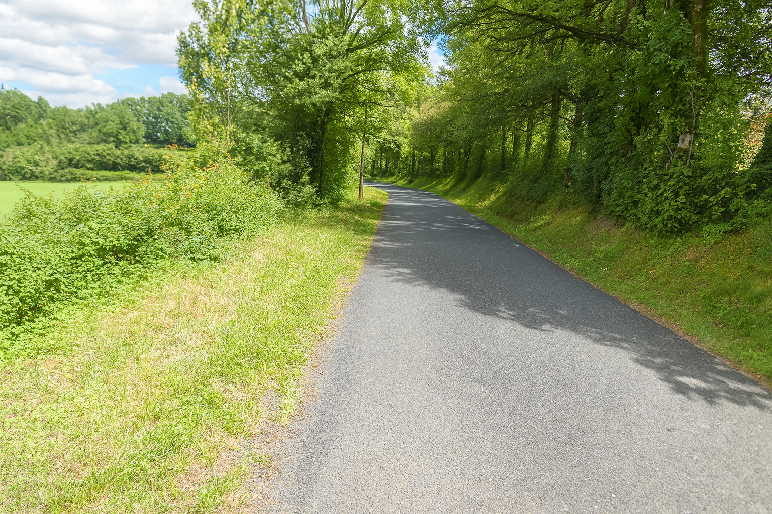 |
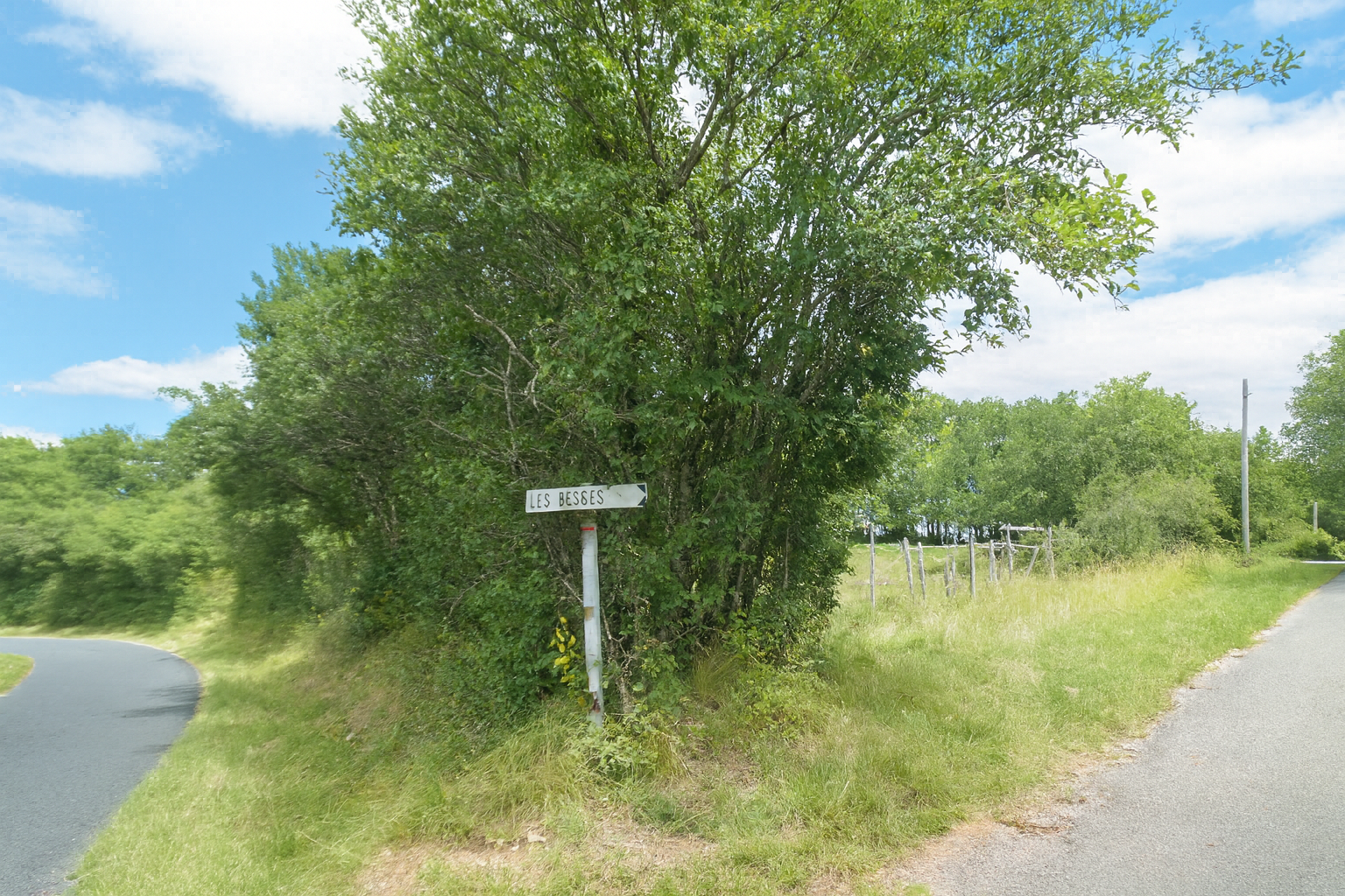
The route, however, does not continue as far as the village. Before long, it turns right towards Les Besses, leaving the original road behind.
|
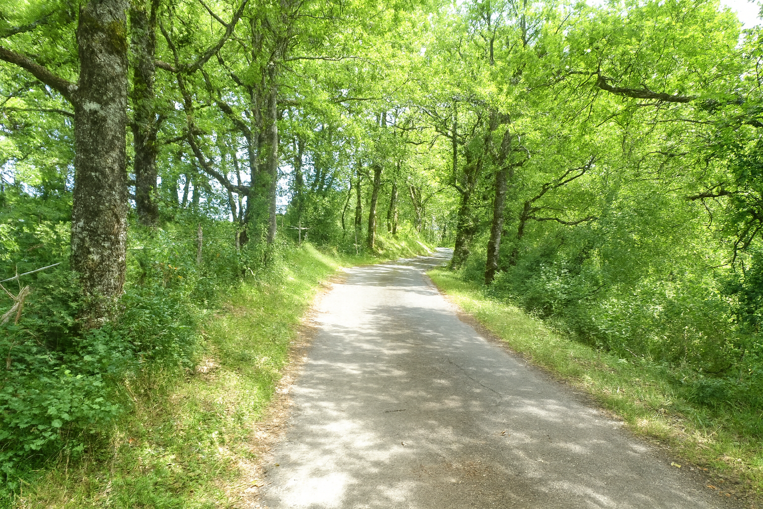
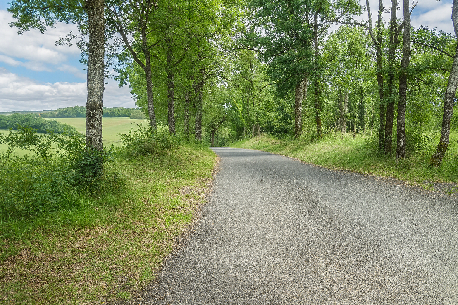
The road then enters peaceful woodland, beneath a gentle canopy of trees where the terrain becomes almost entirely level, offering an easy passage without the slightest difficulty. . |
|
 |
 |
|
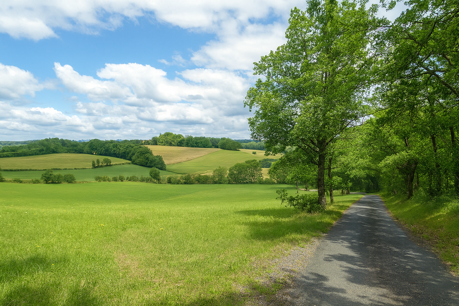
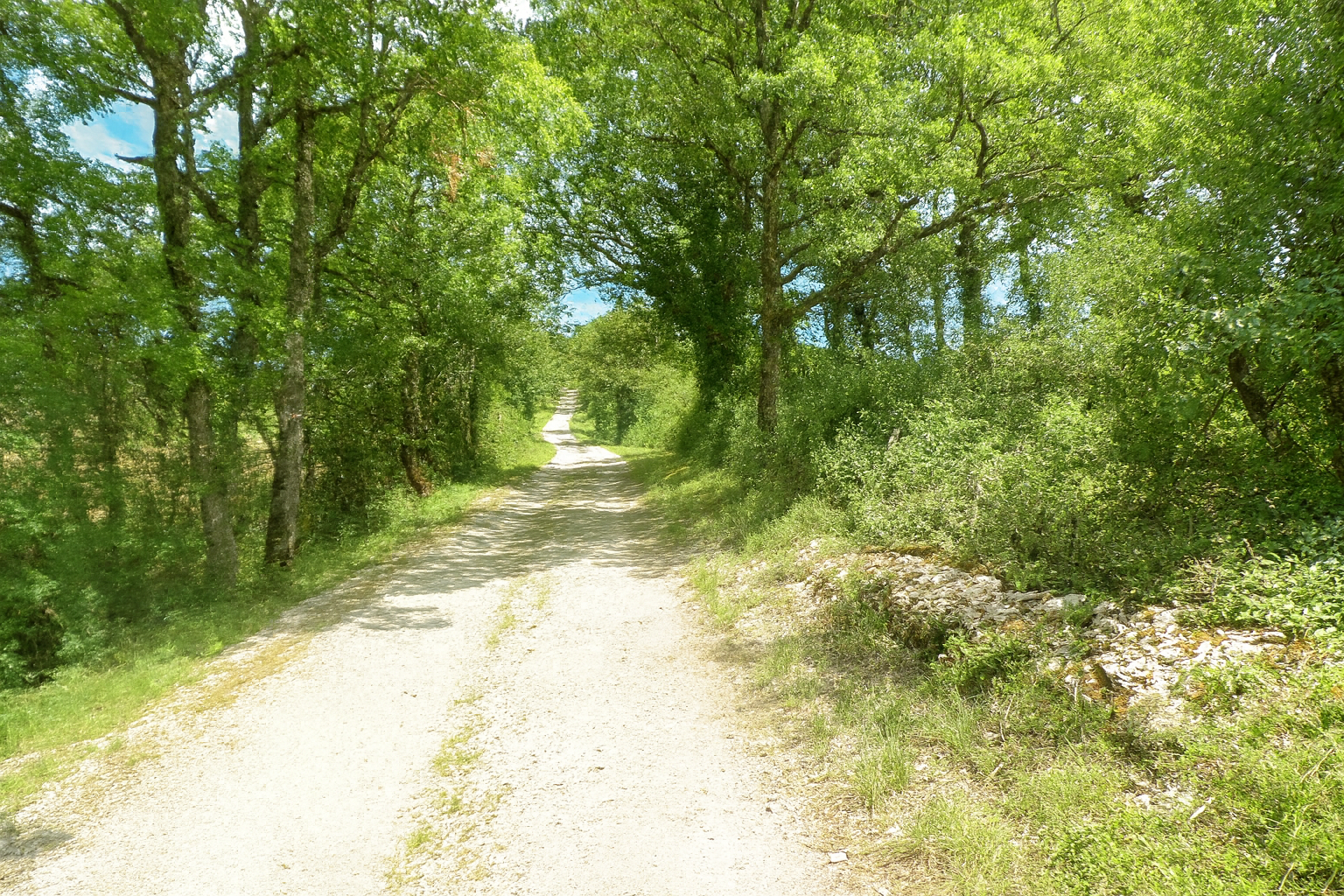
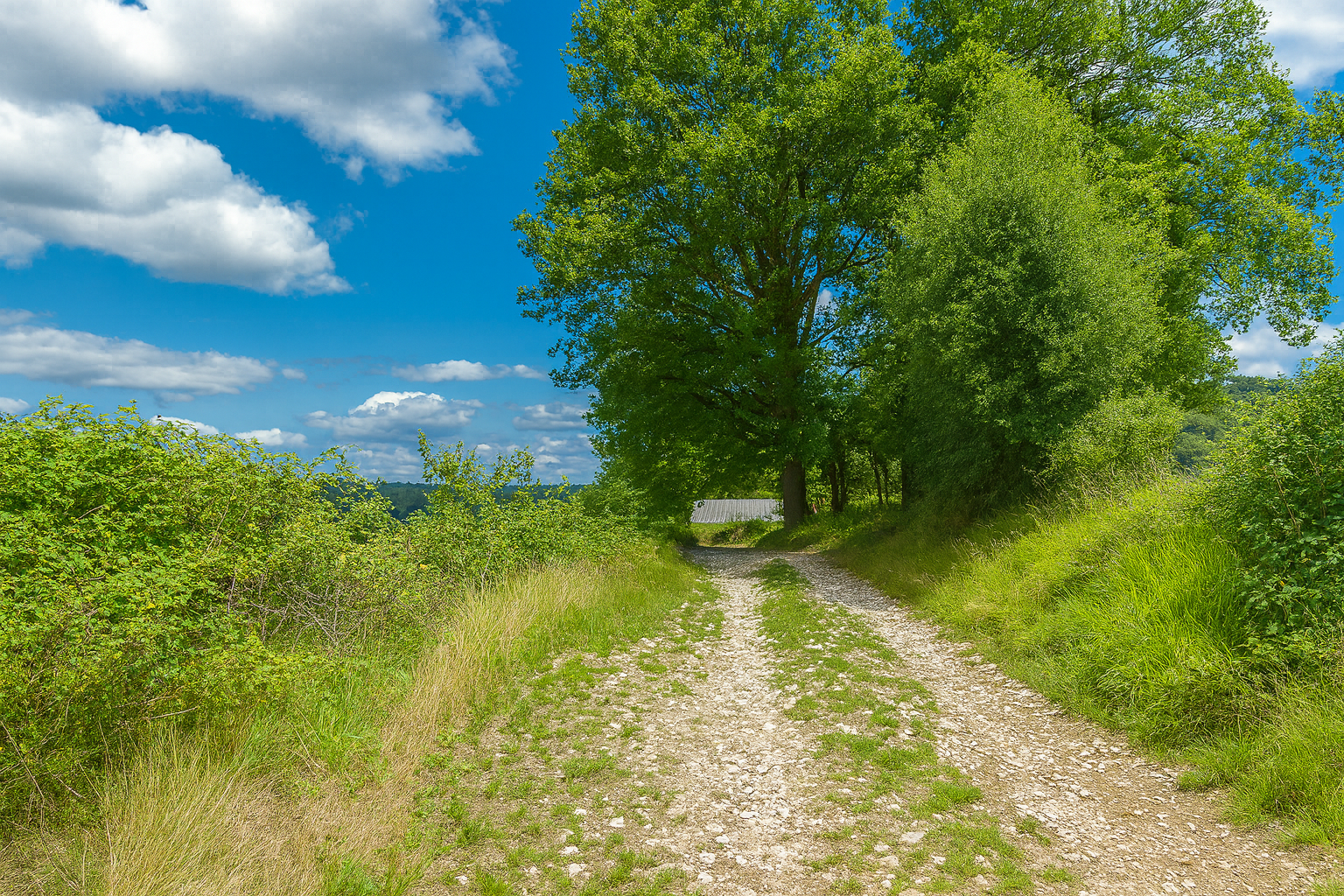
But the “Route des Besses” road is only a transition. Before long, the route leaves the asphalt and joins a broad track of beaten earth, easy and comfortable to follow. |
|
 |
 |
|
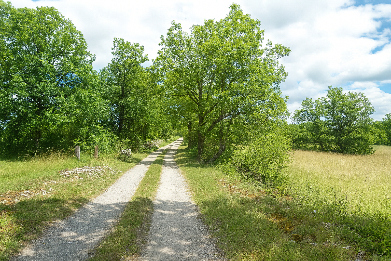
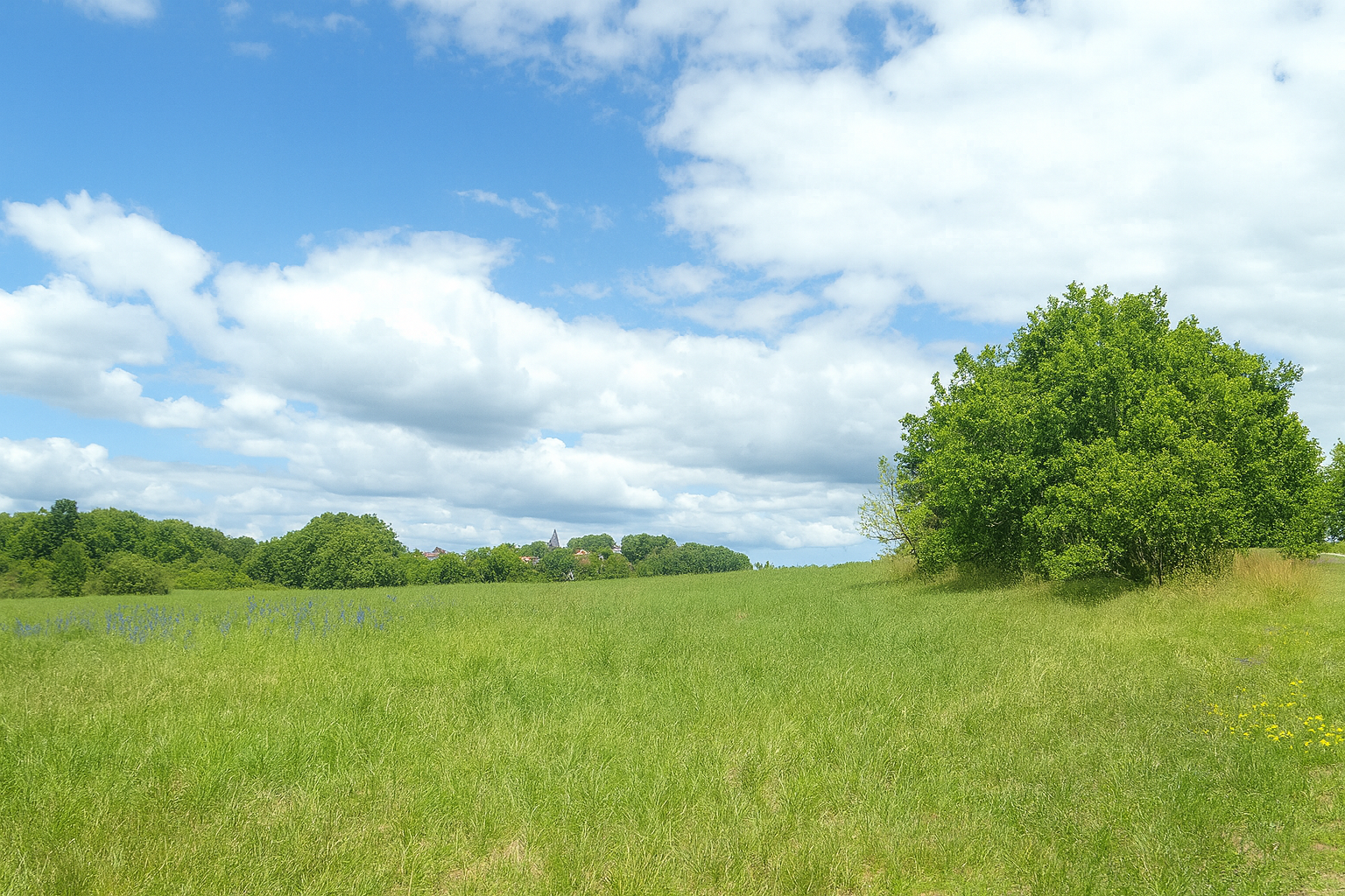
This track crosses peaceful, almost motionless countryside, with nothing but meadows stretching as far as the eye can see. In the distance, to your right, the bell tower of Puycalvel rises against the horizon, a discreet landmark in the landscape. |
|
 |
 |
|
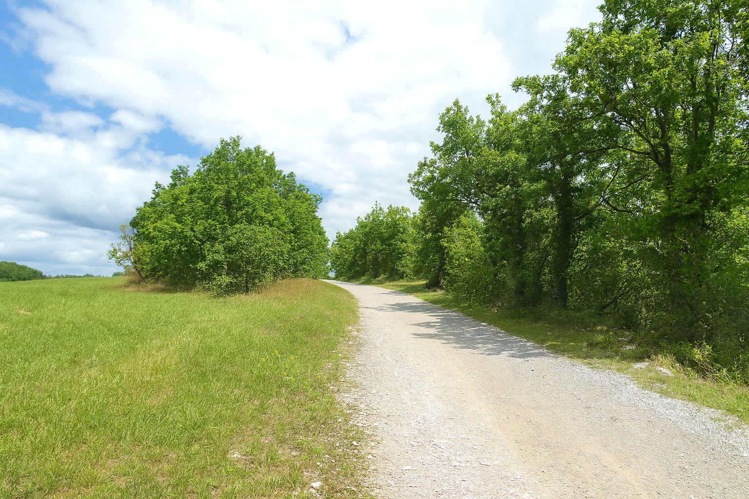
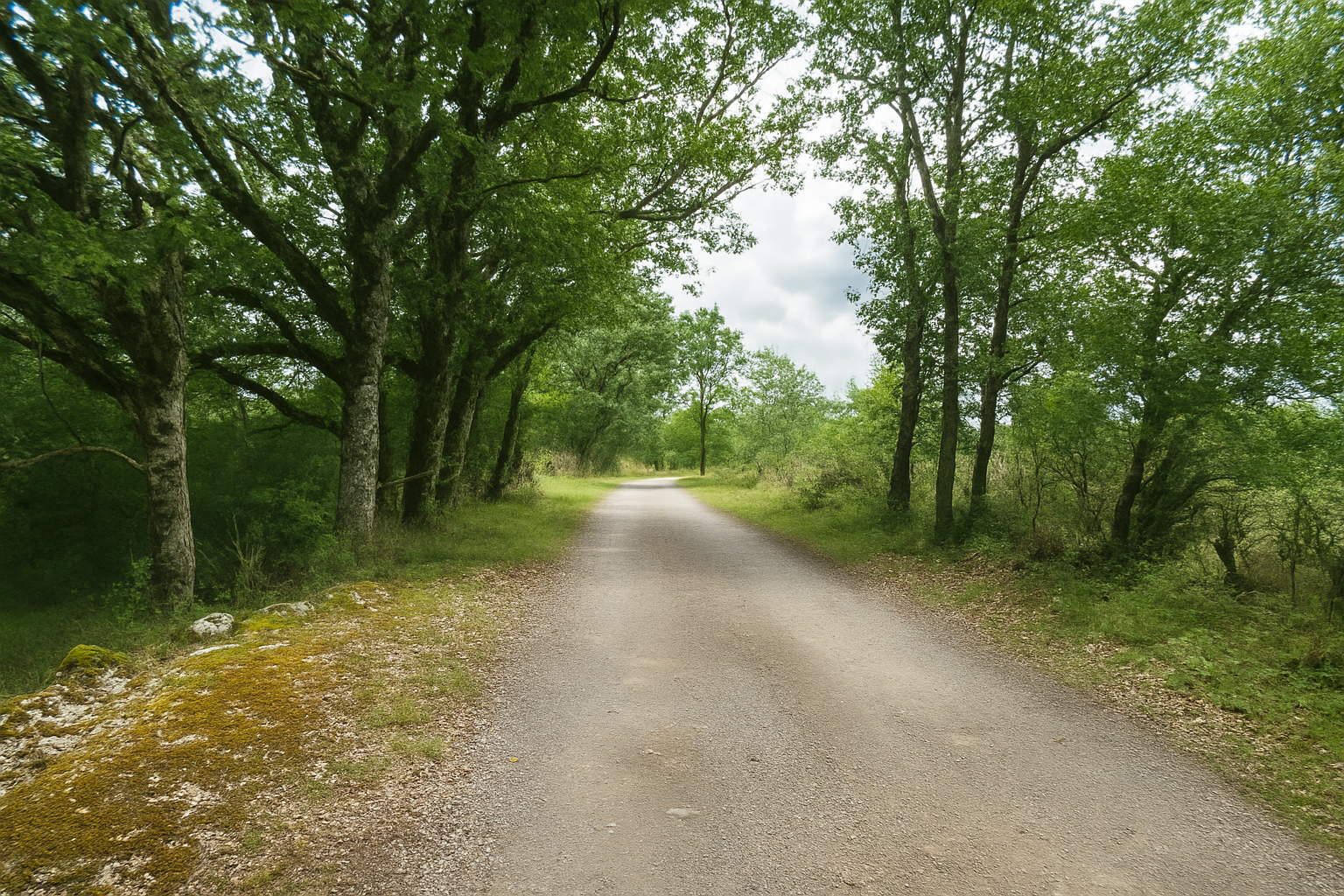
The path then continues along a long, straight stretch, running steadily beside lines of trees and hedgerows in a peaceful, almost meditative progression. |
|
 |
 |
|
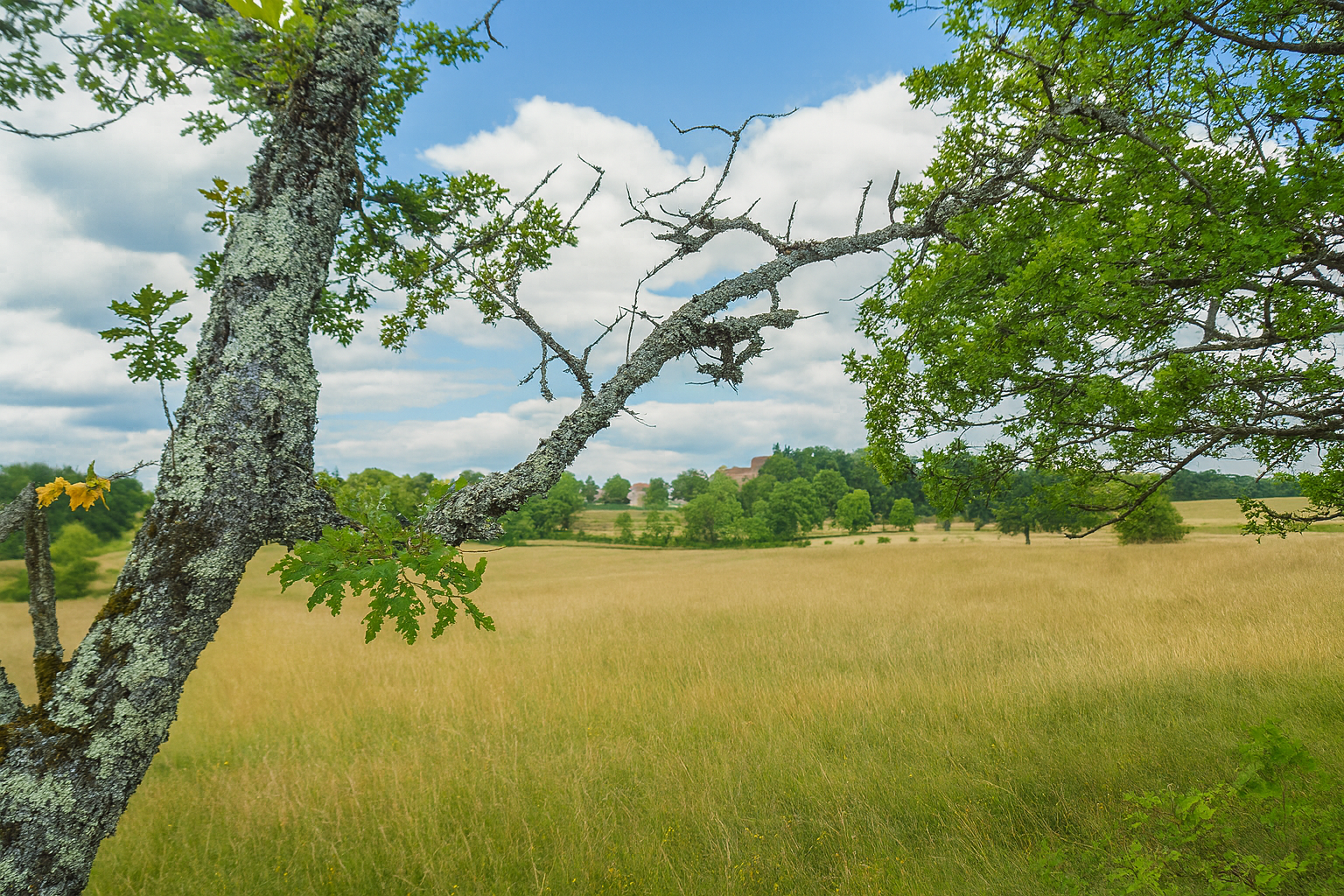
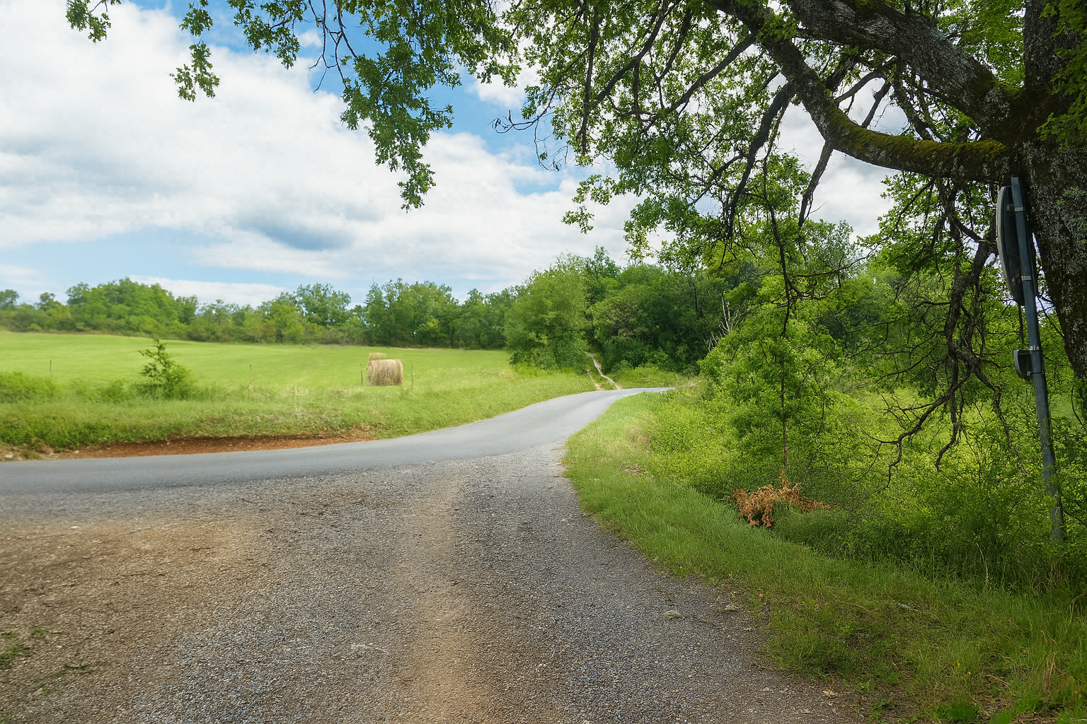
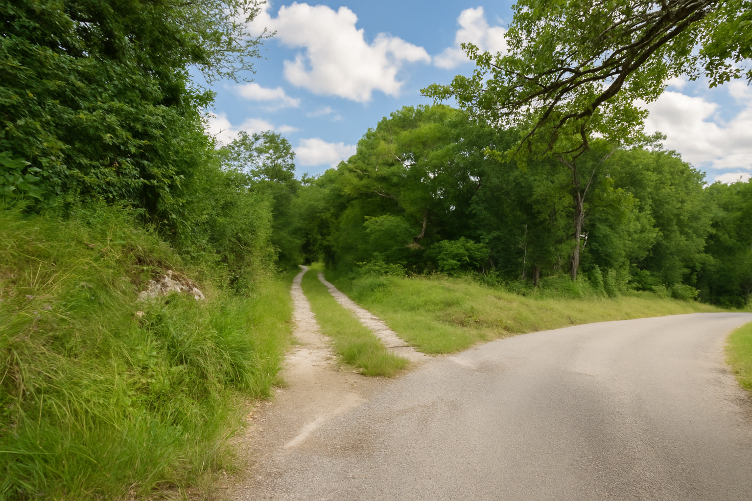
Shortly afterwards, the path crosses a road running across its course, simply passing over it without lingering and continuing onwards as though indifferent to this fleeting encounter. |
|
 |
 |
 |
 |
|
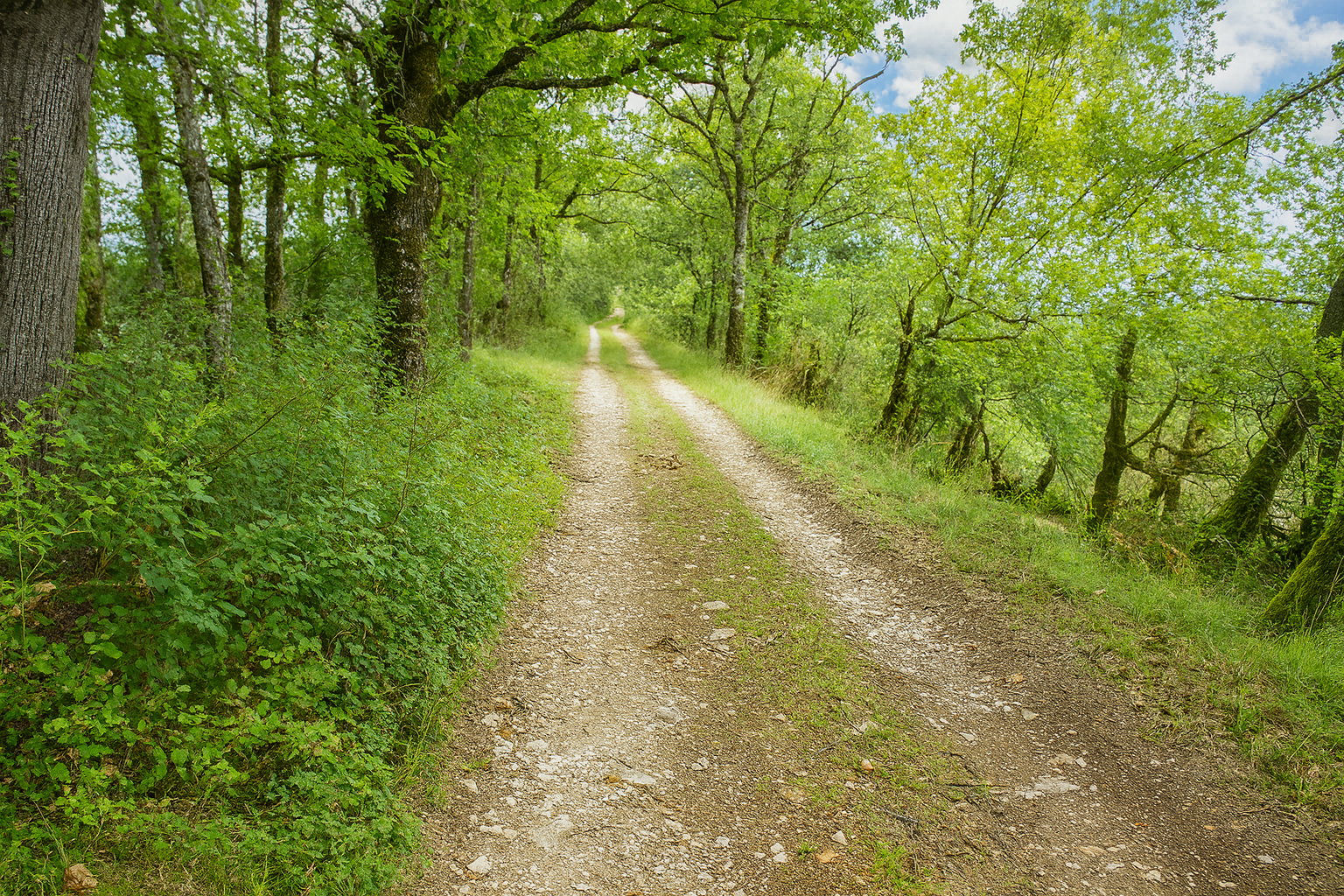
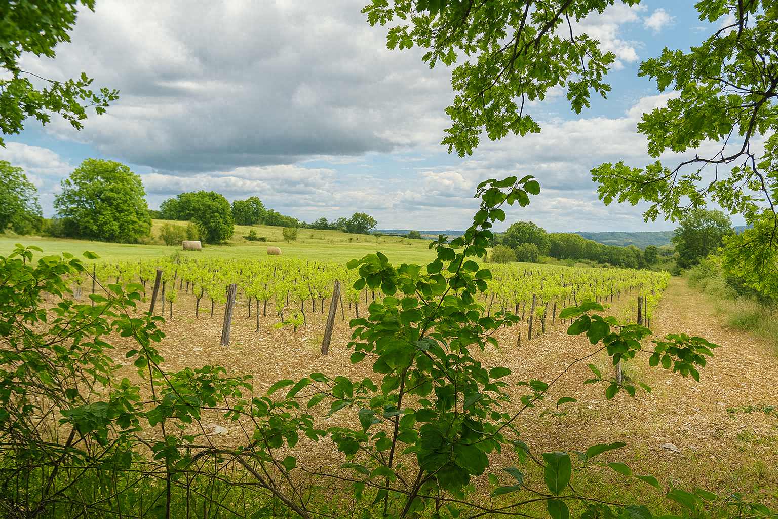
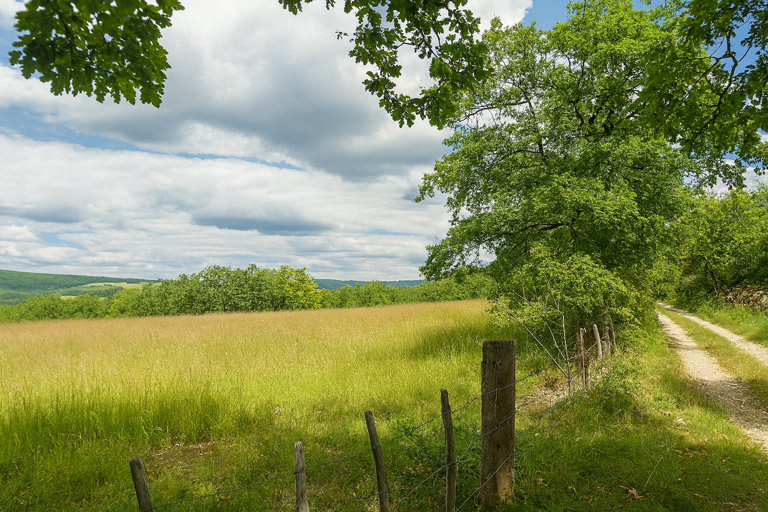
The broad dirt path then resumes its gentle progress, alternating with an almost soothing regularity between quiet woodland and open countryside. Meadows predominate here, but one exception breaks the uniformity of the landscape. A few rows of vines appear, unexpected first signs of viticulture in this region. |
|
 |
 |
|
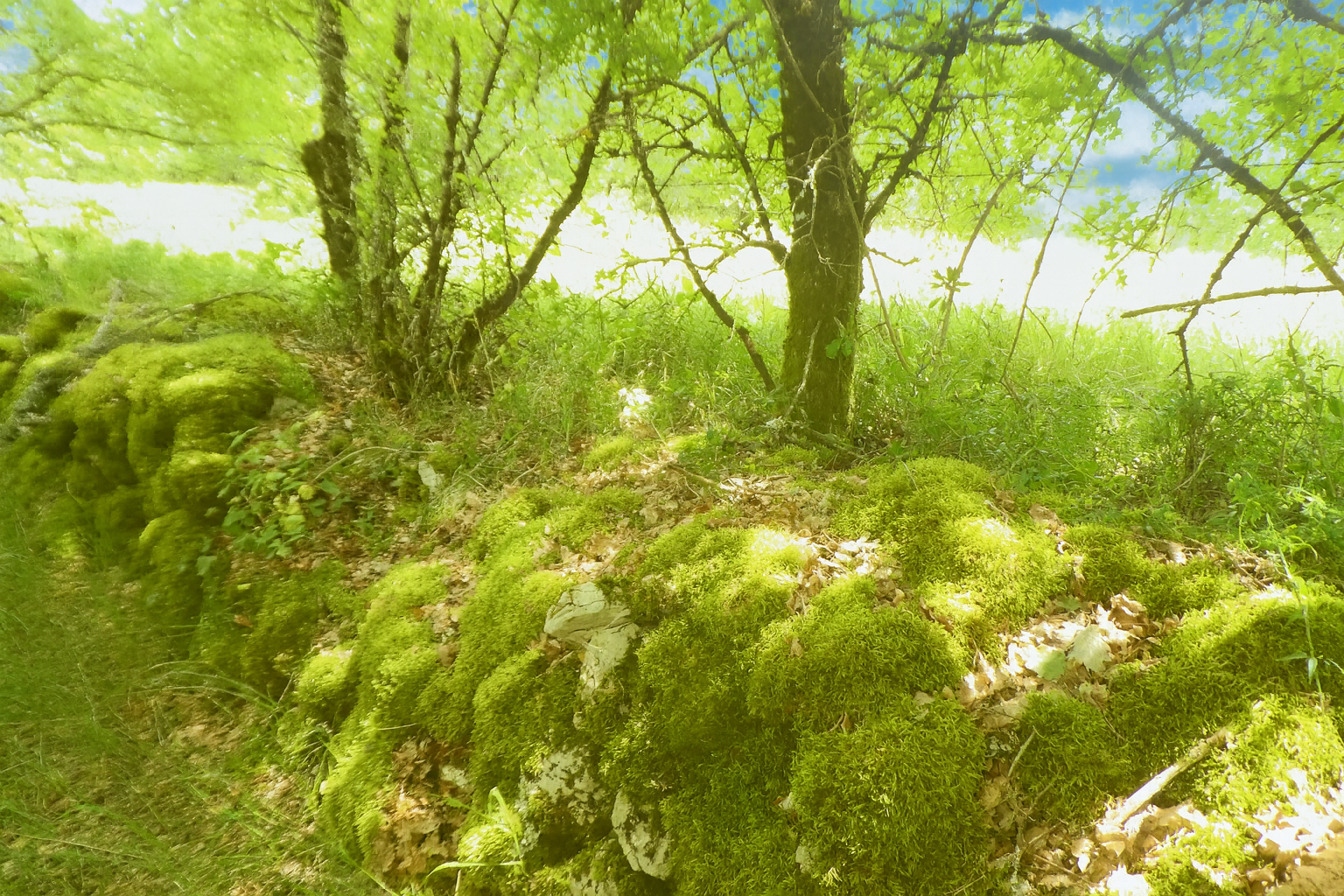
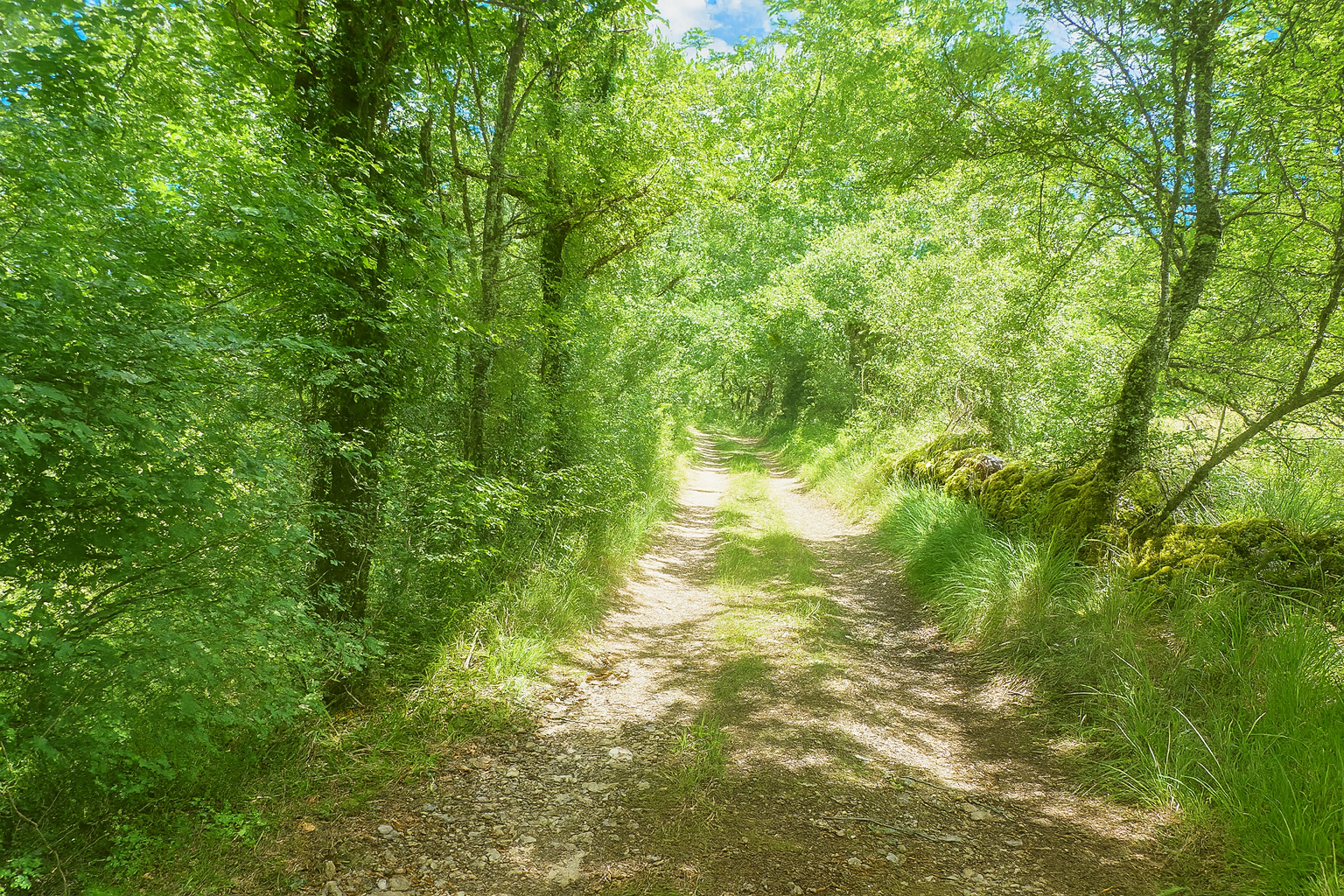
Farther on, the path enters quiet woodland once again, as though briefly reconnecting with the more austere soul of the causses, their arid soils, moss-covered stone walls and stubborn oaks clinging tenaciously to the landscape. |
|
 |
 |
|
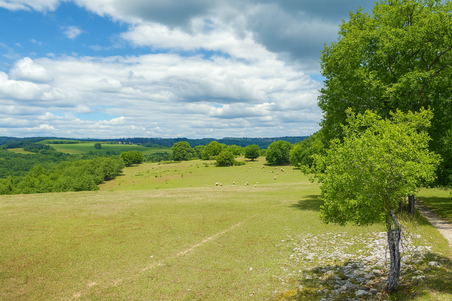
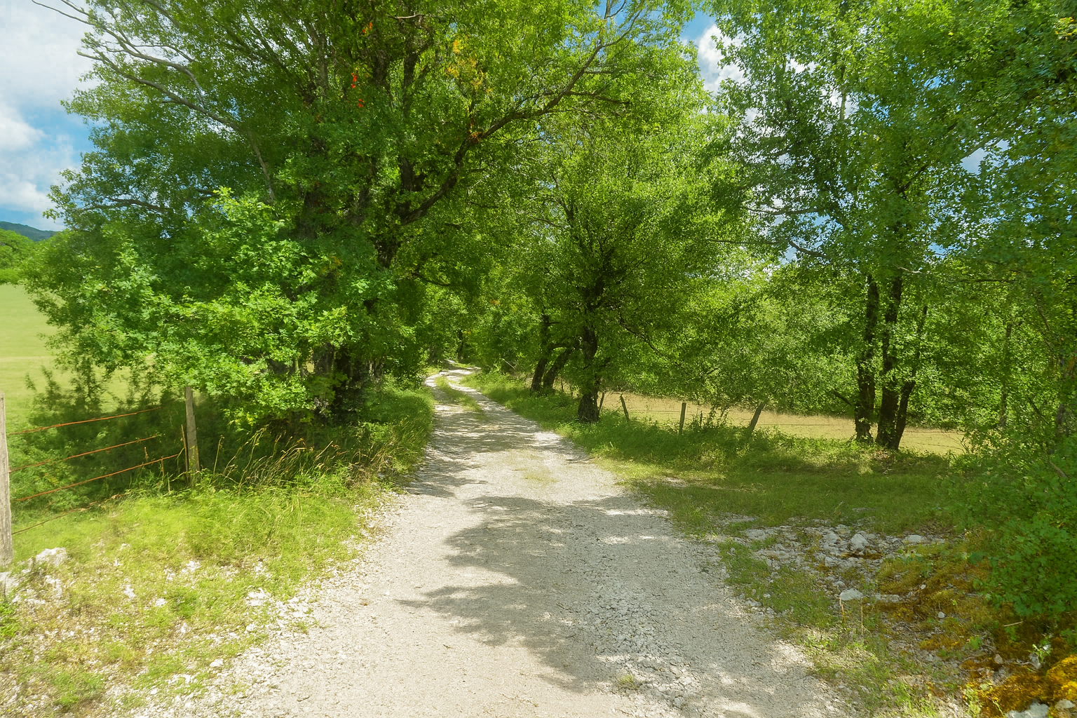
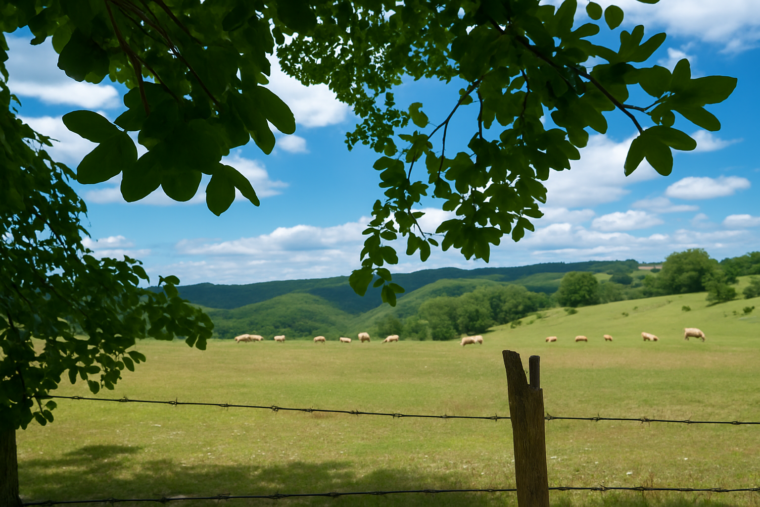
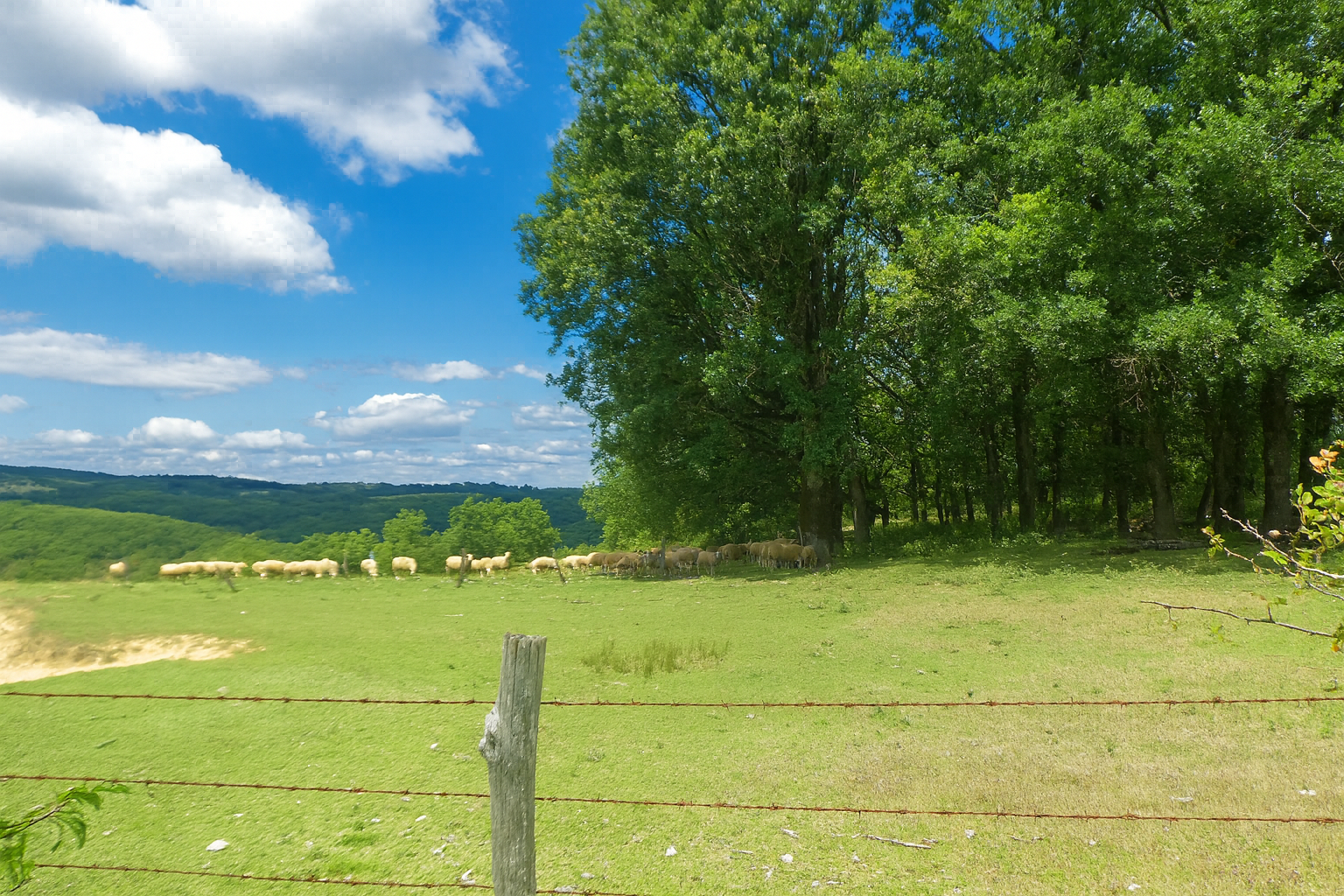
But this interlude is brief. The path soon returns to the gently rolling countryside, where herds graze beneath the peaceful contours of the hills in a tranquil atmosphere that seems almost untouched by time. |
|
 |
 |
 |
 |
|
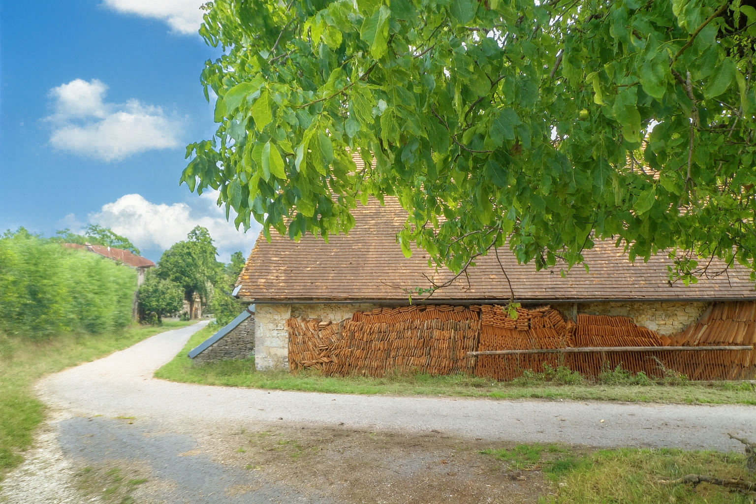
Farther on, the route returns to asphalt as it joins the “Route du Causse de Montcuq” road, a narrow and peaceful road where traffic is rare, probably used almost exclusively by the scattered farms in the surrounding countryside. |
|
 |
 |
|
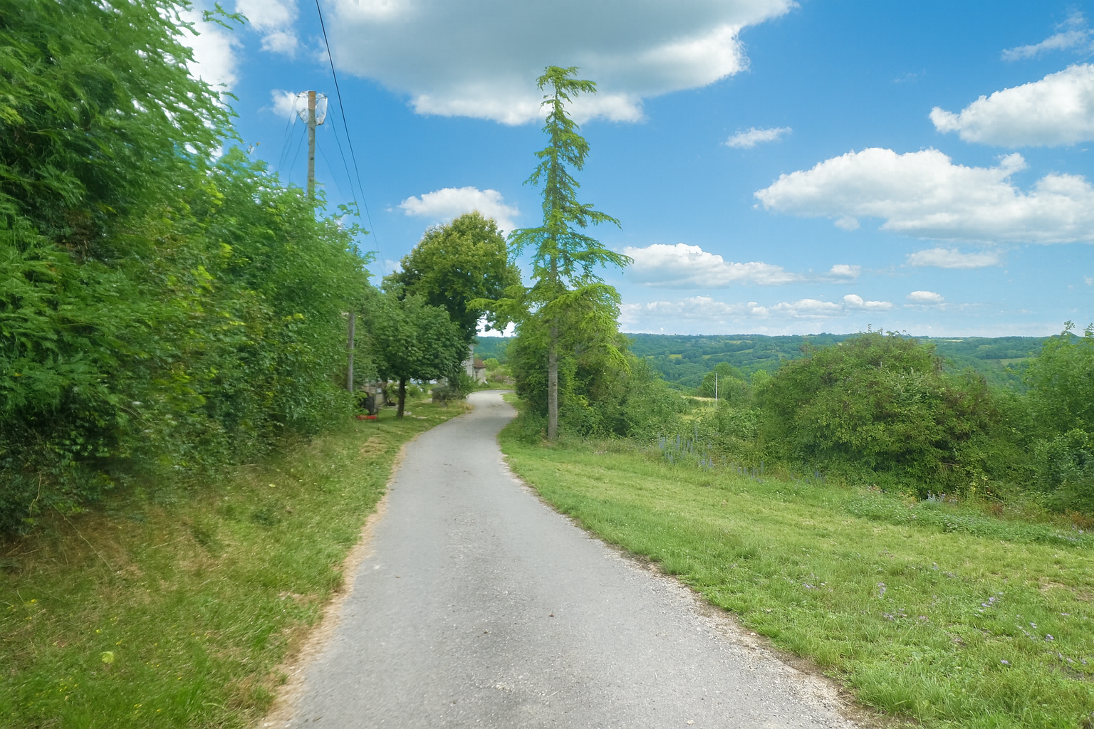
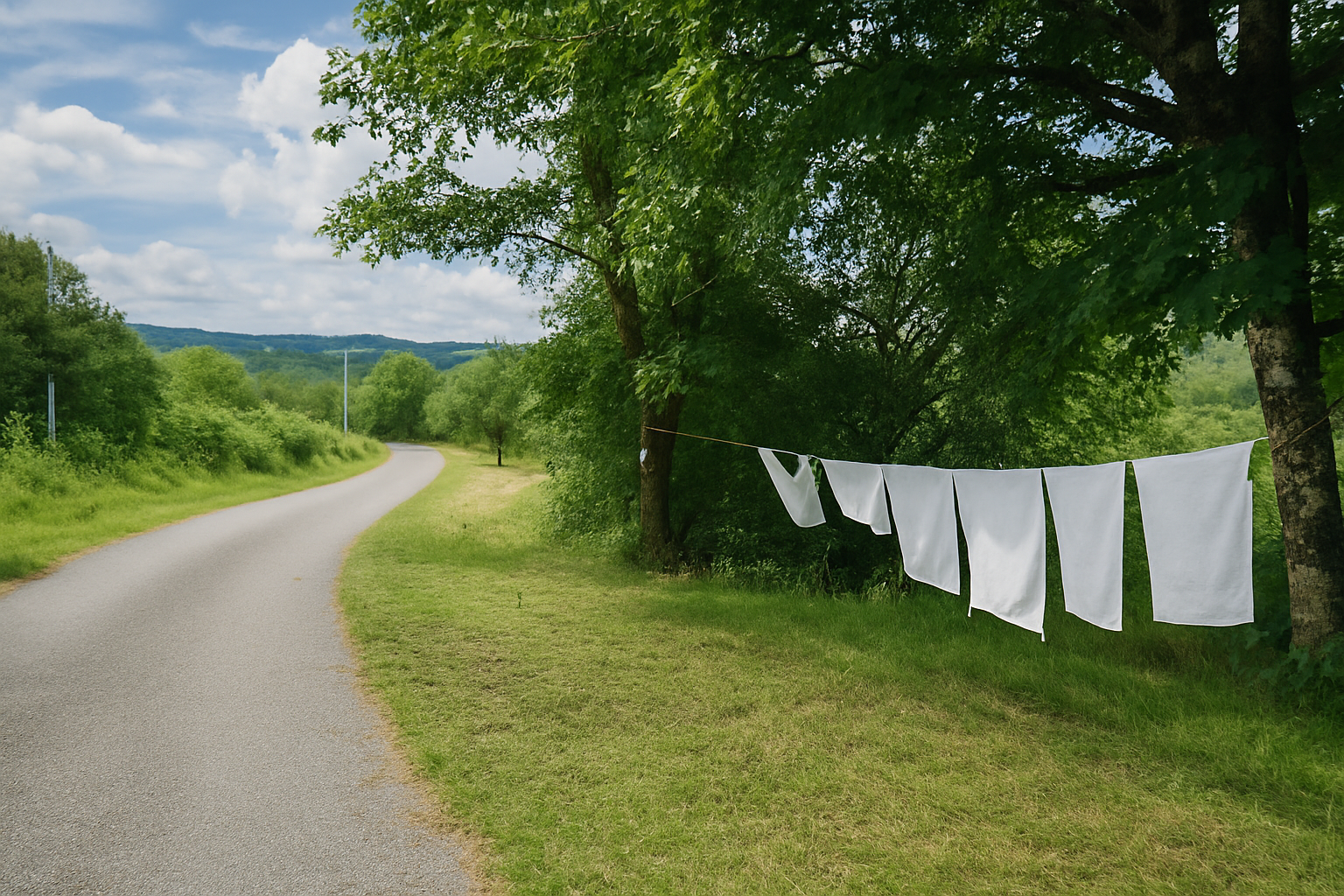
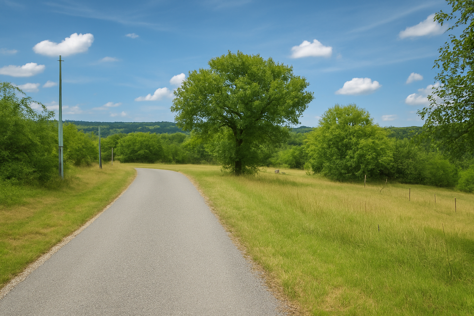
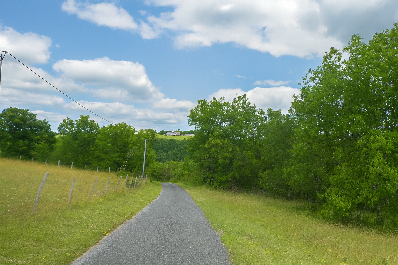
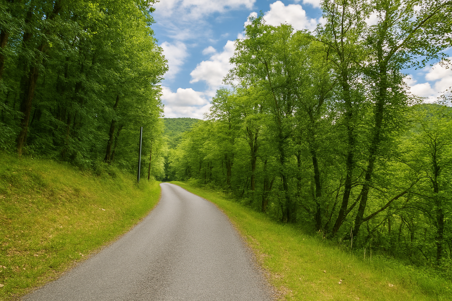
Here, the route takes on a different character. The road begins to slope downwards, descending towards the bottom of a secluded valley where human presence becomes discreet, almost erased from the landscape. |
|
 |
 |
|
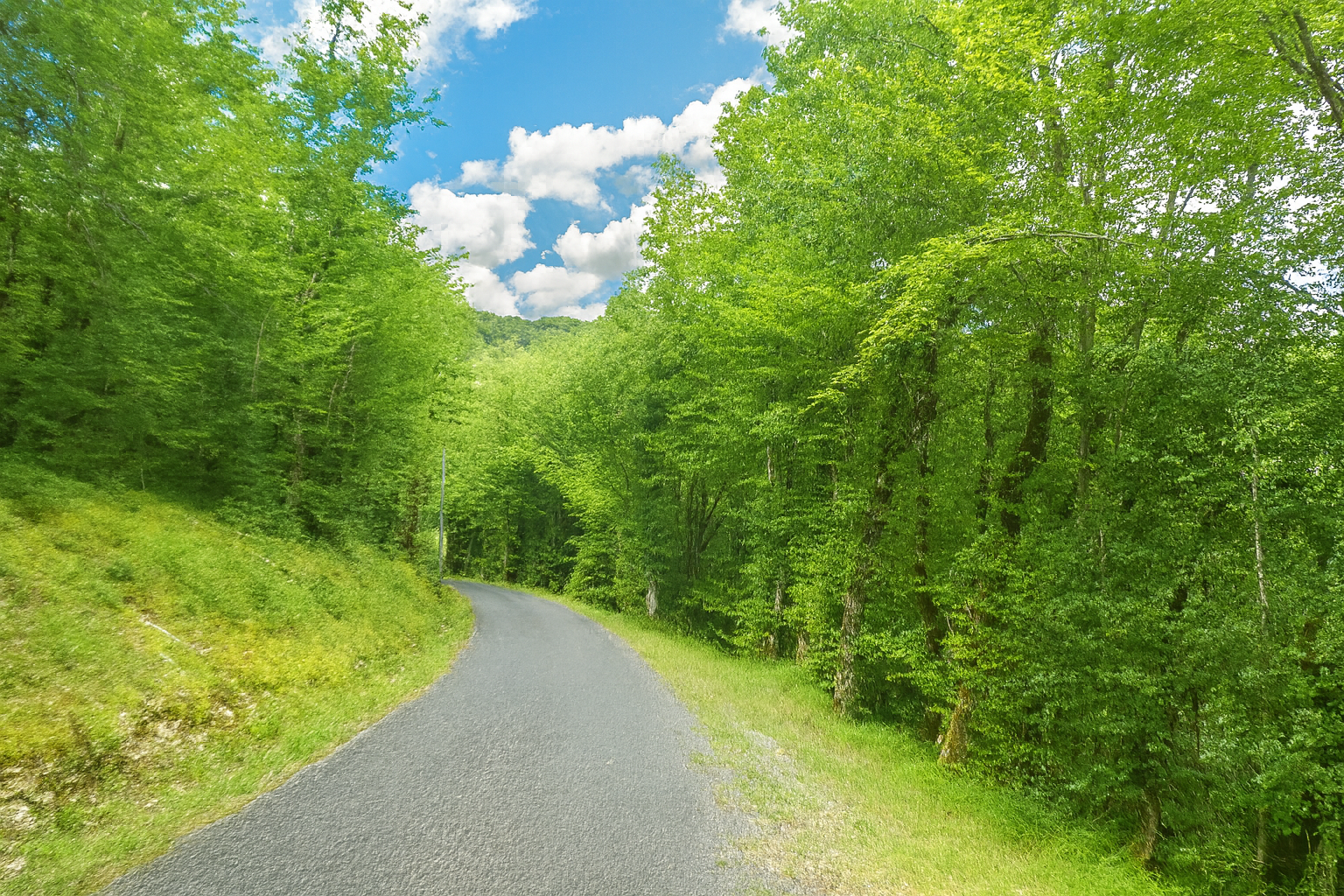
The descent is long and sometimes steep, although it requires no particular effort. The asphalt proves particularly welcome here, making progress easier on gradients that exceed 15% in places. |
|
 |
 |
 |
 |
|
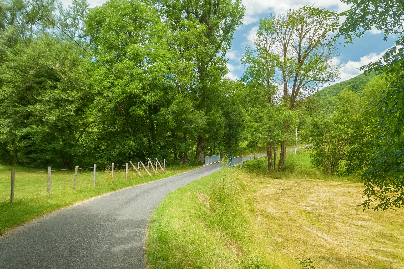
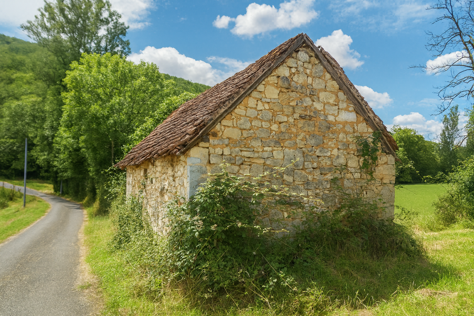
At the bottom of the descent, the road crosses the Puycalvel stream, whose waters will soon join those of the Vers stream, only a short distance away. |
|
 |
 |
|
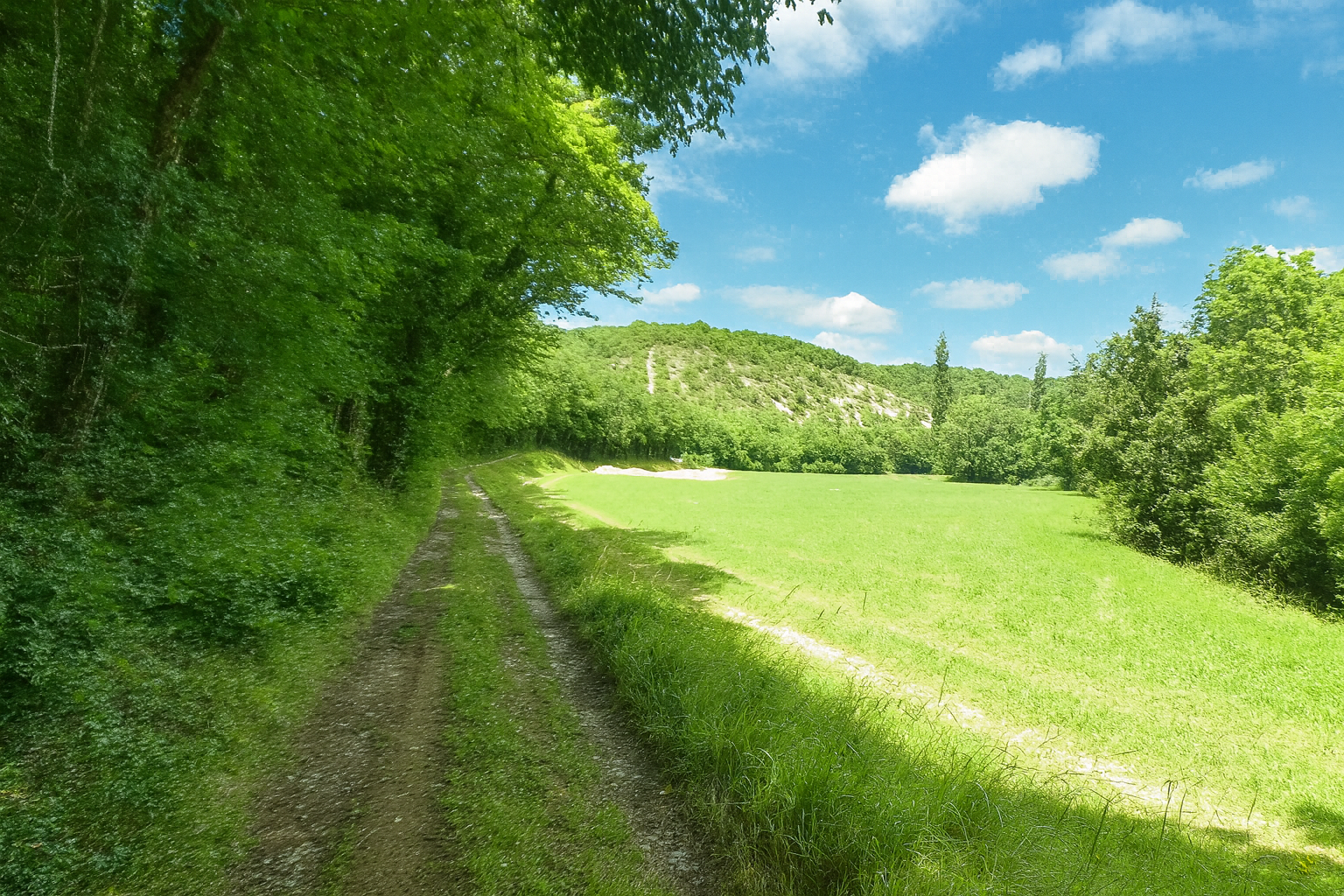
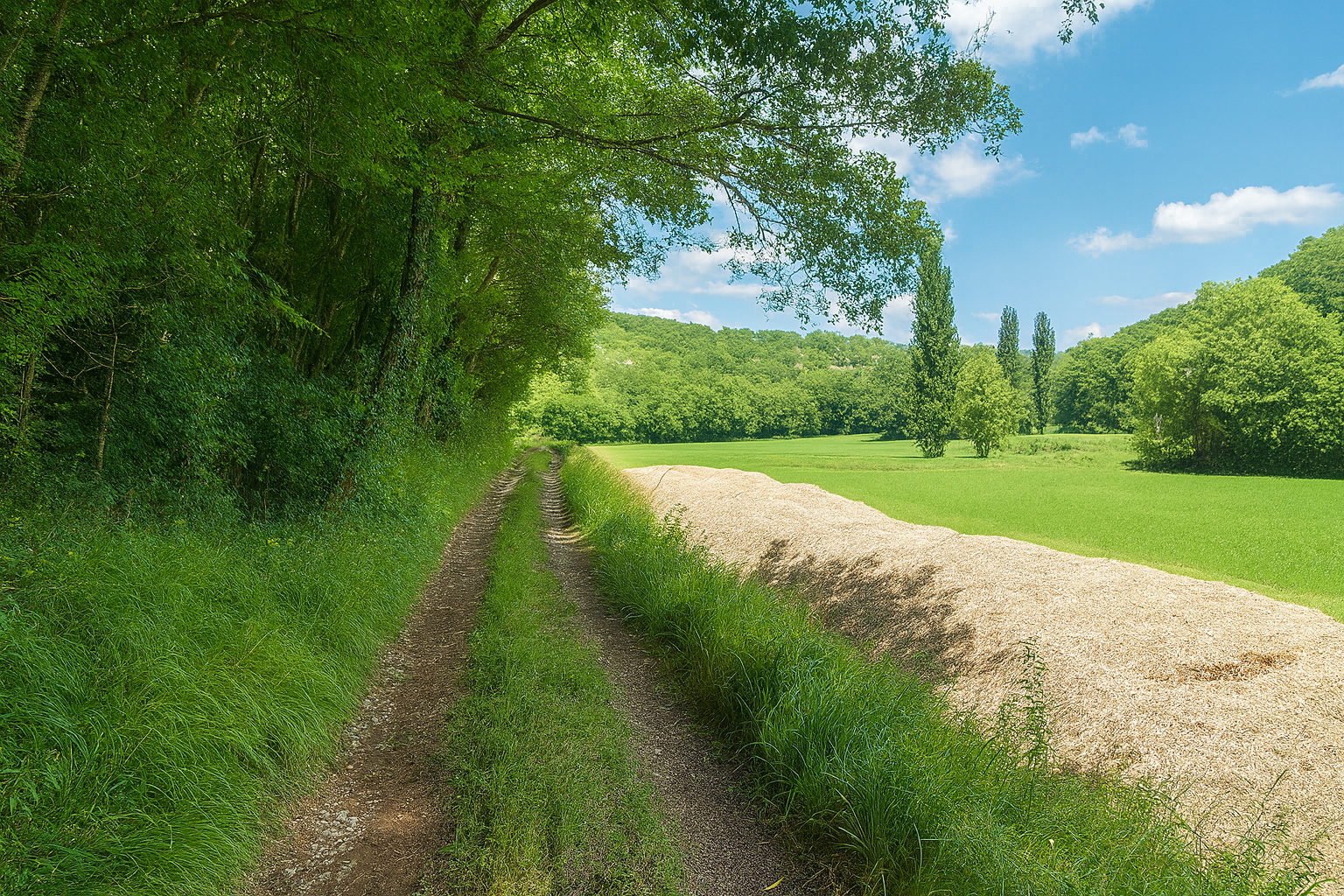
At this point, the route leaves the road and returns to a broad earthen path, gently undulating along the edges of the woodland through peaceful countryside nestled beneath softly rounded hills. |
|
 |
 |
Section 6: Climbing towards Labastide-Murat
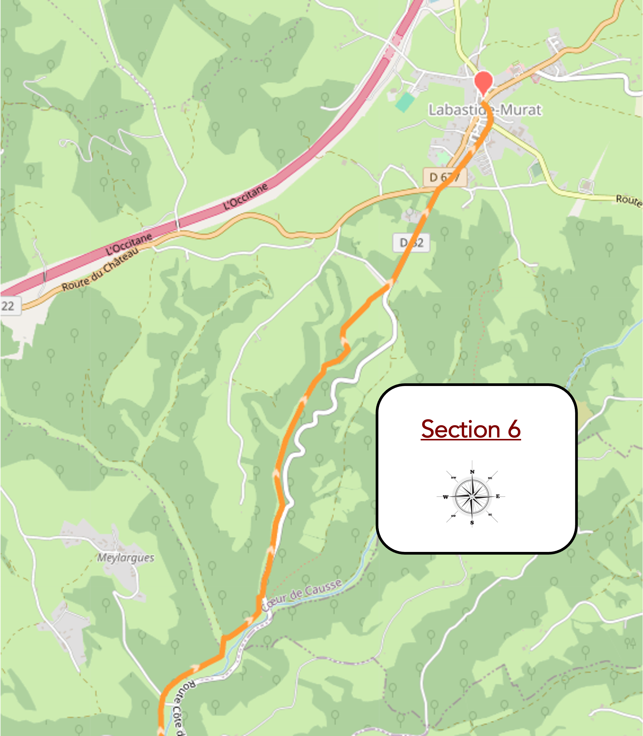
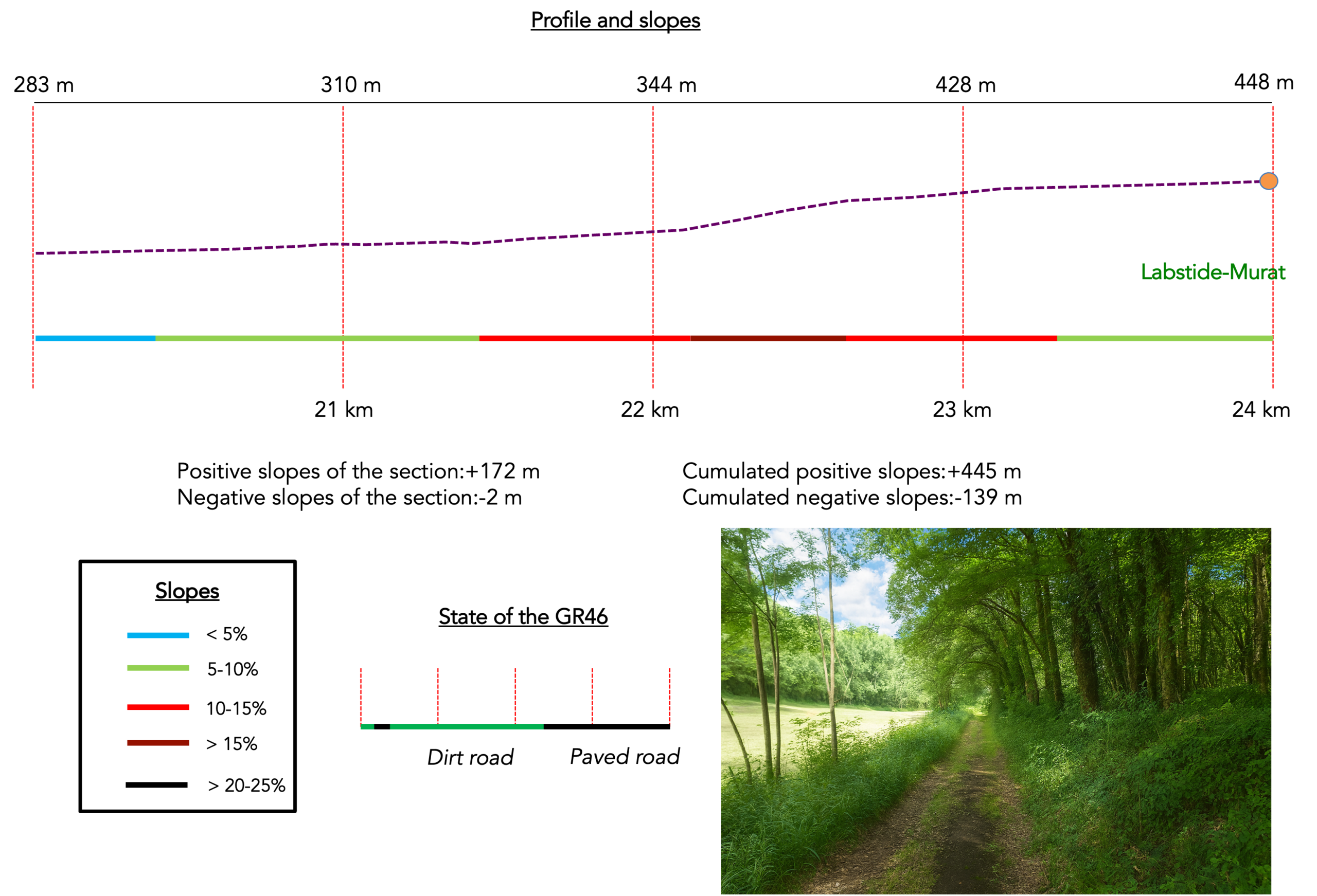
Overview of route’s challenges : a few sustained climbs towards the end of the route.
|
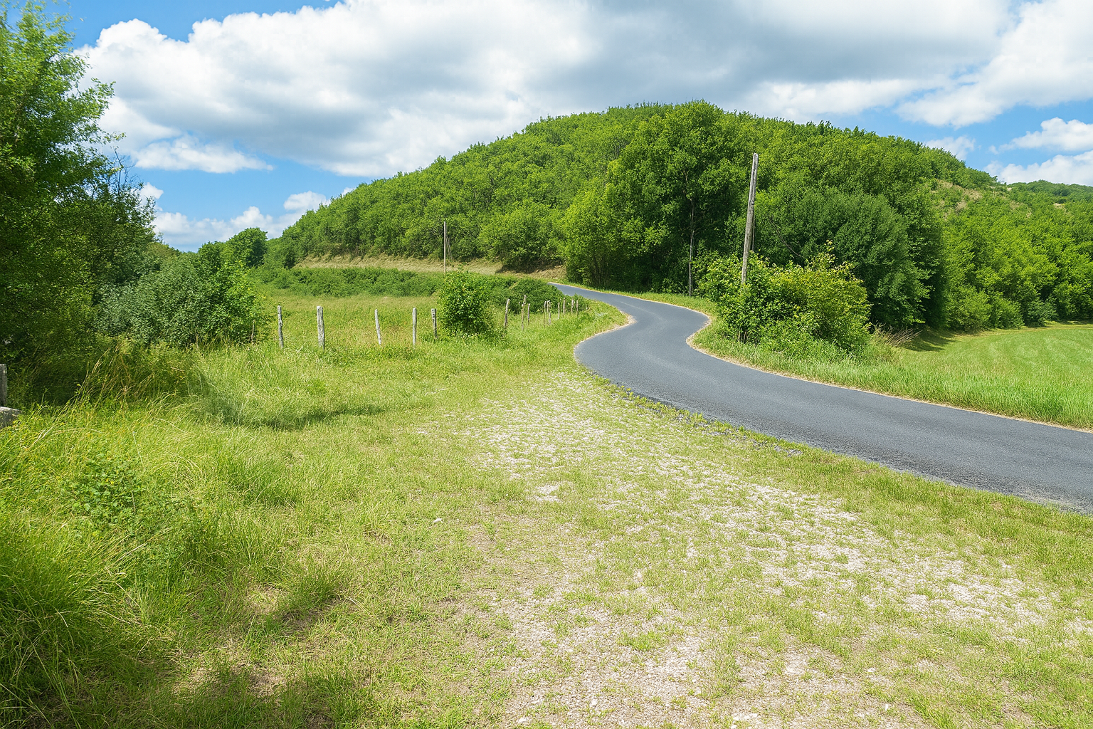
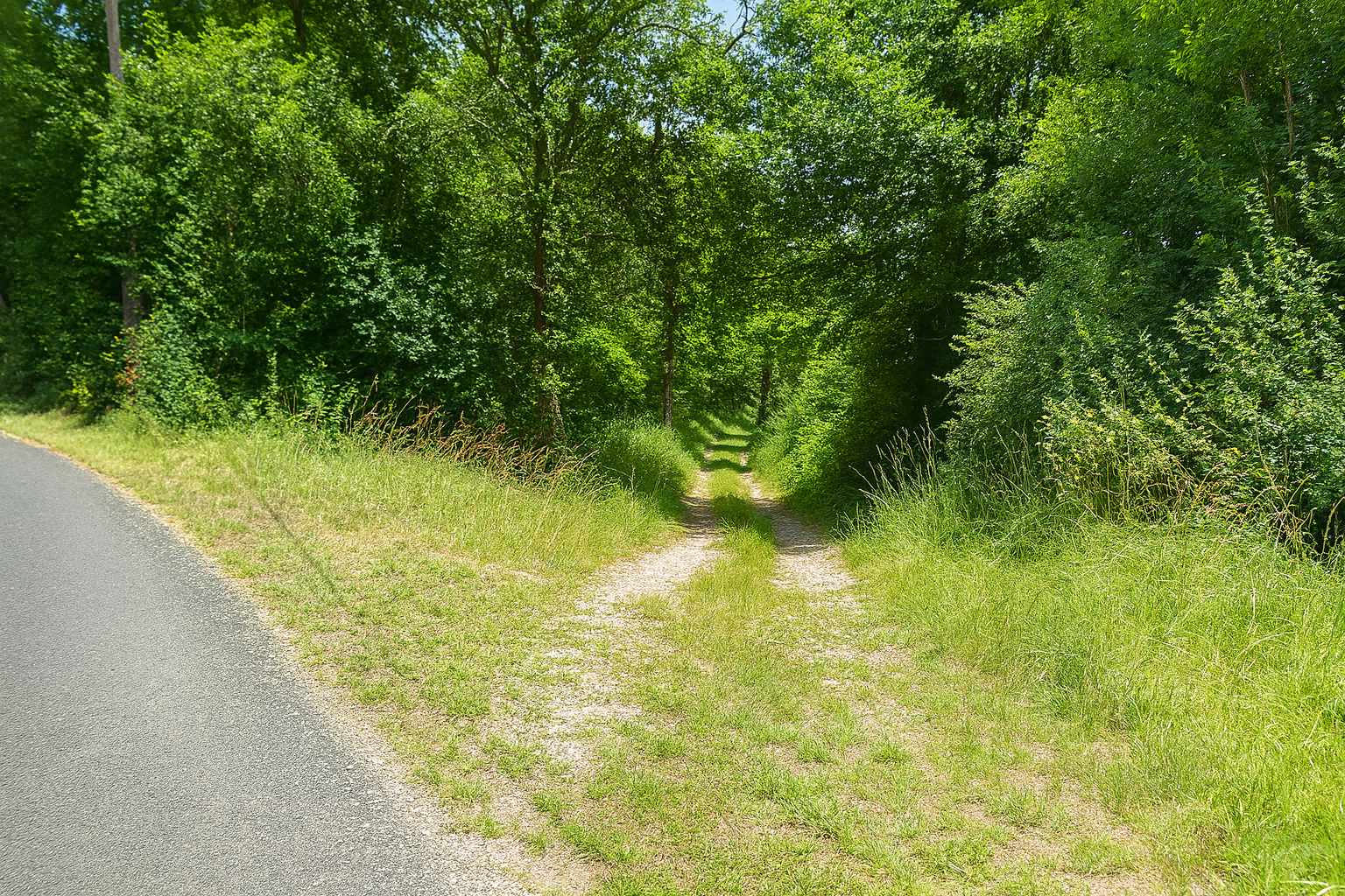
Shortly afterwards, the path crosses a road without lingering, simply passing over it before continuing onwards, faithful to its original direction. |
|
 |
 |
|
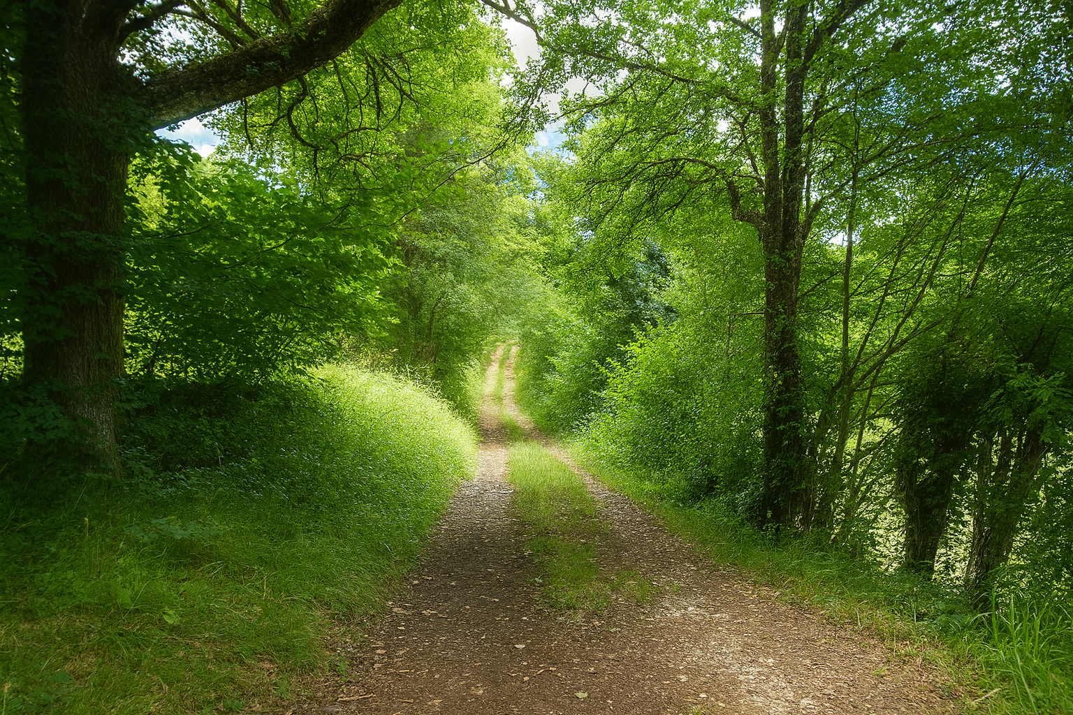
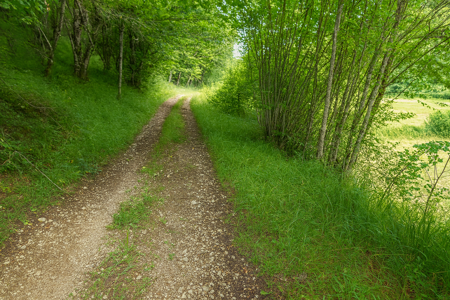
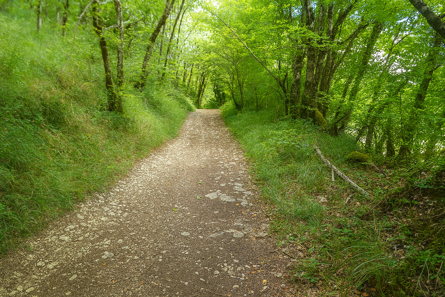
Before long, a broad path, its rich brown color revealing the abundance of humus in the soil, once again disappears beneath the woodland canopy. Tall trees cast their shade across the path, mainly oaks and a few poplars, their slender silhouettes rising high overhead. |
|
 |
 |
|
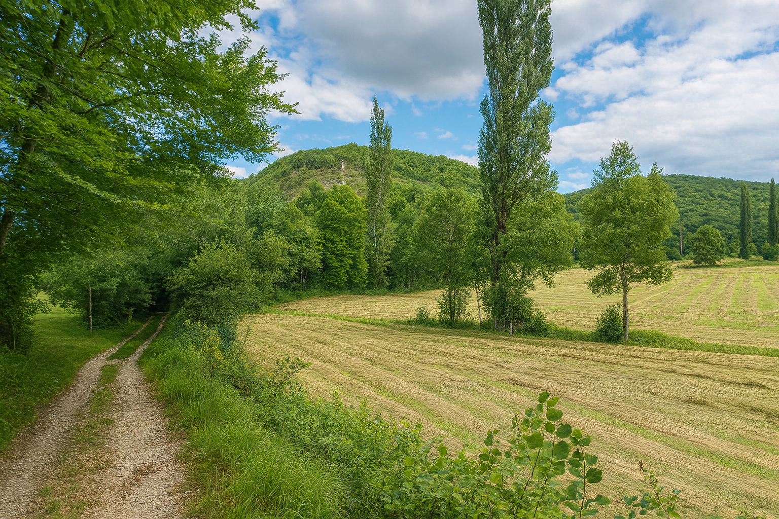
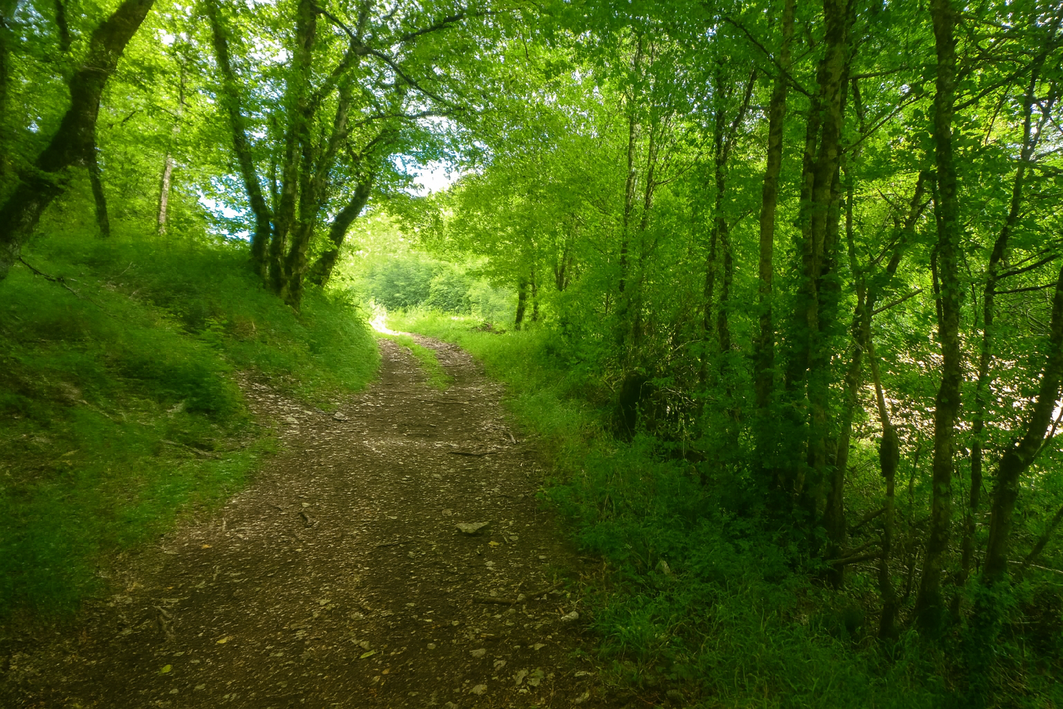
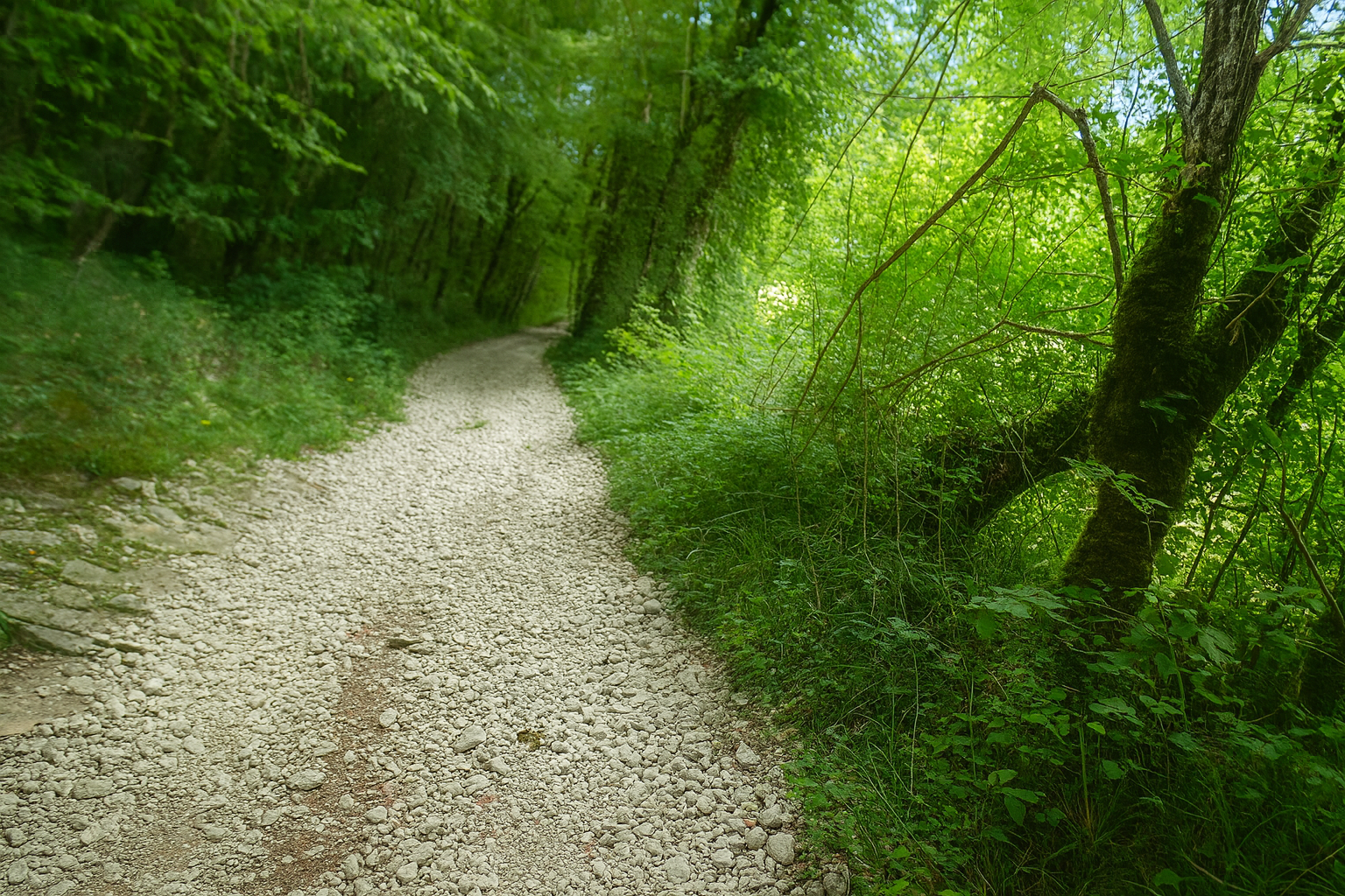
Here, the gradient already begins to make itself felt, gently at first, then with increasing insistence. In places, the path bristles with stones, giving the terrain a more mineral, almost rugged character. |
|
 |
 |
 |
 |
|
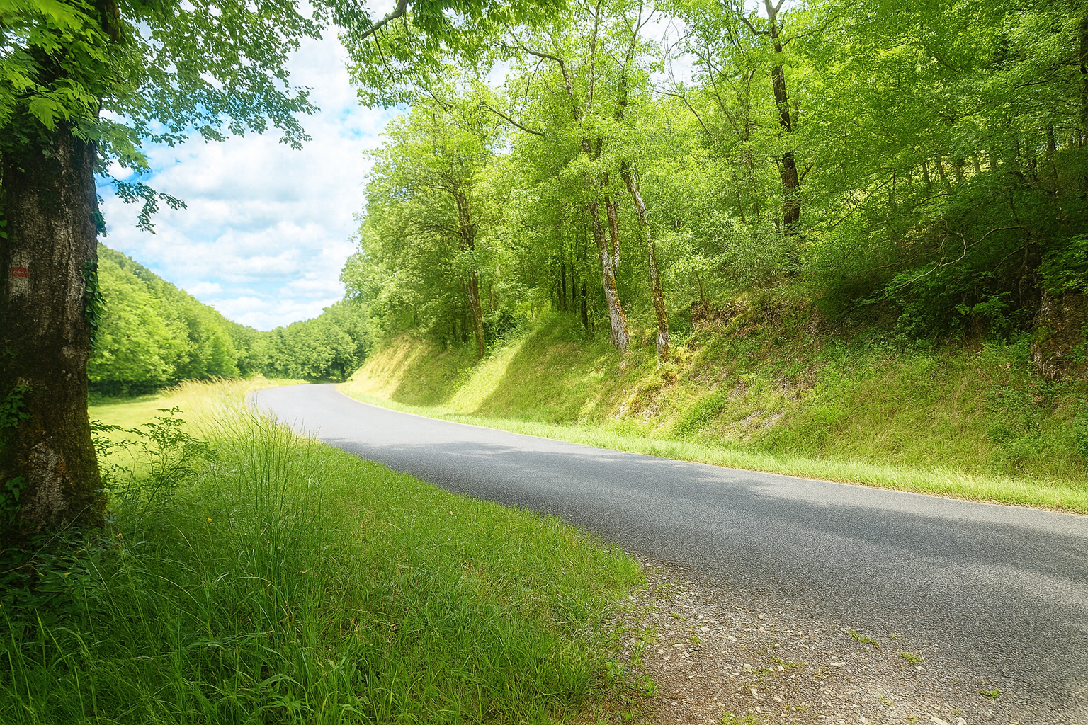
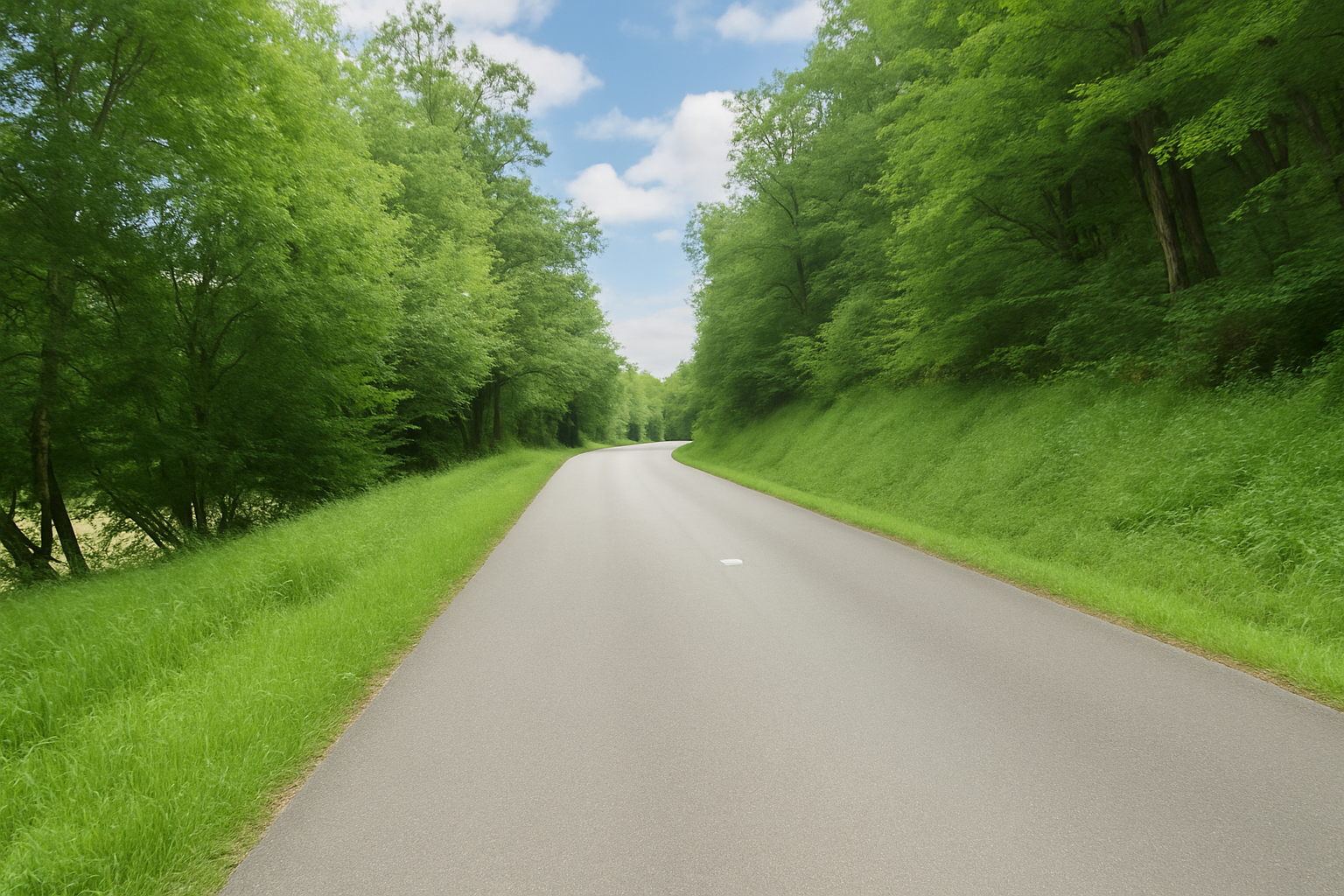
Higher up, the route winds briefly before joining the Route de la “Côte de la Fouine” road, a modest departmental road leading towards Labastide-Murat. But this return to the road is short-lived. Before long, the route leaves the asphalt once again and returns to the path. |
|
 |
 |
|
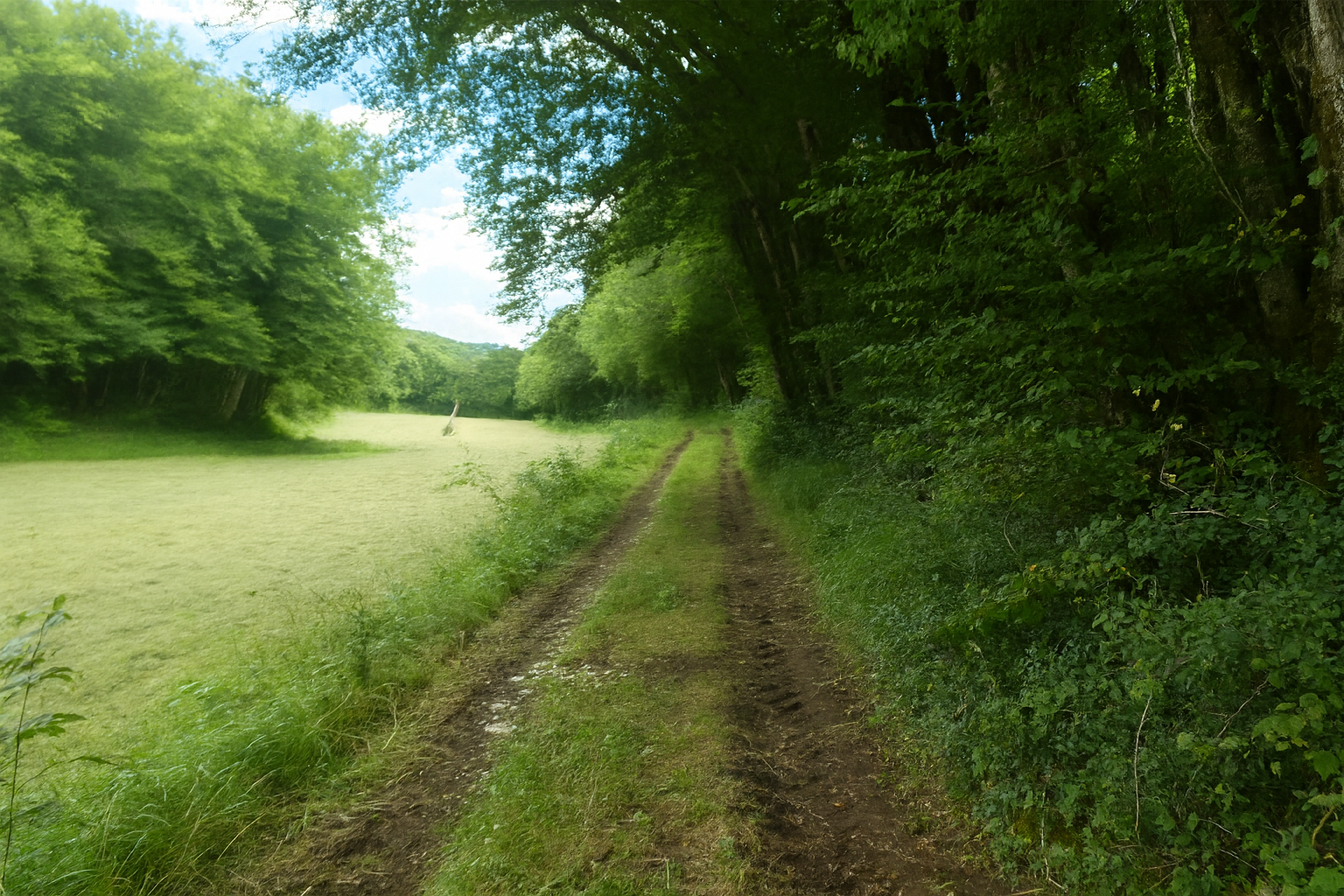
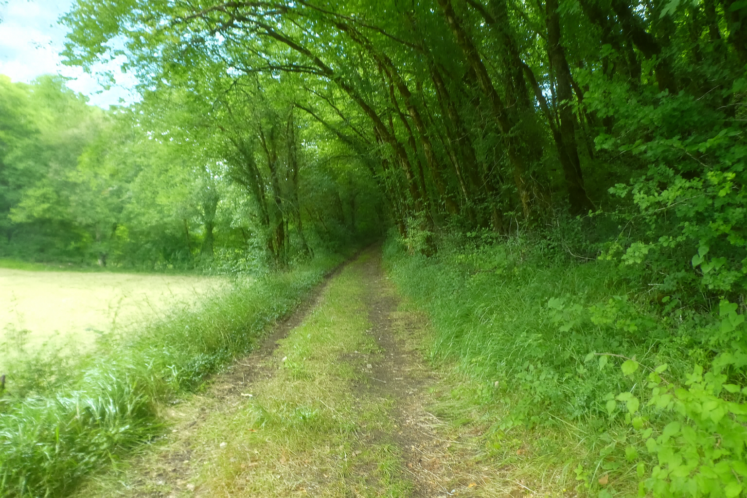
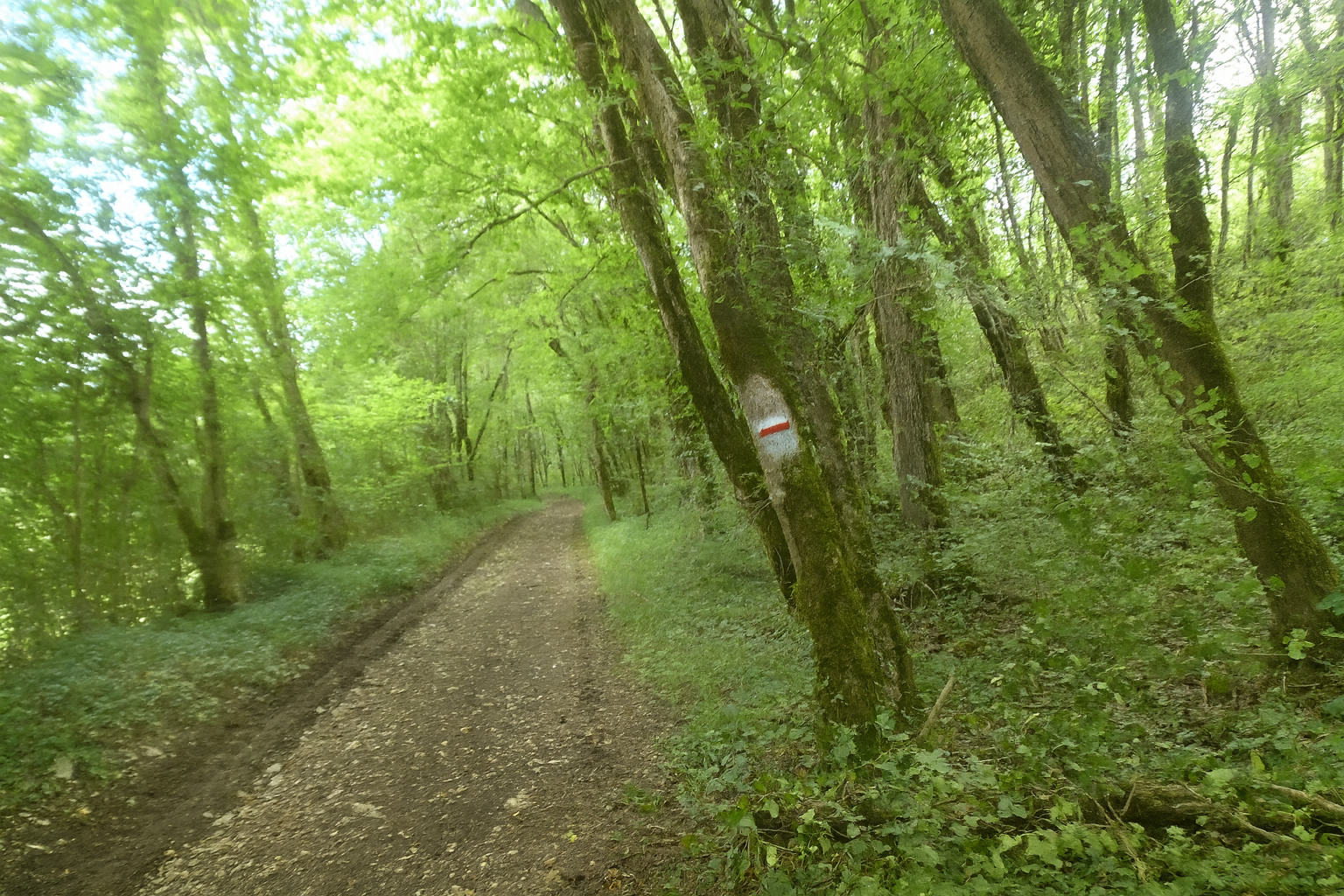
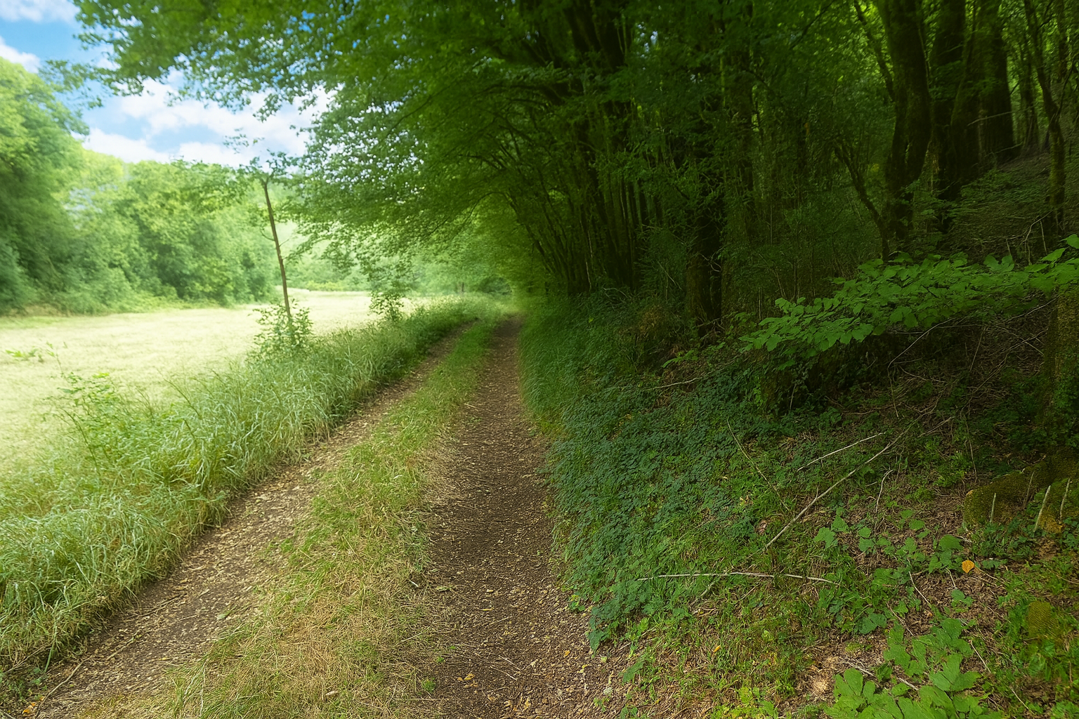
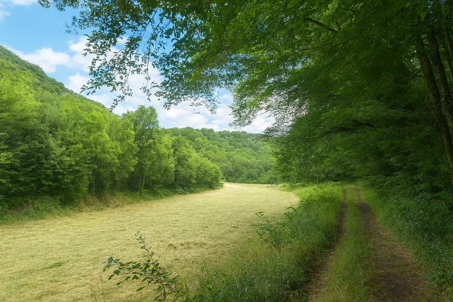
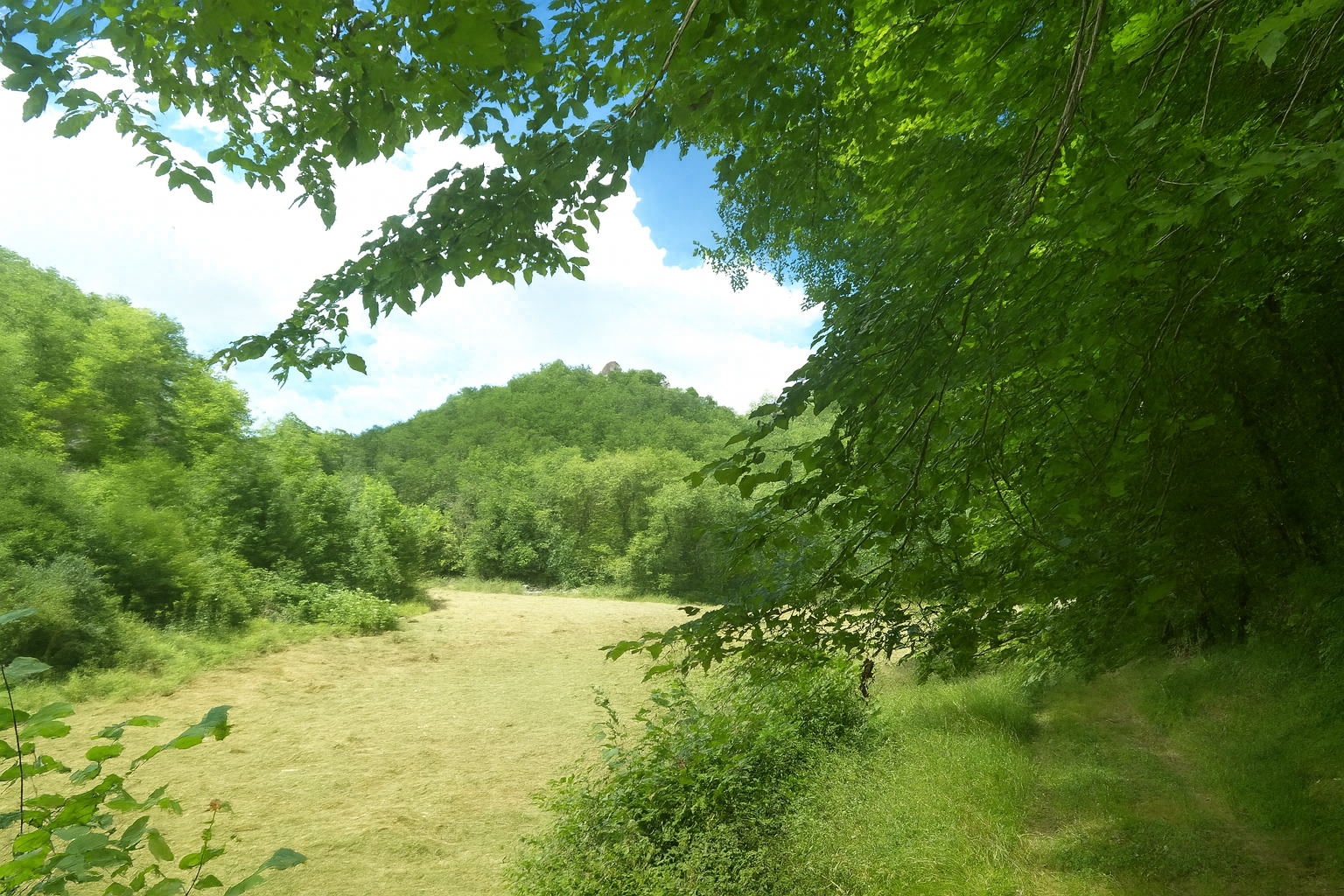
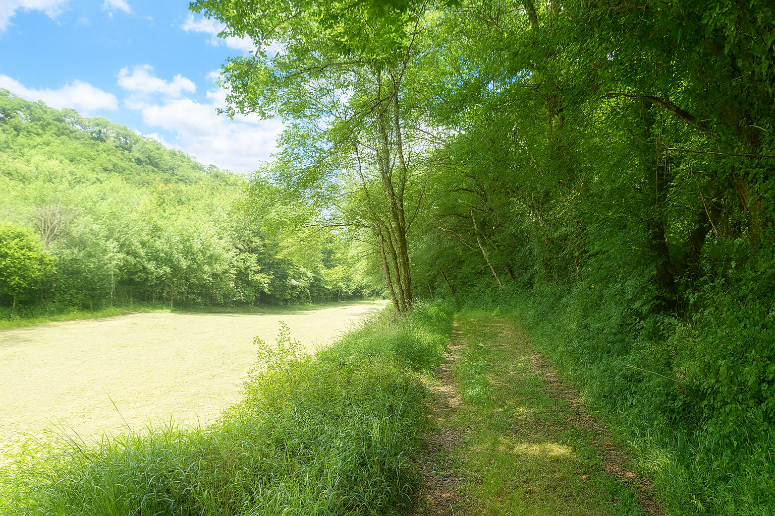
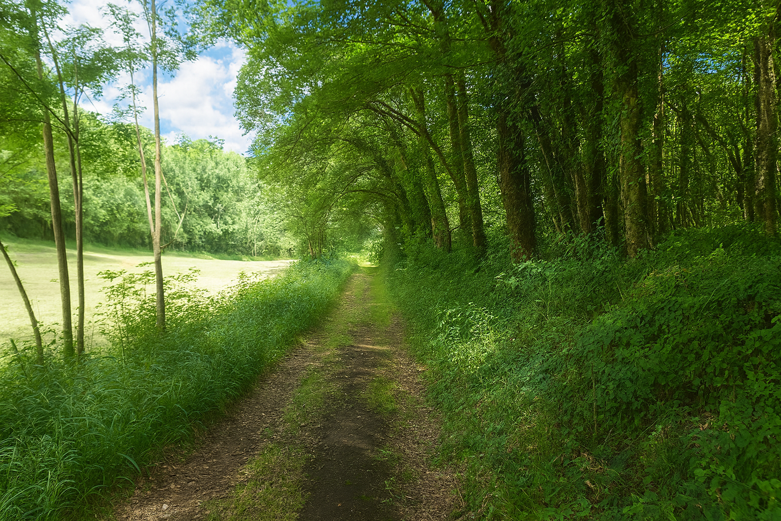
You are now back on those characteristic paths encountered time and again across the Causse de Gramat. The path winds gracefully between woodland and clearings in a peaceful alternation of shade and open space. Here, the earth is dark and deep, rich in humus created by the slow decomposition of vegetation, like a silent memory of the plant life that came before. |
|
 |
 |
 |
 |
|
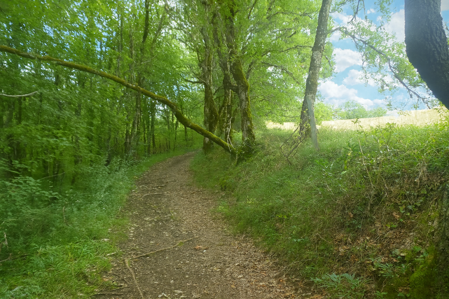
Farther on, the gradient becomes noticeably steeper, frequently exceeding 15% beneath the canopy of deciduous trees. At times, the path becomes strewn with sharp stones, making the ascent more demanding, almost harsh. |
|
 |
 |
 |
 |
|
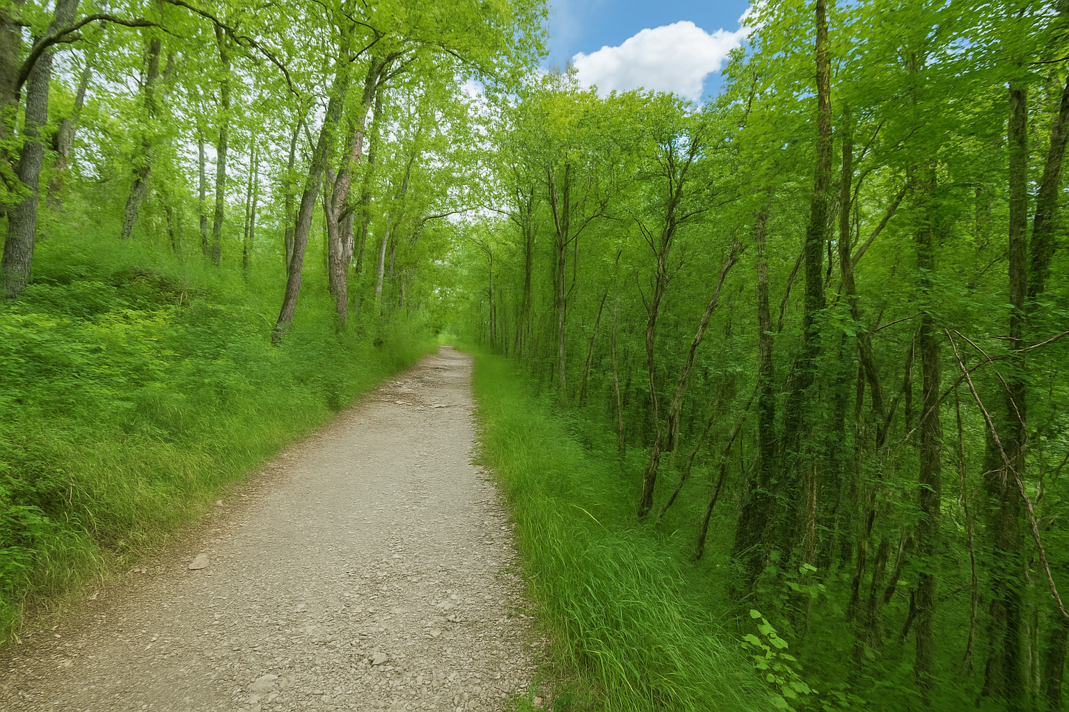
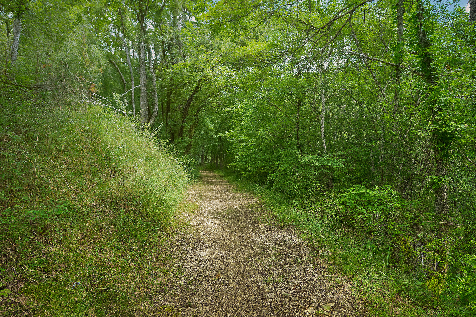
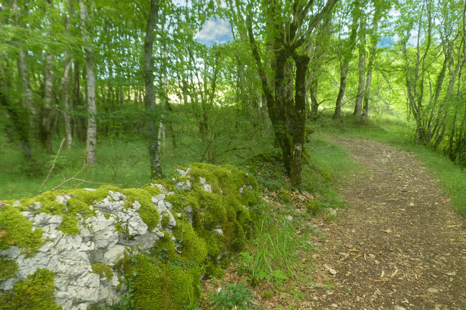
This gradual climb continues for almost two kilometers. At times, the landscape recovers the characteristic ruggedness of the causse, with stunted oaks, trunks of maples and beeches lining the banks, and indistinct stone walls half swallowed by the vegetation. |
|
 |
 |
 |
 |
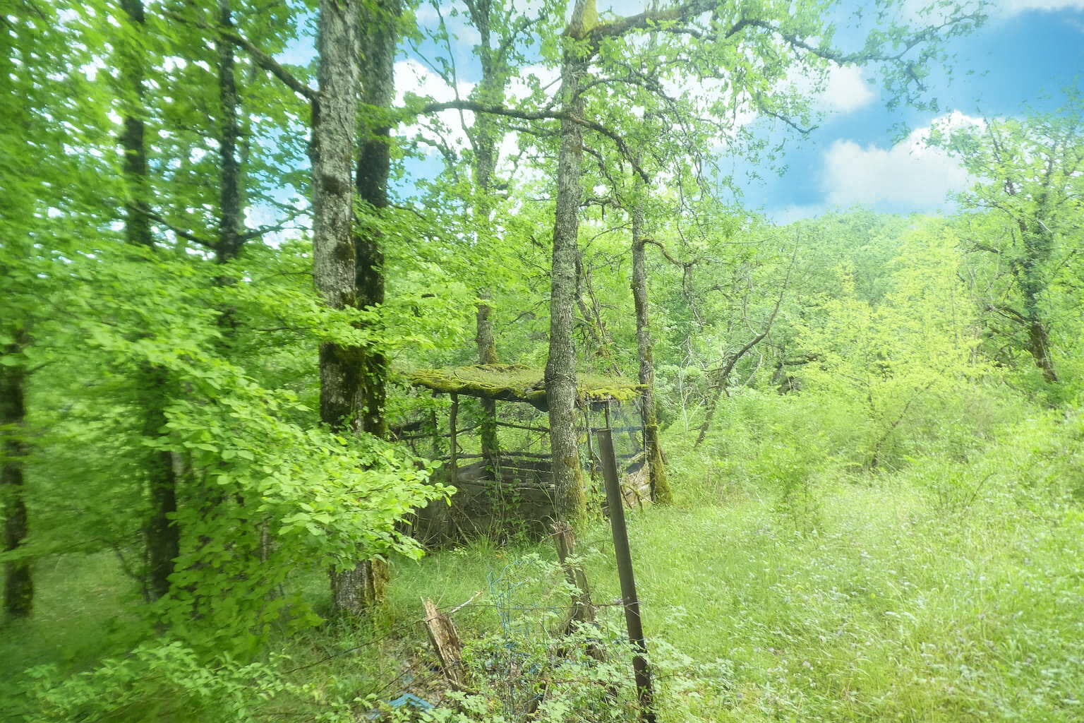
Higher still, the causse takes on an almost majestic dimension beneath the ash trees, while the gradient reaches its steepest point.
|
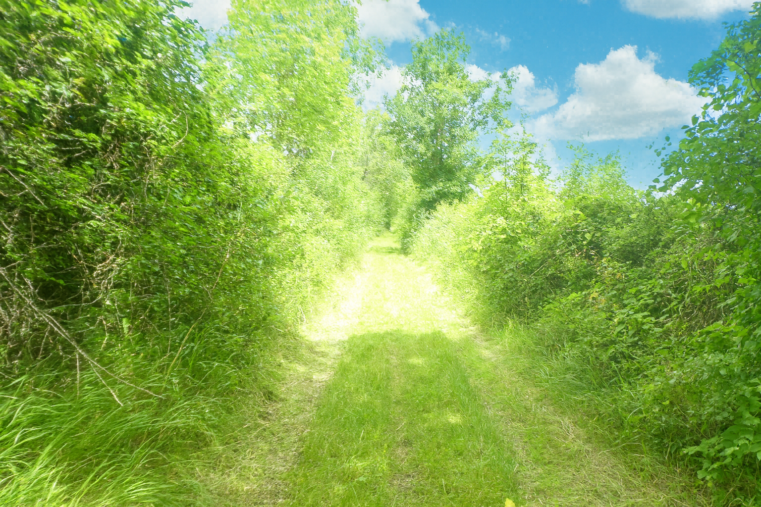
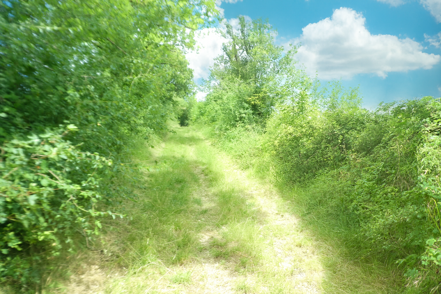
The effort continues farther on, this time through wild grass and among the bushes, where the path seems almost to dissolve into a freer, more untamed natural world. |
|
 |
 |
|
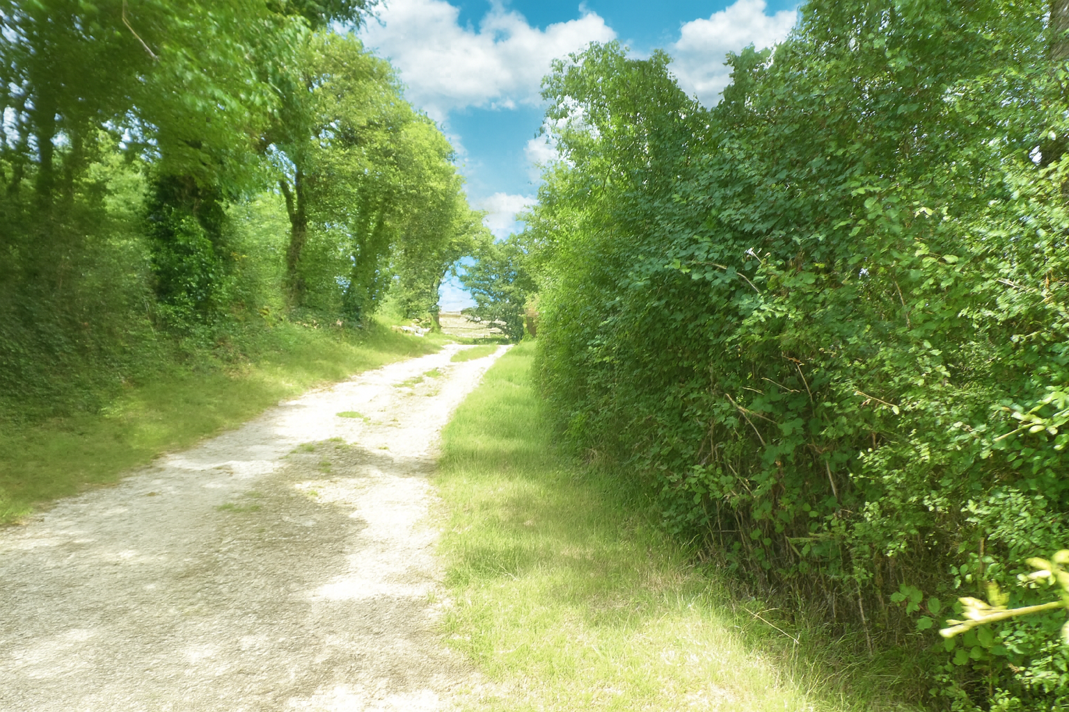
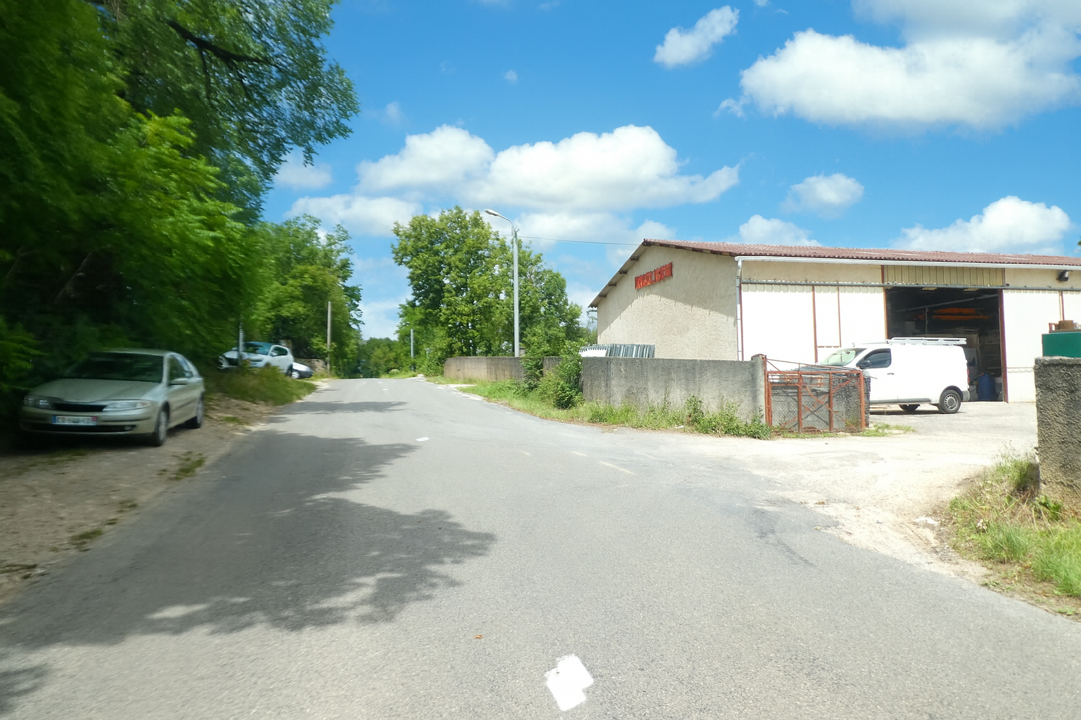
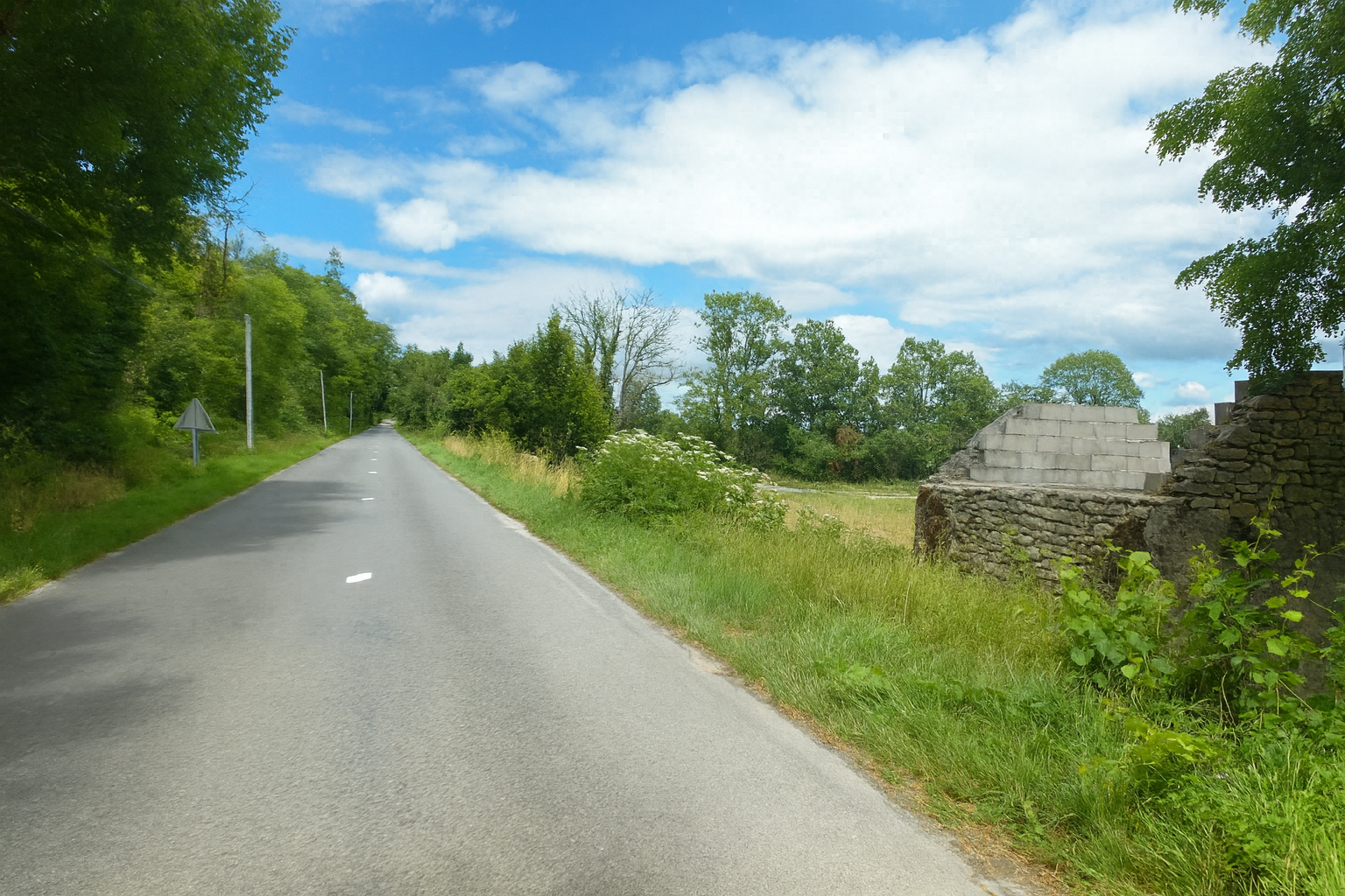
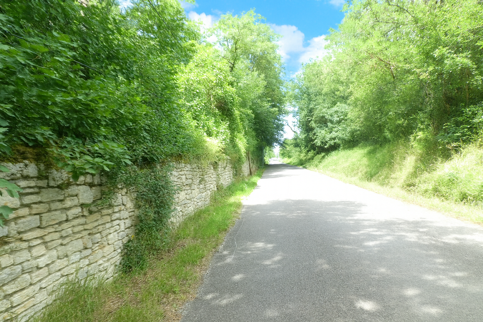
Then, gradually, everything becomes gentler. The horizon opens wide, and the earthen path joins the road at the entrance to Labastide-Murat, creating a gentle transition between countryside and village. |
|
 |
 |
 |
 |
|
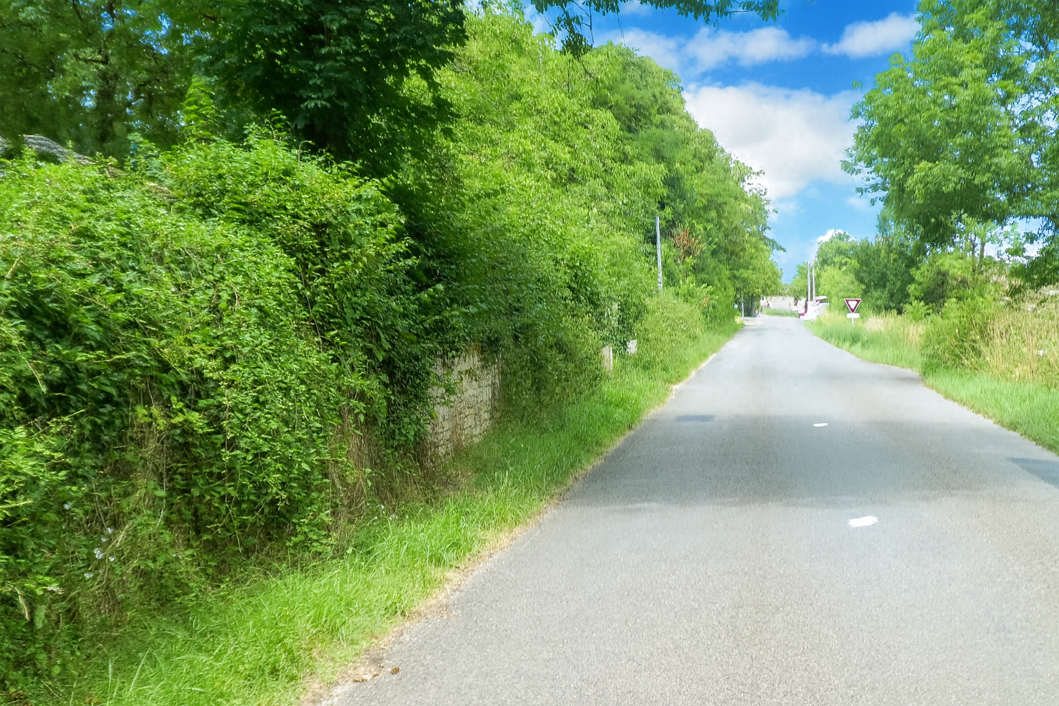
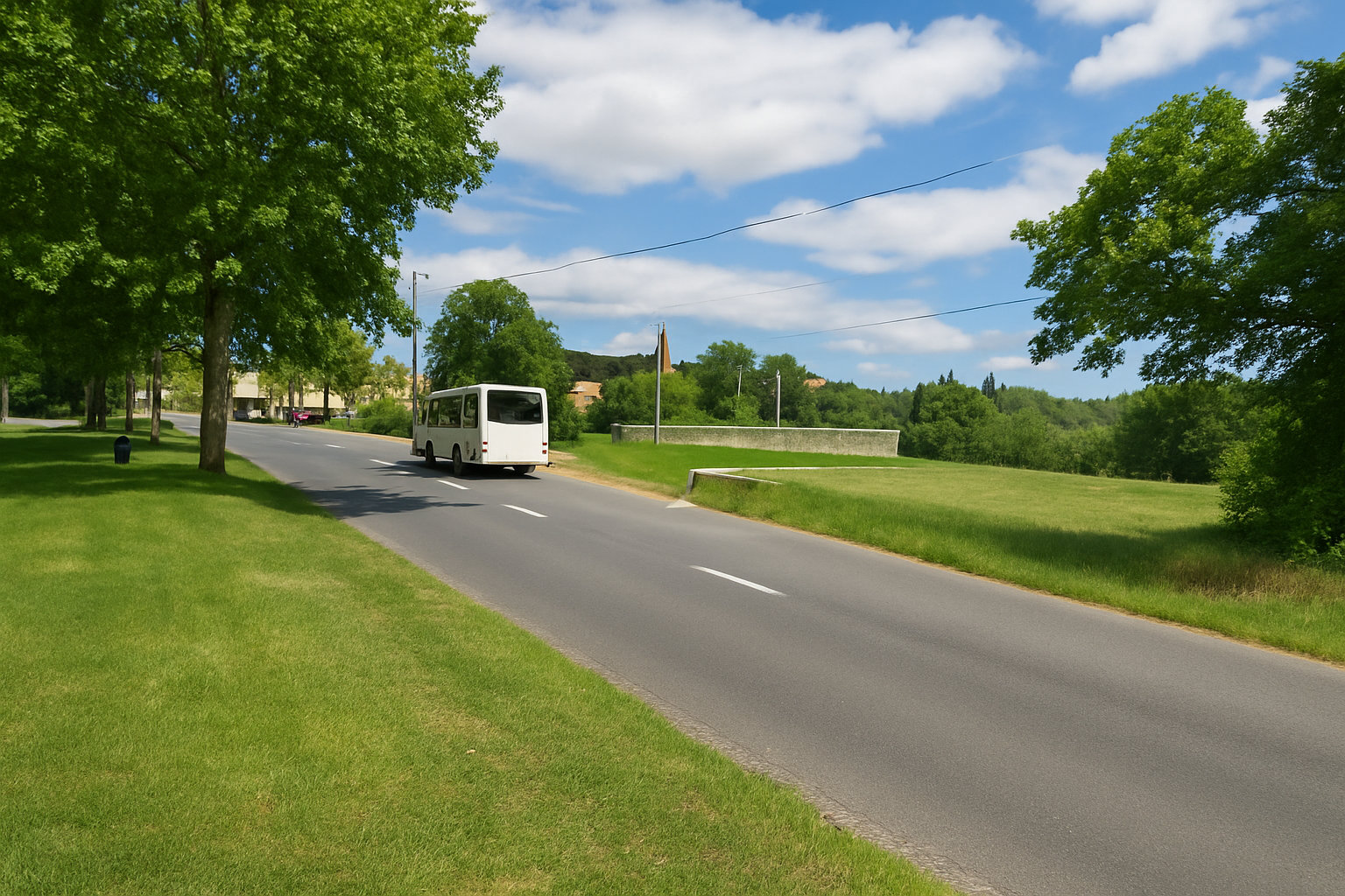
Beautiful manor houses, imbued with a certain understated nobility, line the outskirts of the village, which has around 700 inhabitants. |
|
 |
 |
|
The village rests on a small plain of the causse, and its outskirts spread generously across the landscape, creating a welcome sense of space and openness. |
|
 |
 |
|
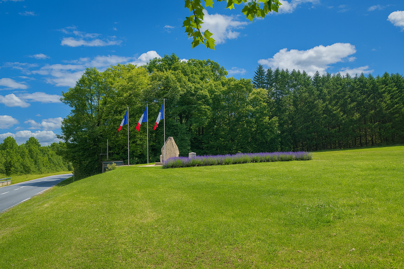
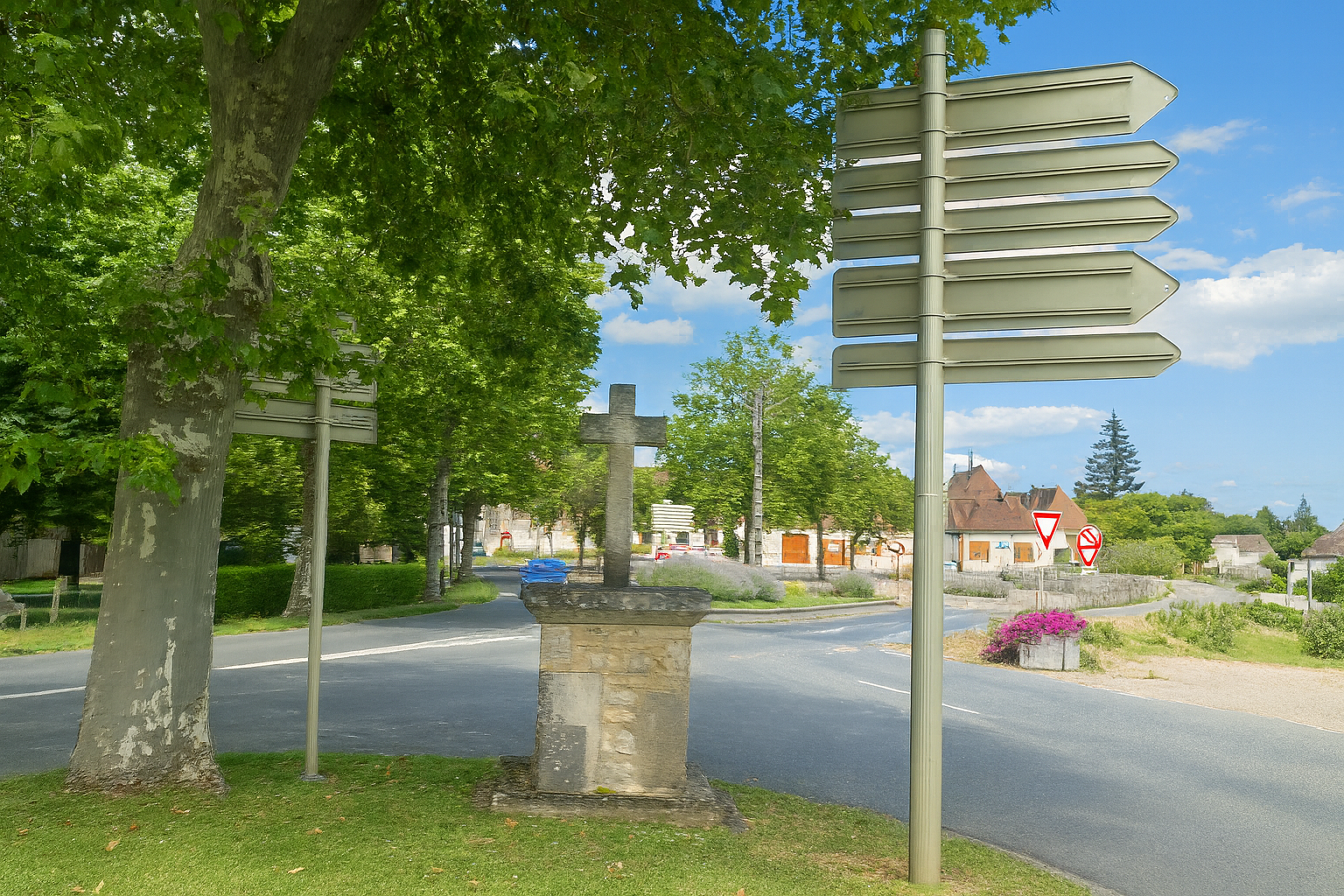
A memorial dedicated to fallen soldiers, followed a little farther on by a cross, solemnly marks the entrance to the village. |
|
 |
 |
|
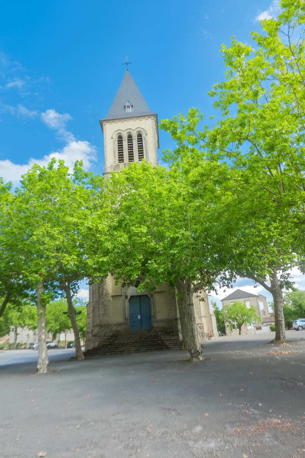
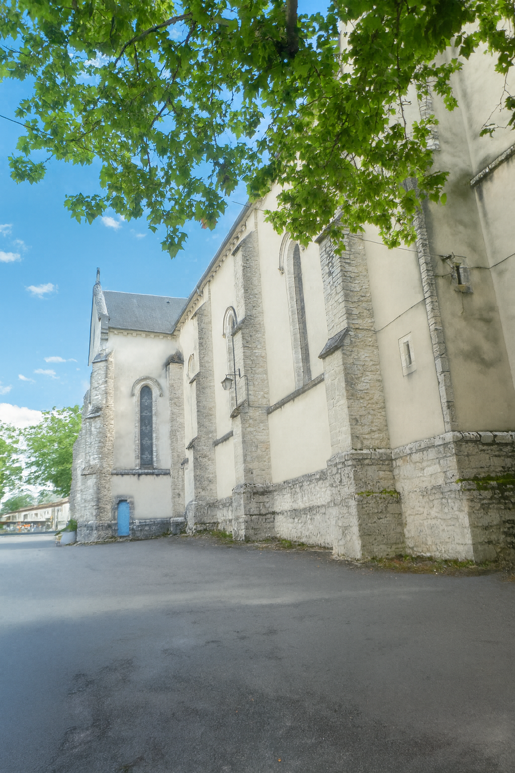
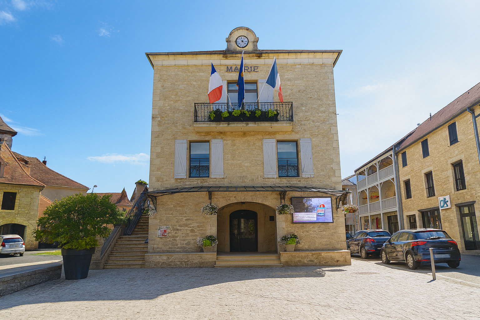
The Sainte-Catherine Church, the parish church standing at the heart of the village, rises with quiet elegance. Built in the 19th century in the Neo-Gothic style, it replaced an earlier medieval church while perpetuating its spiritual purpose. |
|
 |
 |
|
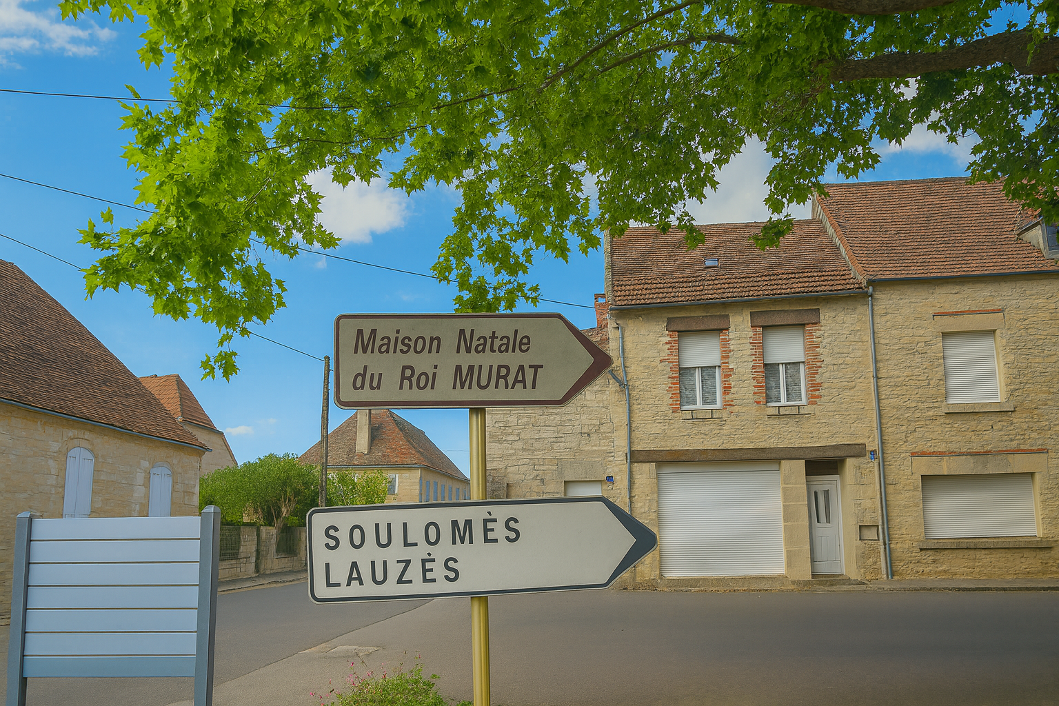
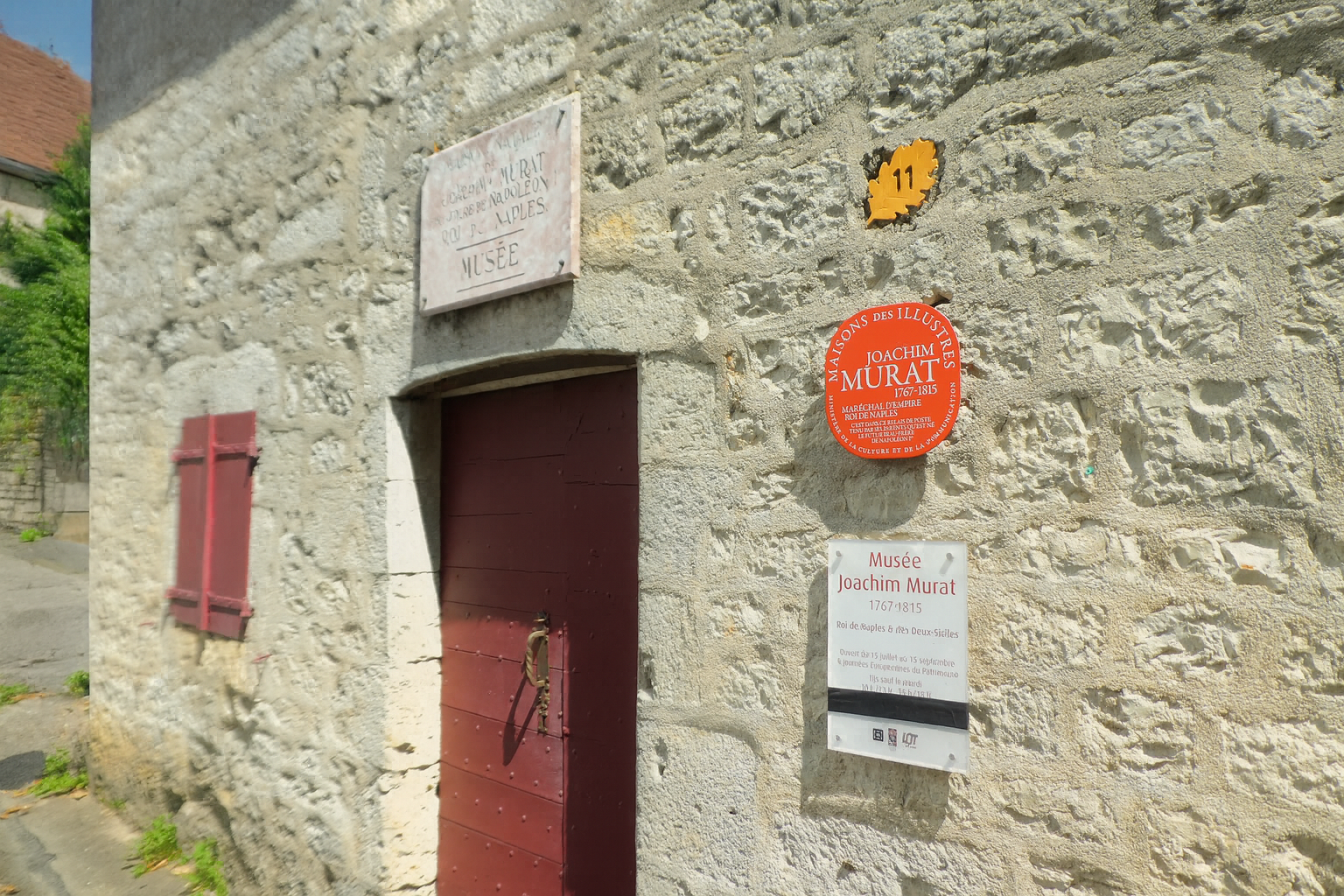
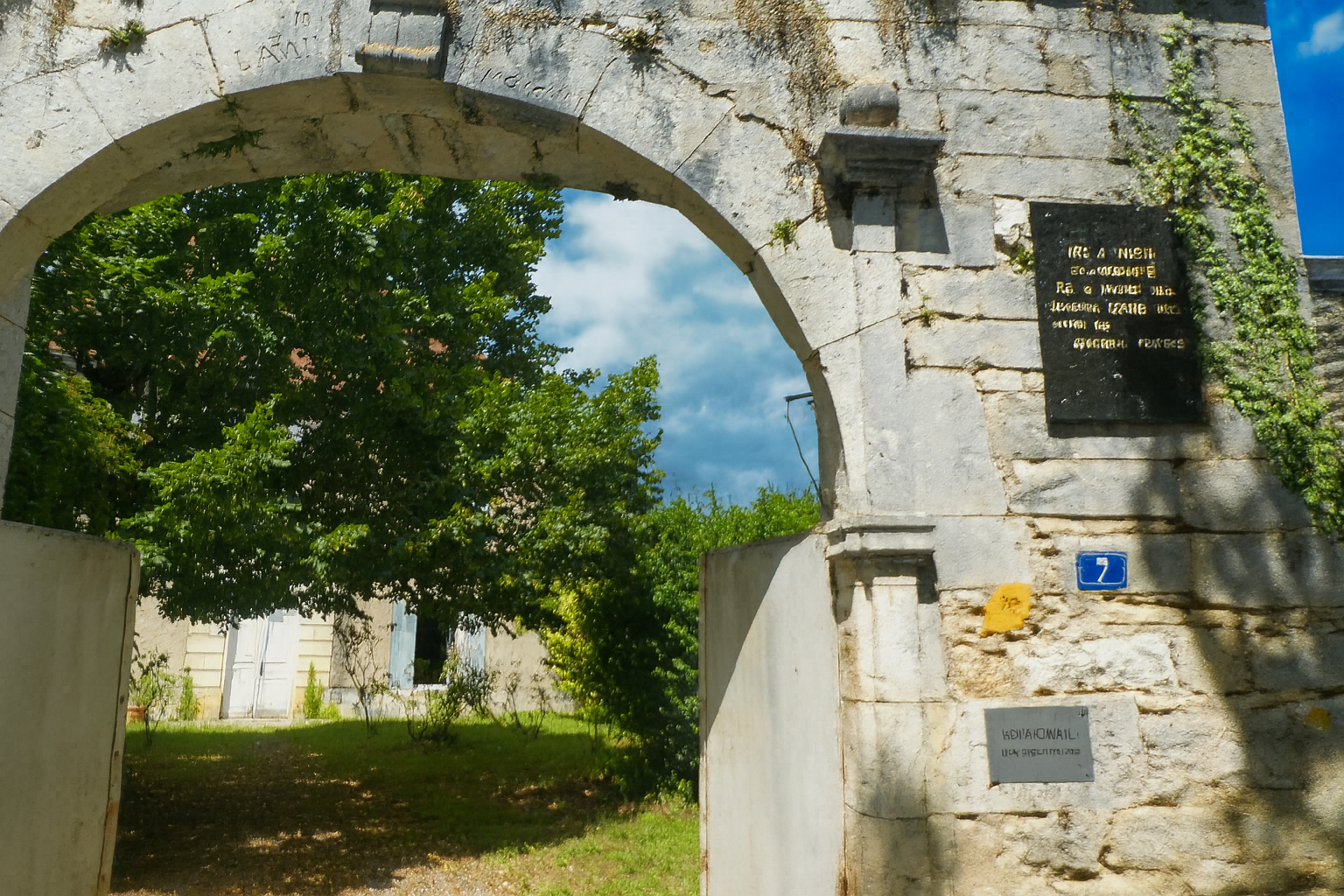
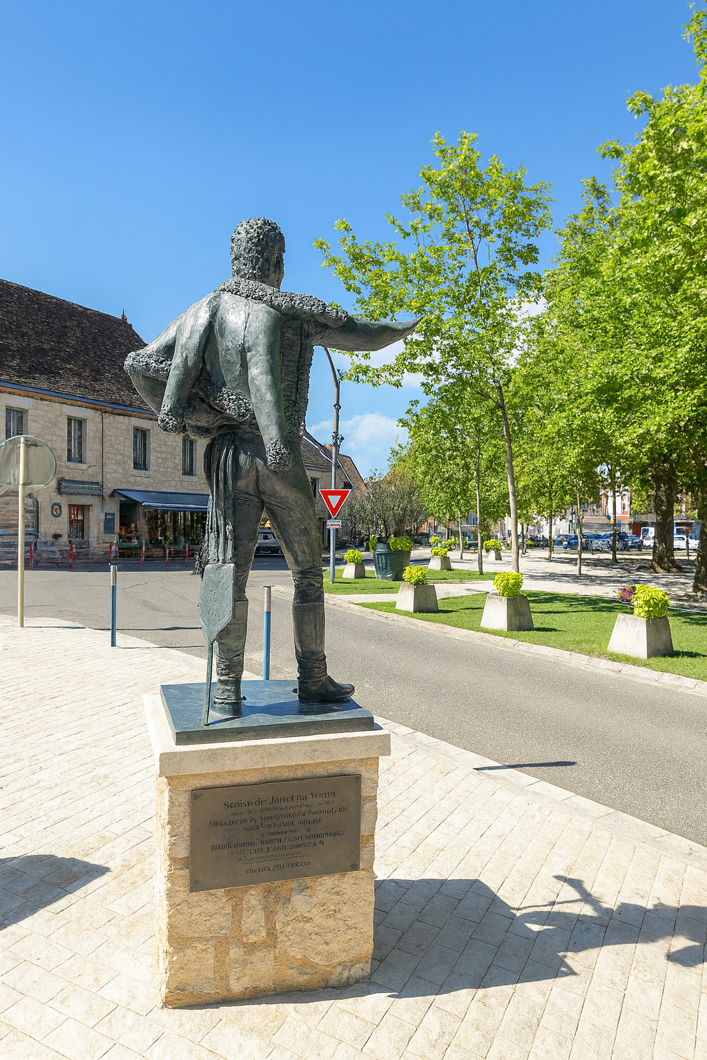
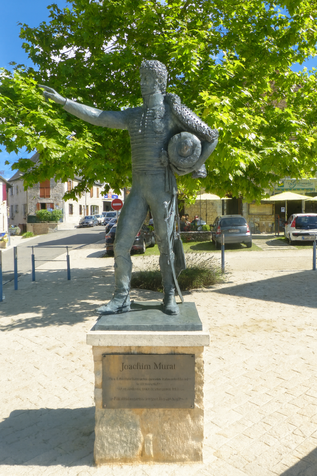
The village is also inseparable from the memory of its most illustrious son, Joachim Murat. A Marshal of the Empire and King of Naples, he was born here in 1767, the son of an innkeeper and postmaster. By imperial decree, Napoleon III renamed Labastide-Fortunière as Labastide-Murat in tribute to Murat’s extraordinary destiny. His birthplace, a traditional Quercy house, is today a rare surviving testament to his life and has remained remarkably close to its original state for more than two centuries. Now a museum, it preserves furniture, objects and paintings that retrace Murat’s life and the era in which he lived. The museum is open during the summer season. |
|
 |
 |
|
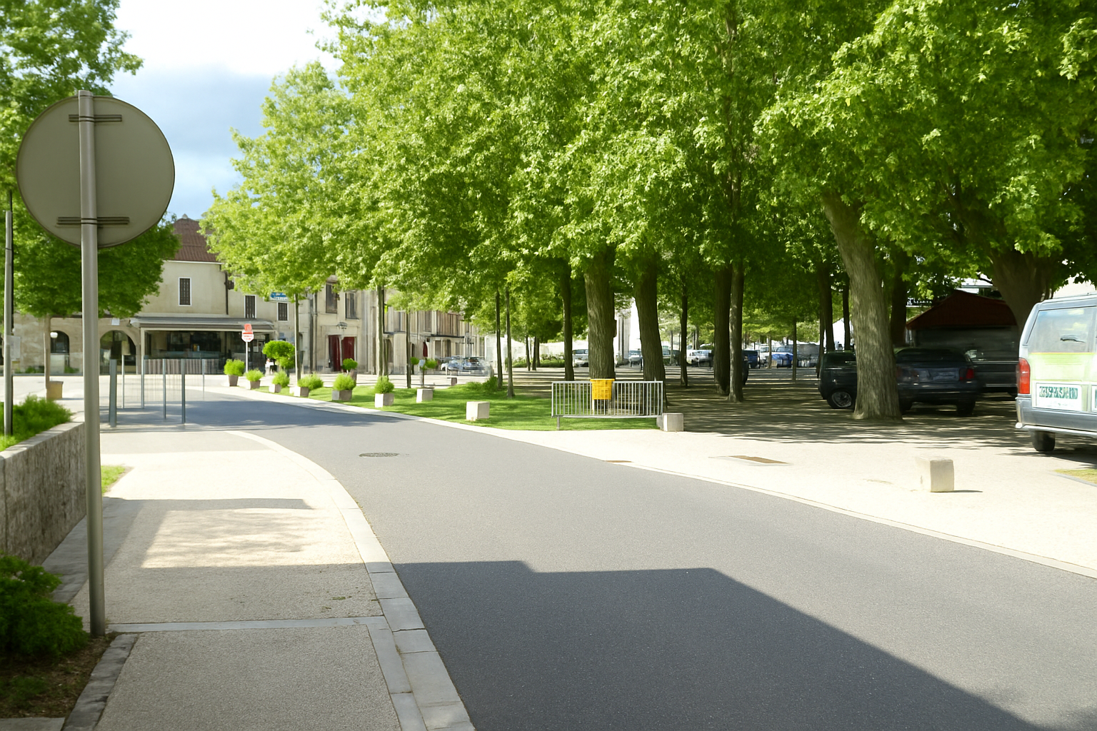
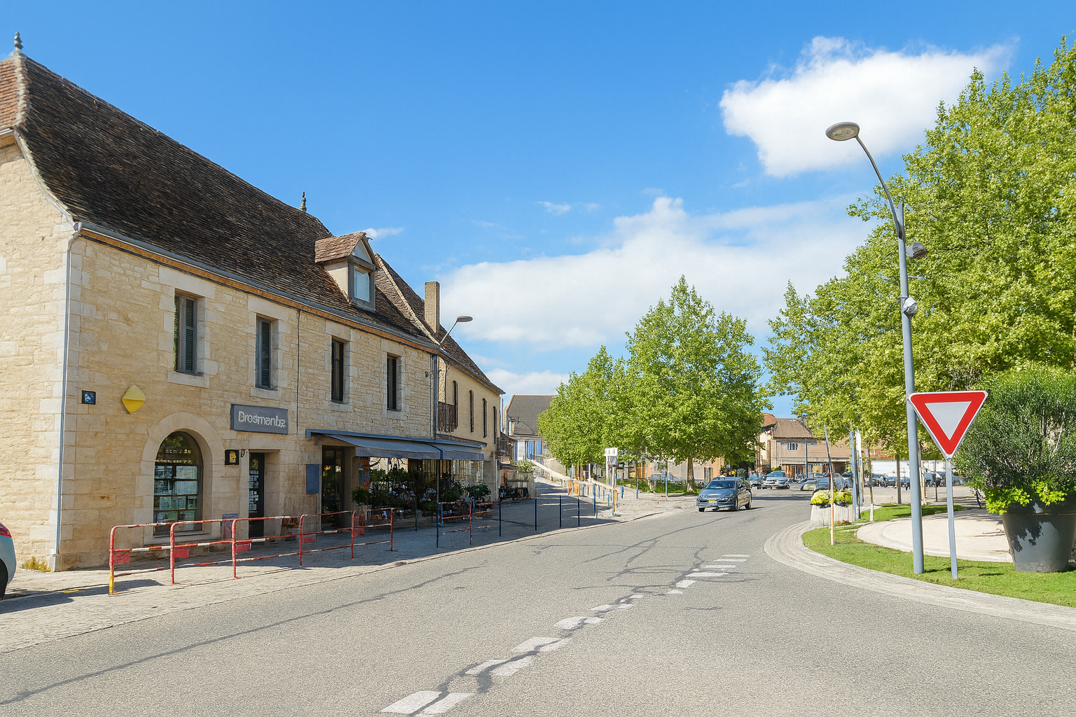
The village is particularly pleasant, laid out around broad squares that give it an unusual sense of openness. Space is plentiful here, creating an atmosphere of ease and almost effortless tranquility. |
|
 |
 |
 |
 |
|
And, of course, a monumental statue of the village’s famous son watches over the surroundings, proudly preserving the memory of Joachim Murat, a figure forever bound to the identity of Labastide-Murat. |
|
 |
 |
Listed accommodations on the Rocamadour Way
-
-
-
- La Commanderie de Cras, Cras; 06 52 68 15 93; Gîte, dinner, breakfast, cuisine
- Gîte Les Volets Rouges, Natalie et Benoit (pèlerins), 58 Gd Rue, Labastide-Murat; 07 84 84 90 10; Gîte, dinner, breakfast, cuisine
- Gîte Le Retour des Gazelles, 6 Rue du Foirail, Labastide-Murat; 06 85 64 62 07; Gîte, dinner, breakfast, cuisine
- Gîte communal Auberge du Roi de Naples, 3 Square Daniel Roques, Labastide-Murat; 07 63 42 45 47; Gîte, dinner, breakfast, cuisine
- Gîte Le Savitri, 64 Gd Rue, Labastide-Murat; 06 74 40 14 15; Gîte, breakfast, cuisine
- Gîte Le Carrerot, Le Carrreot, Labastide-Murat; 06 43 94 22 84; Gîte, breakfast, cuisine
- Chambres d’hôte de Cathy, 323 Chemin Font Albe, Labastide-Murat; 07 69 95 98 24; Guestroom, dinner, breakfast
This information was updated in 2026. If you access this site later, it may no longer be accurate. Along these routes, some establishments open every year while others close. One solution is to purchase, among other resources, Miam Miam Dodo, the essential guide for eating and accommodation, which also lists places to stay off the route. For our part, we will only include accommodations located directly on or very close to the route. There are also other options, such as guidebooks or the internet, which also lists Airbnb accommodations. However, even though the valley is a tourist area, Airbnb options are rare. No application is as well documented as Miam Miam Dodo, especially since the small book, available online, is updated every year. If you do not have Miam Miam Dodo, we recommend booking in advance and checking directly with accommodation providers about the details of their services (meals, sheets, toilets, showers, and other amenities). Likewise, inquire at the previous stage about the opening hours of grocery stores and bars, which are often closed during parts of the day or week. On the Rocamadour variant, accommodation options are very limited, but only a few pilgrims pass through here. However, there are also hikers. Therefore, book in advance if possible. Finding a bed at the last minute can sometimes be a matter of luck. It’s better not to rely on that every day.
Accommodation should not be a problem on this stage, except during particularly busy periods. There are 60 beds available in Labastide-Murat. You can also stop in Cras along the route. There is only one water point and one toilet, both located in Cras. Labastide-Murat offers all the amenities and services you may need. For those who would like to have their luggage transported, or arrange transport for themselves, La Malle Postale is a good option.
-
-
Feel free to add comments. This is often how you move up the Google hierarchy, and how more pilgrims will have access to the site.
 |
Next stage : Stage 3: From Labastide-Murat to Rocamadour |
 |
Back to menu |