
In the majestic beauty of the forests of Margeride
DIDIER HEUMANN, MILENA DALLA PIAZZA, ANDREAS PAPASAVVAS
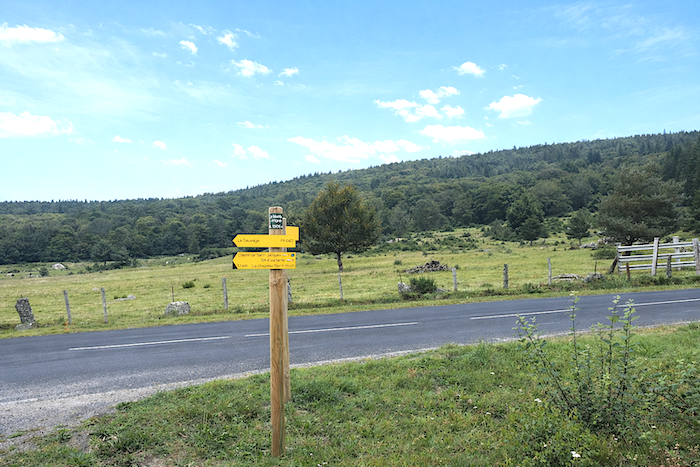
We divided the course into several sections to make it easier to see. For each section, the maps show the course, the slopes found on the course, and the state of the roads. The courses were drawn on the « Wikilocs » platform. Today, it is no longer necessary to walk around with detailed maps in your pocket or bag. If you have a mobile phone or tablet, you can easily follow routes live.
For this stage, here is the link:
|
Not all pilgrims are necessarily comfortable using GPS devices or navigating with a smartphone, especially since there are still many areas without Internet access. That is why, to make your journey easier, a book dedicated to the Via Podiensis from Le Puy-en-Velay to Cahors is available on Amazon. Much more than a simple practical guide, this book accompanies you step by step, kilometer after kilometer, providing all the information you need for smooth planning and avoiding unpleasant surprises. Beyond its practical advice, it immerses you in the enchanting atmosphere of the Camino, capturing the beauty of the landscapes, the majesty of the trees, and the very essence of this spiritual adventure. Only the pictures are missing, everything else is there to transport you. In addition, we have also published a second book which, with slightly fewer details but all the essential information, covers the entire route from Le Puy-en-Velay to Saint-Jean-Pied-de-Port. The choice of your journey is yours. . |
|
 |
 |
If you only want to consult lodging of the stage, go directly to the bottom of the page.
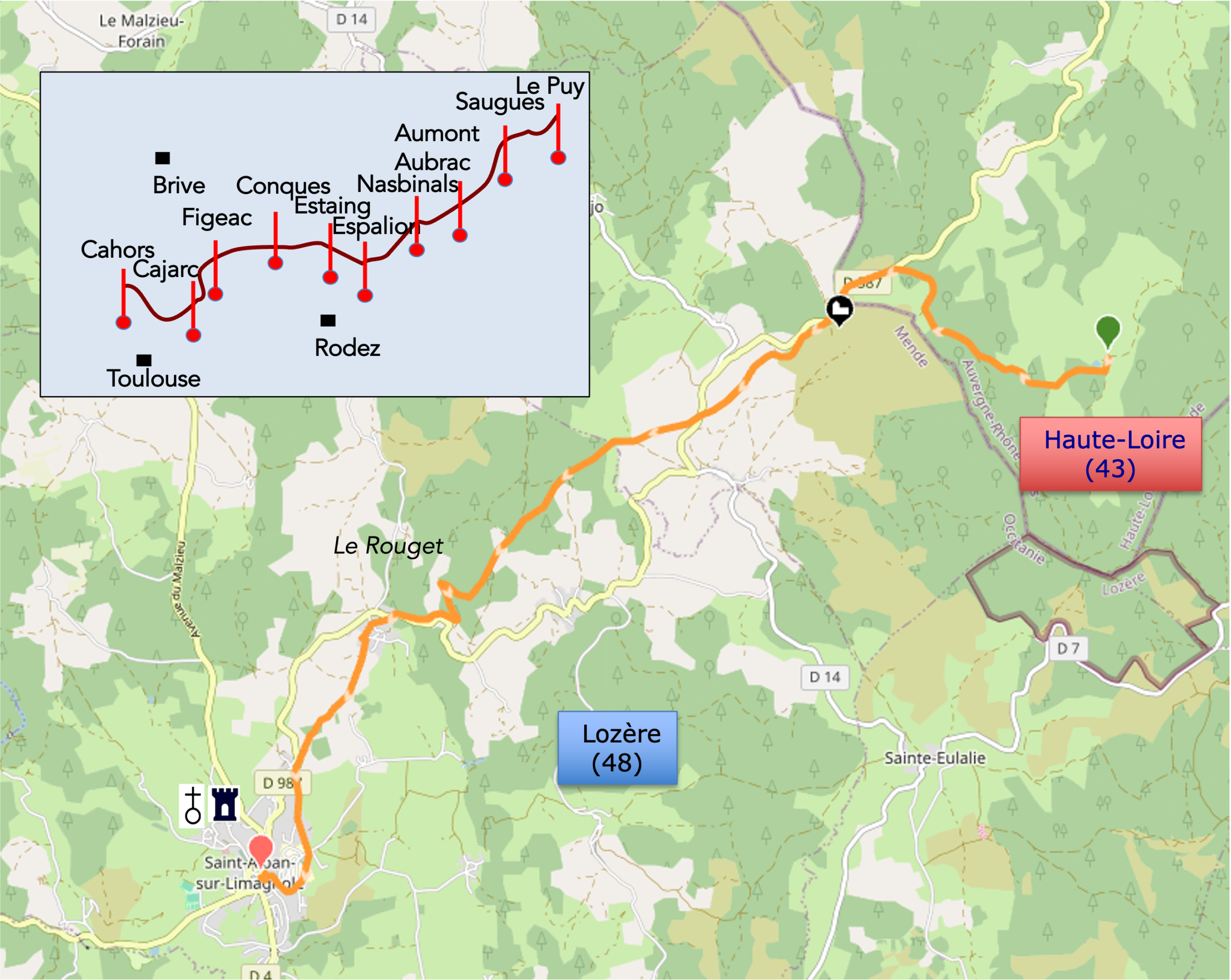
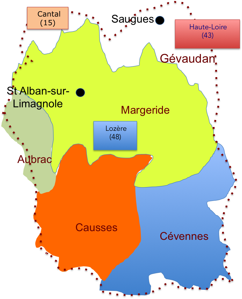
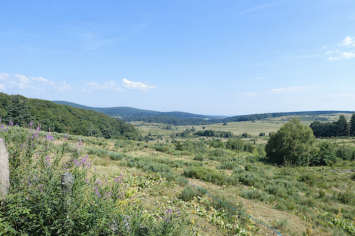
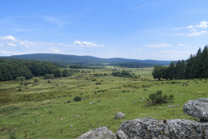
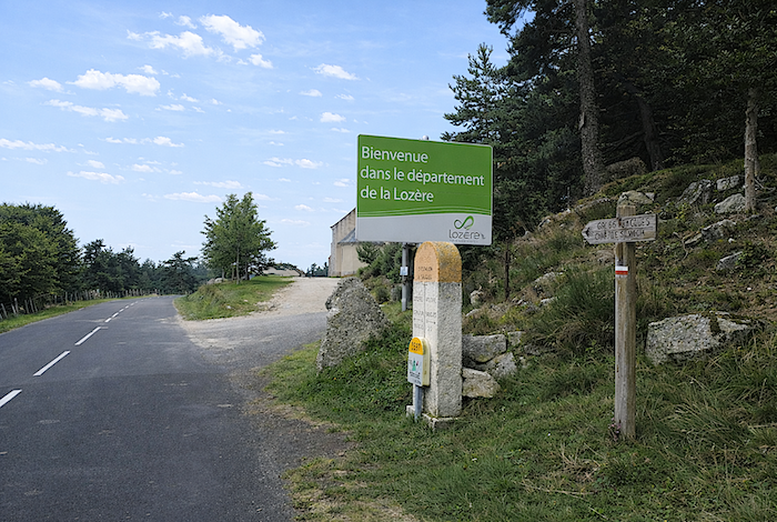
You are about to enter the Lozère department, more specifically the Margeride region, on the far side of the forest. The route descends and then rises again, creating a gradual transition toward the Aubrac plateau. Granite is everywhere in this land, in the square architecture of the massive farmhouses, in the fountains, and in the crosses. Old granite houses with their slate roofs are scattered among isolated hamlets. They withstand the harshest winter conditions and tell the story of the people who live here, in a land that once belonged to the County of Gévaudan. The region is among the least populated in Europe. Yet the landscape possesses remarkable beauty. The route once again heads southwest through a rural landscape dotted with wooded hills. Lozère is the least populated department in France, with fewer than 80,000 inhabitants. It is also the poorest, indeed one might say very poor. Few industries have developed here, and none have altered these landscapes of rare beauty, where trout fishing remains a pleasure. In the north, on the causses and rolling hills of Aubrac and Margeride, and in the south, on the slopes of the Cévennes, at sunset, when the cattle return home or settle beside the barbed wire fences, the soul wanders alongside Virgil. As mentioned in the previous stage, Lozère is in fact the ancient Gévaudan, and if one travels even further back in time, the land of the Gabali, fierce enemies of the Romans, whose capital was Gabalum, now a peaceful little village in the heart of the department known by the gentle name of Javols.
The department of Lozère takes its name from its principal mountain, Mont Lozère. Although it is largely made up of the territories of the former land of Gévaudan, it also includes, in the south, regions that once belonged to the dioceses of Uzès and Alès in Languedoc. The GR65 does not cross the southern part of the department. It merely brushes the northern edge of Lozère between the departments of Haute Loire and Aveyron. Lozère is entirely mountainous, crossed by the Cévennes range and by its northern foothills, namely the mountains, or rather the large hills, of Margeride and Aubrac.
 |
|
The climate is as rugged as the people who live here. As in all regions where life is demanding, hospitality and a deep attachment to one’s native land are fundamental values among the inhabitants, who are above all farmers proud of their territory. For travellers and pilgrims, Lozère offers a kind of treasure hunt leading them face to face with the Beast of Gévaudan, which met its end one day in June 1767. Yet how many still secretly hope to see it emerge once again as they walk along dirt paths, through the undergrowth, in that fleeting moment between daylight and darkness?
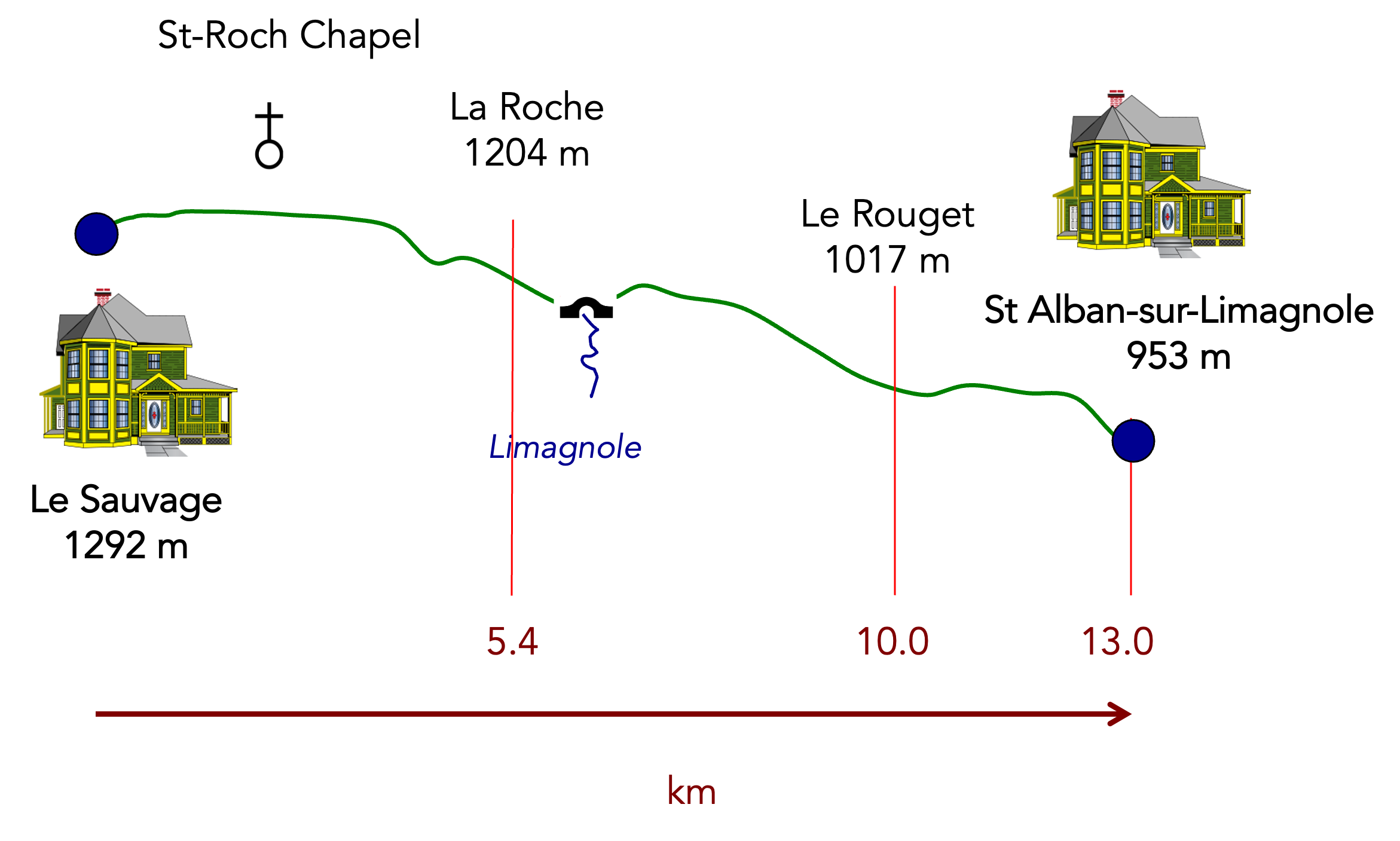
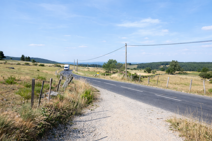
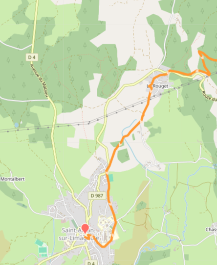
Today, the route leaves Haute Loire and enters Lozère. The boundary lies near Saint Roch Chapel. The route follows the Limagnole Valley, where a small river flows past Saint Alban sur Limagnole before joining the Truyère. After crossing the bridge over the Truyère at Les Estrets, you will enter Aubrac. Reaching it, however, takes time, a great deal of time, nearly 26 kilometers. Many pilgrims complete the entire journey in a single day. For our part, we shall stop at Saint Alban sur Limagnole, roughly halfway along the route.
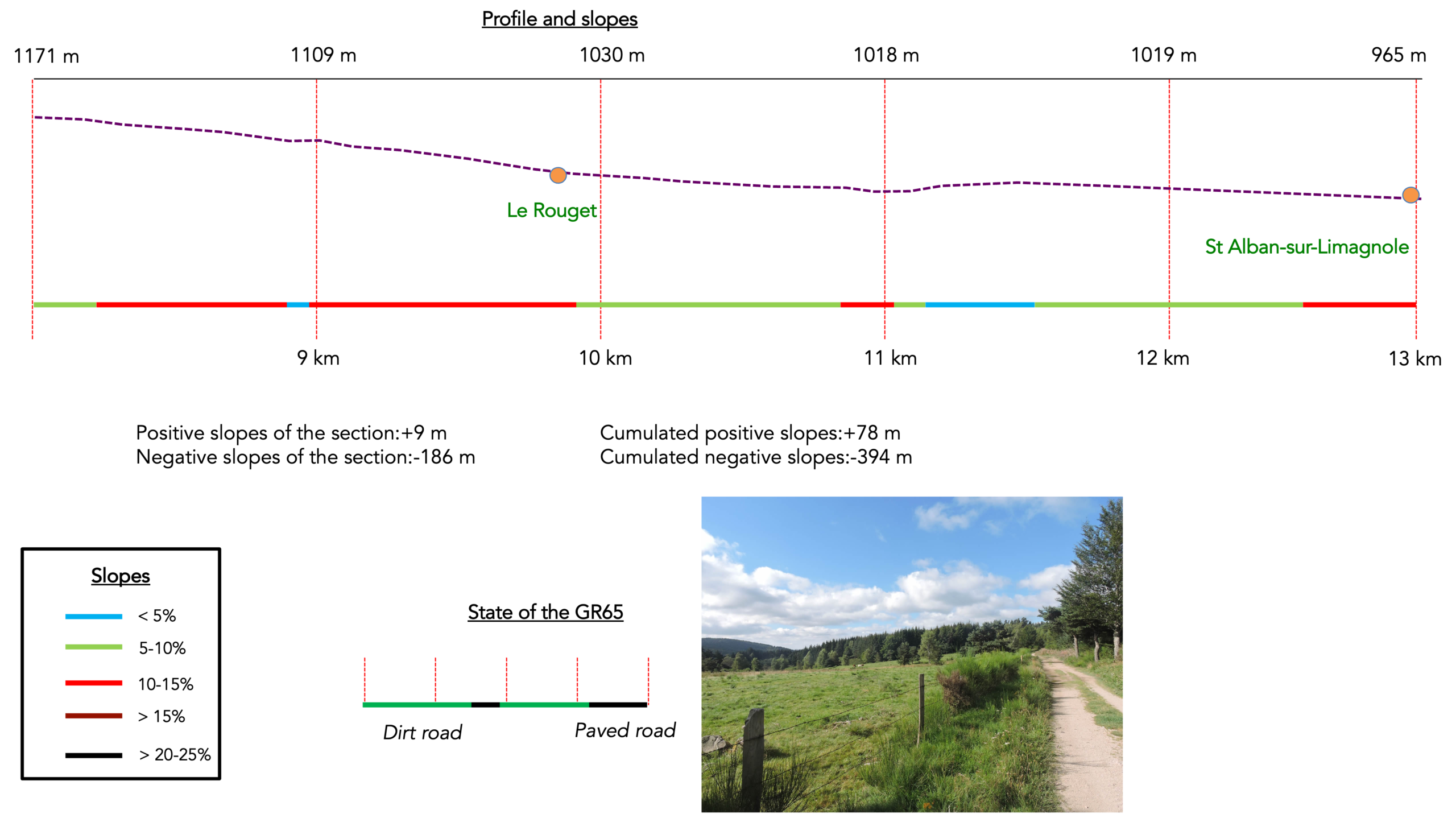
Difficulty level: This is not a difficult stage, with very little elevation change (+78 meters / -394 meters). It is primarily a descent across high plateaus covered with lush meadows or heathland of broom and heather, occasionally interrupted by small forests.
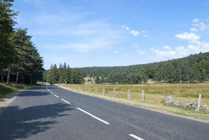
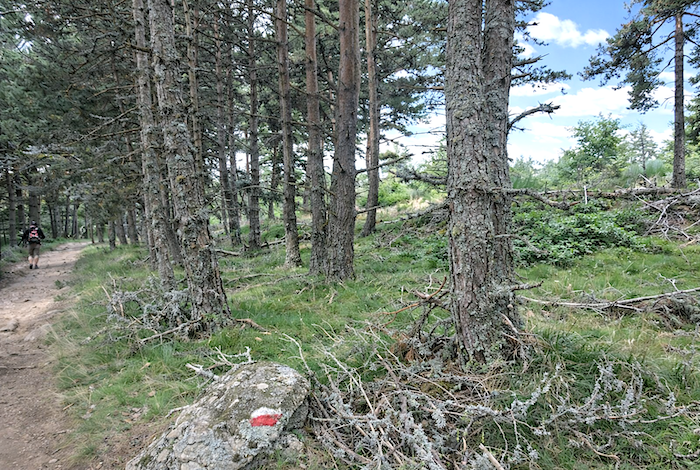
State of the GR65; Today, it is a stage that pilgrims enjoy. Very little paved roads, which is quite rare, it must be said:
- Paved roads: 7.5 km
- Dirt roads: 21.3 km
Sometimes, for reasons of logistics or housing possibilities, these stages mix routes operated on different days, having passed several times on Via Podiensis. From then on, the skies, the rain, or the seasons can vary. But, generally this is not the case, and in fact this does not change the description of the course.
It is very difficult to specify with certainty the incline of the slopes, whatever the system you use.
For « real slopes », reread the mileage manual on the home page.

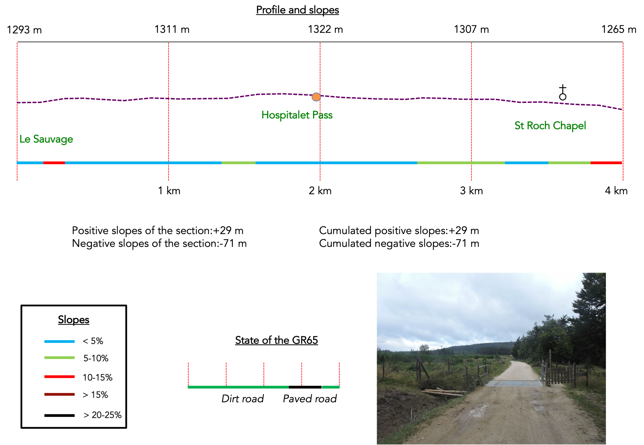
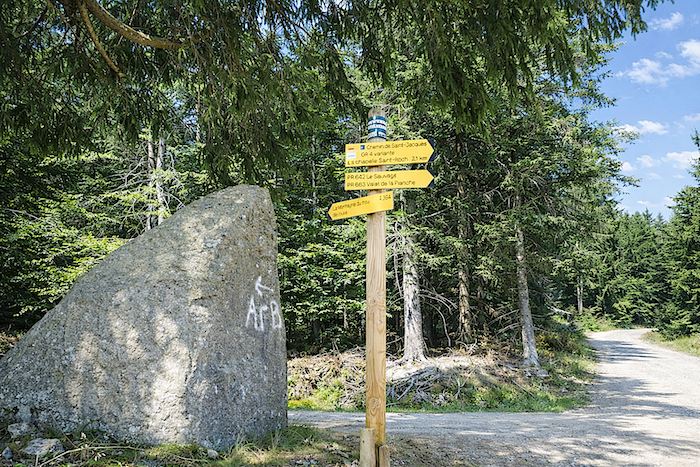
Section 1: On your way to Hospitalet Pass
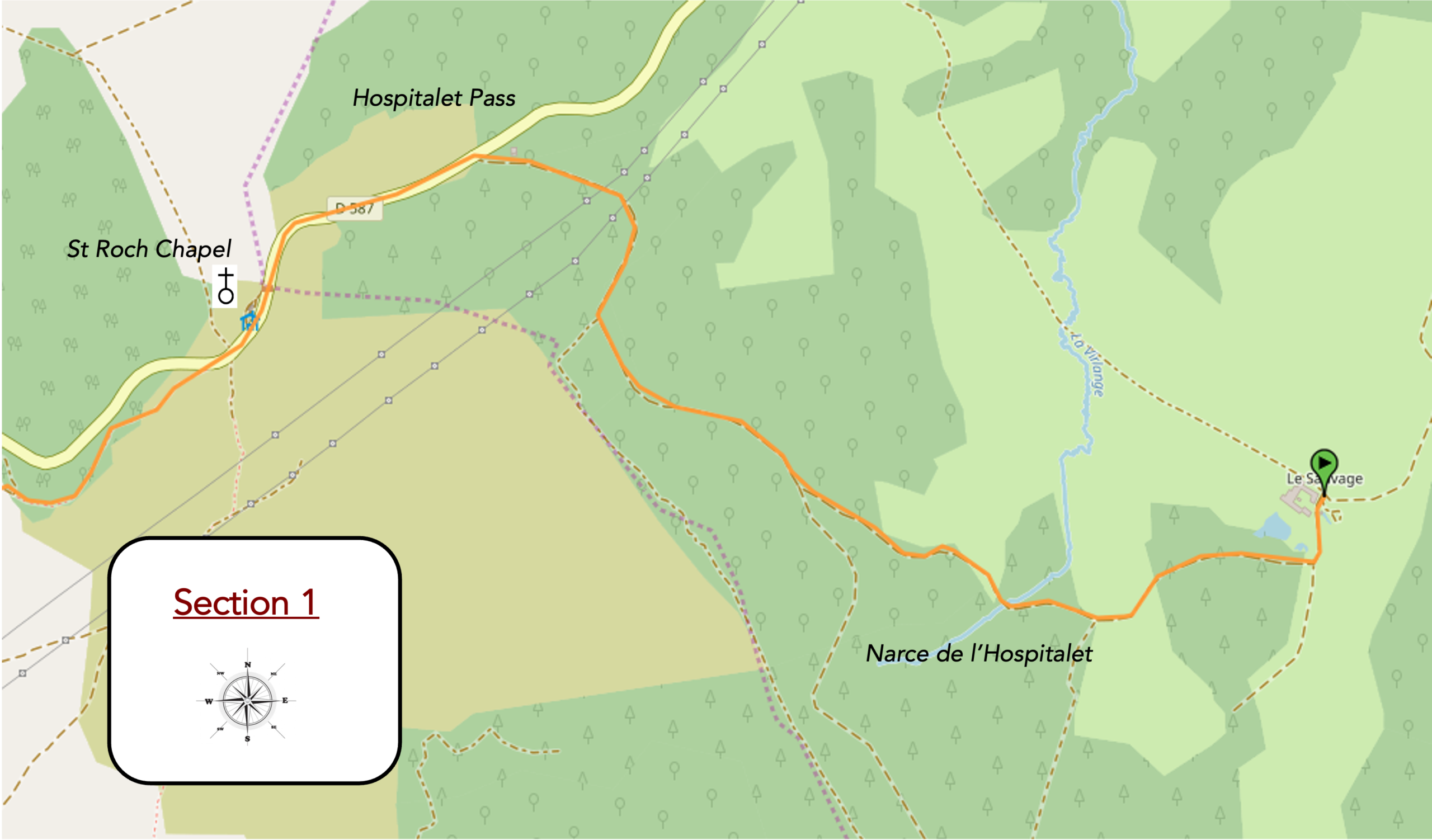
General overview of the difficulties of the route: course without any difficulty.
|
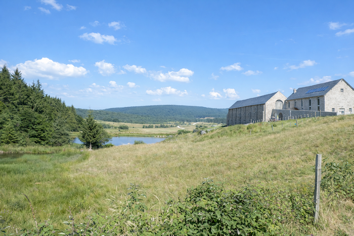
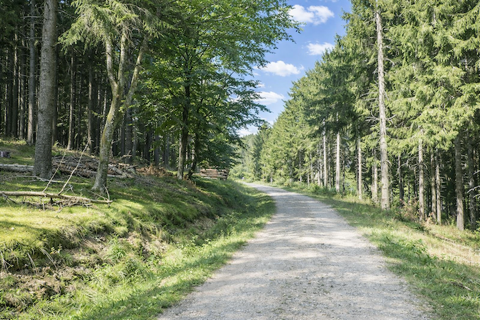
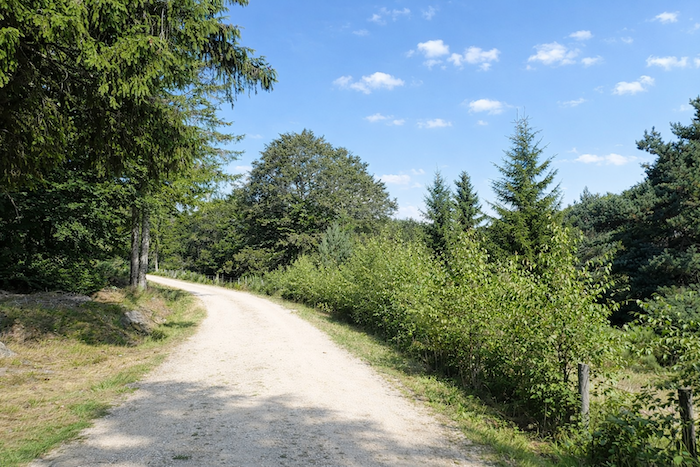
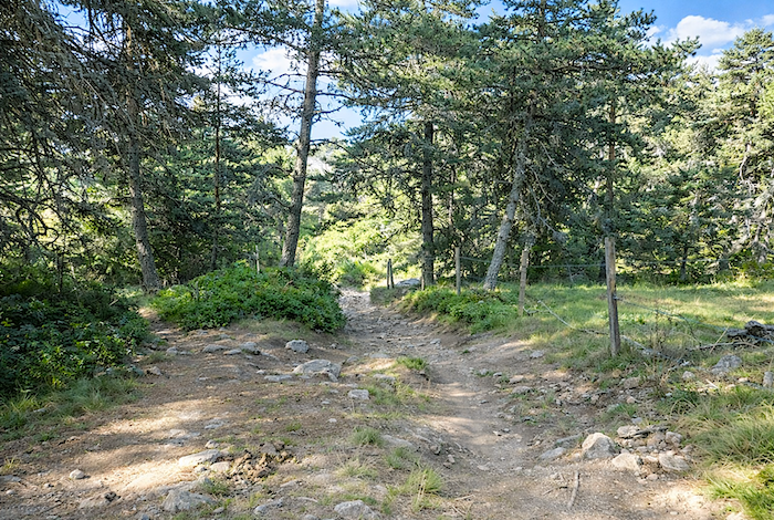
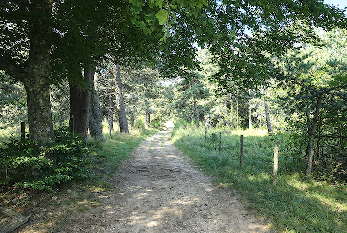
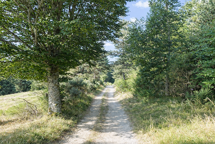
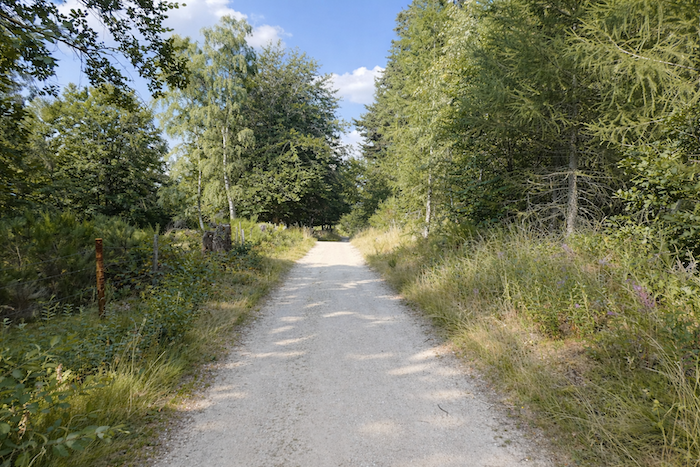
Pilgrims often leave the majestic Sauvage and its small lake early in the morning, setting out almost on level ground through the spruce forests. A beautiful and wide dirt path leads gently toward the departmental road D589 at Col de l’Hospitalet, 1,304 metres above sea level. |
|
 |
 |
|
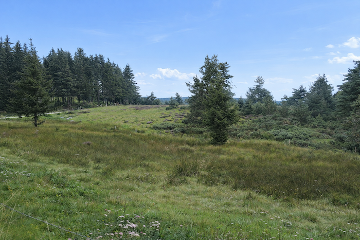
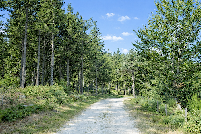
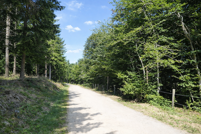
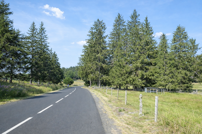
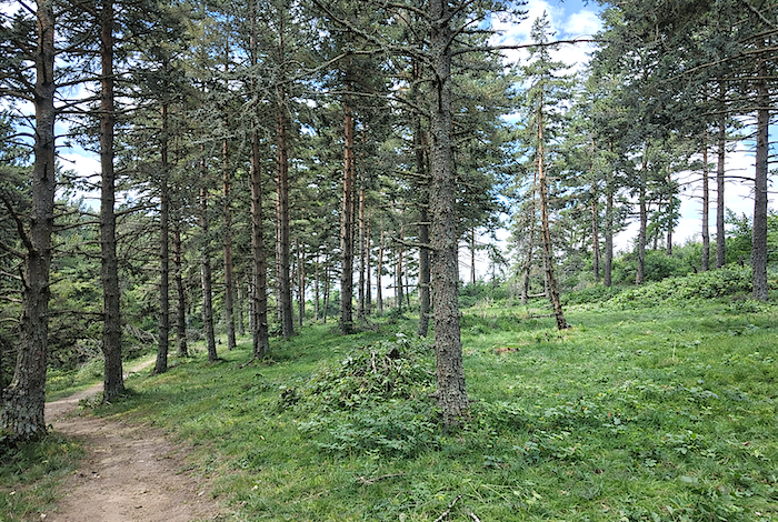
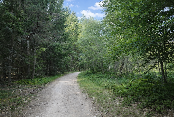
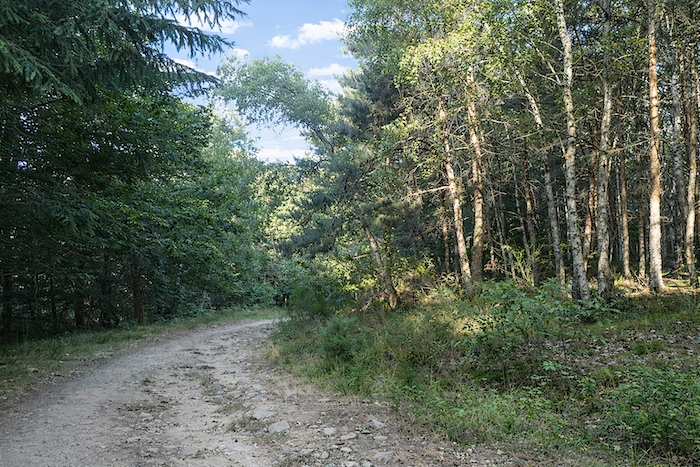
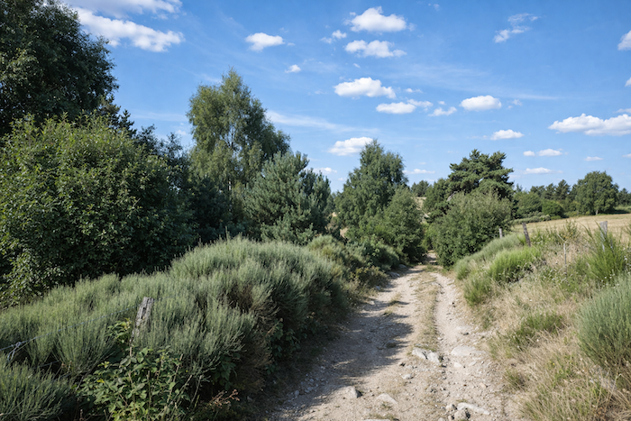
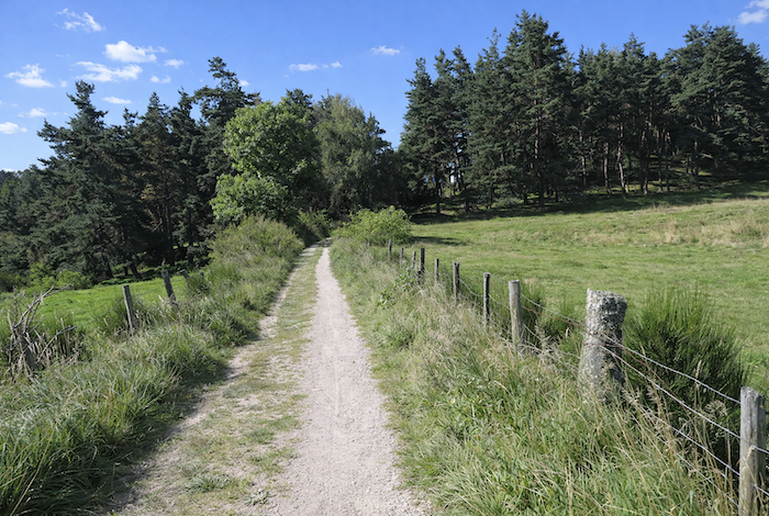
The region is covered with magnificent spruce trees and dotted with lovely pasture clearings. It is difficult to overstate the charm of this peaceful and unpretentious landscape, or the freshness of the path where mosses and conifer needles often carpet the ground. Fir tree or Christmas spruce? Merely saying « Christmas spruce » seems to break the spell, does it not? And yet it is true. Although the trend today is toward the return of the fir tree, particularly the Nordmann fir, an exotic species cultivated for this purpose, what the general public commonly calls a fir tree is often in fact a spruce, by far the most abundant conifer in our forests. The two species are easy to distinguish. Spruce cones hang downward, whereas fir cones stand upright toward the sky. You will never see fir cones scattered across the ground. Fir cones simply shed their scales while remaining attached to the branches. Only spruce cones fall to the forest floor. Fir trees sometimes have horizontal branches that curve slightly upward. By contrast, spruce branches droop gracefully, resembling the ears of a spaniel. All of this is merely to say that the forest here consists predominantly of spruce trees. |
|
 |
 |
 |
 |
|
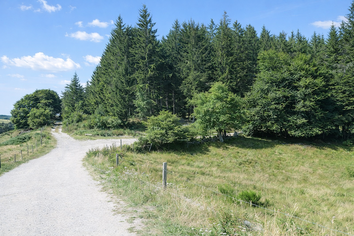
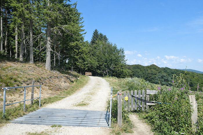
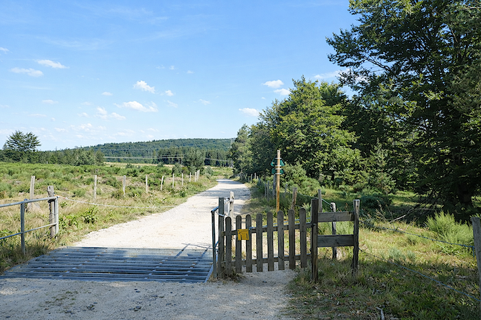
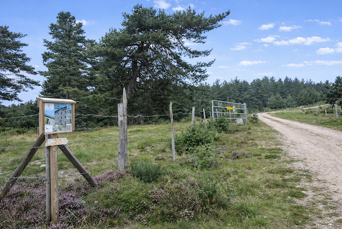
Further on, the path briefly leaves the forest and crosses the pastures of the Sauvage estate. A livestock gate stands across the route to contain the cattle. In these upland pastures, the animals roam freely. They are either steers or young cows that are not milked and require little supervision. |
|
 |
 |
|
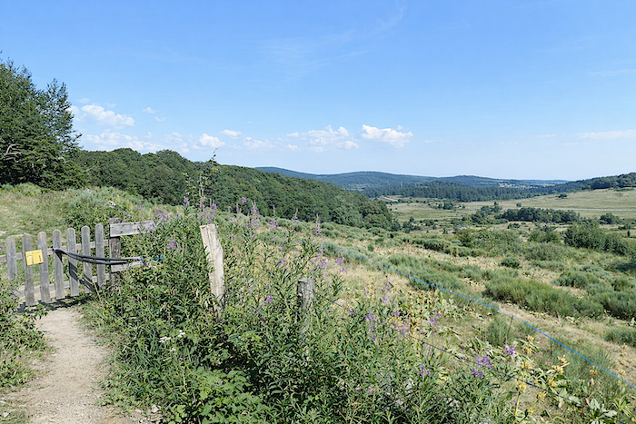
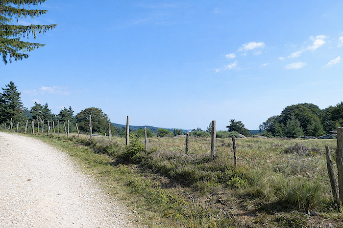
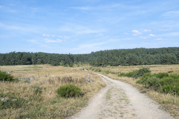
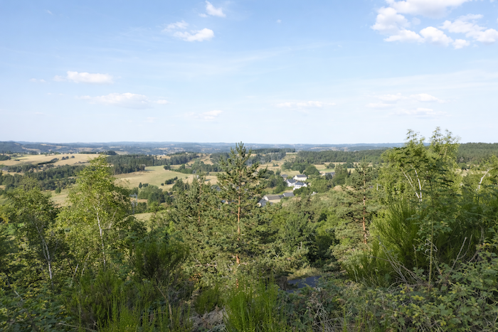
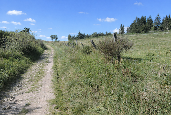
The eye wanders across the peaceful undulations of the pastureland. Before you stretches a vast sea of grass, punctuated by softly rounded hills, scattered bushes, a few rocky outcrops emerging like mineral islands, and discreet conifers silently watching over the horizon. The whole landscape inspires a rare sense of calm, openness, and unspoiled nature. |
|
 |
 |
|
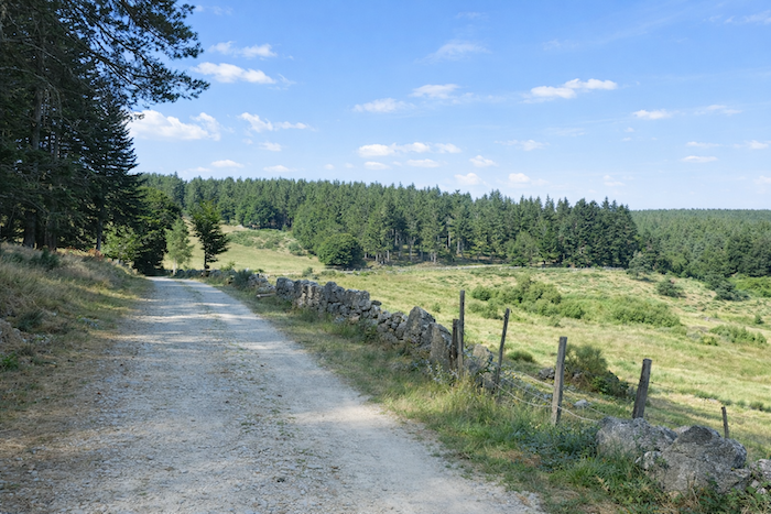
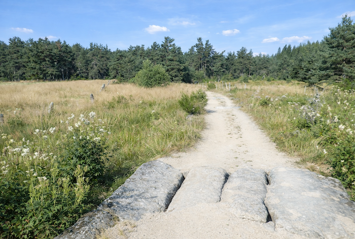
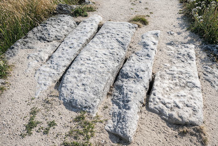
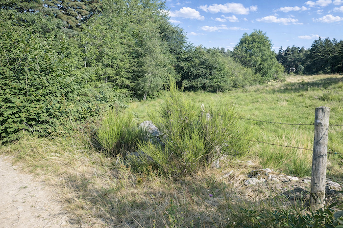
The cattle, a familiar and almost sovereign presence on these uplands, have led to the installation of livestock barriers here and there to prevent them from entering the forest. The pastures themselves are carefully enclosed by barbed wire running across granite slabs, a slender human line drawn across the wild immensity. |
|
 |
 |
 |
 |
|
As the forest opens up, the spruces, less densely packed in their ranks, allow more light to enter and make room for pines, beeches, and a few maples, whose foliage mingles with the bright yellow blossoms of the broom shrubs. |
|
 |
 |
|
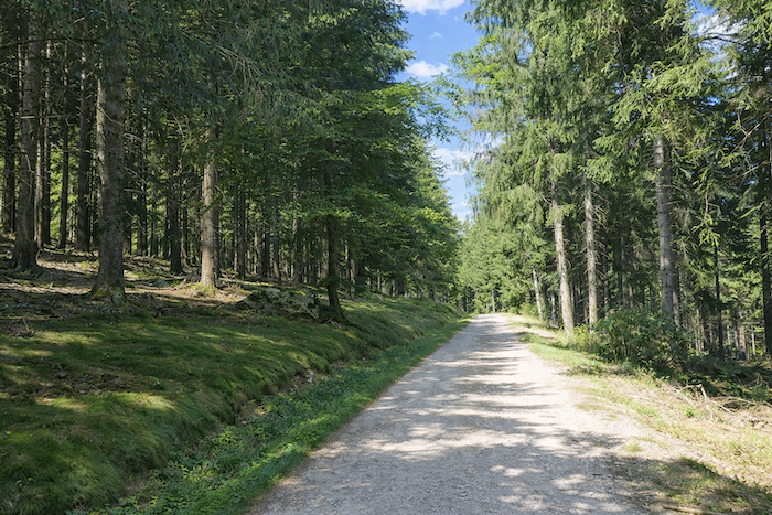
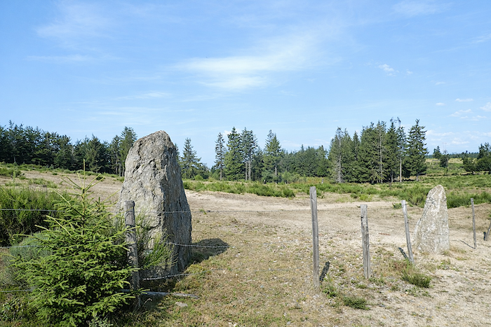
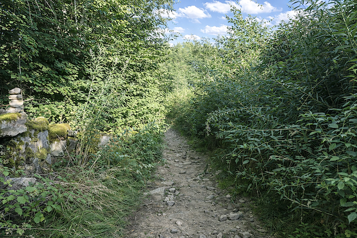
The path then re-enters the spruce forest and reaches the place known as “Narces de l’Hospitalet”, where a standing stone appears to keep watch, an immobile stone sentinel beside the route. |
|
 |
 |
|
Here, everything is silence and tranquility. In this landscape of gentleness and open space, each step feels lighter, almost effortless, as though carried by the serenity of the surroundings. |
|
 |
 |
|
The path remains beneath the trees for a while longer before meeting another livestock barrier. Then, quite suddenly, the landscape unfolds once more in all its splendor. |
|
 |
 |
|
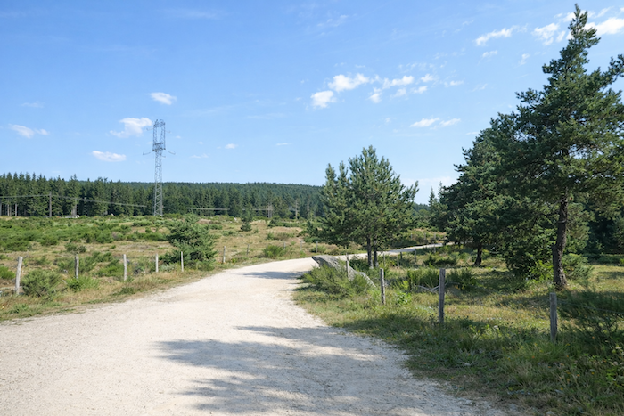
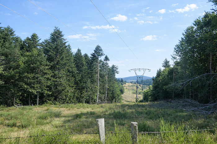
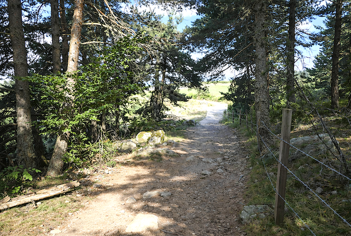
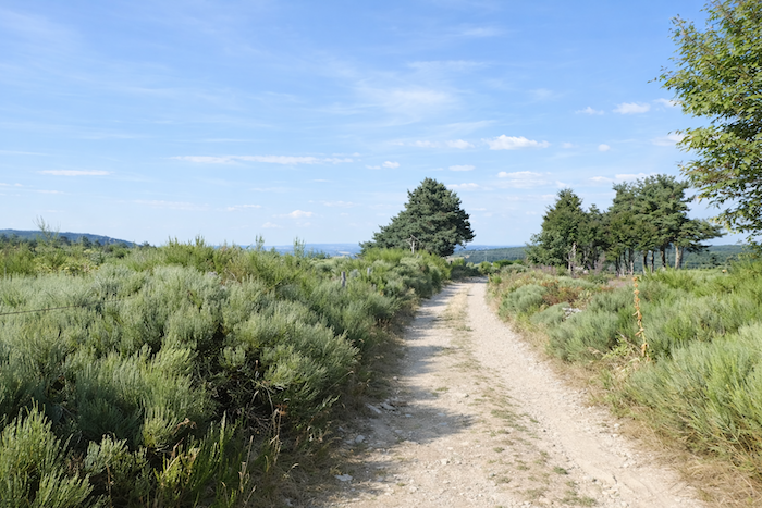
Soon the path leaves the woodland and passes beneath the high voltage power line that had been seen the previous day climbing the mountainside. Here, massive granite boulders emerge from the heathland and resemble fallen menhirs, as though the earth itself still remembered the distant ages of the past. |
|
 |
 |
 |
 |
|
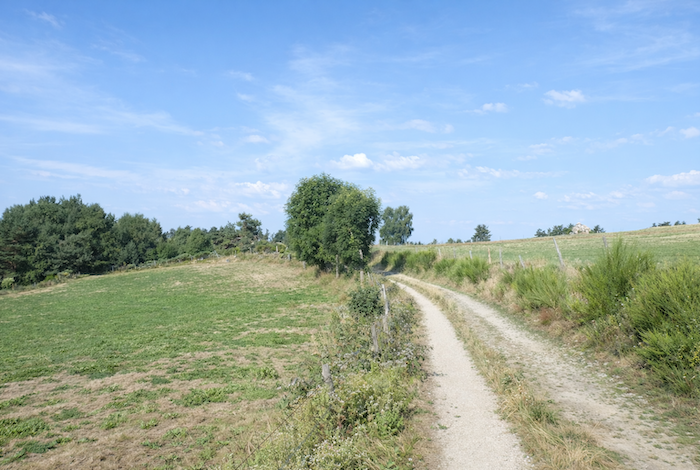
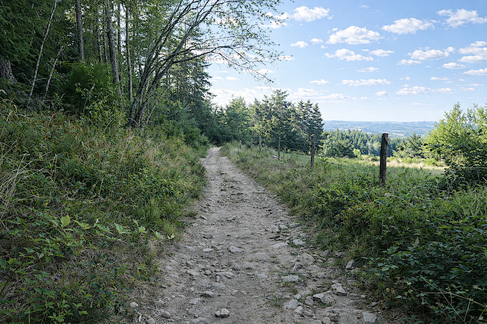
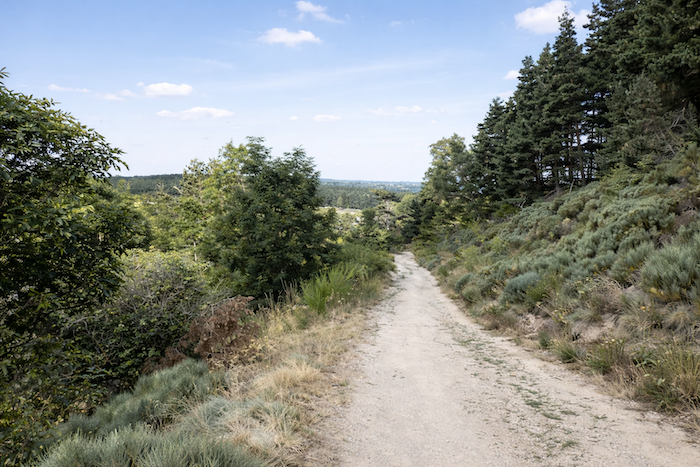
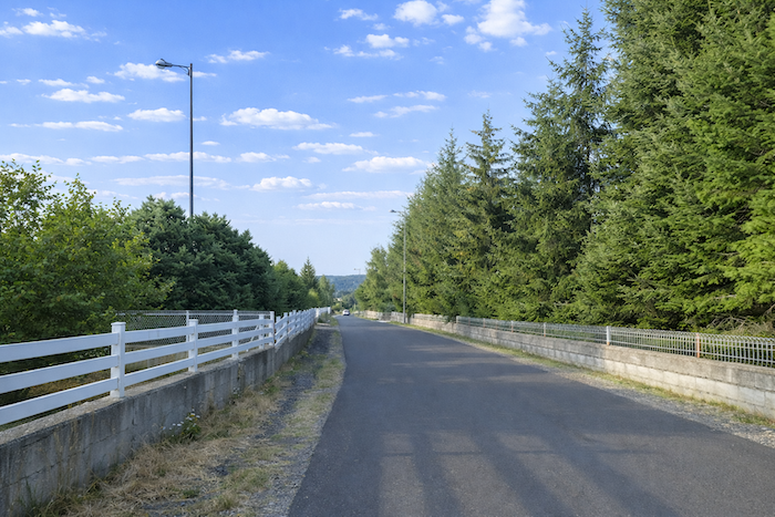
A few more spruces delight the eye before the dirt path reaches the departmental road D589 at Hospitalet Pass. In truth, this pass is little more than a modest rise among many gentle undulations in the landscape, much like the Way of Saint James itself, shaped less by spectacular summits than by patient crossings. Yet it opens the way toward the Limagnole Valley. At l’Hospitalet once stood a thirteenth century oratory and a pilgrims’ hospital, both of which had fallen into ruin by the seventeenth century. Tradition holds that this hospice was founded in 1198 by the inhabitants of Chanaleilles and placed under the protection of Saint James to provide shelter for passing pilgrims. |
|
 |
 |
|
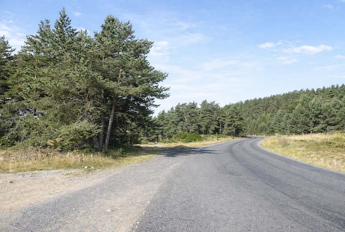
The GR65 then follows the road for a few hundred meters. |
|
 |
 |
|
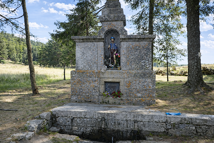
Nestled beneath the trees and almost hidden from view, a charming little oratory stands beside the road. Modest and contemplative, it seems to await the slow footsteps and silent reflections of passing walkers. |
|
 |
 |
|
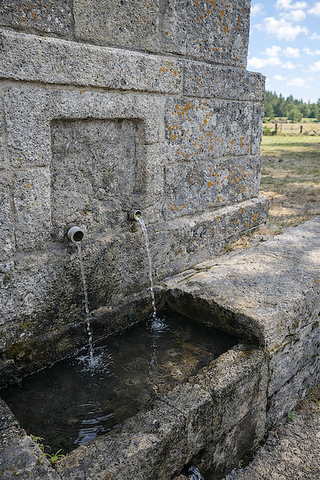
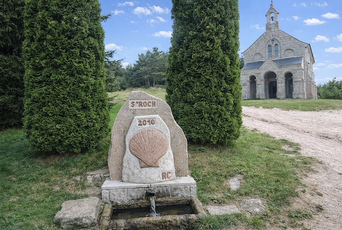
A small spring emerges here, remarkably fresh, and its clear water has long been believed to relieve many ailments. There are places where one understands that truth can sometimes be as simple as living water flowing from stone. |
|
 |
 |
|
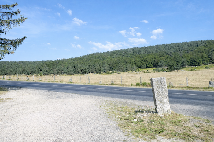
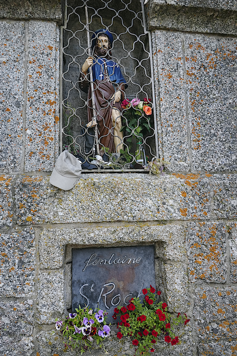
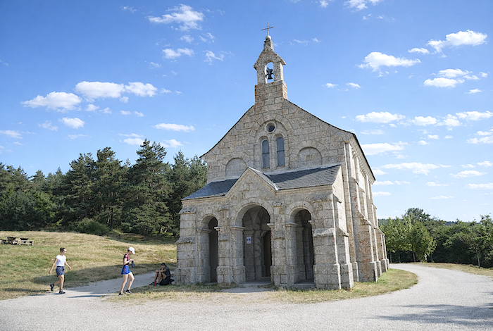
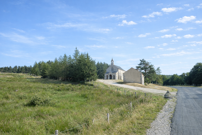
A few hundred meters farther on, just before St Roch Chapel, the departmental road marks the boundary between Haute Loire and Lozère. For a long time, Lozère occupied the margins of the French imagination, regarded as a harsh, remote, and almost forsaken land. It was described as hostile, impoverished, and forgotten. Yet it is enough to pass through it to realize how unfair that judgement was. Here, beauty reveals itself without display, in its most authentic form. |
|
 |
 |
|
At this border between two departments stands the small chapel, discreet yet precious. Dedicated to the patron saint of travellers and plague victims, who is said to have passed through this region after the Wars of Religion (1562–1598), it carries within its walls a history of destruction and renewal. A first chapel fell into ruin in 1610, and its stones were used to build a new church in nearby Lajo. Another chapel was erected at the end of the nineteenth century before being devastated by the cyclone of 1897. The chapel visible today dates from 1901. Behind the gate that closes its entrance, the statue of Saint Roch and his dog still watches over the altar. With his gentle and solemn expression, the saint seems to accompany travellers with his gaze, a humble guardian of human frailty. |
|
 |
 |
|
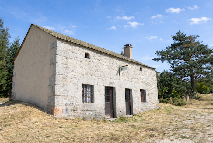
Beside the chapel, the door of a pilgrims’ shelter remains permanently open to those who are lost or without accommodation. Statistics say nothing about the men and women who, in the simplicity of their journey, come here seeking a roof for the night. The water may be less lively than that of the miraculous spring, but hospitality remains very much alive. From here, a road leads to Lajo, three kilometers from the GR65, where many walkers who could not find lodging at Le Sauvage also stay. Others continue on to La Roche, farther down the route. |
|
 |
 |
|
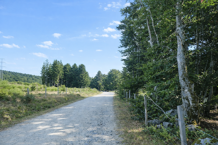
From the chapel onward, the GR65 leaves the departmental road and once again enters the intimacy of the forest, as though the route were drawing breath away from the asphalted world. |
|
 |
 |
|
The hamlet of La Roche is now only two kilometers away, resting quietly within a fold of the landscape. |
|
 |
 |
|
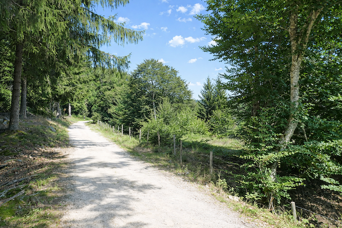
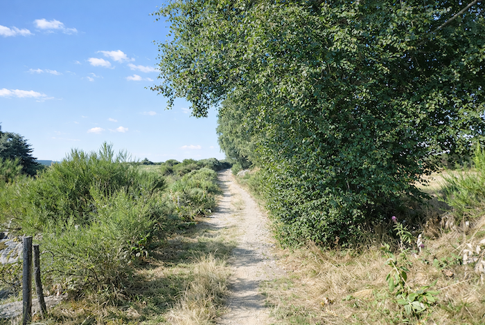
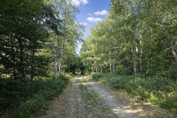
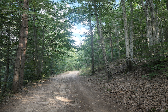
The route toward St Alban-sur- Limagnole then becomes easy and almost soothing. The route descends gently and without effort, sparing tired legs. Before long, a trail enters cool and often shaded woodland, where slender young beeches weave their way among the pines and spruces, adding their lightness to the solemn presence of the great conifers. |
|
 |
 |
 |
 |
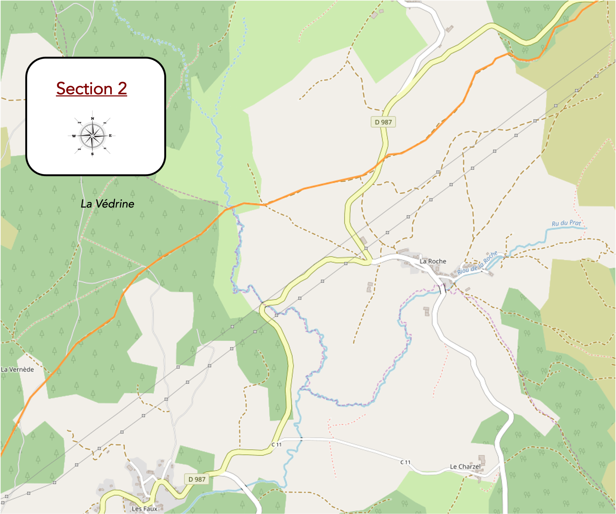
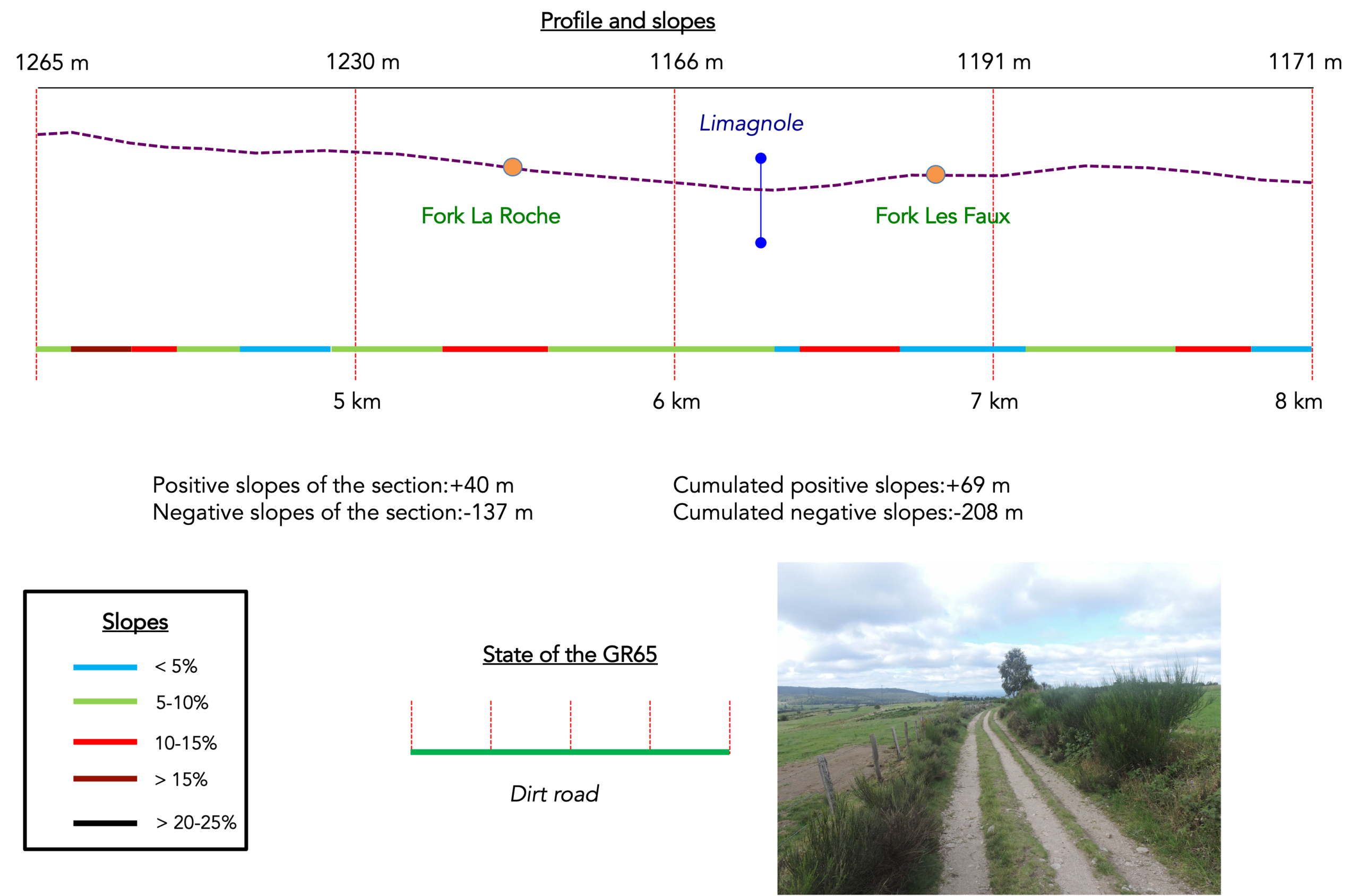
Section 2: Gentle undulations through the forests and countryside of Margeride
Overview of the route’s challenges: a few slightly steeper slopes, but all of them are very short.
|
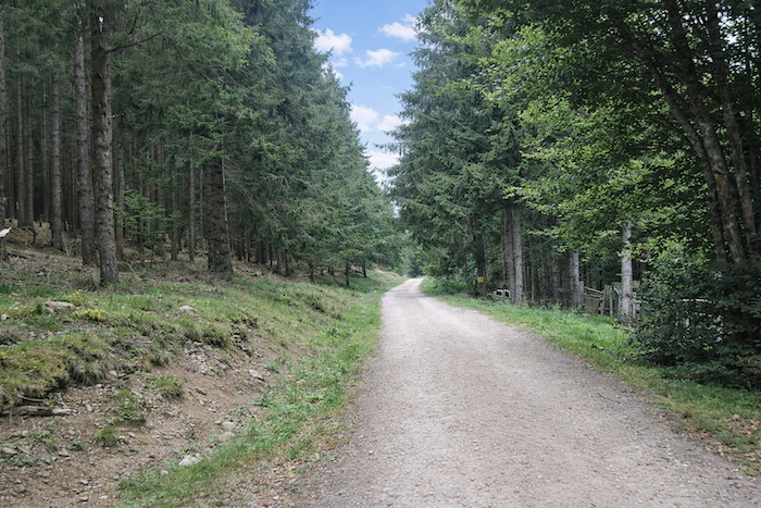
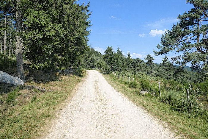
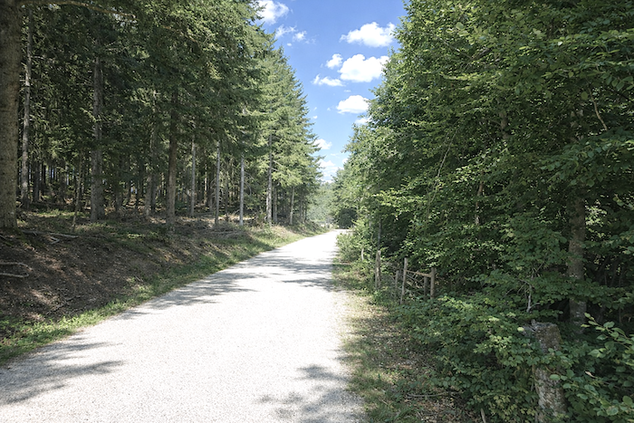
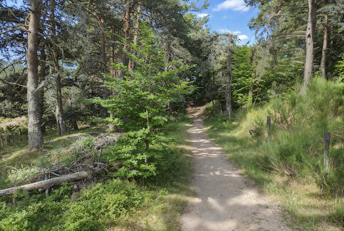
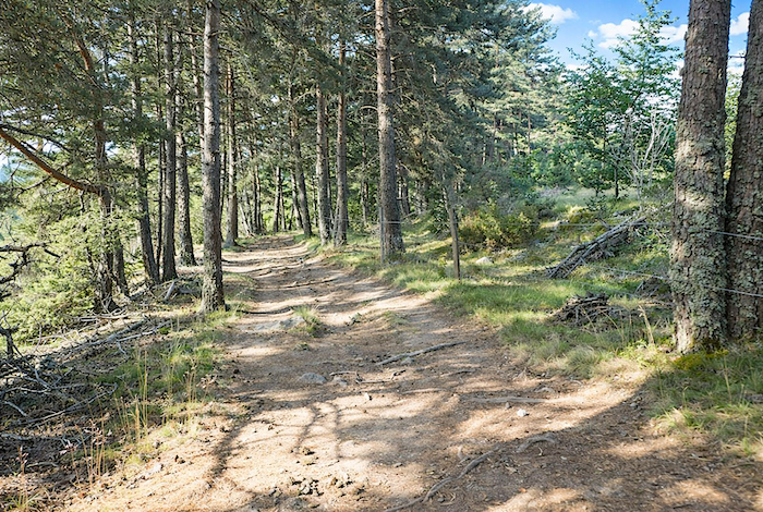
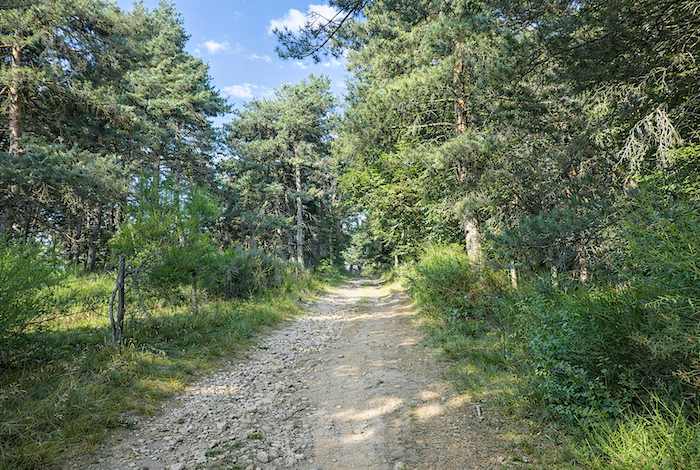
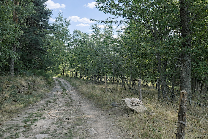
The path wanders at length, free and unhurried, through the heart of the conifer forest. It winds effortlessly between the straight trunks, in that gentle half-light where daylight filters through with restraint. The ground, often brownish in color, bears the deep tones typical of conifer woodlands, shaped by humus, fallen needles, and accumulated silence. |
|
 |
 |
 |
 |
|
Further down, the path leaves the forest as one emerges from a dream, greeted by the sudden brightness that follows the shade of the trees. |
|
 |
 |
|
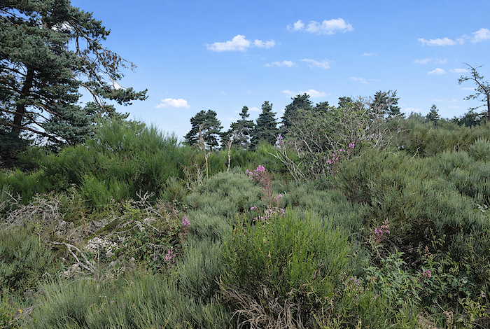
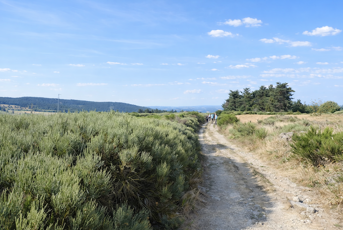
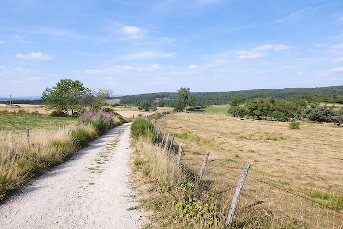
It now crosses the meadow in all its breadth, exposed in its wild simplicity. Along the edges of the path grow clusters of broom shrubs, arranged as though for a discreet display, forming a carpet of deep green relieved here and there by the delicate pink blossoms of rosebay willowherb. |
|
 |
 |
 |
 |
|
People often celebrate the broom of spring, which sets the meadows ablaze with golden flowers. But who will speak of the quieter grace of summer broom, returned to its essential simplicity? Green, understated, almost humble, it seems to have been left here as a memory of the world’s first morning, forgotten upon these heights by some absent-minded hand. |
|
 |
 |
|
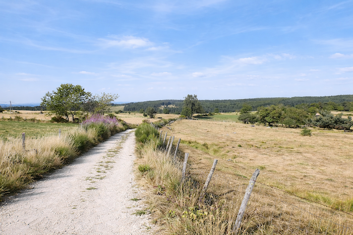
Here, nothing appears willing to surrender to the pressure of hurried human conquest. The eye glides endlessly across this vast hillside, scarcely disturbed by changes in relief, where short grass stretches beneath the sky, interrupted only by a few pines, a solitary ash tree, or a scattered maple. Everything invites contemplation rather than possession. |
|
 |
 |
|
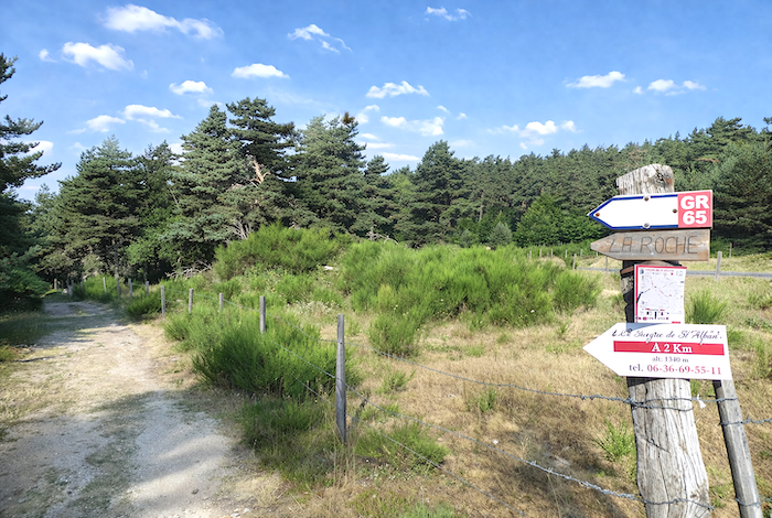
Further down, the path rejoins the departmental road as it approaches the hamlet of La Roche. . |
|
 |
 |
| In the past, pilgrims could find accommodation at La Roche. Today, however, this lodging is no longer listed. | |
 |
 |
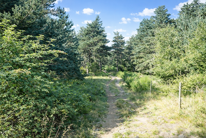
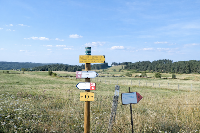
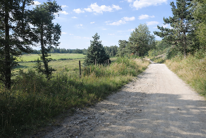
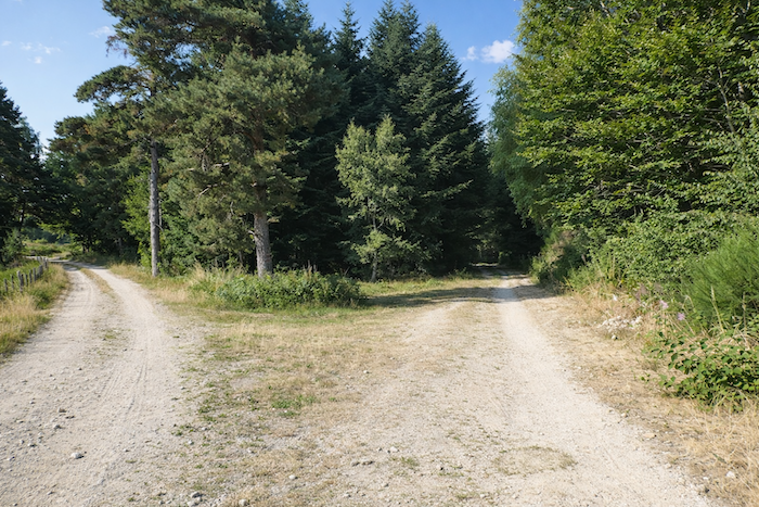
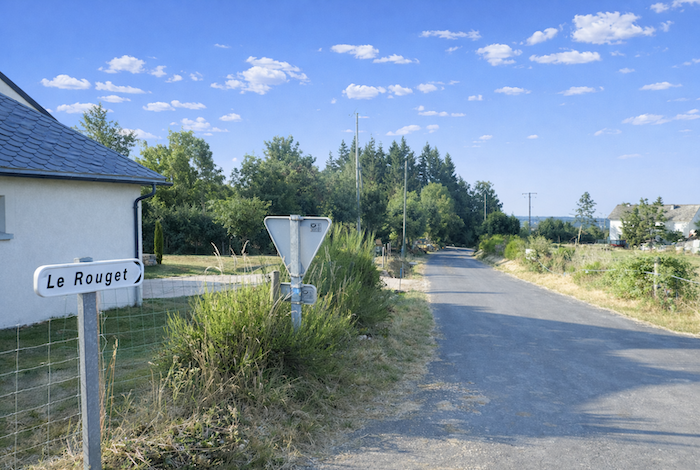
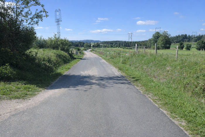
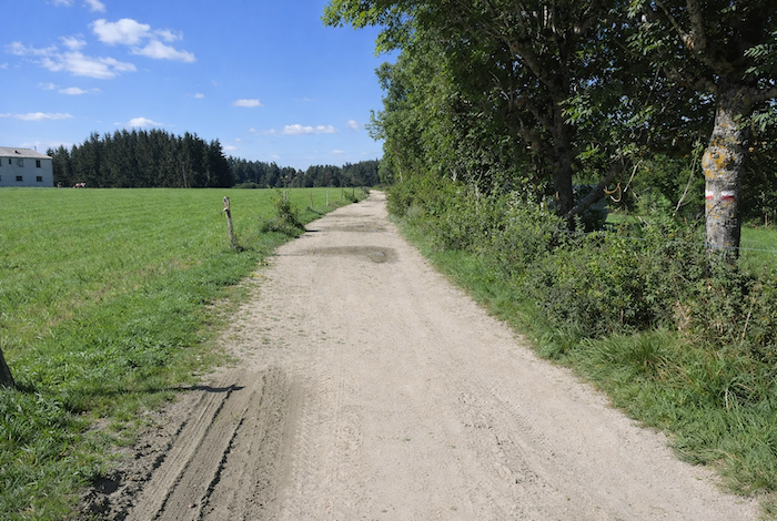
The GR65 does not enter La Roche. It simply crosses the departmental road and immediately resumes its course on the beaten earth, soft and welcoming, which opens through the meadows like an invitation to continue onward. Shortly afterwards, it passes the locality known as Les Bories, a discreet crossroads where the GR4 also arrives, as though the routes pause for a brief greeting before each continues toward its own horizon.
|
The path once again approaches the edge of the woodland before descending gently into the valley to cross the Limagnole, which here resembles a broad, lively stream more than a river. In this country, water is everywhere. It springs from the meadows, runs alongside the paths, and fills the stone troughs where travelers find a simple and precious freshness. |
|
 |
 |
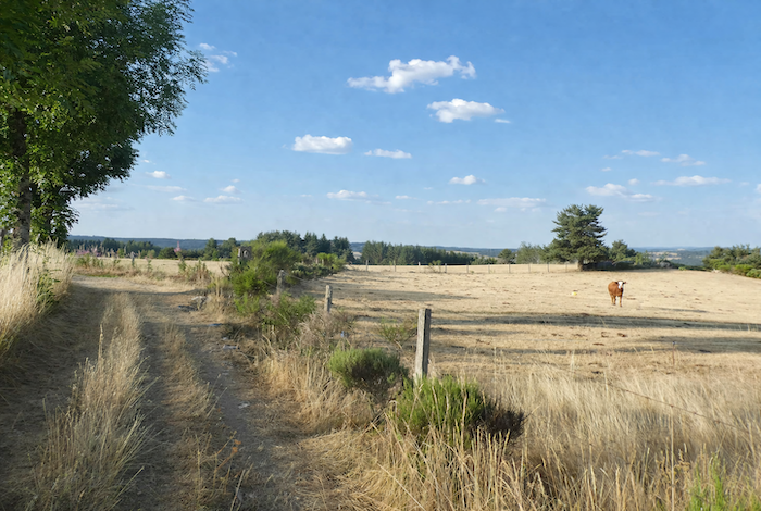
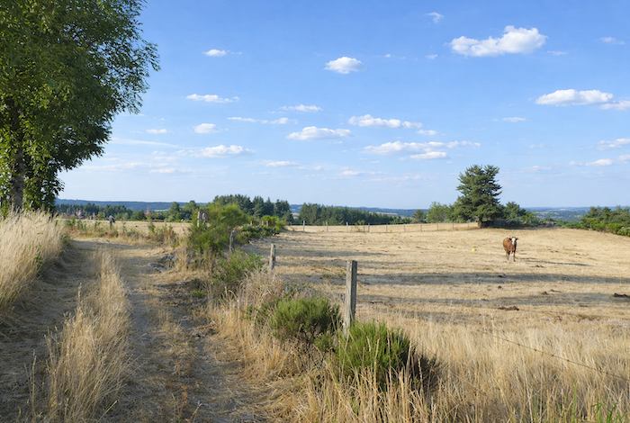
No one can say whether the large stones placed in the stream to create a crossing were laid by the Romans or perhaps already by the Gabali. The place retains its mystery. After rain, the path is sometimes deeply rutted, for tractors use it as much as pilgrims do. One encounters placid cattle, horses grazing in the flower filled meadows of spring, and that persistent impression of a land where time still agrees to slow its pace.
|
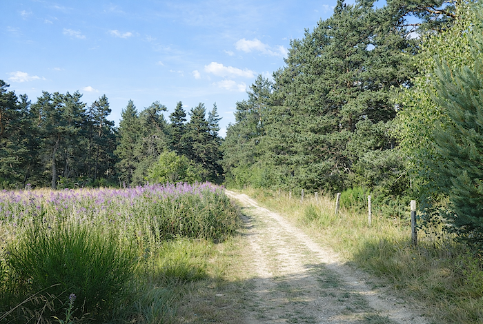
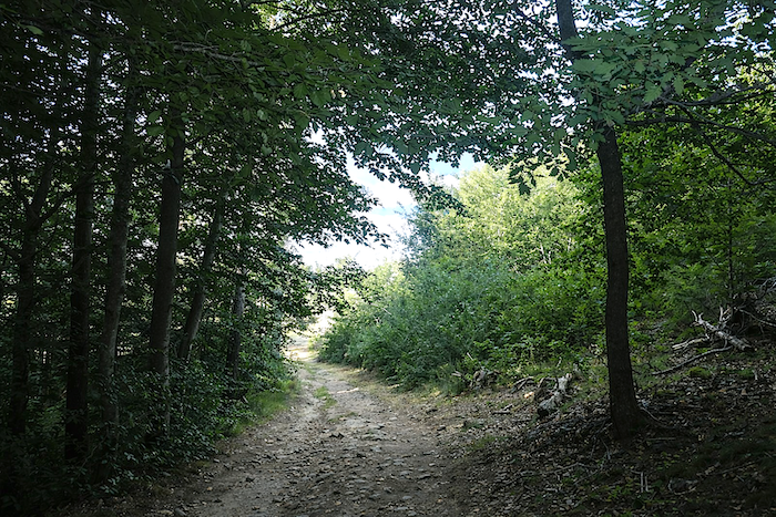
The path then leaves the meadows and enters the light woodland of Bois de la Védrine. In spring, everything seems suspended in the light of a new beginning, with fresh foliage filtering the sunlight into shifting veils. Later in the season, only the deep green of the meadows remains, together with occasional touches of pink rosebay willowherb, like traces of gentleness within the fullness of summer. |
|
 |
 |
|
The climb then becomes a little more pronounced. The path grows stonier and drier underfoot, yet nothing truly diminishes the pleasure of walking. The slope yields easily to the walker. |
|
 |
 |
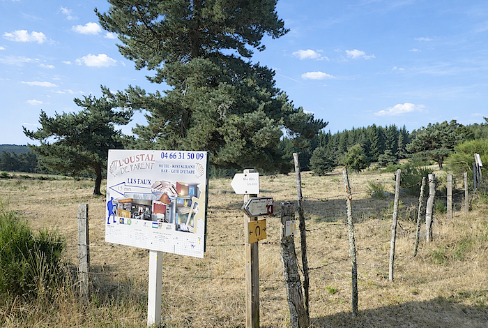
The route then reaches a discreet junction from which accommodation can be reached at Les Faux, near the D589. From this hamlet, it is possible to rejoin the route at Le Rouget, a little farther down the road.
|
The path then begins to roll gently with the landscape, alternating between beaten earth and stony stretches, in a succession of false flats that tire the mind less than they lull it into quiet reflection. |
|
 |
 |
|
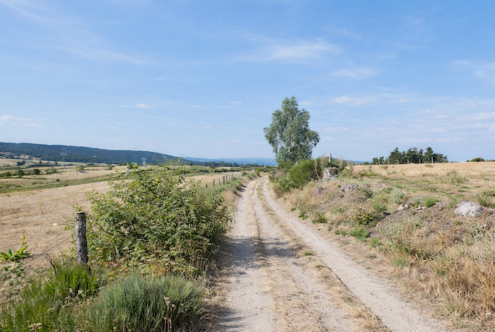
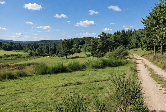
For nearly a kilometer, it winds between open countryside and light woodland. Here there is no bustle, no human presence. The land seems abandoned by all agitation. Only a few peaceful cows, lying down or grazing near the trees, remind the pigrim that this solitude is inhabited by a slow and silent life. |
|
 |
 |
 |
 |
|
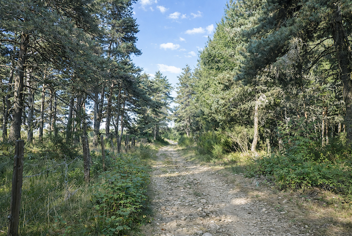
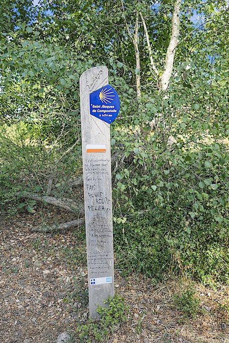
And yet, somewhere to the west, Santiago lies only 1,474 kilometers away. Step by step, you advance toward that invisible destination. The forest here is never oppressive. It opens into clearings and mixes the endless pines with the lighter presence of birches, hornbeams, and beeches. |
|
 |
 |
Section 3 : Descending toward St Alban, between woodland and countryside
Overview of the route’s challenges: a nearly continuous descent, occasionally steeper, with some rocky sections underfoot.
|
Historians tell us that in Roman times the beech tree, the fagus of the Ancients, reigned supreme across Margeride and Gévaudan. Open spaces were then little more than scattered clearings, and centuries of determined clearing were required before pastoral farming could take root. Gradually, rye appeared around the grazing lands where flocks once grazed. The forest retreated further before the hand of man. Pines and chestnut trees, more eager to occupy open ground, succeeded the deep beech forests. Cattle progressively replaced sheep, and cultivated fields and hay meadows expanded. Then times changed. Today, the mountain farmer sometimes seems to possess little more than the memory of former labors. As a result, broom heath and Scots pine, now sovereign over Margeride in their turn, have slowly reclaimed what earlier generations had wrested from them. Yet who can say whether the beech tree, still waiting in the folds of the landscape, may one day recover its former place? Whatever the future may hold, the scenery retains here a singular and undeniable beauty. How could one fail to be moved, eyes wide open, by this majestic simplicity, this stillness in which the trees seem to form a great mantle draped across the hills? |
|
 |
 |
|
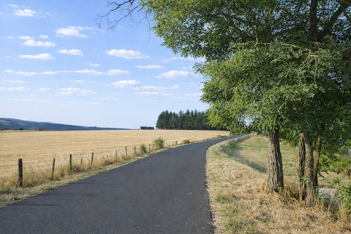
The broad path continues across beaten earth, still soft beneath the feet, while the stones remain discreet for the moment, as though sparing the walker. |
|
 |
 |
|
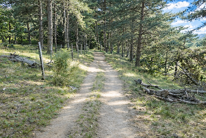
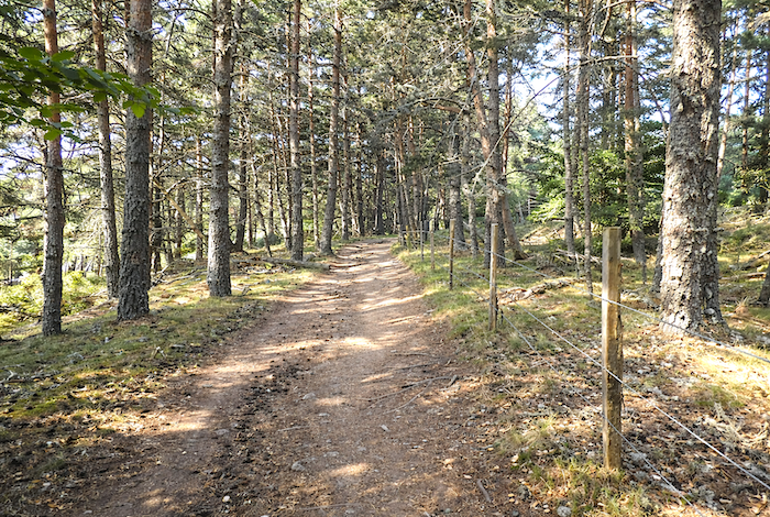
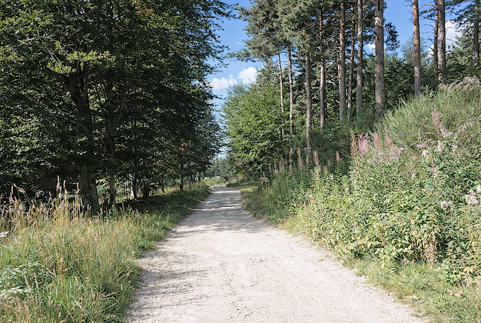
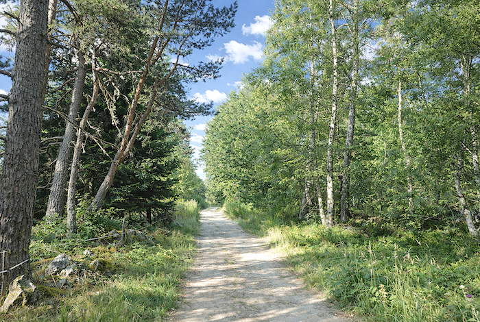
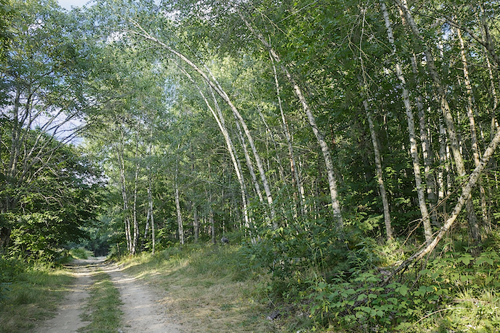
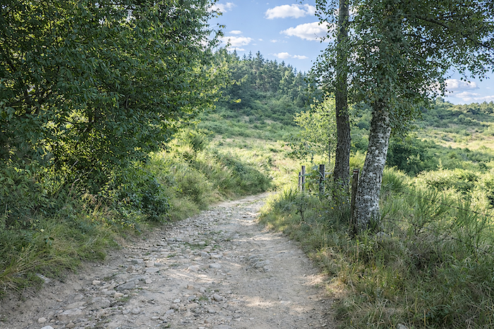
Further on, the landscape gradually closes in. The forest becomes deeper and more enveloping, while the slope steepens noticeably, reaching gradients of between 10 and 15%. In the woodland, birches and beeches become more numerous, weaving gracefully among the pines and spruces. |
|
 |
 |
 |
 |
|
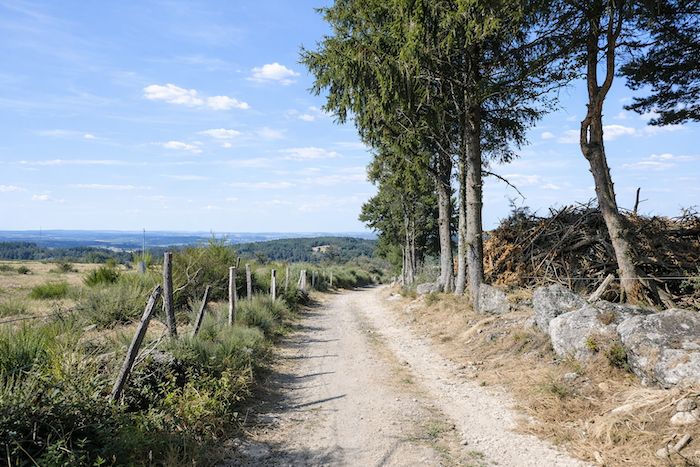
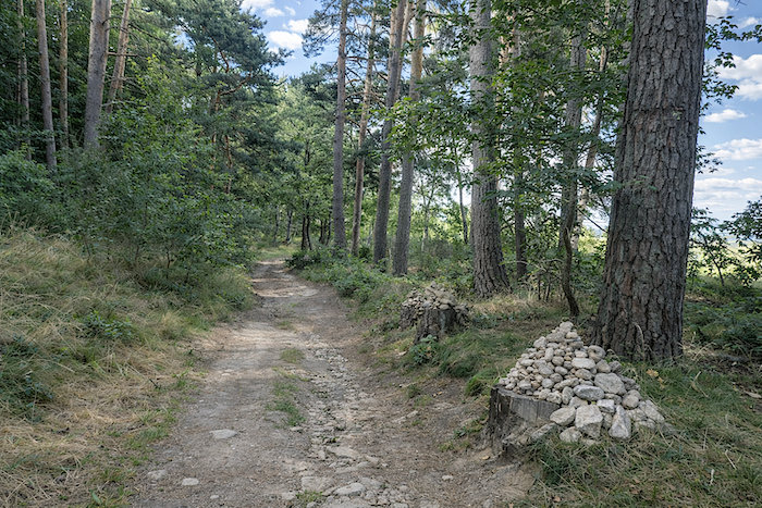
Here and there, handsome stone walls covered with lichen, along with occasional cairns standing beside the path, punctuate the route with traces of the past. Stones become increasingly present as the slope commits itself to a steeper descent, giving the path a more mineral and rugged character. |
|
 |
 |
 |
 |
|
Lower down, the path narrows and runs just above the departmental road, concealed among the tall grasses that soften its outline. |
|
 |
 |
|
The landscape then takes on an even wilder aspect. Nature closes in, the ground becomes more clayey, and the path more uncertain, as though the continuation of the journey must now be earned. . |
|
 |
 |
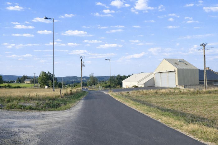
A few more bends beneath the trees, and suddenly the sleeping hills and the slate roofs of Le Rouget appear below, resting there like a quiet reward at the end of this wooded descent.
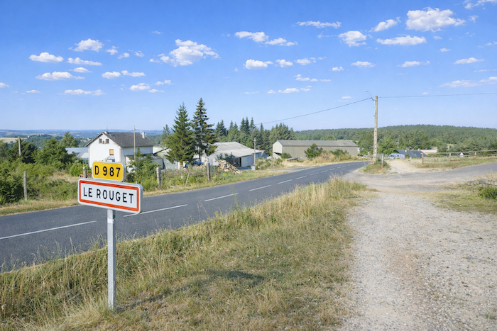
| Across the clay soil and between clumps of broom, the path rejoins the departmental road at the entrance to Le Rouget. | |
 |
 |
|
The route then begins to wind gently toward the village after crossing the road as you cross a threshold. |
|
 |
 |
|
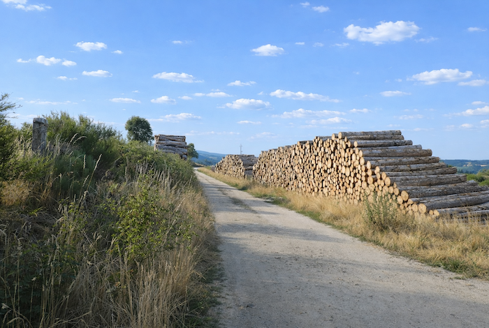
Le Rouget takes its name from arkose, a distinctive stone found between granite and gneiss, a sandstone born from the slow weathering of ancient rocks and patiently shaped by time and the elements. Arkose displays many shades, often tinged with pink, which gave the village its name. No material adorns façades more beautifully. Its warm color contrasts elegantly with the deep black of basalt. In former times, arkose quarries were numerous throughout the region. Today, they have become rare or have disappeared altogether. Who still takes the time to build a house stone by stone? The GR65 follows the road as it descends gently through the village. In the past, the Croix du Plô pilgrims’ gîte stood in a large farmhouse at the edge of the village. Fortunately, some people still resist the uniformity of modern construction. Here, the owner of Ferme de la Croix du Plô has restored a stone house of remarkable elegance. |
|
 |
 |
|
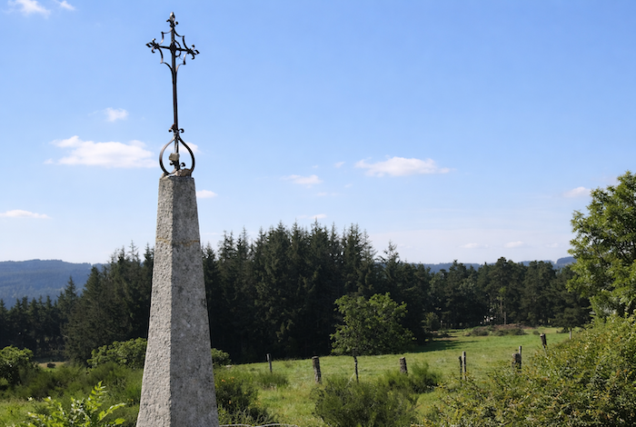
Beyond Le Rouget, walking becomes easy once again. A small paved road leads to Croix du Plô, a beautiful stone cross standing upon its pyramidal base, like a silent landmark beside the road. |
|
 |
 |
|
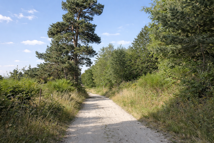
Soon the asphalt gives way once more to the regular softness of beaten earth. The path passes alongside the imposing farmhouse of Croix du Plô and its reassuring silhouette before continuing toward the woodland. . |
|
 |
 |
|
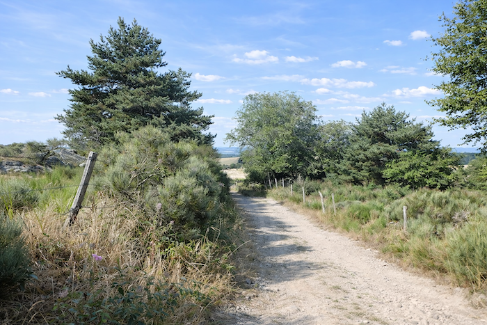
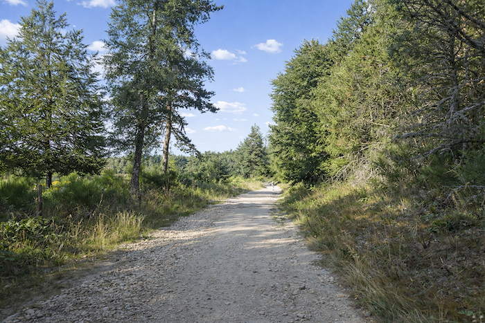
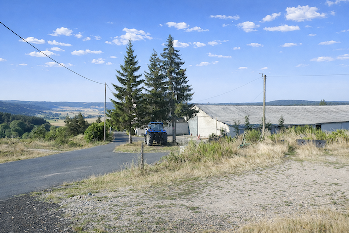
The broad dirt path then hesitates between clusters of pine trees and the openness of the countryside. At times it even climbs a little more steeply, as though to remind the pilgrim that the approach to St Alban-sur- Limagnole is never entirely effortless. Gradually, however, the landscape becomes more familiar and more inhabited. Signs of a countryside shaped by human presence reappear as you advance. |
|
 |
 |
|
A few final undulations disturb the tranquility of the countryside, like a last tremor before the transition. |
|
 |
 |
|
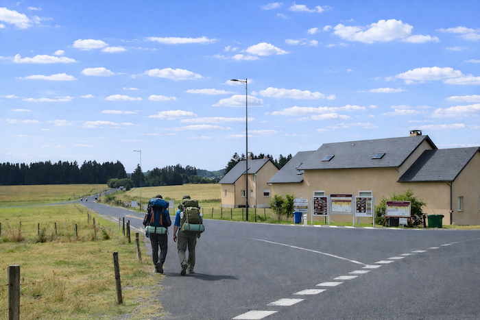
Then the descent begins, slipping toward the departmental road D589 and the modern residential neighborhoods of St Alban that spread below. |
|
 |
 |
|
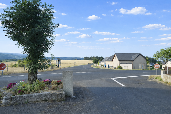
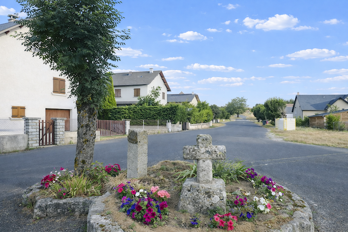
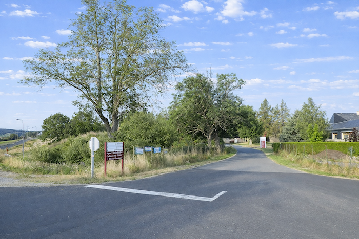
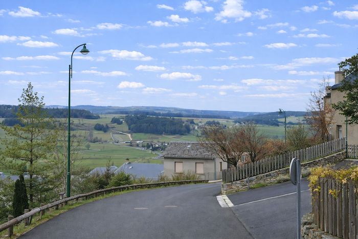
The entrance to the small town is not especially inviting. Faithful to its habits, the GR65 imposes a considerable detour, as though delaying the arrival. The designers of the Way of Saint James seem reluctant to let pilgrims follow departmental roads, even where traffic remains light. Thus, at a crossroads marked by a stone cross, the route turns away and leads you to discover the upper outskirts of the town. |
|
 |
 |
|
You now follow a quiet road beneath the mixed shade of ash trees and spruces, among a scattering of detached houses. |
|
 |
 |
 |
 |
|
At the next junction, the route turns right, a discreet invitation finally leading toward the town itself. |
|
 |
 |
|
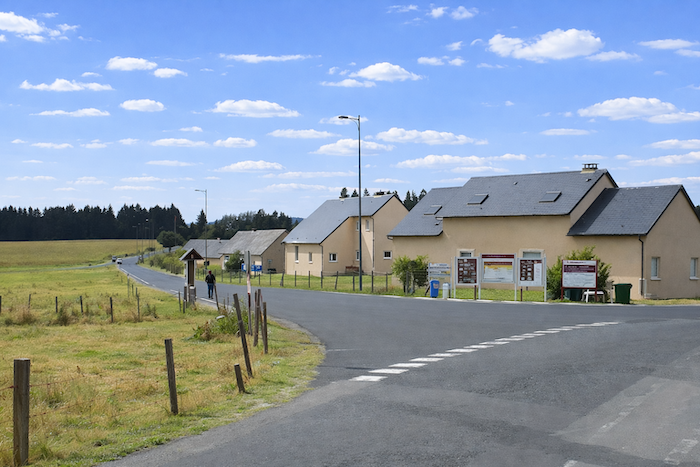
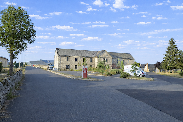
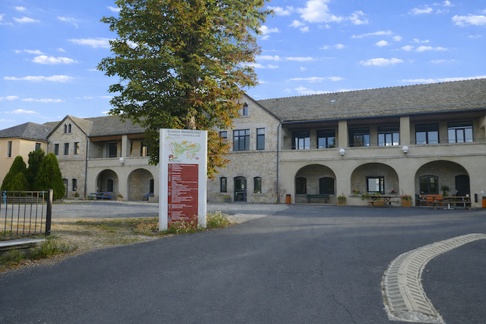
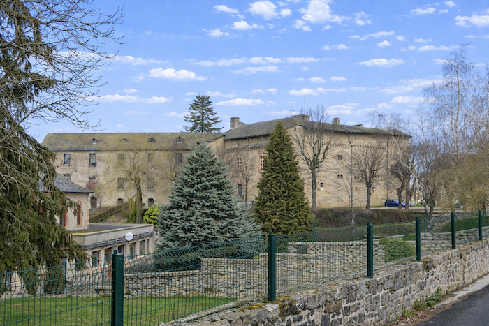
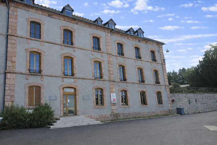
At the top of the hill stands a vast psychiatric hospital complex, a veritable town within a town. Was all this housing needed for the staff? The story begins in 1821 when Hilarion Tissot, a Brother of Saint John of God, founded an asylum for men suffering from mental illness, using stones recovered from a former castle that had disappeared. The institution quickly gained a strong reputation, receiving patients from across the region and later from the entire department. The administrative building was inaugurated in 1869 and was soon followed by new pavilions constructed between 1895 and 1900. Later, one major figure profoundly influenced the institution: François Tosquelles, a French physician trained in Spain who was forced into exile following the defeat of the Republicans during the Spanish Civil War. Former head of psychiatric services within the Republican army, he settled in Saint Alban in 1940. Under his guidance, the hospital became a pioneering institution, transforming the treatment of severe mental disorders through an innovative psychodynamic approach. A pioneer of institutional psychotherapy, Tosquelles worked to overturn practices that too often treated patients as prisoners. In his view, the institution itself had to become a therapeutic tool. He established patient communities, encouraged social reintegration, and fought against isolation. At its peak during the 1970s, the hospital housed as many as 600 patients. At that time, it was not unusual to encounter severely affected patients in the streets of the town. Occupational therapy, outsider art, and even poetry all played an important role within the institution. Today, the number of patients has decreased considerably and therapeutic practices have evolved. The hospital remains active, although on a more modest scale than in the past. |
|
 |
 |
|
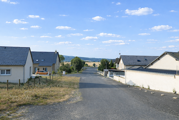
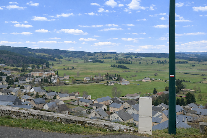
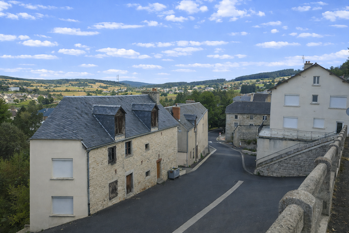
The route then runs gently alongside the old and newer pavilions of the institution, silent witnesses to its evolution, before descending along Rue de l’Hôpital above the small town of approximately 1,500 inhabitants. |
|
 |
 |
|
On the heights once stood a castle belonging to the barony of the Marquis d’Apchier from as early as the eleventh century. Modified over the centuries until the seventeenth century, it gradually lost its defensive purpose and was progressively transformed into a psychiatric institution. Here once again, the stone of Le Rouget imposes its warm color and distinctive presence, a mineral signature of the place. |
|
 |
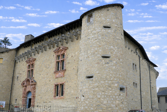 |
Here stands the administrative building, massive and orderly, constructed from the same stone of Le Rouget and crowned with a roof of dark slate that reinforces its solemn appearance.
|
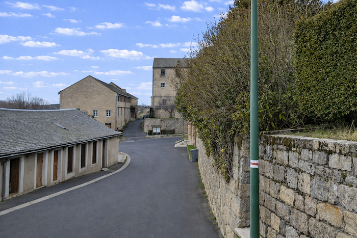
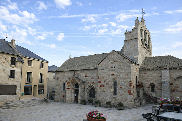
By way of a steep street followed by a flight of steps, the GR65 finally reaches the main street beside the church and the few shops that animate the heart of the town. |
|
 |
 |
|
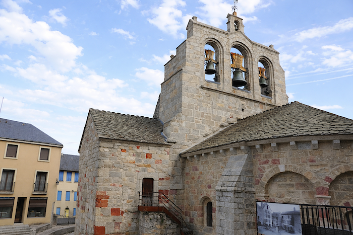
The history of the church remains poorly documented before the fourteenth century. It is nevertheless known that it then depended upon a monastic hospital dedicated to receiving pilgrims. Enlarged at the beginning of the nineteenth century, it retains the characteristics of a Romanesque church influenced by the architecture of Auvergne. Built below the main road, it reveals a richly decorated apse adorned with harmonious arcades. An imposing bell gable with three openings rises above the structure like a vertical signature, watching over the whole with austere elegance. |
|
 |
 |
Accommodation on Via Podiensis
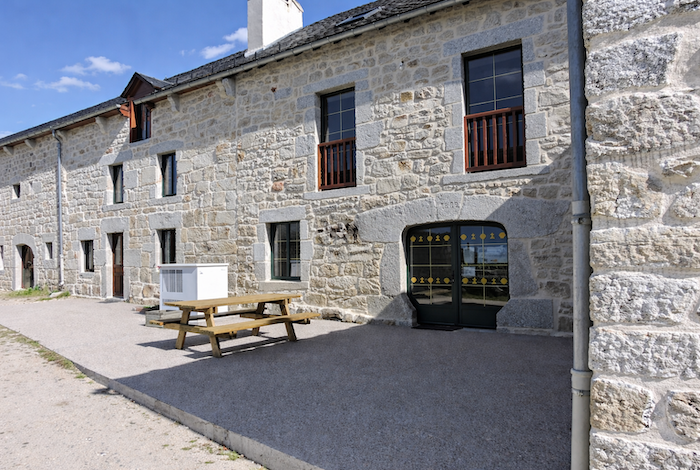
• Refuge de St Roch, Col de l’Hospitalet; refuge without comfort
• L’Oustal de Parent, Les Faux; 04 66 31 50 09; Gîte and Hotel, dinner, breakfast (900 m off GR)
• Les Séjours de Lalie, Les Faux; 06 87 62 38n42; Gîte dinner, breakfast (900 m off GR)
• La Croix du Plô, Le Rouget; 04 66 31 53 51/06 33 55 61 03; Gît et Guestroom, dinner, breakfast
• Gîte La Tortue et le Lièvre, Marie et Louis (pèlerins), 1 Lotissement Communal, St Alban-sur-Limagnole; 07 87 22 67 00/06 81 56 80 28; Gîte, dinner, breakfast
• Gîte Le Penote, Jean-Claude Chapel, 18 Route de Saugues, St Alban-sur-Limagnole; 04 66 31 54 13/06 88 24 51 32; Gîte, cuisine
• Gîte Aux Amis dans le Chemin, Bernadette (pélerine, 34 Gd Rue, St Alban-sur-Limagnole; 06 21 64 39 51; Gîte, dinner, breakfast
• Gîte Antre Nous, Éric Rondolat, 19 Rue de la Comète, St Alban-sur-Limagnole; 06 61 23 85 11; Gîte, dinner, breakfast
• Gîte Les Souliers de St Jacques, Virginie Soulier, 1 Rue de la Comète, St Alban-sur-Limagnole; 06 45 41 28 17; Gîte, dinner, breakfast
• Gîte Le Lit Magnole, 27 Gd Rue, St Alban-sur-Limagnole; 07 67 51 38 51; Gîte, dinner, breakfast
• Gîte L’imprévu en Margeride, Nadège (pélerine), 3 rue de la Tournelle, St Alban-sur-Limagnole; 06 33 18 41 89; Gîte, dinner, breakfast, cuisine
• Gîte La Maison du Bateleur, Sylvie, Claire, Sophie (pèlerines), 9 Rue de la Baysse, St Alban-sur-Limagnole; 06 33 18 41 89; Gîte, dinner, breakfast,
• Gîte La Maison du Bateleur, Sylvie, Claire, Sophie (pèlerines), 9 Rue de la Baysse, St Alban-sur-Limagnole; 06 33 18 41 89; Gîte, dinner, breakfast,
• Gîte-Restaurant La Butte aux Oiseaux, 68 Gd Rue, St Alban-sur-Limagnole; 09 54 39 46 53; Gîte, dinner, breakfast
• Gîte-Restaurant Le Refuge du Pèlerin, 37 Gd Rue, St Alban-sur-Limagnole; 06 85 39 93 22; Gîte, dinner, breakfast
• Gîte-Restaurant-Bar, 30 Gd Rue, St Alban-sur-Limagnole; 06 62 67 37 62; Gîte, dinner, breakfast
• Gîte-Restaurant-Bar- Pizzeria du Centre, 32 Gd Rue, St Alban-sur-Limagnole; 04 66 31 5004; Gîte, dinner, breakfast
• Gîte- Restaurant Le Chemin des Sens, 13 Gd Rue, St Alban-sur-Limagnole; 04 66 44 72 61; Gîte, dinner, breakfast
• Gîte-Chambre d’hôtes- Restaurant La Belle Étape, 2 Place de l’Église, St Alban-sur-Limagnole; 04 66 49 04 01/06 83 68 69 16; Gîte and Guestroom, dinner, breakfast
• Auberge de St Jacques, 3 Place du Breuil, St Alban-sur-Limagnole; 04 66 31 51 76; Gîte and Guestroom, dinner, breakfast
• Les Drailles de la Margeride, 1 Grand Rue, St Alban-sur-Limagnole; 06 70 11 20 54; Guestroom, dinner, breakfast
• Hôtel-Relais St Roch****, Château de la Chastre, St Alban-sur-Limagnole; 04 66 31 55 48; Hôtel, dinner, breakfast
Year after year, the Camino de Santiago changes and reinvents itself with the seasons and the footsteps of pilgrims. Some accommodations close their doors, while others, modest or unexpected, come into being. It would therefore be unrealistic to claim to provide a fixed and exhaustive list. This guide includes only accommodations located directly on the route or within one kilometer of it. The selection was updated in 2026 and should therefore not undergo any major changes in the coming years. For those wishing to go further, one publication stands out as the essential reference: Miam Miam Dodo, easily available online. The main strength of this guide lies in its yearly updates. It not only lists accommodations located directly on the route, but also addresses slightly off the route, a valuable resource when heavy pilgrim traffic makes overnight stops more uncertain. It also contains a wealth of practical information: welcoming bars, restaurants along the way, and providential bakeries, all of which punctuate the journey. Alongside these traditional resources, another presence has become unavoidable: Airbnb. The platform has established itself as a major reference in the tourism landscape, even in the most discreet or less developed regions. However, as everyone knows, exact addresses are not displayed directly, which requires a degree of anticipation. On the Camino, finding a bed at the last minute can sometimes depend on sheer luck. But luck, by its very nature, cannot be considered a strategy. Booking ahead is therefore strongly recommended. Finally, when making arrangements, be sure to inquire about dinner and breakfast options. These details, seemingly minor, can greatly soften the hardships of a stage.
If one takes stock of the available accommodation, there are approximately 90 beds before reaching St Alban, suggesting that many pilgrims choose to stop earlier along the route, even if it means leaving the main path slightly. In St Alban itself, the capacity increases significantly, with nearly 210 beds available. Since the number of walkers on the Via Podiensis generally ranges between 100 and 200 per day, accommodation should not present any particular difficulty at this stage. Nevertheless, booking ahead remains advisable as a precaution.
These routes wind through sparsely populated countryside where services are limited. Restaurants are few and far between, and grocery stores are rare, often taking the form of small bread depots offering a modest selection of vegetables and dairy products. However, it is possible to find a meal in Le Rouget. Water points are more regularly available along the route, notably at the Chapel of St Roch and in Le Rouget. They are sometimes accompanied by sanitary facilities, often dry toilets, particularly at the Chapel of St Roch. Upon arrival, St Alban-sur-Limagnole offers a full range of amenities, including restaurants and grocery stores. Finally, numerous companies provide luggage transfer services or transport back to the starting point. Among them, one stands out as a well-established reference: La Malle Postale.
Feel free to add comments. This is often how you move up the Google hierarchy, and how more pilgrims will have access to the site.
 |
Next stage : Stage 5: From St Alban-sur-Limagnole to Aumont-Aubrac |
 |
Back to menu |