In the majestic beauty of the forests of Margeride
DIDIER HEUMANN, MILENA DALLA PIAZZA, ANDREAS PAPASAVVAS
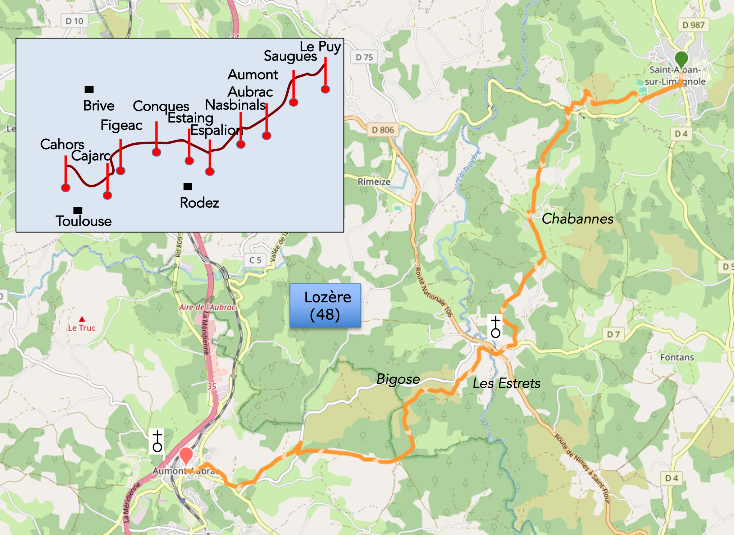
We divided the course into several sections to make it easier to see. For each section, the maps show the course, the slopes found on the course, and the state of the roads. The courses were drawn on the « Wikilocs » platform. Today, it is no longer necessary to walk around with detailed maps in your pocket or bag. If you have a mobile phone or tablet, you can easily follow routes live.
For this stage, here is the link:
https://fr.wikiloc.com/itineraires-randonnee/de-saint-alban-sur-limagnole-a-aumont-aubrac-par-le-gr65-256962922
|
Not all pilgrims are necessarily comfortable using GPS devices or navigating with a smartphone, especially since there are still many areas without Internet access. That is why, to make your journey easier, a book dedicated to the Via Podiensis from Le Puy-en-Velay to Cahors is available on Amazon. Much more than a simple practical guide, this book accompanies you step by step, kilometer after kilometer, providing all the information you need for smooth planning and avoiding unpleasant surprises. Beyond its practical advice, it immerses you in the enchanting atmosphere of the Camino, capturing the beauty of the landscapes, the majesty of the trees, and the very essence of this spiritual adventure. Only the pictures are missing, everything else is there to transport you.
In addition, we have also published a second book which, with slightly fewer details but all the essential information, covers the entire route from Le Puy-en-Velay to Saint-Jean-Pied-de-Port. The choice of your journey is yours.
. |
 |
 |
If you only want to consult lodging of the stage, go directly to the bottom of the page.
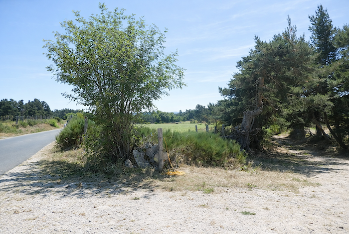
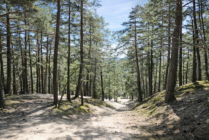
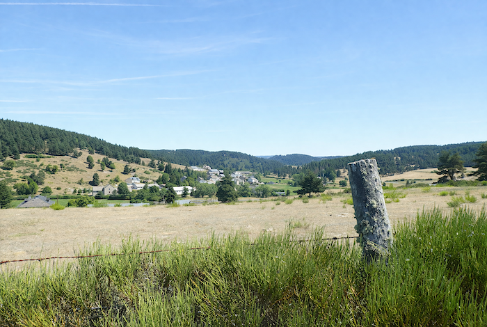
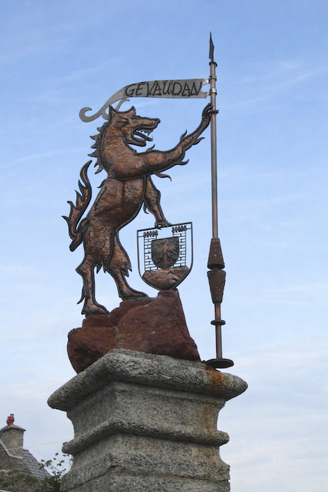
Between Margeride and the Aubrac plateau, the landscape undergoes a slow transformation, almost imperceptible, as though the land itself hesitated between two identities. In Margeride, the scenery bears the imprint of an ancient world shaped by granite and memory, where the hills have been rounded by centuries and where deep forests seem to guard the secrets of the ages. Dark pines and slender beeches spread their endless woodlands, broken here and there by the silver thread of streams and by rocky outcrops polished by time. The atmosphere is subdued, almost intimate, sometimes austere, yet always filled with a living silence. The villages, modest and discreet, fade into the mineral greyness and low heathlands, as though they sought not to disturb the balance of the place. This is also the land of ancient tales, where the shadow of the Beast of Gévaudan still lingers in the heart of Lozère.
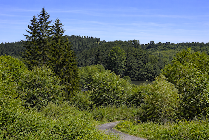
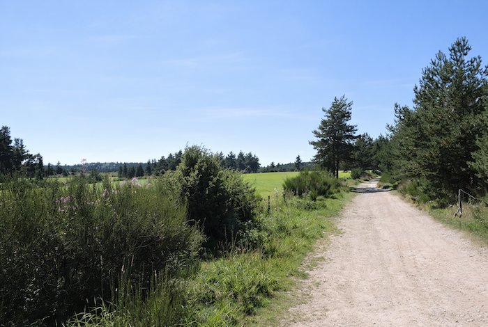
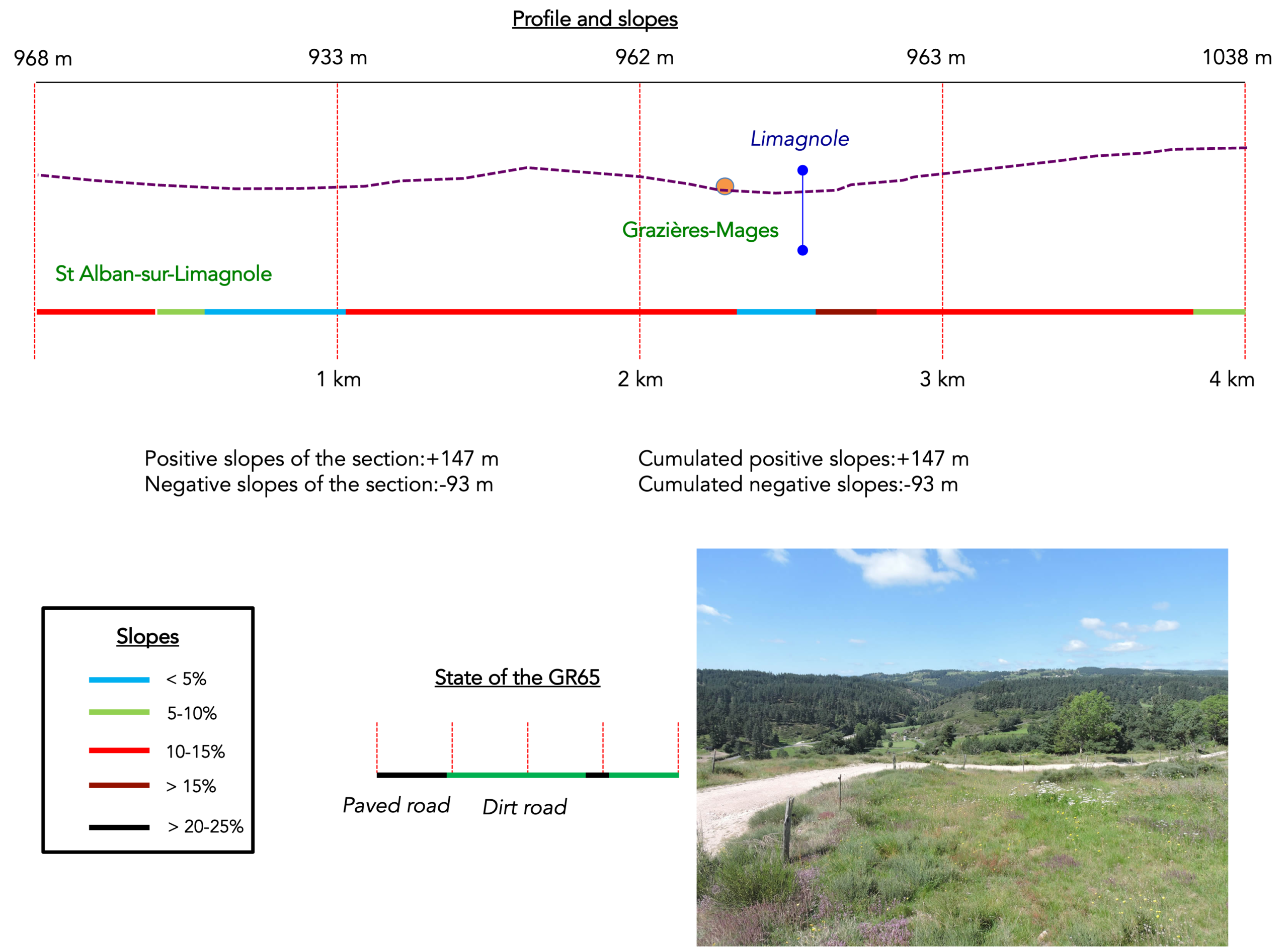
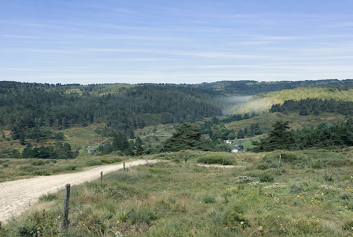
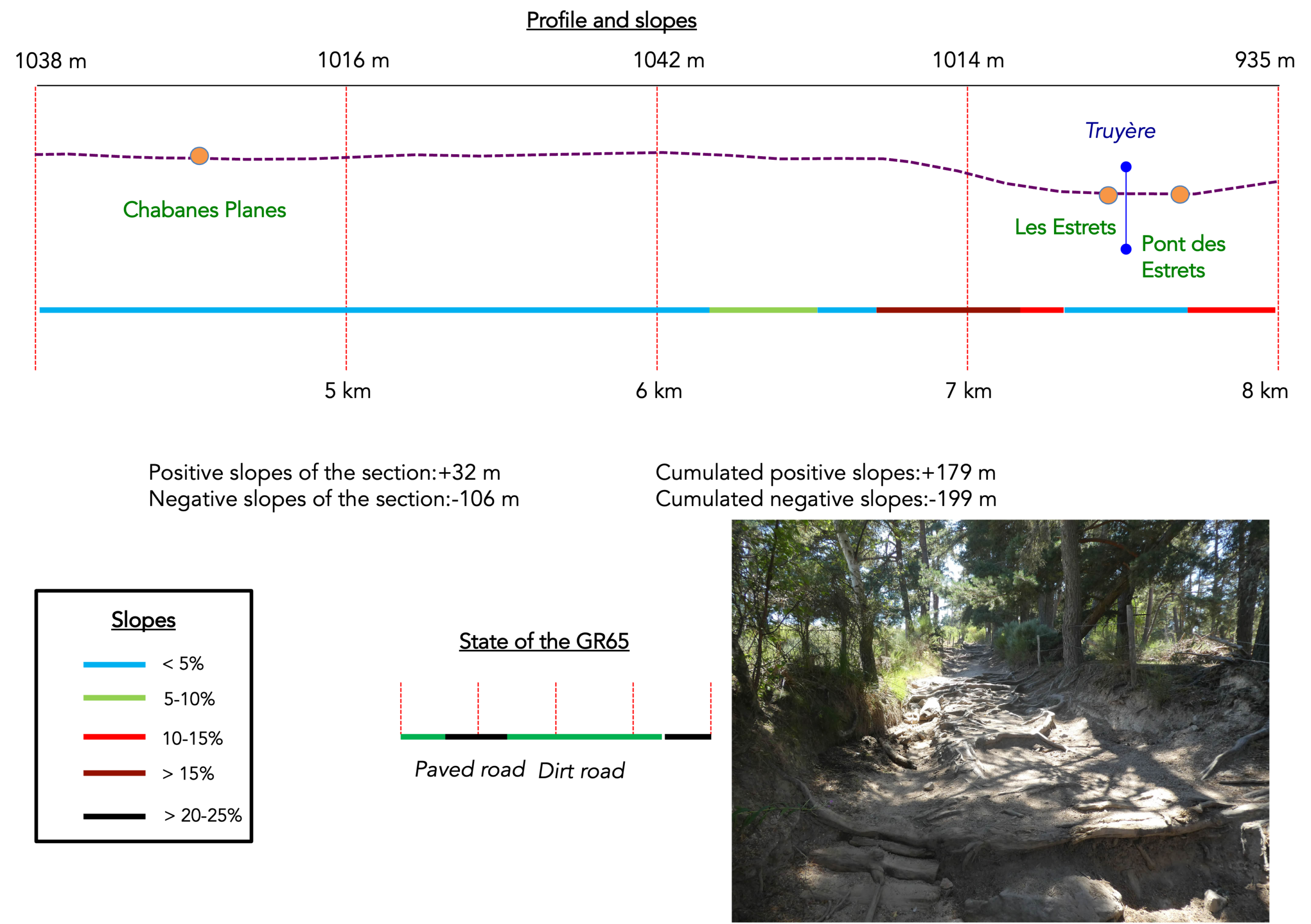
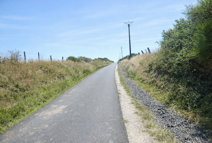
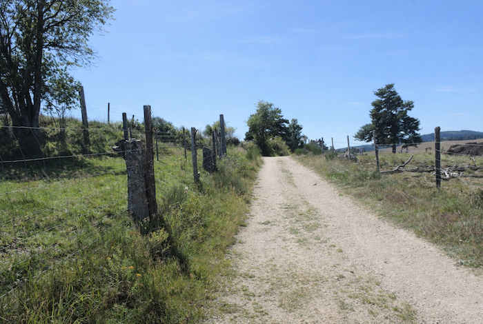
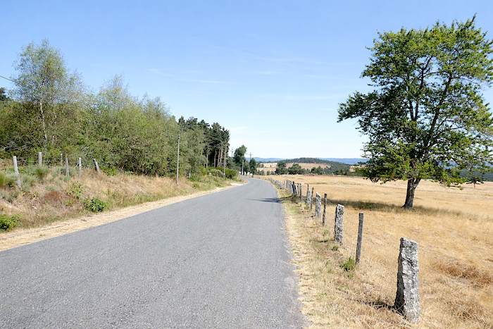
From St Alban-sur -Limagnole, the route continues in the same austere and wooded mood as far as the outskirts of Les Estrets. Then, almost imperceptibly, something begins to loosen and open up. The trees thin out, the light slips in and gradually conquers the landscape. The terrain, without losing its gravity, softens and stretches out. Little by little, you leave the shelter of the forests and enter a broader, more open world where pastures and woodlands share the space. It is already the call of the Aubrac plateau. The transition between these two worlds is not a sudden break but a delicate shift, almost like a breath. The shadowy density of Margeride slowly gives way to the stripped clarity of the Aubrac plateau. You move from a landscape that encloses and holds to one that reveals and liberates, from a closed world to a vast and majestic openness where the sky now rivals the earth itself.
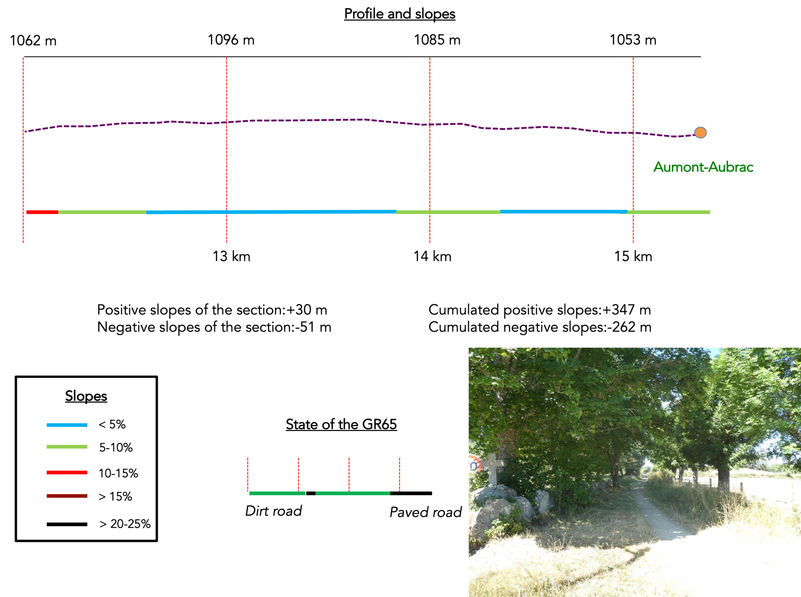
Difficulty level: The route involves relatively little elevation gain and loss (+347 meters / -266 meters), but the stage is short since we stopped at St Alban-sur- Limagnole. Nevertheless, two climbs deserve attention. The first comes just after Saint Alban sur Limagnole, when the route makes a detour towards Grazières Mages. The second follows shortly afterwards when the GR65 climbs back onto the high plateau near Chabannes.
After a steep descent to Les Estrets and an equally demanding climb to Bigose, the route rises gently towards Aumont Aubrac, on the edge of the Aubrac plateau.
.
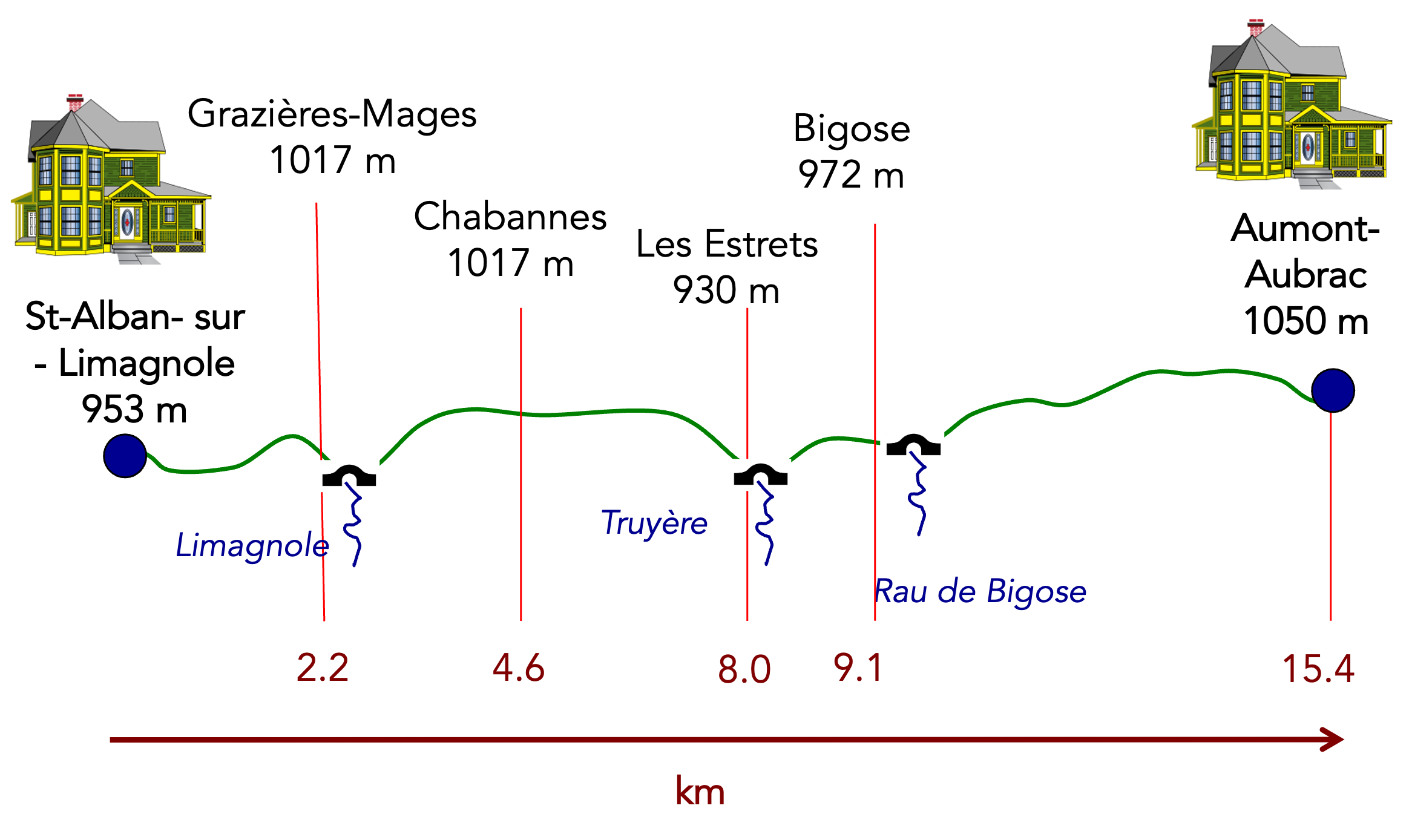
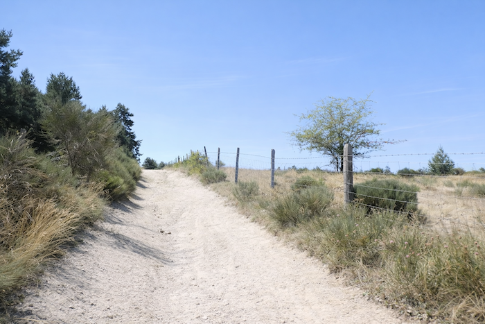
State of the GR65; Today, it is a stage that pilgrims enjoy. Very little paved roads, which is quite rare, it must be said:
- Paved roads: 3.7 km
- Dirt roads: 11.7 km
Sometimes, for reasons of logistics or housing possibilities, these stages mix routes operated on different days, having passed several times on Via Podiensis. From then on, the skies, the rain, or the seasons can vary. But, generally this is not the case, and in fact this does not change the description of the course.
It is very difficult to specify with certainty the incline of the slopes, whatever the system you use.
For « real slopes », reread the mileage manual on the home page.

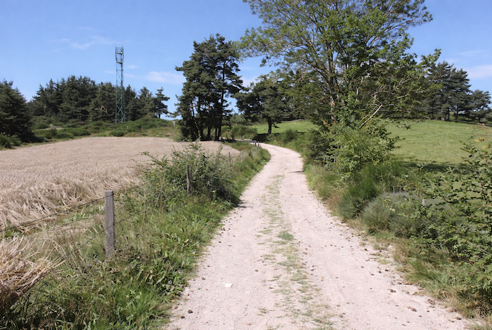
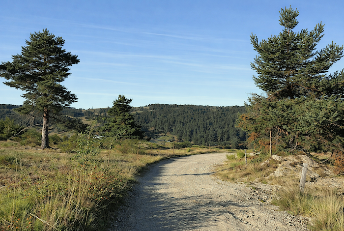
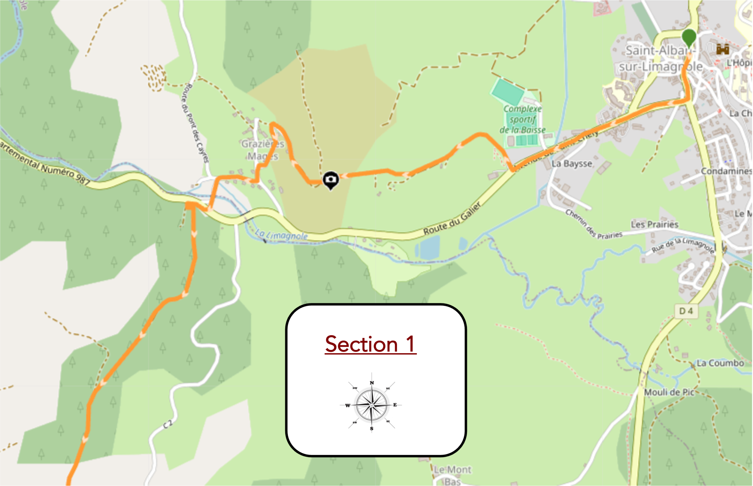
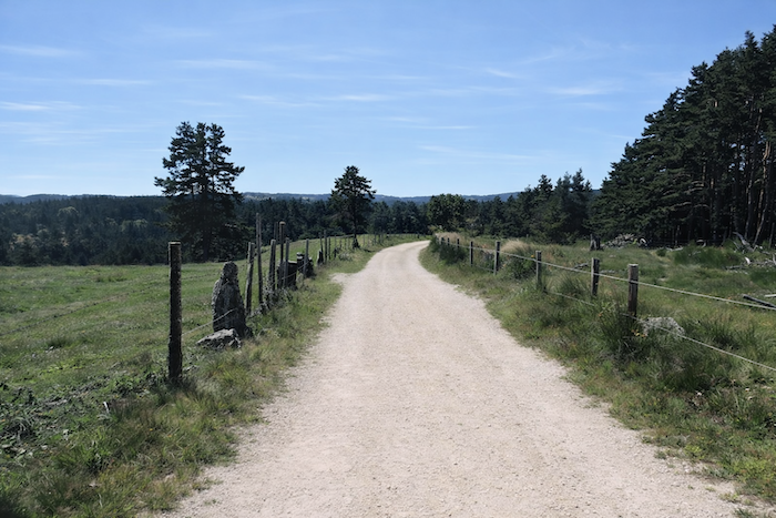
Section 1: A short plain, then some hills for the pleasure of it
General overview of the route’s challenges: a leg breaking route.
|
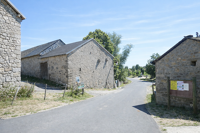
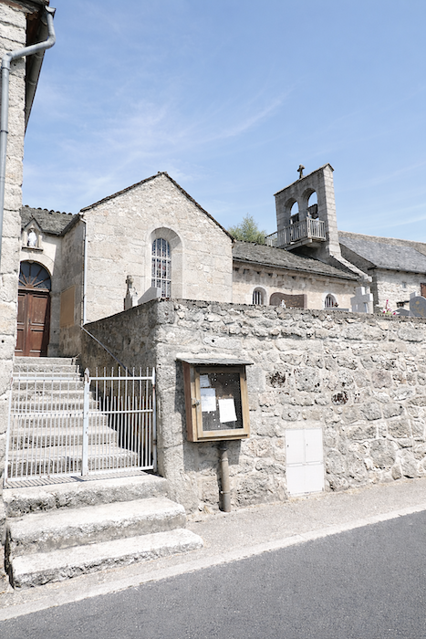
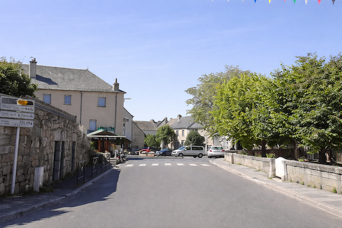
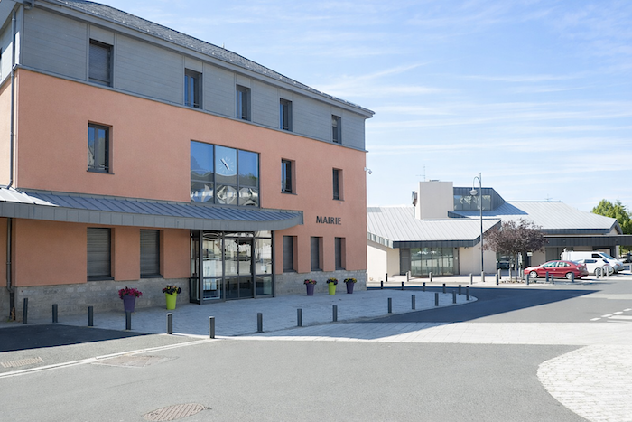
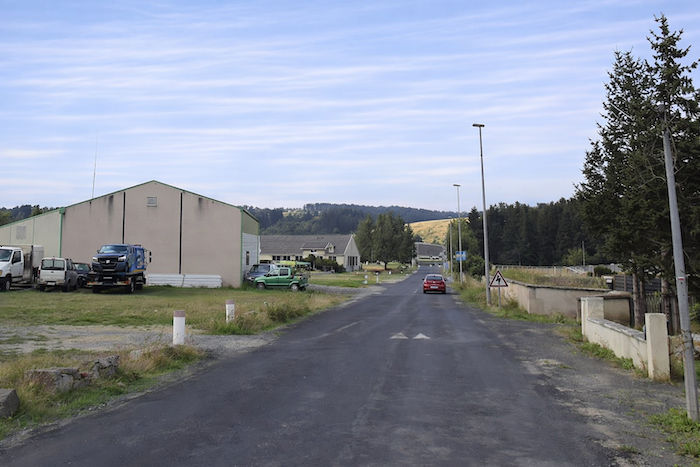
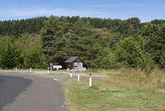
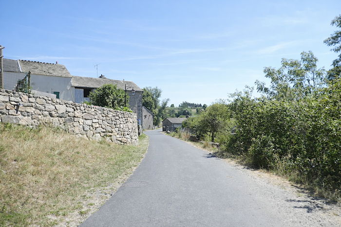
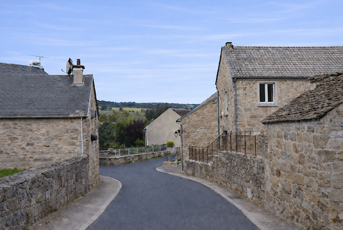
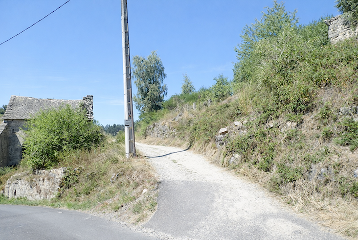
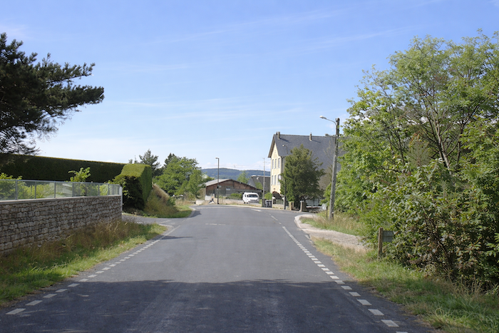
The GR65 sets off from the lower part of the village, near the town hall, and gently winds through the quiet streets, still filled with the calm of the early morning, before reaching the D987 departmental road.
|
 |
 |
|
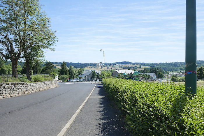
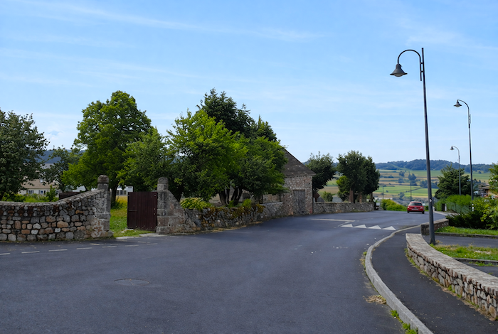
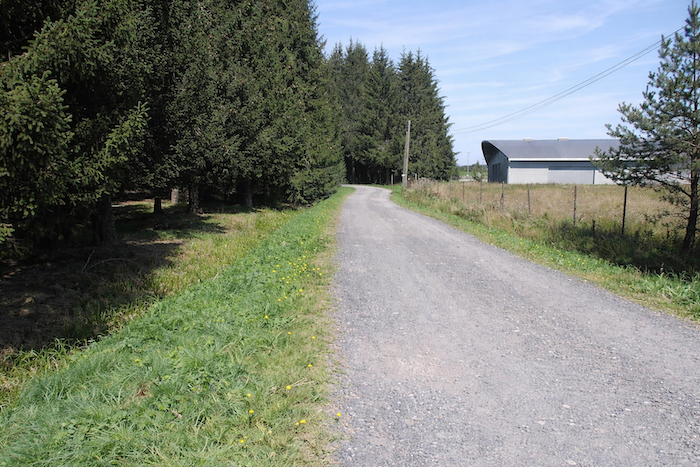
As is often the case, the route leaves the village without ceremony, following a ribbon of tarmac past a few modest workshops and businesses, a discreet reminder of the modern world the pilgrim is about to leave behind.
|
 |
 |
|
Further on, the road leads to a small park, seemingly suspended amid a population of spruce trees, where the air becomes cooler and carries the scent of resin.
|
 |
 |
|
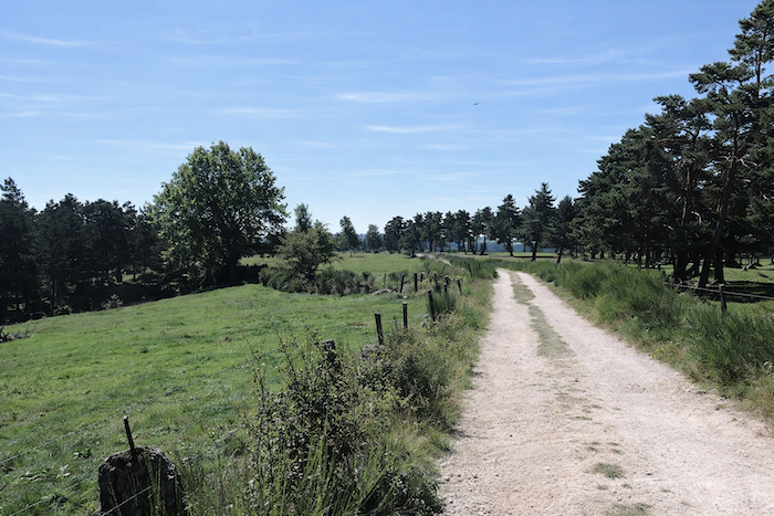
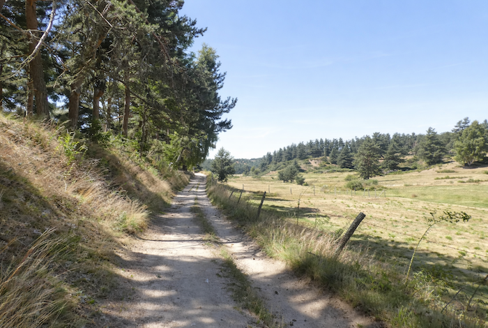
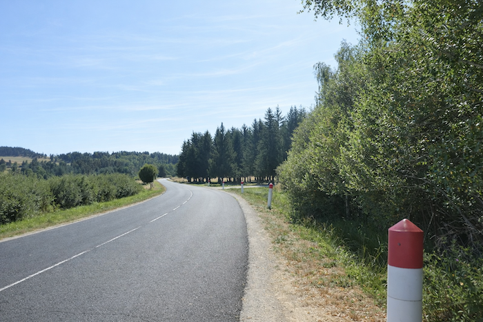
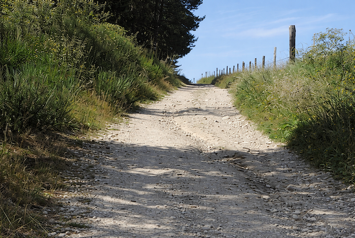
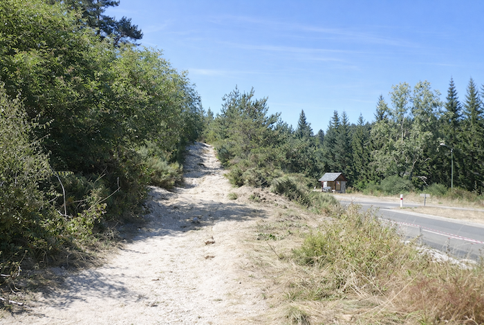
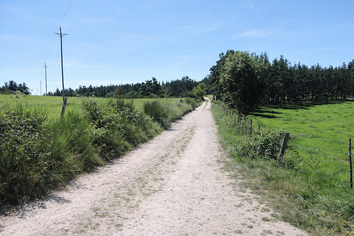
Then, true to its usual mischievous character, the GR65 plays one of its tricks on you: a steep climb, almost abrupt, followed by an equally sharp descent, simply to rejoin the road a little farther on. The planners of the Camino de Santiago routes seem to possess an instinctive distrust of major roads. One can understand why, of course, but here the detour comes at a definite cost. Soon, the route turns onto a narrow-paved road that first climbs gently between woodland and open meadows.
|
 |
 |
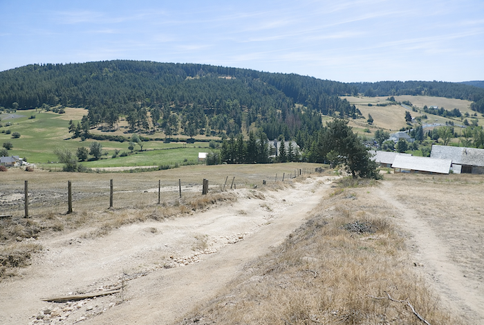
| Halfway up, the tarmac disappears and gives way to bare earth. Freed from any compromise, the path steepens and imposes a more demanding climb up to the ridge line. Through openings in the greenery, the eye already escapes toward the broad plateau of St Alban. |
 |
 |
|
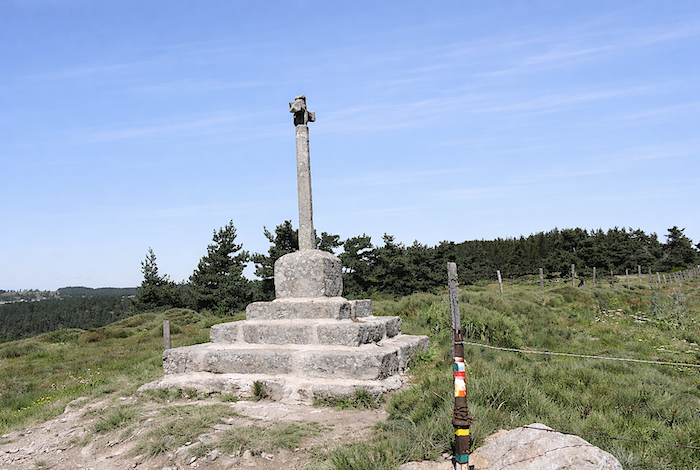
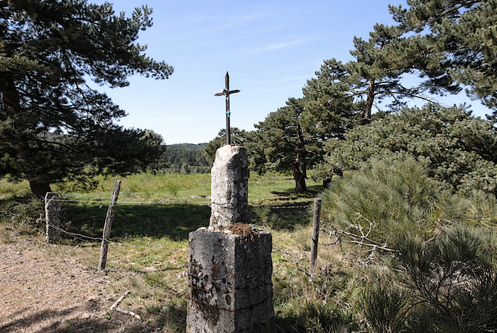
Then there is not a single tree left, only pale, dusty earth, almost mineral in appearance, until the silhouette of a cross appears against the sky at the summit.
|
 |
 |
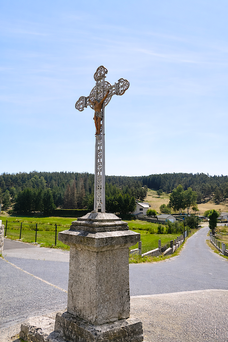
Up on the ridge, the panorama opens generously across the valley with almost theatrical grandeur. Is it for this reward that the path delights in so many detours? Officially, the aim is to avoid the departmental roads. In truth, these climbs seem to obey a more secret logic as well. It is often in such exposed places that the finest crosses stand. In a single movement, the pilgrim gains his heaven on the ascent, pauses for a moment of reflection at the top, then abandons himself to the descent as though to an act of expiation.
|
From the cross, the path plunges vigorously down a dirt track toward Grazières Mages. The passage here comes close to the sublime. Opposite already rises the edge of a forest that must soon be climbed, for on these paths every descent carries within it the promise of another ascent.
|
 |
 |
|
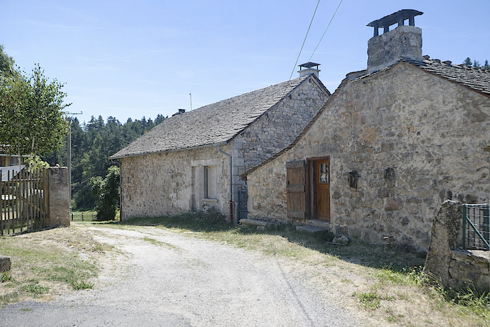
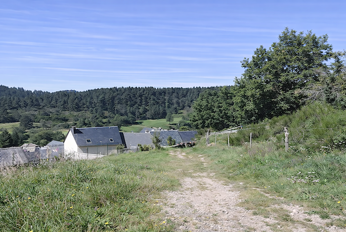
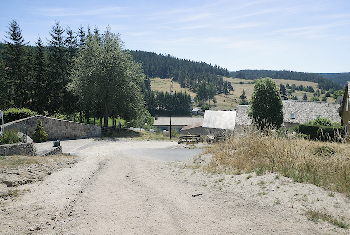
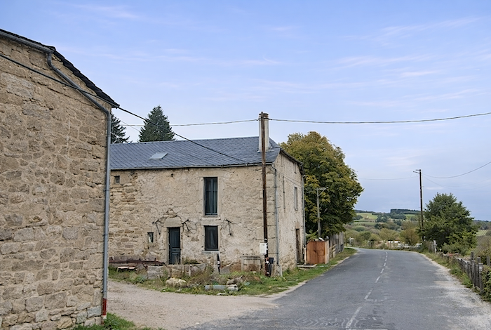
Grazières Mages is little more than a string of sturdy houses built from stone rubble and roofed with slate slabs, where one can still sense a simple and resilient farming life.
|
 |
 |
|
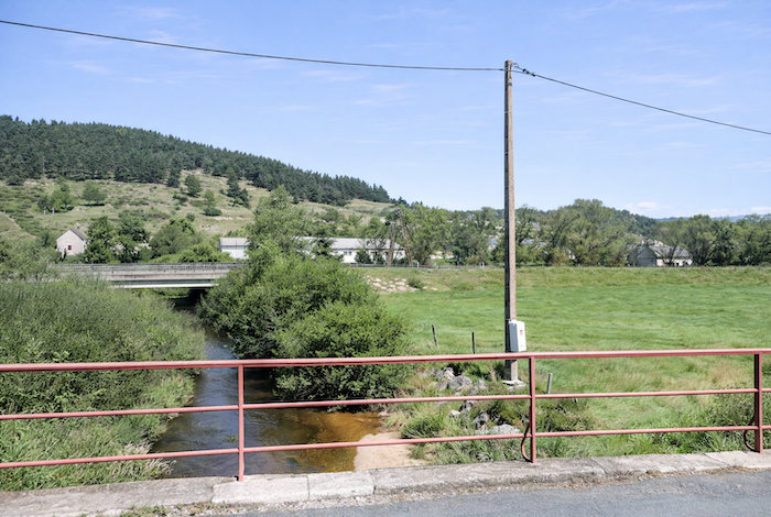
Leaving the hamlet, the path slopes toward the plain and crosses the Limagnole, a modest watercourse that resembles an enlarged stream more than a true river.
|
 |
 |
|
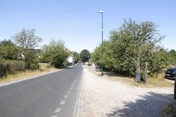
There, as expected, the route rejoins the departmental road. The interlude closes, and the path, briefly restrained, prepares to catch its breath again.
|
 |
 |
|
But the effort is already looming once more. One only has to raise one’s eyes toward the winding trail snaking across the hillside opposite to understand that the remainder will not be easy.
|
 |
 |
|
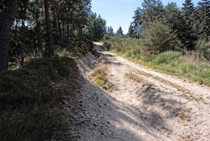
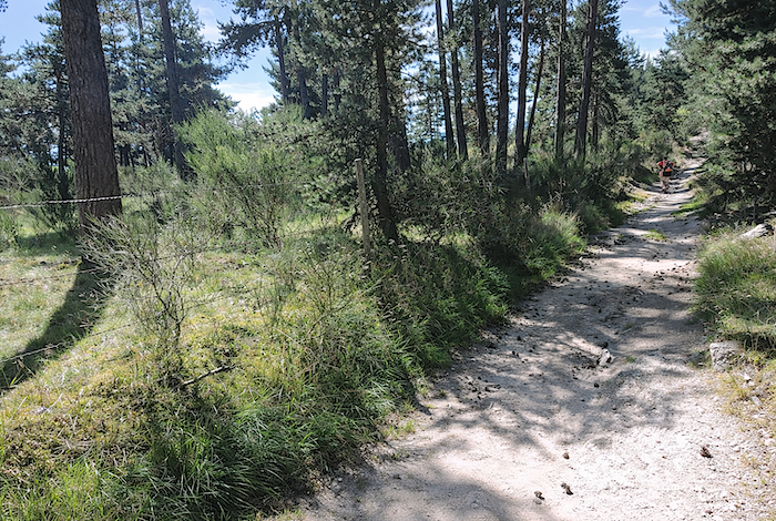
As soon as the road is crossed, the path reasserts itself, and it does not pretend to be gentle. Carved directly into the granite, it climbs in tight switchbacks, almost harsh, winding between the twisted roots of pine trees. Deep ruts, cut and eroded, bear witness to the fury of water. It is easy to imagine what happens here during heavy rain. At such times, as often on the slopes of the Camino de Santiago, the trail ceases to be a passage and becomes a stream. Then one must carefully choose each stone like a fragile island in order to keep shoes and socks dry.
|
 |
 |
|
 |
 |
|
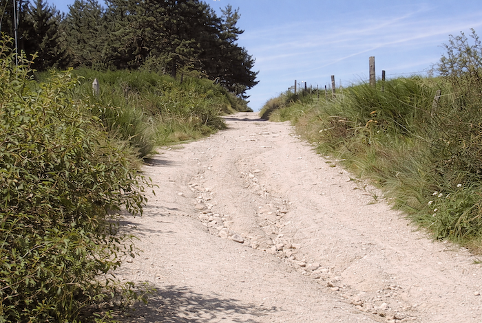
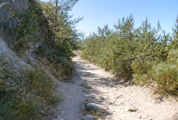
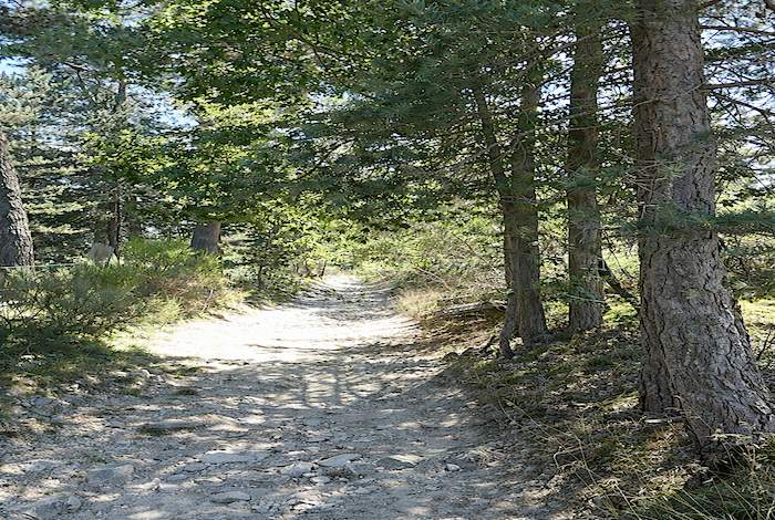
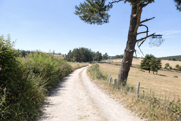
Barely has the ascent begun when you enter the cool shade cast by dense pine trees, beneath which bushes and young shoots intertwine. The slope rises sharply, approaching 20%, immediately imposing its rhythm and demands. The landscape possesses a luminous harshness, like a land that neither seeks to seduce nor to conceal itself. The trail, rocky and uneven, climbs stubbornly, shaped both by human footsteps and by the patient work of water. Pale, dusty earth mingles with unstable stones that roll beneath the foot, constantly reminding the walker of the raw presence of granite. Nothing here is compliant. Everything catches and resists, as though the place were testing those who cross it.
|
 |
 |
|
On either side, the vegetation closes in, low and tenacious. Young pines rise in apparent disorder among dry grasses and thicker shrubs. In places, bare rock emerges, scarred and exposed, as though the hillside had been cut open to reveal its mineral framework.
|
 |
 |
|
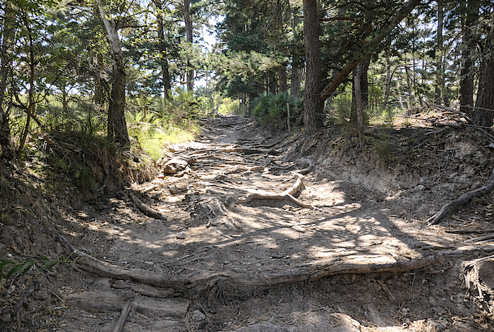
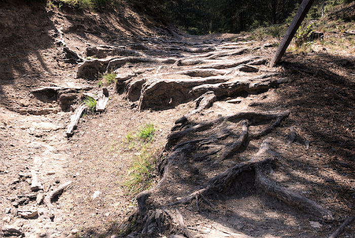
Sometimes roots block the way, knotted like vines, hindering progress and forcing walkers to lift their feet carefully. Elsewhere, the trail has become a true corridor of pale dust, almost a miniature canyon carved into the parent rock, rough and friable, where every step raises a little of this ancient earth.
|
 |
 |
|
Moments of respite are rare during this almost epic progression, as though the path stubbornly refused to grant even the slightest concession.
|
 |
 |
|
And indeed, the calm never lasts very long. Soon the slope steepens once more, severe and approaching 15 percent, demanding sustained effort. The ground alternates between bare rock, hard and unforgiving, and true slides of compact earth where the foot searches for purchase among pines, oaks and beeches.
|
 |
 |
|
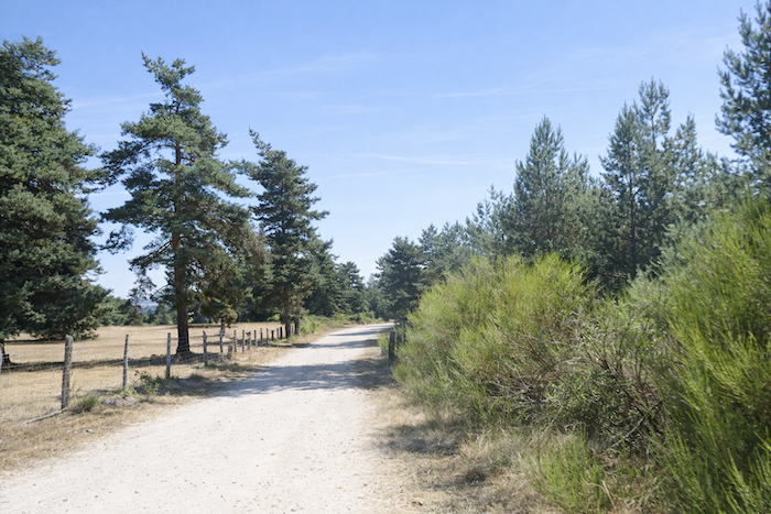
Along the route, false pastures occasionally appear, uncertain clearings where stumps and roots emerge from the ground, tangled together like the remains of a primeval forest that never entirely disappeared. The groves, meanwhile, release gentle resinous scents. Here the forest takes on an almost enchanted quality. It gradually reveals itself as the climb progresses, as though willing to share its secrets with the persistent walker. Light filtered through the leafy canopy plays with the shadows and creates a true cradle of foliage. In this inhabited silence, it is not difficult to surrender to the imagination. One could almost believe that, behind the trunks and within the chaos of twisted roots invading the path, there are fleeting invisible beings, as though elves might at any moment emerge from this world suspended between reality and legend. .
|
 |
 |
|
One more effort, one final burst of energy through treacherous roots and shifting stones, and already you sense that your breathing will soon settle once again.
|
 |
 |
|
Then, almost without warning, the path softens, as though finally agreeing to a truce. Yet nature yields none of its strength. It remains whole, primitive, untamed, fiercely wild in a world preserved from the hand of man, who has chosen here not to domesticate what wished only to remain free.
|
 |
 |
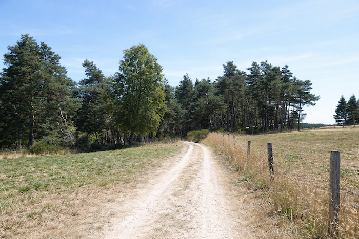
Section 2: Across the high plateau of Chabannes

General overview of the route’s challenges: an easy route until the demanding descent to Les Estrets.
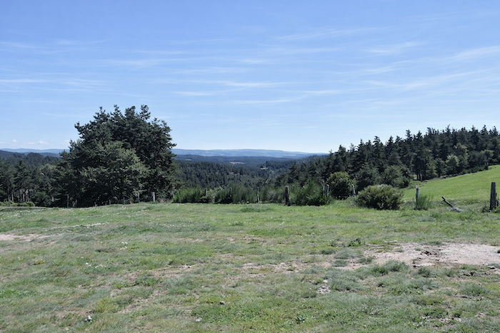
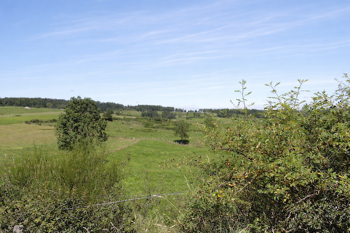
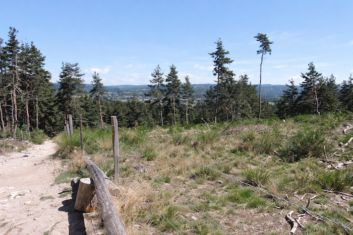
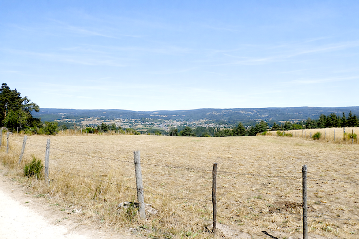
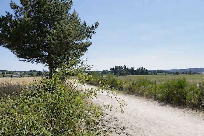
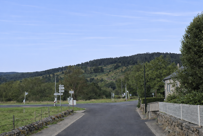
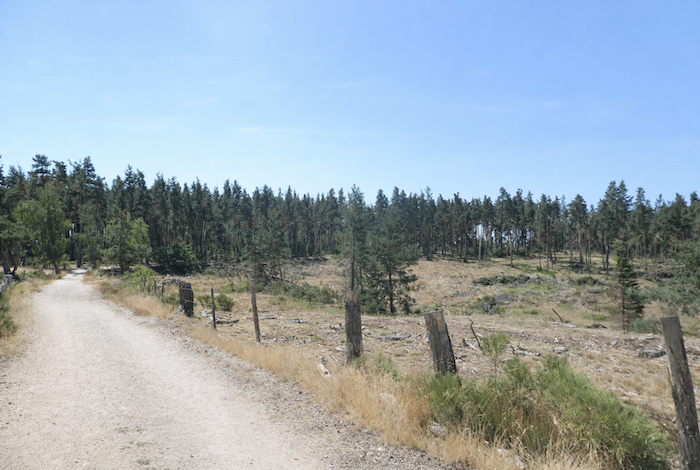
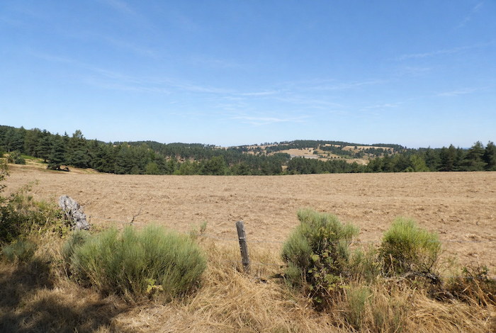
| At the top of the hill, on a vast plateau finally won, the path opens out onto sunlit clearings where broom, pine trees and a few ash or beech trees mingle together, now rarer than before, as though held back along the edges, no longer able to cast their shadow over the landscape. |
 |
 |
|
Although farmers have allowed the woodland here to return to a degree of wildness, they still draw their livelihood from this austere land. On these poor soils, only a few hardy cereals are willing to grow: rye, triticale and oats, modest yet resilient crops, much like the country itself.
|
 |
 |
|
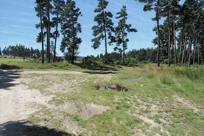
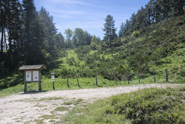
In such surroundings, one cannot fully appreciate enough the presence of fresh water at the rest area at the entrance to Chabannes Planes, a precious detail that here, perhaps more than anywhere else, takes on its full importance.
|
 |
 |
|
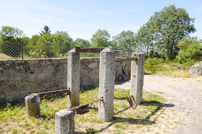
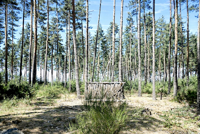
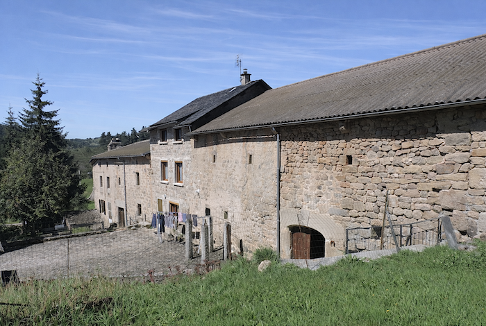
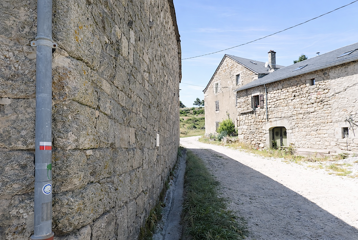
The hamlet appears like an island of tranquillity, almost outside time, where the stone houses seem to have belonged to the landscape forever. Granite is everywhere, in the thick walls, in the buildings sometimes left abandoned, but also in the remains of a hardworking past, such as the old cattle shoeing frame that now stands silent.
|
 |
 |
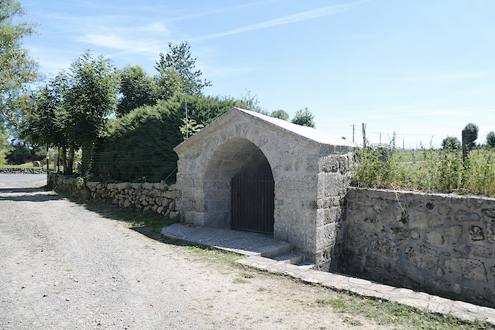
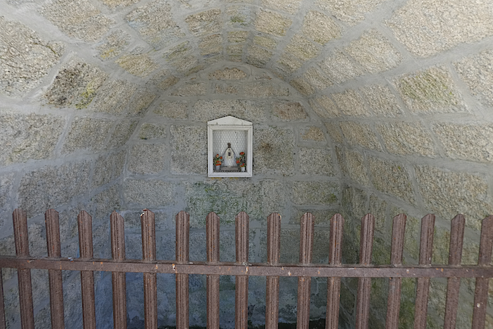
| Even the old fountain, whose water dried up long ago, seems frozen in a mineral eternity. Yet beneath this apparent stillness, life endures. A few herds animate the surrounding meadows, reminding visitors that this world, which might appear abandoned, still breathes quietly. |
 |
 |
|
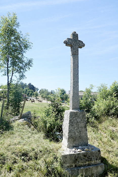
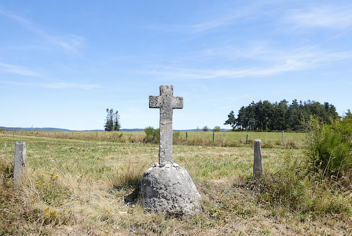
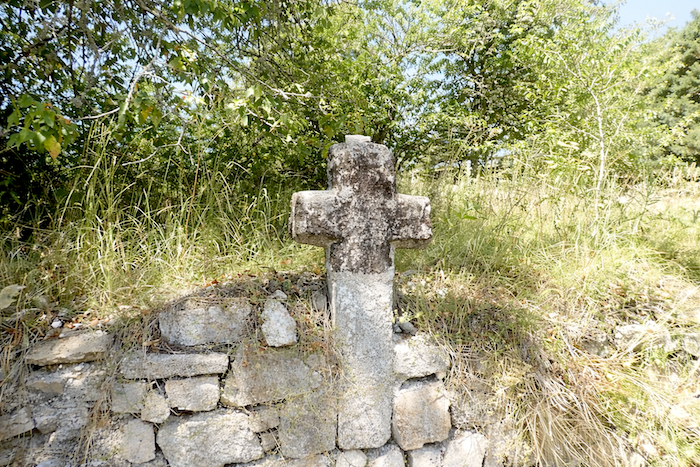
And always, standing beside the path, are these stone crosses, modest yet moving, around which pilgrims place small stones, gradually forming fragile mounds that become silent traces of their passage. .
|
 |
 |
|
Leaving the hamlet, the GR65 stretches lazily across the meadows, as though taking a moment to breathe before setting off once again.
|
 |
 |
|
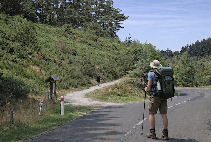
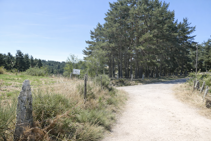
Higher up, beside another granite cross standing like an unchanging landmark, the GR65 leaves the tarmac and rediscovers the familiar softness of the dirt path.
|
 |
 |
|
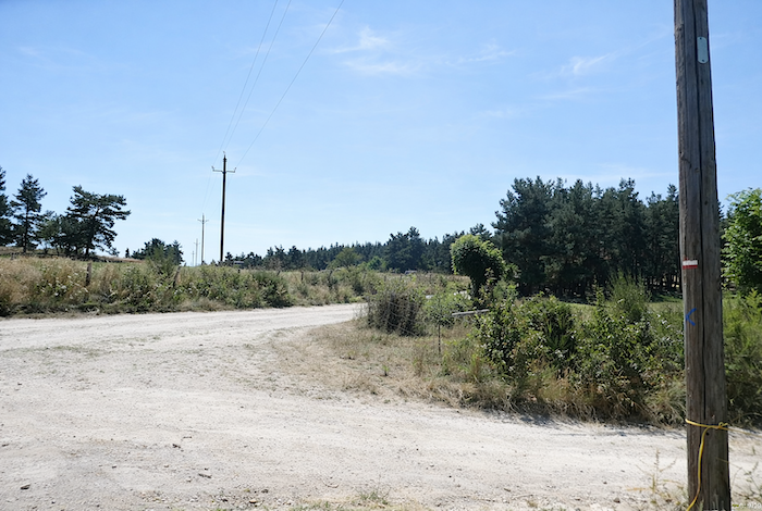
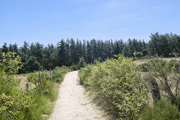
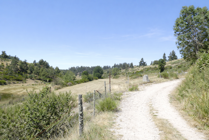
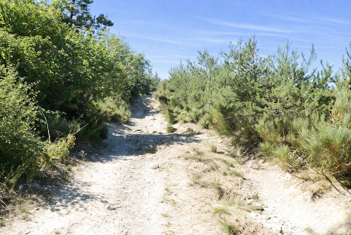
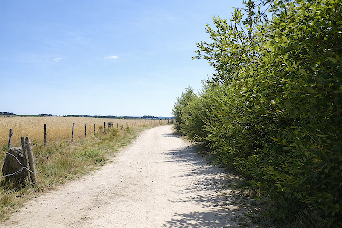
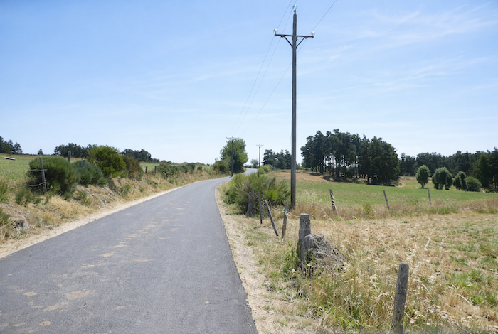
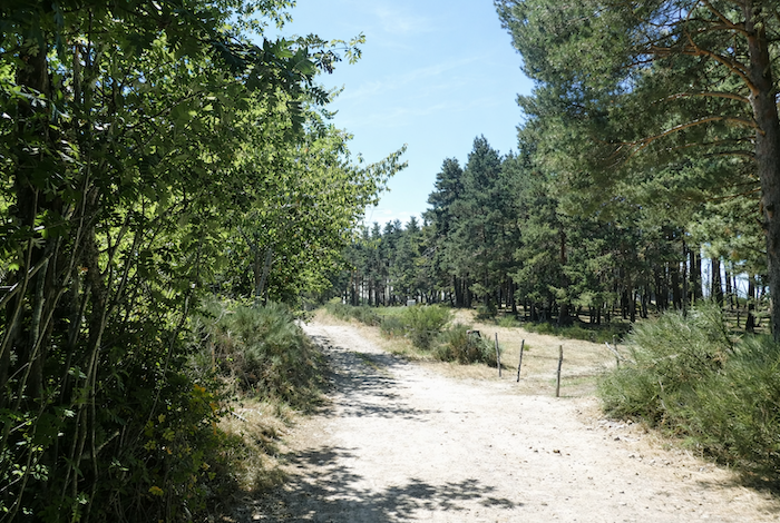
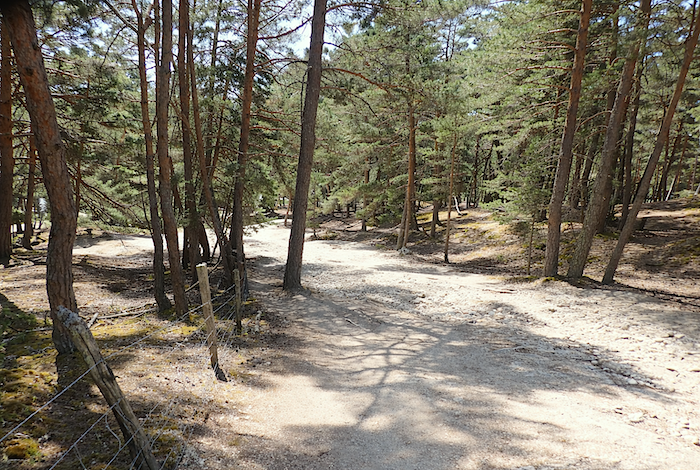
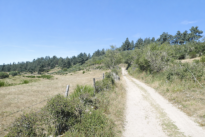
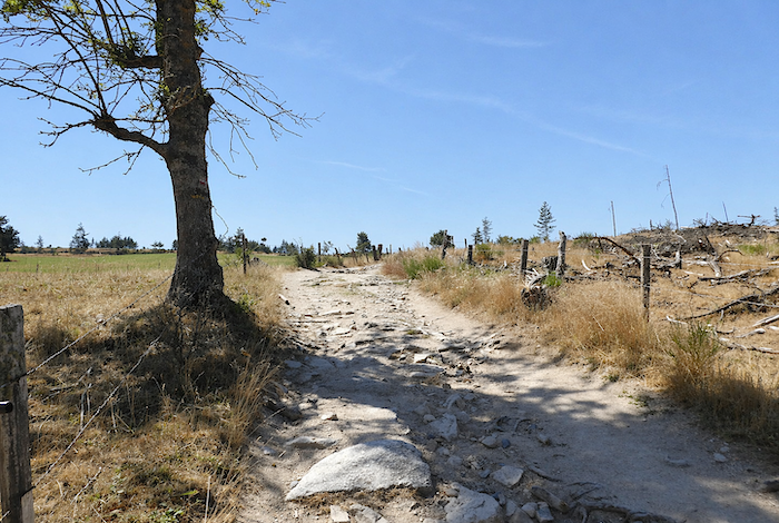
The path then wanders across the high plateau, winding among pine trees, beeches, chestnuts and ash trees. In places, the woodland opens up, giving way to a few cultivated enclosures. Yet when the eye travels into the distance, it soon perceives that the hills enclosing the horizon remain, for the most part, wild and uncultivated, crowned with thickets and brushwood.
|
 |
 |
|
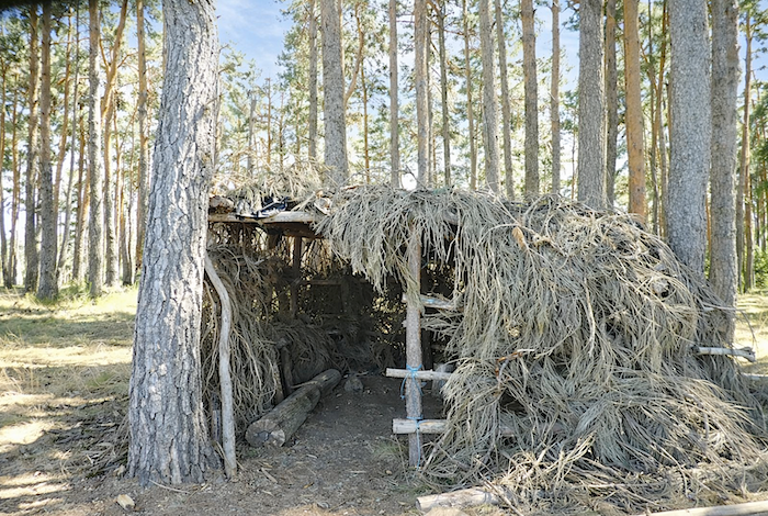
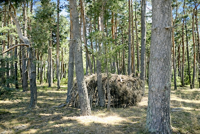
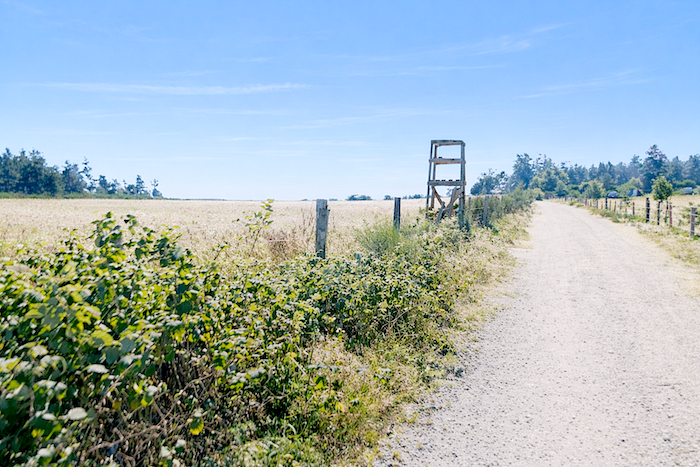
In the Chabannes forest, one might imagine that a pilgrim built this shelter as a refuge for the night. Sadly, that is not the case. These huts are merely the silent lookout posts of wood pigeon hunters.
|
 |
 |
|
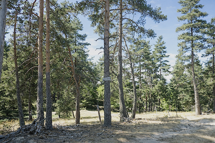
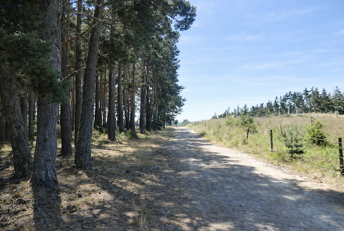
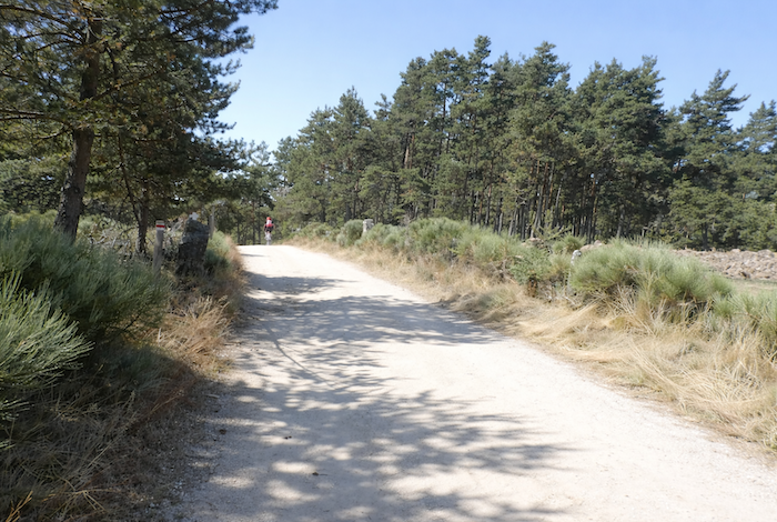
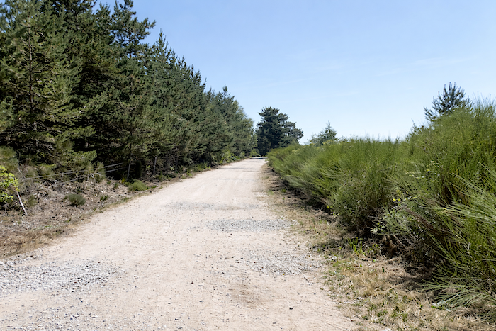
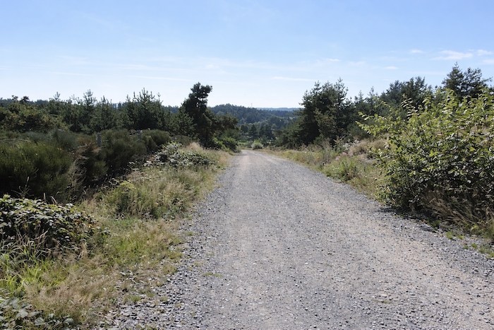
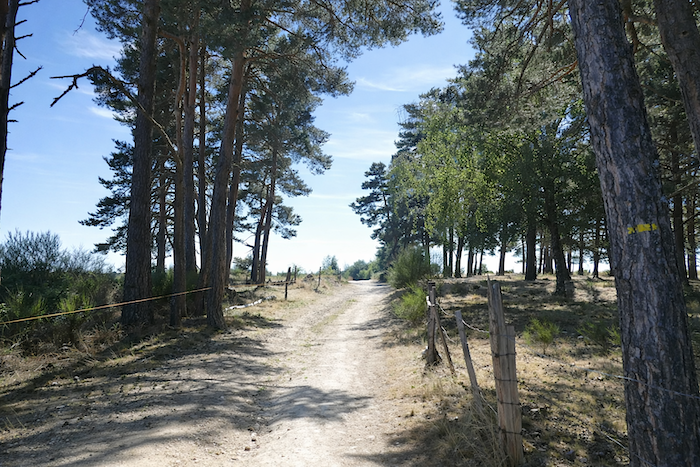
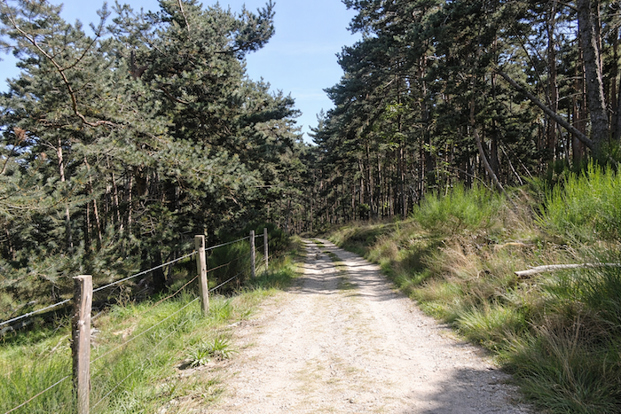
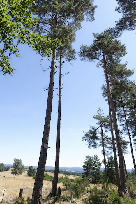
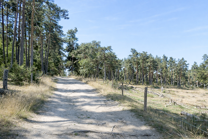
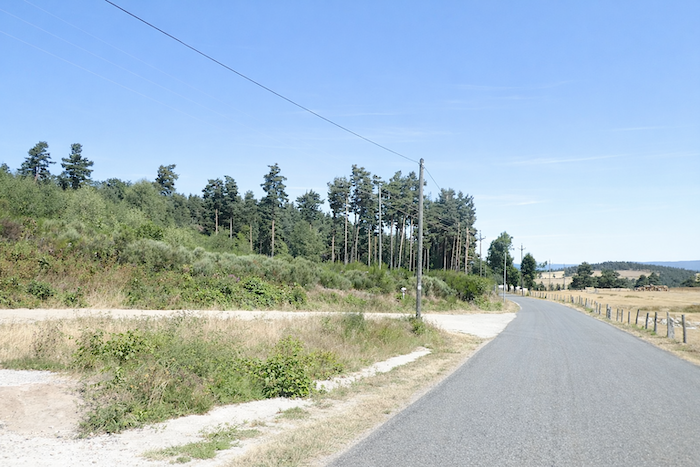
The GR65 then continues across the plateau, entering a forest of straight pine trees standing so close together that they resemble an army of matchsticks. Along wide dirt tracks, these trees form a living wall around these solitary places. It is a continuous, almost compact mass of dark trees, though never threatening.
|
 |
 |
|
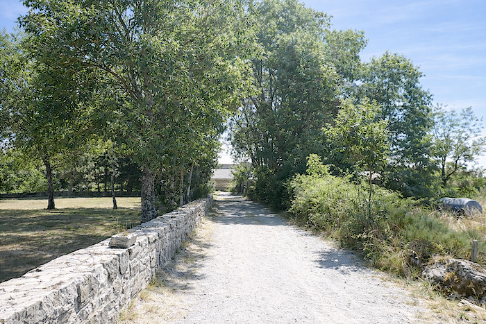
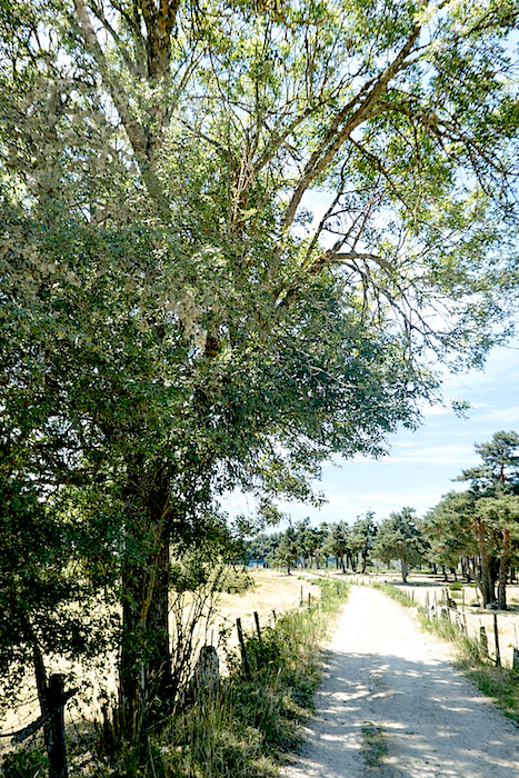
Then the path leaves the forest, yet the pines and ash trees remain, spreading their branches like vast parasols beneath which one feels a deep sense of serenity, calm and peace.
|
 |
 |
|
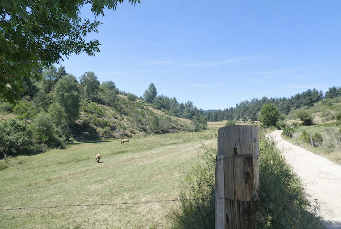
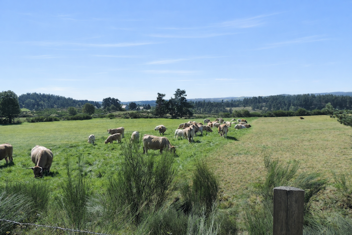
The path lingers on the high plateau, strolling beneath the trees in the company of grazing cattle. Nature here radiates an almost sunlit glow, gentle and enveloping.
|
 |
 |
|
Everything becomes grace and harmony in these places, along a smooth and welcoming path where one advances effortlessly, carried forward by the gentleness of the landscape.
|
 |
 |
|
At the far end of the plateau, the broad path gradually approaches the forest edge, seemingly drawn toward the cool shade of the trees.
|
 |
 |
|
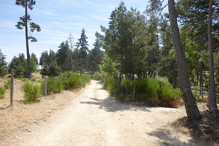
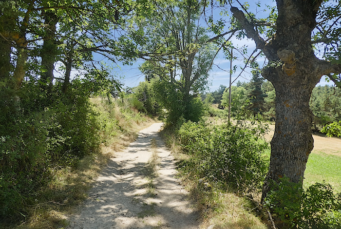
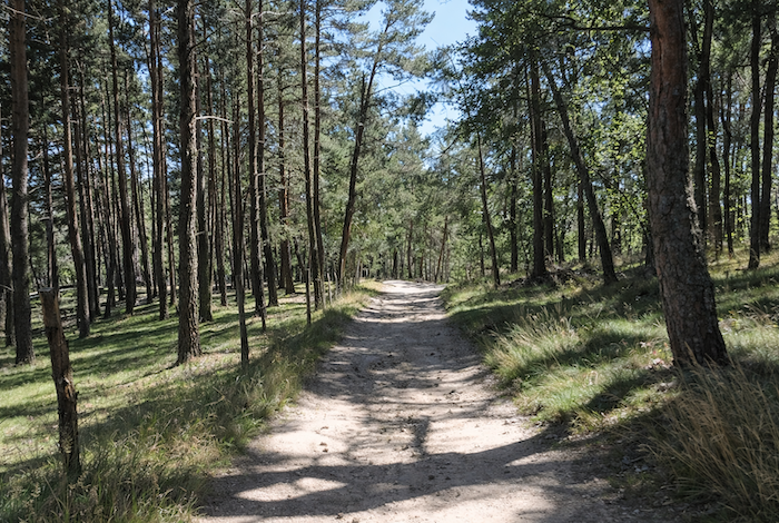
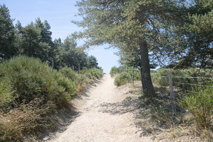
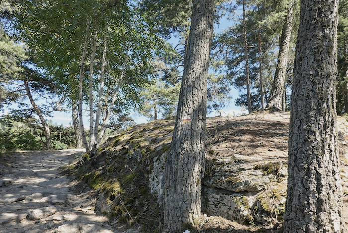
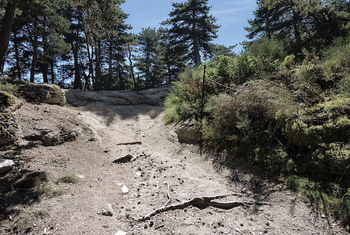
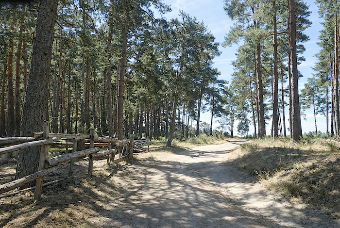
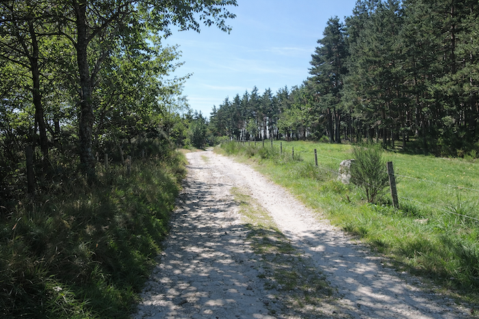
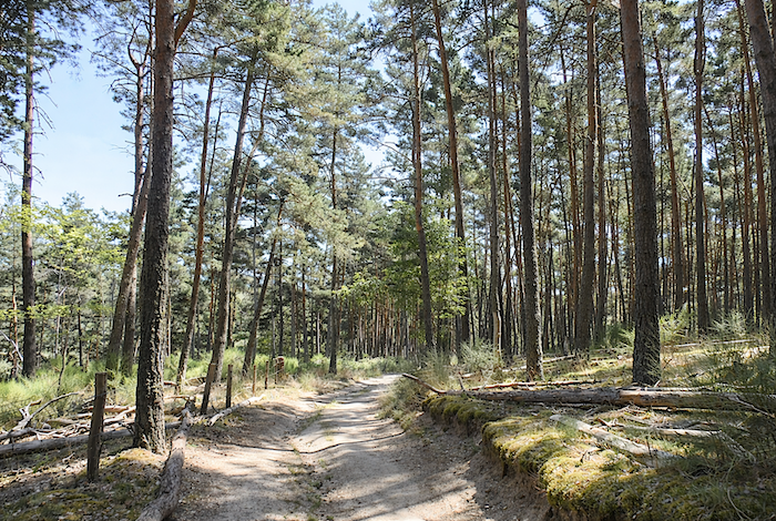
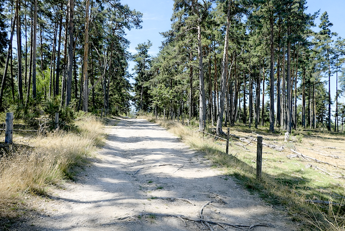
There, the landscape changes character. The forest path begins to wind gently through a tall and majestic pine forest. The pale sandy ground is marked by shallow ruts and scattered roots, as though the repeated passage of walkers had patiently shaped the earth. On either side, the pines rise tall and straight, their slender trunks climbing like orderly columns toward an airy canopy through which the light filters softly.
|
 |
 |
|
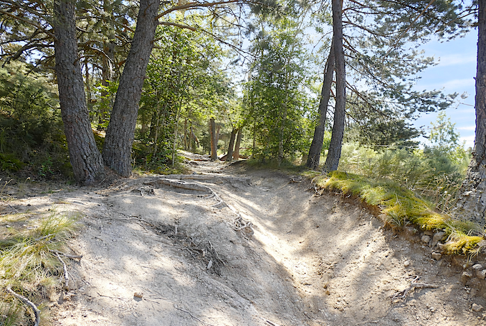
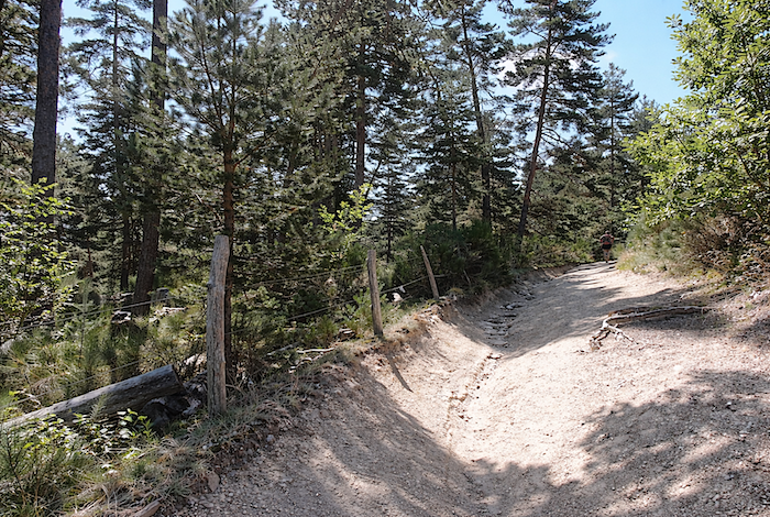
Then the slope becomes more insistent. The path bends into a pale gully carved by water and time, like a gentle scar across the light coloured earth. It descends slowly between two crumbling banks where roots emerge and rounded stones bear witness to long erosion. On both sides, the pines stand watch, tall and supple, their slightly leaning trunks appearing to accompany the descent.
|
 |
 |
|
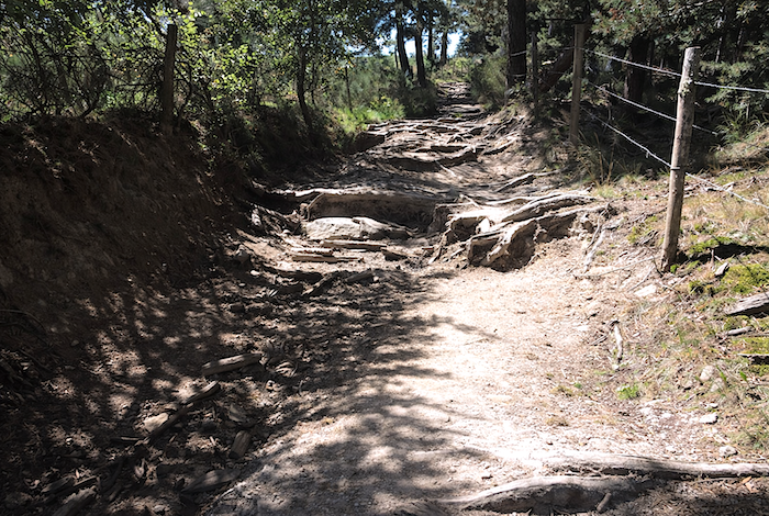
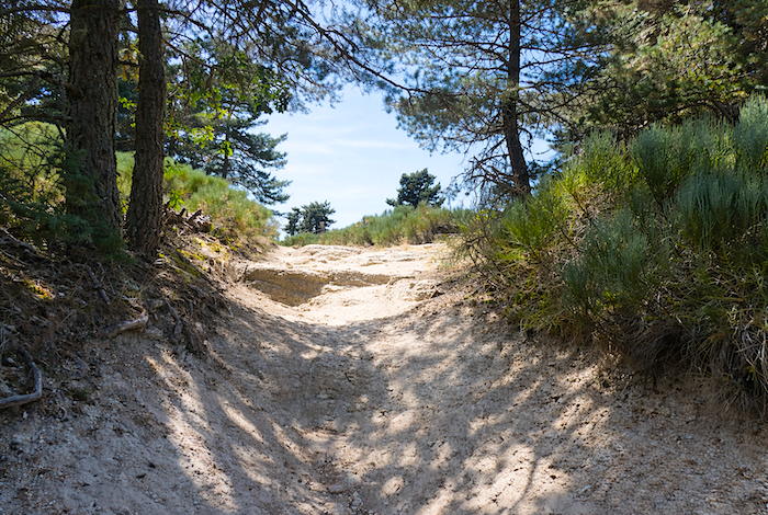
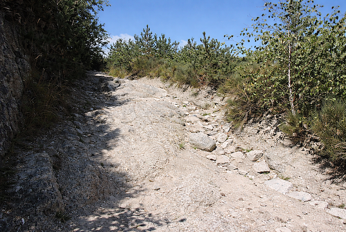
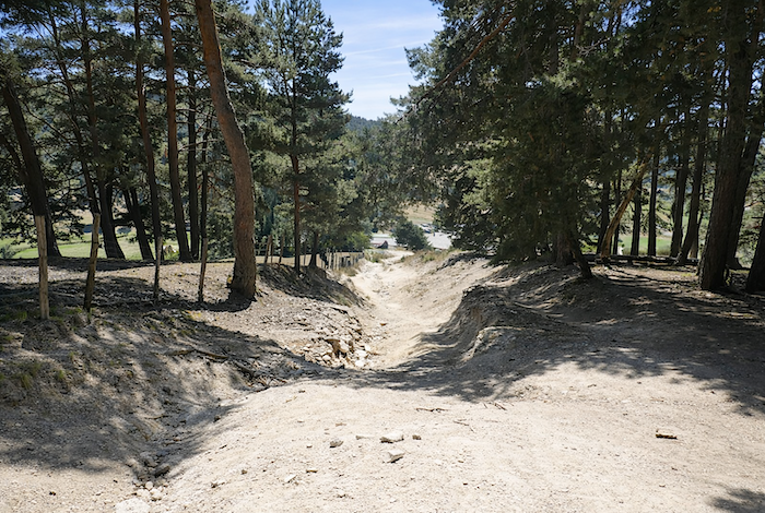
Then matters become considerably more serious. The eye follows a deeply eroded and rocky path plunging down the hillside in broad dusty channels carved by time, runoff and rain, where granite sometimes emerges without mercy. Here knees and ankles are put to a severe test. In wet weather, it becomes a true feast of slips and slides, a « delight » most walkers would gladly avoid. The slope reaches 30 %.
|
 |
 |
|
At the bottom of this demanding descent, the path reaches Les Estrets, where the landscape changes abruptly, as though one were crossing an invisible threshold.
|
 |
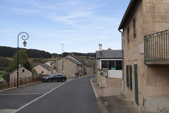 |
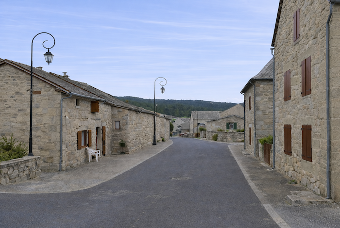
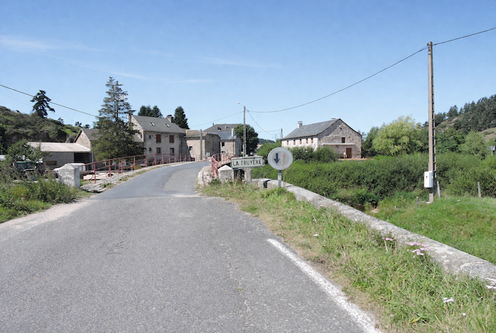
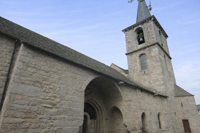
| Les Estrets, with its beautiful grey granite houses and shining slate roofs, is a village born from a crossing point, a ford over the Truyère. The church, almost hidden from view, seems embedded within the dense fabric of the houses, making it difficult even to approach. |
 |
 |
|
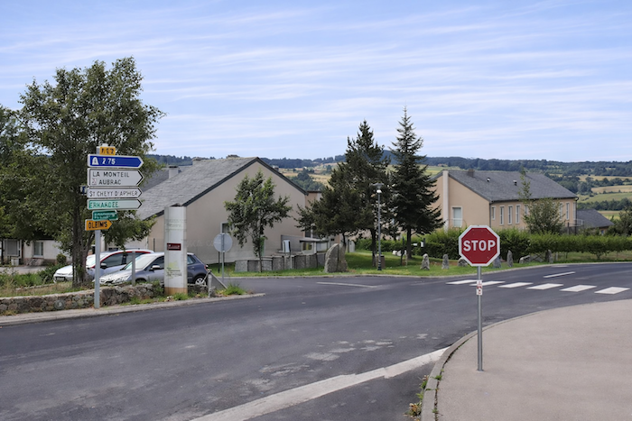
The GR65 leaves Les Estrets by following the tarmac, reaches a crossroads, then turns towards the hamlet of Pont des Estrets, where the Truyère can be crossed.
|
 |
 |
|
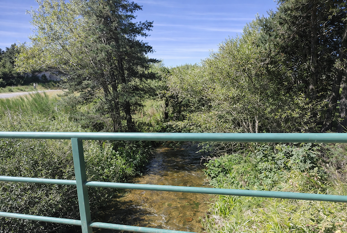
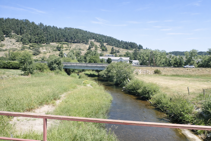
A commandery of the Order of Saint John of Jerusalem once stood here, where a toll was collected from those wishing to cross the river. Barely a rifle shot from the village, at the place known as La Truyère, the watercourse flows quietly. At first glance, there is nothing impressive about it, merely a modest ribbon of water, almost shy. Yet at times it makes its presence known, rumbling and murmuring among the stones. Born in Margeride, this patient stream gradually grows larger, gathering the waters of neighbouring rivers before eventually surrendering itself to the Lot, its lord and master, near Entraygues sur Truyère.
|
 |
 |
|
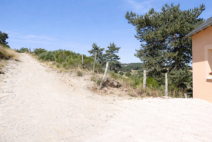
At the corner of a few stone houses in the hamlet, the GR65, faithful to its taste for higher ground, begins climbing once again toward Bigose along a rugged path.
|
 |
 |
|
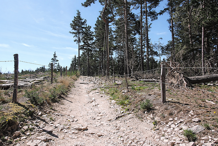
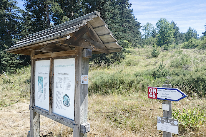
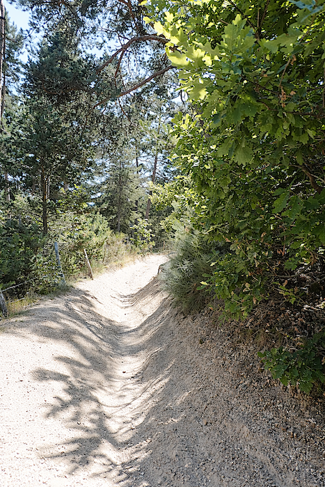
The path then takes on the character of a “draille”, one of the old livestock routes of Aubrac, muddy, stony and treacherous for slipping feet. The GR65 thus enters Aubrac, following the traces of an ancient road, the Via Agrippa, which once linked Lyon and Toulouse.
|
 |
 |
Section 3: The gateway to Aubrac
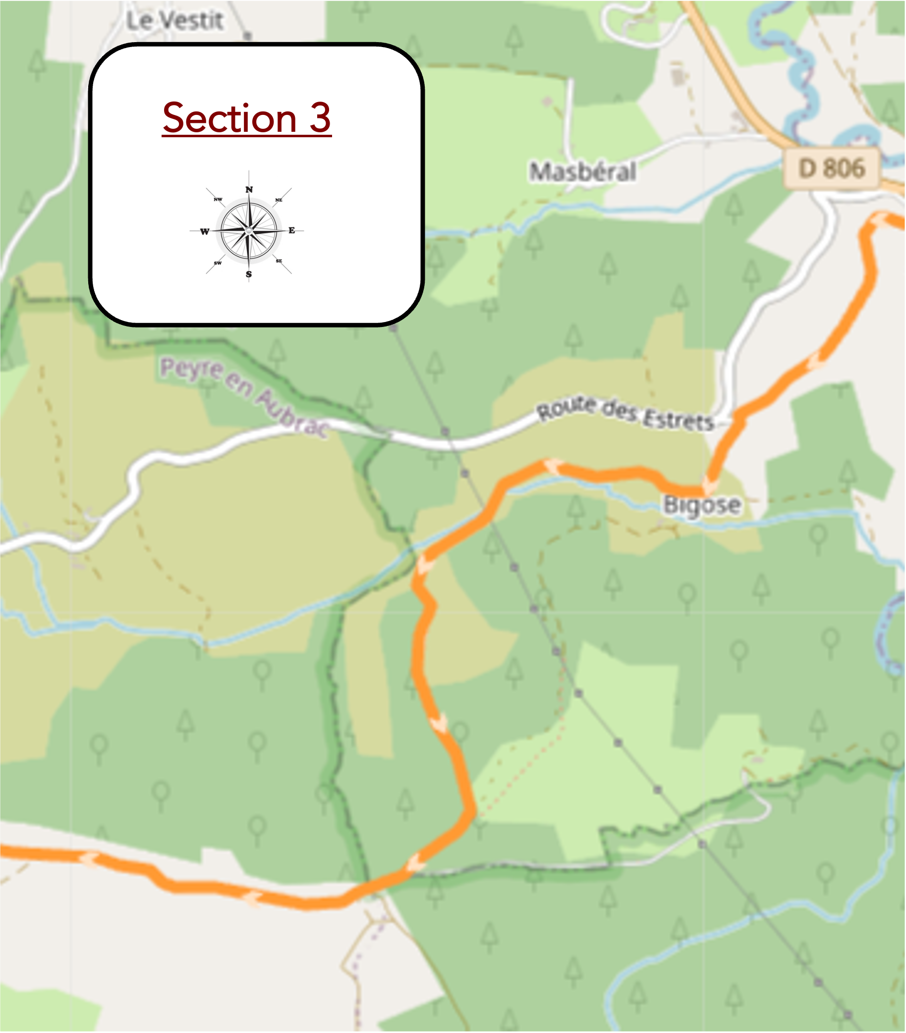
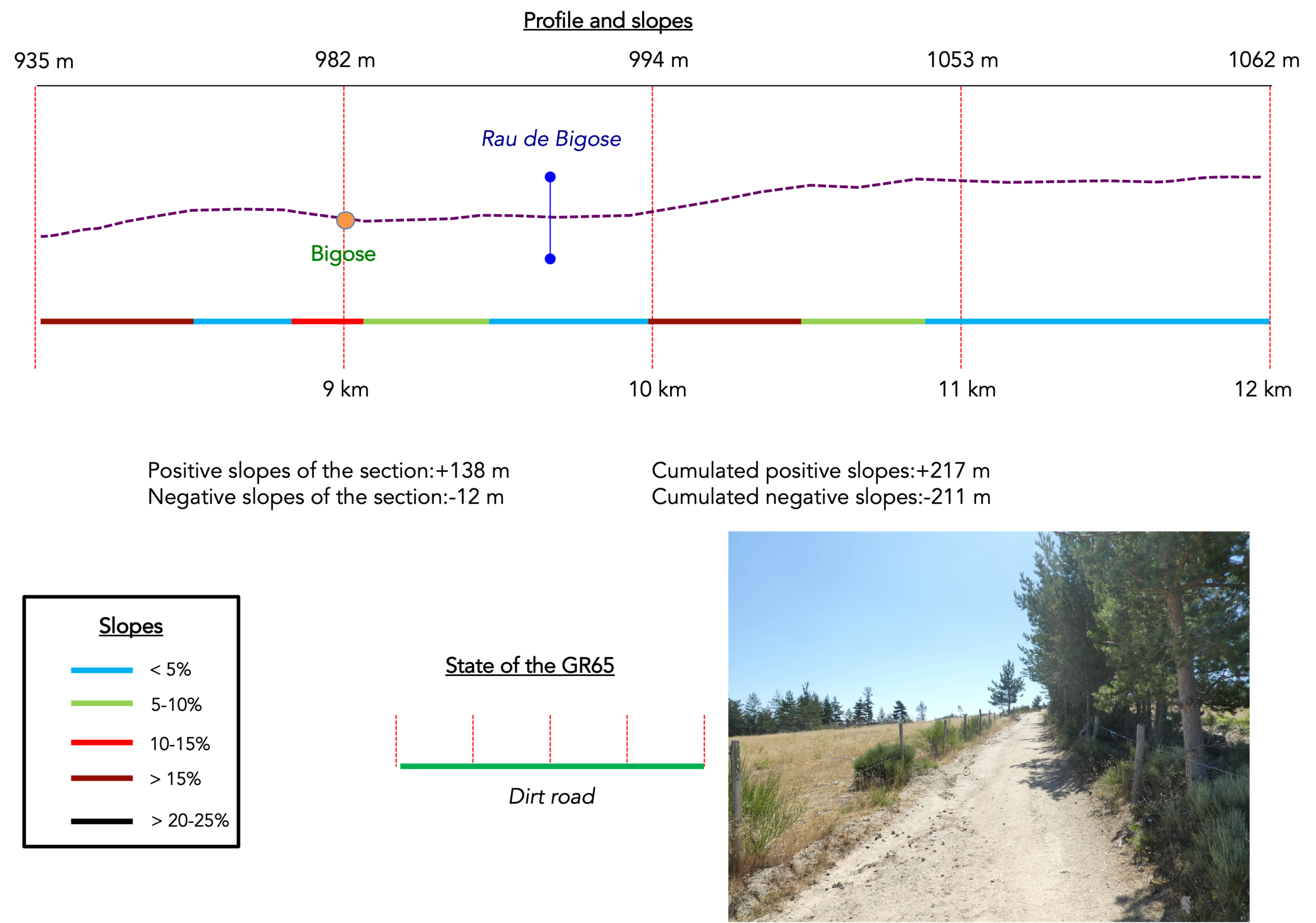
General overview of the route’s challenges : a very demanding route with constant ups and downs.
|
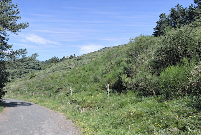
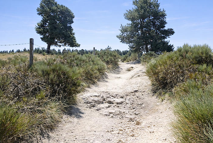
Here, the path climbs in silence, cut into pale, dry earth strewn with stones that roll beneath the feet like small obstacles to be mastered. It winds between clumps of short grass and broom, whose somewhat rugged green contrasts with the pale soil. Here and there, a few solitary pine trees stand, their slightly leaning silhouettes shaped by wind and time. In this almost naked simplicity, there is something profoundly soothing, a beauty without artifice, made of silence, gentle breezes and steady footsteps. It is one of those places where you move forward without haste, carried as much by the landscape as by the path itself. Besides, the slope itself seems to encourage such a pace.
|
 |
 |
|
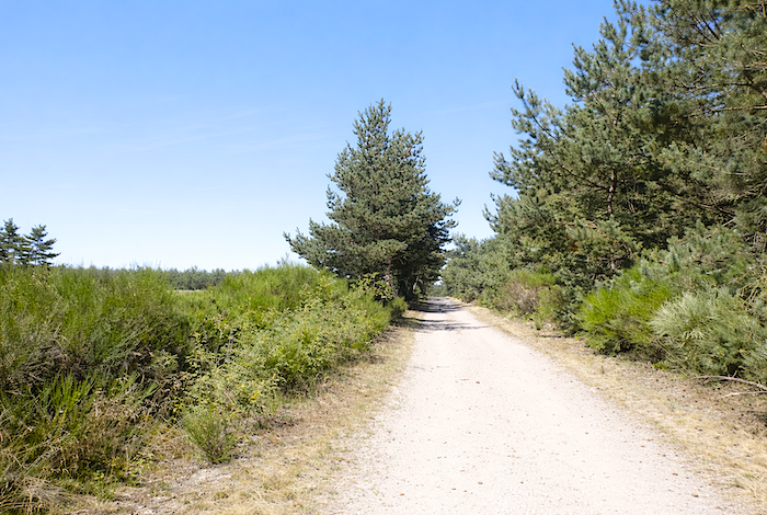
And the pleasure continues for a long time along this legendary path, always accompanied by broom and pine trees.
|
 |
 |
|
Higher up, the slope becomes gentler, yet the landscape loses none of its splendor.
|
 |
 |
|
The path soon reaches Bigose, at the top of the climb.
|
 |
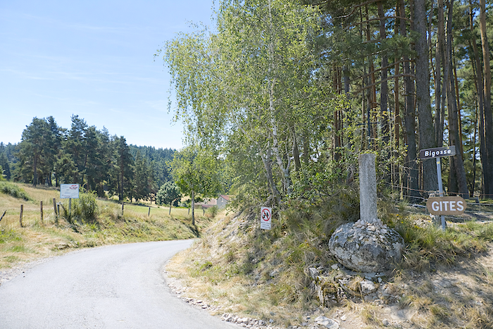 |
There stands a small stone cross, humble and silent, as though it had always belonged to this place. Its granite, worn by the seasons, carries the memory of time. Mosses, lichens and fractured grains tell stories of years of wind, rain and sunshine. A discreet and almost secret peace emanates from this place, a pause outside time where the gaze lingers effortlessly, invited either to remember or simply to remain silent.
|
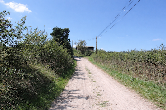
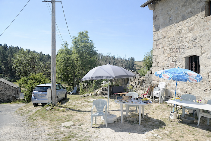
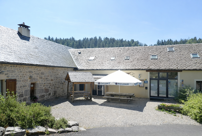
Bigose consists of a handful of sturdy stone houses firmly rooted in the landscape, where pilgrims can find accommodation and a meal in warm simplicity.
|
 |
 |
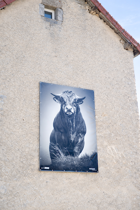
The farming spirit is everywhere present. You only have to look up to notice, on a façade, a mural depicting a powerful Aubrac bull, drawn with force and character, as a tribute to this rugged and living land.
|
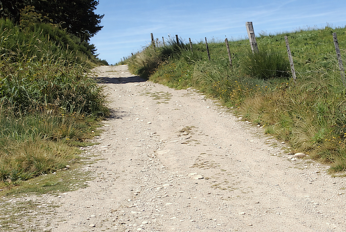
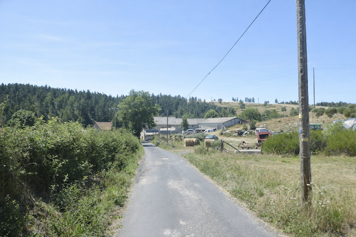
Leaving Bigose, a dirt path wanders through the pastures, as though reluctant to abandon these peaceful heights. It continues for nearly a kilometre, following gentle undulations that ease the rhythm of walking.
|
 |
 |
|
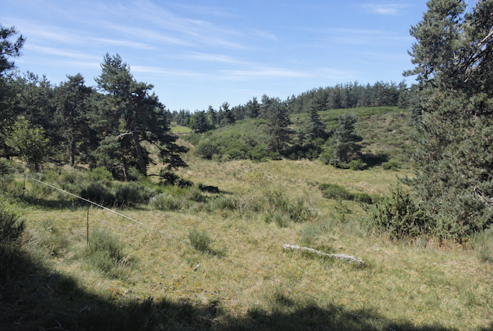
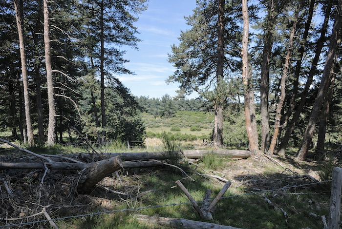
This is not quite the familiar countryside. Here, sparse and rugged heathland dominates, where herds graze. It is an austere yet beautiful land, increasingly silent, bordered by the dark mass of conifer forests watching over the horizon.
|
 |
 |
|
Soon afterwards, the path steepens and the climb becomes more demanding. Stones multiply beneath the feet, making progress slower and more attentive, almost meditative.
|
 |
 |
|
The climb becomes even harsher on a path cluttered with large rocks that hinder progress. In wet weather, the path turns into a genuine torrent bed, carved by deep ruts through which water rushes vigorously, demanding caution and humility from the walker.
|
 |
 |
|
Once, a line of majestic Scots pines stood here, almost spectral silhouettes offering their slender crowns to the sky. They rose tall and bare, like immense stakes emerging from the earth, dominating the wild vegetation. Today the landscape has taken on a ghostly appearance: fallen trunks, scattered remains of a vanished forest, and broom gradually reclaiming the ground in a strange and poignant renewal of life.
|
 |
 |
|
The climb becomes progressively less severe as the high plateau is reached, as though the effort itself softened with altitude.
|
 |
 |
|
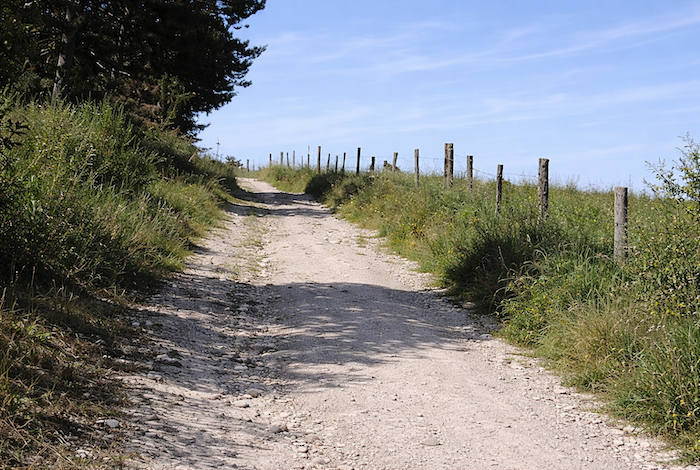
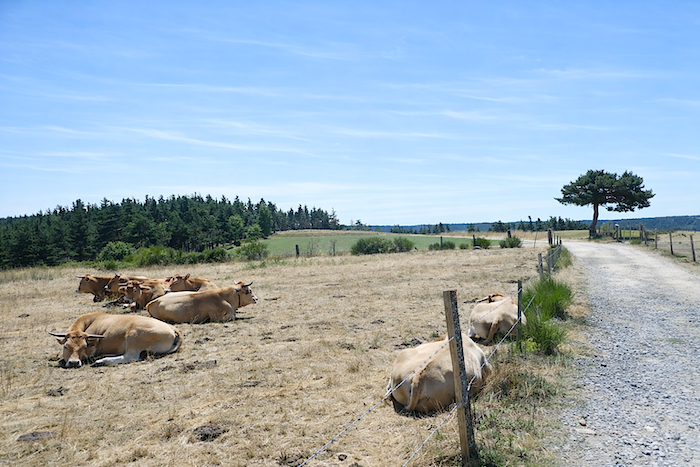
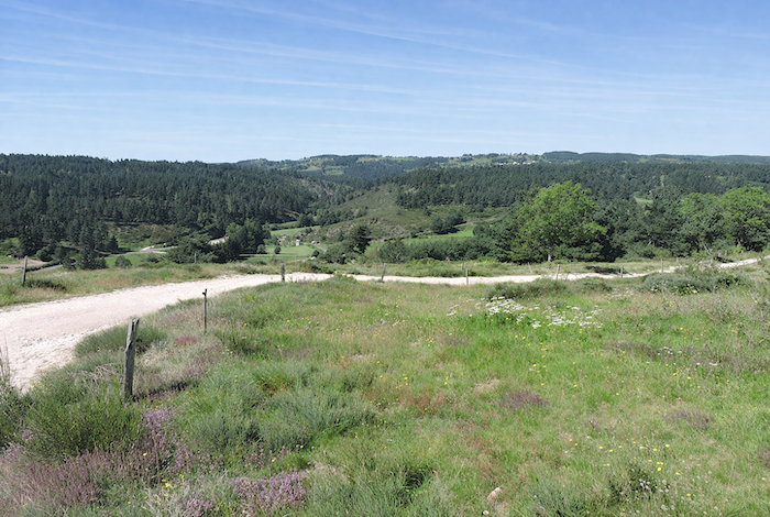
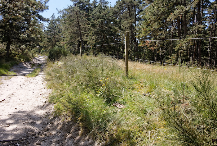
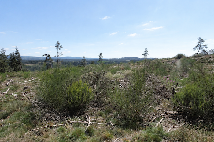
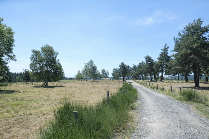
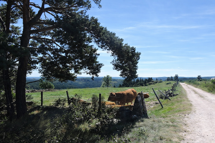
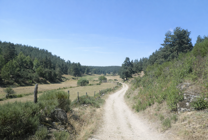
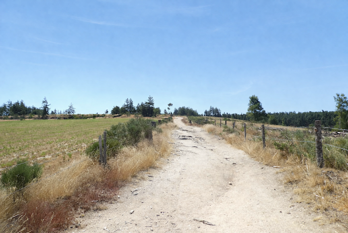
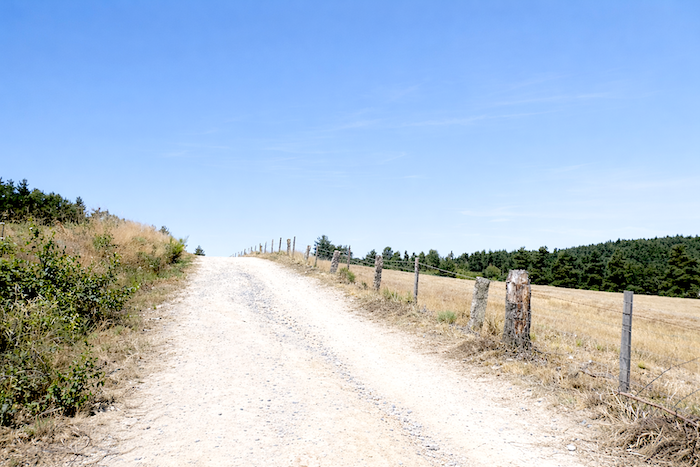
At the top of the ridge, within this magnificent and almost uniform landscape, the path levels out and stretches for many kilometres across nearly flat ground. Here, the Aubrac herds have reclaimed their territory, bringing life back to these open expanses.
|
 |
 |
|
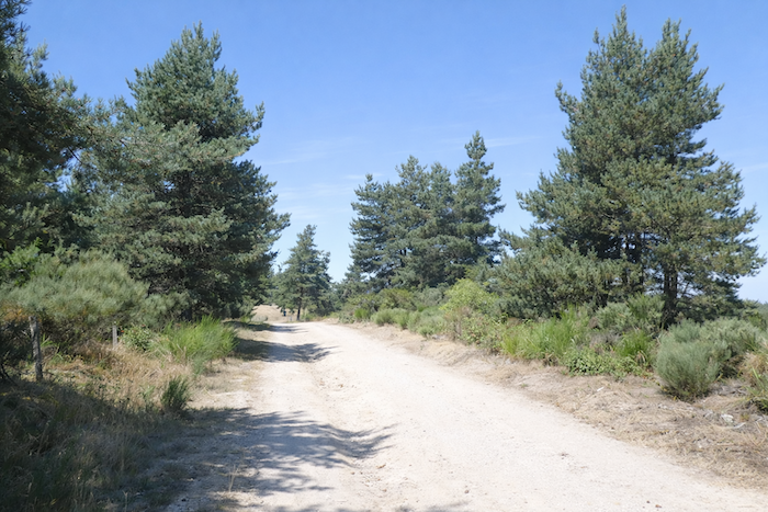
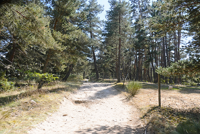
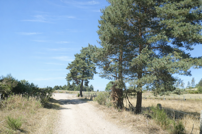
Along the path, pine trees launch their slender spires toward the sky, noble, elegant and perfectly straight. Their beauty is often praised for its grace, and rightly so. They sometimes resemble ancient columns standing with austere elegance. Beeches, oaks and ash trees, more massive in appearance, seem unwilling to disappear, adding their own reassuring and solid presence.
|
 |
 |
|
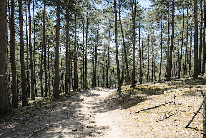
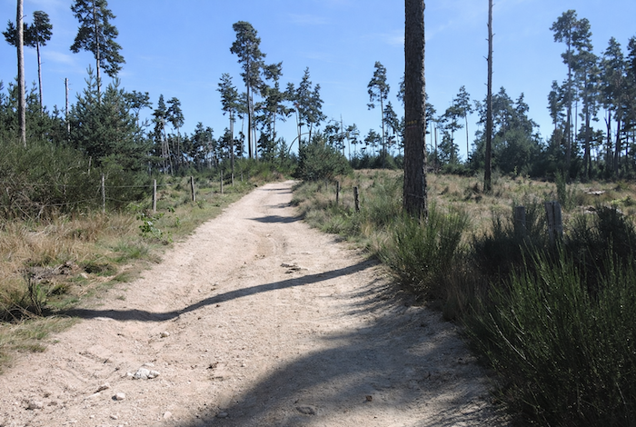
Across the high plateau, the path advances between avenues of pines that seem to form a guard of honour. Yet the forest itself is not particularly dark. The woodland remains light and airy, dotted with sparse undergrowth and shrubs of every kind. The pines, however, impose their dominance, their mass often suffocating any shrub bold enough to grow too close.
|
 |
 |
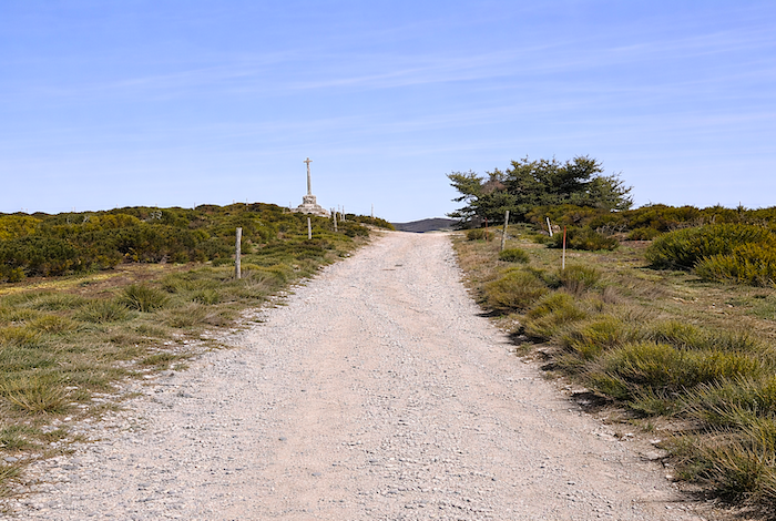
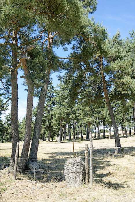
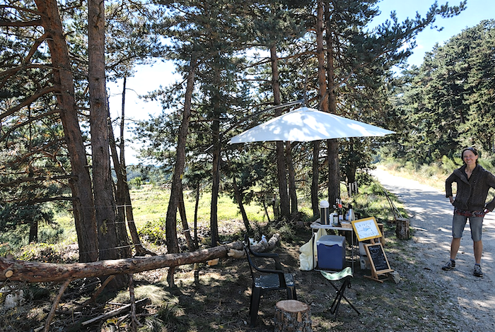
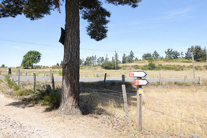
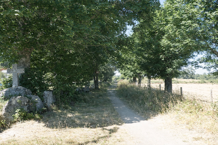
A little farther on, a large rough granite cross marks a crossroads that seems to exist only for local people. The path, meanwhile, does not hesitate and continues straight ahead. .
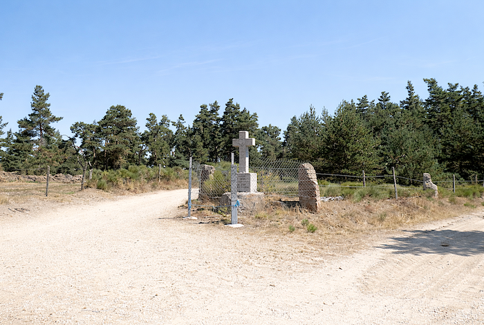
|
At this crossroads, you may meet a charming lady who offers drinks to passing pilgrims, a welcome pause in the heart of these wide-open spaces.
|
 |
 |
|
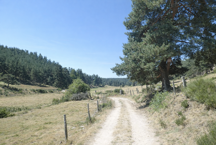
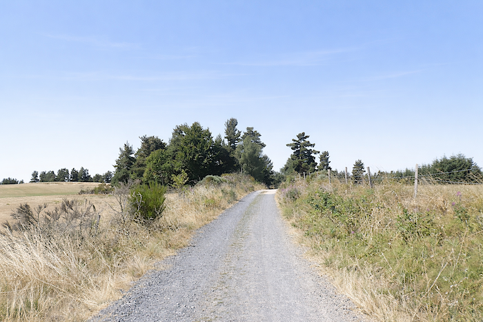
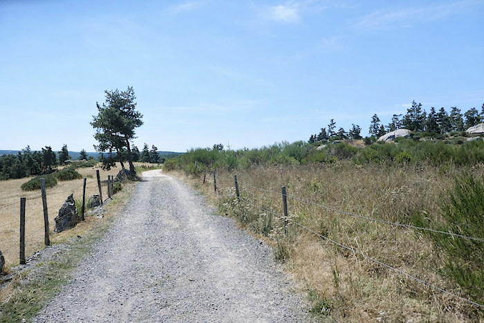
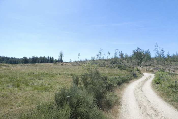
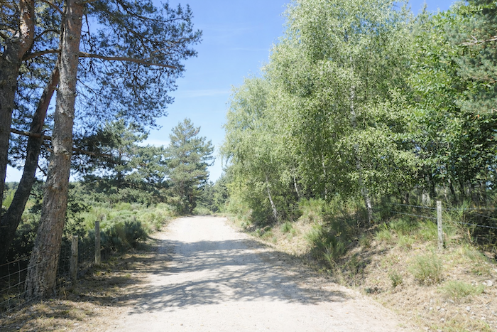
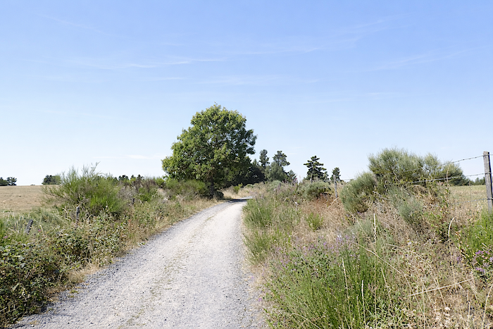
Then come long traverses, halfway between open countryside and woodland, along the foothills of Aubrac. The broad dirt track is smooth and regular, requiring almost no effort. One simply lets each step follow the next, peacefully and naturally.
|
 |
 |
Section 4: The gateway to Aubrac
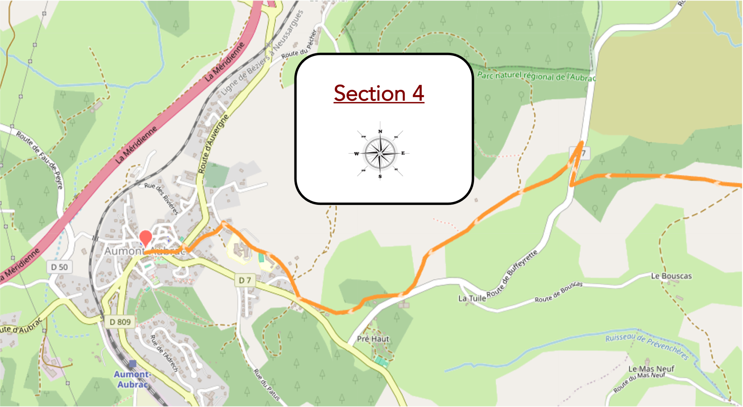
General overview of the route’s challenges : an easy route.
|
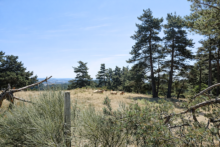
As the effort becomes barely noticeable, the eye lingers willingly on the broom lining the path, on an iron cross set into a granite base, or on a few rare and modest fields that appear almost timid within such vast surroundings.
|
 |
 |
|
This is walking in its purest form, a simple and continuous journey stretching through a magnificent landscape without hardship or constraint.
|
 |
 |
|
Farther on, you will have the impression that the space opens even more, that the trees gradually loosen their embrace and allow the light to breathe freely. .
|
 |
 |
|
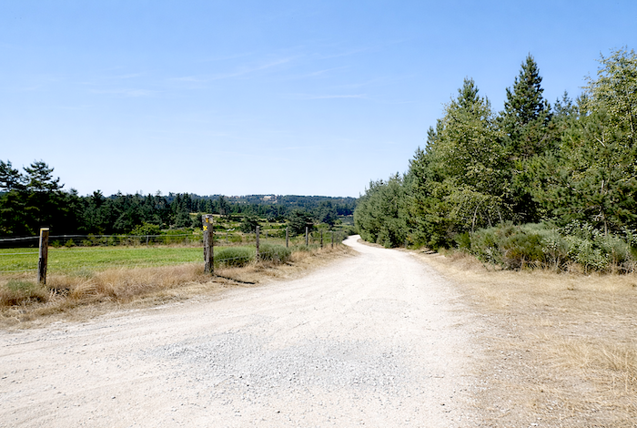
You could have walked like this for hours, carried along by a gentle sense of happiness. Yet, as always, such suspended moments come to an end. Eventually, the path reaches a small paved road.
|
 |
 |
|
The GR65 follows it briefly, for barely a hundred metres. It is only a short interlude before quickly returning to the dirt path.
|
 |
 |
|
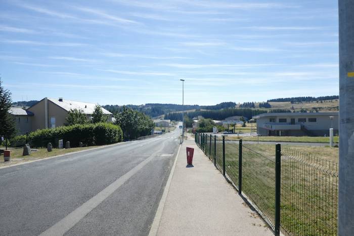
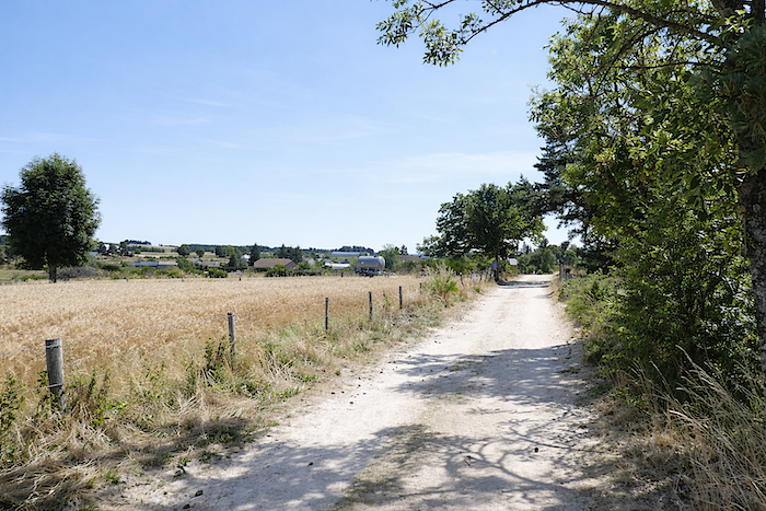
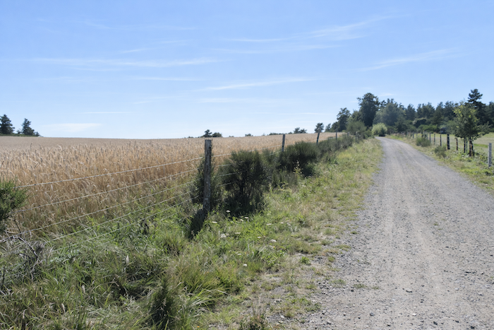
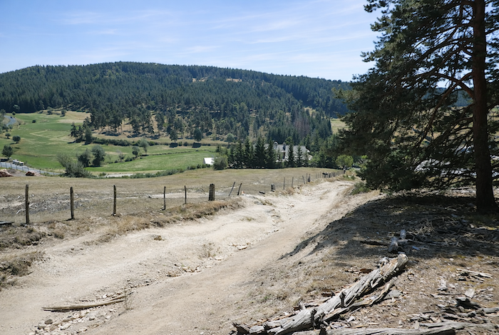
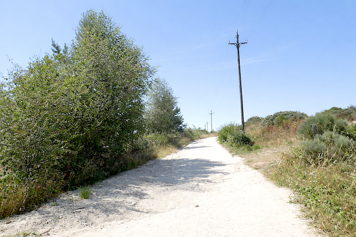
The path then continues along the edge of cultivated fields on a gravel road. From this point onward, nature seems to lose a little of its grandeur. Pastures gradually give way to cultivated farmland. The elegant pines disappear from the edge of the path, replaced by more ordinary bushes and wild grasses. Even the dirt surface, once soft beneath the feet, is now covered with gravel. The reason is simple: civilisation is drawing nearer with every step. After all, grain must also be milled to feed the inhabitants of Aumont Aubrac?
|
 |
 |
|
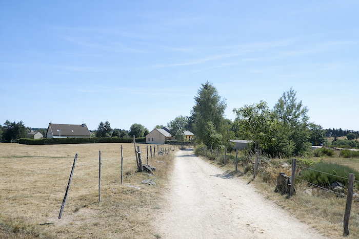
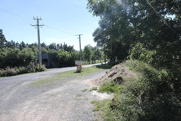
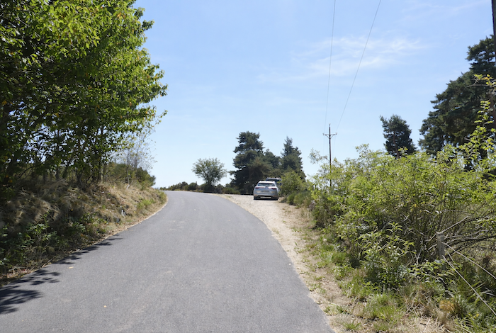
At the end of the path, Aumont Aubrac finally appears, the gateway to Aubrac.
|
 |
 |
|
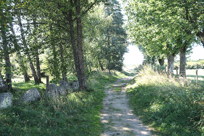
Near another granite cross, the route briefly leaves the open landscape and follows a small path lined with maples, beeches, ash trees and oaks, like one final breath of woodland before arrival.
|
 |
 |
|
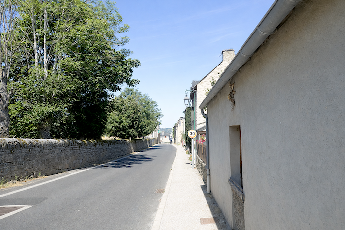
The GR65 then joins a road which, after a few detours, leads towards the centre of the town. Aumont Aubrac is a small town of around one thousand inhabitants, situated not far from the A75 motorway that crosses France from north to south. Because of its location and the steady flow of pilgrims travelling to Santiago de Compostela, it has become a true stage town where travellers and tourists regularly meet.
|
 |
 |
|
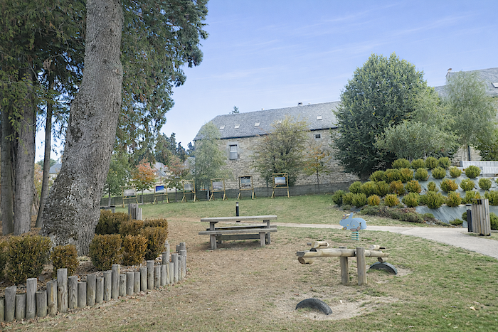
In the heart of the small town, a small park offers a pleasant place to rest after the day’s walk.
|
 |
 |
|
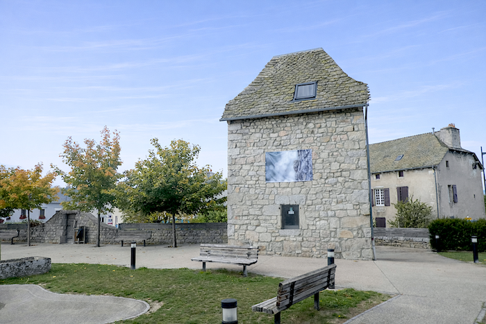
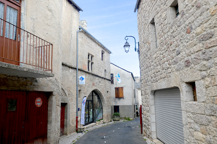
The town is not particularly rich in monuments, yet it preserves several traces of its past. Saint Stephen’s Church, which originated from a twelfth century Benedictine monastery, has retained part of its Romanesque architecture despite numerous alterations. Inside, the building now appears more modern. Nevertheless, visitors can still discover a modest old quarter with several stone houses dating from the sixteenth and seventeenth centuries. The old Priory House now serves as the tourist office.
|
 |
 |
|
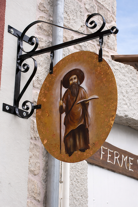
Overall, Aumont Aubrac is not among the most beautiful villages in the region. A fairly busy road passes through it, and the centre can sometimes seem rather crowded. In the main square, a statue recalls the famous Beast of Gévaudan, whose legend continues to haunt local memories. And, as is often the case here, signs of Compostela are scattered throughout the town, discreet yet faithful companions to the pilgrim.
|
 |
 |
|
You cannot come to Aubrac without mentioning its culinary treasure: aligot. Aligot, Margeride and Aubrac are intimately connected, almost inseparable. Like every recipe worthy of the name, it has its own legend, somewhere between history and tradition. It is said that during the early Middle Ages, bishops from Auvergne, Rouergue and Gévaudan met on the Aubrac plateau. Each brought what he possessed: potatoes from one, cheese, cream and butter from another, and from the third, a little garlic and salt. Hungry but not particularly skilled in the culinary arts, they supposedly entrusted their modest provisions to a buronnier, a man of these highlands, who confidently mixed everything together in a cauldron placed over the fire. Thus, according to legend, aligot was born from the simplicity of a peasant gesture and the necessity of feeding oneself. As for the famous Cross of the Three Bishops, located a little farther across the plateau, it still commemorates this symbolic meeting at the boundary of three territories. Here, geography and legend readily intertwine.
Yet beyond the story, aligot is above all a matter of technique and patience. For four people, one needs one kilogram of floury potatoes, four hundred grams of fresh Laguiole tome cheese, a little thick cream, one or two cloves of garlic, salt and pepper.The potatoes are boiled with the garlic and then mashed into a smooth, piping hot purée. Then comes the essential moment. Over a gentle heat, the cream is incorporated before the cheese, cut into pieces, is gradually added. The mixture must then be stirred, stretched and lifted energetically, often tracing large figure eights in the pot. Everything depends on this patient movement, which gives aligot its famous elasticity. The result is a living, flowing substance, balanced between softness and character, between comforting warmth and deep flavour. Traditionally served with sausage, aligot is far more than a dish. It is an experience, almost a ritual, that extends the journey all the way to the plate.
. |
Accommodation on Via Podiensis
- Gîte-Chambres d’hôtes Le Gévaudan, Pascal Roussel, Les Estrets; 04 66 45 61 90/06 88 90 97 89; Gîte and Guestroom, dinner, breakfast
- Gîte-Snack Les Saint-Pas, Géraldine et Frédéric (pèlerins) Les Estrets; 06 16 80 73 84; Gîte, dinner, breakfast
- Les Granges de Bigose, Thierry Monniez, Bigose; 04 66 47 12 65; Gîte et Guestroom, dinner, breakfast
- Route d’Aubrac-Laverie, 4 Route d’Aubrac, Aumont-Aubrac; 06 76 66 43 90; Gîte, cuisine
- Gîte Chemin Faisant, Annie Lautard, 15 Avenue du Payre, Aumont-Aubrac; 06 24 83 19 36/07 67 19 66 20; Gîte, dinner, breakfast, cuisine
- La Ferme du Barry, Charles et Marie, Rue du Barry, Aumont-Aubrac; 04 66 42 90 25/06 71 83 17 46; Gîte, dinner, breakfast
- Gîte Les Sentiers Fleuris, Aurélie, 7 Place du Portail, Aumont-Aubrac; 04 66 42 94 70/06 42 64 80 02; Gîte, dinner, breakfast
- Gîte-Chambres d’hôtes O mon Aubrac, 8 Route d’Aubrac, Aumont-Aubrac; 06 20 78 56 06; Gîte and Guestroom, dinner, breakfast
- Les Volets Bleus, Cécile Maled, 25 Avenue de Peyre, Aumont-Aubrac; 04 66 31 34 11/06 74 21 55 95; Guestroom, dinner, b breakfast
- Chambre d’hôte Le 24, Françoise et Christian Mathieu, 24 Route d’Aubrac, Aumont-Aubrac; 06 75 91 71 30;
- Guestroom, breakfast Chez Camillou***, 10 Route du Languedoc, Aumont-Aubrac; 04 66 42 80 22; Hotel***, dinner, breakfast
Year after year, the Camino de Santiago changes and reinvents itself with the seasons and the footsteps of pilgrims. Some accommodations close their doors, while others, modest or unexpected, come into being. It would therefore be unrealistic to claim to provide a fixed and exhaustive list. This guide includes only accommodations located directly on the route or within one kilometer of it. The selection was updated in 2026 and should therefore not undergo any major changes in the coming years. For those wishing to go further, one publication stands out as the essential reference: Miam Miam Dodo, easily available online. The main strength of this guide lies in its yearly updates. It not only lists accommodations located directly on the route, but also addresses slightly off the route, a valuable resource when heavy pilgrim traffic makes overnight stops more uncertain. It also contains a wealth of practical information: welcoming bars, restaurants along the way, and providential bakeries, all of which punctuate the journey. Alongside these traditional resources, another presence has become unavoidable: Airbnb. The platform has established itself as a major reference in the tourism landscape, even in the most discreet or less developed regions. However, as everyone knows, exact addresses are not displayed directly, which requires a degree of anticipation. On the Camino, finding a bed at the last minute can sometimes depend on sheer luck. But luck, by its very nature, cannot be considered a strategy. Booking ahead is therefore strongly recommended. Finally, when making arrangements, be sure to inquire about dinner and breakfast options. These details, seemingly minor, can greatly soften the hardships of a stage.
If one takes stock of the available accommodation, there are approximately 60 beds before reaching Aumont-Aubrac, suggesting that many pilgrims choose to stop earlier along the route. In Aumont-Aubrac itself, accommodation capacity increases considerably, with nearly 210 beds available. Since the number of walkers on the Via Podiensis generally ranges between 100 and 200 per day, lodging should not present any particular difficulty at this stage. Nevertheless, booking ahead remains advisable as a precaution.
These routes wind through sparsely populated countryside where services are limited. Restaurants are few and far between, and grocery stores are rare, often taking the form of small bread depots offering a modest selection of vegetables and dairy products. However, it is possible to find meals at Les Estrets and Bigose, both welcome stops in these more isolated areas. Water points are less common and can be found at Grazières-Mage and Chabannes. A dry toilet is available at Chabannes. Upon arrival, Aumont-Aubrac offers all the conveniences of a small town, with a full range of shops and services. Finally, numerous companies provide luggage transfer services or transport back to the starting point. Among them, one stands out as a well-established reference: La Malle Postale. Aumont-Aubrac also has a railway station, which is particularly useful for hikers undertaking shorter sections of the pilgrimage.
Feel free to add comments. This is often how you move up the Google hierarchy, and how more pilgrims will have access to the site.
|
 |
Next stage : Stage 6: From Aumont-Aubrac to Les Gentianes |
|
 |
Back to menu |