
In the majesty of Aubrac
DIDIER HEUMANN, MILENA DALLA PIAZZA, ANDREAS PAPASAVVAS

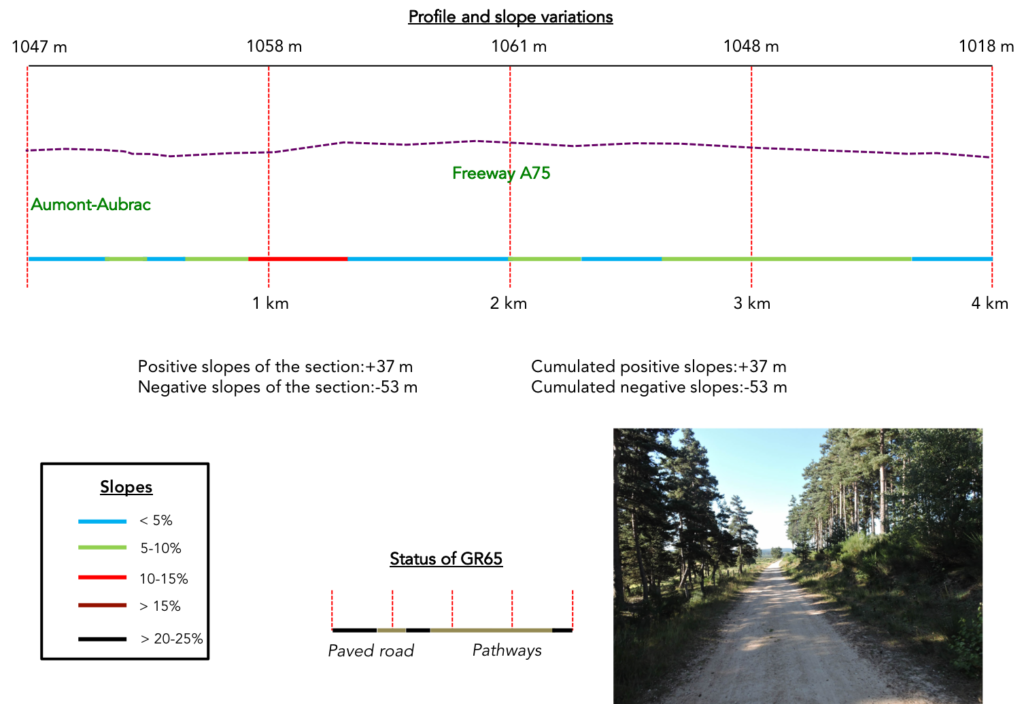
We divided the course into several sections to make it easier to see. For each section, the maps show the course, the slopes found on the course, and the state of the roads. The courses were drawn on the « Wikilocs » platform. Today, it is no longer necessary to walk around with detailed maps in your pocket or bag. If you have a mobile phone or tablet, you can easily follow routes live.
For this stage, here is the link:
https://fr.wikiloc.com/itineraires-randonnee/de-aumont-aubrac-a-nasbinals-par-le-gr65-29772353
It is obviously not the case for all pilgrims to be comfortable with reading GPS and routes on a laptop, and there are still many places in France without an Internet connection. Therefore, you can find a book on Amazon that deals with this course. Click on the book title to open Amazon.
 |
The Camino de Santiago in France / V. From Puy-en-Velay to Cahors (Via Podiensis) on GR65 track |
If you only want to consult lodging of the stage, go directly to the bottom of the page.
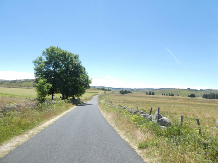
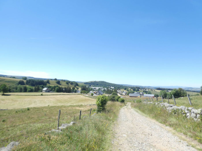
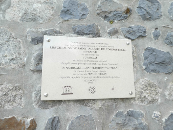
Aubrac is on the menu for today. How can you resist the fascination of the Aubrac? For over a thousand years, a real myth has been created on the basis of stories of Middle Ages “pilgrims” assailed by snow squalls, attacked or even eaten by wolves. When asked about the most significant step of the St James’s track in France, pilgrim today will mention Aubrac, almost certainly. The irresistible appeal of this country will strike anyone who crosses its endless prairies. The route heads southwest in the naked steppe, exclusively in Lozere department. It crosses the A75 freeway, The Meridian, probably the most beautiful highway in the country (for free, in addition!), which connects Clermont-Ferrand in the North to Montpellier in the South. The track runs on 26 kilometres through a large part of Aubrac plateau.
Aubrac is a plateau of altitude, a grassy steppe on the western edge of Lozère. The volcanic eruptions of the late Tertiary era have shaped green moors with sometimes eroded granite boulders among livestock. It is the land of silence. It is also the country of “burons”, huts with shingle roofs, reminiscent of the old times when shepherds took refuge during periods of summer and transhumance. In this landscape of moors and meadows, the eye looks deeper over the hills. The landscape might seem monotonous from the first point of view. It is not so. The slight reliefs and the changing light constantly change the landscape. The lack of forests makes it an open place where the view embraces the 360-degree horizon. Groves, granite boulders, streams, isolated farms and “burons”, are the only landmarks. Aubrac concentrates the essence of the characteristics sought by pilgrims and walkers: the calm, the silence, the omnipresence of pastures and cattle. It is almost entirely devoid of contemporary references to society. There are very few power lines, pylons, signs or roads. Villages and hamlets are parcelled out. Modern houses do not grow here.
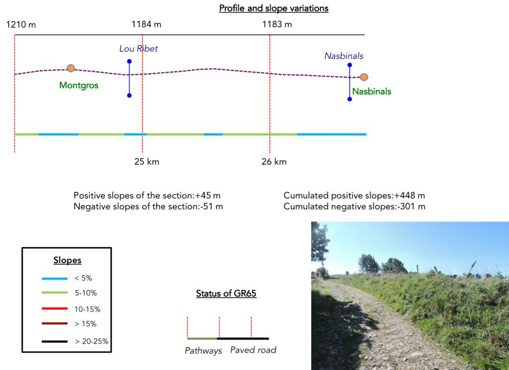
Difficulty of the course: The stage is easy, without difficulty, but running rarely flat, on an undulating plateau over 1’000 meters, in a desolate but magnificent landscape, with weak slope variations (+448 meters/-301meters). The only difficulty of the day, but it is very relative, is the climb to Roc des Loups before Rieutort. You’ll be walking in an almost endless country, never monotonous, where small streams meander without specific destination.
 In this beautiful country, fortunately, dirt roads outnumber paved roads:
- Paved roads: 11.7 km
- Dirt roads: 15.1 km
Sometimes, for reasons of logistics or housing possibilities, these stages mix routes operated on different days, having passed several times on Via Podiensis. From then on, the skies, the rain, or the seasons can vary. But, generally this is not the case, and in fact this does not change the description of the course.
It is very difficult to specify with certainty the incline of the slopes, whatever the system you use.
For « real slopes », reread the mileage manual on the home page.

Section 1: Uphill to the Aubrac plateau.

Overview of the difficulties of the route: a ramble, except for a few more marked slopes before crossing the highway.
|
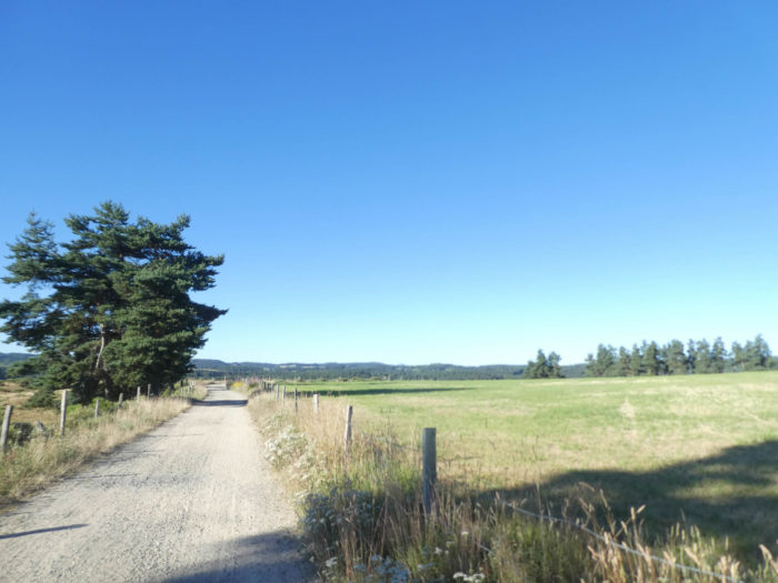
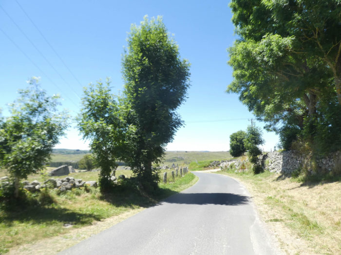
The notoriety of Aubrac could suggest that it is a single plateau. This is not the case. Climbing on the plateau is done gradually, just like the transition of the landscapes. Initially, the landscapes are quite close to those of Margeride. A multitude of small groves punctuates the slopes, giving the country a woody character. It is often early in the morning that pilgrims leave Aumont-Aubrac, because the stage is long if you intend to go as far as Nasbinals. Today is a clear early summer day. TheGR65 slopes down from the village to run under the railway line. |
|
 |
 |
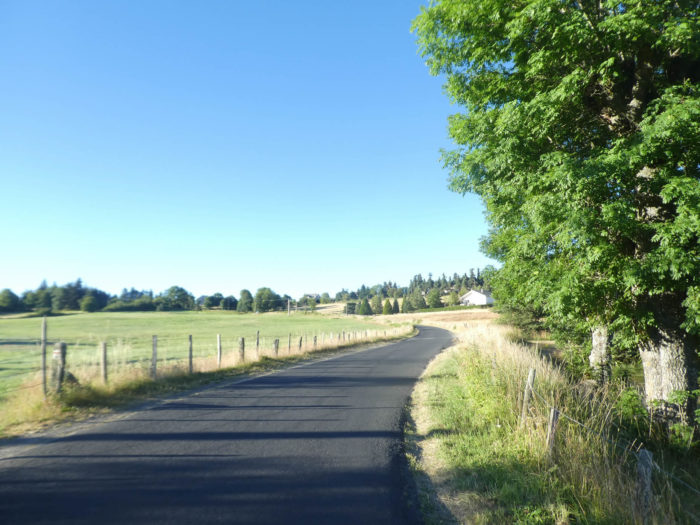
| It then follows the paved road which leads to the housing estates on the top of the hill. | |
 |
 |
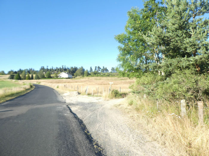
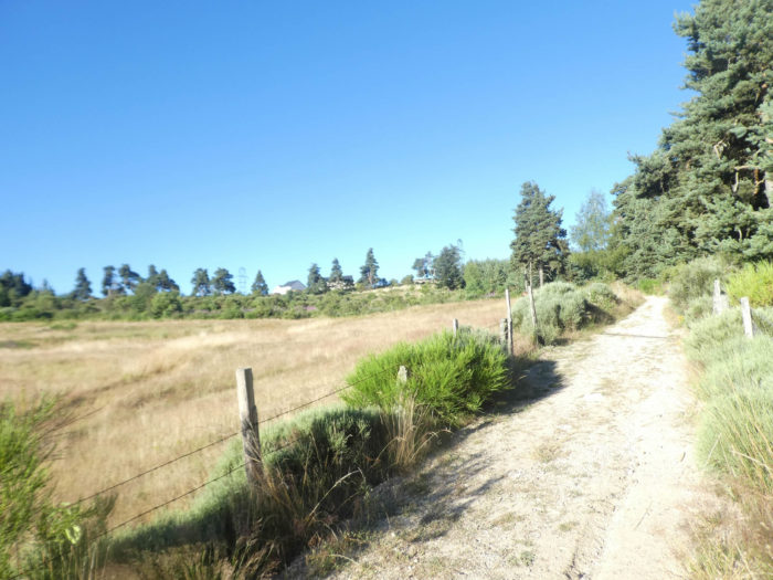
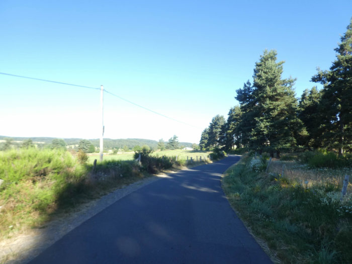
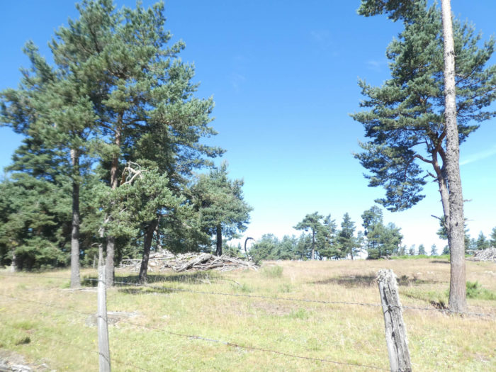
| Further up, the GR65 leaves the road for a side track. The day is rising more and more over the meadows and the pine forests that crown the top of the hill. | |
 |
 |
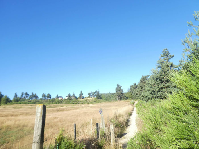
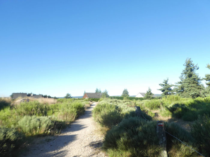
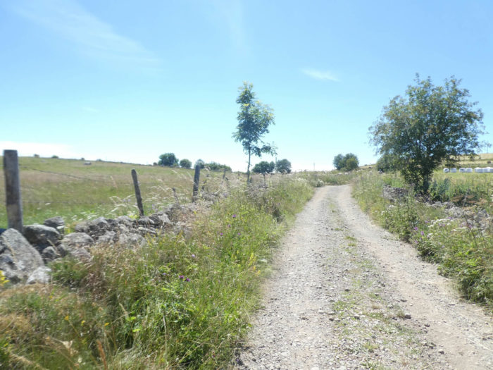
| The narrow white dirt road climbs more than 10% between meadows and hedges of pines, junipers and broom. | |
 |
 |
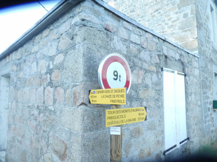
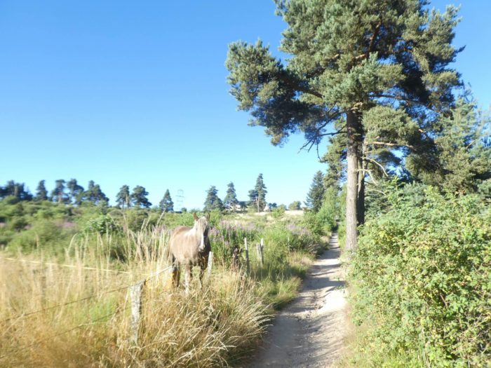
| The tourist office may have placed a horse here to count the pilgrims passing by. | |
 |
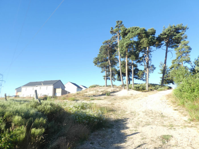 |
| At the top of the hill, Aumont-Aubrac has extended a network of small villas, which overlook landscapes of exquisite beauty. | |
 |
 |
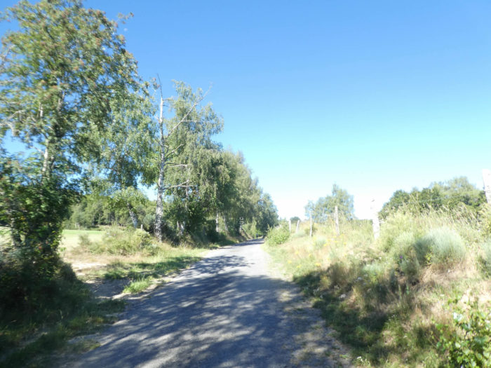
| A few more villas at the top of the hill, before leaving the tarmac for a wide dirt track that runs straight into the countryside, at the edge of the pine undergrowth. | |
 |
 |
| The GR65 enters a little more into a sort of large bocage, with its hedges of pines, junipers and brooms, which simplifies quite quickly and stops in favor of small groves. Then a few sporadic engine snoring disturbs the serenity and calm of the place, as the pathway approaches the motorway. It’s quite noisy today, people going on vacation. | |
 |
 |
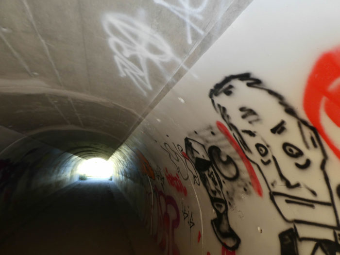
| The “Méridienne” is not a highway like the others. No toll, it is the highway of pleasure, which travels according to the desire to discover an extraordinary country. Through sparse forests, you cross the motorway under a tunnel, called here the “St Jacques duc”. Above, rumbling heavy trucks and cars. Inside, a fairly discreet graffiti gallery, for a change. | |
 |
 |
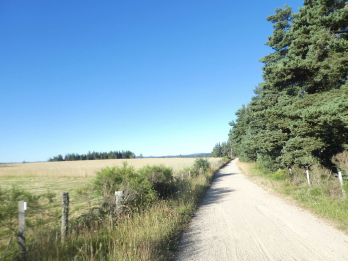
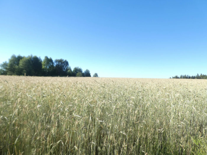
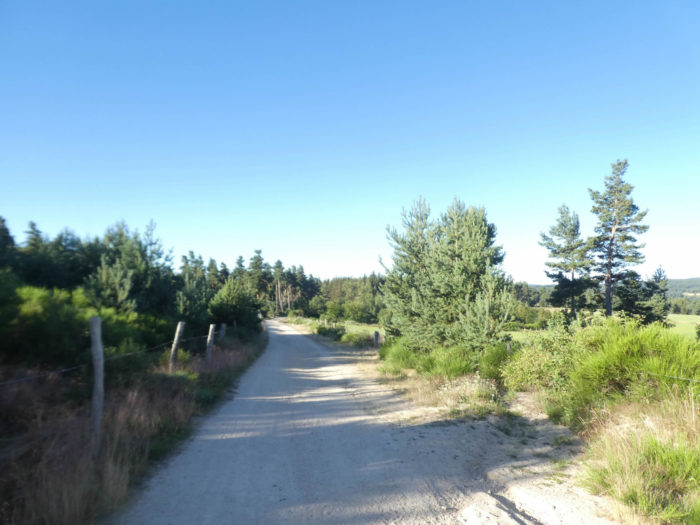
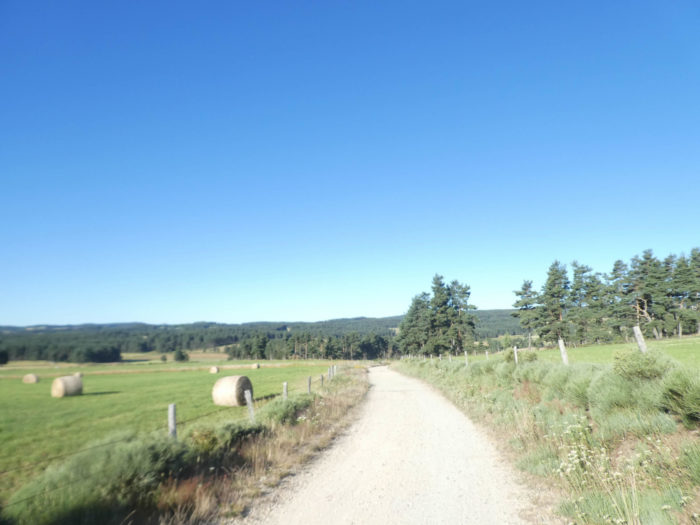
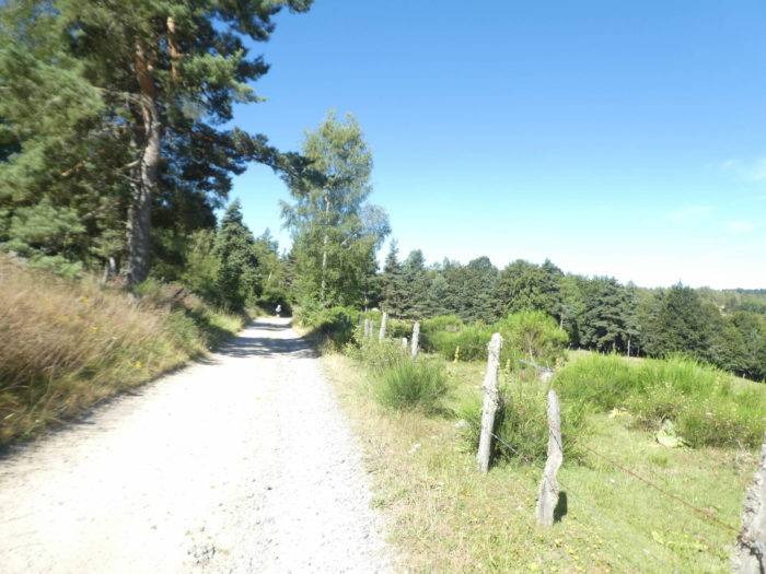
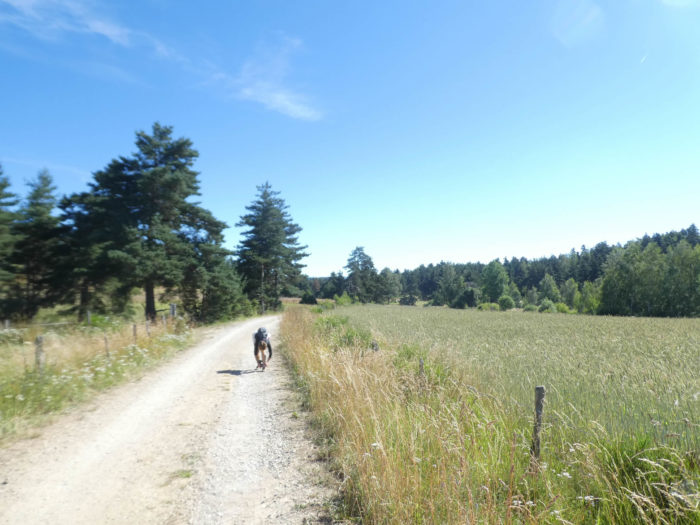
| At the exit of the motorway, a wide carpet, first white then ocher, flat like the hand, unrolls its rectilinear melancholy. The engines of the highway are fading and the country is silent. You can hardly hear the footsteps of the walkers brushing the beaten ground, along the pine or sometimes spruce hedges. The hardwoods have almost entirely disappeared from the background, along the fields where triticale, oats and spring wheat grow. | |
 |
 |
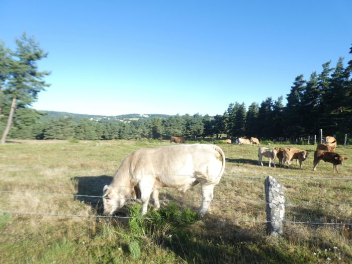
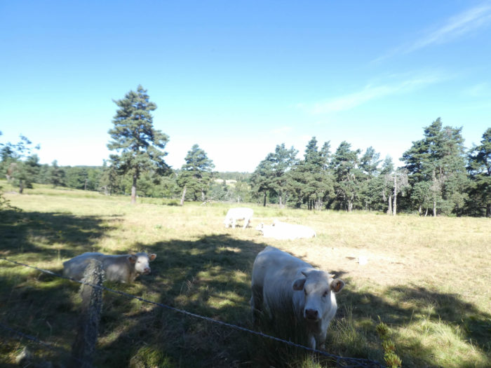
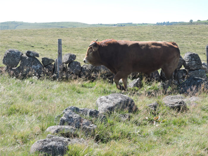
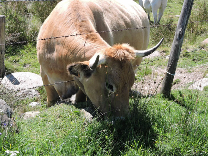
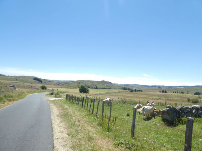
| You then hear loud mooing in the meadows. These are bass voices, male. Aubrac cows are already at work and the bull pawns impatiently, howling at the best. Why? You learn it quickly. A peasant arrives at a charge, armed with a large stick. He lost his bull, a huge limousin bull. He doesn’t understand why, his bull being usually quite reserved. But now, these huge animals sometimes jump on the barbed wire, which must barely touch them. Tell you that afterwards, we tried to locate any exits under the barbed wire to have to avoid the beast, just in case. | |
 |
 |
 |
 |
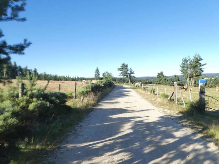
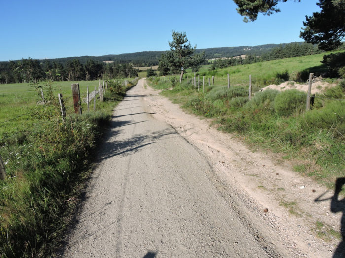
| The dirt road is wide, smooth, and gently slopes down, along the pine groves, in the middle of the herds. | |
 |
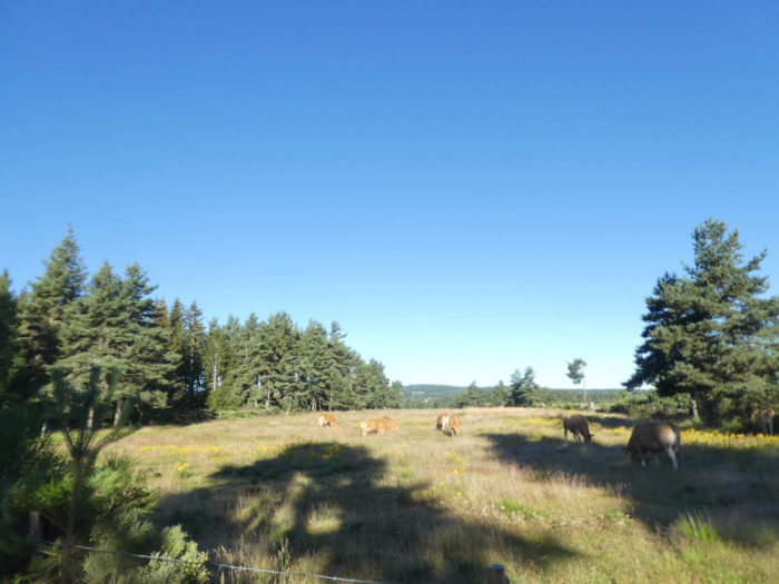 |
| Along these straight lines where the ground is only sand, sometimes a leafy tree, or a spruce tree disturbs the alignment of the pines. When the bulls stop their cries, there is nothing but silence and solitude. | |
 |
 |
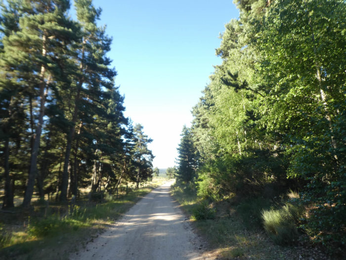
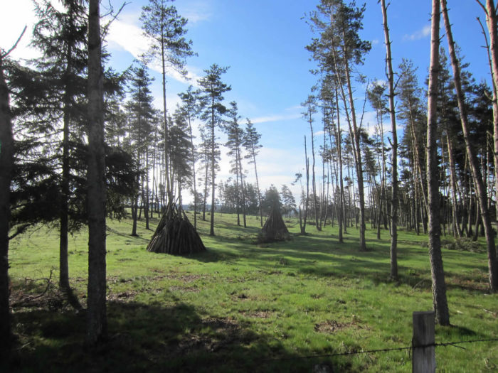
| The scenery is almost divine here. Up to La Chaze de Peyre, the forest is still omnipresent. These are the last bursts of Margeride, with its tall pine groves, in the scattered groves of Devèzes and Brugères. | |
 |
 |
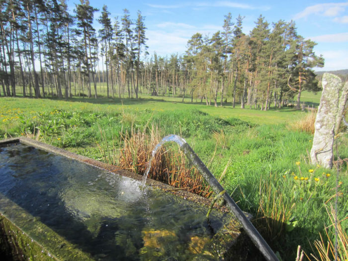
| The landscapes obviously change according to the seasons or the light. Here are some pictures taken in the spring. Near a fountain with fresh water, they have piled up the branches that make like Indian huts.. | |
 |
 |
 |
 |
Section 2: Still a few groves before the nude moor.
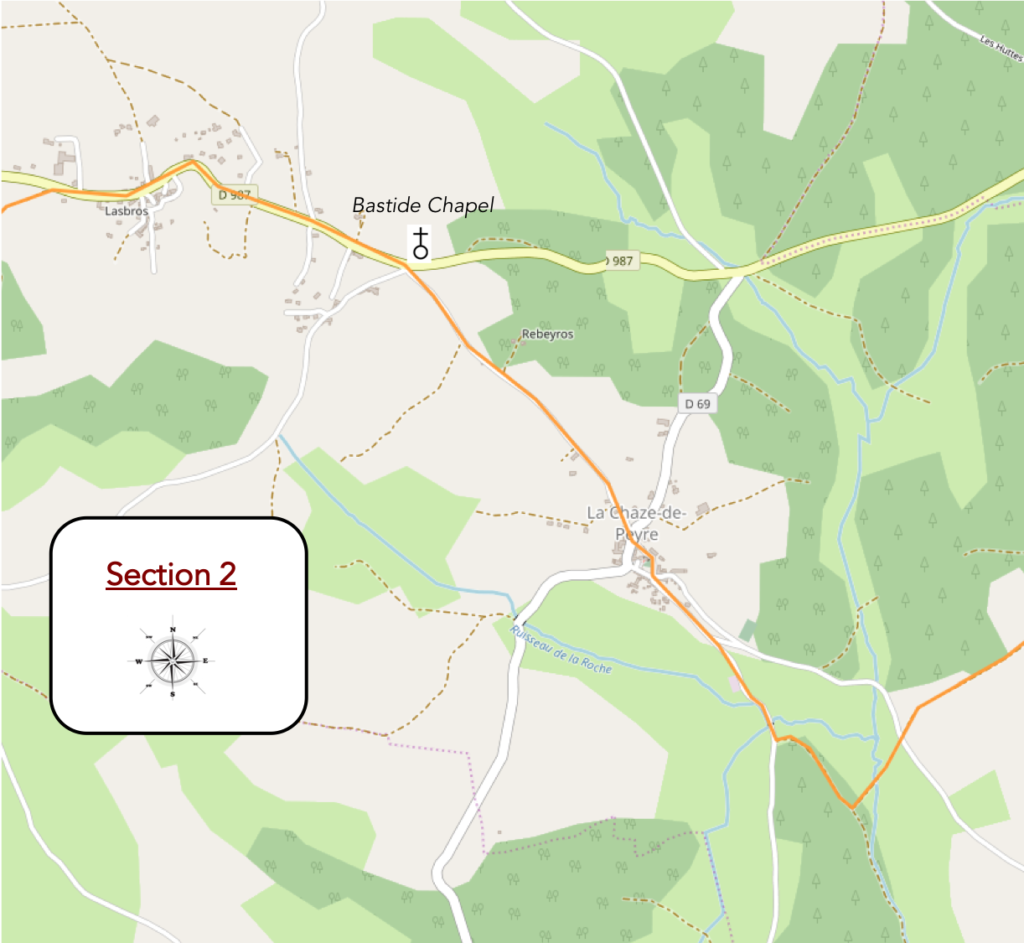
Overview of the difficulties of the route: course without any difficulty.

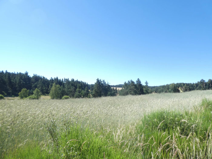
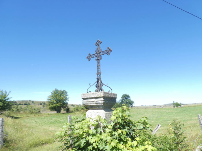
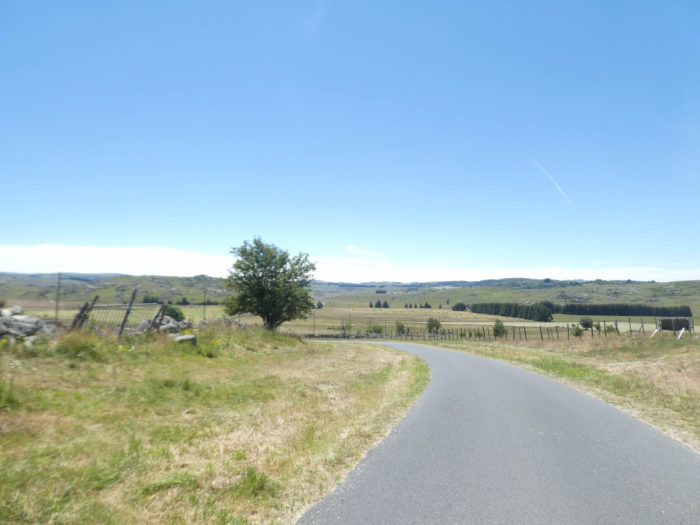
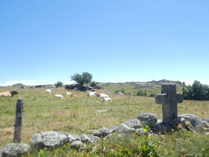
| The decor is still clearly Margeride region. However, in the gaps in the landscape, Aubrac area can sometimes be guessed. At least real Aubrac, the land of moors and pastures, where the groves are just a few islets blocking the horizon. The landscape still hesitates between thickets and vast pastures. Sometimes, spread out in a distant horizon of vast meadows where the green sings of beautiful tone.
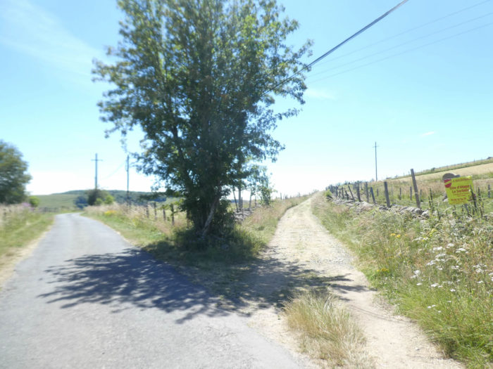
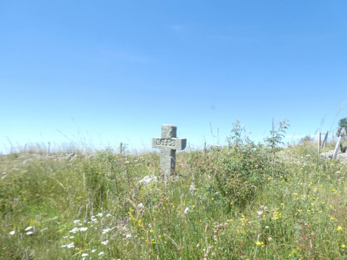
The pathway soon arrives at the bottom of the descent and the GR65 finds, near a granite cross weathered with time, a small paved road that starts at a right angle. |
|
 |
 |
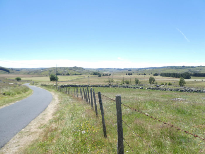
| The road crosses a small plain, rather a large swamp where the waters of the Roche brook ooze in a disorganized way. In the distance, the shrill and muffled cries of the bulls begin again. Would our peasant have recovered his lost bull? | |
 |
 |
|
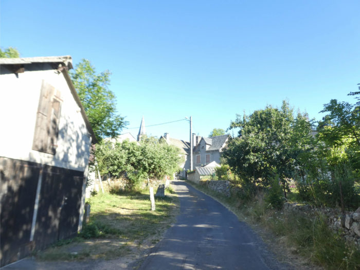
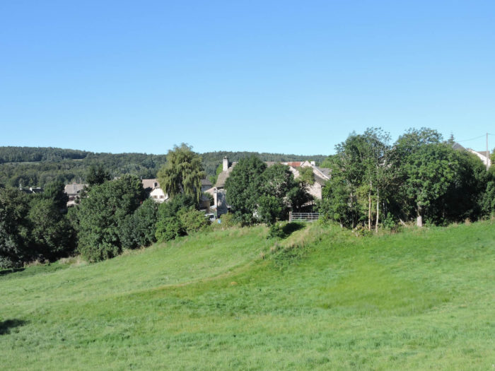
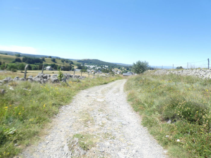
The road then gently climbs towards La Chaze-de-Peyre, from which you can see the village bell tower. |
|
 |
 |
|
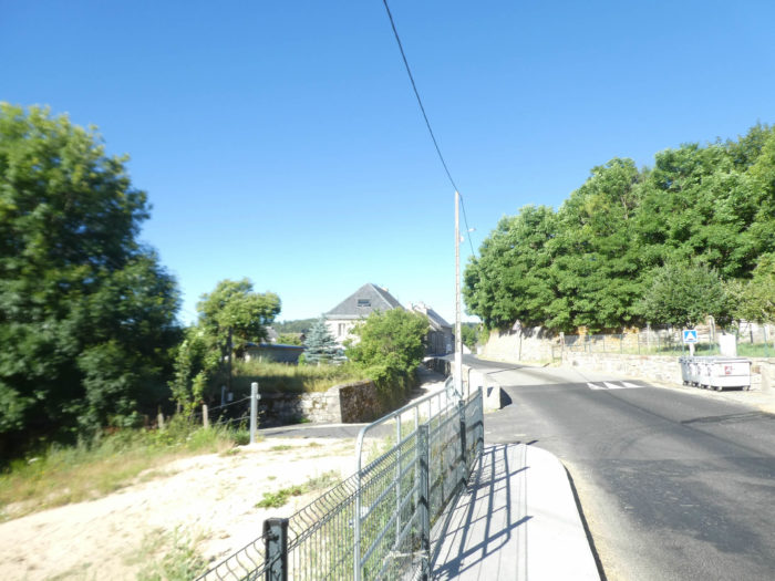
It quickly reaches the first houses of the village. |
|
 |
 |
|
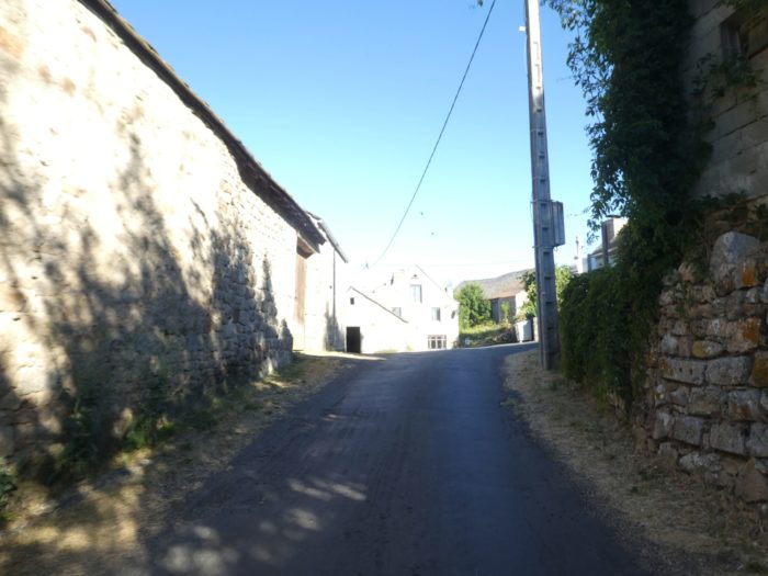
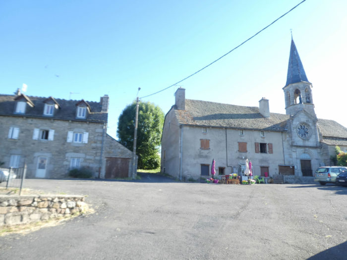
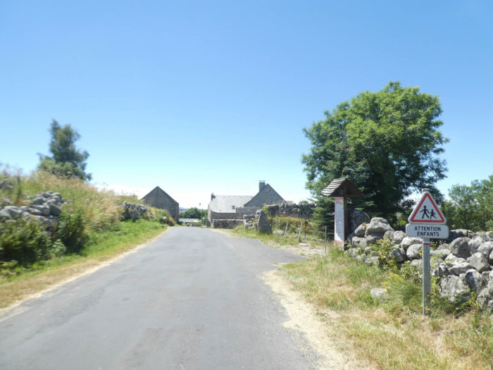
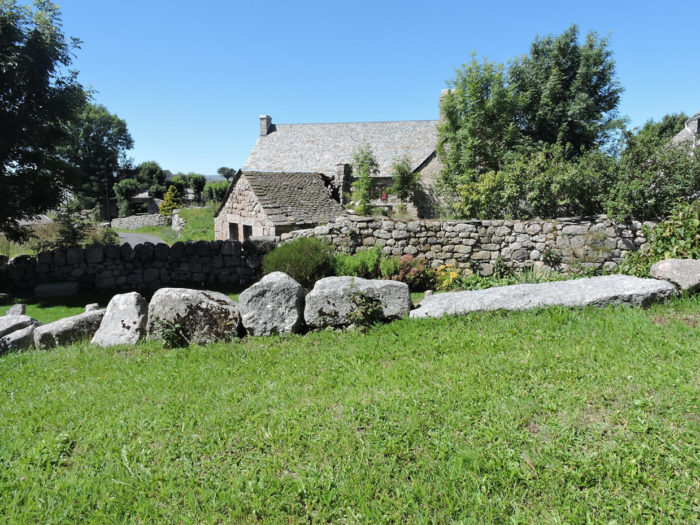
Let’s go back to civilization a bit. The houses, many of which are made of rubble stone, are modestly hidden under the bell tower which points its arrow towards the sky. The 12th century church, attached to a building, subsequently renovated, is remarkable for its octagonal bell tower with its bells glittering under the slates. Everything is granite here. |
|
 |
 |
|
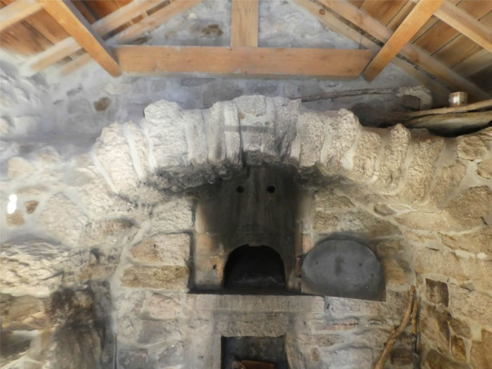
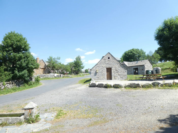
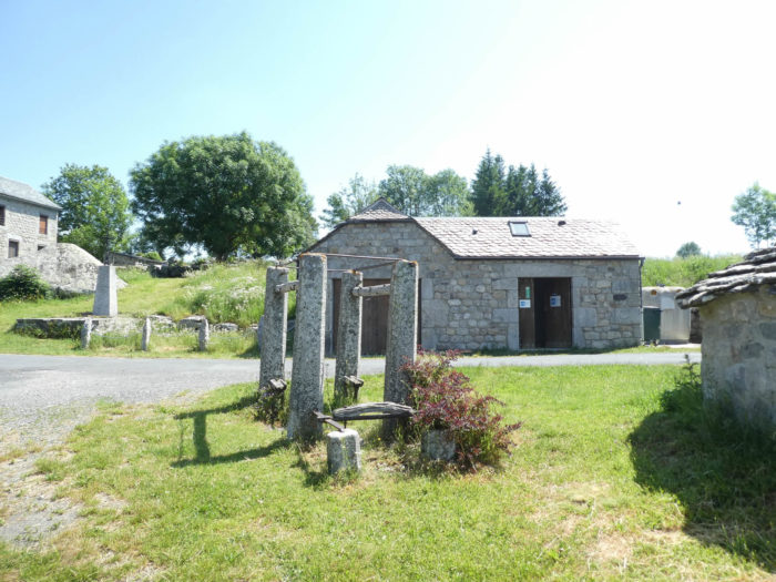
An old communal oven is present on the village square. For little, one would still feel the hot bread. Do you want proof, there are still embers in the hearth. |
|
 |
 |
|
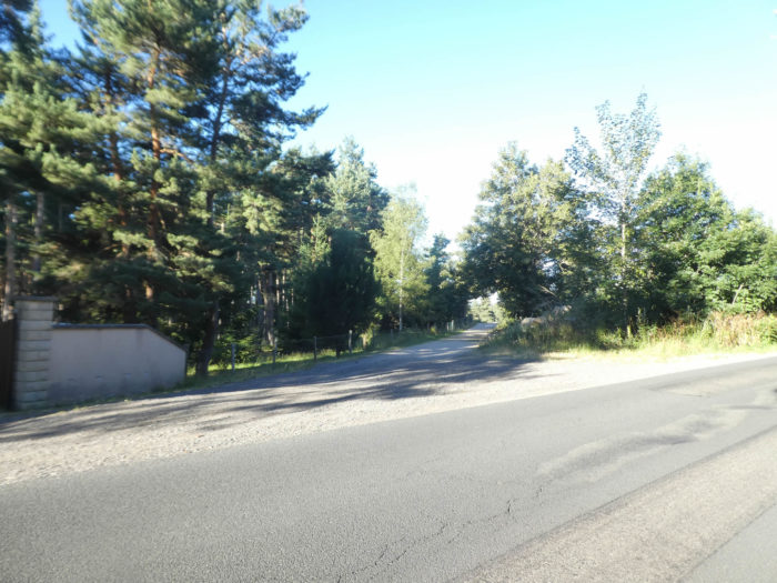
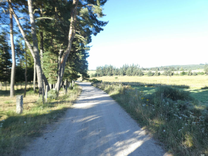
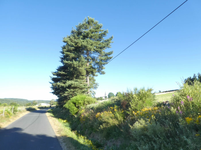
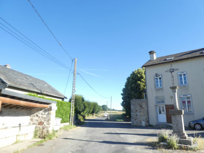
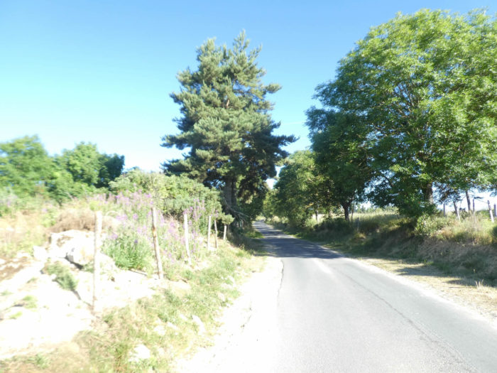
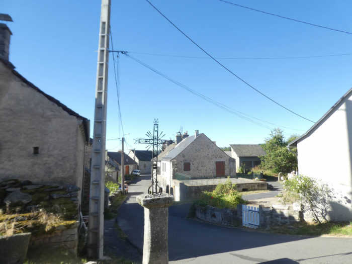
In all these hamlets and villages in the region, religious symbols are part of people’s daily lives. The GR65 leaves the village on a small, almost straight, tarmac road, under pines and ash trees, in the middle of broom. |
|
 |
 |
 |
 |
|
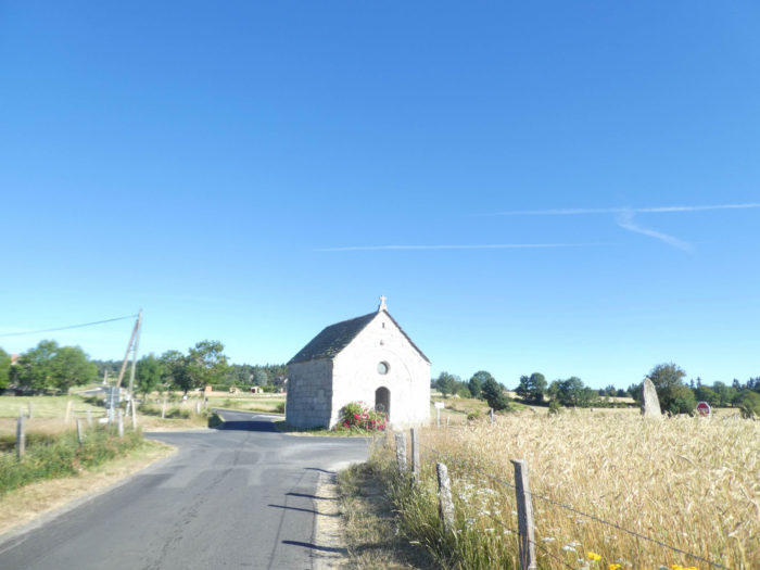
The road winds through meadows and fields of triticale and oats. In front of you, you soon see the solitary chapel of Bastide, and the houses of Lasbros in the background. |
|
 |
 |
|
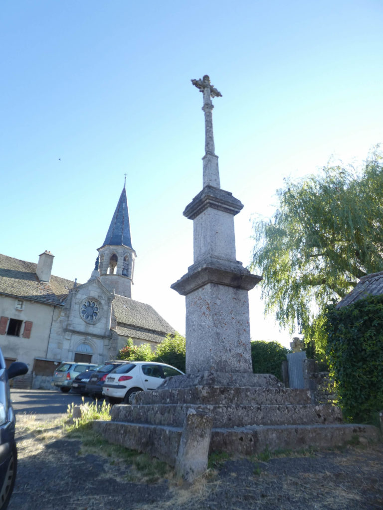
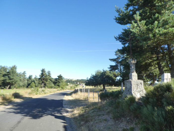
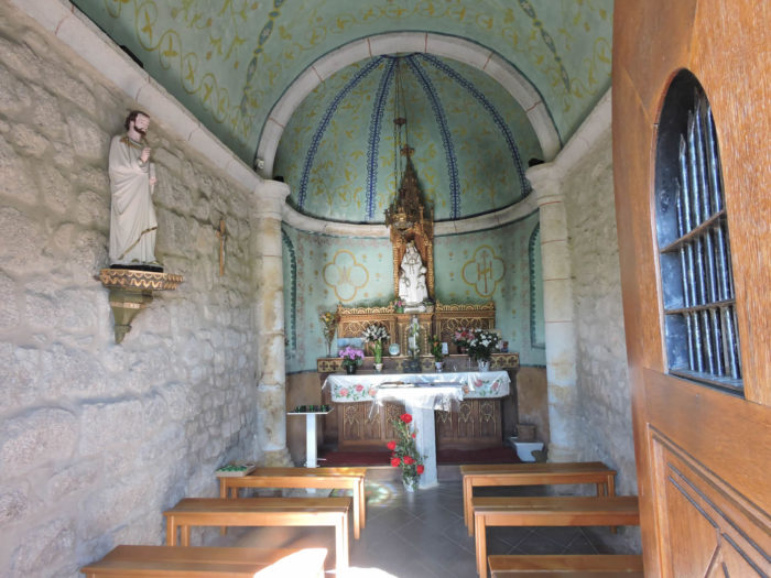
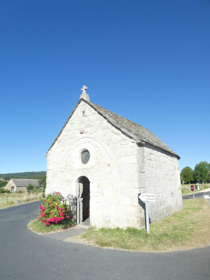
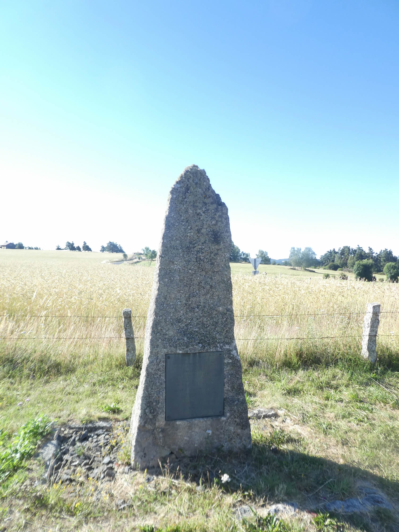
At the end of the rectilinear road which is not eternal, stands in an unlikely crossroads the tiny and solitary Bastide Chapel, so called because the Bastide Grandviala family had donated money to repair the walls. Originally dedicated to the Holy Cross, the building is now dedicated to St. Marie de la Salette. You rarely enter the chapels of the Camino de Santiago. However, here you can enter and linger over the barrel-shaped nave, the rubble of the walls. The pilgrim can meditate and implore Our Lady of La Salette, the same one who appeared in 1846 to two little shepherds in La Salette, in Dauphiné mountains. |
|
 |
 |
|
Near the chapel stands a granite column in memory of a canon from the region. |
|
 |
 |
|
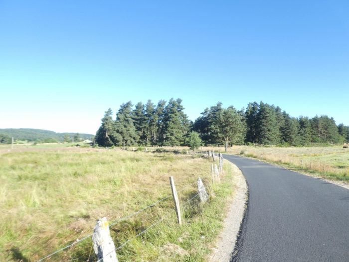
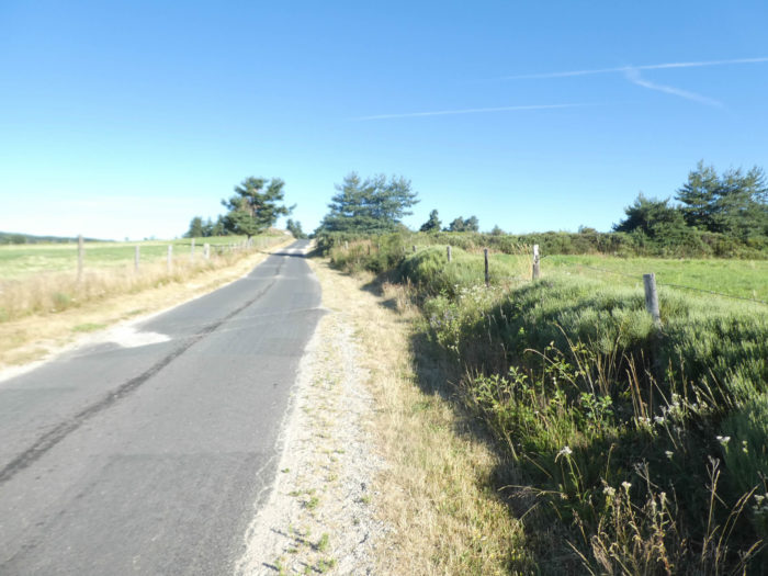
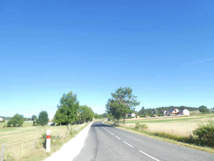
Beyond the chapel, the GR65 takes a strip of dirt to flatten along the D987 road to reach Lasbros. Traffic is far from frantic in Aubrac. Yet, it is a safe bet that one day the organizers of the track will succeed in moving the route through the countryside, when they have received the agreement of the local peasants. This is always the case on Santiago track, which will never be immutable. Hardwoods have replaced conifers. |
|
 |
 |
|
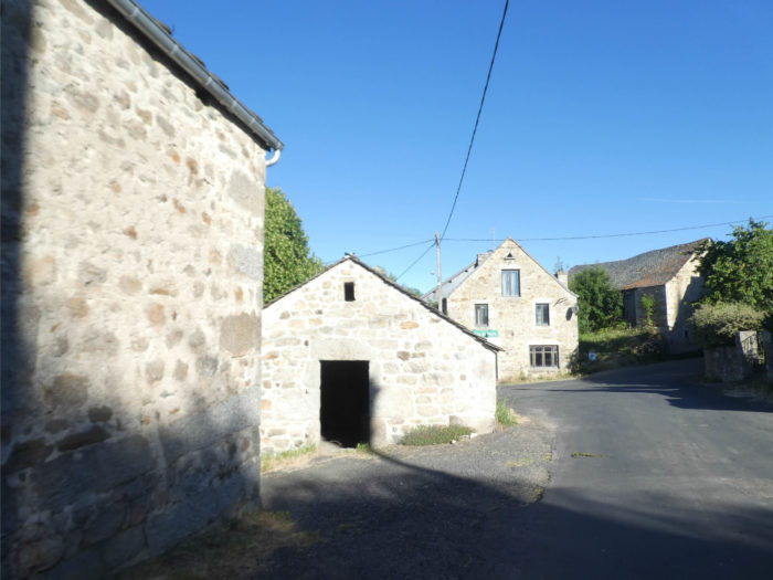
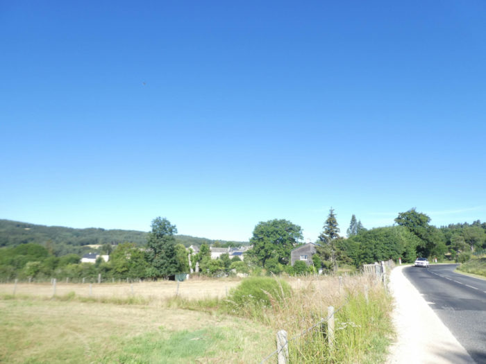
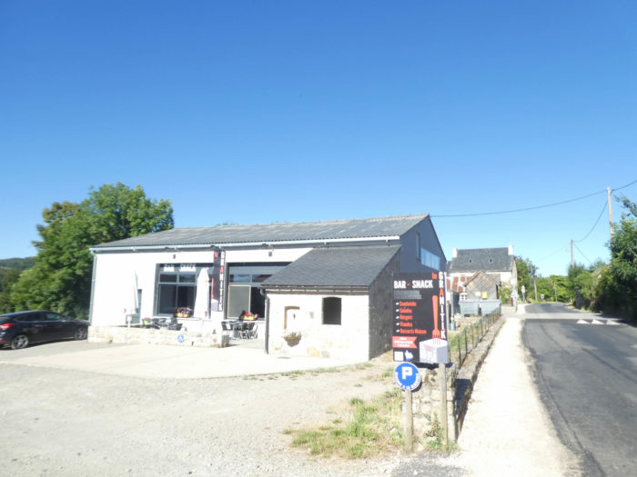
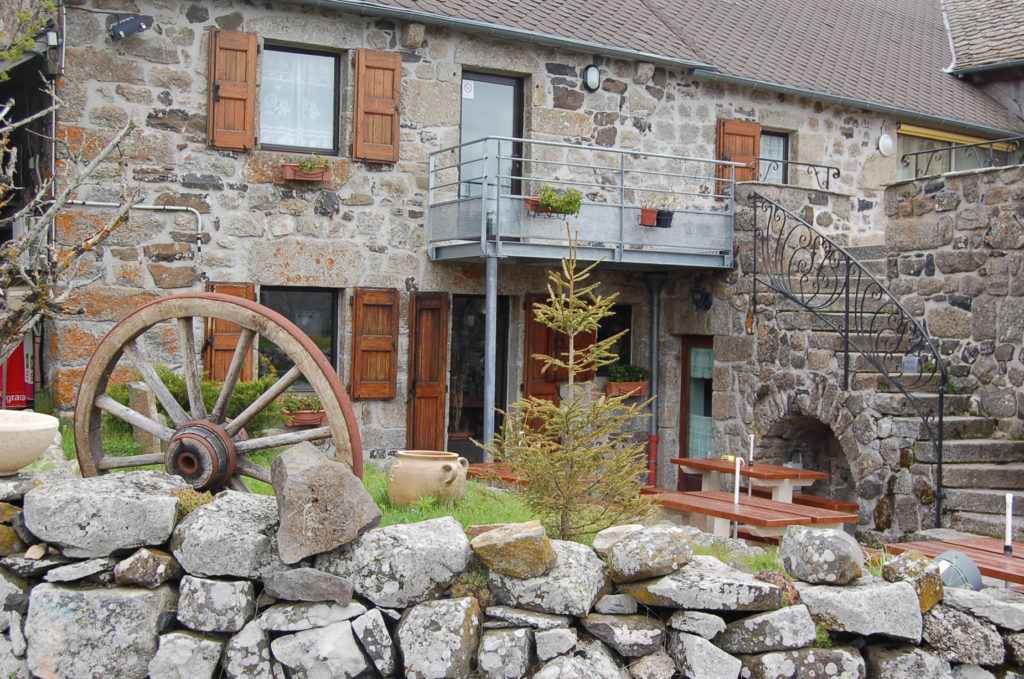
The road reaches Lasbros, whose lower part is a magnificent hamlet, compact, light gray, with its heavy and robust houses, made of stones cut in granite, with sometimes some additions of volcanic rocks, with its low and narrow windows, which allow you to observe without being seen. The people of the countryside are made that way. |
|
 |
 |
|
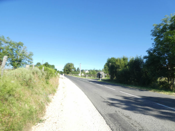
The GR65 follows the departmental road and its many speed bumps. |
|
 |
 |
|
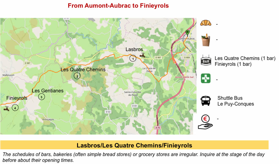
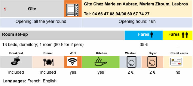
Leaving Lasbros, where you can also stay and eat, the GR65 quickly leaves the departmental road, and descends a little in the undergrowth on the tar. |
|
 |
 |
|
You may have the feeling that you have definitely moved from hardwoods to pines. That is not true, and men have probably planted other species. Trees often like to keep company. If pines like to live in isolation, hardwoods prefer group life. In the undergrowth, there are plenty of large trees, including oaks, chestnuts, Montpellier maples, country maples, and some hazelnuts and hornbeam shoots. |
|
 |
 |
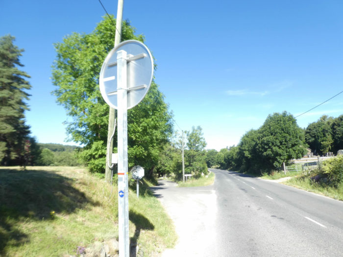
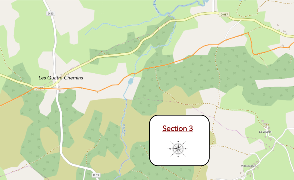
Section 3: Les Quatre Chemins, a recently-old mythical place of the track to Santiago.
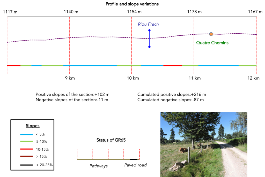
General overview of the difficulties of the route: course without any difficulty.
|
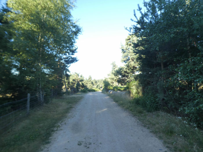
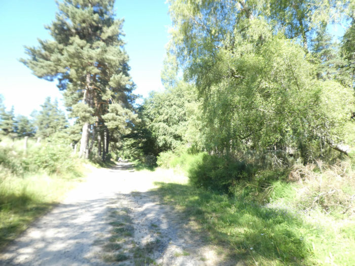
A dirt road climbs up on the other side towards the end of the undergrowth, in the hardwoods. |
|
 |
 |
|
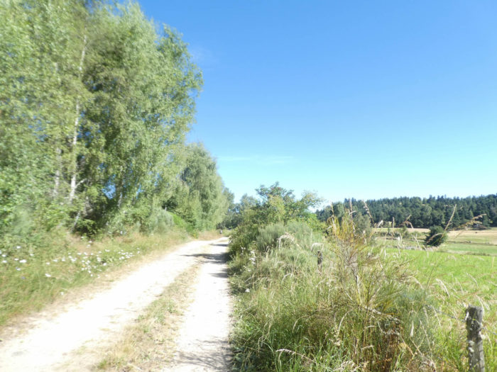
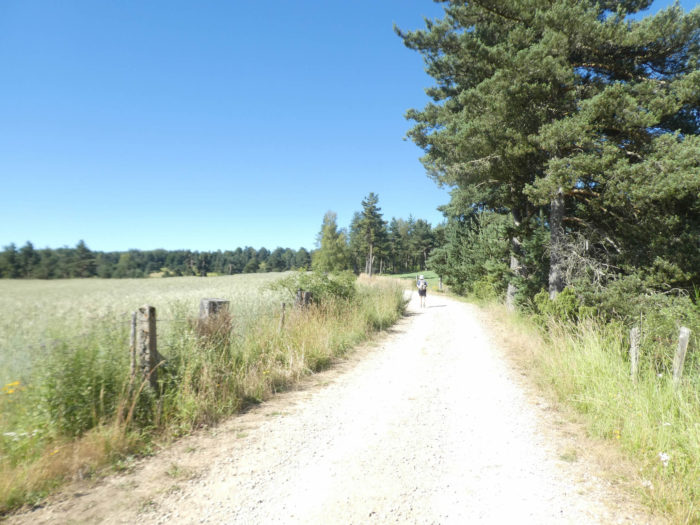
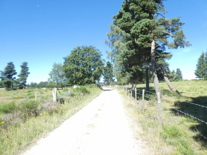
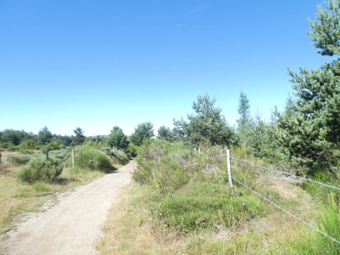
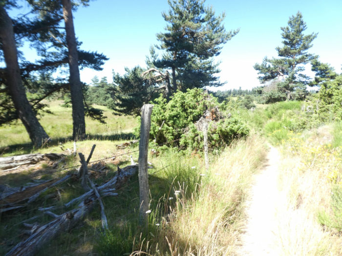
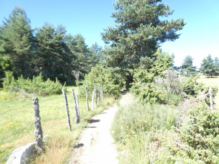
It’s wide, not very stony, a veritable avenue under the leafy trees, along the meadows lined with stakes stretched with barbed wire. |
|
 |
 |
|
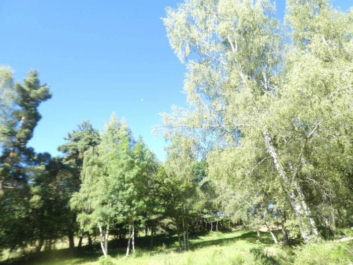
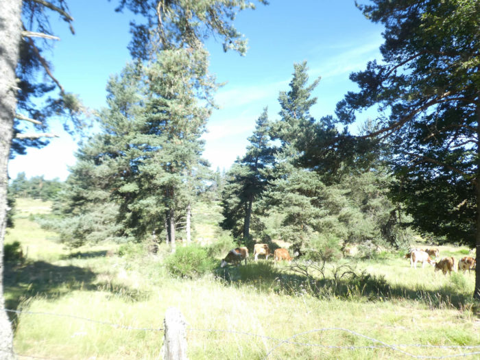
Are you finally going to enter the real magic of Aubrac that everyone is announcing? Not yet, patience! The dirt road continues its progression between the deciduous trees, but the pines are again more present. On the horizon, it is not yet the moor, but rather these large and beautiful meadows typical of Margeride, which are interrupted by small groves, where Aubrac cows graze, whose color can vary from white to brown. |
|
 |
 |
 |
 |
|
Further ahead, the route crosses the discreet Riou Frech brook, and continues its progression, between meadows, fields of oats and triticale. |
|
 |
 |
 |
 |
|
And yet the landscape is gradually changing. The moors locally diversify the places. The emergence of granite can be seen in the number of dry-stone walls that demarcate spaces, sometimes as large as pocket handkerchiefs. The slopes are interspersed with small groves of pines and deciduous trees, the rhythm of which dilutes as you climb up to the high plateau. It is then that the landscape opens up, with the feeling of passing through an island in the wind, among blueberries, boxwood and junipers. A sweet flagrance exhales from the hedges. There is a heady scent of resin, hawthorn and moss in the air. |
|
 |
 |
|
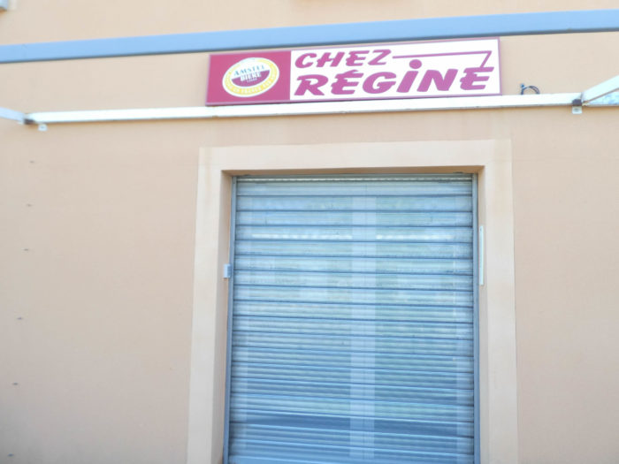
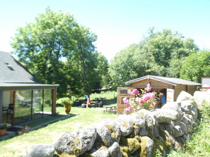
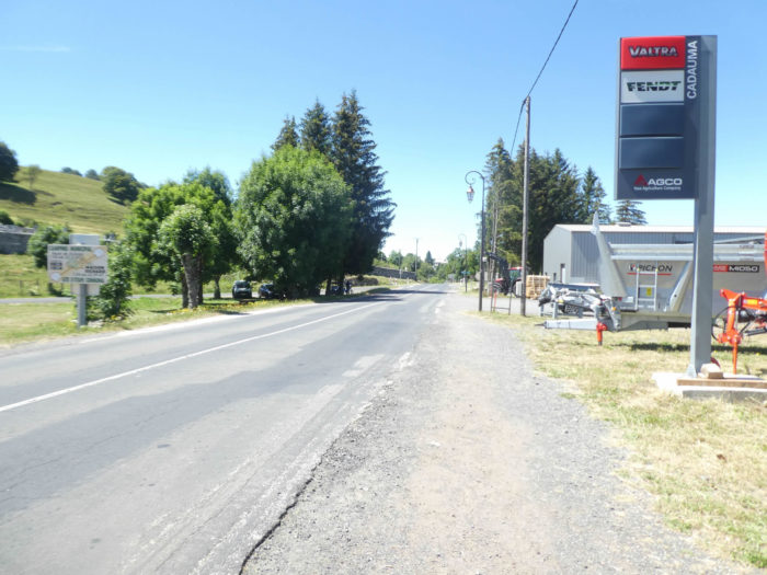
Soon, you’ll arrive at Quatre Chemins, at Régine’s, whose storefront is now closed. Régine passed away in February 2020. The news aroused great emotion among all those who love Aubrac trails, among the pilgrims who have spent unforgettable hours here, among all those who will one day learn the sad news. A sign hanging behind the closed shutters sends us a message from Régine across the skies. |
|
 |
 |
|
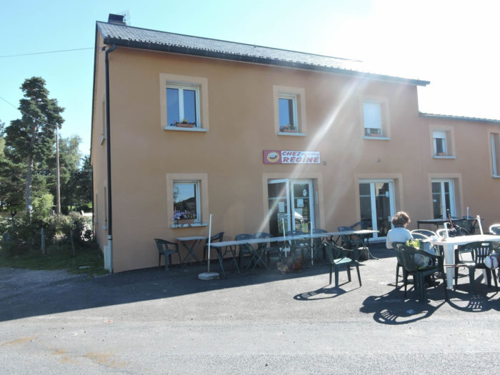
Les Quatre Chemins is a crossroads with a small café, on the banks of the Aubrac. The cafe was run by Régine. Truckers, pilgrims and walkers often stopped here. People who passed here several years ago wouldn’t recognize the place. The building burned down in 2011 and has since been rebuilt. Régine was a bit like the mother of the Camino de Santiago in her surreal tavern. It was a bit like Bagdad Café here. Leaning on the counter, sturdy truckers, local peasants gazed at you from under their thick eyebrows, sipping a shot of white in thick clouds of smoke. Apparently here, the smoking ban hardly applied. On the other hand, it was forbidden to do crosswords in the toilets! Régine had more than 85 springs, each day a little more bent, always thinner. On one last pass, she had resumed her eternal Winston which she still held glued to the tip of her lips. Every now and then she left the conversation at the end of the bar. Sometimes the hens would come into the kitchen. Régine didn’t care. Along the way, she had her ardent supporters, but also many detractors. So what? When his house was set in flames, pilgrims did not hesitate to raise a fund to rebuild his new house. |
|
 |
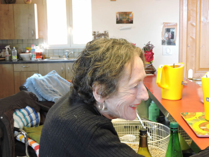 |
May the Aubrac Môme Piaf help us from the clouds on our long journey.

|
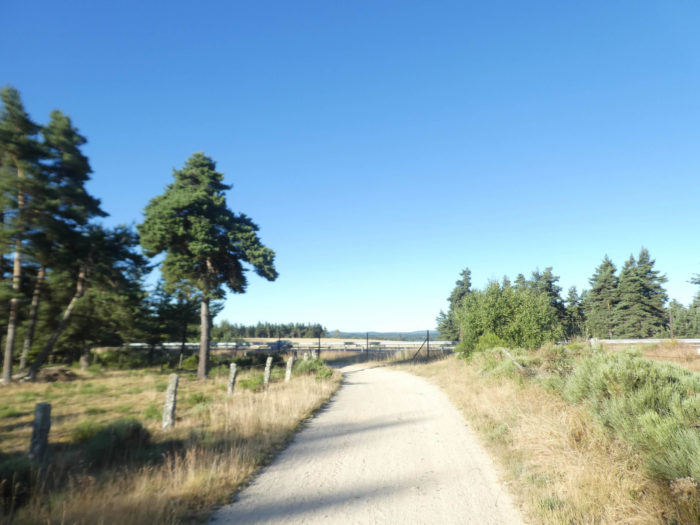
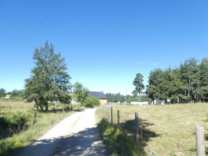
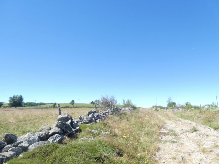
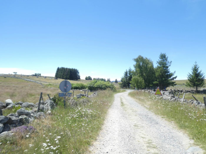
A few hundred meters on the road after the Quatre Chemins, a barrier on the invisible, and the GR65 goes off to discover Aubrac. |
|
 |
 |
|
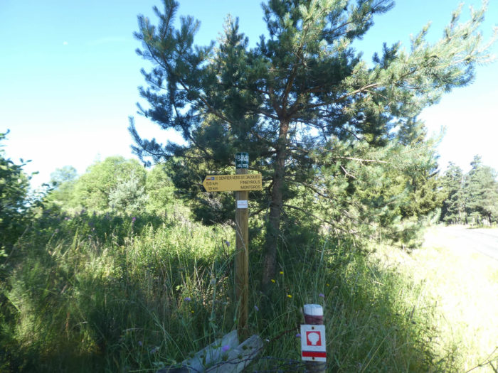
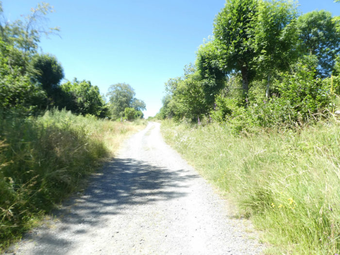
A sign indicates Finieyrols more than 5 kilometers from here, almost at the end of Aubrac plateau, for hikers. A narrow lane then winds through the weeds, as if they still had to hide Aubrac a little from your eyes. |
|
 |
 |
Section 4: In the majesty of Aubrac.
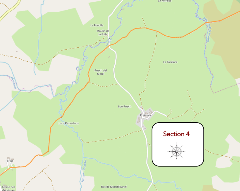
General overview of the difficulties of the route: a ramble again.

|
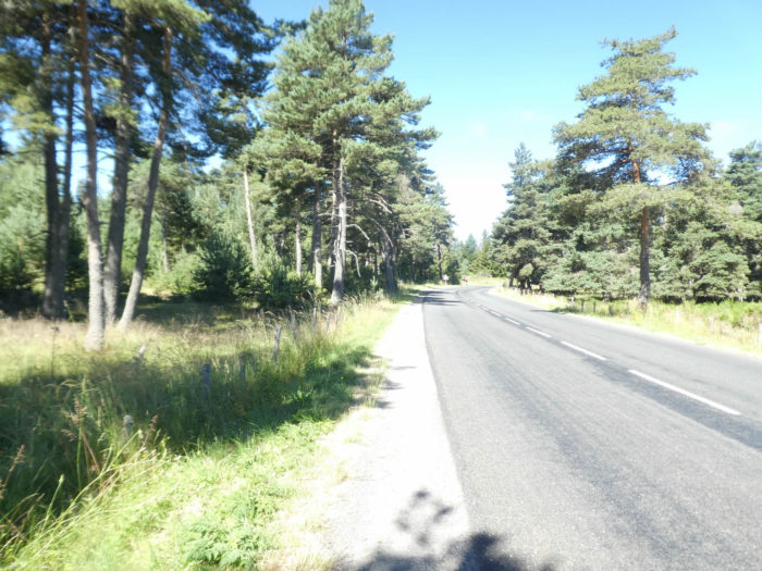
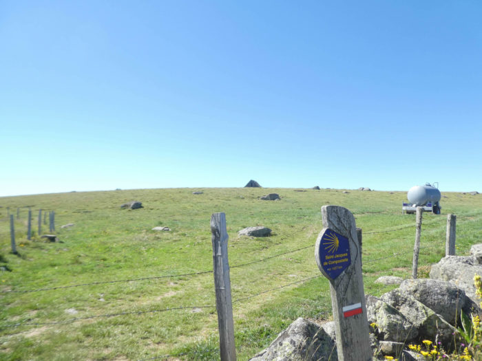
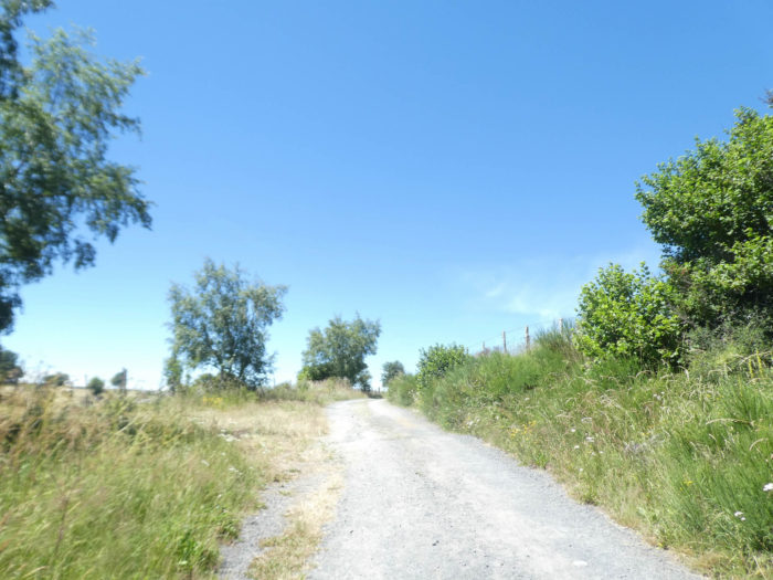
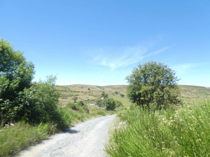
From here it’s really Aubrac, with its rare trees, its green brooms in early spring or in autumn. Walk here in May or June, they will be yellow. Here, the ground is often littered with old, gaunt stumps, near which the cows graze silently in lands often flooded in the event of a rainy spring. The dirt on the pathway often gives way to cool, damp humus. |
|
 |
 |
 |
 |
|
The pathway often narrows sharply in the moor. Everything seems eternal, but living beyond the space. Until the 12th century, the monks were almost the only pioneers to deal with agriculture. Carried away by their zeal, eager to flee the surrounding corruption, they retired to lonely places, to unhealthy regions, riddled with highway robbers, marshes or ferocious beasts. They cleared the forests, plowed the wasteland with their hands, and fertilized the soil. |
|
 |
 |
|
Of course, the landscapes here vary over the year. If you pass in the spring, you will see fields of daffodils and yellow gentians, and hundreds of wildflowers. The moor spotted with rare clumps of pines is crisscrossed with streams, in a sometimes very marshy ground. Sometimes in the marshes, large tree trunks blackened by their centuries-old sojourn in the mud remind you that here the forest has been totally destroyed, unless the men decide one day to restore the region to its sylvan scope. When the forest disappears, there are mountains whose summits are lowered, which die a little more every day. There are others who are not made ugly by their nakedness, who are even more noble. So is made Aubrac. But each season has its charm in this extraordinary universe. And all those cows who don’t say a word, but who think nothing less of seeing hikers and pilgrims parade every day, folded under their heavy bags. |
|
 |
 |
|
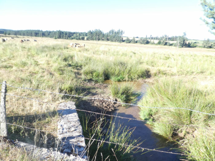
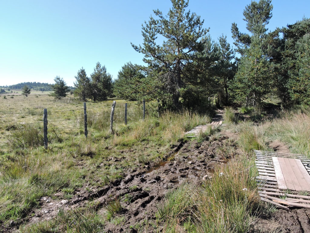
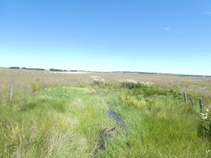
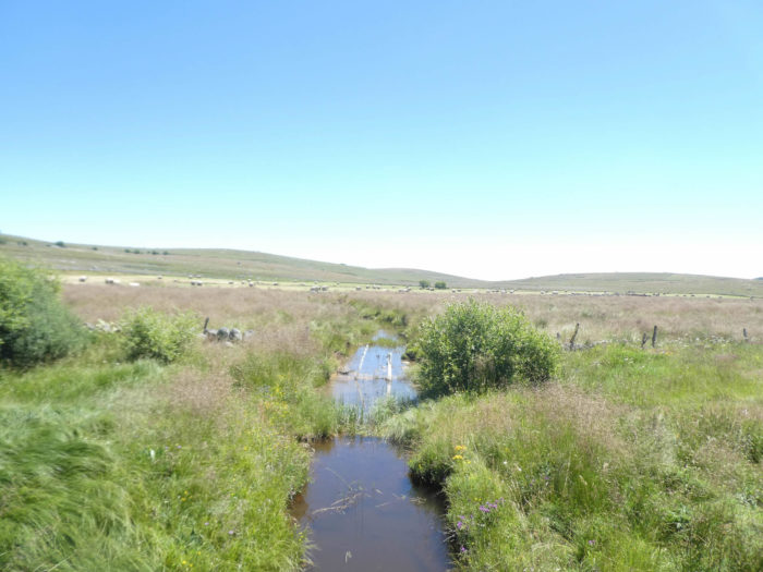
The route soon reaches the Planette brook, whose meager water seeps into the porous soil like a sponge. It is not good to venture into the moor here. Besides, the cows do not go there. |
|
 |
 |
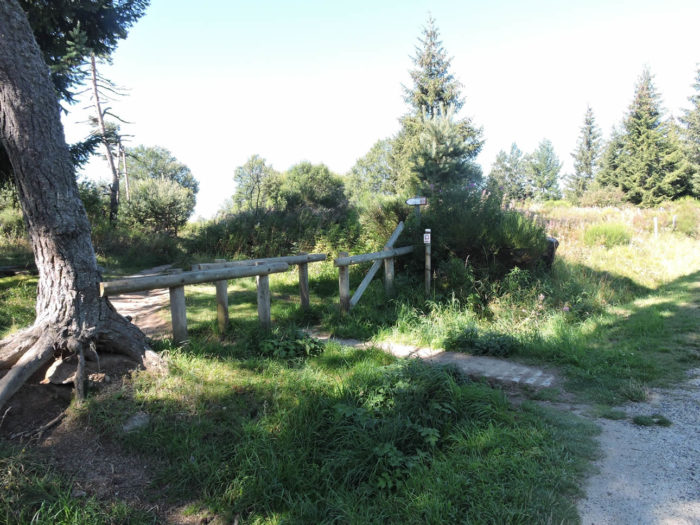
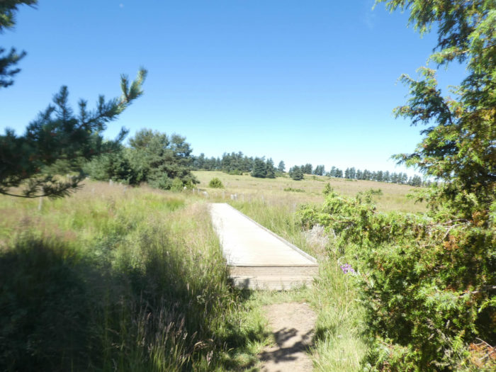
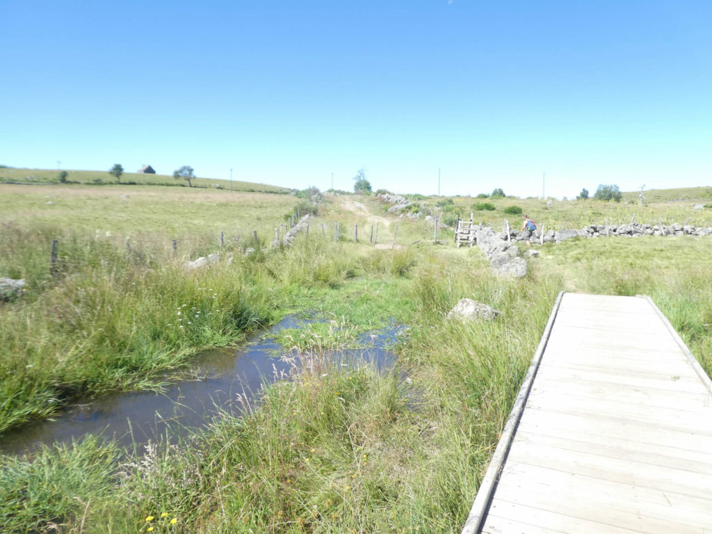
The organizers of the track have built now solid bridges here to cross the area. It used to be easy to get stuck.
|
Shortly after, the pathway emerges from the swamps, for a more varied universe, a little more wooded, with sometimes stumps that perish at the foot of the pines. |
|
 |
 |
 |
 |
|
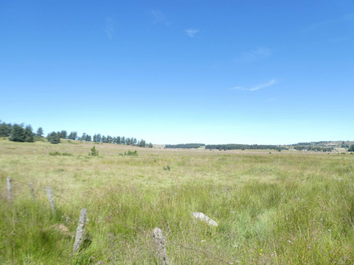
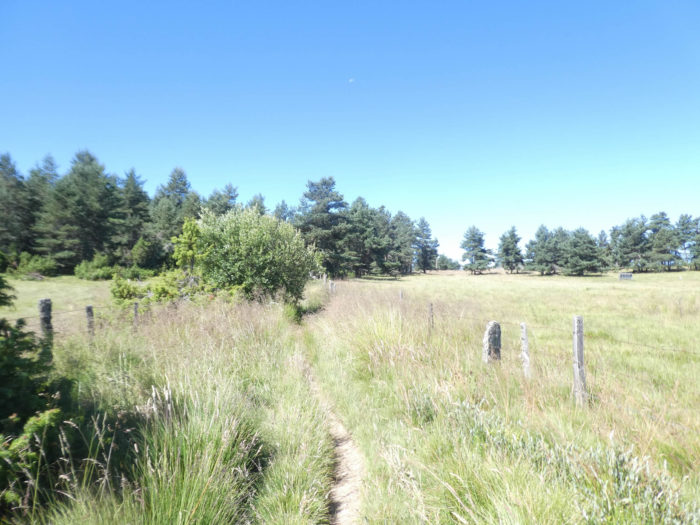
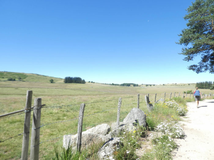
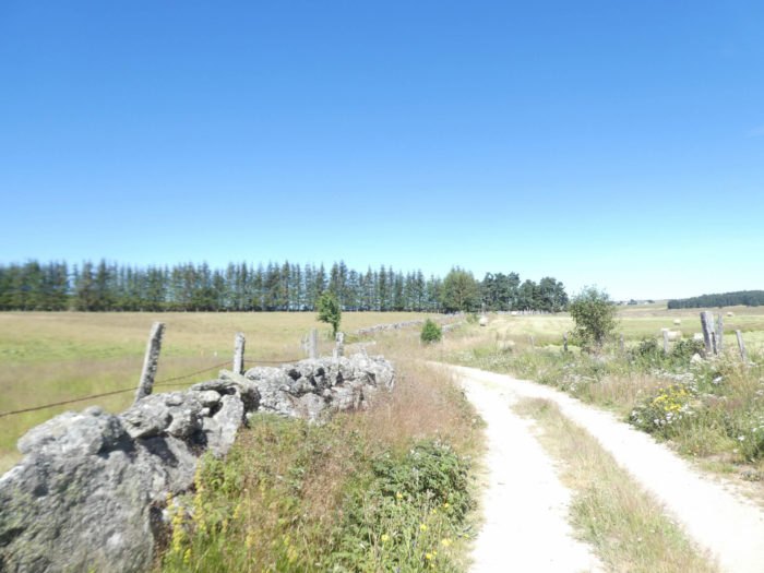
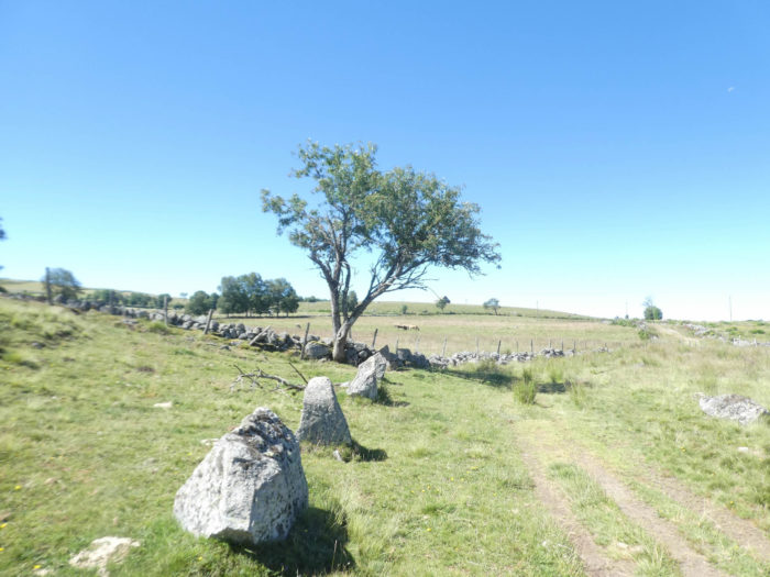
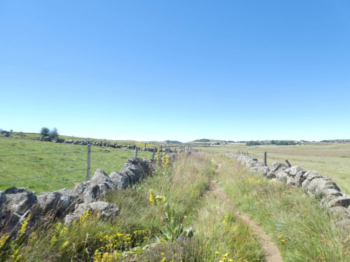
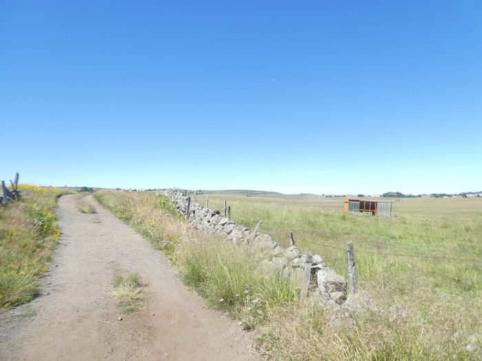
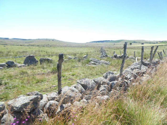
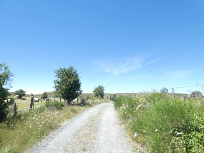
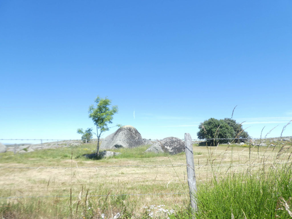
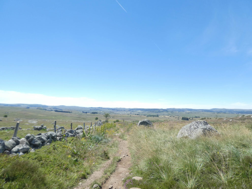
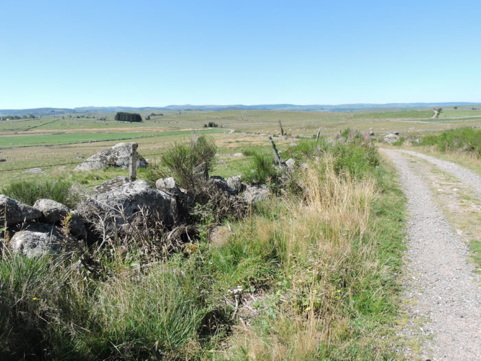
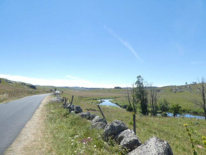
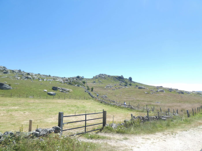
Further ahead, Aubrac finally opens up into vast pastures which dominate the landscape. Here and there, piles or small stone walls enliven a never monotonous landscape. And the pathway crosses the walls of stone and barbed wire. From all sides, the view is incredible over the pastures, the woods or the “burons”, these shepherds’ huts, perched on the hills. |
|
 |
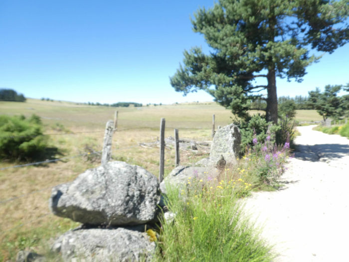 |
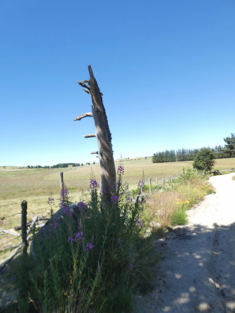
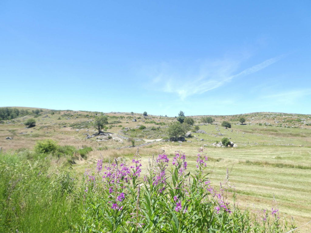
In this universe of majesty and naked solitude, where magic operates, fireweed throws purple spots on the yellowed aridity of pastures and moor.
|
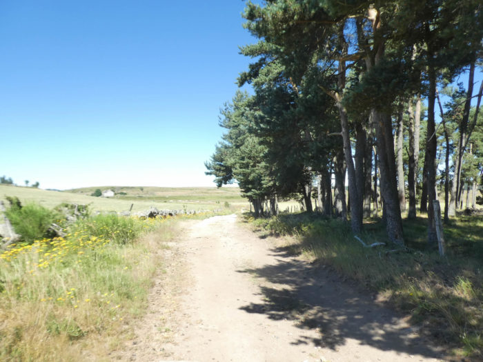
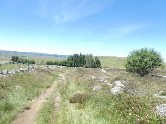
There is always something scary and exciting about nudity. So, sometimes the landscape is dressed in pine woods to appear less bare. Do not think that Aubrac is made of pocket handkerchiefs surrounded by low walls, as shown in many guide books. There are also large spaces where they cut hay. As in the Alpine pastures. |
|
 |
 |
|
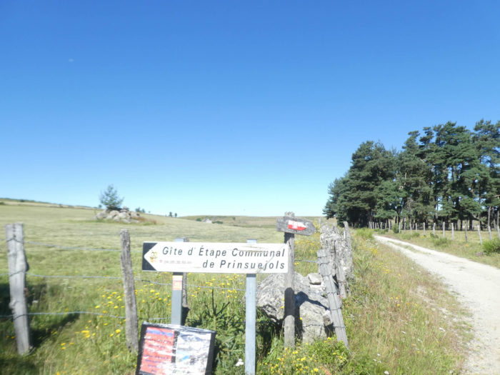
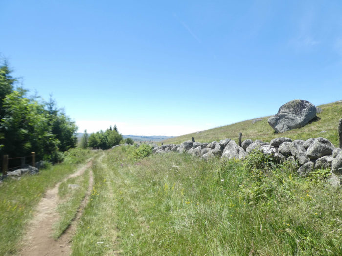
Along the way, a direction is indicated for Prinsuéjols hamlet, a few kilometers from here. Yet, the route does not go there, just running along the pine wood. Isn’t it attractive this little wood, to take a nap or have a picnic? Yes, but to get there, you will have to cross the barbed wire, like in war. A perilous exercise, which we have had the privilege of doing many times in more secret Aubrac trails. |
|
 |
 |
|
Sometimes along the way you even have to practice a little bit of climbing. In the old days, when the pathway crossed the enclosures, you just opened and closed a removable wooden gate. Weren’t the cattle playing the same game? Today you have to learn to climb and descend the ladder, a more delicate exercise for the many retirees on the track to Santiago, and for the cattle obviously. |
|
 |
 |
|
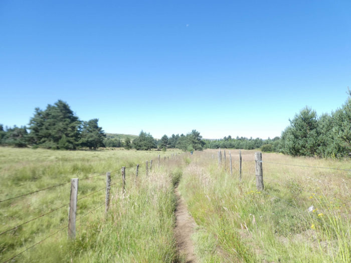
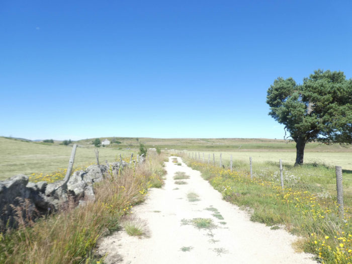
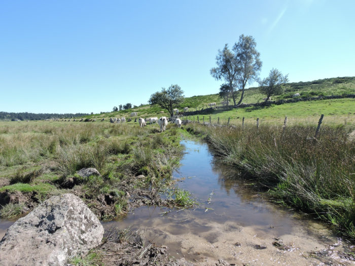
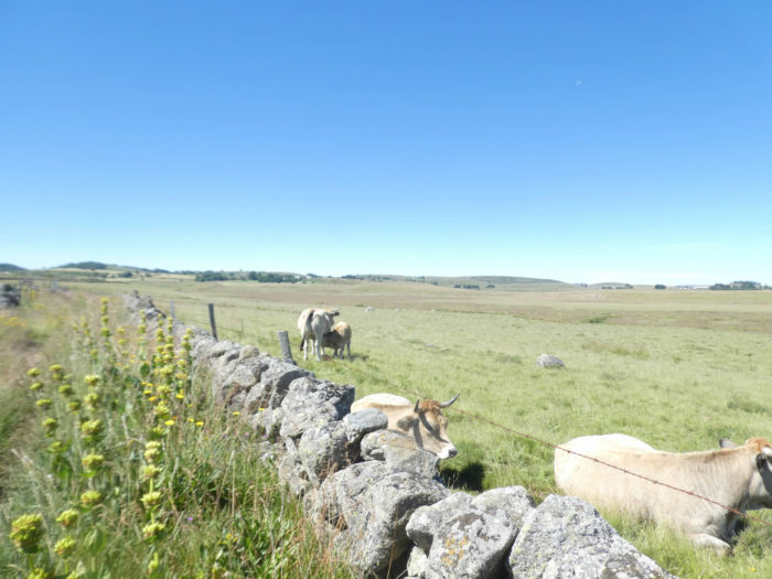
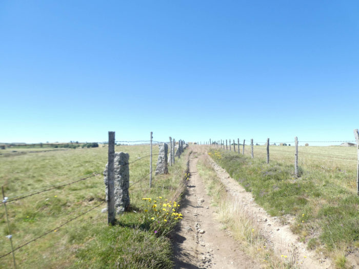
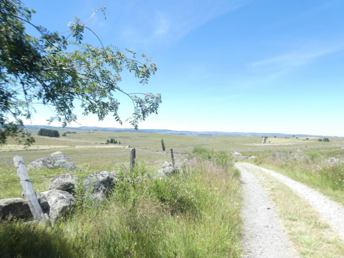
The dirt or grassy road will soon progress on slight false flats, along the granite piles, along the Jasses brook. These are not real streams, rather water coming out somewhere, of which you neither know the entry nor the exit. In Aubrac, the cattle are parked in pastures lined with wire, planted on large blocks of granite. It’s not easy to escape. So, think about the air of superiority that must be exhibited by cattle who have been fortunate enough to inherit well-irrigated places. |
|
 |
 |
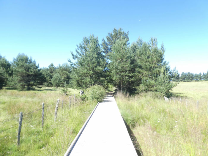
Today, the equipment is ad hoc to cross this marshy area.
|
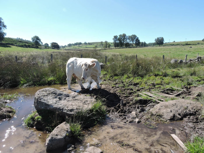
So, let’s go back to a few years ago, when it was funnier to face this type of pitfall, when you had to learn to go through them. A herd of Aubrac tasted the pleasures of the stream. The cow, with the feet in the water, contented herself with taunting out of the corner of the eye a pilgrim that had little luck. The cow must laugh about it again. |
|
 |
 |
 |
 |
|
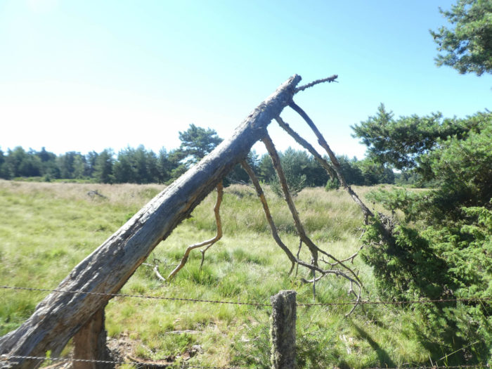
And since we are in the past, here are more twists and turns that sometimes occur. Only the fences, difficult to cross, limit the freedom of the hiker. For the cows too, although here a bull has escaped. This placid and harmless male still wonders how he managed to get over the barbed wire fence. |
|
 |
 |
|
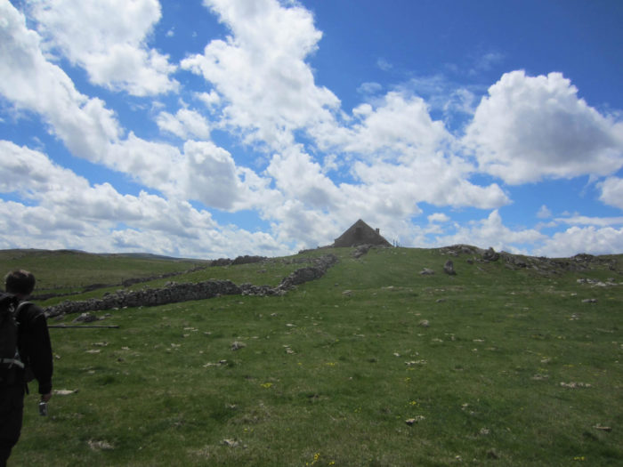
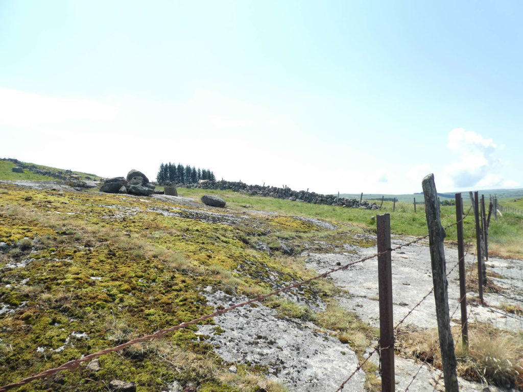
Further on, the pathway becomes stonier, climbs a little, but very little, along the blocks of granite. In Aubrac, the higher you go, the more granite becomes abundant. Up there, on the hills, the “burons” point out like little bell towers. These modest stone houses were almost always built on the hills, perhaps to get a wider view of the herds below. |
|
 |
 |
|
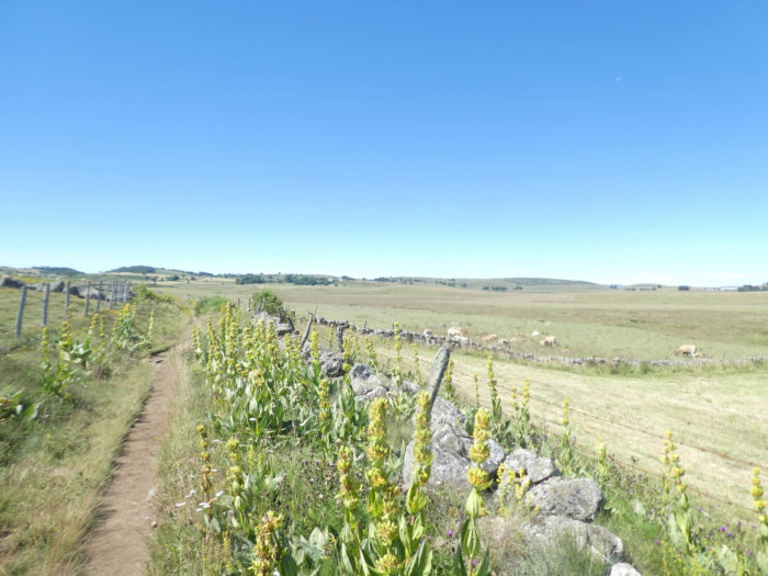
At the start of summer, the flowers had clearly disappeared from Aubrac plateau. If, in spring, daffodils and orchids form real beds in the country, large flowers scarcely remain in summer except fireweed, buttercups, anemones and especially yellow gentians. These large flowers, with powerful roots, are the flagship of Aubrac, with the root of which an excellent liqueur is made, less alcoholic than its cousin from the Alps, the blue gentian. Yet, they do not pick them all. Yellow gentians can live up to 50 years. |
|
 |
 |
|
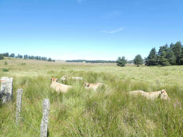
What indescribable charm provided by these herds of cows living in freedom in unspoiled nature! Here a mother is breastfeeding her calf. |
|
 |
 |
|
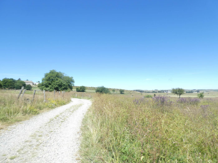
No shade, until you reach the Gentianes Farm, and a little further on Finieyrols, which can be seen on the hill. |
|
 |
 |
|
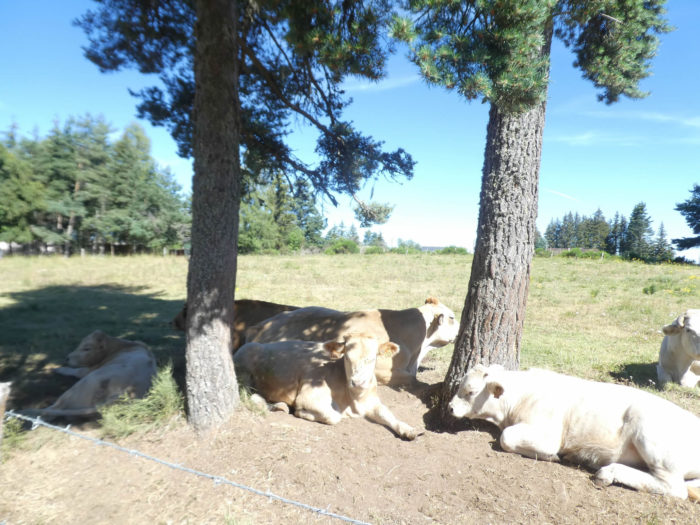
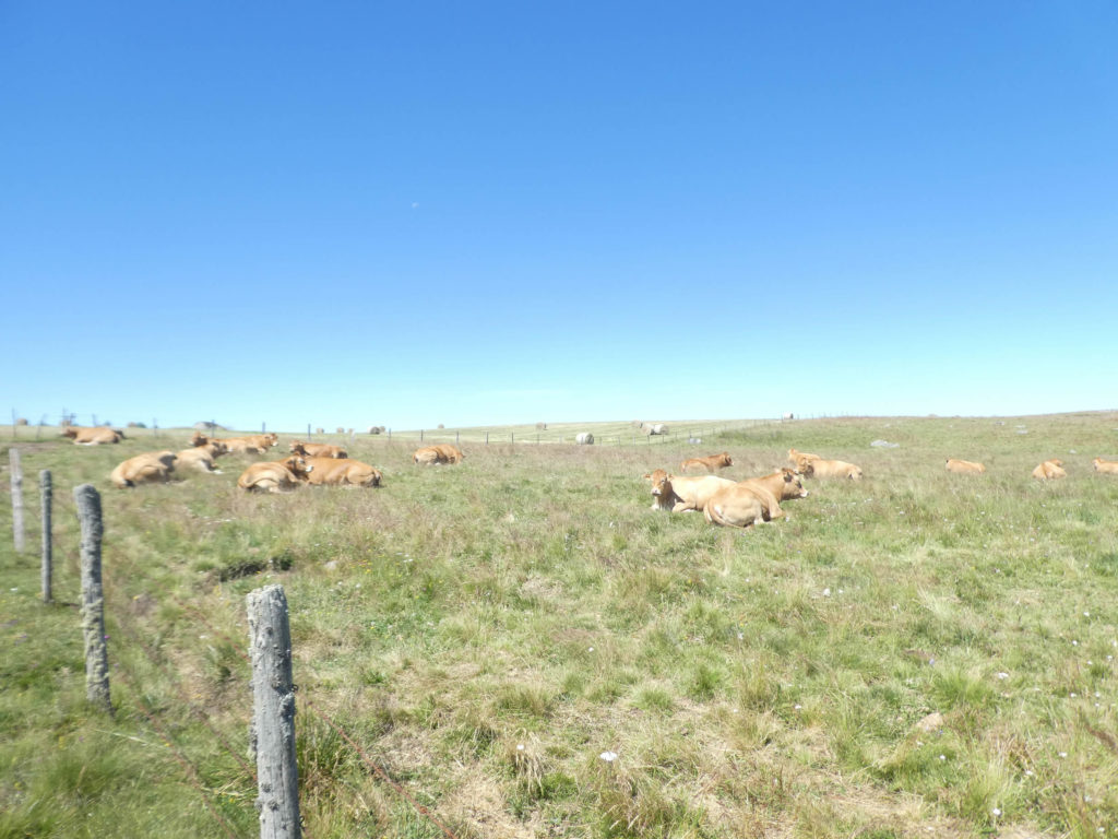
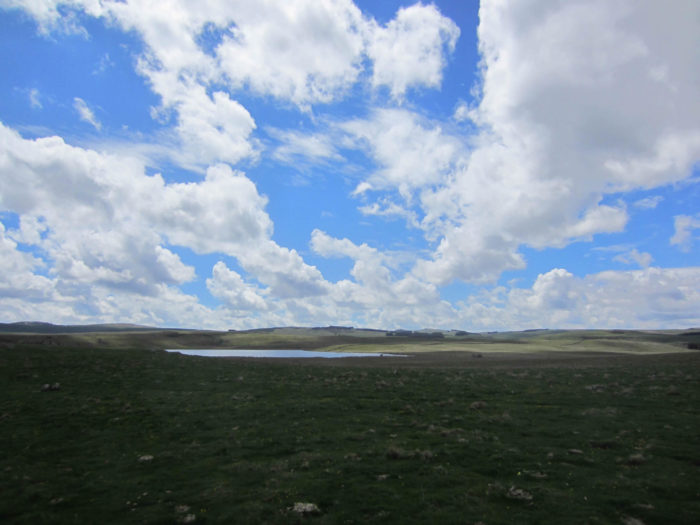
Incredible feeling of calm, freedom, immensity, infinity, this is the high plateau of Aubrac. It is an empty space but one which hides so much wealth. However, cattle are not always abandoned. Even though the water is relatively limited on the plateau, sometimes there is a little help available to these cows who spend most of the day lounging in the grass. |
|
 |
 |
Section 5: Towards the Roc des Loups, at the top of the world.

General overview of the difficulties of the route: rambling, again and again. The only difficulty, but it’s minor, is the Roc des Loups.

|
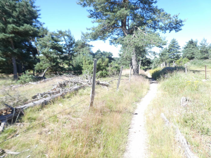
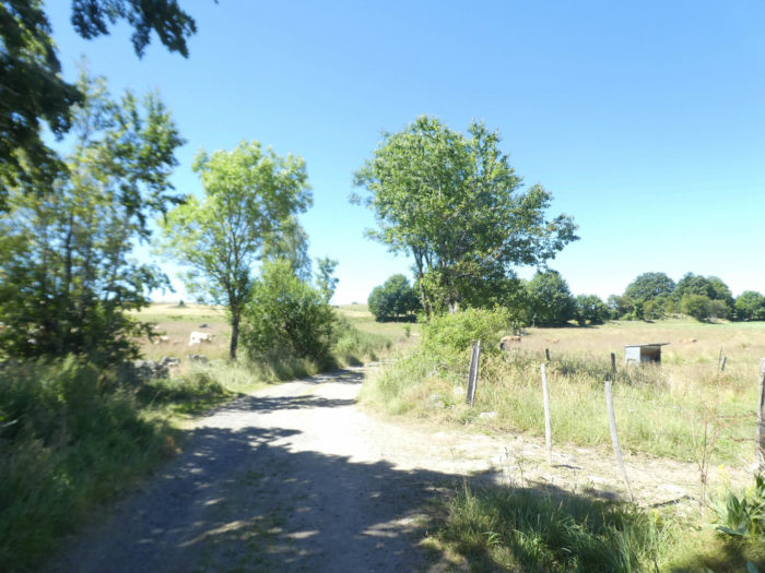
Then the pathway remains a little longer along the granite walls and barbed wire in the wild moor, before soon finding some shade under the ash trees and a semblance of civilization, so rare in the country. |
|
 |
 |
 |
 |
|
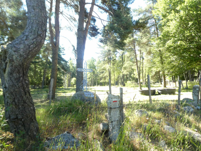
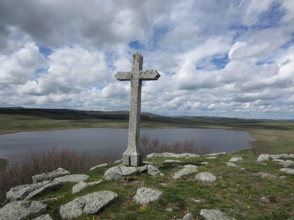
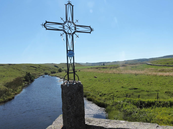
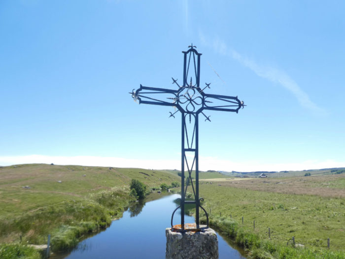
It soon joins a small asphalt road near a beautiful iron cross set in a granite base. |
|
 |
 |
|
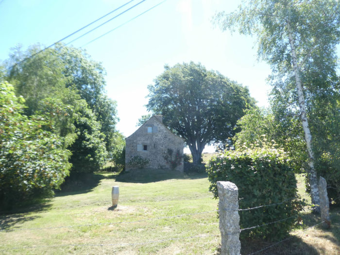
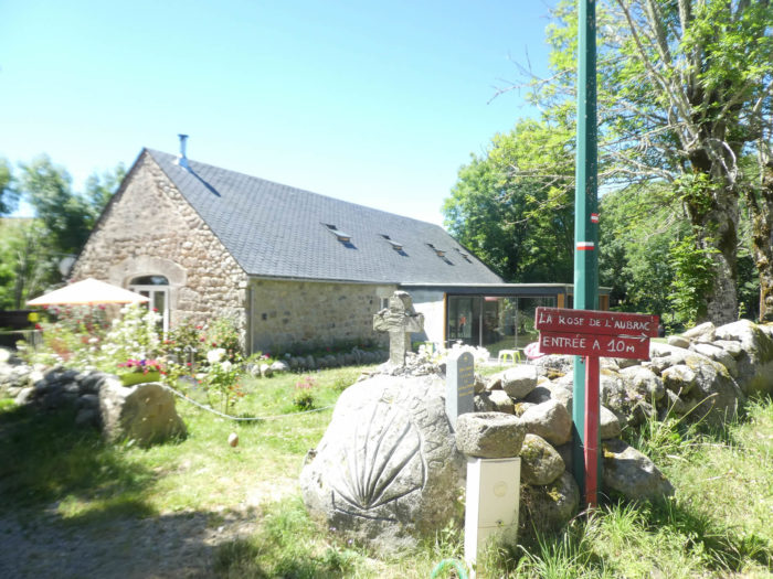
A beautiful stone house stands under the trees, and the small road joins Gentianes Farm, where you can stay under the trees of the park. |
|
 |
 |
|
A small paved road heads from the Gentianes to Finieyrols. Along the way, a memorial recalls the fate of Louis Dalle (1922-1982). Interned in the Buchenwald camp, then became a priest, he spent the rest of his life as a missionary in Peru. |
|
 |
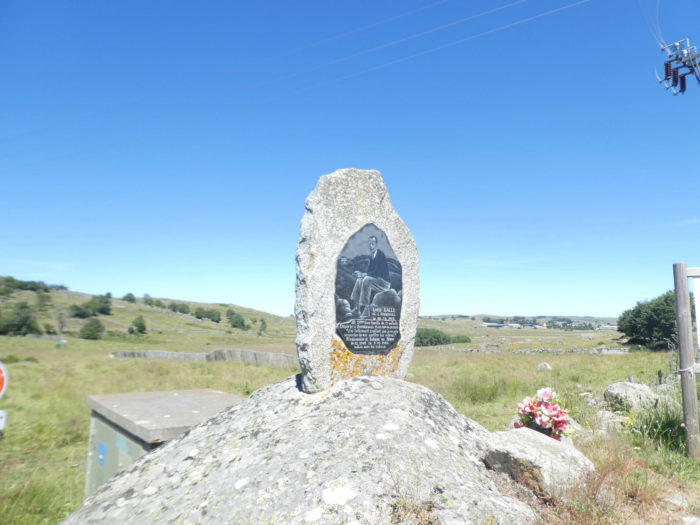 |
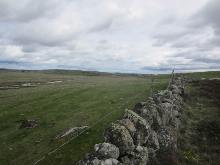
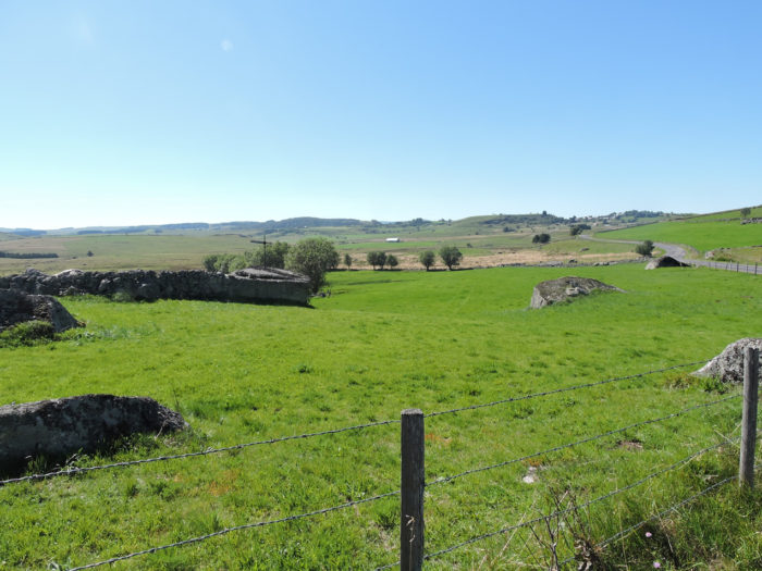
The Aubrac plateau is a place of great solitude, an immense steppe. There used to be forests here. The monks tore them up a long time ago, to protect the pilgrims from thieves and wolves that roamed the land. Today the plateau is almost bare. The stone walls and the wire of barbed wire, sometimes nibbled by nettles and brambles, are all its poetry. The landscape is fascinating, in all directions. It’s a bit like being on top of the world, in light and clean air.
The enchantment peaks in spring when the fields are covered with carpets of wild flowers. One day it will be lion’s teeth and daffodils, another day it will be orchids, violets, daffodils, arnica, anemones and gentians. In autumn, only the barrels of yellow gentian, heather and green broom remain. Here is Finieyrols in the spring.

|
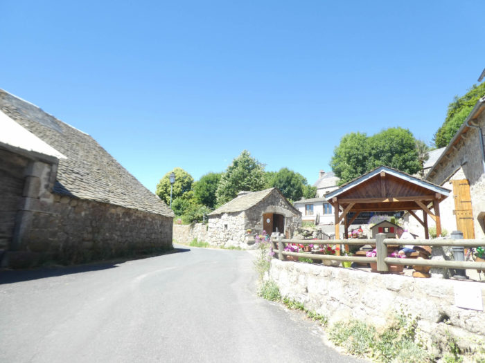
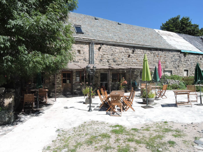
The road soon gets in Finieyrols, a cluster of large stone buildings, which also houses Louis Dalle’s birthplace, with closed shutters. You can also find accommodation and food here, on a terrace, which is often well attended. |
|
 |
 |
 |
 |
|
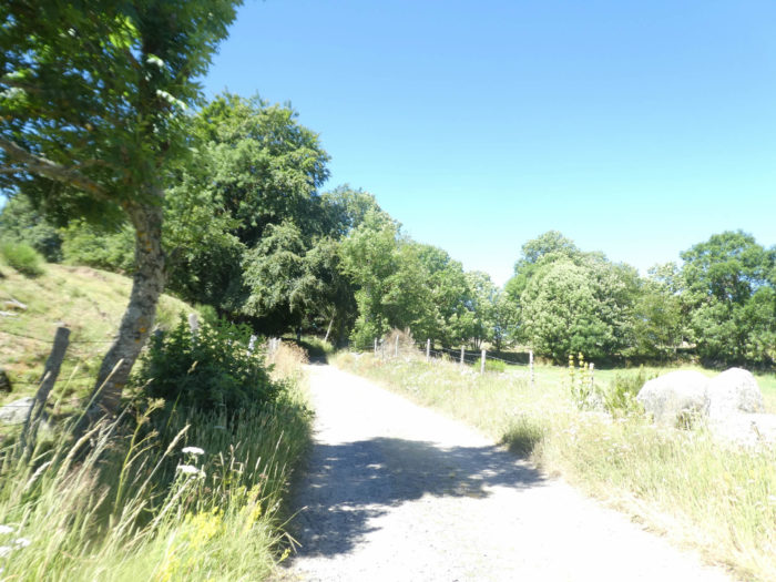
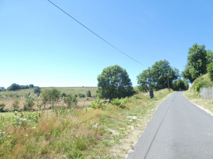
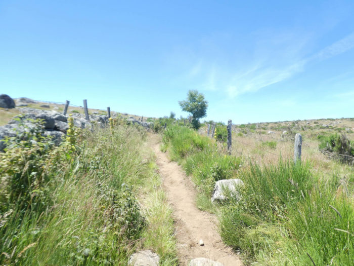
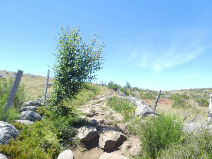
It is beyond Finyeirols that a slightly steeper climb, the only real of the day, takes the walker on a stony lane through pastures and granite rocks at the highest point of the day. However, climbing is practiced in stages, with even an intermediate downhill. At the start, the climb is not severe. Ash trees have taken over the hill, sometimes with a little hornbeam shoots and country maples. |
|
 |
 |
|
Further up, the slope stabilizes amid fields of broom and wild flowers. |
|
 |
 |
In these postcard decorations, the eye is lost on the small blocks of granite scattered over the short heathland up to the top of the hill.
|
Further afield, the pathway descends to pass Peyrade brook, at the bottom of a dale. |
|
 |
 |
Then stretches out in front of you, behind the fireweed, the Roc des Loups, with the pathway winding along the small blocks of granite that play with the hill.
|
On an incline of more than 10%, large blocks of limestone, worn out by the centuries, bar a graceful lane that runs through heather and broom on the ocher ground. |
|
 |
 |
Aubrac, as you may like it…
Wait for the video to load.
|
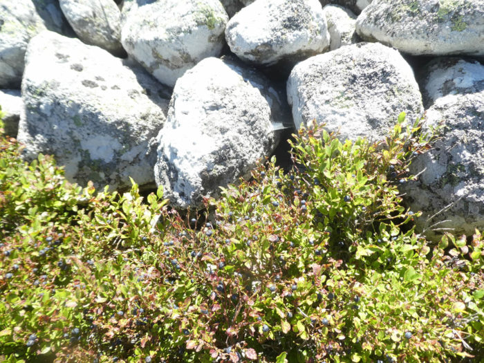
The climb is neither too long nor too demanding. If you spend the right time here, you can taste the flavor of wild blueberries, much smaller than those you find in your favorite stores. |
|
 |
 |
At the top of the hill is the Roc des Loups, 1273 m, where a large block of granite divides the universe in two. From the top you’ll contemplate infinity.
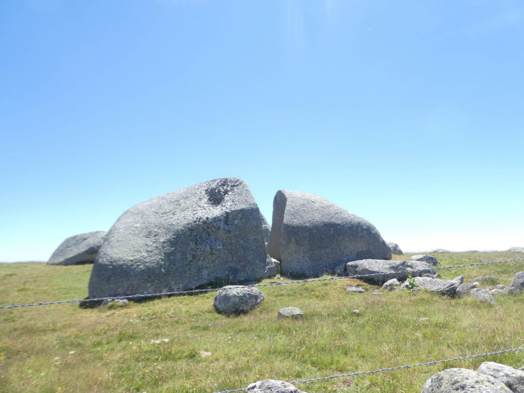
Aubrac is a granite pedestal at an average of 1,000 meters above the sea. On this pedestal sometimes stand cones of basalt, witnesses of the frantic activities of Vulcan and Hephaestus in the past. Yet, it’s mostly granite that points here. The pilgrim walks here in the happy times of the year. So, he has no time to put under his ward the herbs whipped for eight months of the year by the icy winds and snow. This is the Siberia of Aubrac, snow-white from April to October, where the abominable wind blows, there where their eyes strayed, their eyes burnt by the cold, so many pilgrims of the Middle Ages, saved by happiness by the tolling of the bell of the church of Notre-Dame des Pauvres in Aubrac.
The landscape is just as striking, majestic on the other side of the Roc des Loups. A trained eye will identify on a clear day, as against the backdrop of the horizon, the snowy mountains of the Massif Central.
|
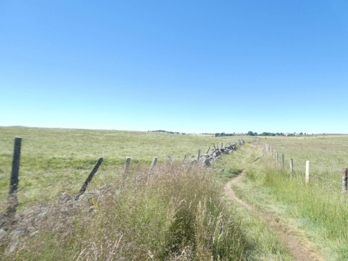
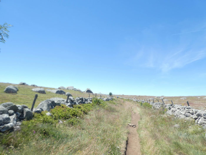
The pathway then wanders a little on the ridge, in the moor pastures, in the middle of small granite blocks or along stone walls clad in rusty wire. |
|
 |
 |
|
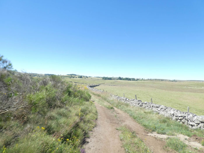
Then it slopes down to the other side of the hill, first by the same path lined with large stones, then lower down by a wide dirt road that weaves its way through the endless space crisscrossed by stone walls. |
|
 |
 |
|
Aubrac is again this adorable breed of cows who find the grass to be best where pilgrims walk. |
|
 |
 |
|
In Lozère, the volcanic accidents which spread a carpet of hot lava on the cold granite massif have often changed the intimate structure of the relief. But they stopped on the plateau where the Bès and Truyère flow, leaving granite alone all the pleasure of keeping its place, if not a few volcanic scoriae lying around here and there. But, the limestone has sometimes also spread over the massif by the oceans. The pathway, gradually widening, quickly returns to the bottom of the hill. |
|
 |
 |
|
The route then finds the Peyrade brook again, another stream that seems to come and go nowhere. |
|
 |
 |
Section 6: To join the Bes River, the small river of Aubrac.
General overview of the difficulties of the route: rambling, again and again, except when climbing towards Montgros.

|
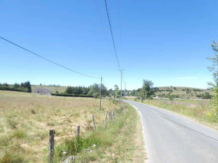
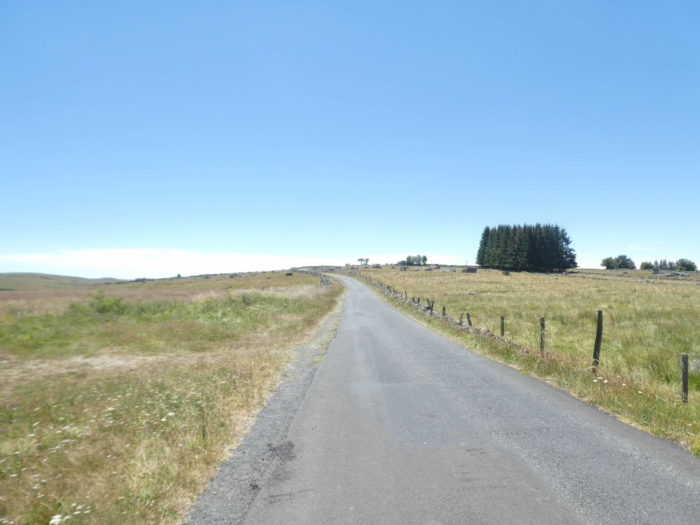
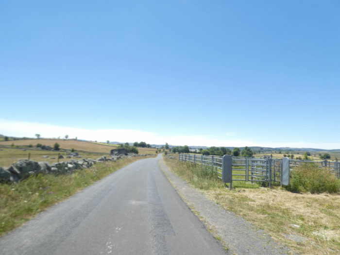
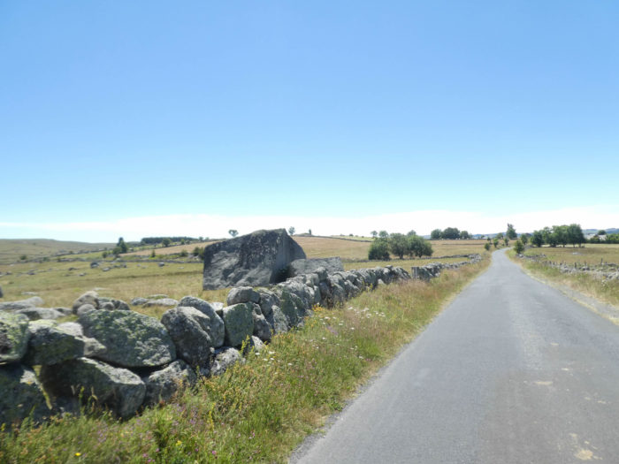
After a few swamps, the asphalt returns, which cannot be said to alter the landscape here. The eye wanders the moor with so much delight that you’ll even forget where you are stepping. Everywhere, they are large blocks of granite backed by bitumen, or scattered in the meadows. |
|
 |
 |
|
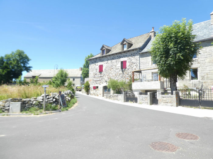
The road leads to the stone houses with slate roofs of Rieutord. It is an austere village, rooted in granite. You quickly understand that massive houses are ready to fight against all winds, against all storms, snow to snow, from one winter to the next winter. |
|
 |
 |
 |
 |
|
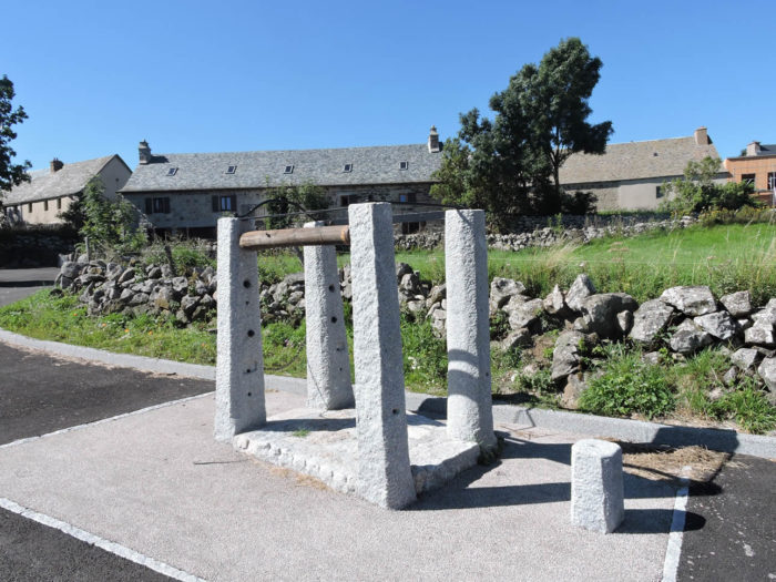
Here too, the traditional device of shoeing the oxen takes pride of place on the village “couderc”. |
|
 |
 |
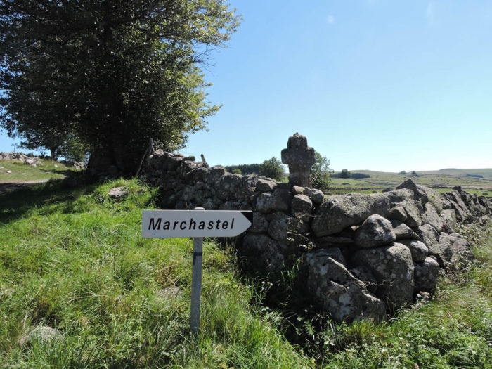
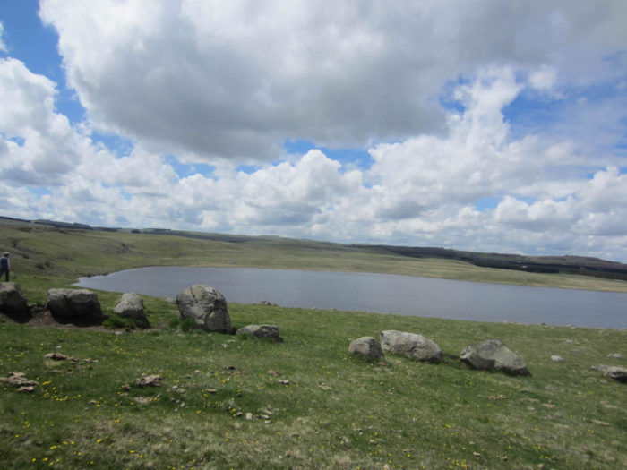
In Rieutort, there is a a choice. The now traditional track, the GR65, reaches Nasbinals, via Montgros. The variant, the GR65A, the old pilgrimage route, does not go to Nasbinals. It passes Marchastel, Lac Saint-Andréol, then Aubrac, or even directly towards St Chély d’Aubrac. If you like cheese, there is yet another reason that will undoubtedly make you choose this variation, at least for one part, because in Marchastel, you can enjoy a cheese platter worthy of kings at the inn.
Evil tongues say here that the route of the “Camino de Santiago” is only a question of commercial policy. Nasbinals would never have developed as much as it did without the passage of the track. Let us not forget that the Camino de Santiago is a saving grace for all these small villages. But that’s not really the reason. The GR65 crosses marshy areas that must be protected. Therefore, today, this route is no longer in use and barbed wire along the road prevents its access. But don’t let this stop you from going as far as Marchastel.
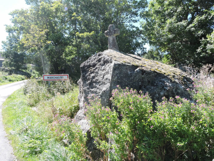
We will return later on the traditional track. For now, let’s embark on the variant. The GR65A leaves Rieutort and takes a small road uphill for 2 km to Marchastel, under a small hill that can easily be seen on the Aubrac plateau.
 |
 |
|
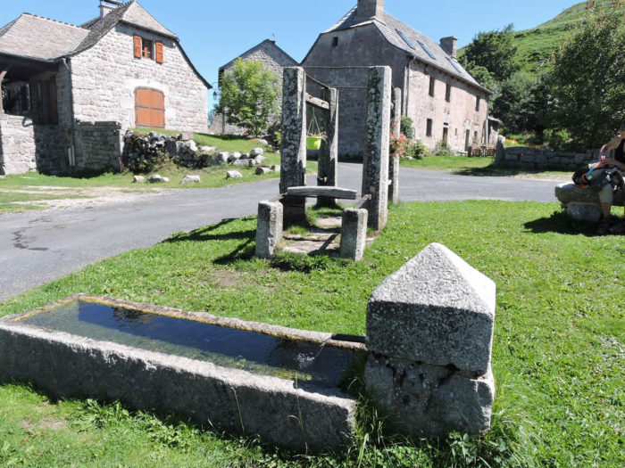
Marchastel, like many self-respecting villages in Aubrac, is notable for its massive granite houses and its fountain. You will probably not be very surprised that oxen used to be shoed here too. |
|
 |
 |
|
Lovers of good food will lose nothing by making the detour to Marchastel. At the local inn, the Aubrac cheeses are a real treat. Cow, sheep and goat compete for space on the immense plateau, undoubtedly the best of what can be tasted in the country. Extraordinary! |
|
 |
 |
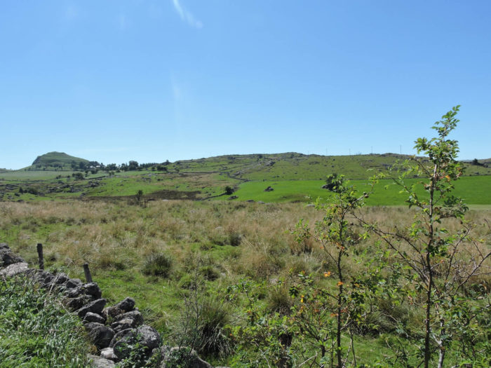
Here are some images of pristine nature taken at a time when it was possible to follow the variant beyond Marchastel.
 |
 |
 |
 |
|
In Marchastel, you can also join the GR65 again on the bridge over the Bès, near the Grange des Enfants, down a small pathway under the village. |
|
 |
 |
|
Obviously, the pilgrims, for the most part, either because they do not appreciate the cheese or are not aware of the variant or because they do not want to, follow the traditional GR65 pathway from the “couderc” of Rieutort. Yet, rest assured, the course is almost as majestic as on the variant. A little less wild, yes, because it’s tarmac. It is a small road that leaves the village under tall ash trees, maples and oaks. The trees are giants here, a big contrast to Aubrac steppe. |
|
 |
 |
|
Quickly, you’ll find all the infinity of the country, the small stone walls, the low pastures. The gaze is lost with delight on the blocks of granite scattered in nature, the tiny groves of pines at the foot of the hills. |
|
 |
 |
|
Herds of peaceful cows, close or high far, “burons” or isolated houses on the hills, nothing is missing here from the ordinary Aubrac menu. |
|
 |
 |
|
The panorama is grandiose, exceptional. Sometimes even the moss tries to survive on the granite slabs. |
|
 |
 |
You will have a hard time finding elsewhere on the Camino de Santiago landscapes with as much majesty as here. Don’t be surprised by the color of the decor. Sometimes we use images from various passages we have made on the way. And often the light illuminates the landscape in different ways.
|
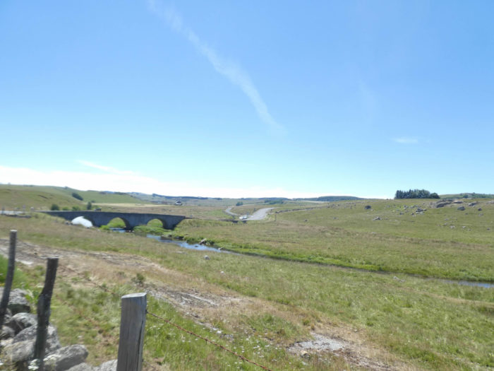
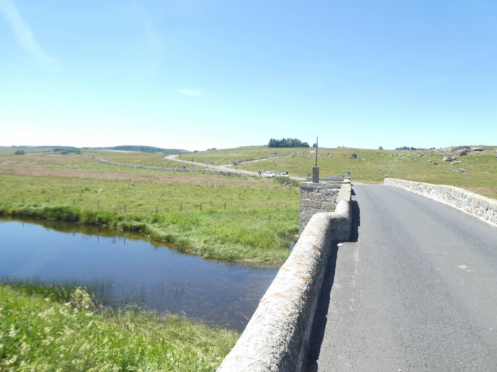
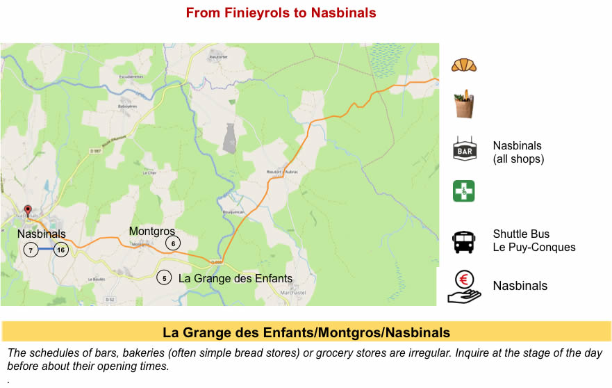
The paved road slopes down smoothly to step over Bes River, over a magnificent stone bridge, built in the 16th century, sometimes called “Bukinkan bridge”, by analogy with Buckingham, the English having once passed through the region. The small river, clear and peaceful, drains all the streams in the region. This is also where you will arrive when coming down from Marchastel. |
|
 |
 |
 |
 |
|
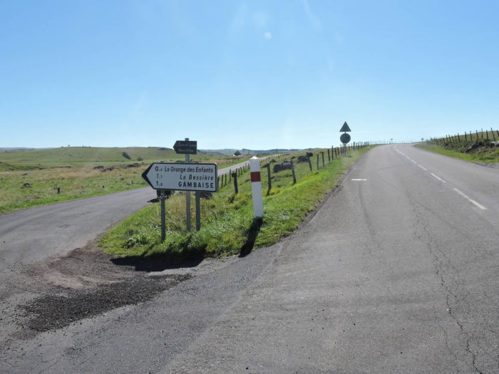
At the bridge over the Bès River, the GR65 finds a small departmental road that heads to Nasbinals, passing through Montgros. Very close to the bridge, at the Grange des Enfants, you can find accommodation, in a beautiful and large building, lost in the middle of nowhere, undoubtedly one of the most fascinating residences in Aubrac. |
|
 |
 |
|
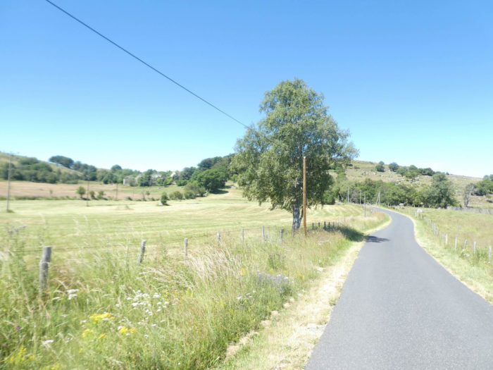
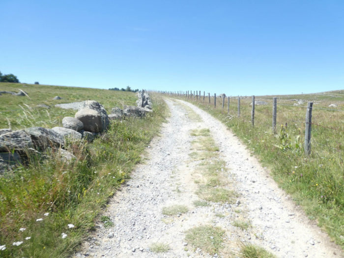
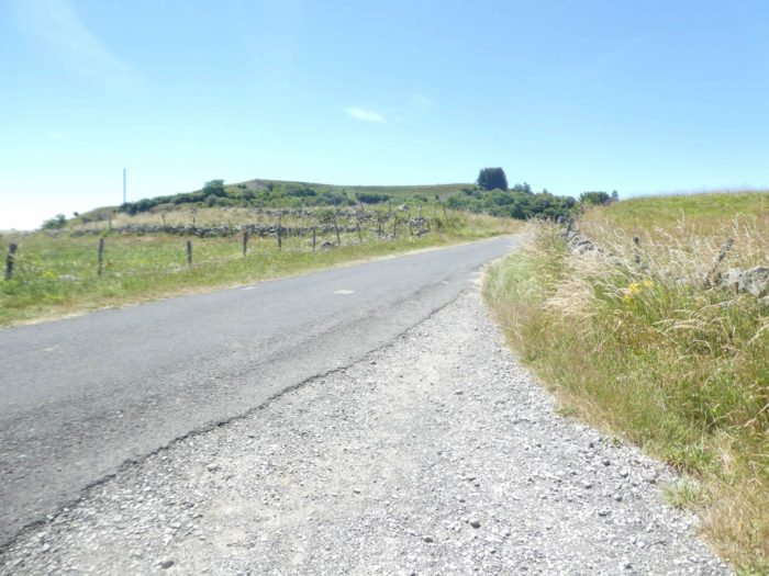
After having passed a hundred meters on the tar, a wide stony pathway steeply climbs, but briefly, in the moor, under Montgros village. |
|
 |
 |
|
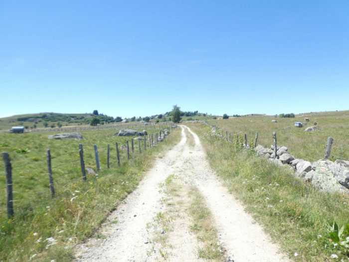
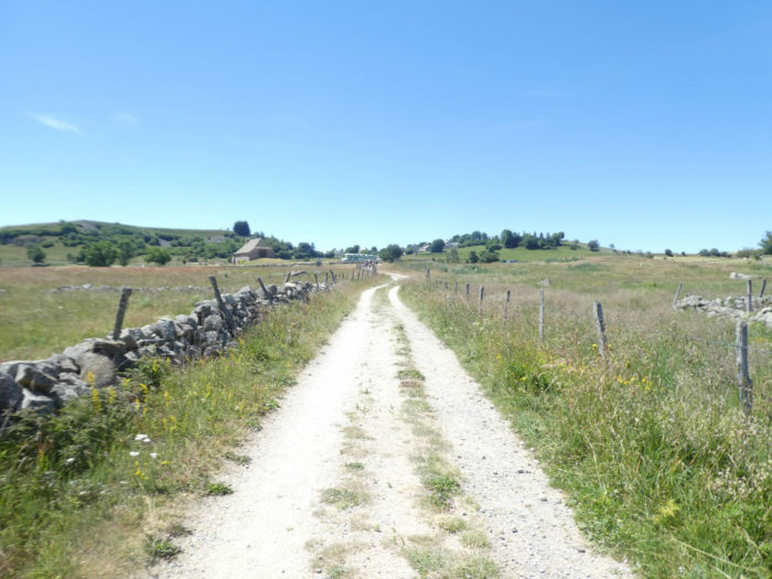
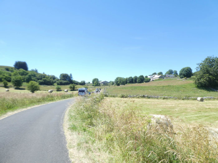
Then momentarily, the slope calms down a bit, and then nature seems less wild, almost civilized, sometimes with the embryos of fields that you can guess as you get closer to the village. Further up, the GR65 joins a small road which climbs towards the village. |
|
 |
 |
|
It is often in these steeper places that hikers and pilgrims are seen crowding one behind the other, like trucks on the way up. The rest of the time, the pilgrims are diluted in nature. |
|
 |
 |
Section 7: On your way to Nasbinals.

General overview of the difficulties of the route: some sloping uphill on a course without major difficulty.
|
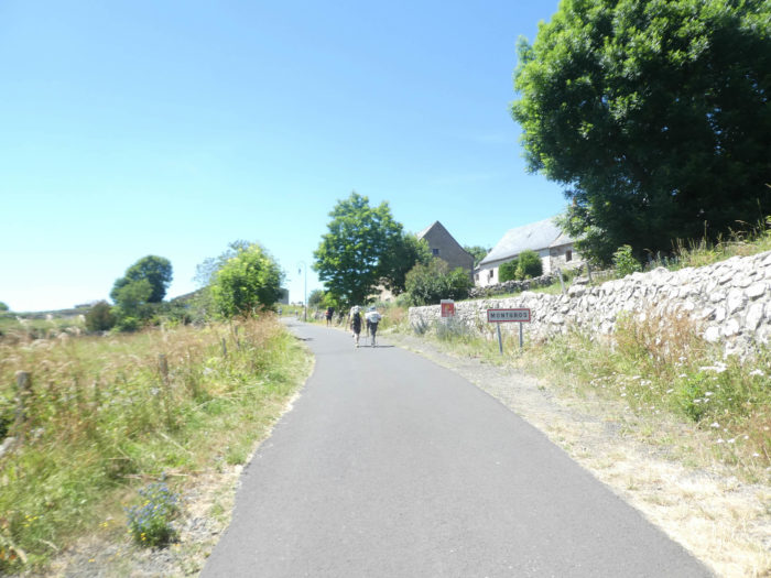
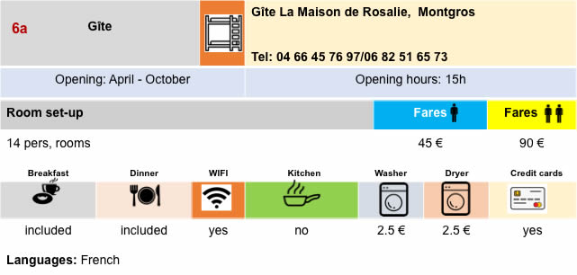
Montgros is still one of those beautiful compact hamlets, wrapped around these incredible monuments to shoe the oxen. Montgros also offers very remarkable accommodation. |
|
 |
 |
|
As soon as you leave Montgros, the trees reappear in the landscape. Here again stretch green pastures, along an often very stony lane. |
|
 |
 |
|
If the edge of the track, which climbs quite toughly in places, does not trigger enthusiasm, further on, it is the sovereign calm of the countryside, the geometric rigor of the cultivated fields, the quiet solitude of the cattle grazing behind the barbed wire. |
|
 |
 |
|
The pathway soon arrives at the top of the hill, with ubiquitous broom and brambles, near a small cross. Everything is granite here: the crosses, the houses, the fountains. |
|
 |
 |
|
And soon, it’s Nasbinals looming out down the road. |
|
 |
 |
|
The GR65 then reaches the departmental road, at the entrance to the village, after paying homage to a local accordionist, a former mayor of Nasbinals. |
|
 |
 |
|
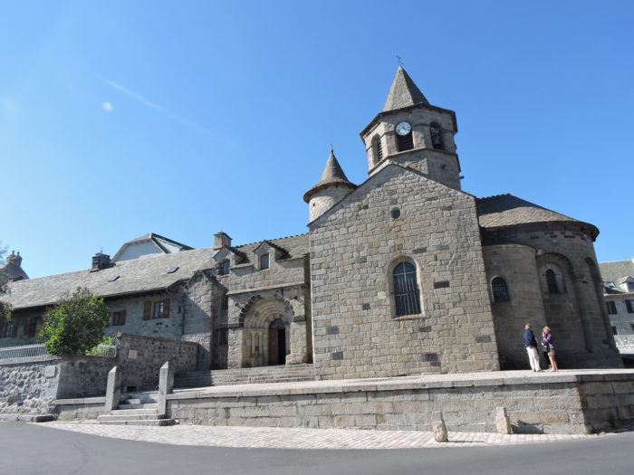
Nasbinals, the nerve center of Aubrac, is a small village (less than 500 inhabitants) with its granite and basalt houses, twisted around the church. The Church of St. Mary, apparently dating from the 11th century, later renovated when the English occupied the country, has a very beautiful octagonal bell tower. The church, in Romanesque style, is beautiful and sober. |
|
 |
 |
|
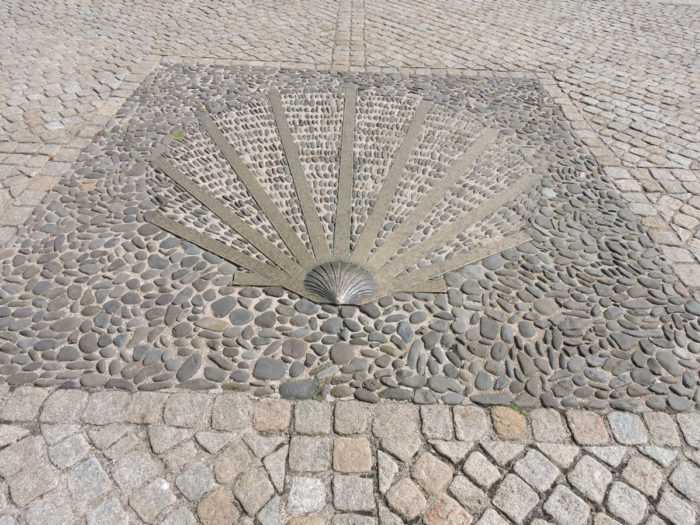
In the church square, there is a remarkable floor encrusted with shells. Here, they like to remember that the village is a must on the tracks to Santiago, even if of course, they have no information of the passage of the track here, especially as the variant of GR65a, the track of yesteryear (but when ?) avoids the village. |
|
 |
 |
|
A small stream crosses a village crisscrossed by an army of walkers who have deposited their big bags in inns and lodges, or who are going to do so, and who often drag their slippers in front of the church or the only street in the village. The village is very uniform, often with very beautiful stone houses in which gray granite perspires. Come on! Even if we are not fond of advertising, let’s pay tribute to the beautiful Lô gîte in the village. |
|
 |
 |
Local gastronomy
The Laguiole cheese, often called “Tome de Laguiole” originates from the town of Laguiole, famous for its knives, a city not far from St Chély d’Aubrac. The cheese was originally created by the monks of the Dômerie d’Aubrac. It’s an AOC. The cheese leaves a feeling of moisture on the palate. It smells like hazelnut, with a subtle and floral acid bouquet.
The cheese is made in 3 departments (Aveyron, Cantal, Lozère). It is a pressed, uncooked paste prepared from unpasteurized milk from Simmental and Aubrac cows, collected between May and October. The cheese is a wheel of 40-50 kg. It can be eaten fresh. This is the fresh cheese used to prepare “aligot”. But usually it is more mature. The maturation can last at least 6 months, or even longer. Old cheeses have maturated for more than a year.
Lodging

 |
 |
 |
 |
 |
 |
 |
 |
 |
 |
 |
 |
 |
 |
 |
 |
 |
 |

Feel free to add comments. This is often how you move up the Google hierarchy, and how more pilgrims will have access to the site.
 |
Next stage : Stage 6: From Nasbinals to St Chély d’Aubrac |
 |
Back to menu |