A good warm up
DIDIER HEUMANN, MILENA DALLA PIAZZA, ANDREAS PAPASAVVAS

We divided the course into several sections to make it easier to see. For each section, the maps show the course, the slopes found on the course, and the state of the roads. The courses were drawn on the “Wikilocs” platform. Today, it is no longer necessary to walk around with detailed maps in your pocket or bag. If you have a mobile phone or tablet, you can easily follow routes live.
For this stage, here is the link:
https://fr.wikiloc.com/itineraires-randonnee/du-puy-en-velay-a-st-privat-dallier-par-le-gr65-29068056
|
Not all pilgrims are necessarily comfortable using GPS devices or navigating with a smartphone, especially since there are still many areas without Internet access. That is why, to make your journey easier, a book dedicated to the Via Podiensis from Le Puy-en-Velay to Cahors is available on Amazon. Much more than a simple practical guide, this book accompanies you step by step, kilometer after kilometer, providing all the information you need for smooth planning and avoiding unpleasant surprises. Beyond its practical advice, it immerses you in the enchanting atmosphere of the Camino, capturing the beauty of the landscapes, the majesty of the trees, and the very essence of this spiritual adventure. Only the pictures are missing, everything else is there to transport you.
In addition, we have also published a second book which, with slightly fewer details but all the essential information, covers the entire route from Le Puy-en-Velay to Saint-Jean-Pied-de-Port. The choice of your journey is yours.
. |
 |
 |
If you only want to consult lodging of the stage, go directly to the bottom of the page.
A great many pilgrims and hikers choose Le Puy-en-Velay as the starting threshold of their walk to Santiago. Yet this first stage is nothing like a gentle warm up. Does it not immediately confront the walker with the demands of the route, steep elevation changes, a pack that is too heavy, shoes not yet broken in, a body still searching for its rhythm? For the seasoned athlete, it is only one stage among others. But are there really any ordinary stages? The route resists all routine, it reinvents itself each day, and each day imposes its own law.
The Velay was born from a slow and prodigious alchemy in which erosion sculpted the remnants of complex volcanoes rising from a granitic base. It is a story of excess and patience. Long ago, volcanoes tore open the primitive crust, standing at nearly a thousand meters in altitude, and poured out, layer after layer, streams of lava until the relief rose above 2,500 meters. Then, when Vulcan, or Hephaestus depending on the mood of the myths, suspended his fiery convulsions, time began its work. Century after century, millennium after millennium, the landscape lowered, cracked, and fragmented into puys, chasms, and escarpments under the relentless assault of water. Upon this foundation of scoria and ash, rivers and glaciers gradually deposited softer sediments, marls and limestones, which softened the contours and shaped vast plateaus. But basalt, as hard as iron, fiercely resists erosion. Thus, the rounded puys have endured, and the three famous rocks of Le Puy, the Corneille rock, the Saint-Michel rock, and Mont Anis, remain as the final spires of these ancient volcanic chimneys.
Here, agriculture, and even more so livestock farming, sets the rhythm of the landscape. Fields and meadows of modest size follow one another like pieces of a patiently assembled mosaic. Forests occupy a discreet place without ever disappearing entirely, a multitude of groves, hedgerows, and edges accompany the eye and shape the horizon. The Devès plateau was formed by the stacking of vast basaltic flows, layered like the pages of a mineral book. Here and there rise modest volcanic heights known locally as “guards”, fertile knolls crowned with pines or heath, silent sentinels of the plateau. The former abundance of craters encouraged the formation of peat bogs, of which the Lac de l’Œuf offers a striking example. The Devès remains a land of pasture and livestock, where crops are rarer. Around the farms, living hedges of hazel and ash trees outline an intimate bocage. To tame this stony land, farmers removed stubborn blocks from the fields and assembled them into low walls that now trace the landscape with a restrained elegance. Villages, clustered around a church or a castle, are most often organized around a square or a “couderc”. This shared space alone expresses a collective memory that is still perceptible, as in the neighboring Margeride, bread ovens, washhouses, fountains, and cattle shoeing frames all speak of an older sociability shaped by mutual aid and shared gestures. To build their homes, people drew from the volcanic stone offered by the ground itself. From these dark and matte materials arises an austerity without dryness, an almost noble gravity that gives the villages their character.
The route runs toward the southwest, gradually leaving the Loire basin to join that of the Allier. You walk across the Devès plateaus, at the heart of the Velay, a vast basalt table deeply cut to the east by the Loire and to the west by the Allier. Between these two major cuts, few valleys break the broad breathing of the relief. The entire stage unfolds within Haute-Loire. Already the emblematic landscapes of the Massif Central emerge, small wooded mountains, austere undulations, hidden valleys, sometimes steep gorges. Here, nature is anything but docile, it still carries in its rugged forms the memory of its ancient upheavals.
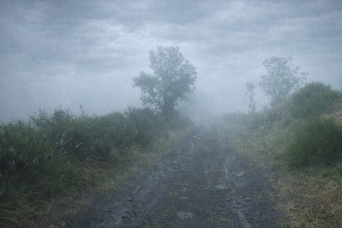
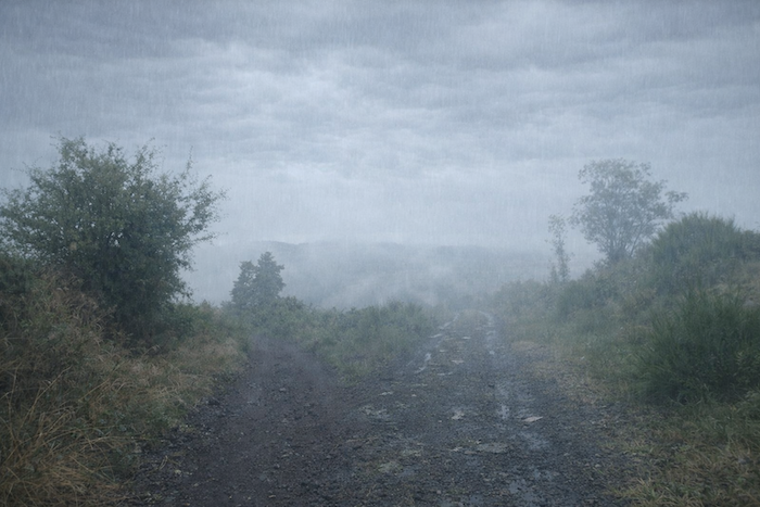
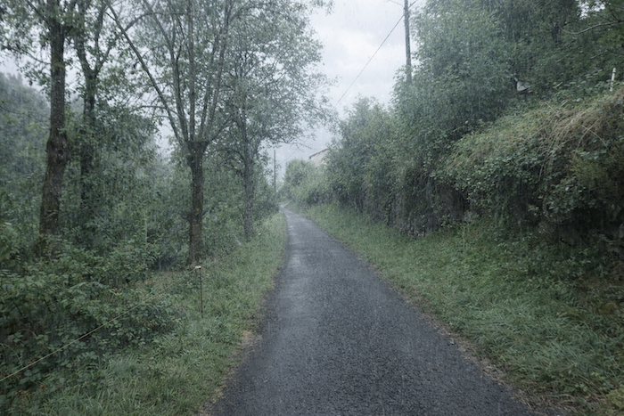
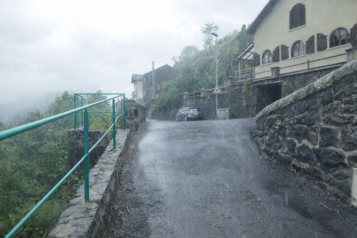
Overall, we will favor stages walked in fair weather, having so often traveled these paths beneath a kindly sky. But today we will make an exception, it is also important to show that rain, heavy clouds, and laden skies can at times offer the landscape a more solemn, more secret beauty, another way, just as precious, of entering into the charm of the region.
Difficulty level: In this stage, the elevation changes are fairly significant, yet the slope remains gradual and quite manageable (+ 649 meters/- 389 meters). It is a steady climb toward the Monts du Devès. From the heights, you can glimpse the Margeride in the distance, and farther still, the Aubrac. For a departure on the Camino de Santiago, it is a fine beginning, is it not? A walk of 23.2 kilometers and more than 600 meters of positive elevation gain to reach the Monts du Devès. A descent, not always gentle and at times quite harsh over the stones, leads the pilgrim to St Privat-d’Allier.

State of the GR65: In this stage, sections on path are more numerous than those on paved road. This is not always the case on the Way of St James:
- Paved roads: 9.5 km
- Dirt roads:13.7 km
Sometimes, for reasons of logistics or housing possibilities, these stages mix routes operated on different days, having passed several times on Via Podiensis. From then on, the skies, the rain, or the seasons can vary. But, generally this is not the case, and in fact this does not change the description of the course.
It is very difficult to specify with certainty the incline of the slopes, whatever the system you use.
For « real slopes », reread the mileage manual on the home page.

Section 1: A grand departure
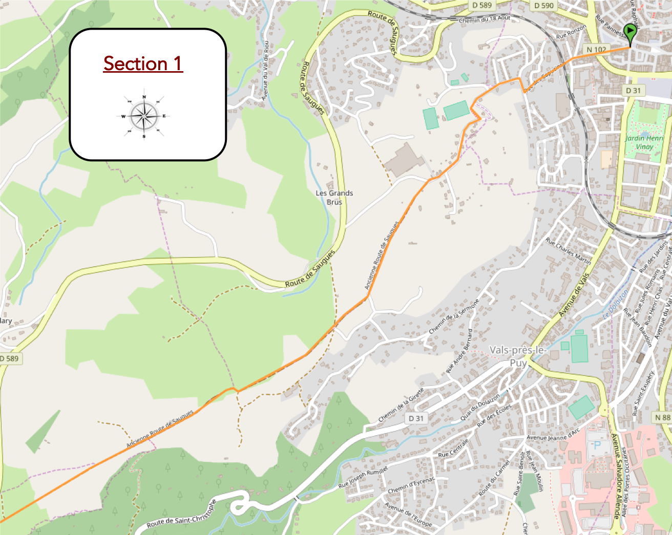
General overview of the route’s challenges : The beginning is demanding for untrained walkers. But after the first kilometer, the route becomes noticeably gentler.

|
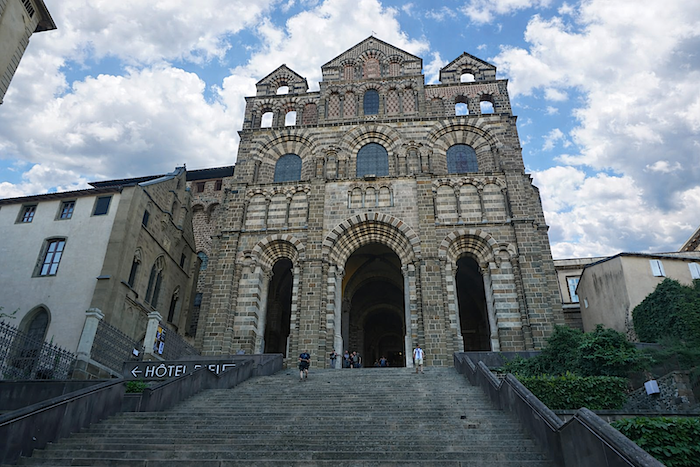
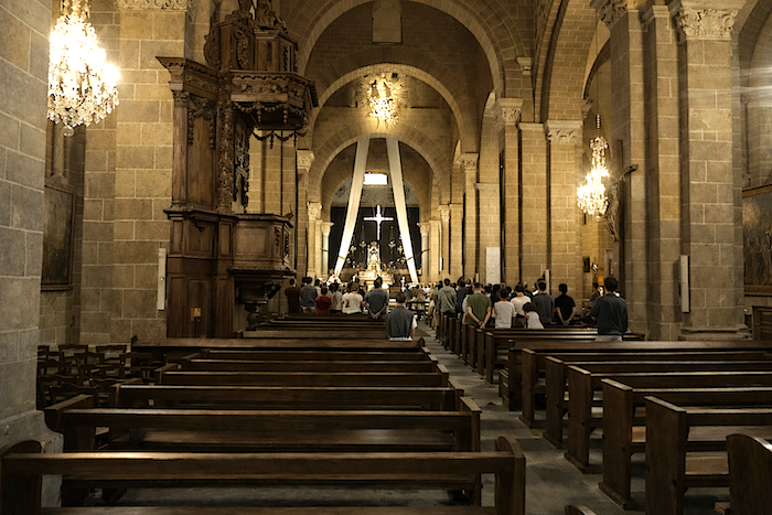
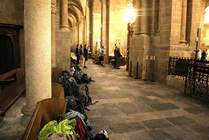
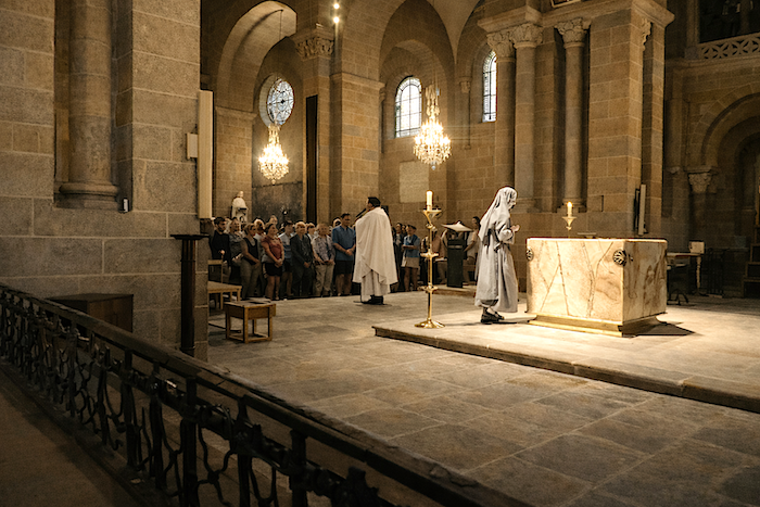
In the Middle Ages, it was from the forecourt of Notre-Dame that pilgrims once set out toward distant Galicia, at the top of the 102 steps linking the lower town to the upper city. Even today, at dawn, at precisely 7 a.m., a crowd of walkers gathers in the cathedral to attend Mass and receive the blessing for departure. At that suspended hour, Le Puy seems deserted, as though the town were holding its breath before surrendering its travelers to the route. This morning, more than a hundred stand before the Black Madonna. Faithful to tradition, the ceremony combines contemplation, practical advice, and words of encouragement, offered in several languages for those preparing to leave. It is also the moment when the “credencial”, the pilgrim’s passport soon to be marked by stamps and stages, is handed out to those who do not yet possess one.
|
 |
 |
 |
 |
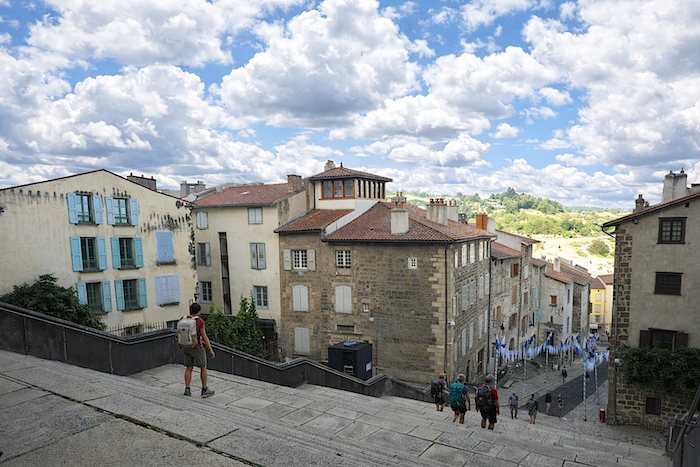
| For the occasion, the great staircase of the cathedral, usually closed to visitors, opens like a solemn gateway onto the adventure. One by one, the pilgrims descend the steps, almost in silence, carried by a joyful gravity. Then they make their way along Rue des Tables, drifting toward the intersection of Rue St Jacques and Boulevard St Louis, as though drawn forward by an ancient current. |
 |
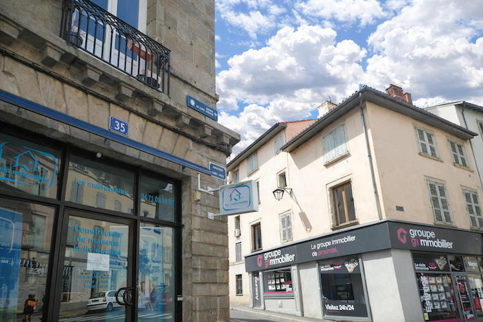 |
| Ahead opens Rue des Capucins, the true threshold of the Via Podiensis. The Capucins gîte forms its beating heart. Many walkers spent the night there, while others stayed in hotels, each according to their means, habits, or the anxieties of the previous evening. It is here that the Way of St James ceases to be a project and becomes a reality. |
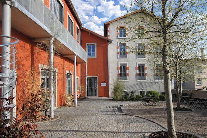 |
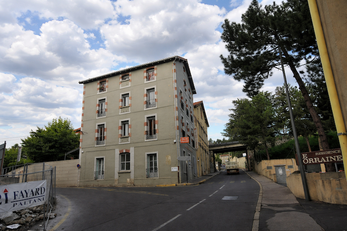 |
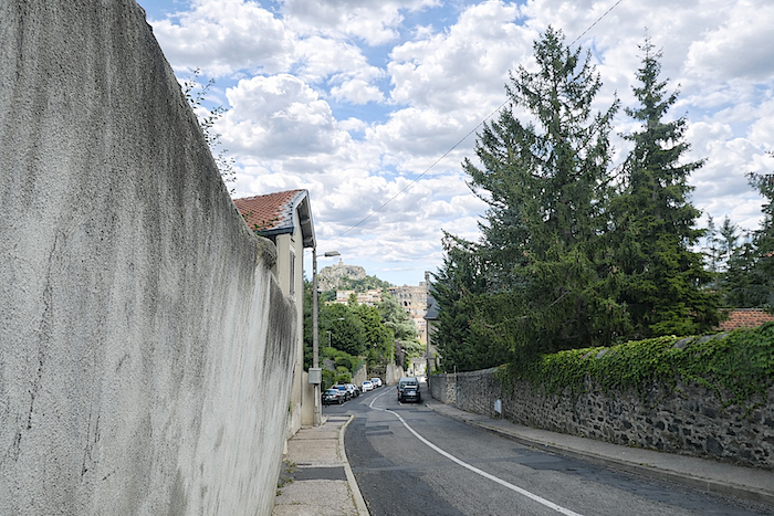
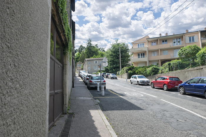
| From the very first meters, the novice pilgrim understands that the route does not surrender without resistance. As introductions go, this one is severe. The road climbs with an almost Alpine directness, along a narrow sidewalk that already forces walkers to find both breath and rhythm. This first steep rise acts as a warning. The route does not flatter, it tests. |
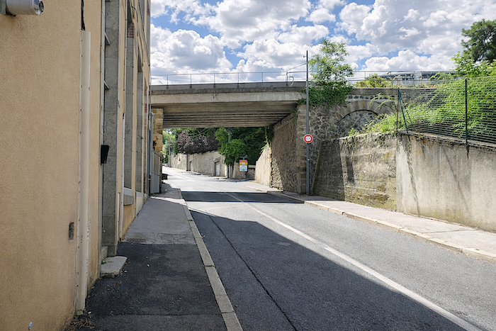 |
 |
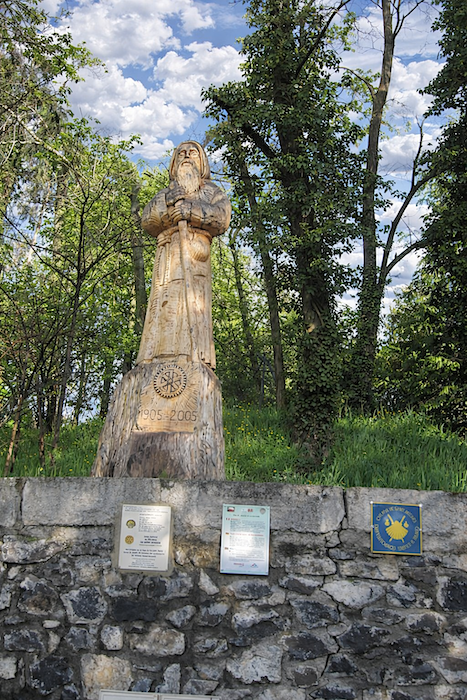
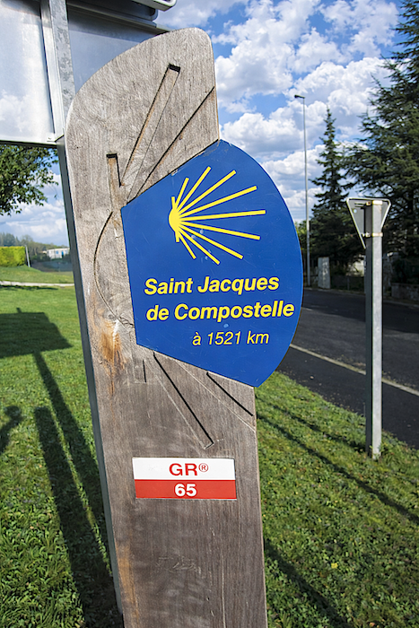
| At the summit of this first incline, the signs remind walkers of the scale of the undertaking with a single figure: 1,521 kilometers to Santiago. Enough to impress both mind and legs. Suddenly made tangible, the distance gives each traveler a measure of what they are undertaking, or believe they are undertaking. |
 |
 |
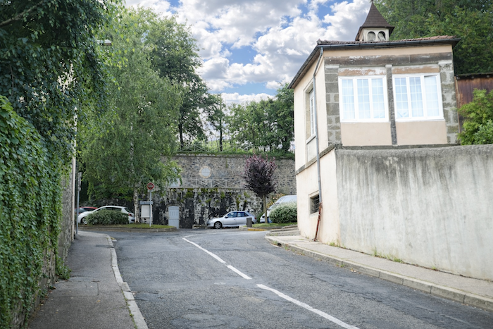
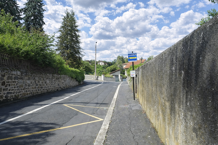
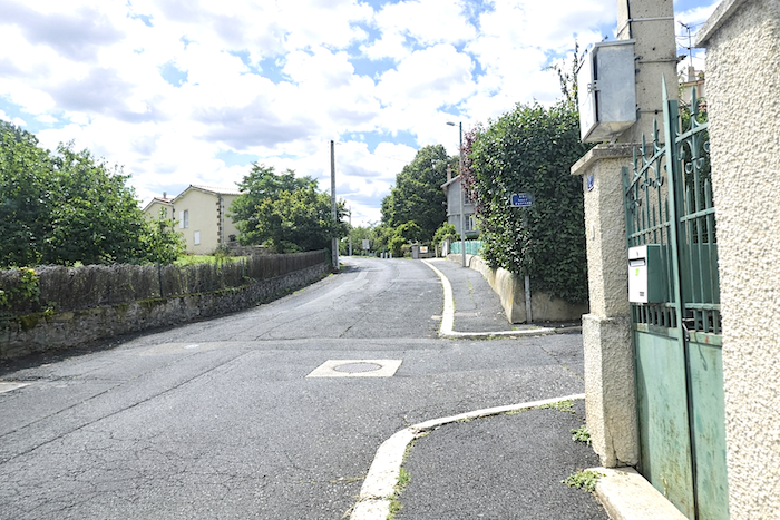
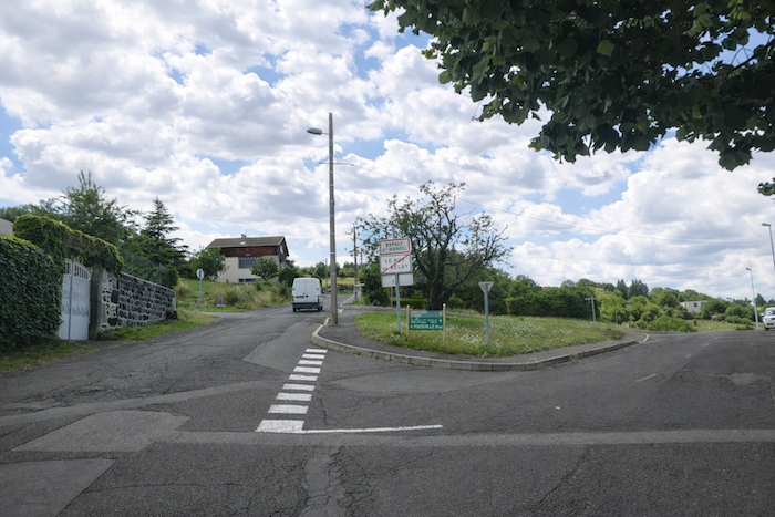
| Then the route joins Rue de Compostelle, though the name alone does not soften the slope. The street winds upward again, stretching through the heights of the town before reaching the first edges of Espaly-Saint-Marcel. And the farther you move from the heart of Le Puy, the more the effort makes itself felt. The town slowly fades behind, like a shoreline left behind at sea. |
 |
 |
 |
 |
Along the road, pilgrims scatter like the beads of a rosary. It is always this way on the great hiking routes. Departures are numerous, enthusiasms intermingle, but the kilometers soon perform their silent selection. There are the hurried walkers, confident in their strength, eager to swallow the slope as though to defy the length of the journey. There are the hesitant, the dreamers, those who slow down almost deliberately, as if they wished to postpone the moment of truly having left. Others discover, with a mixture of surprise and respect, the first hardships of the route. They know there will be others, even less forgiving. So, they stop, take a photograph, turn back toward the rooftops of Le Puy, as though trying to carry away one final fragment of the town before setting off again. Youth, moreover, is not the dominant face of the pilgrimage. More often, it is retirees, alone, in couples, or in small groups, who begin the journey here. Some wear the scallop shell around their neck or attached to their backpack. But the shell is more than an emblem. It is a bond with the invisible, a sign of protection, almost a guiding presence in the solitude of long days. One also encounters a few pilgrims accompanied by dogs, faithful companions on the road, sometimes linked to them by a harness. Rarer still are donkeys and horses, silhouettes from another age recalling the old slowness of travel. Looking back, the eye still embraces the cathedral and the statue of Notre-Dame-de-France rising above Rocher Corneille. Yet from here, St Michel d’Aiguilhe remains hidden.
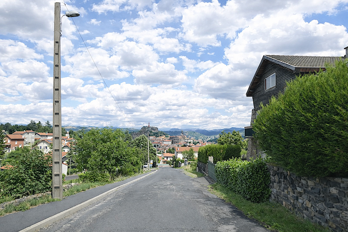
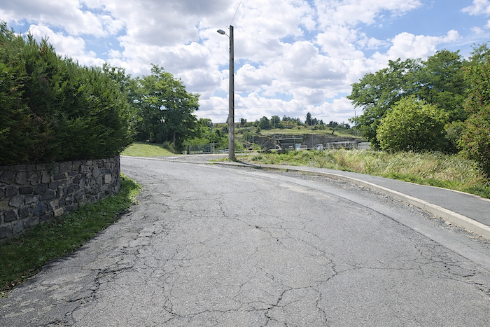
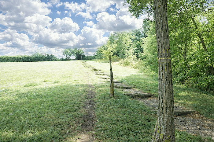
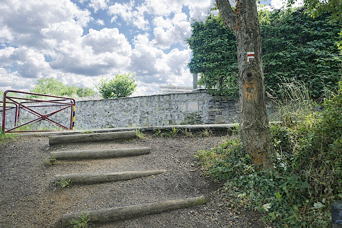
| The slope sometimes steepens to more than 15% during this first kilometer. To avoid too much asphalt, the route ventures through a small park where wooden logs trace out a path gentler to the eye than to the legs. A few stairways later, the ascent continues through recent housing developments scattered across the heights. |
 |
 |
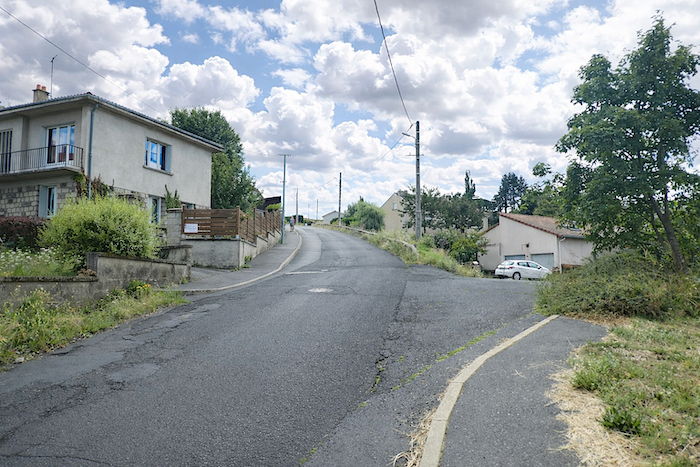
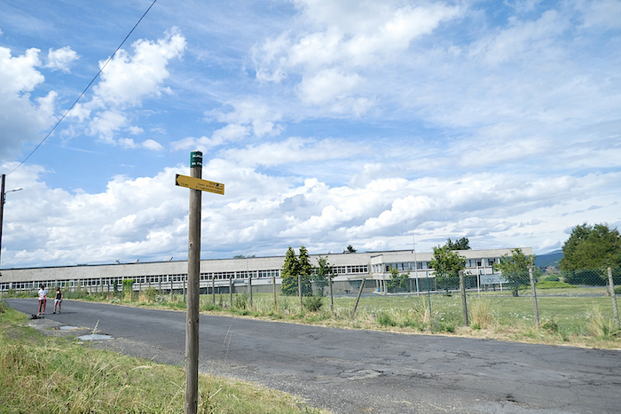
| Higher up, the slope finally begins to ease near the hamlet of Séjalat, beside a large lace factory, a discreet reminder of local craftsmanship. Today, rain threatens. But even beneath calmer skies, the land here absorbs heavy downpours poorly. It holds the memory of fallen water for a long time. |
 |
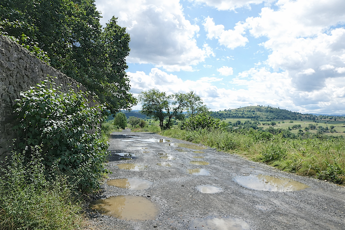 |
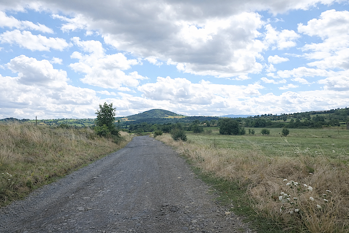
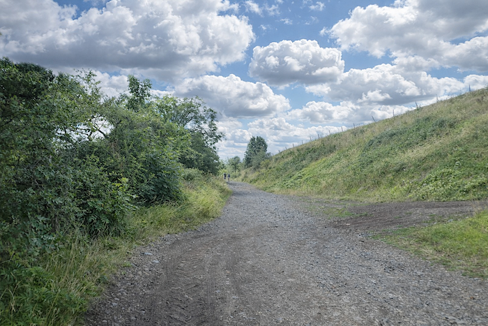
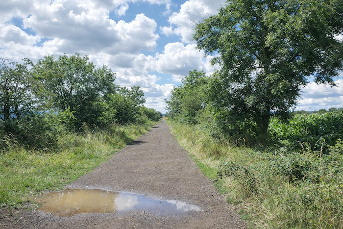
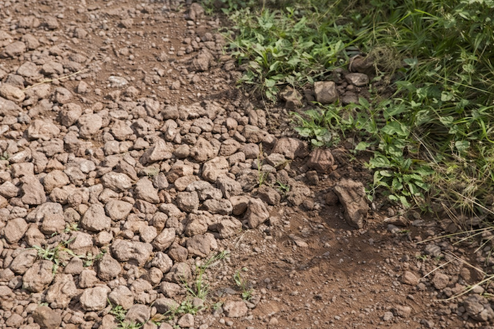
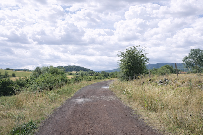
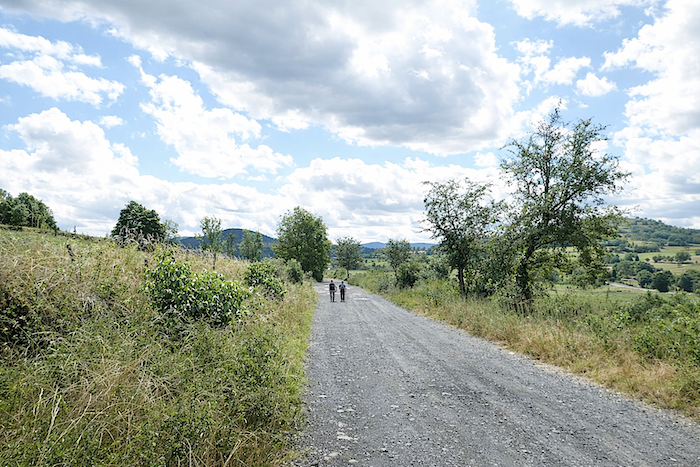
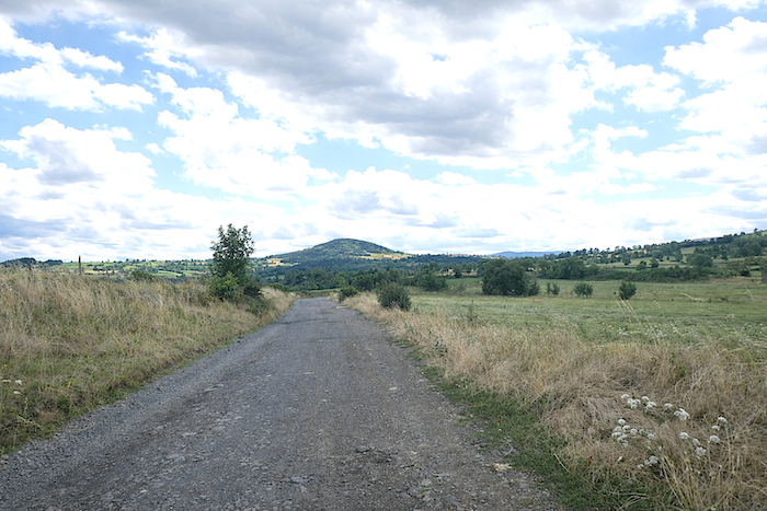
| The GR65 then leaves the road for a broad gravel path running almost flat through open countryside, the old road to Saugues. The traces of recent rains remain clearly visible, and the day’s weather inspires little optimism. The path skirts ancient “sucs” also called “guards” here, small volcanic hills softened by erosion and composed of fragile red stone once quarried under the beautiful name of pozzolana. Little by little, Le Puy recedes and dissolves into the rolling softness of the volcanic landscapes that give the Velay all its charm. |
 |
 |
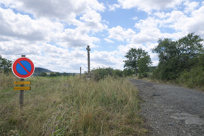
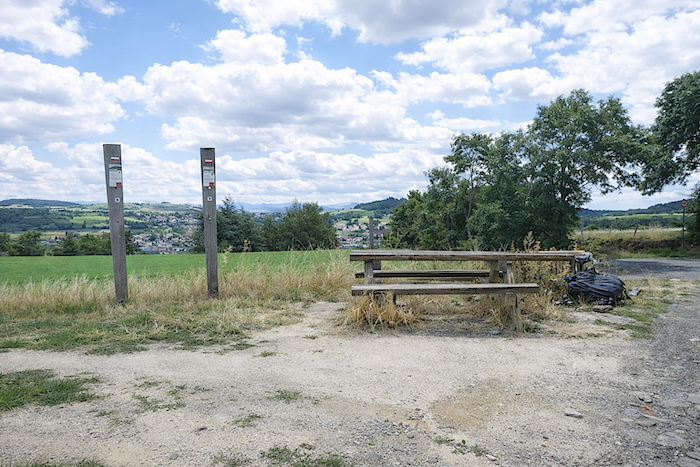
| As it goes, the route pauses near the Cross of Pouvignac. One should not be deceived. These benches, placed there like invitations to rest, are true havens for novices already worn down by the first climbs. The route quickly teaches humility. |
 |
 |
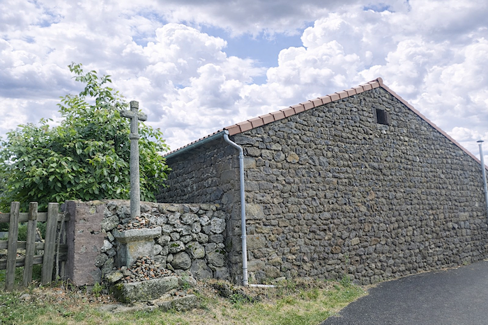
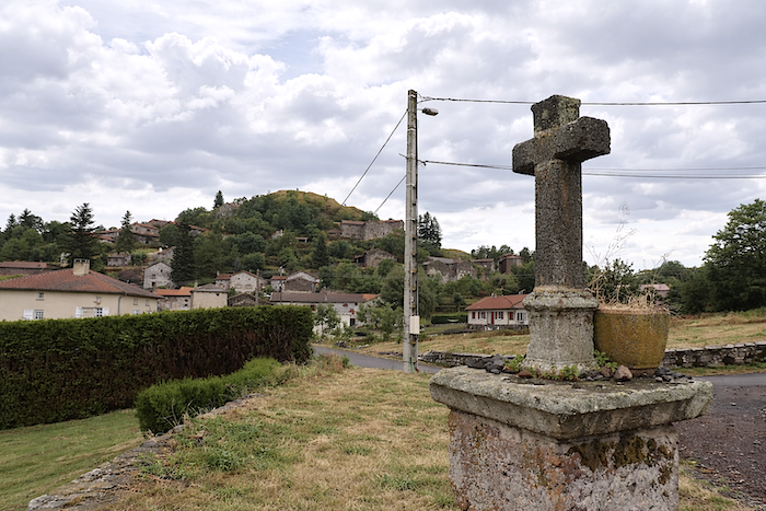
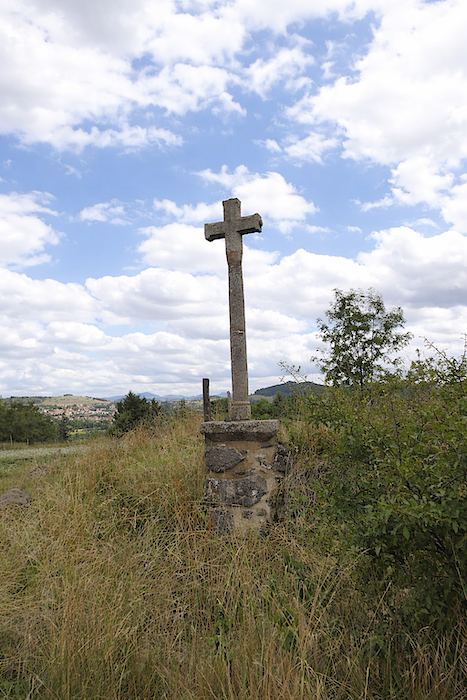
Struck by lightning in 1940, the cross, whose base dates back to the twelfth century, remained only a truncated column before its recent restoration. Here, as elsewhere along the route, the crosses signify far more than simple devotion. Scepters may rule the world, but crosses claim to open the heavens. No one can date with certainty the thousands of crosses lining the roads to Santiago, so deeply does the custom reach into the earliest centuries of evangelization. Raised by parishes, offered through personal piety, or erected in memory of an event, they long served to mark the route, signal the entrance to a village, define parish boundaries, or provide resting places for processions. Even today, despite the return of silence, they remain like spiritual markers, modest yet enduring, along the long road of humankind.
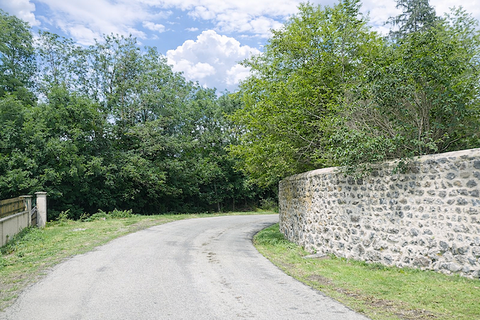
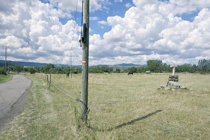
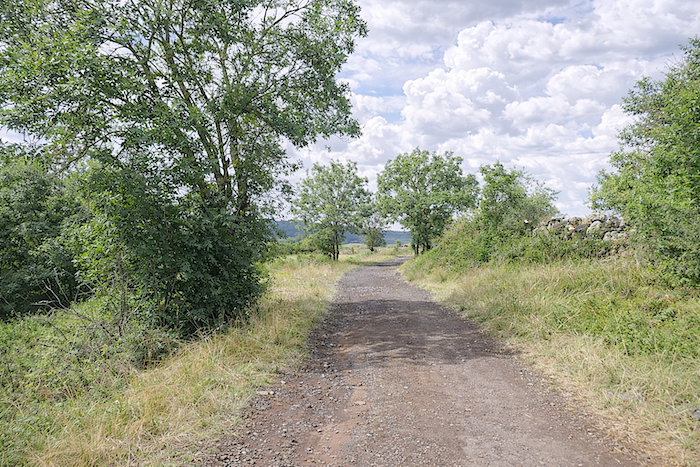
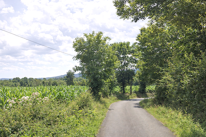
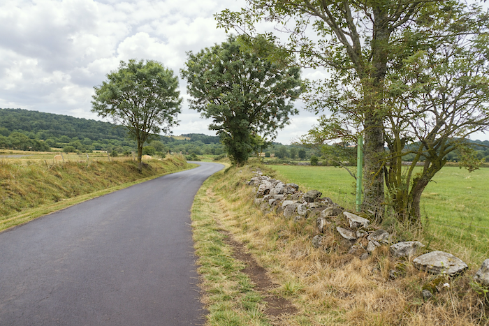
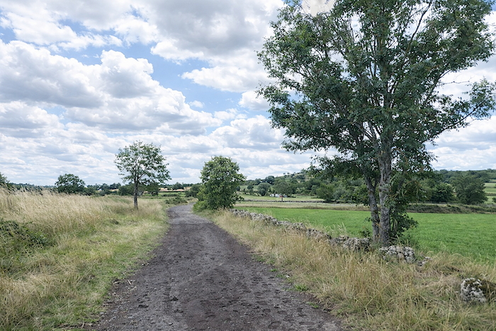
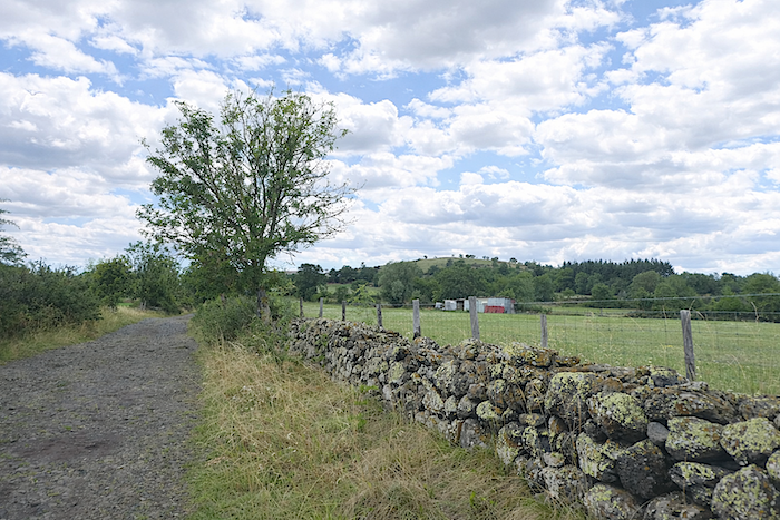
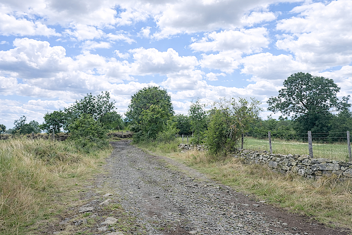
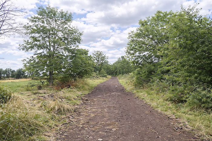
| The path then stretches endlessly across long false flats through the fields. It takes on shades of brown and red dust, reflecting the volcanic origins of the region. Here, the sky hangs so low that it seems to descend upon the earth, the meadows, and the sparse crops. This is a land of rolling fields and agriculture, with few cultivated plots and occasional livestock. Should you pass through on a windy day, you will discover how fiercely the plateau can be swept by the wind. Rare deciduous trees, including hornbeams, ash trees, and maples, sometimes stand beside disorderly stone walls, wild roses, and brambles. |
 |
 |
 |
 |
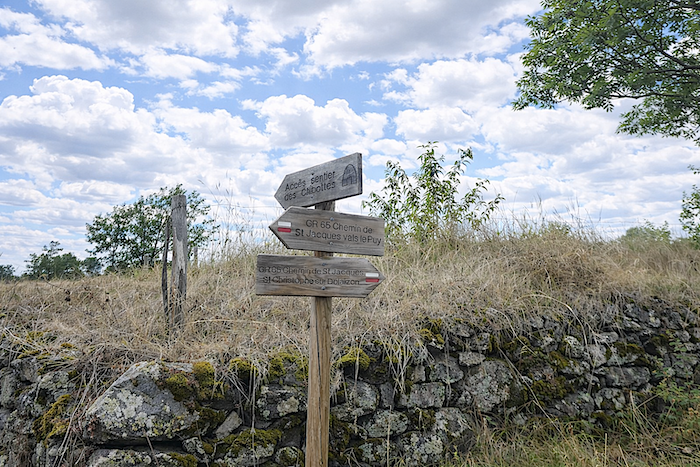
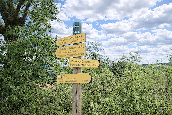
In the Dolaison Valley, below the path, numerous “chibottes” can be found. A trail is devoted to them. Few of these “chibottes” stand directly along the GR65 itself. When land was distributed to citizens for cultivation, ornament was often neglected in favor of utility. Modest shelters for shepherds and plowmen thus appeared. The future fields had to be cleared of stones. People had learned how to combine usefulness with convenience, not beauty. The “chibottes,” or “tsabonnes,” dry stone huts, are still visible in Haute-Loire, particularly in the Dolaison Valley. Volcanic stones gathered from the plowed earth were used to build these huts, shaped almost like igloos. At the time, they served as temporary seasonal dwellings for fieldwork and vineyard labor during the summer months. Some even contained heating. These uncomfortable little shelters were abandoned during the 1920s and 1930s. In the Lot department, they are known as “caselles” or “gariottes.” Today, they survive mainly as tourist attractions.
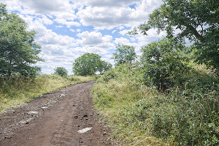
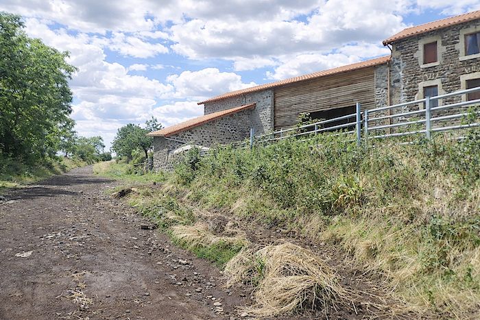
| A little farther on, the path gradually sheds its gravelly harshness, turns ochre, and climbs once more with renewed vigor toward a solitary farm standing watch at the hamlet of Conflans, just below the “guard” of Croustet. |
 |
 |
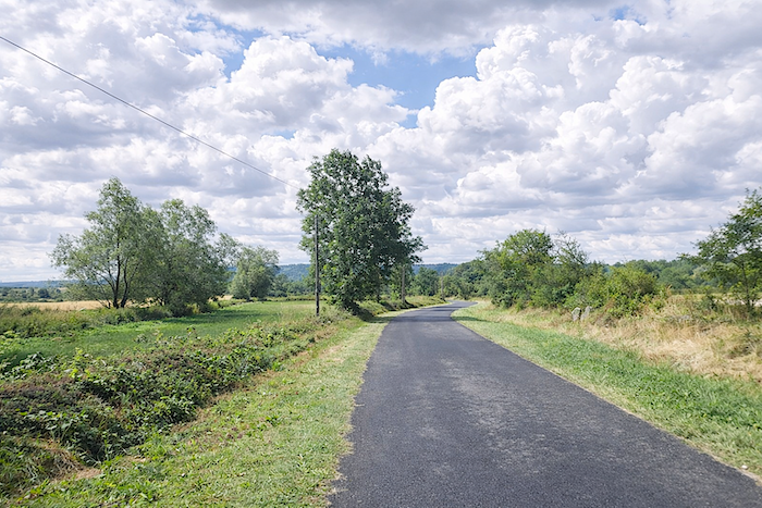
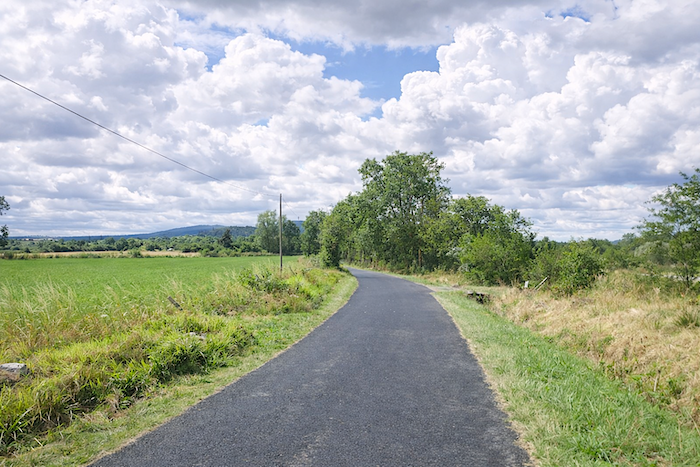
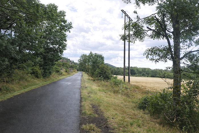
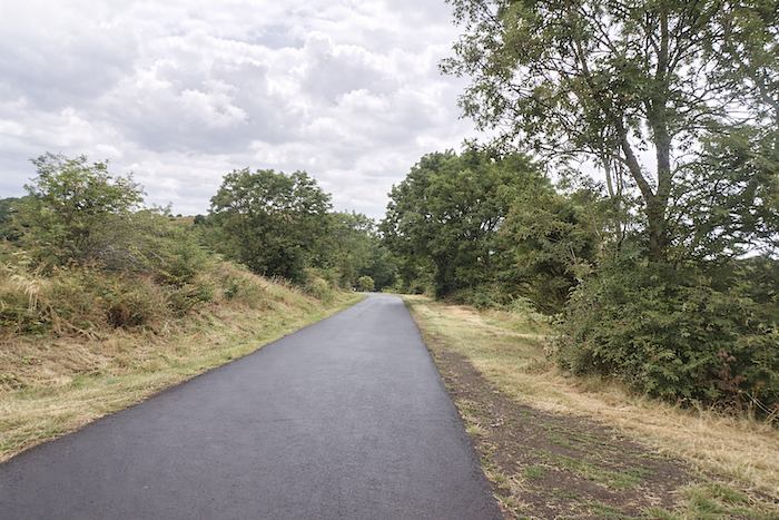
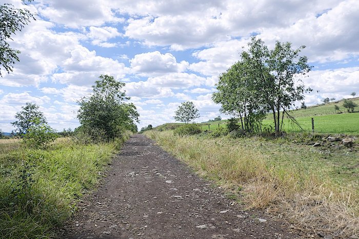
| Then the path catches its breath and stretches out again, almost straight, on such a gentle incline that it barely seems perceptible, running alongside hedges of young deciduous trees and tall grasses surrendered to the wind. |
 |
 |
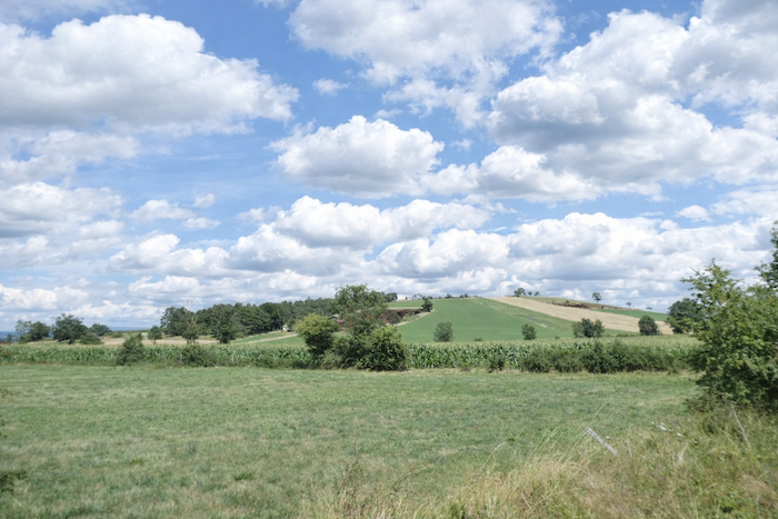
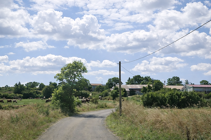
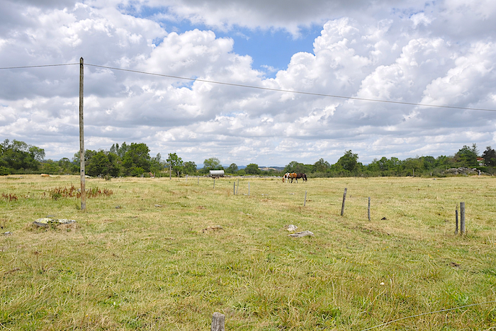
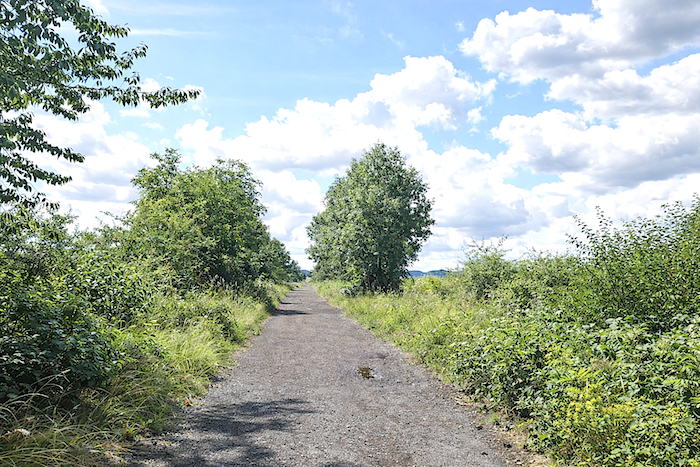
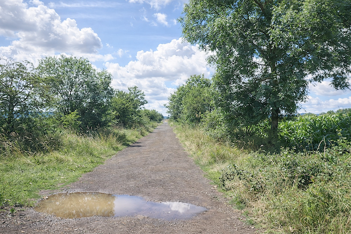
| Across this landscape of quiet regularity, the meadows unfold endlessly. Livestock may sometimes seem absent, but return in another season and you may witness the peaceful ballet of cows and sheep animating the fields with their presence. Agriculture remains modest here: a few plots of corn, a few cereal fields, touches of restraint within the vast palette of pastureland. |
 |
 |
Section 2: Along a long stretching plain
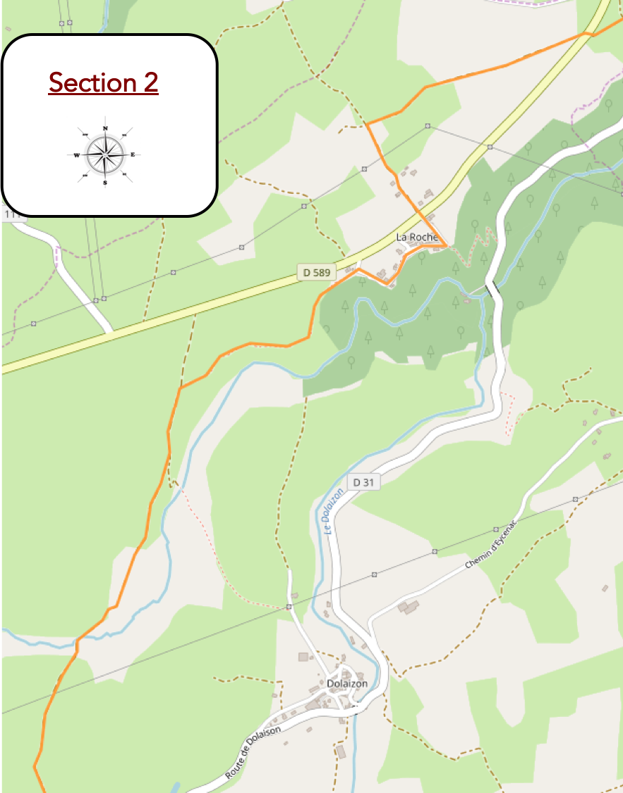
General overview of the route’s challenges: There are occasionally a few slopes, but they are brief.

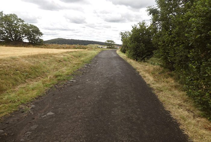
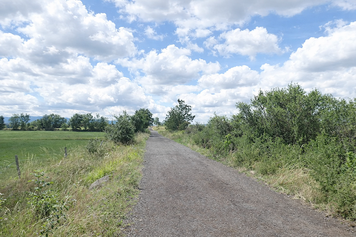
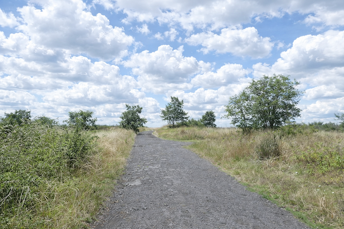
| The path is often dark gray, as though you were walking across basalt dust. |
 |
 |
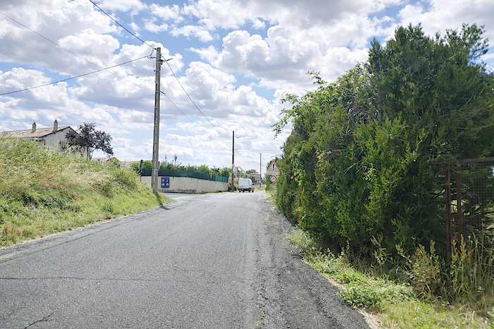
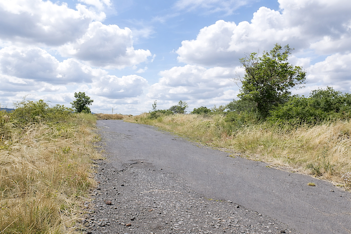
| Soon afterward, at the end of a fairly long straight stretch, the path crosses to the other side of the D589, the departmental road that runs through the entire region. |
 |
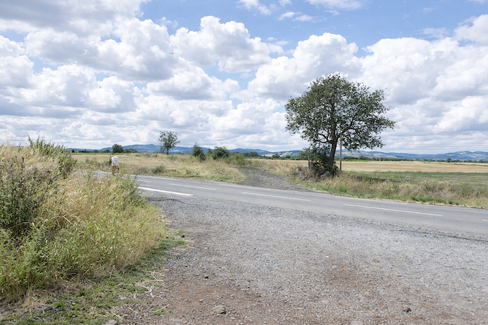 |
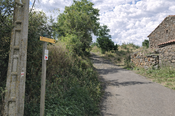
You then arrive at the place known as Les Fangeasses. It is always the same. Whenever you begin a new Camino de Santiago route, the signposting flourishes, organized and clear. Things often become less reliable afterward. A pity, though one rarely loses the way entirely.
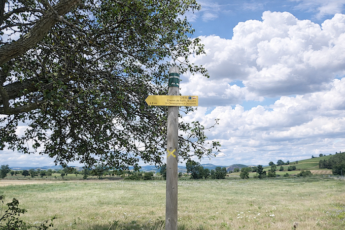
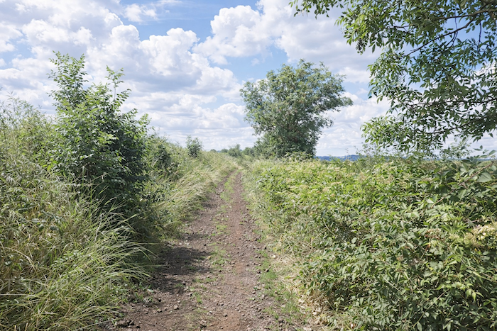
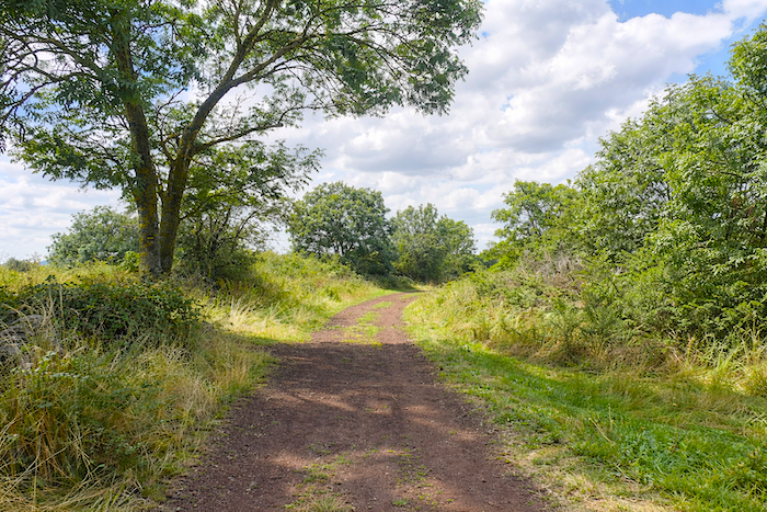
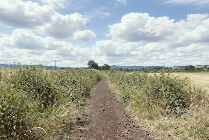
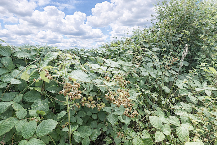
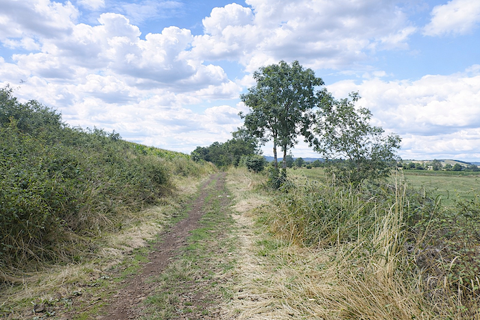
| The path, now narrower, wanders through meadows between hedges of brambles and wild grasses, sometimes lined with hornbeam hedges and numerous solitary ash trees. The ground is at times carpeted with pozzolana, those porous volcanic stones formed from lava scoria. They may be red or black. Here, they are red. |
 |
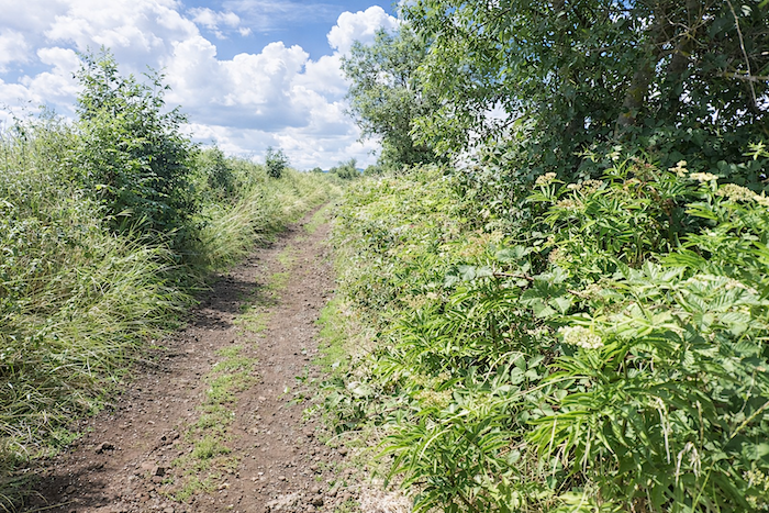 |
| In season, you can feast on blackberries, for the brambles abundantly cover the embankments. |
 |
 |
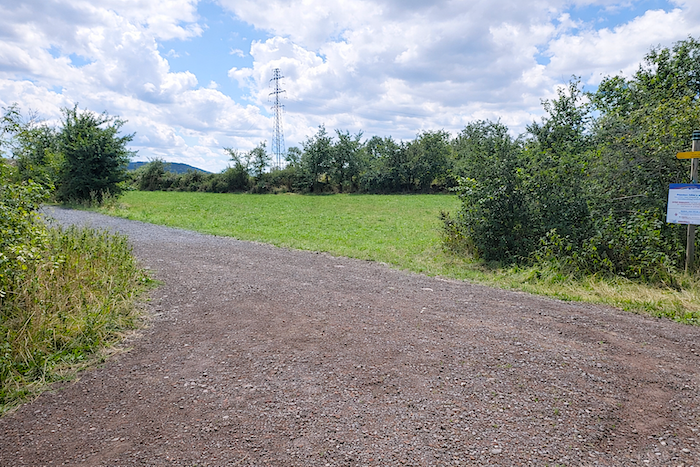
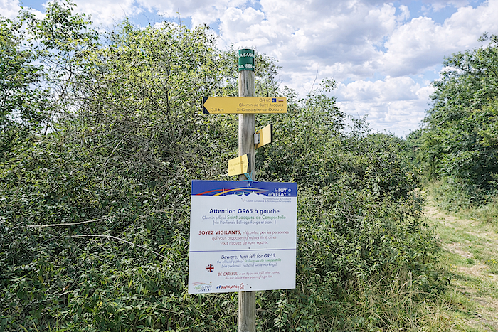
| At the hamlet of La Sagne, only a stone’s throw from a touch of civilization, the path turns sharply at a right angle. Here, pilgrims are warned not to let themselves be led astray by misguided advisers. Is this really common? For our part, after thousands of kilometers on the Camino routes, we have never encountered such trouble. |
 |
 |
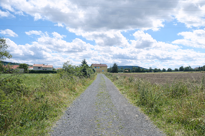
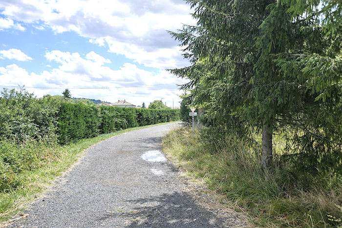
| Shortly afterward, the path drifts flatly toward La Roche before once again crossing the D589 departmental road, which runs from Le Puy toward St Privat d’Allier. |
 |
 |
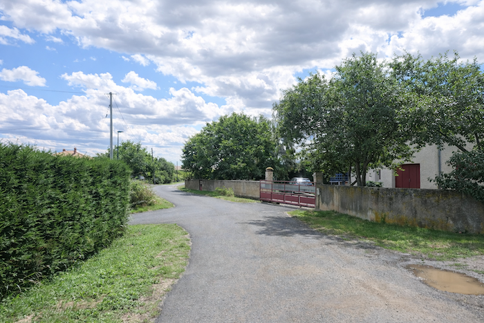
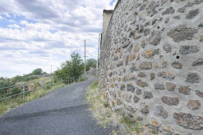
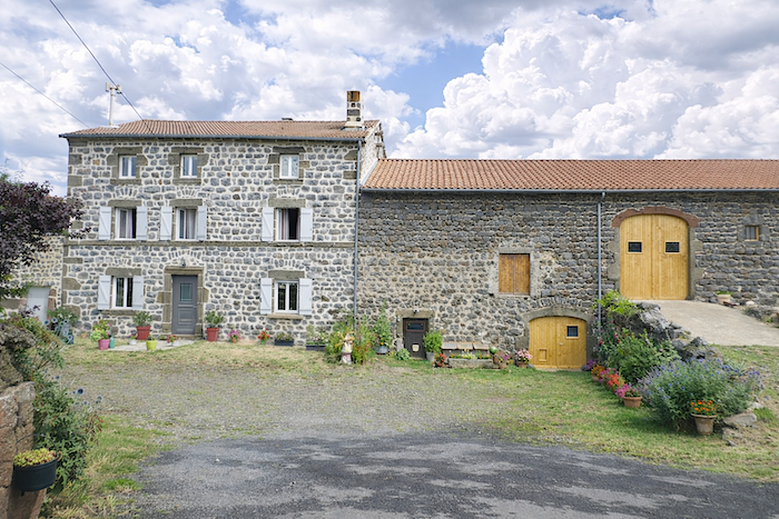
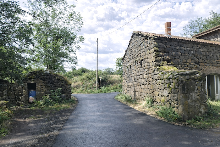
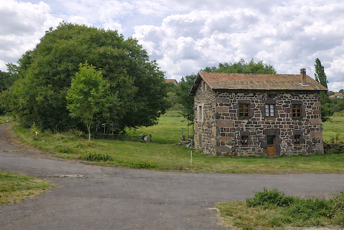
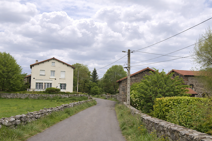
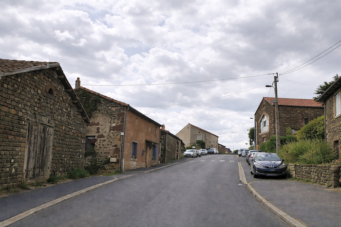
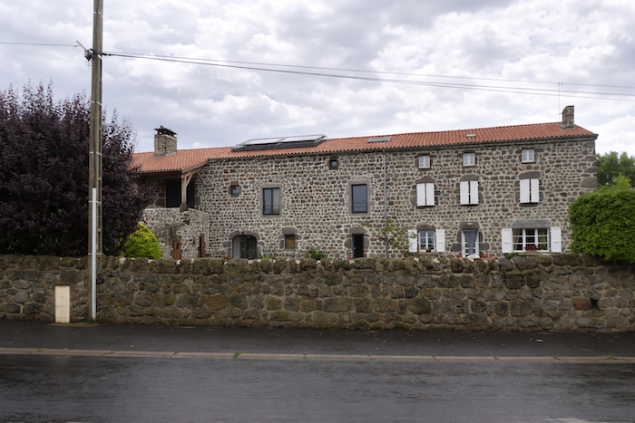
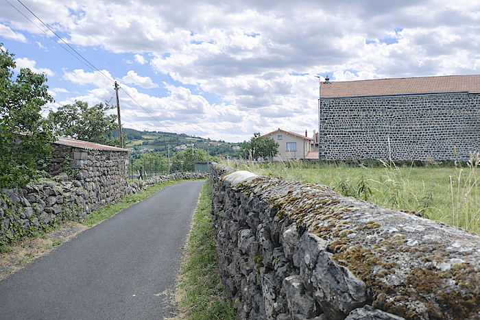
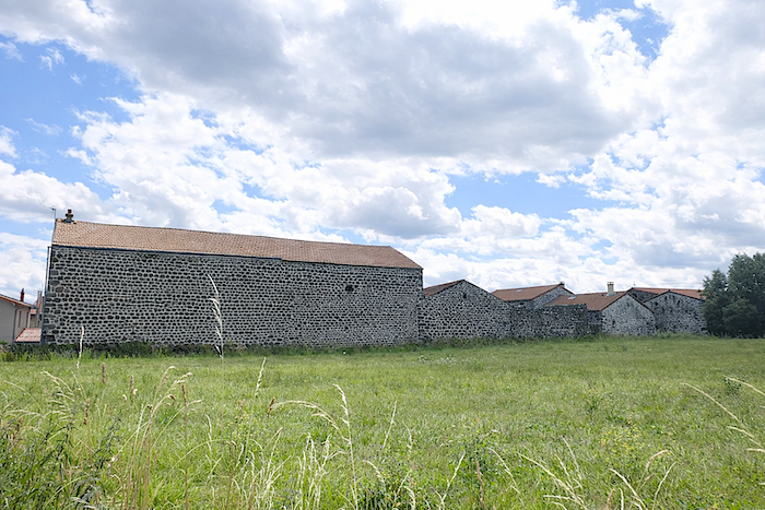
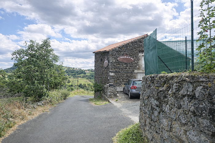
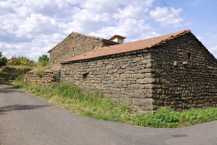
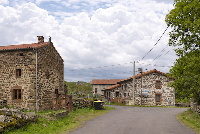
| A small road then follows a surprising string of nearly identical farms, as though a single gesture had drawn them from the earth. Heavy blocks of black and gray volcanic stone, bound with lime, support beneath their red tiled roofs an architecture both rugged and harmonious. . |
 |
 |
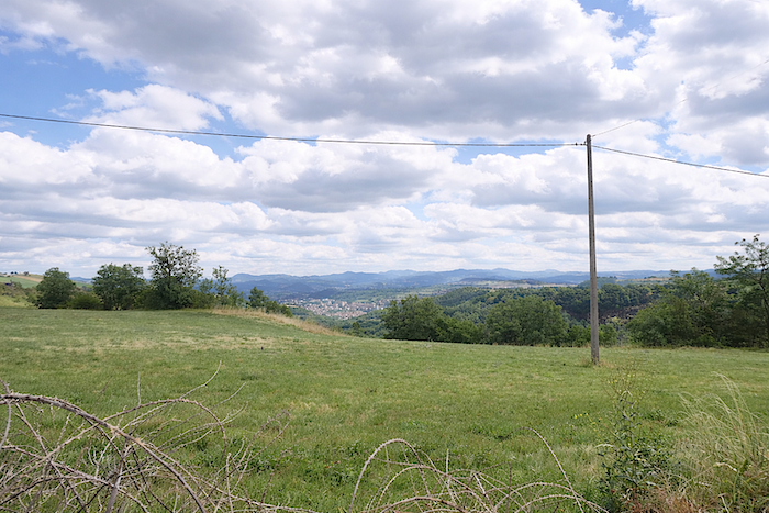
Across the plain, the outskirts of Le Puy-en-Velay can still be glimpsed, like the lingering murmur of a town reluctant to disappear.
| Then a small road slips beneath the village. You are now on the first stages of the Via Podiensis, and a few discreet stopping places occasionally remind travelers that a pilgrim walks not only with faith, but also with hunger and thirst. Yet here, the innkeeper seems to have chosen the hour of rest. |
 |
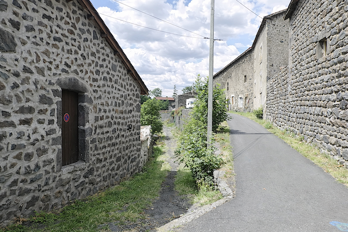 |
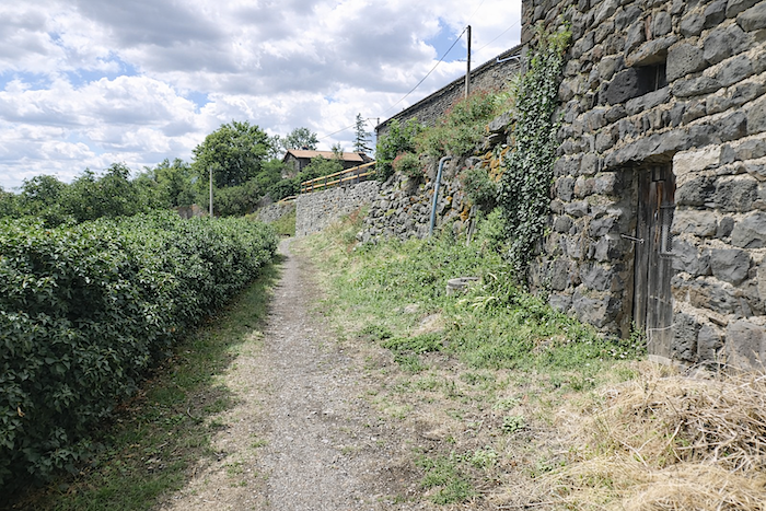
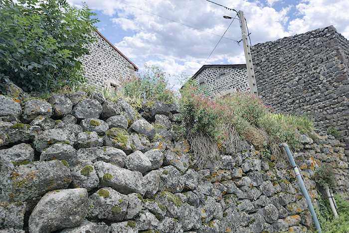
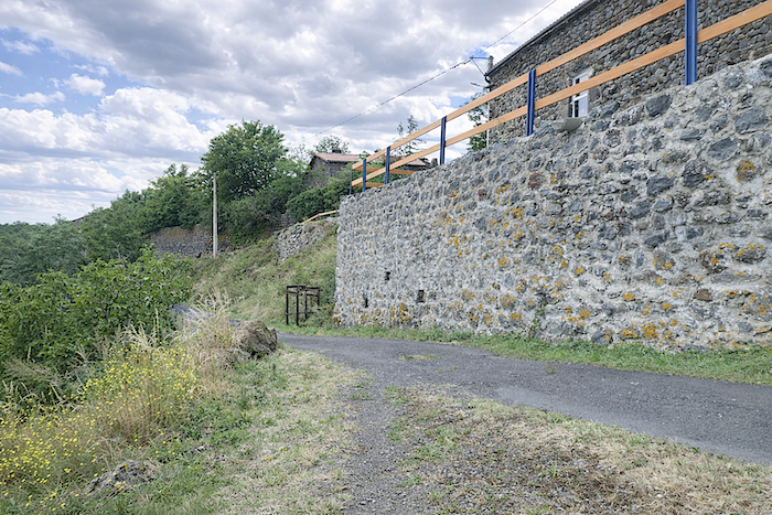
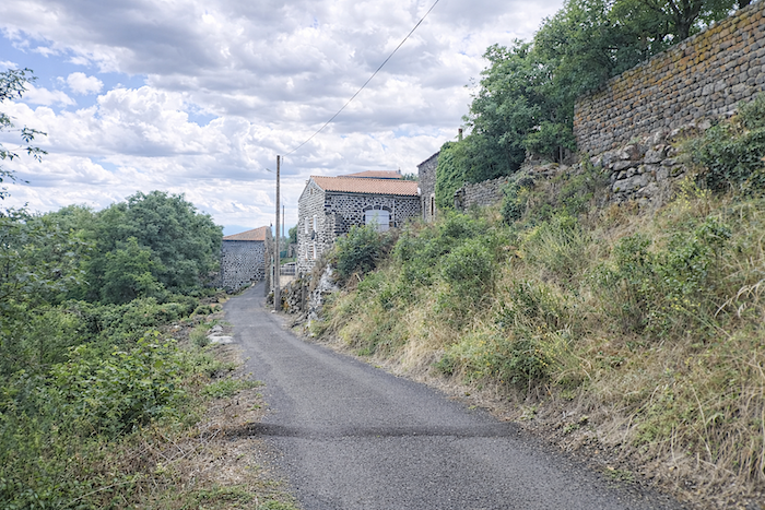
| The route then leaves the asphalt for a while and joins a trail running below the hamlet. La Roche appears suspended upon the cornice, balanced at the edge of a deep valley where the Dolaison flows far below in the shadow of the slopes. Everywhere, the eye meets the mineral truth of the place. Here, stone is not merely a material, it is a presence. The hamlet unfolds its string of houses like a settlement born from a single breath, sharing the same silhouette, the same dark hue, the same luminous austerity. Volcanic stone, abundant throughout the region, is not an obedient stone. Brittle and difficult to shape, it resists the will of men. No matter. The old builders made it their ally, assembling it into irregular blocks, sometimes only roughly squared, held together with lime or mortar. Other volcanic stones found their place within the walls and even upon the roofs, where they became stone slates extending the mountain itself into the dwellings. |
 |
 |
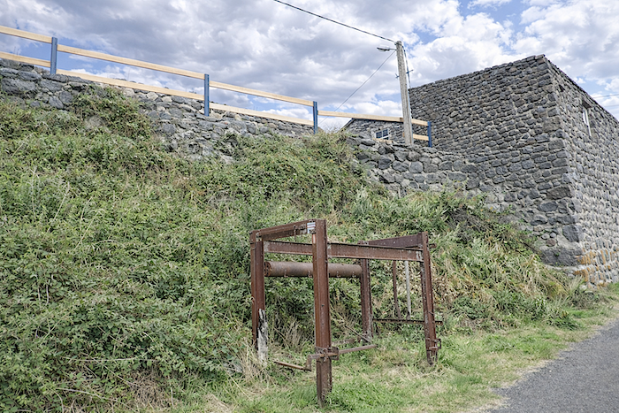
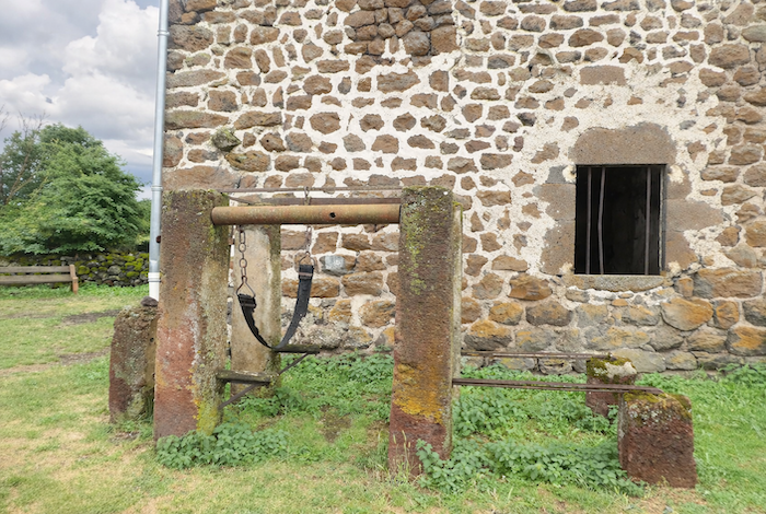
| Here survives a severe iron device, almost unsettling at first glance. One should not worry, it was not intended for men, but for the oxen of former times. This old shoeing frame, also called a “travail”, recalls a vanished rural world. While a docile horse could often be shod without much restraint, cows and oxen, unable to stand long on three legs, had to be secured within this strange iron framework. Oxen no longer pull the plow today, but it is fortunate that the region has preserved the traces of its rural past with such fidelity. |
 |
 |
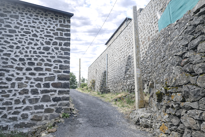
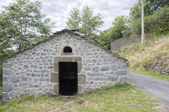
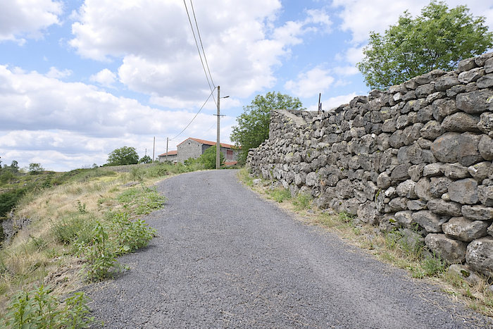
| The GR65 gradually leaves behind this remarkable village, whose architectural unity remains intact, at least along the route itself. No recent construction breaks the overall harmony. At times, the walls rise so high that one might believe oneself standing before a forgotten fortress. In many minds, volcanic stone means only black basalt. That is partly true, yet these lands of fire contain many other shades as well: paler rocks such as trachyte and other stones born from the same depths, softening the dark harshness of the landscape. |
 |
 |
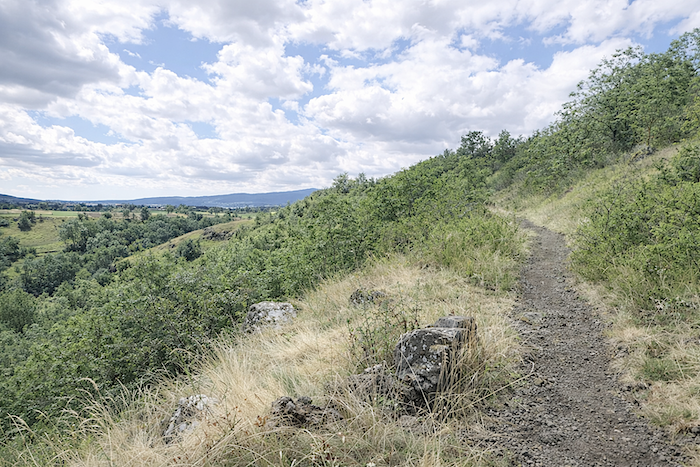
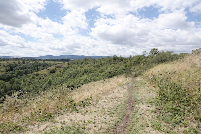
| At the edge of the village, a narrow trail scattered with stones of every size follows the cornice without gaining height, gliding along the upper lip of the ridge above the ravine of the Gazelle. Far below, the Dolaison continues its discreet course, like a confidence whispered at the bottom of the dale. |
 |
 |
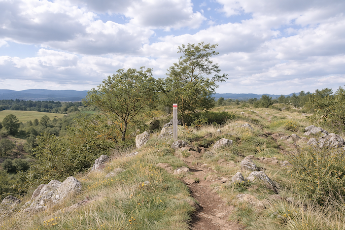
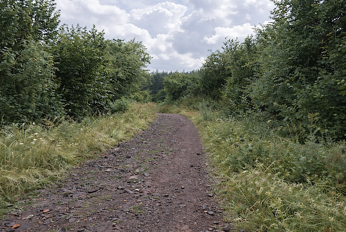
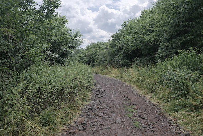
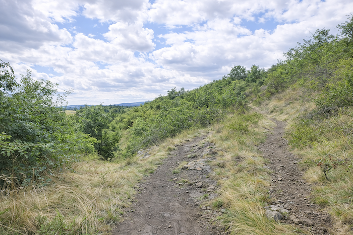
| The trail then abandons itself to untamed nature, threading through a charming disorder of stones, bushes, and undergrowth, as though it too were seeking its own way through this tamed wilderness. |
 |
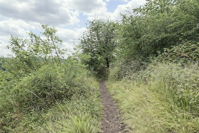 |
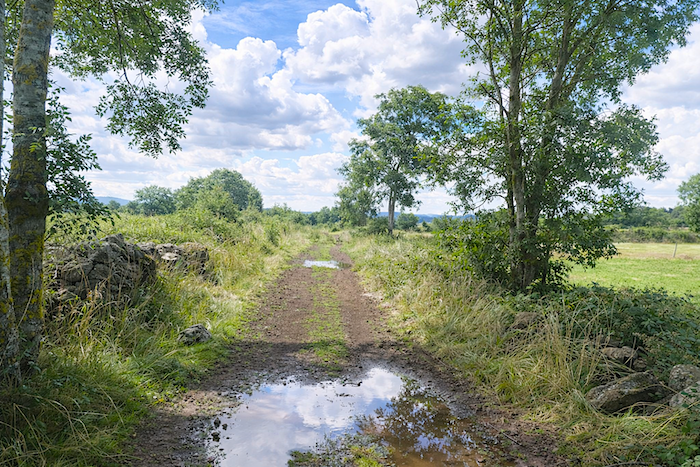
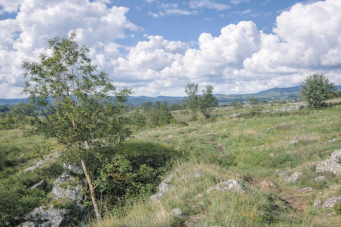
| In rainy weather, the walker is offered a balancing act, leaping from stone to stone among the puddles, advancing sometimes cautiously, sometimes lightly. |
 |
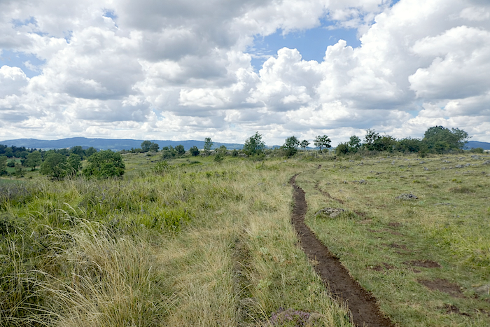 |
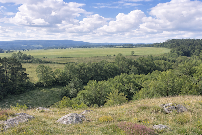
| At times, the gaze escapes toward the dale carved by the Dolaison, whose depth contrasts sharply with the apparent gentleness of the plateau. |
 |
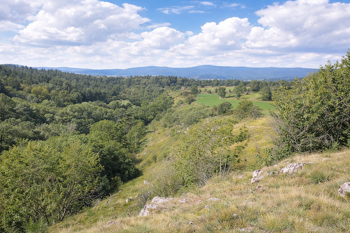 |
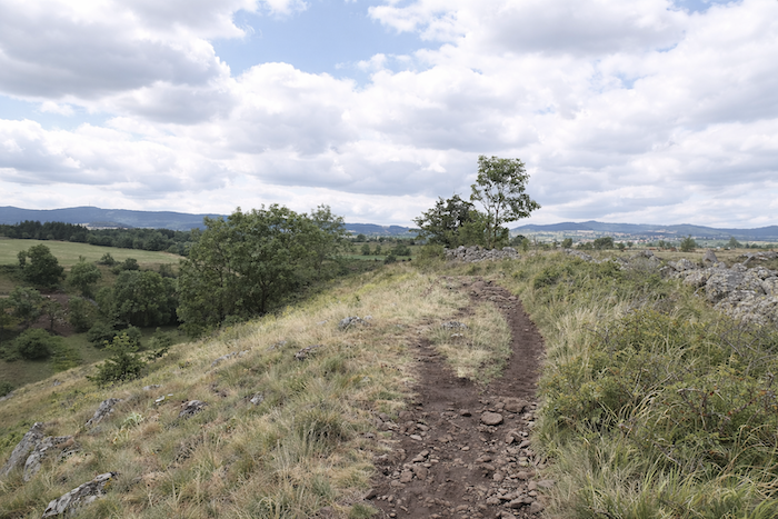
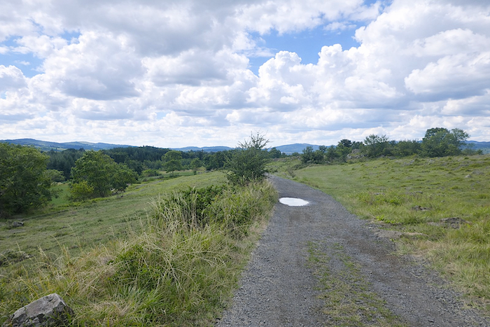
| In this sort of highland steppe, where granite occasionally emerges at the surface, cattle sometimes graze upon the short sparse grass. On the horizon stretches a line of ridges rising to around one thousand meters in altitude. This is the heart of the Velay, a vast volcanic plateau bordered before you by the Devès mountains and their chain of small volcanoes. This range forms the watershed between the Loire basin to the east and the Allier basin to the west. At the end of the ridge, the path finally widens and begins a gentle descent toward the dale below. |
 |
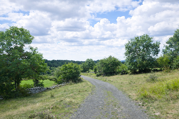 |
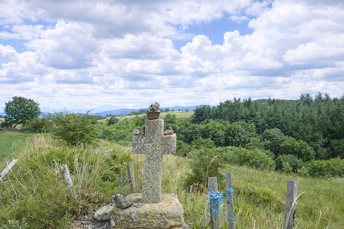
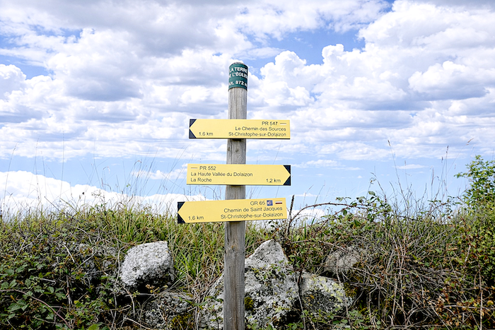
| It soon reaches the place known as La Terre de l’Église, 1.6 kilometers from St Christophe-sur-Dolaison. Here, the exposed rocks are granite, as are the crosses punctuating the landscape. Yet the stones of the path itself remain volcanic in origin. |
 |
 |
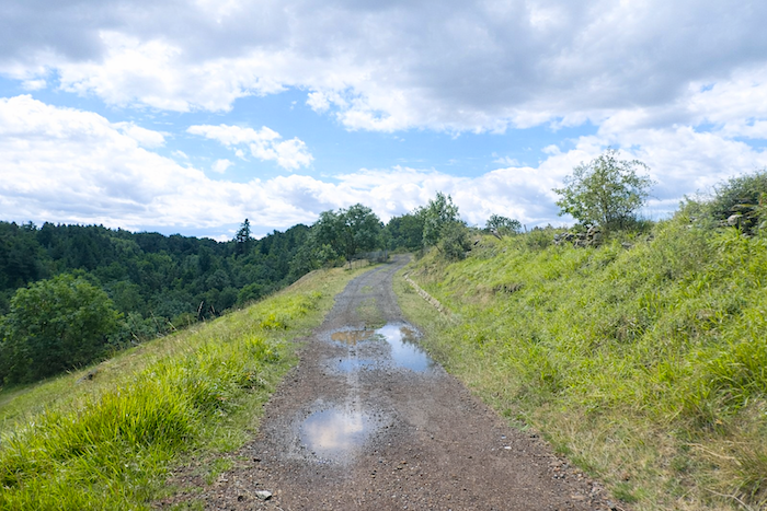
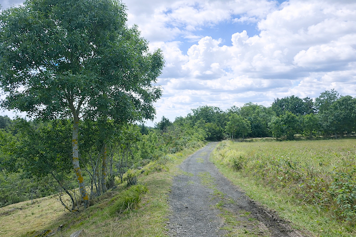
| The ground seems to hesitate between the red of pozzolana and the deep black of basalt. Despite the small stones slipping beneath one’s feet, the walking here remains particularly pleasant. |
 |
 |
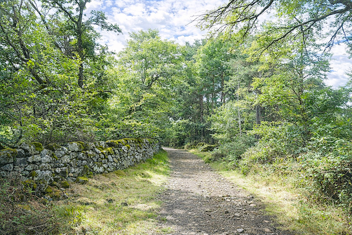
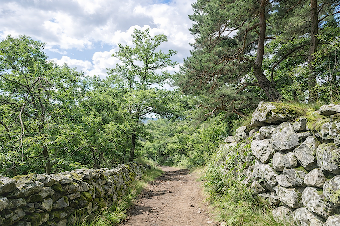
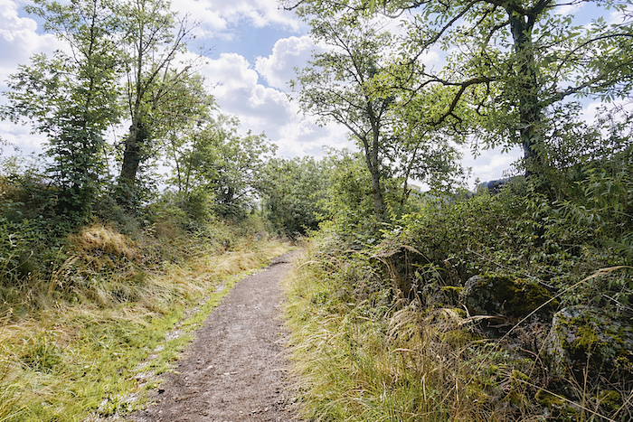
| Then appear the first dry stone walls edged with moss, which give the GR65 so much of its discreet and undeniable charm whenever it slips beneath the trees. |
 |
 |
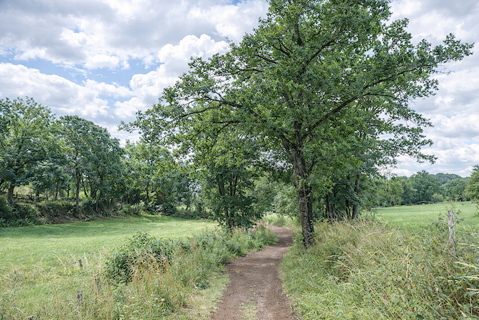
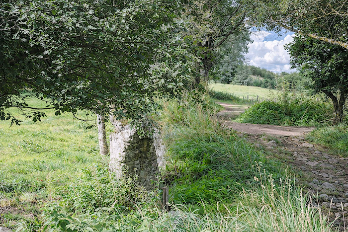
| The path then descends gently to cross the modest Roche stream over a small humpback bridge. The water passes beneath without noise, with an almost timid discretion. |
 |
 |
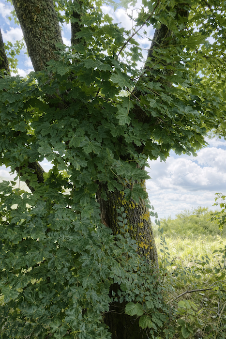
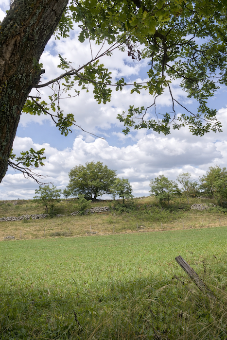
| Here, ash trees and maples abound. Oaks begin to appear within the landscape, joined by a few spruces and pines that already announce a denser forest ahead. |
 |
 |
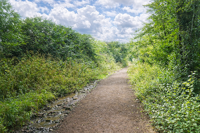
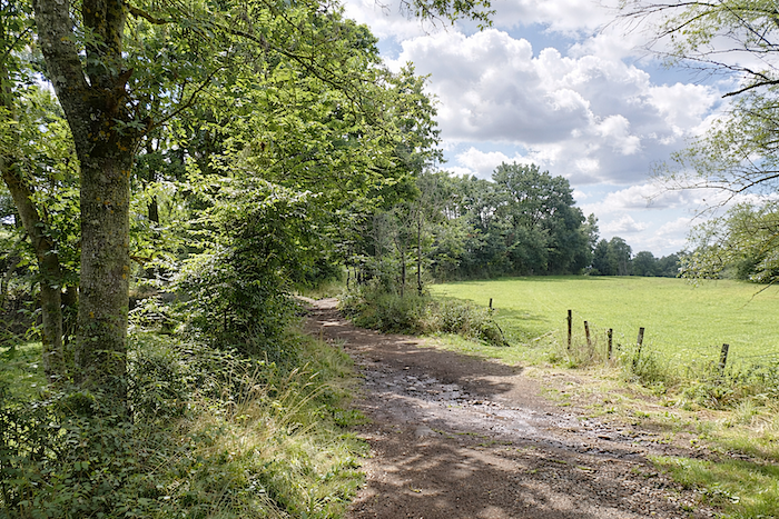
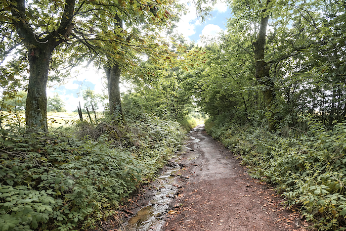
| Beyond the stream, the dirt path climbs again into the undergrowth. In rainy weather, even gentle slopes such as these can sometimes turn into improvised brooks, where the water claims the path before the traveler does. |
 |
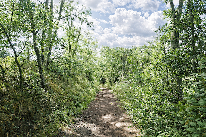 |
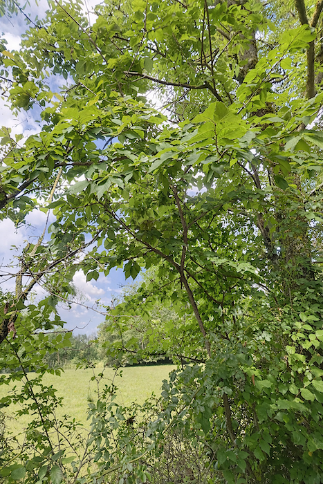
| The vegetation then becomes richer, almost exuberant. Chestnut trees themselves come to rival the oaks, maples, beeches, and hornbeams, as though the forest were trying here to reclaim its full dominion. |
 |
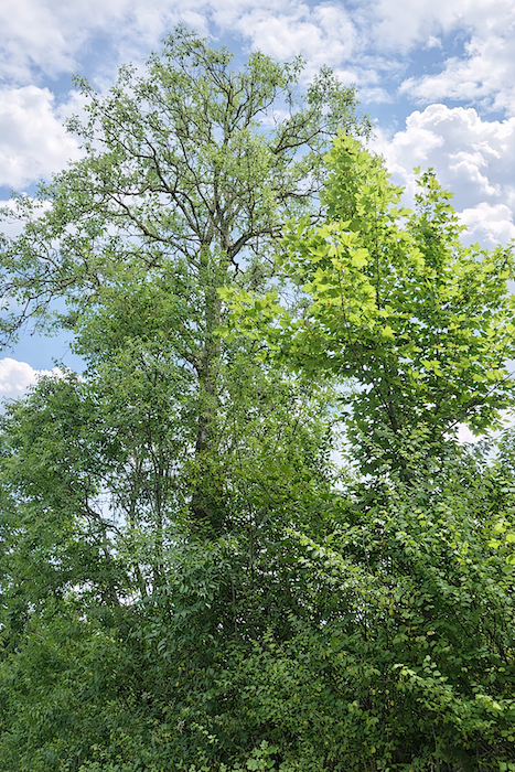 |
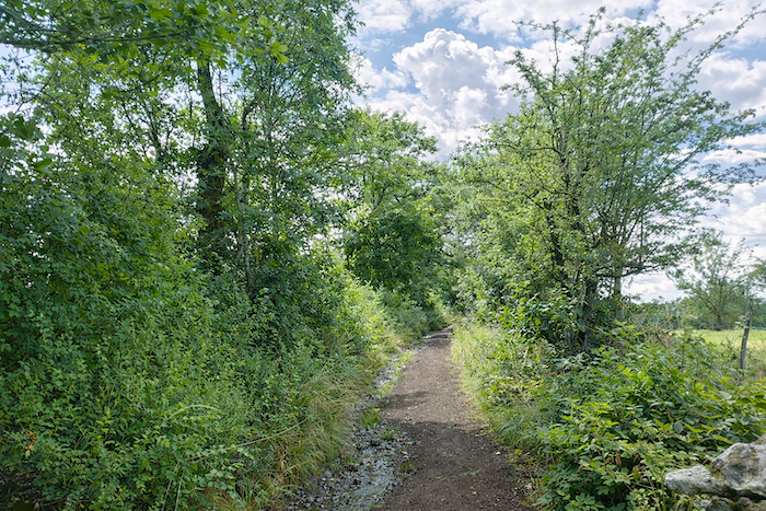
| Then, beneath the thick canopy where lichen and ivy cling to trunks and old stone walls, the path gradually draws closer to St Christophe-sur-Dolaison. |
 |
 |
Section 3: Beyond St Christophe-sur-Dolaison, small stone hamlets in the countryside
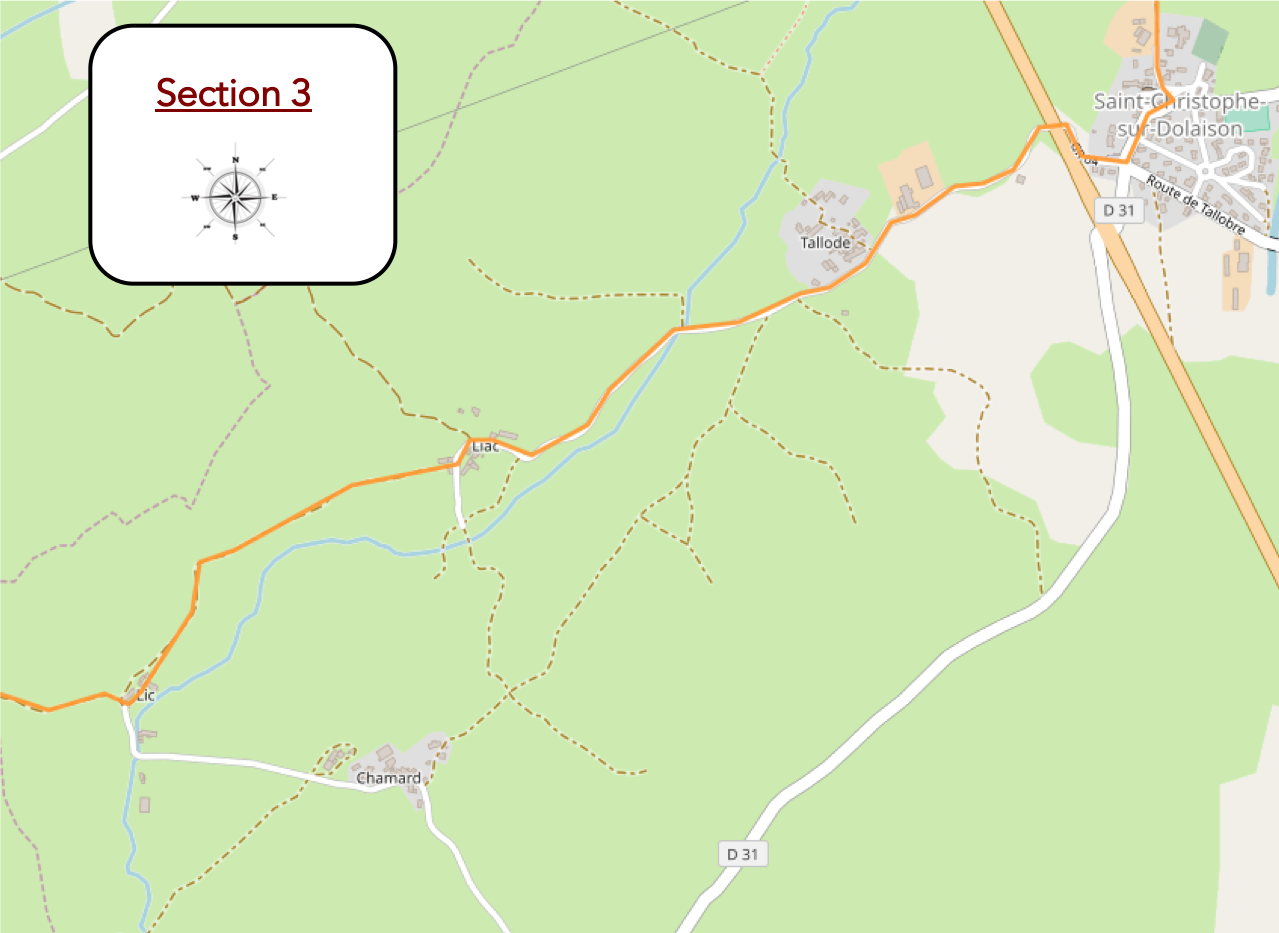
General overview of the route’s challenge: The route is almost entirely gentle, most often with slopes below 5%..

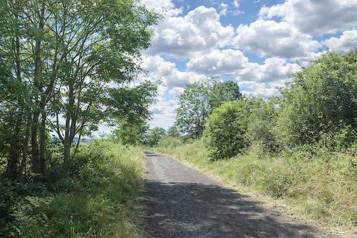
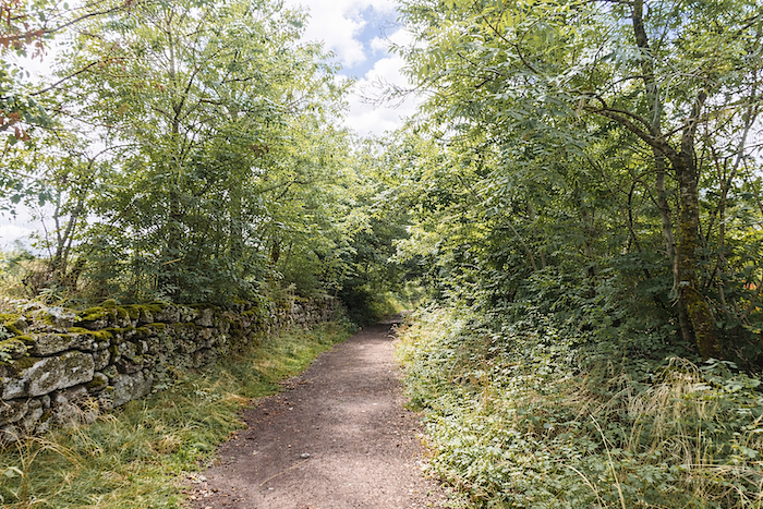
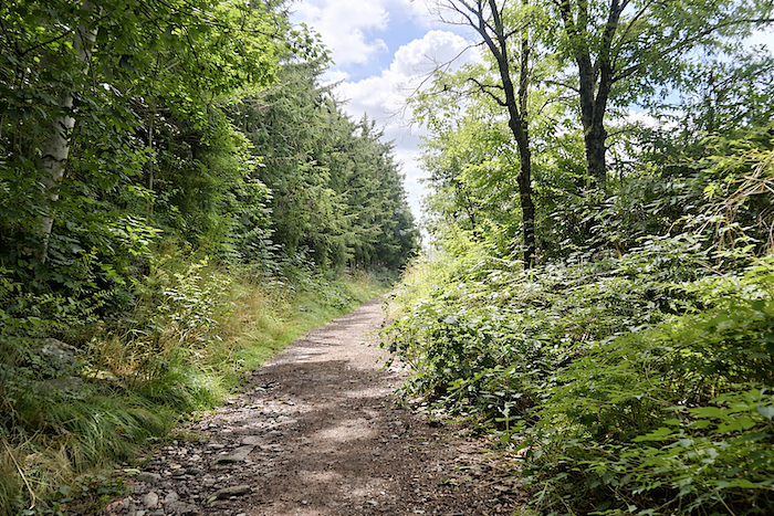
| The route continues a little longer through this generous natural world, following moss-covered stone walls and abundant ferns, discreet messengers of the dampness that permeates these woodlands. |
 |
 |
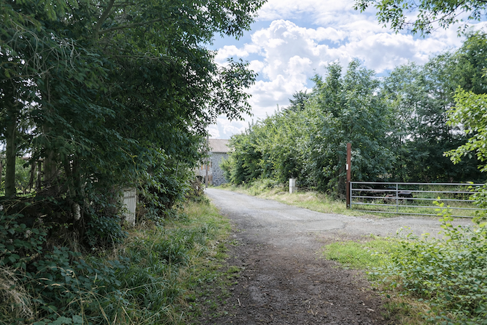
| Then, almost without transition, the path emerges into St Christophe-sur-Dolaison. |
 |
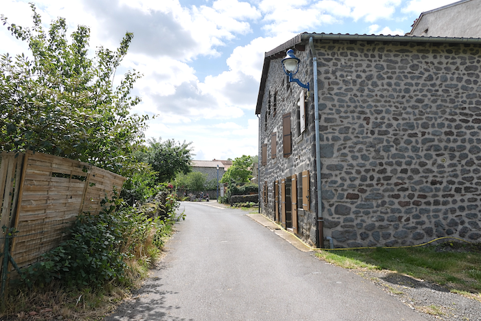 |
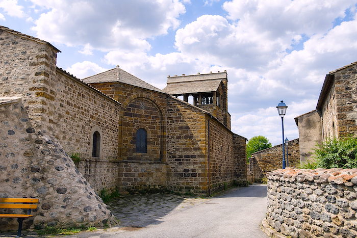
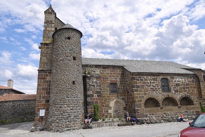
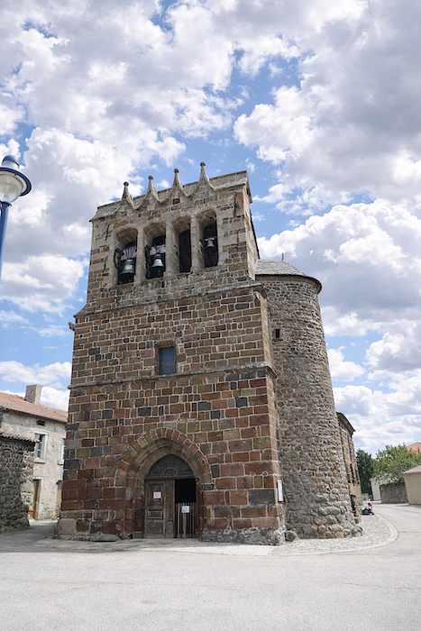
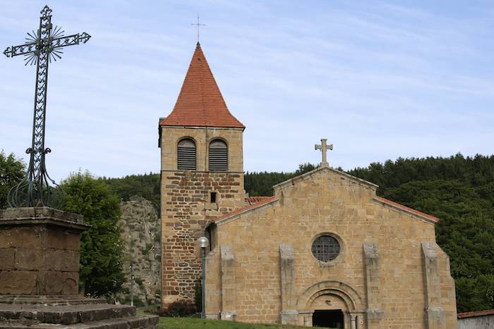
| The village is arranged around a small square where the church stands, the peaceful heart of the commune. Listed as a historic monument, it is believed to date back to the twelfth century and carries the memory both of the Hospitallers of Le Puy and of the Templars who once shaped the region. Its primary material is volcanic breccia, a natural conglomerate of rock fragments fused together by ancient ash. Its walls unfold through every shade from ochre to deep red, and the building is crowned by a remarkable bell tower with four openings, resembling a comb bell gable, an emblematic silhouette of this land. Across the centuries, the church has undergone a few discreet alterations, including the addition of a chapel and a staircase. |
 |
 |
 |
 |
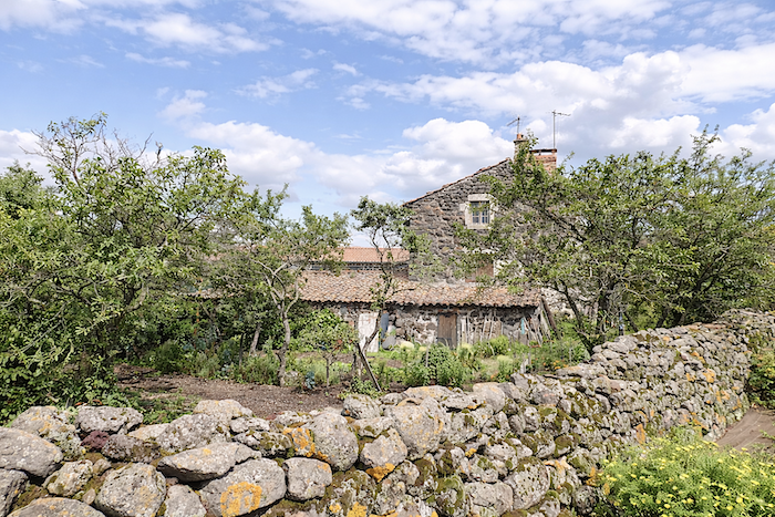
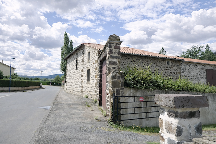
| You may find food in the village, provided you arrive at the proper hour. Along the Camino, travelers often have to contend with closed doors, and it is wiser, at the previous stop, to ask which places are open or closed. Water points, however, almost always remain faithful to the traveler, precious provisions for thirsty walkers. Here again, as in so many villages of the Velay, volcanic stone bursts across the façades in a palette of warm tones. |
 |
 |
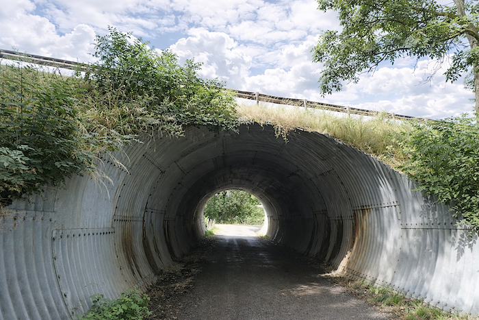
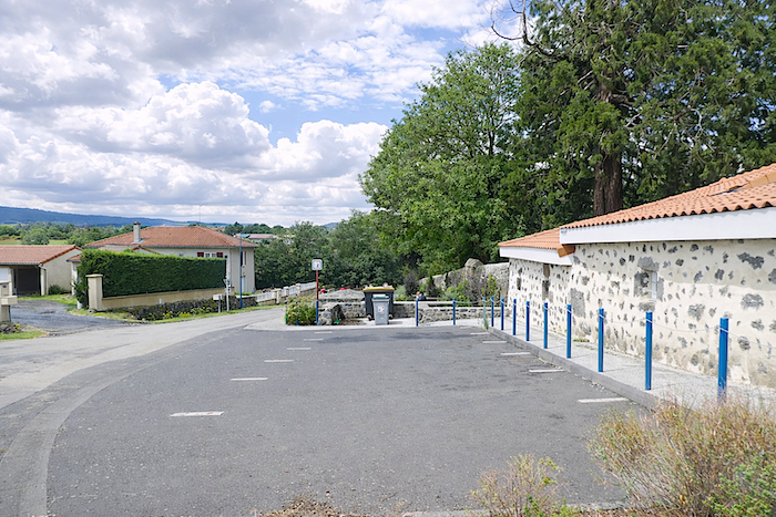
| Leaving St Christophe-sur-Dolaison, a few hundred meters farther on, the route follows the Place du Lavoir before sloping down to pass beneath the D51 departmental road through a tunnel. |
 |
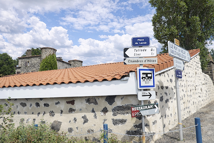 |
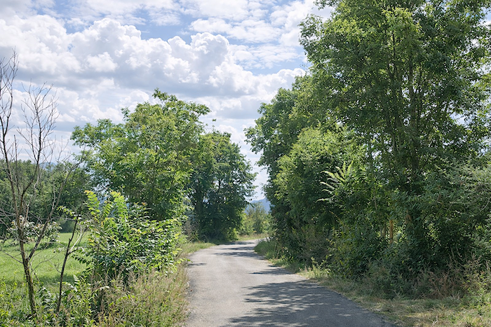
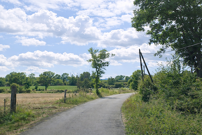
| A small road then gently gains altitude again toward Tallode, around ten kilometers from Le Puy-en-Velay. |
 |
 |
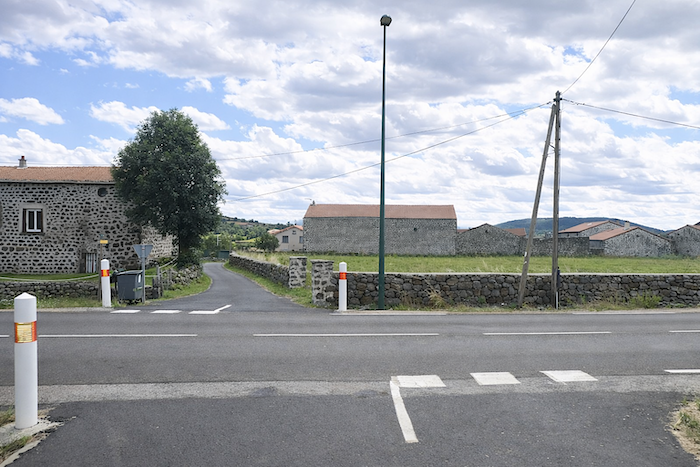
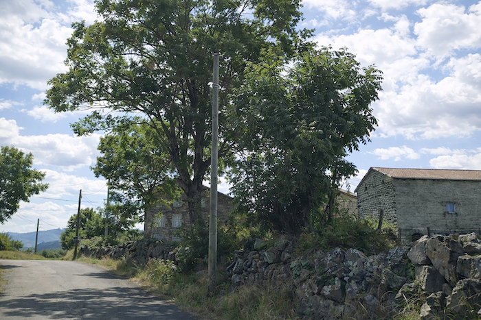
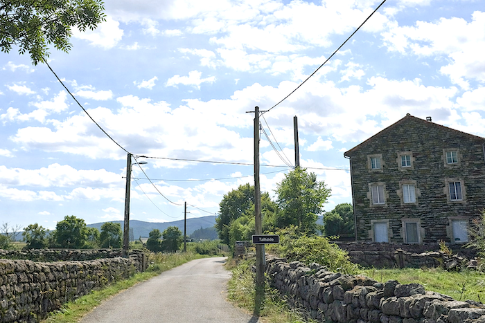
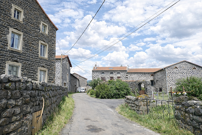
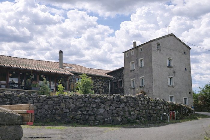
| In Tallode, the houses display a remarkable unity beneath their basalt stonework. These hamlets encountered along the route are small clusters of massive homes, built to outlast time itself. In truth, they are magnificent houses, many centuries old. Here, men carved into granite and basalt cliffs, black and gray alike, and felled oak trees to raise farms, barns, and sometimes manor houses. Take note: in the Velay, granite was here before everyone else. It is an old gentleman three hundred million years in age, while Vulcan and Hephaestus were mere children who only began playing marbles here fifteen million years ago. Thus, granite, which lends itself beautifully to shaping, sometimes replaces basalt. |
 |
 |
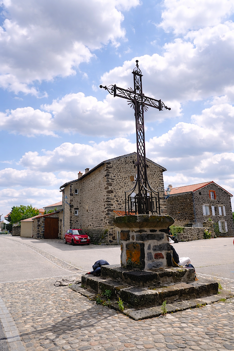
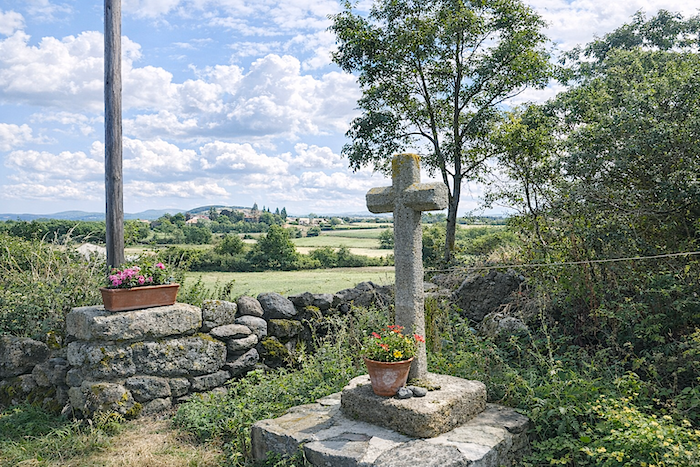
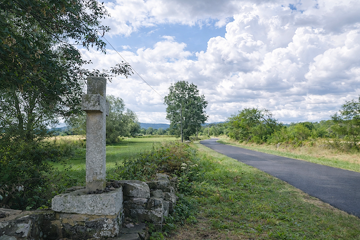
| Everywhere, granite crosses punctuate the landscape with their familiar presence, like silent landmarks raised between earth and sky. At the edge of the hamlet, the road gradually leaves toward the open countryside in the direction of Liac. |
 |
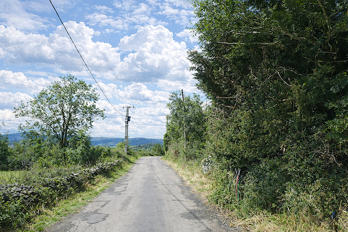 |
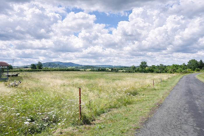
| The small road then rolls gently between vast meadows and rarer cultivated plots bordered by clusters of ash trees. Herds graze freely in the flowering grass, giving the landscape that impression of living calm which forms all the charm of these high plateaus. |
 |
 |
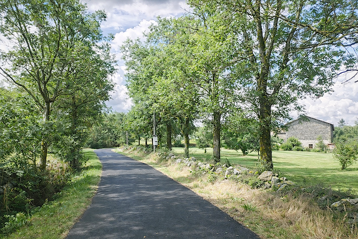
| Soon, the road reaches the hamlet of Liac. Here again stands an iron “travail”, the old device once used for shoeing oxen, a stubborn witness to a rural world that has not entirely disappeared. |
 |
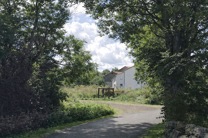 |
| And still returns the magic of these volcanic stones, never placed at random within the thick walls of houses built to endure. In these villages, even the more recent alterations seem to have respected the spirit of the place, as though every addition had humbly submitted itself to the memory of the stones. |
 |
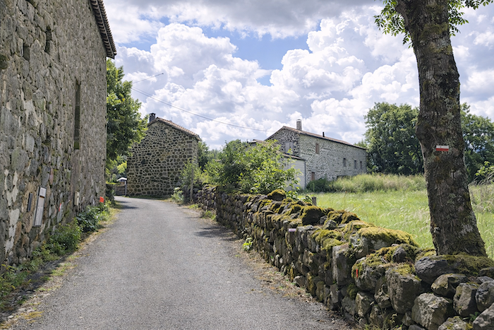 |
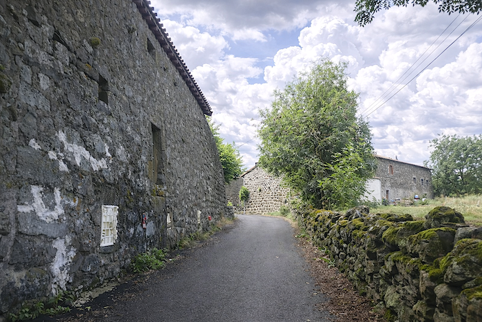
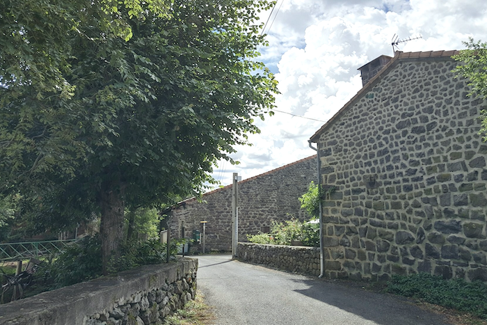
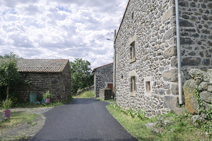
| The narrow road advances here with quiet modesty, as though it understood that one must speak softly in villages of stone. On either side, the basalt houses raise their dark walls, patient and solid, carrying that rustic nobility bestowed by centuries and wind. Their façades, stitched together with pale mortar lines, resemble great mineral mosaics in which every stone seems to have occupied its place forever. It is one of those places where time appears to walk beside the traveler, never urging him onward |
 |
 |
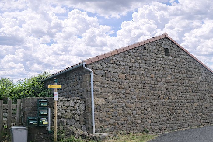
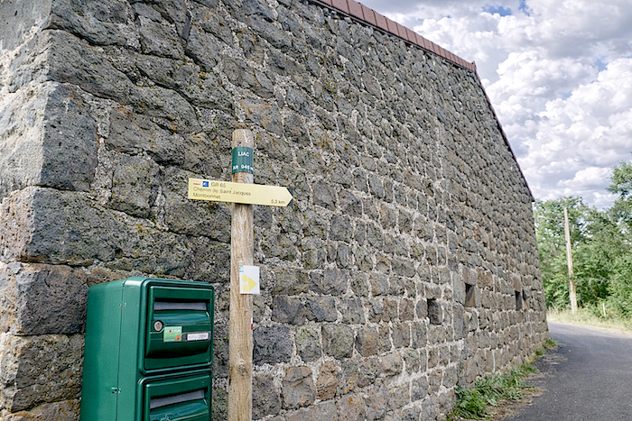
| Here, a sign already announces Montbonnet, still nearly five kilometers away, a promise of road that prolongs both the pleasure of the route and the patience it demands. |
 |
 |
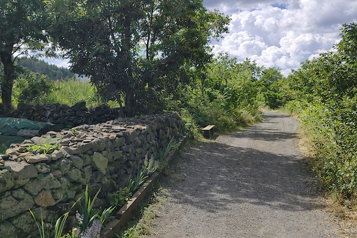
| The GR65 leaves Liac by continuing along the asphalt of a somewhat weary little road that occasionally winds beside stone walls beneath the light shade of ash trees and maples. |
 |
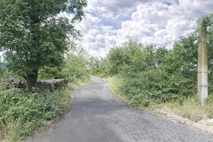 |
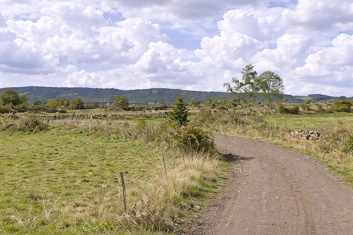
| The path then continues almost entirely flat, with only the slightest incline, leaving both the stride and the mind wonderfully free. Ahead, the Devès mountains already spread their tranquil lines, like a promise of relief still to come. |
 |
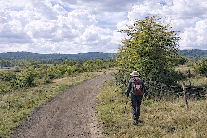 |
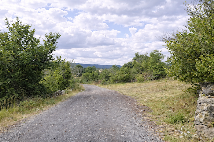
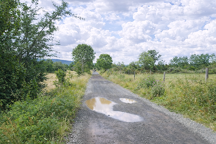
| Along this peaceful section, the only companions are most often other pilgrims, resembling you in their deliberate slowness, or more rarely a few animals scattered across the meadows. Here, walking becomes silence, and silence becomes wonder. |
 |
 |
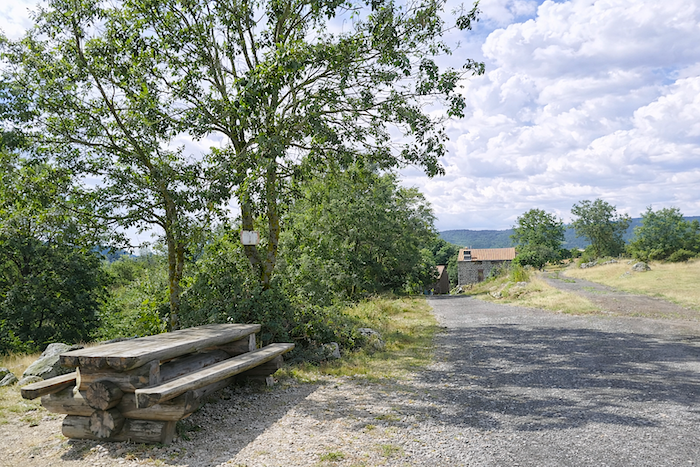
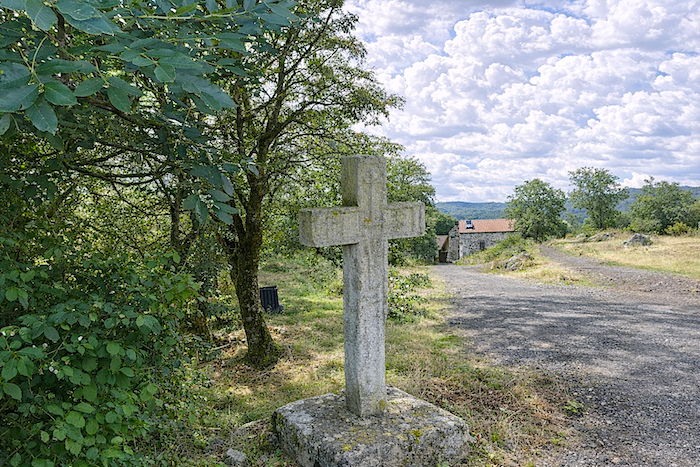
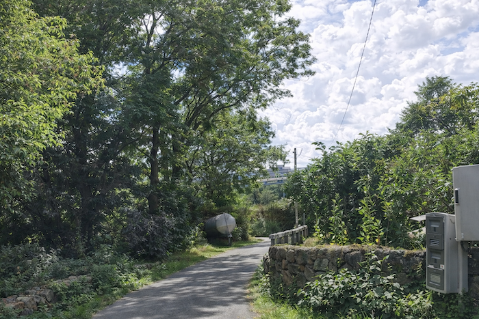
| A bench and a stone cross welcome the walker at the entrance to Lic, where the route briefly rejoins the asphalt. |
 |
 |
| The hamlet is tiny, almost deserted, yet it remains remarkable, with its stone houses that seem to have defied the centuries without surrendering anything of their soul. |
 |
 |
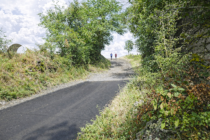
| At the exit from Lic, it is already a return to the open countryside. The dirt road, stony and straightforward, once again takes possession of the landscape and invites the traveler onward still farther. |
 |
 |
Section 4: The beautiful stones of Ramourouscle and a solitary chapel in the countryside

General overview of the route’s challenges: The path climbs constantly, though never with slopes above 10 percent, and most often below 5%.
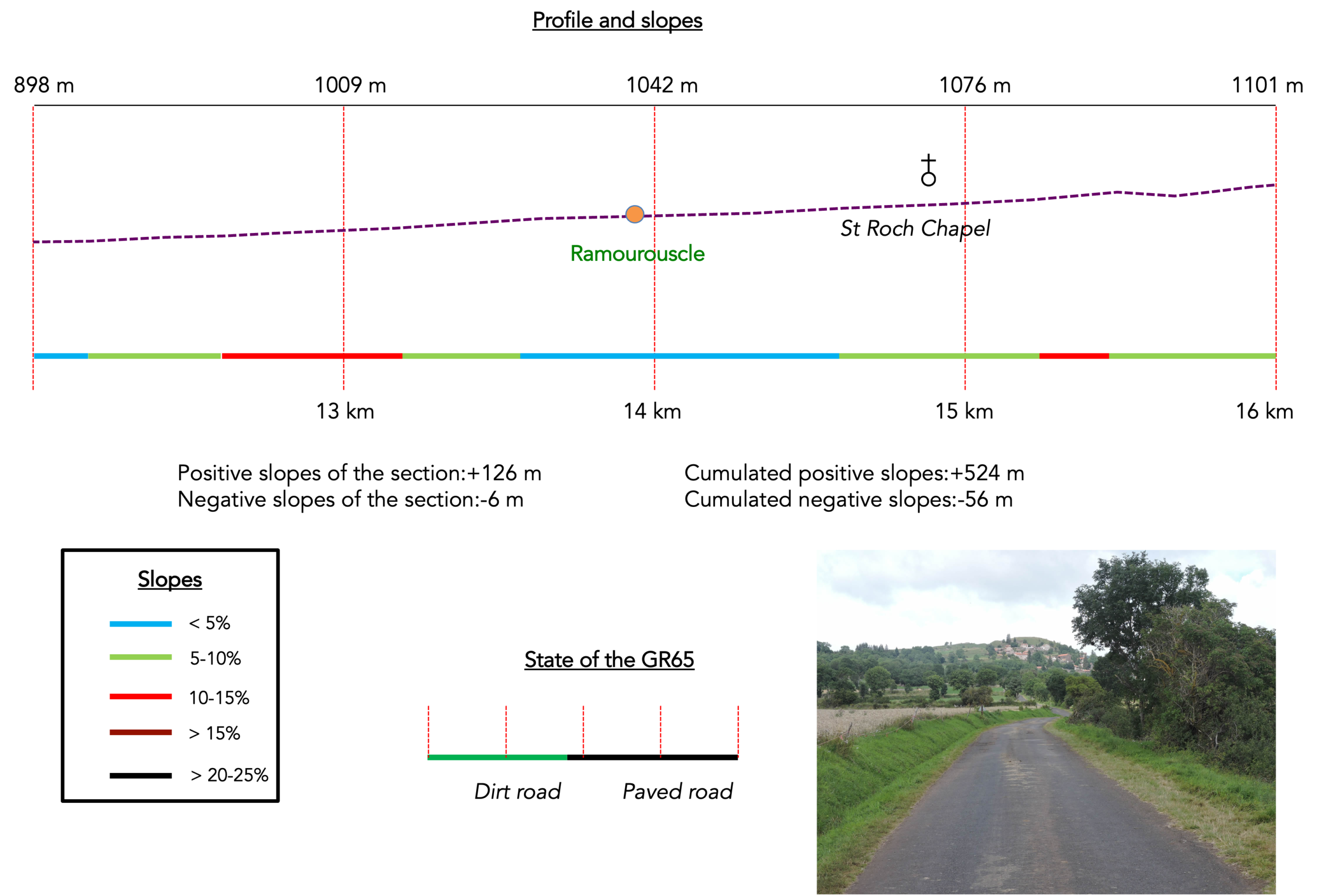
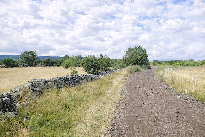
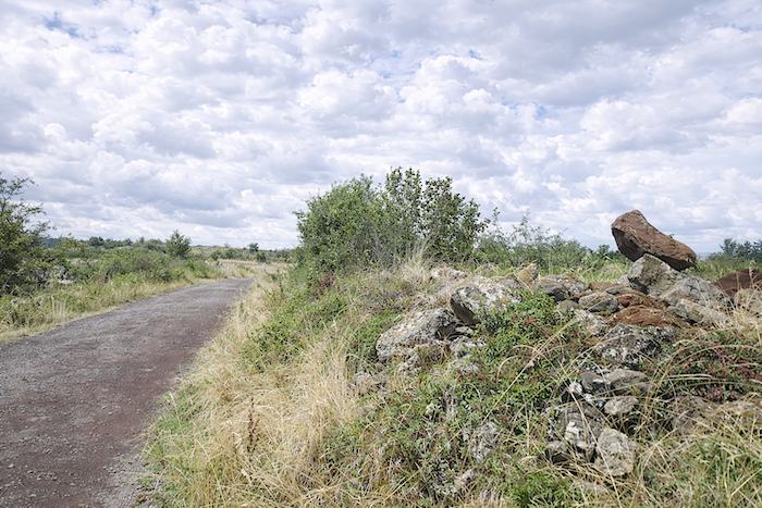
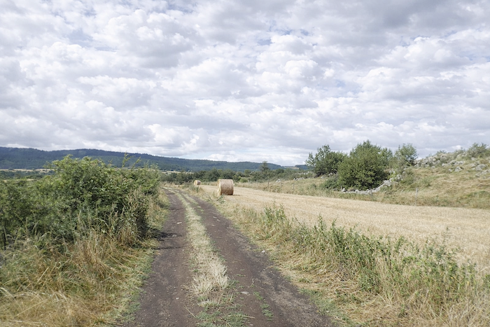
| The path slopes up gently through the countryside. Here and there, great blocks of volcanic stone emerge from the fields like remnants of some ancient mineral chaos. Meadows largely dominate the landscape, while cultivated land remains discreet. A few plots of corn or cereals can still be seen, most often oats or triticale grown for livestock, for this harsh high land is poorly suited to wheat. As for lentils, the jewel of Le Puy, it seems we have already left behind their favored territory. |
 |
 |
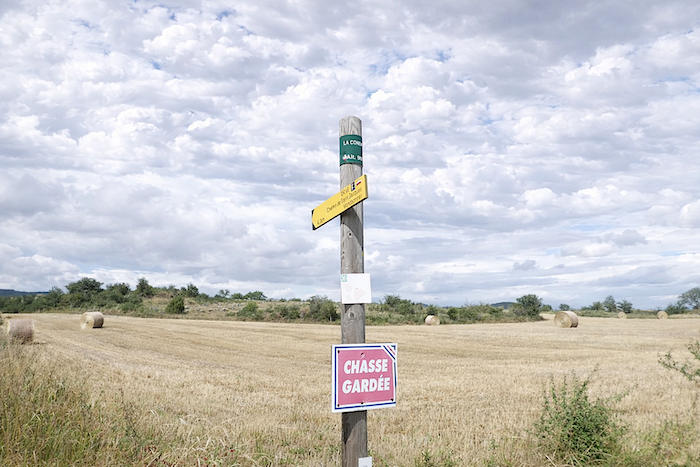
| Soon afterward, the ochre-colored path, still dusted with traces of pozzolana, crosses a small road that would lead toward the village of Les Bains. But the GR65, faithful to its direction, continues straight ahead, brushing past brambles and tall grasses. |
 |
 |
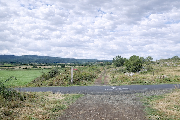
| Farther on, it crosses another modest secondary road before continuing without hesitation. Yet on that day, the sky gradually fills with heavier, darker clouds. Rain has been forecast, and even the air itself seems to hold its breath before the coming downpour. |
 |
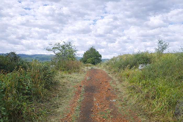 |
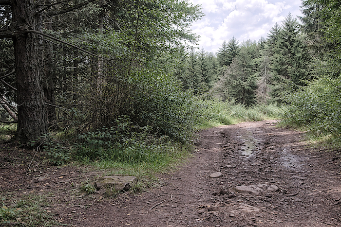
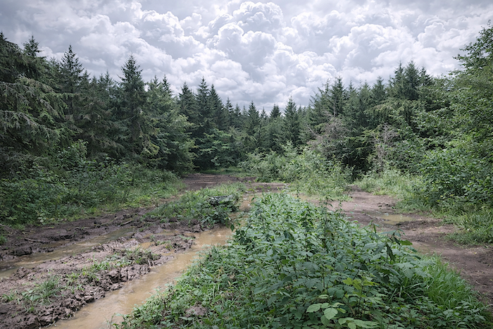
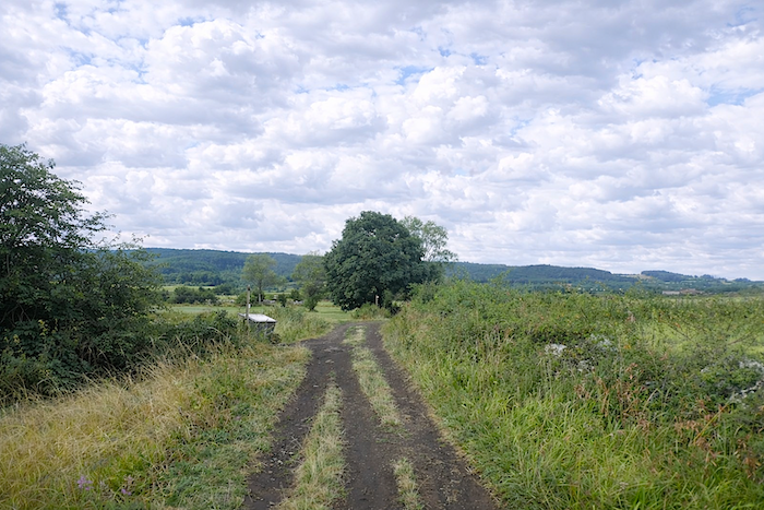
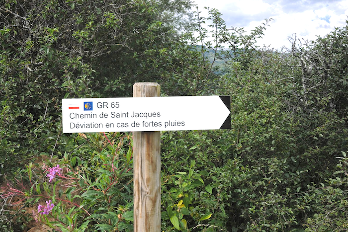
| The path then alternates between sticky mud and waterlogged ochre earth. Here, when spring has been generous with rain, it is wiser not to venture off the route, for the fields quickly become traps where footsteps sink deep into the soil. The nature of the ground favors water retention, and one soon understands why signs occasionally indicate detours in periods of heavy rain. The warning deserves to be taken seriously. In these lands, water quickly reminds travelers that it is master here. |
 |
 |
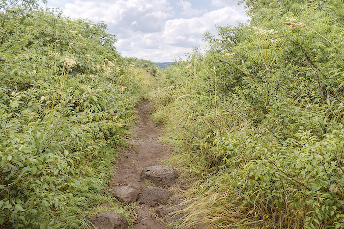
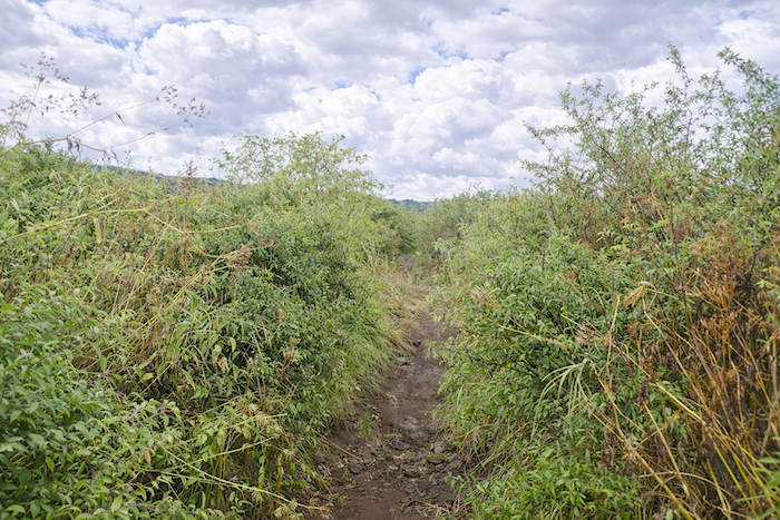
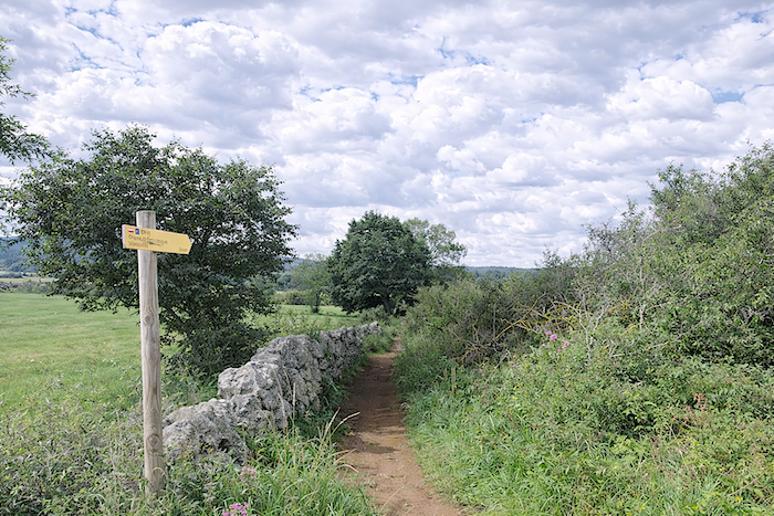
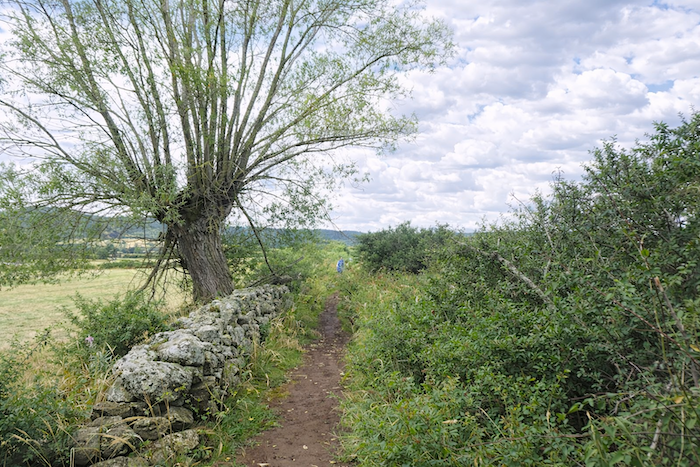
| And for good reason. Farther ahead, a trail narrows until it becomes almost impassable, threading for several hundred meters through a true jungle of tall grasses, as though the path itself hesitated to continue onward. |
 |
 |
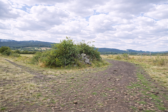
| Beyond the bushes stretches a rather bleak plain, cold, sometimes muddy, even marshy in bad weather. Yet the rich soil, no doubt more fertile judging by the succession of fields stretching endlessly onward, is best avoided during rain. One sinks into stubborn mud and carries away a little of the Velay beneath the soles of one’s shoes. |
 |
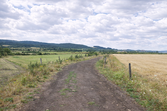 |
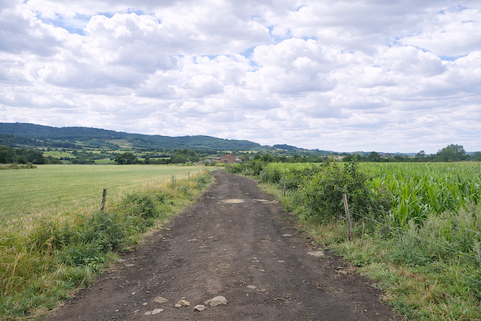
| The GR65 continues across beaten earth, crossing sparse fields and open meadows before approaching the outskirts of Ramourouscle. Ahead rises the dark silhouette of the Forest of l’Œuf, leaning against the Devès mountains like a border of mystery laid upon the horizon. |
 |
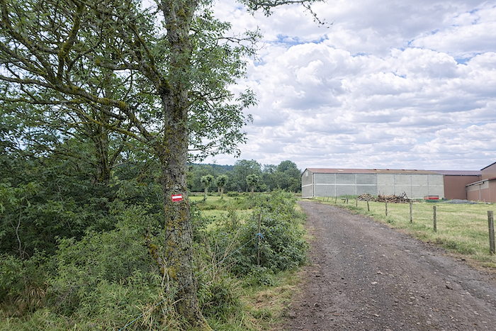 |
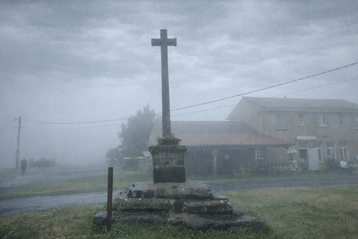
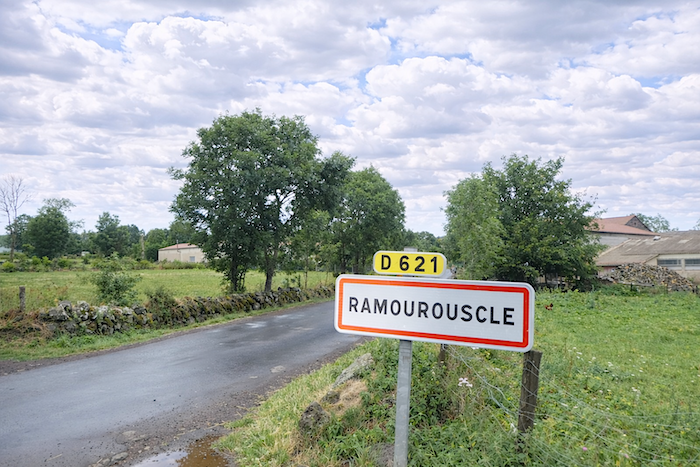
| The path soon rejoins the road at the entrance to Ramourouscle. It is here, today, that we encounter our first downpour.
Throughout these pages, we have tried above all to show stages bathed in light, yet it is only fair to tell the truth of the route beneath less forgiving skies. For the pilgrim rarely has a choice. He advances with the weather he is given. And rain, far from stripping the landscape of its beauty, sometimes lends it a deeper gravity, a barer soul. |
 |
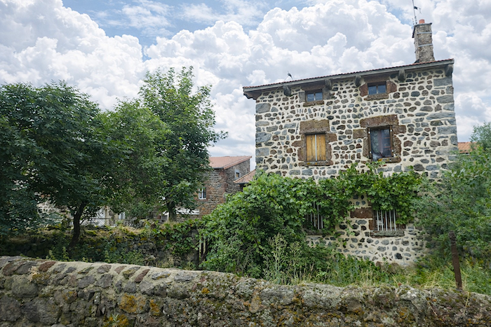 |
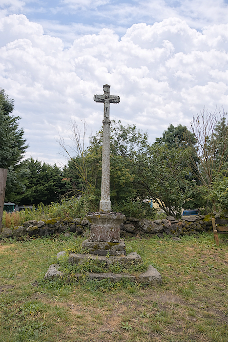
Ramourouscle is a magnificent stone village where one has the feeling of stepping onto land frozen since time immemorial. Everything here seems to speak softly, yet truthfully. Even the Templars once passed through these places in their heavy boots. Could you imagine a more beautiful ruin than the one rising at the heart of the hamlet with its silent majesty? This stone house seems to have crossed the centuries without ever hurrying its pace. Resting there within its enclosure of silence, it bears upon its walls the patient work of time. The volcanic stones, assembled without ostentation, still preserve the memory of the hands that raised them. Nothing here seeks to charm. Instead, everything breathes the profound simplicity of places that have endured. At the center of the courtyard, the old granite cross watches like an immobile sentinel. Time here has not stopped. It has merely slowed enough to allow the stones, the moss, and the wind to recount what men have forgotten.
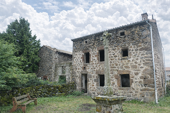
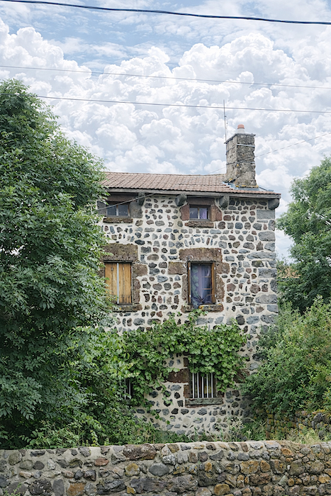
| Everything here overflows with volcanic stone, as though the entire hamlet had risen in a kind of mineral and almost sacred fervor. The walls, the thresholds, the enclosures, even the smallest details of the landscape seem born from the same ancient lava, patiently tamed by human hands. |
 |
 |
| And what can be said of this old iron “travail” once used for shoeing oxen, undoubtedly one of the most remarkable along the entire Camino route? It bears witness to a harsh yet ingenious rural world now vanished, though its memory remains intact. Fortunate indeed is the region that has preserved the traces of its past with such fidelity. |
 |
 |
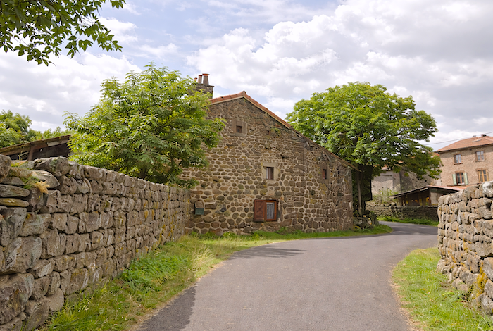
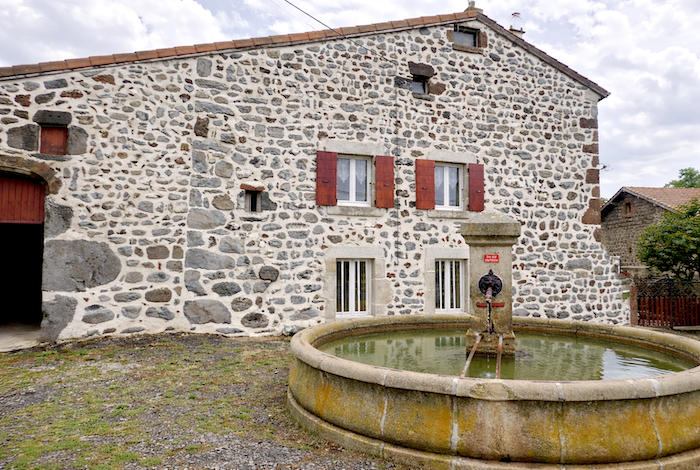
| Here, whatever their wear or condition, these stone houses give the landscape a singular magic. The farms are often built from dark irregular basalt blocks joined by broad pale mortar lines that create upon the façades a kind of rustic lacework. Sometimes an old well appears unexpectedly beside a courtyard or stone wall, like a relic from another age. |
 |
 |
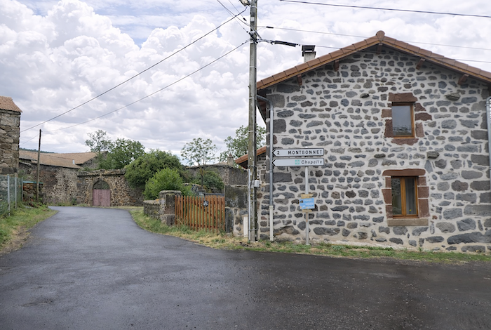
| The road leaves behind this village where no modern construction disturbs the spirit of the place. Here, time seems to have chosen to remain faithful to itself, without rupture or concession. |
 |
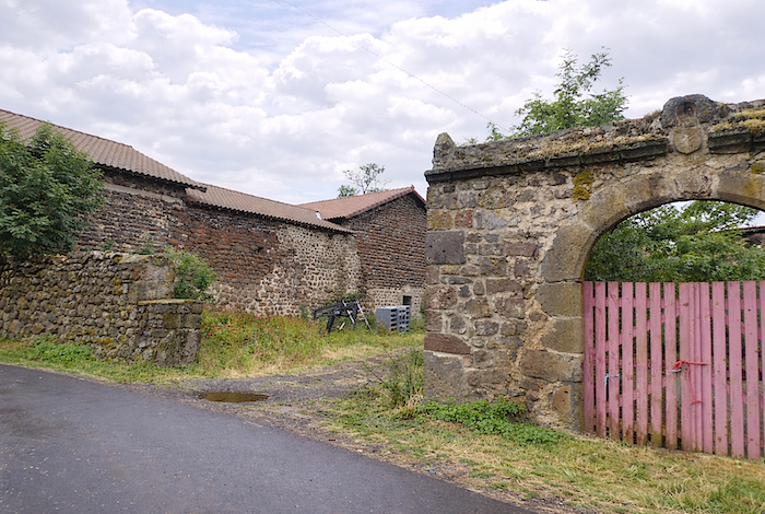 |
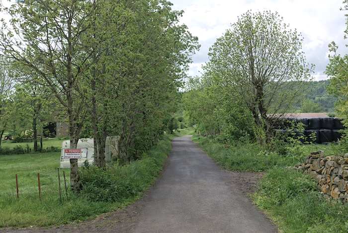
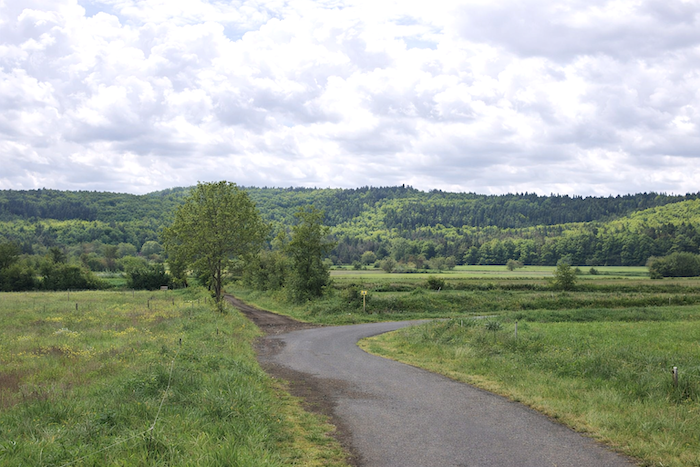
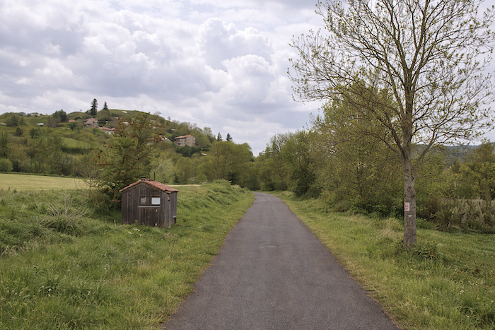
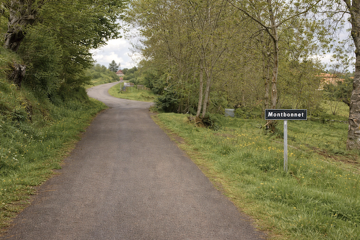
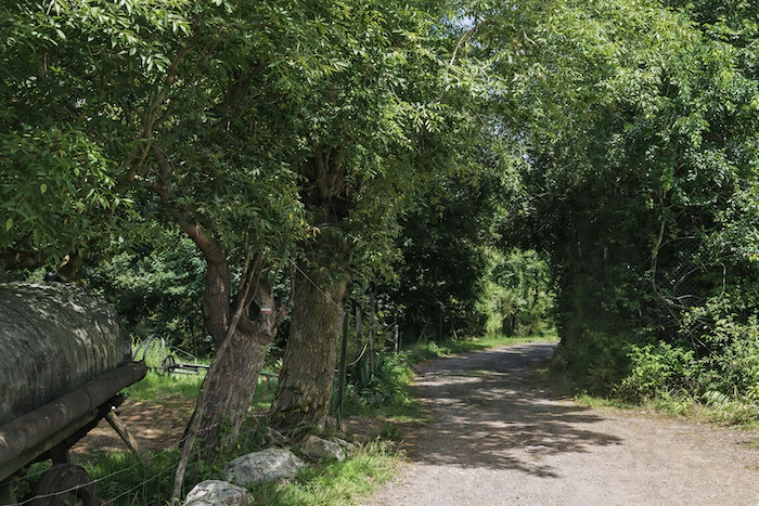
| A small road then slopes up gently for nearly two kilometers beneath ash trees toward Montbonnet. You encounter virtually no cars here, only the footsteps of the walker, the breath of the wind, and that rare sensation of possessing the landscape entirely for oneself. |
 |
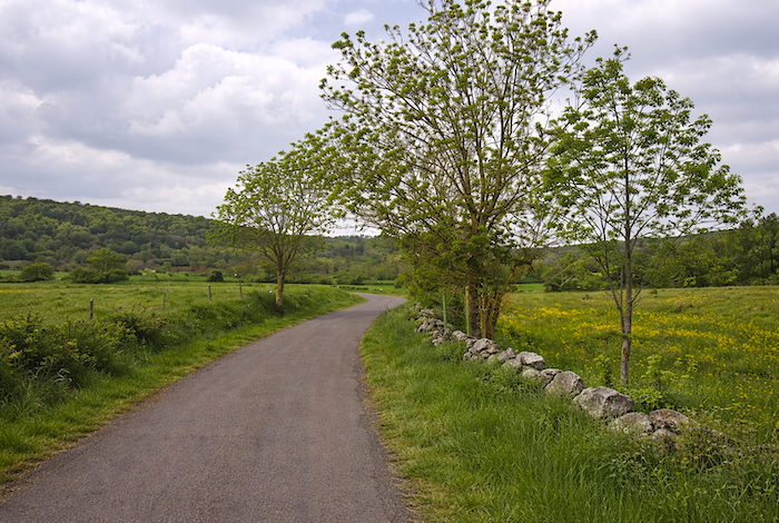 |
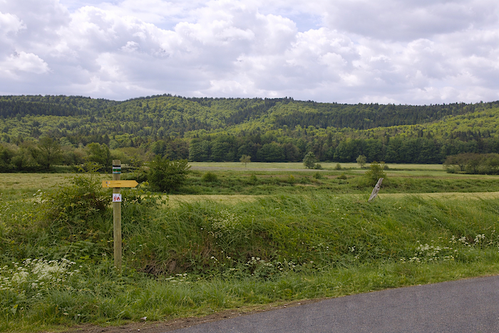
| Ahead, the Devès mountains gradually draw nearer, as though they themselves were coming to meet you. Their darkened outline sharpens with every step, giving the route a new depth. |
 |
 |
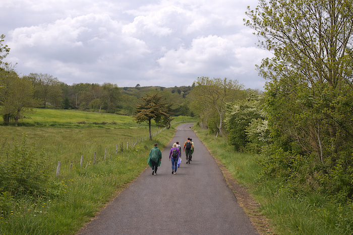
| In rainy weather, the walker witnesses here the full range of tricks invented by pilgrims to withstand the elements, from the simplest improvised windbreaker to the full rain cape enveloping even the backpack. For at the end of the stage, it is always better to recover at least a few dry clothes. The route teaches this humble wisdom of anticipation as well. |
 |
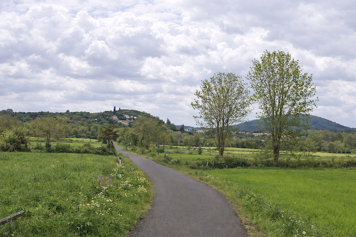 |
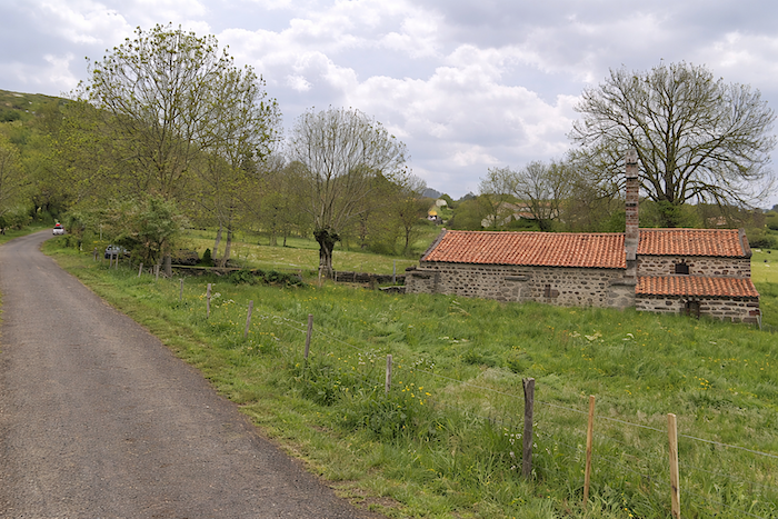
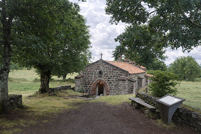
| Higher up, beside the road, stands the Chapel of Saint Roch, like a threshold of silence between earth and sky. |
 |
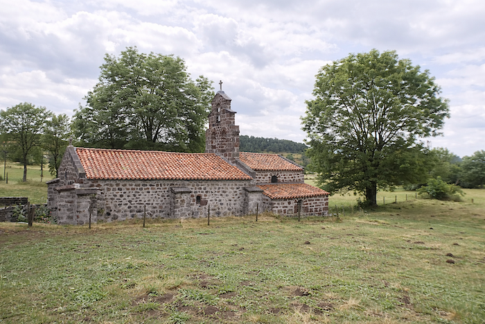 |
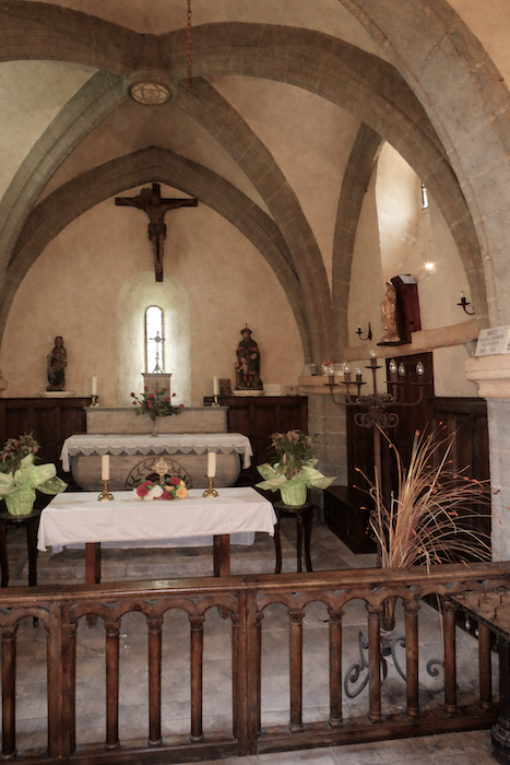
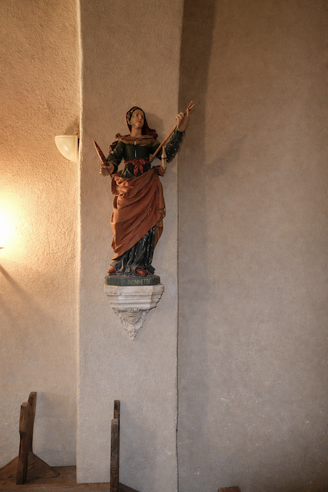
| The Romanesque chapel stands there alone, like a resting place of peace offered to travelers. Built in the tenth century and altered through the ages, it was first dedicated to Saint Bonnet before taking the name of Saint Roch, who became the protector of pilgrims. Indeed, the Camino routes are lined with sanctuaries placed beneath his patronage, like spiritual refuges scattered along the road. Once, a hospice welcomed passing walkers here. It has disappeared, yet the place still retains something of that hospitable vocation. Legend, meanwhile, has never left these grounds. It is said that the inhabitants of Les Bains, jealous of the devotion inspired by Saint Roch at Montbonnet, wished to carry the saint’s statue back to their own village. They loaded it onto a cart pulled by an ox and a donkey. But along the way, the two animals stubbornly refused to advance and struck a stone so forcefully with their hooves that they left an imprint forever engraved upon it. Thus faith, stone, and legend seem here to have joined together as one. |
 |
 |
| Montbonnet stands just above, nestled beneath the ash trees. Here, the slope becomes somewhat steeper up to the first houses of the village, as though the route wished to demand one final effort before the welcome of the stones. |
 |
 |
 |
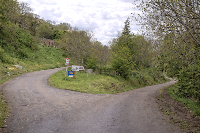 |
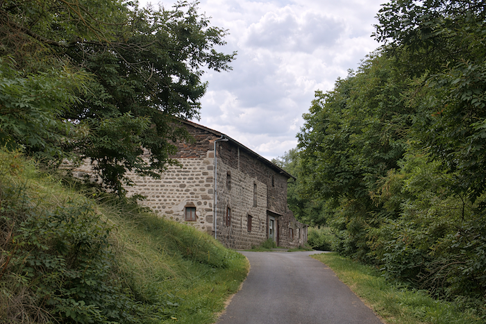
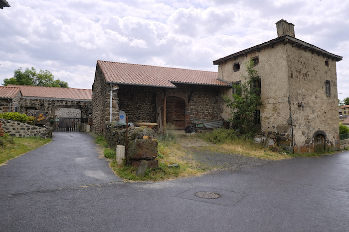
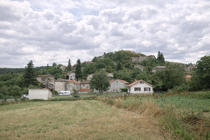
| Montbonnet is yet another of those remarkable villages that the Velay seems to have shaped from the very memory of the earth itself. Here, massive basalt stands beside tuff, that softer stone born from the slow consolidation of volcanic ash. The village rests at the foot of a “suc” one of those singular landforms punctuating the entire Velay landscape. The inhabitants use this term for the steep rocky domes, often sharply pointed, created by ancient eruptions of viscous lava. Those who followed the Via Gebennensis will already have encountered many such formations before reaching Le Puy-en-Velay. These “sucs” differ from the great volcanoes of Auvergne. Here there are no vast craters born from violent explosions, but rather a more restrained, almost patient force. At temperatures between 700 and 800 degrees Celsius, thick lava accumulated into successive domes. As it cooled, it fractured into slabs, offering ancient masons an ideal material from which to cut the stone slates that still cover so many roofs across the region. Thus, geology itself became architecture, even within the houses. |
 |
 |
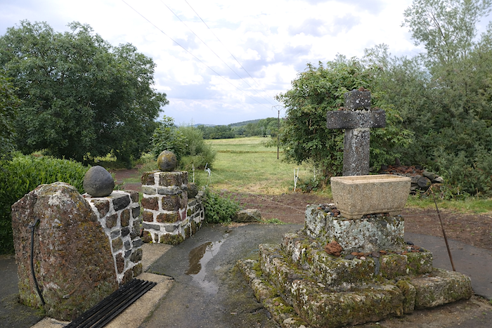
| Stone crosses watch over the place just as they watch over so many landscapes along the route. Here, they seem part of the scenery itself. At crossroads, in hamlet squares, beside the paths, they recall an ancient faith, a piety rooted as deeply in the earth as in daily gestures. For centuries, they marked the Rogation processions, parish festivals, and religious ceremonies, punctuating the territory with their familiar presence. |
 |
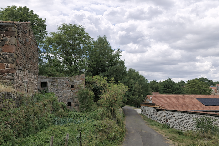 |
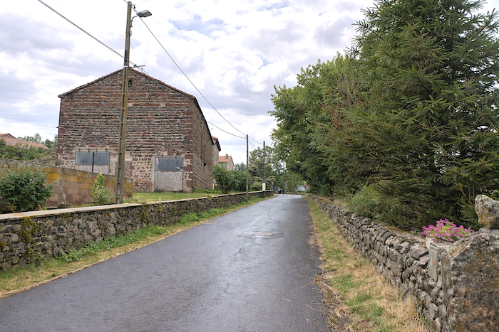
| Part of the village climbs the “suc”, its houses clinging to the slope as though refusing to surrender ground to the relief. Yet the route itself wisely remains below, passing beside beautiful stone farms whose silhouettes seem to prolong the mountain itself. |
 |
 |
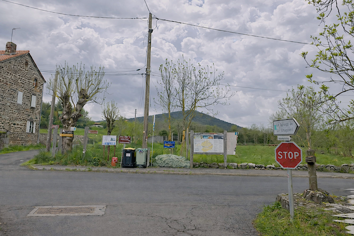
| Higher up, the GR65 finally rejoins the large D589 departmental road, recovering for a while the more direct axis of the crossing. |
 |
 |
Section 5: Sometimes through the puddles and mud of Lac de l’Œuf
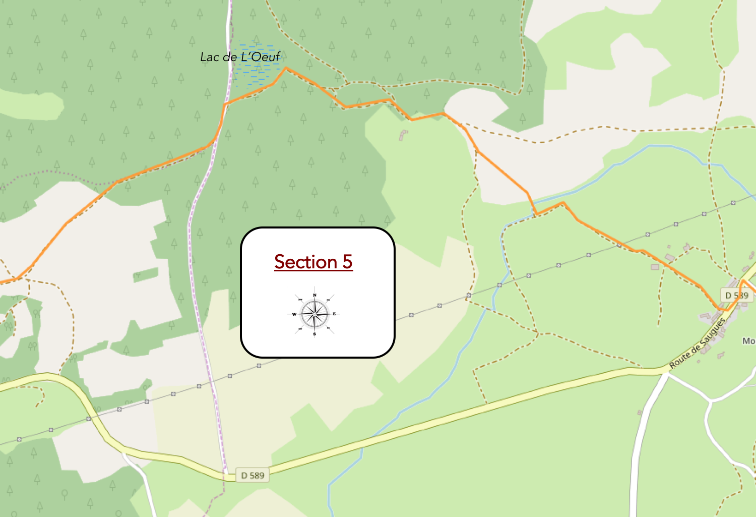
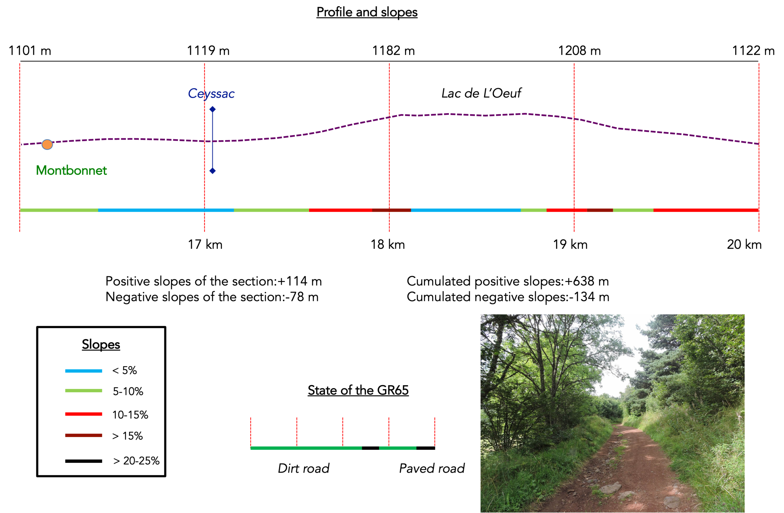
General overview of the route’s challenges: The climb toward the Devès is quite reasonable at first, but becomes very steep toward the end. On the high plateau, it is pure pleasure before the descent.
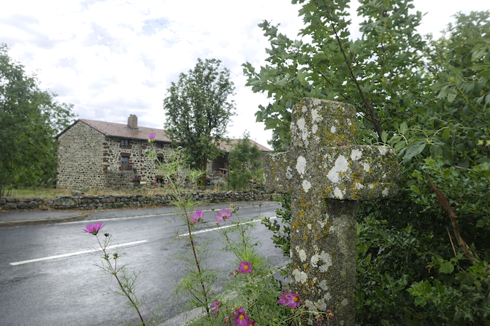
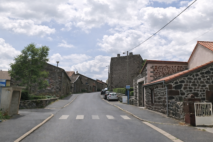
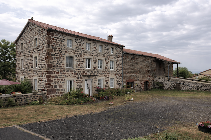
| Here again, along the road, basalt and other volcanic stones reign over the landscape. In Montbonnet, it is possible to find lodging and rest. For many pilgrims, beginning the route gently is a wise decision: sixteen kilometers from Le Puy-en-Velay are more than enough to satisfy both legs and heart. |
 |
 |
| At the top of the village, the route leaves the road and slips behind sturdy stone houses, some of which are still true farms rooted in their land. |
 |
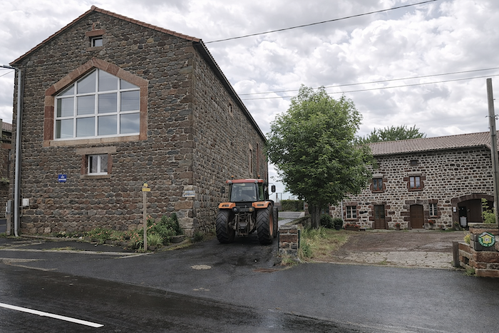 |
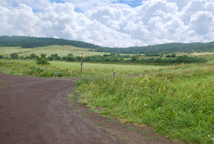
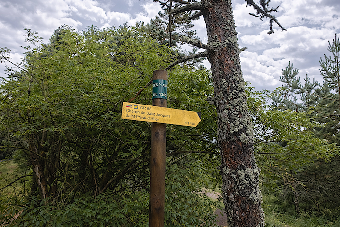
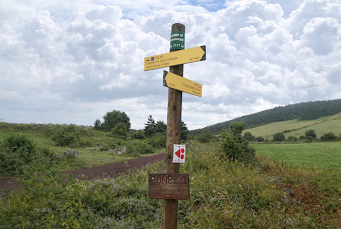
A sign then announces St Privat-d’Allier: another seven kilometers of walking.
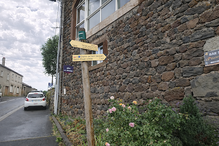
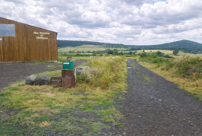
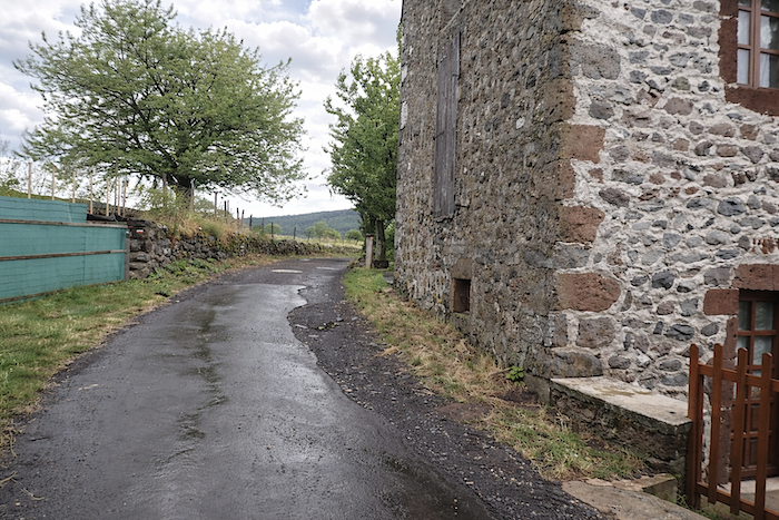
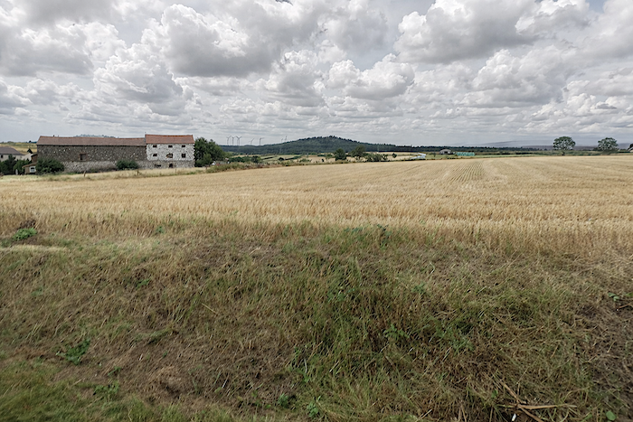
| Past Montbonnet, a wide dirt path opens into the gently sloping countryside. The ground, most often blackish, seems made of basalt dust, as though the mountain had left behind a little of its ash. The path runs alongside vast stables where horses are raised, quiet silhouettes in the damp air, while in the distance the edge of the forest of Lac de l’Œuf gradually draws nearer. |
 |
 |
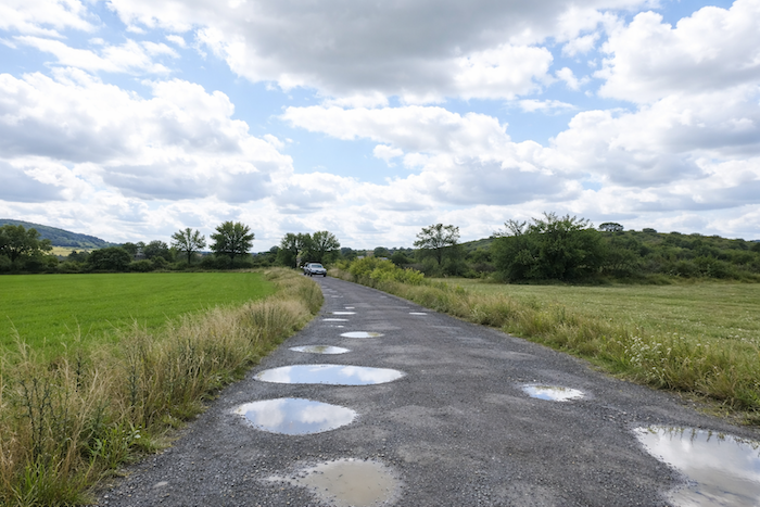
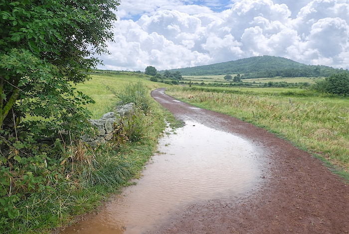
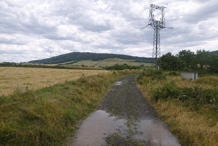
| Farther on, the wide path crosses the fields of a small plain, first rising slightly before descending a little. The rain has stopped for a while, but on this land that absorbs water poorly, traces remain of previous rainy days or of the morning shower. Here, the soil long preserves the memory of the sky. |
 |
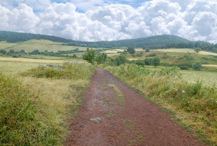 |
| Here, you are already walking at an altitude of 1,100 meters, and crops become rare. Meadows dominate above all, open more to herds than to harvests. At the place called Le Chemin de la Baraque, the trail finally rears up on beaten earth. After all, one must climb from Le Puy-en-Velay, perched at 600 meters, to the heights of the Devès, which rise above 1,200 meters. . |
 |
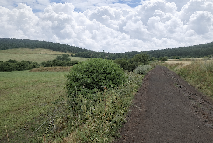 |
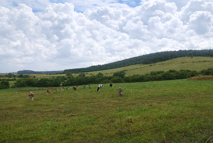
| The slope then becomes steeper up to Lac de l’Œuf. The ground turns brown, as though impregnated with the sands, gravels, and tuffs slowly washed down by water from the neighboring “sucs” The earth itself seems to recount the centuries of erosion that shaped it. |
 |
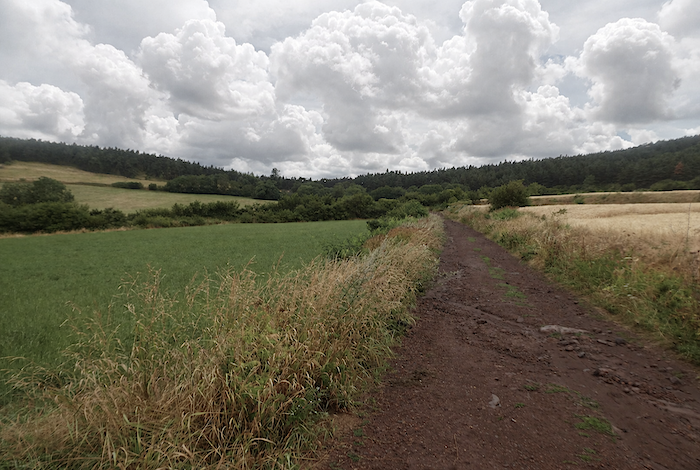 |
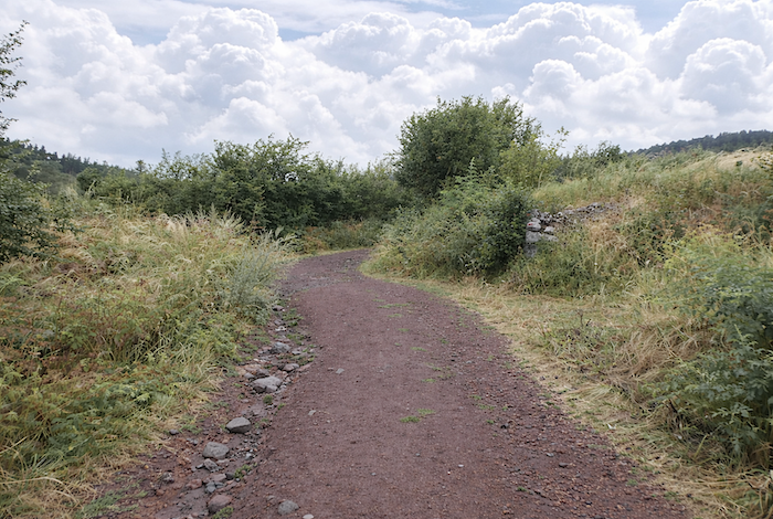
| Approaching the forest, the gradient becomes more pronounced still: some sections reach nearly 20 %, alternating beaten earth with loose rolling stones. The vegetation remains that of the lower slopes, with ash trees, bushes, and abundant hornbeam hedges, a profusion of greenery that accompanies the effort without ever weighing it down. |
 |
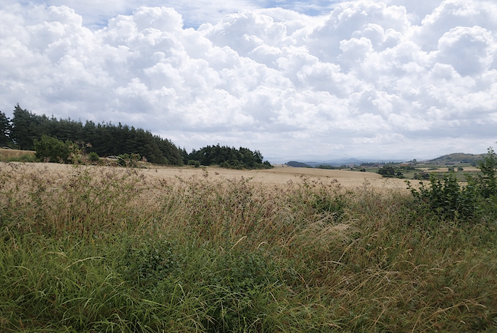 |
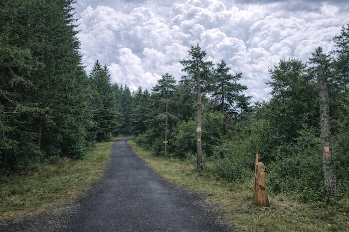
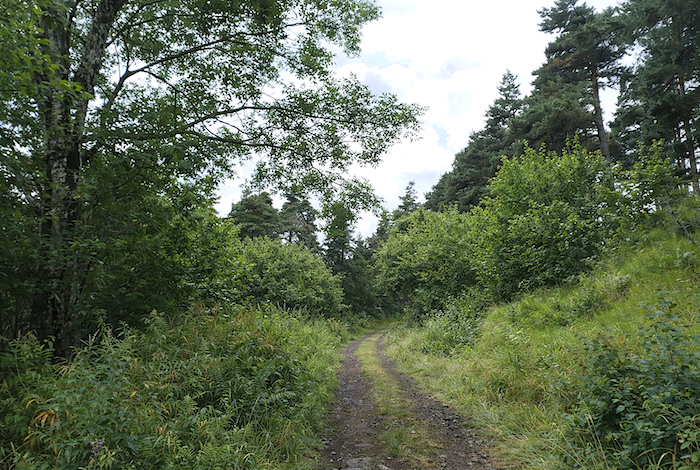
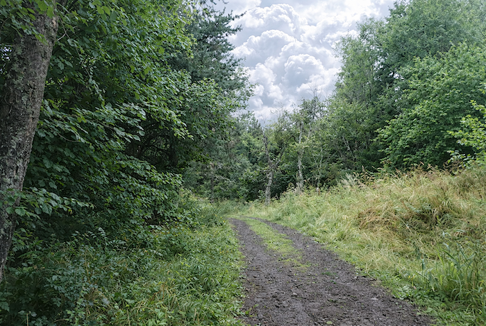
| Then, higher up, the landscape changes almost all at once. You enter the woods of Lac de l’Œuf. The path, suddenly more peaceful, advances almost flat beneath the mixed canopy of deciduous trees, pines, and now numerous spruces. The air becomes cooler, denser, as though the forest immediately imposed its own rhythm. |
 |
 |
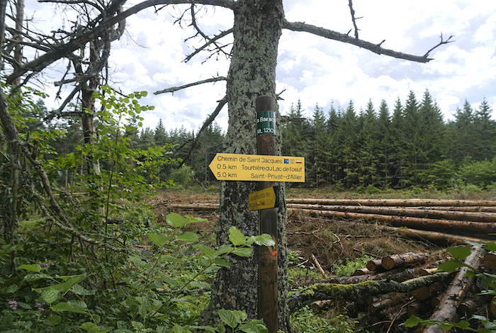
The highest point lies at the place called La Baraque, at an altitude of 1,210 meters, five kilometers from St Privat-d’Allier.
And this famous Lac de l’Œuf? Do not expect a mirror of water. It is now only a vast peat bog, a flat marshy expanse born from an ancient “maar”, as geologists would say, those scholars who know how to give names to the earth’s magic tricks. One must imagine here a tremendous pocket of water trapped beneath a volcanic vent. As heat rose, the water turned to steam, pressure mounted like in a pressure cooker left closed too long, until the explosion came. The mountain burst apart, matter was hurled into the distance, and the collapsed vent left behind this great silent hollow. But time, that patient repairer, reclaimed its rights: vegetation colonized the wound, dead plants formed the peat, and the ground became this soft spongy carpet that the walker sometimes feels living beneath his steps. Often, the path there becomes waterlogged among the mosses. In the right season, it is easy to imagine chanterelles lighting golden touches beneath the damp undergrowth.
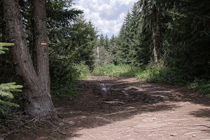
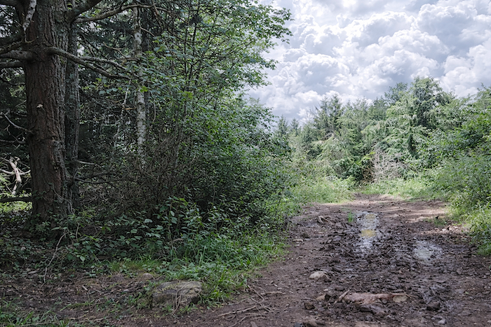
| Today, despite the rain that has not yet completely drowned the path, calm reigns here over this broad forest track. But make no mistake: in bad weather, this passage can quickly become more adventurous. After springs too generous with showers, many walkers prefer to move into the undergrowth to avoid the large puddles blocking the way. You need only look at the ground to understand: water has already returned, faithful to these lands that hold it for so long. |
 |
 |
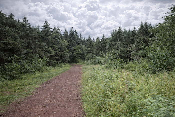
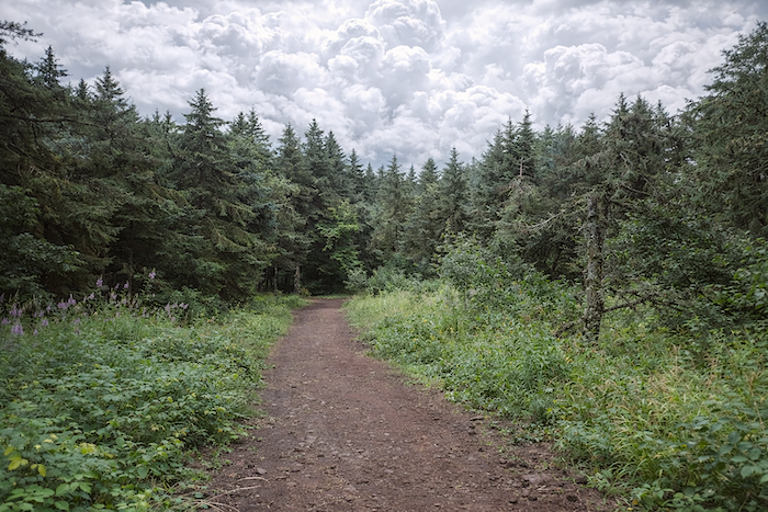
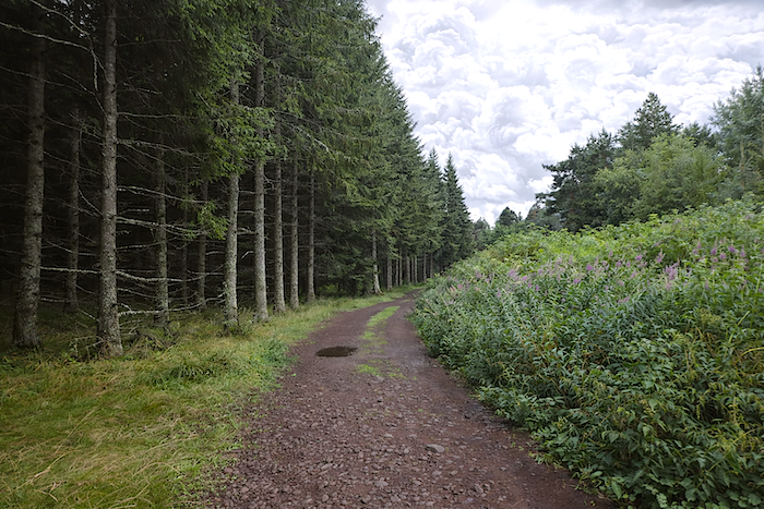
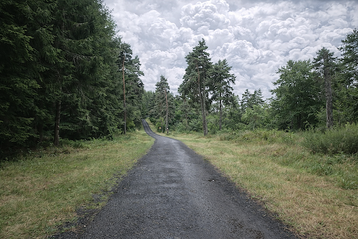
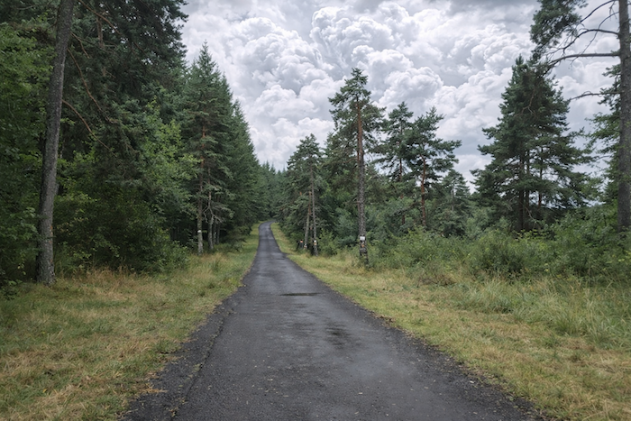
| On the Devès, the atmosphere nevertheless remains clear, almost luminous, even beneath a heavy sky. The magnificent Scots pines, spruces, broom, ferns, and clusters of pink willowherbs create here a setting of striking freshness. The deciduous trees, for their part, have gradually vanished like snow in the sun, making way for more mountainous vegetation. |
 |
 |
| You then walk across a kind of suspended plateau. The GR65 first advances along beaten earth, interrupted here and there by puddles like mirrors offered to the sky. |
 |
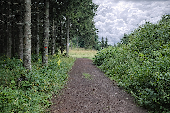 |
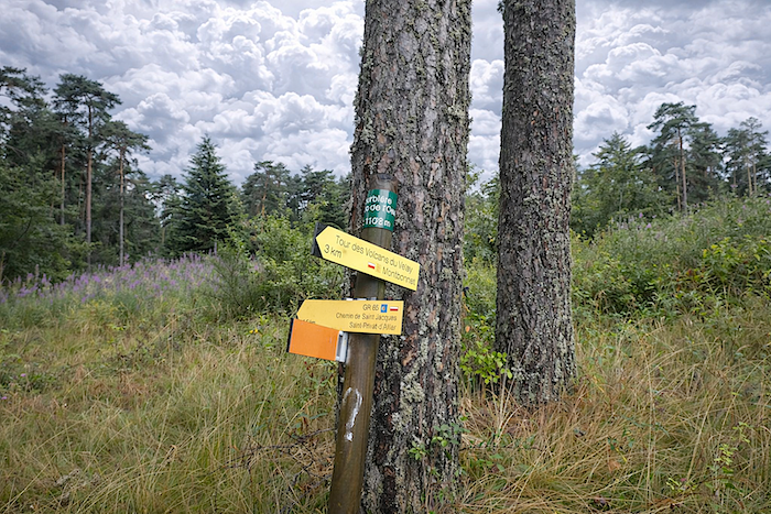
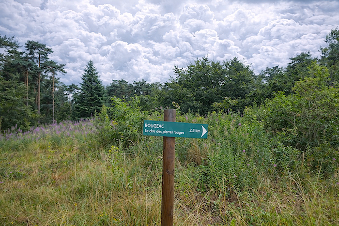
| The path rather quickly reaches the place called Les Tourbières, where it briefly returns to asphalt. It is here that a variant from Les Bains, near Montbonnet, joins the GR65. From this point, shortcuts also lead toward lodgings located away from the main route. Many pilgrims hesitate to lengthen their stage by moving away from the path, while others, on the contrary, savor these detours as a way of stretching the journey and inhabiting the walk more fully. Another itinerary, the tour of the Velay volcanoes, also crosses this place. Lower down, another shortcut makes it possible to reach the lodgings without straying too far. |
 |
 |
| Then the GR65 follows the road for only a few hundred meters before branching again onto a dirt path that enters the small valley, as though already leaving the light of the plateau to reconnect with the intimacy of the relief. |
 |
 |
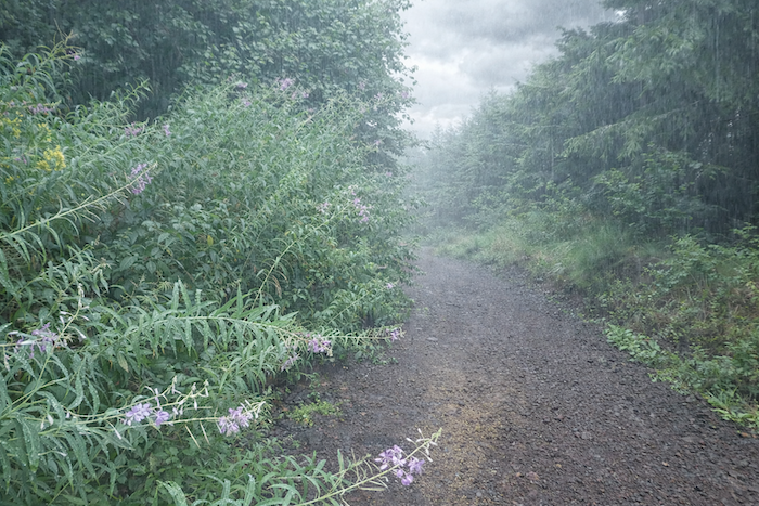
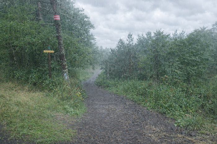
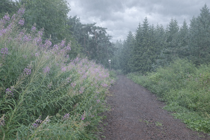
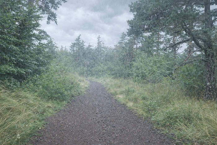
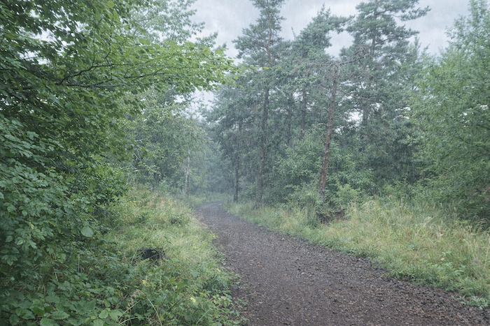
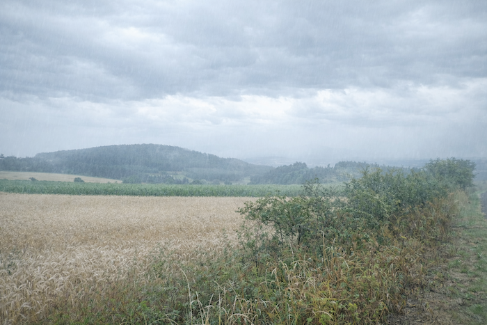
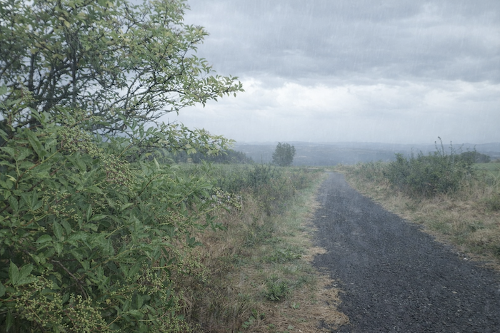
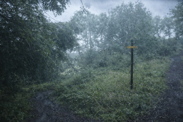
| Now torrents of rain are falling upon us. Beneath this heavy downpour, the path plunging down a steep slope becomes nothing more than a vanishing line barely visible between pines and spruces. Through the curtain of rain, only in flashes can one make out the fields of willowherb, whose flowers still kindle a note of color in the grayness. |
 |
 |
| Farther down, little by little, the forest thins. Beeches appear once more, sometimes joined by a few hornbeam bushes, as though the mountain were slowly loosening its resinous grip and returning to a gentler, more temperate softness. |
 |
 |
 |
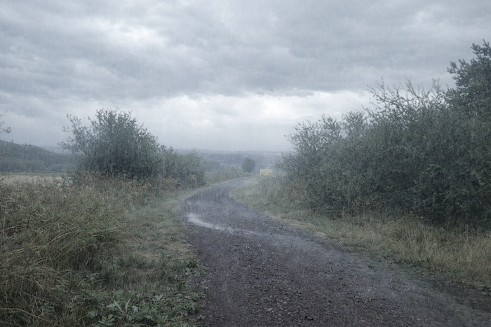 |
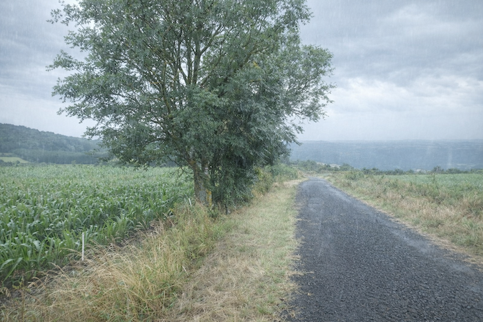
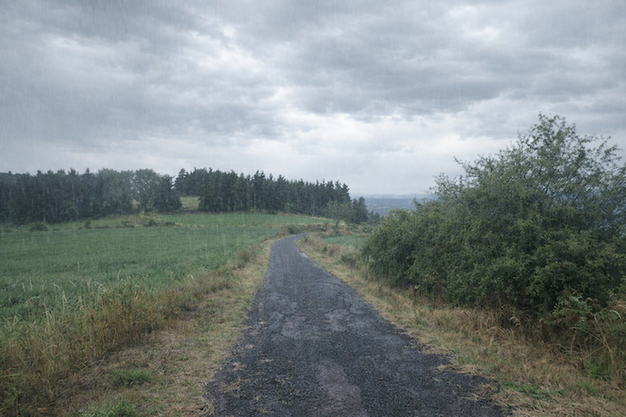
| A little lower still, the slope briefly softens when the path leaves the woods. A few fields of cereals and corn then border the route near a wooded “guard”. Poor asphalt replaces beaten earth, and near the fields one finds elder trees and the eternal ash trees that dominate so many landscapes here.
From here, in a soft day, the view suddenly opens onto the immense terrace of the Margeride. In the distance, its lines are sensed more than clearly drawn, vast dark undulations laid upon the horizon. For a moment, it seems that the entire world is unfolding before your eyes, when in truth only a fragment of the Gévaudan, the Aubrac, and the Margeride is being offered to you. But that fragment is enough to make one dizzy. The panorama invites both reverie and peace: a black line of wooded summits cuts across the sky, a long mysterious spine where one can still imagine wolves roaming beneath the snow in troubled winters. Two centuries ago, a gigantic wolf, or at least legend would have it so, spread terror here and declared war on men. Countless hunts, a relentless pursuit, and almost sheer chance were needed to overcome it after many tragedies. The memory of the Beast still seems to hover over these heights. Below, the Allier sinks into its valley without offering any wide perspective, as though at the bottom of a well carved into the mountain. Around it, the granitic and gneissic heights of the Margeride emerge like ancient islands amid an ocean of lava that once descended from the volcanoes of the Velay and the Aubrac. And it is this same Allier that patiently carved the basalts once spewed forth by the Devès mountains. |
 |
 |
 |
 |
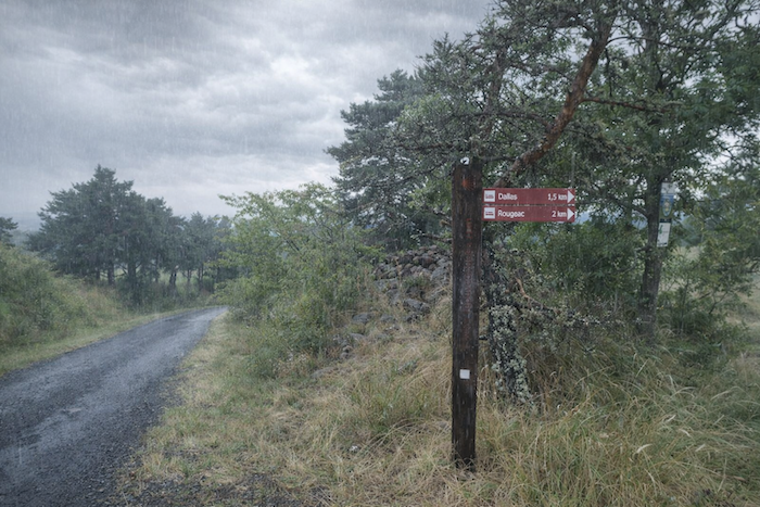
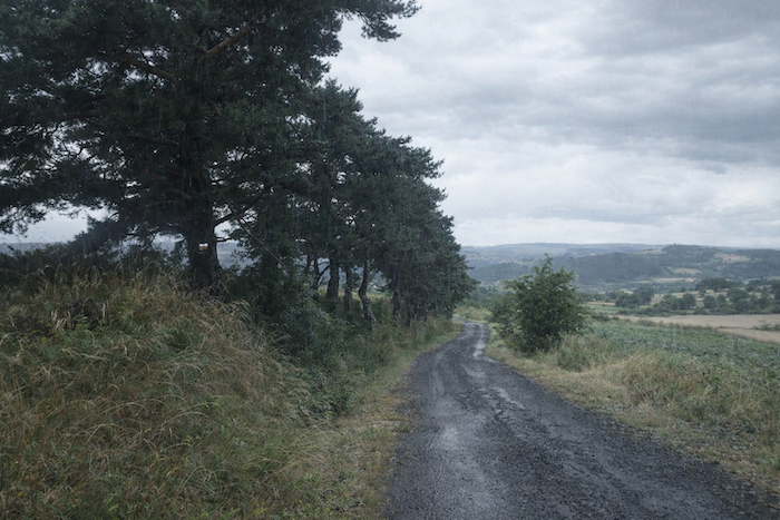
| Then the slope increases again, reaching nearly 15%. Here, a junction leads to lodgings located off the route, a welcome temptation for those whom fatigue or rain urge toward caution. |
 |
 |
Section 6: A sometimes-difficult descent toward St Privat-d’Allier
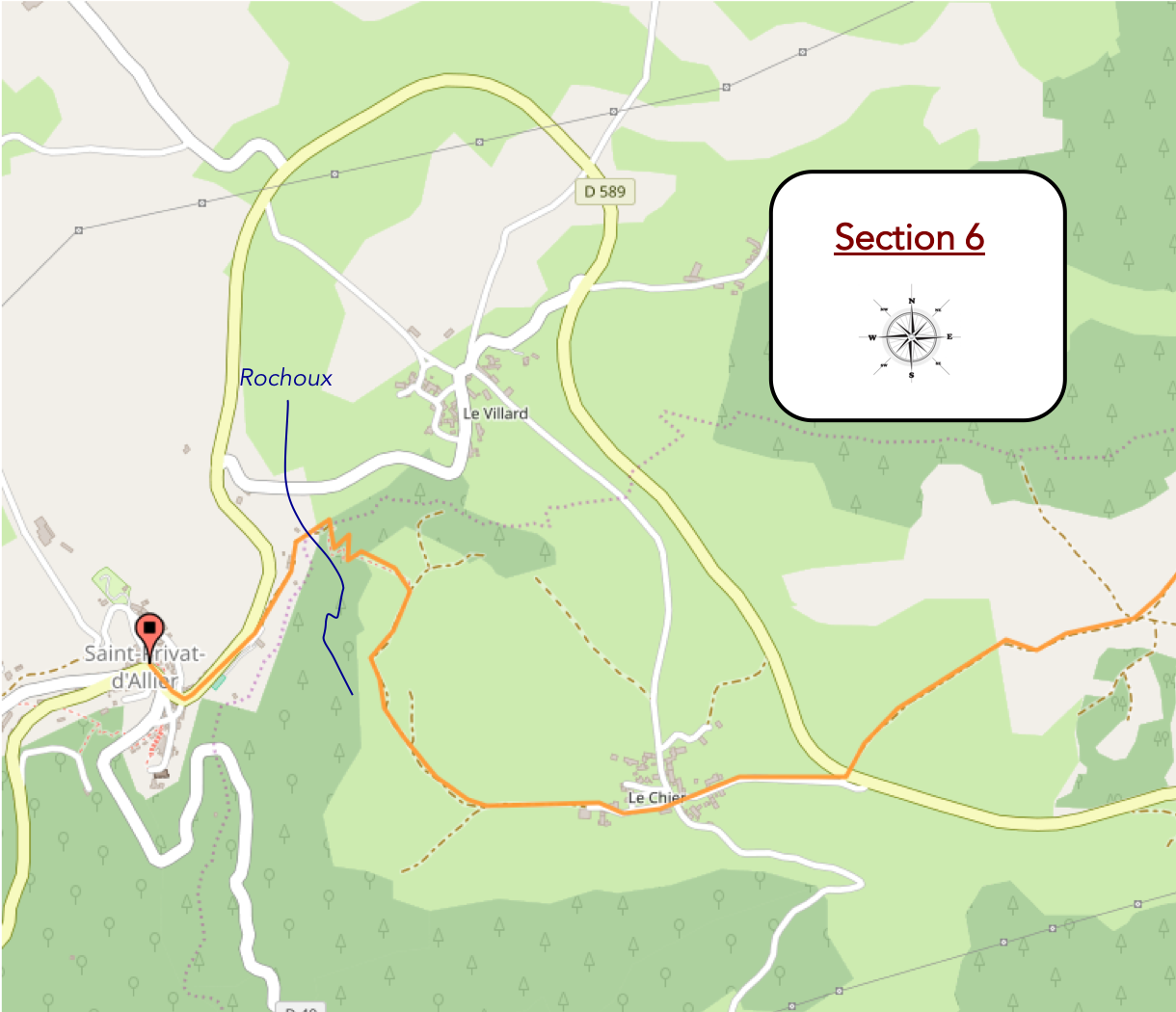
General overview of the route’s challenges: On the descent toward St Privat, it is above all the final section that is difficult, among exposed stones that protrude and slip.

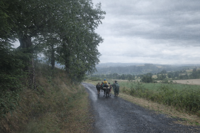
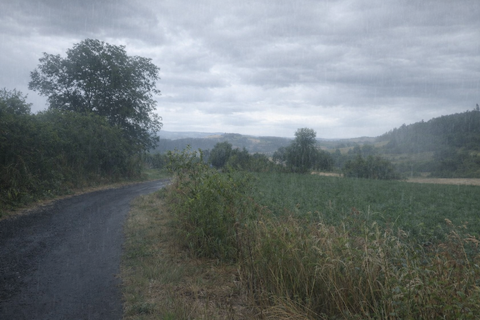
| In places, the pines form a true guard of honor along the road, as though greeting the passage of the walkers. Here, a family has set out on the route with donkey and luggage. Often, it is the youngest child who inherits the privilege of being perched on the animal, a tiny sovereign moving at the peaceful rhythm of the walk. In summer, this kind of adventure attracts many families, on short and carefully organized stages. After all, the donkey must be returned somewhere one day. But under this rain running down the face and seeping everywhere, one senses that the charm of the expedition takes on a harsher reality. |
 |
 |
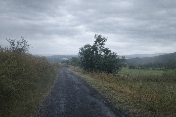
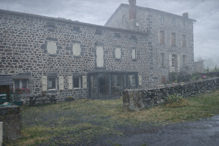
| Today, the weather worsens more seriously still. Fog rises, gains the slopes, and gradually swallows the landscape. Below, you will not see the red-tiled roofs of Le Chier, that rustic hamlet nestled into the slope, where the houses huddle together with almost instinctive harmony. |
 |
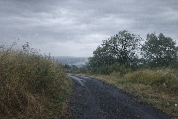 |
| Farther down, the GR65 joins and then crosses the main D589 departmental road, just above Le Chier. |
 |
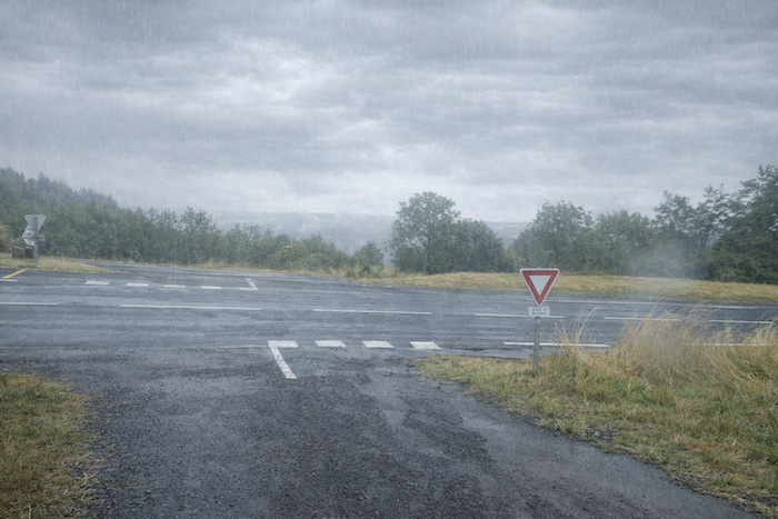 |
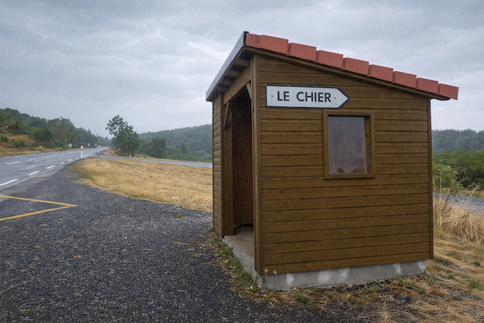
| Here, at the bus stop, you are still 2.3 kilometers from St Privat-d’Allier, at an altitude of 1,058 meters. Yet nearly two hundred meters of elevation remain to be lost before reaching the end of the stage, which, after a rainy day, promises an effort still keenly felt. These modest bus stops no doubt serve the inhabitants first of all, but for the soaked pilgrim, they sometimes offer brief shelter, a precious halt beneath the driving rain. |
 |
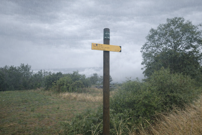 |
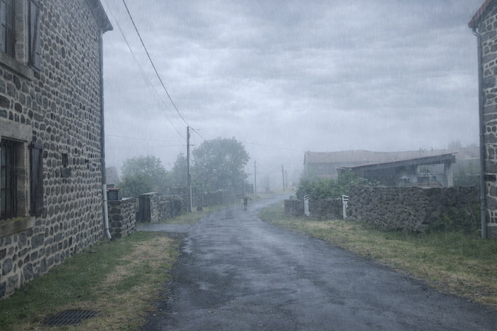
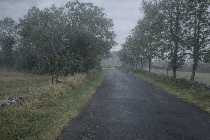
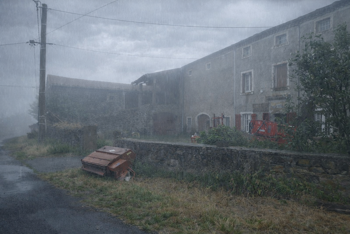
| Le Chier, a small farming hamlet, lies just below the junction, accessible by an asphalt road descending beneath the ash trees. Some pilgrims hate the rain, while others love it until the drops begin running down their neck or across their forehead. Yet even in this drenched grayness, the villages preserve their beauty. You see sonly silhouettes, sections of wall, roofs emerging from the fog like apparitions. Real weather for taking the dog out, some might say, but the pilgrim keeps moving. |
 |
 |
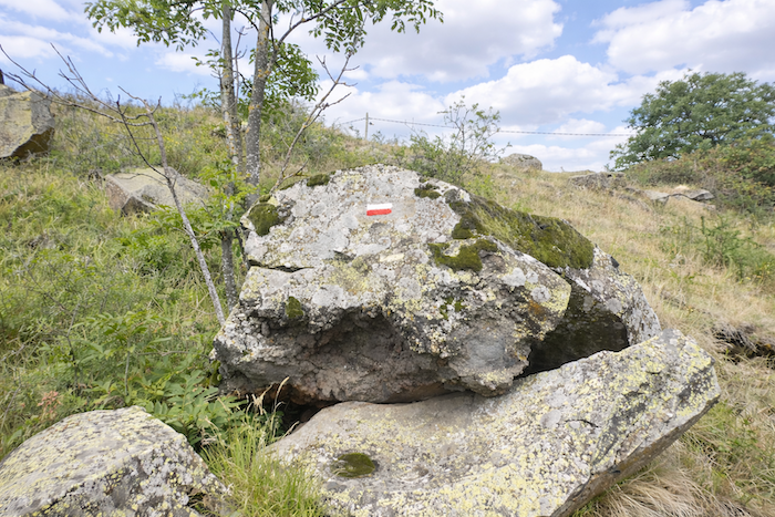
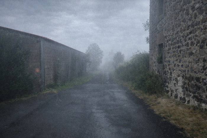
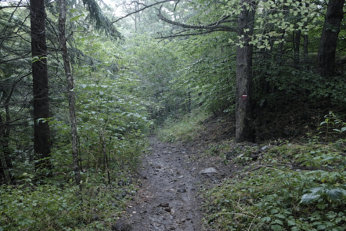
| In those moments when it feels as though night were falling in the middle of the day, when fog seeps everywhere and blurs even the gaze, when even the camera lens struggles to remain clear, one understands more than ever the value of reliable waymarking. A few marks on a tree, a post, a bend in the path, sometimes that is enough to restore the way. |
 |
 |
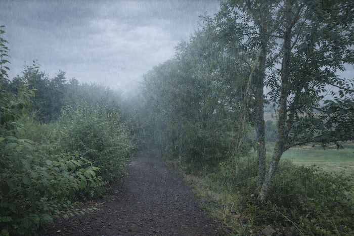
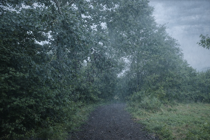
| And then, sometimes, a miracle occurs for anxious pilgrims and stubborn photographers alike: a gap opens in the gray. Suddenly, you glimpse a path plunging through a clearing between pines, ash trees, maples, and beeches, like a promise of recovered light. |
 |
 |
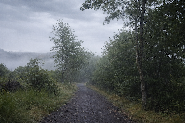
| Le chemin descend alors franchement, mais sans brutalité, sur une pente régulière. Tantôt la terre se fait brune, tantôt grise, au gré des sols et des pierres, jusqu’à rejoindre un autre chemin qui, sans attendre, s’empresse de plonger plus avant dans le vallonThe path then descends clearly, though not brutally, along a steady slope. At times the earth turns brown, at others gray, according to the soils and stones, until it meets another path that immediately hurries to plunge deeper into the dale. |
 |
 |
 |
 |
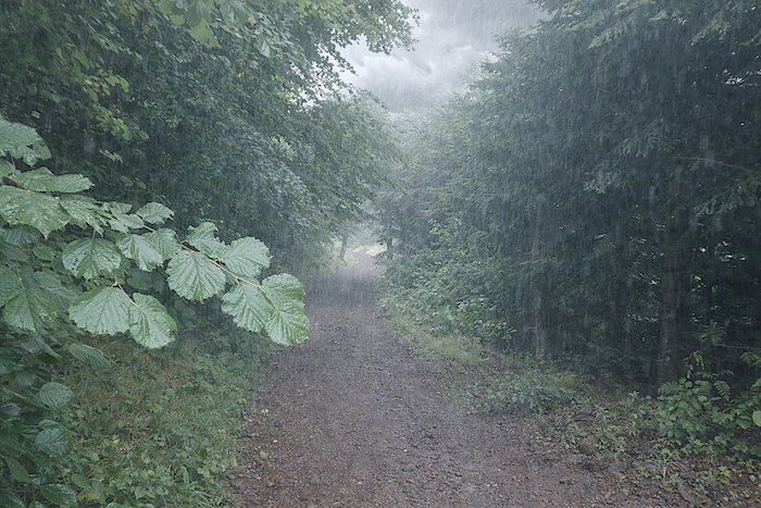
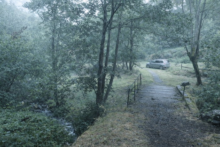
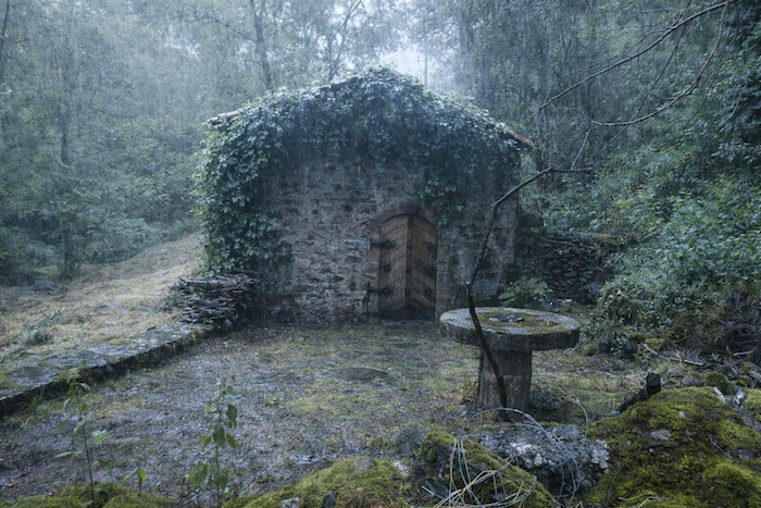
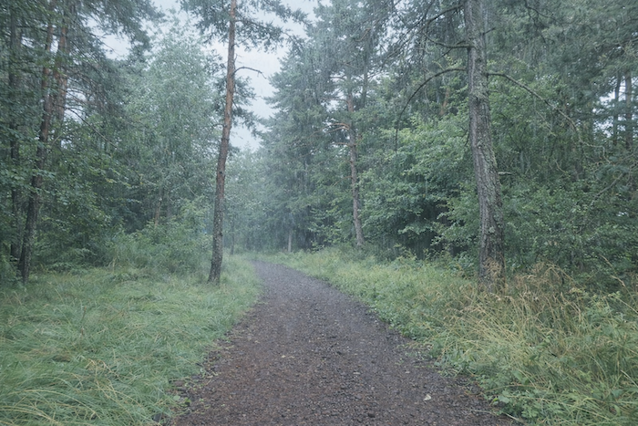
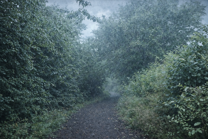
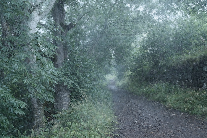
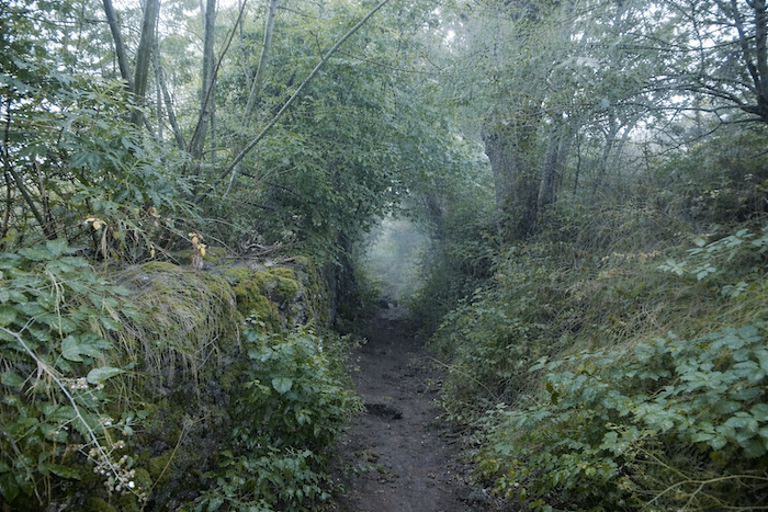
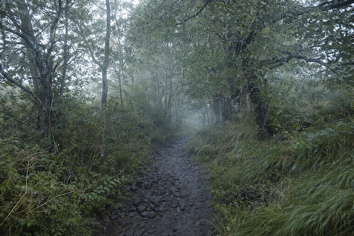
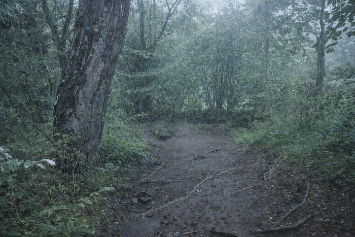
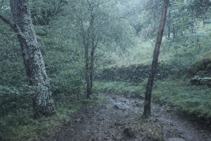
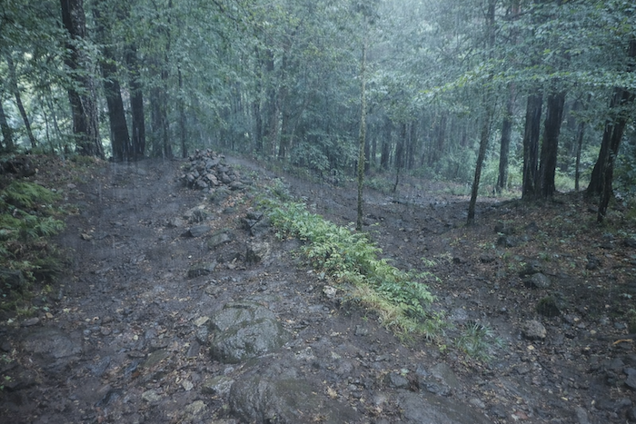
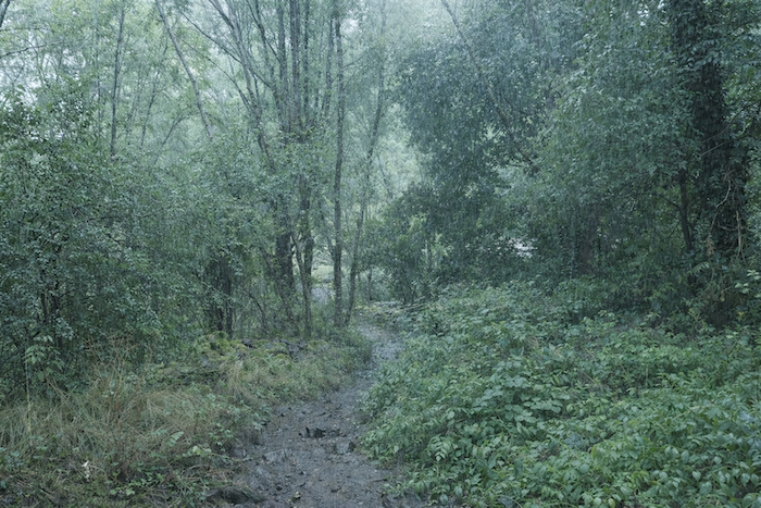
| Here, the slope of the trail becomes truly more severe all the way to the bottom of the valley. Stones abound on this poor little path, irregular and capricious. In dry weather, it is already no small matter for knees and joints, but beneath the rain, caution becomes an indispensable companion, for water willingly takes the trail as an improvised stream. The path then sinks into a green half-light, as though gradually slipping into the secret of another world. Bordered by old mossy walls and embankments soaked with wild grasses, it threads between the trees in a thick silence that the rain seems to make heavier still. Every stone, every root, every leaf gleams with patient humidity, as though the forest had only just awakened from a long dream. The narrow, muddy trail descends cautiously into this vegetal gorge, where branches almost meet above the walker’s head. In places, the mist lingers among the trunks, suspended like a veil. You no longer quite know where the path ends or where mystery begins. Here, walking almost means entering into oneself. . |
 |
 |
 |
 |
| And yet, within this omnipresent dampness, there is something like absolute pleasure: the pleasure of advancing among twisted roots, rocks covered in moss and lichen, and stones rolling beneath the soles. Beneath the protective shade of the great deciduous trees, the forest creates a world apart, where only oaks and chestnut trees seem curiously absent. |
 |
 |
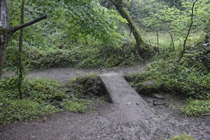
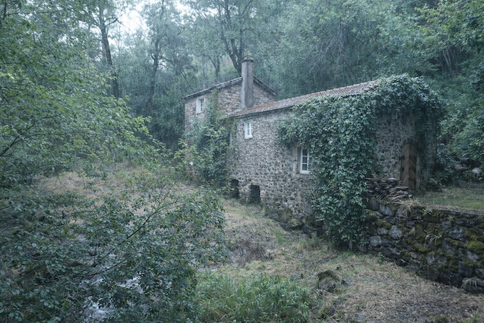
| At the bottom of the descent, the GR65 crosses the Rouchoux stream near the abandoned mill of Pique-Meule. Along the Camino route, a few ghostly mills still remain, vestiges of another age, their motionless wheels never again drawing the water needed to grind grain. These discreet ruins add a gentle melancholy to the valley, as though the murmur of the stream still carried the memory of human labor. |
 |
 |
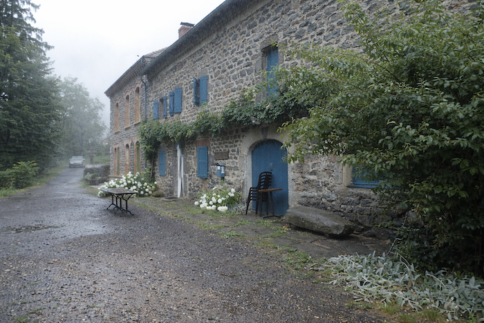
| Then, quickly, the GR65 rejoins the D589 departmental road at the first houses of St Privat-d’Allier, clinging to its rocky spur above the gorges. The village appears like a threshold after the effort, set between sky, stone, and ravine. |
 |
 |
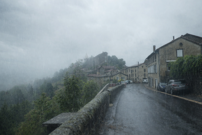
Today, however, the weather is dreadful. Fog and rain hold the village in their grip, and you will see almost nothing of it. Before you, the castle can barely be guessed, a ghostly mass suspended in the mist, like a poorly erased memory.
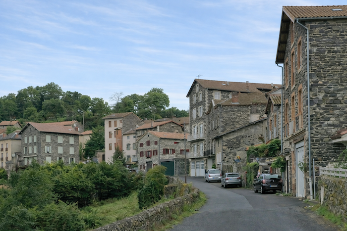
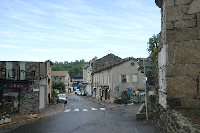
| So let us step aside and carry ourselves, through the sole magic of storytelling, into a rainless day. The road leads to the center of the village, where most of the lodgings are gathered. Here, or almost here, there are scarcely any but pilgrims; other visitors are rare. St Privat-d’Allier is an endearing, almost unreal little town, with its old houses perched along the edge of the Allier gorges. With fewer than five hundred inhabitants, the village seems to live to the rhythm of the pilgrims, as though it had gradually given itself entirely to those who pass through. |
 |
 |
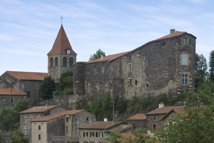
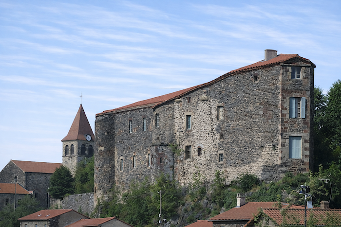
| On the heights, the castle has watched for centuries. Its history follows that of the great families of Auvergne: The Mercœur, the Montlaur, and others left their mark here. Destroyed and then rebuilt in the eighteenth century, looted during the Revolution, it later found a second life when nuns established a school there, which closed in 1988. Today it is private property and cannot be visited. Yet in recent years, it seemed to have regained a little momentum, as the signs still recently placed at the entrance suggested. Now silence appears once again to reign there without rival. |
 |
 |
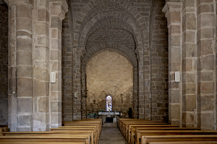
| The Romanesque church, probably founded in the tenth century and later altered in the fifteenth century, completes this portrait of a village where history, faith, and stone seem always to have moved at the same pace. |
 |
 |
Accommodation on Via Podiensis
• Gîte- Chambres d’hôtes La Maison Vieille, Tallode; 06 15 30 44 36/06 18 11 38 06; Gîte and Guestroom, dinner, breakfast
• Gîte-Camping à la Ferme, Ramourouscle; 06 44 94 60 70; Tent, cuisine, grocery-assistance
• Gîte L’Escole, Marie-Anick Blanc, Montbonnet; 06 22 71 90 09; Gîte, dinner, breakfast
• Gîte La Grange, Christian et Françoise Gentes, Montbonnet; 04 71 57 54 44/06 20 74 47 43; Gîte, dinner, breakfast
• Gîte La Première Étape, Anne et Didier, pèlerins, Montbonnet; 06 21 47 18 96/09 83 87 26 13; Gîte, dinner, breakfast
• Camping municipal Le Marchat, St Privat d’Allier; 04 71 57 22 13 /mairie); tents
• L’Abri du Jacquet, Fréderic Pelletier, Le Bourg, St Privat d’Allier; 04 71 07 75 53; Gîte, cuisine, breakfast
• Gîte Accueil Randonneurs, Sandrine Bec, Le Bourg, St Privat d’Allier; 06 63 90 41 34-707 88 50 76 56; Gîte, dinner, breakfast
• Gîte Le Saint Privat, Salem Taupenas, Place de la Fontaine, St Privat d’Allier; 07 86 45 95 12; Gîte, dinner, breakfast
• Gîte Au Bord du Chemin, Le Saint Privat, Véronique, Le Bourg, St Privat d’Allier; 06 85 02 77 17; Gîte, dinner, breakfast
• Gîte Le Kompost’l, Mr et Mme Fel, St Privat d’Allier; 04 71 57 24 78; Gîte, dinner, breakfast, cuisine
• Écogite L’As de Cœur, Chloé et Raphaël, 350 Route de Grays, St Privat d’Allier; 06 35 22 71 17; Gîte, dinner, breakfast
• Gîte La Petite Place, Place de la Fontaine, St Privat d’Allier; 06 63 12 20 54/06 86 76 27 04; Gîte, breakfast, cuisine
• Chambres d’hôtes Le P’tit Camino, Maggy Bolagnon, Le Bourg, St Privat d’Allier; 04 71 09 03 87/06 18 57 38 39; Guestroom, breakfast
• Chambres d’hôtes Le Saint Bernard, Sabine Viala, Le Bourg, St Privat d’Allier; 06 12 29 80 55; Guestroom, dinner, breakfast
• La Cabourne, Le Bourg, St Privat d’Allier; 04 71 57 25 50; Gîte, dinner, breakfast
• Gîte- Chambres d’hôtes- Restaurant- Un Escargot dans sa Coquille, Le Bourg, St Privat d’Allier; 06 11 34 31 49; Gîte and Guestroom, dinner, breakfast
Year after year, the Camino de Santiago changes and reinvents itself with the seasons and the footsteps of pilgrims. Some accommodations close their doors, while others, modest or unexpected, come into being. It would therefore be unrealistic to claim to provide a fixed and exhaustive list. This guide includes only accommodations located directly on the route or within one kilometer of it. The selection was updated in 2026 and should therefore not undergo any major changes in the coming years. For those wishing to go further, one publication stands out as the essential reference: Miam Miam Dodo, easily available online. The main strength of this guide lies in its yearly updates. It not only lists accommodations located directly on the route, but also addresses slightly off the route, a valuable resource when heavy pilgrim traffic makes overnight stops more uncertain. It also contains a wealth of practical information: welcoming bars, restaurants along the way, and providential bakeries, all of which punctuate the journey. Alongside these traditional resources, another presence has become unavoidable: Airbnb. The platform has established itself as a major reference in the tourism landscape, even in the most discreet or less developed regions. However, as everyone knows, exact addresses are not displayed directly, which requires a degree of anticipation. On the Camino, finding a bed at the last minute can sometimes depend on sheer luck. But luck, by its very nature, cannot be considered a strategy. Booking ahead is therefore strongly recommended. Finally, when making arrangements, be sure to inquire about dinner and breakfast options. These details, seemingly minor, can greatly soften the hardships of a stage.
If one takes stock of accommodation capacity, there are around 85 beds available before reaching St Privat, suggesting that many pilgrims choose to stop earlier along the route. In St Privat itself, the offer expands to nearly 190 available beds. Since the Via Podiensis generally sees between 100 and 200 walkers, this stage should not present any particular difficulty in terms of accommodation. Nevertheless, booking in advance remains a wise precaution. These routes, winding through often sparsely populated territories, offer few shops. Restaurants are rare, as are grocery stores, which frequently take the form of small bread depots offering only a few vegetables and dairy products. However, it is possible to find food and refreshments in St Christophe-sur-Dolaison, Montbonnet, St -Privat-d’Allier, and Lac, welcome stops in these more isolated stretches. Water points, on the other hand, are fairly regular along the route: they can be found at St Christophe-sur-Dolaison, Ramourouscle, Montbonnet, and Le Chier. Some are equipped with sanitary facilities, often dry toilets, particularly at Montbonnet and Le Chier. Upon arrival, St Privat offers slightly more comfort. Lastly, many companies provide luggage transport or return-transfer services to the starting point. Among them, one stands out as an essential reference: La Malle Postale.
Feel free to add comments. This is often how you move up the Google hierarchy, and how more pilgrims will have access to the site.
|
 |
Next stage : Stage 2: From St Privat d’Allier to Saugues |
|
 |
Back to menu |