
It is high time to rehabilitate the passage through St Palais
DIDIER HEUMANN, MILENA DELLA PIAZZA, ANDREAS PAPASAVVAS

We divided the course into several sections to make it easier to see. For each section, the maps show the course, the slopes found on the course, and the state of the roads. The courses were drawn on the « Wikilocs » platform. Today, it is no longer necessary to walk around with detailed maps in your pocket or bag. If you have a mobile phone or tablet, you can easily follow routes live.
For this stage, here is the link:
It is obviously not the case for all pilgrims to be comfortable with reading GPS and routes on a laptop, and there are still many places in France without an Internet connection. Therefore, you can find a book on Amazon that deals with this course. Click on the book title to open Amazon.
 |
The Camino de Santiago in France. VI. From Cahors to St Jean-Pied-de-Port (Via Podiensis) on GR65 track |
If you only want to consult lodging of the stage, go directly to the bottom of the page.
Most of the tracks in the Basque Country between Aroue and St Jean-Pied-de-Port are listed as UNESCO Heritage Paths. The good doctor Clément Urrutibehety, of St Palais, has worked a lot in this direction. But he did not succeed in having the routes to St Palais classified for pilgrims coming from Le Puy. And yet! UNESCO has recognized the Quinquil ford on the Bidouze River, in Behasque-Lapiste, although no track passes through it today. The ford, where the pilgrims passed, is today altered, hidden by the waters of the river during part of the year, abandoned to the brushwood. Some are still crying out in the desert for the ford to be rehabilitated and the road to Santiago to St Palais to be passed, where it always passed in the Middle Ages, or so it’s believed.
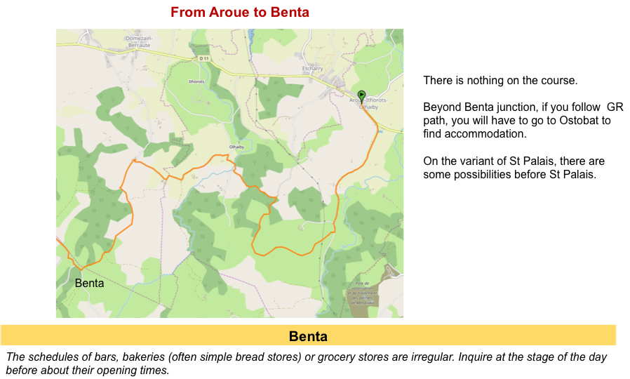
From Château Johanto/Aroue, there are two possibilities to go to Olhaïby. We have seen it previously. Pilgrims who have stopped before Aroue at Bohoteguia Farm or Bellevue, when passing Château Johanto, turn directly left to follow the GR65. Those who have been sleeping in Aroue often take the Aroue variant, a little shorter, and much less beautiful than the other. The two tracks meet shortly before Olahaïby. Today the weather is wonderful. We will therefore take the GR65 and not the Aroue variant. There is no photo. It is much more beautiful, even if it is a little longer.
Further ahead, in Benta, another choice is possible. The GR65 goes towards Larribar-Sorhapuru, then Beneditenia. Most pilgrims follow this track. They stop at Ostabat, the only possibility from here. Another possibility is to make a small jump towards St Palais. In the past, this track was only partially signposted. But you can’t get lost. Today it is, being featured on Miam Miam Dodo. Beyond St Palais, the route joins the GR65 at Beneditenia, on your way to Ostabat.
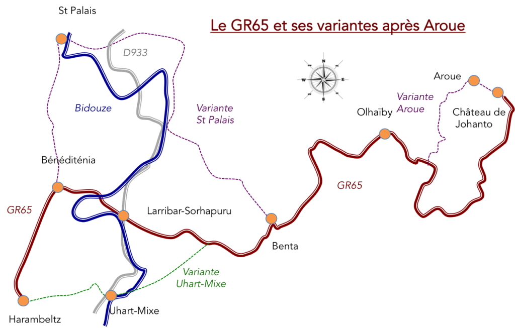
There is therefore something political in the classification of the tracks by UNESCO. Far be it from us to say that the Ostabat stage should not have been classified, but the whole stage is not beautiful. It is magnificent up to Benta. But between Benta and Beniditenea, it’s not the enthusiasm that will lift your soul. You have to wait for the climb to Soyarze and the passage to Haranbeltz to find the grandeur and majesty of the track.
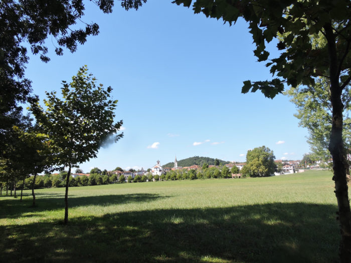
So why go to St Palais? St Palais is a stopover town for pilgrims who have followed the Vézelay route and the Tours route. Going to St Palais, you will find a beautiful city, at the foot of the Bidouze, the beautiful river which never stops spreading its meanders in the region. And then, the next day, you will walk on one of the most beautiful sections of the Camino de Santiago, the magnificent Xibaltare track inaugurated in 2014 to replace the old section of the GR654. It is a track that crosses a botanical garden at altitude, passes on the hill of Mont Saint-Sauveur where stand, against the Pyrenees, the marvelous contemporary statues of Christian Lapie. The site is exceptional, with a bird’s eye view of Beneditenia and its lunar climb towards the Chapel of Soyarce. It is perhaps the most beautiful point of view of all the Way of Compostela, as much as the Roc des Loups in Aubrac. Here you will find back most of the route to Benta, which we described in the previous stage to Ostabat. On the other hand, you will then be able to see these breathtaking landscapes with a new eye, that of good weather. We are going to show you images of a route taken several years ago. In the meantime, many sections have been tarred. This is the classic life of the Camino de Santiago. Alas for the walker, if not for the farmers.
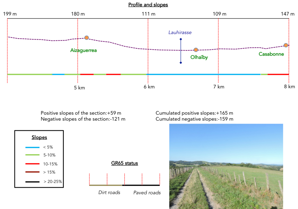
Difficulty of the course: The day’s stage is not very long, with small slope variations (+304 meters / -389 meters). There is only a slightly more sustained climb beyond Aroue and a steep descent towards the Bidouze River to report. Until Benta, the route follows the magnificent hills of the Camino de Santiago. Then, on the St Palais variant, a dirt road follows the ridge for a long time, before plunging to the Bidouze River. The rest of the course is not very exciting. You have to go up to Béhasque-Lapiste and then follow the departmental road which goes to St Palais. Yet, St Palais is a real gem, with its old houses clinging to the river. You have been warned. Housing is quite poor throughout the Basque Country. You will therefore have to go to St Palais to find accommodation.

Passages on pathways and roads are almost equivalent:
- Paved roads: 11.0 km
- Dirt roads: 8.5 km
Sometimes, for reasons of logistics or housing possibilities, these stages mix routes operated on different days, having passed several times on Via Podiensis. From then on, the skies, the rain, or the seasons can vary. But, generally this is not the case, and in fact this does not change the description of the course.
It is very difficult to specify with certainty the incline of the slopes, whatever the system you use.
For « real slopes », reread the mileage manual on the home page.

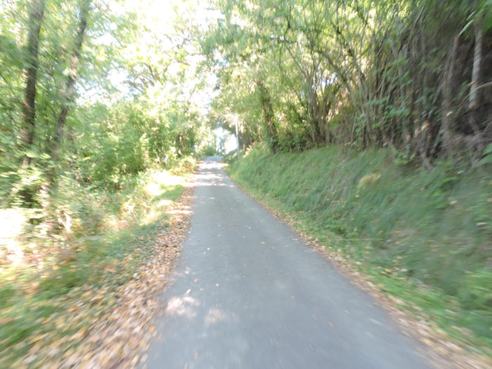
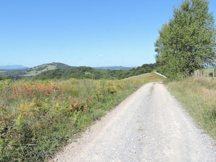
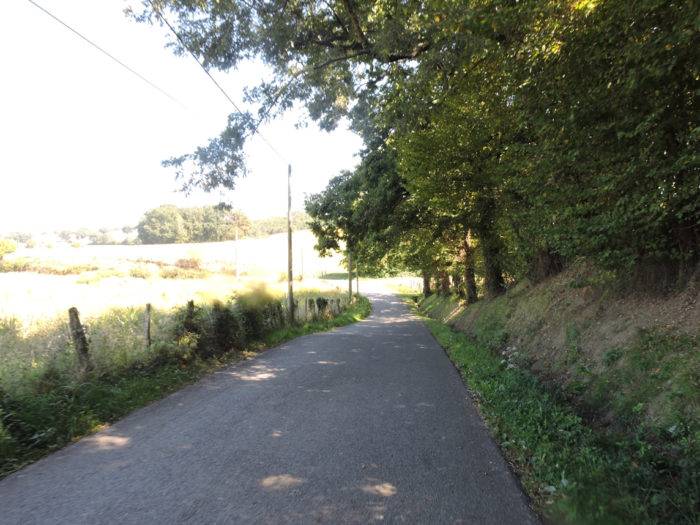
Section 1: Towards the beautiful hill overlooking Aroue.
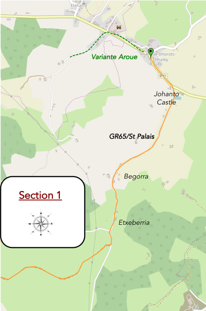
General overview of the difficulties of the route: flat on the road, then uphill, often steep (but less than 15%) towards the hill.

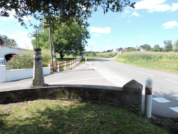
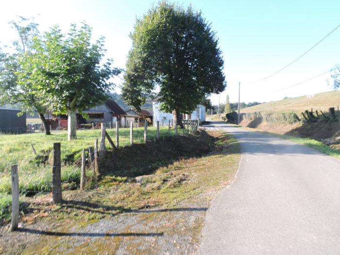
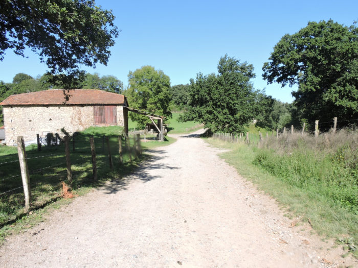
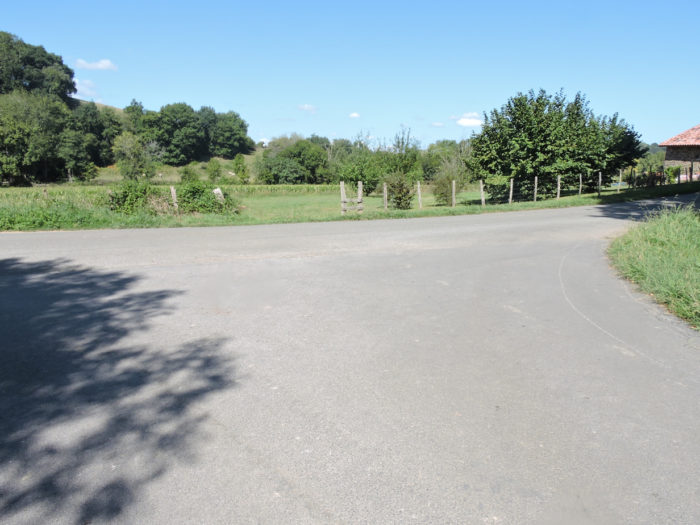
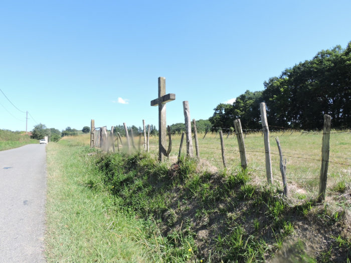
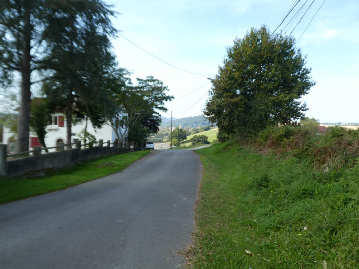
| Whether you’ve spent the night in Aroue or in the lodgings before the village, it is best to start the day at Château Johanto. It’s not that the variant starting from Aroue is uninteresting, but passing through the variant you will miss the peace and serenity of the beautiful hill beyond Bégorre. So, let’s meet at Château Johanto, at the crossroads where an iron cross is planted. | |
 |
 |
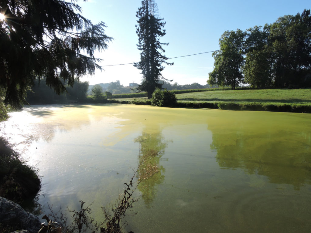
The GR65 turns left and passes near the calm, green waters of a jewel of a small lake that dozes in the greenery.
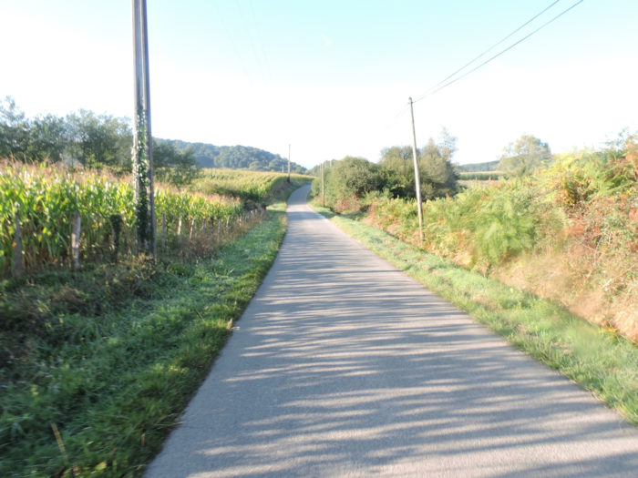
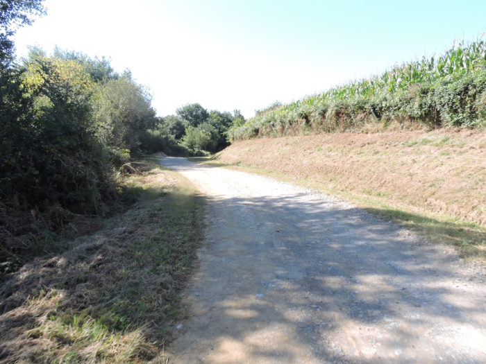
| You walk in the southwest and of course it will be difficult for you to close your eyes as you walk through the inevitable corn. But promised, these are almost the last, at least in such a scope. | |
 |
 |
How great is the serenity inspired by this wooden cross where the wishes of pilgrims are piled up under the great multi-centenary oak tree? Obviously, the crosses remain an obligatory place on the Camino de Santiago.

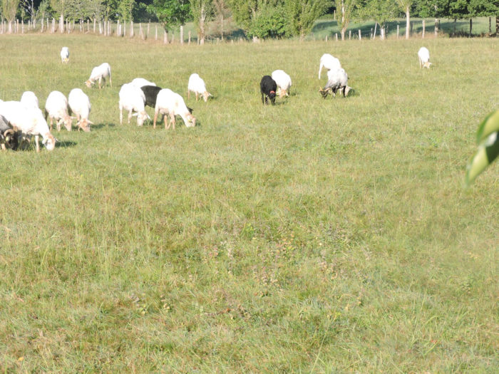
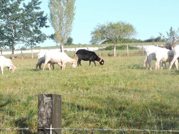
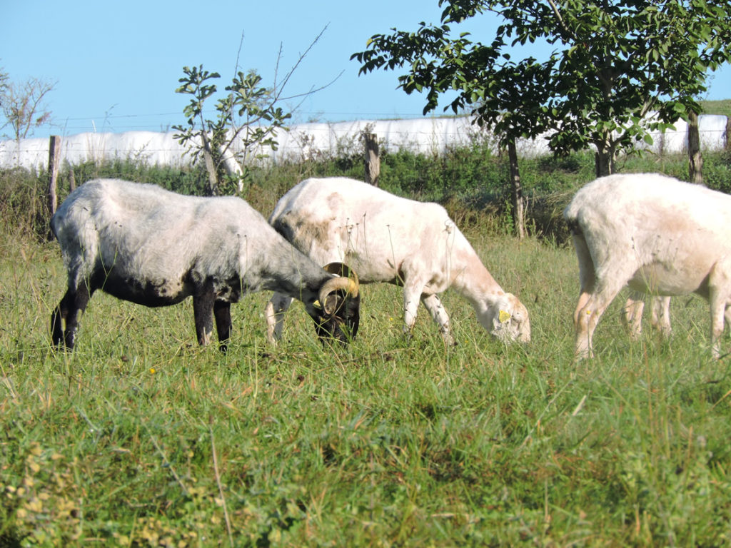
| You will eat a little Ossau-Iraty this evening before dessert. The closer you get to the Pyrenees, the more the sheep takes precedence, but very gradually, over the cows Blanches d’Aquitaine. | |
 |
 |
 |
 |
All you have to do is observe the hanging udders of these beautiful specimens of sheep from the Basque Country. The black-headed Manech, whether sheep or ram, easily recognizable by its haughty bearing, proudly wears horns above its black head, its hanging ears, its body covered with white wool, mounted as it is on legs also black. The red-headed Manech, aesthetically, has fewer advantages in existence. The species is hornless. But the white fleece is more imposing, with long hanging locks. Its head and legs are reddish, hence the name of the species. But then, on the udder side, there is no picture. It is the most productive in the area. Crossbreeding also occurs between these breeds, as seen in this herd. To make the AOC Ossau-Iraty cheese, you will also add a little milk from basco-béarnaise, the most common sheep in Béarn.
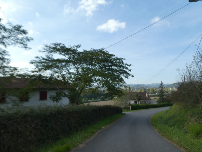
| The small paved road then arrives at the quiet village of Bégorre. | |
 |
 |
| A stone’s throw away is the small hamlet of Etchebarria. | |
 |
 |
| At the exit of Etchebarria, the GR65 still flattens on the road for a while. Here you may notice an increase in the number of cows in the meadows. | |
 |
 |
| Further afield, a wide, fairly stony dirt road climbs towards the hill, under the oaks and ash trees. | |
 |
 |
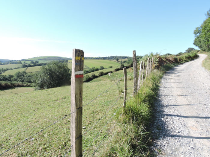
| A small hiking trail passes through here. Don’t be surprised and follow the red and white marks of the GR. Here the pathway begins to climb toughly on the stones. | |
 |
 |
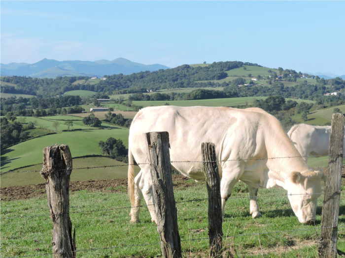
Behind the placid cows, you see the Pyrenees taking shape better and better in front of you.

| Nature sings, beautiful, with a parterre of beautiful Blonde Aquitaine cows, real winners of so many beauty contests in agricultural shows. | |
 |
 |
The pathway climbs among the herds to the top of the hill. It’s the only slightly more demandingclimb of the day. Don’t these landscapes remind you of the majesty of Aubrac? For the happiness of the pilgrim, he often only needs an empty space which he can furnish at his ease, where he lets his imagination wander.
Magic, the word is not too strong…
Wait for the video to load.
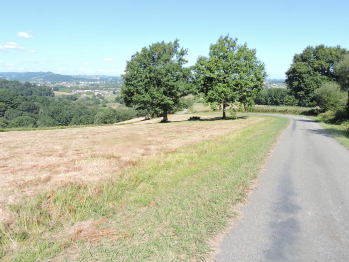
| At the top of the hill, you’ll see on your right the castle of Aroue in the Basque countryside. On your left, you almost have the feeling that you can touch the Pyrenees, as the mountains seem so close, behind the rounded hill dotted with small groves of oaks. | |
 |
 |
 |
 |
| Further ahead, the pathway descends from the ridge into the pasture. Always, this same charm that makes the eye linger there and opens the doors to a world of simplicity and serenity. | |
 |
 |
Section 2: Ups and downs in the undergrowth and pasture.

General overview of the difficulties of the route: course without difficulty, most often downhill, even if some slopes can be around 15%.
| The pathway wanders a little longer on the small high plateau in this incredible landscape, so generous for the soul and the eyes. | |
 |
 |
| It gradually reaches a small undergrowth of deciduous trees. Then it becomes stonier, in the ferns charred by the sun. | |
 |
 |
 |
 |
Shortly after, the sheep and cows mate near a clearing at a place called Harguinaborda. The country here is unspeakably charming.
 |
 |
 |
 |
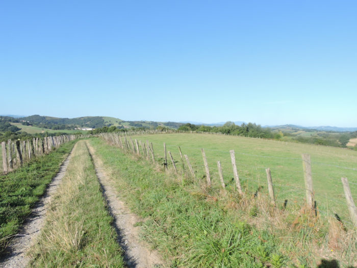
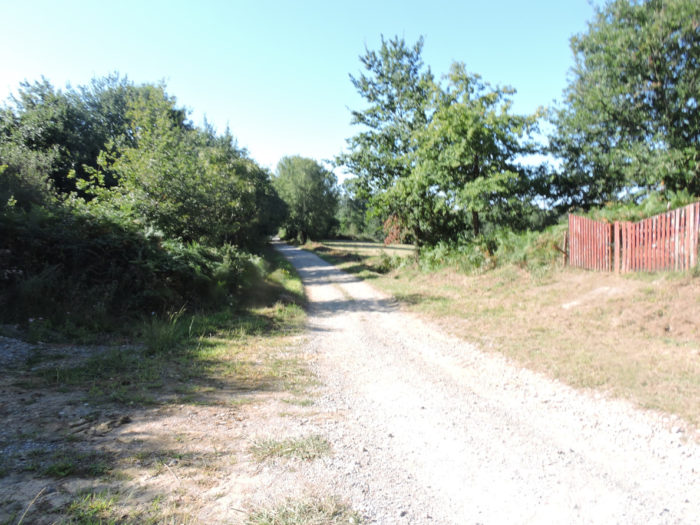
| The pathway then undulates a little in the undergrowth, in the ash and oak trees, until it joins a small road in the hamlet of Aizaguerrea. You’ll see more and more appear the architecture of the houses of the Basque country, white with their red shutters. | |
 |
 |
This is where the route joins the Aroue variant.

Beyond Aizaguerrea, the route continues to descend into scattered undergrowth. It used to be a beautiful track, steeply sloping over small pebbles. Today you know from the previous stage that it is tar. It is much less bucolic.
 |
 |
| The route descends to the bottom of the dale, where it joins a small paved road. Here, even the ruins have a soul. | |
 |
 |
There are probably only peasants who live here. Who else would come and get lost here in a region, almost outside of civilization? It is hardly the pilgrims who advance under their bag, apart from a few rare peasants encountered here and there, who give a touch of color and life to these regions. This is often how the Camino de Santiago shows its best soul.

| Soon, the small road then crosses a new undergrowth, slightly uphill, to the rare houses of Etchebarnia. | |
 |
 |
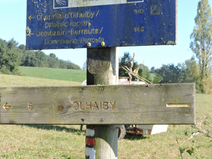
| The road then heads towards Olhaïby and reaches a small crossroads, where a direction is given for Olhaïby Chapel. | |
 |
 |
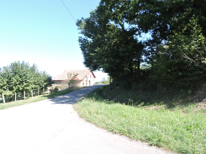
| Beyond Ohlaïby junction, a small asphalt road climbs up the hill to the Etchecoin farm. | |
 |
 |
| The season is already well advanced and farmers are working here. The proof, the harvester spits in the trailer the small yellow grains, the labor of the year. | |
 |
 |
| Further up, it used to be dirt. Today, it is unfortunately tar. We understand the local farmers, but for the walker, the tar makes all the difference. | |
 |
 |
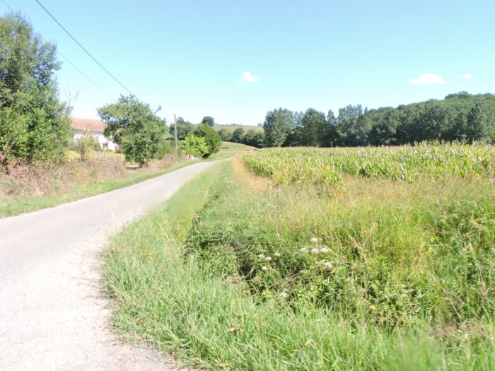
| The campaign is a bit more diverse. Corn is still growing, but no doubt cereals are also being planted. But the meadows dominate. Sometimes a small undergrowth of oaks and ash trees brings a little shade. | |
 |
 |
|
 |
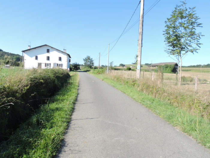
| Further up, the route gets at Casabonne hamlet. Basque houses, you will easily recognize them. It is as if they bore a signature with their exposed timber frames, most often painted in reddish brown, contrasting with the generally white masonry. Of course, they vary according to their location or the wealth of the owners. But, they all have a family resemblance. The richest wear their date of birth or the name of their owner above the front door. Written in Basque, of course! | |
 |
 |
Section 3: In the pastures celebrated by UNESCO.
 General overview of the difficulties of the route: course without great difficulty.

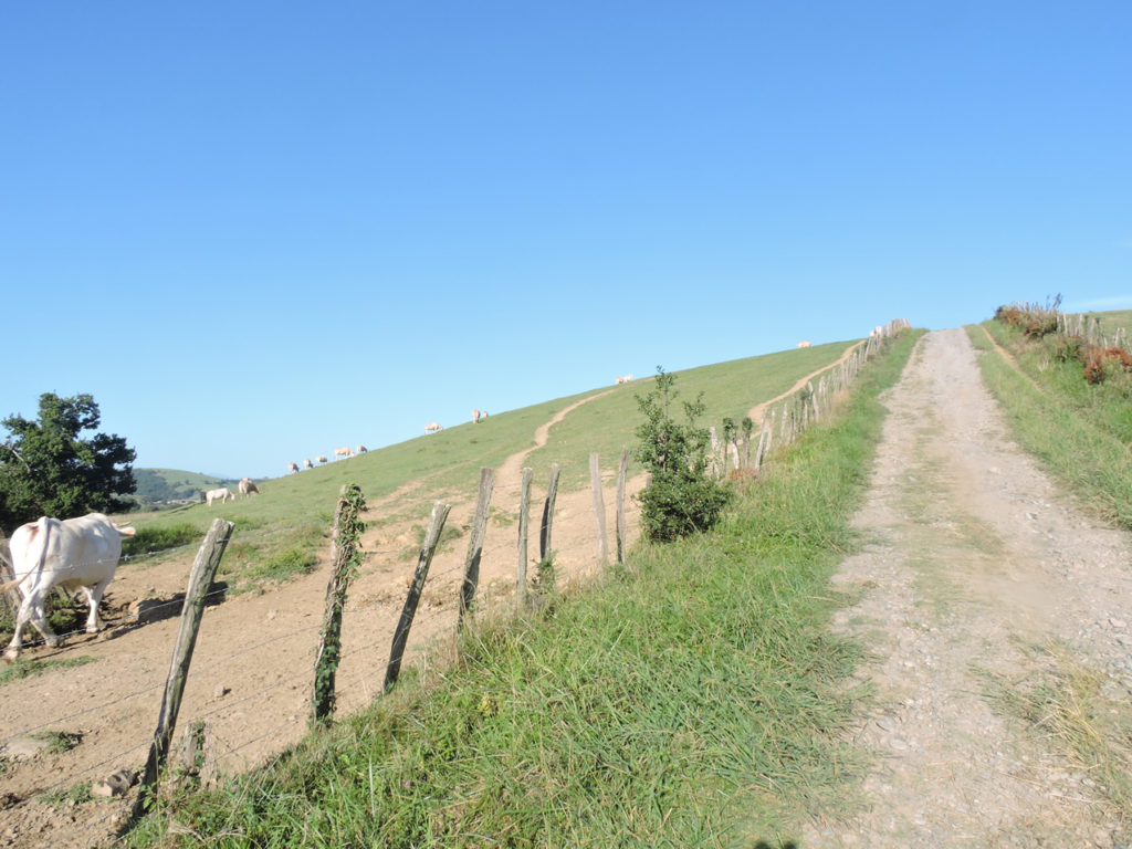
| In Casabonne, GR path follows the small country road on long straight stretches undulating in the countryside. Here is the program. Soyarze Chapel is 2.5 hours from here. Since the vast majority of pilgrims do not go to St Palais, this tells them that they are almost 4 hours to the goal of their stage, which often is Ostabat. | |
 |
 |
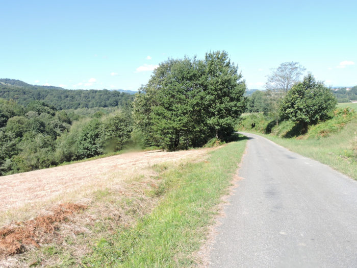
| It is open countryside, beautiful countryside, with here and there a cluster of trees, mostly oaks. | |
 |
 |
| The road then descends slightly, then climbs back up to join the large farm of Jaurriberia, the last sign of human or animal presence before long. | |
 |
 |
| Beyond Jaurriberia, a pathway climbs up the ridge, through scattered oaks. It is wide at will, covered with gravel. | |
 |
 |
| This is the world of silence. It is undoubtedly also for these reasons that the instigators of UNESCO notified these tracks. Not that the latter hate civilization, but above all they love the grandeur of deserted spaces, with here and there an isolated house, even a dilapidated farmhouse testifying to the fleeting presence of men. We understand them so well! | |
 |
 |
| In this universe where nature lives in freedom, turns into brut art, sometimes the ground is black as coal. | |
 |
 |
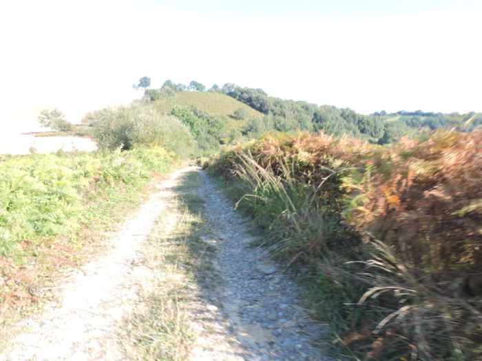
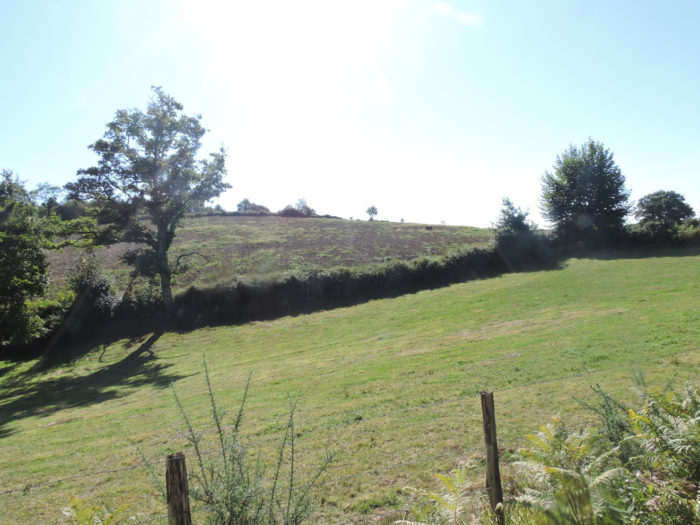
| Further up, the pathway arrives on a small plateau. It is from here that the pathway begins again between moors and pastures, in exceptional territories, one of the most beautiful delights of the Camino de Santiago. On the edges of the track, the ferns remind you that the Basque Country has plenty of rain. | |
 |
 |
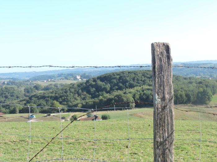
| There are few signs here of the work of men. Nothing disturbs the pilgrim who walks, in the good pure air of the Pyrenees. When you’ll walk here, you will be little surprised to see the many pilgrims who stop to picnic, slip under the barbed wire or take a nap in the grass. Any walker knows how to recognize exceptional places. | |
 |
 |
 |
 |
| Alas, we anticipated well that this daydream was not going to last forever. At the bend of the track reappear the corn fields, although rather discreet here. | |
 |
 |
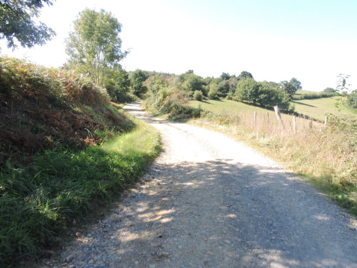
| Yet, overall, the landscape remains charming, when the pathway begins to descend a little towards Benta. | |
 |
 |
Are you not far from the world in this universe of gentle hills, with the Pyrenees as a backdrop?

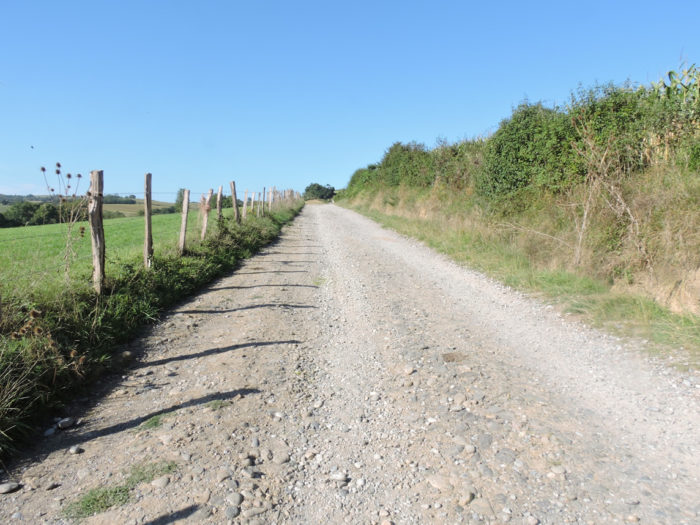
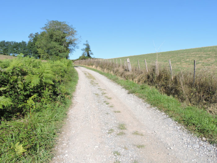
| The dirt road soon gets in Benta. | |
 |
 |
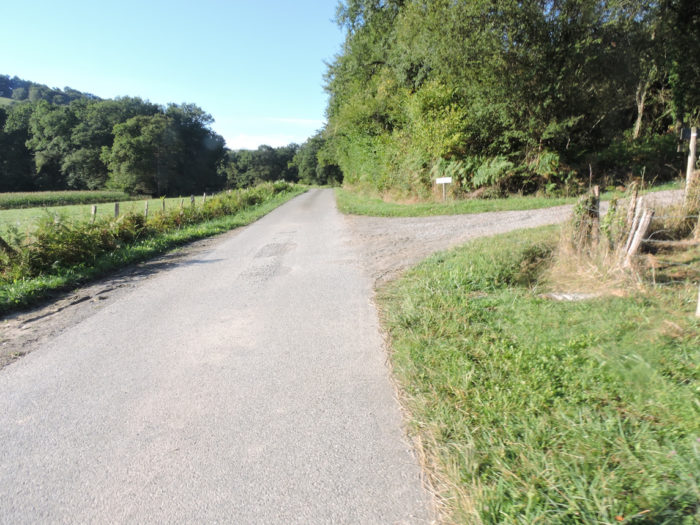
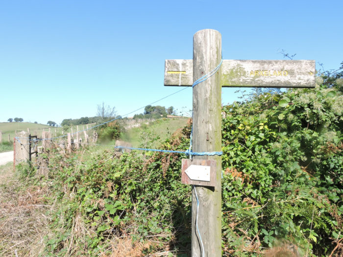
Be careful here if you intend to continue on St Palais. Benta is just a stone house by the side of the road. A sign invites you to stop at the Former Franciscan Convent at St Palais. Here the pilgrims going to Ostabat turn left, those who wish to go to St Palais go straight ahead.
Today we will go to St Palais.

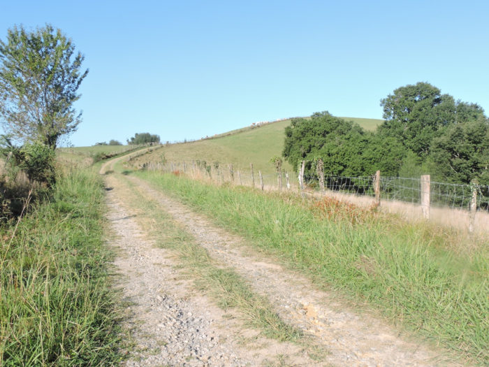
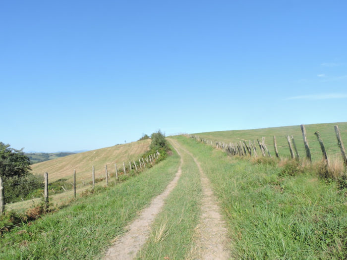
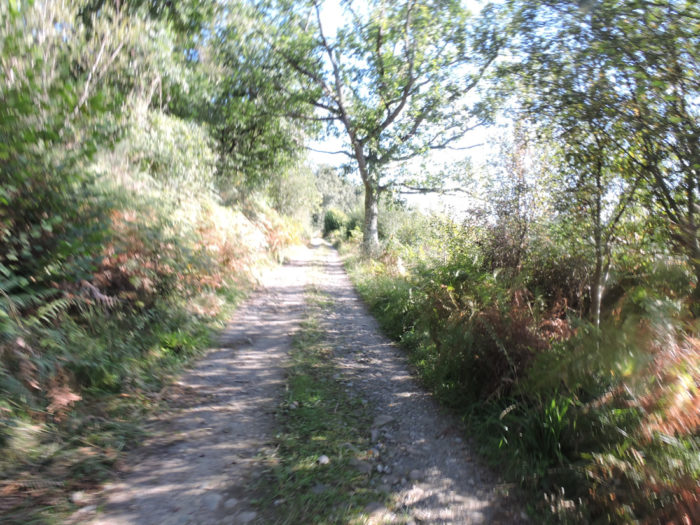
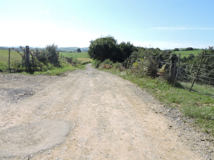
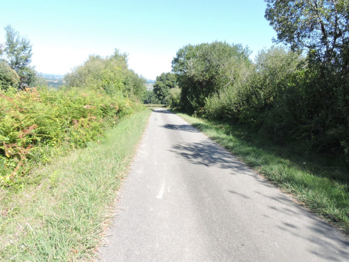
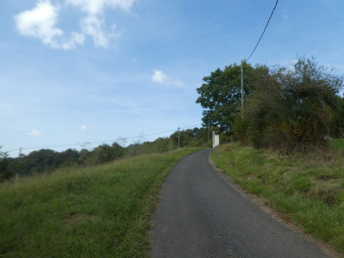
| On the variant of St Palais, you walk no longer on a GR. Yet, there is no risk of getting lost. It is straight ahead, on a wide dirt road, for kilometers, until the track descends to Bidouze River, and the small lake of Béhasque. | |
 |
 |
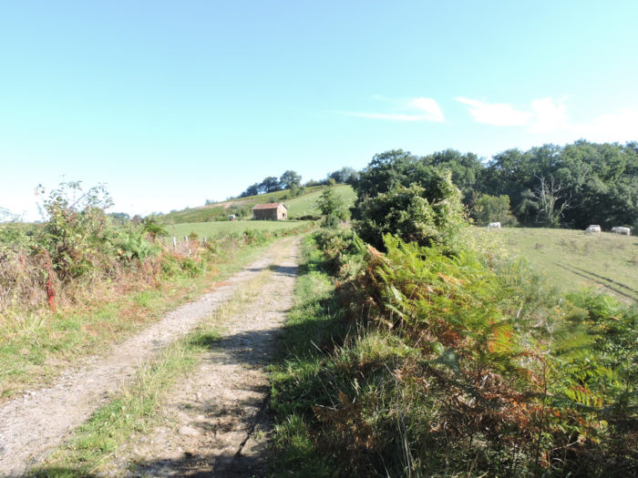
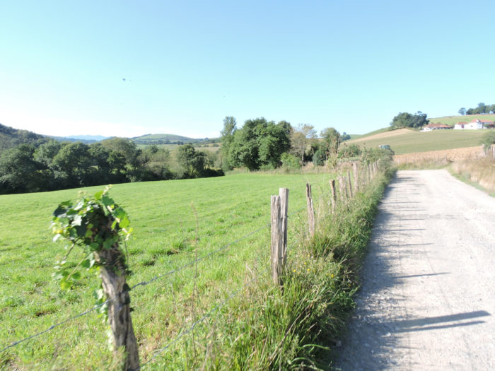
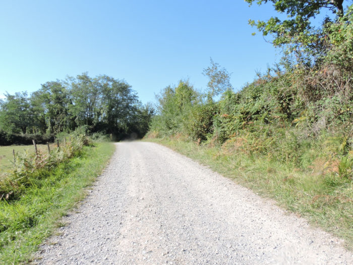
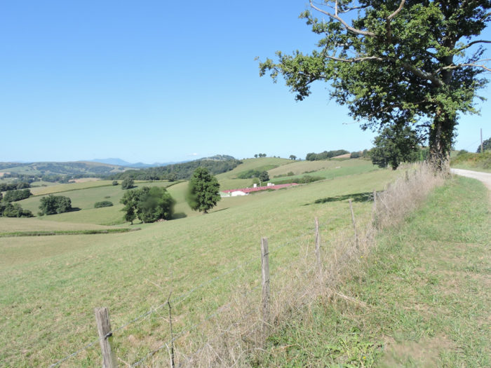
| It is a wide pathway that flattens into the countryside. A little further on, it overlooks the gigantic Iratcheta duck farm, the largest you will meet on the Camino de Santiago. | |
 |
 |
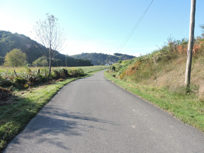
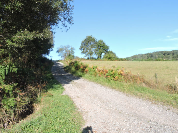
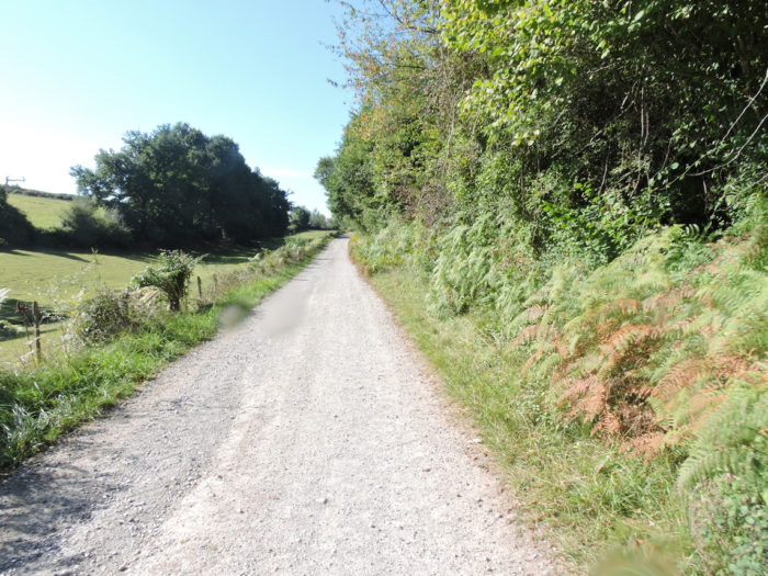
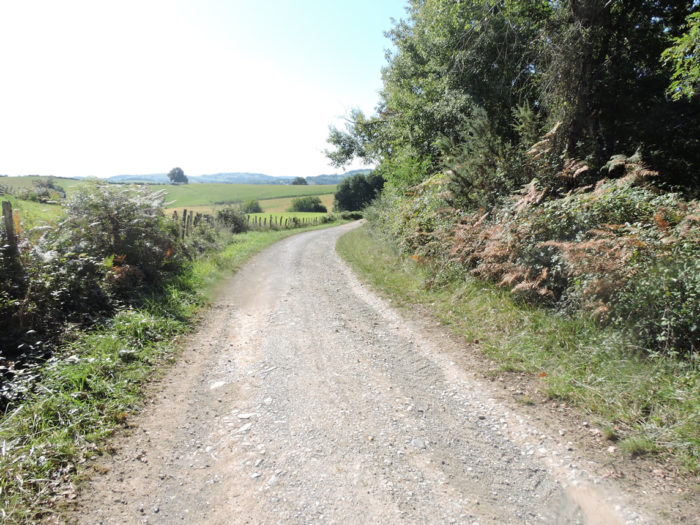
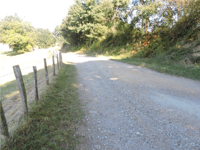
| The dirt road runs along the ridge for a long time, lined with small hedgerows of ferns and brushwood, dotted with small oak trees. It is still here the captivating charm of the countryside, of these gentle undulations in an intact nature. It’s just wonderful. Pay little attention to direction signs. For you, it’s always straight. | |
 |
 |
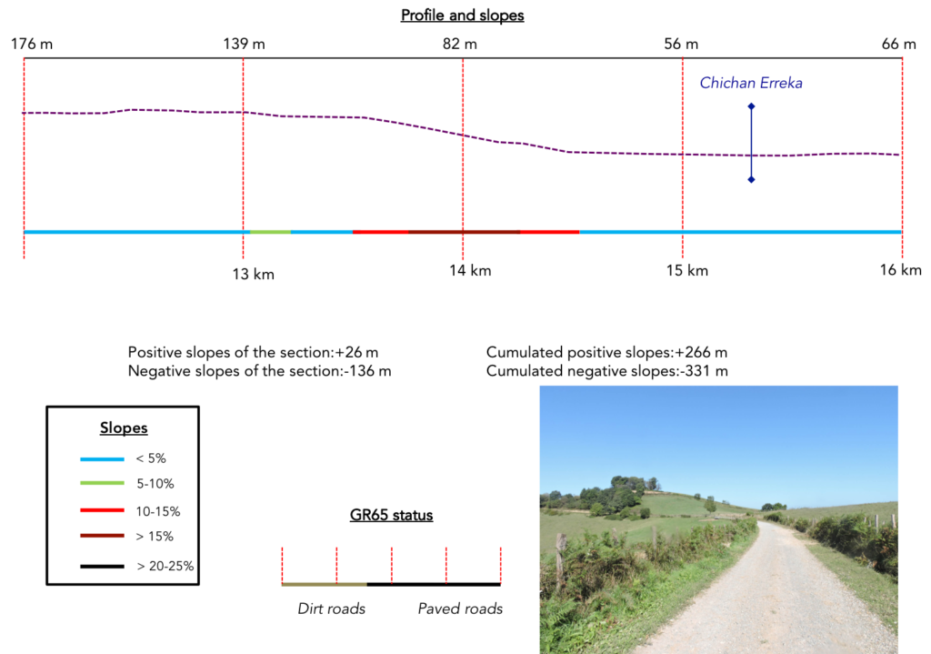
Section 4: At the bottom of the valley flows the Bidouze River.
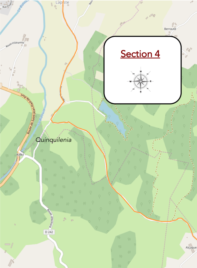
General overview of the difficulties of the route: slopes often steep downhill and uphill.
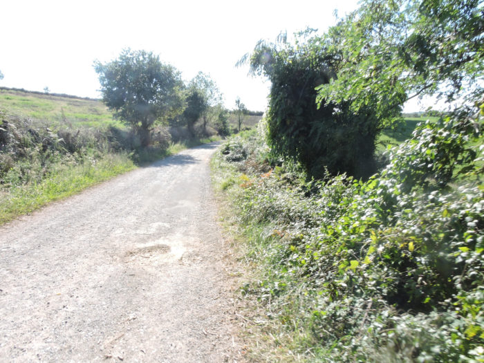
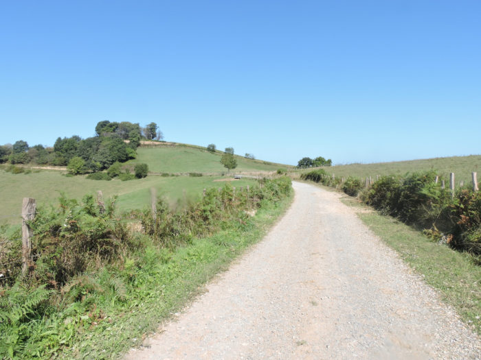
| The magic lasts a little longer. The exuberant landscape of pastures is still omnipresent, as before Benta. | |
 |
 |
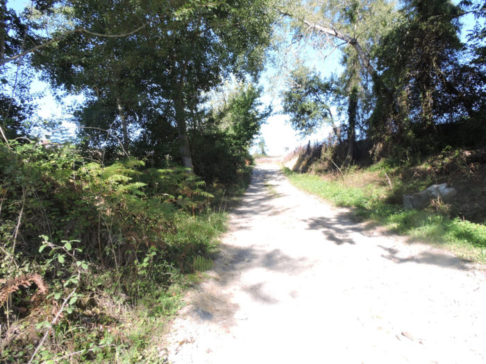
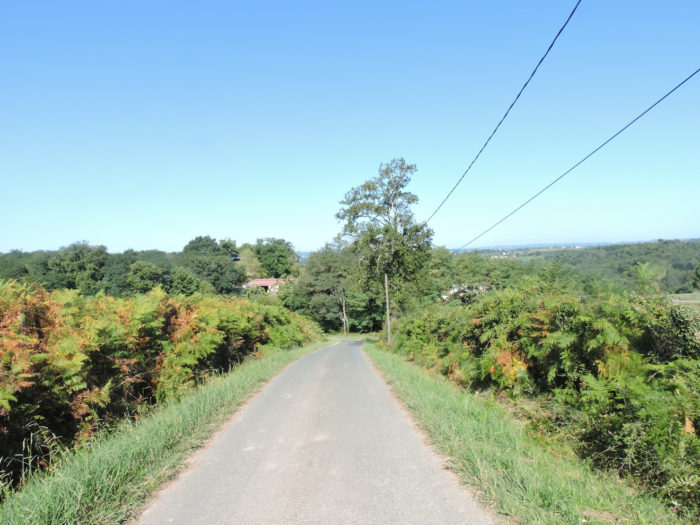
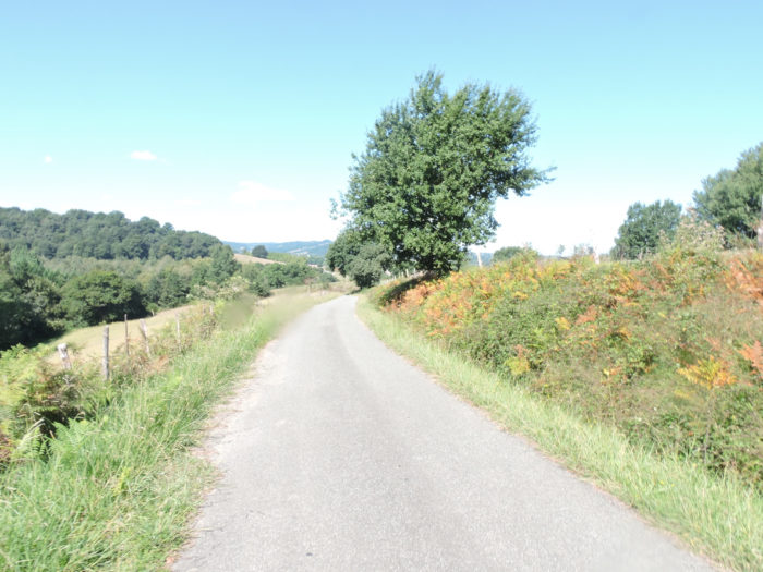
| Then the pathway begins to descend towards the plain, at first on a fairly gentle slope, along hedges of bushes and oaks. | |
 |
 |
 |
 |
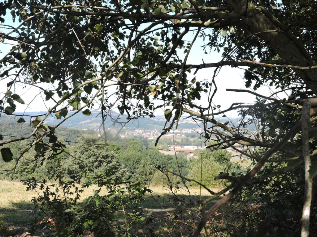
Soon, on the horizon you can see St Palais through the foliage. But you are not there yet. Far from it!
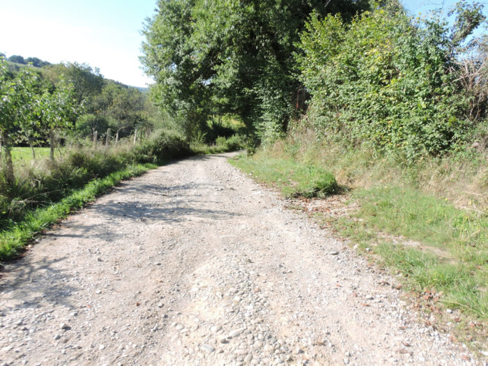
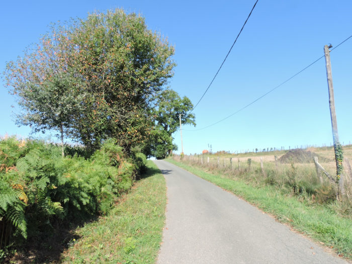
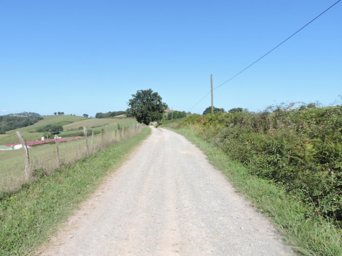
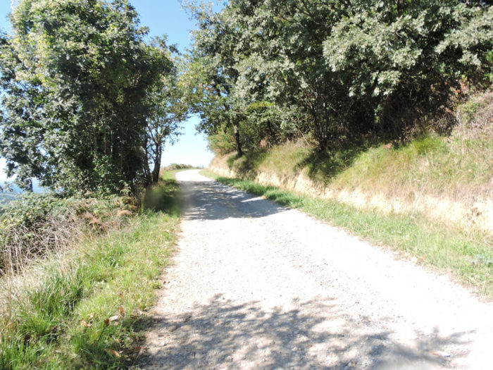
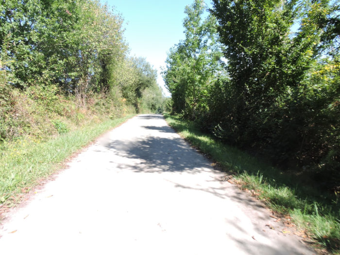
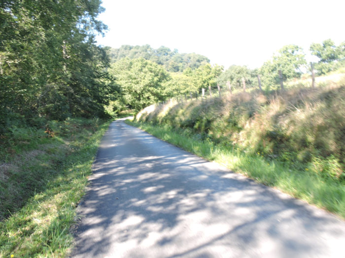
| Further down, the tar replaces the dirt and the road begins to descend more toughly from the hill. | |
 |
 |
| The further down you walk, the steeper the slope, sometimes reaching 20%. | |
 |
 |
 |
 |
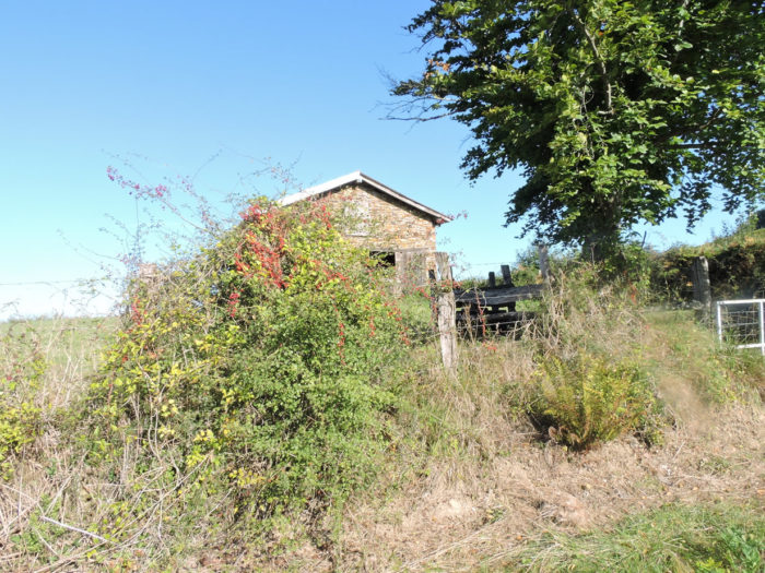
| At the bottom of the hill, the road arrives at Quinquilenia, near the Bidouze River, which you can only guess behind the trees and brush. | |
 |
 |
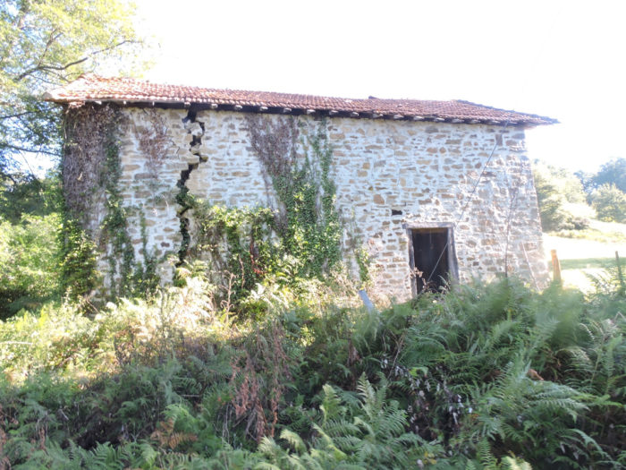
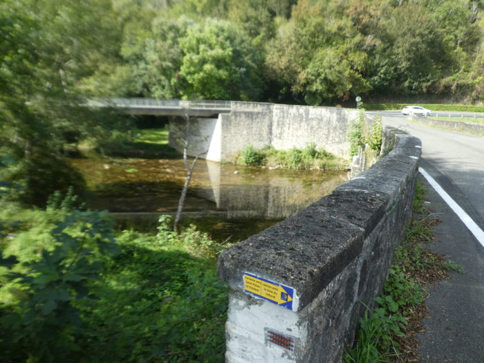
| The ford of Qinquil, now condemned, was not far from here. This ford, recognized by UNESCO as a World Heritage Site, has a long controversy. Historically, we don’t really know where the track went. Probably around here, because for whom would they have created a ford. Yet, some experts say the track did not go to St Palais. From here it went directly to the Chapel of Soyarce. To see the ford or guess where it was going, you have to go down the road a few hundred meters to get near the bridge over the Bidouze River. | |
 |
 |
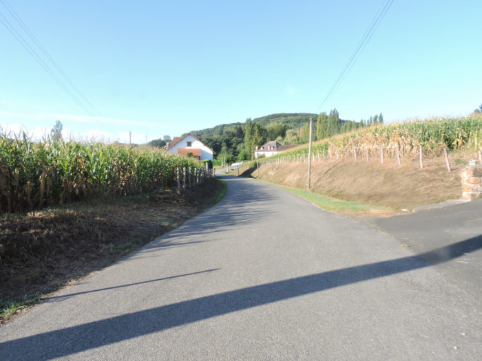
| Anyway, the pilgrims would have arrived at St Palais fairly quickly? Not you! You will have to go to the village of Béahsque-Lapiste, which is quite ordinary, it must be said, after having crossed such beautiful landscapes. The road then crosses the small plain, and you quickly see the village church on the hill. | |
 |
 |
| The road crosses the plain where mainly corn is expressed. | |
 |
 |
| In the plain, potentially flooding, it is just a small stream that you hardly notice, the Chichan Erreka, which, unleashed, can cause damage here. In Basque, Erreka means “stream”. | |
 |
 |
 |
 |
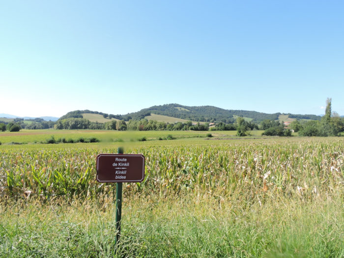
| Beyond the bridge over the stream, the road heads towards Béhasque-Lapiste. There are several roads to reach the village. At the crossroads, you have the choice between the Garaia road which climbs and the Kinkil road which flattens further. Stay on the latter. | |
 |
 |
Section 5: In St Palais, on the Bidouze River.
 General overview of the difficulties of the route:course without any difficulty.

| You’ll soon see the village church on the height. | |
 |
 |
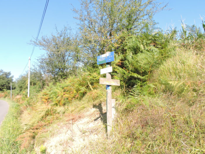
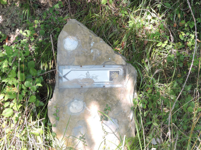
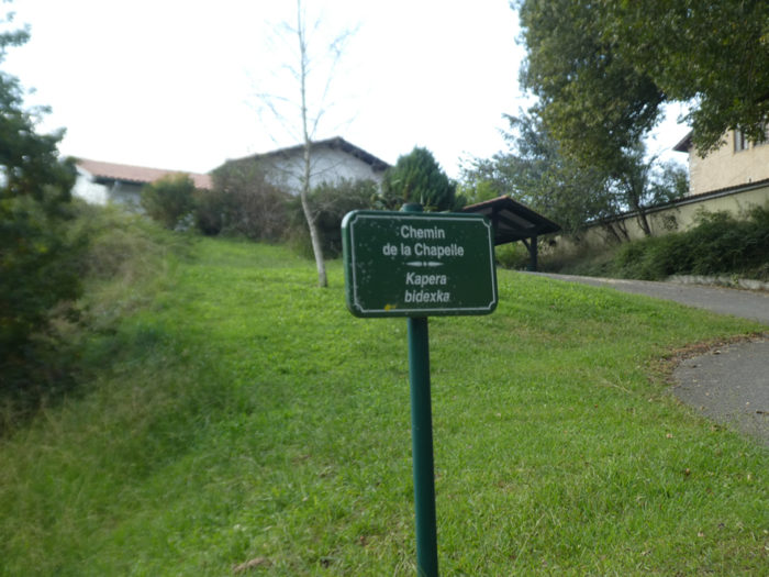
| Shortly after, take Chemin de la Chapelle. It is a road that climbs sharply on the hill. Here there is a mark of the Camino de Santiago. You are not lost. | |
 |
 |
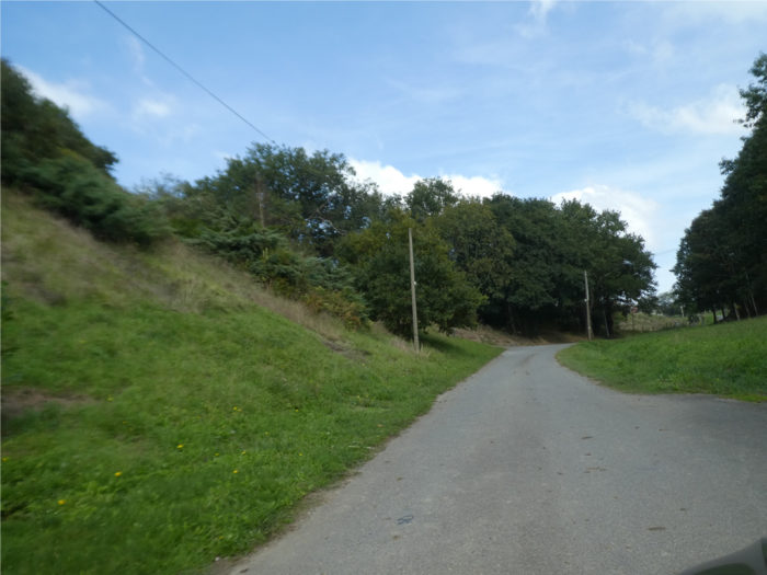
| The road does not arrive directly at the village and winds its way uphill through meadows and undergrowth. | |
 |
 |
| At the end of the Chemin de la Chapelle, the road makes another bend, but there is no chapel. It is rather the village church, a little up. | |
 |
 |
| Further ahead, you’ll arrive near the first houses of the village. | |
 |
 |
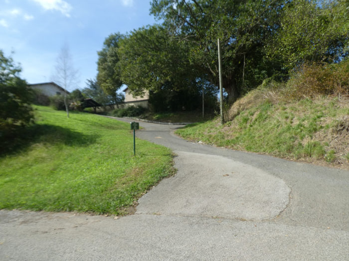
| Here you have to go down the road on the outskirts of the village, past the Basque-style houses. The course is well marked. There is a sign of the Camino de Santiago. You will soon see St Palais below. | |
 |
 |
 |
 |
| The road makes another bend in the outskirts of the village. | |
 |
 |
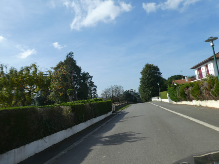
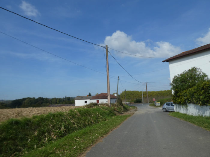
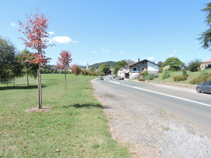
| At the exit of Béahasque-Lapiste, you will therefore arrive on the D11 departmental road, in Aicirits, the commercial and industrial suburb of St Palais, common as everywhere on the planet. | |
 |
 |
 |
 |
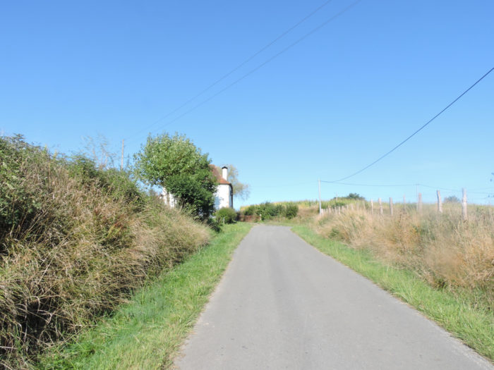
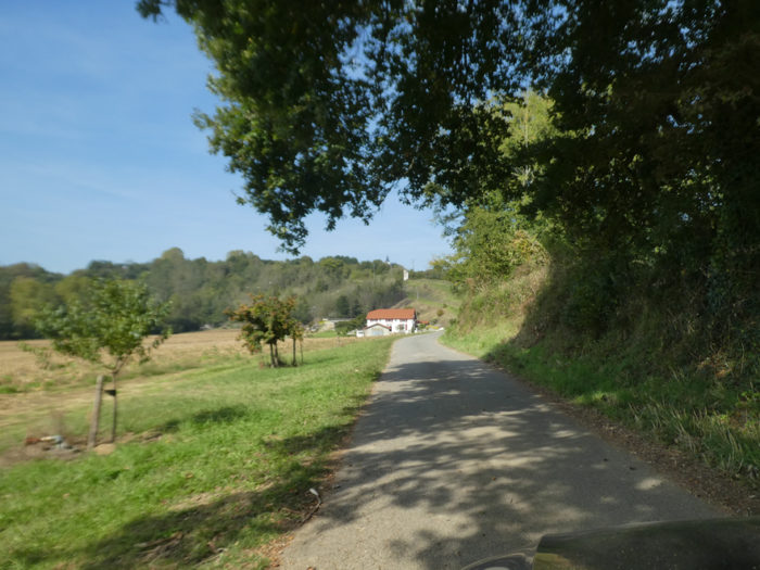
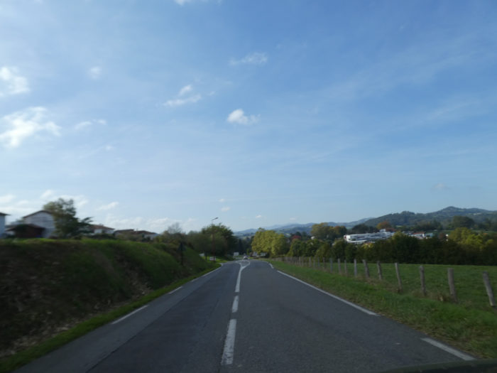
| The road then heads towards St Palais, on the banks of the Bidouze River. Along the way, near the hospital, accommodation is available. | |
 |
 |
| Here you can continue on the sidewalk or cross the grass and dirt park, which runs alongside the river. | |
 |
 |
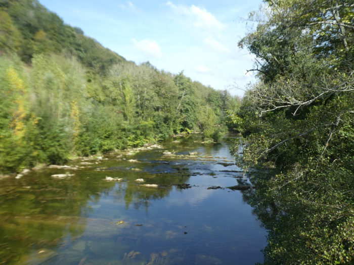
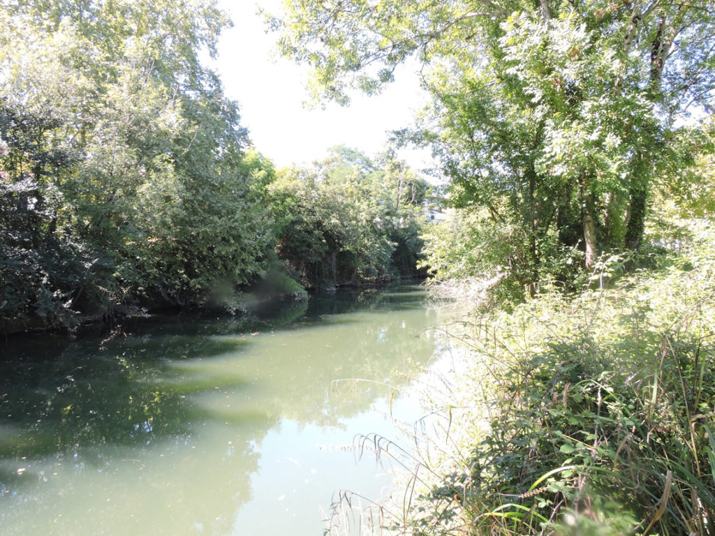
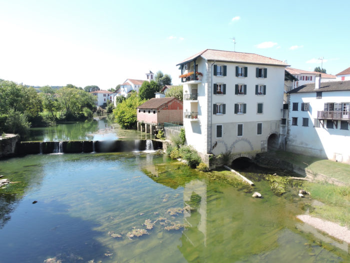
The river is a stone’s throw away, greenish, calm and welcoming. The trees make him like a dark crown.
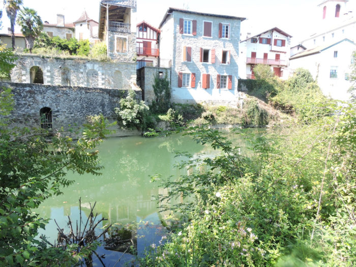
| The old town is clinging to the river. Who will say the elegance of these old facades that dip their feet in the water? These residences do not drivel, despite their great age. They tell you about the ancestors who polished these steps, designed these arches to allow access to the river. | |
 |
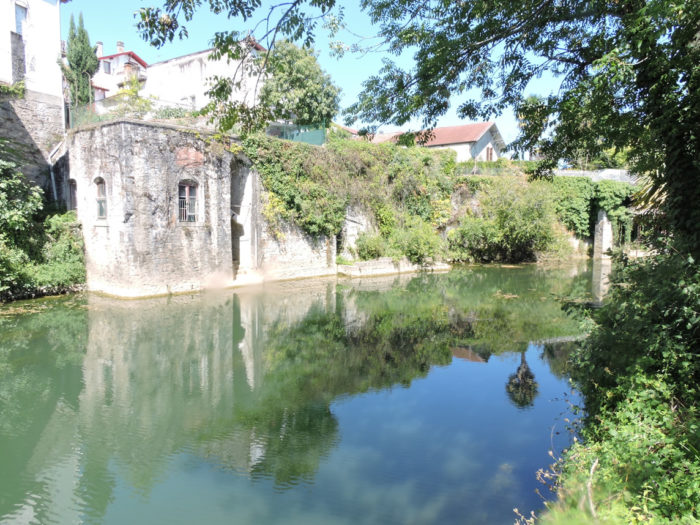 |
At the end of the park, you’ll arrive near the bridge over the Bidouze, near a waterfall on the river. No one can say here whether the pilgrims of old who missed the slippery stones of the Quinquil ford upstream, would not have risked their skins here as well, by sneaking over the stones of the river.
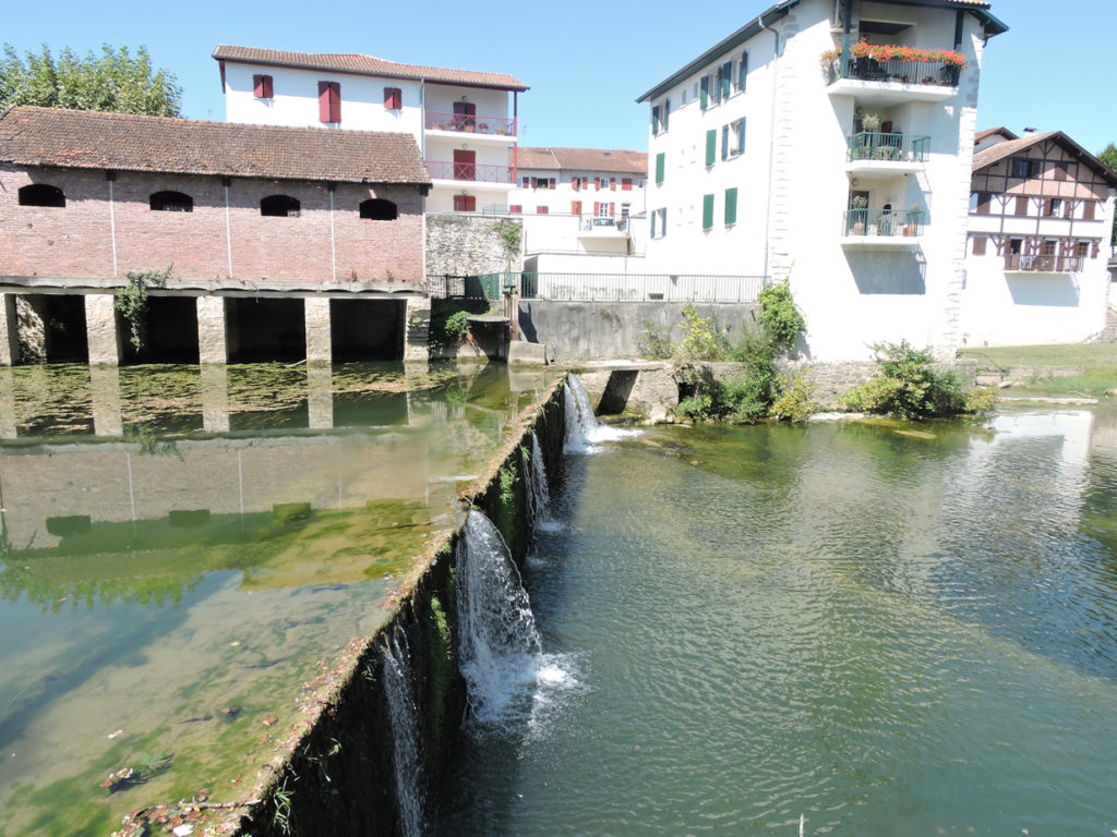
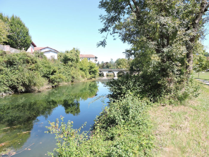
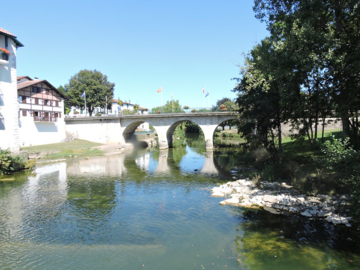
| But today there is a bridge to reach the center of the town. | |
 |
 |
 |
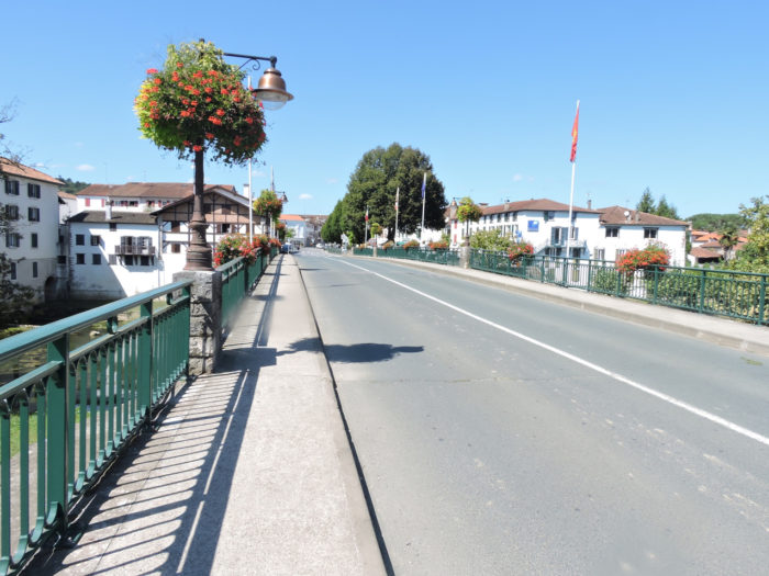 |
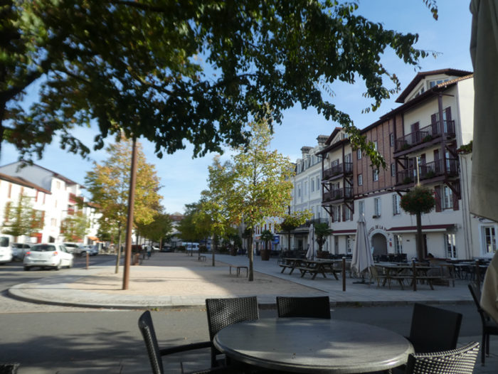
| St Palais, a small town full of charm, has 2,000 inhabitants. If it is a quiet during the day, at the end of the day, the traffic is extremely dense, because the axes are one-way and there are many commuters working in the region.
Due to its geographical position, close to the many fords that made it possible to cross the river, St Palais, which also had a priory-hospital, was a nerve center of the routes coming from Tours, Vézelay and Le Puy. Obviously, since the Puy route, the busiest, no longer passes here, the traffic of pilgrims has become more discreet. Only pilgrims who follow the route of Tours pass here, and rare pilgrims, like us. Yet, it is high time for that to change, we hope so. |
|
 |
 |
Local gastronomy
Piperade is a must in the Basque Country. It can be cooked in all sauces. It accompanies Bayonne ham, chicken, lamb stew, eggs or fish. Everything somehow! If it is called piperade (from the Occitan Béarnais piperrada, piper: red pepper), it is because the dish contains pepper. Of course, Espelette pepper, the country’s flagship product. Although piperade is traditionally red, you can vary the colors and flavors by choosing purple onions and yellow or orange peppers, and adding zucchini. This dish is made by browning seeded tomatoes, peppers, onions, or other vegetables in an earthenware pot (cazuela). I’s also added thyme, bay leaf, garlic, a pinch of sugar, and of course the Espelette pepper. Slowly cook everything, covered, over low heat. The longer you wait, the more the peppers are tender and pleasant in the mouth.
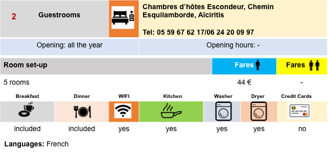
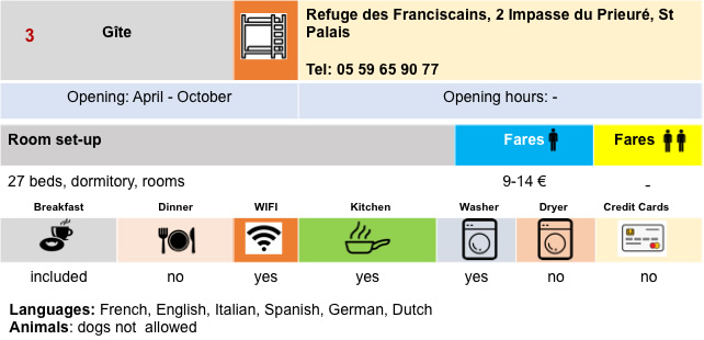
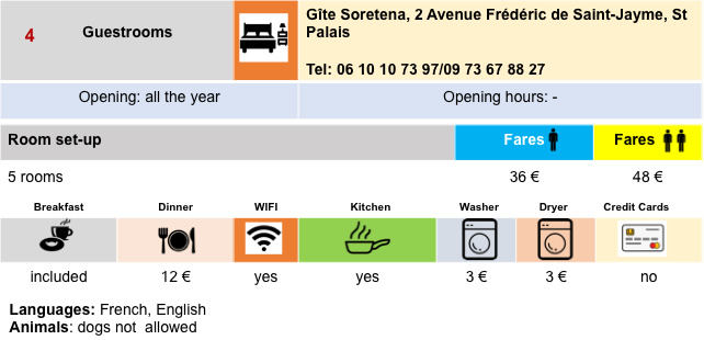
Lodging


 |
 |
 |
 |
 |
 |
Feel free to add comments. This is often how you move up the Google hierarchy, and how more pilgrims will have access to the site.
 |
Next stage : Stage 35c: St Palais to Ostabat |
 |
Back to menu |