
The wooden statues erected against the lunar climb to Soyarze Chapel
DIDIER HEUMANN, MILENA DELLA PIAZZA, ANDREAS PAPASAVVAS
We divided the course into several sections to make it easier to see. For each section, the maps show the course, the slopes found on the course, and the state of the roads. The courses were drawn on the « Wikilocs » platform. Today, it is no longer necessary to walk around with detailed maps in your pocket or bag. If you have a mobile phone or tablet, you can easily follow routes live.
For this stage, here is the link:
It is obviously not the case for all pilgrims to be comfortable with reading GPS and routes on a laptop, and there are still many places in France without an Internet connection. Therefore, you can find a book on Amazon that deals with this course. Click on the book title to open Amazon.
 |
The Camino de Santiago in France. VI. From Cahors to St Jean-Pied-de-Port (Via Podiensis) on GR65 track |
If you only want to consult lodging of the stage, go directly to the bottom of the page.
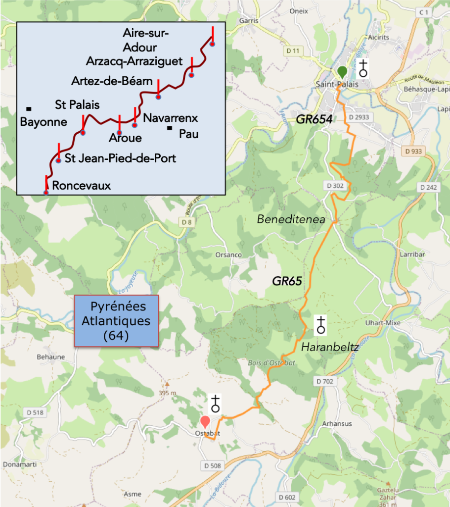
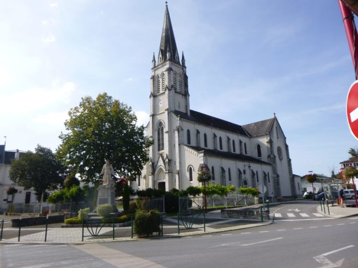
In the previous stage, we went to St Palais, outside the GR65, to have the pleasure of following up the magnificent Chemin de Xibaltare, on the GR654 track. The GR654 links Belgium to the south of France over approximately 1,700 kilometers. It is also a Camino de Santiago, being largely linked to the Vézelay/Tours route. Do not take our decision to pass by St Palais as contempt for the normal route of the GR65 which comes from Aroue and which will delight many walkers, the vast majority no doubt. In fact, the Camino de Santiago is quite simple. People buy books and firmly believe that they cannot deviate an inch from the track that, they believe, was the one followed by their ancestors. But there is no Camino de Santiago, in fact, just one. Our choice is largely due to the incredible charm of Mont Sauveur and the statues of Christian Lapie erected against the Soyarze hill. This miracle easily justifies the fact of having stayed one more day on the way to Spain.
The Chemin de Xibaltare (Gibraltar, in Basque) leads to the summit of Mont Sauveur. Up there, from the top of the hill, you will never tire of admiring the marvelous contemporary statues of Christian Lapie, erected against the Pyrenees. The site is exceptional, with a bird’s eye view of Beneditenea and its lunar climb towards the Chapel of Soyarce. At, Beneditenea, you’ll join the GR65. It must be said, this stage is one of the most beautiful on the Camino de Santiago. As the sky is quite clear today, we will have the opportunity to present you more beautiful images of the ramp towards Soyarze, brighter and less dull than those covering the stage going from Aroue to Ostabat. Beyond the chapel, we invite you to continue the stage on the one described previously.
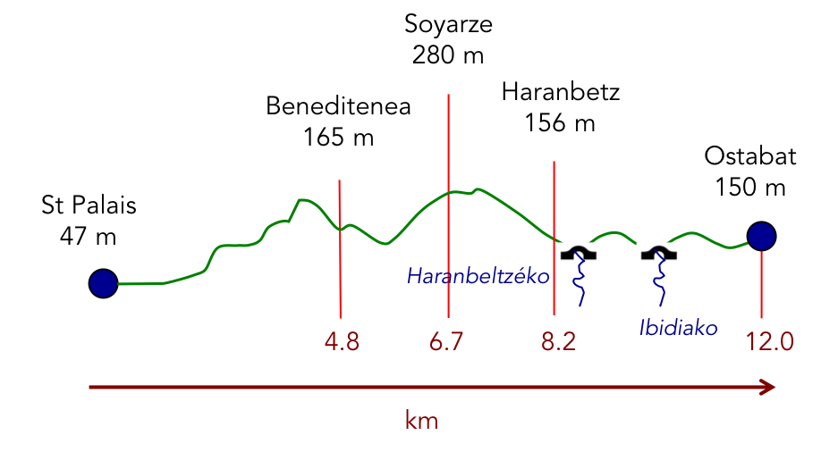
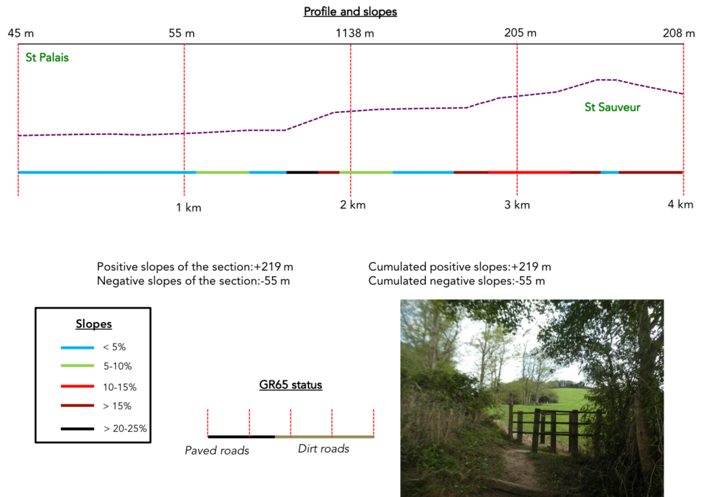
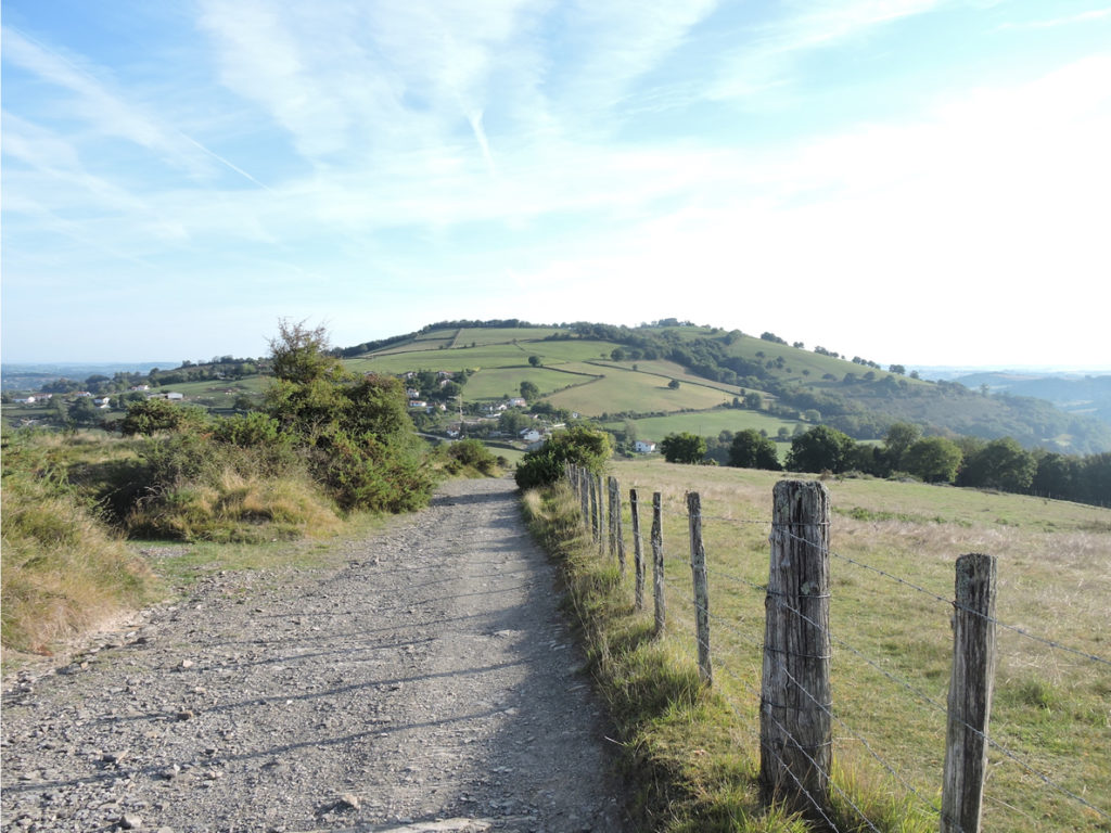
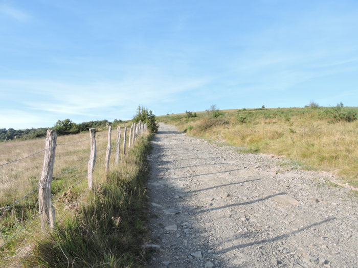
Difficulty of the course: The stage presents significant slope variations (+467 meters /-365 meters) for a short and nervous stage, with slopes sometimes greater than 15%. The difficulties are at the beginning of the course. As soon as you leave St Palais, the track rises steeply to Mont St Sauveur and its sculptures. The descent is severe enough to follow the fairly difficult but beautiful climb to the chapel of Soyarce. From there, after the steep descent to Haranbeltz, the track follows slight hills.
Here, passages on pathways are the most numerous:
- Paved roads: 3.7 km
- Dirt roads: 8.3 km
Sometimes, for reasons of logistics or housing possibilities, these stages mix routes operated on different days, having passed several times on Via Podiensis. From then on, the skies, the rain, or the seasons can vary. But, generally this is not the case, and in fact this does not change the description of the course.
It is very difficult to specify with certainty the incline of the slopes, whatever the system you use.
For « real slopes », reread the mileage manual on the home page.

Section 1: Up there, at Mont Sauveur in front of Soyarze.

General overview of the difficulties of the route: very tough route to Mont St Sauveur.
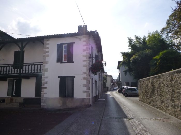
| Today, you’ll take the GR654, the Way of Vézelay/Tours, at the start of the stage, before joining further on the GR65, which comes from Benta. The route crosses the small streets of the city, near the Museum of Lower Navarre which traces the history of the region, taking further along the Rue du Palais de Justice, also called the « old royal street of Navarre ». | |
 |
 |
 |
 |
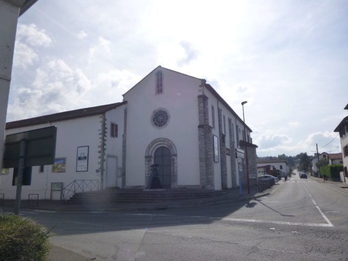
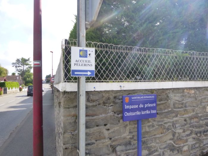
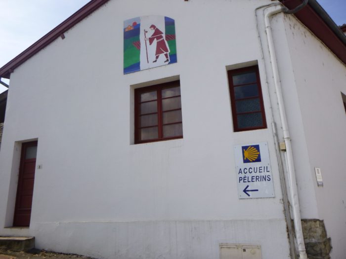
| The route passes through the Espace Bideak centre, the former Franciscan convent, which is also the main gîte in St Palais. | |
 |
 |
 |
 |
| Follow the main road until you find Rue Du Mont Sauveur on your right. | |
 |
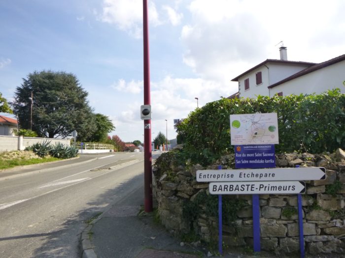 |
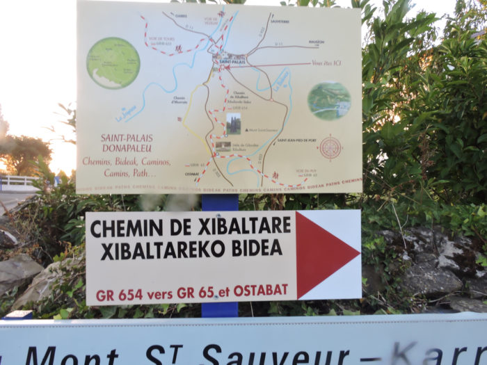
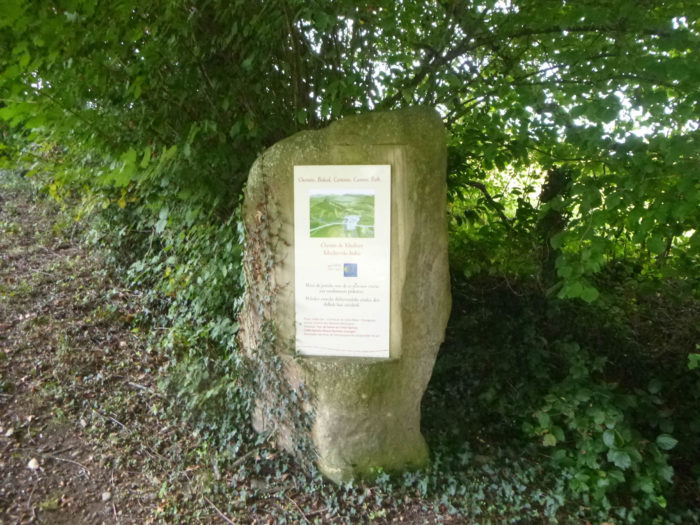
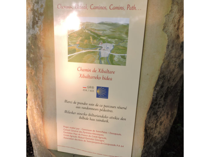
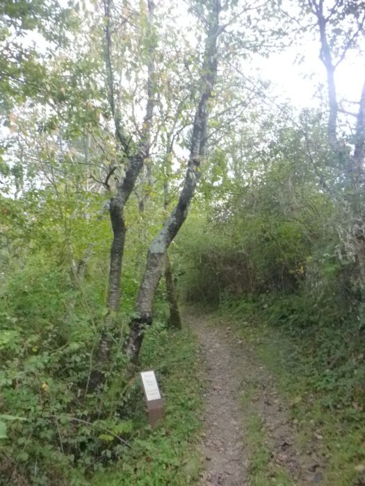
| Here a panel details the Chemin de Xibaltare (Xibaltare track) that you will follow further. | |
 |
 |
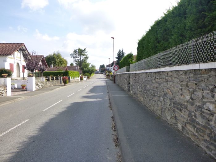
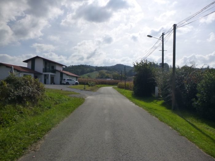
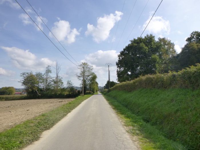
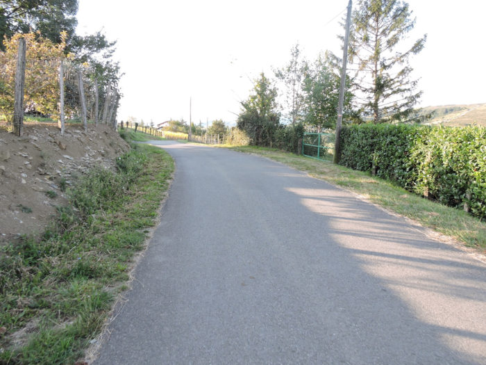
| The road crosses the districts of small recent villas and small factories at the exit of the city. | |
 |
 |
| Shortly after, the course joins a larger road that runs under the hill. | |
 |
 |
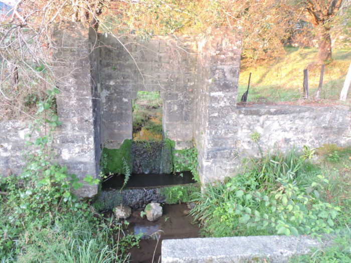
| On the way, the road passes in front of a jewel of a small fountain embedded in the stone wall. | |
 |
 |
| A few more corns, to remind you of memories, along the undergrowth, and you are at the start of the Xibaltare track. | |
 |
 |
| On October 4, 2014, the town hall of Saint-Palais inaugurated the Chemin de Xibaltare, a part of the GR654 which goes from the gîte of the former Franciscan convent to the stele of Gibraltar, in Beneditenea, to join the GR65 towards Ostabat and Saint-Jean Pied de Port. It is an extraordinary route that will climb up in the forest, a real botanical park in fact. When you walk there, you cannot tell what is wild nature or the development of men. Landscapers, architects and artists have largely contributed to improving, even creating, this track, which leads to the summit of Mont Sauveur towards the exuberant statues of Christian Lapie. | |
 |
 |
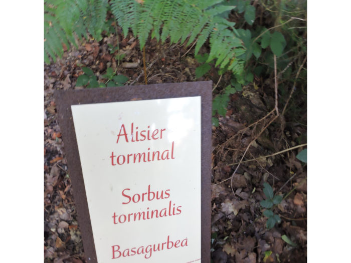
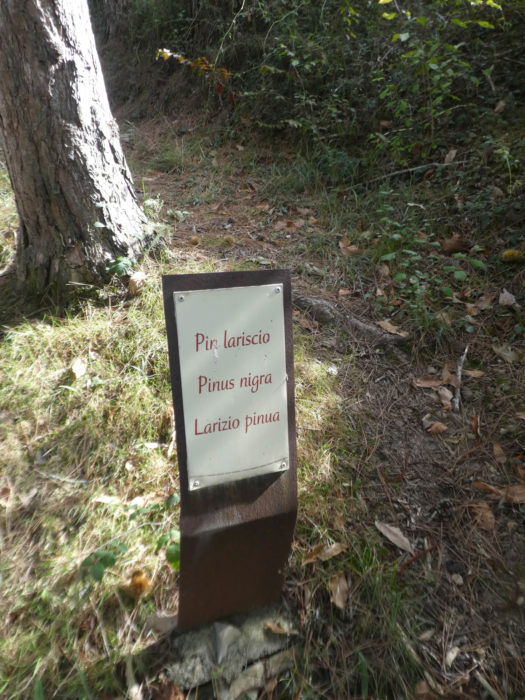
| Terminals inform about the species, sometimes imported, which mark out the route. | |
 |
 |
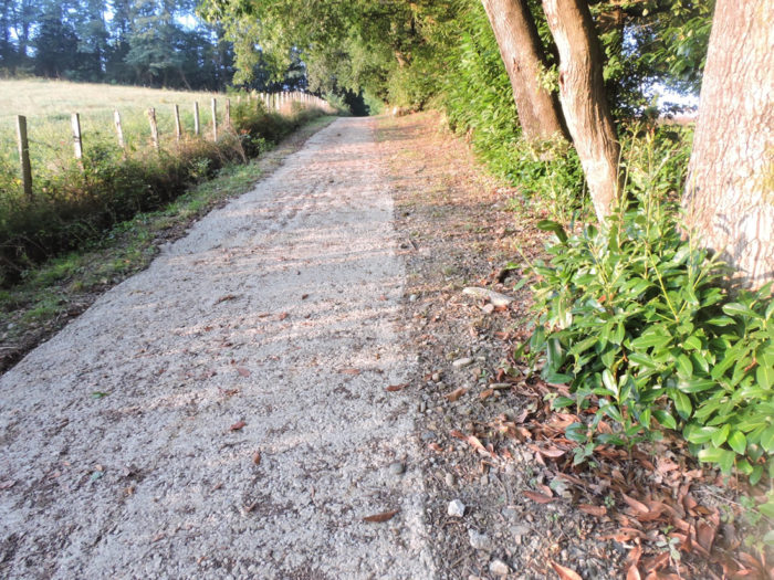
| At the start, the climb is straight, laid out in concrete. The slope is very steep, more than 20% incline. | |
 |
 |
It’s tough, for sure…
Wait for the video to load.
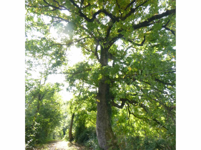
| At the beginning, you’ll see large pedunculate oaks. In the region, there are also other varieties of oaks. But how to get around it? There are actually 500 species of oak trees in the world. | |
 |
 |
| Much rarer is the torminal tree. This tree, often of medium size, which lives in clearings near oaks, has very twisted leaves, which resemble those of plane trees or maples. | |
 |
 |
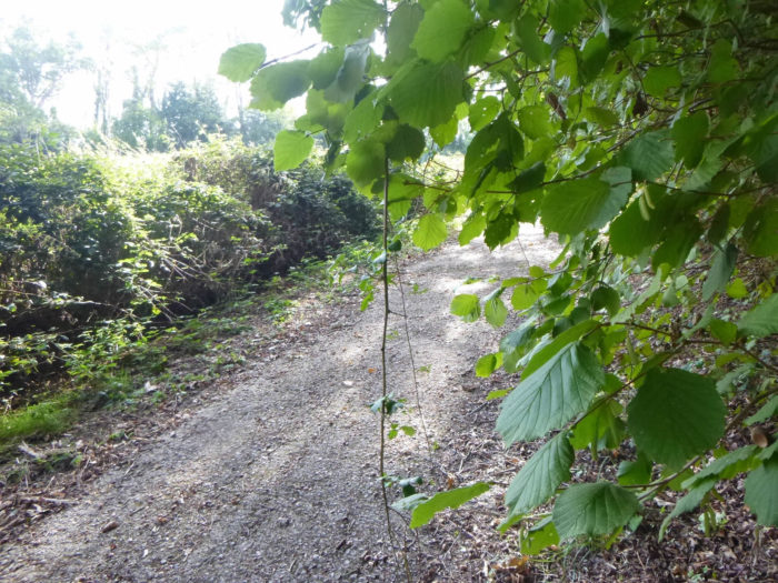
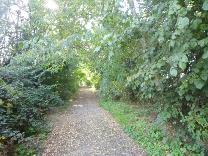
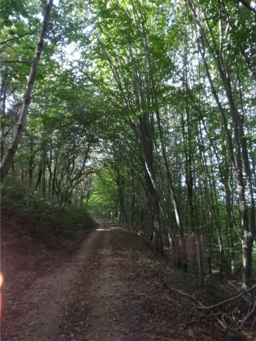
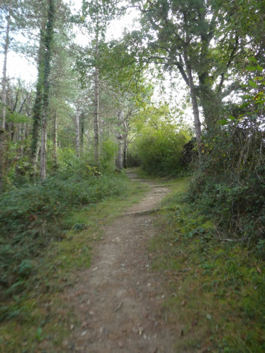
| Then the route becomes dirt, stone and grass. The slope gradually softens. This hedge was undoubtedly planted with mountain ash trees, standing like soldiers on parade. There was a time when this tree and man were close to each other. Wood was made into tools or musical instruments. Juices, jams and brandy were made from fruits. | |
 |
 |
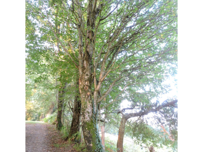
| Further away, sometimes incredible ash trees compete in height and shade the large oaks. | |
 |
 |
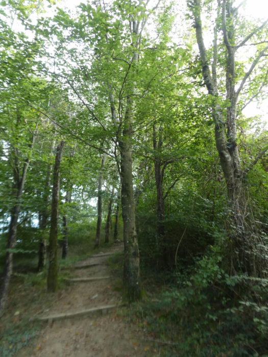
| Further up, wooden barriers appear, and the track runs along thick hedges, in the shade of aspens and chestnut trees. Aspens, with their leaves that tremble in the wind, and which are poplars, are not very represented on the Camino de Santiago in France. These are the rocky mountain aspens, which grow in compact crowds in Colorado. Everyone should spot the chestnut trees without too much difficulty. | |
 |
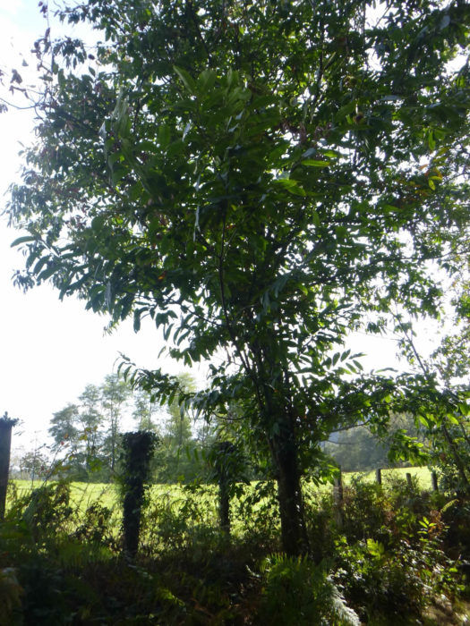 |
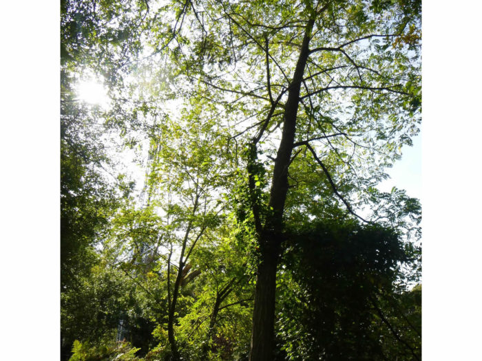
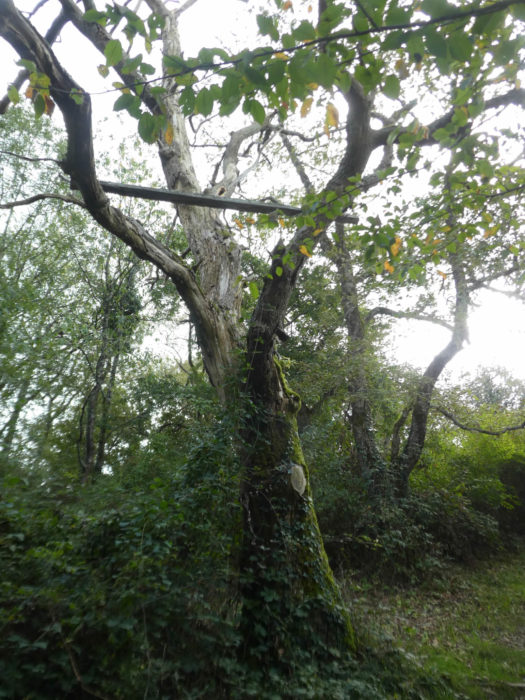
It is then that these immense and majestic robinia trees appear. We owe these trees to Jan Robin, a French botanist who introduced these trees from America during the reign of Henri IV. These false acacias have since been planted liberally in Europe, as they are fast growing. The oldest trees are the age of Henri IV, but yes. These trees, you will hardly see them in the forests. They are most often planted near settlements, or along rivers.
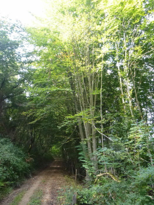
| More common are the ash trees, which also often grow like giants. There are also beeches, trees that are rare in the region and which grow here close together. | |
 |
 |
Here also abound the dogwoods, which here are almost trees, but which are most often found in the hedgerows of bushes.
| Shortly after, the pathway leaves in clearings, crosses a wooden barrier, as you cross drawbridges, sometimes under the distant eye of the beautiful Blondes of Aquitaine cows. | |
 |
 |
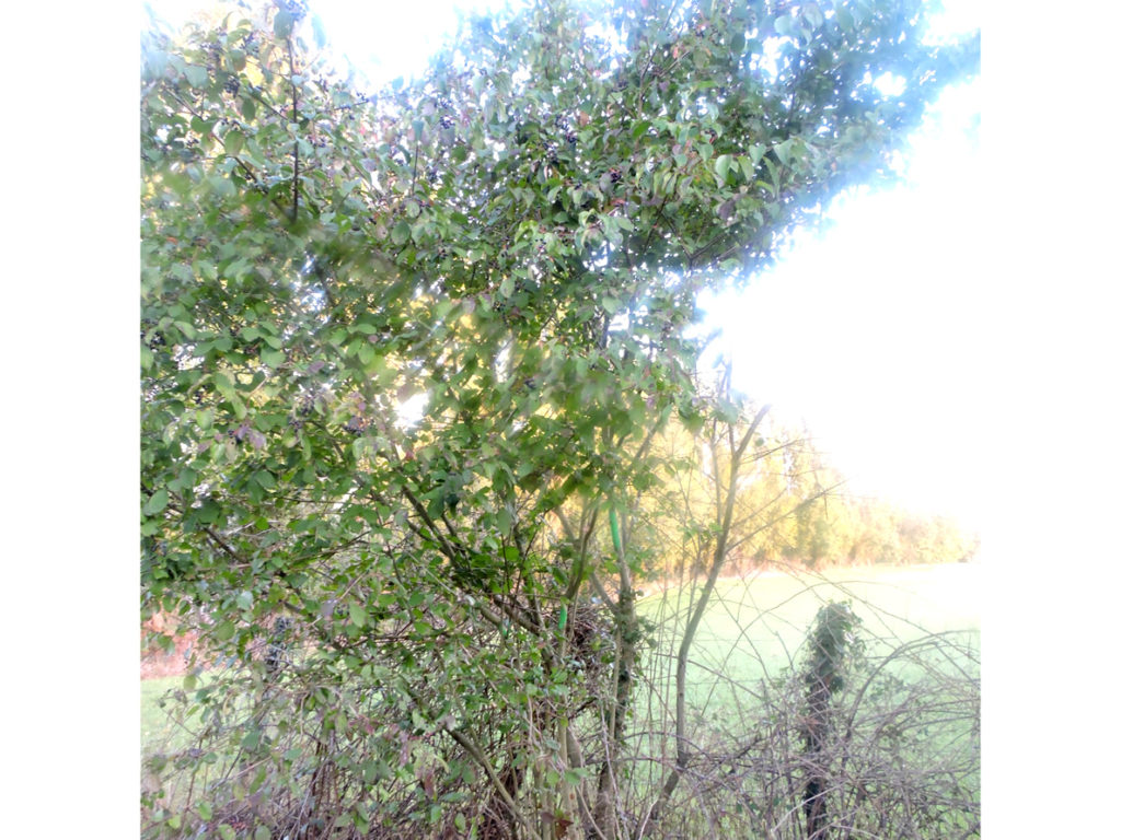
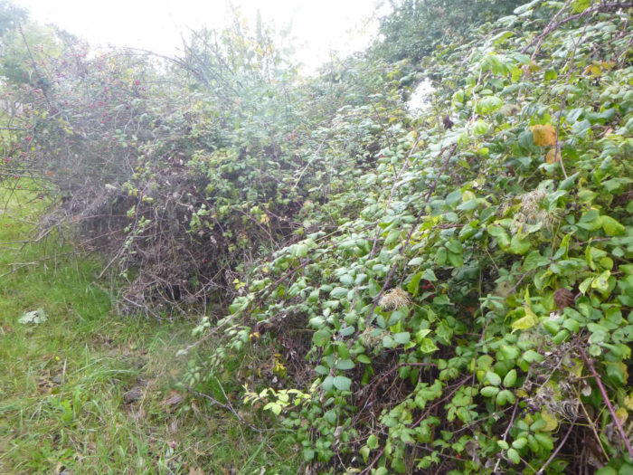
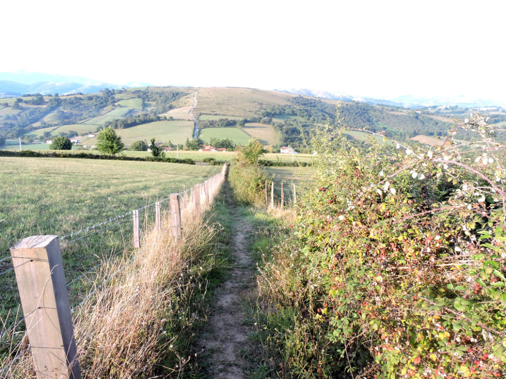
| Beyond the barrier, the pathway runs back up the slope. Here is a hedge of shrubs. The slope is almost always steep, with occasional brief flat spots. The pathway then runs alongside dense hedges of blackthorn, hawthorn and rosehip, dogwood and heather. | |
 |
 |
 |
 |
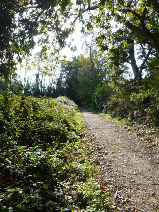
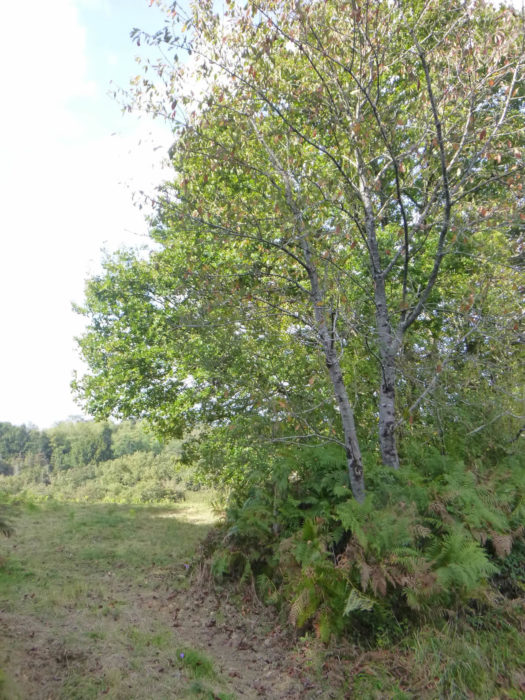
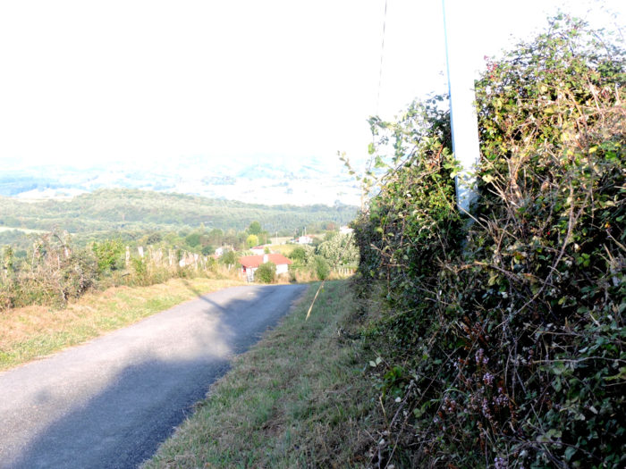
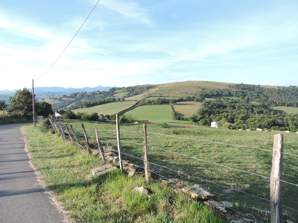
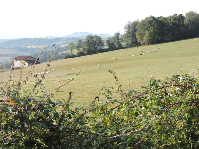
From here, the gaze plunges happily over the rough moor, the small stunted oaks, the junipers, the brooms, the bushes and the wild grasses of the Basque country. You can already make out Beneditenea below and opposite the majestic bare hill of Soyarce.

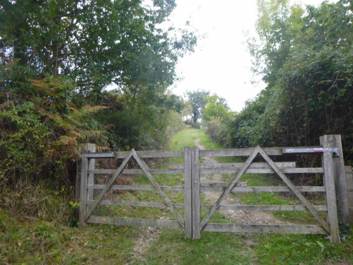
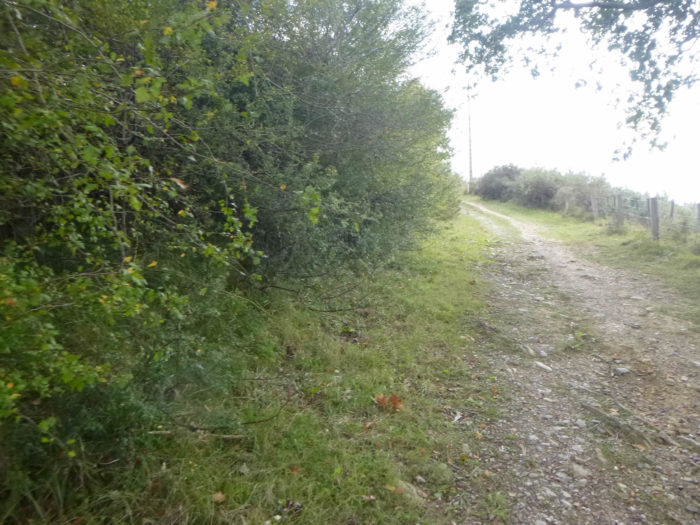
| At the end of the alley of shrubs, the pathway again smoothens and then the safety barriers come back, arranged to prevent the cattle, which must live freely on the hill, from passing on the track. | |
 |
 |
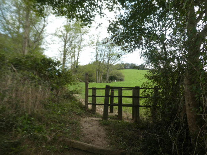 |
 |
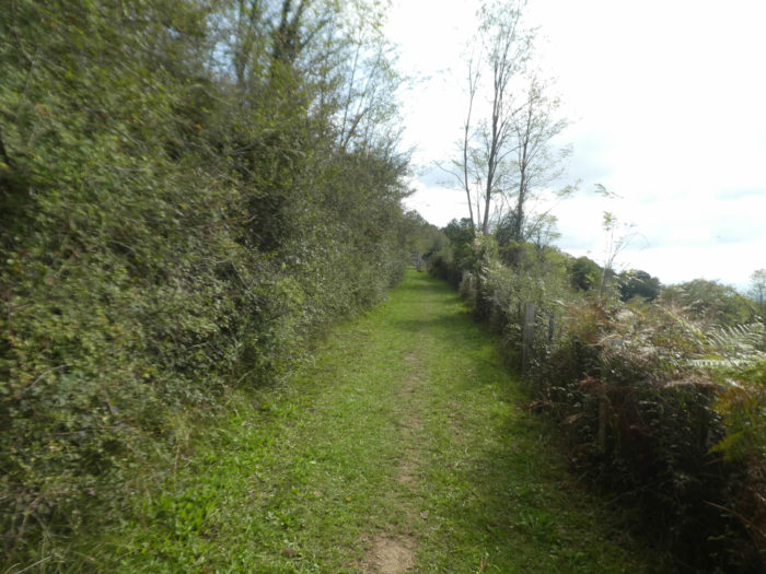
| But the climb is not yet complete. The pathway continues in the shade of wild cherry trees. | |
 |
 |
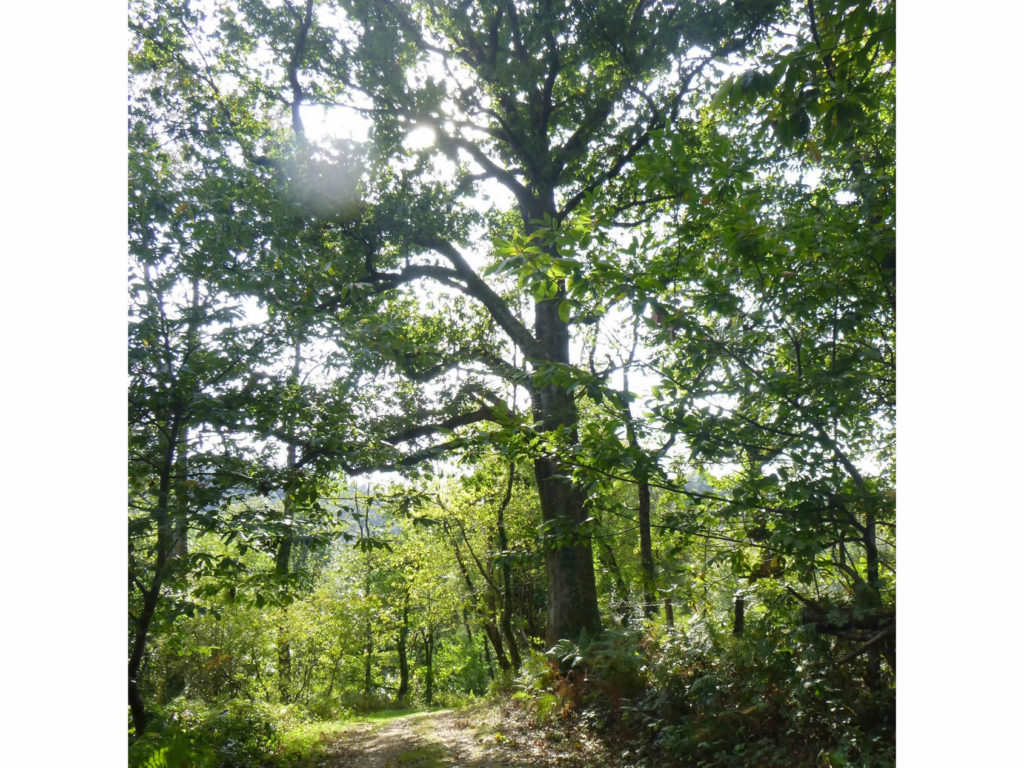
| Further up, magnificent black pines, straight as the masts of a ship, raise their domes of eternal greenery very high in the azure. | |
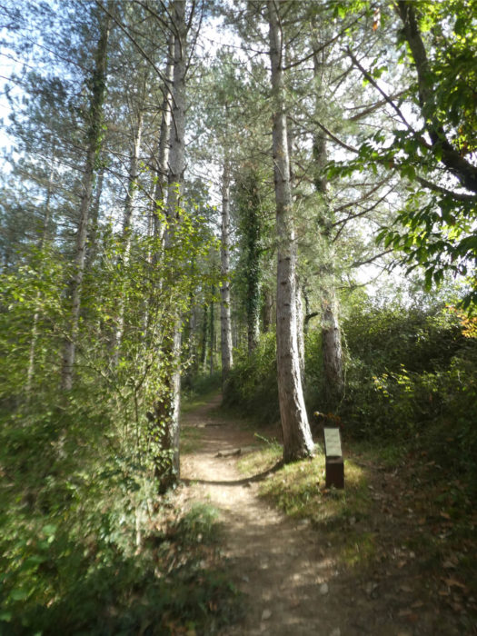 |
 |
 |
 |
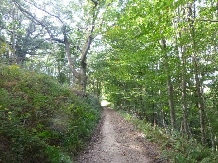
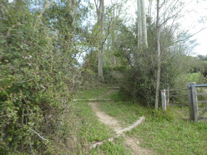
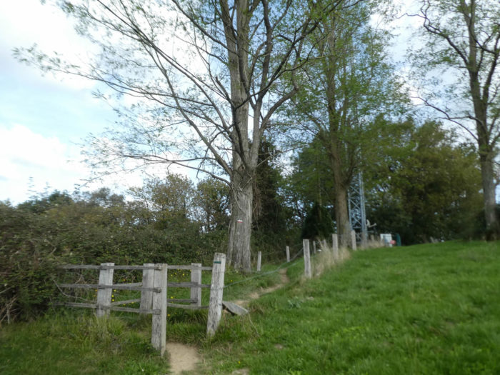
| The pathway gradually leaves the botanical garden. Further up, there are once again venerable beeches and chestnut trees that form your guards of honor. | |
 |
 |
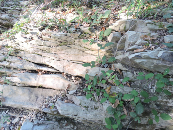
| The rocks which outcrop in the region are above all folded limestones which were uplifted from the seabed when the Pyrenees were formed. | |
 |
 |
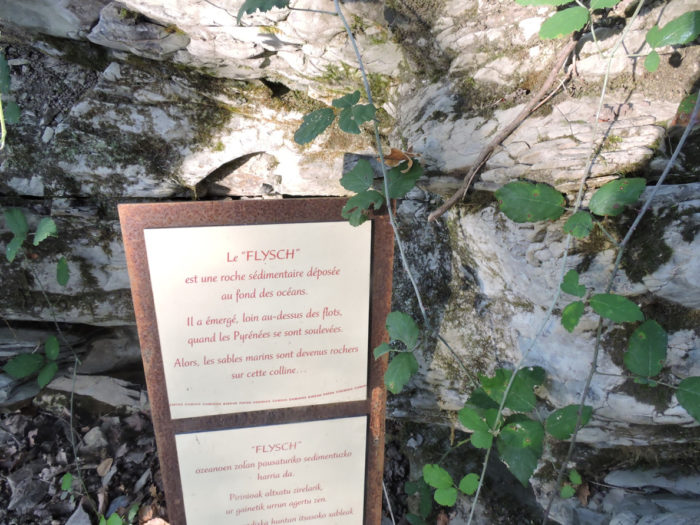
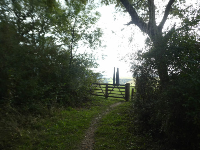
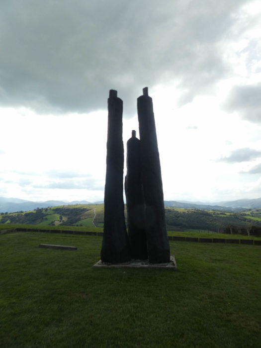
| At the exit of the wood, at the top of the St Sauveur hill, the surprise is great, for those who are not warned, but you are. Three statues stand facing the horizon. These are the statues of Christian Lapie, entitled “Les Reflets du Ciel”, erected against the Pyrenees and the climb to Soyarce. Here, you bathe in a kind of crossroads of humanity to contemplate endlessly these masses of split oak, signed by the brilliant sculptor of Champagne, offered by a generous Californian lawyer and his wife. | |
 |
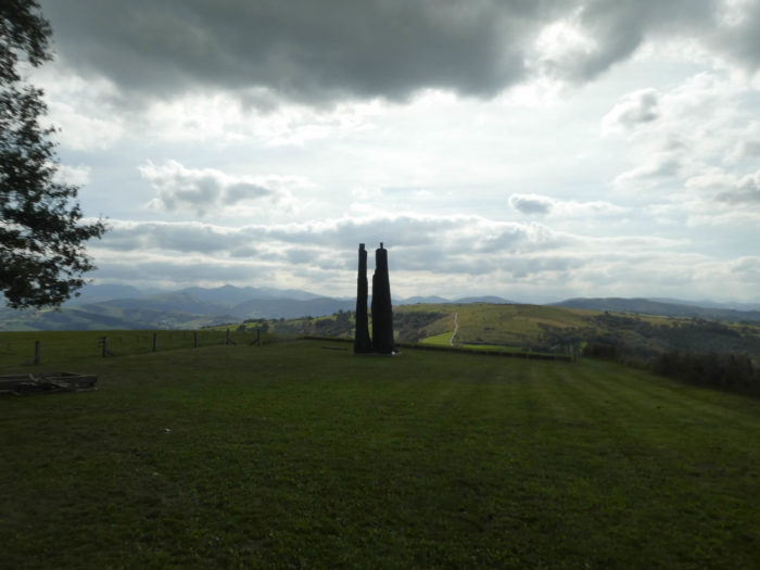 |
| Christian Lapie, a world-renowned artist who works in the four corners of the planet, carves charred shapes in wood, symbols of a spectral-looking man. They are “tree men” or “men tree ”, depending on the meaning you want to give them. The artist starts with imposing tree trunks that he cuts with a chainsaw. The result then is the black brutality of a mute mass.
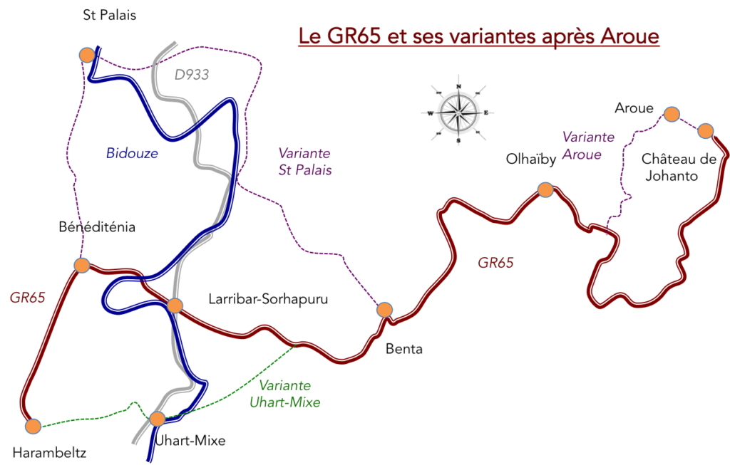
To admire these creatures facing the climb to Soyarce, and on the horizon the Pyrenees, makes you go through shivers of fullness and emotion contained in the back. It was still worth the project to walk through here and avoid the dreary passage of Larribar on the traditional GR track. |
|
 |
 |
We love the chiaroscuros often deeper than the big sun. But for a change a bit, from here, let’s have a sunny day. This will allow you to have another view of the Soyarze climb that we have presented to you on the site on a foggy day. You will see that the sun is also good
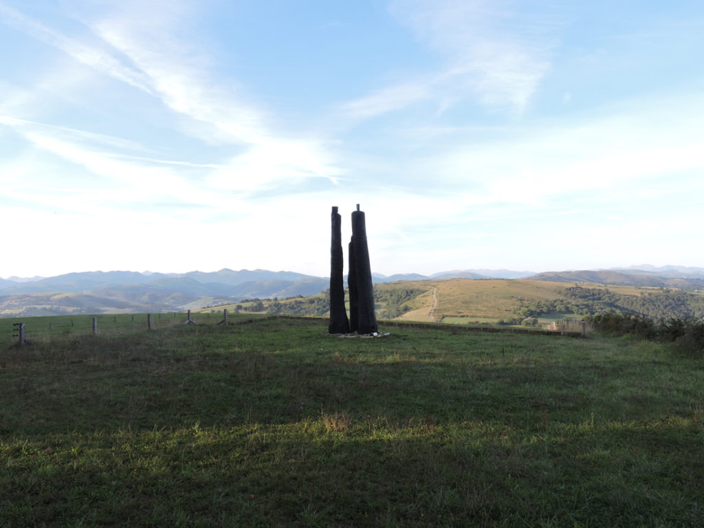
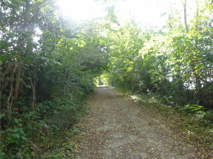
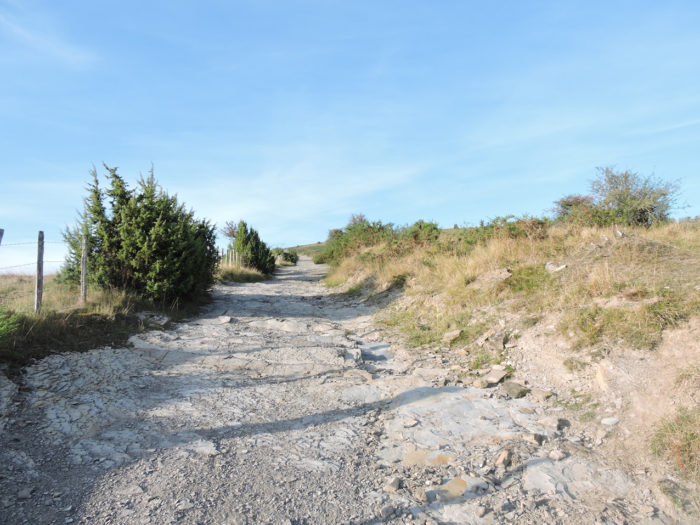
No less captivating is the view of the peeled and lunar hill of Soyarce, when the pathway descends between two hedges beyond Mont Saint-Sauveur. It is a pathway that draws a trench, straight and steep, in the moor.
Section 2: Towards the chapel of Soyarze, one of the great sites of the Camino de Santiago.
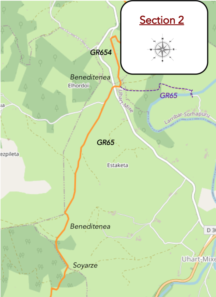
General overview of the difficulties of the route: steep descent, then often tough and long climb towards the chapel.

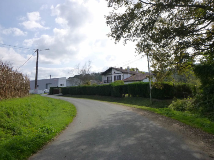
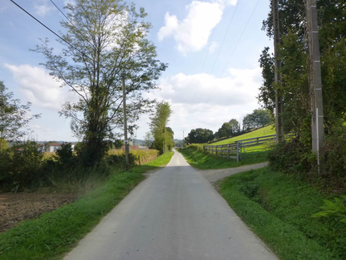
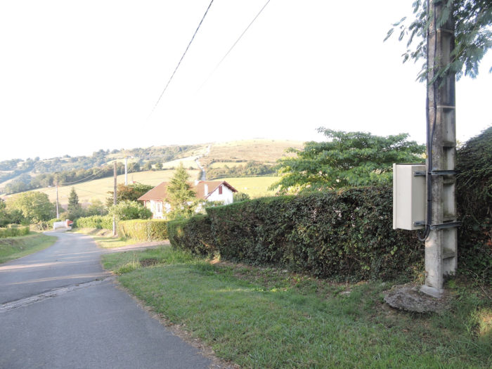
| Further down, the pathway joins a small road above the hamlet of Chabatenia. | |
 |
 |
| The road then crosses the countryside and small hamlets with pretty houses under their red shutters, reminiscent of Basque and Navarre architecture. The stele of Gibraltar is announced with great fanfare. | |
 |
 |
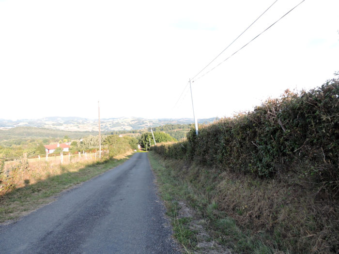
The countryside is bucolic at will. But who claimed that the Basque country was above all a country of sheep to make Ossau-Iraty? For the moment, you have mainly only encountered the beautiful and proud Blanches d’Aquitaine cows. Here you can see the climb towards Soyarze approaching visibly, which frightens many pilgrims. However, seen from here, the climb does not appear to be that monstrous.
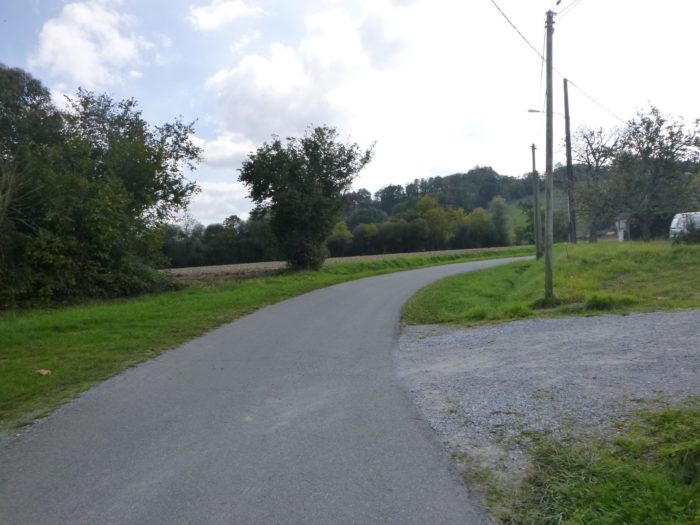
| The road now descends gently towards Beneditenea. | |
 |
 |
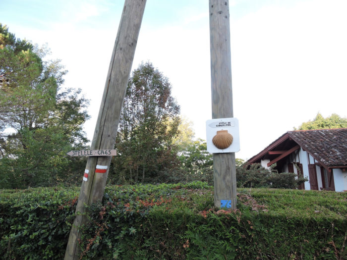
| It then arrives at the stele of Gibraltar, in Beneditenea. It is also here that the GR65 path from Aroue arrives and the climb to Soyarce begins. So, the two main GRs that cross France are finally united. | |
 |
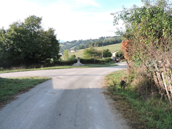 |
The Cross of Gibraltar is so celebrated in all the guides of Compostela that you expect to find in front of the Taj Mahal! You will be disappointed, too. It is a very modest monument, in a crossroads where the major interest is that it offers a beautiful view of the Soyarce climb. By the way, it is an old undated stele that the good doctor Urrutibehety, the one who wanted to classify St Palais in the tracks of UNESCO, reinstalled in 1964, to materialize, according to him, the crossroads of the three paths of Santiago in France, namely Vézelay, Le Puy and Tours.
Gibraltar has nothing to do, of course, with the famous rock overlooking the Mediterranean. Some experts think that this word comes from Chibaltarem, a nearby sanctuary, which in Basque gave Xibaltare, therefore Gibraltar.

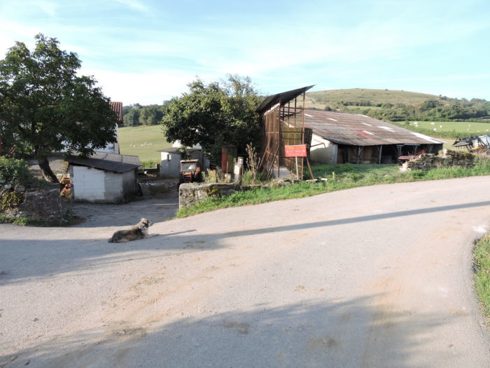
| Here a dog patiently counts the pilgrims who pass, who drink a glass of water before facing the demanding climb, one of the mythical high places of the Way of Compostela. The panel announces two kilometers of intense happiness or suffering, it depends. | |
 |
 |
| At the start, here is tar on a medium slope, in the countryside. It’s one of the rare times that we met so many sheep in the Basque Country. | |
 |
 |
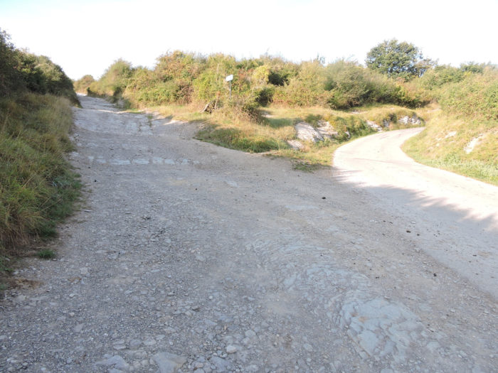
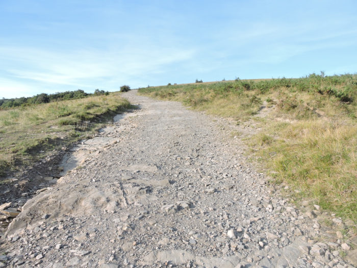
| Further up, a real stone pathway stands out from the road. The slope then becomes steep. When you pass through here, you may get the feeling that millions of pilgrims have passed, so lustrous are the shales and limestone on the way. | |
 |
 |
Follow in the footsteps of the millions of pilgrims who may have passed through here……
Wait for the video to load.
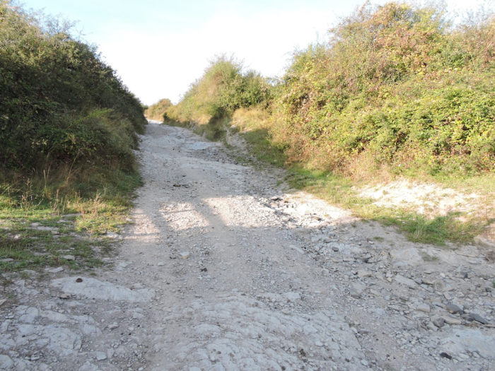
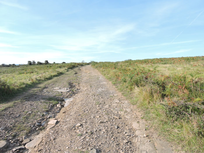
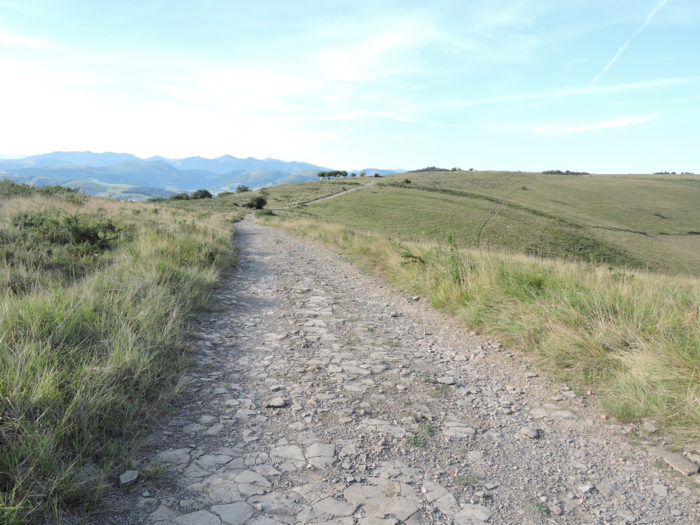
| Halfway up, the slope settles down. The stones burst even more in the light in the middle of a universe closer to a desert than a pasture. It is of a unique, surprising, radiant beauty. | |
 |
 |
Looking back, you will guess, widening your eyes, the statues of Christian Lapie, up there on Mont St Sauveur.
| The grass is short this time of year. The sheep may have passed by, leaving only the meager junipers. | |
 |
 |
It’s still so magical…
Wait for the video to load.
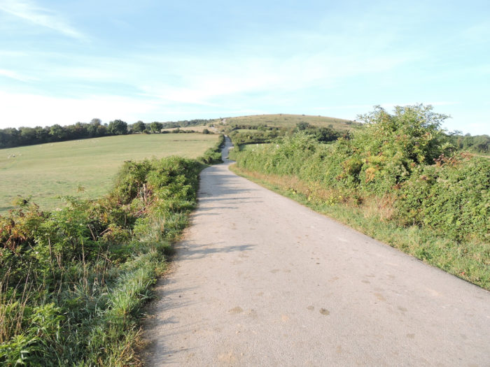
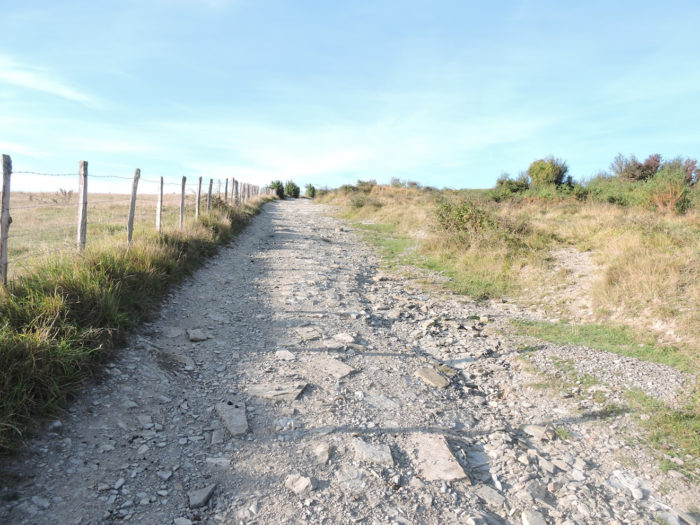
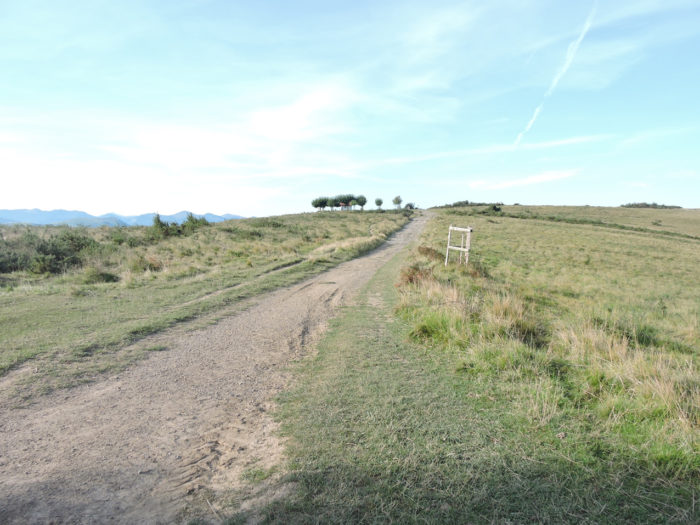
| Then the slope softens when you reach the top of the hill, in the middle of the ferns dried by the sun. Soon, the green of the meadow gains a little intensity against the magnificent Pyrenees which stand out in the sky. | |
 |
 |
 |
 |
| The breath is getting shorter, for some. Come on! A few more meters before reaching the chapel of Soyarce and its small protective clump of trees. | |
 |
 |
 |
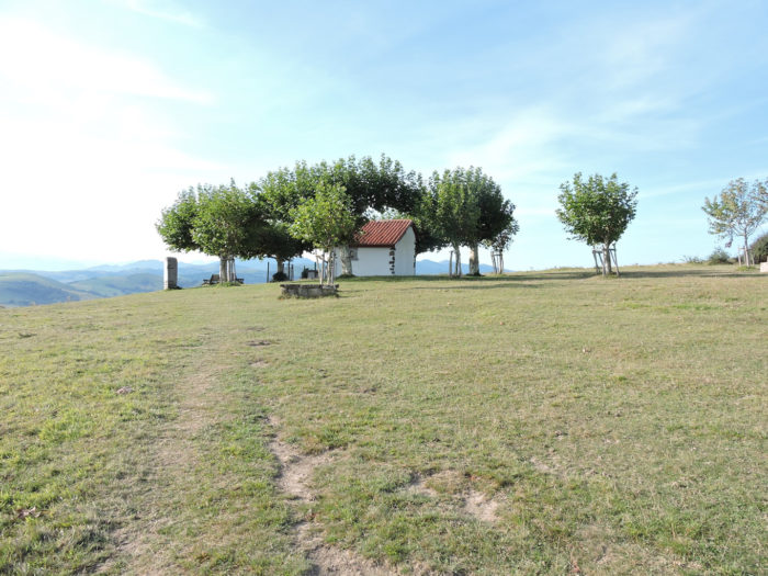 |
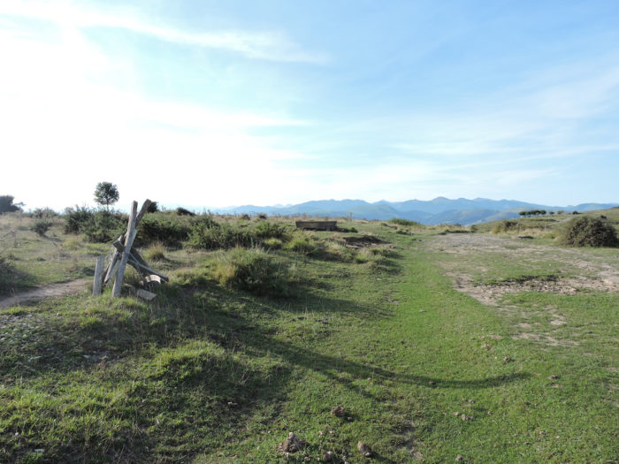
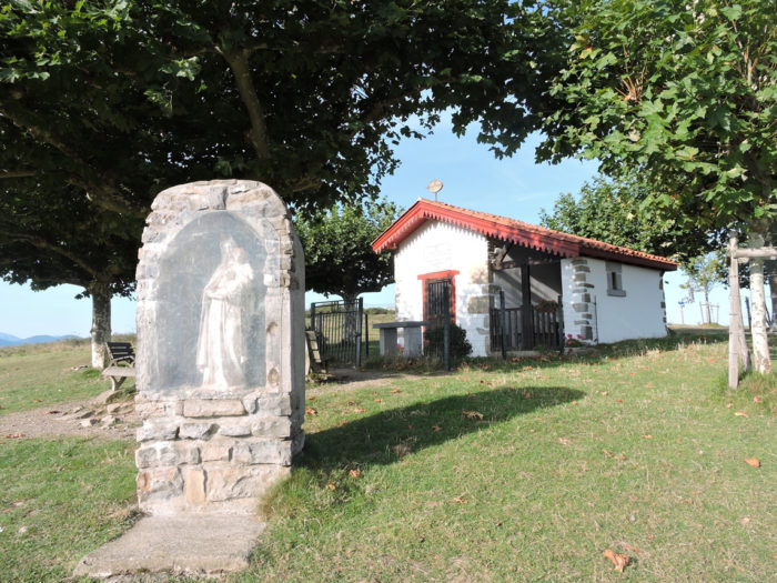
| The Chapel of Soyarce is one of the mythical places of the Way of Compostela, by its position. Formerly there was a sanctuary of the Premonstratensians here in the 12th century, which later became a hermitage. Then, when the last hermit left, the building became a shelter for livestock and fodder on a hill open to all winds and bad weather. A fire then destroyed the building at the end of the 19th century. A statue of the Virgin remained intact from the ashes. A chapel in her honor was then built for the Virgin Mary in 1845. More recently, a solar panel was even installed to illuminate the cross on the steeple every evening. Lost pilgrims can spend the night here, under the stars, under the protective eyes of Mary. | |
 |
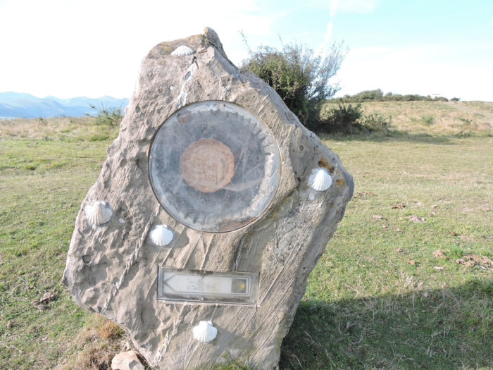 |
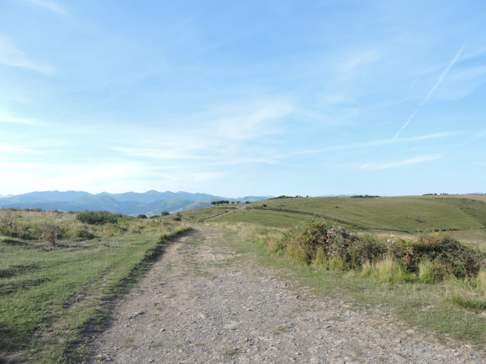
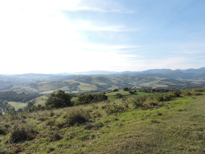
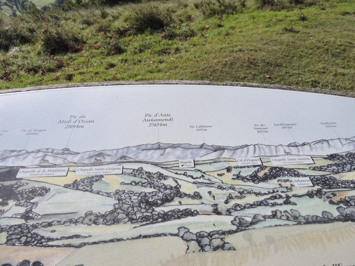
| From up there, a planisphere gives a name to the mountains opposite. These are not the highest Pyrenean mountains, but the Pic du Midi d’Ossau still culminates at 2884 meters. Below, the Basque Country extends in meadows and small green groves. | |
 |
 |
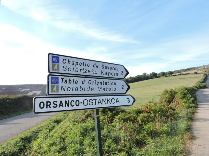
From here, find your way in Aroue to Ostabat stage.
Feel free to add comments. This is often how you move up the Google hierarchy, and how more pilgrims will have access to the site.
 |
Next stage : Stage 36: From Ostabat to St Jean-Pied-de-Port |
 |
Back to menu |