The traditional route of pilgrims to Ostabat
DIDIER HEUMANN, MILENA DELLA PIAZZA, ANDREAS PAPASAVVAS
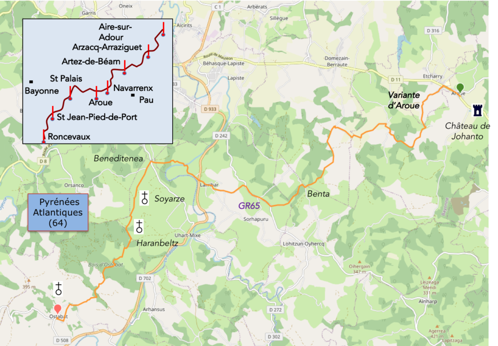
We divided the course into several sections to make it easier to see. For each section, the maps show the course, the slopes found on the course, and the state of the roads. The courses were drawn on the « Wikilocs » platform. Today, it is no longer necessary to walk around with detailed maps in your pocket or bag. If you have a mobile phone or tablet, you can easily follow routes live.
For this stage, here is the link:
https://fr.wikiloc.com/itineraires-randonnee/de-aroue-a-ostabat-par-le-gr65-et-la-variante-daroue-88084878
It is obviously not the case for all pilgrims to be comfortable with reading GPS and routes on a laptop, and there are still many places in France without an Internet connection. Therefore, you can find a book on Amazon that deals with this course. Click on the book title to open Amazon.
If you only want to consult lodging of the stage, go directly to the bottom of the page.
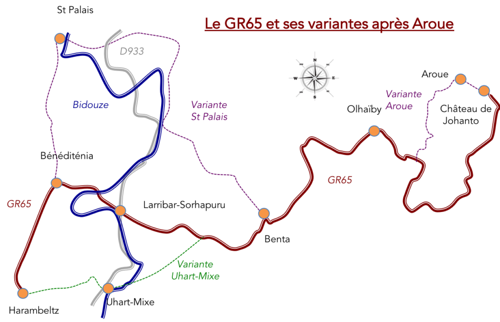
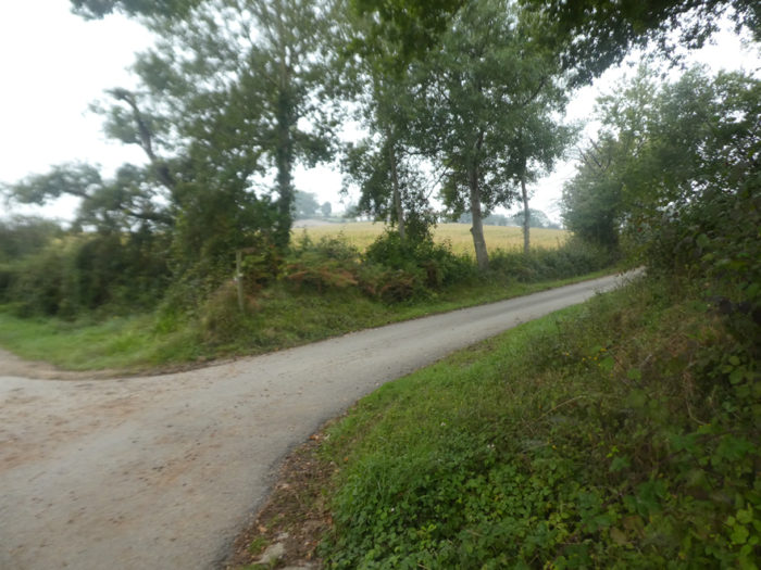
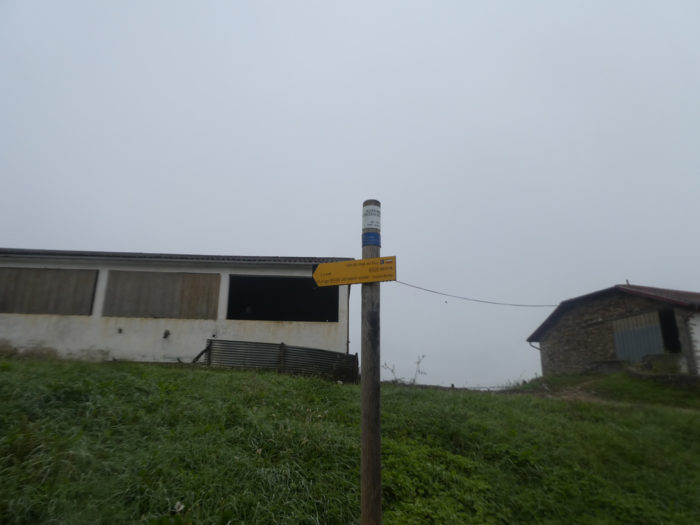
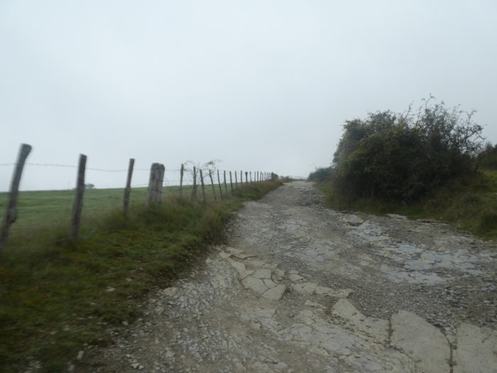
To go to St Jean-Pied-de-Port from Aroue, there are various possible routes. The large flow of pilgrims passes and stops in Ostabat, a stage of about twenty kilometers. Already on this course, there are two ways to get there. From Château Johanto/Aroue, there are two ways to reach Olhaïby. Pilgrims who have stopped before Aroue at Bohoteguia Farm or Bellevue, when passing Château Johanto can turn directly left to follow the GR65. Those who have been sleeping in Aroue often take the Aroue variant, a little shorter, and much less beautiful than the other. The two tracks meet shortly before Olahaïby. By doing so, pilgrims shorten the stage by almost two kilometers. And you know the pilgrims! Two more kilometers, and they will follow the shorter route, even if the other route is much more beautiful, especially in good weather. Whichever variant you choose, you will have the opportunity to face the difficult climb of Soayarze, perhaps the most captivating passage of the Camino de Santiago in France.
But there is also another variant, even more beautiful, but unfortunately longer, because two days are needed to go to Ostabat. Yet, what is one more day on this long journey to Santiago? This variant follows the same route to Benta, then heads to St Palais before joining the GR65 the next day at Beneditenea. We will deal with this magnificent course in the following two stages.
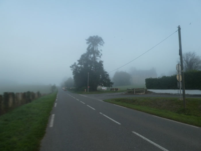
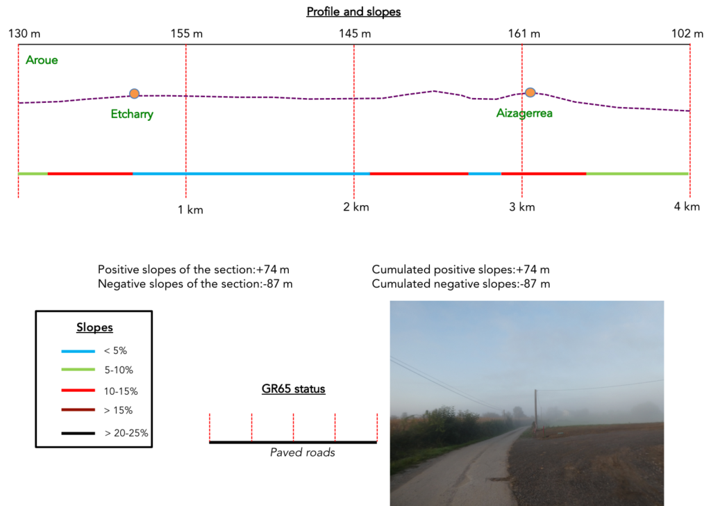
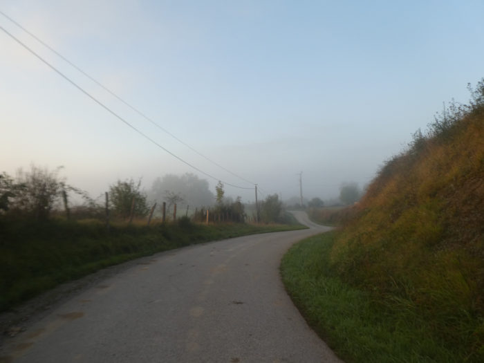
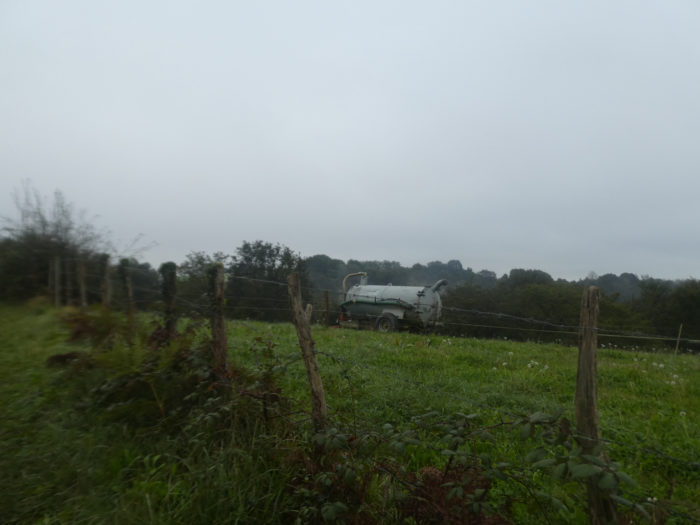
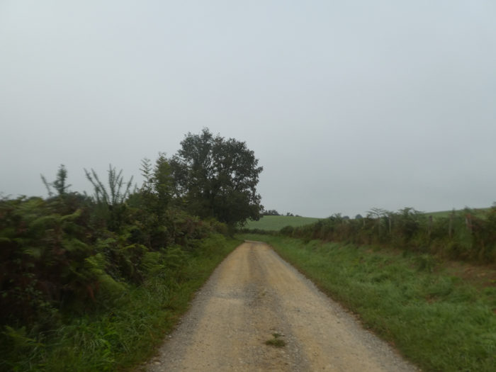
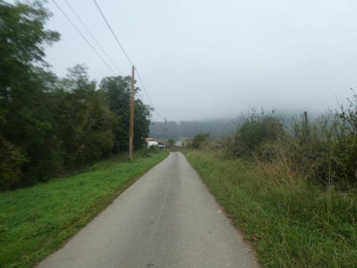
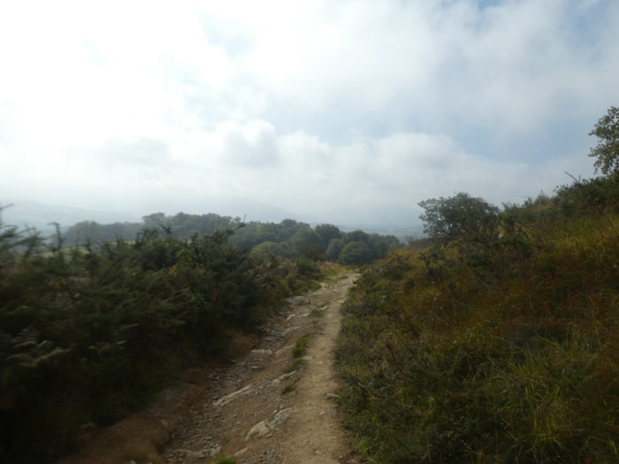
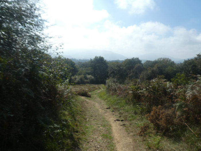
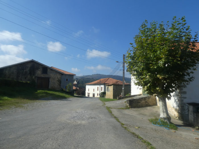
Today’s weather is not pessimistic. It announces good weather for the second part of the day. But, this morning, it is the fog that hides the landscapes. Therefore, it is a good idea to take the Aroue variant, where you will not lose much of the landscape. The GR65 from Johanto castle, you will find it in the next stage which goes to St Palais, on a milder day.
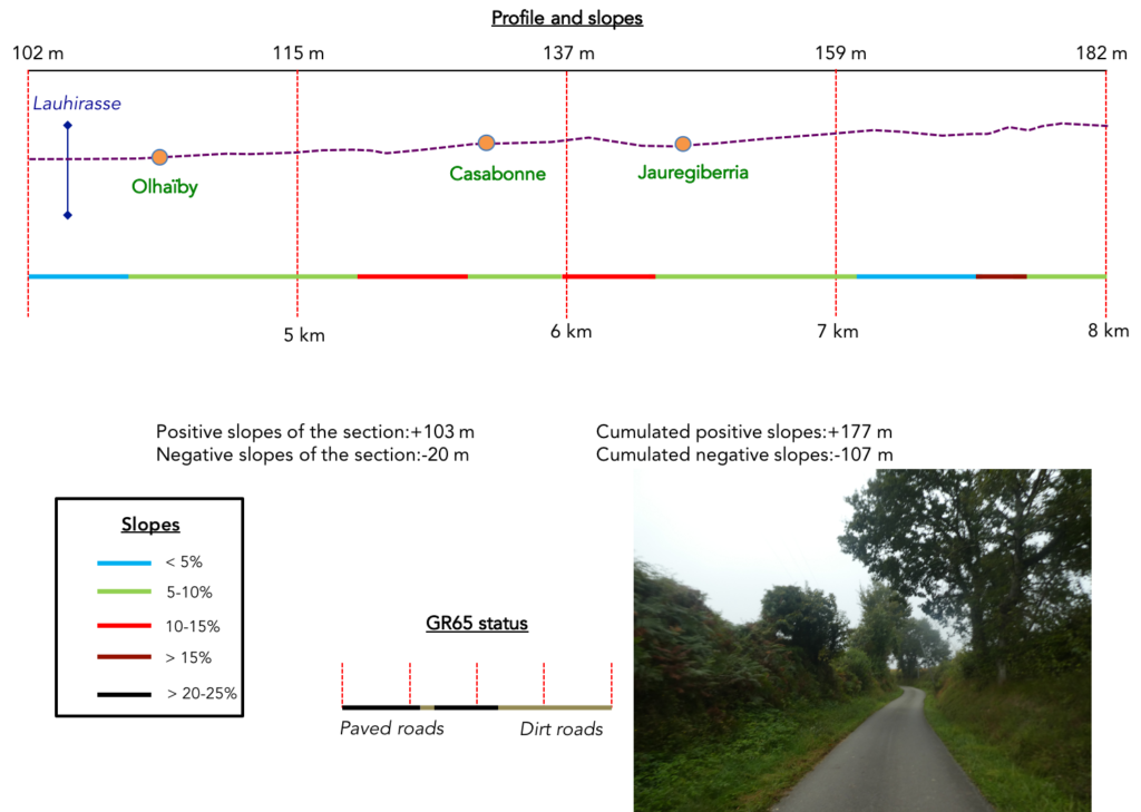
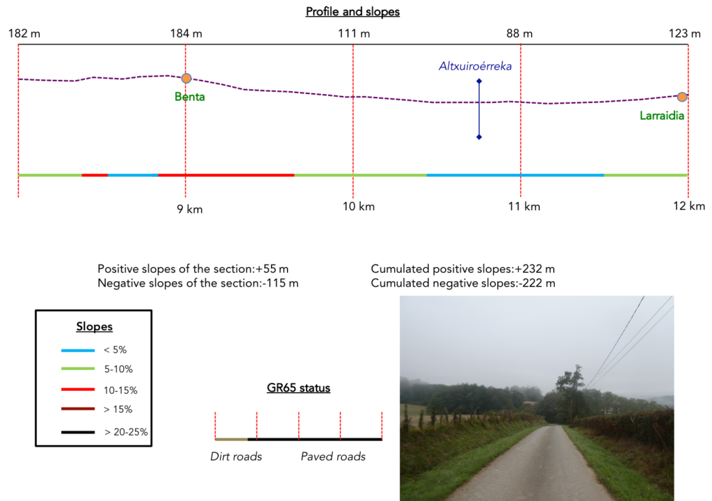
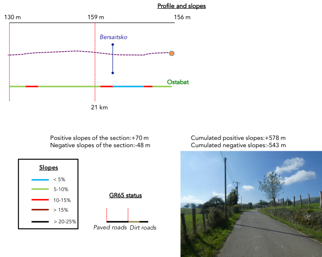
Difficulty of the course: The stage of the day is 22 kilometers, with significant slope variations (+578 meters/-543 meters). Until Benta, the route follows the moderate undulations of the Camino de Santiago. It is on the climb from Larribar that the situation becomes more tough, with the climb to Beneditenea, then to the Chapel of Soyarze. The descent to Haranbeltz is quite demanding, and thereafter, the course only runs up and down.

Passages on pathways and paved roads are almost equivalent:
- Paved roads: 10.4 km
- Dirt roads: 11.5 km
Sometimes, for reasons of logistics or housing possibilities, these stages mix routes operated on different days, having passed several times on Via Podiensis. From then on, the skies, the rain, or the seasons can vary. But, generally this is not the case, and in fact this does not change the description of the course.
It is very difficult to specify with certainty the incline of the slopes, whatever the system you use.
For « real slopes », reread the mileage manual on the home page.

Section 1: Over hill and dale to join the GR65.

General overview of the difficulties of the route: course without any difficulty.
| Today, the weather is gray in the village of Aroue. |
 |
 |
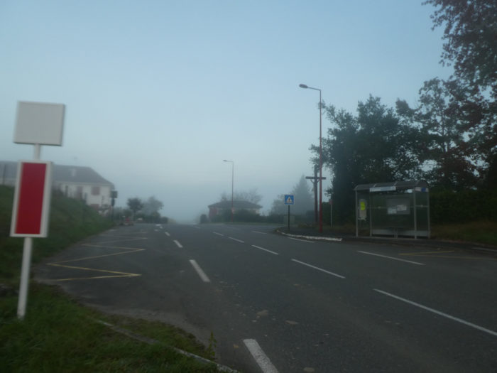
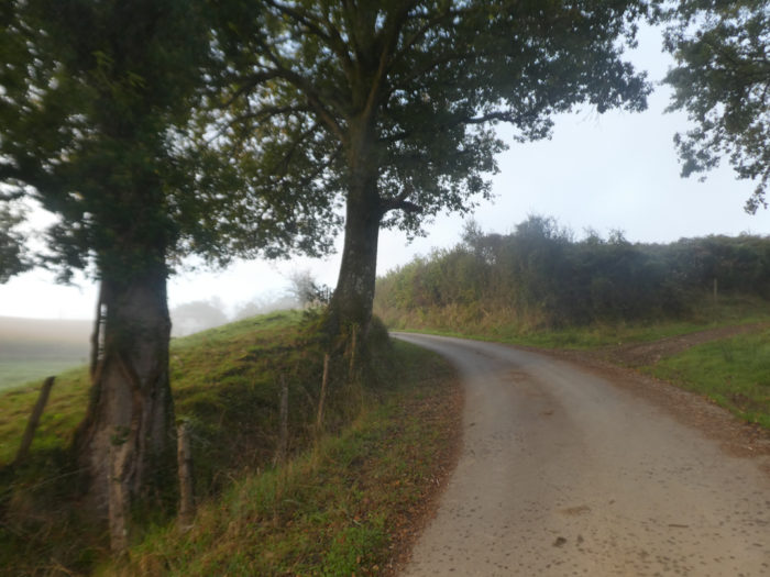
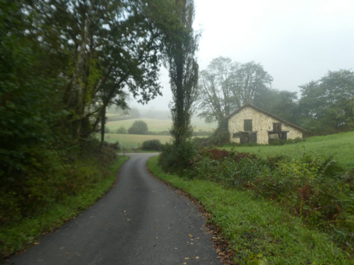
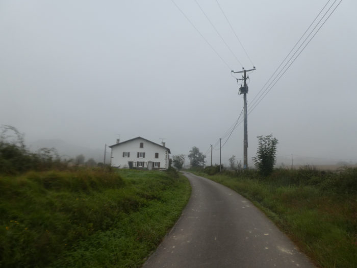
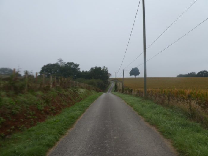
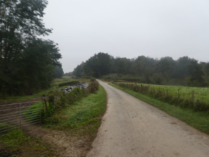
| If you spent the night in the gîtes before the village, you must first reach the village. The road quickly leaves the village. You have to walk along the corn on the grassy strip at the edge of the departmental road. Be careful, because the vehicles circulate quickly in the morning on this axis. Today, the castle above Aroue is like a ghost on the edge of the forest. |
 |
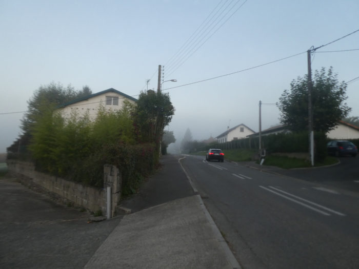 |
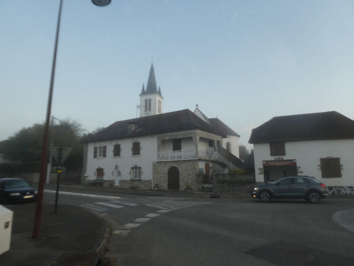
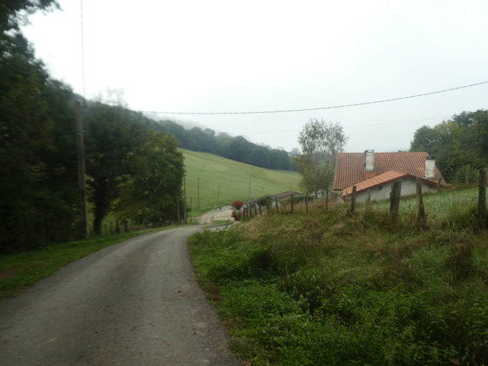
| The road leaves Ostabat and reaches the village of Echarry. There is a bus service here, which is a performance for France. |
 |
 |
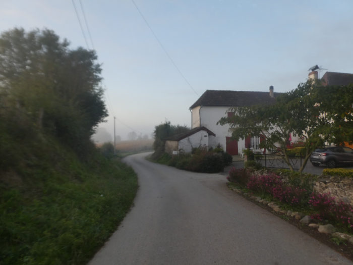
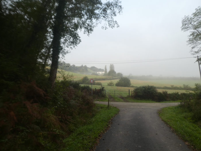
| In the middle of the village, the variant leaves the D11 departmental road for a small road. |
 |
 |
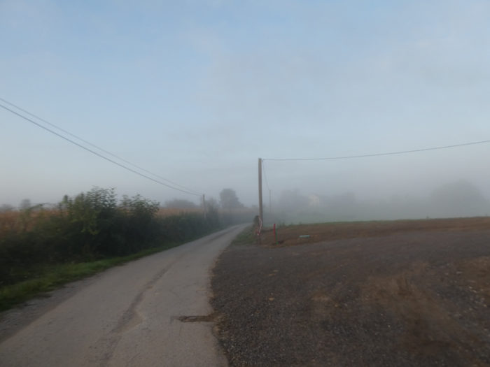
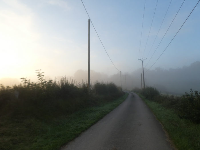
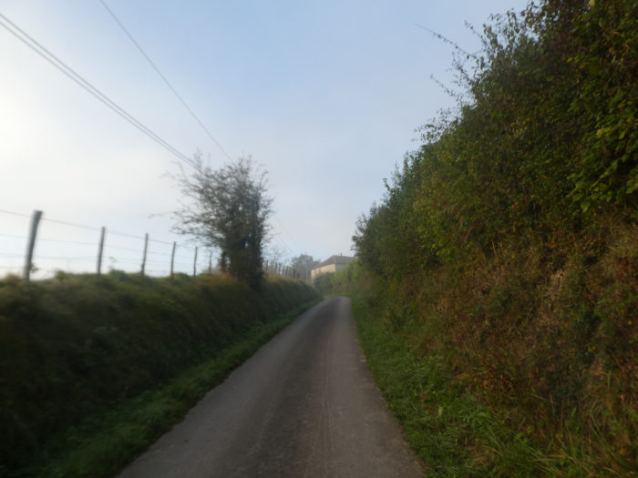
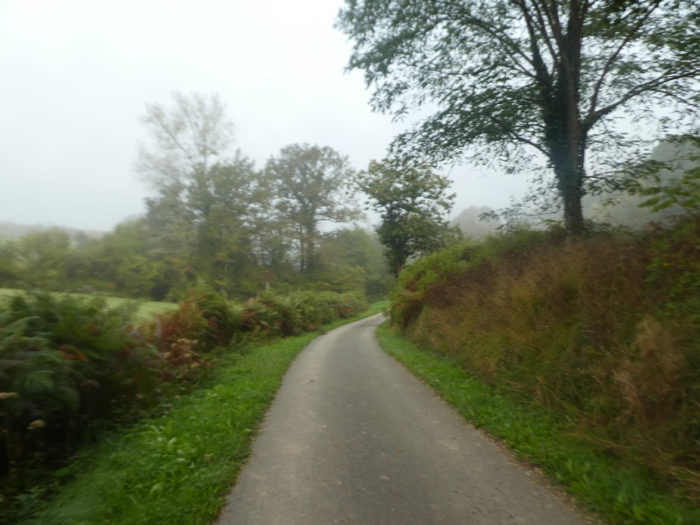
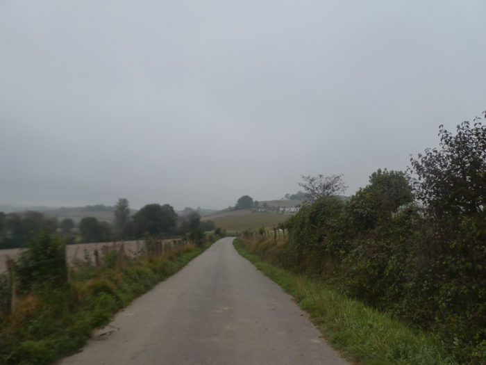
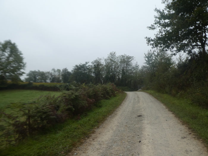
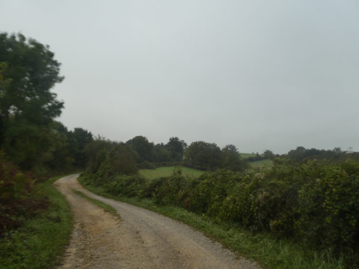
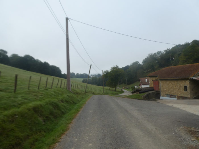
| The small road twists and wanders in the countryside along meadows and corn. |
 |
 |
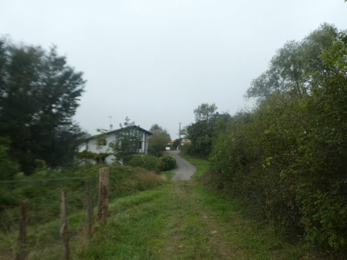
| There are a few Basque houses and rare farmhouses around here. In the morning, you may see the baker making his rounds in the houses. |
 |
 |
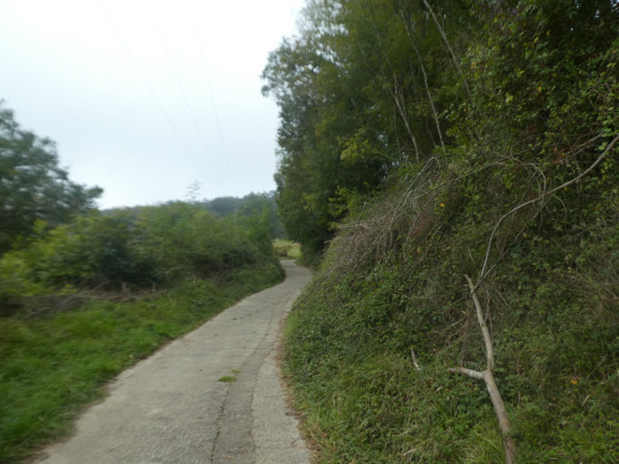
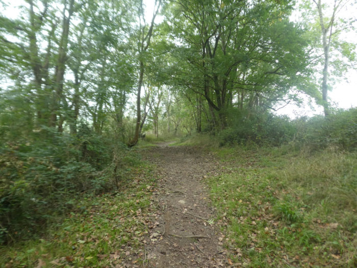
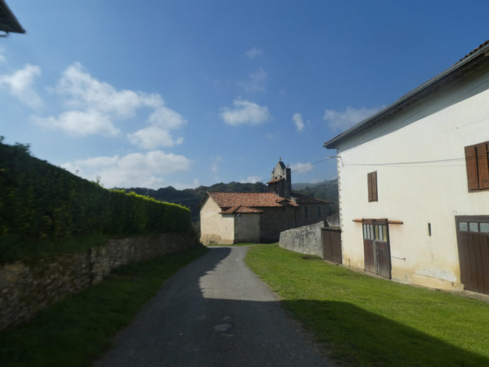
| There is nothing exciting about getting under the chin on this stretch. It is probably not this section that has been classified by UNESCO. The beautiful route is the real GR path which runs over the majestic hill. |
 |
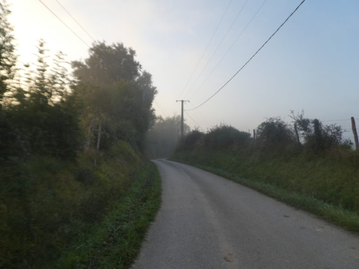 |
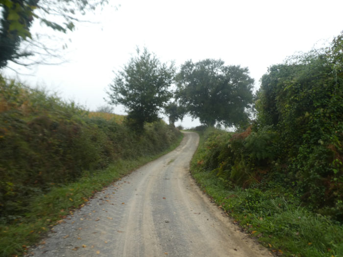
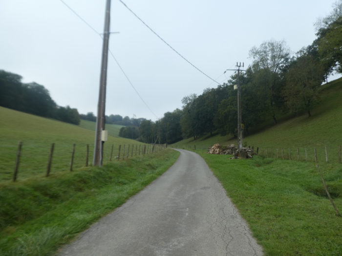
| The road passes further in front of a few houses and continues its progression, today in the thick mist. |
 |
 |
| Shortly after, the course climbs a little more and soon turns into the woods on another road at right angles. |
 |
 |
| Then the road descends into the undergrowth at the bottom of a dale under leafy trees, especially oaks and ash trees. |
 |
 |
| From the bottom of the dale, the road climbs quite steeply towards the few houses of Aizagerrea. |
 |
 |
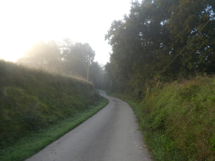
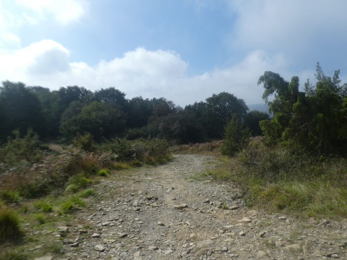
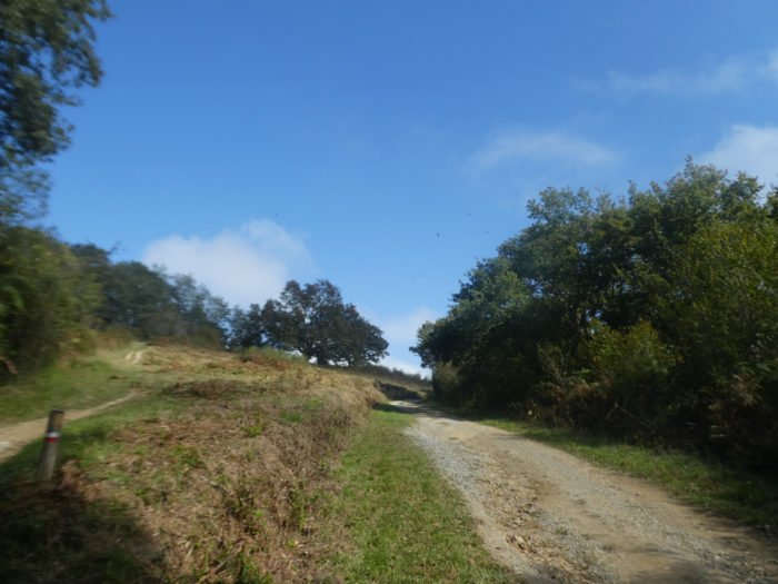
This is where the Aroue variant ends and the route joins the GR65. We repeat it to you. If you have time, take the real GR path beyond Johanto Castle. It’s a bit longer so far, but so much more beautiful and enjoyable. Even if it climbs a little.
Today the weather is gloomy and the landscapes a little duller. It is sometimes also useful to show such beautiful landscapes in the sun, with a more subdued light. This always relativizes the courses.
| The road here descends steeply into the relatively dark and steep-sided dale. People have paved here a stony pathway, that once was sumptuous. That’s life. Pilgrims are only walking through routes that locals use at their convenience. |
 |
 |
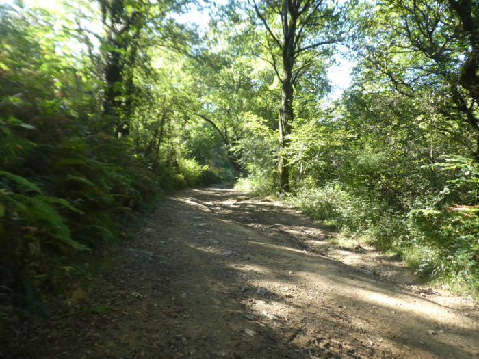
| Ferns thrive in high humidity. Here you also come across oaks, many chestnut trees, ash trees, and even poplars. |
 |
 |
Section 2: In pastures celebrated by UNESCO.

General overview of the difficulties of the route: some undulations a little more demanding, but without difficulty.
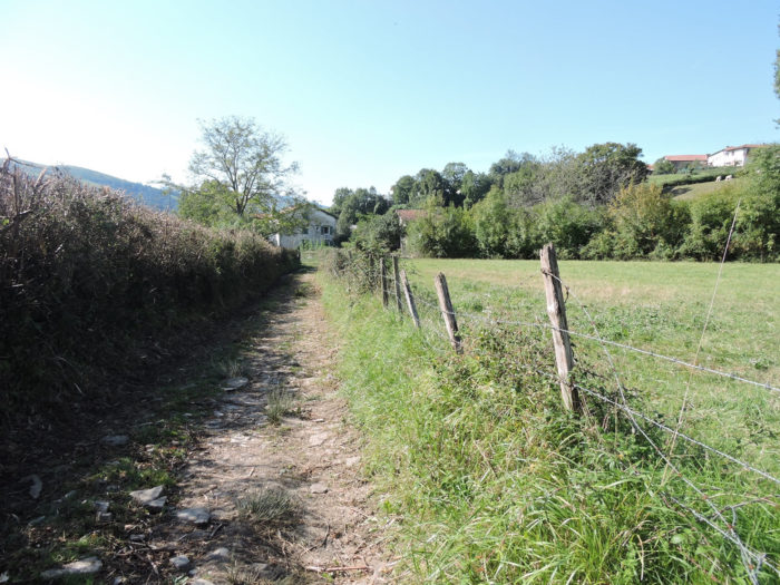
| At the bottom of the descent, the GR65 joins another small country road. Be careful on the way. All paths and small roads look alike. Direction signs are everywhere on the course, but they are of little use. Fix your eyes on the red and white signs of GR path, at the risk of getting lost. This is often the problem, when the panels multiply. They only confuse the pilgrim who walks. |
 |
 |
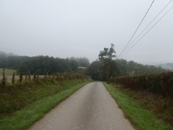
| Now the road flattens, but the landscape remains the same, very green in the ambient humidity. |
 |
 |
| Soon, the small road then crosses a new undergrowth, slightly uphill, to the few houses in the hamlet of Etchebarnia. |
 |
 |
| The road still smoothens a little in the countryside. |
 |
 |
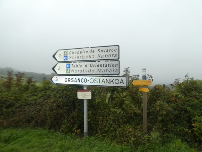
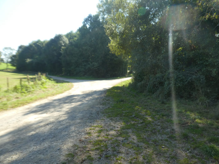
| Shortly after, the road passes at the fork of Olhaïby. Each time we passed by here, the road was blocked by a few snarling dogs, the real plague of the Camino de Compostela. They are waiting for you, even before the direction sign. We have once again given up going to the chapel. Maybe you would have a little more luck? |
 |
 |
| Then the road slopes back up a steep slope towards the hill, along the leafy hedges. |
 |
 |
| It transits near the scattered farms of Etchecoin. |
 |
 |
| The campaign is now a bit more diverse. Corn is still growing, but no doubt cereals and rapeseed are also planted. |
 |
 |
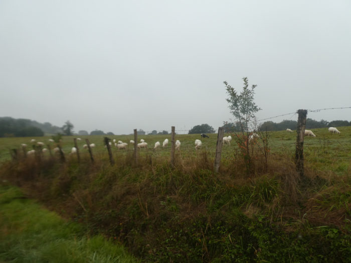
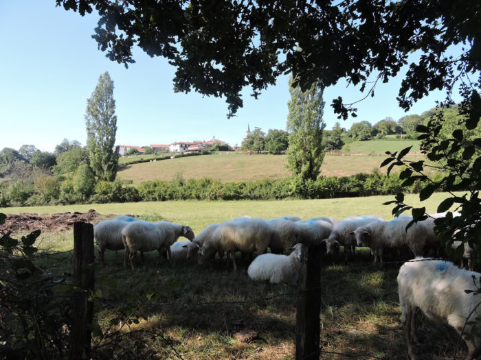
| In front of you, on the side of the hill, stands the village of Casabonne. In the meadows you’ll always come across more white Manech ewes than black ones. |
 |
 |
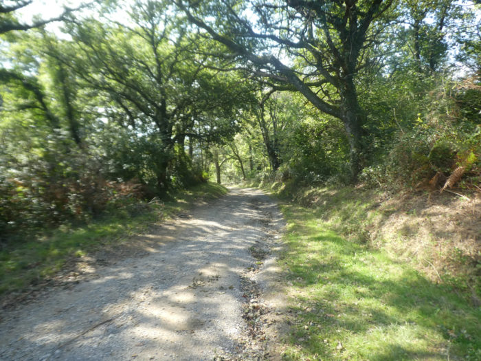
| Further on, the dirt will replace the tar a little when the GR65 descends into a small undergrowth of oaks and ash trees which brings a little shade. |
 |
 |
| The passage is short and the asphalt regains strength, when the road starts again at more than 10% slope towards the hill. |
 |
 |
| The slope remains steep until the entrance to Casabonne. Basque houses, you will recognize it at ease. It is as if they had a signature with their exposed wooden sides, most often painted in brownish red, contrasting with the generally white masonry. Certainly, they vary according to their location or the wealth of the owners. But they all have a family resemblance. The richest display, above the front door, their date of birth or the name of their owner. Written in Basque, of course. |
 |
 |
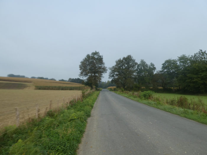
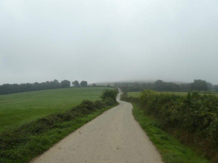
| Beyond Casabonne, the GR65 flattens on long straight stretches undulating in the countryside, in the middle of meadows and corn. |
 |
 |
| It is open country, beautiful country, with here and there a clump of trees, mostly oaks. |
 |
 |
| Further on, the road then descends on a fairly steep slope… |
 |
 |
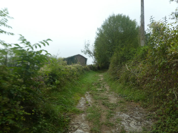
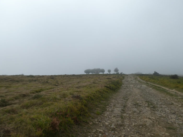
| …then climbs back to reach the big farm of Jaurriberia, the last sign of human presence for a long time. Here is the program. The chapel of Soyarze is 2h30 from here and Ostabat a 4 hour walk. |
 |
 |
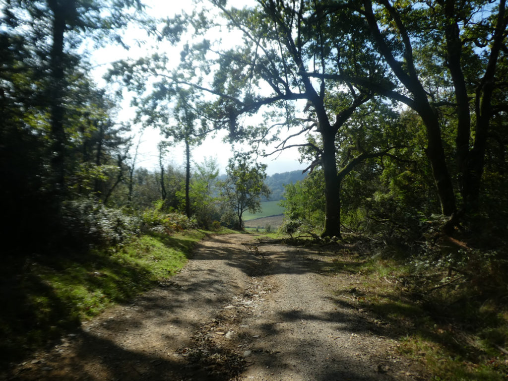
| Beyond Jaurriberia, a very wide pathway climbs on the ridge, in the scattered oaks. There are sometimes a few stone walls and stakes driven into the ground to potentially contain livestock. |
 |
 |
| Sometimes the pathway is covered with gravel, and everywhere the ferns remind you that the Basque Country does not lack rain. |
 |
 |
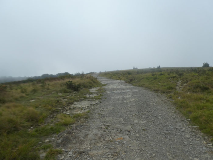
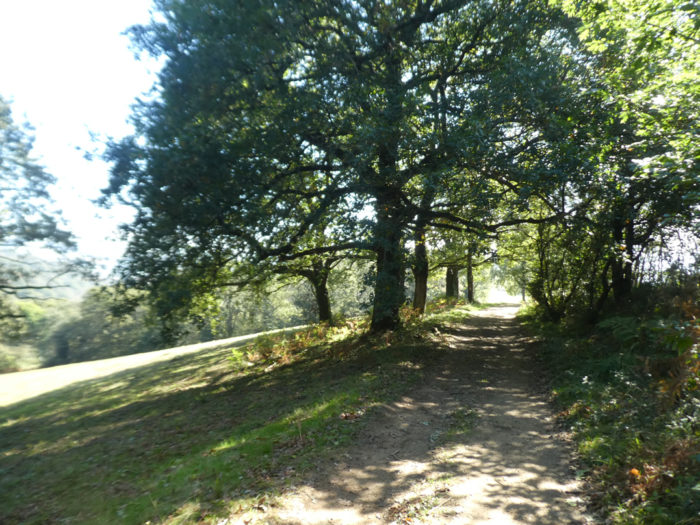
| It is the world of silence and fullness. It is for these reasons that UNESCO has notified these tracks far from men. Further up, the pathway approaches a small plateau. |
 |
 |
| On the high plateau, however, there are some tangible signs of the presence of men and their work. |
 |
 |
Today the weather is gray. In good weather, you will stay for long minutes to let your soul wander in this universe where nature lives in freedom.
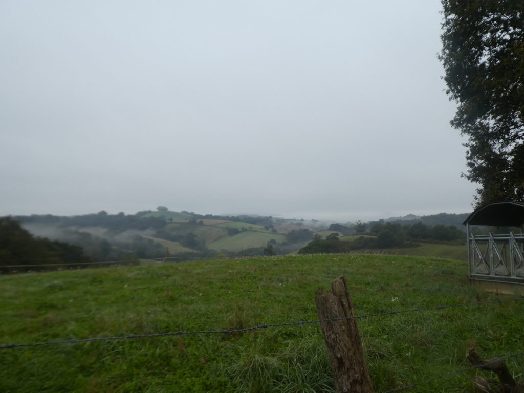
| The pathway then runs between moors and pastures, in exceptional territories, one of the greatest delights of the Way of Compostela, despite the mist that surrounds the country today. |
 |
 |
| The pathway smoothens gently. Further ahead, may be to change your mood, a small bump at more than 15% gradient is there for your pleasure. |
 |
 |
| Behind the hill, the pathway even slopes down a little. |
 |
 |
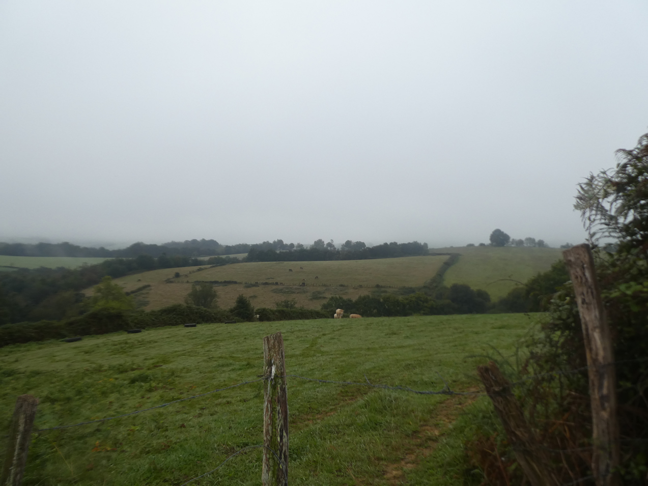
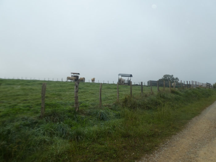
| Then it begins to nod gently in the beautiful pastures where the Blanches d’Aquitaine cows sometimes frolic. |
 |
 |
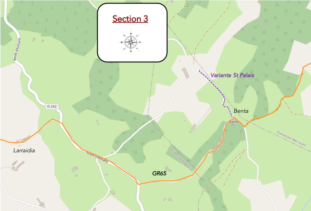
Section 3: In UNESCO celebrated pastures to Benta, before the return to a more mundane reality.
General overview of the difficulties of the route: course with regular slope, without great difficulty.
| Further on, the corn reappears but here it does very little damage to the landscape under the oaks and ash trees. |
 |
 |
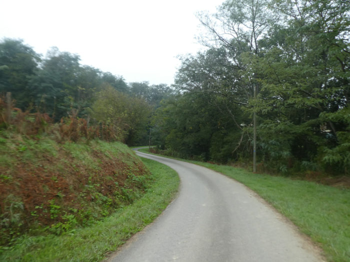
| The walk is pleasant here, on a wide pathway that undulates a little, sometimes slightly uphill, sometimes gently downhill. |
 |
 |
| Then a last small ramp in the pastures in the middle of the Blanches d’Aquitaine cows and the pathway begins the descent to Benta. |
 |
 |
| Benta is just below. |
 |
 |
| Benta is just a disused stone house by the side of the road, but which retains its soul. A sign invites you to stop in the Former Franciscan Convent in St Palais. Pilgrims going to Ostabat turn left, those wishing to go to St Palais go straight. The last time we passed through here, the sign indicated that you could join the GR436, a Santiago track that runs from Tours et Vezelay to St Palais.
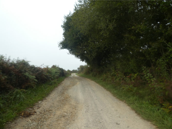
It is necessary to add here a small comment in connection with the pilgrims. For the greatest number, they are in a hurry to arrive in Santiago and are counting the days. So, they won’t go to St Palais, although the course is much more interesting there. For the most part, they are not even aware of this variant. Either they use basic travel guides or they don’t. Therefore, attempts like ours are also there to present to them the possibilities of the track. So here, on GR path , the nest hour is not extraordinary, even if the track is listed as a UNESCO heritage site. Why is that? The track will become more attractive again after Larribar. That’s for sure! |
 |
 |
| The GR65 starts on the road from Benta descending into a green dale. |
 |
 |
| The slope is steep heading to large Lüküa farm. |
 |
 |
| The road descends for a very long time in the valley where nothing happens, except the slope which gradually decreases. |
 |
 |
| At the end of the long descent, the GR65 joins the D242 departmental road. |
 |
 |
| And here the situation does not improve much. You have to walk along the road with little traffic. |
 |
 |
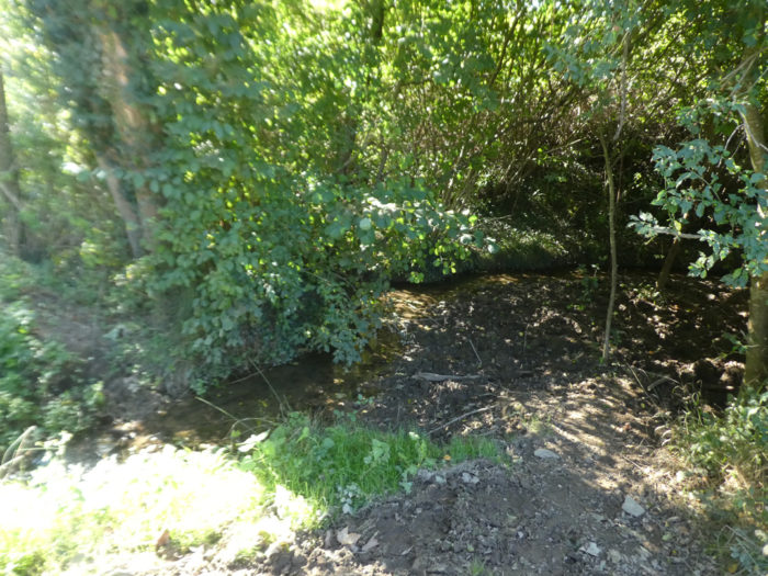
| Further on, the GR65 reaches a crossroads near a stream with an unpronounceable name for a non-Basque and continues on the departmental road. |
 |
 |
| And the penitence continues along the corn. A track classified by UNESCO, all the same! |
 |
 |
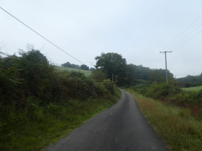
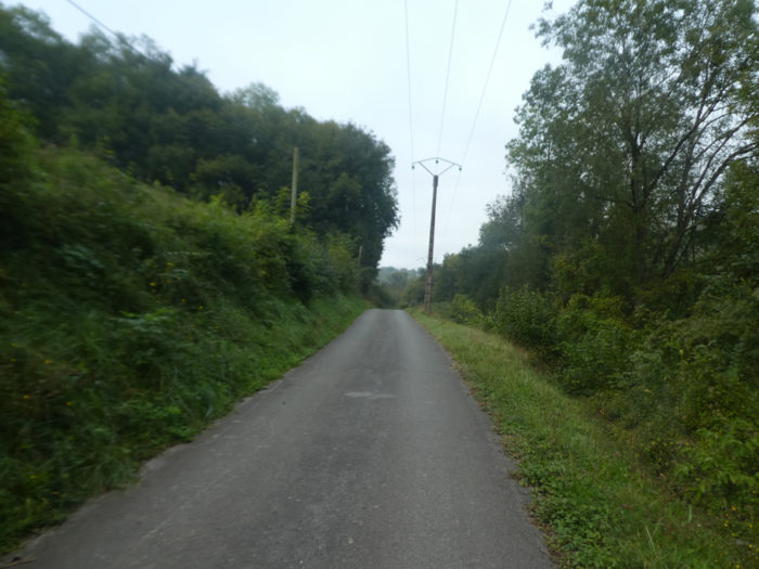
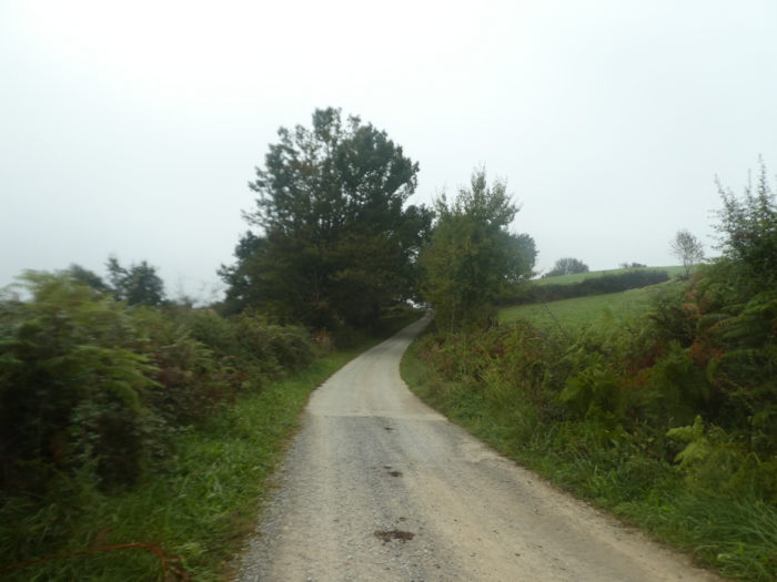
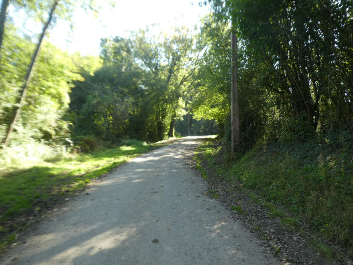
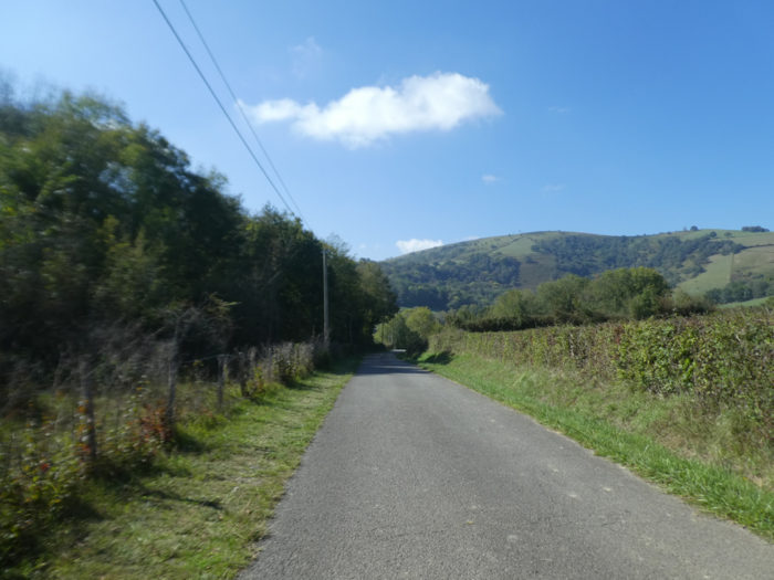
| Further on, the GR65 leaves the departmental road for another road which heads to Larribar. The situation does not change much except that the road climbs a little. |
 |
 |
| The road quickly reaches the first houses of Larraidia. |
 |
 |
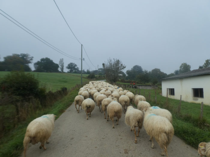
| Here a herd of beautiful Manech ewes goes to the meadows. The sheep will accompany us to the village above. The cars will wait, but there are hardly any. |
 |
 |
| The village is made up of a few Basque houses and farms along the road. The country is probably not very rich, with mostly peasants. |
 |
 |
Section 4: A new start for the beautiful tracks classified by UNESCO.
General overview of the difficulties of the route: this will change for sure, the slope is in front of you.

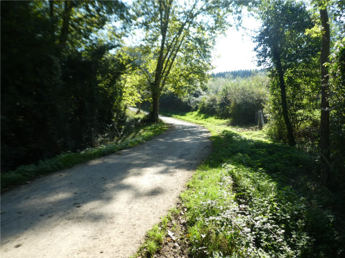
| The road climbs a little further beyond the hamlet until you see Larribar below. |
 |
 |
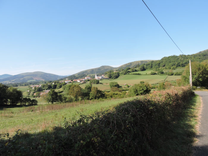
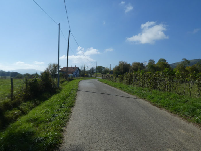
| Beyond a park, the road descends towards the village. It is the largest village in the region, but it has only 200 inhabitants, in a very depopulated country. |
 |
 |
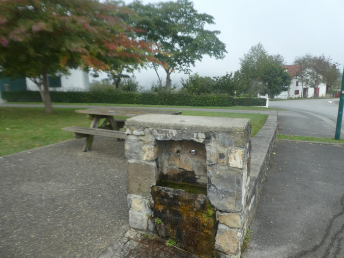
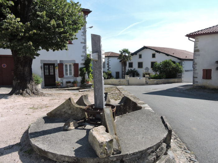
| On the village square, water flows from the fountain. People also play Basque pelota here. You are here 9 kilometers to Ostabat. |
 |
 |
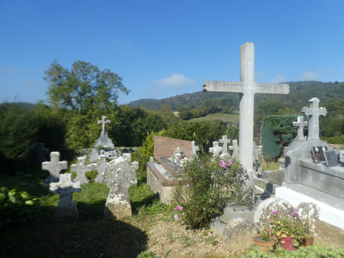
| The GR65 crosses down the village, passes in front of the church and the cemetery. |
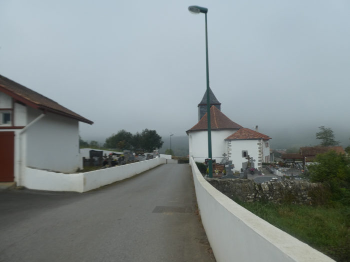 |
 |
| At the exit of the village, it passes over the D933 road, the large circulating departmental road which goes from St Palais to St Jean-Pied-de-Port. |
 |
 |
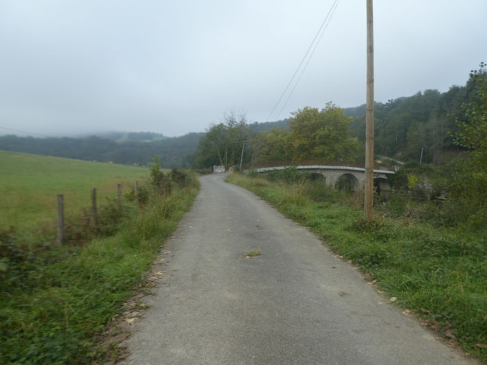
| Then it takes a small local road which heads towards the Pont du Moulin, the bridge over the Bidouze River. |
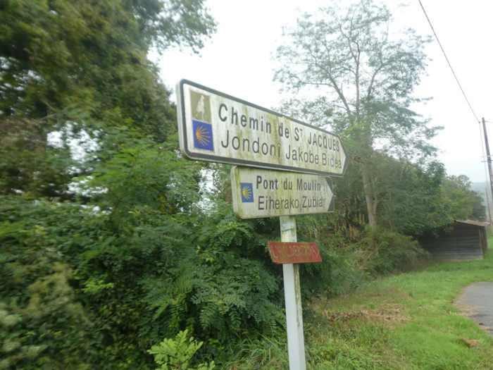 |
 |
| The small road crosses shortly after the hamlet of Etxartea and heads towards the bridge. From here, you’ll find the beauty of the tracks celebrated by UNESCO, but the transition has been long and boring since Benta. |
 |
 |
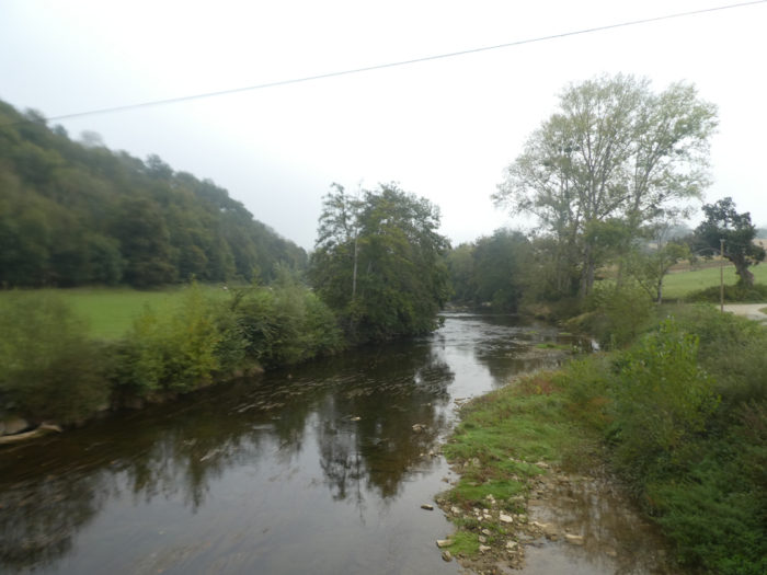
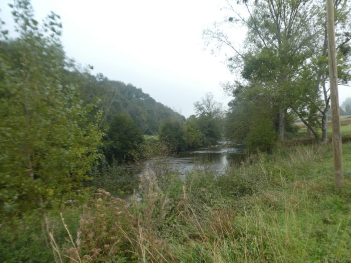
| The GR65 then crosses the Bidouze River, a tributary of the Adour River, which flows through St Palais and through a large part of the valley, a fairly calm river here. |
 |
 |
| From here, life will change and the route will climb almost a kilometer between 10% and 15%. |
 |
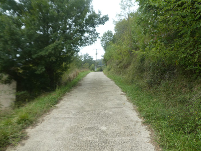 |
| The first part of the climb is practiced on a cement track but further up, grass and dirt replace the concrete. |
 |
 |
| The forest is not very beautiful here. It is sparse, in the middle of stunted oaks, shoots of plucked chestnut trees, maples, beeches and hornbeams. |
 |
 |
The ground is often covered with large roots and shale patches. However, it is the wild nature that very many pilgrims appreciate at their fair value.
| Further up, the slope softens in the undergrowth. |
 |
 |
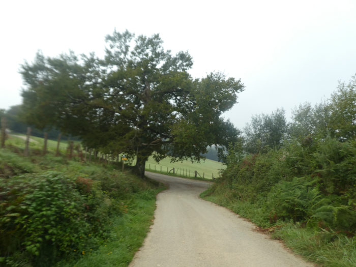
| At the exit of the undergrowth, the GR65 joins the road at the entrance to Beneditenea. This is also where the variant from St Palais arrives. |
 |
 |
This is where the well-known Cross of Gibraltar is located. It has nothing to do with Spain, of course. It is Xibaltarre, the Basque translation of Saint Sauveur, the hill above where the wooden statues of Christian Lapie stand. The construction of the monument here is quite recent, erected in 1964 by Doctor Urrutibehety. The discoidal stele, coming from the cemetery of Sorhapure is not dated. It materializes the personal belief of the good doctor, great initiator of the tracks here, that there was the crossroads of the three routes of Saint-Jacques, Vézelay, Le Puy and Tours, mentioned in the famous and controversial Codex Calixtinus, the oldest of the documents relating on the Way to Santiago. In this pilgrim’s guide, it was mentioned that the routes converged towards Ostabat. Nowadays, this point is a symbolic place of the tracks, just before the climb to the chapel of Soyarze.

| Beyond the hamlet, a road heads to Soyarze Chapel. Alas, the weather is gloomy to face what many pilgrims consider to be the most beautiful climb of all the Caminos de Santiago combined.
For images in good weather, find the stage: From St Palais to Soyarze Chapel on the site. |
 |
 |
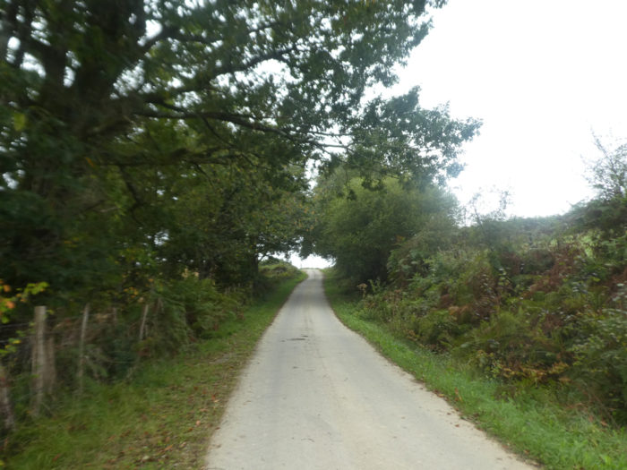
| The road goes straight through the meadows along the hedges until it joins a wide pathway higher up. Here the slope is quite reasonable. |
 |
 |
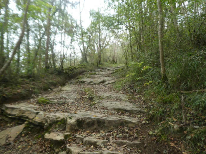
| As soon as the GR65 leaves the tarmac, the sweat becomes denser on the foreheads, along the juniper and bramble hedges, on the large slabs of limestone and lustrous shale. |
 |
 |
| The climb is very long, magnificent, incredible in a royal setting. At the steepest of the climb, at more than 15% incline, the sheep sympathize with your hard work. |
 |
 |
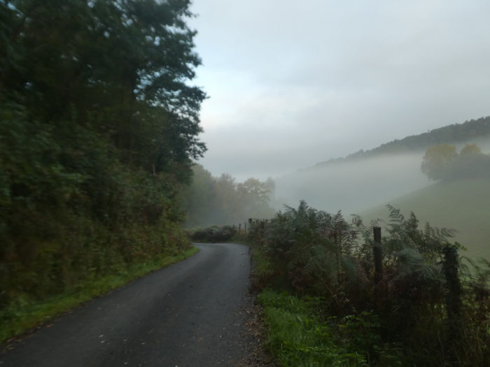
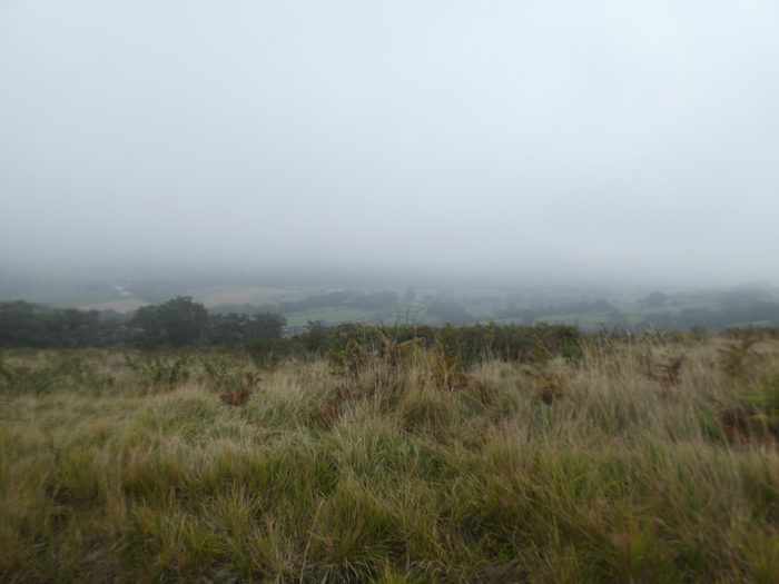
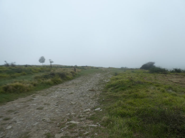
| Further up, the slope decreases to less than 15%, but hardly. Down in the valley, the fog is gradually fading. |
 |
 |
| In this inviolate nature, where sometimes the wind blows in gusts, because nothing stops it, you will always have the feeling that you have reached the top of the hill, but it is not so. It’s always a little further, a little higher. |
 |
 |
| Finally, the slope decreases and the breath is less jerky. The shales are gradually disappearing in favor of short grass and heather. |
 |
 |
Section 5: On the beautiful tracks classified by UNESCO.
General overview of the difficulties of the route: significant undulations, both downhill and uphill.

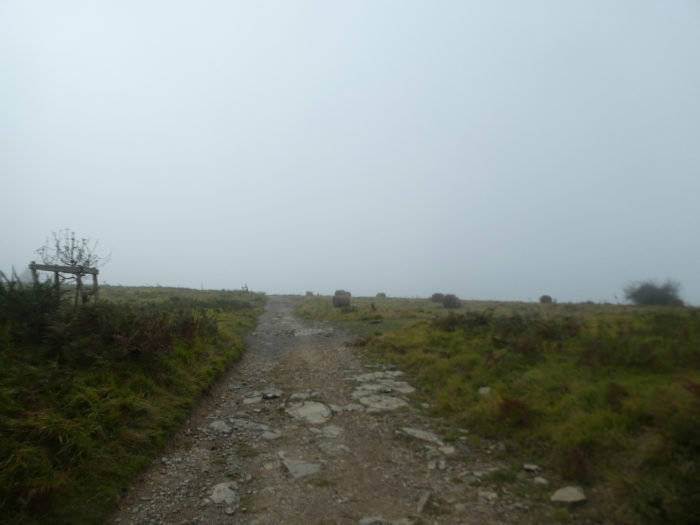
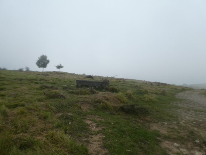
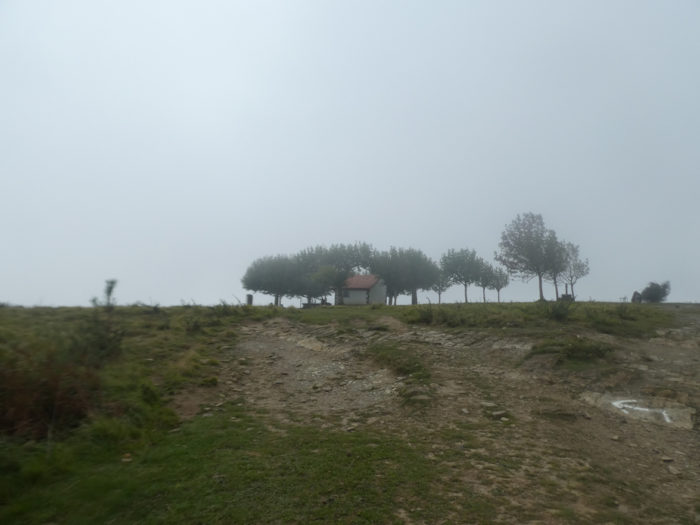
| Near a drinking trough, placed there almost like an object of worship, we can today make out the top of the hill above in the fog. |
 |
 |
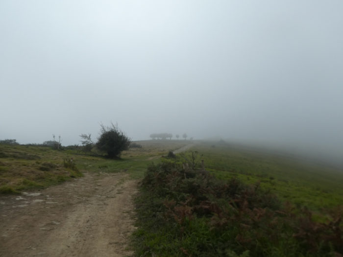
| For us today, the Virgin of Soyarze performs a miracle. She blows on the clouds to allow us to discover the clump of trees at the top of the hill. |
 |
 |
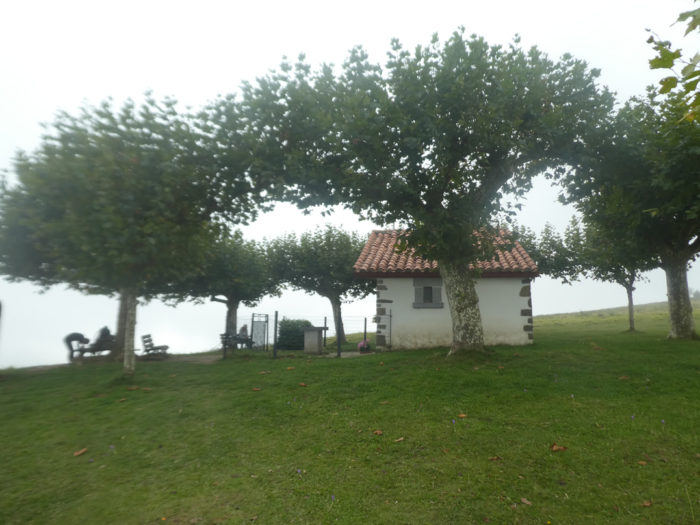
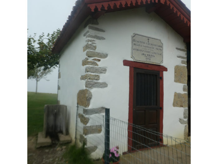
| And in front of you stands the Chapel of Soyarze, one of the great moments of emotion on the Camino de Santiago, especially after a steep climb. All pilgrims take a long break in this blessed place. |
 |
 |
| The fog is finally beginning to dissipate on this place of comfort and prayers. We will soon find the sun to reach Ostabat. |
 |
 |
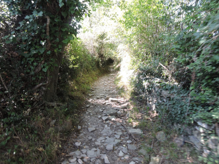
| Be very careful when leaving the site, at the risk of getting lost. A very stony pathway descends steeply into moorland, ferns and heather. |
 |
 |
| Further down, the pathway reaches a flat area in the undergrowth where many holm oaks lie. |
 |
 |
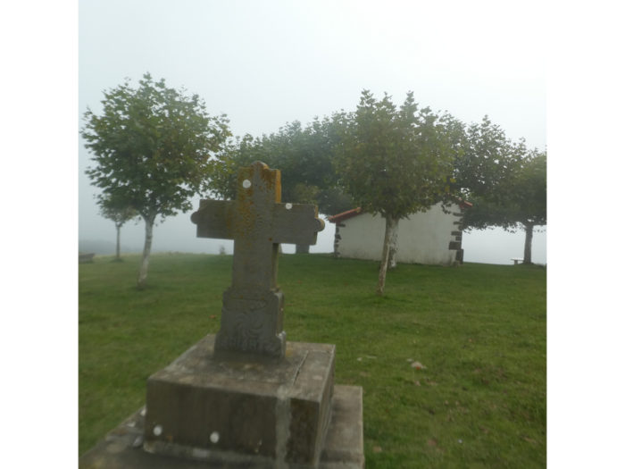
When the pathway begins to descend again, a beautiful stele is planted in the embankment. You will also see in the region and in the cemetery the traditional stelae, these funerary monuments that you may come across in the countries of the South. You have already passed near the stele of Gibraltar, but there are also some on the way, like going down from the chapel of Soyarce towards Haranbeltz. In the Basque Country, they are called hilarri (hil meaning death), monuments made up of a circular stone disc with numerous Christian or pagan symbols, which surmounts a trapezoidal base. There are very old ones, but there are also newer ones.

| Then the pathway changes direction. There are here as many tracks as mushroom pickers. |
 |
 |
| The pathway narrows and descends at more than 15% of slope in the heath scorched by the autumn sun. |
 |
 |
| Further down, it crosses a deciduous undergrowth. |
 |
 |
Nature breathes and sings here.
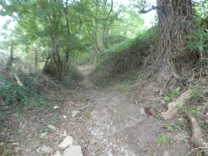
| Further down, the pathway crosses a kind of small defile in the rocks and mounds. |
 |
 |
| The pathway then reaches the hamlet of Haranbeltz lost in nature. |
 |
 |
| The hamlet, far from civilization, is famous for its St Nicolas Chapel and its cemetery. The chapel is still today the property of four families descended from the communities of donats, hospitable brothers and sisters of the Middle Ages and who, in the Basque country, survived beyond the Revolution. Of course, the descendants are now secularized and have redeemed the property. If you’re lucky (we weren’t), and pass here at the right time, they say the visit is worth it. As they say, if you like baroque, gilding and painted ceilings, you will be in ecstasy. |
 |
 |

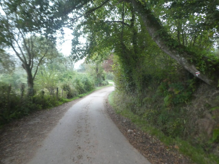
| Beyond the chapel, a sloping lane joins the undergrowth. |
 |
 |
| The vegetation is dense here in this small dale where the discreet stream of Haranbeltzéko flows at the bottom. |
 |
 |
| Beyond the stream, count a good half kilometer to slope up the dale on a pathway that is sometimes quite stony. |
 |
 |
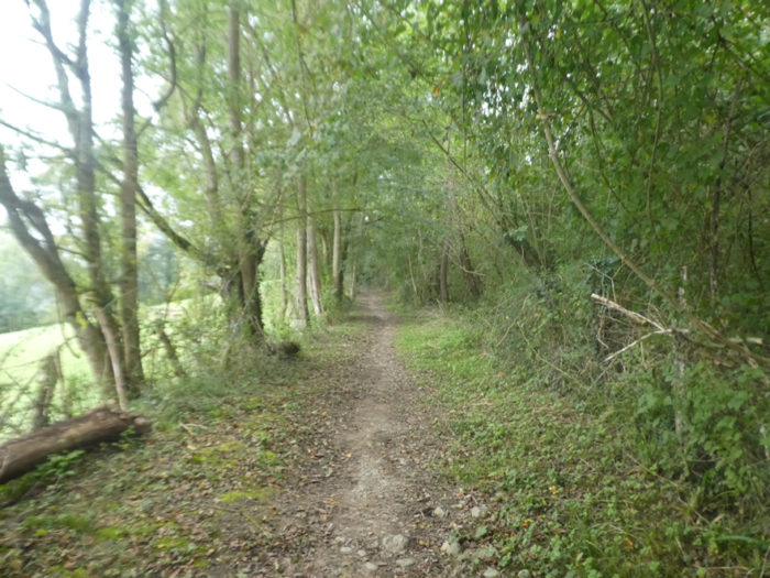
| The forest is enchanting here, amid huge oaks, ash trees that get lost in the sky, sycamore maples and chestnut trees. There are only few softwoods in the region. |
 |
 |
| Then the slope softens and the pathway gradually emerges from the woods into the clearings. |
 |
 |
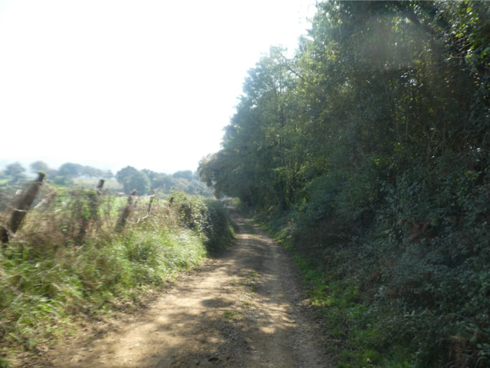
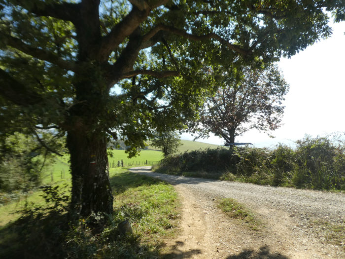
Further ahead, a wide dirt and gravel road gently slopes down through meadows and a few fields. It smacks of good and real countryside.
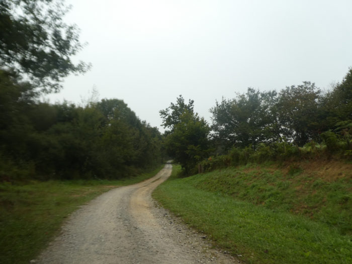
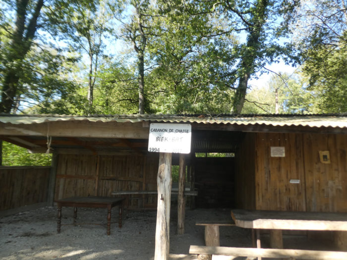
| At the bottom of the descent, the pathway finds a hunting cabin at the corner of the woods. Do not doubt it, this type of refuge must undoubtedly be also occupied in the evening by less fortunate pilgrims. |
 |
 |
| It is also here that the Ibidiako stream flows. In the region, there are only small streams apart from the Bidouze River which flows in the plain. |
 |
 |
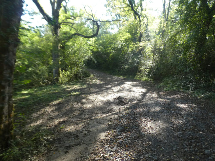
| Beyond the shed, the wide dirt road slopes down another few hundred meters into the undergrowth at the bottom of the dale. |
 |
 |
Section 6: In Ostabat, high place of the Way of Santiago.
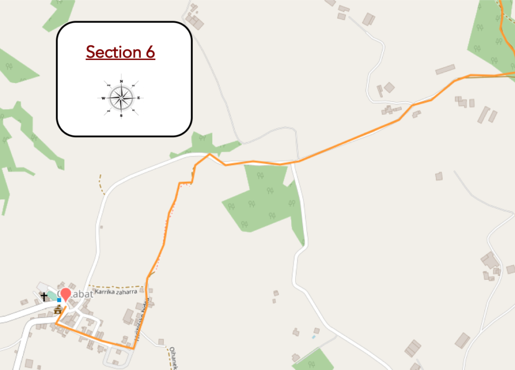
General overview of the difficulties of the route: some marked slopes.
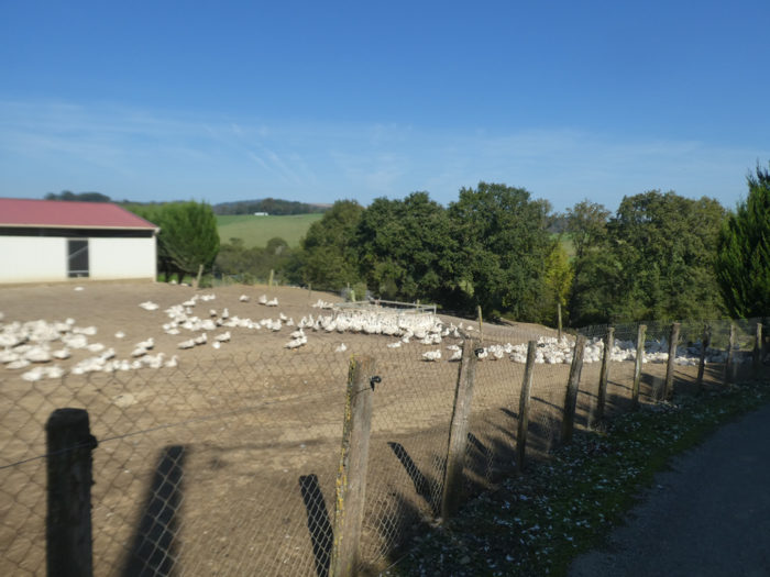
| A paved road then climbs steeply along a fenced area. |
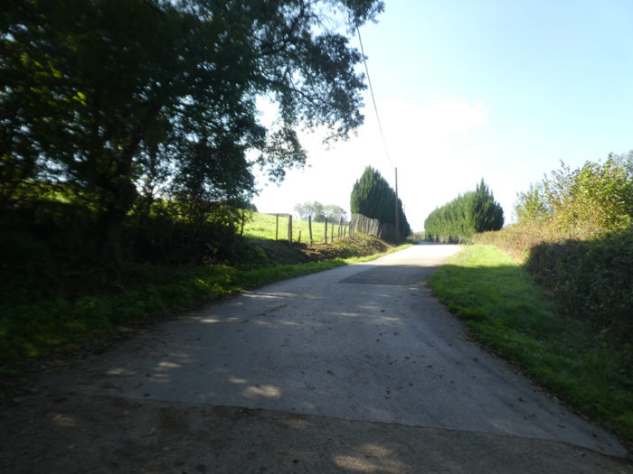 |
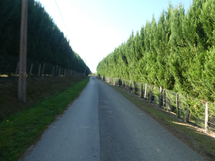 |
| There is reason for that. Do not approach the electric fence. It’s not for you. The beautiful ducks taste here a few days of freedom in the open air, which is rare on the way, programmed as they are for a future that one would say is uncertain. Alas, they do not know how to fly to escape. |
 |
 |
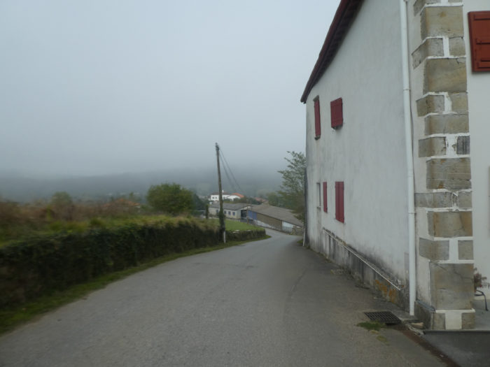
| The road then climbs slightly uphill towards Ostabat, along the small Basque houses scattered in the meadows. |
 |
 |
| Further afield, the road begins the descent towards the village. |
 |
 |
| The GR65 does not reach Ostabat by road. It will slope down under the village by a bad little lane which winds, in the middle of the sheep, in the bushes and the rockery. |
 |
 |
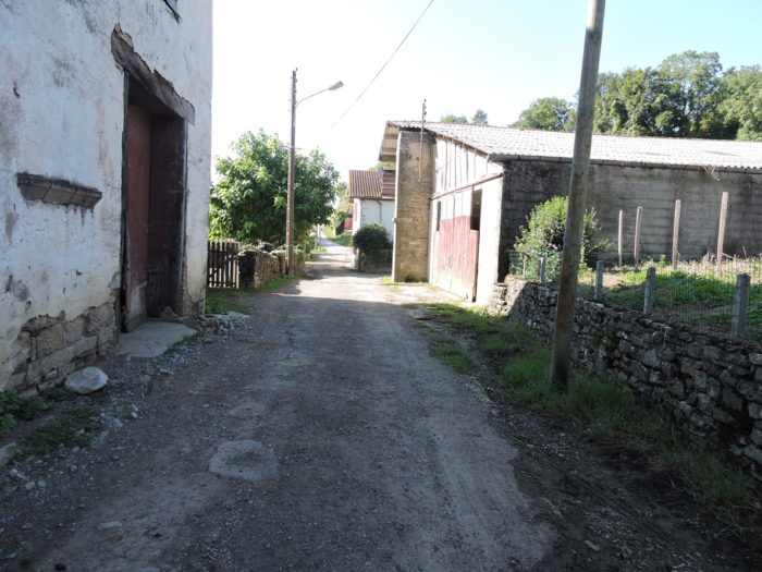
| Along the thick hedges, it reaches the first houses of the village. |
 |
 |
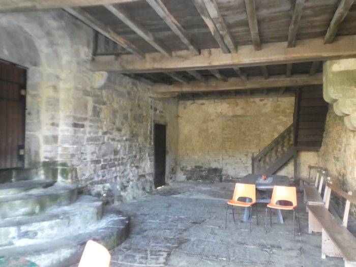
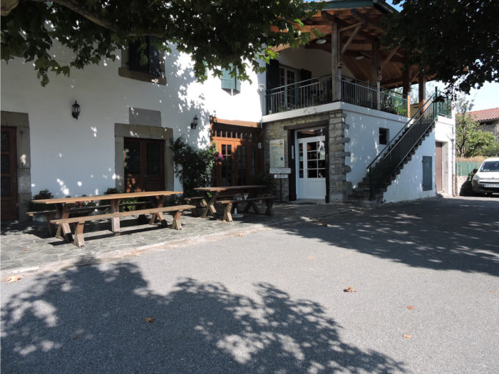
| The pathway arrives at the bottom of the village near the Ospitalia gîte. Ostabat is an old bastide founded in the 12th century. It was for centuries, and still today, a major crossroads of the routes to Santiago. But it was also a major hospital in the Basque country. The Saint Antoine hospital was a nerve center of the pilgrimage. Over time it has undergone transformations, but it still exists in the form of the Ospitalia house, next to which stand the remains of a Romanesque chapel. Many pilgrims still want to stay today at the Ospitalia gîte, at the bottom of the village, where the track passes.
The lower town “outside the walls” was a modest district, reserved for pilgrims and the sick. Treatments were free. Even today, the lower part of the village still appears very modest. It is claimed that at the time of its greatness, from the 12th century, Ostabat could receive 5,000 pilgrims and that there were about ten hostelries. It’s not said how much per day but they should not be bored on the way. Later, the armies of Castile destroyed this jewel, to make it a fairly banal place, in short. |
 |
 |
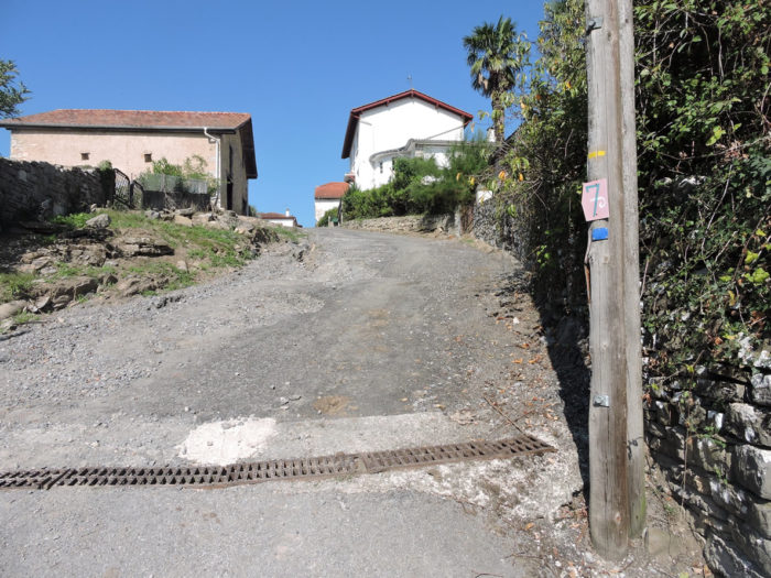
| A sloping road climbs from the lower town to the upper town, if you can call it that, for such a small village. |
 |
 |
| There are still some scattered traces of the opulence of yesteryear. The bastide was built according to the classic plan of bastides in the Basque country on a rectangular square with a central street, parallel streets and streets intersecting at right angles. The ramparts have melted over time. In the past, to enter the bastide of the upper town, you had to pay a toll, rich pilgrim or not. The bastide had many privileges granted by the kings of Navarre. It was a famous market, a city of notaries and wealthy merchants. In the 14th century, the first “hotels” for wealthy people flourished there. L’Ange, la Clef, le St Georges, la Huche, and many others… There must have been a lot of money here.
The village has undoubtedly lost its luxury of yesteryear. There are not many accommodation options here. Ostabat is the stopover village for the majority of pilgrims coming from Aroue. Many pilgrims will choose the Ospitalia lodge as a priority, but there are few places. |
 |
 |
 |
 |
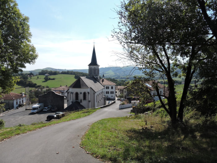
| Today, Ostabat has no more than 200 inhabitants, grouped around its small church rebuilt in the 19th century and its town hall built on the old covered market. |
 |
 |
| If the houses of the village have above all a traditional Basque aspect, with their tiled roofs and their red shutters, some have kept an even more period style, when the writings flourished on the lintels of the doors. But none of these houses date back to the High Middle Ages celebrated here. |
 |
 |
Lodging


Feel free to add comments. This is often how you move up the Google hierarchy, and how more pilgrims will have access to the site.
|
 |
Next stage : Stage 35b: From Aroue to St Palais |
|
 |
Back to menu |