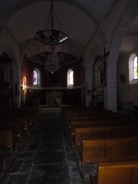
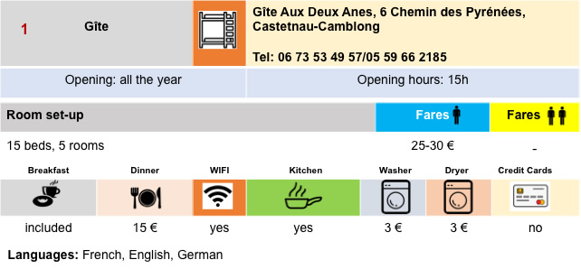
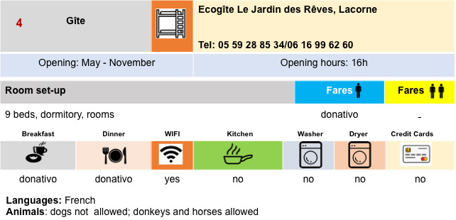
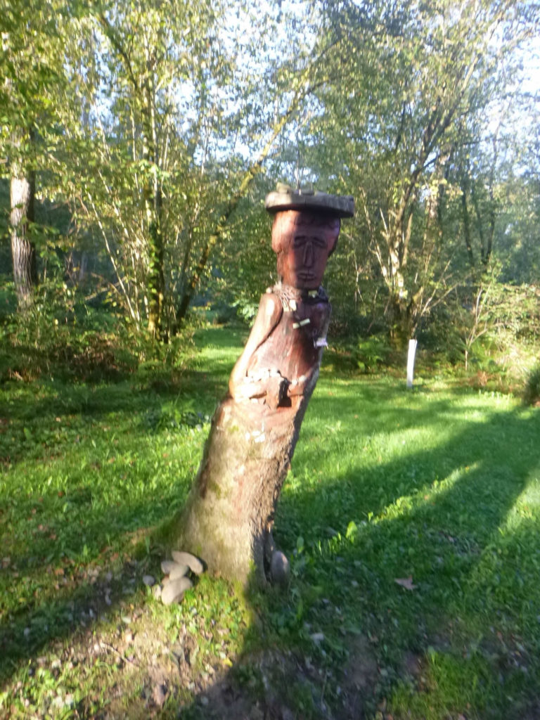
A few more ducks to finish off
DIDIER HEUMANN, MILENA DELLA PIAZZA, ANDREAS PAPASAVVAS

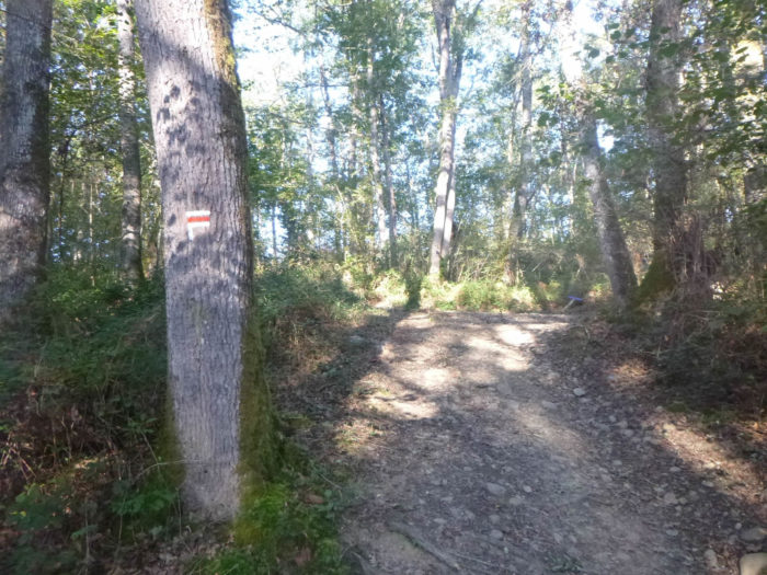
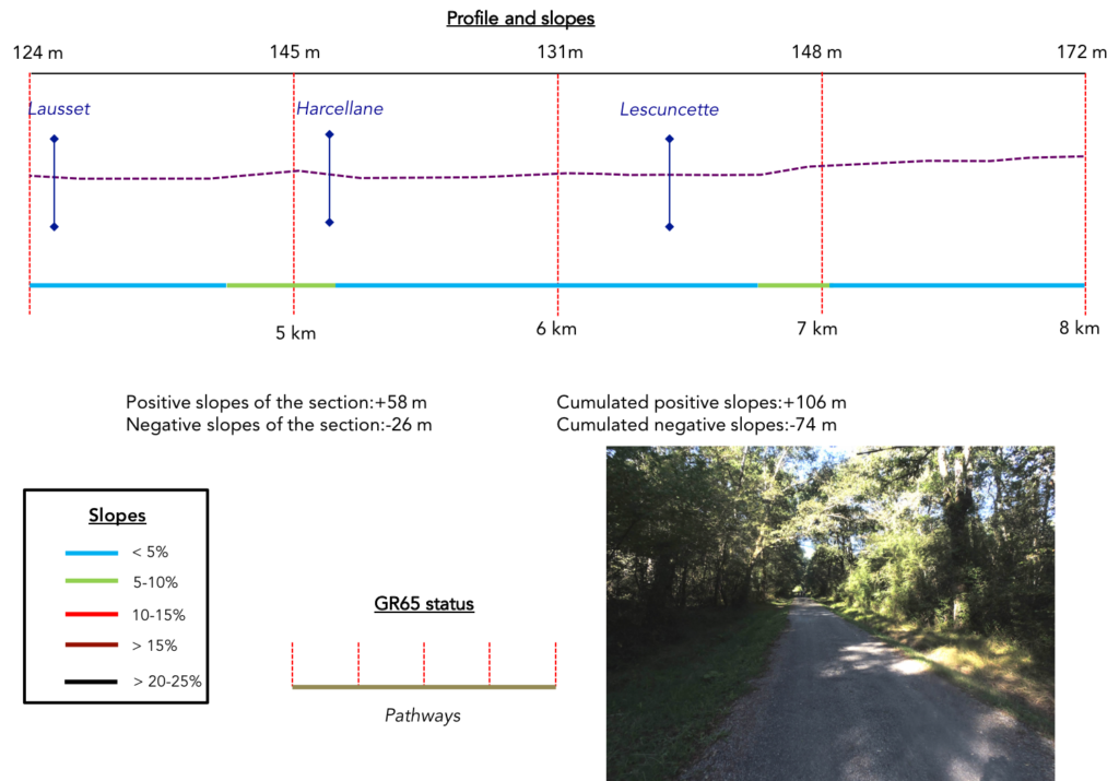
We divided the course into several sections to make it easier to see. For each section, the maps show the course, the slopes found on the course, and the state of the roads. The courses were drawn on the « Wikilocs » platform. Today, it is no longer necessary to walk around with detailed maps in your pocket or bag. If you have a mobile phone or tablet, you can easily follow routes live.
For this stage, here is the link:
https://fr.wikiloc.com/itineraires-randonnee/de-navarrenx-a-aroue-par-le-gr65-31159889
It is obviously not the case for all pilgrims to be comfortable with reading GPS and routes on a laptop, and there are still many places in France without an Internet connection. Therefore, you can find a book on Amazon that deals with this course. Click on the book title to open Amazon.
If you only want to consult lodging of the stage, go directly to the bottom of the page.
Today, you leave Béarn fairly quickly for the Basque Country, towards St Jean-Pied-de-Port, the end of the Via Podiensis. The Basque Country, which extends south of the Adour, includes three large regions: Labor towards the coast around Bayonne, Biarritz and Hendye; the Soule, near the Pyrenean mountains; finally Lower Navarre, in the center of the region, where the route takes you. Today you are going to discover another river in the country, the Saison.
As in Béarn, the climate is mild and temperate, with high rainfall in spring, but with pleasant summers and winters. The rainfall creates a green landscape all year round. You will often cross almost virgin landscapes, quiet valleys, in the middle of pastures and forests, in a country where the further you go towards the Pyrenean mountains, the sheep take over the Blondes d’Aquitaine cows. The Basques, a proud people, have crossed the centuries with a high and independent front. After taking refuge in the mountains in Roman times, when the latter left, they invested the country, fighting for their autonomy. In the Middle Ages, they even had political and administrative autonomy. This is the great era of the Kingdom of Navarre. But before the revolution, their privileges were removed, when the king of France and Navarre became the king of all French people. In 1792, they were suddenly attached to neighboring Béarn, creating the department of Pyrénées Atlantiques. It is from this period that the feeling of autonomy, the fight for the Basque language and a strong expansion of Basque nationalism will be affirmed even more. And this, on both sides of the border, French and Spanish. The rest of the story is well known. If it is especially in Spain with the open struggle and the extremist movements (ETA and others), the French have always applauded these liberation movements with both hands, even if they have not actively participated. When you travel to this region, ask the people. A large majority claims autonomy in a deaf language, as the Corsicans do.
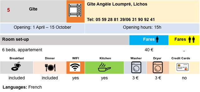
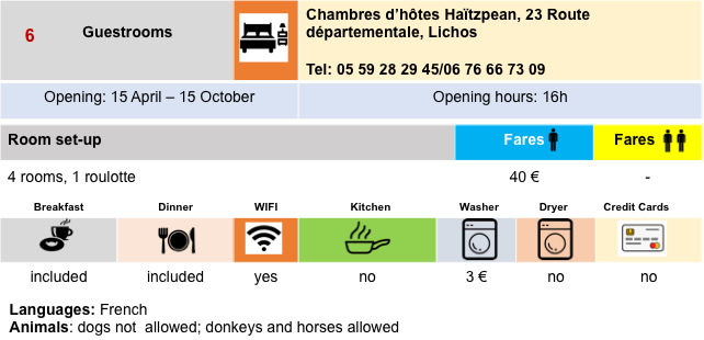
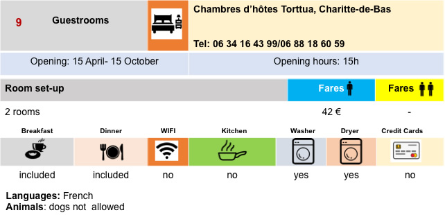
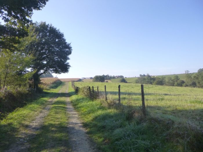
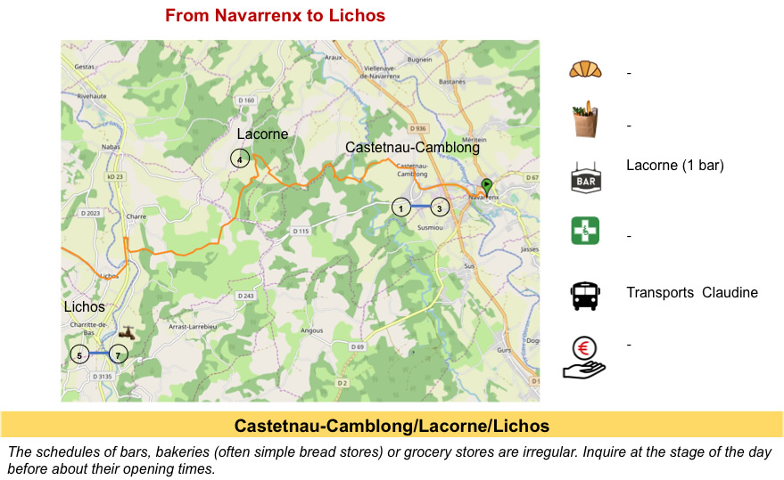
It must be said, from Navarrenx, the possibilities of accommodation are rarer. The stages are therefore very conditioned by the fact of finding accommodation. There are a few possibilities near Aroue, but further, you have to walk for miles to find something to spend the night. Consequently, the day’s stage is very short, but there is hardly any other possibility for a reasonable walker.
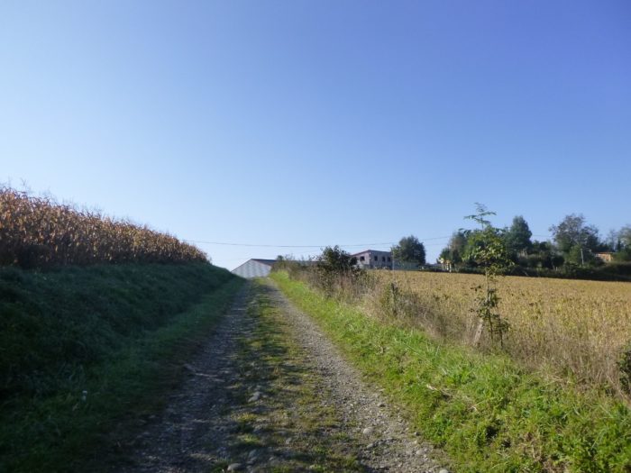
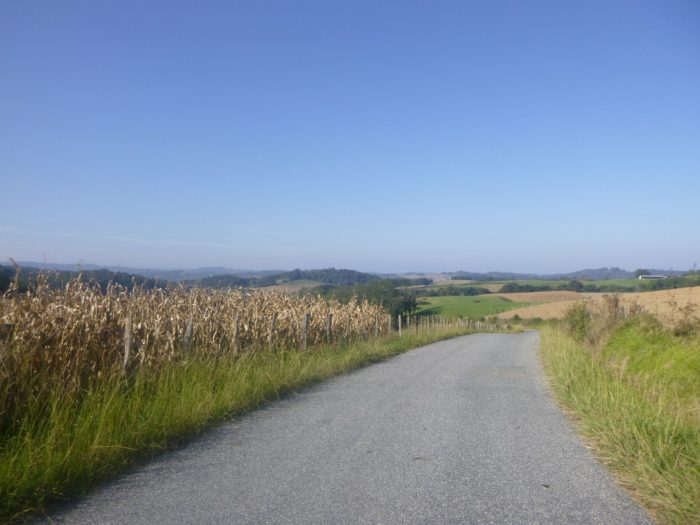
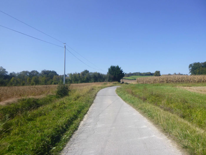
Degree of difficulty: The slope variations of the day (+270 meters/-266 meters) are very low. After a short climb without difficulty, to Castetnau-Camblong, the route goes through undulations, from one hill to another, from one stream to another, especially in the undergrowth. Only a slightly more pronounced climb (but so little) leads to the top of the Lacorne ridge. The route then descends into the plain of Lichos where the Saison flows. It is here that the corn and the eternal duck farms flourish. Further on, the route constantly climbs up the ridge to descend further to the Château de Joantho and Aroue.
 Today, it is a little more walking on the tar than on the pathways, a fairly constant proportion on the Camino de Santiago:
- Paved roads: 11.5 km
- Dirt roads: 8.5 km
Sometimes, for reasons of logistics or housing possibilities, these stages mix routes operated on different days, having passed several times on Via Podiensis. From then on, the skies, the rain, or the seasons can vary. But, generally this is not the case, and in fact this does not change the description of the course.
It is very difficult to specify with certainty the incline of the slopes, whatever the system you use.
For « real slopes », reread the mileage manual on the home page.

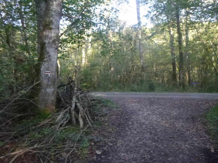
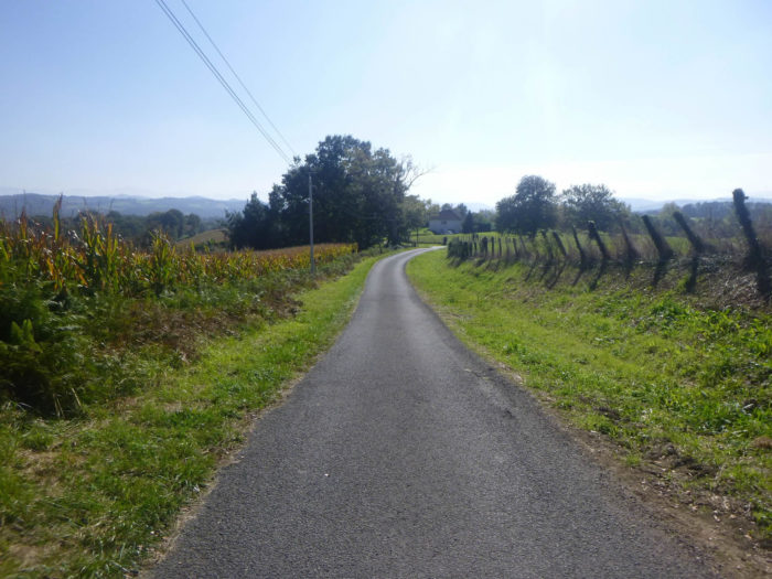
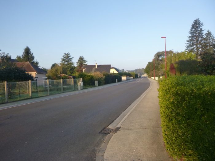
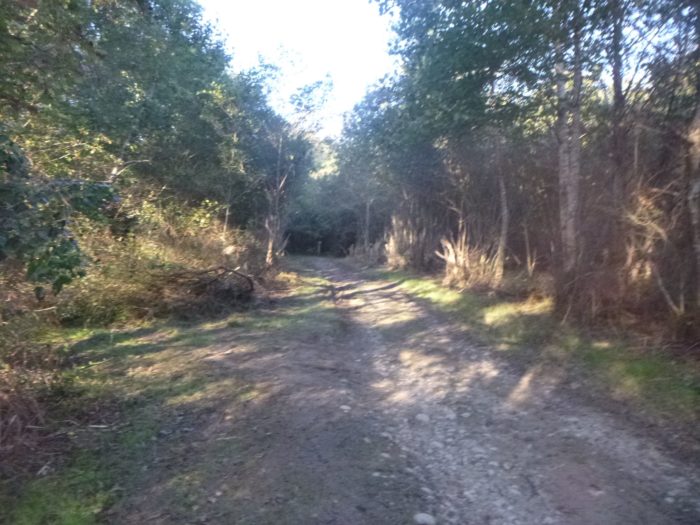
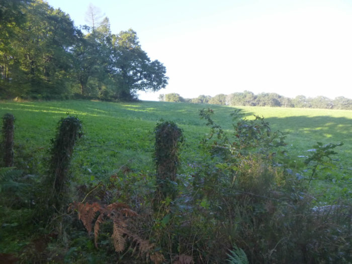
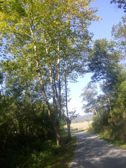
Section 1: In the outskirts of Navarrenx before the forest.
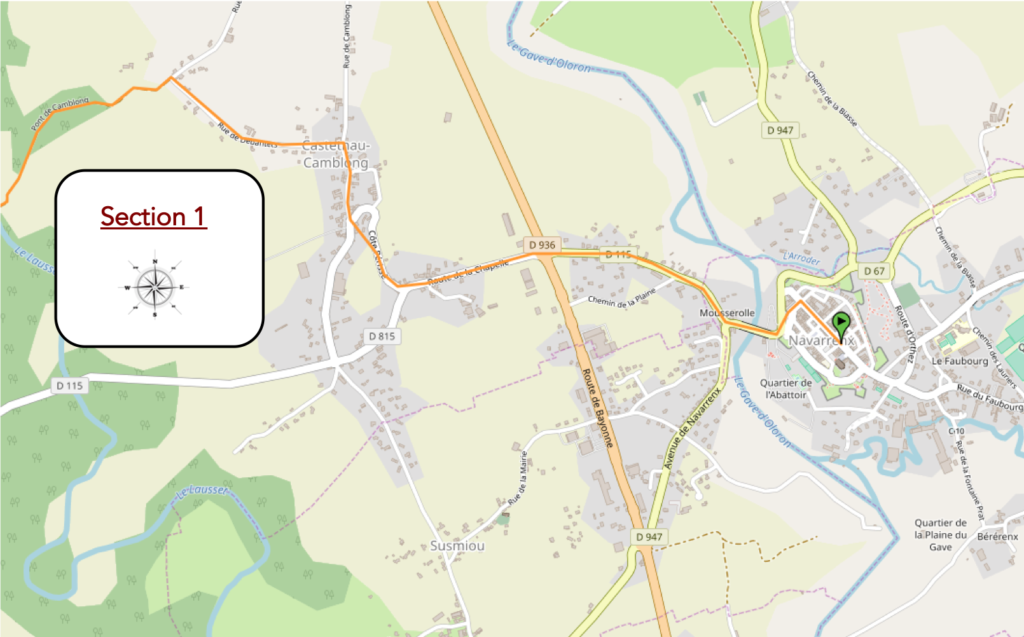
General overview of the difficulties of the route: course without difficulty, except for a short climb to Castenau-Camblong.

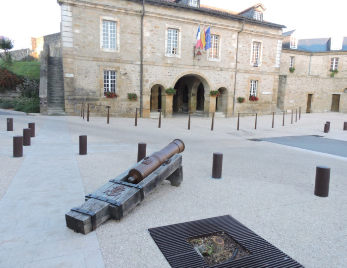
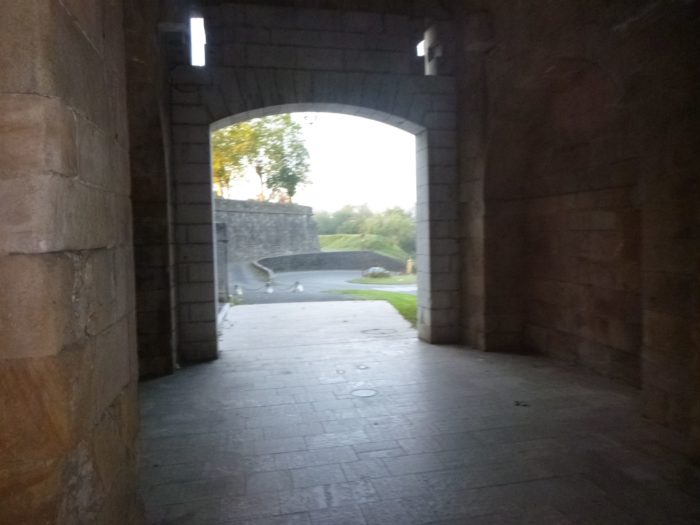
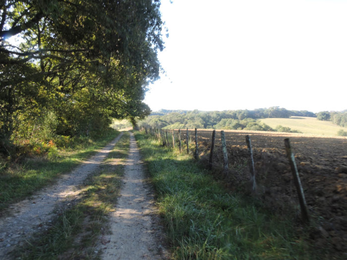
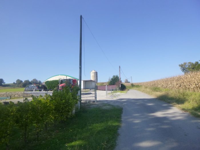
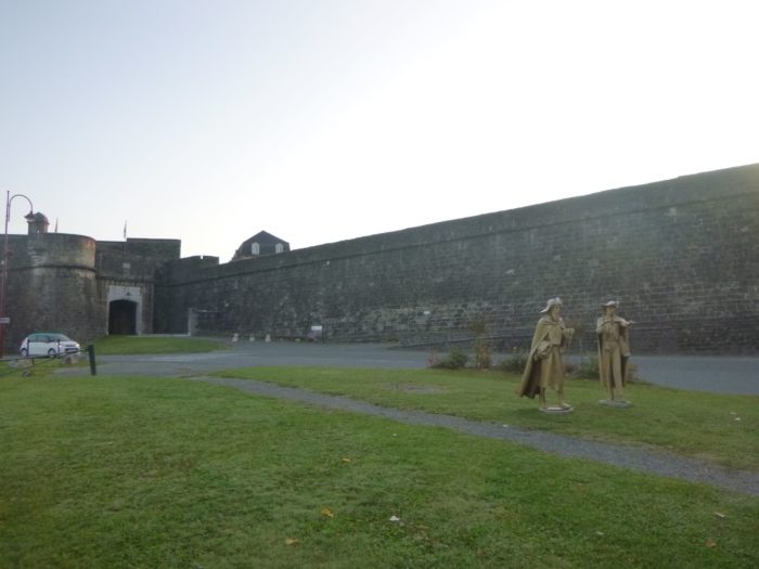
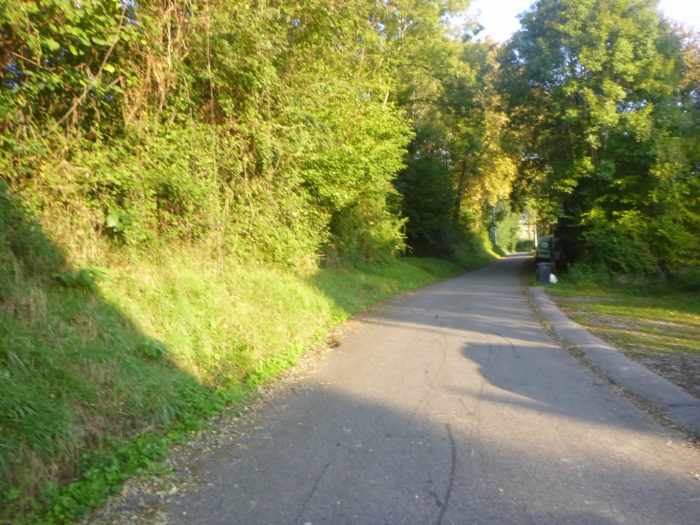
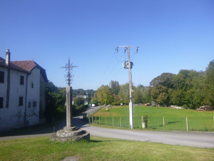
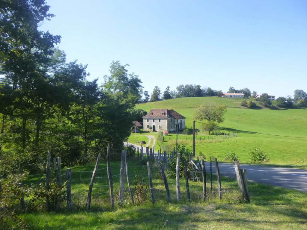
The GR65 leaves Navarrenx under the arcades of the large and magnificent Place des Casernes.
| It slopes down along the ramparts to cross the Gave d’Oléron. |
 |
 |
| In the past, boats were loaded with wood passing by which went down to Bayonne to make ships. It’s all over! There are only livestock and corn left in the area. Formerly, under the ramparts, there was a hospital and a chapel for the reception of pilgrims. The pilgrims were crossing the river in a boat. At their own risk. All that too is over! Today’s pilgrims use the large and magnificent 13th century stone bridge amidst the cars. |
 |
 |
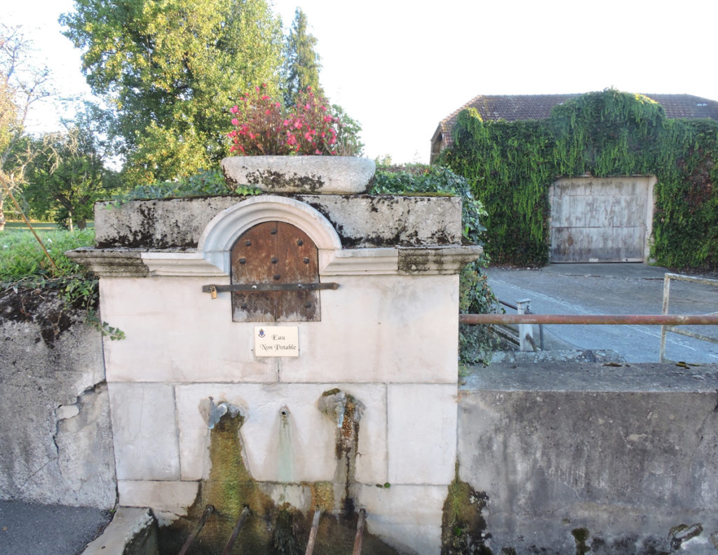
On the other side of the bridge, the GR65 takes the departmental road which goes towards Castetnau-Camblong. It crosses a very beautiful fountain at the edge of the road. You cannot drink its water. What does it matter! The pilgrim drank his fill before leaving.
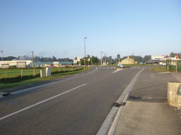
| The road then quickly arrives in the suburbs of Castetnau-Camblong Gare (Station). You are dreaming of course, there are no more trains here. It’s actually just the Navarrenx shopping area. |
 |
 |
| Here is the industrial and commercial zone, these lice of modern civilization. Even the small villas add nothing to the banality and lack of humanity of these places. |
 |
 |
| Further on, a small chapel adjoins a roundabout at the exit of the city. |
 |
 |
| The road leads to the bottom of the village of Castetnau-Comblong in the sunflowers and corn, near a fountain of non-potable water. |
 |
 |
| The main village is above and a small road climbs between the undergrowth and beautiful hewn stone houses. |
 |
 |
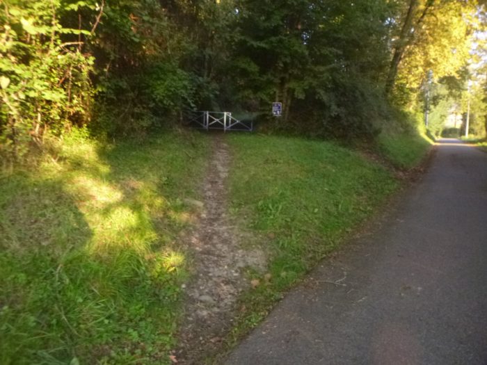
| This is almost always so. As soon as the opportunity arises to leave the road, the Camino de Santiago rushes into it. Here it’s a small, steep shortcut through the undergrowth. |
 |
 |
| Further up, the pathway emerges at the entrance to the village proper. |
 |
 |
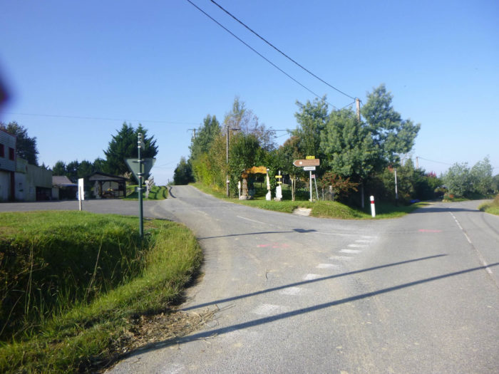
| It is a crossroads of roads with many directions. |
 |
 |
| It is a neat and quiet village around its little church, recently rebuilt, whose square bell tower serves as a porch. |
 |
 |
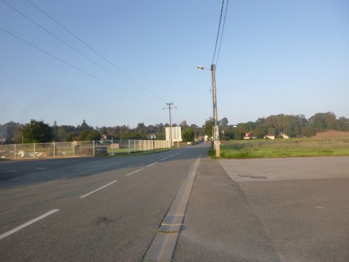
| The GR65 leaves the village on the road. There is no real campaign. It is rather a region of small villas. |
 |
 |
| People are always in search of identity to be able to qualify as hamlets or villages a handful of houses by the roadside. A great harmony is born from the last house encountered just before the forest. |
 |
 |
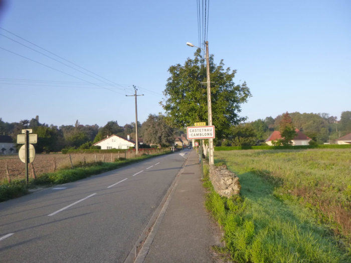
| The paved road ends at Débantès. |
 |
 |
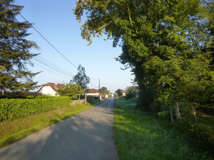
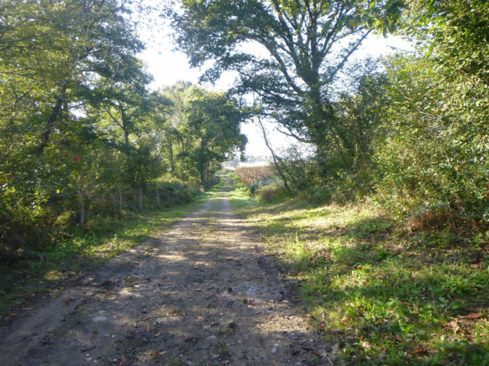
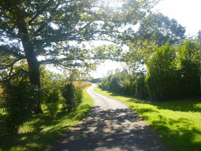
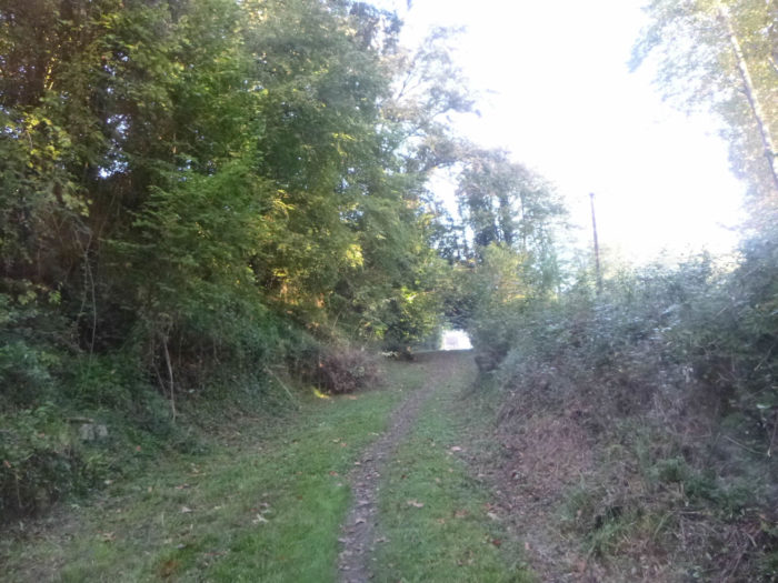
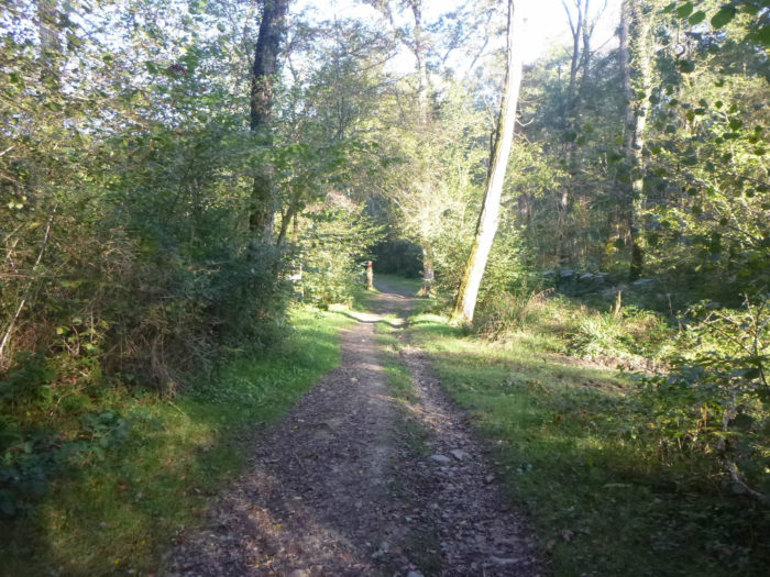
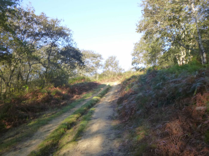
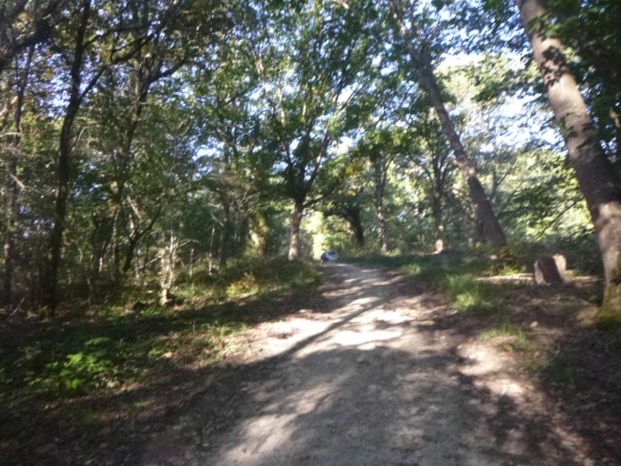
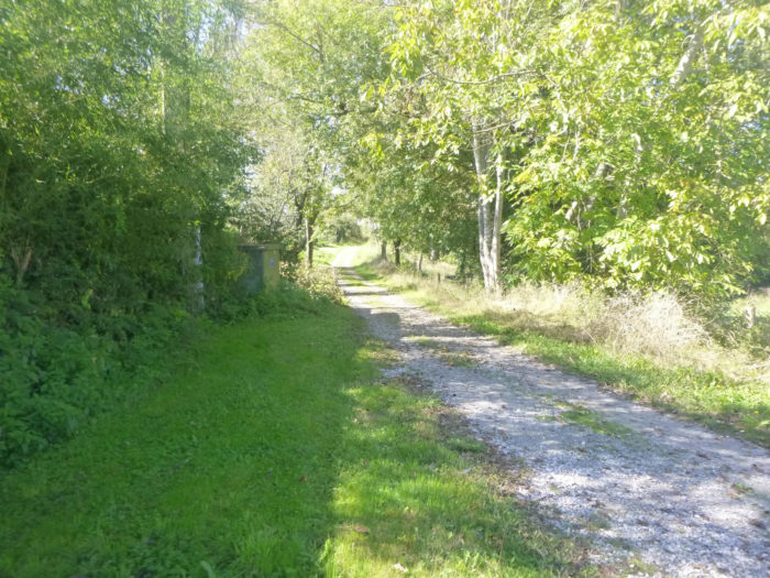
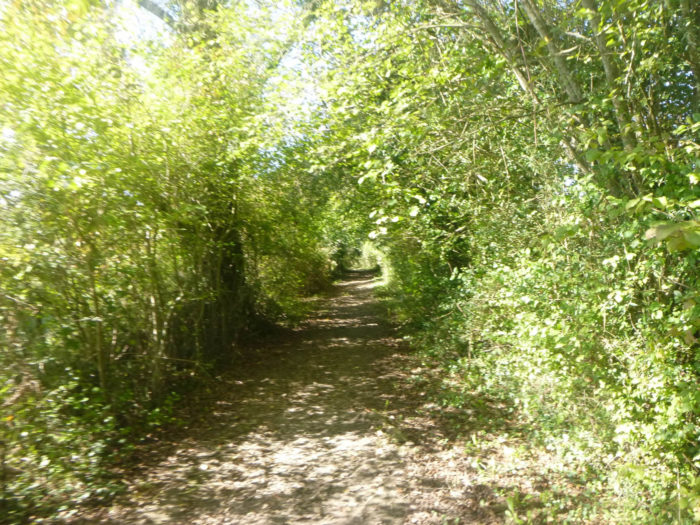
Further on, beyond the inevitable cornfields, the pathway will enter the forest of Castetnau-Camblong and stay there for a long time. You will have plenty of time to enjoy the charm of the hills, from one hill to another, from one stream to another.
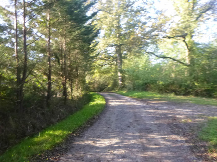
| It is a wide dirt road running in the shade of oaks, chestnuts and ash trees. |
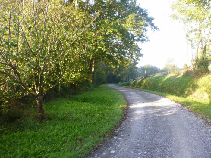 |
 |
| Initially, the forest is not compact and the corn benefits from the generosity of the many streams that flow through here. |
 |
 |
Section 2: A long crossing of woods and small streams.
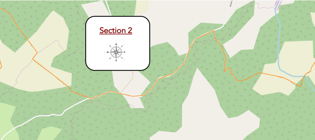
General overview of the difficulties of the route: course without difficulty.
| The pathway follows the edge of the forest and here the corn is gradually disappearing. |
 |
 |
| The dirt road is wide, pleasant, gently sloping, until you reach the large stream of Lausset, so flat that it flows through many meanders in the weeds. |
 |
 |
| After crossing the stream, the pathway alternates between dark undergrowth and corn at the edge of the track. |
 |
 |
| The ground is almost clay which is muddy when it rains. Oaks clearly dominate maple, chestnut, ash, beech and hornbeam shoots. |
 |
 |
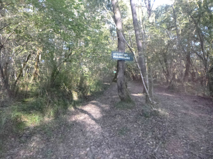
| Shortly after, the pathway comes to a fork near the improbable Lannebielle stream. These dales have a great profusion of water, sometimes consumed for the irrigation of crops, corn in particular. Many tracks run through the woods, mainly used by hunters in autumn. |
 |
 |
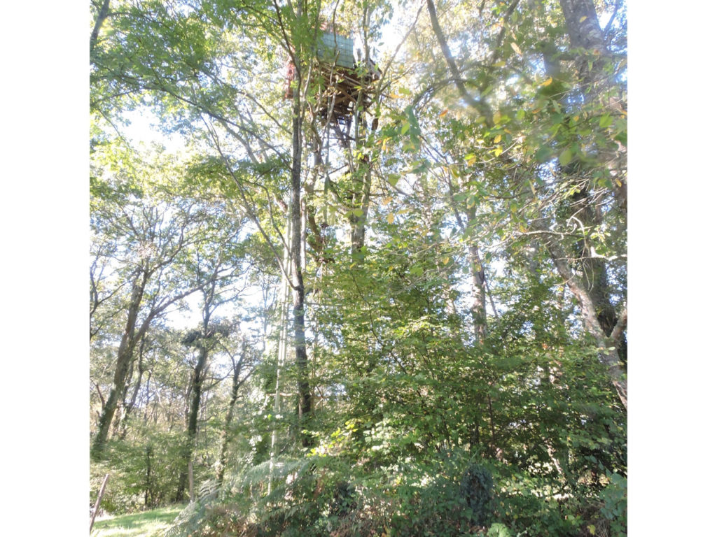
Do you want proof. The presence of a woodpigeon hatch (palombière) is announced, and if you pass here in the fall, you will be awakened by gunshots. It’s nice to announce the hunters, but is it really reassuring to pass by here? The pathway then climbs more steeply towards the palombière, but you will not see it.
| Beyond the hill, the pathway then descends a little through oak trees and underbrush. |
 |
 |
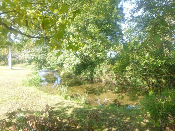
| At the bottom of the dale, in a rather bucolic setting, in the middle of bees, flows the Harcellane, a stream that you will hardly see. |
 |
 |
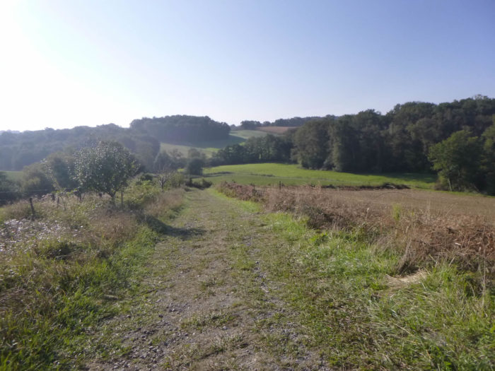
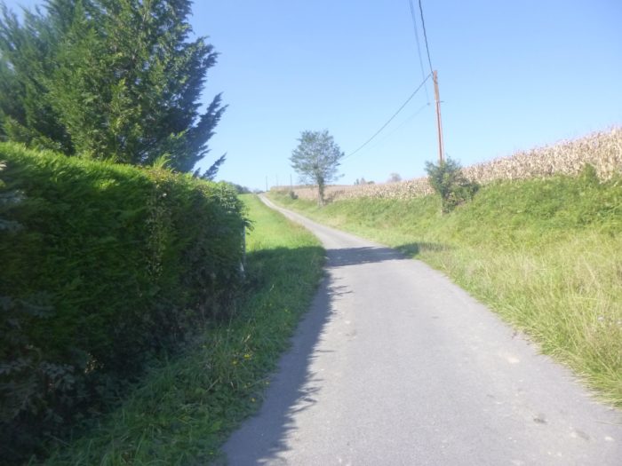
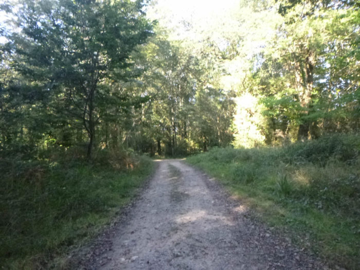
Further ahead, the GR65 changes scenery and finds a small paved road.
| You leave for a short walk on the paved road between clearings and undergrowth for a good two kilometers. You will come across lurking vehicles in the corner of the woods in the fall. They are certainly not mushroom pickers or dog walkers. They are pigeon hunters. |
 |
 |
| At the end of the paved road, the GR65 heads to a place called Cabernet de Navarre, nearly 3 kilometers to Lacorne. You’re not out of the woods yet. |
 |
 |
| A new hill points in front of you and the pathway quickly invites you to gain altitude, but the slope is gentle, under hedges of oaks, ash trees, ferns and wild grasses. |
 |
 |
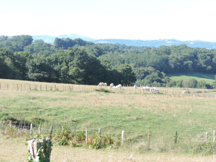
| Further up, the dirt road emerges into more extensive clearings, where the beautiful Blanches d’Aquitaine cows take the cool in the shade of the large oaks. |
 |
 |
| For nearly a kilometer, the pathway will undulate gently on the slope of the dale, where the elusive Harcellane flows below. You’ll walk in the meadows, with here and there very rare cultures. Up on the hill, you see Lacorne, where you will pass later. |
 |
 |
| At the top of the hill, the pathway returns to the undergrowth. |
 |
 |
| A bench awaits you but the climb here was not tough. |
 |
 |
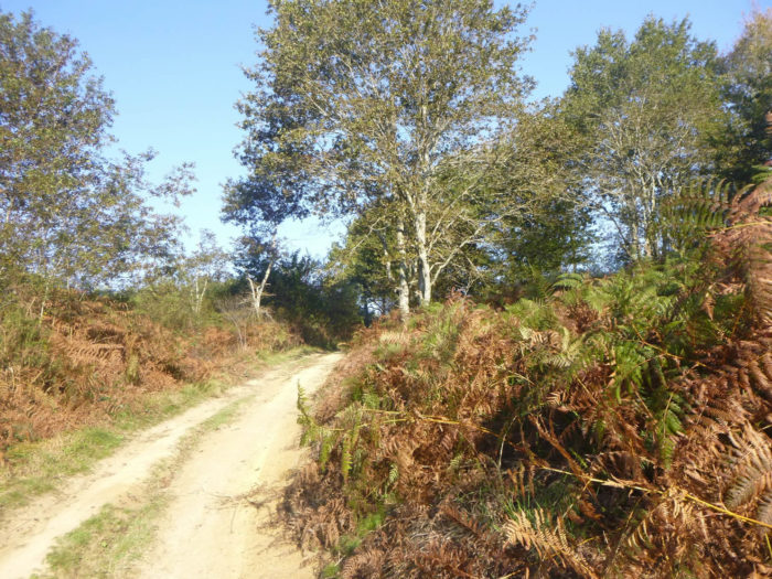
Section 3: Passing through the Lacorne supplies.
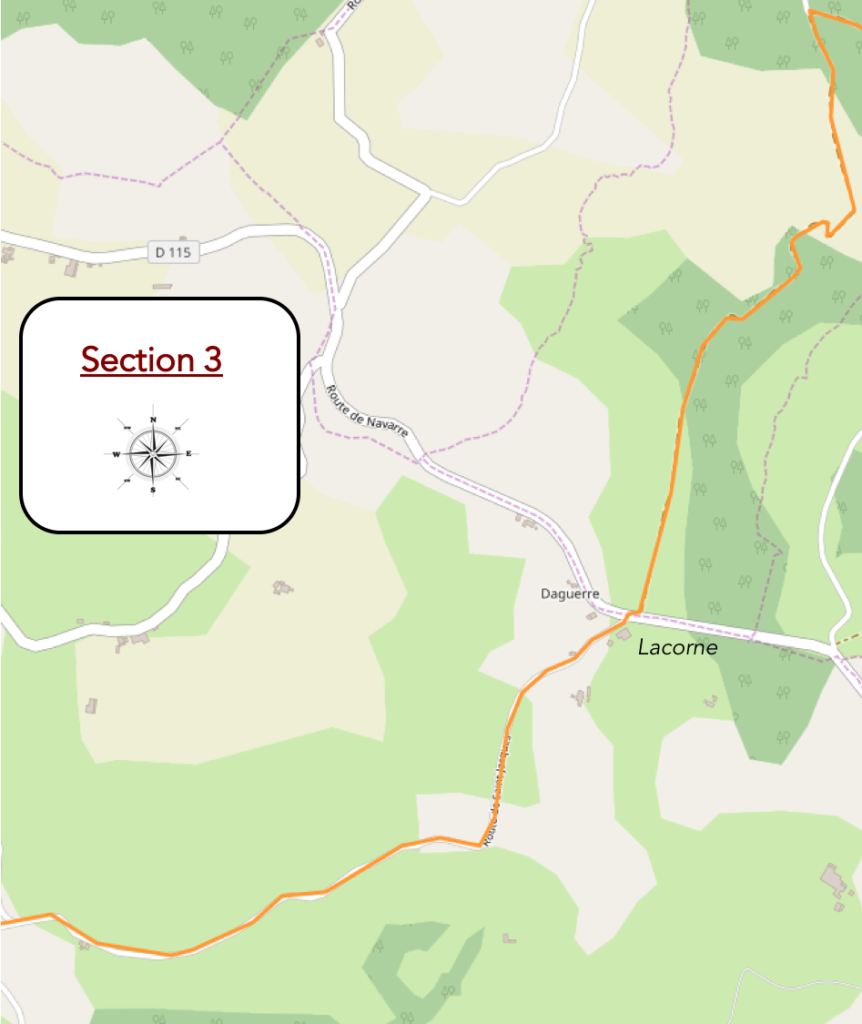
General overview of the difficulties of the route: easy route, except for the climb to Lacorne.

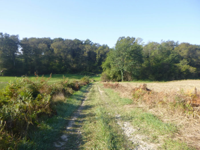
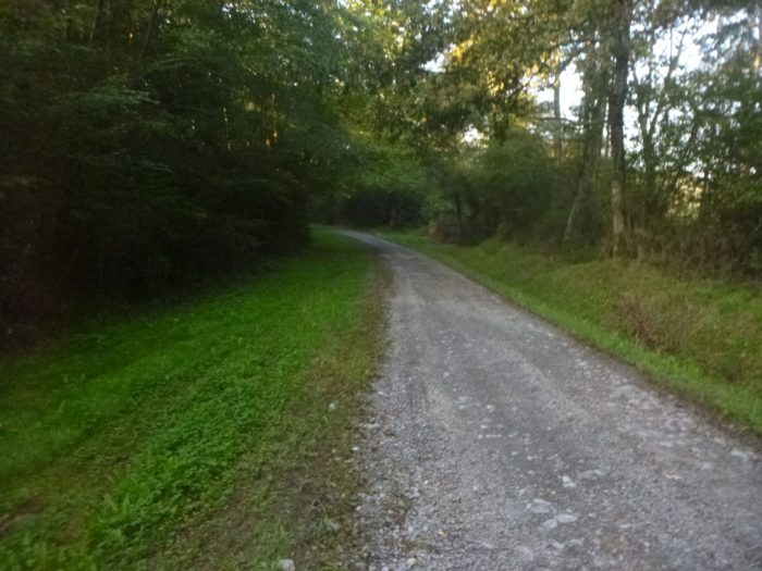
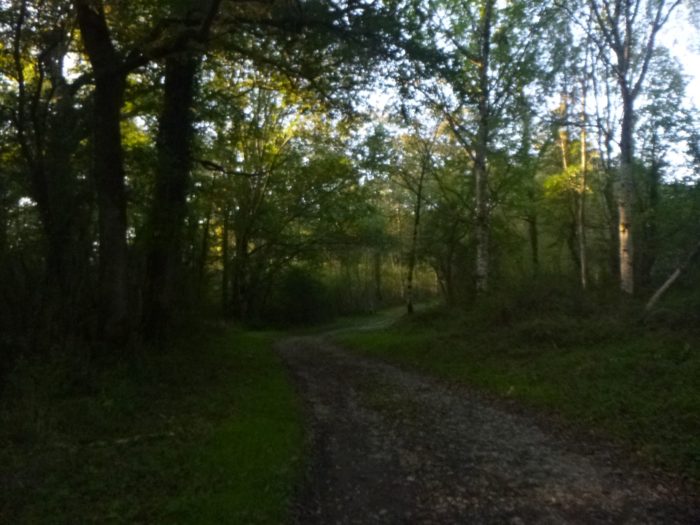
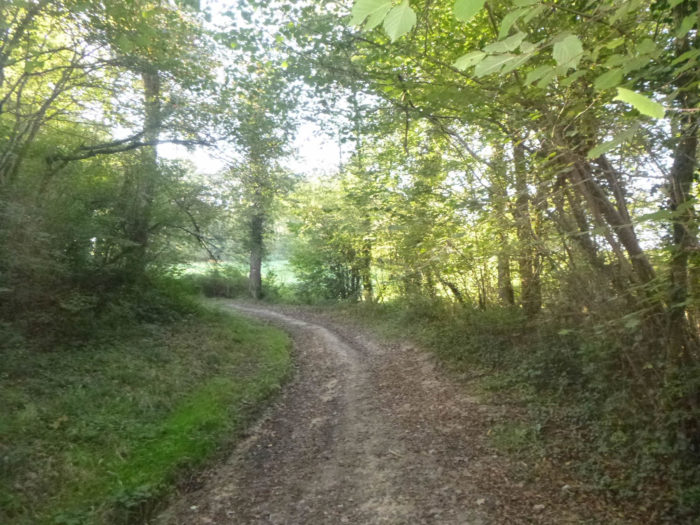
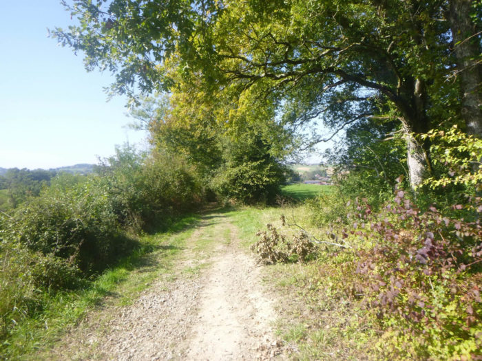
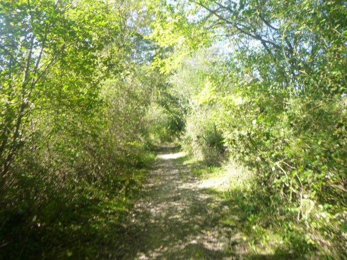
The pathway then descends from the hill, sinking deeper and deeper into an exuberance of chlorophyll, into an increasingly wild nature. The forest, the real forest, is beautiful here. There are not only oaks, there are also chestnut trees, beeches and maples. Sometimes elderberries or mountain ash line the trail. The sun’s rays barely shed their light through the dark branches.
| In the darkness of a denser forest, the great oaks create a void around them, forgetting the shrubs they once were and the time they took to smother other species. Oaks are beautiful trees, but scoundrels. You may find cars on the way, probably woodpigeon hunters. |
 |
 |
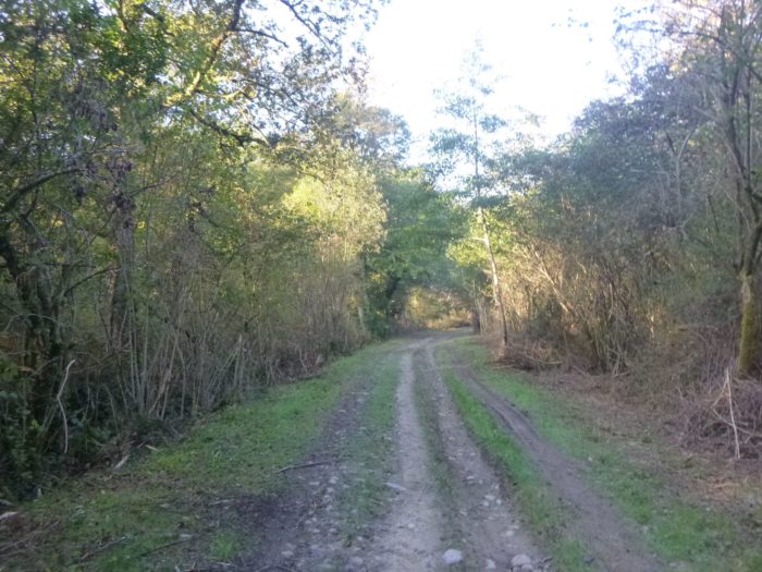
A little further, the GR65 finds crops along the hedges, corn in particular. Despite the presence of many small streams, the ground can be particularly dry, sometimes cracked. The trail is marked in the ferns, sometimes a few rare broom or heather. The pathway is most pleasant here and the countryside relaxing as you wish.
| Gradually, you’ll approach the Gassou stream. Between tall grass and foliage, the pathway takes you into nature where time seems to have stood still, in a labyrinth of shades of green where earth and silence are one. Here, you may see some maples and some ash trees. |
 |
 |
| When you get to the edge of the Gassou stream, it is very likely that you will carry some of the mud from the Basque country under your soles, although you will not see any water flowing in the stream. |
 |
 |
| Yet, you will not be the sole beneficiary. Corns also like to soak their feet in water. |
 |
 |
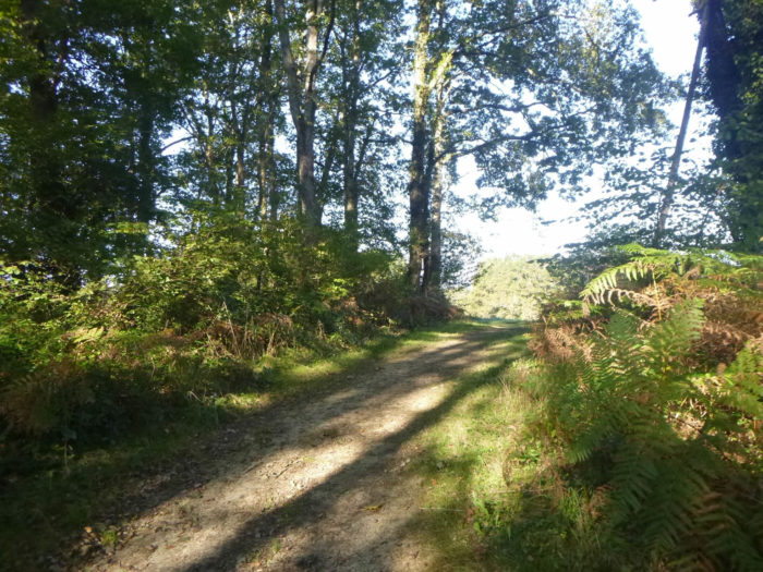
The pathway soon leaves the large and beautiful forest of Castetnau-Camblong. On the edge of the woods, you won’t be surprised to see that people love wood pigeons here.
Further afield, the pathway now climbs a little more along the leafy hedges.
| Up there, you see Lacorne on the hill, above the meadows and cornfields. |
 |
 |
Consequently, it is inevitable, in times of great affluence, the groups of pilgrims tighten up. You will often have the feeling of traveling alone when the path walks flat in the undergrowth. Put a little slope there, and everything changes. The rapid walkers catch up with the slow ones and all these nice little people come together at the top of the ridge.
| It is at the top of the ridge that the slope is a little more demanding. But so little time. |
 |
 |
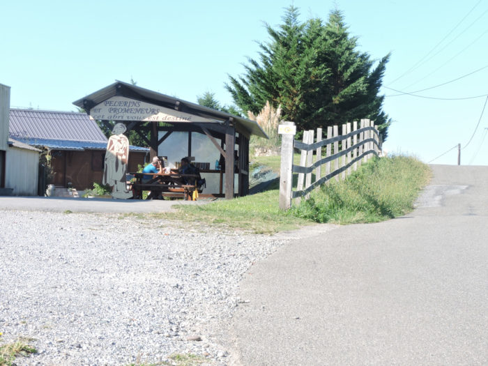
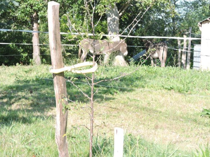
| And sometimes, when the effort has been a little more tough, the reward comes in the form of a well-deserved and comforting break. Two refreshments offer their services to passing pilgrims. In Lacome, everything is there, the charm and the setting, to invite you to stop. |
 |
 |
| Here even the donkeys seem to enjoy the break. |
 |
 |
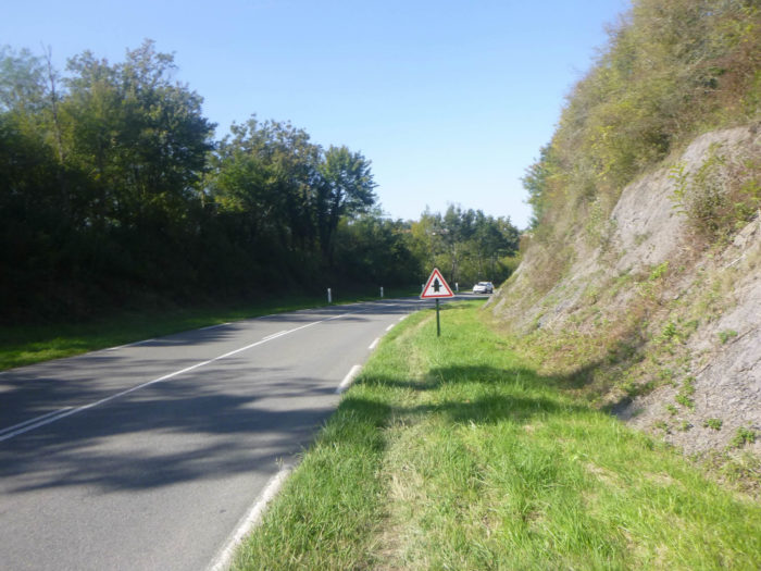
And yet. all good things come to an end, you have to come back down from the ridge on the tarmac.
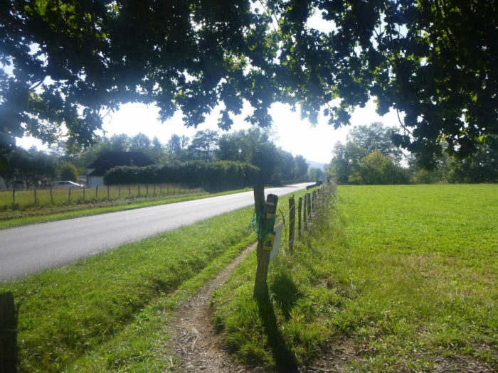
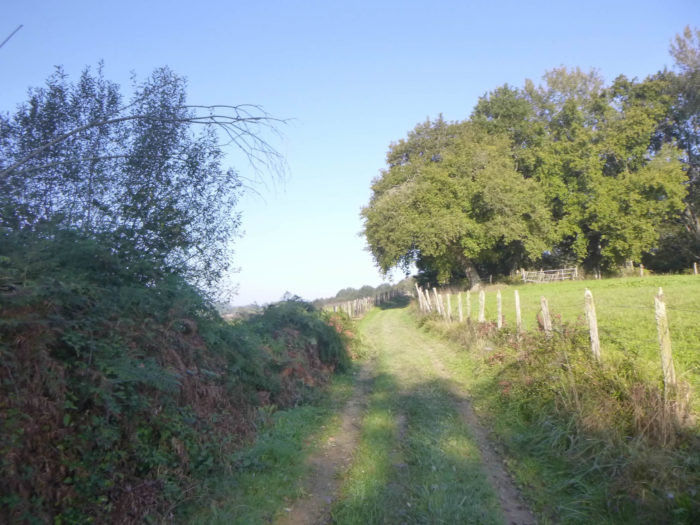
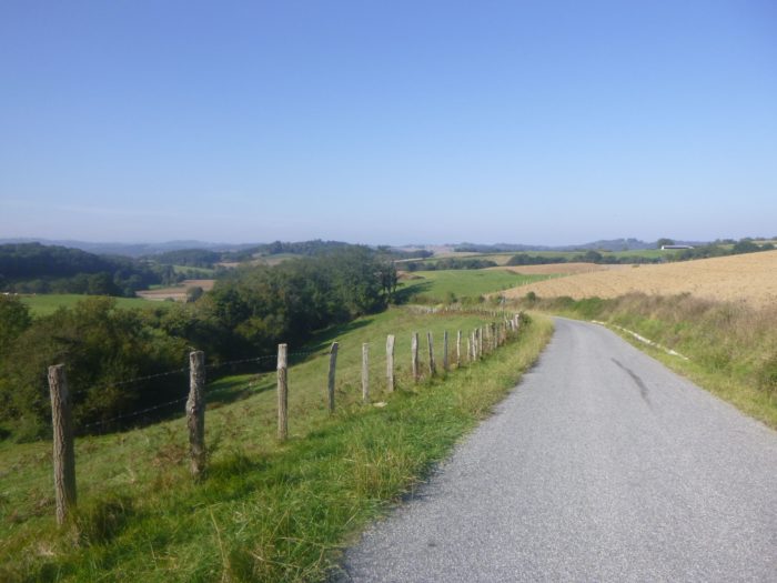
| A strip of grass runs alongside the road, but there is no traffic around here. And always those cornfields that will never let you go. |
 |
 |
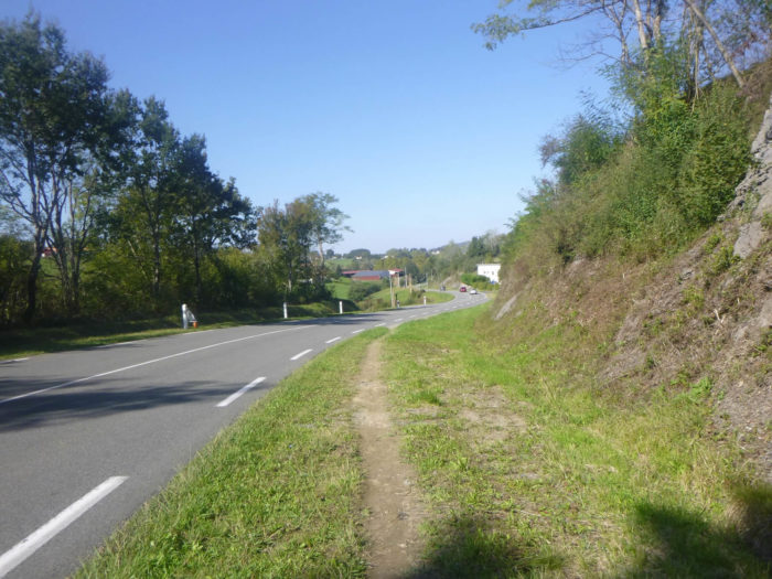
| Further ahead, the country really opens up more, sometimes with cows in the meadows. |
 |
 |
| Further down, the slope increases and the road spends a moment in the undergrowth. |
 |
 |
| But you will quickly find the countryside back. But if your eye is bored with corn, focus on soybean fields or beet groves, a whole world almost as attractive. You may come to regret the wheat and sunflowers of the Gers. France is first and foremost a huge countryside. |
 |
 |
| At the bottom of the dale, the road crosses the small river Apeure. River? Let’s say a stream, near a picnic spot under the large oak trees. |
 |
 |
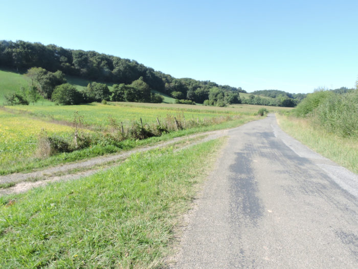
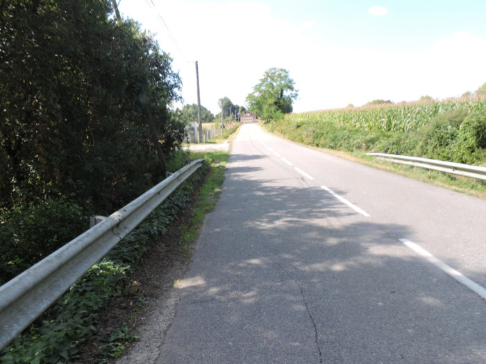
| Further afield, the road flattens into the plain in the middle of corn and soybeans. Still and always. |
 |
 |
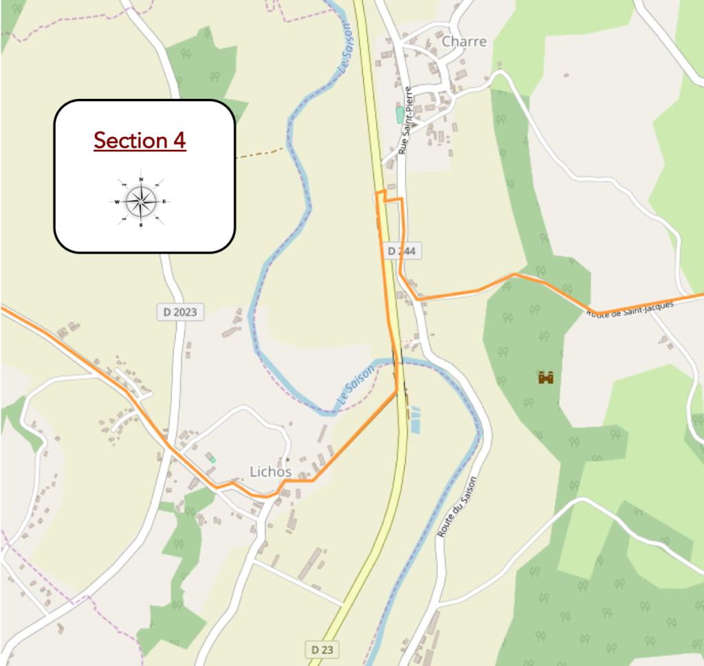
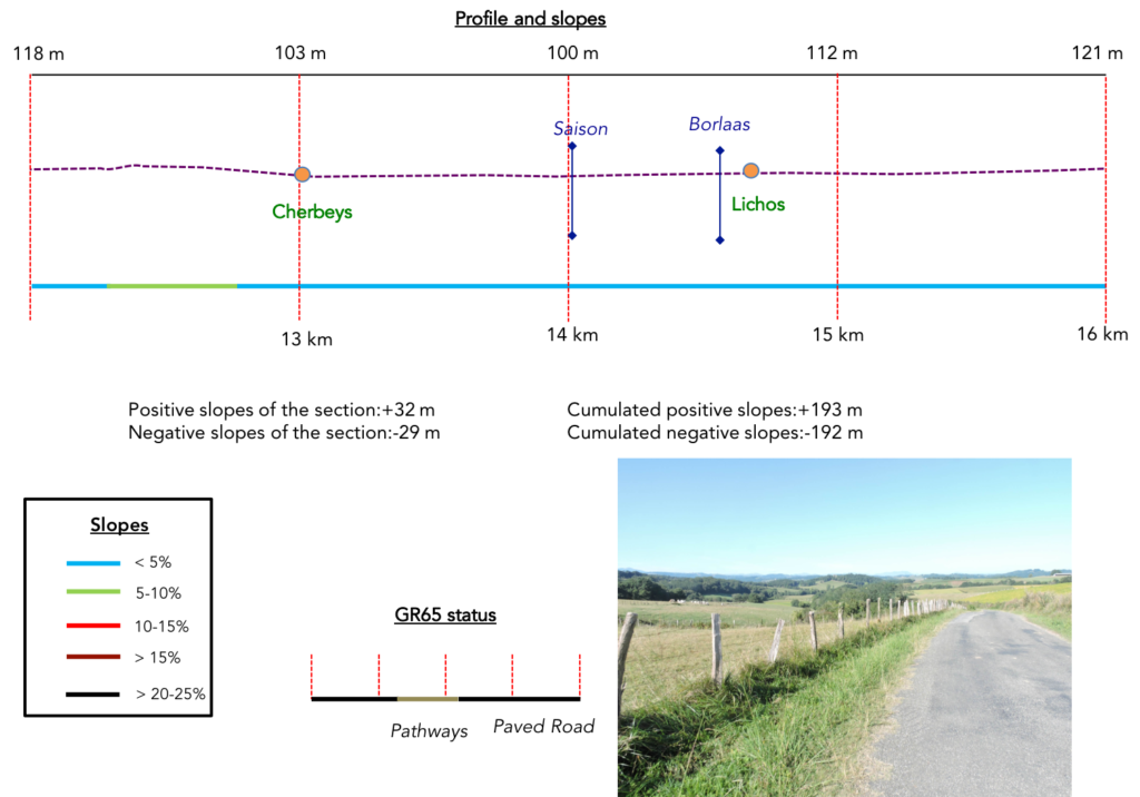
Section 4: Through the Season River, to fish for trout.
General overview of the difficulties of the route: course without any difficulty.
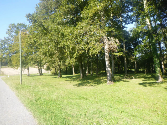
| Shortly after, the road crosses a pretty, very airy little wood. |
 |
 |
| Plane trees here have been planted among the oaks and ash trees. |
 |
 |
| When you come out of the woods, you can see the Charre Church pointing behind the corn. The road to Santiago will soon find the ducks back. |
 |
 |
The GR65 soon arrives at Cherbeys, a small farming village, almost on the edge of the Saison River. But there is no bridge here to cross the river.
| Therefore, the GR65 must make a small detour to the village of Charre |
 |
 |
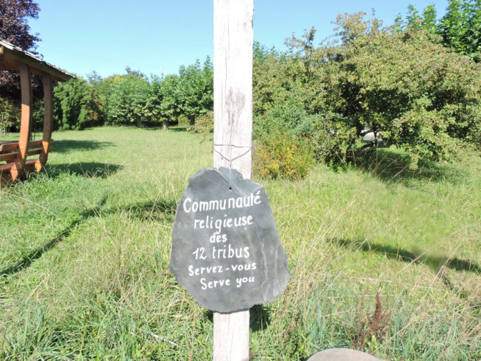
Yet, it does not go to the village. Shortly before, it forks towards the river, passing under a tunnel to avoid the departmental road.
Once upon a time, there was a dwelling here belonging to the sect of the 12 tribes. In France, the community had settled since 1983 in Sus, at Château Laroque, a stone’s throw from Navarrenx. The community intended to lead a life entirely in accordance with the Bible and to live like the primitive Christians. About a hundred followers lived in the area, many of them children. This sect has made the headlines many times, because of the punishments inflicted on children. The sect was known for offering room and board to disoriented pilgrims. According to the latest news, it would be about to leave, faced with the difficulties of continuing in France their way of life in accordance with their beliefs.
| Here the GR65 returns to Cherbeys, in the maize, next to the D244 secondary road, first on a wide pathway, then on a narrow grass pathway at the edge of the secondary road. |
 |
 |
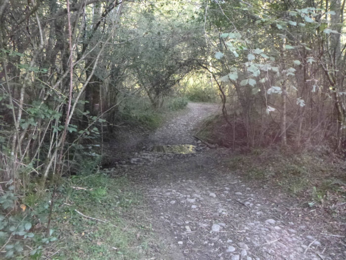
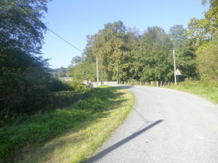
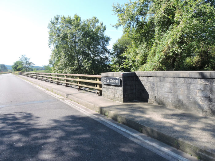
At the end of the long straight line, the pathway will cross the Saison River, the main tributary of the Gave d’Oléron. The Saison, where it is good to fly fish for zebra trout or salmon, is one of those rivers in the Pyrenees which can be terrifying when the floods sweep away everything in their route, carrying the jagged trunks of the trees. Today, all is calm and serenity. The waters draw arabesques. It is a magnificent river where the blues and the greens train, merge.
| . |
 |
 |
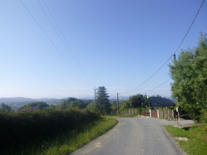
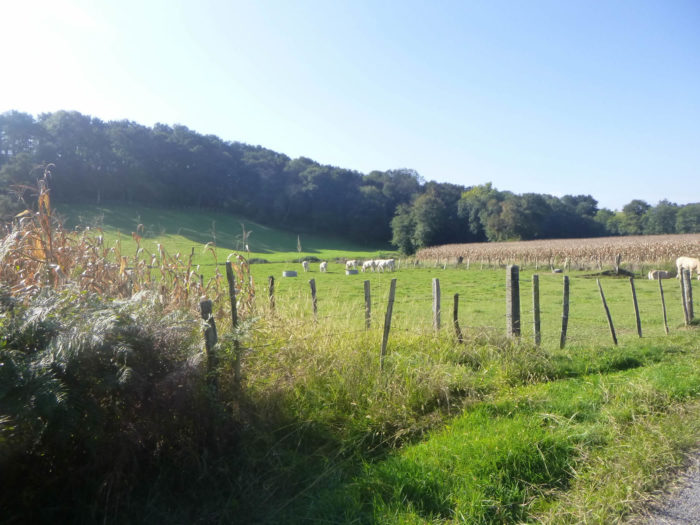
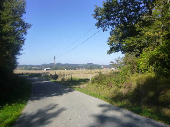
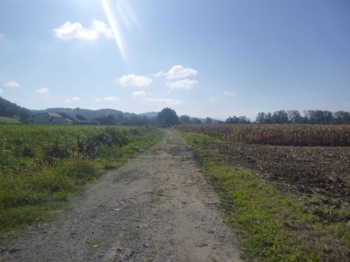
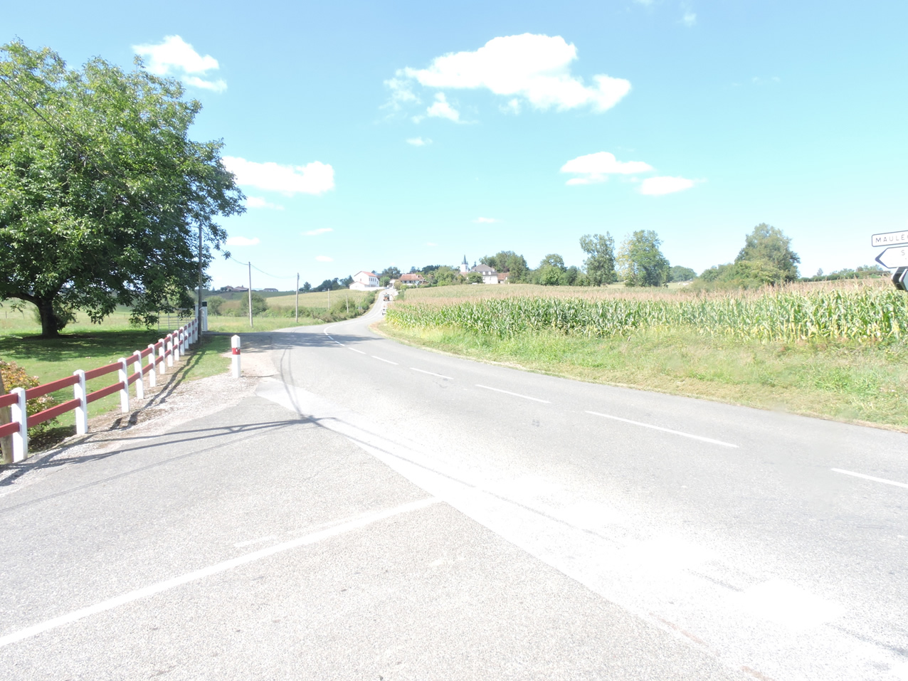
| The GR65 then reaches the wide and vast plain watered by the Saison. Corn grows here and duck farms flourish. In a horizon that is getting closer and closer, the Pyrenean mountains are emerging, so awaited by the pilgrims to Santiago. |
 |
 |
Further on, the GR65 leaves the plain to climb very slightly towards Lichos, on the hill.
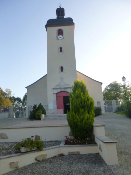
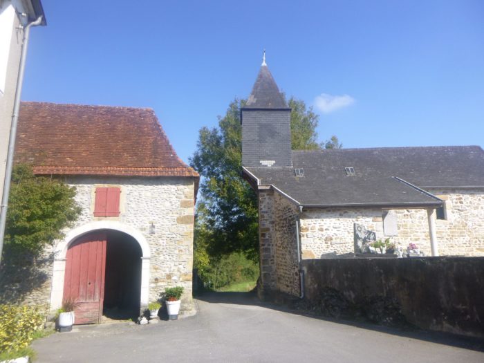
| Away from the road stands a small church with curious architecture. The church was ravaged by Protestants before being remodeled over time. There is no water here to water the throats. |
 |
 |
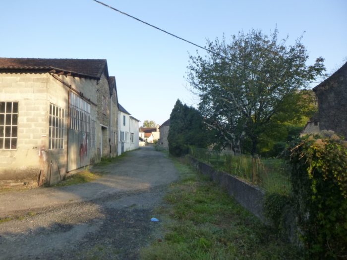
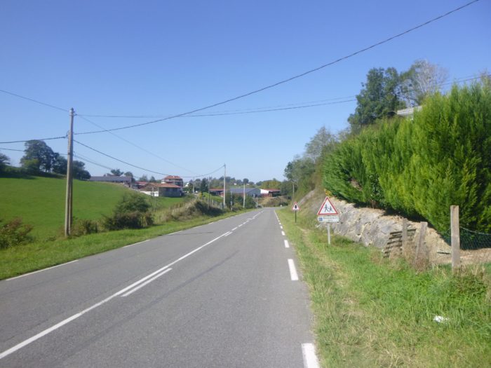
| The road crosses a fairly large village, with no real center. |
 |
 |
| Here the pretty little Bordaas river hops over the stones. |
 |
 |
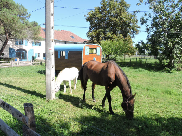
| Near the bridge over the river, a horse farm gives a note of color, freshness and tranquility. It is also a place of rehabilitation for children. |
 |
 |
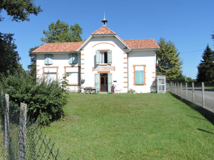
| You can stay in the village, but you have to open your eyes to find accommodation. As the village is dispersed, a road leads out of the village near what must have been a communal school a long time ago, and which is now the town hall. |
 |
 |
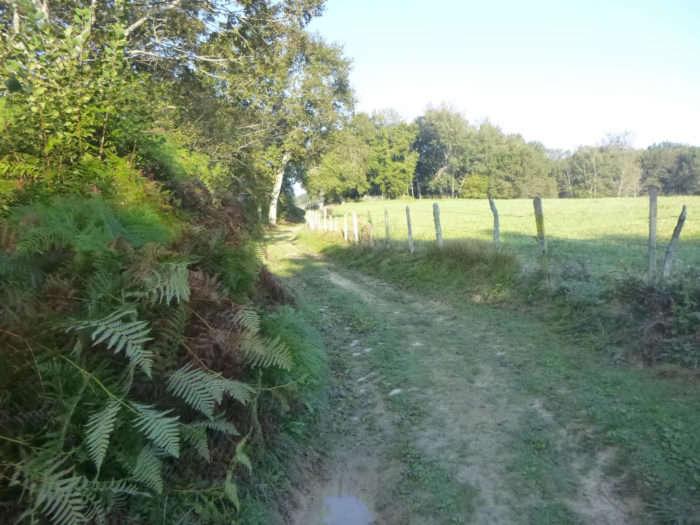
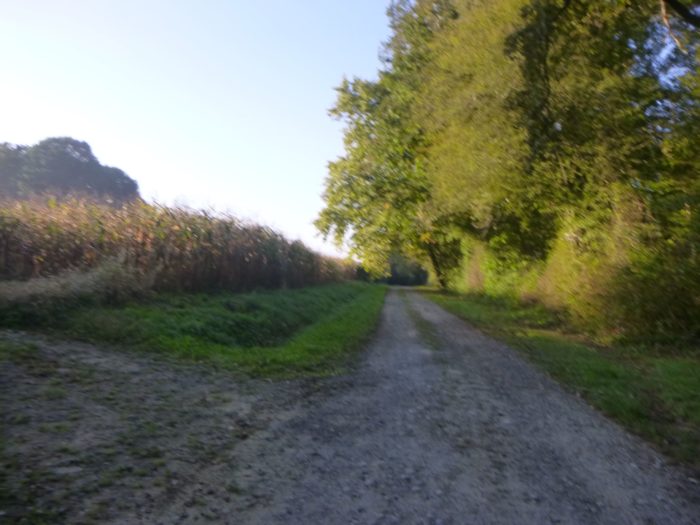
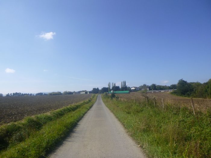
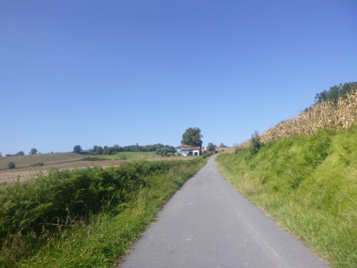
| The GR65 leaves the sprawling village of Lichos. It crosses a long cultivated plain where soybeans, corn and even rapeseed grow. There are also sometimes a few fruit trees. |
 |
 |
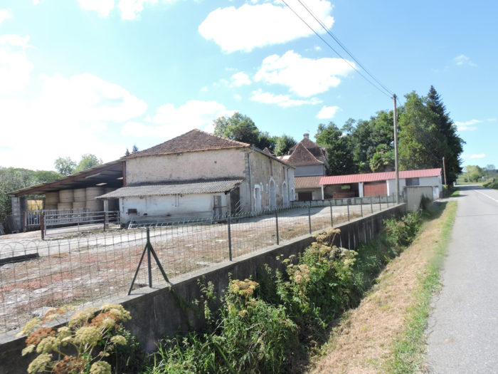
Further on, the road then passes close to large duck farms.
If there is a hatchery in the region, on the outskirts of the village, it is also because there is no shortage of breeding and force-feeding factories. You might close your eyes and find them anyway. It is not the untimely quackings of birds that will attract your attention. Besides, ducks roaming the meadows, we didn’t meet any here. Your ear is quickly alerted by the muffled, ominous whirring of the pale fans and motors that extract stale air from the force-feeding rooms. The road turns slightly and in front of you then spreads the full panoply of the device. First there are these horrible green painted tunnels, to make it more natural. Environmentalists do not hesitate to equate these feeding tunnels with real concentration and total extermination camps for birds. Grain elevators hardly add a note of harmony to these places, clad with signs prohibiting passage and entry.
We apologize for our rant, but the organizers of the tracks would have had a rich idea in diverting the route of these places so unwelcoming. Everyone knows that animals have to be killed to eat them, but the route never passes the slaughterhouses of large livestock. So why make an exception for ducks?

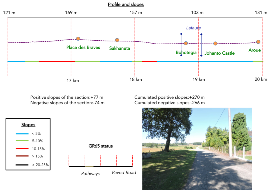
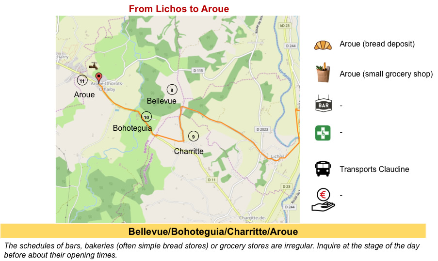
Section 5: Over hill and dale to Aroue.
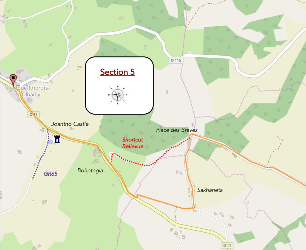
General overview of the difficulties of the route: some steeper slopes uphill and downhill.
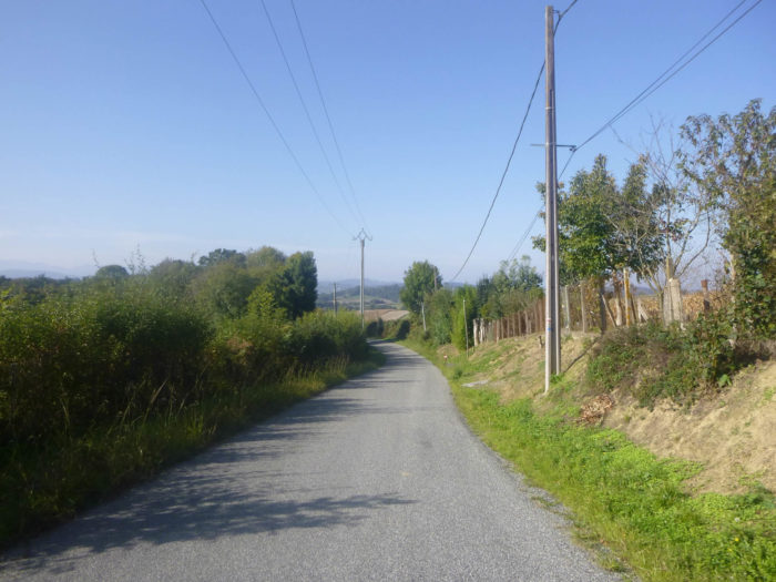
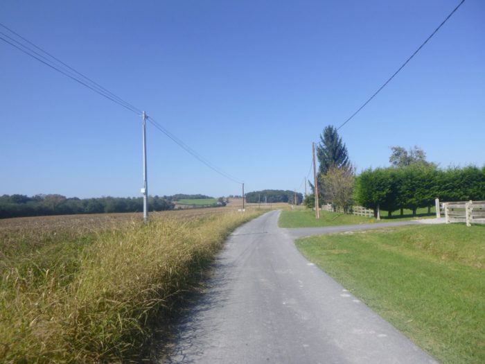
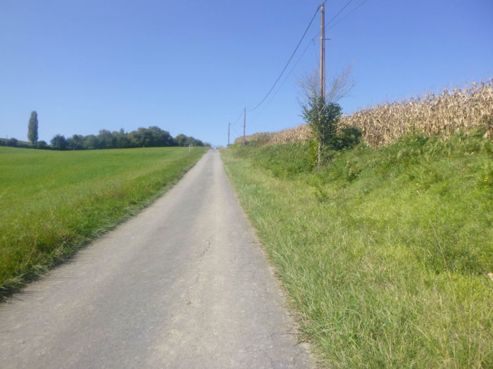
| The road then drags on across the plain amidst the crops. |
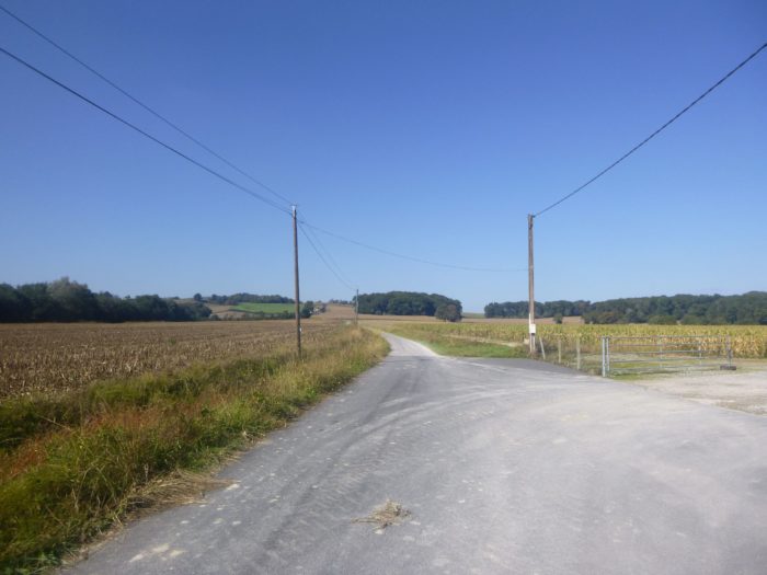 |
 |
| Then the slope becomes more demanding on the side of the hill. |
 |
 |
Halfway up the slope, here is a farm again. Fortunately, the doors remain closed. It is impossible to know whether or not the ducks are confined to their individual cages, receiving their unthinkable batch of corn through the tube that a mechanical system threads down their throats twice a day. Rare must be the breeders who still take the birds on their knees, as one takes small children, and caress the esophagus to massage the food bolus. They say ducks don’t suffer. It’s true. But by dint of crossing these places of death on the way, we take a severe indigestion. Such is the life of ducks.
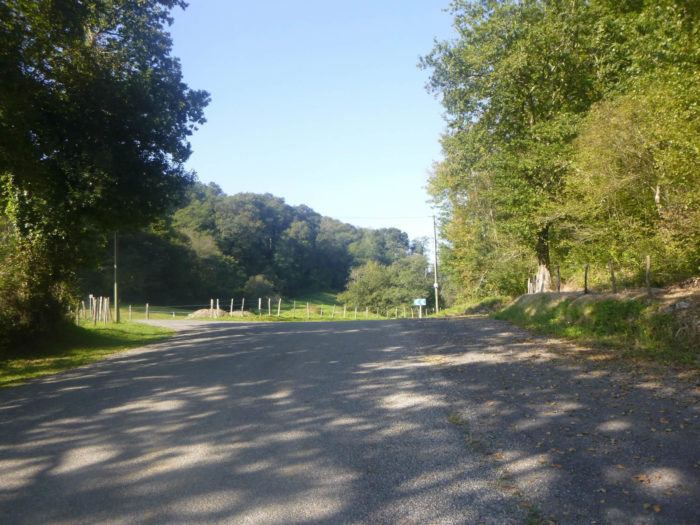
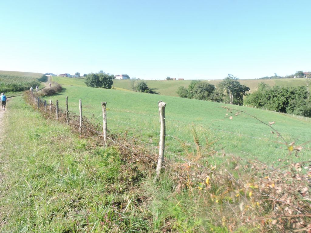
Further up, the slope becomes ever steeper, between 10% and 15% to reach the place called La Place des Basques.
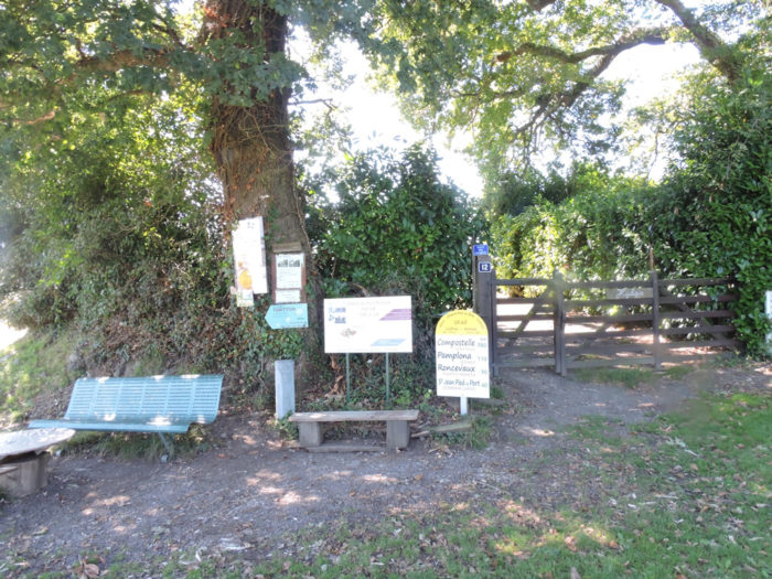
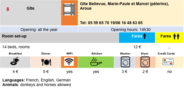
Here people make you a detailed plan of the possibilities of accommodation in the region. You can reach Gîte Bellevue through the forest, or follow the GR65 on the road to Aroue. If you go to Bellevue, you can also join the GR65 near the Bohoteguia farm. If you have not booked your lodging for the day, this is the last moment to do so. Here you leave Béarn for the Basque Country.
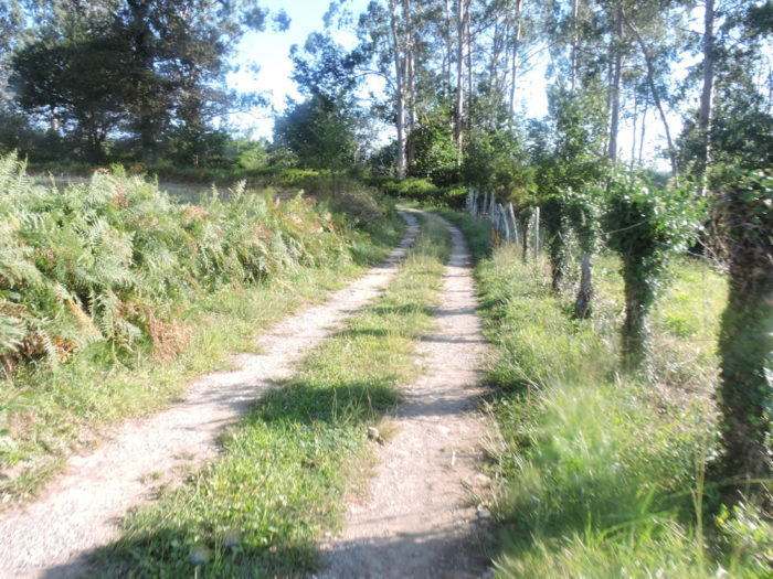
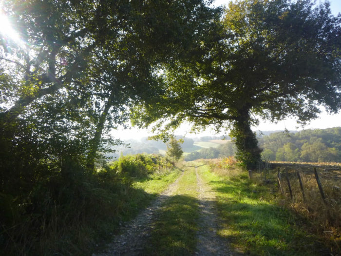
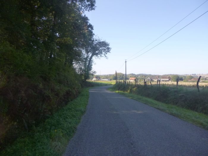
| The road descends beyond the Place des Basques, into the green countryside and corn, where the hills of the Basque country loom in the distance. The slope is gentle in a very sparsely populated country. |
 |
 |
| On the road, in the hamlet of Sakhaneta, you’ll come across a beautiful stone house under large oak trees. Can we never say enough about the charm and serenity that emanate from these houses made of stone rubble? |
 |
 |
The GR65 descends a little further on the tarmac until it crosses another possible accommodation in this depopulated region.
| Immediately after, it leaves the road to slope down along a forest lane in the undergrowth. At the start, the slope is not steep. |
 |
 |
| Then the slope becomes sustained, at nearly 15%, under oaks, chestnuts, ash trees and hornbeam shoots. |
 |
 |
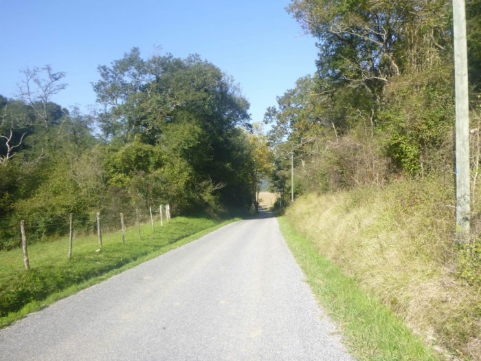
| The passage on the pathway is not very long, and the GR65 again joins the small D11 departmental road. |
 |
 |
| A grassy strip runs along the road which quickly reaches the small plain below. |
 |
 |
Another small wonder of a stone house, which we cannot say if it is occupied or deserted.
| Bohoteguia’s farm is a large farm, by the roadside. It’s a bit like Aroue’s heart. Many pilgrims spend the night there. The others go to the Bellevue gîte or to the Aroue communal gîte. This is also where you will arrive if you have spent the night at the Bellevue gîte. |
 |
 |
| The GR65 continues past Bohoteguia on the road, crossing the Lafaure stream. It is a stream that runs with many tributaries in the area. |
 |
 |
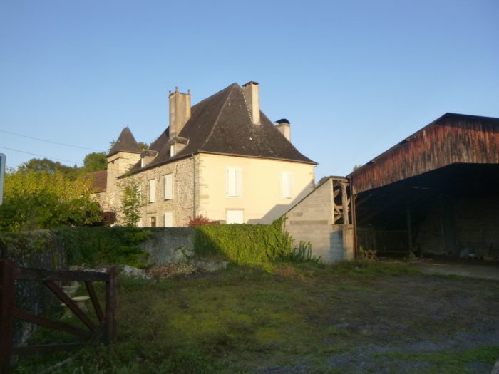
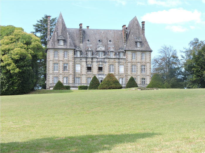
| Very quickly, the road arrives at Johanto Castle. Finally, castle! It looks more like a large farmhouse next to a stately home. |
 |
 |
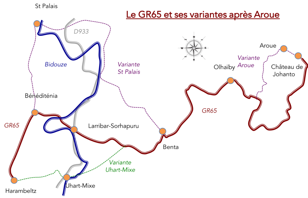
It is the crossroads of this whole region, because GR path does not go to Aroue. It starts directly to the left of the castle. Yet, in the lodgings, owners also recommend taking the variant that leaves from the village.

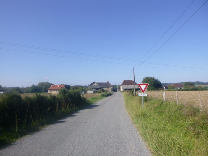
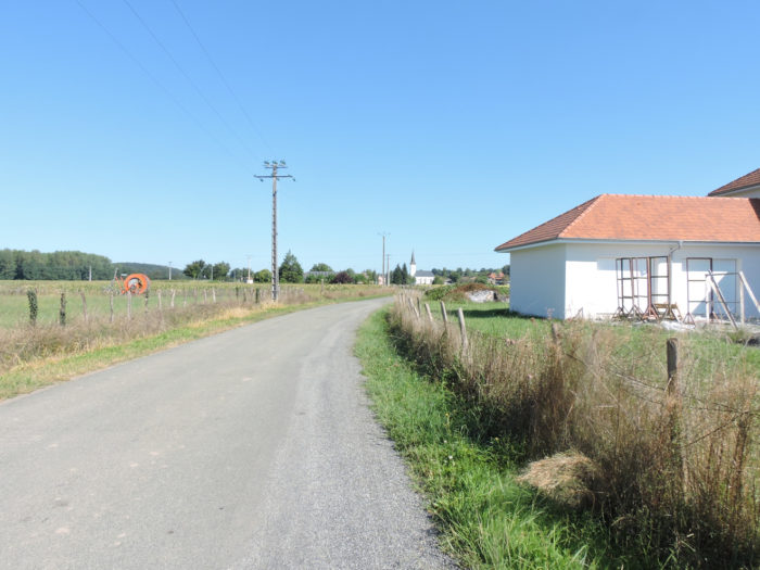
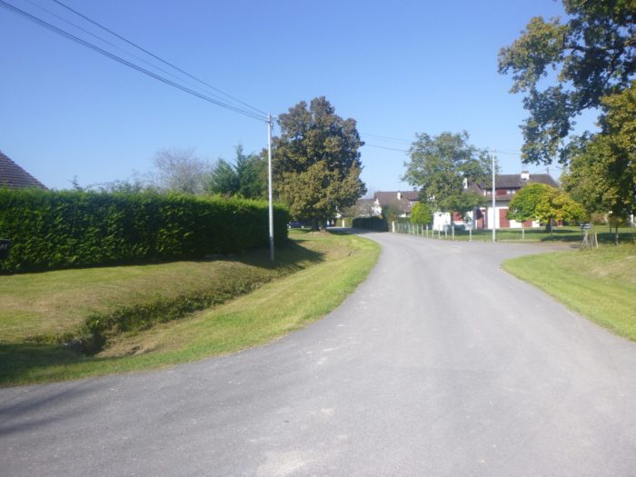
| Aroue is a stone’s throw away, in front of you. Since 1973, the village of Aroue has been grouped together with the villages of Ithorots and Olhaïby, forming a single municipality, whose town hall is in Aroue. They are small villages. |
 |
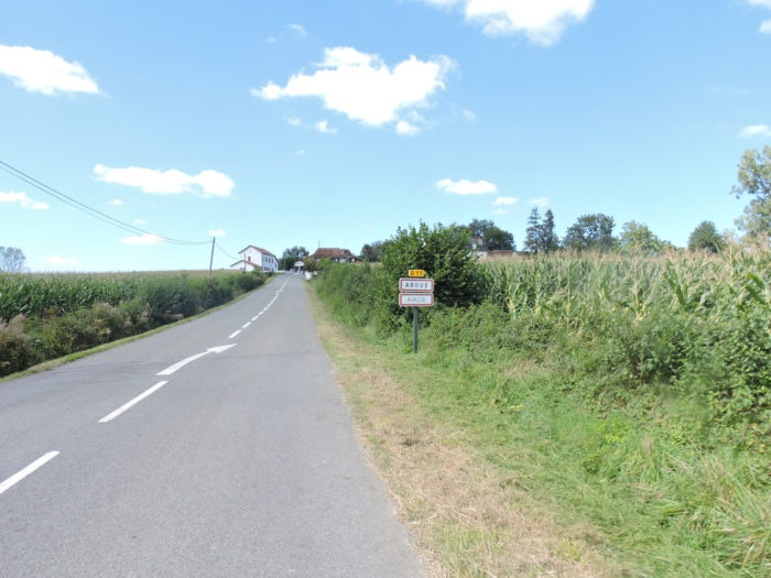 |
| There is hardly any reason to go to Aroue, unless you go to stay at the communal guesthouse or take a look at the magnificent chateau, the seat of a development and training council that sits in the limelight. on a small hill at the exit of the village. There used to be a pizzeria in the village. No doubt closed forever. But who knows? There is however a small grocery store, with difficult hours, but you can find the same thing at the Ferme de Bohoteguia or in Bellevue. |
 |
 |
As the stage is short and the accommodation possibilities limited here, but also on the following stage, some pilgrims used to go to one of the GR65 variants to stay at the Gîte de l’Escargot-bar in Uhart-Mixe. This made it possible to gain a stage towards St Jean-Pied-de-Port. But it was still about fifteen kilometers to get there. For now, forget this possibility, the gîte seems to be permanently closed.
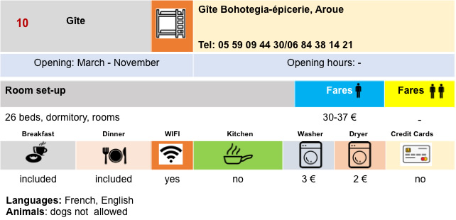
Lodging

Feel free to add comments. This is often how you move up the Google hierarchy, and how more pilgrims will have access to the site.
|
 |
Next stage : Stage 35a: From Aroue to Ostabat |
|
 |
Back to menu |