
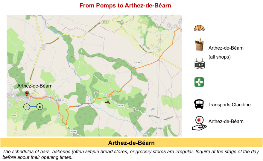
Via the Gave de Pau
DIDIER HEUMANN, MILENA DELLA PIAZZA, ANDREAS PAPASAVVAS
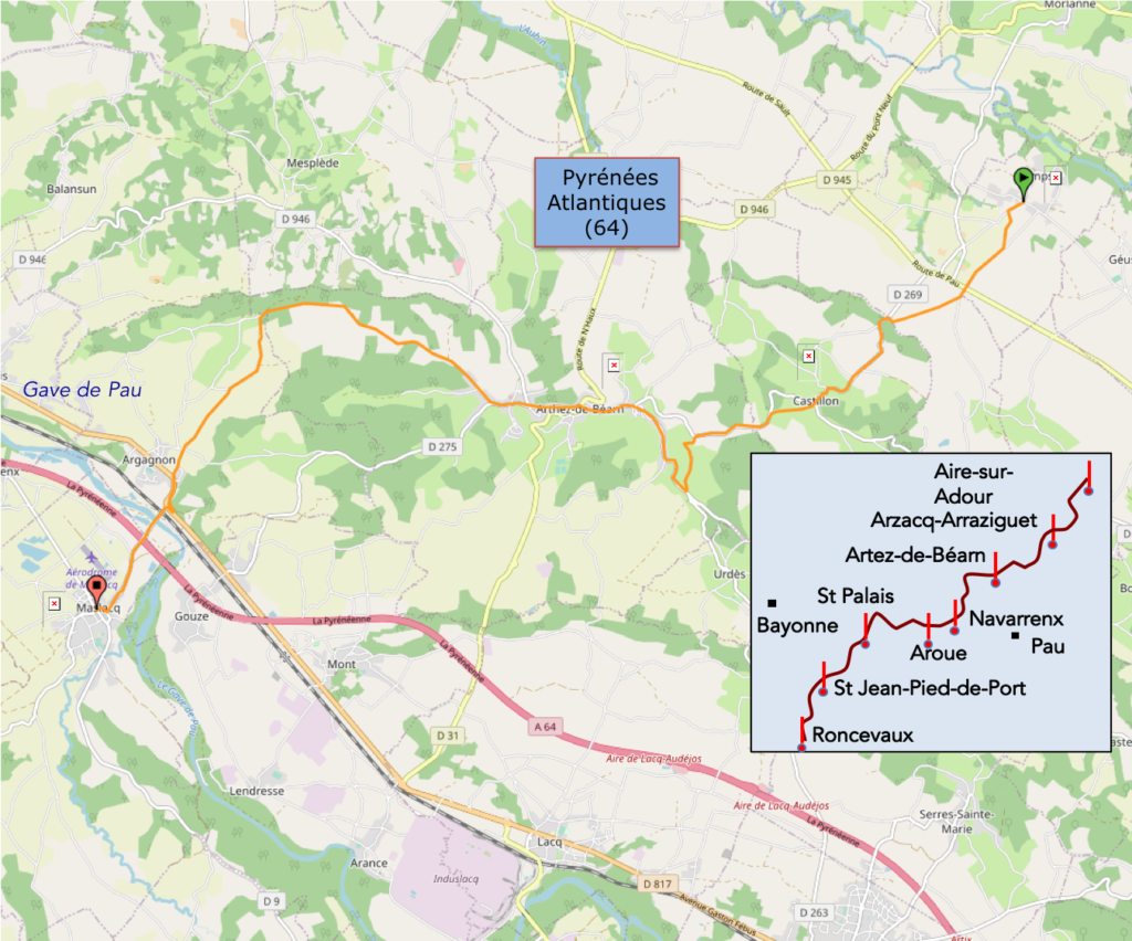
We divided the course into several sections to make it easier to see. For each section, the maps show the course, the slopes found on the course, and the state of the roads. The courses were drawn on the « Wikilocs » platform. Today, it is no longer necessary to walk around with detailed maps in your pocket or bag. If you have a mobile phone or tablet, you can easily follow routes live.
For this stage, here is the link:
https://fr.wikiloc.com/itineraires-randonnee/de-pomps-a-maslacq-sur-le-gr65-59175609
It is obviously not the case for all pilgrims to be comfortable with reading GPS and routes on a laptop, and there are still many places in France without an Internet connection. Therefore, you can find a book on Amazon that deals with this course. Click on the book title to open Amazon.
 |
The Camino de Santiago in France. VI. From Cahors to St Jean-Pied-de-Port (Via Podiensis) on GR65 track |
If you only want to consult lodging of the stage, go directly to the bottom of the page.
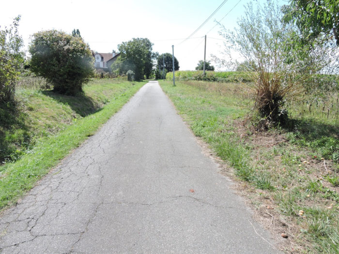
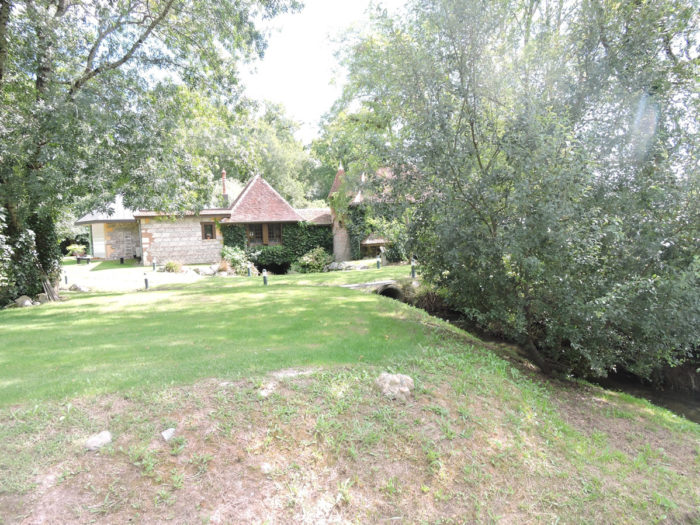
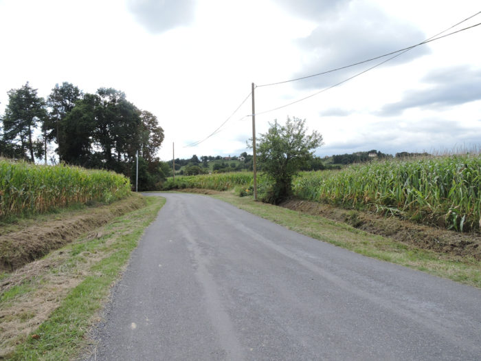
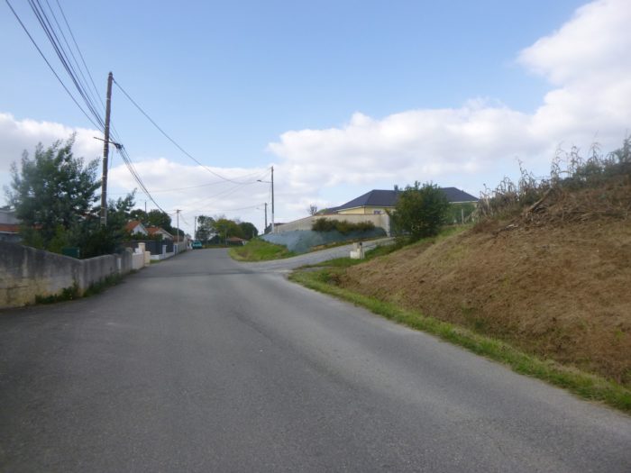
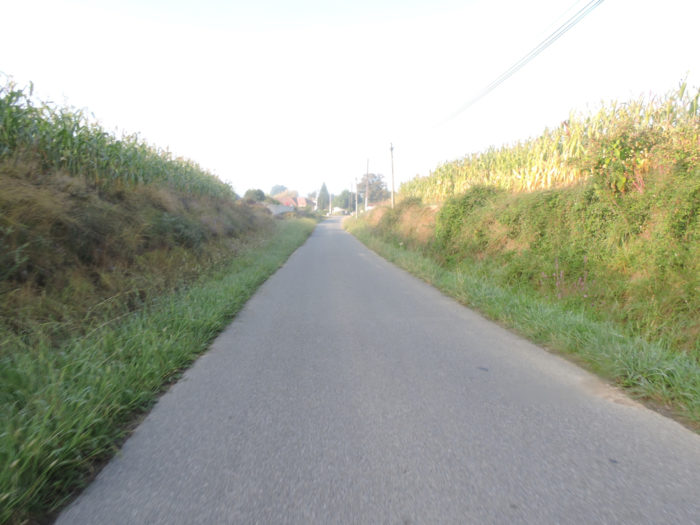
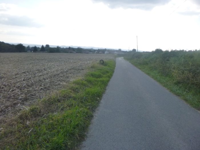
Today, you are heading deeper in Béarn. Corn is still the dominant crop, but grasslands are becoming more numerous. You’ll walk in the country of the two largest gaves, rivers, as they are called in the Pyrenees: today the Gave de Pau, tomorrow the Gave d´Oléron. It is no longer here these deep torrents that leap over the stone beds in the Pyrenees. The rivers have swelled, calmed down, and cross vast fertile plains.

The route today runs down a little further south. This is our second route in Béarn, in the division of stages that we have chosen.
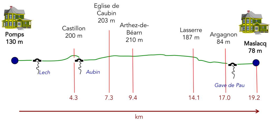
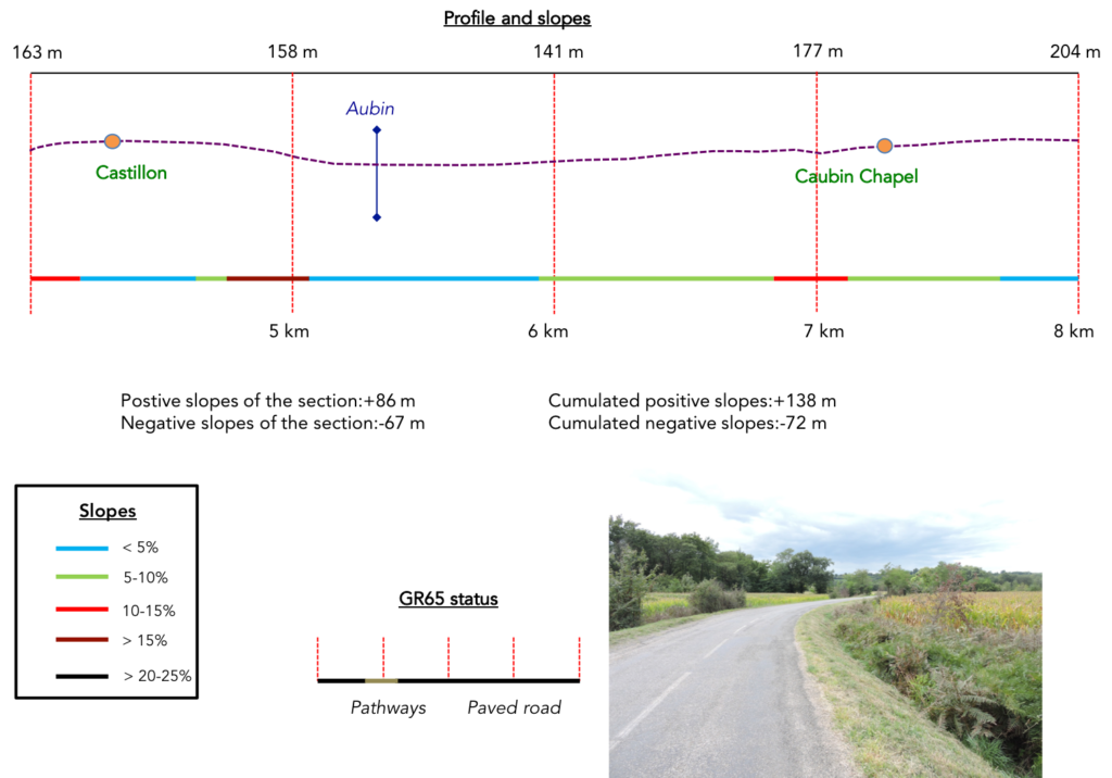
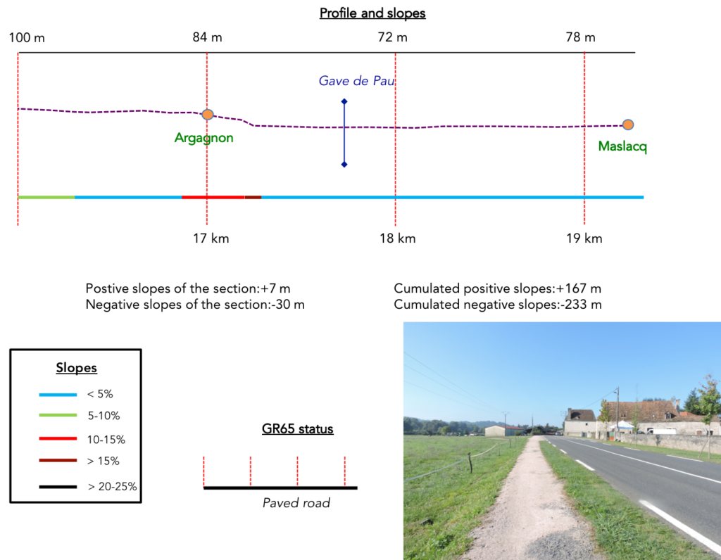
Difficulty of the course: The day’s slope variations (+167 meters/-233 meters) speak for an easy stage. But, it’s not all flat. There are two nice bumps to slope up to Castillon and Caubin Church, but it is not long. There are also two breaking-legs descents, one sloping down into the plain from Castillon, the other leading to Argagnon, in the Gave de Pau River plain.
Here is another day on the tar!:
- Paved roads: 14.9 km
- Pathways: 4.3 km
Sometimes, for reasons of logistics or housing possibilities, these stages mix routes operated on different days, having passed several times on Via Podiensis. From then on, the skies, the rain, or the seasons can vary. But, generally this is not the case, and in fact this does not change the description of the course.
It is very difficult to specify with certainty the incline of the slopes, whatever the system you use.
For « real slopes », reread the mileage manual on the home page.

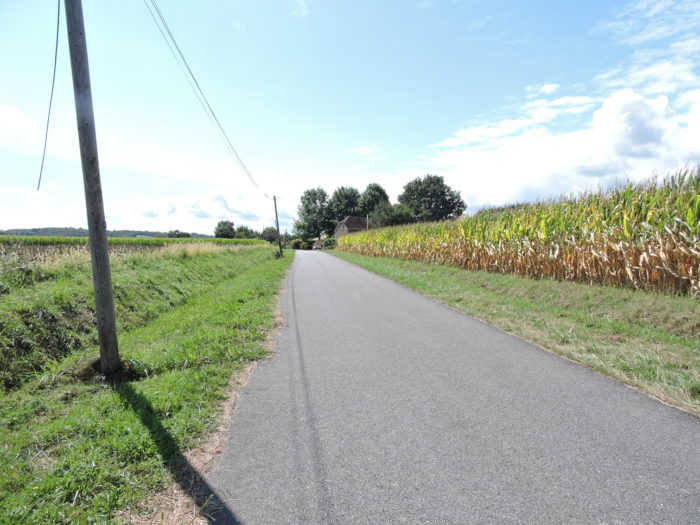
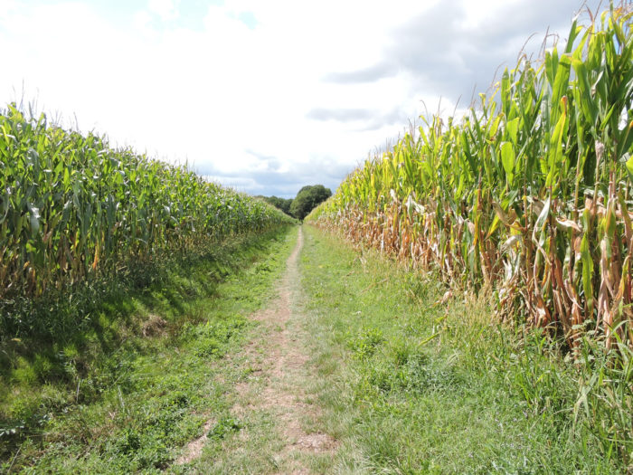
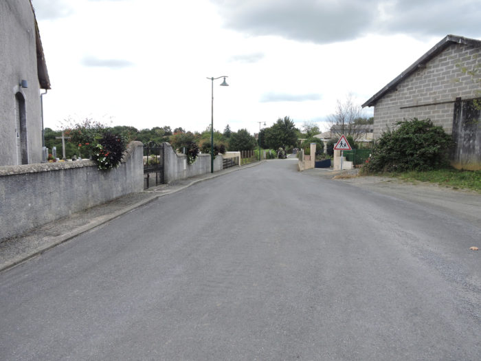
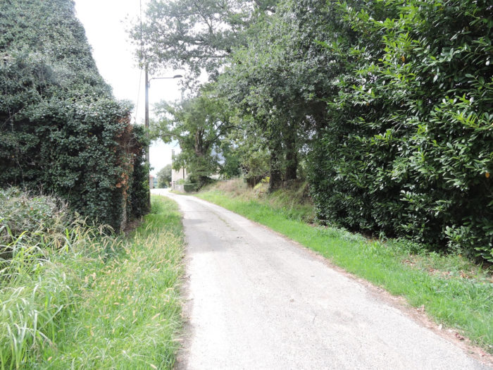
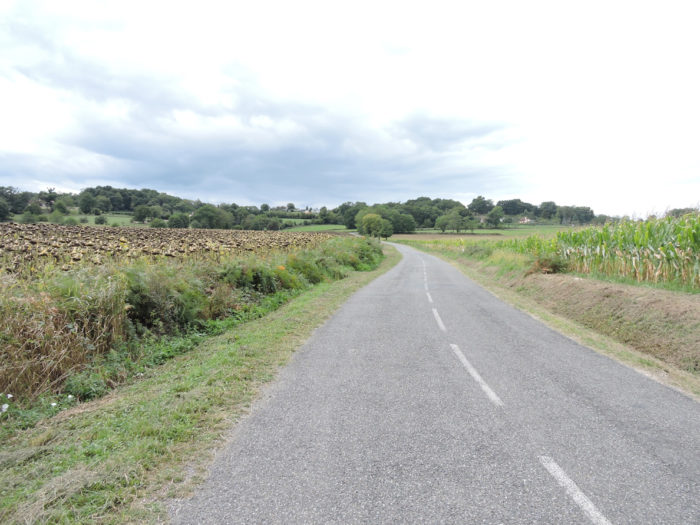
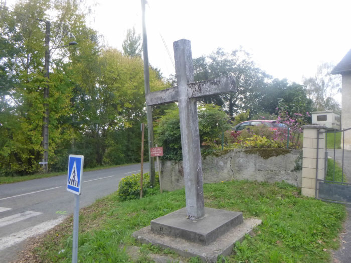
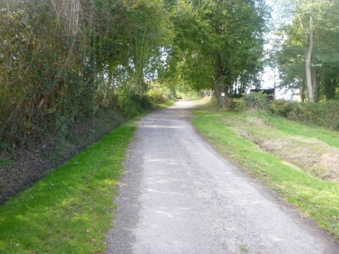
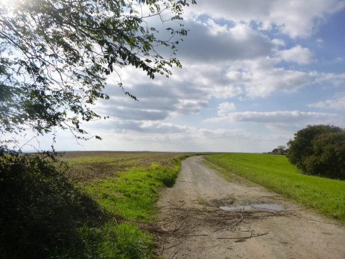
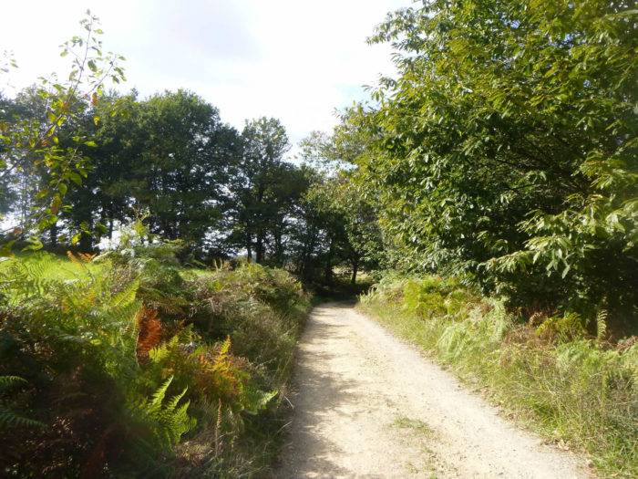
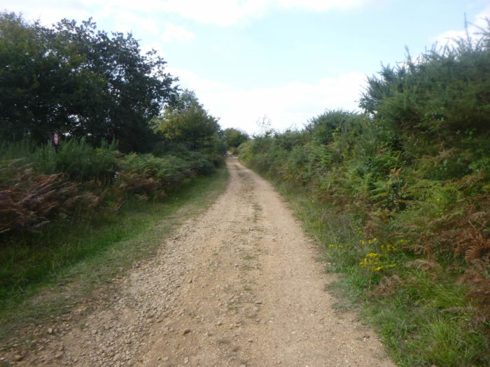
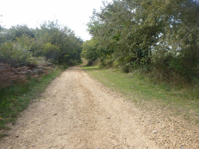
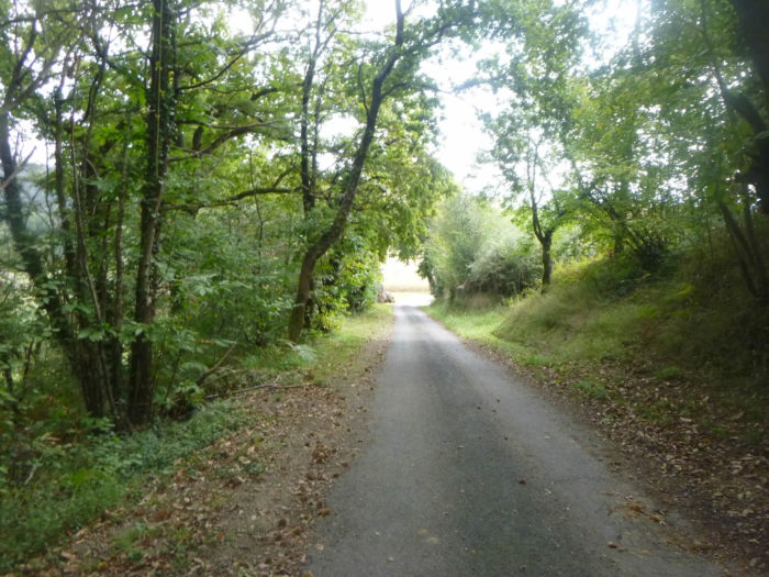
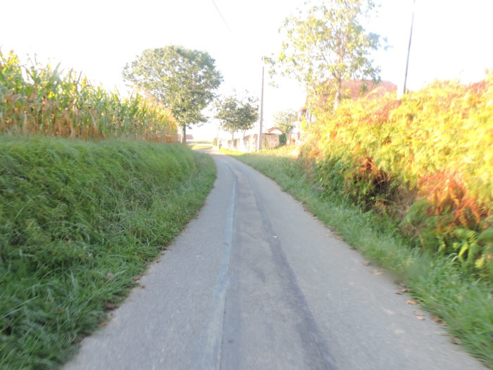
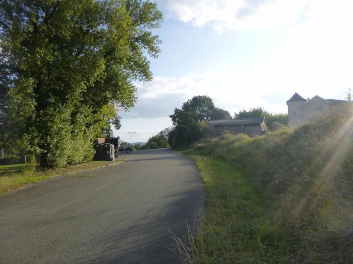
Section 1: Corn, more corn.
![]()
General overview of the difficulties of the route: course without any difficulty, except for the climb to Castillon.

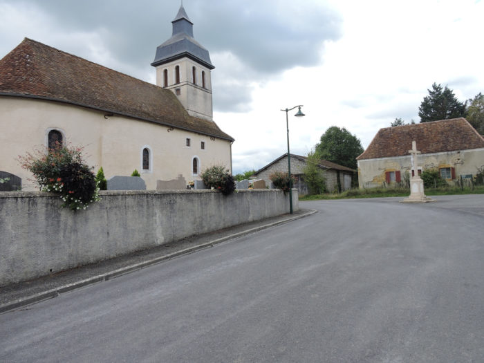
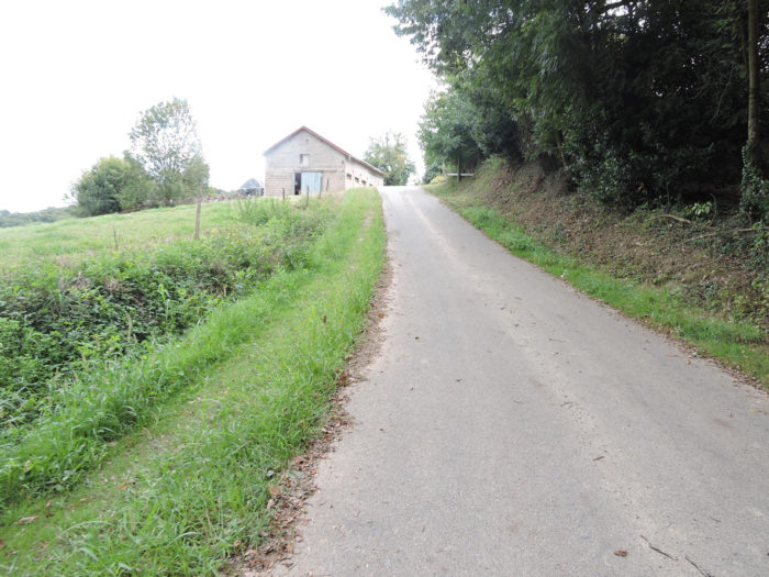
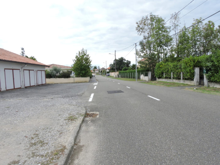
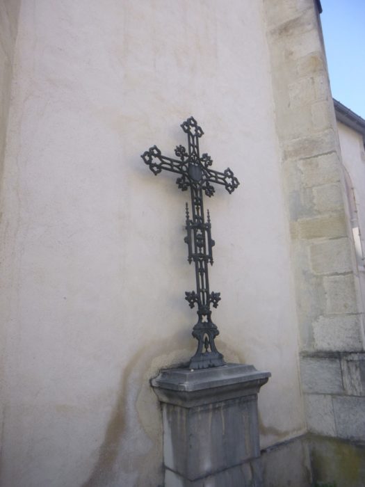
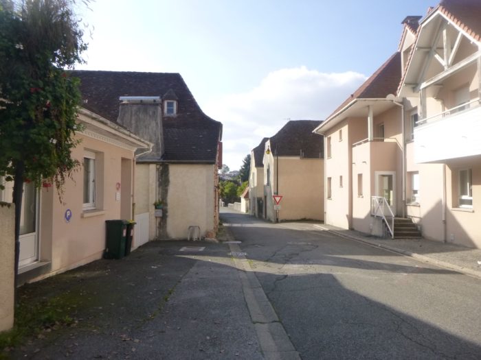
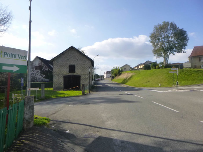
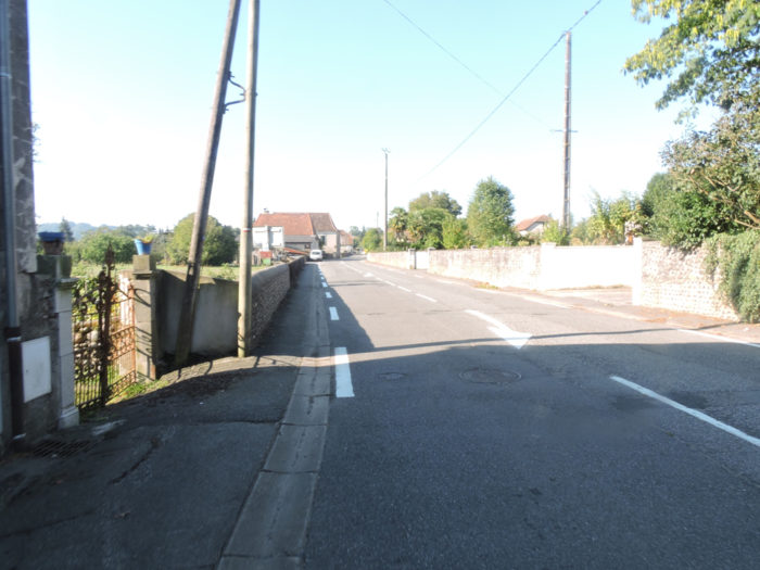
| The GR65 leaves the recent housing estates of Pomps. Here even the cross is almost the same age. | |
 |
 ; |

| A little trickle of water runs around here, maybe generous for the corn around. | |
 |
 |
| Tar and corn, this is the beautiful program that is offered here. | |
 |
 |
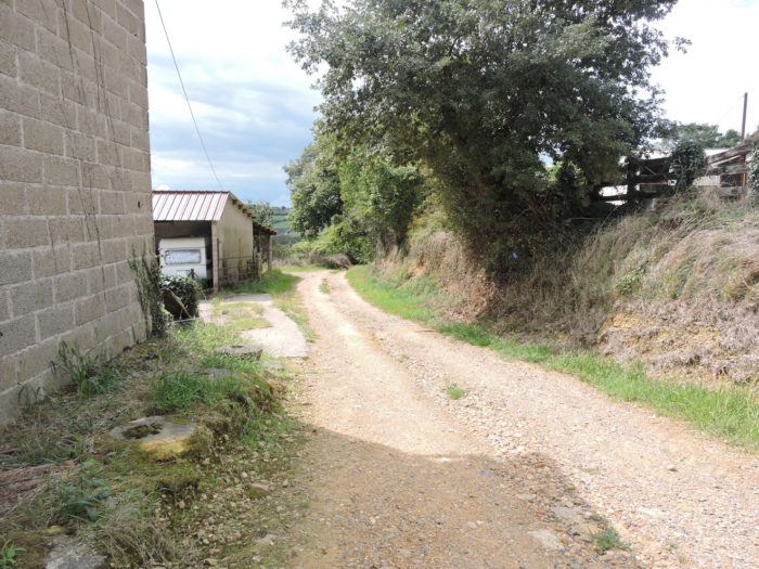
Along the way, two farms in front of you. Your discerning eye will easily detect the difference.

|
Corn, more corn, rare meadows sometimes too. It has been said earlier that Béarn was mostly made up of meadows where cattle roam. But you were walking in the hills. Here is the severe plain, a dream place for corn. |
|
 |
 |
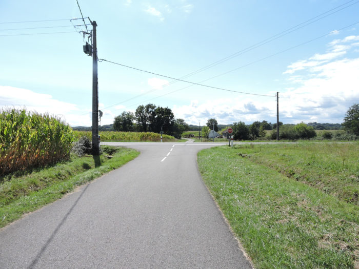
| Will crossing the D945 departmental road bring you a little daydreaming, right? | |
 |
 |
 |
 |
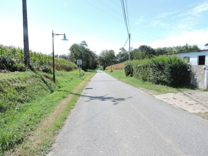
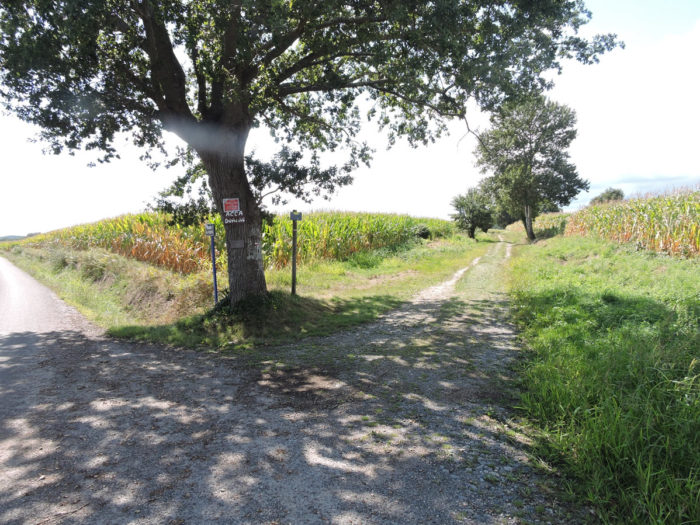
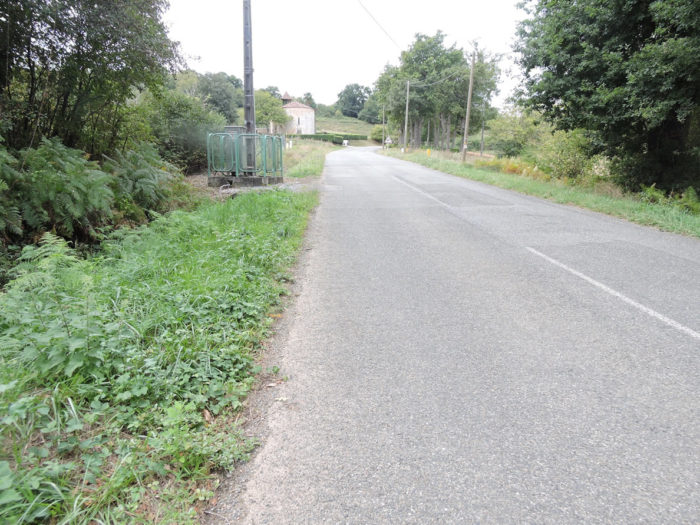
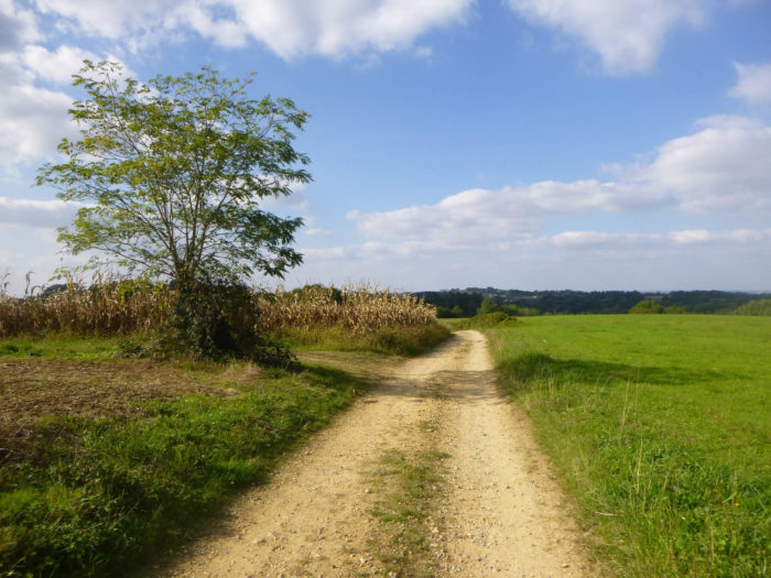
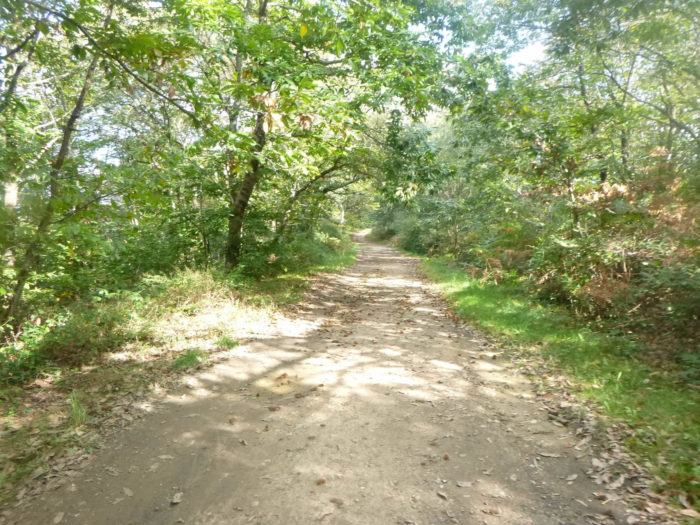
| Tired of the tar, the GR65 finds a dirt and grass track that will weave its way between the high corn hedges. Still and always. And yet, we haven’t seen a single duck all day. The herders had to keep them away from the eyes of pilgrims. Béarn is not known for its duck farms. Unless here the corn is used to feed the big cattle. Who knows? | |
 |
 |
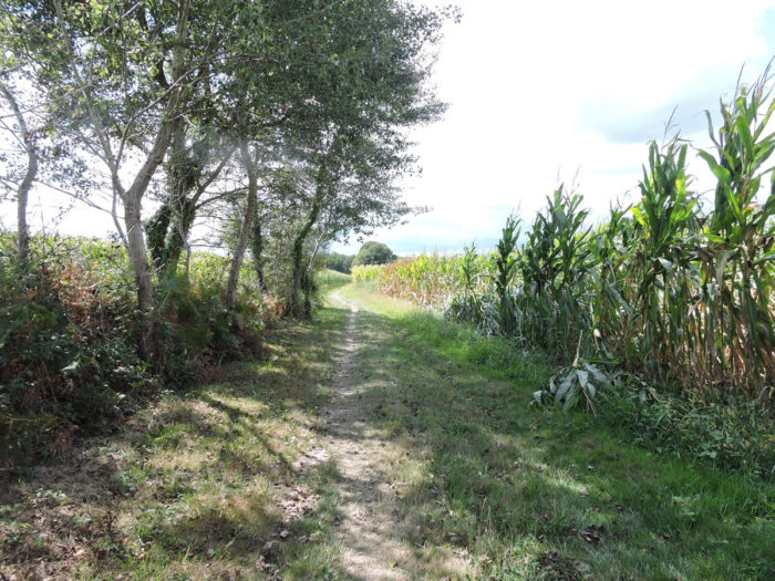
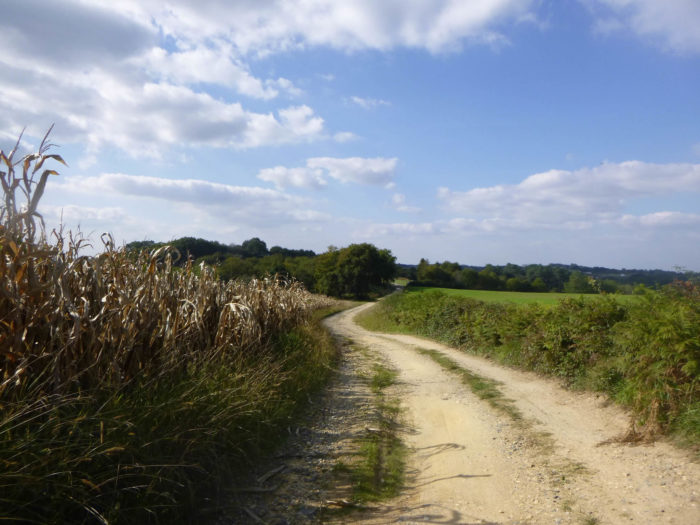
| Along these high hedges, rare oaks, of all varieties, or even sometimes hornbeams, add another color to these soulless landscapes. | |
 |
 |
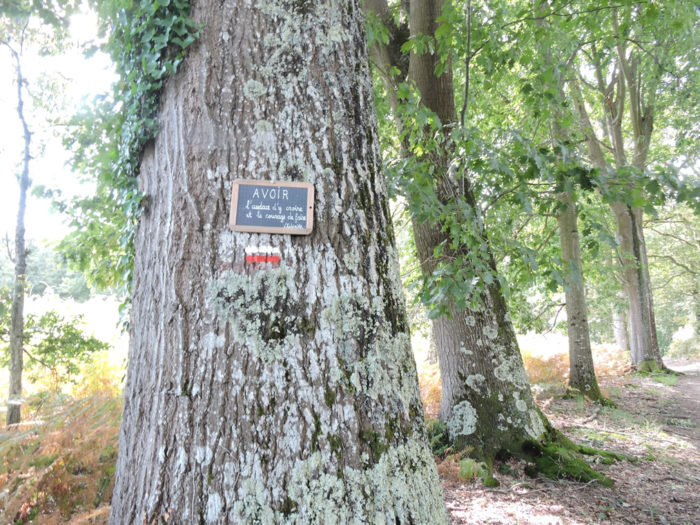
| The alchemist, however, placed a message of hope here, perhaps to pass a rather bitter pill. | |
 |
 |
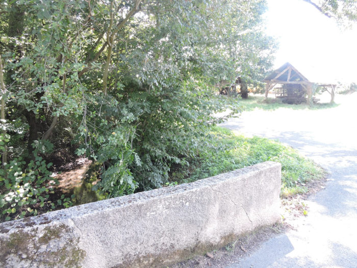
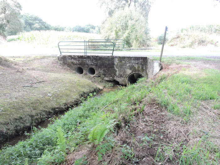
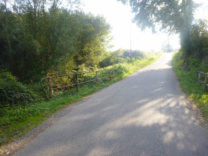
| Further on, the pathway will descend gently to cross the large Lech stream, where it meets the asphalt road. | |
 |
 |
 |
 |
| The road passes near Lamothe hamlet, where the water flows discreetly. | |
 |
 |
| Further on, you’ll walk back in the corn. In front of you stands the hill of Castillon, where you can see the steeple of the church. | |
 |
 |
 |
 |
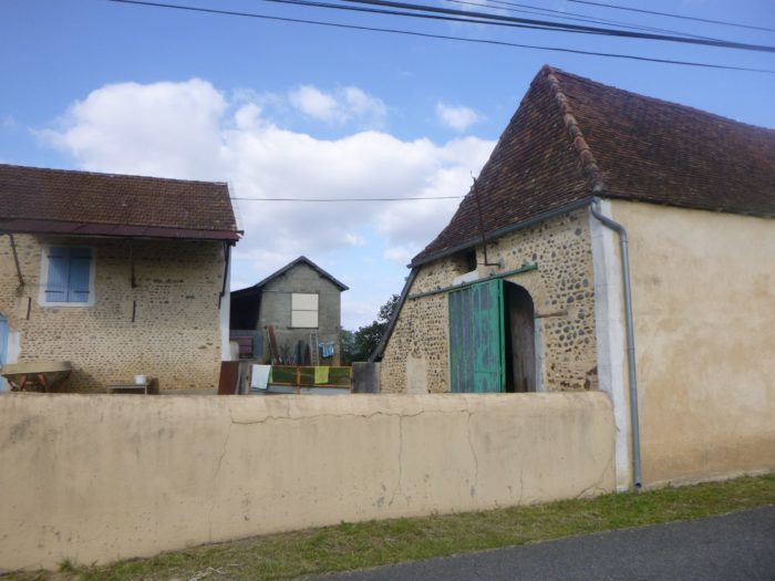
There are few signs of the heritage of yesteryear here. Fortunately, there are sometimes beautiful exceptions.
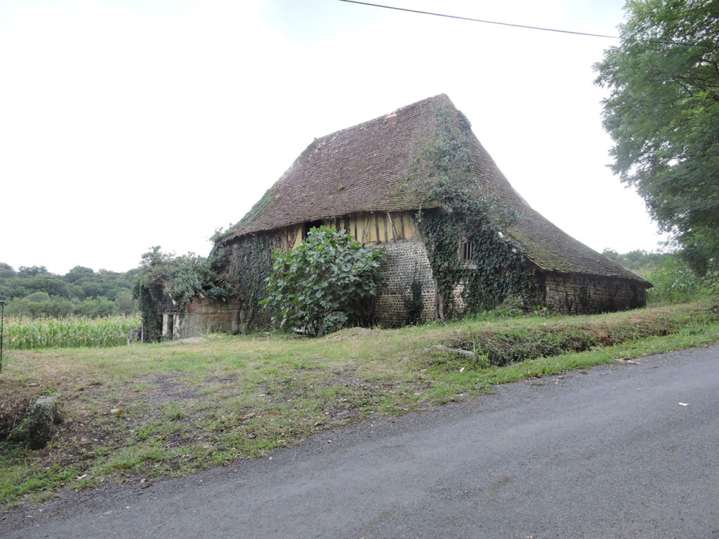
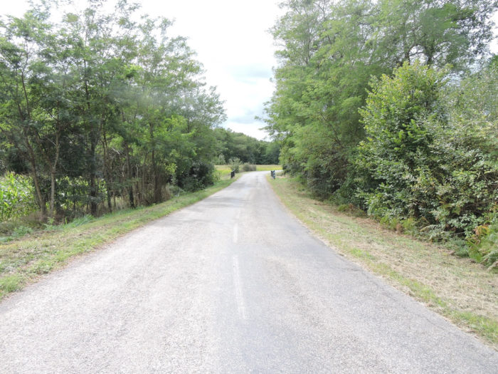
| As you approach Castillon, the slope becomes steeper. You will undoubtedly notice, during the stages, that it is in this kind of steep track that the punchers of the Camino de Santiago assert themselves. You can feel their breath behind your back or the sound of their sticks on the tarmac. They pass you by just saying hello, then slip away like the wind. Ultreia! | |
 |
 |
Try to catch up with them…
Attendez que la vidéo se chargeWat for the video to load.
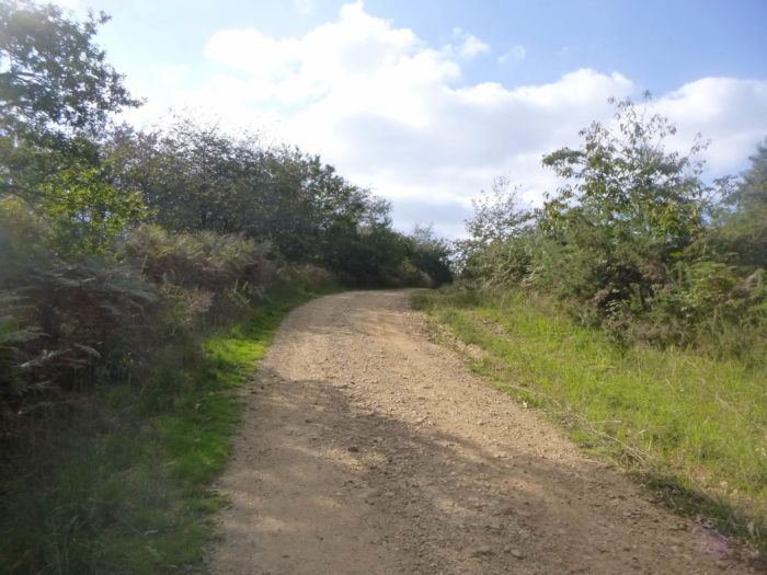
Section 2: Passing through the beautiful Caubin Church.
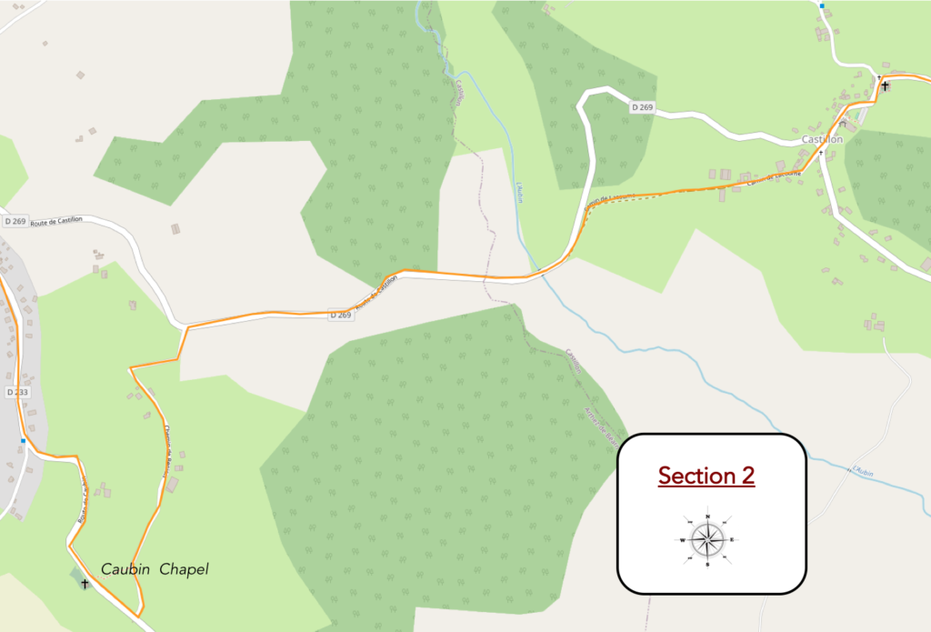
General overview of the difficulties of the route : some steeper slopes.
| At the top of the hill, the road reaches the village of Castillon. | |
 |
 |
 |
 |
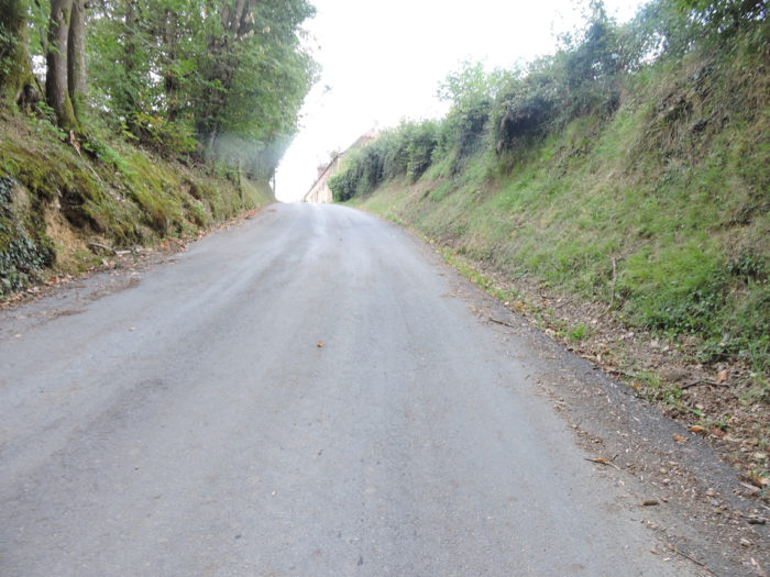
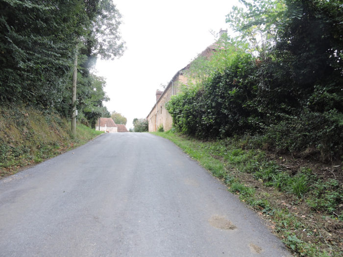
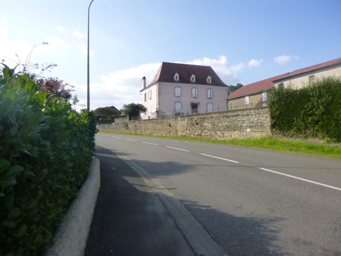
| The road crosses a peasant village with not very opulent houses, in great simplicity. | |
 |
 |
|
Shortly after, the GR65 leaves the departmental road to enter a small road that descends to the bottom of the village until it finds a dirt road. |
|
 |
 |
|
It is a wide pathway that slopes down between crops of corn and sunflowers, along the undergrowth dominated by oak trees. The descent is brief, but almost 20% gradient. |
|
 |
 |
|
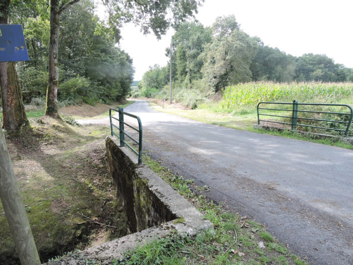
At the bottom of the hill, the GR65 finds back the tar of the departmental road and will first cross a tributary of the Aubin brook. |
|
 |
 |
|
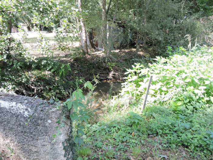
A little further on, it crosses the murky waters of the small river itself, which you can barely guess behind the ferns and foliage. |
|
 |
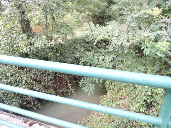 |
|
And the road continues, relentlessly, from a field of corn to a field of sunflowers. In front of you appear the first houses of Arthez-de-Béarn, at the top of the hill. |
|
 |
 |
|
Further on, the road climbs up the ridge towards Carrère. The slope is gradual, and amplifies as you slope up. It is this kind of event that exhausted pilgrims love so much at the end of the day, especially those who have made the stage from Arzaq-Arraziguet to Arthez-de-Béarn in one go. |
|
 |
 |
 |
 |
|
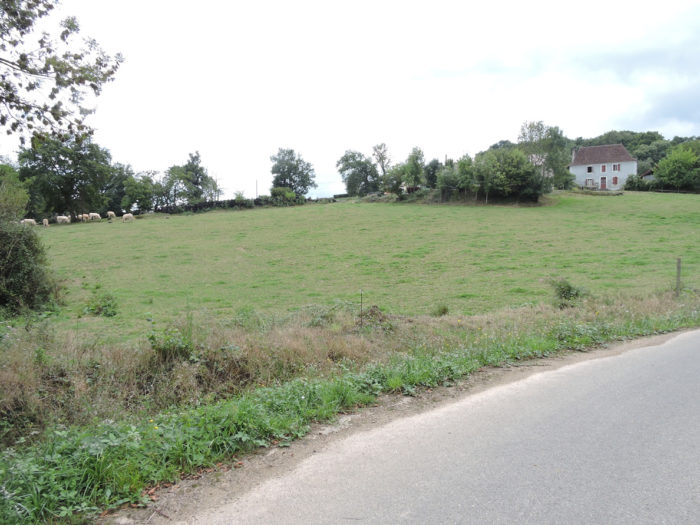
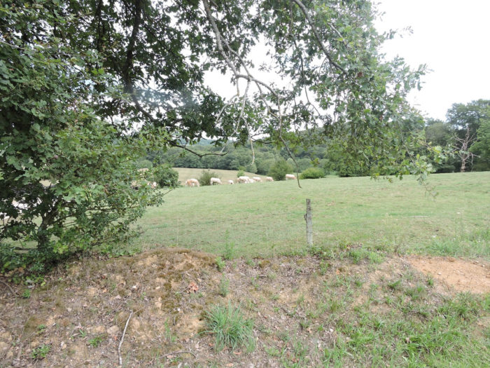
Now the corn has melted and the beautiful White Aquitaine cows are basking in the meadows. |
|
 |
 |
|
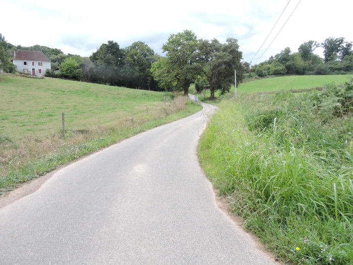
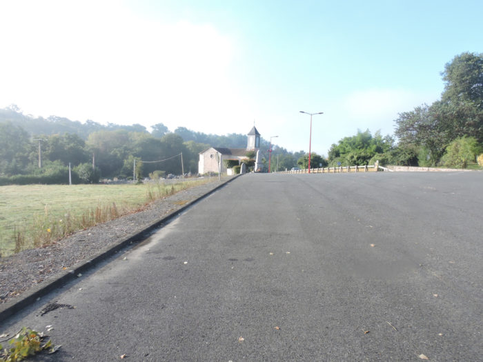
In Carrère, the road joins a sort of short little plateau. But the climb is not over, until you can see Caubin chapel above. Further up, the GR65 joins a larger road which heads to the chapel. |
|
 |
 |
 |
 |
|
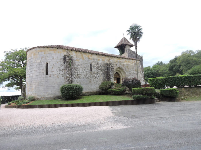
The Chapel of Caubin, with its pediment wall, belonged to a very prosperous hospital of the Commandery of the Hospitallers of St John of Jerusalem. All that remained was a dilapidated chapel which was restored in 1966. A recumbent statue of a knight in chainmail was saved from the Middle Ages. The chapel, sober and bright, is however listed in the register of Historic Monuments. |
|
 |
 |
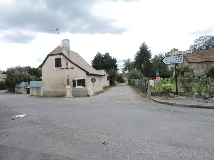
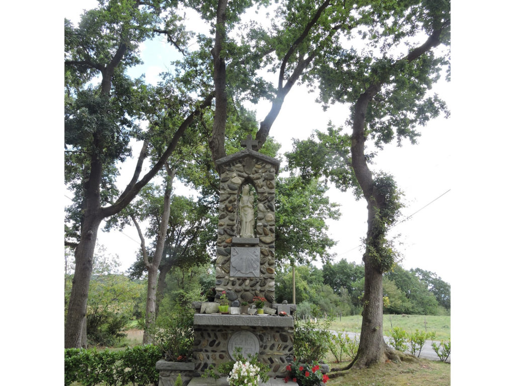
Opposite the chapel, on the other side of the road, the parish priest of Arthez had an oratory erected to thank the Virgin for having spared the prisoners of the commune during the war of 39-45. The monument is made of Gave pebbles linked by mortar.
|
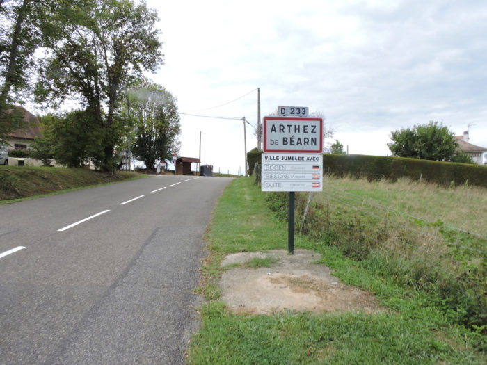
The road climbs a little further from the chapel to find you at the entrance to Arthez-de-Béarn. |
|
 |
 |
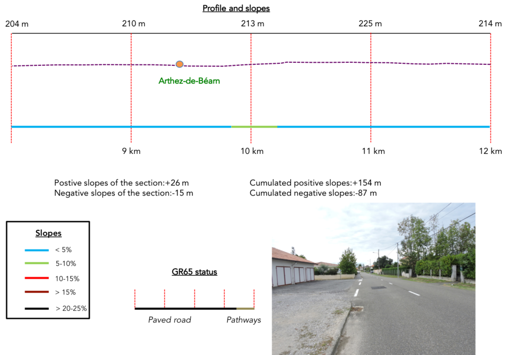
Section 3: On the high plateau of Arthez-de-Béarn.
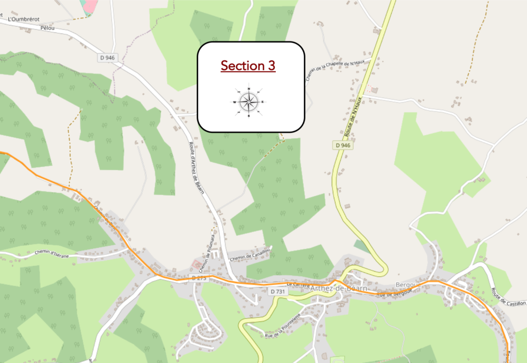
General overview of the difficulties of the route: course without any difficulty.
|
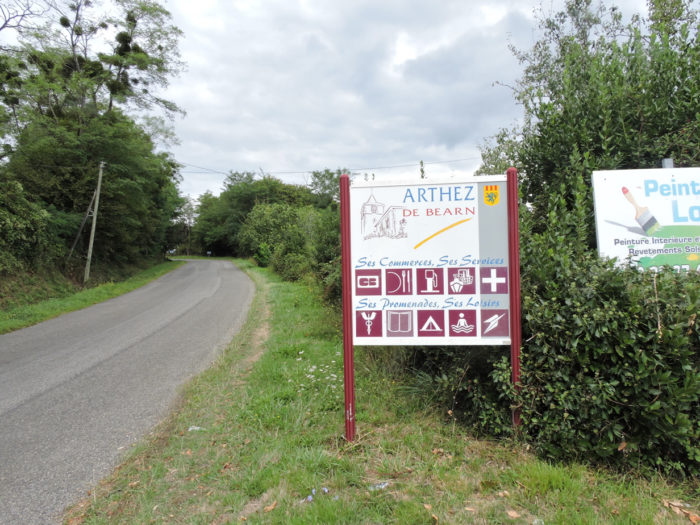
You think you have arrived, think again. You will have to walk well over a kilometer to get to the center of the small town. If you have to walk to the other end of town for your shopping, imagine the daily fun! |
|
|
 |
|
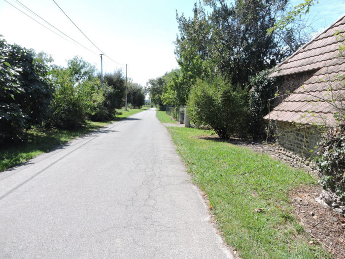
The road crosses the localiy right through to reach the center. |
|
 |
 |
 |
 |
|
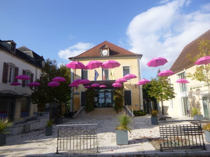
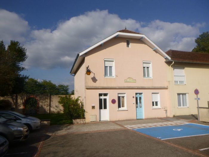
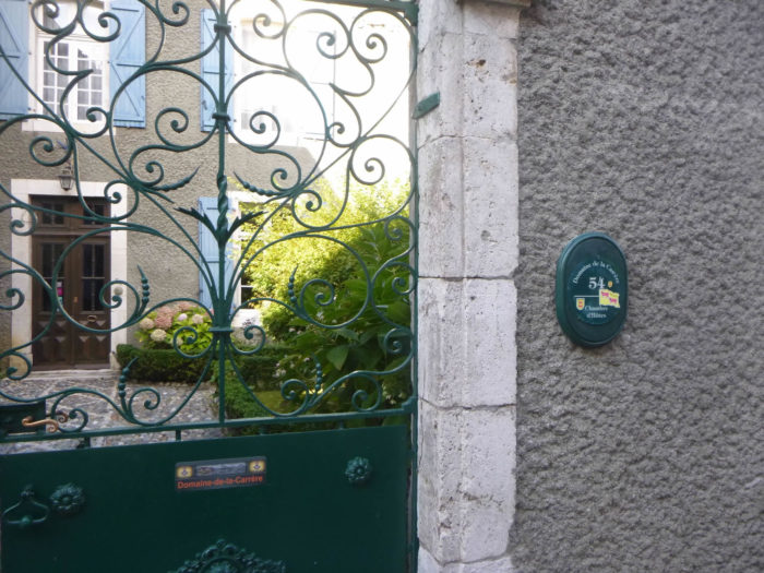
Perched like a citadel (only fragments of the ramparts remain) above the plain of the Gave de Pau, the small town has less than 2,000 inhabitants. It is said here that it is a dormitory city for people who work in Pau or Orthez. There is food and accommodation available, even if the accommodation can be counted on the fingers of one hand. The town hall is very cheerful here, and most of the pilgrims spend the night at the communal lodge. |
|
 |
 |
|
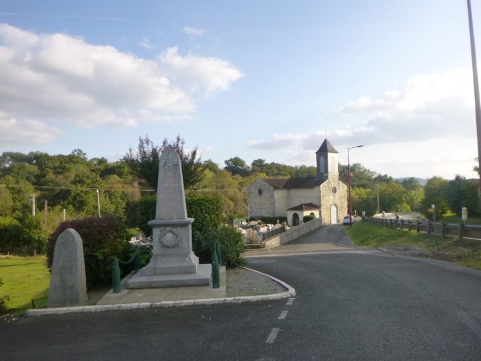
The church is quite massive in the middle of the town, next to the war memorial. |
|
 |
 |

|
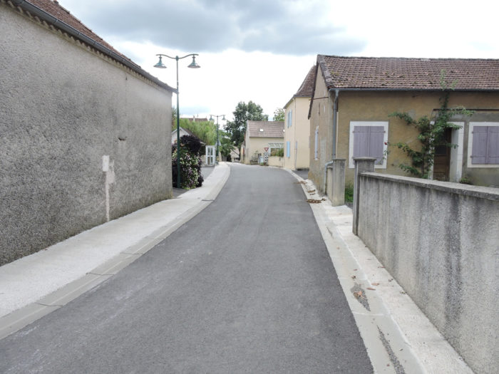
The GR65 transits a little in the center. |
|
 |
 |
 |
 |
|
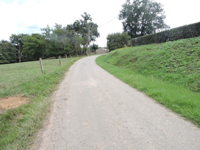
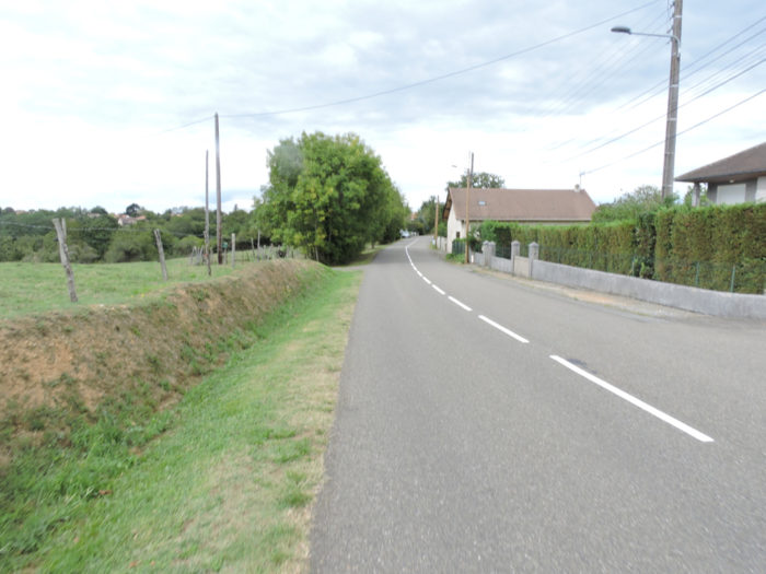
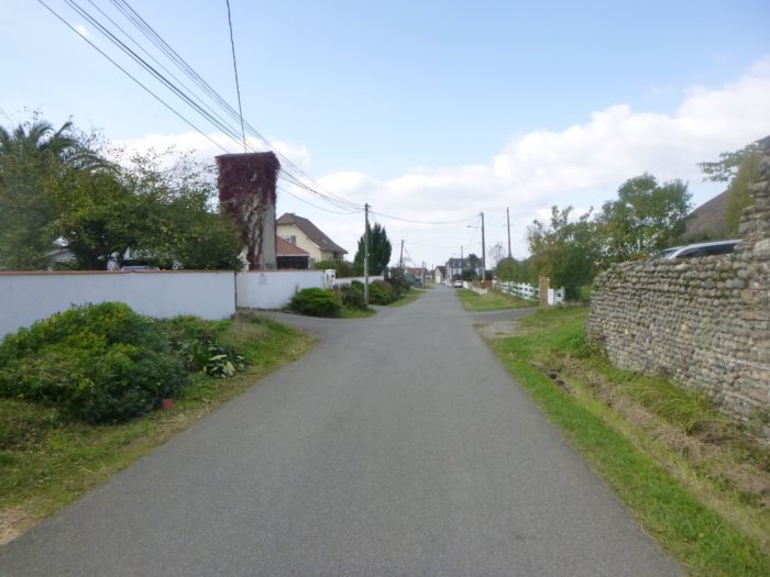
Getting out of the place takes even longer than getting there. Allow two kilometers along the villas on both sides of the road. The road climbs on a fairly gentle and regular slope. |
|
 |
 |
|
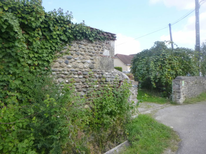
Here you find the rolled pebbles, you have seen so often in central France. |
|
 |
 |
|
Further up, at a crossroads, a stone cross makes you believe that you are going to leave the town. |
|
 |
 |
|
But it is not. At the end of the endless localiy, there are more recent housing estates, with here and there a wall of rolled pebbles. |
|
 |
 |
 |
 |
But there always comes a time when villages or towns end and fade away.
 |
 |
|
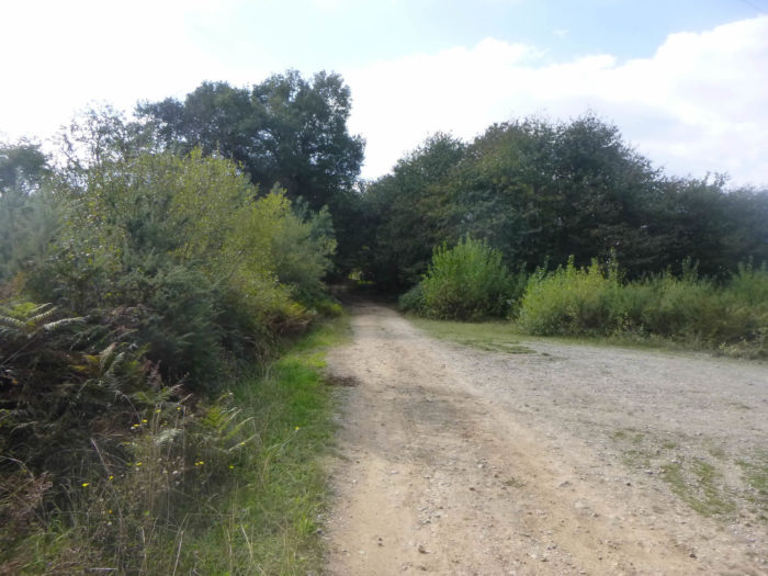
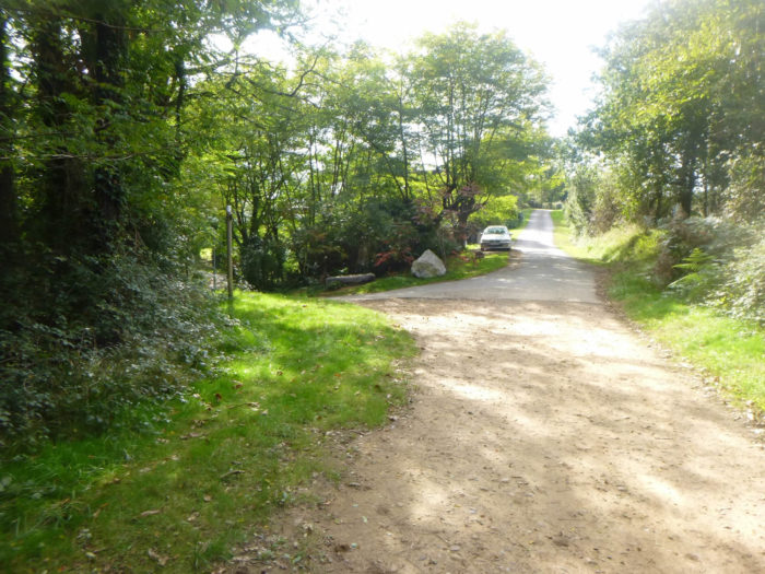
Then the road ends to make way for a wide dirt road that heads to the edge of the forest, near a picnic spot. |
|
 |
 |
|
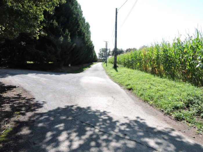
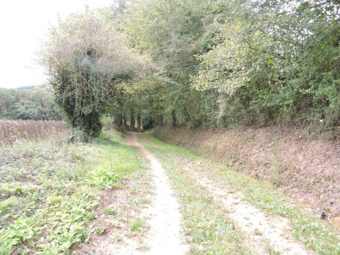
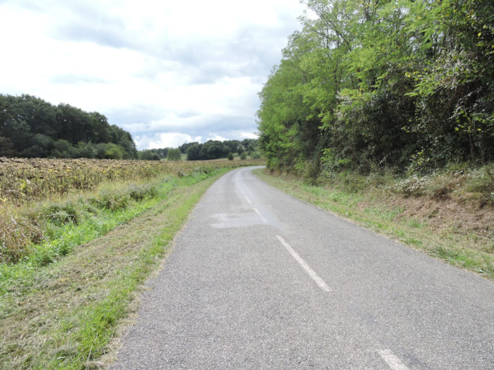
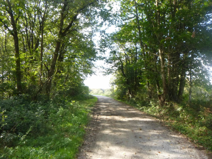
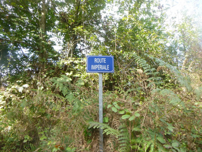
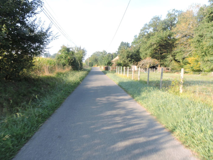
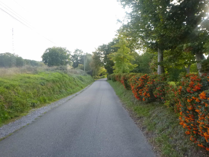
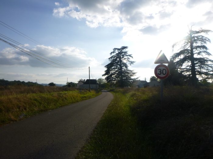
The pathway becomes a wide gravel avenue that winds its way between the woods and the meadows. There is less corn here. The dirt road is so wide that it is called “la Route Impériale”. |
|
 |
 |
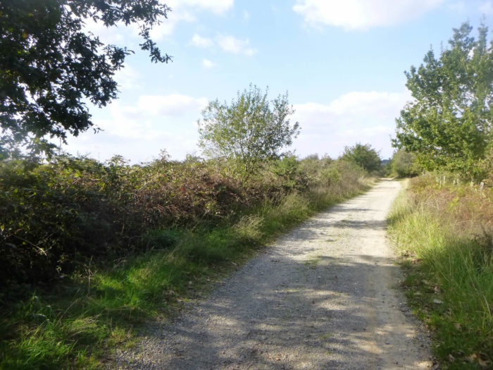
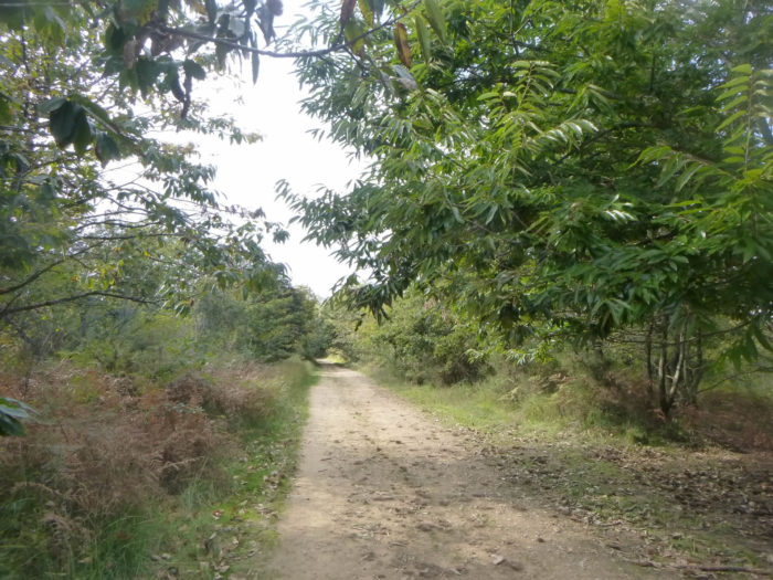
Section 4: On the high plateau before the descent to the Gave de Pau.
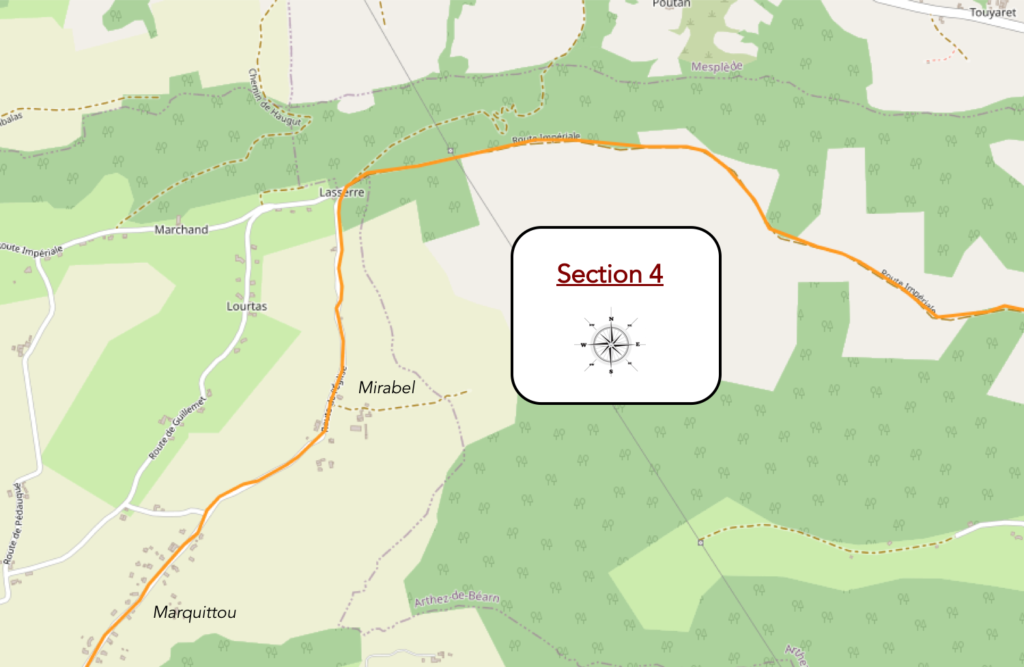
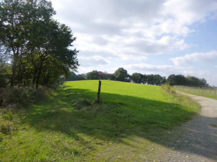
General overview of the difficulties of the route: course without any difficulty, except for a steep descent beyond Lasserre.

|
The pathway soon crosses meadows. |
|
 |
 |
|
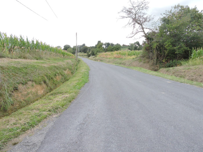
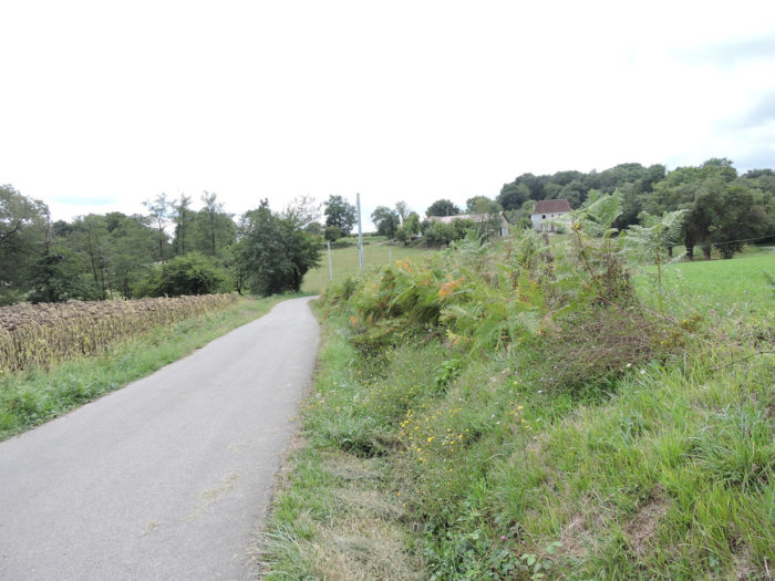
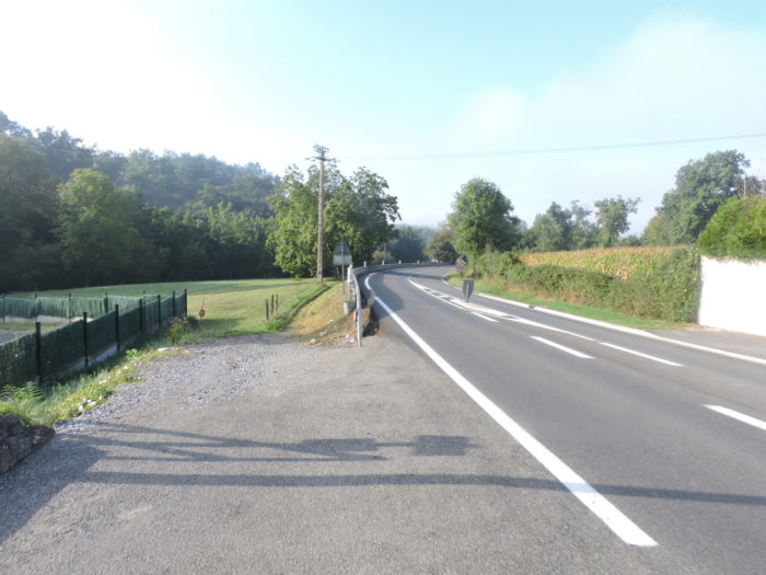
Take advantage of the dirt, because you have spent much of the day on the tar, and it will continue soon. The pathway will continue to undulate gently, on a very slight slope, alternately in the deciduous undergrowth or in the clearings. |
|
 |
 |
|
Further afield, the GR65 heads to the old landfill, now disused and being revitalized. |
|
 |
 |
|
The landfill was very extensive and the dirt road runs quite a long way along the protective mesh. |
|
 |
 |
 |
 |
|
The dirt road is often quite stony on the ocher ground. The forest is never dense, among bushes, ash trees, chestnuts, maples and small stunted oaks. The French will never run out of oaks, even if they use them sparingly. On the Camino de Santiago you only encounter a few large logging companies. |
|
 |
 |
 |
 |
|
Further on, the undergrowth becomes a little more compact and the size of the trees increases a little. |
|
 |
 |
|
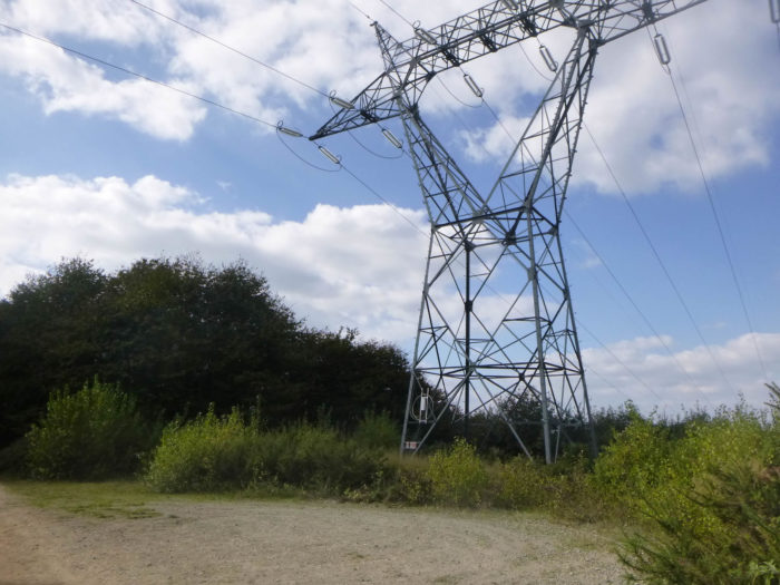
Shortly after, the pathway, which has become less stony, runs near the high-voltage line. There are also a few holm oaks on the way. |
|
 |
 |
|
Nearby a wooden hut and a picnic place await the walker. |
|
 |
 |
|
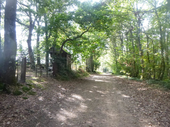
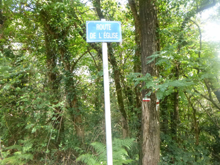
At the end of the undergrowth, the pathway joins paved road at the place known as Lasserre. |
|
 |
 |
|
It leaves there the Imperial Road for the Church Road, at a right angle. |
|
 |
 |
|
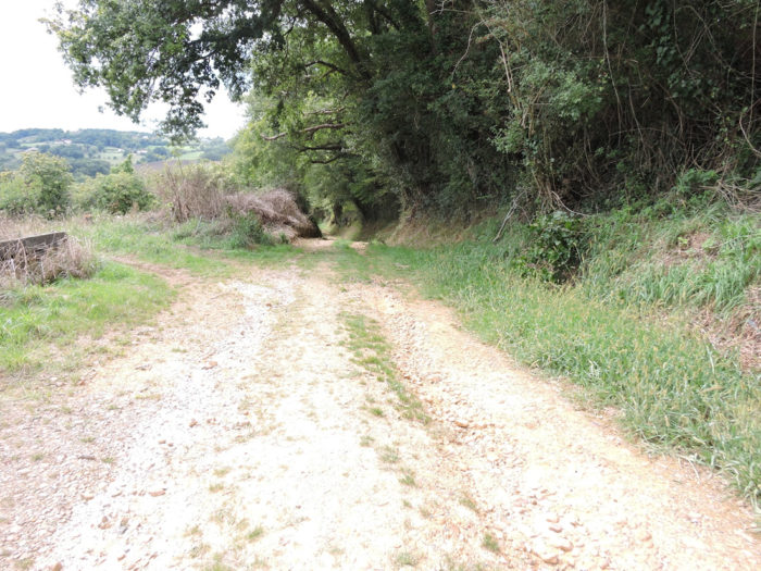
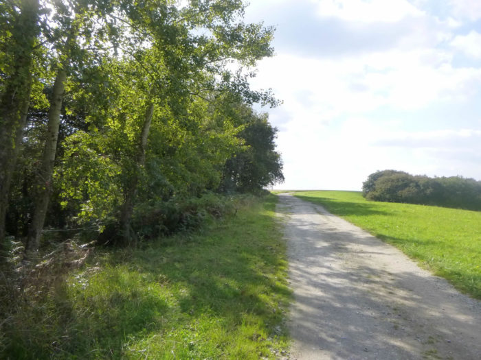
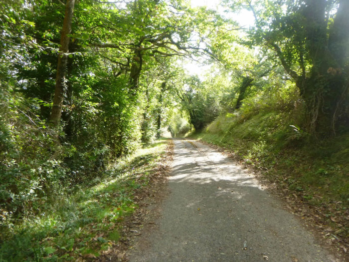
Further ahead, the road gets very steep in what remains of the undergrowth. |
|
 |
 |
|
The road descends towards Mirabel in the plain. The gaze plunges with delight on a wide plain where the Gave du Pau flows. |
|
 |
 |
|
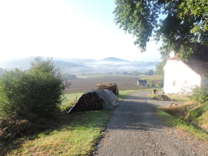
Let’s change the season a bit. Today, tired corn and sunflowers are lost in the mists of a dawning autumn. In the distant horizon, the Pyrenees stand out. |
|
 |
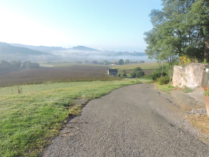 |
The slope is steep, very steep, but it’s so beautiful here that you don’t pay attention to your creaking knees.
|
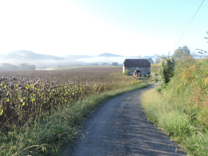
Further down, on the Mirabel side, the huge field of sunflowers, the number of which you know how to measure the number of tens of hectares, gives way to corn, which makes real hedges of honor by the side of the road. Long live the corn, almost beautiful, at least more elegant, in the rising sun! |
|
 |
 |
 |
 |
|
After this course in the low sun, let’s resume our journey to Mirabel under a heavier sky. |
|
 |
 |
|
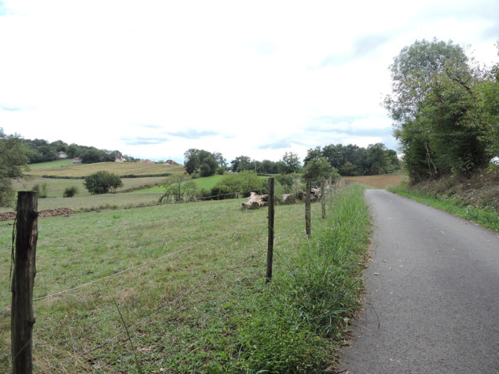
The road then flattens through the plain in the middle of corn and fallow fields in the direction of Marquittou. |
|
 |
 |
|
It’s a relatively populated area here, which is quite a change. On the Marquittou side, the small villas and old residences, no doubt largely inhabited by peasants, are spread out all along the road. You are a stone’s throw from the motorway and many people who work in the Pau basin probably also live here. |
|
 |
 |
 |
 |
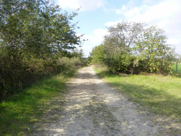
Section 5: On the plain of the Gave de Pau.
![]()
General overview of the difficulties of the route: course without any difficulty.
|
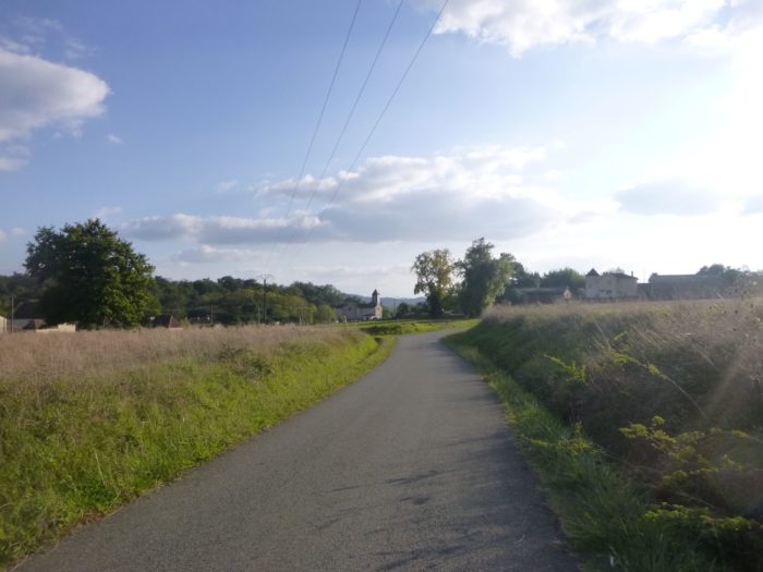
The road crosses the countryside for quite a long time alongside the Marquittou houses which are gradually dispersing. |
|
 |
 |
 |
 |
|
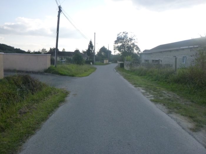
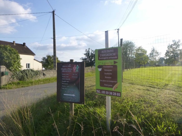
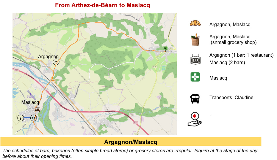
A few more small handfuls of houses along the road, and the route slowly approaches Argagnon on the road. Here a cross road goes towards Argagnon, because the GR65 does not go there. However, many pilgrims go there because they can stay there. There is even a bakery, happiness, right? |
|
 |
 |
|
Soon, you’ll see Argagnon Church dawning in the distance. |
|
 |
 |
|
Further ahead, the GR65 reaches a crossroads from which the road coming from Argagnon emerges. |
|
 |
 |
|
Further on, the road passes in front of Saint-Pierre Church, rebuilt in the 19th century on remains dating back to the 11th century. |
|
 |
 |
|
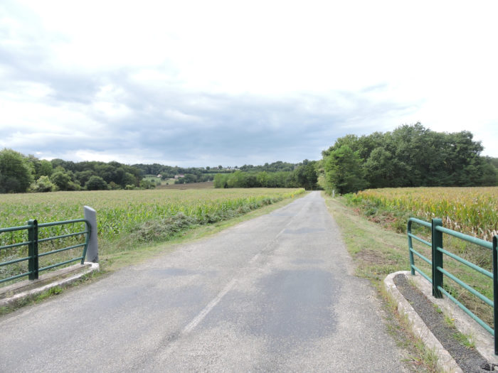
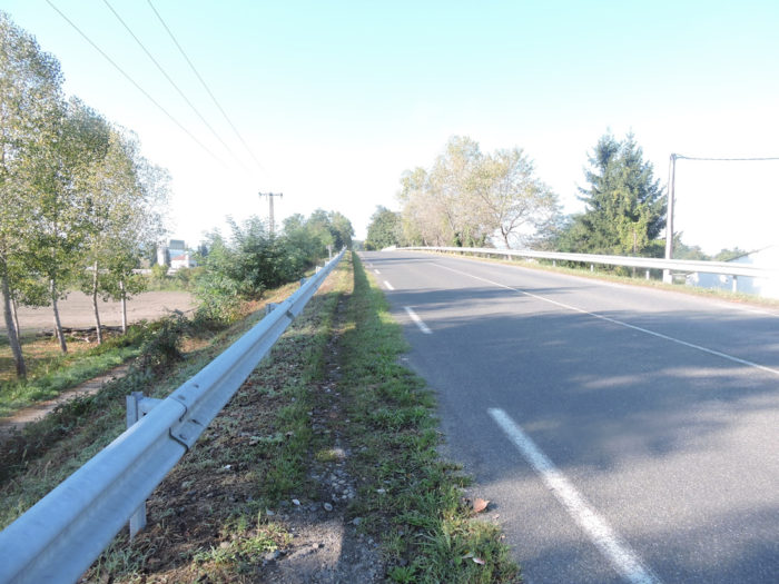
The road then arrives in front of a very complex crossroads. Here the GR65 runs in the grass by the side of the road. It bypasses and crosses the departmental road to enter Maslacq. In these large crossroads where the marks of traffic intersect without speaking a word, it is always very particular to note that over the entire Camino de Santiago, they are minimal and most often almost deserted. The Camino de Santiago in France passes very far from the cities. |
|
 |
 |
|
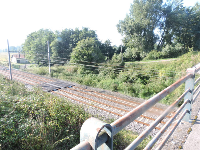
Then you’ll cross the railway bridge on the Bayonne-Toulouse line. You naively say to yourself that you are going to stop here and maybe take the train back home. You dream, no train stops here. You will return on foot or by shuttle. Poor France! The road then heads towards the Gave de Pau. |
|
 |
 |
|
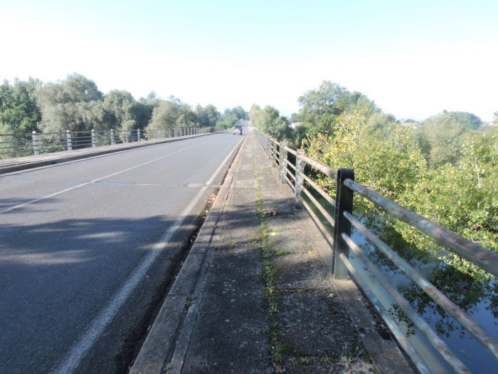
The road then crosses the Gave de Pau. |
|
 |
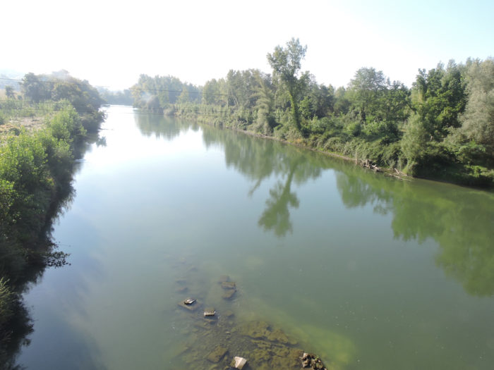 |
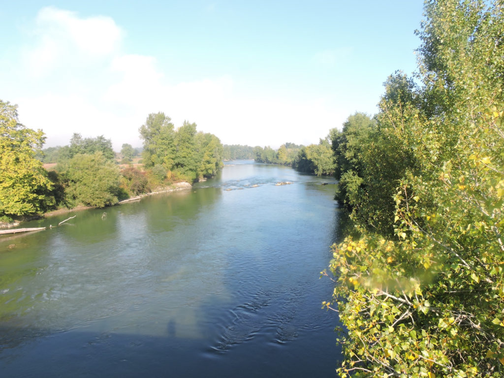
Gave means river in the Pyrenees. The Gave de Pau, which originates in the Hautes Pyrénées, joins the Gave d´Oléron further on. The two gaves join to throw themselves into Adour River, which joins the sea at Bayonne. Green water has bluish reflections. It has long been the first river not to be soaked in thick mud. Only a few but discreet engine noises from the nearby motorway sometimes disturb the serenity of the place.
|
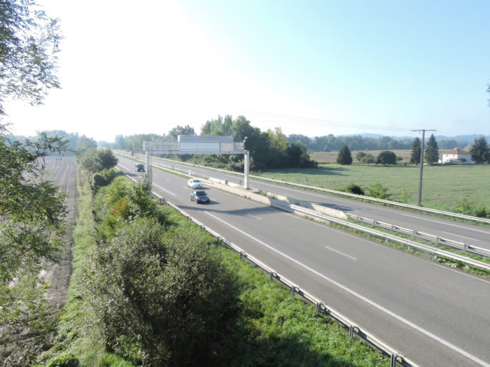
Yet, that’s not all in this great crossroads where all the advantages and the miseries of human civilization collide. Indeed, soon after, the road passes over A64 motorway, the Pyrenean, which connects Toulouse to Bayonne. The tour is complete, and the pilgrim walks like a stranger in the middle of this mess. |
|
 |
 |
|
You have to walk for a long time by the side of the road to reach the center of the village of Maslacq, along some very conventional houses. Few of the homes are eye-catching. |
|
 |
 |
 |
 |
|
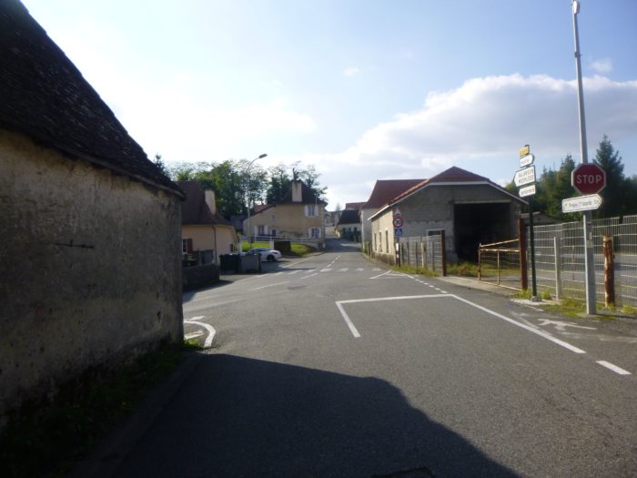
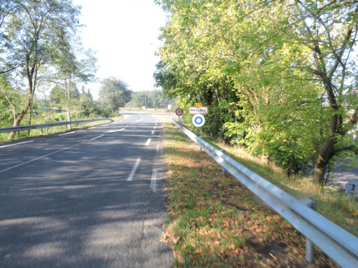
At the end of the road, you reach Maslacq, where not much is happening. Formerly, there was a hotel here, which closed its doors. You find anyway accommodation and food in the village (1’000 inhabitants). Often, the pilgrims, who walk in one day from Arthez-de-Béarn to Navarrenx take their first break here. |
|
 |
 |
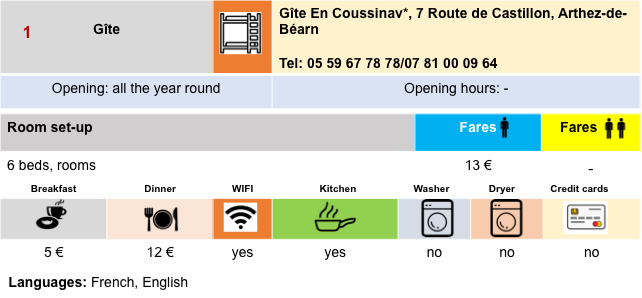
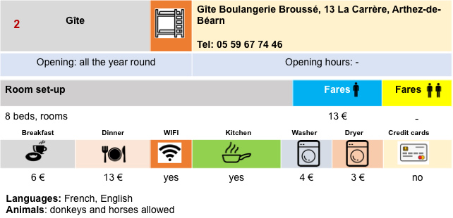
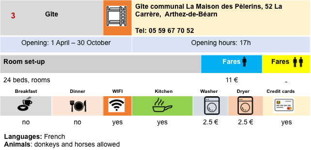
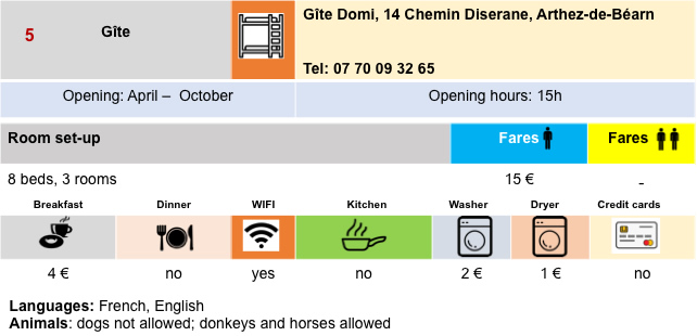
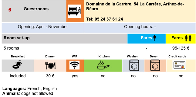
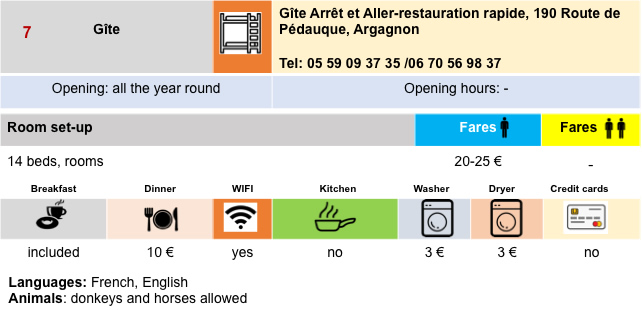
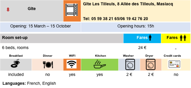
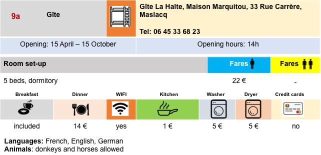
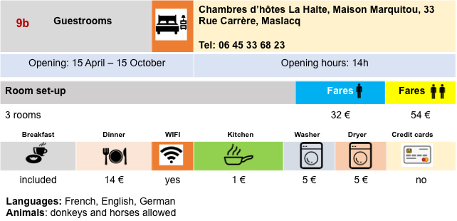
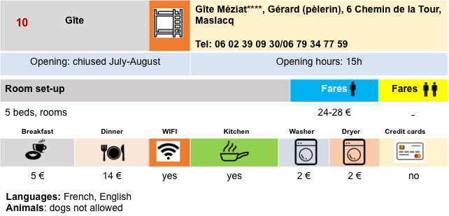
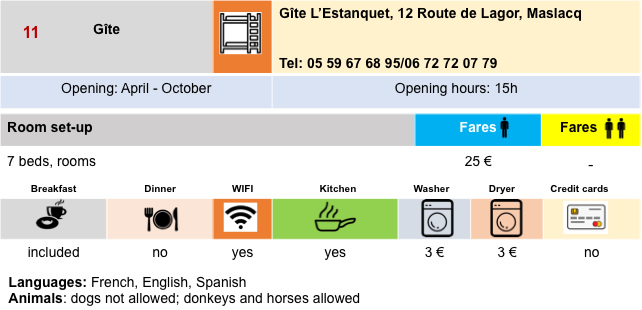
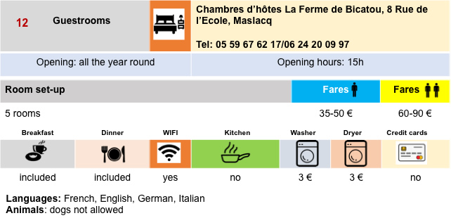
Lodging

 |
 |
 |
 |
 |
 |
 |
 |
 |
 |
 |
 |
Feel free to add comments. This is often how you move up the Google hierarchy, and how more pilgrims will have access to the site.
 |
Next stage : Stage 33: From Maslacq to Navarrenx |
 |
Back to menu |