
You are getting closer to the Pyrenees
DIDIER HEUMANN, MILENA DELLA PIAZZA, ANDREAS PAPASAVVAS

We divided the course into several sections to make it easier to see. For each section, the maps show the course, the slopes found on the course, and the state of the roads. The courses were drawn on the « Wikilocs » platform. Today, it is no longer necessary to walk around with detailed maps in your pocket or bag. If you have a mobile phone or tablet, you can easily follow routes live.
For this stage, here is the link:
https://fr.wikiloc.com/itineraires-randonnee/de-arzacq-arraziguet-a-pomps-par-le-gr65-59074642
It is obviously not the case for all pilgrims to be comfortable with reading GPS and routes on a laptop, and there are still many places in France without an Internet connection. Therefore, you can find a book on Amazon that deals with this course. Click on the book title to open Amazon.
 |
The Camino de Santiago in France. VI. From Cahors to St Jean-Pied-de-Port (Via Podiensis) on GR65 track |
If you only want to consult lodging of the stage, go directly to the bottom of the page.
The day before, you entered Béarn at Arzacq-Arraziguet. Béarn is the largest province in the Pyrénées Atlantiques. Today, you are advancing a little more in a region, whose landscapes change a little from those you have crossed in recent days. There was a blessed period when Béarn was just a large bocage maze, made up of wooded hills and valleys. As soon as the hills rise above 500 meters, the Basques speak of mountains. The geographical characteristic of the country is its organization in valleys dug by the tributaries of the Adour River, large rivers indeed. In the stage of the day before, you crossed the Gabas and the Louts Rivers. Today, it will be the turn of Luy de France and Luy de Béarn Rivers.
.

Béarn has the highest rainfall record in France. It rains more than in Brittany. The cause is due to the proximity of the Pyrenees which trap humidity, clouds and rain. It is said here that if it rains on one side of the Pyrenees, on the other side, it will be sunny. Therefore, change sides, which the pilgrim cannot do. From then on, the mild and humid climate gave Béarn this aspect of a gleaming green of the countryside and the meadows. But there! The peasant must survive. He cannot only live on cheese, sheep and cows. So, he cleared the land to plant this monstrous hybrid corn which is also invading the country. Any farmer quickly understands the advantage of planting hybrids, because the yield is doubled and the resistance to diseases is significantly improved. As for GMOs! From then on, hybrid varieties, not just corn but also rapeseed, sunflower and many vegetables, quickly invade the fields and our plates. Agrifood and seed companies have taken power and the farmer has no choice but to buy back his seed every year. Biodiversity and peasant creativity are now to be stored in old cupboards. To tell you the truth, in Béarn, even the Basque beret is disappearing at the speed of light.
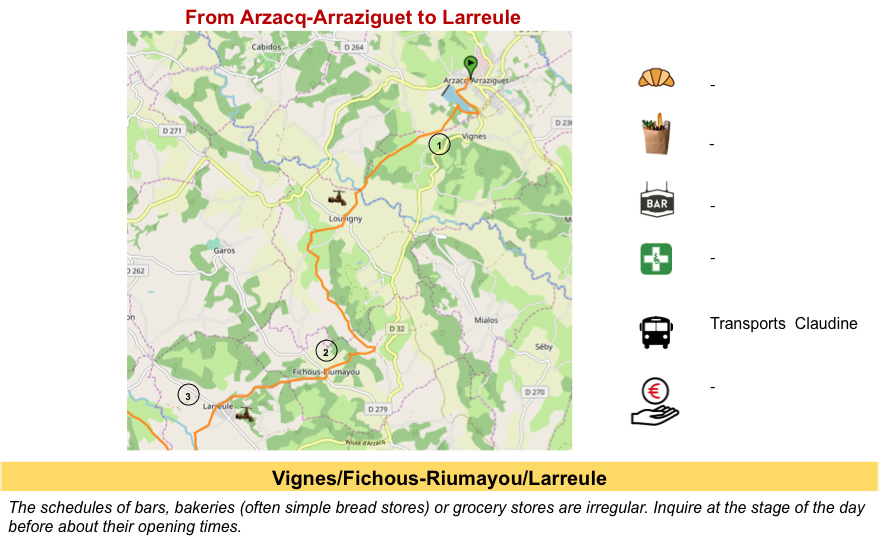
The route now heads due west towards the Atlantic. Until the end of the route, the Camino de Santiago will cross the Pyrénées Atlantiques. The stages can be long, depending on the cutout. Many pilgrims walk in one day from Arzacq-Arraziguet to Arthez-de-Béarn, then the next day from Arthez-de-Béarn to Navarrenx. But it is each time more than 30 kilometers per day. So, we cut the same route into 3 stages, which is often more reasonable. Today we will stop at Pomps. It will then be only 20 kilometers of walking. But, in Pomps, accommodation is very limited, to put it mildly. There are a few possibilities before Pomps, less after. Therefore, if you want to stop here, it will be imperative to book the gîte in Pomps.
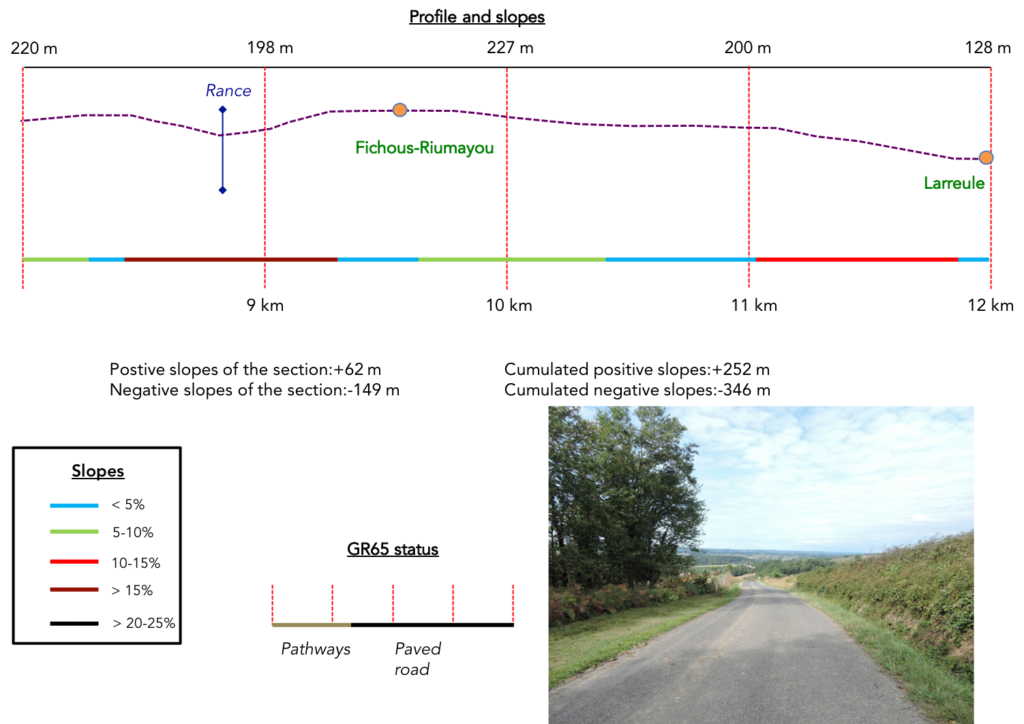
Difficulty of the course: It’s a fairly easy stage, over very slight hilly areas, with relatively mild slope variations (+305 meters/-391 meters). The exception is the climb to Moundy and Fichous-Riumayou, where the slopes are a little more tough, although reasonable (rarely above 15%).

You’ll walk a little more on the pathways than on the road:
Paved roads: 8.8 km
Dirt roads: 11.2 km
Sometimes, for reasons of logistics or housing possibilities, these stages mix routes operated on different days, having passed several times on Via Podiensis. From then on, the skies, the rain, or the seasons can vary. But, generally this is not the case, and in fact this does not change the description of the course.
It is very difficult to specify with certainty the incline of the slopes, whatever the system you use.
For « real slopes », reread the mileage manual on the home page.

Section 1: On the horizon loom the Pyrenees.

General overview of the difficulties of the route: without much difficulty, the steepest slopes are downhill towards the river.

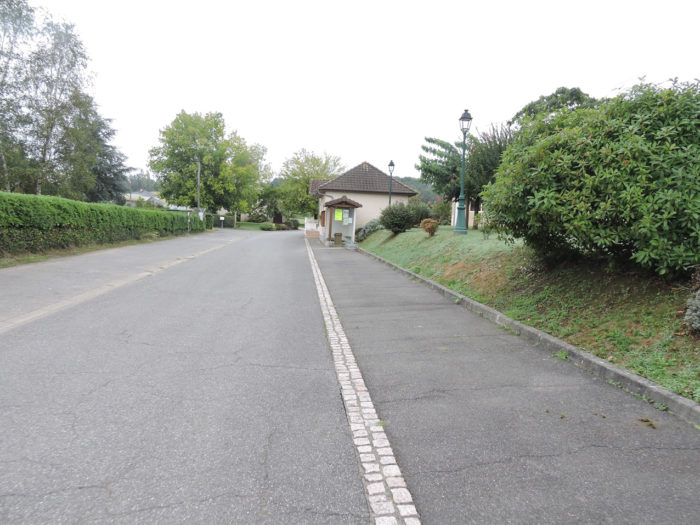
Leaving the village of Arzacq-Arraziguet, there is no long journey through the suburbs here. The route is quickly found in the countryside on a small road.
 |
 |
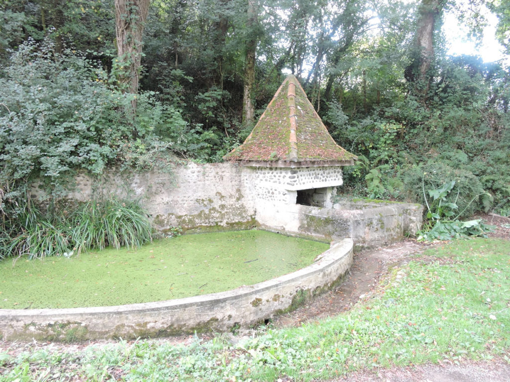
| Shortly after, a dirt track slopes gently down to Lake Arzacq. | |
 |
 |
The lake is summed up in an adorable oval of dark green water. Not a breath of air this morning. The moiré waters do not even quiver.

| The pathway winds around the end of the lake in the grass. | |
 |
 |
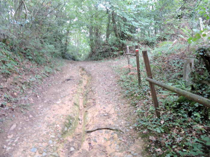
| At the end of the dike, it heads to the undergrowth. | |
 |
 |
The climb through the deciduous and oak undergrowth is fairly gentle. Arzacq gradually disappears behind the ash trees.

|
The crossing of the undergrowth is brief, and the pathway finds again corn and brush. |
|
 |
 |
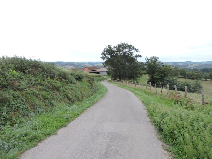
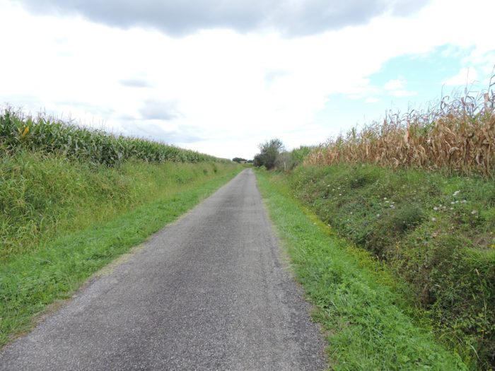
| Then quite quickly, thew GR65 takes a small tarmac road that it will follow for many kilometers. | |
 |
 |
| Here you’ll walk along Vignes community. The pilgrim likes to find these testimonies and this kind of heterogeneous symbolism which sometimes mark the way. | |
 |
 |
| An indication is given for accommodation very far from the track. It is also that from here the road will begin to descend towards the river. In Béarn, oaks still lay down the law, but they are more varied than before on the track. You find noble oaks, such as sessile or pedunculate oak, but you also see tauzin oak, a common oak from the Pyrenees, with more elongated and cut leaves. There are still many holm oaks, as in the previous stages, as well as chestnut trees and ubiquitous ash trees. There are still many rowan trees. | |
 |
 |
| The road descends on a regular slope, with almost 10% slope, especially in the fields, more rarely in the corn, passing by the rare houses of the Mounan hamlet. | |
 |
 |
On the horizon looms the mountain range of Pyrenees, which can be seen for the first time. It is always a shock to the pilgrim who walks here. Being so close to Spain, even almost touching it! The wooded and green hills of Béarn also stand out. In the minds of Béarn people, the land is a true land of plenty, a miraculous land where nature overflows with generosity and happiness.

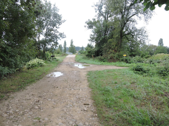
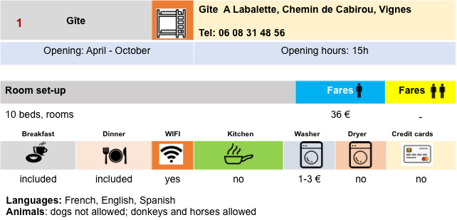
| Further down, at Labalette hamlet, the asphalt road ends and a pathway, sometimes quite stony, descends towards the plain. | |
 |
 |
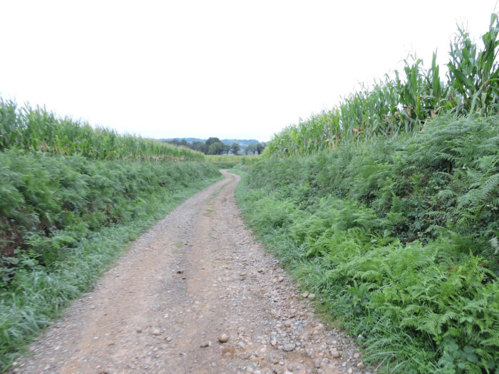
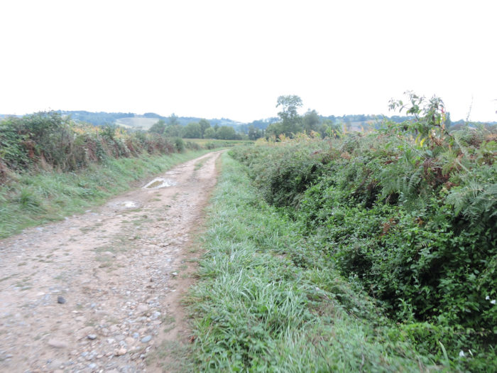
| The pathway follows corn hedges, in small clumps of hardwoods. | |
 |
 |
 |
 |
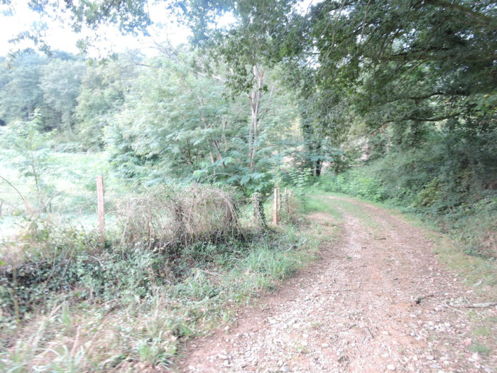
| The further down you run, the denser the corn crops are, along the brush hedges. At the bottom, the pathway approaches the Luy de France River. | |
 |
 |
| The GR65 then arrives in the small dale where the rather muddy waters of the Luy de France River flow. And yet the weather has been clear for a few days. The fish here should never see the light of day. Looking at the water, you can also imagine the texture that the dirt road must take in heavy rain. | |
 |
 |
 |
 |
Section 2: After the muddy river, the route returns to the hills.

General overview of the difficulties of the route: almost continuous uphill with some fairly steep sections, before and after Moundy, but rarely above 15% gradient.

| From here, a road runs along a small arm of the river. | |
 |
 |
| The road climbs gently in the corn. The old and beautiful houses are often made of exposed pebbles jointed. | |
 |
 |
| At the entrance to Louvigny, the direction of the previous accommodation is again indicated, this time less far from the track. | |
 |
 |
|
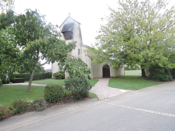
The road crosses the village on a slight slope, runs near the very new village church. |
|
 |
 |
|
Leaving Louvigny, the road climbs slightly towards Moundy, in the corn fields for a change. But you quickly understand. The road continues straight on, gently sloping, the GR65 not. You glance up the hill and see a pathway that winds up steeply. You know that the GR65 likes to leave the facilities. You might say to yourself that you would just have to follow the road, but you don’t know where it is going. So, let’s go for the climb! Let’s not spare the suspense any further. GR path will take Lassoulade pathway which climbs to the top of a hill to take you back down to Moundy a bit further. |
|
 |
 |
|
The slope is steep, sometimes nearly 20%, under the oaks, on the small stony lane, which becomes grassy at the top of the hill. |
|
 |
 |
 |
 |
|
At the top of the ridge, to thank you for being here, a generous donor offers you his fruits. Pilgrims also have their guardian angels. |
|
 |
 |
|
Further afield, a road heads to a place known as Lou Castet, a small circular hill above the road. |
|
 |
 |
|
Then, as anticipated, the course slopes down to Moundy village, on a steep slope. Finally, the eye rests on the green setting of the Bearn meadows and for a moment forgets the geometry of the corn stalks. |
|
 |
 |
|
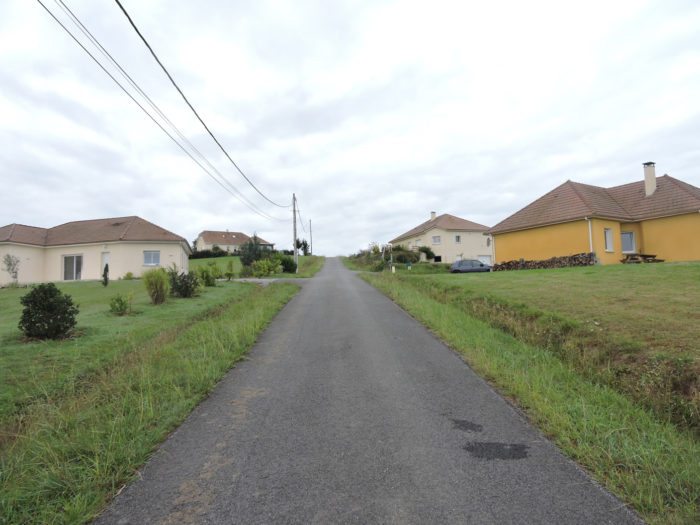
In Moundy, the GR65 takes the direction of Fichous-Rimayou on the tar. The slope is quite tough here along the recent villas. Come on, let’s not be harsh, but it’s a safe bet that this kind of construction will never pass to posterity. |
|
 |
 |
|
Fortunately, the view over green Béarn is quite exceptional. It’s like you’ve moved from another country, gone back to the pastures and forgot the tasteless corn forever. But, make no mistake, you are not done eating corn. |
|
 |
 |
To make you envy these landscapes, but not the harshness of the tar…
Wait for the video to load.
|
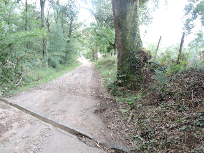
Halfway up the hill, at the place called Pédepignes, the incline of the slope decreases and a wide, fairly rocky dirt road replaces the tar. How long will the roof of this hovel and its single pebble section last? |
|
 |
 |
|
The gravelly pathway still climbs through the meadows, but on a gentler slope, with here and there clumps of trees, especially holm oaks and ash trees. In places, the pathway is a real scree of gravel. |
|
 |
 |
Lovers have sealed their union here, perhaps for eternity.

|
The pathway climbs again, but on a gentler slope. Further up, the dirt takes over the pebbles. |
|
 |
 |
|
What a pleasure to find a little moor, a few cows lost in the meadows, instead of corn. |
|
 |
 |
|
At a place known as Lou Plan, the pathway has reached the top of the ridge and runs over a high plateau. The country is opening up even more to the countryside. Here farmers grow cereals. But what are these Montbéliarde cows doing in the midst of the White Aquitaine cows behind the broom? |
|
 |
 |
Large slag heaps of ocher ground block the horizon, but the cows do not care. No doubt they are looking for oil or gas here. Béarn is riddled with holes, like Emmental cheese (Gruyères has no holes), from which the precious manna escapes. The most famous and large is the Lacq gas field near Pau.

Section 3: Ups and downs over Béarn hills.
General overview of the difficulties of the route: fairly steep passage near the Rance stream to Fichous-Riumayou, then a steady descent on the tar.
|
You can see the houses of Cappouey hamlet in front of you, but the pathway does not pass there. Maybe they produce duck or poultry, who knows? |
|
 |
 |
|
Because the Camino de Santiago has another choice for you. There is a stream below. So why not go and dip your feet there? |
|
 |
 |
|
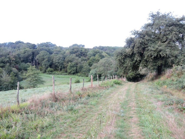
The slope is steep, between 10% and 20%, along the undergrowth of holm oaks, to taste this fleeting pleasure. |
|
 |
 |
|
Honestly, you will not keep a vivid memory of the Rance brook and its murky waters … |
|
 |
 |
|
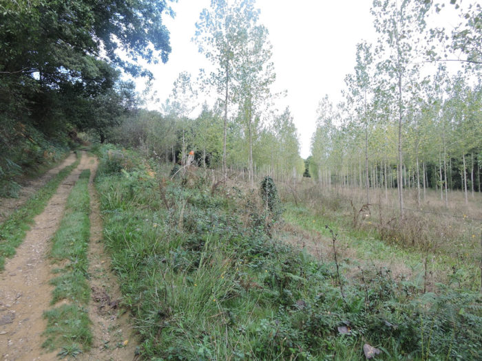
… on the other hand, you may remember the climb of the dale, at almost 20% slope, in the poplar plantations. |
|
 |
 |
As if you were there, your breath short…
Wait for the video to load.
|
At the top of the hill, the course gets to Fichous-Riumayou plateau. |
|
 |
 |
 |
 |
|
The church dedicated to St Girons dates back to the 11th century, but it has been extensively redone over the centuries until the last century. It is as sober as the village. |
|
 |
 |
The GR65 crosses the village on the road, which heads towards Larreule
 |
 |
|
From here you’ll descend on a fairly regular slope. |
|
 |
 |
|
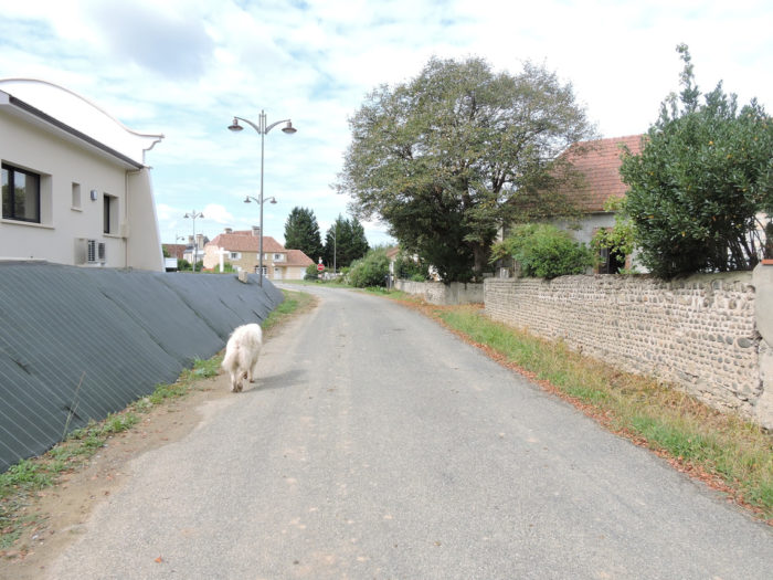
At the last houses of the village, a dog joins us. It is almost always Golden Retrievers who accompany you for a bit of the journey. These dogs love to make escapades in the presence of pilgrims. We have experienced this almost a dozen times. Sometimes it is very difficult to let go. You must use stratagems. They would follow you to the end of the world. |
|
 |
 |
|
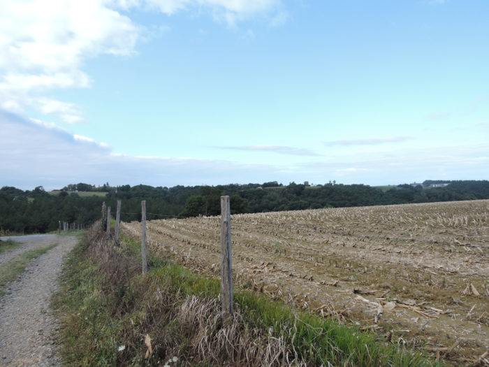
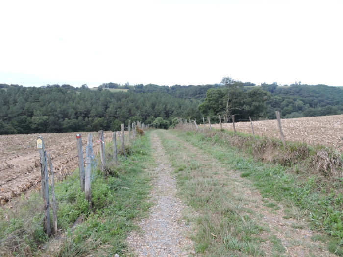
The road slopes down alongside oaks, chestnuts and ash trees, into the countryside. Some sections have slopes of up to 15%, but that’s fine. Here it is mostly meadows and the corn has become more discreet. |
|
 |
 |
 |
 |
|
The road soon arrives on the outskirts of Larreule. |
|
 |
 |
At the entrance to the village, stands a beautiful fountain by the roadside.
|
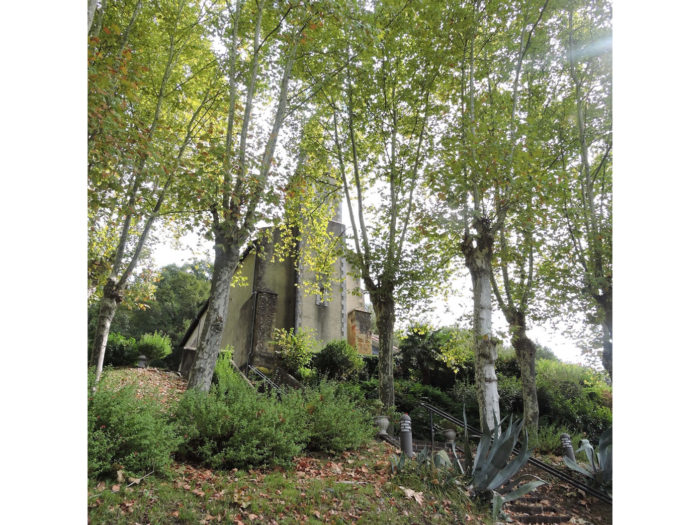
A little further away, there is the very beautiful St Pierre Church, in a green and bucolic setting. Larreule Abbey, which reached its peak in the Middle Ages, was one of the great abbeys of Béarn. It was devastated during the religious wars of the 16th century. The last convents disappeared during the Revolution. A new church was rebuilt here in the 19th century on the ruins of the Romanesque abbey. Only the north apse, part of the transept and a few capitals remain from this period. But the setting is magnificent. |
|
 |
 |
 |
 |
|
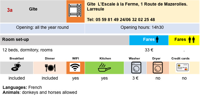
Many pilgrims stop in Larreule for accommodation and food. Our new companion will continue for a while with us. |
|
 |
 |
Section 4: Slight oscillations near the Luy de Béarn River.

General overview of the difficulties of the route: easy course, with a small slope near the river.

|
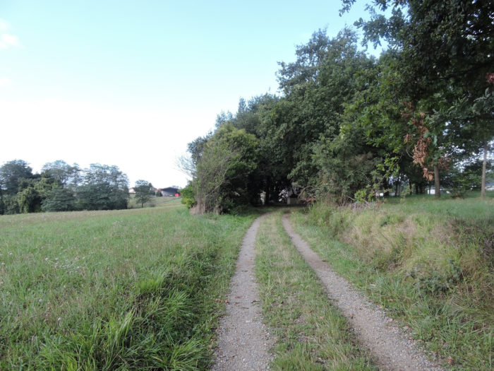
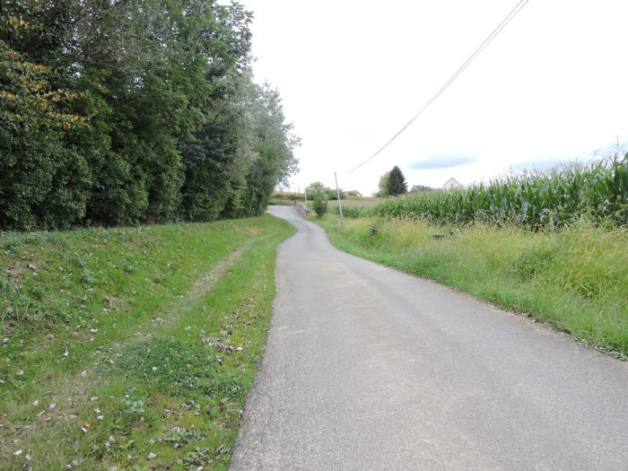
The route leaves Larreule on the road. It will stay on the tar for many, many kilometers. |
|
 |
 |
|
Here are the cornfields back again. But also the groves, because the peasants never removed the trees near the rivers. |
|
 |
 |
 |
 |
|
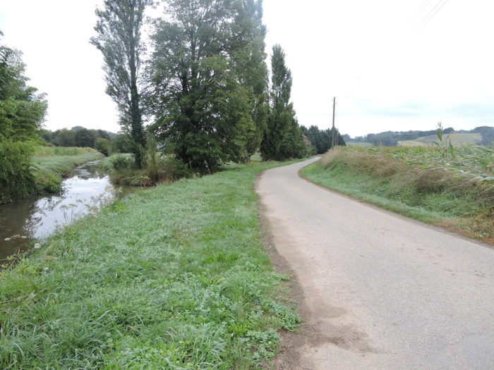
Here the Luy de Béarn River flows, a little less muddy than its neighbor the Luy de France River, almost motionless and dozing among the trees, a river from the Pyrenees, which will join the the Luy de France River further, then the Adour River. |
|
 |
 |
|
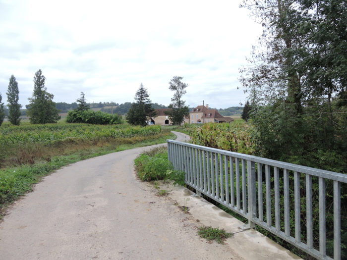
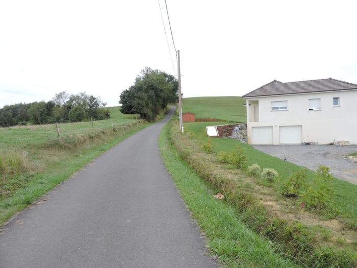
Beyond the bridge, a small tough road brings you back to the plateau. |
|
 |
 |
|
At the top of the hill, the slope diminishes as the road passes near Commandet hamlet. Our dog, who has taken a little lead, will accompany us until the end of the stage. |
|
 |
 |
|
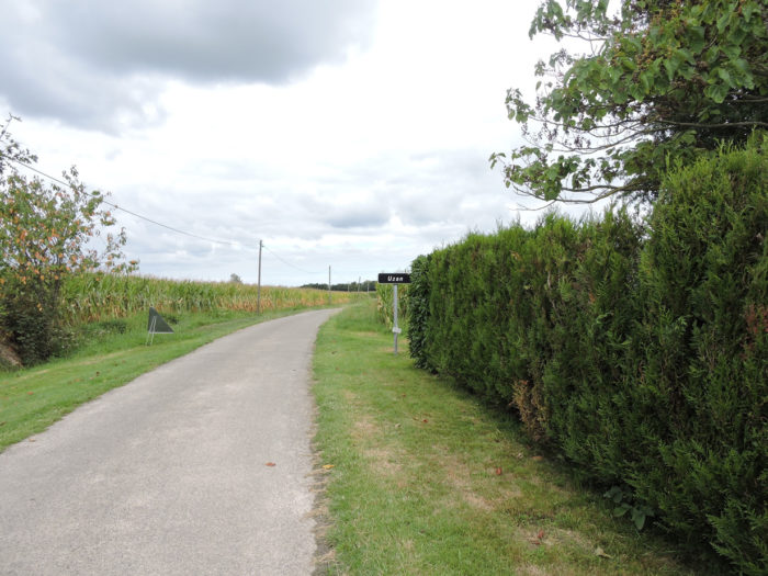
You’ll find back the corn there, no doubt with delight. For miles, before finding the entrance to Uzan village. |
|
 |
 |
|
A few houses along the road. A little further on, a sign announces Uzan, but you are far from reaching the village. |
|
 |
 |
|
The village stretches for kilometers along the road, in the endless cornfields. |
|
 |
 |
|
Shortly after, the road descends a little to the bottom of a gentle dale to cross the Uzan brook, a small tributary of the Luy de Béarn River. The corn should not be too short of water. |
|
 |
 |
 |
 |
|
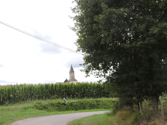
The village, whose church can be seen, is just a little beyond the bridge. |
|
 |
 |
|
Uzan (175 inhabitants) is originally a bastide founded by the monks of the Larreule abbey at the end of the 10th century. Sainte-Quitterie church was built in the 12th century but has been the subject of profound changes in recent centuries. |
|
 |
 |
|
There are no shops in the village, but you can stay there. |
|
 |
 |
Section 5: Flat course, in Béarn countryside.

General overview of the difficulties of the route: course without any difficulty.

|
Here the route takes the direction of Géus d´Arzacq. |
|
 |
 |
|
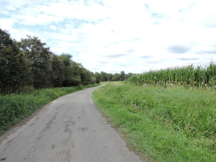
Beyond Uzan, more corn, always corn, indefinitely corn, on the tar. It’s very beautiful, you never get tired of it, right? |
|
 |
 |
 |
 |
|
Yet, near one of these beautiful houses with rolled pebbles, an undergrowth looms on the horizon, breaking the monotony. |
|
 |
 |
|
The road will descend there to find a tributary of the Luy de Béarn River. |
|
 |
 |
 |
 |
|
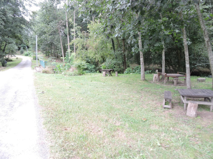
And suddenly the magic happens. Poetry here. Near the river, a large picnic spot is so loaded with symbols that a sociologist could spend months there identifying the symbolism of all these motley objects, grouped or scattered with subtle art. But who and what can these bags be used for, the contents of which are unknown? And what is this Roman plotting with his forehead covered with laurel among the votive stones? |
|
 |
 |
|
The road climbs gently up the river to reach Géus d´Azacq. Another small symbolic wheel by the side of the road to extend the dream. |
|
 |
 |
|
Further up, you’ll find the real world back. A gîte is present on the way. You soon see the steeple of the village church. |
|
 |
 |
|
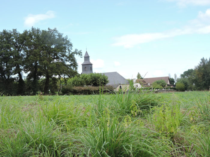
In Geus d´Arzacq the cleanliness and serenity of the pretty houses reign. Notre-Dame Church dates from the beginning of the 18th century. |
|
 |
 |
 |
 |
|
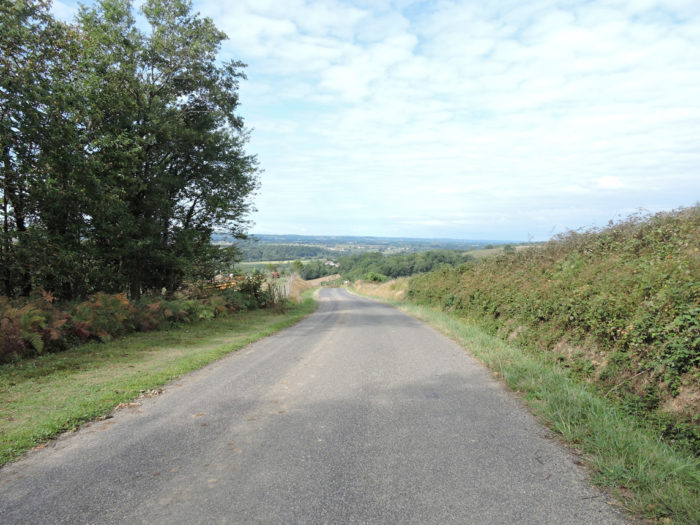
The course leaves the village, its beautiful hewn stone houses, on the tarmac road. You are quite close to Pomps, the next village. |
|
 |
 |
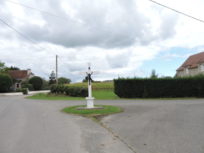
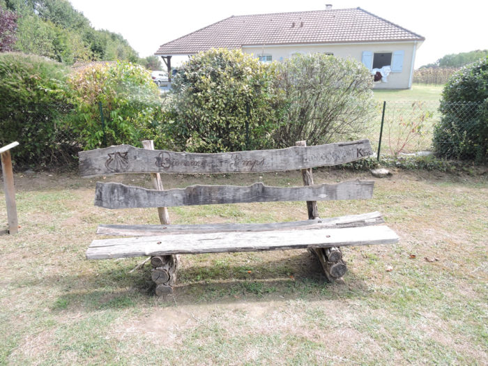
Here people have a deep sense of symbolism.

|
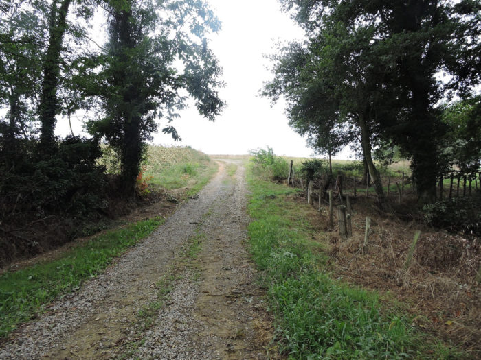
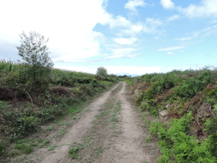
Here a dirt road is offered. But corn is also offered to you. Sometimes a magnificent tauzin oak gives you a little shade. |
|
 |
 |
|
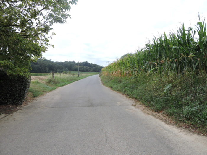
Therefore, a little dirt in the countryside. In the region, when you leave one village for another, the journey inexorably finds the corn. |
|
 |
 |
|
The pathway now approaches Pomps, where you even see a few sunflower fields. |
|
 |
 |
|
Clearly, the initiative committee has done a good job here to enhance the management of directions. |
|
 |
 |
|
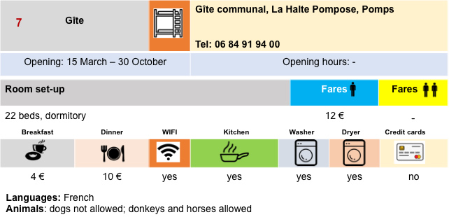
The village looks like a new village, with many recent constructions. You find accommodation at the communal gîte. There used to be a grocery store here, which now appears to be closed. Today there is only the communal gîte, but places are limited. You must therefore continue on the road towards Arthez-de-Béarn or rather go to Morlanne, two kilometers from here on the road, where the possibilities are more numerous. Miam Miam Dodo lists all these addresses. |
|
 |
 |
Lodging
 |
 |
 |
 |

 |
 |
 |
 |
Feel free to add comments. This is often how you move up the Google hierarchy, and how more pilgrims will have access to the site.
 |
Next stage : Stage 32: From Pomps to Maslacq |
 |
Back to menu |