
The last hills of the Landes before entering Béarn.
DIDIER HEUMANN, MILENA DELLA PIAZZA, ANDREAS PAPASAVVAS

We divided the course into several sections to make it easier to see. For each section, the maps show the course, the slopes found on the course, and the state of the roads. The courses were drawn on the « Wikilocs » platform. Today, it is no longer necessary to walk around with detailed maps in your pocket or bag. If you have a mobile phone or tablet, you can easily follow routes live.
For this stage, here is the link:
It is obviously not the case for all pilgrims to be comfortable with reading GPS and routes on a laptop, and there are still many places in France without an Internet connection. Therefore, you can find a book on Amazon that deals with this course. Click on the book title to open Amazon.
 |
The Camino de Santiago in France. VI. From Cahors to St Jean-Pied-de-Port (Via Podiensis) on GR65 track |
If you only want to consult lodging of the stage, go directly to the bottom of the page.
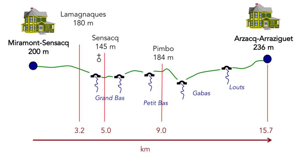
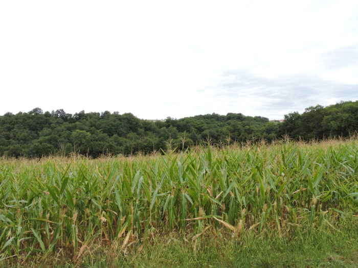
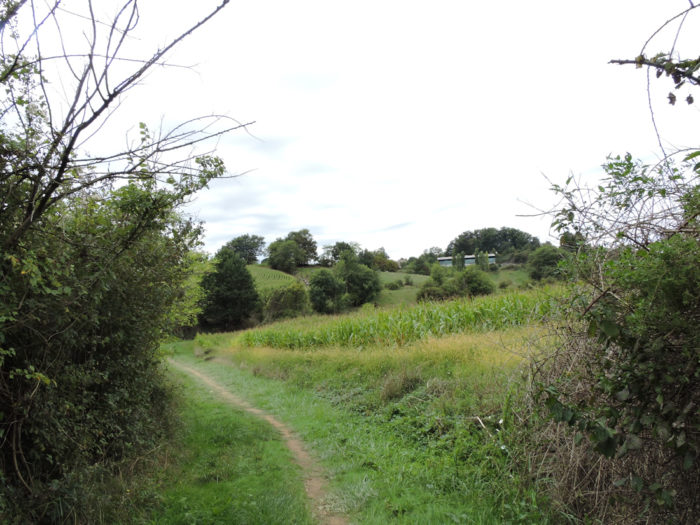
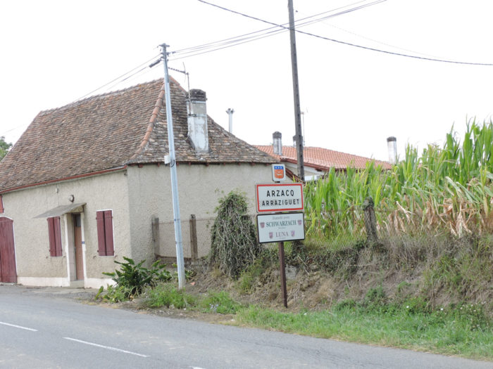
You undoubtedly enjoyed crossing the cornfields the day before. Today, this abundance of yellow ears is dissipating a bit, but it is far from over, almost to the Spanish border. The scenery gradually changes in the stage. You’ll find again the hills, the last foothills of the Landes before the Pyrenees. At the end of the route, beyond Pimbo, the track will leave the Landes to enter Béarn in Arzacq-Arraziguet, an old stage of transhumance of herds from the Pyrenean valleys to the neighboring Landes.
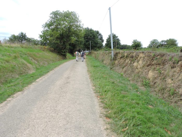
The stage is very short, because you stopped the day before at Miramont-Sensacq. Yet, as mentioned in the previous stage, many pilgrims walk the 35 kilometers between Aire-sur-Adour and Arzacq-Arraziguet at once. With almost 30 days of walking training on the track from Le Puy, it is not insurmountable. The route is always in a southwest direction.
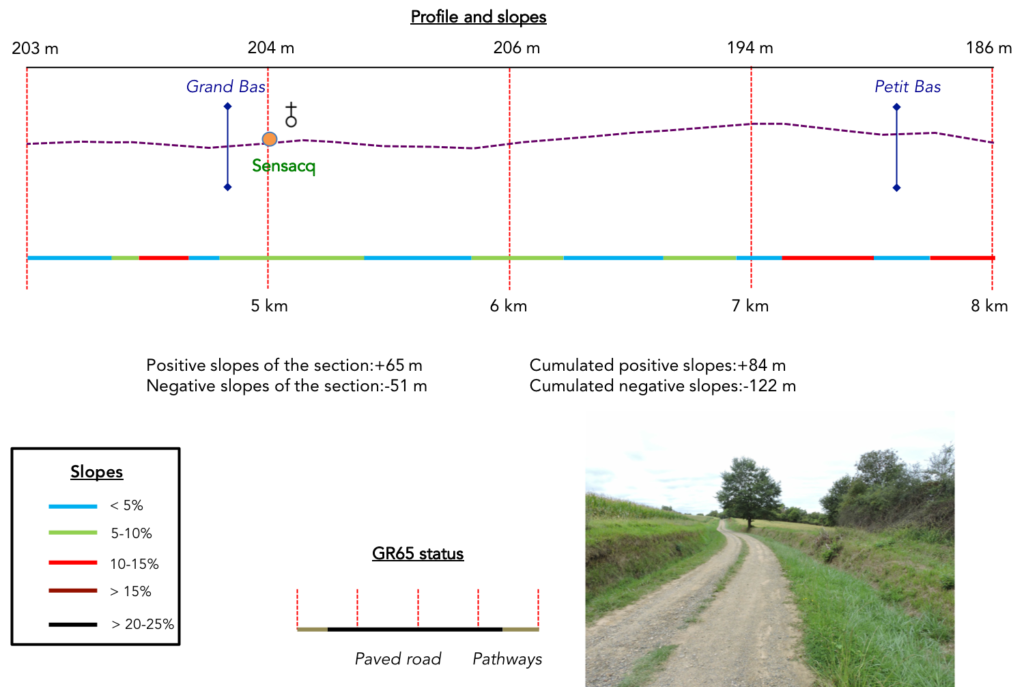
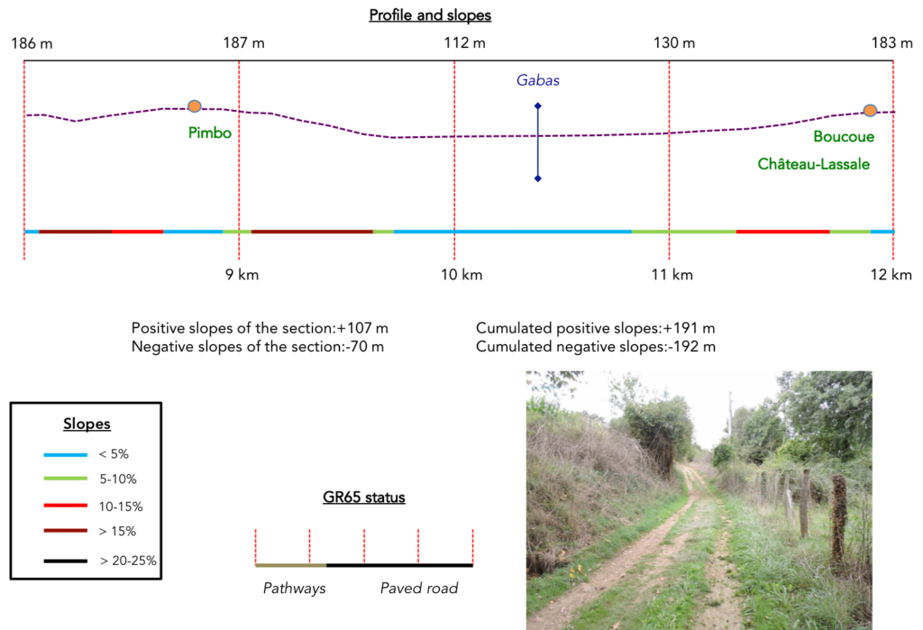
Difficulty of the course: Slope variations (+247 meters/-207 meters) are not very pronounced. Today’s course presents no difficulty, over very slight hilly areas. There are, however, some nice bumps, as usual, but they are not long. This is especially the case before and after Pimbo on the Gabas River side.
There are just a few more paved roads than pathways:
- Paved roads: 8.7 km
- Dirt roads: 7.0 km
Sometimes, for reasons of logistics or housing possibilities, these stages mix routes operated on different days, having passed several times on Via Podiensis. From then on, the skies, the rain, or the seasons can vary. But, generally this is not the case, and in fact this does not change the description of the course.
It is very difficult to specify with certainty the incline of the slopes, whatever the system you use.
For « real slopes », reread the mileage manual on the home page.

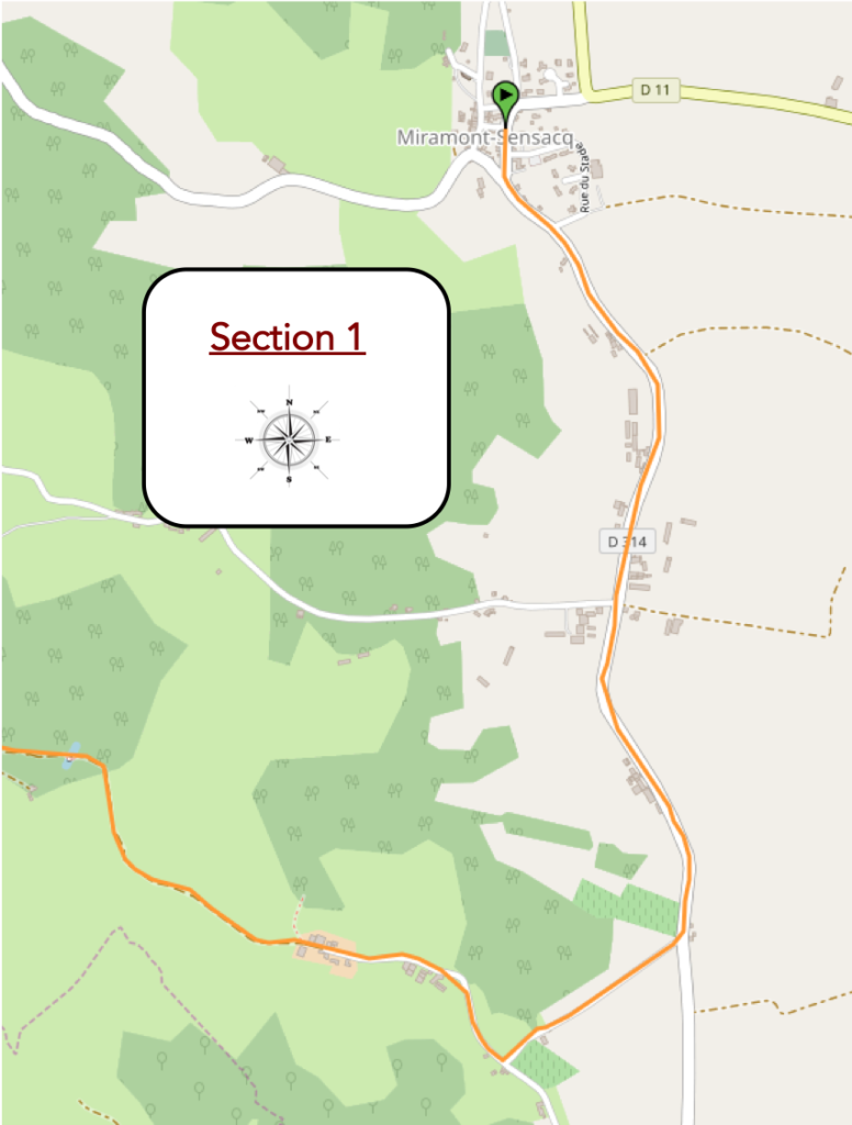
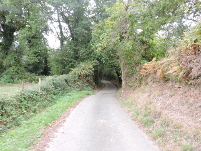
Section 1: In the countryside.
General overview of the difficulties of the route: course without any difficulty.
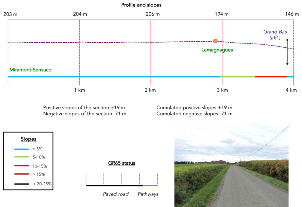
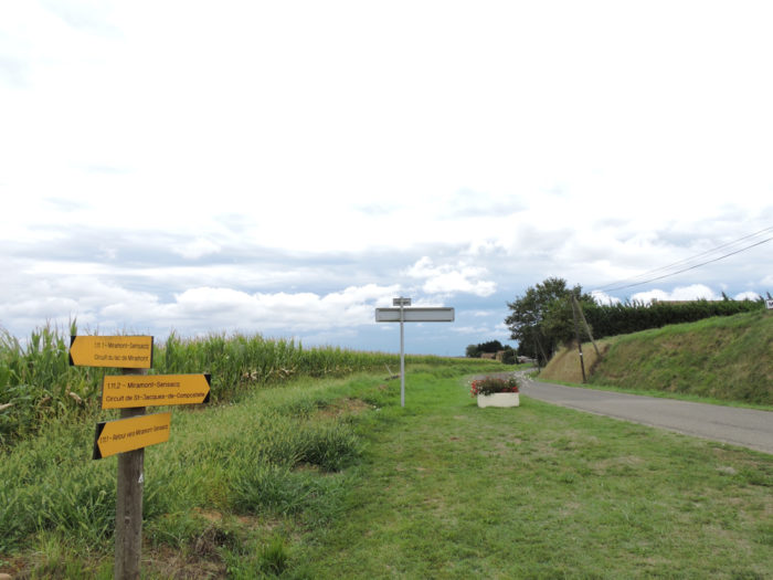
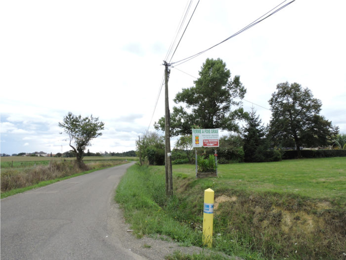
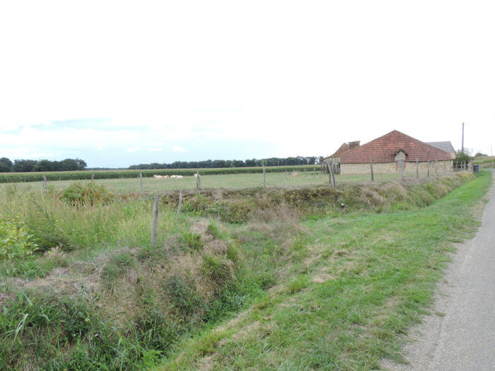
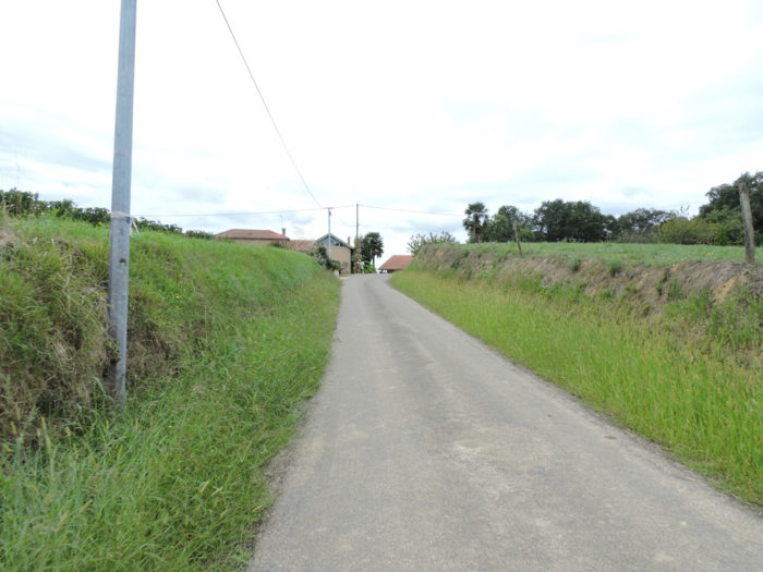
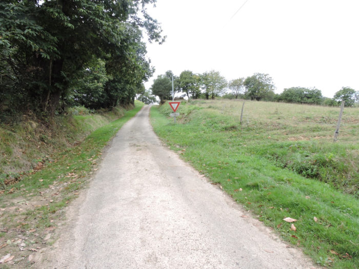
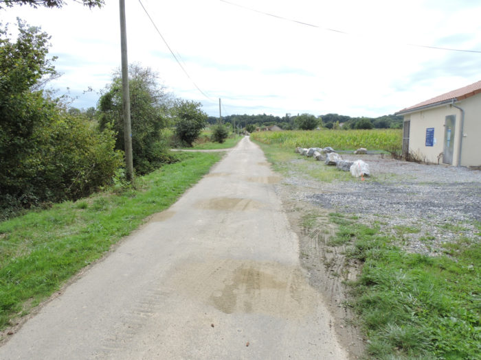
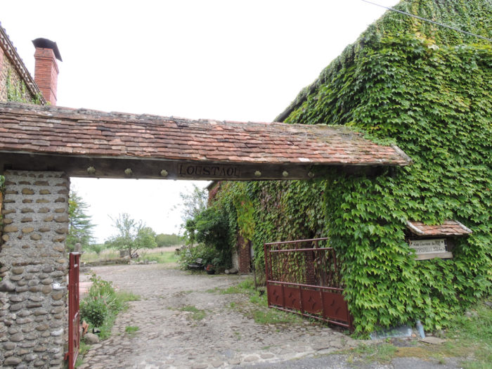
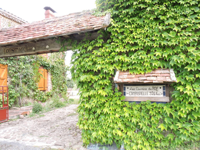
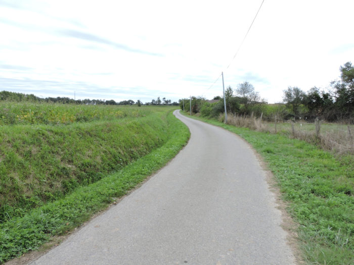
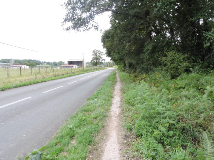
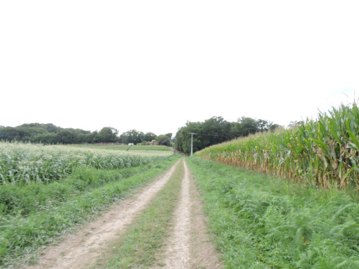
| A tarmac road leaves the village of Miramont-Sensacq in an essentially agricultural landscape, with very neat farms. Today, no suburbs to cross, you are directly in the topic. The route leaves Miramont-Sensacq on D314 road towards Pimbo. | |
 |
 |
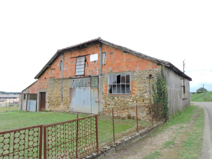
| In this campaign, the basic construction here is often made of rough bricks. There is a certain poetry in these simple constructions. | |
 |
 |
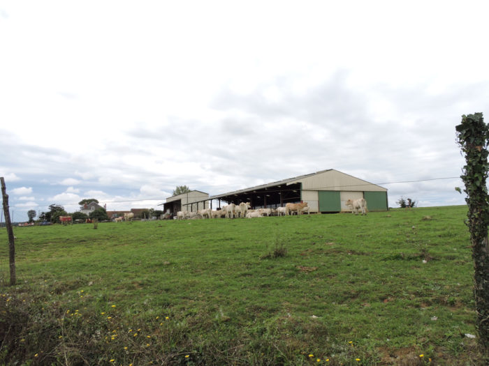
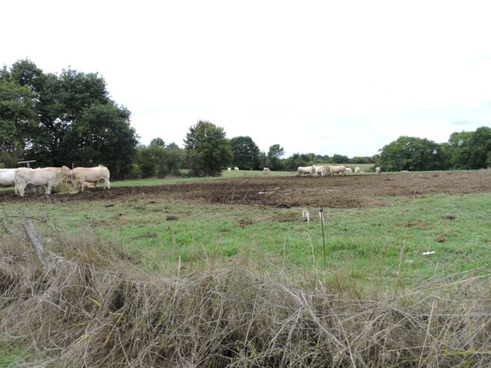
| Cattle breeding and ducks share the country here. Cows, it had been a long time since we had seen more. Here they are above all beautiful White Aquitaine, the queens of the South-West, born for meat. The posters make more than a passerby who loves duck fat salivate. | |
 |
 |
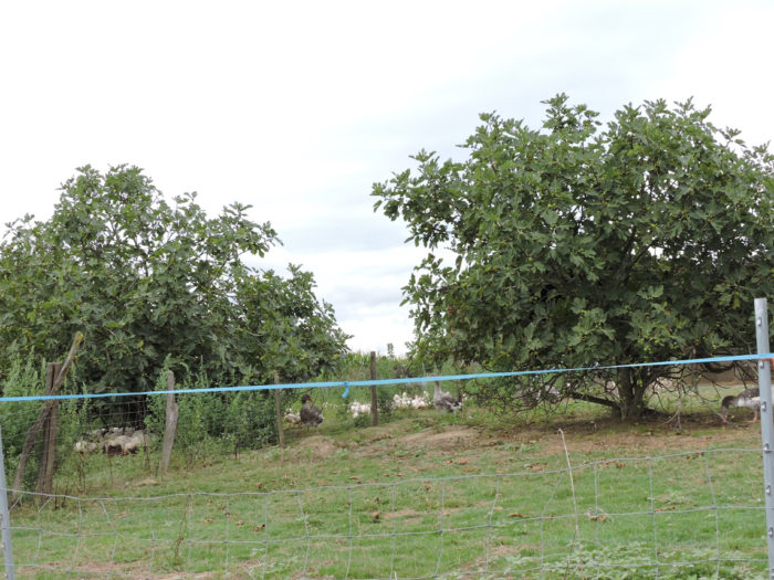
| And the ducks, where are they? Peasants do not grow corn only to suppress thickets, uproot trees, make landscapes ugly. Then suddenly, as if to make us lie, here are finally the beautiful mulard ducks so hoped for and awaited! This is only the second time, after all the crossing of the Gers, that we see them, in flesh and blood, if we dare put it that way. They are there by the hundreds to rest and prosper, but quite far from the walkers. They have about 4 months to do this before going to the pan. The life expectancy of some ducks is almost 20 years. Sad fate! But who can really resist the temptation in front of one of these wonderful soft livers? Even the author of these lines succumbs to it sometimes with relish, but more with pleasure after having walked several times in the South-West. | |
 |
 |
|
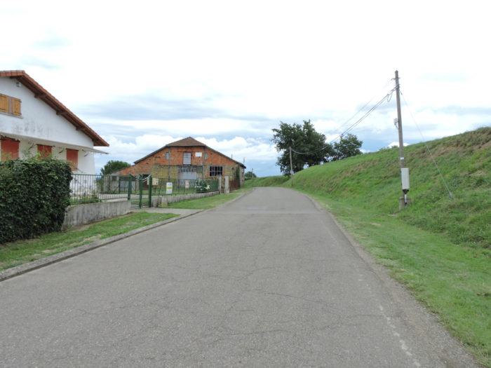
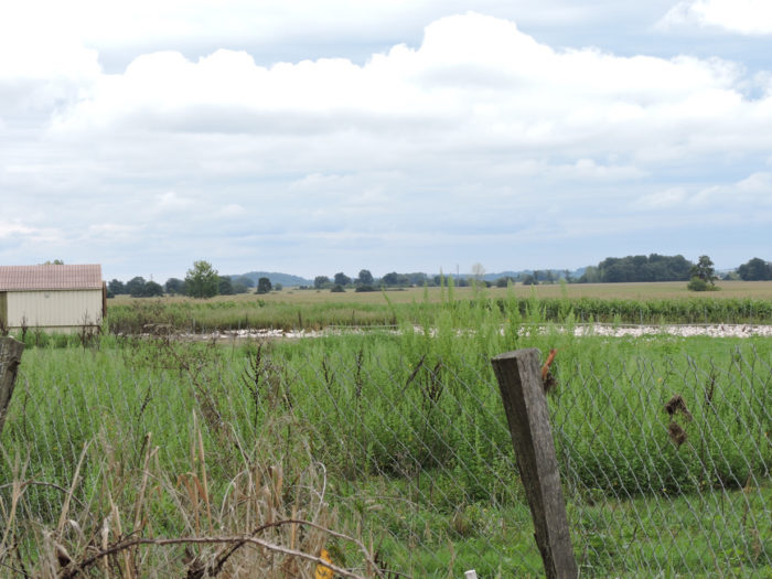
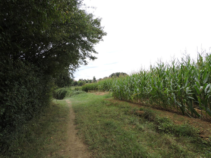
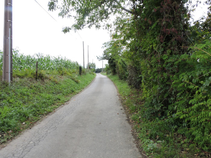
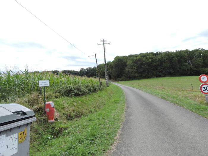
For kilometers, the route flattens on the D134 departmental road , in the middle of corn and sometimes soybeans. |
|
 |
 |
| Here the human presence is a little more apparent along the route, and the cultures are a little more diverse, but so few. It’s not just corn, sometimes there are even cows in the meadows. | |
 |
 |
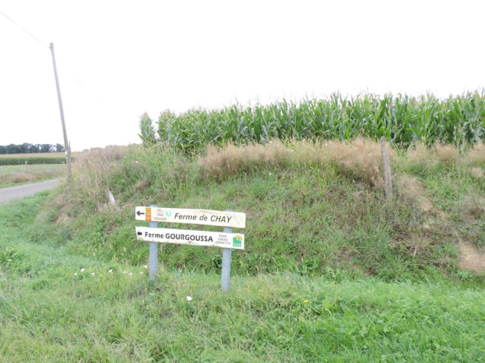
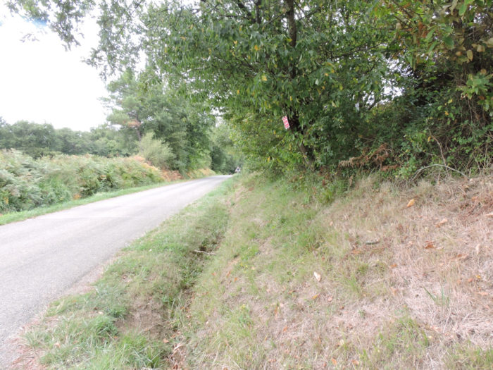
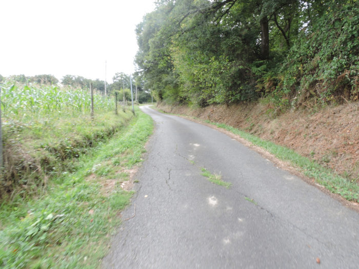
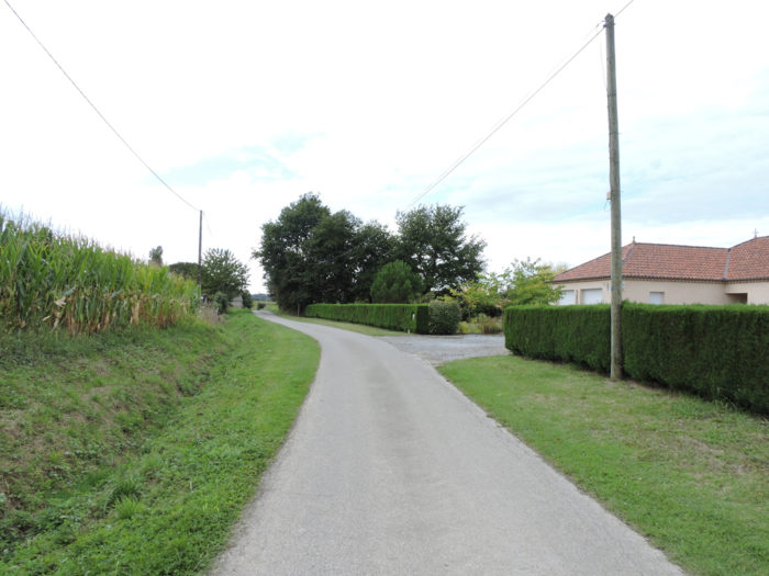
| A little further on, the GR65 leaves the departmental road for a smaller road. But nothing changes. You can of course stop by all of these farms to buy poultry or foie gras, but the crowds really don’t rush around here. | |
 |
 |
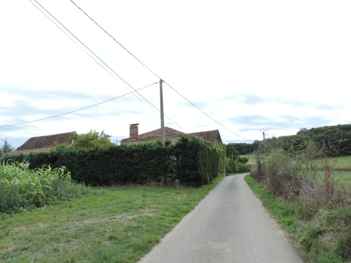
| The road is gradually approaching Lamagnagues, with here and there a few old adobe houses, which you do not know if they are still functional today. | |
 |
 |
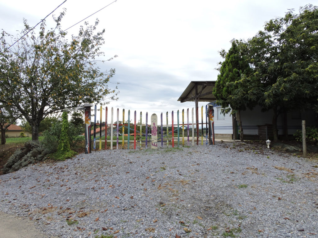
Suddenly, at the bend of the road, you widen our eyes to see if you are not dreaming. A ski lift here? The breeders and feeders of the region must from time to time abandon their birds to surf the slopes of the nearby Pyrenees.
| The road then arrives at Lamagnaques hamlet. Here farmers love cattle and White Aquitaine cows. You are still getting closer to the Basque Country. | |
 |
 |
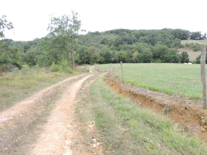
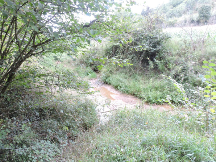
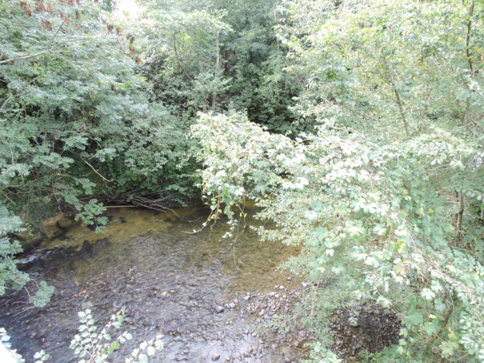
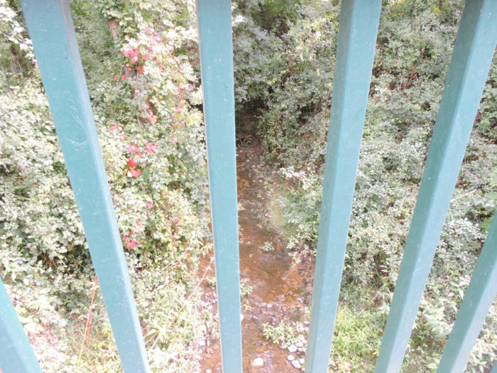
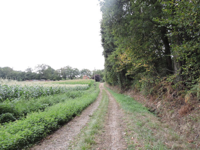
| From here the route leaves the tarmac, following a wide dirt road that descends towards the undergrowth of Pyphane to cross one of the arms of Grand Bas stream. The slope is quite steep and the vegetation crude and bushy. | |
 |
 |
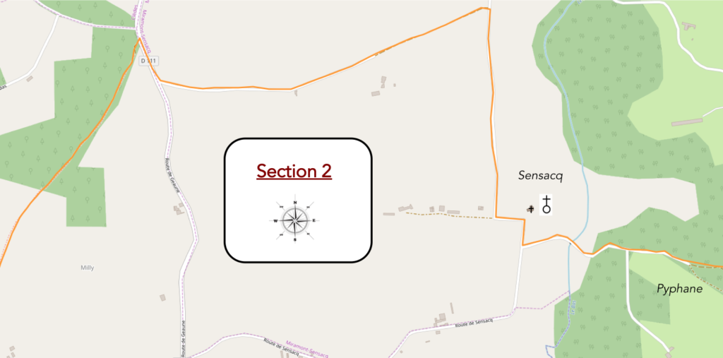
Section 2: In the gentle hills of Sensacq.
General overview of the difficulties of the route: course without any difficulty.
| Along the stream, the undergrowth is not very dense, quite humid, in the deciduous trees, where chestnut trees, holm oaks and ash trees abound. | |
 |
 |
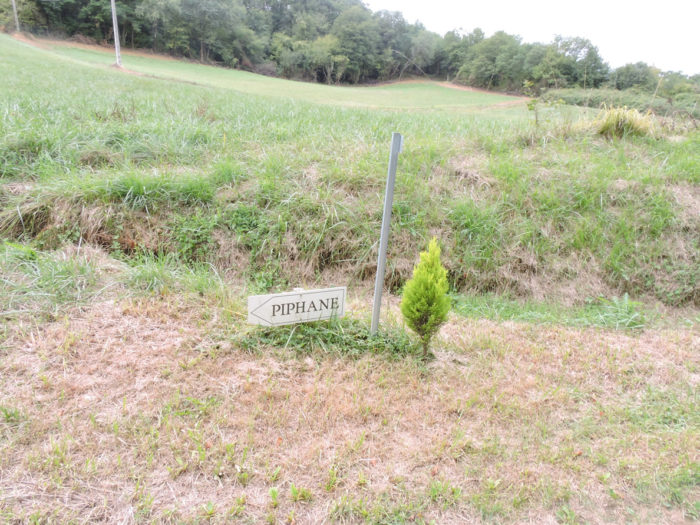
| At the end of the undergrowth, the pathway heads to the locality known as Pyphane, at the corner of the wood. | |
 |
 |
| A wide dirt road then runs along the clearing. Up there, above the wood of holm oaks, the ducks growl. | |
 |
 |
|
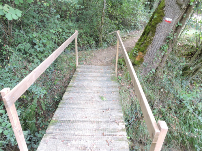
Further on, the pathway widens, slopes down a little more to cross Grand Bas brook, hidden in the thick undergrowth. |
|
 |
 |
|
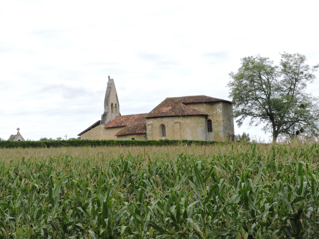
On the other side of the bridge, you can see Sensaq Church. A small road then climbs quite steadily towards the church, buried in the ears of corn. |
|
 |
 |
|
The Romanesque church of St Jacques dating from the 11th century, since reworked, has an original bell-tower wall, pierced with two bays. In the sober and bright church, the boat hull frame is remarkable. |
|
 |
 |
|
Beyond the church, the GR65 descends a little on the tar, in the tired corn and sunflowers which are turning brown every day. |
|
 |
 |
|
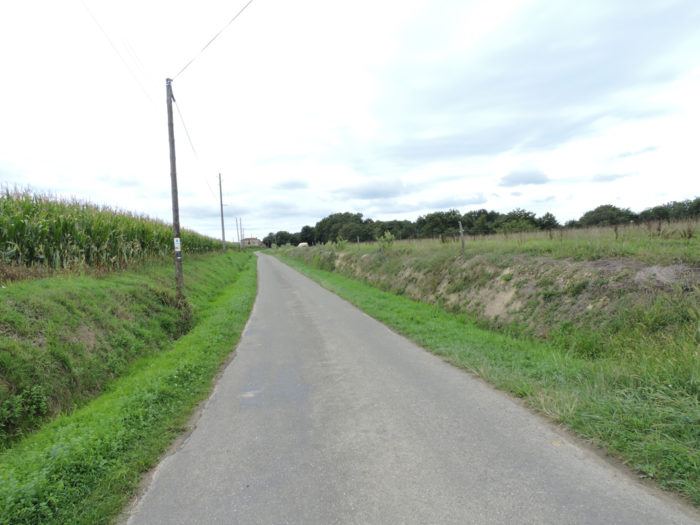
Then it climbs back gently, hesitating between the bad tar and the dirt. |
|
 |
 |
 |
 |
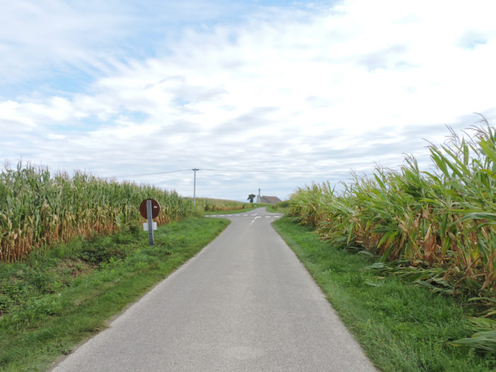
All around, there are only cornfields and you can guess many duck sheds, fortunately quite far from the course. Breeding must remain discreet, with all the moral problems it raises.

|
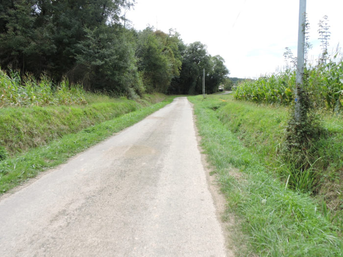
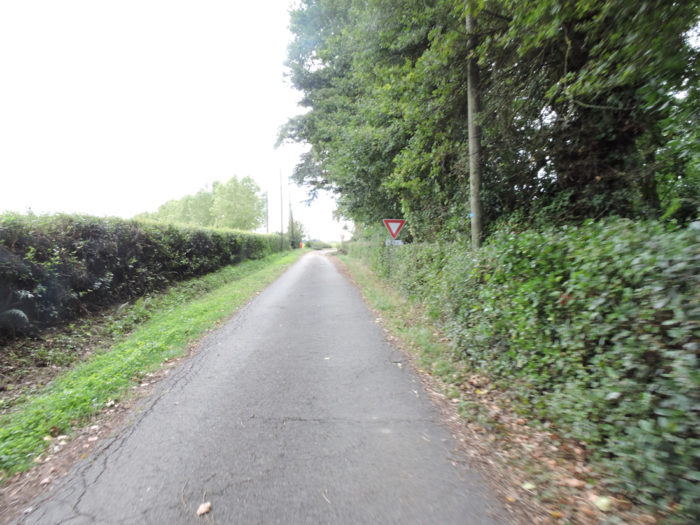
The small road winds through the corn until it reaches the D111 departmental road. |
|
 |
 |
 |
 |
|
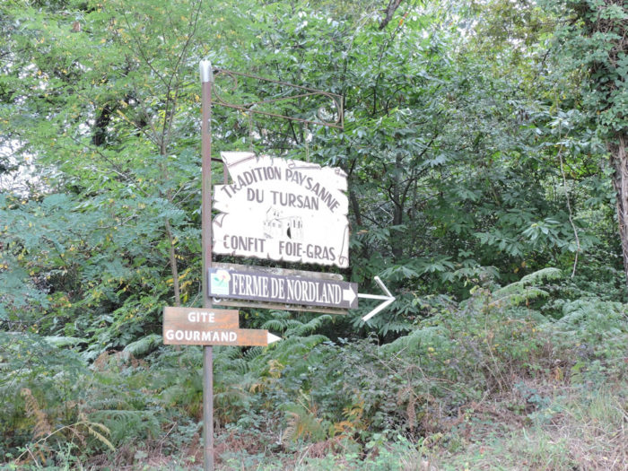
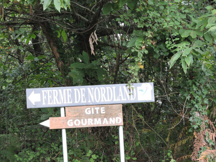
Further ahead, the GR65 follows the road for a few moments until a junction, where a direction for accommodation outside the track is indicated. If you have forgotten it, you are still in Tursan, one of the jewels of foie gras. |
|
 |
 |
|
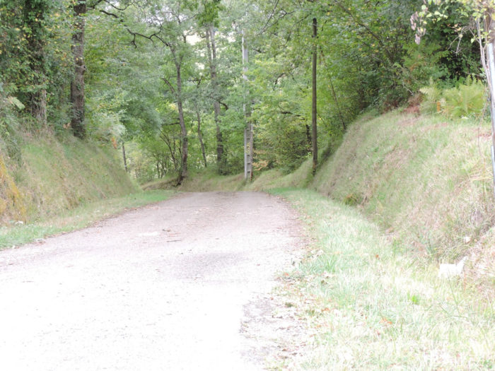
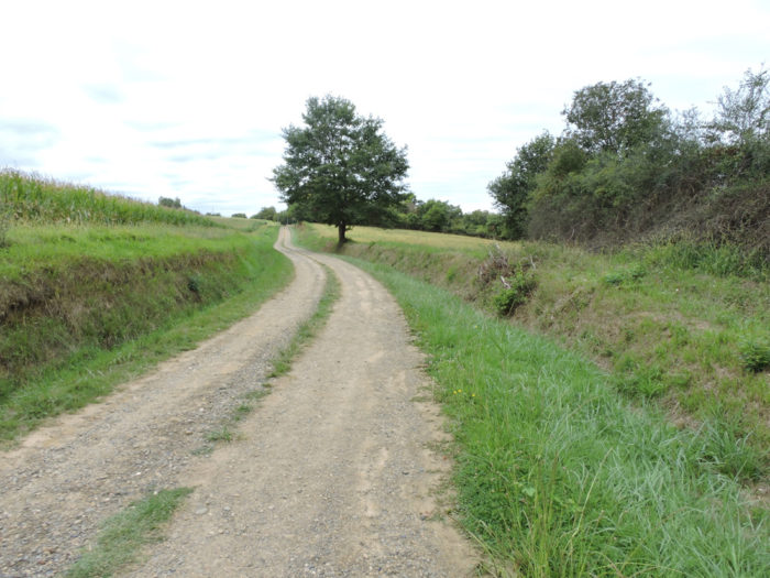
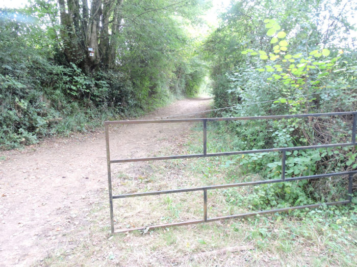
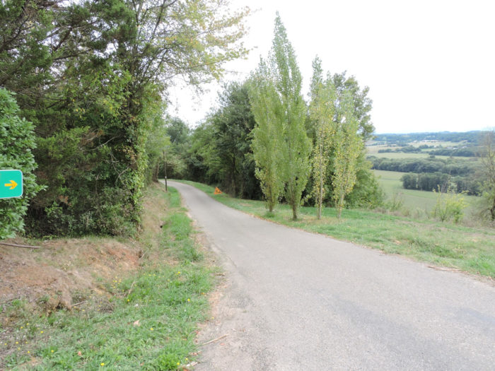
Beyond the fork, the route finally changes, to the delight of many pilgrims. You’ll leave the corn for some time to their problems. Any descent on the Camino de Santiago in the bushes and undergrowth announces a river or a stream. A bad lane then plunges and descends into the undergrowth. |
|
 |
 |
|
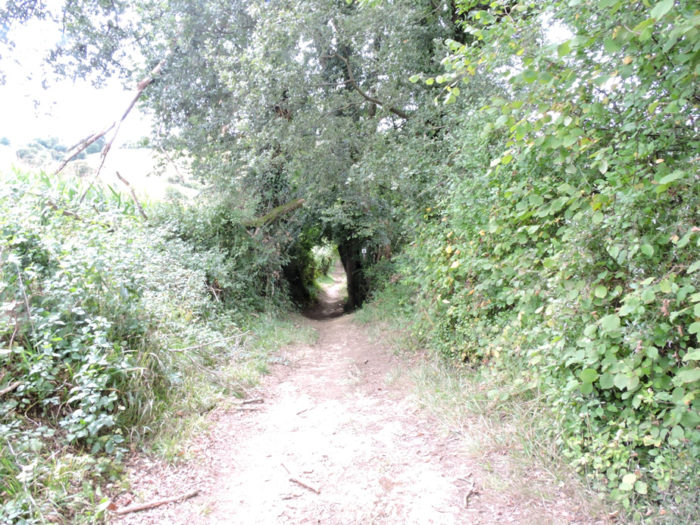
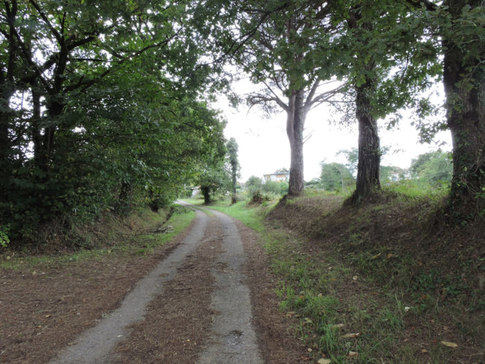
You’ll find a more mixed forest, with oaks of course, but also very many skeletal chestnut trees and some equally plucked maples. Sometimes the slope is quite steep, in this rather long descent to the stream. You can imagine that this pathway can be slippery in rainy weather. |
|
 |
 |
|
The pathway descends until it crosses the Petit Bas brook. Uneven ground always has the same direction of slope. A vaporous mist envelops the stripped chestnut trees, whose age you never really know how to determine, and which still offer to the sky what remains of their misshapen arms. |
|
 |
 |
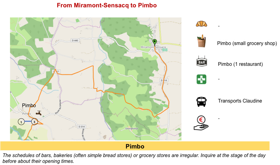
Section 3: Pimbo, up there on the hill.
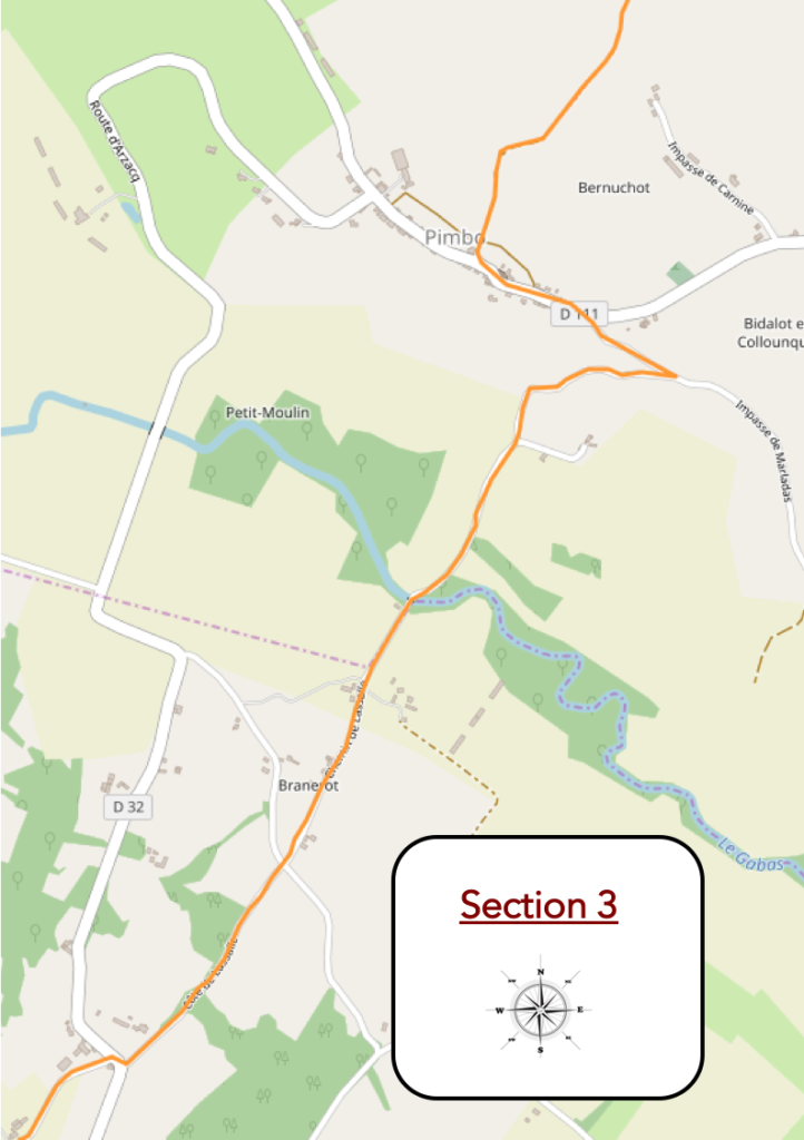
General overview of the difficulties of the route: slopes before and after Pimbo; the only part of the journey a little demanding.
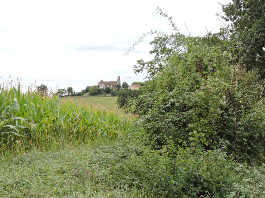
| The pathway still slopes down. From one ripple to the other, in the clearings, you can see Pimbo above the hill. You may also notice large areas of cereals, which is new for the region. | |
 |
 |
| The pathway soon reaches the bottom of the dale. Here the light hardly penetrates the hardwood hedges. | |
 |
 |
At the bottom of the dale, you can see Pimbo perched proudly on the hill. You are already salivating at the idea that you will obviously have to climb up there.
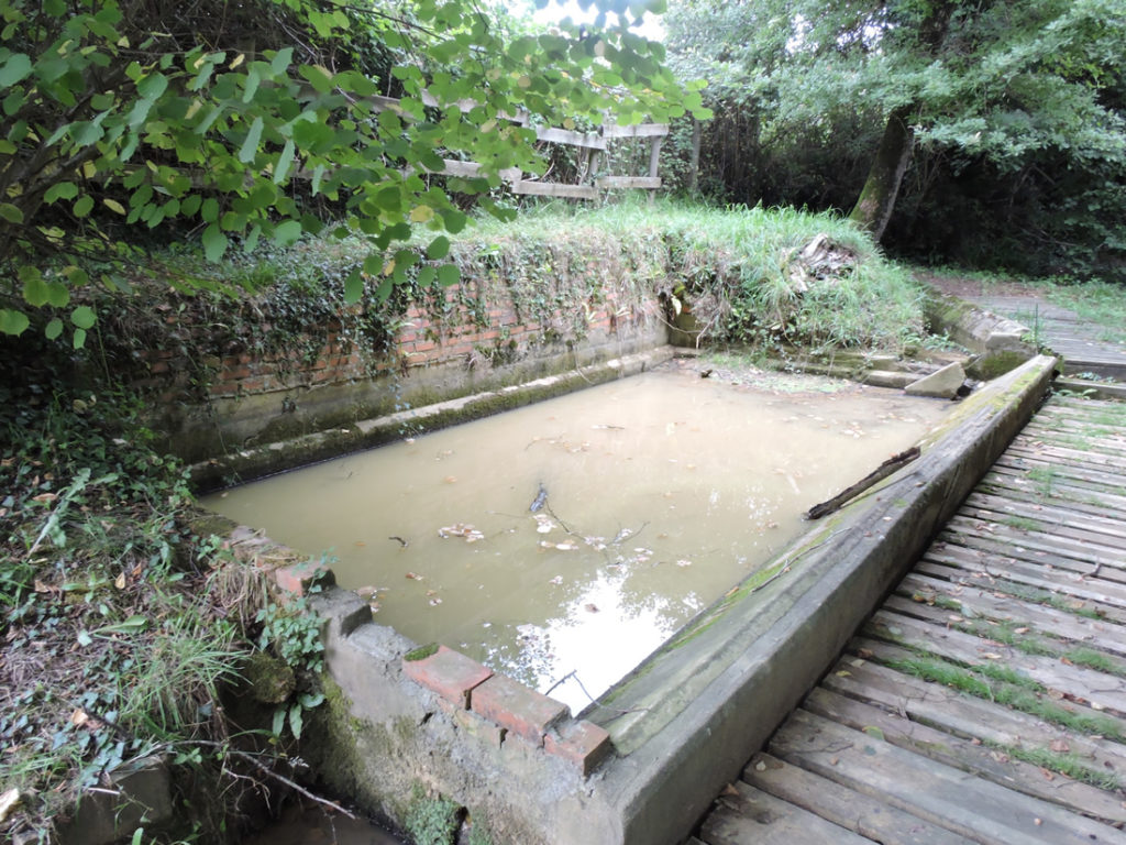
Along the way, nestles the pretty little Houngrosse fountain, nestled in the weeds a few steps from the track. You wouldn’t go so far as to drink the water.
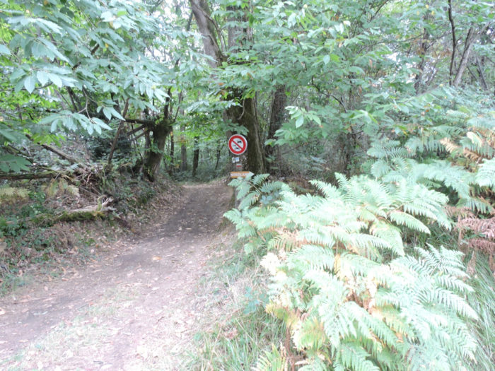
| It is from here that the slope becomes very steep on a pathway stony enough to reach Pimbo, perched up there on the hill. | |
 |
 |
It’s short, but quite steep….
Wait for the video to load.
| At the top of the hill, the pathway arrives at Pimbo. | |
 |
 |
|
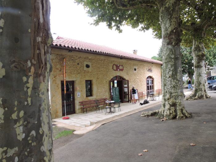
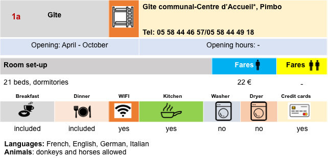
Any pain deserves sometimes pay. Pilgrims know this well. There is an opulent refreshment bar waiting for them in the village square. When you have the feeling that you are alone on the track, you will always be surprised to see the crowd of pilgrims who stop in these blessed places. The village has beautiful stone houses. There is accommodation and food on the village square. The hostel also serves as a gîte. It is often here that some pilgrims stay who find the journey from Aire-sur-L’Adour to Arzacq-Arraziguet too long. |
|
 |
 |
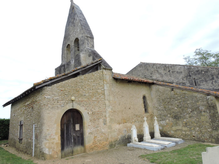
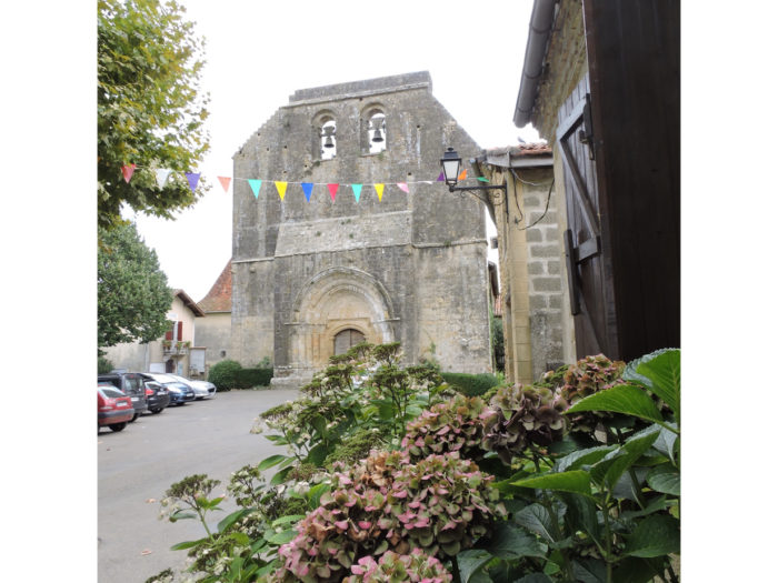
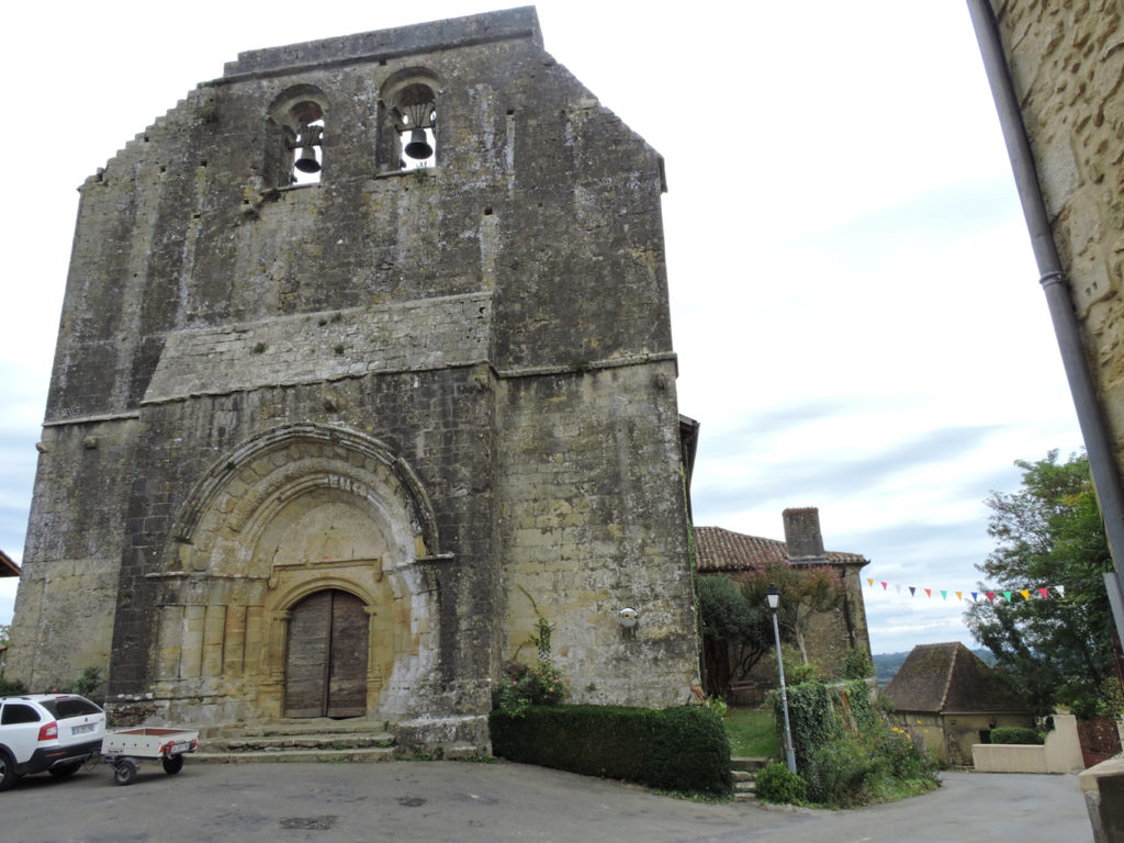
| The village is best known for the Collegiate Church of St Barthelemy, a Romanesque church from the 11th century, which has been destroyed and restored several times. It shows a rather military aspect, in particular with its rampart walk, near the arched wall bearing two bells. The monument is listed as a Historical Heritage. | |
 |
 |
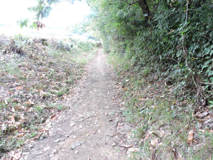
| Further afield, the GR65 slopes down steeply from the village on tar, in chestnut trees, holm oaks and ash trees. | |
 |
 |
Sometimes the slope is quite steep, sometimes with more than 15%.
Wait for the video to load.
| The road slopes down quite a bit until you reach a fairly large plain where Gabas River flows. This small river that flows out of the Pyrenees near Lourdes crosses the border of the Tursan and flows a little higher into the Adour. It’s not much water, but it must have its share of kindness for the peasants in the area. This is where you leave the Landes department for Pyrenees Atlantiques department, where GR path ends. | |
 |
 |
 |
 |
| Beyond the river the road first gently crosses the countryside, through meadows and corn. | |
 |
 |
| Gradually, the slope becomes steeper. It’s the last bump of the day and there weren’t that many of them. | |
 |
 |
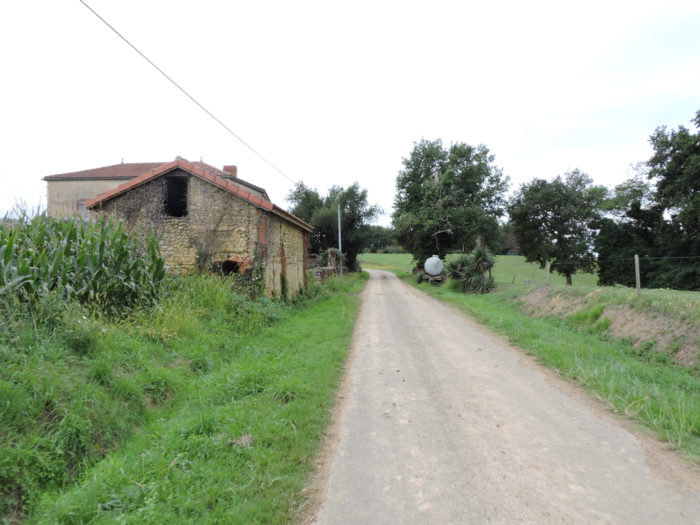
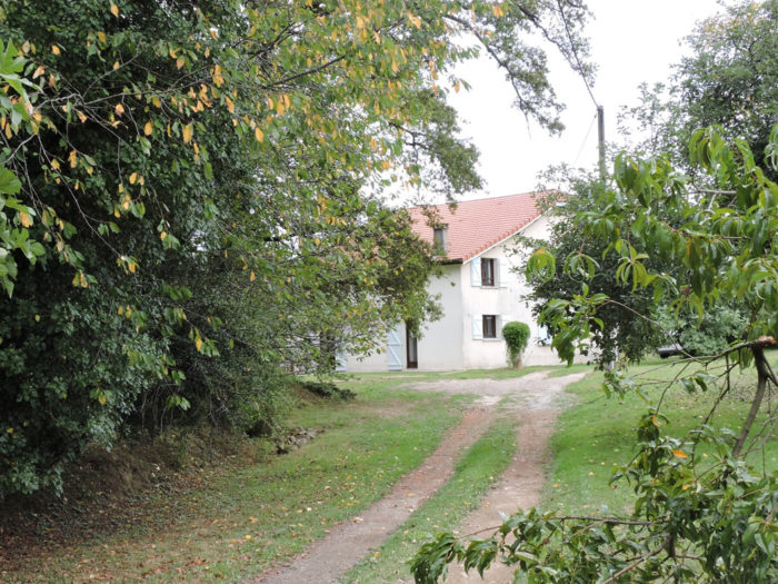
| The road runs in front of a magnificent stone and adobe house, caught in the ivy. Wouldn’t it have been a great place to make a bed and breakfast? Besides, the people here are kind to remind you that there are only 1,000 kilometers left to reach Santiago. | |
 |
 |
| The slope then becomes even more demanding, between the corn hedges, as you approach the forest. | |
 |
 |
 |
 |
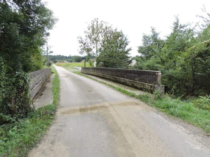
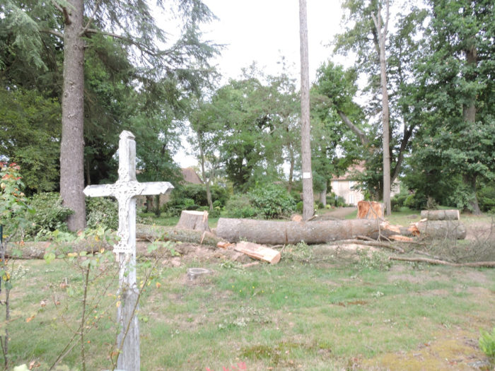
| The road runs along but hardly penetrates the holm oak forest. A cross marks the crossroads at the top of the ridge when the GR65 joins, near Boucoue, D32 departmental road in Château-Lassale, | |
 |
 |
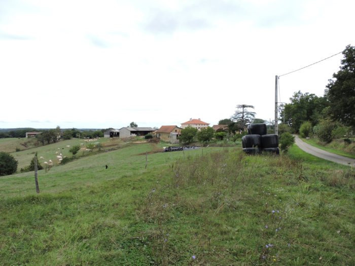
| Here you have reached a sort of high plateau in the middle of the countryside. There are still cornfields, fewer ducks. But you can see the noses of a few White Aquitaine cows. You are now in Béarn. | |
 |
 |
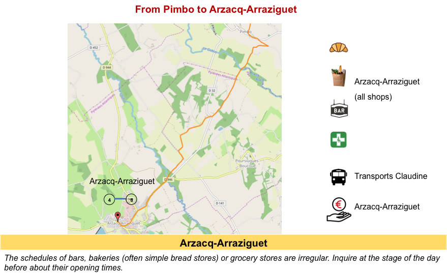
Section 4: In Arzacq-Arraziguet, at the beginning of Béarn.
![]()
General overview of the difficulties of the route: course without any difficulty.

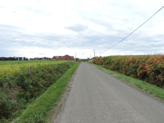
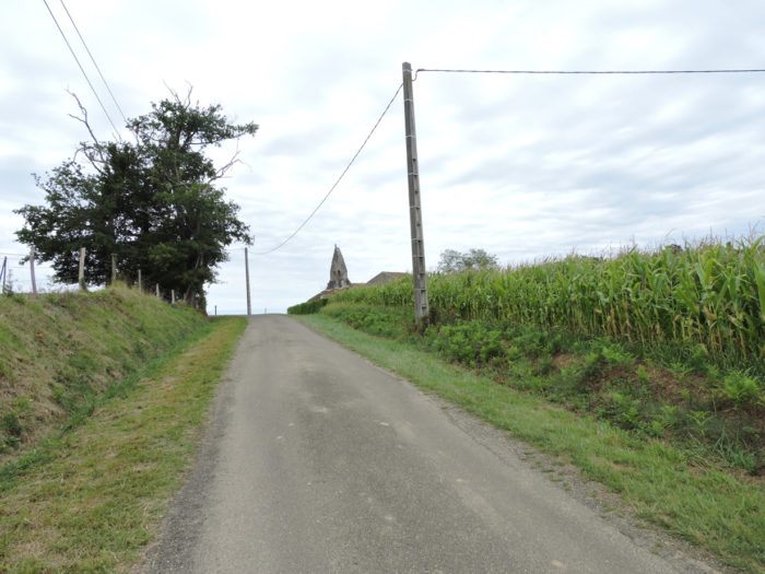
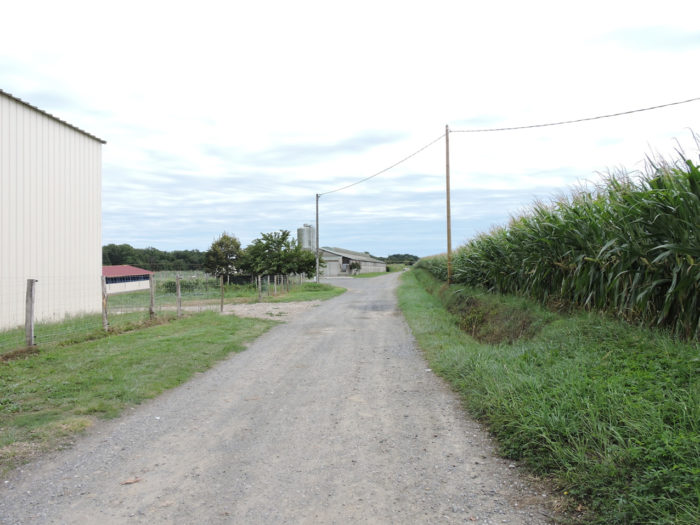
| Here the GR65 does not start directly on the secondary road which slopes down to Arzacq-Arraziguet. Beyond the crossroads it runs straight into the corn and soybeans along the houses of Baucoue hamlet. | |
 |
 |
 |
 |
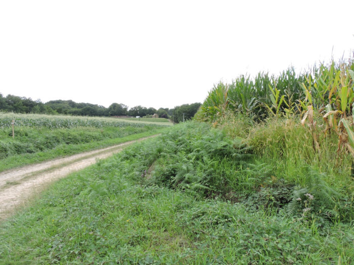
| On the plateau, the cornfields are once again as far as the eye can see. | |
 |
 |
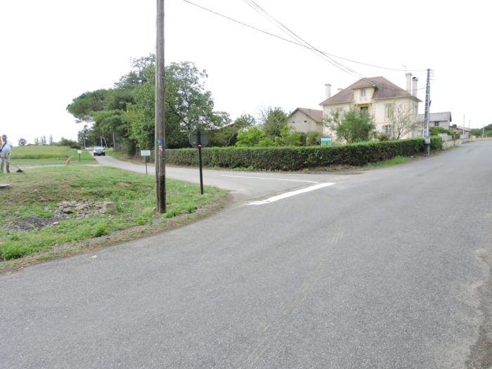
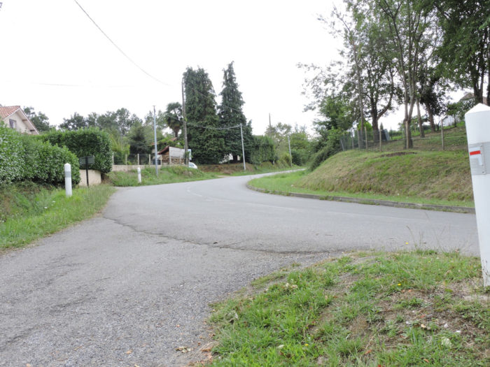
| A little further, the small road joins the D32 departmental road again, close to Arzacq-Arraziguet. | |
 |
 |
| A strip of grass has been drawn by the side of the road. A little further on, the GR65 crosses the Louts, another small river which also empties into the Adour River. | |
 |
 |
| The GR65 then gradually approaches the village. | |
 |
 |
Here are the ducks are in the open air. You want to approach the fence to observe them more closely. Do not do it! The barrier is electrified. The ducks must be left in peace so that they gain weight. But, all this electricity is arguably more for the use of ducks than pilgrims. But why don’t the latter fly over the barrier? The mulard ducks from which the foie gras is extracted cannot fly. Alas for them!

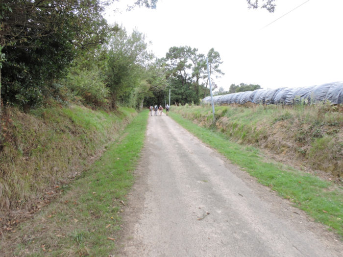
| You probably haven’t tasted enough corn and duck silos. Then the route offers you an additional ride on a country lane. | |
 |
 |
 |
 |
| At the end of the pathway under the oaks, the GR65 joins the paved road again at the entrance to the village. | |
 |
 |
| Arzaq Arraziguet has a population of little more than 1,000. | |
 |
 |
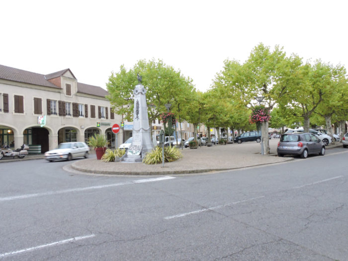
| Local life is concentrated in two places. Accommodation is concentrated on Place du Mercadieu; on the Place de la République, under the arcades, the shops. | |
 |
 |
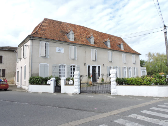
| Arzaq Arraziguet is a big village, where there are restaurants, grocery stores and a pharmacy. However, the accommodation possibilities are quite minimal. But the capacity of the communal gîte is large (77 beds). | |
 |
 |
Local gastronomy
Garbure is a typical dish from the South-West. It is eaten in Gascony, in the Landes and the Eastern Pyrenees. Each region claims paternity. It’s like fondue. A soup, the garbure? “Not at all. It is a complete, ancestral, multifaceted dish” answer aesthetes. There are dozens of garbure recipes. In fact, it’s still a vegetable soup, with potatoes, turnips, beans, onions, leeks and cabbage. But what really tastes it is the goose or duck fat to prepare the dish. Some add it at the end of cooking meat. But what makes the essence of the dish is the presence of pieces of duck, most often confused, in various forms (thigh, neck, wings, dry ribs called coustous). To express the veneration of this dish in the South West, there is even a garburade, a sort of world championship of the garbure.
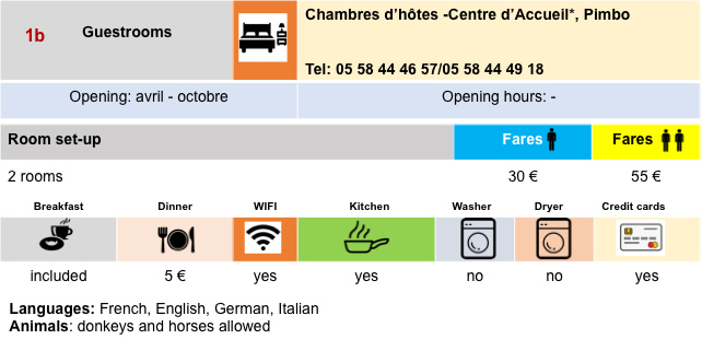
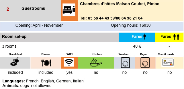
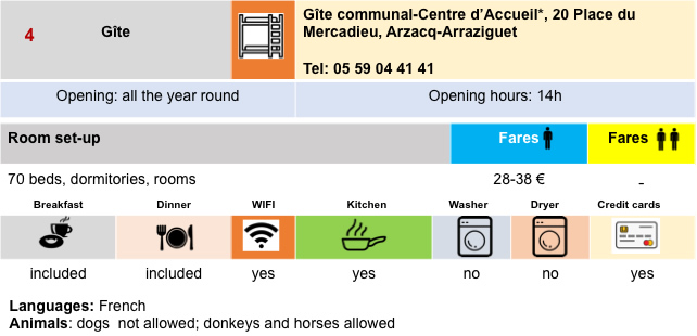
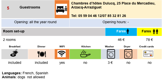
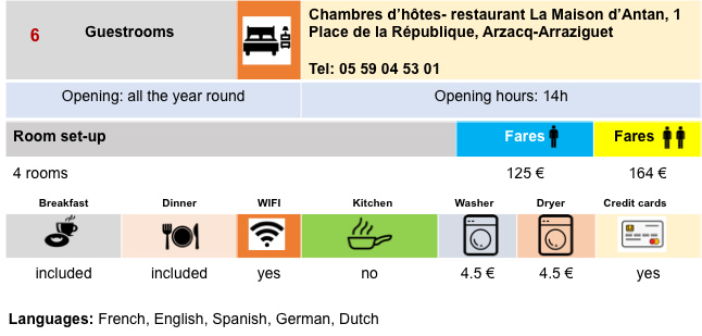
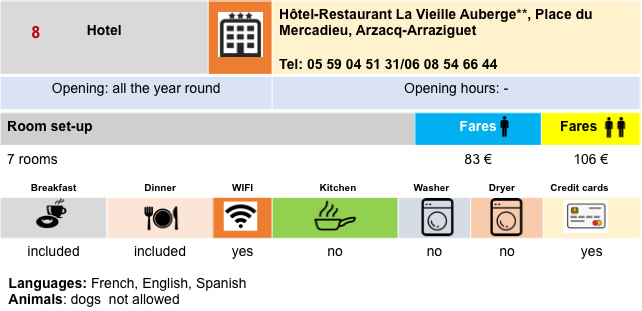
Lodging
 |
 |
 |
 |
 |
 |
 |
 |
Feel free to add comments. This is often how you move up the Google hierarchy, and how more pilgrims will have access to the site.
 |
Next stage : Stage 31: From Arzacq-Arraziguet to Pomps |
 |
Back to menu |