
18 kilometers of heavy solitude!
DIDIER HEUMANN, MILENA DALLA PIAZZA, ANDREAS PAPASAVVAS
![]()
We divided the course into several sections to make it easier to see. For each section, the maps show the course, the slopes found on the course, and the state of the roads. The courses were drawn on the « Wikilocs » platform. Today, it is no longer necessary to walk around with detailed maps in your pocket or bag. If you have a mobile phone or tablet, you can easily follow routes live.
For this stage, here is the link:
It is obviously not the case for all pilgrims to be comfortable with reading GPS and routes on a laptop, and there are still many places in France without an Internet connection. Therefore, you can find a book on Amazon that deals with this course. Click on the book title to open Amazon.
 |
The Camino de Santiago in France. VI. From Cahors to St Jean-Pied-de-Port (Via Podiensis) on GR65 track |
If you only want to consult lodging of the stage, go directly to the bottom of the page.
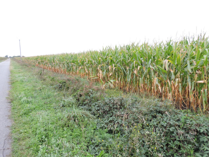
For a large number of tourists, the Landes department boils down to wide rows of pines in a horizontal landscape near the sea. In reality, the department has three major types of quite different landscape: the coast, the Landes plateau and the territories of Adour to the east formed by the regions of Chalosse and Tursan, a country of mainly hills. If the Landes plateau is poor soil, allowing little more than the growth of pines, the silty and clayey soils of Tursan, where the track passes today, are richer. Admittedly, this is not wheat land, but the corn here finds great expression. In these territories, punctuated by groves, especially oaks, the population density is low, with many small isolated farms and small towns. The duck is present everywhere, along the immense fields of corn. The Landes department is the largest producer of duck livers in the world.
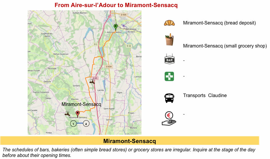
With a slight bias, we will say that this is not the most beautiful stage of the Camino de Santiago, unless you are an unconditional admirer of the cornfields. Sometimes there are inevitable transitions. It is almost a given that if there were any means of public transport in France worthy of the name, many pilgrims would skip these long and soulless stages here. This in no way calls into question the hard work of the peasants who live and work in these regions. Accommodation options become more difficult the closer you get to the Pyrenees. Many pilgrims go in a single step from Aire-sur-Adour to Arzacq-Arraziguet. But it’s a stage of almost 35 kilometers. From then on, there is the possibility of cutting the pear in half, stopping at Miramont-Sensacq, halfway through the route, or a little further on at Pimbo. But watch out for accommodation. They are minimum portion.
Difficulty of the course: Slope variations (+223 meters/-77 meters) are insignificant today. It’s an almost flat stage, which presents no difficulty on the course, a day of rest in a way.
Here is a day on the tar!:
- Paved roads: 14.1 km
- Dirt roads: 3.9 km
Sometimes, for reasons of logistics or housing possibilities, these stages mix routes operated on different days, having passed several times on Via Podiensis. From then on, the skies, the rain, or the seasons can vary. But, generally this is not the case, and in fact this does not change the description of the course.
It is very difficult to specify with certainty the incline of the slopes, whatever the system you use.
For « real slopes », reread the mileage manual on the home page.

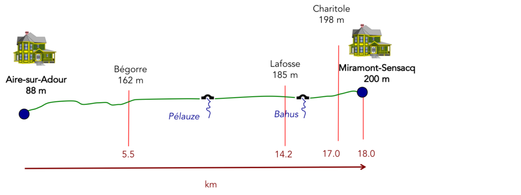
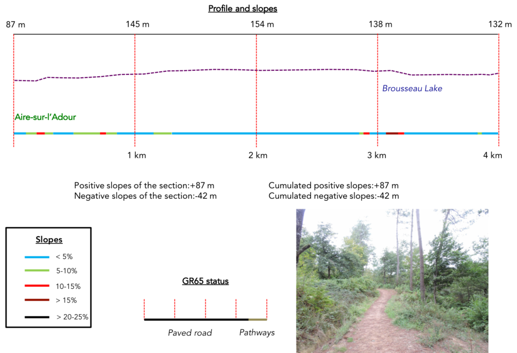
Section 1: Passing through Lake Brousseau.
 General overview of the difficulties of the route: course without great difficulty, but with some slopes to get out of the city.
| The slope is tough to leave Aire-sur-L’Adour and climb up to Ste Quitterie Church. But if you visited the church the day before, you already know the way. Moreover, a large part of the lodgings is on this axis. | |
 |
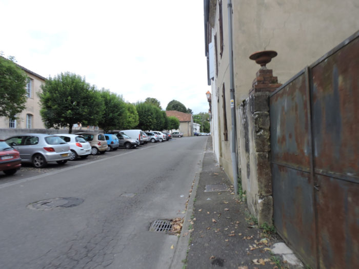 |
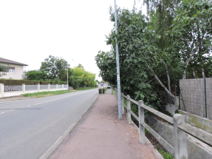
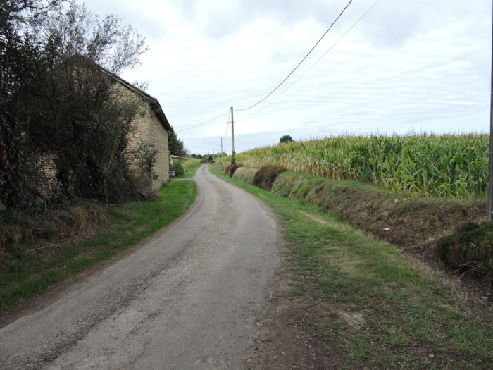
| Whatever the size of the city, there is almost always this monotonous passage, rarely alluring, where the track runs alongside districts of new villas, without character, and their small gardens, where town planning has never been the focus of the manufacturers. | |
 |
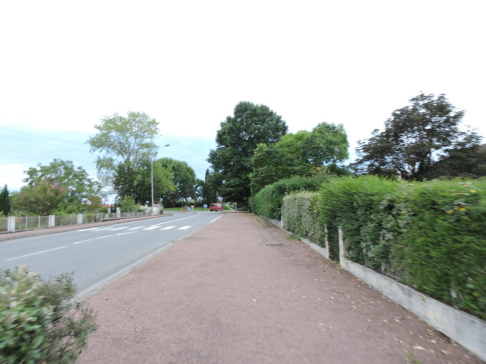 |
The GR65 still runs for quite a long time on the heights of the town, passing through a small park, then gradually leaving the last substantial housing estates at the top of the city.
 |
 |
 |
 |
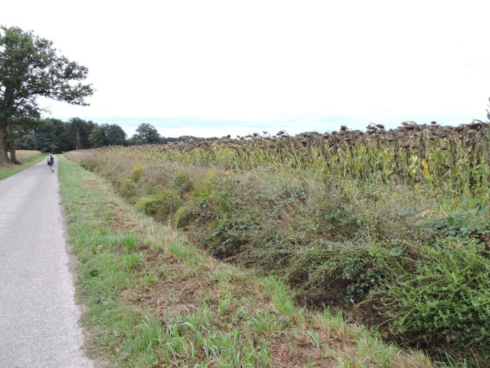
| It is the beginning of autumn, and the sunflowers, laden with seeds, are already starting to bow their heads, along the housing estates that trail across the high plateau. | |
 |
 |
| At the end of Rue du Jardinet, the houses fade away and the road narrows. The stage will be able to begin, but it was a long time to leave the city. | |
 |
 |
|
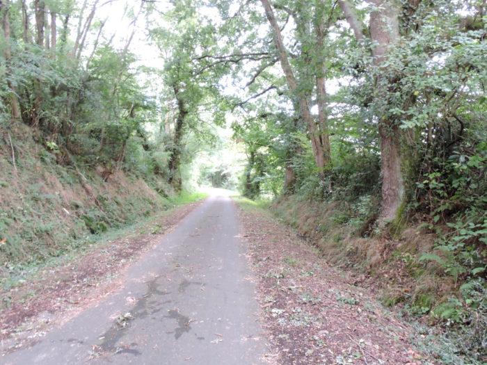
The road then slopes down into the deciduous undergrowth towards Lake Brousseau. The slope is quite steep but the descent is short. |
|
 |
 |
| Lake Brousseau draws a placid ribbon of water, motionless between its tree-lined banks, where many poplars grow. Here there are more prohibitions than permissions. | |
 |
 |
| It is said here that it is a bird sanctuary where mallards, cormorants, moorhens and herons pass. Unfortunately, the lovely birds today had folded their wings. A charming dirt road then undulates in the undergrowth, strolling along the shore, in the midst of puny chestnut trees, maples, ash trees and small hornbeams. Large oaks have become more discreet. | |
 |
 |
Section 2: On the tar, through the cornfields.

General overview of the difficulties of the route: course without any difficulty.

| The ground is red on the undulating pathway, with many holm oaks and very plumed pines here. | |
 |
 |
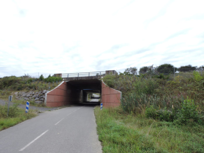
| The pathway remains in the undergrowth until it reaches a small tarmac road at the end of the lake which passes under A65 motorway, the Occitan South-West motorway which connects Bordeaux to Pau. Traffic does not seem frantic on this axis. No untimely snoring of large trucks disturbs the serenity of the place. | |
 |
 |
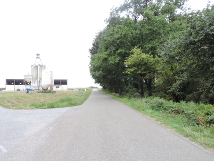
| A stony dirt road bypasses the highway and then slowly climbs up towards Bégorre. Along the way, a grain silo and one of those many terrifying storages or feeding tunnels, that’s part of the daily menu! | |
 |
 |
|
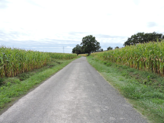
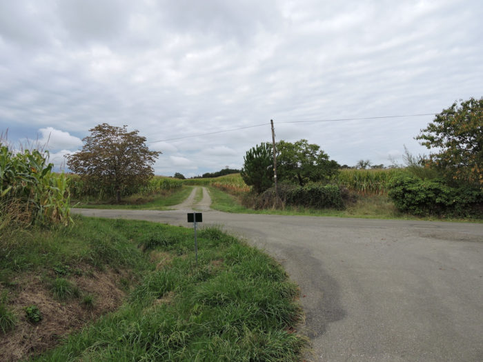
At the top of the gentle ridge, the road then enters the world of corn, with its articulated arms ready to deliver water to the precious grains. There are no hamlets here, only a few isolated farms, often far from the road. |
|
 |
 |
|
At the top of the ridge, endless stretches of tar run past cornfields. On the road no duck on the horizon. Only small groups of pilgrims drag their soles around here. Herders and force-feeders are sheltered behind the green ugliness of their tunnels. |
|
 |
 |
Section 3: On the paved road, through the cornfields.
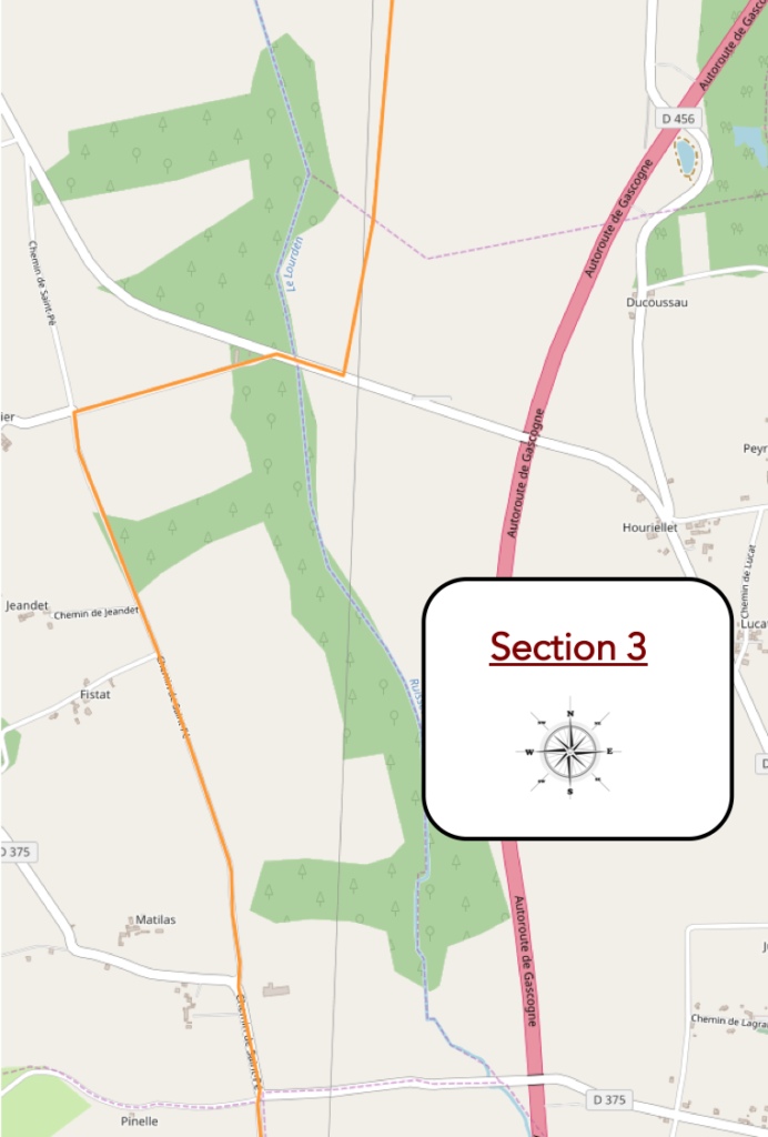
General overview of the difficulties of the route: course without any difficulty.
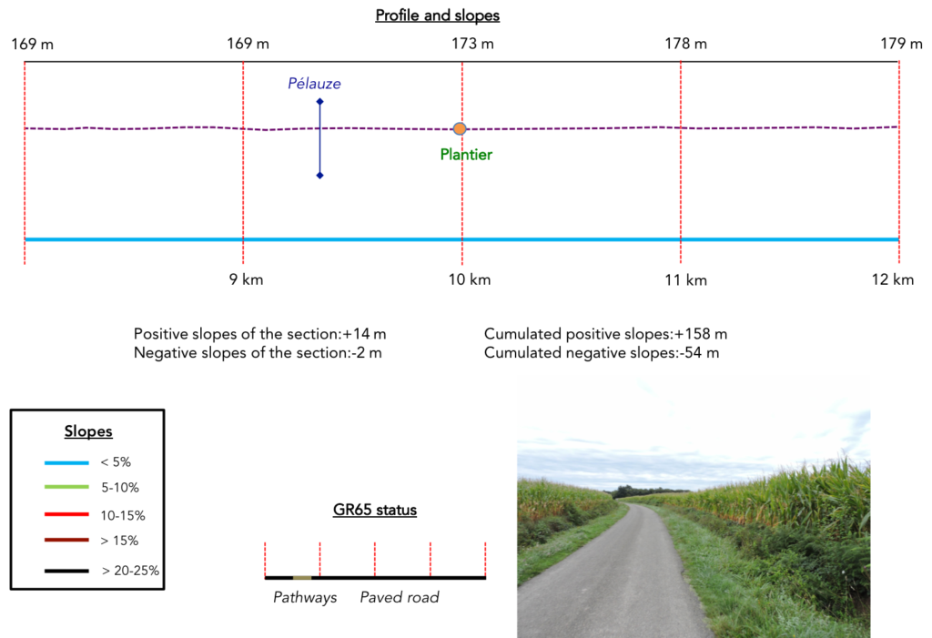
| There is not much to say or show at such a stage. It’s sometimes the life of the pilgrim, where he must walk in rather tasteless places. Further afield, near the Landes de Mouneton, the course leaves the tar for a dirt road lined with wild grasses, sometimes hiding the profusion of corn. But it quickly rejoins the asphalt road, when it crosses the small Pélauze brook. | |
 |
 |
| The road then gets to Plantier crossroads and its gigantic corn silos. But ducks, which good breeders still report spending more than half of their working life in the great outdoors chewing on the good grass or splashing around in puddles, aren’t on the menu here. | |
 |
 |
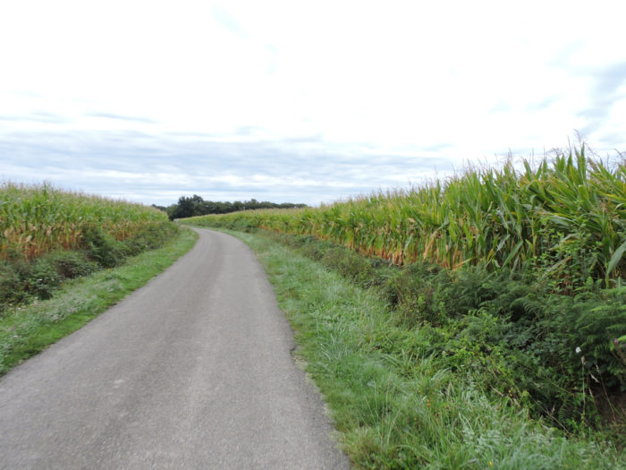
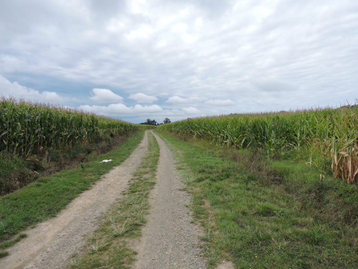
| Sorry for you and for us, there isn’t much to say about the scenery, which doesn’t vary one iota. Always the tar and the huge fields of corn that are lost to infinity. | |
 |
 |
| Sometimes a grove along the fields. Here holm oaks have taken over, and there are no longer large oaks. | |
|
 |
We are now around mid-September. Soybeans have grown and sometimes cut through the dreary monotony of the cornfields. Rare beet fields do the same. It’s boring, to cry.

Section 4: Always the same song.

General overview of the difficulties of the route: course without any difficulty.

| We will happily jump a few kilometers of monotony in the corn, of absent life, to reach Lafosse where a few farms mark the landscape. There is water and grass here. However, the ducks are not entitled to it. Sad fate! | |
 |
 |
| Beyond Lafosse, the route continues on the tar in the middle of corn and sunflowers bending under the weight of their seeds and already tilting their now sad corollas towards the ground. The only distraction is to follow the progress of the other pilgrims as they advance on the road. We feel that today everyone is in a hurry to get it over with. | |
 |
 |
| Near the place known as Cordonnier, a friendly owner allows pilgrims to quench their thirst, even, if it must be said, the route here is very restful. Thank you all the same to these friends of the Camino de Santiago.
Then suddenly, revolution on the course. As you approach the undergrowth of Douelle, the tar gives way to dirt. |
|
 |
 |
| Therefore, certain glances of pilgrims perk up to tread again the real beaten ground, to find a part of their soul, of the trees, in this wood where stand many chestnut trees in the middle of the holm oaks. | |
 |
 |
 |
 |
This is where the pathway crosses the large Bahus stream.

| The pathway runs along the banks of the stream along the hedges and ferns and emerges from the woods into the sunflowers. Always oaks, sometimes a few rare ash trees, and a lot of brush. | |
 |
 |
Section 5: A stop at Miramont-Sensacq.

General overview of the difficulties of the route: course without any difficulty.
Yet, here you may have the feeling that the country is changing. There are even cows eating grass, real grass, because in the area grasslands are scarce.

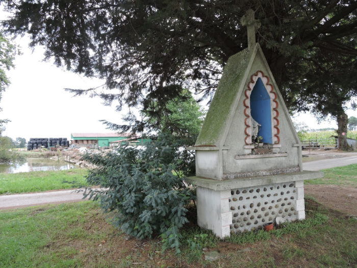
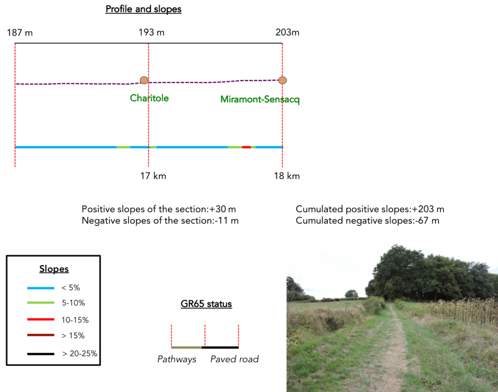
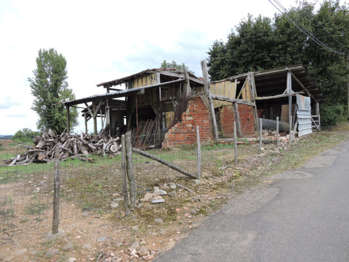
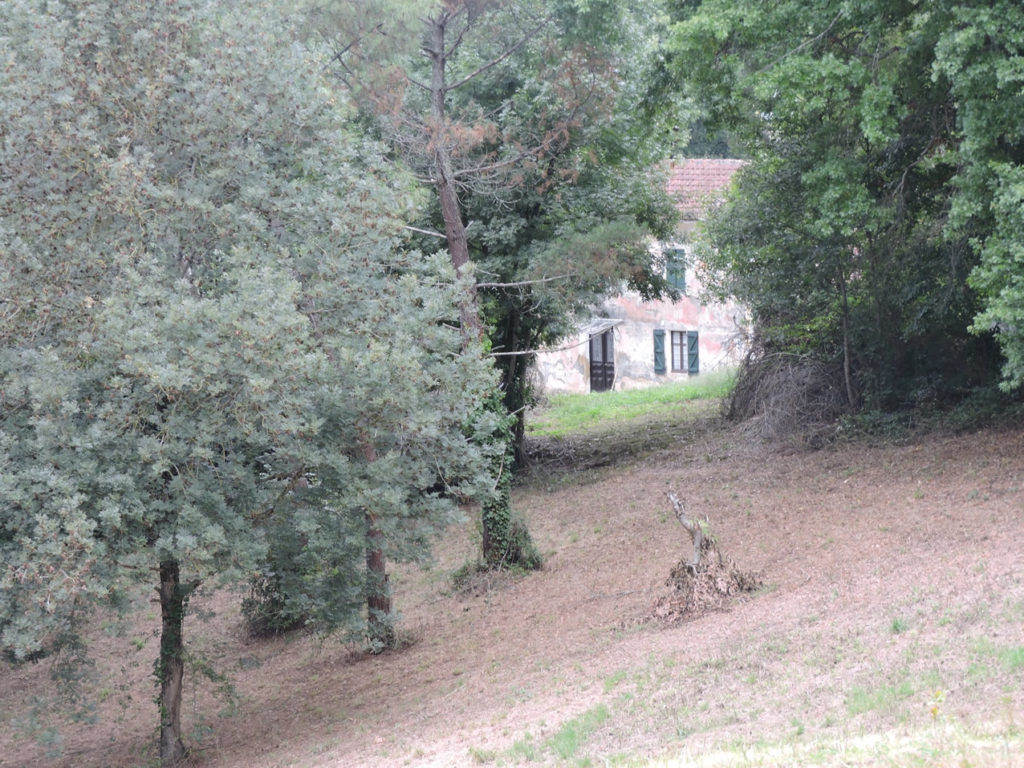
| Further afield, the pathway reaches Charitole hamlet. The opportunity is given to take a look at some magnificent old houses. This type of construction, quite rare here, is very present in the Dauphiné, in Isère. These are rolled pebbles grouted with lime. | |
 |
 |

| But if you had imagined having changed countries, you are at your expense. As soon as you leave the hamlet, the road runs back into the cornfields, with sometimes a clump of holm oaks pointing up the hill. | |
 |
 |
| Further on, the road gives way again to a dirt track. But that hardly changes. Long live corn! They bask in the rolling hills and get lost in the horizon line, and with them your gaze. | |
 |
 |
 |
 |
| The wide dirt road gradually climbs towards Miramont-Sensacq. Approaching the village, direction is given for accommodation off the track. | |
 |
 |
| The GR65 then crosses a small departmental, then climbs rather steeply towards the village. To be honest, it’s pretty steep, when you’ve spent all day frolicking flat! | |
 |
 |
The GR65 soon arrives above the village.
|
 |
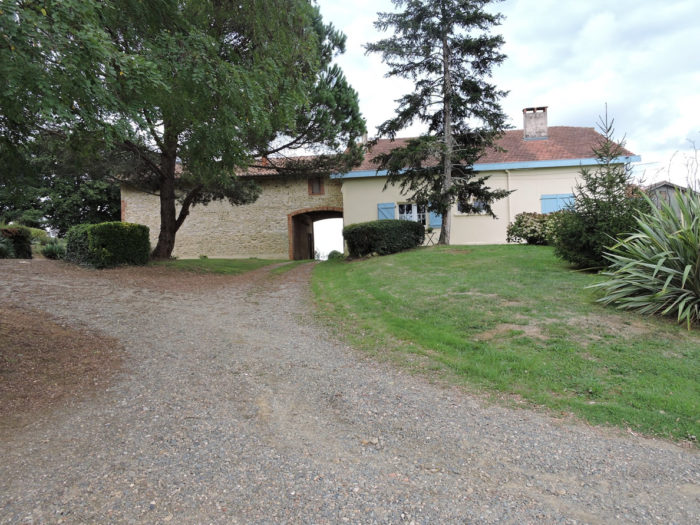
| At the top of the ridge, where a very beautiful house of jointed pebbles stands, a direction is also given for accommodation outside the route. As there are so few accommodation options in the area, you need to remember these addresses if you want to stop here. | |
 |
 |
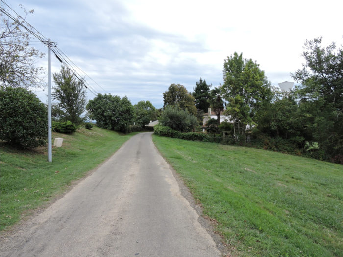
| The road soon arrives on the outskirts of the village. There are some pretty nice houses lost in the wild around here. | |
 |
 |
| Further ahead, the road heads to the water tower and the small cemetery. | |
 |
 |
| It runs then in front of the church, before reaching the village a little below. | |
 |
 |
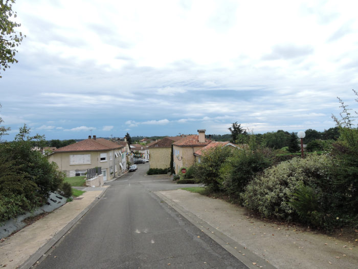
| Welcome! When we tell you that pilgrims are the providence of these small villages! The grocer, who also runs the tobacco bar and the bakery, must thank Heaven every day for their passage. | |
 |
 |
| Beautiful and opulent stone houses adorn a village full of harmony and serenity, where you will have to organize your leisure activities. | |
 |
 |
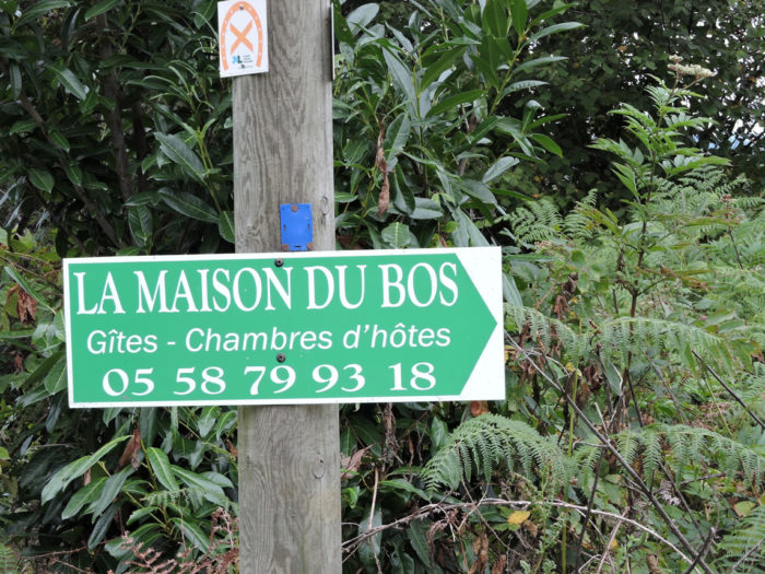
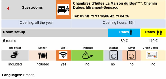
Lodging
 |
 |
 |
 |
Feel free to add comments. This is often how you move up the Google hierarchy, and how more pilgrims will have access to the site.
 |
Next stage : Stage 30: From Miramont-Sensacq to Arzacq-Arraziguet |
 |
Back to menu |