Long live corn!
,DIDIER HEUMANN, MILENA DALLA PIAZZA,ANDREAS PAPASAVVAS
Abbiamo diviso il percorso in diversi tratti, per facilitare la visibilità. Per ogni tratto, le mappe danno il percorso, le pendenze trovate sul percorso, e lo stato del GR65. I percorsi sono stati disegnati sulla piattaforma “Wikilocs”. Oggi non è più necessario andare con mappe dettagliate in tasca o in borsa. Se si dispone di un telefono cellulare o tablet, è possibile seguire facilmente il percorso in diretta.
Per questo percorso, ecco il link:
https://fr.wikiloc.com/itineraires-randonnee/de-nogaro-a-aire-sur-adour-par-le-gr65-30880843
It is obviously not the case for all pilgrims to be comfortable with reading GPS and routes on a laptop, and there are still many places in France without an Internet connection. Therefore, you can find a book on Amazon that deals with this course. Click on the book title to open Amazon.
If you only want to consult lodging of the stage, go directly to the bottom of the page.
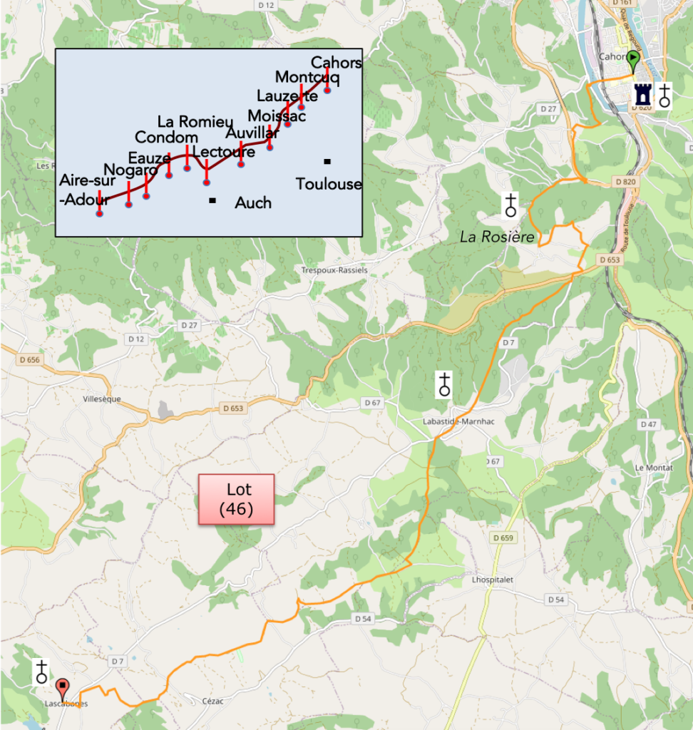
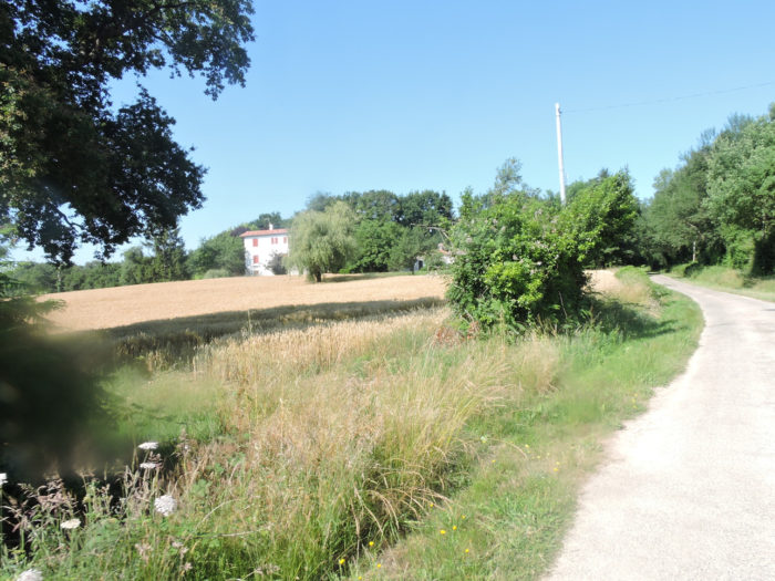
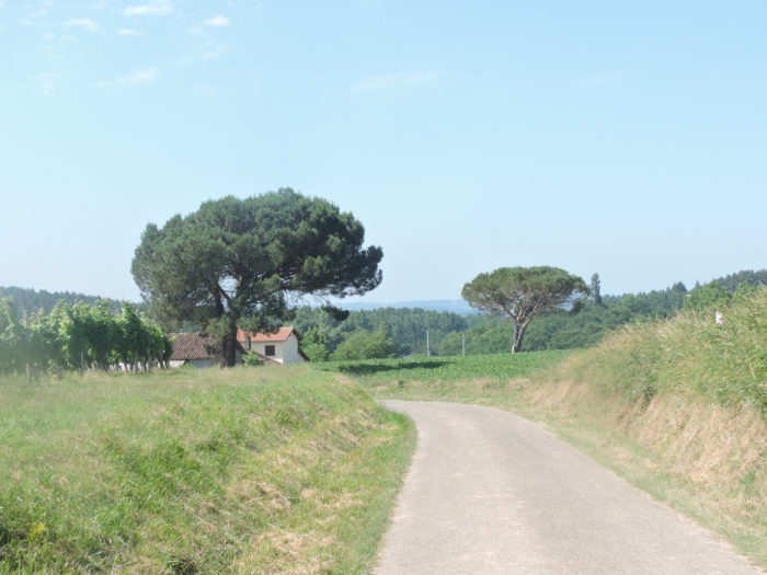
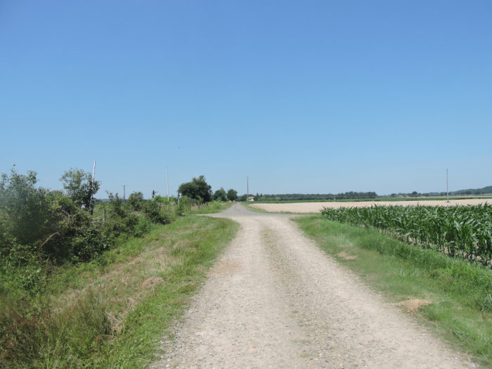
Another almost whole day crisscrossing the small hills of the Gers and its large cornfields that descend to the great plain of the Adour. The GR65 is heading west today, crossing the end of the Gers, to bathe its feet in the Adour River, on the edge of the Landes department, the department that gives access to the Atlantic.
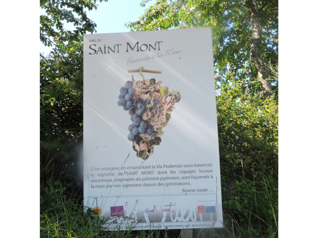
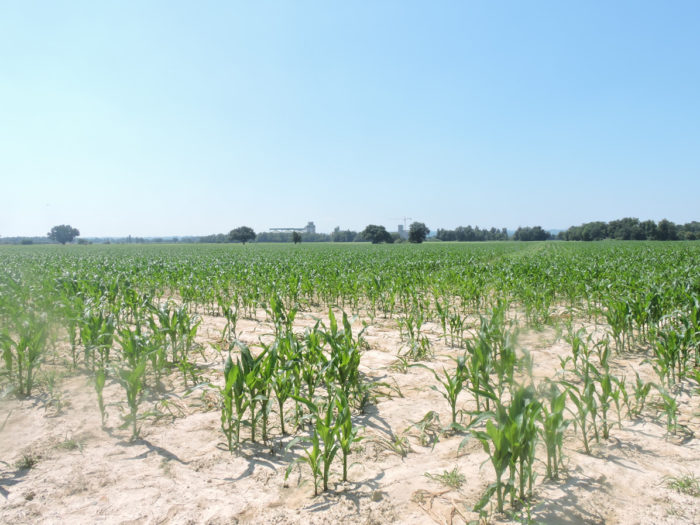
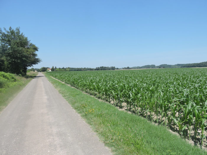
Leaving the Pyrenees, the Adour passes through the heart of the long plain of Bigorre, before entering Bas-Armagnac in an opulent valley. At Aire-sur-L’Adour, the river enters the Landes department. The lands it crosses are fertile. Corn is everywhere, alongside rarer orchards or vineyards. Vines and corn are fighting over a country where, above all, ducks (minus the geese) invade the ugly green plastic breeding tunnels. Corn, you had an idea of it while crossing the Gers. Here, in this country of transition between the Gers and the Pyrénées Atlantiques via the Landes, corn, you will swallow it, until saturation. This region is the largest corn producer in France. In the Landes, 69% of the agricultural ariai planted with corn. These beautiful golden grains are needed to feed the 11 million waterfowl in breeding, including 8 million in force-feeding. With these volumes, Les Landes is the leading producer department in France with a quarter of national volumes. The vine also remains present. Armagnac is made as far away as Aire-sur-l’Adour. In particular, you will cross the vineyard of St Mont, a vineyard located in a landscape of slopes and molasse hills in the middle of corn crops. The red wines are mainly made from tannat and cabernet. You are not very far from Madiran and its famous tannat. For white wines, winegrowers use ancestral and indigenous grape varieties, such as Petit Curbu or Arrifiac. Manseng, the celebrity of Jurançon, near Pau, is also used in the production of wines.
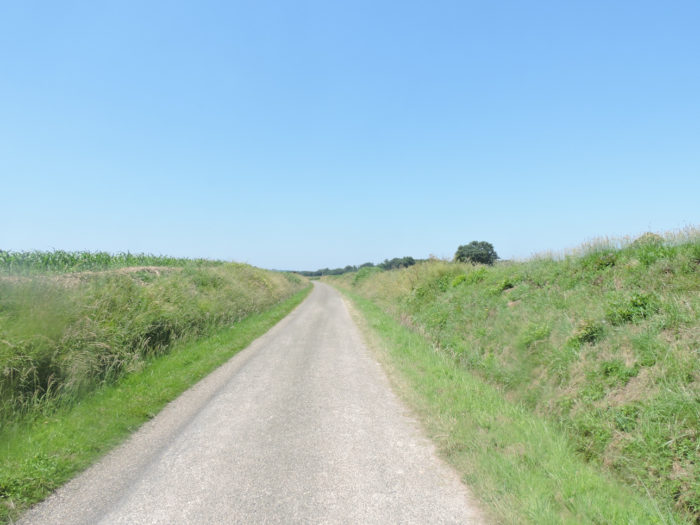
Difficulty of the course: Today’s course presents no difficulty, first over slight hills, then flattening along the old railway line. Slope variations are again very low (+219 meters/-227 meters).
The passages on the asphalt road clearly exceed the routes on dirt or grass:
- Paved roads: 16.8 km
- Dirt roads: 10.8 km
Sometimes, for reasons of logistics or housing possibilities, these stages mix routes operated on different days, having passed several times on Via Podiensis. From then on, the skies, the rain, or the seasons can vary. But, generally this is not the case, and in fact this does not change the description of the course.
It is very difficult to specify with certainty the incline of the slopes, whatever the system you use.
For “real slopes”, reread the mileage manual on the home page.

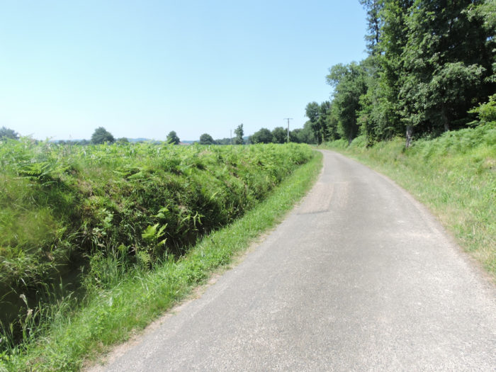
Section 1: Slight oscillations between vines, corn and undergrowth.
 General overview of the difficulties of the route: course without any difficulty.

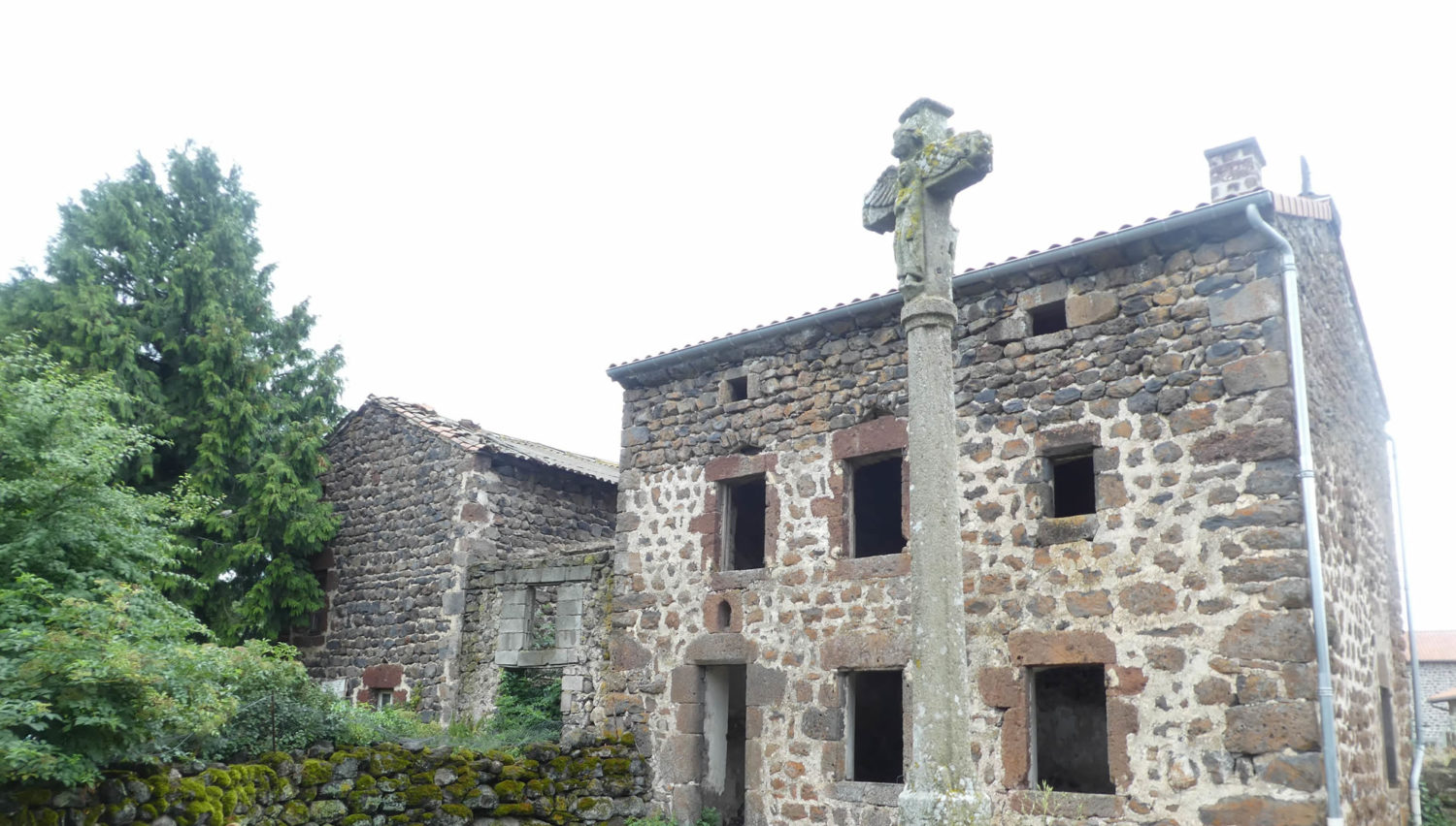
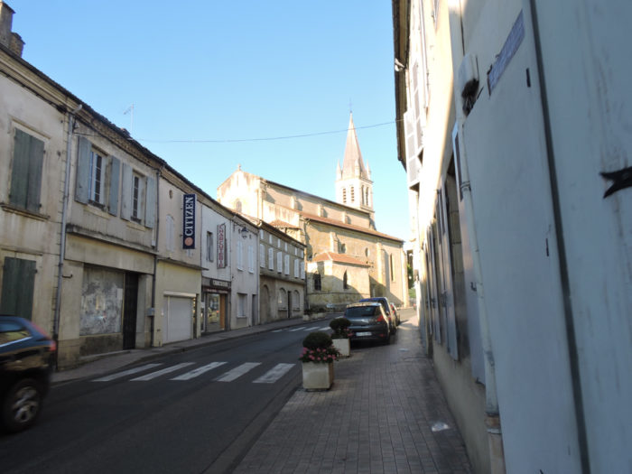
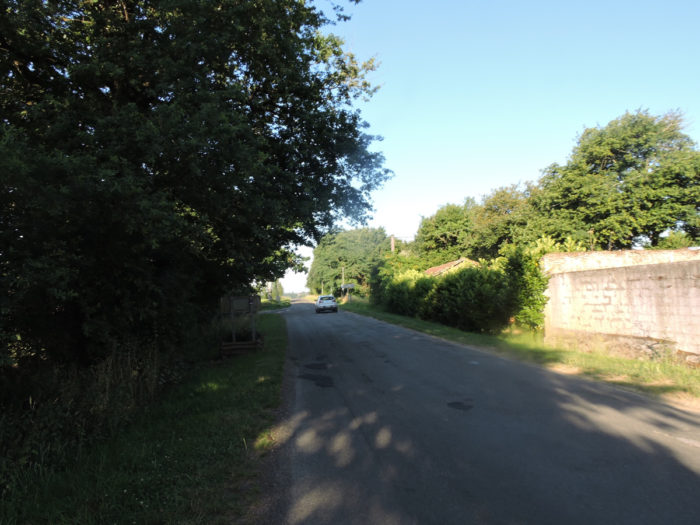
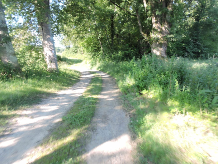
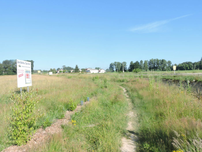
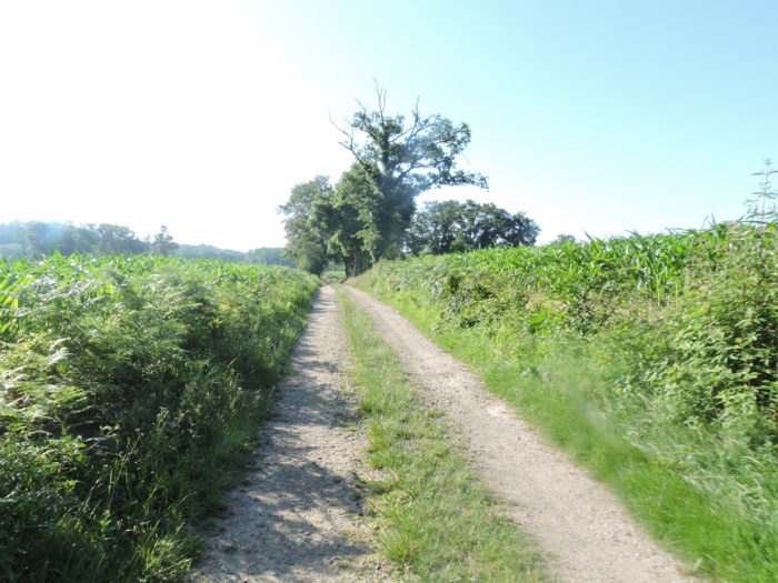
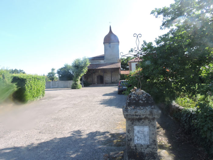
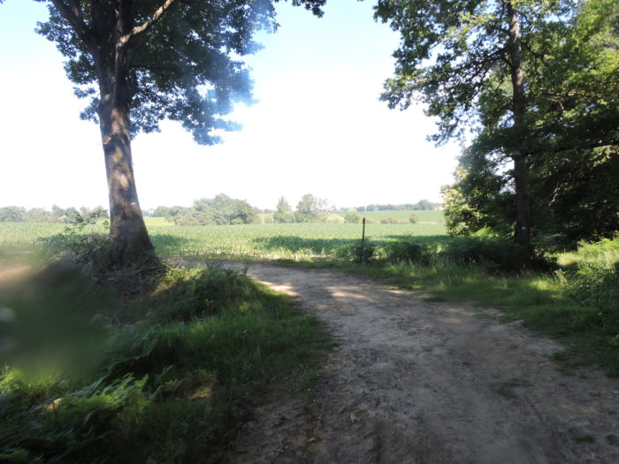
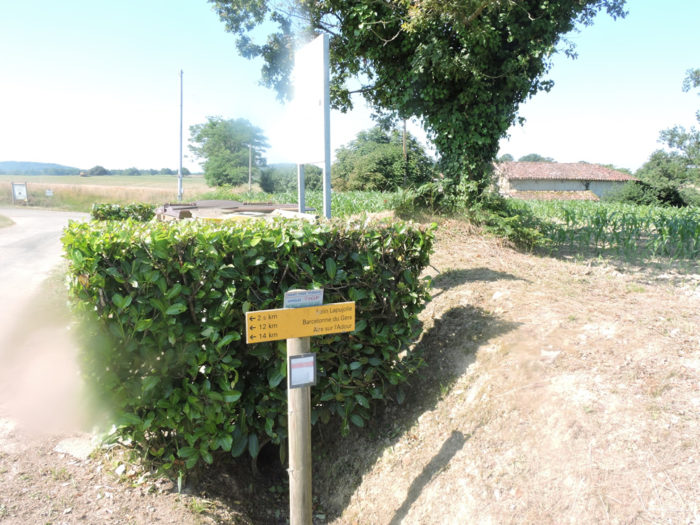
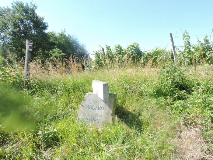
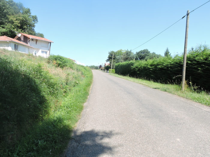
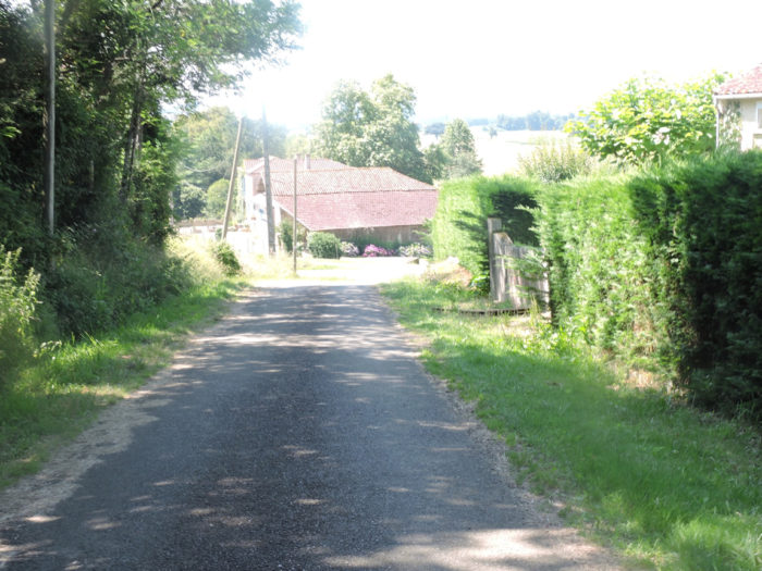
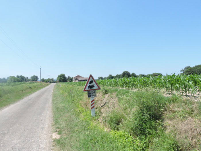
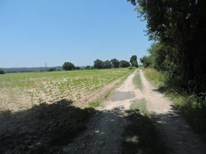
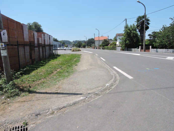
The GR65 leaves Nogaro passing near the church while climbing on the small departmental road D143.
| It crosses the suburbs, heads to a water tower. |
 |
 |
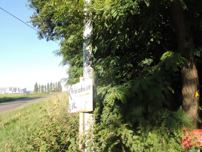
| It continues on the road until a small fork. A sign indicates the Arbladoise gîte, further on the departmental road. Formerly, the historic Camino de Santiago followed this axis. Nobody knows exactly where the roads went in the Middle Ages. The new roads, the new subdivisions have changed all that. Trail organizers have drawn up a route to limit as much as possible the passages on the roads. But to the impossible, no one is required! More than half of the Santiago track takes tar. Some critic spirits have even proposed to transform the “Chemin de Compostelle” into “Tar of Compostela”. |
 |
 |
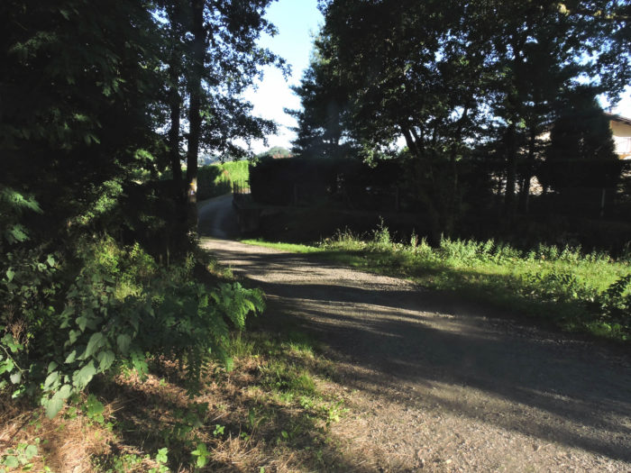
| So here, GR path gives up the tar, to allow you to take a closer look at the vines and corn. |
 |
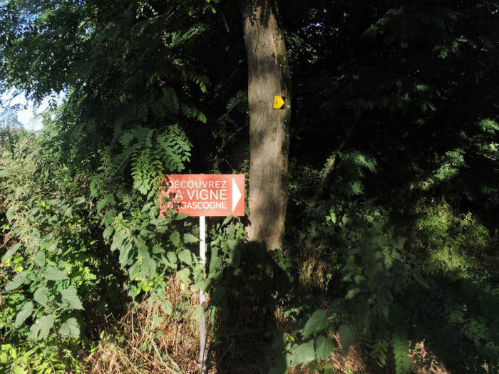 |
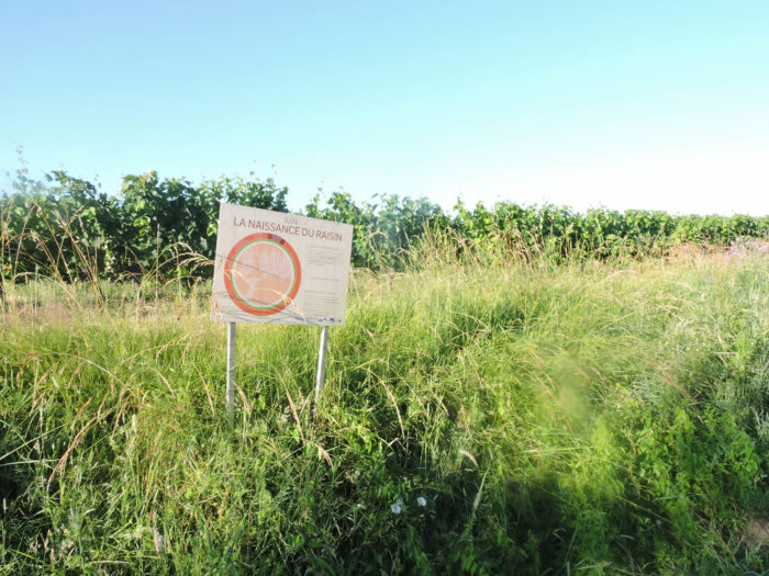
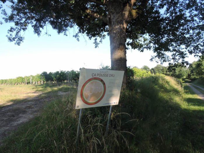
| A didactic trail tells you the story of the life of the vine month by month. Some walkers may learn something new for them. Yet, not sure. These educational pieces of the trail, rare on the trail, at least allow some walkers to lift their eyes from their soles, which become heavier and heavier as the stages line up. |
 |
 |
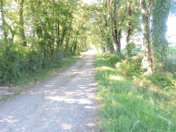
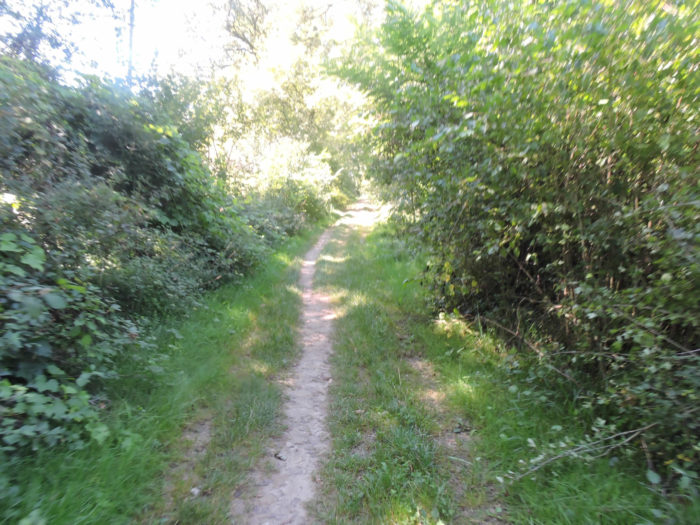
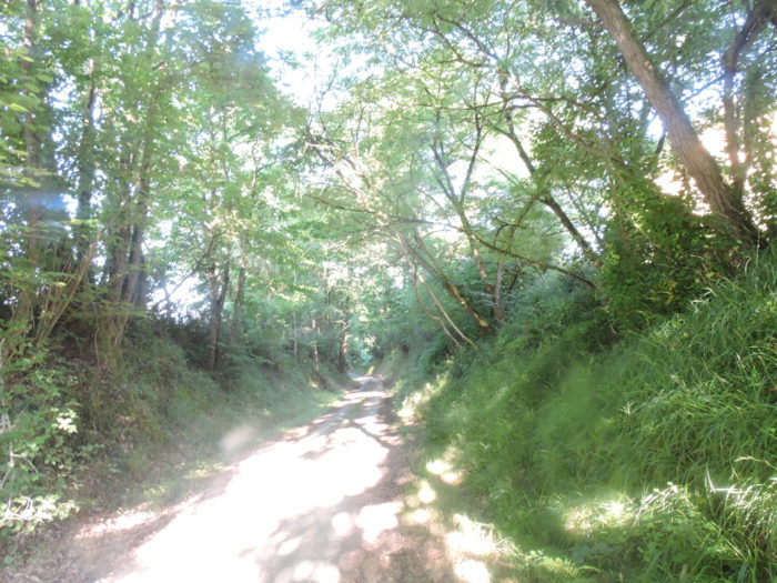
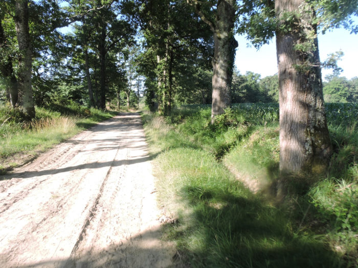
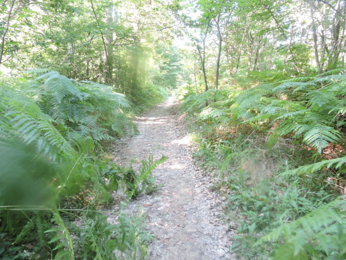
| The pathway then leaves in the undergrowth of oaks for long. |
 |
 |
|
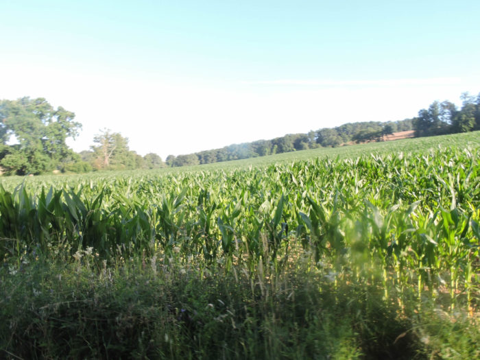
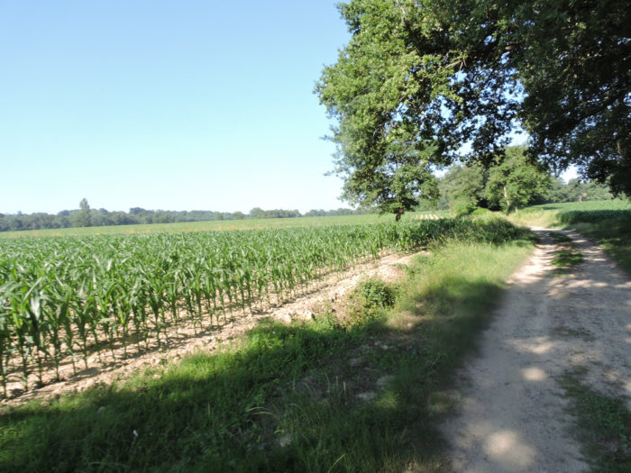
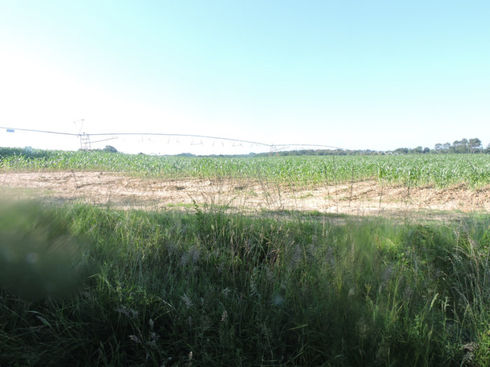
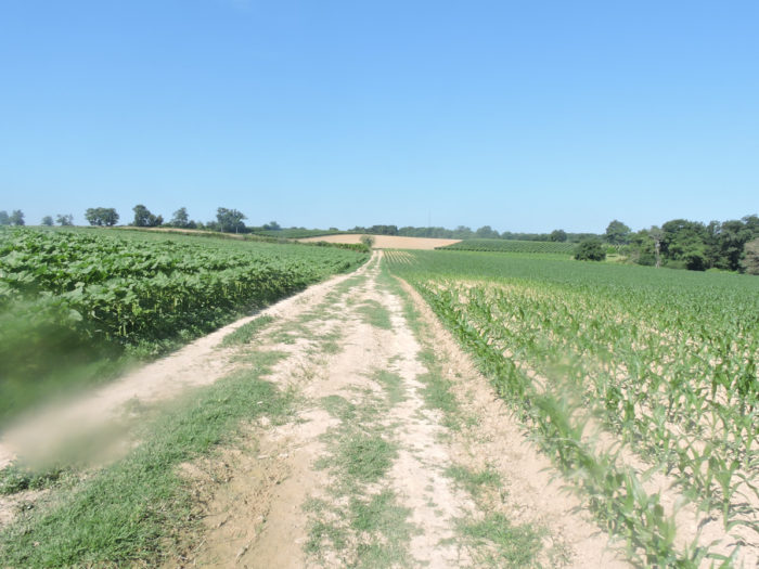
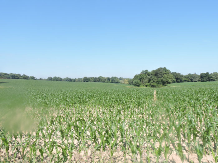
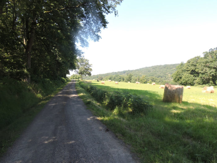
Coming out of the woods, you’ll find cornfields. It is the end of June, the time to start flowering for the corn that was planted in early May. Corn is a species that has male and female flowers on the same footing. The male flowers are at the top of the plant, consisting of a branching panicle bearing a multitude of male flowers carrying pollen. The female flowers are located lower, in the axil of a leaf, and will pick up pollen with spectacular styles, known as bristles. Female flowers can be pollinated with pollen from the same plant or from different plants. As the pollen is dispersed by the wind, cross-pollination occurs in the majority of cases. Two to four heads can initiate development, but usually only one matures. Nature knows how to limit births.
Yet, it does not matter what the nature of the fertilized children is, because they will not survive. They will end up here in the duck silos. And the farmers will replant new plants selected by the food companies the following year. |
 |
 |
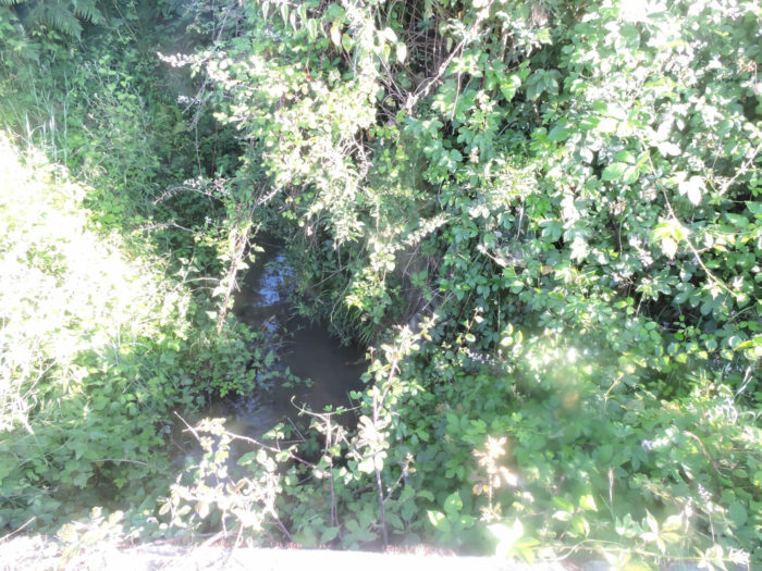
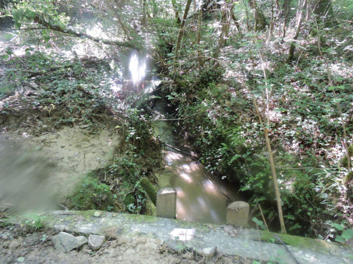
| Further afield, the GR65 crosses the Juranne brook, just a trickle of water in the undergrowth. |
 |
 |
| Beyond the stream, a wide dirt road climbs for a long time through the corn fields towards the undergrowth. You’ll also see a little wheat. |
 |
 |
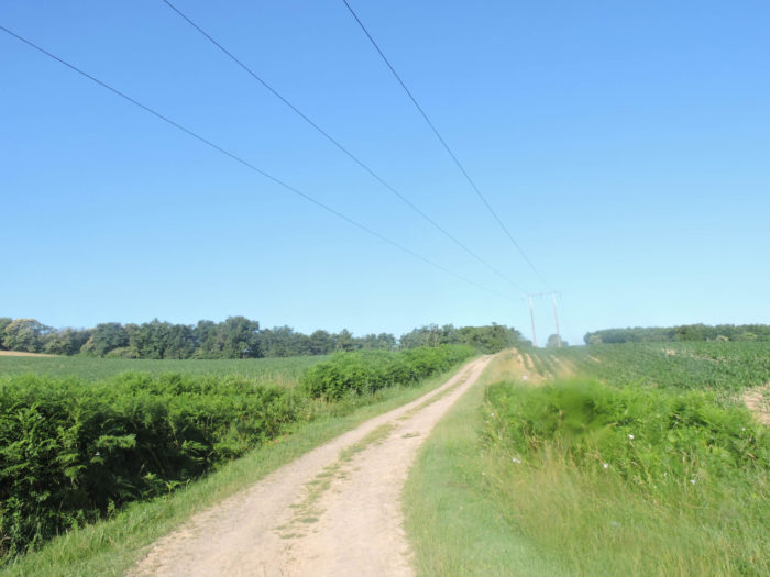
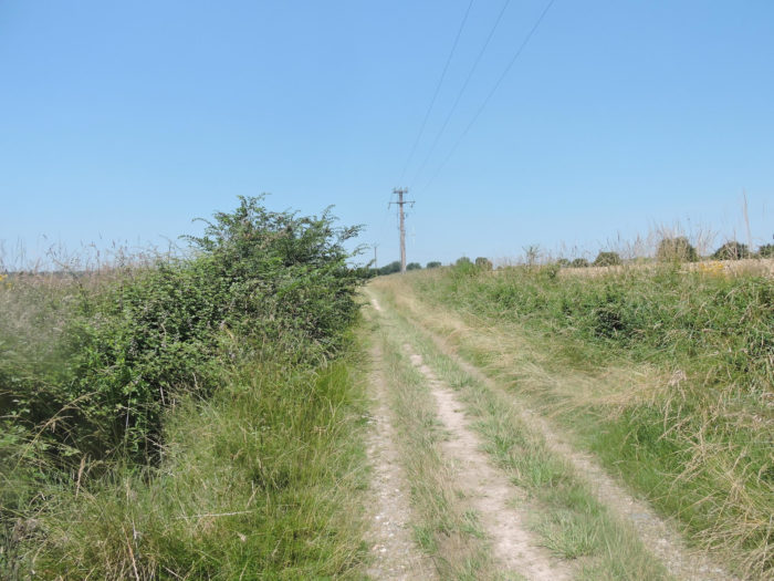
| The pathway is as wide as you want, along clumps of oak trees, under the high voltage line. |
 |
 |
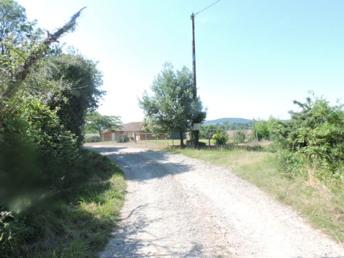
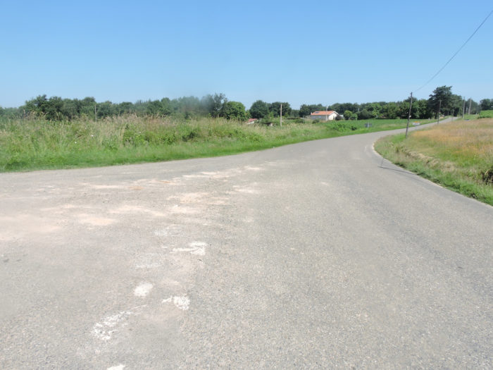
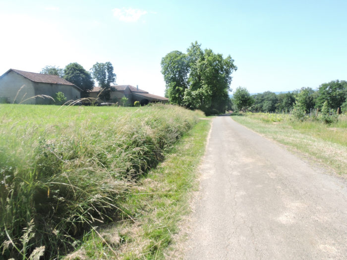
| Further up, the GR65 joins a small asphalt road at Claverie hamlet, with its few houses scattered in the greenery by the road. Beyond the hamlet, a road descends from the hill. |
 |
 |
Section 2: Back to the plain.
 General overview of the difficulties of the route: course without any difficulty.

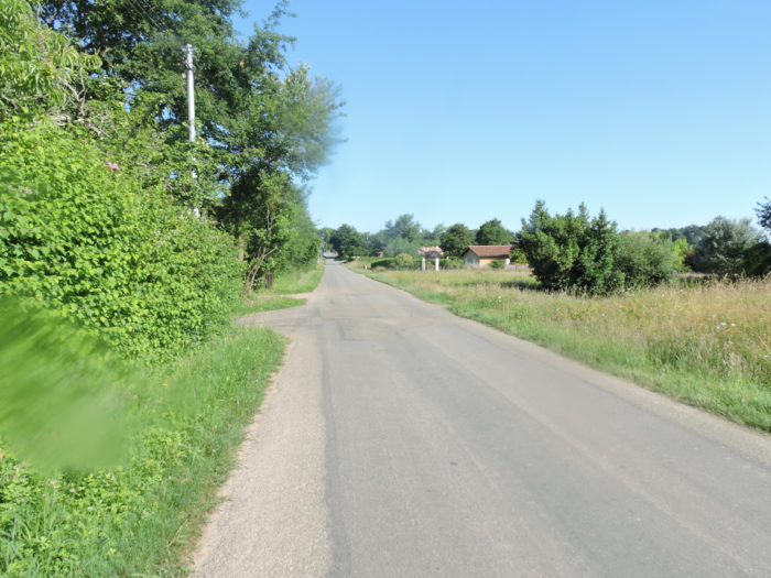
| The GR65 leaves the hamlet on a tarmac road that looks more like a wide dirt road, descending from the ridge towards the plain in the middle of oaks, ash and chestnut trees. |
 |
 |
| Further down, the pseudo tar is replaced by dirt. Usually, nature has everything it offers without embarrassment in a landscape. Little symmetry, nature does not plant like a gardener. This is what it still does here, at the bottom of the valleys, near the streams. Yet, man has his own vision of the world and the landscape. He analyzes the soil, plants in function. So, symmetry and organization become the rule. Corn that needs water will be planted near the stream or river. The vines will be reserved for the more arid summits of the hills. And wheat will be grown where the best land is, often halfway down. |
 |
 |
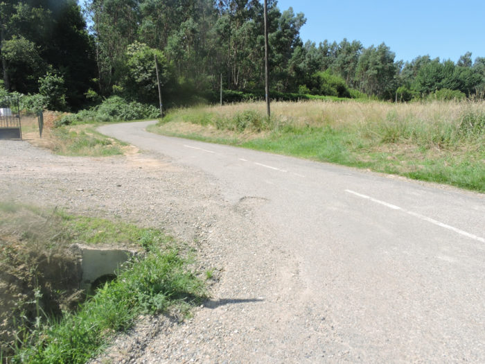
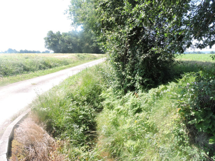
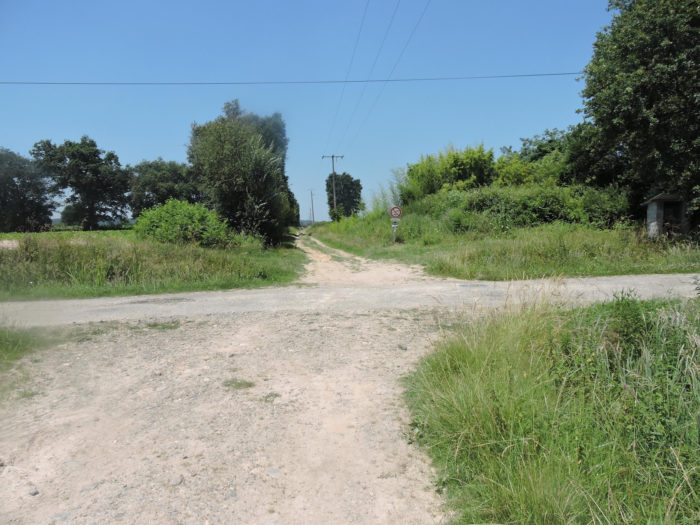
At the bottom of the gentle descent, the pathway joins the D143 departmental road. There it crosses the Izeute, a river, not to say a large stream, but whose water will not be lost for everyone.
|
Then comes a small section that pilgrims love. The route runs along the road for a long time on a narrow strip of grass. The pilgrim, who would have thought he could leave the modern world on small lost lanes, finds with delight the purring of trucks and cars which slip by on the straight line. And the game lasts until you reach a small industrial estate in Despons. Here, for a change, you could almost take the motorway towards Pau, right?
|
 |
 |
|
Behind the industrial zone, a dirt runs, between cultivated land and fallow land, into the kingdom of corn. The fallows are probably only there to replant maize the following year. Perhaps the alternation of fields here goes.
|
 |
 |
| Robust oak trees line the road. That one has found a more user-friendly and commercial purpose. |
 |
 |
| Corn grows as far as the eye can see on both sides of the road, saturating the retina with it forever, sometimes stung by the dark stain made by a small grove or a majestic oak tree lost there by chance. |
 |
 |
| Further on, the universe changes, and you naively imagine that the corn will fade away in favor of the undergrowth. |
 |
 |
| But corn comes back in force, like an army of small soldiers parading. |
 |
 |
| However, as you approach Lanne Soubiran village, the dirt road runs further into the green undergrowth. |
 |
 |
| Further afield, the pathway gets at Labarbe hamlet, with its houses with wooden braces. |
 |
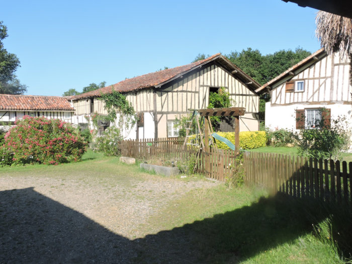 |
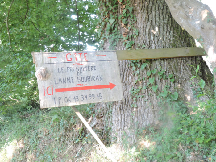
| Here a gîte knows how to welcome pilgrims with flowers. From here it is the asphalt road that will accompany you for a long time. |
 |
 |
| On the road, from farmyard to farmyard, you might see or hear geese in semi-freedom. These plump geese will scorn you or squawk unbearably when you get closer to the pen. Are they silent at night? No one was there to tell. |
 |
 |
Section 3: Between undergrowth and crops.
 General overview of the difficulties of the route: course without any difficulty.

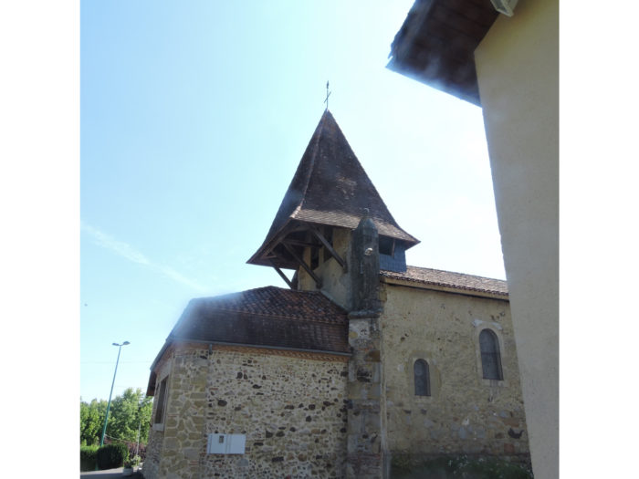
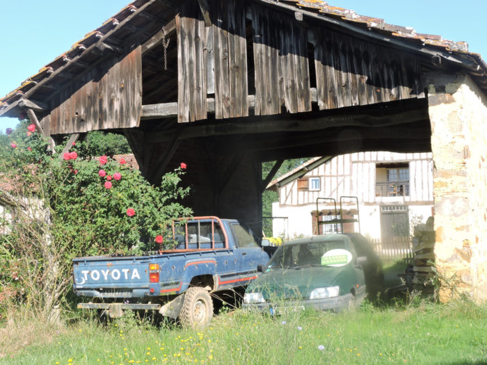
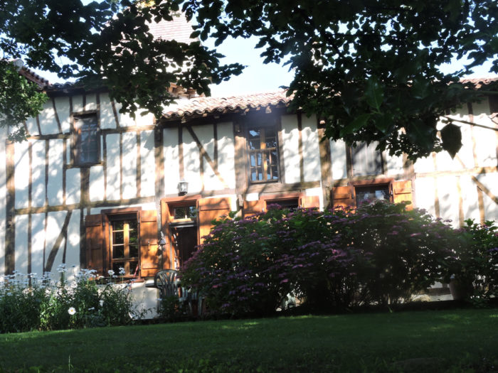
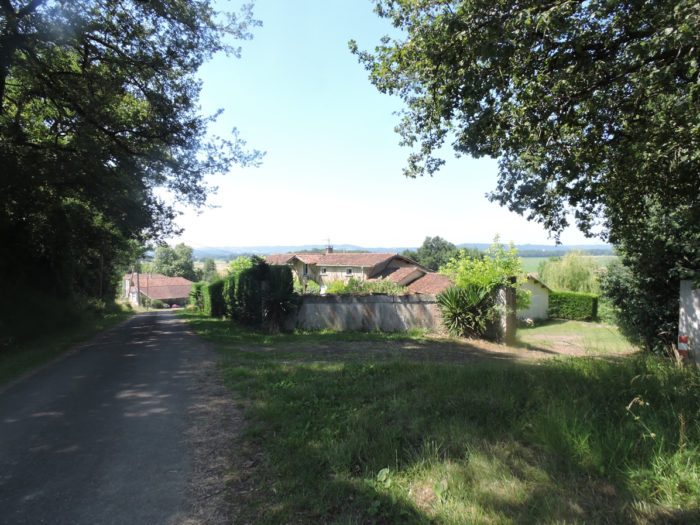
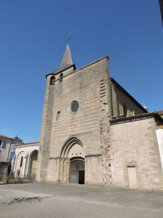
| A little further up the hill, the charming and silent little village of Lanne Soubiran gathers and recollects around a small church. Lanne Soubiran means “moor above”, which qualifies the region quite well. The church, dedicated to St Peter and St Paul, of Romanesque origin (at least the porch), has been profoundly altered over the ages. The quadrangular bell tower is quite curious. Next to the church is the charming old rectory, converted into a guest house. |
 |
 |
| The road winds through a very extensive village, with housing estates scattered across the countryside, the main village not being here, but on the departmental road. |
 |
 |
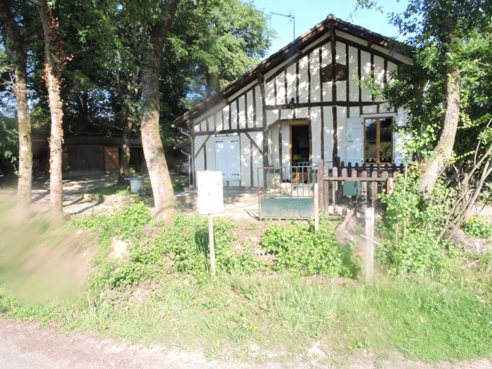
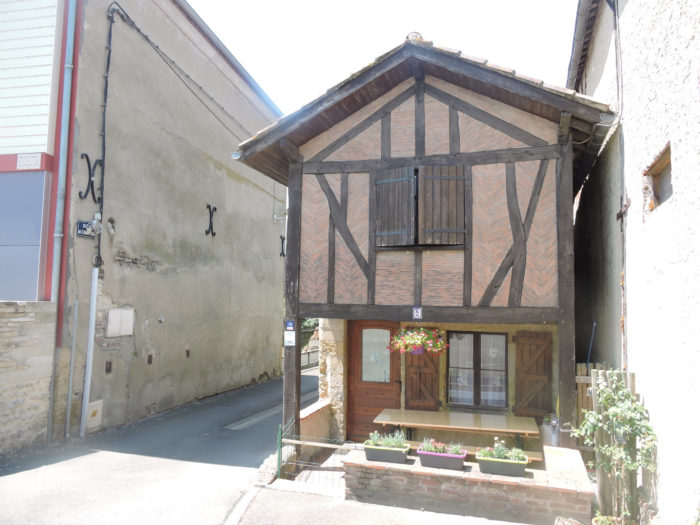
| On the edge of the woods, a house offers opportunities to climb trees or eat in the shade of oaks. In the region, many houses are decorated with wooden braces. |
 |
 |
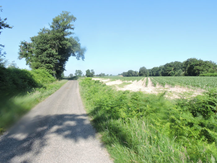
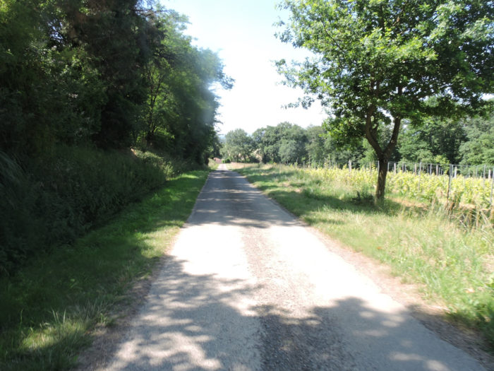
| Beyond the halt, a small paved road leads into the countryside, where there is only corn fields irrigated by large articulated tentacles. |
 |
 |
| You don’t walk here in the open country. There is some activity here, as evidenced by the houses, not far from the road. |
 |
 |
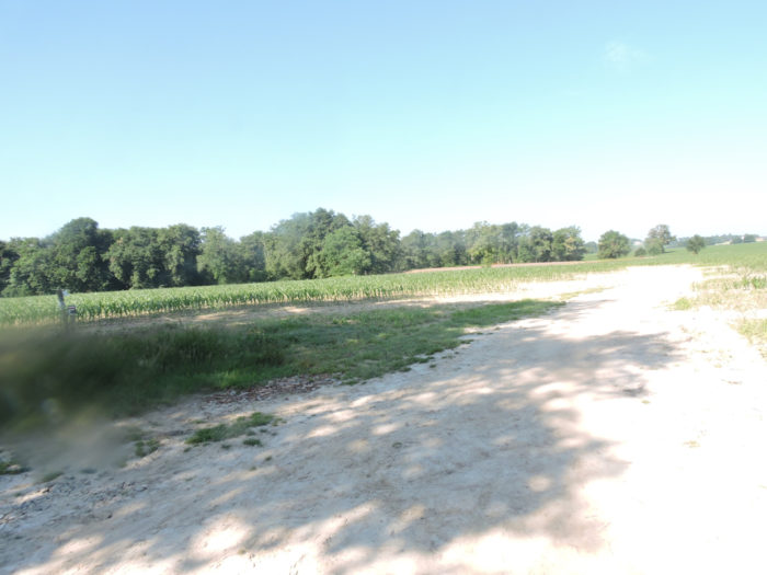
| Further on, the road leaves the corn, to enter the forest of Lande du Bois. |
 |
 |
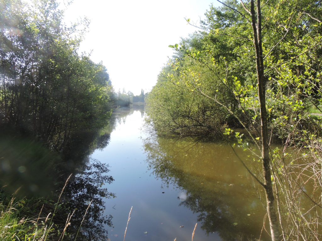
There hides a beautiful little lake, lost in the middle of nowhere, where oaks and other hardwoods soak their foliage in the brown, still waters.
| Beyond the lake, the road continues a little longer. Without much surprise, you’ll find cornfields again, which must find happiness here. The water is very close. |
 |
 |
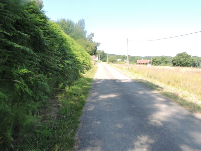
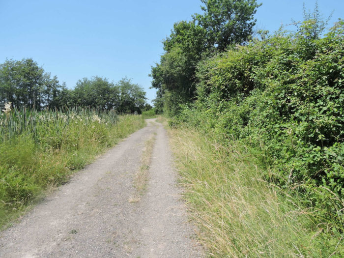
| Further on, the tarmac road will soon give way to a dirt road, almost sand, which runs along the hedges. |
 |
 |
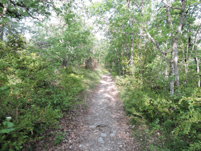
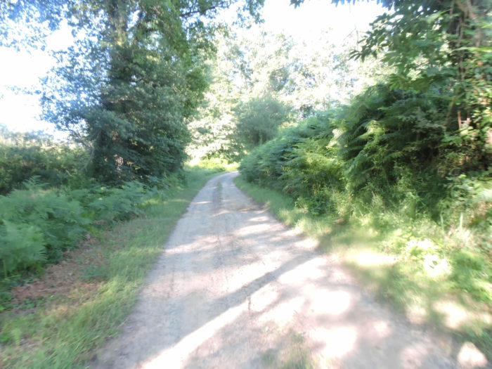
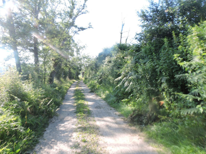
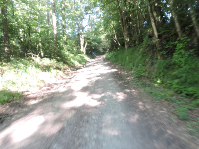
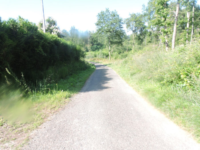
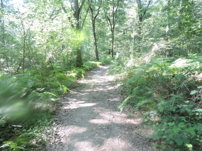
| The pathway then enters a larger wood, the Bois de la Rigade. The dirt road becomes narrower, crisscrossing the tall grass. It smells of humidity here. The oaks are no longer the kings of the forest. They haven’t found lifelong friends here, supplanted as they are by hornbeam shoots, ash, maples and chestnut trees. |
 |
 |
| Do you want proof of ambient humidity? But yes, you have to go through here. In the woods, the pathway is sometimes bogged down, even here in very dry weather. It must be a great pleasure not to be able to take off your soles from the sticky mud in rainy weather. In places at such risk, you often see secondary axes parallel to the main pathway. They’re not just for wild boars, are they? |
 |
 |
| As much as life may seem organized for the life of plants and the life of men on the plateaus and the hills, it becomes bushier, almost exuberant as you progress towards the streams. The lane soon crosses the Daubade brook, hardly more defined than the surrounding swamps, then slopes up a little, one will say here “dry”, in the middle of ferns and bushes, which make like a soft green carpet. The ranges of green compete with each other only for the pleasure of the eyes. |
 |
 |
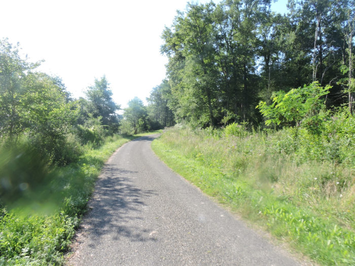
| The crossing of the wood is quite nagging. No pilgrim will find fault to leave this forest, which is sometimes difficult, but not very beautiful, and to find the light again, under the majestic maple trees and the sumptuous ash trees. |
 |
 |
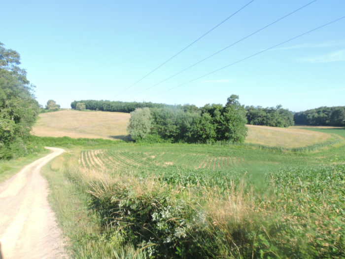
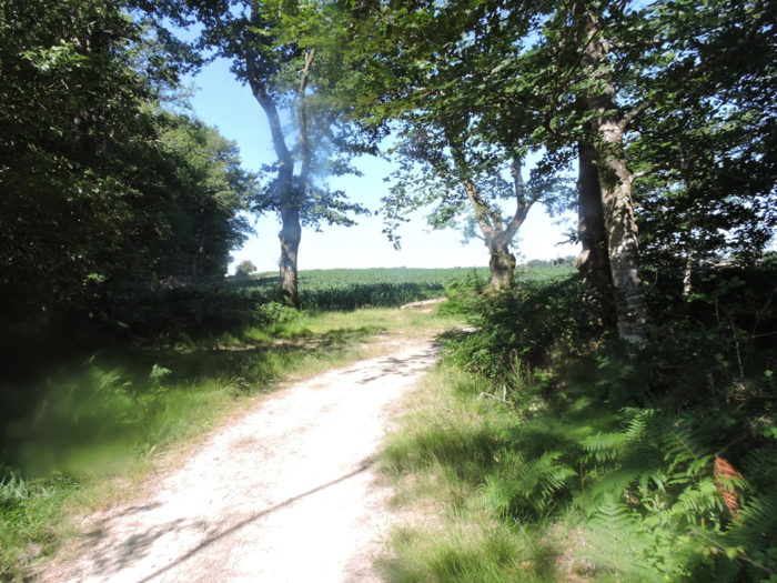
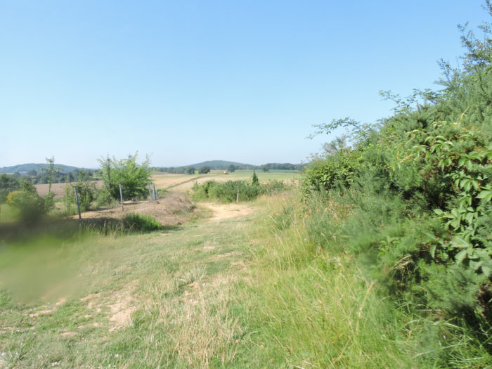
| Even if it is to find corn again, but also here the sunflower, along the dirt road which takes on a stately allure that one finds in the large castle parks. You have before you a sea of cultures, marked from time to time by the presence of the dark stain of a grove. |
 |
 |
Section 4: Corn, vines, wheat, and probably ducks.

General overview of the difficulties of the route: course without any difficulty.

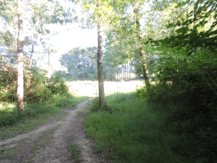
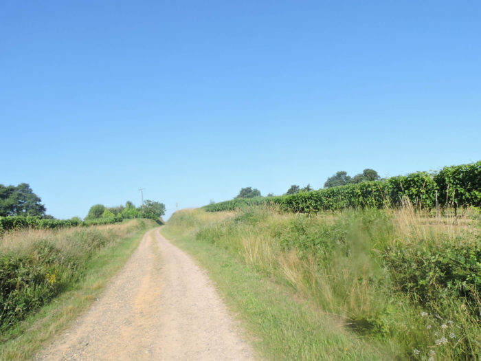
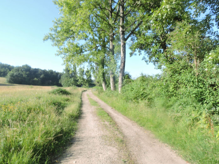
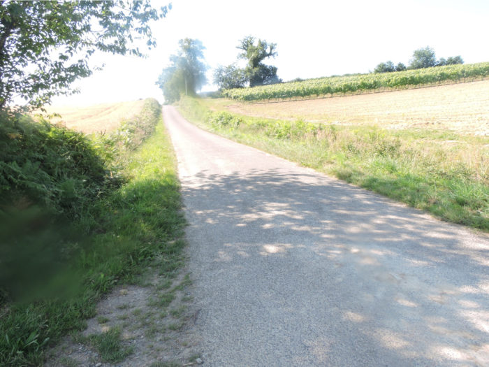
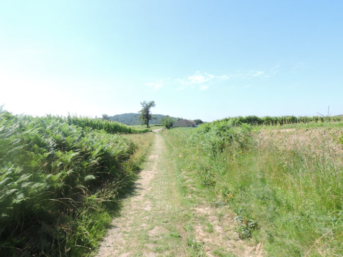
| From here on, it’s a bit like moving to another country. But momentarily. At the end of the long sandy alley, the GR65 finds the tar back and will take a little altitude. And who says height here, says vines. |
 |
 |
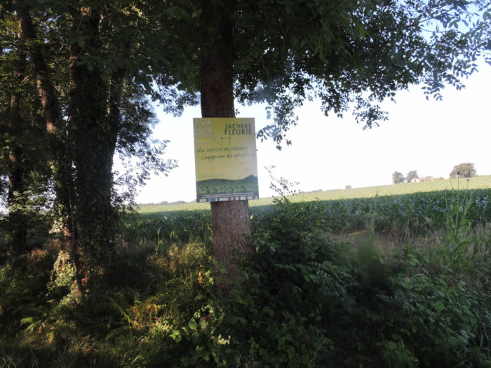
You’ll enter part of the great vineyard of St Mont, one of the jewels of the region’s wines. Winegrowers even salute on the billboard the courage of the pilgrims who venture here.
| The road then climbs through the vines almost to the top of the hill, where the wheat takes over. You understand, when you cross it, as the Santiago track does, that Gers is a very large and varied department. Here cereals have almost melted in favor of corn and vines, but not fully. |
 |
 |
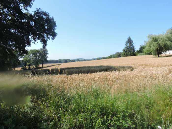
| Beyond the top of the hill, the road descends along the undergrowth, skirting gigantic fields of soft wheat. We are near the end of June and the spring wheat has not yet been harvested. |
 |
 |
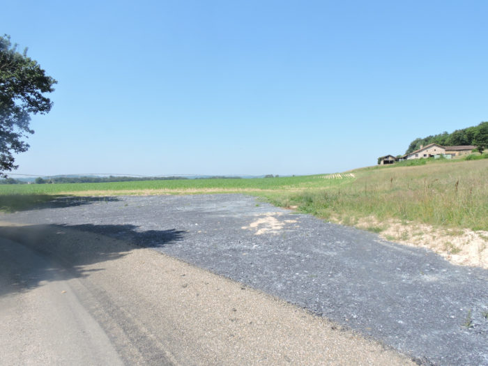
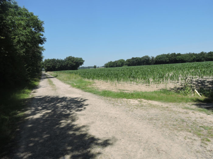
| Further down, the corn takes over and the road gets on a sort of large plateau. |
 |
 |
| The road then heads to Castin, 14 kilometers to Aire-sur-Adour. You are halfway there. But the road does not linger on the plain, it immediately slopes up a little towards La Grange hamlet and soon turns into a pathway. |
 |
 |
| At the height of the isolated houses of the hamlet, the route descends into the grass of the fields. |
 |
 |
| From there, the GR65 slopes down in the middle of the frontal ramps, these enormous articulated arms which, like the tentacles of the octopuses, plunge with flexibility on the corn and the wheat to better irrigate them. |
 |
 |
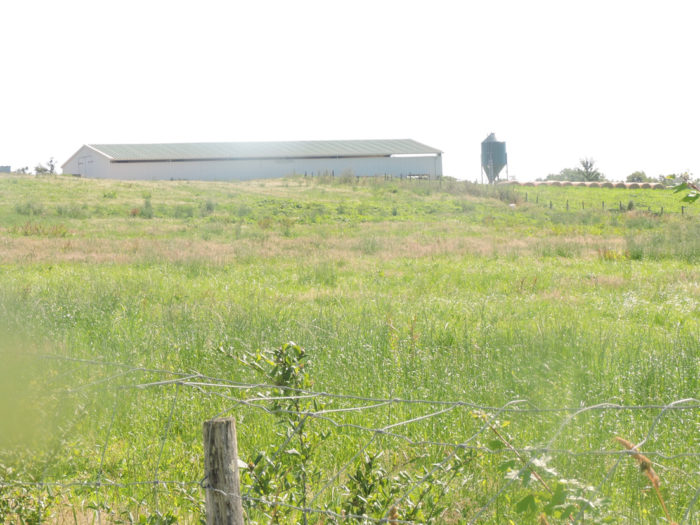
| You may be surprised. You have been told that the country is teeming with palmipeds and that not many have been seen so far. Did the architects of the Camino de Santiago want to protect the pilgrims so as not to overload them with foie gras? Probably not, because ducks will be seen further down in the Atlantic Pyrenees. Here they should be just a little further from the track. There is no reason for this corn orgy to be here for nothing. All that corn isn’t for feeding sparrows anyway. Then there are fields of corn as far as the eye can see, so the ducks are not far from the pathway. And that’s true. They must be confined up there in the hangar behind the silo. It is their short life, their tragic fate. And the chickens of the Gers, where are they raised? We never met a single one on the way. |
 |
 |
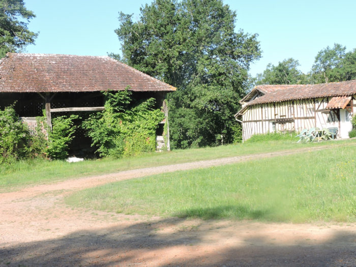
| Further ahead, the pathway climbs up very slightly in the tall grass until it reaches a fork that allows you to reach the Dubarry farm where you can stay. |
 |
 |
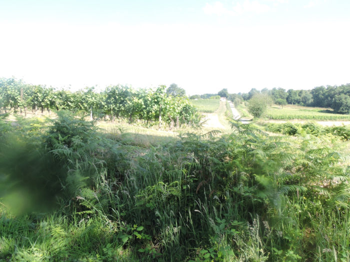
| Beyond the fork, a grassy pathway slopes gently down to the limit of the undergrowth in the vineyard. |
 |
 |
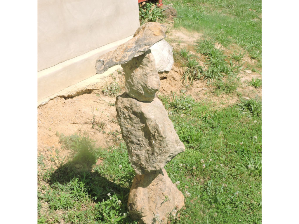
Along the way, in Brana hamlet, an owner has lined his garden with tangible signs that the pilgrim knows well. Cairns, these piles of stones, which can vary from simple rickety clusters to learned architectural prowess defying the balance, you find them all along the way. The cairn, also called montjoie, is placed on purpose to mark a particular place or an intention. It has an old Celtic origin. In Scotland, the custom is still to carry a stone up the hill to place it on a cairn. Pilgrims often enjoy completing these fragile temporal sculptures.
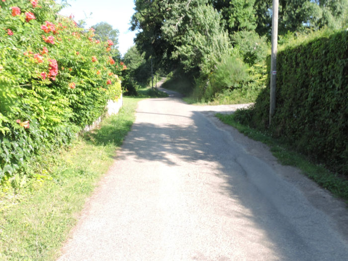
| Beyond the hamlet, a small paved road still slopes gently down into the vineyard. Depending on the season, when you walk by here, your nose may be alerted by the miasma of chemicals being dumped on the vines. |
 |
 |
| A few more vines, a few sunflowers, and the road reaches the bottom of the village of Lelin-Lapujolle. |
 |
 |
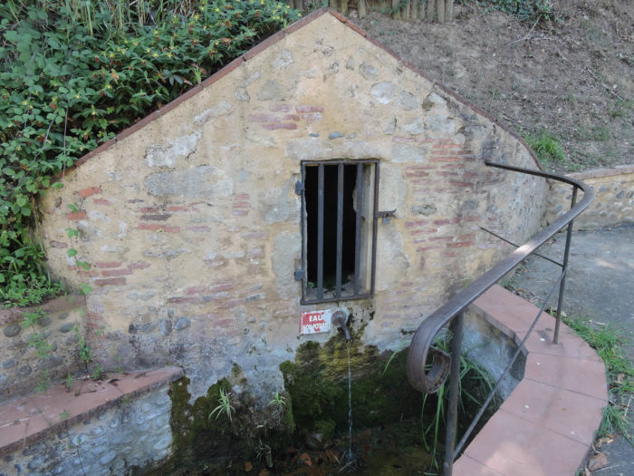
| A slightly steep slope then leads to the village church and its curious cantilevered steeple, half of which hangs over the void. The church is a 16th century chapel built on a tumulus dating from the Bronze Age, in place of an old Romanesque chapel. If you like the Baroque, go inside to see an altarpiece in gilded and polychrome acacia wood, listed as a historic monument. Even the town hall is part of the church. A water point and a stopover to eat are sometimes present on the church square. |
 |
 |
At the bottom of the village, the GR65 descends slightly to join the D169 small departmental road.

| The GR65 follows the departmental road a little, sloping up slightly towards the ridge, in the middle of scattered dwellings… |
 |
 |
| …before turning off onto a smaller road. |
 |
 |
Section 5: Departure for the immense Adour plain.

General overview of the difficulties of the route: course without any difficulty.

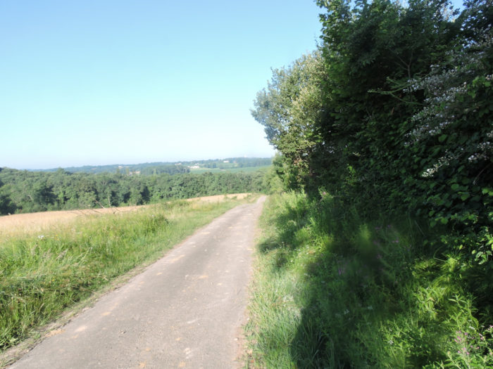
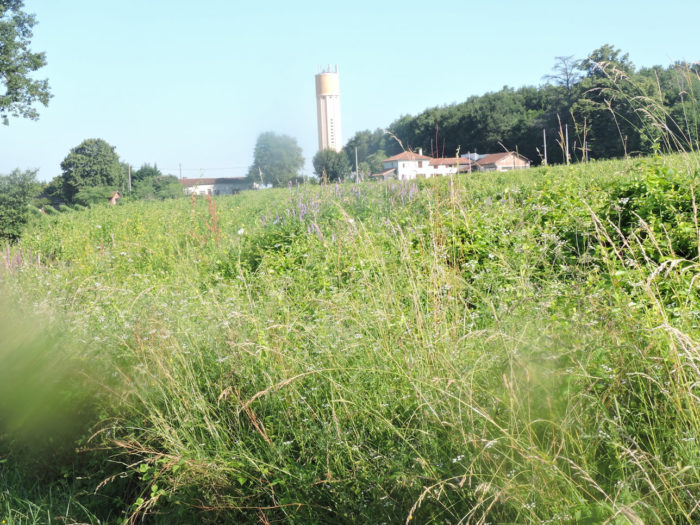
| The road then runs over the ridge, first through the meadows, then through the vines that can be found here. The Domaine de St Mont develops its vineyards throughout the region that you cross, and even further. Maybe you never left him, who knows? There have been virtually no cattle in the meadows for several days. Curious, right? |
 |
 |
| Further on, the road passes along the rare peasant houses of Crabé hamlet. |
 |
 |
| Further afield, it slopes down to Houaré hamlet, its brown tiles and its few stone farms aligned along the road. These are the last hints of Gers hills. |
 |
 |
| Another small descent and here is the immense plain of Adour, when the pathway runs near Manet hamlet. |
 |
 |
| A tarmac road will then cross the immense Adour plain. At first there are still a few oak trees wondering what to do here, but soon it will be just corn and oilseeds. In places, the frontal ramps extend their arms so far that you wonder if they will not touch the Pyrenees with their fingers. |
 |
 |
| Beyond the corn and the sunflowers, in the far horizon stand factories, over there where the Adour River flows. |
 |
 |
| The road heads further to the isolated houses of Cachébot in a landscape which hardly varies, without end. When you walk by here, you may have an idea of what is called infinity. For France, anyway. |
 |
 |
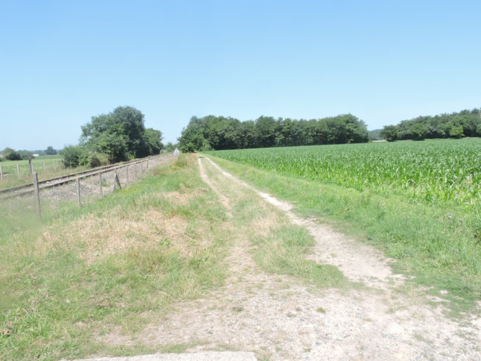
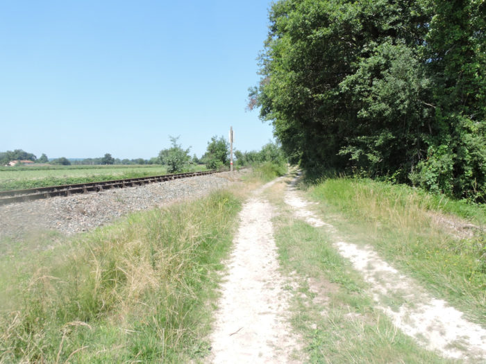
| A train here, you dream! It is only the old railway line which is now closed forever. Quatré, everyone out! Have the rails been kept here to rehabilitate the line one day? You can still dream. |
 |
 |
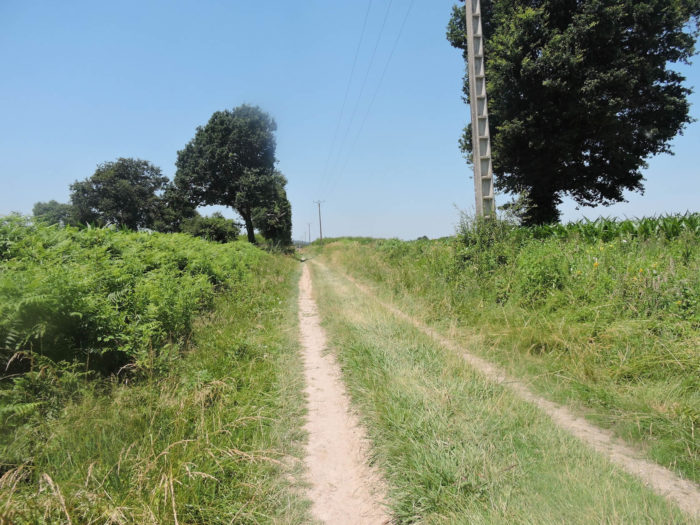
| Then departure for an endless and unforgettable ride in the corn fields beside the old railway line. Now, dirt and grass have replaced tar. Generous nature has sometimes left a few clumps of oak trees here so that pilgrims can put their bags in the shade for a few moments. |
 |
 |
Section 6: In the infinity of the dreary plain.
 General overview of the difficulties of the route: course without any difficulty.

| Here is the gloomy plain in all its sadness. There is even a ghost stop where you were promised happiness. Chairs ripped open by the side of the road, but not a drop of syrup to put behind your lips. |
 |
 |
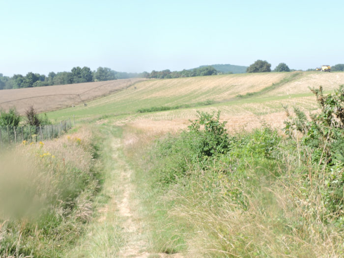
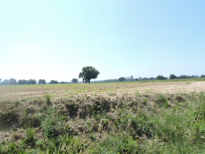
| And still those tasteless cornfields, soulless. Corn is everywhere, other fields are waiting for crops, maybe soybeans. Do not think that we are attacking the peasants in the area. It is true that sometimes the course must cross regions where nothing is happening. And, if like us, you will go through these tracks several times, you will have to take the same route, unless you choose a taxi, because, of course, there is no public transport on these axes. |
 |
 |
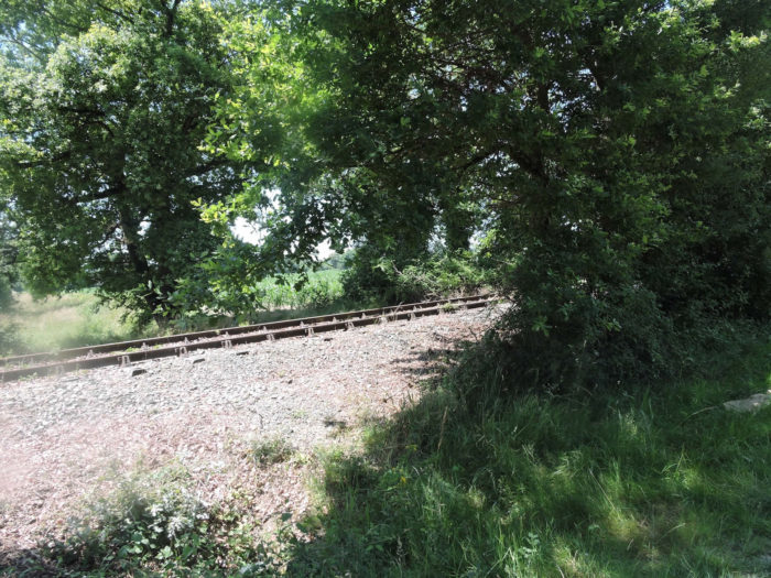
| The rails are rusty, yes, but the tracks are clean, and the signs intact. The railroad is going to come back here, right? |
 |
 |
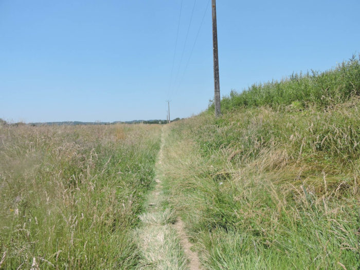
| For kilometers, the landscape does not evolve, in a dreary plain without relief, without mystery, but with fertile land. Then, you do not know why, the dirt road becomes tar. |
 |
 |
| Further ahead, the GR65 crosses the railway line at Costefort, undoubtedly an old station where the world should not hurry to the gate, but with an embryo of human presence. |
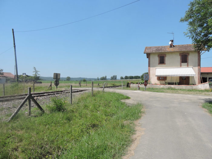 |
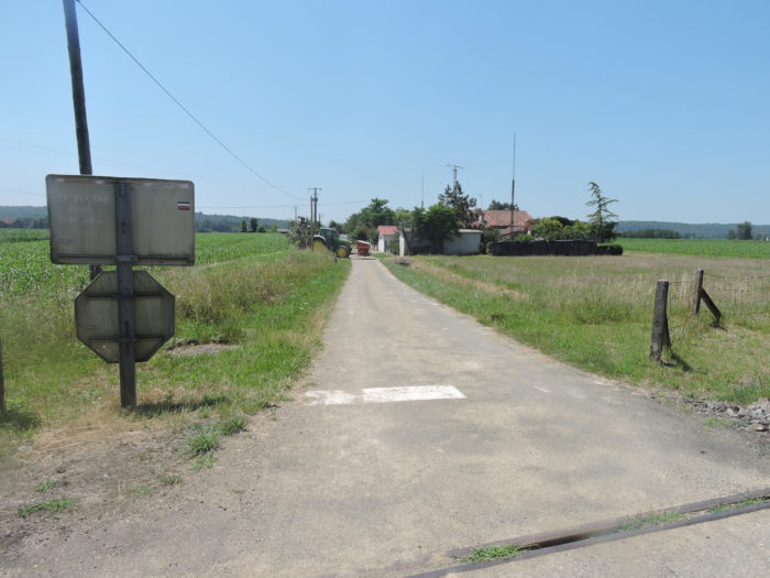 |
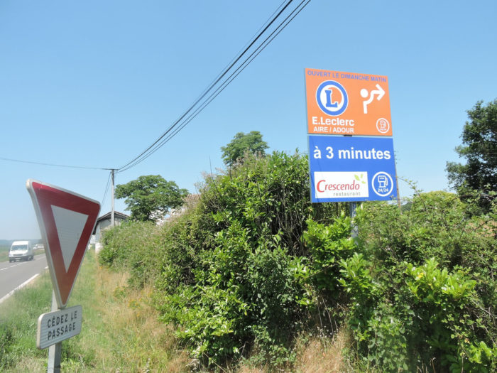
| At Costefort, the route will cross the D169 departmental road and continue on the other side for endless straight stretches. 3 minutes to go to Leclerc shop. By car, yes, on foot no, on a track, which has become a dirt track again. |
 |
 |
| Another 5 kilometers of ordeal to reach the end of the stage. Our rants are only linked to the fatigue of the walk and the monotony of the place. Yet, no doubt the people who work here are undoubtedly very satisfied with the generosity and benevolence that nature offers here. |
 |
 |
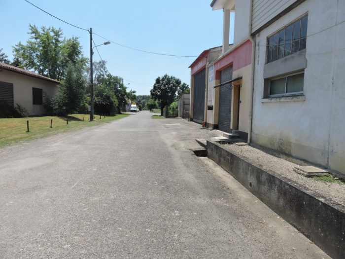
| The landscape hardly changes, with a little more moor than before. But corn remains eternal, ubiquitous. However, you are gradually approaching the industrial areas of Barcelonne-du-Gers and Aire-sur-L’Adour. |
 |
 |
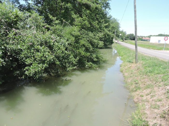
| A little further on, the small Turré brook cuts the pathway. Not wasted water for everyone, at least for the ferns and the corn. |
 |
 |
| For miles, monotony then sets in, creeps in, generates a certain weariness in a setting that many pilgrims will say tasteless. |
 |
 |
| Sometimes only a cross road, like here, or a clump of trees intersect this endless dirt road, where pilgrims parade, in front of or behind you. |
 |
 |
| Approaching Barcelonne-du-Gers, the moor replaces the corn. The pathway narrows but still runs straight. |
 |
 |
Section 7: Fortunately, there is Aire-sur-Adour at the end of the route.

General overview of the difficulties of the route: course without any difficulty.

| Further afield, a small revolution in landscape architecture, the pathway turns. |
 |
 |
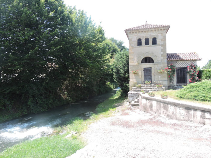
| Deliverance at last! The route soon arrives in the suburbs of Barcelonne-du-Gers along little Jarras River. |
 |
 |
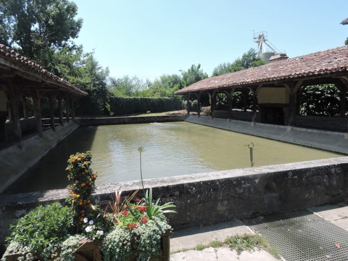
| At the entrance to Barcelonne-du-Gers, there is a magnificent washhouse, built at the end of the 19th century and which was used almost until the middle of the last century. |
 |
 |
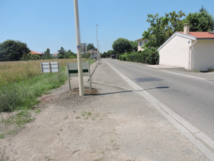
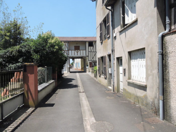
| The route crosses the village, without much character. Barcelonne-du-Gers and Aire-sur-Adour are almost contiguous. Barcelonne is on the edge of Gers department, Aire-sur-Adour in the Landes department. |
 |
 |
| At the exit of the suburbs of the village, the GR65, in its great generosity, will still offer you the pleasure of tasting a little more of the local corn production … |
 |
 |
| … before returning to the suburb of Aire-sur-Adour, on the departmental road. |
 |
 |
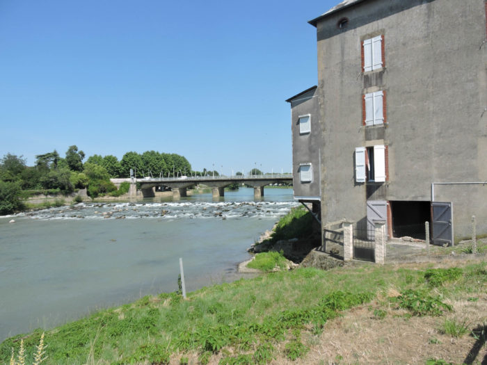
| At the entrance to the small city, it is the bridge that spans Adour River. The stone bridge with five arches over the river dates from 1852. |
 |
 |
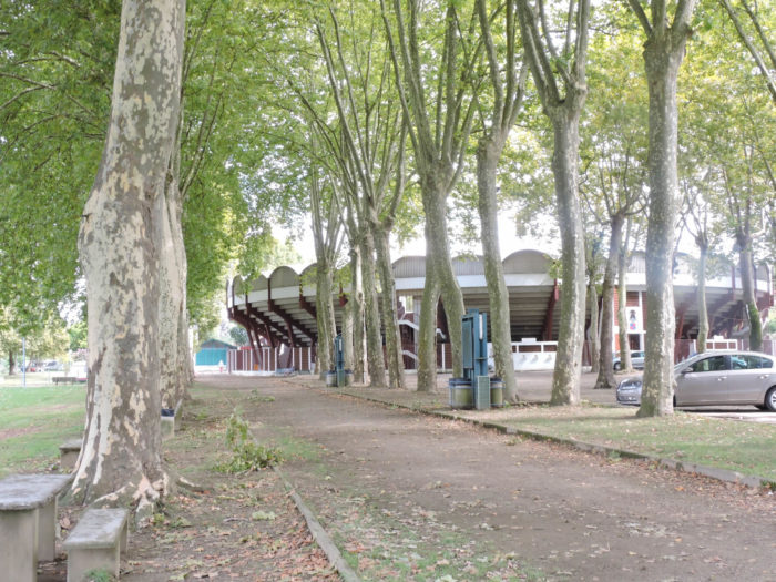
| The banks of the Adour River have been converted into a promenade that leads to the modern arenas, without much character. Finally, there is still a notable difference from the arenas that we have encountered until then. Here it is no longer the little cows. They practice real bullfighting, with the killing of bulls, as in Spain. |
 |
 |
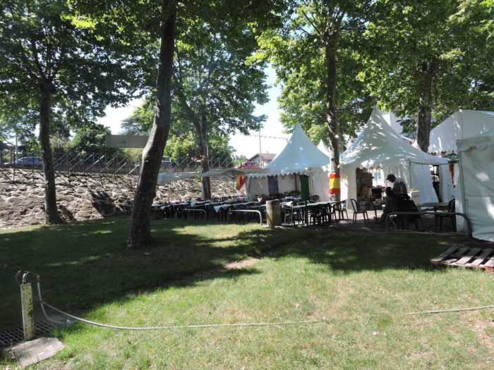
| The Landes and the Basque people love to party. You won’t be surprised if you disembark here during ferias that last for several days. So, the squares and the edges of the river are covered with itinerant shops and restaurants. |
 |
 |
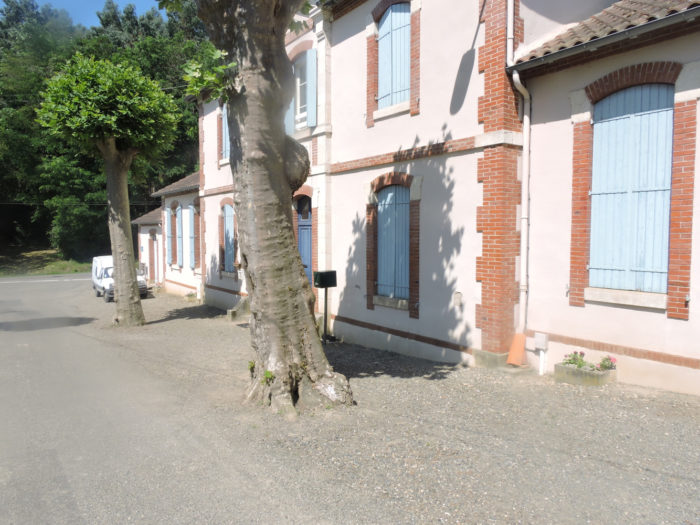
| Aire-sur-Adour (6,000 inhabitants) is articulated on the river, with its small streets and shopping lanes, with sometimes more picturesque places. |
 |
 |
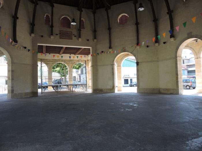
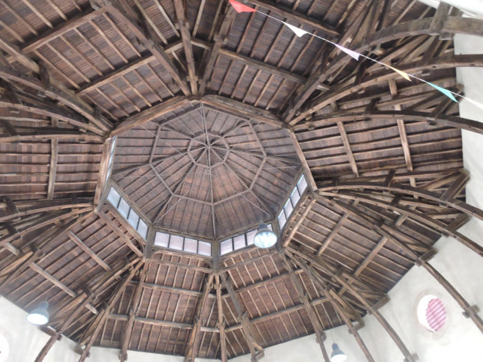
| The Halle aux Grains (Grain Market), with its stone arches and its beautiful ceiling, dating from 1860, is listed as a Historic Monument. |
 |
 |

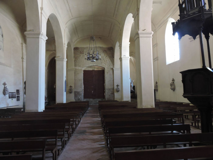
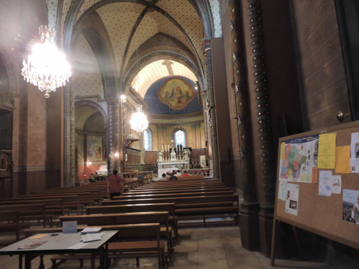
| The same is true of St John the Baptist Cathedral, seat of a former bishopric. |
 |
 |
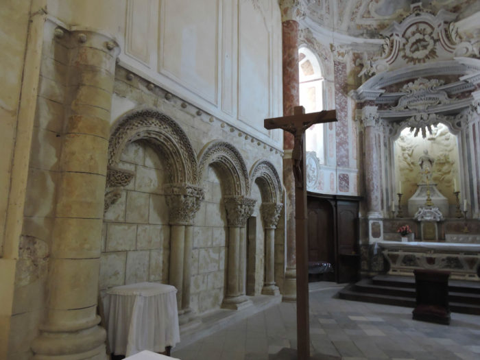
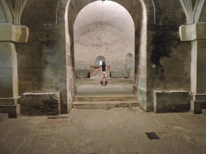
| But the two small wonders of the city are located on the heights. There is especially the Church of Ste Quitterie. If you find the door closed here, ask at the Tourist Office. The keeper of the Ursulines gîte next door can open the building to you. The church itself is sober, but sometimes a little busy. |
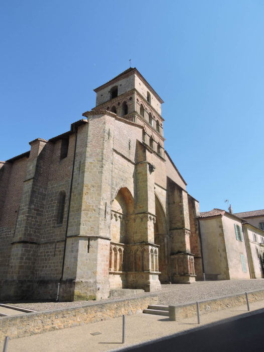 |
 |
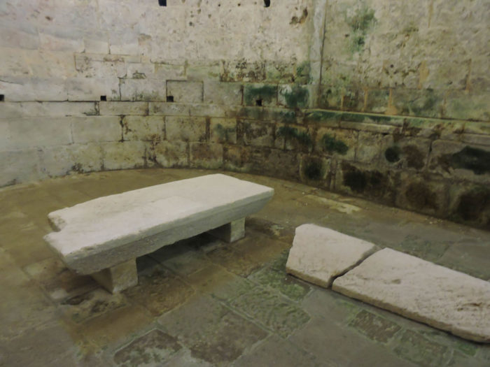
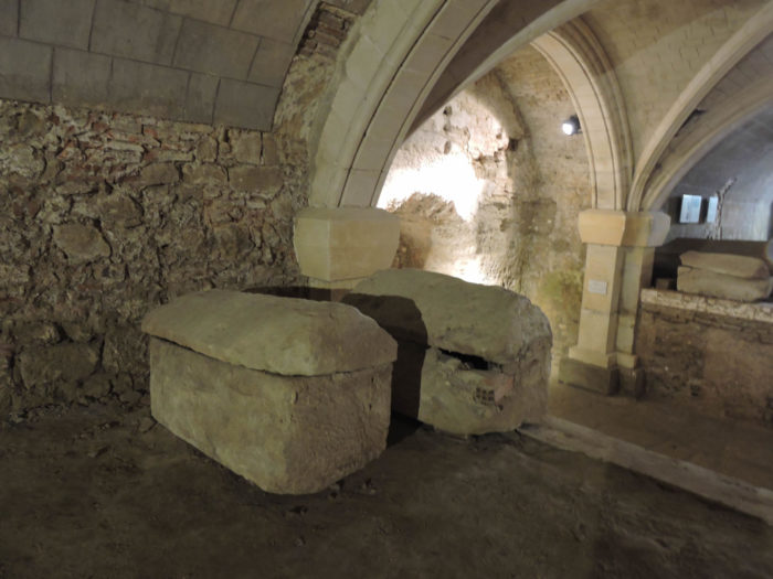
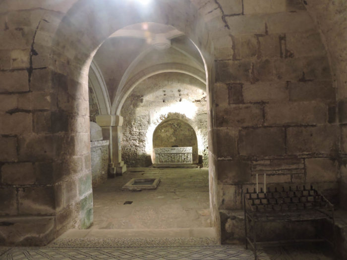
| But the crypt is incredible, with the sarcophagus of the saint, listed as a UNESCO World Heritage Site. Here you will also find an extraordinary stone table, one of the earliest examples of sonic amplification. |
 |
 |
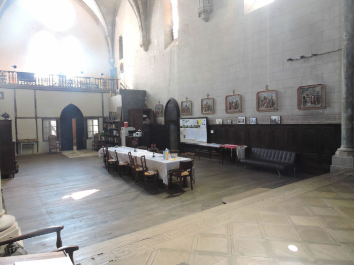
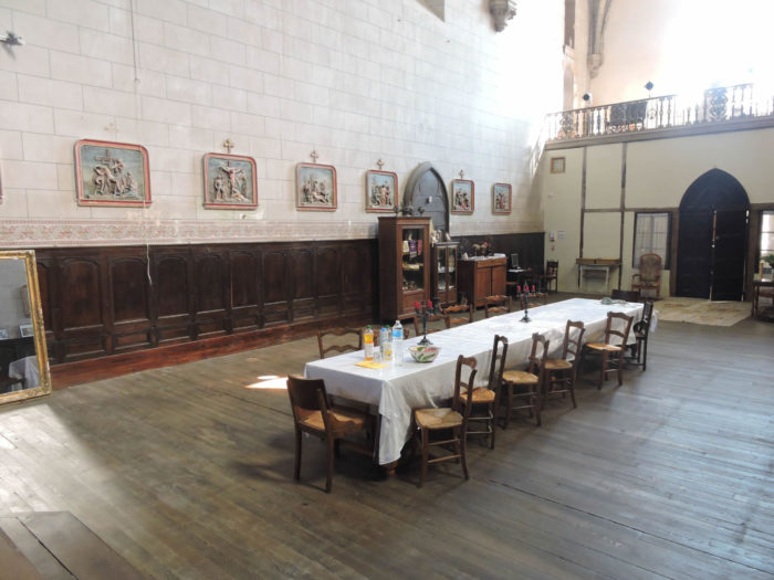
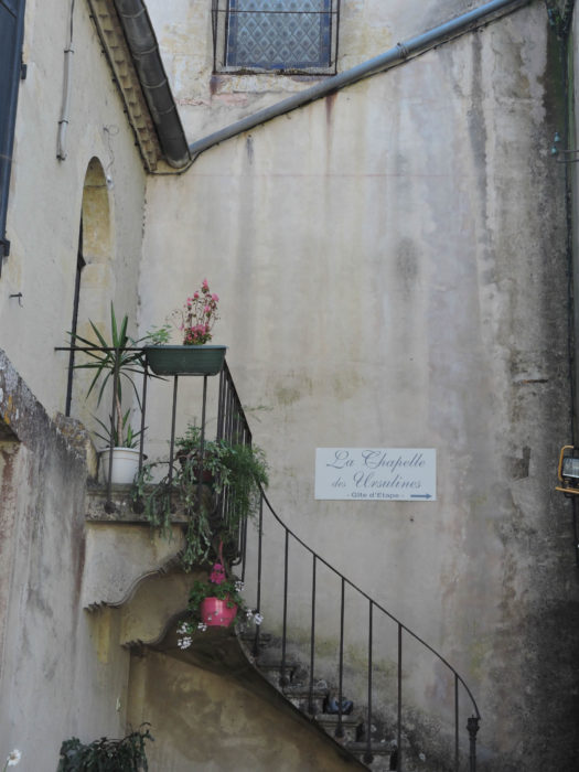
| There is another authentic marvel, just opposite the church, the Chapelle des Ursulines, a desecrated place that is now used as a gîte for pilgrims. |
 |
 |
Lodging


Feel free to add comments. This is often how you move up the Google hierarchy, and how more pilgrims will have access to the site.
|
 |
Next stage : Stage 29: From Aire-sur-Adour to Miramont-Sensacq |
|
 |
Back to menu |