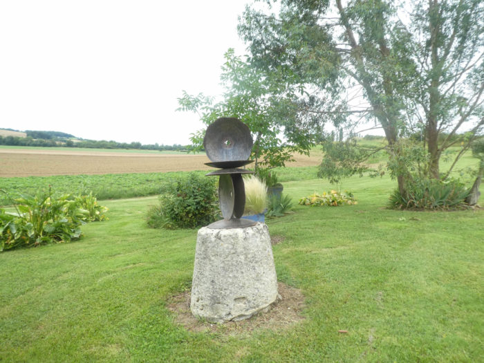
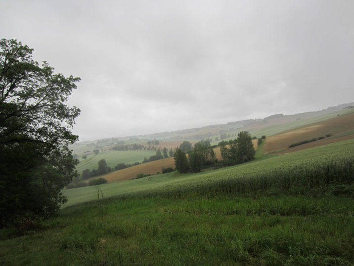
Brulhois, which in old Occitan would mean “coppice, clump of trees, wood” is divided into 3 departments: Lot-et-Garonne, south of Agen, north of Gers, and the westernmost part of Tarn-et-Garonne. Formerly, the country of Brulhois was a wooded region. The sands and gravels that accumulated in terraces along the Garonne gave poor soil favorable to woods. In the past, the woods formed an almost continuous border. But whoever says bad soil, also says vine land. In the 19th century, these graveyards were gradually transformed into vineyard land. Brulhois wines now have an appellation contrôlée.

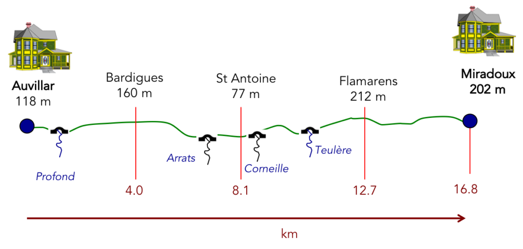
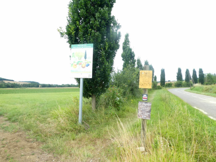
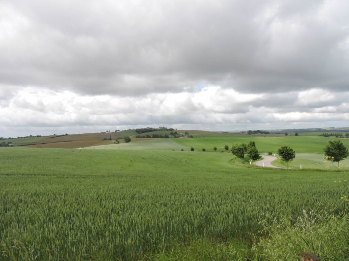
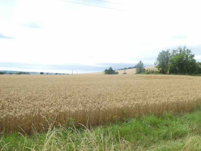
In the course of the day, which always runs due west, you therefore walk today from the department of Tarn-et-Garonne to the department of Gers. Many braver pilgrims go in one day from Auvillar to Lectoure, but it is a long trip of 32 kilometers. In Lectoure, it is claimed that the pilgrims arrive here on their knees, given the length of the stage and the last climb towards the village. We therefore divided the stage in two, stopping at Miradoux, in Lomagne. We will not go today to the vineyards which are near the Garonne. We will content ourselves with skimming the Brulhois, its countryside and its woods on the side of St Antoine, before going further into Lomagne, the northernmost territory of the Gers. Gers is a country where crops are more numerous than in Brulhois. It is a landscape of arable crops, the reign of wheat and sunflowers. Maize is generally little cultivated due to local agro-climatic conditions, in particular relatively low rainfall. There are also orchards there, but less than in the Tarn-et-Garonne, a few vines, and more specific crops, such as garlic or melon. Former cattle breeding lands, the pastures today take refuge on a few hillsides or in rare valley bottoms. Grasslands only occupy 8% of the agricultural area compared to 35% 30 years ago. As a result, breeding is marginal.
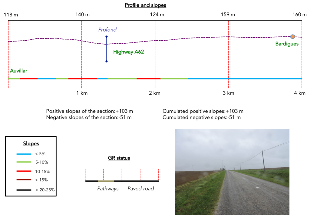
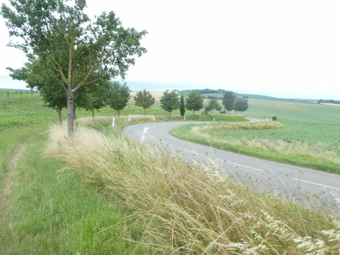
Difficulty of the course: The day’s slope variations (+347m /-273m) is very reasonable. Today’s stage offers no great difficulty of route. You will hardly exceed 200 meters in altitude, and only a few small climbs or descents starting from Auvillar, then towards Flamarens and Miradoux, sometimes at more than 15% slope, allow for a little sweat. You’ll cross a large countryside dotted here and there with small groves.
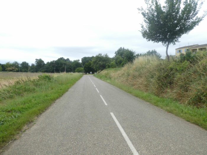
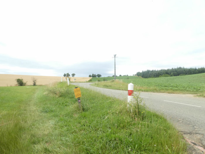
The asphalt road runs are quite consistent, especially since in the region many pathways are in fact just strips of grass mown next to the tarmac on both sides of the road:
- Paved roads: 11.3 km
- Dirt roads: 5.5 km
Sometimes, for reasons of logistics or housing possibilities, these stages mix routes operated on different days, having passed several times on Via Podiensis. From then on, the skies, the rain, or the seasons can vary. But, generally this is not the case, and in fact this does not change the description of the course.
It is very difficult to specify with certainty the incline of the slopes, whatever the system you use.
For « real slopes », reread the mileage manual on the home page.

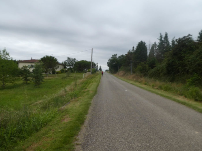
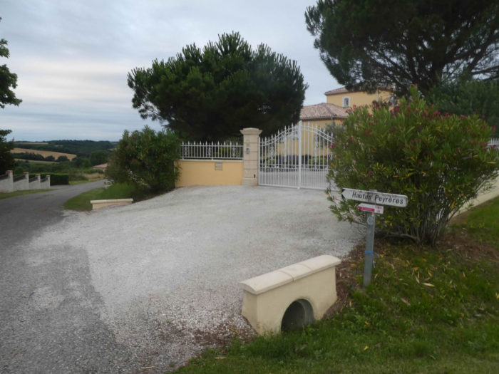
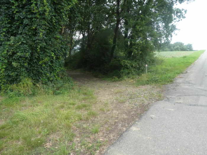
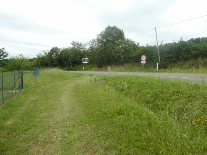
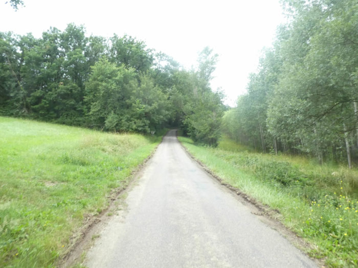
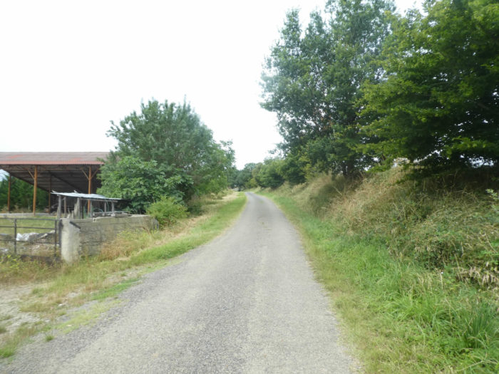
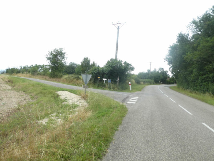
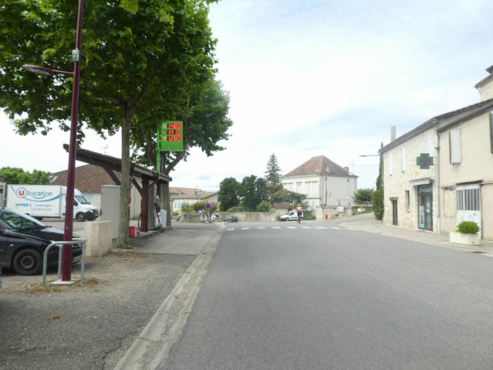
Section 1: Gymkhana leaving Auvillar to cross the highway.
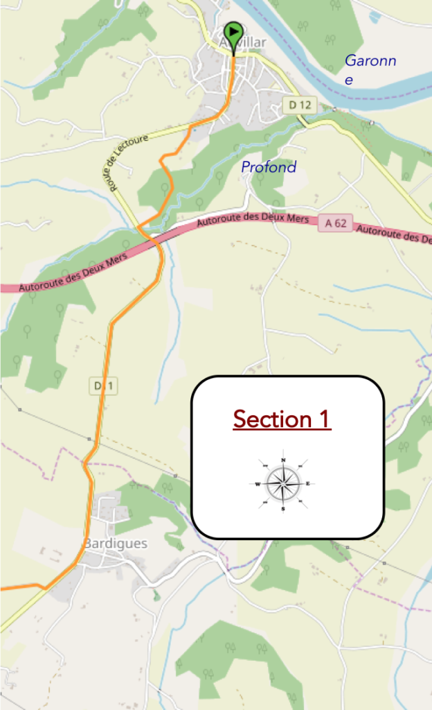
General overview of the difficulties of the route: marked slopes around Auvillar, uphill and downhill towards the motorway. Then, course without any difficulty.
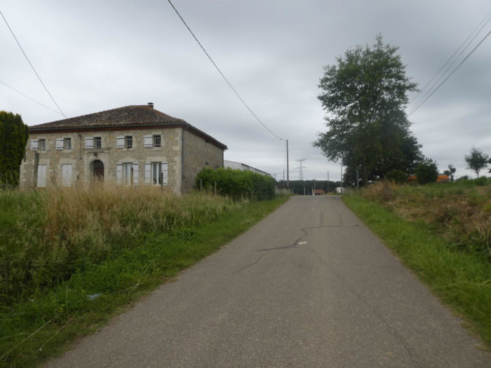
| The GR65 leaves Auvillar by climbing a very sloping street from the center of the small town. |
 |
 |
|
It slopes up in the more recent subdivisions of the village to the place called Hautes Peyrières.
|
 |
 |
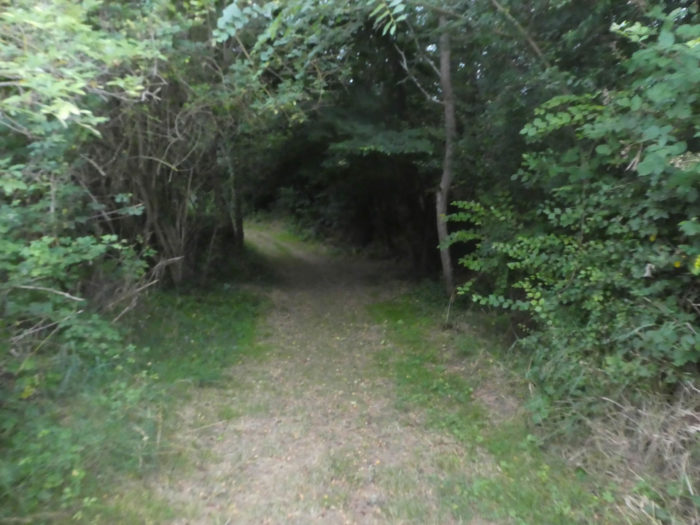
At the top of the ridge, the slope eases, and the GR65 still follows the road until you find a pathway that slopes down to the highway.
|
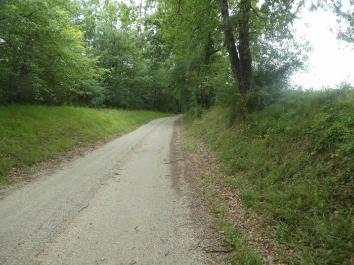
From here you can see the motorway structures at the bottom of the valley. The dirt road slopes down into the undergrowth.
|
 |
 |
|
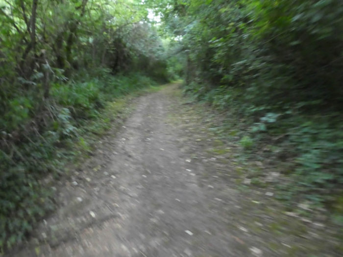
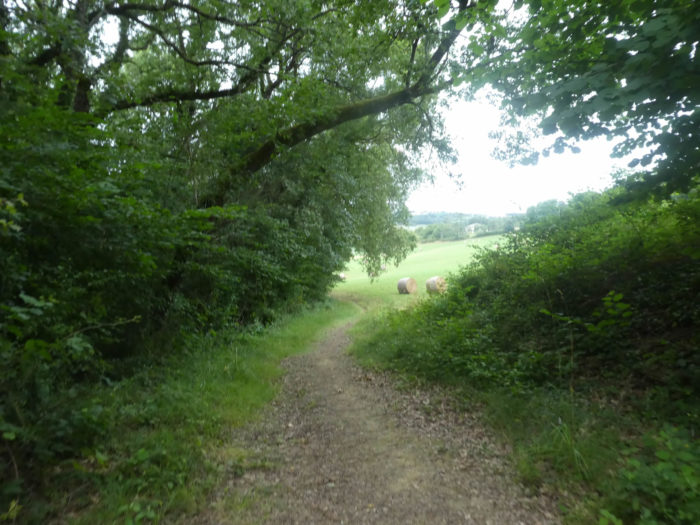
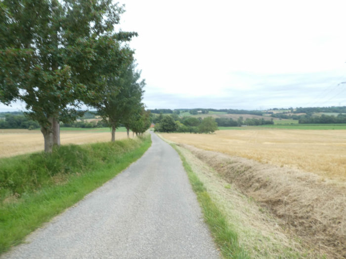
The wide pathway descends at more than 10% slope, until you reach a small road at the bottom of the dale. Here flows the Profond brook, which you hardly see, in the undergrowth among oaks, small hornbeams, ash trees and maples. There are few chestnut trees around here.
|
 |
 |
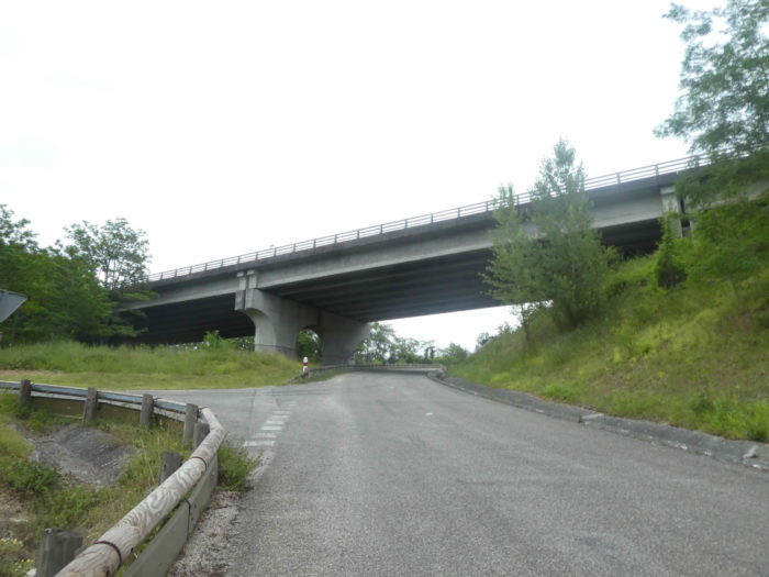
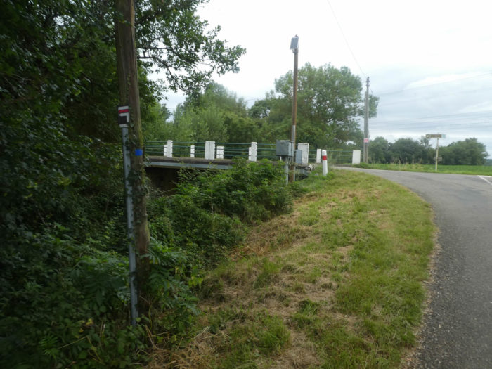
| Further afield, a paved road crosses the brook, and climbs under the works of the A62 highway, connecting Toulouse to Bordeaux, which, at least in these early hours, does not show much activity. |
 |
 |
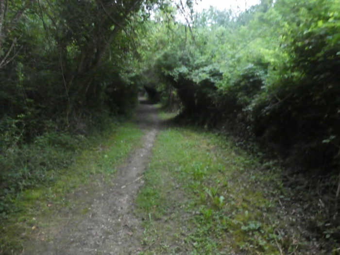
| A small strip of dirt accompanies the road, which gradually emerges from the undergrowth into a wide-open countryside. |
 |
 |
| On the plateau, they are long straight lines tasteless and indigestible, in cereals or green fallow fields. The pilgrim is not always entitled to the sublime. |
 |
 |
| It can still be more difficult to swallow it in bad weather, when the dirty and sticky drizzle, fine and penetrating, which drips on your cape, makes the fields even more austere and silent, right? |
 |
 |
| From lengths to eternity, the road approaches Bardigues. Far beyond the horizon, the country unrolls its fields and crops as far as the eye can see. |
 |
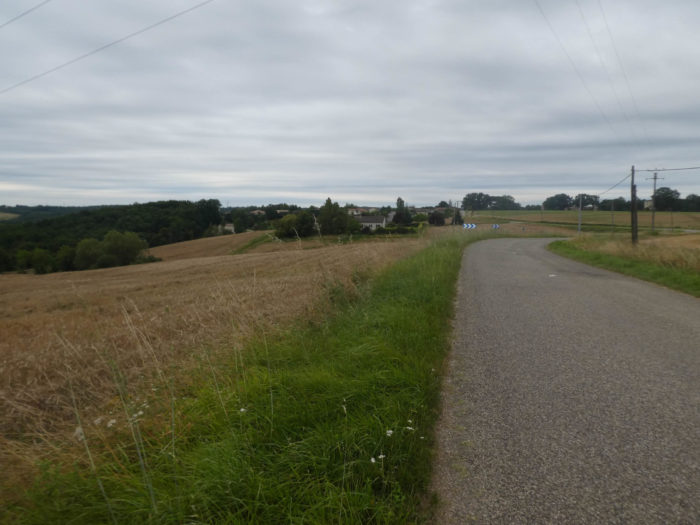 |
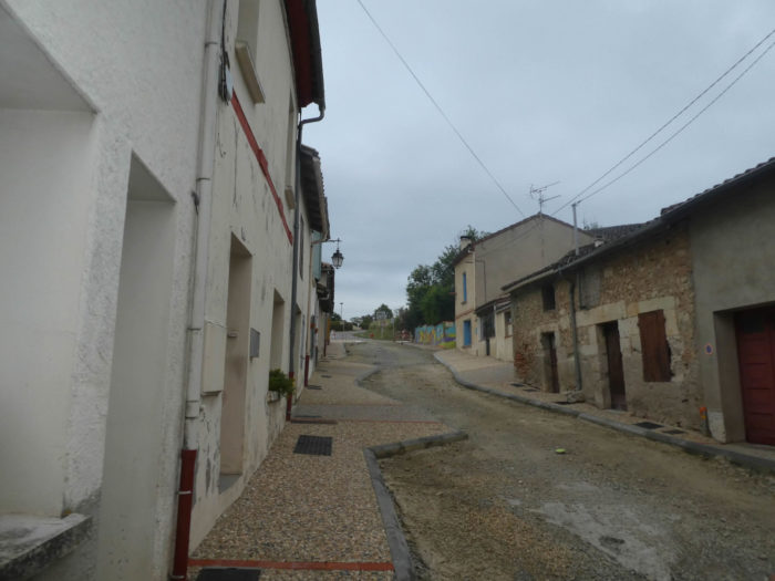
| Shortly after, the road heads to the entrance to Bardigues, in the Brulhois region. Here the village appellations are also underlined in Occitan. Local customs, which have been rooted in populations for centuries, are not so easily suppressed. |
 |
 |
The GR65 does not pass through the village, away from the road.
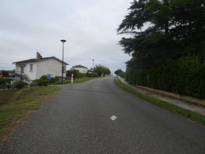
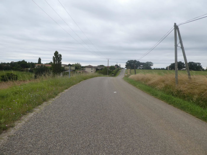
| It flattens on the straight road, brushing past the village, under oaks and ash trees. Vehicles probably rarely circulate here, apart from tractors. |
 |
 |
Section 2: Over hills and dales in the Bruhlois area.
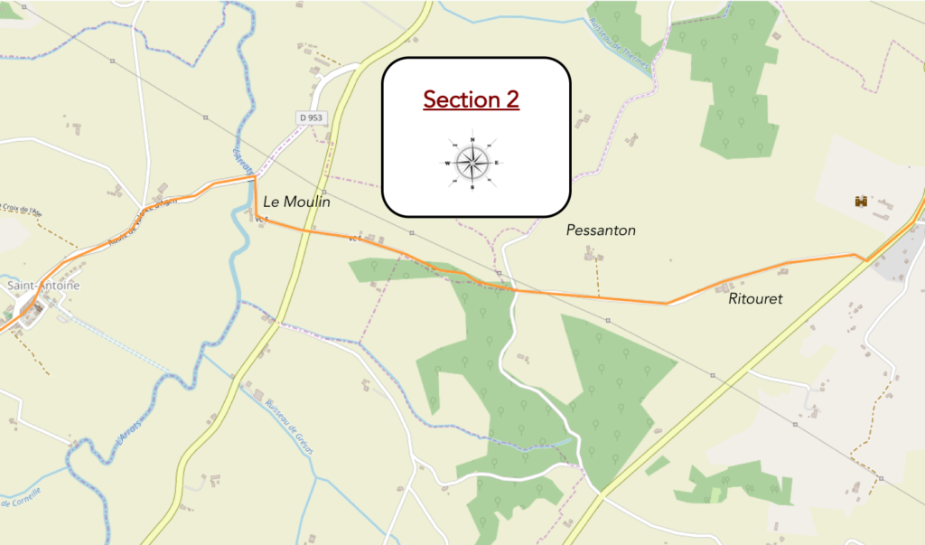
General overview of the difficulties of the route: course without any difficulty, except the descent to Le Moulin, with almost 100 meters of drop.

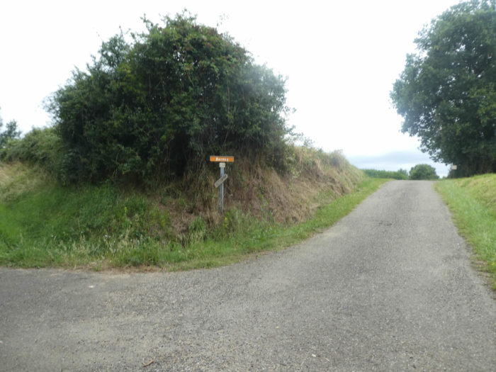
At the exit of Bardigues, the GR65 will leave the main axis for a smaller road.
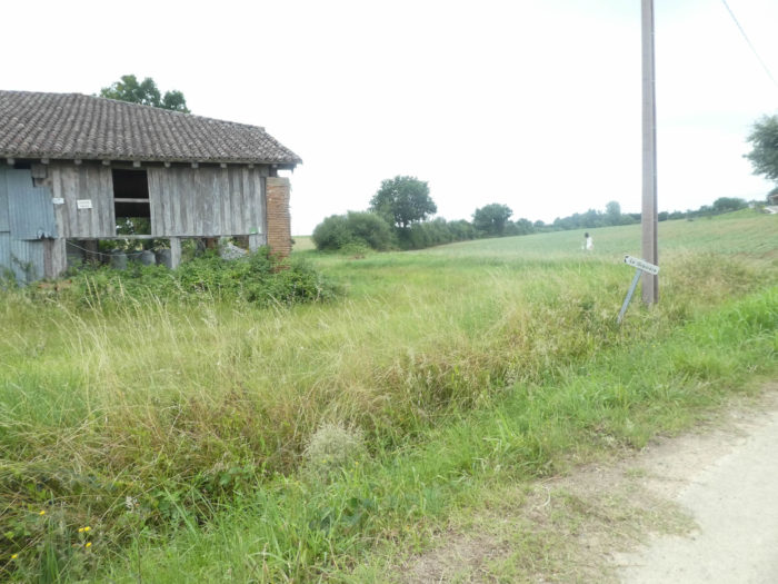
| In so-called “deep France”, each isolated farm often bears a name. Every hamlet is not a municipality, but everyone knows the incredible number of municipalities in the country. |
 |
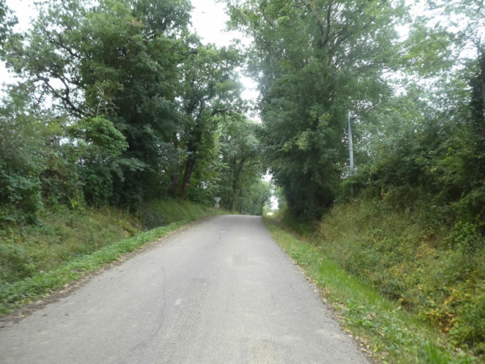 |
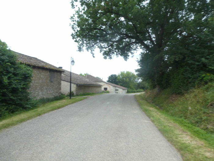
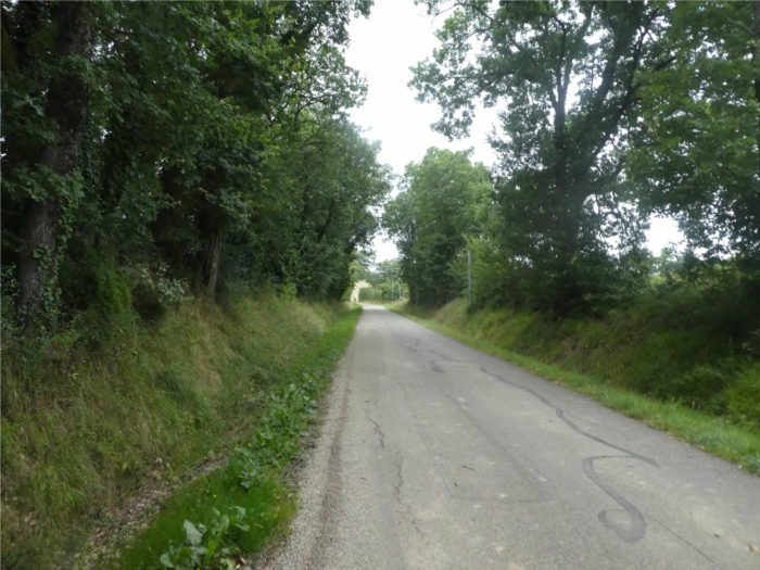
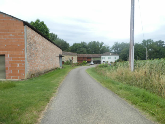
| The paved road sways under hardwoods, especially oaks, ashes and maples. Sometimes a farm, which does not exude wealth, huddles near the road, as here at a place called La Gravière. |
 |
 |
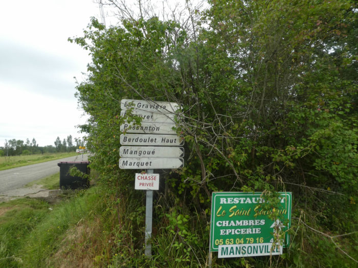
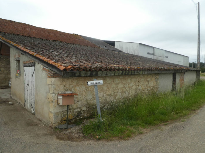
| Shortly after, the road passes to Ritouret, also as large as a pocket square, with its farms and its freestone dwelling. Everything is sandstone and limestone in the region. Here the farms are often square or rectangular, simple, with their roof of canal tiles. Residential houses are often separated from farms. |
 |
 |
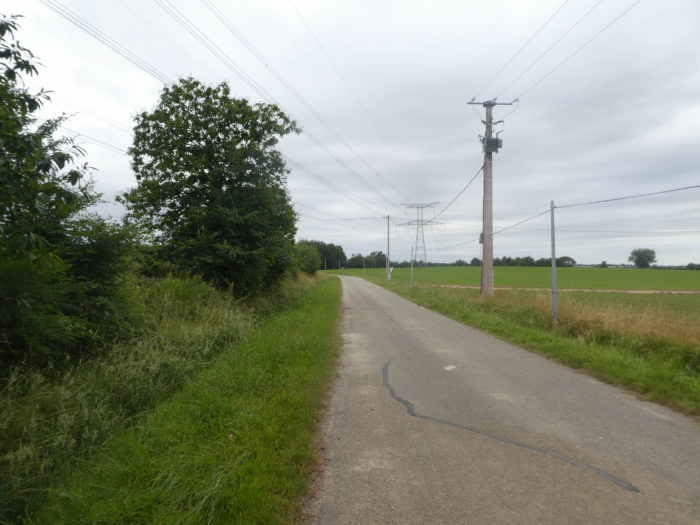
| The road stretches along deciduous hedges, in a countryside as flat as a pancake, alternating sunflowers, cereals or fallow fields, covered with green manure. |
 |
 |
| A little further on, this is Pessanton farm and its vast countryside. |
 |
 |
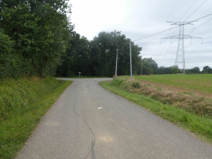
| Shortly after, the GR65 will change register, leaving the tar for a forest lane that leads into the undergrowth. |
 |
 |
| The pathway does not last long in the undergrowth where chestnut trees abound in the midst of oaks and hornbeam shoots. The slope is sustained here, more than 15% incline most often, and the pathway then slopes down into the grass along the edge. |
 |
 |
| These are already landscapes similar of those present in neighboring Gers, with cultures scattered over small hills. |
 |
 |
| Further down, the tar replaces the dirt road and the countryside widens. Here a very large farm presents a typical architecture of Lomagne, with its enveloping roof with long sides, which protects in one piece the house, the barn and the stable. It is a large estate with annexes. |
 |
 |
| Today the wheat fields are spread, tomorrow it might be sunflowers, or something else. The peasants constantly alternate crops. |
 |
 |
| At the bottom of the descent, the GR65 finds a small cross road. In the fields grow, but rarely, fruit trees. The trees, this prevents proper maneuvering of tractors. So, farmers shaved most of them. |
 |
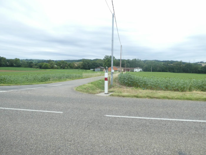 |
| Further on, the GR65 joins and crosses the small departmental D88 road. You get at Le Moulin, very close to St Antoine d’Arrats. |
 |
 |
| It’s a handful of houses in the sunflower fields by the river. |
 |
 |
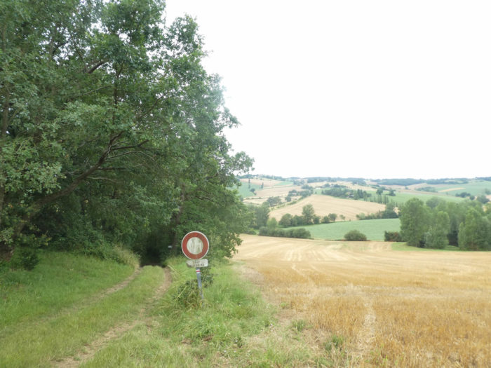
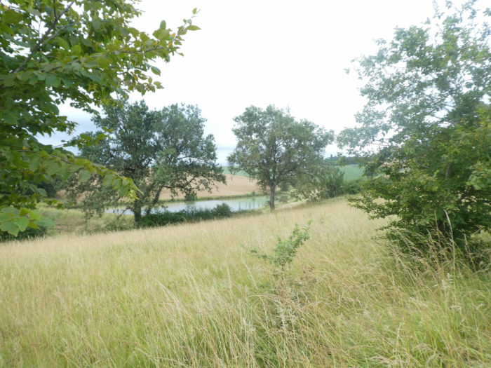
Further afield, GR path crosses the Arrats River, a major river here that winds its way across the country. No doubt that the river is often muddy, we have always seen it like this, in bad weather as in good weather. This is often the case with rivers which flow in the limestone soil which is washed with delight.

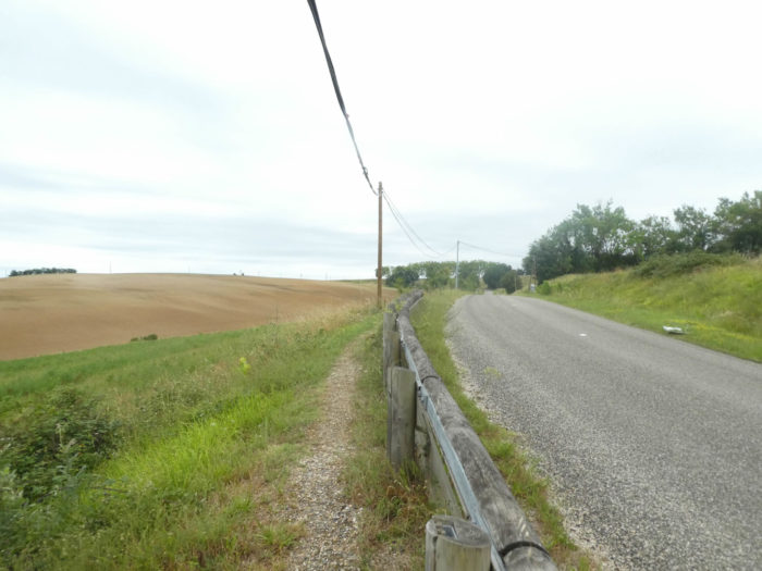
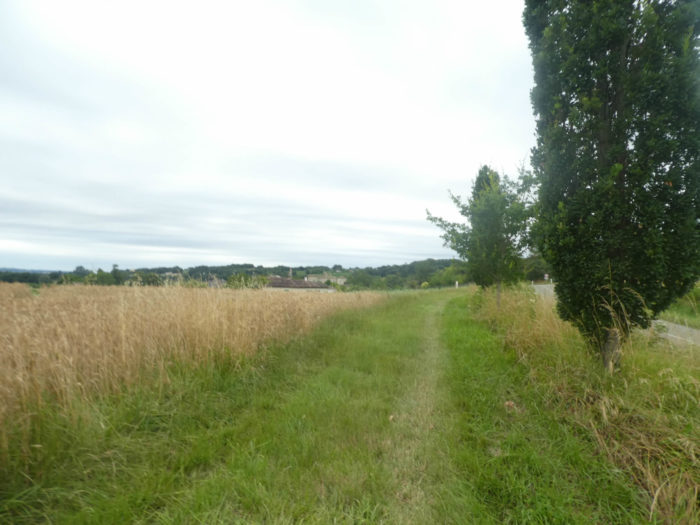
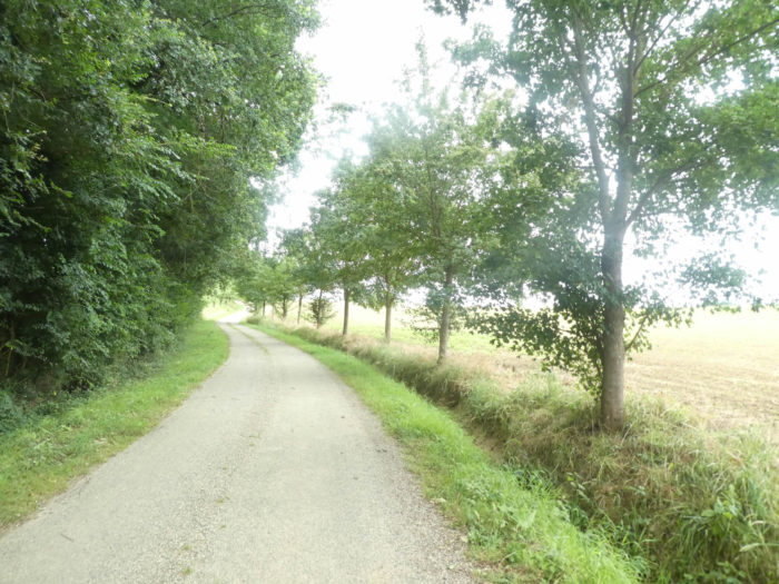
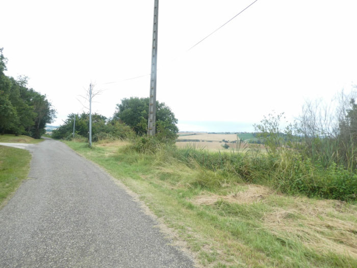
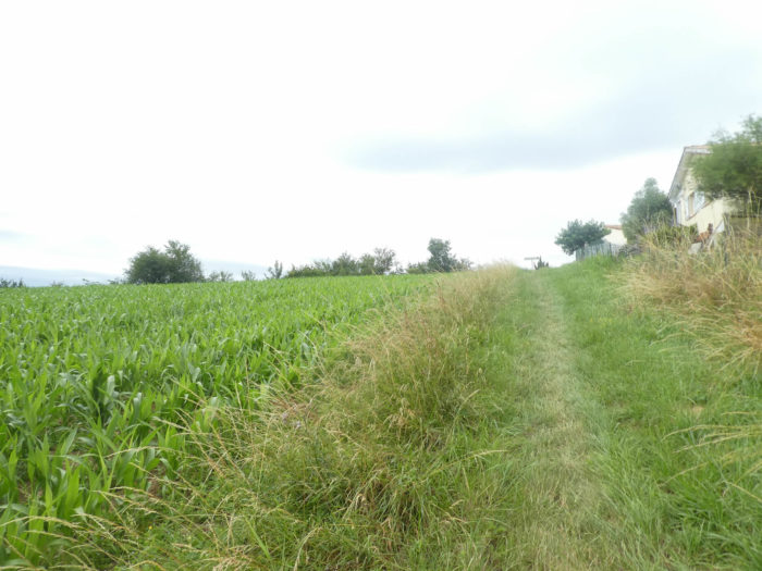
| Before your eyes the plain of St Antoine is developing. Quickly, the GR65 will find a pathway in the grass which slopes up, parallel to the road on the hill. In the Tarn-et-Garonne and the Gers, the Santiago track has drawn, in its generosity, strips of mown grass on the side of the paved roads, which sometimes deviate a little more from the road to appear real pathways. |
 |
 |
| Here you’ll walk on the short lawn of a large farmhouse, which stretches on both sides of the road, amidst exotic flowers and trees. The farm produces, among other things, market gardening and fruit trees. Everything grows here: wheat, corn, sunflower, seeds (beets, carrots, onions), but also garlic, melon and tobacco. Even if you are in the Brulhois region, the vines are not present here. |
 |
 |
| Beyond the farm, the pathway continues its slight climb through the grass in the middle of the fields. |
 |
 |
| Shortly after, it joins the paved road at the entrance to St Antoine. |
 |
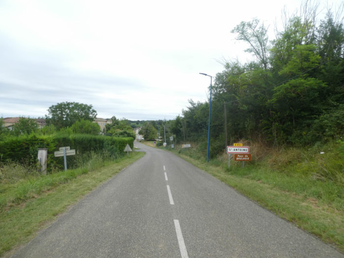 |
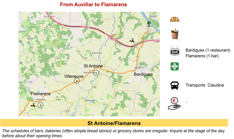
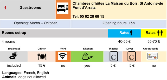
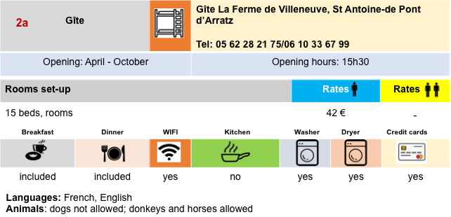
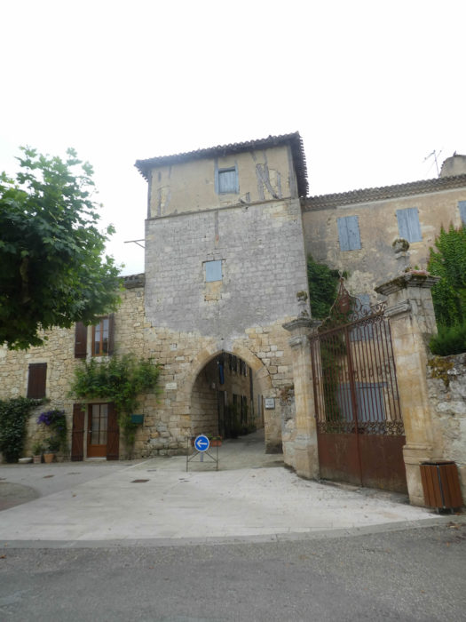
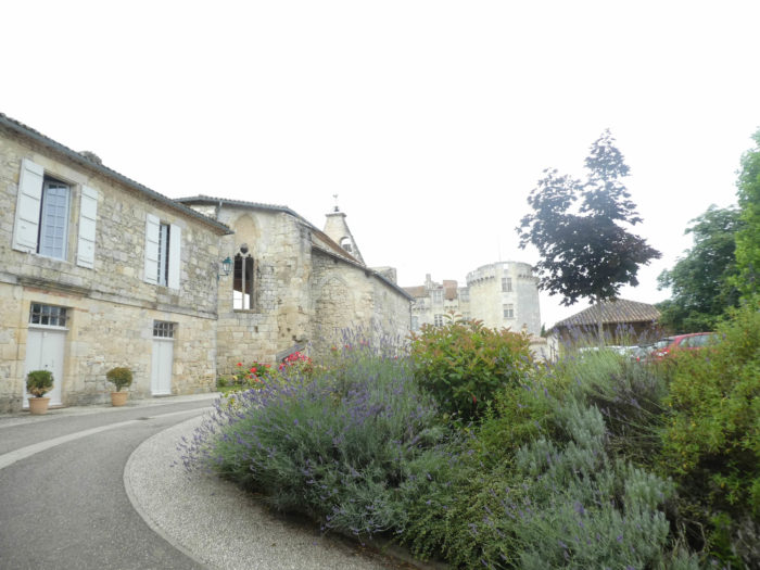
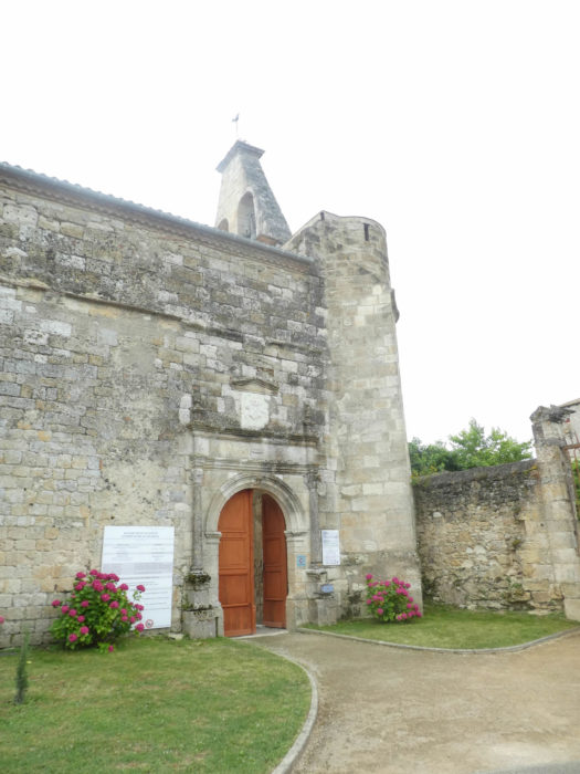
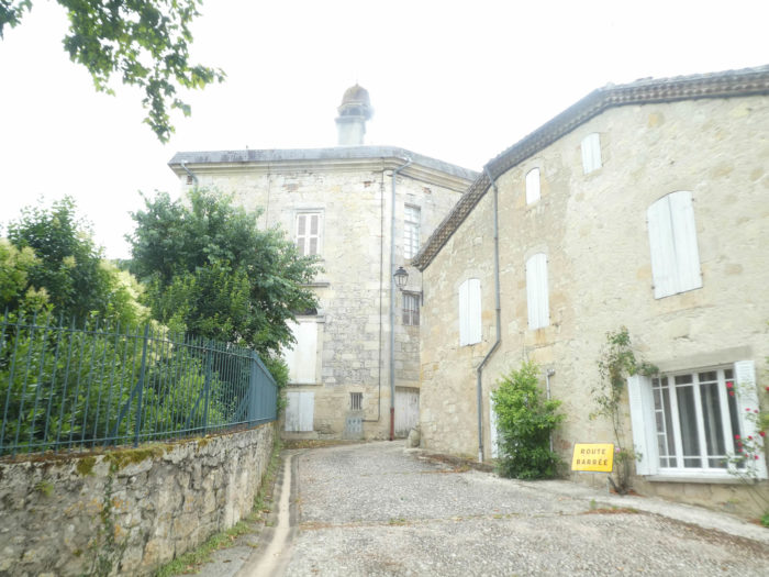
| The road then arrives at St Antoine in the Brulhois region (206 inhabitants), a small picturesque medieval village, founded by the Antonine monks, whose center was St Antoine-L’Abbaye, in Isère, where a Santiago track also runs to Le Puy. In this old hospice, you enter through a venerable porch. |
 |
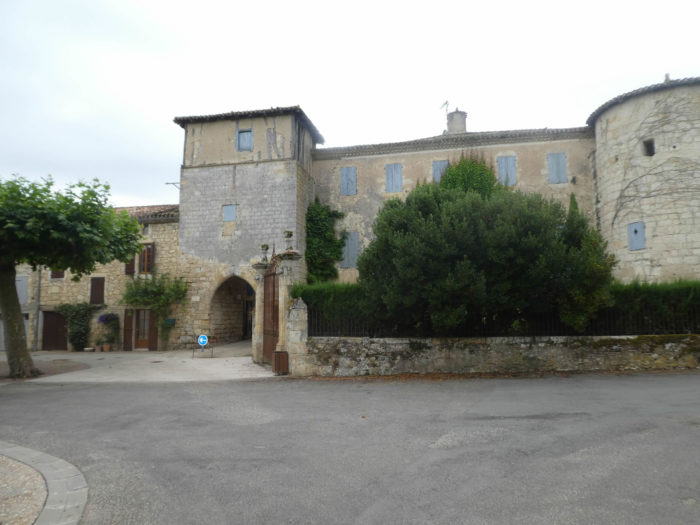 |
| The Antonines built abbeys and hospitals in the XIIth century to fight against the “fire of St Antoine”, a disease caused by ergot in rye. The monks remained here until the end of the XVIIIth century. The church is listed as a Historic Monument. Murals from the XIVth and XVth centuries have recently been uncovered in the church. The fortified gate at the entrance to the city probably dates from the XIIIth century. |
 |
 |
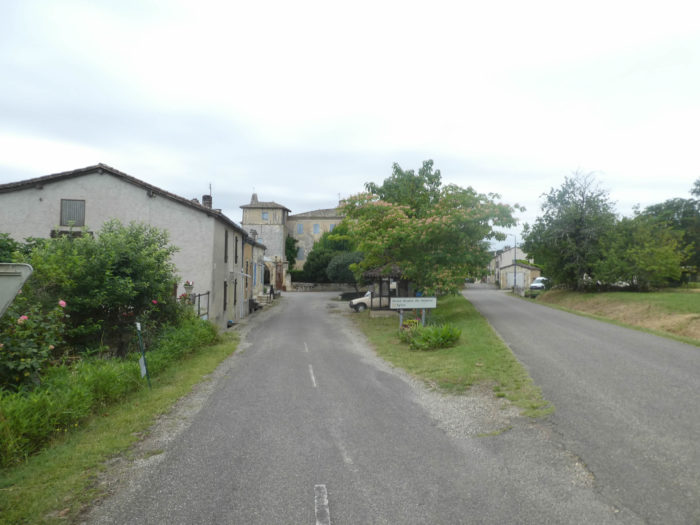
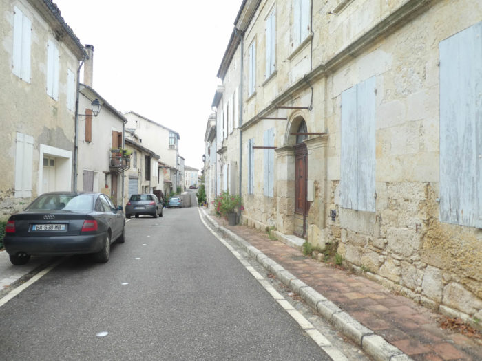
| Nothing has changed here for centuries, in the central street of the village and its stone houses, sometimes with half-timberings. In the past, many pilgrims stopped over here. But now housing is more limited. However, there is still the village inn, where pilgrims and passing tourists still stop. |
 |
 |
Section 3: Over hill and dale in wheat and sunflowers.
General overview of the difficulties of the route: slight climb, and an intermediate descent a little more pronounced towards Teulère brook.

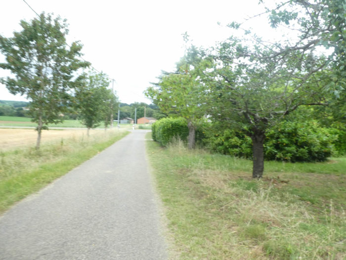
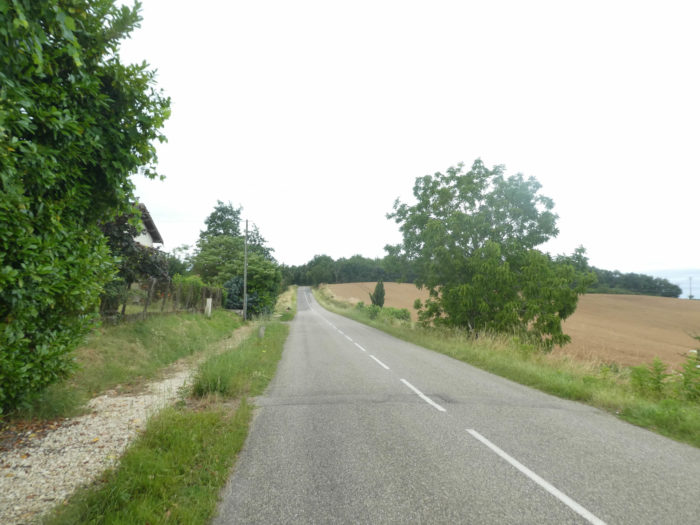
| Beyond St Antoine, the road runs into the sunflower fields alongside the slightly newer houses of the village. |
 |
 |
The GR65 forks fairly quickly on a small paved road that climbs through the undergrowth, at the height of the Corneille stream.
| The slope is fairly gentle on the asphalt under the large deciduous trees, oaks of course, but also sumptuous sycamore maples and ash trees which climb endlessly. |
 |
 |
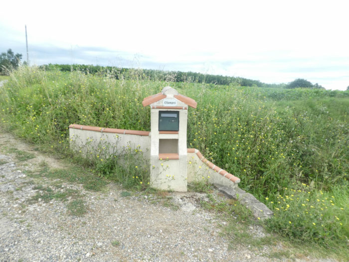
| Further up, at the exit of the woods, the country opens onto large meadows, a few wheat fields and endless fields of sunflowers. Here and there, a letterbox by the side of the road, or an improbable direction sign, small isolated locks probably. |
 |
 |
| Yet another place on the side of the road, and GR path passes in front of the Villeneuve farm, where you can find accommodation. |
 |
 |
The road most often runs in front of large fields of sunflowers. Having been here several times, we have never seen anything other than sunflower, and a little soy. For us, but also for many other walkers, these fields of sunflowers, which are only beautiful when the flowers are blooming in the setting sun, are charming at first. But with their tireless repetition, the boredom is taking hold. In addition, depending on the season, you will cross real fallows in early spring or almost cemeteries in autumn. Van Gogh composed his bouquet with flowers at all stages of their development, in buds, in full bloom or withered. He had the choice of the season. If you walk here in the late fall, the withered flowers, curled up on themselves, will no longer exalt the warm lights of the sun, but will celebrate gloom.

| Further up, on a road that barely climbs, GR path continues straight after a crossroads. |
 |
 |
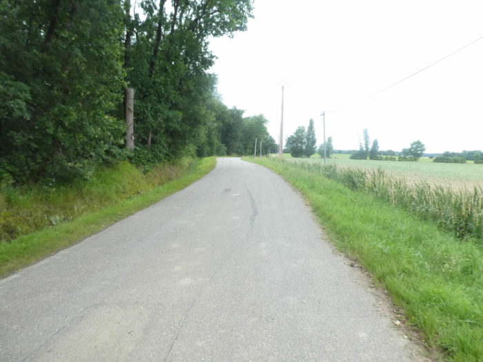
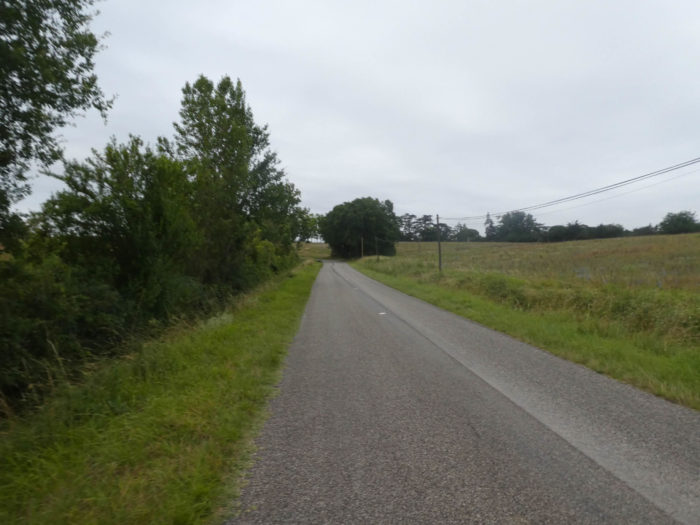
| Then the road hides a little at the edge of the undergrowth. Here maple trees were planted. We applaud with both hands the peasants who are thinking of replanting trees. |
 |
 |
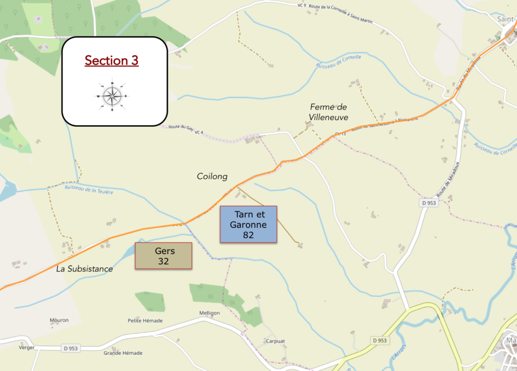
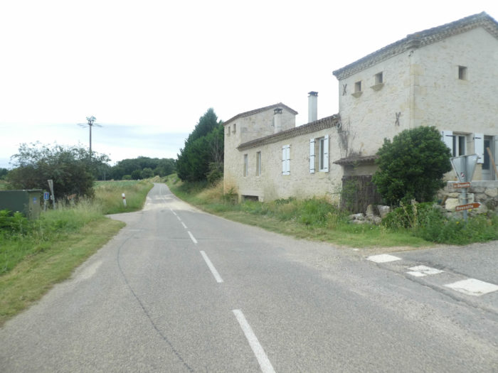
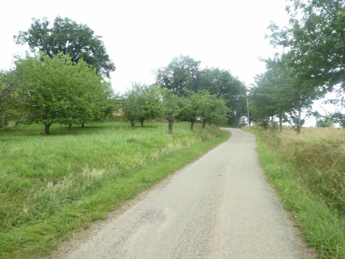
| Soon, the road arrives at the top of the coast at a place called Coilong, where you can even see fruit trees. Here,you arrive at the end of Tarn-et-Garonne department that you will leave for Gers department. The limit is just below at the level of the Teulère brook. |
 |
 |
| From here a pathway will plunge into the undergrowth, with slopes often greater than 15%. |
 |
 |
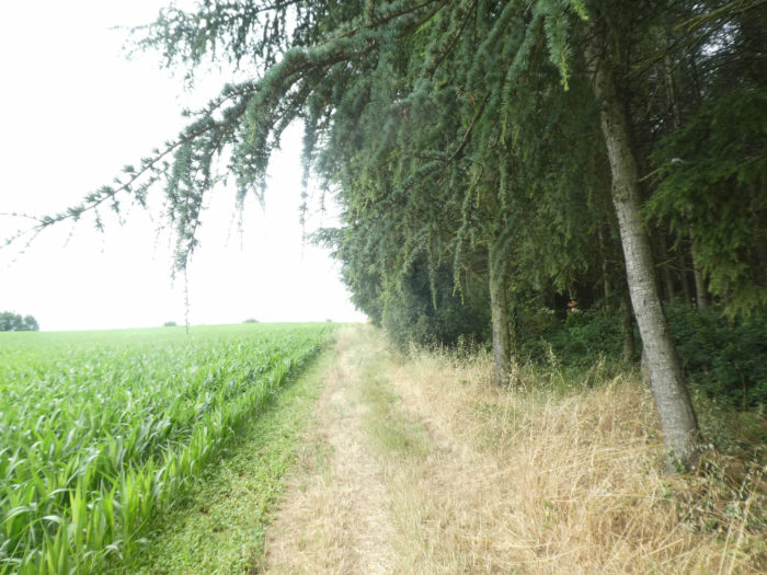
| It is a fairly wide pathway, which slopes down in the shade of the hardwoods, where you can see many chestnut trees here among oaks, maples and small hornbeams. |
 |
 |
| The descent is not long to arrive at the bottom of the dale near Teulère brook, which is not noticed more than the border between the two departments. |
 |
 |
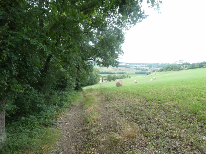
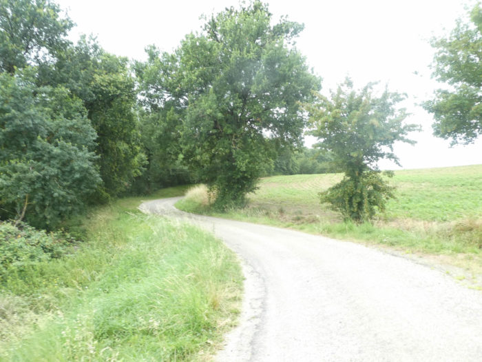
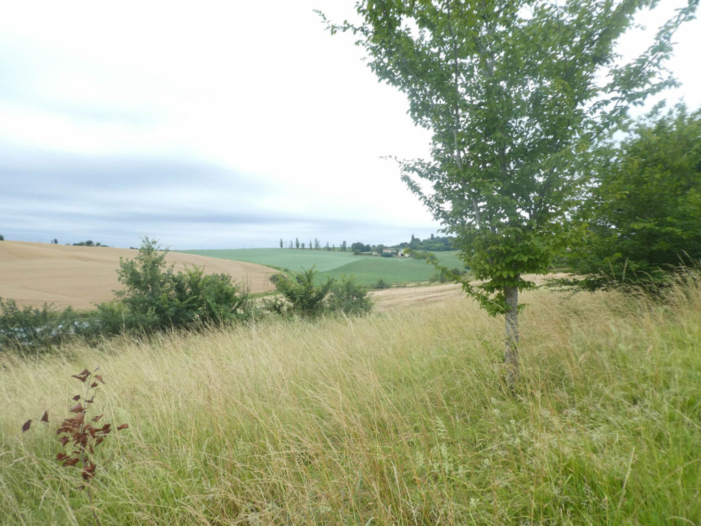
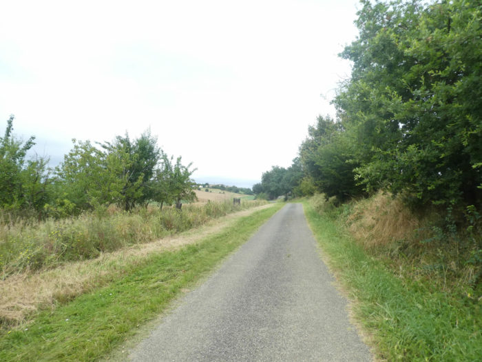
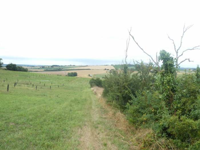
| As soon as you cross the stream, the pathway climbs up the other side of the hill into the open countryside. If you don’t know the Gers, you will have time to get to know it. Some pilgrims love it, others much less. |
 |
 |
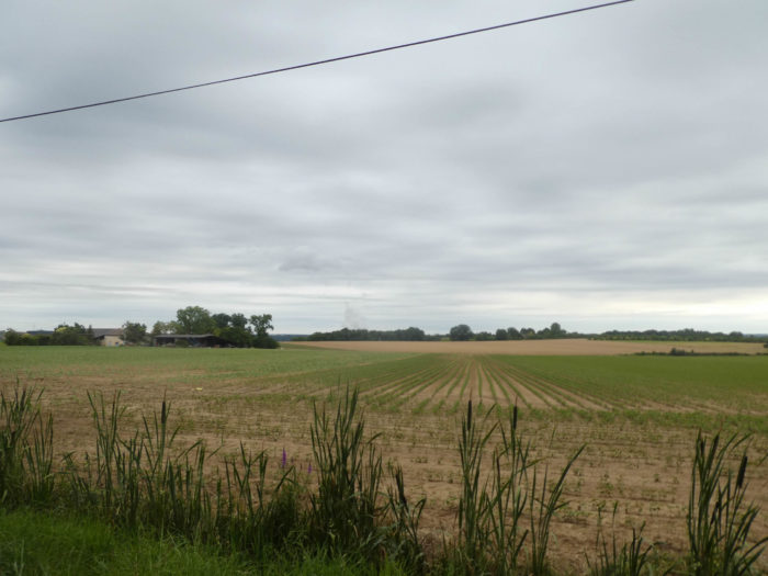
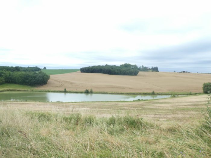
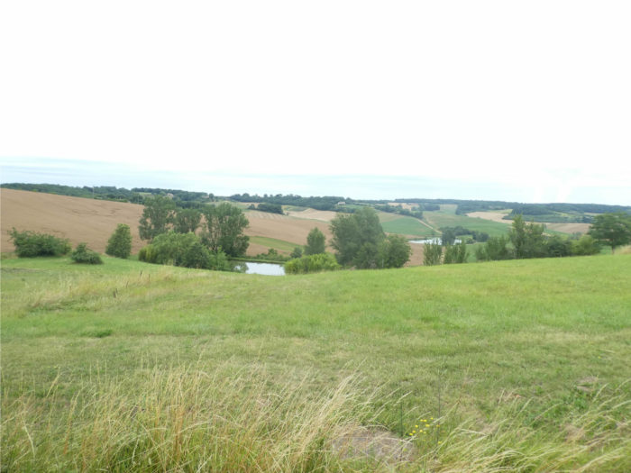
| Gers is a very good land for wheat. In the region, noble wheat will be favored over other varieties of cereals. You will not see much triticale, barley or oats. The farmers have created many water reserves, which are like small lakes used to irrigate fields. |
 |
 |
Isn’t it a gentle and serene spectacle that takes place behind the little hornbeam lost in the middle of the fields?
|
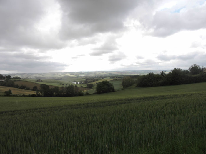
We are now in the start of summer. Every time the gaze wanders with happiness on nature, maybe you say to yourself that it is better to pass here in the spring, if you can, when the wheat waddles, than the sunflowers, maybe the soybeans also, gently rise on the hill. Imagine such landscapes in autumn, after the decline of crops.
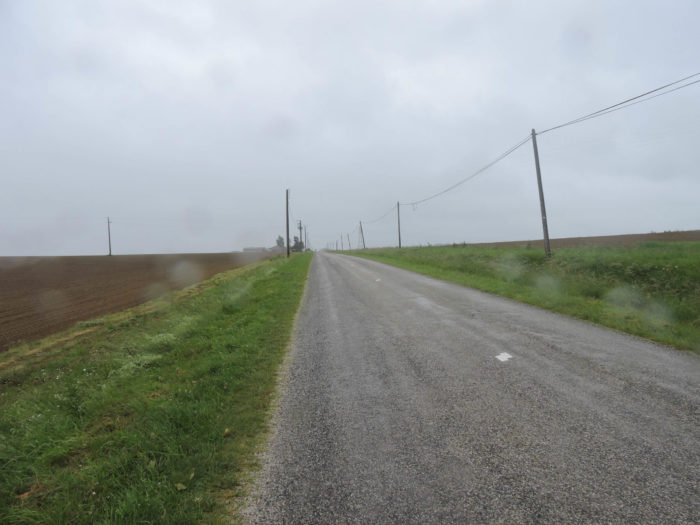
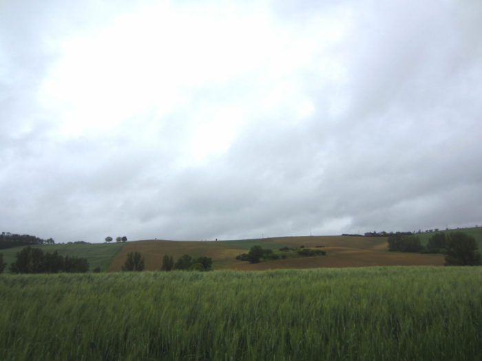
When you walk along the Camino de Santiago in one go, you don’t inherit the weather. Ask the pilgrims. Some will tell you that they did most of the way in the rain, like us too. It becomes very difficult to take out your camera from under the cape to take some non-fogged photos. But, if you retrace the course several times, you can predict periods of more favorable weather, without much risk of rain, such as at the beginning of summer or autumn. To give you a little contrast, here are some images of the region taken in the spring, on a very contrasting day. It changes, right?
|
 |
 |
 |
 |
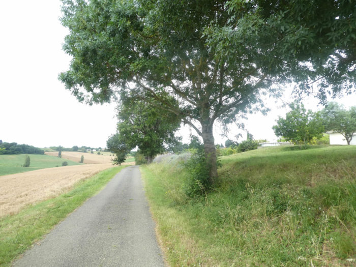
| For the moment the slope is gentle along the large wheat fields and the water reserve below. Today, the winter wheats have already been harvested. When you still see growing wheat, it is mostly wheat planted in the spring. |
 |
 |
| Further up, near a picnic spot that looks like an Indian camp, the GR65 leaves the sweet grass for the tar. |
 |
 |
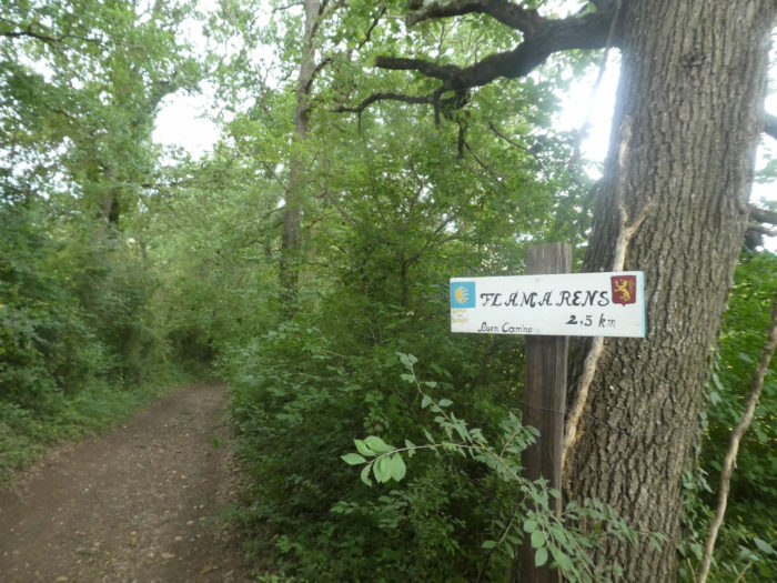
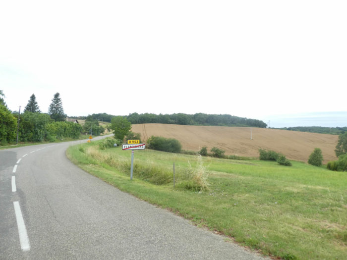
| It heads to a place called La Subsistance. The slope will increase. At the top of the hill points Flamarens village. |
 |
 |
| The slope starts to get more demanding on the road. Below, the fields stretch endlessly. Always bigger! In Gers, they make significantly more flour than poultry. Ducks are apparently absent from this region. |
 |
 |
| The road still twists a bit through large wheat fields, with isolated trees, often ash trees, which were once used for winter fodder for cattle. |
 |
 |
Section 4: From Flamarens, trying to come out of oblivion, to Miradoux.

General overview of the difficulties of the route: rather steep climb to Flamarens, then ups and downs without great difficulty.
| Flamarens gets closer in wheat and sunflowers. The climb was long, nearly two kilometers beyond the Teulère stream. |
|
 |
| If the slope was fairly mild all along the climb up the hill, here it is tough, almost 20% below the village. |
 |
 |
For your pleasure…
Wait for the video to load.
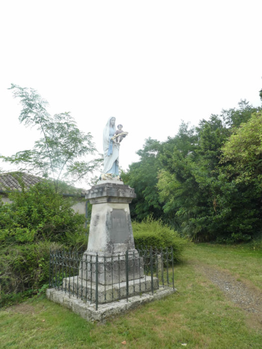
| At the entrance, a Virgin protects the village. This is a custom in many villages in the region. Right next to it is a portico with Ionian columns. The remains of a wall which was to fortify the village, we do not know. |
 |
 |
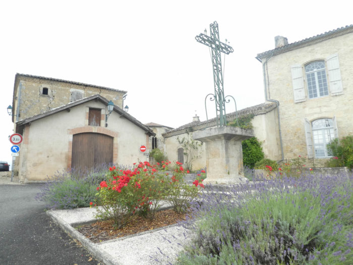
| In the village square, near a picnic place stand the church and the castle. And the village is right to pray to the virgin to survive, after all the misfortunes that touched it. |
 |
 |
|
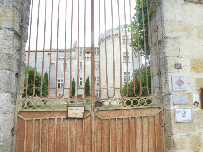
Flamarens has long been a small seigneury belonging to the viscounts of Lomagne, who built a fortress on this highest point which dominates the valley. The fame of the castle and its region died out in 1878, when the great Grossoles family died. The castle was then sold, becoming private property. In the 1930s, the castle was abandoned for lack of sufficient resources to redo the roof which took in water. Then lightning got involved in 1943, setting the roof on fire. The castle was then sold in spare parts. Since then, a restoration campaign has been in action to restore the building.
An association, Art-Terre 32, aims to revive the village. It organizes high-end musical evenings in the great hall of the castle, tries to develop cultural actions in rural areas, to revive the village. Bravo! One of our friends, an opera singer, came to push bel canto in the castle. |
 |
 |

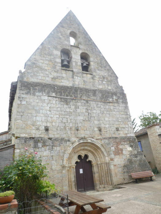
| But if the castle isn’t living a golden life, the church isn’t getting better. St Saturnin’s Church dates from the XVIth century. It is threatened with collapse. But all is not dead. It is being restored with the help of volunteer funds, and the work is progressing with the power of the wrist. There are still holes in the facade, but the frame has been redone since our last visit to the village. Congratulations! |
 |
 |
| You’ll cross the village in a gust of wind, it is so tiny. |
 |
 |
| The GR65 leaves Flamarens on the tarmac, above the water reserves, and slopes down into the countryside. It must be said here that in Gers it is possible to walk on the clean grass on both sides of the road. Many pilgrims will prefer the grass. Others tend to walk on tar, as sometimes on the grass the footing is more chaotic. |
 |
 |
| A long, almost straight road takes you to a place called La Patte d’Oie. |
 |
 |
| There, to avoid the departmental road which will make a big bend, the GR65 takes a small secondary road… |
 |
 |
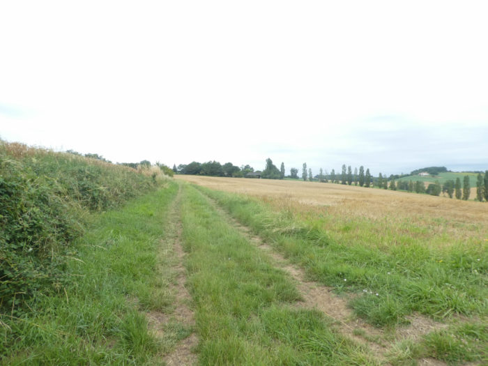
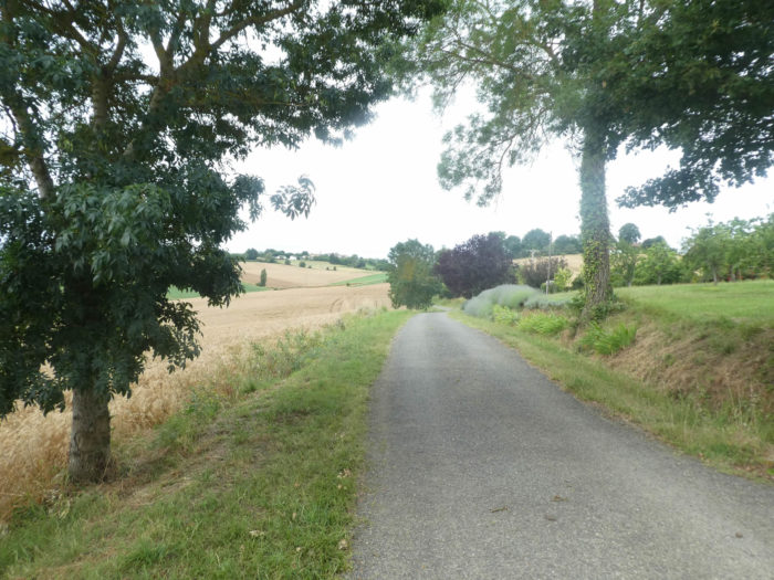
| … until you quickly find yourself in the grass and slope back down to the departmental road. Here the cultures make veritable checkerboards. Wheat still dominates. |
 |
 |
| In a dark spring sky, what these landscapes look like. You almost sometimes have the feeling of moving to another country, right? The wheat, whether green or golden stubble, which is like silk carpets and agitates like a sea, at the slightest wind, it is a lot of magic and serenity that is expressed. Sunflowers only have their radiant faces to cheer you up. |
 |
 |
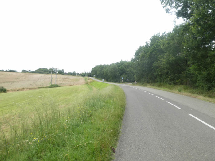
| Further down, the GR65 joins and follows the departmental road on a large strip of grass, at the limit of crops. Here country maple hedges have been planted. People must have been saturated to see only oaks proliferating in the region. |
 |
 |
|
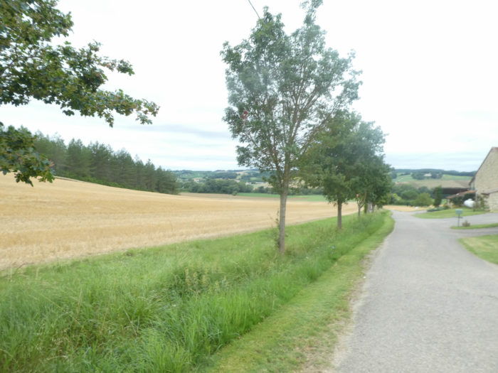
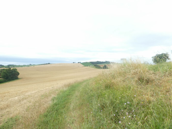
Winter wheat or fall wheat is durum wheat, usually planted from September to November, to germinate and form young plants that remain in the vegetative phase during the winter, before returning to growth at the start of spring. It is usually harvested here in early summer. Winter wheat usually provides higher yields than spring wheat. It is used to make flour for making pasta and semolina. But, if you mix it with soft wheat, it produces a versatile flour suitable for a wide variety of baked goods. Soft wheat, or spring wheat, is the wheat grown to make bread flour and pastry. It does not need vernalization like its cousin durum wheat. It is usually harvested after winter wheat. In this area, in the early summer, when you see wheat, there is a great presumption that it is spring wheat.
But this distinction is more complex than that. There are dozens if not hundreds of varieties of wheat, and sometimes even soft wheats are planted in the fall as well. If you walk in late spring, when the ears are still green, it is easier to recognize the two species. Soft wheats are lower, will produce less straw than winter wheats, which are higher. If in this Gers area they prefer noble wheats, you will also find other wheats, fodder wheats, such as triticale, or even spelled varieties.
|
 |
 |
| The pathway thus progresses for a long time along the road in this infinite universe of majestic cereals. But you still have to have the chance to walk here without the miasma of pesticides and glyphosate that the peasants constantly pour onto their crops from spring to harvest. Of course, these are not potatoes that are sometimes treated more than 15 times a year, but the wheat also has its dose, up to 3 to 4 treatments per year. |
 |
 |
| Further afield, a hill rises in front of you. The pathway steadily climbs, with a slope of almost 15%, between the corn and the white fir trees that have been planted, a fairly exotic species in the region. |
 |
 |
| At the top of the hill, the pathway leads to a housing estate built quite recently on the heights of Miradoux. |
 |
 |
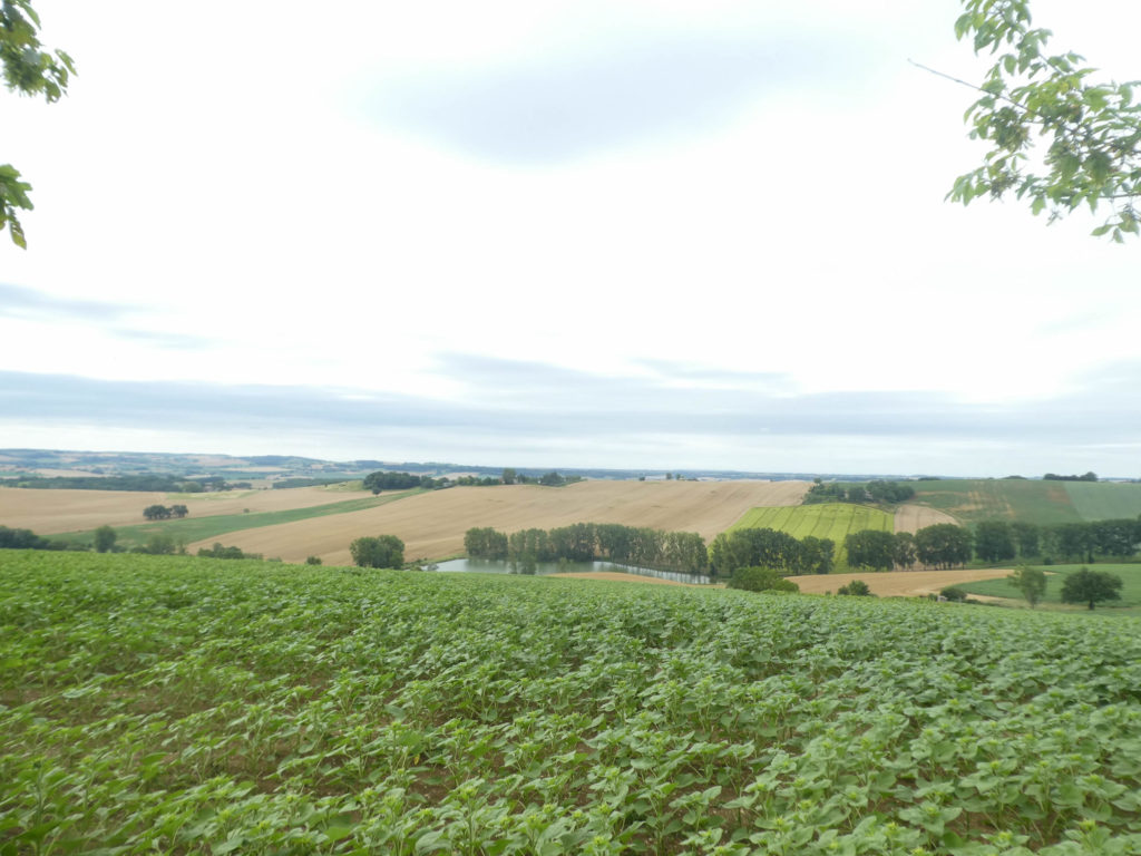
From up there, behind the sunflowers, the view is quite breathtaking on the gentle hills of Gers and on the endless crops.
| A small paved road then descends into the crops. In front of you, you can see the first houses of Miradoux. |
 |
 |
| Further down, under ash trees and maples, the GR65 joins the departmental road which heads to the village. |
 |
 |
| Quickly, you’ll reach a crossroads on the outskirts of the village. |
 |
 |
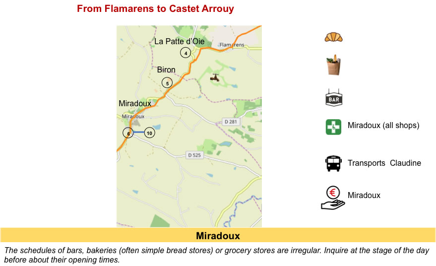
| Miradoux (540 inhabitants) is an old country bastide. As you are far from everything in this depopulated part of the department, the locals have created a self-managed area of shops, open part of the day, which eliminates the need for people to go do their daily shopping in Lectoure, or further away. This is where village comes to life. |
 |
 |
| The village is made up of fairly narrow streets leading down to the bottom of the shopping area. The houses are bright, quite beautiful in their uniformity, often carved out of limestone rubble. |
 |
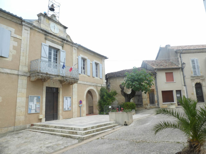 |
A beautiful grain hall sits in the middle of this beautiful village. It is customary in the country to have a grain hall remaining for prestige.

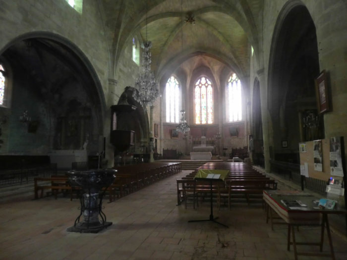
| Of the old bastide of which only castle relics remain, only the dungeon, a spiral staircase and a few loopholes remain. It has even been transformed into a steeple. On the ruins of the castle, the church was rebuilt in the XIVth century, a church altered over the centuries, also classified as a historical monument. The interior of the church is a bit busy. |
 |
 |