Along the canals of the Garonne by the tourist route
DIDIER HEUMANN, MILENA DALLA PIAZZA, ANDREAS PAPASAVVAS

We divided the course into several sections to make it easier to see. For each section, the maps show the course, the slopes found on the course, and the state of the roads. The courses were drawn on the « Wikilocs » platform. Today, it is no longer necessary to walk around with detailed maps in your pocket or bag. If you have a mobile phone or tablet, you can easily follow routes live.
For this stage, here is the link:
https://fr.wikiloc.com/itineraires-randonnee/de-moissac-a-auvillar-par-la-variante-du-gr65-54803443
It is obviously not the case for all pilgrims to be comfortable with reading GPS and routes on a laptop, and there are still many places in France without an Internet connection. Therefore, you can find a book on Amazon that deals with this course. Click on the book title to open Amazon.
If you only want to consult lodging of the stage, go directly to the bottom of the page.
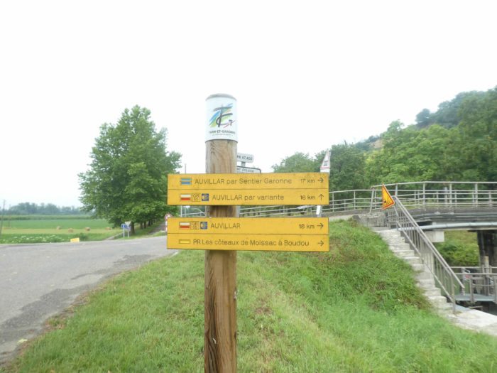
We said it. There are two ways to reach Auvillar. The first way is “the official route“ The route follows the canal, but also the heights above the Garonne and the canal. This course, we called it sporty, but there is nothing very sporty, except for two bumps on the course. This is just as opposed to the tourist variant, which just follows the canal.
This also allows to present more pictures about this extraordinary travel along the canal.
Difficulty of the course: The elevations are almost nil, except for the climb to Auvillar, after the bridge over the Garonne. The course is about 2 kilometers shorter than the sports course.
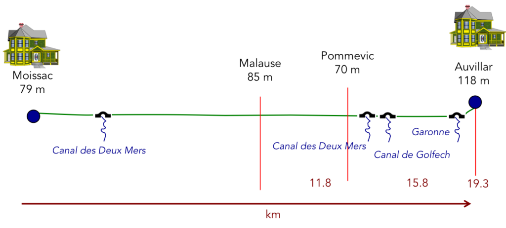
It all depends on what is called tar. The pathway along the canal is only asphalt, but there is no vehicle traffic. So, we can almost liken it to a pathway. But, to be a purist, the whole route takes place on the paved road:
- Paved roads: 19.3 km
- Dirt roads: 0 km
Sometimes, for reasons of logistics or housing possibilities, these stages mix routes operated on different days, having passed several times on Via Podiensis. From then on, the skies, the rain, or the seasons can vary. But, generally this is not the case, and in fact this does not change the description of the course.
It is very difficult to specify with certainty the incline of the slopes, whatever the system you use.
For « real slopes », reread the mileage manual on the home page.

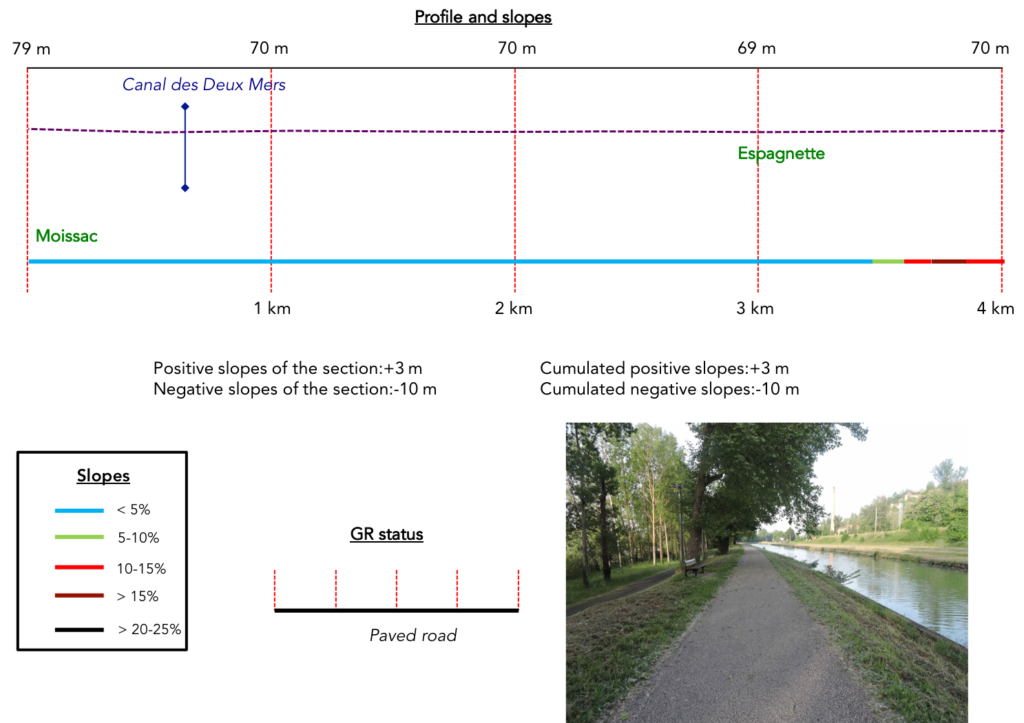
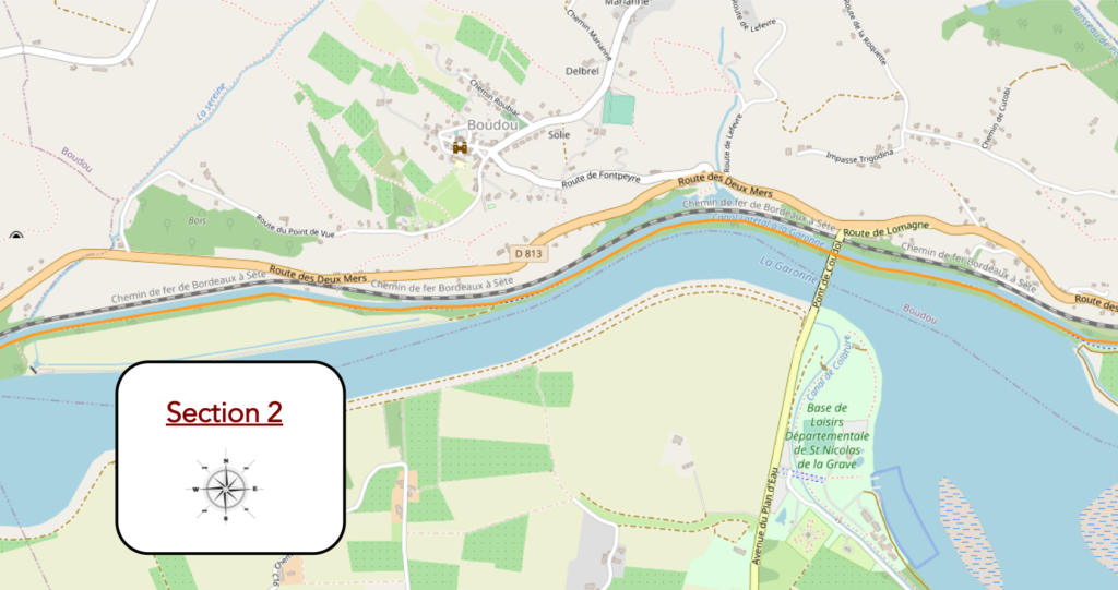
Section 1: A nice walk on the Canal des Deux Mers to L’Espagnette.

General overview of the difficulties of the route: course without any difficulty.
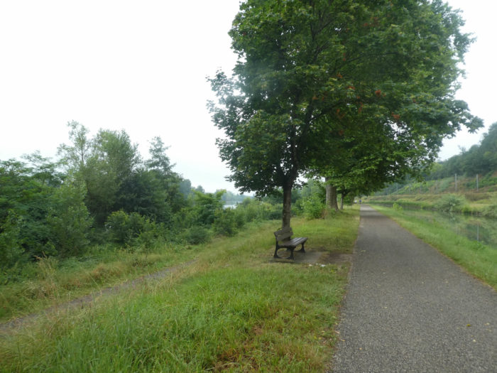
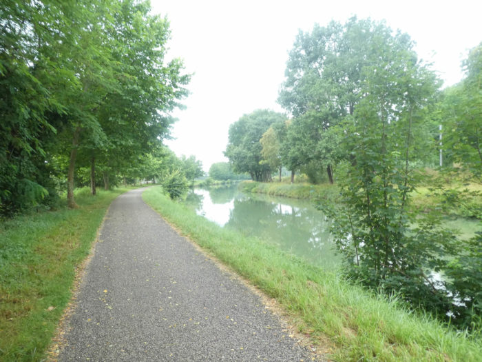
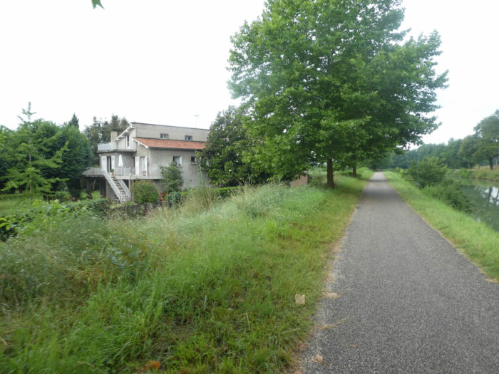
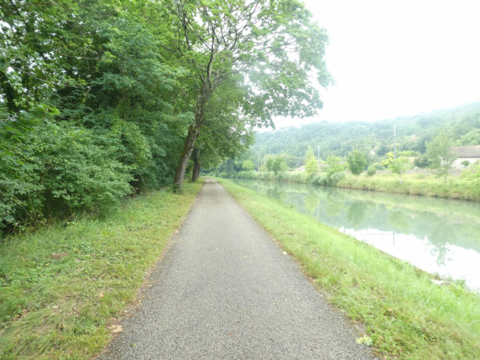
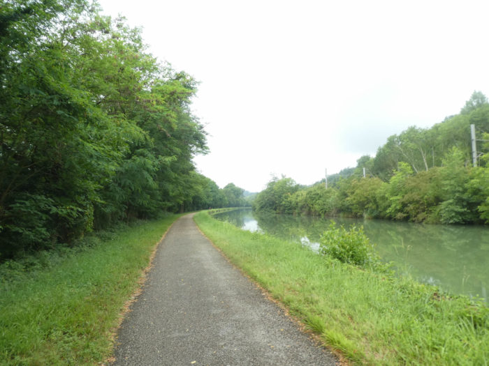
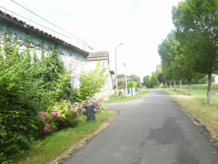
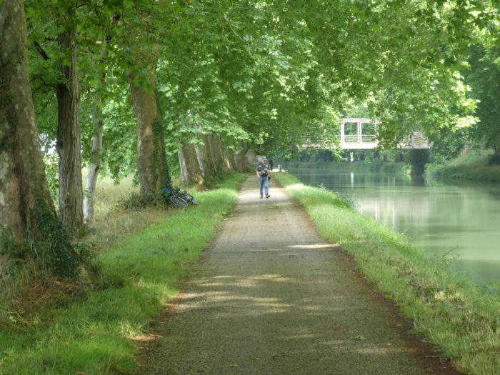
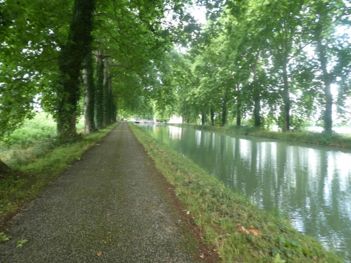
| This morning, the weather is not bright in Moissac, and the square near the abbey is empty. It’s early July, earlier in the season than the last time we were here in early fall. GR path leaves Moissac near the station and quickly joins the Canal des Deux Mers. |
 |
 |
|
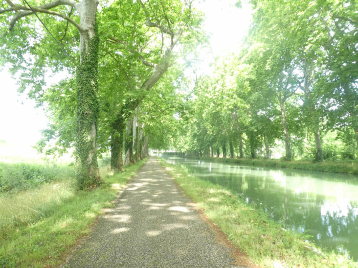
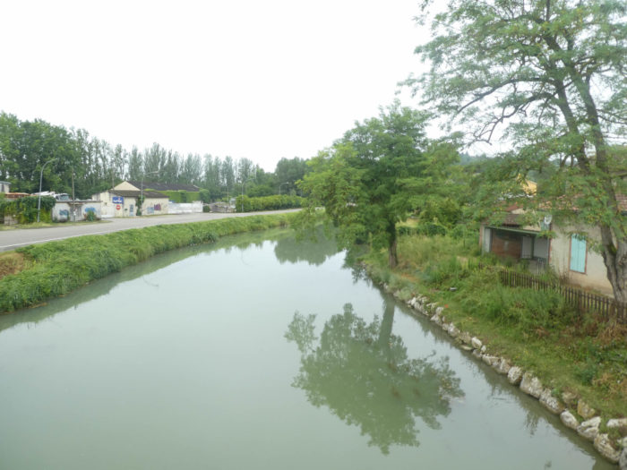
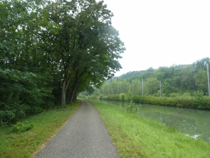
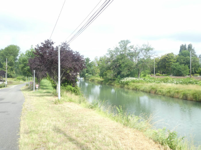
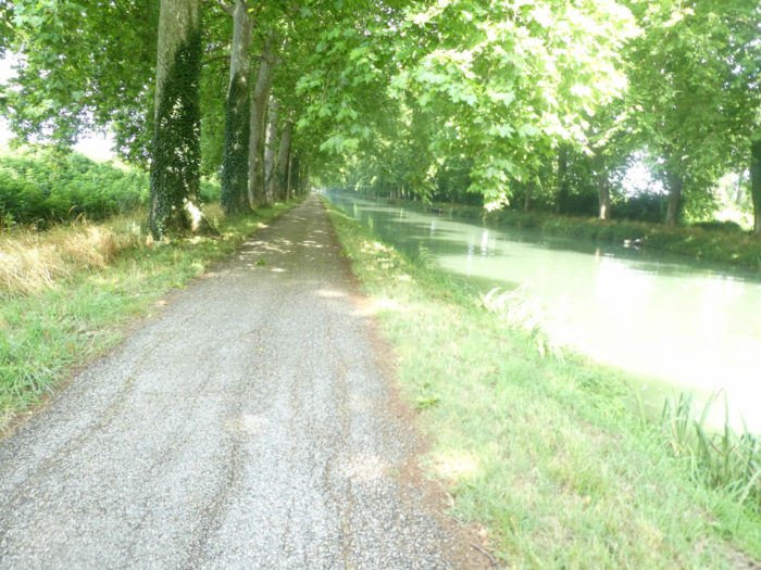
It then enters the Deux Mers cycle route, which it will follow for many kilometers under large trees. The water is almost always greenish in the canal.
|
 |
 |
|
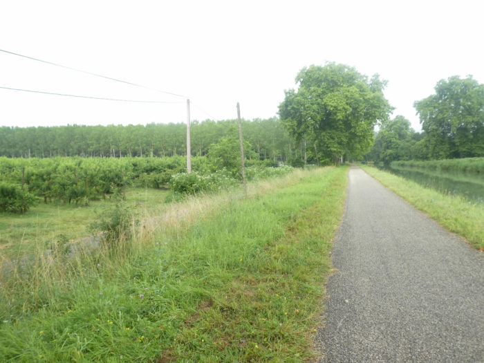
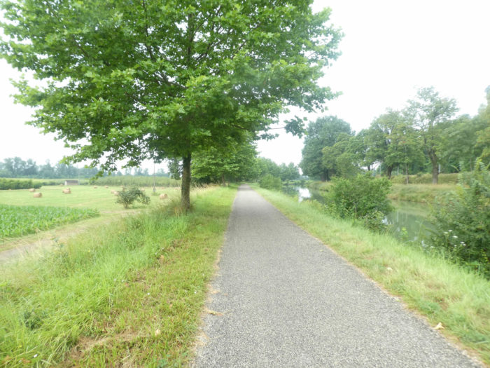
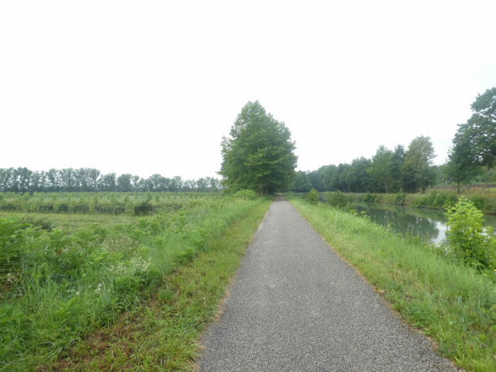
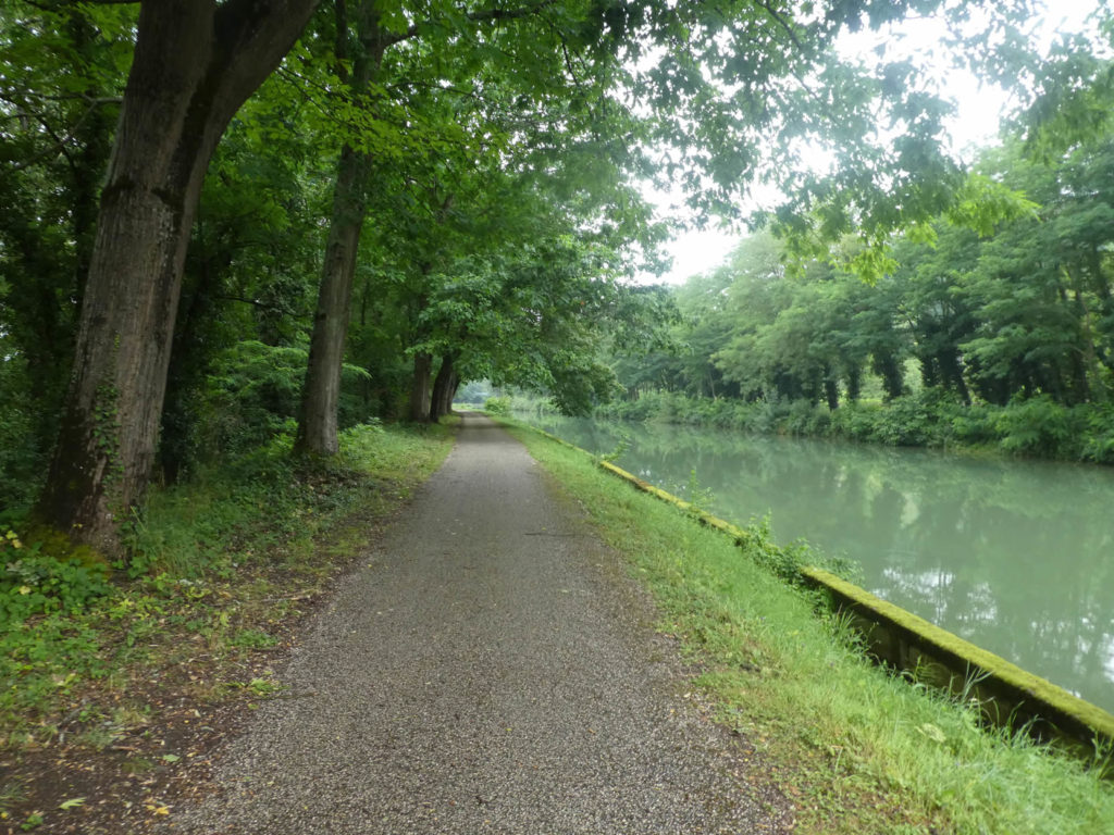
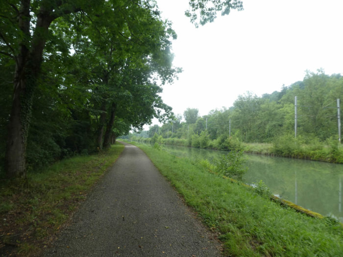
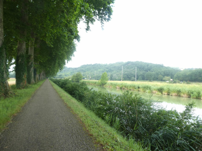
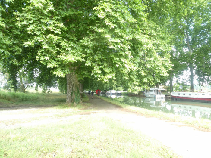
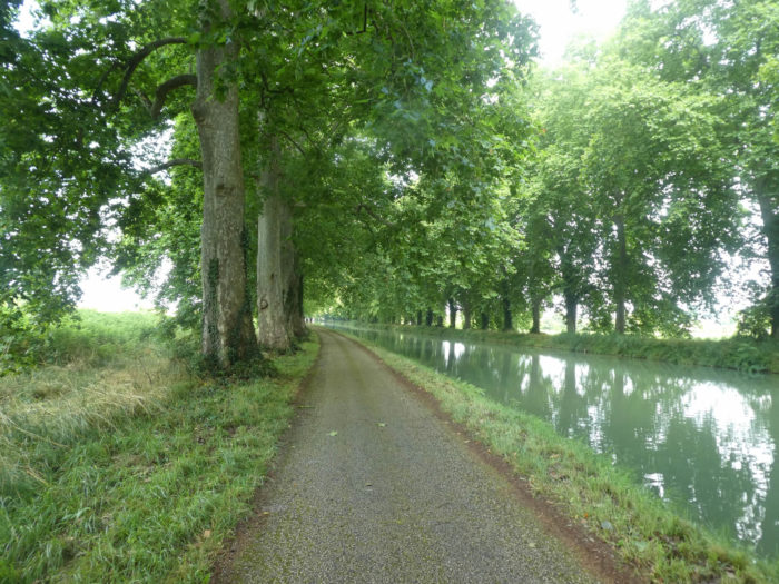
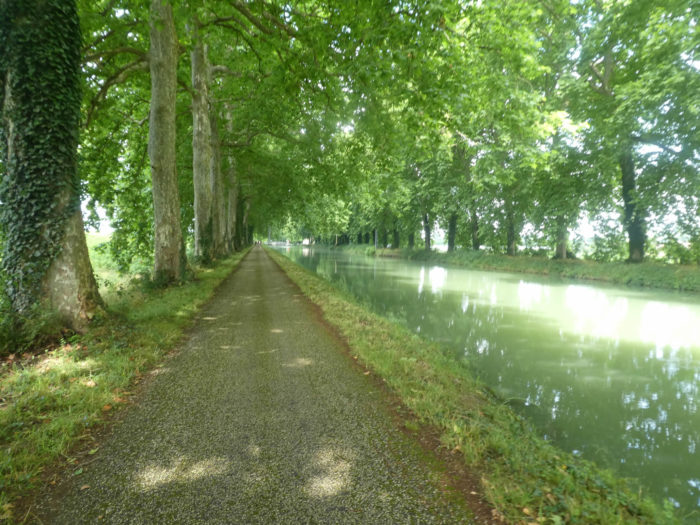
The canal stretches like a long ribbon, along the majestic trees. It is customary to say that there are only plane trees along the canal. This is not true. Certainly, they are present in number, but you can also find a few large sycamore maples, which stretch towards the sky, tortured and silent, shaped by time and winds. Be careful though. The leaves of maple and plane trees look strangely similar. Only the fruits are very different. There are also sometimes large ash trees.
|
 |
 |
|
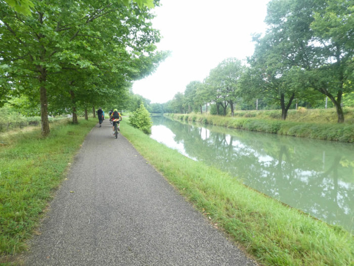
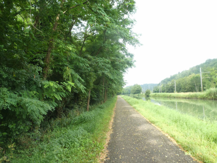
This morning, life is calm along the canal. Only dog walkers and joggers parade. On the other hand, there is more activity on the departmental road, a sign of the movement of people to their workplace in the city.
|
 |
 |
|
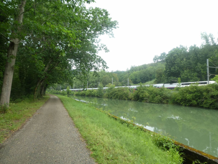
You rarely see the Tarn River, which runs parallel to the left of the pathway. On the other side of the canal cars parade along the railway track.
|
 |
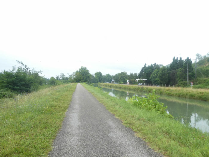 |
| To the left of the canal, the sunflower fields follow one another. Here the pathway runs at a certain distance from the Tarn River. |
 |
 |
| Further on, fruit trees were planted in front of an army of poplars. |
 |
 |
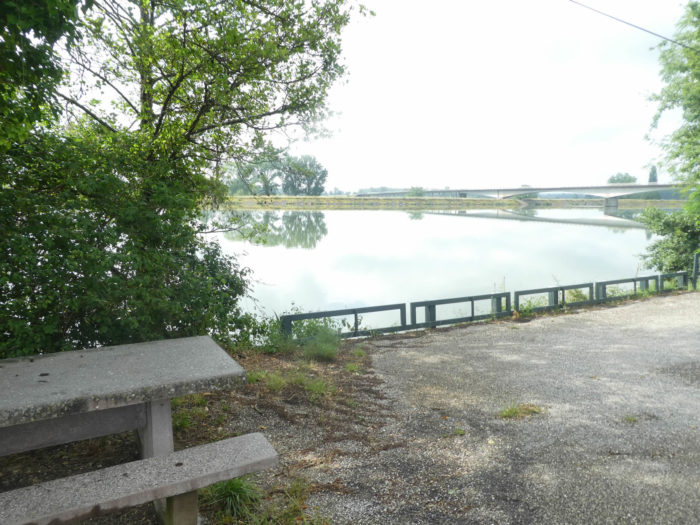
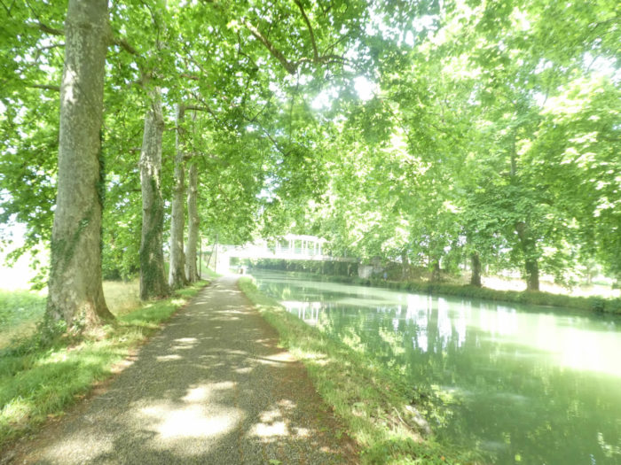
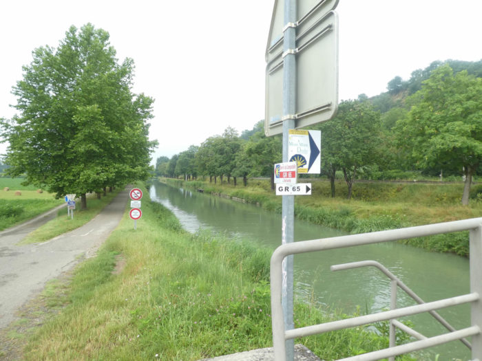
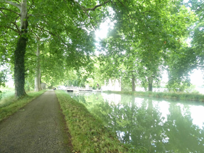
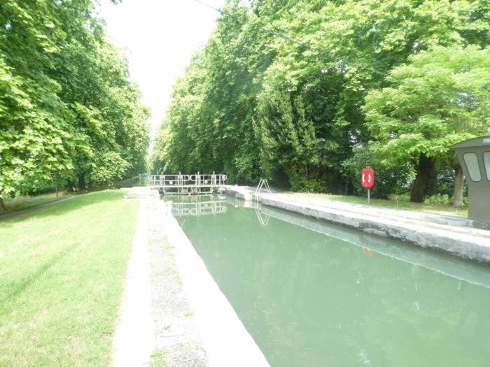
| After a gentle stroll along the canal, the pathway arrives at the Espagnette lock bridge. This is lock No26. Locks and distances on the Canal des Deux Mers have been numbered. |
 |
 |
| This is the lock of the choice. By GR path, the journey is 18 kilometers, by the variant 16 kilometers to reach Auvillar. But it’s not the difference in kilometers that is the point here, it’s the course. On GR path, the route is quite sporty. On the variant, just follow the canal. This is where today we will follow the canal. The other route is also covered in the site. |
 |
 |
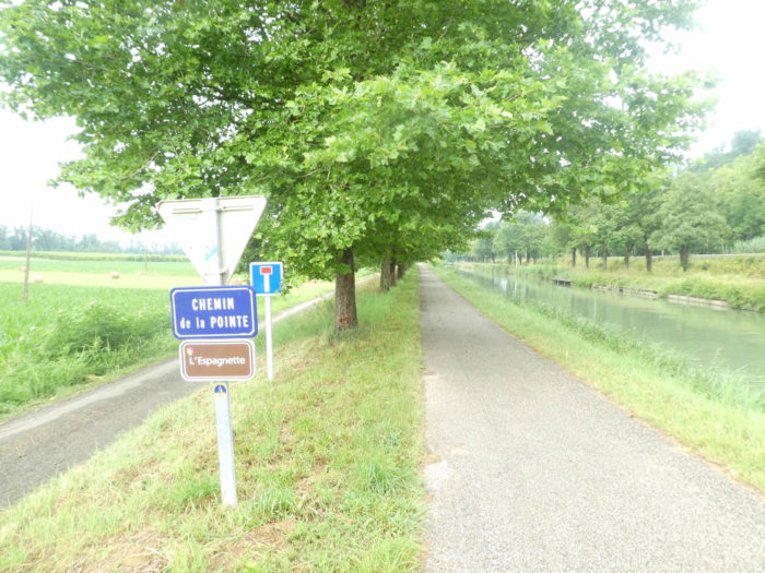
| On the variant, it is always the Chemin de la Pointe that you’ll follow. From here, it will take about 6 kilometers to walk to join the GR65 track in Malause. |
 |
 |
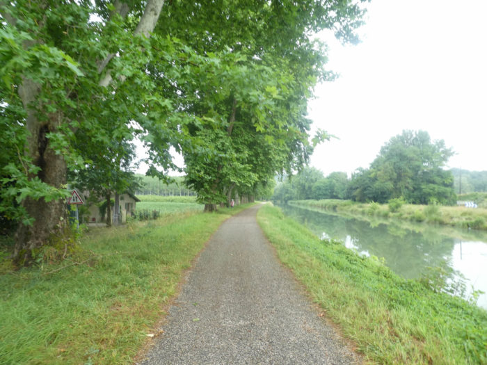
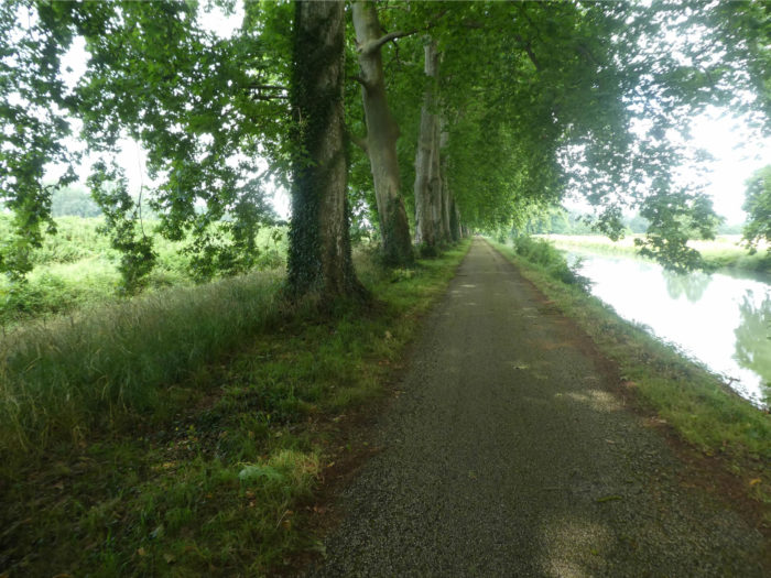
| And always these majestic plane trees, lined up like pawns on a checkers game. On the side, meadows and sunflower fields share the country. |
 |
 |
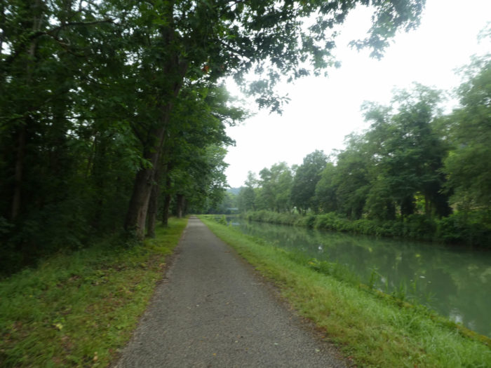
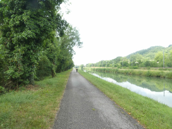
| Today, no cruise ship comes to disturb the greenish water of the canal, which barely moves, sometimes even wondering if the water is flowing and in which direction. The silence is so present that you can easily hear the wheels of the bicycles coming up behind you. No need to honk, the pilgrim stands aside. |
 |
 |
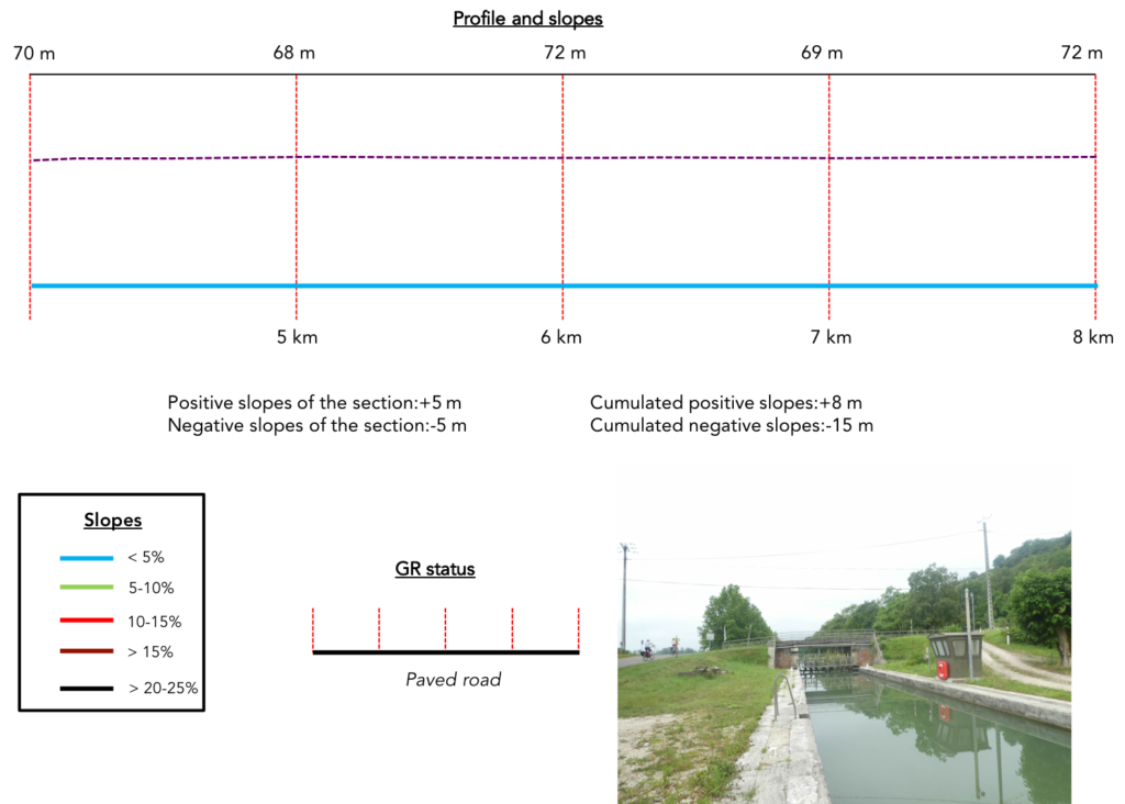
Section 2: The stroll on the canal continues.
General overview of the difficulties of the route: course without any difficulty.
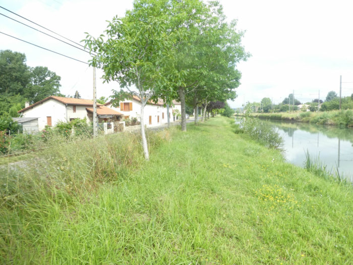
| Few people live on the left bank of the canal. Only the right bank, where the departmental road runs, is inhabited, and again in a minimal way. |
 |
 |
| All you have to do is keep your feet on the ground and your gaze fixed on the upright silhouettes of the trees, as if fused into a landscape where the green of the leaves hugs the water of the canal. |
 |
 |
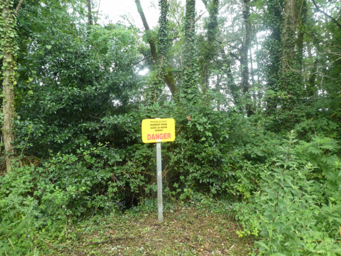
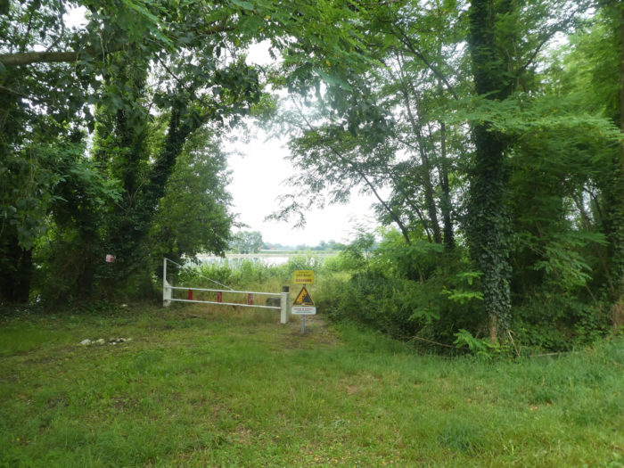
| You might imagine that this dream paradise belongs only to Sunday walkers and cyclists. Nay! EDF, the electricity company, does not want people to come and walk on its flower beds. There is a nuclear power plant close by. |
 |
 |
| It is not that the monotony of this long walk on the canal can disturb the reverie, but the brain appreciates the changes. What do you want, it’s built that way. Then it might spot a human presence on the opposite shore. |
 |
 |
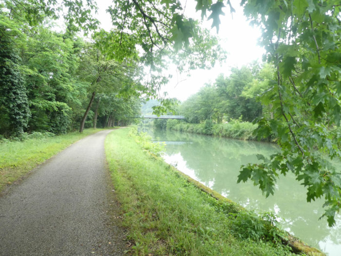
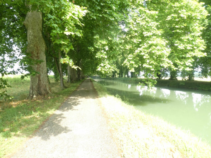
The scenery is rarely ugly on the track. But there are exceptional moments, when everything blends into harmony, the trees, the water and the sky.
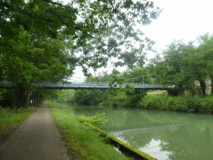
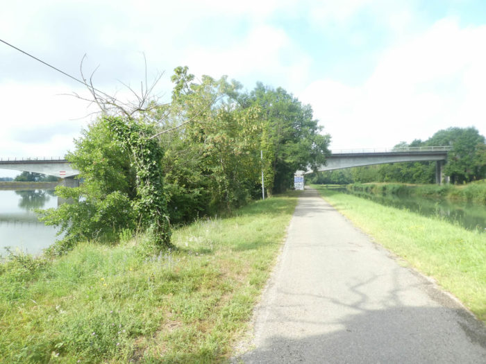
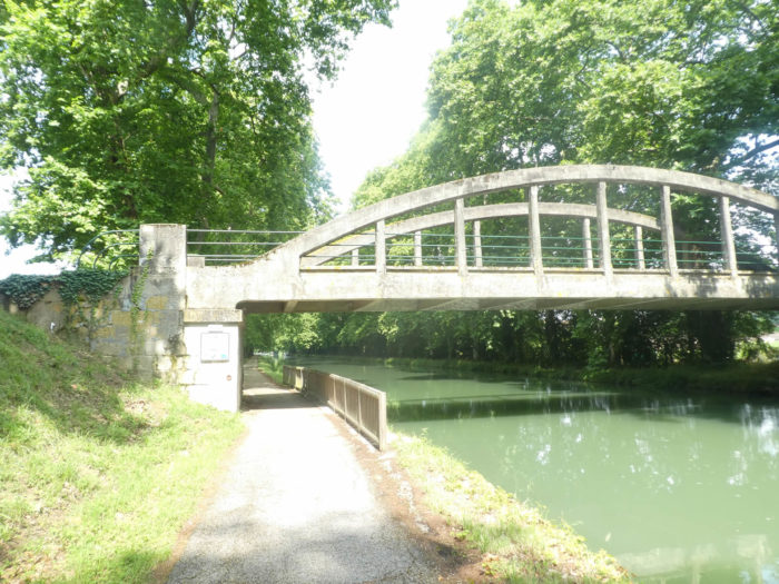
| Then you’ll see in front of you a metal bar which bars the canal. As you get closer you’ll see a bridge growing. |
 |
 |
The bridge leads to the St Nicolas de la Grave recreation center, and from there inland.

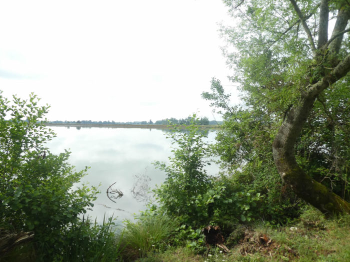
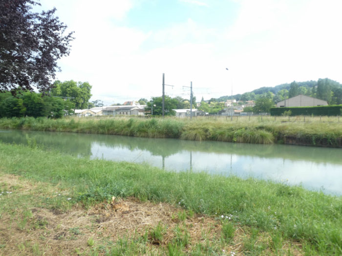
| From the bridge you can witness the wedding of the two rivers, the water of the Garonne River rising quite far into the Tarn River. It’s so vast that you don’t know who’s who anymore, but whatever. It’s just magic. What you do know is that Tarn River is now quite dead and that you will now follow Garonne River. The big ones almost always eat the little ones. |
 |
 |
| Now it is as if the Tarn-et-Garonne has finally woken up, the train passes at high speed to the other side of the canal. |
 |
 |
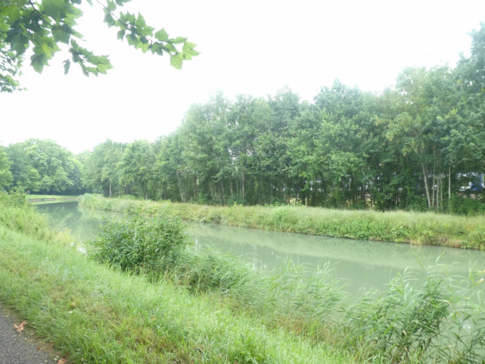
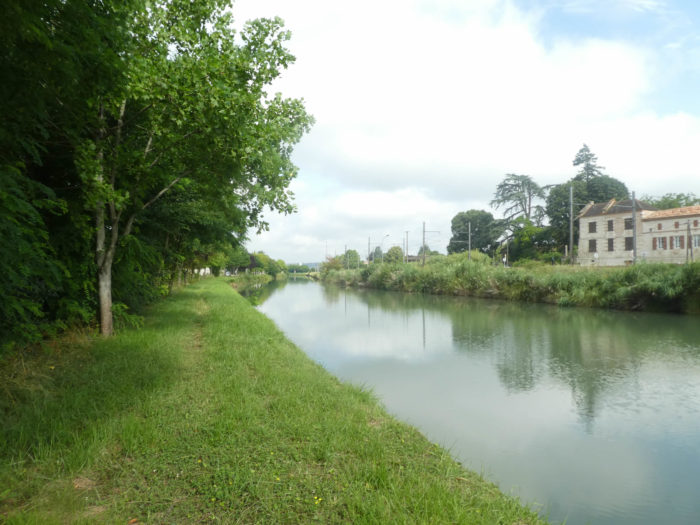
| And the canal continues to exude its magnificence. On the other side of the trees flows impassively the Garonne River, which you never see and from which no murmur is heard. |
 |
 |
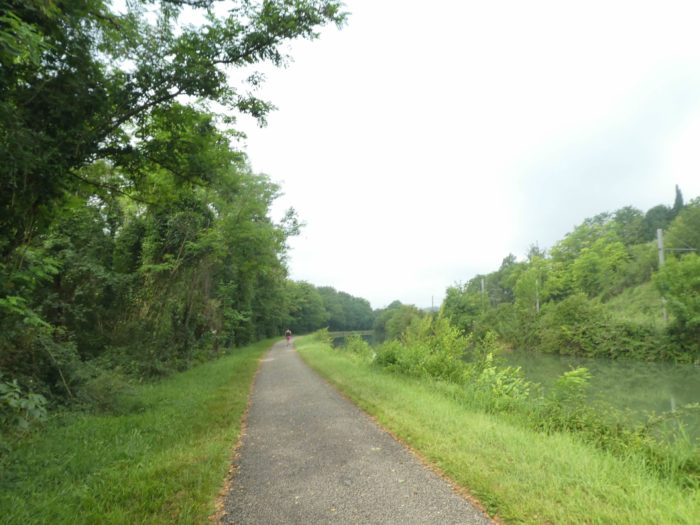
| The joggers are not very numerous on the way. It’s a weekday. For them, there is no circuit here. They have to return by the same way, or else take the omnibus at Malause station. |
 |
 |
| On the left of the pathway, the Garonne River flows. But the EDF has barely given you a right of inspection to allow you to verify that the river has not disappeared behind the ash trees which sometimes dare to take the place of the plane trees. |
 |
 |
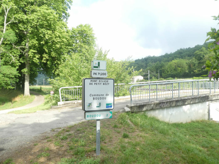
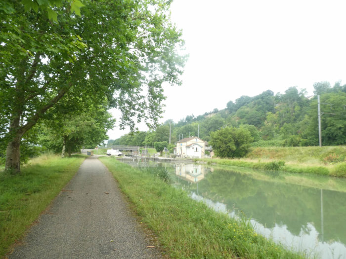
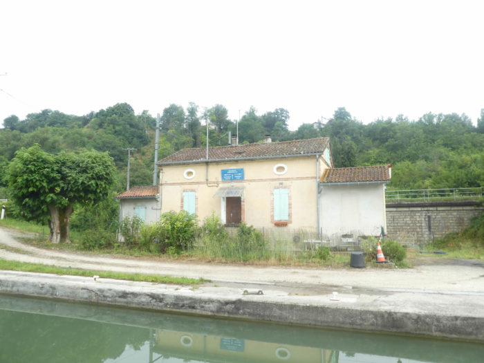
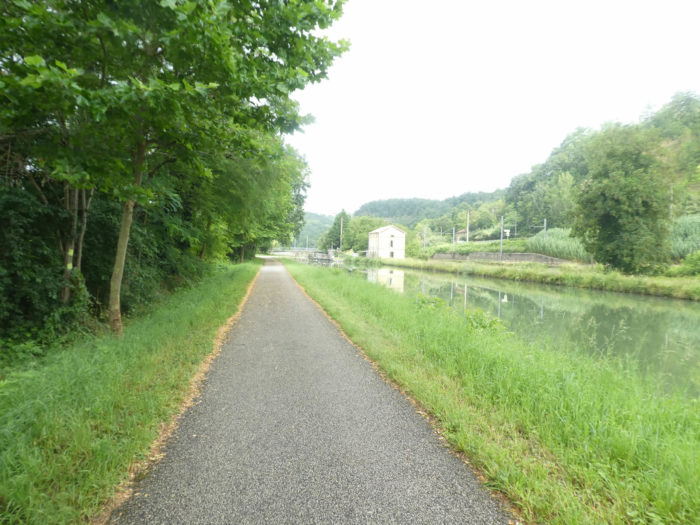
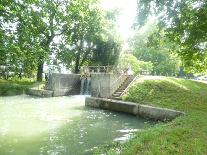
| Further on, the pathway arrives at the Petit Bézy lock-bridge. Do not think that the channel is not being managed, even if you will have the feeling that no one is passing here. It must depend on the days and the seasons. During our visit, a road worker was clearing the leaves caught in the lock gears. |
 |
 |
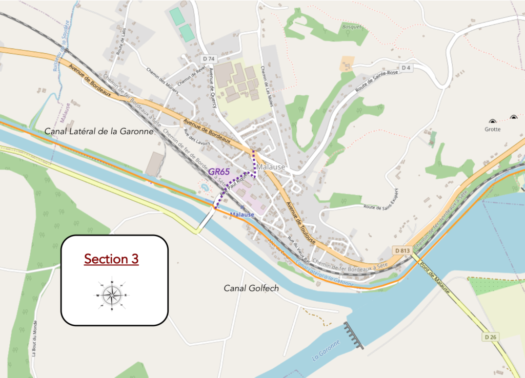
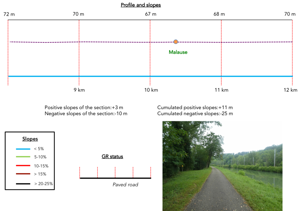
Section 3: To the end of the canal for today.
General overview of the difficulties of the route: course without any difficulty.
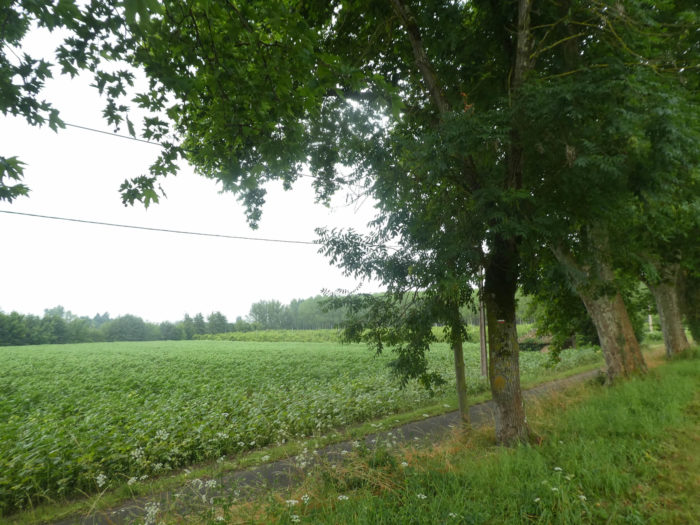
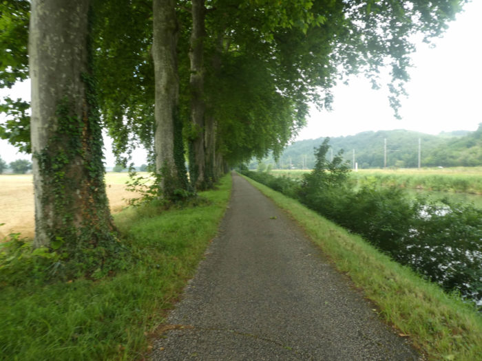
| Here the fields seem a little more diverse along the canal, with cereals. |
 |
 |
| Sometimes the plane trees are so majestic that it would be a great misfortune if these centuries-old giants disappeared from the country like their brothers further down the Canal du Midi, infected by a bad fungus, whose only remedy was a chainsaw. |
 |
 |
| Here the trains run. It’s not like in stricken central France, where old rusty rails are sometimes kept to give the illusion that one day you could get the train back. |
 |
 |
| Further on, a bridge appears in the distance. Here, the EDF has not put up a prohibition sign. You can therefore measure the width of the Garonne River, but there is no access to the river. |
 |
 |
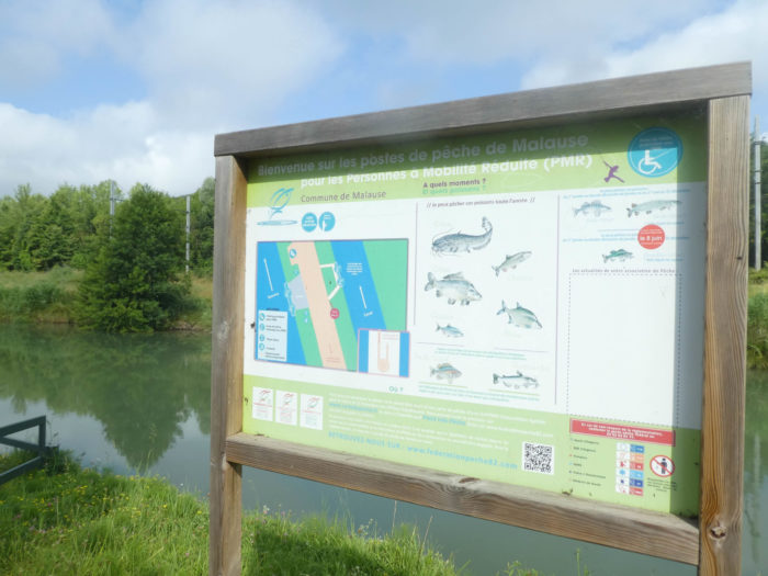
| Soon, the pathway arrives near the fishing accesses, near Malause Bridge on the river. |
 |
 |
| Now you are approaching Malause quite quickly. And to our happiness, the beautiful weather ahead promises better light for the rest of the trip. |
 |
 |
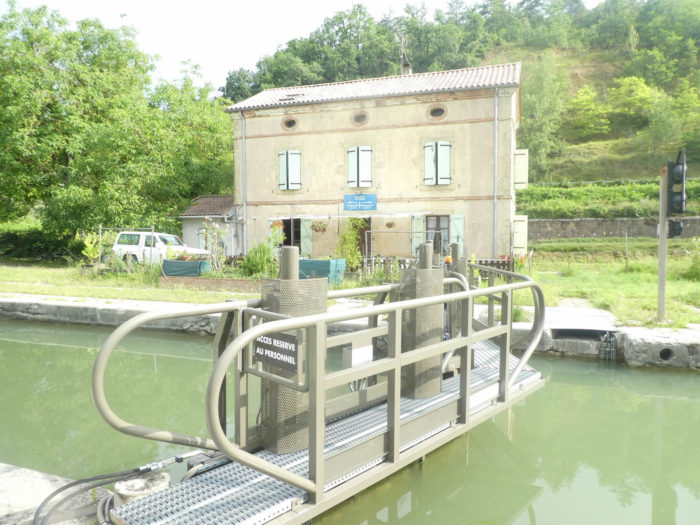
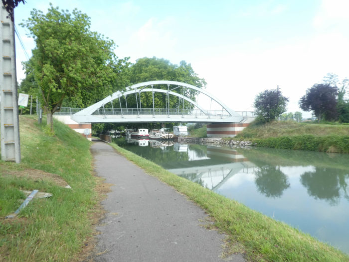
| The pathway then arrives at Malause lock-bridge, a first bridge which leads to the village. |
 |
 |
| Momentarily, the GR variant changes register, abandons the asphalt ribbon and runs through the grass near the canal, in a part of the village which has developed here near the canal. |
 |
 |
| Yet, the bulk of the village is on the other side, beyond the railroad tracks. |
 |
 |
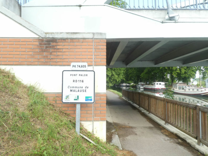
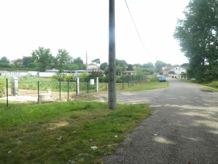
| At the end of the housing estates, the pathway gets at Palor Bridge. This is where the variant joins again GR65 path, which descends from the heights. |
 |
 |
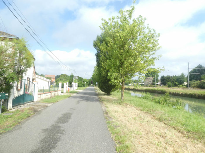
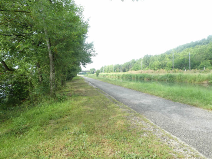
| Further afield, the pathway resumes its rights, on the asphalt strip, under the large plane trees. Here the barges are lined up one behind the other. They have increased in number since our last visit. Is it because they are moving on the canal or is it the crisis that offers cheaper homes? |
 |
 |
| The spectacle remains as breathtaking as ever, on these endless straight lines, under these enormous plane trees which cast their shadow in the greenish water of the canal. |
 |
 |
| On both sides of the canal, the activity is agricultural, but you never see cattle frolic in the meadows. |
 |
 |
Section 4: A few more steps on the Canal des Deux Mers.
General overview of the difficulties of the route: course without any difficulty.
| The pathway approaches a bridge over the canal. Here a fisherman comes to lay his lines. People fish for carp, bream, roach, perch, and catfish. The latter, with his mustache, the favorite fish of Asian tables, arrived in France at the end of the XIXth century. It is now very common in rivers. Harmful, but edible, it is part of the same family as silurids, these enormous and hideous fish, the plague of rivers. |
 |
 |
The pathway then reaches the Captain’s Bridge in this dream setting.

| The pathway belongs to walkers, cyclists and pilgrims. The only thing that sets them apart is the weight of the pack on their backs. Joggers and cyclists are spinning. The pilgrim takes his time, dawdles, his nose in the air. |
 |
 |
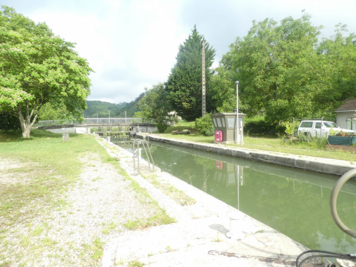
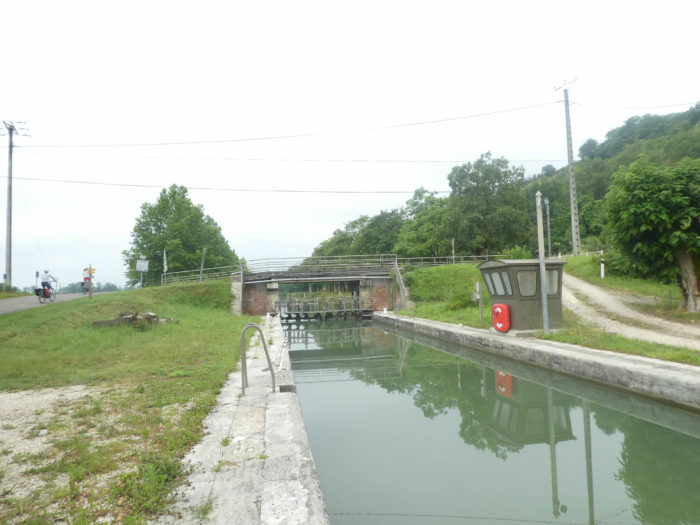
| Shortly after, a lock appears on the way. Even if, at first glance, the region seems flat like a new penny, there are all the same some accidents of the ground which require the presence of these installations. |
 |
 |
| This is Lock No28, the Braguel Lock, the last one you’ll meet on the way today. |
 |
 |
| Enjoy some more of this sumptuous decor, because the track will soon leave the magic of the canal. |
 |
 |
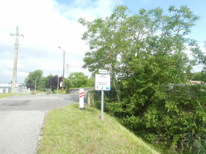
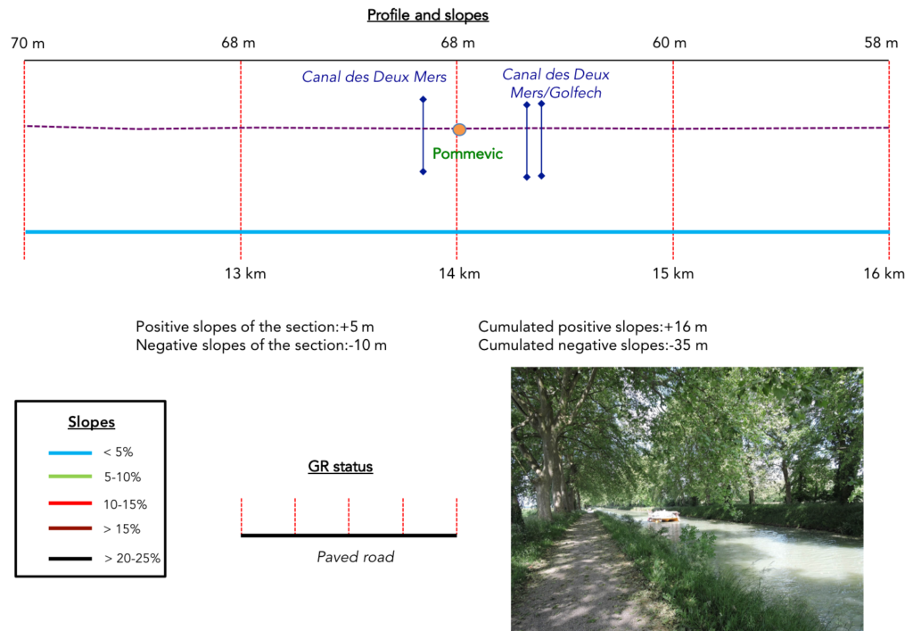
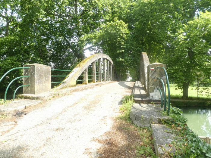
| The pathway then arrives at the last bridge, Pommevic Bridge. You could have continued further in this graceful setting, this incomparable calm. But here,it’s over. The GR65 will make a slight detour at Pommevic, crossing the bridge over the canal. |
 |
 |
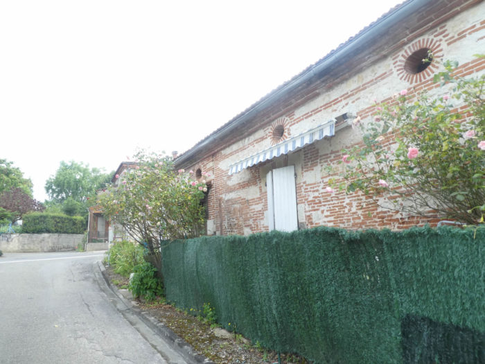
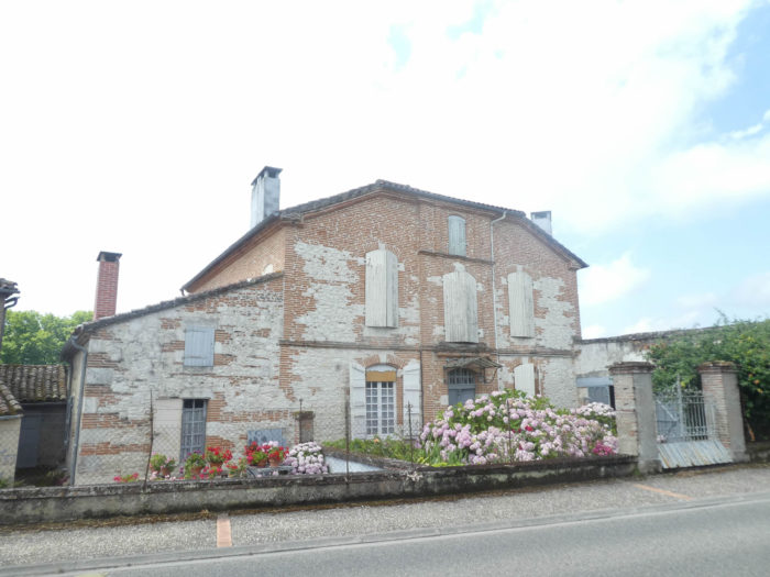
| The village is just a stone’s throw from the canal, on the main road, with here and there these residences so characteristic of the region, white and pink limestone houses, with interlocking bricks, drowned in lime. |
 |
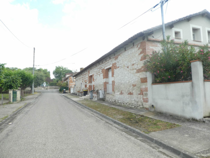 |
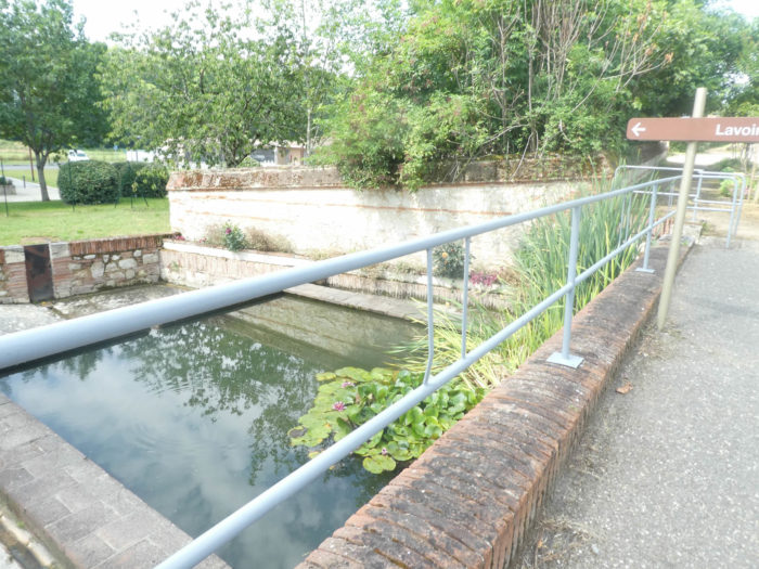
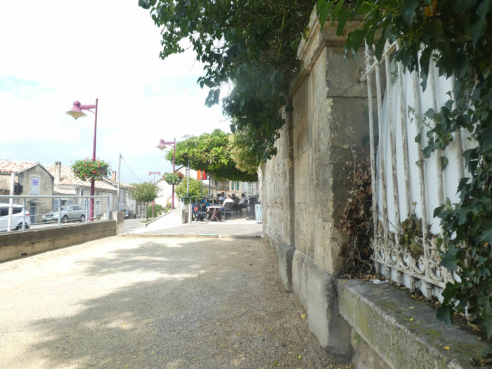
| There is a washhouse from another age nearby. Today, on the café terrace, the activity is more overflowing than during our last visit. |
 |
 |
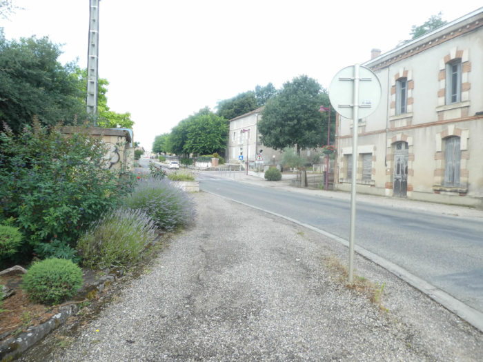
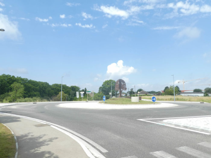
| The road then crosses the village on the departmental road to a crossroads, at the exit of the village. Today we will not go to the center of the village, which does not offer much interest, it will be said so without being too ungainly for the locals who live here. |
 |
 |
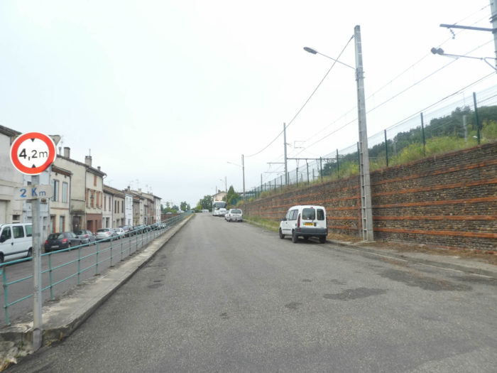
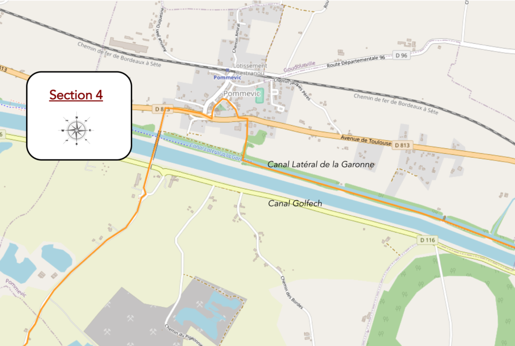
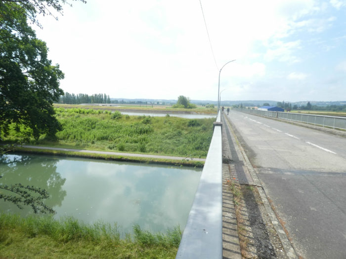
| Beyond the crossroads, GR path runs onto the departmental road that leads to Auvillar. It successively crosses the Canal Lateral de la Garonne, then the Canal de Golfech, a diversion of the Garonne which goes to the nuclear power station. Here, Garonne River branched off into the plain. You will find it back in Auvillar. |
 |
 |
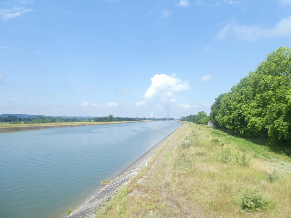
In front of you then appear the monstrous towers of the Golfech nuclear power plant. Monstrous, that’s saying a lot. This site with two nuclear reactors has the tallest refrigeration towers in Europe, reaching a height of 170 meters. Across the country, as soon as you climb to the top of a hill, you only see these two enormous warts and their beads of water vapor disfiguring the landscape. They are just as terrifying in good weather, as they are in gloomier weather, such as on one of our last visits to the region.
From here go to stage 20a, which describes this route to Auvillar.
|
 |
Next stage : Stage 21: From Auvillar to Miradoux |
|
 |
Back to menu |