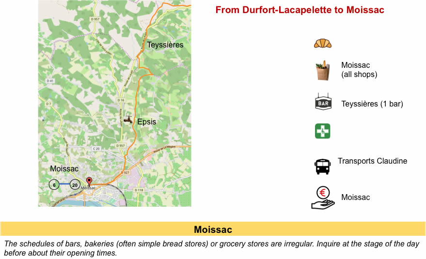
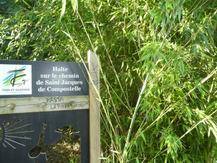
Through the Tarn-et-Garonne countryside to admire another marvel of the religious Middle Ages
DIDIER HEUMANN, MILENA DALLA PIAZZA, ANDREAS PAPASAVVAS

We divided the course into several sections to make it easier to see. For each section, the maps show the course, the slopes found on the course, and the state of the roads. The courses were drawn on the “Wikilocs” platform. Today, it is no longer necessary to walk around with detailed maps in your pocket or bag. If you have a mobile phone or tablet, you can easily follow routes live.
For this stage, here is the link:
https://fr.wikiloc.com/itineraires-randonnee/de-lauzerte-a-moissac-par-le-nouveau-gr65-54402723
It is obviously not the case for all pilgrims to be comfortable with reading GPS and routes on a laptop, and there are still many places in France without an Internet connection. Therefore, you can find a book on Amazon that deals with this course. Click on the book title to open Amazon.
If you only want to consult lodging of the stage, go directly to the bottom of the page.
Tarn-et-Garonne is a complex department, mixing at the same time influences from Gascony, Quercy, Causses, hills and wide alluvial plains of Tarn and Garonne, in a country where the sea has deposited abundantly marls and limestones. Here, three large rivers meet: Tarn and Aveyron which descend from the Massif Central, and especially Garonne, the majestic river from the Pyrenees. It was from their meeting that these immense alluvial plains were born.
Today’s stage takes place in Tarn-et-Garonne in this region of Bas-Quercy which borders Lomagne area in neighboring Gers.

créé par Wikigraphists du Laboratoire de Graphique, France , Wikipedia
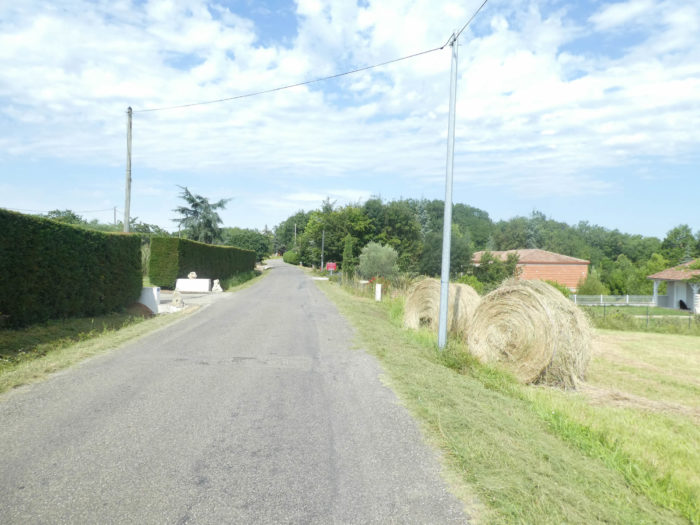
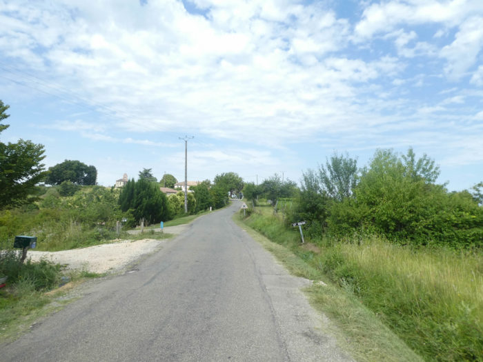
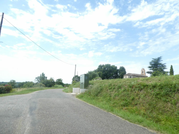
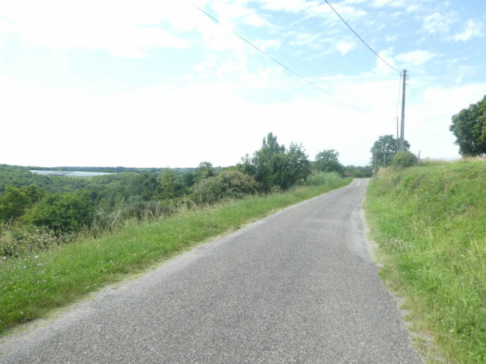
The hills circle around the plains. These are low altitude hills, hardly exceeding 300 meters in altitude in Low Quercy that we cross today. Further north, the heavier, more clayey soils favored the presence of groves, pastures and the cultivation of corn. High hills have developed on the banks of the Tarn River. The alluvial soils, made up of silt, sand, clay and gravel are rich, allowing the expansion of polycultures, cereals and orchards. Immense orchards were planted in the past century, sometimes exceeding 200 hectares. Apple trees, plum trees, pear trees, peach trees, cherry trees, kiwis go well together. On the hillsides, the poorer soils allowed the development of the vines. In constructions, brick is the queen. You may take pleasure in admiring the infinite play it brings to houses, churches, castles, in the variations of its color and its warmth. But the limestone rubble is not left out. You often see happy marriages, where brick draws the surrounds of windows and doors. Red channel tiles are the masters of roofs. Bastides were a particularity of the South-West in the Middle Ages. In these towns and villages, the peasants were free and worked for the lord or the abbot. The focal point was the grain hall in the center of the village. Many villages have preserved traces of this organization. At the end of the stage, the route arrives in Moissac, a real small town, beautiful in addition.
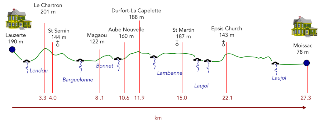
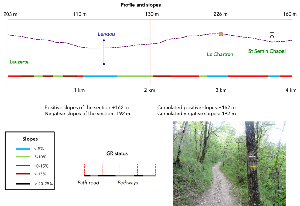
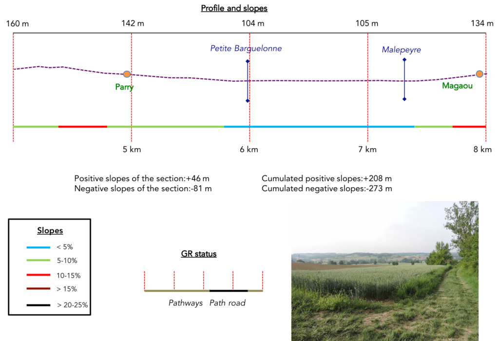
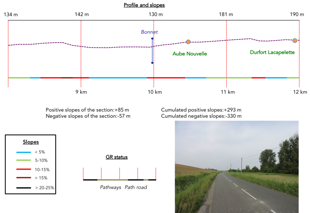
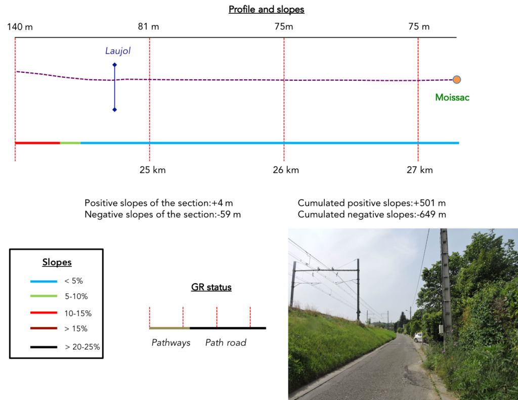
Difficulty of the course: The slope variations today (+501 meters/-649 meters) are not significant for such a long stage. In terms of the difficulty of the course, it is not always a quiet day, even if the course often takes place on slight ups and downs, rarely exceeding 10 to 15% of positive or negative inclination. But there are 4 slightly steeper climbs, the one that leads to the Chartron at the start of the stage, the embankment to climb before Aube Nouvelle, and two climbs in the forest before Moissac.
 Today, alas, it will take a lot of walking on the paved roads:
- Paved roads: 16.6 km
- Dirt roads: 10.7 km
Sometimes, for reasons of logistics or housing possibilities, these stages mix routes operated on different days, having passed several times on Via Podiensis. From then on, the skies, the rain, or the seasons can vary. But, generally this is not the case, and in fact this does not change the description of the course.
It is very difficult to specify with certainty the incline of the slopes, whatever the system you use.
For “real slopes”, reread the mileage manual on the home page.

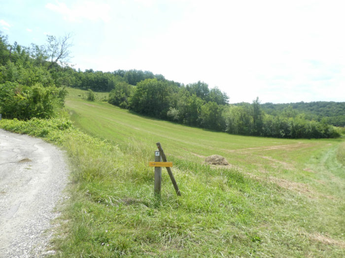
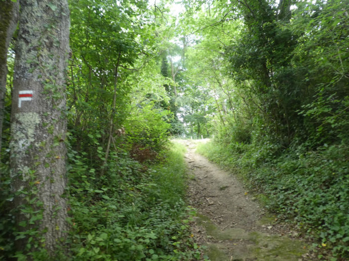
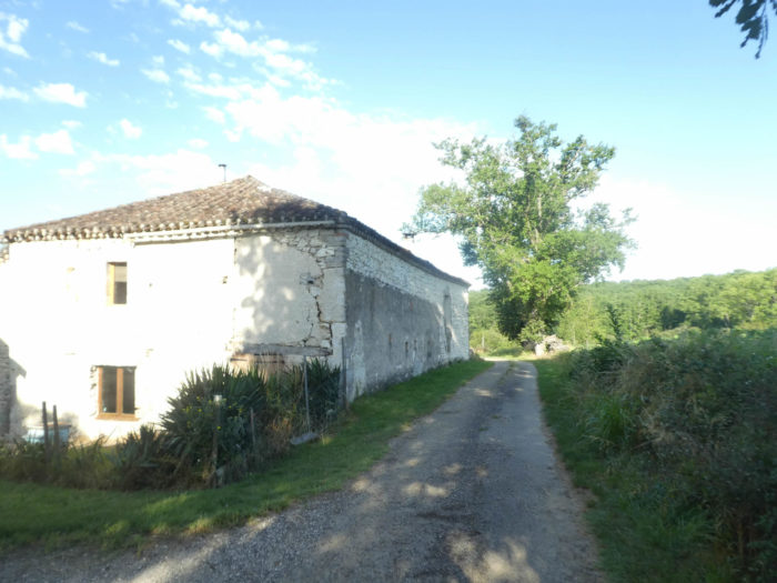
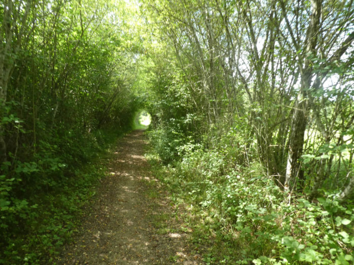
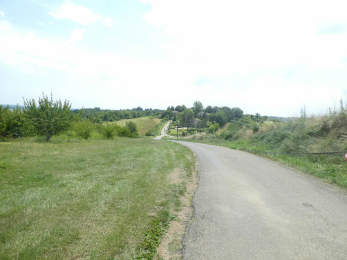
Section 1: Towards the beautiful St Sernin du Bosc Chapel.
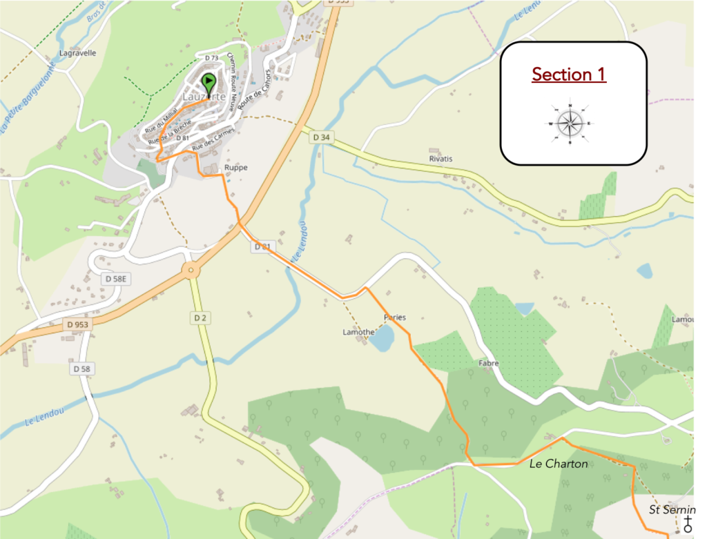
General overview of the difficulties of the route: at the beginning, steep descent from the citadel into the plain, and climb, sometimes very sloping, sometimes more than 20% in the forest towards Chartron.
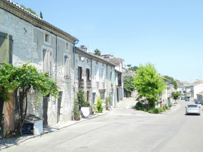
| The city of Lauzerte is built in successive floors. From the top of the city, along the Grand Rue, you have to slope down to the lower floors. |
 |
 |
| Further down, you will find the Pilgrim’s Path, where the route slopes down one more floor. |
 |
 |
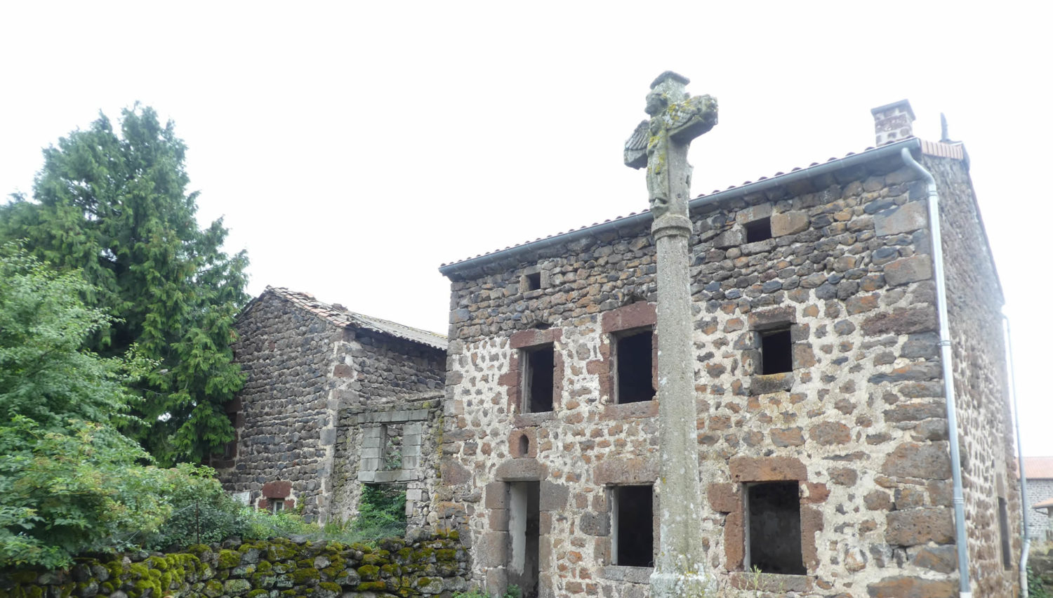
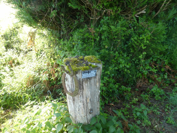
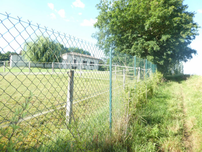
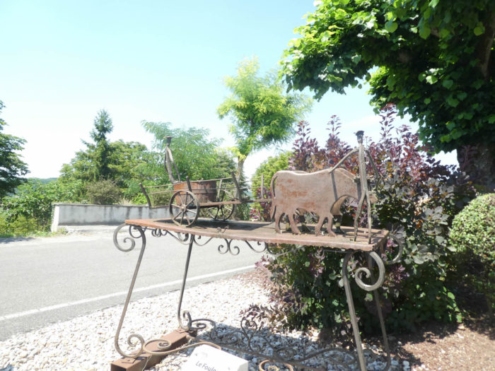
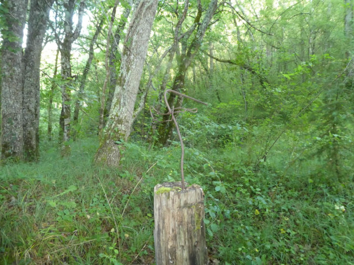
| The route runs over the heights of the cemetery. It soon comes across one of those ox shoeing works that you have come across so much on the way. Here wood has replaced stone. But it’s been a long time since the oxen disappeared from the work in the fields. |
 |
 |
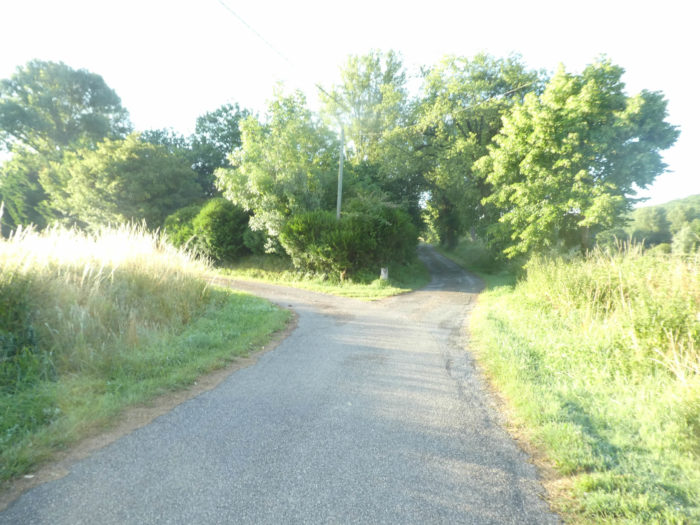
The GR65 then zigzags on the wide streets at the bottom of the village, runs in front of a building which must be a center of leisure and culture, then approaches a small wood.
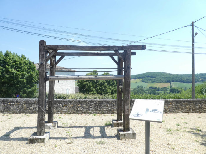
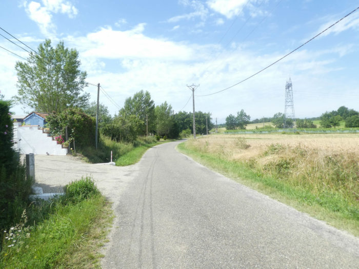
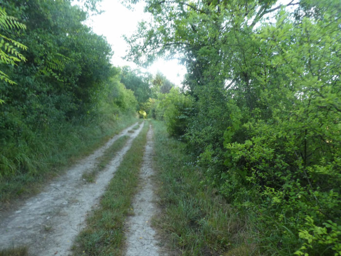
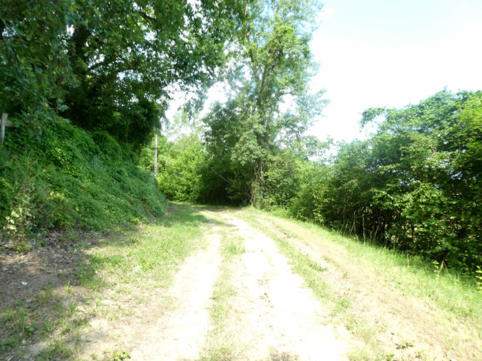
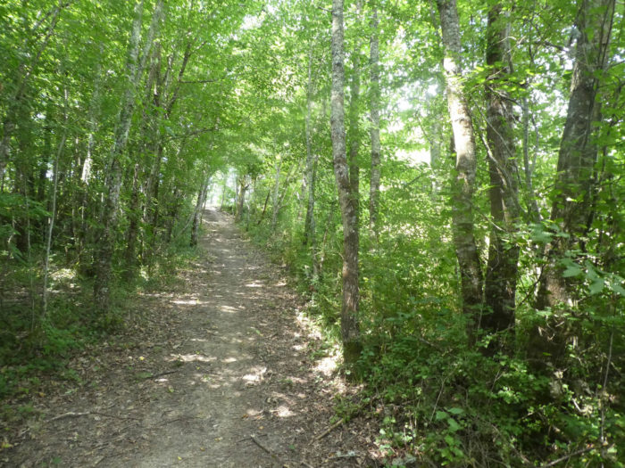
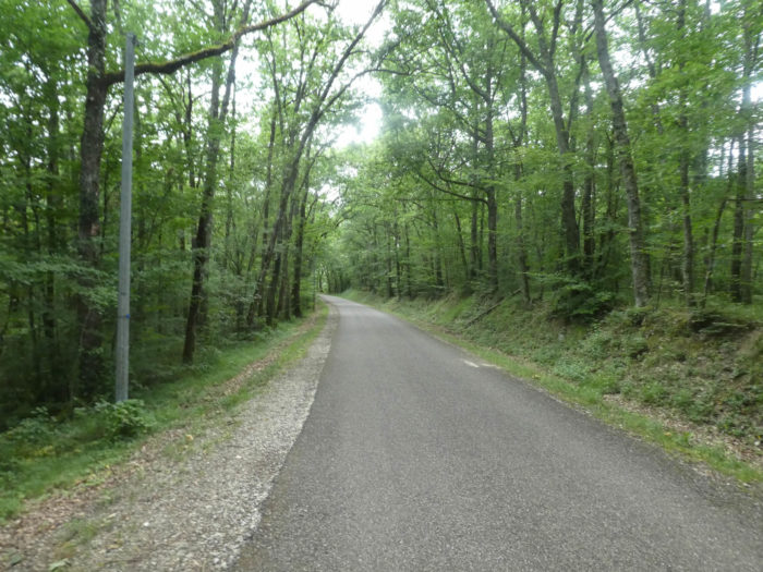
Further down, a pathway descends into the dark wood of oaks and maples. Casually, the descent is quite steep, it must be said. There is almost 100 meters of drop from the citadel to reach the plain below.
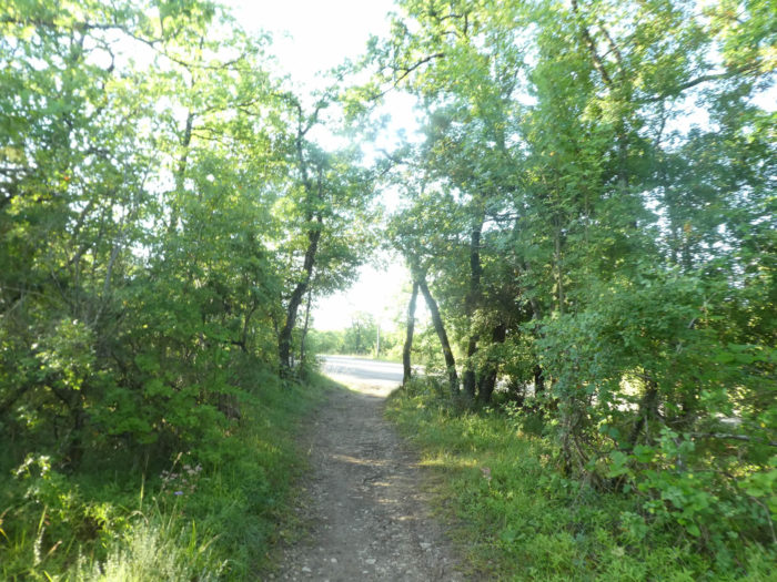
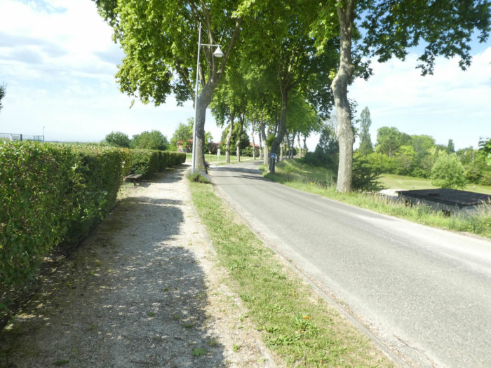
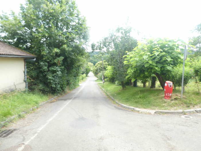
| At the exit of the undergrowth, the pathway descends again to cross the D953 departmental road. The course, on almost all occasions, leaves the cities in road junctions. |
 |
 |
| Further ahead, the GR65 crosses the departmental road and flattens on the road across the plain. |
 |
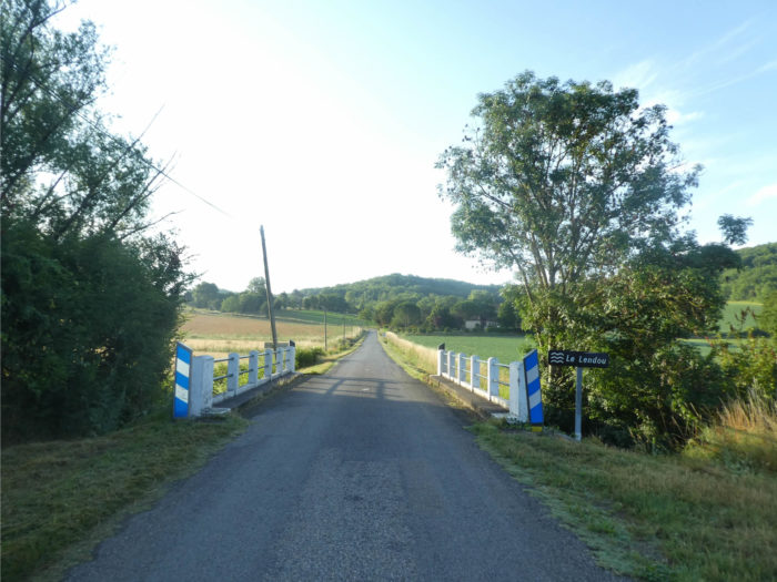 |
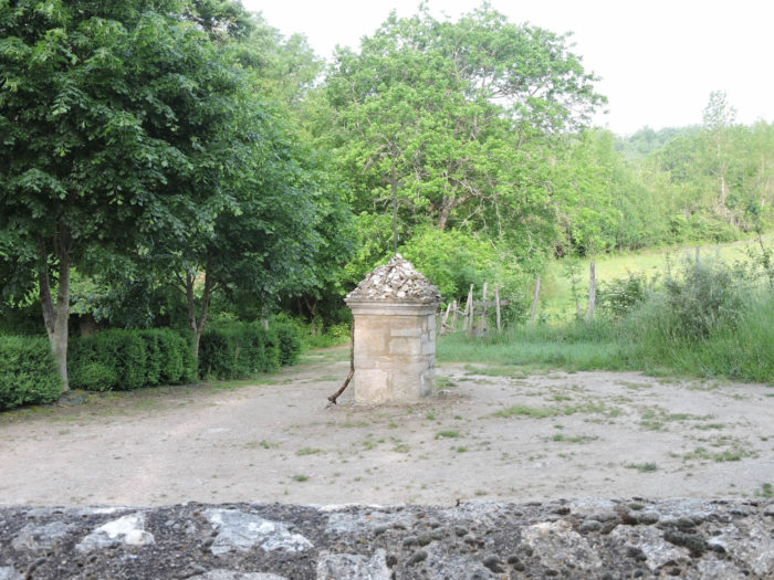
| The Lendou is a small river with many ramifications which bathes the cultivated plain below Lauzerte. The road crosses a lagoon basin, the ancestor of modern sewage treatment systems, where nature itself treats wastewater before discharging it into the natural environment. |
|
 |
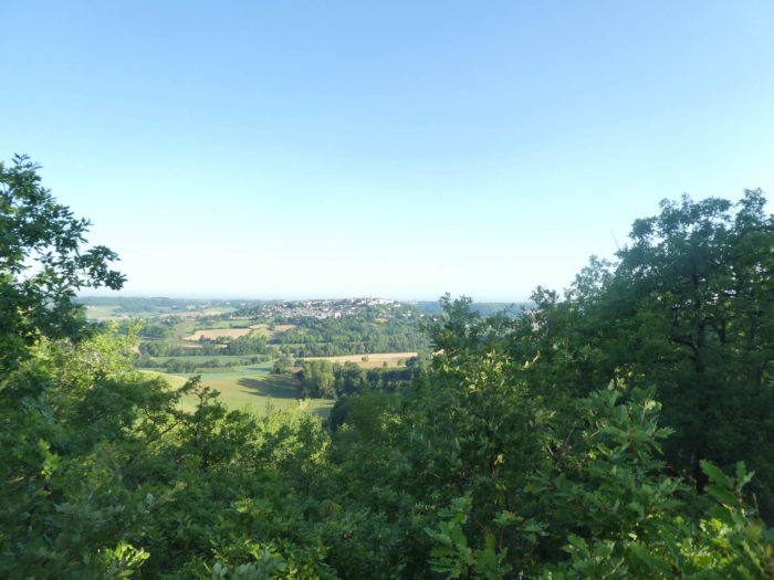
Looking back, you can still admire the beautiful Lauzerte perched on its hill

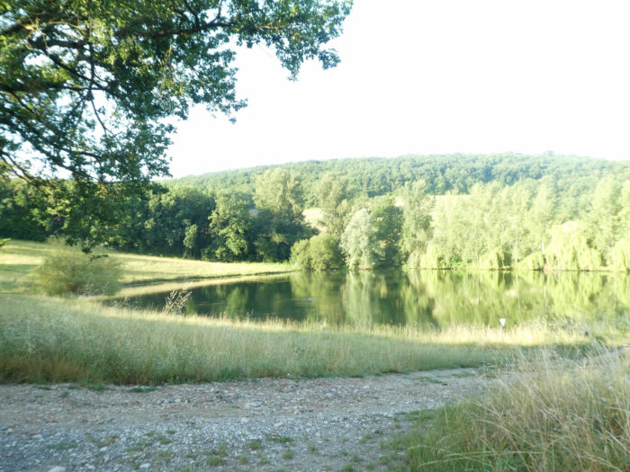
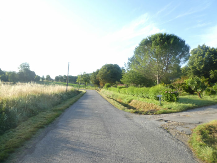
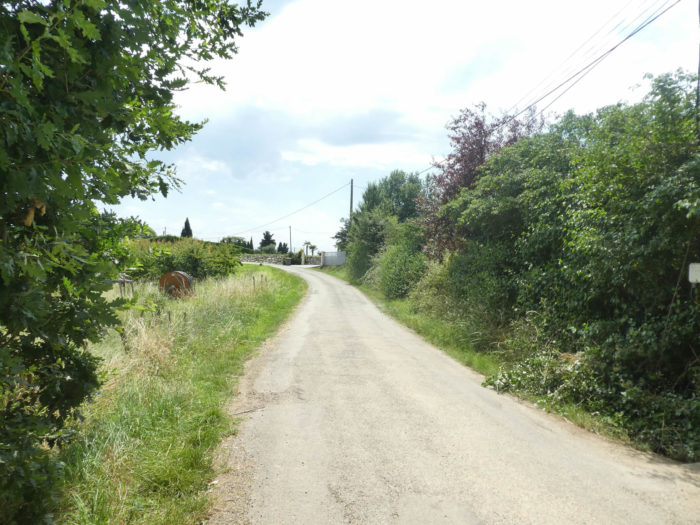
Shortly after, the GR65 finds a small paved road which runs near a charming gentle pond, with greenish waters.
| Further afield, a pathway runs into the grass above the small lake in the fruit trees. |
 |
 |
| On a well-known chorus, as soon as an undergrowth appears, a pathway begins to undulate and climb. Here there will be no exception. To the top of the hill. |
 |
 |
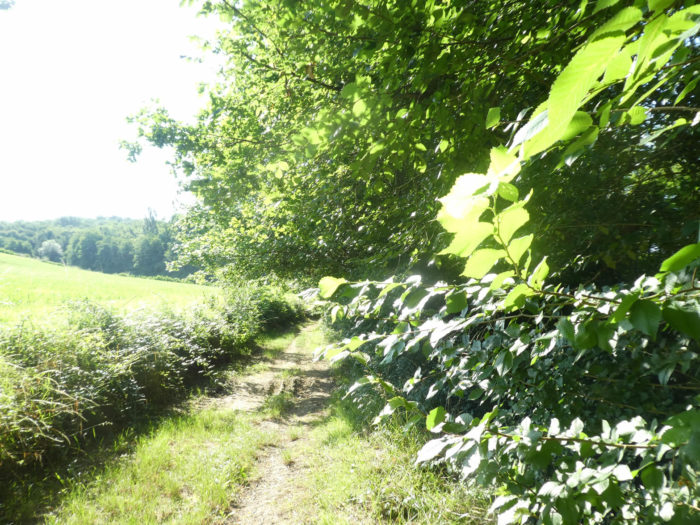
| Pebbles abound on the narrow lane on the steep slope. Oaks dominate the other hardwoods. There are few chestnut trees, country maples, and above all great hornbeams, trees that are quite rare on the Camino de Santiago in France. |
 |
 |
| It is not strictly speaking a gentle stroll, a part of pleasure here, the pathway climbing nearly 100 meters of gradient over nearly a kilometer. But it’s the beginning of the day and the muscles are not paralyzed yet. Which do you prefer, faded black dirt or large pebbles? Both, whatever, you have no choice. |
 |
 |
| At the hilltop, the pathway joins a small road. You can take a last look at Lauzerte that disappears behind the foliage. Yes, Lauzerte is a beautiful city. |
 |
 |
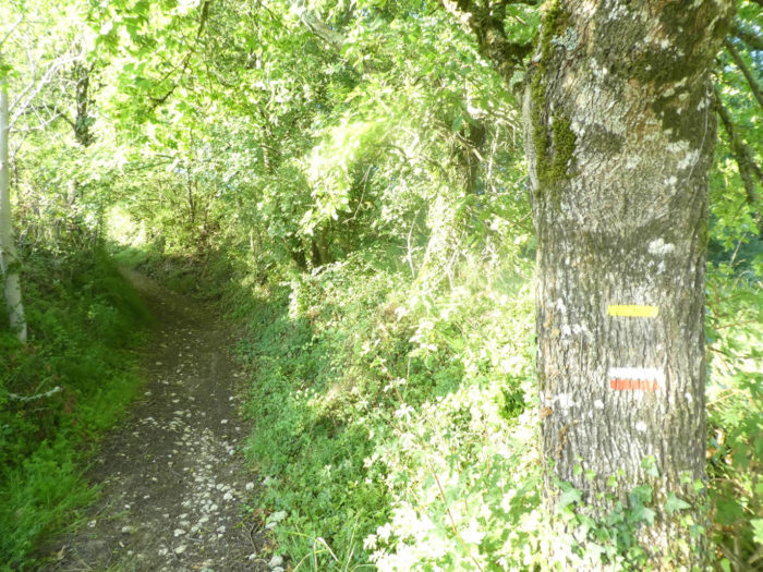
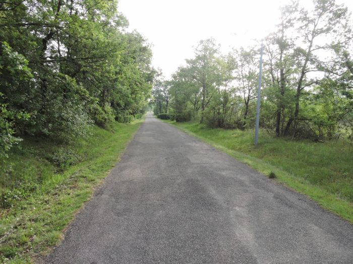
| The GR65 then follows a long, almost straight asphalt road slightly uphill through the trees. At the end of the straight line, you arrive at a place called Le Charton |
 |
 |
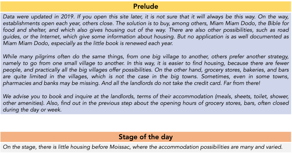
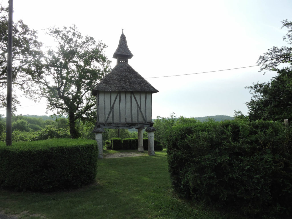
Here stands a very beautiful dovecote. These buildings, rectangular or polygonal, sometimes comprising several floors, must be numerous in the region. Many hiking trails are devoted to it. It is said that a long time ago, the construction of these towers was regulated for the use of the nobles, then it became more democratic. Of course, pigeons were bred for their flesh and for fertilizer from the feces, but above all, this had the advantage of emphasizing the prestige of the owners.
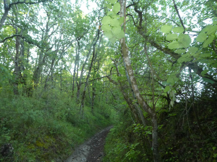
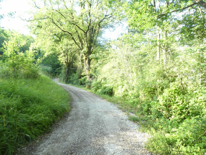
| Beyond Le Chartron, a wide, very stony pathway slopes down into the woods. |
 |
 |
| Long live the pebbles that enter the soles of the shoes! The slope is also quite steep, between 10% and 15%, but the trees give you a beneficial shade. |
 |
 |
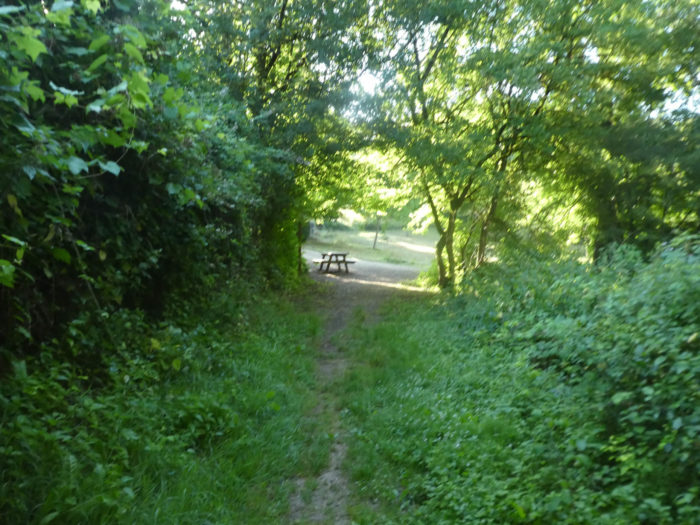
| The slope remains steady until you exit the woods near a picnic spot, next to a chapel, under oak and maple trees. |
 |
 |
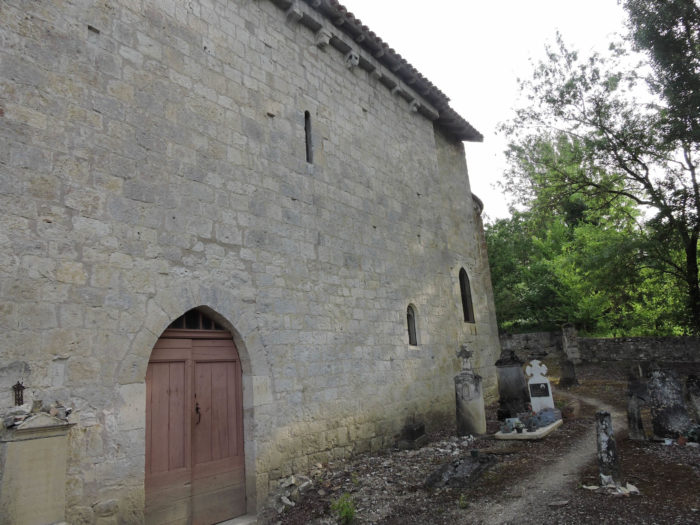
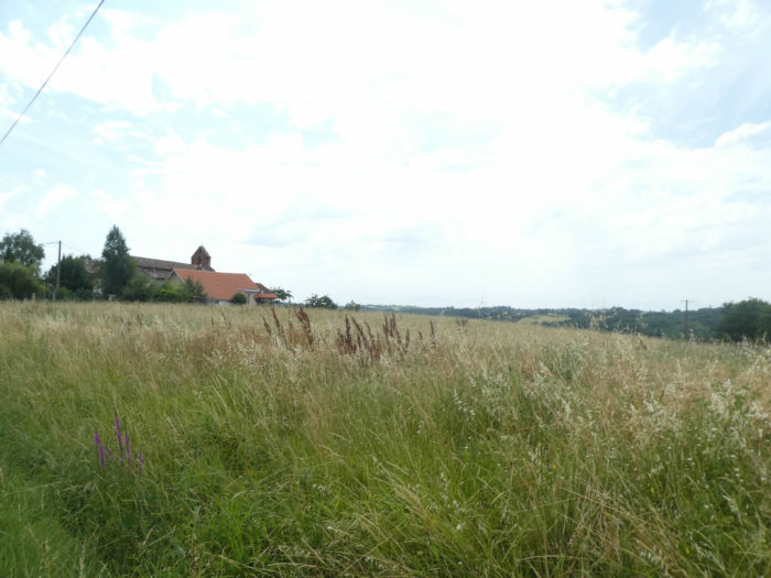
| The quiet chapel of St Sernin du Bosc is nestled in the dale with the pretty name of Combe du Miel (Honey Dale). This Romanesque chapel is remarkable, very little modified over the centuries. The crosses which collect the symbolic obols of the pilgrims always add an element of mystique to these places of worship, a little like the stones of Japanese temples. The chapel is classified as a historical monument. You enter it today from the cemetery side. |
 |
 |
A small wall- belfry houses two superimposed bells.

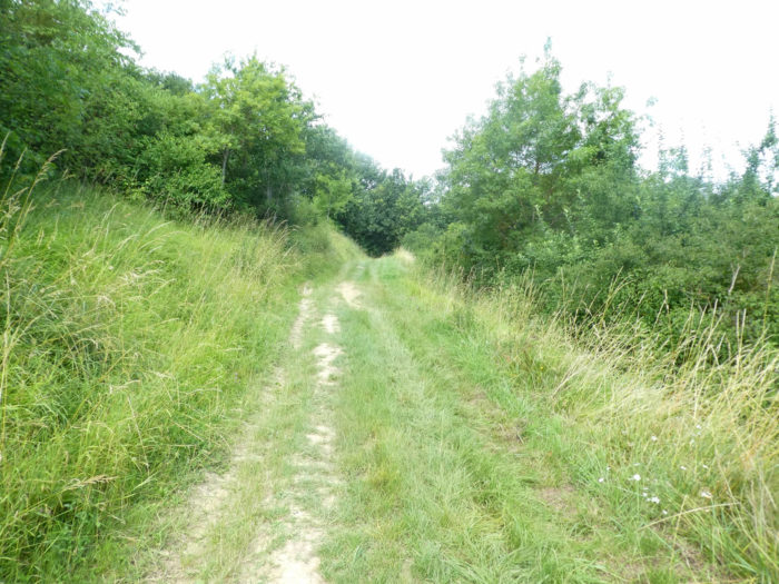
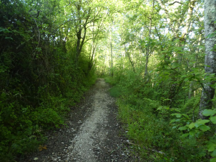
| Beyond the chapel, a wide dirt road climbs up the dale, at the edge of the woods. |
 |
 |
Section 2: In the wheat fields of Tarn-et-Garonne.

General overview of the difficulties of the route: course without any difficulty.
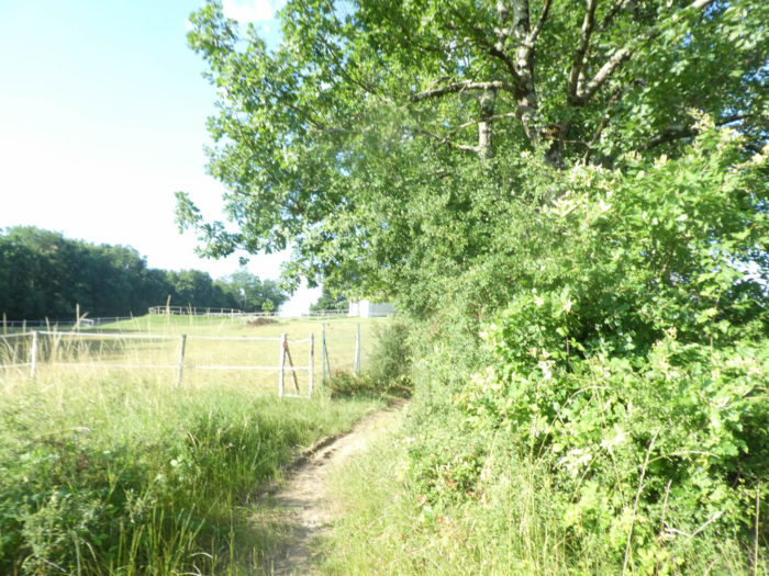
| The dirt road takes a little height, transiting above the small lake of Martret, in a symphony of soft green. This water is probably used to irrigate the fields during strong heat waves. |
 |
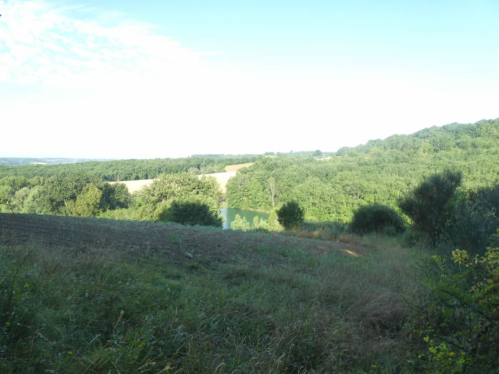 |
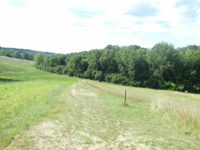
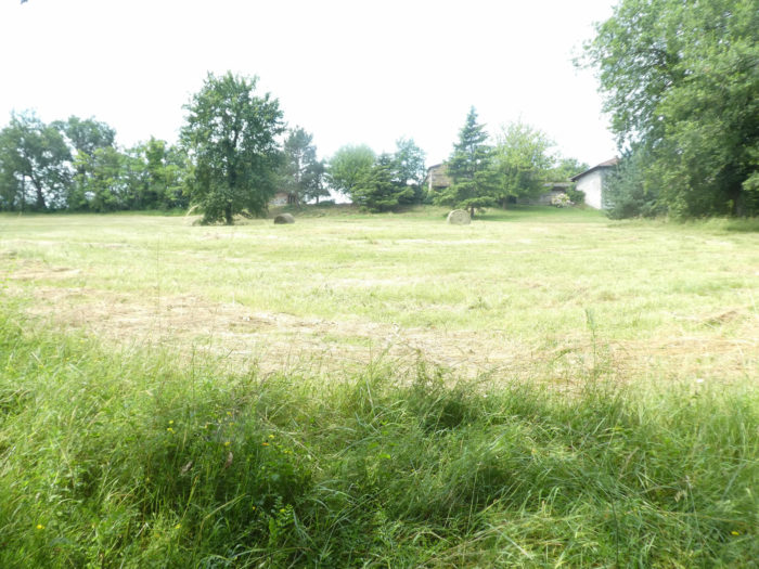
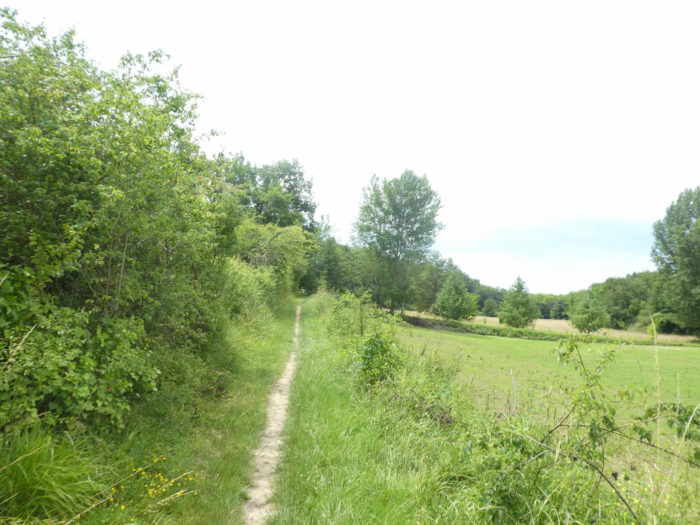
Sometimes it only takes a detour in the track for the decor to change. For a few kilometers at least, the crossing of the groves of oaks is, so to speak, completed. Who could have imagined that behind the grove would open up a country almost as vast as those you cross on the Spanish way to Santiago in the Meseta. But it’s still not the American Midwest. Long live the Tarn-et-Garonne countryside with its fields of cereals, sunflowers and orchards.
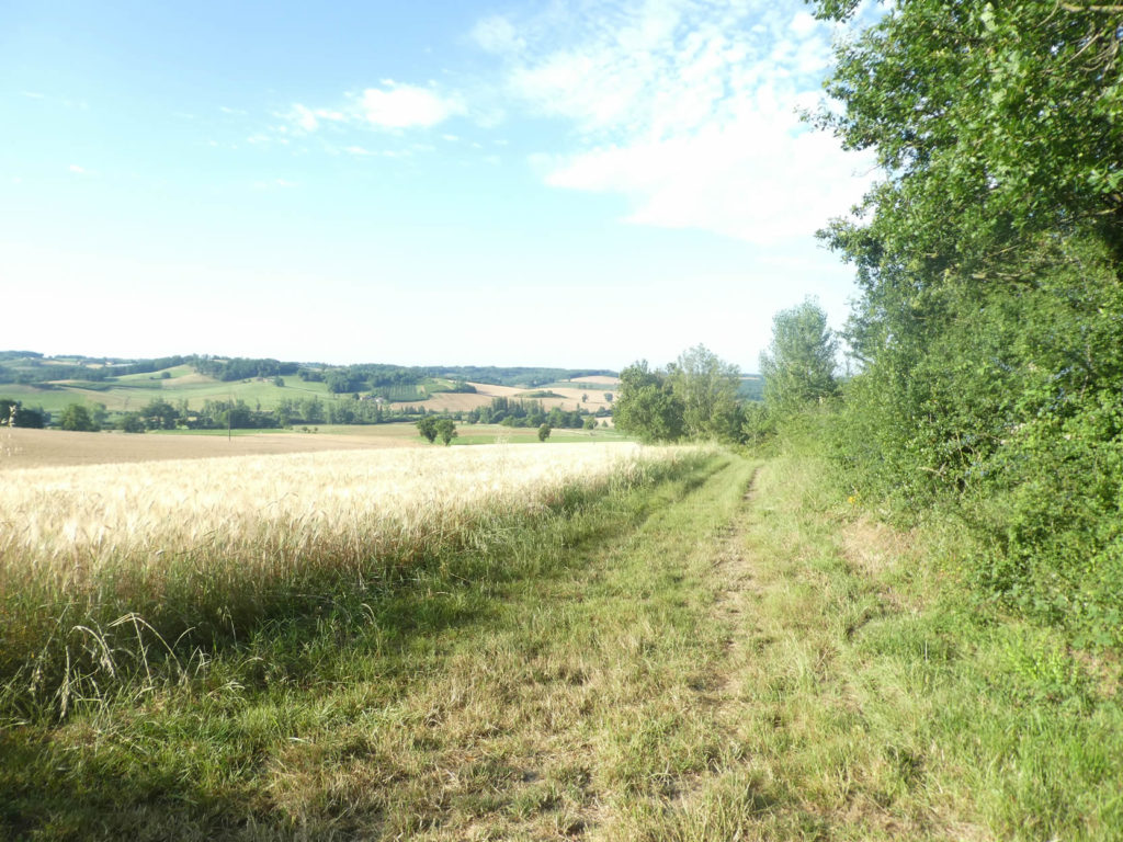
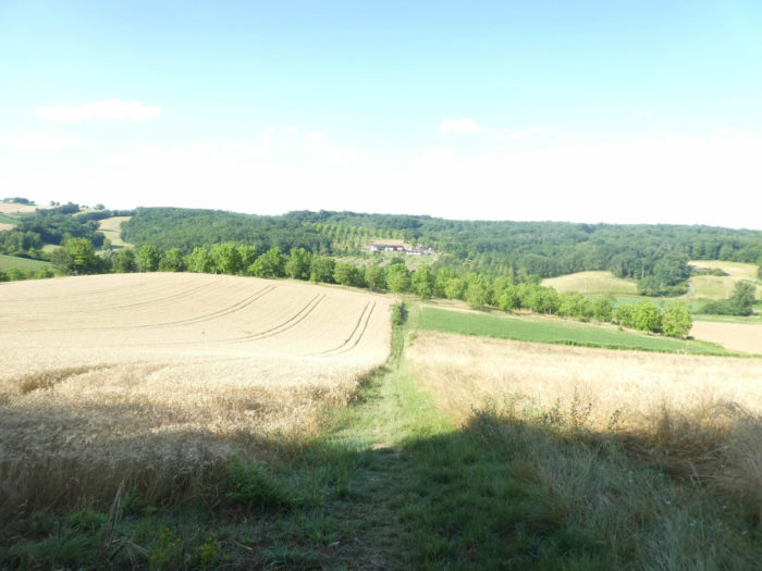
| Further down, a pathway descends in the grass alongside fields of wheat and sunflowers towards Parry’s farm. Here are good wheat lands. We are at the beginning of July, and at this time, the winter wheat has already been harvested. Spring wheat is still standing. |
 |
 |
| So, let’s take a look at the same country in the spring. In a light breeze, the ears of green wheat flutter and wave in charming swells. The grain fields are so huge that you have plenty of time to witness this delicious merry-go-round, especially since the soles of the shoes only caress the short grass at the foot of the fields. The red poppies seem to fly over the fields. Since time immemorial, poppies have grown alongside wheat, as have blueberries and blackberries. In fact, a single poppy can produce up to 50,000 seeds per season. Its seeds will mix with the grains of wheat during the harvest and give new poppies to the next sowing.
We have already said that these landscapes are almost always more flattering in spring. But you can’t always choose your season to walk on the track. |
 |
 |
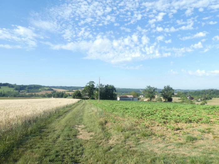
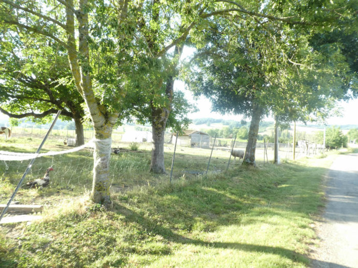
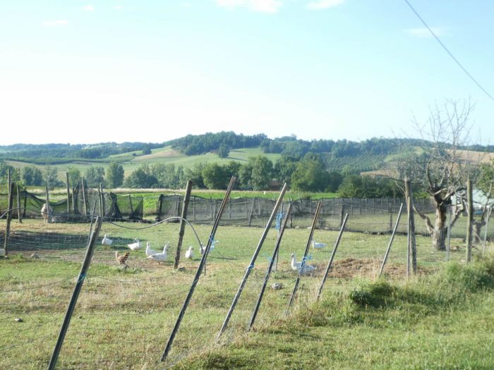
| At Parry farm, which provides gîte and also a snack bar, animal husbandry is also practiced. A large oak tree stands guard in front of the enclosures, where geese frolic and where a few sheep graze, a little lost in this world of cereals. How reassuring to find a few buildings in the austere majesty of the fields, in the geometric and mathematical rigor of the rows of ears of corn that curve to the other side of the plain. |
 |
 |
 |
 |
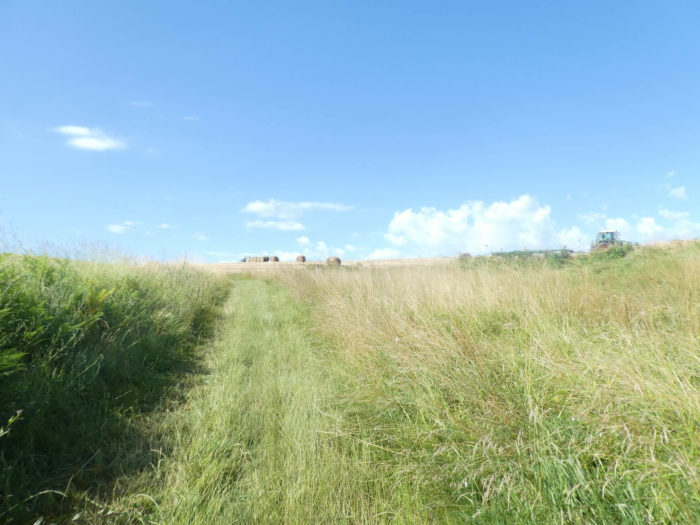
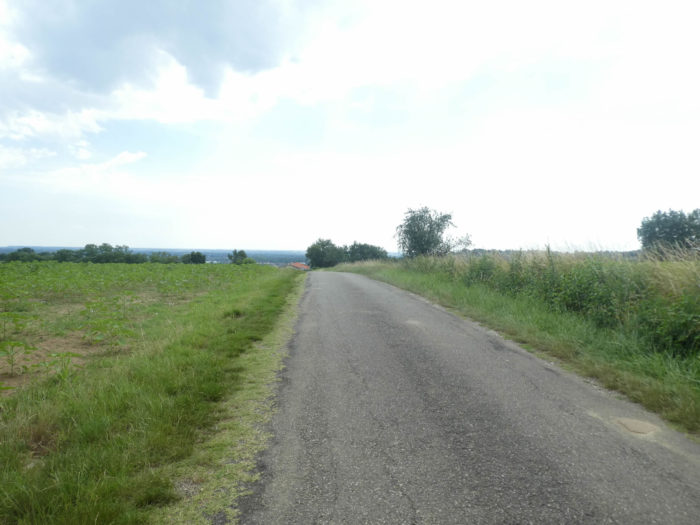
| In the fields of cereals, the tracks quite often run between dirt and grass. Here, the walk now takes place on the paved road. Here, even the tar of the road is not enough to change the impression of space and infinity of these great cultures. In the spring, you will come across a great many apparently fallow fields here. Look closely, most are cultivated. These are the huge fields of sunflowers and soybeans that are sown from April to the end of May, depending on the variety. Besides, the scarecrows are there to discourage the birds. Today, at the start of summer, the wheat is ripe and the sunflower has grown. |
 |
 |
| At the bottom of the fields, the GR65 joins the D57 departmental road, crossing the Barguelonne brook, a small trickle of water that descends towards the Garonne River. |
 |
 |
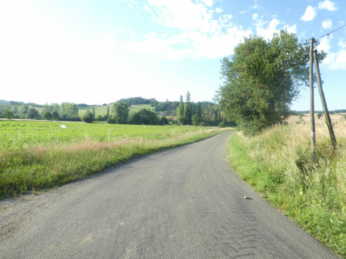
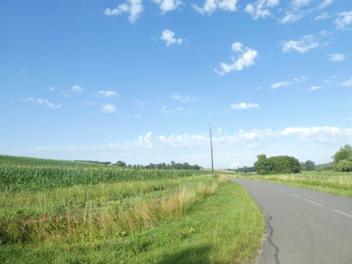
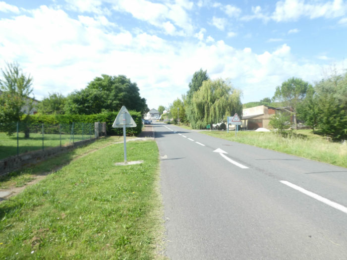
| Beyond the river, this is the kind of route that pilgrims do not appreciate. More than 2 km flattening on the tarmac of the departmental road, or just next to it. Admittedly, the traffic is not frantic, because the country is sparsely populated. It is in these conditions that the pilgrim quickly realizes that he is not alone on the way. The road is so long that he can at leisure measure the density of the pilgrims who are scattered on the way, in front of and behind him. |
 |
 |
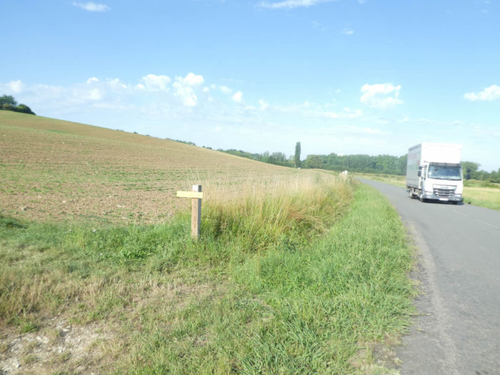
| Track organizers don’t like to see pilgrims walking on the main paved roads. Some peasants, more generous than others, agreed to see pilgrims walk by along their corn, wheat or sunflower fields. |
 |
 |
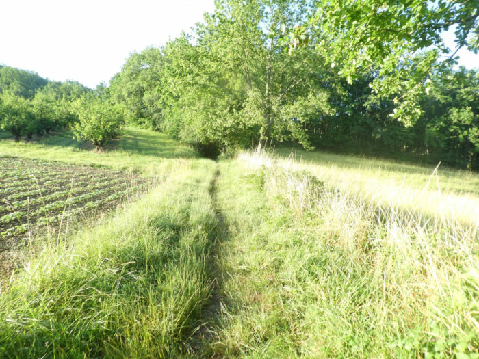
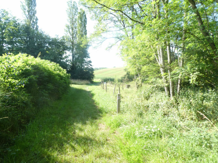
| Much further on, a small sign stuck in the grass announces the deliverance and the return to the fields. Immediately, a pathway makes its way through the grass to reach the side of the hill, where other grain fields, undergrowth and some meadows extend. |
 |
 |
| The pathway sometimes runs through the undergrowth, but most often through grain and oilseed fields. The slope becomes a little steeper to reach the place called Magaou. On the horizon, you’ll see the first fruit trees of Tarn-et-Garonne dawning. Human presence remains marginal. |
 |
 |
Section 3: In the orchards of Tarn-et-Garonne.

General overview of the difficulties of the route: light ups and downs, with a little more difficult ramp before Aube Nouvelle.
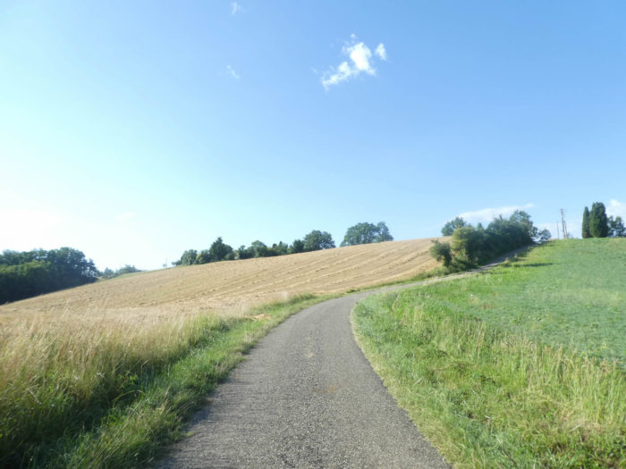
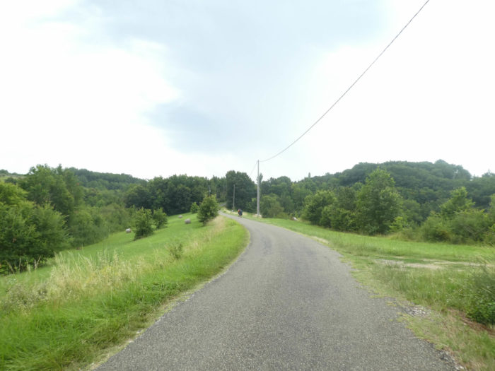
| A road then climbs gently along the scattered houses of Mirabel. The ground is streaked with red sandstone. |
 |
 |
| To get to the top of the hill, you will have to use your muscles a little more on the tar, as the slope gets steeper. |
 |
 |
| At the top of the ramp, GR path turns at a right angle onto another agricultural road for a few moments. The top of a hill almost inevitably announces a descent to the other side of the dale. |
 |
 |
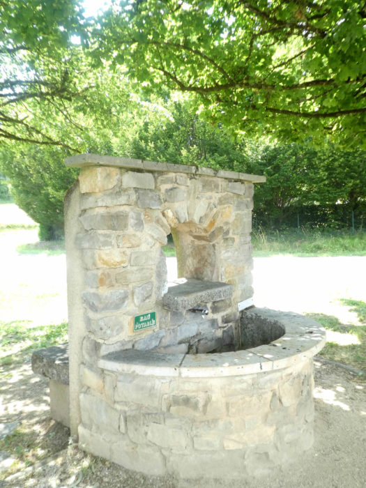
| Immediately, a pathway slopes down to the Bonnet stream. It crosses a gray fountain from another age, with cloudy water, hidden in reeds and weeds. |
 |
 |
| Then the pathway plunges into the grass in the middle of the fields, before quickly ending up at the bottom of the dale. |
 |
 |
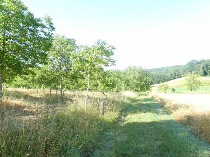
| At the bottom of the dale, the disorder of the tall grass of the meadows contrasts with the geometry of the fields aligned on the hillside. This is almost always the case when the track descends and then climbs up from the bottom of the valleys. Here you’ll cross on your left, for almost a kilometer, walnut groves. On your right, along the stream reign the hardwoods. |
 |
 |
| Further on, when the walnut trees have disappeared, the pathway approaches the brook in the weeds. The presence of a stream almost always means humidity. |
 |
 |
| After crossing Bonnet brook, where the water is barely detectable, the landscape changes drastically. The pathway will climb quite sharply, more than 10% incline, through the grass on the other side of the dale. |
 |
 |
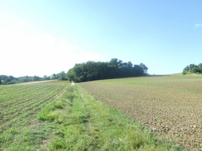
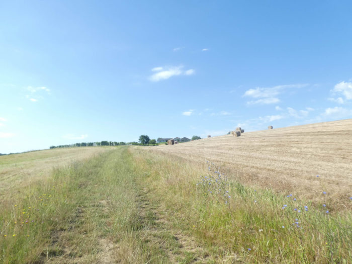
| Never rely on the species grown in the fields to find your way. The peasants play the alternation. Today it is wheat that has just been harvested. Another year it will be sunflower or green manure on fallow land. Only one thing is constant here, the slope. |
 |
 |
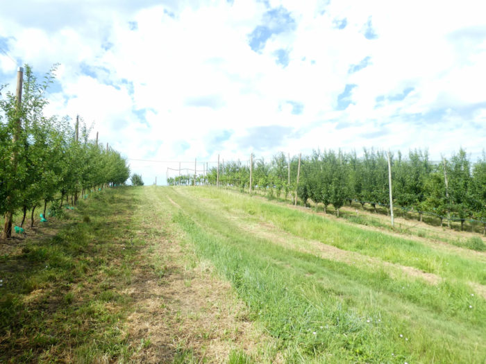
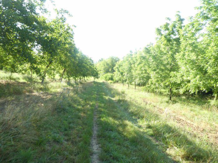
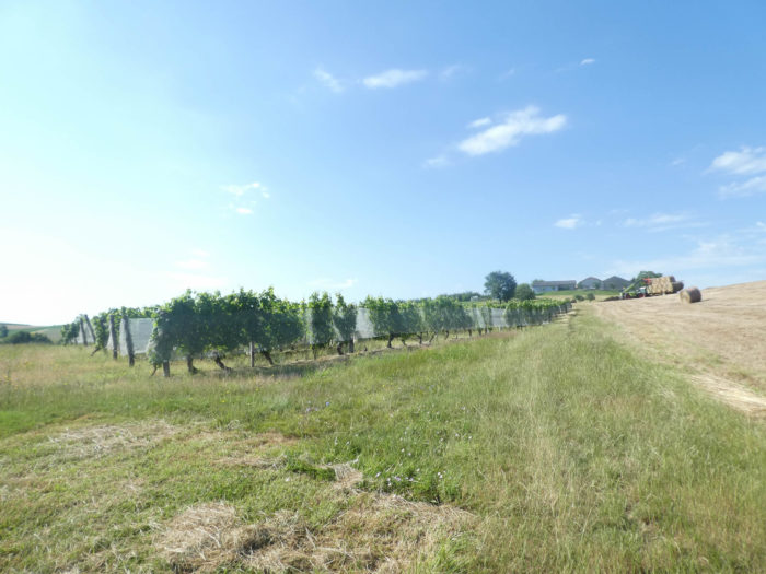
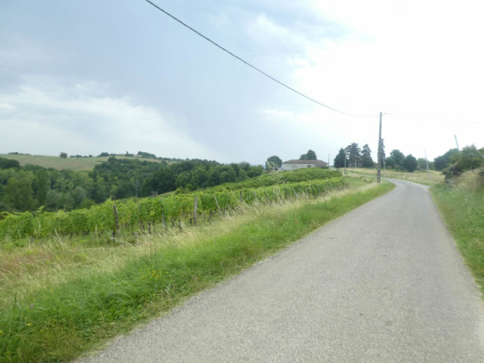
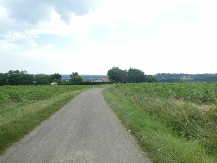
| Another parameter, on the other hand, is constant, namely orchards. At the top of the hill organized agricultural life takes over these rights. The pathway reaches Bonnet hamlet, with its large orchards where the chasselas vines covered with protective veil, plum, cherry and apricot trees grow. The orchards stretch as far as the eye can see in endless lines that descend to the other side of the hill. |
 |
 |
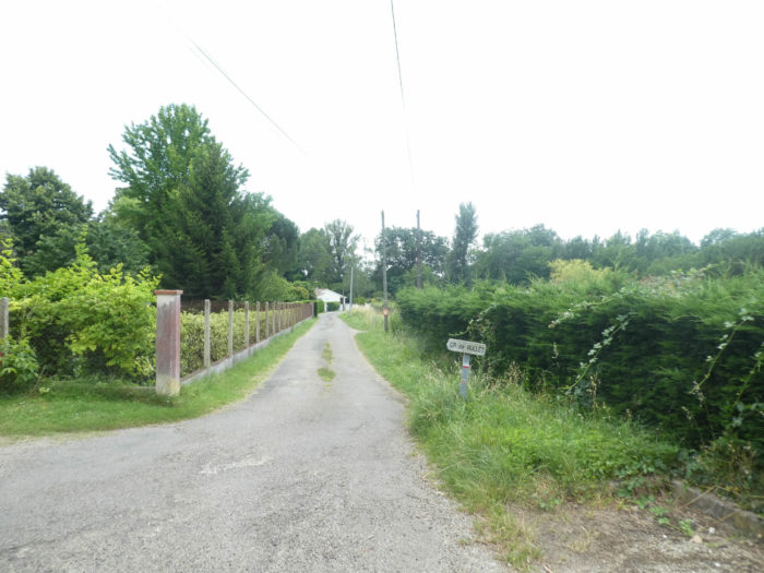
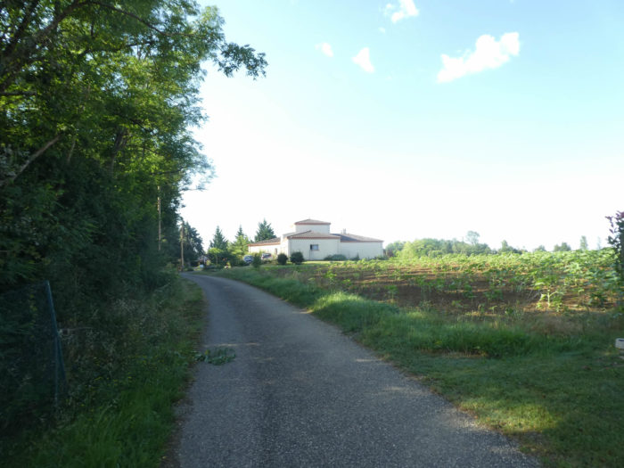
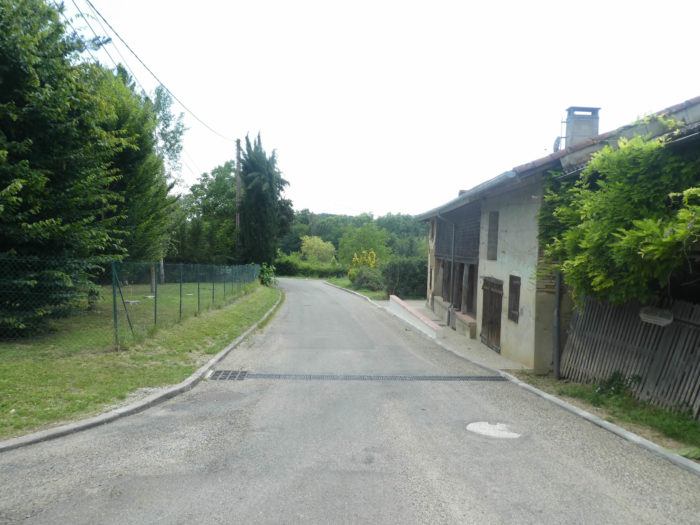
| The pathway then crosses the agricultural village. Just a stone’s throw away, GR path arrives at Aube Nouvelle, which owes its name to the hotel that stands here. |
 |
 |
| A road then climbs in the middle of wheat and orchards towards Durfort-Lacapelette, not far from here. |
 |
 |
| The orchards follow one another, always so elegant. You can then choose a small local track or follow the road along the fruit trees or large sycamore maples. Whatever your choice, you will arrive at the village. |
 |
 |
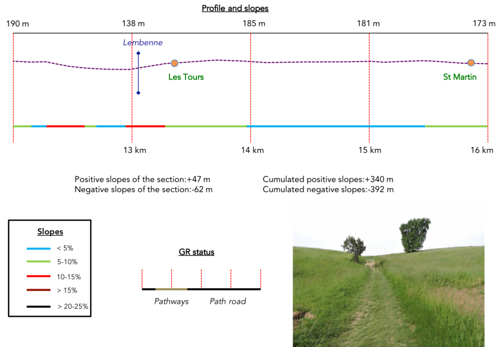
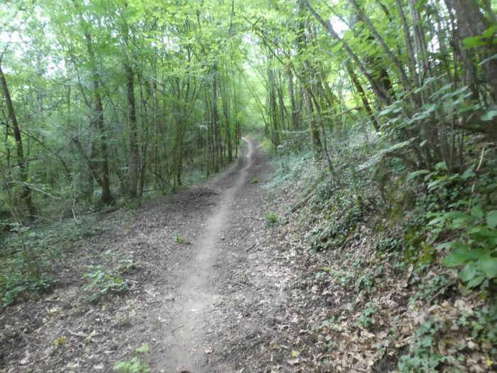
Section 4: Between orchards and undergrowth.
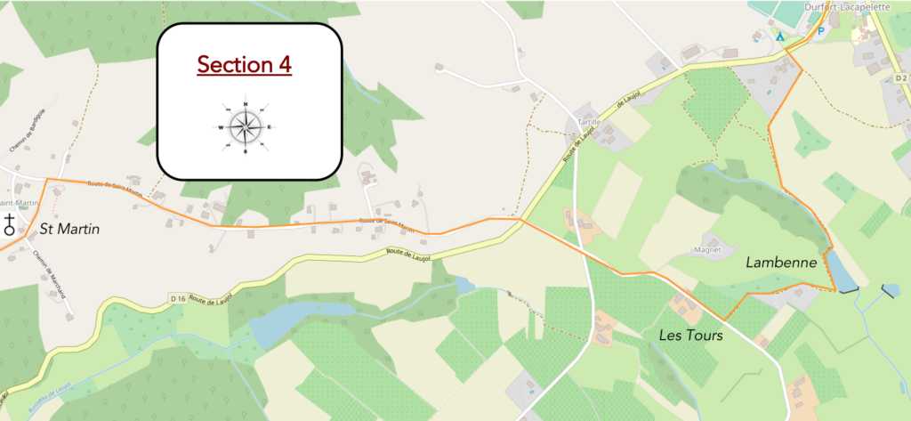 General overview of the difficulties of the route: a few light ups and downs.
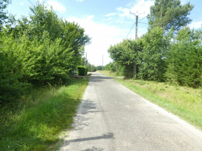
| The paved road leaves the village under the poplars, but the pilgrim will not walk there for long. You are in a country of hills and dales. You can imagine that the Santiago track will allow you to admire a new dale at your leisure and to slope up on the other side. No sooner said than done. |
 |
 |
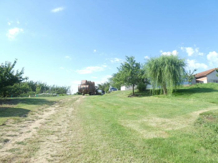
Below the village you will find the orchards back. As far as the horizon extend the protective nets over the orchards, an obstacle to birds and hail. Be careful here, at the end of the orchard, the route is not indicated. You will be tempted to continue straight. Yet, the pathway turns at right angles behind the orchard to descend into the dale.
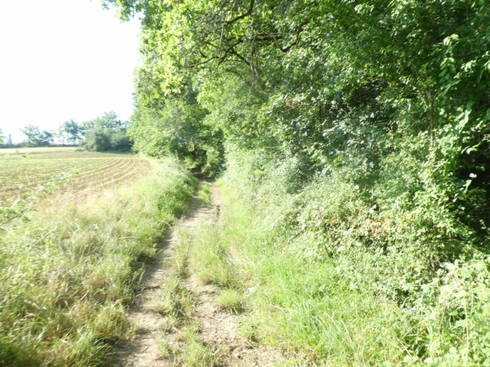
| The pathway plunges into the grass, at the edge of the undergrowth and into the fields at the bottom of the dale. The closer you get to the stream, the more plant anarchy increases. This is the life that the peasants have decided for these places where the tractor does not go. So much the better for the pilgrim perhaps, right? |
 |
 |
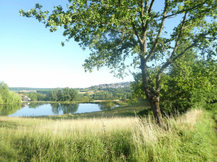
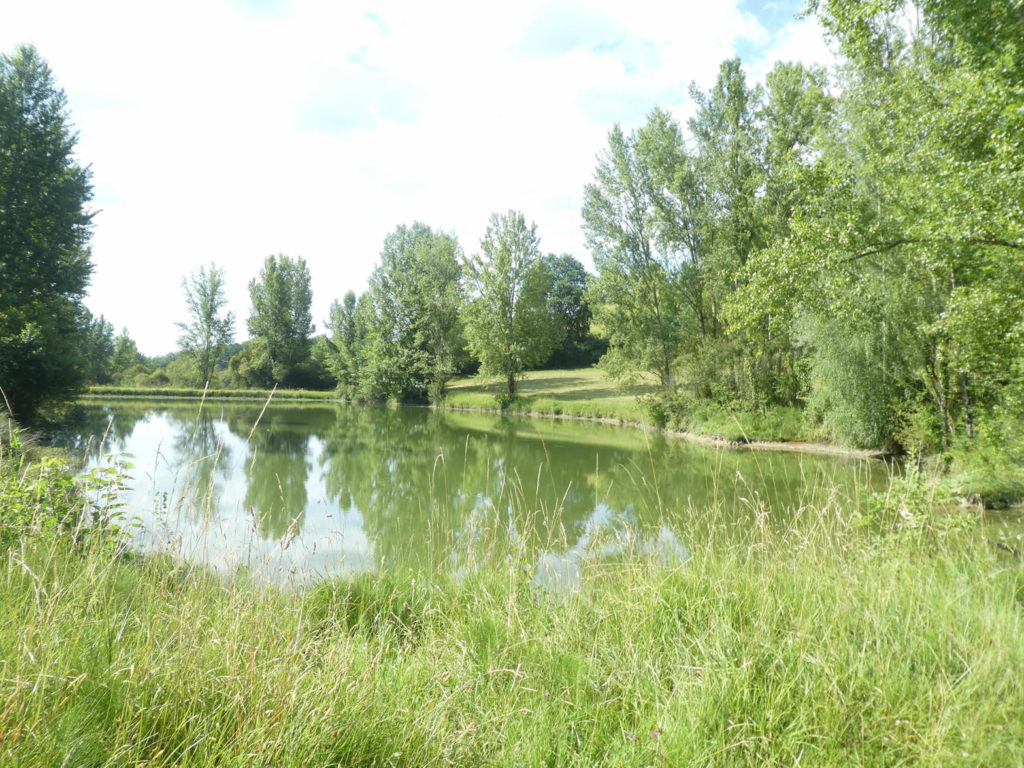
At the bottom of the dale, even if the area is quite marshy, the pathway crosses the Lambenne stream and its pretty little lake. You cannot stress enough the comforting presence of these bodies of water on the track, synonymous with plenitude for the walker.
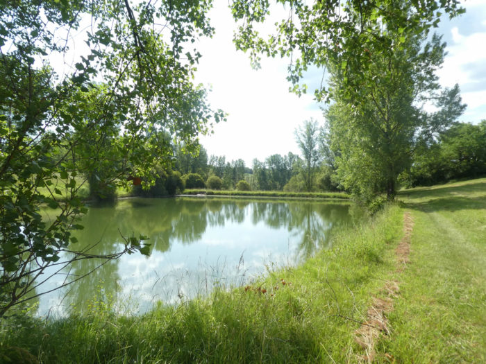
| A wide pathway runs along the lake and climbs up the steadily sloping grass on the other side of the dale to reach the orchards. |
 |
 |
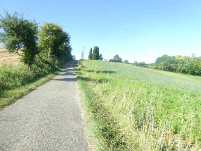
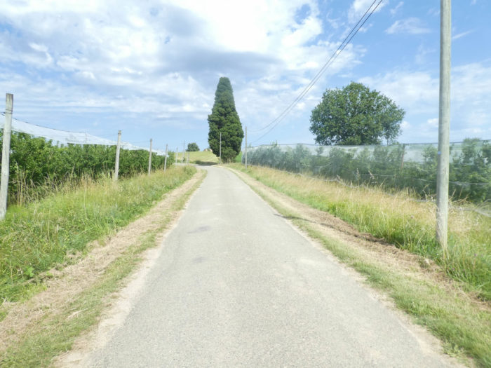
| Further up, the pathway joins the road at a place called Les Tours. From here the paved road is flattens for many miles. Here are the orchards lined up for miles again. The man has stretched his cobwebs here to trap the volatile species. |
 |
 |
| The road crosses cereal fields and orchards, one aligned with the other, then cuts the D16 departmental road. |
 |
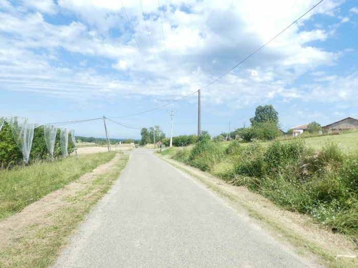 |
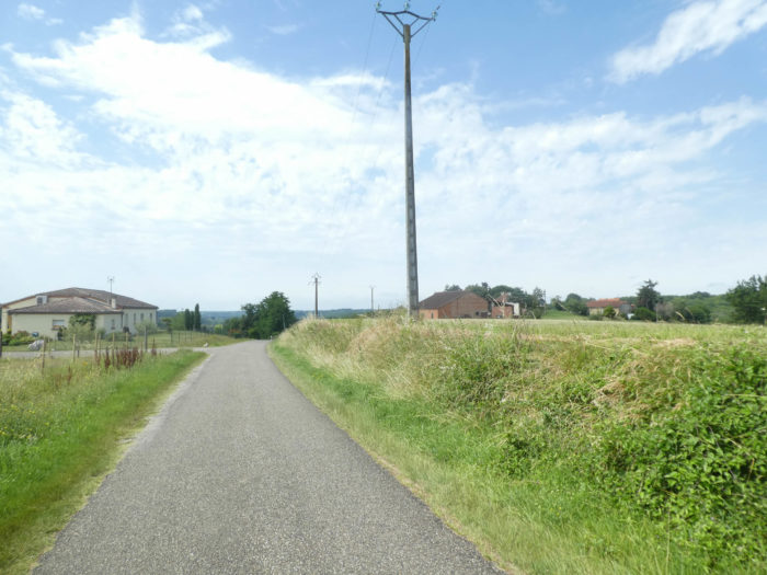
| From there, the road runs long enough between meadows and fields in the plain, before joining St Martin-de-Durfort. The orchards are gradually disappearing in favor of fields of cereals, sunflowers or meadows. Peasants do not cultivate their land at random. The nature of the soil and the various tests attempted by their predecessors dictate the choice. In Tarn-et-Garonne, the soil is primarily limestone, but some soils are heavier or lighter than others. Irrigation also plays a big role. |
 |
 |
| On this small plain, many houses line the road and the surrounding meadows. The climate should not be too harsh around here, since even eucalyptus trees grow. |
 |
 |
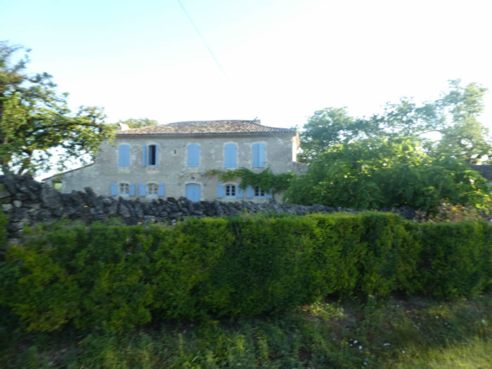
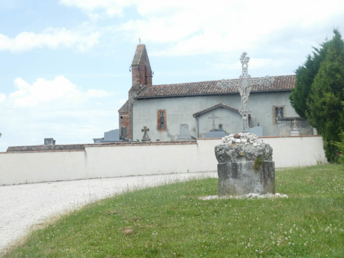
| And the alternation game goes on until you reach the small village of St Martin-de-Durfort and its small chapel, built of stone and brick, respecting the typical layout of old buildings in the department. |
 |
 |
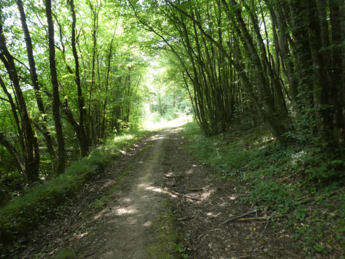
Section 5: Along the Laujol stream, but not only…

General overview of the difficulties of the route: steep slopes, sometimes more than 15%, both downhill and uphill.

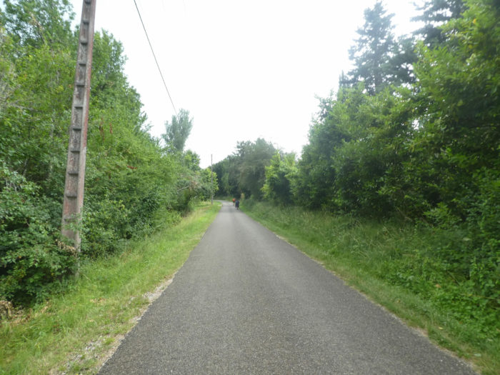
| Beyond St Martin, GR path slightly slopes down on the paved road for more than a long kilometer, in the middle of fields of cereals and meadows, towards the locality of La Baysse. It is on this type of route, where the eye catches nothing in particular, that the pilgrim is waiting for something to happen. But often in vain. |
 |
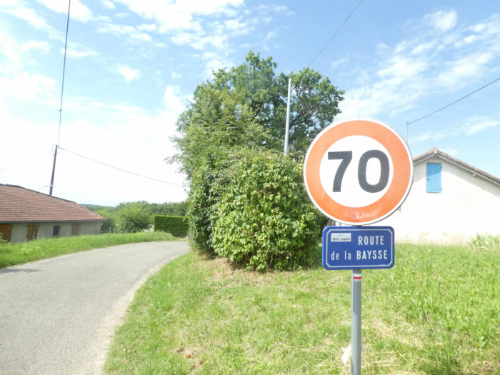 |
| Further down, the road then descends a little more steeply in the middle of the villas of La Baysse. |
 |
 |
| The steepest slope is at the bottom of the descent, before joining the D16 departmental road under the plane trees. |
 |
 |
There, the GR65 passes on the other side of the departmental road on a small pathway which runs along the road.
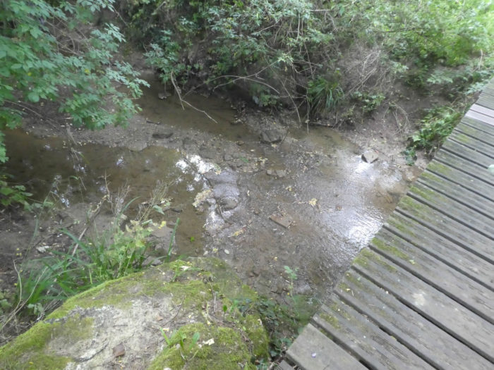
| Quickly, it crosses the Laujol brook, the small stream that winds through the valley and that you will find again at the entrance to Moissac. Here the pathway wanders a bit in the dense and bushy undergrowth … |
 |
 |
… until you find a small paved road that seems to go nowhere, except for the organizers of the new GR65 path. They created a farce from scratch, to put it mildly. Formerly the route flattened in the undergrowth, along the stream, parallel to the road. Yes, there was the very quiet noise of the engines, but that in no way hampered a smooth running. They figured it would be a good idea to spice up the ride a little bit. Why not, if it’s good for exercise! So, let’s go. We will give you our opinion on the matter later.
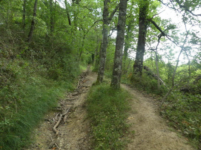
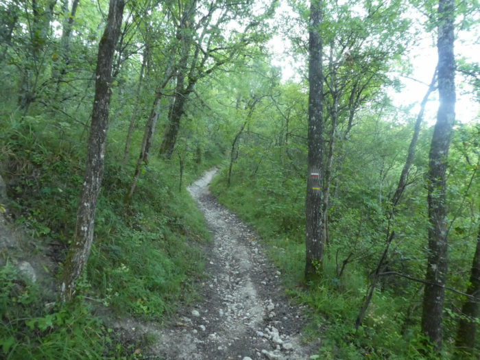
| Immediately, a pathway begins to climb toughly, sometimes more than 20%, in the undergrowth where oaks, chestnuts, maples and large hornbeams crowd together. |
 |
 |
| There is no doubt here, the forest is beautiful. The ground is sometimes less so, on clay. |
 |
 |
| Almost at the top of the climb, you’ll see Teyssières hamlet in the clearing. |
 |
 |
| One more last push, and the pathway arrives on a small plateau in Teyssières. |
 |
 |
| And this is where the fool’s game comes in. Because from here you will have to slope back down, not on a beautiful pathway, but by road for almost half a kilometer to reach the departmental road that you left a short time ago. |
 |
 |
| At the bottom of the descent, you will find the Laujol brook again and the departmental road. You have made an effort for nothing. If you had followed the old GR, you would have arrived here effortlessly, flat, and a much shorter course. Think carefully when you pass through here if you are willing to go the extra mile, which doesn’t add to the charm of the stage. It’s already long enough without that nice joke. |
 |
 |
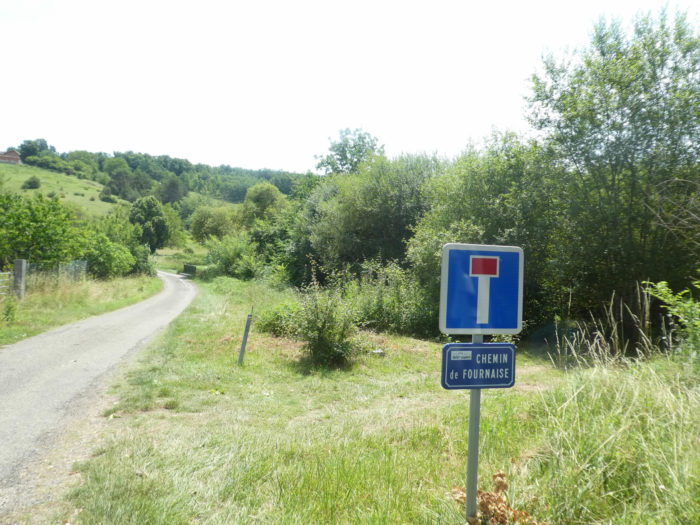
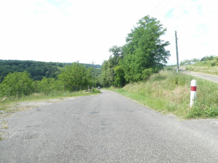
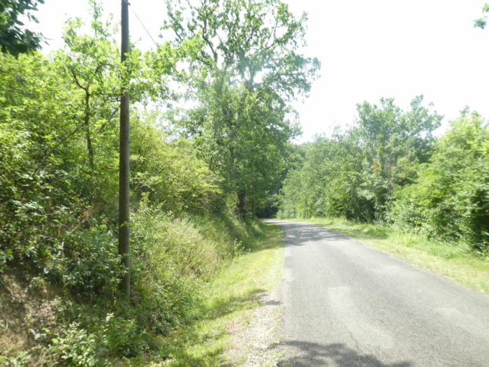
| Further on, as in the past, GR path sets out again on the side of the departmental road, playing with the Laujol brook, until it finds the Chemin de la Fournaise. |
 |
 |
The GR65 follows the road for a few hundred meters, after crossing the stream again, then runs into the meadows.
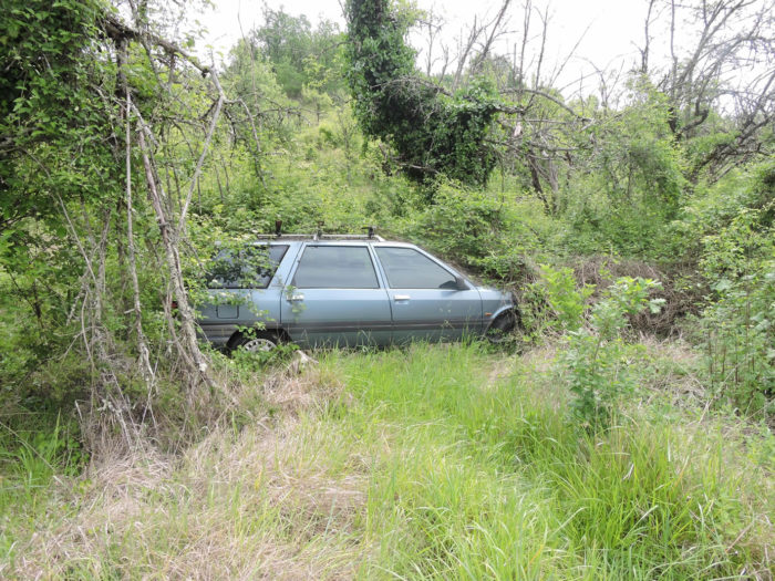
| It runs along the bushy hedges in the meadows. Watch how nature knows how to defend itself. Five years ago a car park flourished here. At all times, some farmers, but not only them, have used the edges of streams to store their waste. To see nature insinuate its foliage through the doors of vehicles is a fair revenge. Today the vehicles have been eaten. We can bet that several centuries from now, archaeologists will describe a fairly exceptional site here. |
 |
 |
| Shortly after, the pathway gradually approaches the forest and begins a steep climb again. |
 |
 |
The pathway is not very stony, but the slope is steep under the oaks and chestnut trees, which populate the forest here.
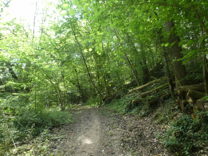
Section 6: Between orchards and undergrowth.
General overview of the difficulties of the route: a few ups and downs without great difficulty.

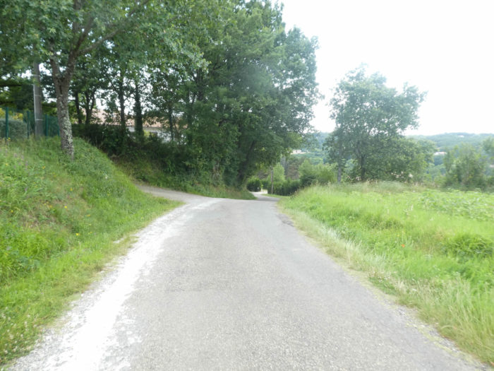
| You have reached now the top of the demanding climb and a wide dirt road leads over the ridge, shaded by oaks and ash trees. |
 |
 |
| The quiet road sometimes runs through semi-countryside, but most often through undergrowth. Be careful, at the end of the dirt road, there is a possible trap when you reach the paved road. The direction sign is badly located, and you will be tempted to continue straight. Many pilgrims get lost here. Te GR65 makes a 180 degree turn in the other direction. |
 |
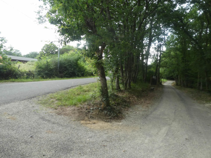 |
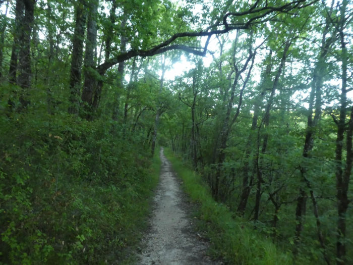
| The road then twists and turns for a long time in the direction of Epsis Church. There is no effort involved here. |
 |
 |
| Sometimes there are pines that make a nick of the hardwoods. But now it starts to rain. The pilgrims put on their spacesuits which look like scarecrows fluttering in the wind. |
 |
 |
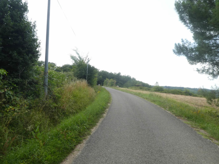
| Further on, the road climbs a little more, heads to the equestrian lodge of Moissac. For people who prefer the narrow strip of grass, the Camino de Santiago is also generous, reserving such space on both sides of the road. |
 |
 |
| At the top of the slight climb, the road runs along the recent housing estates of Epsis. |
 |
 |
| As you approach the church, the slope decreases further. Here again are the beautiful orchards and the Chasselas vines in the countryside. |
 |
 |
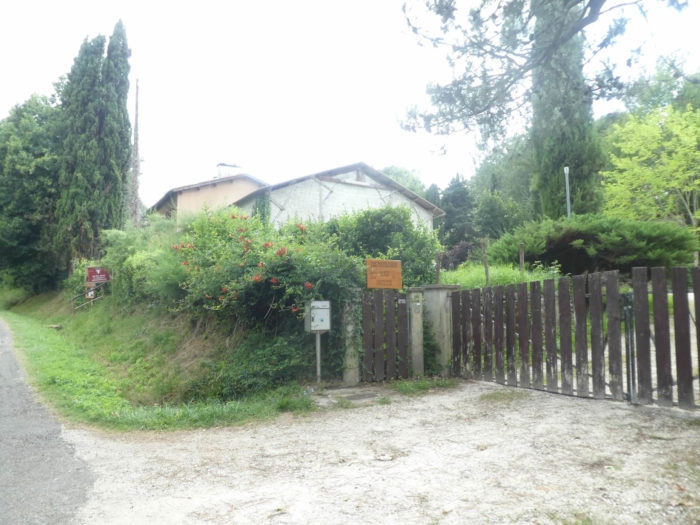
| The Church of Our Lady of the Pines of Epsis stands just off the road, listed in the Historic Monuments section, dating back to the XIth century. There is often a miracle near churches. The storm has passed and the sun is shining on the magnificent steeple wall of the church. There is often another reason why pilgrims stop near churches, other than for religious reasons. There is often a water tap to water the flowers in the cemetery, which is the case here. |
 |
 |
| The road continues to wander a bit on the Epsis plateau … |
 |
 |
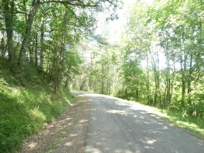
| … before tackling the descent to Moissac. This is not a continuous descent. Sometimes the road even slopes up a little. And both downhill and uphill, the slopes can be marked. |
 |
 |
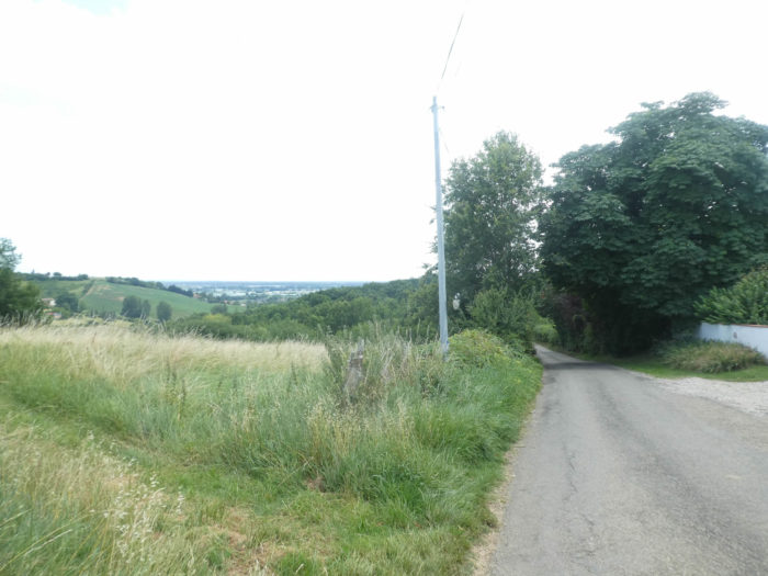
| The road descends along orchards and housing estates. It’s a safe bet that the soil here must be better than elsewhere, allowing the fruits to bloom. Here the vines producing the famous white table grape, the Moissac Chasselas, are still largely absent. The grapes prefer to brown them in the sun on the banks of the Tarn River. The Tarn, its waters can be seen shining on the horizon in the plain. |
 |
 |
| The road approaches Moissac. A little further down, in a land perhaps more ungrateful, fields of sunflowers and soybeans take over in the disorder of the villas. In the plain below you’ll see the canvases of orchards and market gardeners spread out. |
 |
 |
Section 7: On the way to Moissac, on the banks of the Tarn River.

General overview of the difficulties of the route: easy course.
| You’ll soon reach your goal and the slope becomes steeper, more than 10% on the small road which descends towards Moissac. |
 |
 |
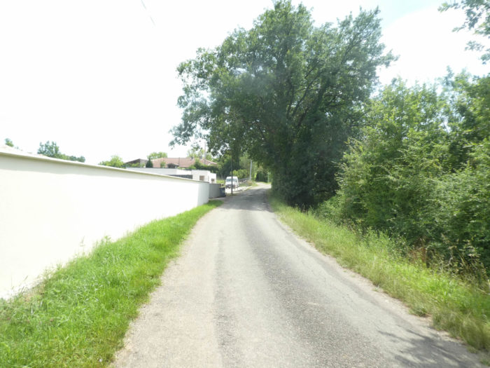
| The road crosses the suburbs of the upper city and approaches an undergrowth, the last of the day. |
 |
 |
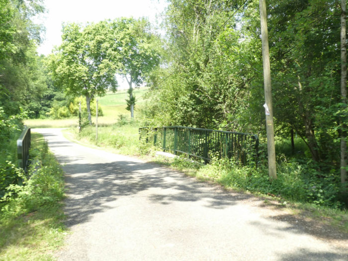
| You then cross back the muddy waters of the Laujol brook on a small bridge. The waters seem to have increased in volume from above. Shortly after, you arrive in the suburbs of Moissac. But you haven’t arrived. You will have to walk nearly two kilometers to reach the city center. |
 |
 |
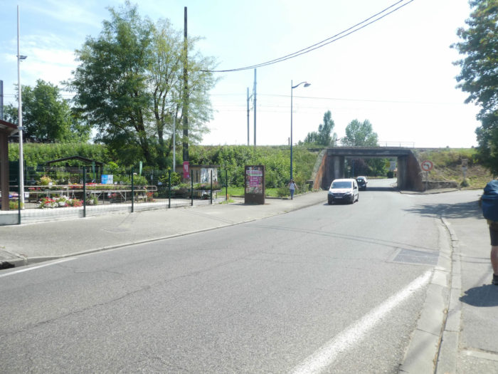
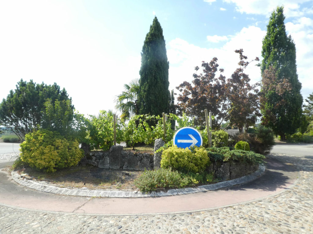
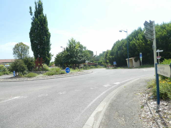
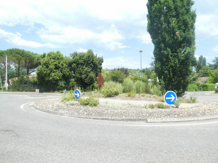
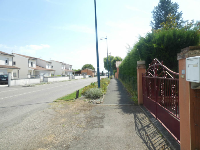
| The transition is suddenly abrupt between the peace of the countryside and the undergrowth and the growing turmoil on the outskirts of the city. At the entrance to Moissac, the track runs from one roundabout to another, along the D957 departmental road. We will say, without biasing the facts too much, that the decorations of the roundabouts are oriented in the direction of the Santiago track.
On the way, you will be offered a variant that allows you to avoid crossing the city. So to speak, no pilgrim goes there. Rather, he prefers to find a bit of the hustle and bustle, shops, restaurants, life whatever. |
 |
 |
| The GR65 does not follow the main axes to enter the city. It runs through the suburbs to find the Chemin des Vignes a little further on, which avoids the town center. |
 |
 |
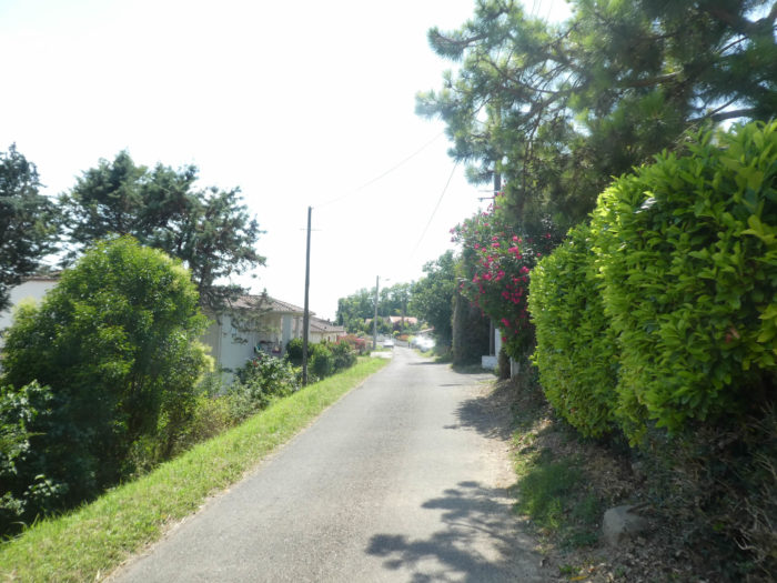
| It is a small road that crosses the peaceful residential areas of the city. At the end of Chemin des Vignes, the course gets near the railway line. |
 |
 |
The GR65 then follows the railway track, before finding a dead end, where there is only one solution, namely to cross the railway track.
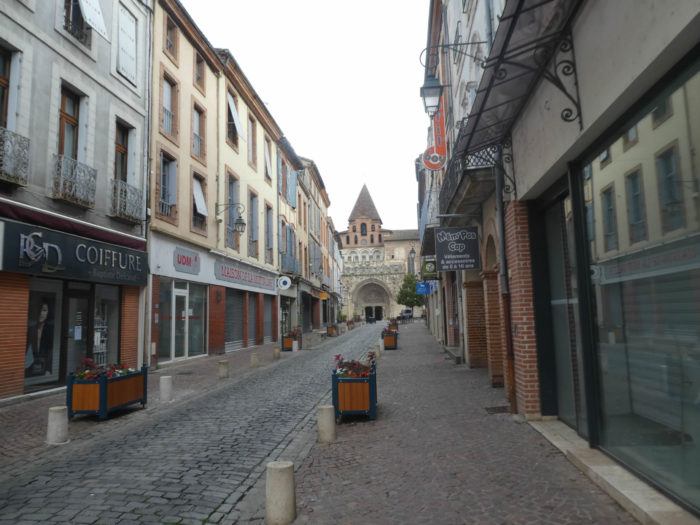
| Here you are a stone’s throw from the Abbey Church of Moissac. |
 |
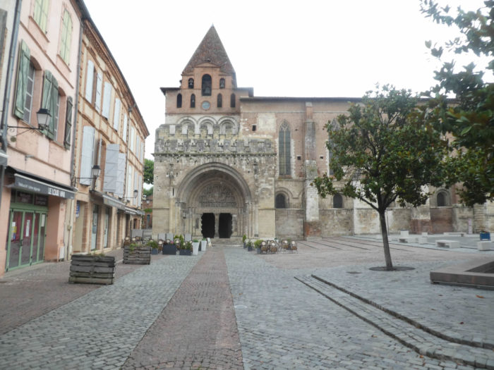 |
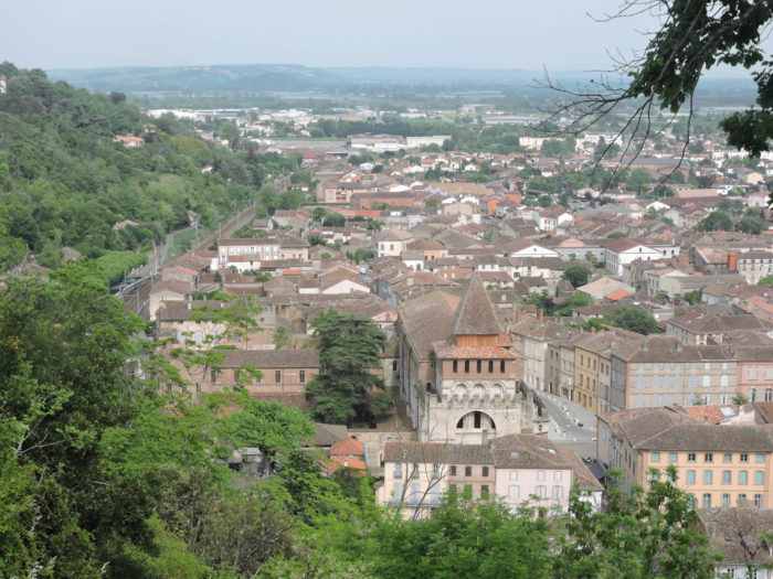
| Moissac (12,500 inhabitants) is a charming little town, near the confluence of Tarn and Garonne Rivers. It is only the second city that the pilgrim crosses after Cahors, from Puy-en-Velay. And again, it’s a small town, crossed right through by the Canal des Deux Mers. |
 |
 |
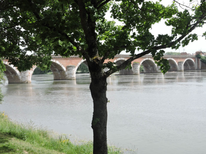
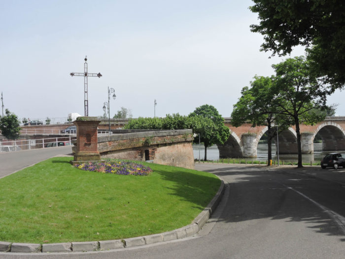
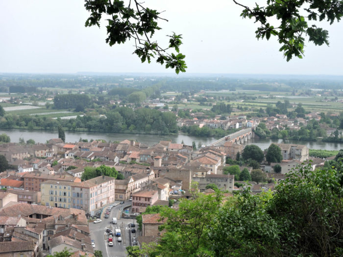
| A little lower down, the magnificent Napoléon Bridge spans the Tarn River at the bottom of the town. Here it is difficult to see in which direction the Tarn River flows, the Garonne River rising its waters in the river. It may look like an old Roman bridge. Nay! This bridge, built at the request of Napoleon I during his visit to Moissac, was completed in 1826 under Napoleon II. The area is home to the old port from which boats loaded with grain and wine left for America. The old mansions are massive. A commemorative plaque recalls that here many Jewish children were taken in during the last war. |
 |
 |
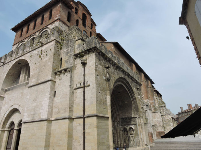
| The portal of the Church of Saint-Pierre, a former XIIth century abbey church, altered over time, is a masterpiece of Romanesque sculpture. The tympanum was used as the backdrop to the famous film “Le Roman de la Rose”, based on the book by Umberto Eco. The steeple porch looks like a fortress. You have to raise your head in the narthex at the entrance to the church to realize the height of the building. The church, consecrated in 1063 by Pope Urban II, has been modified in the Gothic spirit of the region, with its pointed arches. |
 |
 |
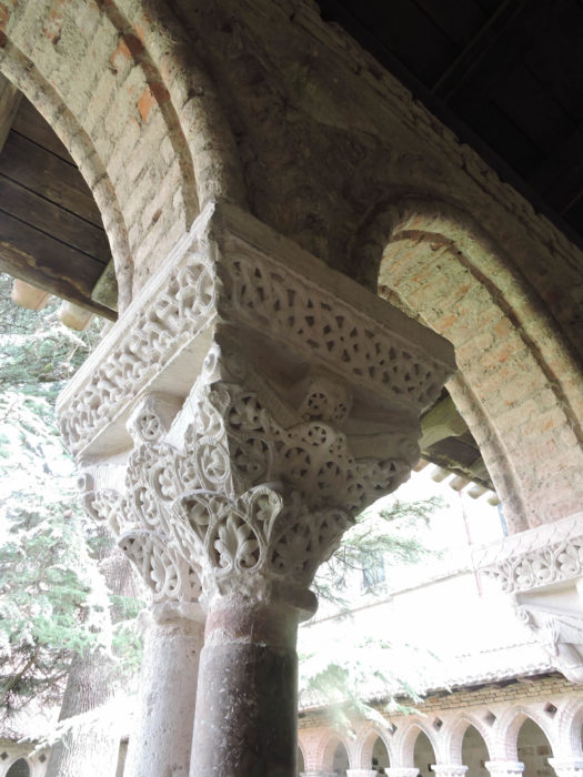
| The XIth century cloister, adjacent to the church, is just exceptional, one of the best preserved in the West. It is especially visited for the delicacy of its 116 marble columns and sculpted capitals illustrating Genesis, the Childhood of Christ, as well as numerous floral and animal themes.
If you are not claustrophobic, do not hesitate to climb the stairs to the high tower to discover the city and the Tarn valley. Obviously, the abbey church and the cloister have been listed as World Heritage by UNESCO since 1998. |
 |
 |
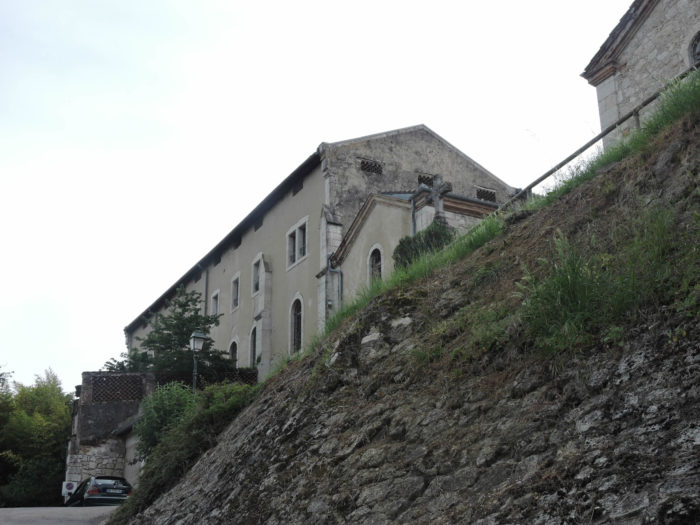
| You have also to be curious to climb above Old Carmel to the belvedere which overlooks the abbey and the cloister. |
 |
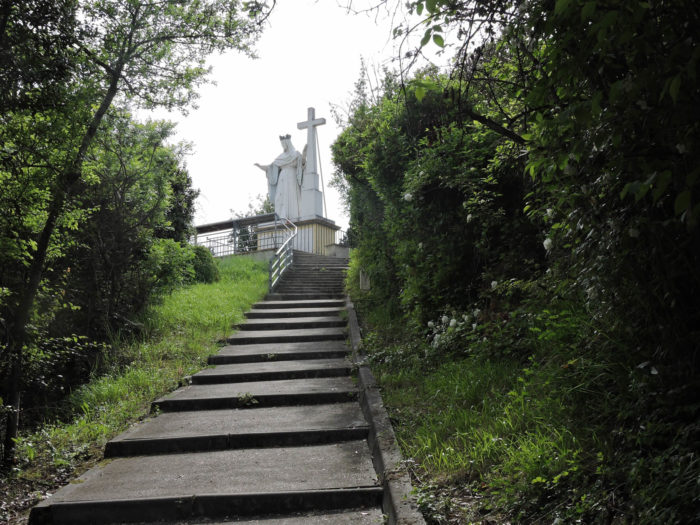 |
| The pathway climbs toughly, that’s for sure. But from there the great cedar of the cloister, almost as high as the bell tower of the cathedral, is but a big bush. The panorama allows you to get an idea of the Tarn plain beyond the Napoleon Bridge. |
 |
 |
Local gastronomy
Moissac Chasselas has been an AOC since 1971. It is a crunchy white grape, with a refreshing pulp and an excellent sweet taste reminiscent of honey. According to legend, Suleiman the Magnificent gave Francis I seedlings of Chasselas, which were first planted at the Château de Fontainebleau. This grape quickly became the dessert of kings. It was in 1857 that the cultivation of Chasselas began in Moissac. People came here for grape cures, which gave the city a great boom, where hotels, restaurants and casinos were built along the Tarn.
The name Chasselas comes from the Burgundian town of Chasselas, near Mâcon in Saône-et-Loire, where the grape is made. Today, 660 hectares are entitled to AOC, over an area stretching from the north-west of Tarn-et-Garonne to the south of the Lot, in Quercy. Today, there are 328 Chasselas producers, for 3,000 to 4,000 tons produced each year. Moissac Chasselas is just a table grape. It is not vinified, which is not the case with Chasselas from the Loire Valley which gives part of Sancerre, and that of the cantons of Valais and Vaud in Switzerland, which provide most of the white wines. from this country.
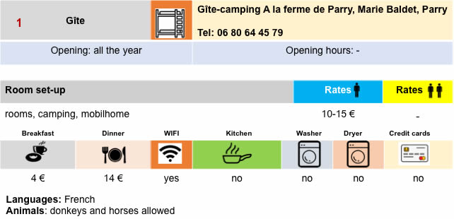
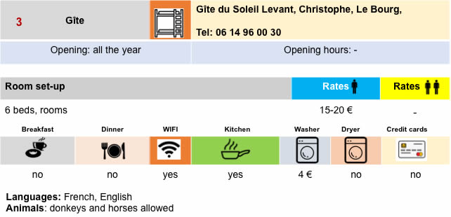
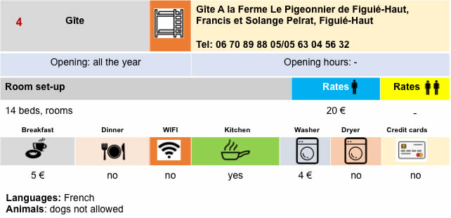
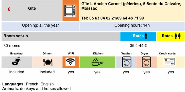
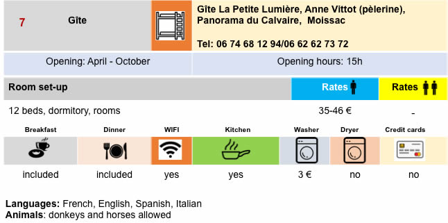
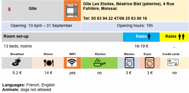
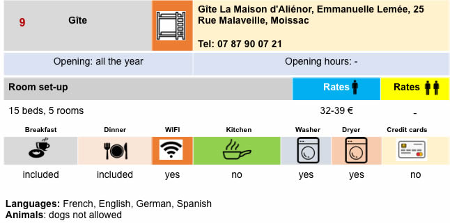
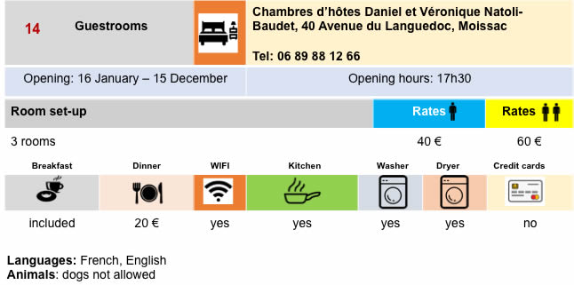
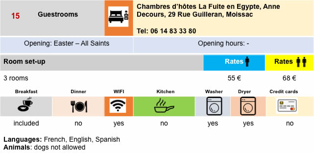
Lodging