
Between the Lot and the Célé, along UNESCO celebrated paths
DIDIER HEUMANN, MILENA DALLA PIAZZA, ANDREAS PAPASAVVAS
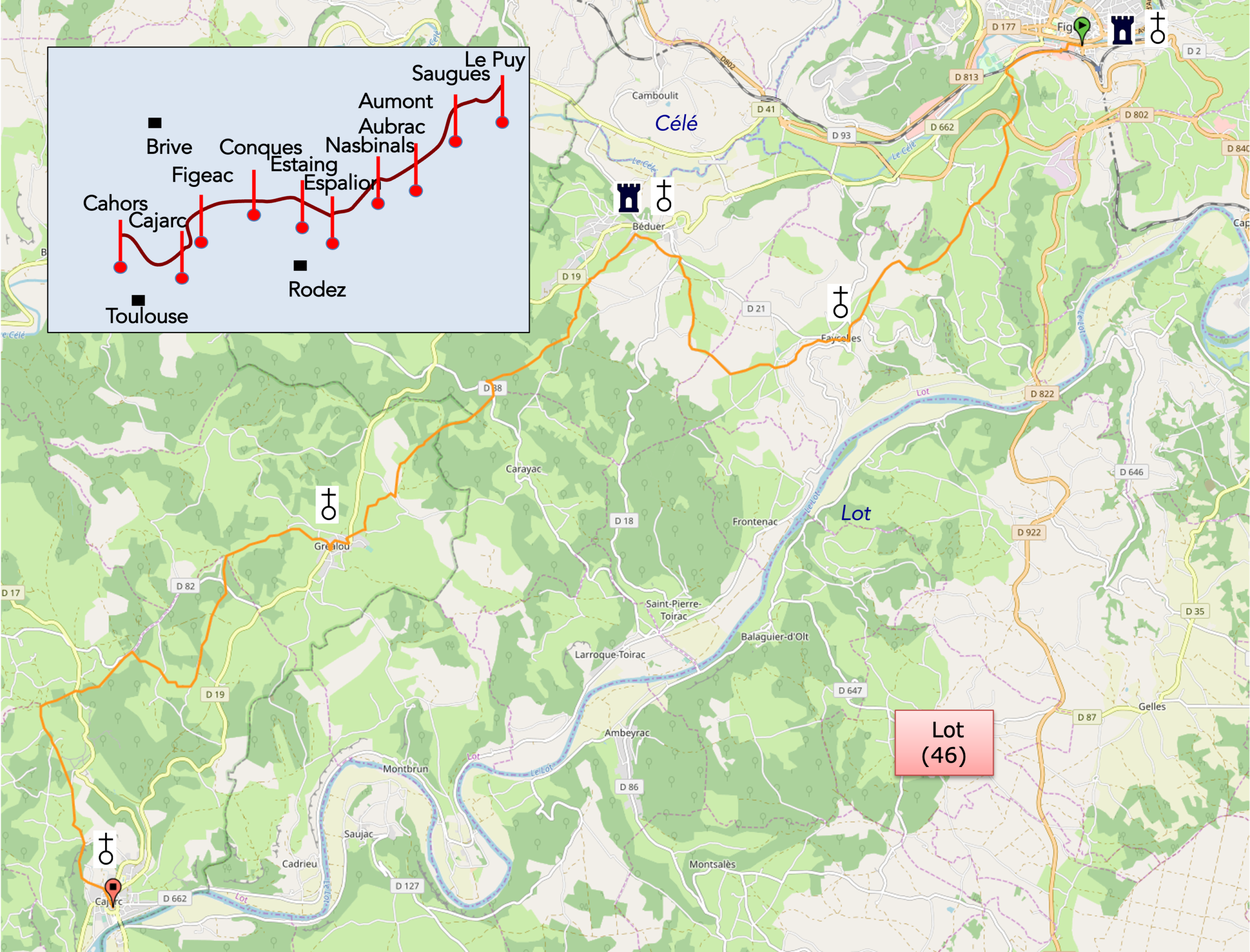
We divided the course into several sections to make it easier to see. For each section, the maps show the course, the slopes found on the course, and the state of the roads. The courses were drawn on the “Wikilocs” platform. Today, it is no longer necessary to walk around with detailed maps in your pocket or bag. If you have a mobile phone or tablet, you can easily follow routes live.
For this stage, here is the link:
https://fr.wikiloc.com/itineraires-randonnee/de-Cajarceac-a-cajarc-par-le-gr65-30115420
|
Not all pilgrims are necessarily comfortable using GPS devices or navigating with a smartphone, especially since there are still many areas without Internet access. That is why, to make your journey easier, a book dedicated to the Via Podiensis from Le Puy-en-Velay to Cahors is available on Amazon. Much more than a simple practical guide, this book accompanies you step by step, kilometer after kilometer, providing all the information you need for smooth planning and avoiding unpleasant surprises. Beyond its practical advice, it immerses you in the enchanting atmosphere of the Camino, capturing the beauty of the landscapes, the majesty of the trees, and the very essence of this spiritual adventure. Only the pictures are missing, everything else is there to transport you. In addition, we have also published a second book which, with slightly fewer details but all the essential information, covers the entire route from Le Puy-en-Velay to Saint-Jean-Pied-de-Port. The choice of your journey is yours. . |
|
 |
 |
If you only want to consult lodging of the stage, go directly to the bottom of the page.
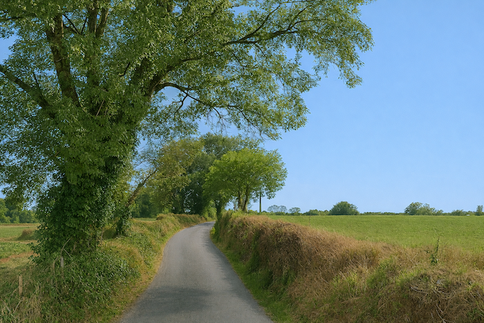
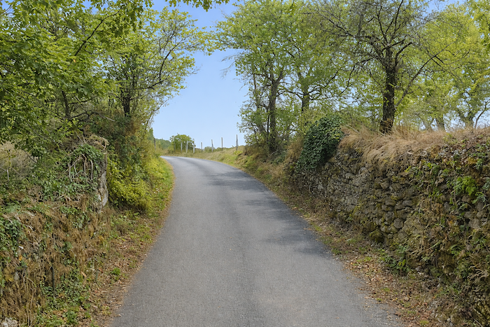
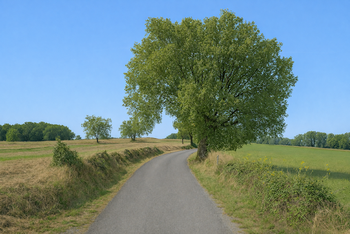
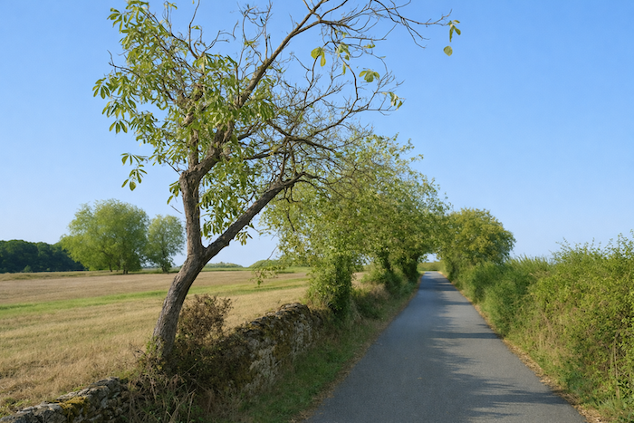
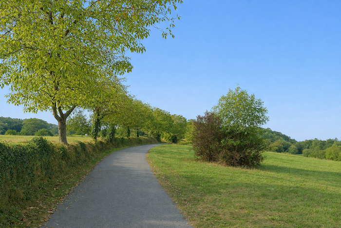
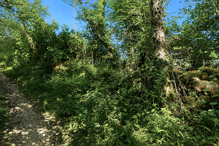
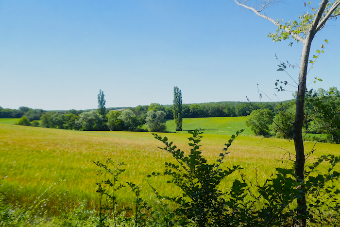
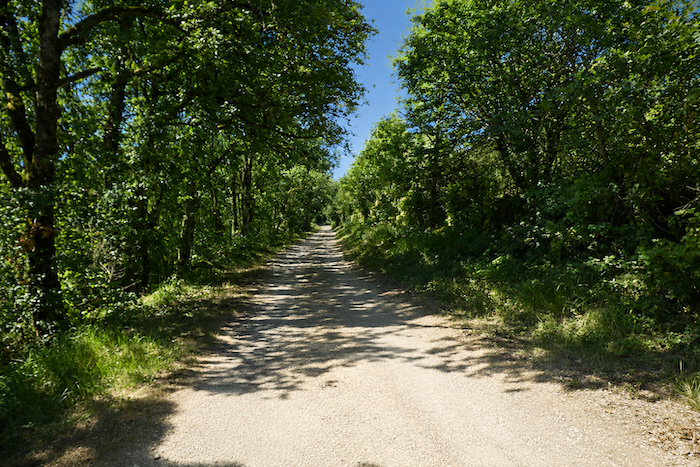
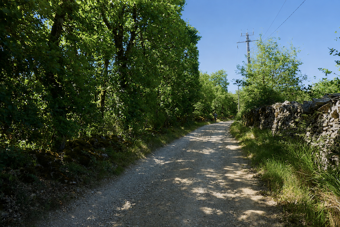
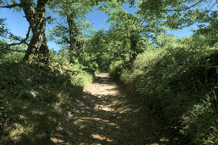
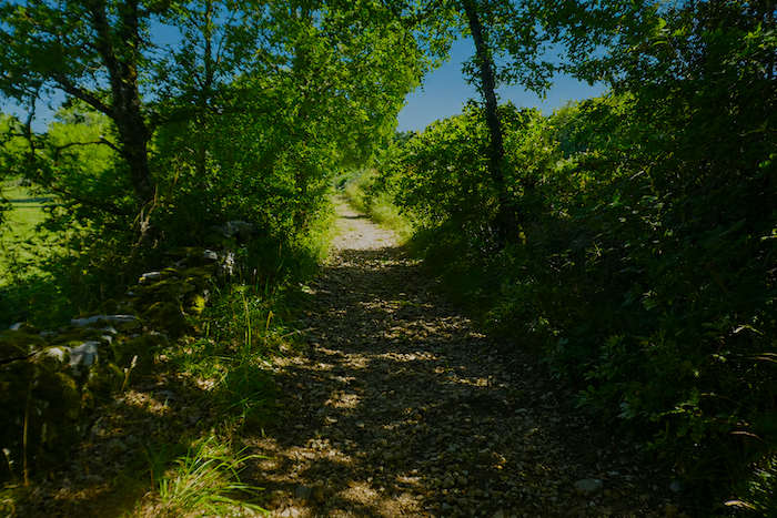
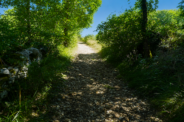
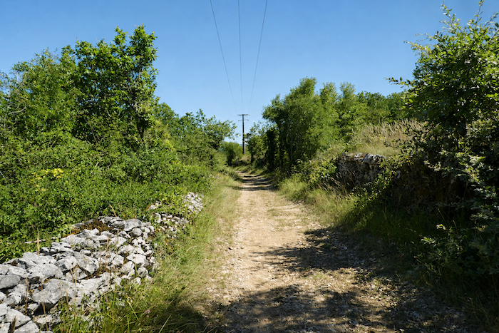
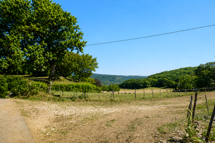
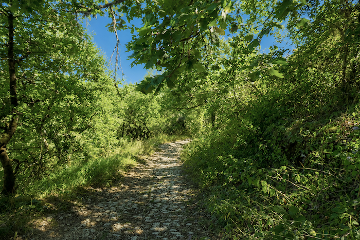
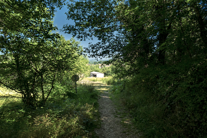
You are now entering the causses, a land of dry limestone plateaus overlooking greener canyon valleys. The two most important causses in this region are the Causse de Gramat, near Rocamadour, and the Causse de Limogne, across which much of today’s route unfolds. Both belong to the Regional Natural Park of the Causses du Quercy. But what exactly is a causse? The word comes from the Occitan Cauce, meaning lime, or limestone. Contrary to what is often believed, its origin is more cultural than geological. It is therefore a rural term referring to the eroded limestone plateaus and the upper slopes of the valleys carved by the rivers of the Massif Central, where livestock farming has long been the dominant activity, together with modest cereal cultivation, including triticale, barley, and some wheat. Geologists describe this landscape as karst terrain. A karst is generally a fractured and fissured limestone massif through which water flows beneath the surface. It is worth saying a few words about karst itself. Although the term may sound unfamiliar, it comes from a region of Slovenia renowned for the remarkable diversity of its limestone formations. In France, what is known locally as a causse is, from a geological point of view, a karst landscape. In karst regions, instead of flowing across the surface as it does in many other places, rainwater seeps underground, gradually dissolving the limestone. Over thousands of years, this process creates an intricate network of caves, caverns, and underground rivers. The famous Padirac Chasm, near Rocamadour, is perhaps the finest example. Sadly, the route from Figeac to Cajarc will not allow us to admire these extraordinary natural wonders. Instead, we shall cross wide, austere limestone plateaus, occasionally broken by shallow valleys.
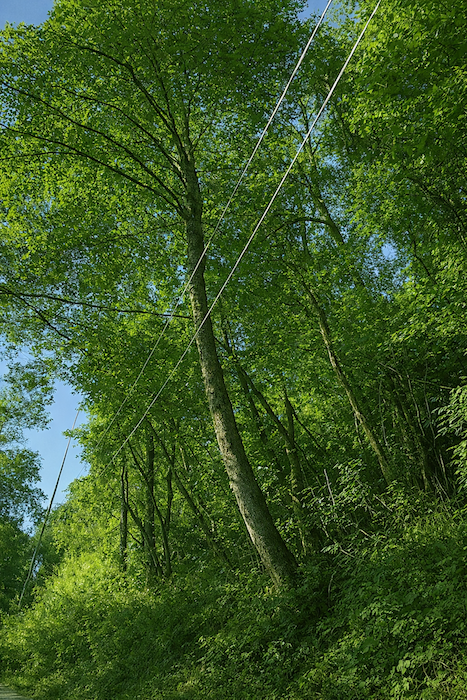
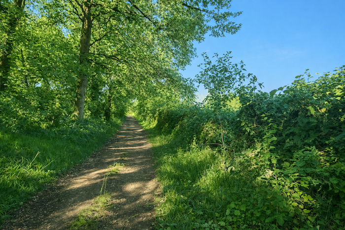
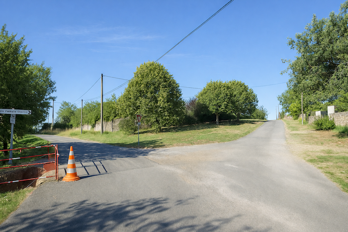
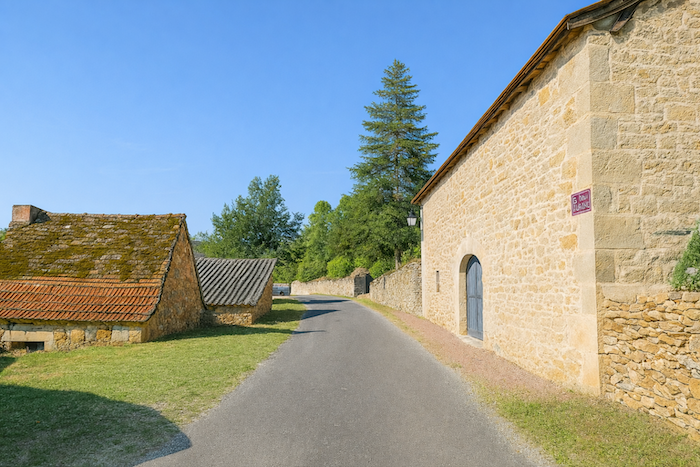
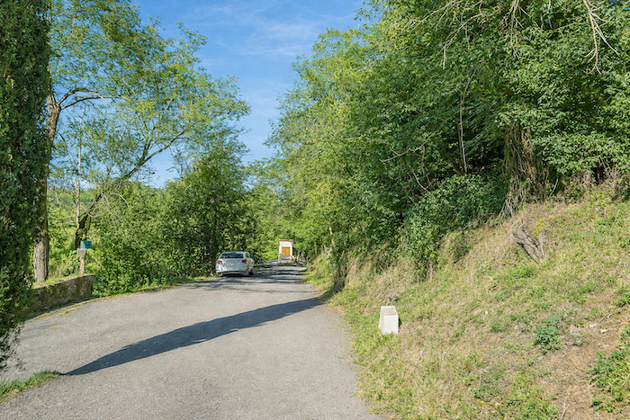
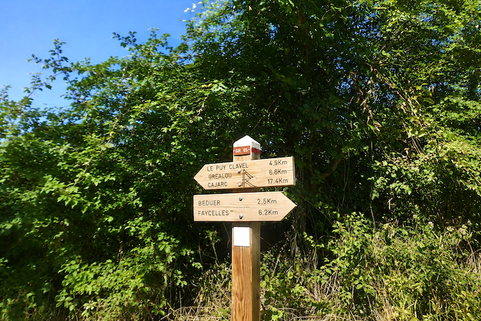
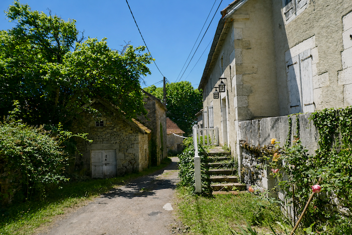
Shortly after leaving Figeac, when the pilgrim reaches Béduer, an important decision awaits. One option is to remain on the GR65, the traditional pilgrimage route. The other is to follow the GR651, the alternative route through the Célé Valley. Today we shall stay on the GR65. Up to Béduer, both routes follow the same course. The Célé Valley variant will be described in another chapter. Today’s route lies between the Célé and the Lot, across the Causse de Limogne, also known as the Causse du Quercy. From here until Cahors, you enter an immense oak forest.
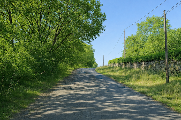
These are not the elegant cork oaks of southern France, but mostly small, twisted downy oaks, hardy trees that have adapted to the harsh limestone plateau. Their shade, however, is a welcome companion for the pilgrim making steady progress along the path. From time to time, where the forest opens, farming and grazing reclaim patches of the plateau.
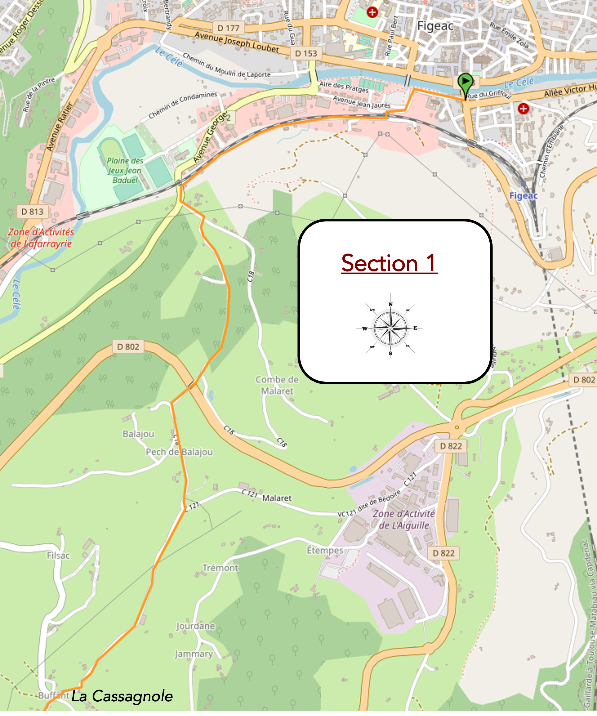
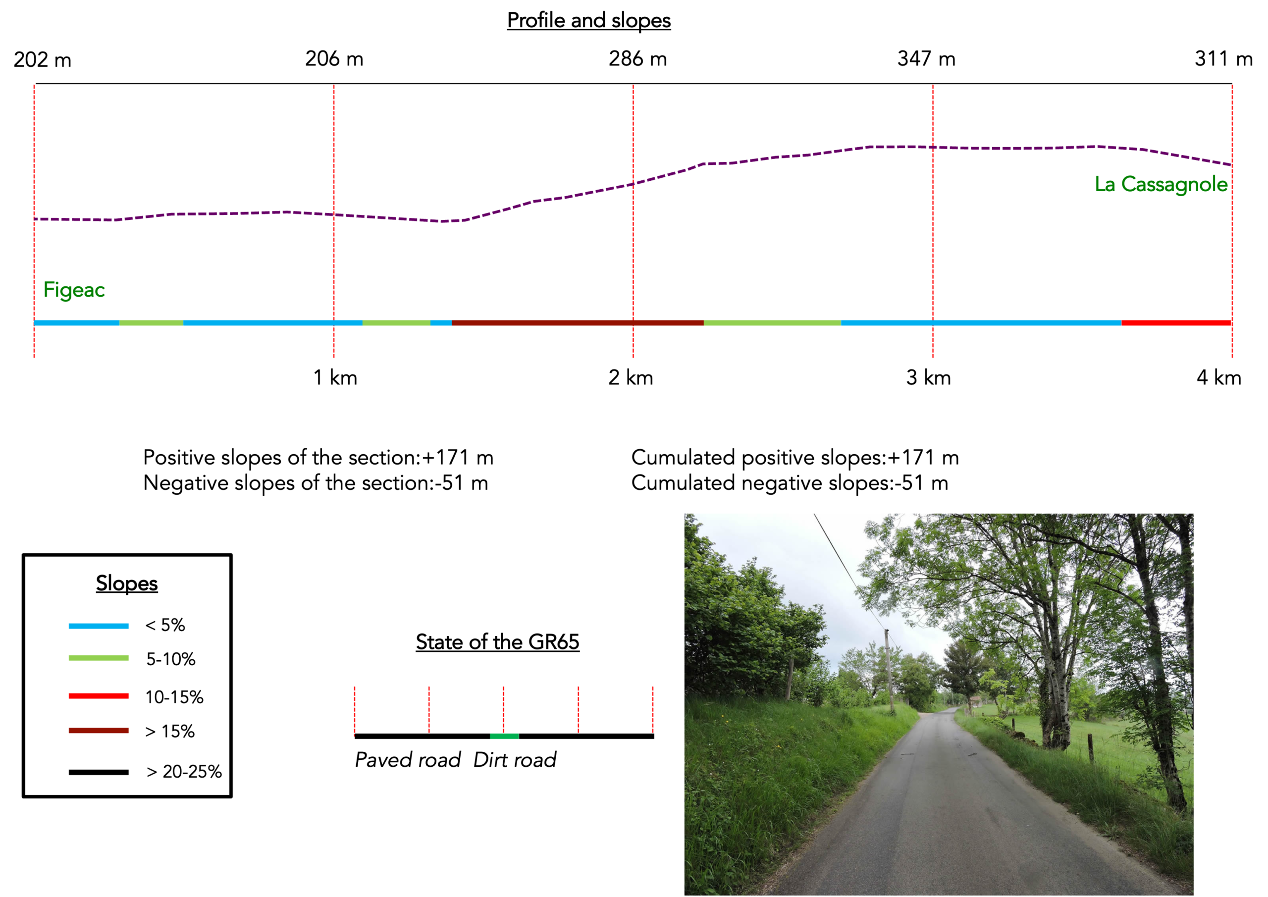
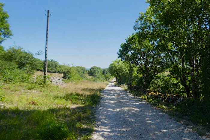
In the past, the GR65 climbed above Figeac to reach L’Aiguille du Cingle, where a fine obelisk still stands beside what is now an industrial estate. From there, a small country road continued across the countryside towards La Cassagnole. The route has since been modified to avoid the industrial area, and today the GR65 follows a different path before reaching La Cassagnole.
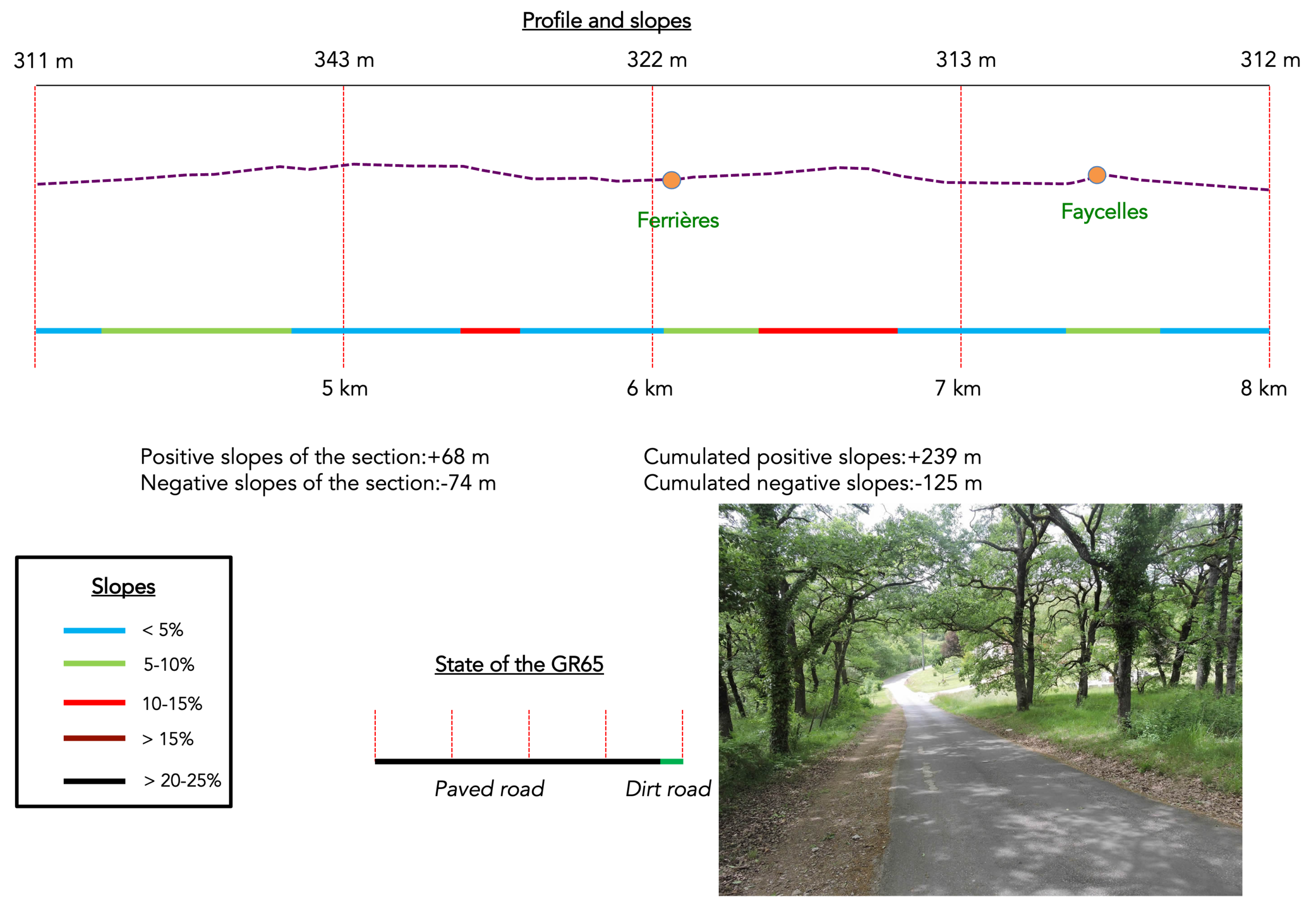
Difficulty level: Today’s elevation changes (+595 meters/- 618 meters) are substantial, especially over such a long stage. There is almost as much climbing as descending. Apart from the steep climb leaving Figeac and the descent into Cajarc, however, this stage presents few real difficulties. Across the causse, the altitude generally varies between 300 and 400 meters.
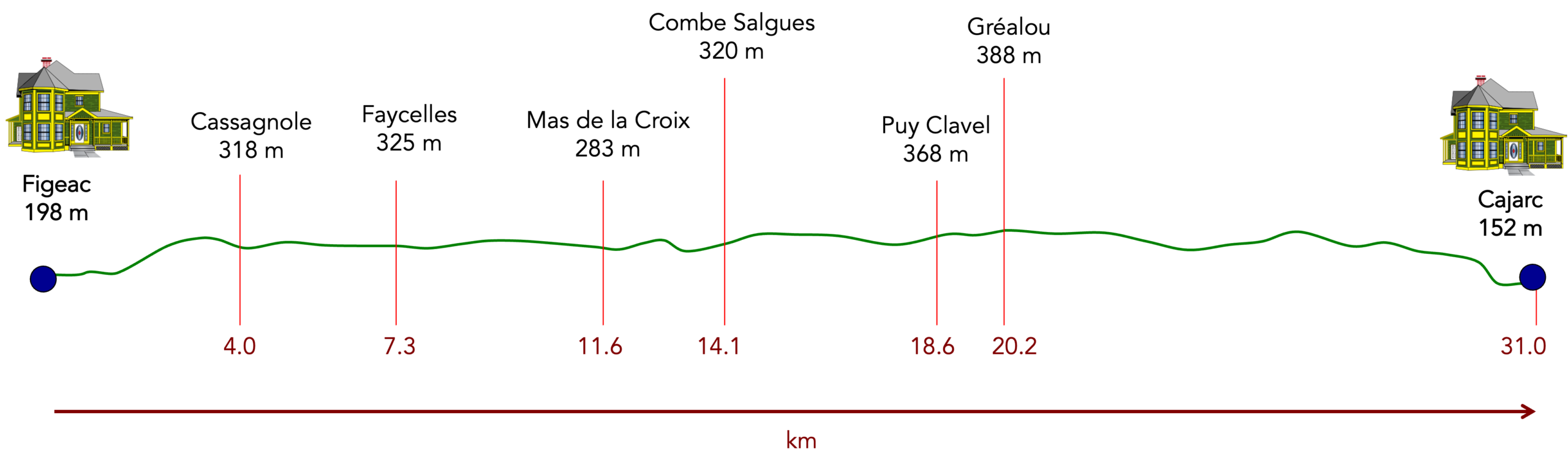
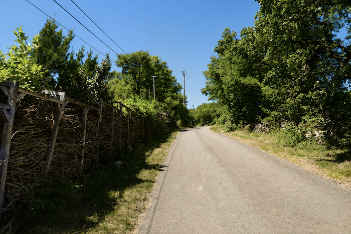
State of the GR65: Today you will spend more time on paved roads than on earth tracks. Fortunately, the finest part of the route, across the causse, follows magnificent woodland paths for much of the way:
- Paved roads: 17.9 km
- Dirt roads:13.1 km
Sometimes, for reasons of logistics or housing possibilities, these stages mix routes operated on different days, having passed several times on Via Podiensis. From then on, the skies, the rain, or the seasons can vary. But, generally this is not the case, and in fact this does not change the description of the course.
It is very difficult to specify with certainty the incline of the slopes, whatever the system you use.
For « real slopes », reread the mileage manual on the home page.

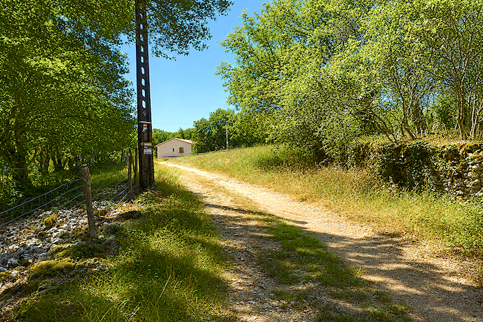
Section 1: Climbing back up to the high plateau
General overview of the route’s challenges : some demanding slopes.
|
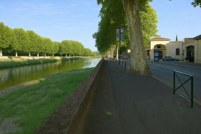
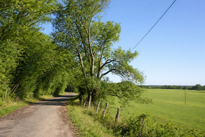
The Célé River, calm and blue, unrolls its quiet ribbon at the heart of the valley. It glides between the banks like a peaceful dream. The GR65, faithful companion of the river, follows its course for a while before leaving it, brushing past the bridge where the water seems to hold its breath. |
|
 |
 |
|
Soon the route crosses the river. On the opposite bank it stretches forward in quiet steps along an empty parking area still half asleep, a timid reminder of modern life in this almost suspended landscape. |
|
 |
 |
|
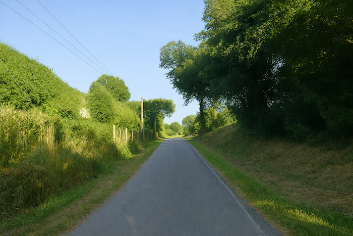
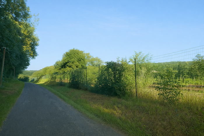
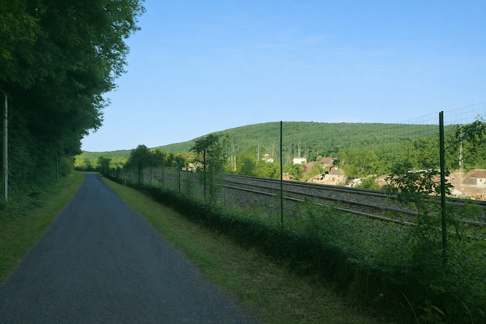
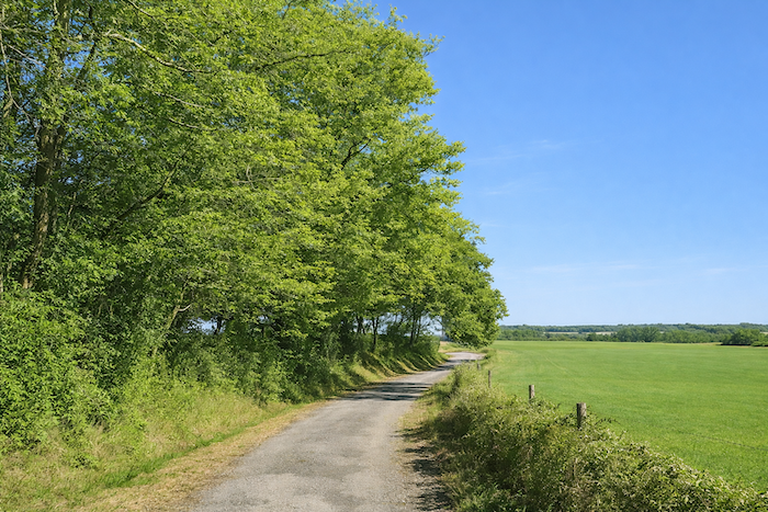
For a long time, the road follows the railway line, stubborn and patient, as if reluctant to move away from it. |
|
 |
 |
 |
 |
|
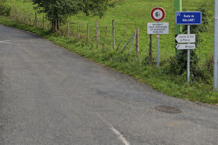
Then suddenly it turns left onto the Road of Malaret, leaving the company of iron for that of stone and wild grasses. |
|
 |
 |
|
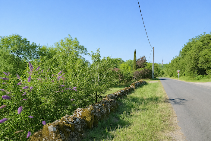
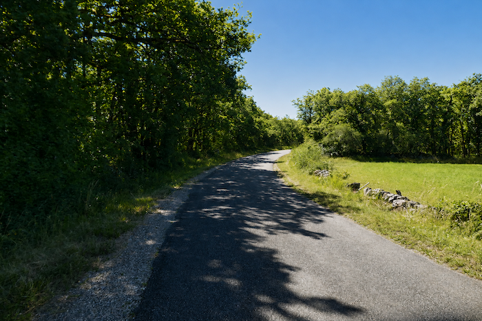
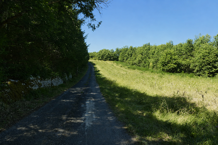
But the easy part is over, and the road suddenly rears up. Here comes the feared rise, a climb without compromise that puts the walker to the test. The slope must be faced head on, step by step up the “Combe de Malaret”, where the land rises sharply as if to test the determination of those who tread upon it. In the hollow of the combe the day slowly awakens. Mist loosens its threads over the meadows, the animals stir, and the bells of the cows ring like scattered notes in the fresh air of the morning. Everything breathes the promise of a new day. |
|
 |
 |
|
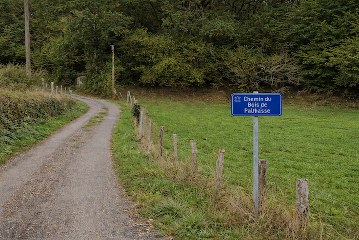
Soon the route leaves the Road of Malaret to its own destiny and turns right onto the “Path of the Bois de Pailhasse”. |
|
 |
 |
|
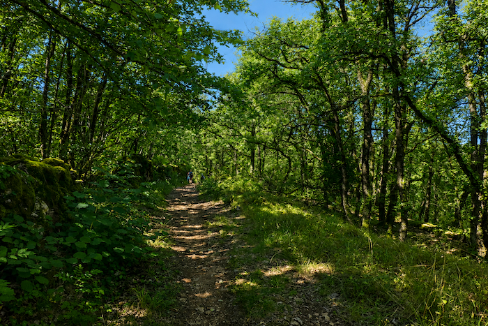
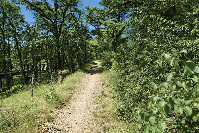
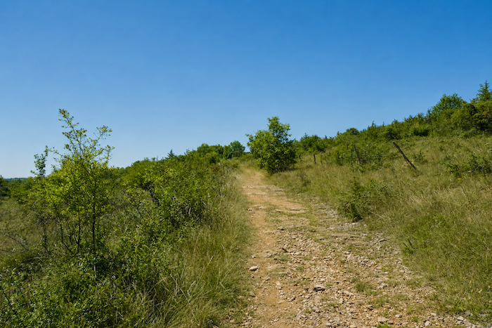
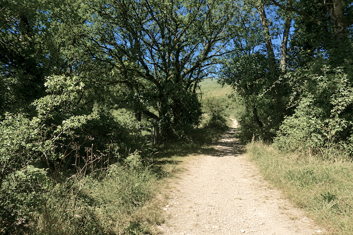
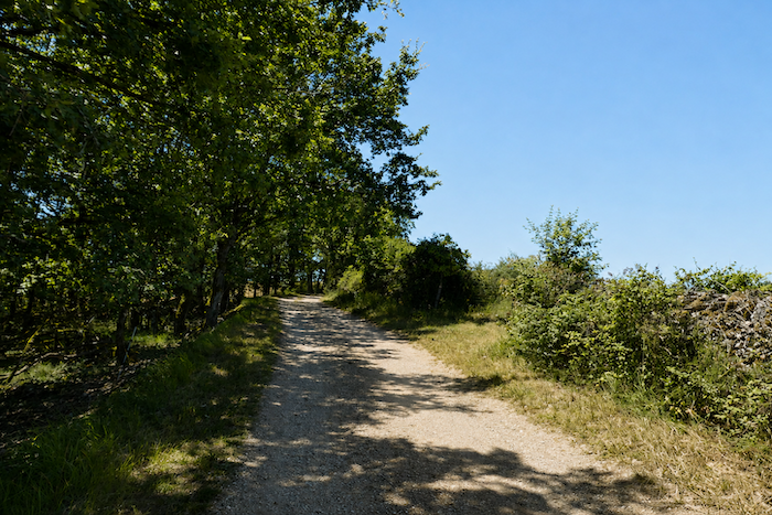
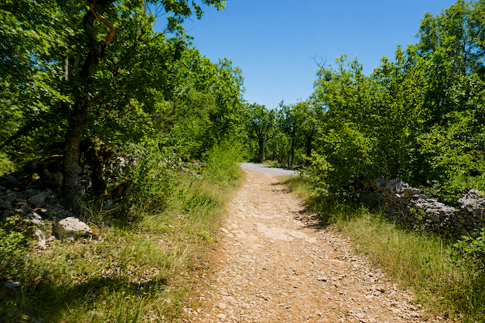
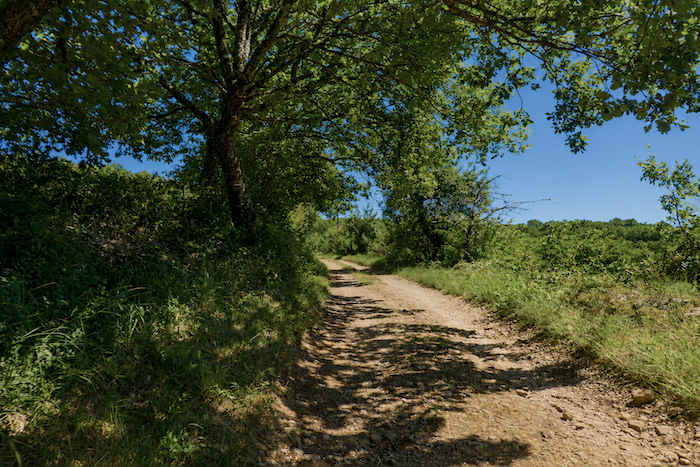
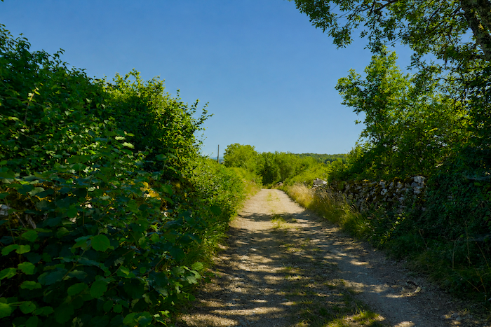
The GR65 begins its demanding ascent on an eroded road surface, half devoured by time. Numerous oaks raise their powerful silhouettes, guardians of these stony causses. Among them a few maples and tall hornbeams break the monotony of the foliage, lifting their crowns above the tangled undergrowth. |
|
 |
 |
 |
 |
|
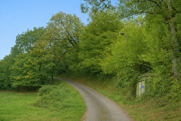
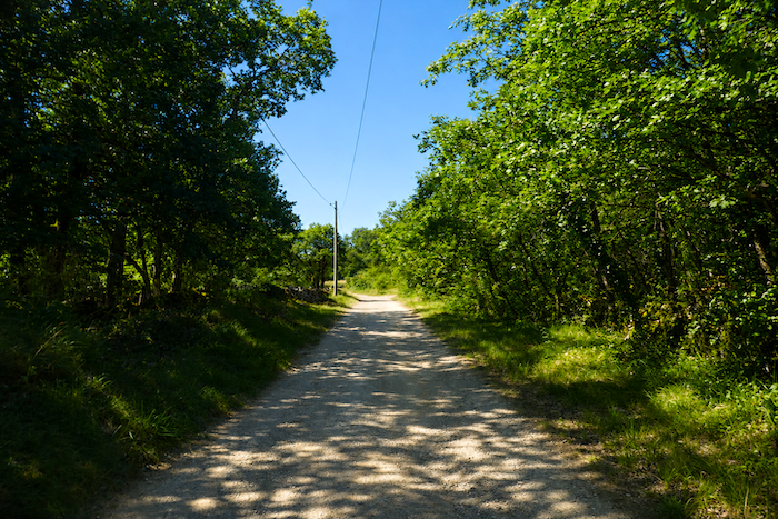
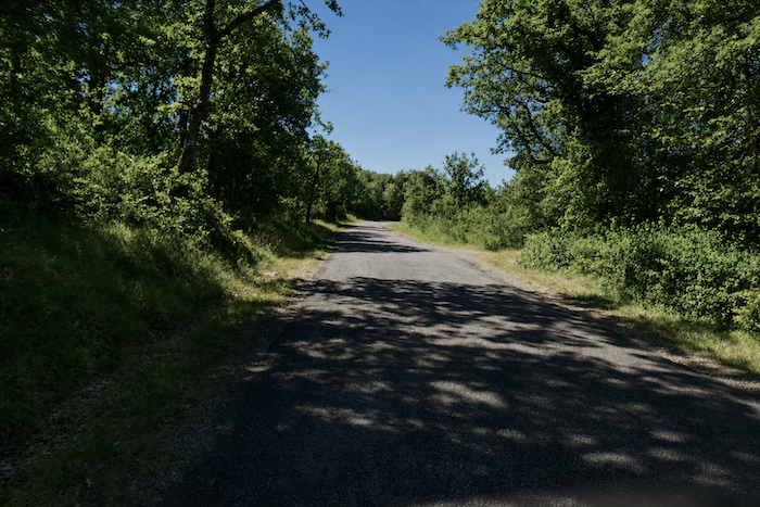
Higher up, the GR65 leaves the asphalt and enters a woodland. The path, almost flat at first, deceives the walker with an illusion of rest. Soon the slope returns, relentless, reaching 20% and reminding the walker that every reward must be earned. |
|
 |
 |
|
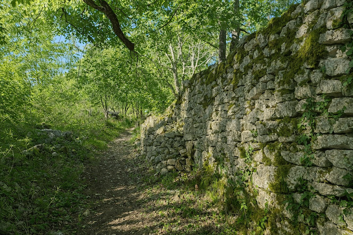
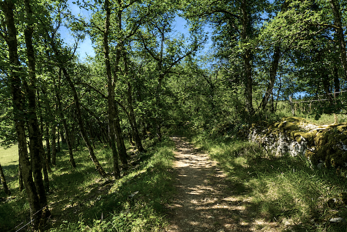
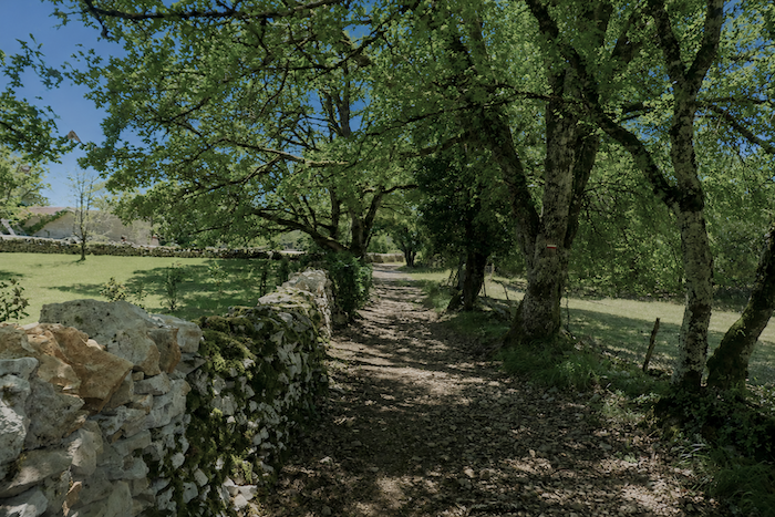
Beneath the trees the path becomes stony, faithful to the harsh nature of the causse. Stone walls line the way, crowned with moss and lichen, silent witnesses of past centuries. They frame the path like green and damp guardians of a mineral kingdom. |
|
 |
 |
|
One more effort and the woodland suddenly opens. |
|
 |
 |
|
The walker emerges into the light, reaching a small road that overlooks the main departmental road D802. The view widens and the air circulates freely again. |
|
 |
 |
|
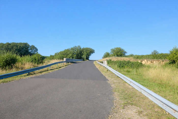
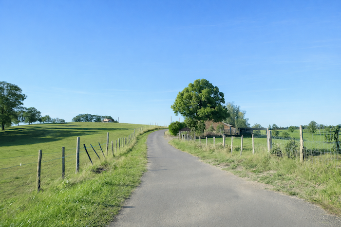
The road still climbs, but the slope softens and the steps grow lighter. The road winds peacefully toward Balajou. |
|
 |
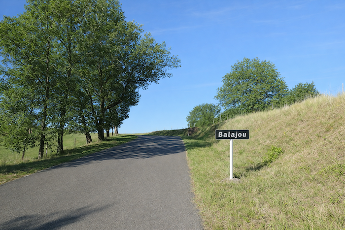 |
| Balajou is not really a hamlet, only a few scattered farms lost in the wide fields. | |
 |
 |
 |
 |
|
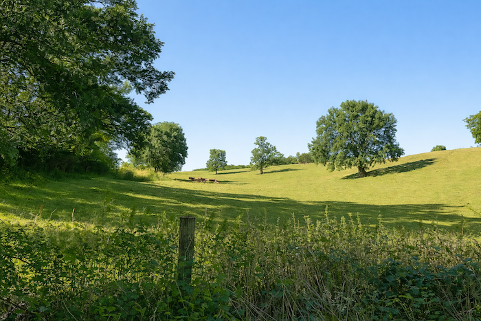
Here and there a solitary oak or ash tree stands like a silent sentinel of the landscape. The silence here is not empty, it breathes the slow life of the countryside. |
|
 |
 |
|
Higher up, the GR65 joins the small road that leaves Malaret and heads toward . |
|
 |
 |
Under the oaks and along thick hedges the old line of the GR meets the new variant again. The two routes greet each other and merge before continuing together.
|
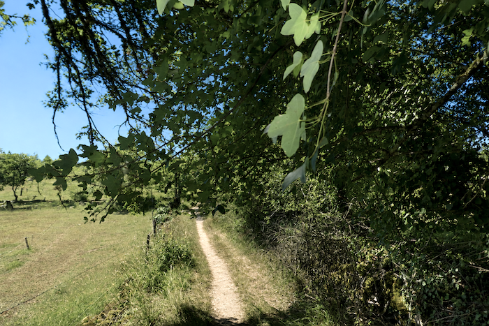
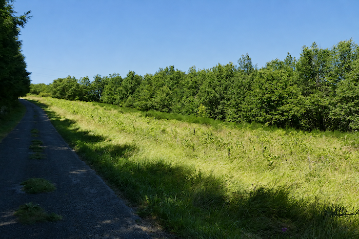
After the climb the body asks for a pause. The walker catches his breath while the road undulates gently through the meadows, dotted with a few groves, as if rocking the fatigue away. These are above all pastures, and cultivated fields are rare. |
|
 |
 |
|
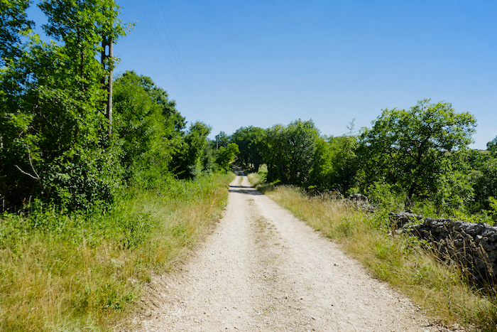
It is not a busy road. It slopes up slowly and gently for a long time toward the summit of the hill. It is a suspended moment, a quiet balance before the descent. |
|
 |
 |
 |
 |
|
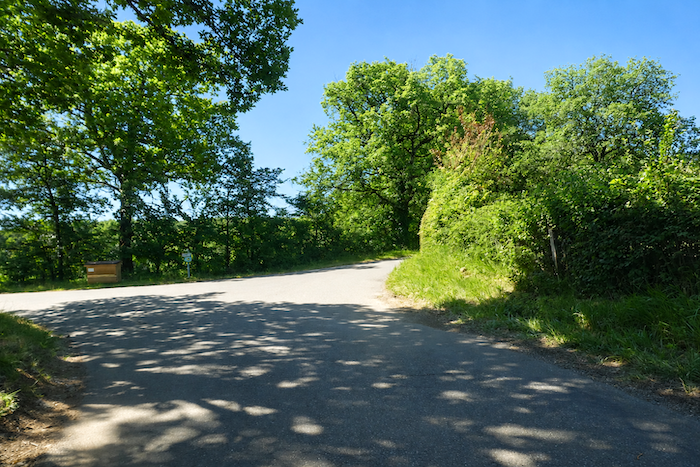
Then the slope becomes steeper on the way down. The road plunges toward the crossroads of La Cassagnole, where life quietly murmurs. Already you sense the presence of the villages ahead and the promise of rest. |
|
 |
 |
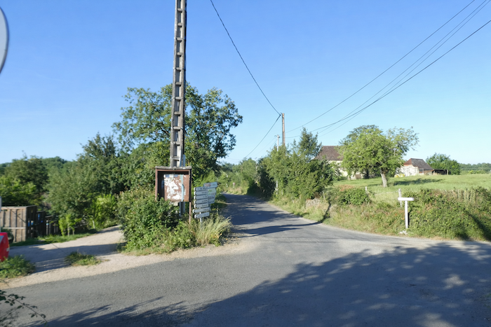
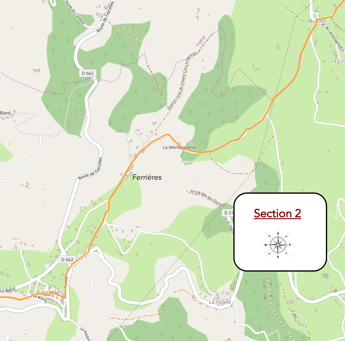
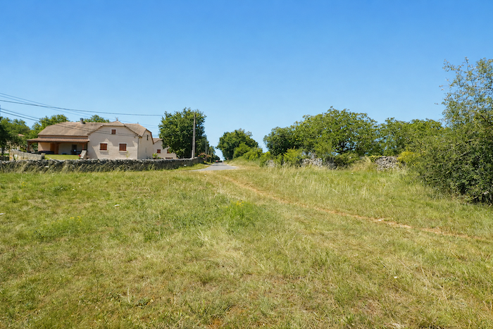
Section 2: Toward the small jewel of the village of Faycelles
Overview of the route’s challenges : a course without major difficulty, on road surfaces.
|
At the fork of La Cassagnole, the road climbs toward a peaceful and deeply rural landscape. Everything here breathes the gentle calm of the uplands. |
|
 |
 |
 |
|
|
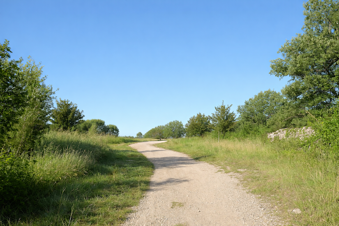
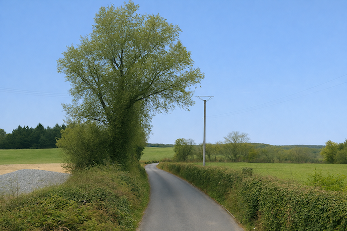
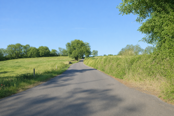
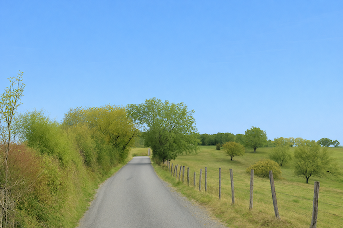
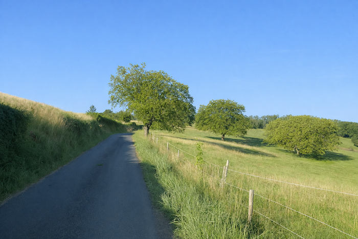
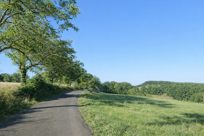
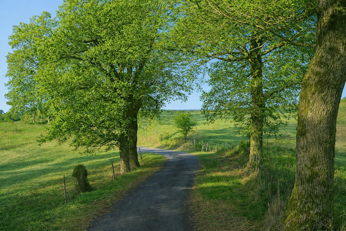
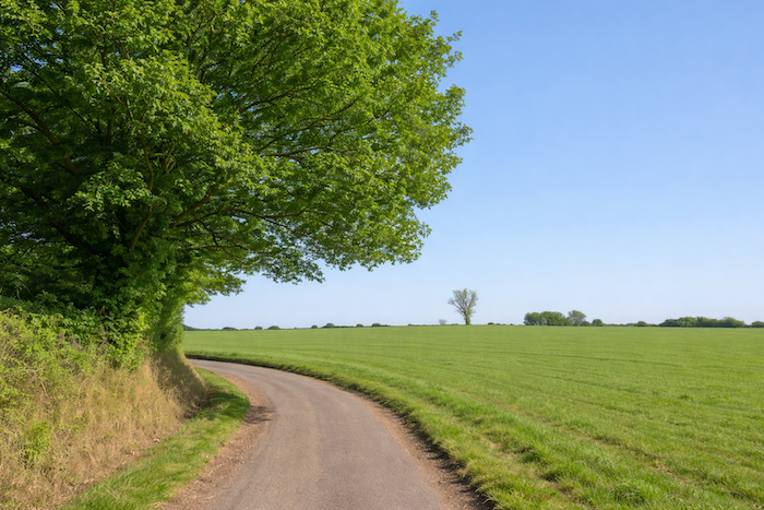
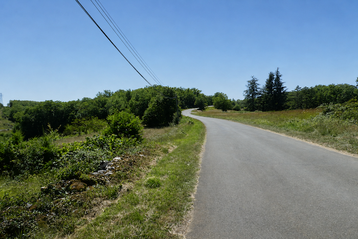
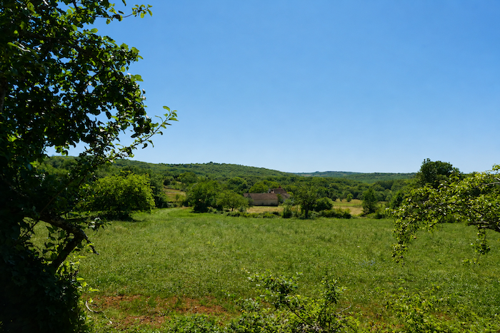
It is a kind of high plateau where meadows of tender green stretch wide, sometimes interrupted by the solitary silhouette of an ash tree or, more often, by the generous presence of a great oak spreading its shade. Walking finds its rhythm along this strip of asphalt that seems to extend endlessly. Sometimes, far on the horizon, you can see tiny silhouettes of pilgrims, moving like small beads along the thread of the route, walking in silence or in small groups. The road climbs with a gentle slope, winding toward the top of a hill and wandering between the meadows, indifferent to time. Only a few vehicles pass, eager to reach Figeac, because this road is the vital link between Faycelles and Figeac. |
|
 |
 |
 |
 |
|
You are not yet truly walking on the causse. You are moving along its margins and foothills; a land of rolling hills covered with wide pastures and scattered groves. Here a few cultivated fields cling to the soil, there an isolated house keeps watch over the horizon. It is a landscape of balance, both tamed and wild, where every tree seems to have chosen its place. |
|
 |
 |
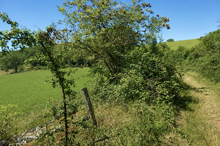
The road drifts slowly through the countryside. At the edge of a field, an old stone “caselle” shelters in the fold of a small wood. It leans slightly, weary, yet still resists, a stubborn witness to the time of the shepherds. ,
|
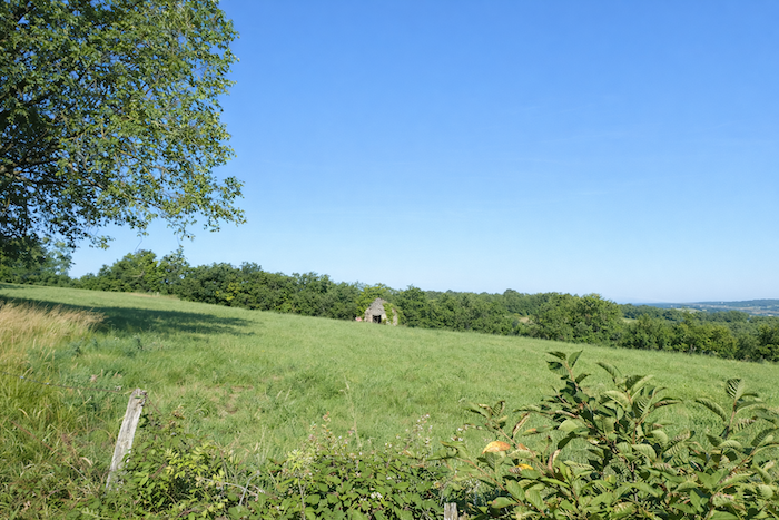
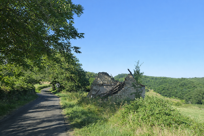
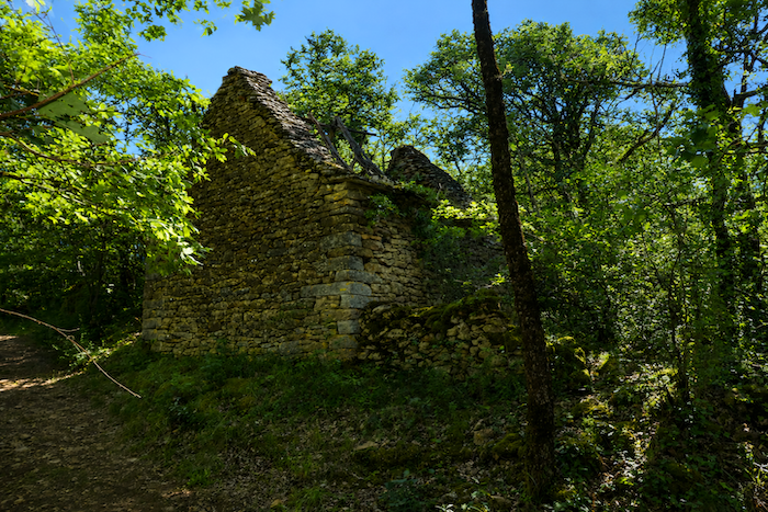
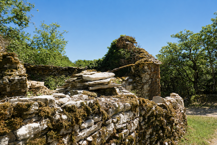
Then the slope eases and the road descends slightly. A little farther on, a ruined stone house stands, its charred beams twisted like blackened fingers. The wind whistles through the cracked stones, a reminder of a life that once was, of a fire too old to remember. “Private” announces a shaky sign. The word feels almost ironic. What is there to protect here except rubble, memories and a little dust? One can hardly imagine that someone might still picnic here, or take a few stones away just to carry off a fragment of memory. |
|
 |
 |
|
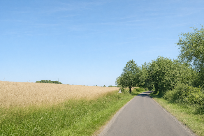
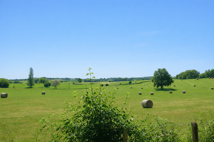
It is the beginning of summer. In the fields, soft wheat is still green, mixed with triticale and oats. Yet the winter wheat has already been harvested, and the mown meadows rest under the sun. The air smells of warmth and dry grass, and the ground cracks beneath the steps. |
|
 |
 |
|
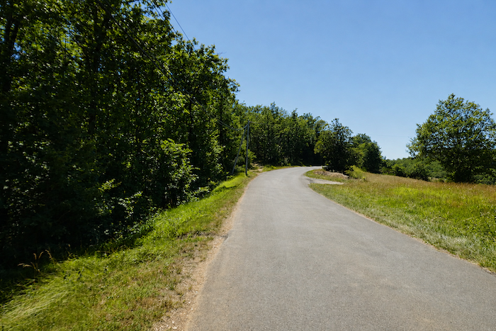
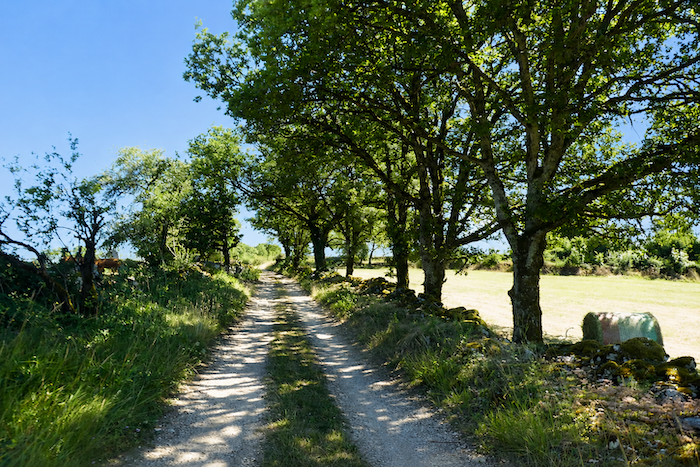
The slope deepens again and the road enters beneath the cool vault of the oaks. At the place called La Montagnette, a large park stretches peacefully, a refuge of greenery and silence where the shade invites a pause. |
|
 |
 |
| Then, the road resumes its wandering course. It moves between the meadows and plays gently with the hollow of the valley. | |
 |
 |
 |
 |
|
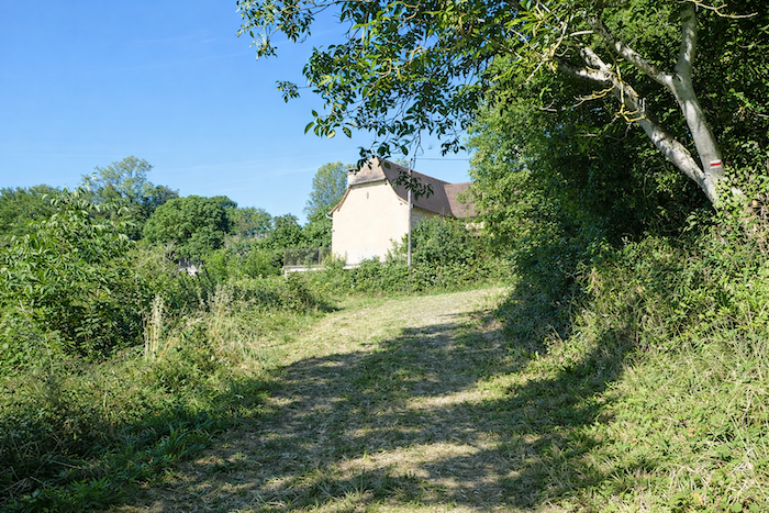
Eventually it reaches the first houses of Ferrières. |
|
 |
 |
|
Ferrières is not a compact village but rather a necklace of houses scattered beneath the oaks, ashes and walnut trees. In places a few pines rise toward the sky, their resinous scent mingling with that of the earth. Each house seems partly hidden, as if guarding a secret. |
|
 |
 |
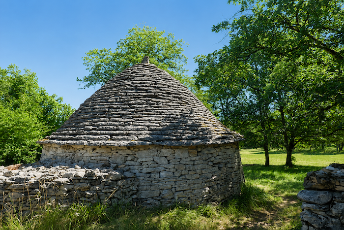
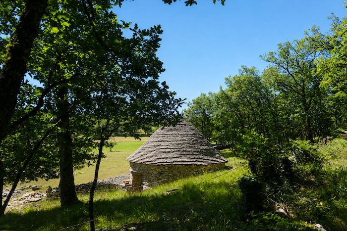
The “caselles”, those humble dry-stone shelters once used by shepherds, still punctuate the landscape. Some have been restored. Small and round, they now resemble dovecotes. These white stone structures add a note of rural elegance, like a discreet nod to history.
|
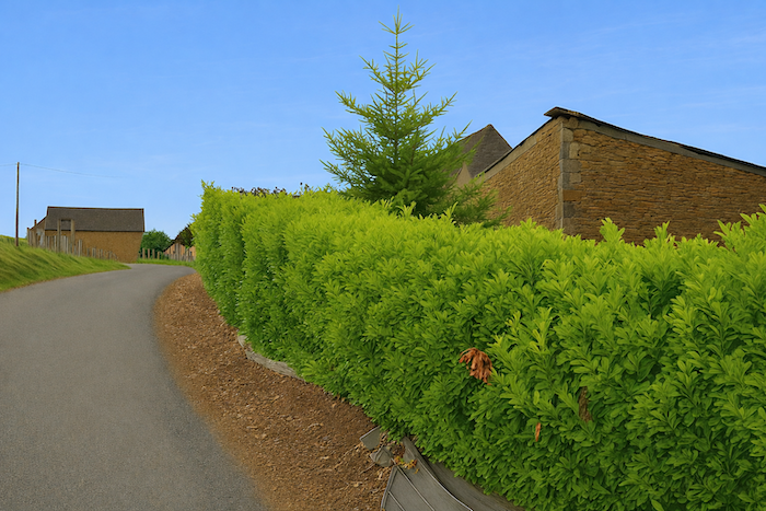
The road gently leaves Ferrières and slopes up toward La Croix Blanche, a neighbouring hamlet that is almost a twin of Faycelles. |
|
 |
 |
Under the trees a beautiful stone house appears half hidden. Beside it a shining “caselle”, carefully restored, awaits the hiker. Here you can sleep, rest and perhaps even dream for a while.
|
Faycelles is now only a short distance away. The GR65 crosses the main road that bypasses the village and then continues between stone walls. The walk grows gentler as the village approaches. |
|
 |
 |
 |
 |
|
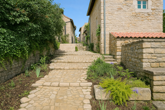
A stone staircase leads up to the centre of the village. |
|
 |
 |
|
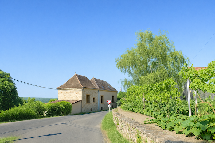
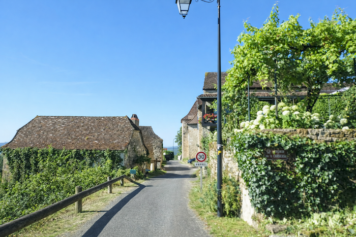
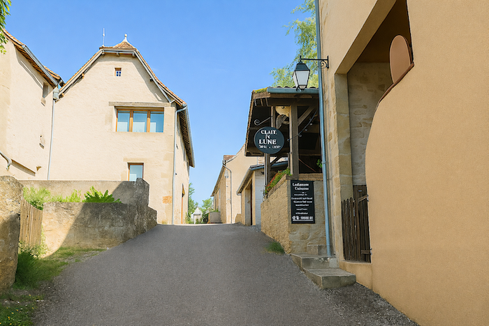
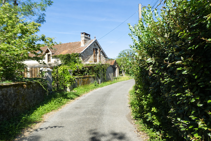
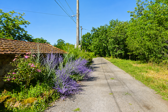
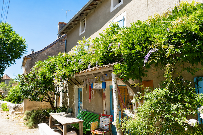
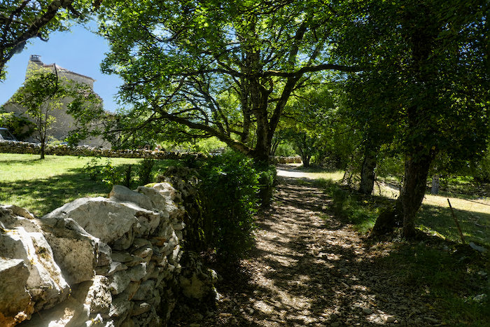
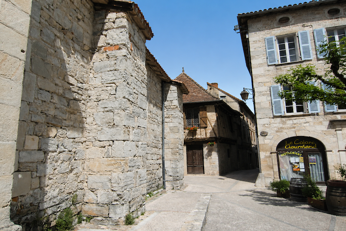
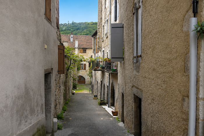
Faycelles counts barely six hundred inhabitants yet overflows with charm. Perched on its hill, the village overlooks the valley like a suspended nest of stone. Its narrow lanes wind around flowered houses with blond stone façades, and one feels the lingering spirit of the Middle Ages. Here the pilgrim can find lodging, eat a meal and replenish supplies before continuing the route. At the heart of the village lies a lively central square. |
|
 |
 |
|
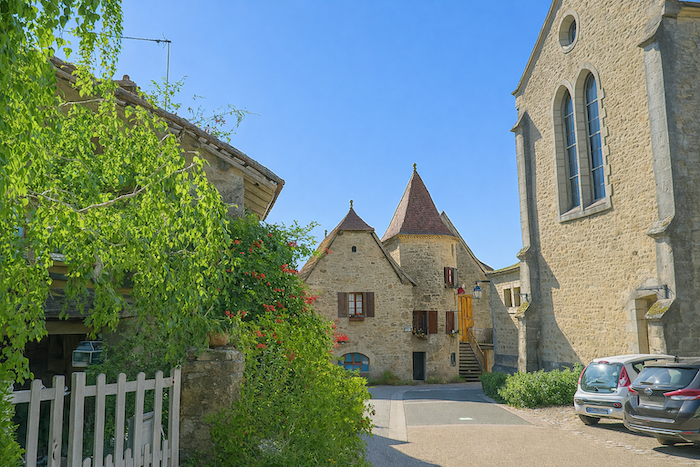
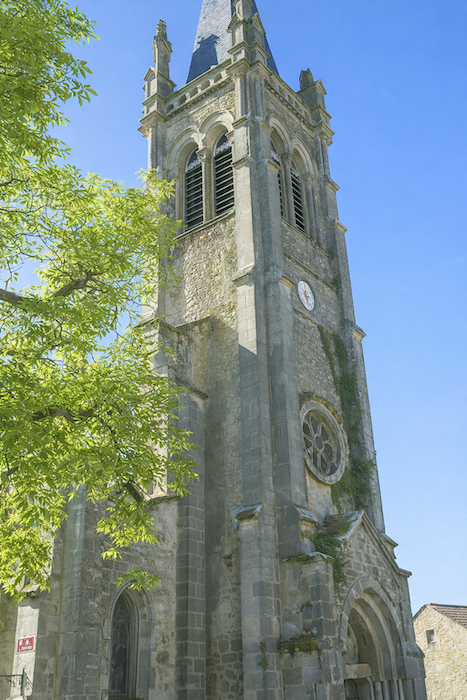
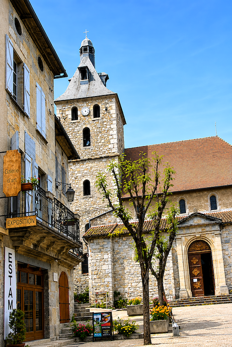
The church, recent yet built from the stones of the old one, watches over the place. Its simple and pale bell tower seems to listen to the wind. |
|
 |
 |
|
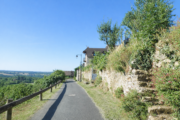
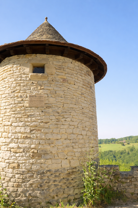
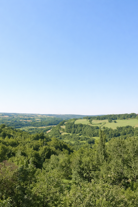
A little farther on, the round watchtower known as the Gaillarde Tower overlooks the valley. It is the last remnant of a castle destroyed on the orders of Richelieu in the seventeenth century. Alone yet still proud, it preserves the memory of the vanished walls. From here the view over the Lot valley is astonishing. The eye embraces an ocean of trees, dense forests stretching to the horizon. Far below, the Lot River unwinds its silver thread as it disappears into the deep valley. In the distance the plateaus follow one another and fade into each other like motionless waves beneath the sky. |
|
 |
 |
|
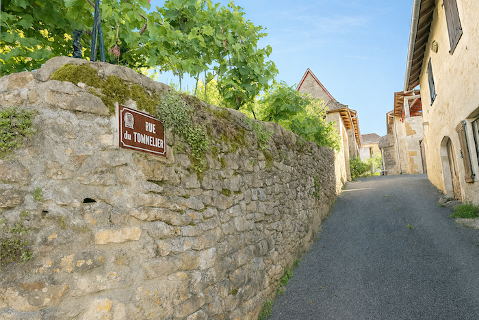
In the past, the route left the village and followed the departmental road toward Béduer. Nothing of that remains today, as it now follows a different direction. The routes of Santiago are never eternal, despite what many pilgrims believe. Now the route slips away from the heart of Faycelles. It descends along Rue du Tonnelier, a narrow-cobbled street bordered by old houses that seem still to whisper stories of pilgrims. Soon the rooftops fade behind you and the village becomes nothing more than a memory suspended above the valley. |
|
 |
 |
|
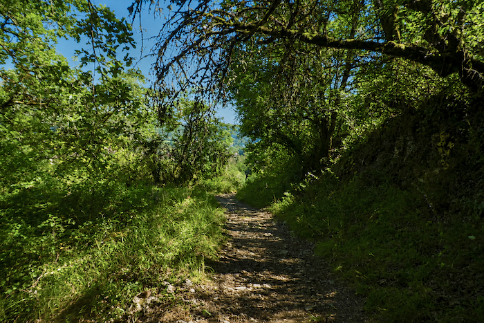
A small path begins, discreet and almost shy. It descends gently between wild grasses and stone walls worn smooth by the seasons. Beneath the dense canopy of leafy trees, the air becomes cooler and more humid, filled with the scent of earth and sap. You walks in a green half-light where every step seems softened. |
|
 |
 |
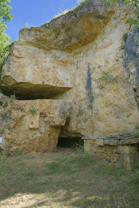
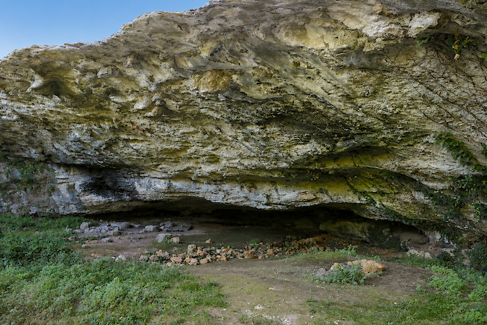
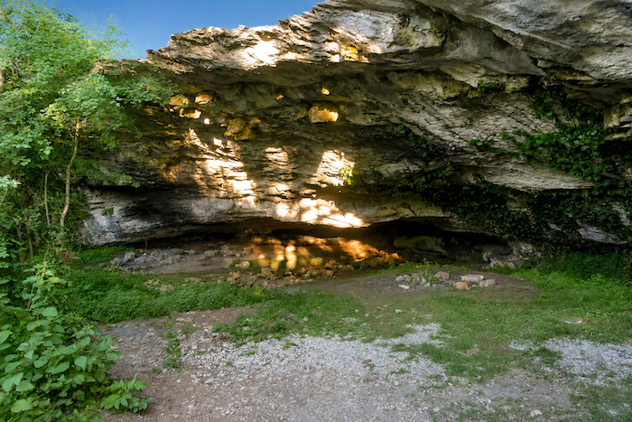
Soon the rock opens. On the right, a vast cavern enters the bare limestone like the mouth of a giant carved into the cliff. One can easily imagine that at nightfall it might shelter a lost pilgrim, a walker without lodging or perhaps a young adventurer in search of experience. Many travellers of fortune prefer a shelter beneath the stars to a bed in an inn.
|
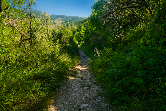
The descent continues in winding curves. The path sways gently, hesitating between rocks and grasses, sometimes slipping over large stones, sometimes softening on a carpet of earth. The rocks, covered with thick moss, glow green in the dim light. Around them the close trunks filter the daylight and allow fragments of gold to pass through, like scattered crumbs of lost sunlight. It is a world of freshness and silence. |
|
 |
 |
A little farther on, you sense the presence of a place name, La Source. Perhaps the spring has dried up, perhaps it still flows, who can say. It hardly matters. The place, wild and peaceful, possesses the simple beauty of things that escape human control. One would gladly stop here, if only to listen to time flowing by.
Section 3: Undulations in the countryside
Overview of the route’s challenges : a route without any particular difficulty.
|
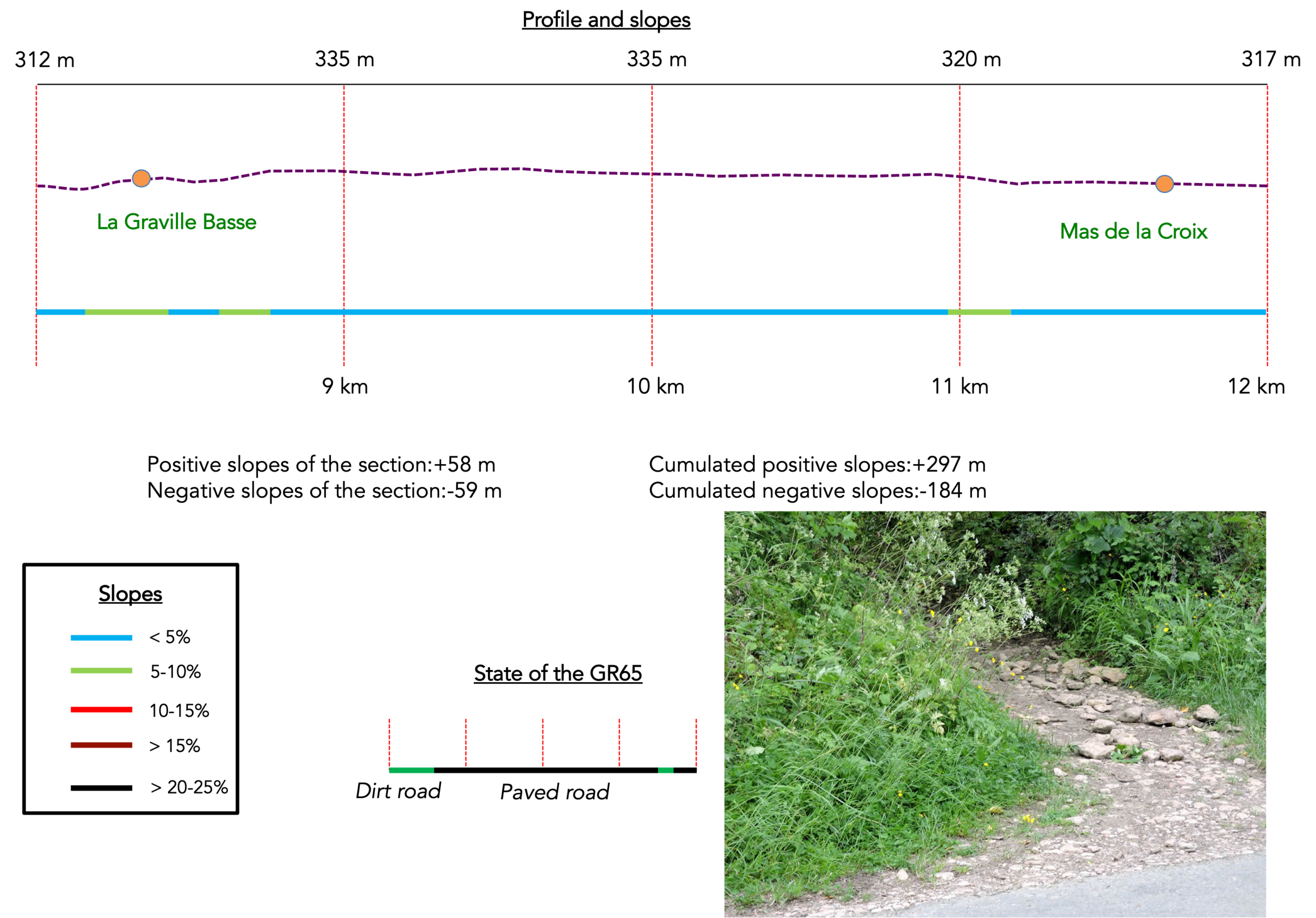
The path gradually leaves the forest, escaping from the shade and climbing again toward the first houses of La Graville Basse, a small quiet hamlet scattered across the countryside. The blond stones of its walls catch the light, and the mossy roofs still seem to breathe out the morning dew. Here time appears to move slowly. |
|
 |
 |
|
The path continues forward, bordered by rough hedges that rustle as the wind passes through them. In places a modest field of wheat or oats clings to the soil, a golden patch within the green of the meadows. |
|
 |
 |
|
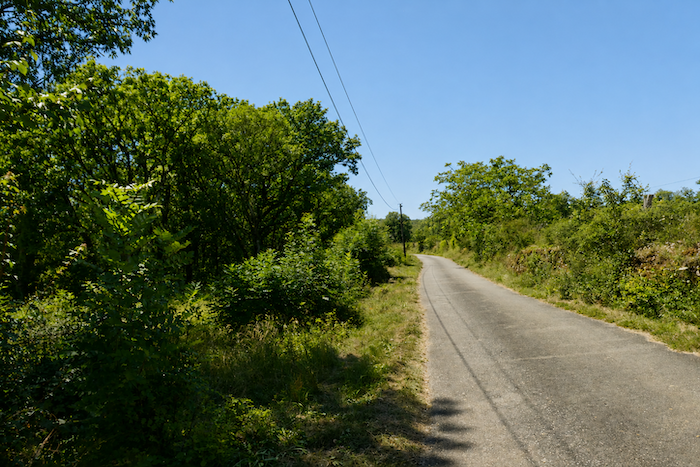
Farther on, the path meets the road. A long stretch of asphalt begins, one of those sections sometimes dreaded on the GR routes. A picnic area stands opposite a simple iron cross beneath the ash trees. |
|
 |
 |
|
Yet here the beauty of the landscape softens the fatigue. The road twists beneath the trees along mossy stone walls and seems to flow through an ocean of greenery, so that every step becomes an act of quiet contemplation. |
|
 |
 |
 |
 |
|
Farther along, a beautiful stone house rests beneath majestic ash trees. It seems to have stood there forever, calm and dignified, a silent guardian of the route. |
|
 |
 |
|
The land stretches wide and luminous, composed of meadows that extend as far as the eye can see. At times a solitary house appears beside the road, placed like a point of balance in this vast landscape. Their presence punctuates the silence, breaks the monotony and offers a moment of distraction to the pilgrim absorbed in the rhythm of walking. |
|
 |
 |
 |
 |
|
And the road continues stubbornly through this steady landscape, animated only by a few islands of trees, mostly oaks, sometimes a cluster of maples or a solitary ash. Their shadows move across the grasses, drawing shifting shapes beneath the sky. |
|
 |
 |
 |
 |
|
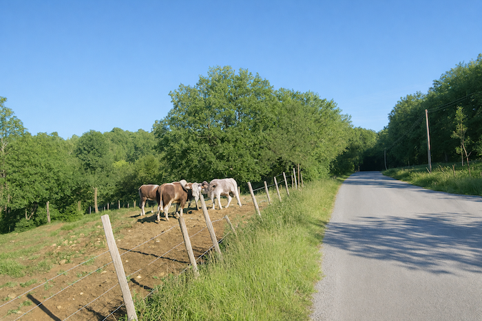
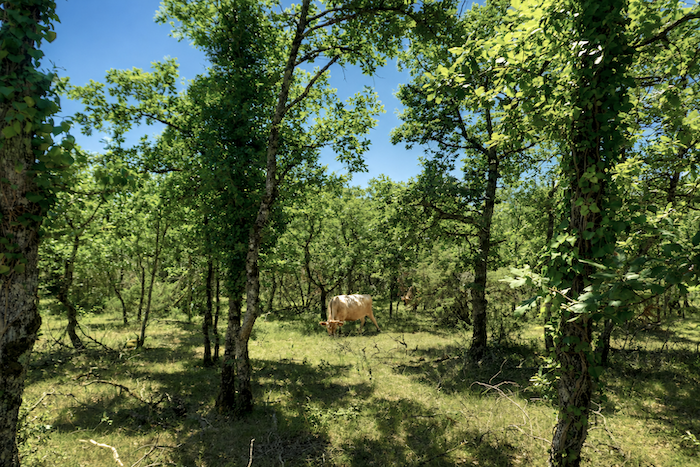
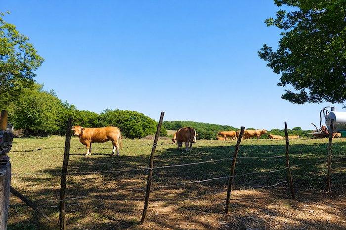
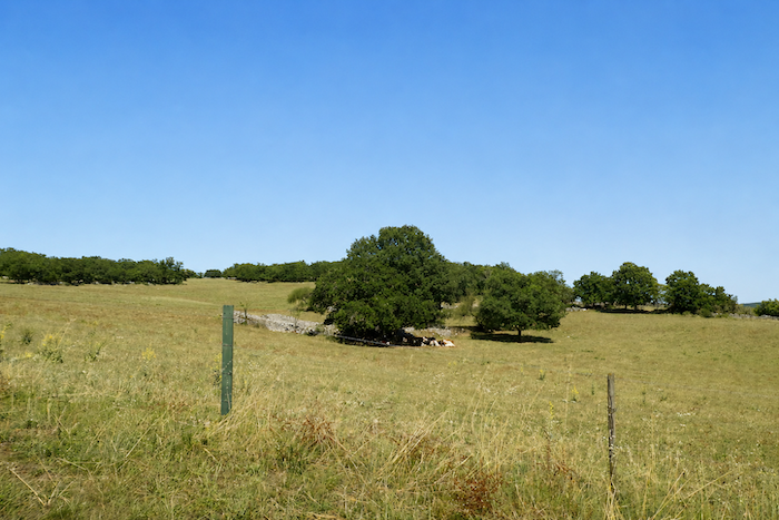
A herd of Aubrac cattle appears. The cows, with their pale coats and eyes ringed with black, seem to come straight from a pastoral dream. Their calm and gentle gaze catches the light. Farther away the bull, massive and dark, watches with attentive eyes, almost jealous. One cannot help smiling, perhaps we disturb his kingdom by admiring his peaceful queens too long? |
|
 |
 |
|
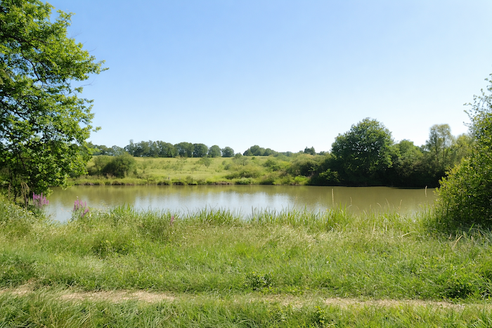
Soon the road reaches the place called La Vaysse. There a small lake rests quietly in a hollow of the land, a tiny mirror of water reflecting clouds and leaning branches. |
|
 |
 |
|
Here it is not always clear whether the charming stone houses scattered around are inhabited or not. |
|
 |
 |
Shortly afterward, the new route of the GR65 joins the old one. The route settles again into its course, as if rediscovering an old memory and a familiar direction toward the south.
|
Then a narrow trail appears again, slipping between thickets and brushwood. You enter carefully because the soil becomes soft here, and after rain the passage quickly turns into mud. The pilgrim sometimes leaves more effort here than expected, and perhaps a small part of himself as well. |
|
 |
 |
|
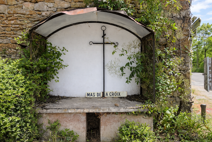
Beyond this section a short stretch of asphalt leads to the Mas de la Croix. The place feels like a transition, almost a crossroads between two worlds. |
|
 |
 |
|
This is where the GR65 and the GR651, which follows the Célé Valley, part company. From this point onward, we shall follow the GR65 towards Cajarc. The alternative route through the Célé Valley is described in another chapter. |
|
 |
 |
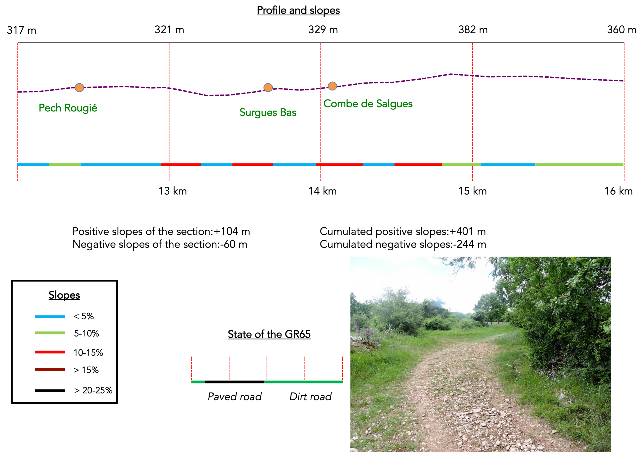
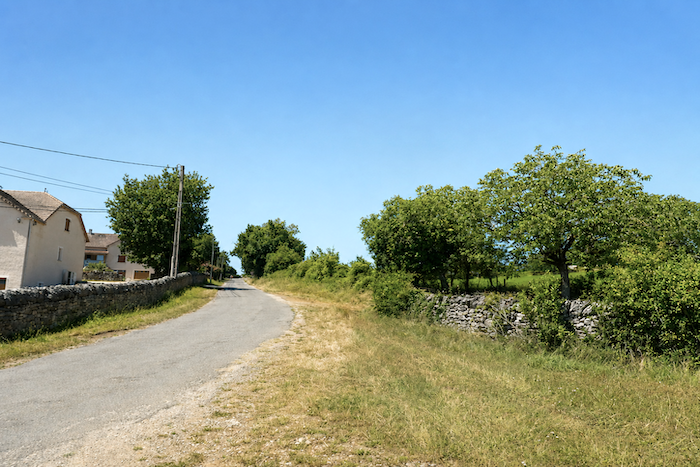
Section 4: The GR65 gradually reaches the causse
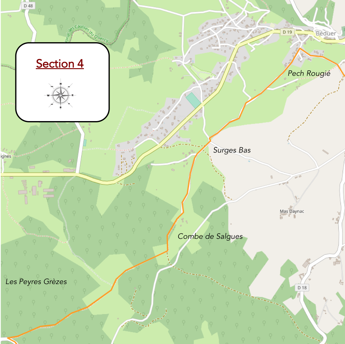
Overview of the route’s challenges: a few gentle rises with no real challenge.
|
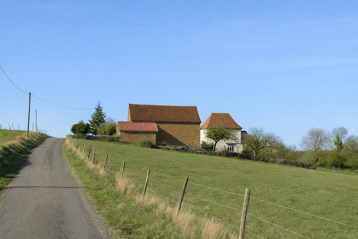
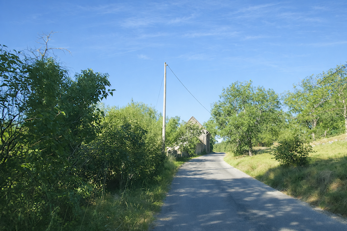
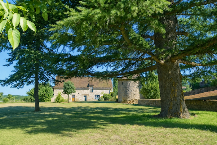
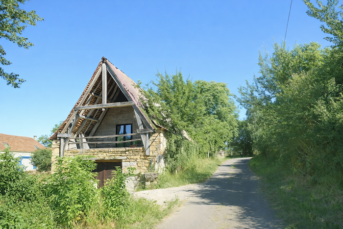
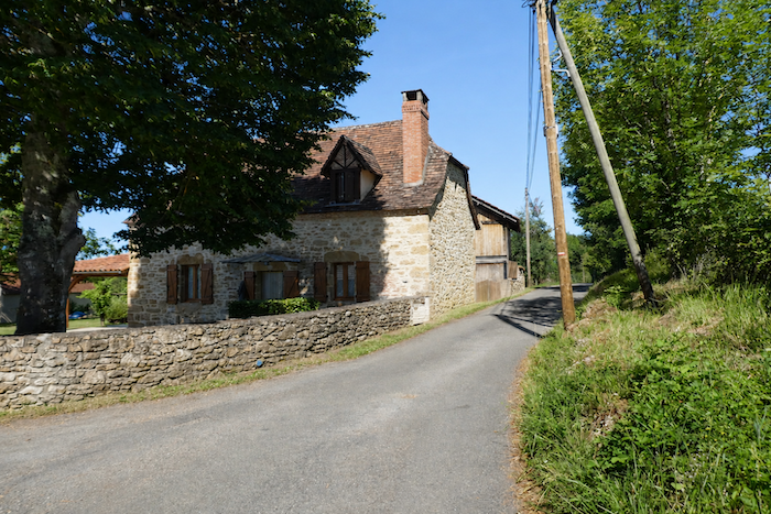
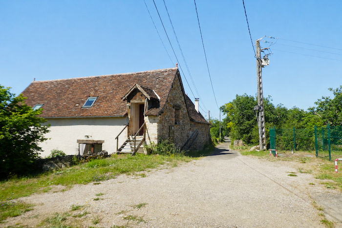
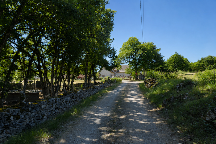
A narrow road climbs from Le Mas de la Croix towards the causse. As the ascent continues, beautiful stone houses appear here and there, firmly rooted in the landscape through generations. |
|
 |
 |
 |
 |
|
Higher up, the road gradually narrows before disappearing into deeper countryside, where signs of human presence become increasingly discreet. |
|
 |
 |
|
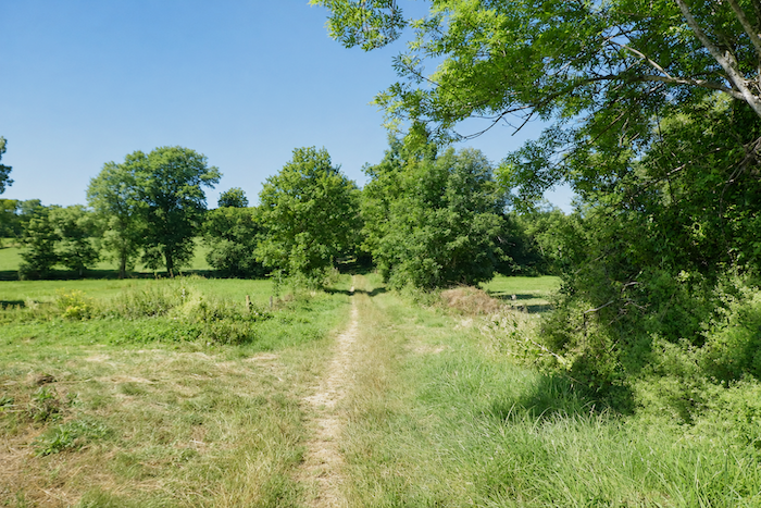
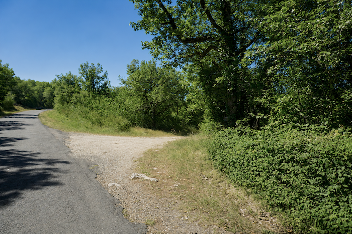
Near an iron cross, the GR65 leaves the road and follows a narrow, stony trail towards the hamlet of Pech Rougié. There is no longer any doubt, you have reached the causse. Those who have already walked across these limestone plateaus will recognize the landscape immediately. Their feet will remember it as well. For everyone else, the initiation is only just beginning. |
|
 |
 |
|
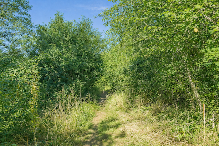
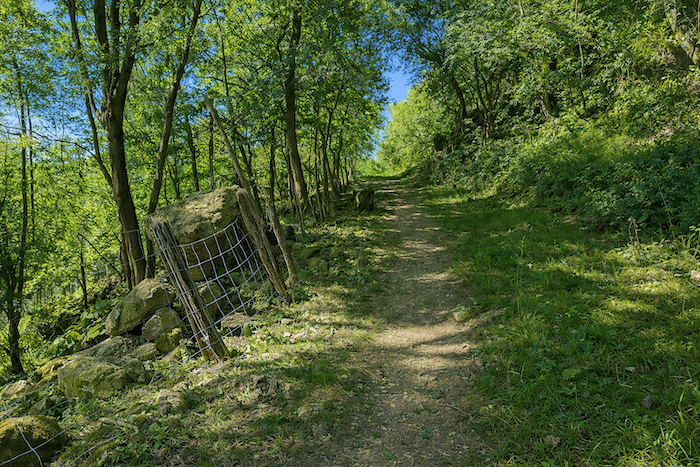
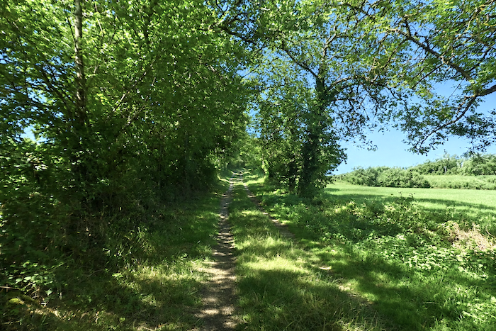
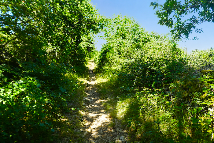
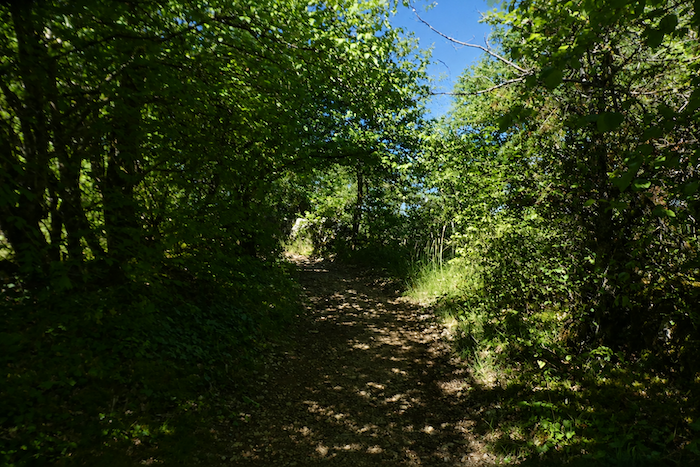
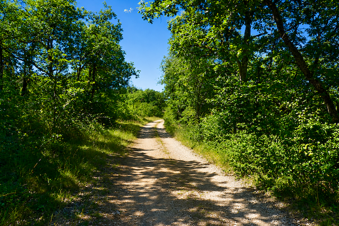
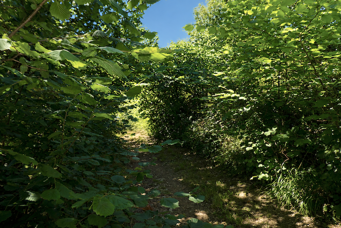
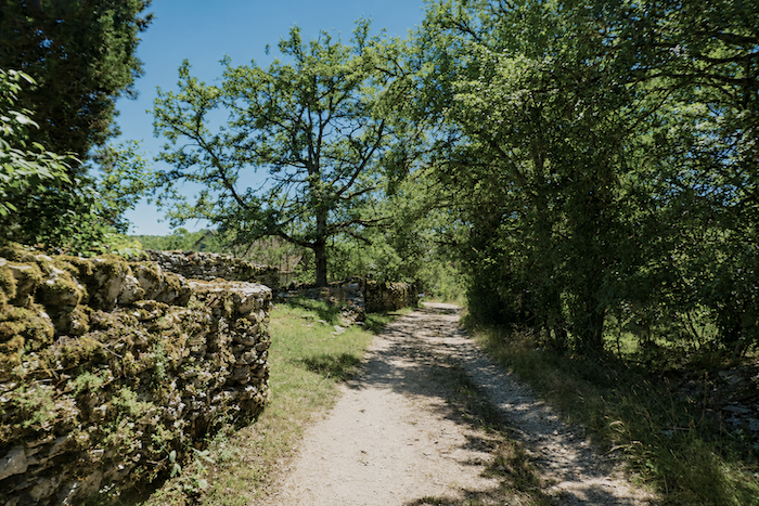
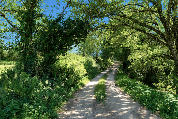
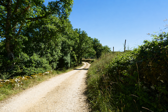
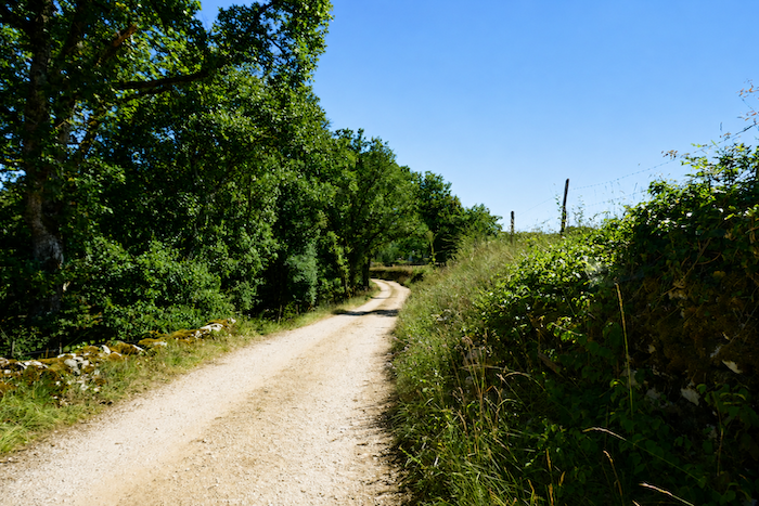
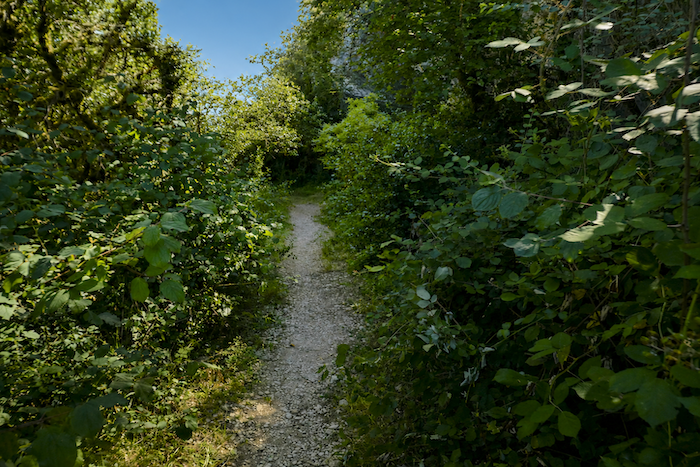
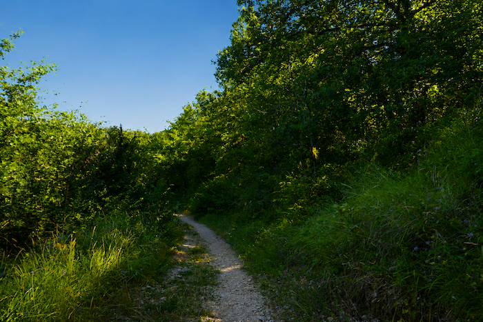
The rocky trail climbs gently through luxuriant vegetation that seems determined to erase every trace of human labor. It runs through a narrow green corridor where sunlight sometimes struggles to reach the ground. On either side, nature has reclaimed its domain. Tree trunks are wrapped in ivy, grasses spill across the trail, and the old dry-stone walls slowly disappear beneath moss and tangled undergrowth. |
|
 |
 |
|
The trail then winds between ancient stone walls carpeted with moss, silent remnants of a landscape once carefully maintained. Above the walker, the trees form a living vault, while stones covered with mosses and lichens lend the surroundings an almost enchanted atmosphere. In this shaded wilderness, the trail seems to weave its way through a garden forgotten by time. |
|
 |
 |
|
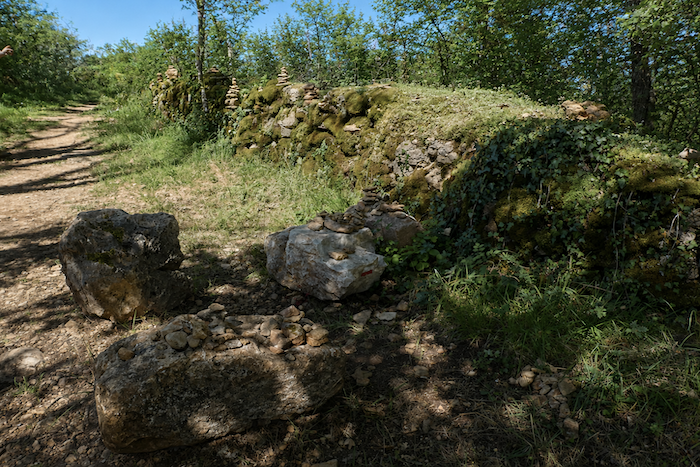
Limestone is everywhere on these uplands. Pilgrims willingly join in the tradition of building small cairns, each sometimes adding a single stone to the collective work, leaving behind a quiet testimony of their passage. |
|
 |
 |
|
Threading its way through thickets, creeping vines, and the countless shoots of downy oaks that colonies the edges of the path, the trail continues its ascent to the top of the hill. There, at Pech Rougié, a pilgrim gîte comes into view, together with, depending on the season, a small refreshment stand that is especially welcome after this demanding climb. |
|
 |
 |
 |
 |
|
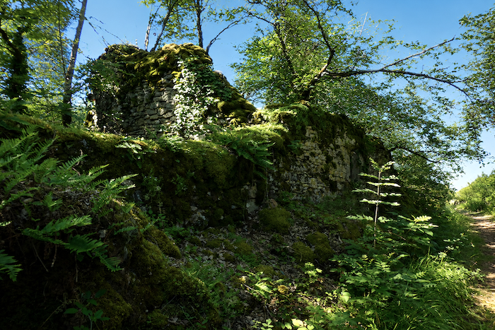
From Pech Rougié, the GR65 commits itself beneath the oak trees. Before long, the first ruined building appears. We readily admit that we have a weakness for these abandoned houses, dignified despite their decline, draped in moss and slowly reclaimed by vegetation. Each tells, in its own way, the story of vanished labor and of lives that will never return. Time itself seems to have stopped. Only the memory of the place remains. |
|
 |
 |
|
In these woods, oak trees reign almost without rival. Yet anyone who looks closely will also notice field maples and one tree that is particularly characteristic of the causses, the Montpellier maple. Its small leaves with three triangular lobes make it easy to recognize. The path also passes another stone ruin, remarkably well preserved despite the passing years. Some of these stone silhouettes seem almost alive, so perfectly do they blend into their surroundings. |
|
 |
 |
|
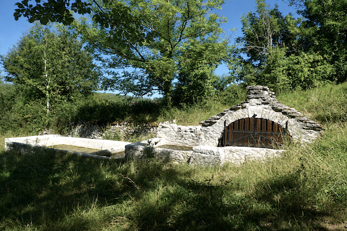
Further on, the trail passes the picturesque Fontieu Spring, whose ancient appearance seems to belong to another century. Nearby, the landscape opens onto a small meadow that provides a welcome sense of space after the enclosed woodland. |
|
 |
 |
|
Whenever the path briefly leaves the forest, it too seems to long for gentler surroundings. The rough stones give way to soft grass. The nearby water is undoubtedly part of this transformation. The atmosphere becomes calmer. A few sheep and cattle graze peacefully beneath the alders, creating a pastoral scene filled with quiet serenity. |
|
 |
 |
|
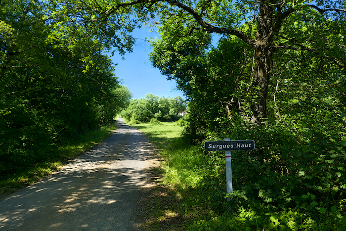
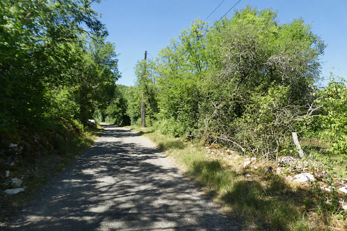
But on the Camino, such peaceful interludes rarely last for long. The terrain soon regains its character as the route joins a small road climbing towards Surgues-le-Haut. |
|
 |
 |
|
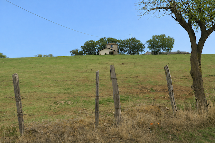
The tarmac soon gives way to a broad earth track that rises towards a tiny hamlet. A handful of stone houses line the way. It is sometimes difficult to know whether they are still inhabited or whether they simply wait in silence on the causse for the unlikely return of their occupants. |
|
 |
 |
 |
 |
|
You are now roughly halfway through today’s stage. Some pilgrims choose to continue as far as Puy Clavel in order to divide their efforts more evenly. Meanwhile, the track continues to climb, although far more gently than before. |
|
 |
 |
|
Beside the path stands a grey stone “caselle”. As always, these little buildings invite curiosity. Standing alone in fields or beside tracks, they possess something mysterious, almost ghostly, as though they were still keeping watch over a vanished world. |
|
 |
 |
|
Higher up, still climbing gently, the GR65 heads towards the Combe de Salgues along a gravel track bordered by dry stone walls. |
|
 |
 |
|
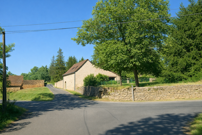
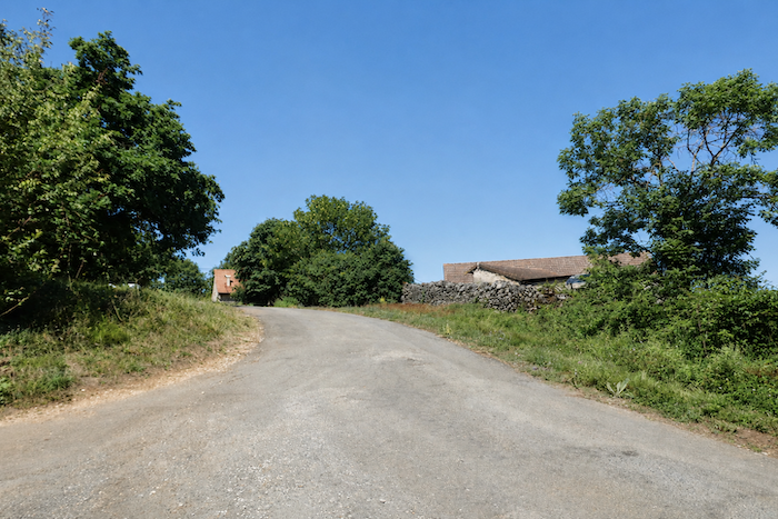
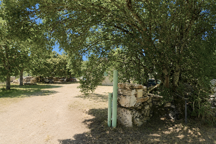
Combe de Salgues consists of little more than a large farmhouse standing at the edge of the forest. Yet it is here that the route prepares to leave behind, for a long while, the last visible signs of human occupation. |
|
 |
 |
|
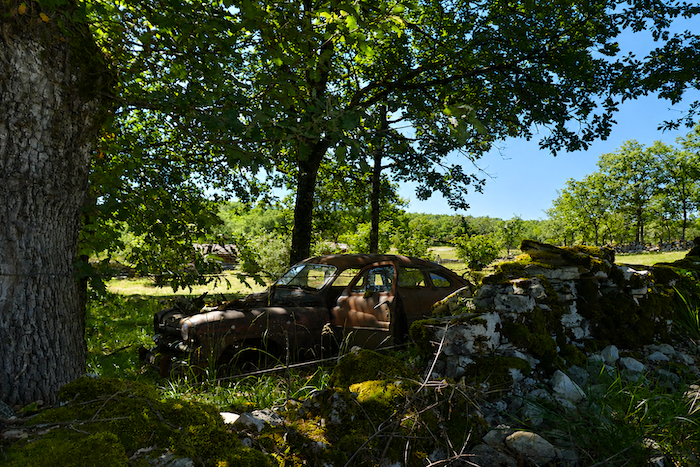
A few remnants still bear witness to those who once lived here, such as an old rusting car that seems to be slowly surrendering to time beside the path. |
|
 |
 |
|
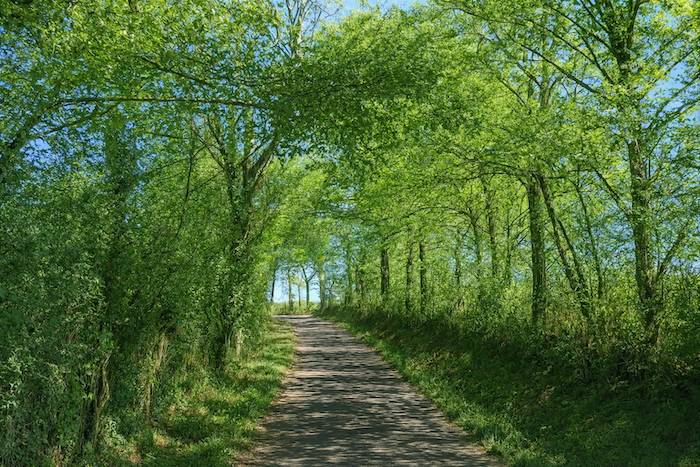
The GR65 then returns to the woods, that kingdom of silence cherished by so many pilgrims. The trees close their canopy once more above the trail. Solitude quietly reclaims its place. Only the whisper of the wind through the leaves and the steady rhythm of footsteps remain. |
|
 |
 |
|
Another “caselle” appears beside the path, an unmoving stone sentinel that has watched over these lands for generations. The route then follows the woodland edge for a while before once again disappearing into countryside that seems almost untouched by human presence. |
|
 |
 |
 |
 |
|
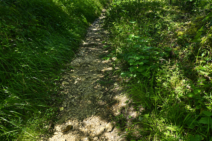
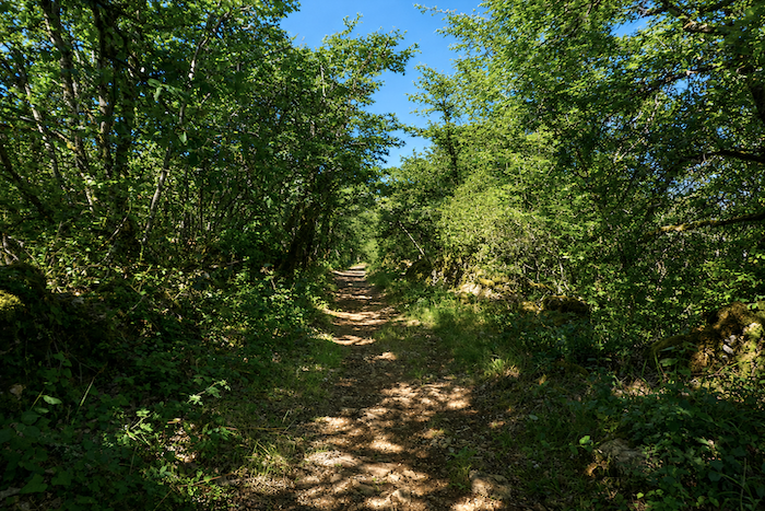
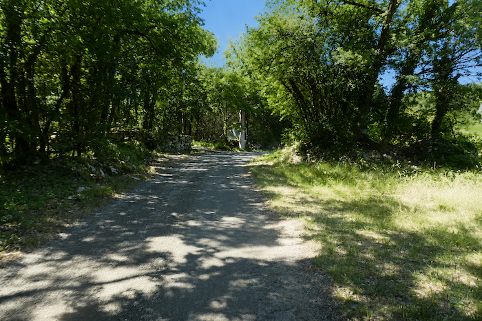
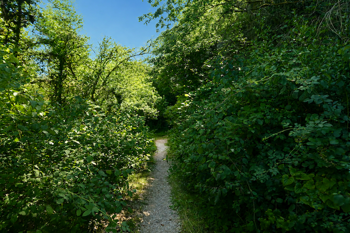
A narrow trail, often strewn with the countless stones for which the causses are famous, climbs more decisively into a deep and silent forest. Attempting to list every plant accompanying the walker here would be a hopeless task, requiring the knowledge of an experienced botanist. Even so, the attentive eye will quickly notice the relative absence of boxwood and juniper, so common elsewhere on limestone plateaus. Here, dogwoods, blackthorns spreading into every open space, viburnums, rockroses, and brambles dominate the undergrowth, creating woodland that is dense and sometimes almost impenetrable. |
|
|
 |
 |
 |
|
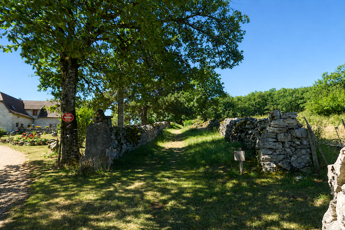
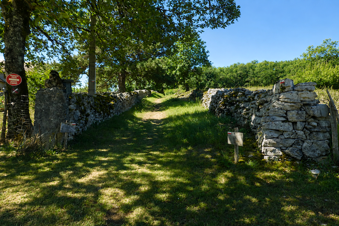
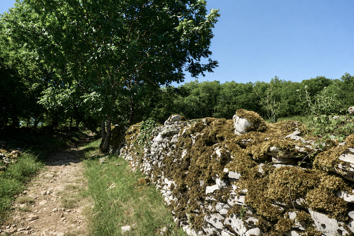
The countless stone walls lining the path inevitably catch the walker’s attention. They belong to a time when every piece of land served a purpose. They probably marked pasture boundaries or enclosed the sheep that once grazed widely across these uplands, now reclaimed by the forest. Nature has become so vigorous, so overwhelming at times, that it is difficult to imagine the pastoral life that once animated these woods, which have now returned to an almost wild state. |
|
 |
 |
 |
 |
|
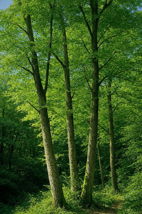
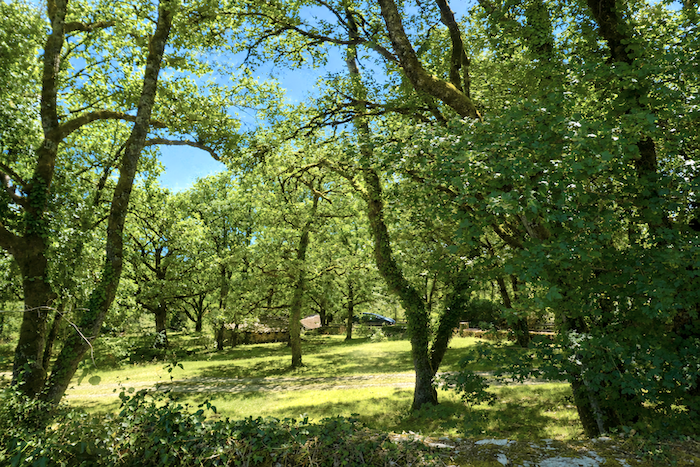
Overhead, the deciduous trees provide welcome shade. Do not expect towering forest giants, however. The causses favor more modest trees, twisted downy oaks, small field maples, and Montpellier maples that seem perfectly adapted to these austere, stony landscapes. |
|
 |
 |
|
Higher up, the trail winds through woodland that has become less dense. More light filters through the branches, and the landscape suddenly feels more welcoming, almost tamed. . |
|
 |
 |
|
At the top of the climb, a broad clearing opens where the trees have been felled. After the enclosed feeling of the forest, this open space offers a genuine sense of relief. A few fences appear here and there. Do they still serve to contain sheep on these isolated uplands? The answer remains uncertain. |
|
 |
 |
|
The path then resumes its familiar gentle undulations through the woods before reaching a modest paved road. |
|
 |
 |
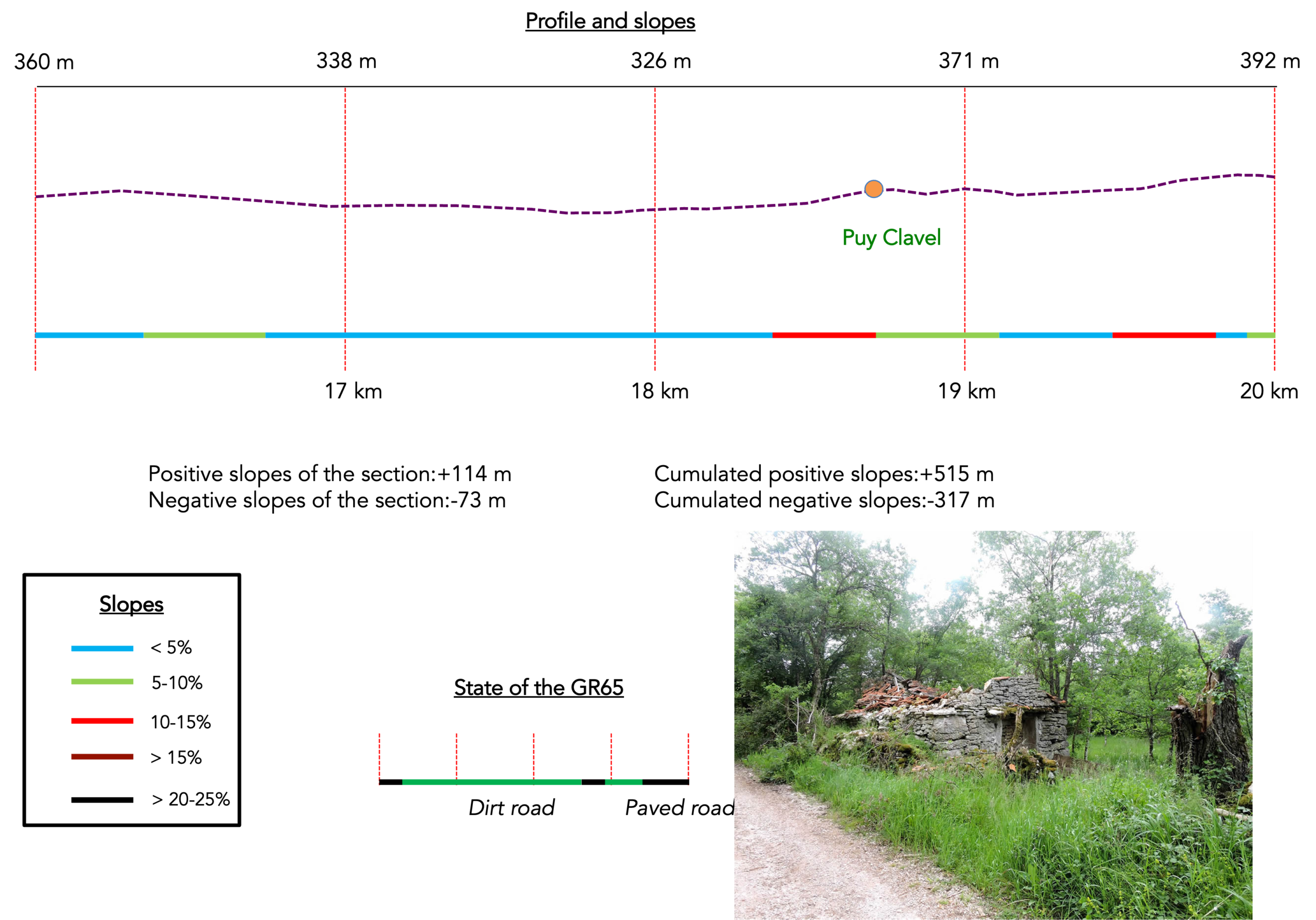
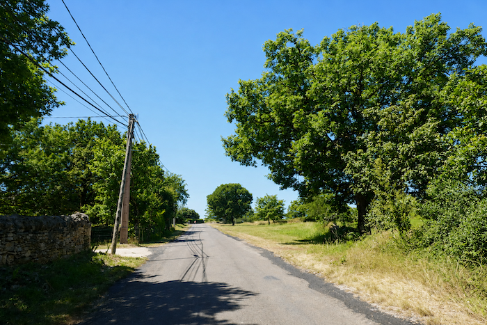
Section 5 : The route continues across the causse
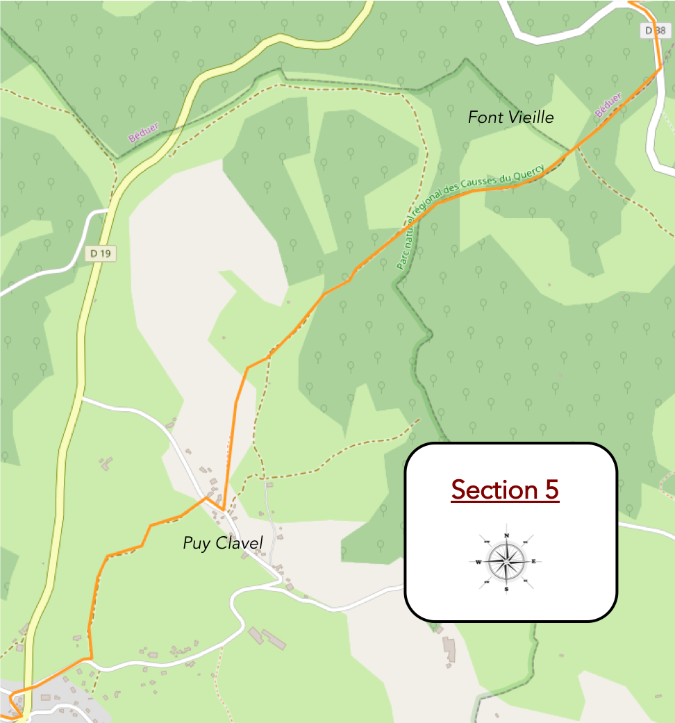
Overview of the route’s challenges</u : an easy route throughout, following magnificent paths.
|
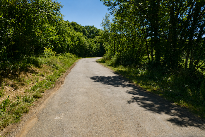
Tarmac beneath your feet theoretically means there is a chance of encountering a few vehicles. In this remote corner of the causse, however, the likelihood of meeting one remains extremely small. |
|
 |
 |
|
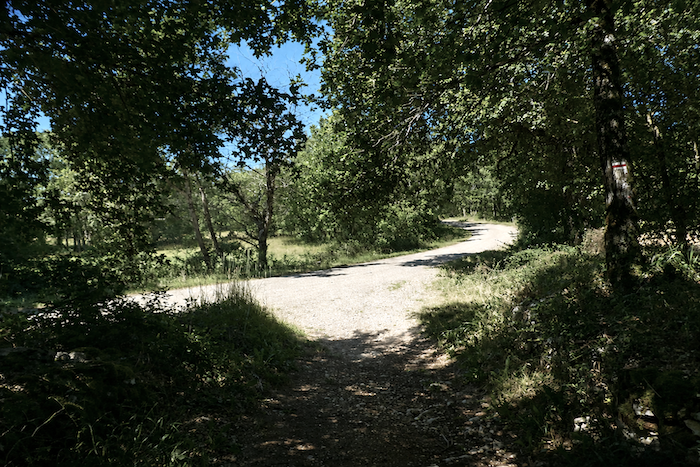
Further on, the route leaves the little road and once again follows a broad earth path, as peaceful as it is inviting. |
|
 |
 |
|
The gradient becomes gentler beneath the welcome shade of the deciduous trees. Trees, more trees, nothing but trees. An almost unbroken forest now accompanies the pilgrim. For some, such repetition eventually brings a touch of weariness. For others, it creates a profound sense of peace and fulfilment. Everyone will find here what they have come in search of. |
|
 |
 |
|
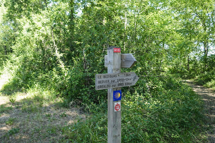
The path soon reaches a junction where a sign points towards Puy Clavel, less than two kilometers away. Cajarc is now a little closer, yet it still lies 14.4 kilometers ahead. On the causses, distances are conquered slowly. |
|
 |
 |
|
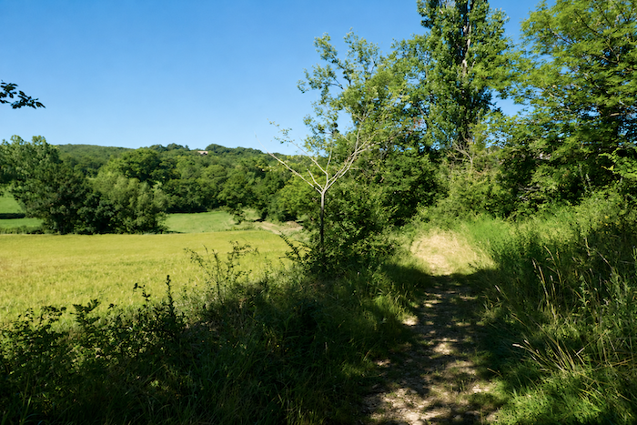
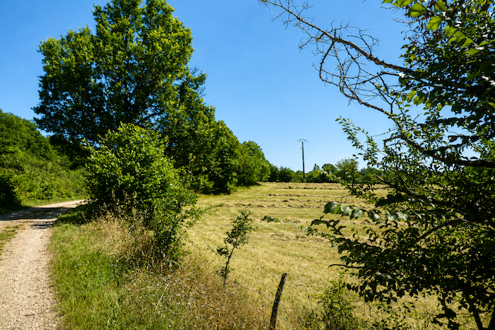
Then, amid countryside that seems unchanged for centuries, a subtle transformation begins to emerge. A clearing suddenly opens before you. The first signs of human activity return in the form of freshly mown meadows and open spaces that briefly interrupt the endless woodland. |
|
 |
 |
|
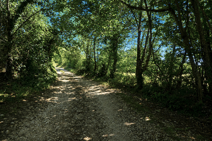
But this opening is only a short interlude. Before long, the earth path resumes its quiet course, undulating gracefully beside the hedgerows of deciduous trees that line the route. The familiar scenery of the causse once again takes possession of the landscape. |
|
 |
 |
 |
 |
|
Yet the landscape never truly becomes monotonous. Further on, a few small mown fields reappear, discreet reminders that human presence is never entirely absent from these uplands. |
|
 |
 |
|
Then the scenery changes once again. The path becomes stonier and gradually climbs slopes that sometimes exceed 10 percent. The trees become less numerous and the open heath begins to reclaim the landscape. A different vegetation now comes into view. Among the grasses and shrubs appear junipers and even holly, species more typical of the open expanses of the causse. After the long forest crossings, the landscape suddenly reveals a harsher and wilder character. |
|
 |
 |
 |
 |
|
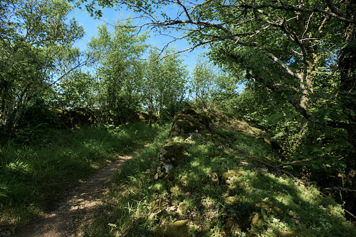
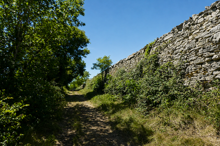
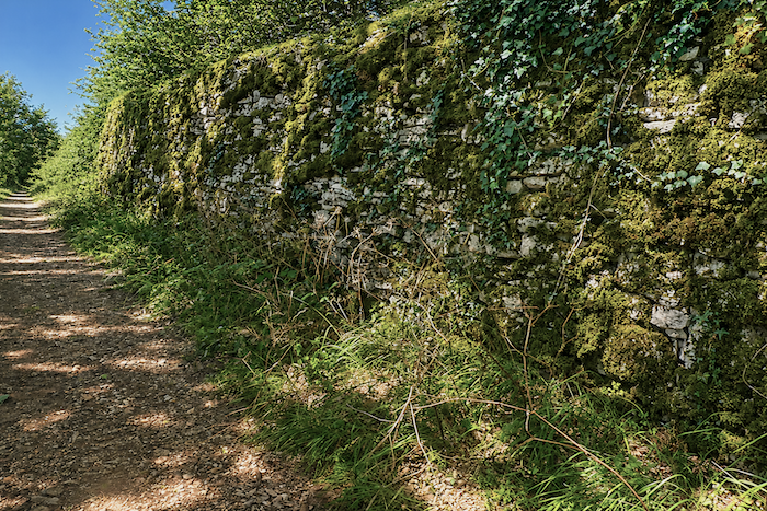
Higher up, the landscape unexpectedly takes on the appearance of a fortress. An imposing stone wall rises above the path and seems to block the horizon, as though some forgotten stronghold were still watching over the heights of the causse. |
|
 |
 |
|
The end of the climb quietly announces the return of human presence. The GR65 reaches a small paved road in the hamlet of Puy Clavel. There is no bustle here, no particular activity. A handful of stone houses shelter behind their walls, carefully guarding their secrets. Yet on this isolated hilltop, a nature lover has created a truly delightful place to stay. Pilgrims who choose to spend the night here soon seem to adopt the gentle rhythm of the place. It is not unusual to see them relaxing in a deck chair, quietly contemplating the rolling landscape with the rare feeling that time itself has slowed down. |
|
 |
 |
|
From Puy Clavel, the GR65 continues its route across gentle undulations. There are still more climbs than descents. At times the route passes beneath the trees, while at others it crosses small clearings bathed in sunlight. |
|
 |
 |
 |
 |
|
In places, the path even becomes grassy. Downy oaks and Montpellier maples remain the dominant trees, but they are now joined by a few ash trees, which are more common in these open spaces. The trees themselves have also grown taller and more imposing. Here they have enough room to spread their branches and compete with the sky. |
|
 |
 |
|
Soon the path begins to climb once more along the edge of the woodland. A modest spring or a few damp patches remind the walker that water still exists on these plateaus. On the causses, water is so precious that its presence is always worth mentioning, even when it is not safe to drink. There are no true rivers here, nor any permanent streams. For centuries, the scarcity of water has shaped human life. Without it, no lasting settlement can flourish. This lack of water largely explains the very low population density that still characterizes these vast limestone plateaus today. Higher up, the path becomes distinctly rocky once again. Beneath impressive dry-stone walls that sometimes resemble real fortifications, the climb steepens to around 10 %. |
|
 |
 |
|
The effort then gradually eases as Gréalou draws nearer. |
|
 |
 |
|
As you approach this area, you might imagine that a sizeable village lies ahead. The road stretches for quite some distance across a small plateau dotted with isolated houses and scattered dwellings. Yet the real village still remains hidden. Only after a gentle descent does it finally reveal itself, quietly nestled within the landscape of the causse. |
|
 |
 |
 |
 |
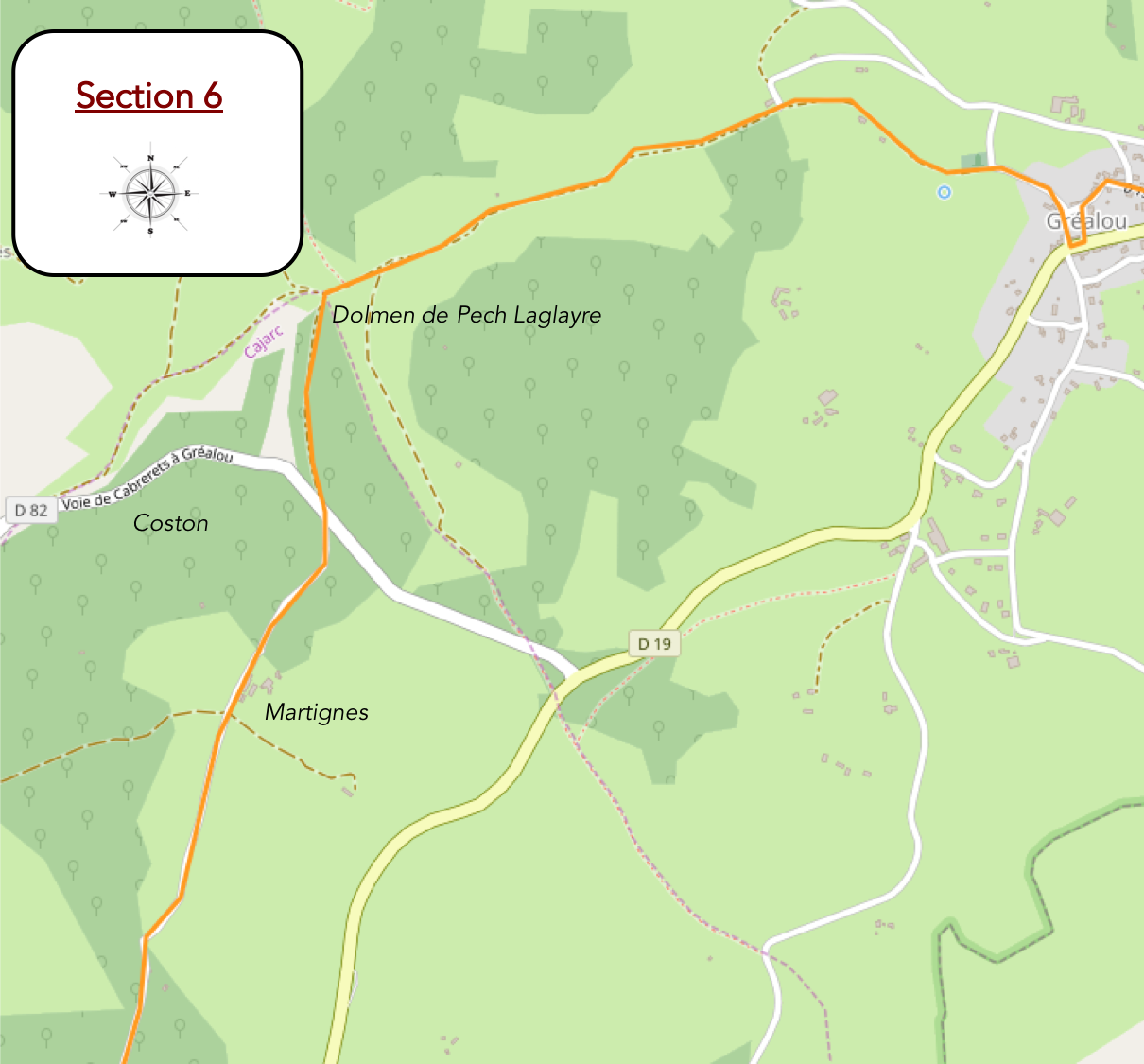
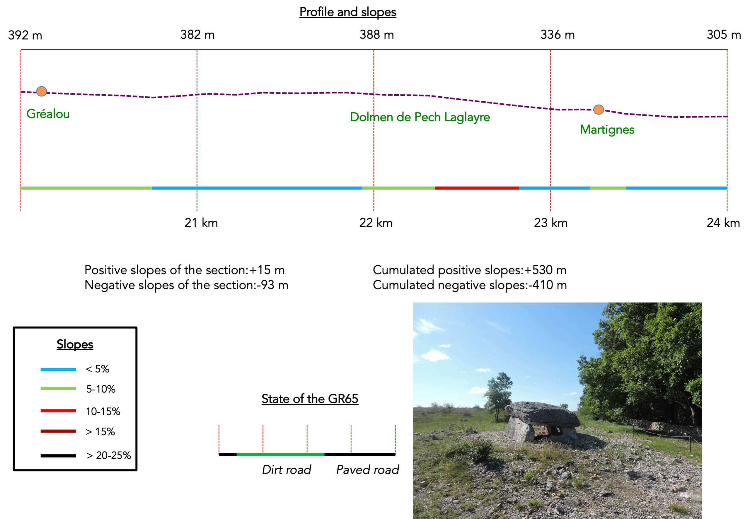
Section 6: Passing the magnificent Pech Laglaire Dolmen
Overview of the route’s challenges: an easy route throughout, following magnificent paths.
|
And yet, Gréalou is home to only about 250 inhabitants, despite being a much-appreciated stop for pilgrims. Water flows here, which explains why a larger village was able to develop. A picnic area has been laid out, complete with a genuine tap supplying fresh drinking water. |
|
 |
 |
 |
 |
|
In Gréalou, pilgrims will find a small grocery shop as well as somewhere to enjoy a meal. Years ago, the village also offered accommodation run by a Swiss woman who had chosen to settle on these remote limestone plateaus. The place reflected its owner perfectly, unusual, endearing, a little eccentric, and entirely unlike anywhere else. Sadly, that accommodation appears to have disappeared today. Its loss is regrettable, as it allowed many pilgrims to spend the night in the village. Today, there is no longer any accommodation available in Gréalou. |
|
 |
 |
|
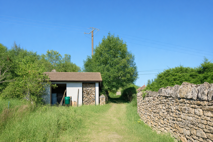
The GR65 leaves Gréalou along a small paved road that soon becomes a gravel path near Le Mas de Trémoulet. |
|
 |
 |
|
Before long, the route follows a broad earth track that remains almost level, alternating between open countryside and stretches beneath the trees. |
|
 |
 |
 |
 |
|
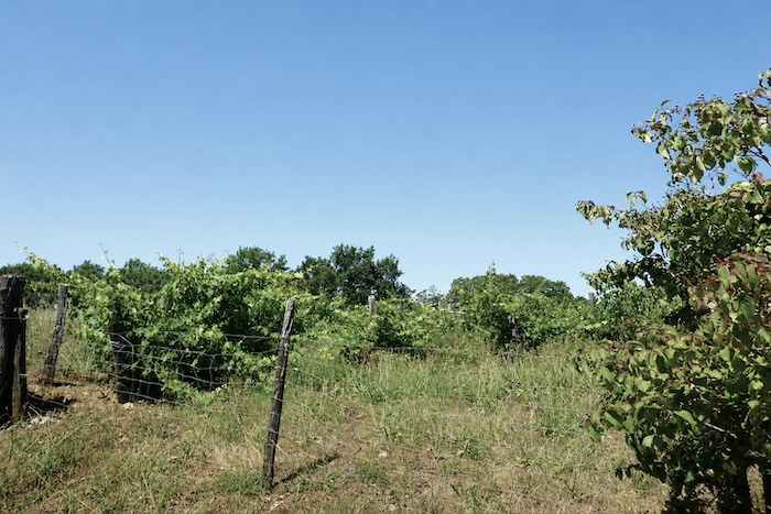
Around a bend in the path, a few isolated vineyards appear, surrounded by scrub and abandoned ground, like the last remnants of an agricultural activity now reduced to a handful of scattered plots. |
|
 |
 |
|
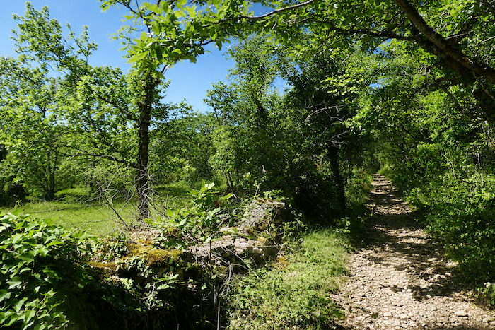
From time to time, a “caselle” stands alone in a meadow. Further on, a livestock handling pen reminds us that farming has not entirely disappeared from these plateaus. Oaks remain everywhere, combining with dry stone walls and broad open spaces to create a landscape that seems unchanged through time. Nothing appears to alter here. Looking into the distance, you can still make out Gréalou beyond the cereal fields, while the vast causses stretch away to the horizon. |
|
 |
 |
 |
 |
|
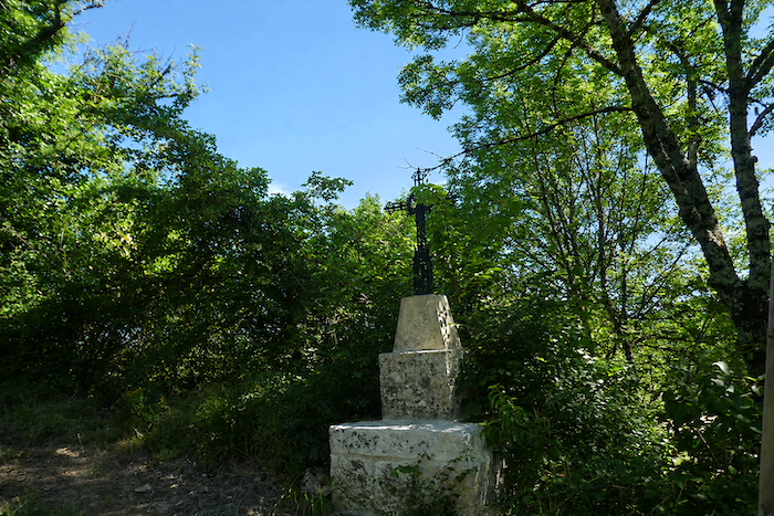
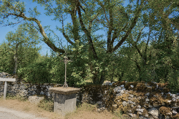
This semi-open countryside comes to an end near the remarkable Pech Laglaire Dolmen. Opposite it stands a simple stone cross, discreetly hidden among the junipers. Together they create a place of remarkable power. At the edge of the woodland, stones raised thousands of years ago seem to converse silently with the symbols of the Christian faith. The place feels suspended beyond time, standing at the crossroads of history, spirituality, and humanity’s oldest beliefs. It is in places such as this that wonder returns naturally, inviting the pilgrim to slow their pace and simply contemplate the surroundings. |
|
 |
 |
|
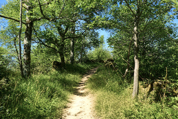
The GR65 then enters the Forest of Coston. Why not admit it? How could anyone fail to feel a sense of peace along this broad path as it gently undulates between moss-covered dry-stone walls, ancient “caselles,” and, above all, the countless downy oaks spreading their twisted silhouettes across the landscape? Many of them are probably several centuries old. Their gnarled trunks and contorted branches seem to carry the memory of these plateaus through the ages. |
|
 |
 |
|
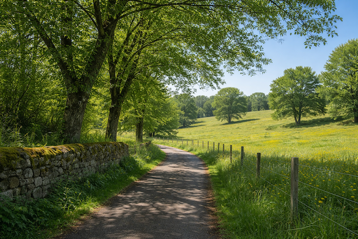
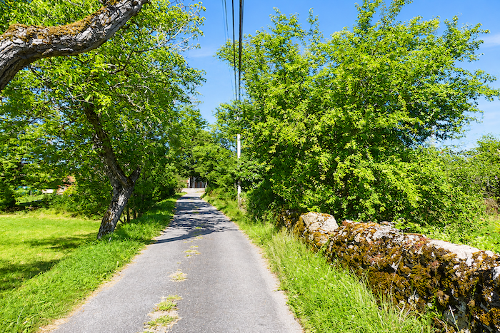
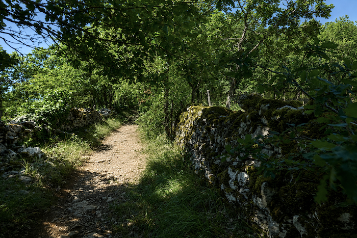
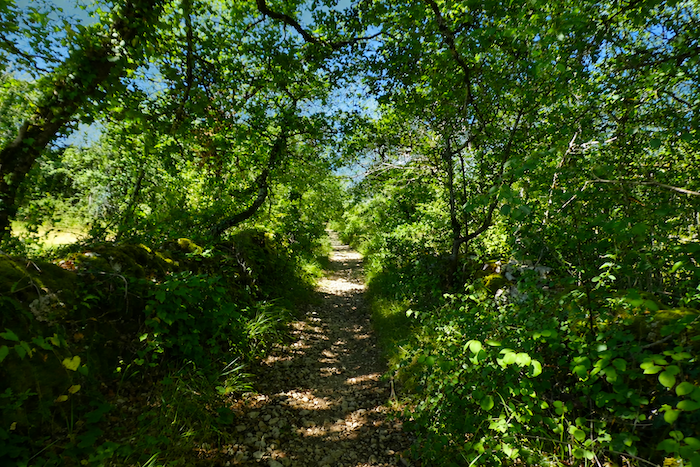
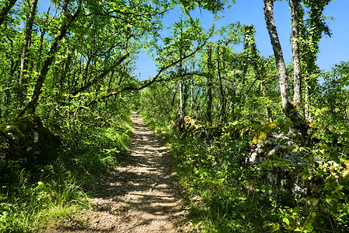
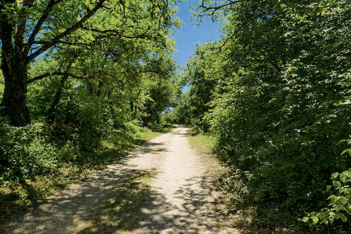
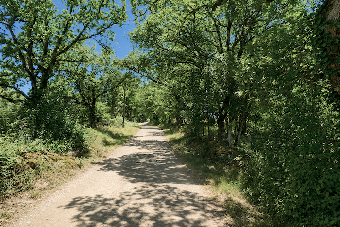
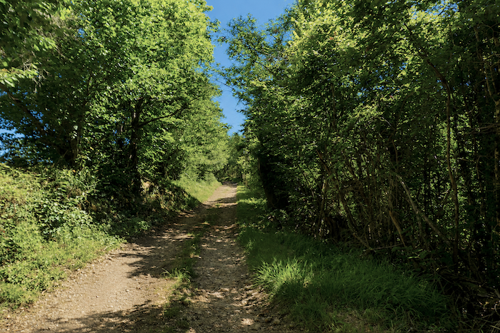
These paths still carry the fragrance of another age. They speak of the slow passage of time, of vanished generations, and perhaps of the millions of pilgrims who walked these very stones before you. Who could ever prove it? Who could deny it? Here, the walker is undoubtedly crossing one of the most iconic landscapes of the Camino de Santiago. As you walk through these historic woodlands, it becomes easy to understand why this section of the route has been included among the UNESCO World Heritage pilgrimage paths. The path remains broad and generously strewn with stones, just as the causses have shaped it for centuries. Everywhere stretches an ocean of greenery, punctuated by low dry-stone walls and oaks with weathered silhouettes. The magic works with remarkable simplicity, the stones beneath your feet, the ochre earth, the thick carpets of moss, the lichens clinging to old trunks, and the countless silent little oaks filling the horizon. Nothing distracts the eye. Everywhere there are trees and stones. Nothing disturbs the silence. Only the steady sound of footsteps brushing across the loose stones accompanies the walk. |
|
 |
 |
|
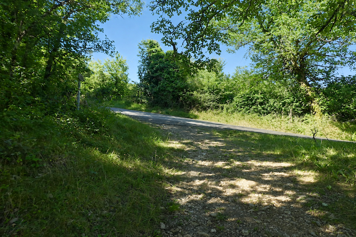
At the end of this remarkable descent, so timeless that it seems to belong to another world, the path merely crosses a modest road before immediately returning to its familiar realm of stone and woodland. |
|
 |
 |
 |
 |
|
The enchantment continues on the other side. A few Aubrac cattle graze on the sparse grass growing among the stones. Yet in this landscape, the cattle themselves seem almost less noticeable than the oaks. |
|
 |
 |
|
The path soon passes near the farm of Martignes, where the famous Rocamadour cheese is produced. The goats themselves, however, remain out of sight. The strict rules governing the protected designation require carefully controlled feeding practices, which do not necessarily involve grazing freely in the neighboring meadows. |
|
 |
 |
|
Beyond the farm, the forest gradually becomes more open. Oaks still dominate, but they increasingly share the landscape with field maples and Montpellier maples, adding a subtle diversity to the vegetation of the causse. |
|
 |
 |
|
The landscape then begins another quiet transformation. Broad meadows appear in the clearings, together with a few modest cereal fields whose yields will never rival those of the rich agricultural plains. Here and there, the eye catches the brown shapes of small herds scattered across the slopes, bringing a discreet touch of life to the peaceful immensity of the plateau. |
|
 |
 |
Section 7: Gentle ups and downs between open countryside and woodland
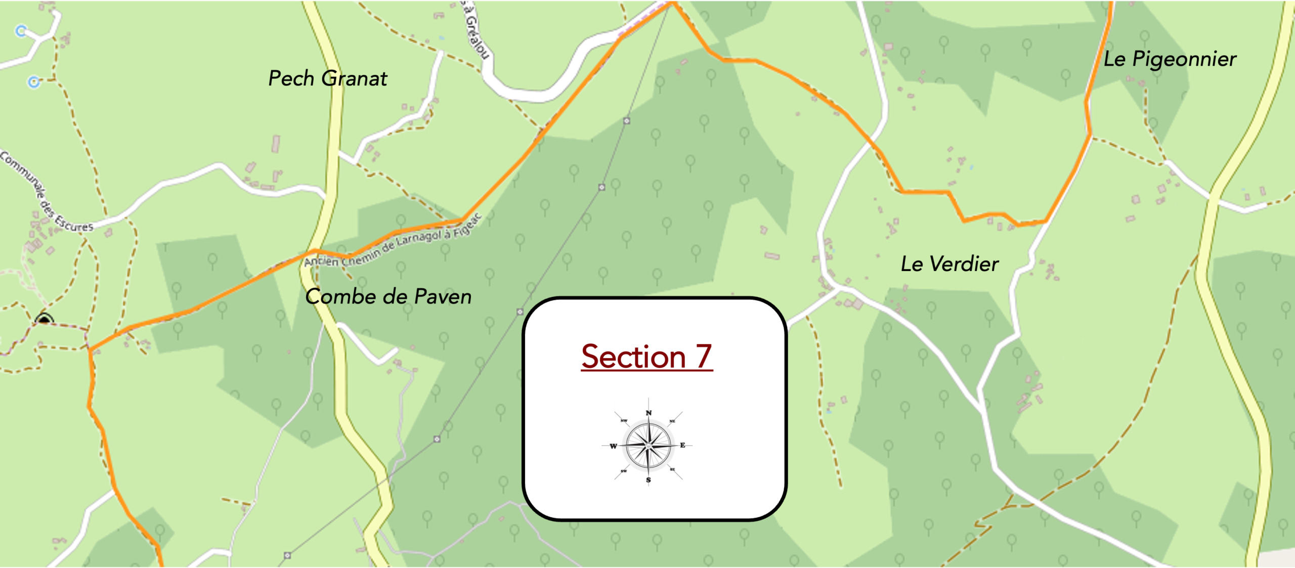
Overview of the route ‘s challenges: an easy route with no significant challenges.
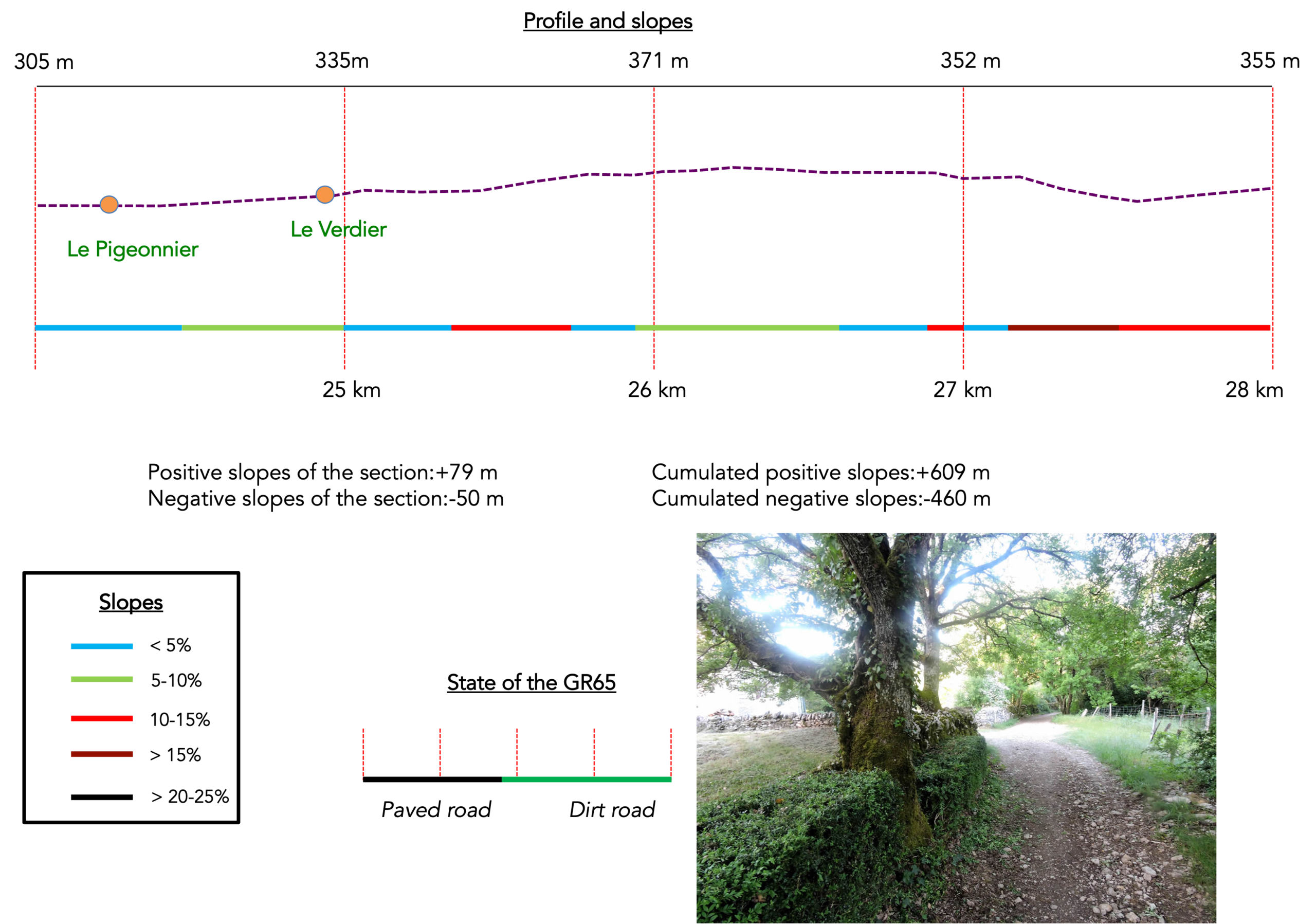
|
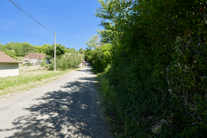
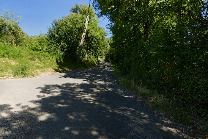
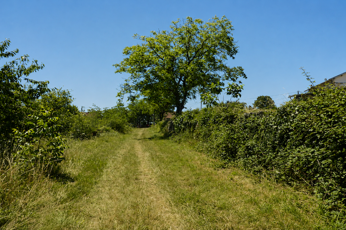
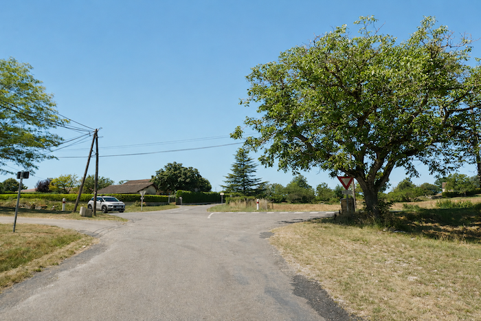
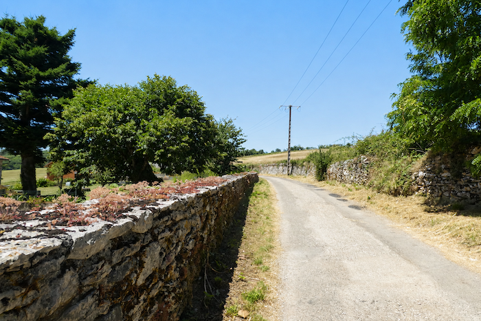
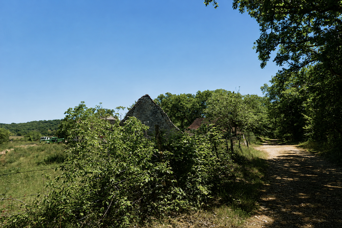
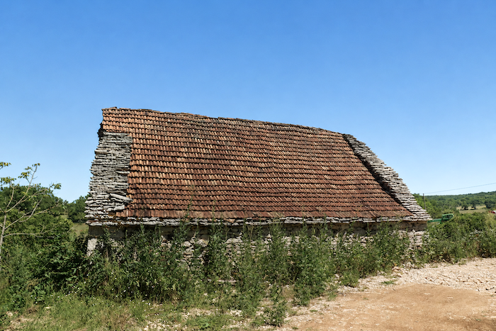
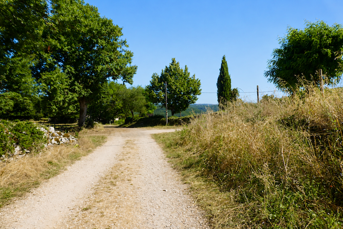
A broad dirt track appears as the route approaches Le Pigeonnier, a modest hamlet with only a handful of stone houses roofed with red tiles. During our last visit, several buildings were being restored. Across the causses, hamlets often seem to be slowly fading away. Pilgrims encounter far more deserted houses than genuinely inhabited homes. Nature, meanwhile, tirelessly continues its work. It constantly renews itself, drawing strength from its own resources. Human constructions are more fragile. As soon as they lose their purpose, they begin their slow return to stone and dust. Ruin is perhaps the ultimate destiny of every building. One cannot help wondering what future awaits these plateaus. Will the causses one day become an archipelago of abandoned hamlets scattered among scrubland, forests, and open heath, each evolving according to nature’s own laws? The oaks, for their part, have flourished here for centuries without asking anything of anyone. Perhaps this is also one of the reasons why the 22.5 kilometers of the Camino between Faycelles and Cajarc are among the sections inscribed on the UNESCO World Heritage List. Here, nature and history seem to have reached a rare harmony. Whatever the future may hold, crossing the causses remains a unique and deeply memorable experience. |
|
 |
 |
|
The landscape then gradually softens. The countryside becomes more open and less austere as the path approaches Le Verdier. |
|
 |
 |
|
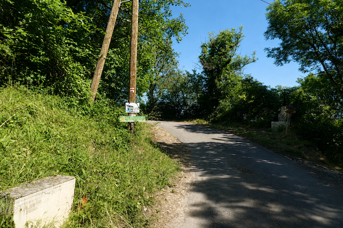
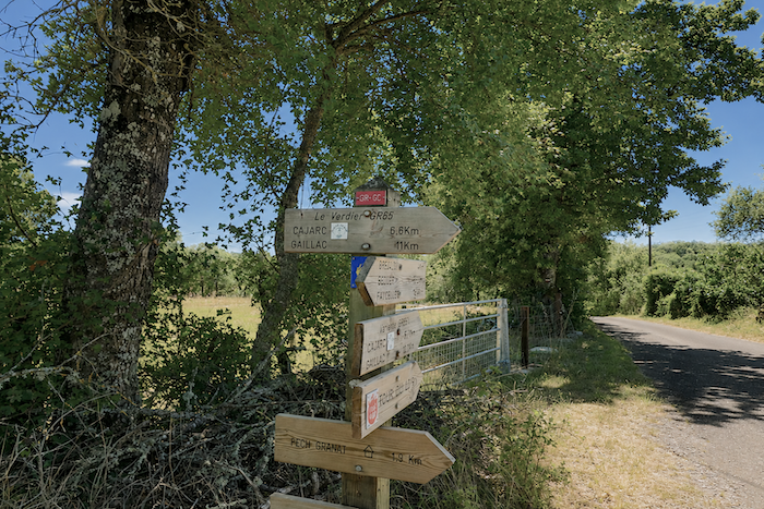
Here, the pilgrim faces a choice. One option is to remain on the GR65, which reaches Cajarc after another 6.6 kilometers of walking. The other is to follow the 5.7-kilometer alternative route. The overwhelming majority of walkers, however, remain faithful to the main route, and only a few venture onto the variant. |
|
 |
 |
|
At Le Verdier, the path quickly becomes a paved road. The crossing of the scattered hamlets that make up this small settlement takes place on tarmac, with a gentle uphill gradient. |
|
 |
 |
|
The landscape has a slightly different character here. Maples are more numerous, beautiful stone houses appear behind the trees, and magnificent moss-covered walls remind the hiker of the long history of human settlement. |
|
 |
 |
 |
 |
|
The route soon passes an iron cross marking the edge of the hamlet. |
|
 |
 |
|
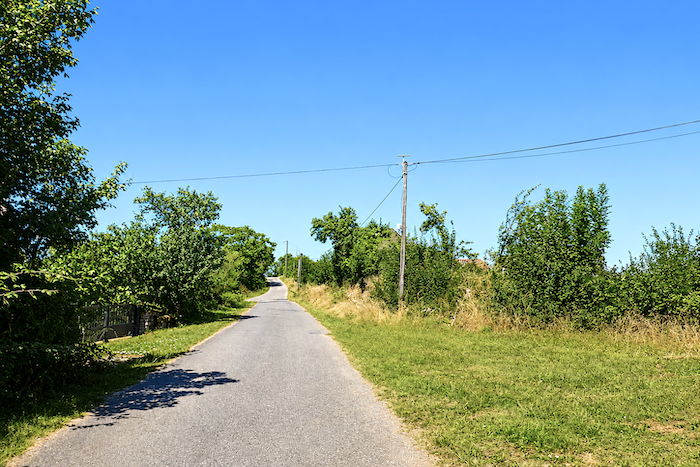
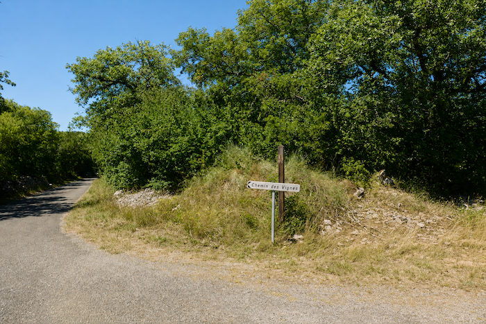
The GR65 then leaves Le Verdier along the Chemin des Vignes. The name might raise hopes of vineyards stretching across the hillsides. For the moment, however, only the deciduous trees of the causse fill the landscape. |
|
 |
 |
|
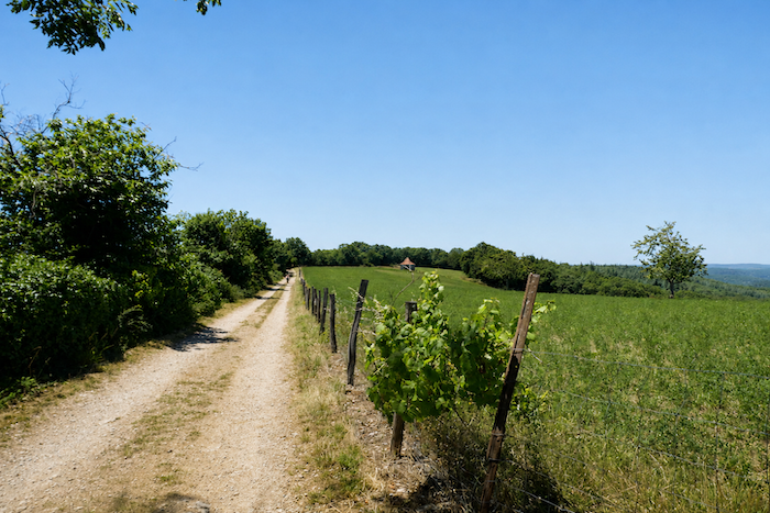
Further on, a few vines finally appear among the tall grasses. They seem almost forgotten. Yet no grapes ripen on these scattered vines that border a short climb with gradients ranging from 10 to 15%. |
|
 |
 |
|
The climb then becomes steeper once again as the route reaches a modest plateau gradually rising above the surrounding hills. |
|
 |
 |
|
At the top of the climb, the GR65 follows a small road across a relatively open plateau where the eye can once again wander beyond the hedgerows and dry-stone walls. |
|
 |
 |
|
A path then runs parallel to the road, first beneath deciduous trees and then across a few meadows. You are now close to Pech Granat, which the GR65 merely skirts. Cajarc is now only six kilometers awaye. |
|
 |
 |
|
The path soon returns to the woodland. Rising above the trees stands the tall communications mast of Pech Granat. In spring, the toads inhabiting the nearby pond sometimes perform a chorus as loud as it is unexpected. Today, however, they have chosen silence. |
|
 |
 |
|
Some of the oaks display remarkable shapes here. Their bare branches stretch towards the sky like the masts of a shipwreck. They appear as though they have been deprived of water and nourishment for centuries, yet they continue to survive on these austere lands. |
|
 |
 |
|
Shortly afterwards, the route briefly follows the D12 departmental road linking Figeac and Cajarc. |
|
 |
 |
|
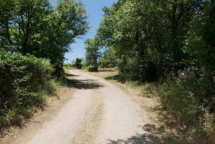
The road section is brief. The path, less stony here than elsewhere, quickly reclaims the landscape. It winds through untamed countryside, accompanied by moss-covered stone walls that seem to emerge from the woodland like the remains of a forgotten world. |
|
 |
 |
 |
 |
|
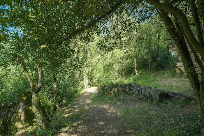
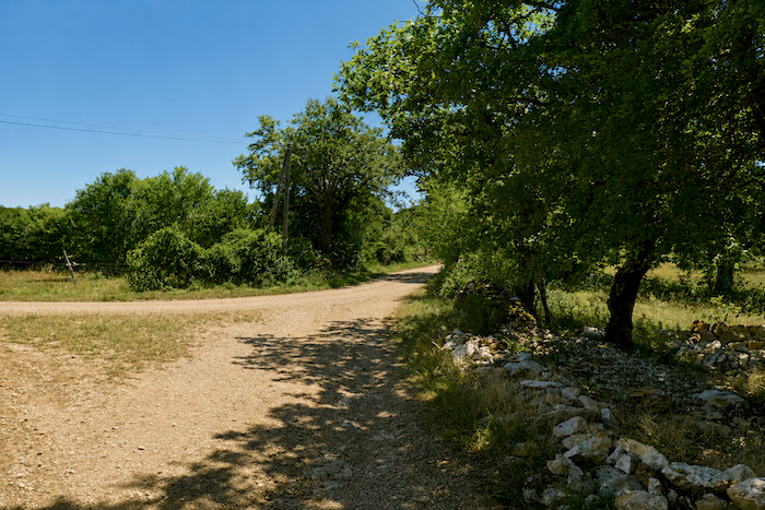
Near the place known as Somberot, the walker suddenly comes upon strange stone walls. Centuries of weathering, together with moss, lichens, sunshine, and rain, have slowly transformed these structures until they seem almost unreal. At first glance, they might be mistaken for the remains of a vanished village or the ruins of some ancient settlement whose purpose has long been forgotten. We chose not to investigate further, preferring to leave the place wrapped in a measure of mystery. Yet these ruins almost certainly tell a simpler story, and perhaps a more moving one. They are probably neither the remains of a castle nor those of a forgotten abbey. Instead, they bear witness to the harsh lives of the farming families who once inhabited these limestone plateaus. As people gradually departed, the roofs collapsed, the walls split apart, and the oaks slowly reclaimed the site. On the causses, stone often outlives human memory. |
|
 |
 |
 |
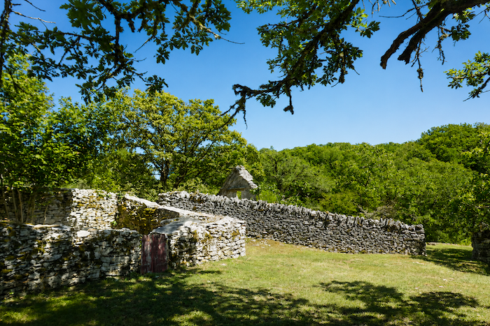 |
This single ruin seems to embody the fate of so many hamlets across the causse. People built their homes, cultivated the land, tended their flocks, and eventually moved elsewhere. The stones remained behind. Year after year, the walls sagged, the roofs disappeared, and vegetation reclaimed its territory. Today, only a silent dialogue survives between stone and plants, between the work of human hands and the infinite patience of nature.
|
Soon afterwards, the path, once again very stony, drops steeply through the woodland. All around, agriculture survives only in modest traces. |
|
 |
 |
 |
 |
|
little further on, the path climbs once more, still strewn with countless stones and almost as steep as before, until it reaches a small road at Le Mas de Langarre. Such is the rhythm of the Camino, up and down, again and again. Yet when the dense canopy of deciduous trees offers its welcome shade, the effort becomes far more bearable. |
|
 |
 |
 |
 |
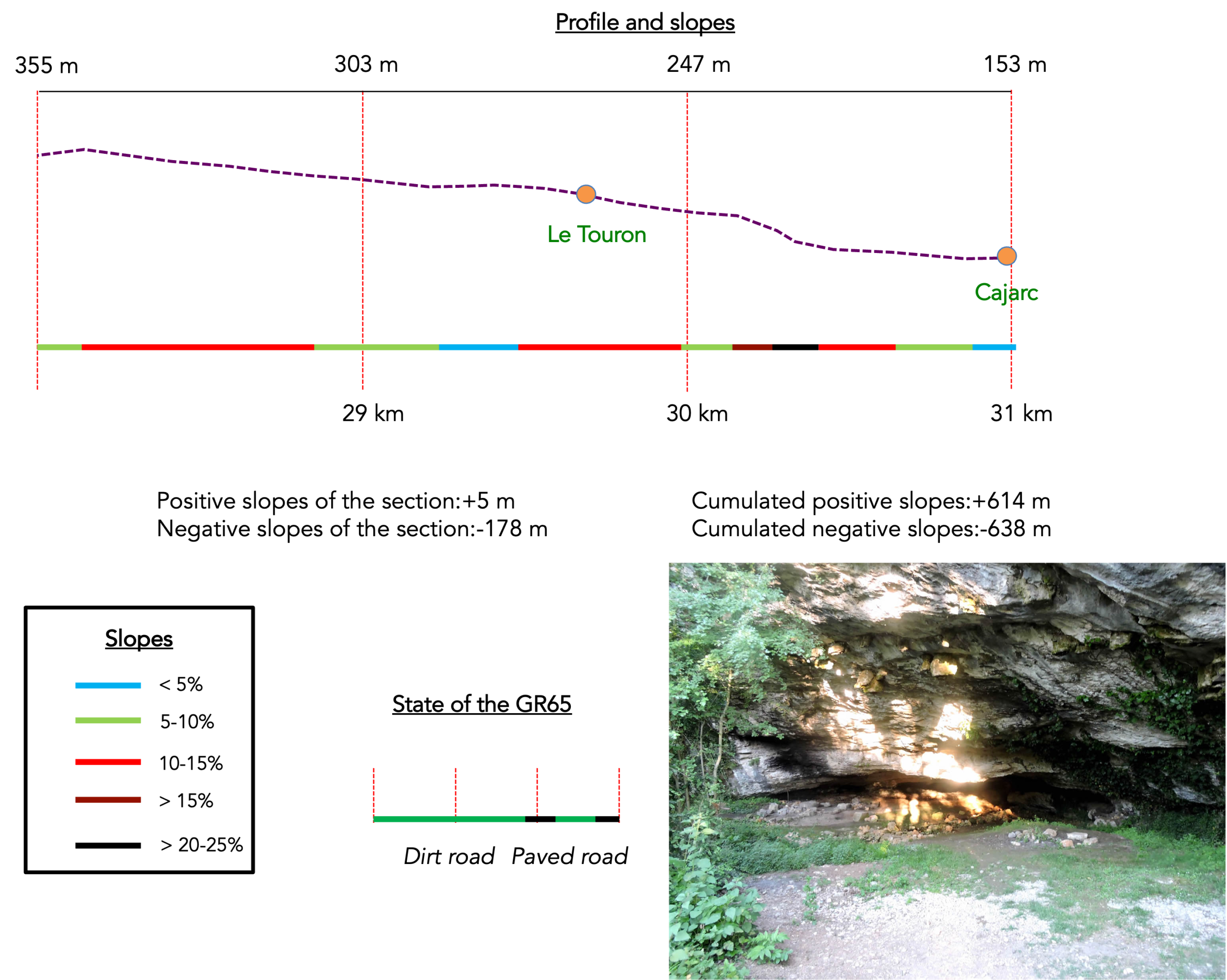
Section 8: Descending into Cajarc
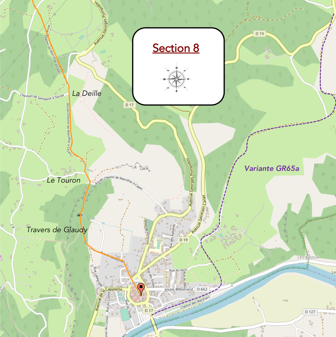
Overview of the route’ challenges : steep slopes on the cliffs above Cajarc.
|
From here, the path continues climbing for a while over the stony limestone of the causse. The vegetation changes very little. The same companions have accompanied the pilgrim for many kilometers: countless oaks, a few modest maples, ash trees along the edges of the open spaces, hornbeams, dogwoods, and brambles that sometimes spill across the trail. Sweet chestnuts, beeches, and walnut trees are almost entirely absent from the landscape. As for junipers and boxwoods, so characteristic of the causses, they are surprisingly scarce. In recent years, the boxwoods have been severely affected by the box tree moth, which has profoundly altered parts of the landscapes of the Quercy. |
|
 |
 |
 |
 |
|
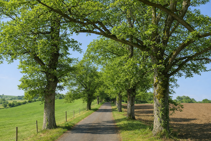
The route then gradually begins its descent towards the valley. A broad earth track winds along the hillside, sometimes descending steeply, sometimes more gently, always accompanied by remarkable dry-stone walls. Some reach impressive proportions and resemble the ramparts of a fortress. Here one can fully appreciate the immense labor of generations of farmers. They were undoubtedly far more numerous in the past when these walls were built to hold back the earth and withstand the passing centuries. |
|
 |
 |
|
Little by little, the forest retreats. The continuous woodland disappears, leaving only scattered clusters of trees across the landscape. |
|
 |
 |
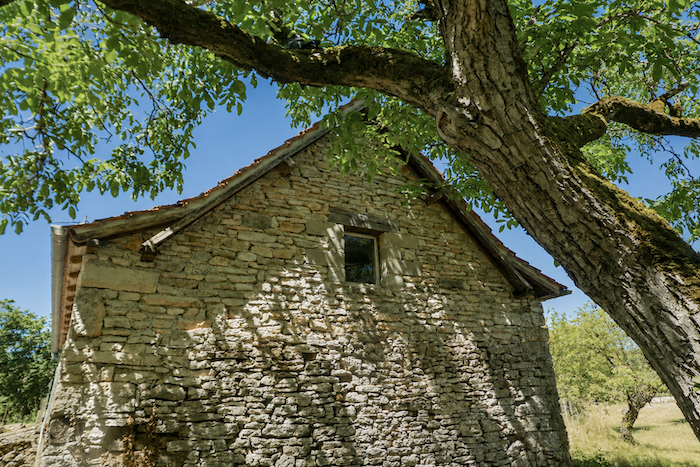
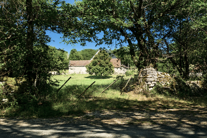
The path then passes close to La Deille, a farm whose beautiful “caselle “has been incorporated into the farm buildings.
|
The descent towards Cajarc is now well underway. A broad earth track gradually loses altitude without presenting any real difficulty. It crosses a harmonious landscape where woodland, meadows, and farmland alternate gracefully. |
|
 |
 |
 |
 |
|
As the route approaches the Lot Valley, agriculture once again becomes more visible. A few cereal fields with modest yields occupy the flatter ground, while Aubrac cattle graze peacefully in the surrounding meadows. |
|
 |
 |
 |
 |
|
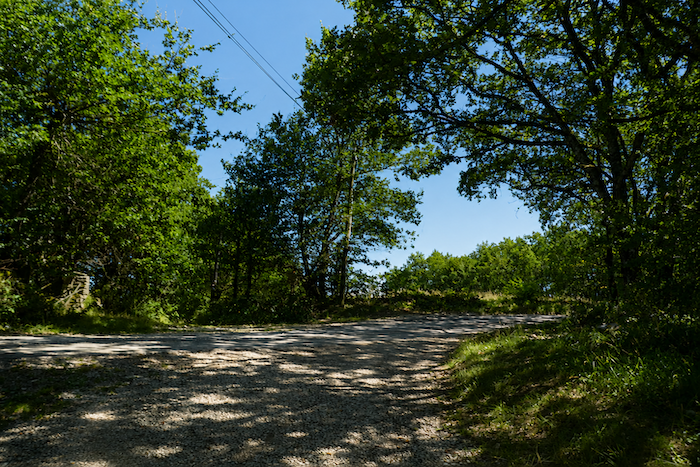
The route then reaches the hamlet of Le Touron, where it joins a small paved road. |
|
 |
 |
 |
 |
|
Here you are still walking at almost 300 meters above sea level. Cajarc, meanwhile, lies at about 150 meters. A considerable descent therefore still remains. The road soon becomes steeper as it begins dropping towards the valley. |
|
 |
 |
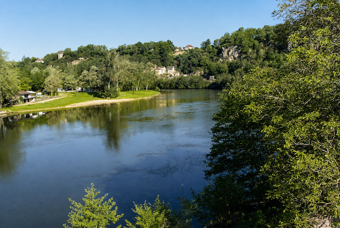
Then, quite suddenly, the landscape opens in all its splendor from the ridge. The view across the Lot Valley is breathtaking. Far below, Cajarc appears, nestled beside the river within its green setting. The little town seems to rest like a jewel inside a great amphitheater of limestone cliffs, while the Lot quietly winds its way beneath the towering escarpments. After the long and solitary crossing of the causses, this first view has something almost theatrical about it.
|
Further down, the paved road suddenly gives way to a rough trail plunging towards the Roc de la Combe and the Travers de Glaudy, the cliffs overlooking Cajarc. The descent now changes completely in character. Gone is the gentle nature of the causse paths. The trail drops down the reddish slopes towards the Lot Valley with remarkable steepness. Your knees are immediately put to the test. In places, the gradient comfortably exceeds 30%. Some sections are so direct that you almost have to resist gravity itself to avoid being carried all the way to the valley floor. |
|
 |
 |
 |
 |
|
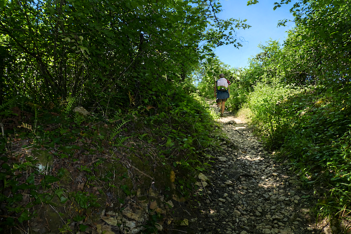
In certain places, the path is little more than an unstable scree slope where every step demands careful attention. |
|
 |
 |
|
Further down, the trail narrows between tall grasses and dogwood bushes. Yet despite this change in scenery, the descent remains just as severe. |
|
 |
 |
|
The route then passes close to a cave opening into the cliff face. Here, the rock itself becomes the spectacle. As the hours pass, the changing light plays across the limestone, constantly transforming the landscape. Shadows emphasize the deep fissures carved into the cliff, while the ledges successively take on shades of grey, blue, and silver. At times, the whole scene seems almost unreal, as though the mountain were briefly revealing its hidden architecture. |
|
 |
 |
|
The descent continues without any real respite. Loose stones and steep sections follow one another until the foot of the cliffs is finally reached. Only as the trail approaches La Peyrade, the first suburb of Cajarc, does it finally begin to soften. |
|
 |
 |
 |
 |
|
Today, Cajarc has a population of just over 1,200 inhabitants and has preserved much of its medieval character. The old town is encircled by the Boulevard du Tour de Ville, which roughly follows the line of the former fortifications. The little town stretches along the banks of the Lot at the foot of the causse, between the river and the limestone cliffs overlooking the valley. The houses in the historic center possess undeniable charm. Often tall and narrow, they feature ground floors and first storeys built of limestone. Their upper levels are sometimes timber framed and project slightly over the street on wooden overhangs, recalling the medieval architecture of the Quercy. |
|
 |
 |
|
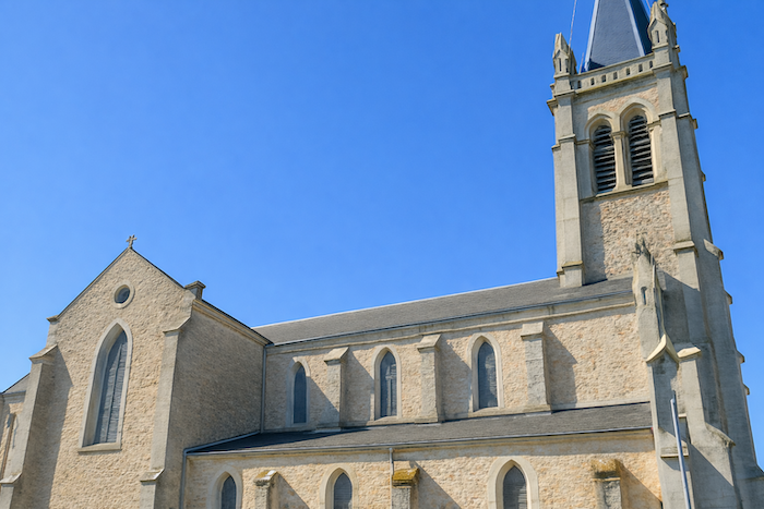
The Church of Saint Stephen, whose origins date back to the twelfth century, has experienced a turbulent history. Damaged during the Wars of Religion, it was partly destroyed by Protestant forces before being rebuilt and altered several times over the centuries. Its present appearance is therefore the result of a long succession of restorations. |
|
 |
 |
|
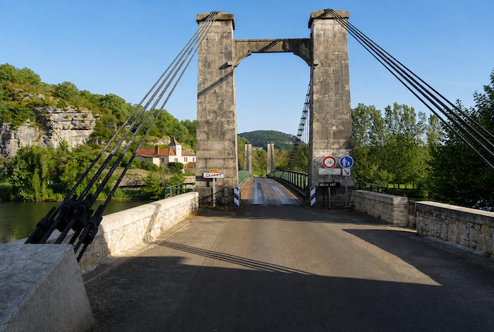
Few towns of this size can claim to have welcomed so many notable figures. Françoise Sagan lived in Cajarc for many years and is buried nearby. Georges Pompidou owned a residence on the neighboring causse. As for Coluche, he was a regular visitor to the Café Chez Moulinot during his stays in the region. Local tradition holds that it was here, in 1975, that he found the inspiration for his famous Schmilblick sketch. The Café Moulinot still exists today and carefully preserves the memory of the comedian. His portrait still hangs on its walls, while one of the town’s avenues now bears his name. Monsieur Moulinot, the fishing tackle merchant from the sketch, has become part of France’s collective memory. As for the unforgettable Papi Vougeot, he seems to have vanished forever into the mists of Coluche’s imagination. Today, Cajarc depends largely on tourism. Some visitors come in search of Coluche’s legacy, while others simply discover one of the finest towns in the Lot Valley. Pilgrims on the Camino, easily recognized by their backpacks and lightweight sandals, mingle with holidaymakers wandering through the narrow streets or lingering on the café terraces. During the summer, tourists generally outnumber pilgrims. Although the Camino de Santiago has profoundly transformed the economies of many small villages along its route, its influence here remains more discreet. Cajarc possesses an identity forged long before the revival of the pilgrimage routes. This prosperity, moreover, is nothing new. Cajarc was for centuries a lively trading town. Tanneries, mills, phosphate mines, and above all its river port on the Lot ensured its prosperity for generations. Phosphate, timber, and wine were once shipped from its quays towards Cahors and the other towns along the valley. Today, the traditional river barges have long since disappeared. An elegant suspension bridge now spans the river instead. Yet when the evening sun settles over the tranquil waters of the Lot, it is not difficult to imagine the bustling activity that once filled this port, on which so much of the region’s economic life depended. |
|
 |
 |
Accommodation on Via Podiensis
- Gîte Les Cabrioles de Balajou, Balajou; 06 42 38 35 02/06 89 20 95 73; Gîte, dinner, breakfast, cuisine
- Gîte Le Relais de St Jacques, La Cassagnole; 05 65 34 03 08/06 31 83 20 98; Gîte donativo, dinner, breakfast
- Chambres d’hôtes La Caselle, La Croix Blanche; 05 65 34 05 68/06 31 83 20 98; Guestroom, breakfast
- Chambres d’hôtes Bleu Lumière, Mas du Rou, Faycelles; 06 86 71 1314; Guestroom, dinner, breakfast
- Gîte La Maison Médiévale, Faycelles; 06 7979 12 47; Gîte, breakfast, cuisine
- Café La Petite Pause, Faycelles; 05 65 34 65 09/07 7027 84 00; Guestroom, dinner, breakfast
- La Mythié, Chemin du Château, Béduer; 06 42 47 92 93/05 65 34 22 25; Guestroom, dinner, breakfast
- La Coquille, Chemin du Château, Béduer; 06 38 94 10 47/05 65 11 40 86; Guestroom, breakfast
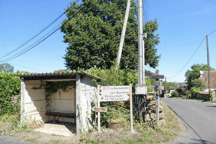
- La Soursonette, Pech Rougié/Béduer; 06 4796 25 92; Gîte and Guestroom, dinner, breakfast
- La Forge de Béduer, Béduer; 06 31 83 51 42; Gîte and Guestroom, dinner, breakfast
- L’Hirondelle du Bourg, Béduer; 06 71 17 83 23; Guestroom, dinner, breakfast
- Gîte Ecoasis**, Puy Clavel; 06 71 00 48 30/09 50 07 74 68; Gîte, dinner, breakfast
- Gîte de la Tounisse, Le Pigeonnier; 06 17 98 90 93; Gîte, dinner, breakfast
- Gîte Arnasse, Le Pigeonnier; 06 22 37 20 00; Gîte, dinner, breakfast
- Gîte communal, Rue de la Cascade, Cajarc; 06 14 66 54 69; Gîte, breakfast, cuisine
- Gîte Pat Pèlerine, 723 Avenue Georges Pompidou, Cajarc; 06 76 06 93 19; Gîte, dinner, breakfast, cuisine
- Gîte Le Pèlerin, 11 Rue Lacaunhe, Cajarc; 06 85 60 44 37; Gîte, breakfast, cuisine
- Chambres d’hôte Alain Schlumberger, 66 Avenue Georges Pompidou, Cajarc; 06 22 89 47 69; Guestroom, breakfast
- Gîte Hôtel La Peyrade**, 52 Rue de Lapeyrade, Cajarc; 05 65 10 42 03; Gîte and Hotel, dinner, breakfast
- Hôtel La Ségalière, 380 Avenue François Mitterrand, Cajarc; 05 65 40 65 35; Hotel, dinner, breakfast
- Camping municipal du Terriol**, Rue du Cazpul, Cajarc; 07 66 49 73 15; bungalow, mobil homes, breakfast, cuisine
Year after year, the Camino de Santiago changes and reinvents itself with the seasons and the footsteps of pilgrims. Some accommodations close their doors, while others, modest or unexpected, come into being. It would therefore be unrealistic to claim to provide a fixed and exhaustive list. This guide includes only accommodations located directly on the route or within one kilometer of it. The selection was updated in 2026 and should therefore not undergo any major changes in the coming years. For those wishing to go further, one publication stands out as the essential reference: Miam Miam Dodo, easily available online. The main strength of this guide lies in its yearly updates. It not only lists accommodations located directly on the route, but also addresses slightly off the route, a valuable resource when heavy pilgrim traffic makes overnight stops more uncertain. It also contains a wealth of practical information: welcoming bars, restaurants along the way, and providential bakeries, all of which punctuate the journey. Alongside these traditional resources, another presence has become unavoidable: Airbnb. The platform has established itself as a major reference in the tourism landscape, even in the most discreet or less developed regions. However, as everyone knows, exact addresses are not displayed directly, which requires a degree of anticipation. On the Camino, finding a bed at the last minute can sometimes depend on sheer luck. But luck, by its very nature, cannot be considered a strategy. Booking ahead is therefore strongly recommended. Finally, when making arrangements, be sure to inquire about dinner and breakfast options. These details, seemingly minor, can greatly soften the hardships of a stage.
If we take stock of the accommodation available, there are around 120 beds before reaching Cajarc, suggesting that many pilgrims choose to break the journey along the way. Cajarc itself offers approximately 150 beds. As the number of pilgrims walking the Via Podiensis generally ranges between 100 and 200 people, accommodation should not present any particular difficulty on this stage, especially since many walkers choose not to complete the entire stage in a single day because of its considerable length.
These routes, winding through often sparsely populated countryside, offer relatively few services. Restaurants are scarce, as are grocery stores, which are often little more than small village shops or bread depots selling a limited selection of vegetables and dairy products. Nevertheless, meals are available in Faycelles. Small grocery stores can also be found in Faycelles, Béduer, and Gréalou. Water points are spaced at fairly regular intervals along the route, notably in Faycelles, Béduer, and Gréalou. Some are accompanied by public toilets, often dry toilets, particularly in Faycelles and Béduer. At the end of the stage, Cajarc provides all the services and amenities a walker might need. Finally, many companies offer luggage transfer services or transportation back to the starting point. Among them, one stands out as the benchmark for pilgrims on the Camino routes: La Malle Postale.
Feel free to add comments. This is often how you move up the Google hierarchy, and how more pilgrims will have access to the site.
 |
Next stage : Stage 2: From St Privat d’Allier to Saugues |
 |
Back to menu |