Back to the Lot River by a route that will not be said to be flattering
DIDIER HEUMANN, MILENA DALLA PIAZZA, ANDREAS PAPASAVVAS
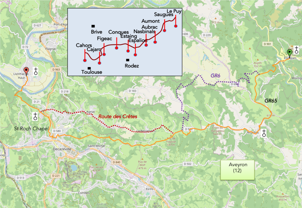
We divided the course into several sections to make it easier to see. For each section, the maps show the course, the slopes found on the course, and the state of the roads. The courses were drawn on the « Wikilocs » platform. Today, it is no longer necessary to walk around with detailed maps in your pocket or bag. If you have a mobile phone or tablet, you can easily follow routes live.
For this stage, here is the link:
https://fr.wikiloc.com/itineraires-randonnee/de-conques-a–le-haut-par-le-gr65-42542373
It is obviously not the case for all pilgrims to be comfortable with reading GPS and routes on a laptop, and there are still many places in France without an Internet connection. Therefore, you can find a book on Amazon that deals with this course. Click on the book title to open Amazon.
If you only want to consult lodging of the stage, go directly to the bottom of the page.
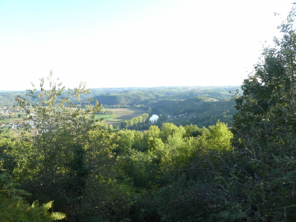
You have already left Haut Rouergue and its green valleys for the Lot valley, but your route is still for a few days in the north of Aveyron, in the middle of beeches, oaks and chestnuts. Wooded slopes, groves and grasslands interspersed with brooks gradually give way to more open spaces with fairly poor land, where coal dominates. You are still in Aveyron, along Lot valley on the heights, direction west.
|
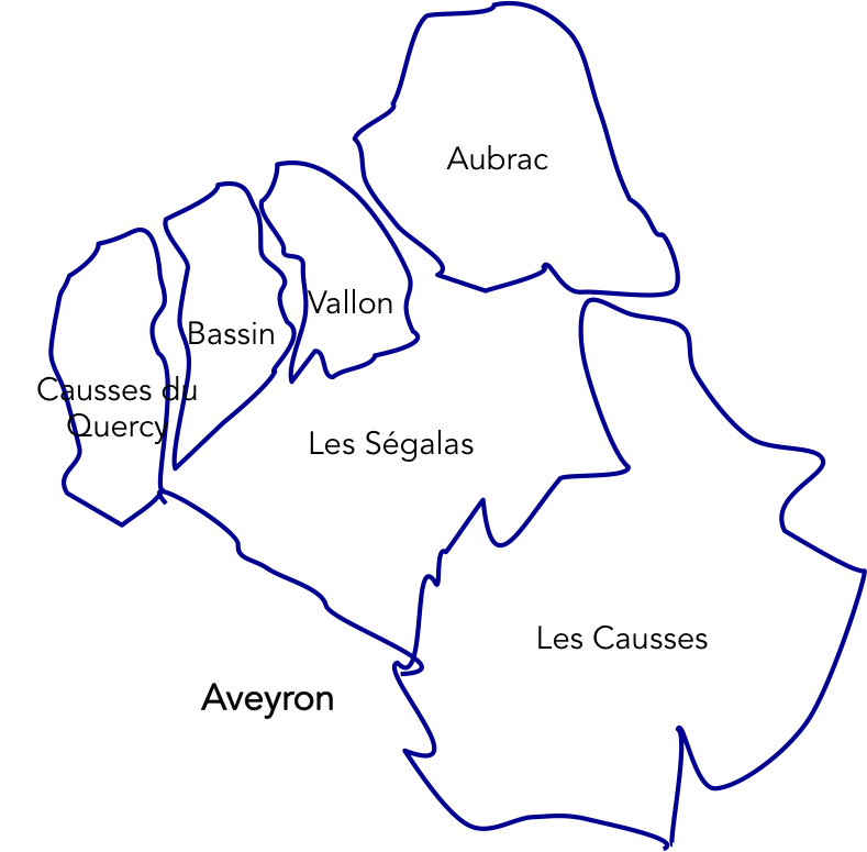
Let’s give here a little overview of the department of Aveyron that you’ll cross in its northern part. After passing the Aubrac and the Vallon region, where you were in Conques, today the route slopes up the valley to descend to the Decazeville Coalfield. Thereafter, it will reach the Quercy “causses” via Livinhac and Cahors. The Conques country, placed between the basin of Decazeville and the valley of the Lot, is a “ségala” whose acid soils were formerly synonyms of rye, chestnut and moors. Since then, crops have gradually evolved. The entanglement of the geological layers, cut by Lot and Dourdou Rivers gives a great variety of rocks. If the schists and granites make up the interior of this corrugated plateau, you’ll also see limestones and sandstones that create red or yellow effects on the green of the meadows. Therefore, in the region, the villages are made of shale or gray granite, pink sandstone or yellow limestone. |
 |
The coal basin of Decazeville was one of the main coal blocks in France. During the Great War, more than 15,000 employees extracted coal, the product of accumulation and fossilization of plant waste. The mines date from 1828, mines that extended over a perimeter of 50 square kilometers. In the early 1960s, the mining basin experienced a resounding strike. More than 1500 miners stayed more than 2 months underground. The last mine was closed definitively in 2001.
The stage of the day has become more ambiguous, because there are two routess, the GR65 and the GR6, which sometimes merge, sometimes intersect. In recent years, both tracks have just reversed! We will come back in a future chapter on that story. Today, you’ll follow the GR65, which is what the majority of pilgrims is doing, because when you tell them “Santiago track in France”, they run almost always on the GR65. It is a difficult stage, but pilgrims who have already been walking for several days will pass the test without any problem. As the stage is long, and as a result, some pilgrims split the difference, stopping at Decazeville. No pilgrim will say that this stage is the most exciting stage of the Camino de Santiago. Far from there!
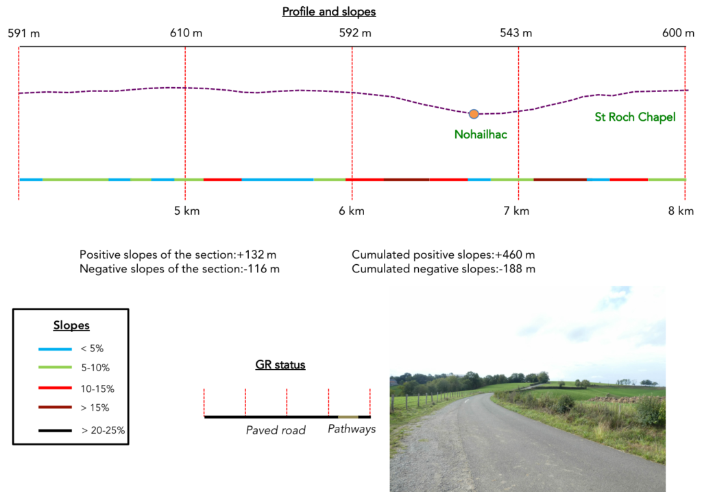
Difficulty of the course: Slope variations today are very important (+763 meters /-849 meters). In fact, it’s one of the most uneven stages for the GR65. Today’s stage is tough in its first part and then before reaching Livinhac. First, you must leave Conques valley to reach the basin of Decazeville, with more than 300 meters of positive sloping. It is with the climbs to Briffoul, Escluzels and Roncesvalles, the most difficult course on GR path, perhaps the most confronting. Subsequently, the main part of the journey is a great ride on the paved road to Decazeville. In places, the descent is tough. Finally, a long and tedious climb to St Roch ends with a descent to Livinhac-Le-Haut, at the foot of the Lot River.
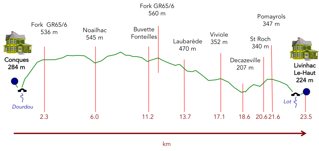
In this new GR65 deal, you’ll love tar, for sure! You’re kidding, say the organizers of the road! It’s not tar, it’s a strip of grass or dirt along the tar:
- Paved roads: 16.3 km
- Dirt roads: 8.2 km
Sometimes, for reasons of logistics or housing possibilities, these stages mix routes operated on different days, having passed several times on Via Podiensis. From then on, the skies, the rain, or the seasons can vary. But, generally this is not the case, and in fact this does not change the description of the course.
It is very difficult to specify with certainty the incline of the slopes, whatever the system you use.
For « real slopes », reread the mileage manual on the home page.

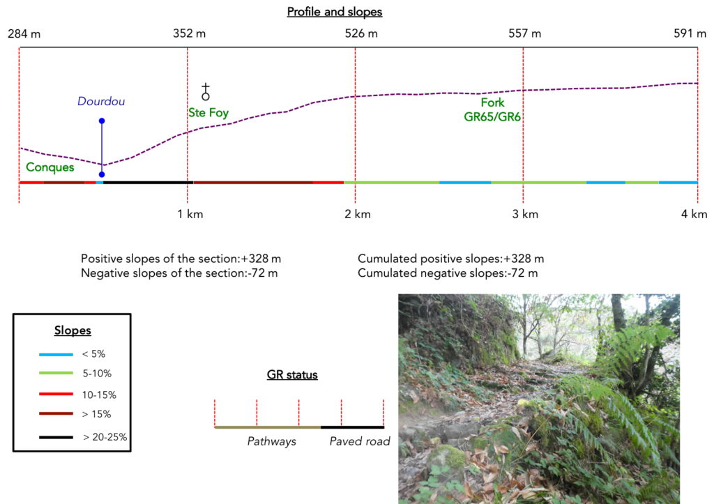
Section 1: A demanding climb via the beautiful Ste Foy Chapel.

General overview of the difficulties of the route: very demanding course, with nearly 2 km of climb, often with slopes well above 15%.
|
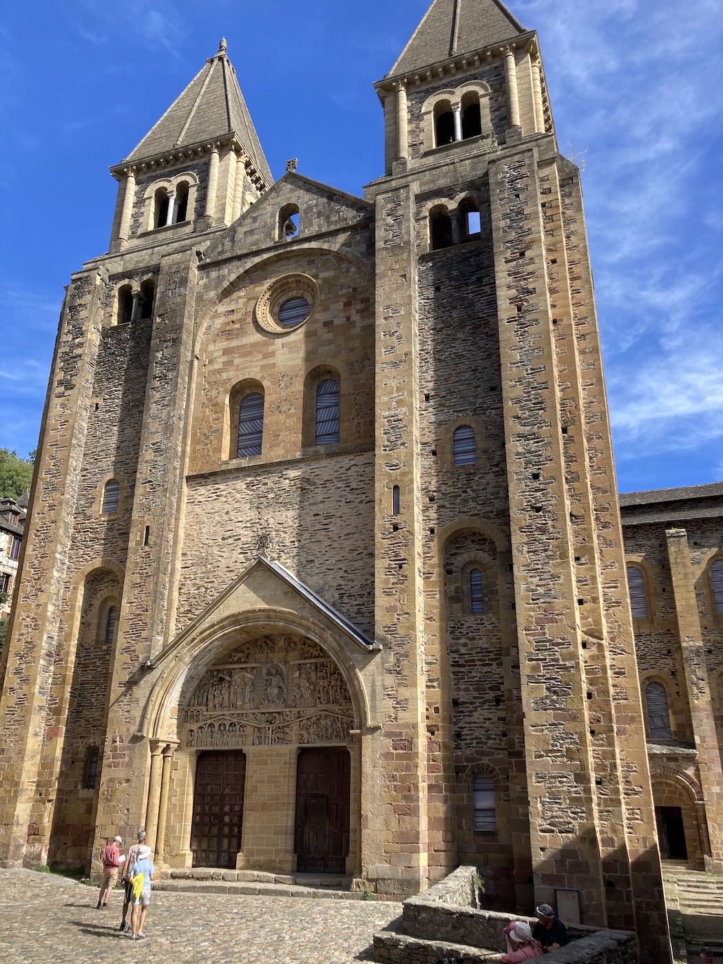
In Conques, tourists mainly gather near the abbey church, but in the morning, there are almost only pilgrims here.
|
 |
 |
|
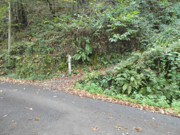
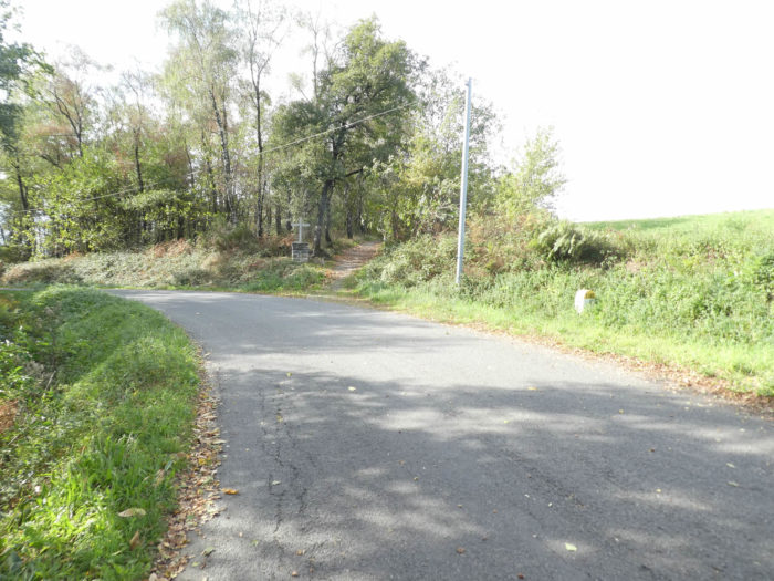
The GR65 exits via rue Charlemagne passing the Porte du Barry. In the past, the city had an enclosure flanked by towers and 4 gates. There are only two doors left, including this one.
|
 |
 |
|
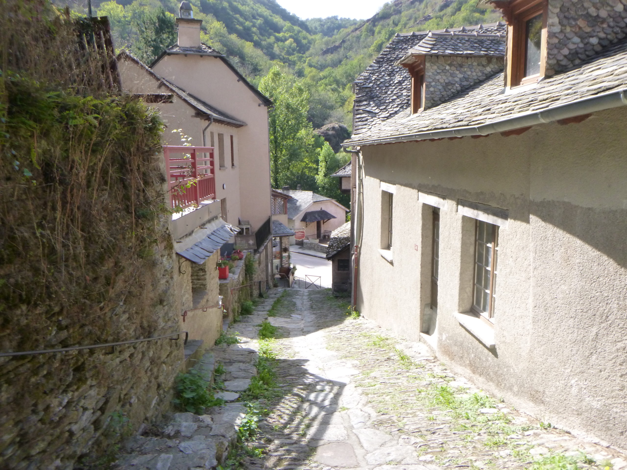
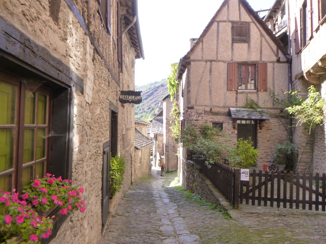
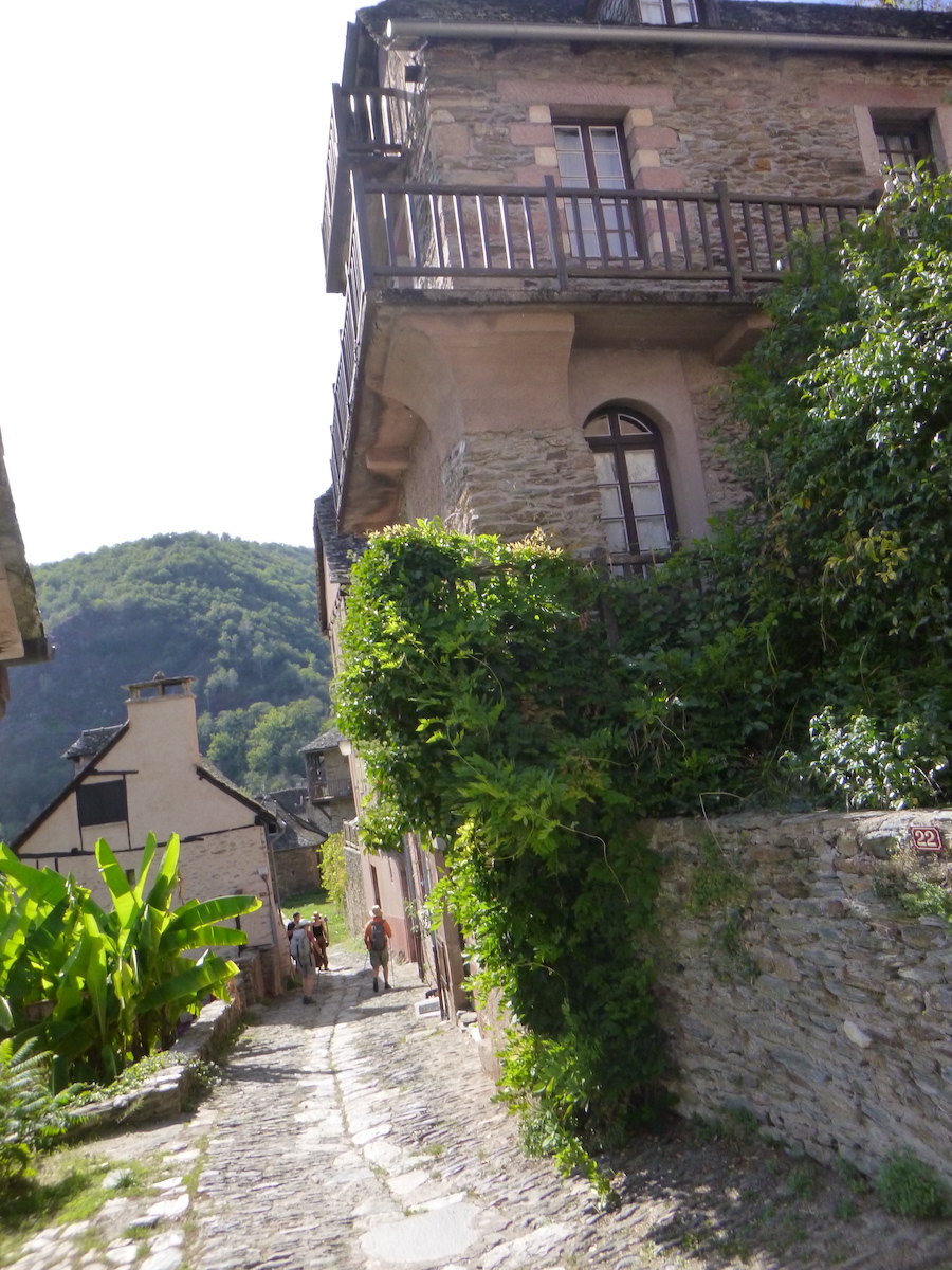
As soon as you descend to the bottom of the village, on Rue Charlemagne, an alley with brittle stones and a steep slope which can be very slippery, tourists disappear into nature. Luckily there are some cobblestones in the center of the alley. Further down, the pathway borders an old bread oven.
|
 |
 |
|
There are no more stalls or bazaars. No more stiletto heels on the abbey church square. There are only big shoes moving in solitude towards the bridge.
|
 |
 |
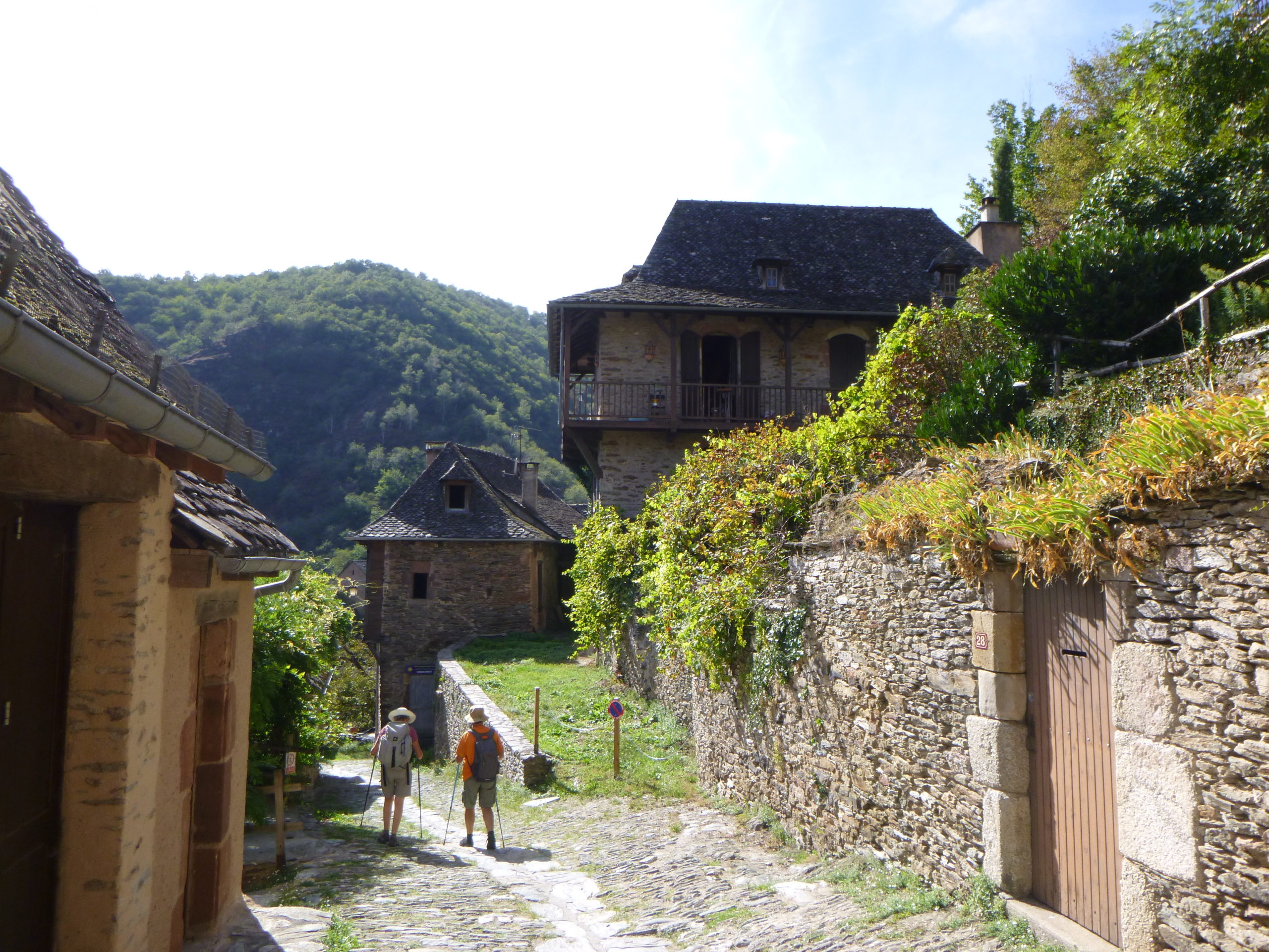
| This lower part of the village is just as beautiful as the upper part, perhaps more authentic, with its solid stone houses clinging to the slope. |
 |
 |
| At the bottom the descent is close to 20%. Only tourists wanting to take a look at the Roman Bridge venture there. |
 |
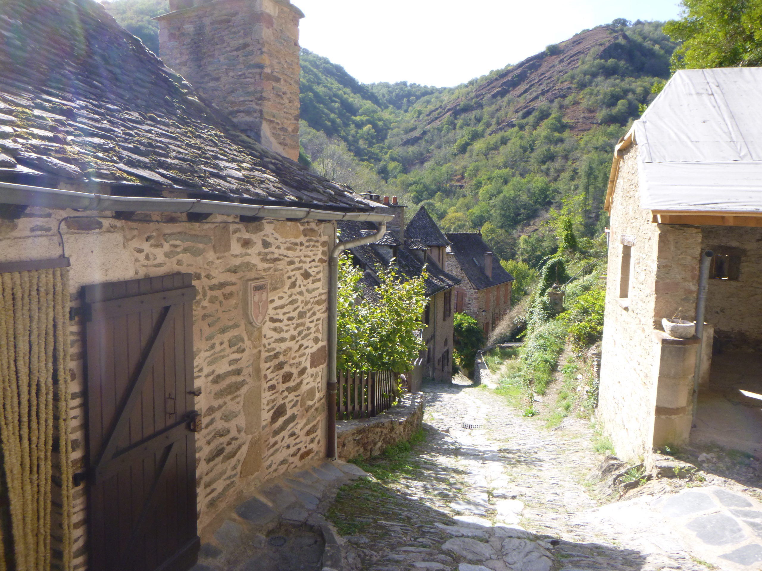 |
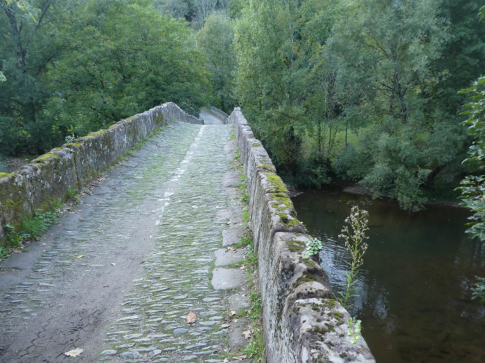
Conques is magnificent down to the Roman bridge over the Dourdou River…
Wait for the video to load.
| The GR65 crosses the Dourdou River on the magnificent Roman bridge and its brittle schists, to grind your ankles. The Dourdou River rarely roars below. Noailhac is all up there behind the wood. |
 |
 |
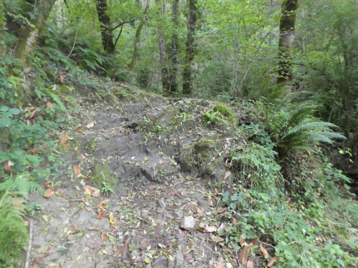
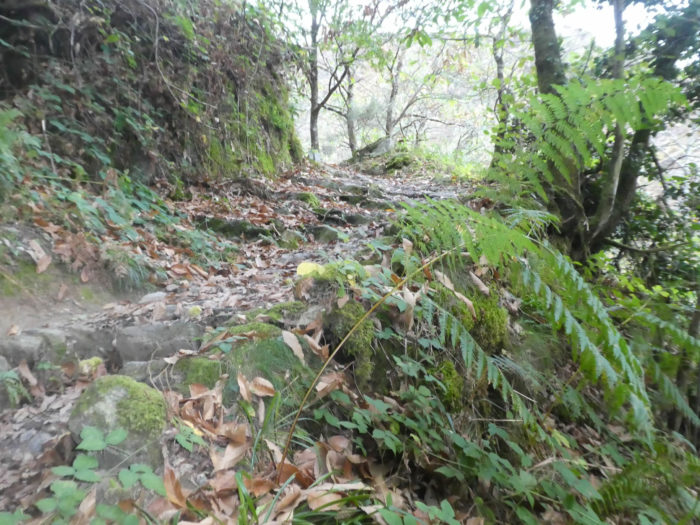
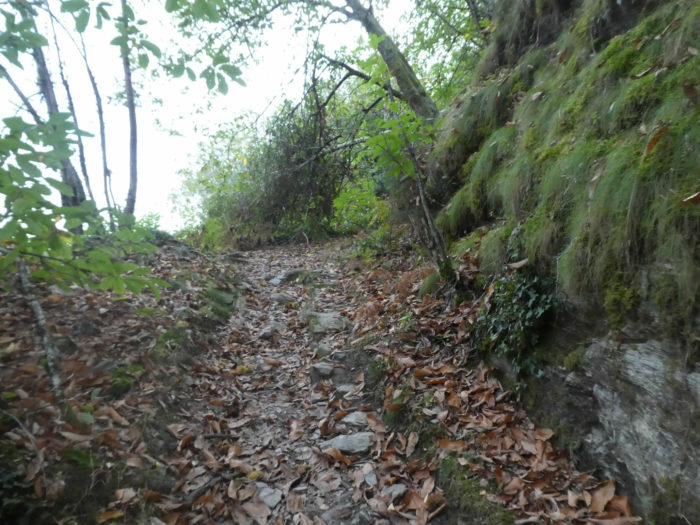
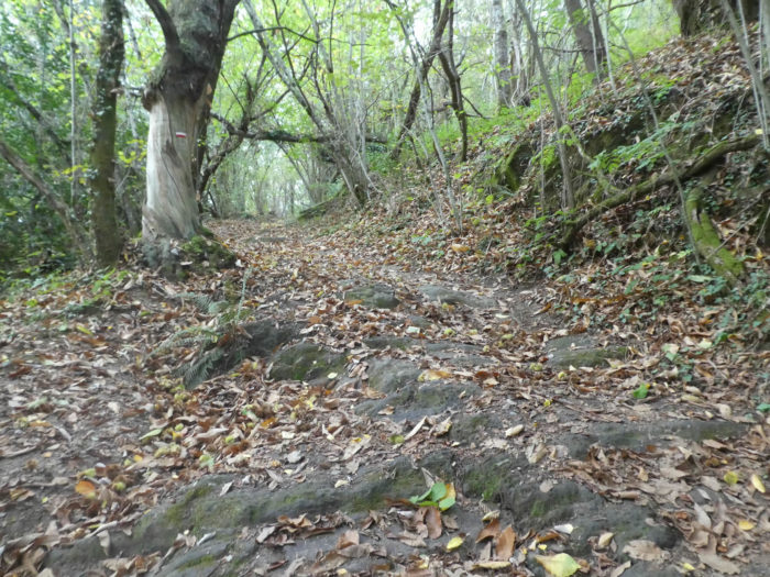
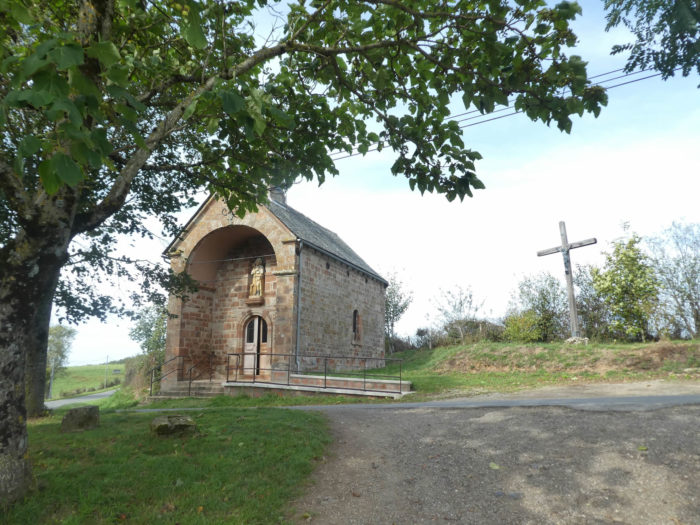
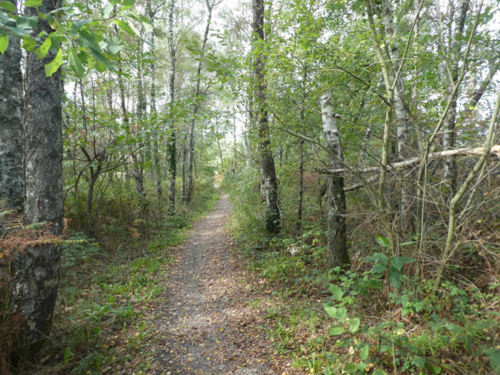
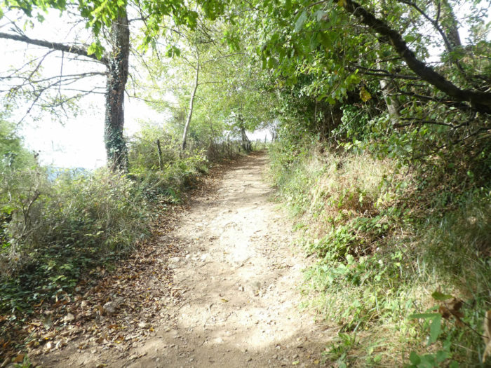
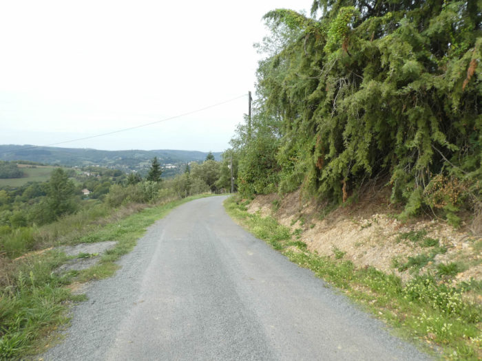
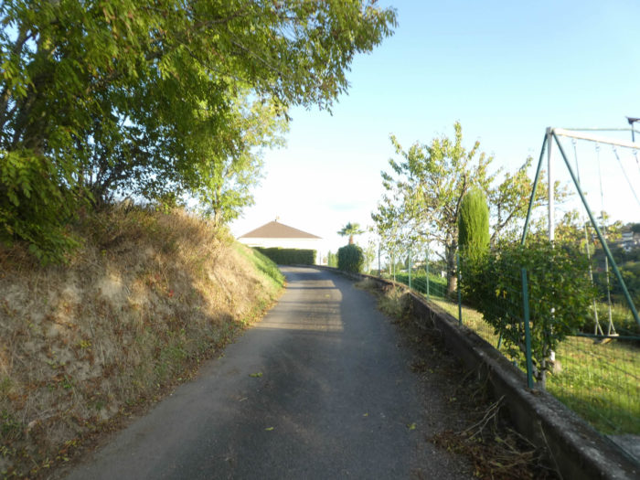
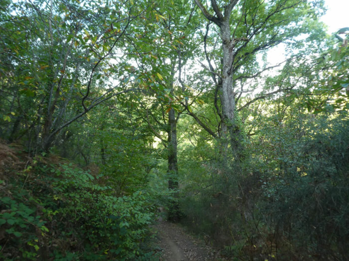
| In front of you, the track emerges steep, which announces a rather severe climb. And it’s not much saying. It is more than 1 kilometer of hard climb, to go from less than 300 meters to more than 500 meters of altitude while passing by the small Sainte-Foy Chapel. A narrow lane climbs on the shale, in the middle of the luxuriant vegetation of the hardwoods and the ferns. |
 |
 |
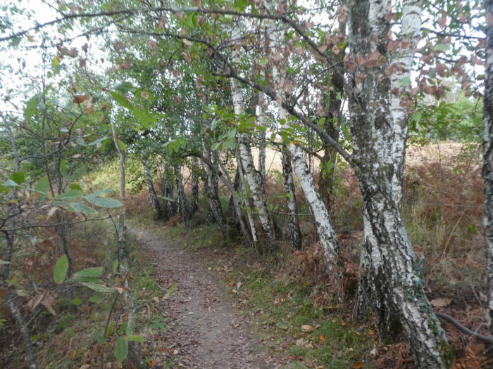
| The small gnarled chestnuts took over here. In autumn, you’ll walk on a carpet of leaves and hulls, a slippery playground. |
 |
 |
| When shale beds become rarer then the clay that sticks to the soles in wet weather takes over. It’s not just chestnut here. A few beeches, many of them simple shoots, appear in the midst of wild grasses and faded ferns of autumn. |
 |
 |
| Further up, the lane crosses a small road, where no vehicle passes. A first small stop may be to catch his breath. |
 |
 |
| It is both beautiful and distressing to guess the number of turns to climb up to the chapel, to keep your foot safe and not slip in bad weather on the big stones that come out, sometimes like razors, sometimes like big soles. And what about the slope? Nothing, if not bite the bullet. |
 |
 |
It’s tough, for sure…
Wait for the video to load.
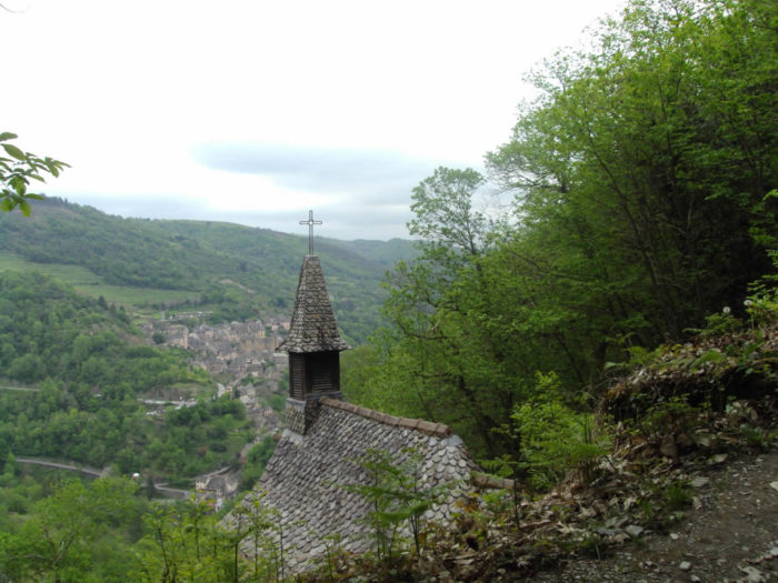
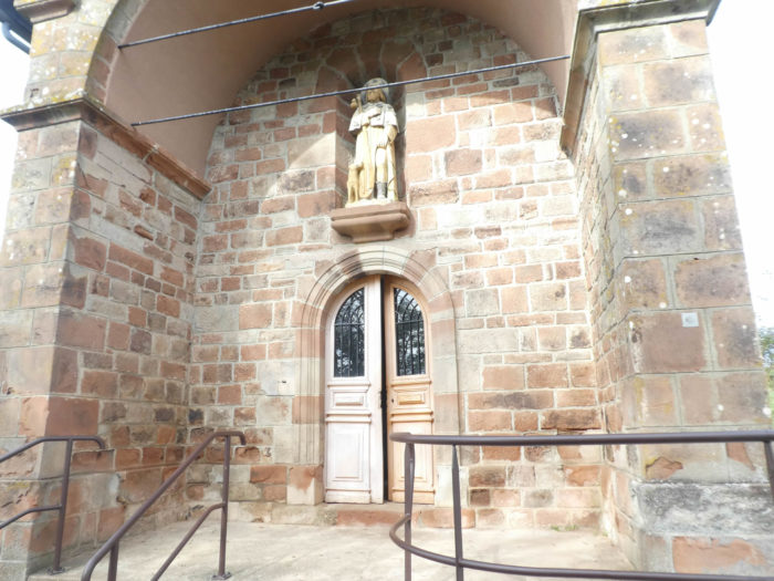
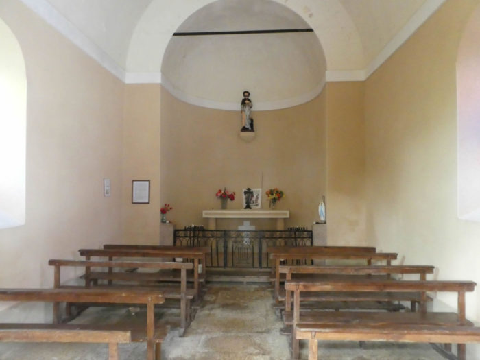
| Mid-coast, Ste Foy Chapel is there in its greenery. When the bell is ringing inside the chapel, that of the abbey answers. But not always! Come on, almost never! From there, the panorama over Conques is, to say the least, exceptional. No pilgrim will go straight here. It still allows you to catch your breath for real. |
 |
 |
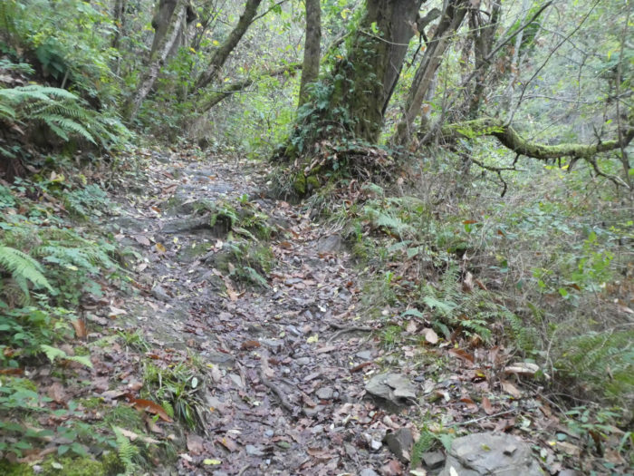
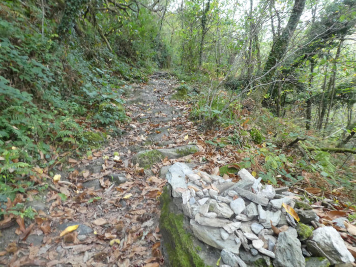
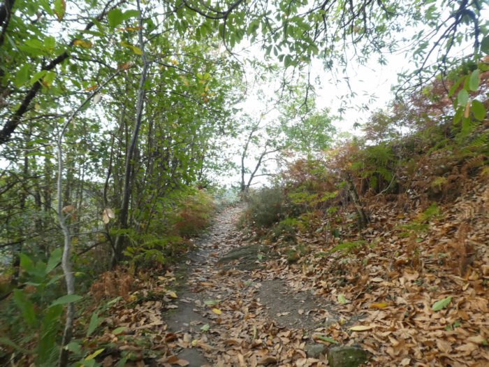
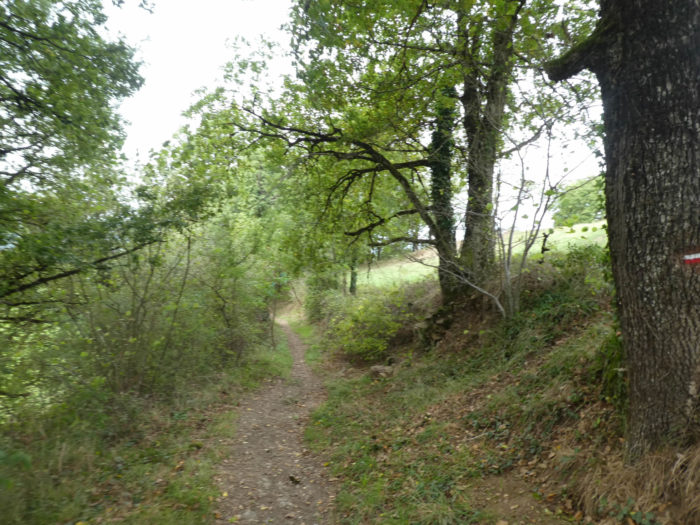
| Because the climb is not over yet, far from there. The pathway continues in the forest, still stony, but a little less steep, even at almost 20% of slope sometimes. |
 |
 |
| It is always for a long time the same menu, slope, shale, roots in the middle of the road and chestnut in numbers. They are sometimes so dense that they grow as aggregated shoots. |
 |
 |
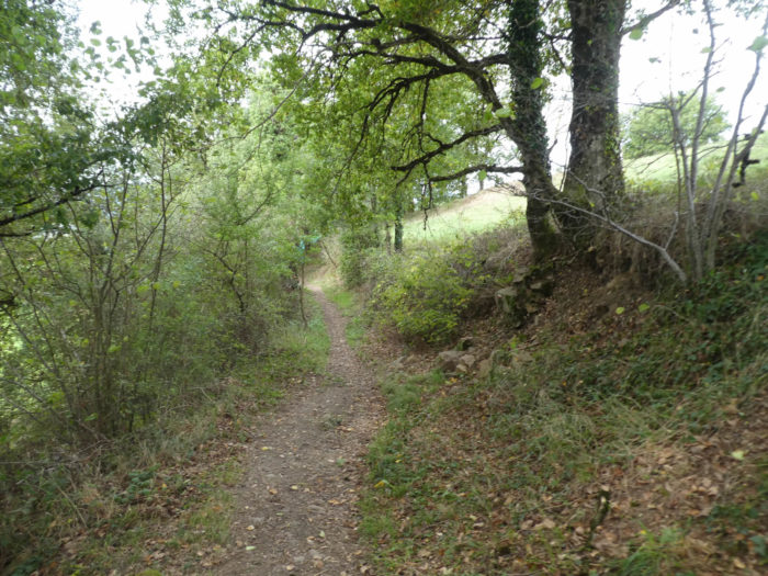
| Further up, the pathway is gradually coming out of the forest, but the slope does not decrease so far. |
 |
 |
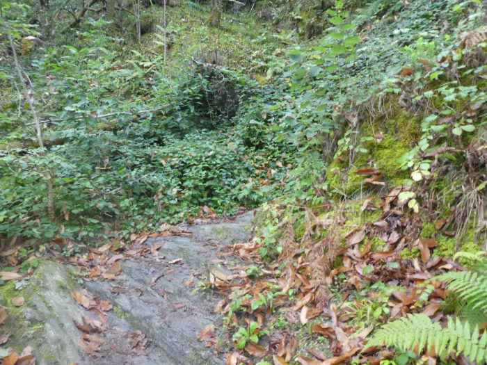
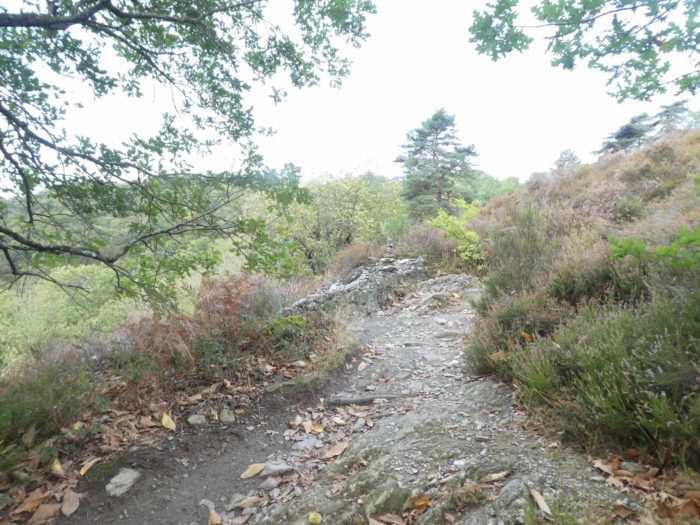
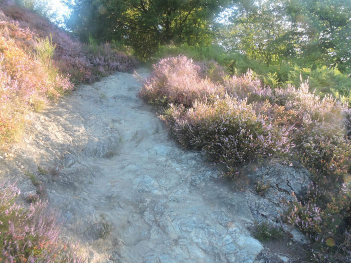
| It then crosses the lustrous schists in the middle of the heathers. |
 |
 |
| If you walk here on a day of good weather in autumn, which is not the case today, the forest can open to a magic scenery, when the first mists invade Conques valley. Golden ferns, heather, brooms, mosses compete daringly to paint striking Impressionist paintings. |
 |
 |
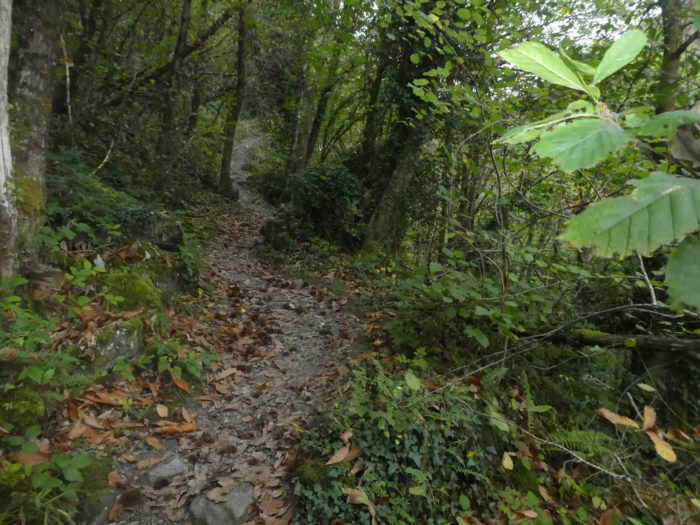
| The pathway then crosses the hill in the ferns, under the chestnut trees. There are even oaks and pines on these poor soils. |
 |
 |
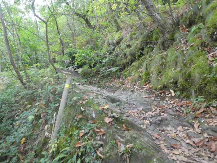
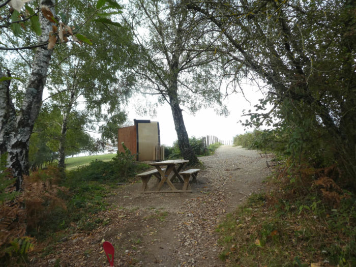
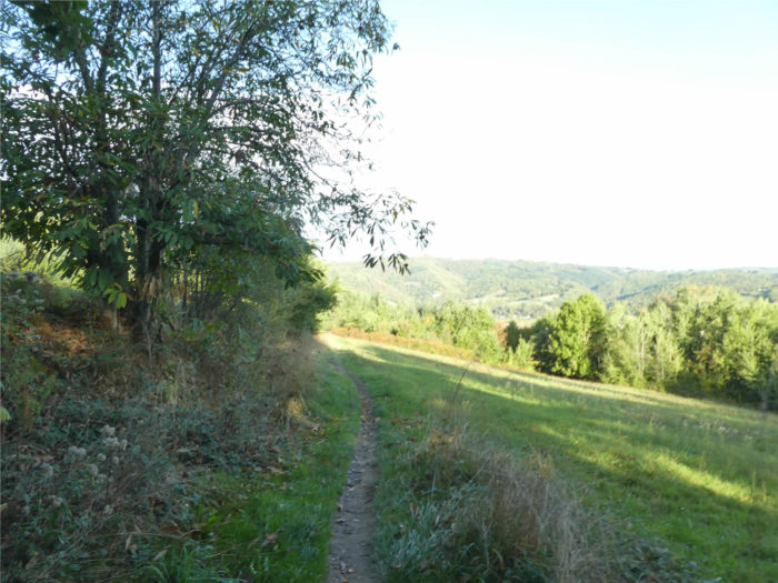
| Just above, under the large chestnut trees and ash trees, you’ll find a picnic place. Then you’ll reach a kind of plateau found on a gentle slope, until reaching the junction of GR65 and GR6 tracks. |
 |
 |
Today we will follow the GR65 track, the old GR6 track, but we will describe GR6 track later, in a parallel stage.
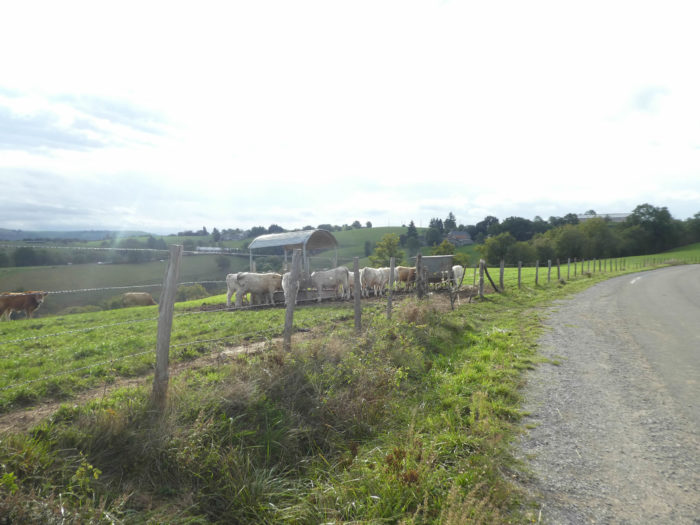
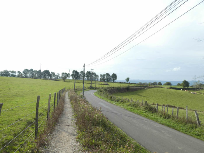
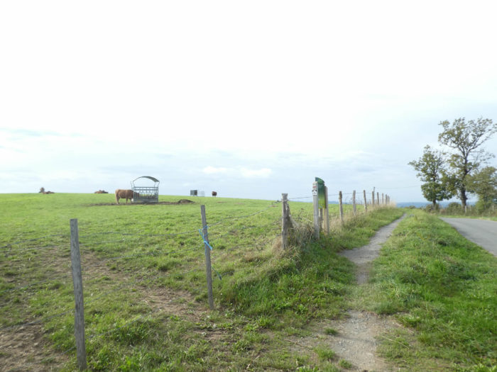
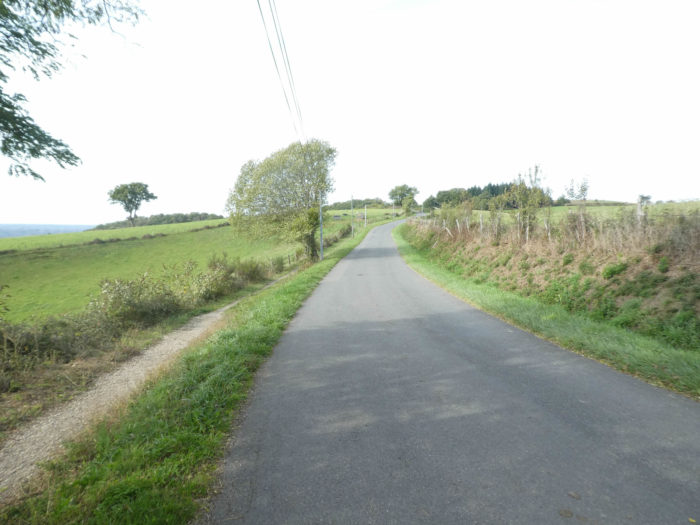
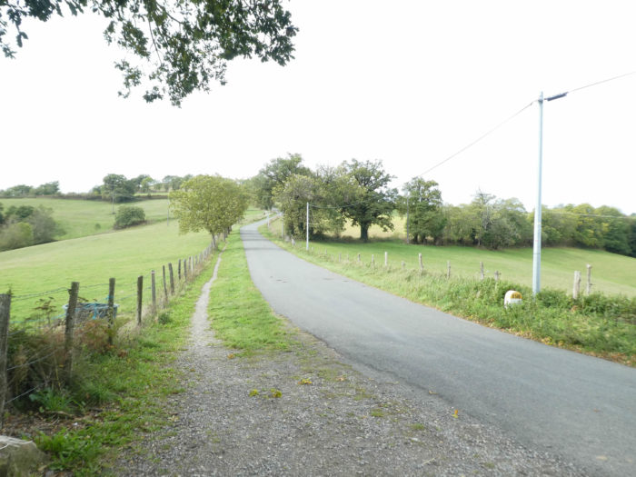
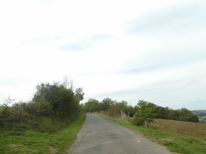
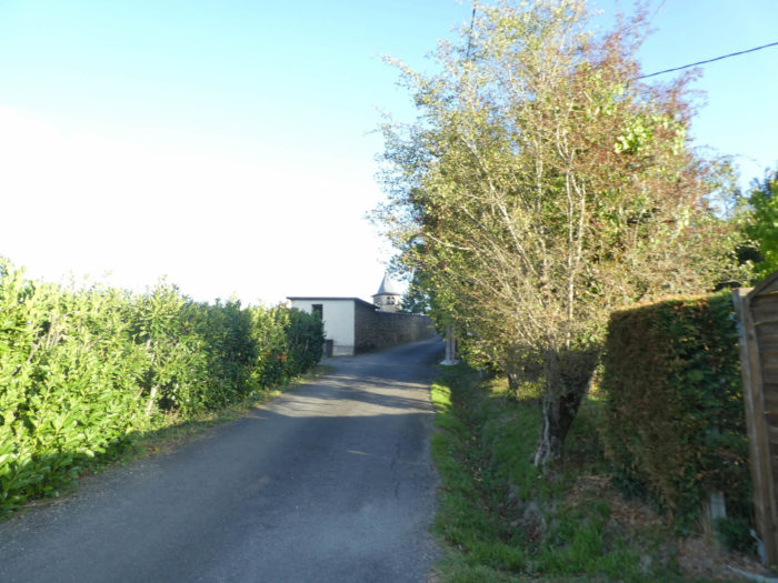
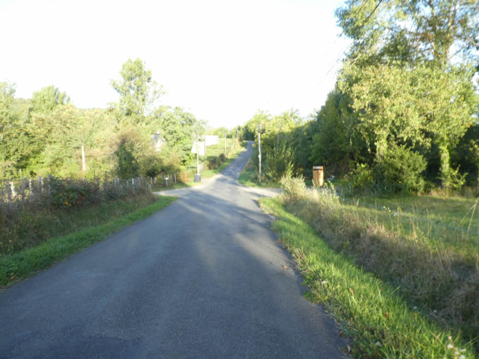
| From that point, it’s the paved road to Noailhac, the cold monotony of tar. In places, the nice organizers of the new GR65 have put a strip of gravel to make the pilgrim believe that it is not the road. But to walk on tar or gravel, what changes? Virtually no vehicle passes here. What you can do is just watching cows grazing in the meadows. |
 |
 |
| The road climbs without stopping, but in gentle slope, to reach D606, a departmental road, but the traffic remains weak. |
 |
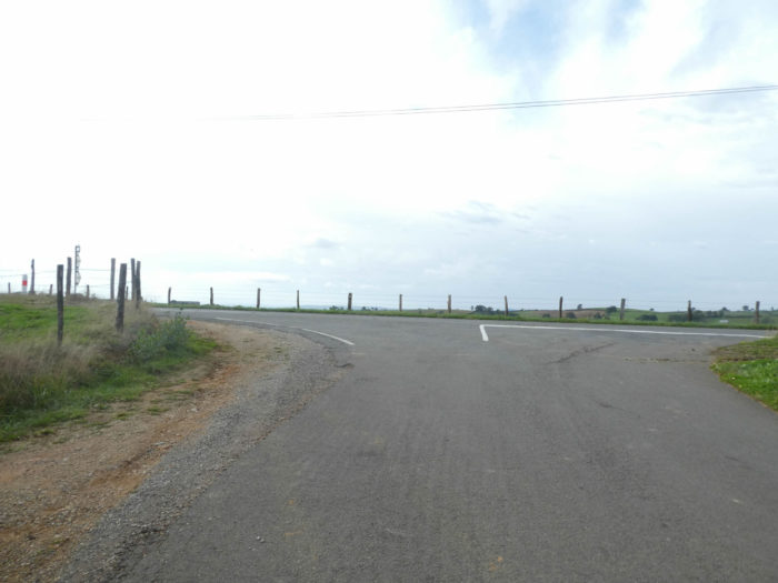 |
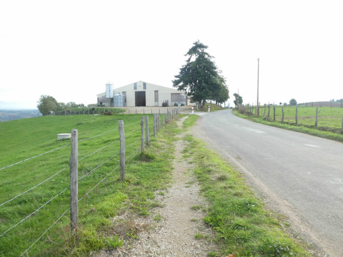
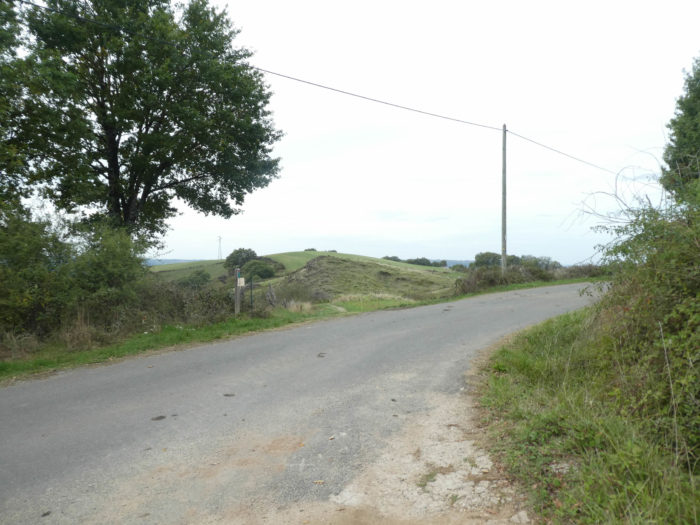
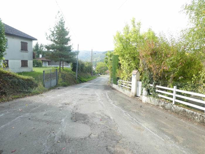
| At the fork with D606 road, the paved road passes in front of the big farm of Puech Long. |
 |
 |
Section 2: Up to Noailhac.
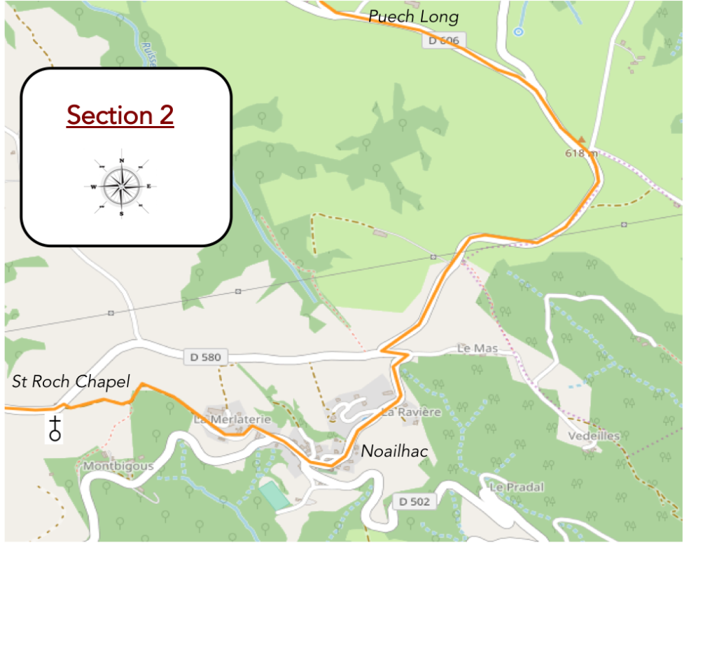 General overview of the difficulties of the route: course without much difficulty, sometimes with some steeper slopes to climb to St Roch Chapel.
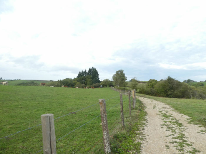
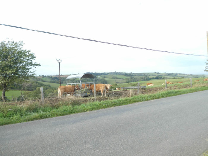
| Then it’s again the monotony of the asphalt strip. The peasants had to give up a piece of land here to let the pathway by the side of the road. There are only cows to bring some warmth. Here you’ll see mostly Limousine cows, sometimes some Aubrac or white Charolaise cows in the meadows. Cultures represent a small share. |
 |
 |
| In this uniform landscape where sometimes some oaks grow, the road arrives at the top of the hill. |
 |
 |
| The road waddles a little on the ridge before slightly sloping down to Noailhac. |
 |
 |
| Above the village, the GR65 follows a steep pathway down to avoid a bend of the road. |
 |
 |
| The road then descends steeply towards the village, running in front of St John the Baptist Church, rebuilt in the 18th century. |
 |
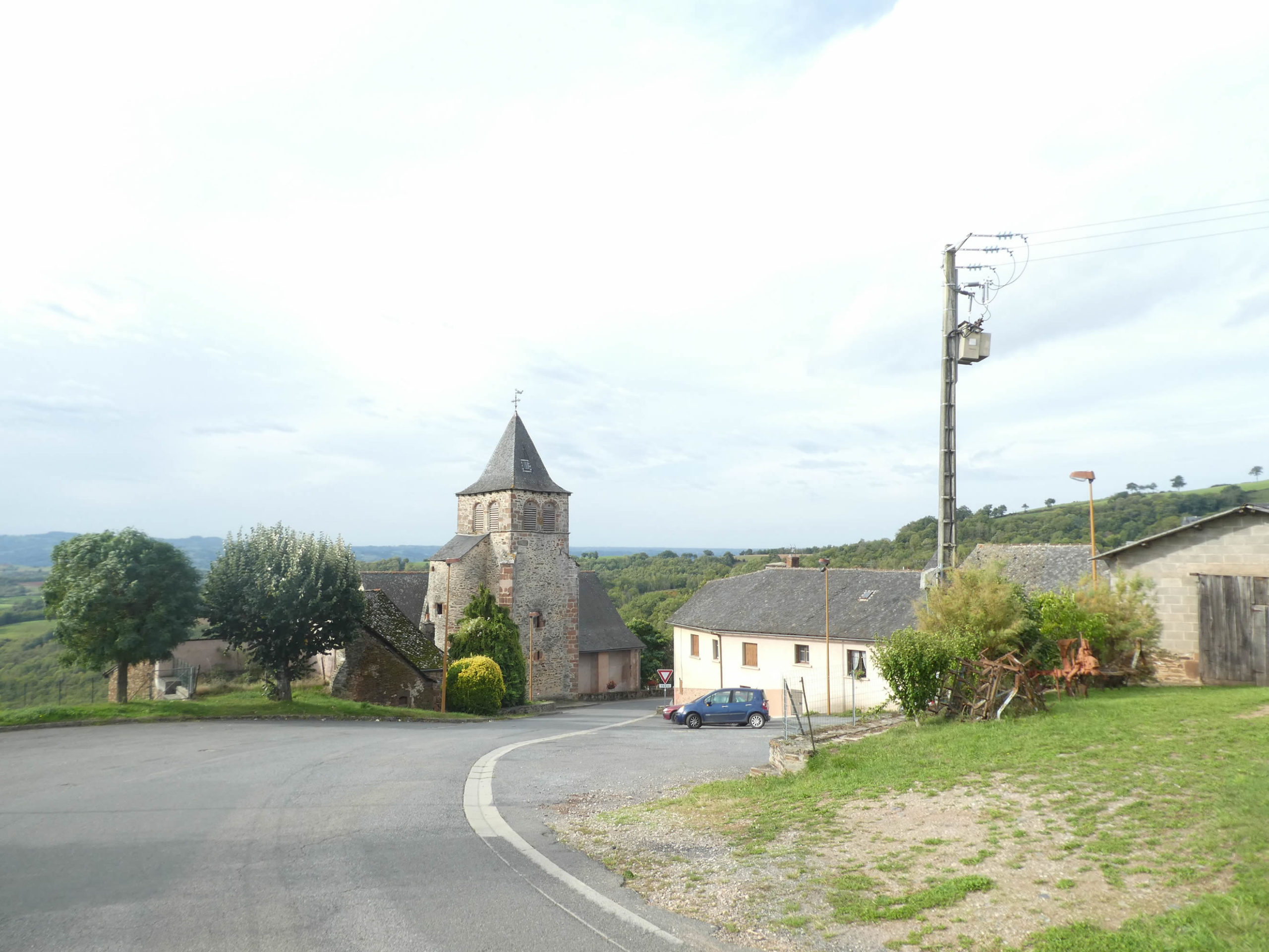 |
| The name of Noailhac derives from Latin novalis which means “newly cleared land, fallow”. Many villages in France bear the same name. There was a large cattle fair here, attracting local breeders and traders, and even from neighboring departments. But the village is away from major roads. And this notoriety melted and disappeared with time.
Today with the passage of new GR65, the village (170 inhabitants) has resumed a little more activity than before when there was only the variant GR6 and pilgrims often storm the bar-restaurant and the grocery. |
 |
 |
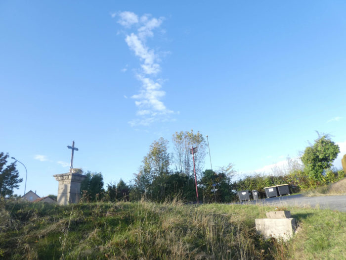
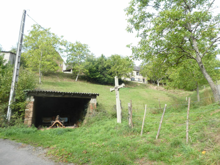
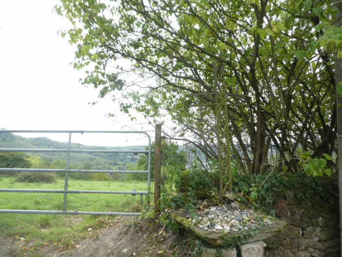
| The GR65 crosses and climbs above the village. Here begins a Way of the Cross, which dates from the first half of the 2th century, and consists of crosses in cement, adorned in the center of a wooden cross. The Way of the Cross will continue until St Roch Chapel above the village. |
 |
 |
| Further up, a dirt road replaces the paved road. |
 |
 |
| It is a very rocky pathway that climbs between 10% and 20% of slope, along the crosses of Calvary, under the chestnut trees and the oaks. |
 |
 |
| Climbing is over at the end of the Via Crucis, at the height of St Roch Chapel, at the edge of D580 road, the departmental road that crisscrosses the Decazeville ridge. |
 |
 |
| The chapel was erected in the last century by subscription of the people of the region. There are still pilgrimages here. |
 |
 |
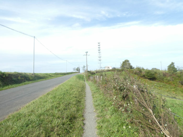
| From here, you get used to it, it’s the paved road again. To vary the pleasure, the narrow band sometimes goes to the right, sometimes to the left of the road. |
 |
 |
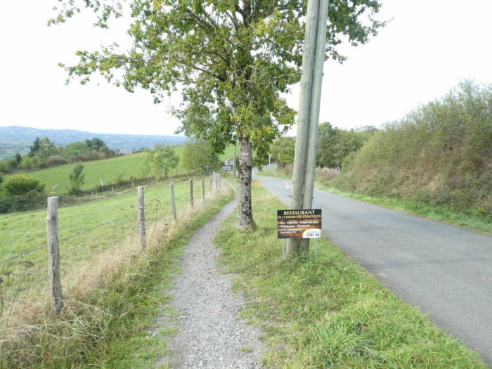
Section 3: Everything is decided near the bar.
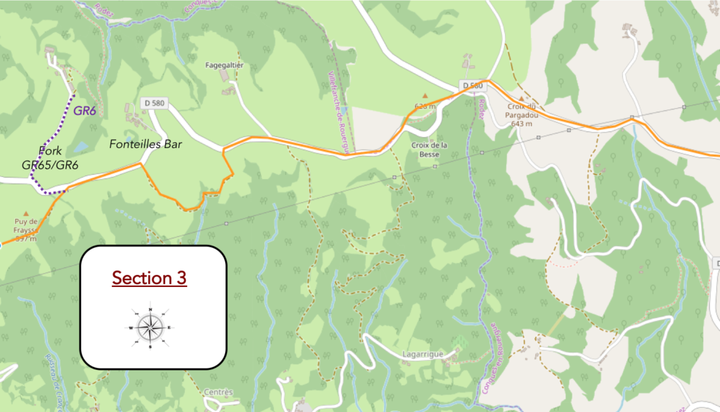
General overview of the difficulties of the route : course without difficulty, if not a more difficult detour just before Fonteilles bar.
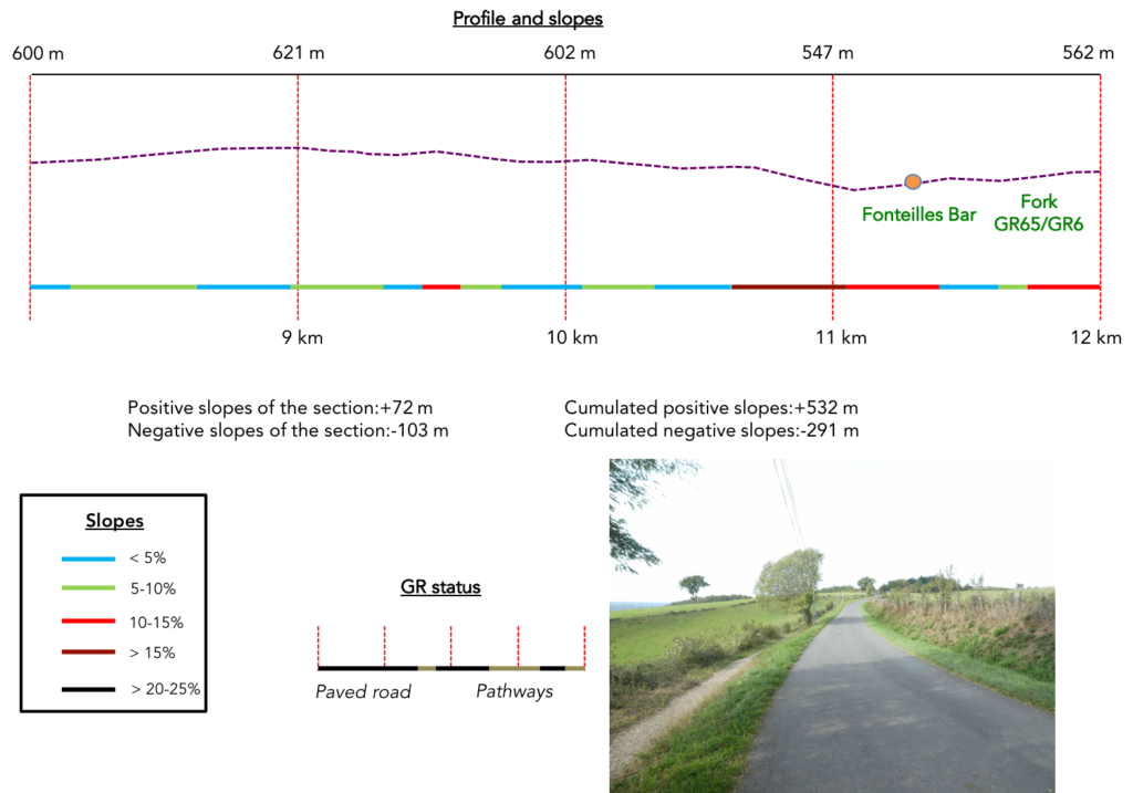
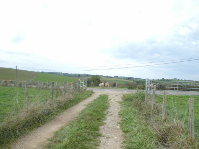
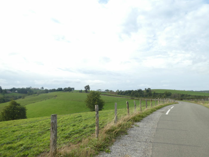
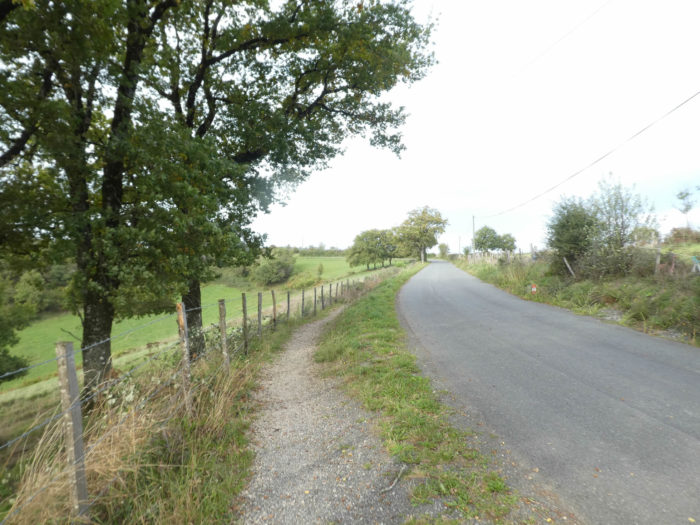
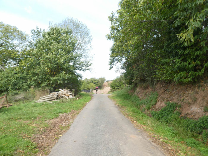
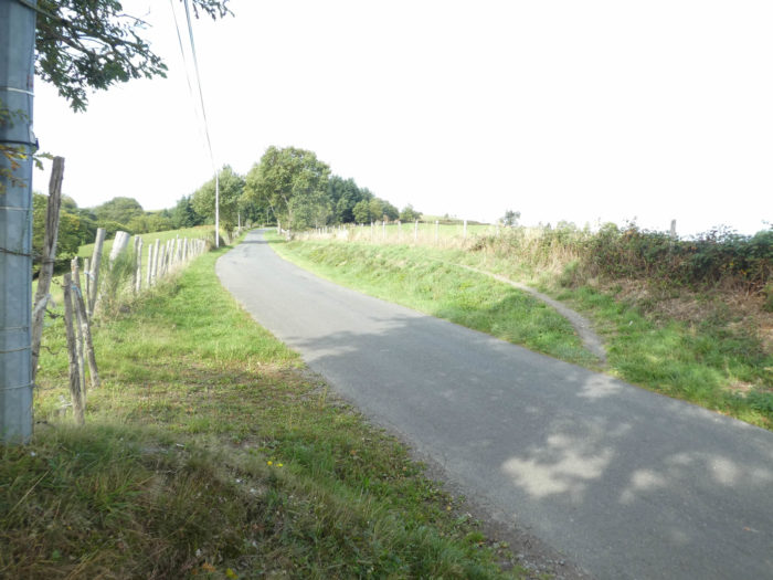
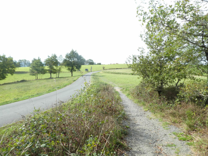
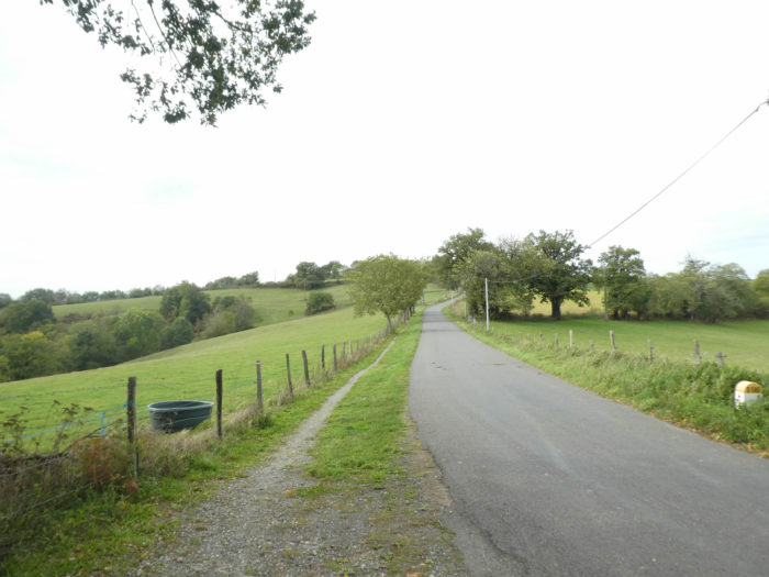
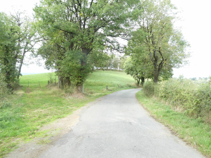
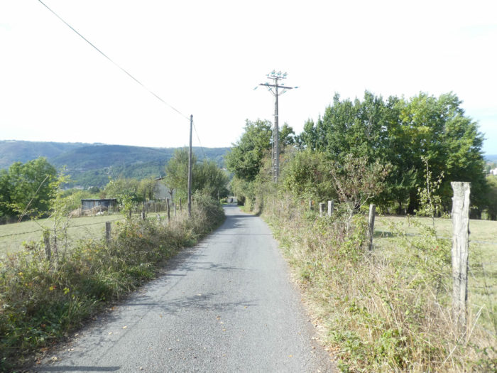
On the road that winds through the meadows with sometimes a stand of oaks and chestnuts, there are sometimes small secondary roads heading to hamlets as large as a handkerchief.

| Further on, a small embankment, to vary the plasure. You will have the feeling of leaving the road. But, this is only very transient. After 100 meters, here is the road again. |
 |
 |
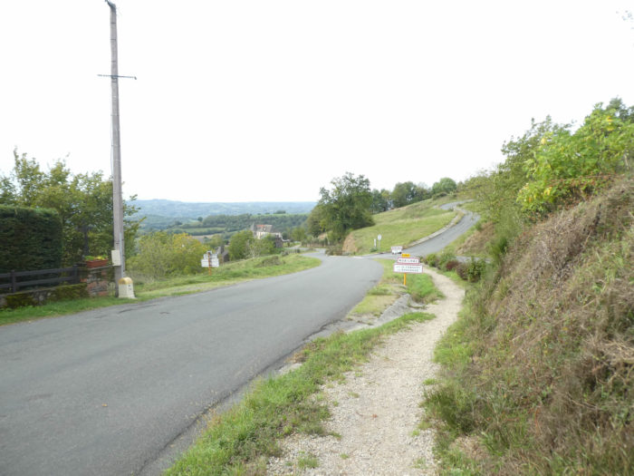
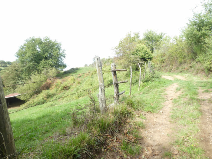
| The road soon reaches La Croix du Pargadou. There is a belvedere where you can remake the geography of the world. You are 643 meters above sea level, and if you go to Decazeville, you will slope down more than 400 meters. |
 |
 |
| Further on, the road runs close to a large crossroads, with all secondary roads. |
 |
 |
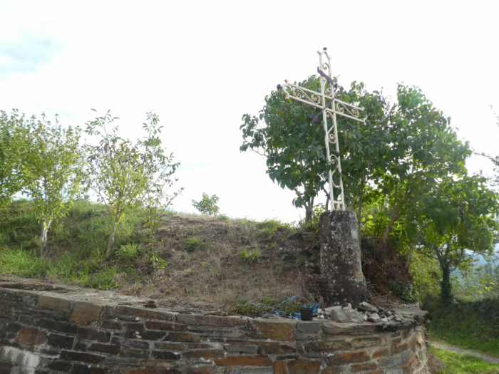
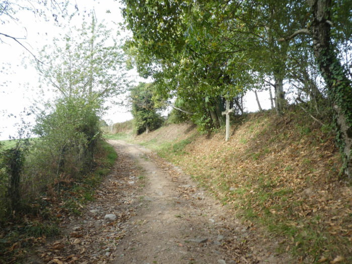
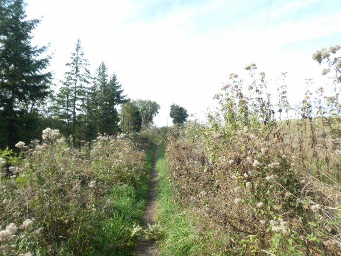
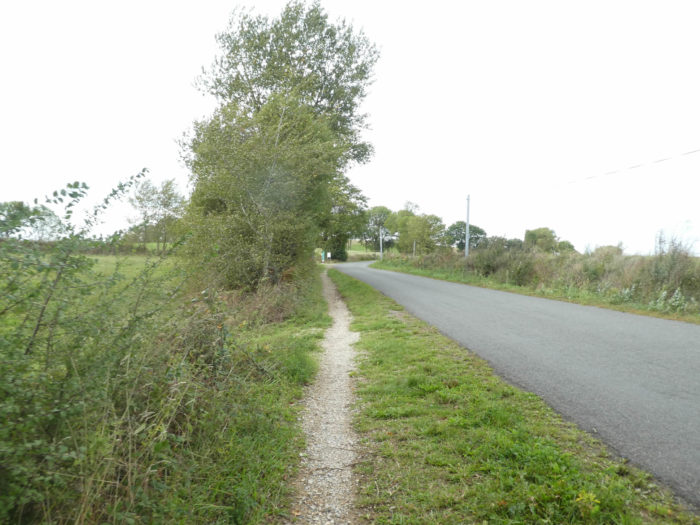
| Shortly after, near a cross, the GR65 transiently leaves the paved road. It is thus a brief pleasure of finding again a pathway under the oaks and the chestnuts, which here look like birches. |
 |
 |
| Yet, the pleasure does not last more than 300 meters, and this is the road again for more than a kilometer, sometimes with some crops, sometimes pines in the middle of oaks and chestnuts. |
 |
 |
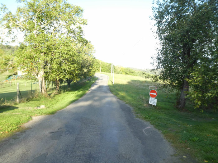
| But suddenly everything changes. A small sign at the edge of the road shows the direction of Fonteilles, however opposite the village which is on the right side of the road. It looks fishy. |
 |
 |
| The organizers of the new GR65 may have wanted to prove that they also had small side dirt roads. Here the pathway steadily slopes down in the oaks and chestnut trees, with a slope close to 20%, to visit a small brook without name. |
 |
 |
| The pathway climbs up beyond the brook, almost as steep as during the descent. |
 |
 |
| Shortly after, the lane finds the paved road again, near Fonteilles, which is actually on the right of the road. You made a little effort, for nothing, but maybe good for health. |
 |
 |
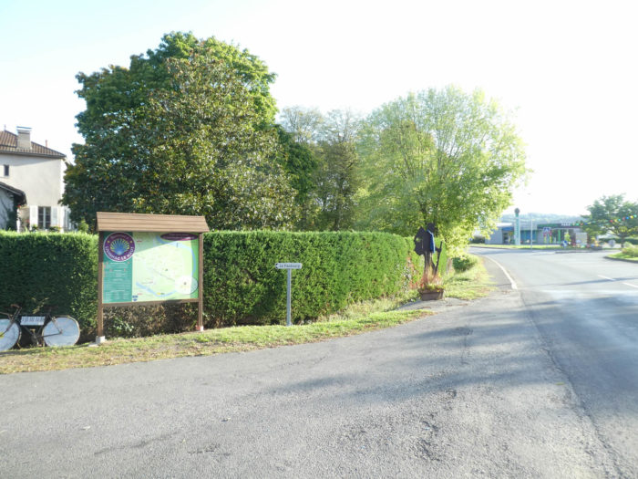
| Just near, on the paved road, stands the motley Fonteilles bar. When we went there in the fall, there was no bar, just a water point. |
 |
 |
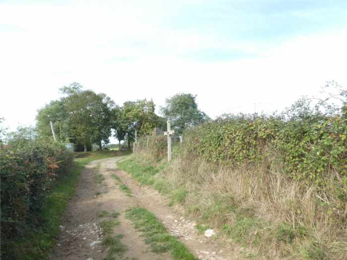
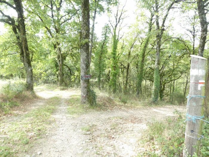
| Still a few hundred meters on the tasteless road, and the GR65 arrives at a hotspot, strategic. It is the meeting place of GR65 and GR6 tracks. |
 |
 |
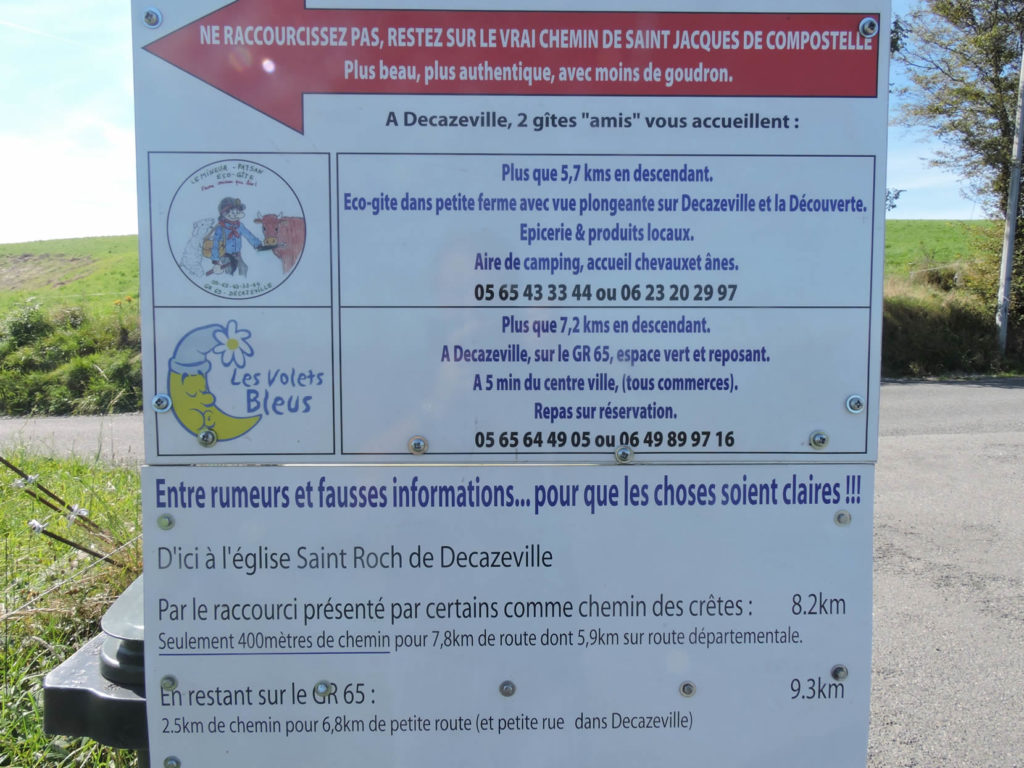
There is a completely wacky direction board. Nobody intends to return to Conques either by GR65 track or GR6 track. This sign makes sense only for people who go backwards.

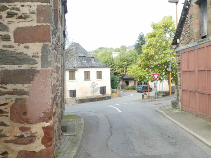
The only important sign is a small, discreet sign, which specifies the location of the routes. Some gossips claim that this sign was put there to encourage pilgrims to reach Decazeville’s homes. Who knows? If you continue on the paved road, you can directly reach Livinhac-Le Haut, by the Chemin des Crêtes. But the panel makes it clear, it is above all tar. Yes okay! But, the trip is on an undulating road, where there is no big descent, nor big climb. By cons, on the GR65/GR6 track, there is a little less tar, says the panel. This is not the whole truth. Because quickly the pathway through the fields will also turn into asphalt road. The only difference here is that the road is not a departmental road. But, what differentiates the two options is above all a question of sloping. On the GR65/GR6 path, the course slopes down to the plain to Decazeville to futher steeply climbing to St Roch, then sloping down gain to Lot River. So, choose! Either you are a true pilgrim who does not break the rules of the true path (but there is no “real” way to Santiago), or, you are in a hurry to reach Livinhac -Le- Haut, and you follow the Chemin des Crêtes, which runs through Agnac and joins the GR65/GR6 path near St Roch.
Do not hesitate, take the Chemin des Crêtes, namely continue the paved road to Agnac. Yet, as our goal is to describe the St James’ track, we will follow for you GR65.
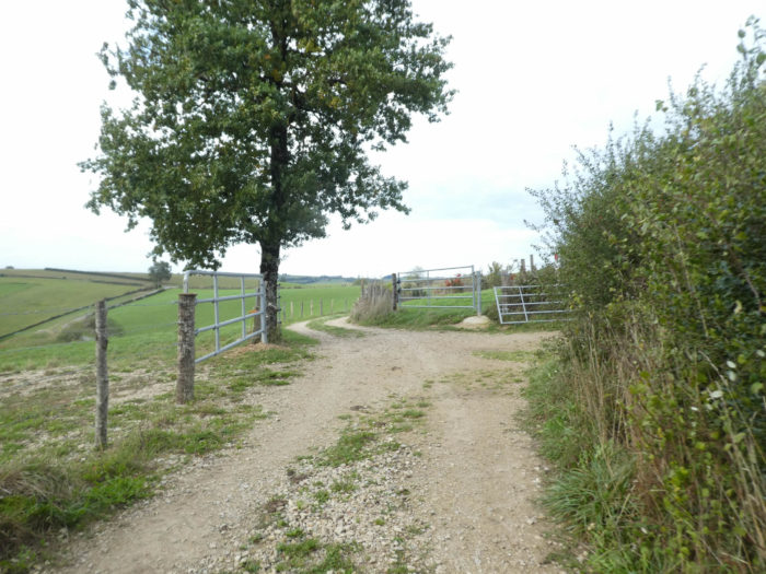
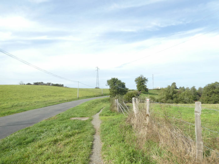
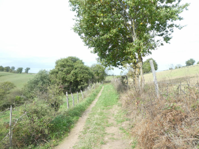
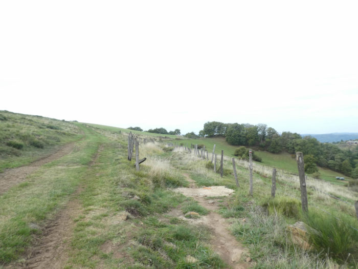
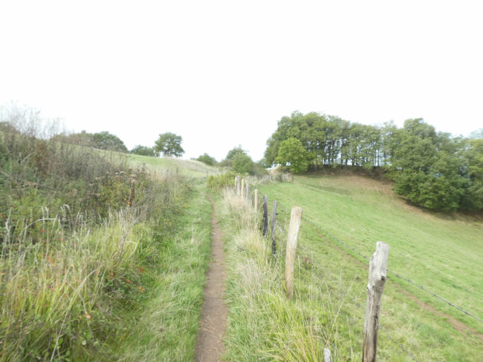
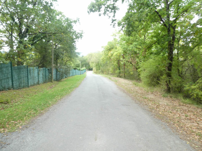
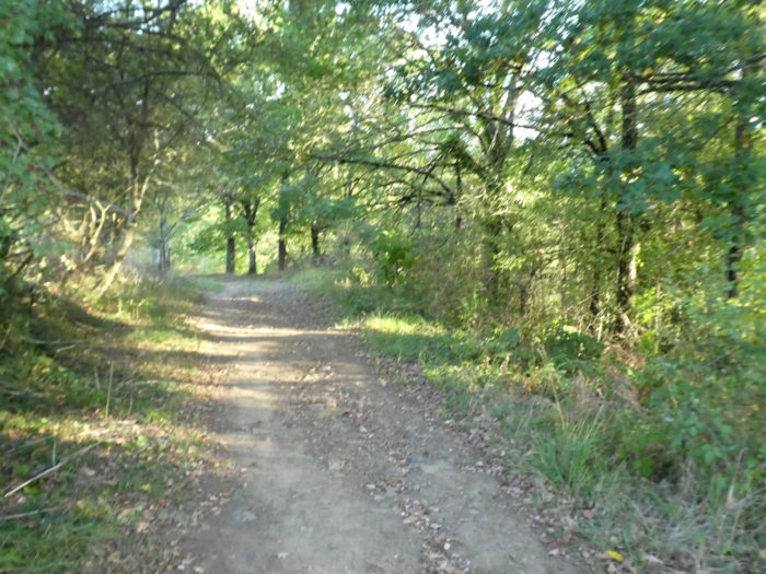
| On the GR65/GR6 track, which will be called GR65 again, a pathway follows the ridge. As promised, it is a real dirt road that ripples through meadows and fields, along the hedges. |
 |
 |
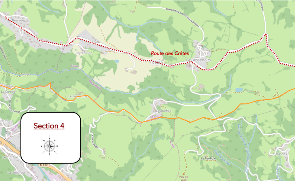
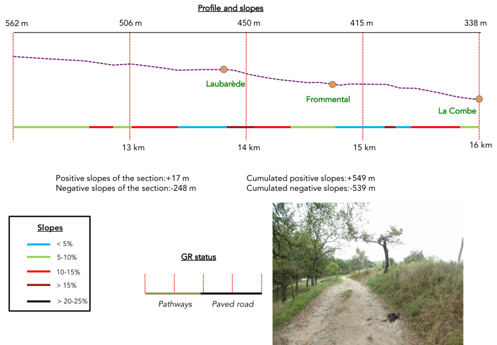
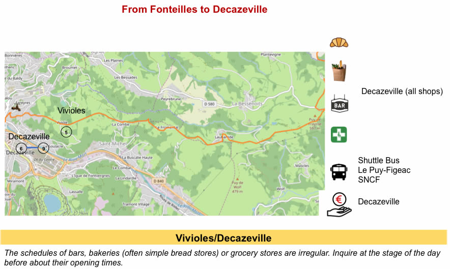
Section 4: An endless descent to Decazeville, in the plain.
General overview of the difficulties of the route: without much difficulty, because it is descent on the paved road, with nearly 250 meters of negative sloping on the section, anyway.
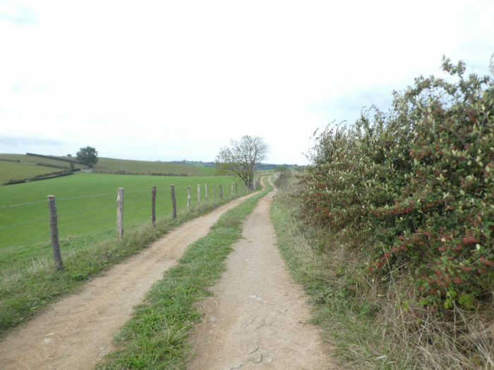
| The pathway follows the ridge. Underneath you may take a glimpse of the long plain of the Decazeville mining basin. |
 |
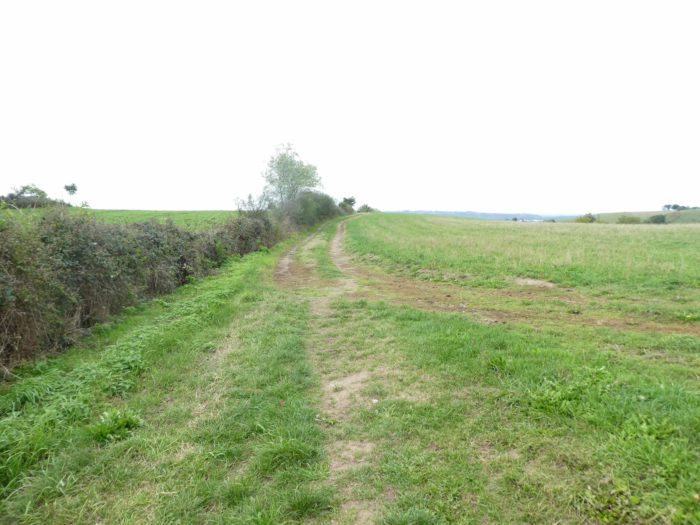 |
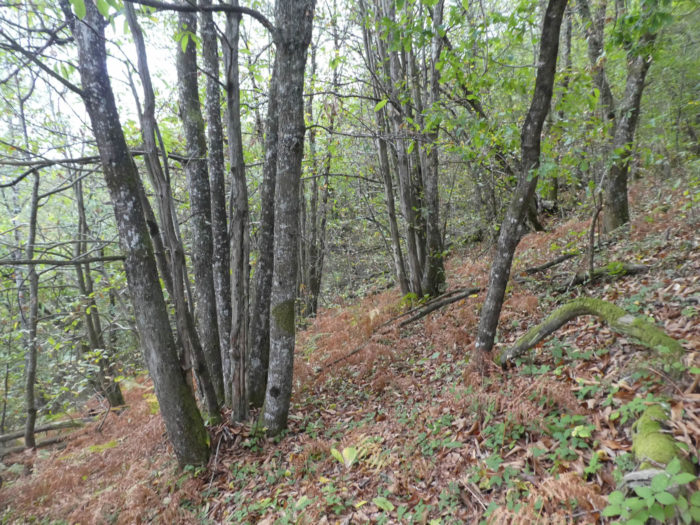
On the ridge, it is not a landscape of beautiful meadows. It looks more like a kind of steppe, with some oaks, scrub and ferns roasted by the sun.

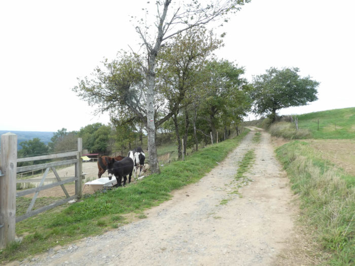
| Further on, beyond a horse farm, the dirt road heads to an undergrowth dominated by oaks. |
 |
 |
| Here the oaks have experienced an episode of misfortune. |
 |
 |
| Further down, the pathway crosses a small road where another GR passes. |
 |
 |
| Further afield, across the steppe, the pathway reaches the end of the ridge. |
 |
 |
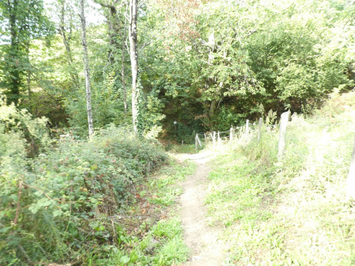
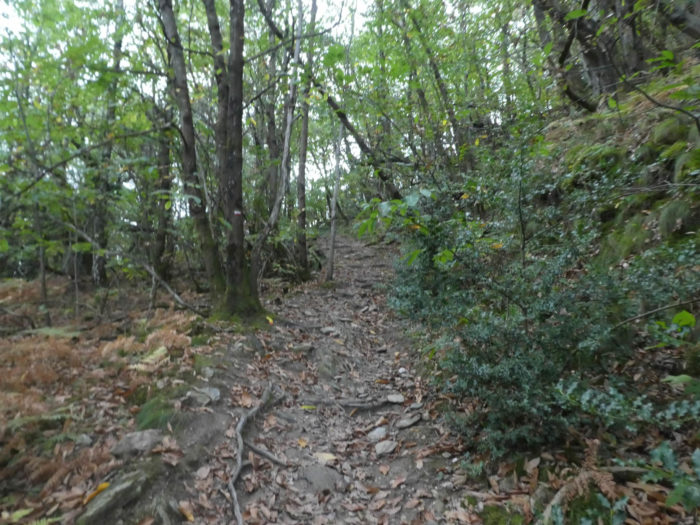
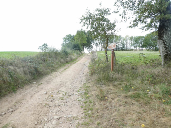
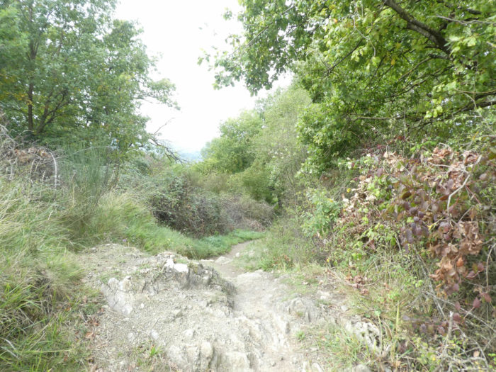
| So far, we have not lost a lot of altitude since the junction of the GR65 and the GR6, but that will change. A small lane, initially crooked and stony, initiates a sustained descent into the weeds under the oaks. |
 |
 |
Still a little wild world…
Wait for the video to load.
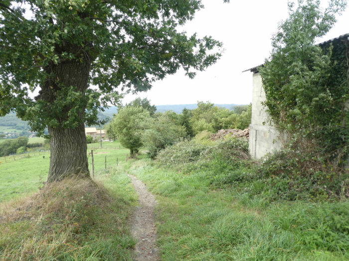
| At the exit of the undergrowth, you’ll join the civilization, finally it is a way of saying, on the heights of Laubarède. |
 |
 |
| After a very tough descent in the meadows, along the isolated farms of the hamlet, the GR65 reaches the paved road. |
 |
 |
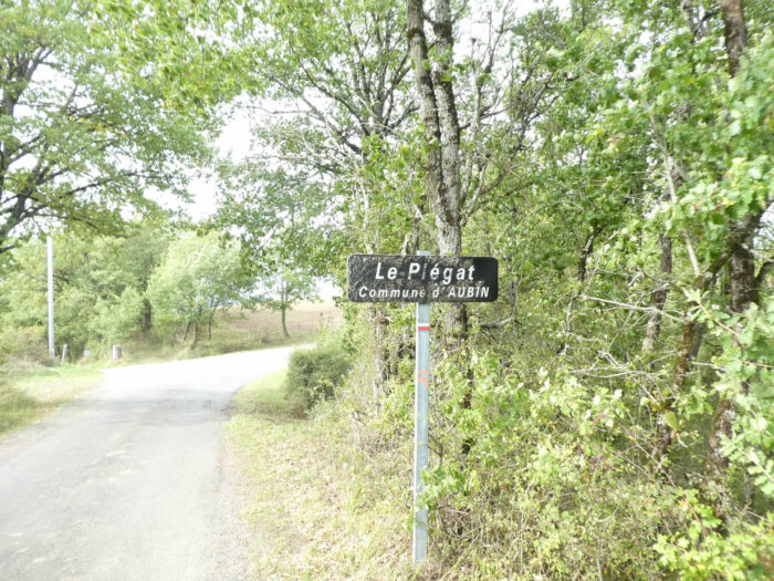
| As soon as “civilization” reappears, near Laubarède, the pretty small dirt road is over. Long live the tar! Until Decazeville and even further. In fact, from here, it’s a long descent to Decazeville, in stages. The descent is not tough until Viviole, sometimes even flattening.
At first, the road steeply slopes downhill near Le Plégat hamlet. |
 |
 |
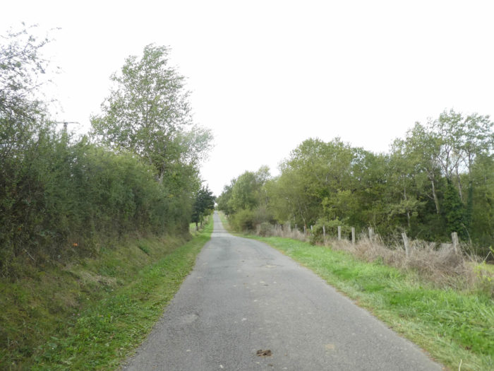
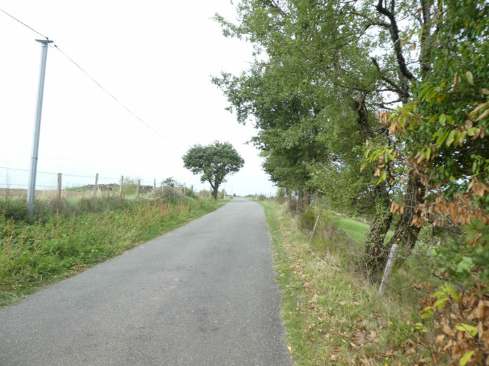
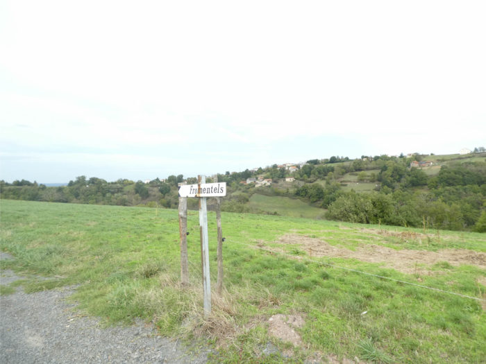
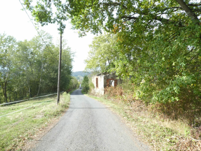
| To reach Decazeville, it’s interminable, and the word is not strong. A little further on the paved road, this is Fromentels. There is not much to do, except to see a few cows in the meadows, or count the oaks at the edge of the road, and the chestnut trees that are rarer. On the other side of the hill flattens Le Chemin des Crêtes. |
 |
 |
| You have the feeling that you will never reach Decazeville, through endless countryside. It is not the landscape that creates lassitude, it is the tar, which lengthens the course. |
 |
 |
| Further down in a gap, the eye quickly analyzes the situation. The roofs of Decazeville are still far below the ridge. And Decazeville is a very extensive city. |
 |
 |
| The paved road always slopes down, sometimes very steep, runs near Gaillardie hamlet, with some pines around. |
 |
 |
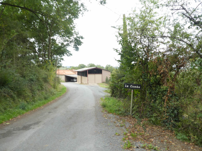
| Further down, the road gets to La Combe hamlet. |
 |
 |
 |
 |
Section 5: Among the former miners before the severe climb to St Roch.
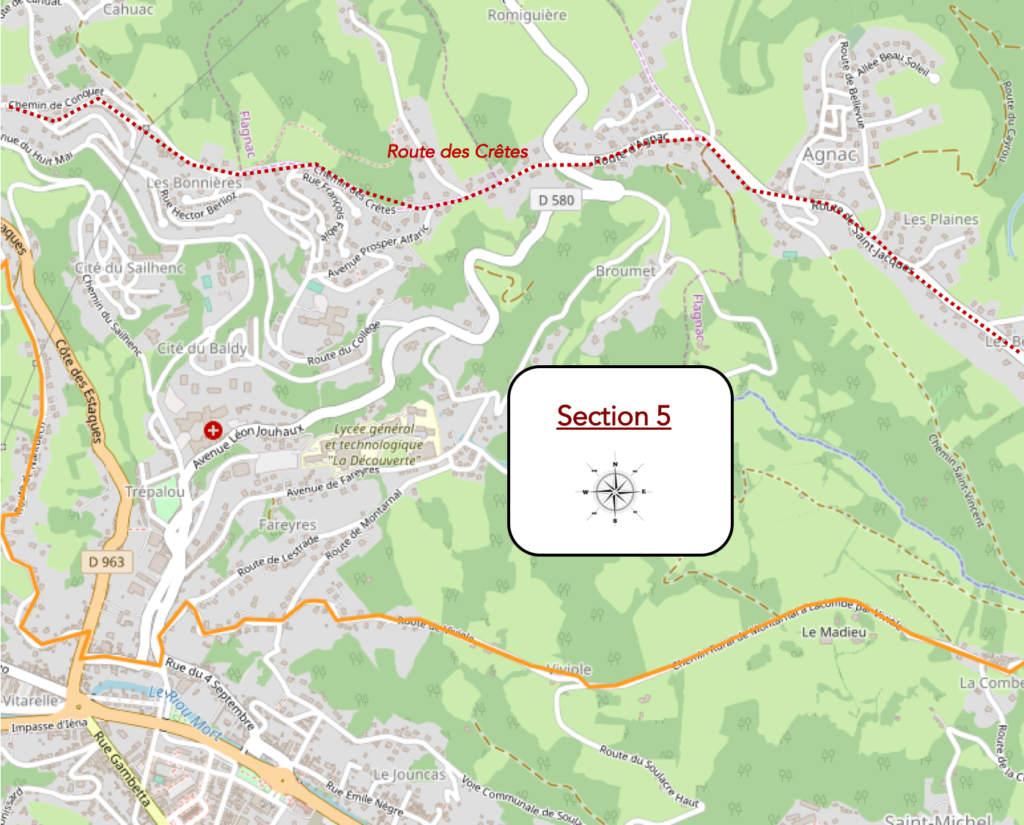
General overview of the difficulties of the route : severe slopes as downhill towards Decazeville as up on the hill to St Roch.
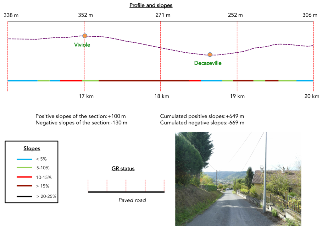
| Beyond La Combe, the road starts again climbing, direction Viviole. First gently sloping … |
 |
 |
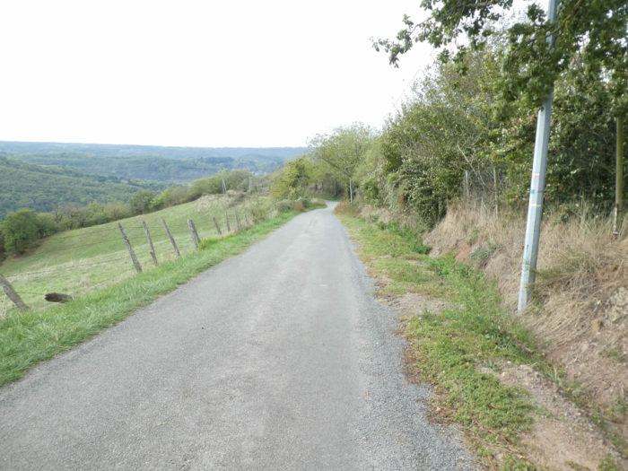
| It is only at Viviole that begins the severe descent on the paved road towards the heights of Decazeville. Initially, it is primarily a road that crosses the countryside under the oaks and ash trees. |
 |
 |
| Further down, the road crosses inhabited areas, and the slope sometimes goes up to 20%. All this happiness, you will find it later on climbing. |
 |
 |
| It is at the bottom of the descent that the slope is the most demanding, when the road reaches Decazeville suburbs. |
 |
 |
 |
 |
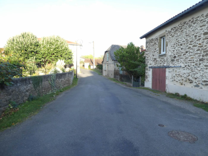
| Decazeville is a city cut in two by the departmental road that goes from Figeac to Rodez. The GR65 does not go downtown, it remains confined to the minor part of the city, on the side of the neighboring departmental near the hills. Decazeville today has 6,000 inhabitants. It was built in the XIXh century because of the presence of a coal deposit by Duuke Decazes, founder of the mines and the city. In 1892, the first large French open pit coal exploitation was named La Découverte”, a mine that radiates over a kilometer in diameter, with 200 meters depth. The mine is still open from lookouts, south of Decazeville. As the mines have disappeared, there are unfortunately many terrible visions of a never-ending world in the region, whose rust and ripped-up houses still signal presence. Decazeville, however, houses a museum of geology, the Pierre Vetter Museum, witness of this glorious period for the development of the region. The city is trying to make a comeback.
You can eat and stay in Decazeville. But few pilgrims stop there. We still do not understand why the Santiago track runs here, since it does not even go in the city. Do not forget that you can bypass this great detour by taking le Chemin des Crêtes.
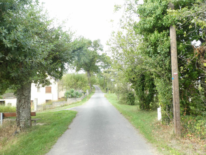
So, let’s start another nice day, by the small streets of Decazeville. |
 |
 |
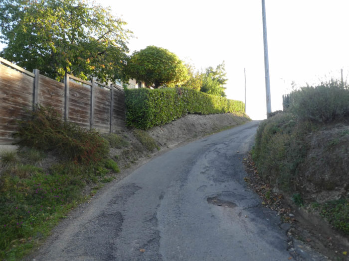
| The GR65 quickly regains height after passing near a rest stop available to pilgrims at the exit of the town. It embarks on a demanding climb on the road to Nantuech. |
 |
 |
| The road delightfully winds along the villas on the heights. Here an owner made the water tap available to pilgrims, because he knows the climb will be tough. |
 |
 |
| There are many passages in the first part of the climb where the slope is close to 20%, even more. |
 |
 |
Climbing to St Roch is something you earn…
Wait for the video to load.
| Halfway up, you’ll catch your breath, because climbing is over for a while, and the road even slopes down along the villas on both sides of the road. |
 |
 |
| Yet, that does not last. The road takes again a little altitude, but in a reasonable way, until reaching the Chemin de Boutigou. |
 |
 |
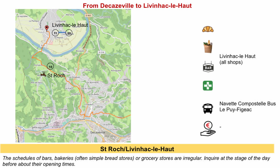
Section 6: Down to the Lot River.
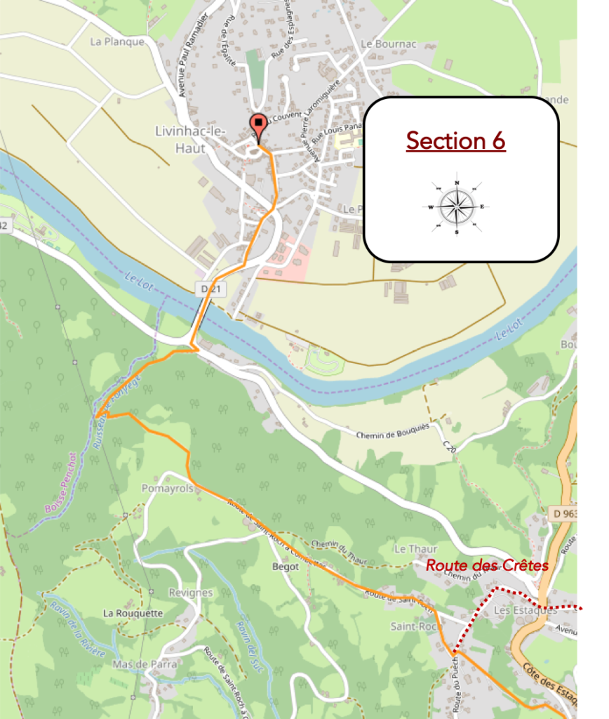
General overview of the difficulties of the route: still some rather tough climb to St Roch, then light ups and downs before slopes often marked in the undergrowth, towards the river.

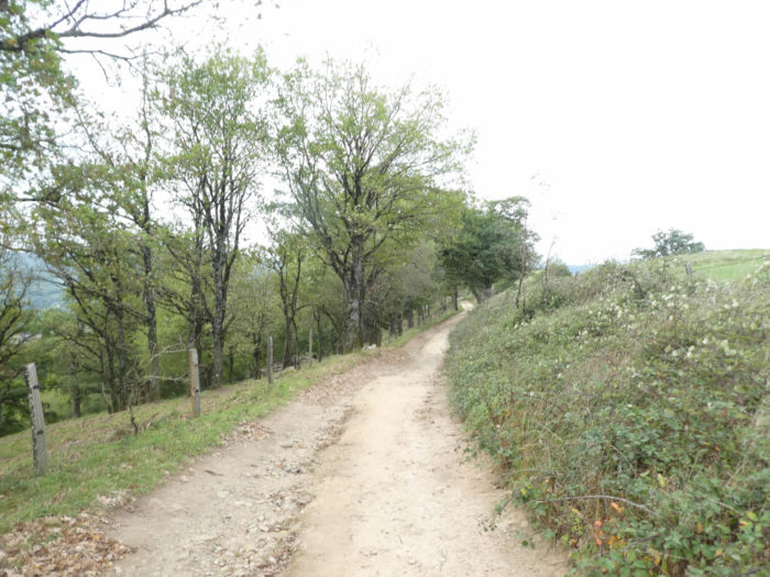
| Along Le Chemin de Boutigou, the villas gradually give way to the countryside, along the hedges and undergrowth. And tough climbing is back, with more than 15% of slope to reach a small cross close to St Roch. Here tough climbing ends. |
 |
 |
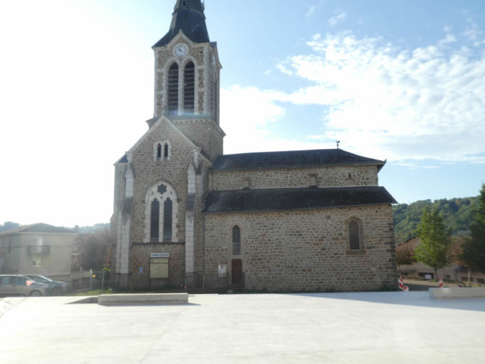
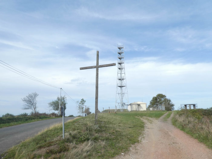
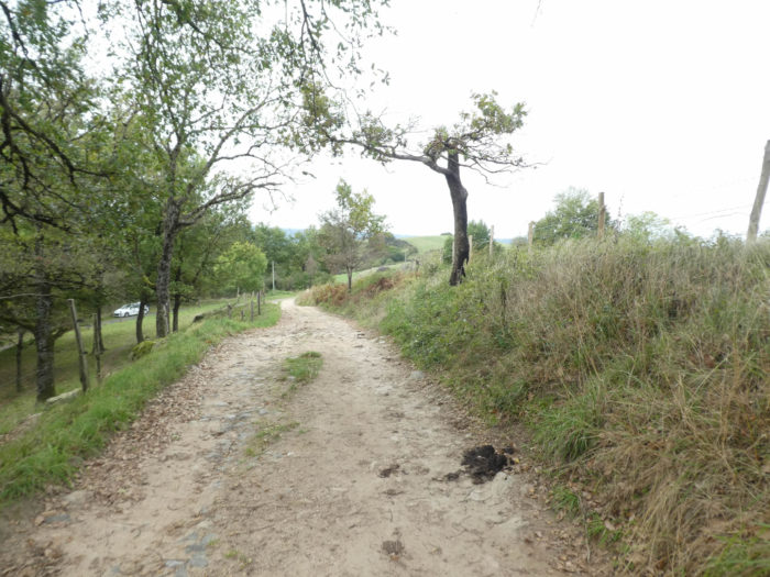
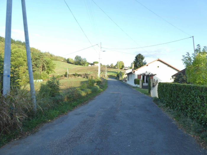
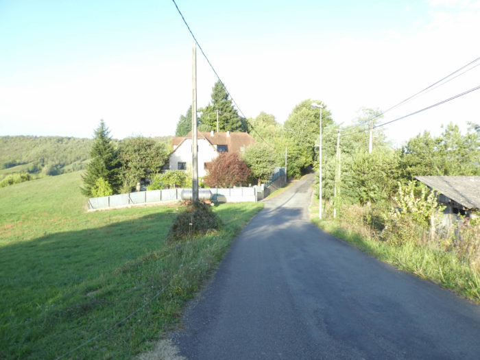
| The small road then arrives quickly to St Roch, at the top of the coast. The little church is fairly new. Dating from the late 18th century, it was enlarged later. You may find housing in front of the church. It is here that you’ll get if you have followed the Chemin des Crêtes. |
 |
 |
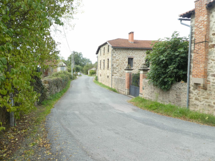
| The road crosses down a village that stretches along with isolated houses at the edge of the road. |
 |
 |
Below the hill is the Lot Valley.
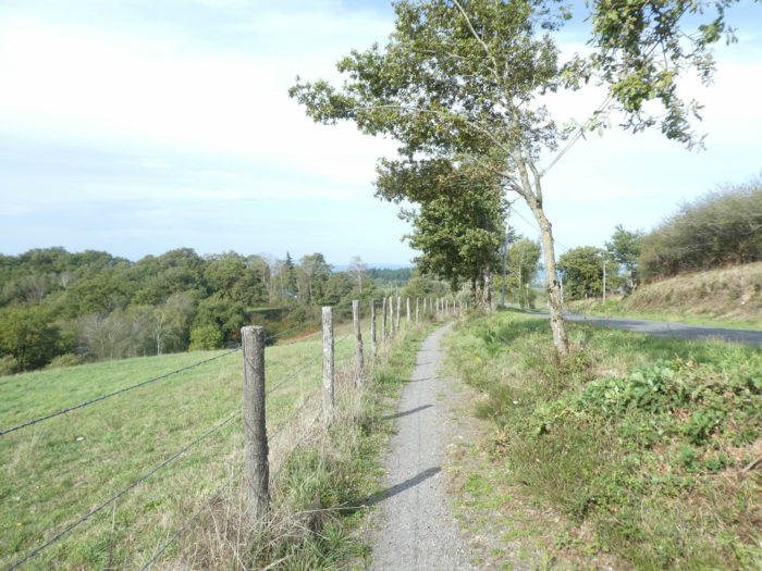
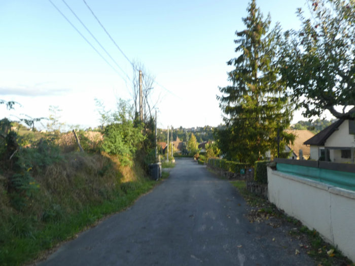
| Then the road waves again along the hedges of oaks and chestnuts. |
 |
 |
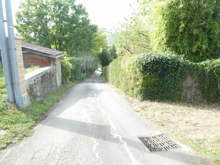
| You’ll soon reach Pomyarols hamlet, where the good Saint watches over the pilgrims who pass by. It is also here that the pilgrim will leave for 1 kilometer the paved road that has probably haunted him all day. |
 |
 |
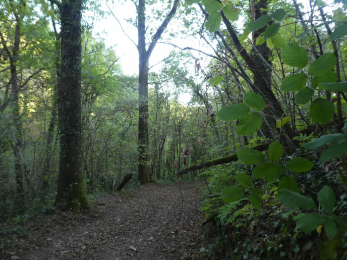
| The lane enters the forest, not very dense at first, along a clearing where the ash trees abound. |
 |
 |
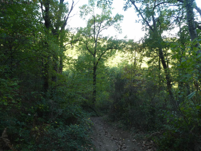
| Further down, it steeply sinks into the dense forest. Here chestnuts, beeches and oaks come back strong. |
 |
 |
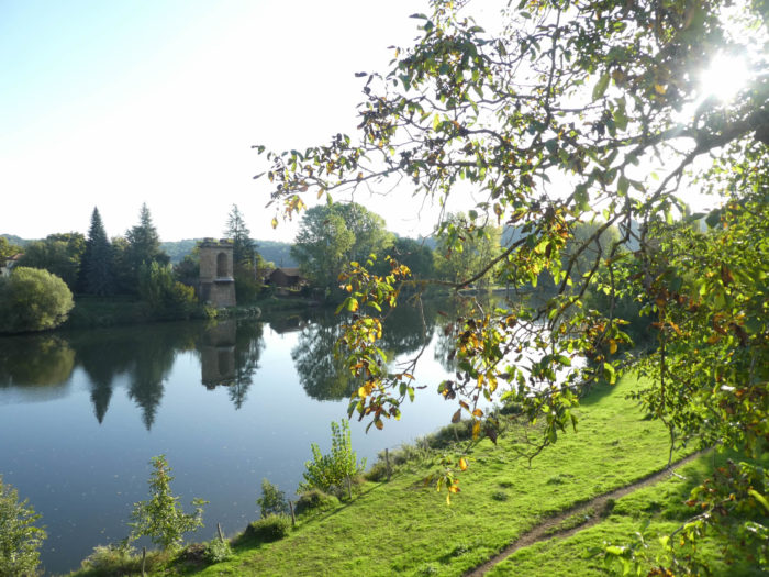
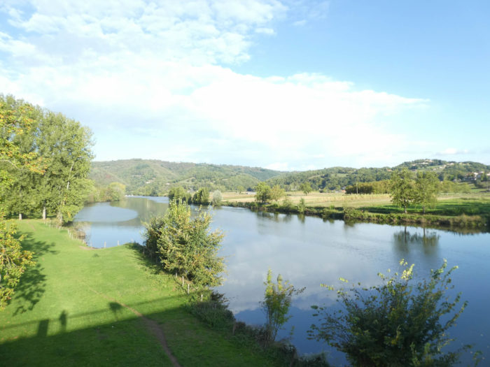
| The pathway toughly wriggles down for a long time in the trees, before seeing the Lot River flowing in the plain at the foot of Livinhac-Le-Haut. |
 |
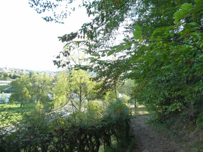 |
| You’ll cross the river just before arriving in Livinhac-Le-Haut. You may stay for hours watching the river. It is so quiet that it is virtually impossible to tell in which direction the water flows. The site is really grandiose. |
 |
 |
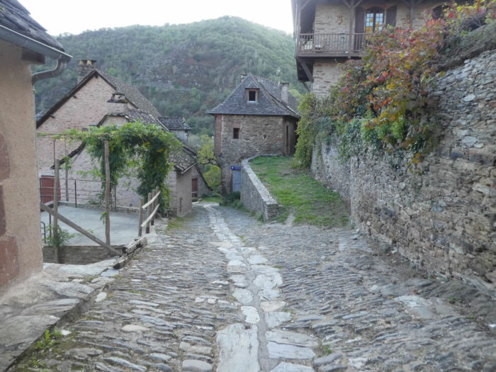
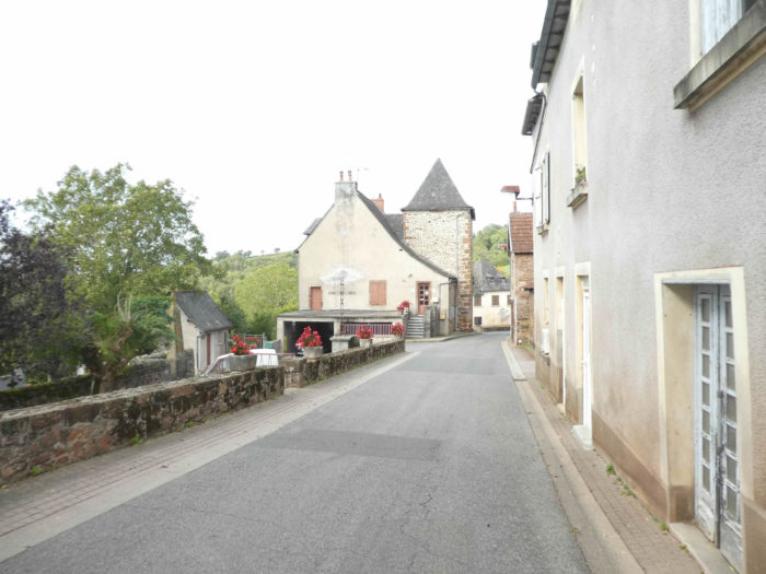
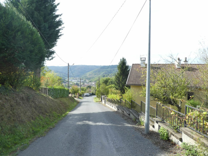
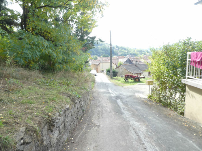
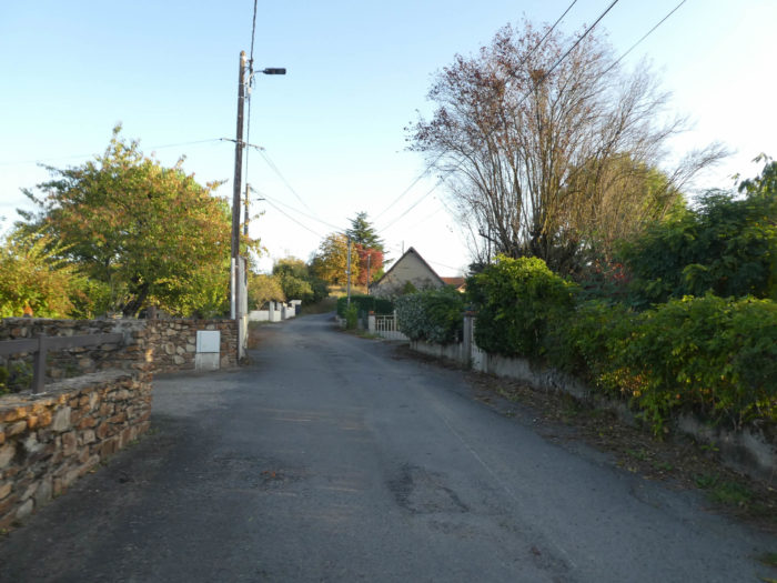
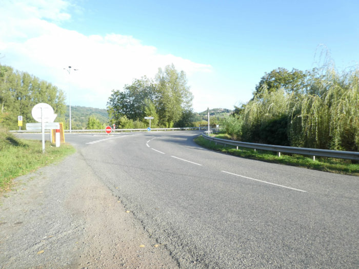
| Here the river forms a big meander in the hollow of which nestles the village. Despite the name of “Le Haut”, the village is hardly higher than the river. It’s just to set it apart from Livinhac-Le-Bas, a little further down the valley. Livinhac-Le-Haut is perched on a hill with many old houses in sometimes narrow lanes. The GR65 gradually climbs towards the center of the village. Many lodgings are present in the sloping streets of the village. Nobody will tell you here why the Way of Compostela has grown in Livinhac-Le-Haut and not in Decazeville. |
 |
 |
| The heart of the village is the communal fountain at the foot of the church on the Place du 16 Juin, where the communal life occurs with the small shops of the village.
Before proceeding to the next stage, you can take a look at the same route along the GR6 (Stage 11b). Both courses have common parts, but on the GR6, it is above all dirt roads until Fonteilles bar. Subsequently, GR65 and GR6 are identical.. |
 |
 |
Local gastronomy
A great specialty of the Decazeville, Lot and Dourdou region is estofinado. The base of this dish is dried Norwegian cod called stockfish. It’s a real paradox, Aveyron is not really a producer of cod. We must go back to the soldiers of Louis XIV who introduced stockfish into France after the Dutch wars. The stockfish arrived in Aveyron via boatmen who went up the Lot from Bordeaux, then a cod trading port. The boatmen fixed it to the back of the boat for ten days. This allowed the fish to rehydrate. The boatmen rested in Linvinhac. This is how estofinado became the dish of the Decazeville miners. Estofinado is similar to cod brandade, except that it includes eggs and parsley in its preparation. Stockfish is dried, unsalted cod. To prepare it, you must first rehydrate the stockfish for 4 to 6 days. If you use salted cod, you must do the same, changing the water several times to desalinate it. The same day, you cut the cod into pieces and cook it for 20 minutes in cold water. In the cooking water, add peeled and sliced potatoes (the same quantity as the cod). During this time, you trim the fish by removing the skin and bones. You cook 4 eggs. After draining the potatoes, mash everything with a fork, adding the crushed hard-boiled eggs. Add cream, warm walnut oil and mix. To better bind together, add a whole raw egg, garlic and chopped parsley. The estofinado is served hot with a salad.
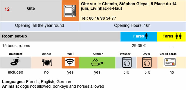
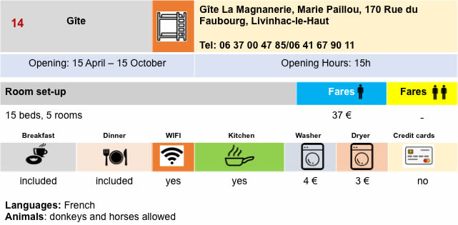
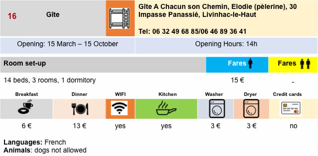
Lodging


Feel free to add comments. This is often how you move up the Google hierarchy, and how more pilgrims will have access to the site.
|
 |
Next stage : Stage 11b: From Conques to Livinhac-Le-Haut (GR6) |
|
 |
Back to menu |