
A little less tar, thank you
DIDIER HEUMANN, MILENA DALLA PIAZZA, ANDREAS PAPASAVVAS
We divided the course into several sections to make it easier to see. For each section, the maps show the course, the slopes found on the course, and the state of the roads. The courses were drawn on the « Wikilocs » platform. Today, it is no longer necessary to walk around with detailed maps in your pocket or bag. If you have a mobile phone or tablet, you can easily follow routes live.
For this stage, here is the link:
https://fr.wikiloc.com/itineraires-randonnee/de-conques-a-livinhac-le-haut-par-le-gr6-30063941
It is obviously not the case for all pilgrims to be comfortable with reading GPS and routes on a laptop, and there are still many places in France without an Internet connection. Therefore, you can find a book on Amazon that deals with this course. Click on the book title to open Amazon.
 |
The Camino de Santiago in France / V. From Puy-en-Velay to Cahors (Via Podiensis) on GR65 track |
If you only want to consult lodging of the stage, go directly to the bottom of the page.
Si vous ne voulez que consulter les logements de l’étape, allez sur la page de l’étape 11a.
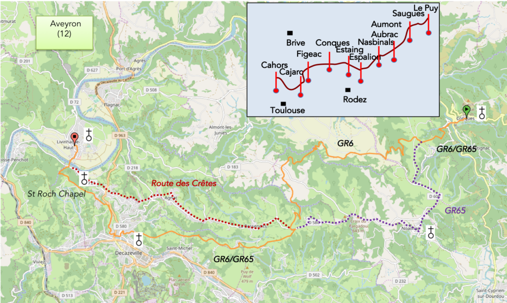
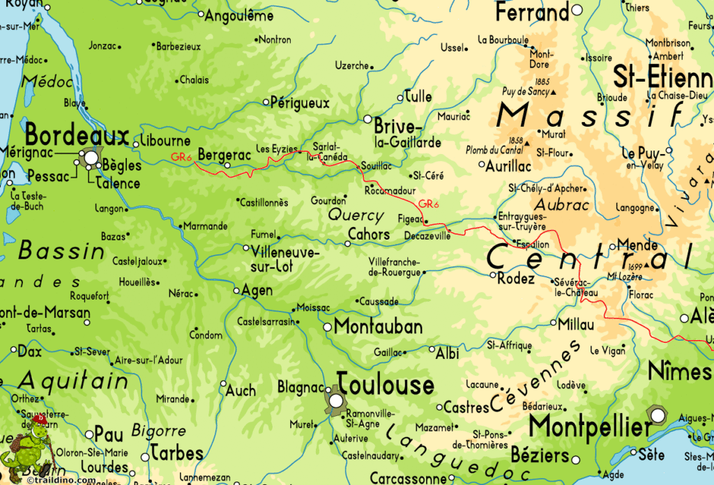
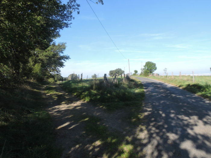
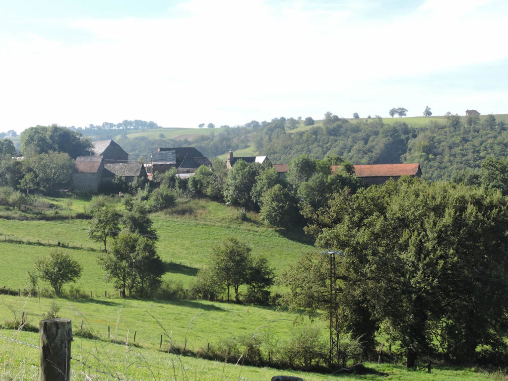
In the region, beyond Aubrac, the GR6 and the GR65 move forward often together and the Camino de Santiago runs once on one, another time on the other, and often they are the same. Where does the GR6 actually go? It is a hiking trail that crosses the southern France from Bordeaux to Nîmes. As far as we are concerned, it runs to Espalion, Estaing, Conques, Decazeville and Figeac. So, you walked on this track without knowing it, believing that it was only GR65 path. Obviously, if you have avoided Golinhac previously, through Campuac, you will have followed the GR6. But since Champagnac until Conques, the GR65 was also the GR6.
Yet, from Conques to Figeac, it’s a new bone of contention. The two GRs are common until the junction to Noailhac. And here is the new deal. Only a few years ago, the St James’ track followed the route in the forest that was known as the GR65 from the bifurcation. The variant by road towards Noailhac was the GR6. Today, both GRs have just been reversed. For who? Why? There is undoubtedly a lot of local politics there. Yet, that’s not our problem. We have talked at length, by accident, with a lady who manages the routes in the area of Figeac, of the difficulty of planning and modifying certain routes. She does not arrive at home to change a route to make it pass by a pathway in the forest. So here, how did they operate to modify a course that originally was largely on forest roads? To ask the question is not to be able to answer it. In fact, it does not change anything. You can take the GR that you want. Yes, but the pilgrims who are not well informed, for the vast majority, will go for sure on the GR65, since all the guides and Internet tell them to do. And they may arrive in the evening at Livinhac, saying in the round that they were “mortally bored” on the road to Noailhac. For us, there is no contest. It is better to follow the GR6. So, here is the route, if you follow the new GR6.
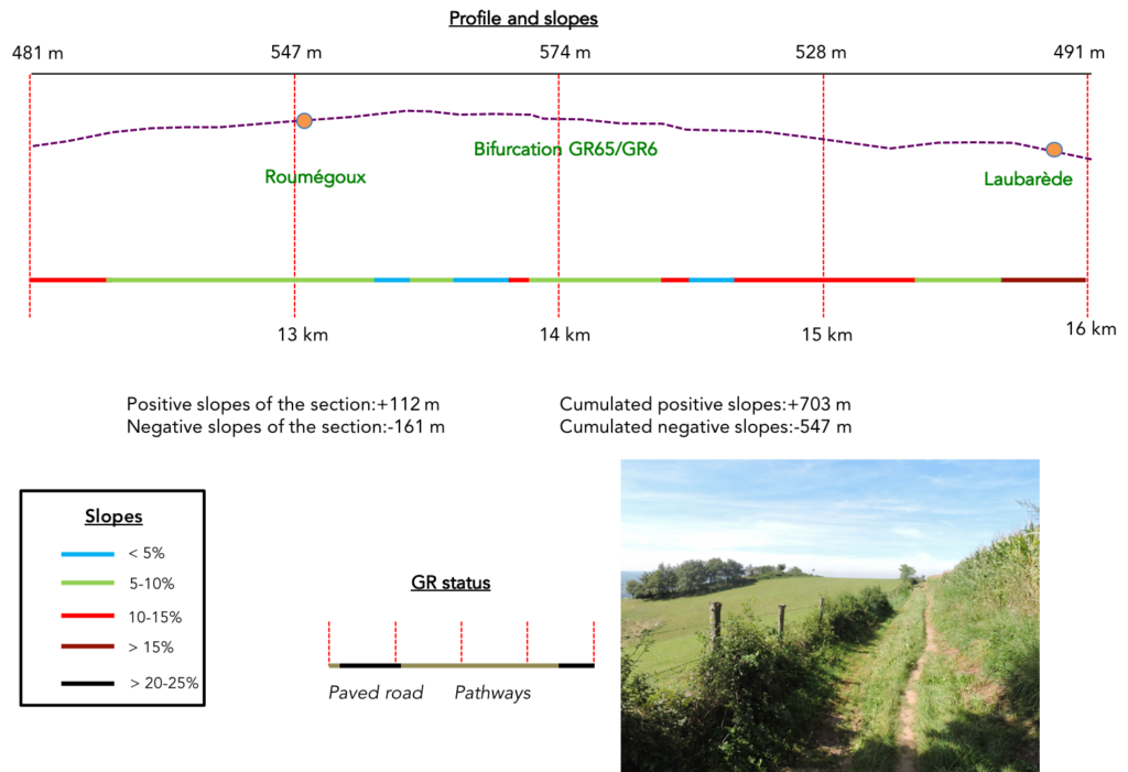
Difficulty of the course: Slope variations today are very important (+875 meters /-924 meters). It has already been said for the GR65, today’s stage is tough, especially in its first part. It is necessary to leave the Conques Valley to reach the basin of Decazeville, with more than 300 meters of climb. Beyond the junction of Noailhac, on the GR6, the main part of the route is a large gymkhana, especially near the Brousse brook. The route runs up and down in all the dales of the hill, until joining Fonteilles bar and the GR65 back. The rest, you know it by reading the stage described for the new GR65.

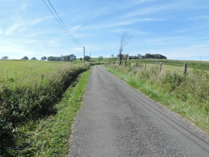
In this stage, you will walk the same distance on the tar as on the paths. Anyway, there are fewer paved roads that if you follow the GR65:
- Paved roads: 13.5 km
- Dirt roads: 12.8 km
Sometimes, for reasons of logistics or housing possibilities, these stages mix routes operated on different days, having passed several times on Via Podiensis. From then on, the skies, the rain, or the seasons can vary. But, generally this is not the case, and in fact this does not change the description of the course.
It is very difficult to specify with certainty the incline of the slopes, whatever the system you use.
For « real slopes », reread the mileage manual on the home page.

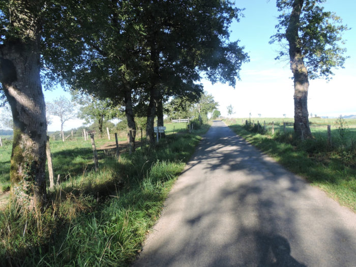
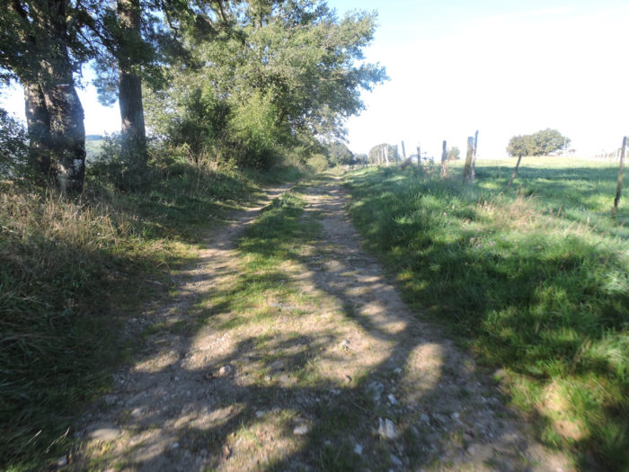
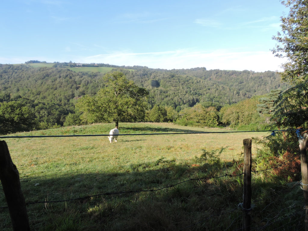
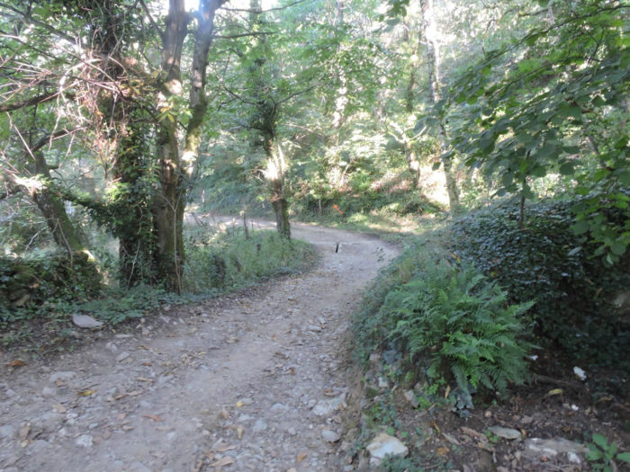
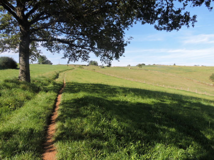
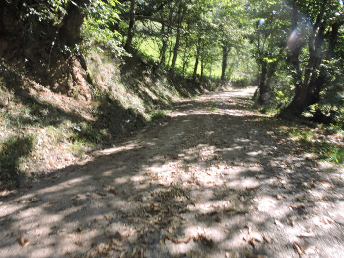
Section 1: A severe climb via the beautiful Ste Foy Chapel.
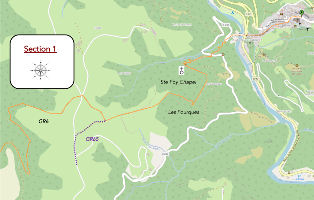
General overview of the difficulties of the route: very demanding course, with severe slopes and significant differences in height, uphill and downhill.

The first part of the stage is common until the bifurcation of the two GR well above Ste Foy Chapel.
For this part, refer to stage 11a.
|
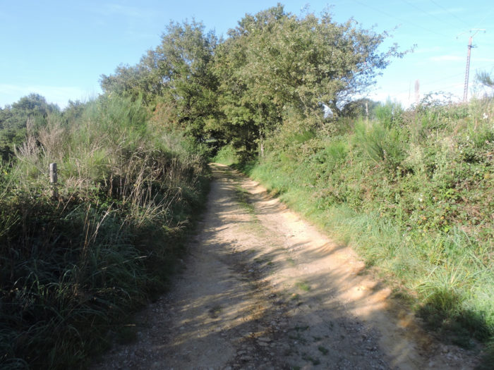
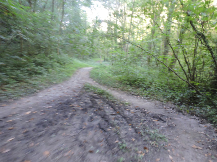
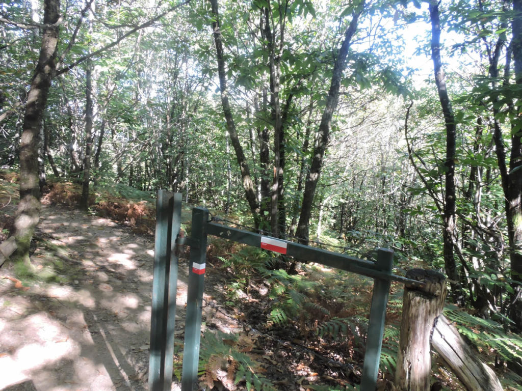
Unlike the GR65, which runs on the paved road, the GR6 has the advantage of not passing kilometers on the tar, preferring the undergrowth, liking up and down, diving into the streams, then sloping up along the hillsides. This is true until the two GRs meet near Fonteilles. Subsequently, it’s less funny, you know after consulting the step following the GR65. In the past when you came to the junction, there was a large sign indicating the direction of the GR65 towards Prayssac. The track to Nohailhac, in fact the old GR6, was indicated as a variant of the GR65. |
|
 |
 |
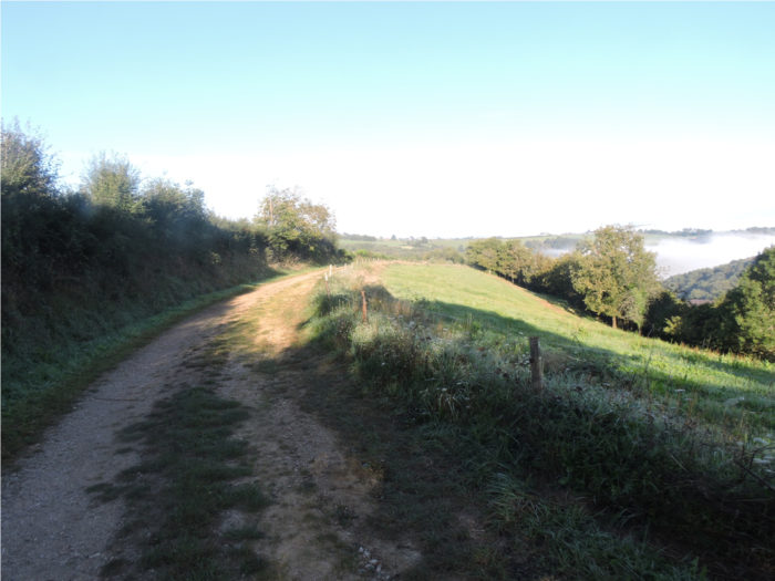
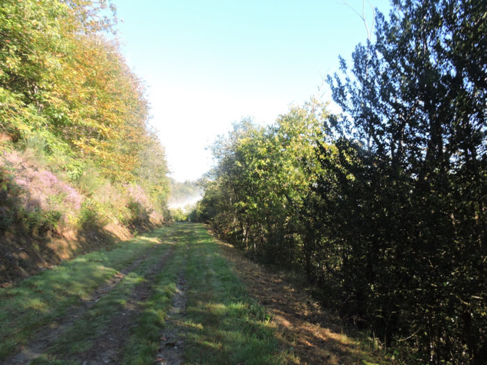
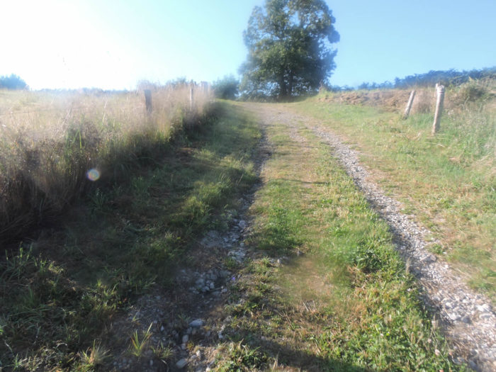
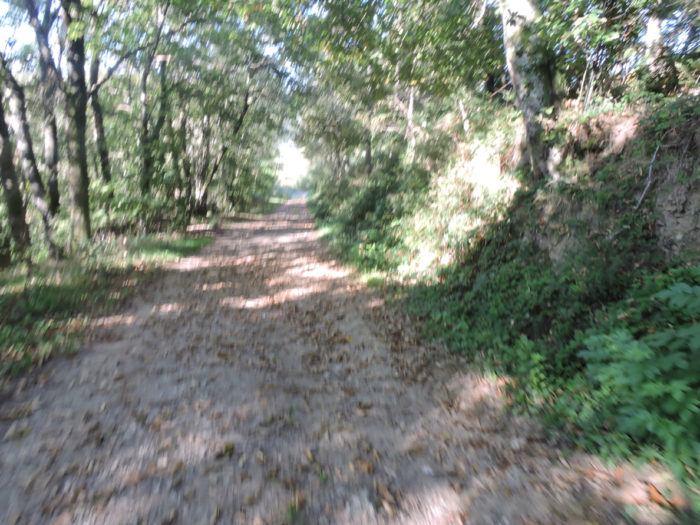
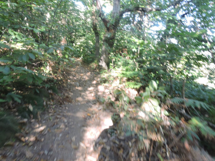
| One of these last times when we passed here was autumn, and the chestnut trees, which are plentiful in these forests, were covered with fruit. It was also one of those beautiful autumn days, when the mist creeps through the fields and the forest. At the start, the path climbs along thick hedges. | |
 |
 |
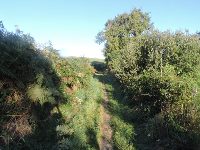
| At the start, the pathway climbs along thick hedges, through broom and ferns to cross a small asphalt road. | |
 |
 |
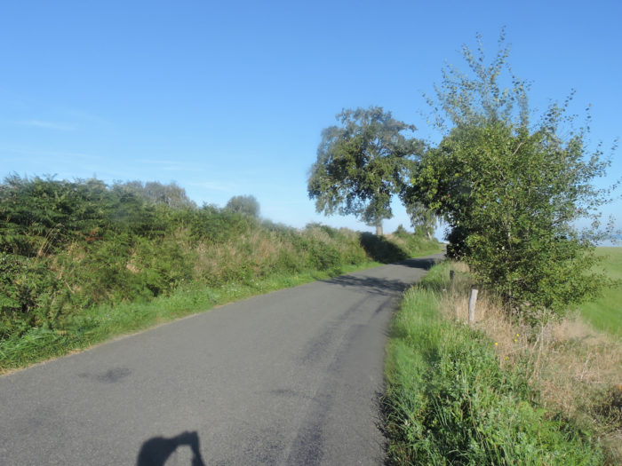
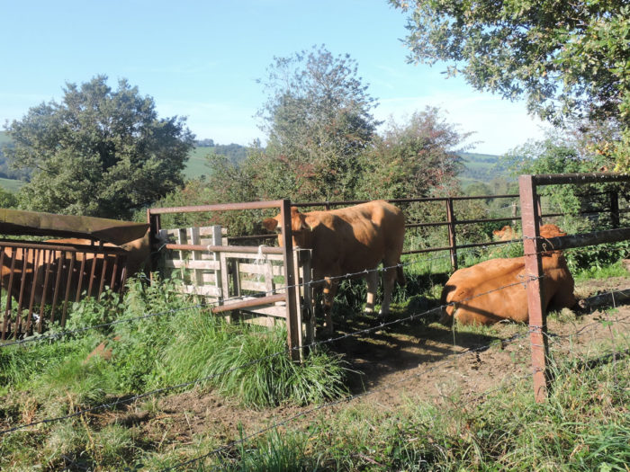
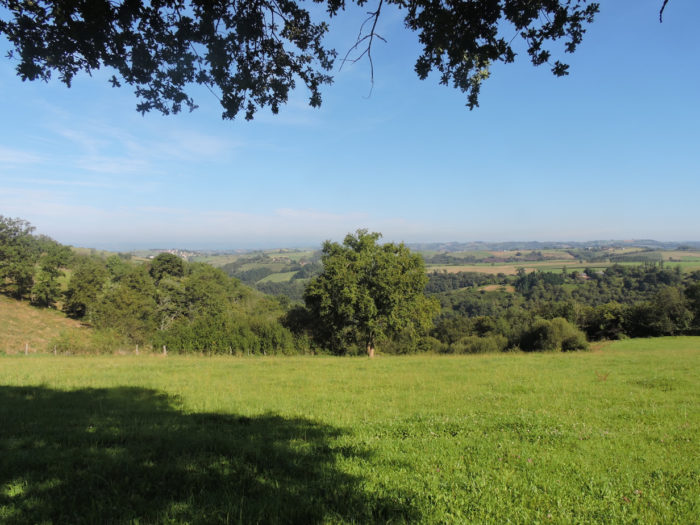
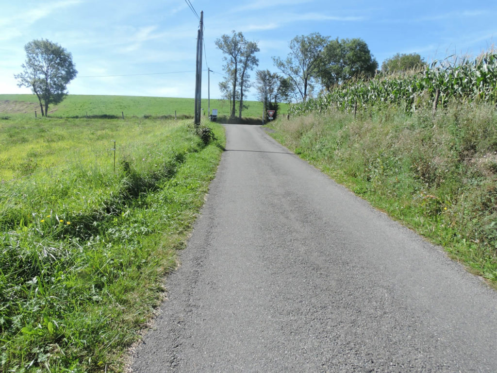
The region is crisscrossed by small asphalt roads which lead either to hamlets or to isolated farms. The cows in the region are often still of the Aubrac breed, but soon other breeds will appear.
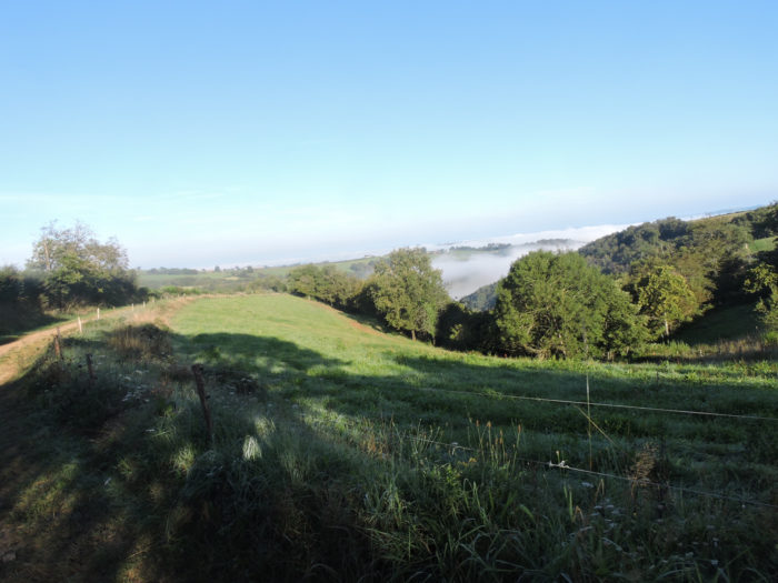
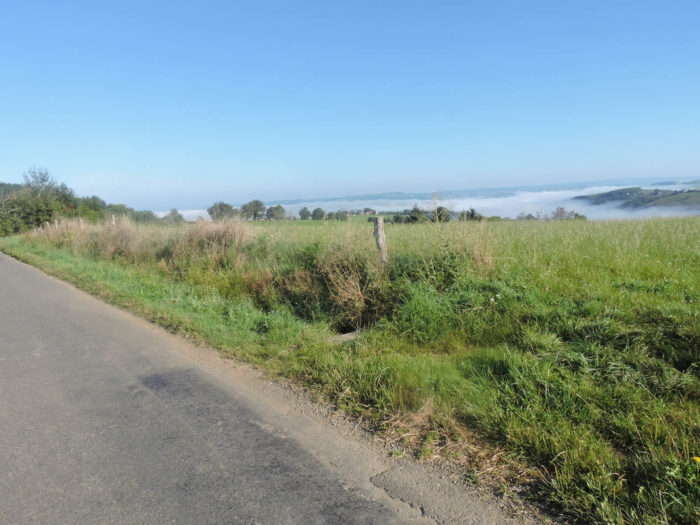
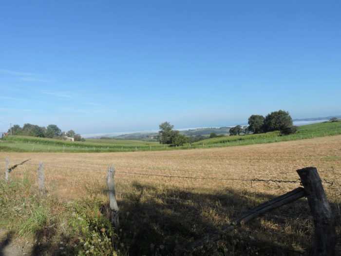
| A wide dirt road then descends into the countryside. On the horizon, looming small hamlets, sometimes misty as they are today. The pilgrim quickly understands that to get there, he will have to cross the valley first. The track will slope down there, that’s for sure. This is still the case on the Camino de Santiago. Especially since the path seems welcoming and autumn offers the warmest landscapes that nature can create for you. | |
 |
 |
 |
 |
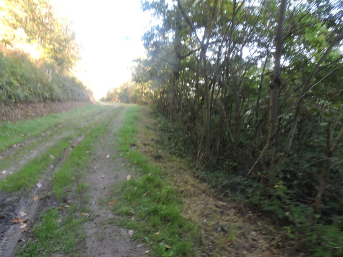
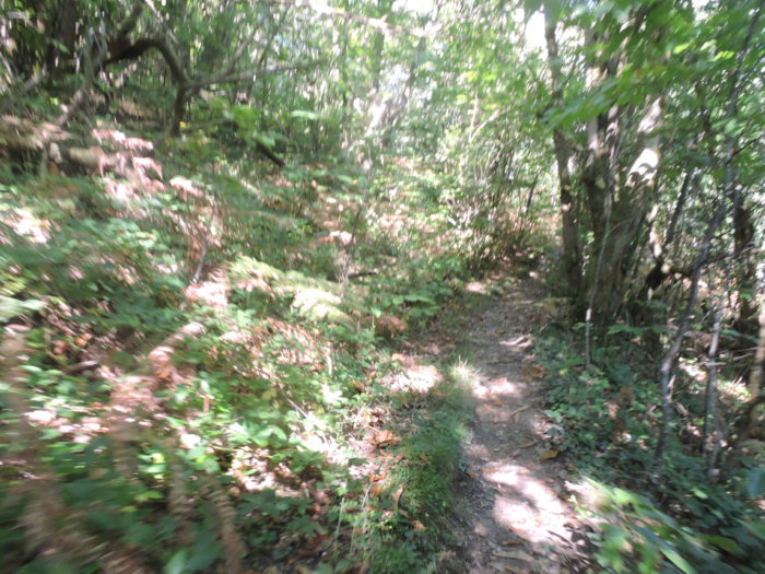
| Fairly quickly, the pathway reaches the forest. For kilometers, it will follow the side of the hill, faithfully following all the small winding detours that the dale makes, around the Moulidiès stream. | |
 |
 |
| It most often runs in the grass, slightly downhill, but also sometimes uphill, in large trenches. Depending on the light, day breaks on the trees, or on the contrary, night gains in the more compact thickets. When you pass by here, you will have a thought for your comrades who walk up along the paved road towards Nohailhac. | |
 |
 |
 |
 |
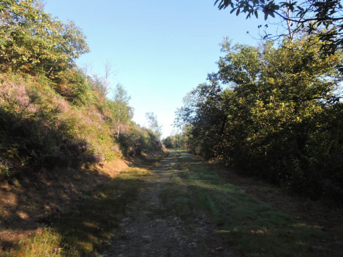
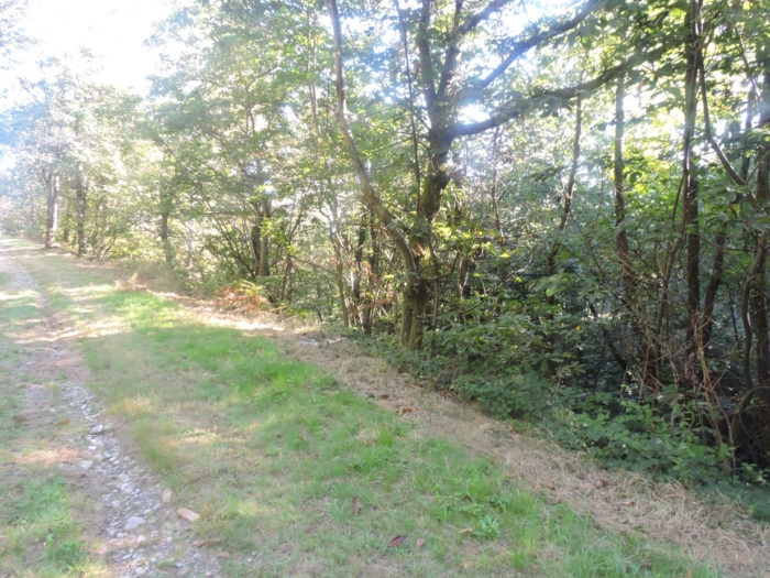
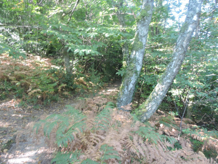
| In the midst of beeches, chestnuts, oaks and birches, the slopes shine with the purple and green hues of heather and ferns. | |
 |
 |
Section 2: Tough ups and downs from a brook to another.

Overview of the difficulties of the route: tough ups and downs indeed, but there is a flat course in the middle to rest.

| Soon after, the pathway comes out of the woods, and a nice ramp takes you to the road above. | |
 |
 |
When you turn around, your gaze finds the meanders of the undergrowth that you have just crossed, near the Moulidiès stream. On the heights, it is the plateau of Nohailhac.

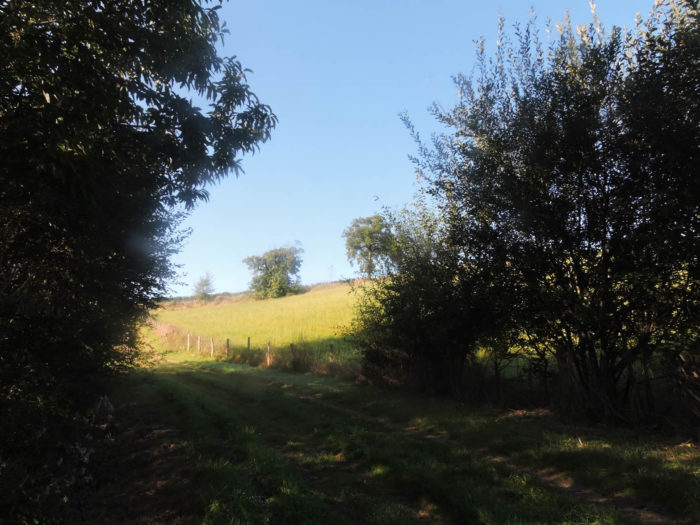
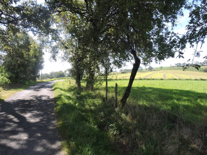
| The GR6 then flattens on the small road. All around are only meadows, sometimes with rare plowing fields from which the ocher earth emerges. The region is not a region of crops, but above all a region of breeding. | |
 |
 |
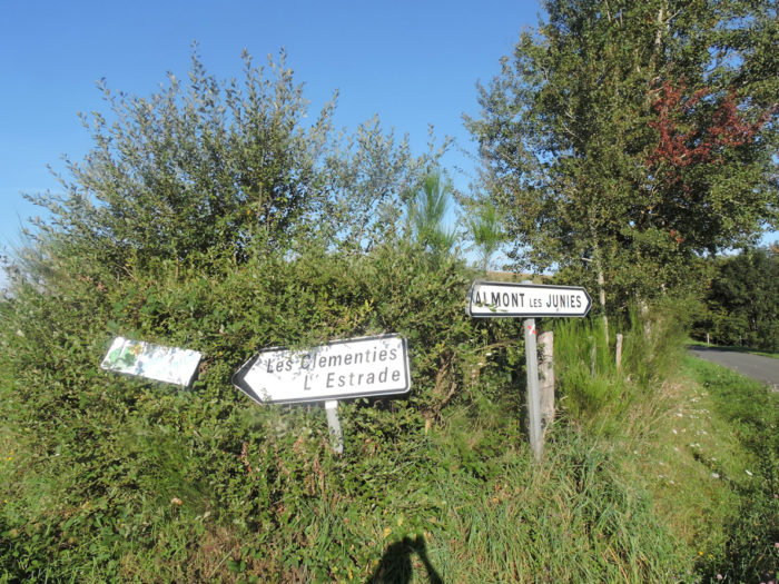
| Shortly after, it takes the direction of Les Clémenties. | |
 |
 |
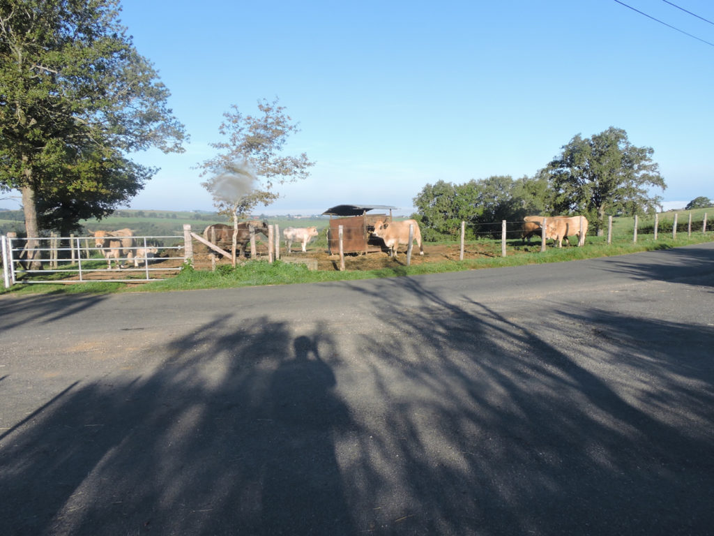
| On the road, a meadow with Limousine cows. There is no reason why you only find Aubrac cows all the way to the end of France, right? | |
 |
 |
| As you progress along the road towards the village, to your left the gaze plunges into the thick thickets where you’ll find shortly after. On your right, it is rather a kind of plateau, where small hills undulate with a few meager fields of cereals scattered among the meadows. | |
 |
 |
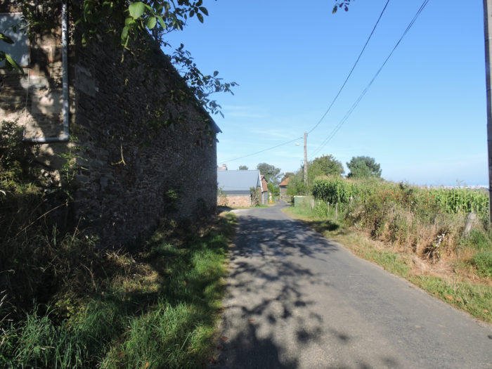
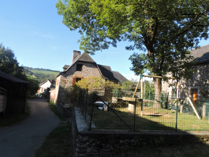
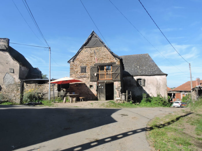
| The GR6 then reaches the hamlet. Les Clémenties is home to three to four houses on the road, some made of real sandstone and limestone rubble. The sign at the entrance to the hamlet encourages motorists to slow down. Is it because the traffic is heavy? Here, you will hardly come across any automobile. | |
 |
 |
 |
 |
| Shortly after leaving the hamlet, the GR6 immediately enters a dirt road that slopes down into the undergrowth. | |
 |
 |
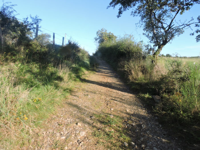
| At the beginning, it is a wide, little stony pathway that descends into the open countryside under oaks and ash trees. The slope is quite gentle. | |
 |
 |
| Then as you approach the forest, the stones pile up on the track, and the slope increases accordingly. The pathway slopes down all the same by nearly a hundred meters of difference in height before joining Les Béfrénies. | |
 |
 |
All around, the forests are dense, compact. Thousands of chestnut trees, most of them puny, are trying to find a place among the oaks.
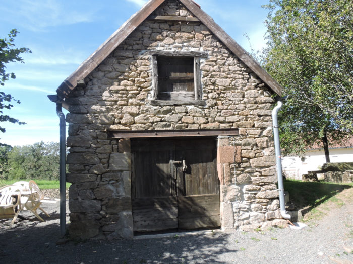
| At the bottom of the descent, the hamlet of Les Béfrénies is just as depopulated as the previous one. In the region, it is no longer the massive stone houses of Margeride or Aubrac. The residences are simpler, most often built of blocks of sandstone or limestone jointed with mortar or lime. Yet, they remain magnificent in their simplicity. | |
 |
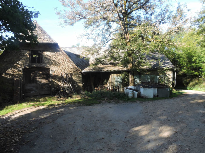 |
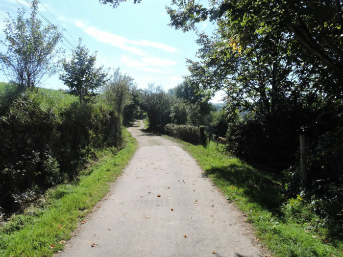
| A paved road slopes up from the hamlet on the hillside. If oaks and chestnuts remain in the majority, a few ash trees and rare maples stick their noses from time to time. The dominant trees sometimes form dense clumps, which one guesses almost impassable. | |
 |
 |
 |
 |
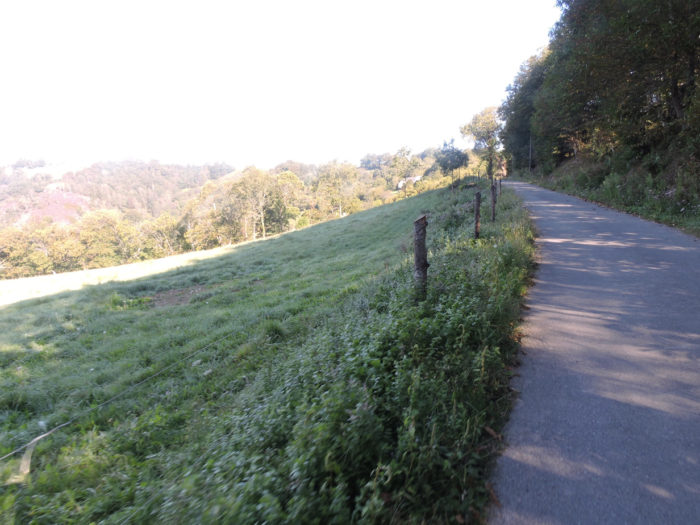
| The slope is never very severe, less than 10%, to reach Eyniès hamlet. | |
 |
 |
| Eyniès is a real gem, a remarkable village of stone houses, which seem all twins. Of course, in these remote areas, everything seems deserted, but that does not spoil the charm that exudes from this site. | |
 |
 |
Section 3: A great gymkhana in the meanders of La Brousse creek.
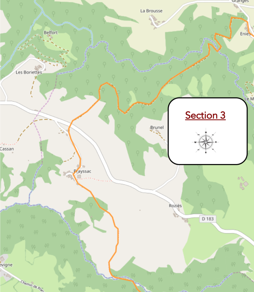
Overview of the difficulties of the route: difficult course in the meanders of La Brousse brook, then the course is easier near Prayssac.

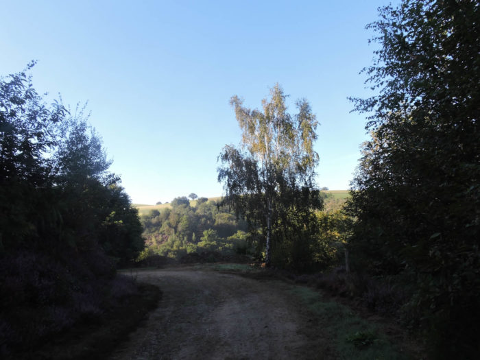
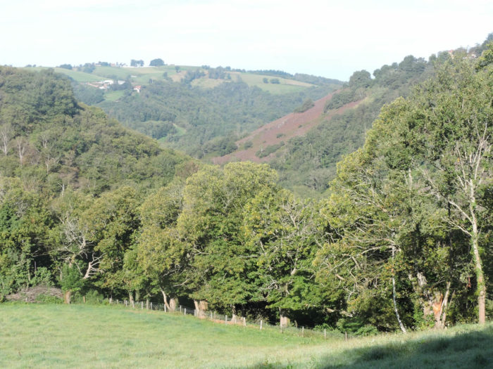
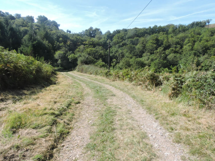
| Beyond Eyniès, a large gymkhana looms, with important ups and downs, where you will have to face all the meanders of the dale. At the top, at the bottom, here is the proposed program. At the start, a wide dirt road descends steeply towards the Brousse stream. | |
 |
 |
As if you were there…
Wait for the video to load.
| The slope is steep, often extreme, but the stones are not very abundant. The undergrowth is not always compact, and you can see a few clearings here and there. | |
 |
 |
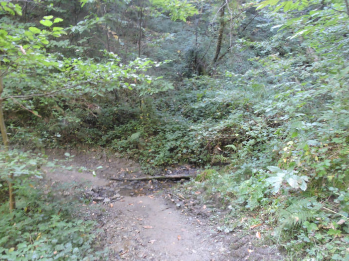
| At the bottom of the descent, where the light hardly penetrates, the ground becomes clayey, spongy, even muddy. La Brousse is just a small brook in dry weather, wading through lush vegetation. | |
 |
 |
| A narrow lane steeply climbs up the other side of the brook through clumps of stunted chestnut trees. | |
 |
 |
 |
 |
The narrow lane climbs up to a barrier, placed there to say that it is better not to venture further into an undergrowth where you can get lost. In any case, this is the signal that the pathway will descend to Brousse brook again.
| From here, the lane will slope down to another branch of the Brousse stream. | |
 |
 |
Everything here is intense savagery, raw nature in all its forms. You almost wonder what you came to do in this inviolate space.

Further afield, the pathway toughly climbs, as soon as the stream is crossed again, over the angular pebbles, in the middle of the mud and the leaves which strew the ground…
Wait for the video to load.
| Here the slope is demanding and remains severe until you exit the forest, until you can see the Prayssac countryside above the oaks and wild grasses of the undergrowth. | |
 |
 |
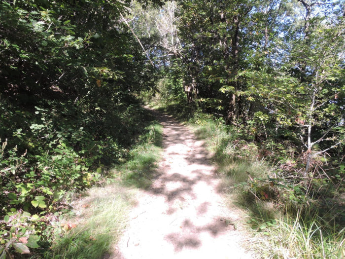
| Further up, the pathway then gradually comes out of the woods, finds the light that caresses the cows in the meadows. On the horizon, the hills that dominate Decazeville stand out. | |
 |
 |
 |
 |
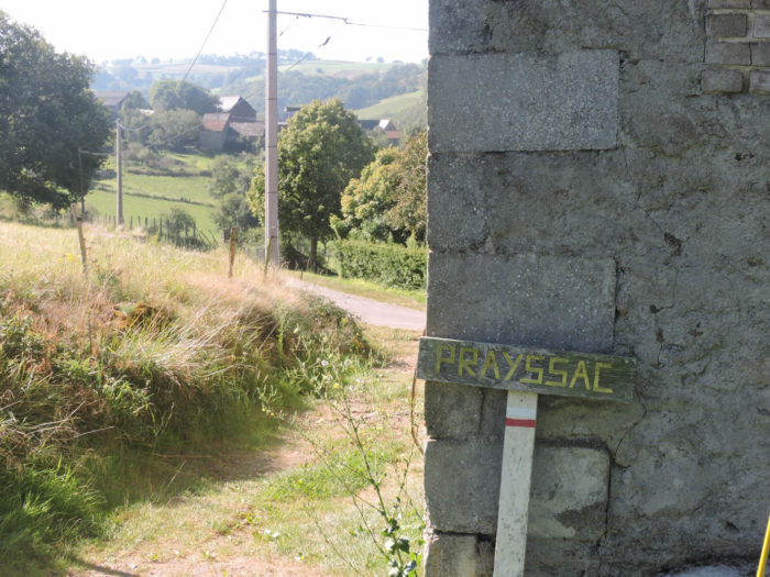
| The pathway soon joins a small paved road which leads to Prayssac near a stone cross. | |
 |
 |
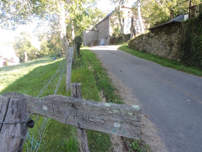
| Shortly after, a sign announces Prayssac below a small asphalt road. The GR6 crosses it and slopes down on the tar towards the hamlet. | |
 |
 |
The sign beside the track and the small paved road do not announce a large village. However, the houses are charming, surrounded by small meadows drawn in line. How beautiful these little hamlets are when they are lost in the meadows among the foliage.
A lovely alcove serves you fresh water in the middle of the village.

| We have not been back to Prayssac since the GR in the region got tangled up. Therefore, we cannot certify if the small coffee is still present. Obviously, the number of pilgrims has melted here. In the past, a delicious character, in love with the Camino de Santiago, ran a little café in the old communal oven where you could eat. This establishment used to be a so-called donativo establishment, where prices are left to the discretion of the consumer. Jean-Luc, the keeper, who remembered your first name even if there were several pilgrims seated at his home, took his leave, hammering your first name while intoning the famous Ultreïa E suseia, the most famous of pilgrim songs. It can be translated as “go further, go higher”. It is the mark of recognition of the pilgrims among themselves, the expression of physical and spiritual surpassing. The Premonstratensian Fathers of Conques made this refrain almost popular. | |
 |
 |
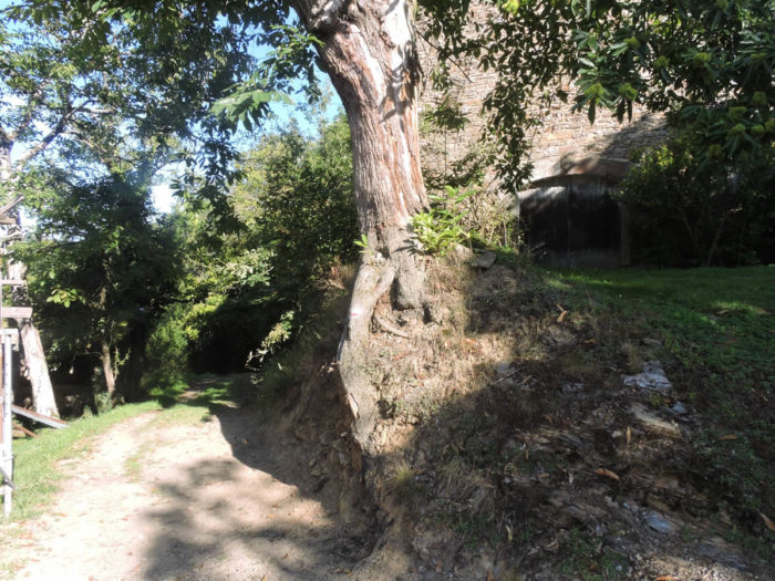
| Beyond Prayssac, a wide dirt and grass track slopes downs to cross Moulinet brook. | |
 |
 |
| It’s quite humid in here. | |
 |
 |
Section 4: The GR6 joins the GR65 to descend to Decazeville.

General overview of the difficulties of the route: course without great difficulty, sometimes with some short slopes a little more pronounced.
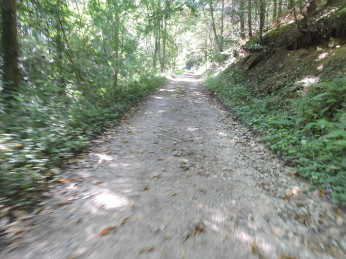
| Beyond the Moulinet stream, the GR6 climbs on a wide dirt road through the undergrowth. | |
 |
 |
| Quickly, the pathway gets in Roumégoux, a handful of beautiful stone houses on the edge of the woods. | |
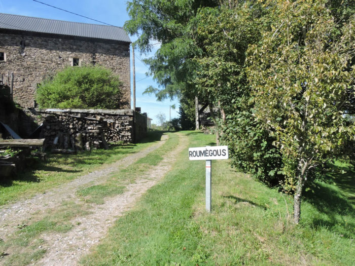 |
 |
 |
 |
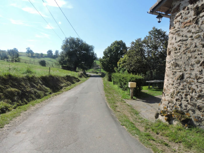
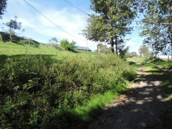
| A small paved road then climbs in the meadows … | |
 |
 |
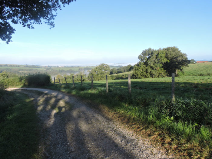
… to join a little higher up, the small departmental road that comes from Noailhac, called here for pilgrims, the Chemin des Crêtes. If you follow this road on the right, you will arrive at Livinhac-le-Haut by following the ridge. You have to go a hundred meters back on the road to find the junction point of the two GRs. A good tip: turn right on Chemin des Crêtes. This will allow you to avoid the rather useless course to Decazeville.
From here, GR6 and GR65 tracks are the same. For this part, see step 11a..
Feel free to add comments. This is often how you move up the Google hierarchy, and how more pilgrims will have access to the site.
 |
Next stage : Stage 12: From Livinhac-Le-Haut to Figeac |
 |
Back to menu |