
Good morning, Mr President
DIDIER HEUMANN, MILENA DALLA PIAZZA, ANDREAS PAPASAVVAS
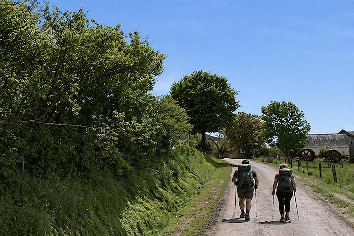
We divided the course into several sections to make it easier to see. For each section, the maps show the course, the slopes found on the course, and the state of the roads. The courses were drawn on the “Wikilocs” platform. Today, it is no longer necessary to walk around with detailed maps in your pocket or bag. If you have a mobile phone or tablet, you can easily follow routes live.
For this stage, here is the link:
https://fr.wikiloc.com/itineraires-randonnee/de-st-come-dolt-a-estaing-par-le-gr65-51268933
| Not all pilgrims are necessarily comfortable using GPS devices or navigating with a smartphone, especially since there are still many areas without Internet access. That is why, to make your journey easier, a book dedicated to the Via Podiensis from Le Puy-en-Velay to Cahors is available on Amazon. Much more than a simple practical guide, this book accompanies you step by step, kilometer after kilometer, providing all the information you need for smooth planning and avoiding unpleasant surprises. Beyond its practical advice, it immerses you in the enchanting atmosphere of the Camino, capturing the beauty of the landscapes, the majesty of the trees, and the very essence of this spiritual adventure. Only the pictures are missing, everything else is there to transport you.
In addition, we have also published a second book which, with slightly fewer details but all the essential information, covers the entire route from Le Puy-en-Velay to Saint-Jean-Pied-de-Port. The choice of your journey is yours. |
|
 |
 |
If you only want to consult lodging of the stage, go directly to the bottom of the page.
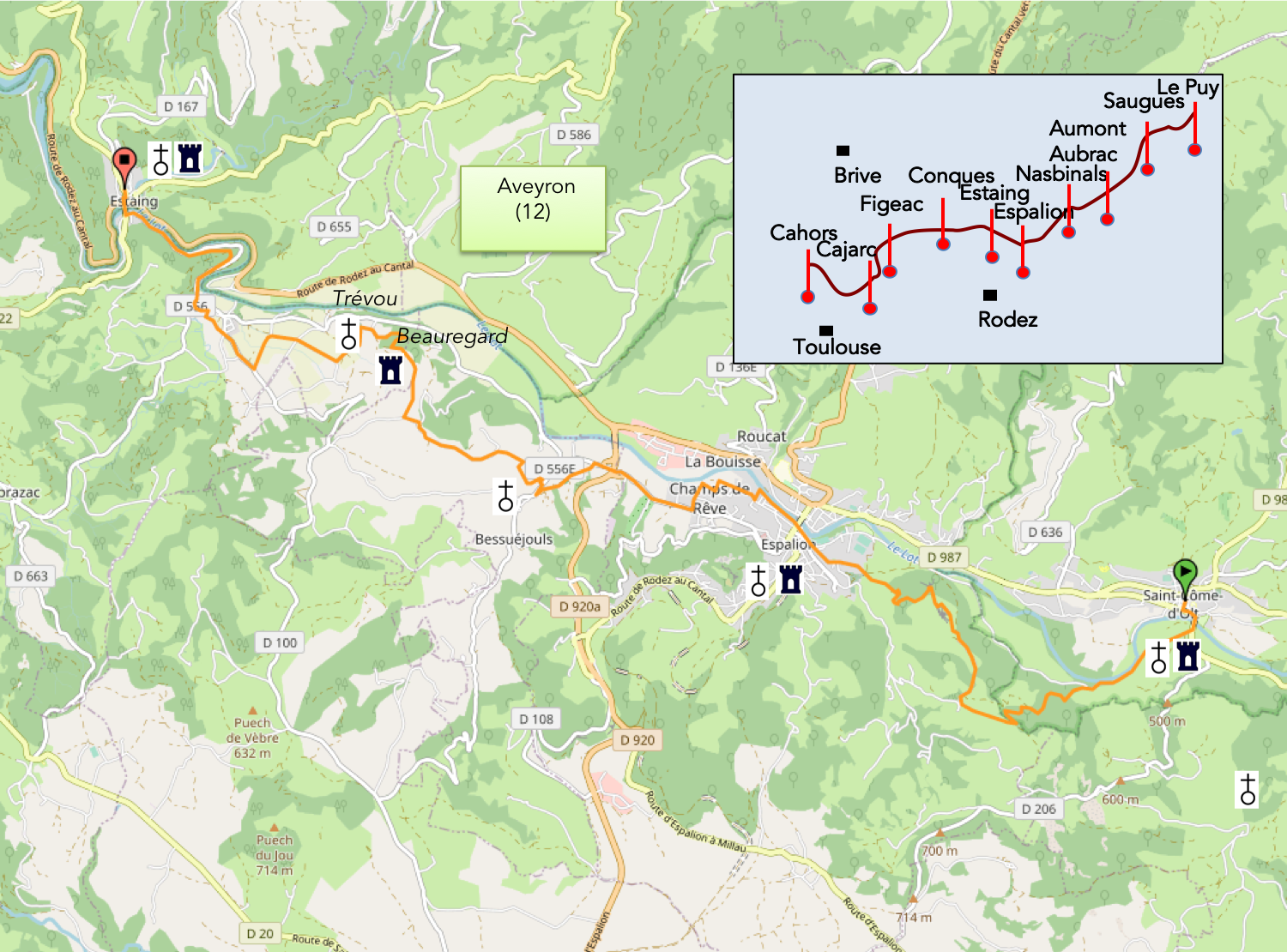
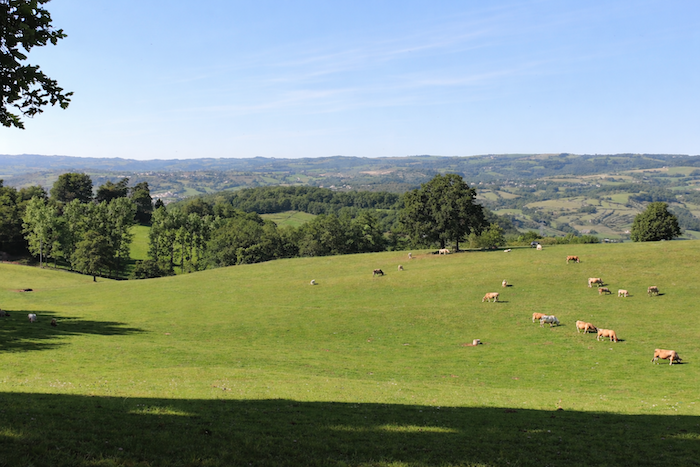
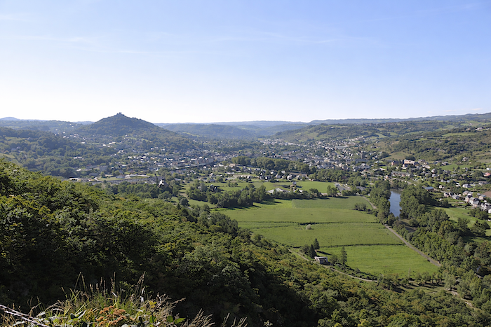
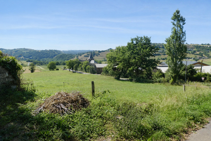
Here, you are walking through Haute Rouergue, in the northern part of Aveyron, where the Lot, the region’s central artery, has carved narrow gorges that occasionally widen into broad basins. The Lot winds away beneath high plateaus that are sometimes schist, sometimes volcanic, sometimes limestone. Today there will be no vast fields stretching before your eyes. Instead, forests and pastures will dominate the landscape. On the north-facing slopes, oak forests, beech woods and ancient chestnut groves are often the prevailing feature. When gazing upon the Lot, one sometimes has the impression that the water is standing still. And the Lot flows through Estaing, a name that will undoubtedly remind you of someone well known. Today also marks the first time that the Camino turns northward.
Since today’s route crosses a variety of landscapes, it is worth saying a few words about the geological particularities of the region. Up to now, we have walked on volcanic basalt soils and rocks in the Velay, then across the granite of the Margeride. Aubrac is already more complex. Its bedrock is granite, but its surface is largely basalt. Aubrac is a relatively ancient volcanic massif compared with the great volcanoes of Auvergne, which are considerably younger. Here, however, unlike in Auvergne, the lava flows spread out and the volcanoes themselves disappeared, worn away by erosion. Glaciers also reached this region, creating moraines, alluvial deposits and the numerous erratic granite boulders that can still be seen across the Aubrac plateau. In geology, this is often the way of things. Under pressure, granite transforms into what are known as metamorphic rocks, such as schist and gneiss. Thus, part of Aubrac’s granite bedrock evolved into these rock types. This becomes evident upon leaving Aubrac, in the region descending from St Chély towards Espalion, where the boraldes, small torrents and streams, have cut deeply into the schist and gneiss. Farther downstream, towards Espalion and Estaing in the Lot Valley, softer rocks dominate, namely sandstone and limestone, marine deposits dating from a time when the sea reached this area, long after the granite mountains had formed. Yet granite also appears here, not transported by glaciers. Around 300 million years ago, granitic magma succeeded in breaking through the layers of limestone and schist in certain places. These are the principal rock types that you will encounter over the coming days. Estaing00b
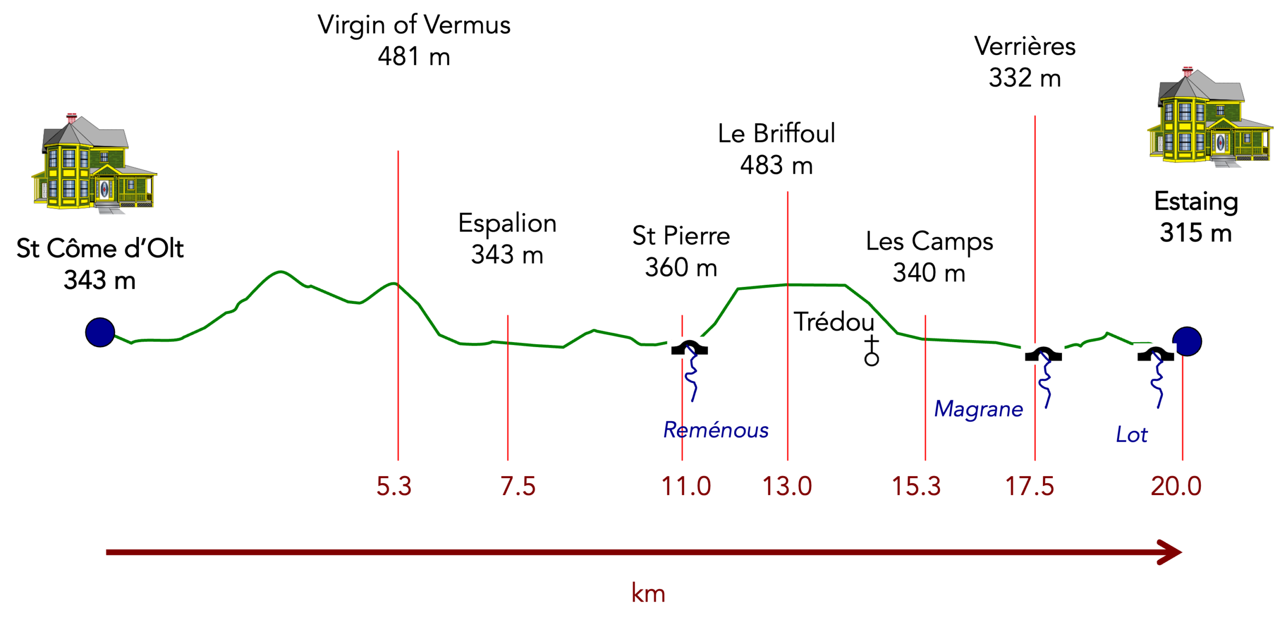
Difficulty level: Today’s elevation changes (+507 meters/-549 meters) suggest a fairly demanding stage, especially considering that it is only about 20 kilometers long. This is certainly a leg-breaking stage. Of course, it is far from insurmountable, but the route climbs and descends throughout the day. In reality there are only two major climbs, but both are difficult. The ascent to the Virgin of Vermus reaches gradients of up to 30% in places near the beginning of the stage, while after Saint-Pierre there is another steep climb exceeding 25% over less than one kilometer. The descent towards Estaing from Le Briffoul can also prove difficult in wet weather.
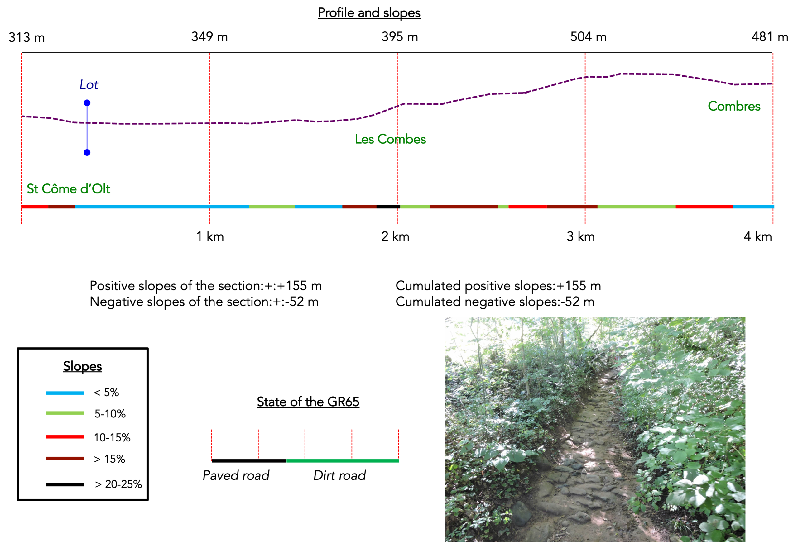
State of the GR65: Today’s stage offers a balanced mix of paths and roads:
- Paved roads: 10.8 km
- Dirt roads: 9.2 km
Sometimes, for reasons of logistics or housing possibilities, these stages mix routes operated on different days, having passed several times on Via Podiensis. From then on, the skies, the rain, or the seasons can vary. But, generally this is not the case, and in fact this does not change the description of the course.
It is very difficult to specify with certainty the incline of the slopes, whatever the system you use.
For « real slopes », reread the mileage manual on the home page.

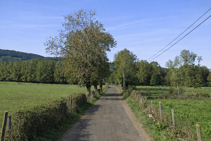
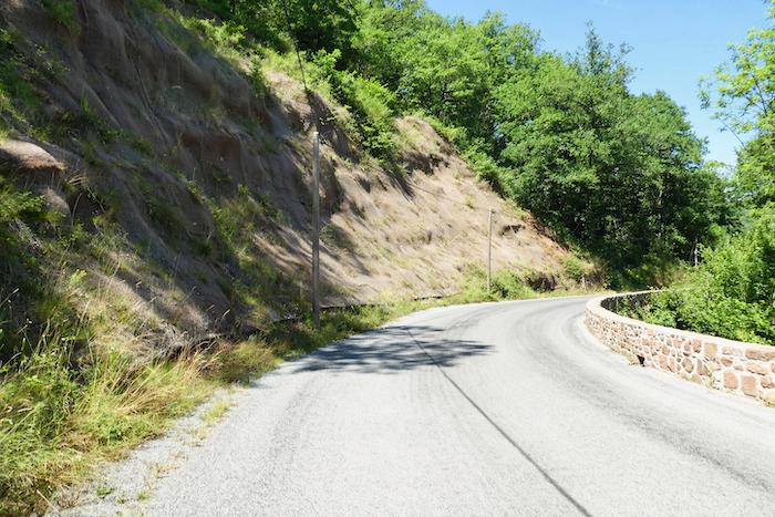
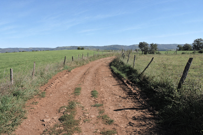
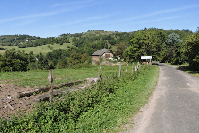
Section 1: The GR65 returns to the Lot River before climbing back to the heights
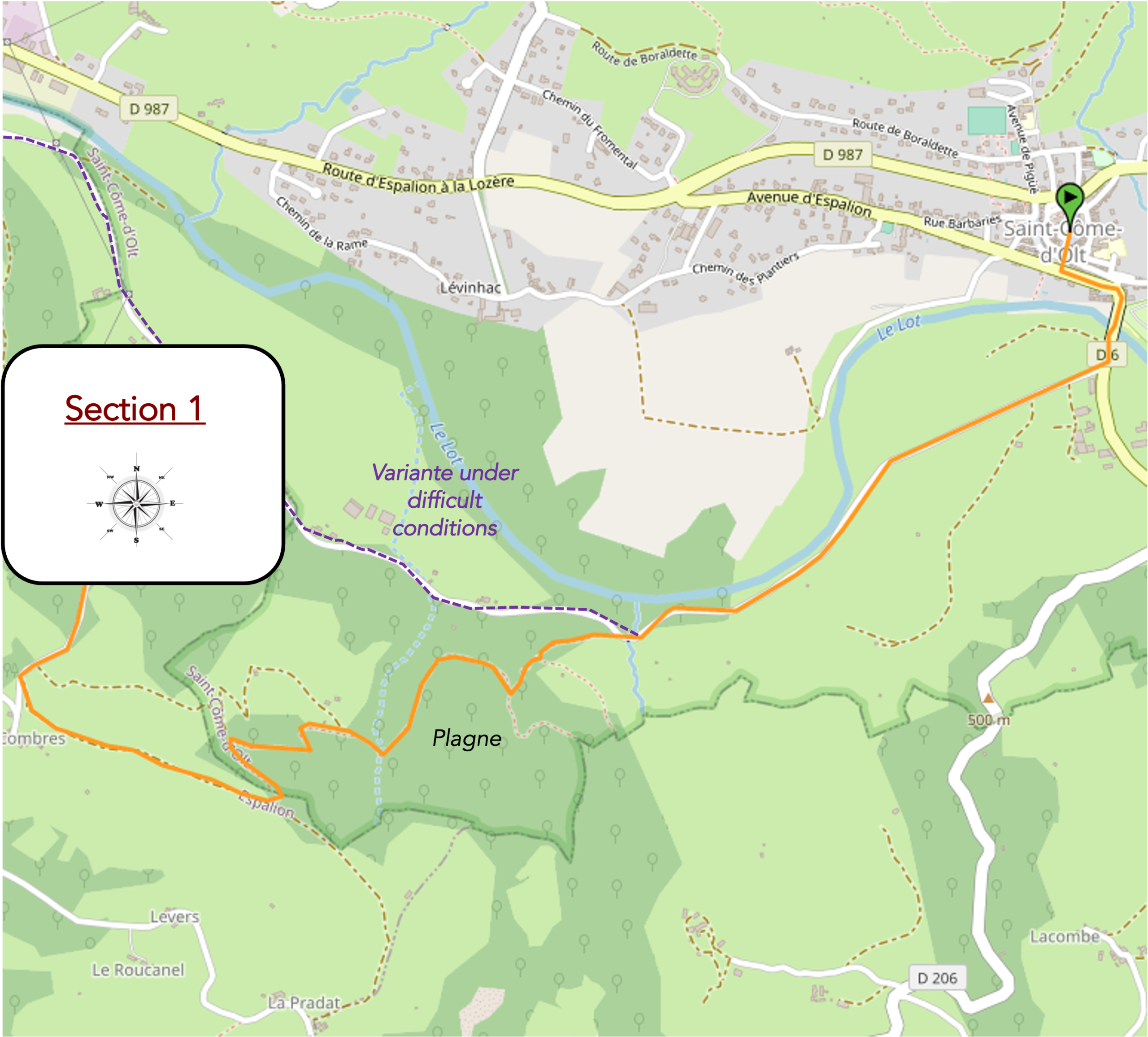
General overview of the route’s challenges: an easy route along the Lot before tackling the first steep switchbacks through the forest towards the Virgin of Vermus.
|
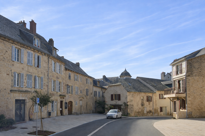
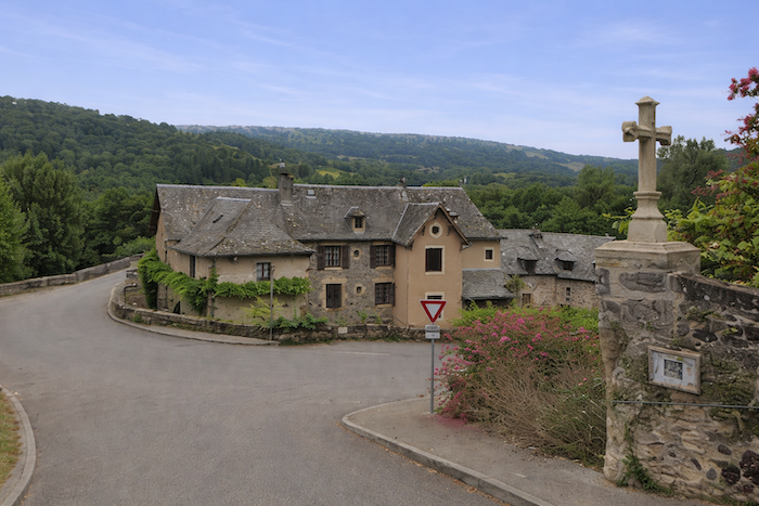
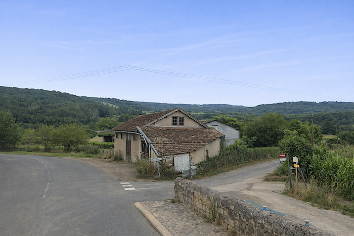
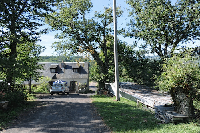
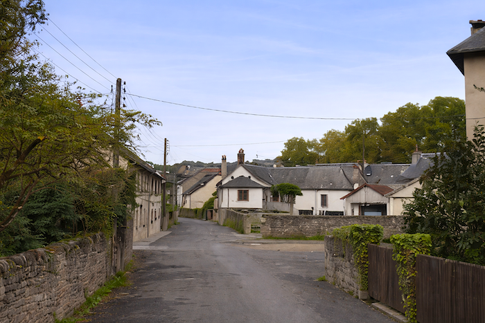
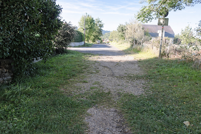
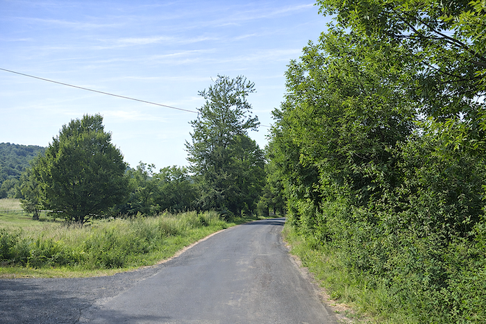
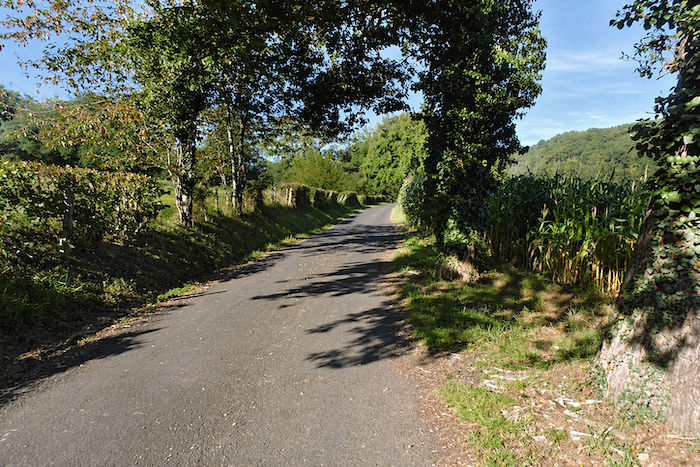
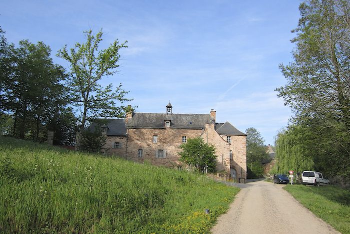
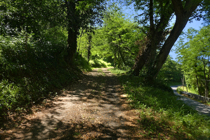
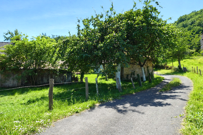
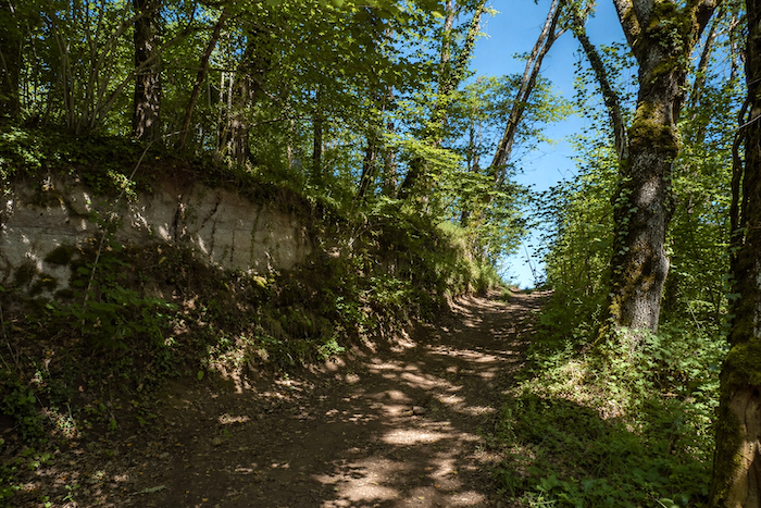
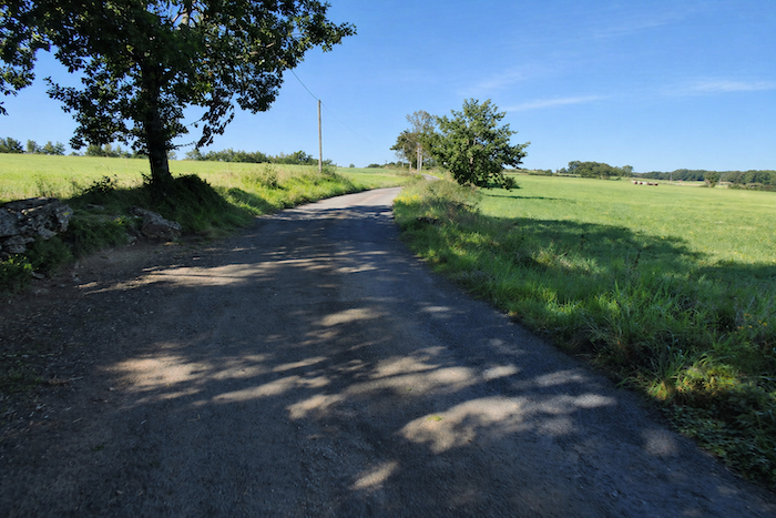
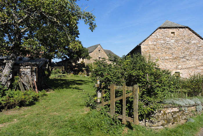
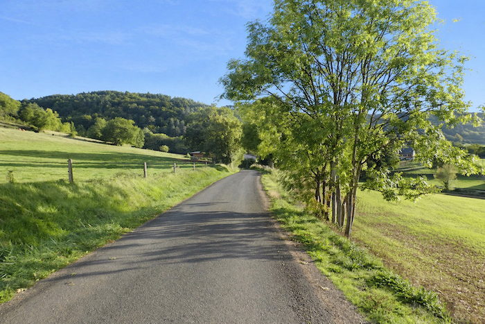
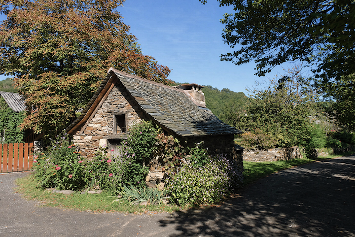
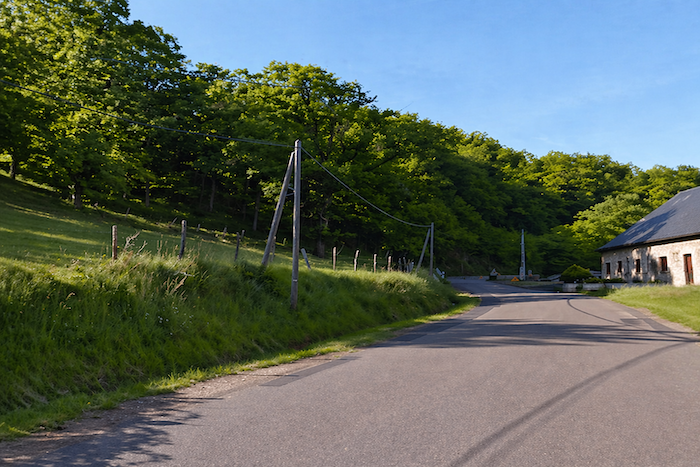
The route slopes down gently and winds through the narrow streets of St Côme-d’Olt, slipping like a thread between old stone buildings until it reaches the river. |
|
 |
 |
 |
 |
|
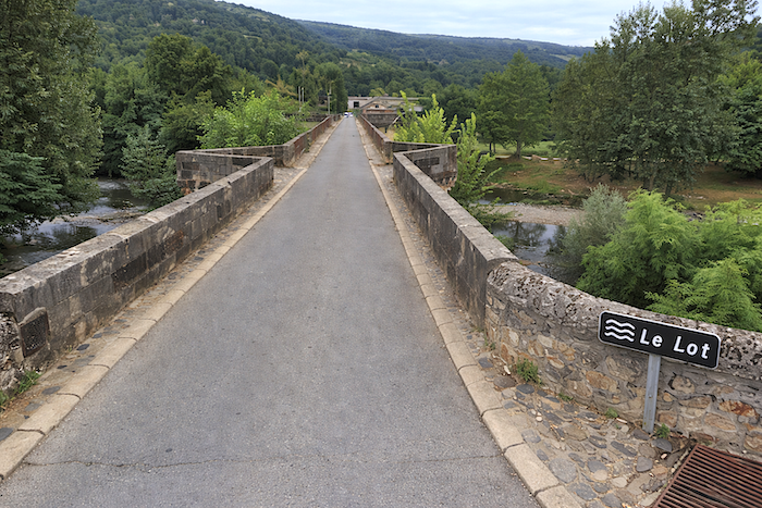
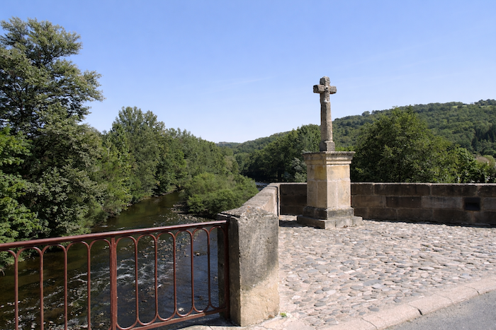
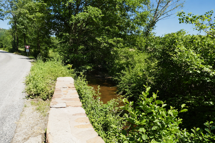
The GR65 crosses the Lot on an ancient stone bridge, a silent witness to countless travelers who have passed this way before. The direction is now Espalion, barely six kilometers from St Côme-d’Olt. |
|
 |
 |
|
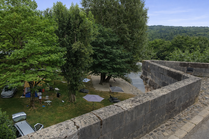
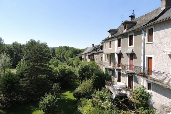
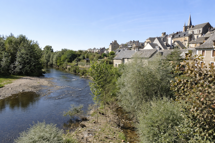
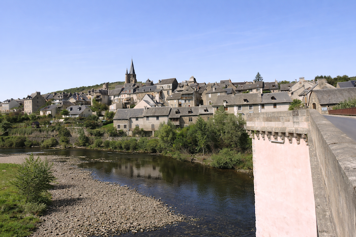
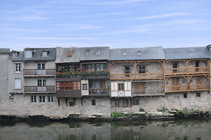
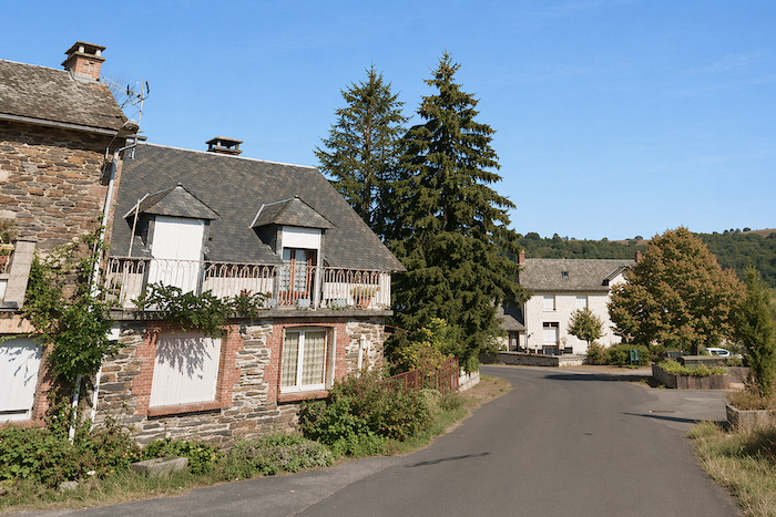
Along the banks of the Lot, the houses reveal all their charm, suspended between sky and water, while the town clings to the hillside overlooking the river. A discreet campsite stretches beside the water, inviting pilgrims to pause for a while. |
|
 |
 |
 |
 |
Looking back, the eye embraces the entire village in an almost unreal harmony. You immediately understand why it ranks among the most beautiful villages of France. The distinction is fully deserved.
|
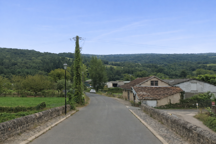
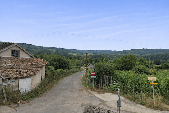
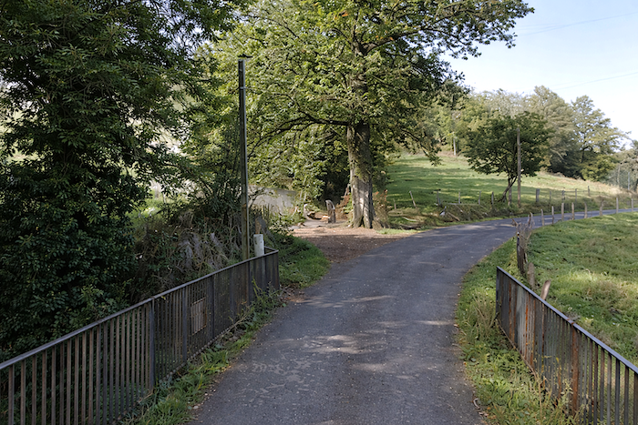
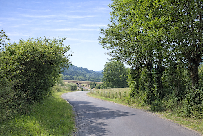
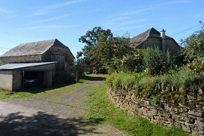
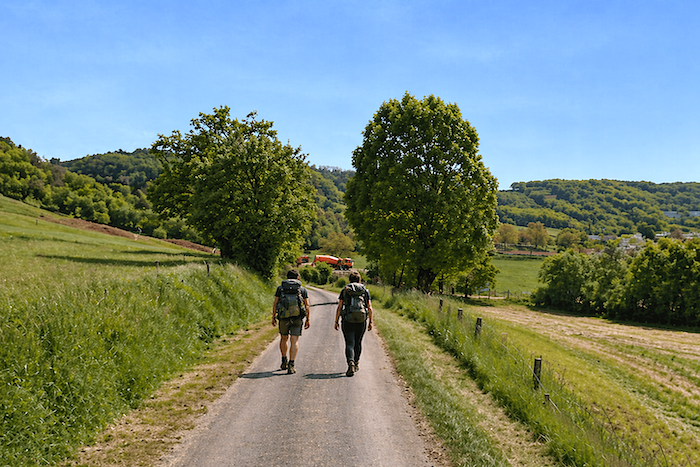
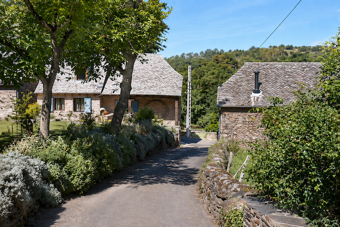
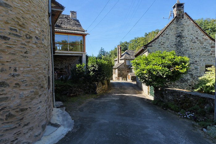
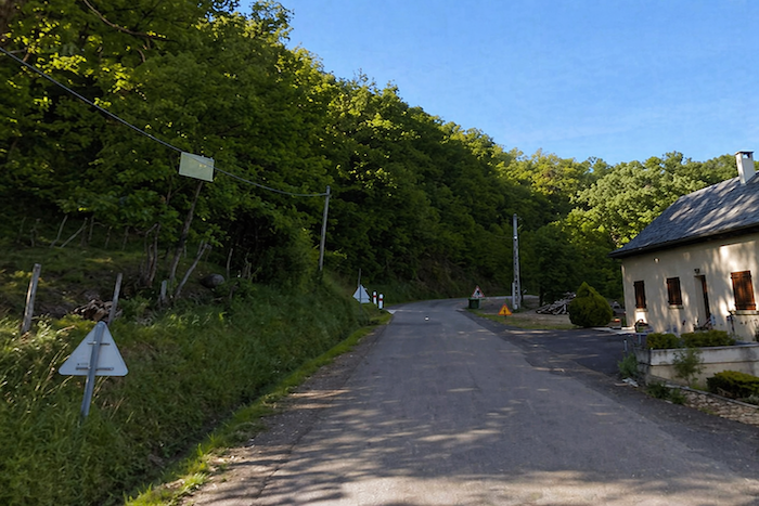
Beyond the bridge, the route leaves the main axis and turns right, following a secondary road that opens onto the countryside. |
|
 |
 |
|
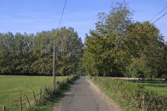
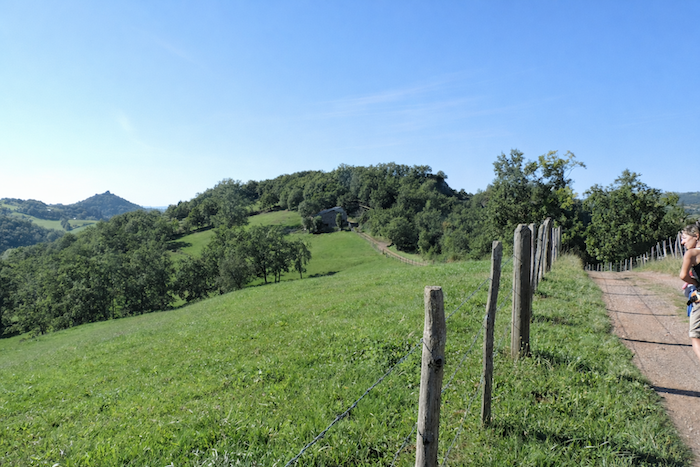
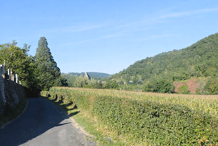
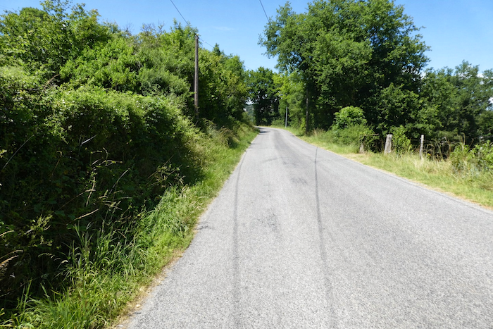
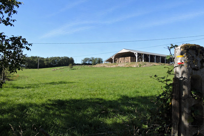
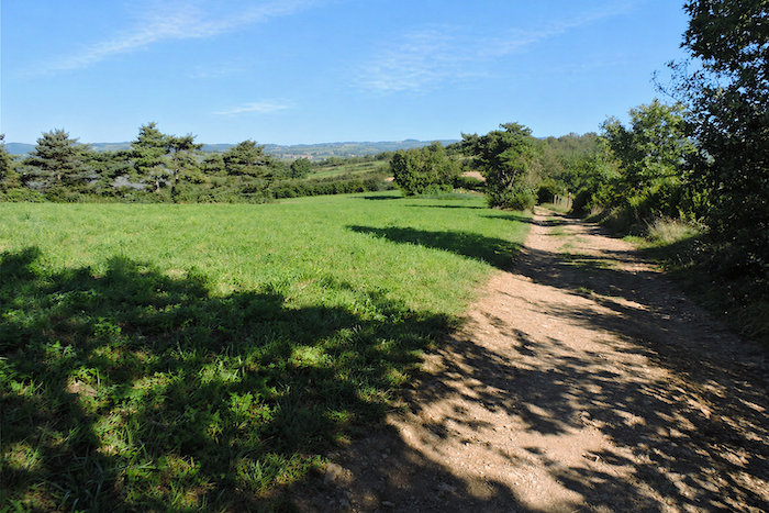
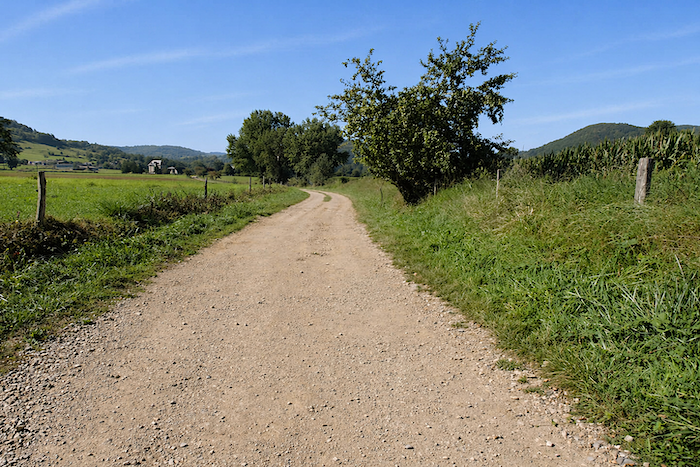
Here, the countryside unfolds in broad meadows gently interrupted by small groves, like pauses in the landscape. |
|
 |
 |
 |
 |
|
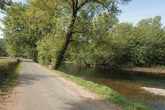
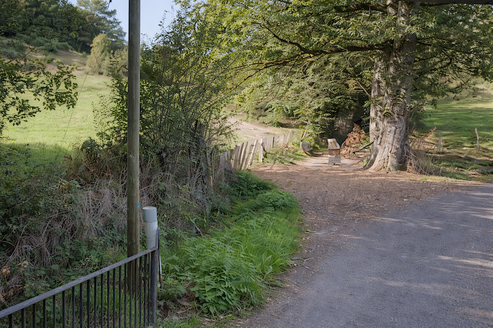
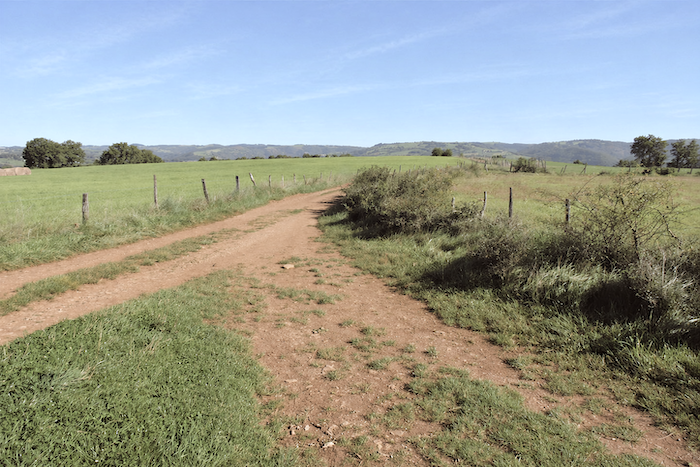
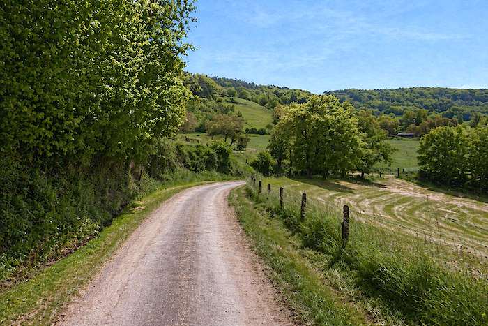
The GR65 wanders leisurely onward, lingering before drawing close once more to the river, as if attracted by a familiar presence. |
|
 |
 |
 |
 |
|
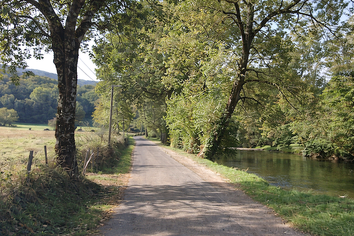
It then accompanies the river in peaceful companionship beneath the shelter of tall trees. A rich variety of broadleaf species flourishes here. Alders, oaks, chestnuts, ash trees and maples create a generous green canopy overhead. |
|
 |
 |
|
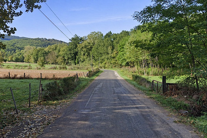
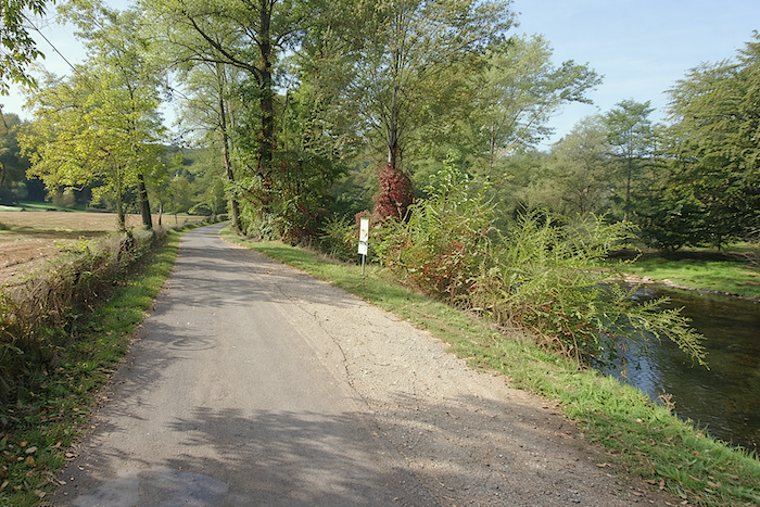
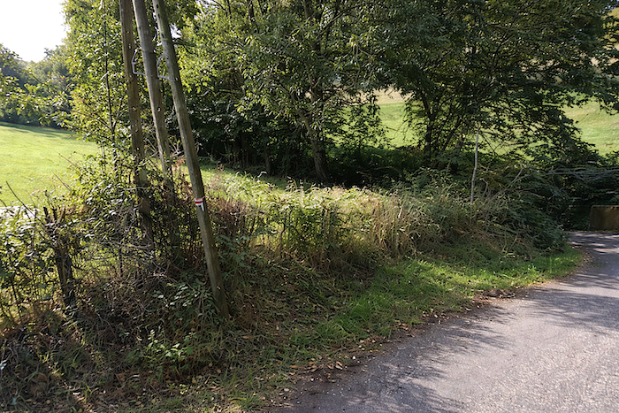
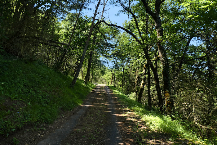
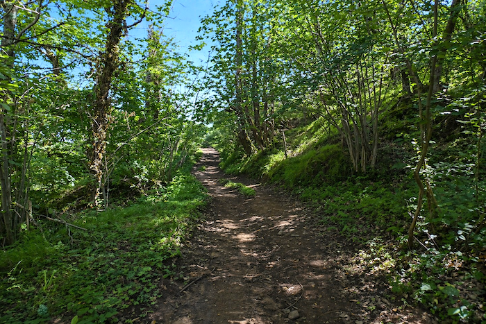
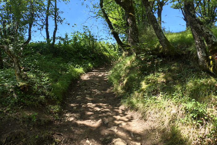
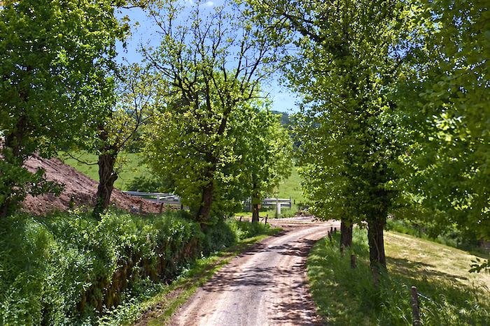
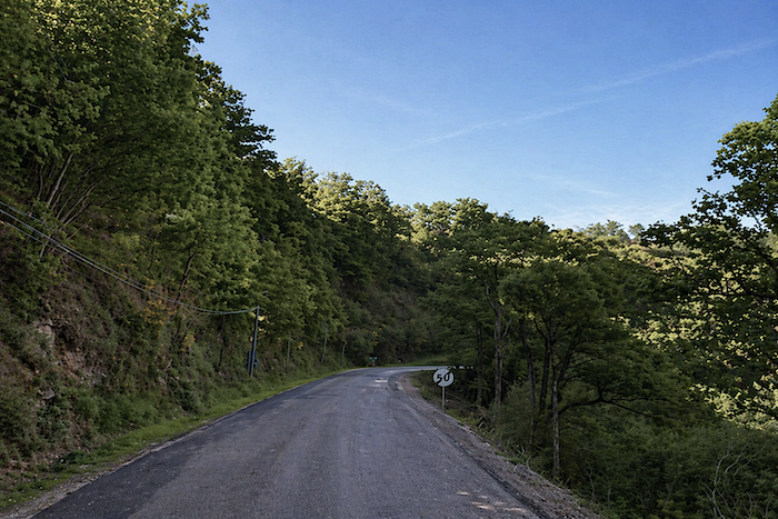
Then, without abruptness, the road begins to climb, entering the woodland in a gentle ascent. |
|
 |
 |
|
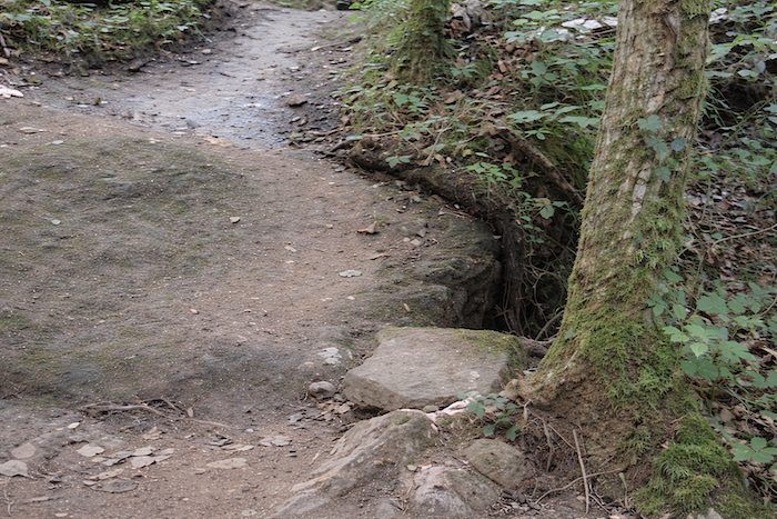
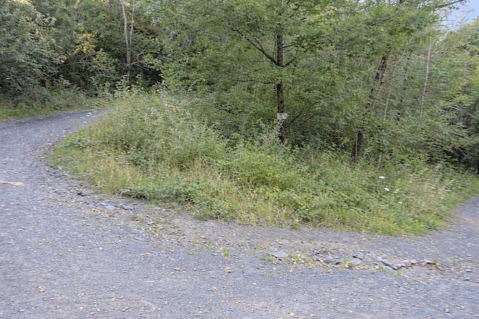
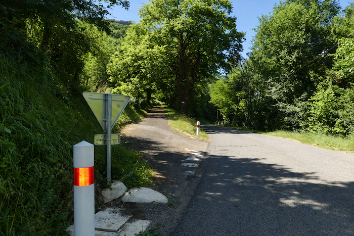
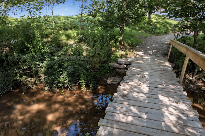
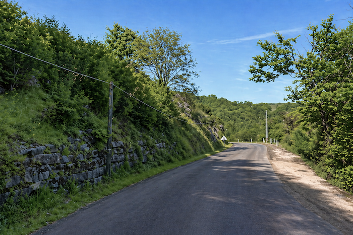
It skirts a discreet little stream, almost hidden from view, before reaching a decisive junction. |
|
 |
 |
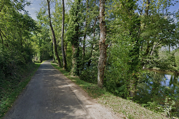
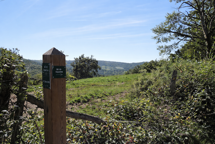
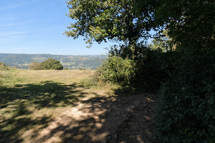
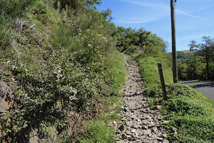
Here, the pilgrim faces a choice: climb towards the heights of the Puech de Vermus, where the Virgin overlooks the valley, or remain beside the river on a gentler road below. The riverside option saves almost an hour, but at the cost of leaving the UNESCO-listed route. Continuing straight along the Lot offers easy, almost meditative walking all the way to Espalion.
Yet such choices are never insignificant. Everything depends on the weather, the condition of the ground, and the mood of the day. Warnings abound: “Do not climb to the Virgin in wet weather, it is dangerous.” Dangerous? Perhaps not quite. Demanding, certainly. You must accept mud, treacherous stones, slippery roots, and venture beneath beeches, oaks, chestnuts and hazel trees, where brambles reach out across the way. The programme is clear: climbs, sometimes even descents, beneath the cool shade of the woodland. In places, the cornice overlooks the Lot, offering dizzying views. In dry weather, the ascent is more forgiving, yet it remains strenuous, with more than two hundred meters of elevation gain to reach the Virgin of Vermus. A challenge, certainly, but also a promise.
|
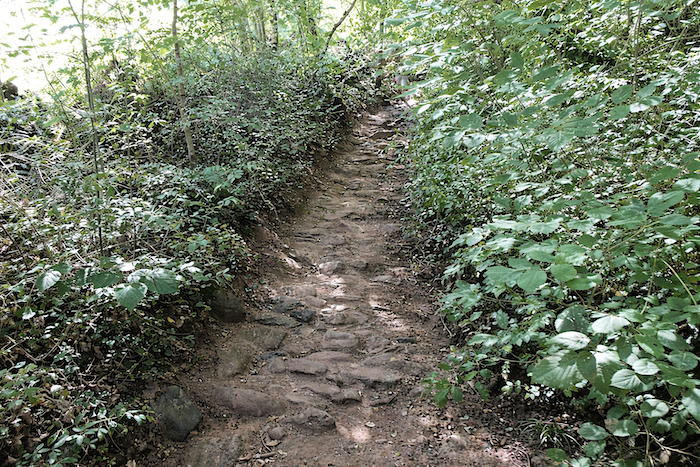
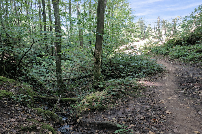
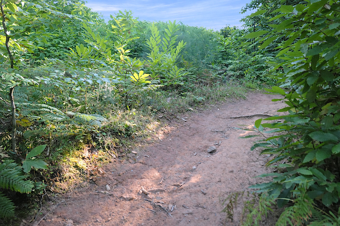
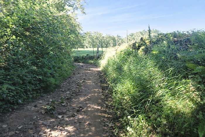
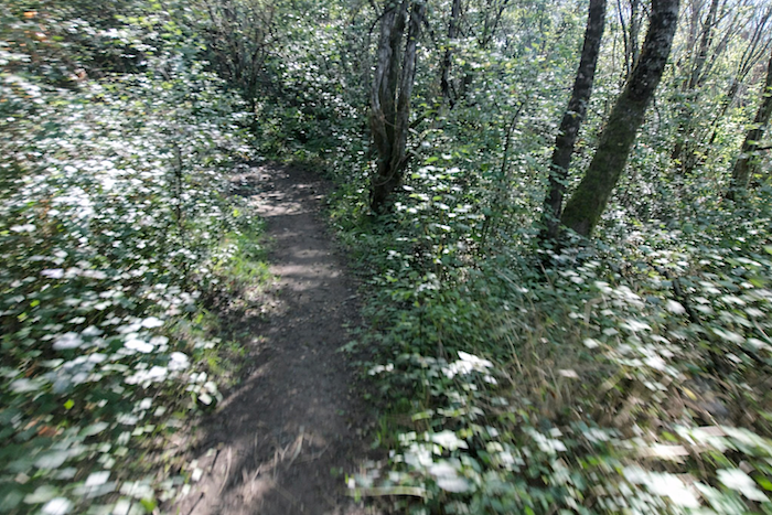
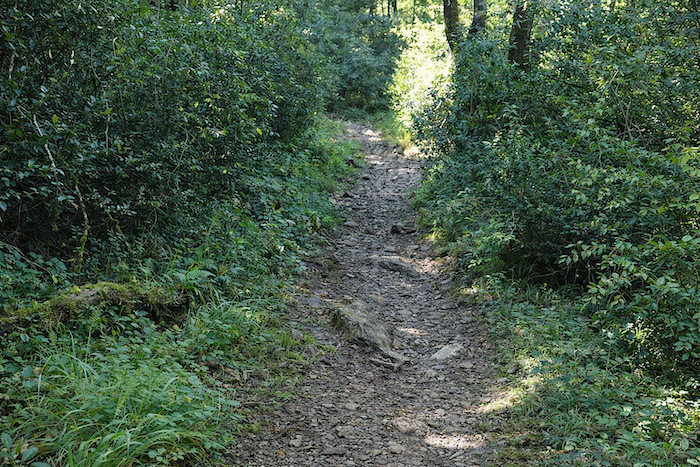
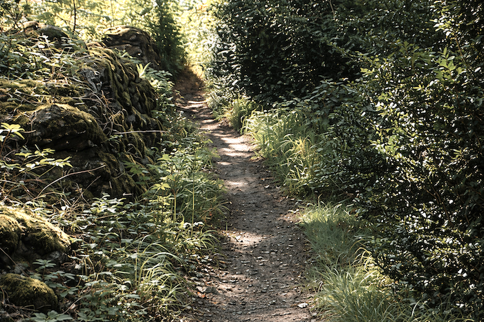
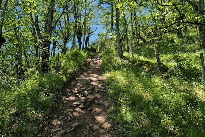
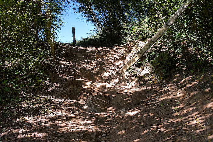
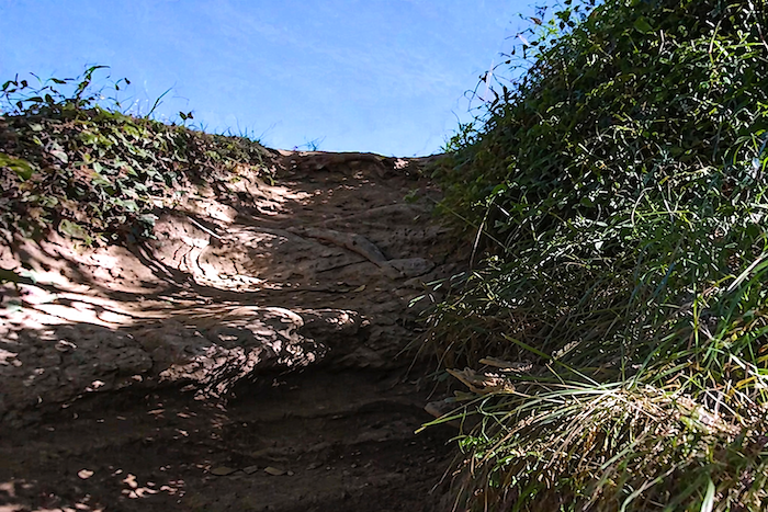
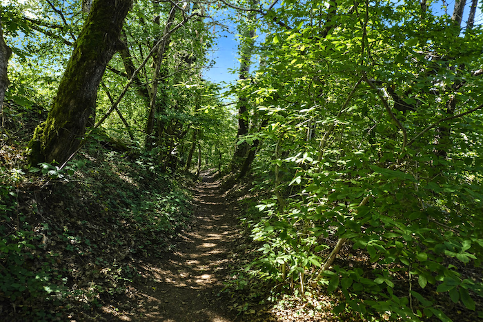
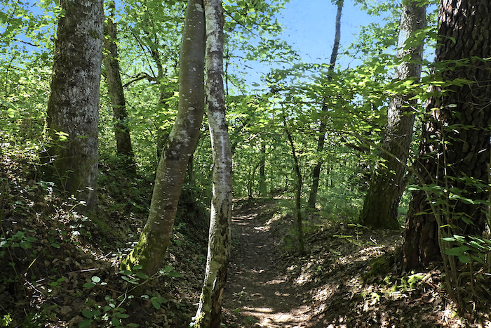
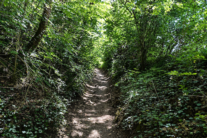
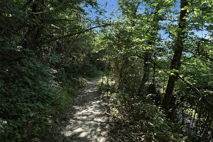
You quickly realize the good fortune, or perhaps the audacity, of leaving behind the comfort of the paved road. For immediately, a stubborn and capricious trail insinuates itself into the steep hillside, forcing a passage through dense woodland where shrubs and wild grasses weave an almost impenetrable tangle. |
|
 |
 |
 |
 |
|
Very soon, the reality becomes obvious. After heavy rain, it would be futile to expect progress without slipping on the broad polished stones. Vegetation closes around the walker like a damp embrace, surrounding the water that trickles between twisted roots, dense undergrowth, washed rocks and grasping brambles. The air is saturated with deep scents of humus, living earth and honeysuckle, enveloping the pilgrim as breathing grows steadily shorter. |
|
 |
 |
 |
 |
|
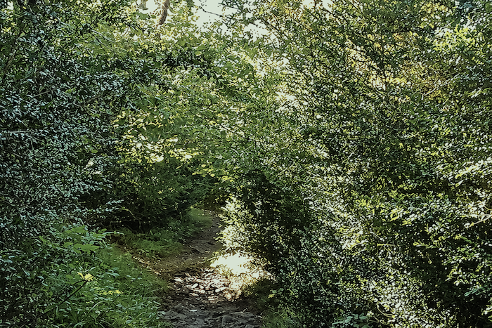
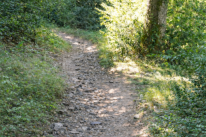
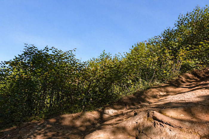
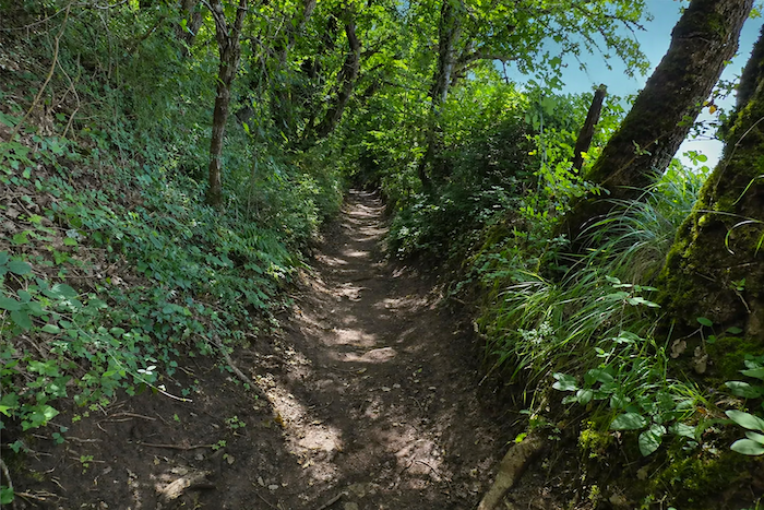
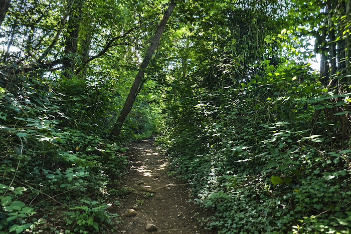
Only occasional openings allow a little light and space to penetrate. Most of the time, the trail resembles a genuine obstacle course, steep, demanding and almost initiatory in character. |
|
 |
 |
|
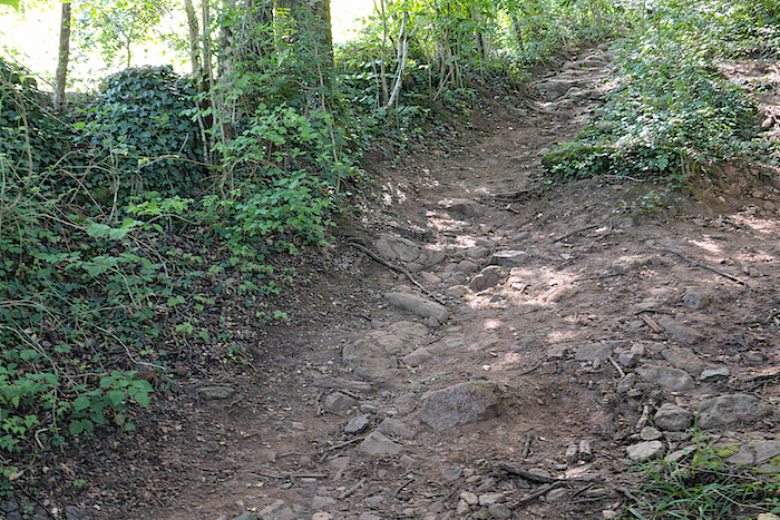
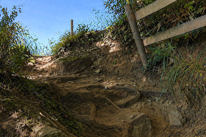
Here, it is not only rocks that obstruct the way. The roots themselves, twisting and treacherous, create obstacles, and more often than not, roots and rocks combine their efforts to slow progress. |
|
 |
 |
|
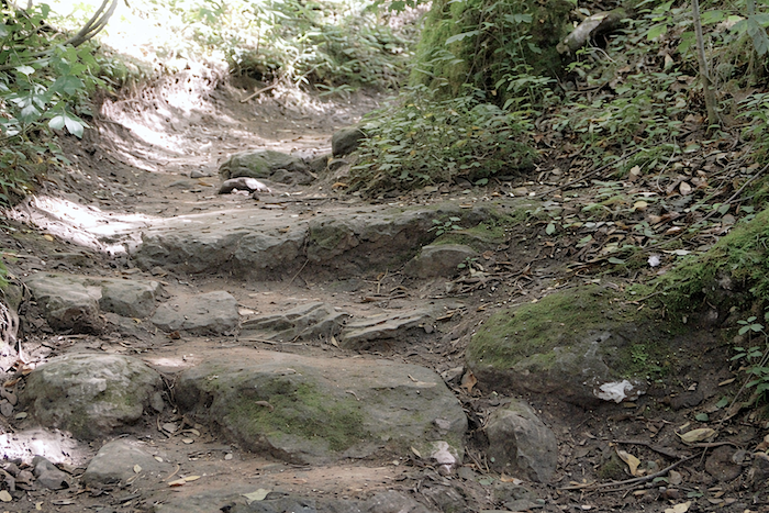
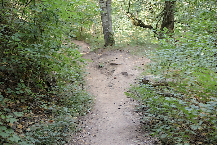
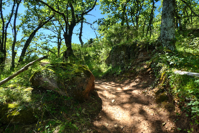
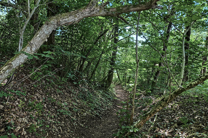
After a taxing climb where sticky clay, slippery stones and twisted roots contest every step along the narrow trail, a welcome clearing finally appears. An open space reveals the modest plateau of Plagne, suspended halfway up the hillside like an unexpected reward. |
|
 |
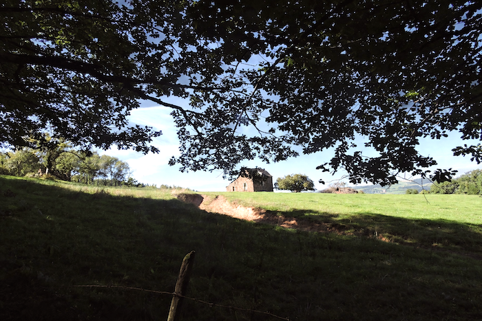 |
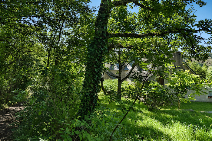
Behind the half-ruined stone barns, the gaze suddenly falls upon St Côme-d’Olt, revealed in all its grace, like a vision from another age.
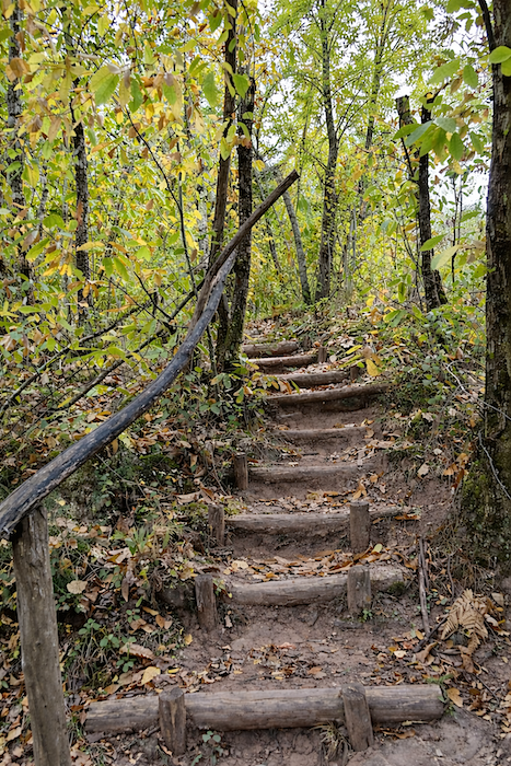
But the respite is brief. A little higher, another challenge awaits in the form of a steep staircase with a gradient exceeding 50%, rising through a chestnut woodland. It is a climb that offers no concessions.
|
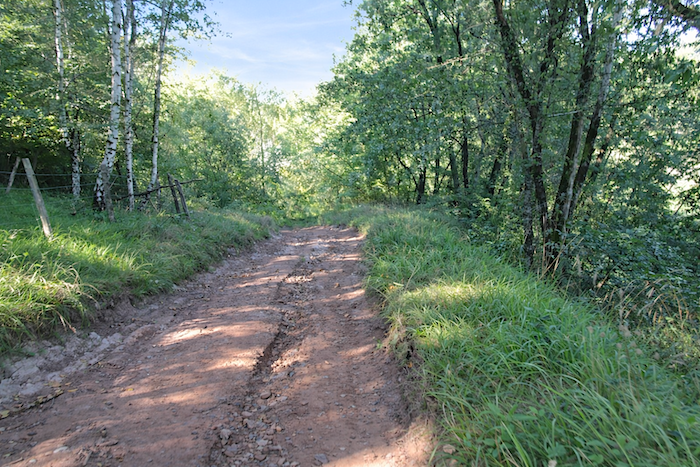
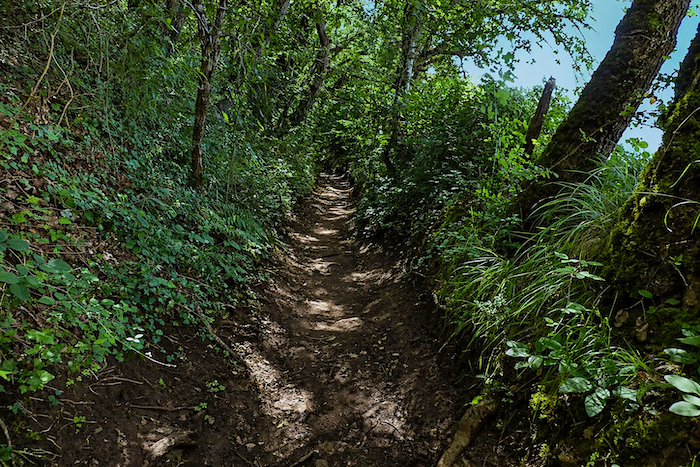
Yet the ascent has not revealed all its secrets. It continues through vegetation so abundant that it resembles a temperate jungle. Gradually, silence settles over the woodland. Here and there, a thin trickle of water emerges from the earth, a discreet murmur from hidden depths. Then, as altitude is gained, the slope finally begins to soften. |
|
 |
 |
|
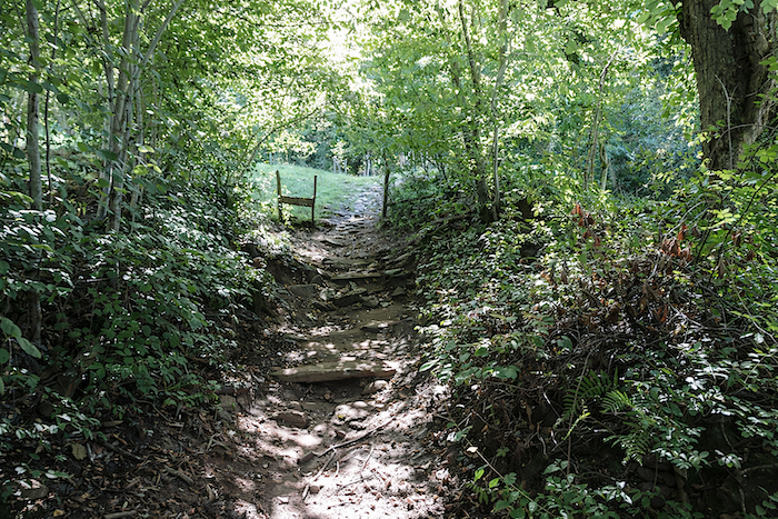
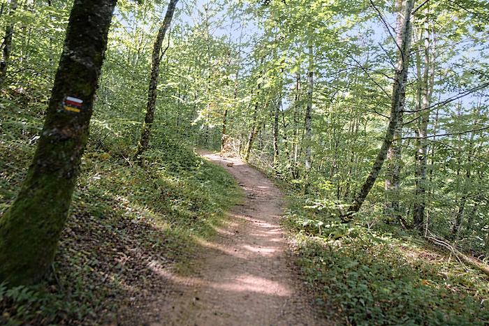
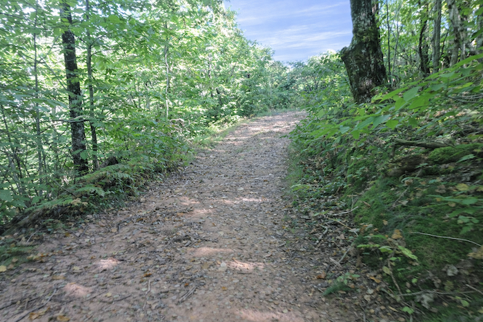
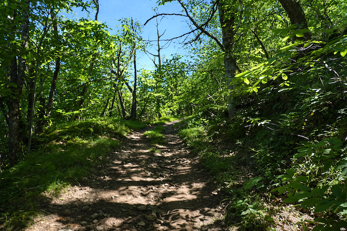
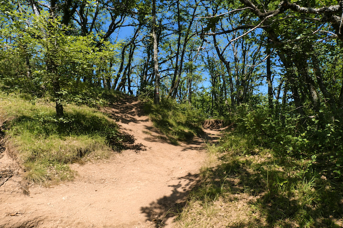
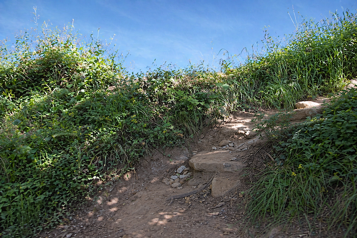
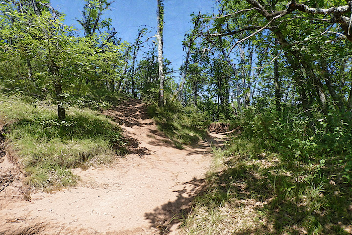
Every ascent, however, must eventually end. There always comes a moment when one can climb no higher. The path then abandons its struggle and begins to undulate gently along the ridge, as though at peace once more. . |
|
 |
 |
|
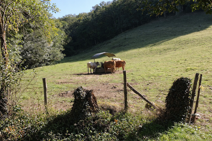
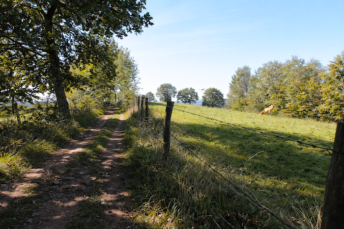
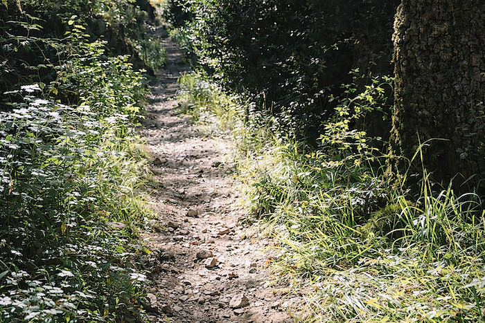
A doubt nevertheless arises. After such an effort, how can the Virgin of Vermus still remain out of sight? Remember, the promised two hundred meters of climbing were only half the story. You are still only midway through the challenge. Around you lie peaceful meadows where cattle graze, while the trail, now gentle and pleasant, glides between hedgerows. |
|
 |
 |
 |
 |
|
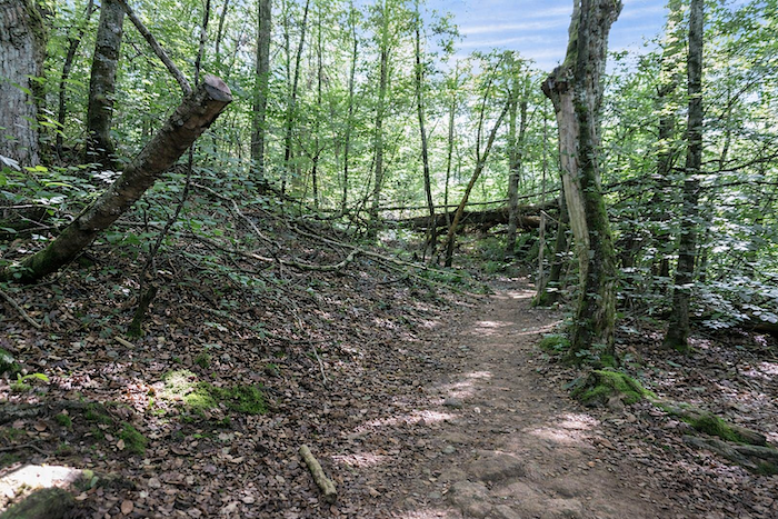
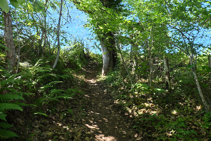
For the Camino loves to mislead and play with expectations, as you have often been told. Now it descends again, almost mischievously, towards a handful of scattered farms, skirting the heights above the hamlet of Combres. Here, oaks reign supreme and shape the horizon. |
|
 |
 |
|
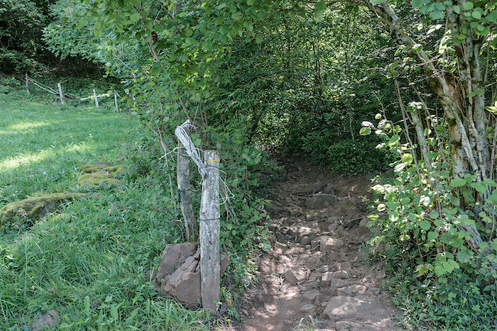
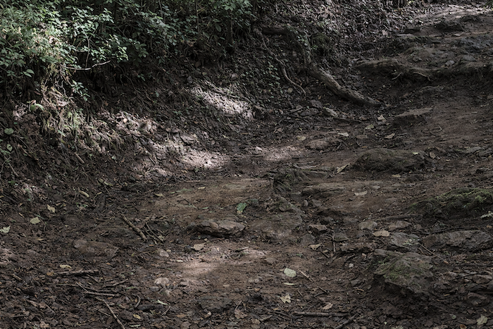
And as if to prolong the surprise, a narrow trail drops even farther, losing nearly fifty meters of decline. It first crosses the cool shade of the woodland before opening once more onto the countryside. |
|
 |
 |
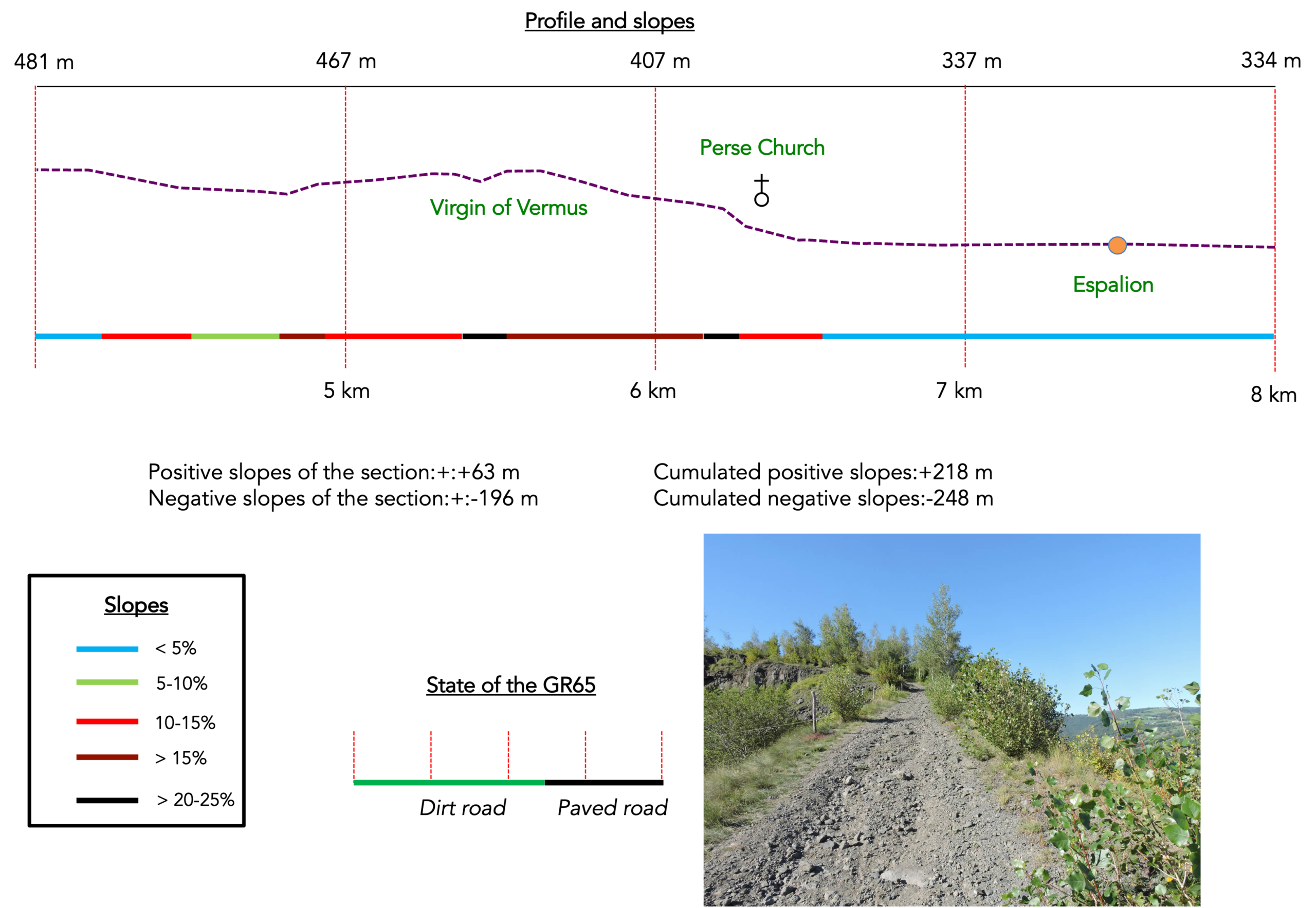
Section 2 : The Virgin of Vermus awaits high above Espalion
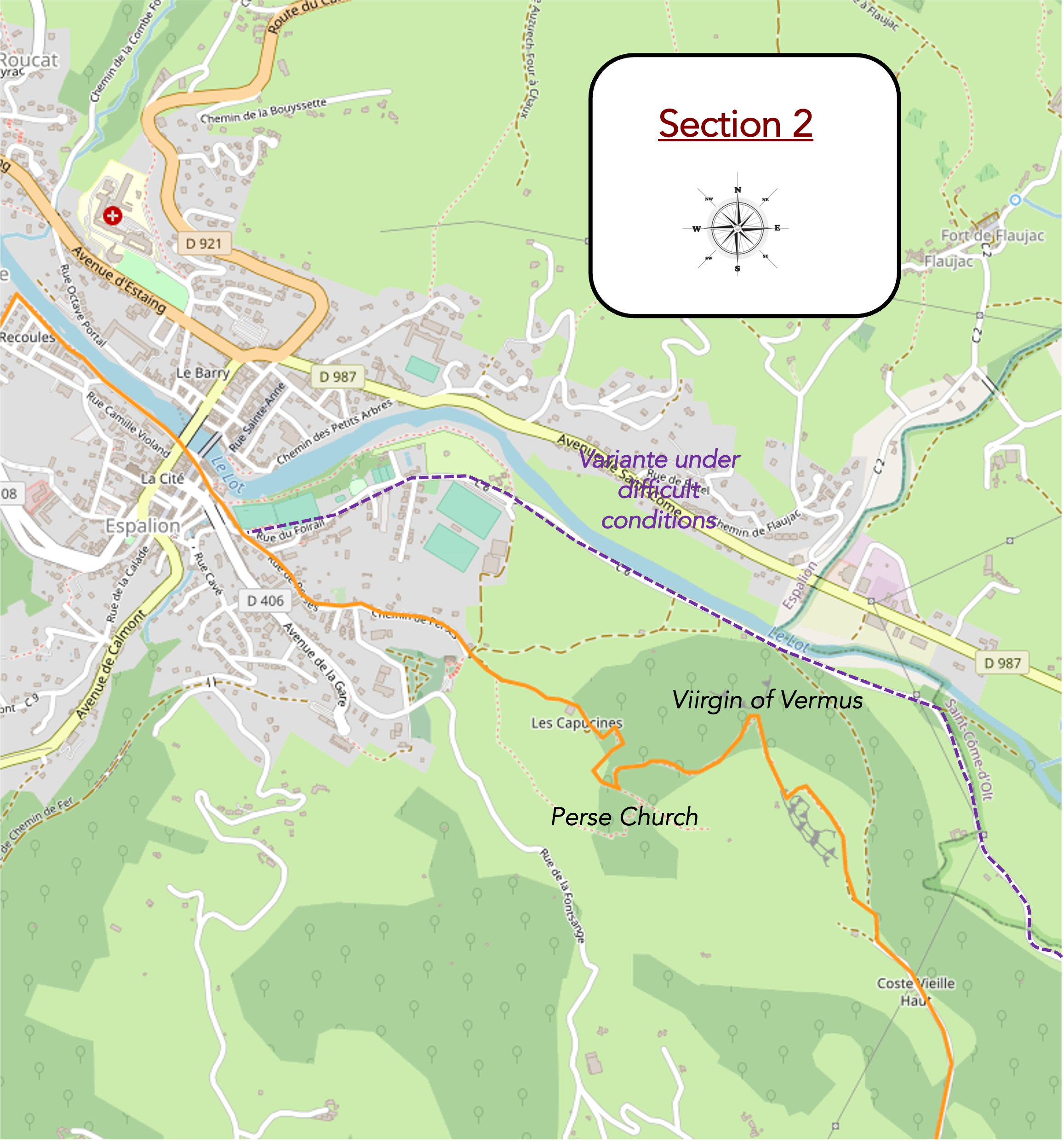
General overview of the route’s challenges: the Virgin of Vermus must be earned, both on the climb and on the descent.
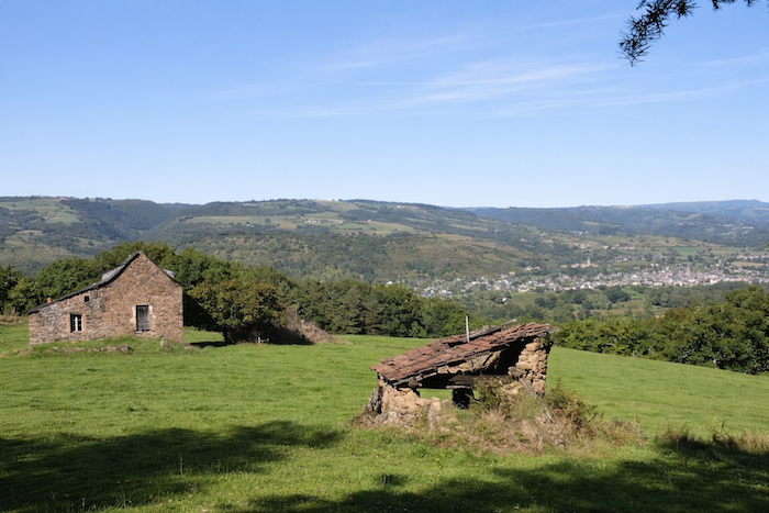
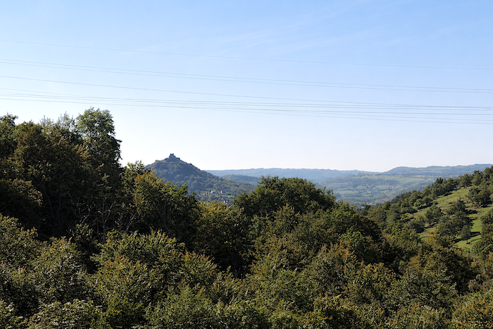
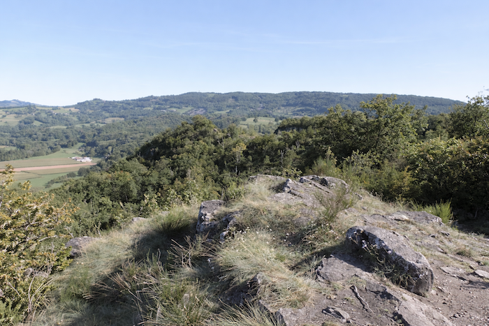
From up here, the eye can wander far across the landscape, even as far as the proud silhouette of the fortress of Calmont overlooking Espalion. And yet, still no sign of the Virgin of Vermus. Has she been hidden from sight, like a carefully guarded secret?
|
The dirt track continues its descent towards an isolated house, almost lost in the immensity of the landscape. |
|
 |
 |
|
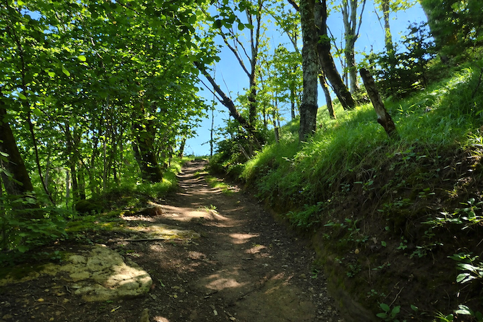
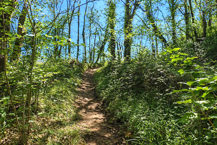
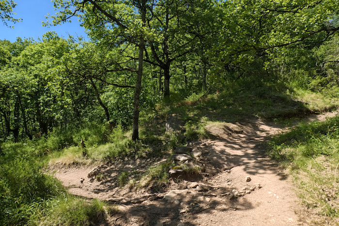
Before long, a path takes over and begins once again to undulate gracefully along the ridgeline. At the end of the ridge, the GR65 suddenly turns at a right angle, as if changing its mood, and sets off once more to attack the hillside. |
|
 |
 |
|
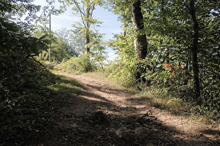
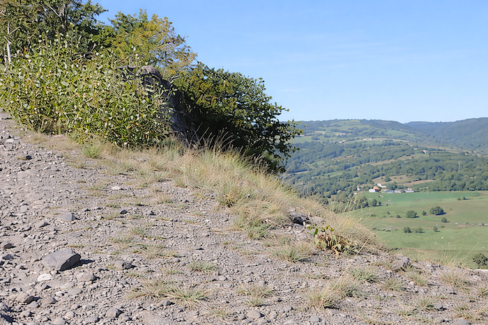
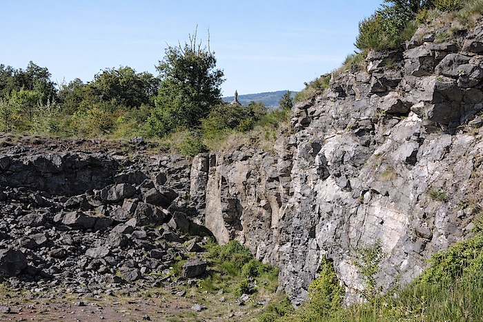
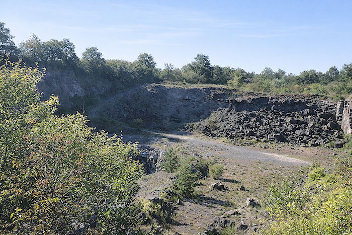
The climb resumes, steeper and more determined, until it emerges beside a gravel quarry with striking mineral colors. |
|
 |
 |
From here, the view once again looks down upon St Côme-d’Olt. A Virgin, it seems, must truly be earned. At this moment, you measure the distance already covered, the sweat spent, the climbs conquered and abandoned, only to begin again. And yet the effort is not over. The statue lies somewhere above, somewhere beyond the quarry. Courage…
|
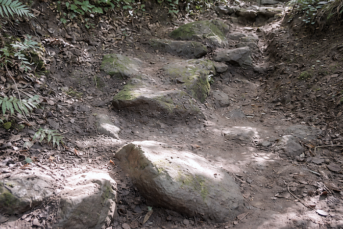
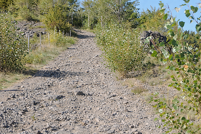
You must first cross the quarry, then tackle a steep path strewn with large grey basalt stones on a slope that feels almost excessive. |
|
 |
 |
 |
 |
|
The scenery takes on an archaic appearance, as though time had been turned back to the earliest ages of the earth. You almost expect a prehistoric creature to emerge from among the rocks. Let us hope the sky remains kind in these austere surroundings… |
|
 |
 |
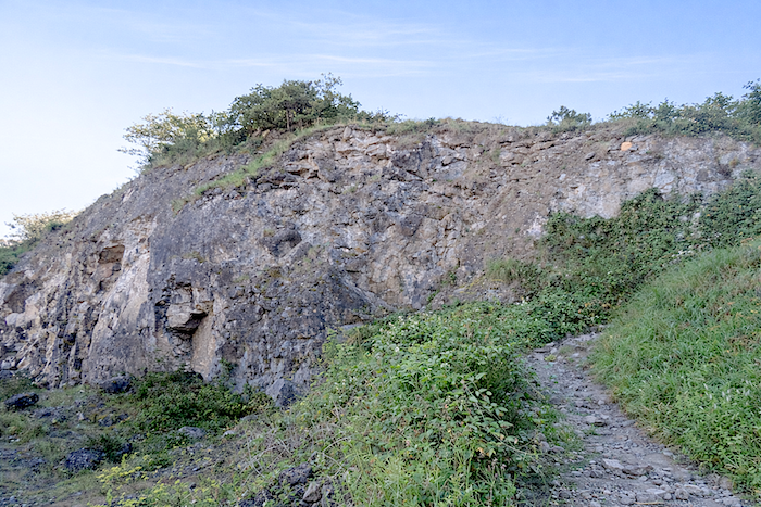
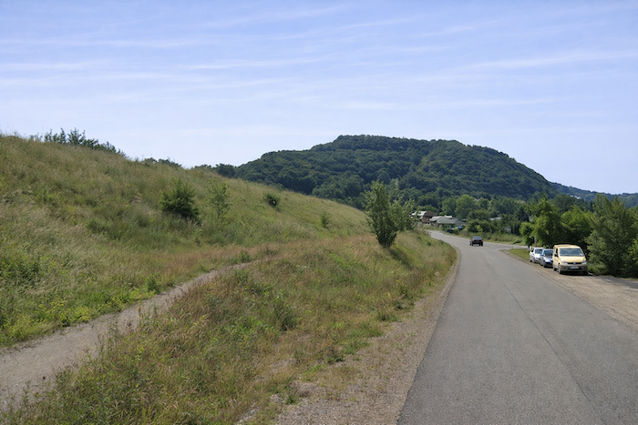
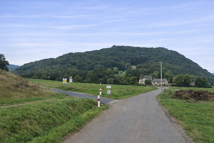
At last, it reveals itself, immense and almost theatrical, rising above the basalt quarry like a long-awaited apparition.
|
Yet even contemplation must still be earned. Here, the slope becomes relentlessly steep above the dark scree of the quarry. Every step demands attention and perseverance. |
|
 |
 |
 |
 |
|
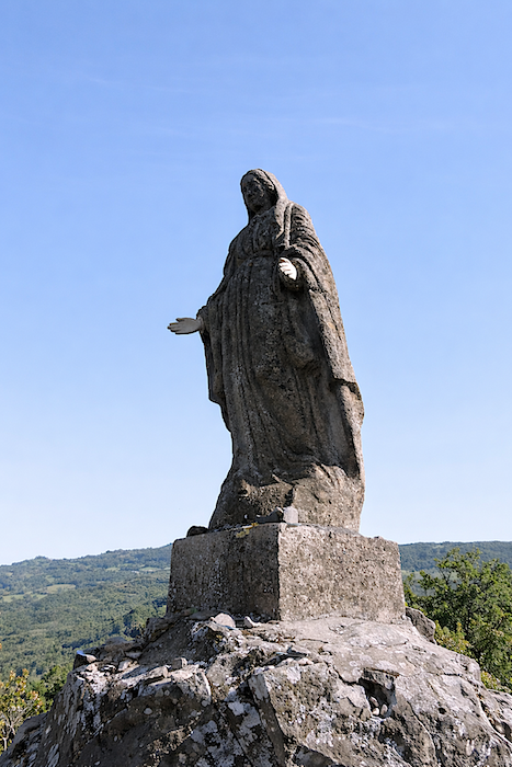
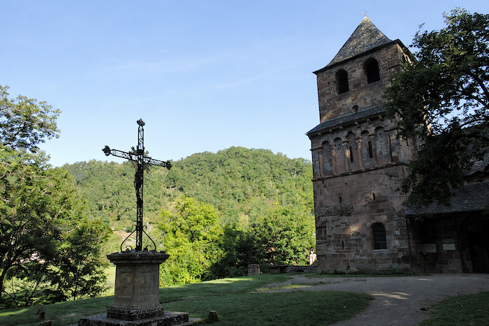
The Virgin stands upon her rocky promontory, colossal and motionless, defying both time and the elements. |
|
 |
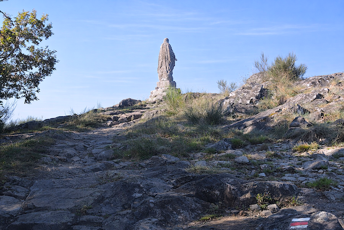 |
Standing 2.60 metres high, she is the work of the sculptor Louis Castanié, a native of Aveyron, and was erected in 1862. A dispute of civic pride once opposed the inhabitants of St Côme and Espalion, each wishing to claim the gaze of the Madonna. The dilemma was resolved elegantly. Her face was turned towards the Aubrac, midway between the two towns.
|
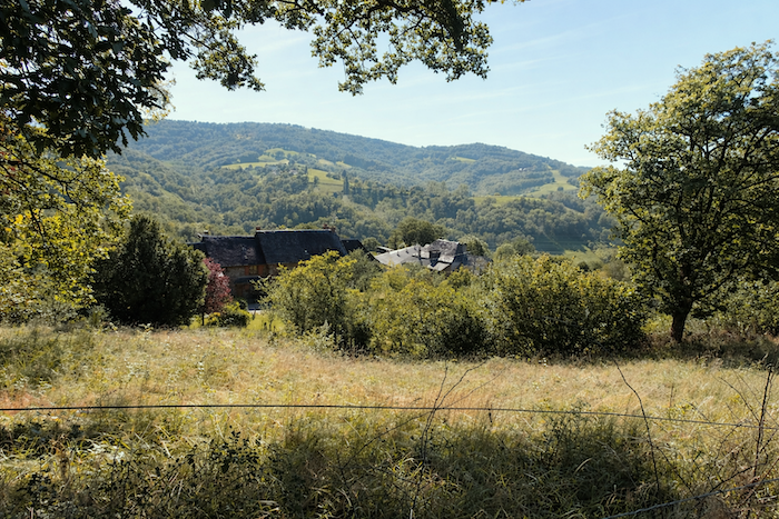
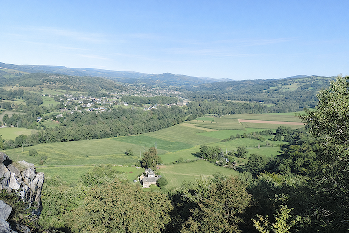
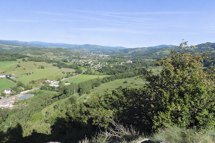
From the volcanic cone that serves as her pedestal, the panorama opens generously. On one side, St Côme-d’Olt reveals itself in all its grace; on the other, Espalion stretches its rooftops along the valley floor. |
|
 |
 |
Below, towards Espalion, the cemetery of Saint-Hilarian can already be seen. It is the next landmark, towards which the route must descend, gradually leaving behind the hard-won heights.
|
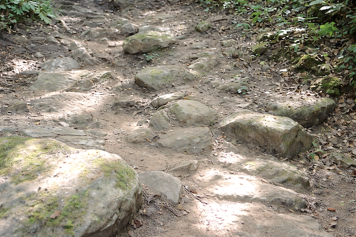
As you may suspect, the descent through this dense undergrowth is far from an easy stroll. One must force a way through wild grasses along a narrow trail, excessively stony and often brutally steep, at the heart of a woodland of stunted oaks that seem themselves to struggle for survival. |
|
 |
 |
 |
 |
|
A real pleasure, of course. In some places, a machete would hardly seem excessive to clear a passage. |
|
 |
 |
|
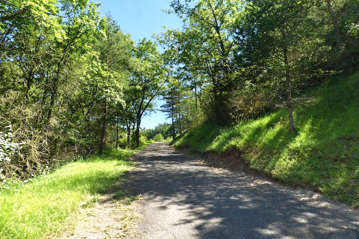
Further down, the path finally broadens, leaving behind the thickets and bushes, while the slope becomes gentler, almost accommodating. |
|
 |
 |
|
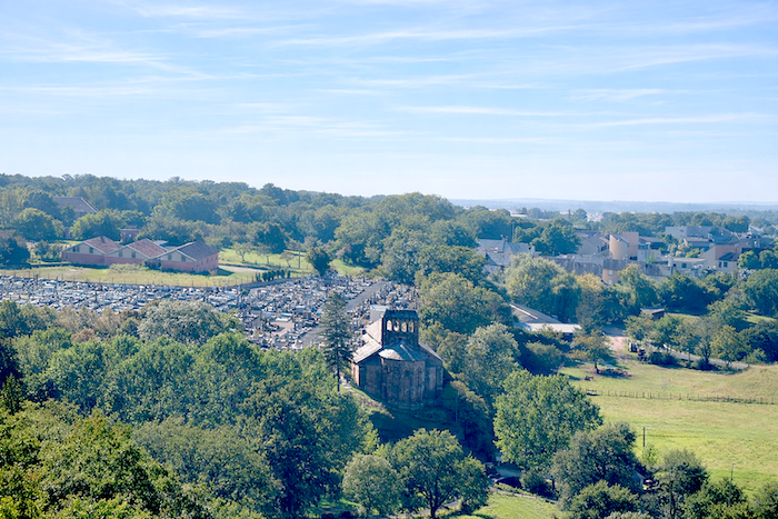
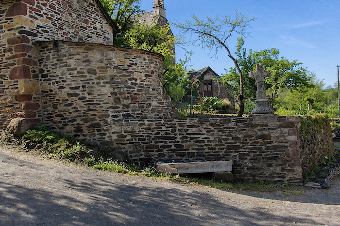
The path then runs below the Church of Perse, once a major pilgrimage site during the Middle Ages, when the faithful travelled the roads in search of relics. Dating from the eleventh century and built of red sandstone, crowned with an arcaded bell tower, it stands on the supposed site of the martyrdom of Saint Hilarian, who was beheaded by the Saracens. For a long time, it served as Espalion’s parish church, though today it survives only as a cemetery chapel. Saint Hilarian, born around 760 in a nearby hamlet close to St Côme-d’Olt, served this church. Tradition recounts that he crossed the Lot standing upon his cloak, which served him as a boat, a humble and silent miracle. Captured by Saracens then present in Rouergue, he was beheaded. Yet according to legend, he rose again, took his head in his hands, and carried it back to his mother. |
|
 |
 |
|
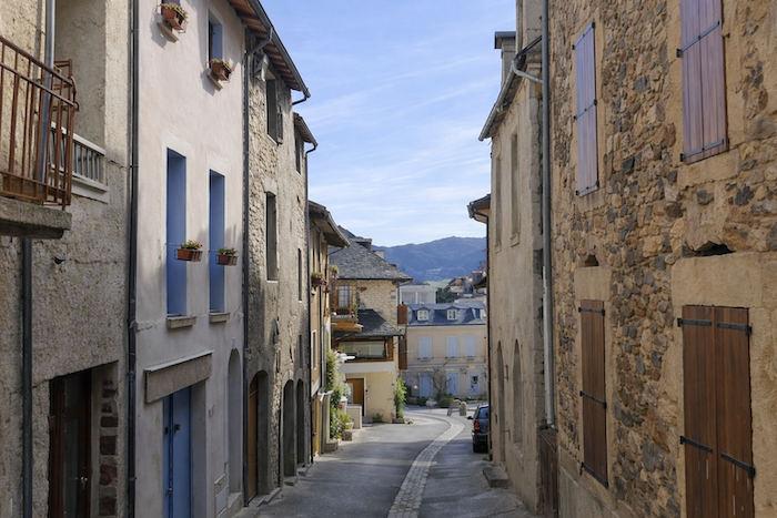
From the cemetery, several routes lead into the heart of the town. The simplest is to follow the small road, Rue de Perse, which descends gently beneath the church. |
|
 |
 |
|
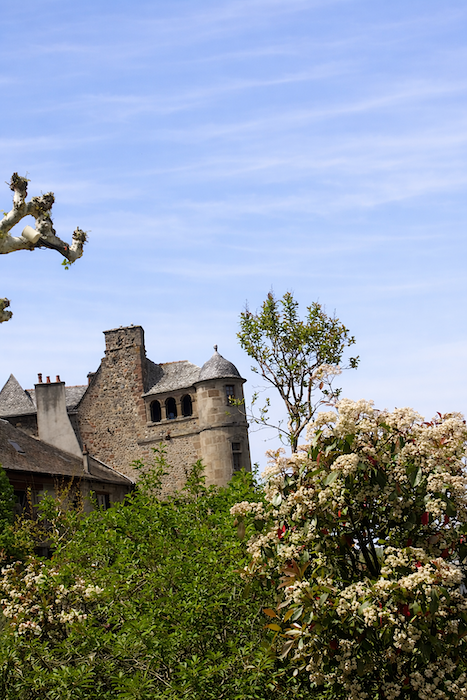
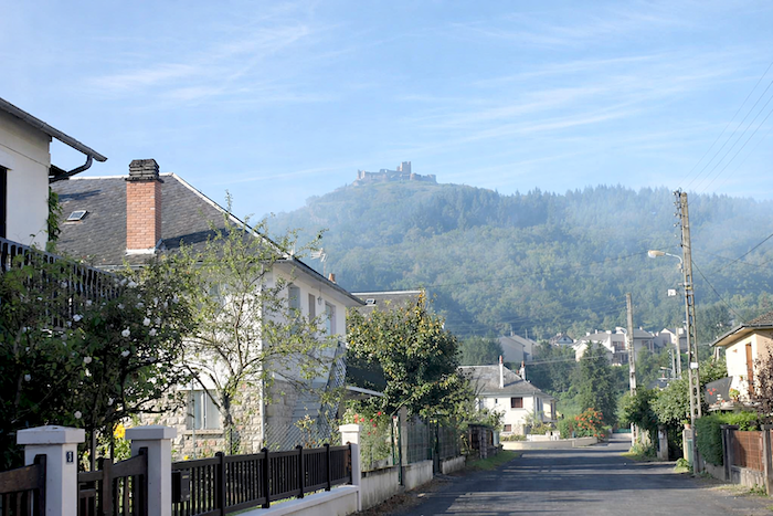
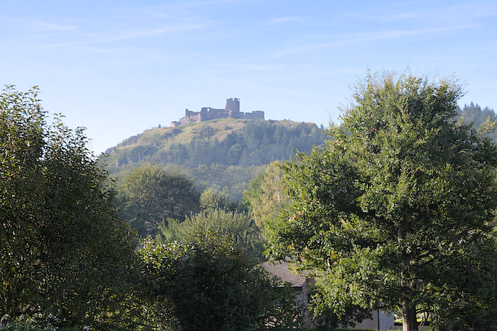
The route then runs through the outskirts for quite some time, between modest houses and peaceful gardens. High above, the eye is drawn towards the Château de Calmont, standing upon its basalt outcrop and dominating the entire Lot Valley. One of the oldest fortresses in Rouergue, it played a major role throughout the Middle Ages before its barons disappeared at the end of the seventeenth century. |
|
 |
 |
|
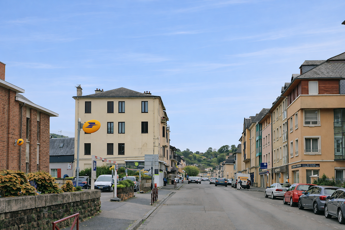
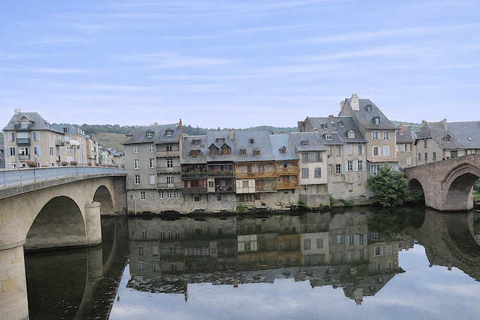
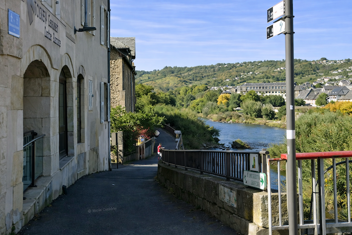
Gradually, the route reaches the center of Espalion by crossing the Lot. Once served by a railway line abandoned in 1987, the town, with its population of around 5,000 inhabitants, remains the principal settlement of northern Aveyron, a place of passage, markets and encounters. For pilgrims arriving from Le Puy, it marks the first major town along the way, a kind of southern promise after the harshness of the northern stretches. The city’s most iconic image is undoubtedly the Pont-Vieux, built of pink sandstone and spanning the river with its four medieval arches. Today it is listed as a UNESCO World Heritage Site. At the very origin of the town’s development, it long served as an obligatory crossing point, where tolls were collected, particularly on salt. Once fortified, lined with overhanging shops and protected by drawbridges, it was altered during the eighteenth century, losing its towers and defensive features. Sadly, the modern bridge built nearby somewhat diminishes its charm. |
|
 |
 |
 |
 |
|
In former times, tanneries animated the banks of the Lot. Hides were soaked, worked and tanned directly in the river waters. Traces of these old “calquières” remain, their stones still descending into the water, alongside numerous timber-framed houses that testify to a once-thriving craft industry. |
|
 |
 |
|
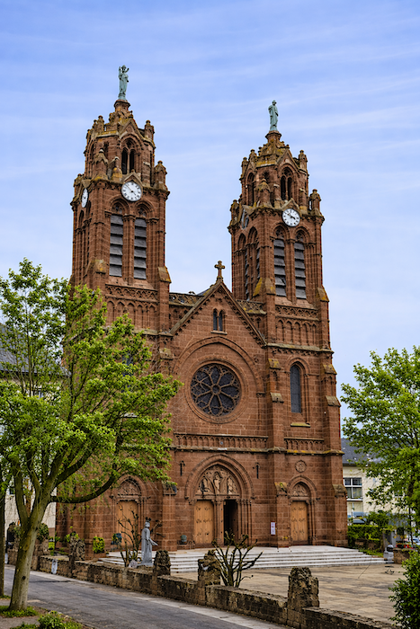
Parmi les images familières d’Espalion figure aussi le Vieux Palais et sa tour « poivrière », tandis que l’église Saint-Jean-Baptiste, élevée à la fin du XIXe siècle dans un style néo-gothique, déploie ses deux tours élancées vers le cielAmong Espalion’s familiar landmarks are the Old Palace and its pepper-pot tower, while the Church of Saint John the Baptist, built at the end of the nineteenth century in Neo-Gothic style, raises its twin spires elegantly towards the sky. |
|
 |
 |
|
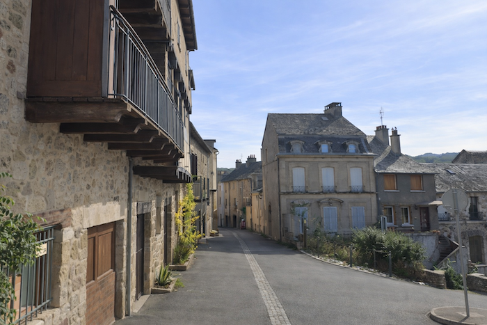
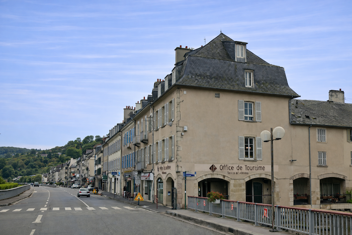
The route leaves the small town near the bridge, behind the Tourist Office, slipping discreetly away from the lively heart of Espalion. |
|
 |
 |
|
The first steps are not especially enchanting. You must first cross a rather uninspiring suburban fringe where recent development has somewhat softened the town’s character. Yet very quickly, the landscape opens once again and the countryside resumes its place. |
|
 |
 |
|
There are still meadows to follow, some gradually encroached upon by the expanding town and dotted with modern houses. Beyond them, the eye rises towards the heights where the Château de Calmont stands watch, distant and mysterious upon its hilltop. |
|
 |
 |
 |
 |
Section 3 : A great adventure potentially awaits you here
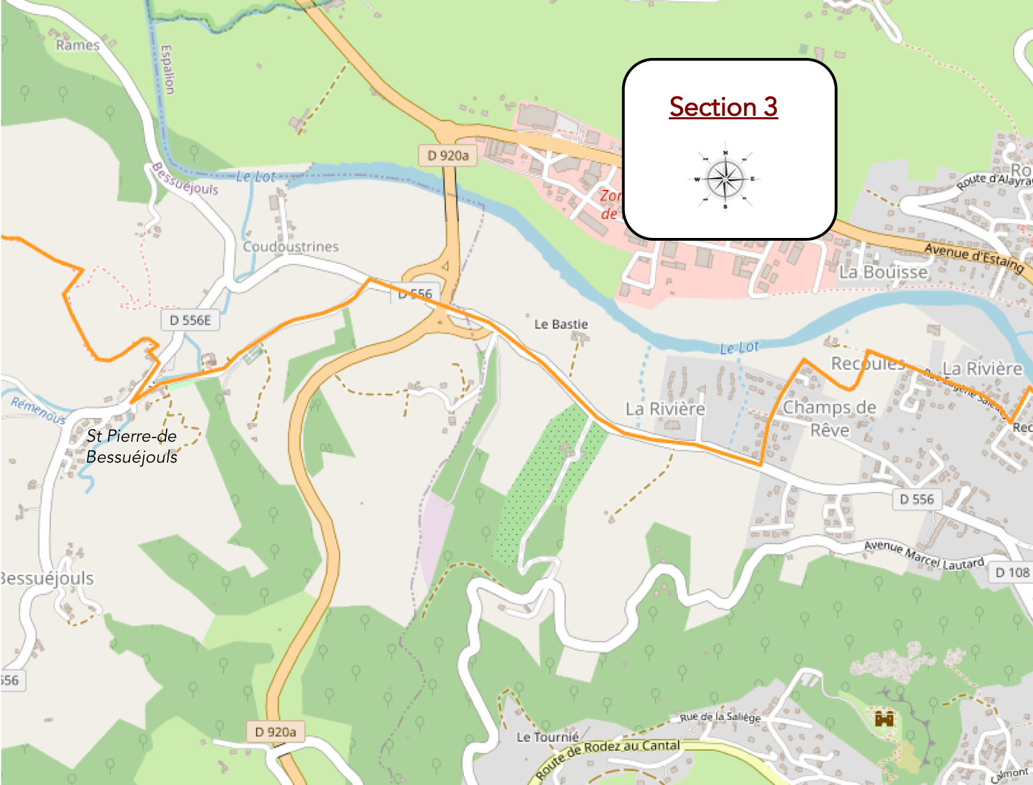
General overview of the route’s challenges: no particular difficulty until Saint-Pierre, before tackling the climb towards Le Briffoul. From there onward, however, the ascent becomes truly demanding.
|
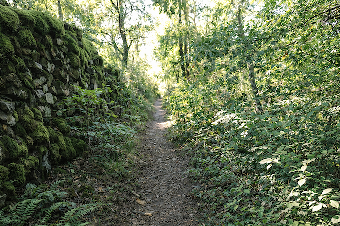
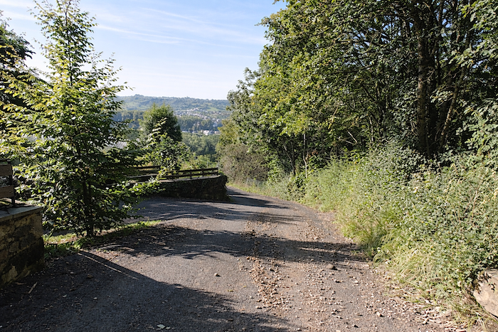
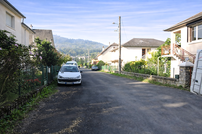
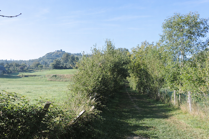
The GR65 follows broad, almost geometric lines, turning at right angles, sometimes on asphalt, sometimes on packed earth, winding its way between villas. Gradually, the eye lets go of the castle dominating the hillside, a landmark that has remained in view for so long. Few walkers probably make the effort to climb up to it. Further on, a narrow and very stony trail creates the illusion of a return to the solitude of wide-open spaces, but it is only a deceptive interlude. Civilization is never far away. |
|
 |
 |
 |
 |
|
The dirt path soon joins a paved road lined with houses. At the next junction, the route turns right onto a more substantial lane leading away from Espalion. |
|
 |
 |
 |
 |
|
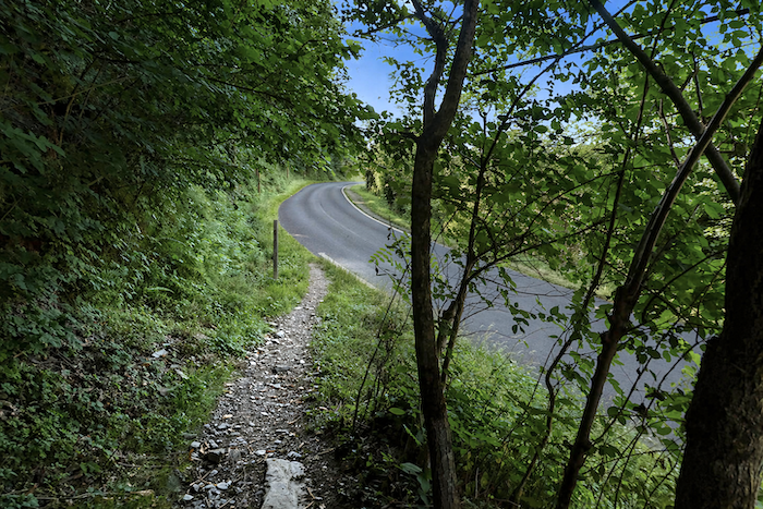
A fairly long stretch of this small road must then be followed. There are no pavements, and although it is not the main departmental road connecting Espalion and Estaing, traffic remains steady, a constant reminder of the nearby motorised world. |
|
 |
 |
 |
 |
|
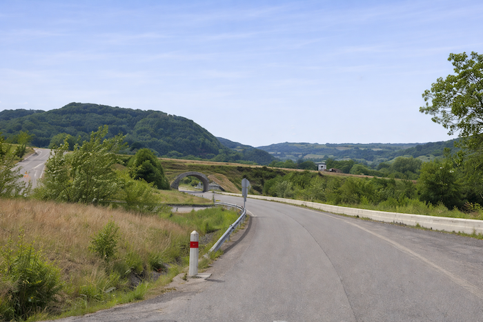
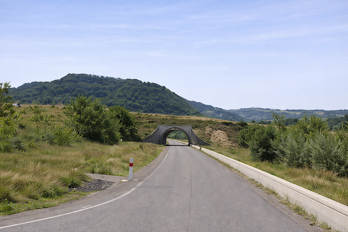
Further ahead, the road crosses a larger junction, passing beneath an underpass, an unavoidable passage in this increasingly urban section of the route. |
|
 |
 |
|
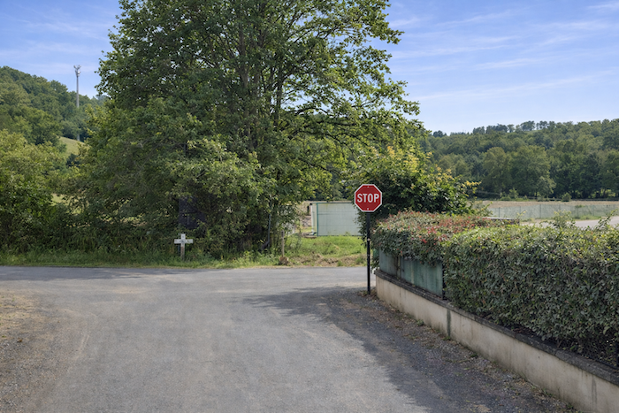
The ordeal, if one dares call it that, continues as far as a modest crossroads where the route leading to St Pierre-de-Bessuéjouls begins, an ancient seigneury whose castle survives today only as a ruined silhouette. |
|
 |
 |
|
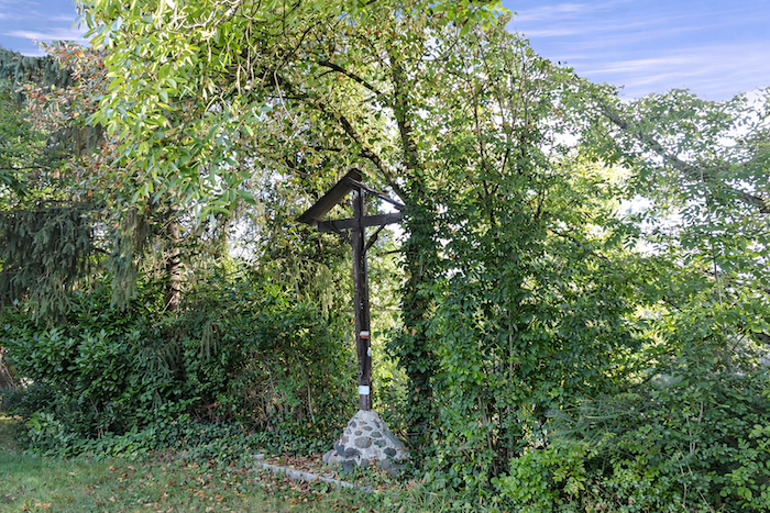
Here, modernity displays itself openly. Advertising signs and religious symbols stand side by side in a sometimes-surprising coexistence. After this long immersion in asphalt, it is a relief to find a quieter passage where the route once again escapes towards woodland and countryside, offering the walker a welcome breath of fresh air. |
|
 |
 |
|
The GR65 then climbs gently along the road, following a slight gradient towards the village church and gradually recovering a more peaceful rhythm. |
|
 |
 |
|
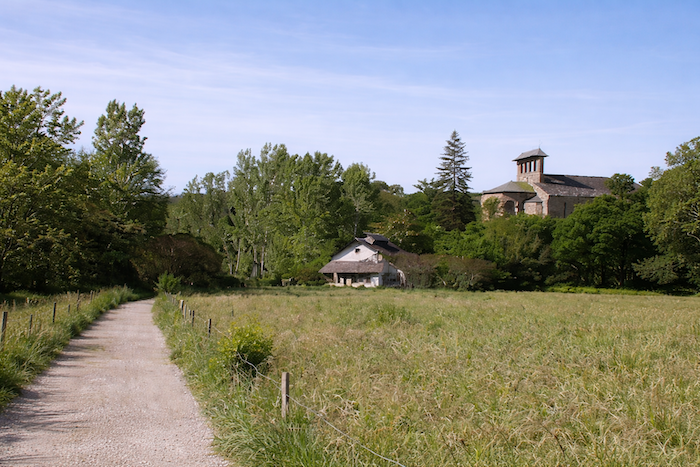
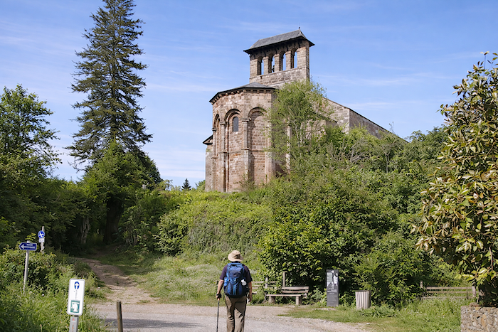
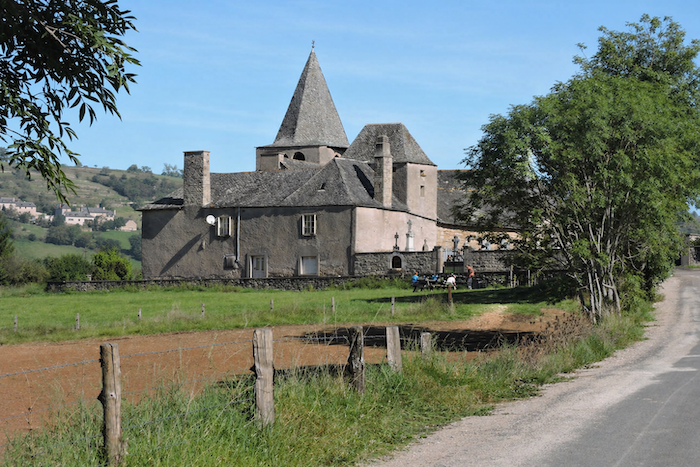
The pink sandstone of St Peter’s Church lends a subtle touch of colour to a beautiful green setting. It is worth climbing the bell tower, provided one is not too claustrophobic, to discover the aerial chapel. A narrow staircase with worn steps leads upward to a stone slab where pilgrims may kneel before the statues of Saint Gabriel and Saint Michael. |
|
 |
 |
|
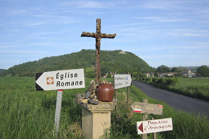
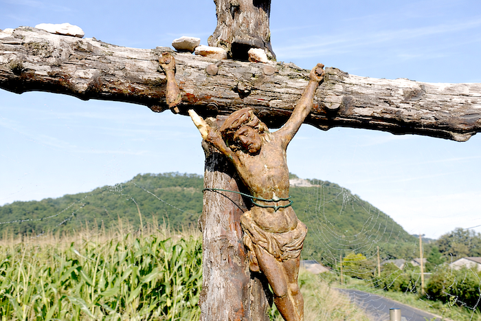
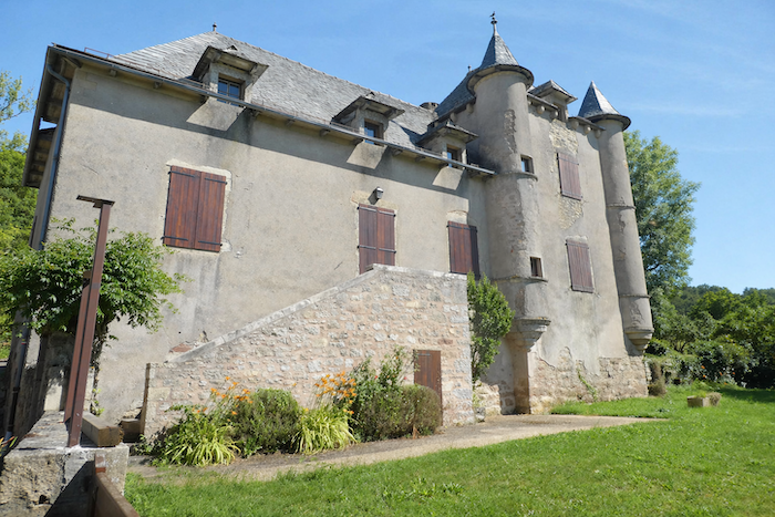
Not far from the church stand the renovated buildings of the Domaine d’Armagac, once a convent run by nuns who educated poor young girls. |
|
 |
 |
|
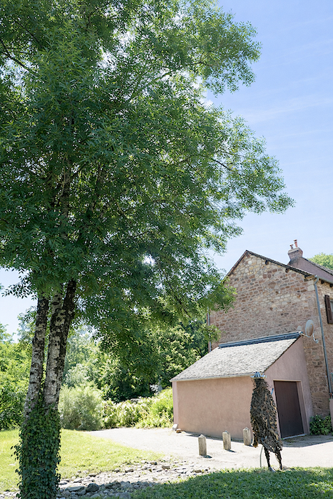
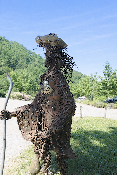
An iron pilgrim stands beneath a great ash tree in the town hall garden, watching over the place and facing the church that rests beneath a giant sequoia. |
|
 |
 |
|
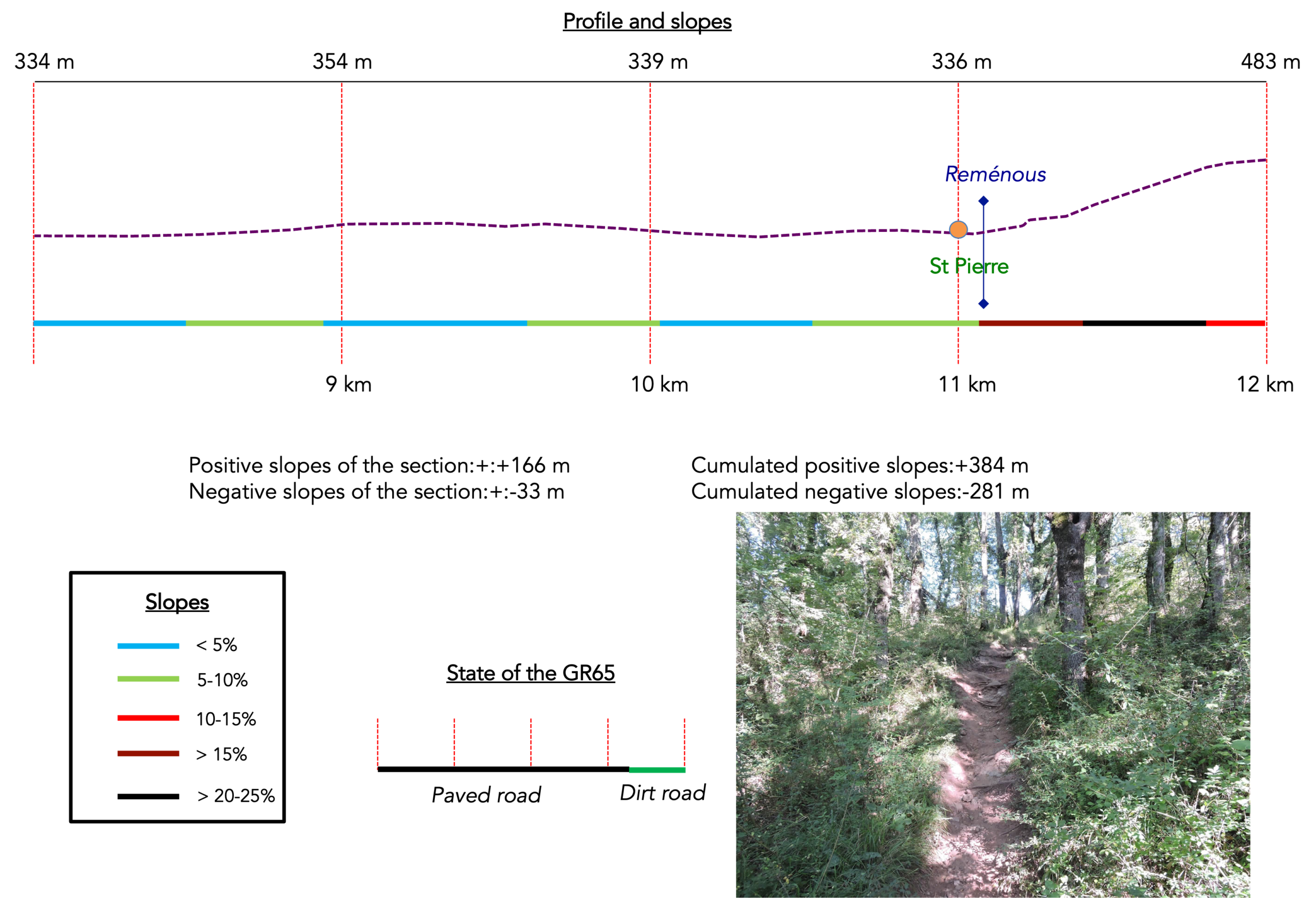
The GR65 rejoins the Saint-Pierre Road and follows the Rémenous stream, whose waters take on a reddish hue, echoing the colours of the surrounding hillside. |
|
 |
 |
|
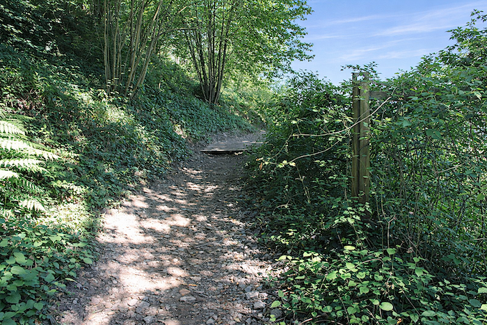
The route follows the road for a while until a path branches away and turns towards the slope. Here comes the second challenge of the day, and this one fully deserves its reputation. If you have experienced the climb to Escluzels above Monistrol-d’Allier, you will recognize a similar level of effort here: nearly 150 meters of ascent over barely 800 meters of distance. A short climb, but an intense one. |
|
 |
 |
|
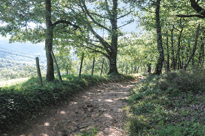
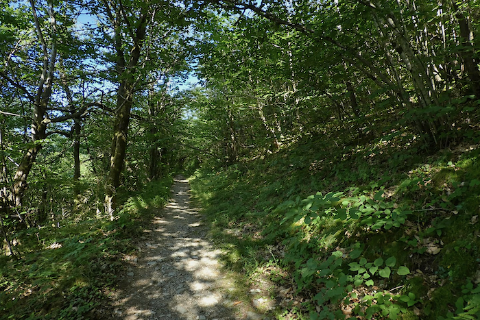
At first, however, the effort remains moderate. A broad path climbs gently beneath the forest canopy. In these woods, chestnut trees compete with ash, maple, beech and oak, creating a dense and varied landscape. |
|
 |
 |
|
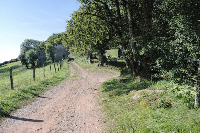
The path soon reaches several beautiful stone farms, set in a clearing like islands of human presence in the heart of the dale. |
|
 |
 |
|
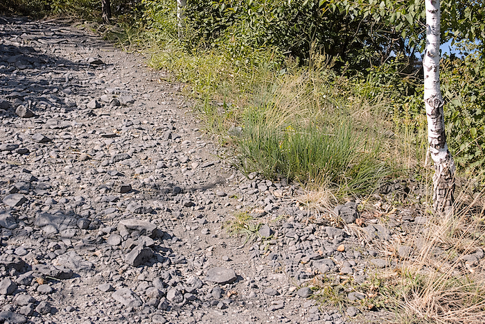
Then comes the moment to confront the slope more seriously. The ochre earth sometimes takes on reddish tones, and small rocky outcrops emerge beneath your feet. |
|
 |
 |
 |
 |
|
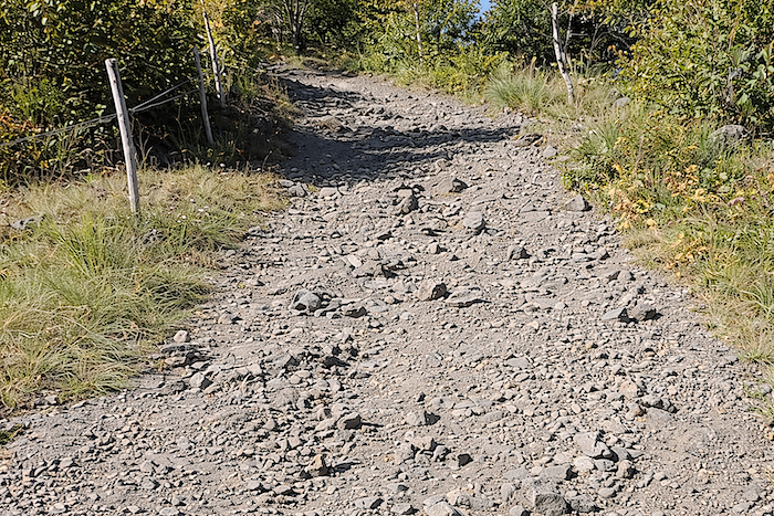
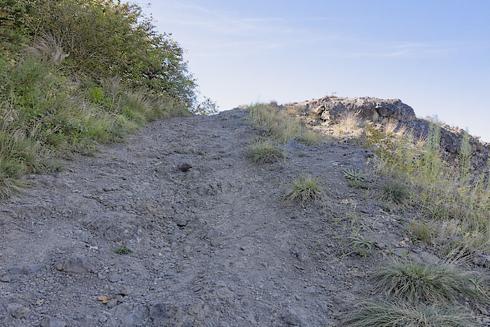
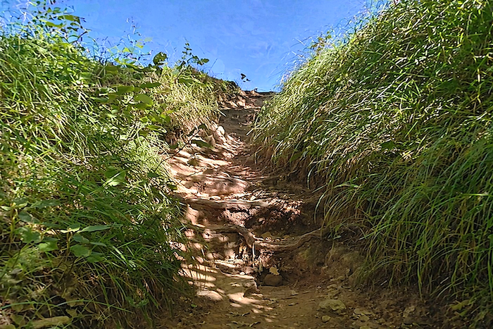
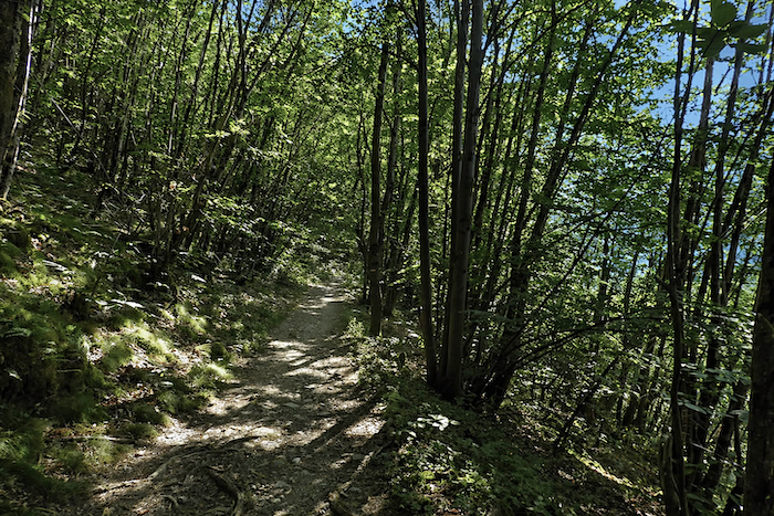
As the ascent continues, the trail narrows and the gradient becomes increasingly severe. |
|
 |
 |
 |
 |
|
Some walkers, especially the more athletic ones, will find this an enjoyable challenge. They will climb enthusiastically, weaving around moss-covered rocks and almost leaping upward with the agility of mountain goats. Others, and they are many, will proceed more cautiously, simply hoping that the ascent will come to an end before too long. |
|
 |
 |
 |
 |
|
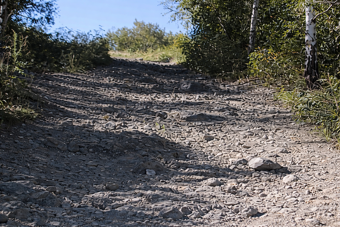
In wet weather, the challenge becomes considerably harsher. Mud makes every step uncertain, stones roll beneath the feet, and it is sometimes necessary to grab bushes to avoid slipping. Thick, intertwined roots nearly block the trail, while rocks wrapped in creeping vines seem intent on holding the walker back. It is certainly a demanding experience, but also a memorable one. We crossed this section after a long spell of bad weather. The ground was badly damaged, and it seemed to us at the time that this might well be one of the most difficult stretches on the entire Camino de Santiago. May you have the good fortune to walk it beneath a clear and generous sky. |
|
 |
 |
 |
 |
 |
 |
|
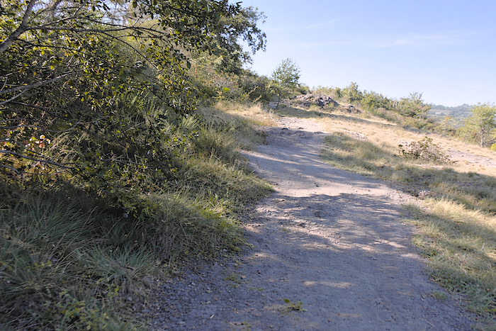
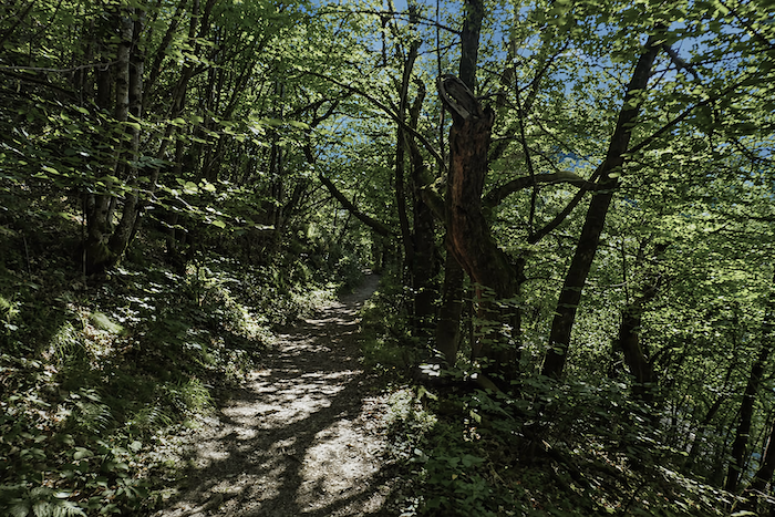
But let us return to our progress. There are still a few pleasant sections ahead, more forgiving and allowing time to catch one’s breath. |
|
 |
 |
|
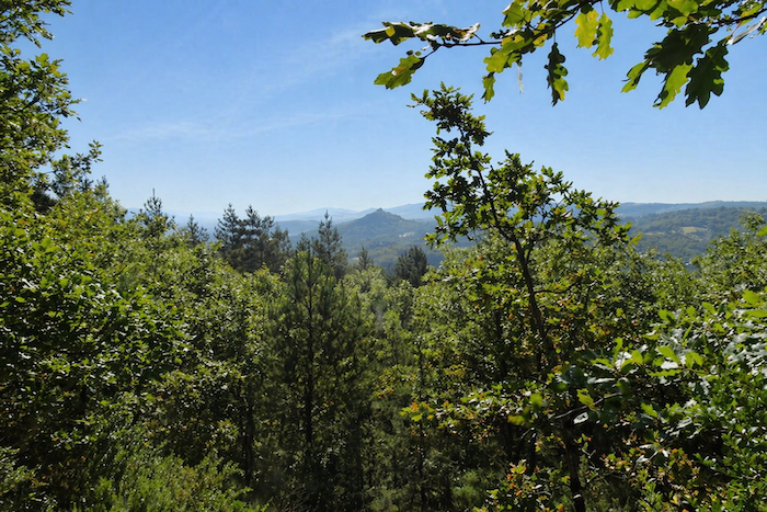
In the final meters, the slope at last begins to ease. The ochre path gradually emerges from the woodland and reaches a kind of scrubland where a few stunted pines stand among the bushes. From here, the eye can still catch the distant silhouette of the Château de Calmont overlooking Espalion, a final landmark before the journey continues. |
|
 |
 |
Section 4 : The descent can be almost as much fun as the climb, in wet weather
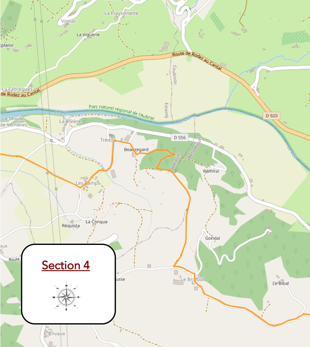
General overview of the route’s challenges: once you reach Le Briffoul, the path races downhill towards Beauregard, often on stony ground and frequently with gradients exceeding 20%.
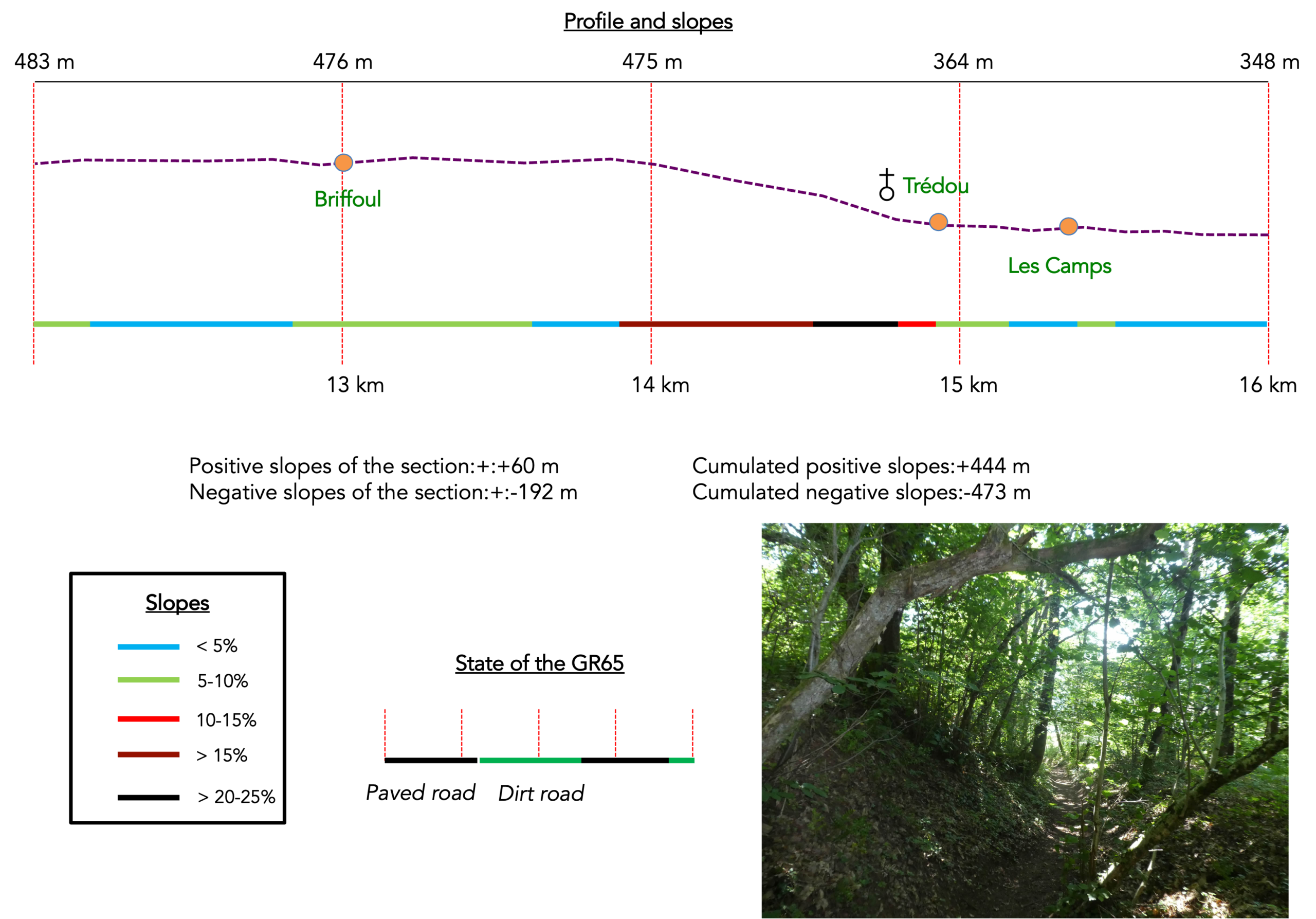
|
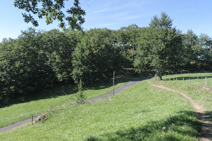
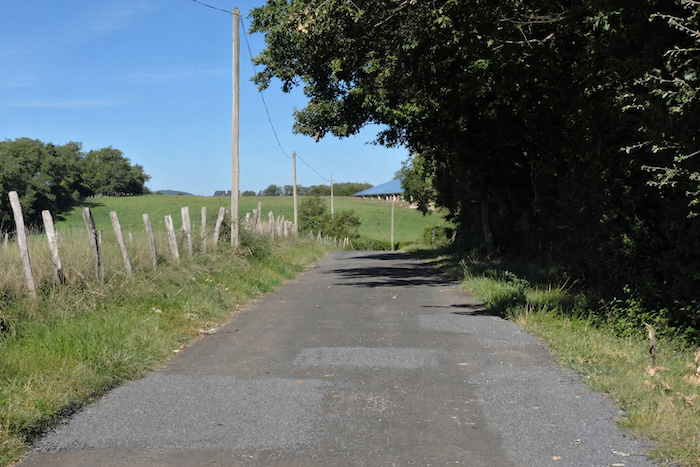
The GR65 then reaches a broad plateau stretching alongside the road. For many pilgrims, the Briffoul plateau, suspended high above the Lot Valley, feels like a liberation, a long-awaited moment of relief after the effort of the climb. |
|
 |
 |
|
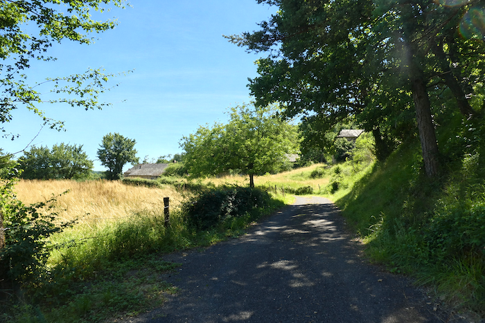
The road then leads towards Le Briffoul. |
|
 |
 |
|
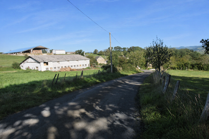
Here, magnificent farms built from rough limestone reveal themselves, accompanied by charming little gardens that seem almost carefully placed by hand at the entrance to each house. |
|
 |
 |
A gigantic farm dominates the plateau, sovereign and immovable. Here, the countryside asserts itself in all its grandeur, vast and silent.
|
Beyond Briffoul, a path wanders across the ochre earth of the plateau. The hillside unfolds in long, almost marine undulations, bordered by meadows and a few cultivated fields. The solitary horizon stretches all the way to the sky, as though it might never end. |
|
 |
 |
|
Further on, the broad path comes to an end at the edge of the plateau, at the threshold of the forest, the entrance to another world. |
|
 |
 |
|
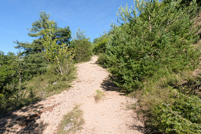
For after every ascent comes a descent. Such is the law of the Camino de Santiago. A trail then plunges down the slope, racing off the plateau with almost dizzying enthusiasm. The descent has little to envy from the climb and is often confined within a narrow passage. |
|
 |
 |
|
The trail soon disappears beneath a dense canopy of maples, oaks and chestnut trees, where daylight struggles to penetrate. Here, beeches have replaced hornbeams, imposing their quiet and sombre presence. In fine weather, despite the gradient, the route remains manageable. But in the rain, it changes entirely. The path becomes a stream, the stones turn treacherous, and every step becomes uncertain. You dream only of reaching the end of it. Below, the Château de Beauregard appears as a promise of deliverance at the edge of the forest. |
|
 |
 |
 |
 |
|
In places, the slope eases slightly, but most of the time it fluctuates between 10 and 20%, demanding and relentless. Beneath the large stones, the soil takes on an almost black colour. Towards the bottom of the descent, beneath the ash trees, the Church of Trédou can be glimpsed, a discreet presence in the landscape below. |
|
 |
 |
The path emerges from the forest as though released from the shadows, near the Château de Beauregard. While the residence itself appears silent today, perhaps even abandoned, the estate remains very much alive. Vineyards are cultivated here, contributing to one of the appellations of Estaing wine.
|
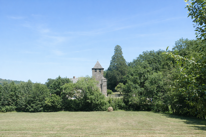
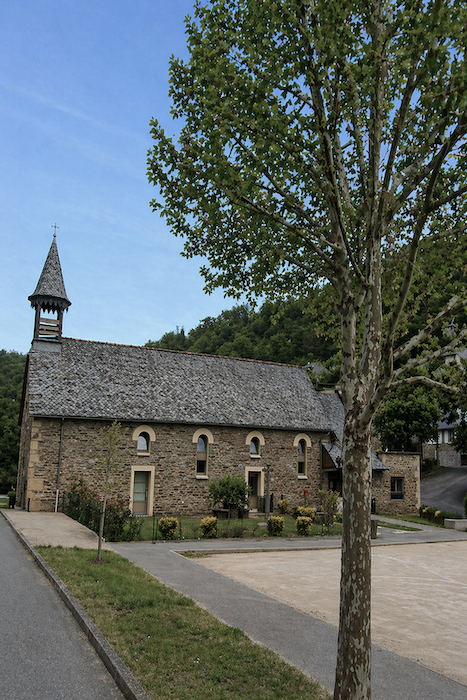
In a rural landscape where sturdy chestnut trees mingle with tall ash trees, the GR65 regains the plateau and follows the asphalt road towards the Church of Trédou. The building immediately catches the eye. Its bell tower appears detached from the body of the church, giving it a distinctive silhouette. An ancient priory documented since the sixteenth century, it has survived through numerous restorations, the most recent carried out little more than a decade ago. |
|
 |
 |
|
The church is closed, yet walking around it leaves a curious impression, that of a place still inhabited, as though some discreet presence continued to animate its walls. |
|
 |
 |
|
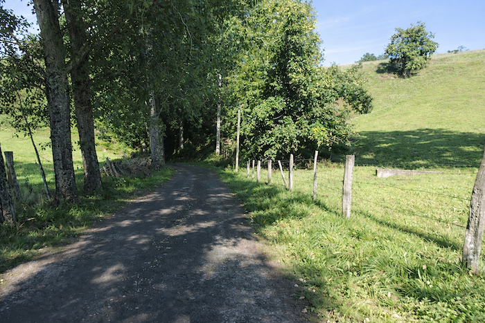
From the church, a small road slopes gently downward and disappears into the countryside beneath the watchful shade of great trees. |
|
 |
 |
|
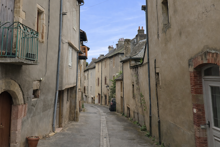
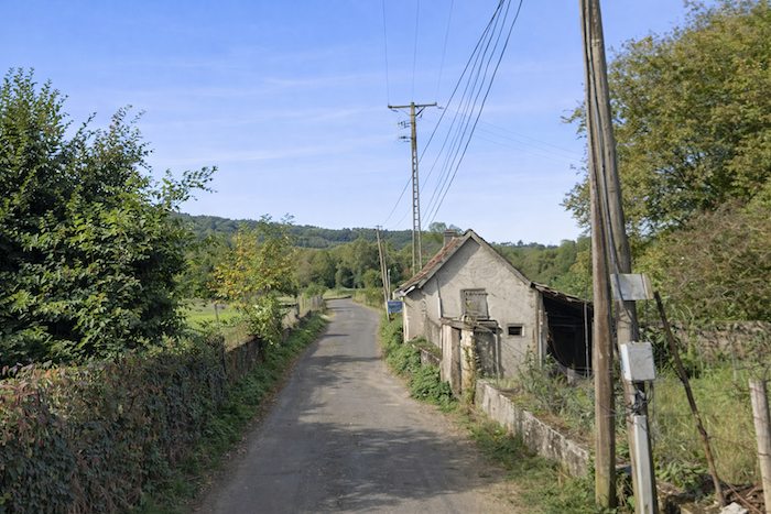
Soon, the asphalt gives way to a dirt track, more intimate and rustic, which continues the descent. Further down, it winds between beautiful stone houses gathered in the hamlet of Les Camps, where time itself seems suspended. |
|
 |
 |
 |
 |
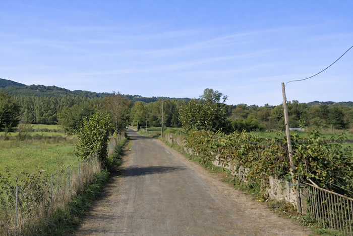
| Then the landscape suddenly opens. A small paved road stretches out ahead, straight and peaceful, as though drawn towards the horizon itself. It seems to run endlessly into the distance and, for a moment, everything becomes simple. Happiness, in its purest form. | |
 |
 |
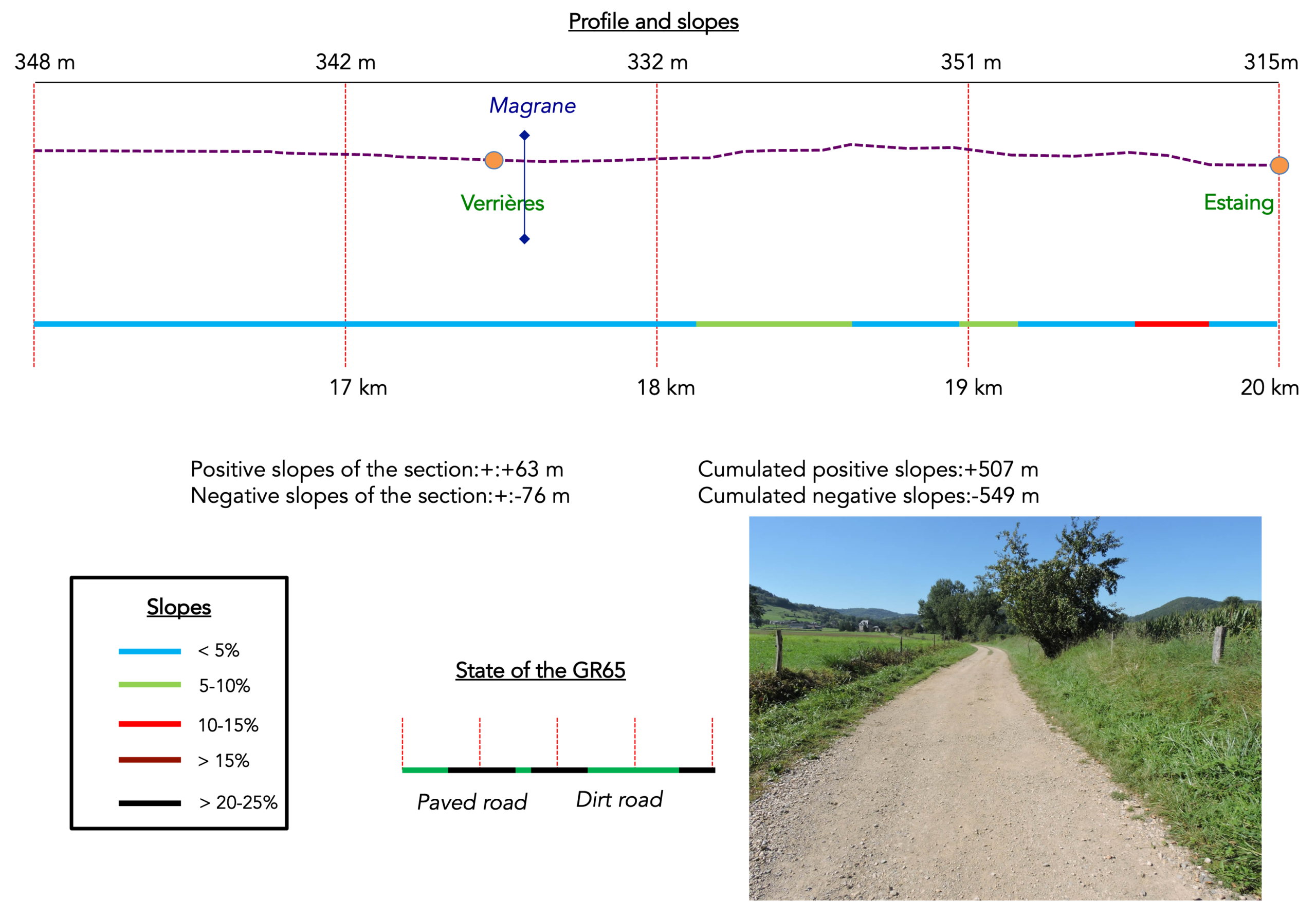
Section 5 : On the way to the beautiful village of Estaing
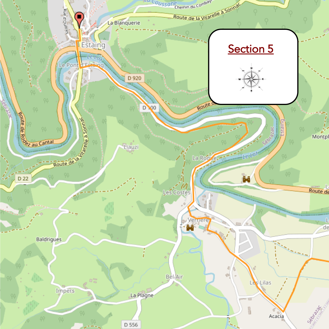
General overview of the route’s challenges : mostly flat terrain, followed by gentle ups and downs without any real difficulty.
|
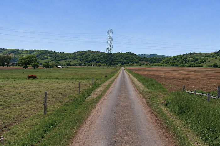
Perhaps you have a particular fondness for those straight roads that stretch endlessly across the plains, monotonous and without diversion. Who knows? Yet the pilgrim, much like the soldier, and this cannot be repeated often enough, is not an ordinary tourist. He cannot expect the sublime at every moment. At most, he will avoid lingering, quickening his pace to shorten what he may judge a long and uneventful crossing. |
|
 |
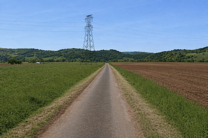 |
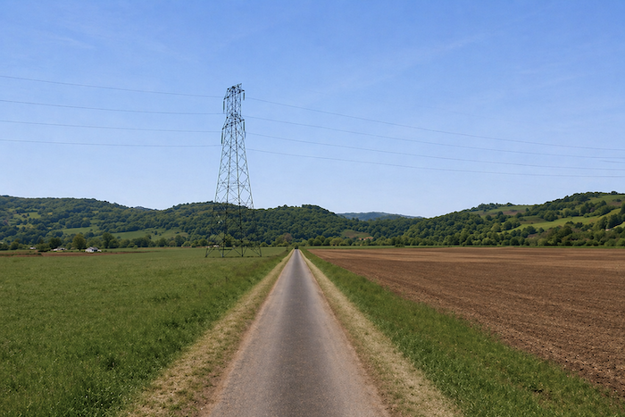
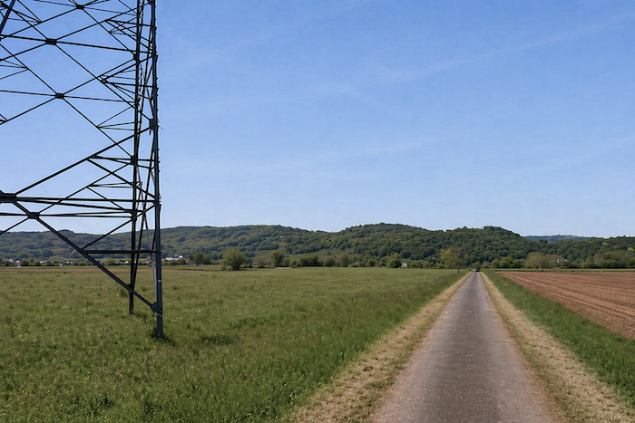
| The electricity pylon standing ahead gradually becomes a landmark, almost a compass, a discreet witness to the passing of time. Once this marker has been reached, the road continues, stubbornly straight, all the way to a crossroads. | |
 |
 |
|
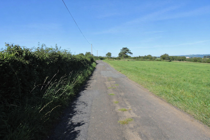
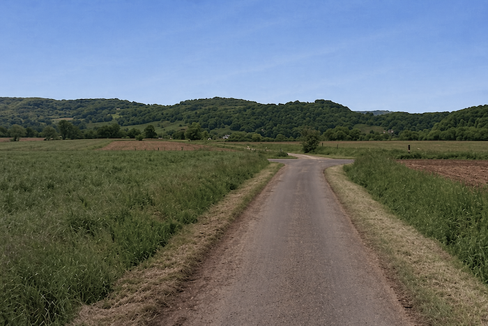
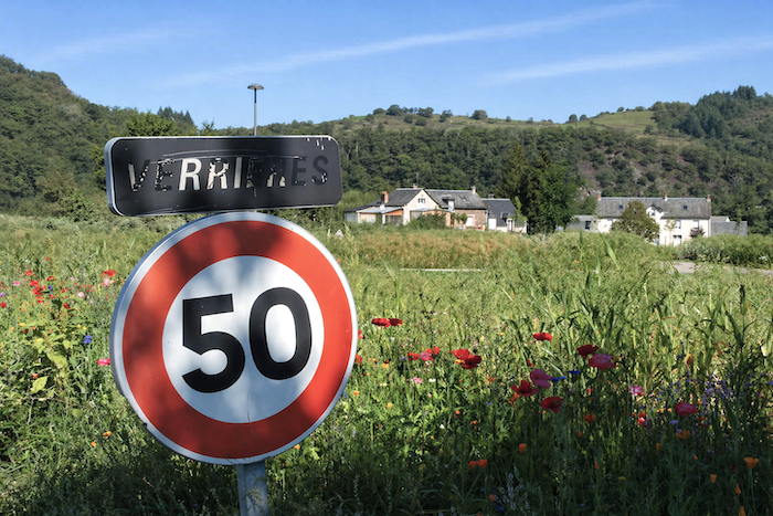
There, the worn asphalt gives way to packed earth. Yet little truly changes. The path remains straight, persistent and tireless. Eyes that may have grown weary of the fields find comfort in the vineyards that begin to appear here and there. Verrières, after all, possesses its own modest local wine appellation, discreet but deeply rooted in the land. |
|
 |
 |
|
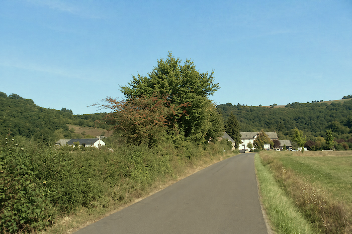
At the end of this long straight stretch, the path joins a paved road leading towards Verrières, like a promise of renewal after the monotony of the previous section. |
|
 |
 |
|
The village is now only a few steps away, resting beside the road, almost in quiet conversation with the nearby Lot River. |
|
 |
 |
 |
 |
|
It reveals itself as a place of pastoral beauty, seemingly untouched by time. Remarkable houses built from limestone and sandstone, carefully dressed and assembled, stand beneath soft-toned slate roofs. Everything here breathes a sense of calm and gentle living. |
|
 |
 |
 |
 |
|
Soon, the GR65 crosses the discreet Magrane stream, whose dark waters flow silently onward, before reaching the D100, a small departmental road that follows the course of the Lot. |
|
 |
 |
|
The route resigns itself to the asphalt for a while, following this lightly travelled road as though obliged to accept a temporary compromise. |
|
 |
 |
 |
 |
|
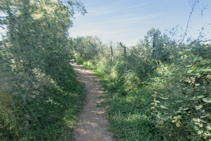
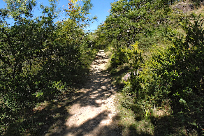
For the GR65, faithful to its wandering spirit, has little affection for overly obedient roads. It follows them only when necessary. Thus, as soon as an escape presents itself, it eagerly abandons the asphalt and rediscovers, with something approaching delight, a stony trail clinging to the schist hillside and disappearing once again beneath the woodland canopy. |
|
 |
 |
|
Before reaching Estaing, the path indulges in one final whim, a small climb undertaken almost for pleasure, beneath the shade of the forest. Here, the woodland grows dense, combining maples, beeches, oaks and chestnut trees into a thick vegetal tapestry through which only fragments of light can penetrate. |
|
 |
 |
|
The trail plays at rolling gently up and down, undulating endlessly as though unable to decide whether it wishes to climb or descend. |
|
 |
 |
|
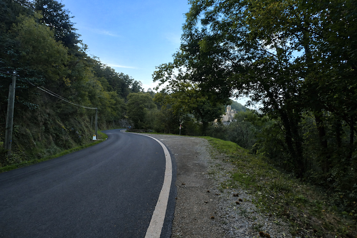
Then it plunges once more into dense vegetation, closed in upon itself, before rejoining the D100, which accompanies one of the broad meanders of the Lot. |
|
 |
 |
| The path then returns to the road beside the river, seemingly compelled to submit to it once again. | |
 |
 |
|
But Estaing lies only a short distance ahead now, just beyond a bend in the road. |
|
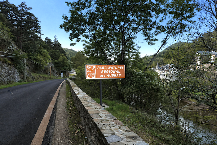 |
 |
|
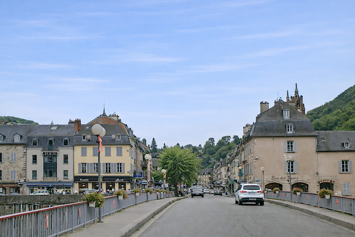
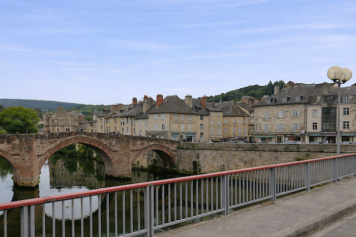
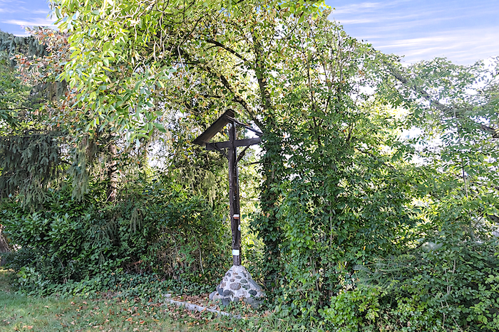
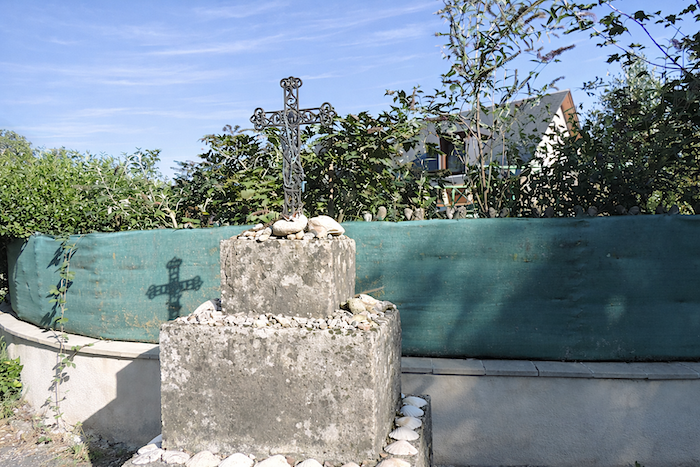
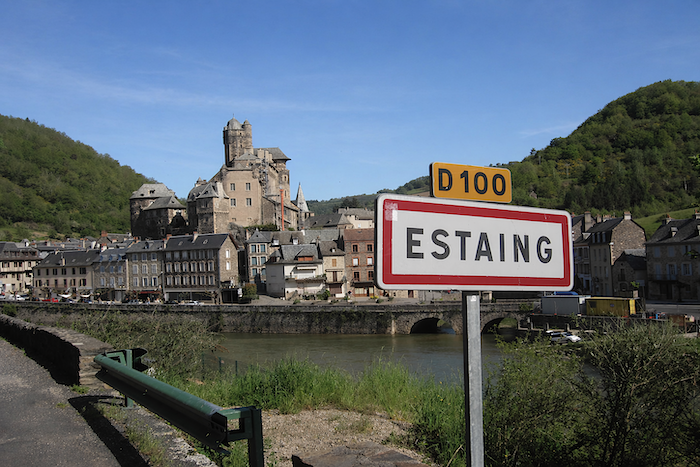
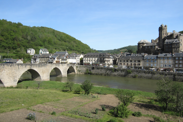
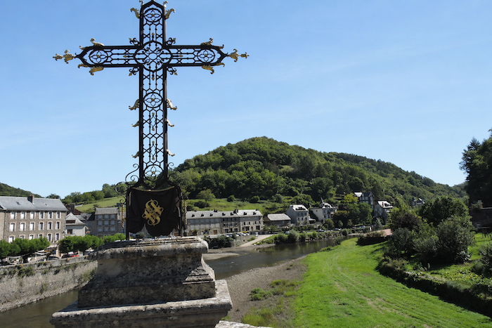
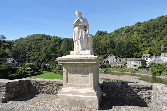
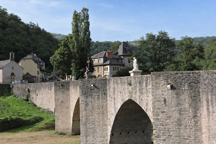
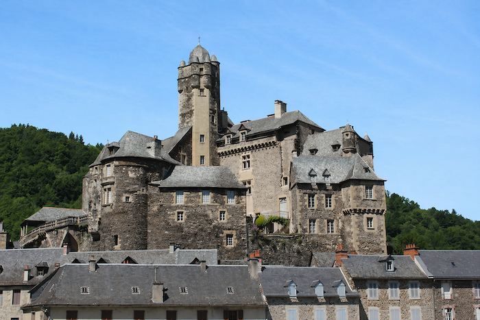
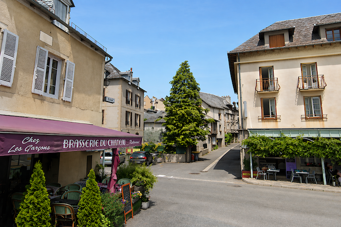
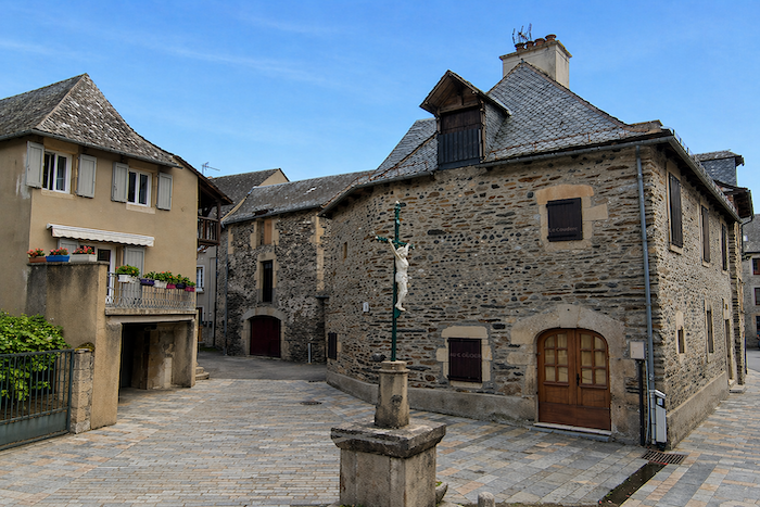
Estaing is a village of character, home to just over six hundred inhabitants. Its name, derived from the Latin stagnum, meaning pond, recalls a landscape long since vanished. Perched upon its rocky outcrop beside the Lot, the settlement traces its roots back to Gallo-Roman times. Yet its most striking emblem remains undoubtedly its castle, proud and imposing, once the residence of the Counts of Estaing. For Estaing is also home to the magnificent Gothic bridge, listed as a UNESCO World Heritage Site, spanning the Lot with centuries of elegance. At its center stands the Cross of Estaing, a powerful symbol that seems almost to embody the entire spirit of Aveyron. A little further on, the statue of François d’Estaing, Bishop of Rodez, watches over the passage of both people and time. |
|
 |
 |
 |
 |
|
The Estaing family formed one of the great noble lineages of Rouergue and gave France many distinguished figures, including cardinals, bishops, admirals and even a President of the Republic. The first stones of the castle were laid in the eleventh century, though the building was modified repeatedly over the centuries. Confiscated as national property during the Revolution, it was later entrusted to the Sisters of Saint Joseph, who made it their mother house. In 2000, ownership passed to the municipality before being acquired in 2005 by the Valéry Giscard d’Estaing Foundation. Local tradition enjoys recalling that the former French president occasionally came to buy his bread in the village, greeting the baker with a courteous “Bonjour, Madame.” His visits were admittedly infrequent. Estaing is far from the busiest of destinations. Yet he rarely missed the Feast of Saint Fleuret, when he and his wife willingly opened the castle to visitors. |
|
 |
 |
|
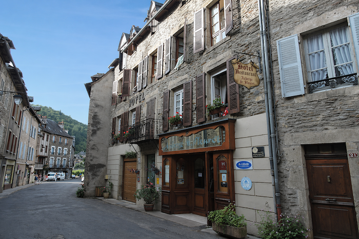
For the passing visitor, Estaing is often centered around the castle and the main street, where hotels, cafés and shops follow one another in succession. Accommodation is plentiful, and many pilgrims choose to spend the night here, drawn as much by the charm of the place as by the promise of rest. |
|
 |
 |
 |
 |
|
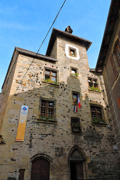
Among the village’s noteworthy sights stands an elegant sixteenth-century building that now houses the renovated tourist office, installed within a magnificent vaulted cellar. Nearby, the Chapel of Ouradou, another jewel from the same century and listed as a historic monument, captivates through its simplicity. Built from local materials, schist for the walls and slate for the roof, this Gothic chapel, crowned with a bell-gable, embodies a sober and authentic beauty. |
|
 |
 |
|
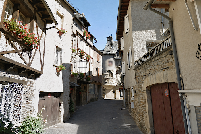
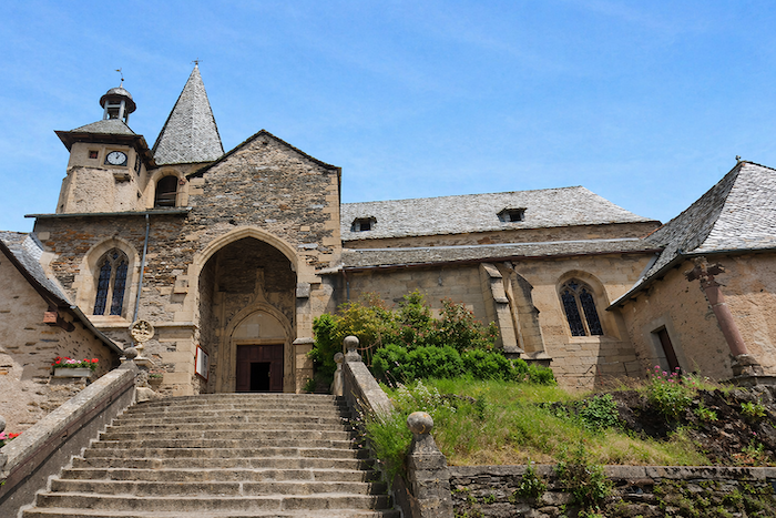
Finally, the parish church of Saint Fleuret, built in the fifteenth century above an older crypt and recently restored, rises slightly above the village. It watches over the maze of medieval lanes below, where schist imposes its dark tones and austere elegance at every turn. |
|
|
 |
Accommodation on Via Podiensis
- Gîte Au Fil de l’Eau, Eric et Sophie (pèlerins), 5 Rue St Joseph, Espalion; 06 77 58 53 08; Gîte, dinner, breakfast
- Gîte du Pont Vieux, Yves Garcia, 7 Rue Arthur Canel, Espalion; 06 47 75 81 19/05 65 44 90 81; Gîte, dinner, breakfast
- Accueil chrétien La Halte St Jacques, 8 Rue du Dr Trémolières, Espalion; 06 28 30 38 30; Gîte, dinner, breakfast
- Chambres d’hôtes Au Jardin des Sens, Mireille et Claude (pèlerins), 15 Av- St Pierre, Espalion; 06 85 42 93 75/06 74 32 31 82; Guestroom, dinner, breakfast
- Chambres d’hôtes La Maison du Pèlerin, 3 Rue des Bouquiès, Espalion; 05 65 44 26 77/06 51 86 75 30; Guestroom, breakfast
- Chambres d’hôte Morin, 14 Avenue de St Côme, Espalion; 05 65 51 48 57; Guestroom, dinner, breakfast
- Hôtel de France**, 36 Boulevard Joseph Poulenc, Espalion; 05 65 44 06 13; Hotel, dinner, breakfast
- Chambres d’hôtes Alain Picard, Verrières de Sébrazac, Verrières; 06 87 01 82 40; Guestroom, breakfast
- Camping La Cavalerie, Céline Riot, Estaing; 06 95 63 37 17; tipis et chalets, dinner, breakfast, cuisine
- Gîte communal, 19 Lotissement de l’Escalière, Estaing; 06 44 95 52 14; Gîte, cuisine
- Gîte St Christophe, Rémi et Marie (pèlerins), 5 Rue St Fleuret, Estaing; 06 27 82 40 14; Gîte, dinner, breakfast
- Gîte Chez Aurélie, 3 Rue du Collège, Estaing; 06 95 82 15 95; Gîte, dinner, breakfast
- Gîte L’Oustal del Camin, Marine et Alexandre, 31 Rue François d’Estang, Estaing; 07 67 29 15 07; Gîte, dinner, breakfast, cuisine
- Gîte-Chambre d’hôtes Les Pieds dans l’Olt, Annaelle (pèlerine), 1 rue d’Espalion, Estaing; 07 87 96 68 75; Gîte and Guestroom, dinner, breakfast
- Chambre d’hôtes Chez Jeannot, Jean Dijols, Le Pont d’Estaing, Estaing; 05 65 44 71 51/06 70 38 42 81; Guestroom, breakfast
- Chambres d’hôtes Lou Bellut, Monique Simon, 5 Rue François d’Estaing, Estaing; 06 80 66 77 79; Guestroom, breakfast
- Auberge de St Fleuret**, 19 Rue François d’Estaing, Estaing; 05 65 44 01 44; Hotel, dinner, breakfast
- Aux Armes d’Estaing**, 1 Quai du Lot, Estaing; 05 65 44 70 02; Hotel, dinner, breakfast
Year after year, the Camino de Santiago changes and reinvents itself with the seasons and the footsteps of pilgrims. Some accommodations close their doors, while others, modest or unexpected, come into being. It would therefore be unrealistic to claim to provide a fixed and exhaustive list. This guide includes only accommodations located directly on the route or within one kilometer of it. The selection was updated in 2026 and should therefore not undergo any major changes in the coming years. For those wishing to go further, one publication stands out as the essential reference: Miam Miam Dodo, easily available online. The main strength of this guide lies in its yearly updates. It not only lists accommodations located directly on the route, but also addresses slightly off the route, a valuable resource when heavy pilgrim traffic makes overnight stops more uncertain. It also contains a wealth of practical information: welcoming bars, restaurants along the way, and providential bakeries, all of which punctuate the journey. Alongside these traditional resources, another presence has become unavoidable: Airbnb. The platform has established itself as a major reference in the tourism landscape, even in the most discreet or less developed regions. However, as everyone knows, exact addresses are not displayed directly, which requires a degree of anticipation. On the Camino, finding a bed at the last minute can sometimes depend on sheer luck. But luck, by its very nature, cannot be considered a strategy. Booking ahead is therefore strongly recommended. Finally, when making arrangements, be sure to inquire about dinner and breakfast options. These details, seemingly minor, can greatly soften the hardships of a stage.
If we take stock of the accommodation capacity, there are approximately 100 beds available before reaching Estaing, in and around Espalion, suggesting that many pilgrims choose to stop before the end of the stage. In Estaing itself, the accommodation offer expands to nearly 170 beds. Since the number of walkers on the Via Podiensis generally ranges between 100 and 200 pilgrims, this stage should not present any particular difficulties in terms of lodging. Nevertheless, it is wise to make reservations in advance as a precaution.
These routes, winding through often sparsely populated areas, offer relatively few services. Restaurants are scarce, as are grocery stores, which are often little more than small bread depots selling a limited selection of vegetables and dairy products. The two main towns, Espalion and Estaing, provide all the conveniences of a small town, with a full range of essential shops and services. There are also two water points and public toilets along the route: one in Bessuéjouls and the other at the church of Trédou. Finally, many companies offer luggage transfer services or transportation back to the starting point. Among them, one stands out as a recognized benchmark for pilgrims walking the Camino routes: La Malle Postale.
Feel free to add comments. This is often how you move up the Google hierarchy, and how more pilgrims will have access to the site.
 |
Next stage : Stage 11: From Estaing to Golinhac |
 |
Back to menu |