
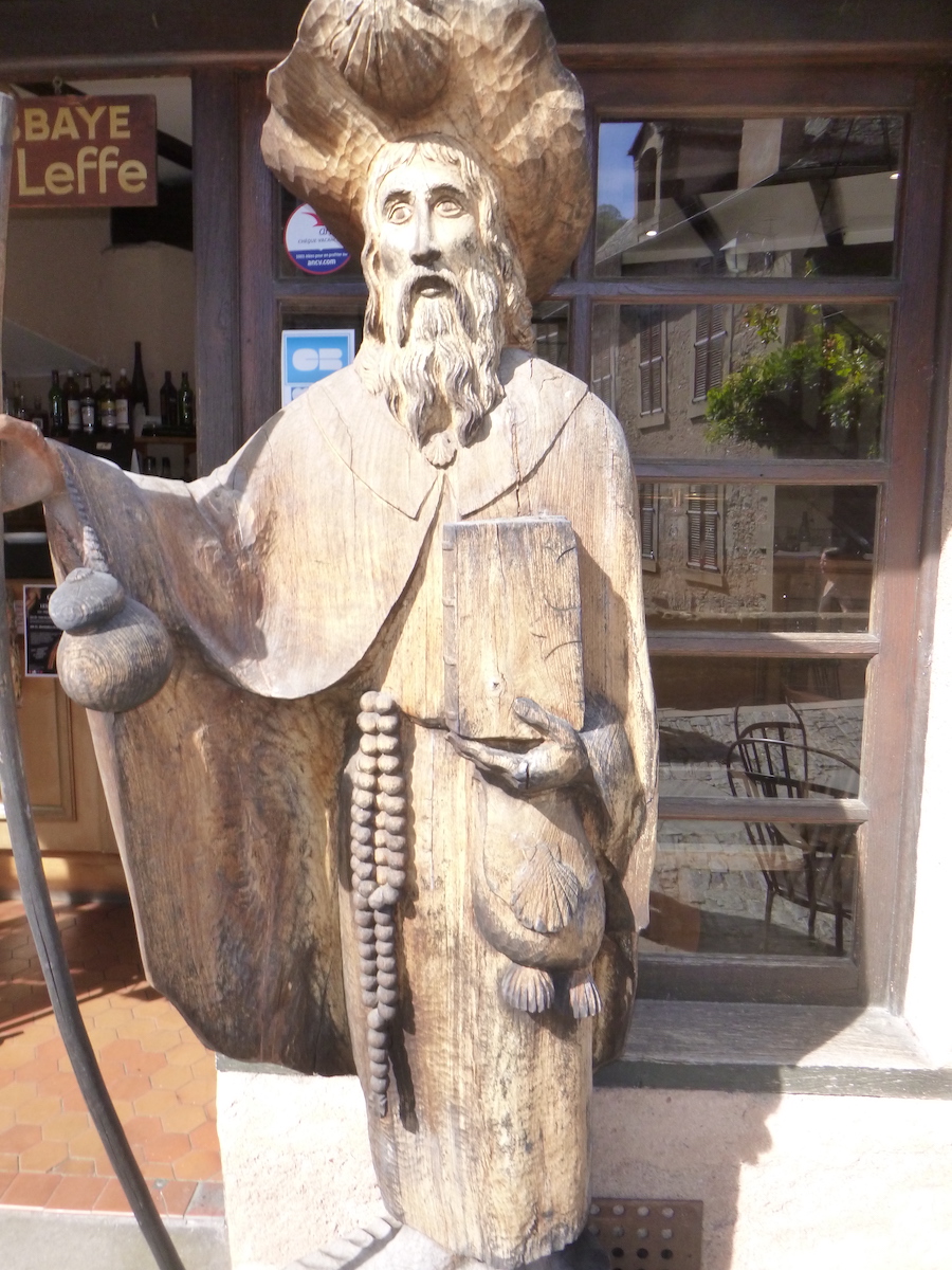
Conques is even more beautiful when the pilgrim arrives there on foot
DIDIER HEUMANN, MILENA DELLA PIAZZA, ANDREAS PAPASAVVAS
We divided the course into several sections to make it easier to see. For each section, the maps show the course, the slopes found on the course, and the state of the roads. The courses were drawn on the “Wikilocs” platform. Today, it is no longer necessary to walk around with detailed maps in your pocket or bag. If you have a mobile phone or tablet, you can easily follow routes live.
For this stage, here is the link:
https://fr.wikiloc.com/itineraires-randonnee/de-golinhac-a-conques-par-le-gr65-29976431
It is obviously not the case for all pilgrims to be comfortable with reading GPS and routes on a laptop, and there are still many places in France without an Internet connection. Therefore, you can find a book on Amazon that deals with this course. Click on the book title to open Amazon.
 |
The Camino de Santiago in France / V. From Puy-en-Velay to Cahors (Via Podiensis) on GR65 track |
If you only want to consult lodging of the stage, go directly to the bottom of the page.
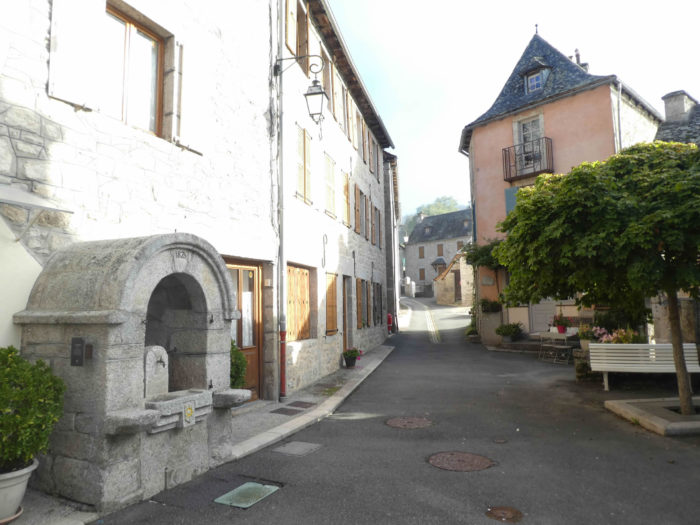
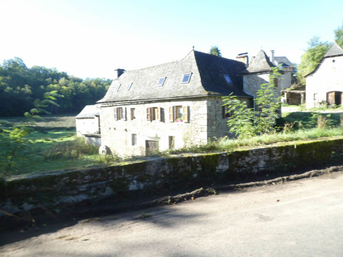
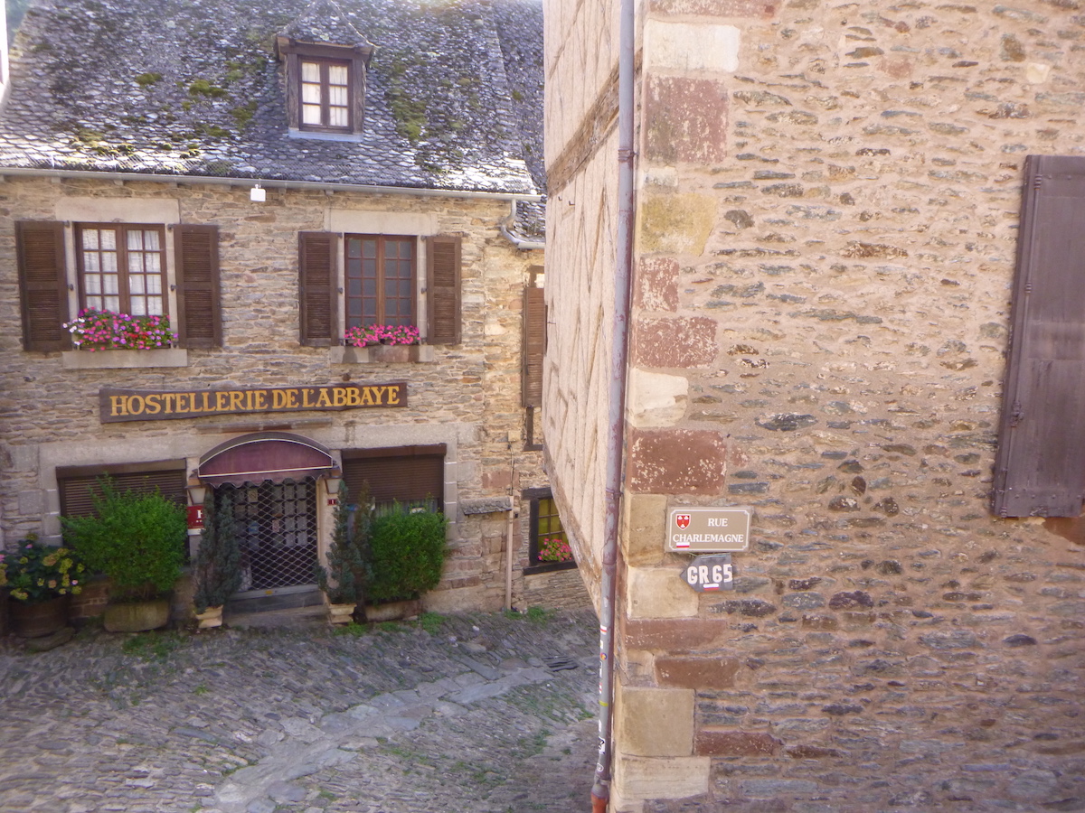
| Today, it’s Conques, the beautiful stopover awaited by all pilgrims, a bit like St Jacques in Spain. The 12th century pilgrim’s guide, written in Latin, already describes its virtues in these words: “The very precious body of Blessed Foy, virgin and martyr, was buried here, in a valley called Conques. A beautiful basilica is then built on his body in which, for the glory of God, we observe the rule of Saint Benedict. Many graces are granted to healthy people and to the sick ”. Nowadays, tourists, hikers and pilgrims share Sainte Foy, in one of the most beautiful sites in France. Many French pilgrims do not go further than Conques. At least, for a first glimpse of the Camino de Santiago.
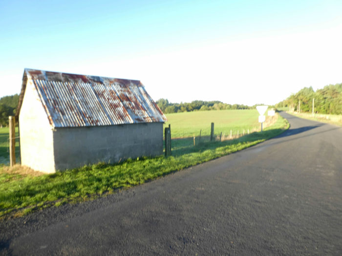
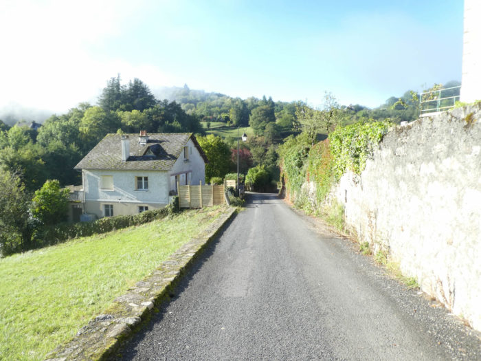
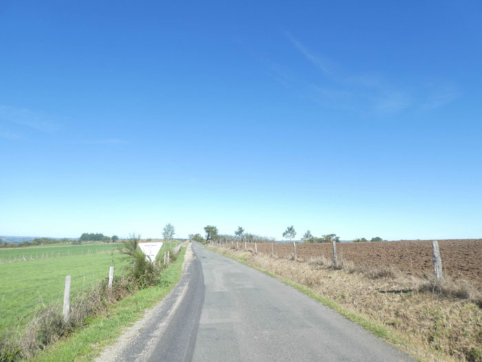
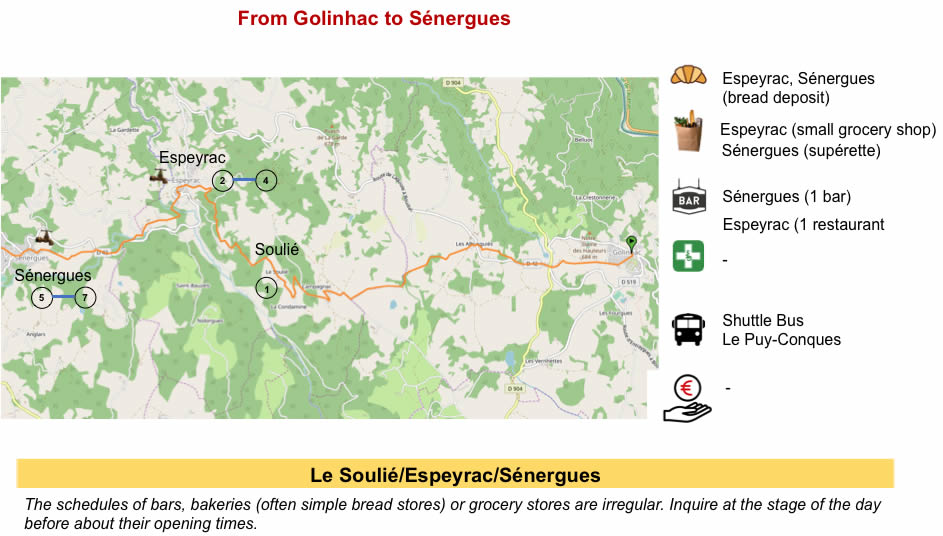
You are still in Aveyron, along the Lot valley on the heights. Today’s stage crosses a country characterized above all by breeding. There are few cultures here. You arrive at the end of the first part of the trip. Tomorrow, you’ll penetrate further into the center of France, towards Cahors. But you still have to get to Conques, through asphalt roads and rocky tracks. The route has finished going north and runs due west. First you have to descend for a long time from Golinhac to Espeyrac. You know after a few stages. The track always descends to the bottom of a valley to climb up to the next ridge. From Espeyrac to Conques, it is only 14 kilometers. The landscape varies greatly today. As far as Espeyrac, you cross the forests, in a deep valley. Then, beyond Espeyrac, it’s a bit like moving to another country. Here the universe opens up onto gentle hills and meadows, before plunging again into the dark valley of Conques. So, there is something for everyone. |
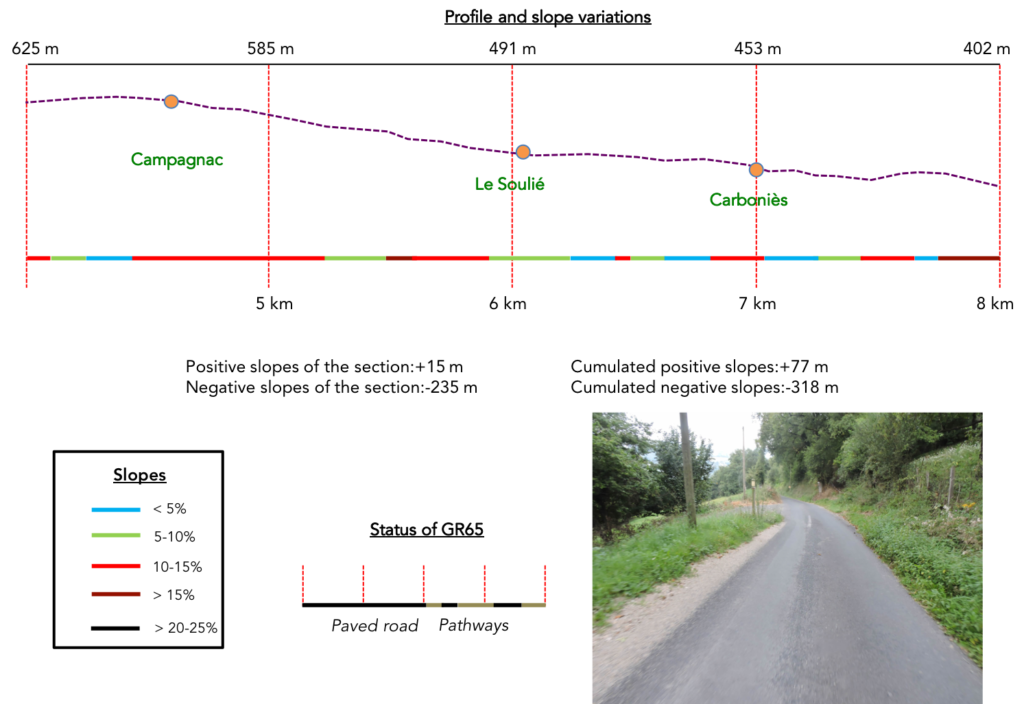
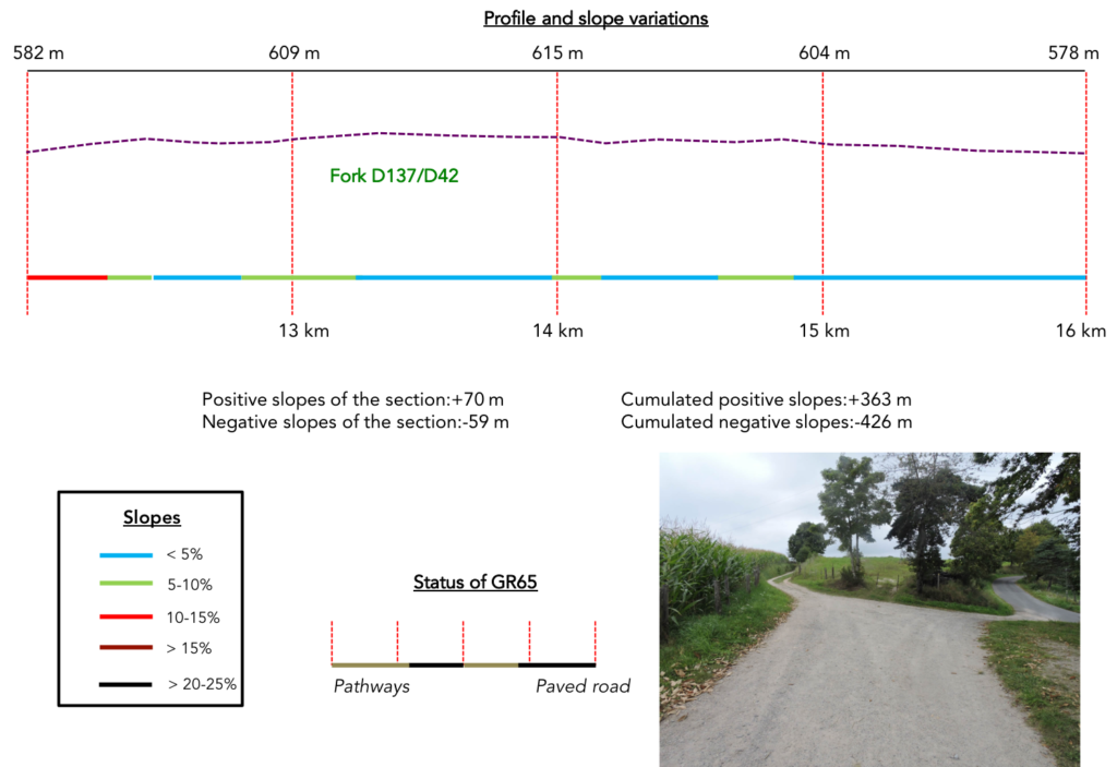
Difficulty of the course: Slope variations today (+393 meters /-716 meters) are reasonable, especially uphill, but not slight. At the start of the stage, there are only gentle rolling hills until you reach Campagnac where a fairly long, some would say boring, descent begins on the tar towards Espeyrac. Beyond Espeyrac, Conques has to be won twice. First, a big climb of nearly 300 meters in altitude to Sénergues plateau, followed by a long false flat, and a very marked, often tough descent to Conques.

Passages on dirt roads are slightly inferior to passages on the paved roads:
- Paved roads: 11.9 km
- Dirt roads: 8.6 km
Sometimes, for reasons of logistics or housing possibilities, these stages mix routes operated on different days, having passed several times on Via Podiensis. From then on, the skies, the rain, or the seasons can vary. But, generally this is not the case, and in fact this does not change the description of the course.
It is very difficult to specify with certainty the incline of the slopes, whatever the system you use.
For “real slopes”, reread the mileage manual on the home page.

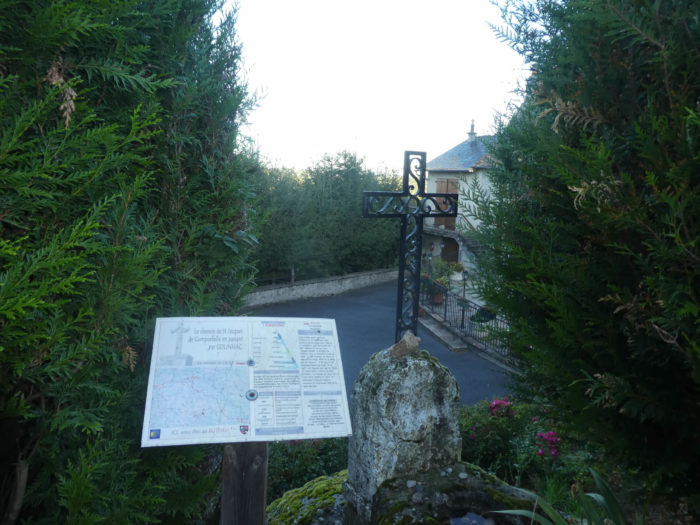
Section 1: Over hills and dales on the Golinhac plateau.

General overview of the difficulties of the route: course without any difficulty.

|
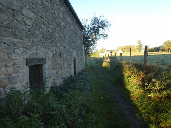
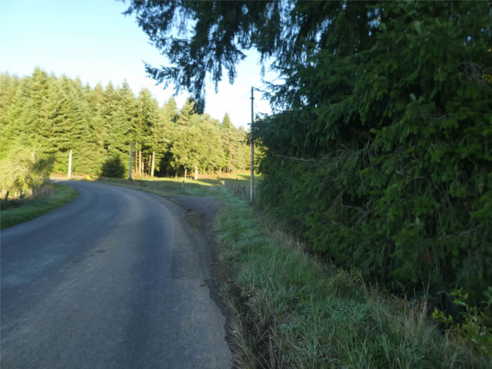
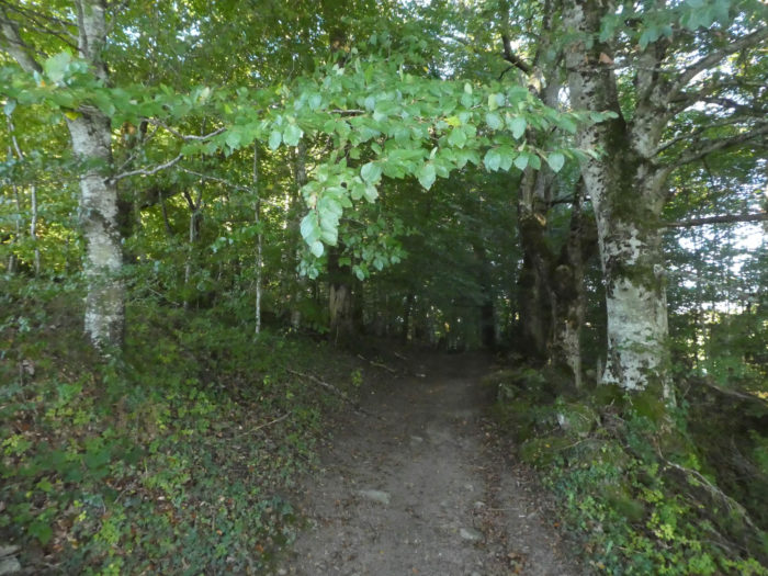
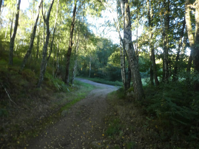
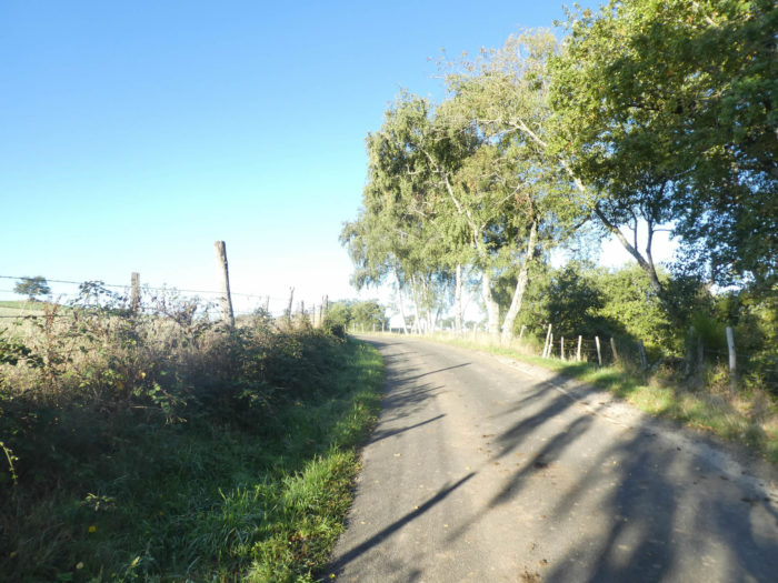
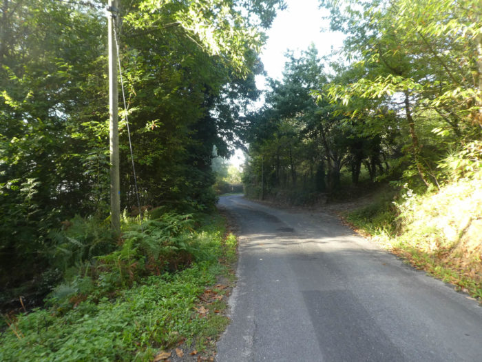
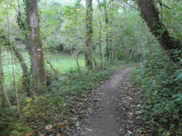
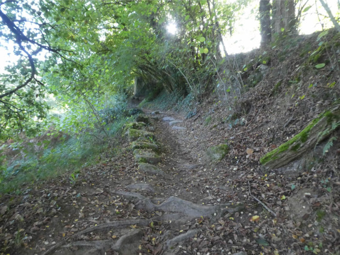
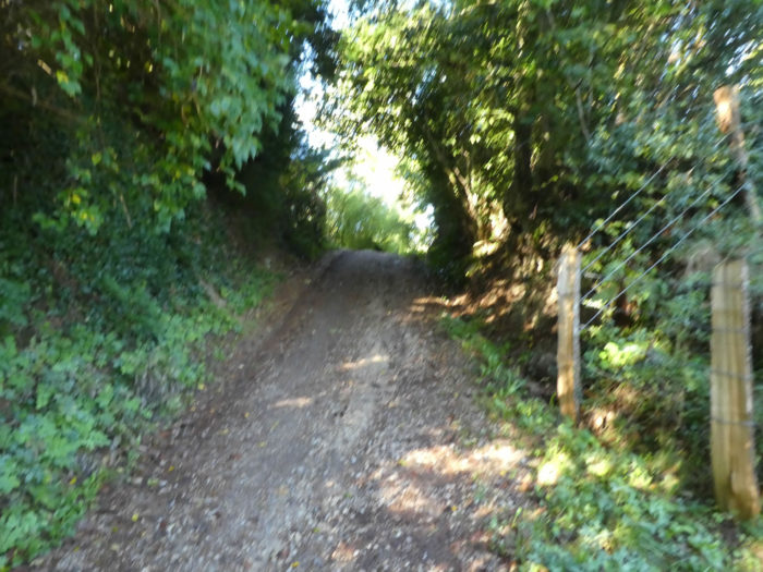
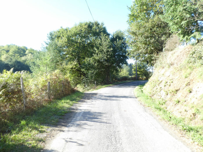
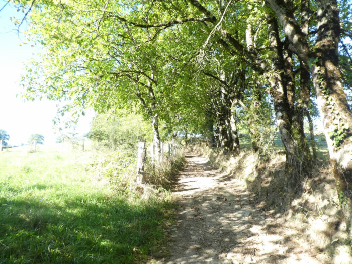
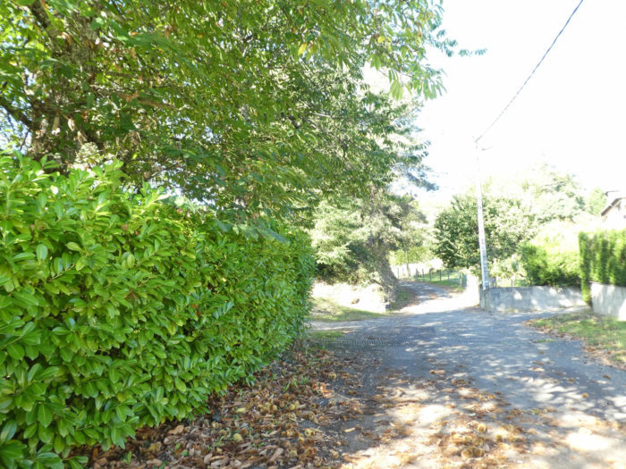
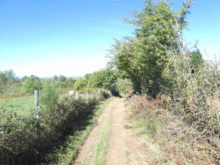
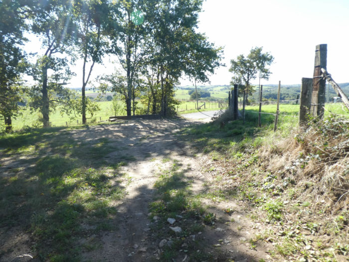
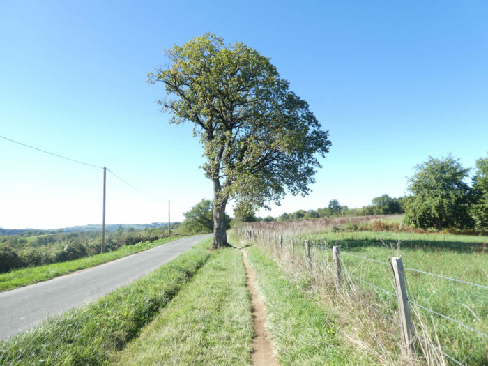
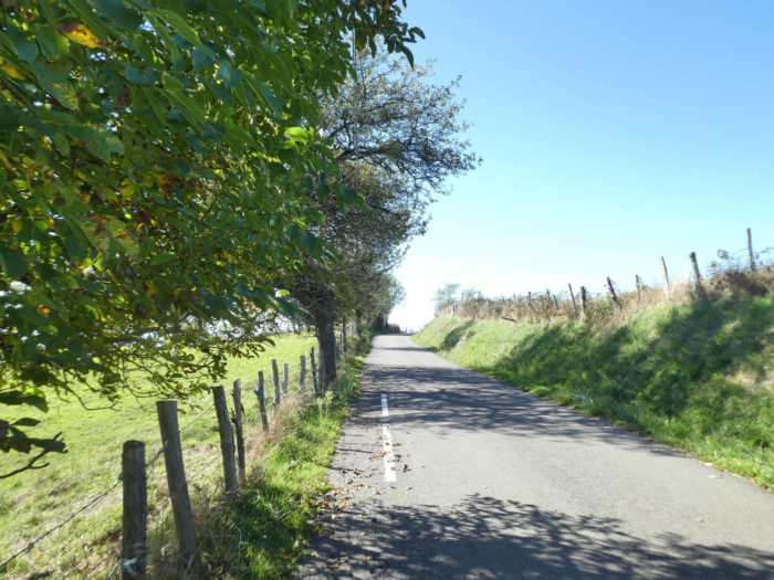
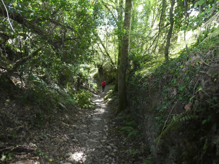
The GR65 runs along a steep slope on a very stony pathway, along the small chalets of the Pôle Bellevue and its donkeys to leave Golinhac. |
|
 |
 |
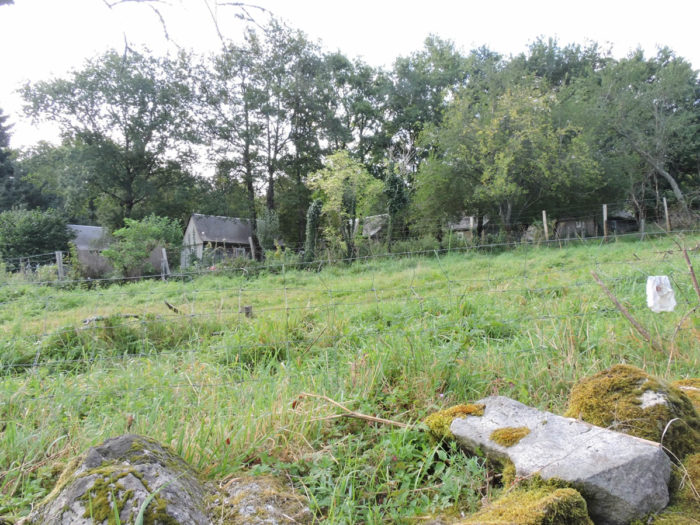
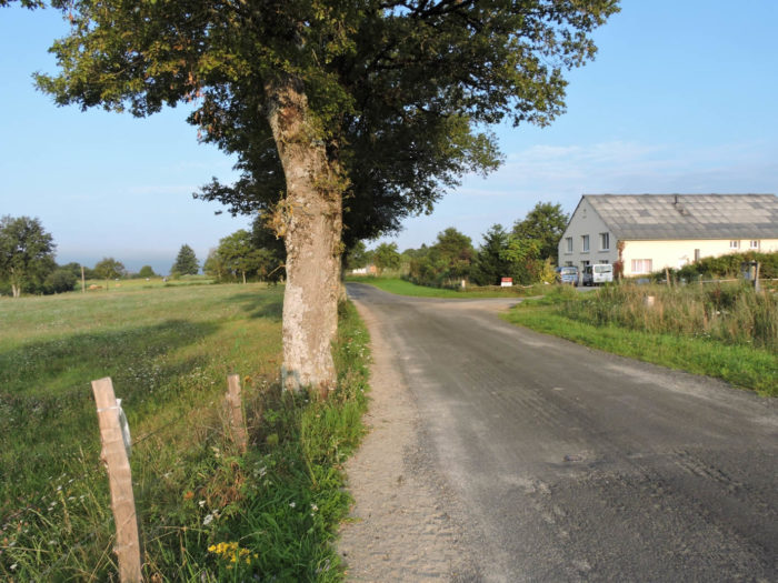
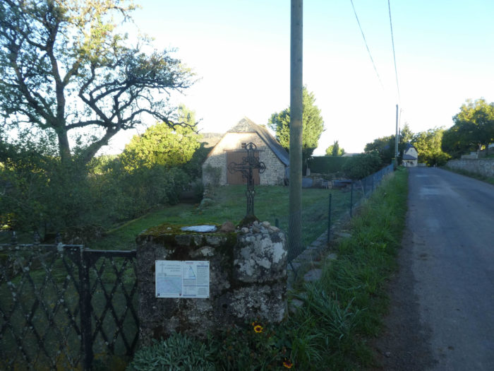
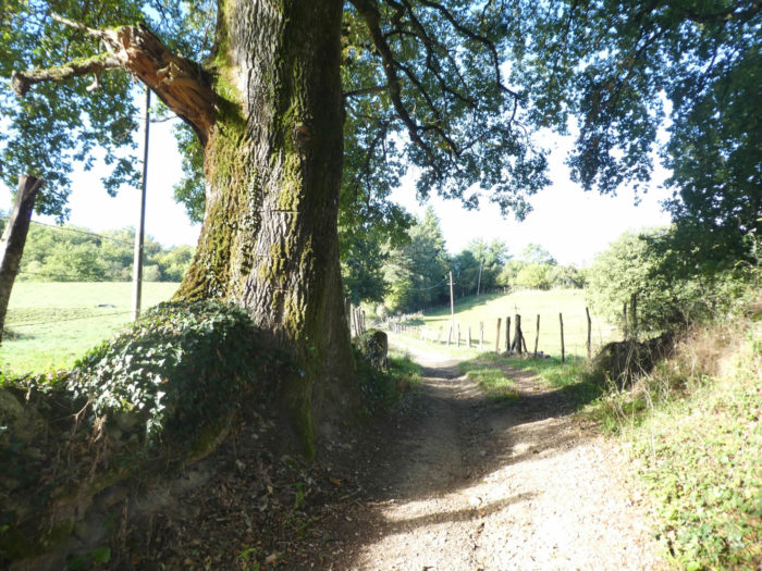
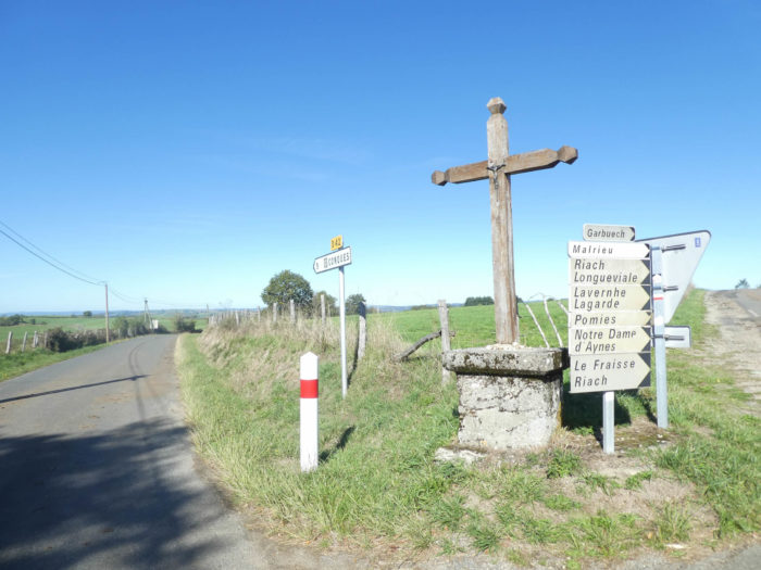
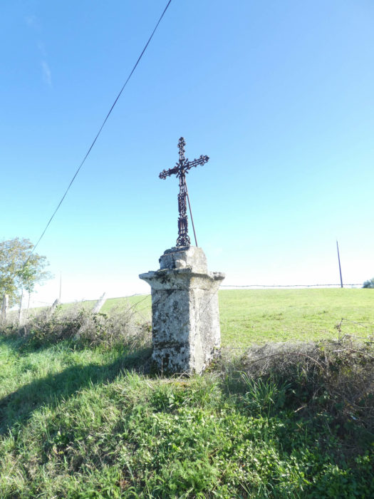
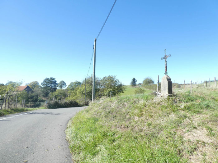
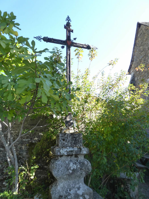
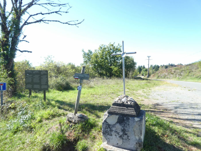
| Then quickly, it flattens on the paved road in the open countryside, under large oak trees, before finding a dirt road near a magnificent stone cross. | |
 |
 |
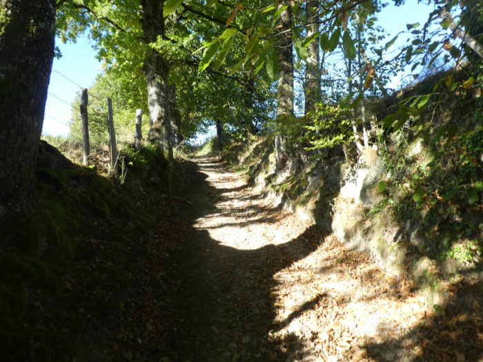
| The pathway then strolls first through meadows, then through a grove of oaks and chestnuts. Huge oak trees, probably several hundred years old, frame the pathway like so many pillars. The only contact with these giants exudes the feeling of fullness. | |
 |
 |
 |
 |
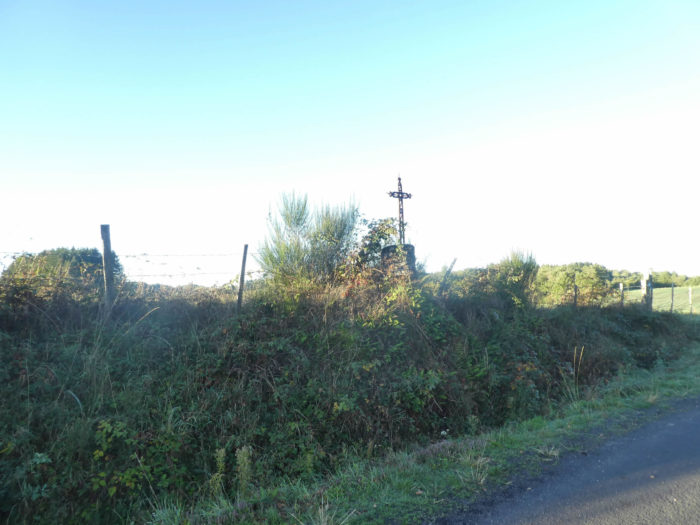
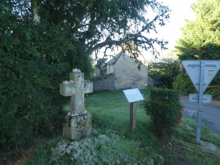
| Beyond the undergrowth, the pathway slopes down to Le Poteau. The route from Estaing to Conques is enameled with crosses. Some have names. This one is called the Ensign. | |
 |
 |
| But quickly, the tar is back. At Le Poteau, when the the GR65 crosses the road leading down to Entraygues, you are still 9 kilometers away to Espeyrac by the road. | |
 |
 |
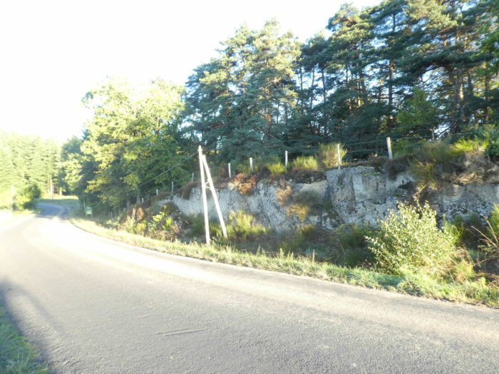
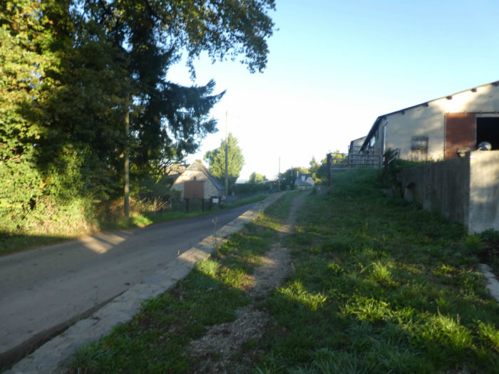
| The GR65 then heads to Albusquiès village on the paved road where granite banks emerge in the broom and pines. | |
 |
 |
 |
 |
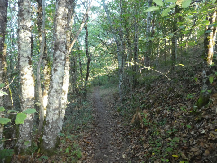
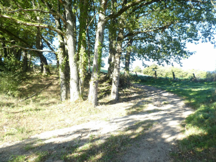
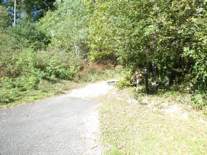
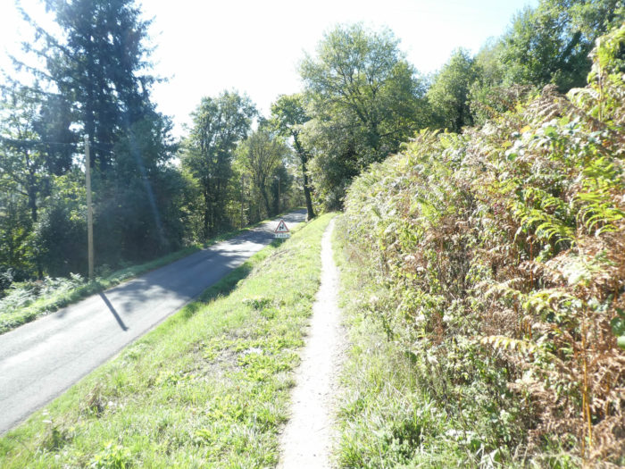
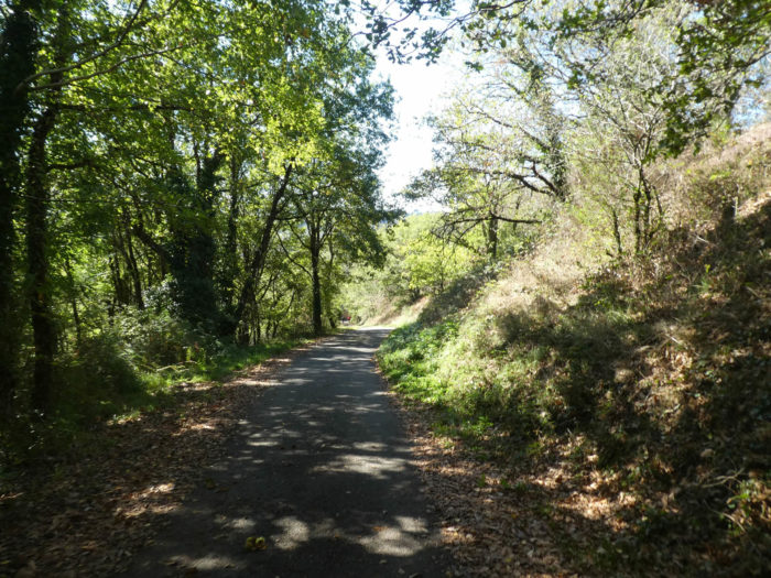
| Today’s stage, though it crosses some very beautiful landscapes, is not lacking in tar, even if the cars are almost invisible on the course. Pity! To the delight of pilgrims, the GR65 also sometimes throws itself into the undergrowth on real trails. Here it will cross a fairly steep slope through spruce wood. | |
 |
 |
| The pathway comes out of the woods quickly enough to smoothen along the hedges under the large oaks and chestnut trees. | |
 |
 |
| It soon gently slopes down towards the peaceful Albusquiès village. | |
 |
 |
| Two more beautiful crosses, one in metal, the other in stone, in a village where granite meets sandstone. | |
 |
 |
| A small road then descends under the village in the middle of oaks and white poplars. | |
 |
 |
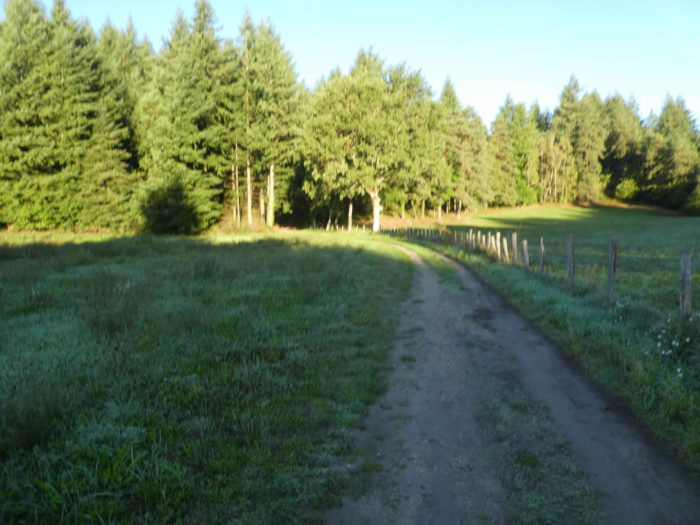
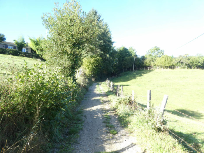
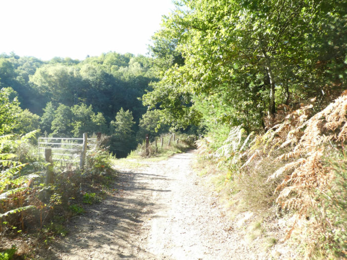
| Further down, the stony dirt replaces the tar and the path descends steadily, then softer, into the meadows, along the hedges. Crops are quite rare in the region and the peasants live mainly on livestock. In these funnels of emerald greenery, you especially see oak trees flourishing. But you will also see birch, chestnut, beech and hornbeam shoots there. | |
 |
 |
| Further on, the pathway climbs a little in a dark beech grove. | |
 |
 |
| After crossing a derisory tributary of Daze River, the pathway finds meadows and leafy hedges. In rainy weather, the pathways here are sometimes real fields of mud. | |
 |
 |
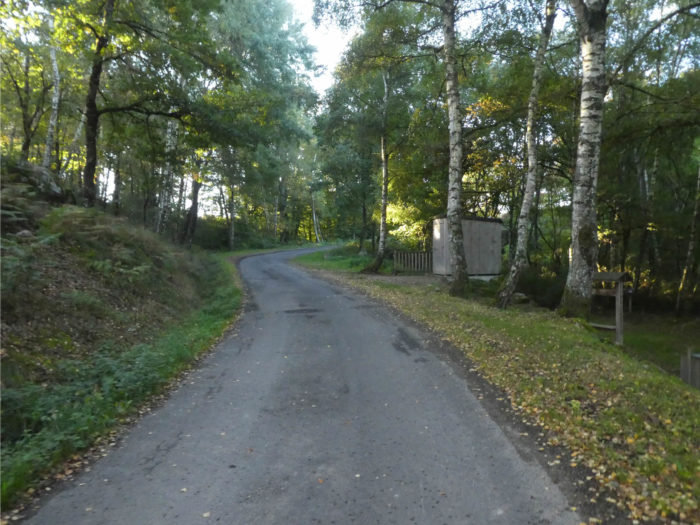
| But the dirt road does not last. Shortly after, the GR65 returns to the asphalt road and again plunges into a wood dominated by birch and beech trees. | |
 |
 |
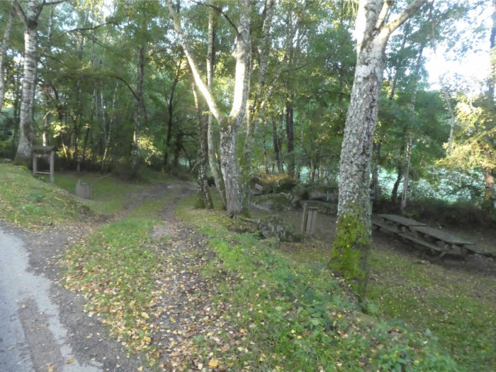
| In the woods, near the granite blocks covered with moss, you’ll find a picnic place and a dry toilet. | |
 |
 |
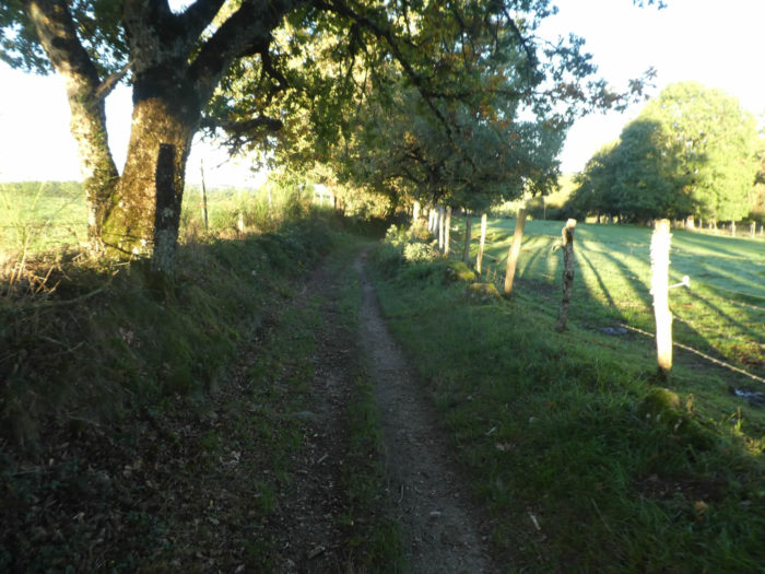
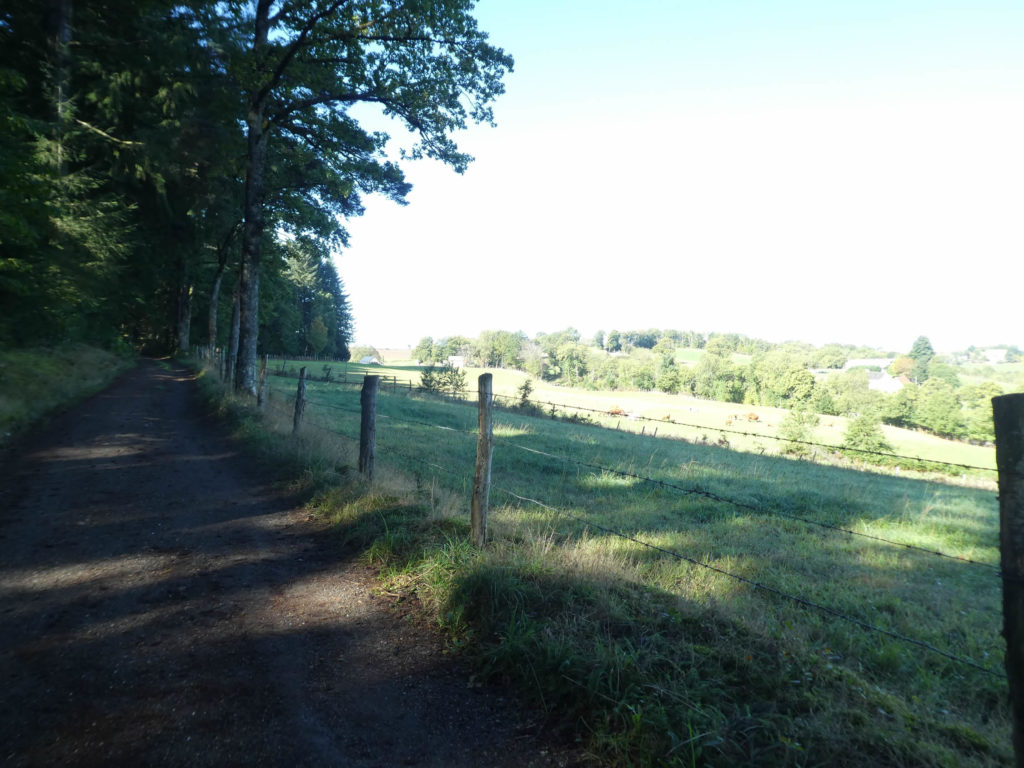
| Further afield, the road then emerges from the forest into the pastures, for a climb to the top of the ridge. The unpleasant thing about this long stage is the long moments spent on the paved road, when you take the GR65. If you had followed GR6 from Estaing the day before, you would have encountered significantly more forest pathways. | |
 |
 |
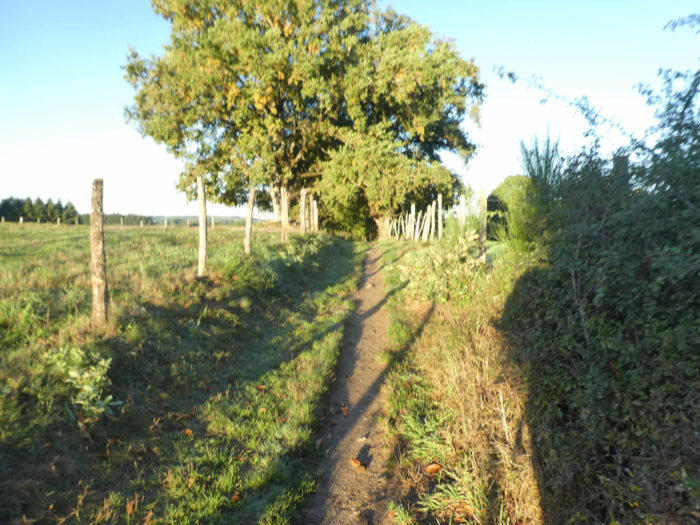
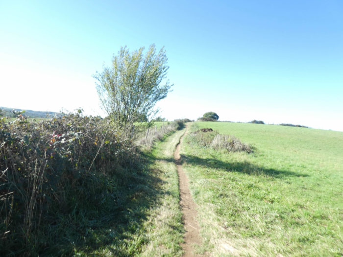
| Now the country opens up. The track is steadily sloping, sometimes nearly 15% incline, along rose hedges, with here and there a solitary oak tree. | |
 |
 |
Section 2: A long descent to Espeyrac.
General overview of the difficulties of the route: often on a steep slope on the tar, with slight flat passages.
|
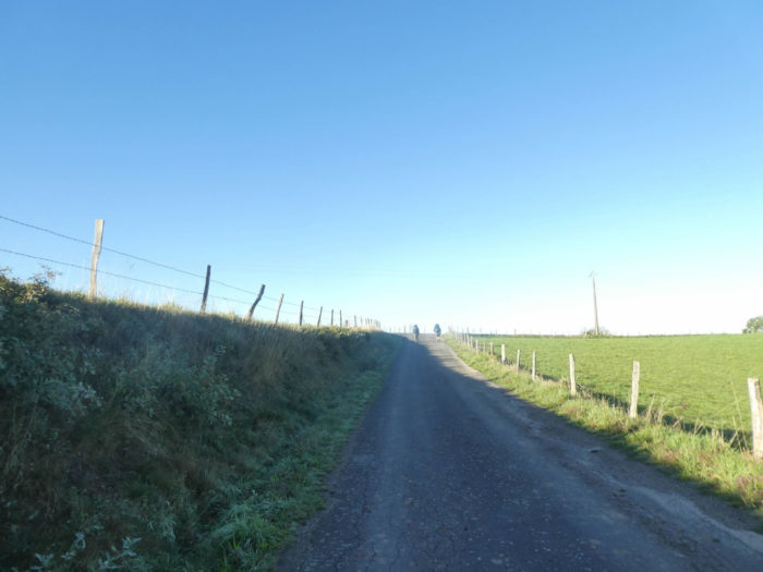
The road will probably seem long to reach the top of the ridge. It’s a bit like on the upward roads, where the trucks pile up. The pilgrims often line up in single file. Because if the pilgrims often walk at similar speeds on the flat, this changes when the route goes up or down. |
|
 |
 |
 |
 |
|
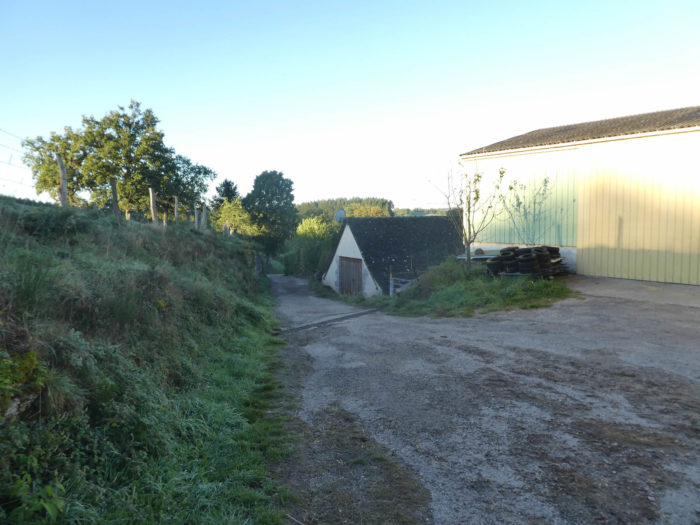
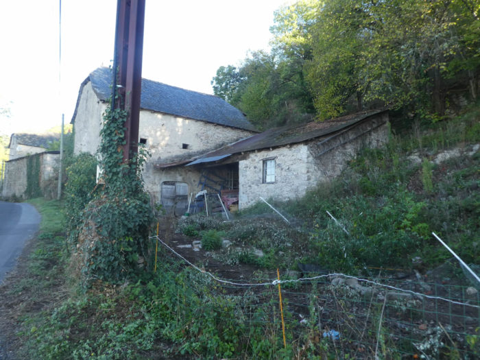
At the top of the climb, perhaps you meet buffaloes taking the cool in a gigantic countryside of more than 50 hectares. There are more than 50 buffalo mothers. You are near Bessoles. You may find accommodation, about 1 km further down, in the farm. This is where GR65 and GR6 tracks meet. |
|
 |
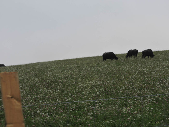 |
|
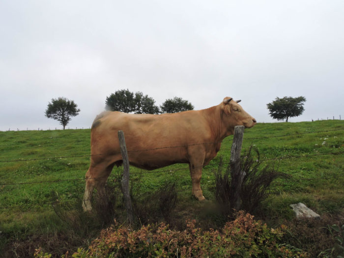
It’s not just buffaloes here. This bull, isn’t it better to admire it behind the barbed wire? |
|
 |
 |
|
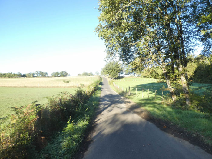
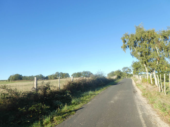
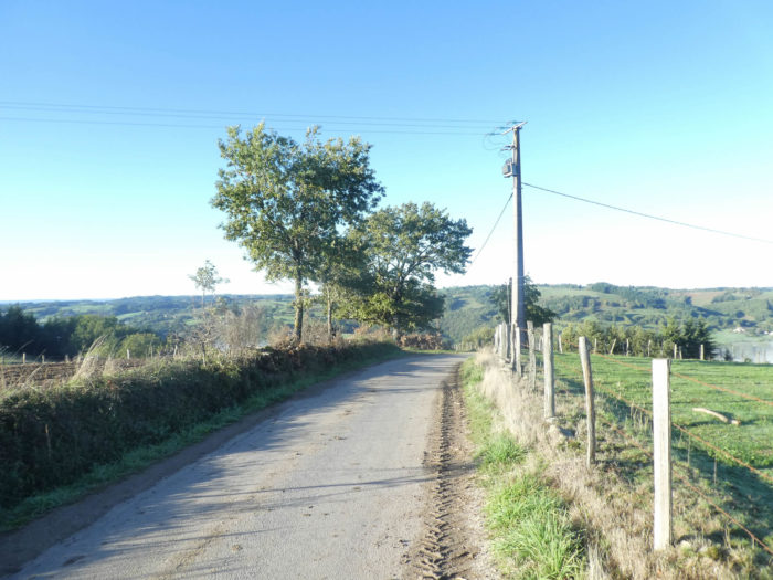
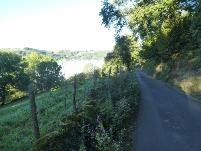
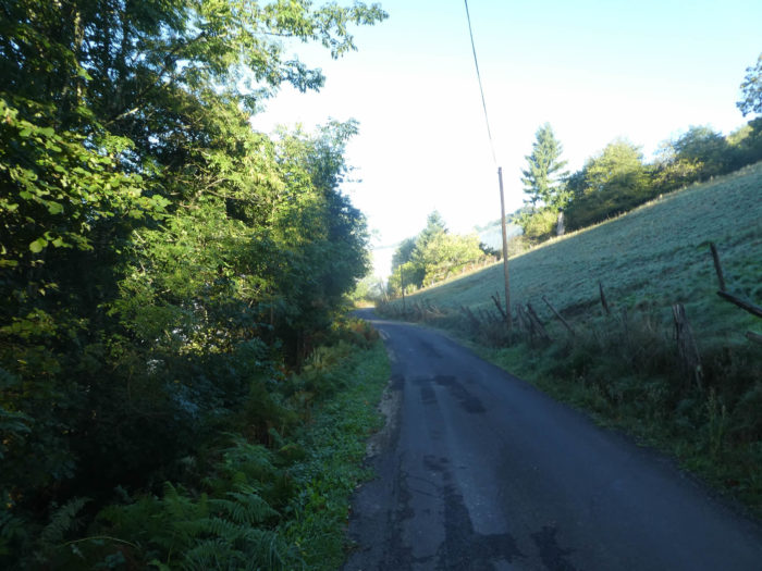
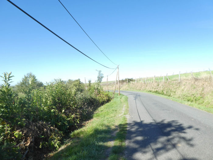
From here a very long descent begins to Espeyrac. Alas, almost exclusively on asphalt. The pilgrim is there to walk, whether he likes it or not, whether or not he finds his content there with little side pathways lovingly drawn in the undergrowth. The pilgrim must obey the way, it is the law. Without cursing, without murmuring blasphemies. The paved road makes a first bend, at almost 15% slope, between the scattered farms of Campagnac. |
|
 |
 |
|
The road will make a big S between meadows and undergrowth. In addition to oaks, chestnuts and beeches, you see tall ash trees. In these countries with cows, the peasants always planted ash trees, the fruits of which in the past provided a surplus of food for the cattle. |
|
 |
 |
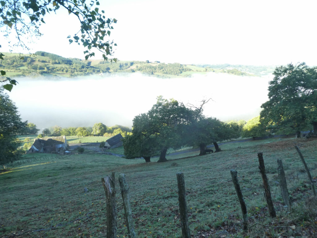
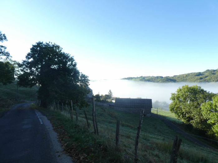
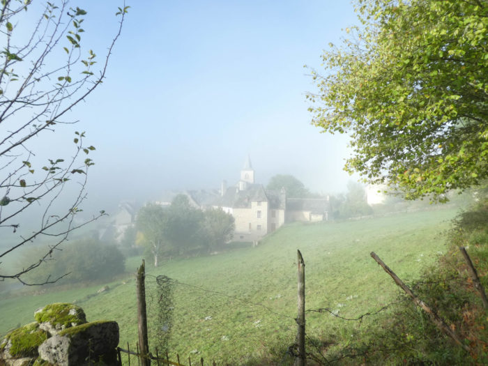
On this beautiful early autumn day, the fog rises from the bottom of the valley and the road forms a large arabesque in the meadows below.
|
Now is the time to take a bath in the fog at the lost farms of Orsière. You could imagine yourself in Scotland, in those haunting moments when time seems to stand still and you wait for the sun to dispel the mist, just as ghosts disappear at dawn. |
|
 |
 |
 |
 |
|
A little further down, the road makes a last big loop here and starts again between light and dark. The valley here is very deep and, in places, the sun hardly penetrates in the early morning. |
|
 |
 |
|
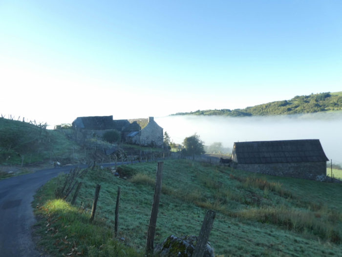
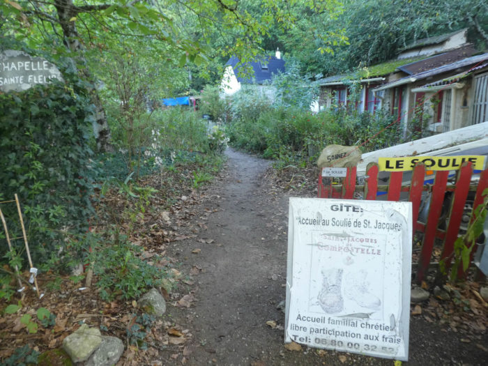
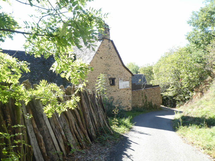
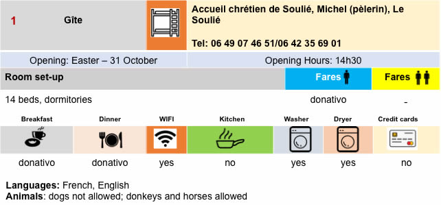
The small road soon arrives at Soulié hamlet, where a Christian welcome filled with charm and serenity allows you to stay and eat. |
|
 |
 |
|
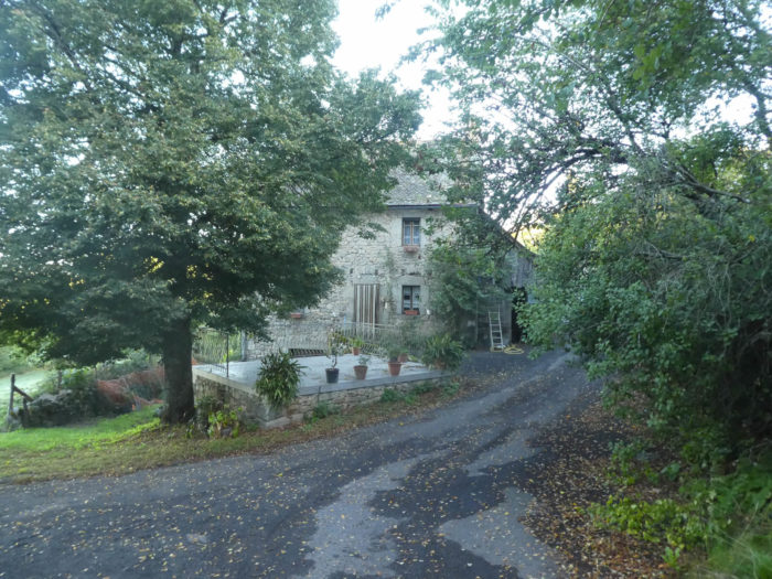
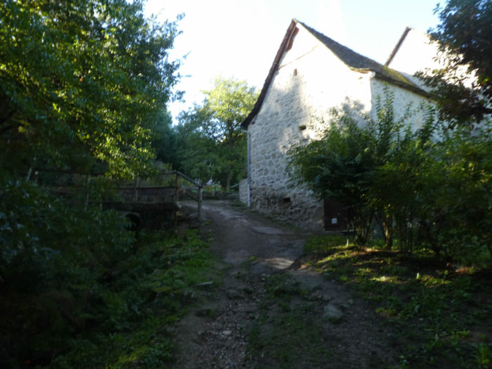
Le Soulié is home to a handful of large stone buildings made to withstand time, under their slate roofs. |
|
 |
 |
 |
 |
|
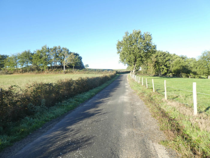
And the road continues sloping downhill. Beyond Le Soulié, the slope becomes less severe for more than a kilometer. On the winding road, each bend takes you a little down into the narrowness of the valley. Everything is exuberant, bushy, an eternity of mosses, of branches lost in the midst of stunted oaks, chestnut trees and beech shoots. |
|
 |
 |
|
In this world of chlorophyll, the road hesitates between light and shadow. Sometimes a few conifers, especially spruces, slip into the middle of the deciduous trees. |
|
 |
 |
|
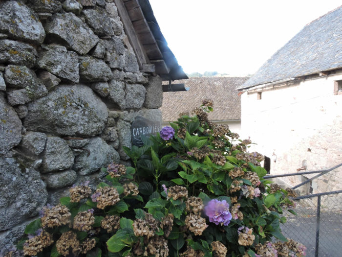
Further down, the road reaches Carboniès hamlet, where the flower pots have taken over. |
|
 |
 |

|
Beyond the hamlet, the GR65 offers pilgrims a pathway that climbs a little through chestnut and beech trees. No pilgrim will find fault. |
|
 |
 |
|
It is a small lane which soon wanders through the brush under the large hardwoods. |
|
 |
 |
|
Shortly after, the lane rejoins the previous road, but it does not stay there very long. In this universe, everything is dark, in a very compact forest. |
|
 |
 |
|
Then the slope is again more sustained in the middle of chestnut trees, oaks and beeches. |
|
 |
 |
|
Further on, the slope becomes even more severe, more than 15% in the lush vegetation, where you can hear a stream gurgling below. |
|
 |
 |
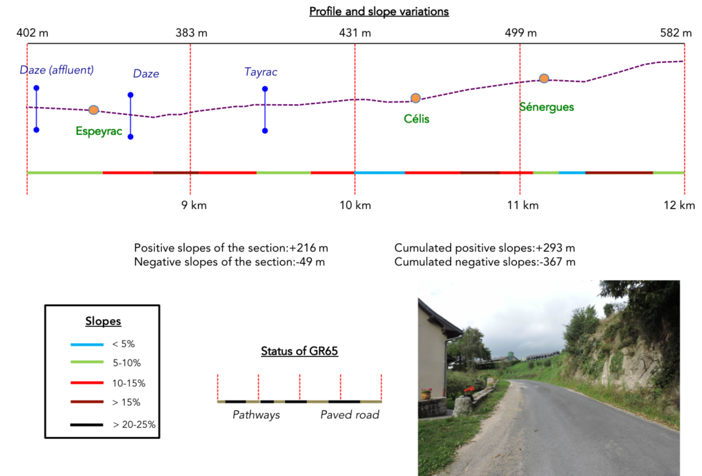
Section 3: GR path climbs again to the high plateau.
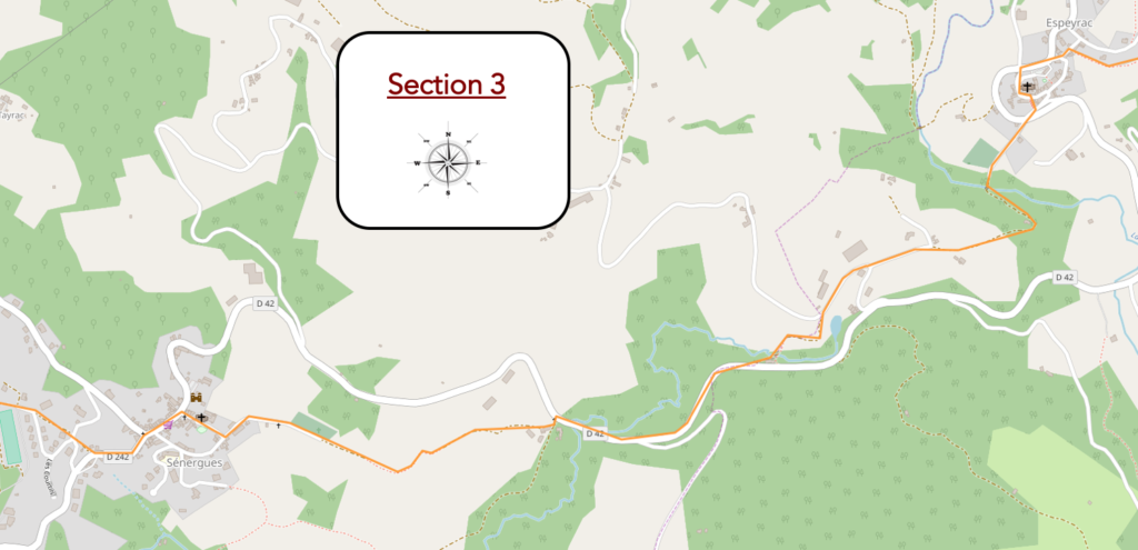
General overview of the difficulties of the route : ups and downs, with more pronounced slopes at the exit of Espeyrac, and especially Sénergues.
|
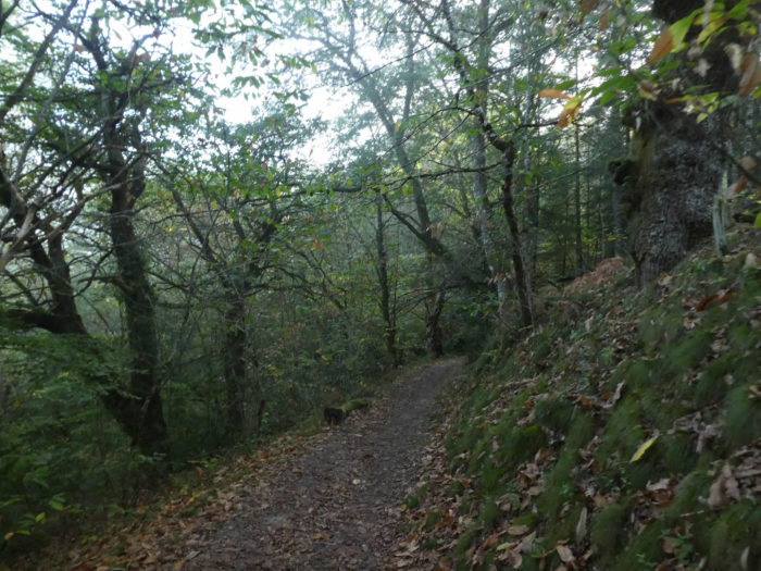
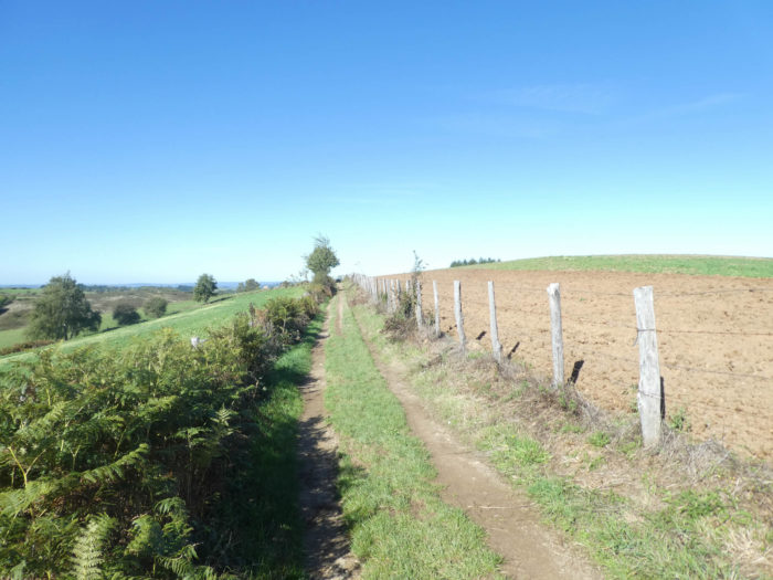
The lane gradually reaches the stream. In these forests the oaks and chestnuts are on the whole small in size, tightly packed on top of each other. It is only when approaching clearings that these trees grow to bulky sizes and then compete with the ash trees that are usually only seen at the edge of the border. Remember that the forest is a social organism and that the trees are constantly passing messages to each other for an optimal organization of their life. The forest is never lawless, as some believe. |
|
 |
 |
 |
 |
|
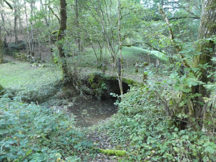
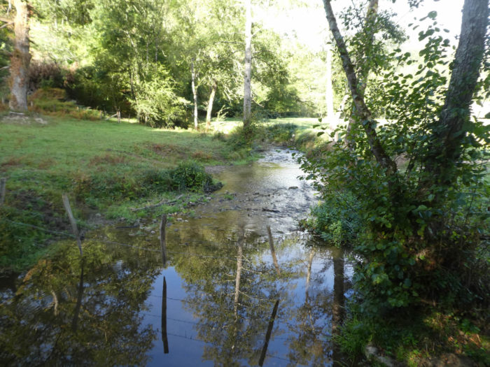
At the bottom of the dale, where moss and lichen are embedded everywhere in the damp ferns, flows peacefully a tributary of the Daze River. |
|
 |
 |
|
A small narrow lane slopes up beyond the stream to the hill above Espeyrac. |
|
 |
 |
|
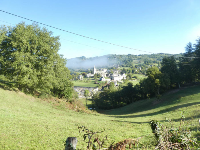
The pathway then quickly ends up at the entrance to the village, which today appears like a ghost in the mist. |
|
 |
 |
|
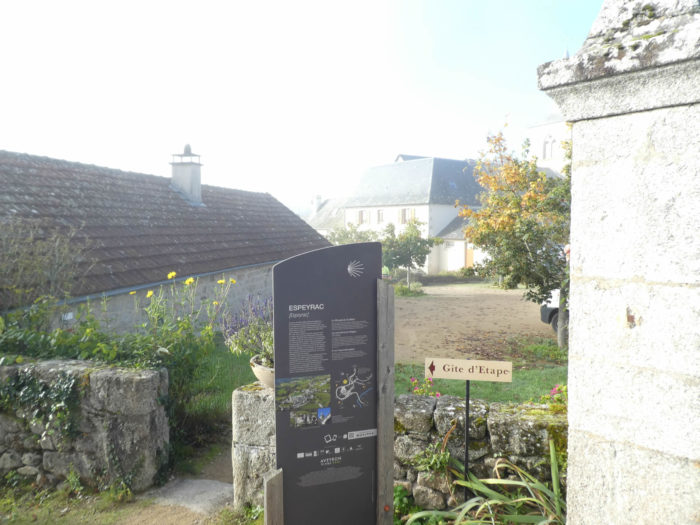
The GR65 then slopes down to the church square where the communal gîte is located. In the cool church, you might come across a lady from the village with a big key. She’s the one who closes the church at night. Here, it’s a mass, every 3 months. |
|
 |
 |
|
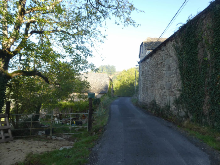
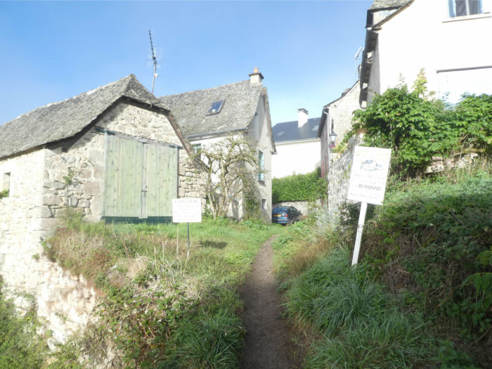
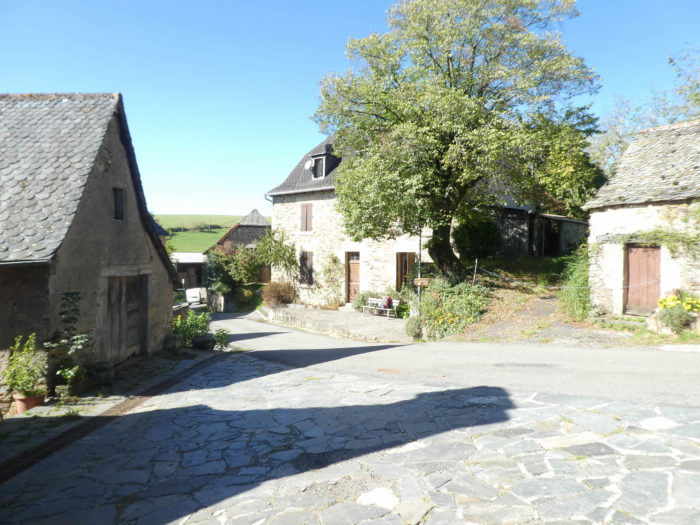
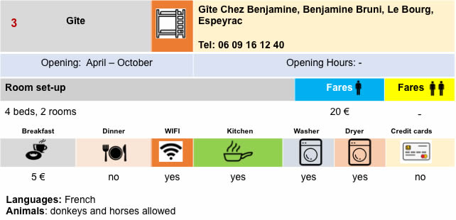
In Espeyrac (240 inhabitants), there is the grocery store and the hotel restaurant. There is no bakery, which says it all for France. The bread deposit is at the grocery store. But all pilgrims find with pleasure these rare places on the way where we can find something to eat. The alleys are very pleasant, from which emerges the granite. |
|
 |
 |
|
On leaving Espeyrac, a small road descends to the bottom of the village to cross the Daze, the small river which flows in the dale. |
|
 |
 |
|
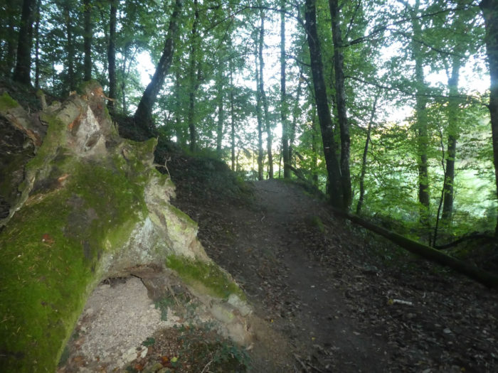
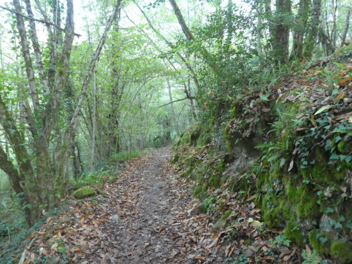
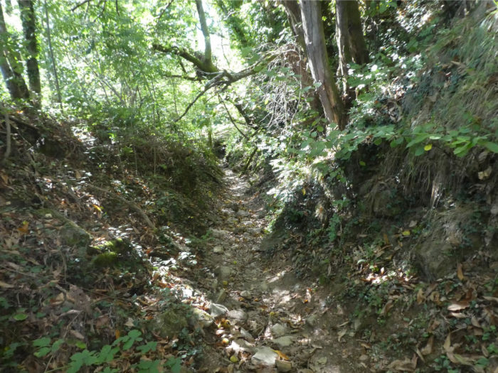
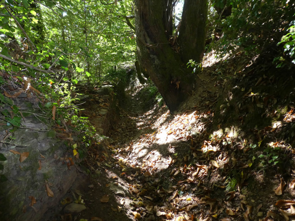
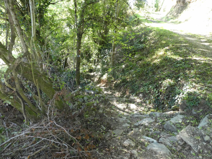
Immediately after crossing the peaceful river, a pathway rich in roots and large stones climbs steeply on the other side of the valley. |
|
 |
 |
For your pleasure…
Wait for the video to load.
|
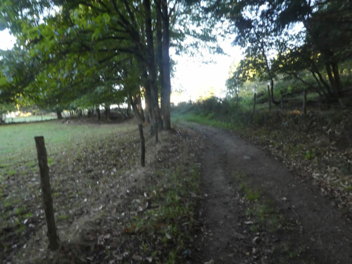
Hardwood trees dominate the landscape, especially oaks, chestnuts and small beeches. |
|
 |
 |
|
Below, Espeyrac, uniform in his gray clothes, gradually disappears behind the foliage. Now the fog has cleared. |
|
 |
 |
|
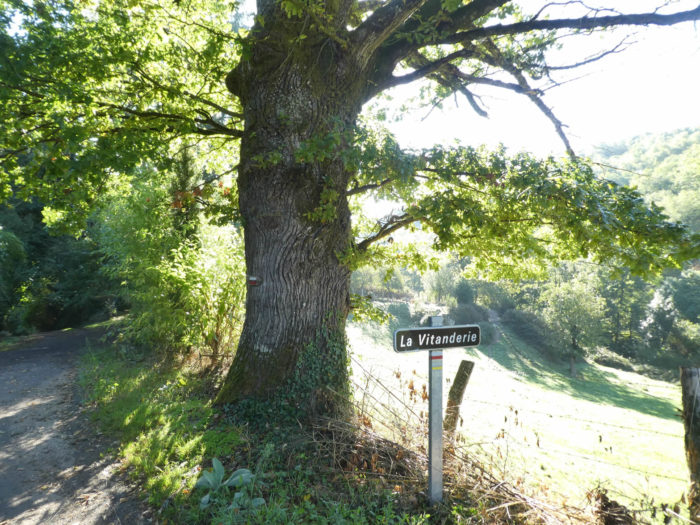
The slope is still as marked, between 15% and 20%, when the pathway arrives under the large oaks near La Vitanderie hamlet. |
|
 |
 |
|
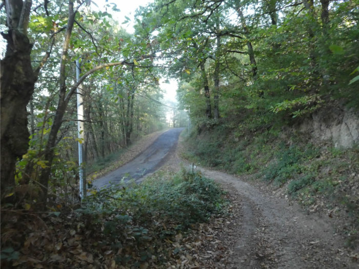
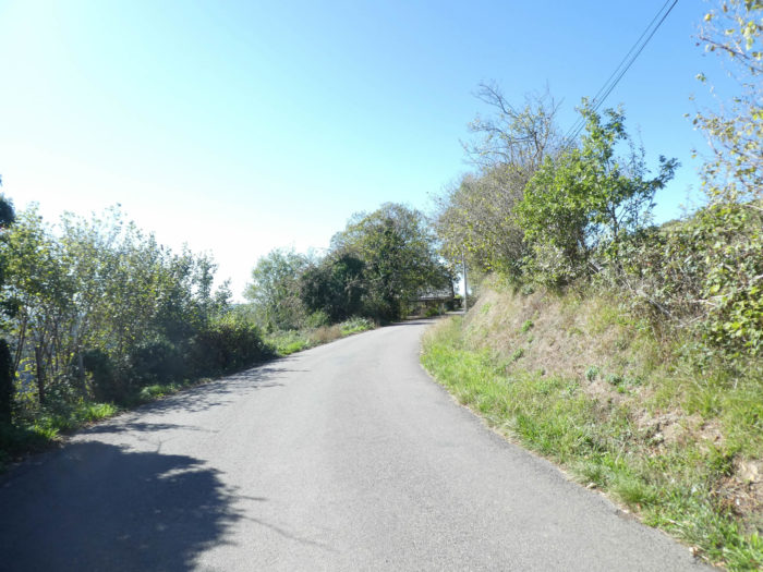
Further up, the GR65 leaves the dirt for a small road which climbs towards the few scattered houses of the hamlet. Soon, you can see D42 road on your left, the small departmental road that goes to Conques. |
|
 |
 |
|
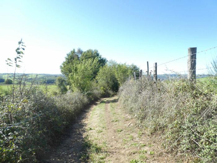
Shortly after, the GR65 leaves the tar for a pathway that nods along the oak undergrowth until you find the Tayrac stream. |
|
 |
 |
 |
 |
|
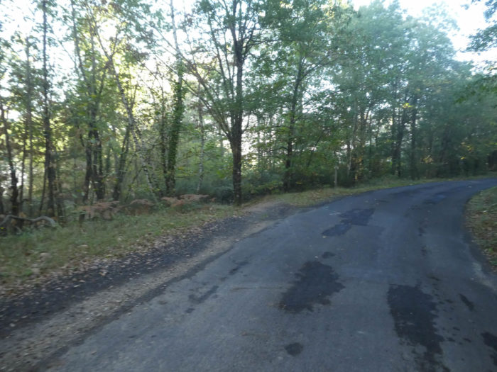
After crossing the stream, it joins D42 road. |
|
 |
 |
|
It is then a climb of almost a kilometer on the road. For the comfort of pilgrims, a strip of dirt has been created. |
|
 |
 |
|
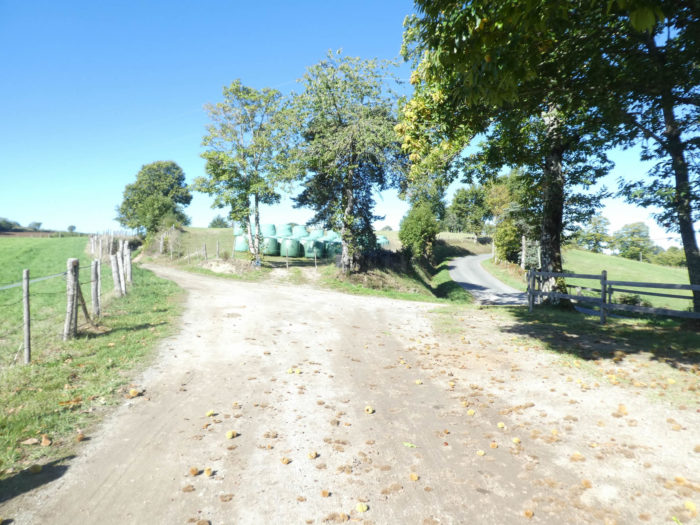
The GR65 follows the road until it reaches Célis hamlet. |
|
 |
 |
|
This is where a demanding climb of nearly a kilometer begins to Sénergues, among the hardwoods. The racy and elegant beeches and oaks soar, straight and beautiful towards the sky. The chestnut trees take up whatever space they can, weaving their way into the space vacated by their giant neighbors. |
|
 |
 |
 |
 |
|
There are passages with almost 20% slope and on the top, the slope decreases. |
|
 |
 |
|
The deliverance, for many pilgrims, will undoubtedly be when the pathway reaches the road near Sénergues cemetery. Doesn’t a cemetery invite you to rest, right? |
|
 |
 |
|
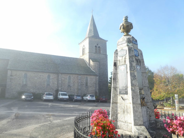
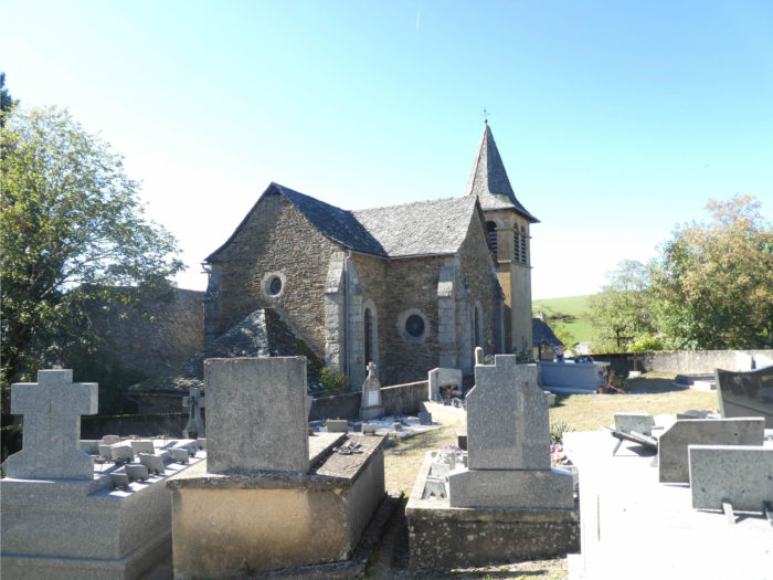
At first glance, Sénergues is distinguished by its tower and the church steeple. There are no less than a dozen remains of fortifications in the region. The square tower dates from the Hundred Years War, erected to defend against the “English”, against mercenaries and highwaymen, in fact. |
|
 |
 |
|
The current church, bright, with beautiful modern stained-glass windows, dates from the 16th century. It is dedicated to the cult of St Martin. |
|
 |
 |
|
On its rocky outcrop, Sénergues, with its 500 inhabitants, is one of those peaceful villages, with massive houses articulated around the church square. If the stone blocks are still present in the houses, the structure is more cemented. |
|
 |
 |
|
The GR65 then crosses a village where you can find accommodation and food. |
|
 |
|
|
Further ahead, the GR65 leaves the road and climbs, zigzagging on small pathways on the heights of Sénérgues. The slope is steep, often around 20%. |
|
 |
 |
|
The pathway crosses the hill, in the middle of the houses at the top of the village to reach a lodge fitted out for pilgrims. This kind of refuge, we find it from time to time on the route. Very useful, they have toilets and sometimes water. Others are just dry toilets. But these lodgings also sometimes serve as a refuge for penniless pilgrims to spend the night there. |
|
 |
 |
|
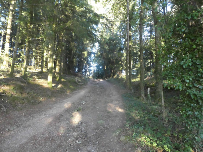
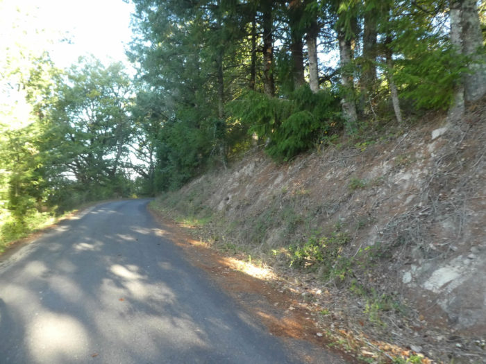
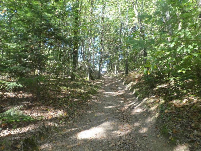
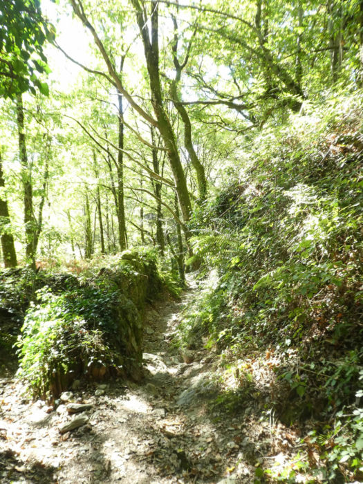
Beyond the refuge, the dirt road resumes its rights and continues to climb steeply in the forest. You can still see beautiful chestnut trees, sumptuous beeches and large oaks. But you also see the emergence of conifers. |
|
 |
 |
 |
 |
|
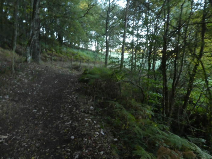
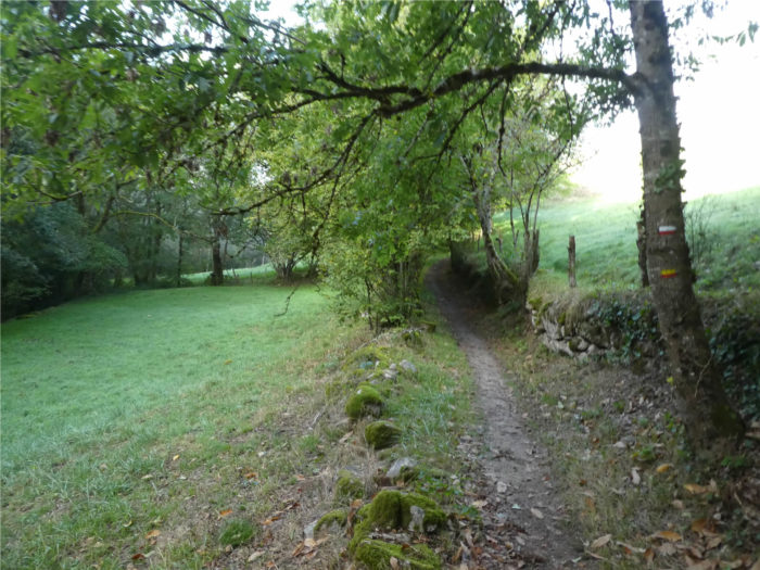
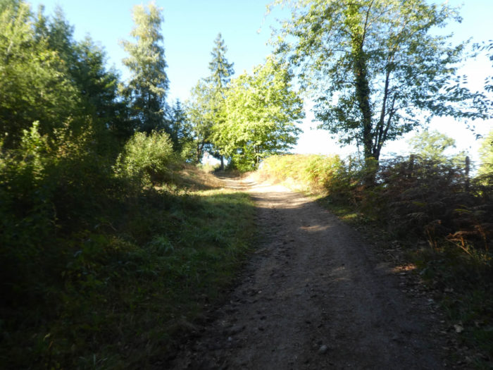
Soon the slope eases markedly when the pathway reaches the high plateau, at the edge of the woods along the rosehip hedges. |
|
 |
 |
Section 4: Over hills and dales on the high plateau.
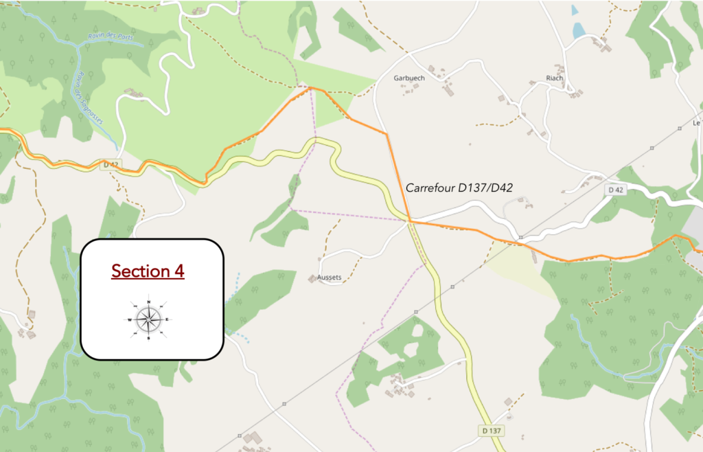
General overview of the difficulties of the route: course without any difficulty.
|
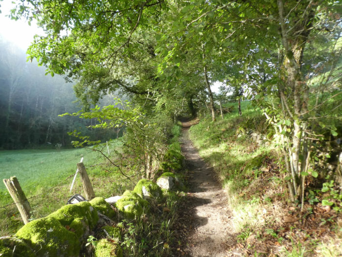
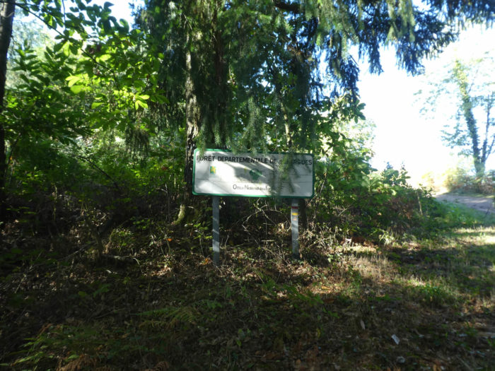
Here the climb is completed and the GR65 will nod on the dirt road at the edge of the Sénergues national forest, along the barbed wire, which suggests a certain presence of animals, even if at this time of year, the cattle is not present in number, not to say absent. Moreover, farms are not legion in the region. |
|
 |
 |
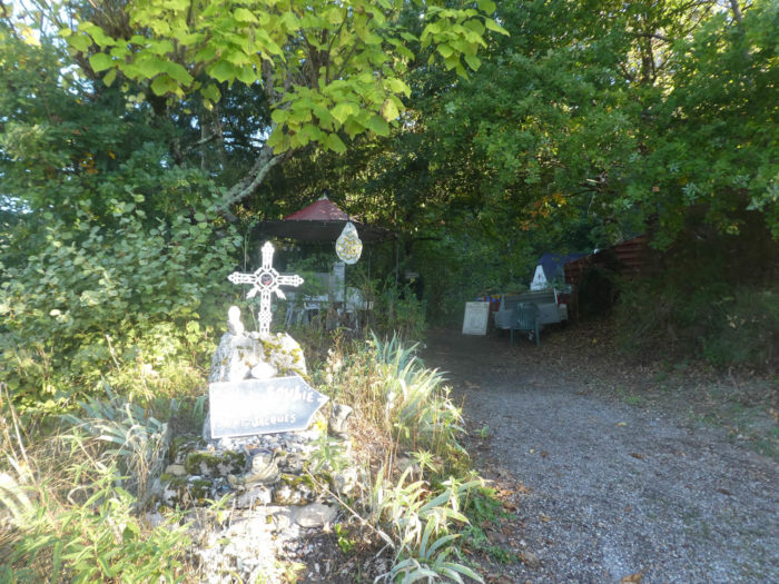
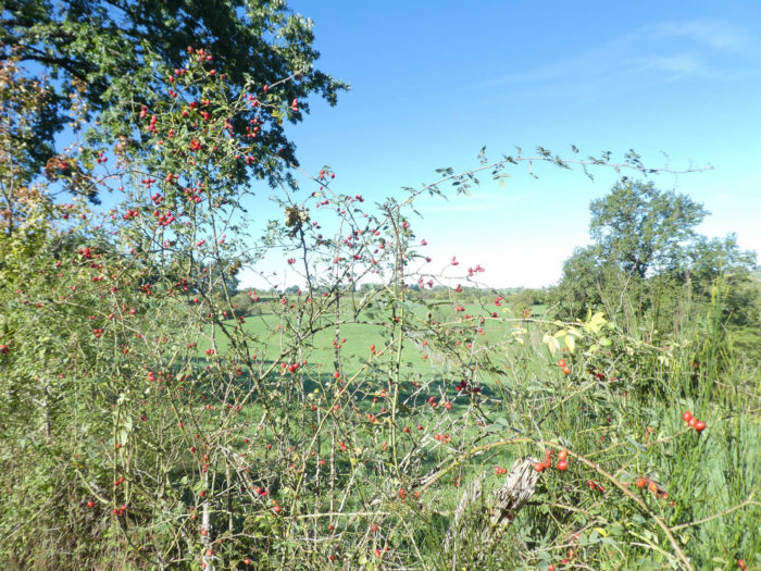
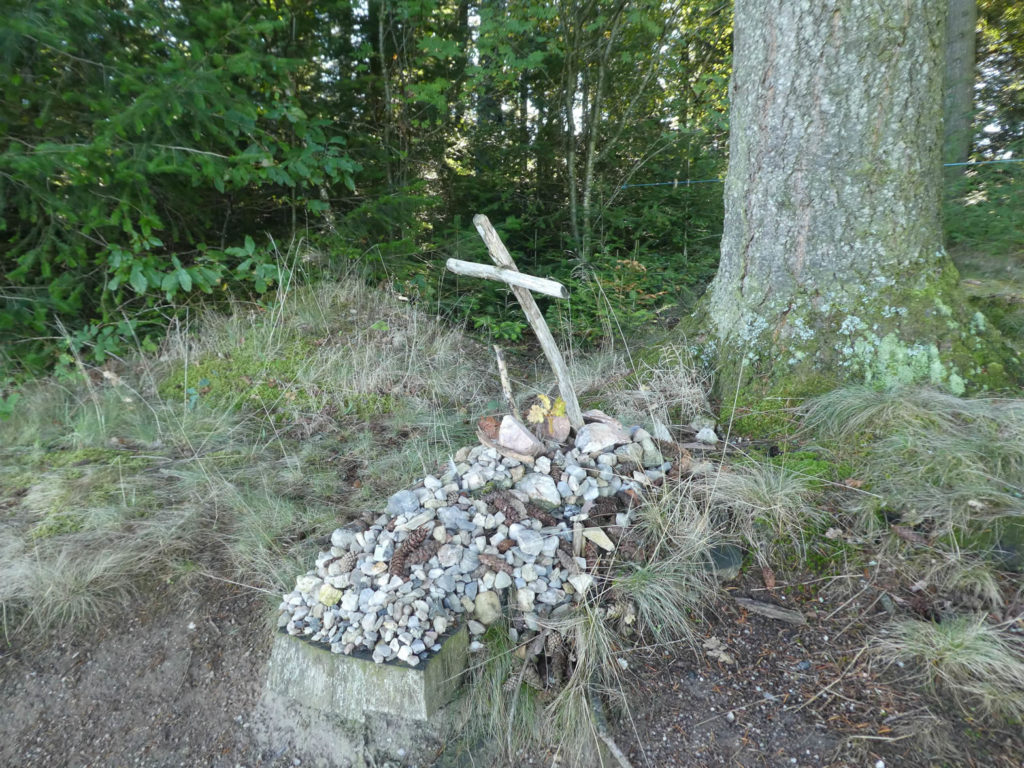
| Some crosses on the way are more rudimentary, but heavy with symbols. The Santiago track is also the track of small pebbles at the foot of crosses and statues. This thousand-year-old tradition, which is also found among Muslims who go to Mecca, symbolizes the fact that all together, pilgrims have the possibility of moving mountains. But the symbol is undoubtedly the effort and the sacrifices that the pilgrim is ready to make. So, he loads small pebbles at Le Puy and places them on the course, like so many beads of prayer beads. Magic is also sometimes part of the speech. The stones vibrate and the crosses are placed in areas with strong vibratory power. From then on, when the pilgrim places his stone charged with prayers, he enters into communion with the thousands of pilgrims who have also placed their little stones at the foot of the cross. And the prayer he recorded in his stone will vibrate with the universe.
|
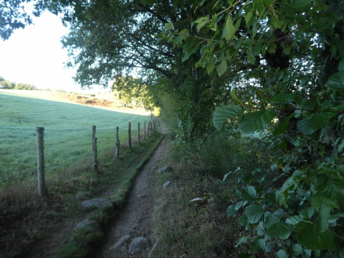
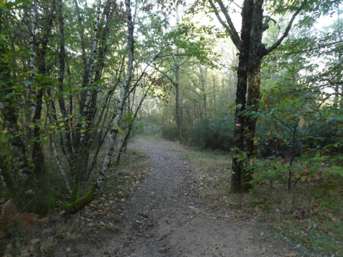
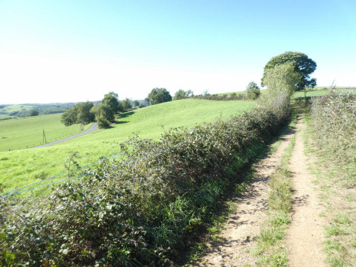
| The beautiful dirt road then crosses a large plateau, in the middle of meadows. In the middle of the deciduous trees of the region, magnificent Douglas-fir trees have been planted, which rise to the sky.
|
|
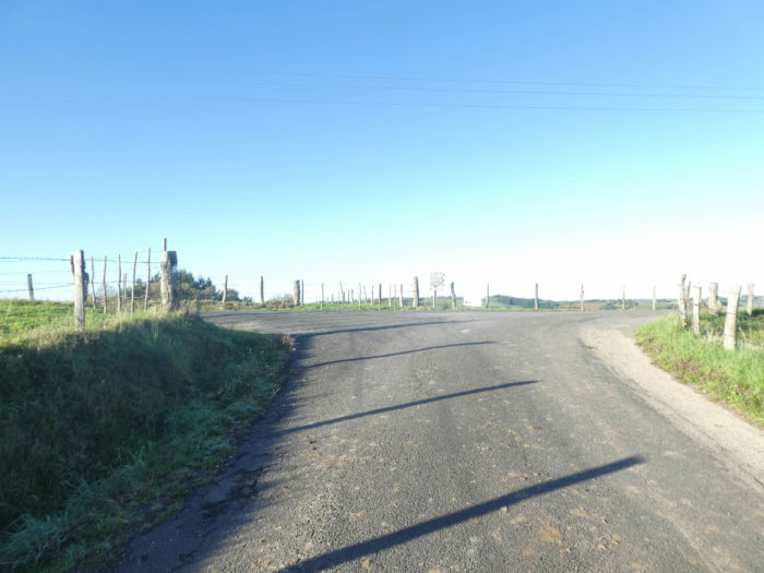
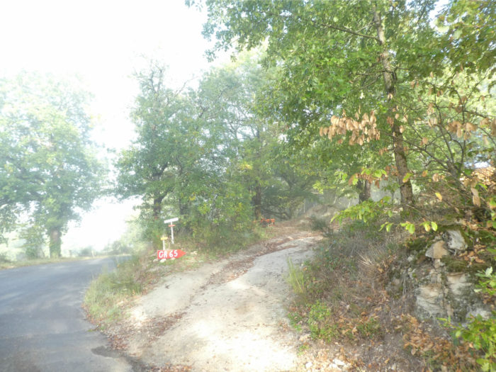
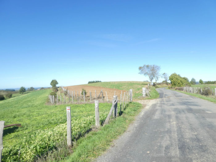
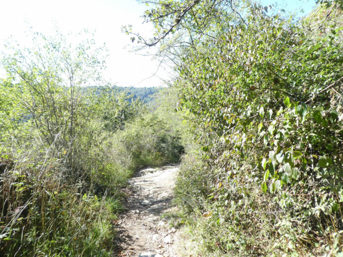
Further on, the pathway leaves the edge of the woods and arrives at a first crossroads. Here it does not reach the paved road, but the wide dirt road gives way to a narrower pathway, sometimes grassy, sometimes stonier. But the surrounding landscape does not vary. Grasslands follow on from other grasslands. Cultivated fields are rarer in the region, but there are some. You can’t tell at this time of year what is grown here. |
|
 |
 |
|
The pathway then crosses the countryside, with here and there a stunted oak … |
|
 |
 |
|
… until you reach the road that heads to Conques. |
|
 |
 |
|
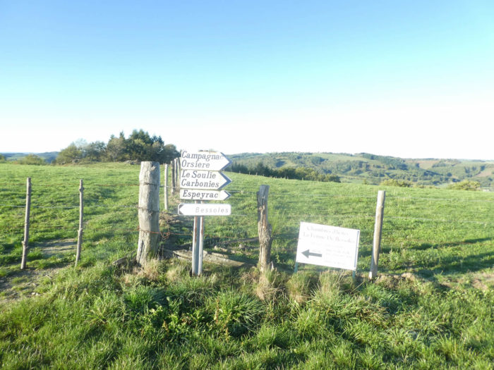
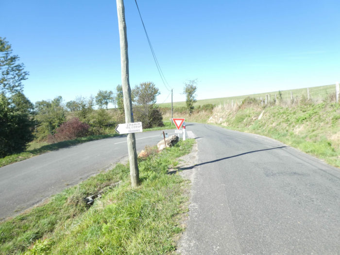
Here it is a crossroads, where the roads are far more numerous than the pilgrims. You must not make a mistake and take the right one. In case of doubt, when the GR signage is not obvious, walk a few tens or hundreds of meters and watch for any signage marks. If there is not, you have presumably taken the wrong route. So, it is imperative to turn back and attempt a new direction. At the risk of getting lost! We cannot say it enough, the Camino de Santiago is crazy about change, especially when it comes to road infrastructure. No, here he does not follow the small departmental. Instead, it takes another small local road. The route will join the so-called departmental road a little further on. |
|
 |
 |
|
Not a living soul around. The country is completely depopulated. Only a few cows watch you go by. |
|
 |
 |
|
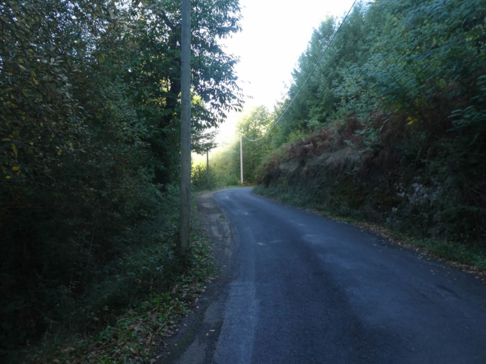
Shortly after, the GR65 leaves the paved road for a wide dirt and grass track which returns for a long time towards the departmental road. |
|
 |
 |
|
Further on, it leaves the open countryside to descend a little into a more humid and wooded area. But this is not the bush. |
|
 |
 |
|
Yet, it comes out quickly to cross a region made of meadows and steppe, in the middle of broom and ferns. |
|
 |
 |
|
Soon you’ll see the road to Conques again below the track. |
|
 |
 |
|
Then the dirt road returns to D42 road, which it will follow for kilometers. You quickly understand, when walking on the Santiago track, that many sections no longer have anything in common with the paths of the Middle Ages. Modern man has been there, paved here and there, created new local roads for tractors or cattle to transit. It is often on these that the pilgrim progresses. So here, the local dirt road does not go further and the tractors return to their starting point on the tar. You too! |
|
 |
 |
|
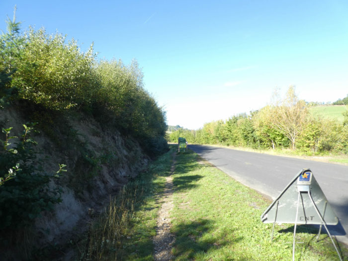
So, all you have to do is drop one step after another on the tar or on the strip of ground and grass. The pilgrims are divided on the subject. Each according to his tastes! It’s not that traffic is rampant on this axis. Tourists who visit Conques rarely pass on this axis. |
|
 |
 |
|
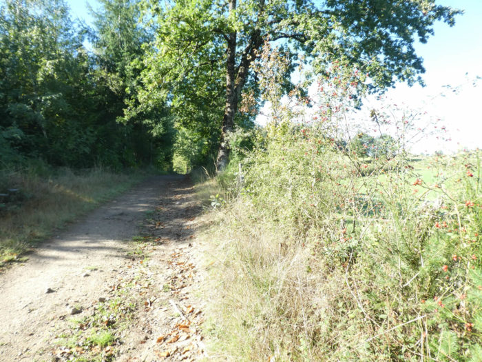
As the walker does not need to pay close attention to the stones on the track, his gaze can then focus on the crosses along the road on the magnificent trees growing here. The road soon crosses the place called Croix de Souquayrie. There was here in the Middle Ages a leper colony, a hospital and a chapel dedicated to St Roch. Not a single stone remains of this high place of pilgrimage. |
|
 |
 |
|
And the road goes by again, long, relentless. Even the beautiful Aubrac cows seem to pity you. |
|
 |
 |
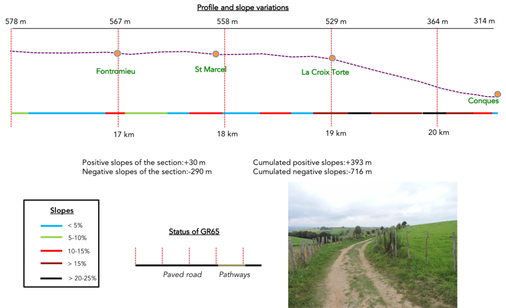
Section 5: A few more jumps before the tough descent to Conques.
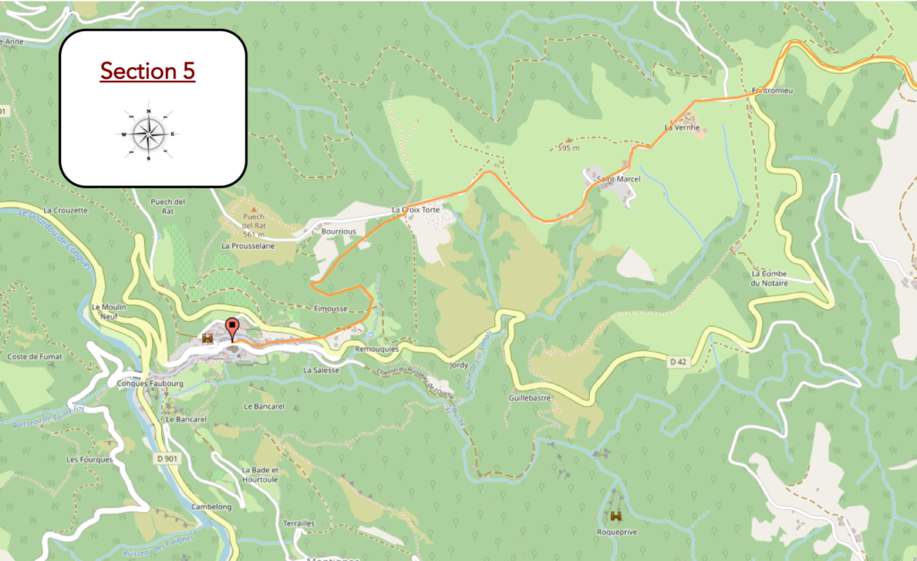
General overview of the difficulties of the route: Conques must be earned, right? Look at the profile and slope variations.
|
Further down, a dirt and small lane has been created, a stone’s throw from the road. Whether you like it or not, this trick in no way suppresses the feeling that you are actually traveling on the road. |
|
 |
 |
 |
 |
|
The track soon arrives at the place called Fontromieu, where the GR65 finally leaves D42 departmental road, which descends to Conques. Fontromieu means “fountain of the pilgrims”. The “romieu”, a term originally designating a pilgrim going to Rome, has over time been assigned to all pilgrims, whatever their destination. There is nothing left here either, not even a drop of water announced further along the way. |
|
 |
 |
|
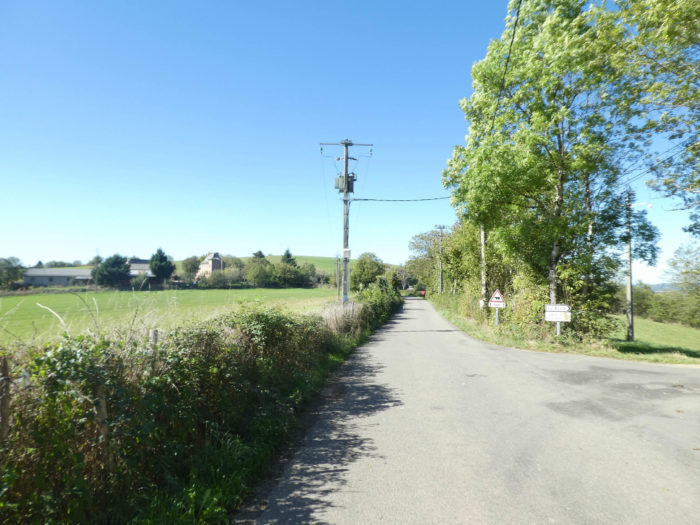
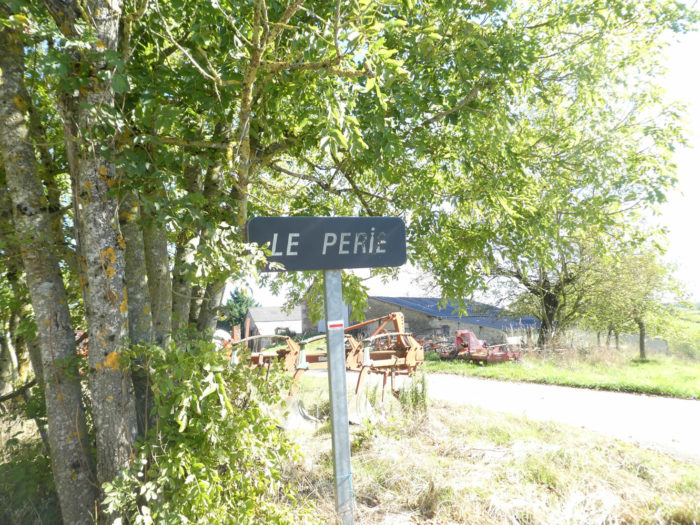
However, the GR65 does not leave the tar. Direction St Marcel, above Conques. The road runs straight through the chestnut trees, oaks and ash trees, passing through the farm of Le Perie. |
|
 |
 |
|
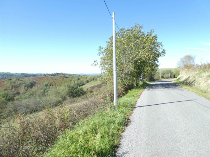
The paved road climbs a little further, straight, in the countryside. You cross here places totally agricultural. In Conques, the ground is often reddish. In rainy weather, the ditches often carry a bloody soil, a sort of film of sticky soil. It is the red sandstone that is responsible. |
|
 |
 |
|
At the top of the climb, the road arrives at St Marcel. |
|
 |
 |
|
It is often here that pilgrims congregate before going down to Conques. A water point and itinerant refreshments adorn the place. Such a concentration of pilgrims (sometimes more than 200 people) is often unusual on the French Camino de Santiago. James. There is a reason for that, of course. Conques and a stone’s throw away and no pilgrim decently wants to remove a stopover in Conques from his agenda. Elsewhere on the way, the pilgrims dilute and not all stop in the same places. St Marcel buzzes like a beehive in high season. Yett, if you drop by here in early fall, there’s hardly anyone left. In mid-October, there were hardly more than 30 pilgrims going to Conques per day. |
|
 |
 |
 |
 |
|
However, the descent to Conques is not yet scheduled. The paved road runs a little further on the ridge, in the middle of walnut trees, abundant here, and rarer chestnut trees. The chestnut trees have gradually deserted the hill, too cold for them, to take refuge in the heat of the deep valley below. |
|
 |
 |
|
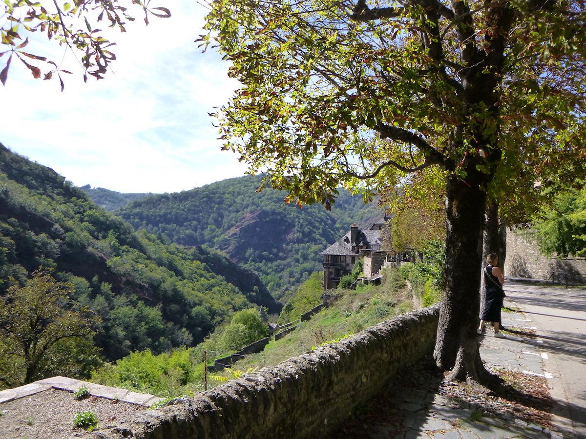
The approach lasts on this almost deserted plateau. Below is the vast amphitheater of Conques cut in the schists, at the foot of oaks and chestnut trees. Heather, juniper and gorse cling to the embankments. Nettles denounce the humidity of the region. |
|
 |
 |
|
Still a few hundred meters on the road … |
|
 |
 |
|
… before arriving near a large farm at the end of the road, at a place known as Croix Torte. Here is the program: Conques is 30 minutes away. Not so certain for the disabled of the kneecaps and tendons. And they are legion on the Camino de Santiago after a few days of walking. |
|
 |
 |
|
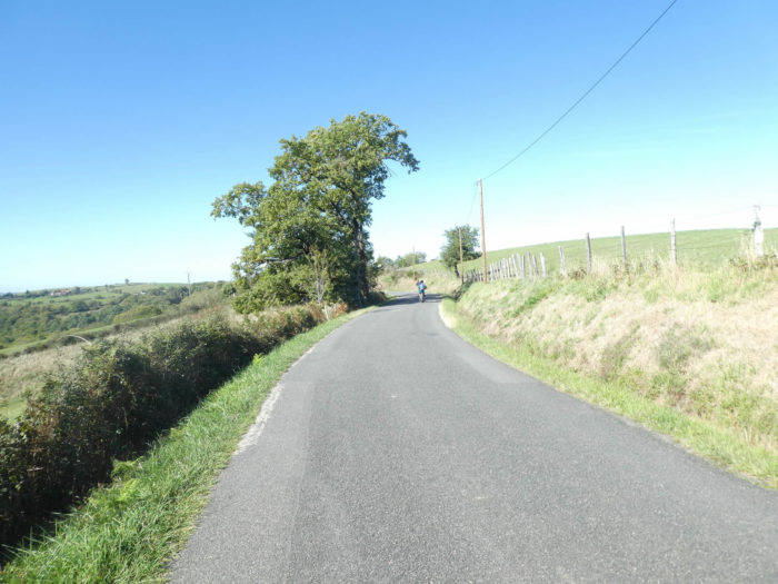
300 meters of negative sloping to reach Conques. At the start, it’s a 20% incline, on a wide paved road that descends until it reaches a house. |
|
 |
 |
|
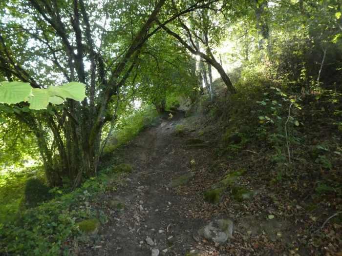
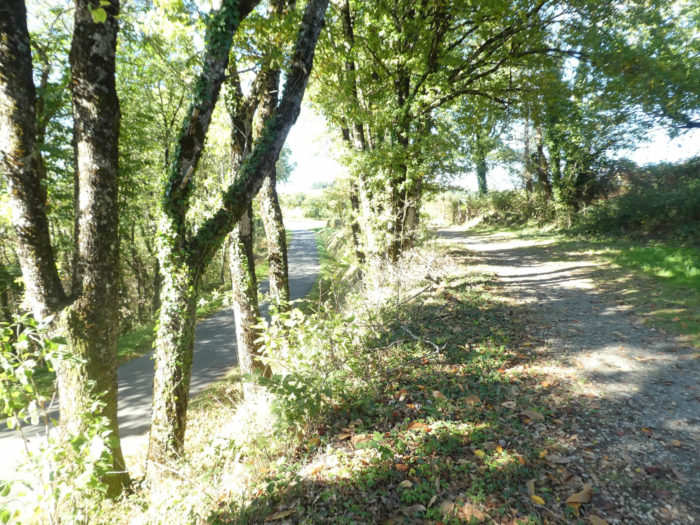
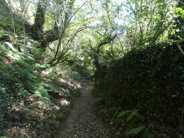
But it doesn’t last long like that. Soon a very small steep and rocky lane takes place. To your happiness the trail can be dry, but it can also be covered with very slippery fallen leaves. And then, it’s not just the dead leaves, it’s also the ruts and big stones that roll under your feet. In rainy weather, they advise you to follow the road that goes down to Conques from La Croix Torte. Anyway, this advice will not discourage most pilgrims, even the most fragile, from facing the terrible descent. |
|
 |
 |
A real pleasure, right? …
Wait for the video to load.
|
Nature is wild, unspoiled, formidable. In places, at the beginning of the pathway, the slope can exceed 30%. Be careful in wet weather, it slippery… |
|
 |
 |
|
It’s just magical, timeless, eternal, in this green cathedral. |
|
 |
 |
As if you were walking in the bush …
Wait for the video to load.
|
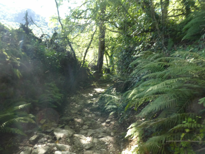
Further down, the slope becomes a little less steep, but still at more than 15%, and the pathway crosses a more lascivious area, in the middle of the bushes and the arbor. Sometimes slippery shales cover the ground. Everything always takes place in the middle of very dense vegetation, in the middle of ferns and ivy, along the mosses on the low walls. The undergrowth oozes moisture in an inextricable universe. The sensual arises from the way in which plants huddle together with voluptuousness. |
|
 |
 |
|
Some will think that they have come out of purgatory without great harm. Nay! The bottom of the descent is a real toboggan with a 35% slope on large shales that block the way. |
|
 |
 |
 |
 |
|
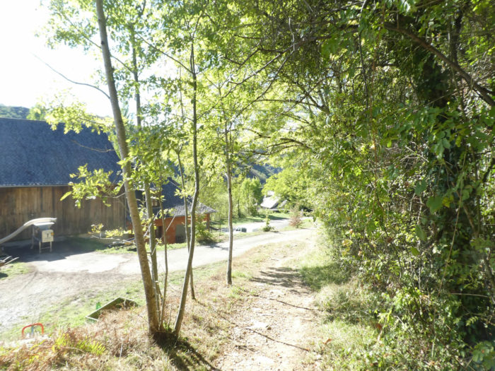
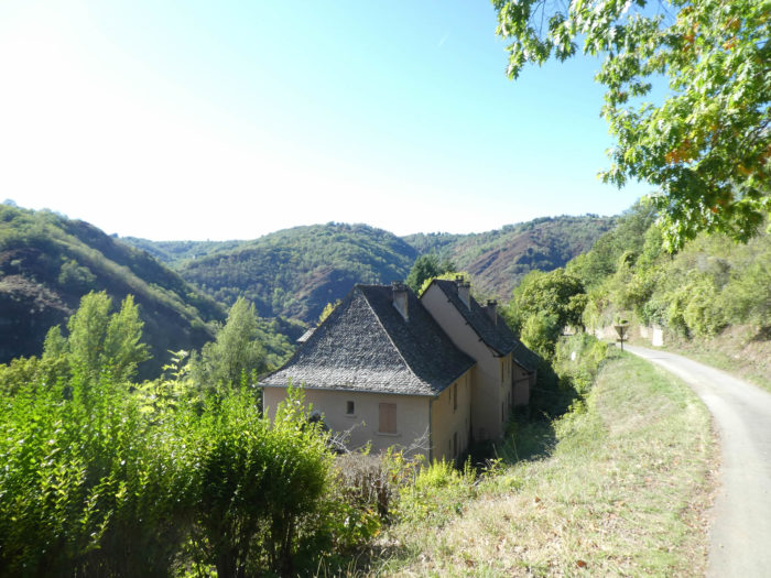
At the bottom of the descent, the GR65 leaves the forest and joins the tar on the heights of Conques. |
|
 |
 |
But you will get out of it one day ……
Wait for the video to load.
Section 6 : At Conques.
|
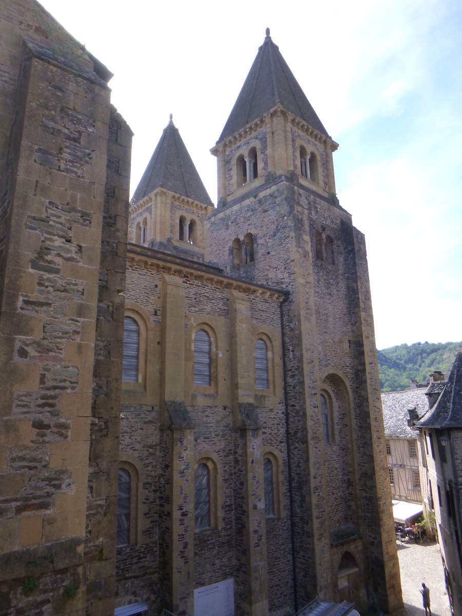
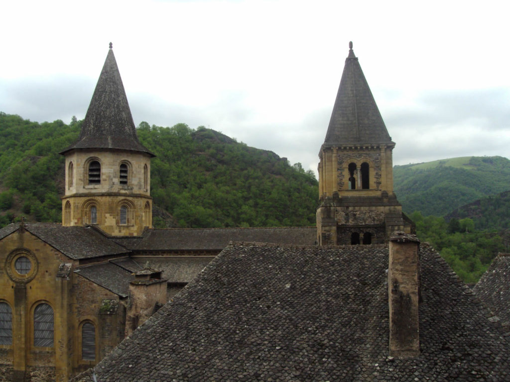
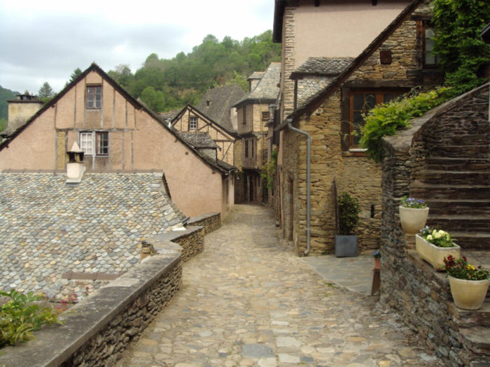
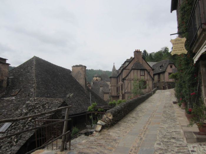
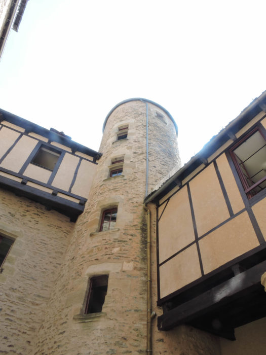
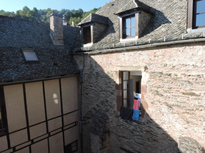
Is it still possible to say something new about Conques? Probably not. The first time you go there, it’s a shock. But the magic remains, even if you return there often. And above all, by getting there on foot! The village is located above the Dourdou, the small river which flows in the valley. Ouche is not far away, and the region forms a sort of shell, concha, in Latin, conca in Occitan, which would have given the name to the village. The houses clinging to the mid-slope seem like so many fortresses placed there as sentinels to guard the jewel that is the abbey church. |
|
 |
 |
|
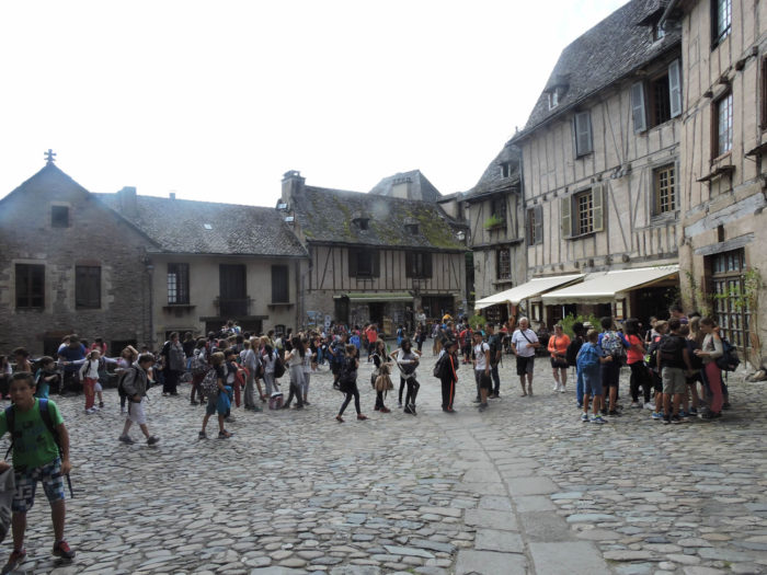
You will rarely see Conques desert. Tourists mainly concentrate around the abbey church. If you pass here in season, the number of tourists is considerable. |
|
 |
 |
|
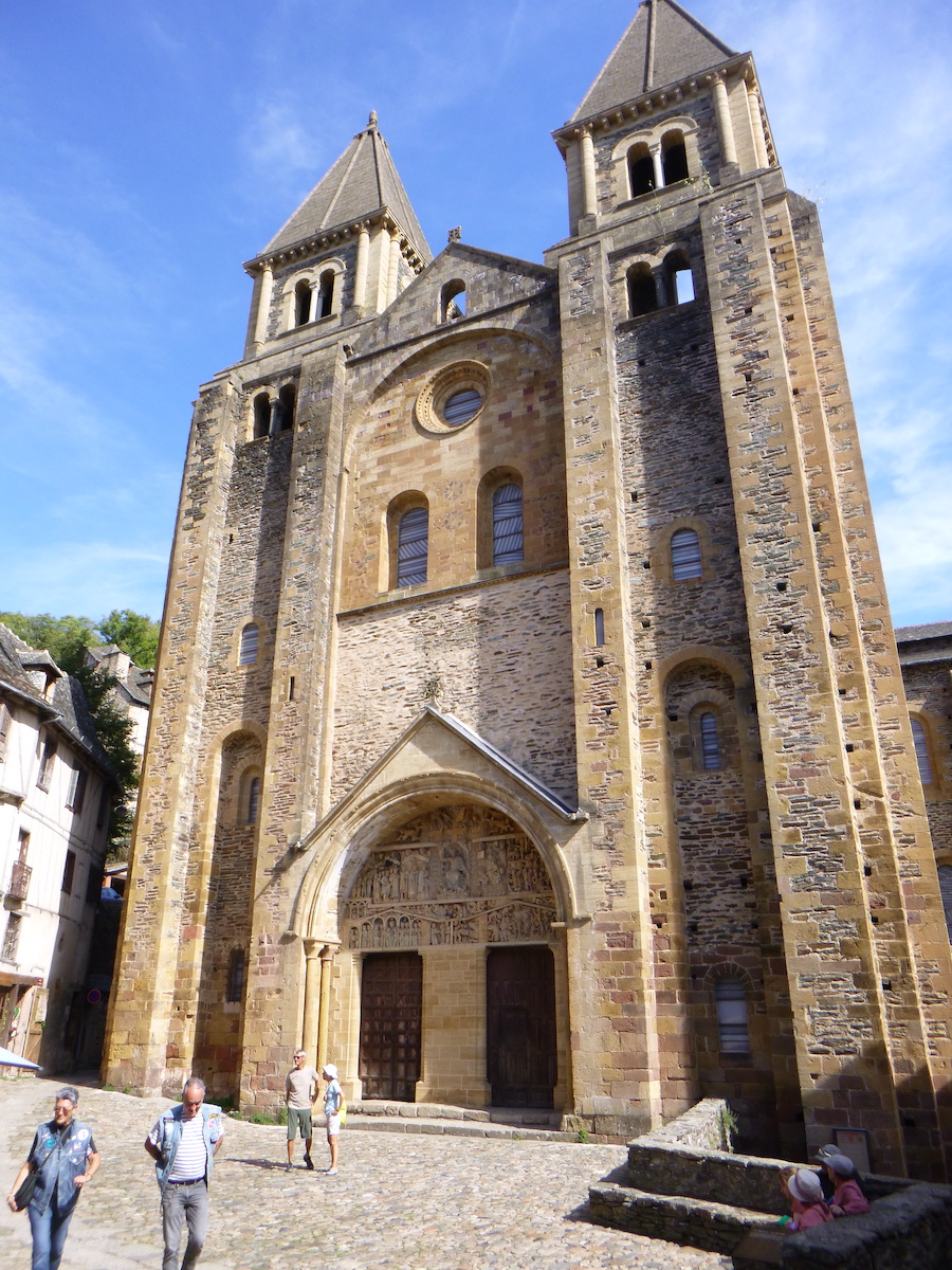
Conques is above all the Sainte-Foy abbey church. The link established between the pilgrimage to Compostela has earned Conques its classification as a World Heritage Site. This is the case with the abbey church and the Roman bridge over the Dourdou River. |
|
 |
 |
|
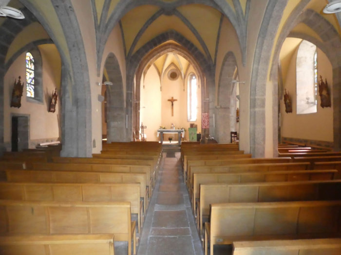
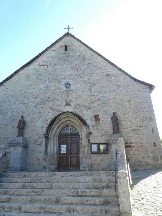
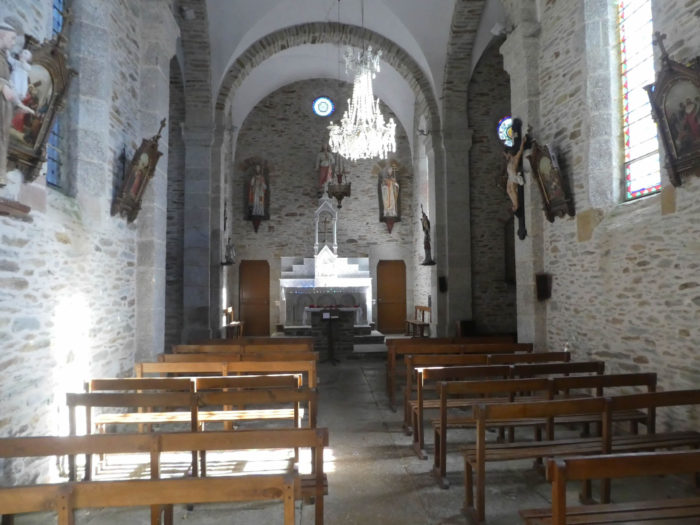
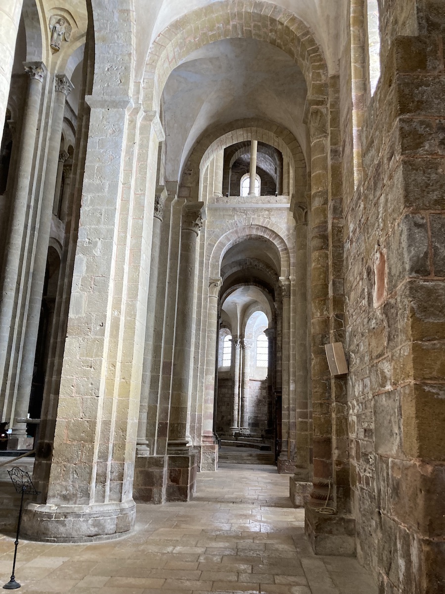
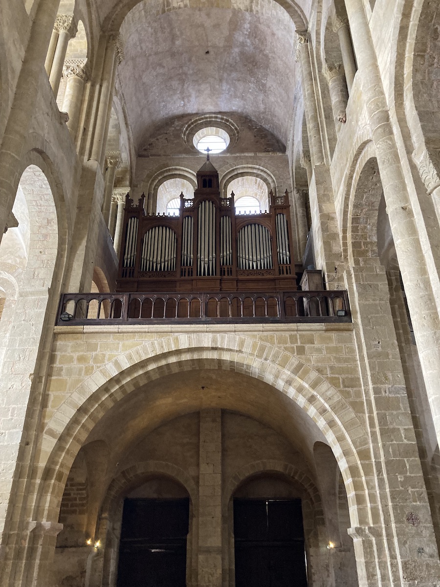
A little history to situate Conques. It is said that Charlemagne had a lot of affection for this region, where he had a small oratory built. But the story really begins with Abbot Dadon who founded a monastery there and who adopted the rule of Saint Benedict in 819. A few decades later, a monk from Conques, Ariviscus, stole the relics of Sainte Foy in an abbey near Agen. Foy had suffered martyrdom at the age of 12, in 303. This pious theft, common practice at the time, would have immediately triggered miracles, and pilgrims flocked to Conques in droves. The abbey reached its peak in the Middle Ages, then gradually declined, only to be abandoned during the French Revolution. Conques was rediscovered in 1837 by Prosper Mérimée, then inspector of historic monuments. The treasure and the large portal had been preserved by the inhabitants of the place, but the church had suffered considerable damage. In 1873, the abbey church was ceded to the Premonstratensian order. The bells of the abbey church begin to ring again, which they still do today. The abbey church was started in the 11th century, and no one really knows the date construction was completed. It is a Romanesque church with its ambulatory and radiating chapels. The cross plan is classic, except that the transept is longer than the nave, because of the configuration of the land. The towers of the facade are more recent, having been redone in the 19th century. The interior is remarkably sober, as Romanesque churches generally are. The vault culminates more than 20 meters from the ground. The ambulatory allows the faithful to reflect on the relics of Sainte Foy d’Agen. Note the magnificent new stained-glass windows by Pierre Soulages and Jean-Dominique Fleury, made at the end of the last century, which add a spare, geometric and contemporary atmosphere to the whole. |
|
 |
 |
|
|
|
 |
 |
The church portal is surmounted by a tympanum describing the Last Judgment, according to the Gospel of St Matthew. There are more than 100 characters, including the majestic Christ in the center, with, on his right, the elect, and on his left, the damned of Hell. You also recognize Charlemagne the benefactor, Abbot Dadon, founder of the abbey, a few angels, a drunkard hanged by his feet, Satan and his deadly sins, treated in allegory.

The cloister, from the same period, largely disappeared at the beginning of the 19th century, its materials serving as a quarry for the inhabitants of the village. The writer Propser Mérimée fortunately arrived to save a very small part of it, in particular the arcades which led to the monks’ refectory.

|
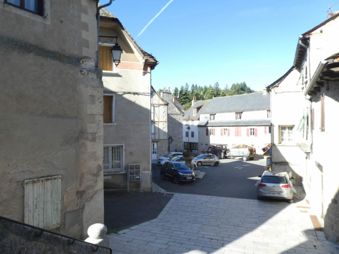
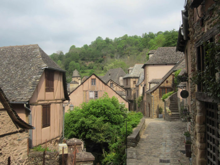
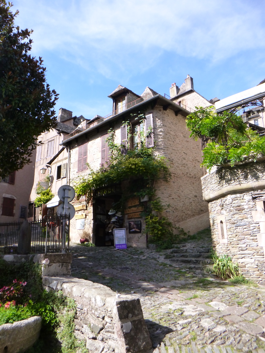
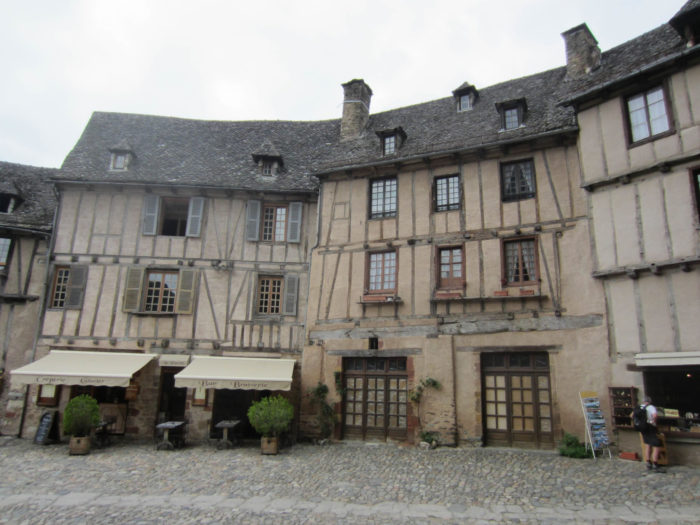
Conques also has charming streets. Here, shale reigns supreme. It supplies the building stone, the paving stones for the streets and the slates for the roofs which replace the conventional slates. Sometimes shale gives way to sandstone, which can be gray or pink. All this atmosphere of ocher tint with pinkish nuances gives the village an indisputable harmony |
|
 |
 |
|
|
|
 |
 |
|
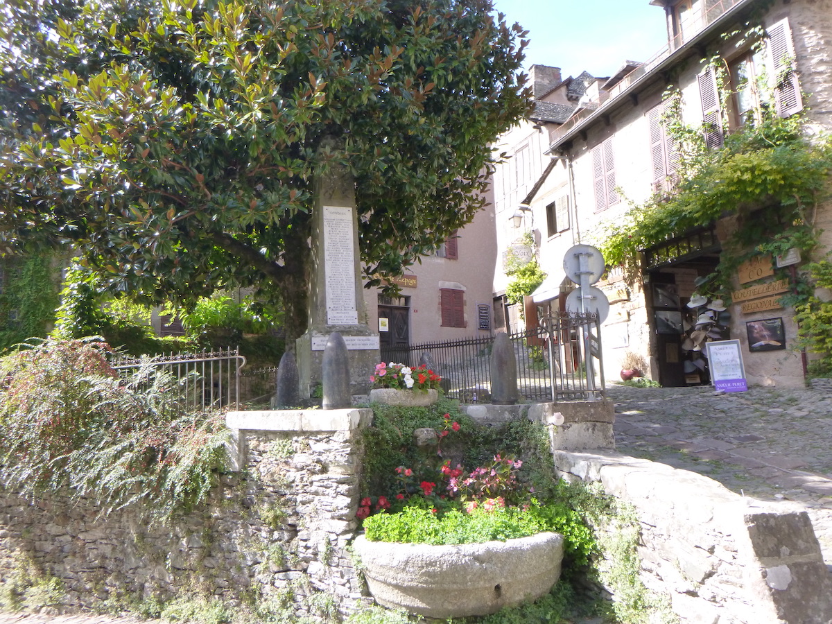
In Conques, the streets are not filled with temple merchants and souvenir and junk shops, which is too often the case in beautiful medieval cities. An atmosphere of gentle serenity covers the entire village, from top to bottom, except around the church, a slightly more commercial place. In summer, crowds crowd around the church. |
|
 |
 |
 |
 |
|
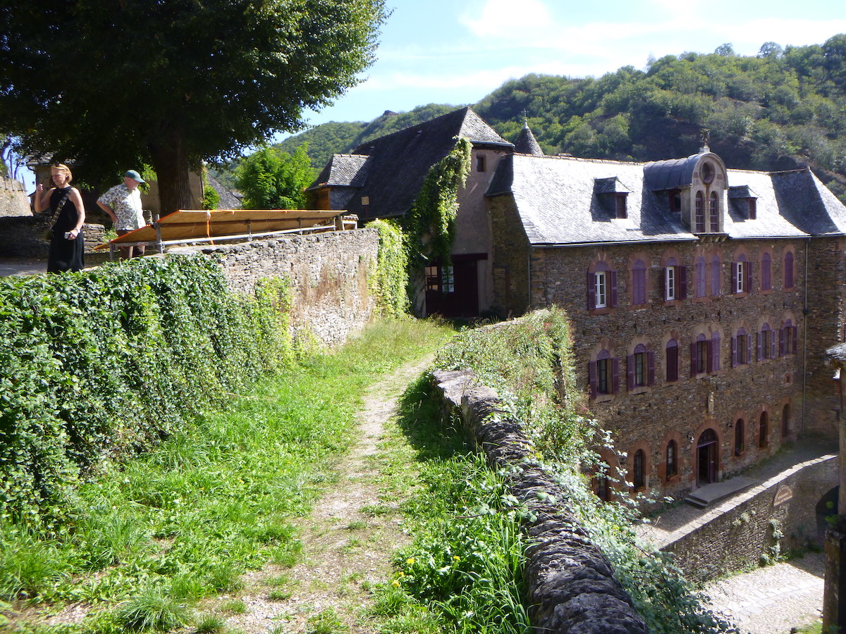
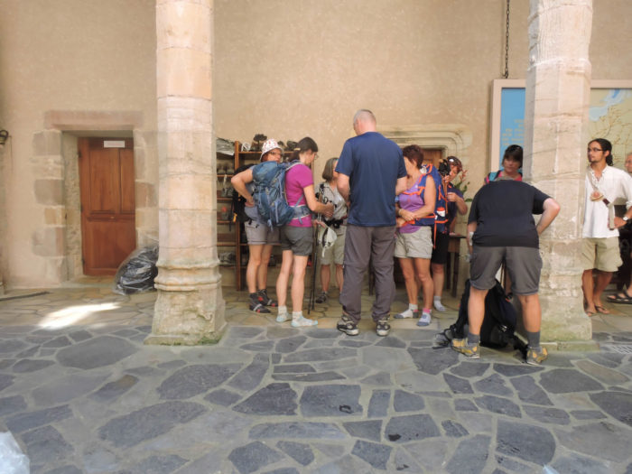
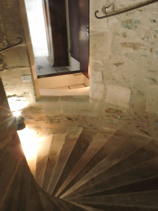
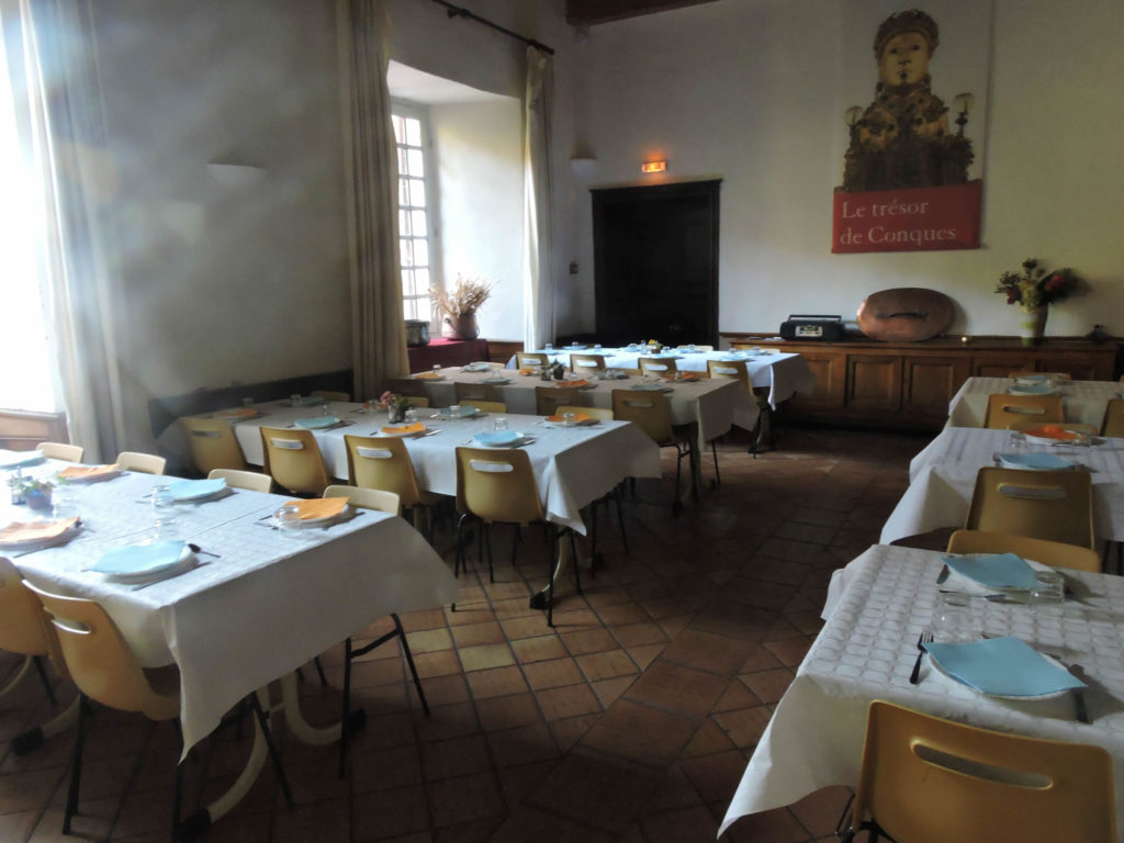
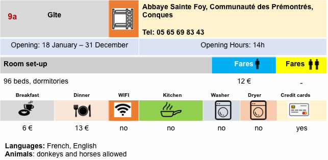
As Conques is an essential stopover, accommodation there is abundant. If you want to stay at L’abbaye des Prémontrés, which almost all pilgrims would like to do, there is plenty of room, but make your arrangements in advance. This place, full of serenity and grace, is also one of the great places on the Camino de Santiago. But as Conques is also a tourist spot, there are also more expensive accommodations and restaurants. This is how your stay at the Prémontrés Abbey goes, when Conques is full. The welcome takes place on the doorstep, at the foot of the venerable apse of the abbey church. Like in airports, you are put in a queue. There are so many people, they check your reservation (it’s better to have one!) and assign you a number to go to the counter. |
|
 |
 |
|
In the inner courtyard open to the sky, the pilgrims are busy, helped by half a dozen volunteers who manage the housing. The Premonstratensian Brothers, who are six in total, manage only the spiritual aspects. |
|
 |
 |
|
The volunteers stay here days, weeks, even months and years. They come from all around the world, pass here, then continue the track. With them everything is kindness. Their help is vital to not get lost on the stairs and floors, to find his bed. The spiritual program is rich and takes place in the abbey. Four times of prayer punctuate the day: the lauds at 7:30, the office of the middle of the day, vespers at 18:00 and Compline at 20:30, followed by the blessing of the pilgrims. Many pilgrims attend, others simply stroll through the streets of the village. |
|
 |
 |
The meal takes place at 7:00 p.m. in the large refectory.
|
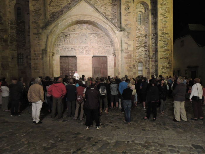
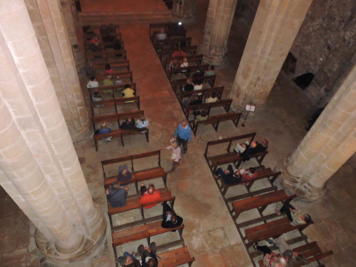
After the meal, the vespers and the blessing, the pilgrims gather at the door of the abbey and listen in the silence of the night the description of the details of the characters engraved on the tympanum. Foreigners who do not understand French are happy to smell the atmosphere. The apotheosis takes place inside the church, when the Romanesque columns vibrate to sounds from the organ played by one of the Premonstratensian Brothers. The feeling here is that Conques only belongs to the pilgrims who live at the Premonstratensian Abbey. The hordes of tourists have disappeared. The other pilgrims finish their dinner in the restaurants or sleep already in more comfortable hotels, or in the stones of the splendid communal gîte, in autonomous management. |
|
 |
 |
|
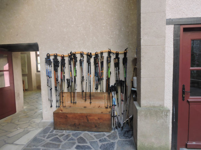
Shoes and sticks are put back in the rack. Good night. |
|
 |
 |
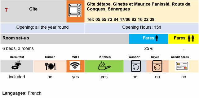
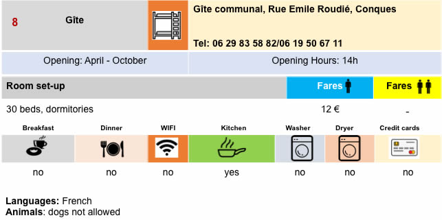
Lodging

 |
 |
 |
 |
 |
 |

 |
 |
 |
 |
 |
 |
 |
 |

Feel free to add comments. This is often how you move up the Google hierarchy, and how more pilgrims will have access to the site.
 |
Next stage : Stage 10a: From Conques to Lninhac-Le-Haut via GR65 |
 |
Back to menu |