
In the forests of Aveyron
DIDIER HEUMANN, MILENA DELLA PIAZZA, ANDREAS PAPASAVVAS
We divided the course into several sections to make it easier to see. For each section, the maps show the course, the slopes found on the course, and the state of the roads. The courses were drawn on the “Wikilocs” platform. Today, it is no longer necessary to walk around with detailed maps in your pocket or bag. If you have a mobile phone or tablet, you can easily follow routes live.
For this stage, here is the link:
https://fr.wikiloc.com/itineraires-randonnee/de-estaing-a-golinhac-par-le-gr65-51427939
It is obviously not the case for all pilgrims to be comfortable with reading GPS and routes on a laptop, and there are still many places in France without an Internet connection. Therefore, you can find a book on Amazon that deals with this course. Click on the book title to open Amazon.
 |
The Camino de Santiago in France / V. From Puy-en-Velay to Cahors (Via Podiensis) on GR65 track |
If you only want to consult lodging of the stage, go directly to the bottom of the page.
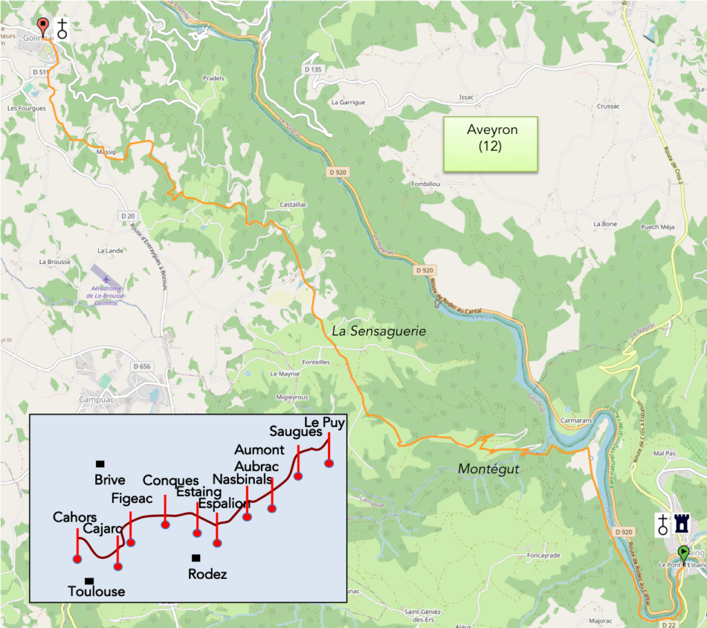
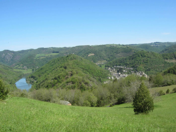
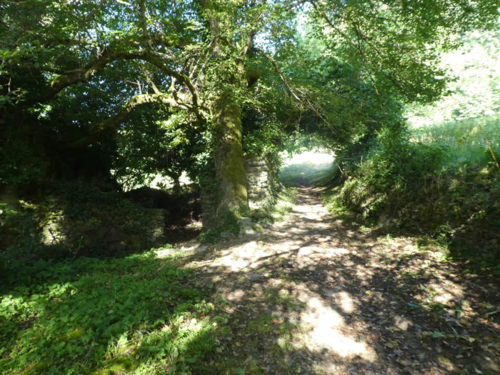
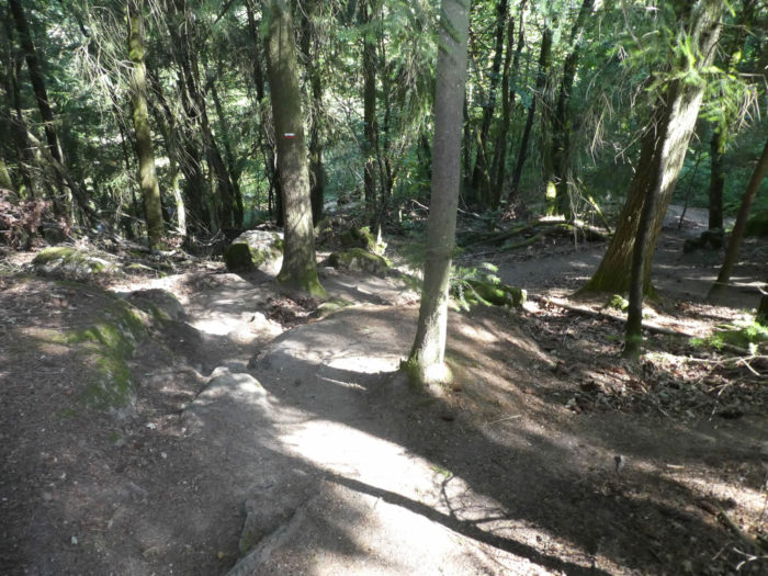
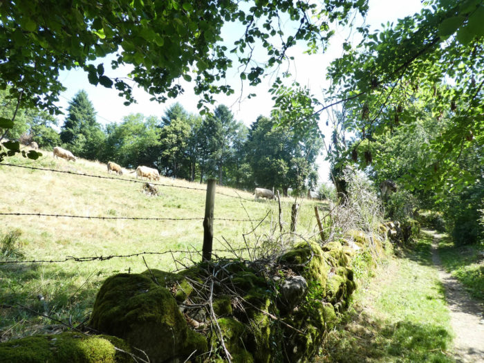
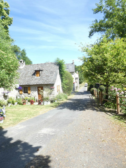
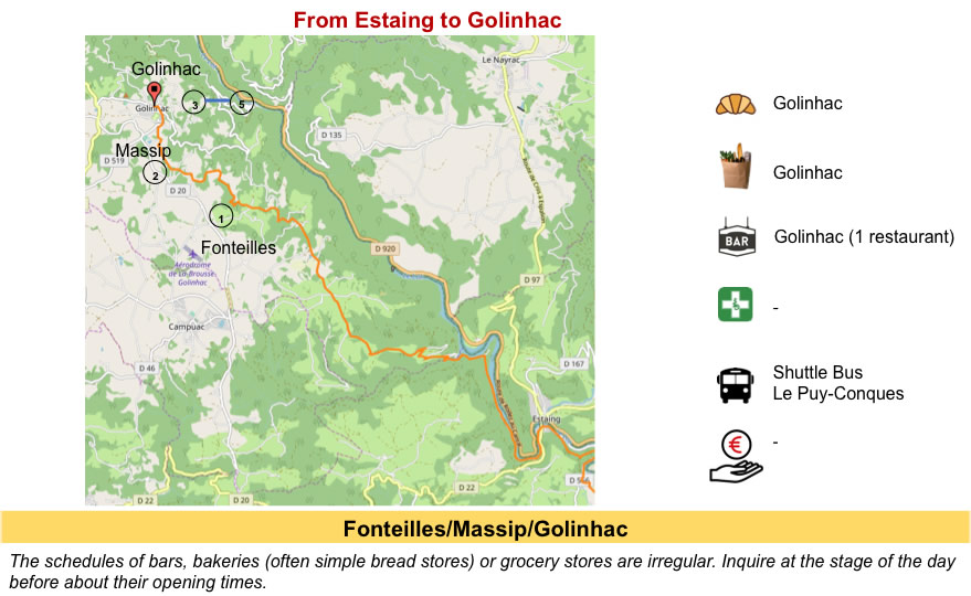
| You are still in Haute Rouergue, in the north of Aveyron, where the Lot River, the central axis, has carved out narrow gorges, which sometimes open into large basins. The river flows, overlooked by high plateaus, sometimes schist, sometimes volcanic, sometimes limestone. Today there are no large fields to get under the pupil. These will mostly be forests and pastures. Because, on the northern slopes, it is often the forests of oaks, beeches and old chestnuts that dominate. When you observe the river, you sometimes have the feeling that the water is not moving. Today, you are still in Aveyron and you are getting closer to Conques. This stage is a magnificent stage, a true concentrate of botany for the knowledge of trees, especially if you have the chance to spend here on a day of good weather. In rainy weather, the beautiful landscapes, unfortunately, often fade. |
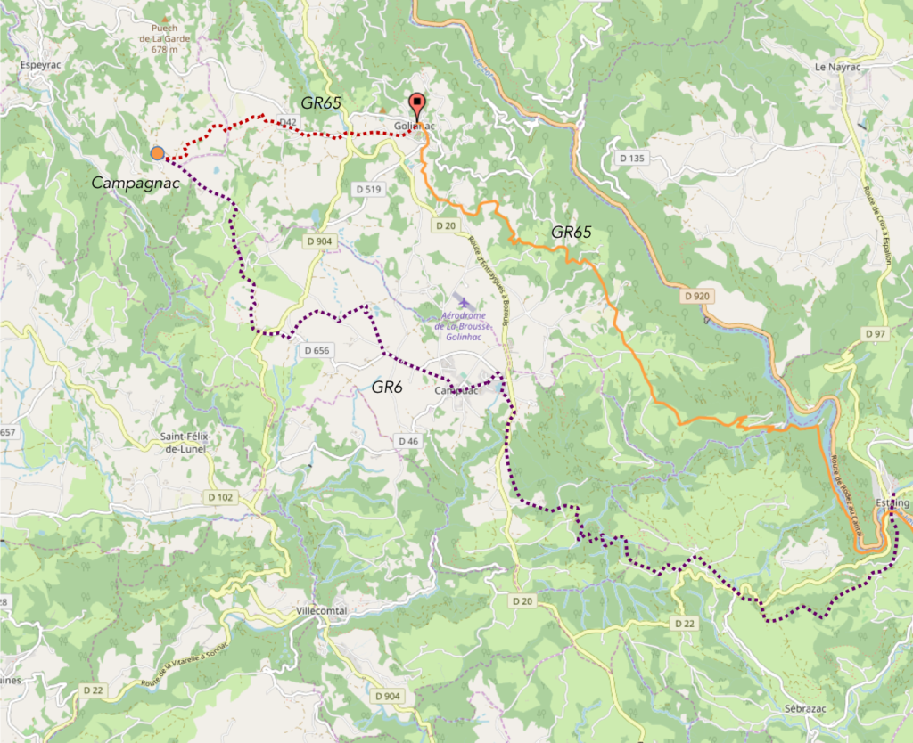
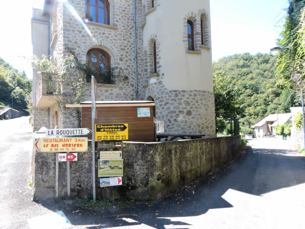
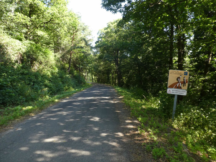
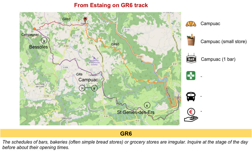
| In Estaing, there is an alternative on the way. The pilgrim can follow the GR65, the St James’ track actually, which runs towards Massip and Golinhac. But, he can also take the GR6, which heads to St-Geniès des Ers. The two tracks meet at Campagnac. In the village, you may be suggested to take the GR6 instead, which avoids more paved roads. Anyway, the use of the GR6 is very discreet for the vast majority of pilgrims who do not welcome abandoning the track followed by their ancestors. But who knows which way our ancestors really followed?
|
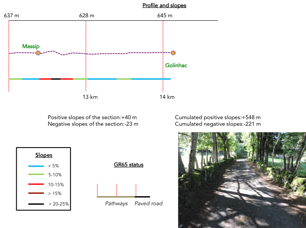
| Difficulty of the course: Today’s slope variations (+548 meters /-221 meters) suggest a fairly difficult stage, for a 14-kilometer route. This is a leg-breaking stage, whatever variant you choose! Obviously, it’s not insurmountable, but the track goes up and down all day. And even along the Lot River, on GR65 path, it is far from flat. It might be summed up as a hill climb, as they are organized in the cycling world.
|

Long live the paved road! One way to limit the damage is to take the GR6 from Estaing:
- Paved roads: 9.0 km
- Dirt roads: 5.1 km
Sometimes, for reasons of logistics or housing possibilities, these stages mix routes operated on different days, having passed several times on Via Podiensis. From then on, the skies, the rain, or the seasons can vary. But, generally this is not the case, and in fact this does not change the description of the course.
It is very difficult to specify with certainty the incline of the slopes, whatever the system you use.
For “real slopes”, reread the mileage manual on the home page.

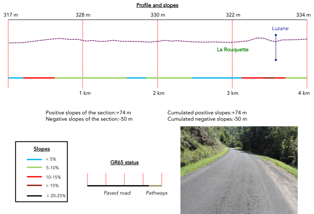
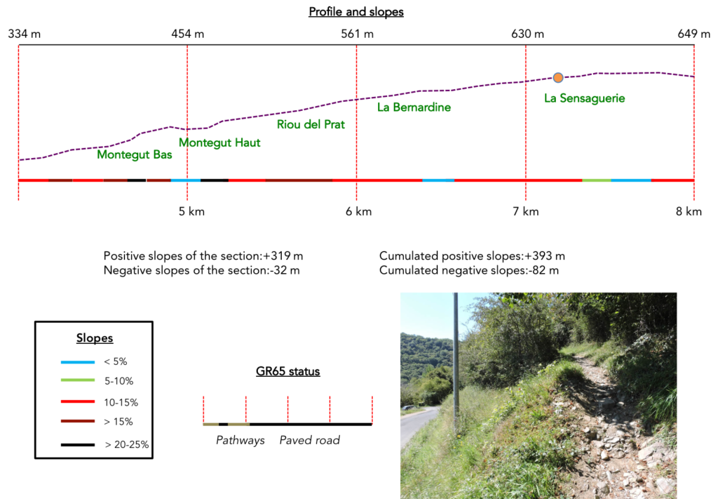
Section 1: Along the Lot River.
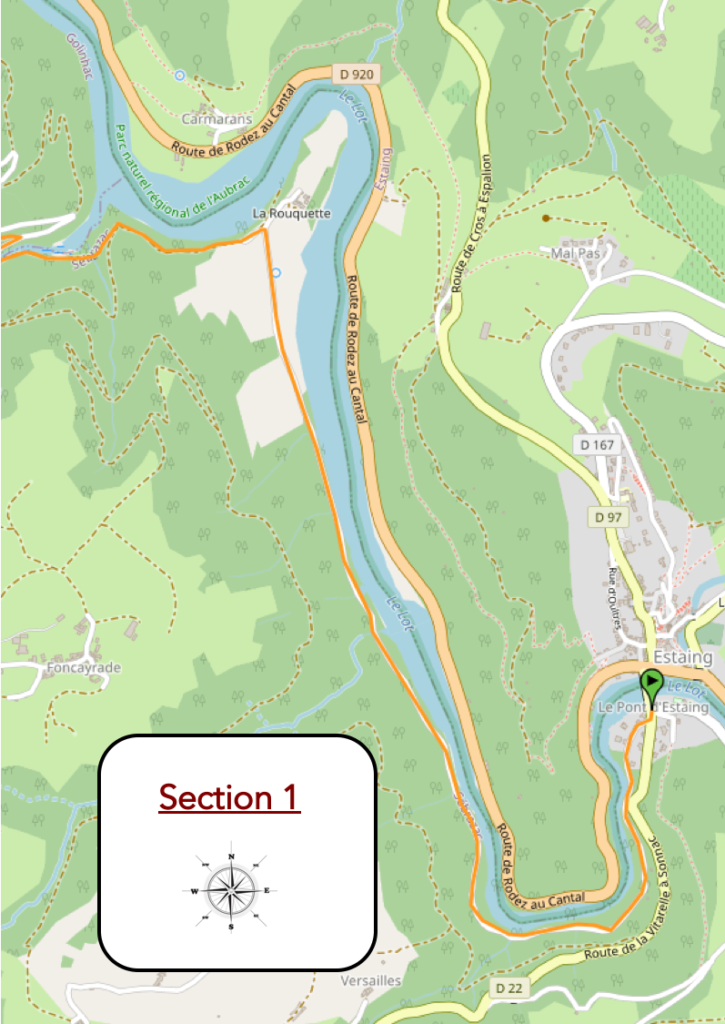
General overview of the difficulties of the route: do not naively assume that following the river will be flat. The path plays leapfrog all the time before leaving the river. There are some sections with almost 15% incline.
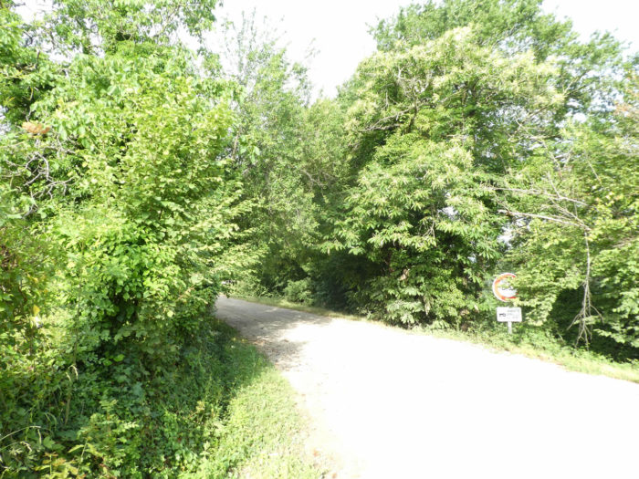
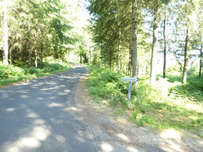
Whatever your choice, the route starts again at the end of the bridge, on the mountain side. Straight ahead is the GR6, on your right the GR65.
|
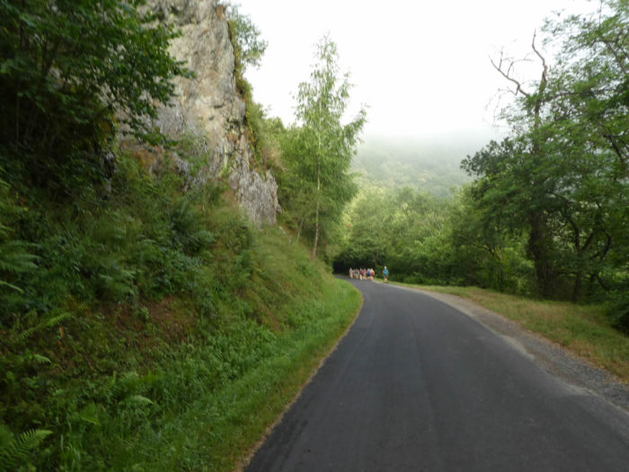
Few pilgrims take the GR6. If you want an option, prefer this route over the other, unless you want to stop in Golinhac, where the GR6 does not pass. We will only be very brief on the route taken by the GR6, because the purpose of the site remains The Way of St James. However, here is the route to Campagnac. There are few places to eat and stay on the course. So, let’s comment very briefly on the route using the GR6. It is all the same 20 kilometers of walk to reach Campagnac. Leaving Estaing, the track climbs steeply up a stony pathway, winding twists and turns until you reach a small chapel. From up there, the view over Estaing and the great meander that Lot River makes here is magnificent. |
|
 |
 |
| The slope is severe until St Geniès des-Ers. Then the track runs up and down from hill to hill, stream to stream. Sometimes a small hamlet, where no one lives. There is no longer any human or animal presence here.
|
| A narrow lane plays leaps and bounds in the undergrowth, from one small stream to another, in a very hilly environment among deciduous trees and ferns. On the heights, the asphalt road, steep and without shade, takes over, until reaching Campuac, the highest point. | |
 |
 |
| It’s long enough to get to Campuac, and there’s no human traces for miles. You will also see later that the same is true on the GR65. In Campuac, the restaurant and the grocery store are probably closed for good. Deep France is slowly dying. Fortunately, there is water at the communal fountain, as the pilgrim will not meet many people in this region.
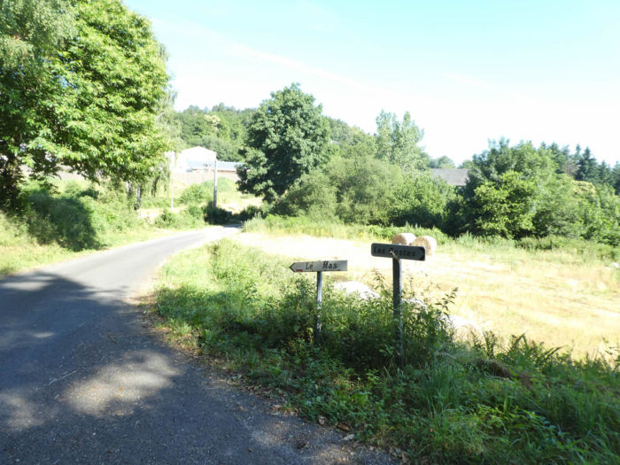
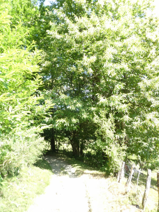
Beyond Campuac, the route runs through more shaded places, where sheep are legion. In spring, the fields are invaded by rapeseed. The track is dragged through hills and dales, before joining the GR65 near Campagnac. Two accommodations are available at a place called La Brévarie, where the route runs, and further on in Bressoles, when the GR65 joins the GR6. |
|
 |
 |
| Since we are near Campagnac, just before the junction of the two GRs, let’s return to Estaing to take GR65, the main route which runs through Golinhac. It will also be necessary to climb up to the plateau, after a climb of more than 300 meters.
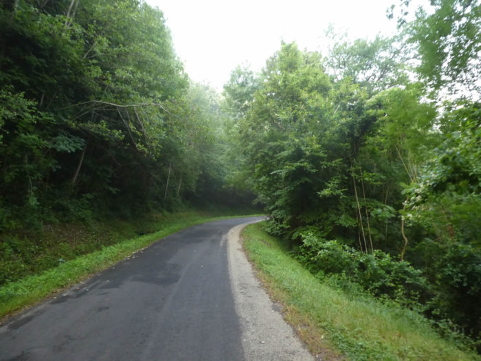
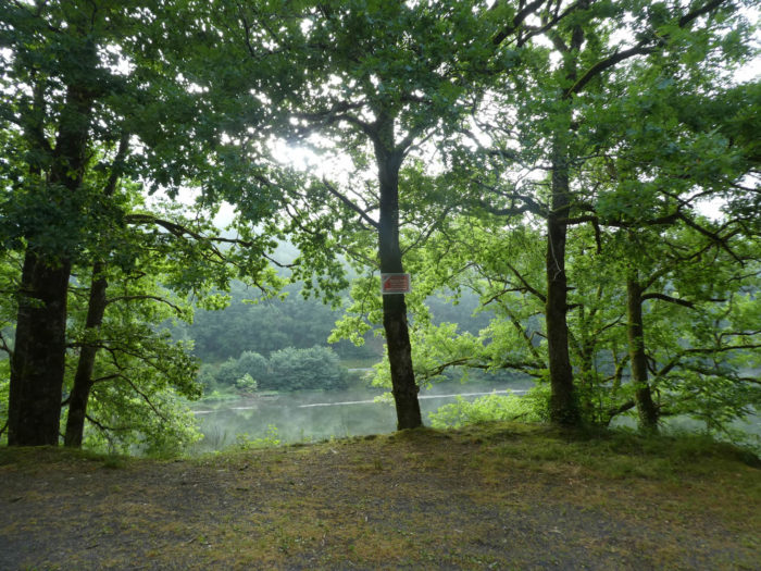
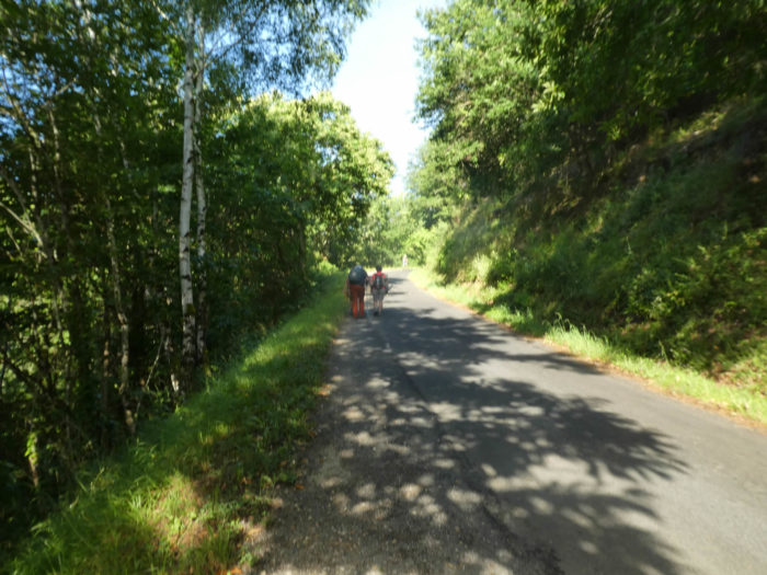
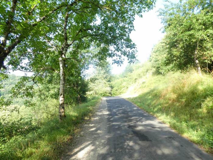
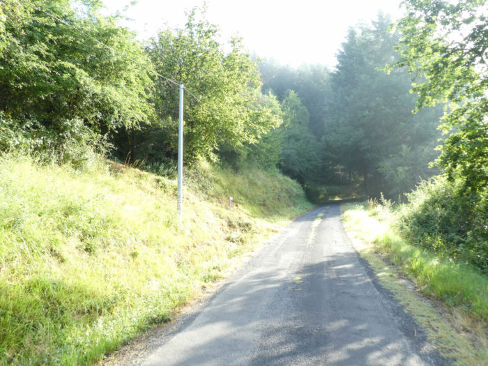
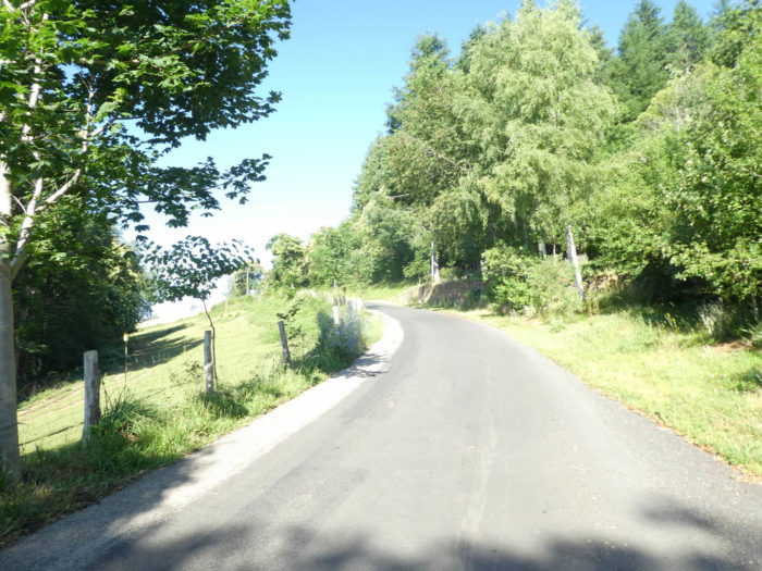
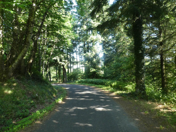
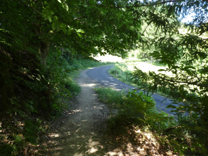
At the start, it is a walk of more than 4 kilometers on the paved road near the meanders of Lot River. Alas! It’s tar. |
|
 |
 |
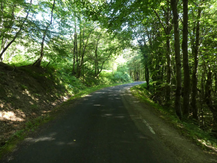
| The forest is provided here in all kinds of hardwoods. In the middle of the oaks, you can see magnificent maple trees and majestic ash trees. Beech trees are gradually starting to replace the hornbeams that were sometimes present in the previous stages. | |
 |
 |
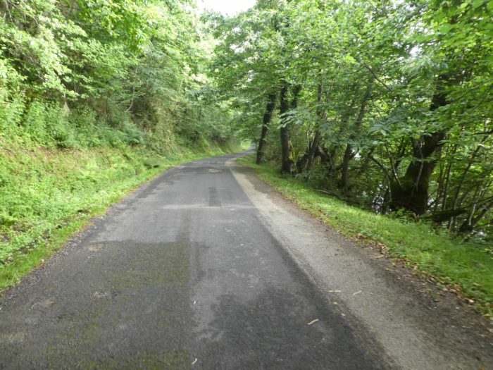
| It’s far from being a flat route, to say that you are running along a river. It goes up and down all the time. Tar, yes, we were told that. Sometimes the road gets very close to the river. | |
 |
 |
| You now see more and more chestnut trees in the landscape. Even though the signs indicate that fishing is prohibited, there are many fishermen here. Many French people are just unruly. | |
 |
 |
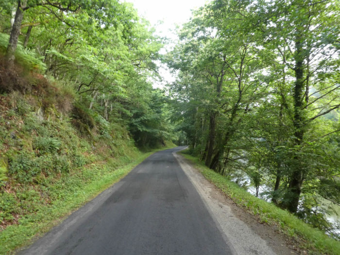
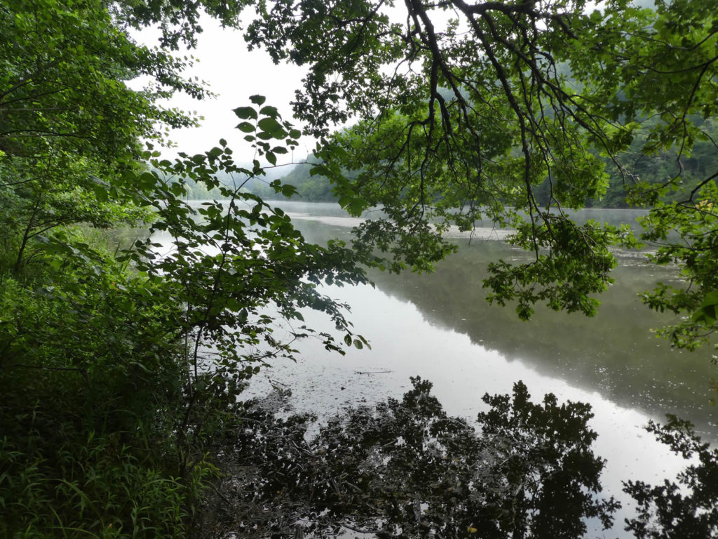
| Even if it is paved road, the eye can rest from time to time on the reflections that the river makes through the trees. The trees bow down and their branches seem happy to soak in the river. The waters rarely roar, but rather settle, as if silent, dead. Everything is grace and harmony here on the river, even if the Lot River has lost its beautiful usually blue color here.
|
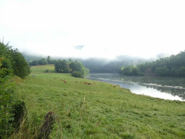
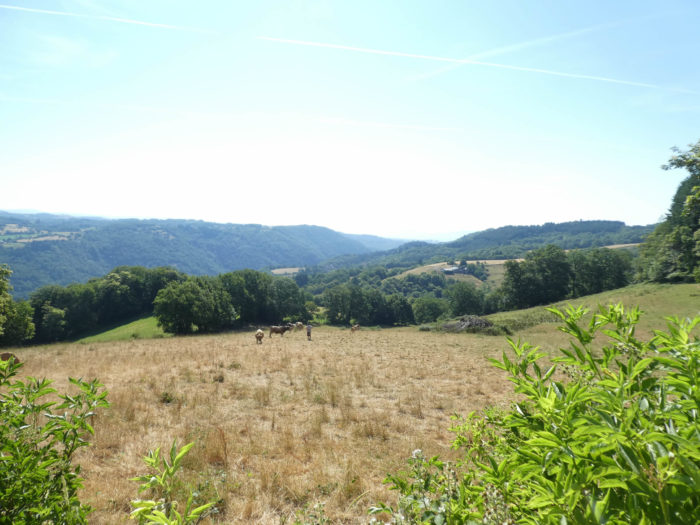
| After a few kilometers of peaceful walking, the road gradually leaves the forest. Even if the weather is nice, the fog hangs out here on the river, where some Aubrac cows graze. | |
 |
 |
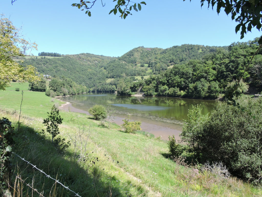
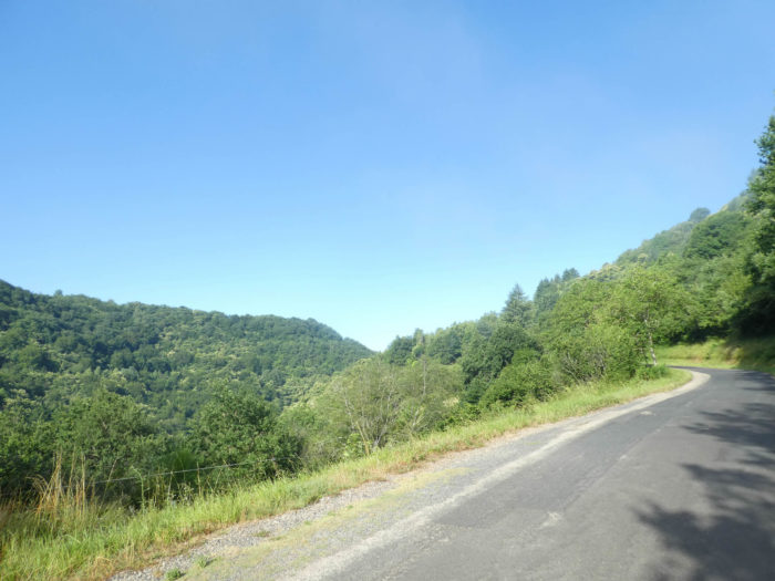
| Of course, landscapes are only a function of the seasons and the weather. This is what the scenery looks like here on a clear day.
|
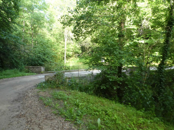
| Then the straight road climbs up the hill to arrive at the place called La Rouquette, where another road leads to a dam on the river, on a loop of the Lot River. | |
 |
 |
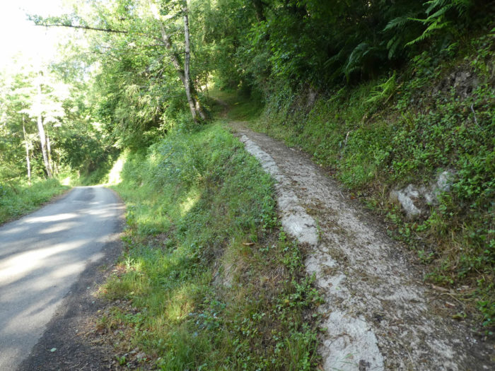
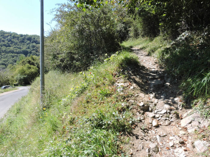
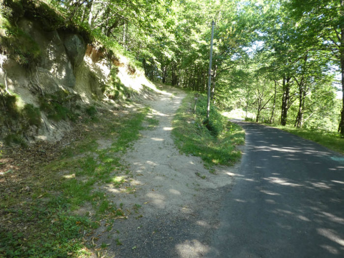
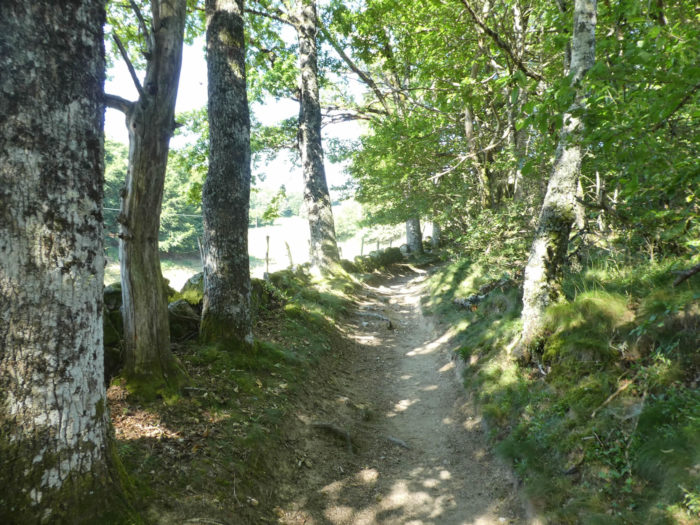
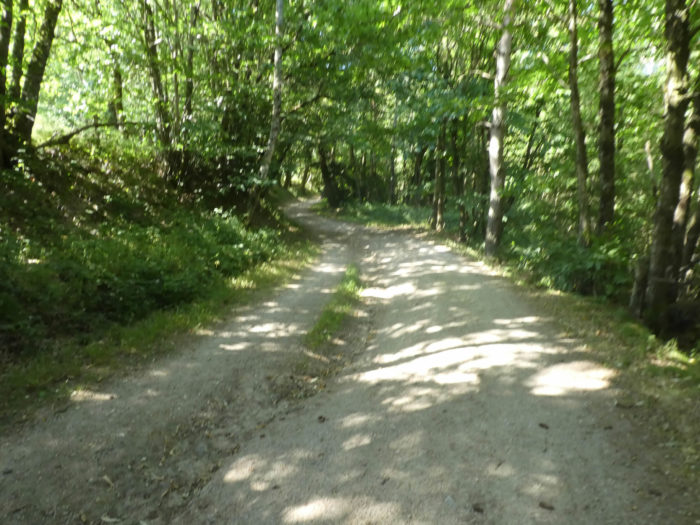
| At La Rouquette, the GR65 leaves the paved road for a wide dirt track which climbs steadily in the woods of dense hardwoods. | |
 |
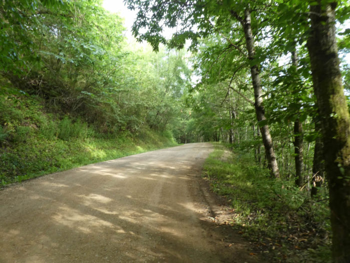 |
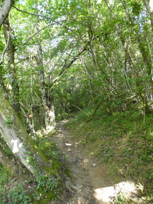
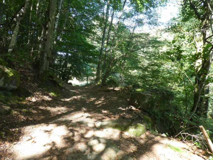
| The pathway here is pleasant, on the side of the hill, in the shade of tall beeches, oaks and ash trees, where also the chestnut trees are beginning to make room for themselves. | |
 |
 |
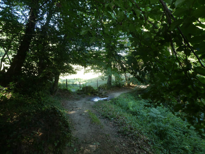
| It dawdles a bit, even slightly slopes down to cross the small stream of Luzane, at the bottom of a small dale. There, the GR65 finds the paved road again, and this is where the climb to the Golinhac plateau really begins. | |
 |
 |
Section 2: A very long climb, between shortcuts and paved roads.

General overview of the difficulties of the route: for a climb, it is a real climb, more than 330 meters of vertical drop over 4 kilometers, with slopes usually oscillating between 10% and more than 15%, sometimes even more.
|
It is a small road, which only serves the few locals. You will probably not meet any vehicle here. Quickly, a first shortcut emerges. |
|
 |
 |
| This is where the ball begins between the shortcuts that climb in the undergrowth and the hairpins of the asphalt road. The slopes do not set off resolutely, so much so that, here and there, bits of forest hang down there, like so many real asylums, yesterday for wolves, today for wild boars and deer.
|

|
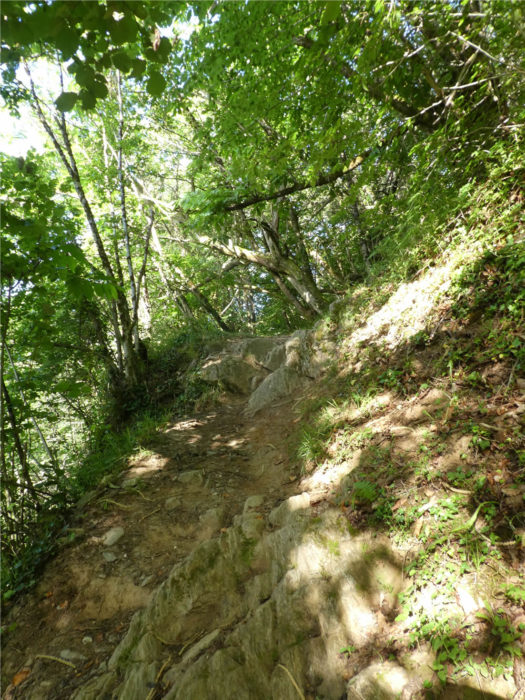
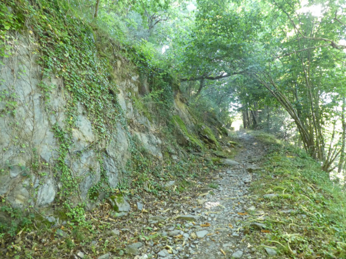
The slope is very steep, often more than 25%, on the narrow pathway that winds through the hardwoods. Sometimes shales and limestones emerge under small wild chestnut trees and beech groves. |
|
 |
 |
 |
 |
In autumn, as if you were there …
Wait for the video to load.
|
It’s steep yes, but beautiful. When the light penetrates a little more, then oaks, beeches and chestnuts gain in size. |
|
 |
 |
|
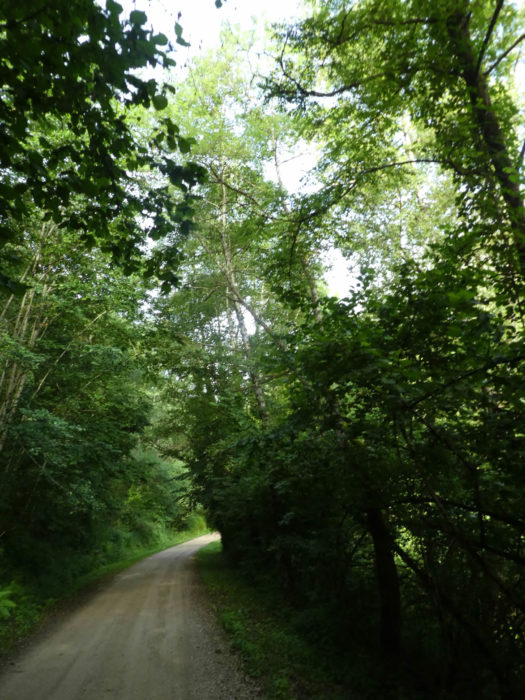
The shortcut is not very long, and soon the GR65 returns to the small paved road, which opens onto a more open space. All around, the universe is dense among hardwood forests from which sometimes rare conifers emerge. |
|
 |
 |
|
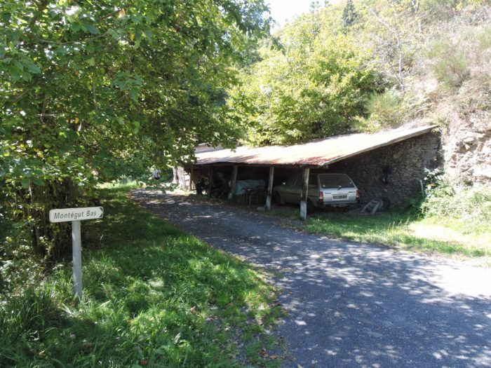
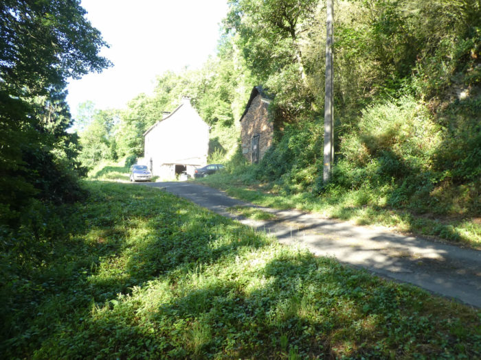
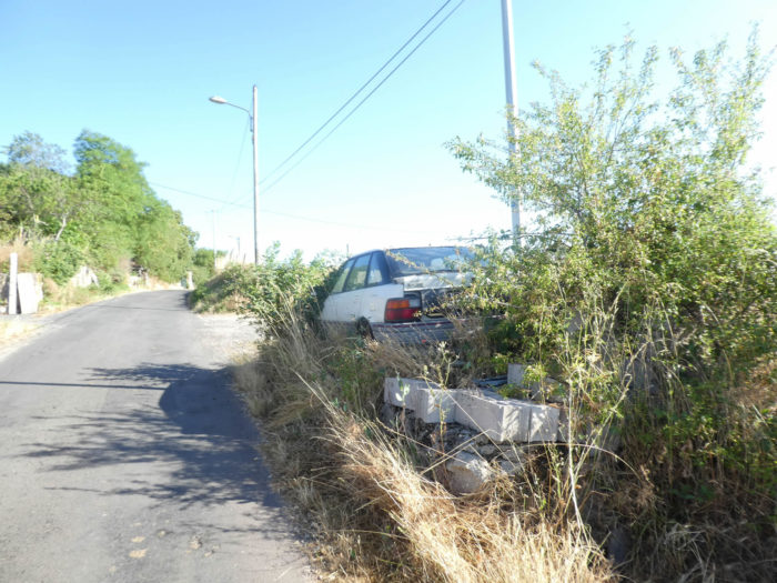
The road then reaches Montégut le Bas. There is nothing here, except a vehicle that begins its beautiful death under a canopy. These car cemeteries are real warts very present on the roads of France, and often in places full of charm. |
|
 |
 |
|
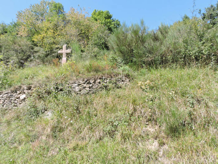
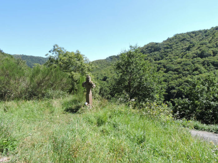
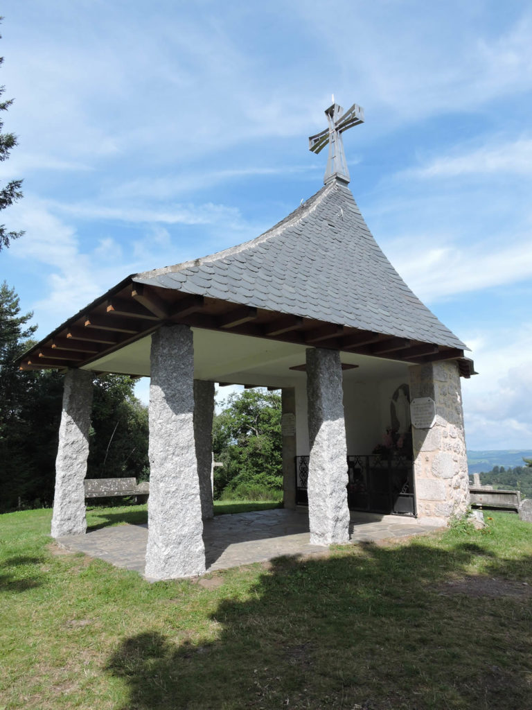
The landscape is crisscrossed with a veritable Stations of the Cross. It is not Calvary with the stations of the Christian liturgy. Each cross has a name, along with a description. There are more than thirty such crosses on the way to Espeyrac. |
|
 |
 |
|
A brief passage on the paved road, and you’ll find the shortcut again, the slope and the stones on the lane. |
|
 |
 |
|
In this second shortcut, the slope is a little less steep, but still close to 10% -15%. And still the big trees, oaks, ash trees, maples, beeches and chestnuts, great providers of shade. |
|
 |
 |
|
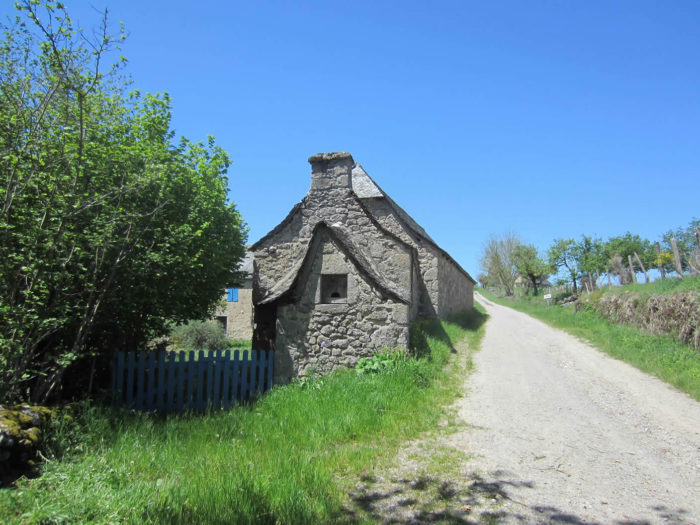
And near an abandoned stone cabin, you might even consider a welcome break under the tall trees. |
|
 |
 |
|
Further up, the stony lane joins a small paved road which leads to an isolated house in the woods. |
|
 |
 |
|
Further ahead, another little tour on the paved road, before finding a third and last time the shortcut that slopes up into the wood. |
|
 |
 |
|
The pathway winds its way stealthily, meanders and gently climbs towards the ridge line, in the brush, the lustrous shales where ivy and moss are encrusted, the stones of the track, under the large deciduous trees. There is never a trace of a clearing in this dense forest. The only free spaces are those reserved for the road. |
|
 |
 |
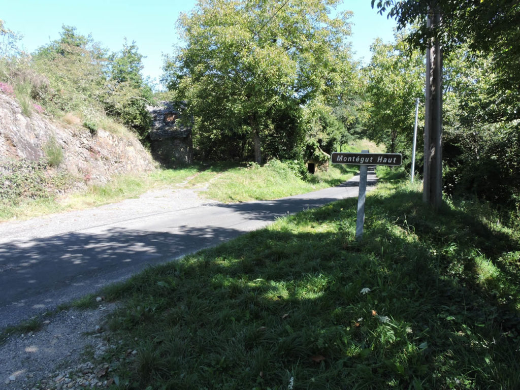
In Montegut Haut, the ball of shortcuts and pins comes to an end.
|
The tar, unfortunately some will say, will accompany you to the top of the ridge, on the plateau. The road passes slowly, deploying on both sides of the road strong, sharp, thick hedges, lined with numerous shrubs that give it the appearance of a coppice. Here the forest is clear. They are tall isolated trees, chestnut trees, oaks, ash trees for the majority. You also see here wild cherry trees. Under the high forest grows a thick copse of shrubs, small trees, wild grasses and ferns. |
|
 |
 |
|
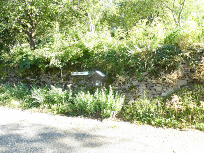
The road then gets to a place called Riou del Prat. The slope is always sustained, between 10% and 15%, rarely a little more. There are no villages, or even hamlets, just beautiful stone houses, isolated by the side of the road. |
|
 |
 |
|
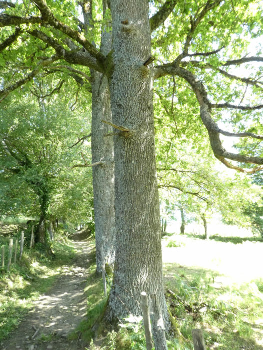
Beyond Riou del Prat, the slope remains just as steep, often more than 10%. You’ll see maple trees, chestnut trees that accompany the other hardwoods. From Estaing, it’s a real treasure for botany classes here. There are even conifers sticking out their noses. |
|
 |
 |
|
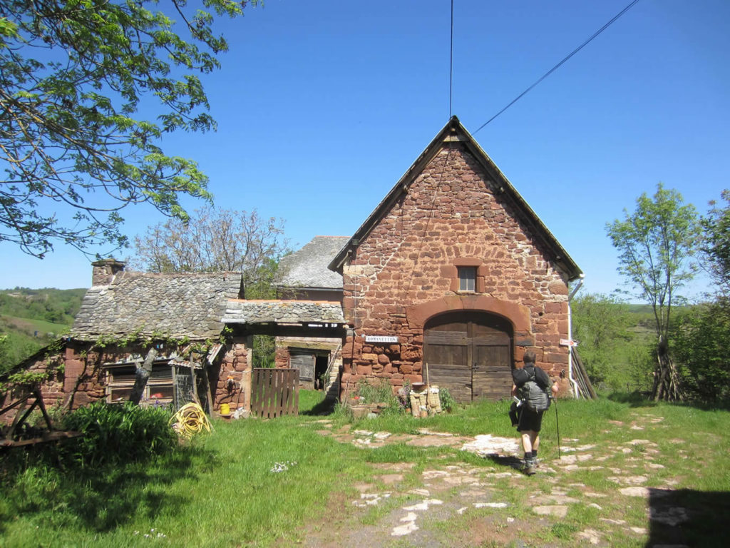
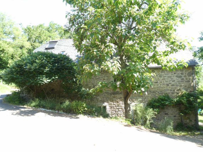
Further up, the country opens up a bit, and the road reaches another locality in the meadows, that of La Bernarderie, a stone farmhouse by the road. |
|
 |
 |
|
Shortly after, the GR65 runs near a dry toilet, and the road always climbs passing near a pine forest, which is rare here. |
|
 |
 |
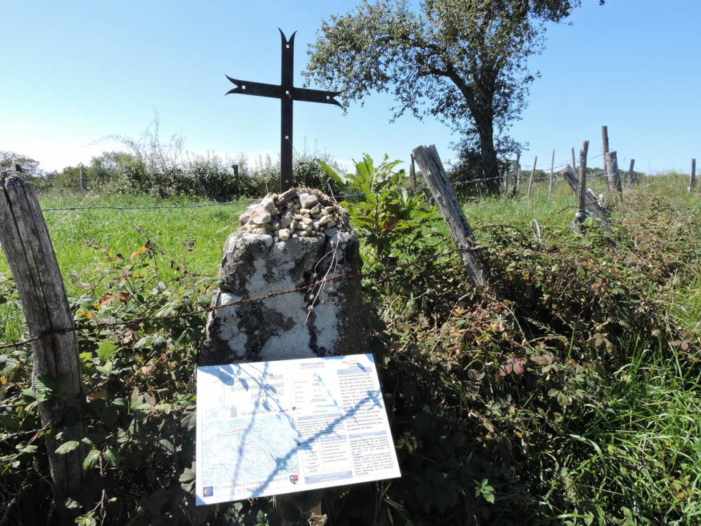
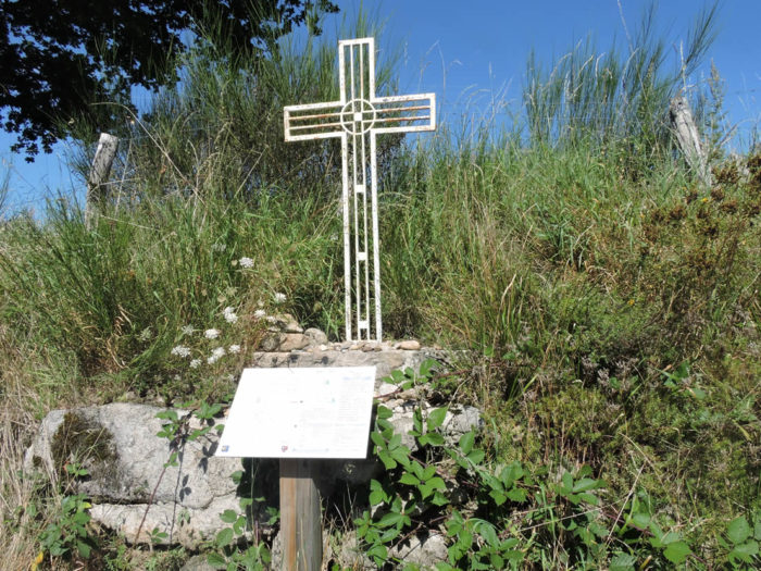
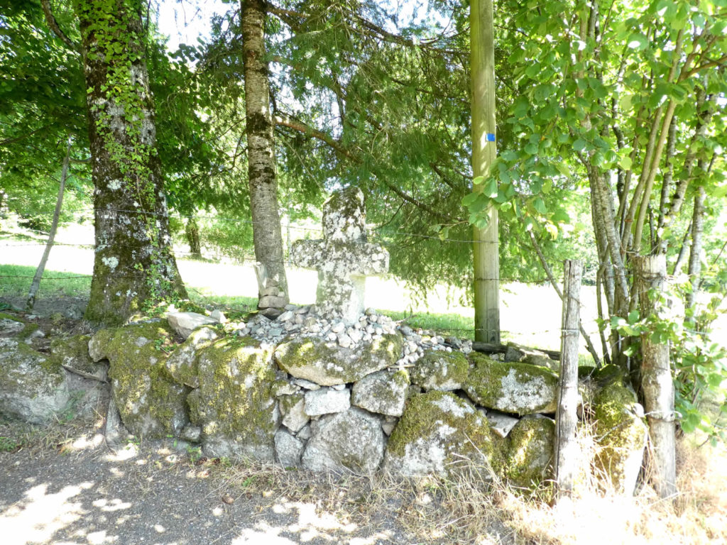
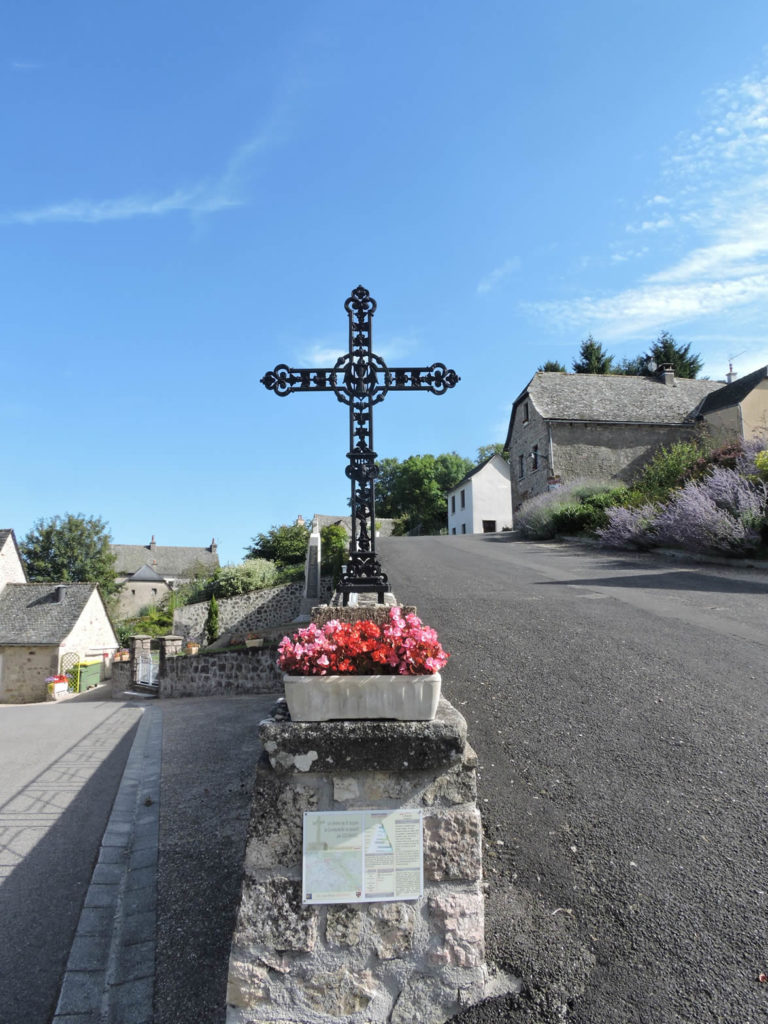
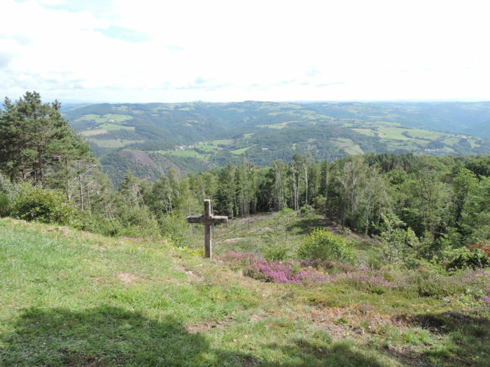
And always these crosses, of metal or stone, where pilgrims’ wishes are piled up, on piles of small pebbles.
|
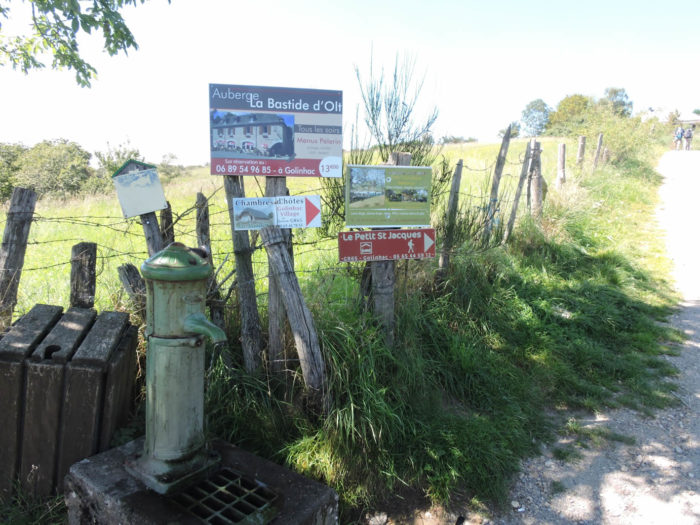
You are approaching the plateau now. Near a water point, the descriptions are not only on the crosses. Advertising is open. In the past, there was a waterhole here, welcome that pilgrims stormed. These meeting places are a bit like churches where pilgrims take communion together, discussing the ailments of their bruised members. Alas, the water is no longer flowing here. |
|
 |
 |
|
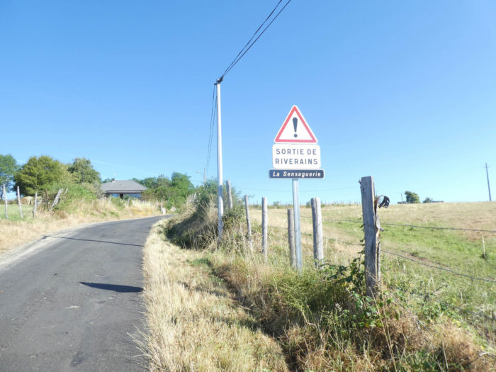
The road then reaches to La Sensaguerie, almost a hamlet, with its beautiful Rover car parked for eternity. Is there also a paradise for beautiful English cars? |
|
 |
 |
|
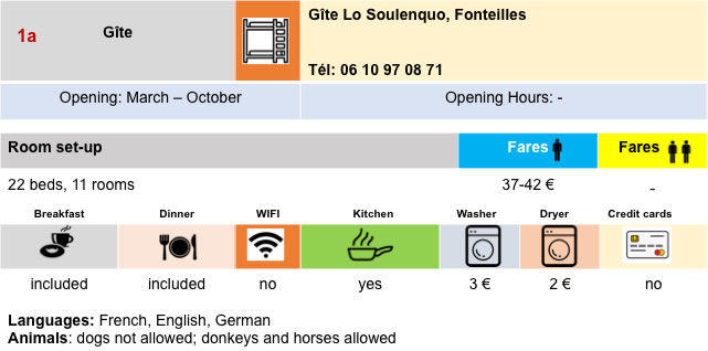
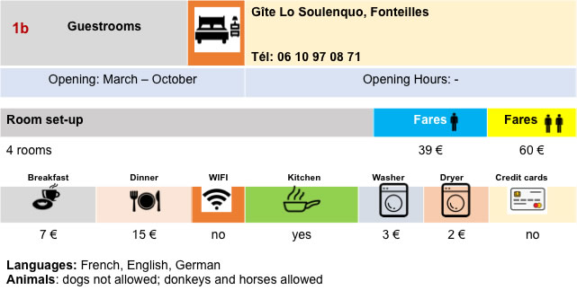
One more last push in the bucolic countryside, and you arrive at the top of the plateau. A road leaves from here for a guesthouse in Fonteilles, 300 meters away. |
|
 |
 |
|
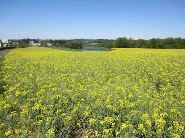
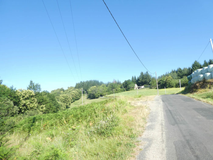
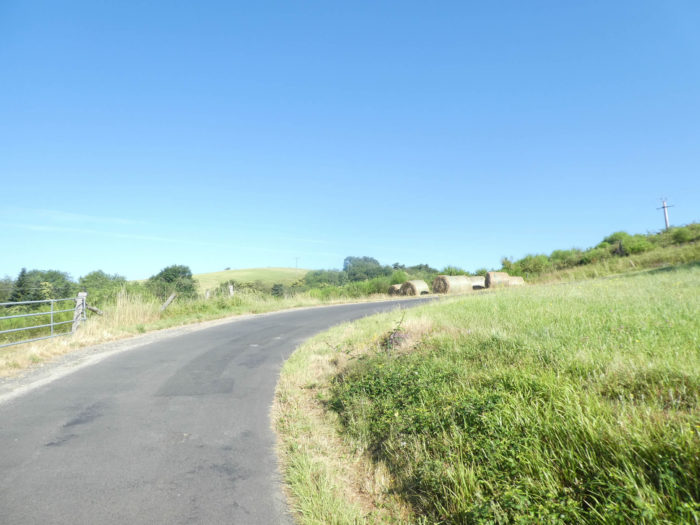
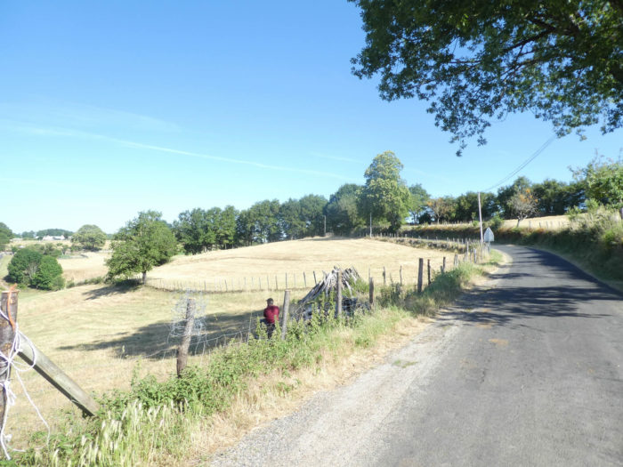
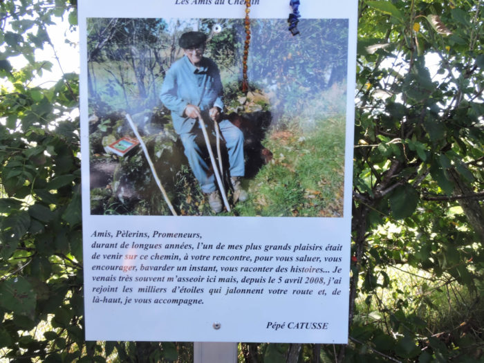
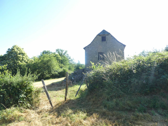
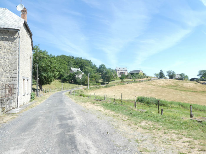
Here a field of rye, there a meadow of thin grass for the sheep or barely fatter grass for the cows. But in winter, life is harsh here, for long, big months, when winter piles up snow on snow and cold, fiery winds blow over the high plateau. In the region, they are small hamlets of three to four houses, no more, drawn along smiling hills, but not very fertile. The pilgrims passing under their crosses are the distraction of the people here. You’ll no longer meet Pépé Catusse here, who loved pilgrims above all else. For others, cattle are their daily bread. |
|
 |
 |
|
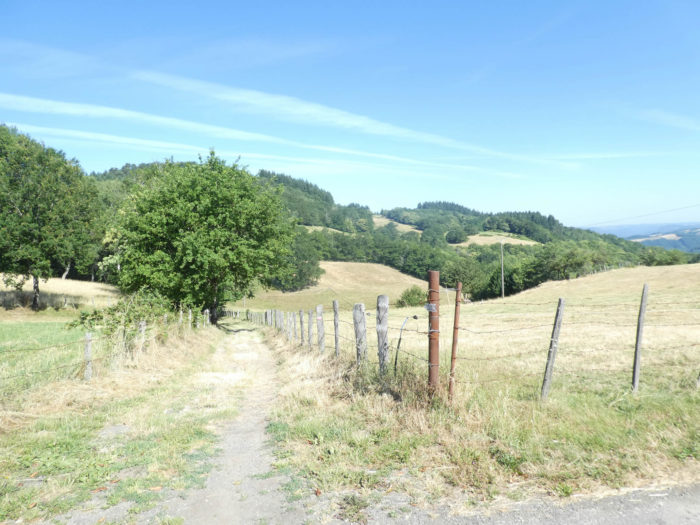
Once you arrive on the plateau, you’ll naively think that you are at the end of the day’s effort. Nay! The paved road will slope down for a long time to other small hamlets as big as pocket handkerchiefs, isolated farms, at the foot of the ever-growing crosses. It is an ocean of forests and undergrowth that is only lost on the horizon. No hill worthy of a name rises above this sea of trees. |
|
 |
 |
 |
 |
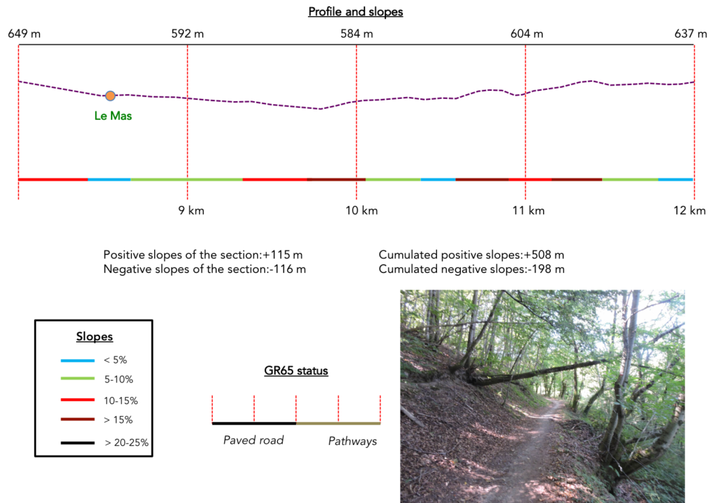
Section 3: Long ups and downs in the undergrowth.
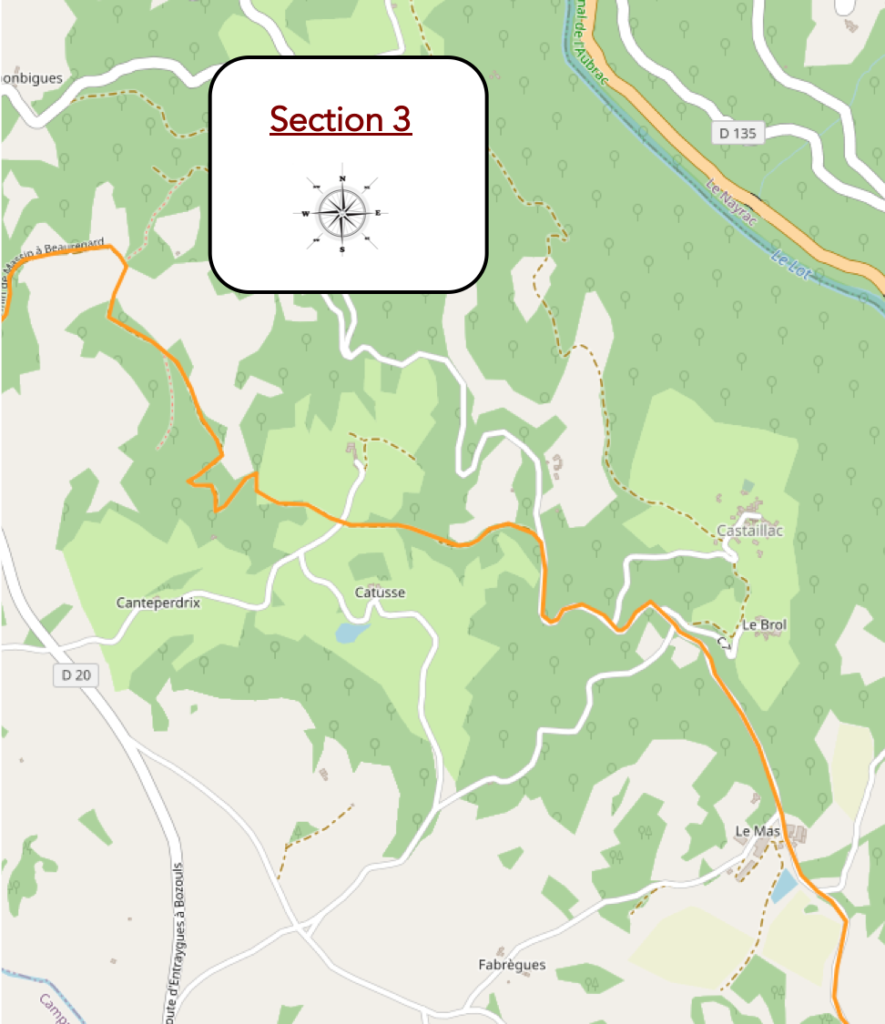
General overview of the difficulties of the route: a little more smoothness, less height, in an uninterrupted succession of ups and downs without too much difficulty, but there are all the same some bumps a little more demanding.
|
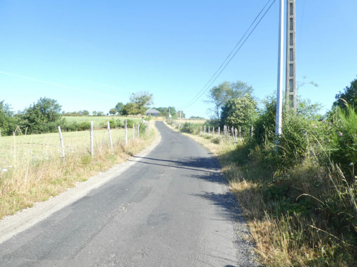
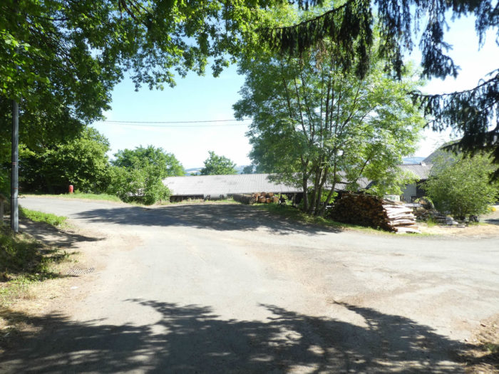
Always the same trees, ash, beech, oak and chestnut, a mess. The paved road sharply slopes down to Mas hamlet. It’s not really a hamlet, more like a large construction company, at first glance. |
|
 |
 |
 |
 |
|
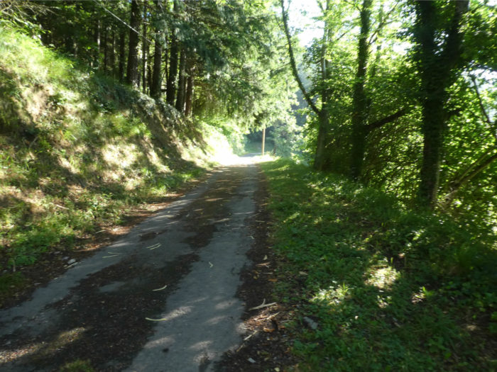
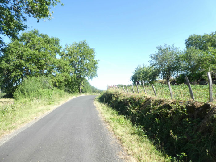
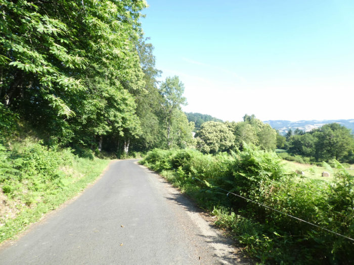
More tar, still tar, downhill, for more than two kilometers. The slope is less steep, more accommodating it will be said. The road is like a long gray snake sliding over the greenness of the undergrowth. The valley descends in a wide and gentle slope, sinking and deepening ever more. Rare gaps reveal isolated houses below. At the bottom flows the Lot River. |
|
 |
 |
|
The forest has been beautiful from the start of the stage. Again and again, these beautiful crosses which mark a landscape where, next to the leafy trees, elegant pines stand here. |
|
 |
 |
|
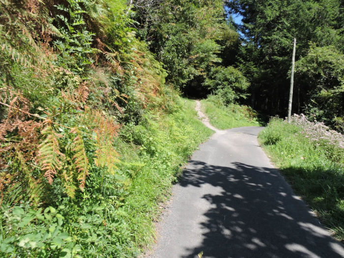
In this exuberant vegetation, there are sometimes small roads that lead to dead ends to small isolated hamlets, which cling to above the river. Then the road begins to slope down a little tougher. |
|
 |
 |
|
You sloped down over 100 meters from the plateau, although for many pilgrims the descent will be seen as eternal. Tar doesn’t help matters. Yet here, you must not miss, finally, the dirt road turning back into the undergrowth, otherwise you will find yourself splashing in the Lot River, well below. |
|
 |
 |
|
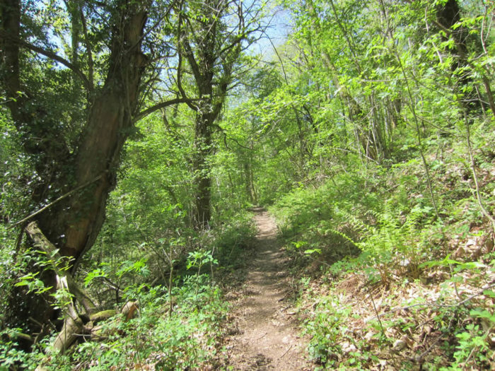
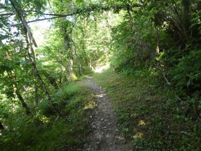
Who will say the pleasure of finding a real pathway under the trees? This is when a real treasure hunt begins, completed with gentle ups and downs around. It is an adorably hilly landscape, sometimes open to raw green clearings, sometimes closed in on itself in the forest. |
|
 |
 |
|
The pathway nods, takes again a little height, with sometimes rather steep passages. The chestnut trees bloom with pleasure. Oaks and beeches compete in height. Here a rare rivulet brings a little freshness. |
|
 |
 |
|
On the brown ground, sometimes large stones litter the ground. Elsewhere, small stone walls covered with moss line the pathway under the leafy pathways. |
|
 |
 |
|
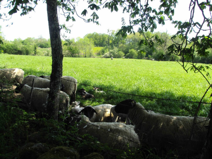
A little further on, the pathway reaches a clearing. Crossing these wild horizons gives off an impression of great loneliness which is sometimes enhanced by the distant vision of a farm of harmonious proportions or that of a herd of Aubrac cows grazing near the hedges. |
|
 |
 |
|
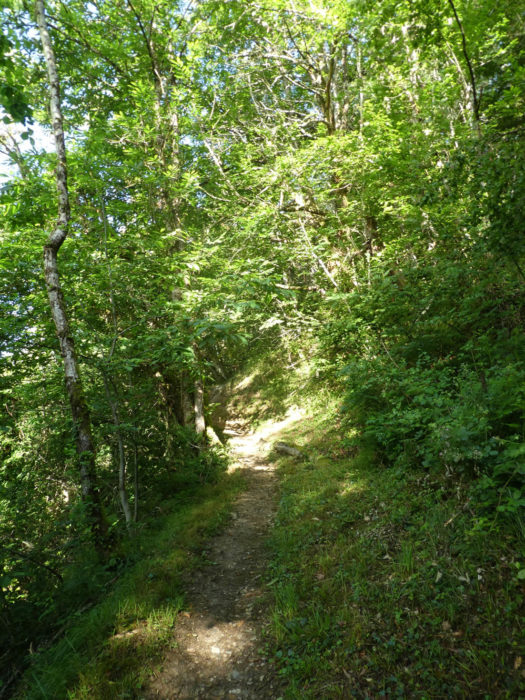
Further afield, the pathway returns to the forest. Here the beeches have taken power over the ground which is almost sand. The eye is most often confronted with the anarchy of the undergrowth or the geometry of the foliage of the canopy. In the forests, there is always the forest at the top, the noble and beautiful canopy, that of life, of colors, of light. Then there is the forest below, that of darkness, decaying branches, humus and brush. |
|
 |
 |
|
Sometimes large stones dot the track, but it is more often the humus that is the rule, where the foot lands with pleasure, in this soft and magnificent forest under the trees, rarely in the bushes. |
|
 |
 |
|
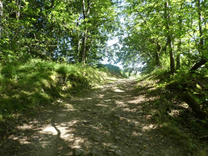
A few rare gaps in space are offered as clearings. It only takes a small trunk for pilgrims to erect cairns or pile up small stones. Yet, the pathway most often returns to the forest. Here it brushes against large blocks of granite. As it’s often the case, large blocks carried by glaciers during the last glaciations. Here, over 300 million years ago, the underlying granite gradually came to the surface in limestones and shallow shales. Then this material eroded, revealing here and there these beautiful blocks of granite. |
|
 |
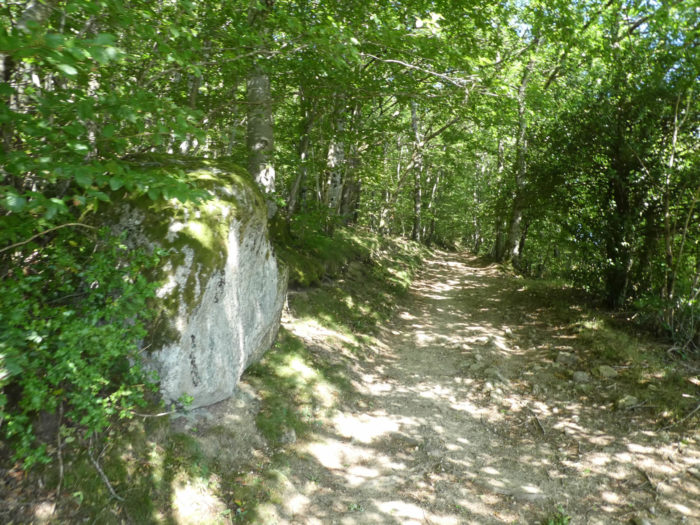 |
Section 4: Golinhac, where ups and downs end.
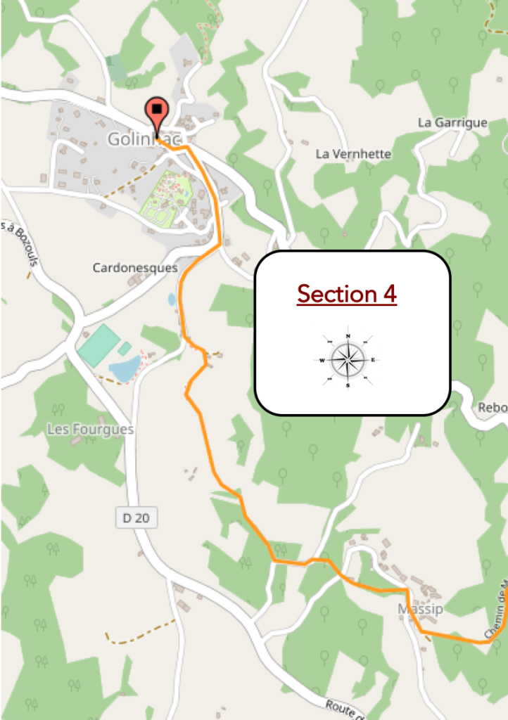
General overview of the difficulties of the route: always and again an uninterrupted succession of ups and downs, sometimes with a few more severe bumps.
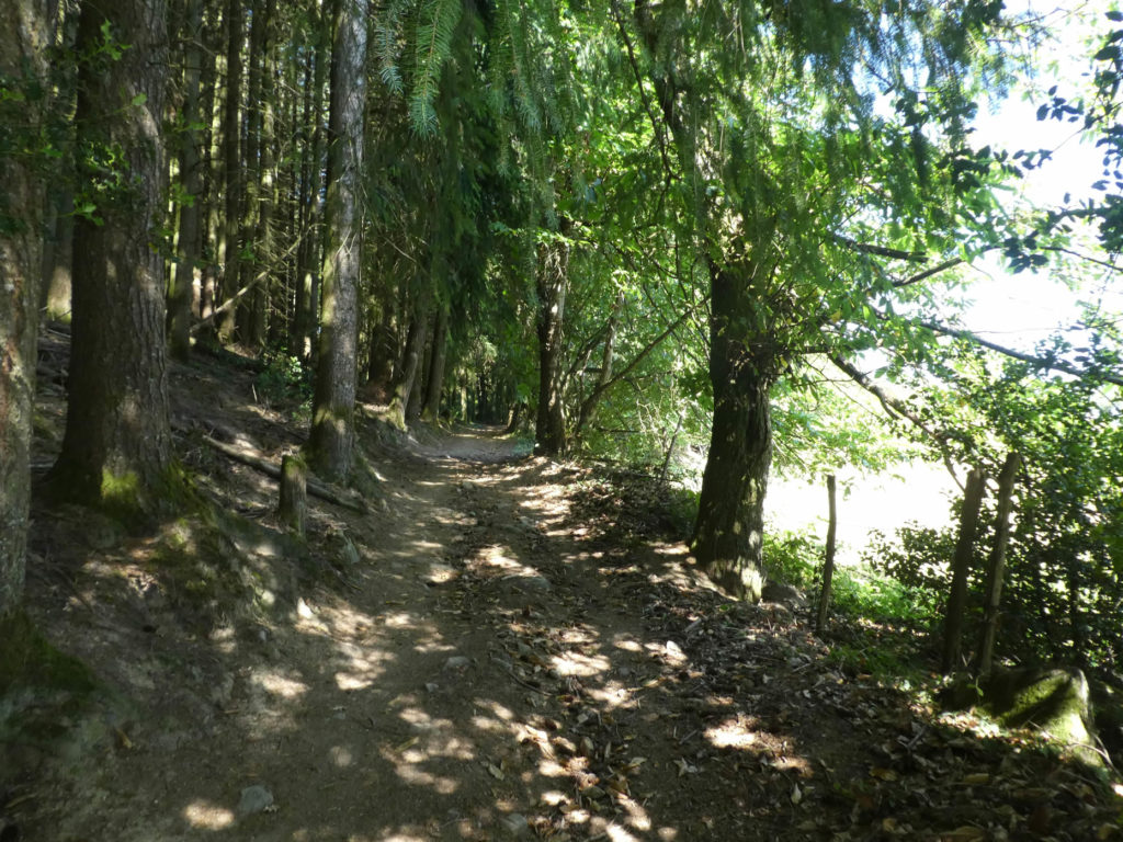
| Then, maybe to your great pleasure, the pathway for a short while abandons hardwoods for spruces, as majestic as Spanish greats. Have they been planted here? Presumably yes, nature cannot do everything. |
|
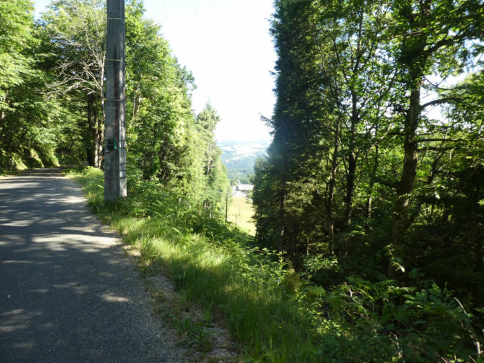
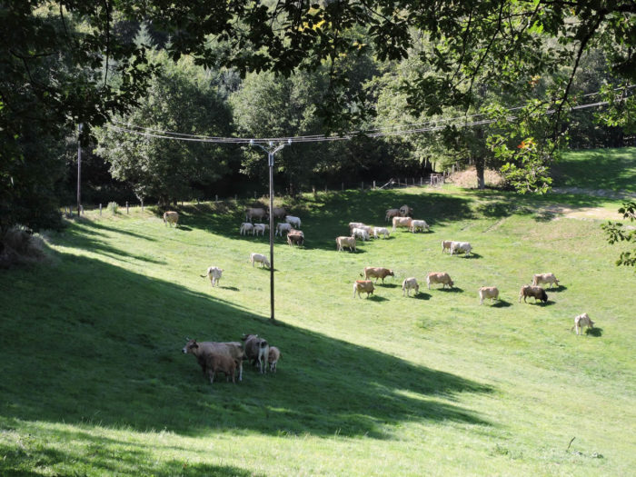
However, you may have a feeling that the scenario will evolve a little. There was nobody around. Yet, in a large clearing, where you can see almost to the bottom of the valley where the Lot River flows, some Aubrac cows graze in short grass pasture. Is there a village nearby? |
|
 |
 |
|
In fact, the village is just a stone’s throw away, following a slightly wider dirt road that must allow tractors to circulate. There are very beautiful oak trees at the edge of the pathway. But not just oaks, of course. |
|
 |
 |
|
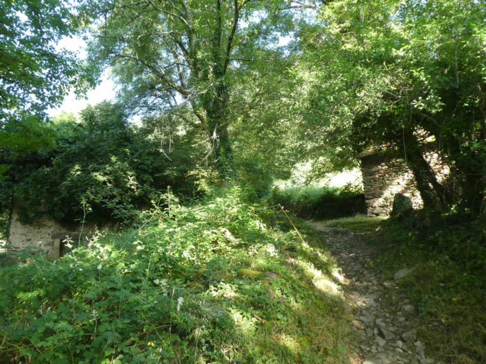
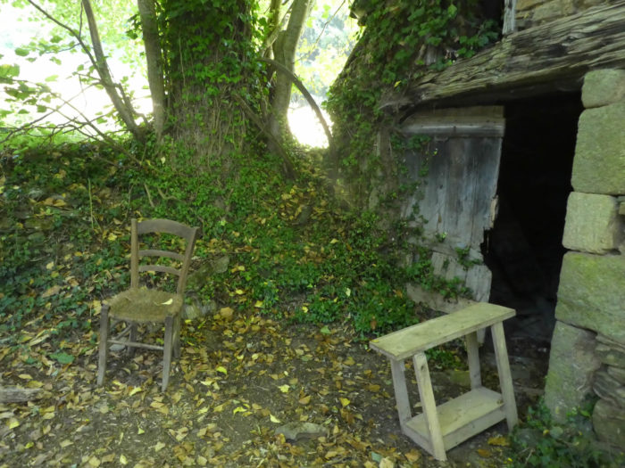
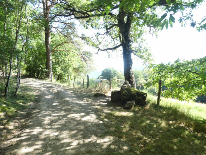
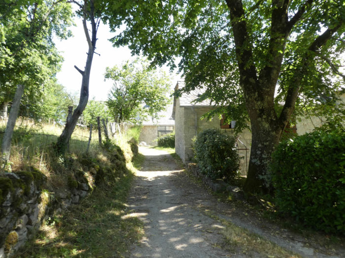
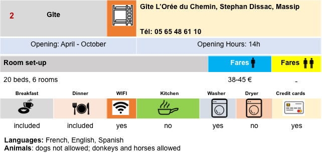
At the end of the dirt road is Massip, on the edge of the woods. The village is below. Here too people manage the timber trade. You may find accommodation in the magnificent stone house at the edge of the road. |
|
 |
 |
 |
 |
|
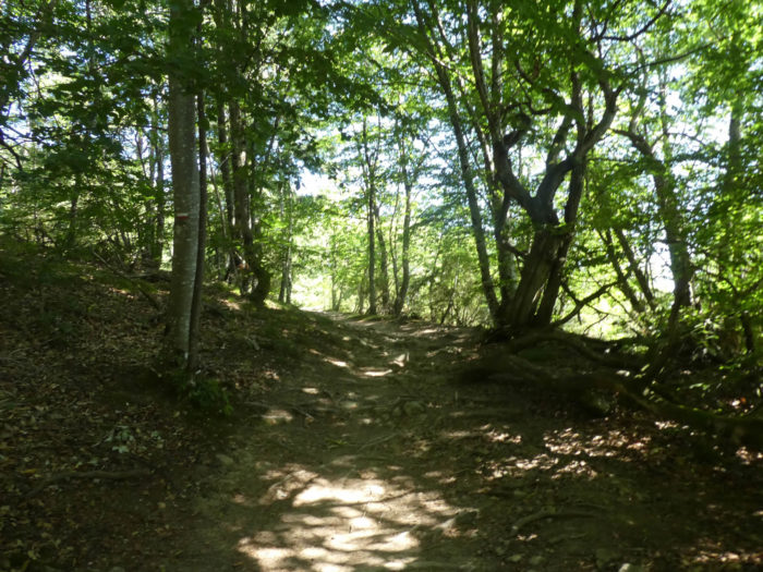
Beyond Massip, a romantic lane twists and turns through broom and moss in a sort of open-air geological museum, in the middle of blocks of granite. |
|
 |
 |
|
Then after paradise, hell, as so often. The pathway joins a small road and tumbles down, the word is not too strong, for a short time in the dark forest. A real treat for tired joints! Then the pathway joins again a small paved road. |
|
 |
 |
 |
 |
|
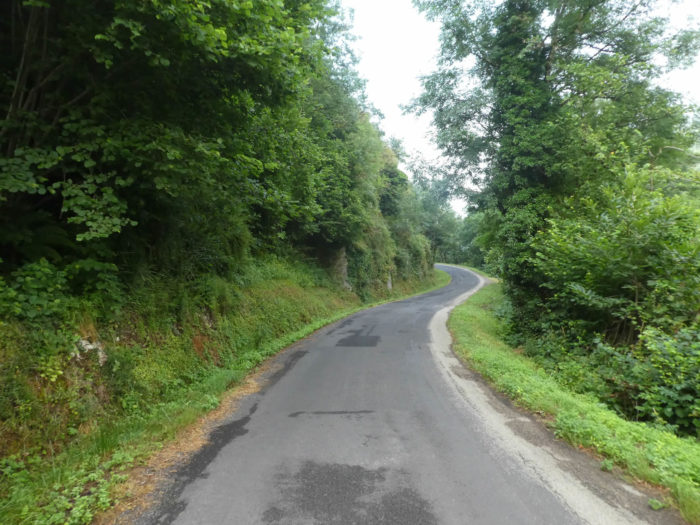
Here you never know where these roads go, which are often dead ends for a few isolated houses. Moreover here, the GR65 quickly leaves the paved road to dawdle in an enchanting forest. |
|
 |
 |
|
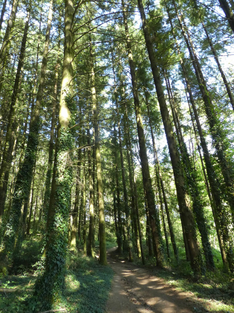
The slender beeches, the chubby chestnut trees and the majestic oak oaks are replicated, along the stone walls, in the ferns and the mosses. You could stroll there for days. Even a small donkey on the embankment must envy our freedom. |
|
 |
 |
 |
 |
|
Further afield, the clearings are more present, the cattle too and the pathway gets near the first houses of Golinhac. The track, as if it wanted to forgive you for its bumpy side, takes on the appearance of a gentle local pathway. |
|
 |
 |
| Who will be able to pass indifferently in front of this granite cross, out of age, planted for our happiness on these magical mossy stone walls, which are one of the great pleasures of the Santiago routes in many regions of France? |
|
Shortly before the village, stand magnificent houses, made of rubble stone, under slate roofs. |
|
 |
 |
|
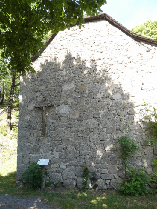
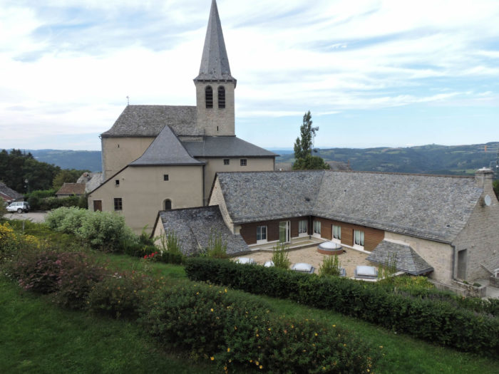
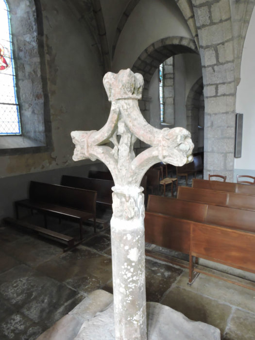
Now the GR65 flattens to Golinhac. Golinhac is the first real village since Estaing. It still has nearly 400 inhabitants. At the entrance to the village, a 15th century stone cross, known as “dels romieus” (pilgrims) shows a Virgin at the feet of Christ, as well as a pilgrim in the center, a small hat in his hand and holding a big bell. This cross is a copy of the original in the church. |
|
 |
 |
|
The church dedicated to St. Martin has a very ancient origin, erected before the year 1000, although completely modified over the centuries. It is true that the Romieux cross is very beautiful. |
|
 |
 |
|
In the village, religious and secular symbols go hand in hand. |
|
 |
 |
|
A little higher than the village, the Puech de Regault offers a magnificent panorama over the Entraygues valley, the Aubrac mountains and Auvergne. Also nicknamed “the hill of the gaze”, it allows you to see the great Plomb du Cantal volcano in Auvergne in good weather. You still have to be lucky to be there on the right day! |
|
 |
 |
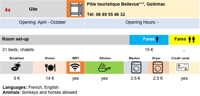
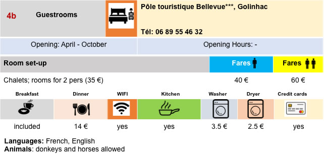
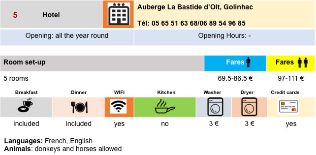
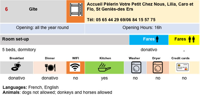
Lodging
 |
 |
 |
 |
 |
 |
 |
 |
 |
 |
Feel free to add comments. This is often how you move up the Google hierarchy, and how more pilgrims will have access to the site.
 |
Next stage : Stage 10: From Golinhac to Conques |
 |
Back to menu |