| Not all pilgrims are necessarily comfortable using GPS devices or navigating with a smartphone, especially since there are still many areas without Internet access. That is why, to make your journey easier, a book dedicated to the Via Podiensis from Le Puy-en-Velay to Cahors is available on Amazon. Much more than a simple practical guide, this book accompanies you step by step, kilometer after kilometer, providing all the information you need for smooth planning and avoiding unpleasant surprises. Beyond its practical advice, it immerses you in the enchanting atmosphere of the Camino, capturing the beauty of the landscapes, the majesty of the trees, and the very essence of this spiritual adventure. Only the pictures are missing, everything else is there to transport you.
In addition, we have also published a second book which, with slightly fewer details but all the essential information, covers the entire route from Le Puy-en-Velay to Saint-Jean-Pied-de-Port. The choice of your journey is yours.
|
 |
 |
If you only want to consult lodging of the stage, go directly to the bottom of the page.
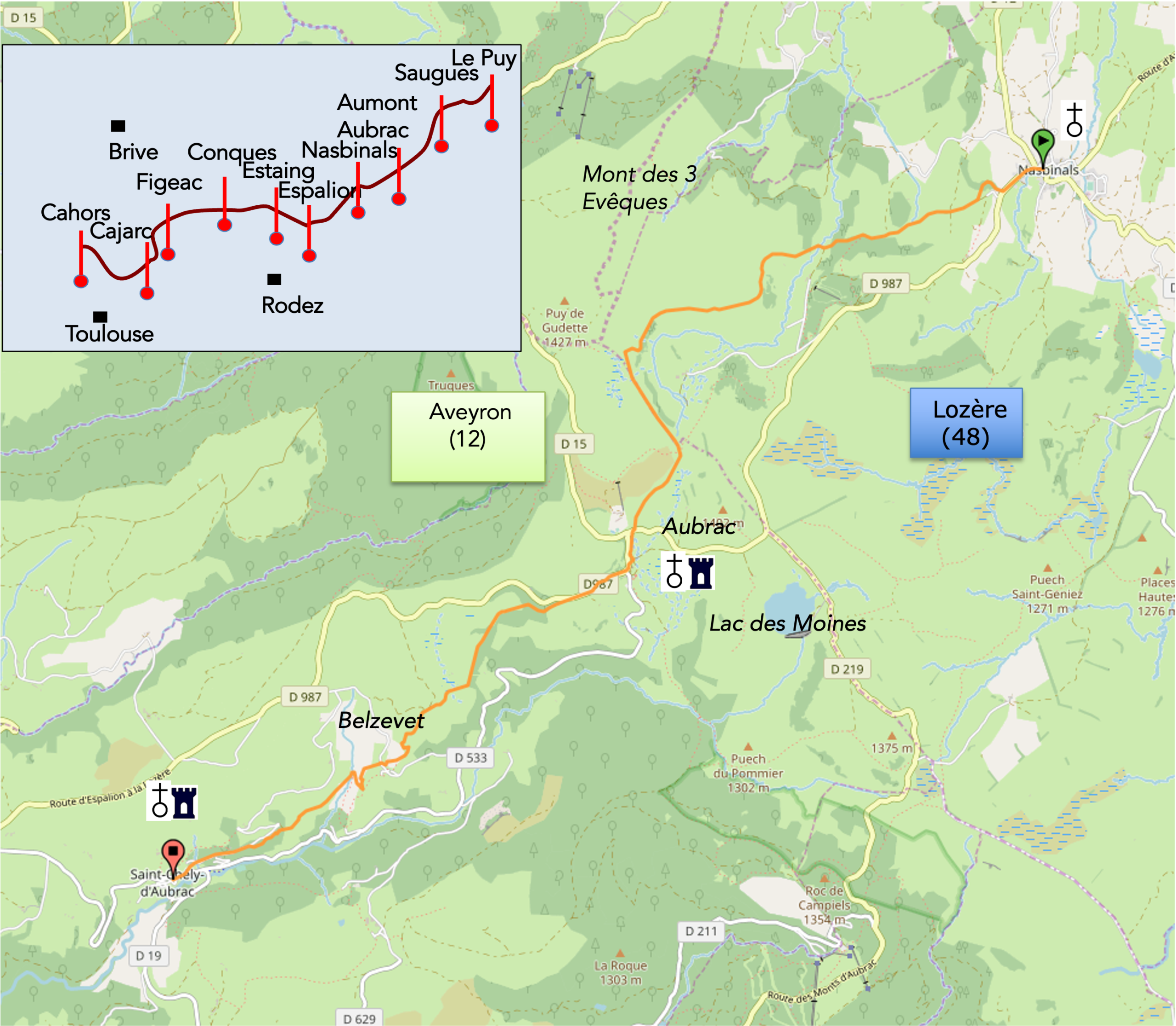
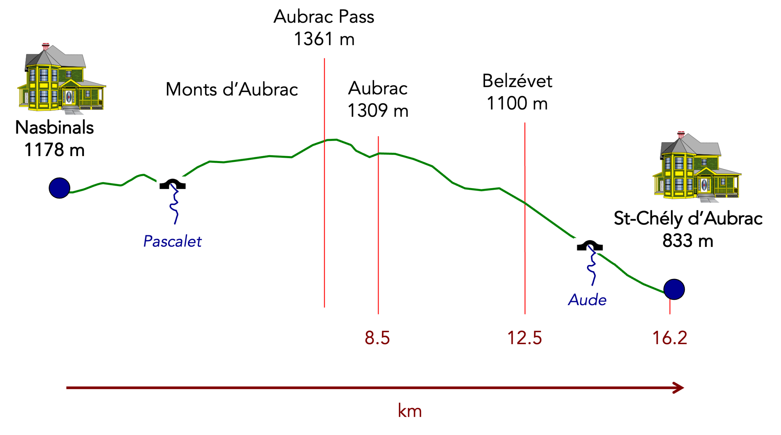
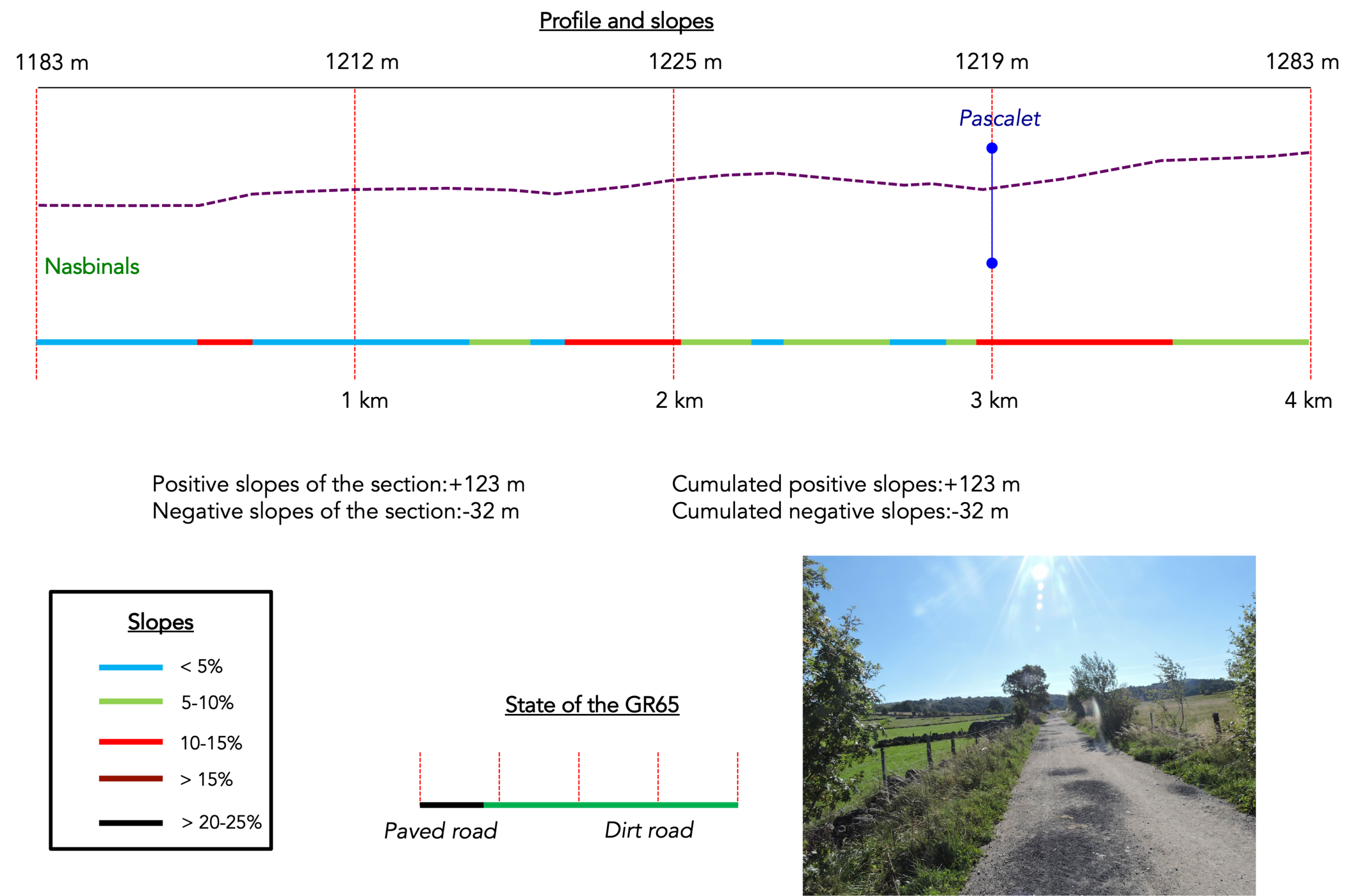
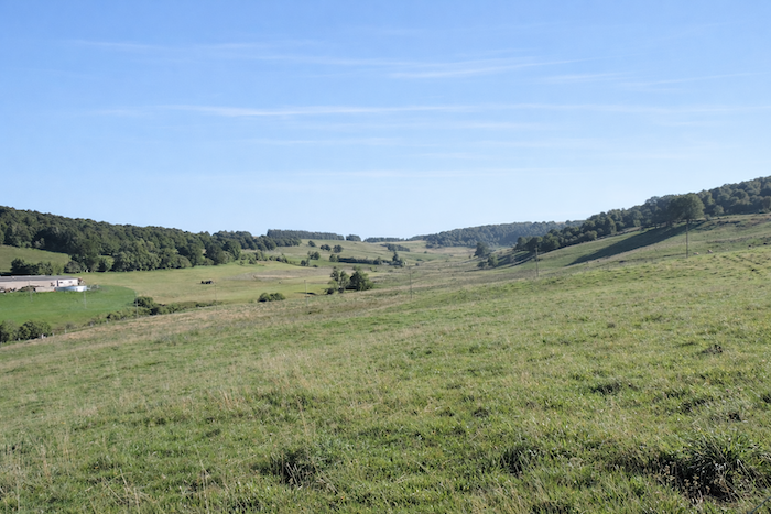
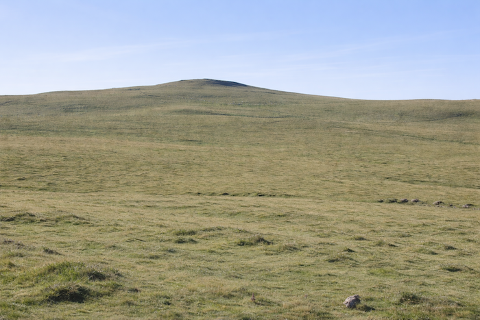
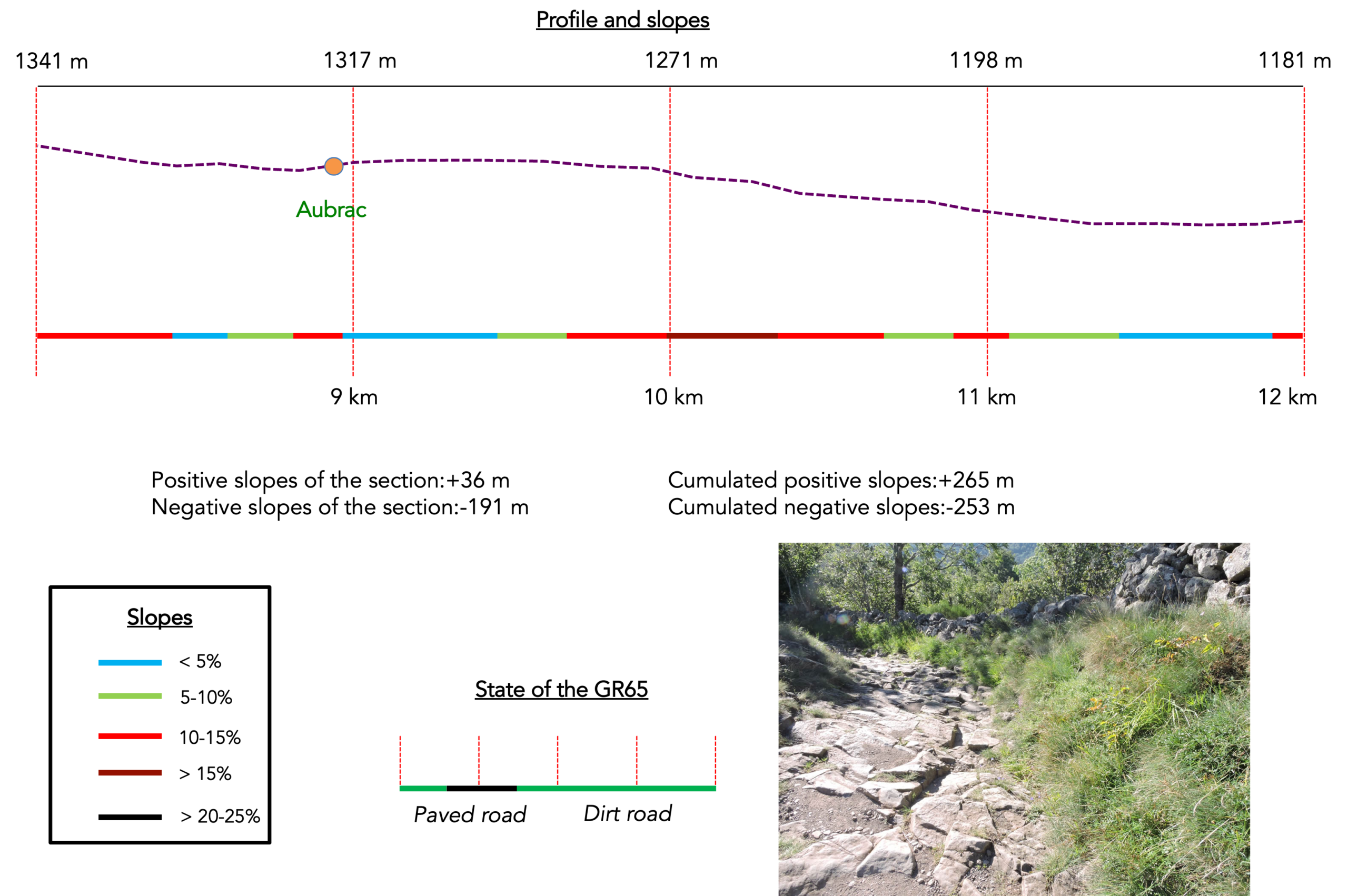
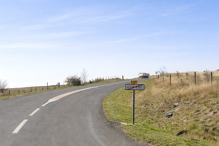
Aubrac is a complete change of scenery, grand and austere. Its immense solitude and lack of landmarks make it a place apart from tourism, one of those magical lands that nourish the imagination. It lies on the border of the unreal, a country whose magic is impossible to define. It is a vast plateau of schist and granite, covered here and there by basalt flows, forming a great ellipse 55 kilometers long and 40 kilometers wide, connected to the Margeride Mountains and enclosed between the often-turbulent waters of the Truyère and the calmer waters of the Lot.
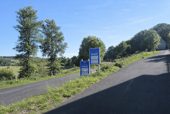
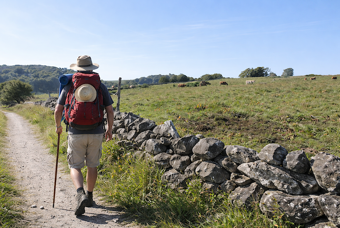
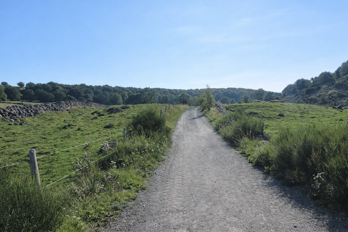
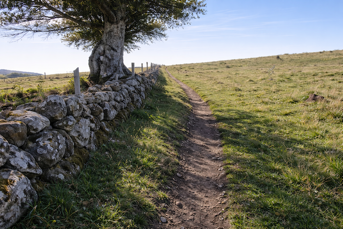
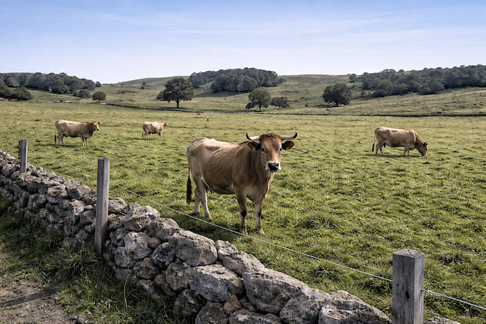
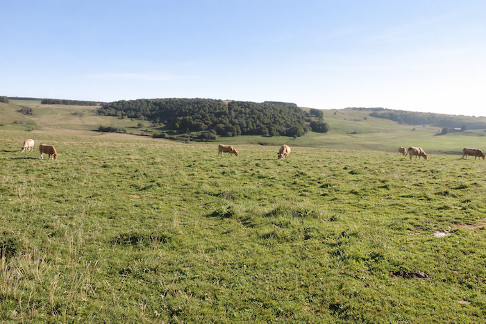
The route continues southwest across the bare steppe. It does so all the way to Aubrac, where it finally leaves the plateau. Today, you first walk through Lozère, almost as far as the village of Aubrac, then into Aveyron, on the descending slopes of the Aubrac Mountains. Another day awaits, devoted in its first part to contemplating the images of a land that is almost stripped bare, with gentle undulations of meadows covered in spring by thousands of wildflowers, and plains where thousands of brown cows graze silently. The air is pure, and no tree interrupts either the gaze or the wind. Occasionally, small patches of woodland rise in the midst of endless pastures. Aubrac is the land of cattle, and people are almost absent. Aubrac resembles the Argentine pampas, the savannas of Missouri, a « grass desert », as it has often been called. Little or nothing breaks the monotony and uniformity. These vast solitudes, where the pilgrim walks for hours seeing only a rare tree or a fragile bush in the distance, were once covered by immense forests. Only a few fragments remain. These great woodlands, now lost forever, belonged to the Aubrac hospital, which also managed the forests above Aubrac and those below it as far as St Chély d’Aubrac, forests that still exist today.
Among the rounded hills, heathland sometimes replaces pasture. Numerous granite boulders lie scattered across the landscape, reminders of an age when glaciers left traces of their passage. Aubrac means « Alto Braco » or « high plain ». The same pastoral scenery unfolds again and again, while the hamlets become increasingly distant from one another. The landscape is dotted with old burons, sturdy volcanic stone huts with steep roofs where shepherds once lived while making cheese and sheltering from the violent winds that sweep these lands. In this ocean of greenery, the whims of the wind can become formidable, with no mountain barrier to restrain them. One of these winds is « Lo Biso », the fierce northern wind. Another is « Lo Traverso », also from the north, bringing clouds with it. « L’Olto », also known as the Autan wind, comes from the south and blows hot, dry, and violently. At times another hot, dry wind, « Lo Souledre », blows with equal force.
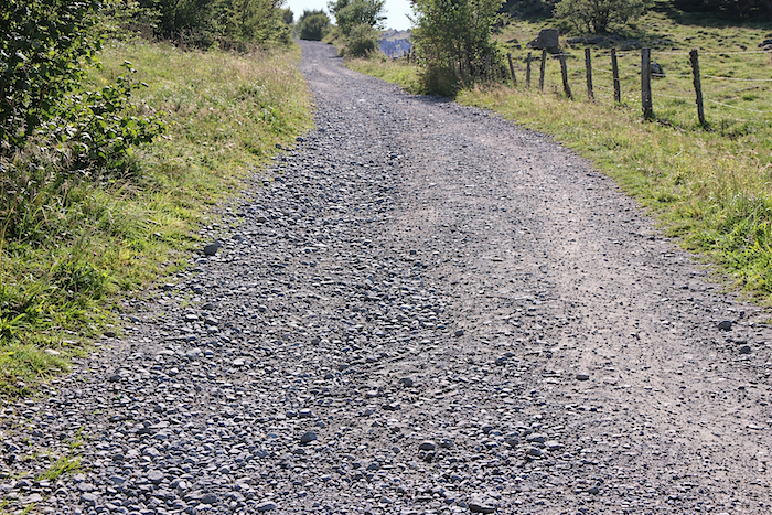
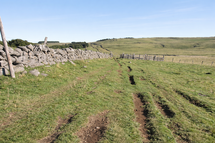
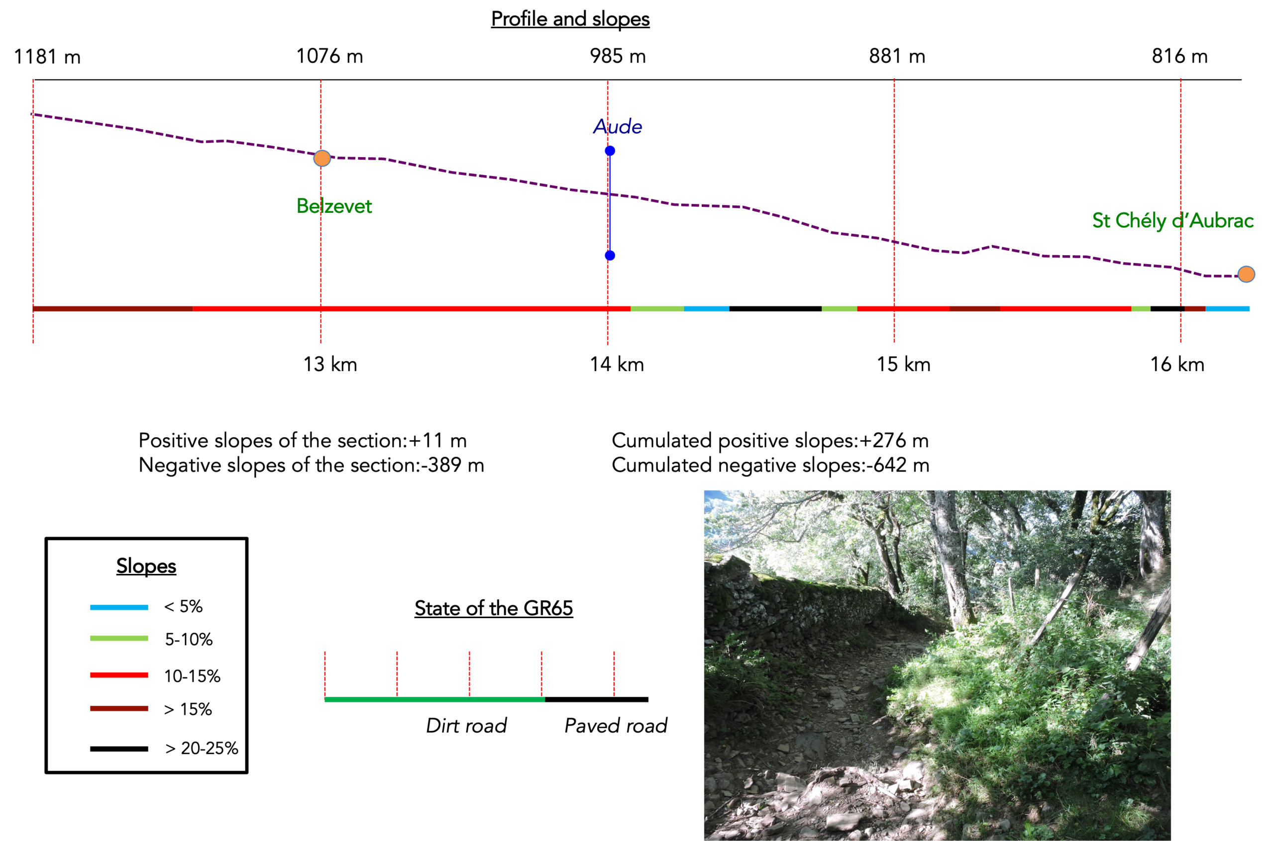
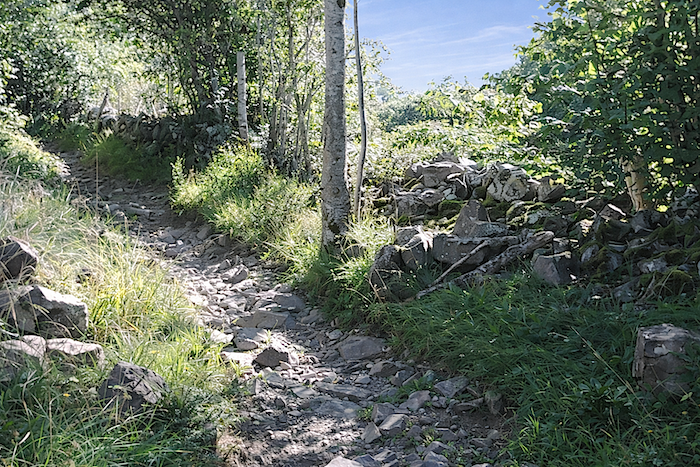
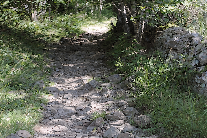
Difficulty level: Today’s elevation changes (+276 meters / -642 meters) do not seem particularly impressive on paper, yet this is quite a demanding stage. The beginning of the stage consists of a long climb, sometimes tiring, across the rolling plateau to reach an altitude of 1,324 meters. The route follows mainly drailles (cattle paths), crossing immense pastures enclosed by stone walls and barbed wire fences. This land belongs to cows and pilgrims. It is simply extraordinary. Small streams occasionally appear here and there. After Aubrac, when the route leaves the plateau, a difficult descent begins, sometimes very steep on rocky paths, towards St Chély d’Aubrac. In bad weather, this descent can become quite challenging. Under such conditions, it is wiser to take the road down to St Chély d’Aubrac.
State of the GR65: This is a stage that runs almost exclusively on paths, which is rather unusual on the Camino de Santiago:
- Paved roads: 2.9 km
- Dirt roads:13.3 km
Sometimes, for reasons of logistics or housing possibilities, these stages mix routes operated on different days, having passed several times on Via Podiensis. From then on, the skies, the rain, or the seasons can vary. But, generally this is not the case, and in fact this does not change the description of the course.
It is very difficult to specify with certainty the incline of the slopes, whatever the system you use.
For « real slopes », reread the mileage manual on the home page.

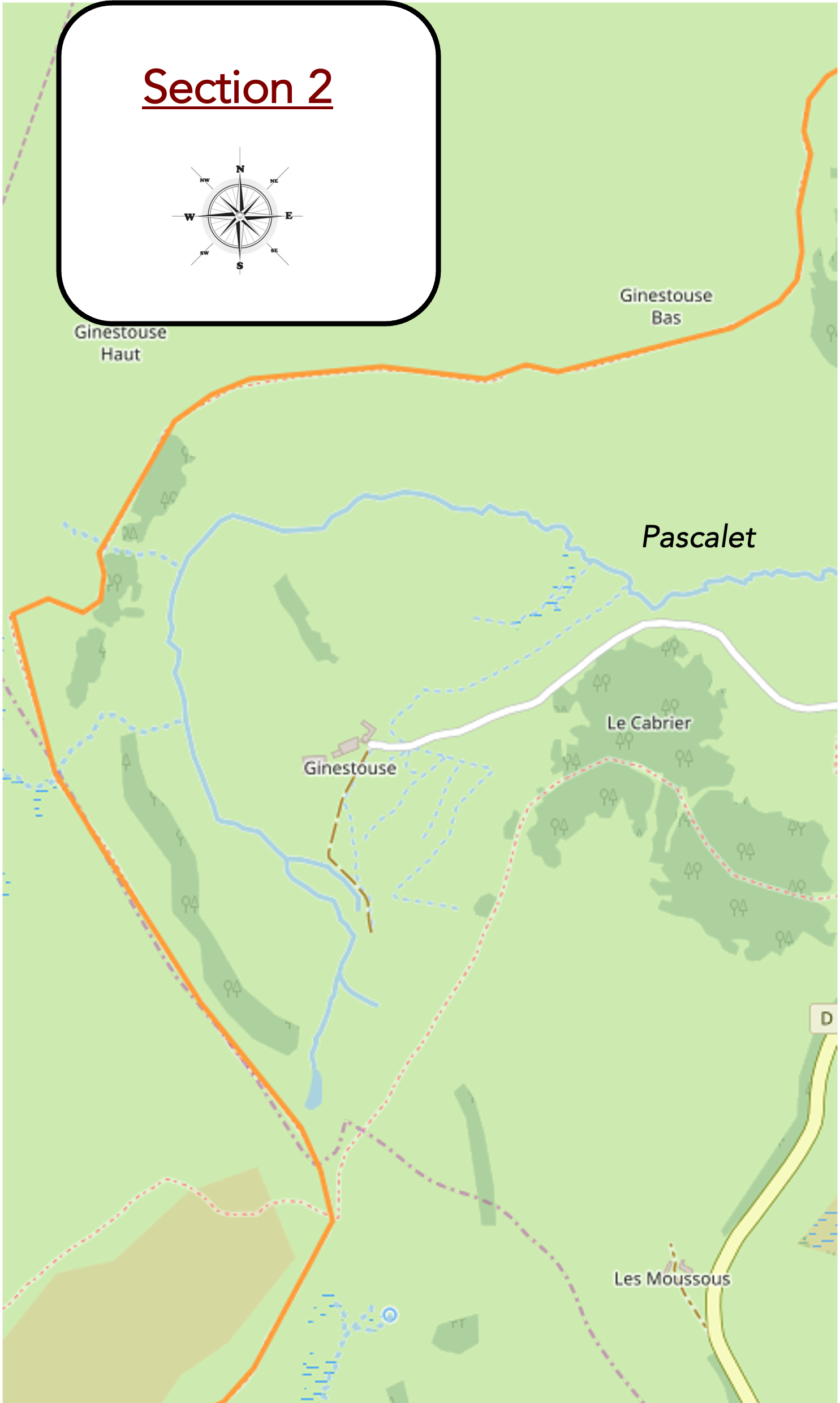
Section 1: On the way to the great “drailles”
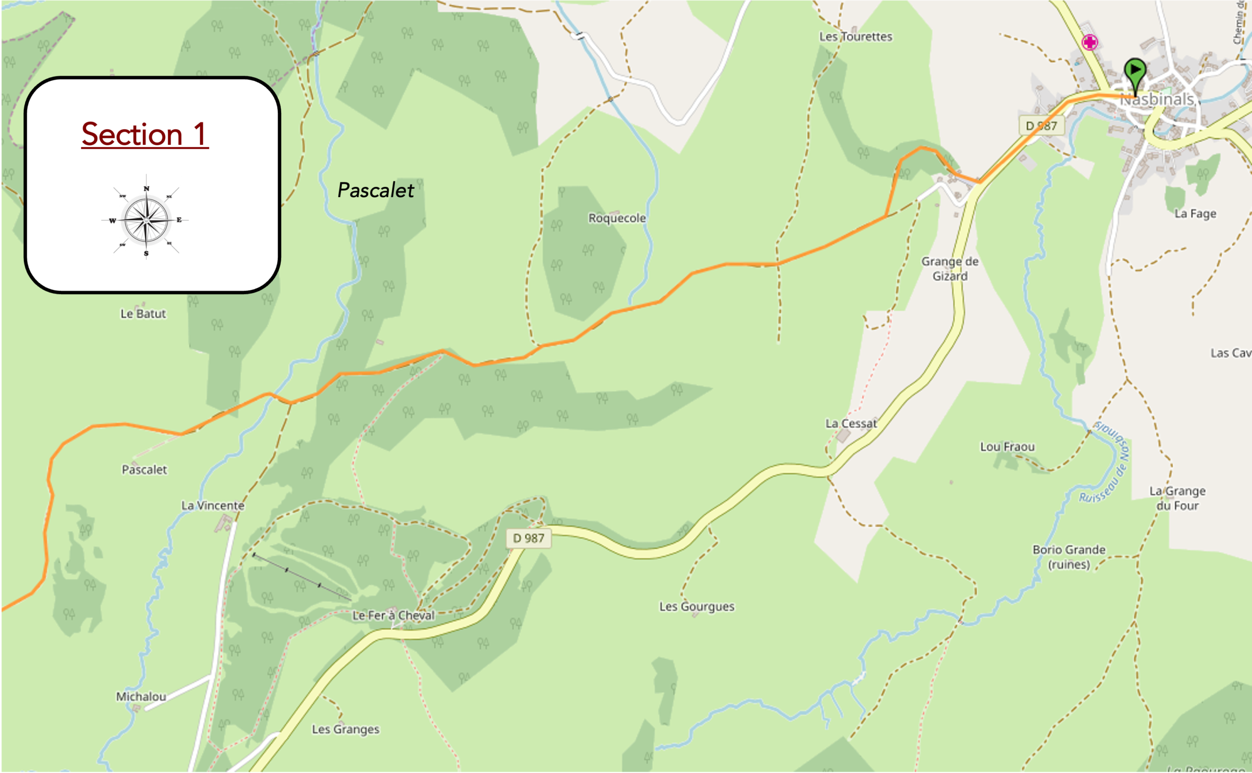
General overview of the route’s challenges : a steady climb towards the Aubrac Pass, yet despite a few rises here and there, the gradient remains very reasonable.
|
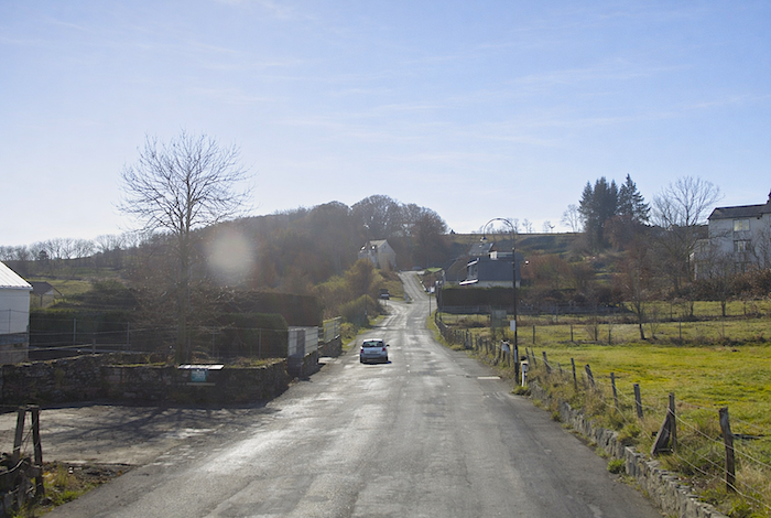
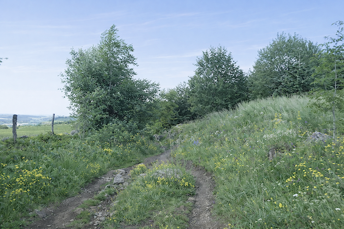
The GR65 crosses Nasbinals, then stretches towards the departmental road leading to the Aubrac Pass, like a discreet line guiding the pilgrim towards the heights. For here, despite its name, Aubrac is not a fiercely mountainous massif, but a land of softened reliefs, modest elevations, and a character all its own.
|
 |
 |
|
The road continues to a junction announcing the Aubrac Pass, a symbolic threshold rather than a true summit, since the landscape deals more in subtle variations than dramatic heights.
|
 |
 |
|
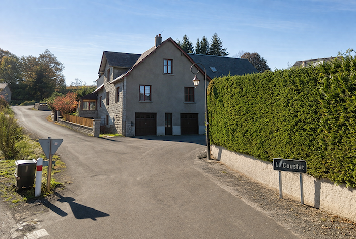
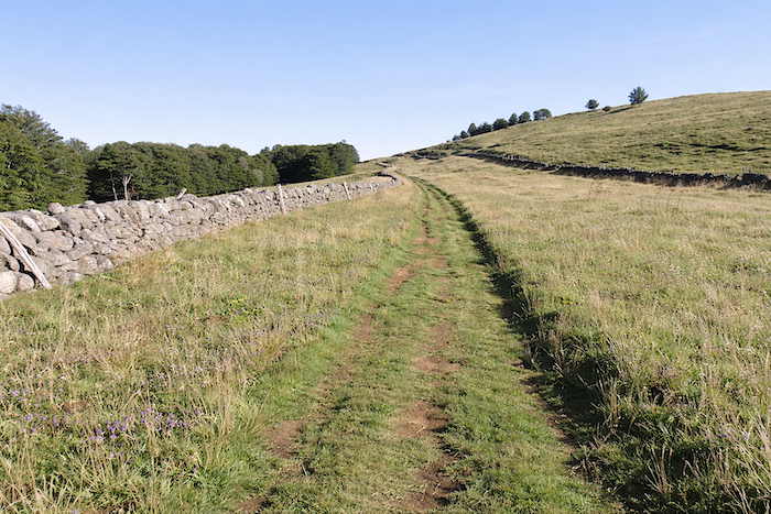
It is here, at the hamlet of Coustat, only a short distance from Nasbinals, that the GR65 leaves the ribbon of asphalt and rediscovers the freer rhythm of the paths.
|
 |
 |
|
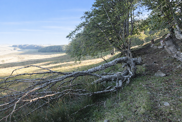
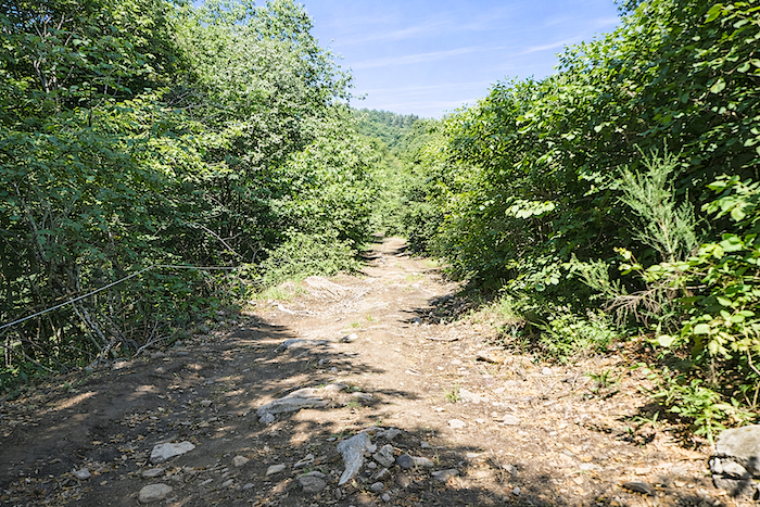
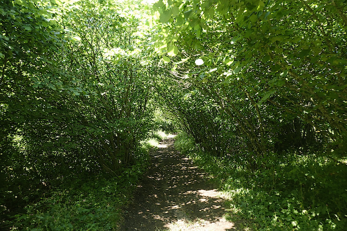
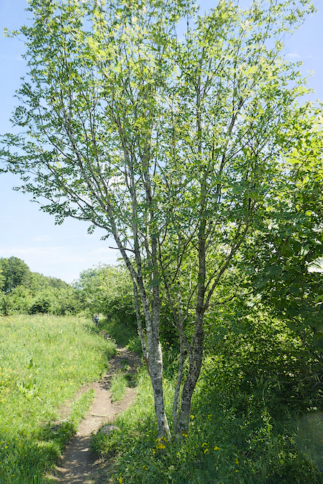
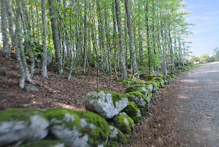
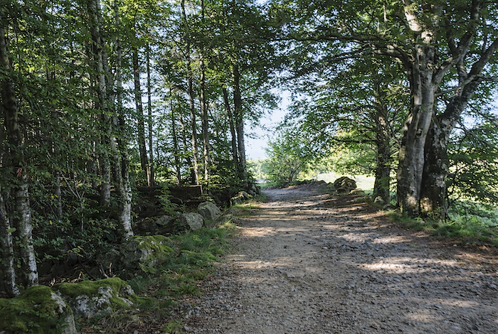
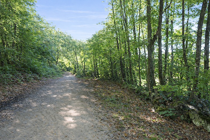
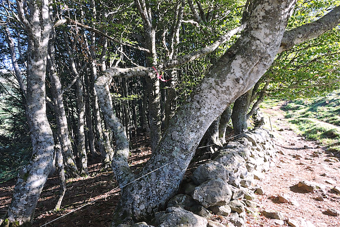
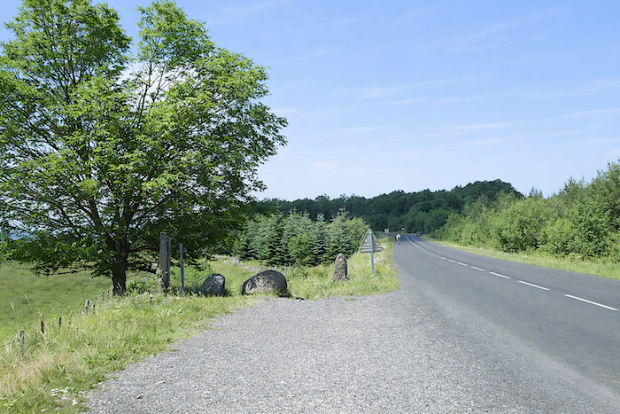
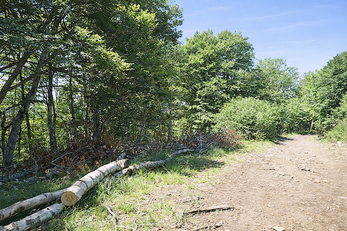
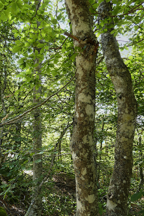
Beyond the hamlet, the route climbs gently, first along the still warm tarmac, then onto a stony path that disappears beneath a canopy of broadleaf trees. The pines gradually fade away, yielding to oaks that are more massive and more deeply rooted. Beeches, maples and oaks intertwine their branches, sometimes forming true vegetal vaults, tunnels of shade where light becomes rare and precious.
|
 |
 |
|
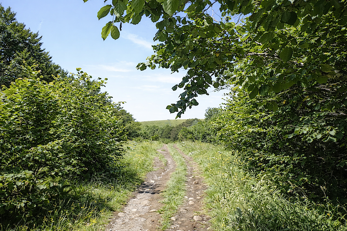
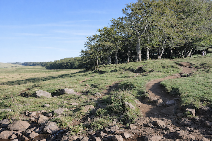
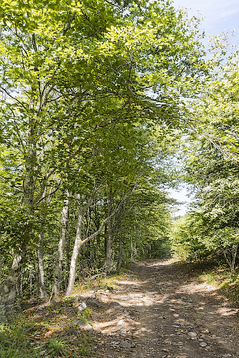
Yet, very quickly the landscape opens up, as though the gaze itself were drawing a deeper breath, and hedgerows replace the woodland.
|
 |
 |
|
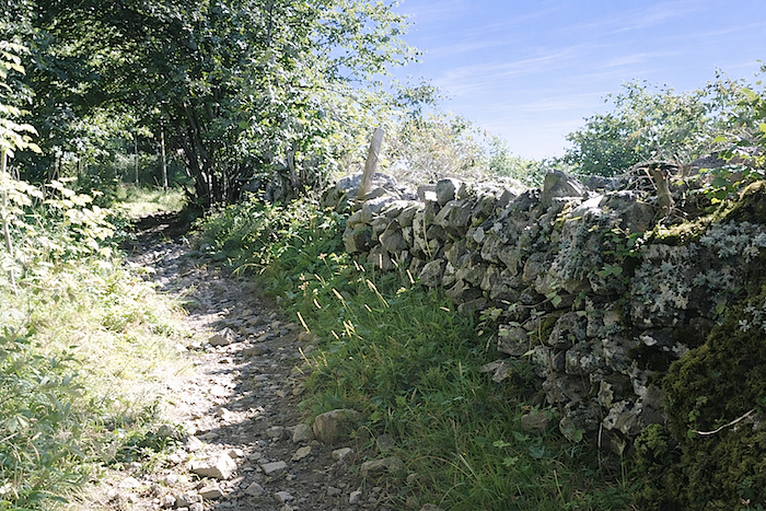
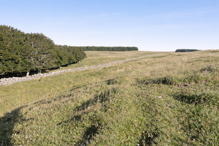
This change in vegetation unsettles familiar landmarks. Aubrac seems transformed. The pines have vanished, a few ash trees appear here and there, and yet the cattle continue to graze unchanged behind granite walls crowned with strands of barbed wire.
|
 |
 |
|
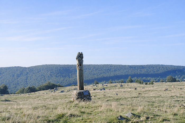
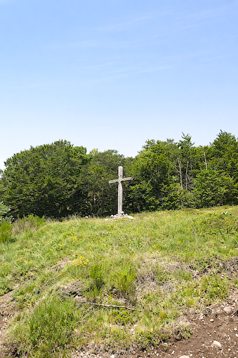
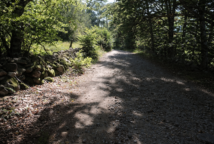
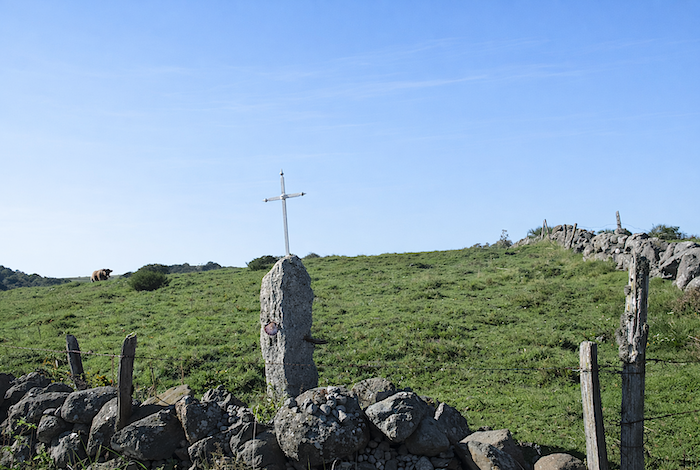
The path passes a stone cross, a silent witness to another age, then climbs gently through the pastures under the distant watch of Aubrac’s dense forests. The soil is grey, almost powdery, and the ground resembles gravel. A darker tone seems to spread across every element of the landscape, even the granite of the walls themselves.
|
 |
 |
|
Everything appears darker, as though Aubrac had changed its face since the previous day. Trees are more numerous and the presence of the forest more insistent. A question drifts through the air, almost like a whisper from the landscape itself. Did the monks once choose to leave this fragment of land untouched, deciding not to clear it?
|
 |
 |
|
The path seems to hesitate, torn between the bright openness of the pastures and the darker intimacy of the woodland.
|
 |
 |
|
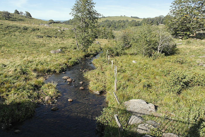
Soon it reaches the Pascalet stream, crossed by a modest bridge. It is a modest watercourse whose many branches suggest a greater flow than it truly possesses, as though it preferred to scatter itself rather than run in a single channel.
|
 |
 |
|
Then the climb resumes, gentle but constant, along the hillside. The path, rough beneath the feet, becomes stony and almost harsh as it winds among the bushes. Here the rock emerges in a different form. Granite no longer dominates. Instead, dark remnants of basalt prevail, giving the ground a rougher, almost volcanic texture.
|
 |
 |
|
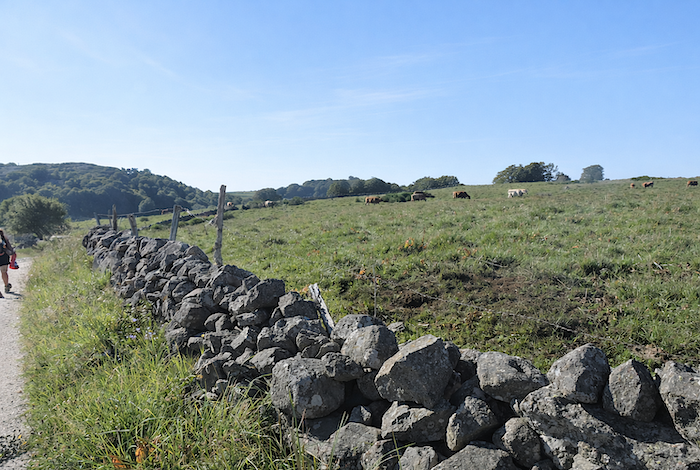
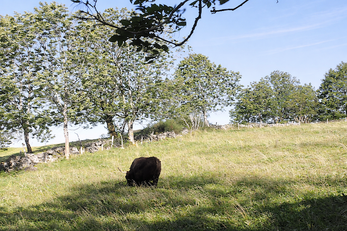
The path then slips into a landscape that never yields to banality, so strongly does it bear the combined imprint of geography, time and human activity. Agriculture, and above all livestock farming, have shaped every slope and every parcel of land. Everywhere cattle graze sparse grass, contested by wind and season alike. From May to October, young cows, bulls and calves occupy these heights before descending once more to gentler lands as winter approaches. Here there are no shepherds. The animals roam freely through meadows and heathland, held only by the austere lines of barbed wire fences.
|
 |
 |
|
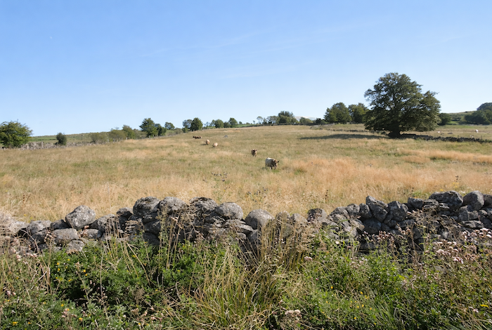
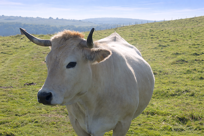
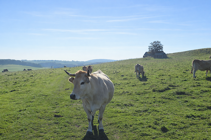
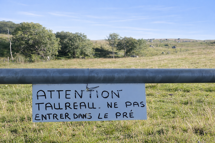
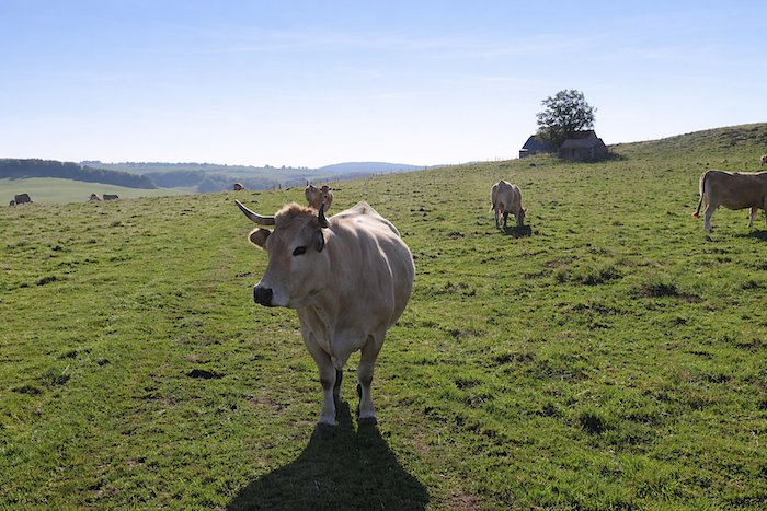
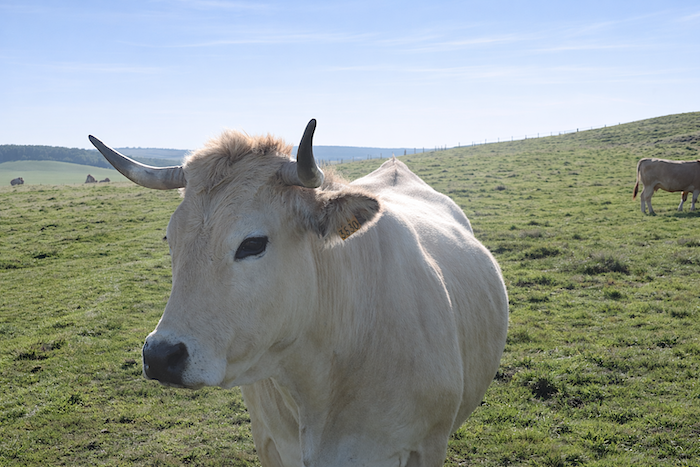
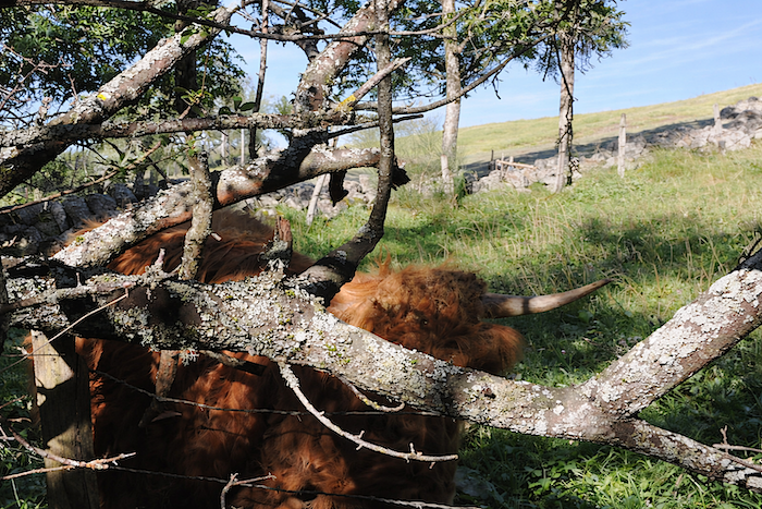
Aubrac cattle possess a distinctive elegance. Their muzzles, eyelids and eyelashes are outlined by a pale halo, as though delicately made up. Their tawny coats catch the light, while their horns draw noble curves against the sky. The bulls, often paler in colour, have lost some of these majestic features. Today, livestock farming on the plateau is focused primarily on meat production. The breed remains peaceful, although a few more temperamental individuals remind visitors that gentleness does not exclude caution. Here, a double electric fence discourages overly curious walkers from approaching a bull that has little interest in company.
|
 |
 |
|
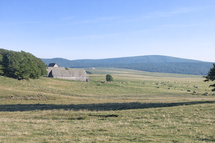
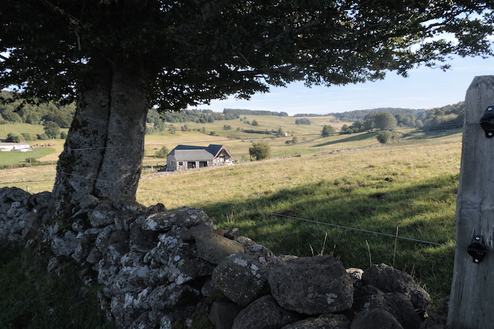
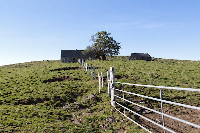
Eventually the path enters an agricultural estate of almost overwhelming scale, the farm of Pascalet-Ginestouse. To say that it is vast would be an understatement. The pastures seem endless, stretching all the way to the edge of the forests that must soon be climbed. The estate is divided among buildings, farms and scattered “burons”, forming a complex landscape that is almost labyrinthine. Everywhere, cows watch the passing pilgrim with sovereign calm, their large velvet eyes filled with benevolent serenity. “Pilgrim, continue your route,” they seem to whisper in silence.
|
 |
 |
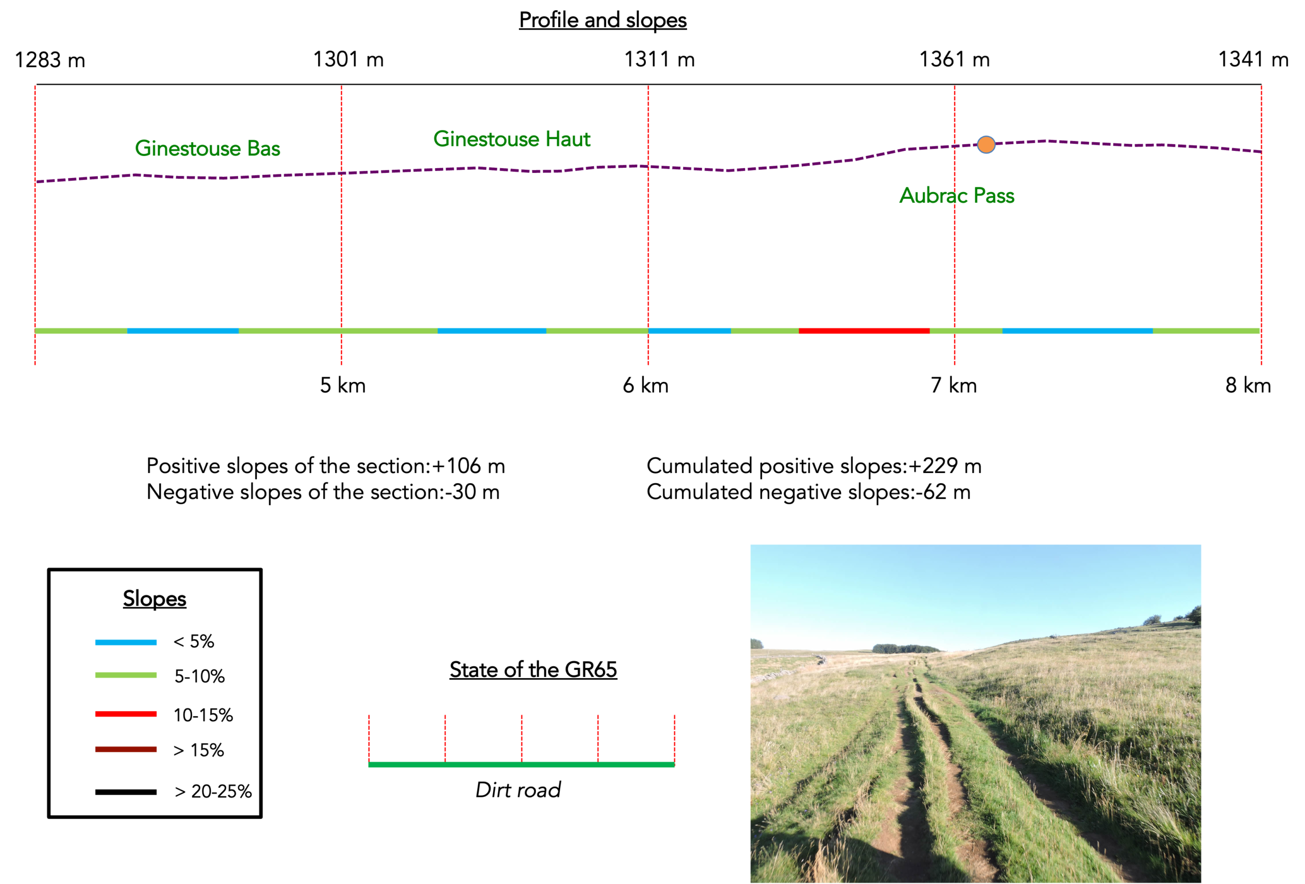
Section 2 : Across the great “drailles”
General overview of the route’s challenges: a reasonable climb, becoming somewhat steeper near the pass.
|
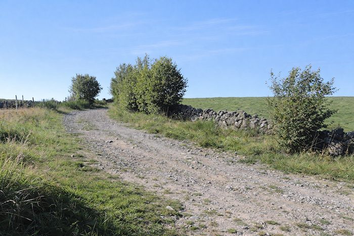
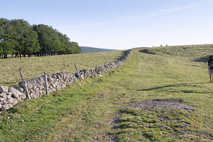
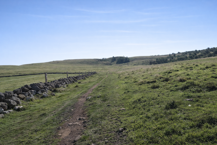
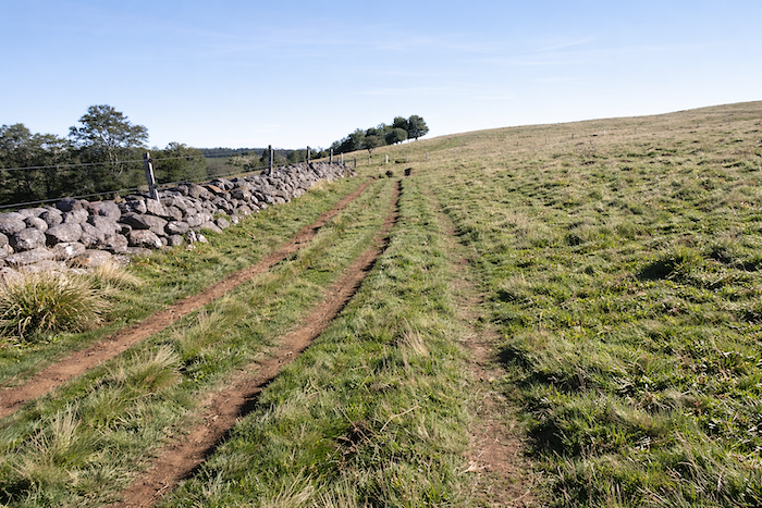
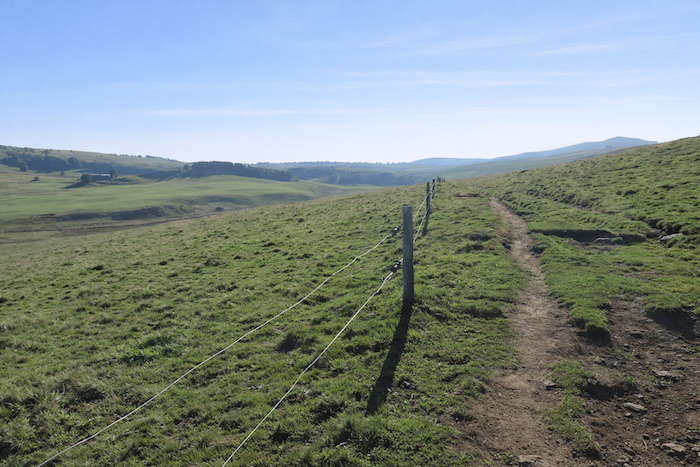
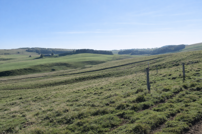
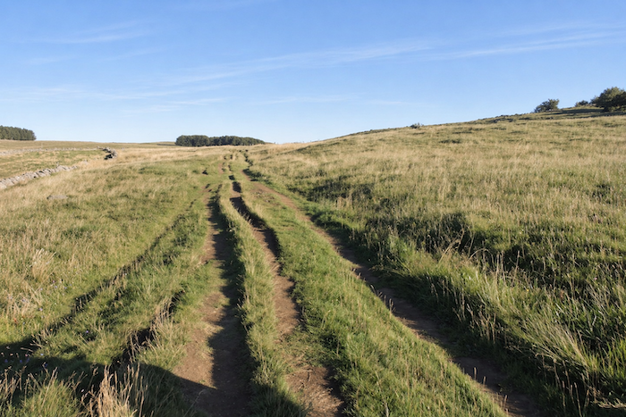
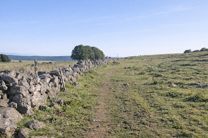
It is here that the first great “drailles “reveal themselves, those uncertain trails, sometimes edged with grass, sometimes scarred by stones, running alongside ancient walls and guiding the slow movement of herds, as they have done for centuries.
|
 |
 |
|
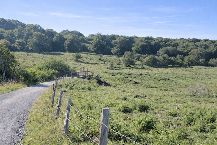
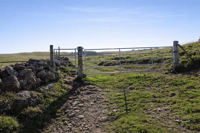
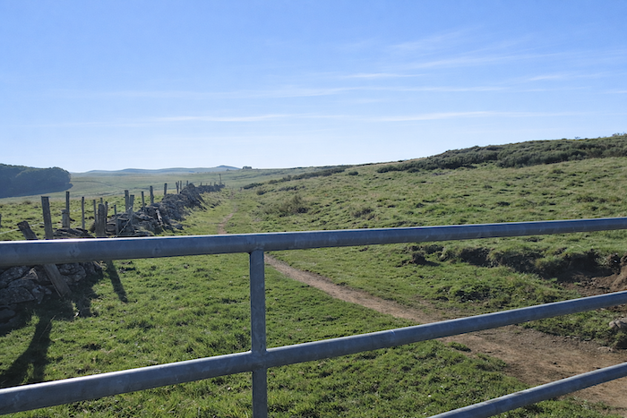
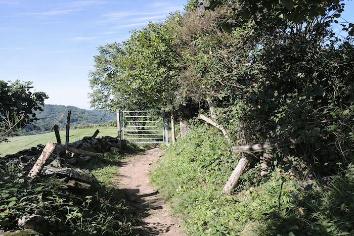
The path climbs above a farmstead, as though suspended between earth and sky. The space is immense, opening onto a horizon so vast that the walker’s gaze loses itself within it, unable to grasp the destination of its own footsteps. Lower down, beyond the “draille”, another cluster of buildings appears in the distance, discreet and almost hidden, perhaps a sign of land divided among several owners. Soon a gate interrupts the progress. These are simple metal structures, movable and compliant, which farmers reposition according to their needs, like a succession of temporary thresholds.
|
 |
 |
|
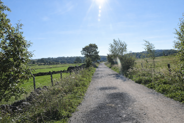
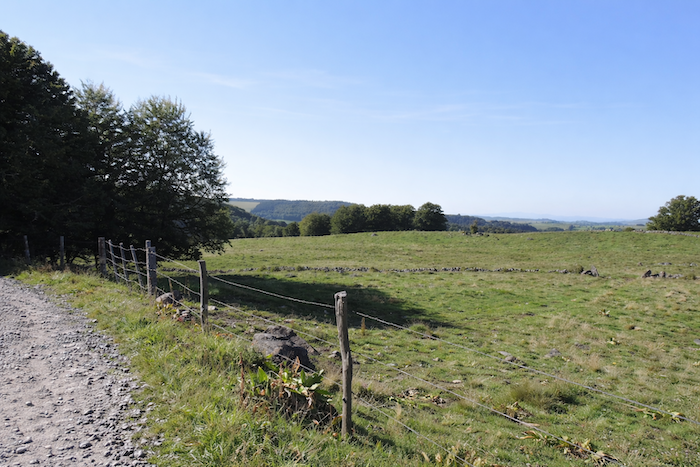
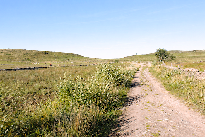
Here, nothing recalls the carefully ordered Aubrac of the lands before Nasbinals. The pastures stretch out uninterrupted, free from lasting boundaries, barely contained by a few electric wires, discreet guardians of a flexible order. There are no impassable stone barriers and no hostile barbed fences, only a delicate frontier, almost symbolic in nature.
|
 |
 |
|
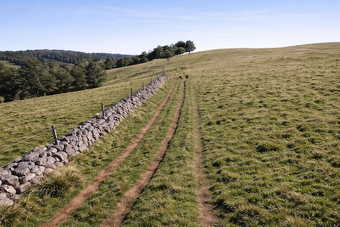
These “drailles”, in fact, seem to escape all logic of planned construction. Are they the work of human hands, deliberately traced across the landscape, or are they the slow script of cattle, written by centuries of persistent trampling? Perhaps they are both at once, a union of human intention and animal habit.
|
 |
 |
| In Aubrac, one event stands above all others: the transhumance, a true seasonal ritual. Around Saint Urban’s Day, on May 25th, the herds are adorned with feathers, pompons, ribbons and flowers, as though celebrating their departure. Thus decorated, they take the road towards the high plateaus, where they will spend the summer beneath vast winds and ever-changing skies. They do not return until Saint Guiral’s Day on October 13th. In former times, the “buronniers” lived here throughout the summer grazing season. From simple shelters erected against the elements emerged the “burons”, sturdy stone buildings with slate roofs that served both as refuges and workshops. Here cheese was made and matured under the supervision of the “cantalès”, the master cheesemaker. The “bedeliè” watched over the animals, guiding them towards the richest pastures, while the “pastre” carried out the milking twice a day with ritual regularity. Alongside them worked the “rol”, a young helper who learned the trade in the shadow of his elders. By the end of the nineteenth century, around 1,200 “buronniers”, spread across 300 “burons”, produced nearly 700 tonnes of cheese. Such abundance required at least 15,000 dairy cows on the plateau. Yet from the 1930s onward, this world entered a steady decline. Production fell relentlessly, and active “burons” disappeared one after another. By 1950, only 25 tonnes of cheese were produced annually. Isolation, harsh living conditions and the growing attraction of modern comfort made it increasingly difficult to recruit workers. Cheese became scarce and eventually reached prohibitive prices.
Another, more discreet reality also played a role. Aubrac cows, famous for the dark gentleness of their « Andalusian » eyes, are relatively poor dairy producers. Their annual yield, ranging between 1,550 and 2,000 litres, remains far below that of major dairy breeds capable of producing up to 10,000 litres. Gradually, farmers turned towards other breeds, notably the Holstein from the plains of northern Europe and the Simmental from Switzerland. Today, ninety percent of the milk used to produce Laguiole cheese, the flagship cheese of Aubrac, comes from Simmental cattle. Since 2004, strict regulations have limited production to milk from Aubrac and Simmental cows alone. Yet on these wind-swept plateaus, dairy breeds remain relatively uncommon. The Aubrac cow has lost none of its admirers. Many people here dream of a return to the original breed, faithful to its native land, and refuse to see the “burons” reduced to mere tourist attractions. Despite everything, more than 150,000 Aubrac cattle still roam these lands, perpetuating in their own way the living memory of the plateau. |
 |
 |
|
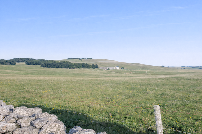
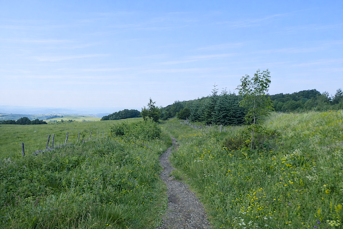
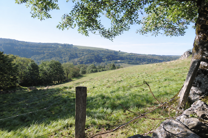
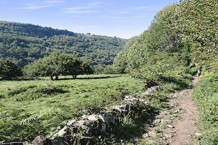
The pastures spread across the hillsides as far as the eye can see, like a motionless sea whose undulations merge with the horizon.
|
 |
 |
|
Another gate stands beside a “buron”, and already the landscape grows broader still, gaining both scale and breath. The path continues its slow advance through the heart of the vast “drailles”, passing here and there modest rock fragments torn from the earth by the bite of frost, silent witnesses to the severity of winter.
|
 |
 |
|
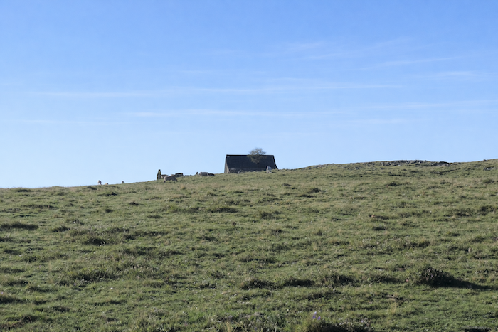
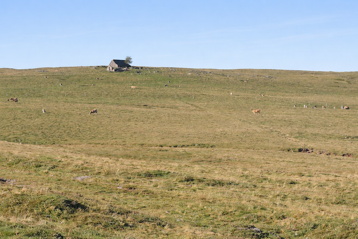
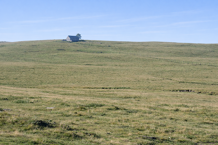
High above, dominating the world below, a solitary “buron” seems suspended between earth and sky, resting as though at the summit of time itself. .
|
 |
 |
|
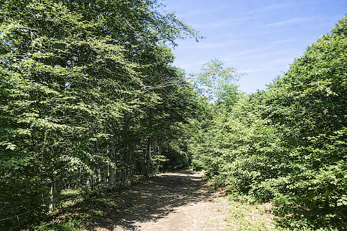
Higher still, the harshness of the “draille” softens briefly as a small woodland approaches. Oaks reign here, accompanied by chestnut and ash trees that border this green refuge. The deep red earth is saturated with water, which flows abundantly from the rich soil beneath. Perhaps the farmers preserved this damp, almost marshy woodland to spare their animals the traps of mud. For here, nothing is left to chance. Every action and every decision follows a patiently developed logic.
|
 |
 |
|
Leaving the woodland behind, the route resumes its course, unfolding once more across the open expanse of pastureland.
|
 |
 |
| Beyond the “burons”, far in the distance, stands the conical silhouette of the “Trois Évêques”, the meeting point of three former dioceses and today the boundary between Cantal, Lozère and Aveyron. The heathlands, bare and silent, stretch towards the ridge where the gaze finally meets the line of the sky. |
 |
 |
|
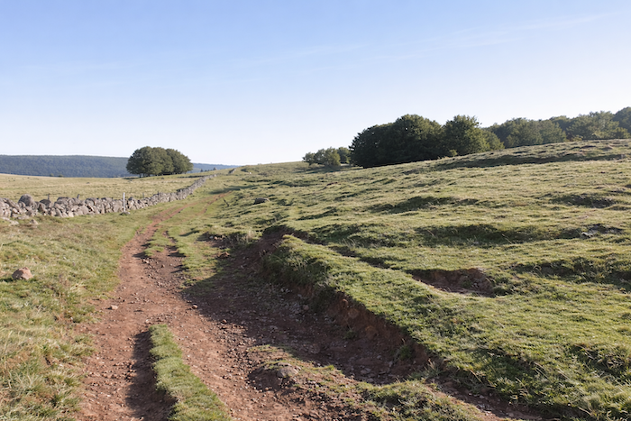
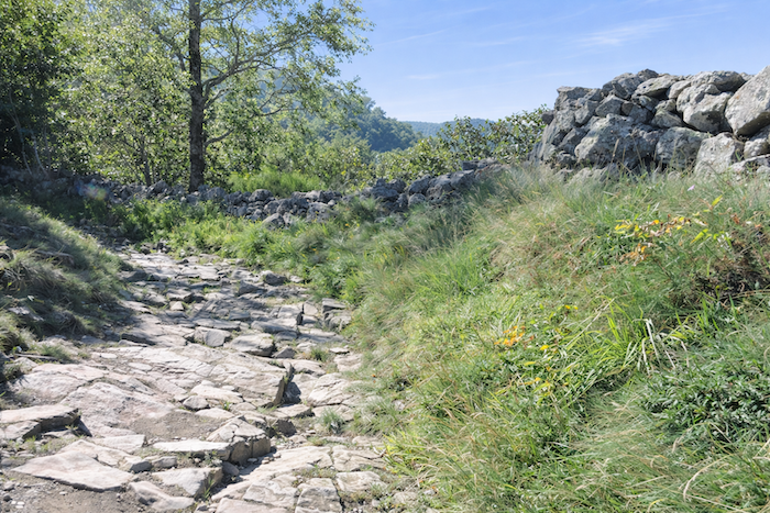
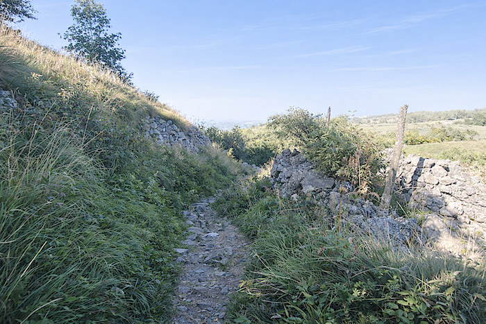
Once again, these magnificent “drailles” appear, patient incisions carved into the landscape. In such immense surroundings, the stone walls cannot be merely decorative. They undoubtedly serve a more discreet and ancient purpose. Were these mineral lines not built to contain livestock and keep them from the neighbouring woodland? It seems highly likely. Higher up, the climb becomes more demanding along the “draille”. Step by step, the pass draws nearer, gained through patience and effort.
|
 |
 |
|
 |
 |
|
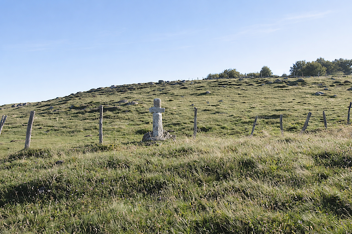
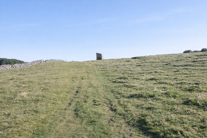
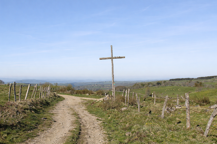
One final “draille“ remains before reaching the highest point at 1,364 metres above sea level. Here one leaves behind, not without a sense of emotion, those deep marks left by humans and cattle, those furrows in which centuries of history are inscribed. What nature has taken so long to shape, humanity can sometimes alter with disconcerting ease. Near the small stone cross standing on the summit, an incongruous hut has appeared, resembling the upper station of a ski lift more than a mountain shelter. For yes, Aubrac also welcomes the pleasures of winter snow.
|
 |
 |
|
The path now seems hesitant, wandering along the ridge, guided by stone walls and strands of barbed wire, as though it too wished to linger and contemplate the vastness around it.
|
 |
 |
|
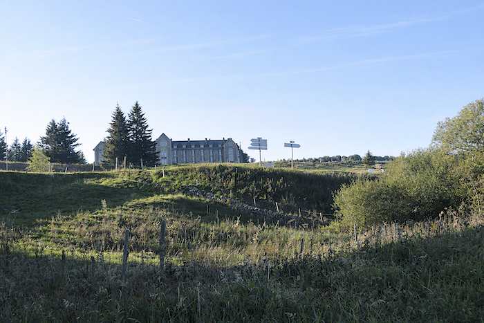
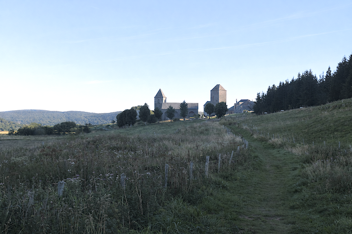
At the end of this summit line, the view opens onto the village of Aubrac, nestled below, over which the path presides with quiet majesty
|
 |
 |
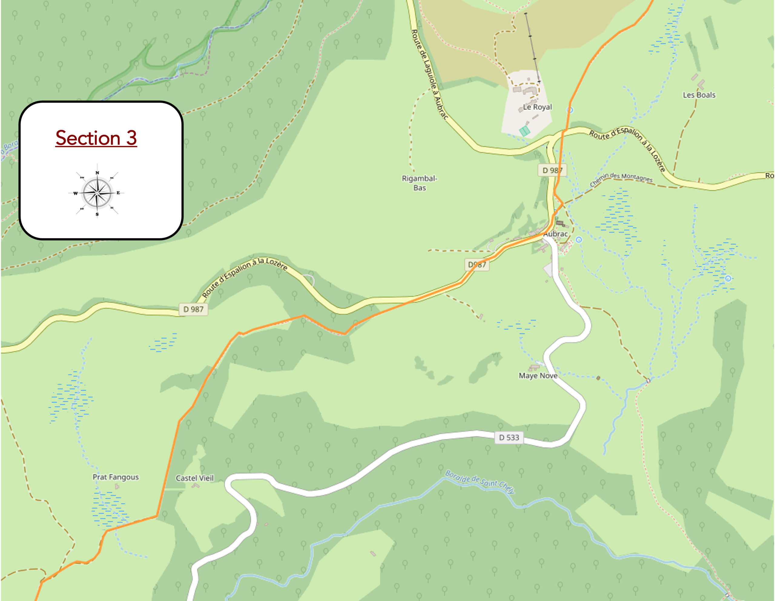
Section 3 : Passing through Aubrac, the pocket handkerchief and the little jewel of the plateau
AGeneral overview of the route’s challenges: beyond Aubrac, conditions gradually become more demanding. The slopes increase steadily, and so do the stones.
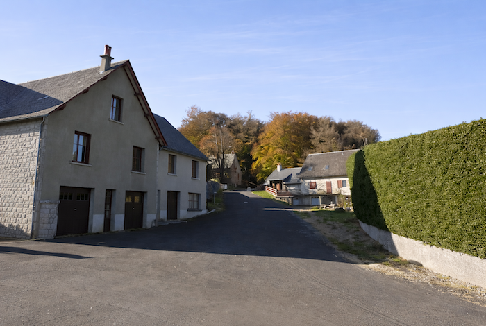
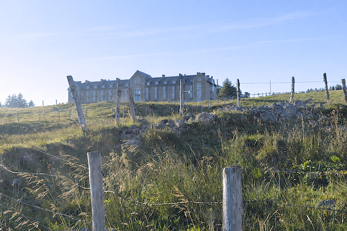
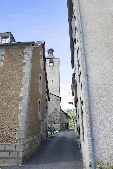
The grey slate towers of Aubrac soon emerge below, standing out with quiet sobriety against the horizon of the plateau.
|
The grey slate towers of Aubrac soon emerge below, standing out with quiet sobriety against the horizon of the plateau.
|
 |
 |
|
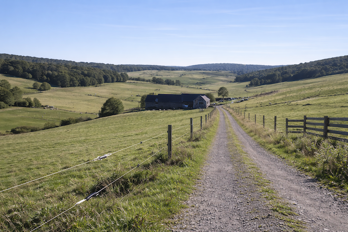
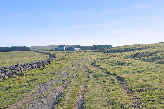
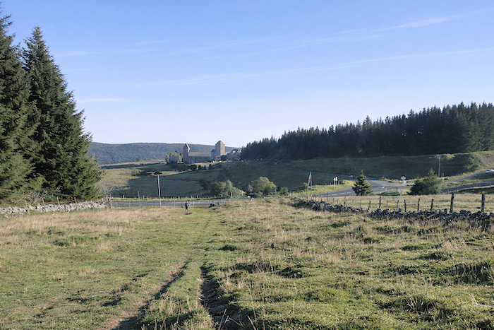
Nearby rises the imposing silhouette of the Royal Aubrac, a building steeped in memory, a vestige of former splendor seeking a new future. As early as the time of Adalard, the convent of Notre-Dame des Pauvres attracted not only pilgrims but also all manner of the destitute, lepers, tuberculosis sufferers and wandering souls in search of help. This vocation of hospitality and healing endured far beyond the Middle Ages, reaching into the twentieth century when Aubrac once again became a place of convalescence. It was the now vanished era of sanatoriums, when people believed in the virtues of fresh air, scented with woodland fragrances, to heal damaged lungs. The history of the building itself is tinged with mystery, much like the plateau that shelters it. As early as 1895, the idea emerged that a stay in the open air, combined with healthy food, particularly milk, could relieve illness. In 1902, the site was transformed into a sanatorium under the direction of Doctor Saunal. Later, it became the Royal Hotel, affiliated with the Astoria and the International hotels of Vichy. With more than sixty rooms and modern facilities for its time, including running water, electricity and sanitary facilities on every floor, it represented a certain luxury in the very heart of Aubrac. Today, the commune has only seven registered inhabitants. During the 1960s, the building changed purpose once again, becoming a holiday centre and seminar venue before gradually being abandoned to the rigors of the climate. Purchased by a private owner in 2008, it is now undergoing a new phase of transformation, while an annex still offers shelter to visitors.
|
 |
 |
|
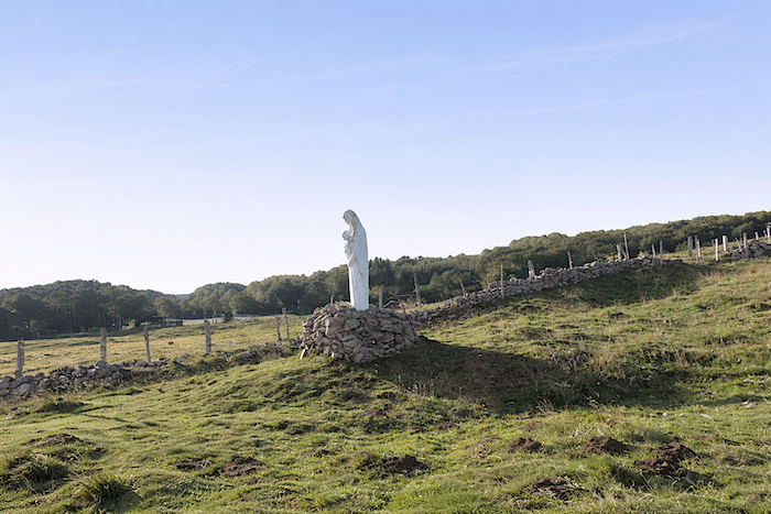
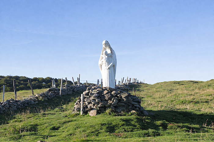
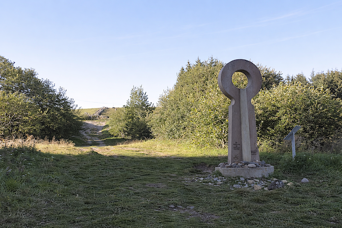
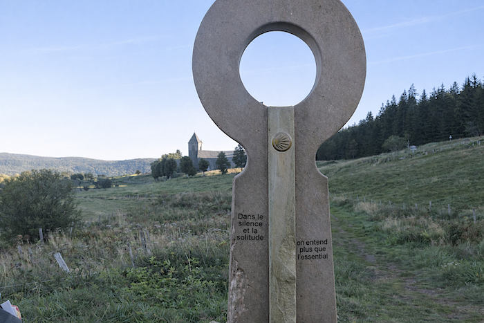
The path then crosses the D589, the departmental road that cuts across Aubrac and has accompanied you for many kilometers. Just below, at the entrance to the hamlet, a contemporary work by the Alsatian sculptor Jean-Claude Lanoix invites contemplation. One can read the words: “In silence and solitude, only what is essential can still be heard.” Looking through the circular opening of the sculpture, the Virgin above and the Dômerie below align perfectly, as though united in a single breath.
|
 |
 |
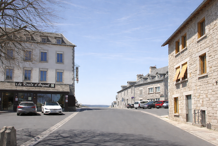
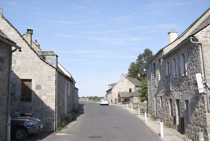
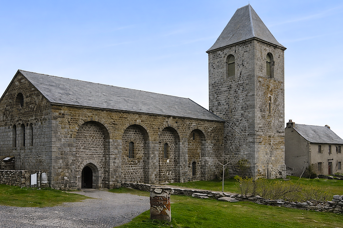
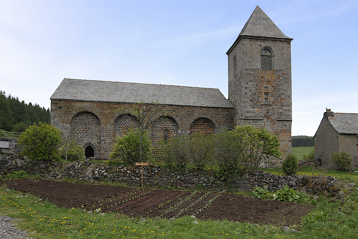
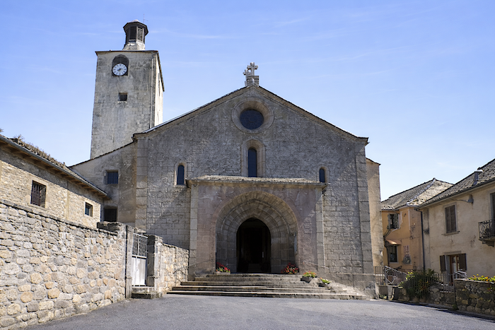
Aubrac is now within reach, mysterious, austere, and yet strikingly beautiful. It is the very heart of the plateau. The pilgrim arriving from the east first discovers the Church of “Notre-Dame des Pauvres”, with its Romanesque arches and sober bell tower, then the “Tour des Anglais”, a sentinel from another age. The village itself could fit into a pocket handkerchief, compact and modest, with a small lake lying below, slightly apart, almost forgotten. No one seems able to explain why the monks did not choose to build their monastery closer to this peaceful water. Whatever the reason, pilgrims rarely venture there.
|
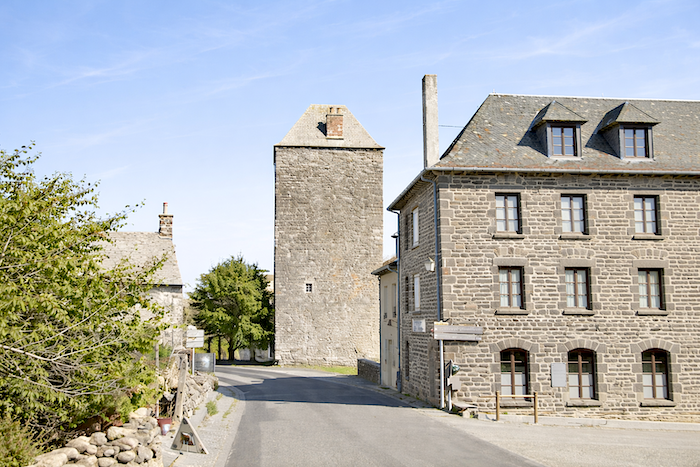
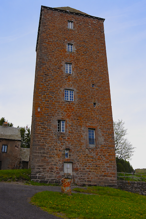
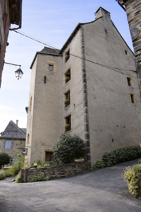
Situated at an altitude of 1,260 meters, the hamlet today contains the remains of the former monastery and a few hotels. Given the small scale of the site, it is difficult to imagine the full extent of the monastic complex that existed during the Middle Ages. Several original buildings remain. One dates from the twelfth century and once served as the hospital, distinguished by its beautiful narrow windows. Another is the thirty-meter-high “Tour des Anglais”, pierced on its southern side by six openings.
|
 |
 |
|
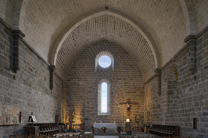
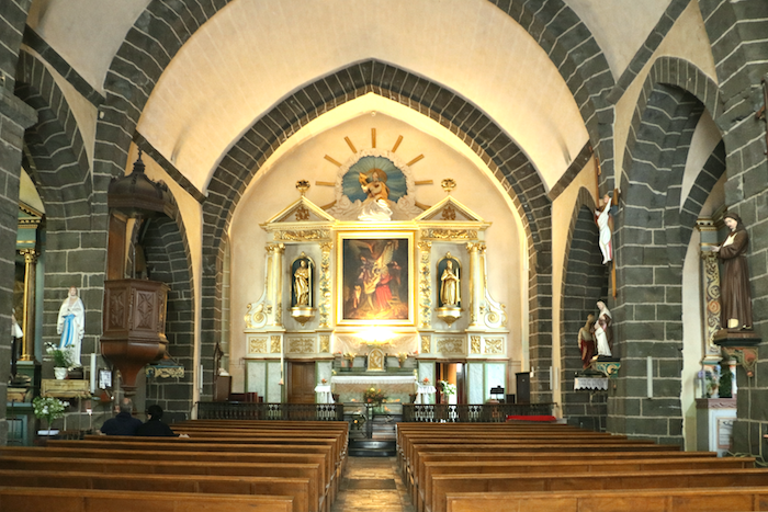
The Chapter Church, “Notre-Dame des Pauvres”, built in a Byzantine style, remains intact. It possesses a subdued and contemplative atmosphere. The presbytery, with no particular architectural distinction, completes the ensemble.
|
 |
 |
|
 |
 |
|
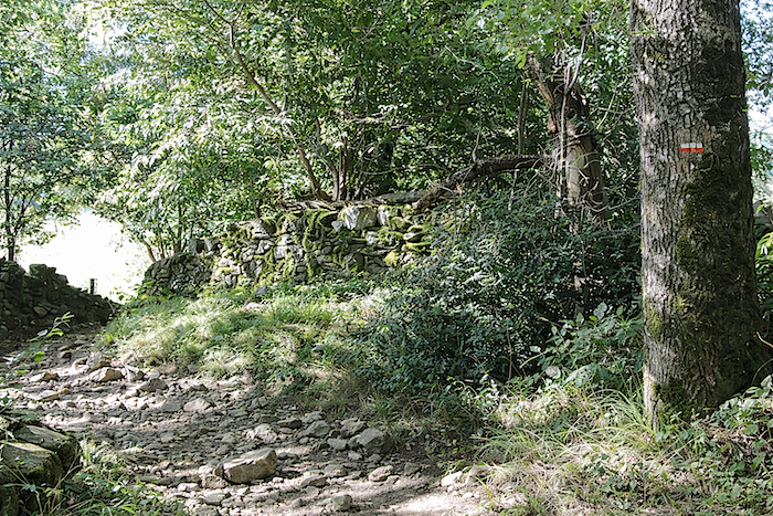
A brief look at history helps explain the significance of the place. The convent of Aubrac once formed a vast walled complex containing monastic lodgings, a cloister, cemetery, forge, bakery and even prisons, effectively a small village in itself. Above its gate was inscribed the striking phrase: In loco horroris et vastae solitudinis, “in a place of horror and vast solitude.” Outside stood an inn and stables for pilgrims and travelers. According to a document from 1216, around the year 1100 Adalard d’Eyne was travelling to Compostela when he crossed these hostile lands, then plagued by brigands. Miraculously saved from an attack, or, according to another tradition, deeply moved by the discovery of massacred pilgrims, he vowed to establish a refuge here. Thus, around 1120, a monastery hospital was founded to protect and welcome travelers. Priests, knights, lay brothers and “donats” formed an organized community dedicated to the service of pilgrims and the sick. Under the monks’ guidance, the forests were gradually cleared and replaced by pastures that became the foundation of the estate’s prosperity. Protected by the Pope and supported by local lords, the Dômerie prospered for centuries despite looting and violence, particularly during the Hundred Years’ War. From the fifteenth century onward, however, the system of commendatory administration led to a slow decline. Revenues were diverted, discipline weakened and corruption spread. In 1792, the French Revolution brought the institution to an end. The religious community was dispersed and the hospital abandoned. In earlier centuries, thousands of pilgrims found refuge here, guided through the fog by the famous “bell of the lost”, whose sound called the disoriented towards safety. Even today, a modern bell continues that tradition, recalling the site’s original mission. The landscape itself bears the mark of this history. The original forest has disappeared, replaced by an open plateau shaped by pastoral activity. The monks developed an ingenious agro-pastoral system combining valley agriculture with high-altitude livestock farming, contributing to the rise of Laguiole cheese and traditions such as aligot. What remains today is the immense sky, the naked plateau, and a profound silence that invites reflection.
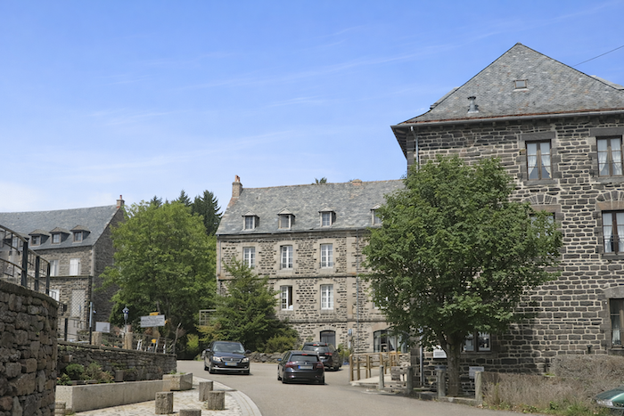
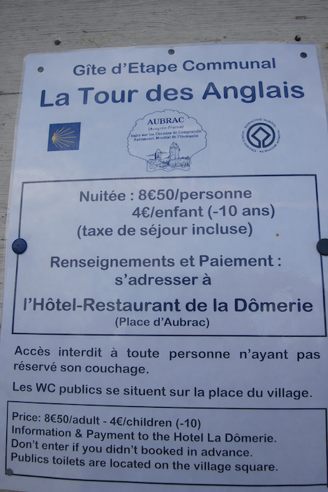
In 1353, a thirty-meter tower was built to protect the site from brigands and the English during the Hundred Years’ War, hence its name, the “Tour des Anglais”. Today converted into accommodation, it offers simple comfort but undeniable charm. For a modest price, guests can stay there, although the sanitary facilities are located on the village square. Those seeking greater comfort can stay at the Hôtel de la Dômerie or choose more unusual places such as the Annexe de l’Aubrac, with its warm baroque décor, or La Colonie, where Cyrille has transformed a former holiday camp into an extraordinary complex combining rooms, apartments and an antique shop.
|
 |
 |
|
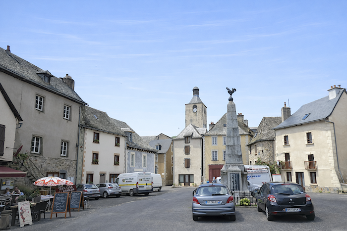
Today, Aubrac is essentially a large square at the crossroads of several roads, gathered around the Dômerie and a handful of accommodations. Agricultural life disappeared long ago, although efforts are still made to preserve its memory through installations intended for visitors. Whatever lodging is chosen, the night is peaceful for the pilgrims who stop here. And there are many of them.
|
 |
 |
|
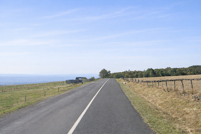
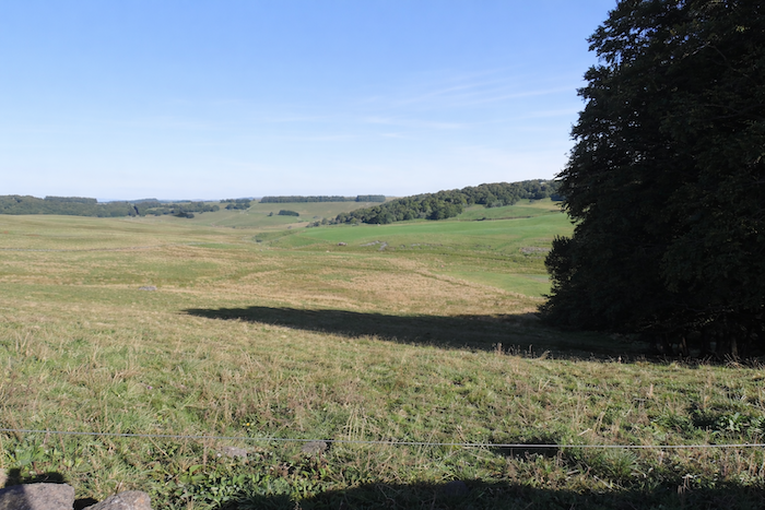
Beyond Aubrac, the landscape undergoes an almost abrupt transformation. The route leaves behind the immense expanses of the plateau and begins to descend towards the first wooded foothills of the Lot Valley. Following the traditional GR65, the route briefly follows the D987 towards Espalion, offering the final tremors and last folds of the high plateau before the descent begins.
|
 |
 |
|
Then, quite suddenly, it leaves the road and embarks upon a new adventure, more secret and more intimate.
|
 |
 |
|
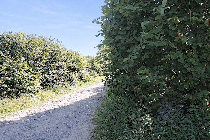
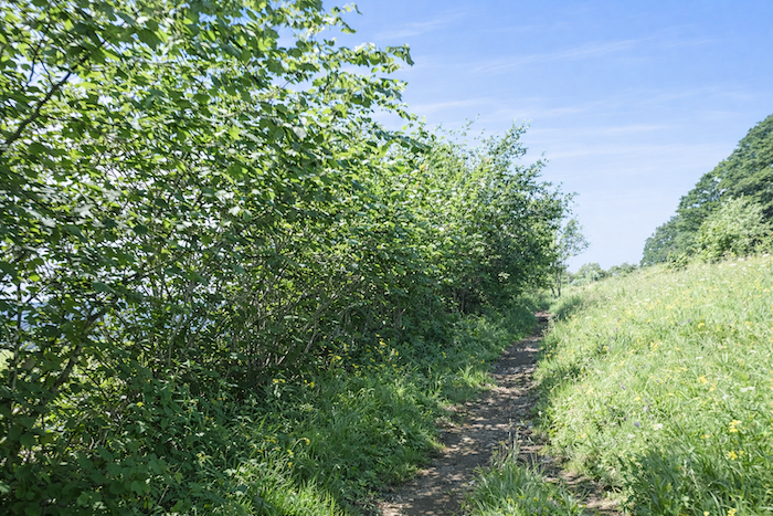
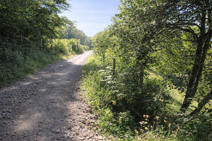
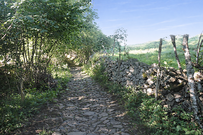
A narrow, often stony trail slopes gently downward, winding between hazel trees, bushes, broom and hornbeam thickets. The vegetation becomes denser and more familiar, enriched with wild grasses, wild roses, hawthorns, rowans and blackthorns, like a gradual return to a more enclosed and inhabited nature.
|
 |
 |
|
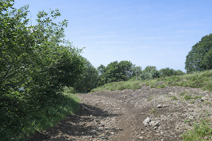
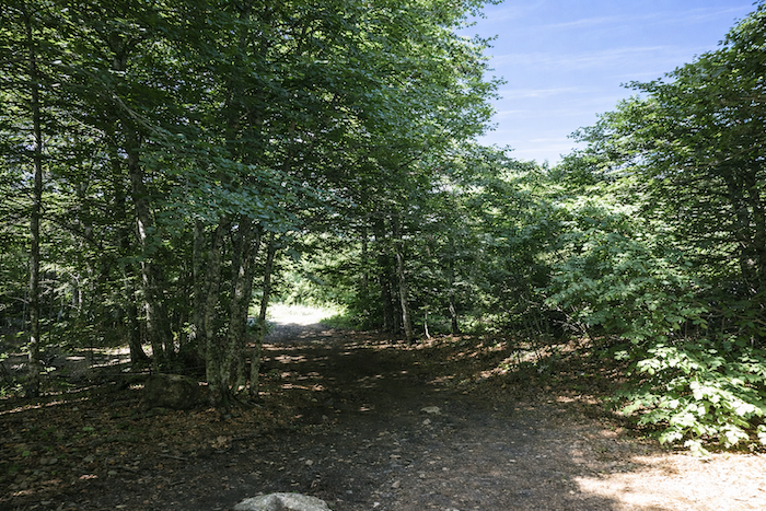
Little by little, the path enters the woodland. The slope becomes more pronounced, and the ground more uneven, marked by repeated passage.
|
 |
 |
|
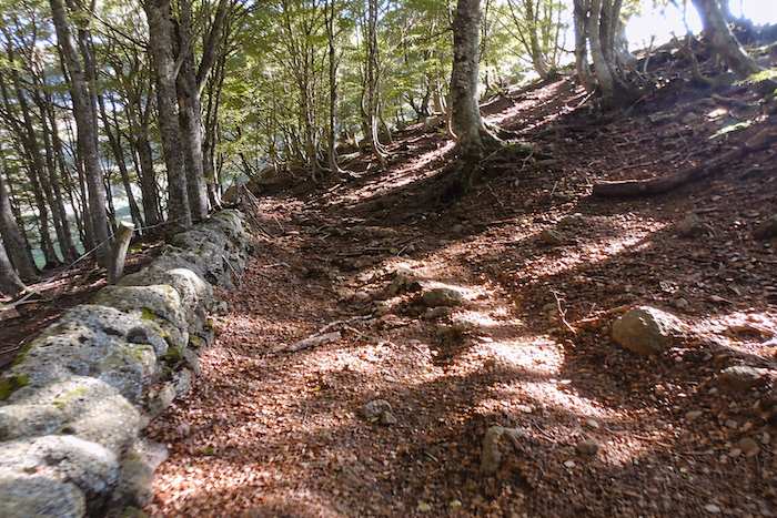
Further down, the path reaches a small level area within the dense forest where the discreet Adrech stream flows. Stones remain relatively scarce, but the broadleaf trees grow taller and more imposing, slowly closing their canopy above the walker.
|
 |
 |
|
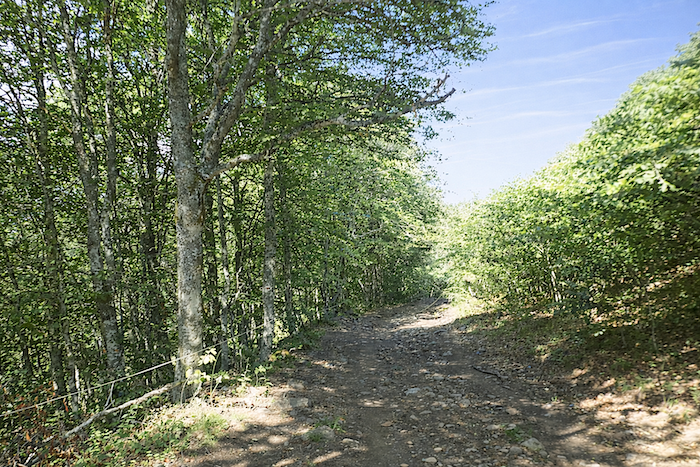
The forest is composed mainly of tall ash trees, hornbeams and beeches with pale, almost silvery trunks, along with abundant chestnut trees and imposing maples. Oaks and conifers, rarer here, seem to have withdrawn into the background.
|
 |
 |
Further down, a cross appears, punctuating the landscape and recalling the long memory of these ancient paths.
|
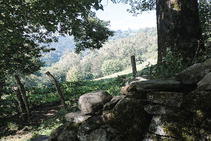
Lower still, the path emerges from the woodland onto a kind of plateau, bare and silent, almost steppe-like, where a solitary wooden cross seems to measure the immensity around it. Here the landscape opens wide, offering distant glimpses of the first contours of the Lot Valley. Despite this transformation, you are still in Aubrac, and the stone walls and barbed wire fences preserve its memory. You are now walking halfway down the slope, across the final remnants of the plateau. The trail, like a natural slide, unfolds in a succession of terraces, hesitating between restraint and surrender. Yet there is no doubt about the descent towards the Lot. It is inevitable, written into the very slope of the landscape itself.
|
 |
 |
Section 4 : Slopes and stones, that Is the programme
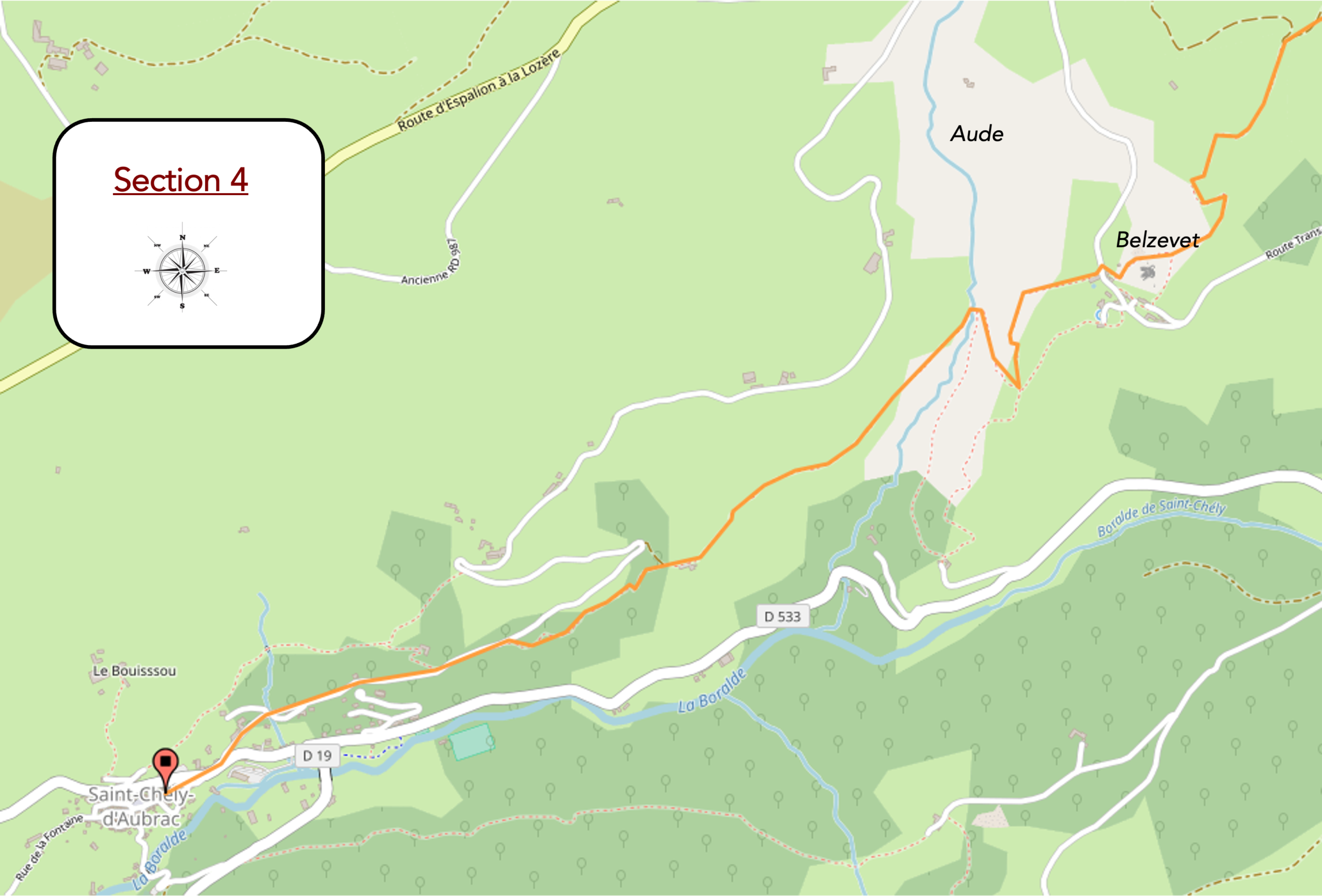
General overview of the route’s challenges : dthe descent towards the Lot Valley is often demanding, not always because of the gradient itself, but mainly because of the condition of the path.
|
At first, the descent is almost gentle, following stone walls overgrown with broom and tall grasses, as though the path were still reluctant to leave the plateau behind.
|
 |
 |
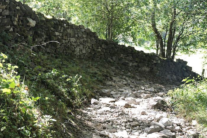
But soon everything changes. The hiker begins a direct plunge towards the valley floor across a chaos of irregular stones. Stones, more stones, nothing but stones, of every size, line a steep slope bordered by moss-covered walls.
|
Every step demands attention. You must choose each foothold carefully and measure every movement. Below, the eye follows the cleft through which the Boralde of St Chély winds its way. Opposite, another hill already rises, promising effort yet to come. For everyone knows that after the descent comes the climb. Such is the nature of the paths.
|
 |
 |
|
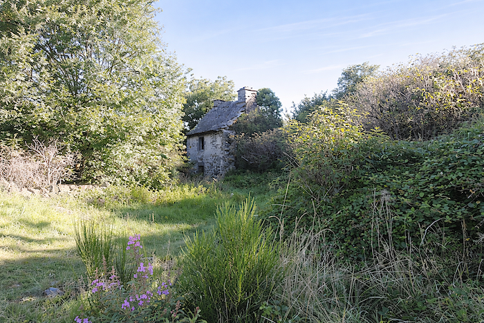
A few abandoned stone houses punctuate this austere landscape where rock and silence dominate, like remnants of a vanished human presence.
|
 |
 |
|
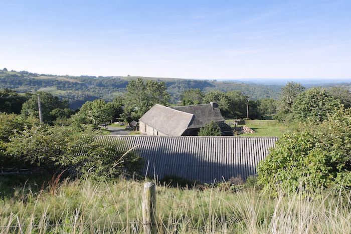
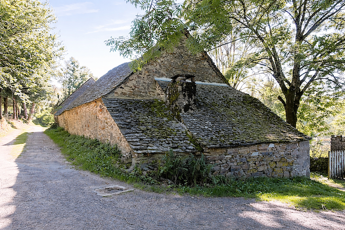
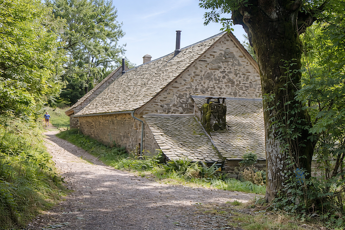
Soon the hamlet of Belvezet appears, a modest cluster of massive buildings roofed with slate slabs, some so steeply inclined that they seem almost to touch the ground.
|
 |
 |
|
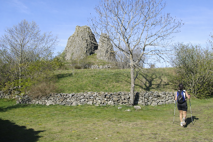
JJust below, the trail curves around imposing basalt columns, the remains of an ancient volcanic chimney exposed by erosion, reminiscent of those found in the Puy region. Above them stand the ruins of a feudal castle, clinging stubbornly to the rock like an enduring memory
|
 |
 |
|
A quiet pastoral life still survives here before the path plunges once again into the valley with renewed severity.
|
 |
 |
|
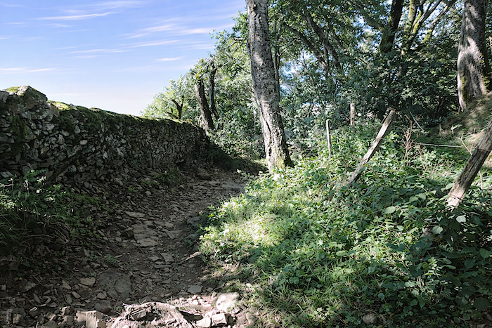
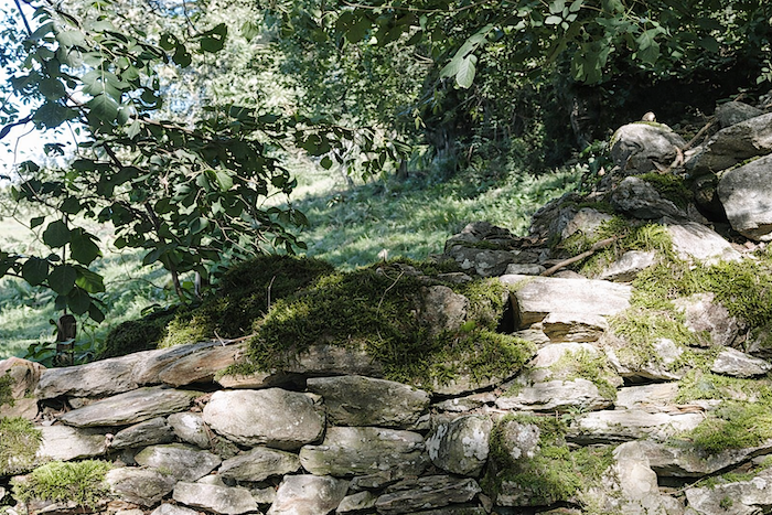
On this side of Aubrac, the trails are steep, stony and sometimes treacherous, enclosed between walls and dry-stone embankments. Mud can make them dangerously slippery. Yet the vegetation is abundant. Ash trees, beeches, oaks, maples and chestnuts crowd behind the walls in an almost wild profusion.
|
 |
 |
|
You may encounter Salers cattle here, with their mahogany or black coats, long curly hair and lyre-shaped horns. Their presence is both rustic and elegant, an emblem of the Cantal region. Some breeders are working to revive the original darker strain, a breed rooted deep in history. These brown cattle, it is said, are often curious about walkers, who are numerous along this route linking St Chély-d’Aubrac.
|
 |
 |
|
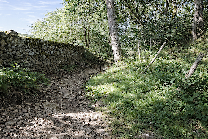
The path then takes on the appearance of an old miller’s track, bordered by moss-covered stones and cut through limestone and schist. Rocks and roots intertwine beneath the feet, creating a chaotic terrain. One cannot help but wonder how ox-drawn carts once travelled along these passages. In some places, only a rough scree slope remains, where the foot almost slips of its own accord
|
 |
 |
|
Further down, a few rare moments of relief offer brief mercy to tired tendons.
|
 |
 |
|
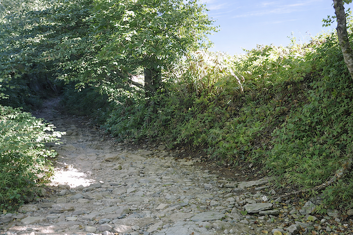
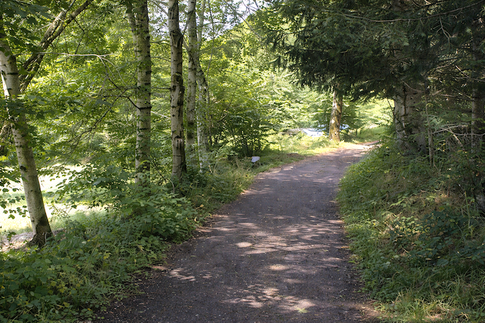
Then, almost unexpectedly, everything calms. The slope truly eases, and the trail stretches out level beneath a canopy of broadleaf trees, among which chestnuts are particularly numerous.
|
 |
 |
|
Yet this calm is only a parenthesis. Very soon, the dance begins again.
|
 |
 |
|
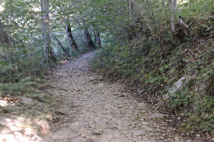
These landscapes tell the story of a long and demanding descent, almost an initiation, a passage between two worlds. The trail has become little more than a bed of irregular stones, polished by time and countless footsteps, winding beneath the trees between damp banks and exposed roots. Every step must be negotiated and weighed carefully, for the terrain imposes its own law.
|
 |
 |
|
Further on, the slope steepens again. The path becomes uncertain, cut into earth and rock. The woodland closes in, mixing ferns, grasses and young shoots in a freshness that feels almost protective. .
|
 |
 |
|
The trail continues, winding and relentlessly stony, like an ancient passage worn by centuries of use. Stones are everywhere, embedded in the ground or piled into walls supporting the banks. They testify to a landscape shaped as much by human hands as by natural forces. Roots creep among them and cling to them, weaving a living network through the heart of the rock. This is a place where one descends as much with the eyes as with the body, drawn ever downward towards what slowly reveals itself.
|
 |
 |
|
Then, suddenly, the horizon opens slightly, punctuated by masses of stone standing like totems, placed there by nature itself.
|
 |
 |
|
A little lower down appear a few traces of civilization, as though forgotten by time, silent vestiges of a presence that has now faded away.
|
 |
 |
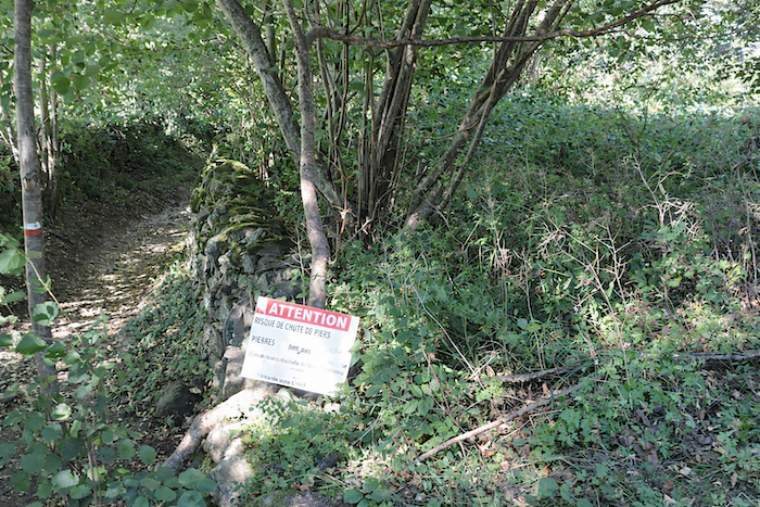
The path soon reaches the Adret stream, and the route becomes even more delicate. A sign clearly advises animal handlers and cyclists to reach St Chély-d’Aubrac by road. In rainy weather, wisdom suggests following that advice.
|
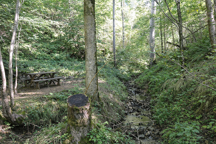
For those who enjoy a challenge, crossing the stream amid tall grasses on a steep slope offers little comfort. After this uncertain passage, where even the picnic table hardly encourages a pause, one can finally relax. The tarmac is no longer far away, promising more forgiving ground.
|
 |
 |
|
For others, less adventurous, a pleasant path descends more gently through the woodland, offering a calmer and more peaceful route down.
|
 |
 |
|
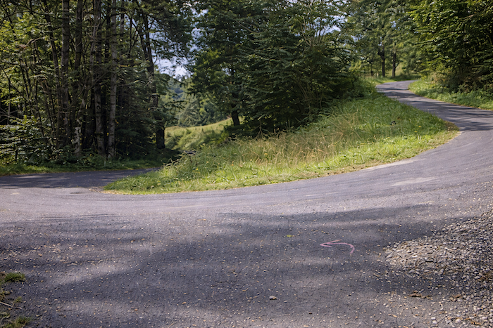
It soon rejoins the road, and with that the stony and demanding trails come to an end. The descent from 1,366 meters to 875 meters must be earned, but now the tarmac takes over and leads effortlessly to the village
|
 |
 |
|
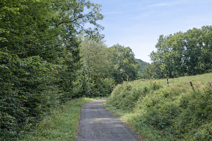
The road descends through lush vegetation, offering occasional glimpses of the village nestled below.
|
 |
 |
|
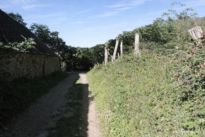
As the first houses draw near, a trail leaves the road and heads more directly towards the heart of the village.
|
 |
 |
|
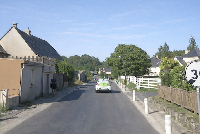
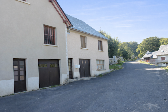
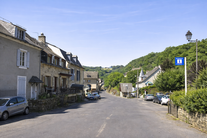
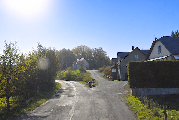
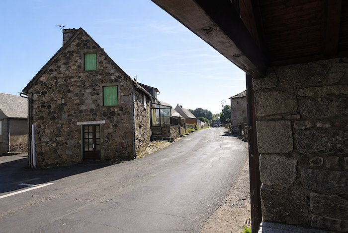
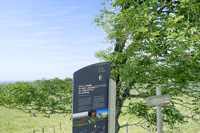
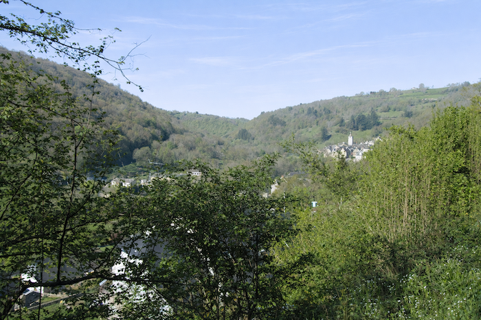
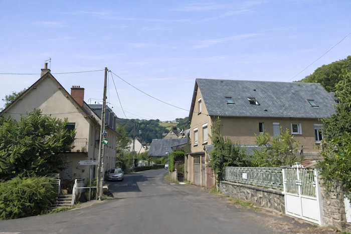
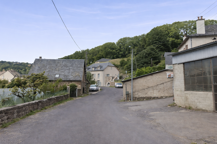
St Chély-d’Aubrac stretches widely across the plain. The route follows the houses for a considerable distance before reaching the centre. It is a charming village of around 530 inhabitants where many pilgrims choose to stop. It also serves as an excellent starting point for exploring the many trails of Aubrac. The section linking Nasbinals and Saint-Chély-d’Aubrac has been listed as a UNESCO World Heritage Site since 1998, along with the Pilgrims’ Bridge and its stone cross, which you will cross tomorrow.
|
 |
 |
|
The Romanesque church, whose origins date back to the eleventh and twelfth centuries, was rebuilt in the fifteenth century after a fire during the Hundred Years’ War. A tower from the former fortifications and a belfry still survive. Inside, visitors can admire a copy of a painting by Rubens as well as a Gothic bas-relief depicting Christ surrounded by four apostles.
|
 |
 |
|
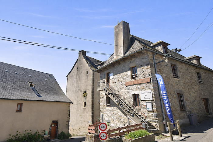
The village also preserves a fifteenth-century tower that once belonged to the “Chaplains of Cuisinis”. Now privately owned, it has been converted into an elegant guesthouse.
|
 |
 |
|
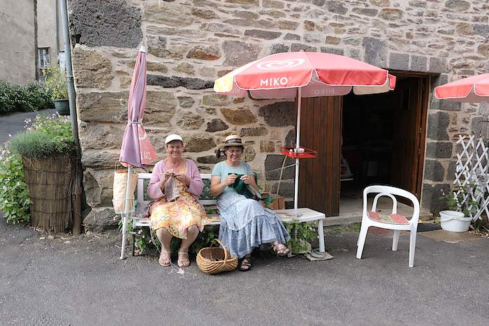
During the tourist season, the local tourist office brings gentle animation to the village. At the foot of the tower, charming village women sit knitting and chatting, perpetuating a simple and welcoming way of life.
|
 |
 |
|
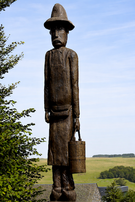
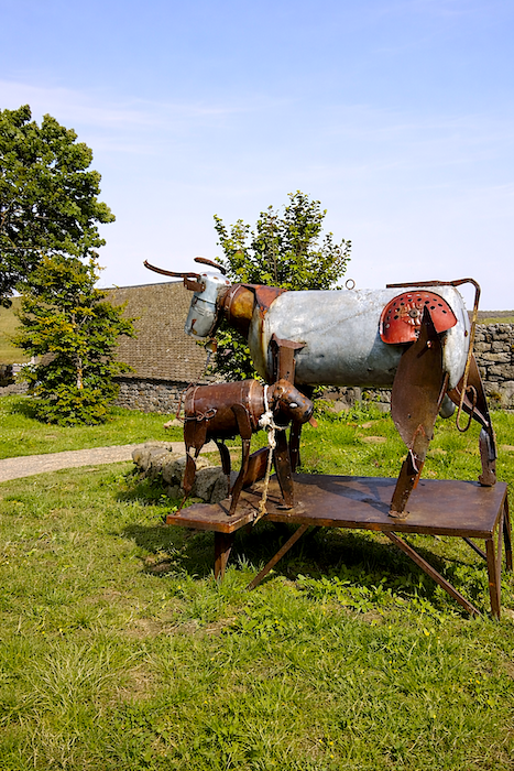
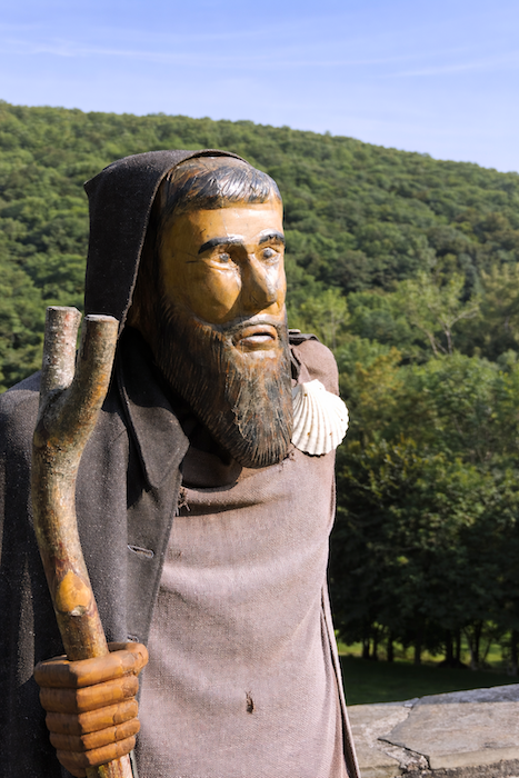
Here, even the lumberjacks and pilgrims are not always made of flesh and blood. Frozen figures and discreet works of art populate the village with an unexpected presence.
|
 |
 |
Section 5 : An alternative in bad weather
|
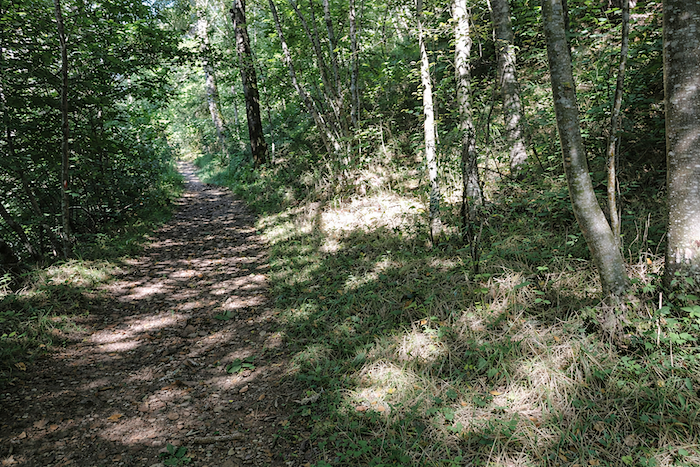
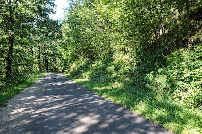
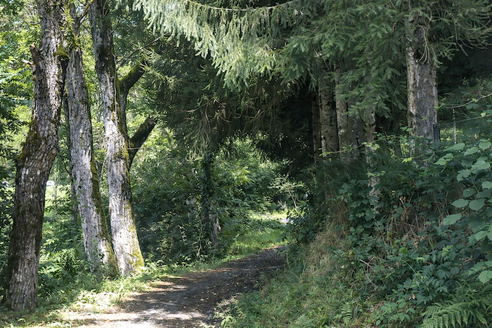
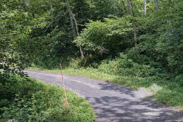
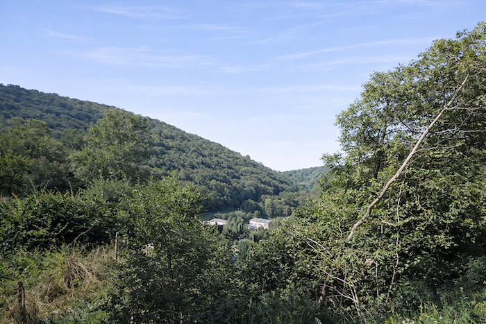
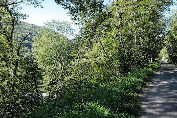
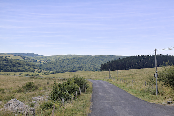
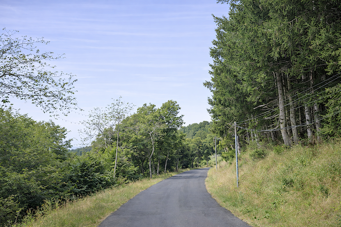
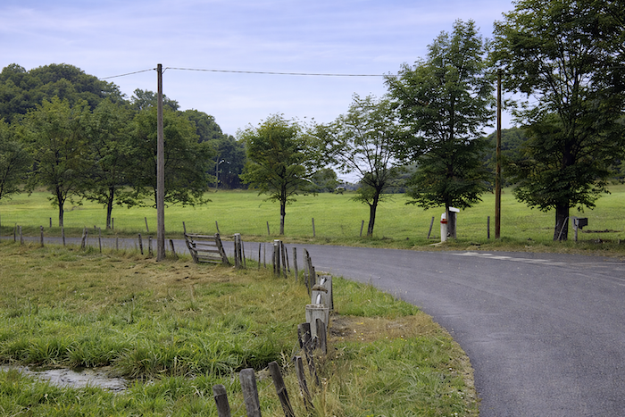
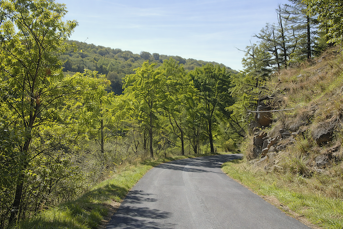
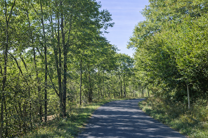
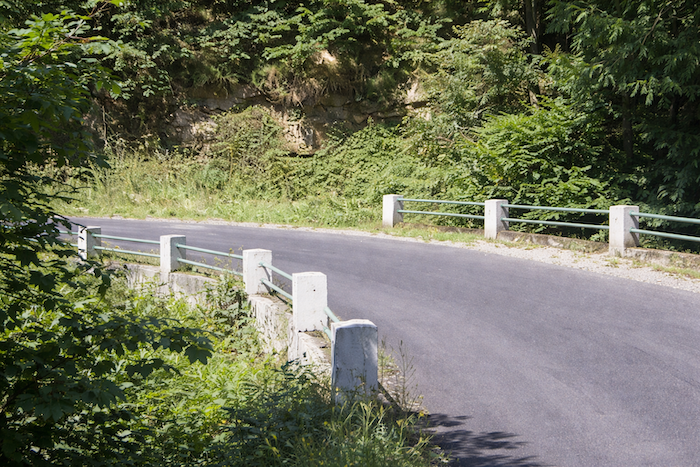
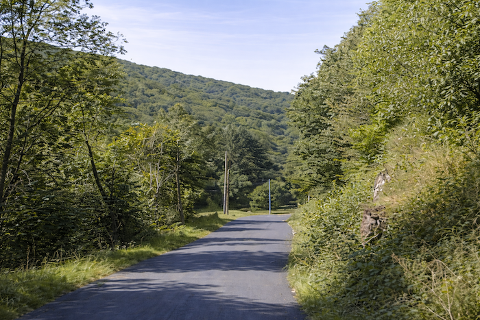
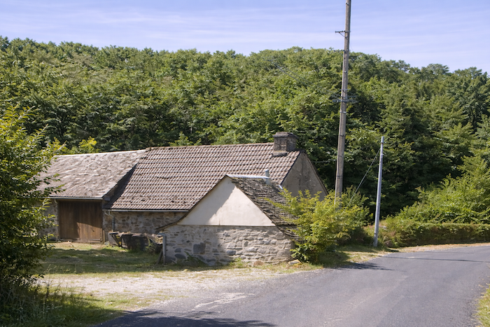
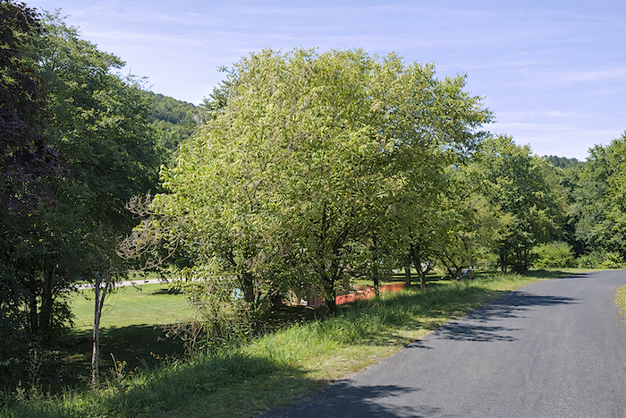
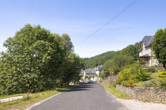
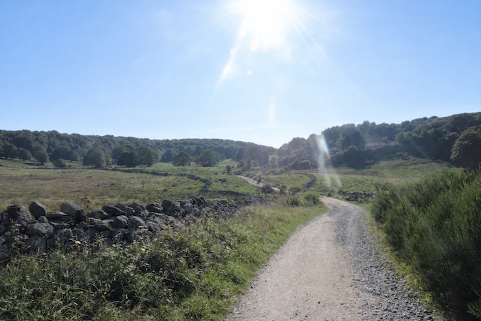
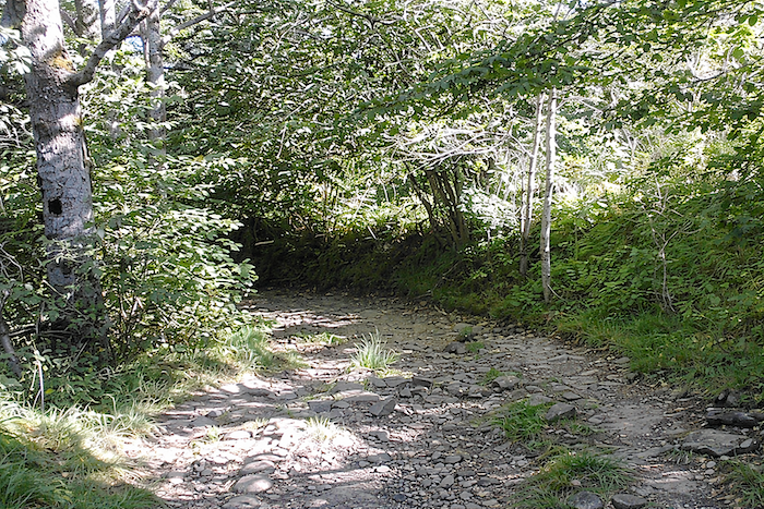
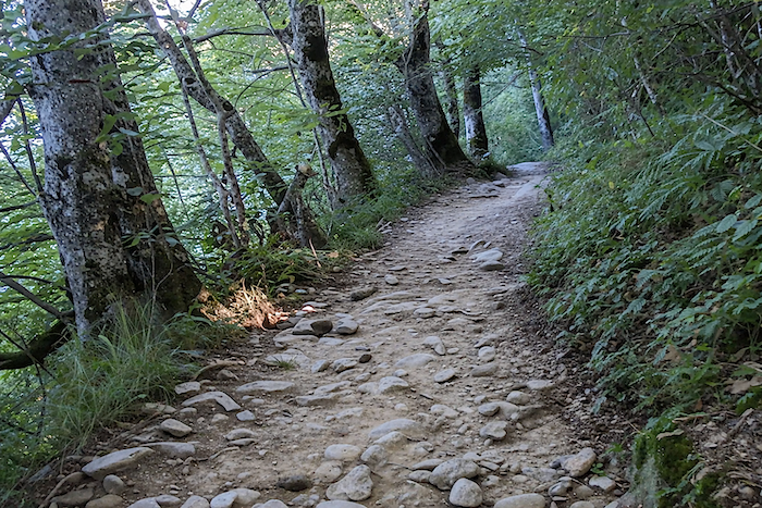
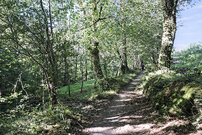
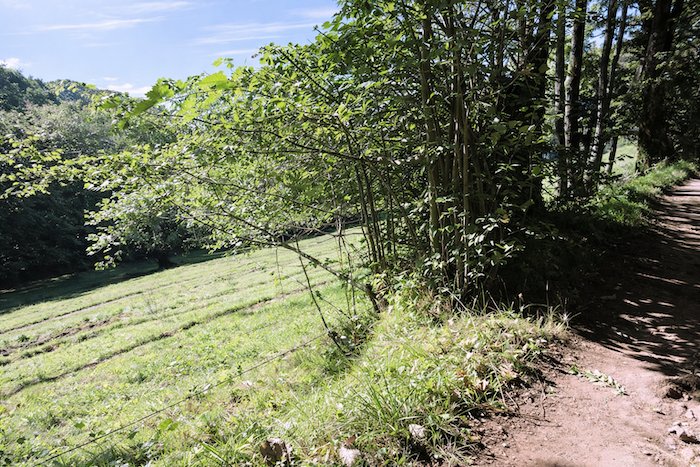
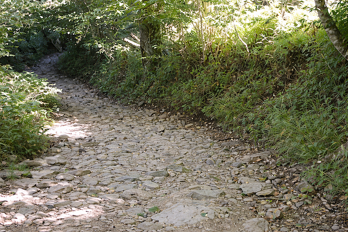
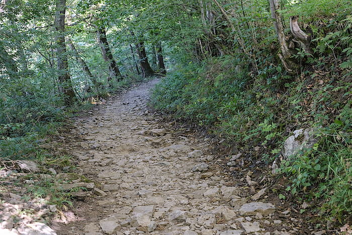
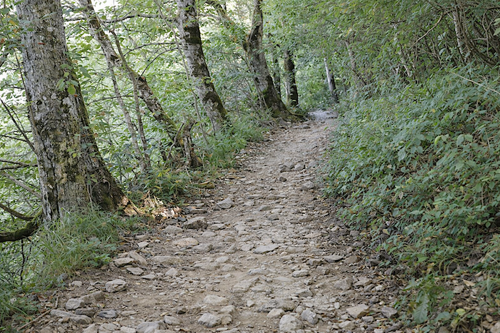
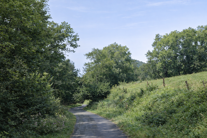
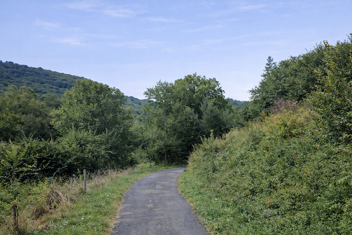
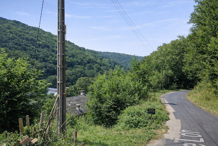
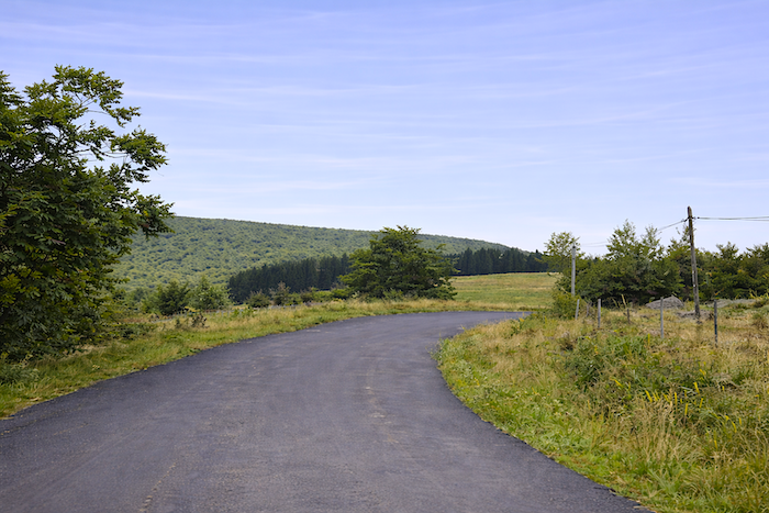
There is an alternative to the GR65 for those who do not particularly enjoy steep descents on stony paths and large rocks, or for those walking in rainy weather. Simply follow the D533, the paved road that descends directly to St Chély-d’Aubrac. The route is 8.4 kilometers long.Traffic is very light. The road follows a beautiful valley through which flows the Boralde of Chély, a small river that eventually joins the Lot. Here are a few images from this route.
|
 |
 |
Accommodation on Via Podiensis
- Gîte communal La Tour des Anglais, Aubrac; 05 65 44 28 42/05 65 44 27 08; Gîte, cuisine
- La Colonie, Cyrille Lérisse, Aubrac; 05 65 51 64 79; Guestroom, dinner, breakfast
- L’Annexe de l’Aubrac, Aubrac; 06 75 88 41 19; Guestroom, dinner, breakfast
- La Dômerie de l’Aubrac**, Aubrac; 05 65 44 28 42; Guestroom, dinner, breakfast
- Gîte Lo Masuquet, Aubrac; 06 48 26 32 30; Gîte, dinner, breakfast
- Camping Au Bord de la Boralde, St Chély d’Aubrac; 06 32 90 71 64; tents, cuisine
- Gîte St André, Victoria et Michel (pèlerins) Chemin de la Vallée Libre, St Chély d’Aubrac; 07 67 17 54 43; Gîte, dinner, breakfast
- Gîte Le Relais St Jacques, Mme Vidal, 85 Route de la Baraquette, St Chély d’Aubrac; 06 47 32 04 08; Gîte, dinner, breakfast
- Gîte La Belle Etoile de Compostelle, Hélène et Guillaume (pèlerins), Place de l’Église, St Chély d’Aubrac; 06 85 22 69 00; Gîte, dinner, breakfast
- Gîte L’Oasis del Camino, Éric (pèlerin), 62 Rue du Château, St Chély d’Aubrac; 07 66 77 77 80; Gîte, dinner, breakfast, cuisine
- Gîte Comme à la Maison, Malvina et Baptiste, 103 Route de la Baraquette, St Chély d’Aubrac; 06 32 90 71 64; Gîte, dinner, breakfast, cuisine
- Gîte Chez Janny et Jeremy, 226 Route de la Baraquette, St Chély d’Aubrac; 06 29 83 58 82; Gîte, dinner, breakfast, cuisine
- La Tour des Chapelains, Christine Brunier, St Chély d’Aubrac; 06 69 14 33 38/05 65 61 64 80; Guestroom, dinner, breakfast
- La Carderie, Patricia Henry, St Chély d’Aubrac; 05 65 44 12 96; Guestroom, dinner, breakfast
- Côté Boralde, Mmw Azzam, 102 Rue du Pont Neuf, St Chély d’Aubrac; 05 65 44 26 05/06 78 13 46 47; Guestroom and roulotte, cuisine, breakfast
- Hôtel-Restaurant des Voyageurs**, St Chély d’Aubrac; 05 65 44 27 40/06 61 84 14 09; Gîte and Hotel, dinner, breakfast
- Hôtel-restaurant Les Coudercous***, St Chély d’Aubrac; 05 65 44 27 40/06 61 84 14 09; Hotel, dinner, breakfast
Year after year, the Camino de Santiago changes and reinvents itself with the seasons and the footsteps of pilgrims. Some accommodations close their doors, while others, modest or unexpected, come into being. It would therefore be unrealistic to claim to provide a fixed and exhaustive list. This guide includes only accommodations located directly on the route or within one kilometer of it. The selection was updated in 2026 and should therefore not undergo any major changes in the coming years. For those wishing to go further, one publication stands out as the essential reference: Miam Miam Dodo, easily available online. The main strength of this guide lies in its yearly updates. It not only lists accommodations located directly on the route, but also addresses slightly off the route, a valuable resource when heavy pilgrim traffic makes overnight stops more uncertain. It also contains a wealth of practical information: welcoming bars, restaurants along the way, and providential bakeries, all of which punctuate the journey. Alongside these traditional resources, another presence has become unavoidable: Airbnb. The platform has established itself as a major reference in the tourism landscape, even in the most discreet or less developed regions. However, as everyone knows, exact addresses are not displayed directly, which requires a degree of anticipation. On the Camino, finding a bed at the last minute can sometimes depend on sheer luck. But luck, by its very nature, cannot be considered a strategy. Booking ahead is therefore strongly recommended. Finally, when making arrangements, be sure to inquire about dinner and breakfast options. These details, seemingly minor, can greatly soften the hardships of a stage.
If we take stock of the accommodation capacity, there are about 80 beds in Aubrac and 200 beds available in Saint-Chély-d’Aubrac. Moreover, many pilgrims choose to stop in Aubrac because of the site itself. Since the number of walkers on the Via Podiensis generally ranges between 100 and 200, this stage should not present any particular difficulties in terms of accommodation. Nevertheless, it is still advisable to book ahead as a precaution.
These routes, which wind through often sparsely populated areas, offer relatively few shops and services. Restaurants are frequently scarce, as are grocery stores, which are often little more than small bread depots selling a limited selection of vegetables and dairy products. However, on this stage, there is no such concern. Aubrac, Saint-Chély-d’Aubrac, and Saugues all provide a fairly good range of options. Finally, several companies offer luggage transfer services or transportation back to the starting point. Among them, one stands out as a widely recognized benchmark: La Malle Postale.
Feel free to add comments. This is often how you move up the Google hierarchy, and how more pilgrims will have access to the site.
|
 |
Next stage : Stage 9: From St Chély d’Aubrac to St Côme d’Olt |
|
 |
Back to menu |
|