
From the steppes of Aubrac to the lush vegetation of the Lot Valley
DIDIER HEUMANN, MILENA DALLA PIAZZA, ANDREAS PAPASAVVAS
We divided the course into several sections to make it easier to see. For each section, the maps show the course, the slopes found on the course, and the state of the roads. The courses were drawn on the “Wikilocs” platform. Today, it is no longer necessary to walk around with detailed maps in your pocket or bag. If you have a mobile phone or tablet, you can easily follow routes live.
For this stage, here is the link:
https://fr.wikiloc.com/itineraires-randonnee/de-st-chely-daubrac-a-st-come-dolt-par-le-gr65-51220823
| Not all pilgrims are necessarily comfortable using GPS devices or navigating with a smartphone, especially since there are still many areas without Internet access. That is why, to make your journey easier, a book dedicated to the Via Podiensis from Le Puy-en-Velay to Cahors is available on Amazon. Much more than a simple practical guide, this book accompanies you step by step, kilometer after kilometer, providing all the information you need for smooth planning and avoiding unpleasant surprises. Beyond its practical advice, it immerses you in the enchanting atmosphere of the Camino, capturing the beauty of the landscapes, the majesty of the trees, and the very essence of this spiritual adventure. Only the pictures are missing, everything else is there to transport you.
In addition, we have also published a second book which, with slightly fewer details but all the essential information, covers the entire route from Le Puy-en-Velay to Saint-Jean-Pied-de-Port. The choice of your journey is yours. |
|
 |
 |
If you only want to consult lodging of the stage, go directly to the bottom of the page.
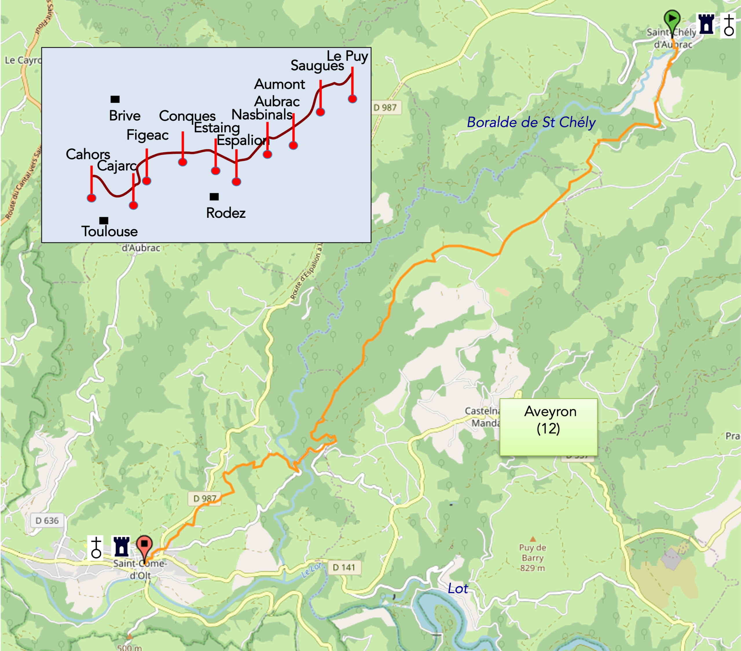
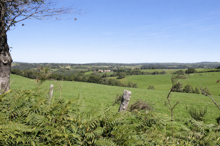
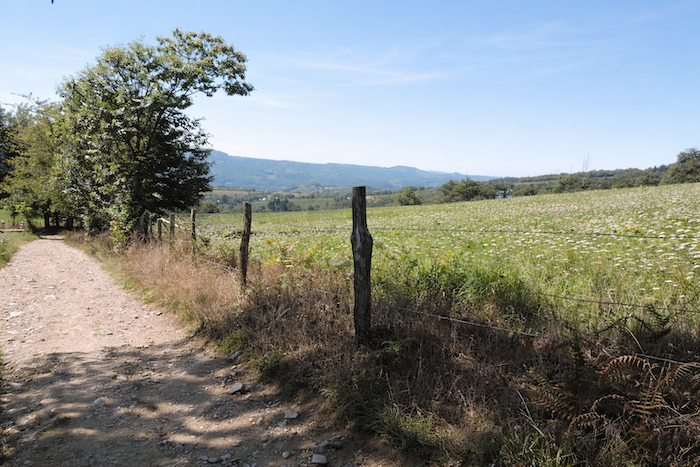
Today, you leave Aubrac behind, almost with regret. Yet the Way of Saint James is so varied that other horizons already await the pilgrim. The Lot continues its winding course through the heart of France. You will remain in Aveyron for several days, and the direction is still south-west. This stage lies entirely within Haute Rouergue, the northern region of Aveyron, nestled between the Cantal of the Auvergne Massif Central and the limestone plateaus of southern Aveyron. The route follows the heights above the Boralde de S -Chély, which eventually flows into the Lot near St Côme-d’Olt.
In this region, livestock farming predominates, chiefly cattle and occasionally sheep, within a geologically complex landscape threaded by countless small rivers. This is the land of the boraldes, small rivers or swift torrents flowing through deeply incised valleys. Over time, these waterways have carved into the foundations of Aubrac, composed here of schists and gneisses, metamorphic rocks derived from granite, the underlying bedrock of Aubrac itself. Above this granite foundation lies a surface layer of basaltic volcanic rock. The Lot Valley clearly forms the southern boundary of this part of Aveyron.
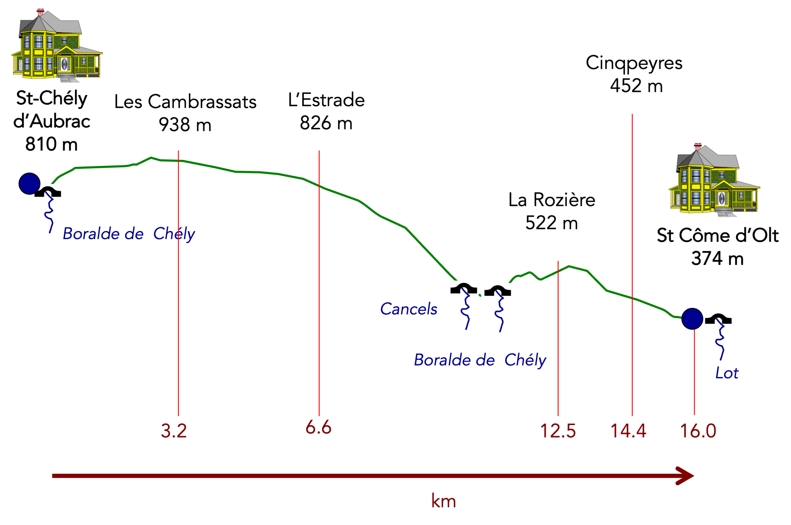
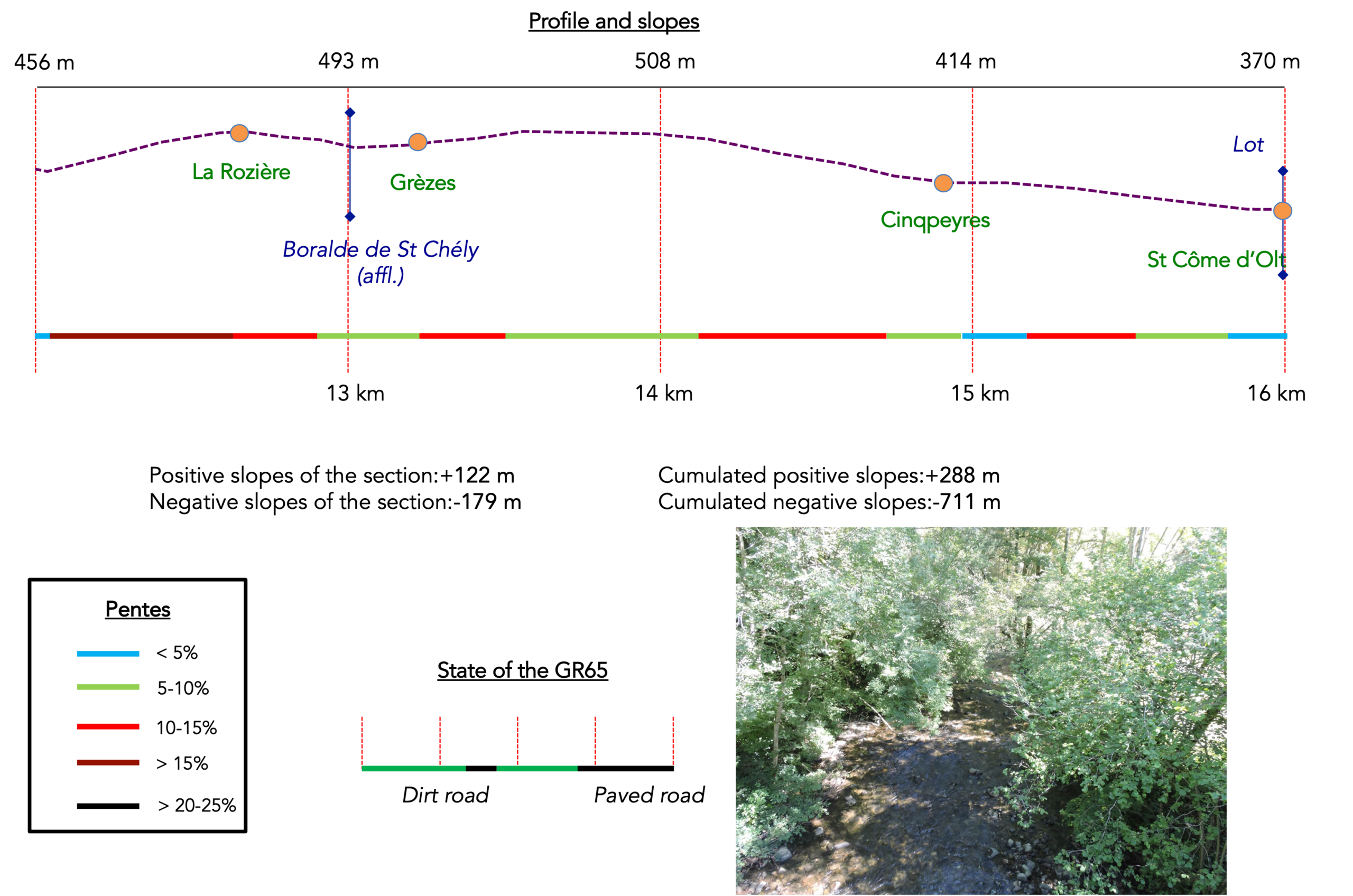
Difficulty level: Today’s elevation changes (+288 meters/and -711 meters), are significant, especially on the descent. The stage is not particularly long, although many pilgrims continue as far as Espalion. Even in its shorter form, however, it remains a demanding stage for many retired pilgrims or those with limited hiking experience. The day begins with a reasonable climb across the upper plateau. After that comes a long descent towards the Lot Valley along stony paths, descending through the luxuriant vegetation of the Boralde de St Chély. You leave Saint-Chély-d’Aubrac at an altitude of more than 800 metres and finish the stage below 400 metres. Near the end of the day, be prepared for one final effort when climbing up to La Rozière. Some critics, perhaps with a touch of bias, claim that this is not the most beautiful stage of the Way of Saint James. Yet the forests here are magnificent, and the vegetation is remarkably lush.
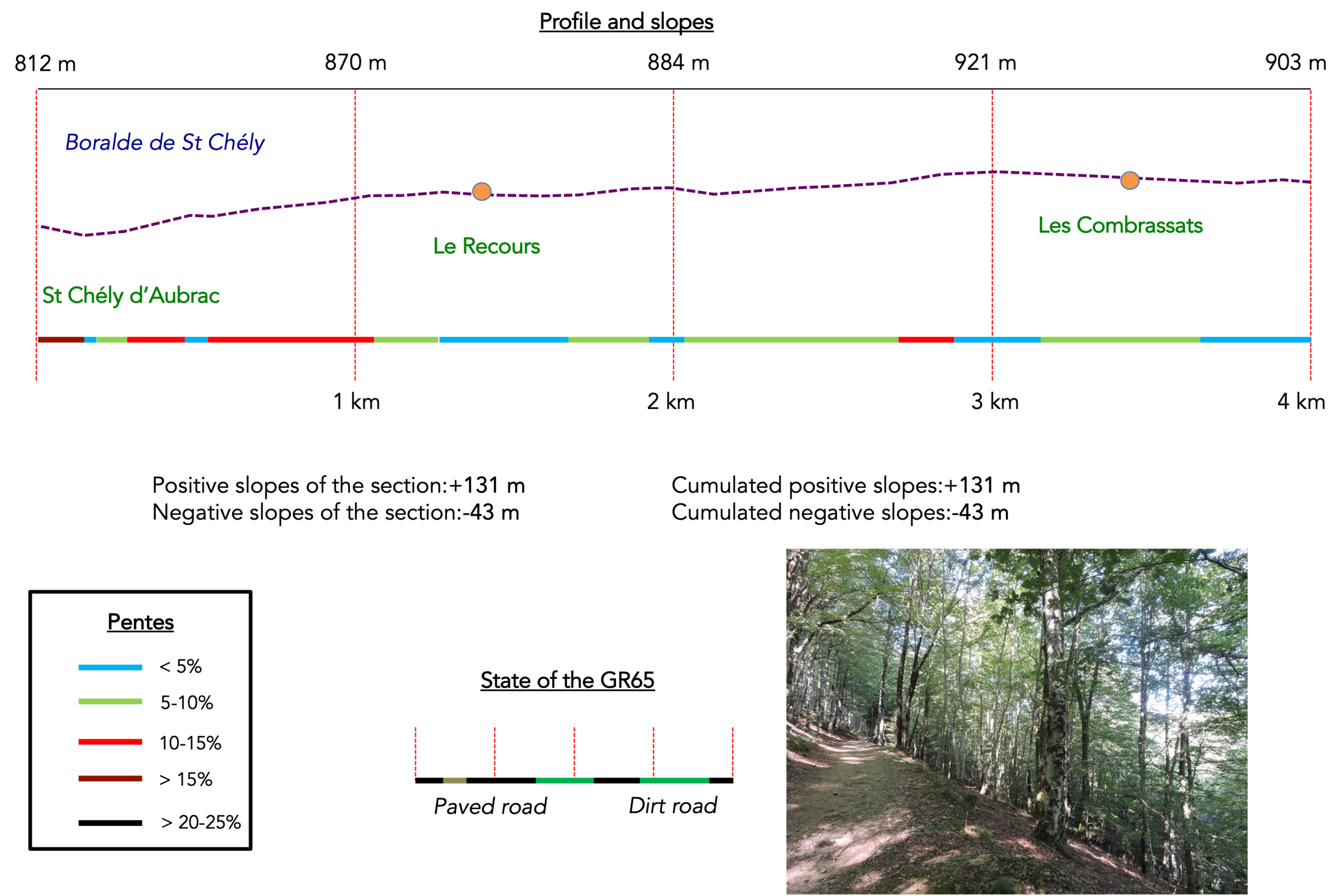
State of the GR65: Today’s stage clearly favours travel on paths rather than on roads:
- Paved roads: 6.0 km
- Dirt roads: 10.0 km
Sometimes, for reasons of logistics or housing possibilities, these stages mix routes operated on different days, having passed several times on Via Podiensis. From then on, the skies, the rain, or the seasons can vary. But, generally this is not the case, and in fact this does not change the description of the course.
It is very difficult to specify with certainty the incline of the slopes, whatever the system you use.
For « real slopes », reread the mileage manual on the home page.

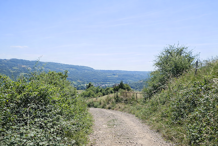
Section 1: The route climbs back onto the upper plateau
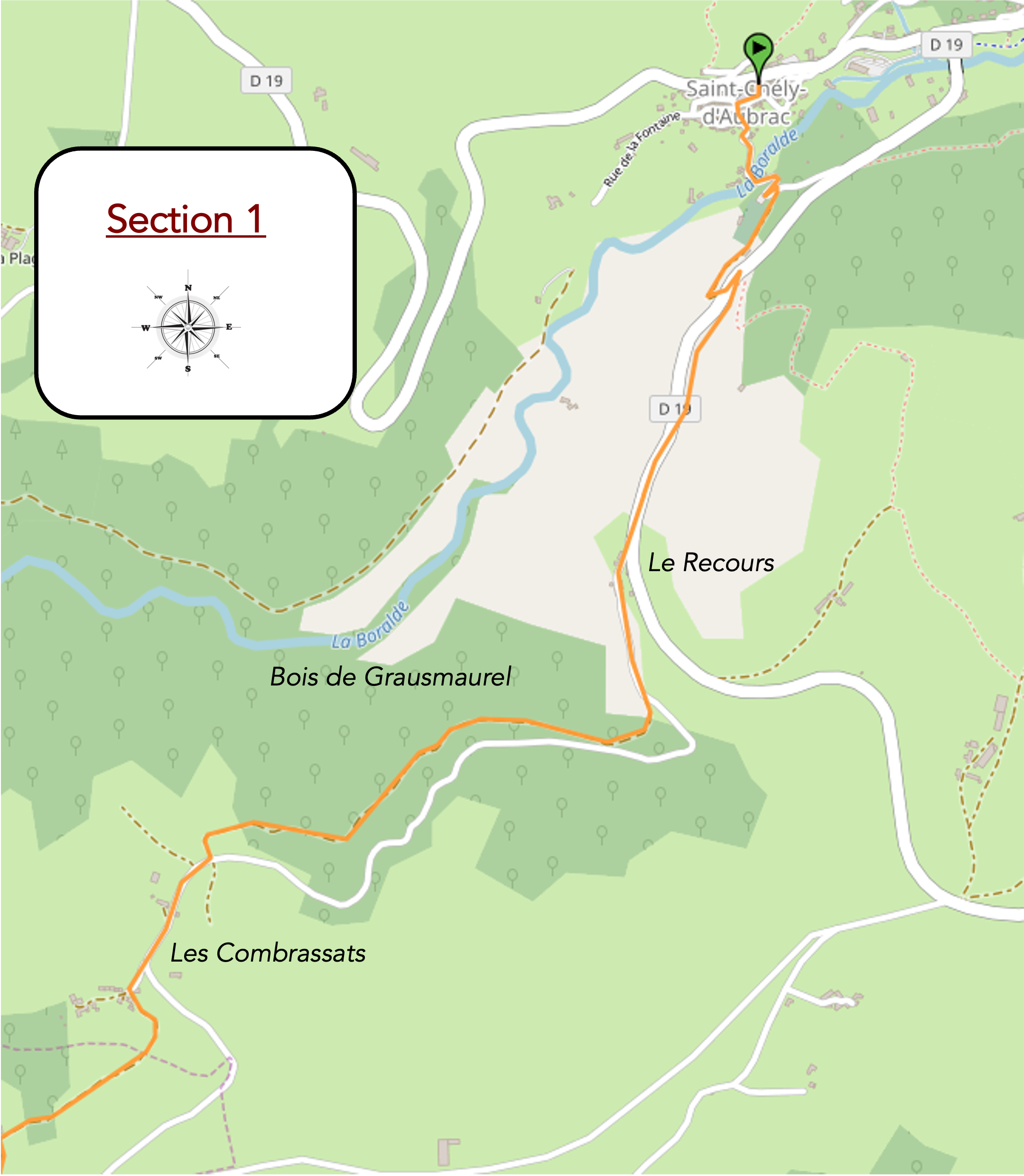
General overview of the route’s challenges: a few fairly steep slopes to reach Le Recours, followed by a much more reasonable climb..
|
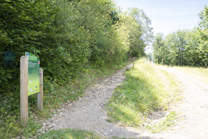
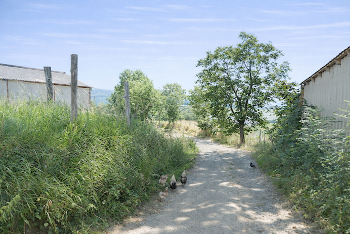
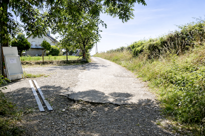
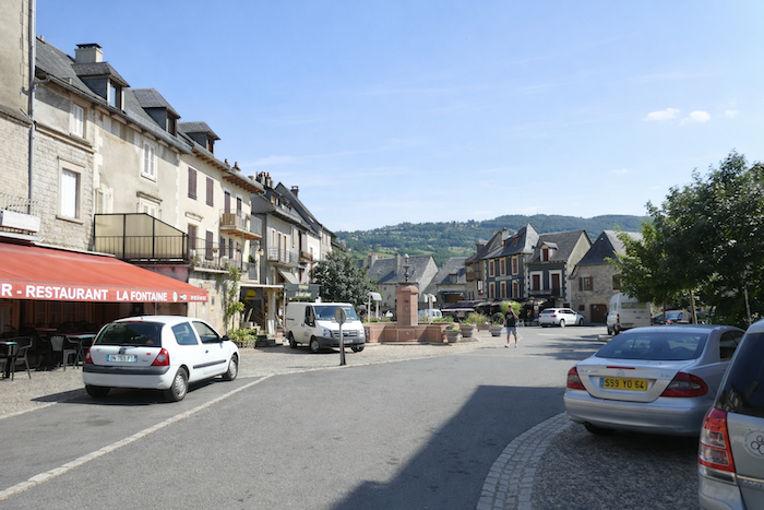
The route quickly leaves the village square and descends towards the river. |
|
 |
 |
|
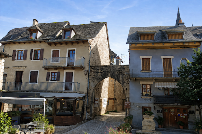
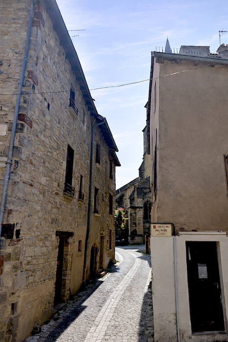
The slope becomes steep through the winding lanes, as though the village itself were still clinging to the hillside. |
|
 |
 |
|
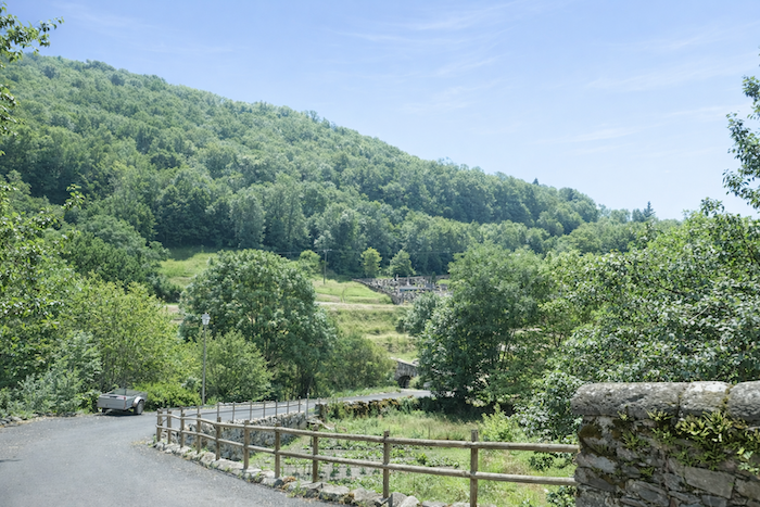
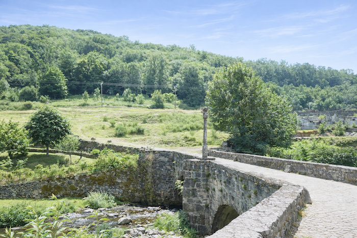
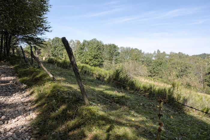
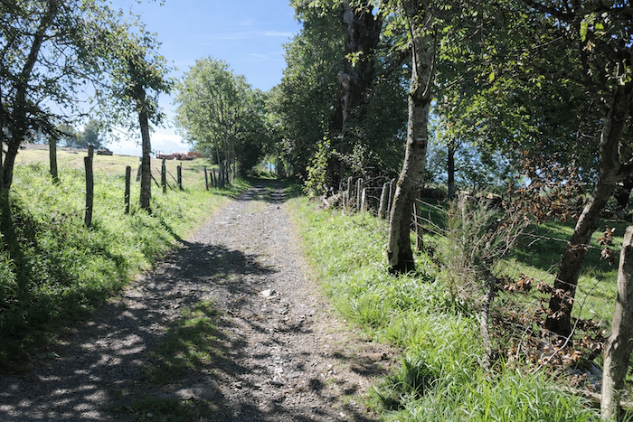
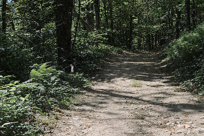
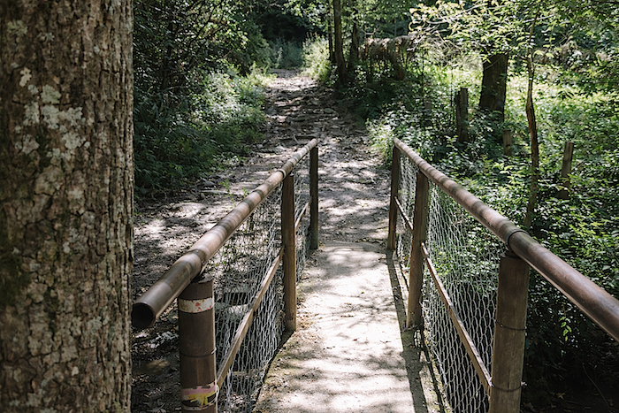
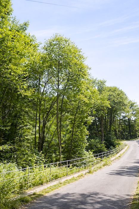
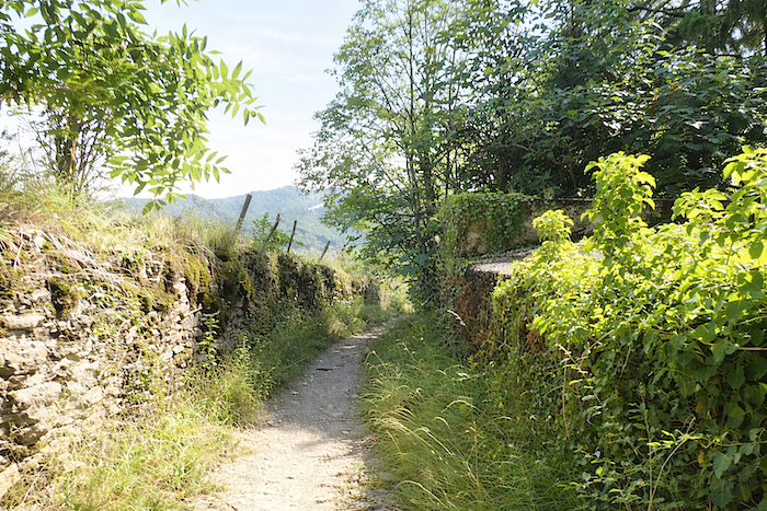
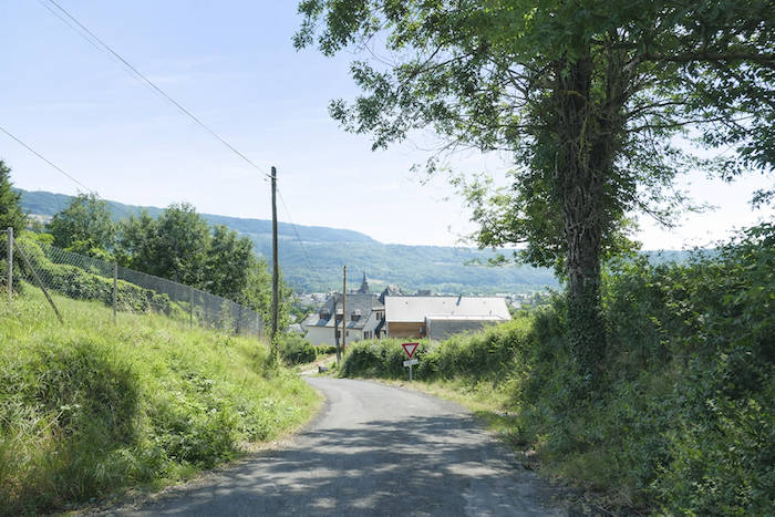
On leaving St Chély, a bridge crosses the Boralde of St Chély, a lively little river winding through the valley below. |
|
 |
 |
|
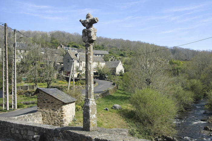
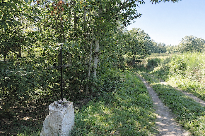
On this bridge, listed as a UNESCO World Heritage Site, stands a sixteenth-century calvary. The figure of a pilgrim is carved into the stone, one hand resting on his staff as though to keep shadows and fears at bay, the other holding a rosary, a gesture of both faith and protection. |
|
 |
 |
|
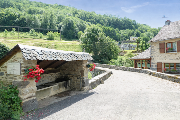
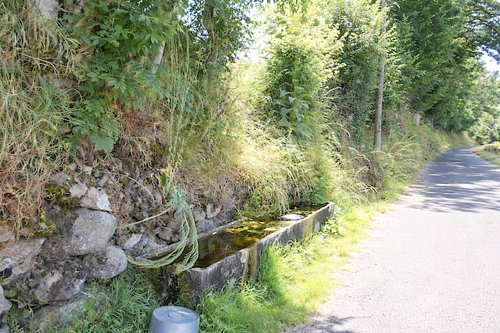
The river, swollen today by recent rain and melting snow, flows abundantly. Its banks form a charming scene, with a fountain, stone houses, and the gentle murmur of water accompanying the gaze. |
|
 |
 |
|
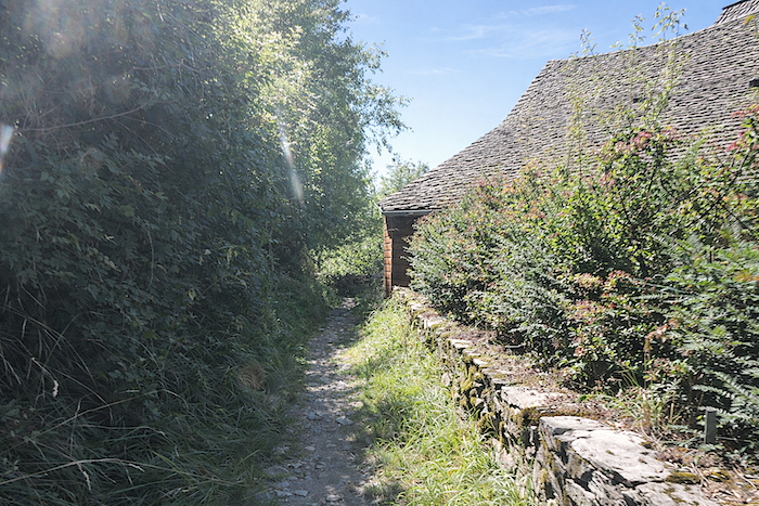
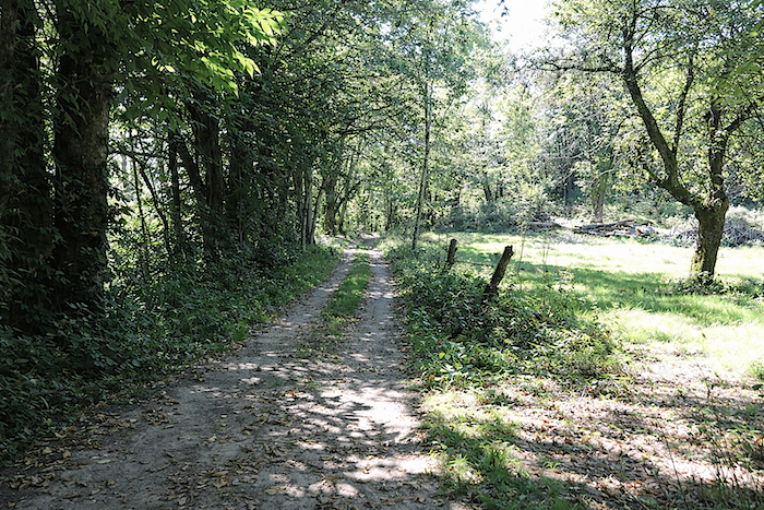
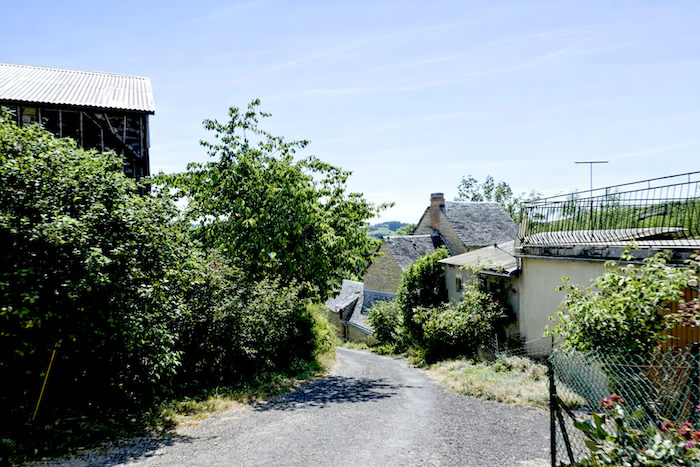
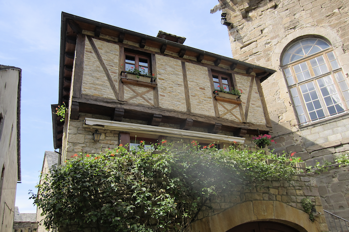
Very quickly, the route leaves the river below and begins to climb again. The path slopes up in tight switchbacks, tracing its course along the hillside near the cemetery. There, the dead rest facing the landscape, lulled by the discreet murmur of the river. St Chély-d’Aubrac then reveals all its harmony through the sobriety of its grey stone buildings. |
|
 |
 |
|
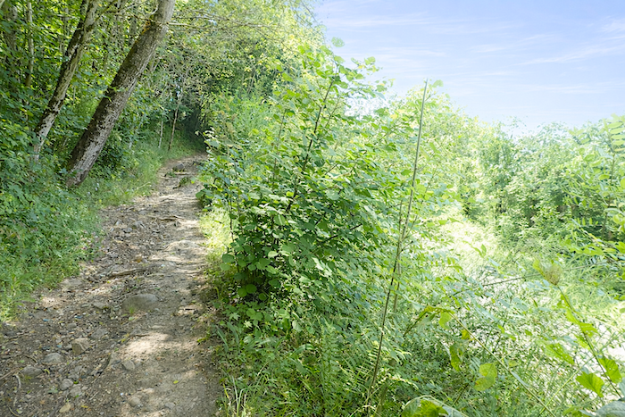
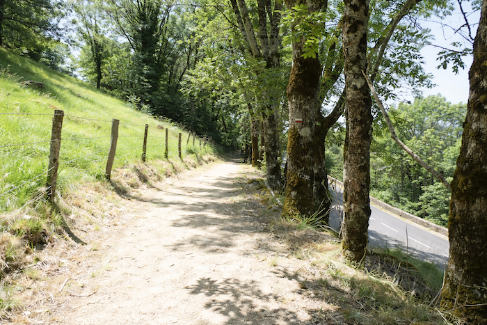
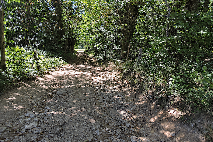
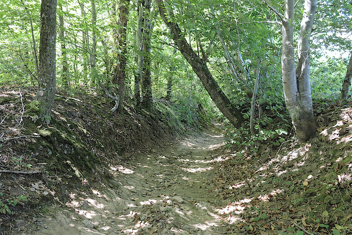
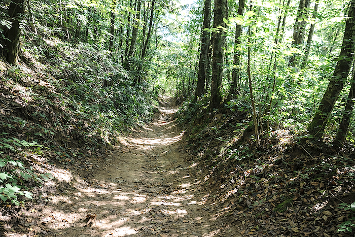
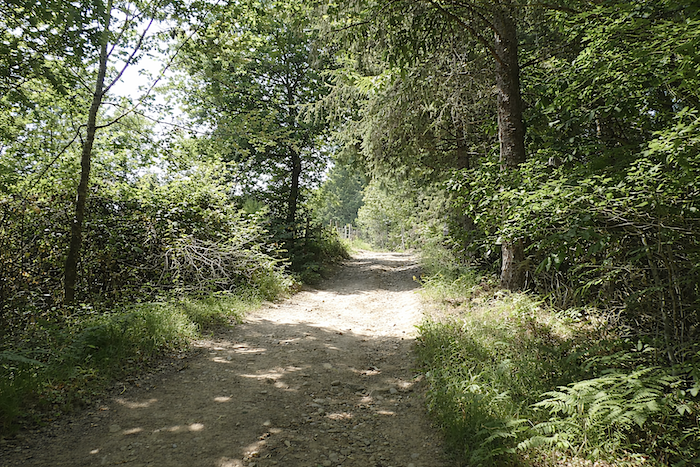
Beyond the cemetery, the path becomes stonier and climbs slowly, moving between shadow and light beneath the protection of tall trees. |
|
 |
 |
 |
 |
|
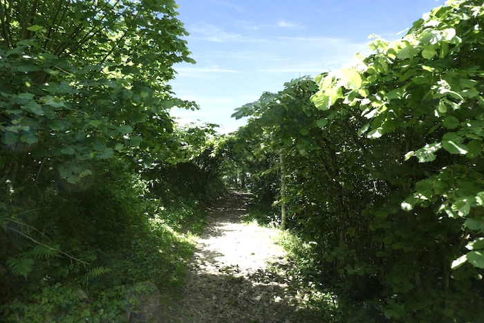
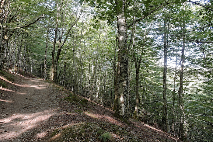
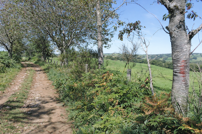
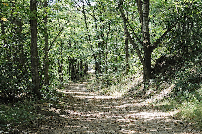
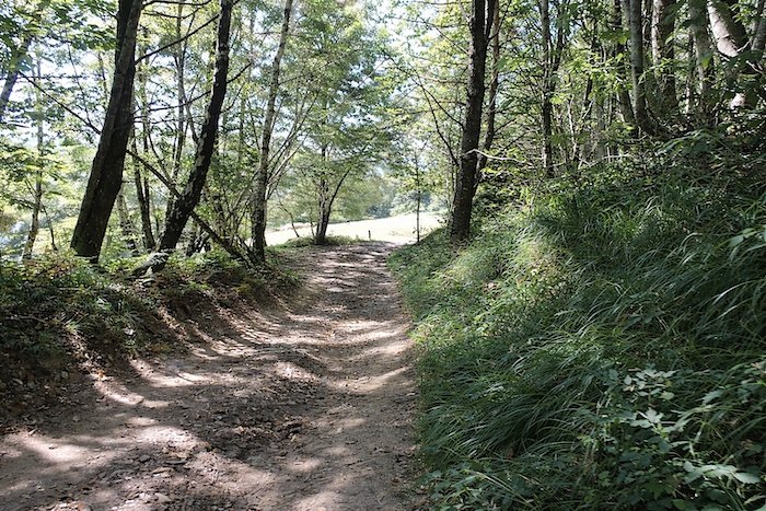
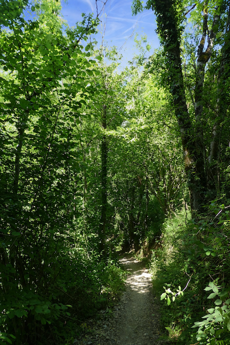
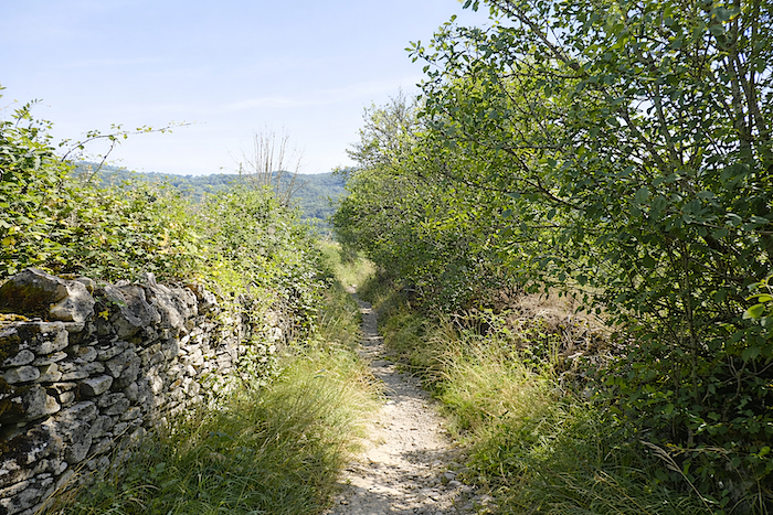
The pines have disappeared. Aubrac is now behind you. In their place comes the richness of broadleaf trees, every bit as majestic. Slender ash trees compete with beeches, hornbeams and sessile oaks, while hazel trees and young maples complete the woodland tapestry. Chestnut trees, for now, remain less common on this slope. |
|
 |
 |
 |
 |
|
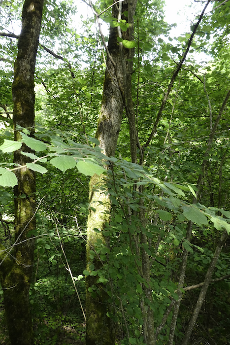
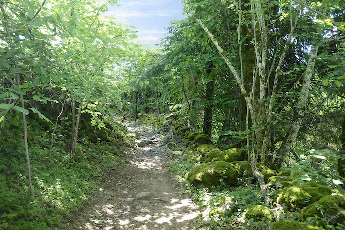
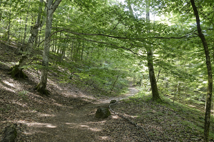
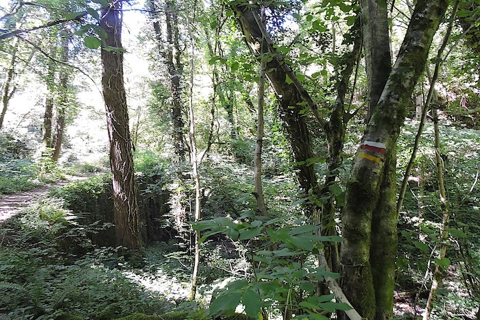
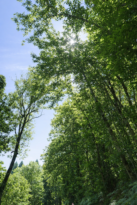
The forest is beautiful here, silent and deep, punctuated by granite boulders slowly being claimed by moss. |
|
 |
 |
|
The path then pauses briefly, joining a road overlooking the village. |
|
 |
 |
|
Take care here, as the route can be confusing. You must descend a few dozen meters to find the trail again rather than continuing uphill along the road. That said, by following the road lined with tall ash trees, you will eventually reach the same point as the trail. |
|
 |
 |
|
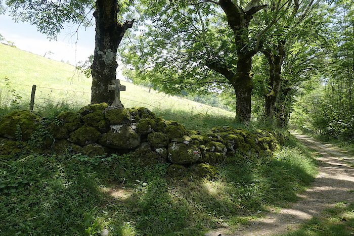
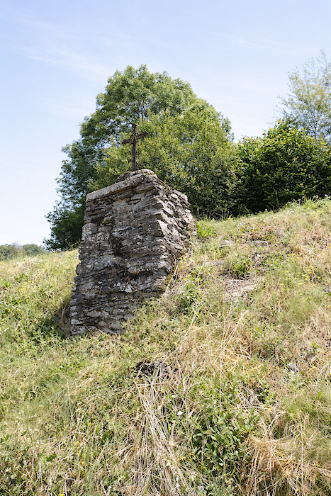
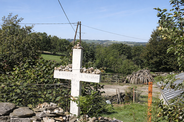
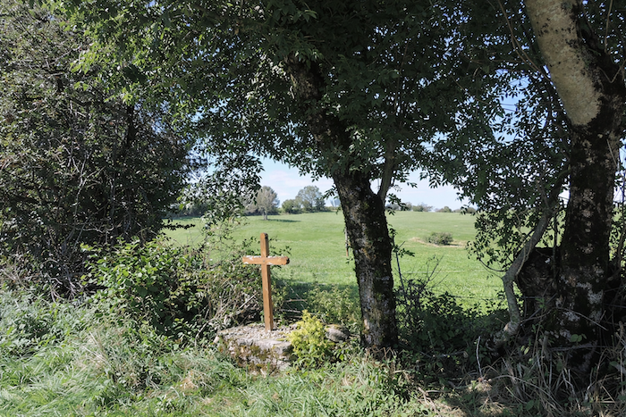
The path resumes its climb, stone after stone, above the road. Ash trees with shaggy silhouettes and towering hornbeams dominate the woodland, surrounding stone blocks draped in thick velvety moss. A cross planted among a heap of stones invites both prayer and daydreaming, perhaps opening a gateway to some invisible world populated by legends and sprites. |
|
 |
 |
|
A few more steps through the deep scent of damp earth, beneath the vault of great trees, and the trail rejoins the road left below. |
|
 |
 |
|
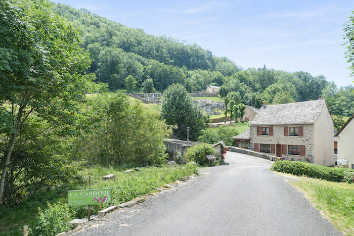
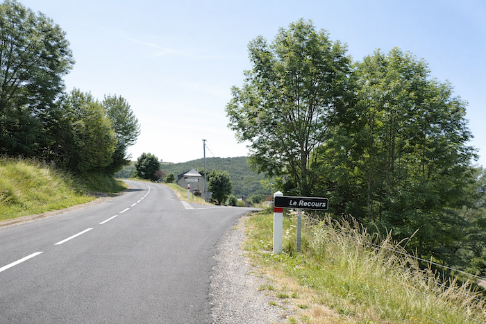
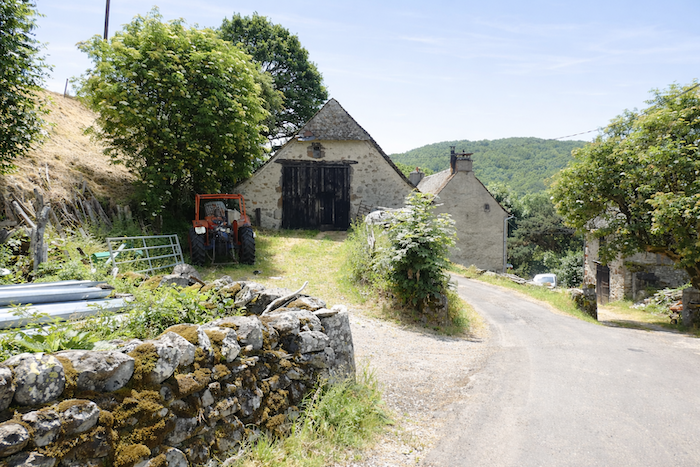
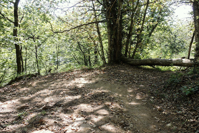
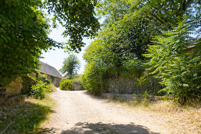
The first climb of the day ends at the hamlet of Le Recours, nestled within lush and generous greenery. |
|
 |
 |
|
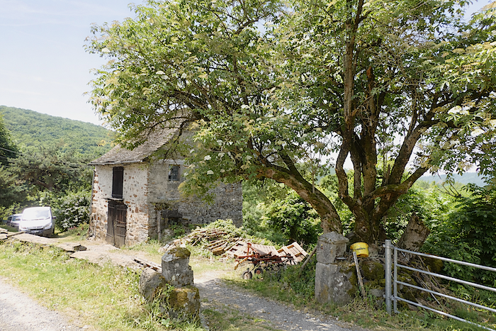
A moment of respite follows, almost like a gift. A flatter stretch passes a few stone farmhouses, some partially abandoned, bearing witness to a rural world that has quietly retreated. |
|
 |
 |
 |
 |
|
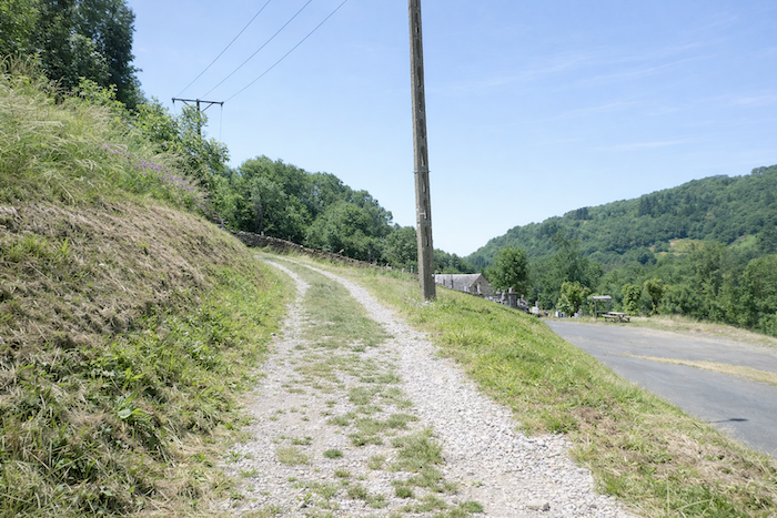
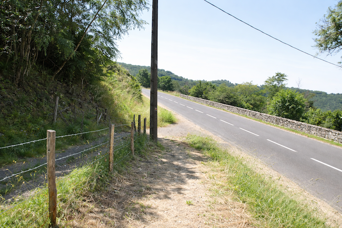
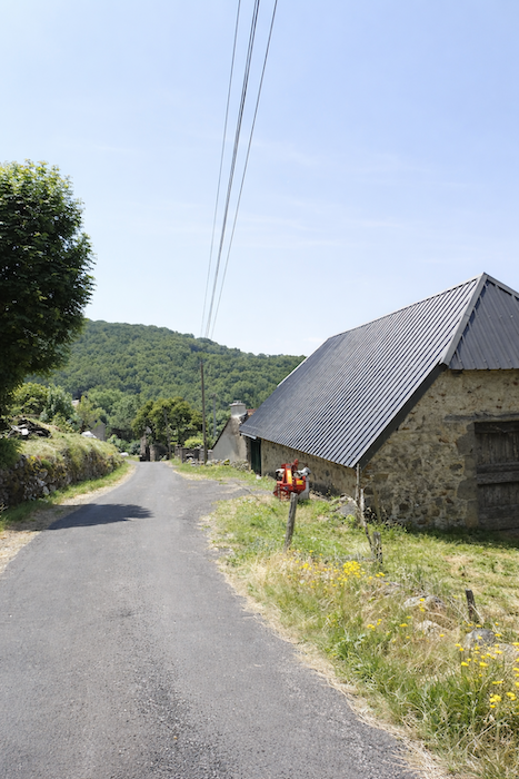
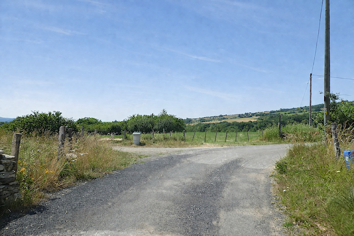
At Le Recours, the GR65 follows the tarmac for a while, passing a simple but welcome fountain of fresh water. |
|
 |
 |
|
The route follows the road before returning to the beaten earth and beginning the climb towards the Forest of Grausmaurel, in the direction of Les Cambrassats. |
|
 |
 |
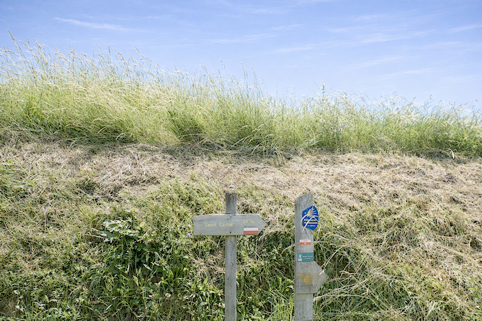
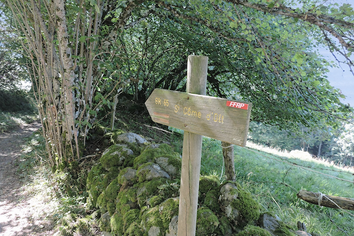
A sign planted on the embankment points towards St Côme-d’Olt, like an invitation to continue the ascent.
|
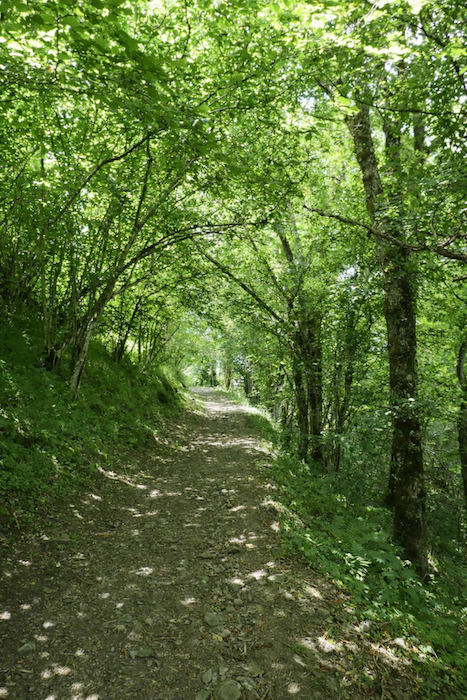
The scenery often becomes majestic here, forming a kind of green tunnel beneath tall hornbeams and beeches that play endlessly with the light, wavering between shadow and brightness. |
|
 |
 |
|
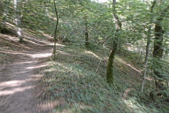
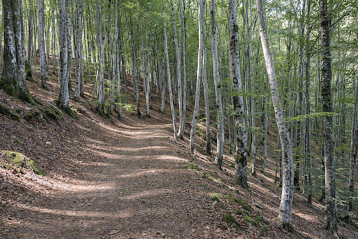
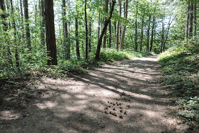
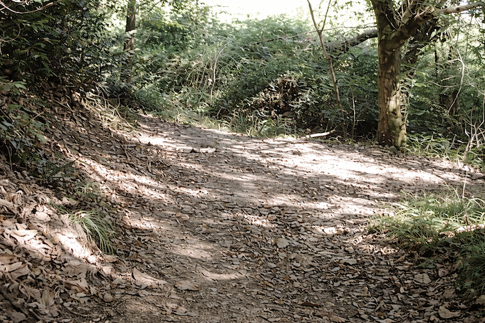
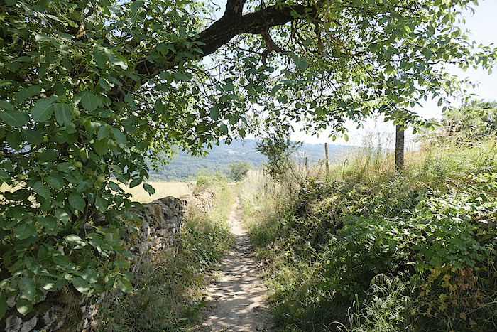
Nature here oscillates between wildness and harmony. The ground, carpeted with fallen leaves, softens each footstep and makes walking easier. Gone are the chaotic stones and treacherous roots. The path now invites a peaceful, almost meditative progression, following the contours of the terrain with effortless grace. |
|
 |
 |
 |
 |
|
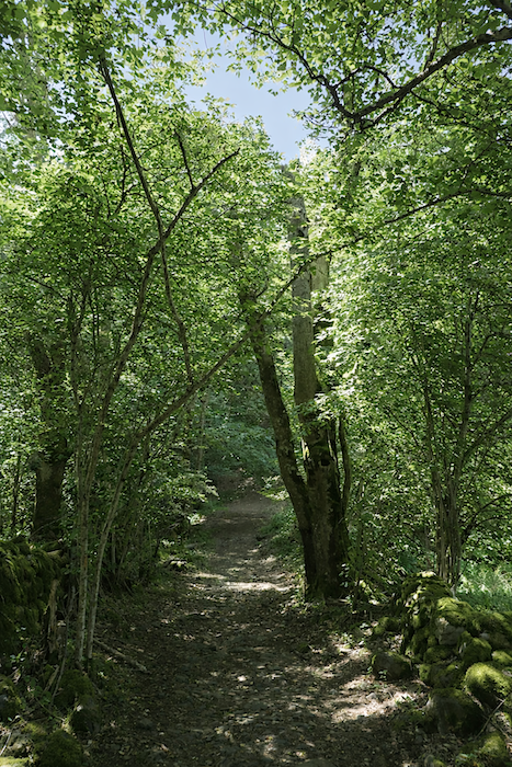
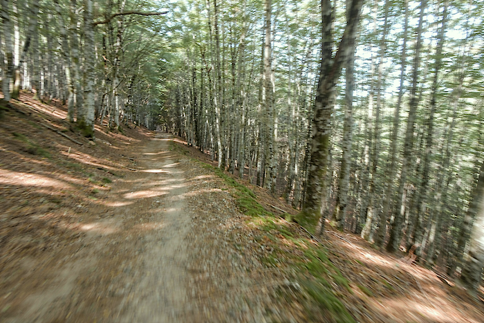
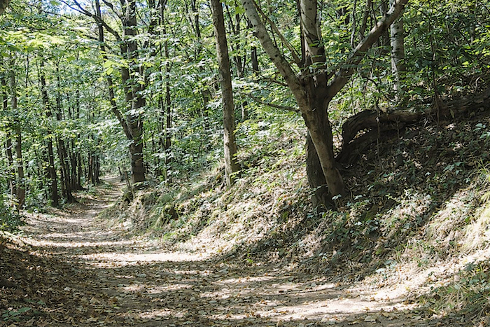
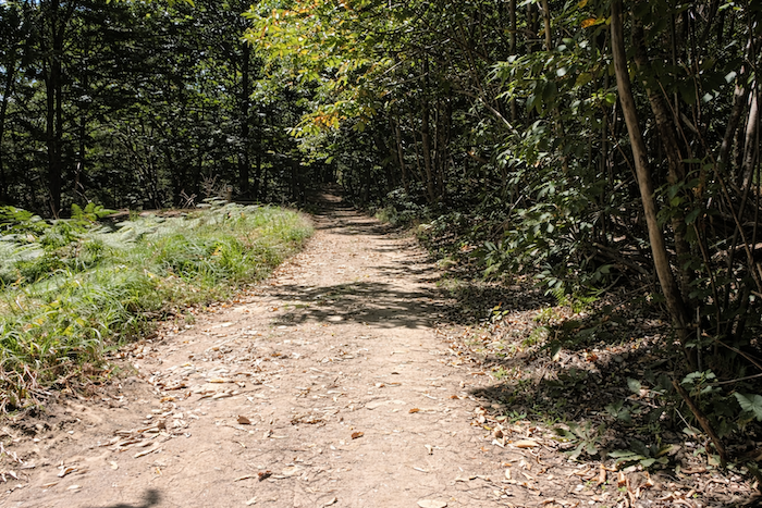
Wide and regular, the path penetrates a bright forest that seems almost orderly, where the tall trunks of beeches rise like a natural colonnade. Light filters softly through the foliage, casting delicate patterns of shadow and brightness across the brown earth. Everything feels calm, as though the forest itself were offering the walker a moment of rest. |
|
 |
 |
 |
 |
|
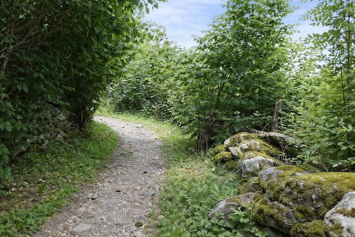
Higher up, however, the stones gradually reclaim their territory and begin to dominate the path once again. |
|
 |
 |
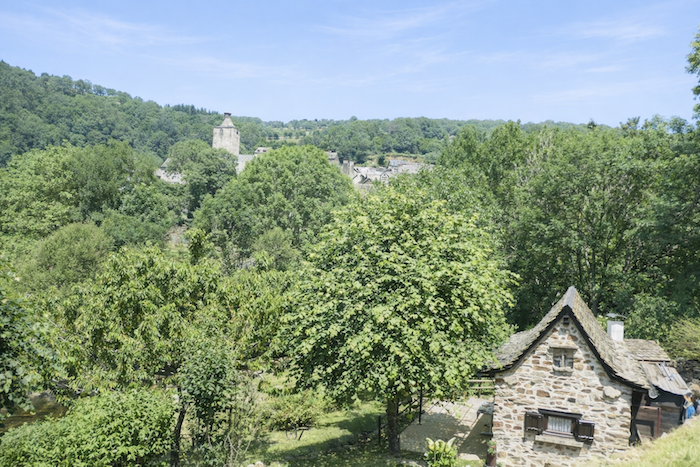
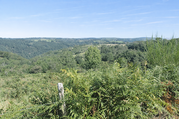
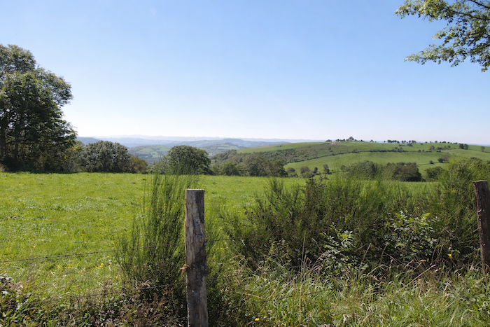
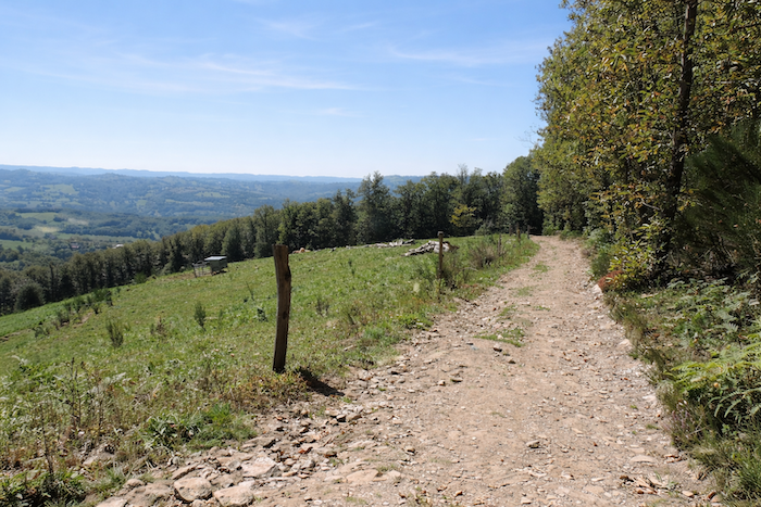
Then, like an animal emerging from its refuge, the path slowly leaves the woodland behind. Far below, St Chély-d’Aubrac is barely visible through the dense foliage, while above, the vast bare plateaus of Aubrac can still be seen.
|
The path gradually emerges from the undergrowth and reaches a small plateau, where it joins a quiet road lined with tall ash trees. Subtle signs of farming activity appear once more. Cows, mostly of the Aubrac breed, graze peacefully in small enclosed fields. |
|
 |
 |
|
The GR65 then continues almost level along the tarmac towards the hamlet of Les Cambrassats. |
|
 |
 |
|
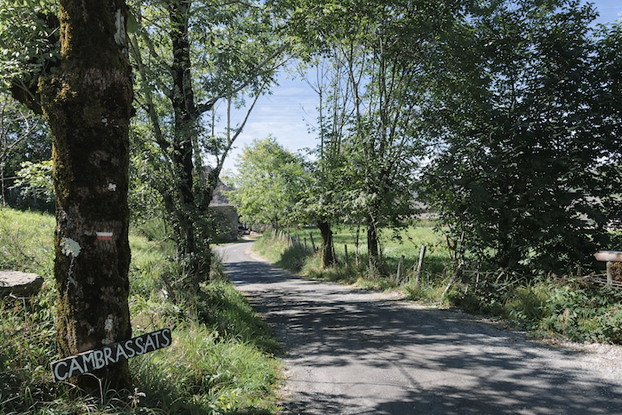
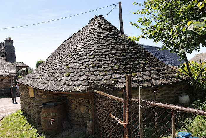
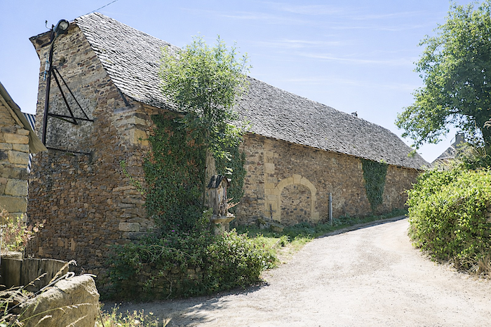
Some walkers, it must be admitted, occasionally grow weary of this profusion of green, this gentle vegetal anarchy that only nature knows how to orchestrate. Seeking something different, the eye rests with pleasure upon Les Cambrassats, a handful of stone houses with steep slate roofs, sometimes so sharply pitched that they seem to reach towards the earth. One might think the stone is basalt, yet it is actually sandstone in varying shades, a sign that the granite foundations have now been left behind. |
|
 |
 |
|
The GR65 soon leaves the hamlet by a narrow trail running beside the last house, as though quietly slipping away from this brief return to human habitation. |
|
 |
 |
|
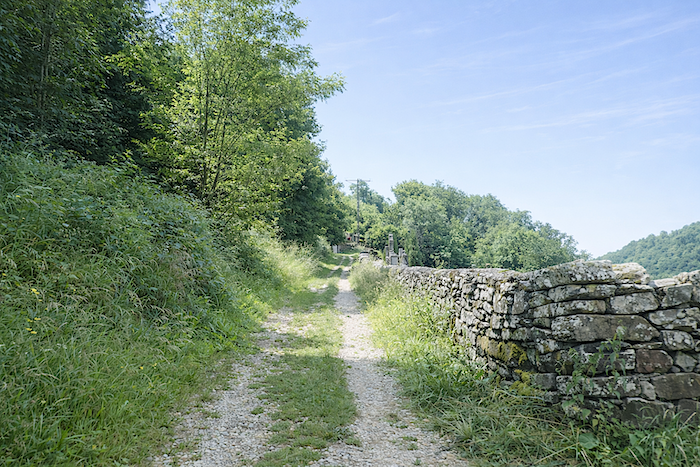
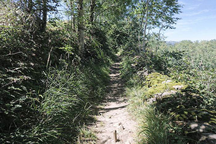
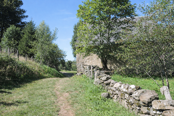
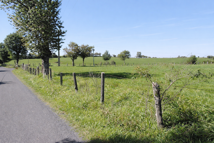
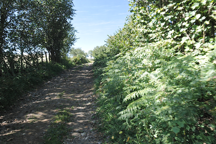
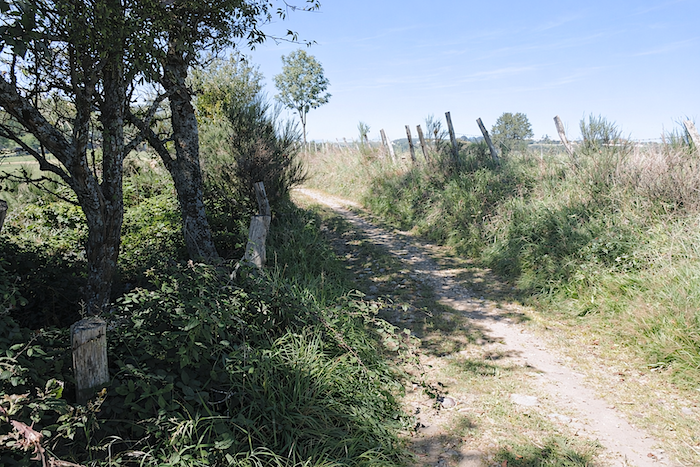
A Roman road once passed through here, though only vague traces remain today. The present path, narrow and occasionally stony, undulates gently across dark soil, sometimes running beside stone walls beneath the shade of broadleaf trees. Farming activity survives, discreetly, but the land remains largely open and silent, a country where people have never been numerous. |
|
 |
 |
 |
 |
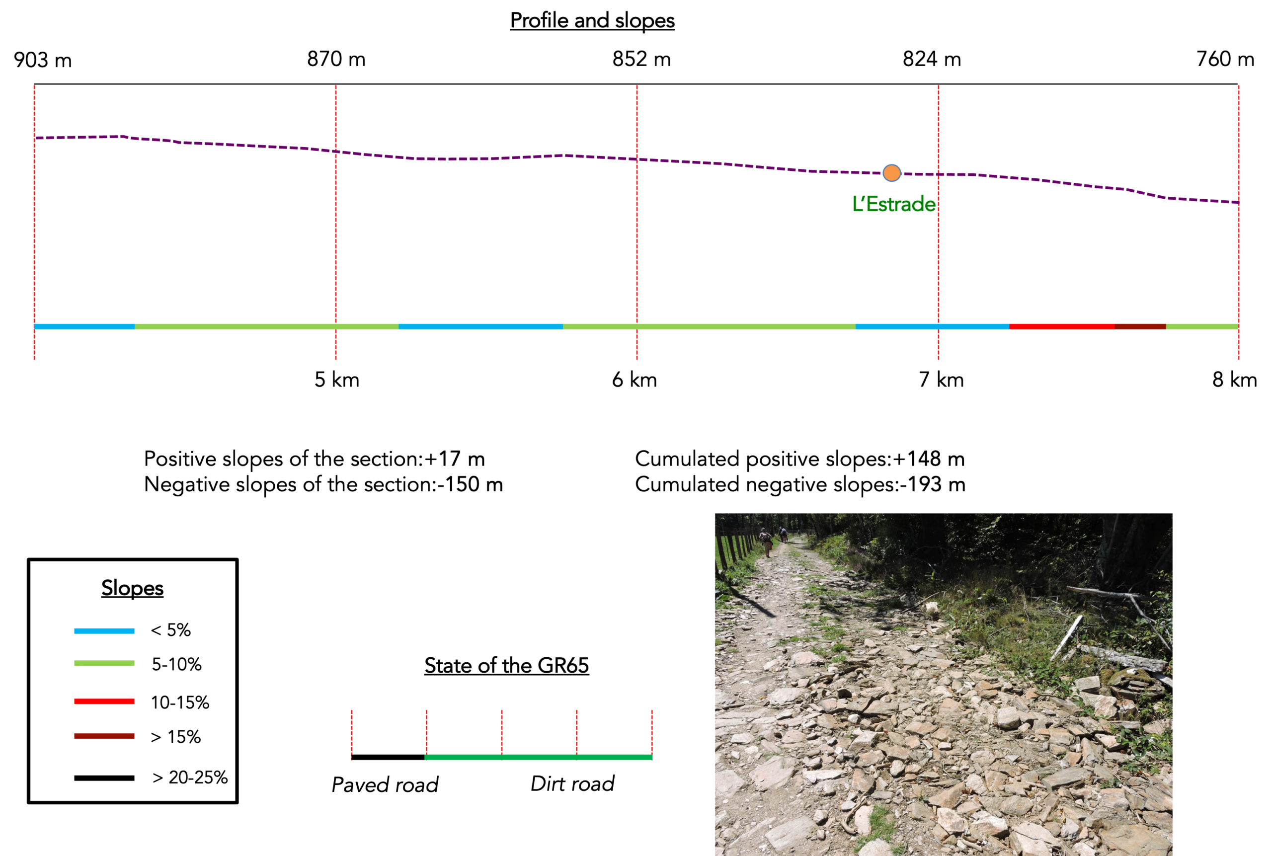
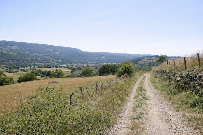
Section 2 : Towards a small halt at L’Estrade before a long, often steep descent
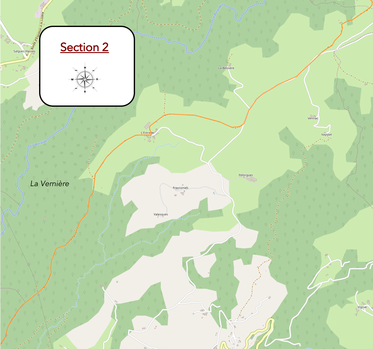
General overview of the route’s challenges : sans difficulté jusqu’à L’Estrade, puis les pentes vont s’accentuer progressivement.
|
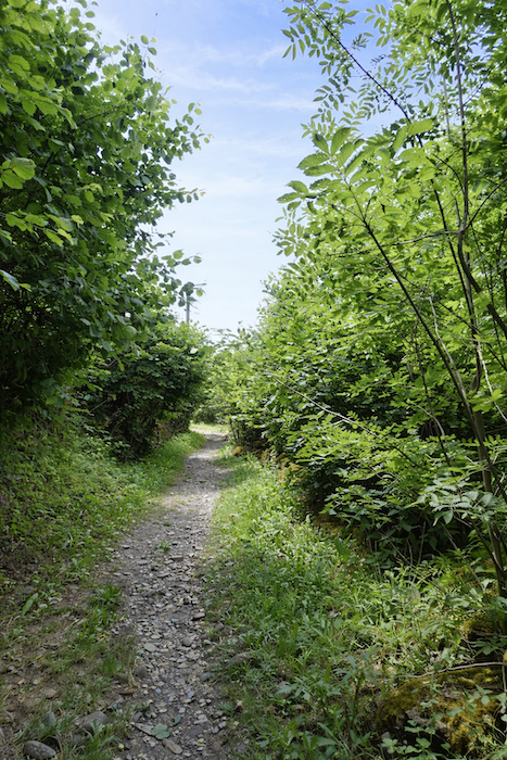
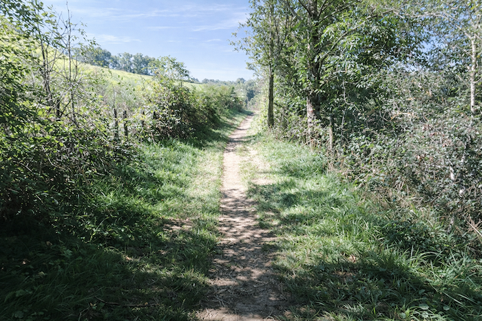
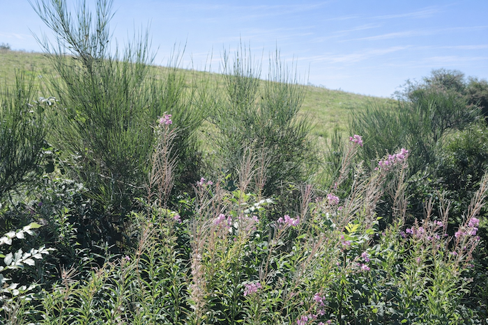
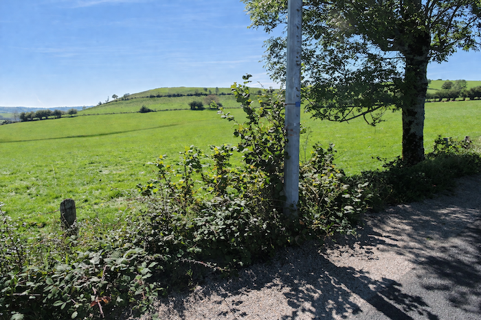
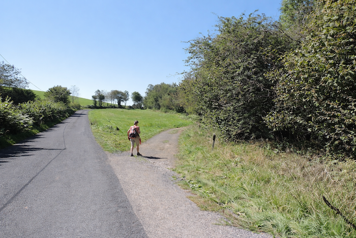
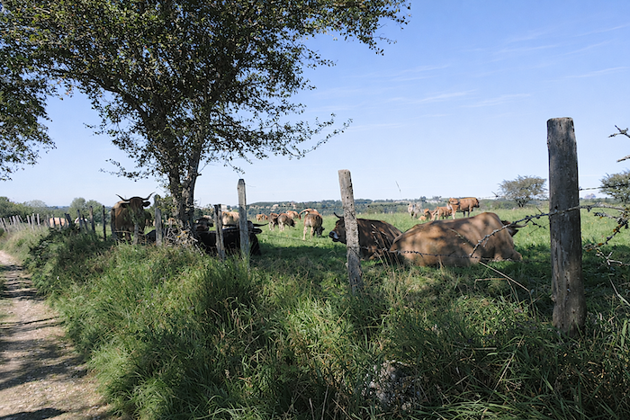
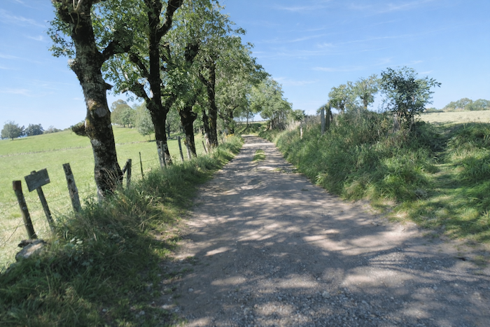
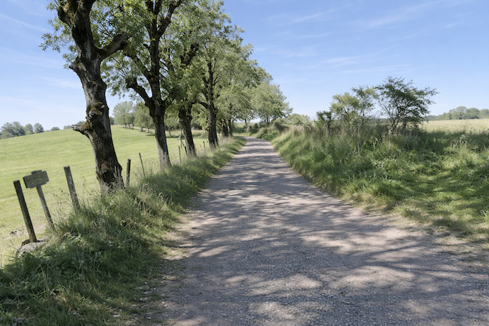
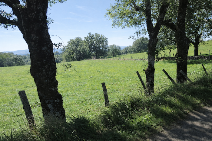
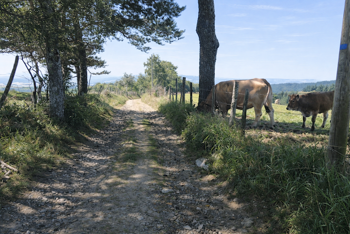
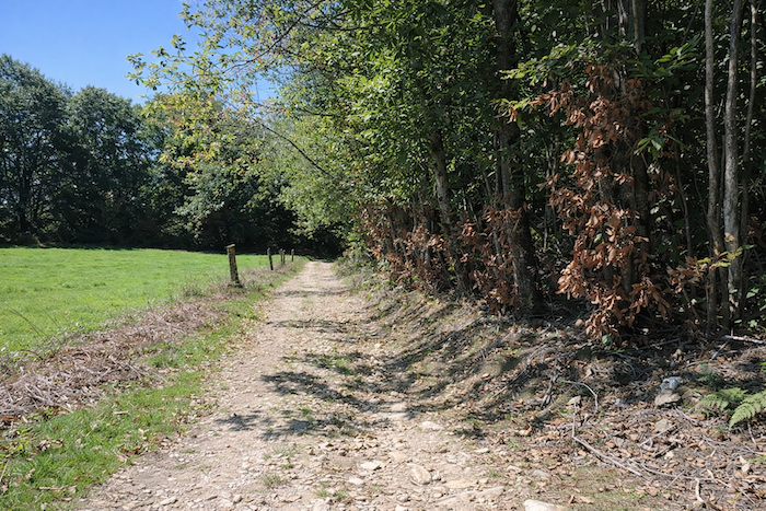
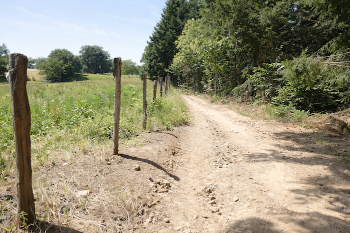
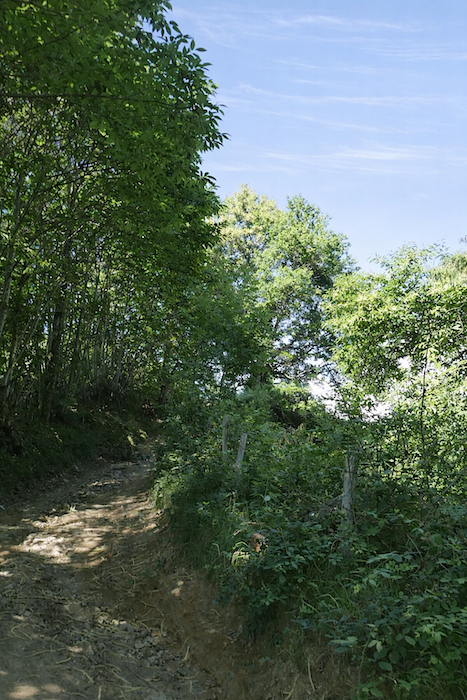
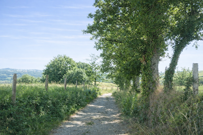
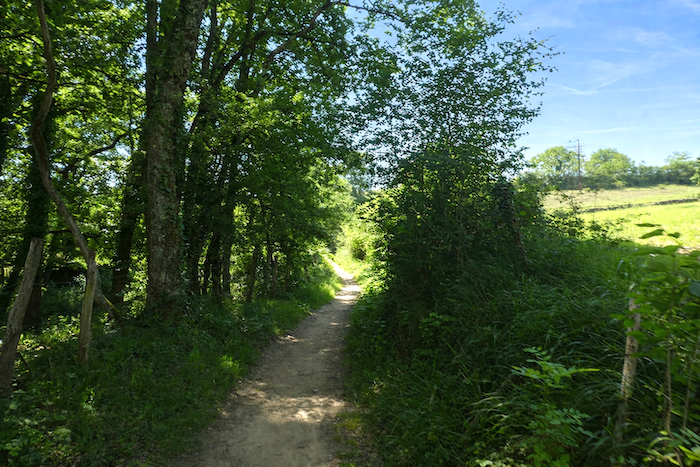
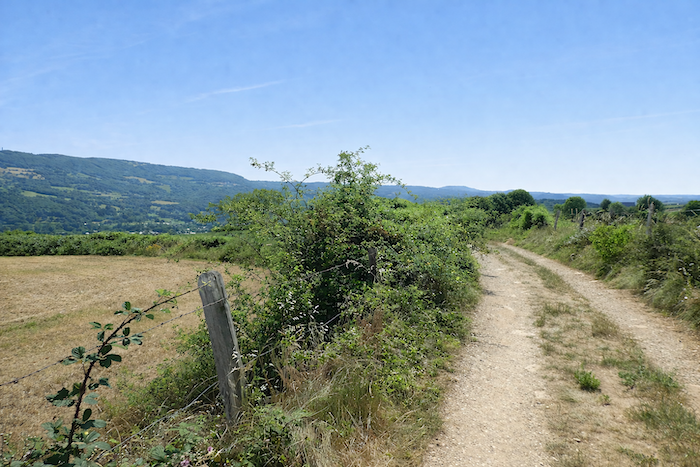
The trail continues along the ridge, brushing against hedgerows in a landscape that has now opened up. As far as L’Estrade, the scenery becomes lighter and stretches for several kilometers, almost level or on a very gentle descent. Beneath beeches, ash trees and oaks lie pastures where cattle graze peacefully. In places, the narrow path undulates like a roller coaster between bushes and ferns, while elsewhere it widens, allowing for easier walking. . |
|
 |
 |
 |
 |
|
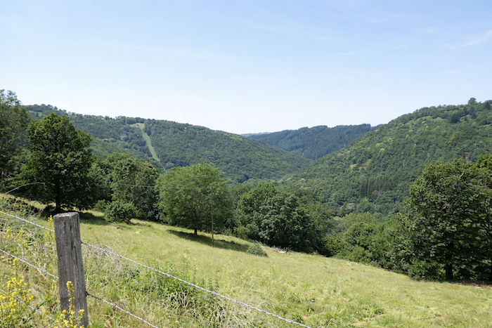
Below, the eye is drawn towards the deep gorge where the Boralde of St Chély winds its way through luxuriant vegetation. |
|
 |
 |
|
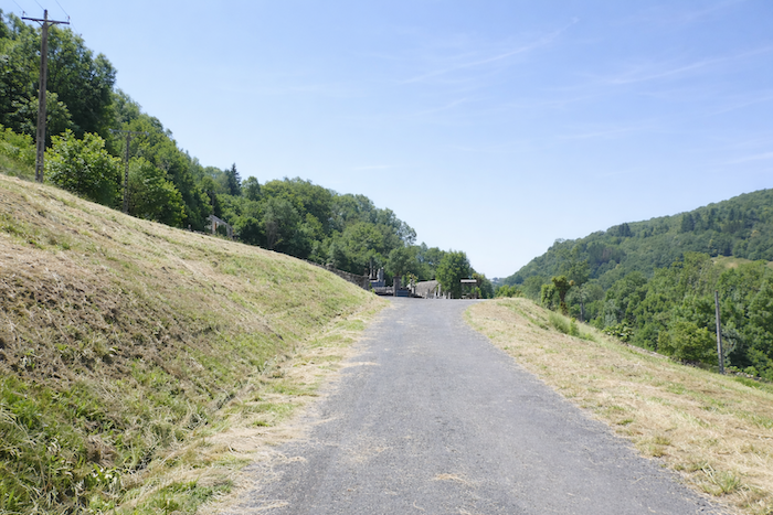
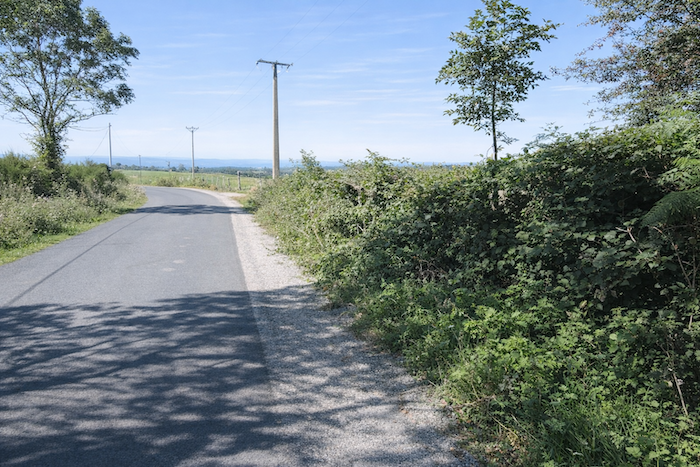
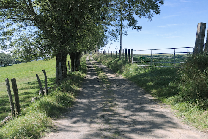
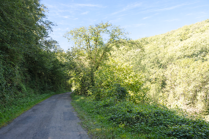
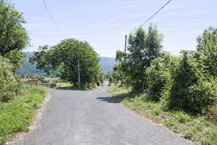
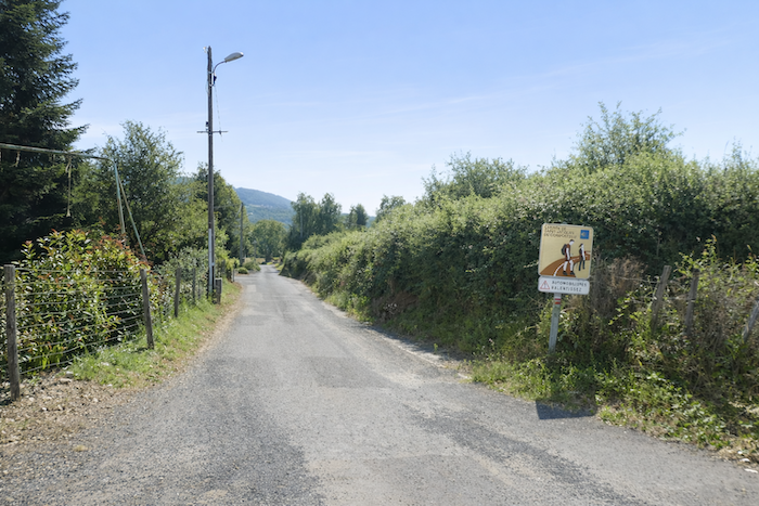
A little farther on, the GR65 joins a paved road. |
|
 |
 |
|
A long, gentle descent on asphalt now begins, much to the disappointment of some pilgrims. Yet on such an even surface, the stride becomes more confident, freed from the constant vigilance demanded by rough terrain. The eye can finally wander, opening itself to broader horizons and absorbing the quiet beauty of landscapes shaped by time and water. Who can fully describe the sense of fulfilment felt here, whether crossing ancient forests or walking through the apparent simplicity of the countryside? |
|
 |
 |
 |
 |
|
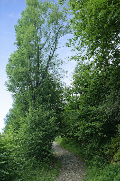
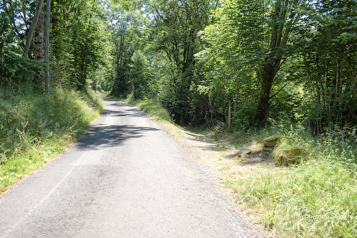
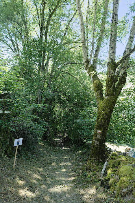
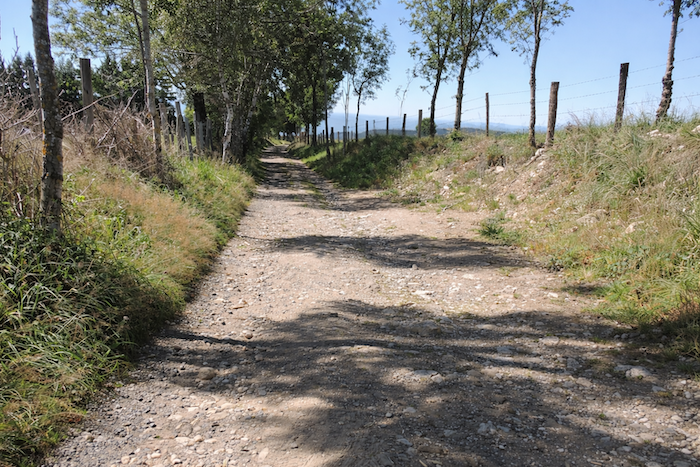
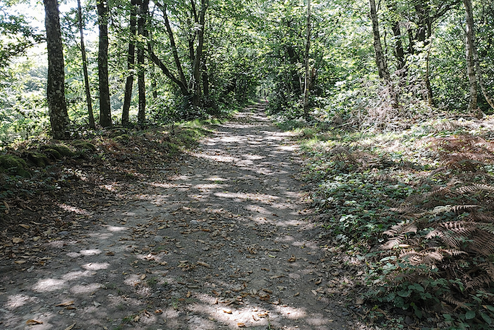
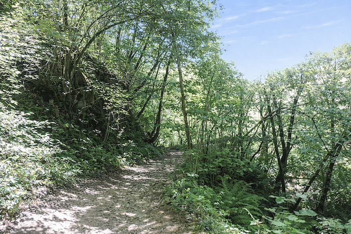
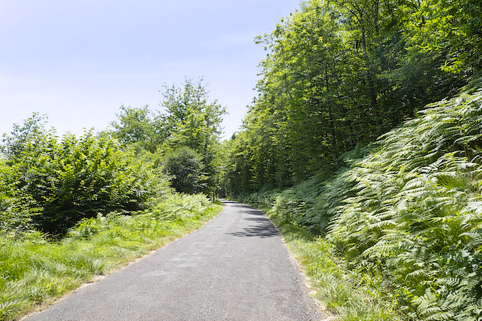
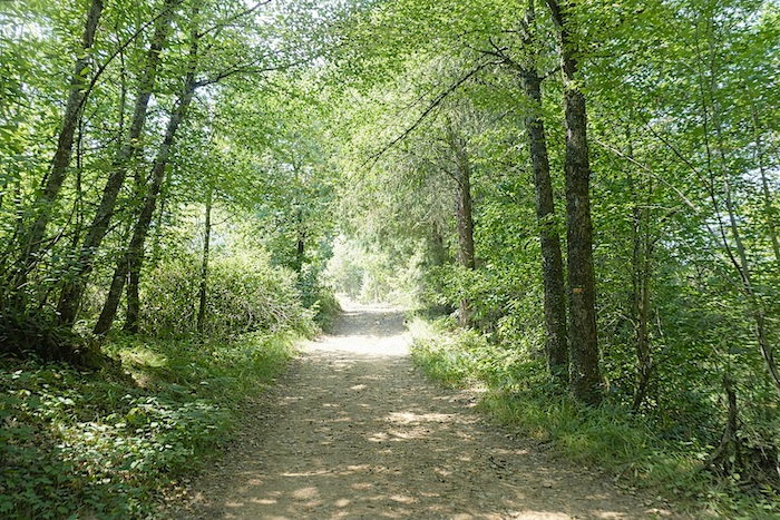
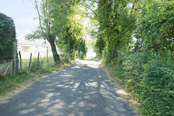
Then, much to the delight of many walkers, the GR65 soon returns to the woodland. Oaks, ash trees, hornbeams and beeches reappear, and the path becomes once again what it does best, a wide earthen track, soft underfoot and only lightly stony, perfectly suited to peaceful walking. |
|
 |
 |
|
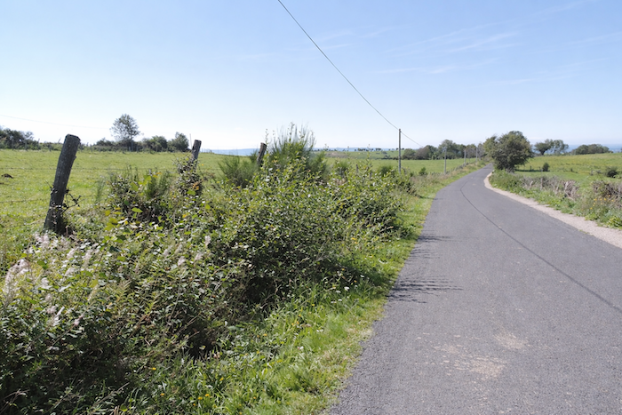
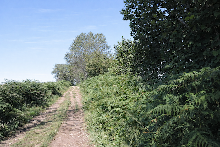
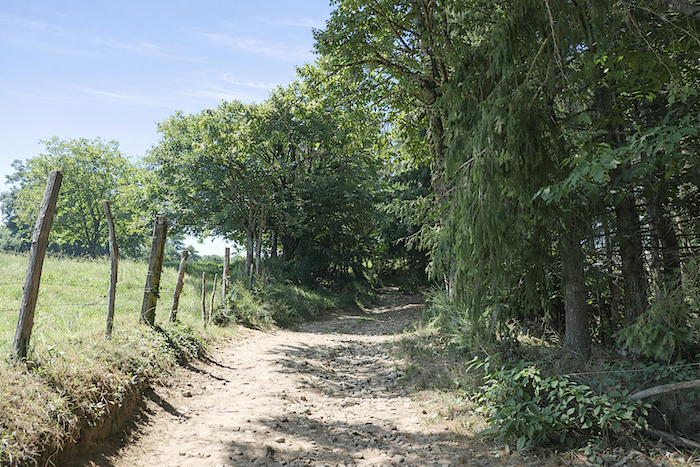
The path now lingers beside the hedgerows, as though taking time to savor this more open countryside. Chestnut trees become increasingly common, and whenever the hedges part, the eye escapes towards clusters of farms scattered across the landscape. |
|
 |
 |
|
Here, the path is wide and easy, winding through a living countryside often shared with grazing cattle. A few wild cherry trees line the path, adding a delicate touch to this rural scene. |
|
 |
 |
|
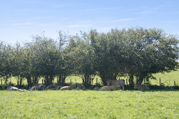
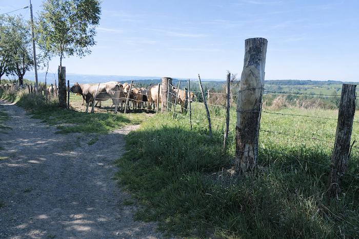
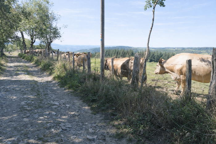
Peu à peu, le parcours approche du hameau de l’Estrade, et qui dit hameau dit présence animale : Aubrac et Salers y mêlent leurs silhouettes robustes et leurs cornes élégantesGradually, the route approaches the hamlet of L’Estrade, and where there is a hamlet there are animals. Aubrac and Salers cattle mingle here, their sturdy silhouettes and elegant horns standing out against the landscape. |
|
 |
 |
|
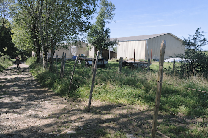
By contrast, a somewhat anachronistic sight appears, a sign of changing times. A modern farm has exchanged stone for concrete. |
|
 |
 |
|
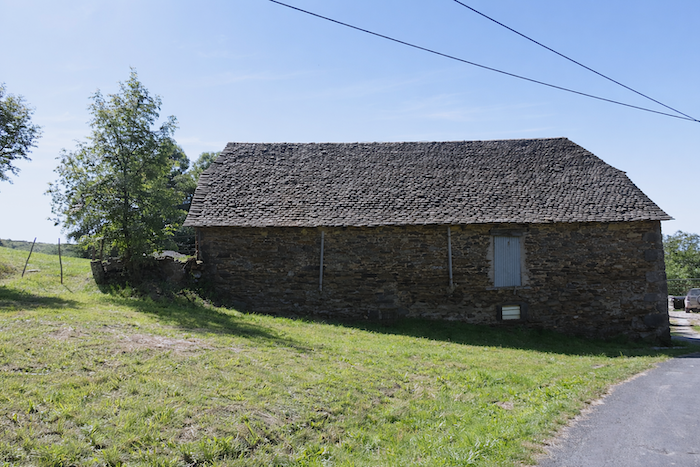
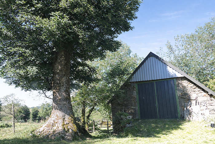
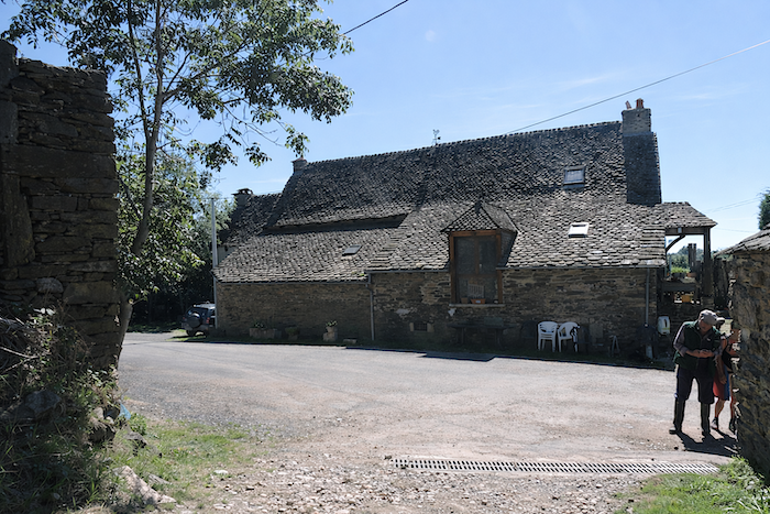
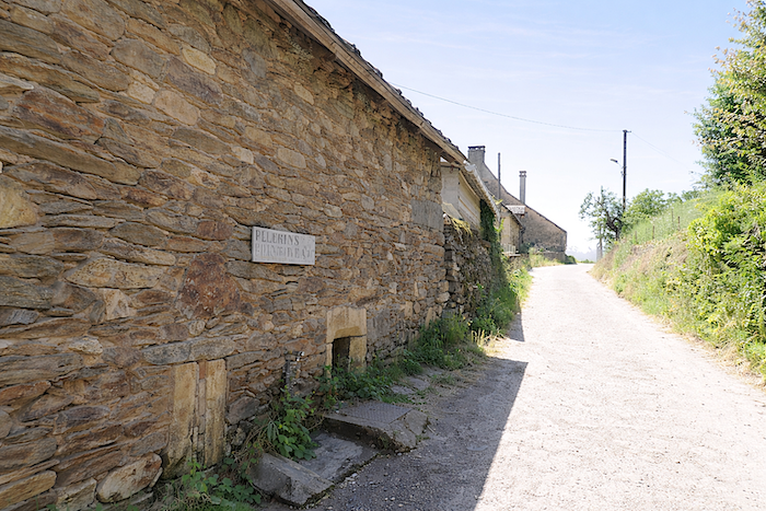
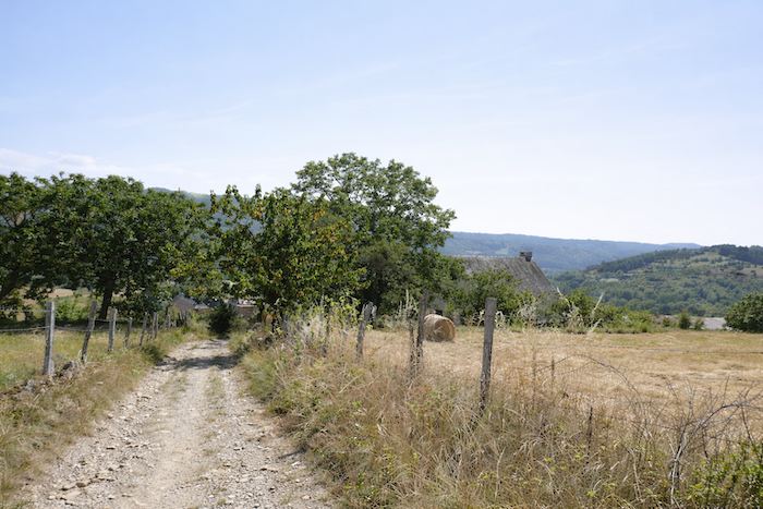
You should not expect a true village, however. L’Estrade is merely a small cluster of large sandstone houses crowned with magnificent slate roofs. In Haute Rouergue, the geology differs from that of Aubrac. Here, the terrain becomes more complex, mixing limestone and schist, while still retaining traces of granite and basalt. This diversity is reflected in the very walls of the houses and in the stones of the path itself. |
|
 |
 |
|
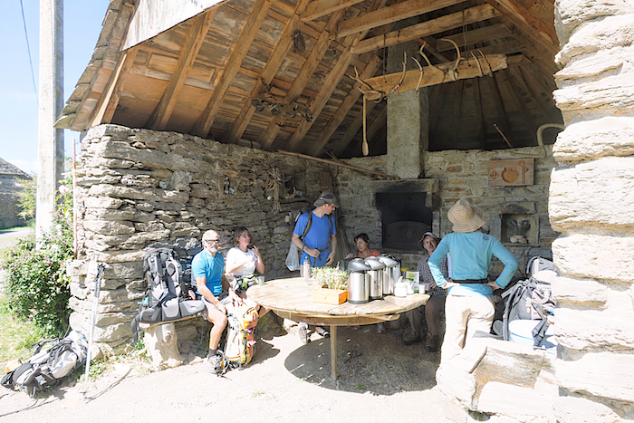
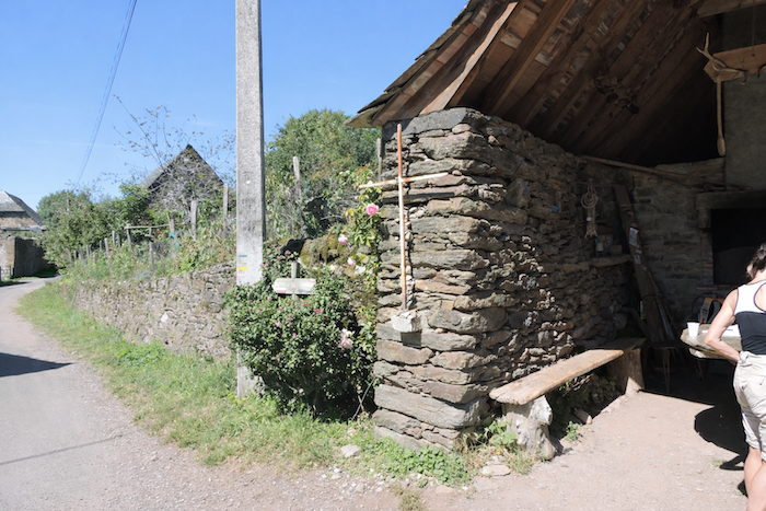
Above all, there is a welcome stopping place here, a small refreshment stand installed in a former bread oven. For a modest coin slipped into a box, the pilgrim can enjoy a hot or cold drink, or a few biscuits. Such humble refuges are always received as treasures along the route. |
|
 |
 |
|
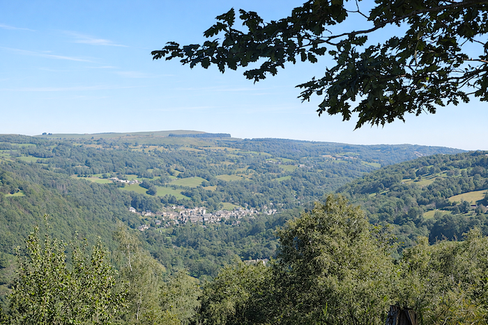
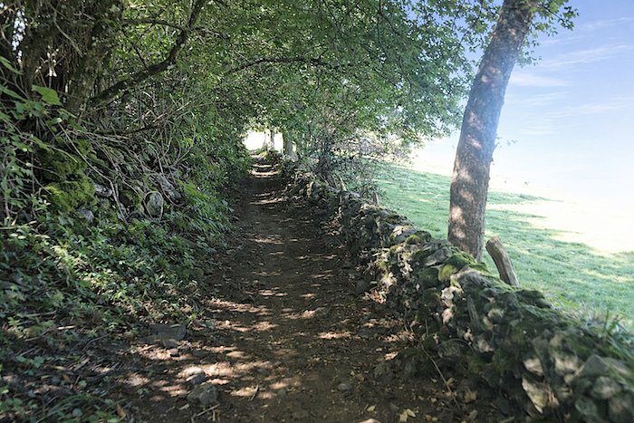
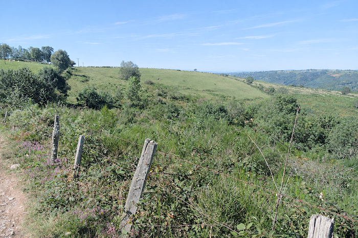
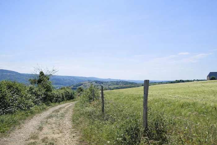
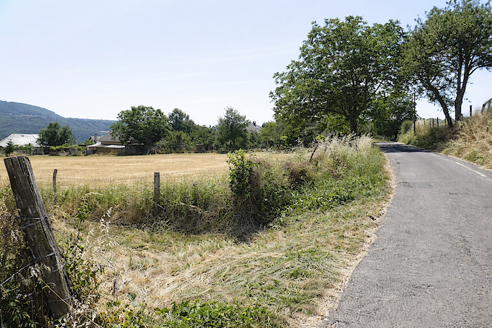
At L’Estrade, you are still at an altitude of 830 meters, yet barely four kilometers farther on you will have descended below 500 meters. In other words, a substantial drop awaits. The path then begins a long continuous descent towards the Lot Valley, following a narrow ridge between the Boralde of St Chély and the discreet Cancels stream. After the gentleness of the fields, the forest gradually reappears on the horizon. |
|
 |
 |
 |
 |
|
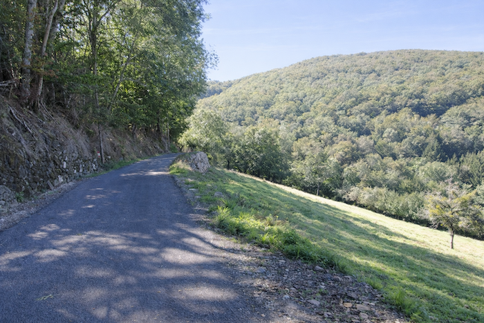
At first, the slope remains moderate. The countryside still lingers, accompanied by grazing cattle and bordered by hedgerows of broadleaf trees. |
|
 |
 |
 |
 |
|
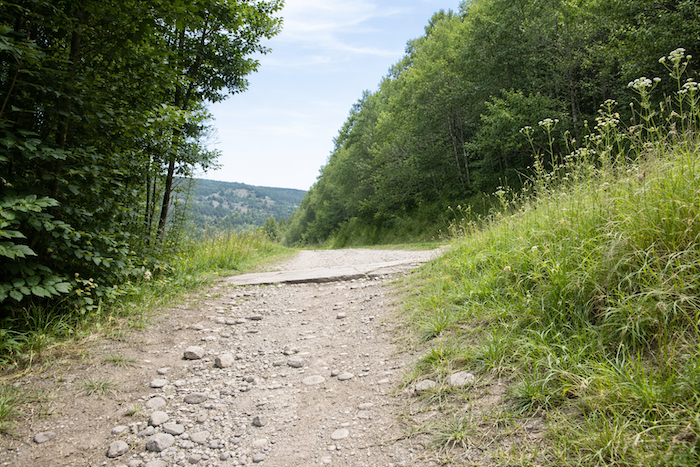
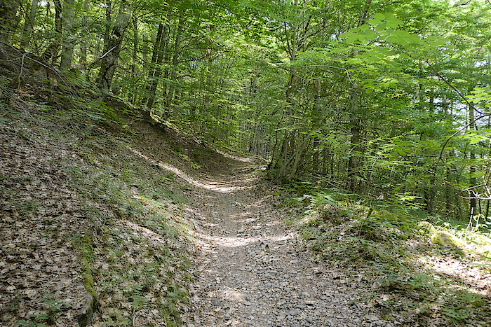
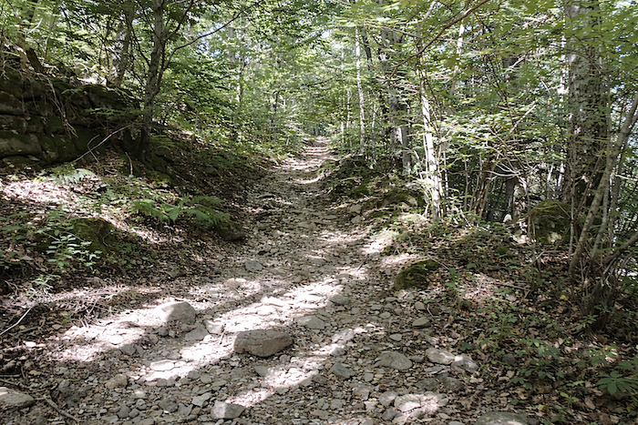
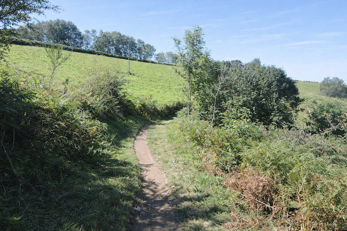
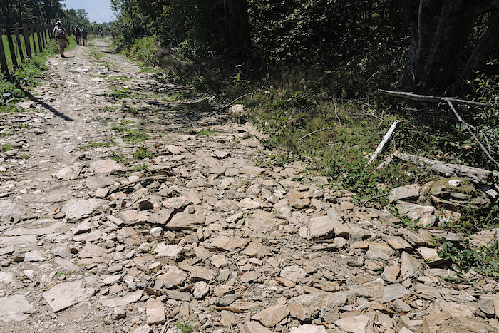
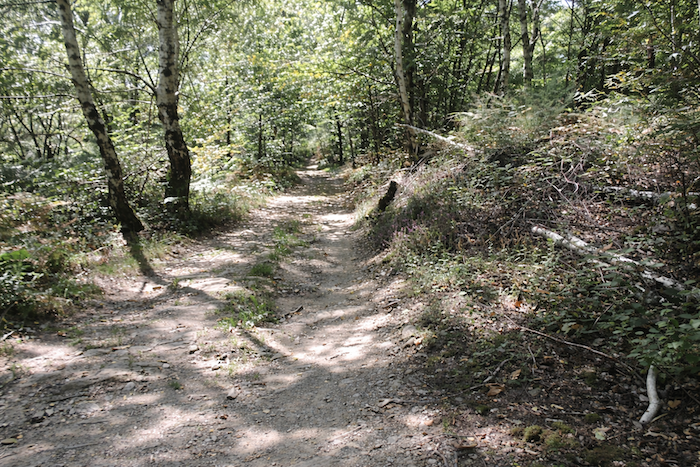
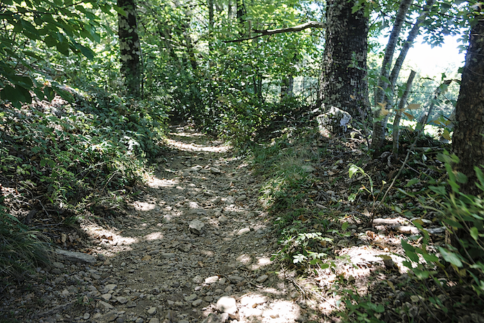
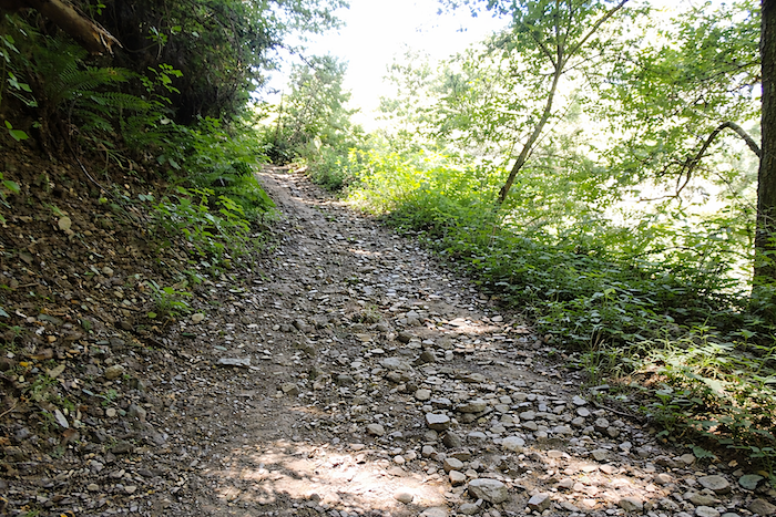
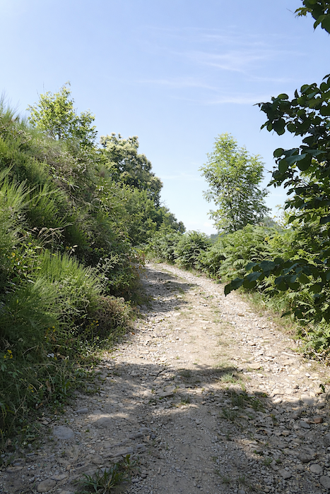
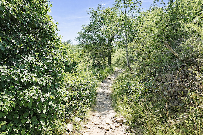
But around a bend in the path, everything changes. The transition is felt before it is seen, like a silent warning. The slope becomes noticeably steeper. As an introduction to what lies ahead, the path turns into a broad track covered with schist stones, fragile and unstable underfoot. Here, geology leaves its unmistakable mark. |
|
 |
 |
|
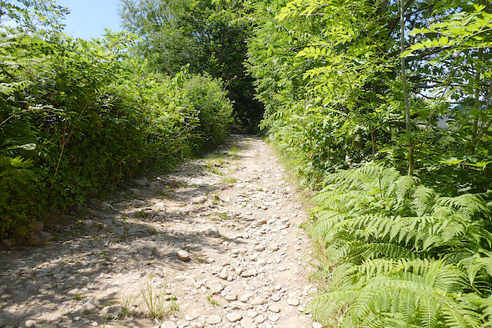
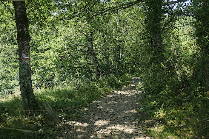
The forest gradually thickens, and the path alternates between clay and schist. On this capricious terrain, where the stones demand constant attention, the gaze often remains fixed on the ground, causing one to overlook the richness of the woodland. For all around stretch generous forests, where wild chestnut trees flourish in abundance. |
|
 |
 |
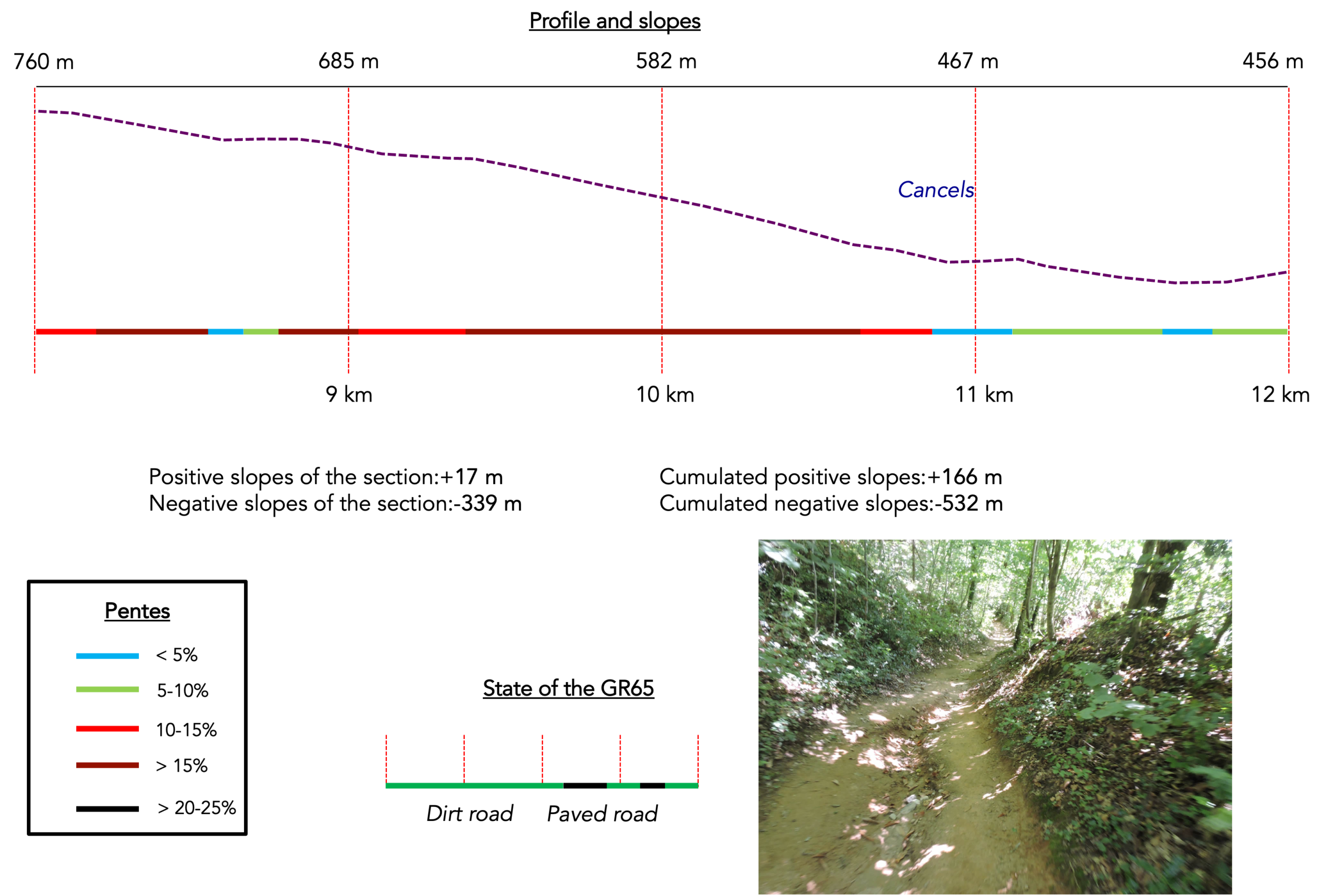
Section 3 : A very long descent towards the river
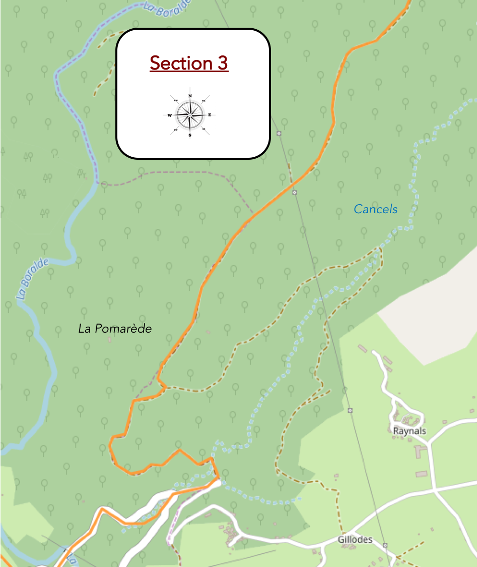
AGeneral overview of the route’s challenges : a steep and demanding descent, with gradients often ranging between 10% and 20%, frequently on stony ground down to the Cancels stream.
|
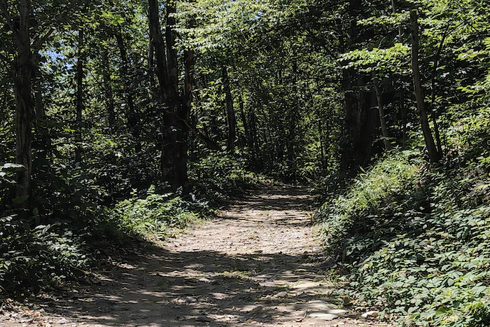
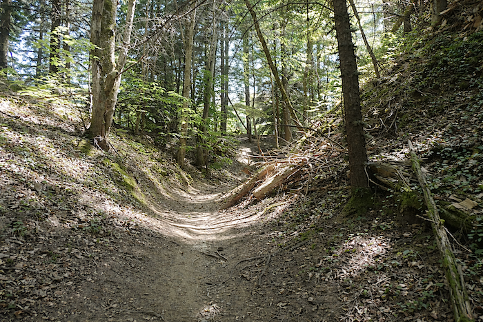
There are sections of the Camino de Santiago that seem determined to test both patience and legs. This is undoubtedly one of them. Some pilgrims embrace it enthusiastically, while others struggle through it with growing weariness. The trail winds in broad spirals, multiplying its twists and turns through a rocky landscape where creeping vegetation clings to the ground and broadleaf woodland gradually closes in around the horizon. And the slope is far from insignificant. |
|
|
 |
|
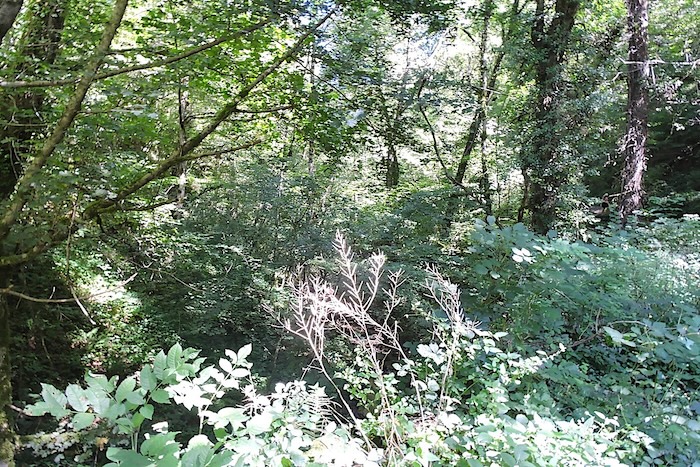
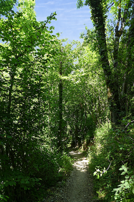
Much of the time, the path progresses through dense forest, almost impenetrable to the eye. |
|
 |
 |
|
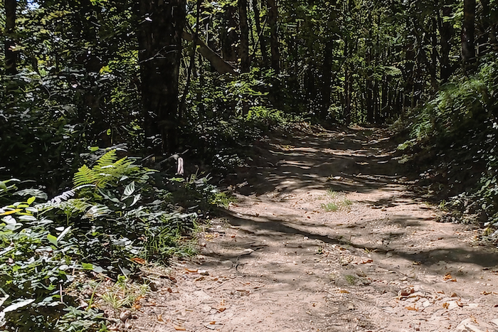
Yet farther down, the landscape offers moments of relief, alternating between deep woodland and fleeting clearings, like brief pauses in this demanding descent. |
|
 |
 |
 |
 |
|
Among the beeches and oaks, it is now the chestnut trees that dominate the scene. On the opposite side of the hill, they were scarcely noticeable, but here they command attention. Some, undoubtedly several centuries old, line the path with the solemnity of ancient guardians. They stand like natural pillars, or perhaps milestones marking an itinerary that seems endless. In places, their twisted branches intertwine to form tortured arches, scratching the sky overhead. At their feet, graceful hazel trees and hornbeams weave their branches together into a dense tangle of vigorous, unruly undergrowth. |
|
 |
 |
|
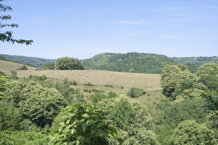
Farther down, the path briefly escapes the forest’s grip and returns to the brightness of open clearings. Halfway down the descent, the Lot Valley reveals itself in the distance, still far away, almost unreal. Then, without warning, the path skirts fenced pastures once more before plunging back into the shadows. |
|
 |
 |
 |
 |
|
Soon the forest returns, denser than ever. A few pine cones occasionally lie scattered on the ground, discreet reminders of isolated conifers in this world otherwise ruled by broadleaf trees. |
|
 |
 |
|
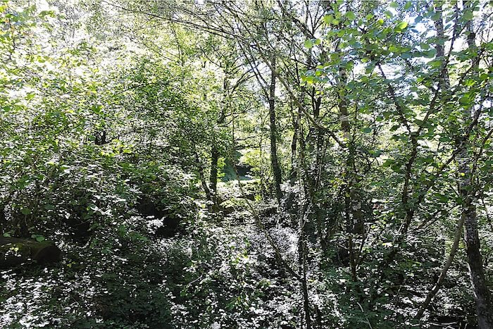
As the descent continues, moisture becomes increasingly present. The path sinks into a damp twilight where the clayey, sandy soil absorbs both water and life. It takes on shades of green, swelling or hollowing according to the whims of the rain, like a living sponge. Ferns spread in soft carpets across the banks, while the trunks of hazel and chestnut trees become coated with thick, woolly moss resembling tiny motionless algae. Other mosses, finer and more delicate, hang in strands like damp hair, almost organic in appearance, recalling sea fans stranded deep within a forest. |
|
 |
 |
|
At every moment you believe the descent must surely be nearing its end. Yet the path remains elusive. Each bend leads to another, and the relentless slope shows no sign of easing. |
|
|
 |
 |
 |
|
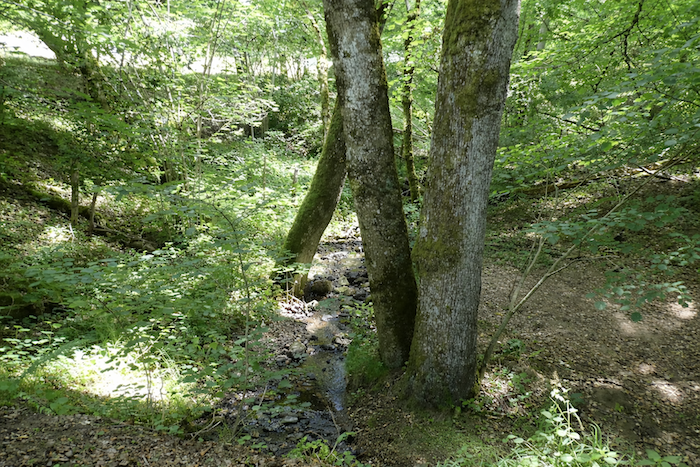
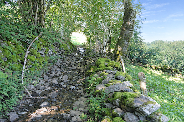
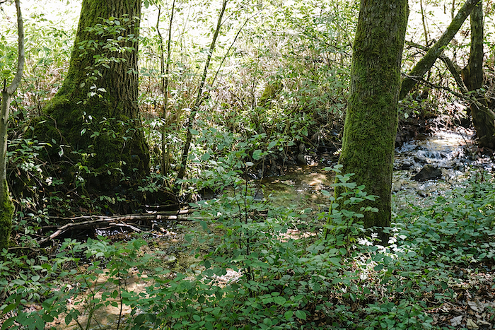
Finally, at the very bottom, beneath a canopy of trees so dense it resembles a tunnel of shadow, a rumbling sound emerges. It is the Cancels, a lively and untamed stream that the route now reaches. Here, the waters of Aubrac, the boraldes born from the runoff of the plateau, have left behind the tranquility of the uplands and hurled themselves into deep ravines, rushing down steep slopes towards the Lot Valley. |
|
 |
 |
 |
 |
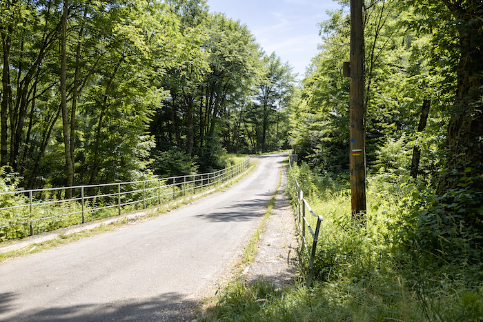
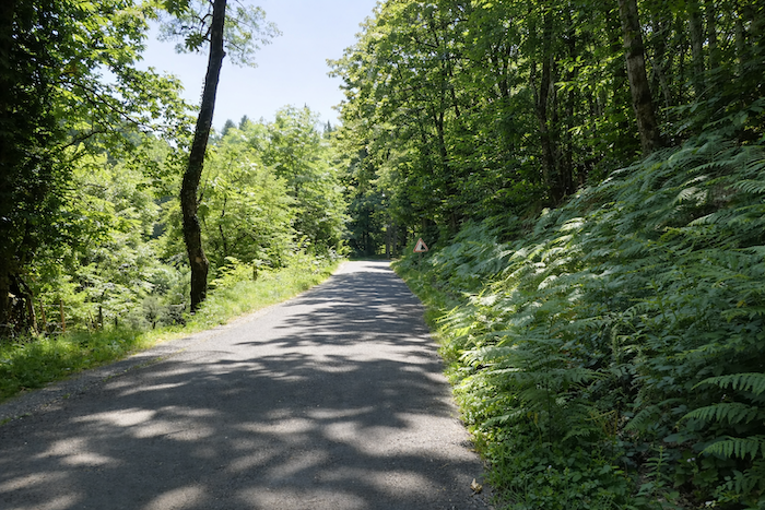
At the bottom of the dale, the path crosses the stream by way of an old bridge whose origins are said to date back to the time of Francis I, later restored for his hunting expeditions in Aubrac. In those days, royal visits undoubtedly combined a measure of piety with a far stronger passion for hunting game, especially wild boar, for which these lands were famous.
|
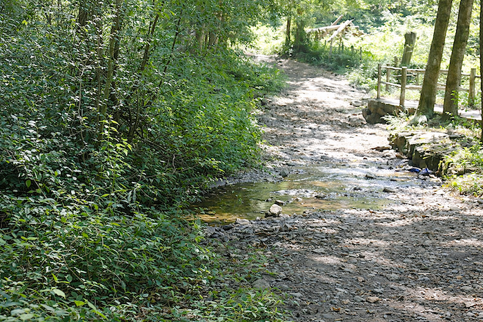
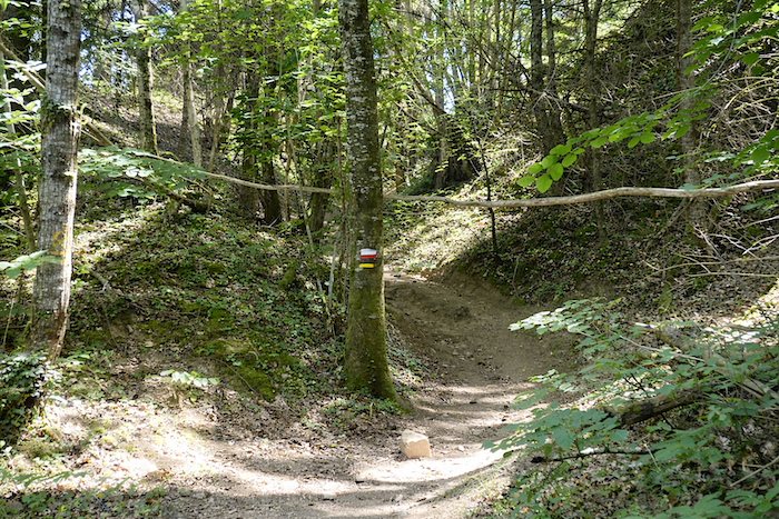
In the Cave Combe woods, the vegetation becomes so exuberant that it sometimes seems intent on swallowing the path itself. When the path leaves the asphalt and ventures beneath the forest canopy, it becomes almost hesitant, difficult to follow, as though absorbed by this profusion of life. To tell the truth, one occasionally feels a strong desire to escape from it. Nature here is abundant, almost overwhelming. Adders, they say, thrive in these surroundings as well, so it is wise to remain alert. From the bridge, the GR65 grants itself a brief respite on the road, but this is only a fleeting transition before plunging once more into the wild luxuriance. |
|
 |
 |
|
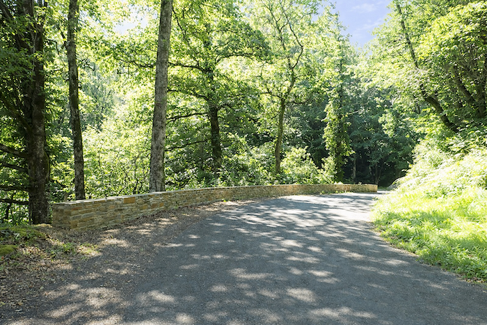
At one point, an alternative presents itself: follow the road directly to St Côme-d’Olt. But the GR65, faithful to its wandering spirit, generally prefers detours and unexpected diversions. It therefore climbs steadily towards La Rozière, where a water source awaits the walker among the schist outcrops. The real choice comes only a little farther on, after crossing the Boralde of St Chély. Yet whichever option is chosen, one must first negotiate a passage where a trail almost disappears into the tall grass, swallowed by dense greenery at the bottom of the valley. |
|
 |
 |
|
Peu après, le GR65 retrouve la route pour franchir la Boralde de St Chély, comme une respiration avant la suite. |
|
 |
 |
|
Along this stretch, humidity is ever-present, and the deeply enclosed valley imposes a curious posture upon the trees. They seem to rise upon their roots, stretching upwards in search of sunlight. Ash trees reign here as giants, towering above oaks, beeches, hornbeams, maples and chestnut trees. Yet these ash trees appear untouched by the scourge that arrived from the east, Chalara fraxinea, the dreaded fungus that invades through leaves and roots to kill ash trees. Here, fortunately, it has not yet left its mark. |
|
 |
 |
 |
 |
|
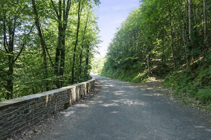
From the river, the GR65 continues its climb alongside the road, still wrapped in this luxuriant vegetation, until a trail branches away and climbs into the forest. It is here that the alternative finally presents itself: continue to St Côme-d’Olt by road, or accept the additional effort and head towards La Rozière. |
|
 |
 |
 |
 |
Section 4 : A leg-breaking route to St Côme-d’Olt
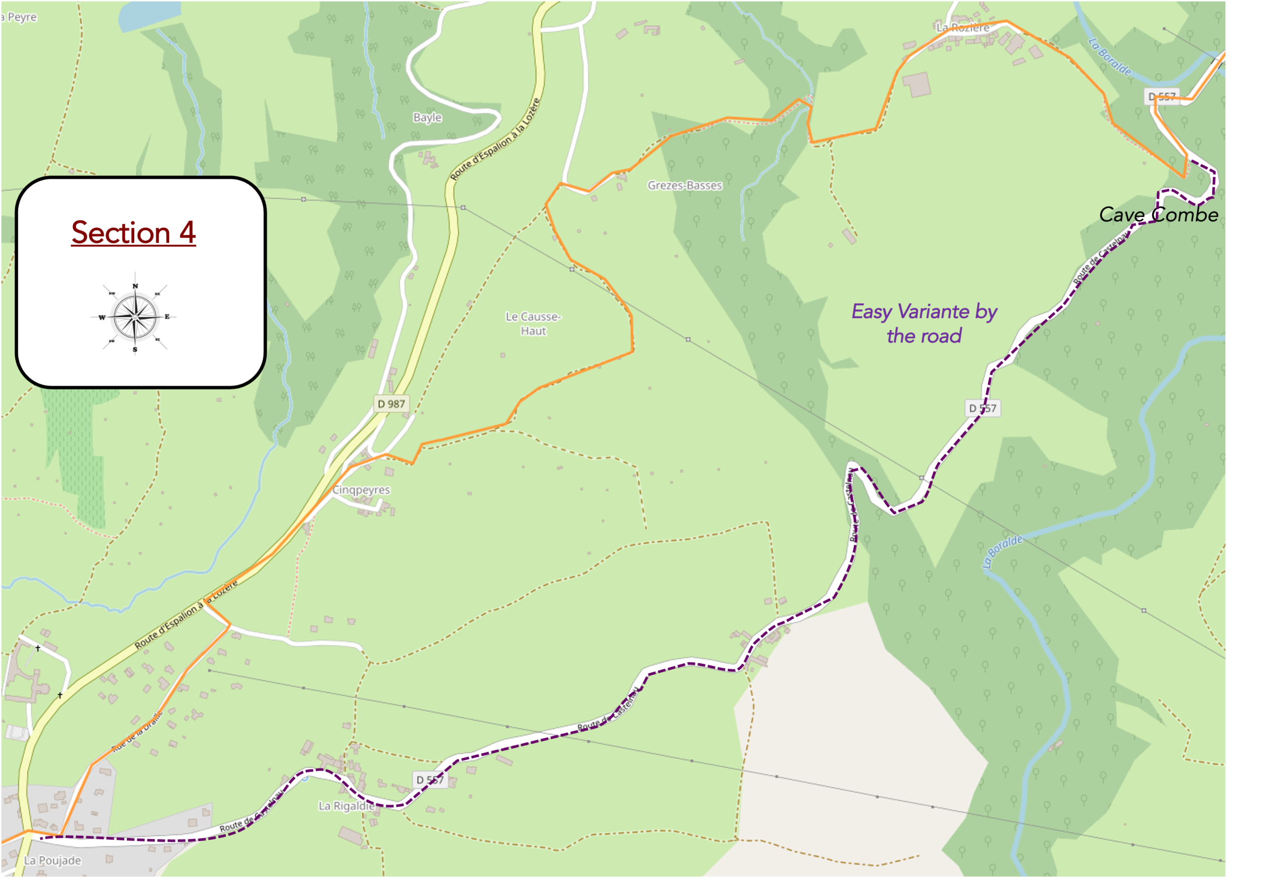
General overview of the route’s challenges : a succession of steep ups and downs, unless one chooses to follow the road.
|
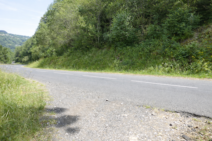
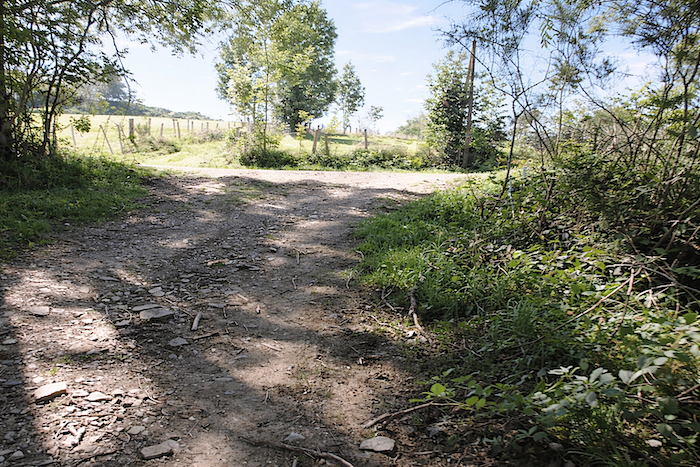
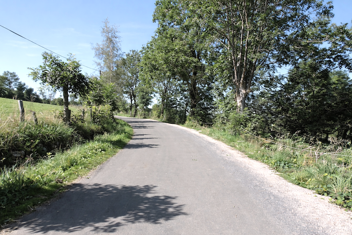
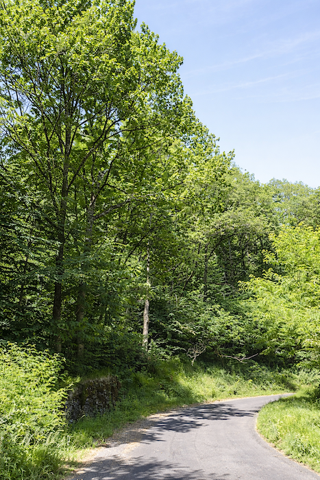
For those tempted by the easier option, the road soon emerges from the forest after a few bends beneath the canopy. It passes through the hamlets of Martillergues and La Ragaldie, where fine stone houses bear witness to the enduring presence of human settlement, before reaching the entrance to Saint-Côme-d’Olt without difficulty. The route is almost flat, with no surprises and little effort required. But of course, you are one of those who walk differently, a true pilgrim for whom a climb is never an obstacle but an invitation. And the ascent to La Rozière is unlikely to discourage you. It announces itself immediately, fairly steep, on a sunken path running beneath tall trees and bordered by bushes and hazel trees. |
|
 |
 |
|
For a long time, the path seems to hesitate between the shade of the woodland and the light of the clearings. At times smooth and regular, shaped by compacted ochre earth, at others rough and uneven, strewn with massive stones, it imposes its rhythm on the walker. Here and there, a few spruces and pines appear discreetly amid the dominance of broadleaf trees. |
|
 |
 |
 |
 |
|
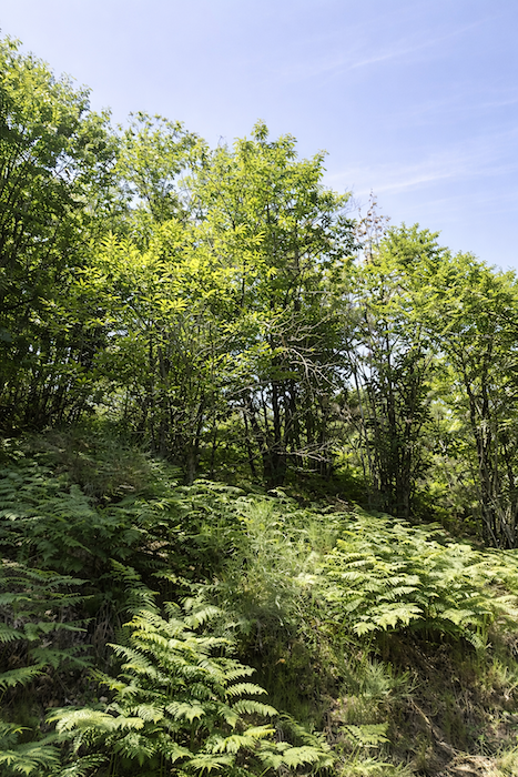
In this dense, almost untamed nature, ferns rise in thick clumps so tall that they could easily be mistaken for young shrubs. And always, tirelessly, chestnut trees, beeches, hornbeams, oaks and ash trees accompany the walker’s progress, like silent guides. |
|
 |
 |
|
As the stony path climbs higher, the eye occasionally escapes between the branches, revealing fragments of meadows and, above all, the abundance of chestnut trees clothing the hillside in a dense and almost continuous mantle. |
|
 |
 |
|
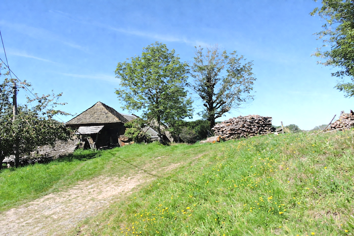
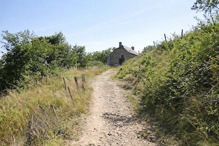
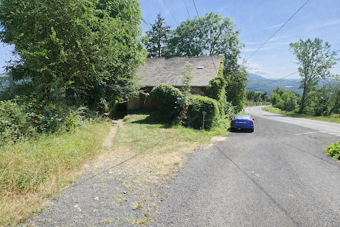
At last, the climb eases. The path reaches La Rozière, a discreet hamlet that is sensed more than seen, so completely does it merge with the vegetation surrounding it. |
|
 |
 |
|
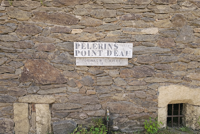
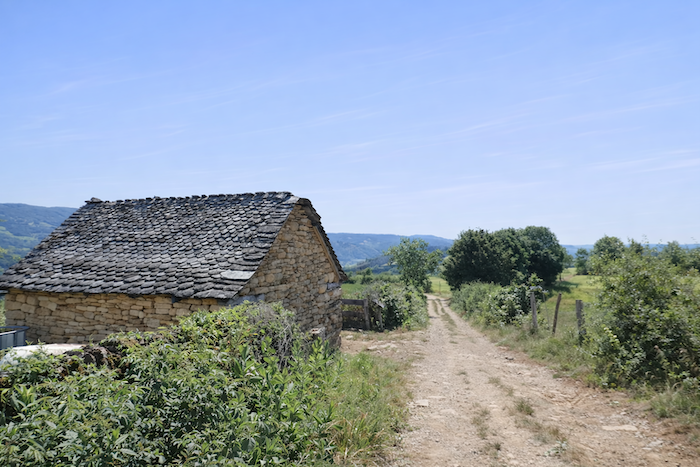
La Rozière is a singular place, almost outside time, composed of old houses built from large blocks of limestone and schist, seemingly bowed beneath the weight of the years. Everything here whispers of abandonment. It is likely that hardly anyone truly lives here anymore. A farmer encountered lower down told us that only two people remain, surviving on modest livestock farming and limited European subsidies. Yet the place is not deserted for everyone. Many pilgrims gladly stop here beside a wall from which flows a tap of cool water, a simple yet precious gift. |
|
 |
 |
 |
 |
|
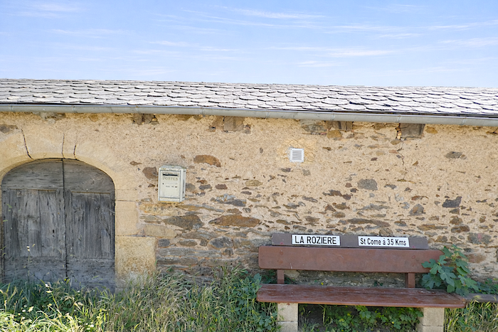
The postman probably does not venture here every day. And yet, at this point, you are only three and a half kilometers from St Côme-d’Olt, although the rest of the world already feels very far away. |
|
 |
 |
|
The path crosses the hamlet quickly, as though carried by the wind, without truly lingering. |
|
 |
 |
|
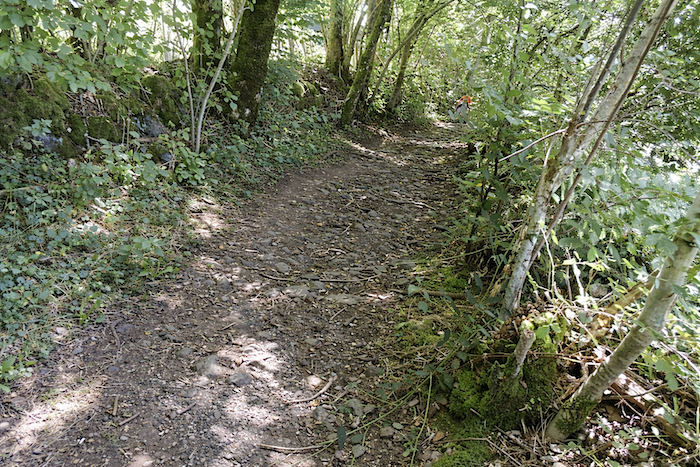
Soon, a stony trail enters dense and deeply shaded woodland, descending towards a small tributary of the Boralde of St Chély. Here, the oaks regain their dominance, asserting a more powerful presence. |
|
 |
 |
 |
 |
|
After discreetly crossing the stream, the trail climbs the opposite side over large stones, still enveloped in luxuriant vegetation composed of broadleaf trees and tall grasses. |
|
 |
 |
|
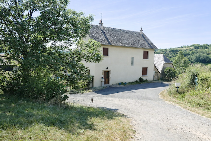
The climb remains brief, and soon a few isolated houses appear. More recent in construction, they have abandoned cut stone in favor of modern materials, a discreet sign of changing times. |
|
 |
 |
|
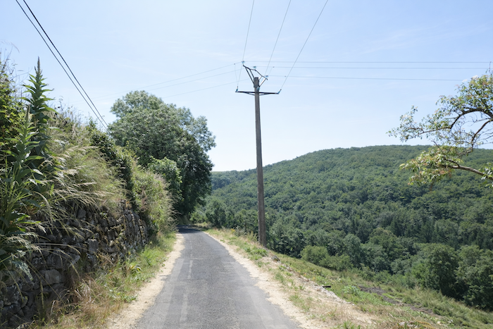
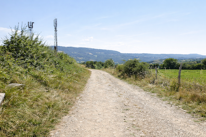
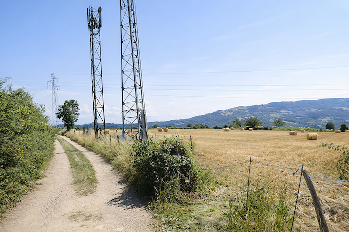
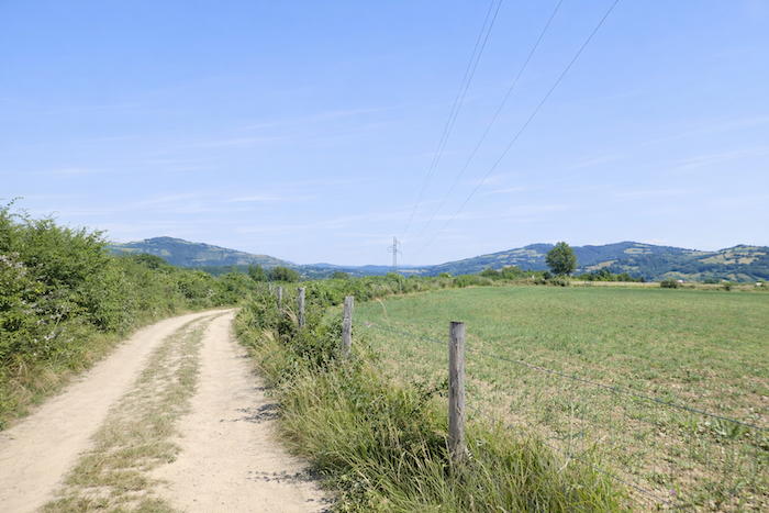
Then the path relaxes. It stretches almost level across a small plateau, covered with a light dust and winding through meadows. Above, antennas and power lines trace taut silhouettes against the sky. |
|
 |
 |
 |
 |
|
Shortly afterwards, the path begins its descent towards the plain, slipping alongside hedgerows that divide the countryside. Here, the landscape appears entirely devoted to pastureland, with no crops breaking the impression of grass reigning supreme. |
|
 |
 |
|
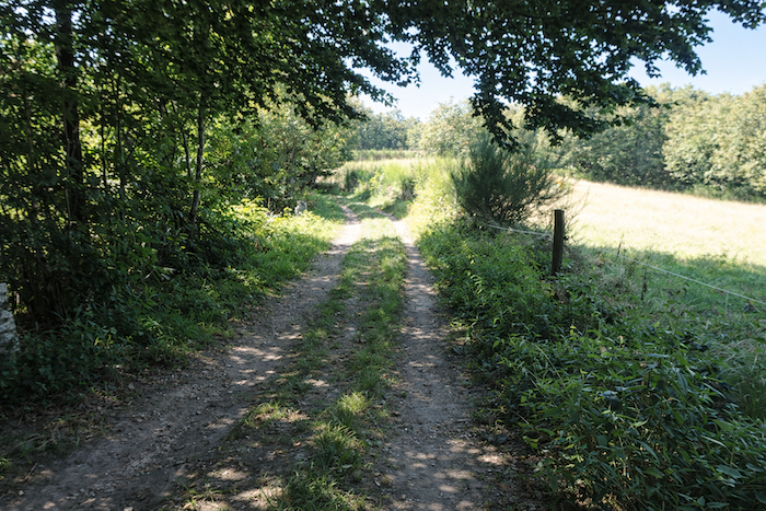
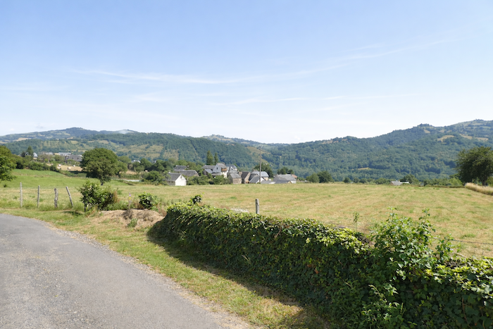
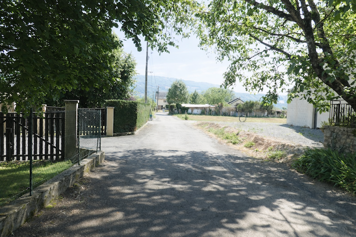
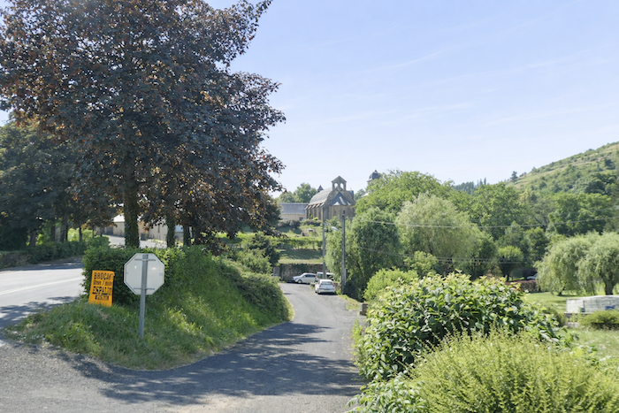
As you approach Cinqpeyres, the gaze travels farther. Below appears St Côme-d’Olt, recognizable by the slender silhouette of its church tower. Around it, walnut trees and fruit trees announce a landscape more cultivated and more densely inhabited. |
|
 |
 |
 |
 |
|
The crossing of Cinqpeyres takes place on asphalt, between handsome houses built from dressed stone, giving the village a distinctly rural character, simple and sturdy. . |
|
 |
 |
|
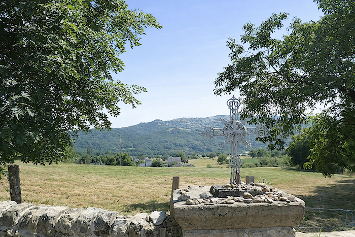
The GR65 continues through the village, drawing closer to the departmental road linking Laguiole and Espalion. Beneath the shade of ash trees and walnut trees, near a cross discreetly placed as an ancient landmark, the route seems to pause for a moment. |
|
 |
 |
|
Yet it does not remain on the road for long. Very quickly, it leaves it behind and enters a narrow trail enclosed between stone walls and tall grasses, returning to that slightly wild, almost undisciplined nature that seems more familiar to it. |
|
 |
 |
 |
 |
|
This diversion is brief, and the path soon rejoins the asphalt near the hamlet of La Rigaldie. |
|
 |
 |
|
Here, human presence becomes more noticeable once again. Housing gradually becomes denser, a sign that the outskirts of St Côme-d’Olt are approaching. Here, human presence becomes more noticeable once again. Housing gradually becomes denser, a sign that the outskirts of St Côme-d’Olt are approaching |
|
 |
 |
 |
 |
|
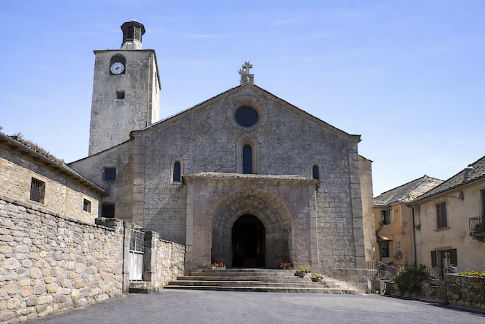
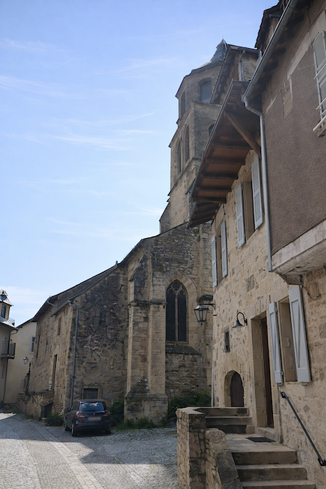
Upon entering the small town, the first building to catch the eye is the Penitents’ Chapel, standing like a threshold steeped in history. Formerly known as Saint-Pierre de la Bouïsse, it is the oldest monument in the town, dating back to the eleventh century. It once stood near a hospice dedicated to Saints Cosmas and Damian, twin brothers, physicians, caregivers and martyrs of the late third century. This hospice welcomed and cared for pilgrims arriving from Aubrac and ultimately gave its name to the village itself, Saint Cosmas having become the patron saint of physicians. The church remained the parish church until the eighteenth century despite the presence of another competing religious building. It was later entrusted to the Brotherhood of the White Penitents, which explains why it is now known as the Penitents’ Chapel. |
|
 |
 |
|
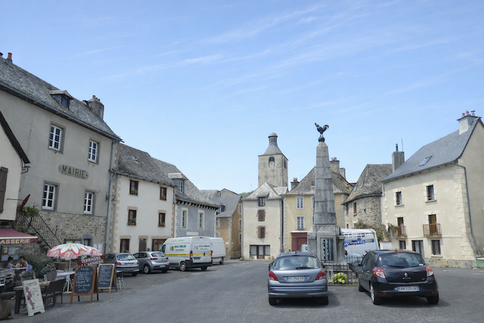
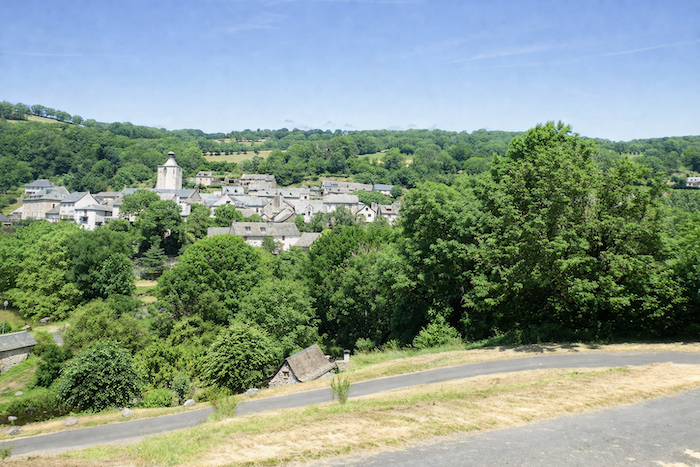
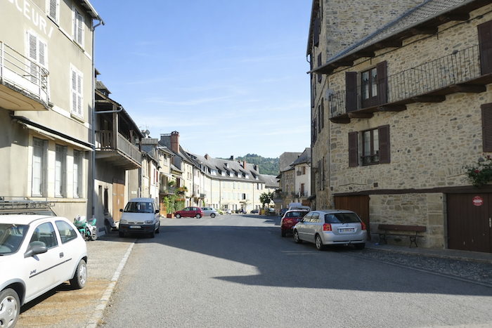
St Côme-d’Olt, with around 1,300 inhabitants, unfolds as an almost circular town that has preserved a deeply medieval character. The former ramparts have been incorporated into the houses and now form the outer façades facing the river. The heart of the town forms a broad horseshoe shape, punctuated by small squares organized around the church and the historic center. A few ancient gateways still provide access to the town, reminders of its defensive past. Listed among the Most Beautiful Villages of France, the place possesses undeniable charm. |
|
 |
 |
 |
 |
|
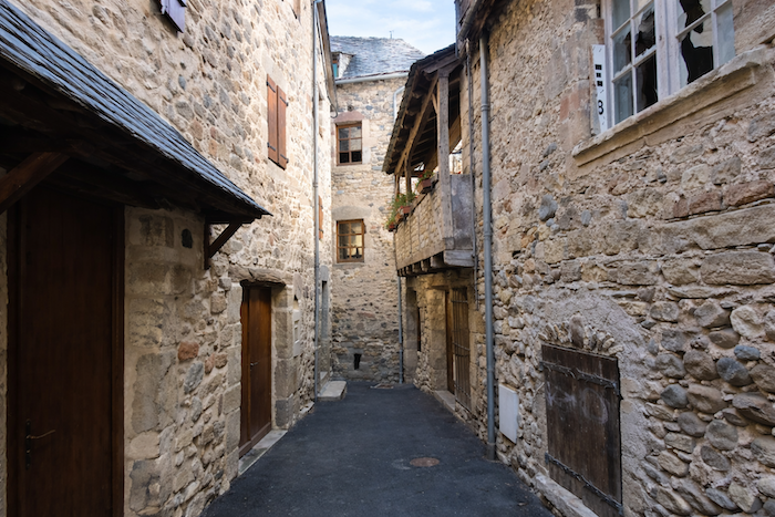
Its narrow lanes, winding alleyways, intimate squares and flower-filled houses create a living and harmonious setting. Fine residences can also be found here, some dating back to the sixteenth century, silent witnesses to an ancient prosperity. |
|
 |
 |
|
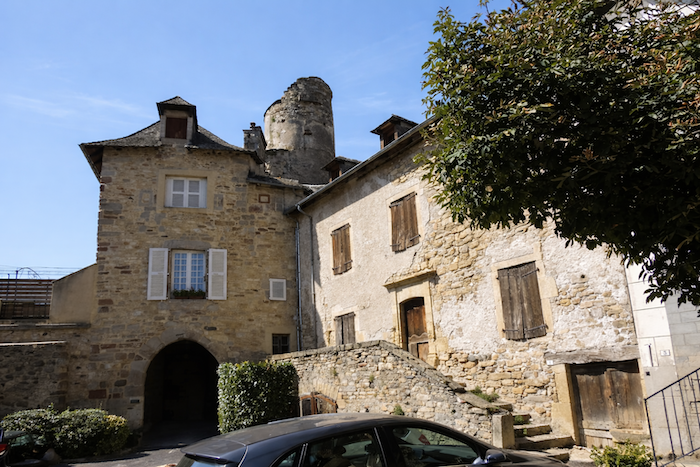
In the twelfth century, the Lords of Calmont d’Olt dominated the entire region from their principal castle overlooking Espalion. They owned a manor here, altered many times over the centuries. Today, this building houses the town hall near the church, thus continuing, in a way, the continuity of local authority and community life. |
|
 |
 |
|
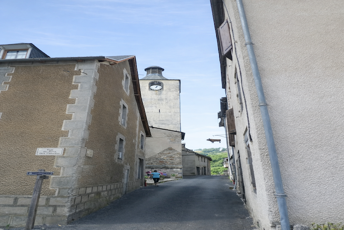
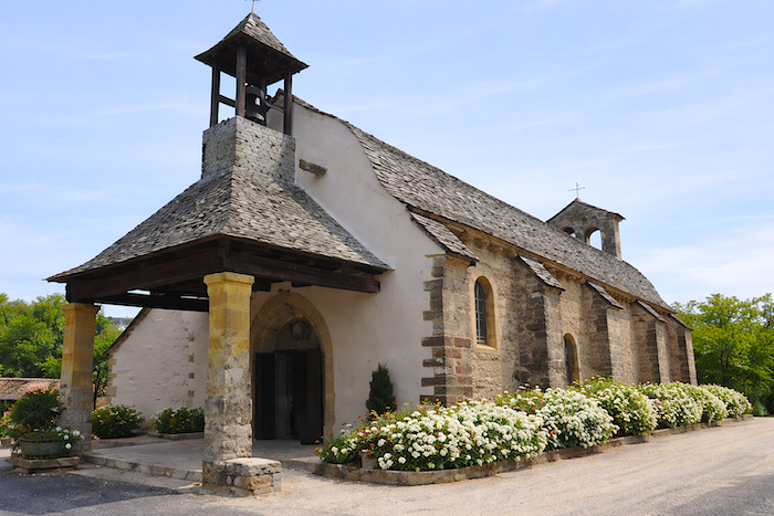
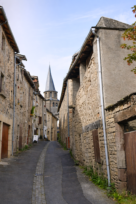
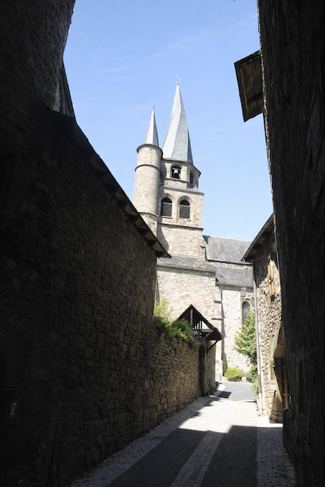
In the fourteenth century, the castle of the Lords of Calmont d’Olt also possessed a chapel here. As it became too small over time, it was enlarged to create the present church dedicated to Saints Cosmas and Damian. In this small medieval town whose charm remains intact, the eye is immediately drawn to the twisted bell tower of the Gothic church, built in the flamboyant style of the sixteenth century. It rises above the slate roofs, those flat stones of schist, slate, gneiss or basalt that cloak the town in a severe mineral hue. The church doors, massive and carved from oak, studded with wrought-iron nails, seem to guard their secrets jealously. Since the building is closed, its interior remains unknown, yet its presence is felt everywhere. Wherever one stands in the village, the bell tower accompanies the gaze like a constant landmark. |
|
 |
 |
|
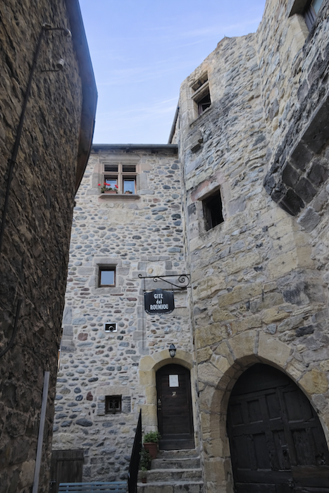
And then, very close to the church, stands the remarkable and almost legendary Gîte del Roumiou. Its narrow windows, resembling arrow slits, give the building a mysterious appearance, as though ancient stories were locked within its walls. It is one of the rare gems of the Camino de Santiago in France. Accommodation and dining options remain relatively modest in the town, a reminder that here, perhaps, the essential thing is not comfort but the experience of the place itself. |
|
 |
 |
Accommodation on Via Podiensis
-
- Gîte de Lestrade***, L’Estrade; 06 75 59 00 91; Gîte, dinner, breakfast
- Camping Belle Rive**, St Côme d’Olt; 06 98 22 91 59; tents, cabins, cuisine
- Accueil chrétien La Casa de Anne, 8 Rue Malhat, St Côme d’Olt; 06 37 20 96 76; Gîte, dinner, breakfast, cuisine
- Gîte La Halte d’Olt, Lucie Guiral, 15 Route de Boraldette, St Côme d’Olt; 06 76 26 69 89/06 79 08 38 72; Gîte, dinner, breakfast
- Gîte Antidote, Laurent (pèlerin), 22 Chemin des Plantiers, St Côme d’Olt; 06 41 90 62 89; Gîte, dinner, breakfast
- Couvent de Malet, Espace Angèle Merici**, St Côme d’Olt; 05 65 51 03 20; Gîte, dinner, breakfast
- Gîte del Roumiou, Sophie e Gaétan (pèlerins),12 Rue Crémade, St Côme d’Olt; 06 35 59 16 05; Gîte, dinner, breakfast
- Les Jardins d’Éliane, 3 Avenue d’Aubrac, St Côme d’Olt; 05 65 48 28 06/06 82 64 04 49; Guestroom, dinner, breakfast
- La Bisquine de Jean, 8 Place de la Porte du Théron, St Côme d’Olt; 06 81 07 43 31; Guestroom, dinner, breakfast
- Au Pont d’Olt, Cintia et Alex, 25 Av. de St Geniez, St Côme d’Olt; 06 52 46 24 20; Guestroom, dinner, breakfast
Year after year, the Camino de Santiago changes and reinvents itself with the seasons and the footsteps of pilgrims. Some accommodations close their doors, while others, modest or unexpected, come into being. It would therefore be unrealistic to claim to provide a fixed and exhaustive list. This guide includes only accommodations located directly on the route or within one kilometer of it. The selection was updated in 2026 and should therefore not undergo any major changes in the coming years. For those wishing to go further, one publication stands out as the essential reference: Miam Miam Dodo, easily available online. The main strength of this guide lies in its yearly updates. It not only lists accommodations located directly on the route, but also addresses slightly off the route, a valuable resource when heavy pilgrim traffic makes overnight stops more uncertain. It also contains a wealth of practical information: welcoming bars, restaurants along the way, and providential bakeries, all of which punctuate the journey. Alongside these traditional resources, another presence has become unavoidable: Airbnb. The platform has established itself as a major reference in the tourism landscape, even in the most discreet or less developed regions. However, as everyone knows, exact addresses are not displayed directly, which requires a degree of anticipation. On the Camino, finding a bed at the last minute can sometimes depend on sheer luck. But luck, by its very nature, cannot be considered a strategy. Booking ahead is therefore strongly recommended. Finally, when making arrangements, be sure to inquire about dinner and breakfast options. These details, seemingly minor, can greatly soften the hardships of a stage.
If we take stock of the accommodation capacity, there are approximately 125 beds available along this stage. Since the number of walkers on the Via Podiensis generally fluctuates between 100 and 200 pilgrims, this section can present serious accommodation challenges during periods of high demand if no advance arrangements are made. If no lodging can be found, the only option is to continue on to Espalion, which is also the choice of many pilgrims who walk directly from St Chély-d’Aubrac to Espalion in a single day.
These routes, winding through often sparsely populated areas, offer few services. Restaurants are scarce, as are grocery stores, which are often little more than small bread depots selling a limited selection of vegetables and dairy products. On this stage, there is only one welcoming refreshment stop at L’Estrade. There are also two water points: one at L’Estrade and another at La Rozière. At the end of the stage, St Côme-d’Olt provides all the conveniences of a small town, with a full range of essential shops and services. Finally, several companies offer luggage transfer services or transportation back to the starting point. Among them, one stands out as a widely recognized benchmark, i.e. La Malle postale.
Feel free to add comments. This is often how you move up the Google hierarchy, and how more pilgrims will have access to the site.
 |
Next stage : Stage 10: From St Côme d’Olt to Estaing |
 |
Back to menu |