The splendor of the Cami Ferrat
DIDIER HEUMANN, ANDREAS PAPASAVVAS
We divided the course into several sections to make it easier to see. For each section, the maps show the course, the slopes found on the course, and the state of the route (paved or dirt roads). The courses were drawn on the “Wikilocs” platform. Today, it is no longer necessary to walk around with detailed maps in your pocket or bag. If you have a mobile phone or tablet, you can easily follow routes live.
For this stage, here is the link:
| This is obviously not the case for all pilgrims, who may not feel comfortable reading GPS tracks and routes on a mobile phone, and there are still many places without an Internet connection. For this reason, you can find on Amazon a book that covers this route.
If you only want to consult lodging of the stage, go directly to the bottom of the page. |
 |
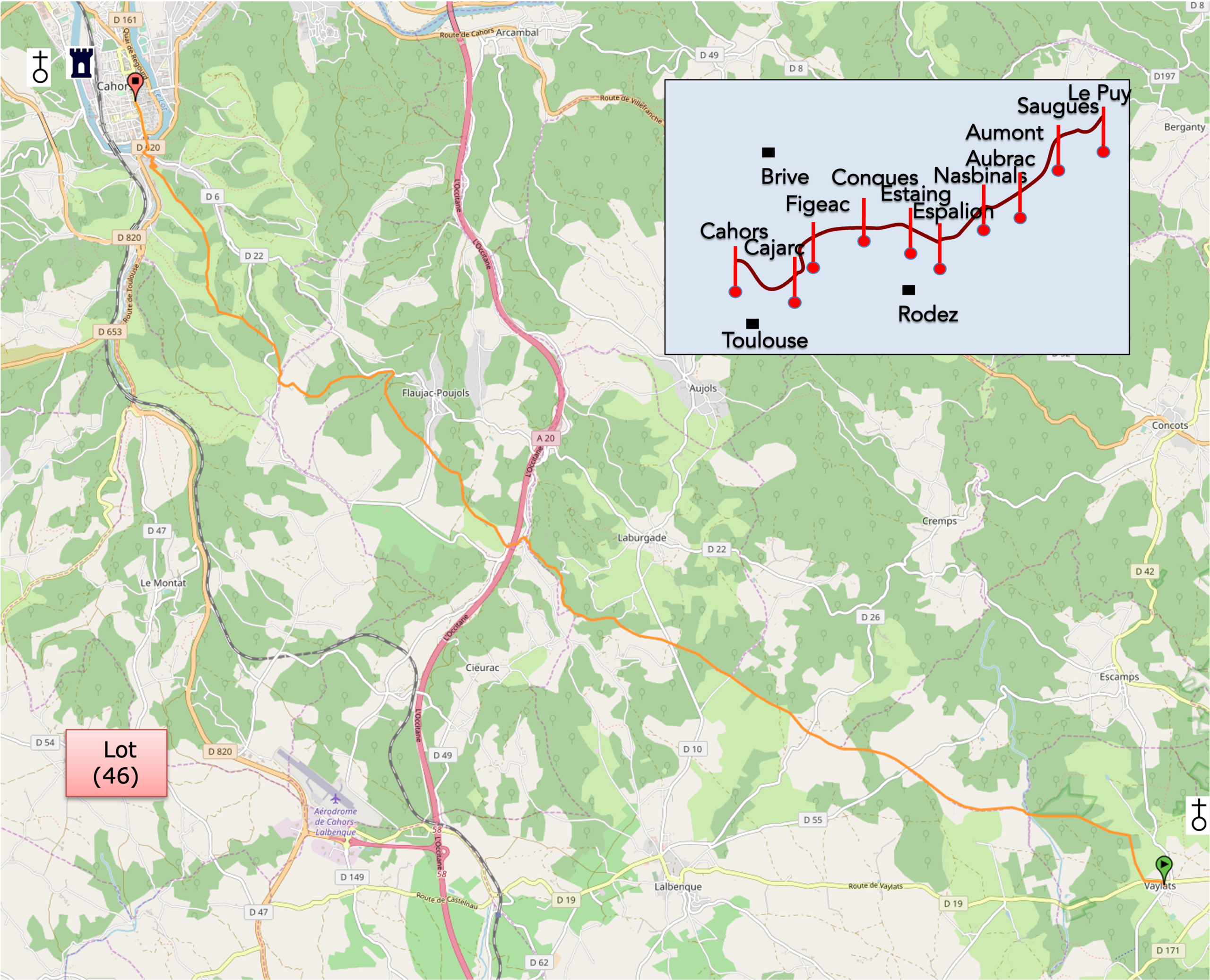
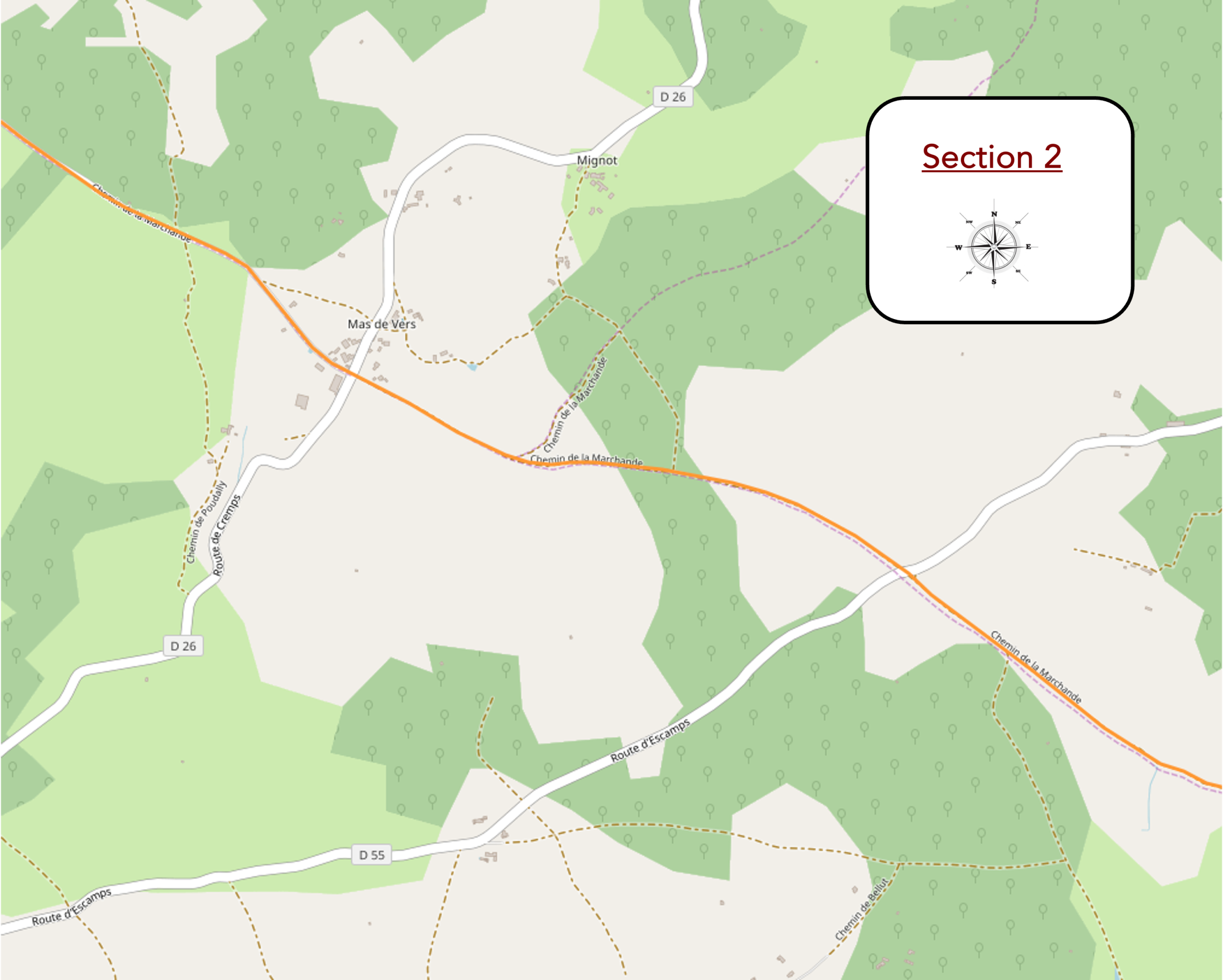
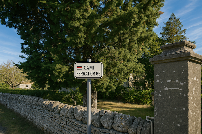
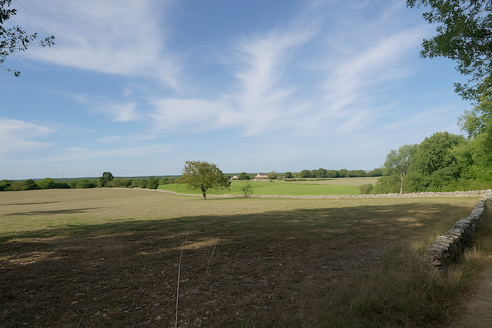
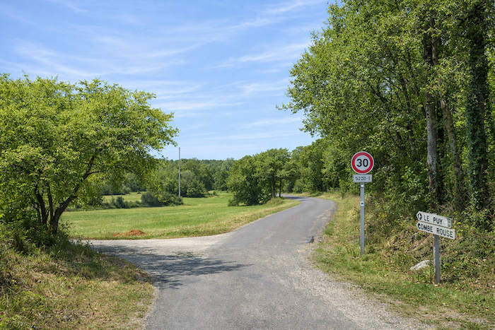
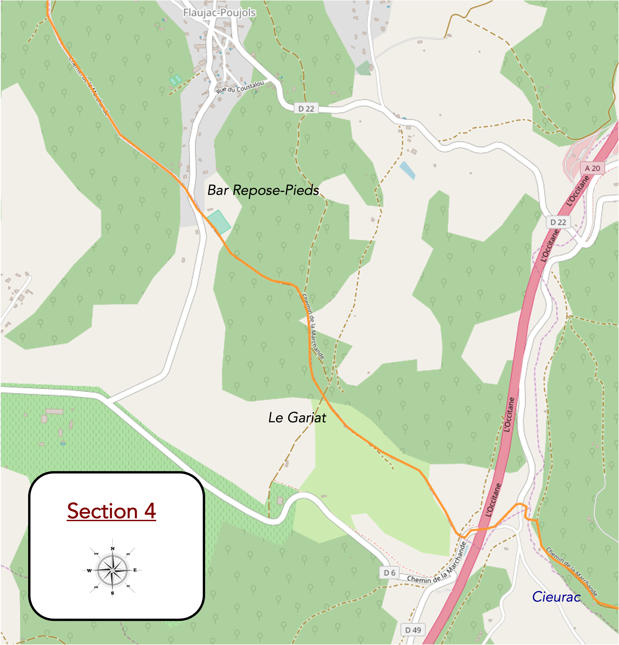
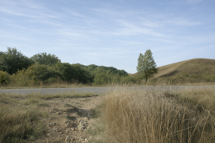
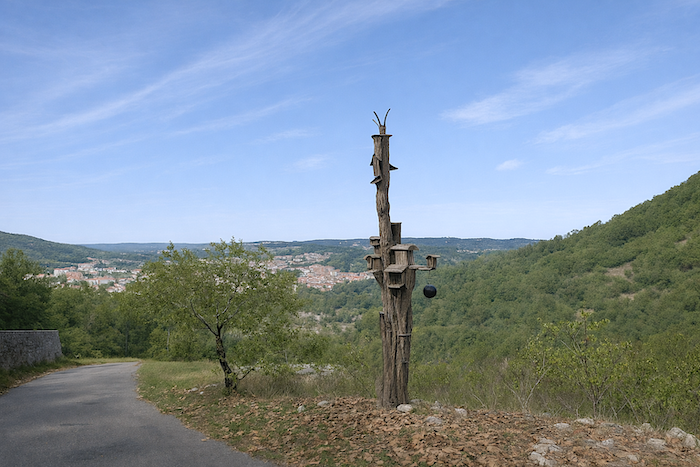
The entire network formed by the routes of Saint James of Compostela in France is now recognized as a World Heritage site. The inscription of the Compostela routes on the UNESCO World Heritage list dates back to 1998. Through this recognition, UNESCO seeks to draw attention to the outstanding universal value of this spiritual, cultural, and historical heritage. To this end, certain emblematic monuments and several sections have been selected to illustrate this heritage. The route now draws closer to Cahors, the largest city on the Via Podiensis, with around 22,000 inhabitants. Between Bach and Cahors, the twenty-six kilometers of the Cami Ferrat are thus listed as a UNESCO World Heritage site. The same applies to two major monuments of the city of Cahors, the St Étienne Cathedral and the Valentré Bridge. The route crosses an area almost devoid of villages. The A20 motorway, known as the “Occitane”, linking Limoges to Toulouse, also runs through this area. You are still walking in the Lot department. In Cahors, you will be almost halfway between Le Puy-en-Velay and St Jean-Pied-de-Port.
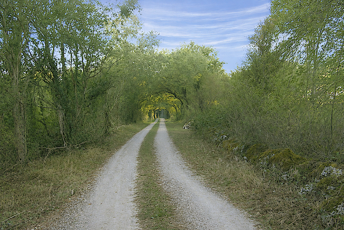
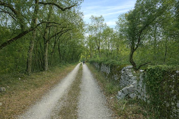
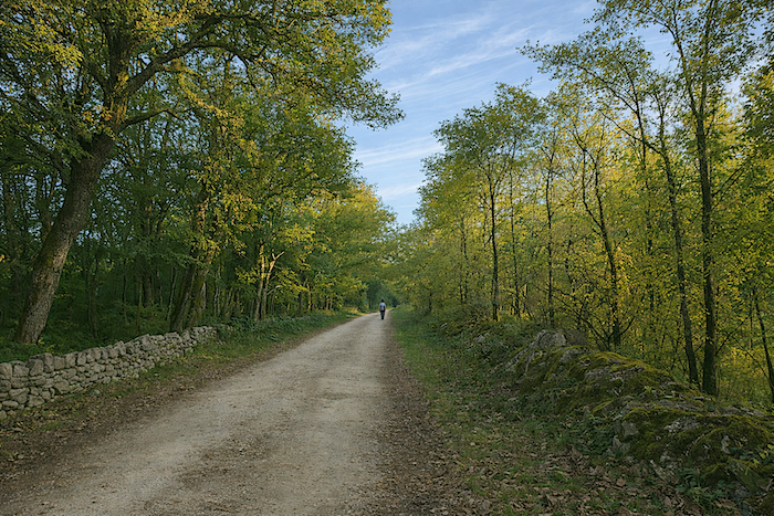
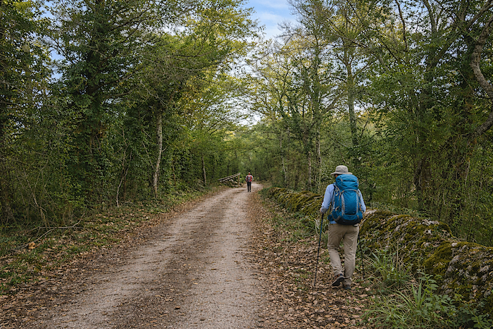
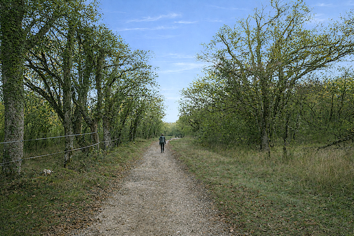
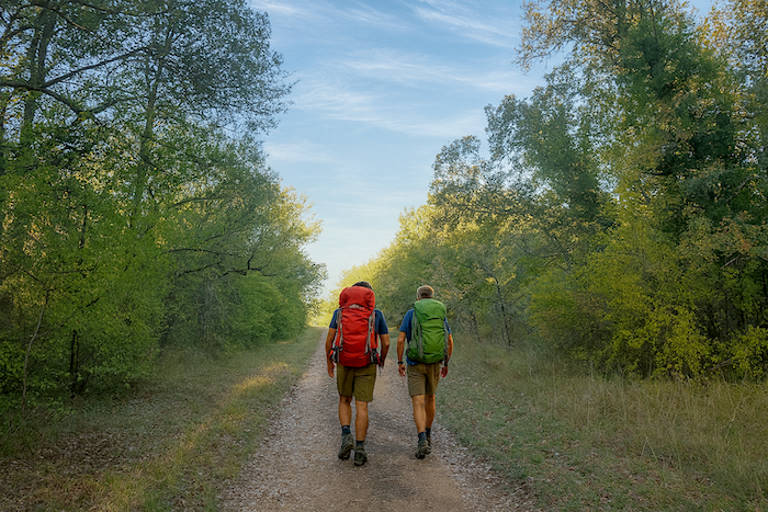
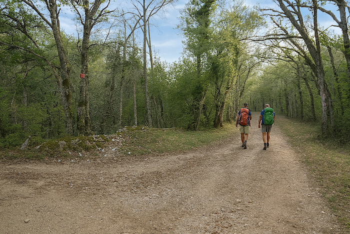
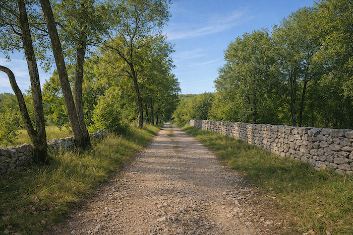
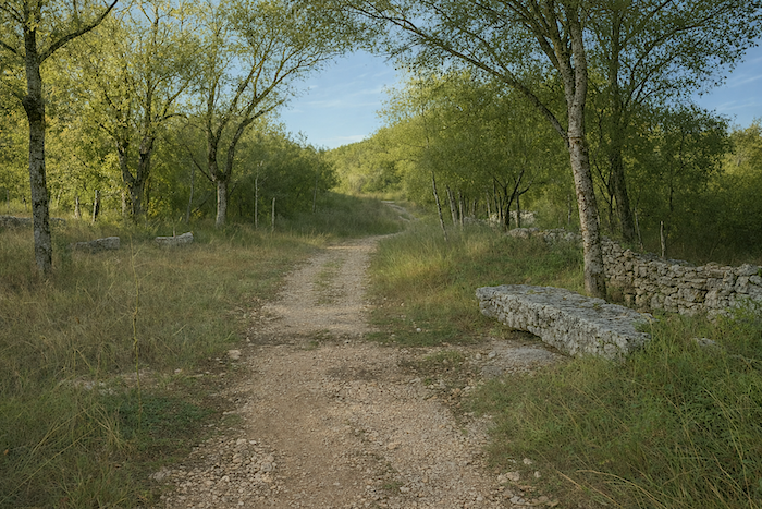
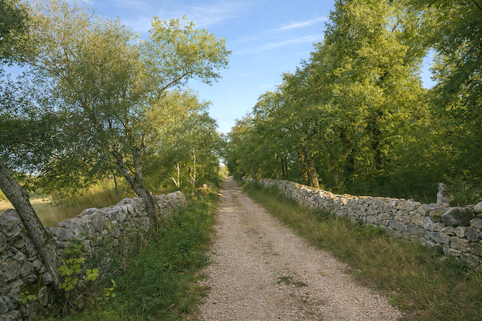
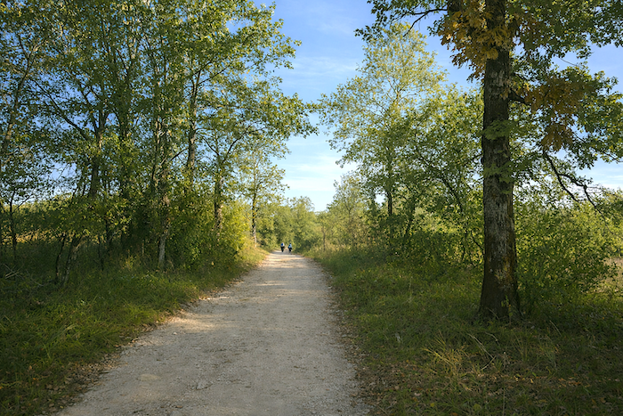
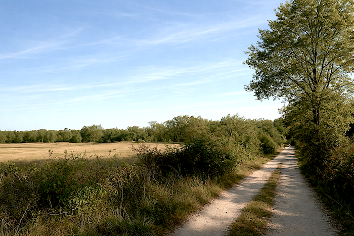
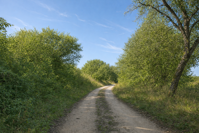
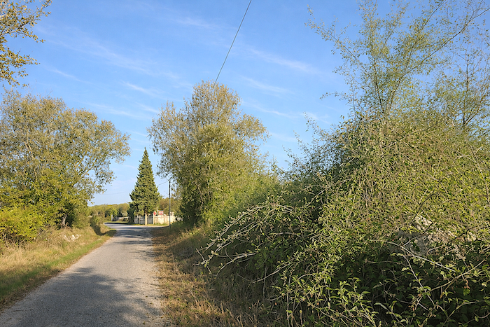
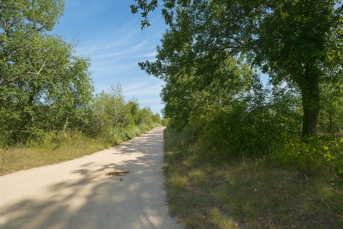
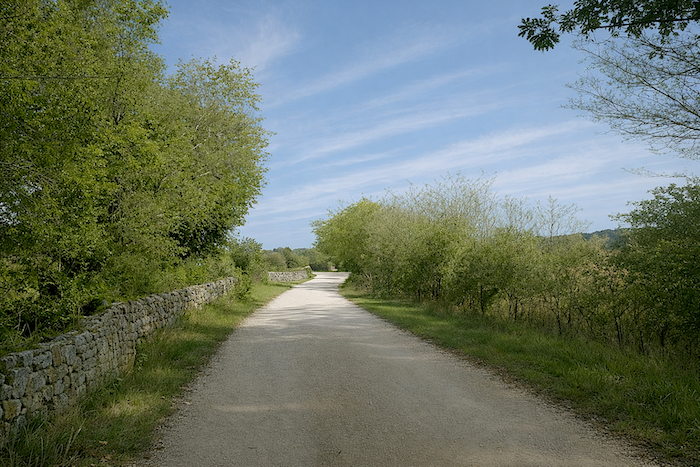
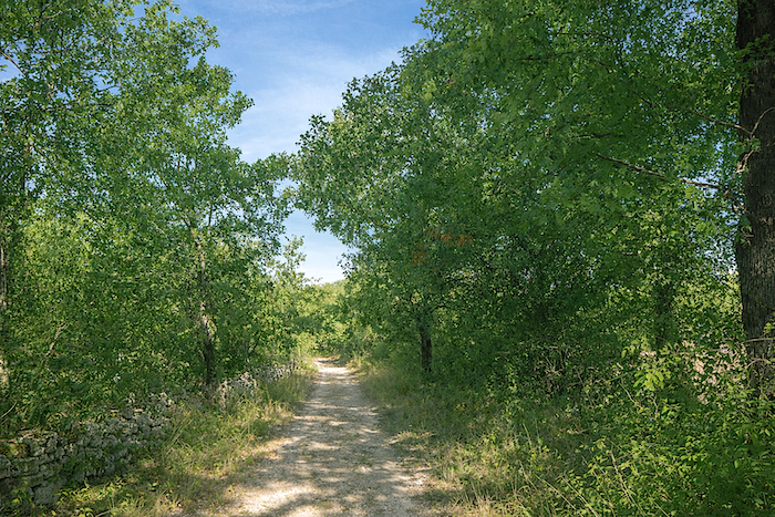
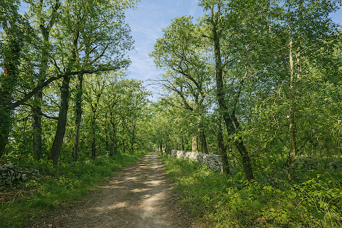
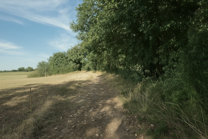
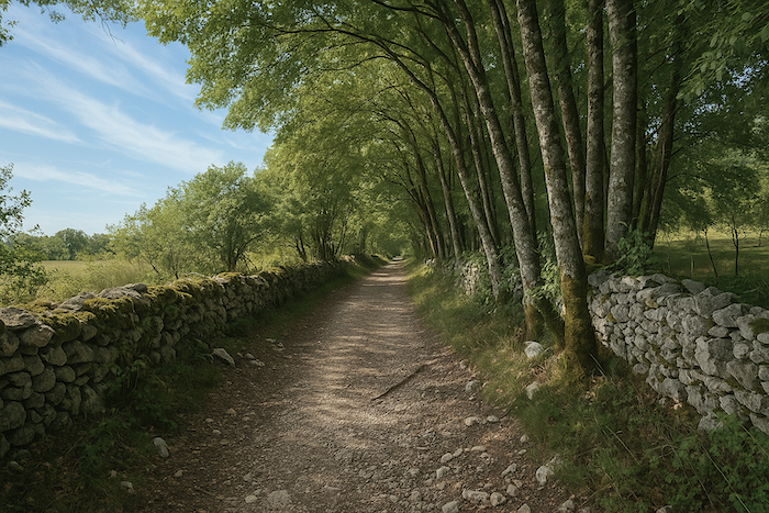
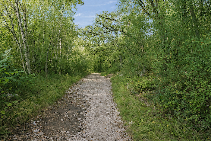
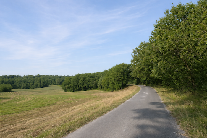
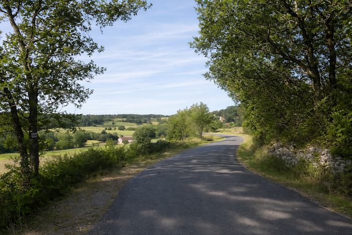
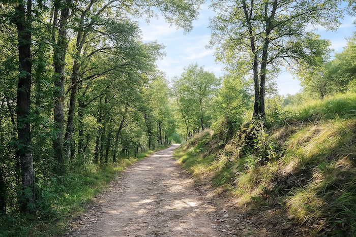
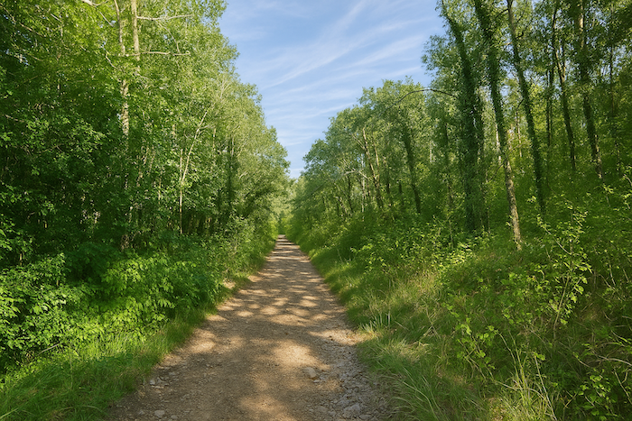
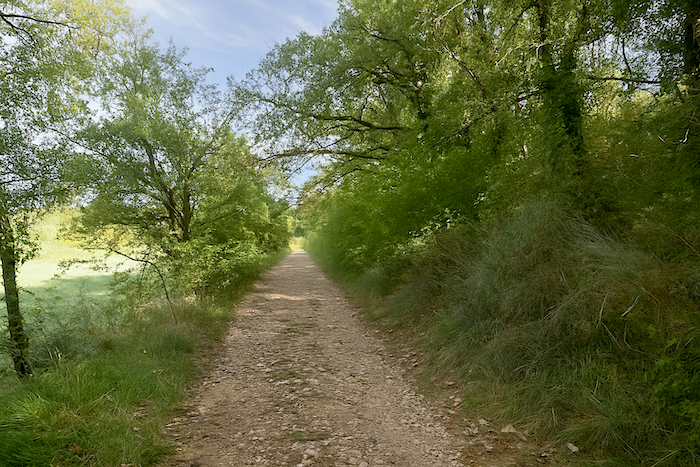
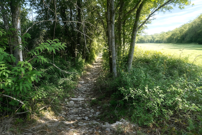
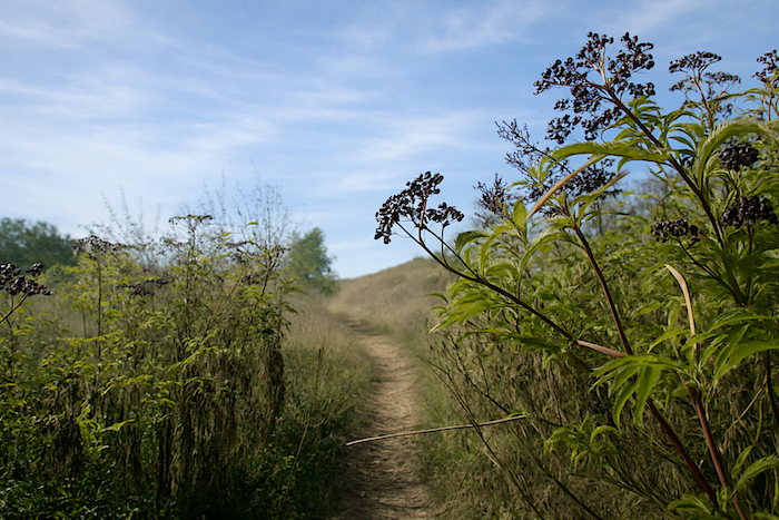
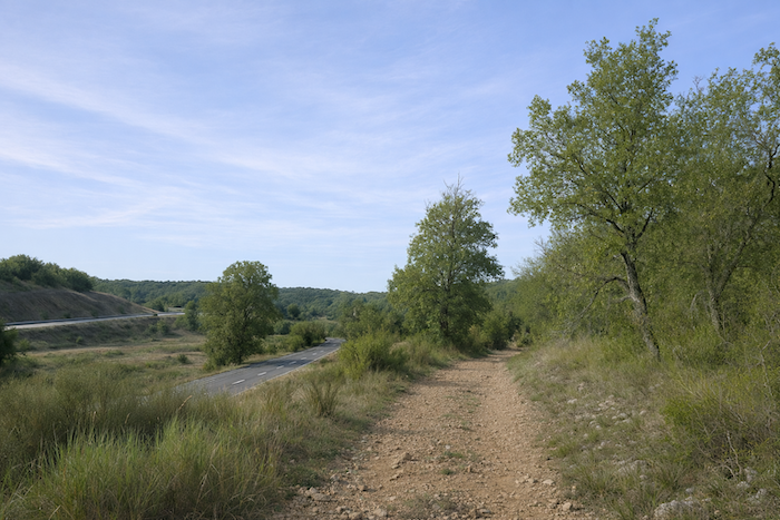
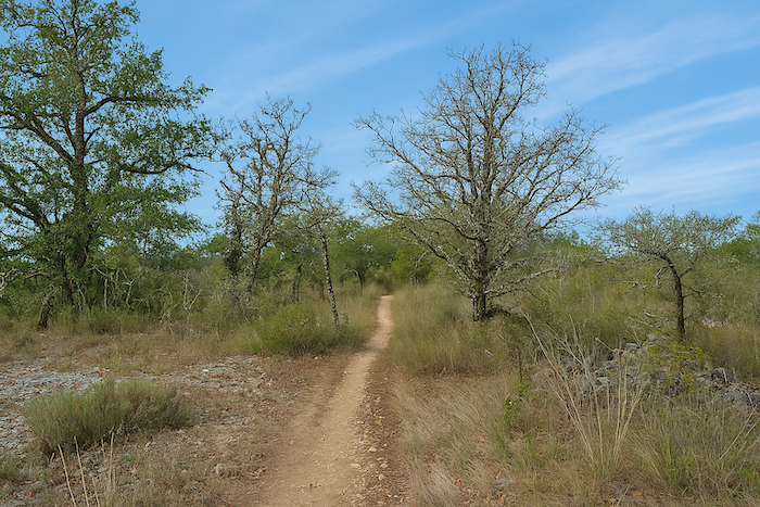
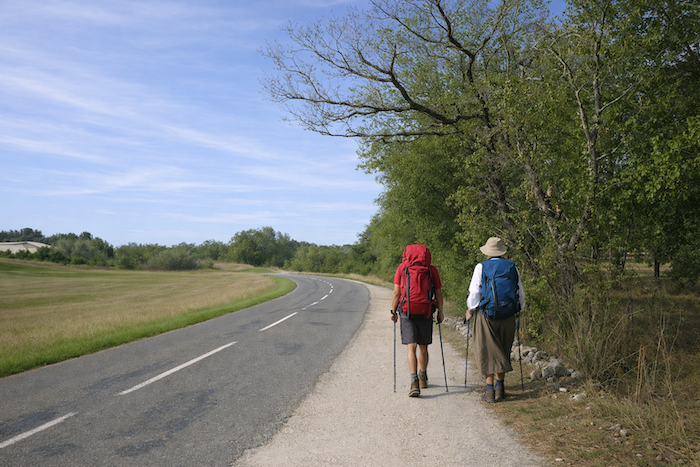
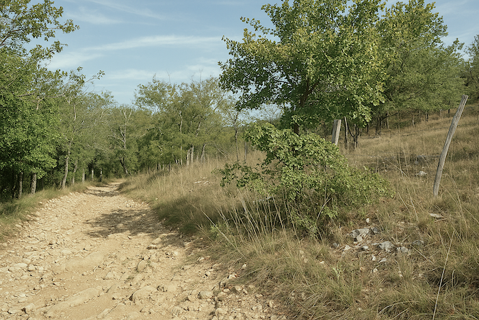
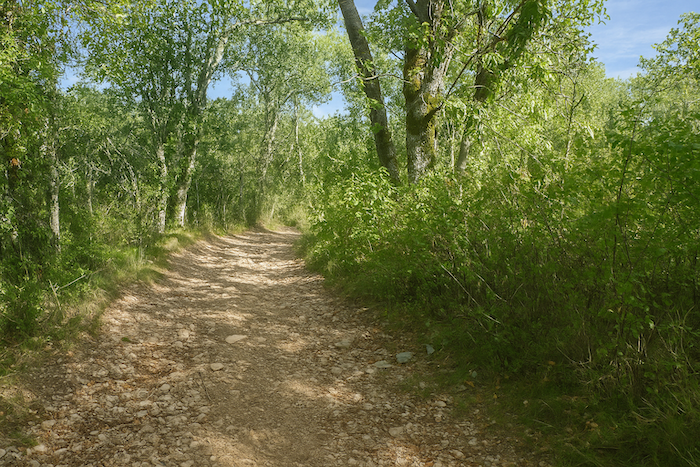
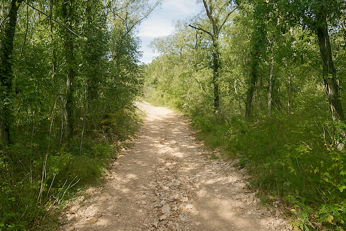
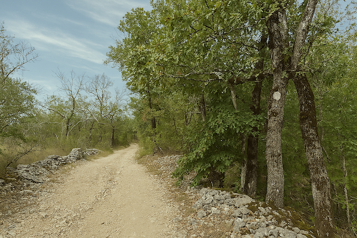
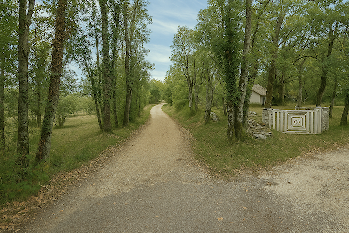
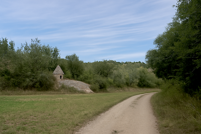
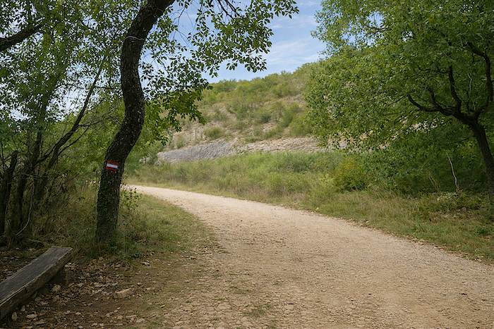
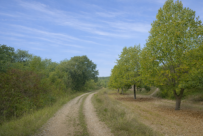
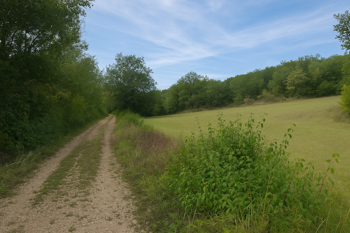
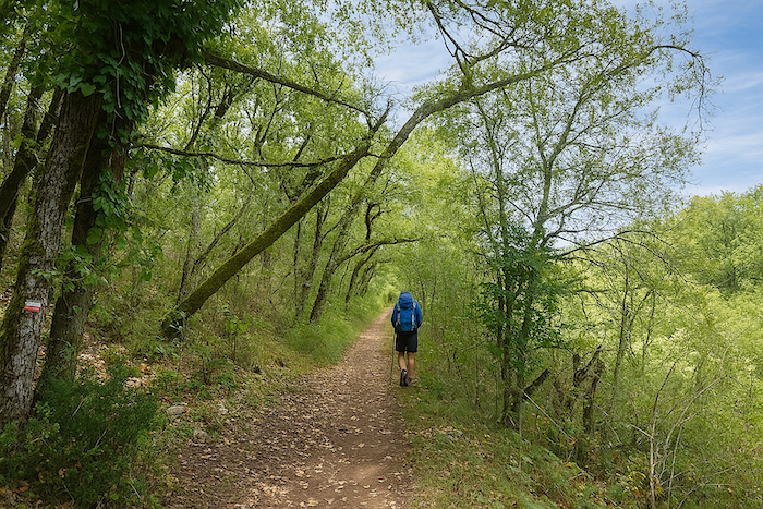
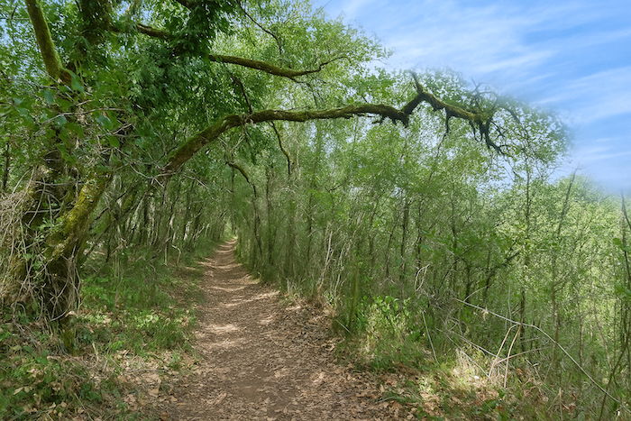
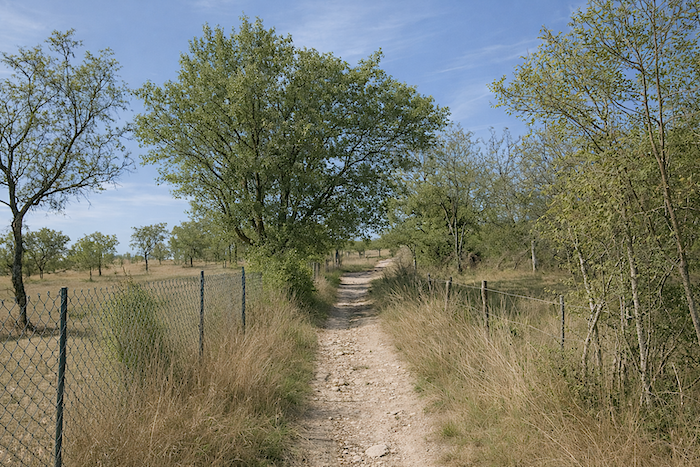
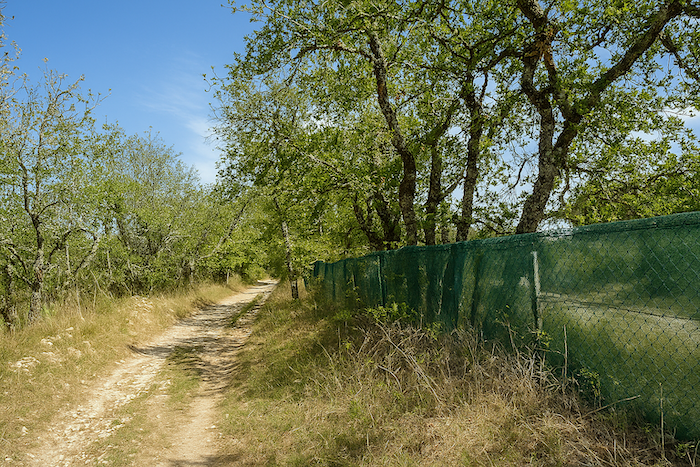
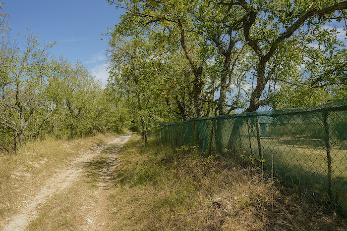
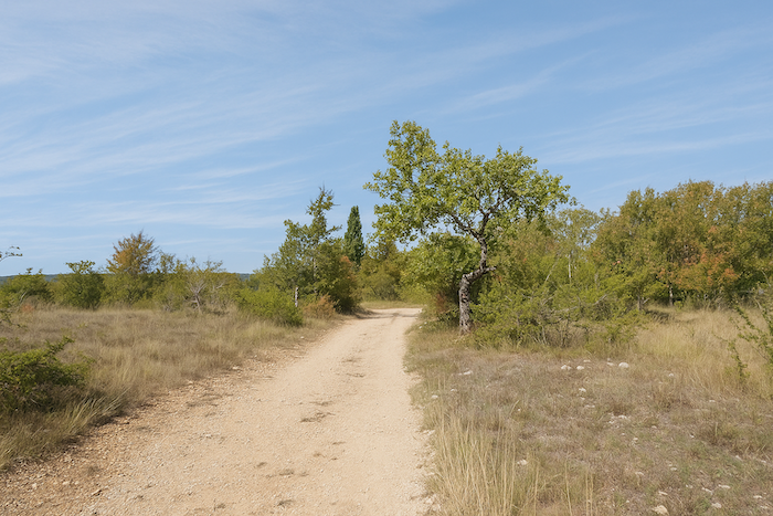
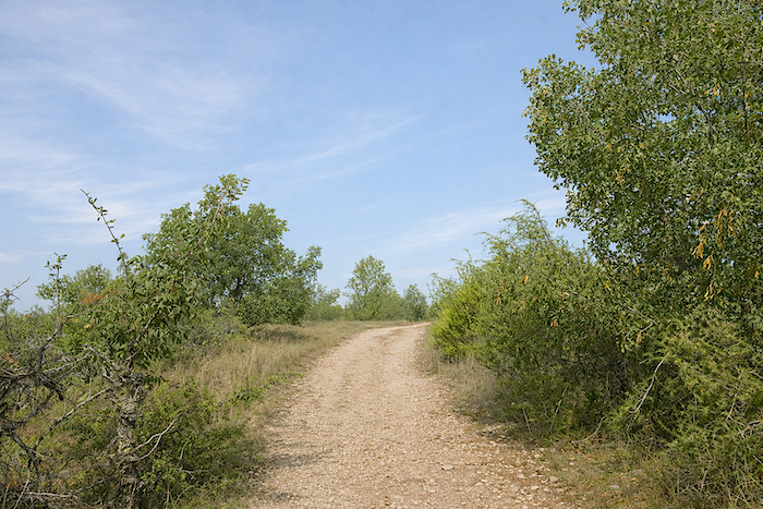
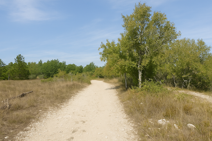
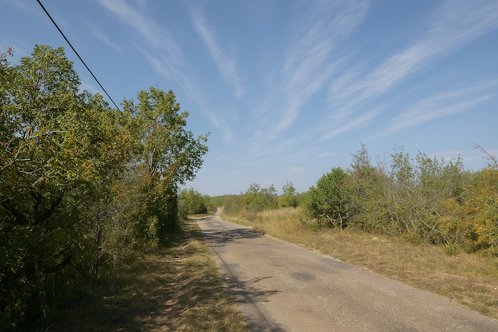
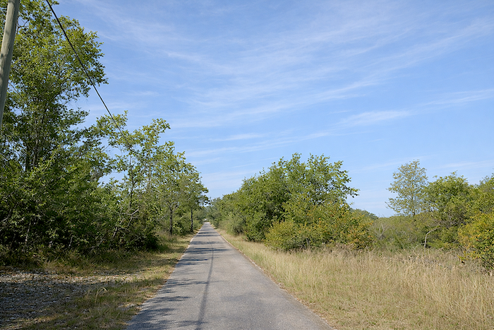
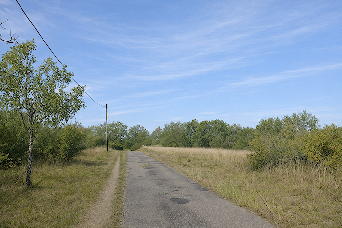
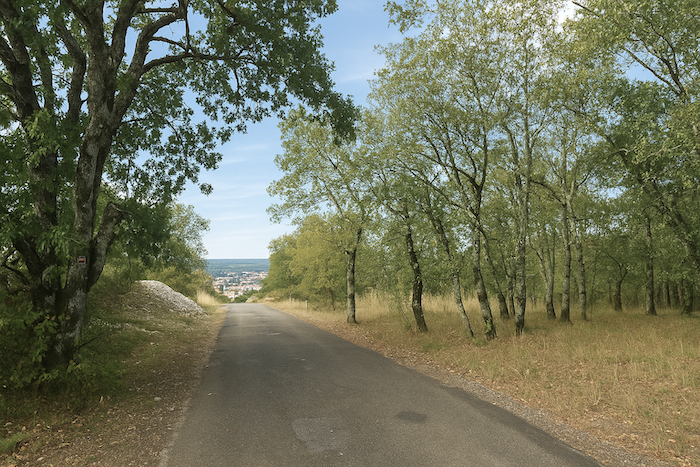
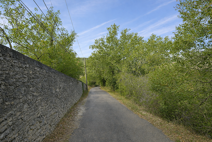
Whether coming from Bach or from Vaylats, you quickly return to the forest as you rejoin the GR65, here called the Cami Ferrat. This route deliberately keeps away from areas of human settlement, which heightens the feeling of isolation and reinforces the mystery of this gently undulating part of the causse. For the Romans, the path was the “via”, a solid and reliable road, most often laid out in a straight line, designed for the passage of carts, soldiers, and horses. These roads were frequently reinforced, (lou cami ferrat in Occitan, hard as iron), meaning they were consolidated with a compacted and tamped surface, most often paved with stones. When Roman roads are mentioned, the phrase that comes up most often is simple, it goes straight ahead. When Julius Caesar undertook the conquest of Gaul, he had these roads developed to allow his troops to move quickly across the entire territory. In the Middle Ages, the Cami Ferrat here became an important pilgrimage route linking Rocamadour to the south of France and beyond to the great routes leading toward Rome and the Holy Land. Even today, the Cami Ferrat remains above all a wide dirt road, generally not very stony, although its structure sometimes varies, when the oaks close in and the forest thickens, stones often take over from the earth.
Today, it is one of the most striking sections of the Santiago route, whether you arrive via the Célé valley variant or by the traditional GR65 route. From Vaylats or from Bach, you now rejoin the main route toward Le Puy-en-Velay. In its first part, this crossing of the causse is a true wonder, an almost unreal landscape where nature seems to reign alone, until the moment when the long, noisy scar of the motorway appears, which must be crossed. Then, from hill to hill, through the stony undulations of the causse, the route eventually descends toward Cahors, like a gradual return to the life of the world.
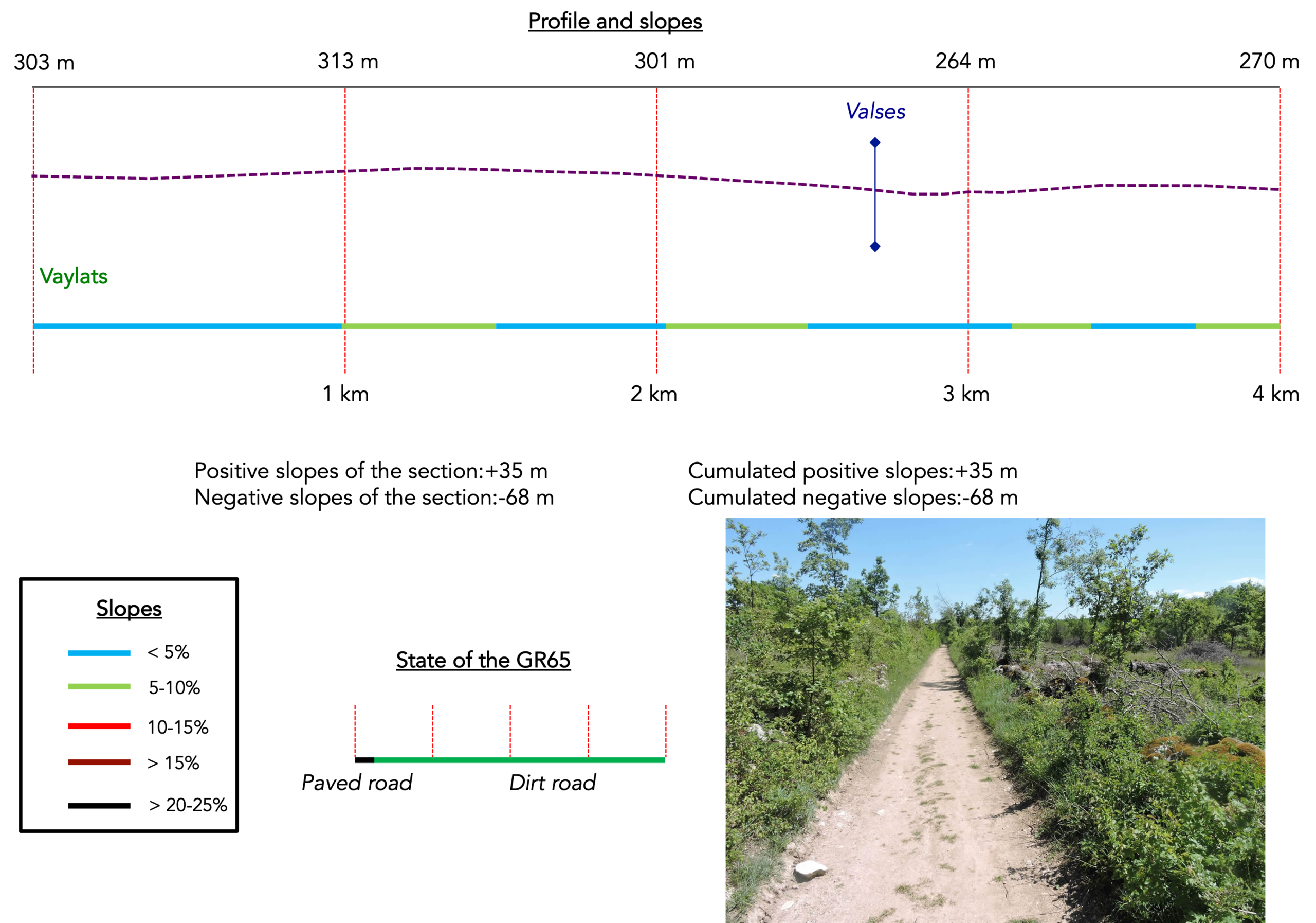
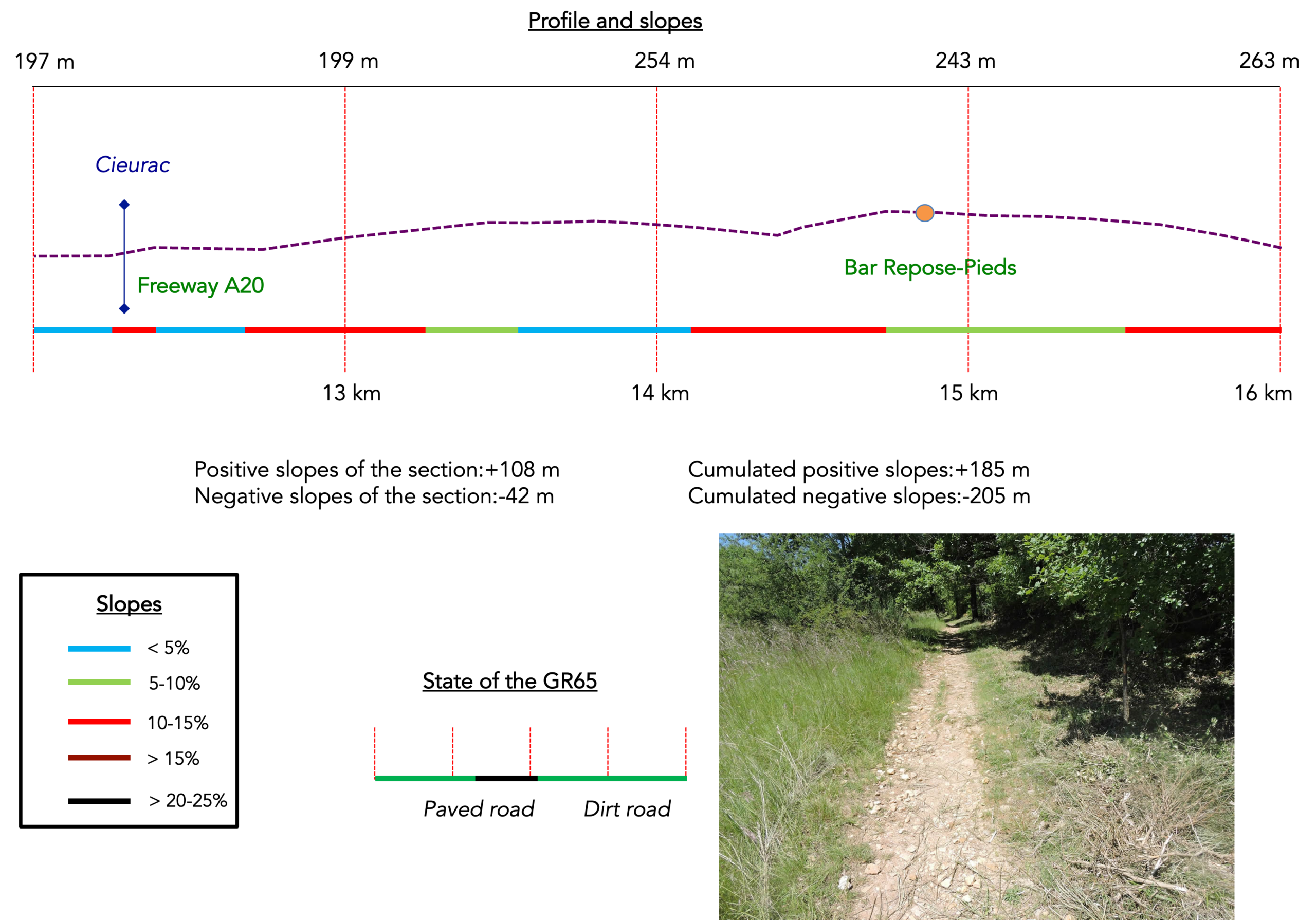
Difficulty level: The elevation changes (+ 314 meters/-470 meters), are minimal. The profile of the stage is now in favor of the walker. There are no major climbs, except for one halfway along. Otherwise, the route gently undulates. Only a steep and impressive descent into Cahors marks the end of the stage.
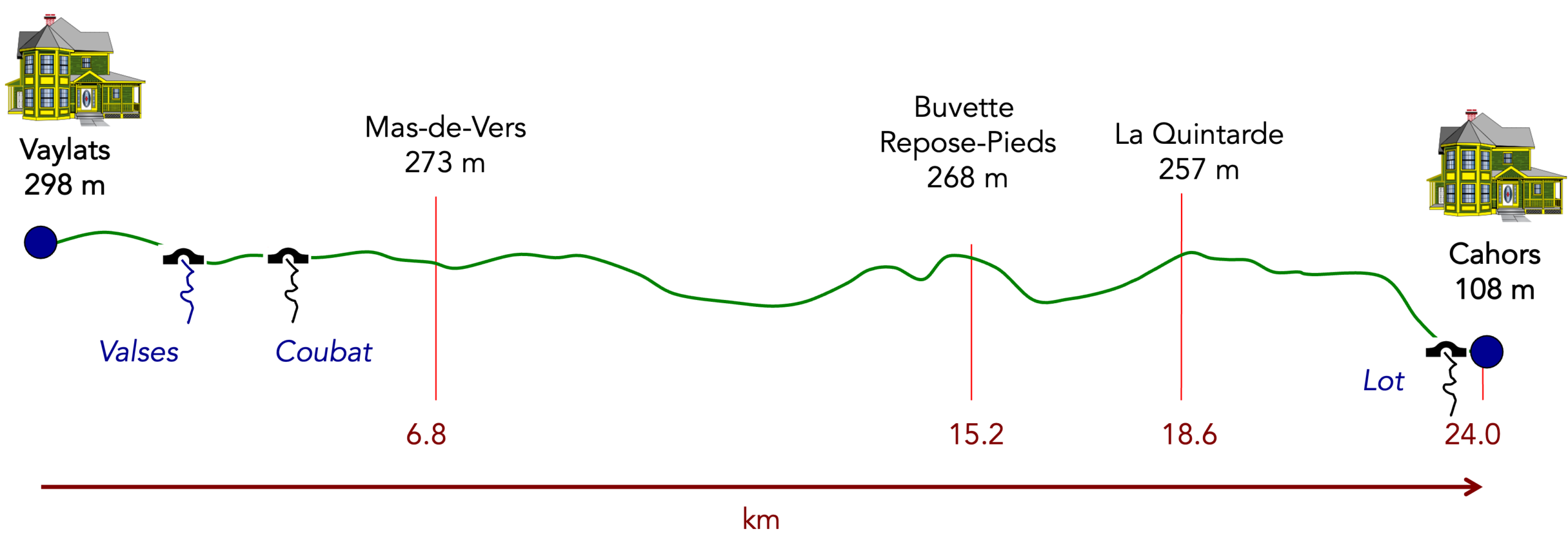
State of the route: A remarkable stage for the pilgrim. The Cami Ferrat is above all wide paths. Very little tarmac, a dream, is it not?:
- Paved roads: 3.1 km
- Dirt roads: 20.9 km
Sometimes, for reasons of logistics or housing possibilities, these stages mix routes operated on different days, having passed several times on these routes. From then on, the skies, the rain, or the seasons can vary. But, generally this is not the case, and in fact this does not change the description of the course.
It is very difficult to specify with certainty the incline of the slopes, whatever the system you use.
For those seeking “true elevations” and enthusiasts of genuine altimetric challenges, carefully review the information on mileage at the beginning of the guide.

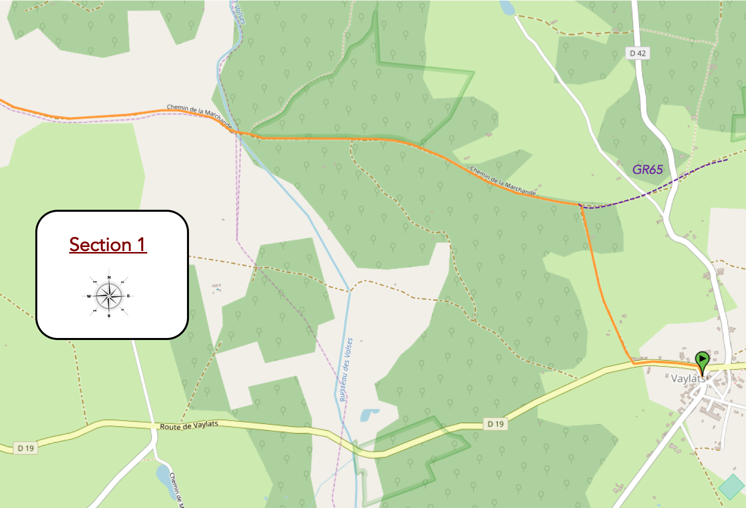
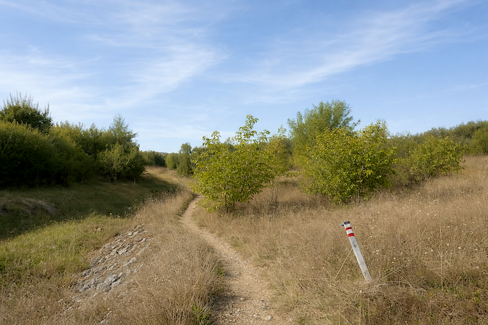
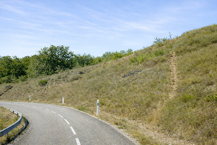
Section 1: From Vaylats, the route joins the GR65 in the forest
Overview of the route’s challenges : a route with no difficulty at all.
|
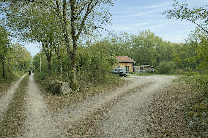
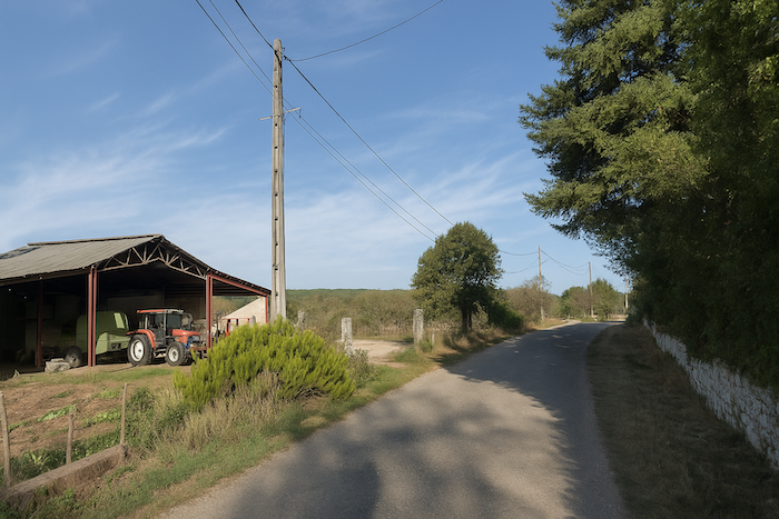
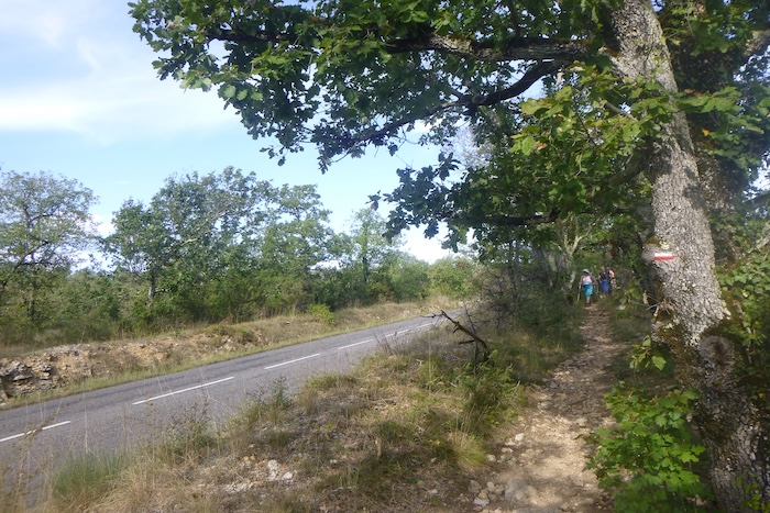
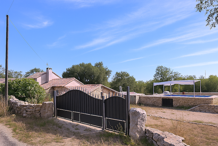
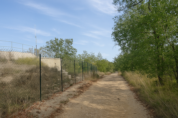
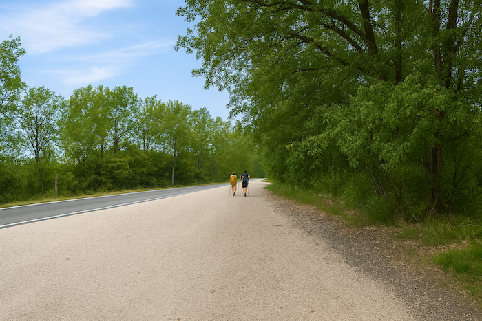
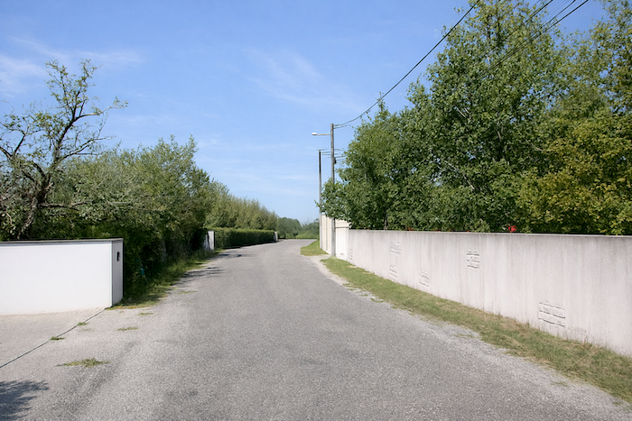
Whether you arrived via the GR65 from Varaire or via the GR46 from Concots, most pilgrims stop in Vaylats, not only because of the convent, but also because accommodation options are more plentiful there. However, you must then rejoin the GR65 in the forest, since the main route bypasses the village of Vaylats. The route therefore follows the departmental road as you leave the village. |
|
 |
 |
 |
 |
|
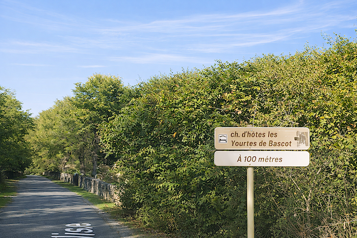
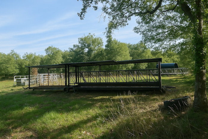
Shortly after, a sign by the roadside points to the yurts of Bascot, a more recent and original way to stay in Vaylats, complementing the hospitality of the convent. |
|
 |
 |
|
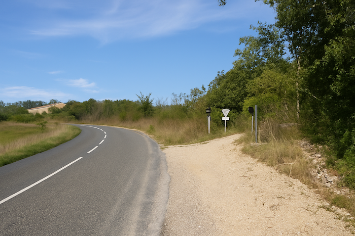
At this point, the route leaves the road and takes a wide dirt road, the Bascot path, which leads to the GR65. |
|
 |
 |
|
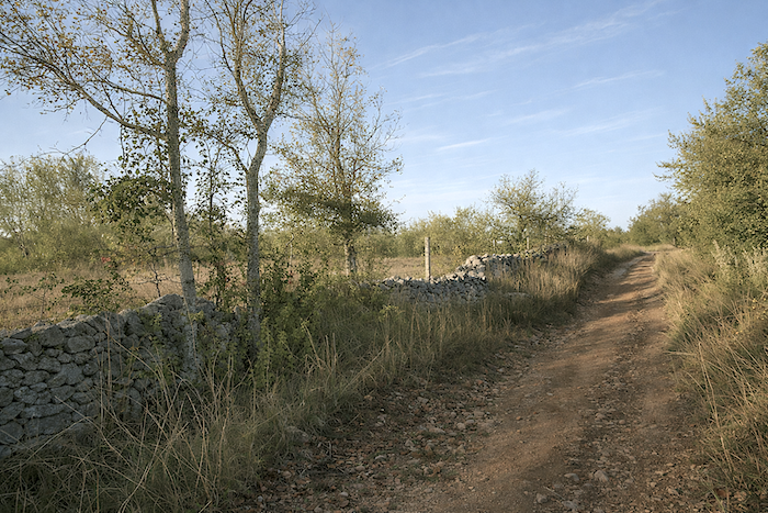
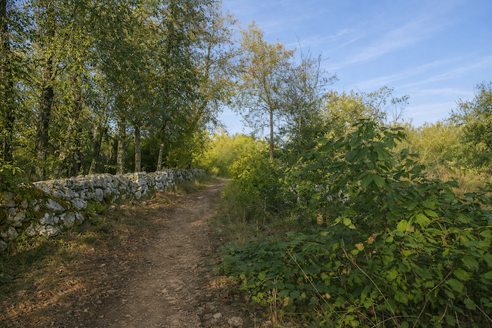
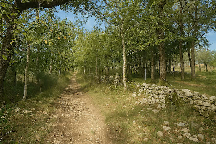
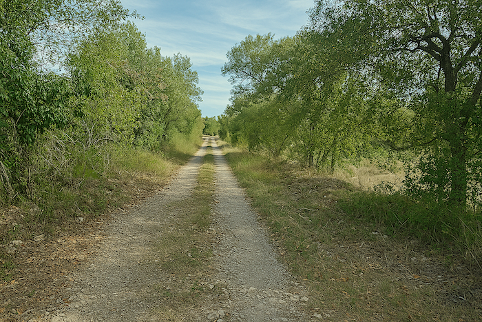
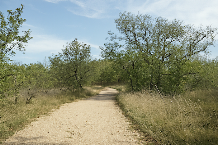
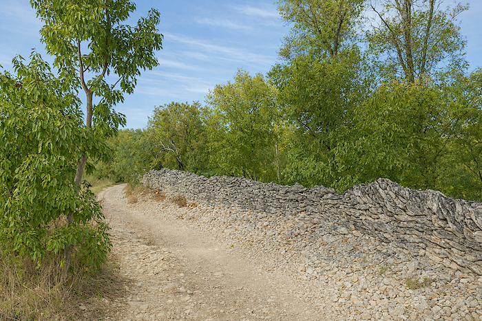
The wide path then continues through a fairly open forest, passing in turn alongside stone walls or small clearings. |
|
 |
 |
 |
 |
|
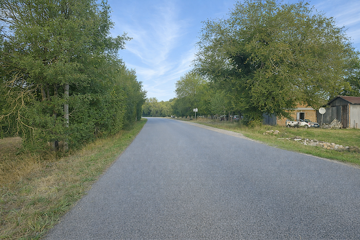
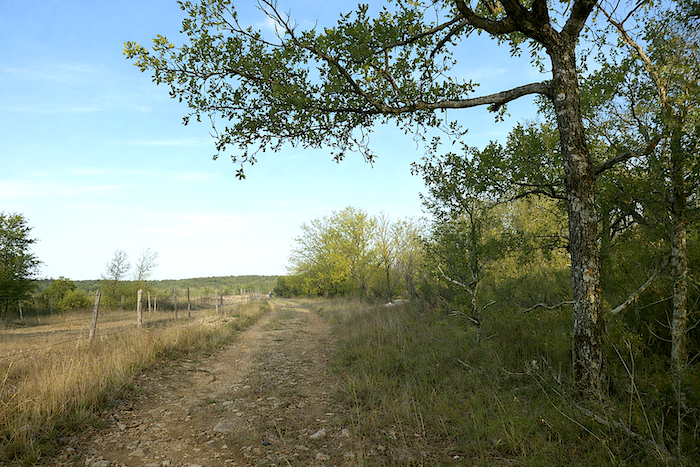
This is not yet the wild solitude of the causse, a few houses still remain here, close to the road. . |
|
 |
 |
|
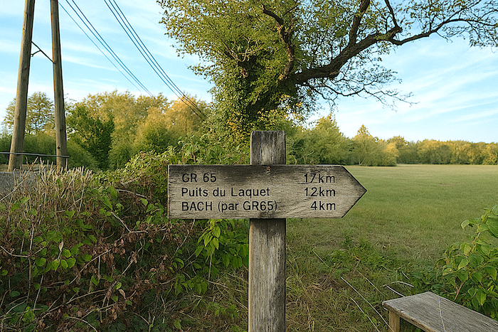
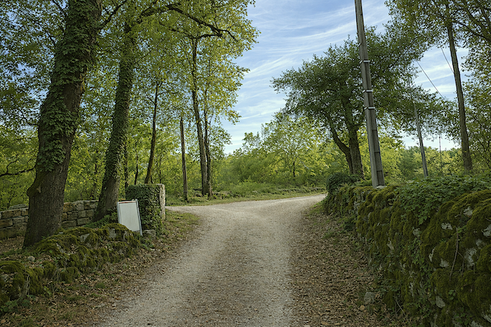
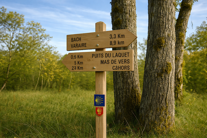
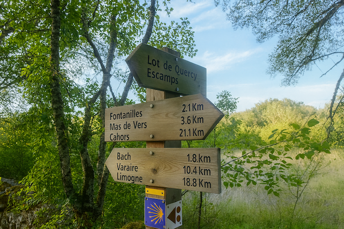
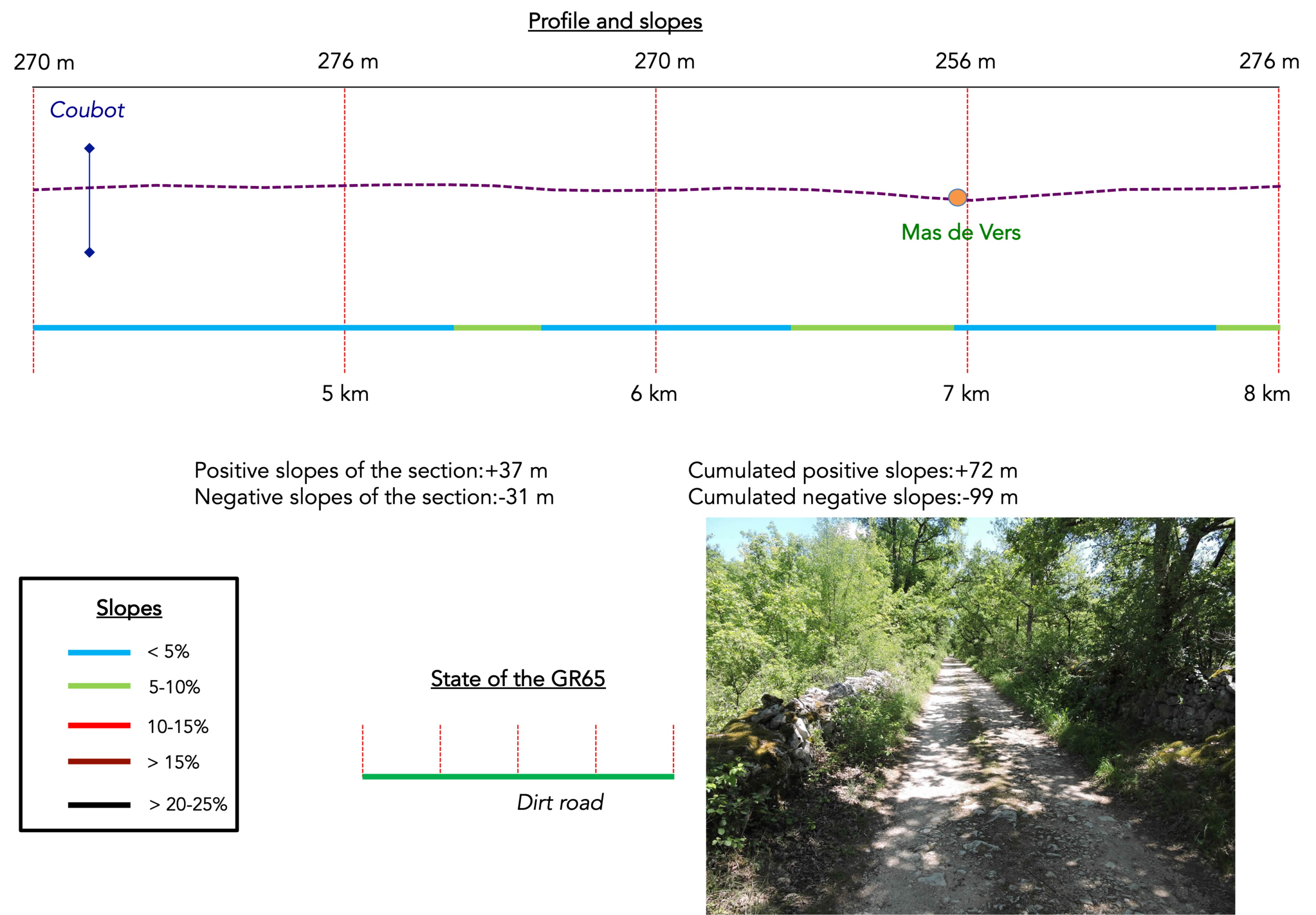
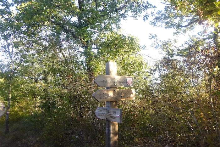
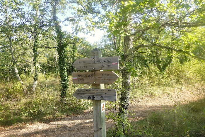
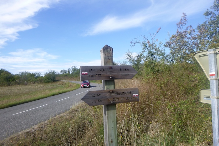
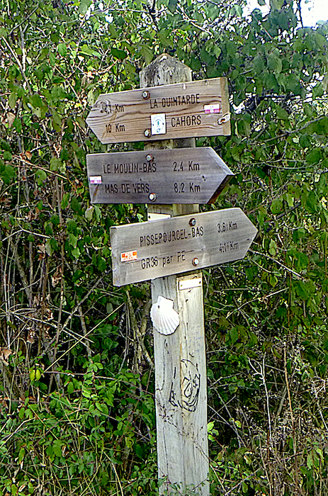
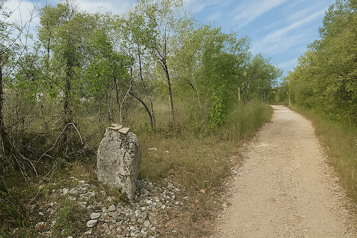
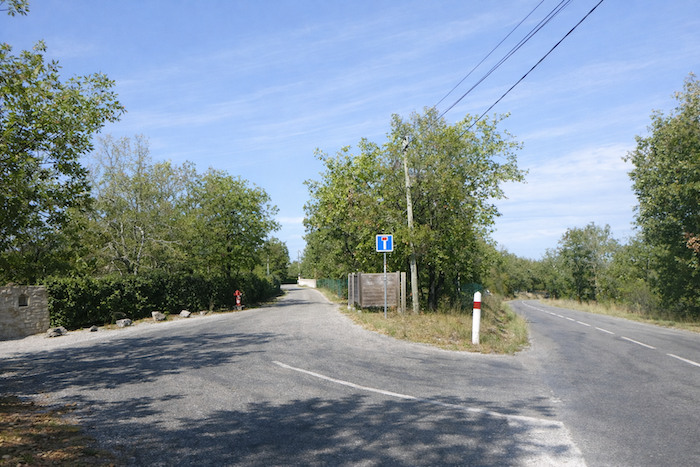
At the end of this long straight stretch, the route finally joins the GR65 in the forest. A sign then indicates Mas-de-Vers at 5 km and Cahors at 23 km. |
|
 |
 |
|
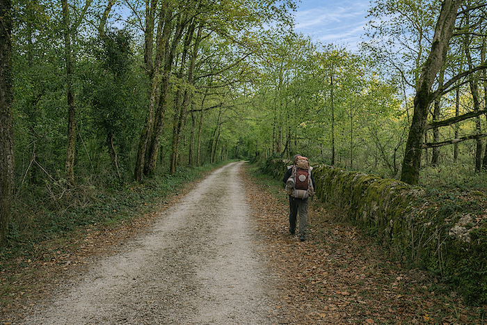
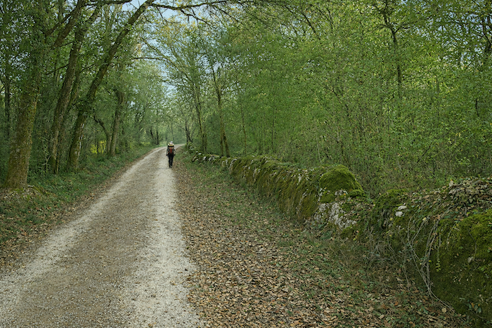
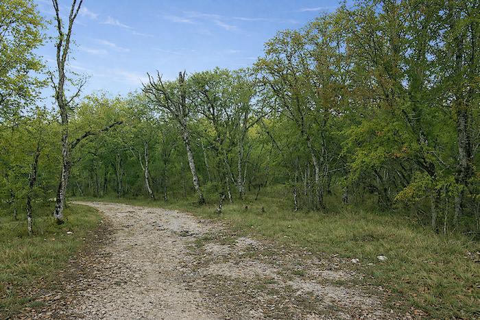
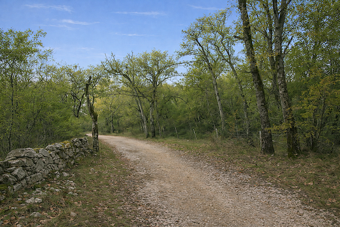
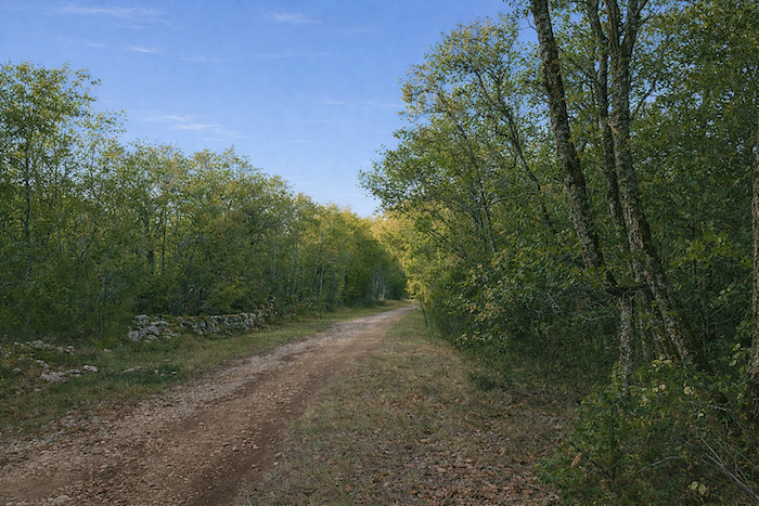
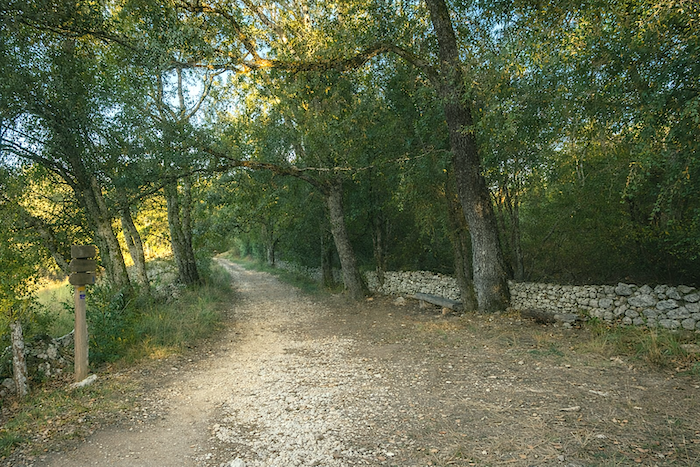
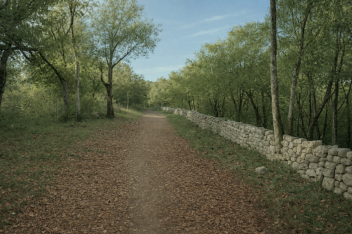
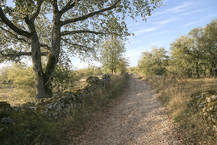
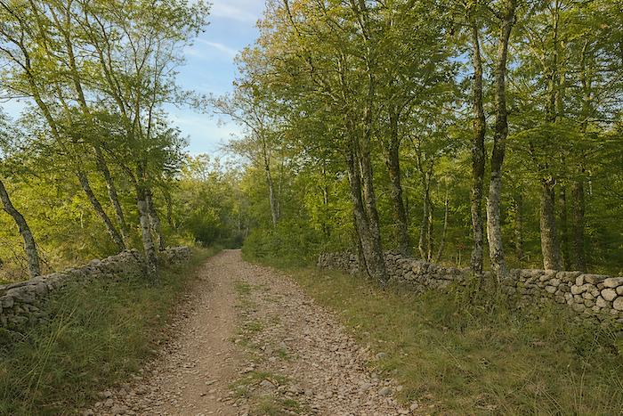
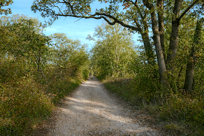
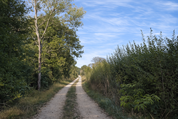
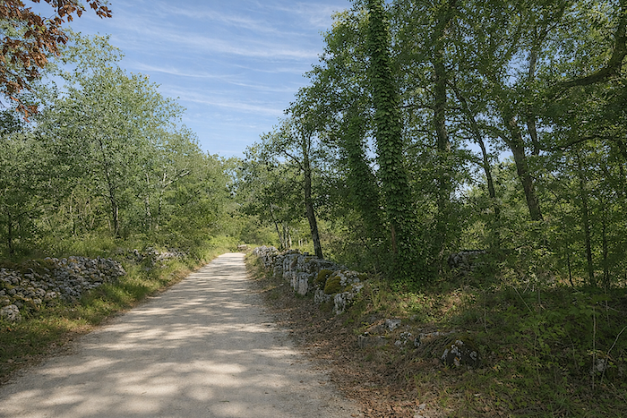
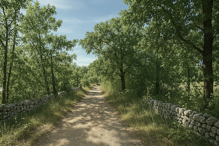
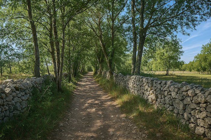
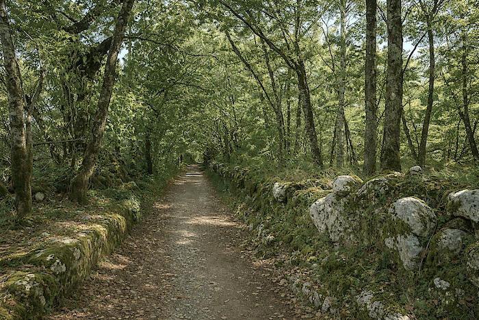
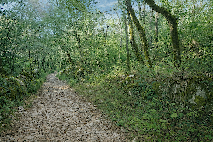
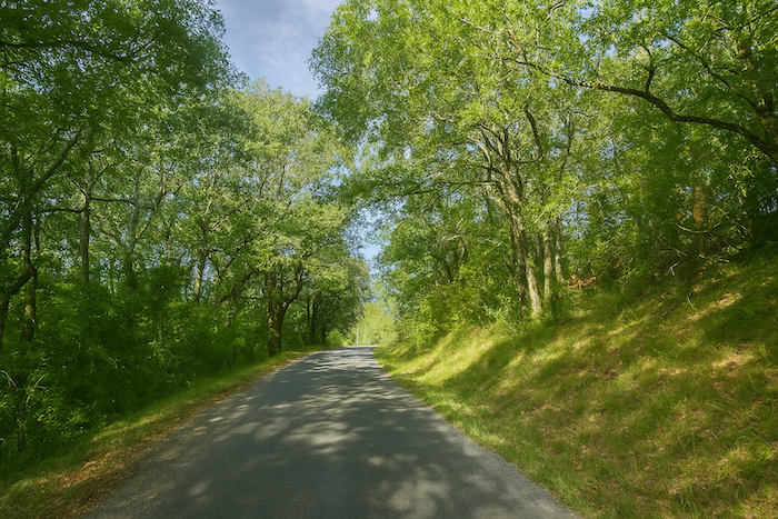
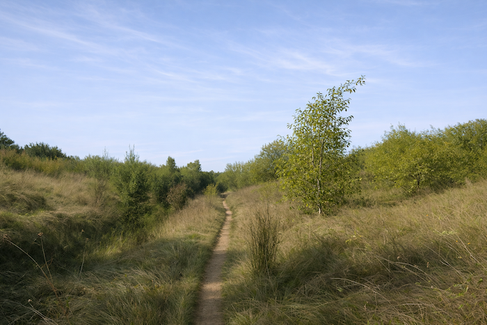
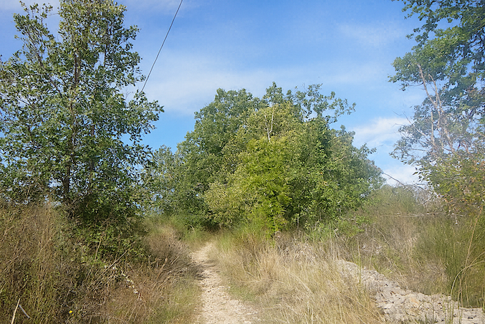
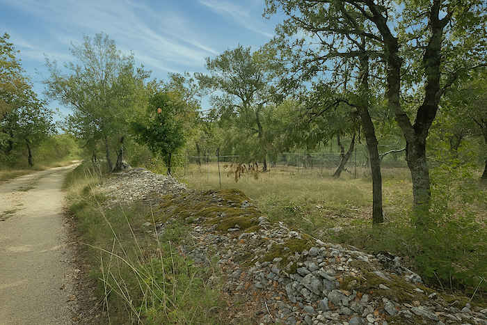
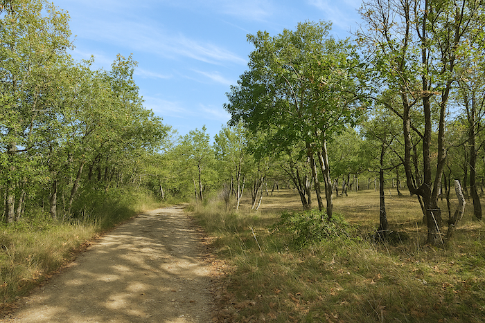
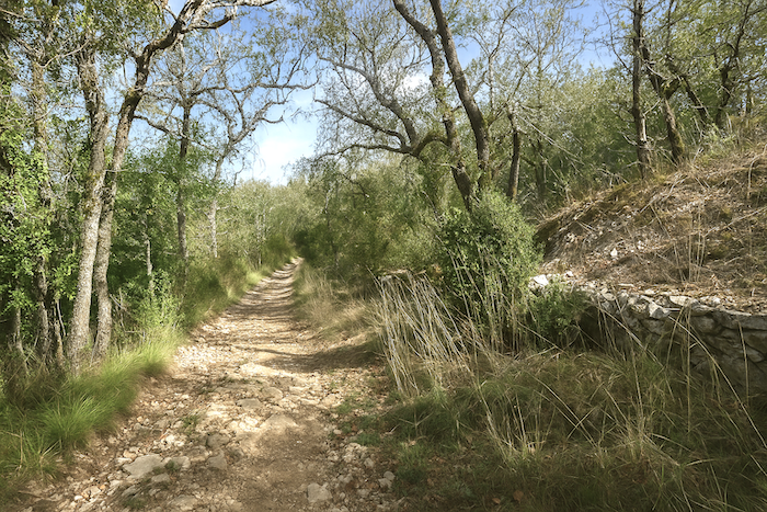
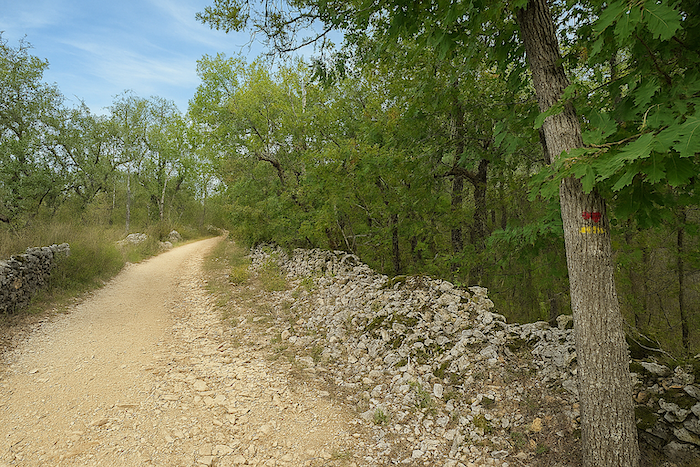
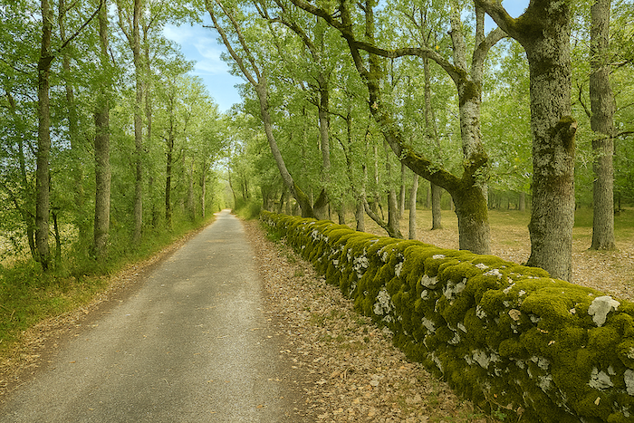
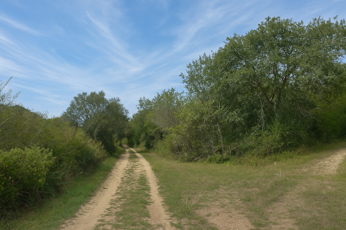
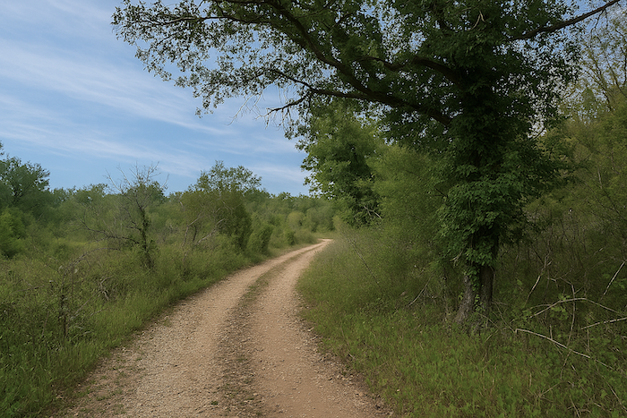
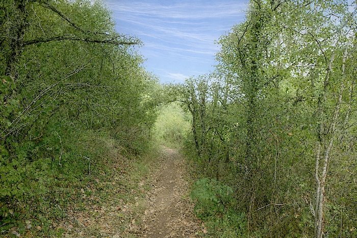
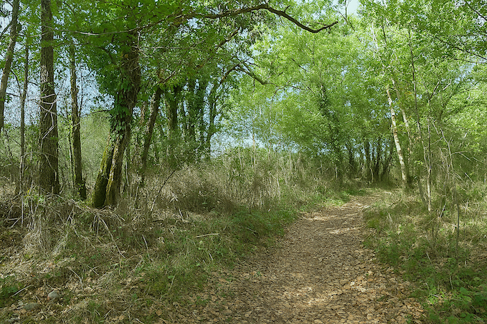
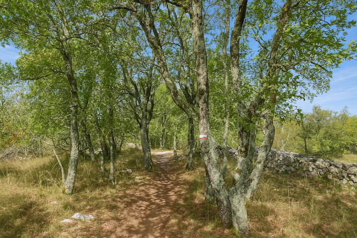
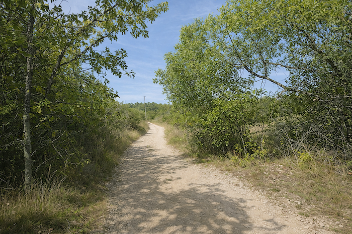
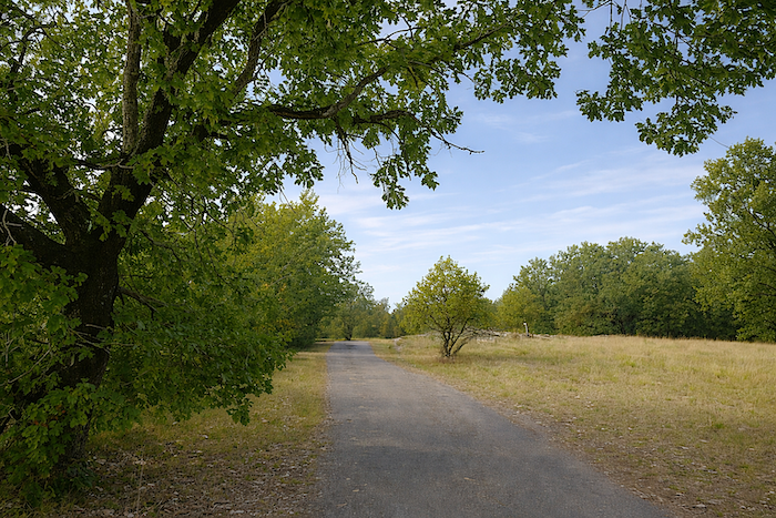
This marks the beginning of a true avenue of delight, quietly hidden within still wild and almost unsuspected nature. The path unfolds over packed earth beneath the light canopy of oaks, sometimes tall and slender but more often stocky, as downy oaks of the causse tend to be. Small walls of grey or ochre limestone often line the edges of the path, modest stone constructions that seem to have accompanied walkers for centuries. |
|
 |
 |
|
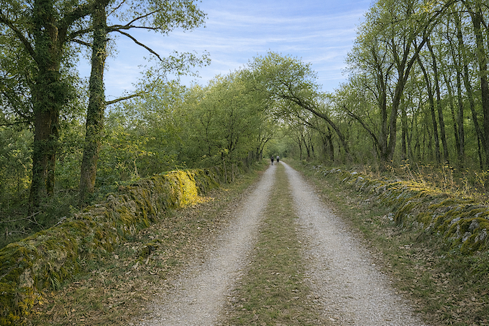
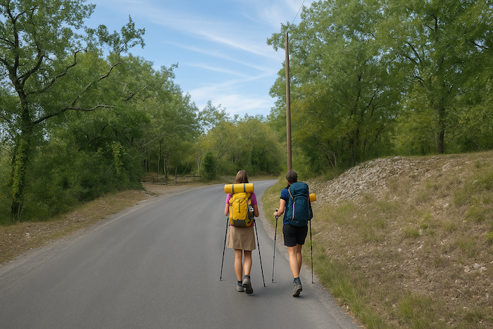
Here you encounter many pilgrims, whom you sometimes overtake, or who in turn pass you. The reason is simple. Almost all walkers staying in Vaylats set off shortly after breakfast, served at precisely seven o’clock. In convents, schedules are taken seriously. |
|
 |
 |
 |
 |
|
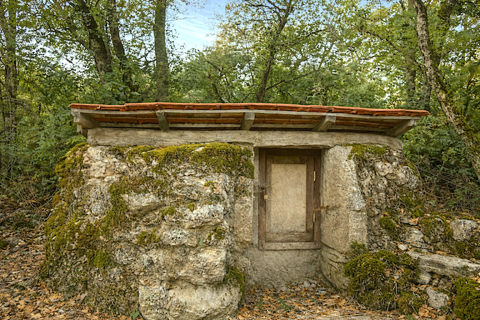
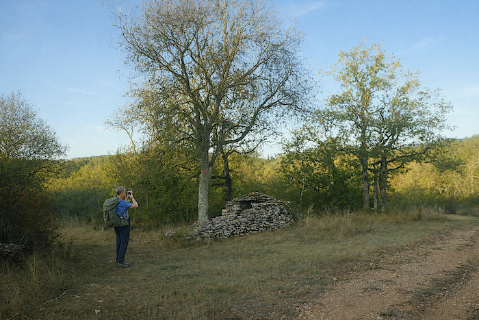
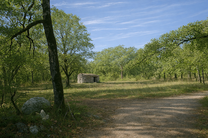
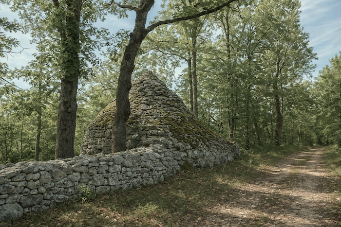
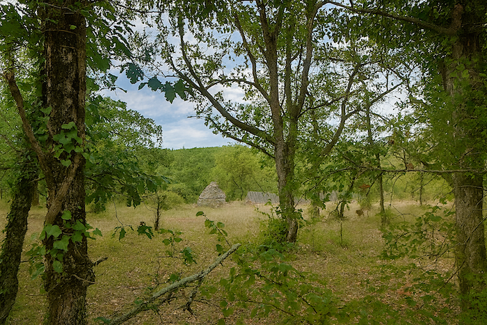
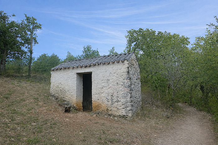
Some traces of the past, now almost obsolete, still punctuate the path. Certain small stone structures likely served as shelters for tools, while others keep their mystery, perhaps an old oven or some forgotten building whose memory has faded with time. |
|
 |
 |
|
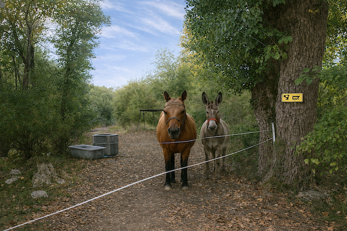
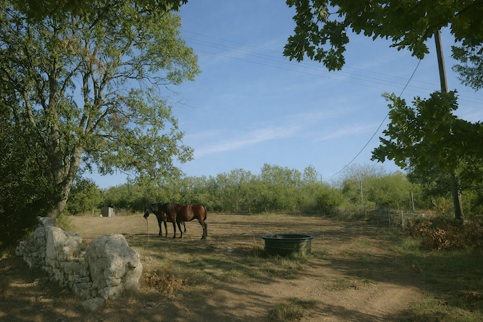
They bear witness to human or animal presence that once animated these places. Here, two equines seem to enjoy the calm of the causse with a peaceful contentment. |
|
 |
 |
|
Soon after, the wide path gently slopes down toward the Valses stream. The gradient is slight, almost imperceptible, as if the causse itself were quietly guiding the walker toward this discreet hollow. |
|
 |
 |
 |
 |
|
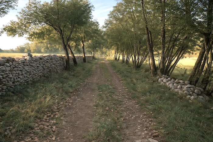
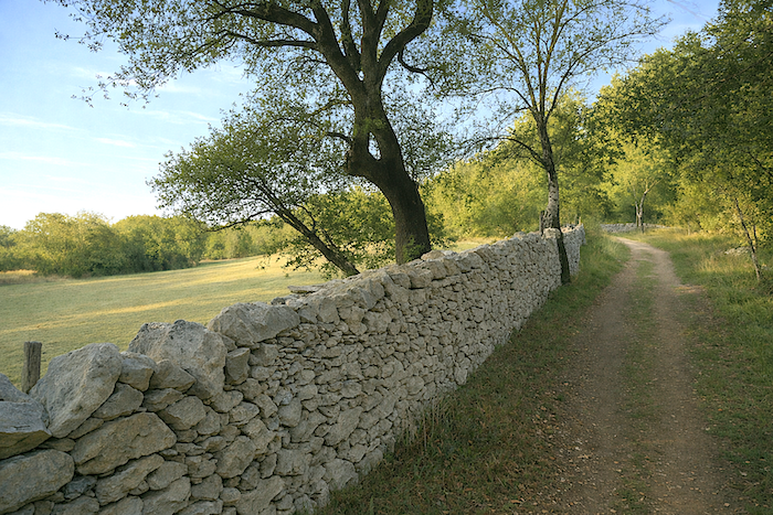
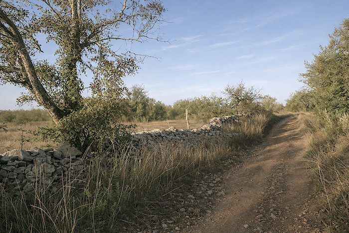
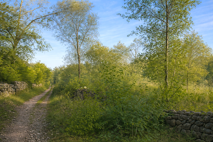
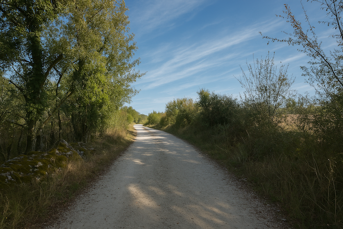
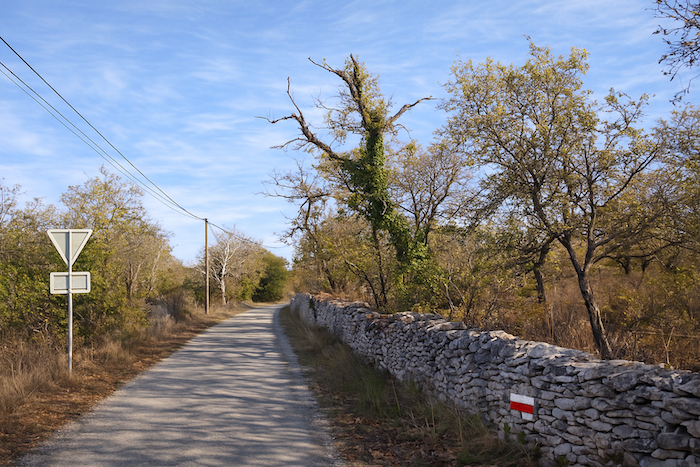
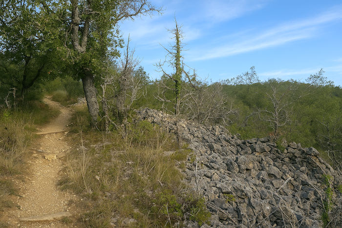
What deeply marks the landscapes of the causse are these walls lining the paths. Sometimes grey, sometimes yellow or ochre, they are often covered with lichens or a thin layer of stubborn moss that survives despite the dryness. A very particular light falls on these ancient stones, the light of these austere lands where hollow paths alternate with arid heath. Here grow the shrubs of the causse, boxwood, dogwood, broom, and a few rare junipers. In the past, these landscapes were filled with boxwood. Decimated in recent years by the box tree moth, these majestic features have, for a time at least, given way to dogwood. Julius Caesar is said to have appreciated wide, straight roads that allowed his troops to advance quickly. It must be admitted that nature here lent itself admirably to such undertakings. |
|
 |
 |
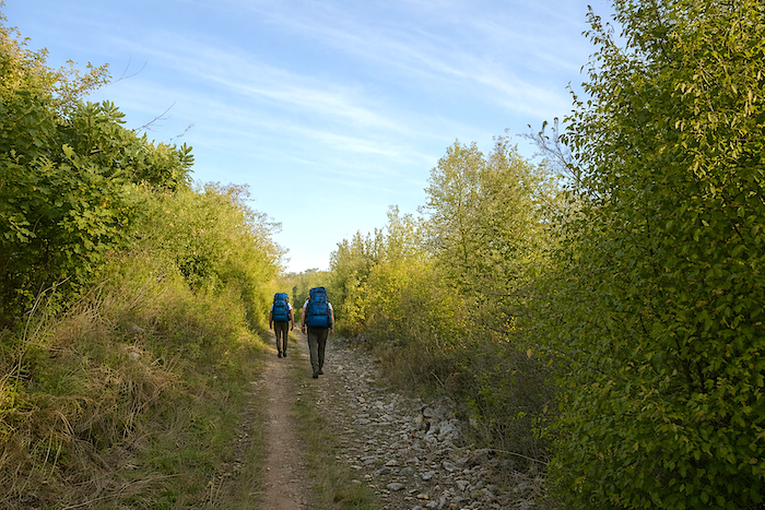
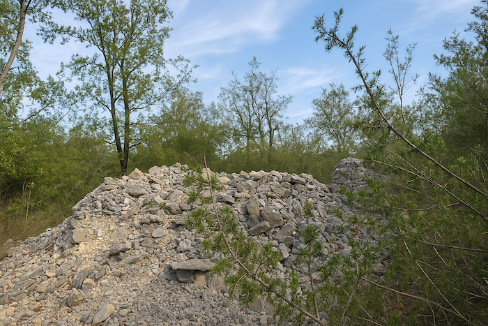
| On these paths, you meet few people other than pilgrims, carrying their packs and absorbed in their walk. Although, more and more often, some now travel more lightly, taking advantage of the many luggage transport services that have developed in the region. Some pilgrims move forward with urgency, eager to reach Santiago as quickly as possible. Others take their time, wander along the path, stop before a shapeless pile of stones, a collapsed “caselle”, or an old wall slowly dismantled by the passing years. | |
 |
 |
|
At the bottom of this almost insignificant descent, the path runs alongside the Valses stream. In dry weather, you will often not see a single drop of water there. There is little more in the Coubot stream a bit further on. From here, you still have 3.6 kilometers to reach Mas-de-Vers, the nearest habitation. |
|
 |
 |
|
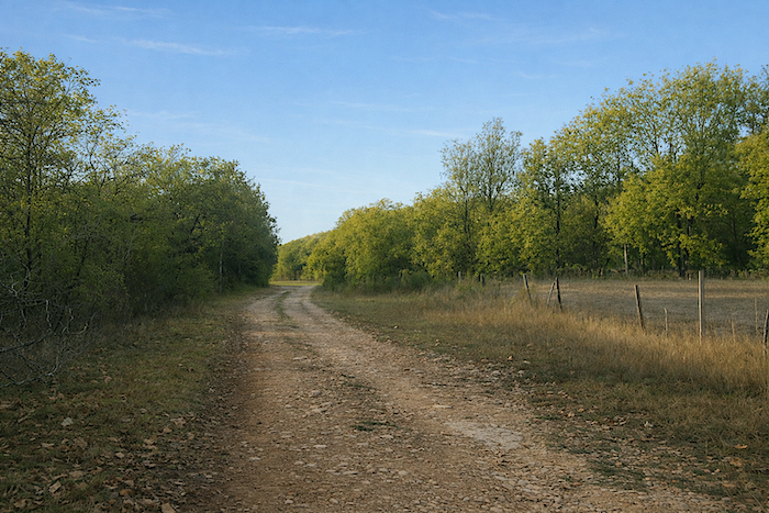
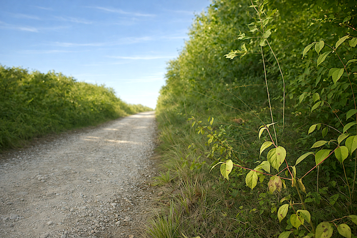
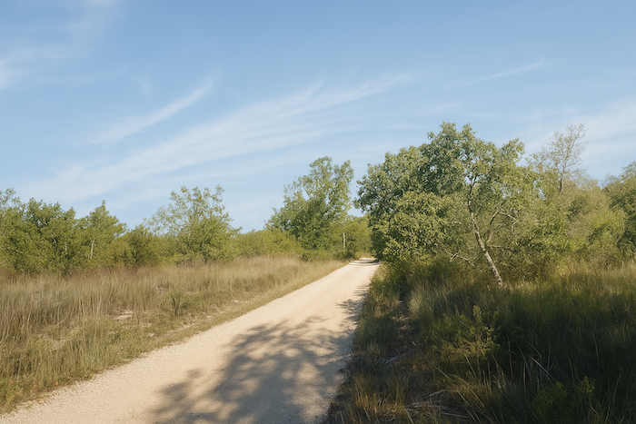
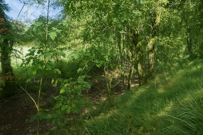
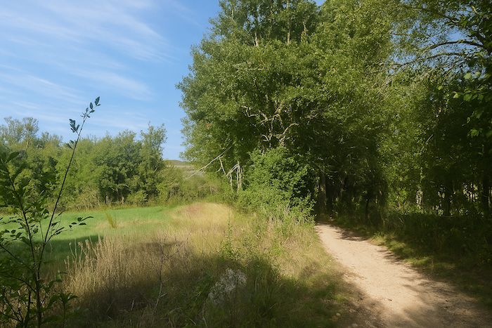
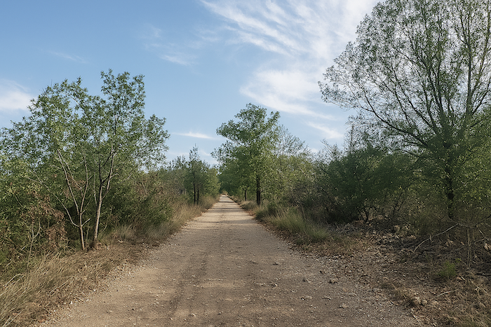
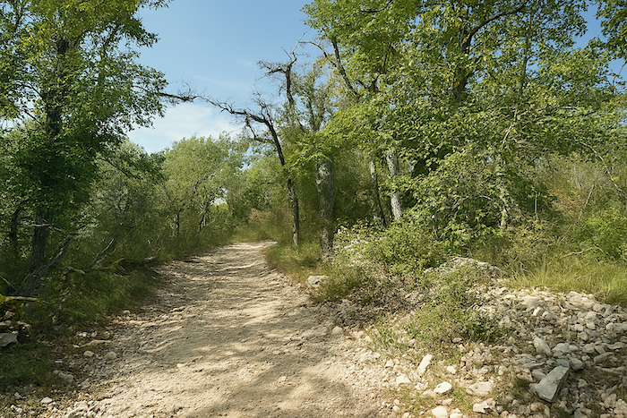
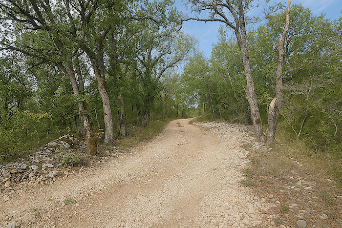
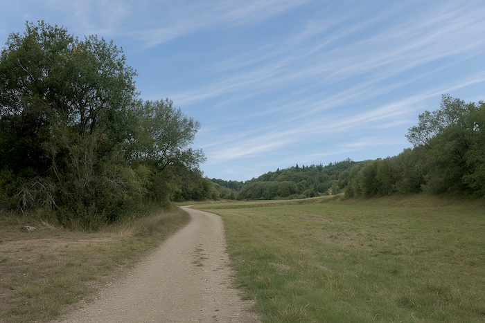
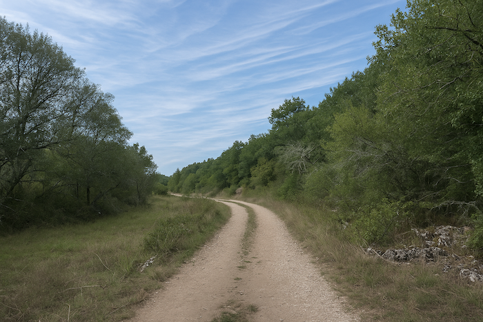
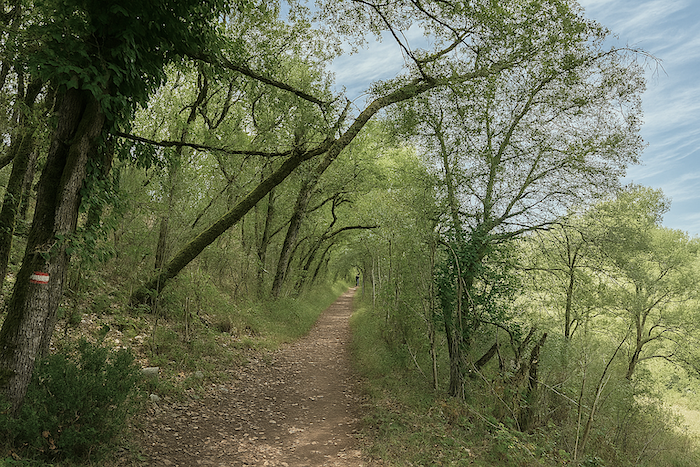
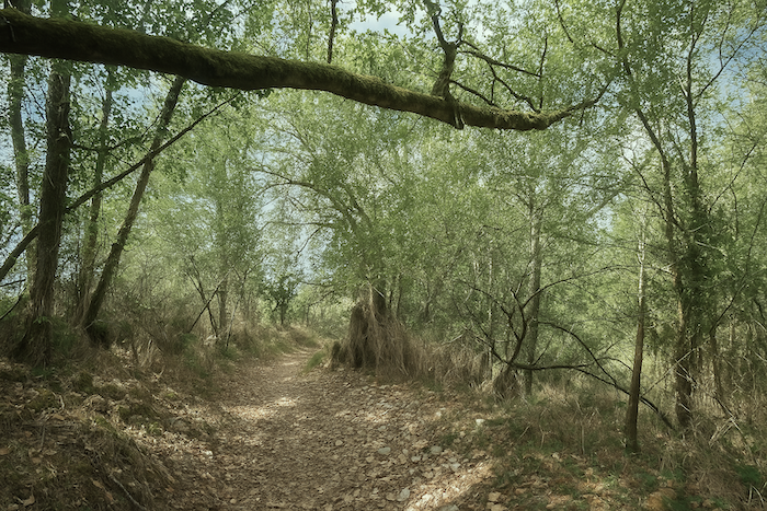
In this timeless landscape, on the margins of the ordinary world, the wide path, often stony, moves easily alongside the stone walls. The oaks press close together, sometimes bending down to the ground and forming a kind of silent guard of honor for the walker passing through these places. They take up all the space, crowding out other trees and more modest shrubs by depriving them of light. Pines rarely appear here, as they need space and sunlight to thrive. In contrast, the oaks have left generous room for Montpellier maples, recognizable by their three-lobed leaves, a discreet but very present tree on these austere causses. |
|
 |
 |
 |
 |
|
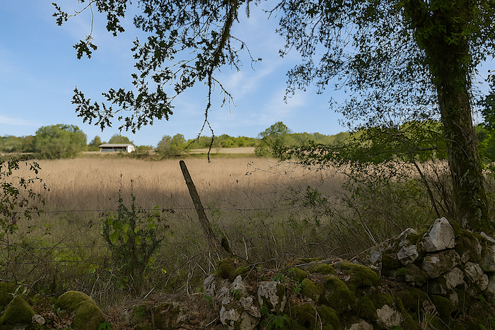
In places, the oak forest opens slightly, revealing faint signs of human presence. Yet to glimpse even a small cultivated plot, one must look carefully. |
|
 |
 |
|
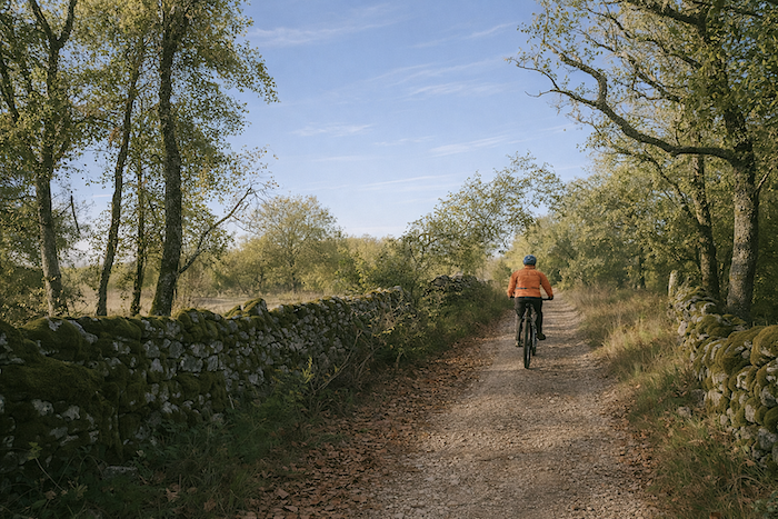
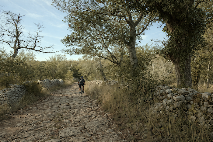
On this stony path winding through the wildness of the causse, it sometimes happens that a cyclist appears and passes silently. This other kind of pilgrim has increased in recent years on the Compostela route. It is now estimated that they represent a significant share of travelers, perhaps more than fifteen percent. And it must be said that with the luggage transport services that have developed in the region, it has become much easier to ride light. |
|
 |
 |
 |
 |
|
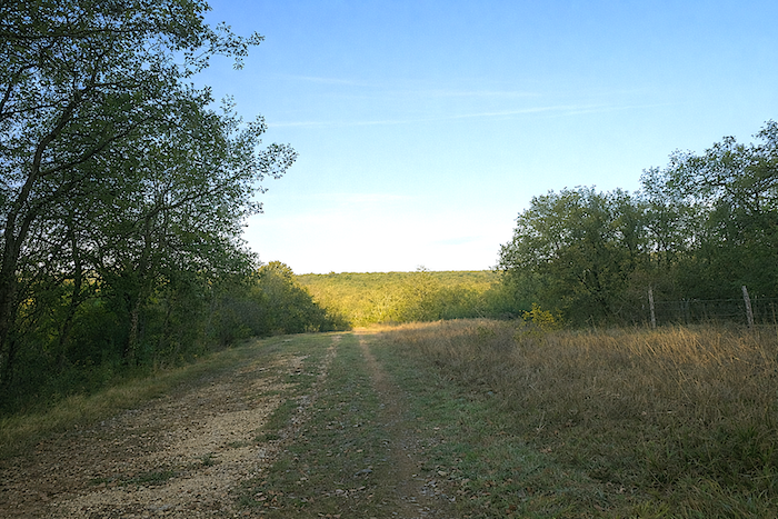
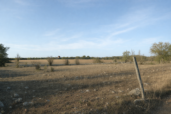
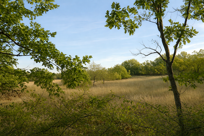
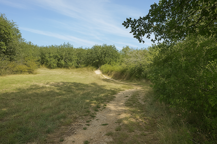
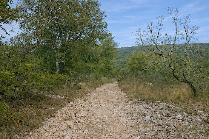
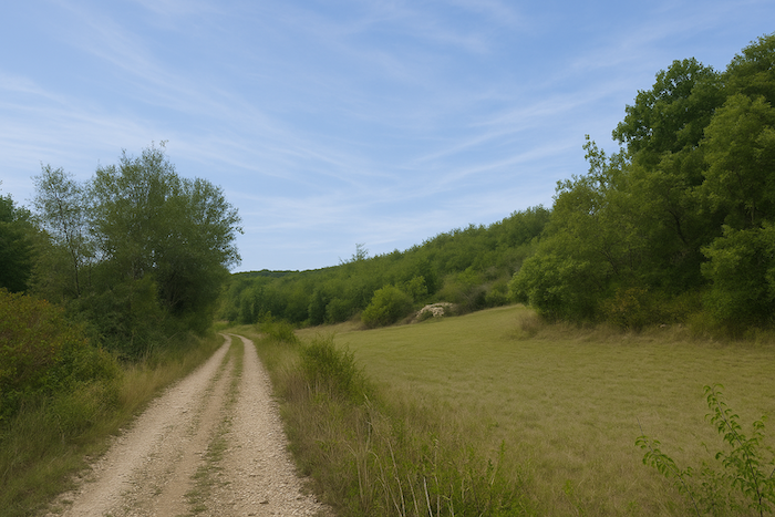
A little further on, the landscape suddenly opens up, as the undergrowth sometimes gives way to heathland. You wonder what can grow on this austere and unyielding soil. Perhaps a little oats or triticale for livestock. In these kinds of green hollows, the forest sometimes retreats to make way for sparse scrub or a few truffle oak plantations. Their presence can be recognized by the circles of bare earth around the trunks, discreet traces of the underground life of the fungi. It is known that truffles thrive in poor, limestone, well-drained soils where organic matter decomposes quickly. The truffle mycelium lives in symbiosis with the roots of so-called truffle trees, most often downy oaks or hazel trees. But not all these trees naturally produce truffles. A truffle plantation is the result of patient work. The land must be cleared, the ground prepared, and then young trees inoculated with truffle mycelium are planted in winter. Several years of maintenance follow, most often three to six years, before the famous burned zone appears, that bare area around the tree that nourishes the hopes of truffle growers. |
|
 |
 |
Section 2: Level ground along the Cami Ferrat
Overview of the route’s challenges : a route with no difficulty at all.
|
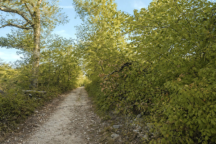
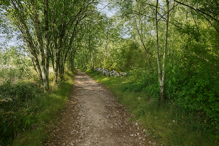
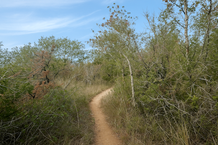
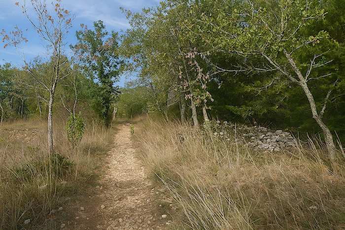
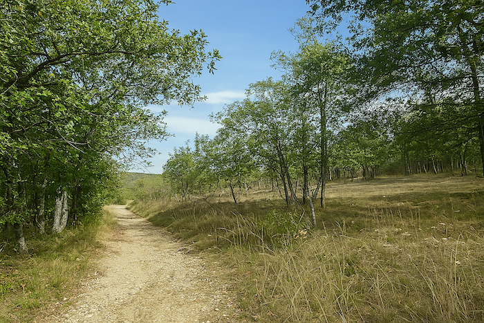
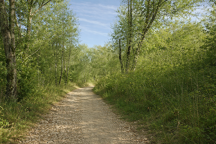
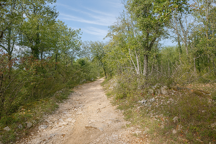
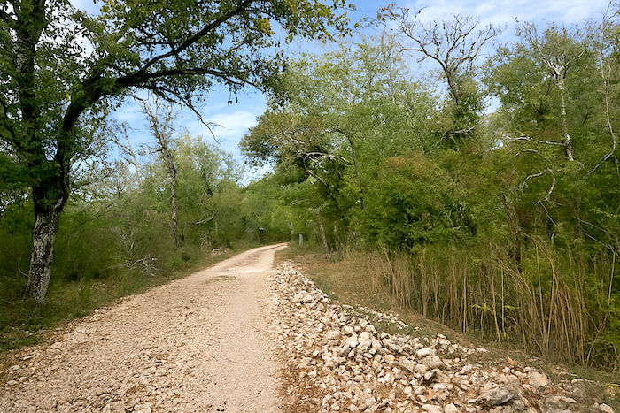
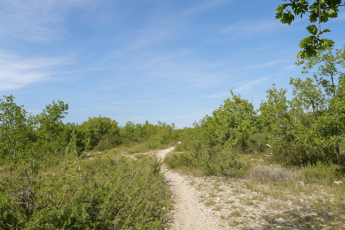
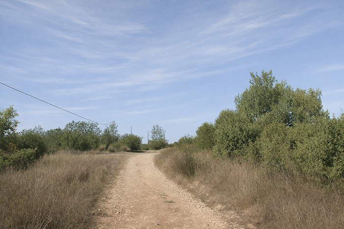
Then the landscape closes in once again. Some sections may become slightly more challenging for cyclists, when large polished stones roll under the wheels, but these difficulties remain rare. Most of the time, the path remains a wide and pleasant route, simply a little stony. |
|
 |
 |
|
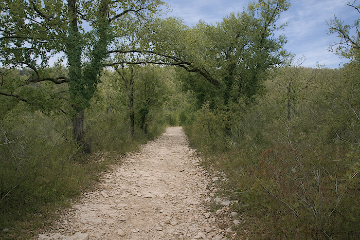
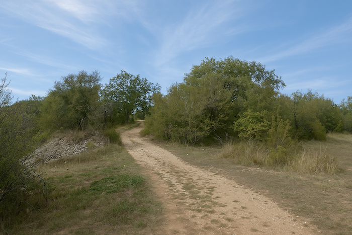
Along this remarkable path, which one easily imagines inherited from ancient Roman routes, the walker rarely feels lost in the wild during the first kilometers of the stage. Pilgrims move forward one behind the other, spaced out but always visible, never packed tightly like a group of cyclists. |
|
 |
 |
 |
 |
|
Soon after, another sign appears beneath the trees, indicating Mas-de-Vers at 2.1 kilometers. |
|
 |
 |
|
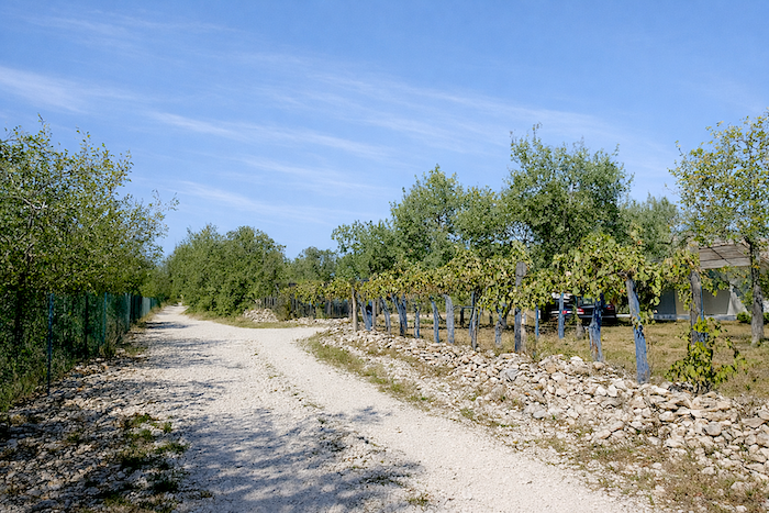
The path then quietly leaves the undergrowth and ventures into truffle oak plantations. They are easy to recognize, spaced well apart from one another, arranged with an almost military regularity, very different from the natural disorder of the forest. |
|
 |
 |
 |
 |
|
A little further on, the path crosses a small country road at the place called Fontanilles. |
|
 |
 |
 |
 |
|
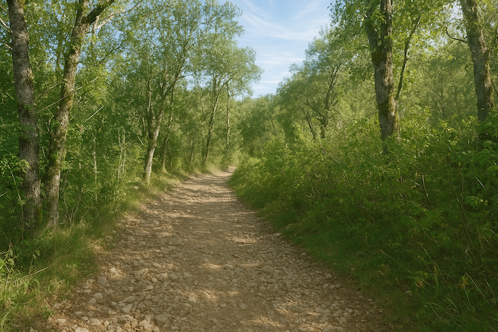
Then it sets off again, tracing long straight lines through the wild landscape, beneath the twisted and unruly oaks of the causse. |
|
 |
 |
 |
 |
|
You will hardly notice time passing in this silent spectacle, where each step follows effortlessly on smooth earth, until the approach of the tarmac road near Mas-de-Vers gently reminds you of the return to inhabited land. What more can be said? Nothing. One simply has to listen to the silence. Everything here feels grand, as if suspended outside of time. |
|
 |
 |
 |
 |
|
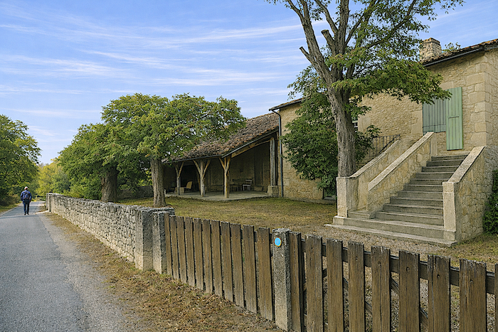
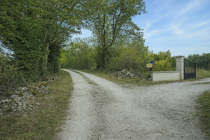
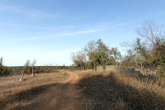
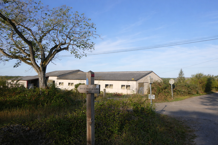
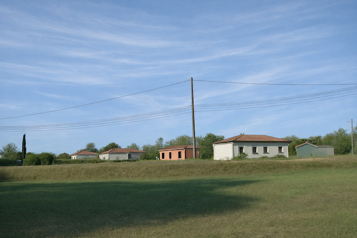
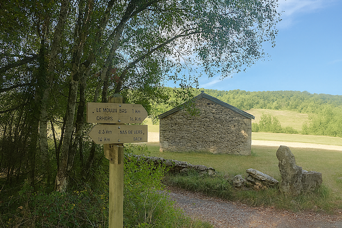
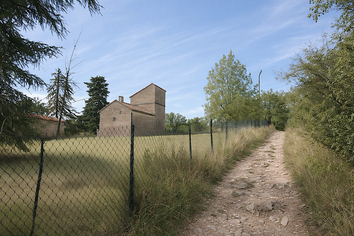
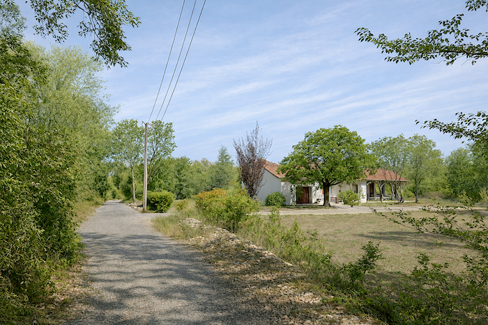
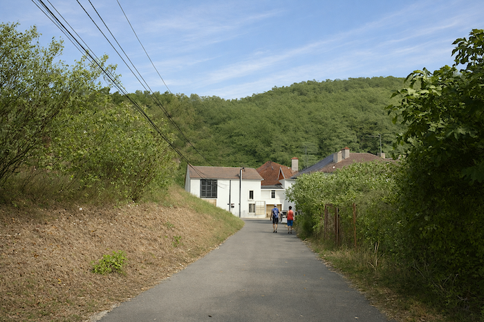
A hint of civilization reappears near Mas-de-Vers, a hamlet that the path avoids. Here again, as between Faycelles and Cajarc, UNESCO has taken pleasure in classifying paths lost far from human presence. Leaving Mas-de-Vers, a shortcut leads to a lodging, the Poudally guesthouse, worth mentioning as accommodation is scarce before Cahors. Has UNESCO once again made things difficult for hosts? It must also be said that even one extra kilometer can sometimes discourage a pilgrim. |
|
 |
 |
|
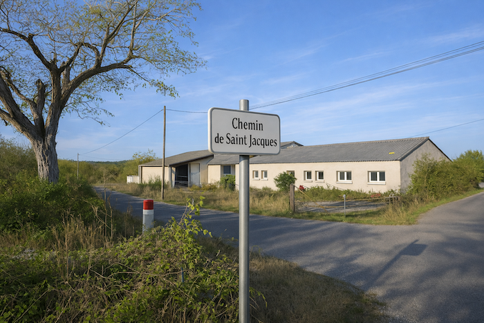
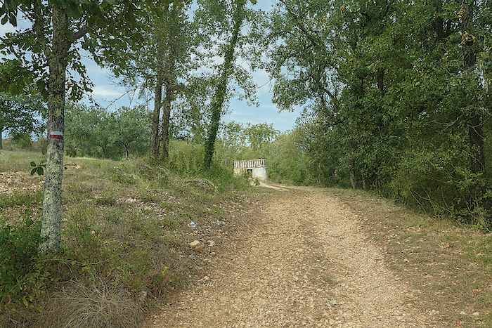
You are indeed walking along the Cami Ferrat. A sign reminds you of this, in case you had forgotten, just beyond the last farms of the village. |
|
 |
 |
|
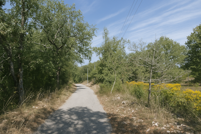
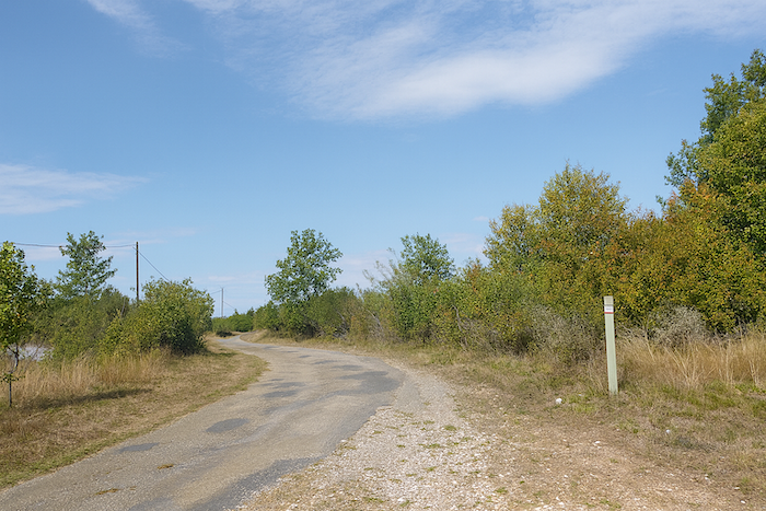
The GR65 then leaves the hamlet along a small tarmac road. In the past, this was only a dirt road. The Way of Saint James is not fixed; it evolves over time and adapts to uses and landscapes. In this environment marked by dryness, it sometimes happens that an abandoned farm appears behind the boxwood and oaks, like a silent remnant of a life once established on these plateaus. |
|
 |
 |
 |
 |
|
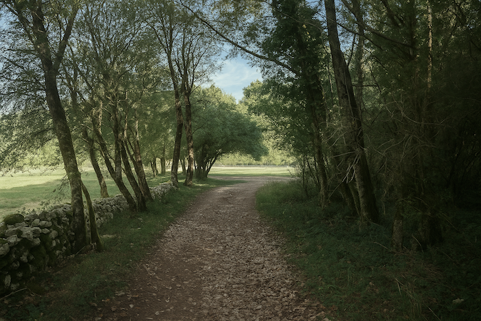
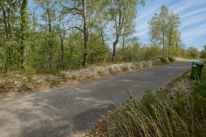
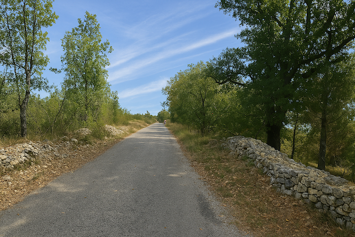
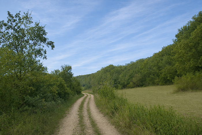
The road then unfolds its quiet ribbon, peaceful and almost monotonous in its simple beauty. The eye wanders across landscapes that are often sublime. Along this remarkable path, known to be inherited from the Romans, later reshaped and sometimes paved by human hands, you may now feel alone, almost isolated in the heart of the wild. For along the French routes to Santiago, the line of pilgrims gradually spreads out over the kilometers, a very different experience from what is observed on the Spanish routes. |
|
 |
 |
|
Even though this section is tarmac, the route continues calmly, almost monotonous in its natural beauty. One cannot praise enough the beauty of the stone walls that line the way. Moss and lichen in the causse spread everywhere, over stones, over trees, living or dead, weaving the landscape into dense veils. Along the road, there is sometimes a small opening. The eye then settles on the rare ploughed truffle fields or on the steppe stretching toward the horizon. |
|
 |
 |
|
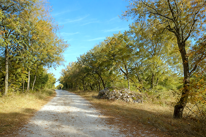
The oaks reign here as masters, though from time to time one can also glimpse field maples or Montpellier maples, discreet yet widespread trees across the causses of Quercy. Here and there remain a few weary broom shrubs and countless dogwoods now filling the hedgerows. In the past, however, boxwood largely dominated the edges of the paths. Almost everlasting, they kept their green foliage, sometimes tinged with orange, throughout the year. Sadly, they have almost disappeared, devastated in recent years by the box tree moth. Even the junipers have become rarer. Yet nature abhors a vacuum, and today it is the dogwoods that have taken their place. For how long, no one can say. |
|
 |
 |
Section 3: Gentle stirrings of rolling terrain along the Cami Ferrat
Overview of the route’s challenges : a route with no difficulty at all.
|
Nothing moves; nothing changes beneath the silent watch of the oaks. One simply has to walk forward and let oneself be carried by the silence. |
|
|
 |
|
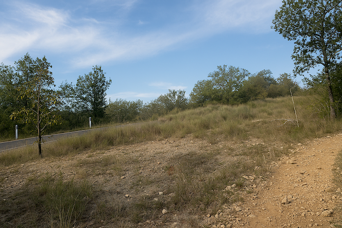
A little further on, the GR65 crosses the small road leading to Biargues. From time to time, a solitary vehicle passes along these remote backcountry routes. |
|
 |
 |
|
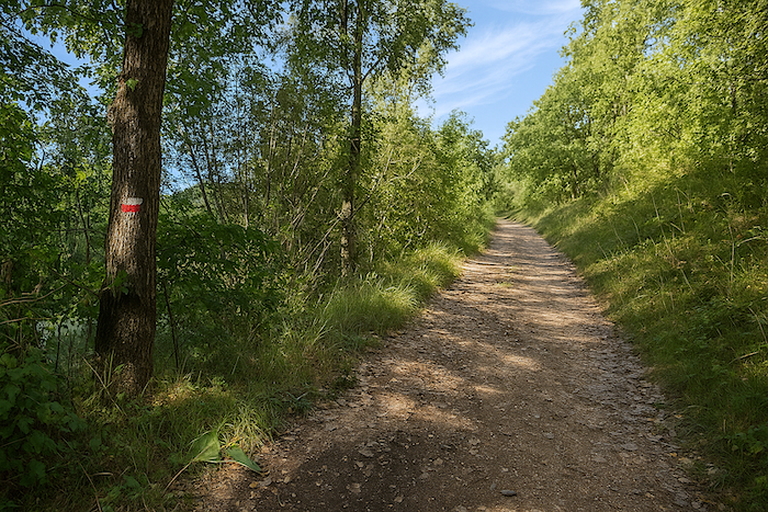
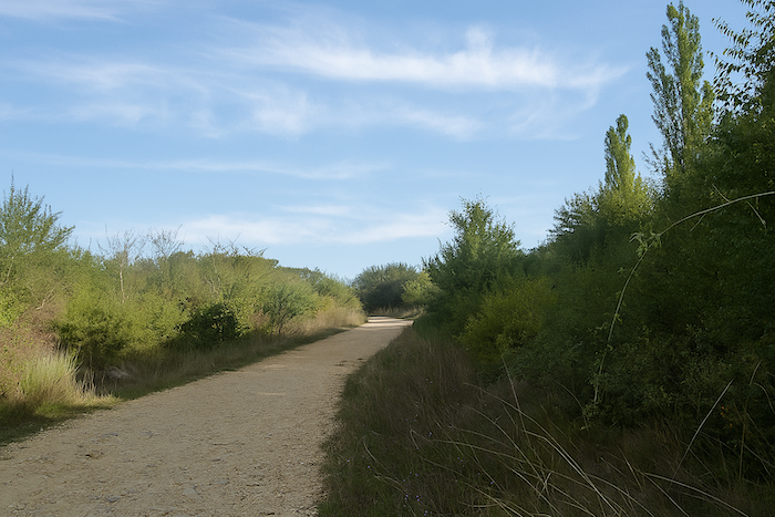
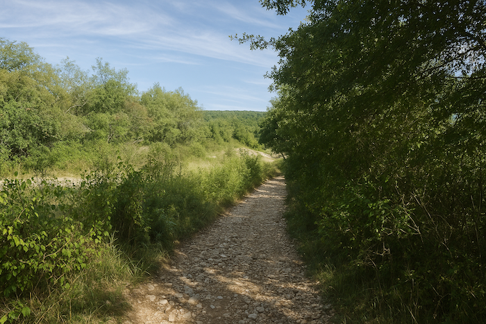
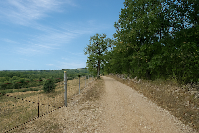
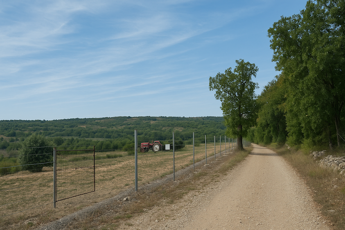
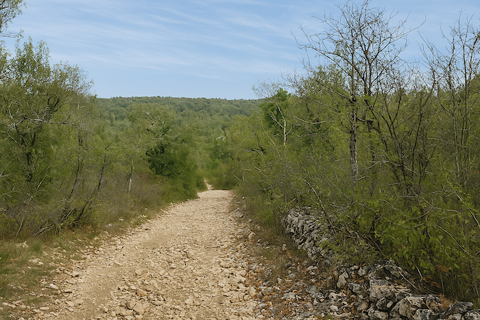
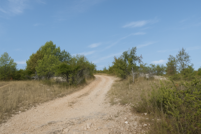
Beyond this junction, the GR65 returns to the dignity of a dirt path. Here, the packed earth is so smooth that one could almost play pétanque on it. |
|
 |
 |
|
The route draws closer to Cahors, yet the town still lies far away, sixteen kilometers of walking still separate you from it. |
|
 |
 |
|
The path then returns to that distinctive environment where the eye wanders across often sublime landscapes, marked by stone walls that trace, in the light, the true signature of the causse. |
|
 |
 |
|
Yet the landscape gradually evolves. The path approaches a more inhabited region. In this austere world, it sometimes happens that an abandoned “caselle” appears behind the oaks, like a benevolent ghost resting at the edge of time. |
|
 |
 |
|
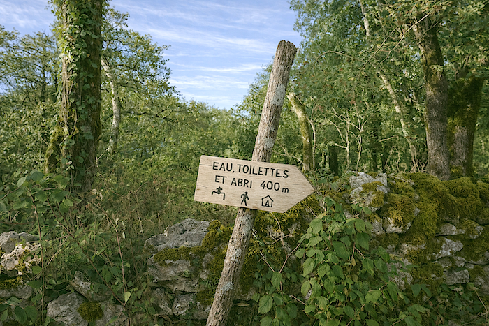
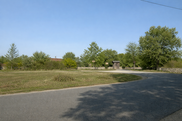
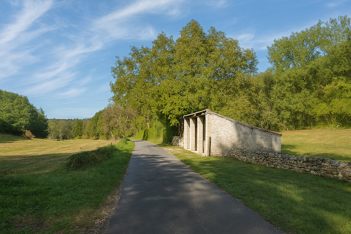
Further on, a sign indicates a shelter, toilets, and above all water. The reason quickly becomes clear. Along this section of the route, there is nothing to resupply. No bar to rest in, no village to stop at. Nothing but the wild nature stretching endlessly and a few pilgrims walking on, most of them happy simply to be there. |
|
 |
 |
|
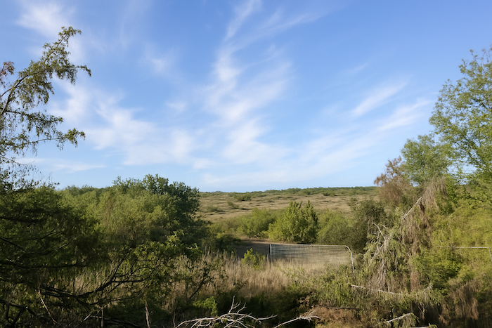
The toilets are just a few steps away, at the junction of the road leading to Lalbenque. This is the second shelter announced since Bach along this route. It is also in this area that the Gascou lodging once stood, now no longer indicated along the path. It has changed its purpose and now operates as a weekly rental. One striking feature of today’s stage is how it almost entirely ignores villages. Did Julius Caesar foresee this? A curious thought. Is it to preserve the UNESCO World Heritage status of the Bach to Cahors section that the Cami Ferrat keeps its distance from human settlement? |
|
 |
 |
|
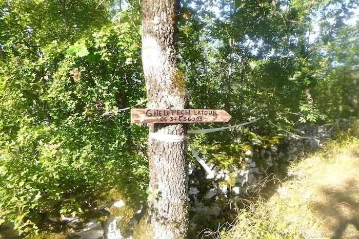
By contrast, the Pech lodging, further along the route, is still indicated to pilgrims. |
|
 |
 |
|
A beautiful “gariotte” is hidden here beneath the trees. In the Cahors region, the word “gariotte” is preferred to “caselle”. Whatever the name, the fascination remains. These small dry-stone constructions always carry something mysterious, almost magical, as if they might shelter improbable spirits of the causse. |
|
 |
 |
|
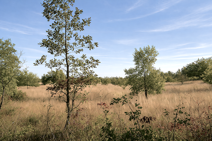
The path then resumes its graceful undulations across the causse. You hardly tire of it. At times, however, beyond the stone walls, the landscape opens and the path breathes outside the undergrowth. Sparse meadows appear here and there, allowing a few farmers to survive through modest livestock raising. Occasionally, one also glimpses hesitant crops, modest cereals that seem to struggle on this harsh land. |
|
 |
 |
|
But the opening is brief, and the path soon returns to the shelter of the undergrowth, where it seems more at ease, hidden from human view. |
|
 |
 |
|
Suddenly, the landscape changes, almost as if an invisible boundary had been crossed. The course of the path also transforms, from straight it becomes more winding as it snakes through the forest. Yes, the path changes. |
|
 |
 |
 |
 |
|
Stones become more numerous and larger, and the slope increases. |
|
 |
 |
|
At the bottom of this descent, the path joins a small tarmac road in a modest plain. |
|
 |
 |
|
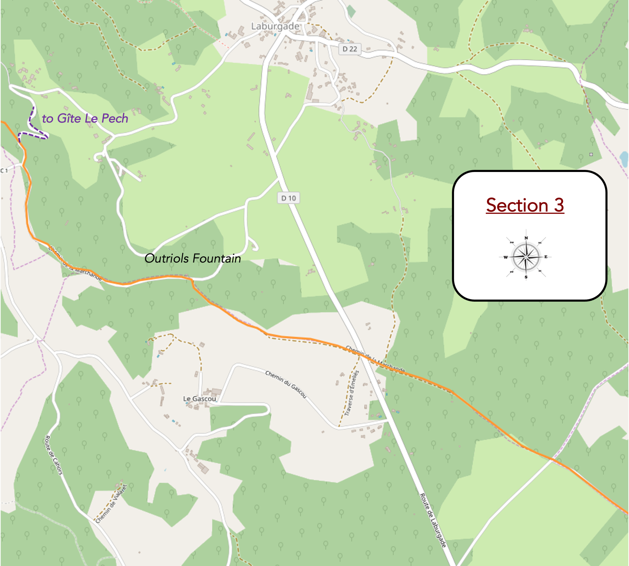
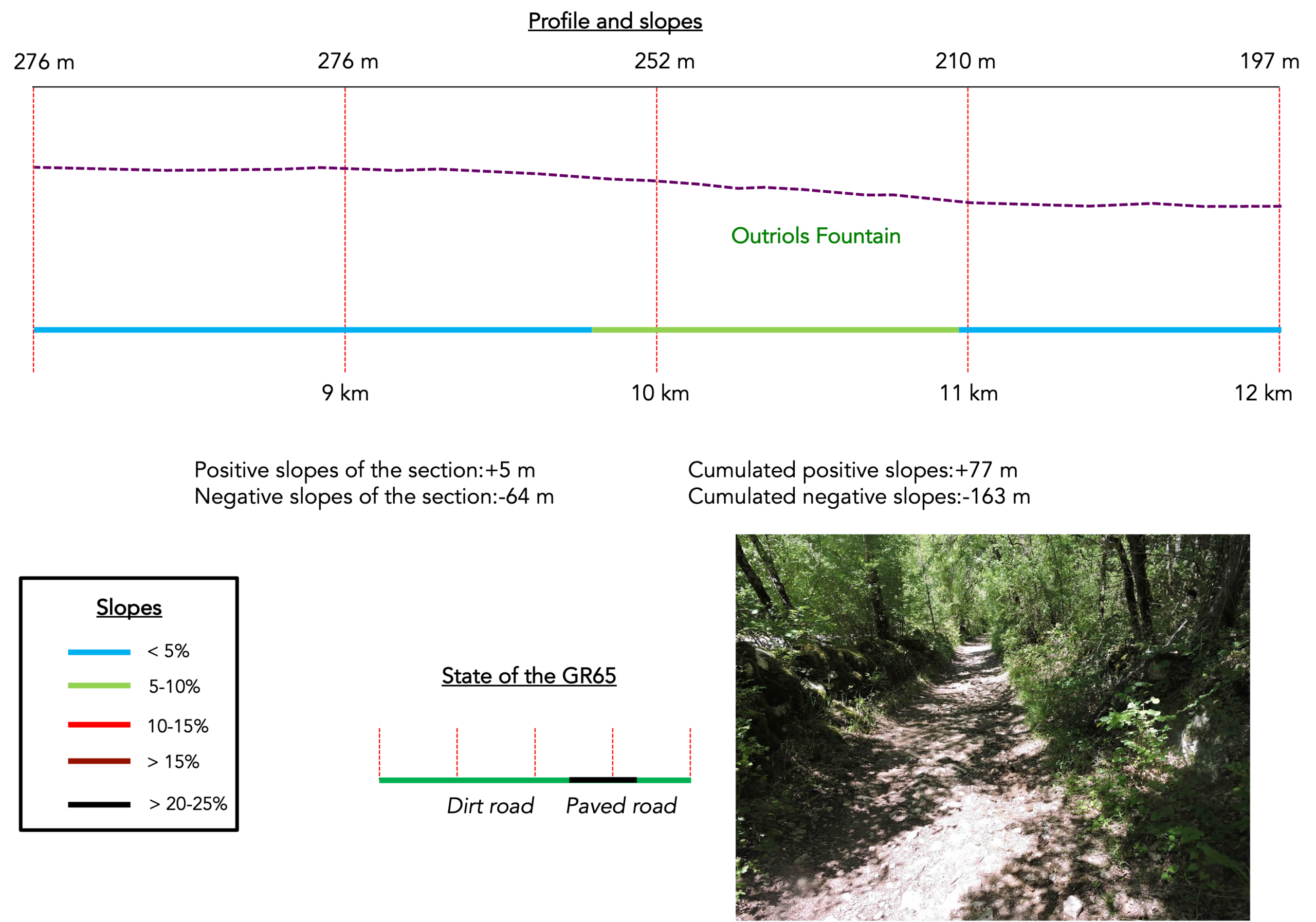
At the roadside stands the Outriols fountain. Here, the water is not drinkable. It likely serves only toads and a few discreet inhabitants of the ditches during the wet season. |
|
 |
 |
|
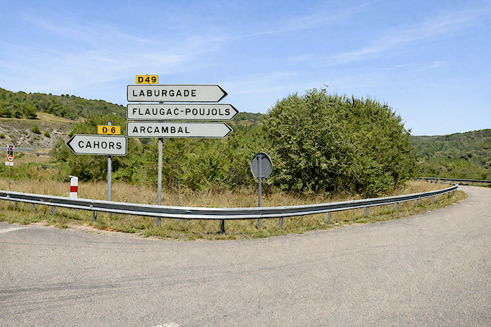
You must then leave the dirt path and follow the tarmac road toward the junction of Le Pech and Laburgade. This is probably not the most exciting part of the day. Still, there is no reason to complain. One cannot always walk in excellence. |
|
 |
 |
|
A little further on, you reach the area known as Le Moulin-Bas, about fourteen kilometers from Cahors. You have not yet covered half of the stage. |
|
 |
 |
|
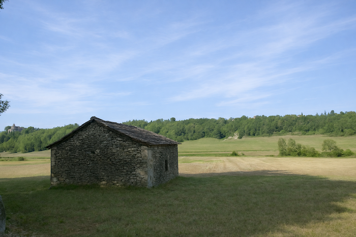
A few fine stone barns still appear along the way, and it is not always clear whether they are still in use. The road continues to unfold its gentle curves across the plain. |
|
 |
 |
 |
 |
|
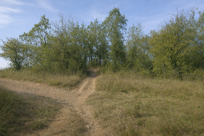
It eventually reaches a crossroads lost in the countryside, where the route changes direction. |
|
 |
 |
|
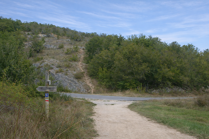
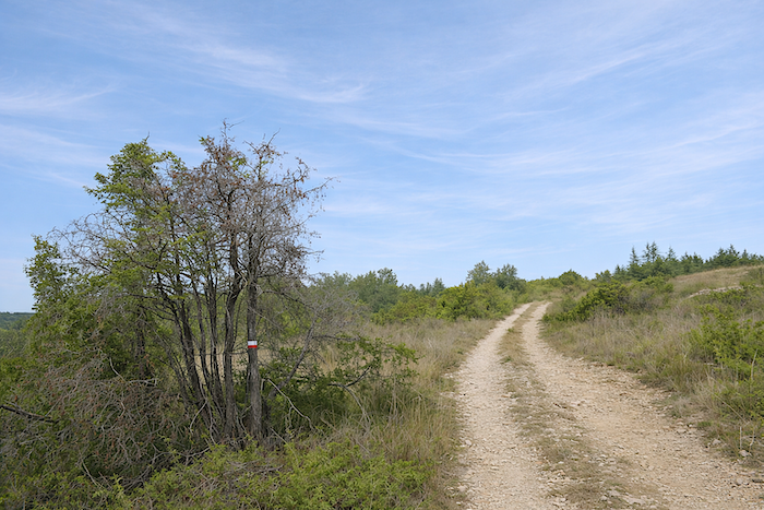
Another small road then climbs gently up a hill. Along the GR65, there is little risk of getting lost, the markings are impeccable. |
|
 |
 |
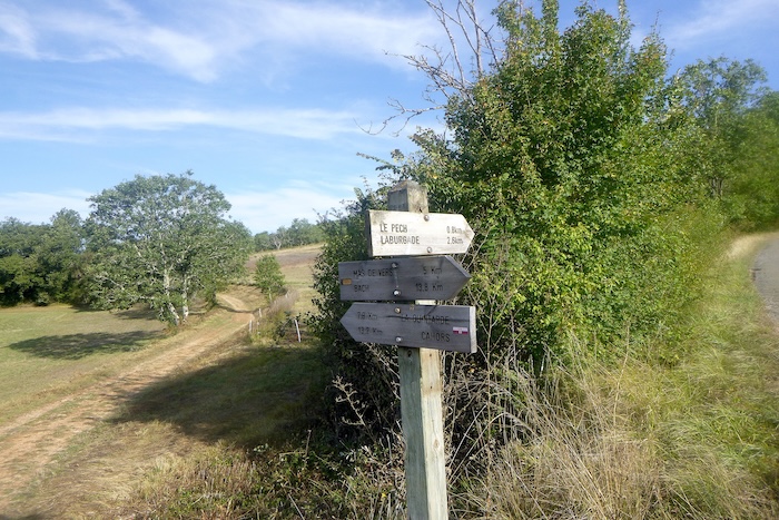
The road slopes up slightly to the junction of Le Pech. The GR65 does not pass through the hamlet itself, you must make a detour of about 800 meters to reach the lodging.
|
A dirt path then resumes, gently leading back into the undergrowth |
|
 |
 |
Section 4: The gripping crossing of the motorway before returning to the causse
Overview of the route’s challenges : qsome marked slopes, often over rocky ground.
|
The path then runs alongside the Cieurac stream, beneath the shade of the trees. |
|
 |
 |
|
It forms a true cradle of greenery where the small stream hides, shy and almost invisible beneath the foliage. As for us, we have never seen it flowing. |
|
 |
 |
|
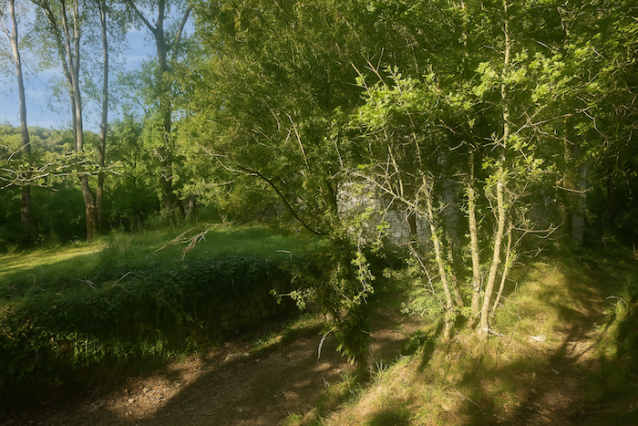
Yet in the past, water must have run here to turn the blades of the Moulin Bas. Almost everywhere, the Way of Saint James now resembles an open-air museum, filled with ancient remnants that still carry something both graceful and melancholy. |
|
 |
 |
|
If the steady murmur of the mill blades has long since vanished, the same cannot be said for the noise of the nearby motorway, whose hum of engines can already be heard. |
|
 |
 |
|
The path slowly approaches this world of roads, moving forward almost cautiously, as if wary of it. |
|
 |
 |
|
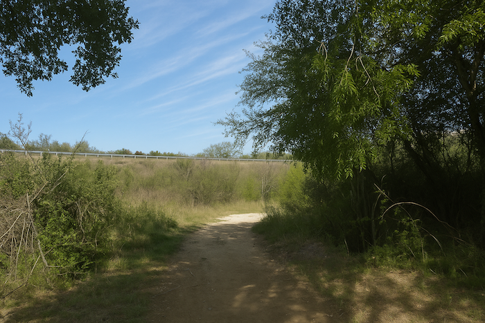
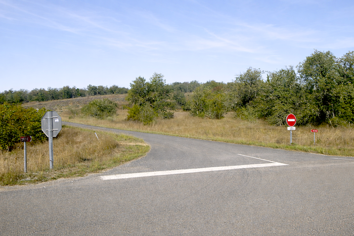
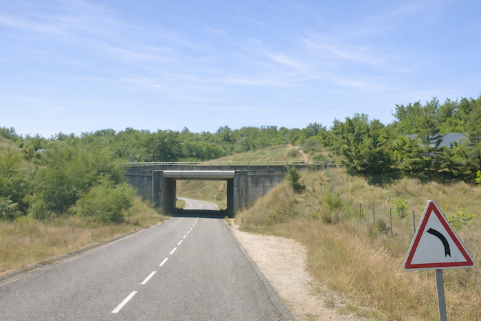
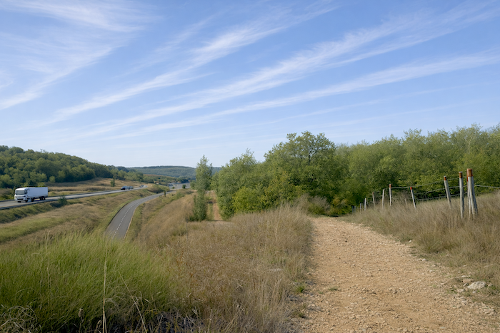
It soon crosses the Cieurac stream and emerges into a kind of no man’s land, facing a rather complex network of roads. The direction first leads to the junction with the D6, the road to Cahors, at the foot of the motorway. |
|
 |
 |
|
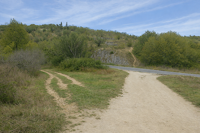
Within this tangle of roads that must be followed, the pilgrim briefly takes the D6, which here serves as a bypass alongside the motorway. |
|
 |
 |
For the walker, what follows is simpler than it seems. A little further on, at another junction, it is enough to continue straight along a narrow trail, very well marked. In this world of concrete and asphalt, however, one must remain attentive to the GR signs to avoid mistakenly ending up on the motorway. The geography of the place is so complex that one might almost imagine the need for a five-hundred-meter tunnel to allow pedestrians to pass beneath the motorway.
|
The small trail then winds through tall grass, like an improvised slalom, before rejoining the D6 Road higher up, on a ramp that crosses the motorway. |
|
 |
 |
 |
 |
|
The D6 Road passes under the motorway through a discreet tunnel. Ahead rises an embankment, like a small exercise meant to awaken the walker’s joints. |
|
 |
 |
|
The short climb up this ochre earth slope, through wild grasses, does not last long. Soon you return to a rocky path that climbs gently and offers an open view over the motorway. The contrast is striking. After walking for kilometers in near silence, you suddenly find yourself immersed in the noise of modern life. This is the A20 motorway, known here as the “Occitane”. |
|
 |
 |
|
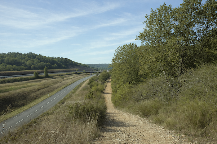
From above, the view stretches widely over the motorway and the D6 Road, which you will follow for nearly a kilometer. |
|
 |
 |
|
The path then follows the D6 Road along the embankment, never really moving away from it. |
|
 |
 |
 |
 |
|
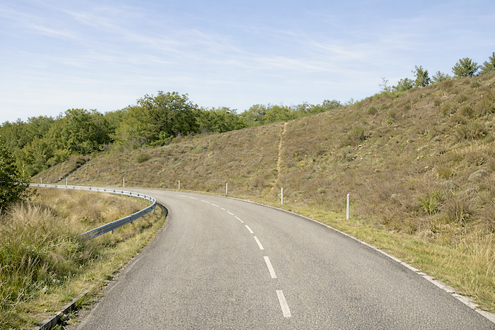
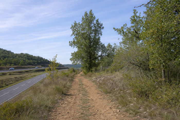
Then it leaves it behind and returns to the stones and the rugged character of the causse. The trail becomes narrow, almost secret, and climbs rather steeply up the slope. |
|
 |
 |
 |
 |
|
Higher up, the path once again approaches the D6 Road, eventually following it for a few hundred meters. |
|
 |
 |
 |
 |
|
At the place called Le Gariat, the GR65 finally leaves the road to Cahors and turns sharply at a right angle to plunge back into the undergrowth. |
|
 |
 |
Here, you are now 11 kilometers from Cahors.
|
Tired of skirting the motorway, its empty surroundings, and its ordinary world, the path comes alive again and disappears back into the forest. Gradually, the sound of engines fades among the trees. What silence. One can almost hear the rustling of the trees in the light wind. The GR65 returns to the stones and climbs up to the top of the rise. |
|
 |
 |
|
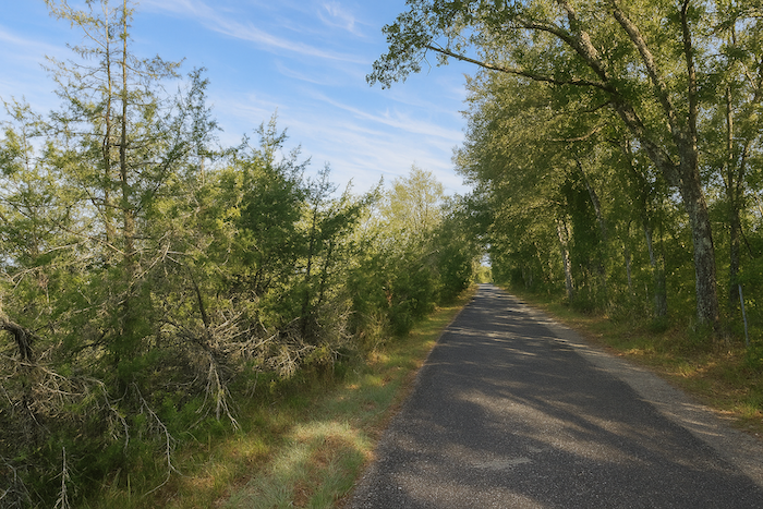
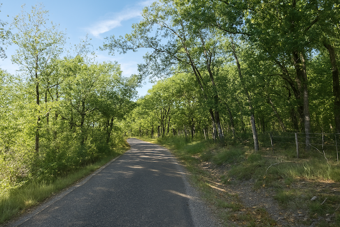
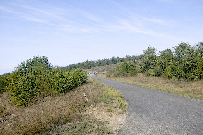
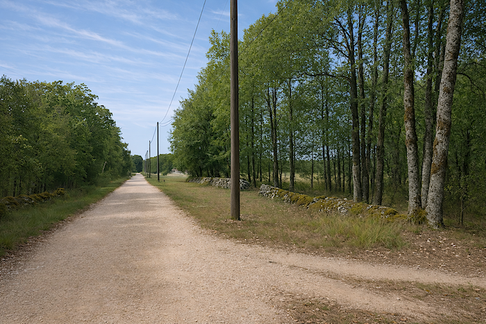
It then meets a tarmac road, which it follows on level ground for a few hundred meters. On the Way of Saint James, tarmac, earth, and stones coexist easily. They accommodate one another, because although the paths belong to the pilgrim, the people who live here must still be able to move about daily without facing potholes and rough tracks. |
|
 |
 |
 |
 |
|
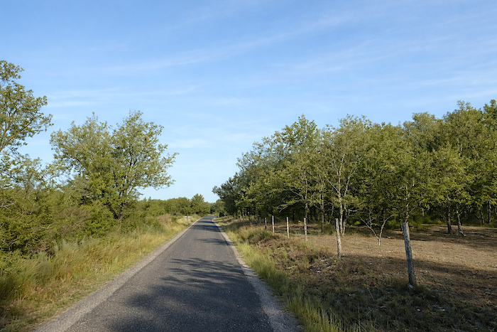
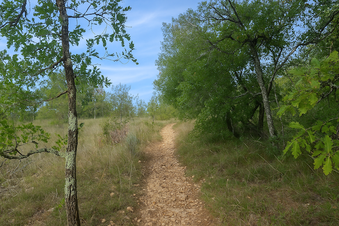
Further on, the GR65 once again displays the full range of typical causse paths, scattered stones underfoot, stone walls sometimes covered in moss, and countless oaks filling the landscape. Pure pleasure for the walker. |
|
 |
 |
|
The path lingers for a while in this familiar setting and passes near a reservoir. Is there really water here? No doubt, even if it remains discreet in this land of dryness. |
|
 |
 |
 |
 |
|
But the gentle walk does not last long. Soon it becomes clear that the slope steepens as the path descends into the steppe. |
|
 |
 |
|
Then the pleasure lies ahead, though perhaps not for your knees and joints, already tested by the distance. The slope here approaches 15%, and the path is nothing but a scatter of large stones, like those found in the Alps. Yet the landscape remains true to itself, austere and unchanging. |
|
 |
 |
|
The descent continues, long and persistent, down into a hollow. Stones sometimes roll underfoot. Caution is needed for more delicate walkers, as the passage can become difficult, especially in wet weather. |
|
 |
 |
 |
 |
At the bottom of the descent, an old sign indicates Cahors at 10 kilometers of walking.
|
Of course, the Camino de Santiago James often feels like a kind of slide. After the pleasure of descending inevitably comes the effort of climbing again. |
|
 |
 |
|
Here, the slope regains almost the same steepness and demand. But the loose stones have disappeared, as if absorbed into the earth, replaced by smaller but often sharp stones underfoot. |
|
 |
 |
| Some pilgrims sweat heavily. Come on, courage. This is probably the only real effort required during today’s stage. | |
 |
 |
|
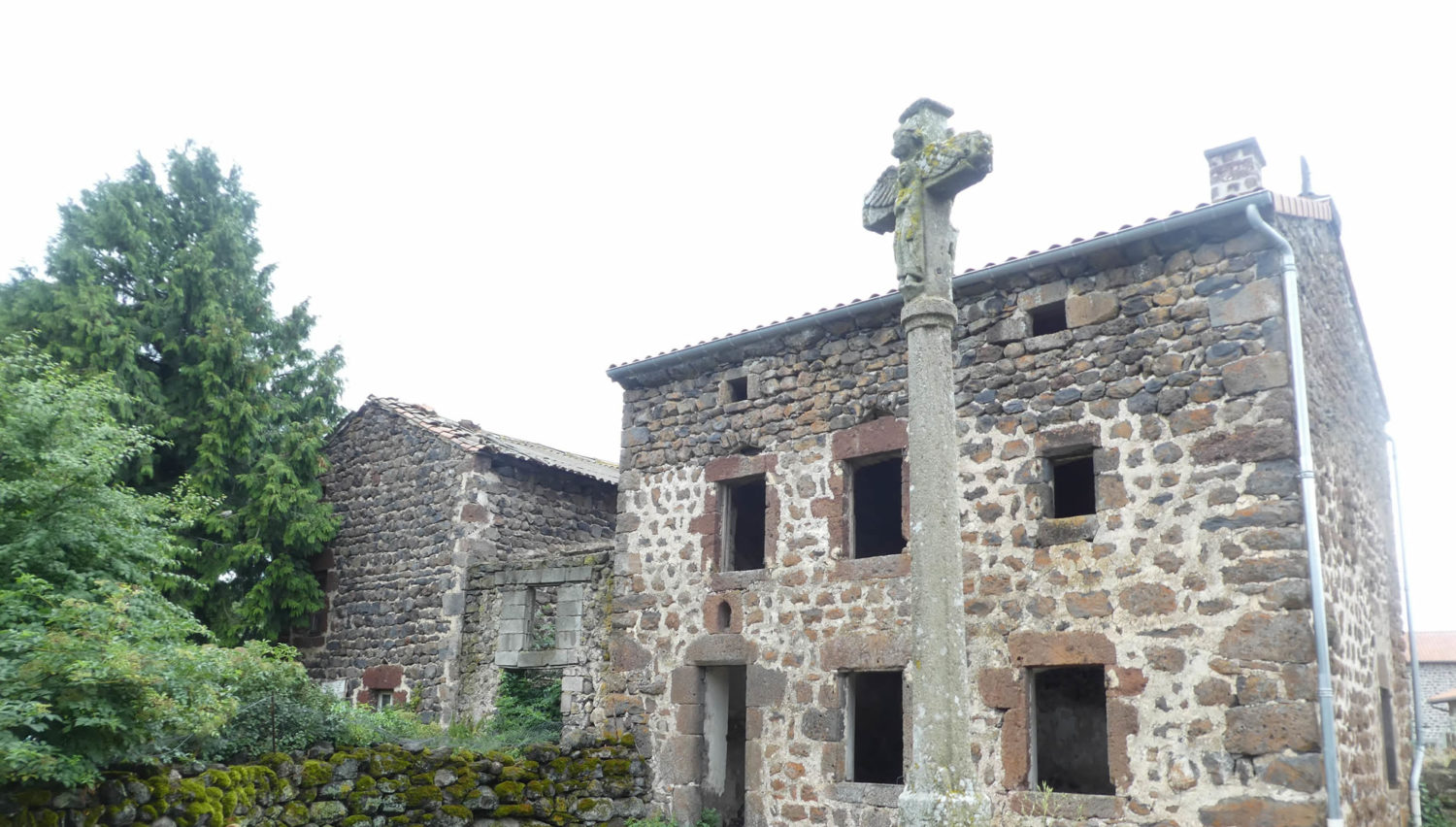
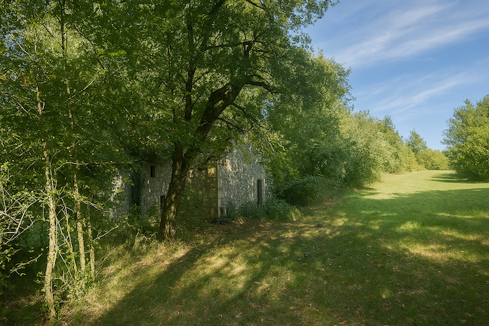
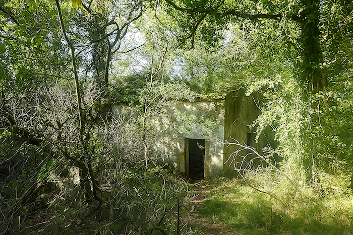
Nature, however, remains unchanged, wild, dry to the core, harsh yet full of character. Higher up, the slope finally softens as the path passes near a beautiful stone ruin. |
|
 |
 |
 |
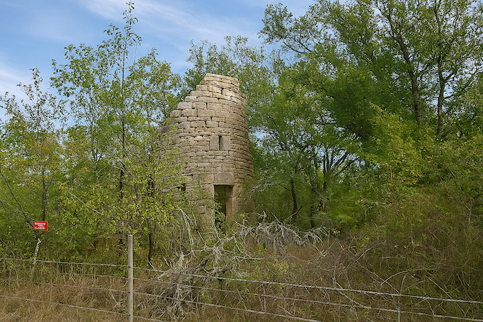 |
|
Further on, the path reaches the edge of a football field. |
|
 |
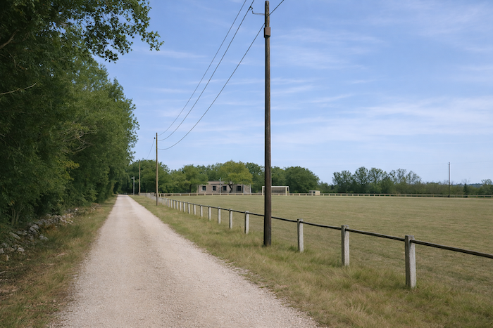 |
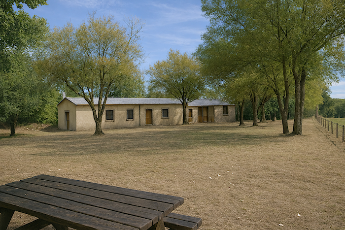
In the past, the Repose-Pieds refreshment stop was a welcome and almost essential halt along the Way of Saint James. It was often here that pilgrims gathered for a well-earned break. You would likely have done the same. The cheerful owner used to say he rarely saw a walker pass without stopping. Today, everything seems to have ended. For how long, no one knows. Only a water point and a few picnic tables remain.
|
From the former refreshment stop, the GR65 continues calmly along the road, almost level, as if allowing you to catch your breath. |
|
 |
 |
 |
 |
|
But this respite does not last long. A long descent soon begins. Beneath the trees, a small “gariotte” seems to offer a silent greeting. |
|
 |
 |
|
Dryness still reigns everywhere, despite a few sparse meadows appearing on the slopes. The path runs for quite some time alongside what appears to be a developing truffle plantation, set along the crest of the hill. |
|
 |
 |
 |
 |
|
Further down, the slope becomes clearly steeper. Stones also become more numerous, though without the dangerous scree encountered earlier. |
|
 |
 |
|
With a gradient exceeding 10%-15%, your footing must remain careful on the stones that roll beneath your steps. All around, the oaks, sparse and thin, offer only limited shade. |
|
 |
 |
Section 5: A return toward a little more civilization
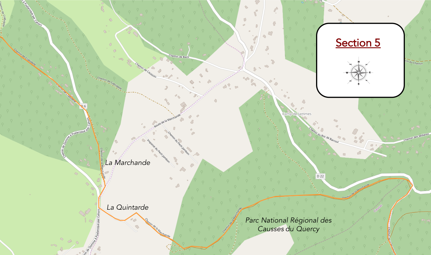
Overview of the route’s challenges : slightly more pronounced undulations, but no slope exceeds 15%.
|
This small game along the stony path continues through oaks and scrubland as far as the Pradelles junction, just before Flaujac-Poujols. Here again, as you have likely guessed, the Cami Ferrat bypasses the village. You are now 8 kilometers from Cahors. |
|
 |
 |
|
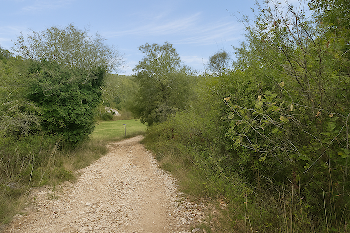
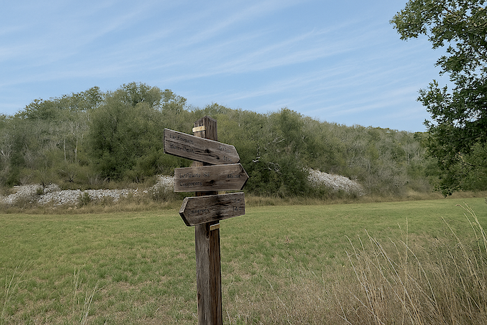
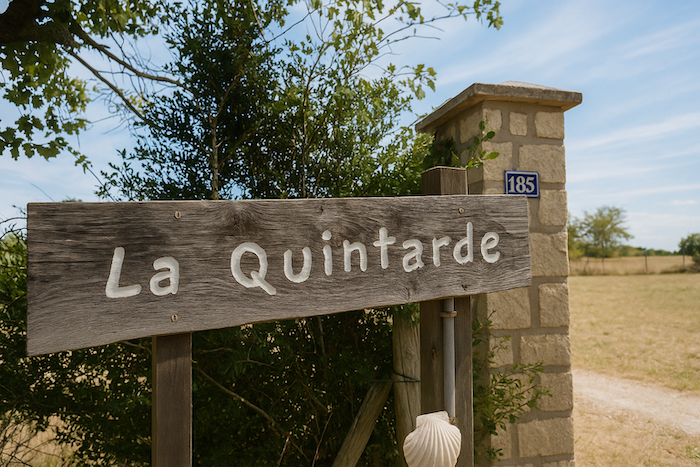
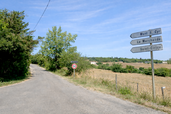
A first rise lies ahead, and others can already be sensed along a horizon that begins to open slightly. The route draws closer to Cahors, moving from hollow to hollow. And if, for a moment of relief, one wished to set aside the rolling ups and downs for a little calm for the knees and joints, there is no need to ask twice. Here, a wide avenue of packed earth leads toward La Quintarde and La Marchande, announced at the top of the hill. Another gariotte, shaped like a small sugar loaf, watches quietly at the beginning of the path. |
|
 |
 |
 |
 |
|
At first, the path runs alongside a road where hardly anyone passes. |
|
 |
 |
|
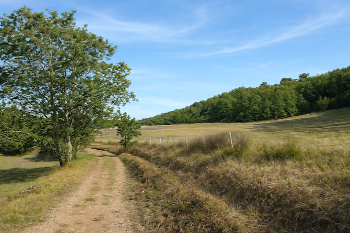
The charm of these long solitary stretches in the undergrowth, or along its edge as here, is that one gradually becomes attentive to detail. Others pay no mind and let their thoughts wander. Yet for many walkers, the mind grows accustomed to these quiet scenes where nature displays its craft, sometimes beautiful, sometimes more ordinary as here. The Roman builders of the time only had to gather the stones around them to strengthen the path. There was no shortage of them, and there likely never will be. And never mind if the terrain was uneven. One simply followed the gentle slopes and the hills. Climb, descend, then climb again and descend once more, most often along the edge of the forest. Julius Caesar likely appreciated seeing his troops move along the forest margins, where they could take shelter if needed. |
|
 |
 |
|
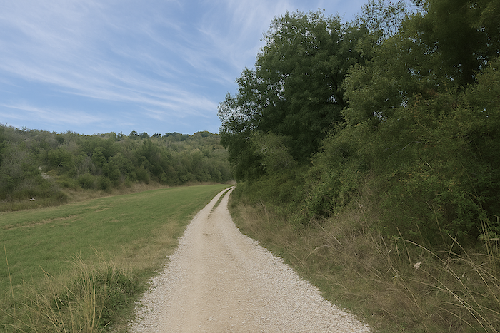
Yet for many pilgrims, this kind of route, uniform, without surprise, almost monotonous to the point of weariness, will not stir the soul. Still, it is nearly two kilometers to cover, repetitive from one bend of the path to the next. This is no longer the magic of the causse. There is only one advantage. It barely climbs, yet the end of the hollow always seems farther away. |
|
 |
 |
 |
 |
|
Higher up, the situation finally changes. Stones return to the path, and so does the slope. It feels as though the causse has returned. |
|
 |
 |
 |
 |
|
The path then climbs a small bare hill, where an old and modest stone barn seems to have been waiting for no one for a very long time. |
|
 |
 |
|
Then it enters a small dense and wild undergrowth. The climb becomes a little steeper. It is always curious to notice that pilgrims often reappear precisely in these more demanding sections. Much like on motorways, where trucks seem to gather whenever the slope becomes steep. |
|
 |
 |
 |
 |
|
Nature here is delightfully wild, with lichens clinging to the trunks of the trees. This place must be appreciated by local inhabitants who enjoy quiet walks. |
|
 |
 |
|
Higher up, the path leaves the undergrowth. One final short rise leads to La Quintarde, which offers a large park, guest rooms, and a host’s table. The place feels peaceful and must attract more than one visitor in search of tranquility, |
|
 |
 |
 |
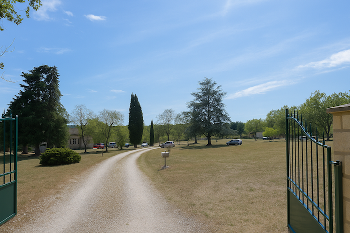 |
| From La Quintarde, a road climbs briefly to the top of the ridge, where several small local roads meet. | |
 |
 |
|
The route then follows the road toward La Marchande for a few hundred meters, leading to the path of the same name. Yet along the Way of Saint James, whenever an alternative to the road appears, it is almost always preferred. |
|
 |
 |
|
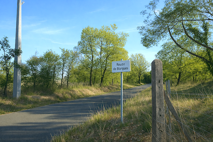
Between La Quintarde and La Marchande, the route crosses, on level ground, an area of small villas. The town gradually extends into the countryside, as it does everywhere. This is perhaps the only place where ancient routes might have altered the plans of Julius Caesar. Yet it must be pleasant to live here, on the heights above Cahors, still almost surrounded by nature. |
|
 |
 |
 |
 |
|
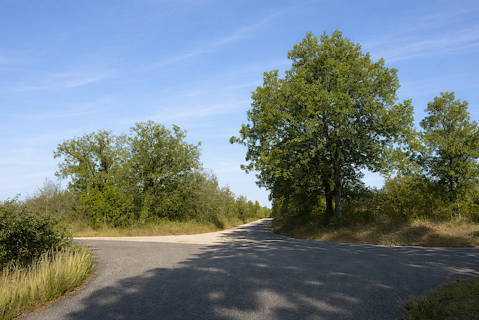
At the end of the path, tarmac returns, along with another junction of roads. |
|
 |
 |
 |
 |
A sign then indicates the “Cabridelle path”.
|
The route briefly follows the tarmac road toward the “Cabridelle path”. This is not really a village; the entire ridge is simply dotted with scattered villas. |
|
 |
 |
|
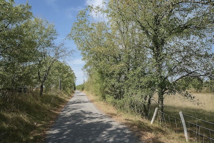
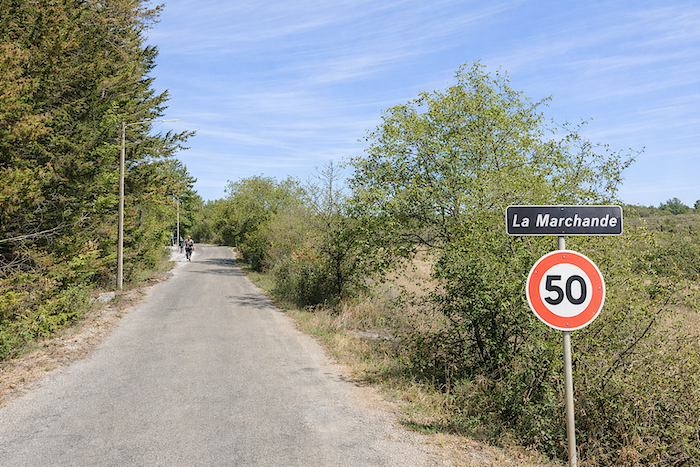
Leaving La Marchande, the GR65 continues alongside the road for a while before returning to a typical causse path. |
|
 |
 |
|
Here, the landscape changes noticeably. The “Cabridelle path”, earthy and stony, undulates in a series of gentle slopes along a wide and majestic ridge. The vegetation is harsh, stunted oaks, junipers, wild grasses, and scrub make up this austere setting. |
|
 |
 |
|
You now walk across the Pech de Fourques. At every turn of the path, the landscape invites you to go further, so striking is the whole. |
|
 |
 |
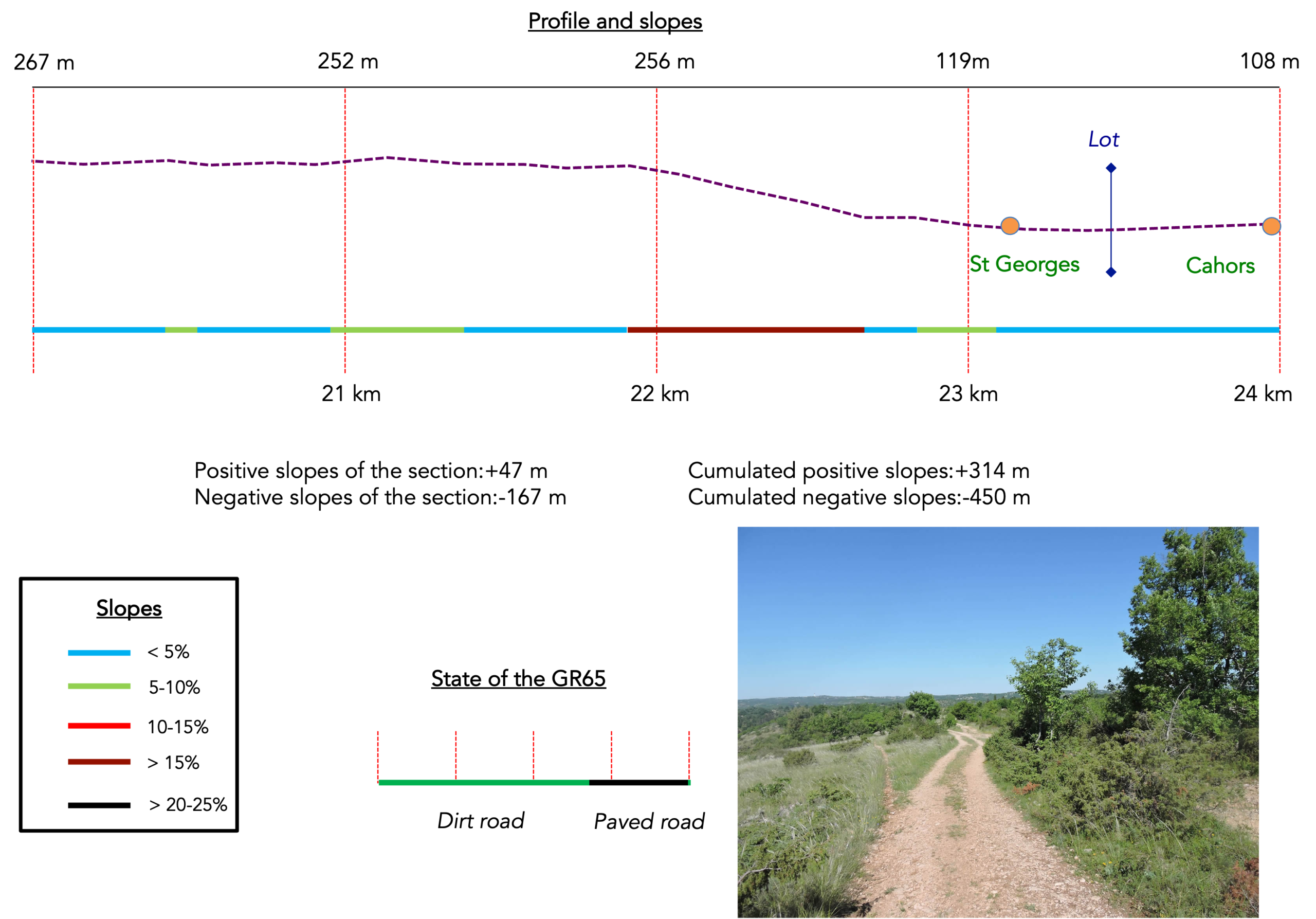
Section 6: A full descent toward Cahors, jewel of the Lot
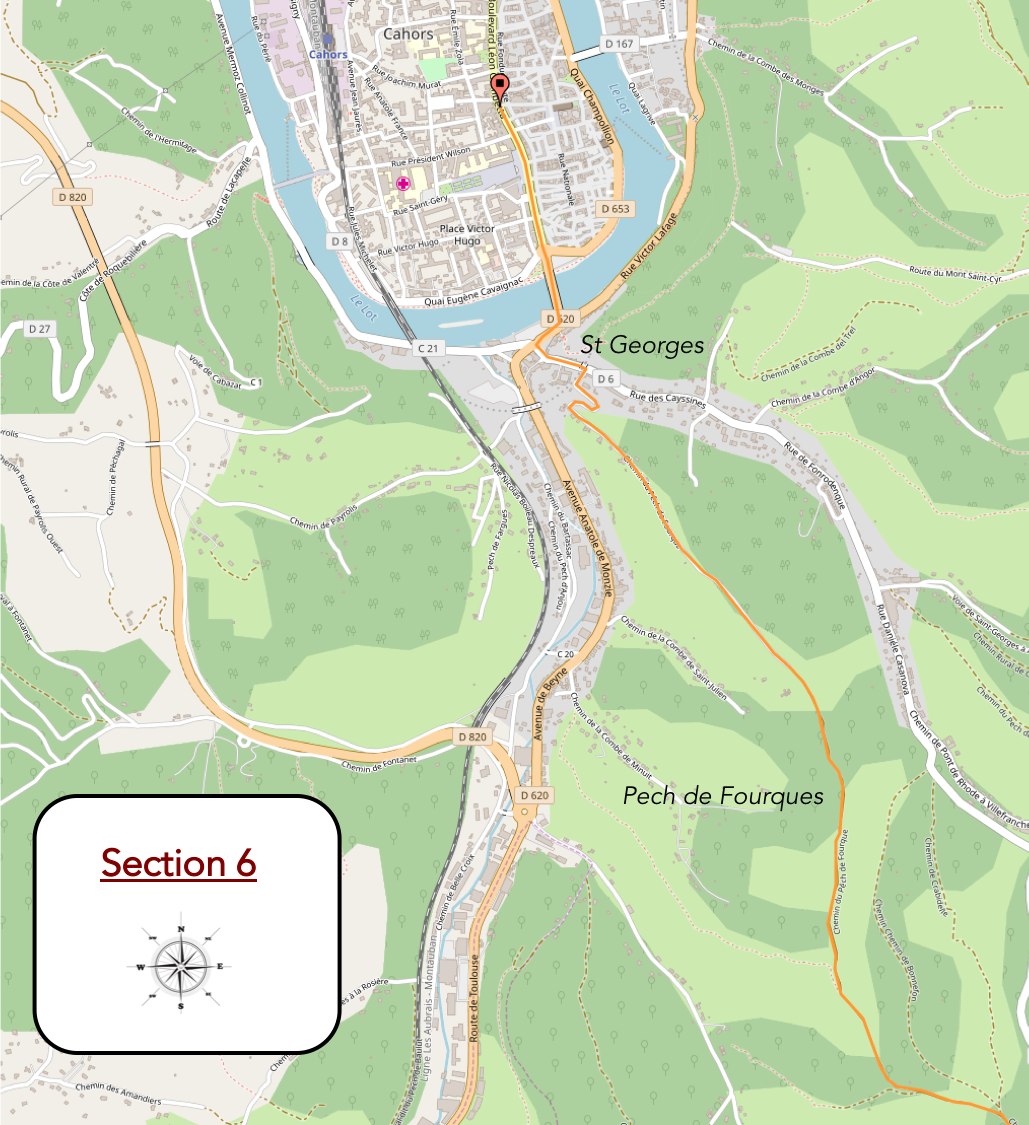
Overview of the route’s challenges : a steep descent, sometimes exceeding 25% before reaching the town.
|
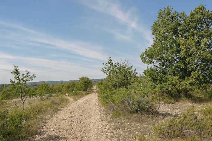
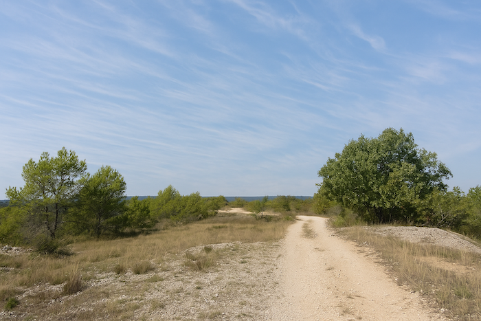
Along the ridge, the order of the landscape is striking, no matter which way you turn. This is the majestic Pech de Fourques overlooking Cahors. The scenery belongs entirely to the spirit of the causse. Everything here breathes a kind of mineral and luminous austerity, a simplicity that feels almost primitive, where earth, wind, and stone seem to have been in quiet dialogue for centuries. The path stretches into the distance like a pale ribbon laid upon the rough skin of the plateau. It is made of light dust and limestone stones, worn down by time, bleached by the sun, and shaped by the footsteps of countless walkers. Nothing here is truly straight or truly winding, the route gently undulates, following the subtle movements of the land. . |
|
 |
 |
 |
 |
|
Not a soul in sight. Nothing but the splendor of silence, broken only at times by the sound of crickets. The spirit expands with the horizon. On either side, the vegetation remains low, almost humble. Downy oaks dominate this frugal world. They are never majestic as in great forests, here they grow close to the ground, shaped by wind and dryness. Their twisted trunks bear irregular branches, as if each tree had struggled to claim its place in this austere land. Their grey green foliage filters the light and casts delicate shifting shadows across the stony ground. Among these oaks appear juniper bushes, dogwoods, and a few scattered pines clinging to the slopes. Grass grows in uneven patches, dry and golden, mixed with wild thyme, serpolet, and small aromatic plants that release their scent when brushed by passing feet. |
|
 |
 |
 |
 |
|
The ground itself seems to breathe light. Limestone appears everywhere, in fragments, in slabs, in flat stones that emerge from the ground like the bones of an ancient landscape. In places, the path becomes almost white, so much stone dust has gathered. The vast sky completes the scene, giving the place an almost unreal character. On the causse, it always seems larger than elsewhere. What strikes most is the silence, wide and profound, disturbed only by the whisper of dry grasses. Here, nature is never spectacular, it reveals itself slowly, in the rhythm of walking. |
|
 |
 |
|
Along this bare ridge, the walker moves between sky and stone, with a sense of space that feels almost infinite, as if suspended outside the world. |
|
 |
 |
|
At the end of this long ridge that fills you with quiet joy, the stony path reaches a small tarmac road. |
|
 |
 |
|
The uneven road continues level across the causse, following the ridge for nearly half a kilometer. |
|
 |
 |
 |
 |
|
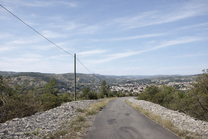
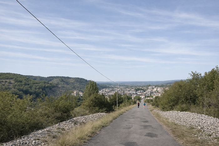
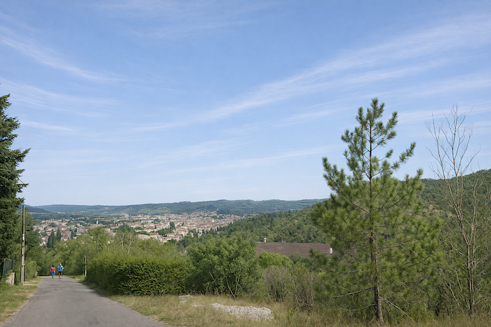
Then, through a gap in the oaks, Cahors appears far below in the plain. After long kilometers spent on the causse, in this austere world of stone and wind where the landscape seems almost unchanged, the sight of Cahors feels like a revelation. It is often a strange, almost moving moment. After so many hours walking through a silent, mineral landscape, the appearance of a town suddenly restores the sense of the human world. |
|
 |
 |
|
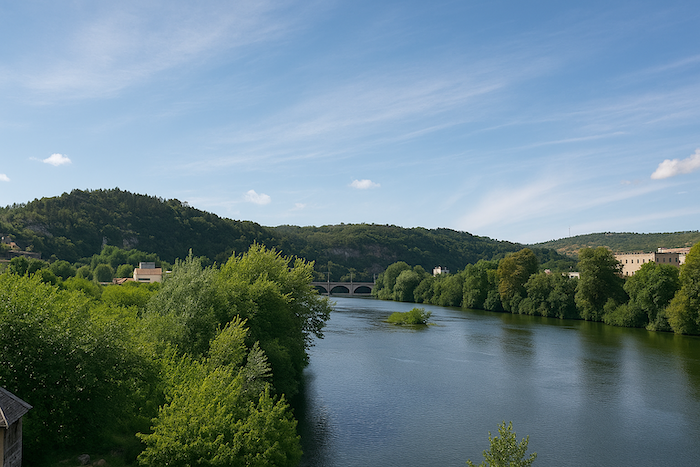
The pilgrim reaches the edge of the slope and suddenly the world opens. Before him, the valley emerges like a promise. The road, lined with pale stone walls, descends steeply, in places more than 25%, toward Cahors, where youcan see in the distance the railway bridge, and further still the Valentré Bridge. The town appears nestled in the bend of the Lot, surrounded by soft green hills. Roofs cluster together, neighborhoods spread across the valley, and the clear light of Quercy casts a gentle softness over the whole. Everything suddenly feels more alive, almost welcoming. One leaves behind stone and wind to return to people, the river, the houses, and the quiet murmur of life. And at the end of the route, the town waits peacefully, as if it had always been there to welcome those arriving from the plateau. |
|
 |
 |
|
The gaze then drifts from the bare ridges to the rounded hills of the valley, and finally to the town itself, which seems to rest within a green setting. Yet it is not only poetry that stirs the spirit. There is also the harshness of the slope that tests your joints. |
|
 |
 |
 |
 |
|
At the bottom of the descent, the road reaches the Chemin du Pech de Fourques, near the railway line, in the St Georges district on the outskirts of Cahors. |
|
 |
 |
|
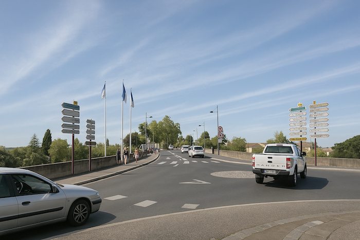
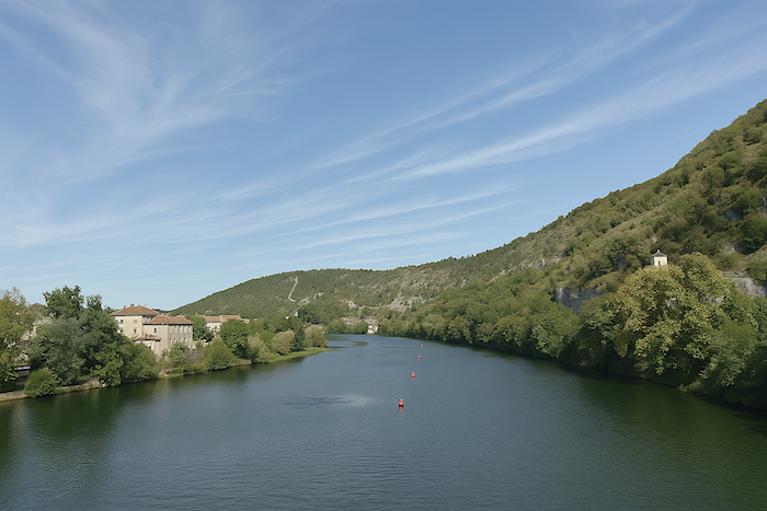
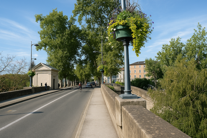
The pilgrim then heads toward the Louis Philippe Bridge. The Lot lies below, calm and quiet. |
|
 |
 |
 |
 |
|
At the end of the bridge, you are in Cahors, in the town center. |
|
 |
 |
Section 7 : In Cahors
|
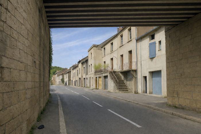
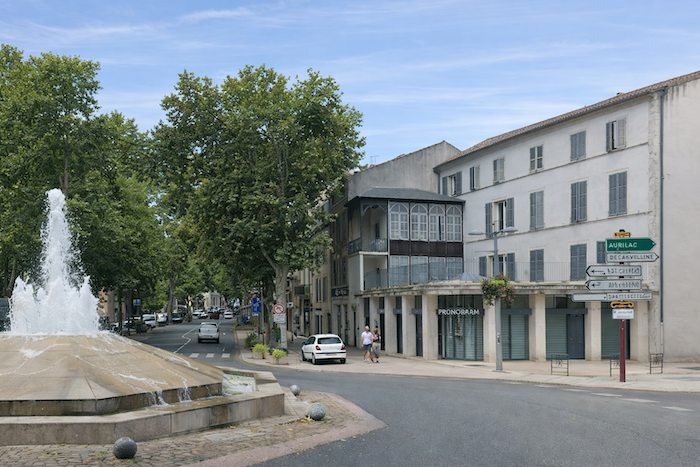
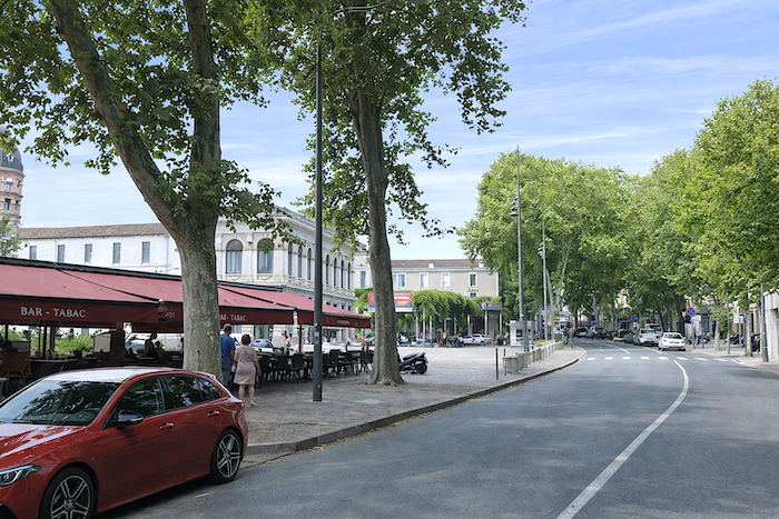
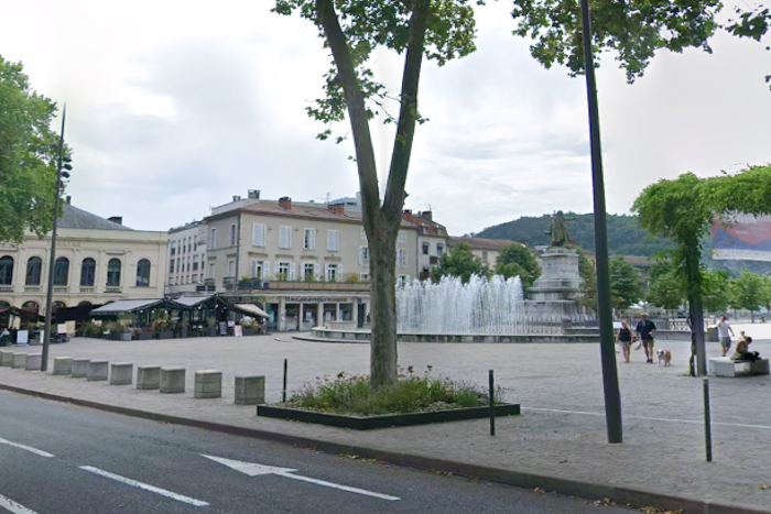
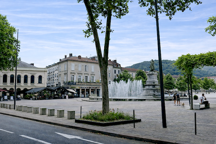
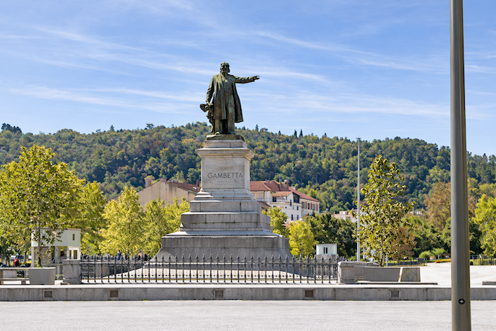
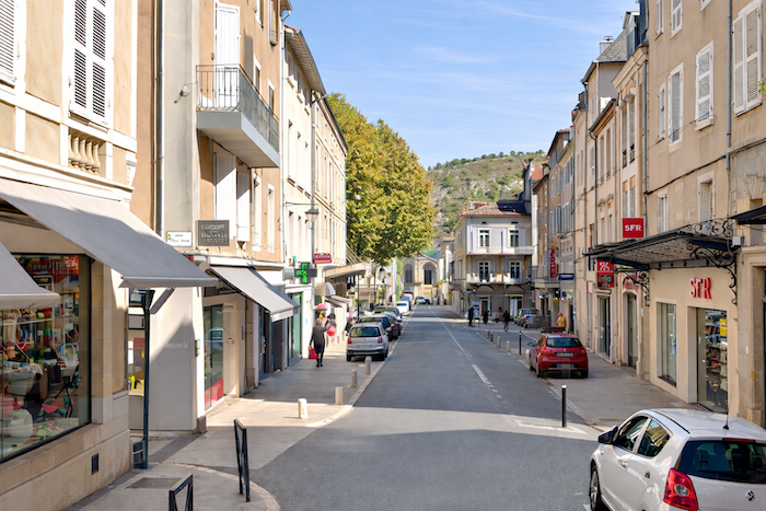
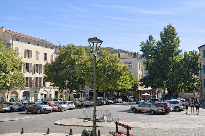
Cahors is the only town of moderate size along the Way of Saint James in France. The French route has been designed to avoid towns, which is not the case in other countries, such as Spain. The town itself has 22,000 inhabitants, while greater Cahors has nearly 50,000. Enclosed within a loop of the Lot River, the town is divided in two by Boulevard Gambetta, the main axis that runs through it, with its vast square and its shops. It is along this boulevard that Cahors is full of life and activity. |
|
 |
 |
 |
 |
|
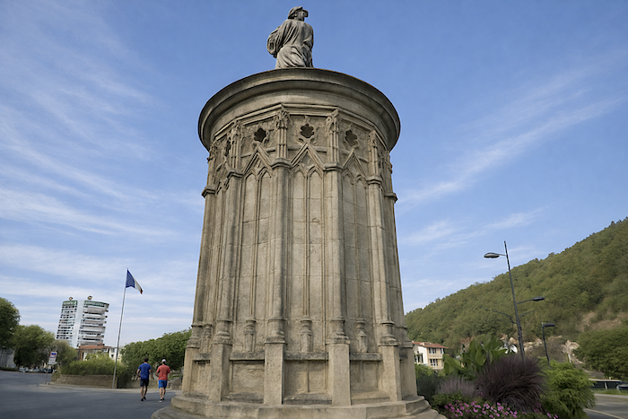
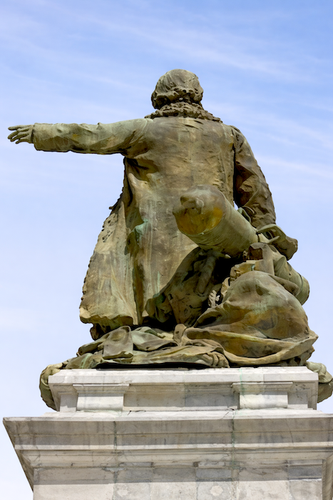
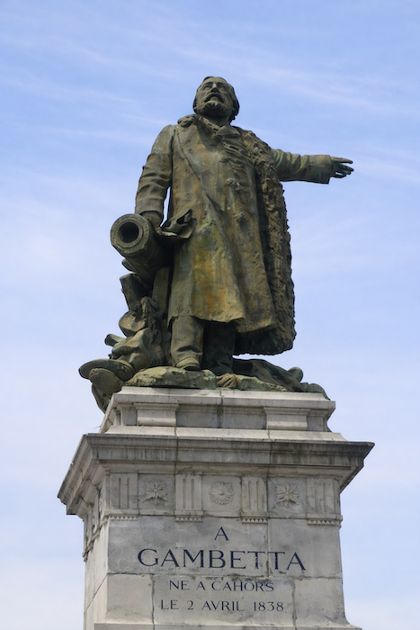
Léon Gambetta, born in Cahors in 1838, was a major French political figure during the Third Republic. Soon after his death, the town commissioned the sculptor Alexandre Falguière to erect a monument in his honor. The statue of Gambetta, very martial in style, stands in the middle of a vast square above a fountain. |
|
 |
 |
|
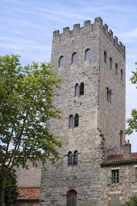
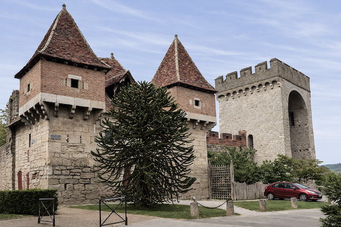
Cahors possesses a remarkable heritage, inherited from Antiquity, the Middle Ages, and the city’s period of commercial prosperity. If you continue along Boulevard Gambetta, you will find the tower of John XXII. Jacques Duèze, born in Cahors in 1244, became pope in Avignon in 1316 under the name John XXII. It was his brother who rebuilt the family home to turn it into a palace. This building was later demolished to repair the Pont Neuf. What remains is a magnificent five story tower. Higher still stands the Arch of Diana, one of the rare visible remnants of the Roman city. This monument was part of a vast complex of Roman baths built probably between the first and second centuries after Christ. It is a large barrel vault constructed in limestone. The arch is one of the few surviving elements of these ancient baths, which once occupied a large area of the Roman town. Nearby stands a museum in neo medieval style, built at the end of the nineteenth century in the park surrounding the Arch of Diana. |
|
 |
 |
|
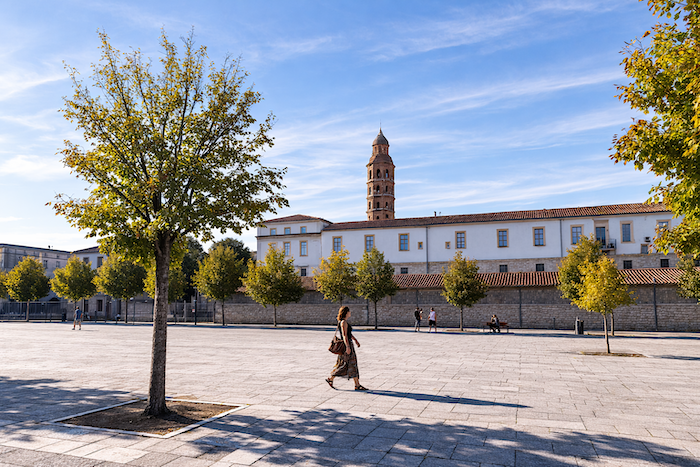
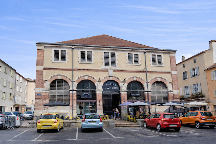
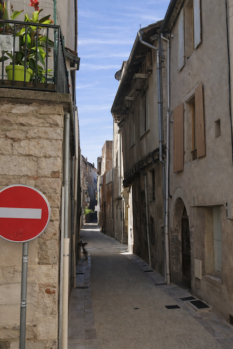
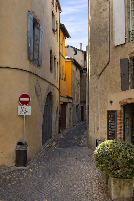
The old town lies between the boulevard and the Lot River, on one side of the river loop. The other half is more modern and less interesting. It is in old Cahors, near the market halls and the cathedral, that the town truly lives, along with Boulevard Gambetta, in its lively streets and squares. |
|
 |
 |
 |
 |
|
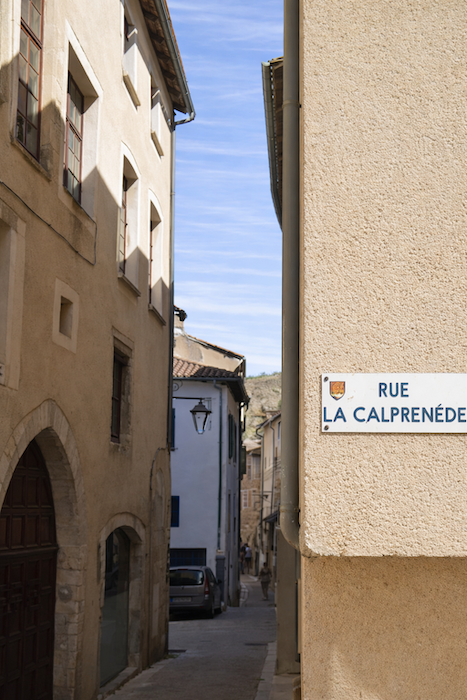
The historic center is also filled with narrow streets, sometimes ending in dead ends. |
|
 |
 |
 |
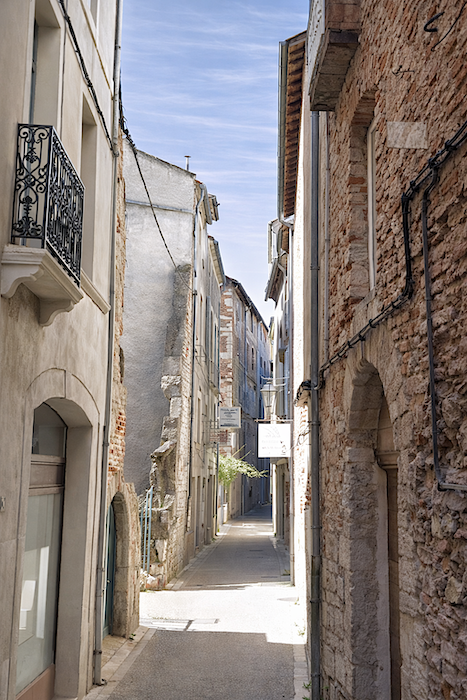 |
|
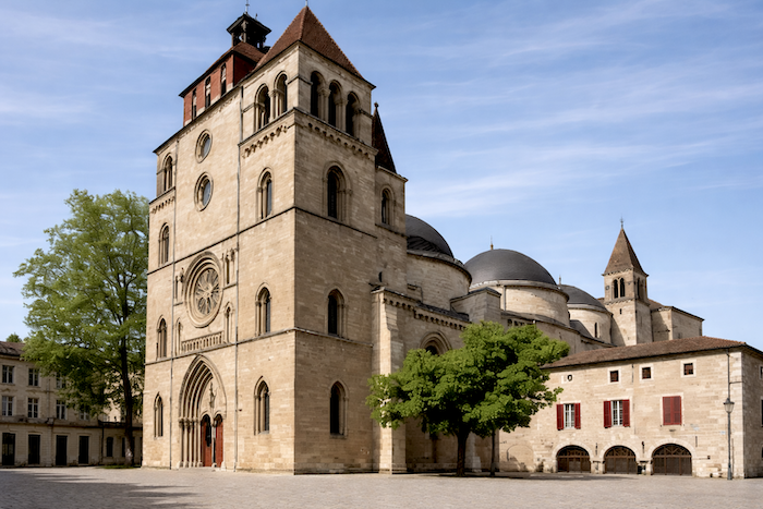
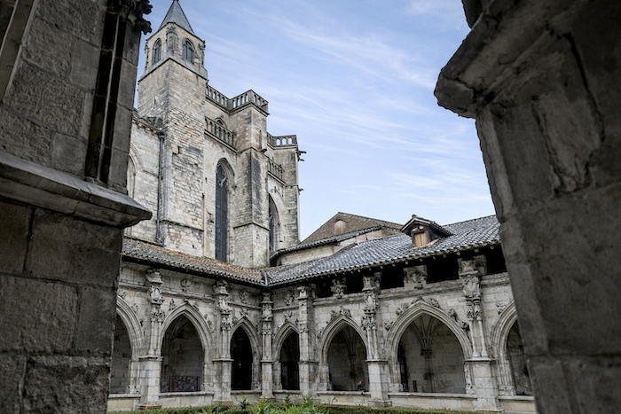
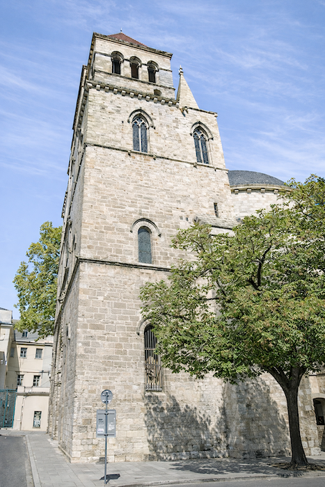
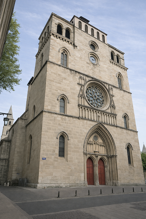
Located in the heart of the old town, Saint Étienne Cathedral, built between the eleventh and twelfth centuries, is listed as a UNESCO World Heritage site as part of the Way of Saint James in France. It is remarkable for its domes. It houses the Holy Headdress, said to have been brought back from the Holy Land. Yet it is not the only church in the world to claim possession of this sacred relic! |
|
 |
 |
 |
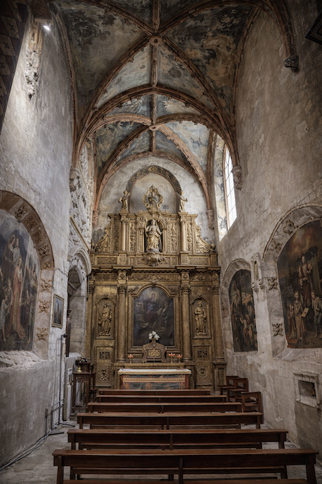 |
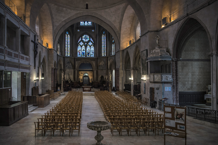
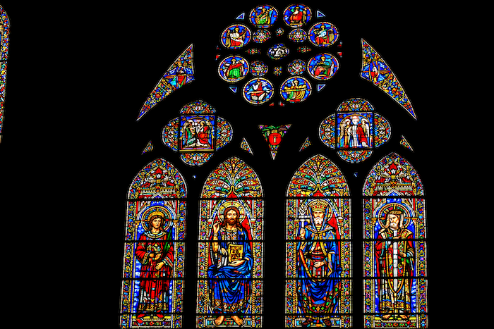
The church is unfortunately quite dark, but its remarkable stained-glass windows bring in some light.
|
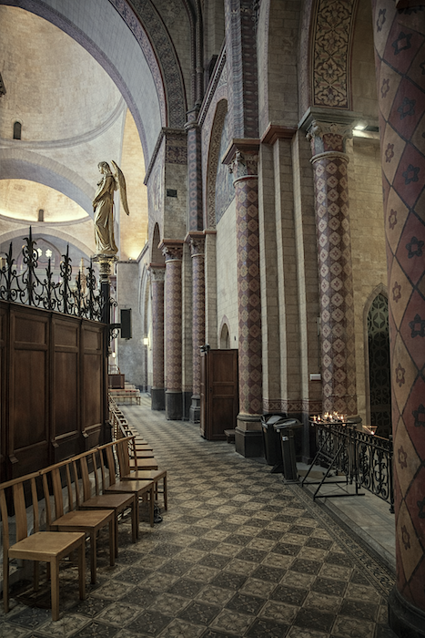
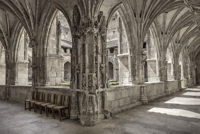
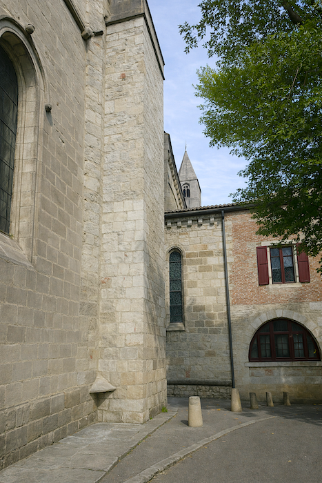
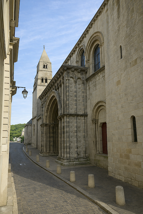
The adjoining cloister was built between the twelfth and fourteenth centuries in a relatively sober Gothic style. It was reserved for the chapter of canons of the cathedral. Around it once stood the buildings of the chapter, now gone or transformed over the centuries. |
|
 |
 |
|
It is a pleasure to wander around the cathedral through the narrow streets. |
|
 |
 |
 |
 |
|
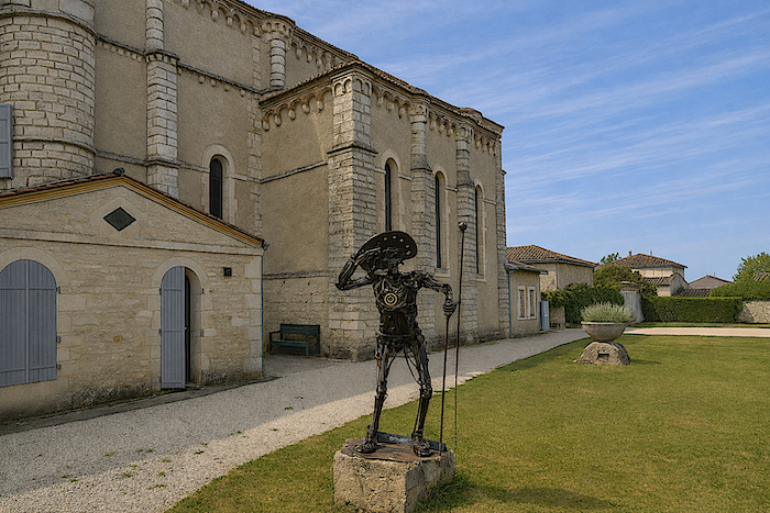
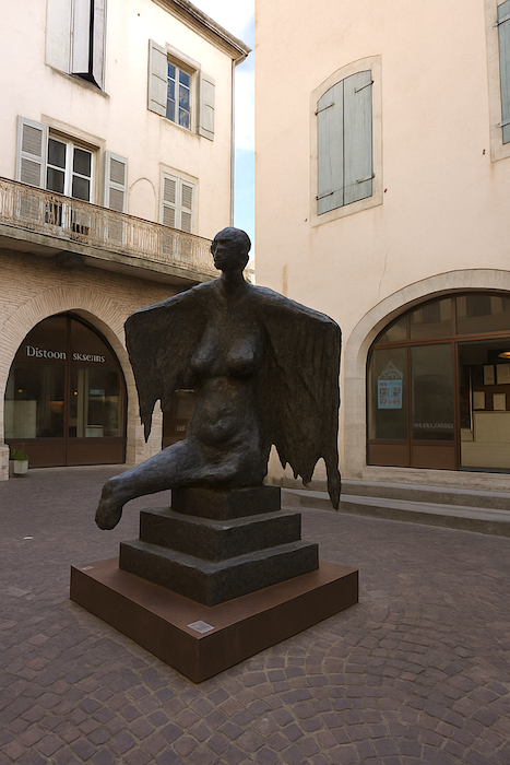
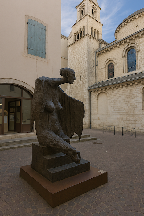
There you will encounter the Angel of the Lazaret, a work by the local sculptor Marc Petit, an intriguing figure of an angel that is not triumphant, with heavy, drooping wings, but rather a protective presence, like those associated with the lazarets where the sick were once isolated during times of plague. |
|
 |
 |
|
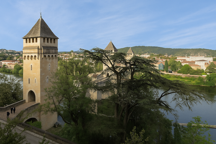
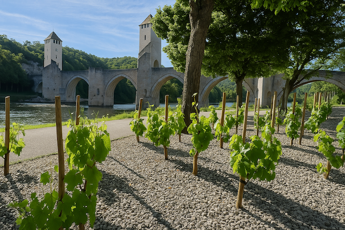
But of course, for many visitors, Cahors is above all the majestic Valentré Bridge, also known as the Devil’s Bridge, or Balandras Bridge in Occitan. It is, of course, part of the UNESCO World Heritage. Recently, vines have been added to emphasize its link to the region’s wine heritage, even though there are almost no vineyards in Cahors itself. . |
|
 |
 |
|
The bridge forms a humpback structure more than one hundred meters long, with six large pointed arches in Gothic style. It is flanked by three square towers with battlements and machicolations rising forty meters above the Lot. A legend surrounds its construction. As the work progressed slowly, the master builder made a pact with the devil, pledging his soul. The bridge was then completed rapidly. To save his soul, the builder asked the devil to fetch water from the spring of the Chartreux using a sieve. Clever as he was, the devil failed. In revenge, he returned each night to remove the final stone from the central tower. This went on for centuries. In 1879, during restoration work, the architect placed a sculpted stone depicting the demon in the empty space. Since then, the demon remains perched at the top of the bridge. |
|
 |
 |
Listed accommodations on the Via Podiensis
- Gîte de Poudally, 440 Chemin de Poudally, Poudally (500 m off GR); 05 65 22 08 69; Gîte, dinner, breakfast
- Gîte Latour, Le Pech, Laburgade, Le Pech (500 m off GR); 05 65 24 72 84/06 37 43 60 13; Gîte, dinner, breakfast
- Habitat de Jeunes en Quercy, 129 Rue Fondue-Haute, Cahors; 05 65 35 29 32; Gîte, cuisine
- Gîte St Laurent, 15 Rue St Laurent, Cahors; 06 13 37 70 02/05 81 70 16 22; Gîte, breakfast
- Gîte Christophe Estival, 29 Rue du Barry, Cahors; 06 89 77 62 80; Gîte, breakfast
- Gîte Caminoloc, 15 Cours Vaxis, Cahors; 06 25 65 37 59; Gîte, breakfast
- Gîte Maison des Pèlerins, 1587 Rue des Cayssines, Cahors; 05 65 30 03 06; Gîte, dinner, breakfast
- Gîte Le Relais des Jacobins, 12 Rue des Jacobins, Cahors; 05 65 21 00 84/06 87 86 89 0 ; Gîte, dinner, breakfast
- Gîte Le Papillon Vert, 51 Rue du Tapis Vert, Cahors; 05 81 70 14 09/06 75 80 58 42; Gîte, dinner, breakfast
- Auberge de Jeunesse HI, 52 Avenue André Breton, Cahors; 05 36 04 00 80/06 08 97 97 53; Gîte, dinner, breakfast
- Chez Pierre, 62 Rue Etienne Brives, Cahors; 06 09 96 28 32; Guestroom, breakfast
- Le Valentré**, 250 Chemin de la Cartreuse, Cahors; 06 12 26 78 68; Gîte and Guestroom, dinner, breakfast
- Hôtel Jean XXII**, 2 Rue Edmond Albe, Cahors; 05 65 35 07 66; Hotel, breakfast
- Inter-Hôtel Le Valentré**, 2532Avenue Jean Jaurès, Cahors; 05 65 35 16 76; Hotel, breakfast
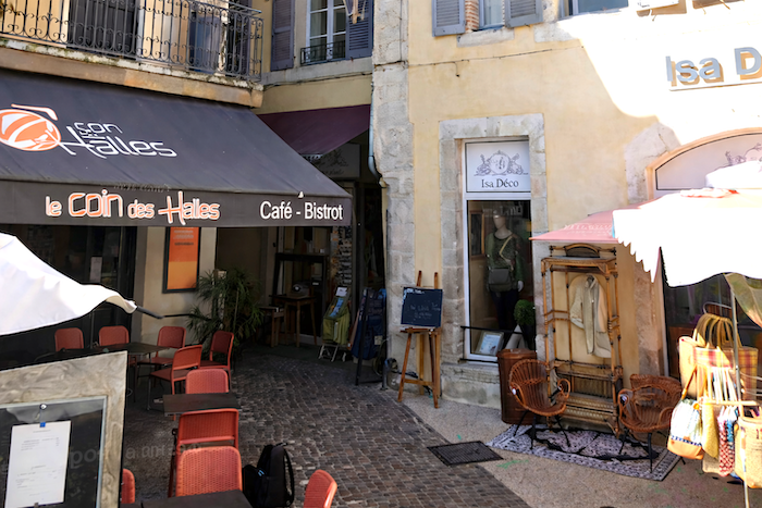
- Hôtel Le Coin des Halles**, 30 Place St Maurice, Cahors; 05 65 30 24 27; Hotel, dinner, breakfast
- Hôtel La Chartreuse**, Quartier St Georges, Cahors; 05 65 35 17 37; Hotel, dinner, breakfast
This information was updated in 2026. If you access this site later, it may no longer be accurate. Along this route, some establishments open each year while others close. One solution is to purchase, among others, Miam Miam Dodo, the “bible” for eating and lodging, which also lists accommodations located off the main trail. There are also other options, such as guidebooks or the internet, which provide some information about lodging. However, no app is as well documented as Miam Miam Dodo, especially since the small book is updated every year. It is recommended to book in advance and to check with accommodation providers about their facilities (meals, sheets, toilets, showers, and other amenities). Likewise, inquire at the previous stage about the opening hours of grocery stores and bars, which are often closed during parts of the day or week.
On this stage, accommodation options are limited before Cahors. There are some guesthouses not far from the trail, mainly used by pilgrims who could not find lodging in Bach or Vaylats. In Cahors, there are about 350 beds available, so accommodation is not a problem there.
Feel free to add comments. This is often how you move up the Google hierarchy, and how more pilgrims will have access to the site.
 |
Retour au menu |