In the Causses in Quercy Regional Natural Park
DIDIER HEUMANN, ANDREAS PAPASAVVAS
We divided the course into several sections to make it easier to see. For each section, the maps show the course, the slopes found on the course, and the state of the route (paved or dirt roads). The courses were drawn on the “Wikilocs” platform. Today, it is no longer necessary to walk around with detailed maps in your pocket or bag. If you have a mobile phone or tablet, you can easily follow routes live.
For this stage, here is the link:
https://fr.wikiloc.com/itineraires-randonnee/saint-cirq-lapopie-vaylats-103126901
| This is obviously not the case for all pilgrims, who may not feel comfortable reading GPS tracks and routes on a mobile phone, and there are still many places without an Internet connection. For this reason, you can find on Amazon a book that covers this route.
If you only want to consult lodging of the stage, go directly to the bottom of the page. |
 |
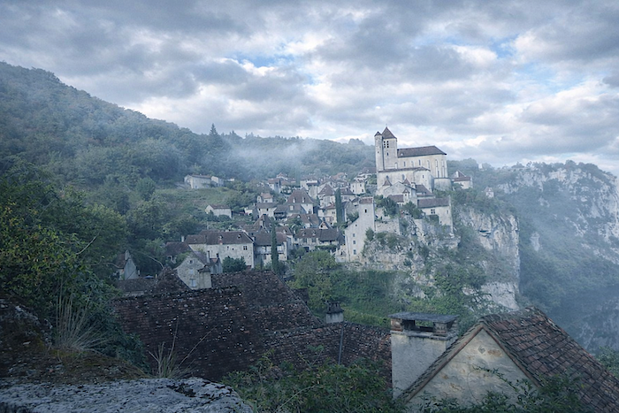
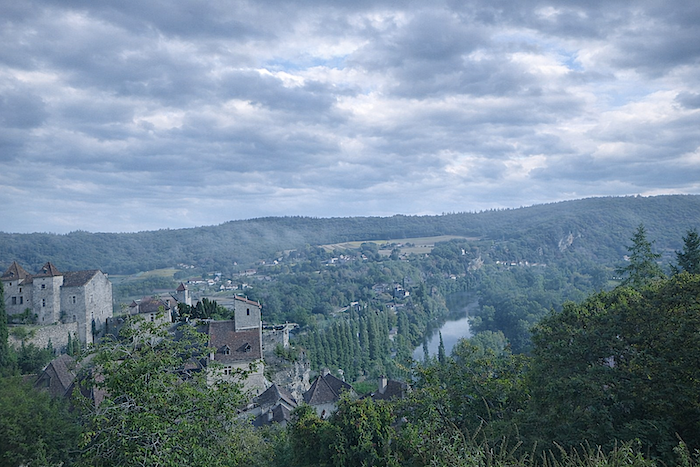
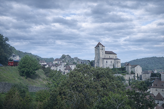
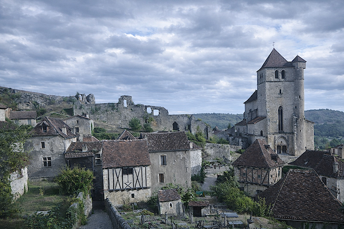
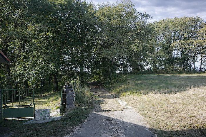
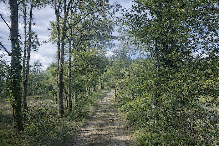
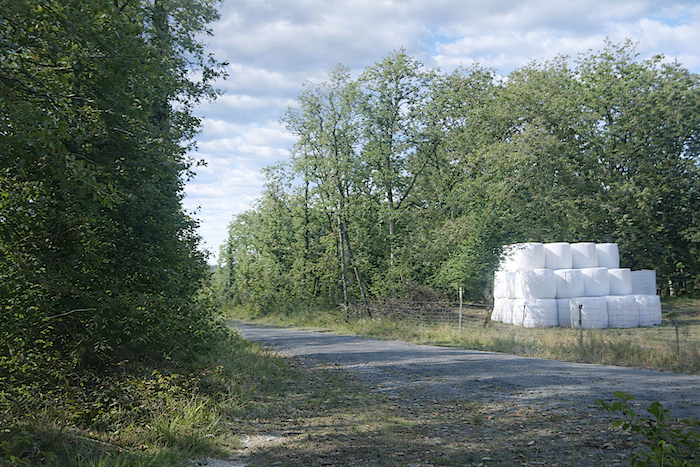
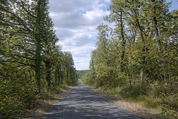
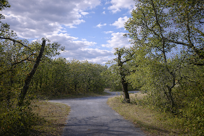
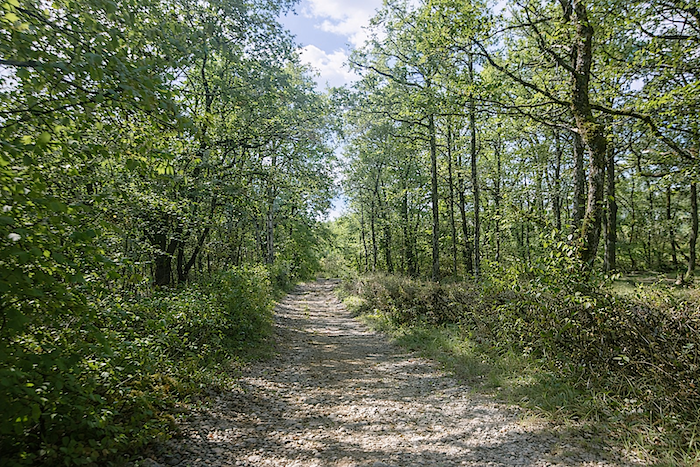
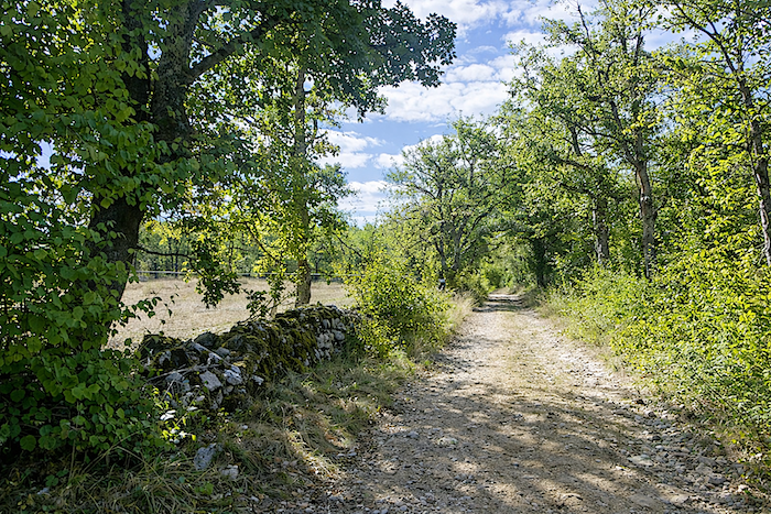
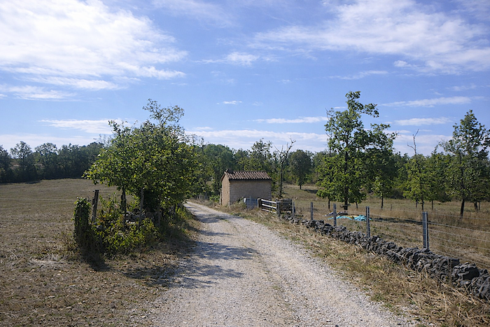
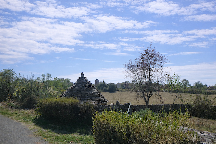
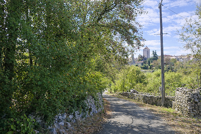
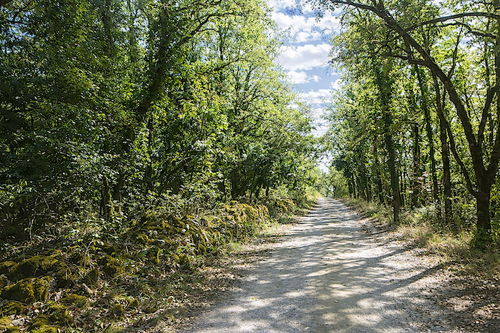
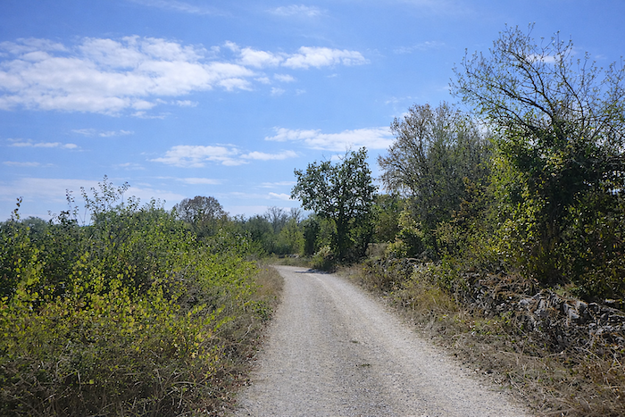
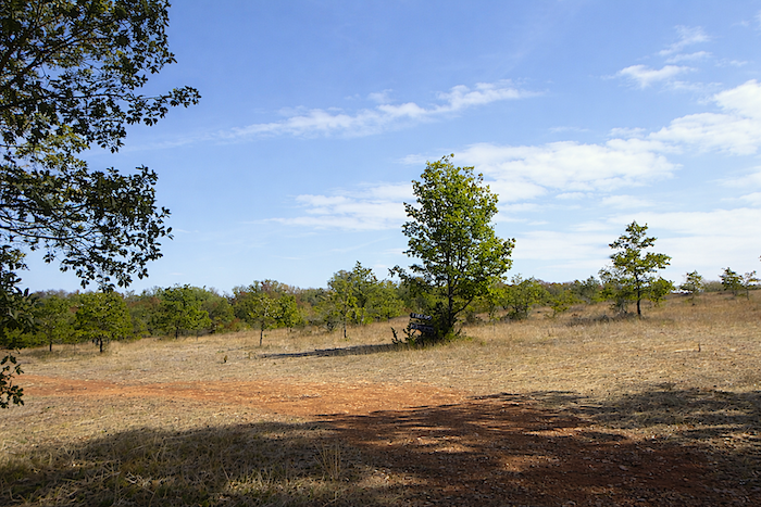
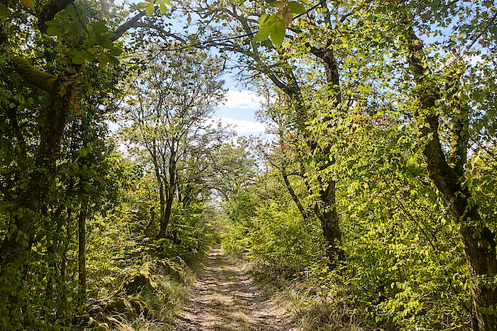
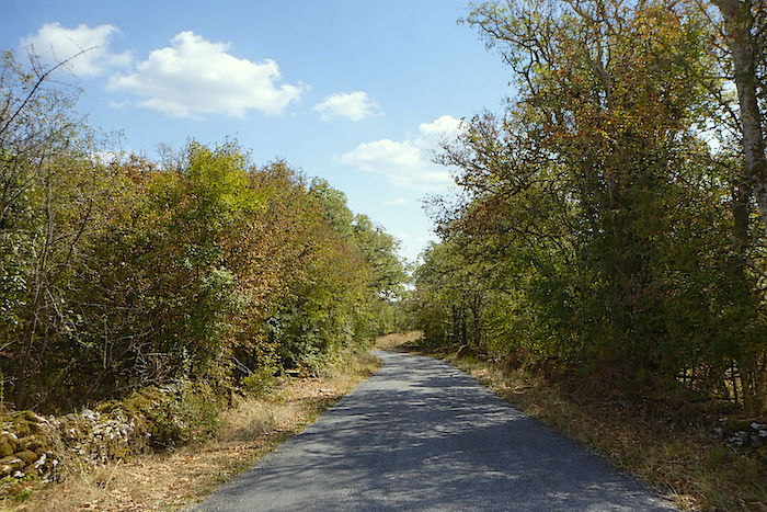
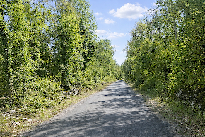
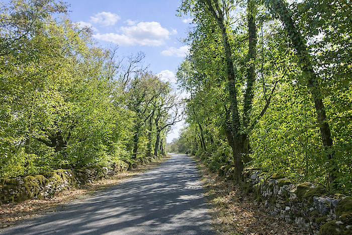
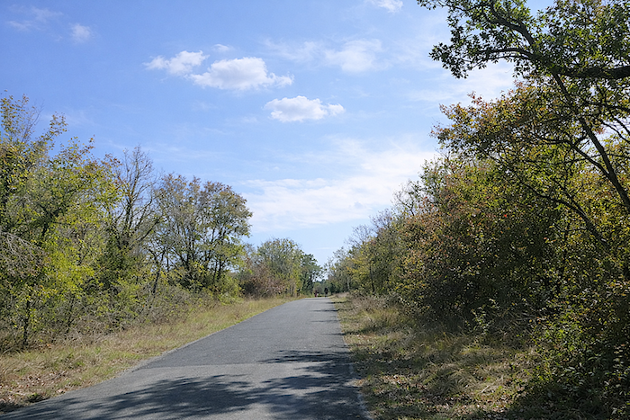
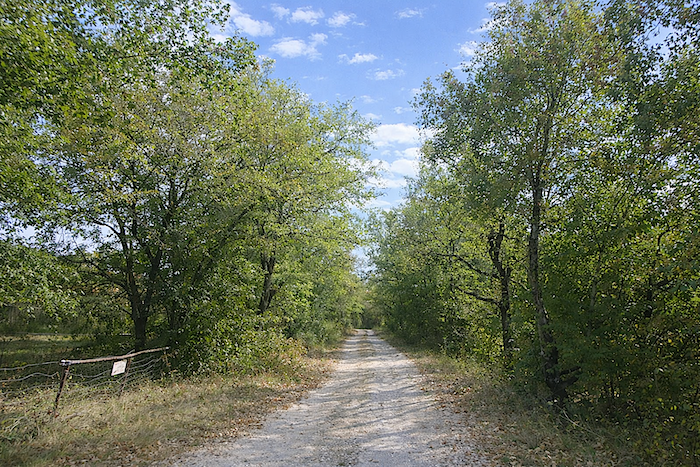
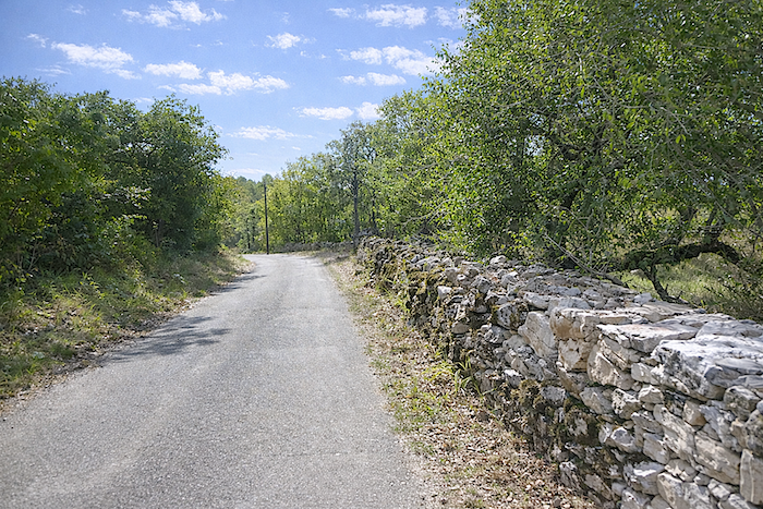
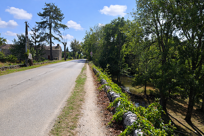
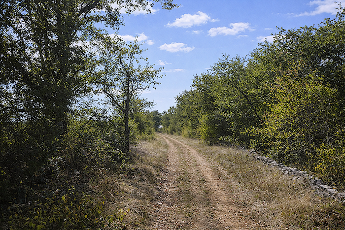
Only yesterday, you left the Célé valley at Cabrerets to reach the Lot valley at Bouziès, then made your way up to St Cirq-Lapopie, suspended above the water. Today, a new stage begins, the route heads further south, towards Cahors, via Concots, Bach and Vaylats, over two days of walking. The route crosses the Limogne causse, in the heart of the Causses du Quercy Regional Natural Park, a realm of stone and silence. Here, the light filters through dense oak trees, the ground crumbles beneath your steps, and dry-stone walls, patiently assembled over generations, line the paths like ancient lines of writing. Walking here means reading the landscape directly from the rock.
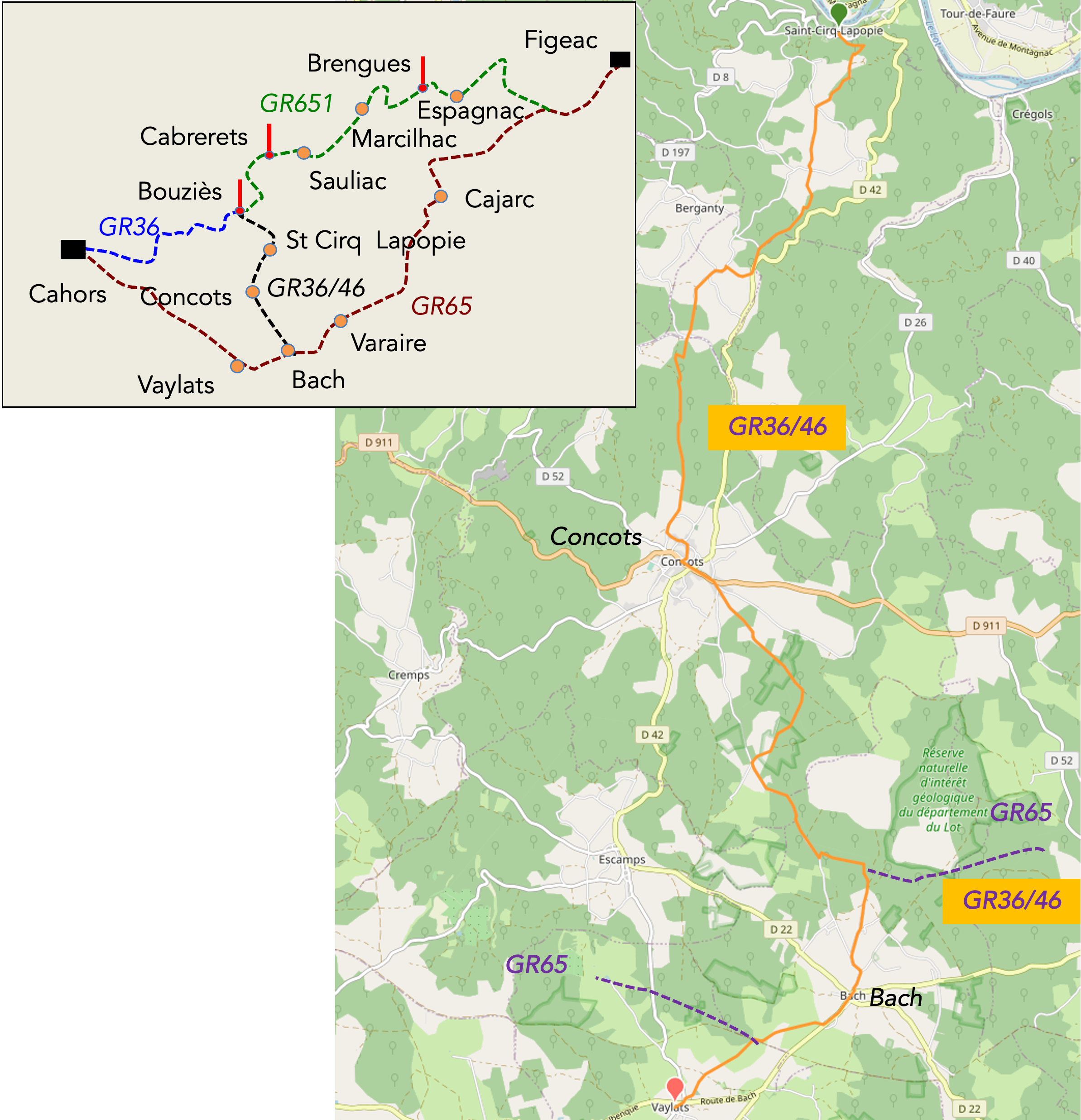
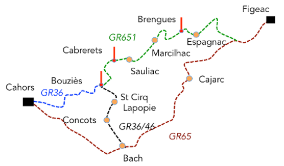
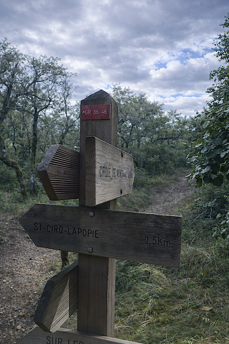
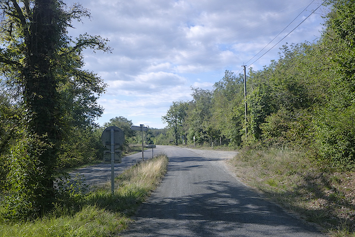
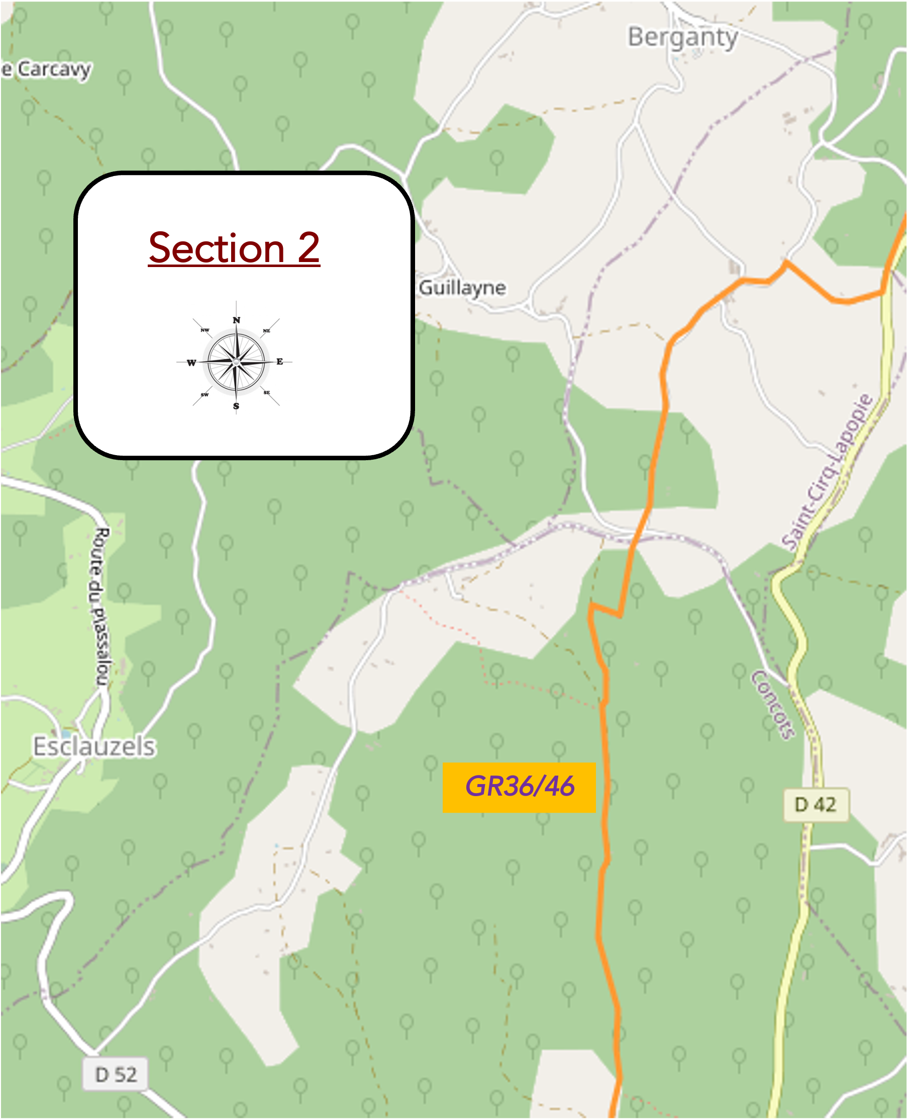
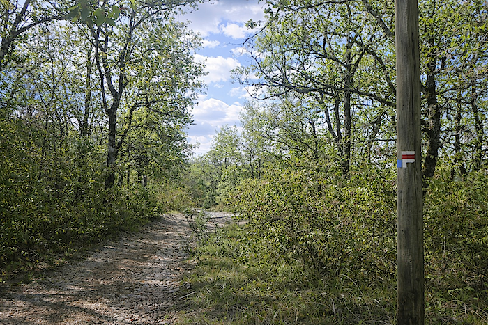
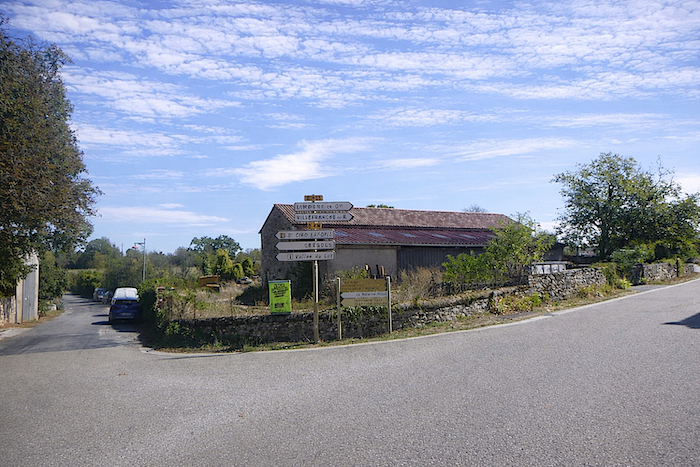
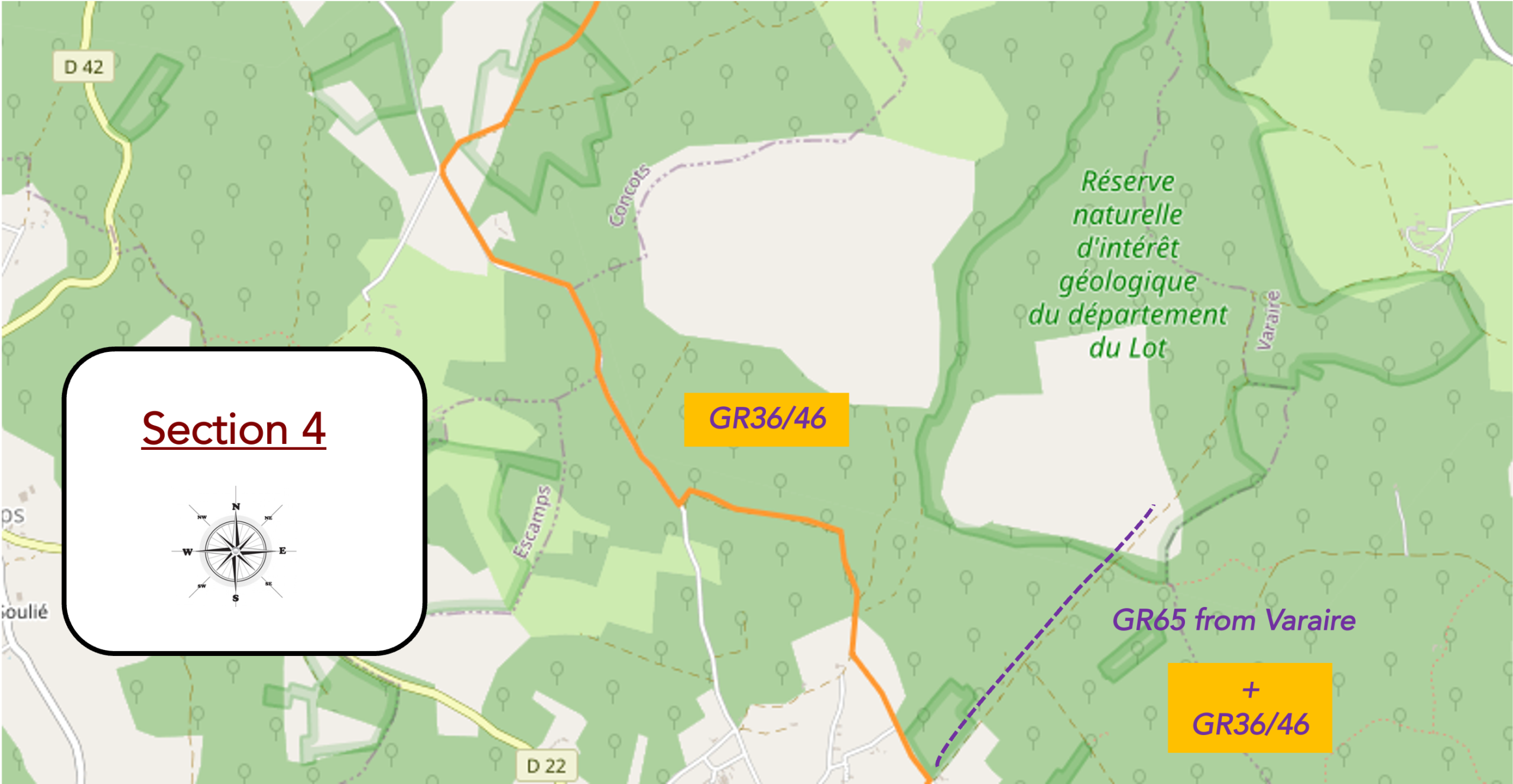
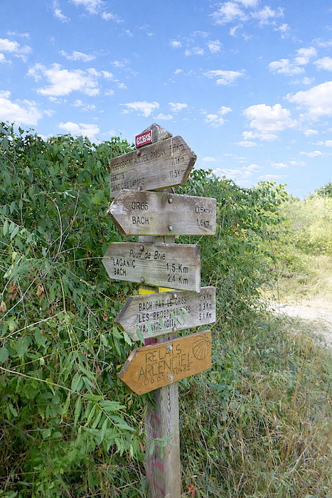
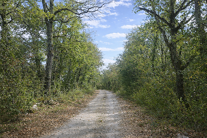
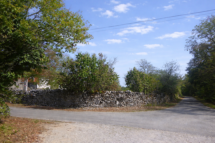
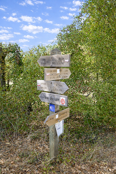
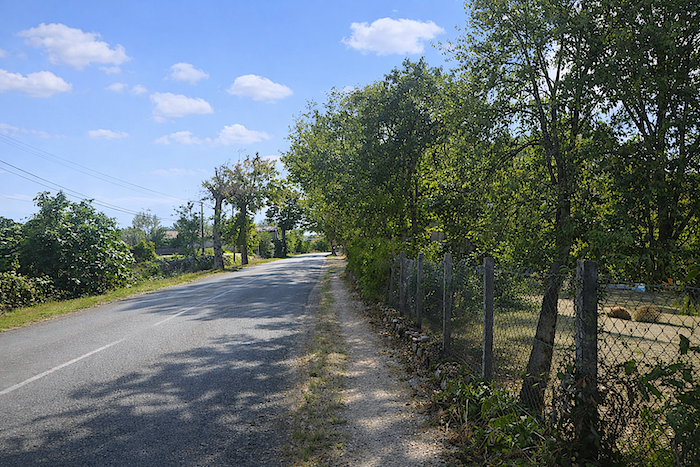
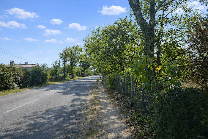
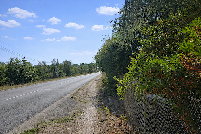
The major hiking routes, GR trails and local loops, constantly intersect in this part of Quercy. They merge, brush past one another, and cross so frequently that an inattentive walker could easily lose their way, drawn off by misleading markers or poorly positioned signs. The entire region seems woven from these routes that come and go, scatter and reconnect, like the veins of a single land. Still, there is no need to worry, only the careless risk going astray. With a little attention, and by keeping an eye on the red and white markings, you will not get lost. From Bouziès onwards, your guiding line, the main guide for your steps, is the GR36/46. It leads across the hills and reaches Saint-Cirq-Lapopie before continuing on its course. You will follow it for most of this stage, a faithful companion along the route. Yet remain cautious, the map has its traps. First at Concots, where a possible detour will be explained later. And above all before Bach, where the routes become dangerously tangled. There, in a stony hollow, the GR36/46 meets the GR65, the Camino de Santiago coming from Limogne-en-Quercy and Varaire. Signs overlap, directions intersect, and confusion can arise from a single misplaced step. At the Moulins junction, you must leave the GR36/46 and follow the GR65 towards Bach. As for the GR36/46, it climbs again, runs alongside the GR65 for a while, then heads off towards Varaire. Shortly after leaving Bach, you in turn leave the GR65 to reach Vaylats. Here, the junction is clear and unmistakable, the route opens before you like a promise. All that remains is to follow the line, to let your pace fall into rhythm with the causse, until you reach the convent of Vaylats. Safe travels. The route will lead you through stone and oak trees, under the timeless gaze of dry-stone walls and the pale paths of Quercy.
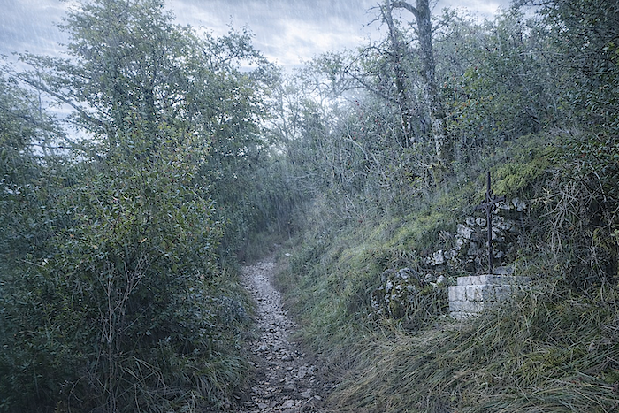
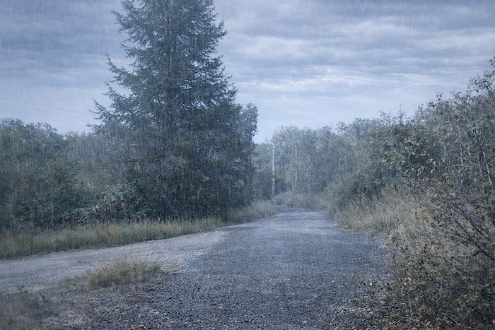
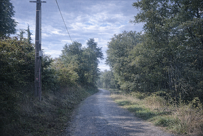
We have deliberately chosen to favor stages completed in fair weather, having travelled through this region, and others, many times. So today, you will begin in the rain, which is often a familiar companion on the routes to Santiago. This will allow you to experience these remarkable landscapes in a different light. But rest assured, it will not last all day. The forecast calls for morning showers that should quickly clear.
Difficulty level: The elevation changes, (+149 meters/- 146 meters) are negligible today. This is simply a pleasant walk, almost a rest day, apart from the steep climb above St Cirq-Lapopie, heading towards Concots.
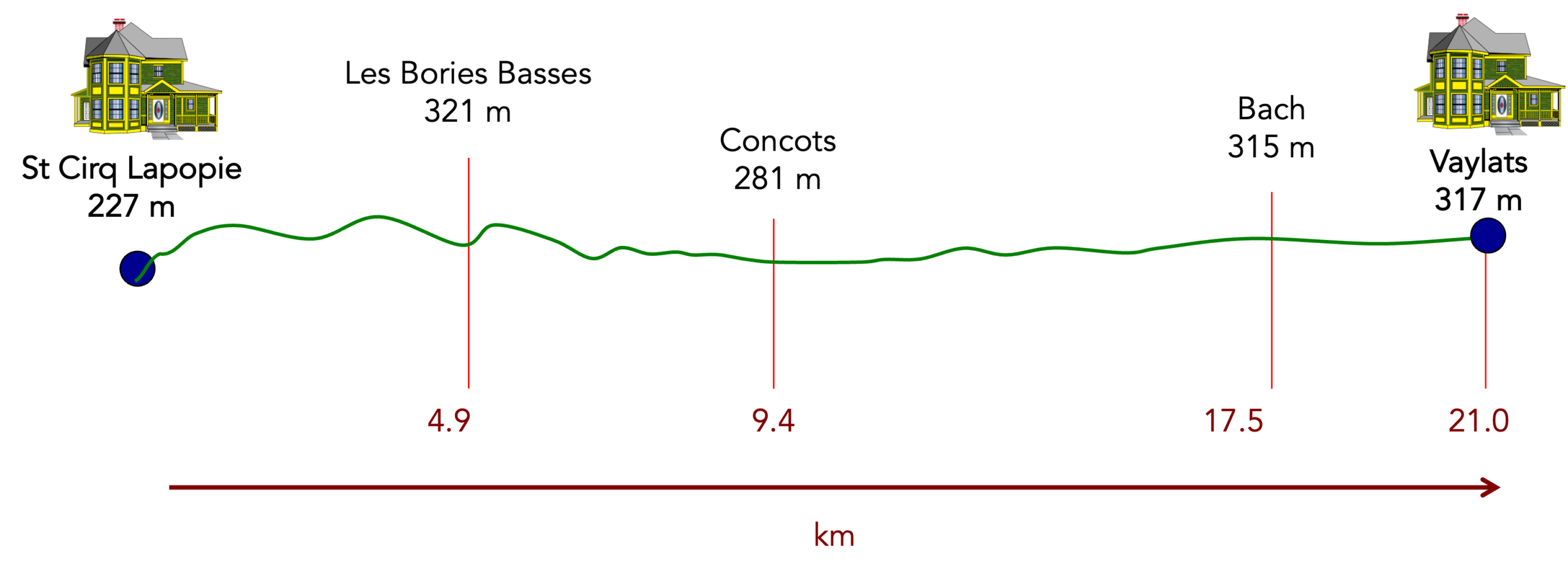
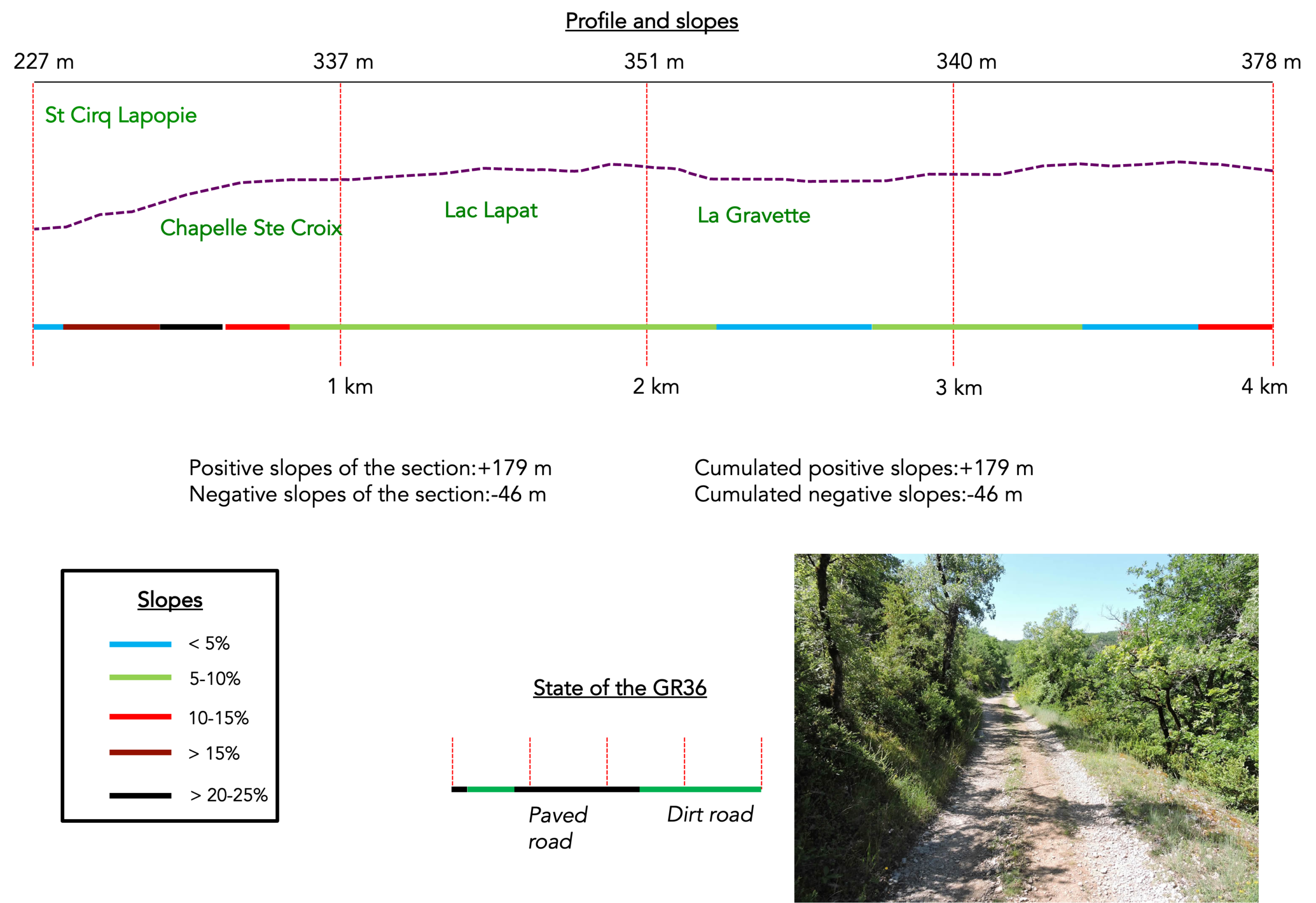
State of the route: This is a beautiful stage where paths clearly take precedence over asphalt:
- Paved roads: 4.2 km
- Dirt roads: 12.0 km
Sometimes, for reasons of logistics or housing possibilities, these stages mix routes operated on different days, having passed several times on these routes. From then on, the skies, the rain, or the seasons can vary. But, generally this is not the case, and in fact this does not change the description of the course.
It is very difficult to specify with certainty the incline of the slopes, whatever the system you use.
For those seeking “true elevations” and enthusiasts of genuine altimetric challenges, carefully review the information on mileage at the beginning of the guide.

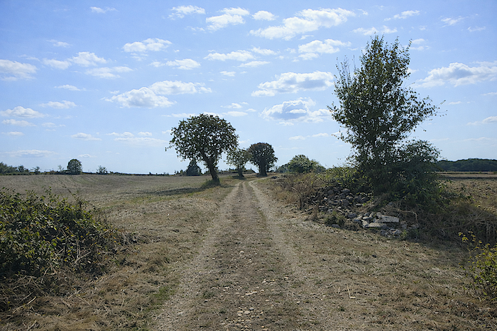
Section 1 : A steep climb towards the Oratory before crossing the causse
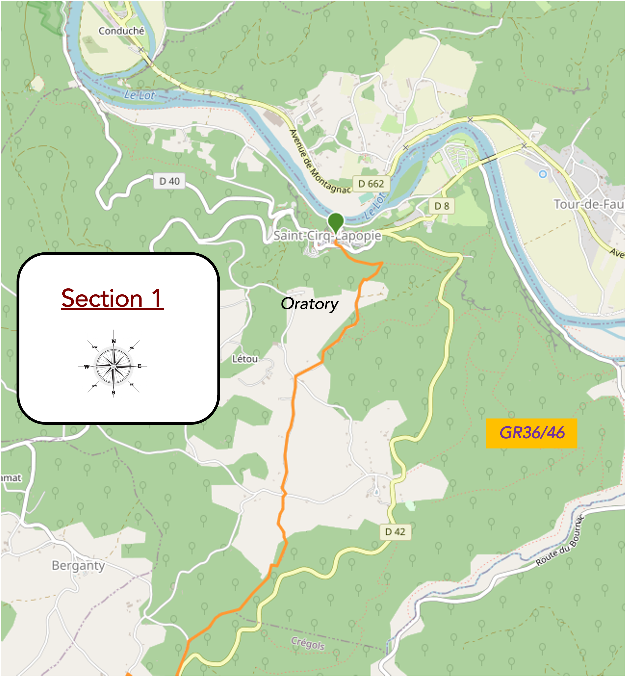
Overview of the route’s challenges : steep slopes up to the Oratory.
|
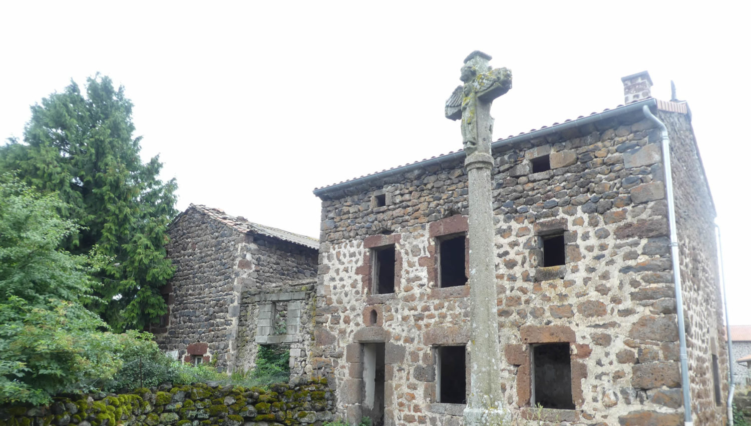
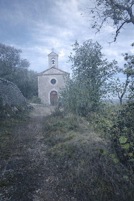
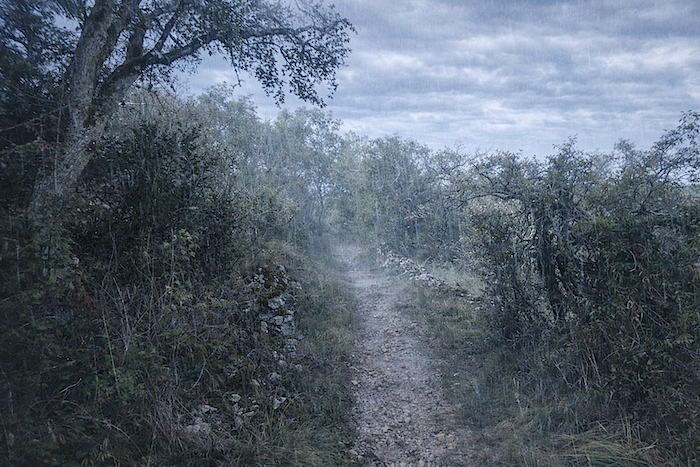
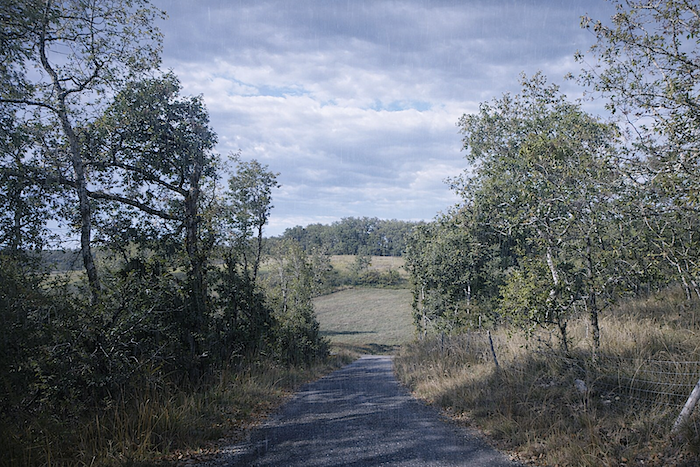
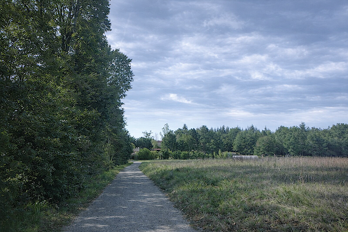
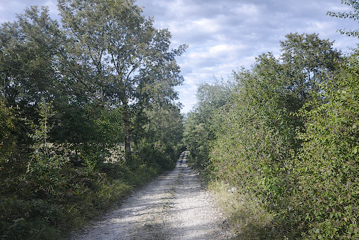
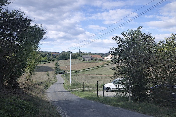
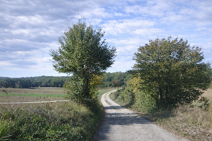
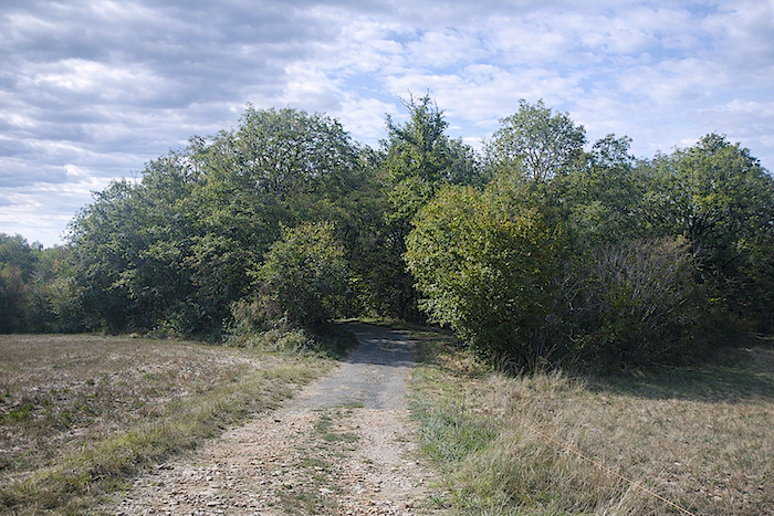
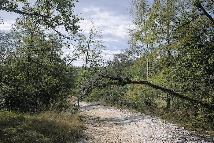
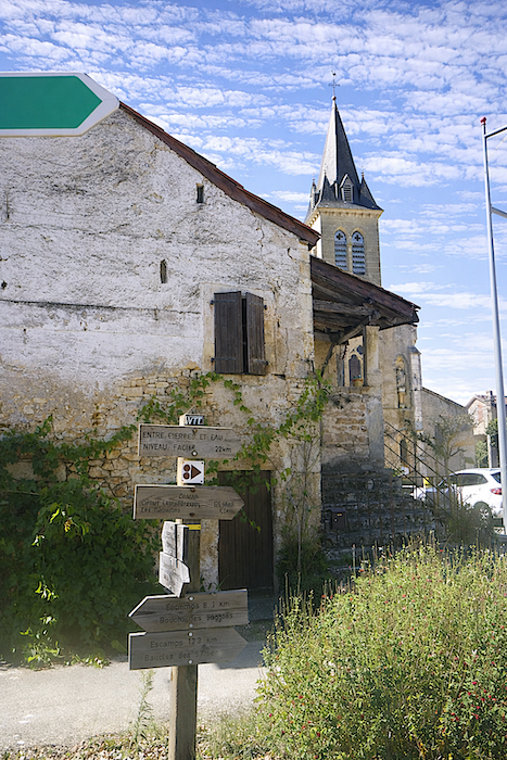
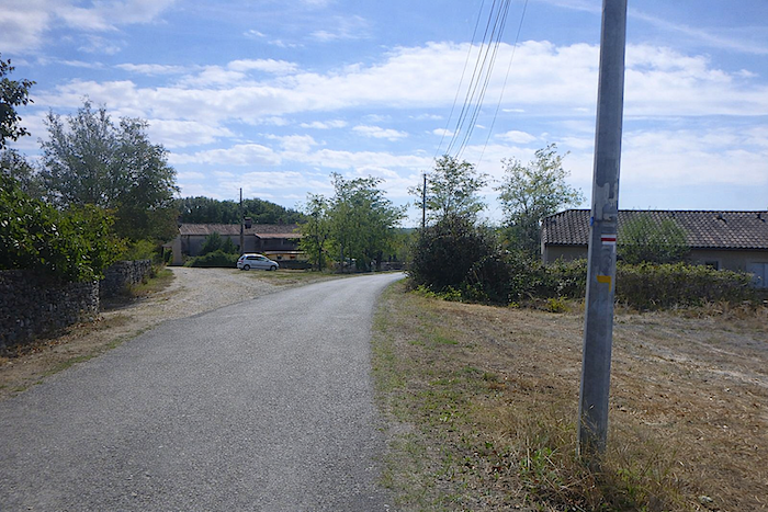
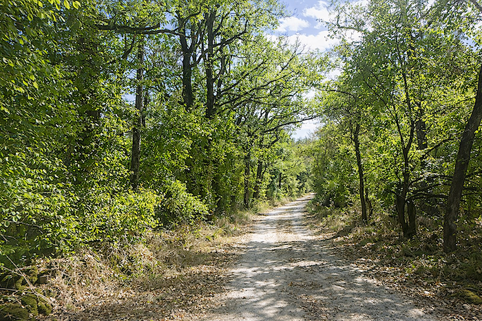
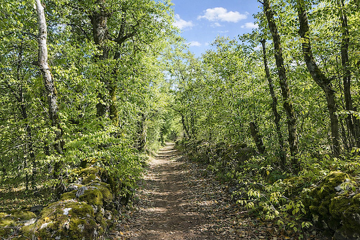
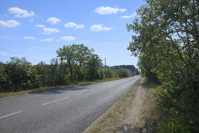
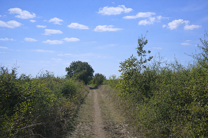
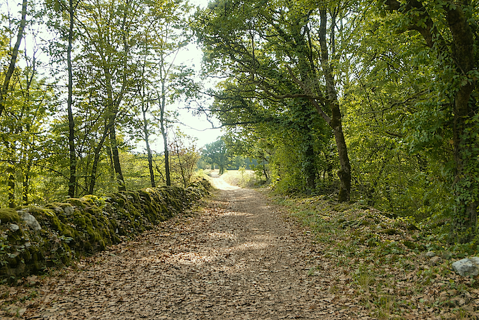
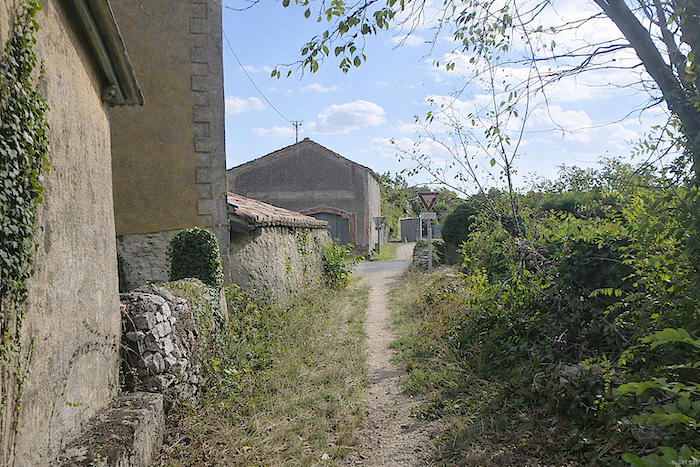
It is pouring rain at the start of the stage. The few pilgrims press on beneath their wide capes, which billow in the wind. Rain runs down the brims of their hoods. From the heights of the village of St Cirq-Lapopie, the gaze stretches across the plain, a vast green expanse where the faint light of the day plays with the fine lines of rain. You may follow the road that winds down in switchbacks towards this open landscape, or cross the village as far as the cemetery, as if brushing against the silence of the stones and listening to the murmur of time. |
|
 |
 |
 |
 |
|
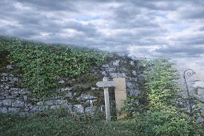
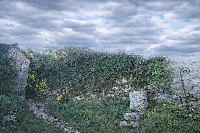
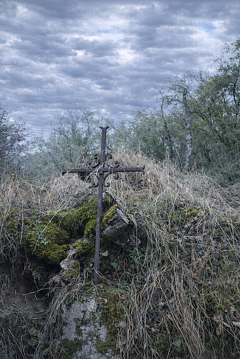
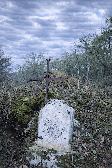
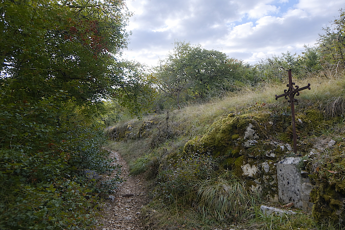
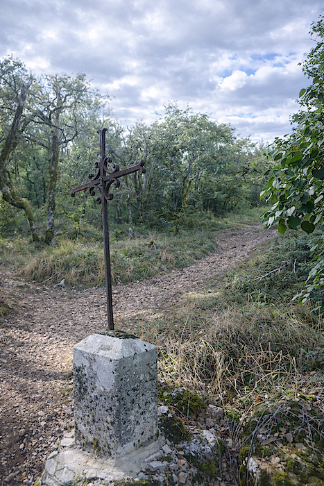
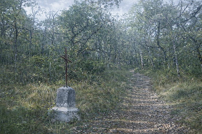
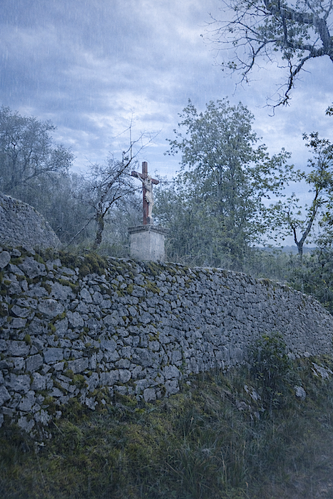
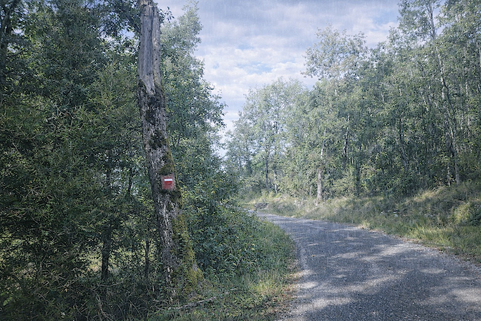
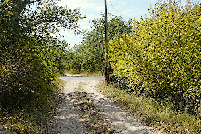
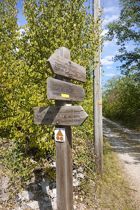
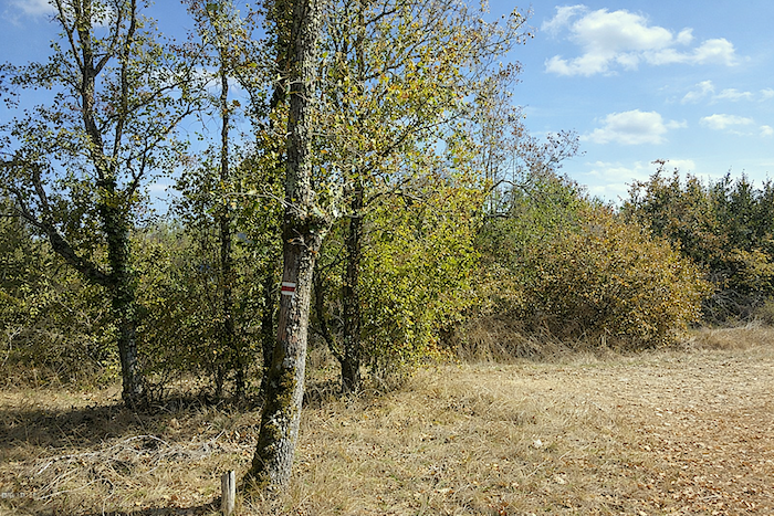
Soon, you will notice a rustic wooden sign set by the roadside, like a quiet sentinel. It points to a path that winds above the village, near an iron cross planted there decades ago, an unmoving witness to the passing seasons. Another direction suggests the GR36, but ignore it and follow the stony trail that begins at the foot of the cross, a promise of a solitary and living journey. |
|
 |
 |
|
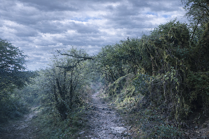
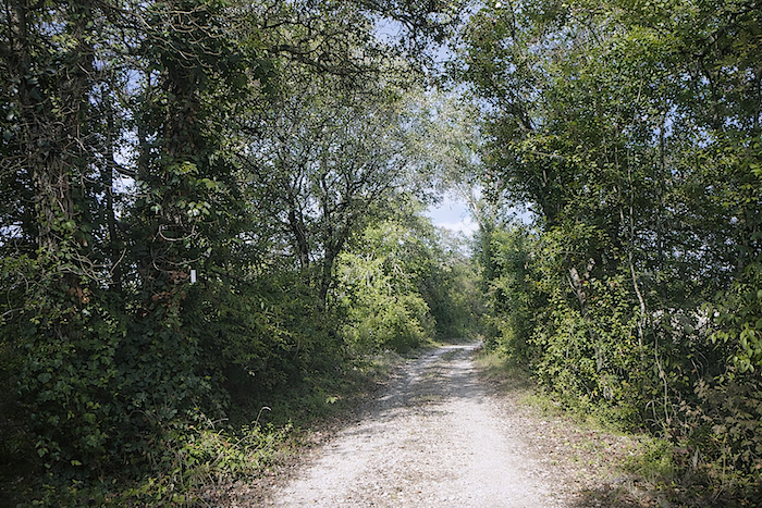
The slope rises relentlessly, steep and proud, along a narrow path strewn with unstable stones. At times, the landscape feels almost unreal, moss clings to shrubs and bushes like a dusting of emerald, as though the undergrowth had chosen to dress itself in light. Your footing slips on the wet and unforgiving ground. |
|
 |
 |
|
This route is not, strictly speaking, a true Stations of the Cross, yet it carries the same spirit, a succession of silent markers guiding the walker into a form of natural meditation. |
|
 |
 |
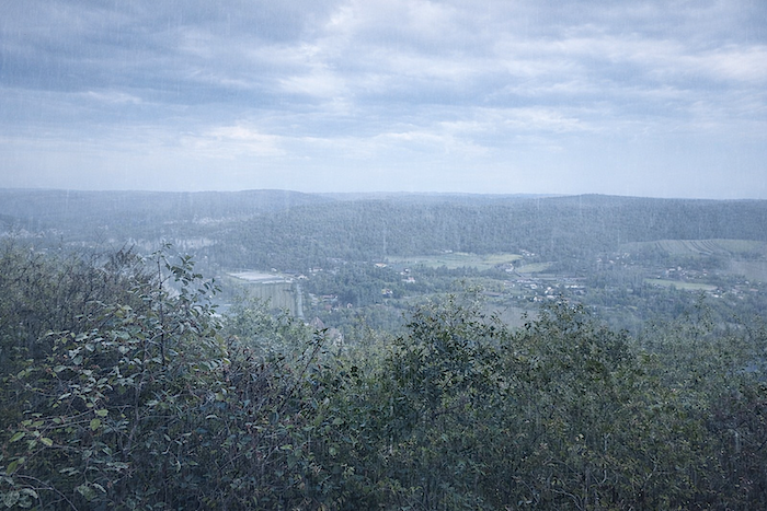
At times, a break in the dense hedge reveals, like an unexpected painting, the valley stretching below, majestic and serene, even under the drizzle.
|
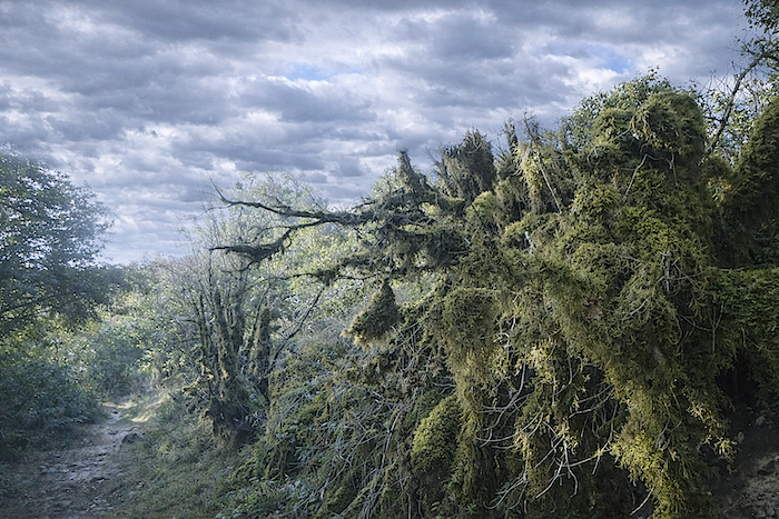
And the crosses follow one another tirelessly, marking the path like quiet breaths. Here, the trees are not towering giants, but small downy oaks, Montpellier maples and abundant dogwoods, intertwined as if telling an ancient story. Boxwood has now disappeared from this place. |
|
 |
 |
|
Higher up, a sign confirms that you are indeed following the GR36/46, and a sense of reassurance mingled with exhilaration begins to settle in. |
|
 |
 |
|
The trail then climbs more steeply towards the oratory, over a bed of white stones that seem to dance beneath your feet and echo with ancient memories. |
|
 |
 |
|
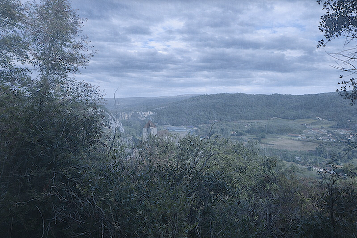
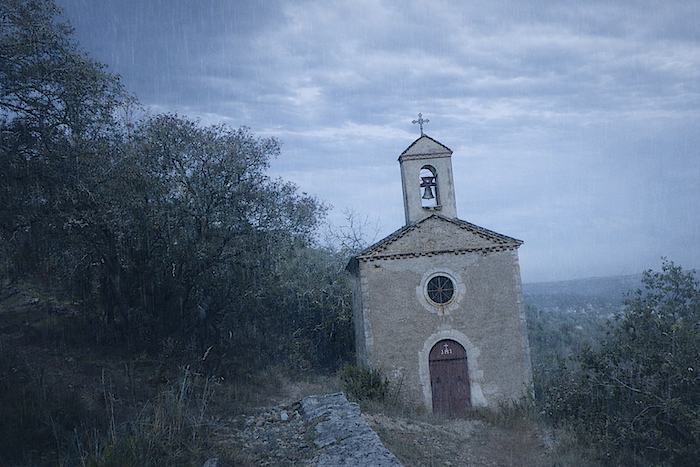
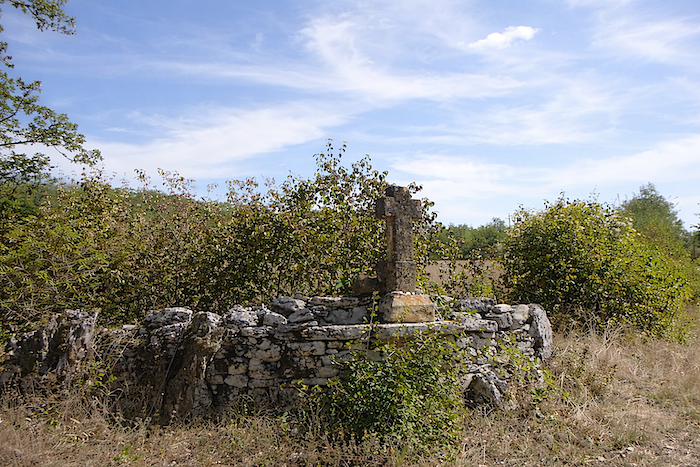
Set upon a rise, the oratory overlooks the Lot valley like a silent beacon, offering a panoramic view where the air itself seems to vibrate in suspended time. |
|
 |
 |
 |
 |
|
Yet the climb is not over, even if the slope softens slightly. Each step becomes a meditation, a dialogue with the wind and the stones. |
|
 |
 |
|
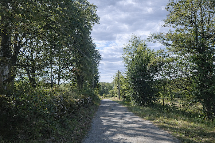
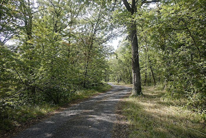
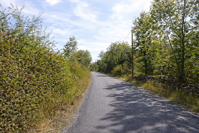
Higher still, the tral meets a tarmac road that winds along the ridge, undulating between shade and light, open countryside and undergrowth, like a slow ribbon drifting along the top of the world. |
|
 |
 |
| The road moves between meadows and sparse fields, offering the eye the quiet poetry of a rural landscape where time seems to breathe slowly. | |
 |
 |
|
The trees grow taller here, sturdy oaks dominate, interspersed with a few spruces, forming a canopy that plays with light and shadow. |
|
 |
 |
|
Further on, the road begins to descend gently, inviting contemplation and a slower pace. |
|
 |
 |
|
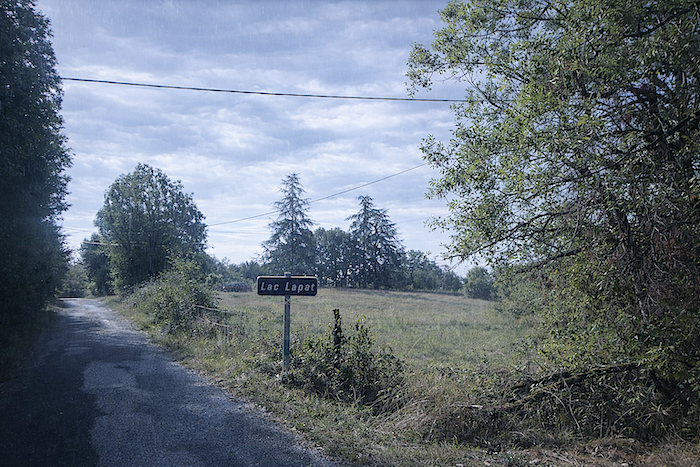
It leads to the crossroads of Lake Lagat, a small mirror of water which the route does not approach, yet which reflects the sky and the dreams of walkers. |
|
 |
 |
|
The road then descends more steadily, winding between woodland and meadows like a stream of stone and greenery. The rain has stopped, though the clouds remain heavy. |
|
 |
 |
|
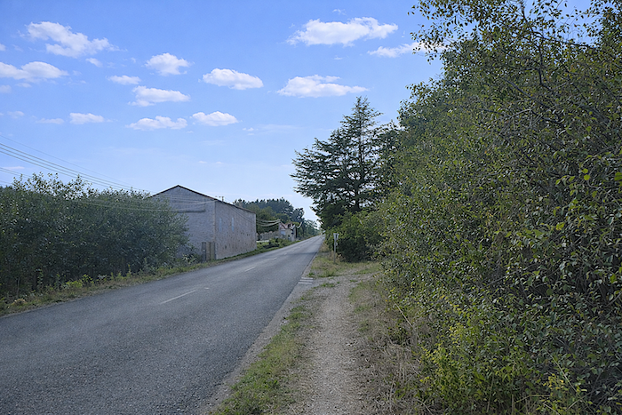
Lower down, the road runs close to the scattered houses of La Gravette, modest dwellings where time seems to have stood still. |
|
 |
 |
 |
 |
|
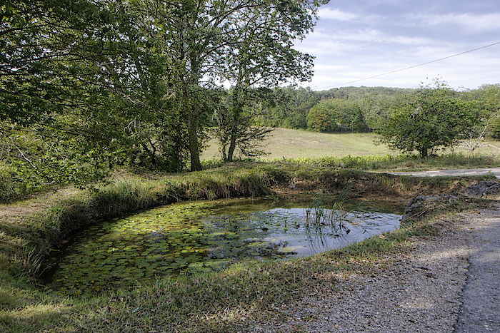
It runs alongside a small pond bordered by reeds and rushes, a sign of peaceful nature where a few farmers still endure, sometimes planting a little vine and patiently reinventing life. |
|
 |
 |
|
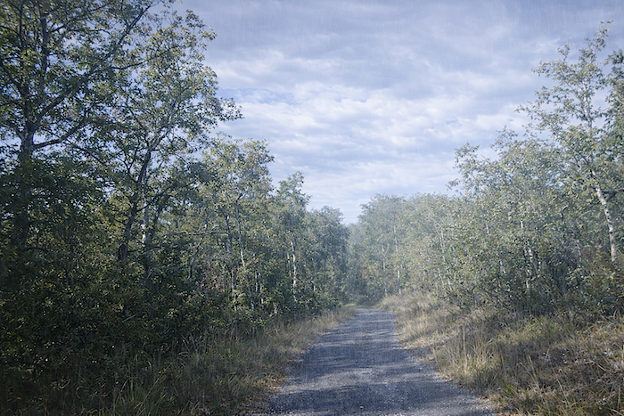
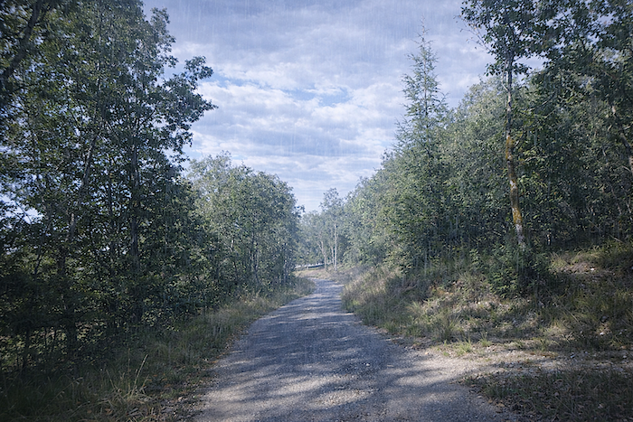
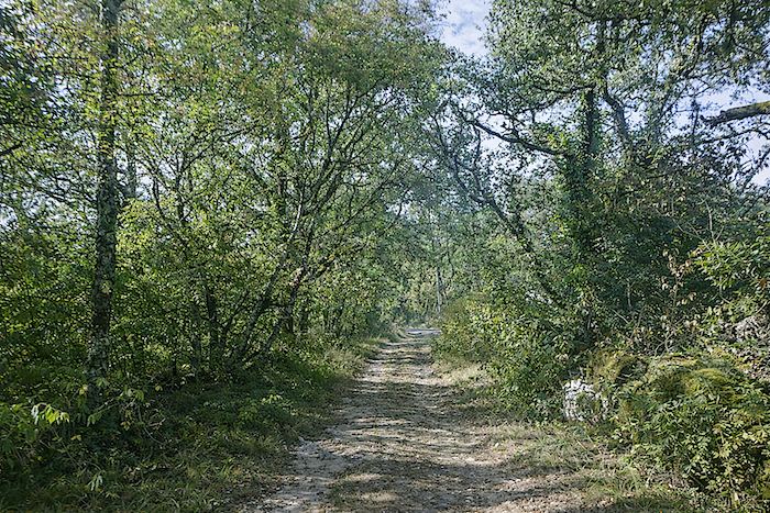
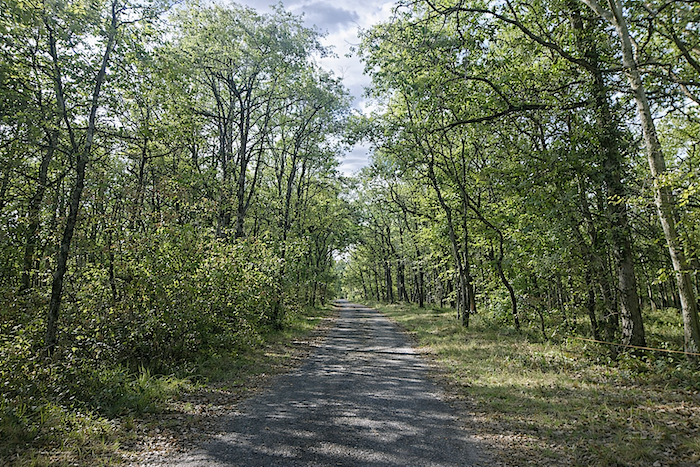
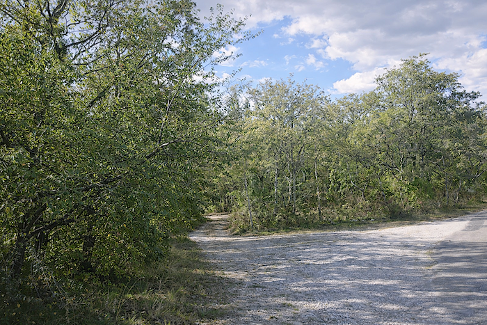
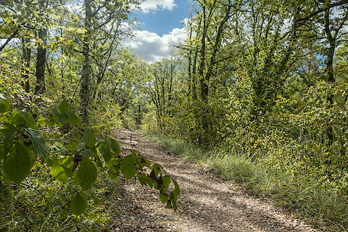
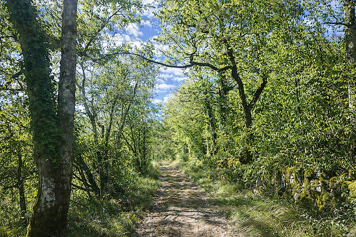
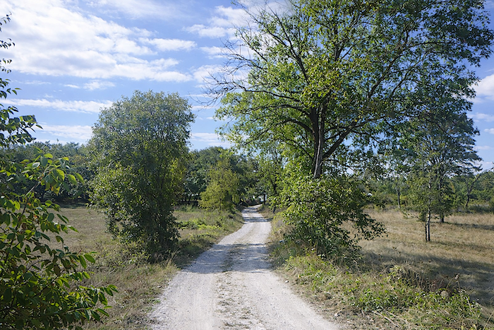
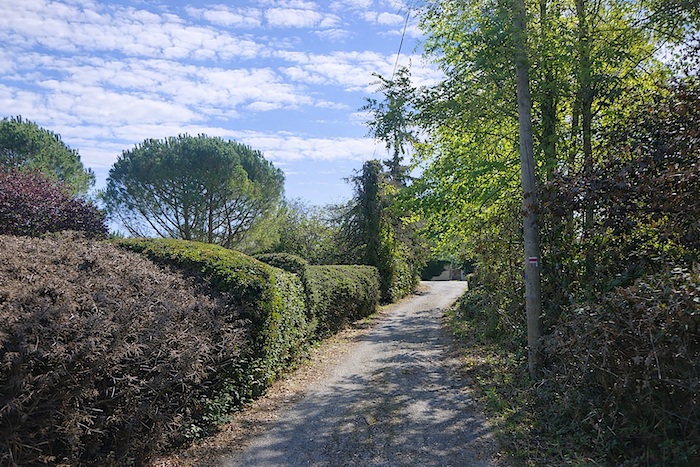
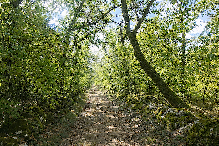
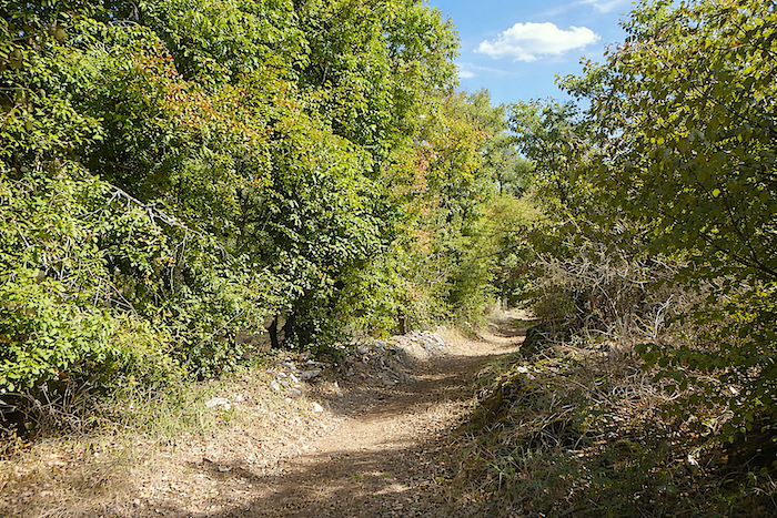
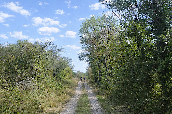
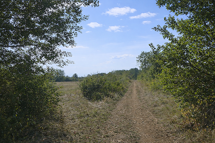
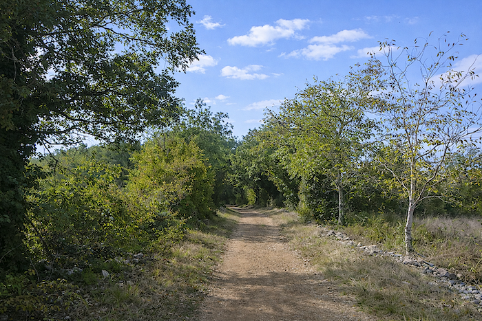
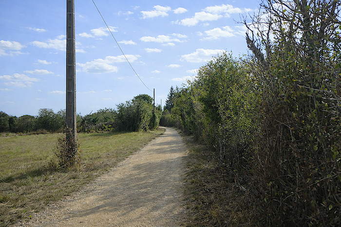
Further on, the GR36/46 leaves the tarmac for a path that stretches beneath the stunted oaks of the causse, offering a scene of striking simplicity. |
|
 |
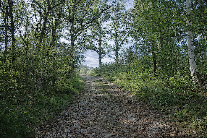 |
| It is a stony and charming path that whispers to walkers the secrets of centuries past, far from human bustle. | |
 |
 |
 |
 |
|
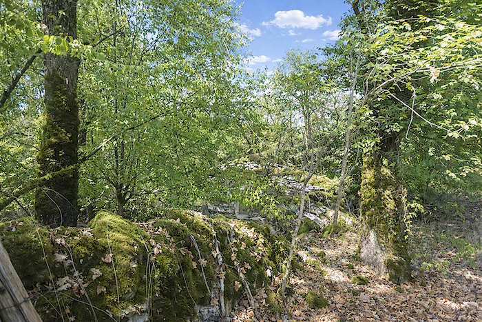
How could you tire of these moss-covered dry-stone walls, of these small, fragile oaks and these hedges of dogwood? Every stone, every leaf seems to sing of the fragile and enduring beauty of life. |
|
 |
 |
 |
 |
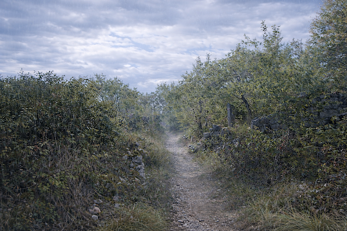
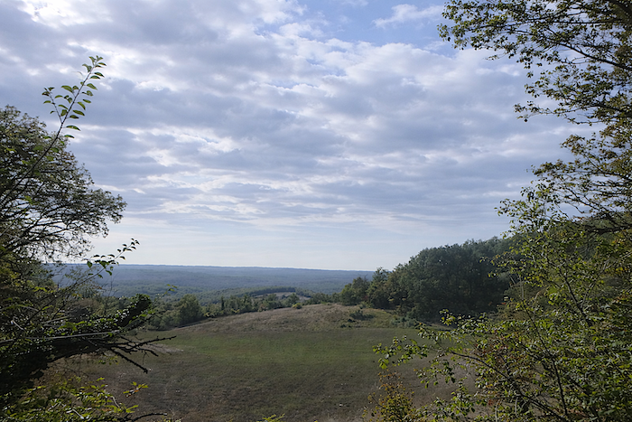
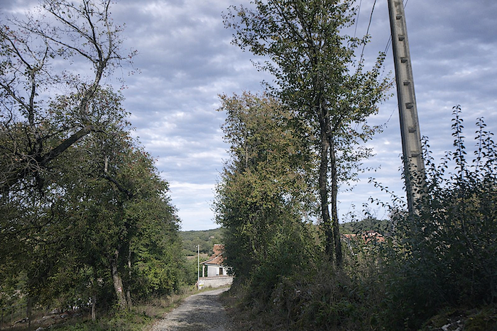
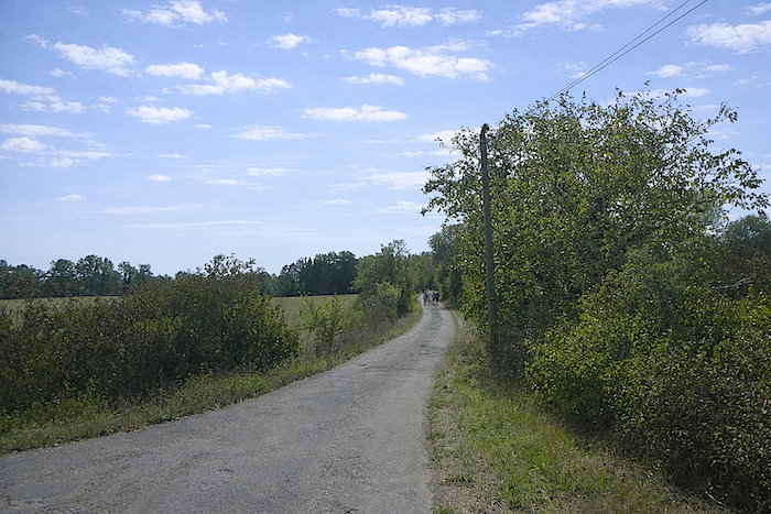
At times, the eye wanders across the vastness of the causse, where the horizon slips away, leaving the imagination to complete the infinite landscape. Today, a hint of blue begins to appear in the sky. The day will grow brighter.
|
Further down, the path meets a tarmac road again, like a golden thread linking the solitude of the heights to the world of people. |
|
 |
 |
|
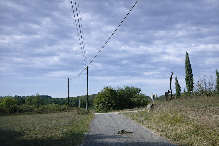
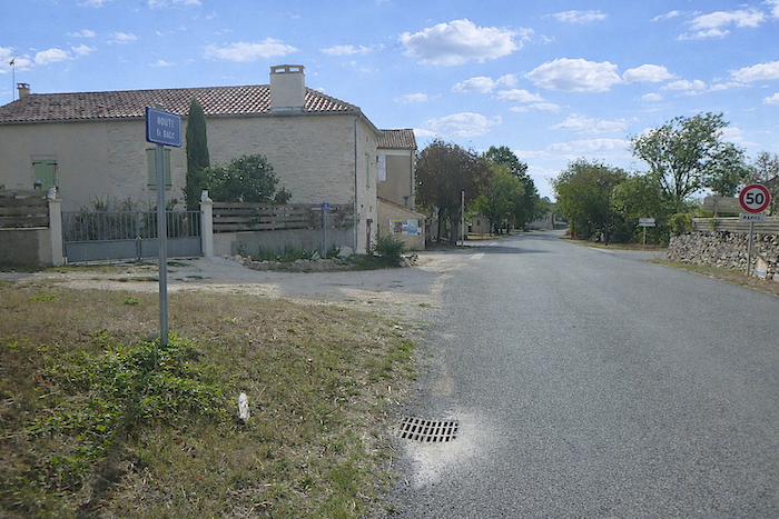
This small road soon joins the D42, which connects St Cirq-Lapopie to Concots, bringing the route full circle and offering the walker the gentle feeling of having travelled through time and light. |
|
 |
 |
Section 2: Across the causse
Overview of the route’s challenges : a tiring, uneven route.
|
For a few hundred meters more, the GR36/46 still follows the departmental road, as if making sure the walker has not quite lost touch with the civilized world, before turning once again onto a discreet path that slips beneath the quiet cover of the undergrowth, where light filters through in touches of gold and green. |
|
 |
 |
 |
 |
|
Quite soon, the solitude of the path gives way to subtle but reassuring signs of human presence, a half open gate, a bench worn smooth by time, the distant murmur of a farm. |
|
 |
 |
|
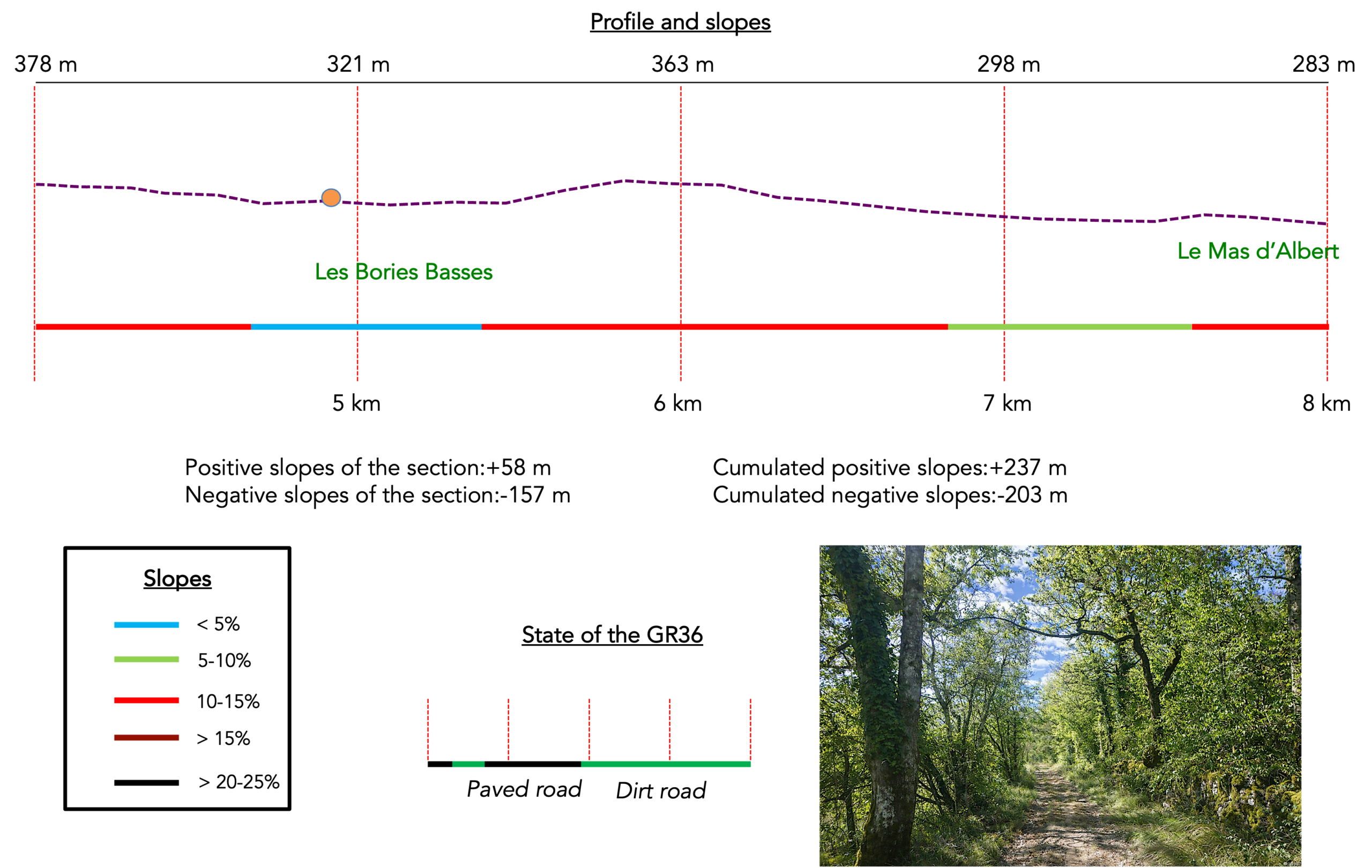
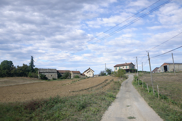
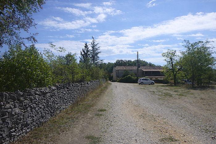
The path soon joins a small road that winds between the stone houses of the hamlet of Les Bories Basses. There, a few farms stand like small islands of life, surrounded by sparse fields carefully and patiently cultivated, signs of a rural way of life that endures against forgetting. |
|
 |
 |
 |
 |
|
Leaving the hamlet, the road stretches on, gentle, shifting between sunlit clearings and the soft shade of the undergrowth, like a final breath of calm before the earthen track resumes its vigor. |
|
 |
 |
|
Further on, a wide track appears, itself hesitating between meadow and woodland, before merging into the forest and joining a quiet, worn tarmac road, a remnant of older passage. |
|
 |
 |
 |
 |
|
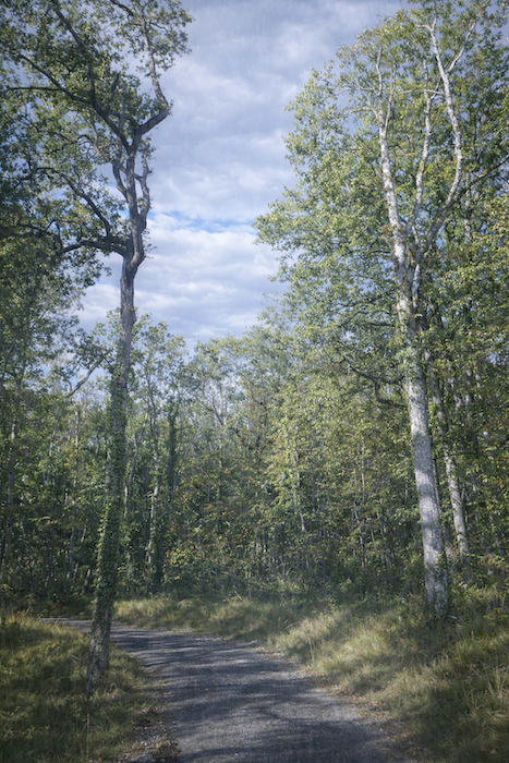
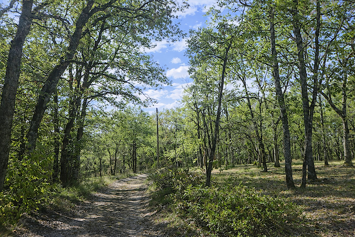
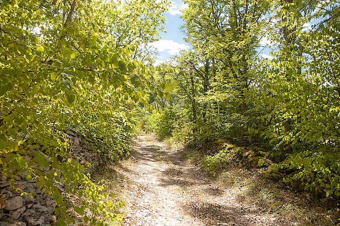
In the woods, the oaks sometimes take on an imposing stature, yet most remain close together, slender and fragile like a bundle of rods shaped by an unseen craftsman, forming a canopy that plays with light. |
|
 |
 |
|
Soon after, the path crosses a junction of small tarmac roads leading to isolated farms, solitary havens where time seems to stand still, as if each stone carried an ancient story. |
|
 |
 |
|
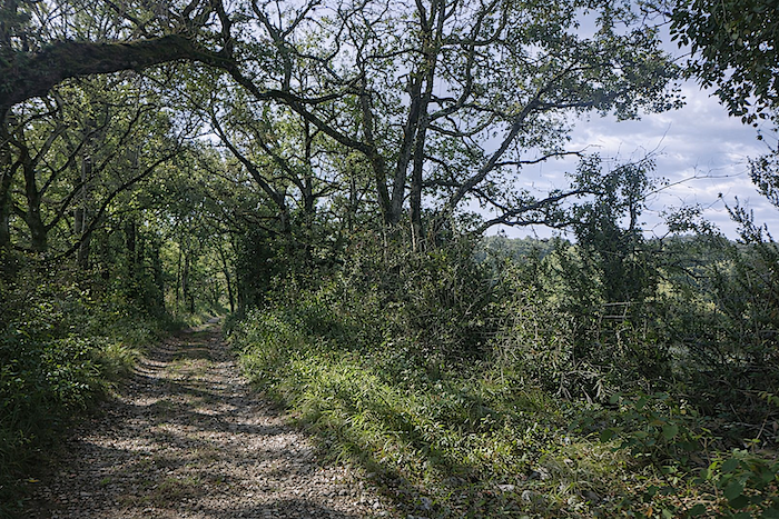
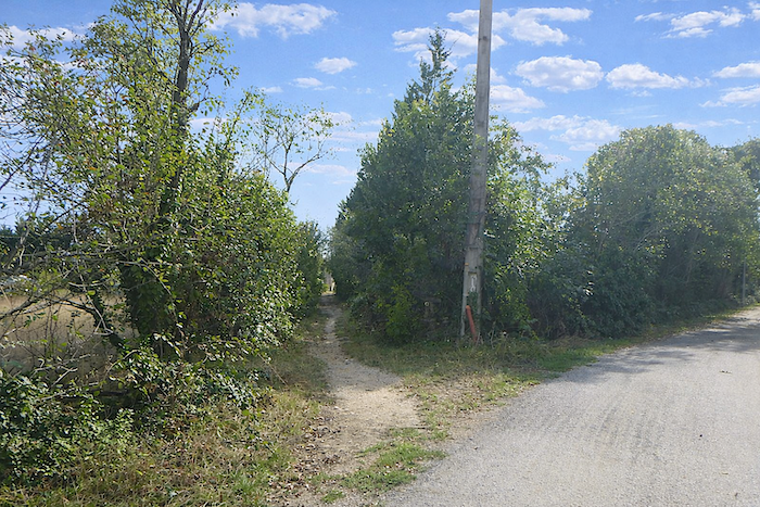
Yet the GR36/46 does not linger and continues along a stony path that once again slips into the undergrowth, extending this moment of intimacy with a deeper, wilder nature. |
|
 |
 |
 |
 |
|
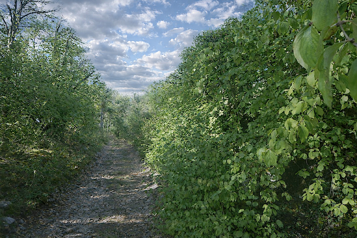
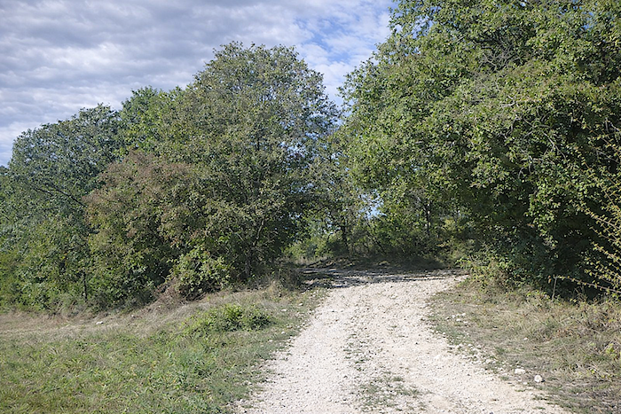
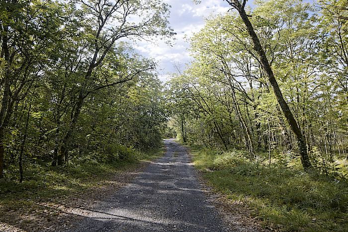
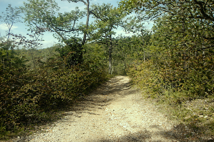
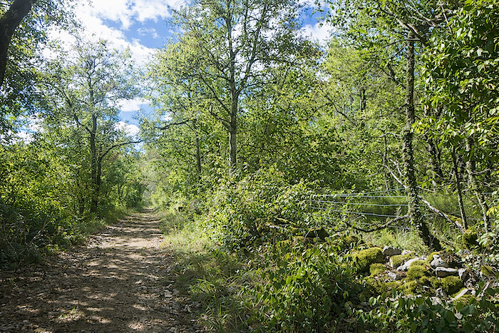
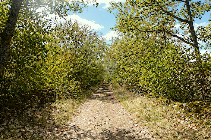
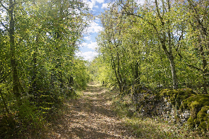
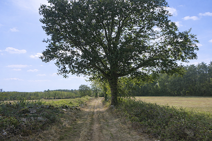
Then the route turns, and a rising trail leads back onto the dry expanse of the causse, a mineral and silent land where countless stones cover the ground like fragments of history frozen for centuries. |
|
 |
 |
 |
 |
|
The soil, sometimes ochre, sometimes burnt red, tells the memory of the earth. Here, dogwood has replaced the boxwood lost over time, and its scattered foliage brings color to this austere landscape. |
|
 |
 |
 |
 |
|
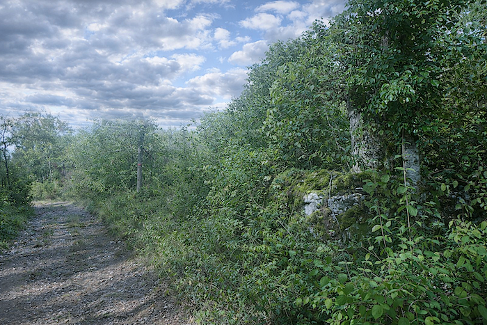
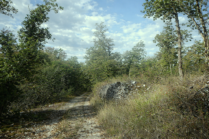
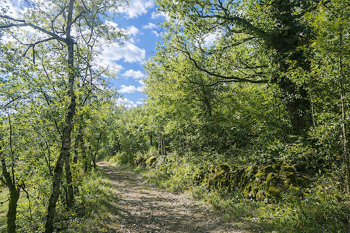
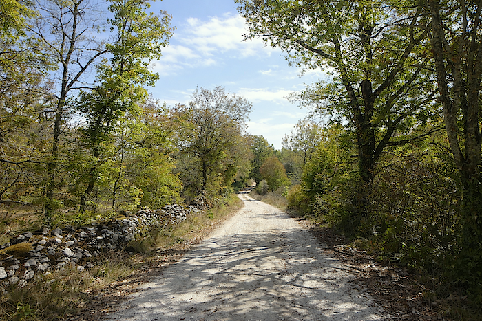
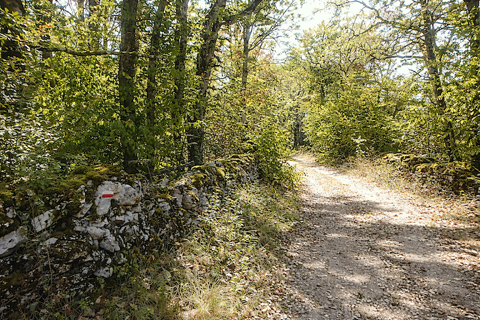
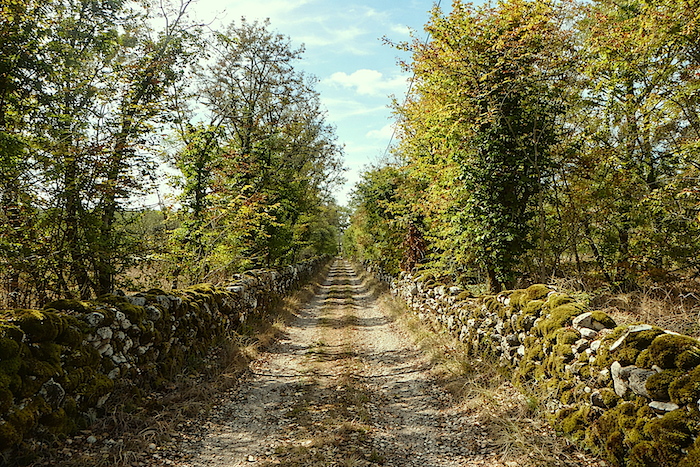
And always these low stone walls, covered in moss like small green jewels placed by the centuries, line the easy and peaceful path, revealing the quiet poetry of the causse. It feels almost sacred here. |
|
 |
 |
|
Further on, the space suddenly opens before the “Mas d’Albert”, a solitary and watchful house set upon unforgiving land, where the wind brushes against stone and nearly bare fields. |
|
 |
 |
Here, little truly grows in the dry soil. The farmer explains that after trying everything, he turned to resilient crops, medicinal plants, lavender, and sometimes a little saffron or truffles, offering this austere place a small and discreet treasure, as secret as the beauty of the landscape itself.
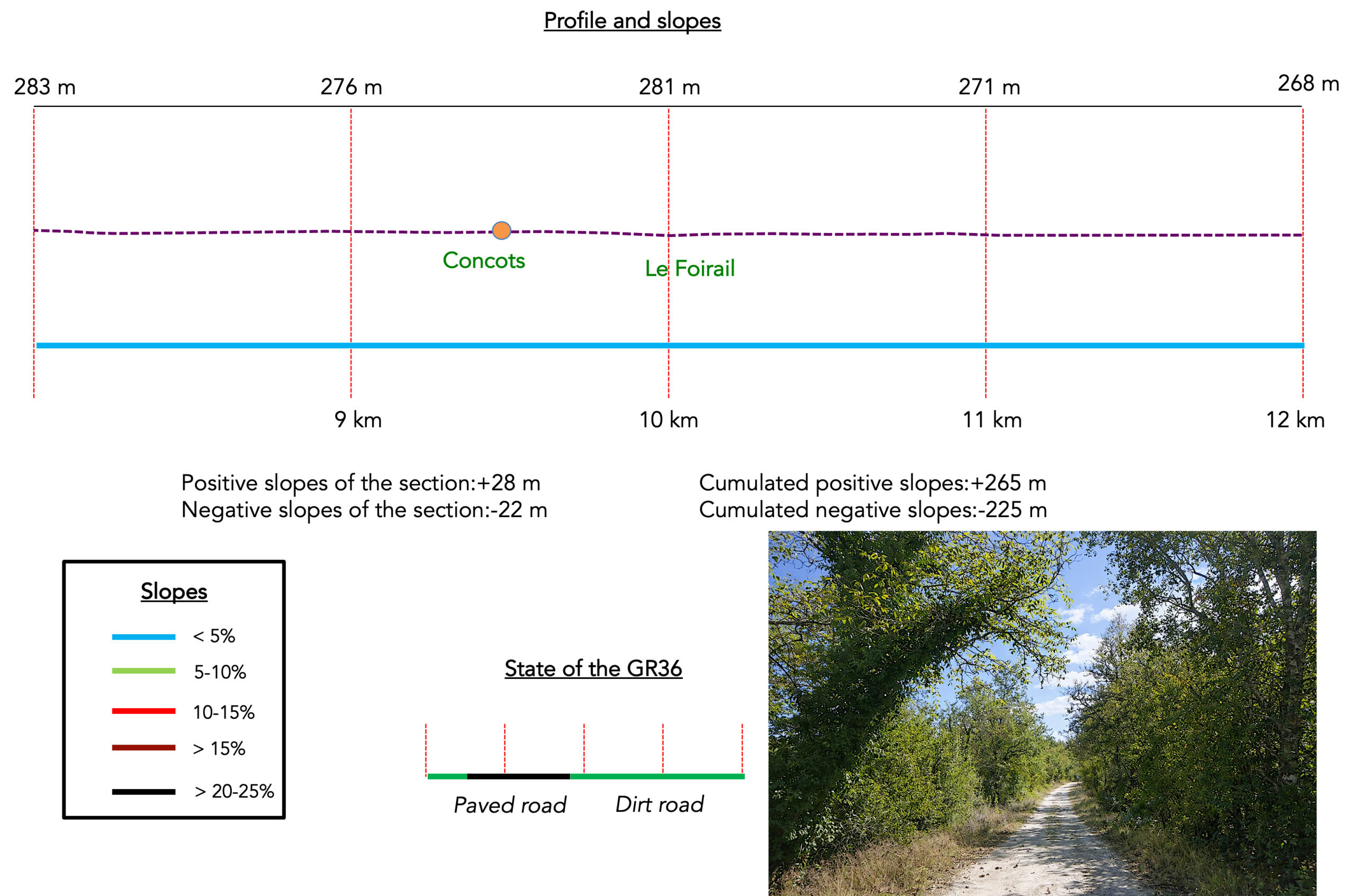
Section 3: Concots, in the heart of the causse
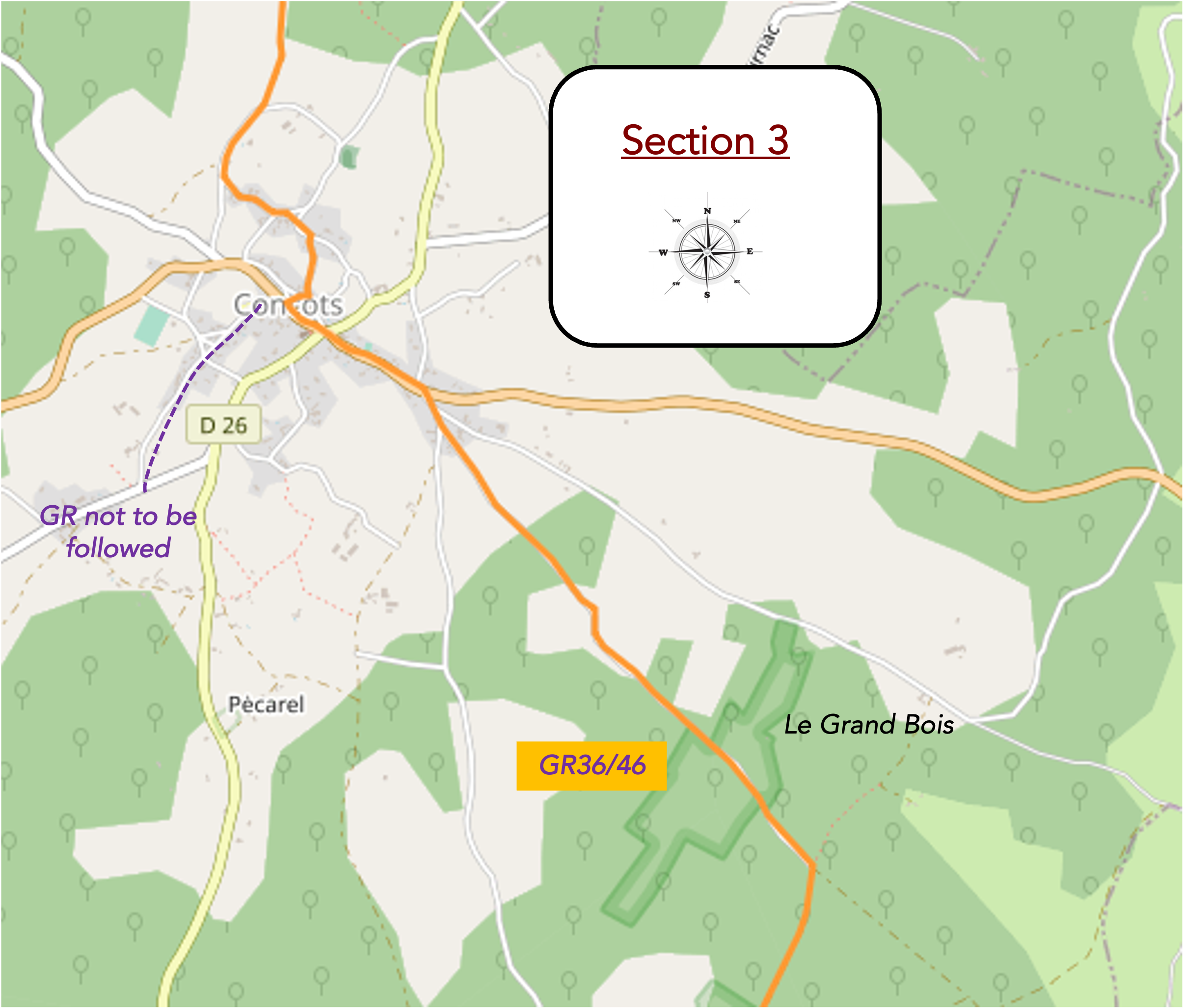
Overview of the route’s challenges : an easy route.
|
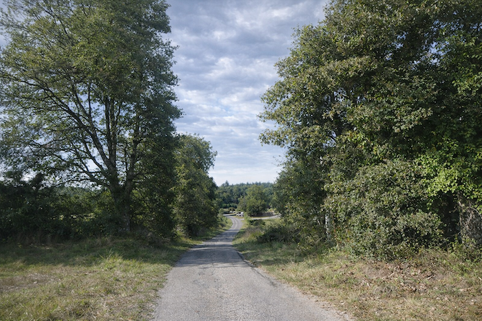
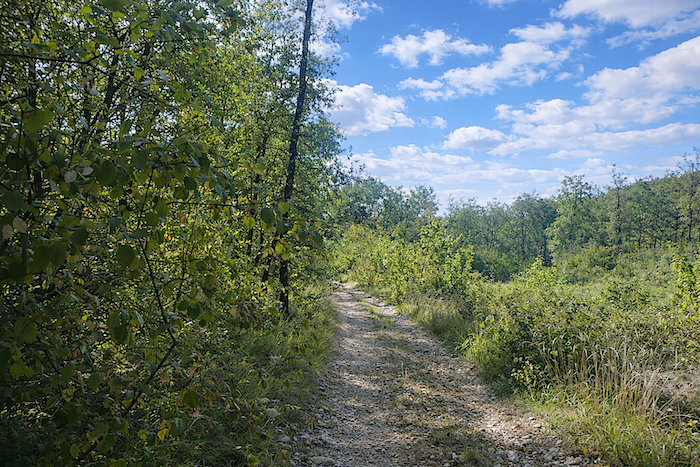
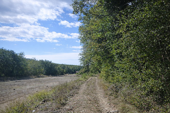
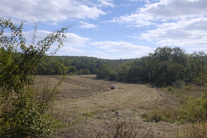
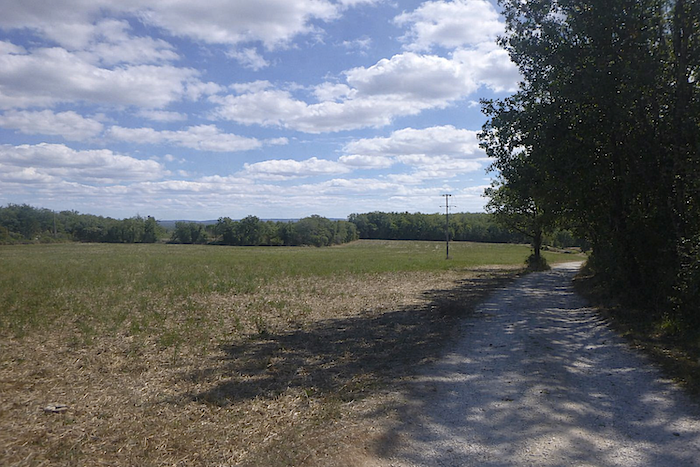
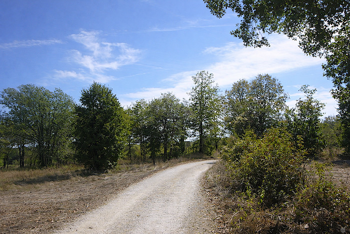
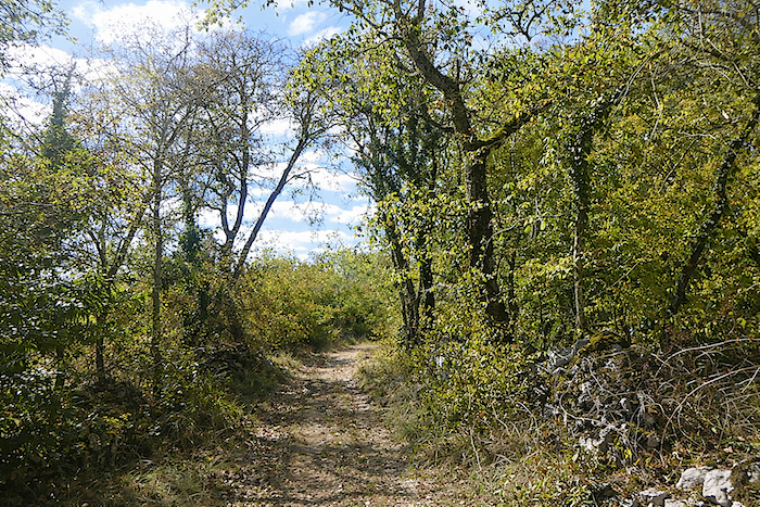
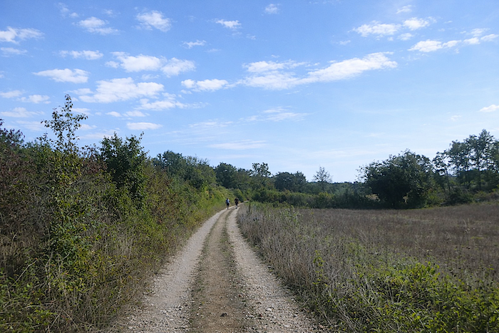
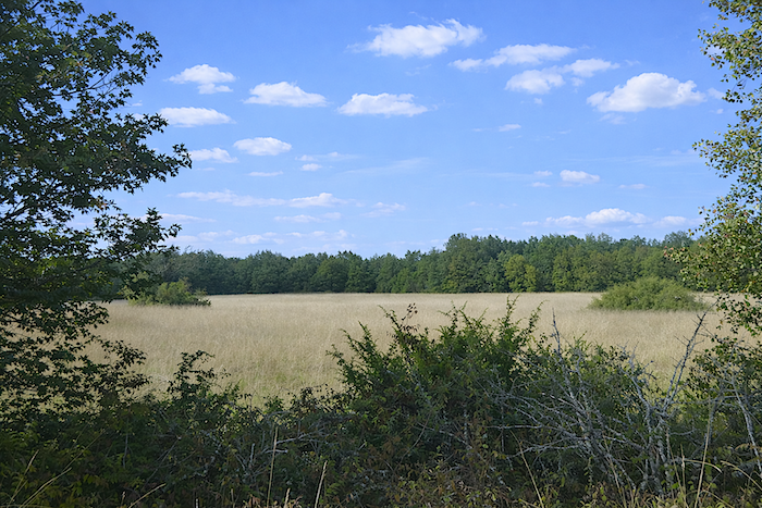
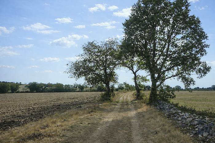
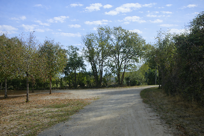
Further on, the path widens and gently winds through a more open landscape, where the view stretches across uncertain plateaus, undulating like a sea of stone and scattered shrubs, still hesitating between wild land and cultivation. |
|
 |
 |
 |
 |
|
Yet this is not truly fertile countryside. The soil remains dry, harsh and unyielding, unable to nourish life easily, like a canvas that can only be painted with patience and persistence. |
|
 |
 |
|
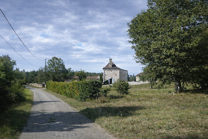
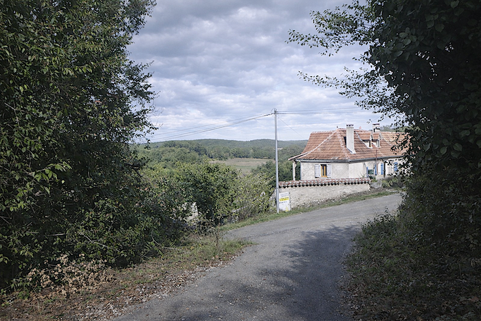
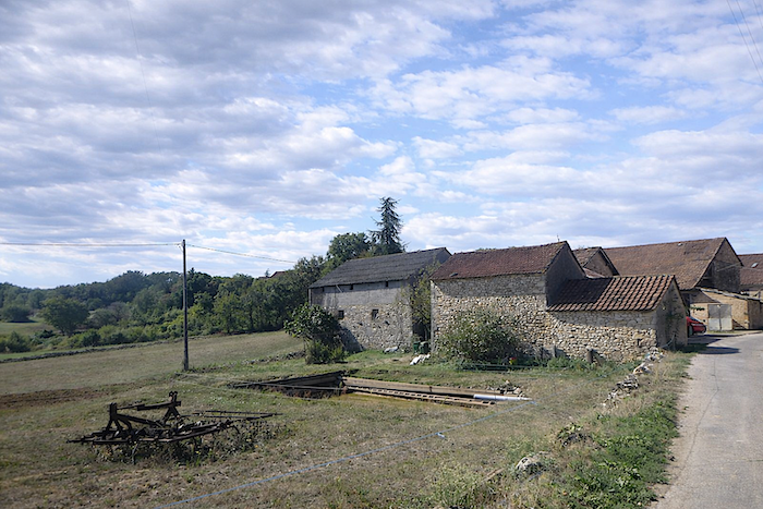
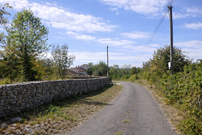
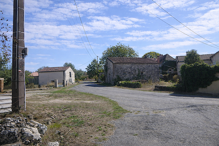
The road runs near the first stone houses of Mas Janicou, modest and sturdy, as if they had grown there by their own will, defying time and wind. |
|
 |
 |
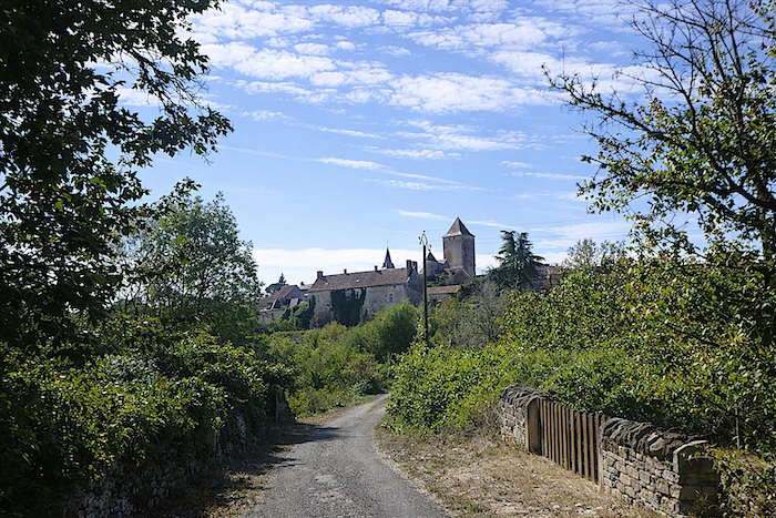
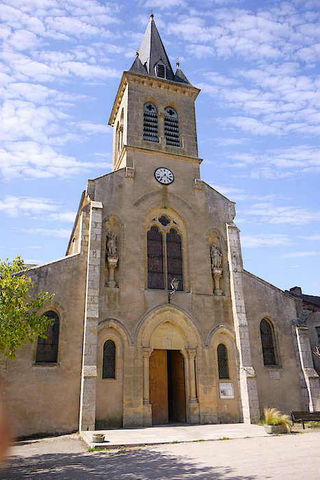
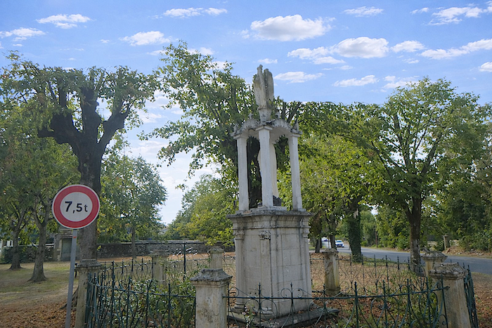
At the bend of the road, behind a small “caselle” set in the landscape, the bell tower of the church of Concots appears, slender and proud, piercing the low sky like an arrow of memory and history.
|
Mas Janicou feels almost like the outskirts of Concots, a threshold between the solitude of the causse and the village, where everyday life settles quietly among stones and sparse fields. |
|
 |
 |
|
The road then descends gently until it faces the village, perched on its rise, home to around five hundred inhabitants, where every stone seems to have heard the stories of past centuries. |
|
 |
 |
|
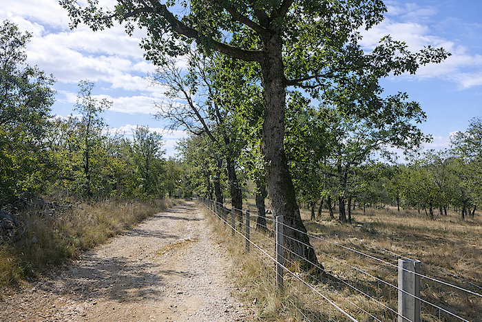
The road then climbs towards the village, where the feudal tower still stands. The village was once a fortified castle, burned on the orders of Louis XI, and belonged to the Cardaillac family, lords who were also established in Varaire along the GR65. At that time, war and plague had emptied the place of its inhabitants. Later, the village was repopulated by people from Auvergne and Aveyron, who breathed new life into the ancient ruins. |
|
 |
 |
|
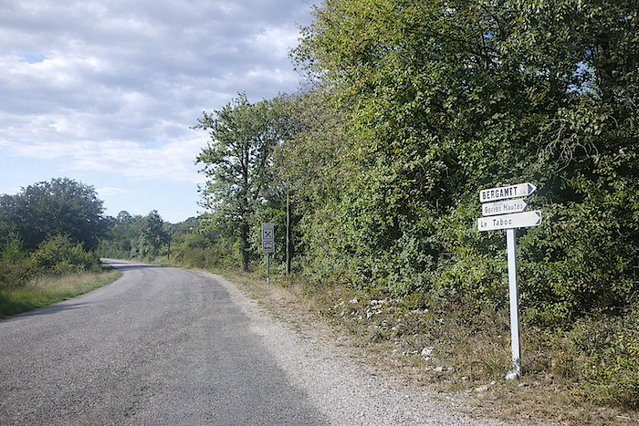
When you reach the road that runs through the village, near the town hall, a trap awaits. In front of you, a GR sign seems to invite you onward, yet it is not your route. The red and white markings rarely indicate which GR you are actually on. If you follow them blindly, you may lose your way. Here, you must follow the village road as far as the church, the true starting point for continuing on the GR36/46. |
|
 |
 |
|
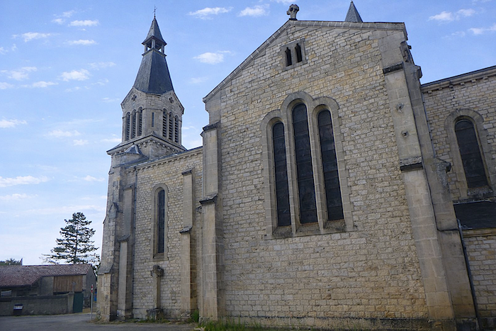
The church of St Jean-Baptiste, built at the end of the nineteenth century, stands bright and relatively recent, a quiet reminder that history continues with every stone. |
|
 |
 |
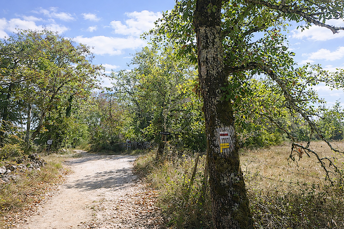
Here, you will find a complex and somewhat puzzling signpost that does not directly indicate the GR36/46. Why? You are halfway along the stage, and soon civilization will fade again until Bach. You must make sure to find the road towards Bach.
|
As you leave the village along the road, the red and white GR markings reappear, yet it is still unclear which GR you are following. Uncertainty is part of the journey. |
|
 |
 |
|
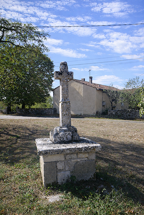
Further on, at an intersection near a cross, the markings finally indicate the correct direction towards Bach, confirming that you are on the right route. Today, the sky has now clearly settled. |
|
 |
 |
|
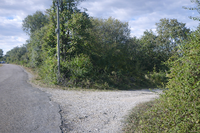
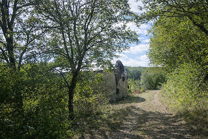
A wide dirt track then leaves the last houses behind, leading towards the Grand Bois, a promise of shade and solitude where footsteps dissolve into silence. |
|
 |
 |
 |
 |
|
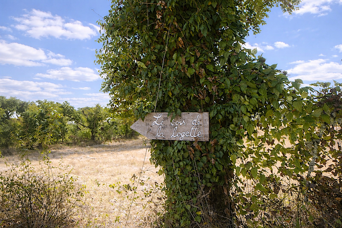
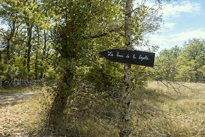
This is the direction of the “Bois de la Logette”, where a discreet gîte lies hidden within the forest |
|
 |
 |
|
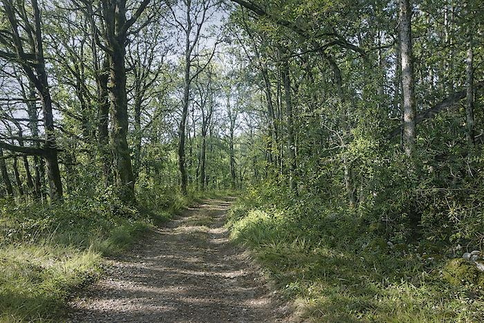
Here, the dirt road is wide and almost gentle underfoot, not very stony, and large clearings open from time to time like breaths within the woodland. |
|
 |
 |
|
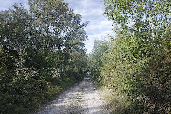
The track, almost straight, runs beneath ever-present oaks, punctuated by a few solitary chestnut trees, along hedges of dogwood that seem to guide both the eye and the step. |
|
 |
 |
 |
 |
|
Further on, the path changes direction, and another track branches off towards the lodge of “Bois de la Logette”, which is not on your route. At the junction, a plantation of small truffle oaks draws the eye, a quiet promise of hidden richness beneath the soil. |
|
 |
 |
 |
 |
|
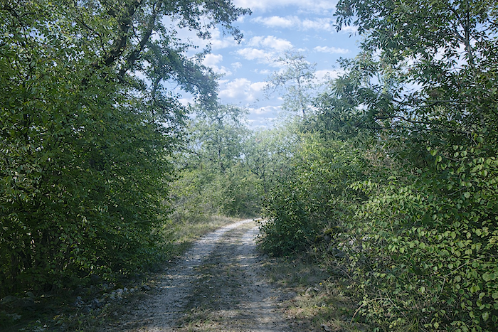
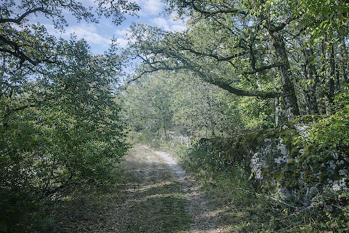
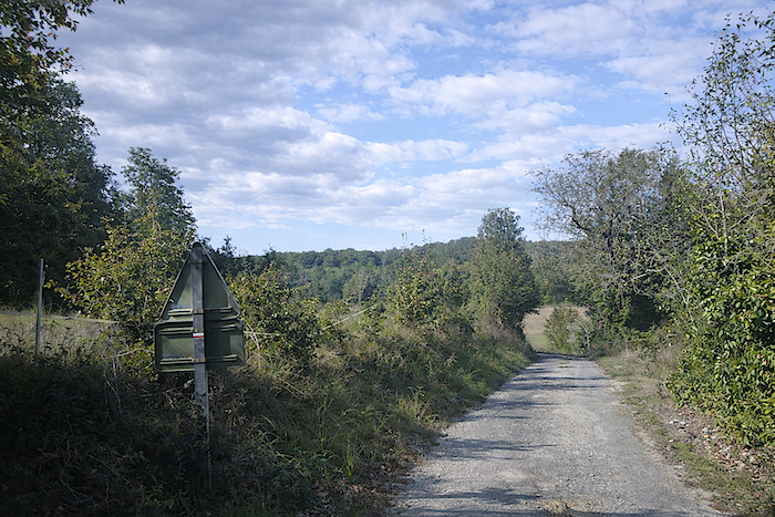
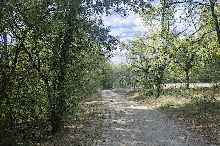
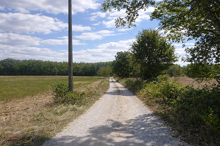
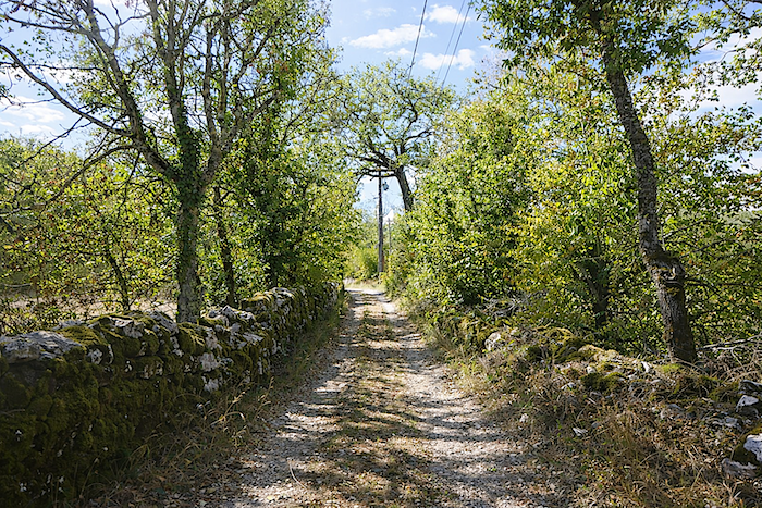
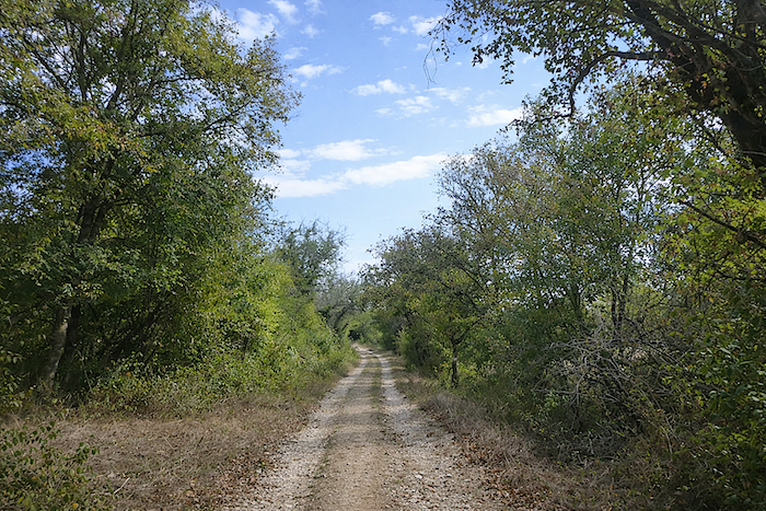
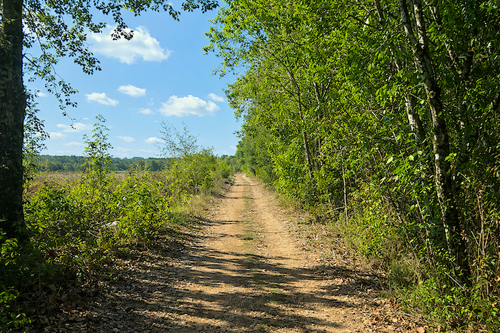
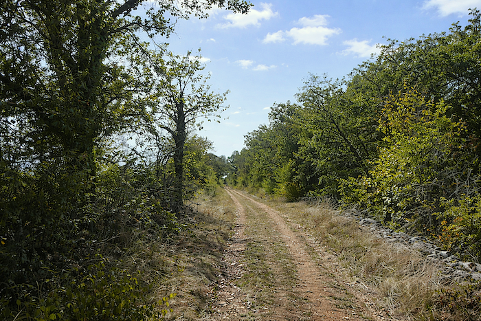
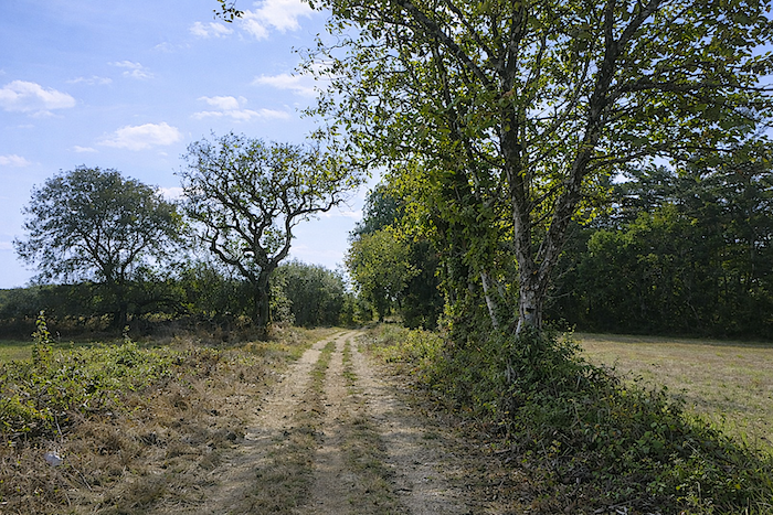
The path then continues, narrower, plunging into the full presence of the causse. Here, the silence is complete, and you understand that water is scarce, that the soil is dry to the core. You must learn to listen to the breath of the wind and the stones. |
|
 |
 |
 |
 |
|
This region is part of the Causses du Quercy Regional Natural Park, included since 2017 in a vast UNESCO Global Geopark, protected for its dry-stone heritage, its living pastoral traditions, and its unique mineral and paleontological world. |
|
 |
 |
 |
 |
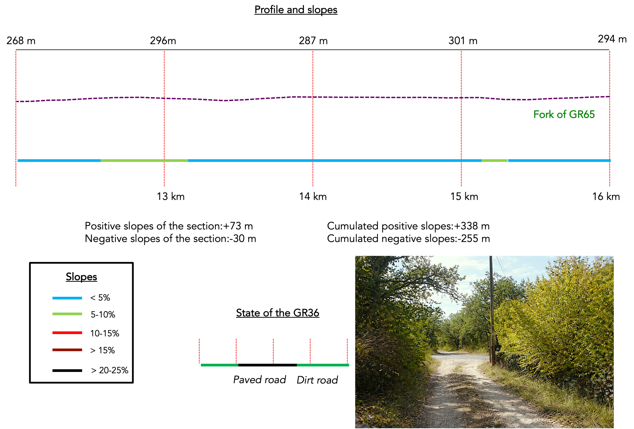
Section 4: A walk across the causse
Overview of the route’s challenges : an easy route.
|
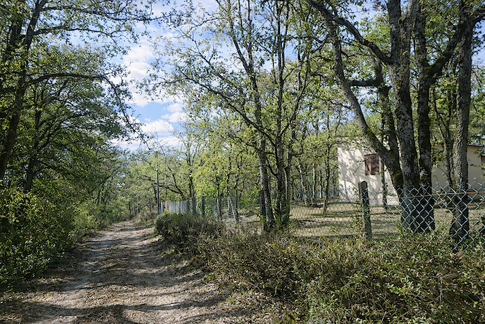
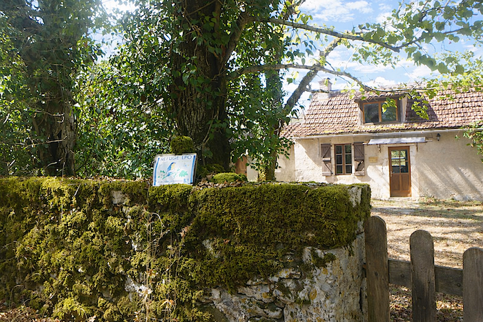
Soon after, the path heads to a refuge. This LPO refuge is not simply a shelter, it is a quiet commitment. Here, the landowner, whether public or private, has pledged to preserve and protect nature in all its richness, fragile wildlife, wild flora, the soil and the environment as a whole, as if every stone and every blade of grass deserved its own sanctuary. |
|
 |
 |
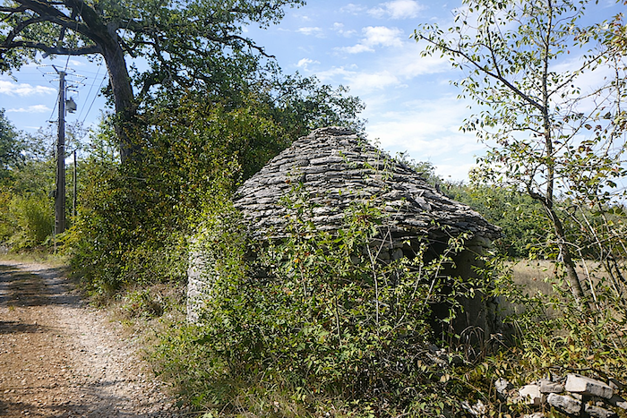
| And the path continues, carried by the ever-renewed wonder of the causse. At times, it runs close to a “caselle” from another age, a small stone shelter lost in time, a remnant of an older world, set there like a silent witness to the passing of people and seasons. In Cahors, the word “gariotte” is more commonly used than “caselle”. | |
 |
 |
|
Further on, the path draws near to a small tarmac road, a discreet thread linking valleys and villages, while still leaving the walker with the feeling that civilization remains far away. |
|
 |
 |
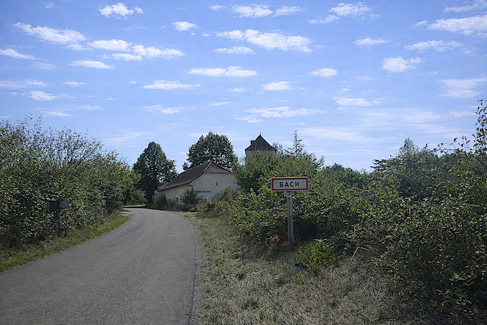
Bach lies only 4.3 kilometers from the crossroads, a reassuring landmark for the weary pilgrim or for the curious spirit eager to discover new landscapes.
|
Here, the GR36/46 follows for nearly two kilometers the road that connects Concots to Bach. Traffic is rare, almost nonexistent, the tarmac becomes a quiet passage where one can walk while contemplating the woodland, breathing in the air of the causse like a deep, steady breath. |
|
 |
 |
|
|
|
 |
 |
 |
 |
|
At the end of this brief stretch on the road, remain very attentive and keep your eyes open. You must not miss the turning that leads the path back into the depths of the causse, where shadow and light play among stones and hedgerows. |
|
 |
 |
|
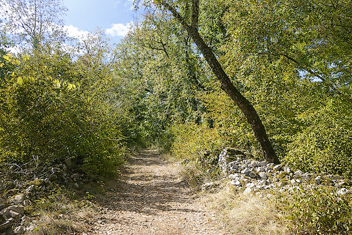
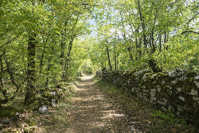
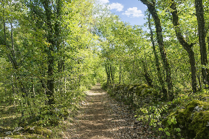
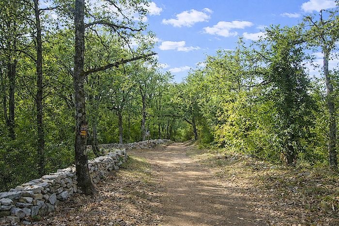
Then comes once again the fullness of these hollow paths, hidden beneath foliage, lined with stone walls that seem to brush against the now narrower track. At times, a solitary “gariotte” lies hidden there, quietly fading in the silence and poetry of the place. |
|
 |
 |
 |
 |
|
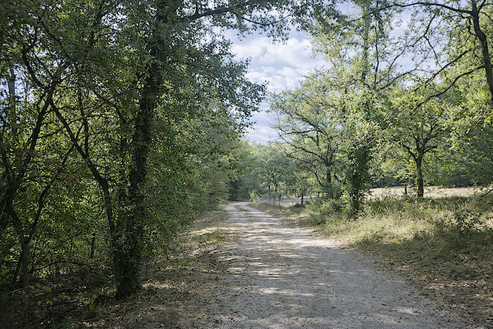
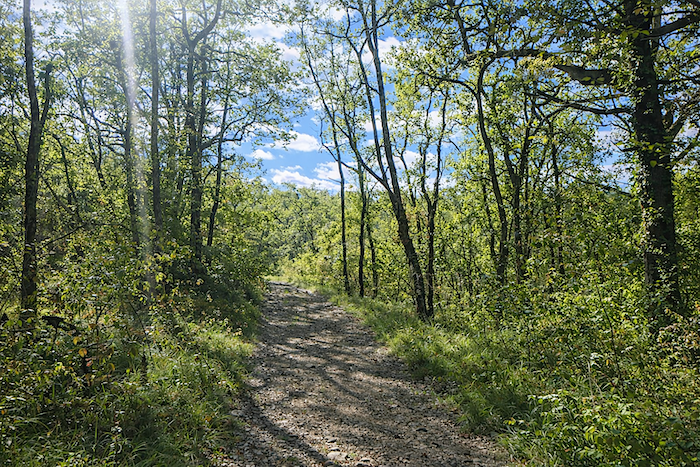
Further on, the path widens again, as if allowing the walk to breathe and offering a broader view of the mineral and vegetal space of the causse, among stunted oaks and Montpellier maples |
|
 |
 |
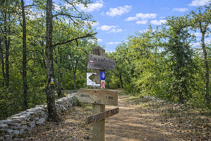
It then passes a direction sign. In this land of hills and causses, many walking routes cross outside the GR network, offering countless possibilities for hidden wanderings. Here, the walker soon approaches the GR65, another golden thread of pilgrimage and walking. You must continue to follow the direction towards Bach.
|
The path continues through the woodland of the causse for about half a kilometer, beneath light filtered through oaks and dogwoods, before reaching the junction with the GR65. |
|
 |
 |
 |
 |
|
Shortly after, you reach the junction with the GR65, coming from Varaire. This crossroads is an important point, your route leaves the GR36/46 here, which continues in the opposite direction towards Varaire along the GR65. From this point, it is possible to head towards Les Moulins, with its accommodation options, or to visit the former phosphate mines of Coup d’Aral, just a short distance away. Yet most pilgrims continue along the main path, faithful to the call of the causse and its villages. |
|
 |
 |
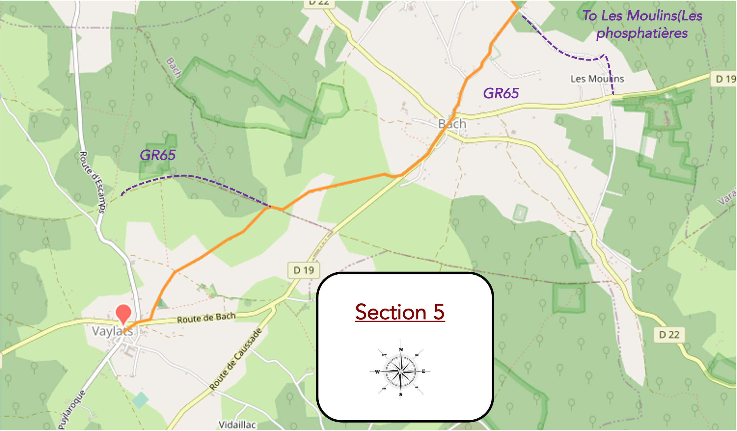
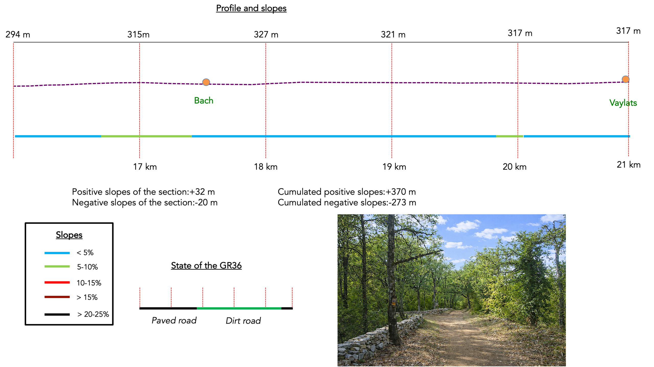
Section 5: On the way to the Monastery of the Daughters of Jesus
Overview of the route’s challenges : an easy route.
|
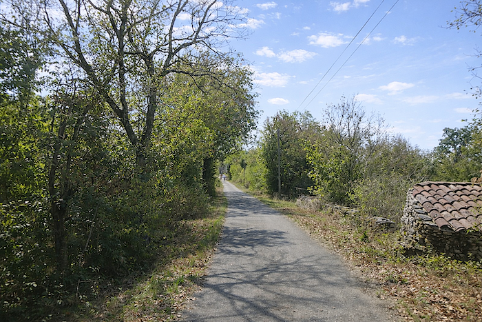
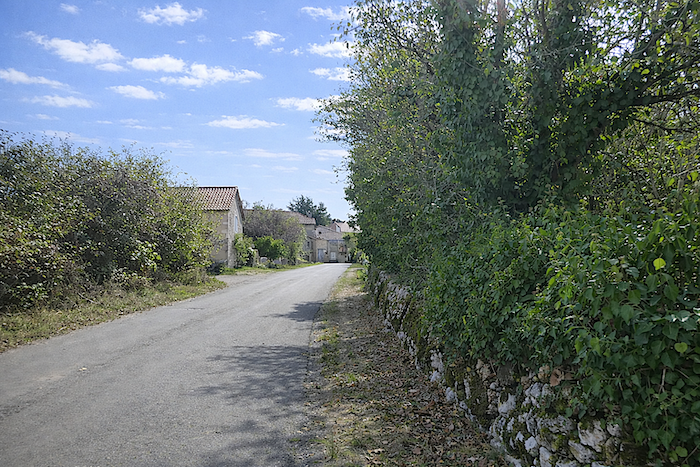
From the crossroads, a quiet road leads to Bach. The route is lined with beautiful stone houses, solid and dignified, as though they had withstood wind and time, set like still notes in a silent landscape. |
|
 |
 |
 |
 |
 |
 |
|
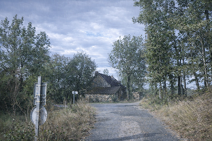
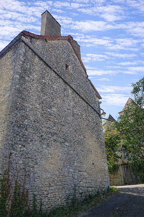
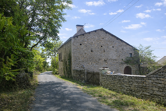
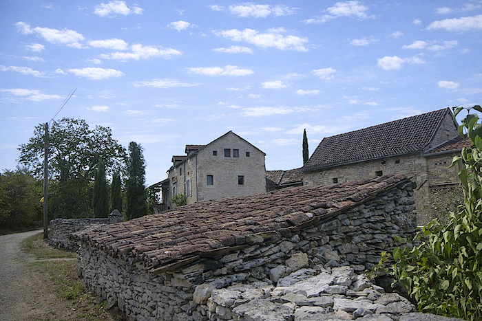
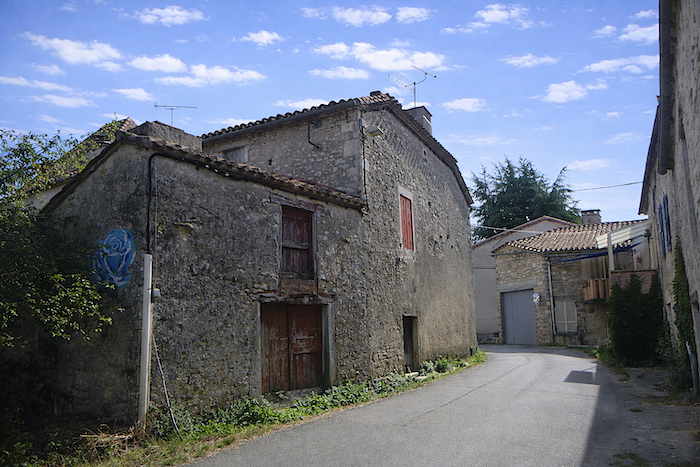
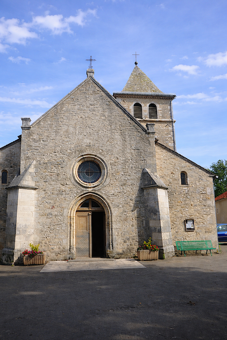
The road soon reaches Bach, a small village of around one hundred and fifty inhabitants, made up of sturdy and timeless stone houses, where each façade tells the slow story of its people and their struggle with the land. |
|
 |
 |
 |
 |
|
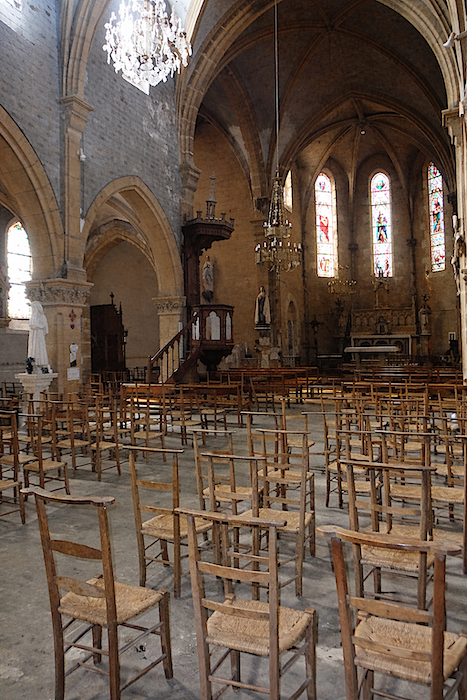
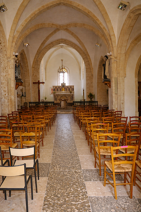
The Church of the Assumption has distant origins, a twelfth century building of which almost nothing remains, rebuilt in the fifteenth and then the sixteenth century, before being transformed in the nineteenth century. Each stone seems to whisper the passing of centuries and generations. |
|
 |
 |
|
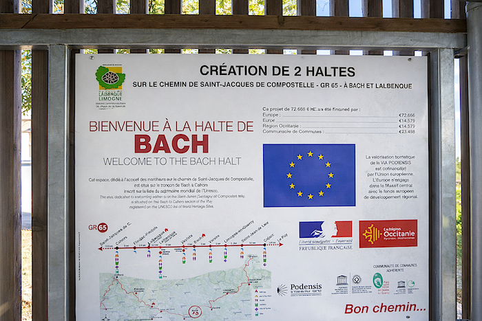
On the church square, a sign details recent work, the creation of two water points along the route towards Cahors, a discreet but precious gesture for the thirsty pilgrim. The first of these lies just a few steps beyond the village. |
|
 |
 |
|
The GR65 then leaves the village along the road towards Vaylats, extending the walk through the landscapes of Quercy. |
|
 |
 |
 |
 |
|
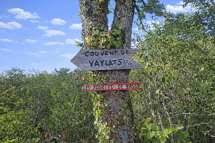
Shortly after, the route leaves the road for a more intimate path towards Cahors and Vaylats. Very soon, signs indicate accommodation options in Vaylats or in the recently installed yurts at Bascot, a modern addition along this ancient route. . |
|
 |
 |
|
Here, you walk along the Cami Ferrat, the road once taken by Caesar and the Roman armies towards Cahors, a historic route where each step echoes with the march of ancient legions. |
|
 |
 |
|
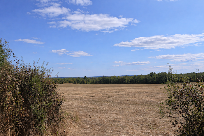
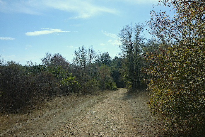
The landscape is not the most picturesque of the causse, long straight lines stretch across an open plain, almost steppe like, where the wind seems to unfurl invisible veils of dust and light. |
|
 |
 |
|
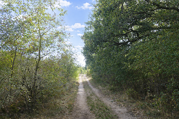
Soon, nature regains its poetry, the path draws closer to the forest, where shade and green bring freshness to both eye and mind. |
|
 |
 |
|
The route reaches a junction leading to Vaylats. The GR65 continues straight ahead along the Cami Ferrat, which you will meet again the following day as you leave the village. Many pilgrims coming from Bach skip the route towards Vaylats in order to reach Cahors directly. |
|
 |
 |
|
The shortcut enters the woodland for a while, offering a moment of coolness and intimacy with the silence of the trees. |
|
 |
 |
|
It then returns to the wide, open plain, bright and expansive. |
|
 |
 |
|
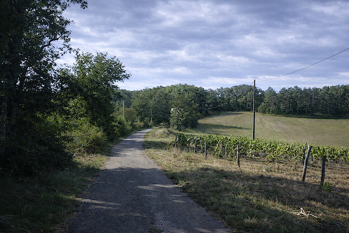
Here, the land feels a little less harsh, a few cultivated fields appear across the landscape, reminding you that even in this austere place, life finds its way. |
|
 |
 |
|
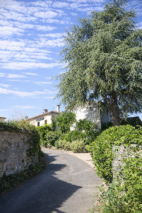
The wide path continues towards the entrance of Vaylats, where it narrows, as if inviting the walker to slow down and notice the details of the village gradually unfolding. |
|
 |
 |
|
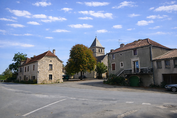
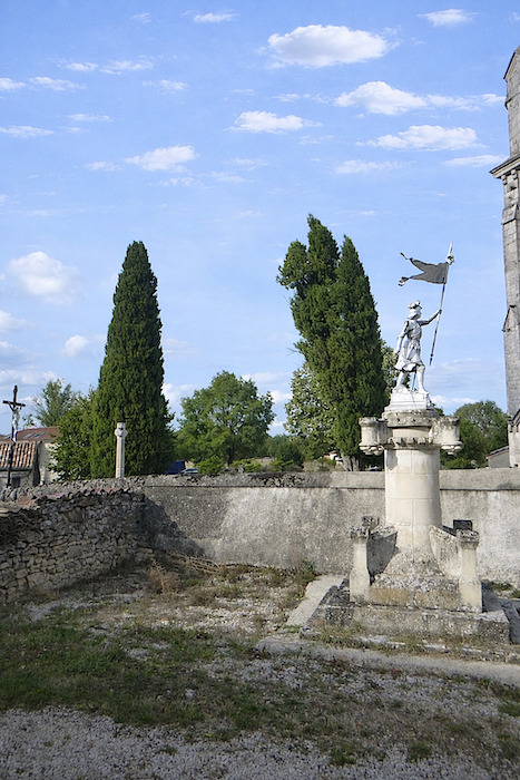
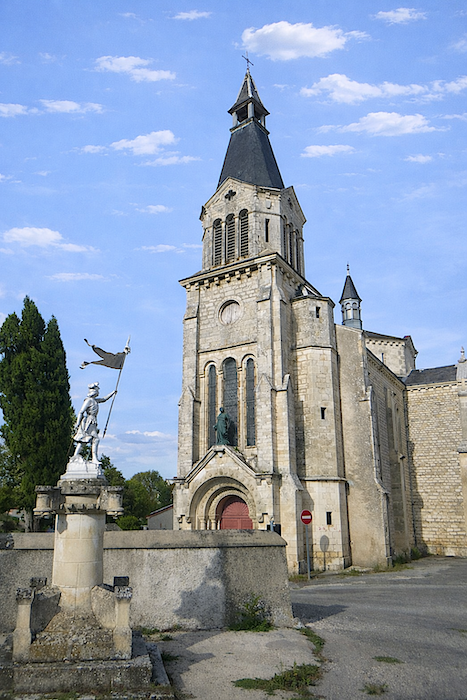
The path emerges at the entrance to the village, where a central wooded park draws the eye. The present Church of St Pierre-ès-Liens, in neo-Romanesque style, is a reconstruction from the late nineteenth century, replacing a fifteenth century Gothic church that once stood on the same site. |
|
 |
 |
 |
 |
 |
 |
|
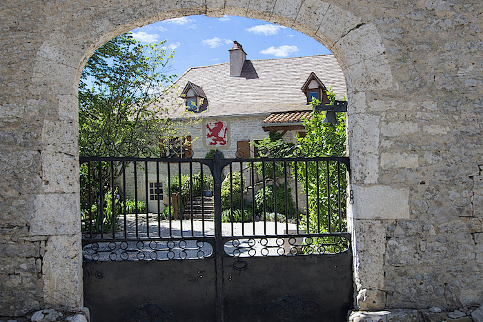
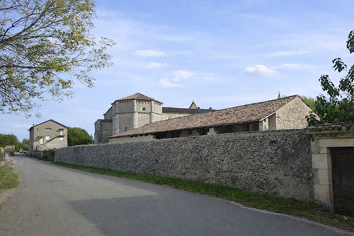
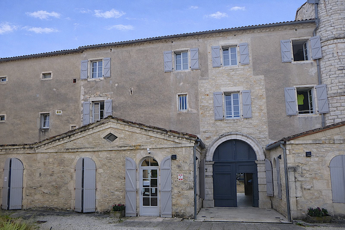
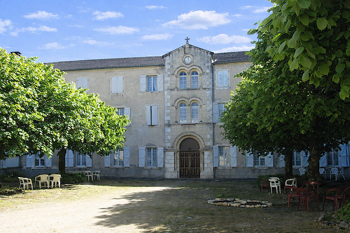
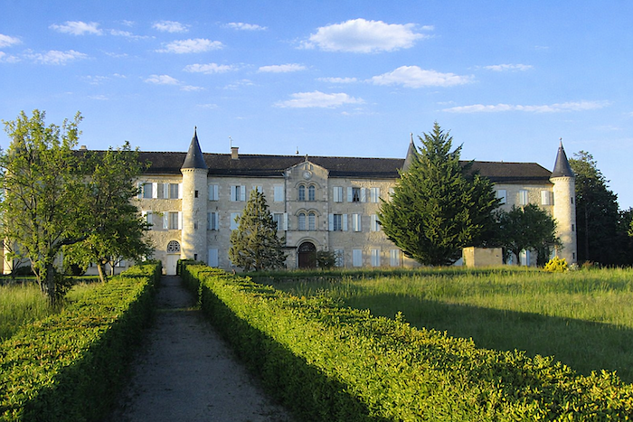
The village also has a bakery, grocery and café, but above all the remarkable Convent of the Daughters of Jesus, a vast nineteenth century building constructed on the site of a former castle destroyed during the Revolution. It also provides accommodation for pilgrims. |
|
 |
 |
In 1820, Father Jean Lausiu founded in Vaylats a community and a school for the education of girls and the care of the poor, the origin of the congregation of the Daughters of Jesus, which grew to include up to six hundred sisters in the twentieth century. Today, only elderly sisters remain, assisted by lay people who share their spirit. They no longer take direct care of pilgrims, yet the spirit of hospitality endures. The large tree filled courtyard of the convent leads to chapels, the refectory and the sisters’ quarters.
In the past, there was a living sense of community here between pilgrims, volunteers and sisters. Everything was organized to support the walker, laundry, shared meals, morning offices. The Covid period altered this rhythm, the sisters no longer join meals, and the place has become more structured. There are now hotel style rooms of two categories, and elderly residents live separately, changing the atmosphere that once prevailed. Yet care for the pilgrim remains at the heart of this place, even if some of its poetry has faded.
|
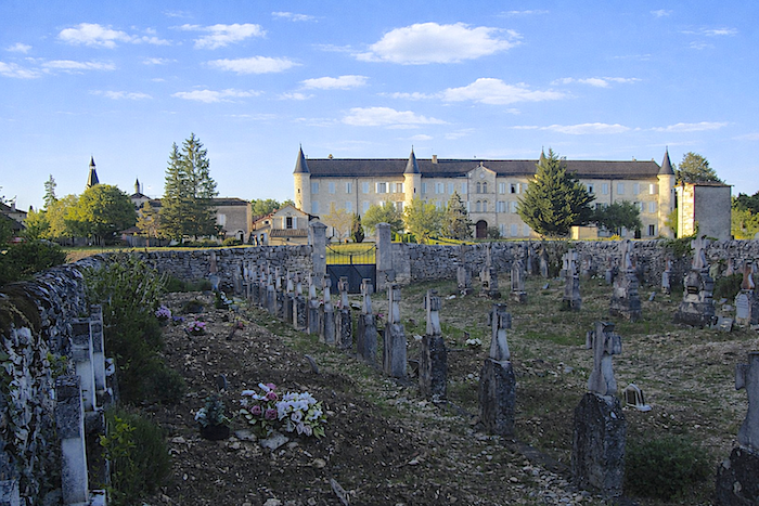
Evening falls over Vaylats. It is time to wander through the convent park, then make your way to your room. In the cemetery, the sisters rest side by side, anonymous except for their names. The doors of the convent close for the night. It is eight o’clock, good night. Breakfast will be served at seven sharp, for in a convent, discipline is another form of kindness. |
|
 |
 |
Logements répertoriés sur la Voie du Célé
- Ferme Balmes, Les Bories Basses; 05 65 31 26 02/06 88 04 13 24 ; d’hôte, repas, petit déj.
- Gîte Finca Baribal, Concots ; 06 21 09 75 64 ; Gîte, petit déj., cuisine
- La Grange St Jacques, Bach; 06 23 32 44 61 ; Gîte et d’hôte, repas, petit déj.
- La Joie du Chemin, Bach ; 07 45 83 83 24 ; Gîte, repas, petit déj.
- Le Mas de Juge, Bach ; 05 65 22 67 37/06 70 65 38 43 ; Ch. d’hôte, repas, petit déj.
- Relais Arc-en-Ciel, Les Moulins/Bach ; 05 65 09 04 82 ; Gîte, repas, petit déj.
- Couvent des Filles de Jésus, Vaylats; 06 49 44 05 46 ; Gîte et Ch., d’hôte, repas, petit déj.
- Yourtes de Bascot, Vaylats; 06 71 50 54 17 ; Gîte, repas, petit déj.
Ces données ont été actualisées en 2026. Si vous ouvrez ce site par la suite, il n’est pas sûr qu’il en sera toujours ainsi. Sur ces parcours, des établissements ouvrent chaque année, d’autres ferment. La solution est d’acheter, entre autres, Miam Miam Dodo, la bible pour manger et se loger, et qui donne aussi des logements hors du parcours. Pour notre part, nous ne donnerons que les logements sur le parcours, ou à proximité très immédiate. Il existe aussi d’autres possibilités, comme des guides, ou Internet, qui liste aussi les Airbnb. Cependant, même si la vallée est touristique, les logements Airbnb sont rares. Mais aucune application n’est aussi bien documentée que Miam Miam Dodo, d’autant que le petit livre, que vous trouvez aussi sur Internet est renouvelé chaque année. Si vous ne disposez pas de Miam Miam Dodo, on vous conseille de réserver et de vous renseigner chez les logeurs, des modalités de leur logement (repas, draps, WC, douche, autres commodités). De même, renseignez-vous à l’étape précédente sur les heures d’ouverture des épiceries, des bars, souvent fermés au cours de la journée ou de la semaine. Sur la variante du Célé, les possibilités de logement sont très restreintes, mais il n’y a que peu de pèlerins qui passent par ici. Par contre, il y a aussi des randonneurs. Réservez donc, si c’est possible. Un lit trouvé au dernier moment est parfois un coup de chance ; mieux vaut ne pas s’y fier tous les jours.
Dans cette étape, le logement est très discret jusqu’à Bach. Mais il n’y a pas beaucoup de randonneurs sur ce parcours. Mais à Bach, vous retrouvez le GR65, et alors le nombre de pèlerins augmente. En saison forte, Le nombre de pèlerins sur la Via Podiensis se situe généralement entre 100 et 200 personnes. La situation peut donc être parfois délicate, si affluence. Réservez, surtout pour le couvent de Vaylats, très demandé. Sinon, il faut aller plus loin, et les logements ne sont guère nombreux plus loin. Sur votre parcours, il a un restaurant à Concots et à Bach, ainsi qu’une épicerie e à Concots et Vaylats. Il n’y a aucun point d’eau répertorié avant Bach. Pour les gens qui veulent faire transporter le sac ou eux-mêmes, la Malle Postale ou le Transport Claudine sont de bonnes dispositions.
N’hésitez pas à ajouter des commentaires. C’est souvent ainsi que l’on monte dans la hiérarchie de Google, et que de plus nombreux pèlerins auront accès au site.
 |
Etape suivante : Etape 6: De Vaylats à Cahors |
 |
Retour au menu |