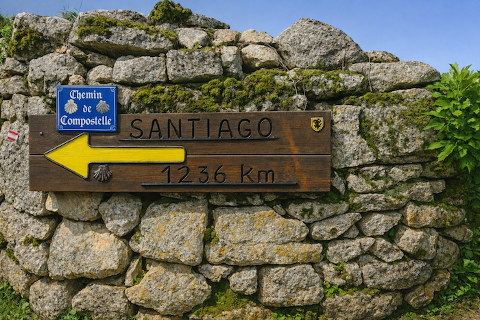
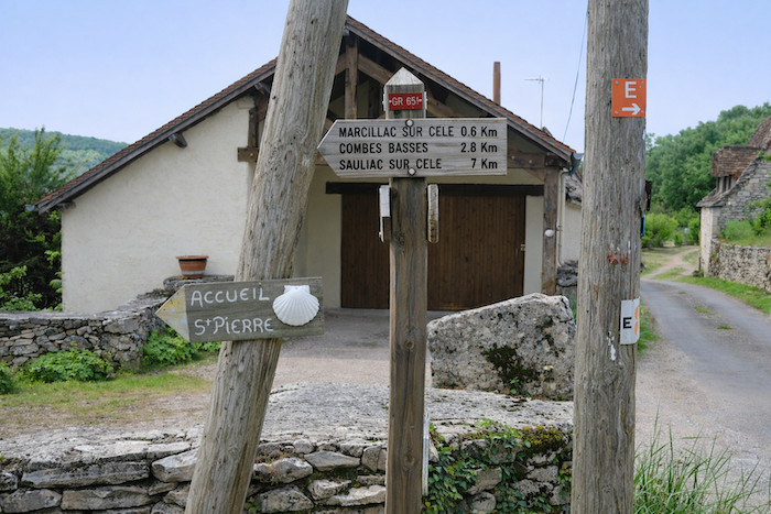
In the sublime valley of the Célé River
DIDIER HEUMANN, ANDREAS PAPASAVVAS
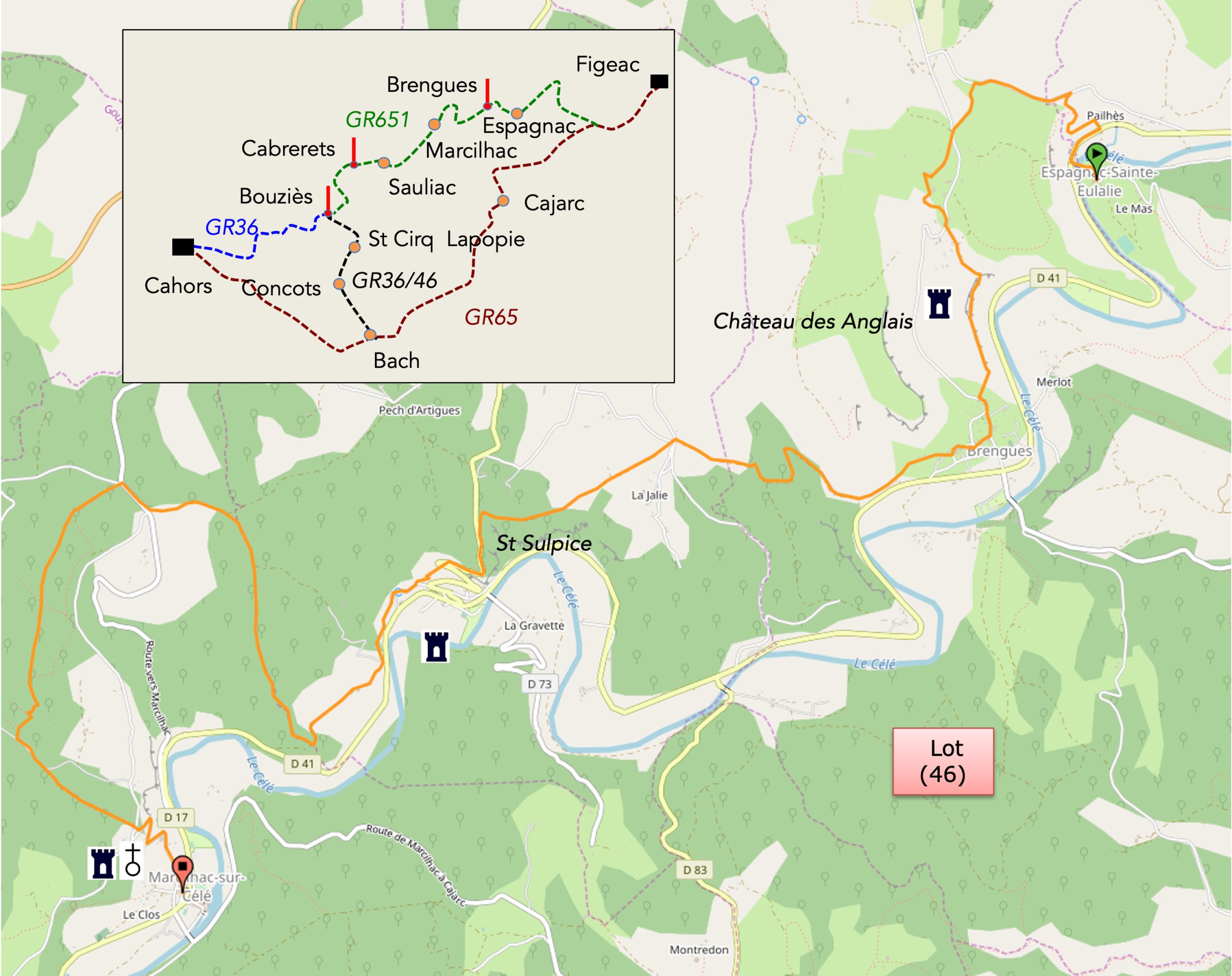
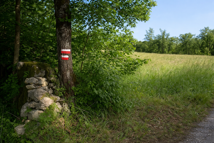
We divided the course into several sections to make it easier to see. For each section, the maps show the course, the slopes found on the course, and the state of the route (paved or dirt roads). The courses were drawn on the “Wikilocs” platform. Today, it is no longer necessary to walk around with detailed maps in your pocket or bag. If you have a mobile phone or tablet, you can easily follow routes live.
For this stage, here is the link:
| This is obviously not the case for all pilgrims, who may not feel comfortable reading GPS tracks and routes on a mobile phone, and there are still many places without an Internet connection. For this reason, you can find on Amazon a book that covers this route.
If you only want to consult lodging of the stage, go directly to the bottom of the page. |
 |
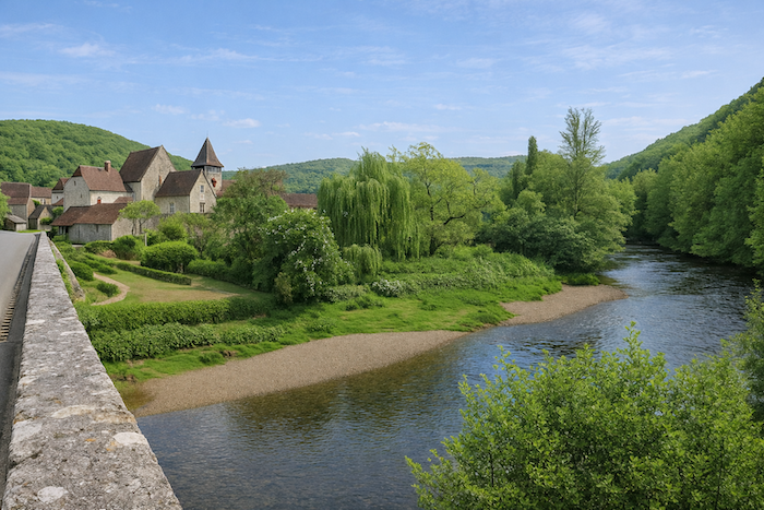
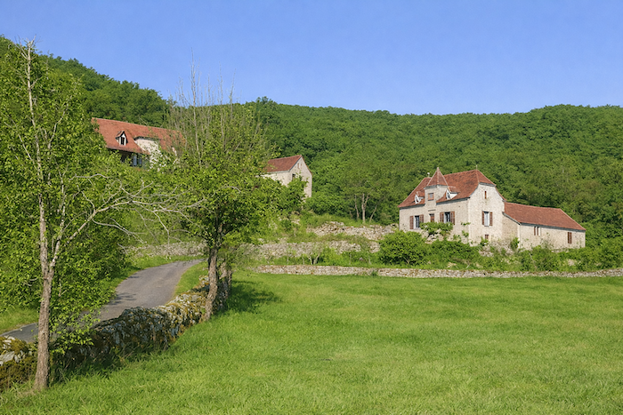
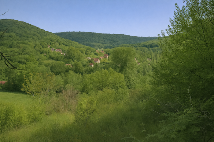
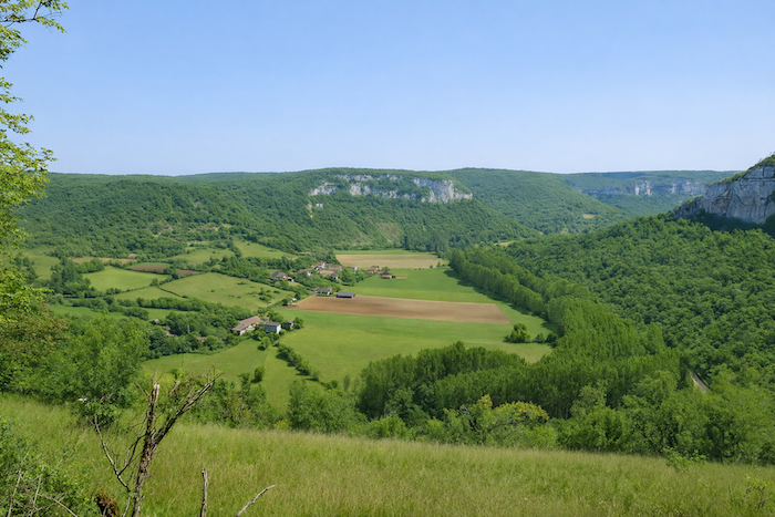
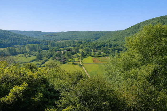
The Célé River is the largest tributary of the Lot River after the Truyère River. It rises in the granitic depths of the Massif Central before flowing into the Lot near Saint-Cirq-Lapopie. Its basin, vast and varied, brings together several regions whose geological and human diversity forms a striking mosaic. Upstream, the Châtaignerie and the Ségala spread out their dark hills and their chestnut forests, remnants of a time when the land nourished people with fruit and rye. In this country of granite and gneiss, rugged yet endearing, where herds of cattle graze across the plateau, the Compostela path chooses other routes, here the pilgrim’s soul would lose itself in the silence of the pastures. Beyond the Ségala lies the Limargue. A narrow ribbon of fertile land, the Limargue stretches between the causses and the Ségala, rarely more than ten kilometers wide, from the Lot in the south to the Dordogne in the north. Here marl, sandstone and clay dominate, giving the soil a softer and more generous substance. Along the GR65 route, this is the country from Figeac to Béduer, a gentler and more inhabited land where the light brushes the fields like a blessing. This striking contrast with the mineral dryness of the causse and the dark elevations of the Ségala gives the landscape a sense of breathing space and a human nuance. It is also near Figeac that the Célé, after so many bends and surges, finally enters its lower valley, carved into the heart of the limestone causses, where stone and water have been in dialogue for millennia.
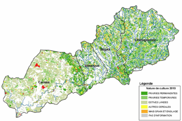
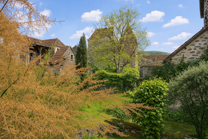
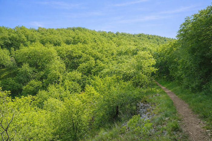
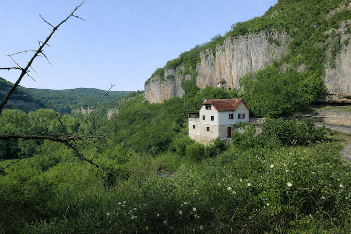
You are now in the causses, in the lower valley of the Célé. Here, heathlands, forests and meadows compose a peaceful symphony, a vast mantle of greenery woven over the bare stone. Heathland and groves cover nearly sixty percent of the territory, while meadows account for about a quarter. Very little space remains for human settlement. People cultivate the valley floor or establish their homes on the heights, at the top of the causses. The bottom of the valley, agricultural by nature, thrives on the alluvial deposits that the river generously provides. These fertile soils support maize, cereals, tobacco and alfalfa. Yet these cultivated areas remain fragile and limited, like a precious promise wrested from the stone. This constraint of the terrain has shaped the villages, which were born at the foot of the cliffs in a delicate balance between rock and river. The houses, pressed against the rock face, stretch in long pale ribbons beneath the cliffs. Some are carved directly into the limestone itself, patient and cool troglodyte dwellings. It is as if the rock itself had consented to be inhabited. In this valley of the Célé, it is difficult to rank the most beautiful stages. Each has its own grace, its own light, its own echo of stone and water intertwined.
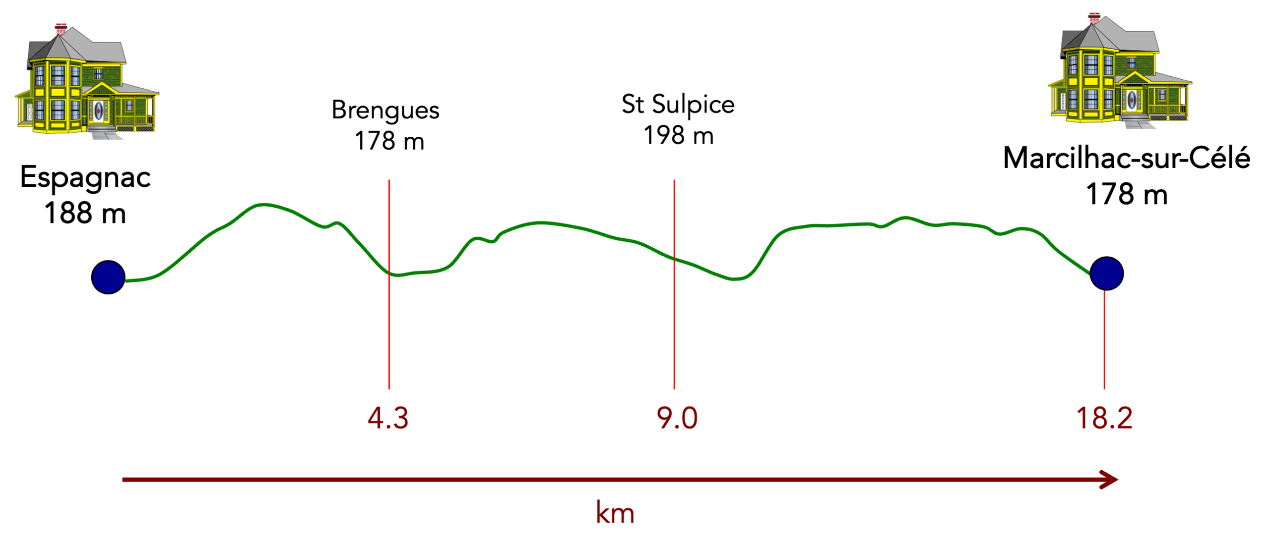
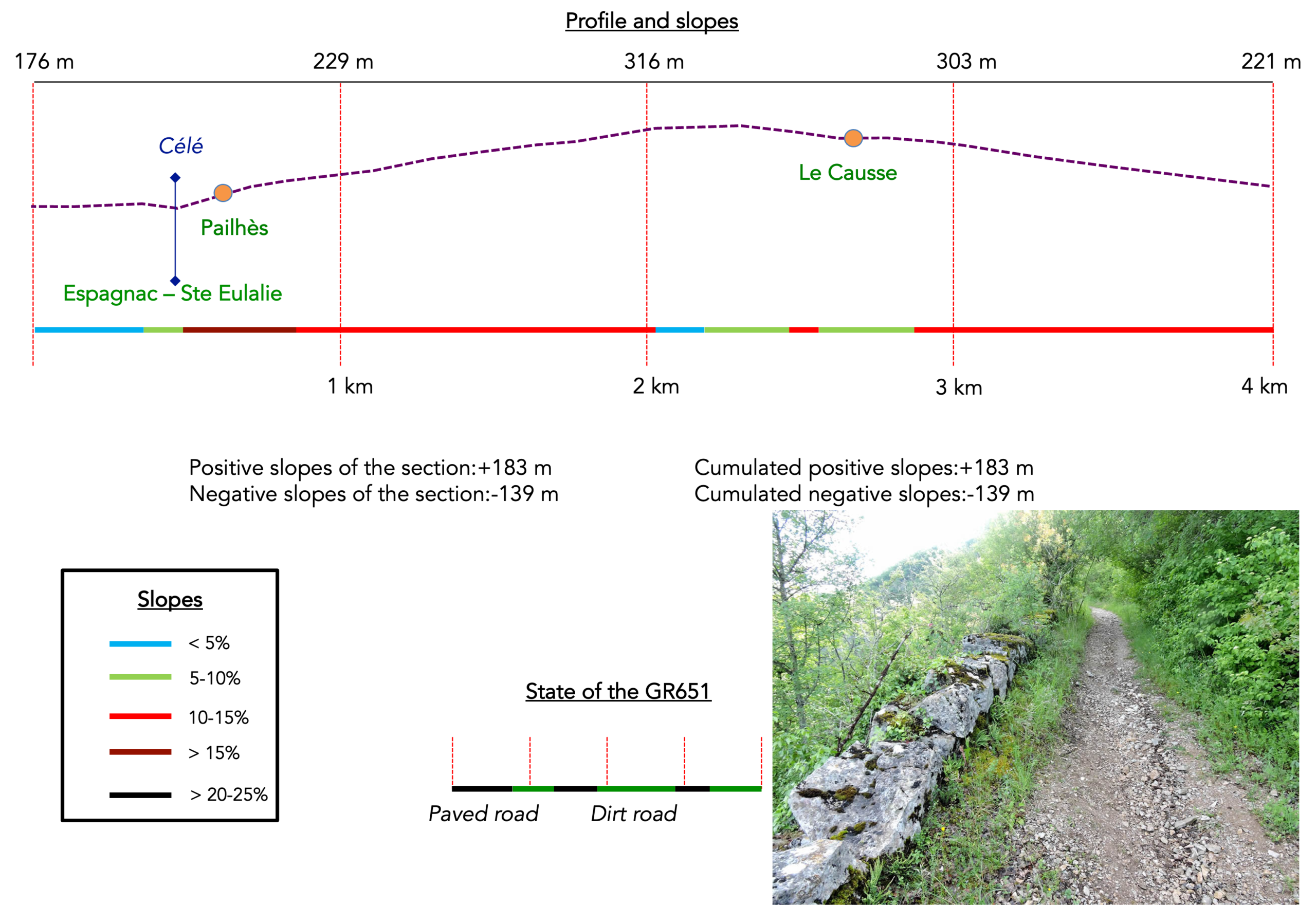
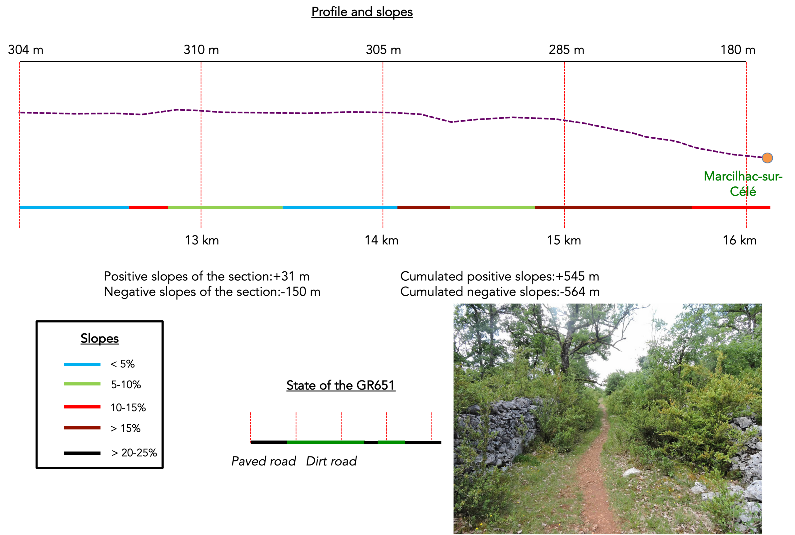
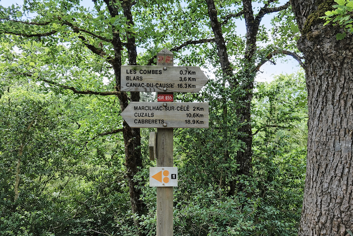
Difficulty level: Overall, the elevation changes (+545 meters/−564 meters), seem reasonable, but the stage is short, only 16 km, and demanding. From Espagnac onward, you will have to tackle the causses, the pech, and its punishing trail. With such a profile, it is no surprise to spend the entire day climbing and descending. If you stop at Marcilhac-sur-Célé, you climb onto the causse only three times. Some determined walkers continue as far as Cabrerets, but then the day clearly becomes much more strenuous. Be aware that if you wish to stop somewhere along the way, accommodation options are limited.
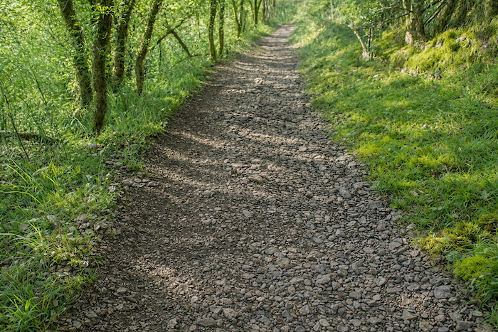
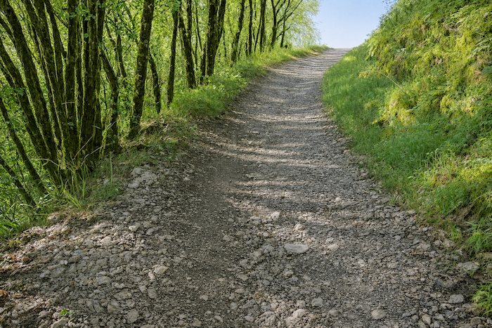
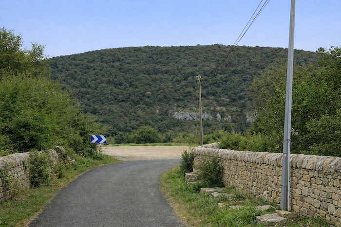
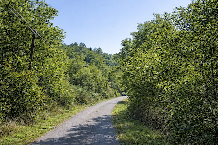
State of the route: Most of today’s stage follows paths, and many of them are quite stony:
- Paved roads: 4.8 km
- Dirt roads: 11.4 km
Sometimes, for reasons of logistics or housing possibilities, these stages mix routes operated on different days, having passed several times on these routes. From then on, the skies, the rain, or the seasons can vary. But, generally this is not the case, and in fact this does not change the description of the course.
It is very difficult to specify with certainty the incline of the slopes, whatever the system you use.
For those seeking “true elevations” and enthusiasts of genuine altimetric challenges, carefully review the information on mileage at the beginning of the guide.

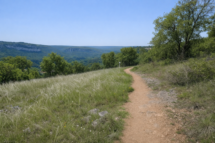
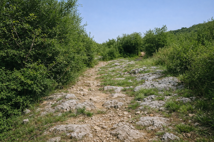
Section 1: A first demanding climb onto the causse
Overview of the route’s challenges : a physically demanding section of the stage, with slopes reaching about 15 to 30% in places.
|
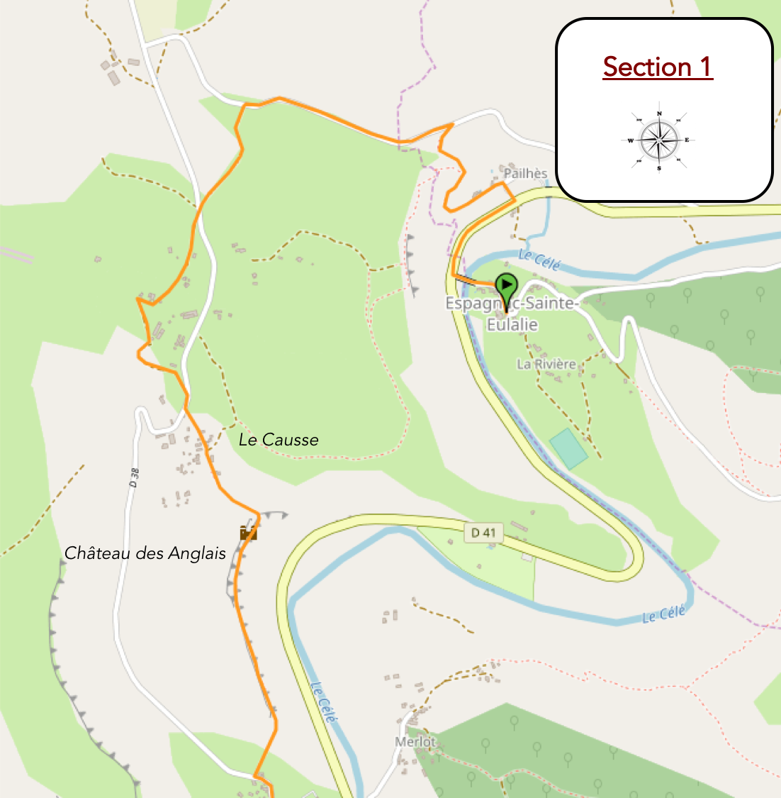
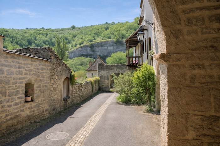
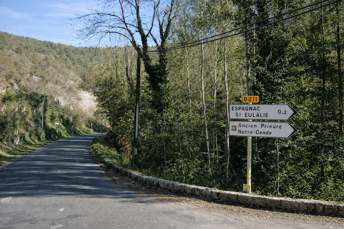
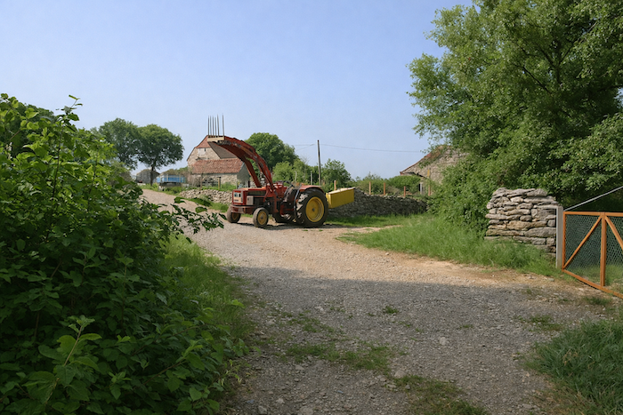
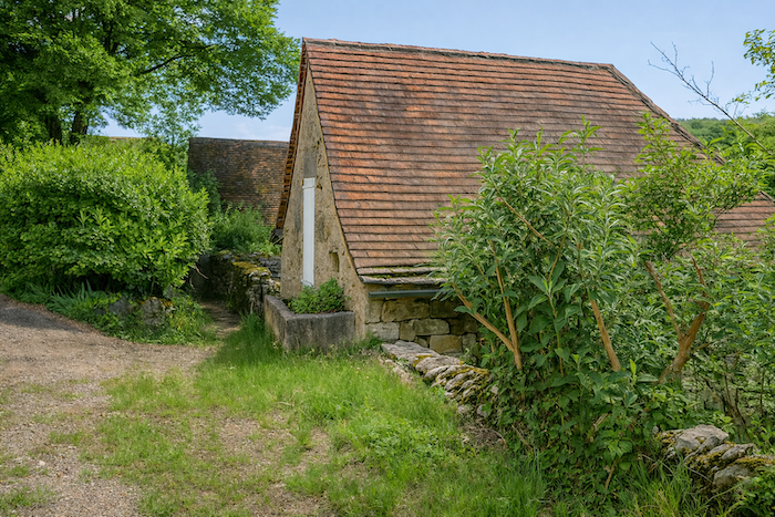
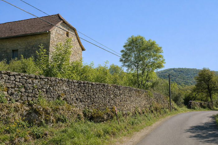
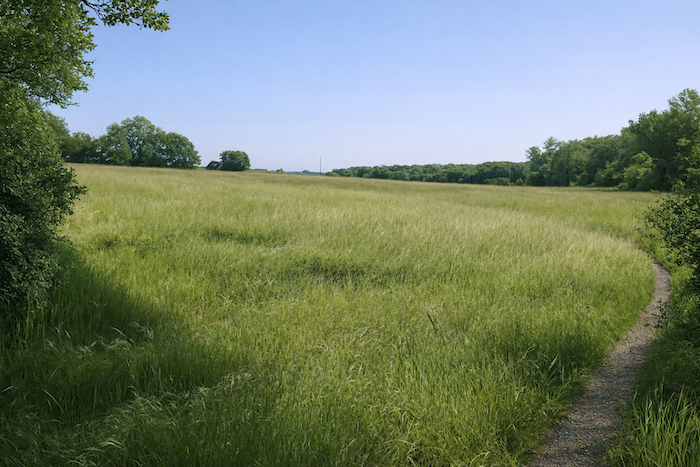
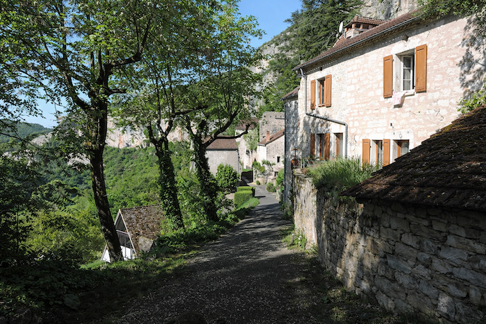
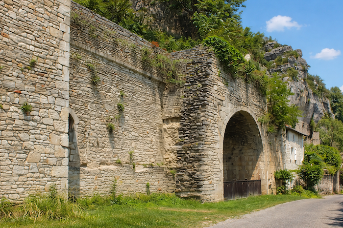
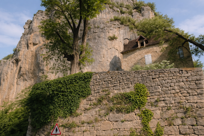
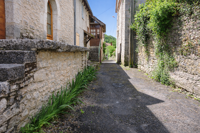
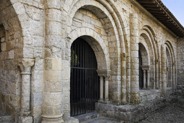
The village lies on the left bank of the Célé River, reached by a graceful bridge that connects it to the departmental road. It is a curious arrangement, because in this valley almost all the villages settle on the right bank, perched high on the causses as if wary of the river. Here, however, Espagnac leans toward the water, faithful to its long tradition of welcome and passage. You leave the site through an opening toward the river, the way one leaves a dream that lingers in memory. |
|
 |
 |
|
The GR651 leaves Espagnac across a bridge thrown in a single span over the river. The water spreads its silver reflections there, like a long trembling scarf between the banks. |
|
 |
 |
|
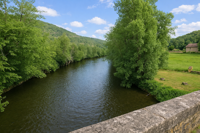
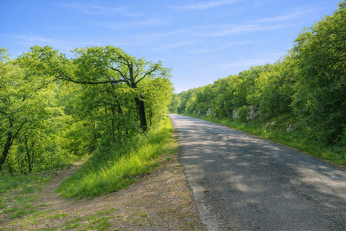
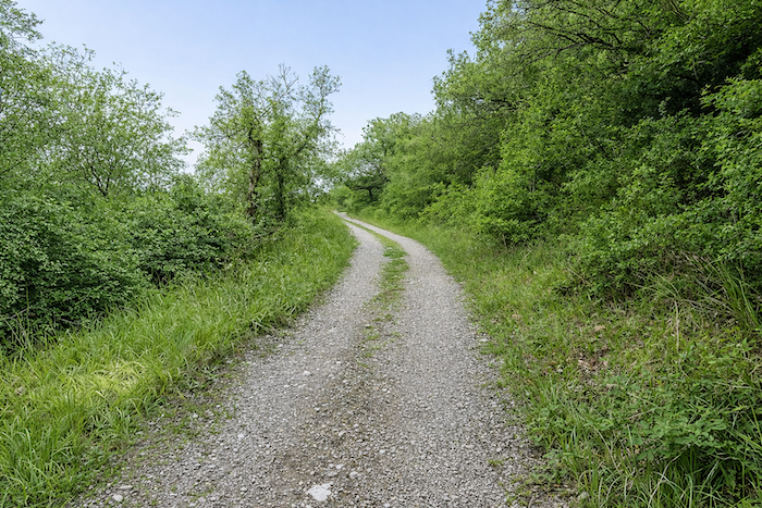
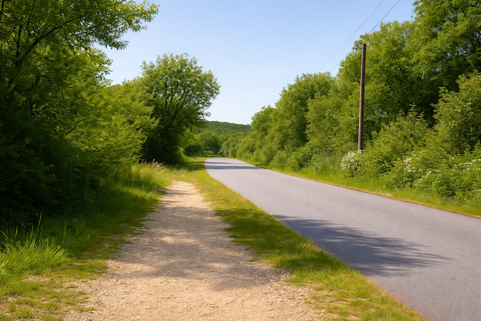
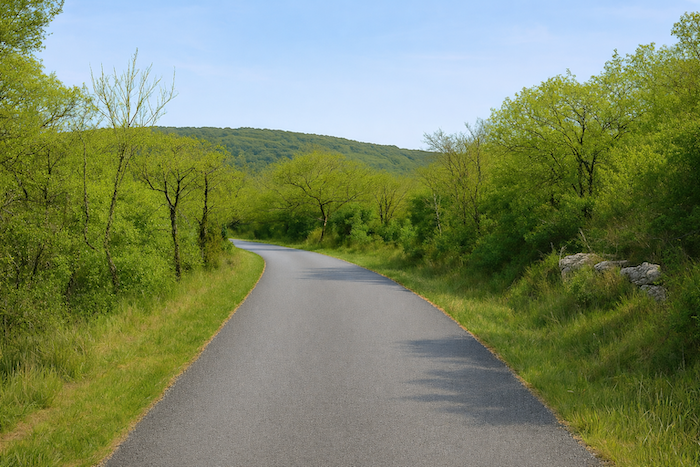
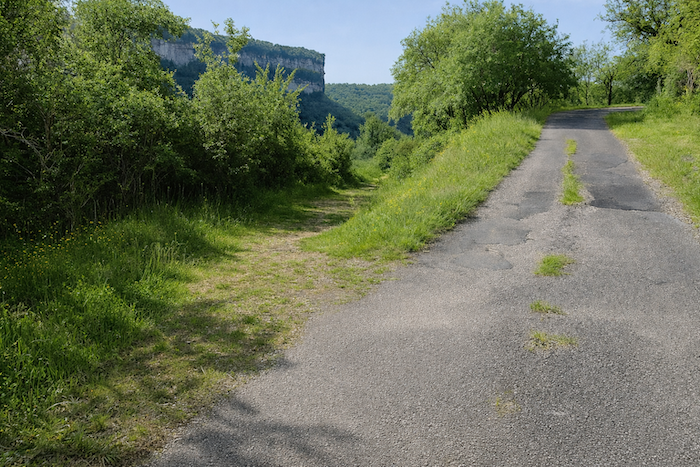
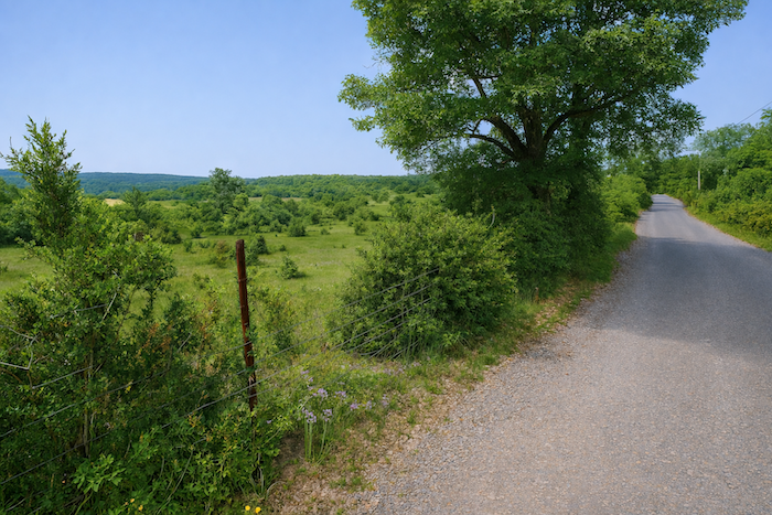
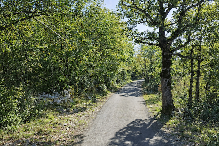
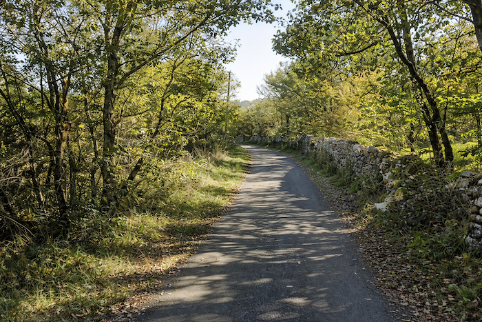
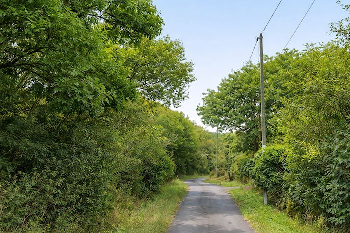
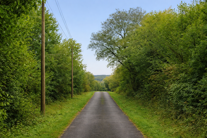
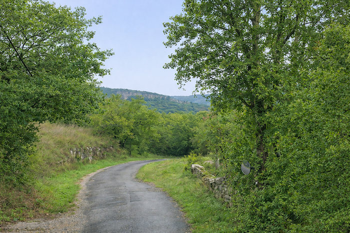
For a while the route follows the departmental road D41, that narrow ribbon of asphalt that hugs the valley and guides the walker along the rhythm of the river’s bends. Here the road and the river watch one another like two sisters, one made of stone and the other of water, both destined to wander onward. |
|
 |
 |
|
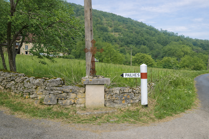
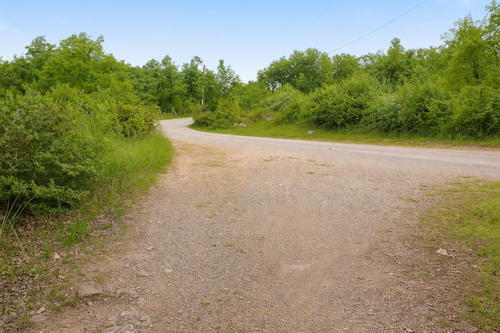
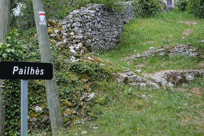
Soon the road begins to climb toward Pailhès, perched just above. |
|
 |
 |
|
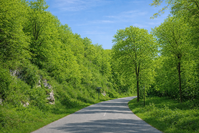
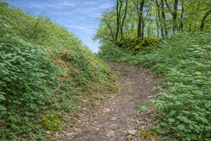
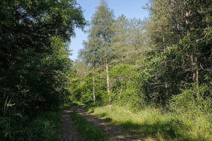
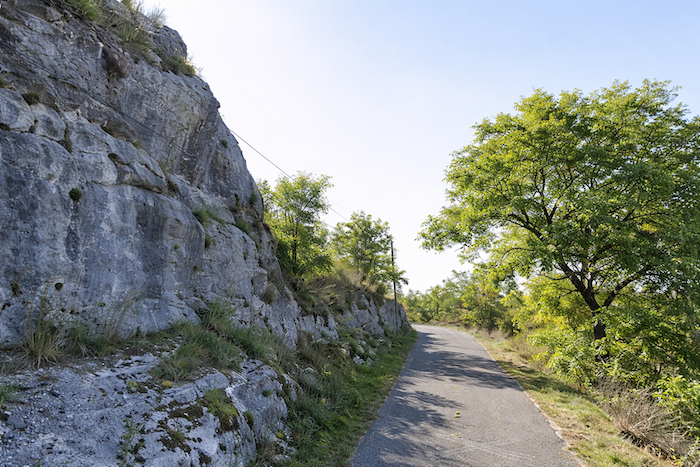
And when one says “climb”, it is no figure of speech. The slope rises sharply, austere and demanding, a challenge to the pilgrim’s breath. If you appreciate the harsh beauty of the causses, this short mineral appetizer will certainly appeal to you. On the asphalt that twists into tight switchbacks, the climb openly displays gradients of twenty-five to thirty percent. Here every step is a small victory, every pause a breath wrested from effort. Several places in southern France share the name Pailhès. Shepherds of earlier centuries, seeking altitude and safety, chose these heights to live close to the sky and their flocks. The origin of the name itself remains uncertain. It may come from palha, the Occitan word for straw, an ironic tribute to these lean lands where straw grows more readily than grain. Or it may come from Palès, the Roman goddess of shepherds, herds and pastures, whose temples might well have been these high ridges. In any case the climb offers a particular pleasure, the rough and honest pleasure known only to those who travel on foot, poised between effort and exaltation, between stone and wind. |
|
 |
 |
|
Once you regain your breath you are reminded that many kilometers still lie between you and Santiago. The pilgrim’s route is measured less in distances than in the quiet elevation of the heart. From above the view suddenly opens wide. Below Espagnac the valley spreads like a fan, generous and luminous, and already the oaks and scrub begin to hide the village, as though nature were gently reclaiming the world. |
|
 |
 |
|
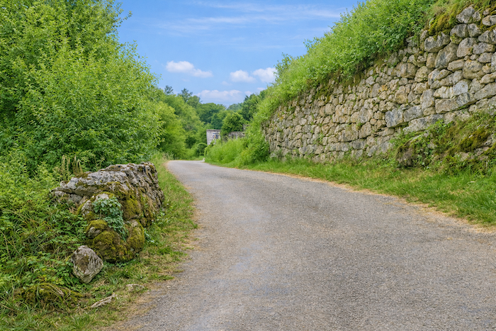
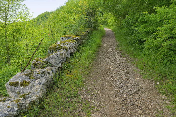
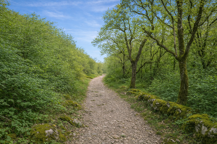
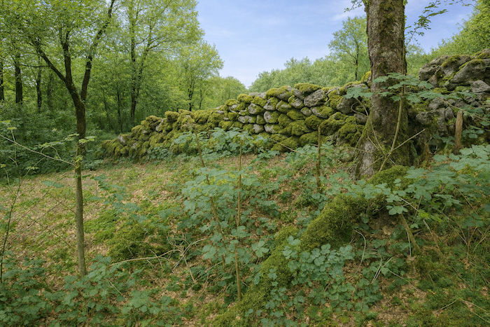
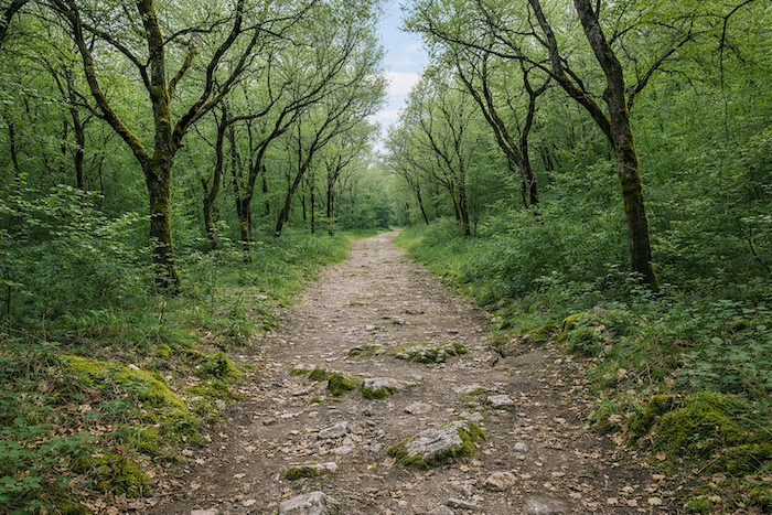
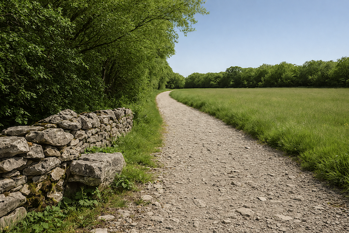
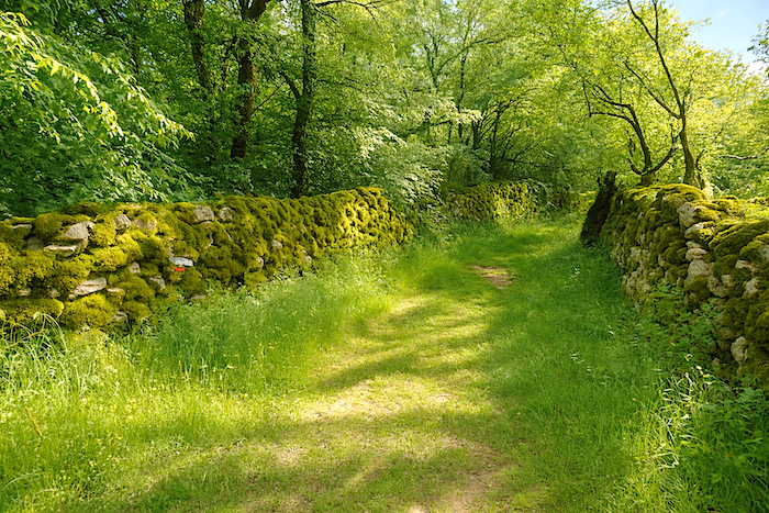
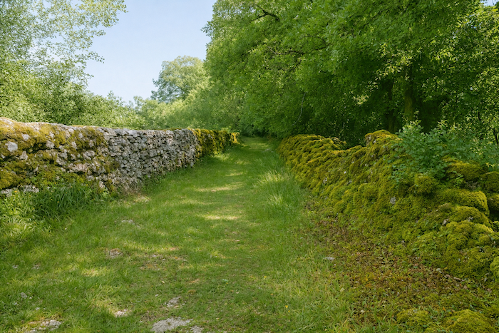
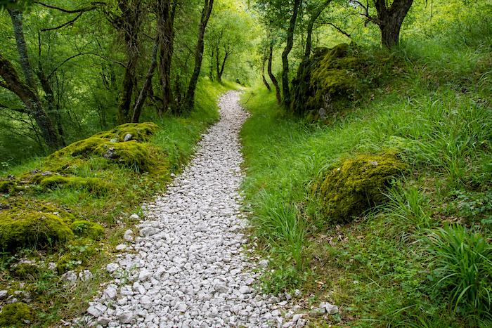
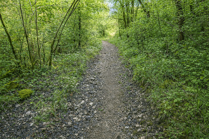
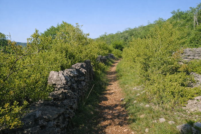
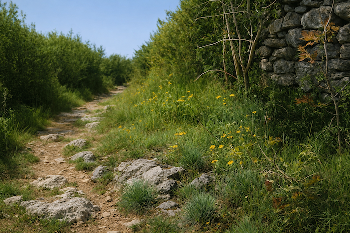
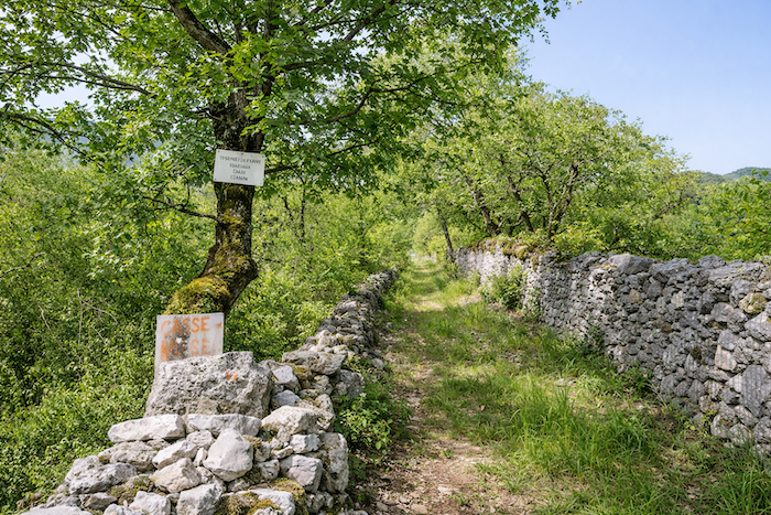
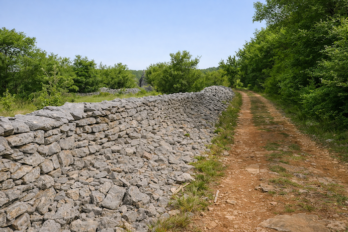
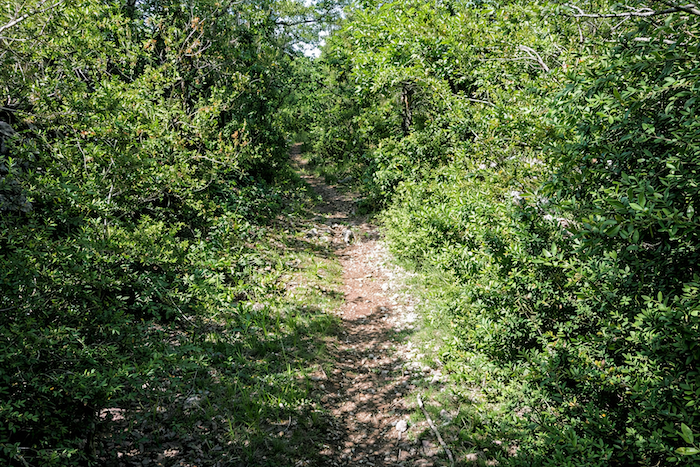
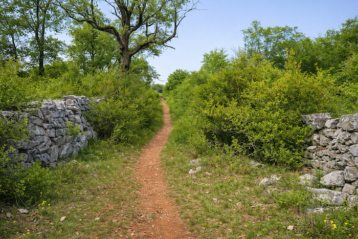
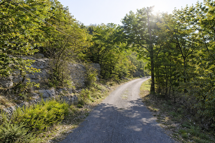
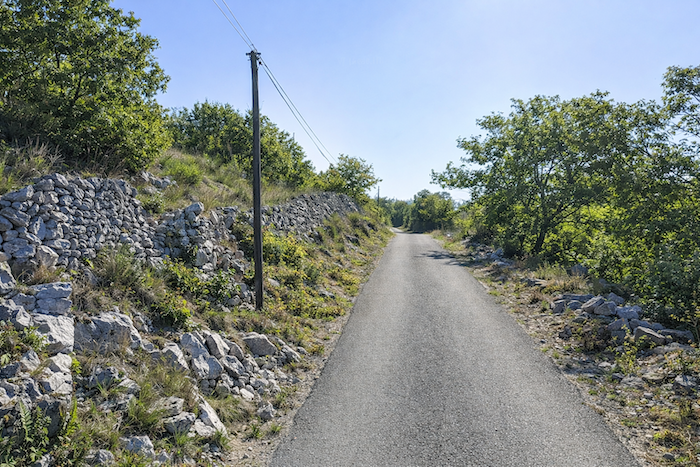
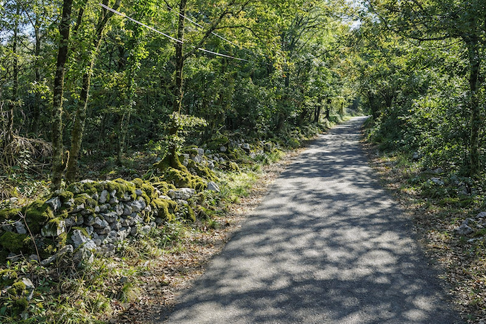
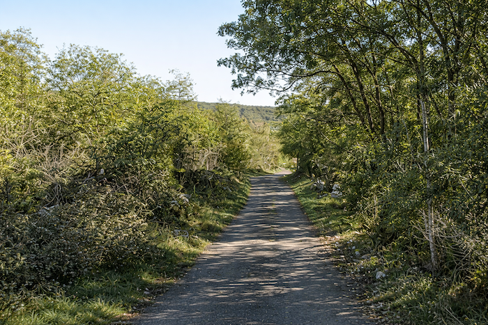
Beyond Pailhès the rough asphalt gives way to a narrow stony path that continues its ascent. The dry-stone wall bordering the trail is decorated with lichens and stubborn brambles. Vegetation forces its way through with patient determination, pushing aside moss and conquering every crevice. Beneath the walker’s steps unfolds the age-old contest between plant and stone. It is impossible to say which truly prevails. The stones, worn smooth by time, seem to hold a soul. Their beauty is not that of youth but that of endurance. |
|
 |
 |
|
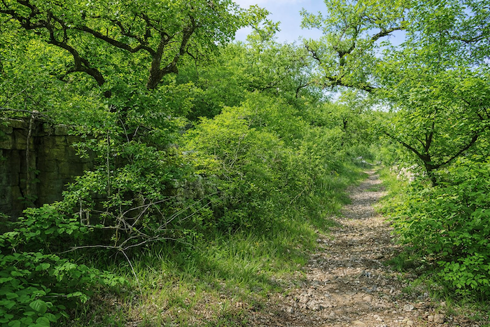
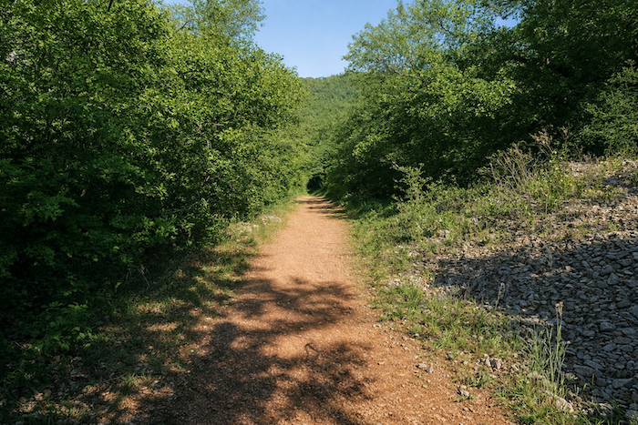
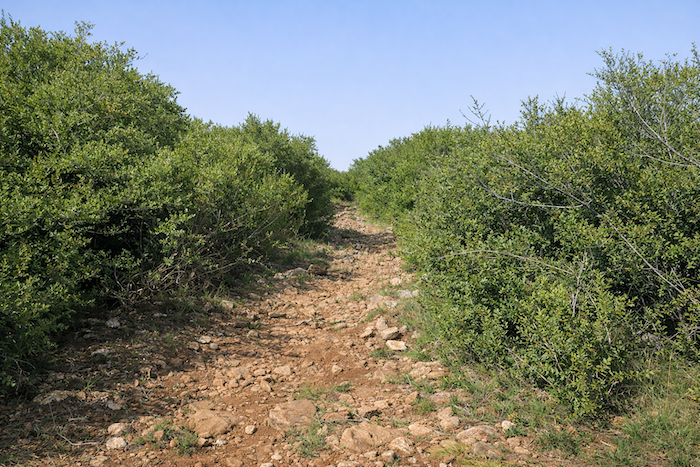
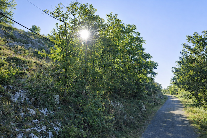
The path climbs steadily toward the summit of the causse. It winds through a tangle of bushes and scrub that mingle with the dark foliage of the oaks. The air grows drier and clearer. The scents of thyme and juniper rise in the warmth. The quality of the light reveals that the stone is never far away. Wherever the eye rests, whether in the valley or on the hills, stretches a sea of compact and stunted oaks standing close together like a silent army, ancient guardians of this land of stillness. |
|
 |
 |
 |
 |
|
Higher up, the path crosses an asphalt road without lingering and continues its patient ascent toward a hamlet called Le Causse, a name that seems almost inevitable here. |
|
 |
 |
|
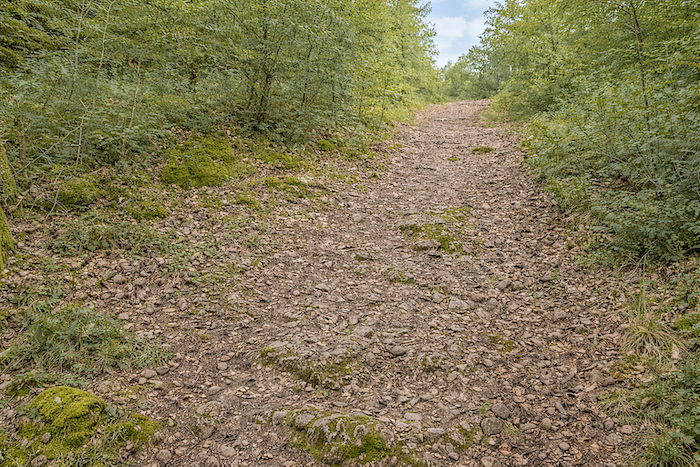
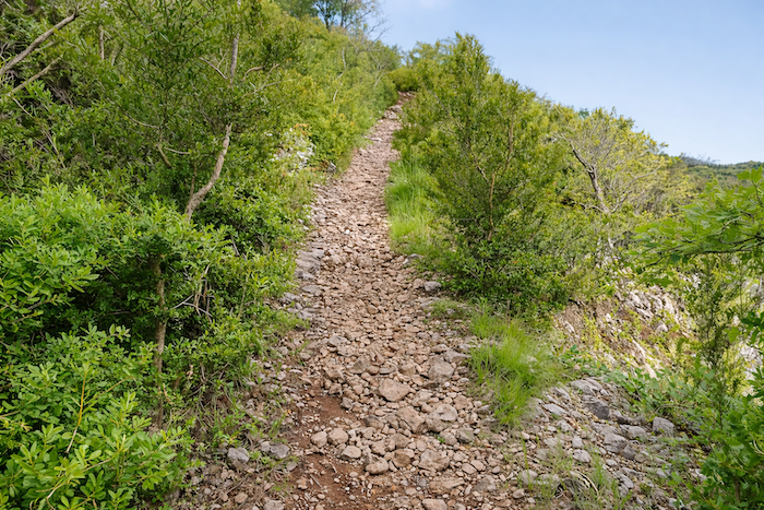
The slope remains demanding though not unbearable, lingering around fifteen percent across a ground of limestone stones, often sharp enough to be felt through the soles, in a landscape still wild and untamed. |
|
 |
 |
 |
 |
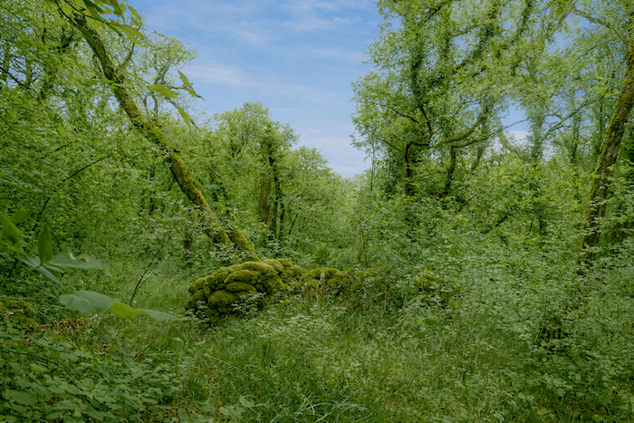
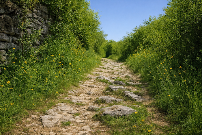
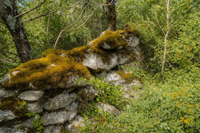
| You will never know for whom these rough stone walls were first built, now invaded by coarse moss. Perhaps they once enclosed sheepfolds long forgotten? | |
 |
 |
 |
 |
|
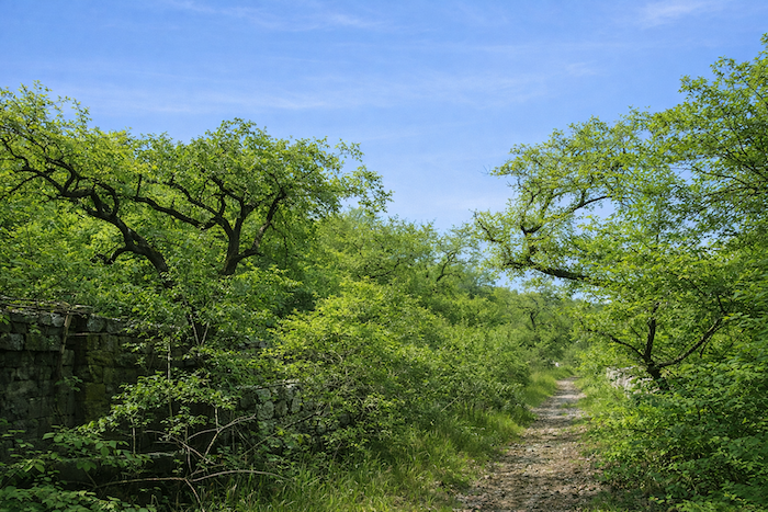
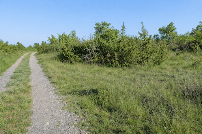
On the GR651 the pattern repeats itself like a natural breathing of the land. The exhausting climb through loose stones is almost always followed by the soothing gentleness of the plateaus. At the top the world opens wide. Solitude spreads in every direction. As far as the eye can see, which is never very far in this folded country, silence and peace prevail. The landscape is nothing but variations of green, from the deepest shade to the palest light. Near the summit the forest opens into bright meadows ringed with dense oaks. There the pale gold of the grasses illuminates the dark green of the woods like a smile of the sky upon the earth. |
|
 |
 |
|
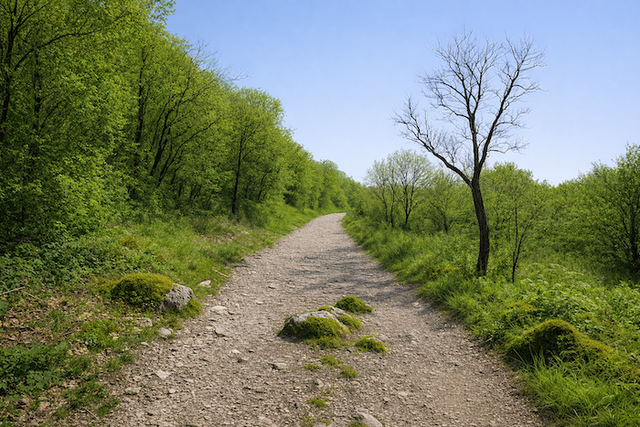
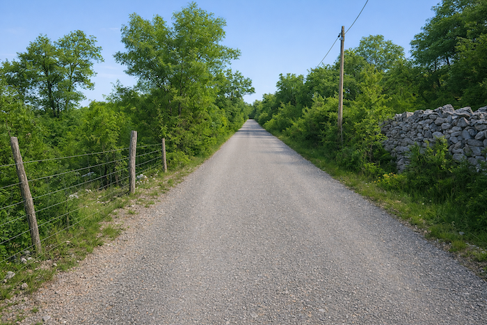
The stony track eventually reaches a paved road that offers some relief to tired feet. |
|
 |
 |
|
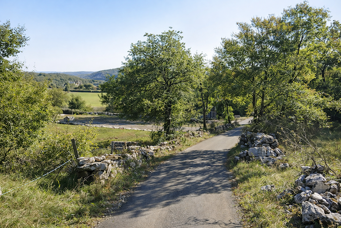
From the top of the causse the road then slopes gently toward the meadows. Stones give way to asphalt and the harshness fades for a moment. As often happens on these uplands, human life reappears near the farms of Gabat. A few scattered roofs, a barking dog, a cultivated field all testify quietly to the perseverance of those who live here. Small farms are scattered across a broad plateau, disputing a few acres of poor soil lost among the heath and scrub. |
|
 |
 |
|
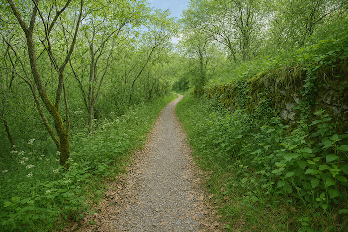
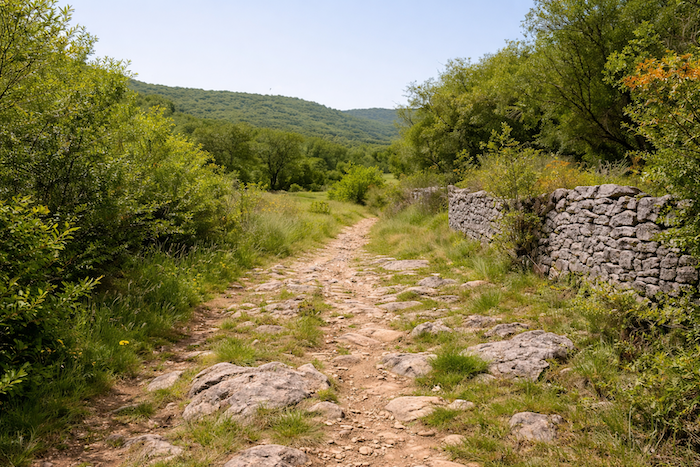
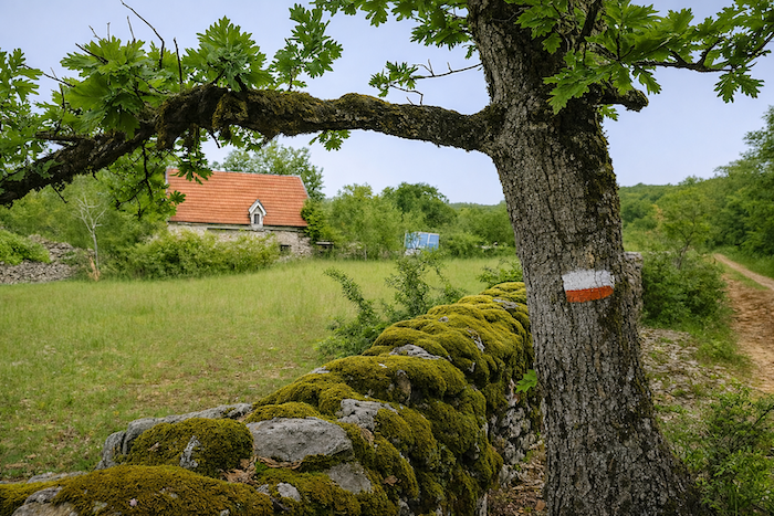
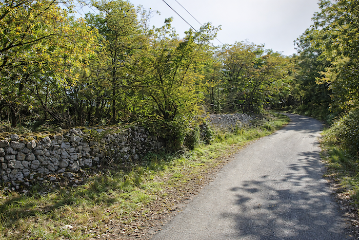
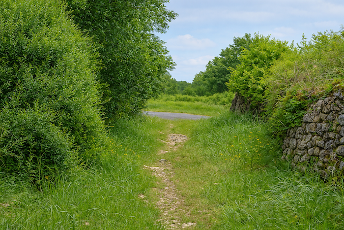
Here on the GR651, you quickly learn that the reward of a summit is almost always a descent, because sooner or later one must return to the Célé and its cliffs. A trail begins there, slipping between two magnificent hedges of moss-covered stone walls that time has clothed in green velvet. Clusters of oaks join overhead, forming a shaded arch, a leafy nave where the light dances. |
|
 |
 |
|
Soon the route leaves this almost postcard scene to join a small road leading toward the hamlet of Le Causse. |
|
 |
 |
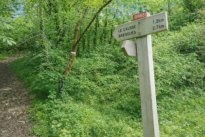
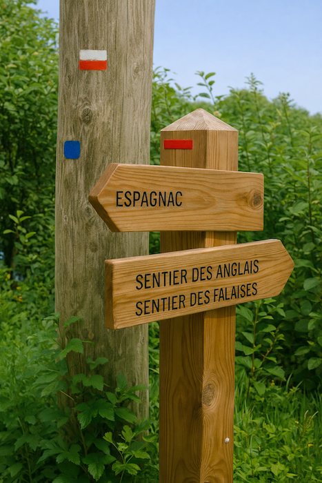
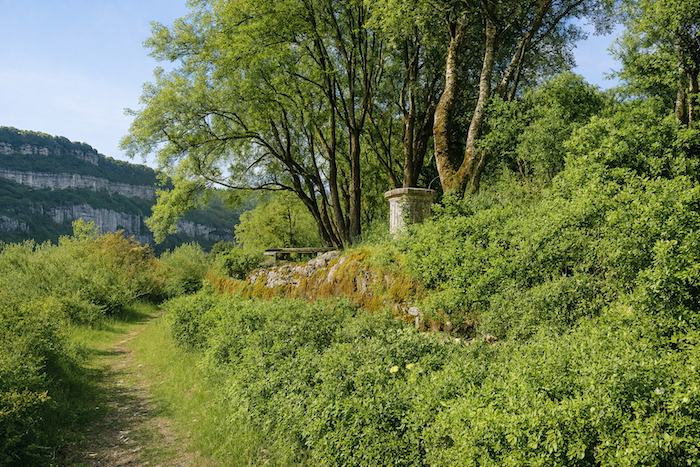
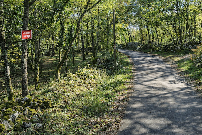
Halfway down appears the hamlet of Le Causse. A sign points toward the Cliff Path. It is not the GR651, which follows the English Path, yet the temptation is strong. The detour is worthwhile, for nature there takes on the grandeur of a cathedral.
|
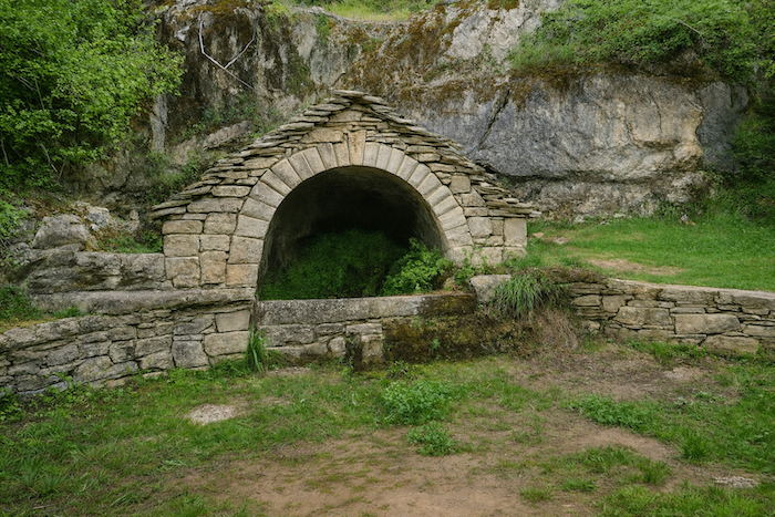
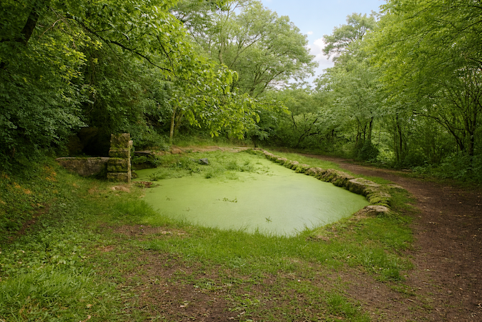
There, calm and gentleness have found their home. Near the old fountain built of dry stones, the water hardly sings any longer. It barely sighs within its basin. A little farther on a pond, green with age, lies still beneath the trees, watched over by a rather kitsch heron standing motionless in the water. Everything here breathes an ancient slowness, like a memory of an earlier world. |
|
 |
 |
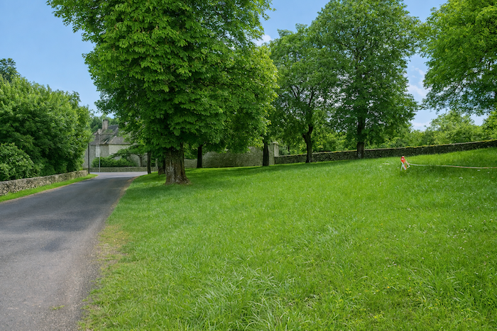
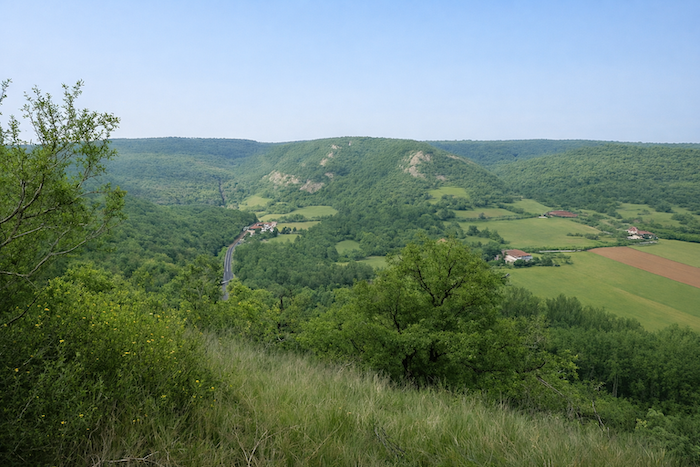
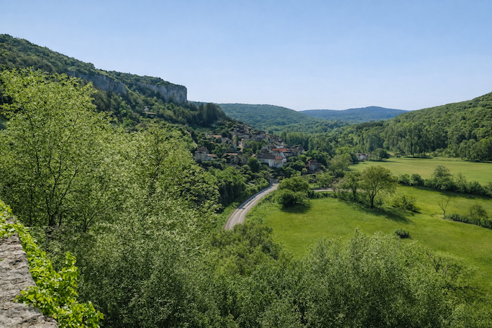
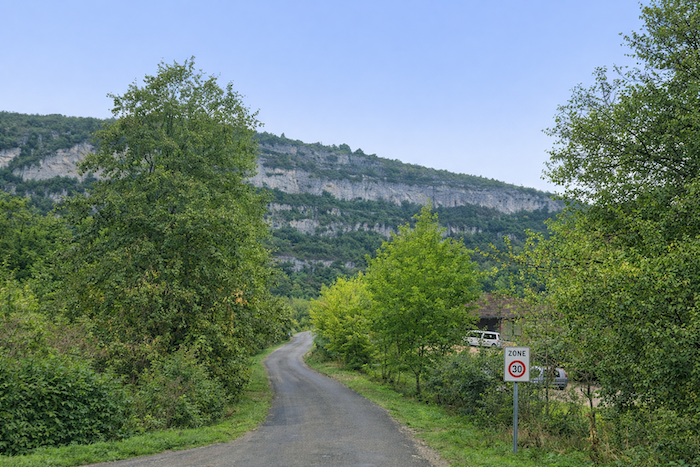
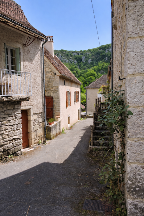
From above the valley opens once more. Brengues stretches peacefully among fields and meadows. Beyond it the ridges and forests close the horizon like a theatre curtain after the final line.
|
From there you return to the GR651 at Le Causse. The path descends along the ridge through wild grasses and rough shrubs. |
|
 |
 |
|
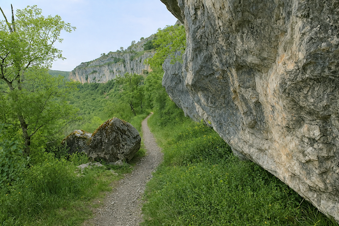
Lower down, the narrow rocky trail clings to the cliffs that overlook the valley of the Célé. It runs boldly along the side, suspended above the drop. In wet weather the stone becomes slippery and treacherous but never truly dangerous for a careful walker. |
|
 |
 |
 |
 |
|
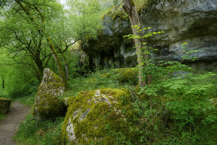
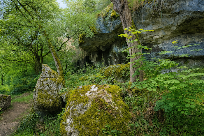
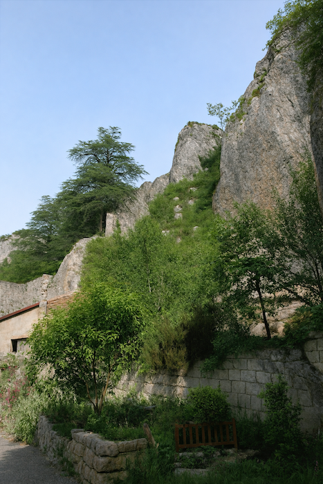
This is one of those places along the route where the magic fully reveals itself. The landscape becomes almost entirely mineral. The cliffs rise proud and sublime, draped in tones of ochre, blue and grey, as if they wished to rival the clouds themselves. The eye gradually grows accustomed to them and the mind follows. One learns to love these rugged shapes as much as the peaceful valleys. Every corner, every stone holds a nuance to decipher, an emotion to gather. |
|
 |
 |
|
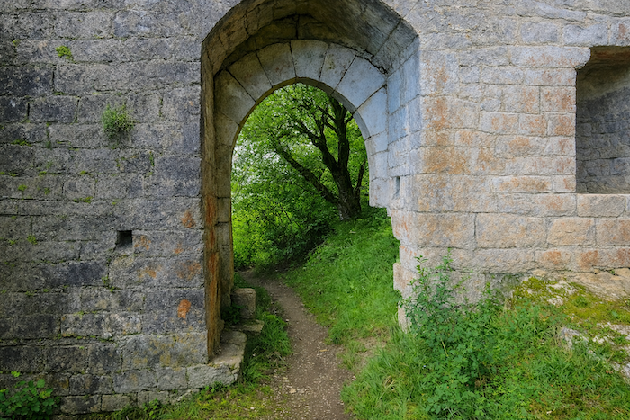
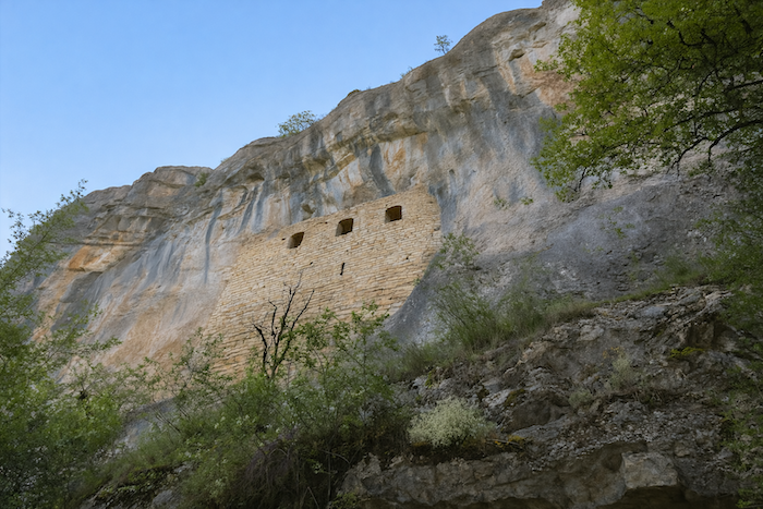
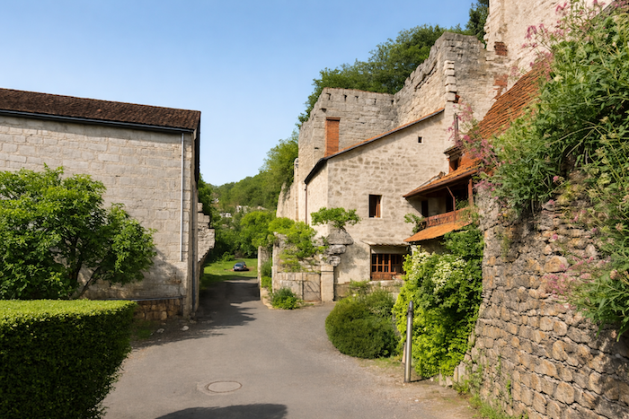
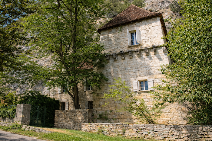
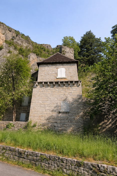
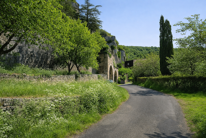
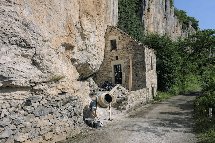
A little farther down. the trail leads to the ruins of the Portail. Long ago it guarded the entrance to the Château des Anglais, clinging to its dizzying platform. Probably built in the twelfth century, the castle had two floors and leaned against a vast rock shelter. Today it belongs to the municipality of Brengues and remains inaccessible, hidden somewhere within the cliff. Suspended there against the rock face, it keeps its secrets and its mystery, a perfect example of the troglodyte fortresses that mark the valley of the Célé. A word should be said about these so-called English enemies of old, moustached and treacherous according to legend. Yes, English troops did indeed occupy these places during the religious wars. At that time hundreds of fortified castles appeared throughout the region, built hastily to protect the land from invasion. When the English left, however, others took their place, bands of pillagers, mercenaries and smugglers feared for their cruelty. Out of habit or perhaps irony the people continued to call them the English, a convenient name for the darker chapters of history. |
|
 |
 |
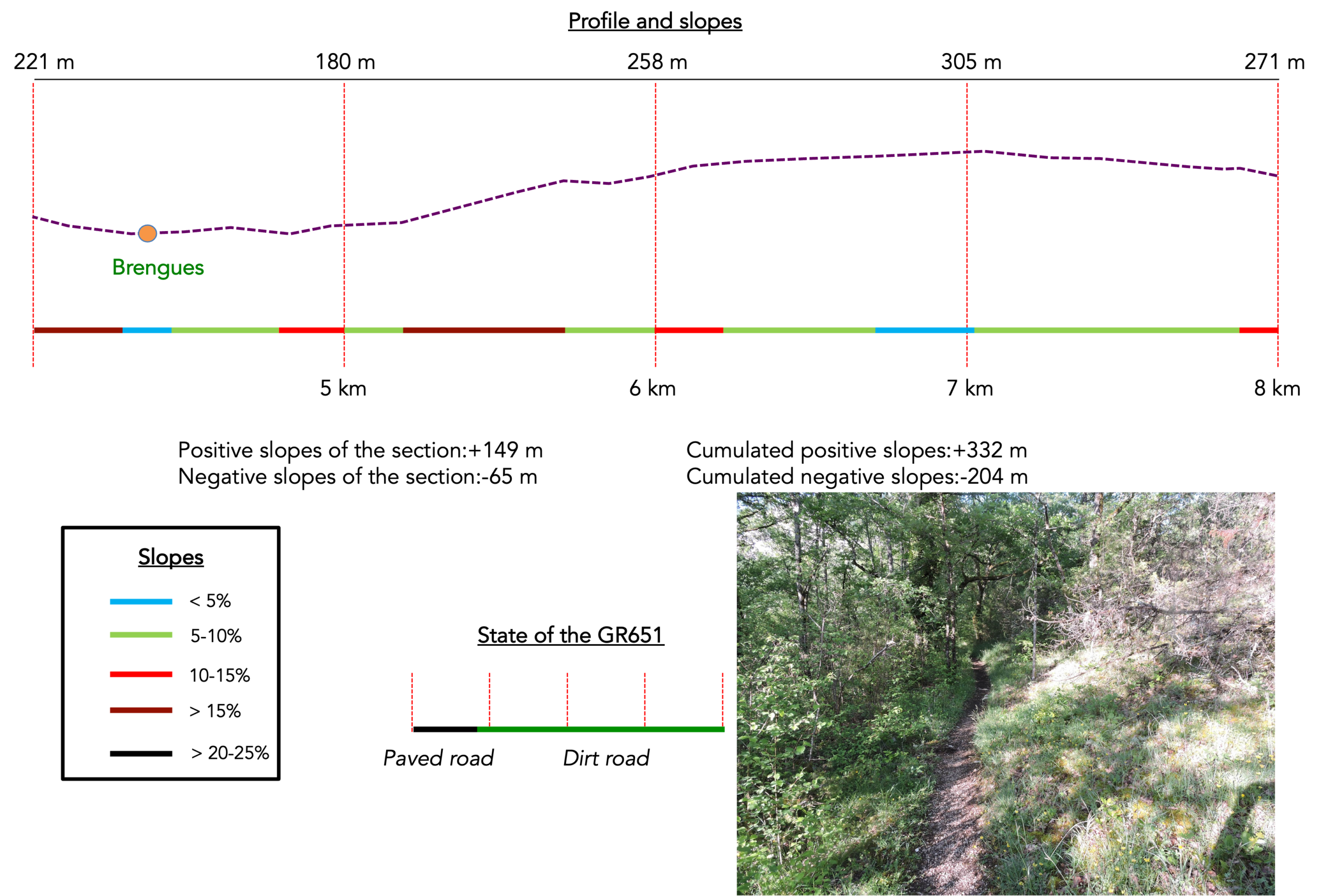
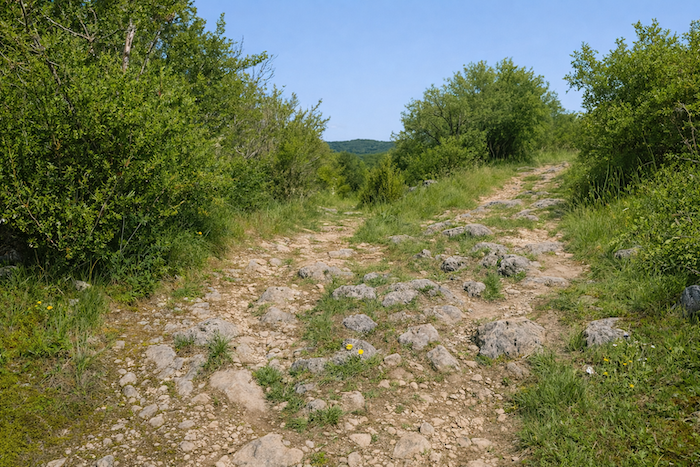
Section 2: A second climb onto the causse, sometimes even more demanding
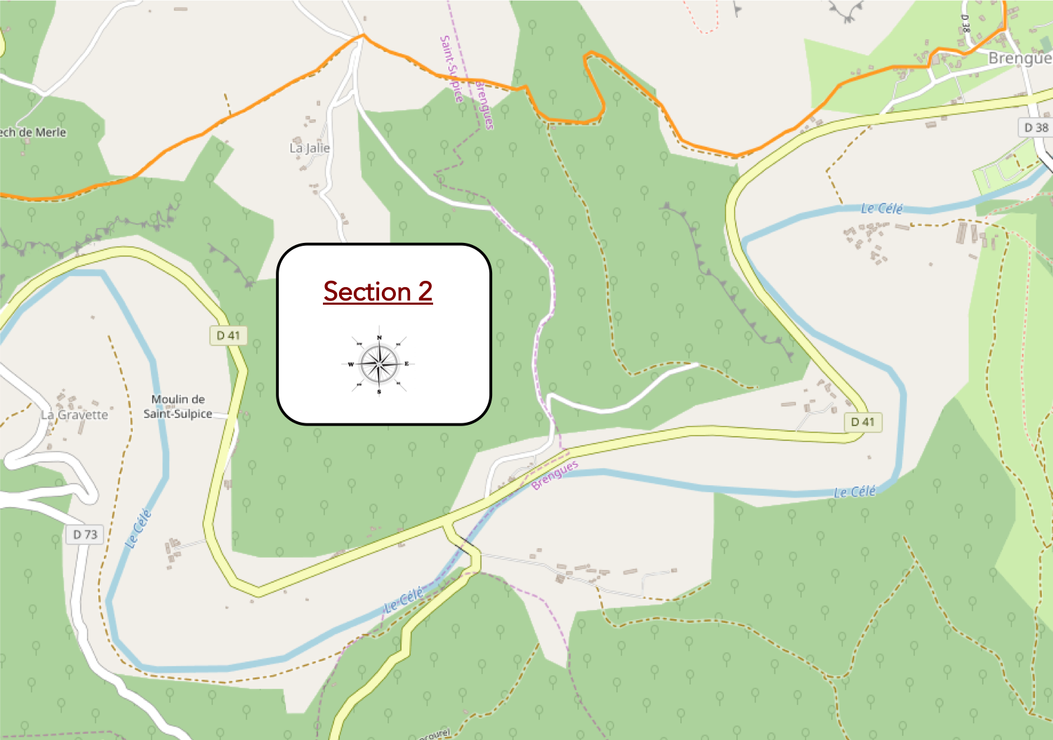
Overview of the route’s challenges : another athletic part of the stage, with slopes approaching f15% on the climb toward the causse. Once on the plateau, the passage becomes easier.
|
From the gates of the castle, a very rocky path plunges into the valley straight toward Brengues. The descent is steep, dizzying, almost brutal. At every step stones roll under the ankles, playful and rebellious. One slips more than one walks. Ankles creak, knees protest, yet the wind rising from the bottom of the valley consoles everything. Here, descending is an art, a surrender. |
|
 |
 |
|
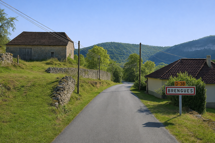
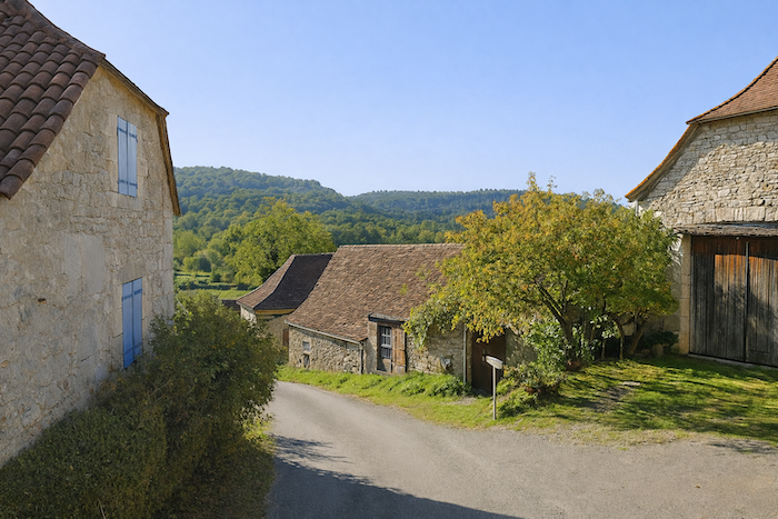
Lower down, the slope softens and reaches a road that runs toward Brengues. The village, discreet and quiet, rests in the hollow of the valley. |
|
 |
 |
|
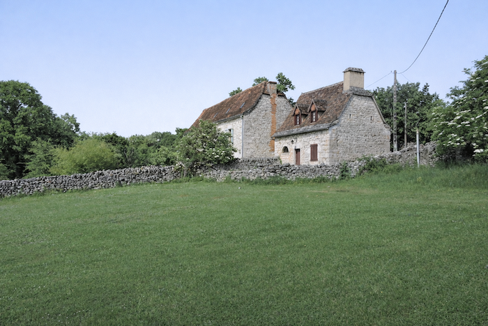
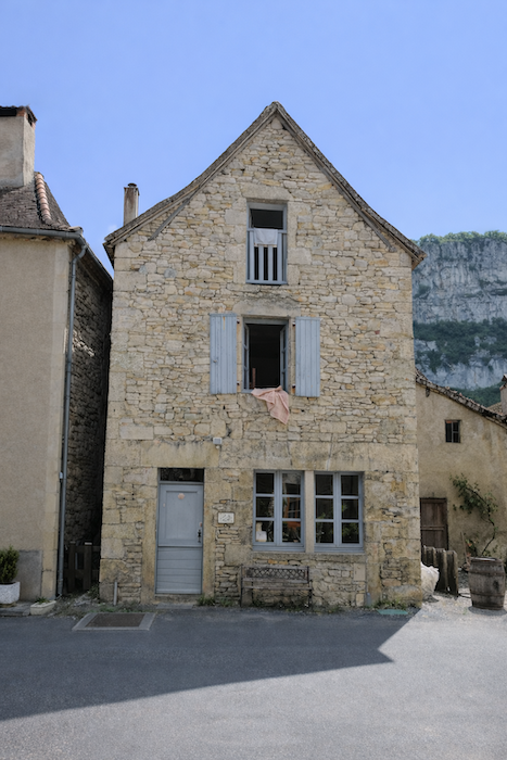
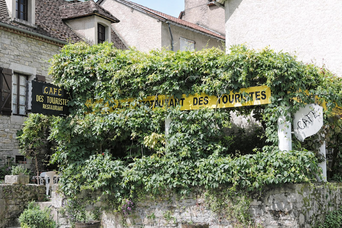
There is little to see there except the mark of time on the walls and on the church. In earlier days a hotel and a restaurant welcomed tired walkers. Today only the restaurant remains, like a stubborn beacon in the dim light of memory. |
|
 |
 |
 |
 |
|
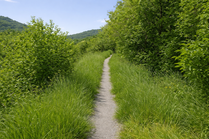
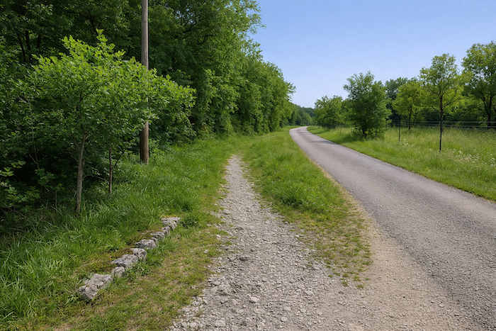
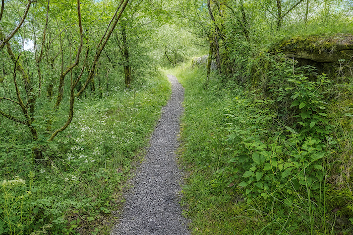
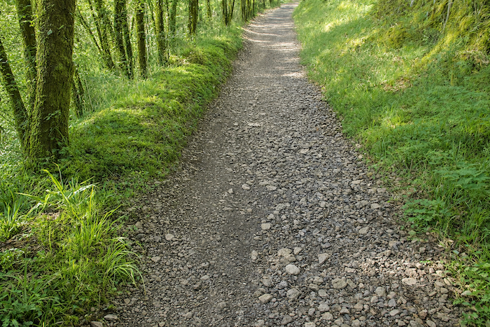
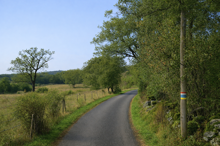
The GR651 leaves Brengues on level ground along a grassy path that quickly escapes into the woodland. The sounds of the village fade, replaced by the rustling of leaves and the cracking of branches beneath the feet. The trail sinks into a cool green shade, as if the forest wished to close its cloak behind the walker. |
|
 |
 |
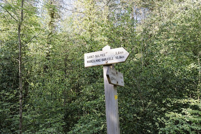
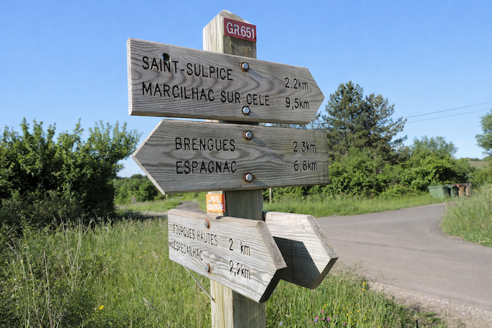
St Sulpice is announced at 3.6 km, while Marcilhac still lies farther away, more than ten kilometers of walking ahead.
|
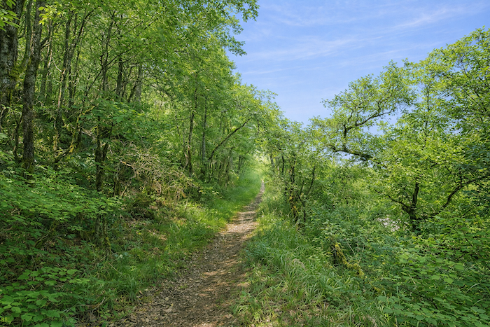
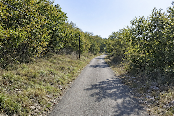
Very quickly the landscape changes. Rural softness gives way to a wilder and harsher nature, almost deserted. Sterile heath replaces fertile meadows. One senses that people have withdrawn from this land and abandoned the ungrateful soil. Stone has reclaimed its dominion, silent and sovereign. The slope rises again. Beneath the woodland cover the path winds between scrub, rocks and squat oaks. The light becomes rare and filtered, almost religious. |
|
 |
 |
|
The trail turns into a corridor of limestone stones bordered by sturdy oaks with twisted trunks. In places a maple or a chestnut tree attempts to survive in this austerity, like a tender note in a dry symphony. Every tree seems to struggle for a ray of sunlight and every stone waits patiently for moss to cover it. |
|
 |
 |
|
The climb grows steeper still, nearly twenty percent for almost a kilometer. Breath shortens and the step becomes mechanical and concentrated. The summit rises to 305 meters, offering about 150 meters of positive elevation gain, enough to delight seasoned walkers, those who find in difficulty the proof of the path. |
|
 |
 |
|
At the top of the climb, as so often on the causse, the forest suddenly opens into clearings where the grass ripples under the wind. The air becomes lighter and the closeness of the sky can almost be felt in the brightness. |
|
 |
 |
|
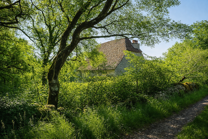
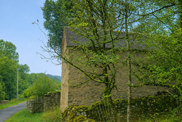
A stone house, probably abandoned, hides beneath the trees. Its steep “lauze” roof glimmers through the branches like an old secret. The GR651 slips into a small wood where, unexpectedly, a few conifers appear. Spruces stand here, rare witnesses to a capricious climate. The oaks tolerate them only reluctantly. In the Célé valley they remain almost strangers. |
|
 |
 |
|
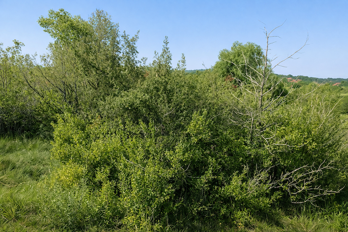
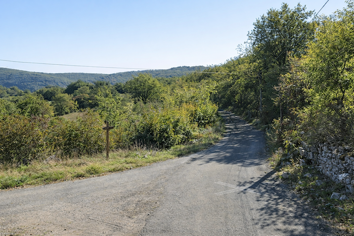
At the top of the causse the path descends slightly and widens into a ribbon of pale earth. The woodland gradually fades, giving way to open heath. Here the oaks become discreet. Juniper, thyme and rosemary take over, rising from the ochre soil like frozen curls of incense. Then comes the boxwood, the true sovereign shrub of the causses. In earlier times it ruled without rival. Its thick glossy leaves formed dark and fragrant woods. Wild and untamed, these boxwoods had nothing of the obedient shapes of garden hedges. They seemed to celebrate the sun, reflecting its light on their waxy foliage. But what remains today? We have not returned here for many years. Perhaps here as elsewhere the box tree moth has struck, that Asian butterfly first observed in France in 2006 whose green striped larvae devour the leaves until only bare branches remain. Thus, the greenery of the causse fades silently. |
|
 |
 |
|
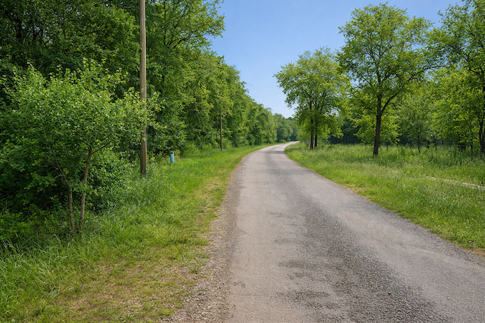
Soon the ochre dirt gives way once again to asphalt. The road reaches a crossroads, and here civilization regains a little ground. The land levels out and the valley begins to announce itself. A few farms remain, sparse and stubborn, cultivating narrow plots between heath and meadow. The walker understands that St Sulpice is approaching, still two kilometers away. St Sulpice now lies closer, 2.2 km ahead. |
|
 |
 |
|
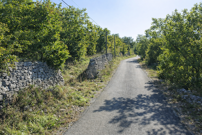
The GR651 descends gently between stone walls and boxwood hedges. Nature sings here in a whisper. The grey stones, edged with moss, seem to breathe. The taller oaks stretch out their branches as if greeting the passerby. And the boxwoods, at least those that still survive, twist and lean, forming a guard of honor, a green tunnel of simplicity and beauty. Perhaps today the dogwoods have replaced the boxwoods, as in so many other corners of the causses. Who knows? Nature never allows emptiness to reign for long. |
|
 |
 |
 |
 |
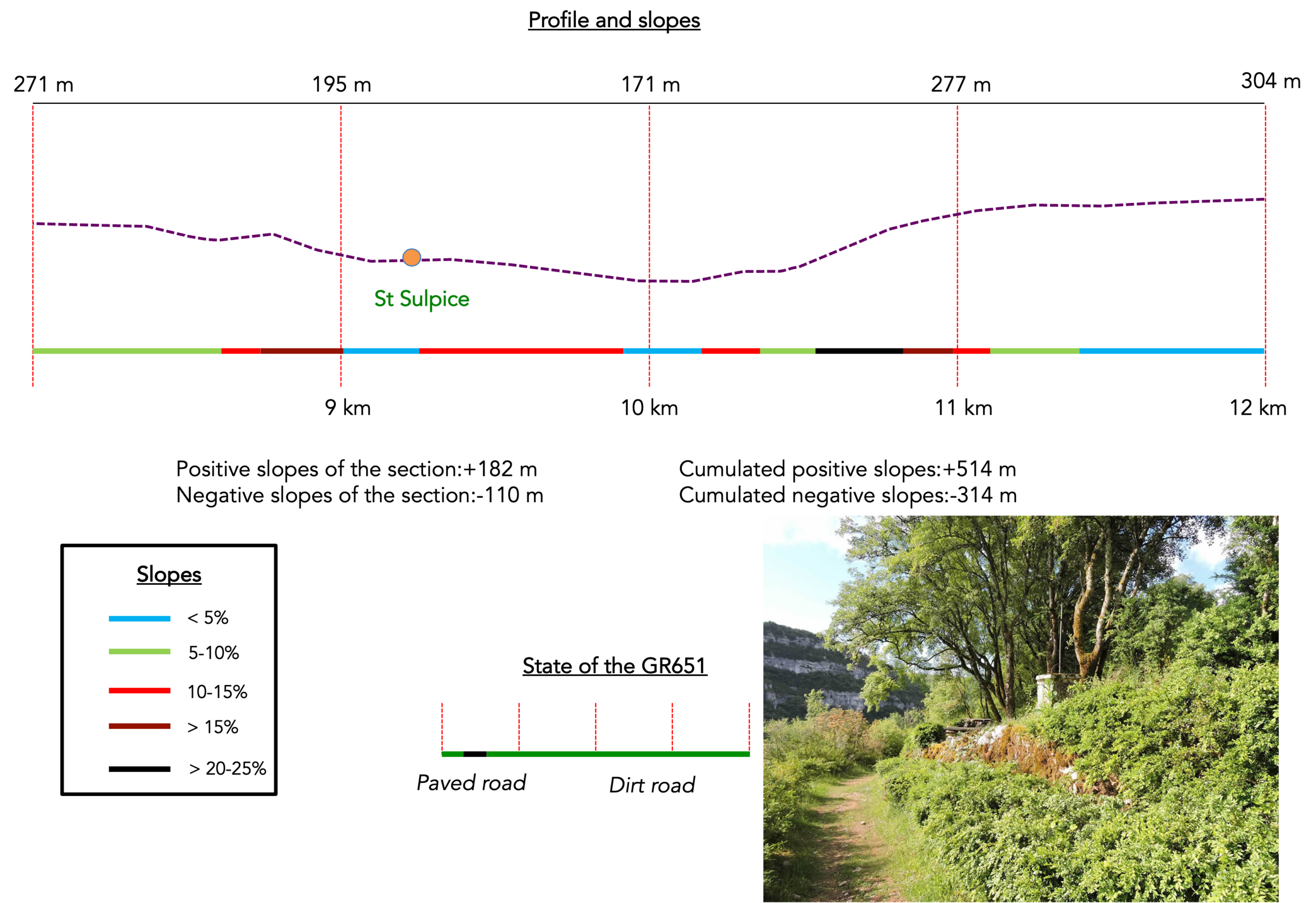
Section 3: Down and up again, as much as you could want, passing through the magnificent village of St-Sulpice
Overview of the route’s challenges : the physical effort continues, with slopes that sometimes reach 25%.
|
The charm lingers a little longer in the wild landscape. One finds oneself wanting more. Nothing is ever truly finished here. Even when fatigue begins to make itself felt, the walker pauses for a moment, breathes in the air of the causses, that mingled scent of warm stone, boxwood and wind, and feels the heart of the land beating. Nature, fierce and faithful, prolongs its quiet song. It does not seek to seduce, it simply remains. Each step on the path seems to converse with the centuries. |
|
 |
 |
 |
 |
|
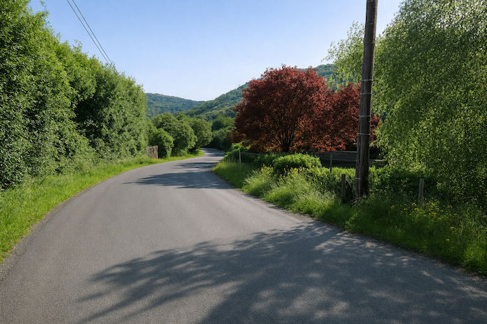
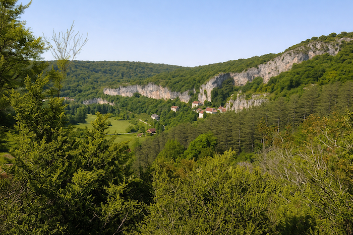
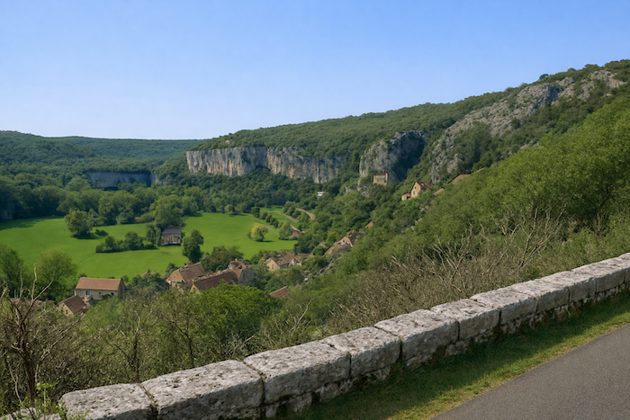
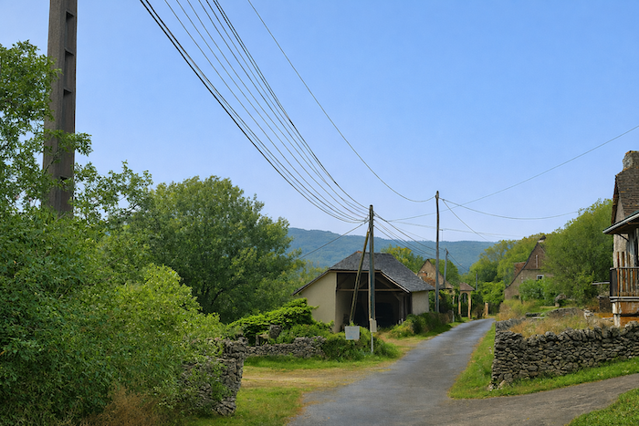
Lower down, as you approach a village or a hamlet, the rule is simple: tractors and automobiles prefer asphalt to any other surface. The GR651 follows the same rule. A winding road descends toward St Sulpice. From above, you glimpse below the troglodyte village of St Sulpice nestled beneath the high cliff, and farther still the Célé valley, tiny in the midst of forests that fade into a horizon without end. |
|
 |
 |
|
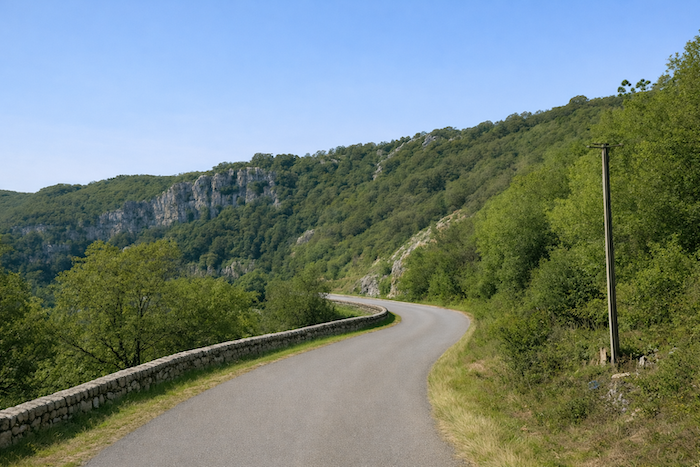
The bends follow one another like ribbons of asphalt thrown across the mountainside. |
|
 |
 |
 |
 |
|
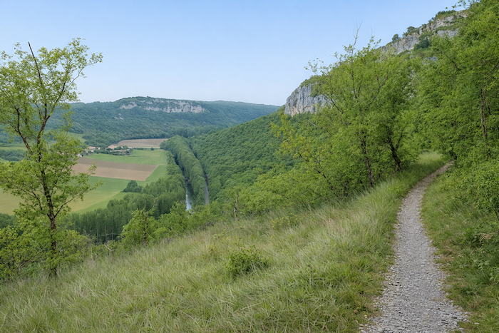
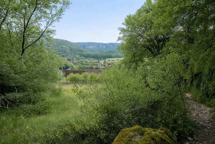
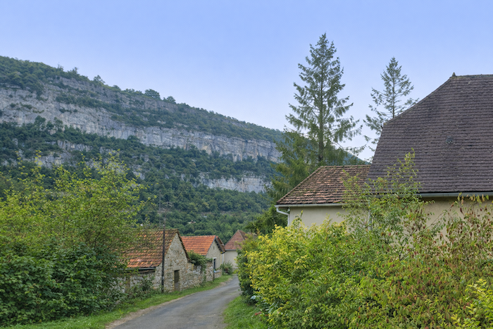
As the descent continues, the eye clings to the grey cliffs where the first troglodyte houses find shelter. The sun glides over the stone, making it almost alive, and in the clear light one can distinguish the clustered roofs of the village, pressed against the rock like a child against its mother. Below, the Célé valley takes shape, slender and shimmering, like a silver serpent lost in the vast green of the forests. The horizon withdraws, and the walker, suspended between sky and earth, advances as if inside a mineral dream. |
|
 |
 |
|
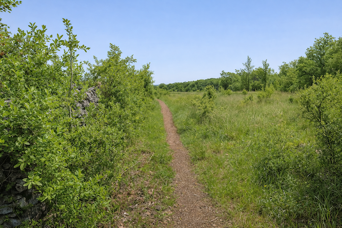
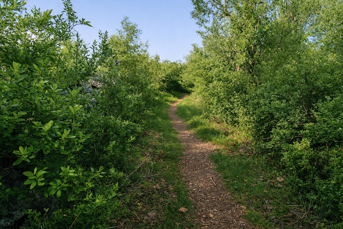
But farther down the GR651 rebels. It slips away from the asphalt, cutting through the undergrowth to shorten a few unnecessary bends. The foot rolls over the stones of the steep trail. In these unexpected detours there is something playful, almost human. The trail rebels against the order of the road, fleeing into the cool shade of the woods. There, on a moss-covered stone, a painted face, the work of an artist of the path, smiles at the passerby. A naïve, almost childlike figure seems to offer encouragement in the face of the slope. Steps slide, stumble, catch themselves on low branches. The decline rears up, stones shift beneath the foot, and breathing falls into rhythm with the song of the trail, one step, one slip, balance regained. |
|
 |
 |
|
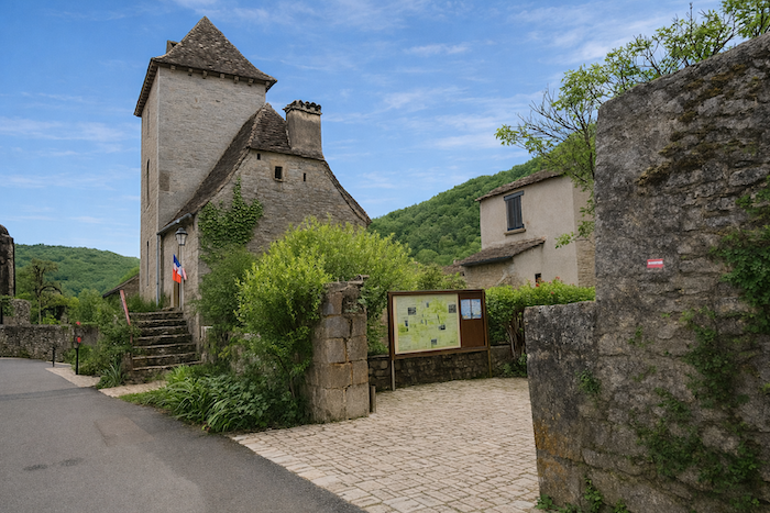
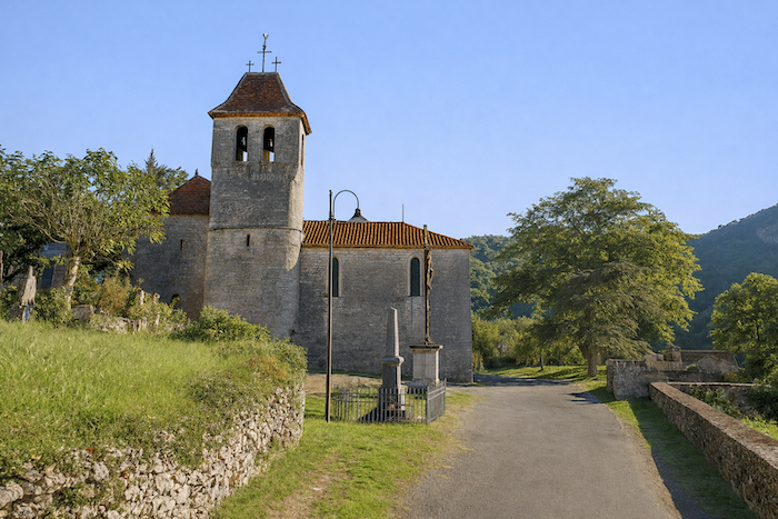
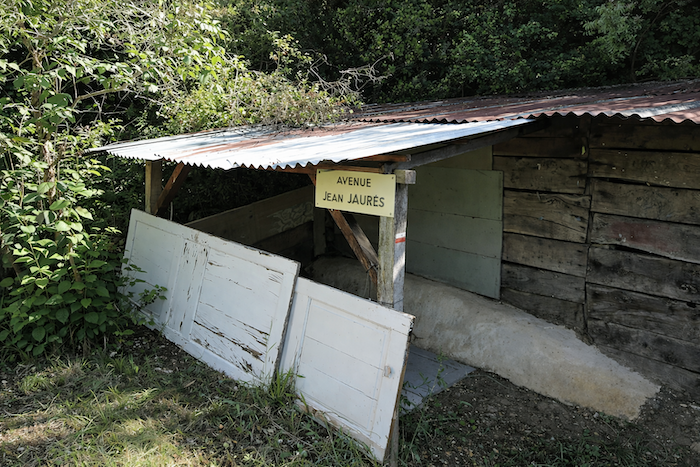
Before long the ground steadies at the entrance to the village. Here, at the bend of the final turn, Rue de Jaurès welcomes the walker. Heroes of the people always seem to find refuge in modest villages, as if they recognize there the quiet courage of ordinary lives. The route does not enter the village itself, which has fewer than 150 inhabitants. It merely passes above it. Yet everything is there: caves, dolmens, troglodyte houses, a Romanesque church, reminders of the Middle Ages. |
|
 |
 |
|
The Célé valley, narrow and magnificent, tightens in one last movement before opening again. Beneath the immense cliffs, Saint-Sulpice appears tiny and yet indomitable. Its troglodyte houses cling to the rock, embedded like fossilized shells. The Romanesque church, set slightly apart, seems to bless this landscape of stone and silence. You might believe yourself in the setting of a medieval tale, so ready does everything seem to come alive again beneath the pen of a troubadour. St Sulpice does not stand beside the river. The Célé flows somewhat lower, discreet and indifferent, as if respecting a certain distance. The village prefers the heights, the protective cliff, the breath of wind passing beneath the arches. Once there were a restaurant and an inn that promised the walker rest and conviviality. Today a faded sign stands like a relic of hope. Closed, people say. For a time, or forever. No one knows. The pilgrim learns caution here. In this magnificent but solitary valley, everything must be earned, hunger, thirst and even rest. You must plan ahead, ask for information, consult the precious guides such as the faithful Miam Miam Dodo, that bible of the trails, constantly updated and always full of goodwill. |
|
 |
 |
|
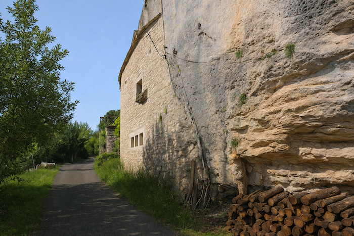
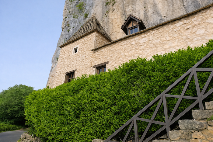
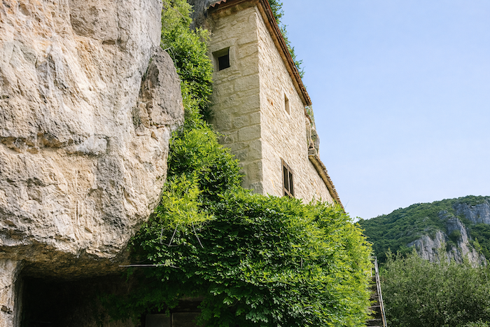
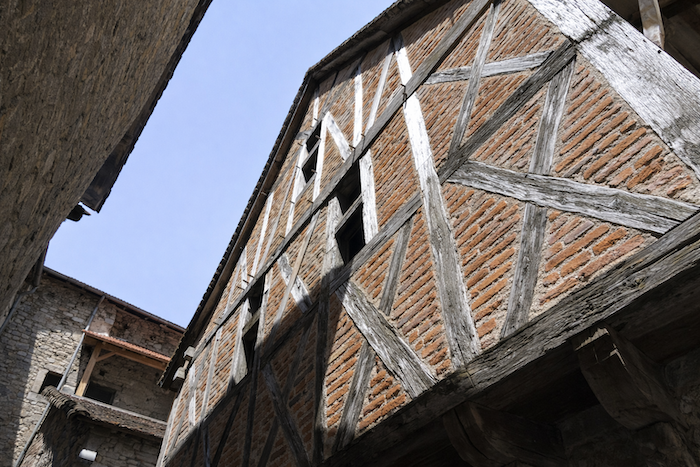
St Sulpice may well be the most beautiful village in the Célé valley. There is little doubt. St Sulpice is a jewel, a nugget set into the cliff. The former castle of the Hébrard family, an illustrious lineage of the region, still casts its majestic shadow over the houses clustered at its feet. The GR651 crosses the heart of the upper village through steep lanes where footsteps echo on stone. From the heights the view plunges into the valley, a vertigo suspended between history and nature. Below, the Célé glimmers faintly, like a whispered secret. Troglodyte life expresses itself around the ruins of the old castle, a vestige of a glorious past when rock and human beings formed an alliance. Collapsed arches, stairways hanging in the void, cracked walls where wildflowers still cling, everything speaks of another age. And yet life remains. A flowered terrace has replaced the tower of the keep, blue shutters open over the emptiness, and the GR even passes through an old gate of the castle, as if greeting the ghosts. |
|
 |
 |
 |
 |
|
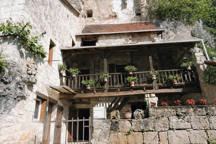
These troglodyte houses, half dream and half memory, seem born from the rock itself. You might think them drawn from a tale in which Walt Disney lent his brushes to the Middle Ages. Suspended and audacious, they defy gravity as much as logic, clinging to the cliff in a gesture of grace and resilience. |
|
 |
 |
 |
 |
|
Yet all these houses still live, while others sleep. All breathe the same determination not to disappear. They are restored, held together, given new breath and color. Here every stone tells a story of attachment. St Sulpice is the miracle of a village that persists, a handful of houses gripping the world. Yes, without doubt, one of the jewels of the Célé valley, a rough diamond shaped by time and the patience of people. |
|
 |
 |
|
Below, the small departmental road runs through the valley. |
|
 |
 |
|
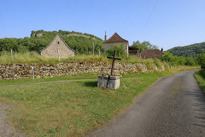
At the end of the rampart path, the path turns around the hill. St Sulpice and its marvels fade into the near distance. A simple cross and a resting place mark the end of the hamlet. There everything seems suspended, as if stone and wind had agreed to meet there for one last greeting before the silence of the meadows. |
|
 |
 |
|
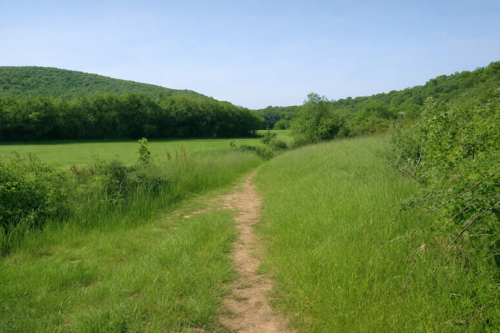
A trail runs again across level ground, gentle and quiet, offering the walker a moment of calm before the storm. In the green meadows the light dances on the tall grasses. You can almost feel the breath of a respite, a peaceful heartbeat of the landscape before it flares again in the climb. Will you be surprised to learn that the next serious rise begins at the entrance to the woods. If you enjoy sustained effort, you will find real pleasure here. |
|
 |
 |
|
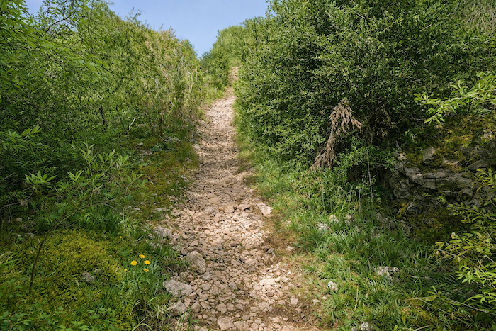
Underfoot the stones roll and clash together like a string of flints, reluctant to yield to gravity. The slopes sharpen, sometimes exceeding 25%, as if the earth wished to test the patience and tenacity of those who tread upon it. |
|
 |
 |
 |
 |
|
This is what the athlete seeks, a demanding and raw nature that reveals itself only to those who deserve it. Is it not tempting to wander here? |
|
 |
 |
|
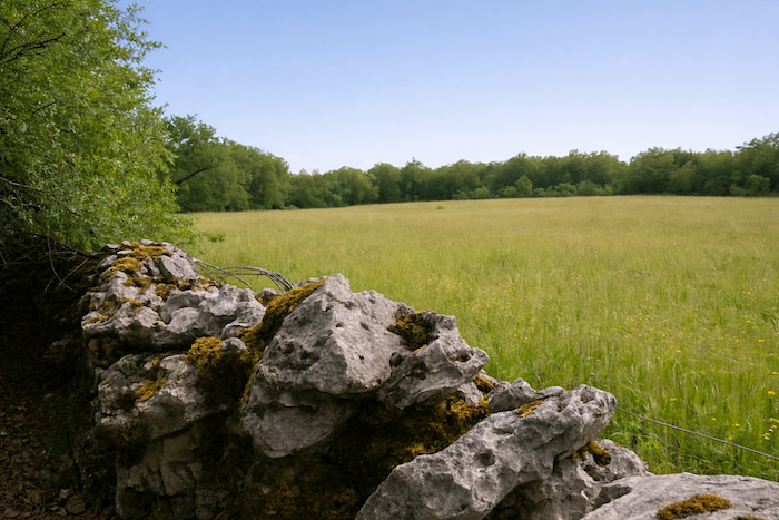
Higher up, and you sense it after taming more than one rise of the causses, the slope finally softens. The path widens as if congratulating the walker. The forest, like a companion, opens its leafy mantle and slowly withdraws to reveal a clearing bathed in light, guarded on either side by grey limestone walls aligned like soldiers from another age. On the high causses, when you see trees other than the sturdy oaks, they are often field maples or Montpellier maples, or more rarely ash trees. Here, almost at the summit of the causse, or so the limit of the trees suggests, the brown and ochre earth resumes its dominion. It stretches out, rugged and generous, dotted with white stones and clumps of thyme. |
|
 |
 |
|
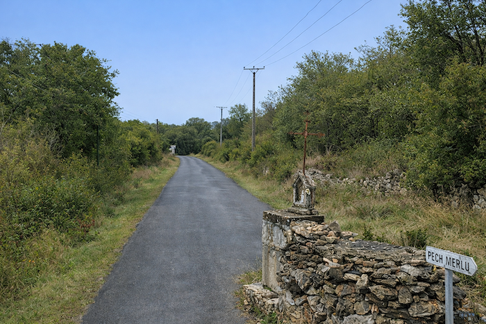
You run then near Pech Merlu, a modest point on the map where nothing disturbs the peace except perhaps the breath of the wind. Does anyone live at Pech Merlu? Probably, for a solar panel catches the sun of the causse. “Pech”, what an evocative word. It covers the maps of the Lot, appears on signposts and resonates in the speech of the inhabitants. This Occitan word, inherited from the Latin podium, means height or hill. According to the regions of Occitania it takes many forms, “pouèy, pouy, pouèch, puèch, puèg, pèch, pètch, pèt, pè, pioch”, so many ways of expressing the same idea, the desire to climb, to rise, to dominate the landscape before descending again, humble and fulfilled. Here, in the Célé valley, the path delights in climbing the hill and descending from it again. |
|
 |
 |
Section 4: Descending again to the river, toward Marcilhac-sur-Célé
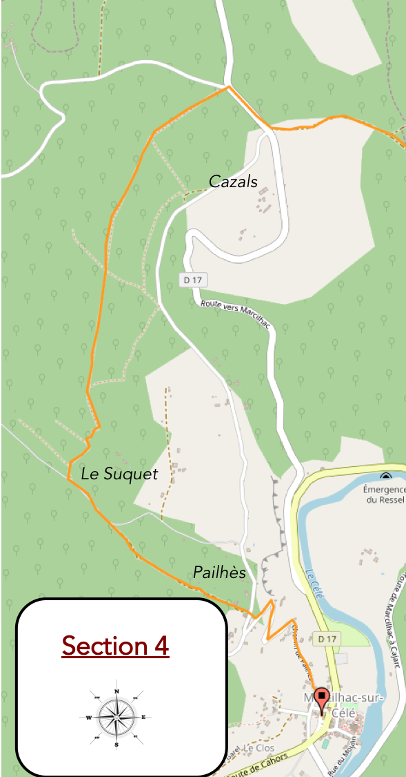
Overview of the route’s challenges : only the final descent is steep. Almost like a holiday!
|
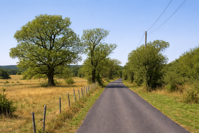
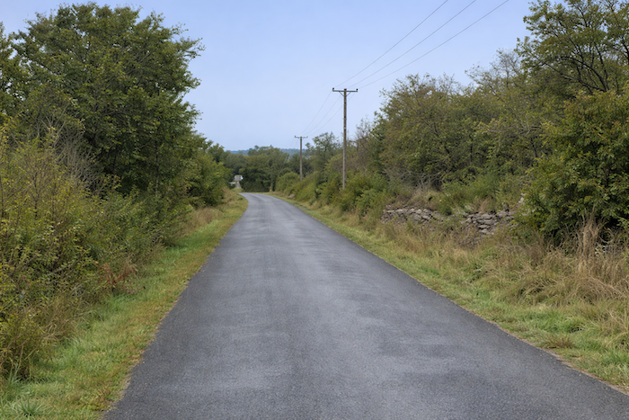
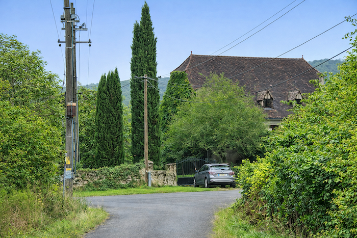
A house often signals the return of asphalt or tightly packed macadam that closely resembles it, along with the ever-unwelcome presence of electric poles. Fortunately, on both sides of the road the boxwoods play leapfrog with the fences and climb among the oaks, striving to reach the tops of the trees above the grey stone walls. |
|
 |
 |
 |
 |
|
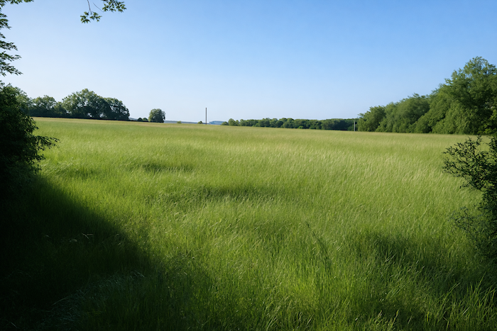
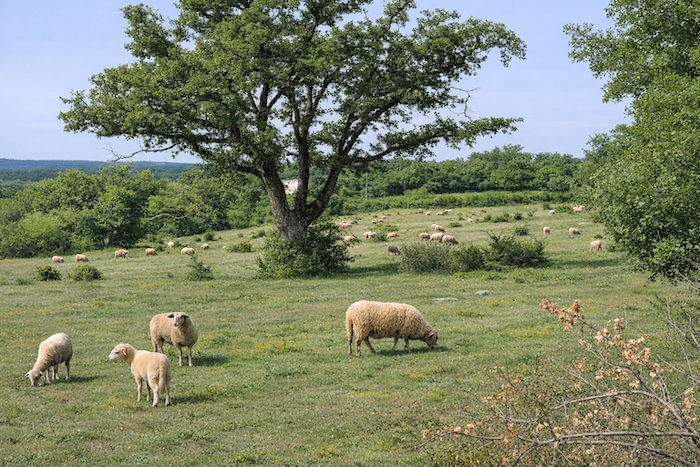
A gently sloping hill and a valley so subtle it is almost imperceptible follow one another in turn, until the landscape suddenly opens into an immense natural amphitheater that only nature itself could create. |
|
 |
 |
|
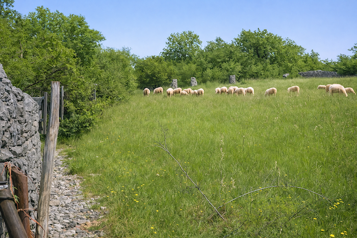
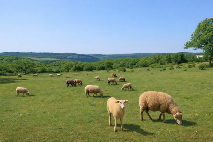
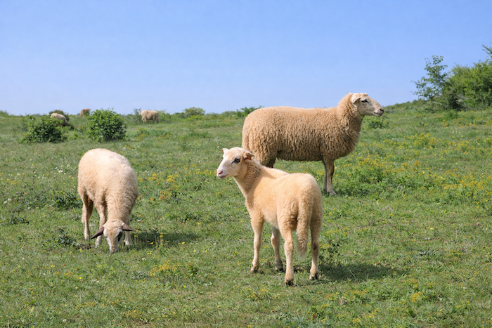
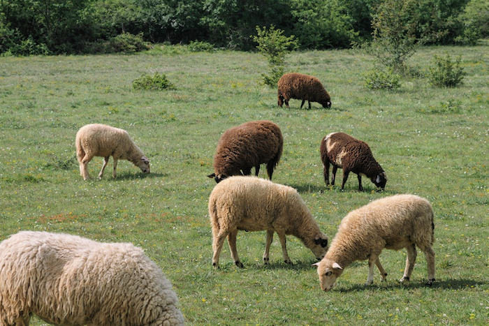
In the pasture, sheep graze peacefully on the short grass. In the Lot, ewes are almost more numerous than people, approaching 250,000 head. These tireless workers of the causses have maintained the landscape for centuries. The dominant breed, the Caussenarde, is robust and proudly displays a beige fleece, a white head framed by dark rings around the eyes and darker patches on the ears. These animals live on the sparse vegetation of the causses, feeding on woody plants if necessary, and spend most of the year outdoors, coming inside only during winter. |
|
 |
 |
 |
 |
|
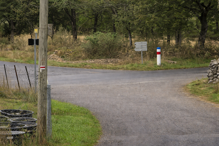
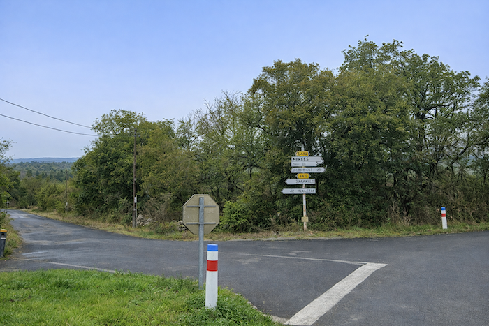
The road from Pech Merlu reaches a crossroads where two small departmental roads meet, the D14 and the D17. . |
|
 |
 |
|
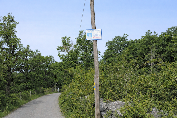
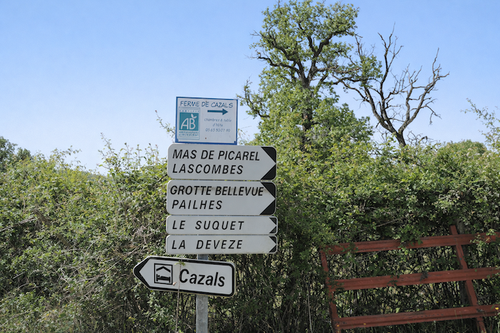
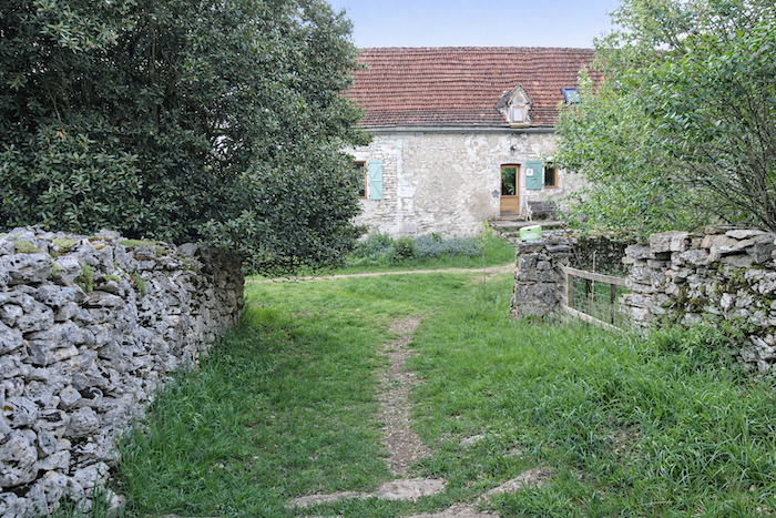
Nearby, the farm of Cazals offers accommodation within a farm building. In the past, an annex known as a “cazal”, built on three sides and open at the front, served to store carts and tools. |
|
 |
 |
|
At the Cazals crossroads, the GR651 does not follow the road leading to the Cazals Museum. The route turns right onto the D17. |
|
 |
 |
|
It then follows the road for a short distance to the next crossroads a few steps away. |
|
 |
 |
|
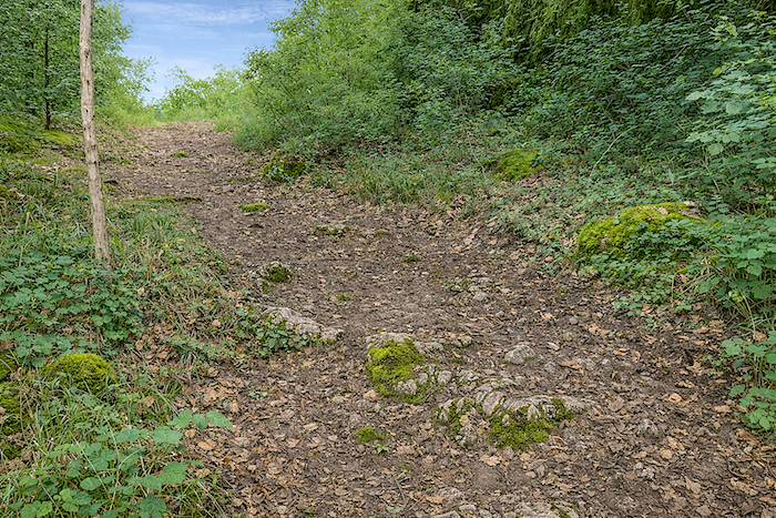
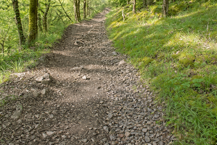
The climb to the summit of the causse is not quite finished. A small effort remains on a very stony trail that soon winds between boxwoods and oaks until reaching the top, surrounded by magnificent moss-covered stone walls. You may wonder whether the boxwoods have survived until today or fallen victim to the destructive box tree moth. |
|
 |
 |
|
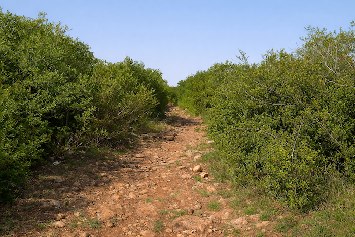
At times the trail, in its wild beauty, becomes a field of stones where each step demands vigilance. |
|
 |
 |
|
At the summit of the causse, the trail descends on the other side of the hill until it reaches a directional sign. Marcilhac-sur-Célé is announced two kilometers away on foot. |
|
 |
 |
|
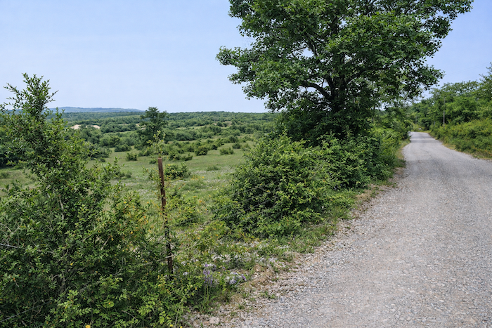
A small road where no vehicle disturbs your passage descends gently along the cliffs of raw grey limestone in the middle of the wild landscape. |
|
 |
 |
 |
 |
|
Here only sturdy, stunted oaks and Montpellier maples cling to the slopes. |
|
 |
 |
|
Small grey stone walls covered with moss and lichen mark improbable property boundaries. Life has vanished from this place. |
|
 |
 |
 |
 |
|
Only hunters likely come here during the appropriate seasons. |
|
 |
 |
|
Farther down, the road approaches civilization, if one dares to call it that. |
|
 |
 |
|
Your road then joins another road just as discreet. The whole region is crossed by roads that are often dead ends leading only to isolated farms. |
|
 |
 |
|
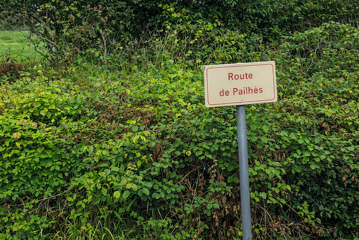
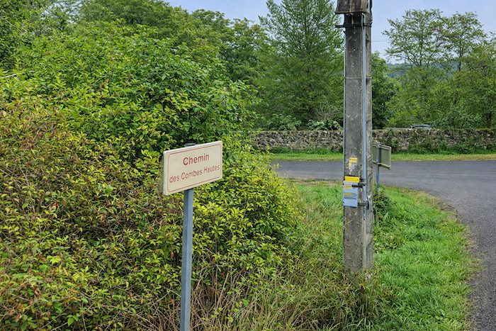
crossroads appears. You arrived by the “Chemin des Combes Hautes” and now depart along the “Chemin de Pailhès”. |
|
 |
 |
|
Here life becomes a little more present along the road that slips into the undergrowth. |
|
 |
 |
 |
 |
|
The GR651 then runs through Le Suquet, from where Marcilhac-sur-Célé can be seen, nestled at the foot of the cliffs beside the river. |
|
 |
 |
|
The route now follows the road to Marcilhac. Yet because the road winds constantly, the route slips down a steep shortcut to avoid two bends. Descents from the causse along the GR651 are strikingly similar: winding asphalt roads and steep stony shortcuts through the woods. |
|
 |
 |
|
The shortcut rejoins the road below. Yet here you will not escape the pleasure of the hairpin bends on the asphalt. |
|
 |
 |
 |
 |
|
The winding descent continues until the entrance to Marcilhac-sur-Célé. |
|
 |
 |
|
The small road reaches Marcilhac-sur-Célé on the heights of the village. |
|
 |
 |
|
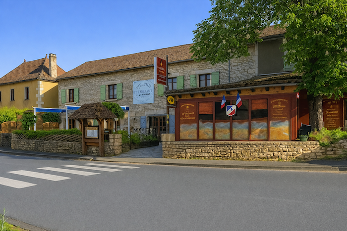
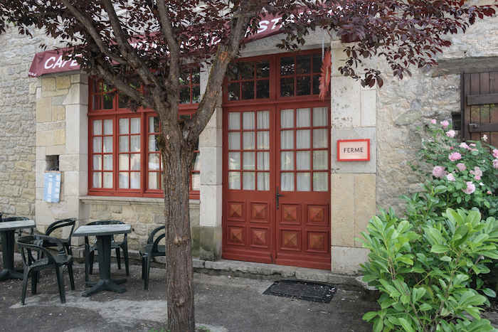
Life there appears quiet. Two restaurants face each other on the main street, and the village also offers restaurants, a small grocery store and accommodation. Caution is advised, however, as the doors often remain closed. The grocery store opens only at certain times of the day and the restaurants are mostly open during the summer season. It is therefore advisable to inquire at the guesthouses of the previous night to learn about schedules and availability. Otherwise, the alternative is to carry the guide Miam Miam Dodo, updated each year. |
|
 |
 |
 |
 |
 |
 |
|
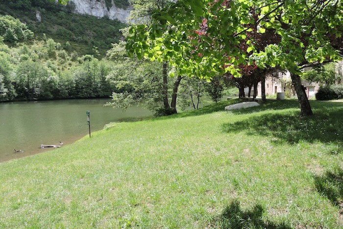
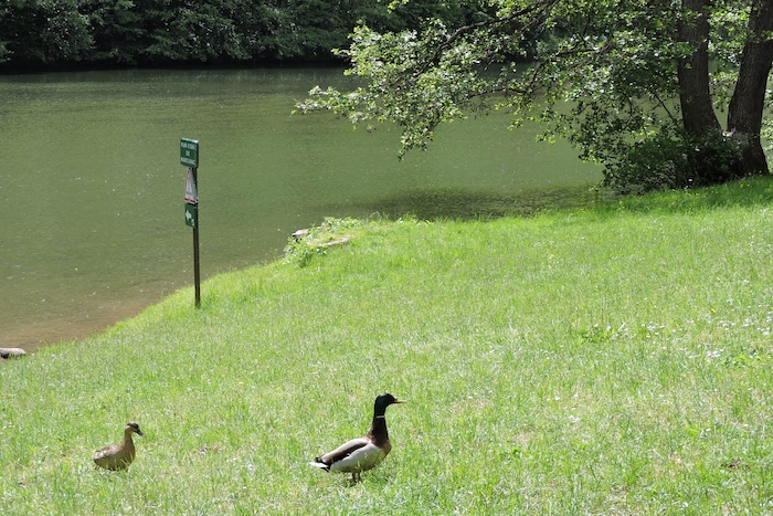
The Célé, dark and tranquil, lies beneath the branches beside a small park where ducks and geese splash and chatter. |
|
 |
 |
|
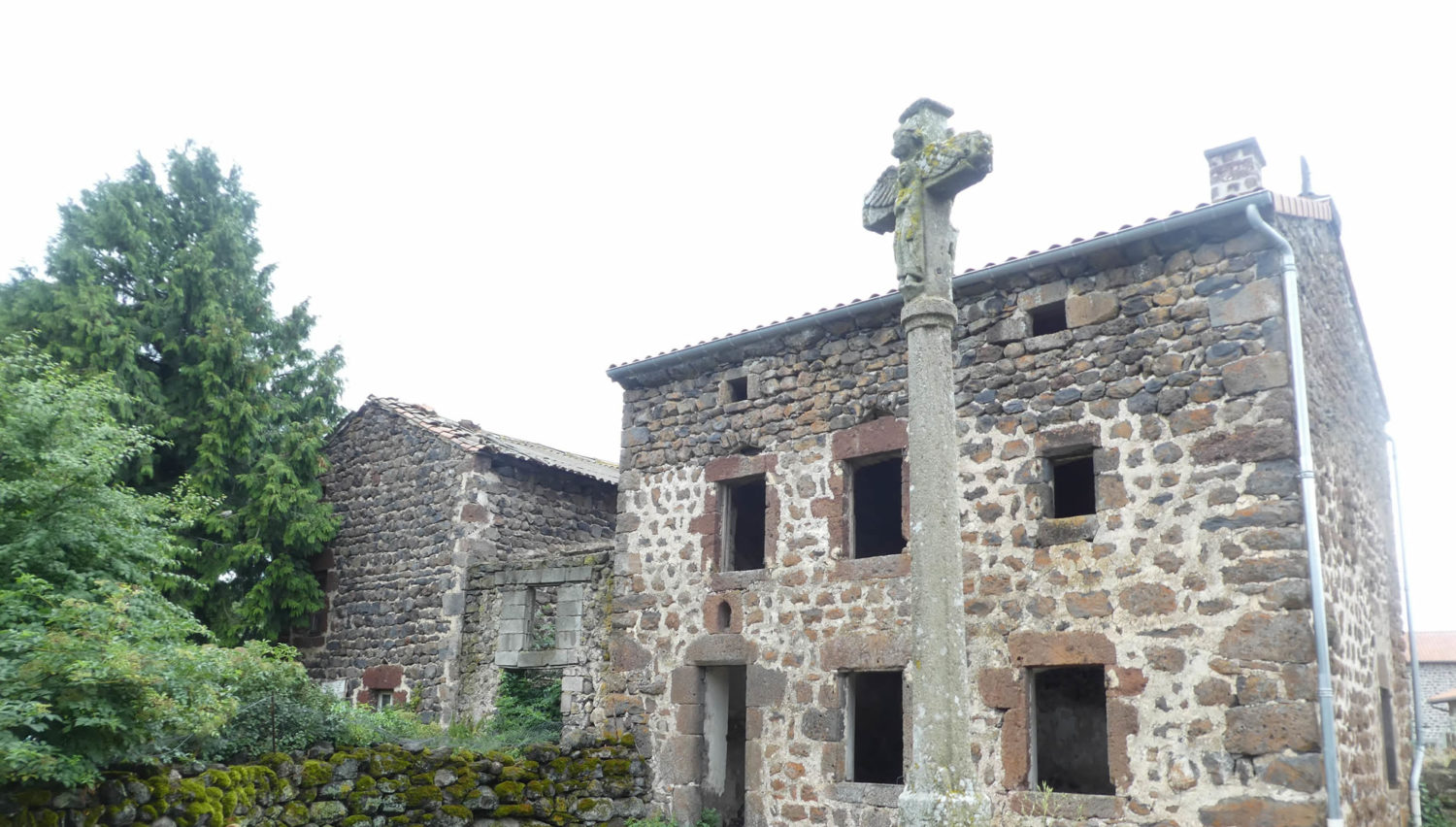
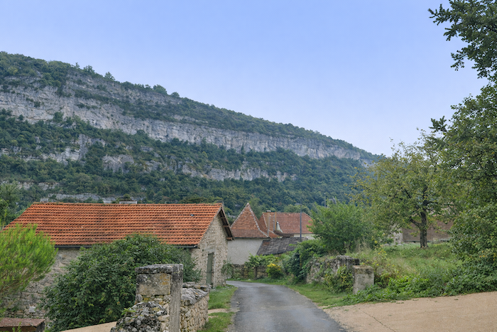
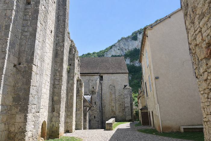
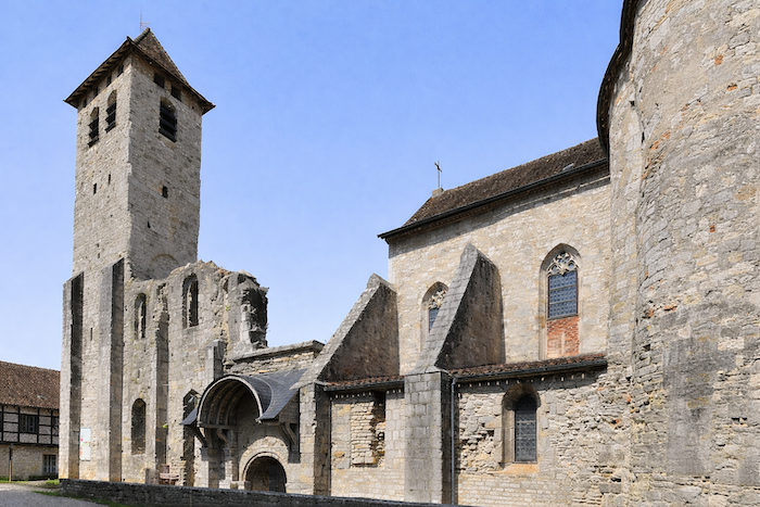
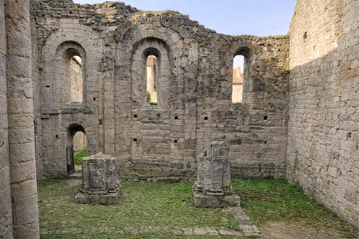
Marcilhac-sur-Célé is a very beautiful village nestled at the foot of the cliff. Yet in the Middle Ages the place was lively around the abbey, founded in the ninth century by monks from Cahors. Built first in Romanesque style and later in Gothic form, it reached its height between the twelfth and fourteenth centuries with about fifty dependent priories, including Rocamadour. Marcilhac was then a key stop for pilgrims. To protect them, the abbey was fortified. It was larger than Conques and just as famous. |
|
 |
 |
|
Today only a few empty walls remain, mysterious and solitary, rising above the roofs of the village. This vestige suggests that the pilgrimage route once passed through the Célé valley rather than through Cajarc. |
|
 |
 |
|
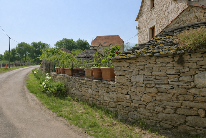
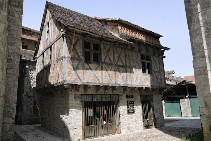
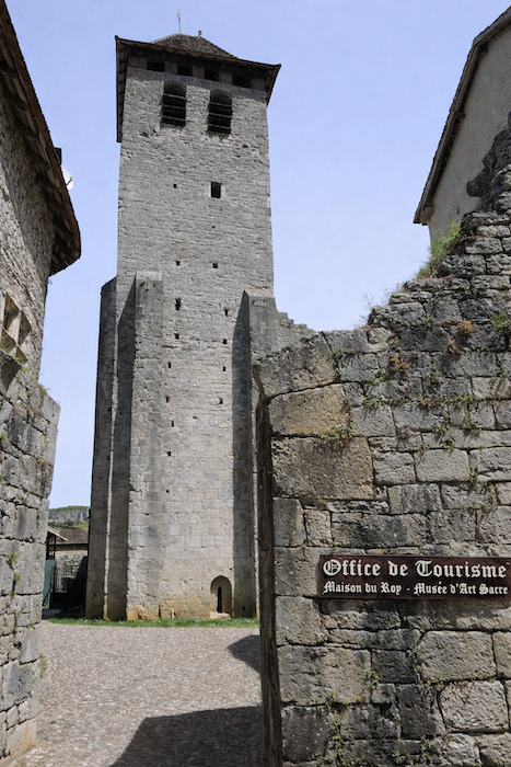
Unfortunately, the building was destroyed several times after the Hundred Years’ War and was sold during the Revolution. The ramparts were dismantled to build houses whose roofs now interlock above the narrow streets while still preserving the charm of the past. The timber-framed houses bear witness to that period, particularly the Maison du Roi, traditionally attributed to Louis XI but probably named after its owner Rey. A museum of sacred art now occupies the first floor, offering a glimpse of history to the curious passerby. |
|
 |
 |
 |
 |
Listed accommodations on the Célé Way
- Camping municipal, Brengues; 05 81 48 06 99; mairie 05 65 40 05 71; tents, snack
- Gîte La Brengoise, Brengues; 06 30 20 68 06; Gîte, breakfast, dinner
- Chambres d’hôtes Mas de Bessac, Brengues; 06 59 77 68 60; Guestroom, dinner, breakfast
- Camping Le Célé**, St Sulpice; 06 20 46 48 22; tents, chalets mobil-homes, snack, cuisine
- Gîte Le Chant de la Falaise, St Sulpice; 06 52 70 30 28; Gîte, dinner, breakfast, cuisine
- Gîte de Galance, Marcilhac-sur-Célé; 05 65 34 23 97/ 06 15 94 91 97; Gîte, dinner, breakfast, cuisine
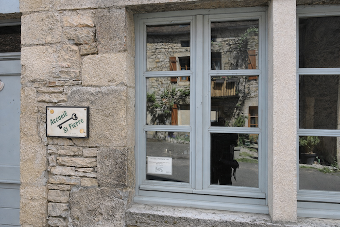
- Gîte-Restaurant St Pierre, Marcilhac-sur-Célé; 06 34 36 54 69; Gîte, dinner, breakfast, cuisine
This information was updated in 2026. If you access this site later, it may no longer be accurate. Along these routes, some establishments open every year while others close. One solution is to purchase, among other resources, Miam Miam Dodo, the essential guide for eating and accommodation, which also lists places to stay off the route. For our part, we will only include accommodations located directly on or very close to the route. There are also other options, such as guidebooks or the internet, which also lists Airbnb accommodations. However, even though the valley is a tourist area, Airbnb options are rare. No application is as well documented as Miam Miam Dodo, especially since the small book, available online, is updated every year. If you do not have Miam Miam Dodo, we recommend booking in advance and checking directly with accommodation providers about the details of their services (meals, sheets, toilets, showers, and other amenities). Likewise, inquire at the previous stage about the opening hours of grocery stores and bars, which are often closed during parts of the day or week. On the Célé variant, accommodation options are very limited, but only a few pilgrims pass through here. However, there are also hikers. Therefore, book in advance if possible. Finding a bed at the last minute can sometimes be a matter of luck. It’s better not to rely on that every day.
On this stage, accommodation is relatively limited along the route. At the end of the stage, Marcilhac can accommodate nearly 50 hikers, so finding lodging here is generally not a problem. Be mindful of campsites, as they are often only open during the tourist season. During today’s stage, you will find bars and restaurants in Brengues and Marcilhac. You will also find small grocery shops in Brengues, Saint-Sulpice, and Marcilhac, most often located within campsites. Water points are available in Brengues, Saint-Sulpice, and Marcilhac, often near town halls or cemeteries. For those who wish to have their bags transported, or to be transported themselves, La Malle Postale or Transport Claudine are good options.
Feel free to add comments. This is often how you move up the Google hierarchy, and how more pilgrims will have access to the site.
 |
Next stage: Stage 3: From Marcilhac-sur-Célé to Cabrerets |
 |
Back to menu |