From Aveyron to Lot
DIDIER HEUMANN, MILENA DALLA PIAZZA, ANDREAS PAPASAVVAS
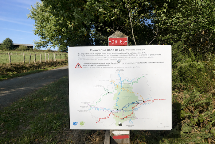
We divided the course into several sections to make it easier to see. For each section, the maps show the course, the slopes found on the course, and the state of the roads. The courses were drawn on the “Wikilocs” platform. Today, it is no longer necessary to walk around with detailed maps in your pocket or bag. If you have a mobile phone or tablet, you can easily follow routes live.
For this stage, here is the link:
https://fr.wikiloc.com/itineraires-randonnee/de-livinhac-le-haut-a-figeac-par-le-gr65-42696187
|
Not all pilgrims are necessarily comfortable using GPS devices or navigating with a smartphone, especially since there are still many areas without Internet access. That is why, to make your journey easier, a book dedicated to the Via Podiensis from Le Puy-en-Velay to Cahors is available on Amazon. Much more than a simple practical guide, this book accompanies you step by step, kilometer after kilometer, providing all the information you need for smooth planning and avoiding unpleasant surprises. Beyond its practical advice, it immerses you in the enchanting atmosphere of the Camino, capturing the beauty of the landscapes, the majesty of the trees, and the very essence of this spiritual adventure. Only the pictures are missing, everything else is there to transport you.
In addition, we have also published a second book which, with slightly fewer details but all the essential information, covers the entire route from Le Puy-en-Velay to Saint-Jean-Pied-de-Port. The choice of your journey is yours.
. |
 |
 |
If you only want to consult lodging of the stage, go directly to the bottom of the page.
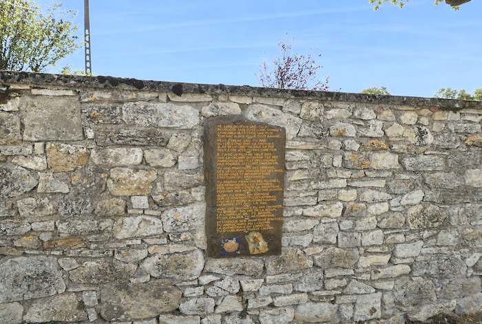
The Rosetta Stone is an inscribed slab discovered in 1799 near the town of Rosetta in Lower Egypt. This granite stele bears a decree issued in 196 BC by Pharaoh Ptolemy V, written in three scripts: hieroglyphic, Demotic, and Greek. It is now displayed at the British Museum in London. It is well known that the decipherment of this remarkable inscription was achieved by Jean-François Champollion (1790-1832), known as Champollion the Younger, who was born in Figeac, on Rue de la Boudousquairie. He was the seventh and youngest child of a bookseller father and a weaver mother.
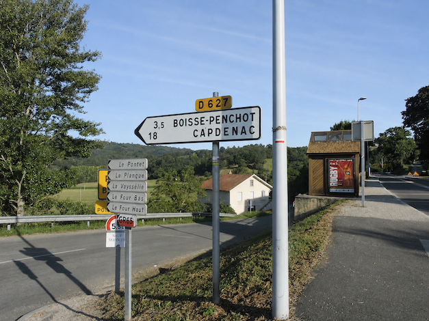
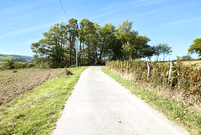
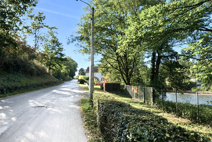
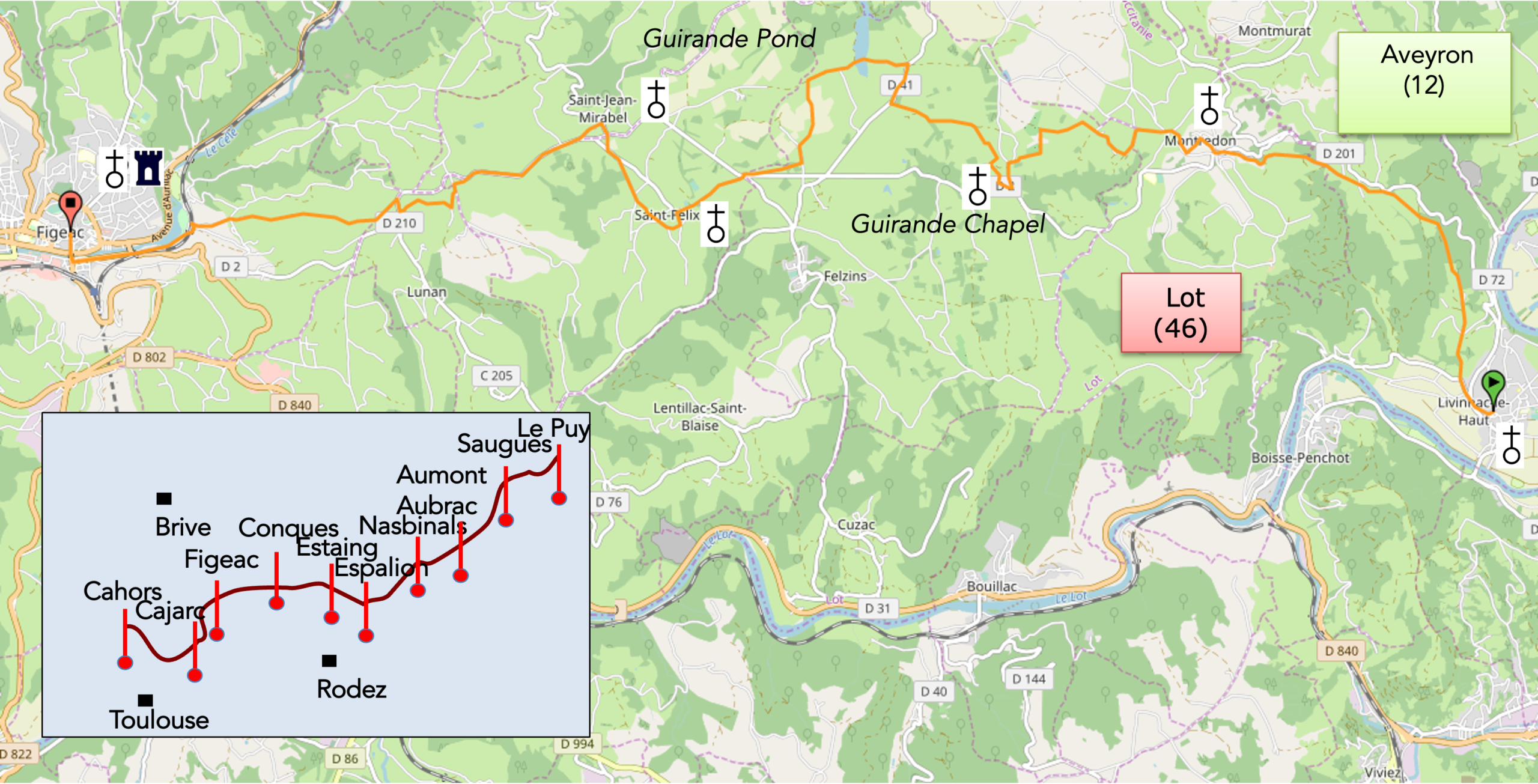
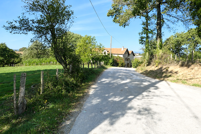
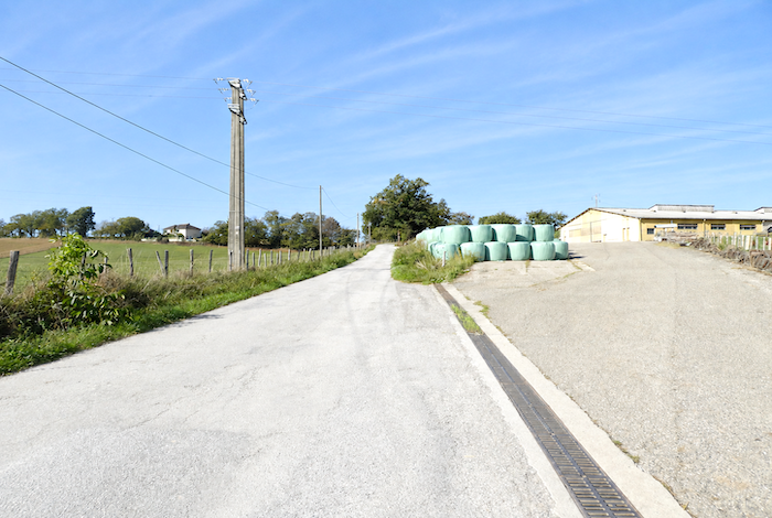
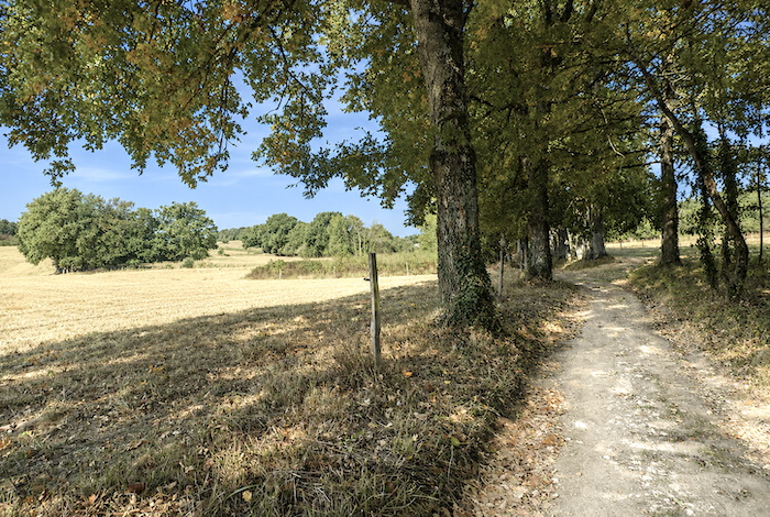
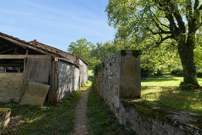
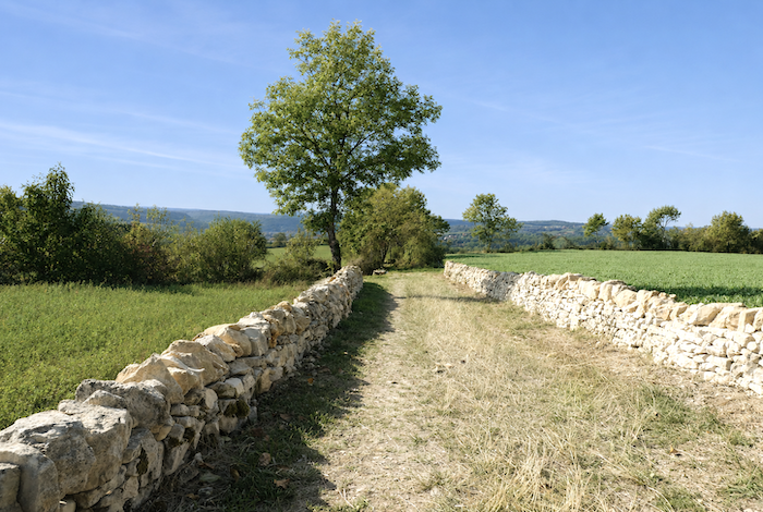
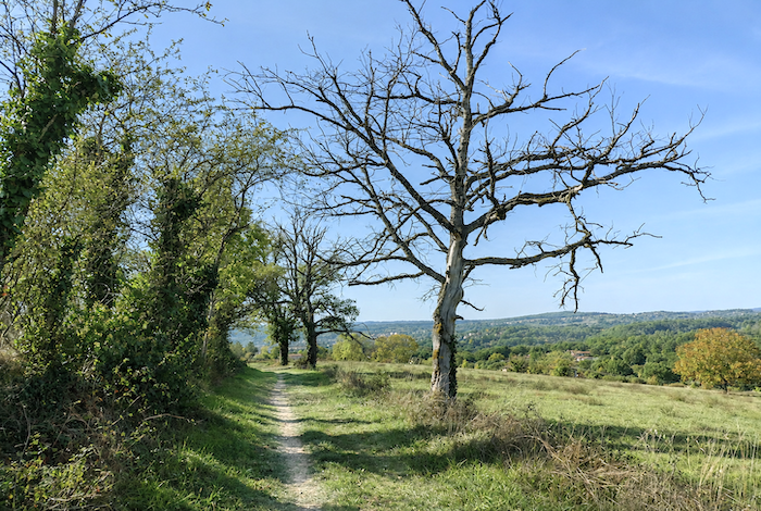
The first part of the route lies in the Aveyron department, which you soon leave behind as you enter the Lot department. Without any real transition, today’s stage takes you from the Ségalas into the Limargue. The stage ends in Figeac, Champollion’s hometown, on the banks of the Célé River. The stage has been modified over recent years, and several sections have been rerouted, but these changes have not significantly altered its geography. The only notable difference is that the former route has become more than three kilometres shorter. Today, you walk between the Ségalas and the Limargue, two regions of striking contrast. The subsoil of the Ségalas rests on the granitic foundation of the Massif Central, where the original granite has often been transformed into metamorphic rocks such as gneiss and schist. The soils derived from these rocks are acidic, poor, and of limited agricultural value. This is precisely why the region is known as the « Ségala », a name that reflects the fact that rye could be grown here, whereas wheat generally could not. Only the valley bottoms, enriched by alluvial deposits, offered more fertile land. Over time, many fields have naturally been improved, yet little has changed on the valley slopes. The south-facing hillsides remain largely covered with coppices of oak and chestnut, while the cooler north-facing slopes are dominated by beech and conifer forests. Here and there, a meadow appears on a small terrace beside a stream, wherever alluvial soils have accumulated. Remnants of heathland, covered with broom, bracken, and heather, are still widespread. The undisputed emblematic tree of the entire region is the chestnut, which for centuries formed the basis of the local diet. Although chestnut trees have largely disappeared from the valley floors, they remain abundant on the uncultivable slopes, where they sometimes form almost impenetrable coppices. In sharp contrast, the Limargue is composed of sedimentary rocks, mainly limestone, marl, and sandstone. These produce rich and fertile soils. The Limargue is a land of gentle green hills, and it is here that Figeac is nestled.
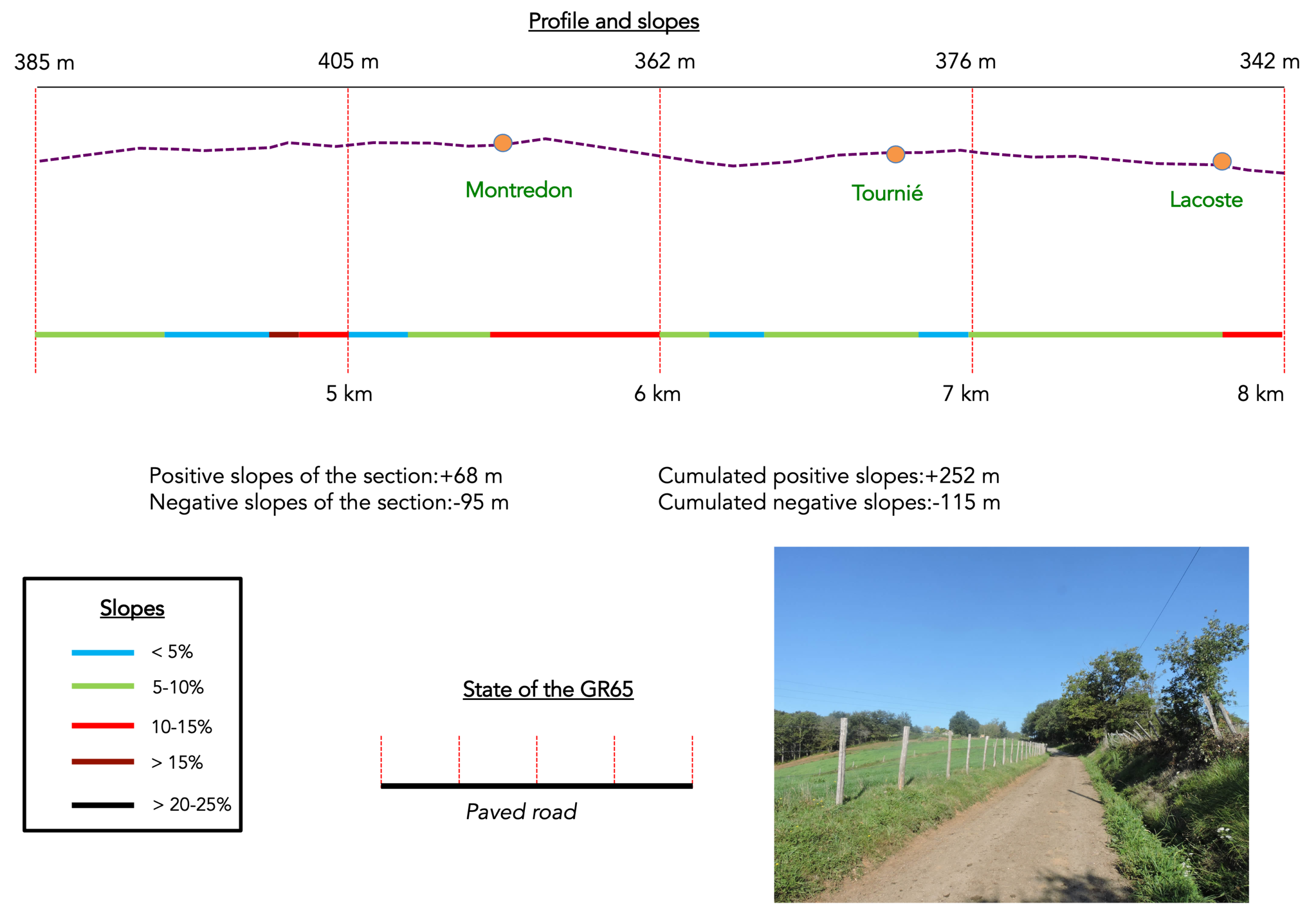
Difficulty level: Today’s elevation changes (+476 meters/ 488 meters), are quite moderate for a fairly long stage. Between the Lot and the Célé valleys, however, the day includes several climbs, although none of them are particularly demanding. The first ascent, leading to Montredon, is the steepest. The remainder of the route resembles a treasure hunt, frequently alternating between paved roads and dirt paths, which can become very muddy after rain. A long descent along the hillsides eventually brings you to Figeac.
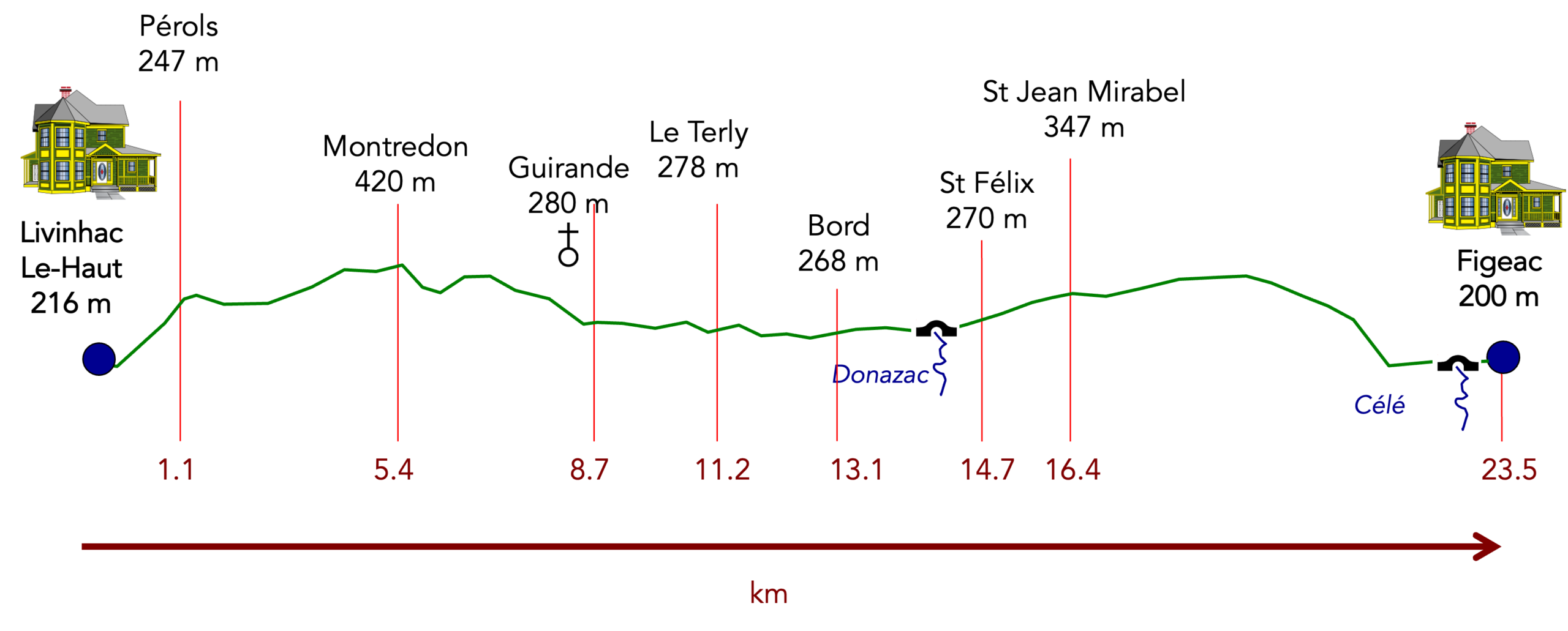
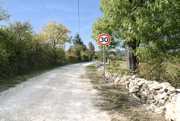
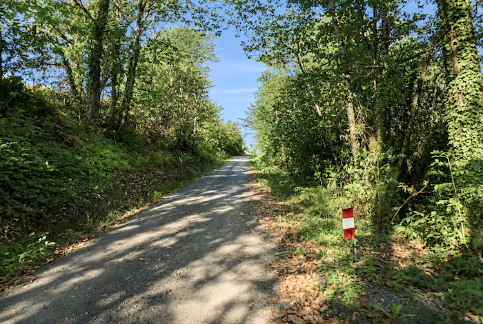
State of the GR65: Today’s stage follows paved roads more often than natural paths, as is frequently the case along the Camino de Santiago:
- Paved roads: 14.5 km
- Dirt roads:9.0 km
Sometimes, for reasons of logistics or housing possibilities, these stages mix routes operated on different days, having passed several times on Via Podiensis. From then on, the skies, the rain, or the seasons can vary. But, generally this is not the case, and in fact this does not change the description of the course.
It is very difficult to specify with certainty the incline of the slopes, whatever the system you use.
For « real slopes », reread the mileage manual on the home page.

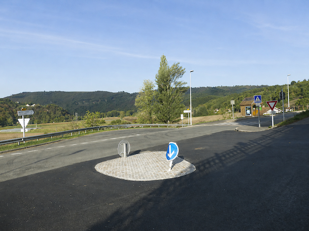
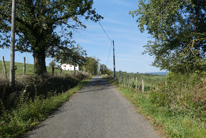
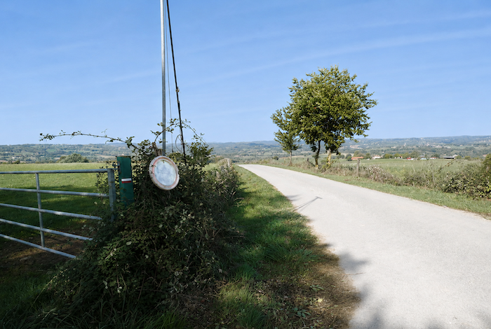
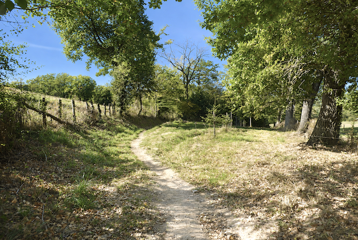
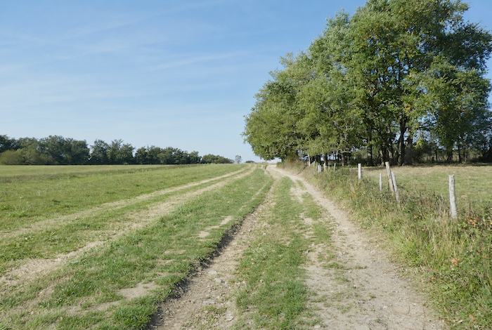
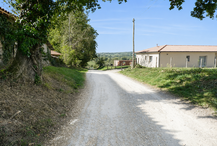
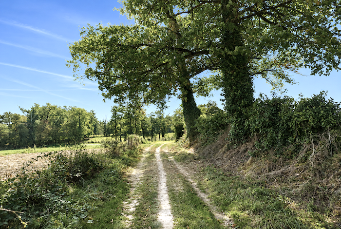
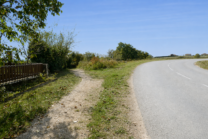
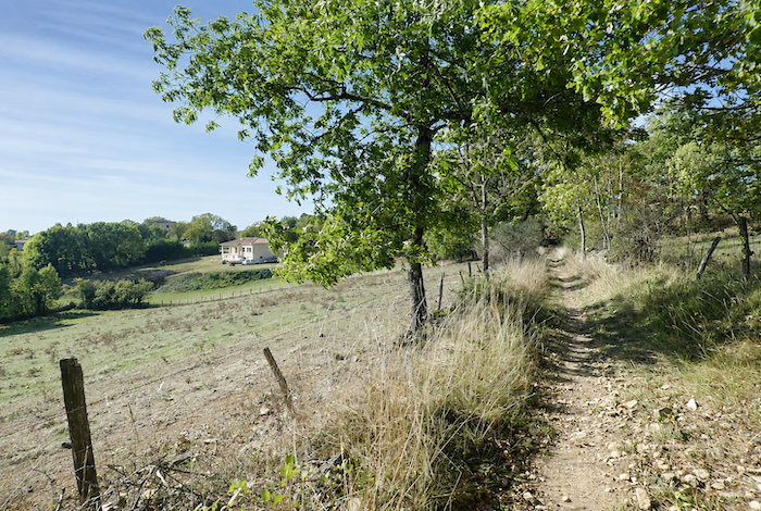
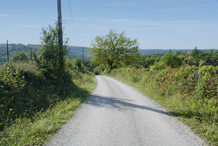
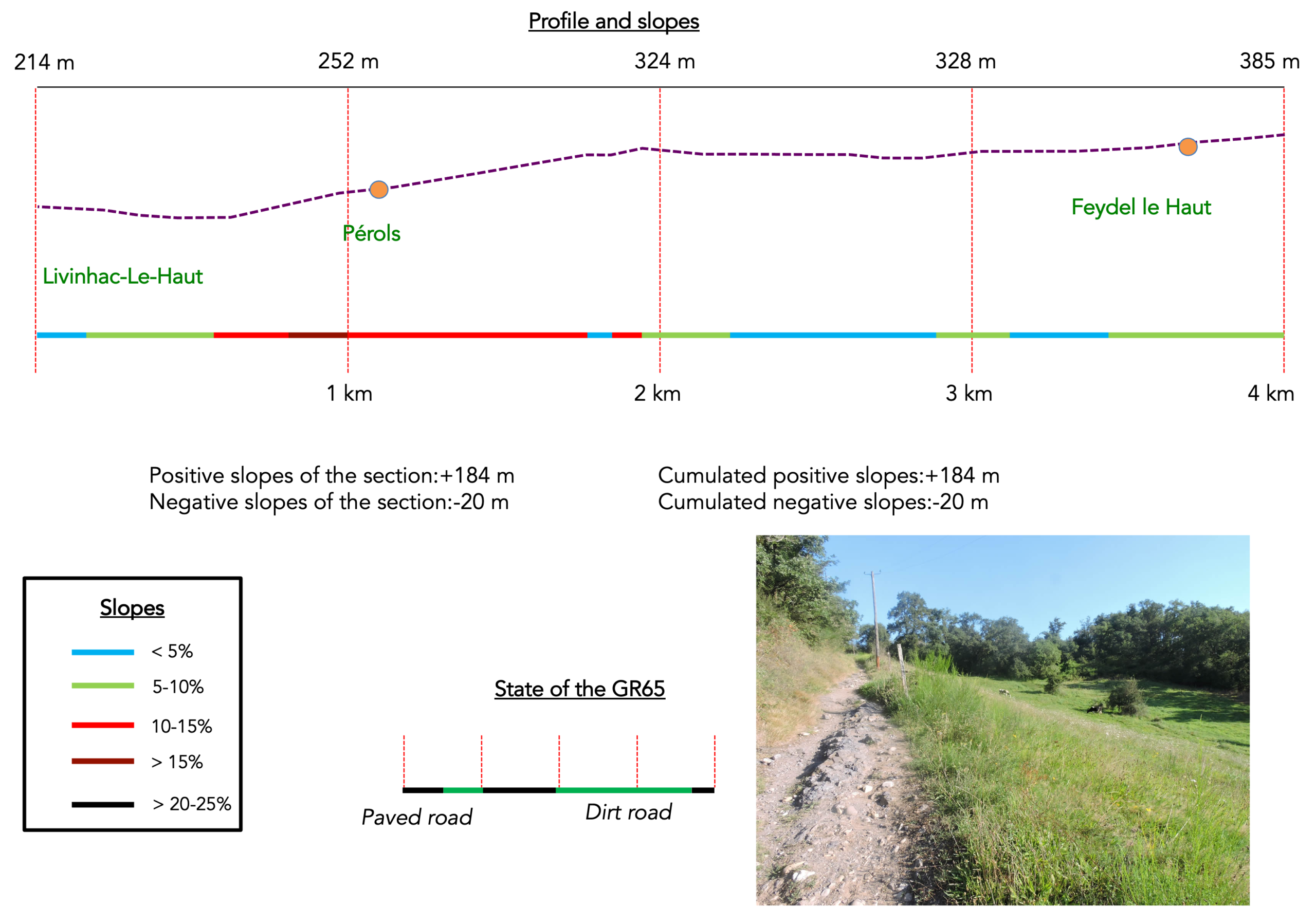
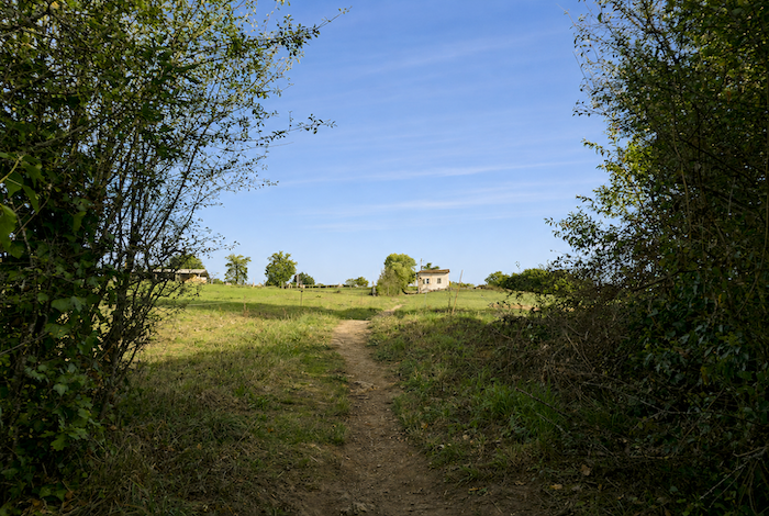
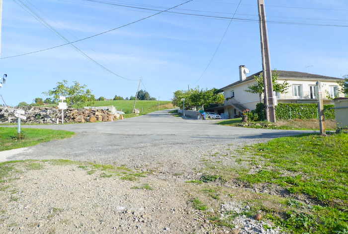
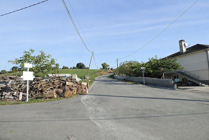
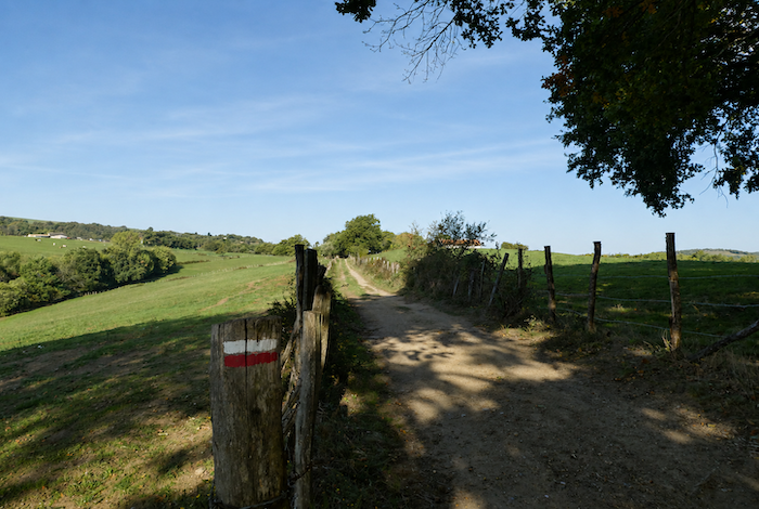
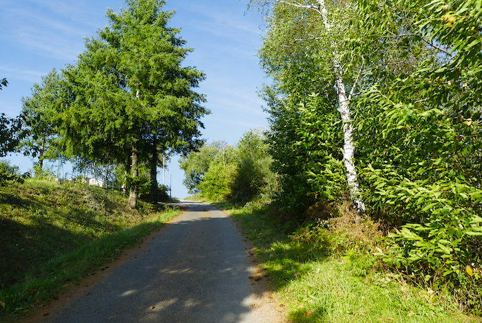
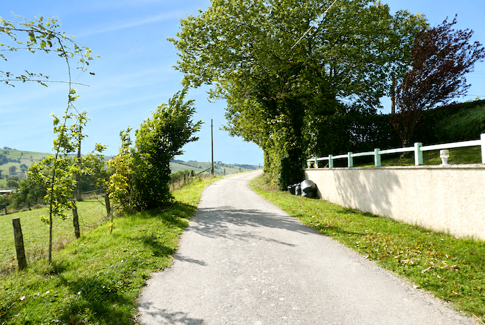
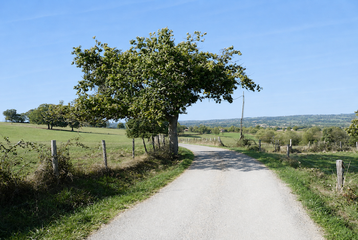
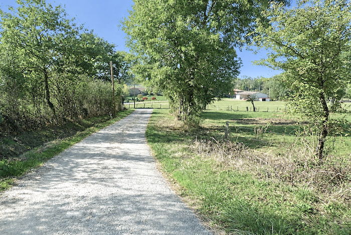
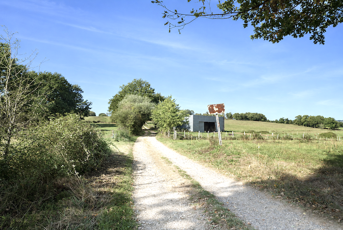
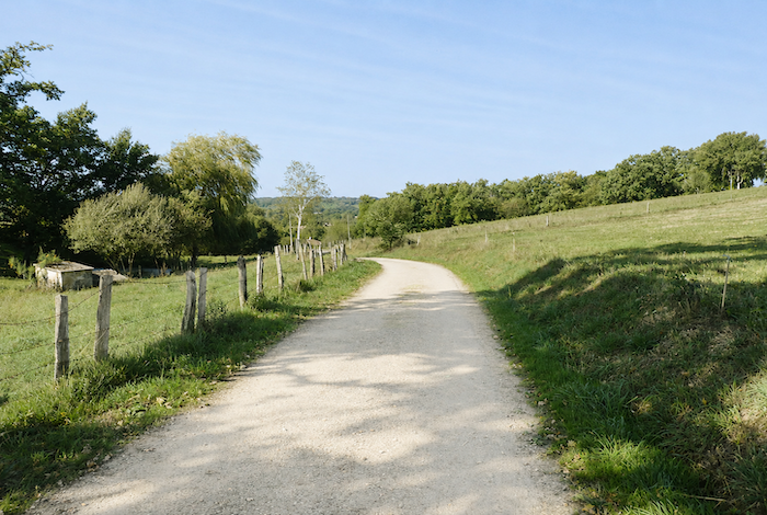
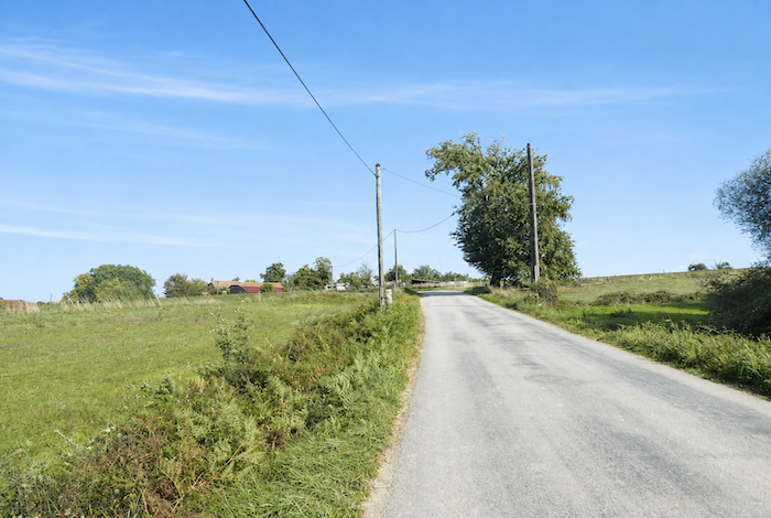
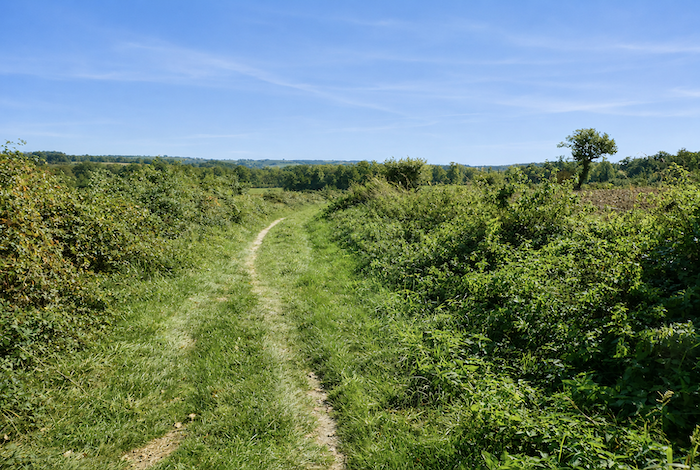
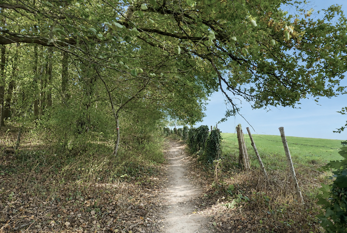
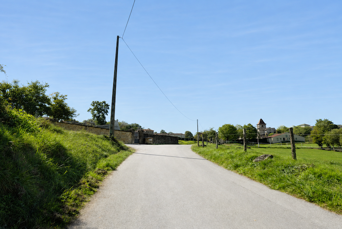
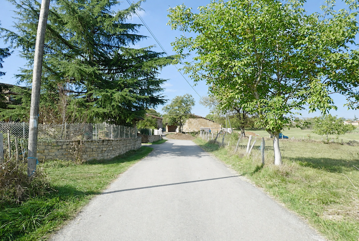
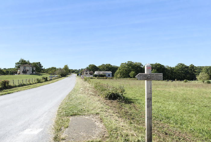
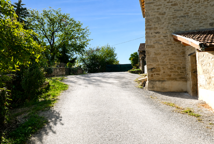
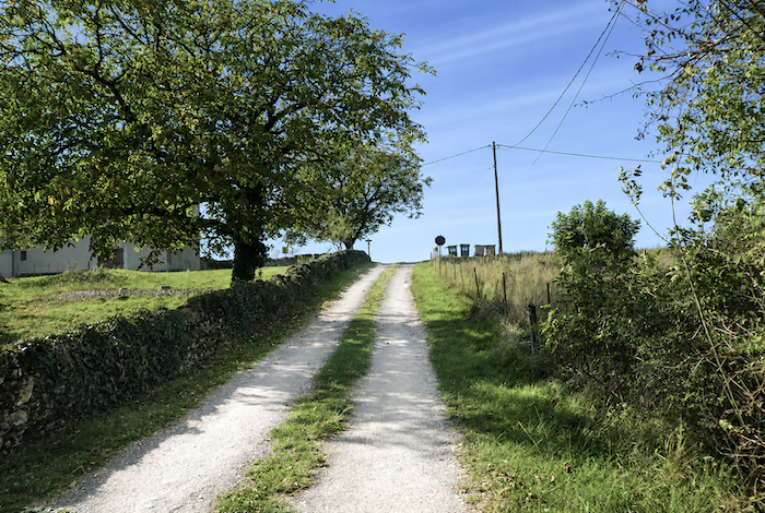
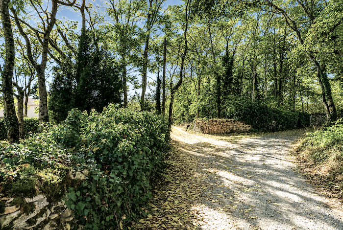
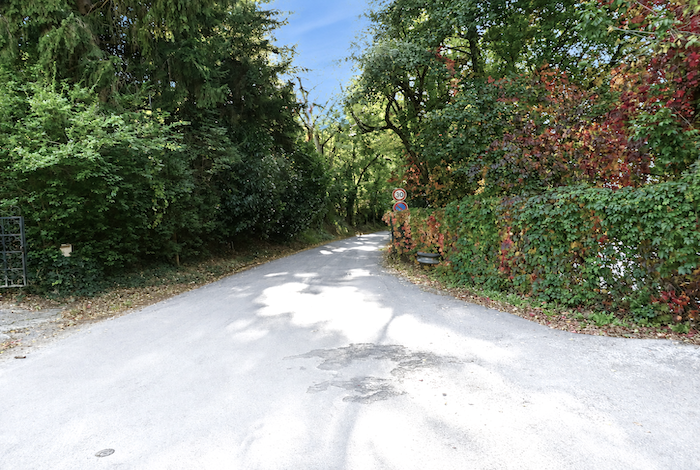
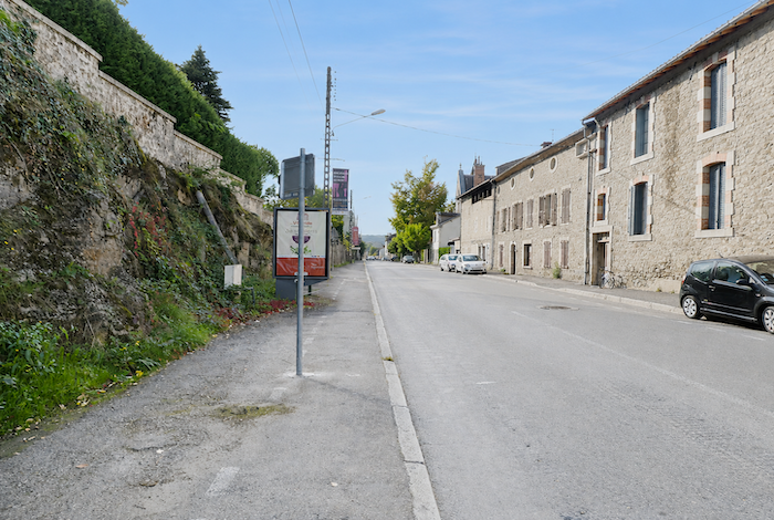
Section 1: The route climbs back onto the plateau
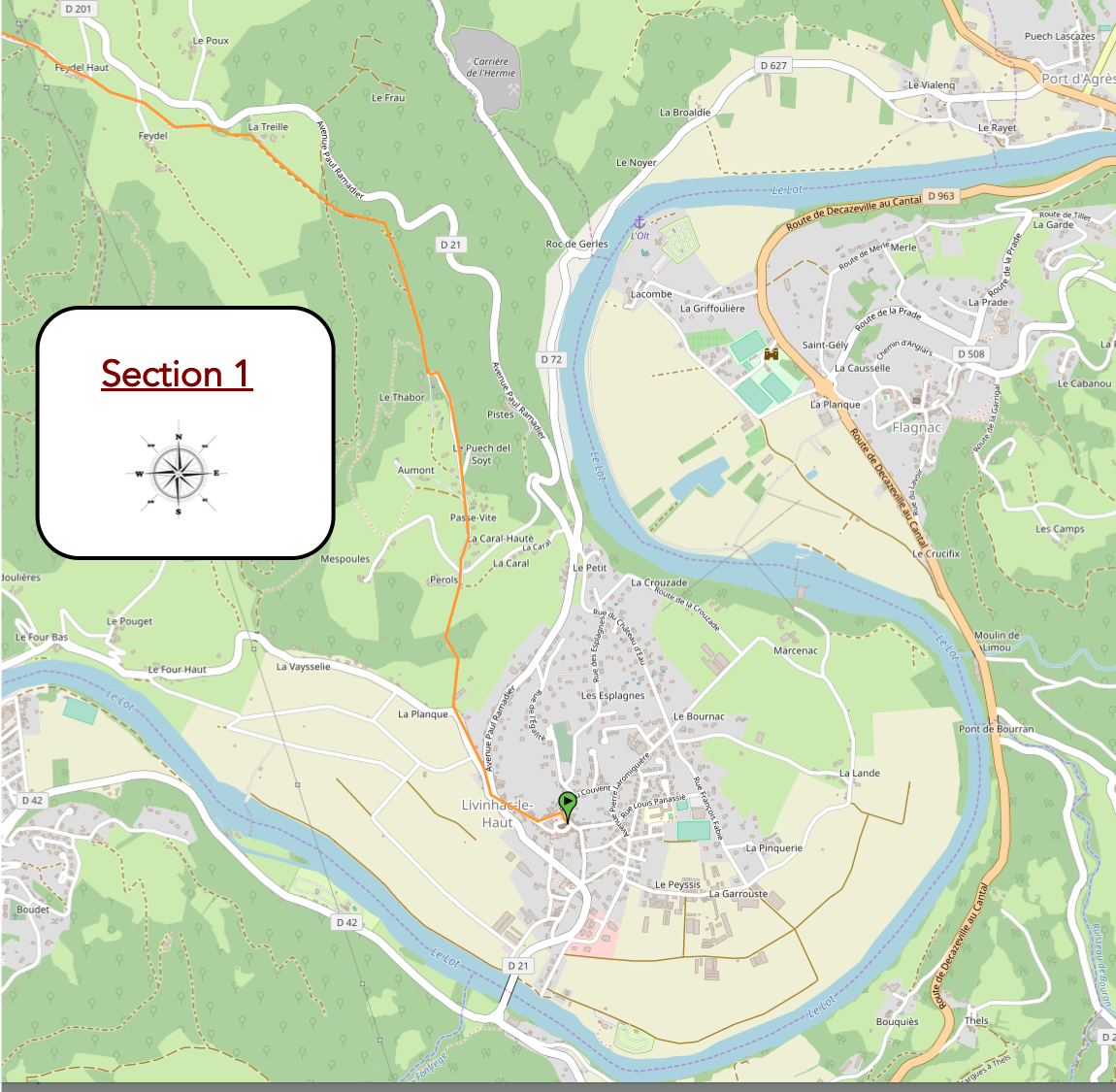
General overview of the route’s challenges: a few steep climbs before Pérols and Feydel-le-Haut, otherwise the route presents no particular difficulty.
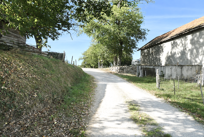
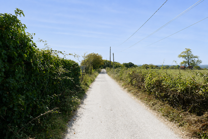
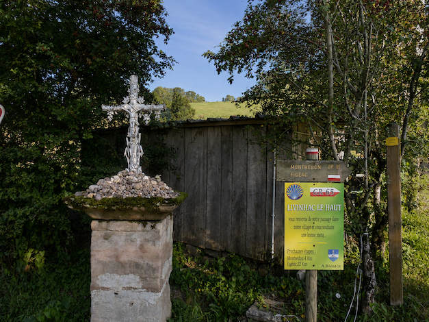
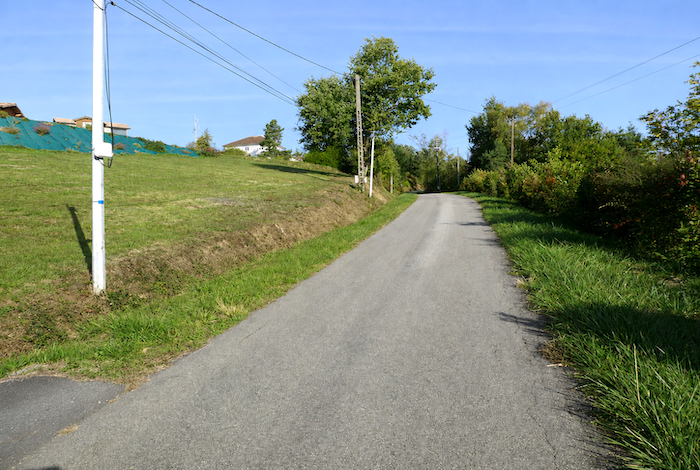
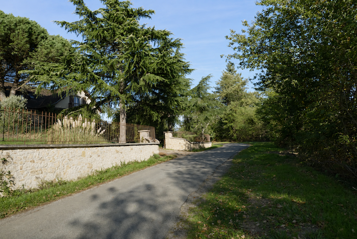
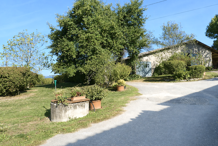
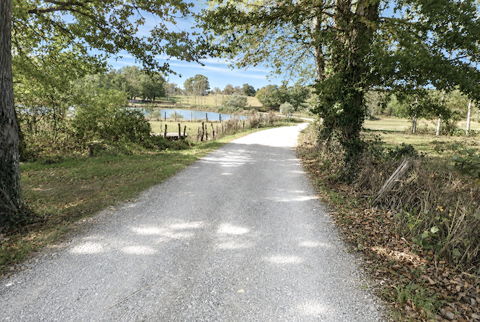
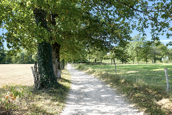
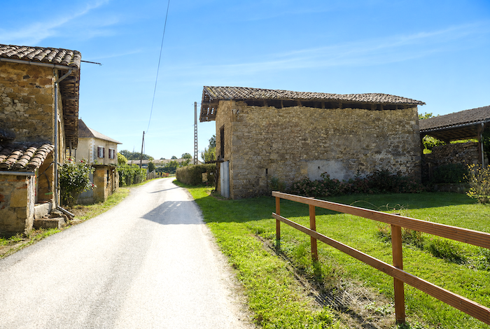
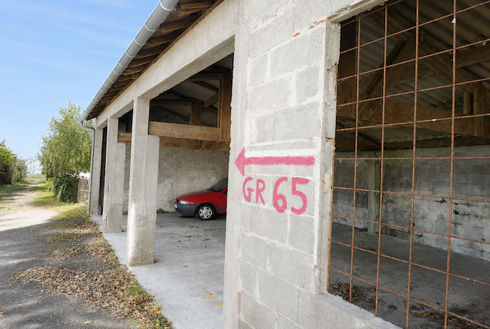
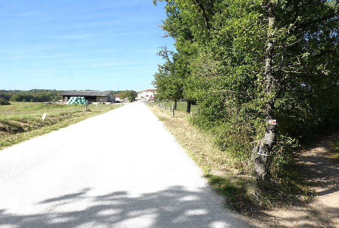
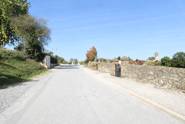
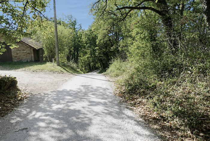
| The GR65 leaves Livinhac-le-Haut gently, almost on level ground, following the paved road to a junction on the edge of the village. |
 |
 |
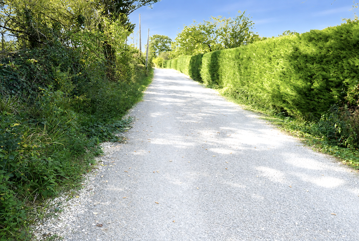
| It then follows a modest departmental road that winds peacefully between meadows and the first country hedgerows. |
 |
 |
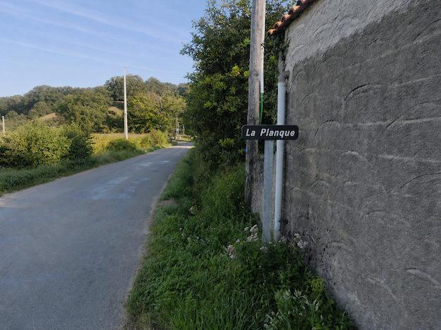
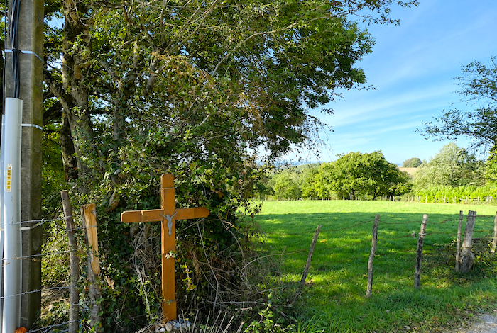
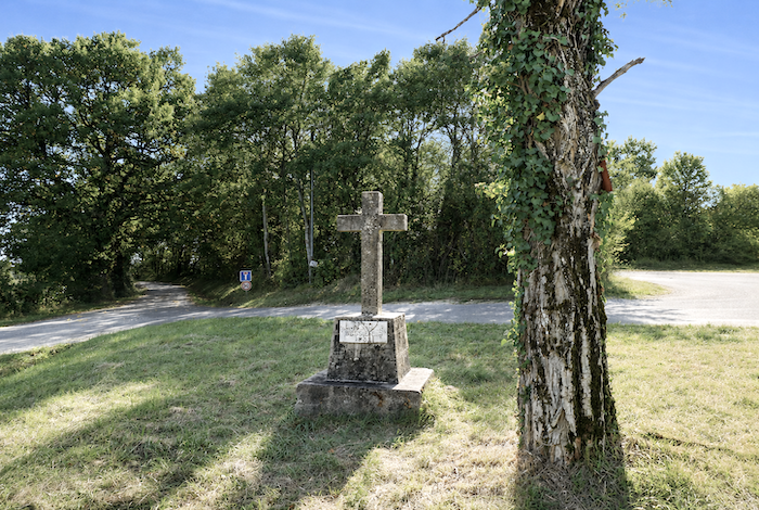
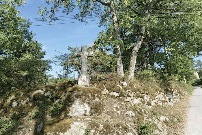
| A few hundred meters farther on, the first hamlet, La Planque, comes into view, nestled beside a small stone cross forgotten at the edge of the path. |
 |
 |
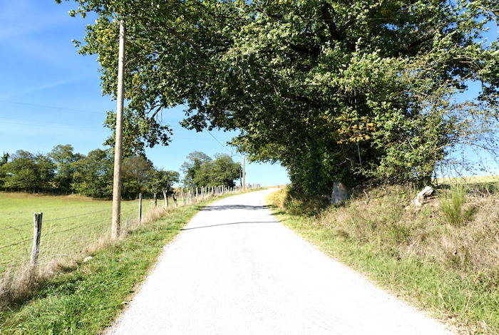
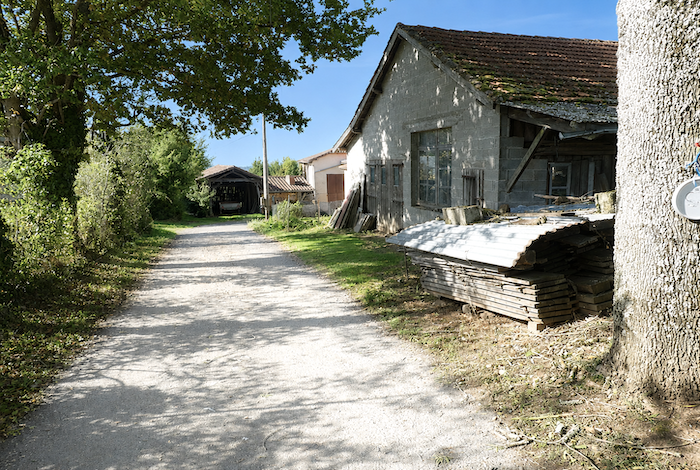
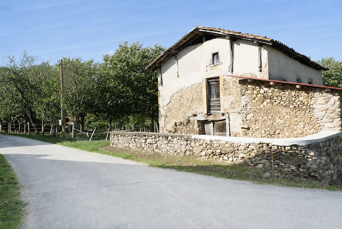
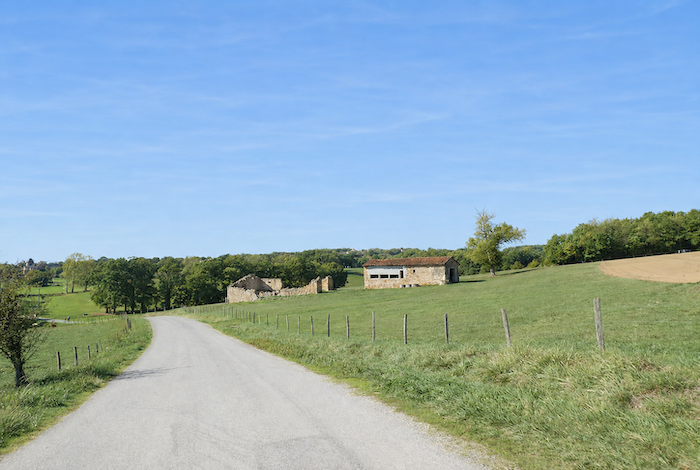
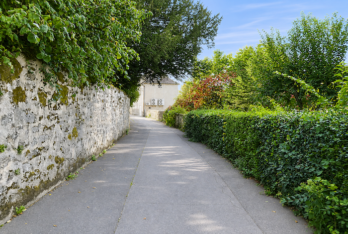
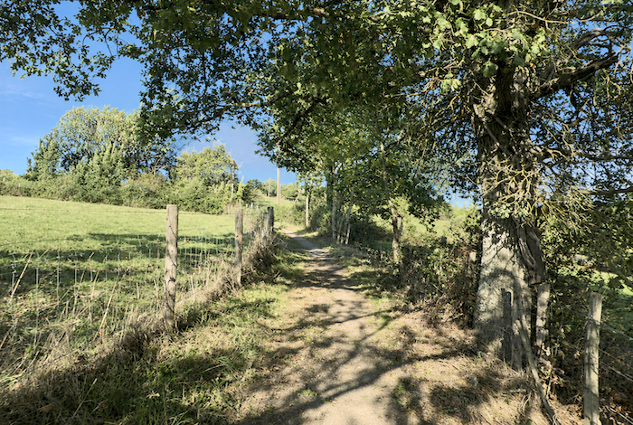
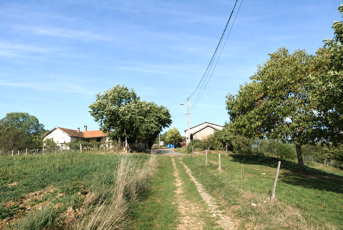
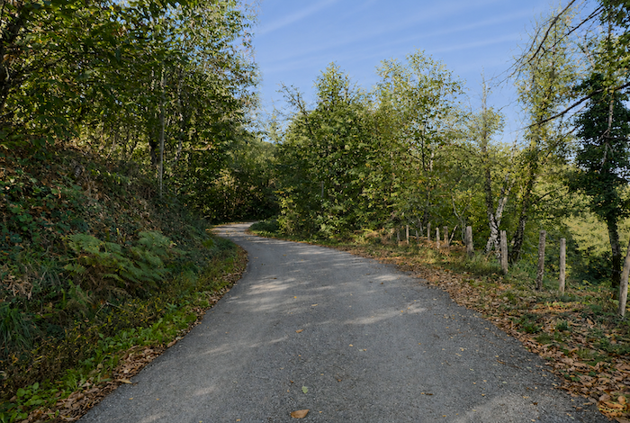
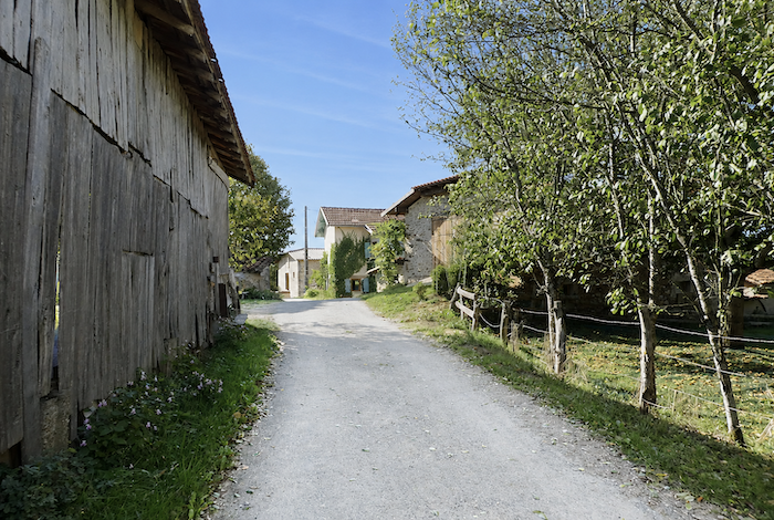
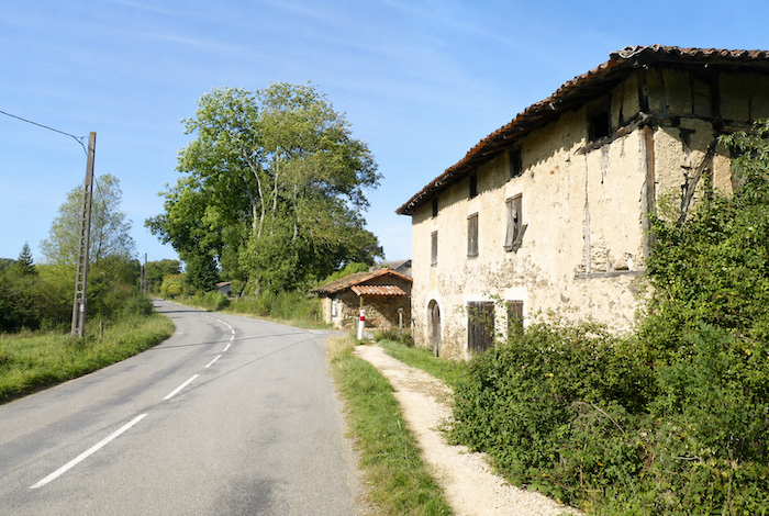
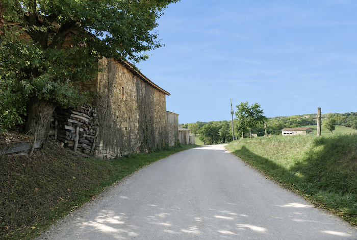
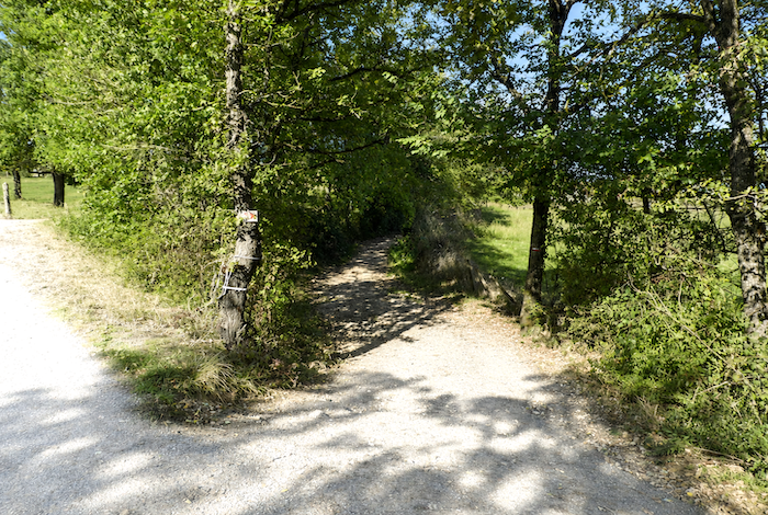
| Here, the GR65 leaves the paved road behind and begins climbing the hillside, passing close to a farm clinging to the slope. |
 |
 |
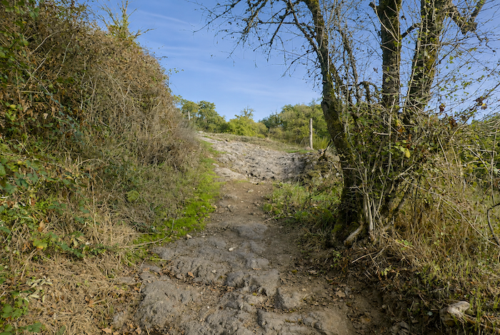
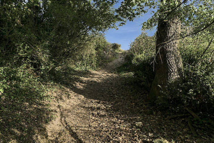
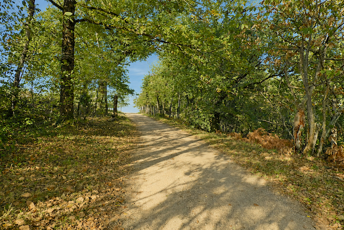
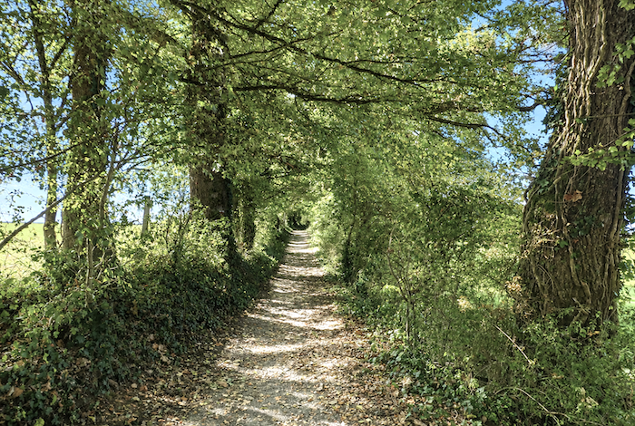
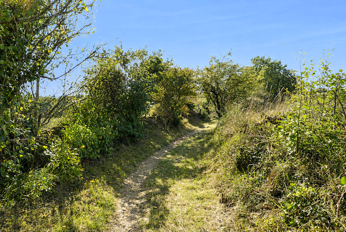
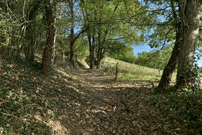
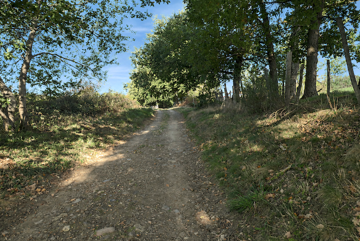
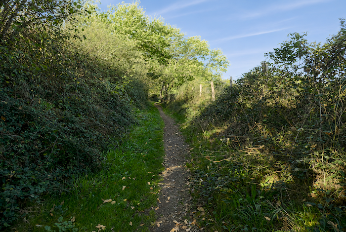
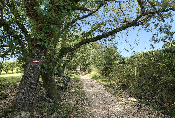
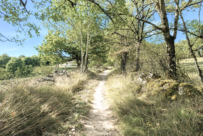
| The route soon becomes a rough, stony path, uneven and deeply rutted, climbing steadily along the boundary between woodland and open countryside, through dense undergrowth beneath the tall oaks and ash trees. |
 |
 |
| The climb is undeniably demanding, and at times the path resembles a battlefield where every stone seems determined to contest each step the pilgrim takes. |
 |
 |
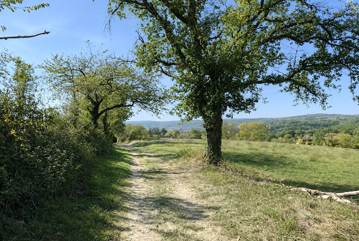
| At the top of the first rise, the gradient finally begins to ease across the meadows, although it still remains close to 10%. |
 |
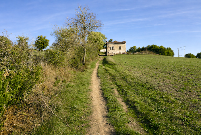 |
| A little farther on, the pilgrim catches a welcome breath as the path reaches the hamlet of Pérols. The entire settlement has been extensively restored in recent years. It no longer feels like a traditional rural hamlet, but rather like a small holiday village, with its apartments and large hostel. Few pilgrims walking the Camino are likely to spend the night here. |
 |
 |
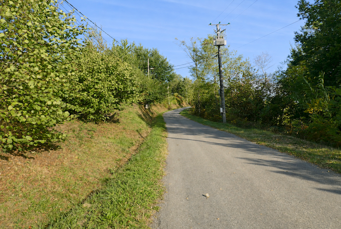
| he ascent, however, is far from over. The path soon reaches a small country road, which continues climbing with quiet determination. |
 |
 |
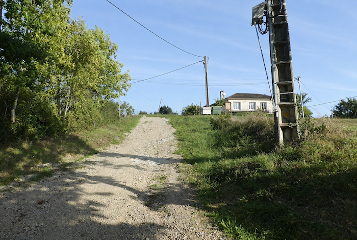
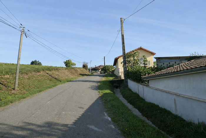
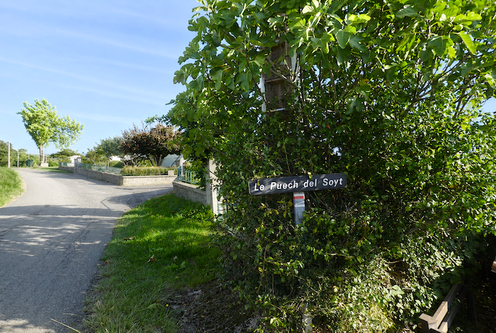
| This steep, straight paved road leads to the Puech del Soyt housing estate, where several modern villas overlook the valley. The finest views often attract the most comfortable homes, do they not? |
 |
 |
| Below, the Lot River flows peacefully across the plain, majestic and almost motionless beneath the daylight. |
 |
 |
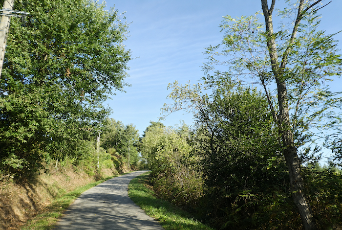
| The villas soon disappear behind the trees, and the road continues climbing beneath ash, hornbeam shoots, beech, and chestnut trees, whose branches gradually close overhead to form a leafy canopy above the road. |
 |
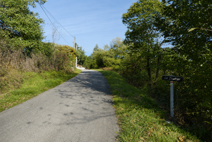 |
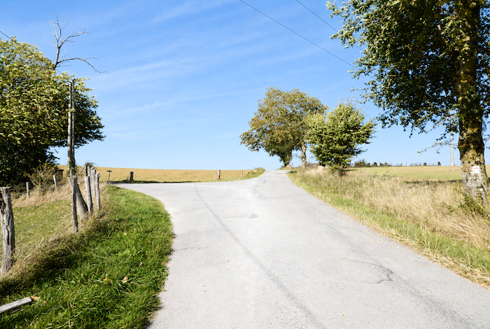
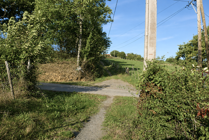
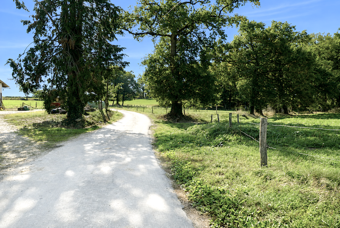
| At last, at the locality of Thabor, the demanding climb comes to an end. The route returns to a dirt path and stretches ahead on a gradient that has become almost imperceptible. |
 |
 |
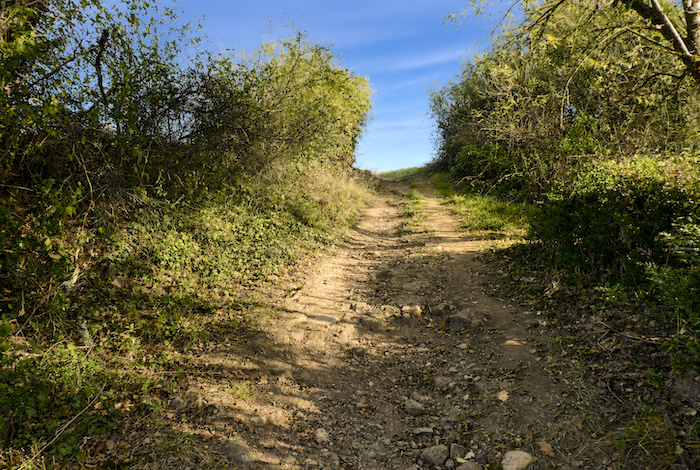
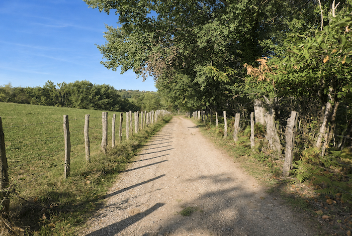
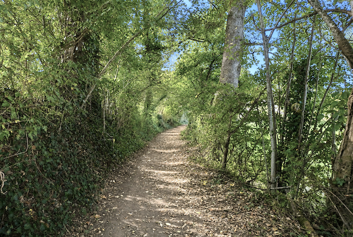
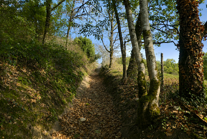
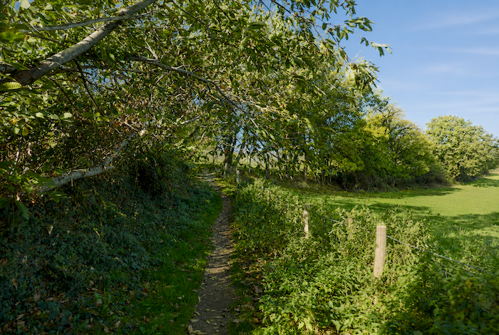
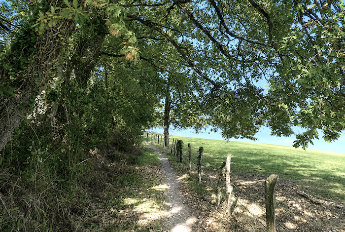
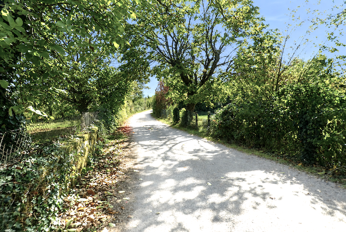
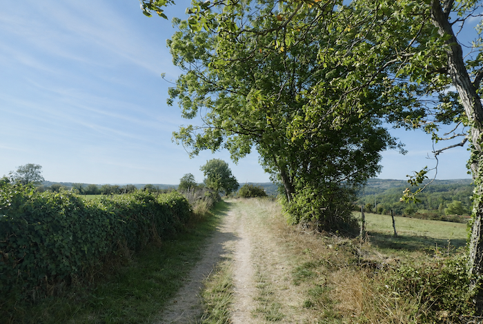
| Here, the pilgrim rediscovers one of the great pleasures of walking, the kind of path that restores energy and almost makes fatigue disappear, a broad ribbon of compacted earth running in the shade of hedgerows or alongside fence posts designed to keep cattle in the surrounding fields. |
 |
 |
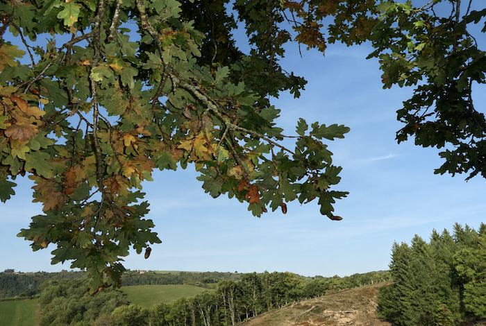
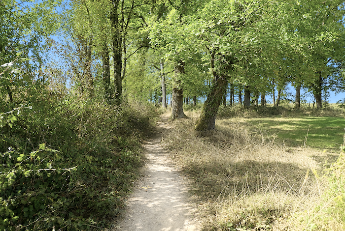
| Birch, beech, and chestnut trees appear throughout this countryside, yet the oak gradually becomes the undisputed master of the landscape. As you draw closer to the causses, its presence becomes increasingly dominant, until the day it reigns alone across the stony limestone plateaus. |
 |
 |
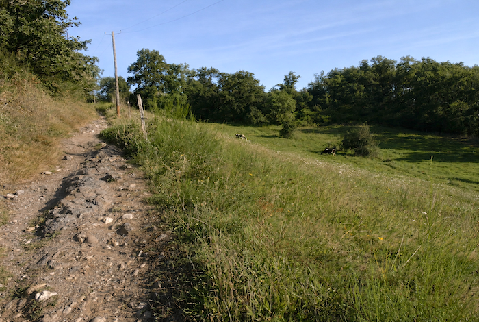
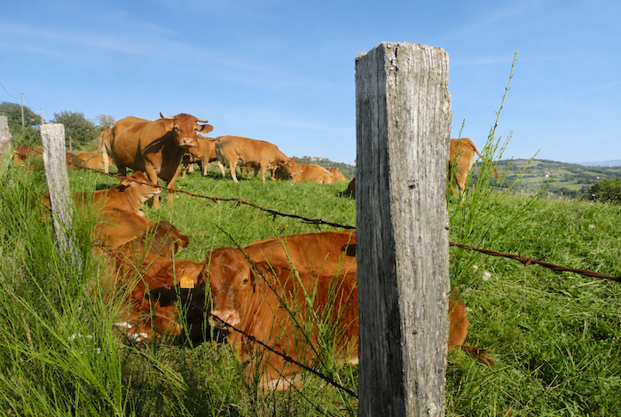
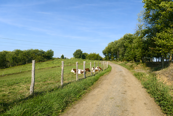
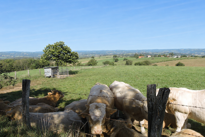
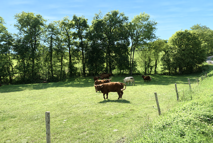
| Ancient oaks frequently raise their massive trunks beside the path, dividing into powerful main branches that support an immense, gently moving canopy. In the neighboring meadows, the Aubrac cattle continue to watch the passing pilgrims with their calm and slightly melancholy gaze. |
 |
 |
| Along the Camino de Santiago, it is rare to encounter stretches of such profound serenity, where everything seems to breathe gentleness, the trees, the light, the unhurried pace of the path, and even the silence of the countryside itself. |
 |
 |
| A little farther on, the pleasant path reaches the place known as La Treille. These landscapes possess the quiet charm of old rural paths that never seek to impress, yet remain deeply engraved in the memory. Nothing here relies on dramatic spectacle. Instead, everything rests upon the subtle harmony between the earth, the trees, and the light. |
 |
 |
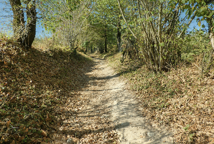
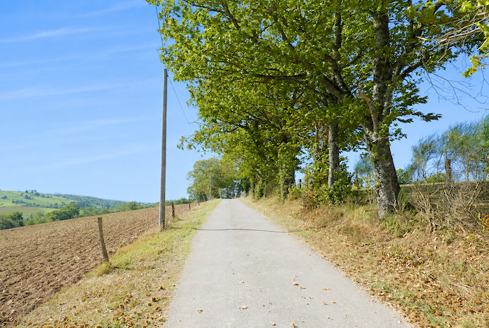
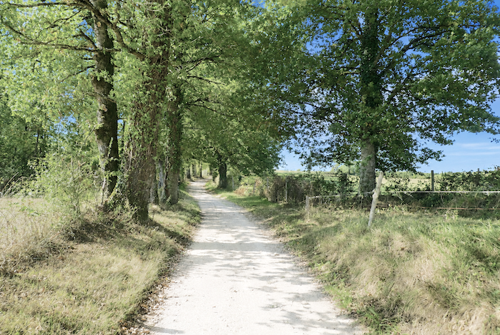
| Farther ahead, the dirt path draws close to the road climbing from Livinhac-le-Haut to Montredon, without ever quite joining it. Everything continues beneath chestnut and oak trees, sometimes accompanied by a few ash trees along the woodland edge. The trail winds beneath a leafy vault where magnificent oaks and majestic chestnut trees spread their branches like the pillars of an ancient rustic cathedral. Within these woods, a cool, peaceful freshness reigns, almost protective in its embrace, gradually distancing the pilgrim from the modern world. |
 |
 |
| The paths themselves contribute to this intimate atmosphere. They are not broad tracks cut through the landscape, but modest earthen ways shaped by time, sometimes deeply eroded, bordered by tall grasses, embankments, and rustic fences. One senses that generations of farmers, livestock, and walkers have slowly molded them over the centuries. The earth itself seems to preserve the memory of all who have passed before. |
 |
 |
| The path then narrows and begins climbing once again through the countryside amid dense undergrowth. Part of the charm of these landscapes lies in their profound simplicity. Nothing feels artificial. The trees grow freely, the paths naturally follow the contours of the land, and the entire countryside retains a quiet ruggedness that immediately touches the walker. |
 |
 |
| Soon, beneath ash and chestnut trees, the hamlet of Feydel-le-Haut appears above the path, perched on the hillside like a discreet stone sentinel. In this region, the trunks of the chestnut trees, often pale and silvered by time, sometimes resemble the light bark of birch trees. |
 |
 |
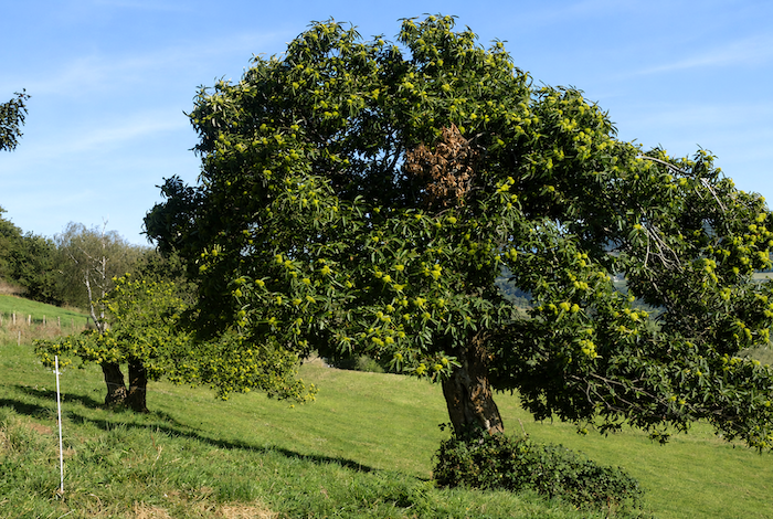
| The path crosses a small road before continuing its gentle ascent. In places, a solitary ancient chestnut tree stands silhouetted against the blue sky, like the last survivor of a vanished age. It seems to remember the days when it and its companions formed vast chestnut groves, whose fruit sustained generations of farming families and represented one of the region’s greatest sources of livelihood. |
 |
 |
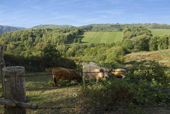
| The path gradually reaches the farms of Feydel-le-Haut. This is the countryside at its most authentic, a land that has remained untouched, sincere, and largely preserved from modern influences. In the surrounding meadows, Montbéliarde cattle rest lazily in the shade of clusters of oak and chestnut trees, seemingly indifferent to the pilgrims passing by. |
 |
 |
 |
 |
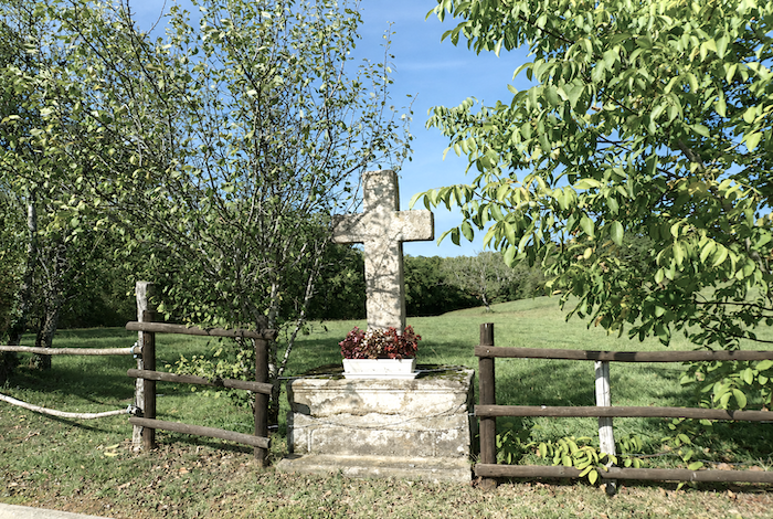
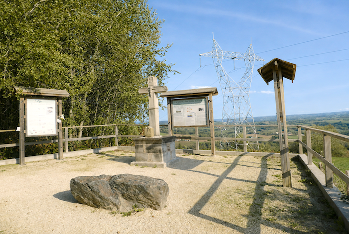
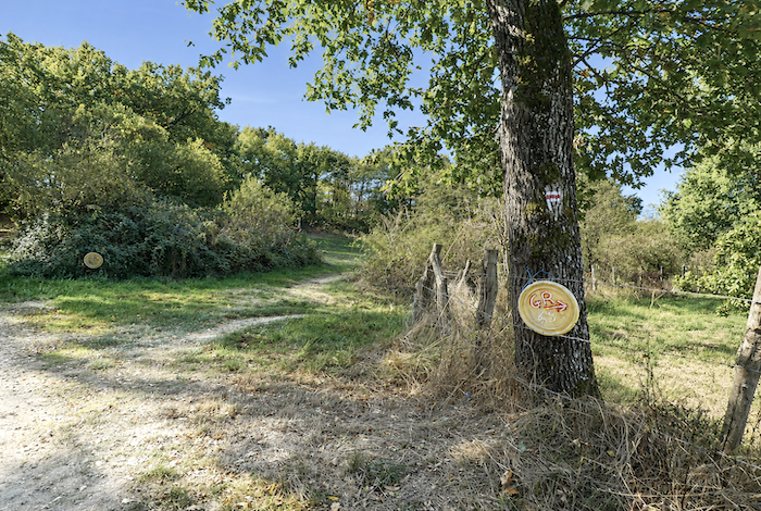
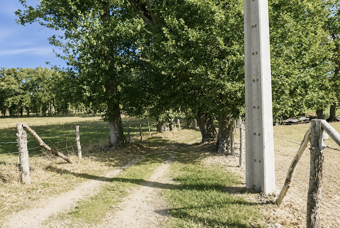
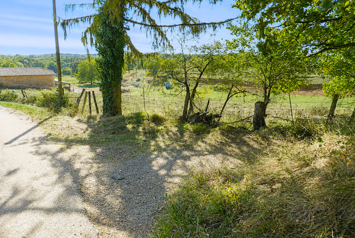
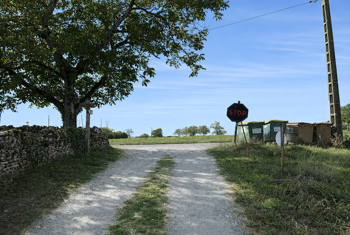
| Just above, the path passes beside the base of the new Cross of the Three Bishops. It is curious to observe that, along the Camino de Santiago, crosses so often seem to appear in groups of three, just as they did on the high plateaus of Aubrac. This one has a particularly unusual history. Long lost, then only partially rediscovered, it was eventually rebuilt in sandstone through the joint efforts of the three neighboring municipalities: Montredon in Lot, Montmurat in Cantal, and Livinhac in Aveyron. The original cross, which had once been moved far from its historic location, has now been returned to its rightful place. Today it once again stands proudly and silently between earth and sky on a site whose history is believed to date back to the seventeenth century. |
 |
 |
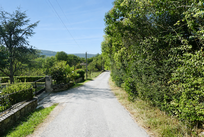
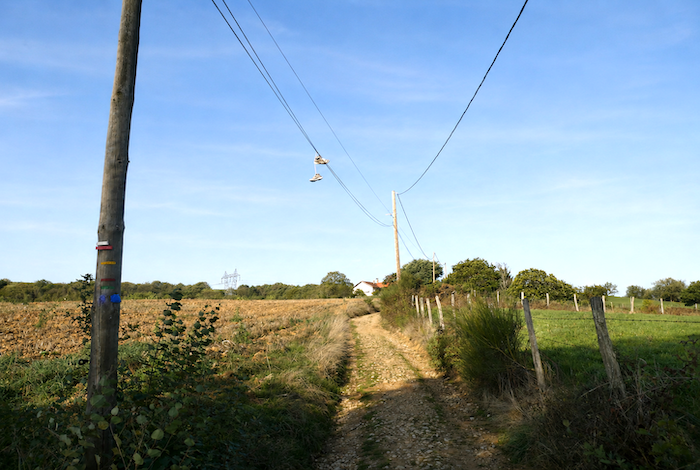
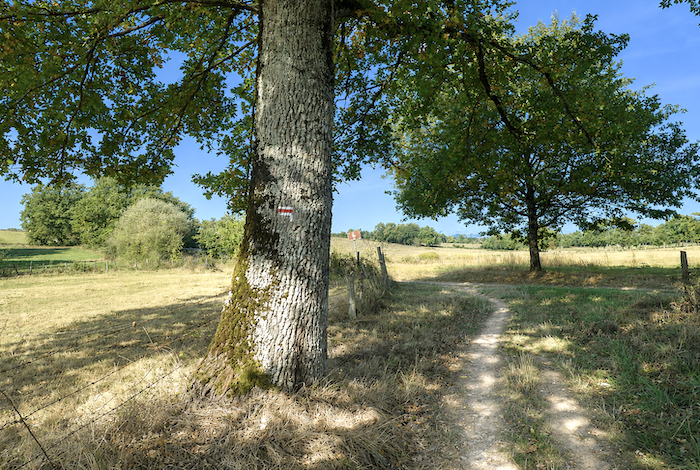
Here, the route enters the Lot department, which the pilgrim will soon have the pleasure of crossing almost from end to end, following the gentle rhythm of its valleys, limestone plateaus, and ancient stone paths.
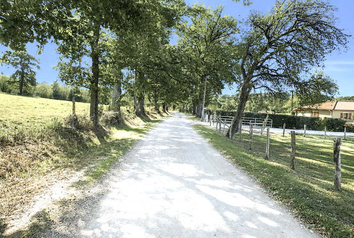
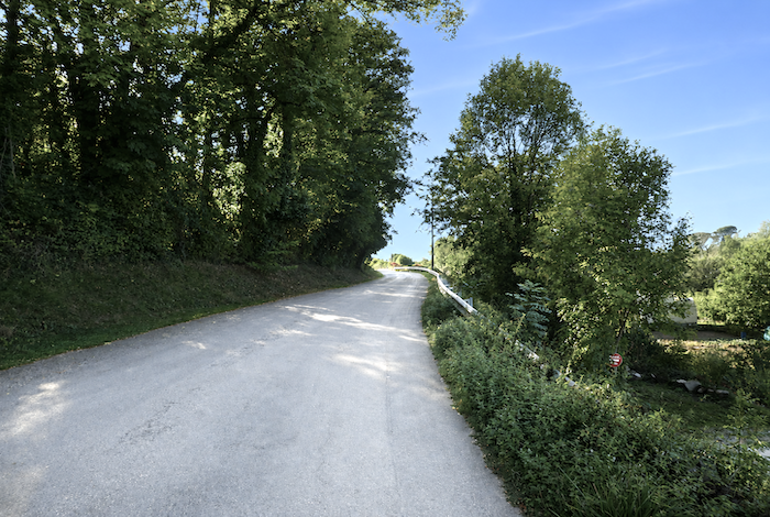
Section 2: Across the high plateau, up and down the rolling hills
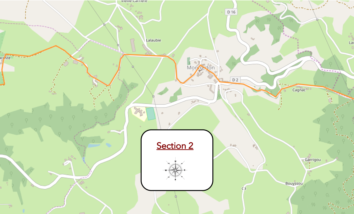
General overview of the route’s challenges: a succession of gentle ups and downs with no significant difficulties.
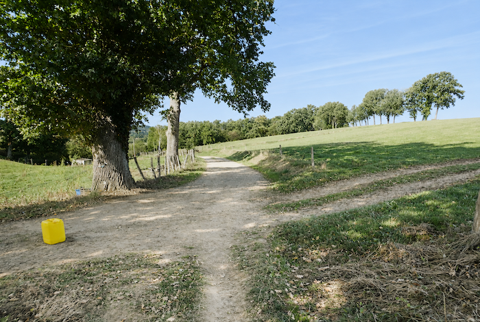
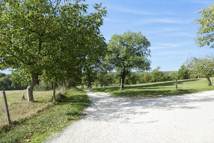
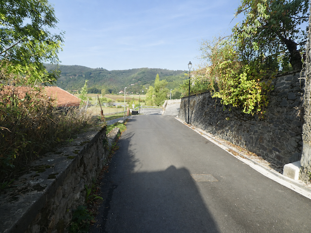
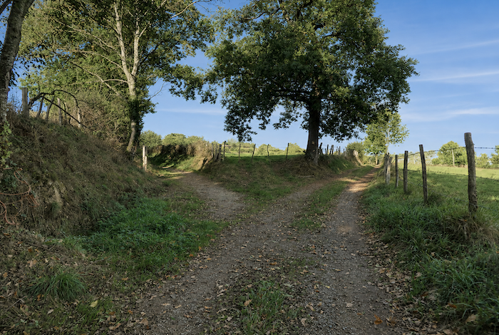
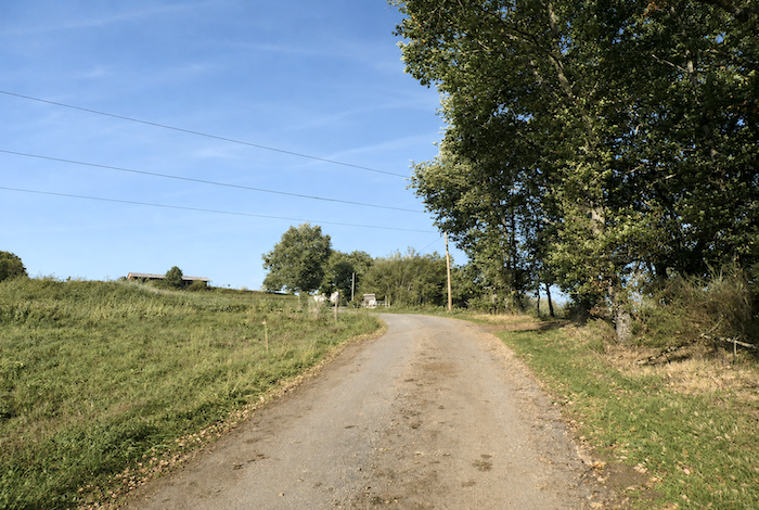
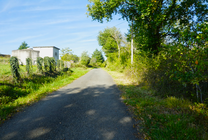
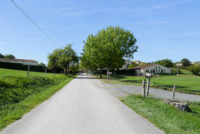
| From the Cross of the Three Bishops onward, the slope becomes noticeably gentler, as though the route had finally decided to grant the pilgrim a welcome respite. The GR65 follows the paved road, sometimes beneath the shade of magnificent walnut trees, towards the small hamlet of Cagnac, nestled beside the road. |
 |
 |
| Shortly afterwards, the road runs through a fairly dense woodland where oaks and chestnut trees mingle with the occasional dark spruce. Yet the vast chestnut groves that once covered this region have largely disappeared over the centuries, often replaced today by walnut trees whose graceful silhouettes have become a familiar feature of the landscape. |
 |
 |
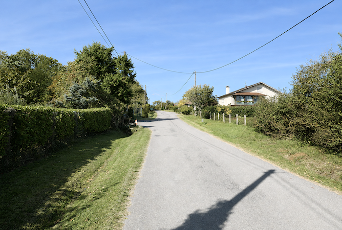
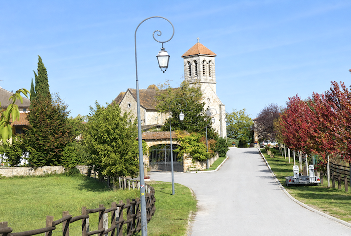
| The GR65 alternates between open meadows and woodland edges, moving constantly from sunlight into shade. Then, around a bend in the road, Montredon soon appears, resting peacefully upon its rounded hill. |
 |
 |
| The small road then joins the D21 departmental road, which climbs from Livinhac-le-Haut to the entrance of the village. |
 |
 |
| At the foot of the village, where the roads meet, a modest little church quietly serves the local community. |
 |
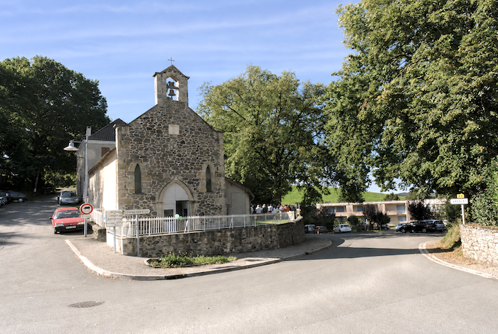 |
| Montredon literally means « the rounded hill, » and the name perfectly reflects the landscape. This picturesque village rises gently across a rounded knoll dominated by Saint Michael’s Church. The narrow streets climb steadily towards the heart of the village, perched at the summit of the hill. |
 |
 |
| The GR65 crosses the village before descending the opposite side, passing a simple wooden cross standing beside the road. |
 |
 |
| The road then drops into the countryside. The descent is steady beneath broadleaved trees whose branches gradually close overhead, wrapping the walker in cool shade. . |
 |
 |
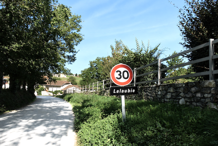
| At the bottom of the slope, the road reaches the crossroads of Lalaubie, quietly hidden among the rolling dales. |
 |
 |
| Here, a large farm seems almost to spill onto the road itself, as though the agricultural buildings had gradually absorbed all the surrounding space. |
 |
 |
| The road then climbs gently alongside the farm before making a sharp right-angle turn in the middle of the countryside, as though hesitating for a moment before choosing its direction across this sea of meadows and hedgerows. |
 |
 |
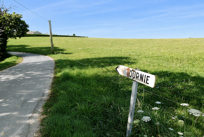
| It then continues towards the hamlet of Tournié, discreetly settled among the gentle folds of the landscape. |
 |
 |
Looking back towards Montredon, it is impossible not to admire the quiet beauty of this countryside when the sky is clear and the light generous. Then there are those little church steeples rising above the villages like familiar landmarks. Without them, the landscape would somehow seem incomplete.
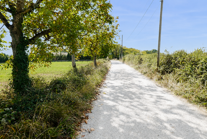
| Nature here has never known the rigid lines drawn with ruler and compass before mankind sought to impose order upon it. Farmers have simply lined the paved road with peaceful hedgerows of chestnut trees, allowing tractors to pass while linking together the scattered farms of the countryside. |
 |
 |
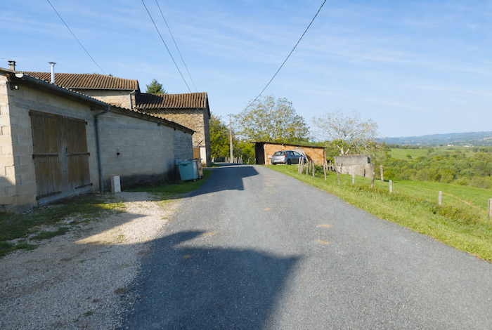
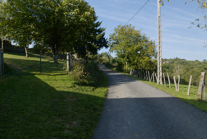
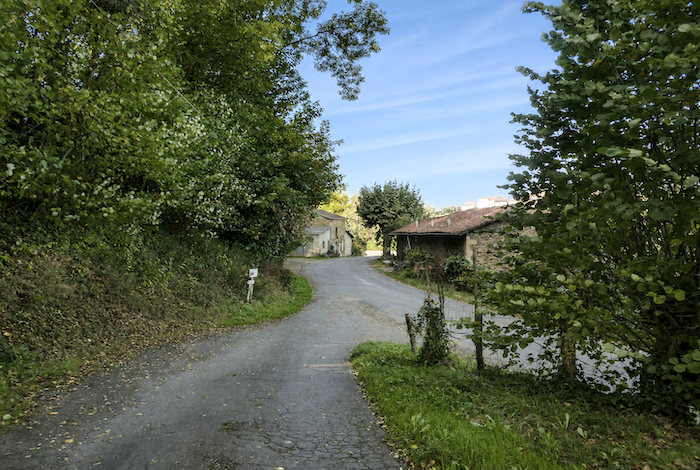
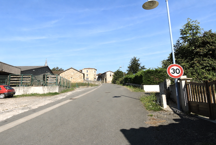
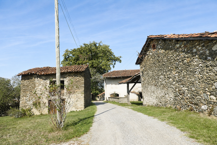
| The road soon reaches Tournié, a delightful little farming hamlet gathered among the fields, where the fresh scent of grass and earth fills the air. Here you even discover an old well that still appears to be in occasional use, judging by the recently replaced rope. It is a fortunate countryside where the humble treasures of rural heritage have not entirely disappeared beneath the advance of modern life. A few advertising signs have certainly found their place in the scenery, but everyone must, after all, find a way to earn a living. |
 |
 |
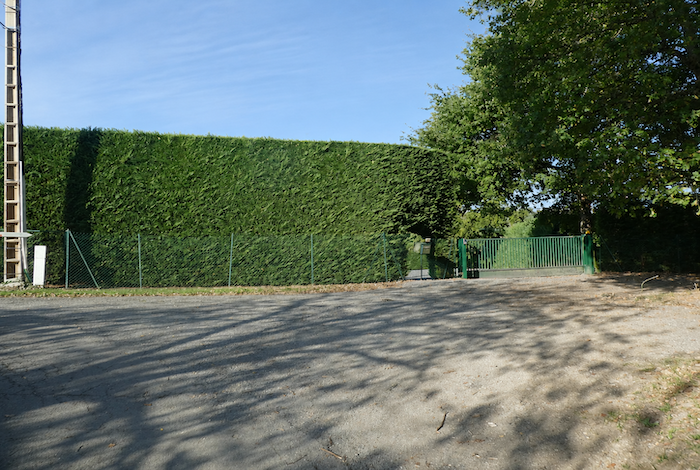
| The road then crosses the hamlet between farms and barns. The Camino de Santiago has always shown a preference for quiet back roads, and that is surely part of its enduring charm. Rather than bustling villages, it favors remote hamlets where fragments of traditional rural life still survive. Here, no modern housing developments have come to disfigure the countryside. The landscape has preserved both its rural soul and its timeless balance. |
 |
 |
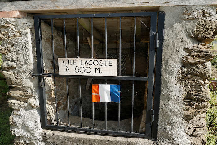
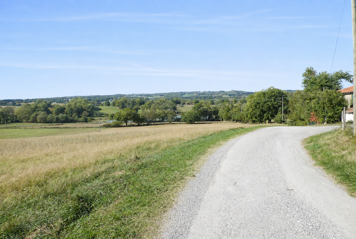
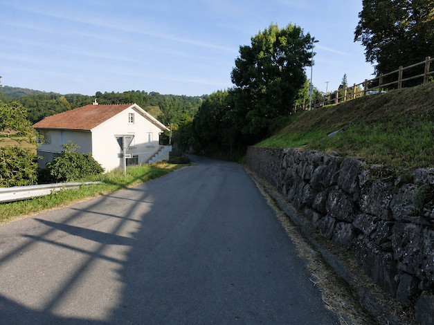
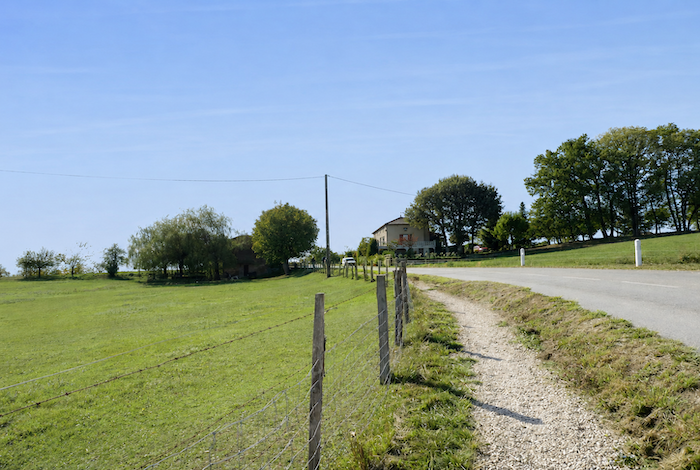
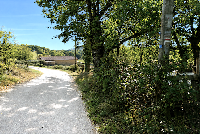
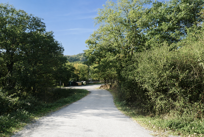
| Beyond the hamlet, the road descends gently towards Lacoste through peaceful countryside. Sometimes the eye lingers on a forgotten hamlet in the distance, sometimes only on a handful of isolated houses or farms scattered across the vast meadows and woodlands. |
 |
 |
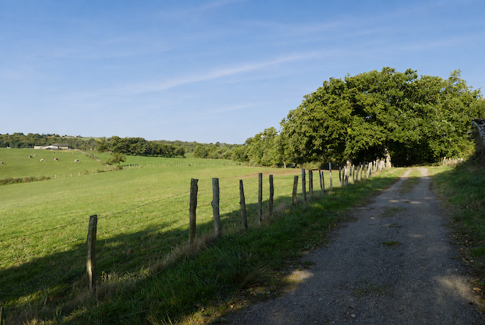
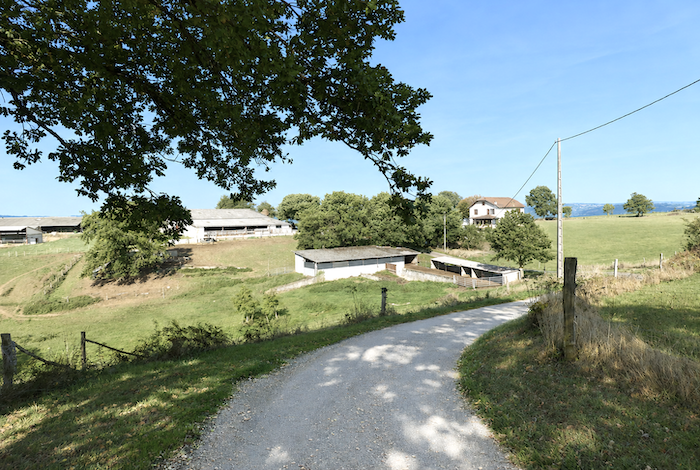
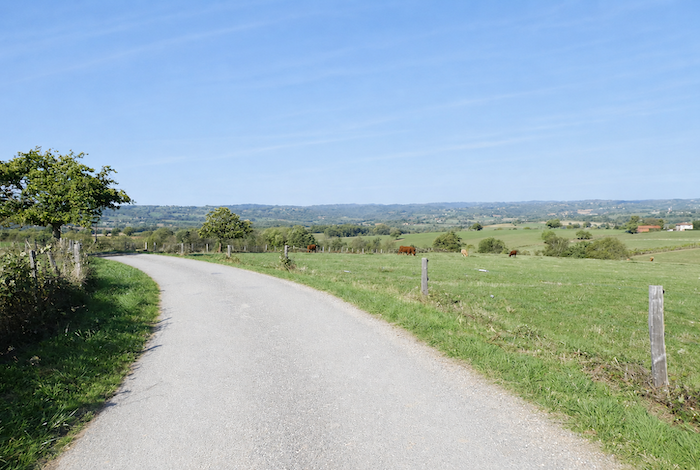
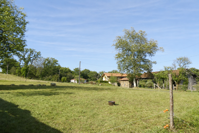
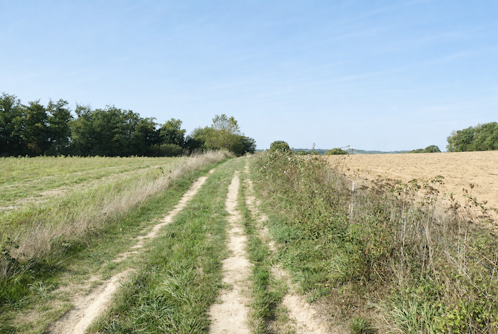
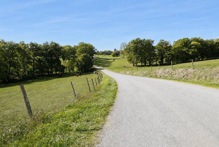
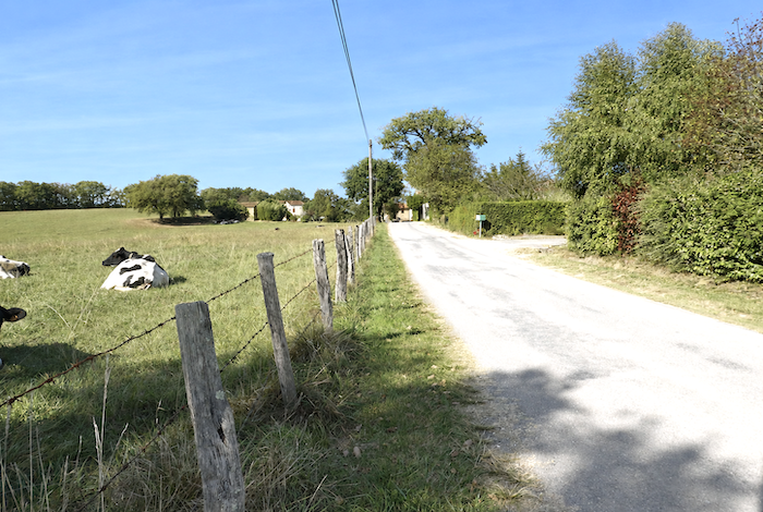
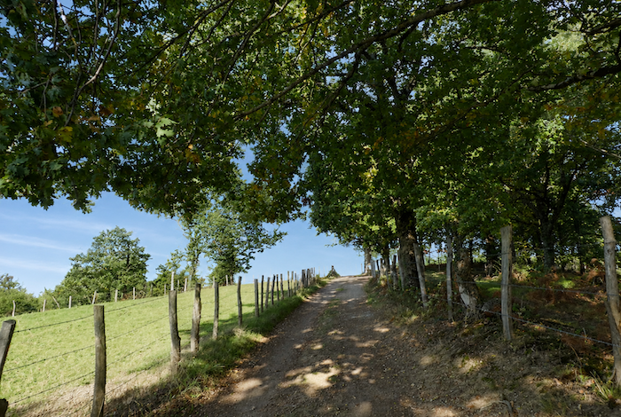
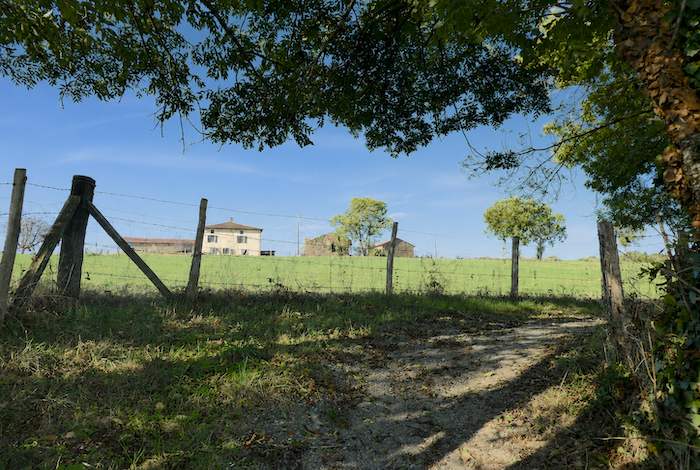
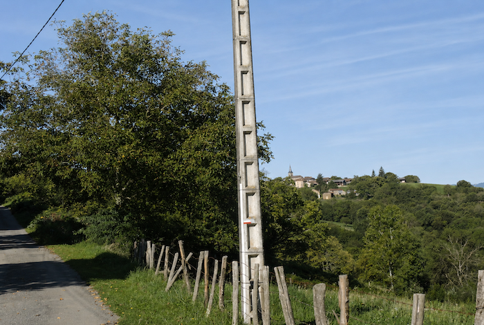
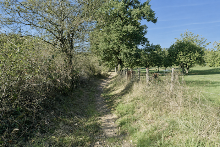
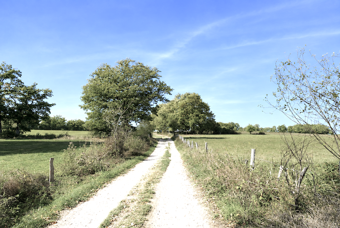
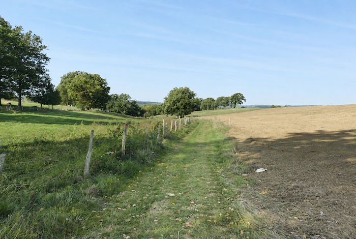
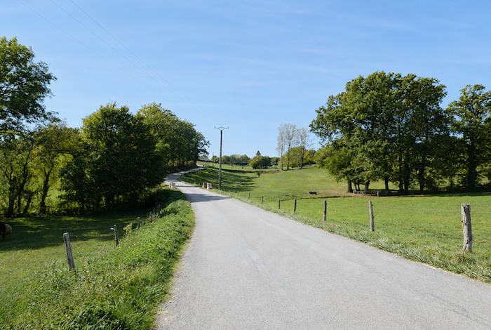
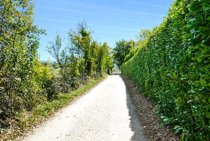
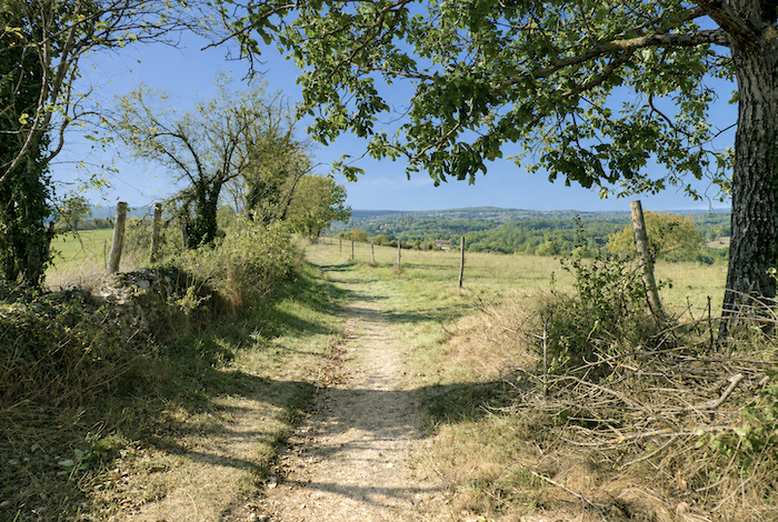
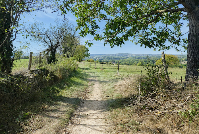
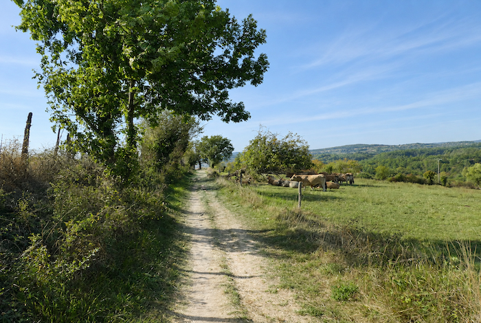
| You gradually approach the Limargue. The landscape changes almost imperceptibly. The hills become gentler, the horizons wider and more welcoming, as though the countryside itself wished to persuade the hiker to linger. Across these broad meadows, cattle quietly graze on the rich grass before seeking the shade of oak and chestnut trees. Then there are the long lines of fence posts that follow the streams or trace the rounded crests of the hills. They lend the landscape that simple rural harmony which gives it so much of its quiet charm. |
 |
 |
| The road soon passes close to the houses of Lacoste, built from large blocks of warm-colored stone. The hamlet seems inhabited by the quiet wisdom of ancient masonry and old timber frames, as though time itself moved more slowly here than anywhere else. |
 |
 |
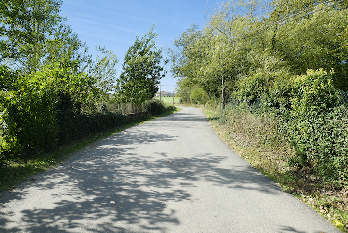
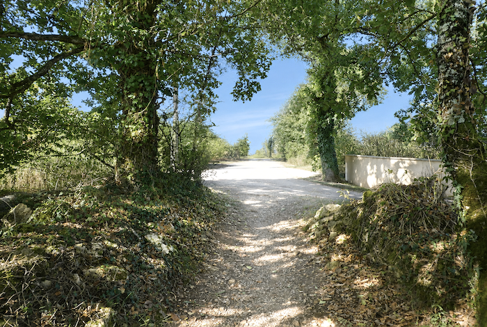
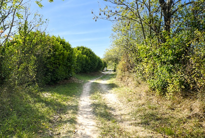
| At Lacoste, the route once again leaves the paved road behind and returns to a compacted earth path. The path then leads among fruit trees before gradually entering the cool shade of the woodland. |
 |
 |
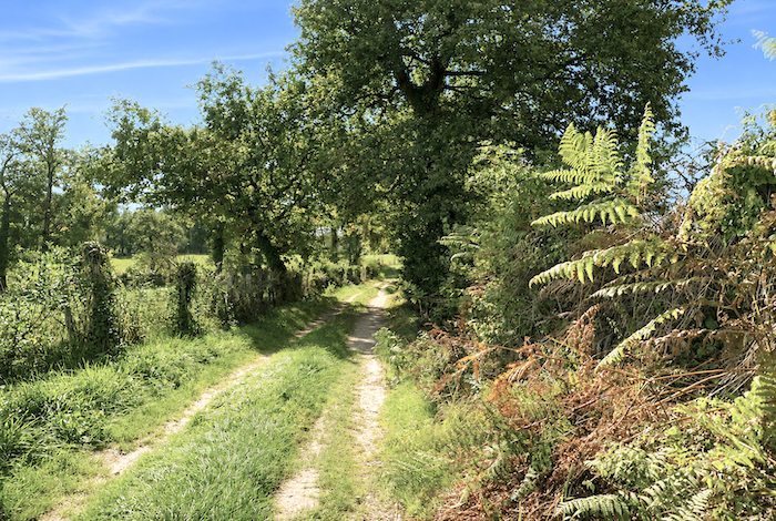
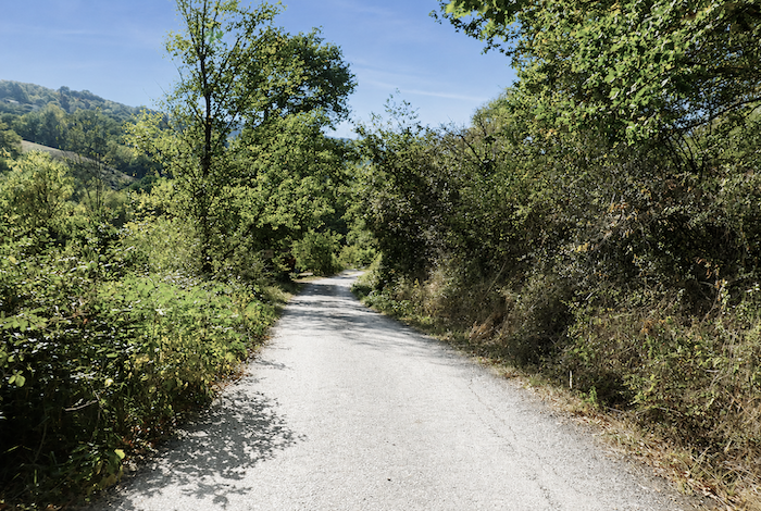
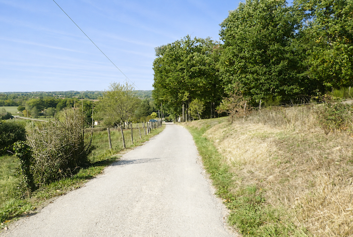
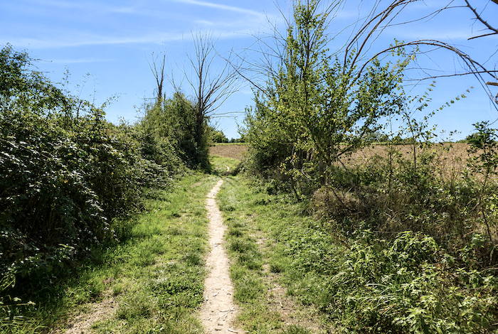
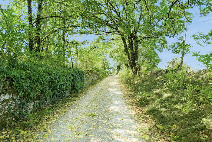
Section 3: Gentle rolling hills, passing the beautiful Guirande Pond
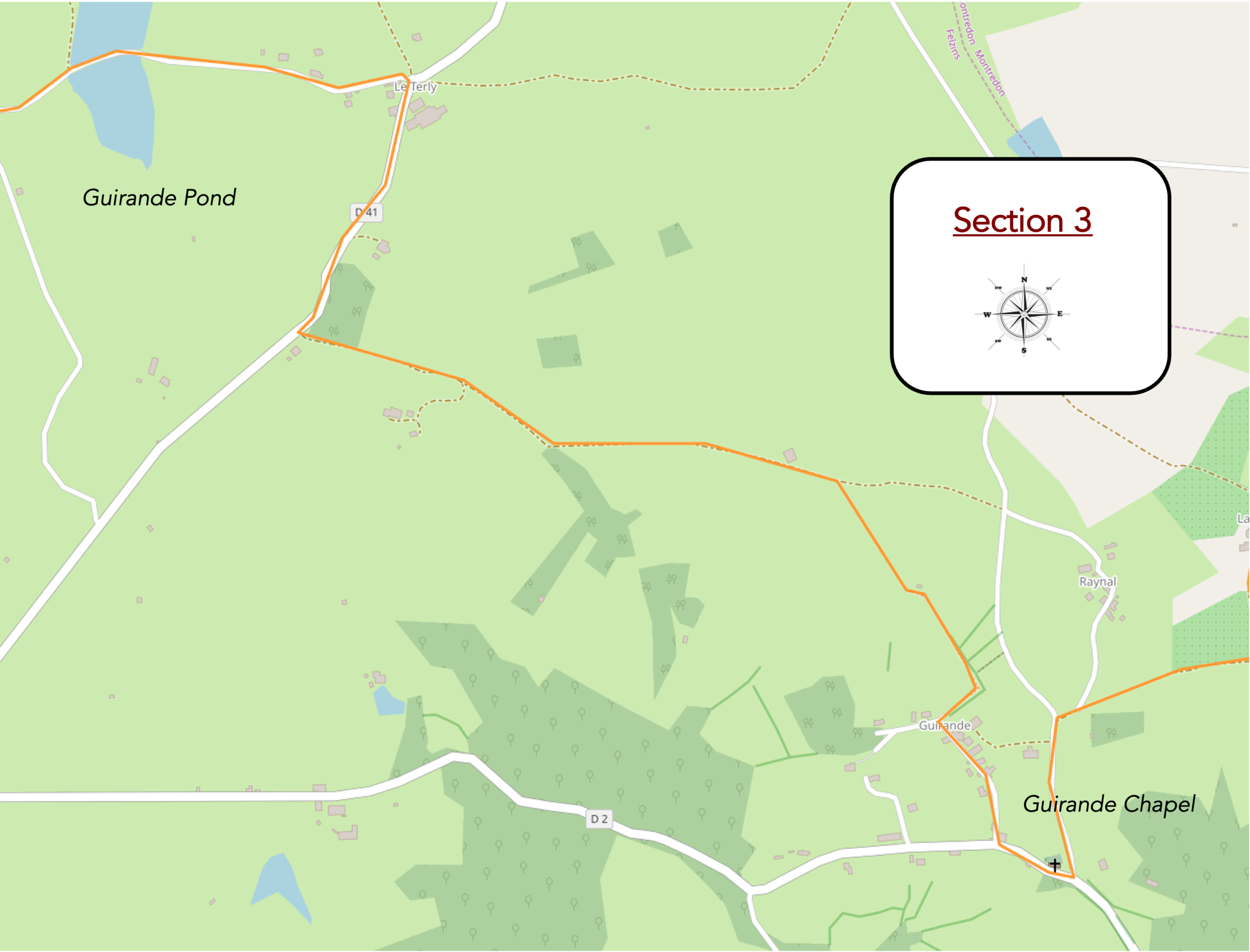
Overview of the route’s challenges: sno real difficulties, except through the woodland before Guirande Chapel, where the rocky path can become quite tricky in wet weather.
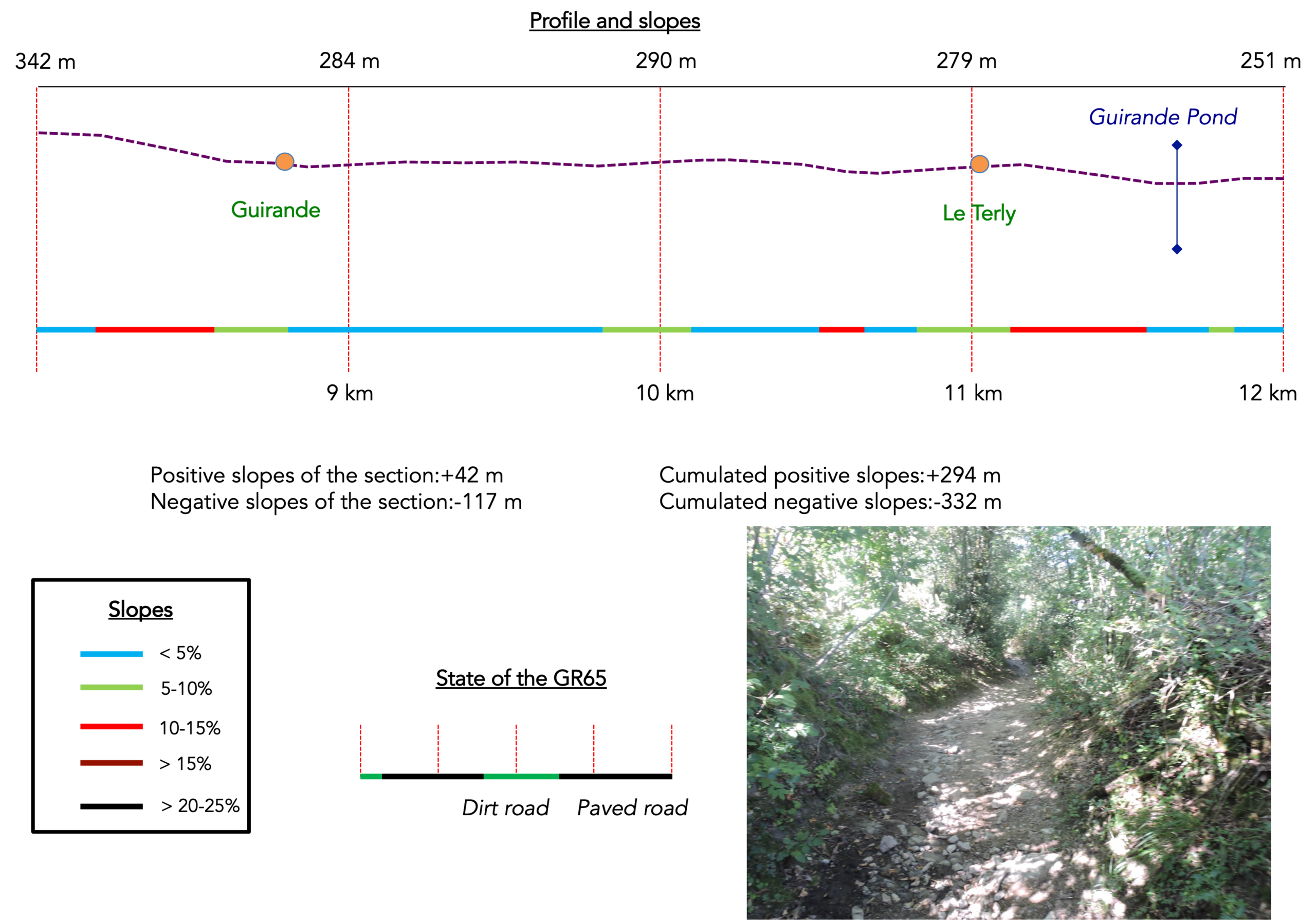
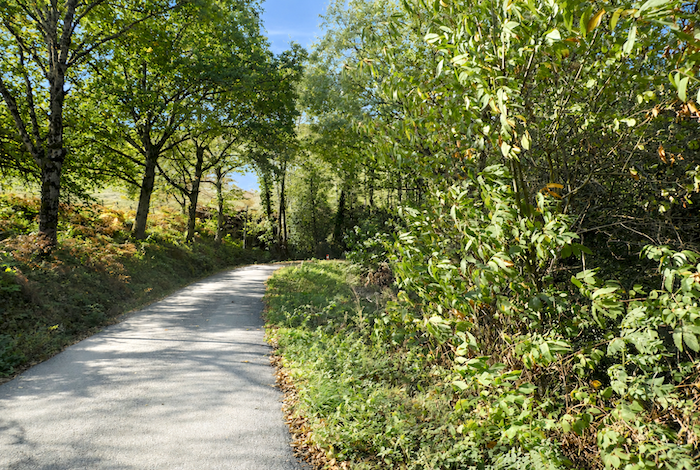
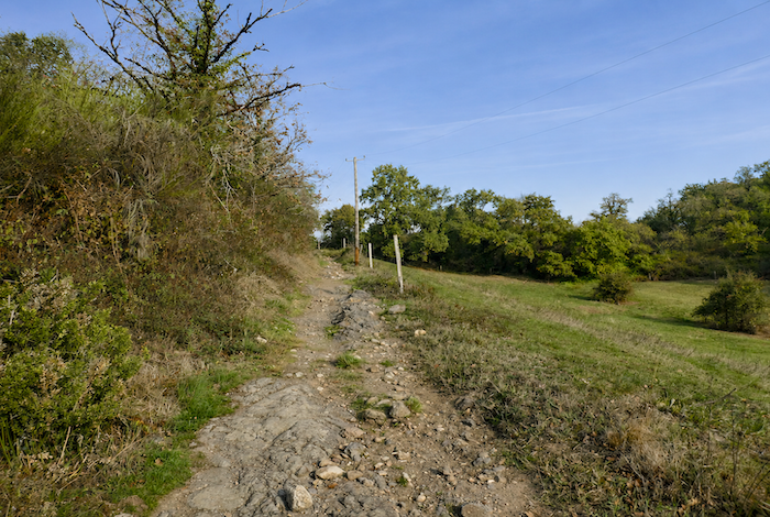
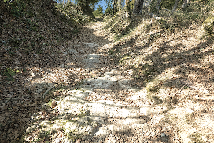
| A narrow path first descends through tall grass before becoming increasingly stony as it approaches the woodland, alternating between bare earth and loose rocks. |
 |
 |
| The route then follows a poor little trail winding downhill through dense undergrowth. Beneath the oaks, shrubs, holly, and stunted chestnut trees, thin branches intertwine to form an almost impenetrable tangle through which daylight struggles to penetrate. Every step demands attention, feet frequently slip on the unstable stones, and after rain the mud quickly turns the place into a quagmire. At first glance it may seem harmless, yet this kind of path tires the legs far more surely than many long climbs. |
 |
 |
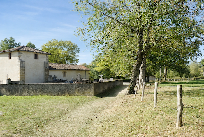
| Fortunately, the difficult section is fairly short. Before long, the path opens once again to light and fresh air as it reaches a small road leading to Guirande Chapel. |
 |
 |
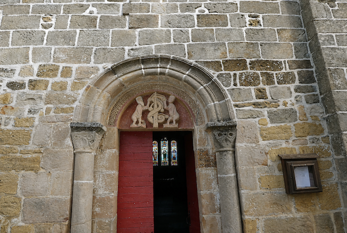
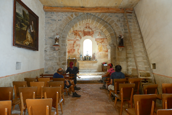
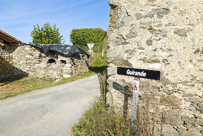
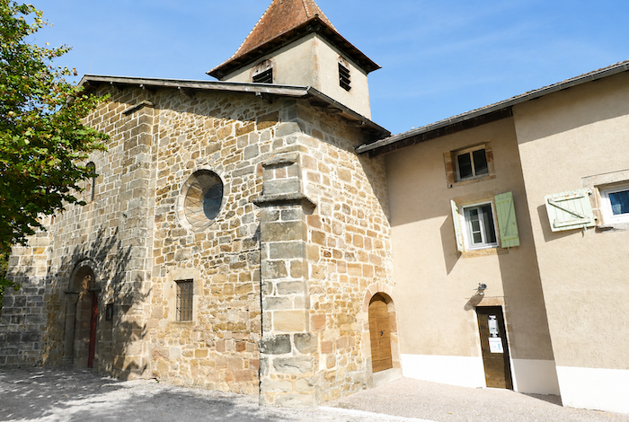
| Sainte Mary’s Chapel of Guirande stands beside the road, bordered by its small cemetery. Built during the twelfth and thirteenth centuries, it is listed as a Historic Monument, not because of its rather simple exterior, but for the remarkable sixteenth century wall paintings preserved inside. |
 |
 |
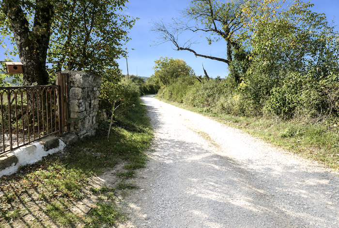
| The GR65 then leaves the chapel and its beautiful wrought iron cross standing beneath the great oaks. It follows the D2 departmental road towards Figeac for a short distance before turning sharply at right angles to climb towards the hamlet of Guirande. |
 |
 |
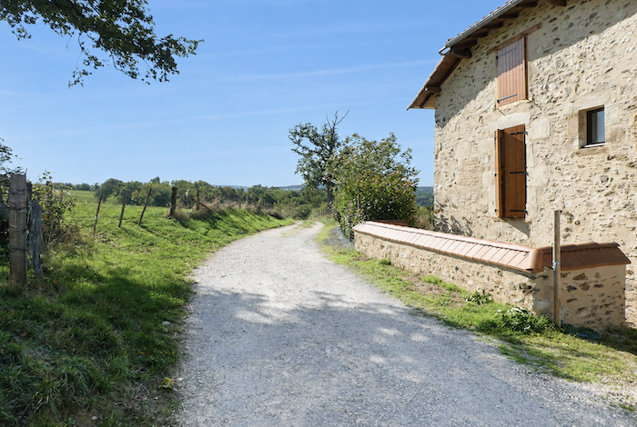
| The route climbs gently through the hamlet on the paved road, passing old rubble stone houses whose weathered walls bear the marks of centuries. It is often the same for walkers, the older the stone, the greater its charm seems to become, as though time itself had bestowed upon it a quiet dignity. |
 |
 |
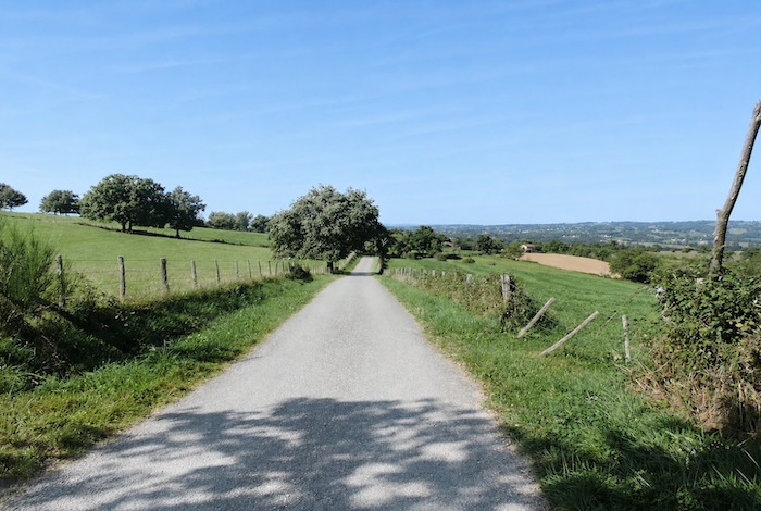
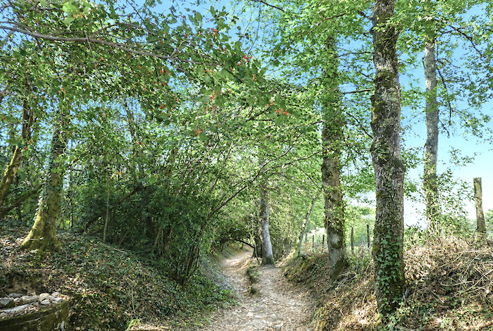
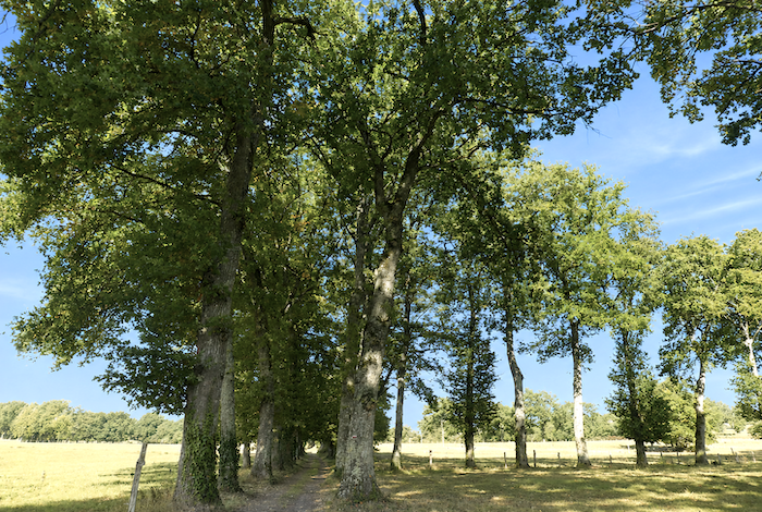
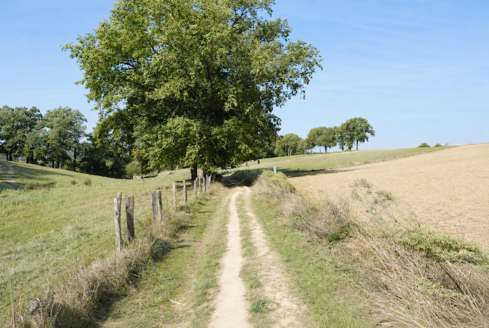
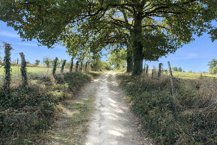
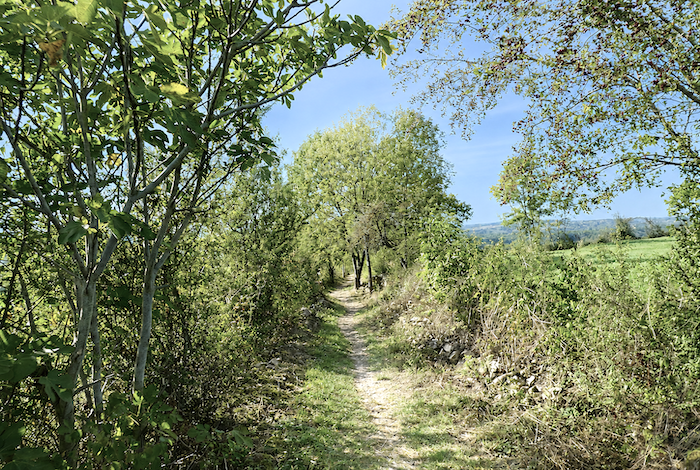
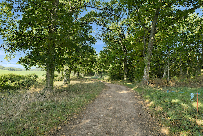
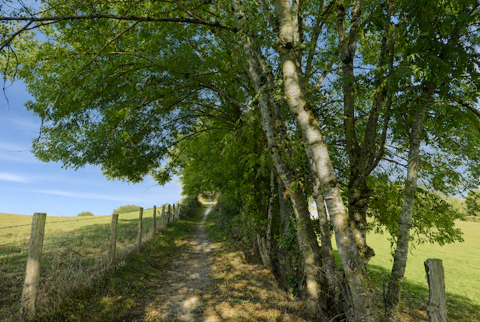
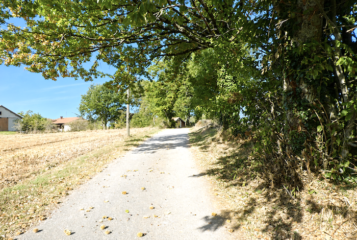
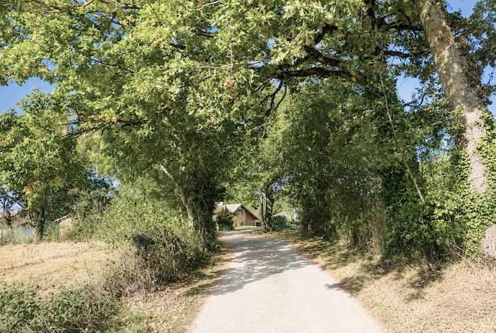
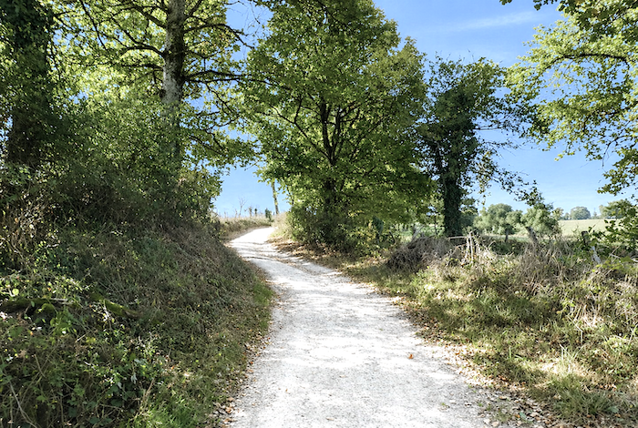
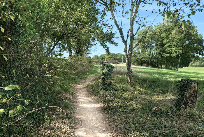
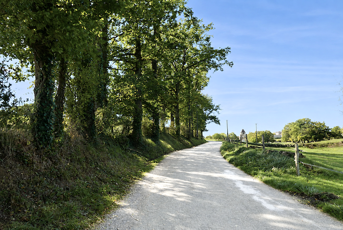
| Beyond the hamlet, the path continues peacefully across level ground beneath magnificent oaks and splendid chestnut trees stretching their branches above the way. |
 |
 |
| The trees take on an almost majestic appearance along this gentle and peaceful country avenue, where light and shadow continually dance across the earth of the path. |
 |
 |
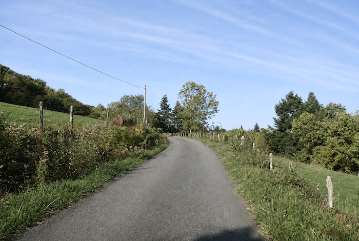
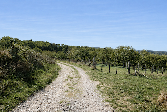
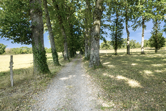
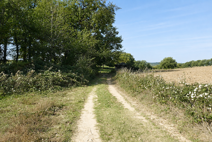
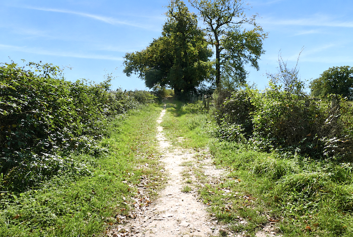
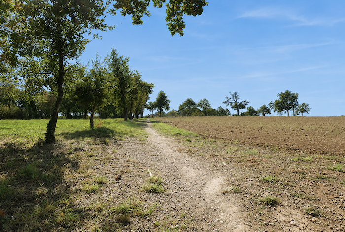
| At the end of this leafy avenue, a broad dirt path crosses meadows and fields that roll gently across soft hills, occasionally interrupted by small woodlands rich in broadleaved trees. |
 |
 |
| The path then wanders for a long while through this peaceful countryside, moving unhurriedly between pastures, hedgerows, and clusters of trees. |
 |
 |
| It then descends gently towards the road at the foot of the hill, as though gradually returning to the world of men. |
 |
 |
| Here, the GR65 returns to the paved road, climbing gently onto the small D41 departmental road. |
 |
 |
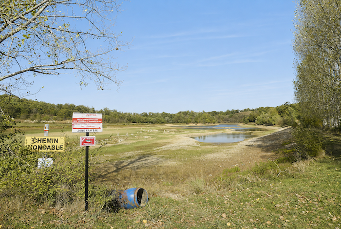
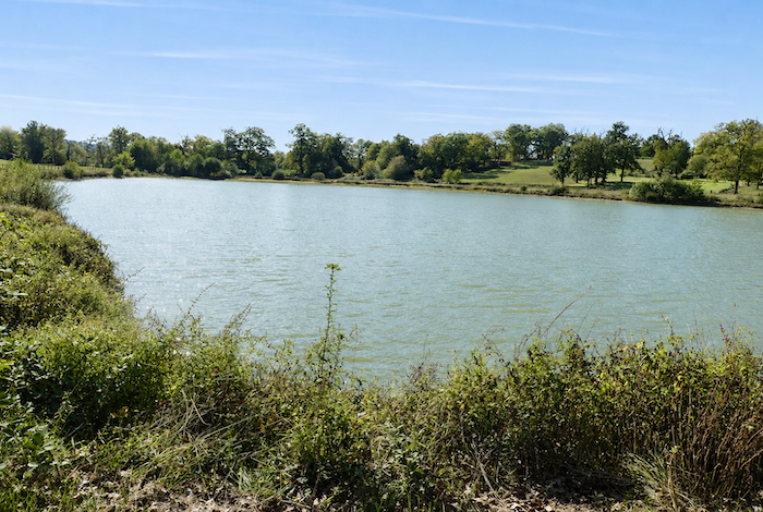
| The route follows this modest road as far as the hamlet of Terly. After several stages, pilgrims often become calmer, almost philosophical. They no longer grow irritated by the ribbons of asphalt that occasionally interrupt their journey. They accept that they are merely discreet hikers crossing a landscape shaped not for dreams or walking, but for the everyday needs of those who live here. Yet as they climb, their gaze can still wander towards Guirande Pond, shimmering below in the sunlight. |
 |
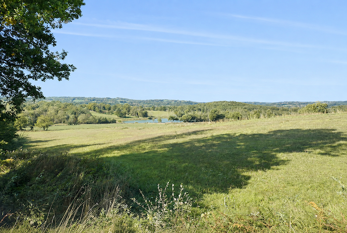 |
| At Terly, the GR65 leaves the departmental road beside an elegant wrought iron cross, and a small road descends gently towards Guirande Pond. |
 |
 |
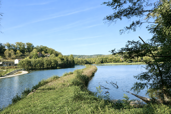
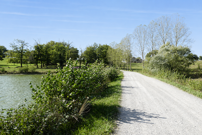
| This is a peaceful stretch of water, almost perfectly still, crossed from end to end by a path that is sometimes flooded. This discreet little paradise, suspended between sky and earth, feels like a haven of serenity where time itself seems to slow. Along its silent shores, a few solitary anglers occasionally try their luck for trout or roach. More often than not, only the sudden cry of a wild duck disturbs the deep tranquility of the place. |
 |
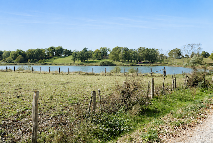 |
| The pond changes its appearance with the seasons and the whims of the weather. In some years, the water spreads far beyond its banks, while in others the pond almost dries out, exposing muddy bottoms and flattened grasses. |
 |
 |
| The road then leaves the pond behind, passing a little higher up beside farms discreetly sheltered beneath the great trees that stand watch over the countryside. |
 |
 |
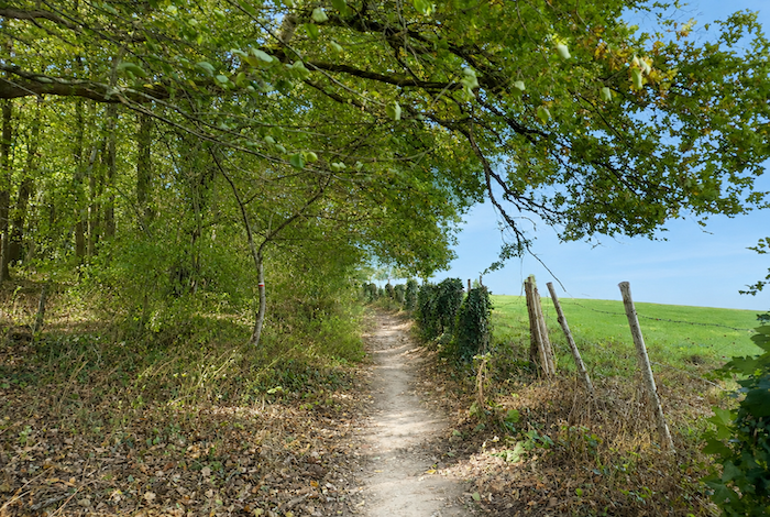
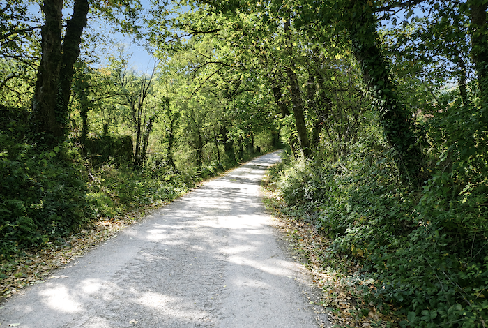
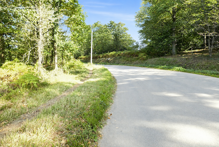
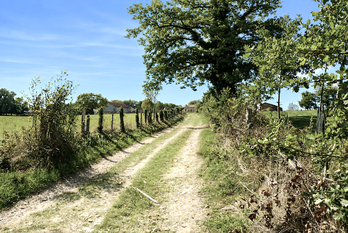
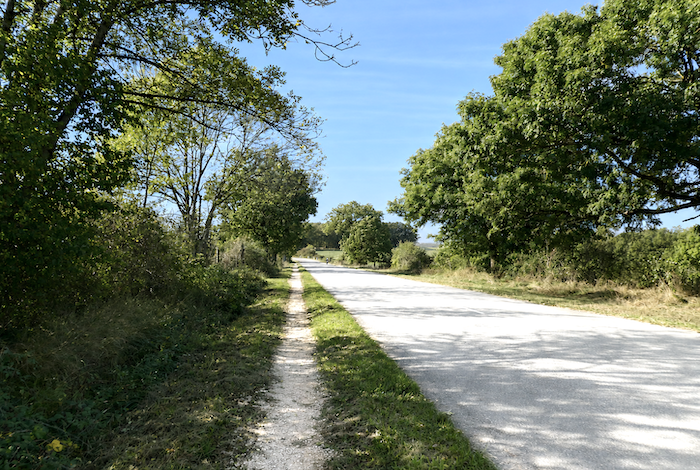
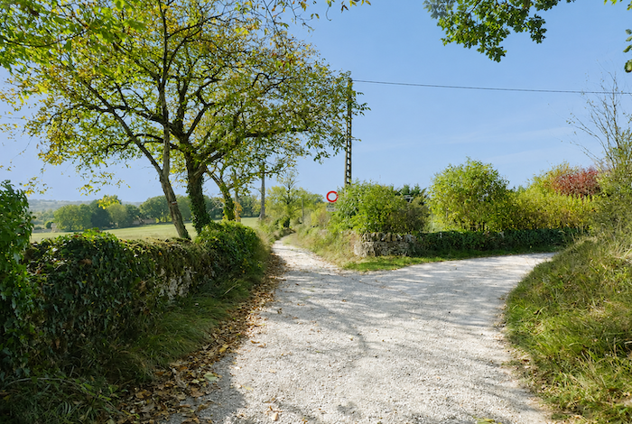
Section 4: Gentle rolling hills between open countryside and woodland
AOverview of the route’s challenges: a route with no particular difficulties.
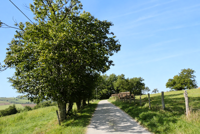
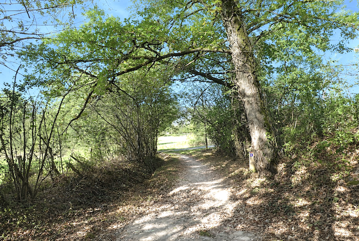
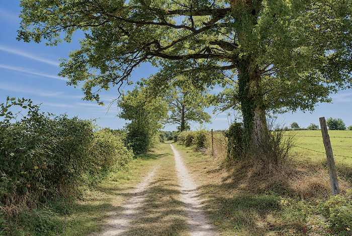
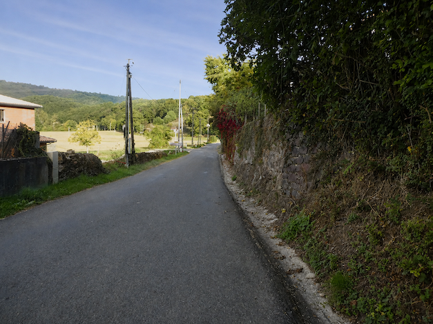
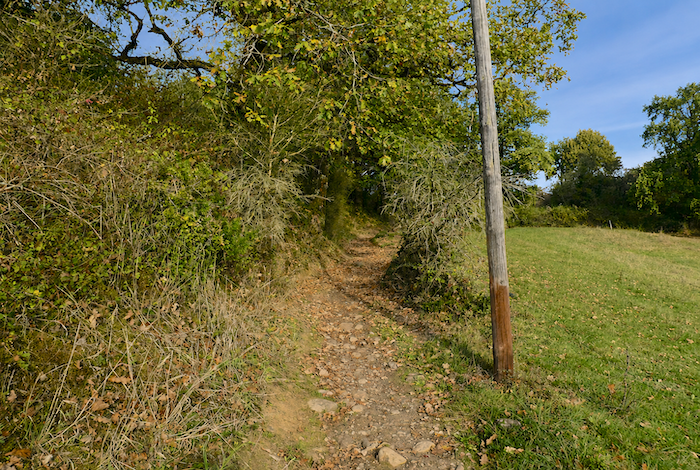
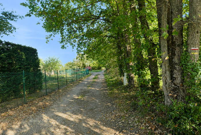
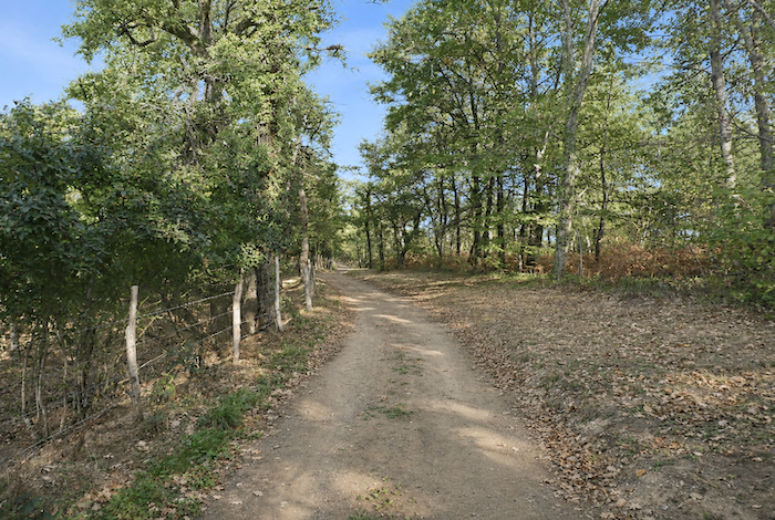
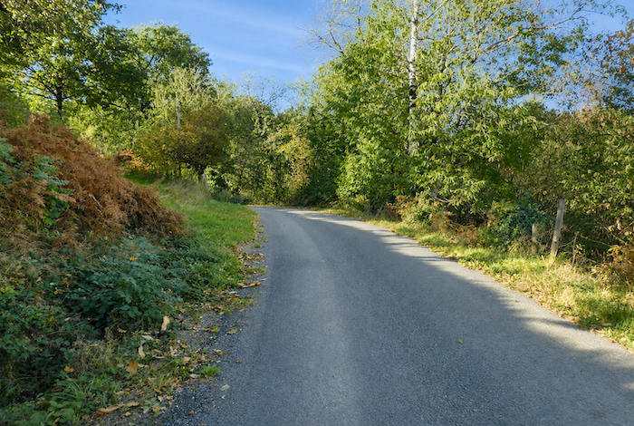
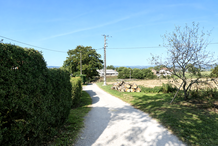
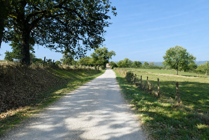
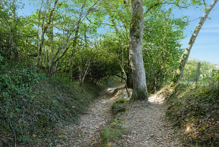
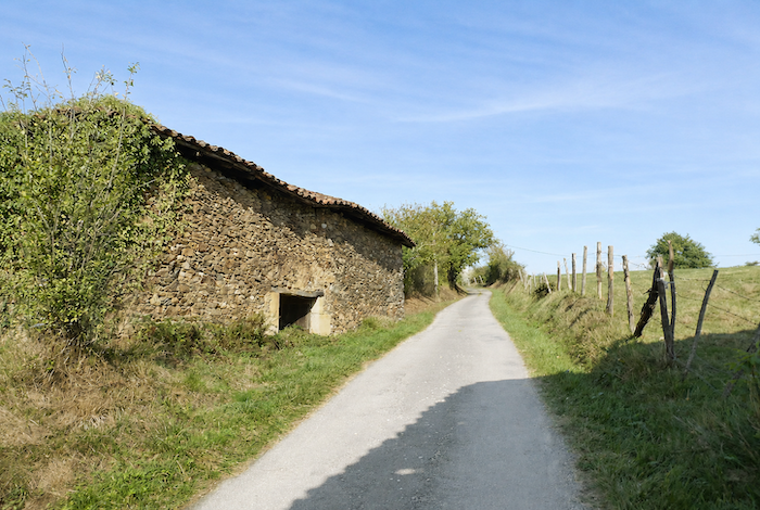
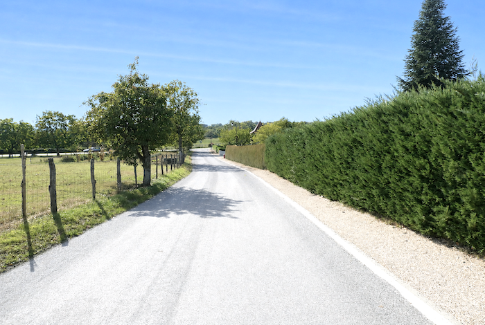
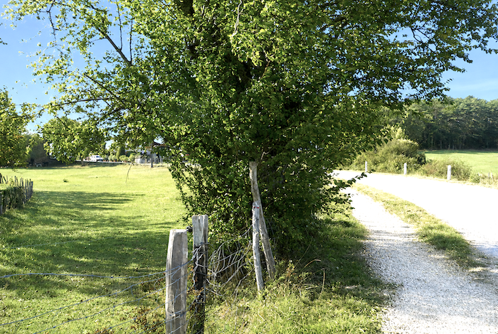
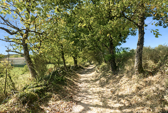
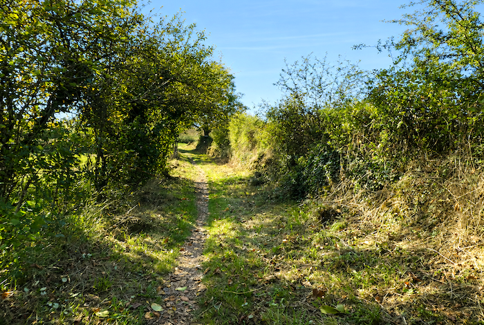
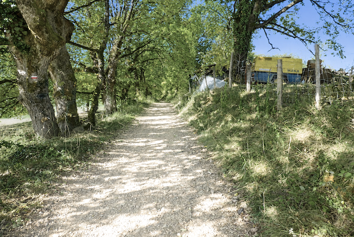
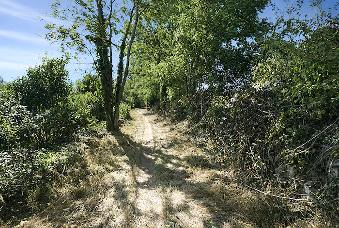
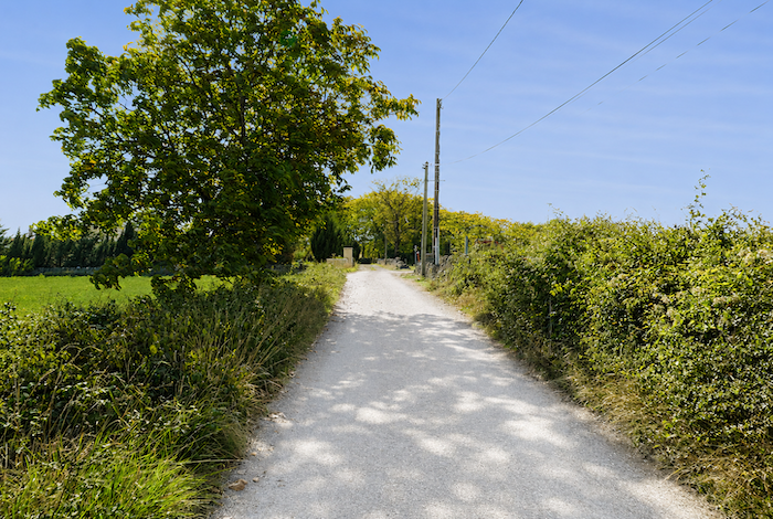
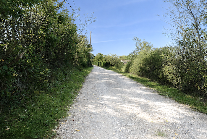
| It is almost a relief to find a dirt path again so quickly, running once more beneath chestnut and oak trees, far from the paved roads and the noise of traffic. |
 |
 |
| The trees gradually become more scattered, and the path suddenly turns sharply before climbing gently through a stretch of untamed heath overgrown with shrubs, rose hips, and tangled brambles. |
 |
 |
| Here, wild nature seems to have reclaimed its domain. The old broadleaved hedgerows have dissolved into free-growing scrub where mankind appears to have abandoned any attempt to impose order long ago. |
 |
 |
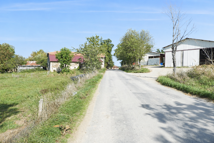
| The path soon reaches the hamlet of Bord, lying beside a quiet country road. |
 |
 |
| There was once an establishment here where walkers could stop for a meal or spend the night. Today, it appears to be permanently closed, as though slowly surrendered to the gradual decline of the countryside. |
 |
 |
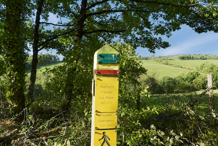
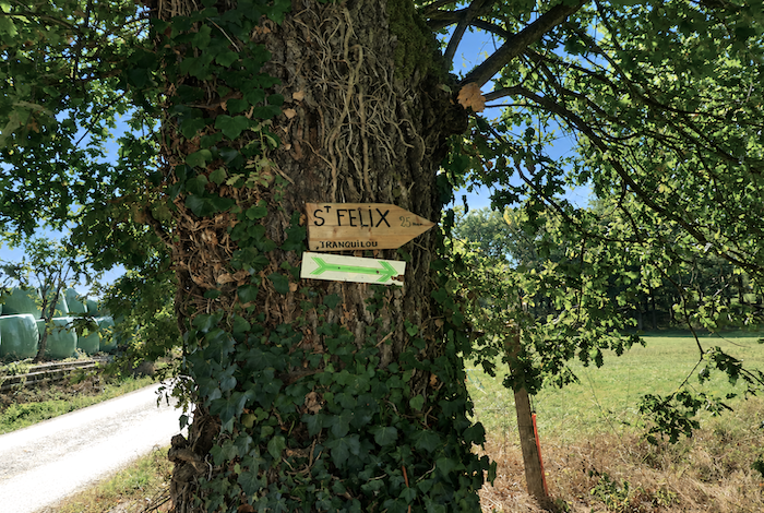
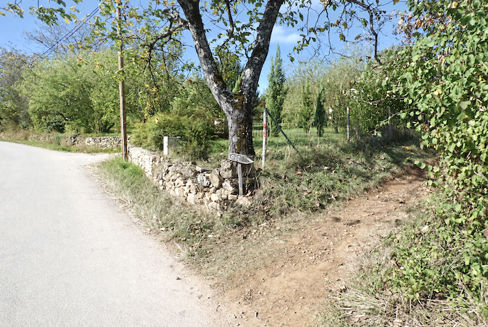
It is also here that the GR65 has been rerouted. In the past, the path crossed fields and woodland towards La Cipière. Today, the waymarking remains somewhat confusing. The GR65 leaves the hamlet on the left, follows the road for a while, then turns right farther on towards Saint-Félix, signposted as a twenty-five-minute walk away.
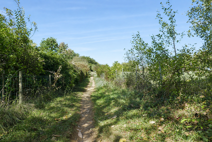
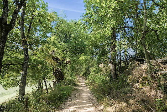
| A forest trail then begins along the edge of the woodland beneath broadleaved trees. |
 |
 |
| The shade is generous beneath the tall trees whose branches close above the trail. |
 |
 |
| Leaving the woodland behind, the path follows the edge of a large field before returning near the D2 departmental road. This rather curious series of detours deserves some explanation. By the greatest of coincidences, we met here the person responsible for the Friends of Saint James association in the Figeac area, a delightful lady who has walked more than 5,000 kilometers on the Camino routes. At Bord, some farmers no longer wished the GR65 to cross their fields. Fortunately, another landowner generously agreed to provide a strip of land so that pilgrims could continue to pass. This is how the Camino constantly evolves from one year to the next. Pilgrims who believe they are walking precisely in the footsteps of their medieval predecessors are often mistaken. One only has to remember that much of France’s woodland belongs to private landowners. Without their goodwill and cooperation, the Camino could never have crossed such a remarkable variety of landscapes throughout France. |
 |
 |
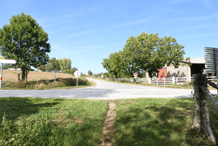
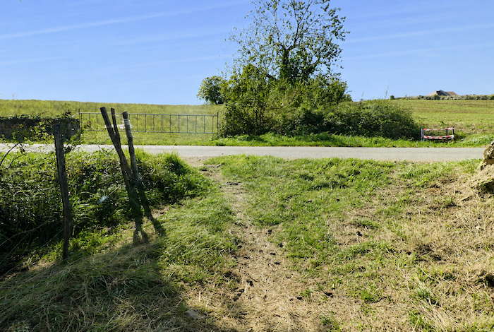
| At the end of the field, the GR65 crosses the departmental road before continuing along the road towards St Félix. Here too, the route has been modified. In the past, a small trail quietly followed the river through the woodland. Today, the paved road has taken its place, and now you know why these changes occur so frequently along the Camino. |
 |
 |
| The road then descends gently through the meadows, often passing among herds of cattle that watch the pilgrims with their customary calm indifference. |
 |
 |
| It then crosses the little Donazac stream, almost hidden beneath the vegetation. |
 |
 |
| The small road then climbs towards the village beneath the oaks, whose peaceful shade accompanies the ascent. |
 |
 |
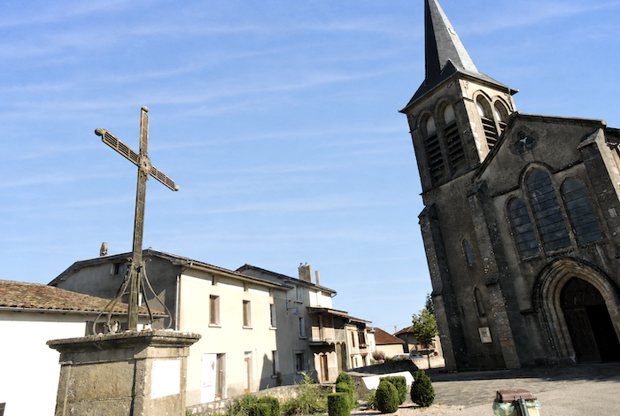
| The arrival in St Félix is full of charm. The Romanesque Church of Sainte-Radegonde, bright and welcoming, houses a remarkable eleventh century tympanum depicting Adam and Eve. |
 |
 |
| St Félix seems to have been built entirely from ancient stone, breathing the traditions of rural life while quietly whispering memories of the past. There was once an inn here as well, which also appears to have closed. The route then leaves the village below the little square. |
 |
 |
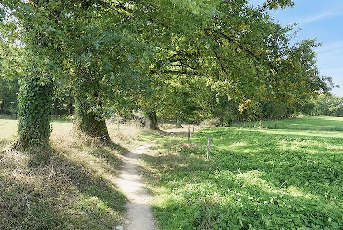
| A narrow trail climbs quite steeply along the hillside before meandering beneath the oaks, slowly curving around the contours of the slope. |
 |
 |
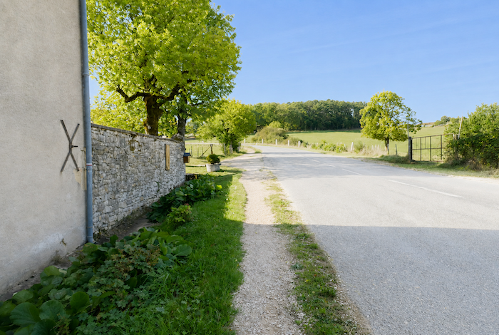
| On the far side of the hill, the GR65 reaches a small road winding gently through a landscape that has become noticeably more residential. |
 |
 |
| A little farther on, the GR65 leaves the road to rejoin a path that once again disappears into the woodland. It is almost always the same. As soon as houses become more numerous, paved roads inevitably follow. Yet some old country paths still resist disappearing, and the pilgrim gladly slips onto them once again with a feeling of relief. . |
 |
 |
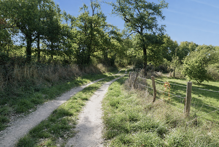
| This brief return beneath the hedgerows, among the oaks and chestnut trees, preserves a little of the quiet charm that has characterized the countryside throughout the day. |
 |
 |
| The respite is short-lived, however, and the GR65 soon returns to the paved road. |
 |
 |
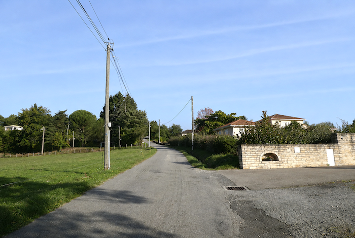
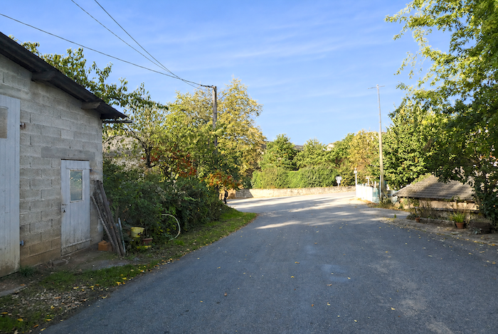
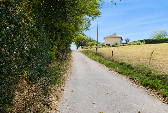
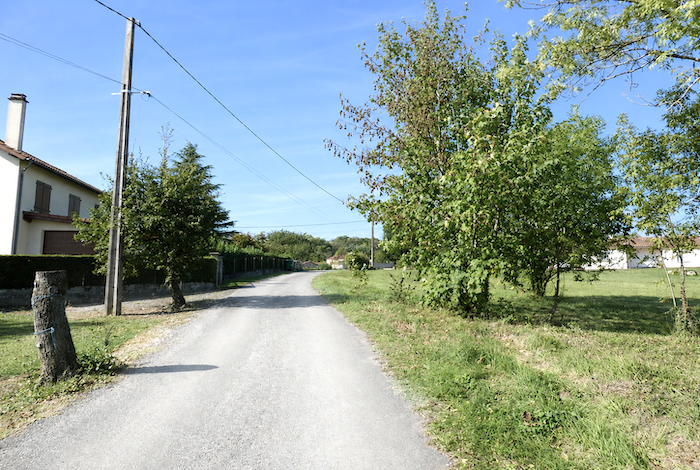
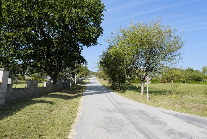
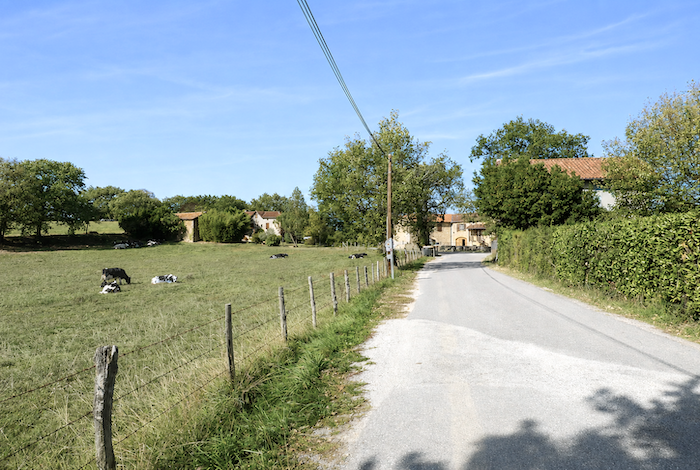
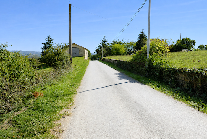
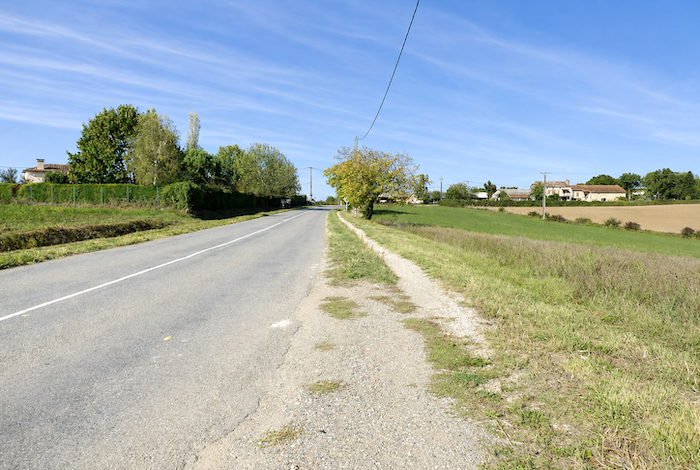
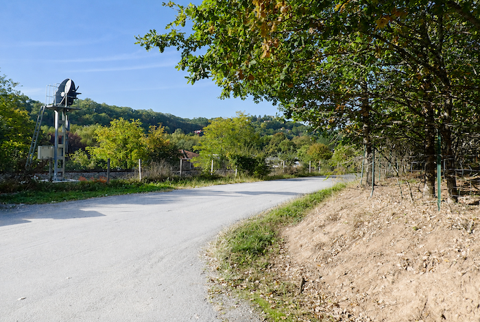
| The route then climbs for quite some distance along the road towards the village of St Jean-Mirabel, in what already feels like the outskirts of Figeac. It must be admitted that approaching a town often dampens the pilgrim’s enthusiasm. By now, they have grown accustomed to the simple happiness of sunken paths, silent hedgerow landscapes, and old stone houses that seem to have endured through the centuries with an almost timeless grace. Little by little, they return to the realities of contemporary life. They remember that they too sometimes live among modern housing estates with little character, hidden behind uniform hedges of thuja that conceal people from their neighbors just as effectively as they hide them from the surrounding landscape. |
 |
 |
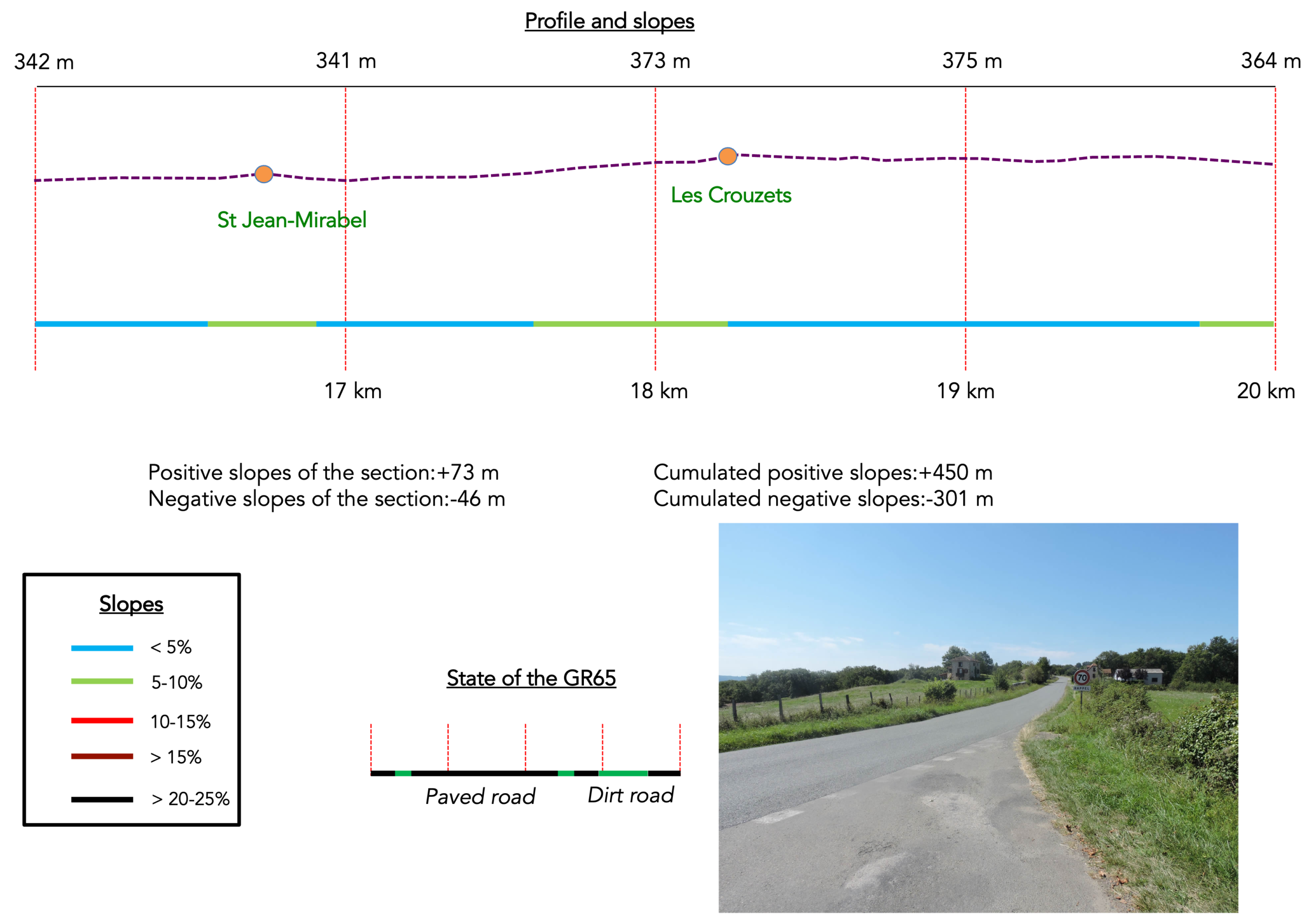
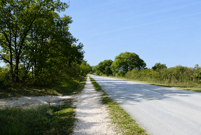
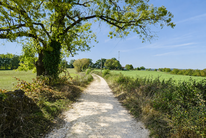
Section 5: Long stretches along the road
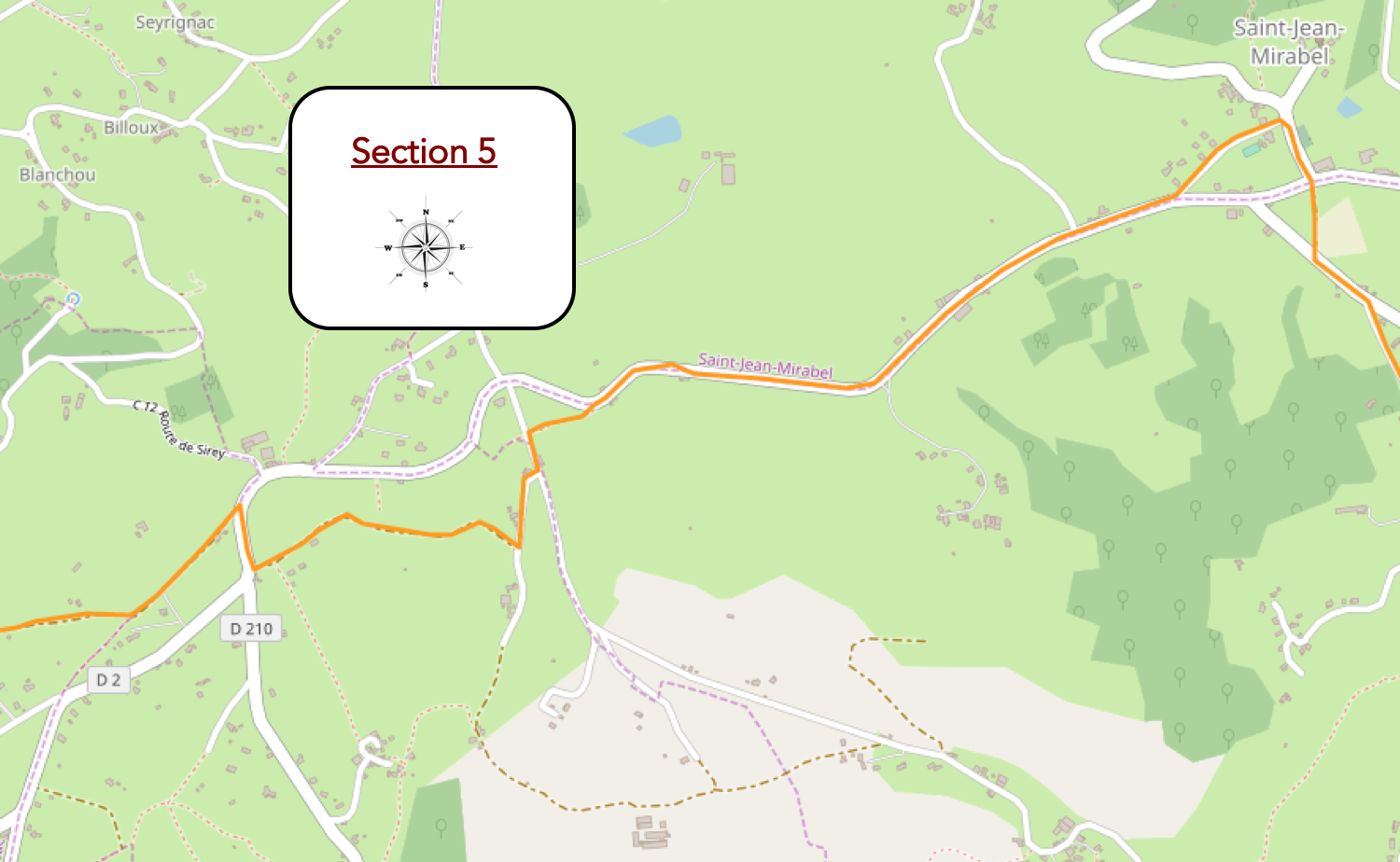
Overview of the route’s challenges: a route with no particular difficulties.
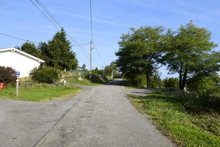
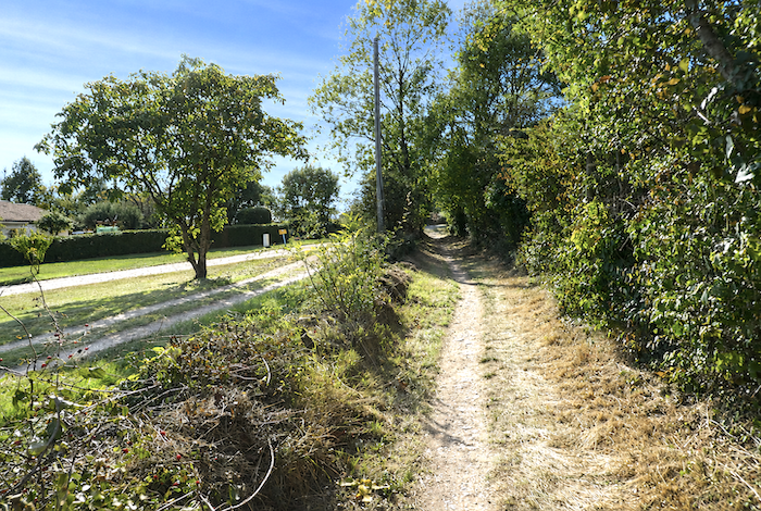
| This long, gently rising stretch along a straight road will probably seem endless. Here, the GR65 passes through modern residential areas, where the monotony of the surroundings is occasionally relieved only by a few cows grazing in the neighboring meadows, bringing a little life and color to the quiet landscape. Yet a little farther on, hope suddenly returns in the form of a small path that finally disappears into the woodland. |
 |
 |
| A brief woodland interlude follows, a narrow dirt path, lively and uneven, winding beneath the trees. |
 |
 |
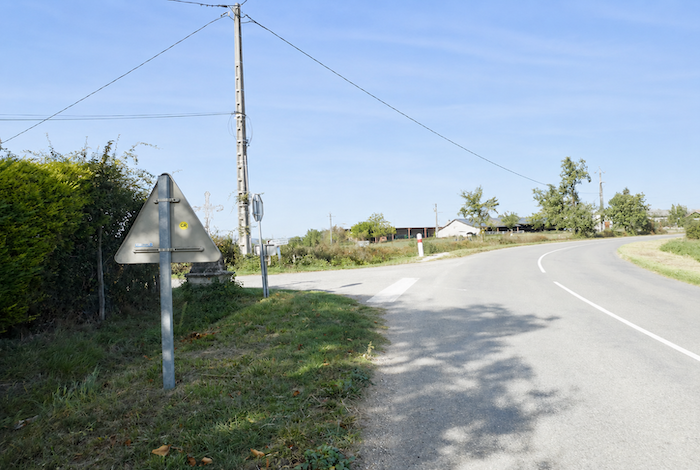
| The illusion is short-lived, however. Before long, the path returns to the paved road, crosses the D2 departmental road once again, and continues climbing towards the cemetery and the water point at St Jean-Mirabel. |
 |
 |
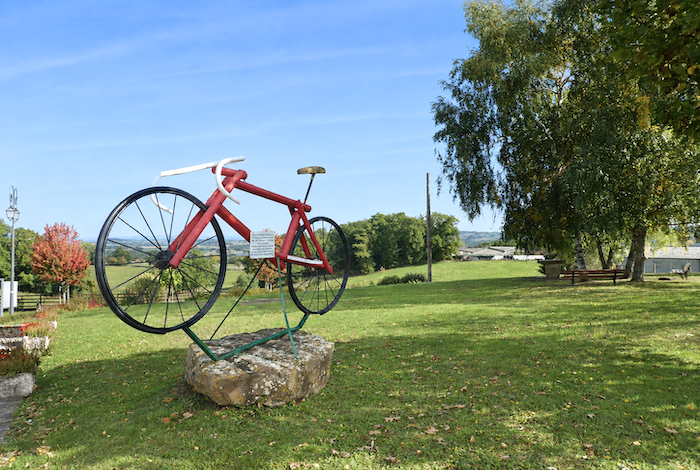
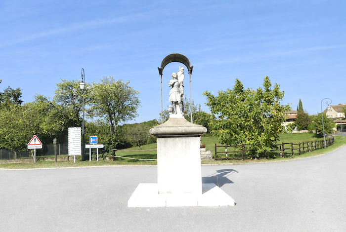
| At the top, on the square beside Saint John the Baptist Church and close to the water point, stand side by side a statue of Joan of Arc and a surprising purple bicycle erected in tribute to Montcoutié, a cyclist from the Lot who won a stage of the 2004 Tour de France in this region. Together, they are as unexpected as they are amusing for the pilgrim. |
 |
 |
| From the church square, a small road descends once again towards the departmental road. |
 |
 |
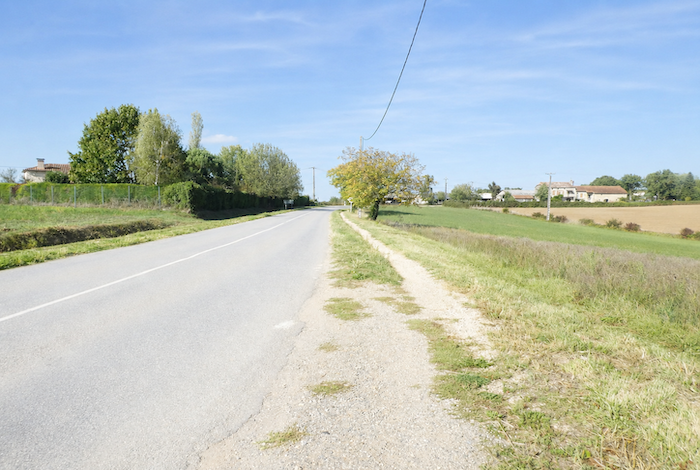
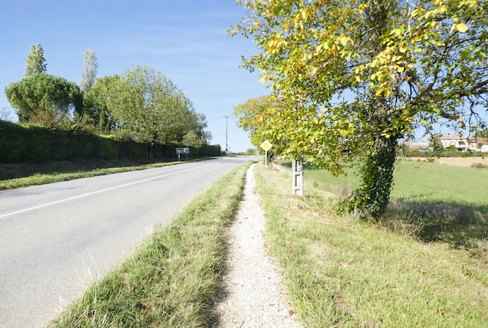
| Here begins a long stretch of more than two kilometers on the paved road. Although a narrow dirt path has been created alongside the road, it does little to relieve the monotony of this section. The wide-open landscape, however, allows you to see pilgrims walking both ahead and behind, like beads scattered along a rosary, bent beneath the weight of their backpacks. Passing cars also serve as a reminder that pilgrimage never entirely escapes the modern world. |
 |
 |
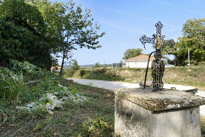
| Two kilometers like this feel long, repetitive, and rather lacking in charm, although the occasional cross beside the path invites more reflective thoughts. |
 |
 |
| For many years, the local coordinator of the Friends of Saint James has been trying to reroute this section through the woodland trails between St Félix and Figeac. So far, her efforts have not succeeded. Perhaps one day you will have the privilege of being among the first pilgrims to walk this new route when it finally becomes a reality? |
 |
 |
| At the locality of Bel-Air, a resident, mindful of the weariness of passing pilgrims, has painted a small Camino symbol on the mailbox and engraved a few words of encouragement and faith into a nearby wall. They are much appreciated, for the climb on the paved road is still not over. It must also be said that, almost everywhere along the Camino, a quiet sense of solidarity exists between local residents and those who pass their homes carrying a backpack. |
 |
 |
| Then, quite suddenly, relief finally arrives. At the locality of Panacard, the GR65 leaves the road and rejoins a small path descending the hillside beside hedgerows and meadows. |
 |
 |
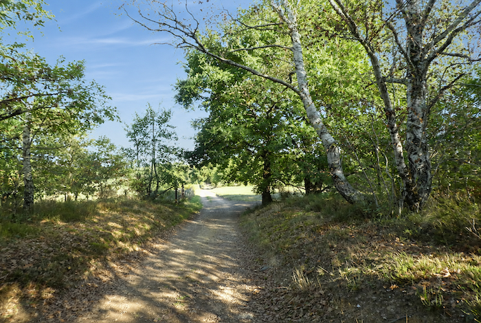
| At last, comes the pleasure of a genuine path once again, meandering beneath oak and chestnut trees through tall grasses that spill gently across its edges. |
 |
 |
| The respite is brief, however. Roads always seem to reclaim their place whenever new housing estates and scattered homes need to be served. |
 |
 |
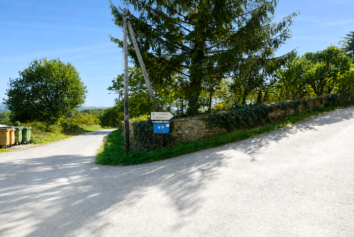
| The GR65 therefore returns once again to the paved road as it approaches the crossroads of Les Crouzets. |
 |
 |
| There, a small compacted earth lane descends gently alongside country hedgerows. |
 |
 |
| The route then finally rejoins a quieter, more intimate country path. |
 |
 |
| Here, the passage beneath the trees lasts much longer than before. Majestic oaks continue to dominate the woodland, accompanied by ageing chestnut trees and a few graceful ash trees. The edges of the path are often lined with sturdy moss-covered stone walls, as though the forest were slowly reclaiming them into its quiet green silence. |
 |
 |
| The path then undulates gently beneath the broadleaved trees, progressing effortlessly through the softly filtered woodland light. |
 |
 |
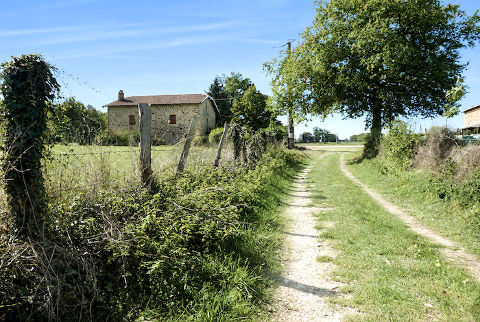
| Before long, it once again approaches a few isolated houses discreetly hidden beneath the trees in this almost untamed countryside. |
 |
 |
| In the past, when you reached the end of this path, the route descended towards Pipy. There, those wishing to bypass Figeac could follow the GR6 directly towards La Cassagnole. You would have had to be in quite a hurry to make that choice, however, because Figeac richly deserves both time and a long visit. Since the route through this area was once rather confusing, it has been modified yet again so that it now climbs more directly towards the D2 departmental road. . |
 |
 |
| So, here comes another change of direction, and with it another brief return to the paved road. Such is the pilgrim’s life. After rain comes sunshine, and after dirt paths there always seem to be another few stretches of road. Learning to accept this alternation is part of the journey itself. |
 |
 |
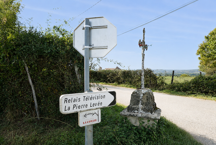
| The GR65 then follows the D2 departmental road for a short distance to the crossroads known as Pierre Levée. The route feels rather disjointed here; it must be admitted. Let us hope that the tireless coordinator of the Friends of Saint James will one day succeed in bringing her plans to fruition, offering pilgrims a more harmonious itinerary that better reflects the true spirit of the Camino. |
 |
 |
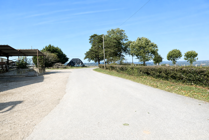
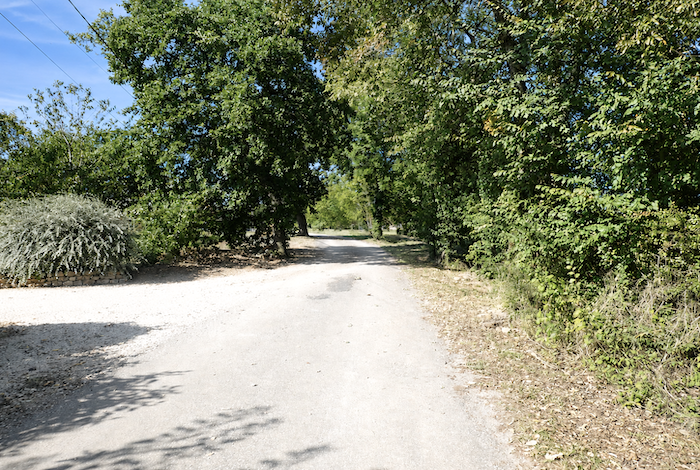
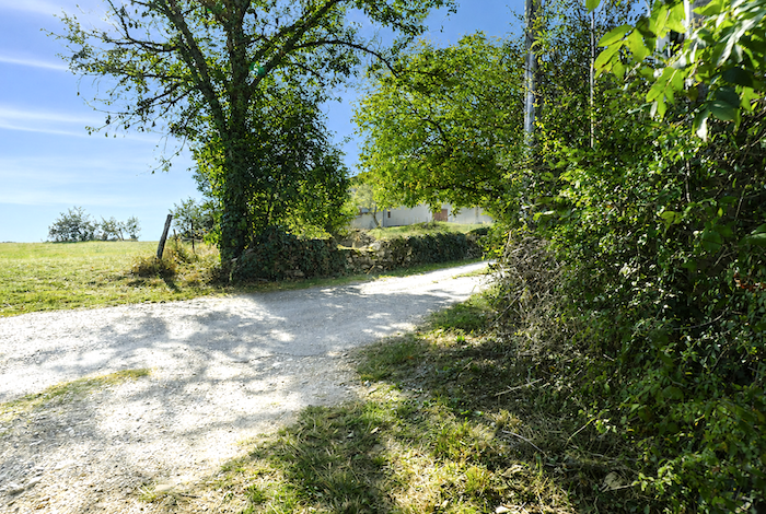
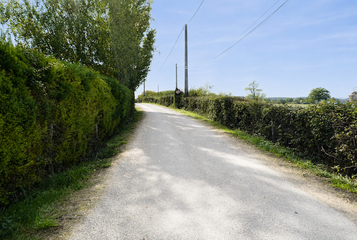
| From this point onward, all hesitation disappears. The route now heads directly towards Figeac, first along a broad gravel road that winds beneath chestnut, ash, and the many walnut trees that characterize this countryside. |
 |
 |
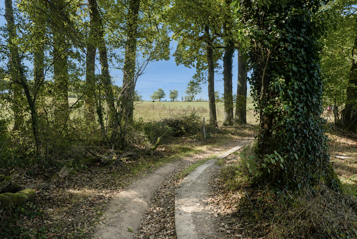
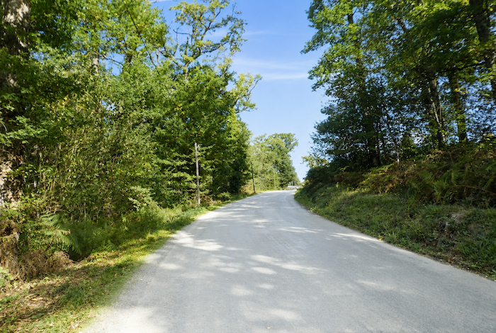
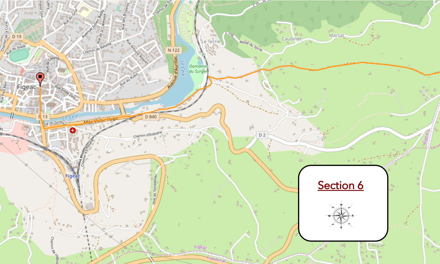
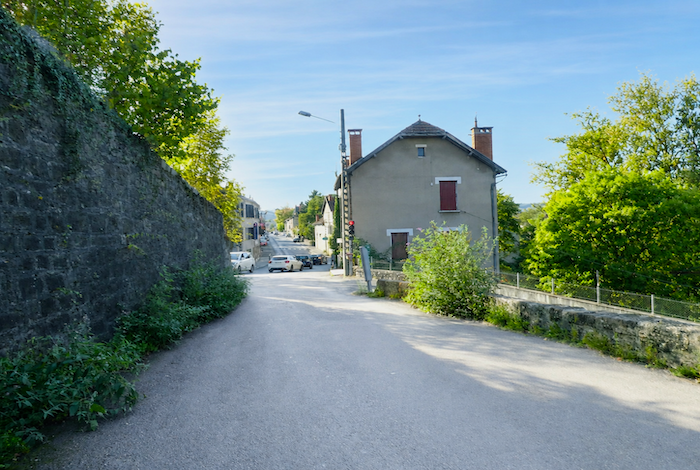
Section 6: Entre chemins et routes dans les environs de Figeac
Overview of the route’s challenges: no particular difficulties until the final descent into Figeac, which is exceptionally steep.
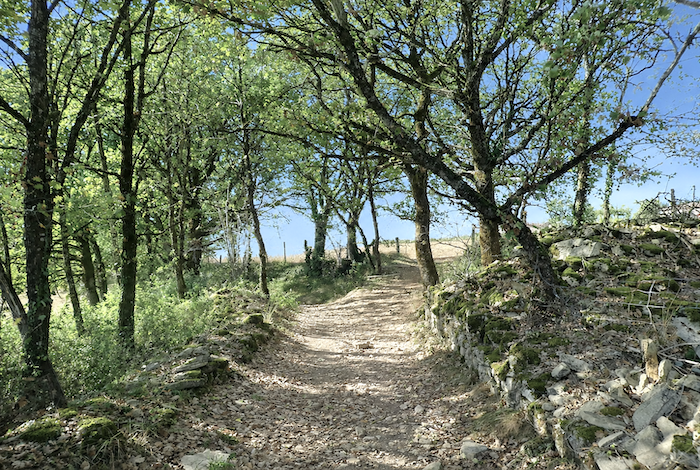
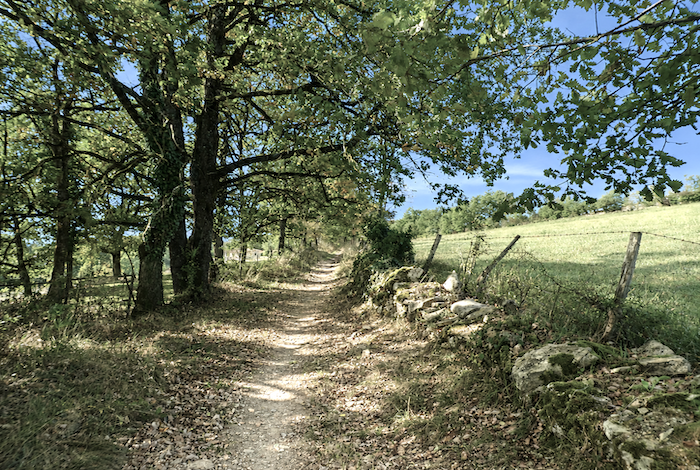
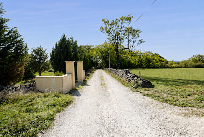
| Farther on, cars and tractors finally disappear. The compacted earth once again replaces the asphalt beneath old stone walls that are slowly being reclaimed by creeping mosses. |
 |
 |
 |
 |
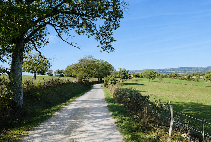
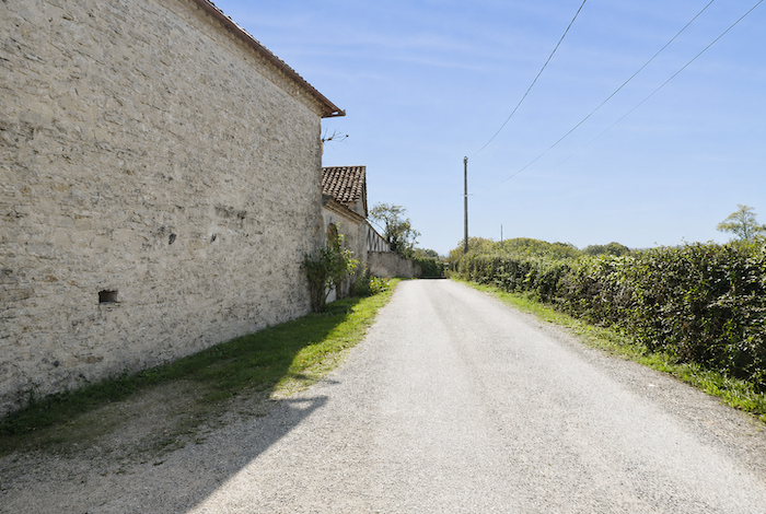
| The route then approaches Figeac almost on level ground, beneath the peaceful shade of broadleaved trees lining the path. |
 |
 |
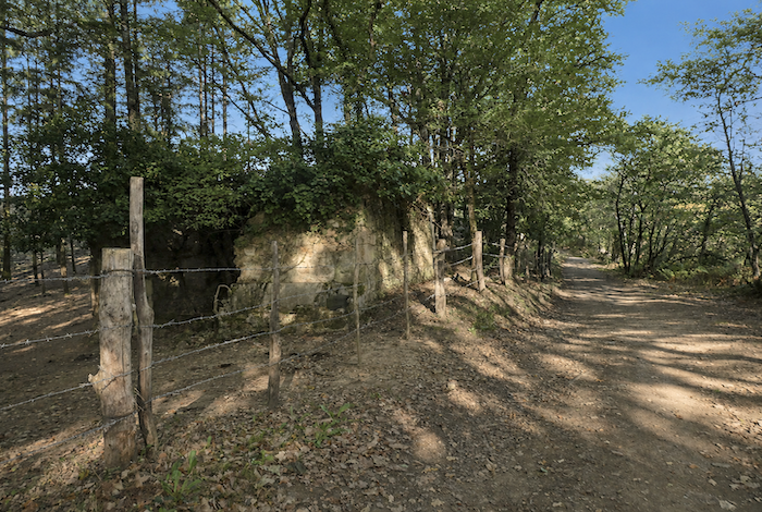
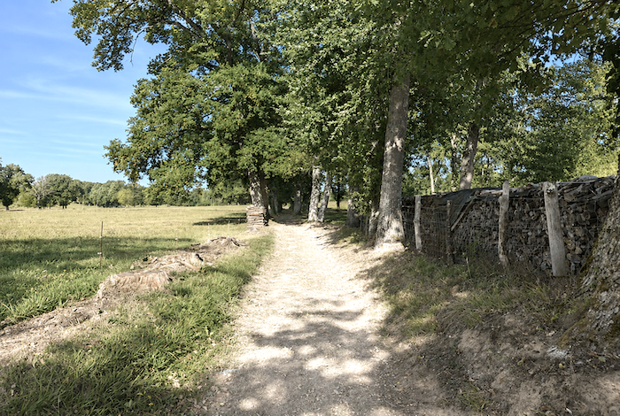
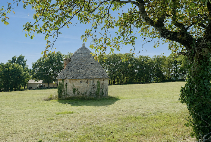
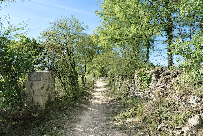
| Around a bend, an unusual little stone tower suddenly comes into view. It recalls the « chibottes » found in the Dolaison valley near Le Puy-en-Velay. In fact, dozens of regional names exist for these modest dry-stone shelters. In the Lot, they are generally known as « caselles », while the term « gariotte », although by far the most familiar, is truly used only around Cahors. Most of these shelters are no more than two centuries old. They were built from the stones removed from cultivated fields, allowing farmers to clear their land while reusing the rocks to construct shelters for shepherds, storage for tools, or simple refuges from bad weather. Although many have now fallen into neglect, numerous local associations are working to preserve them. |
 |
 |
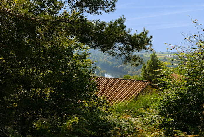
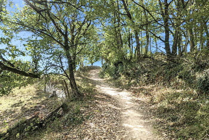
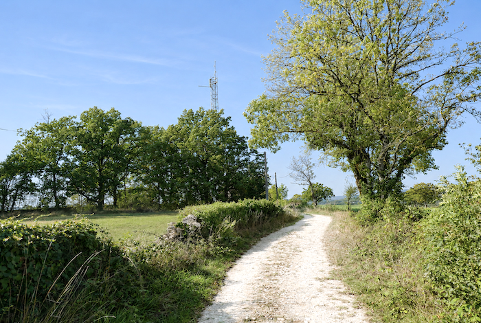
| The path then begins descending towards the television mast beneath oaks, chestnut trees, and ash trees, always accompanied by the winding stone walls that follow the hillside. Far below, Figeac already comes into view, its distinctive red roofs emerging from among the trees. |
 |
 |
| The path crosses countryside that still feels almost untouched, giving the welcome impression that some places have escaped the appetite of property developers despite the town lying so close by. These landscapes possess the quiet, deeply rural beauty still found along a few of the last preserved country paths. Nothing here seeks dramatic effect. Everything rests upon the harmony of light, trees, stone, and the gentle curves of the land. |
 |
 |
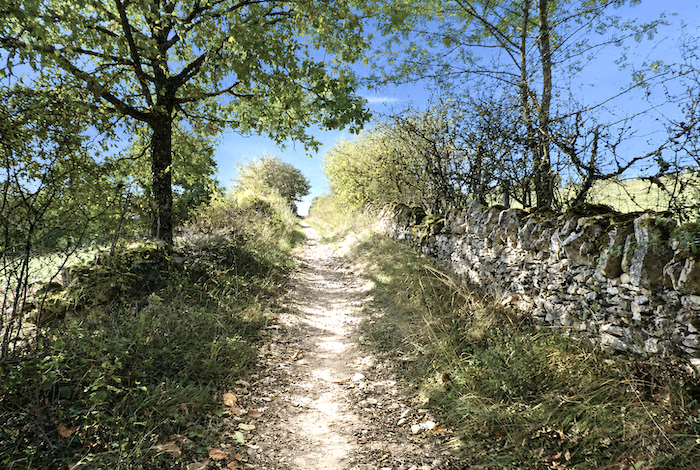
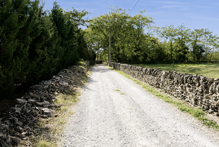
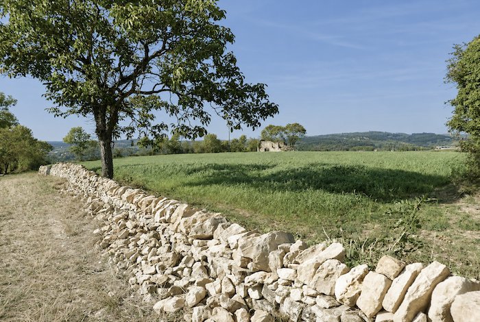
| The path winds between old dry-stone walls, partly collapsed and gradually colonized by moss, brambles, and wild grasses. These stones seem to have belonged to the landscape forever, as though they had grown slowly alongside the trees and hedgerows. Silently, they bear witness to the patient labor of generations of farmers who shaped these hills one stone at a time. |
 |
 |
| The paths themselves possess an intimate quality. Narrow, slightly sunken, and sometimes bordered by rustic fences, they create the impression of entering a countryside that remains both secret and carefully preserved. |
 |
 |
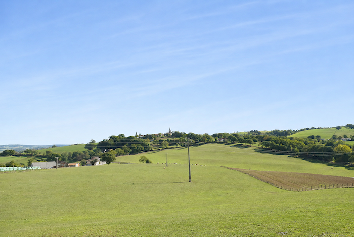
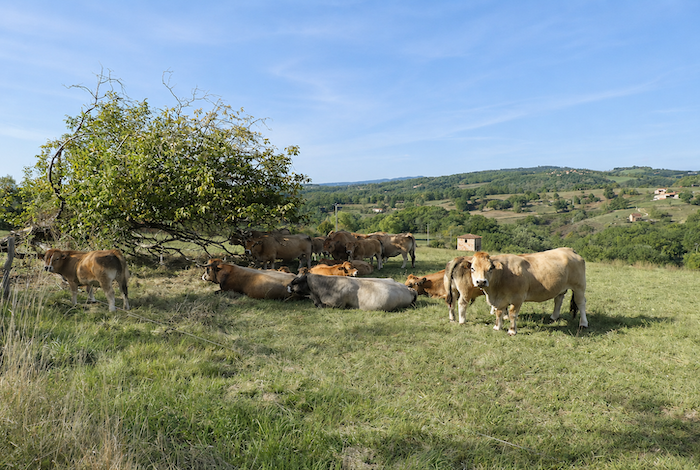
| Then, quite suddenly, the landscape opens wide. Above all, it is the profound sense of peace that leaves the deepest impression. The path seems to move outside time itself through a countryside that has preserved something ancient and essential. It becomes easy to understand why so many pilgrims remember these landscapes long after their journey has ended. Emerging from the thickets, the path reaches the end of the ridge where Aubrac cattle graze. Watching them, one might think they spend more time dozing than actually working. Here, they are valued less for milk production than for the renowned beef that has become one of the region’s greatest treasures. |
 |
 |
| From this point onward, the path begins a serious descent, with gradients ranging between 10 and 15%, as though Figeac were still trying to keep the pilgrim at a respectful distance. |
 |
 |
| Gradually, the route leaves the grassy path behind and returns to firmer compacted earth beneath your feet. |
 |
 |
| Soon your boots begin to crunch across the dry, sometimes stony ground, where loose gravel shifts gently beneath each step. |
 |
 |
| Lower down, beside a granite cross standing near the path, the route reaches a small road where the first houses on the heights above Figeac begin to appear. |
 |
 |
| The descent then becomes even steeper, occasionally approaching gradients of twenty percent beneath a dense canopy of oaks mixed with chestnut trees and scattered ash trees growing across the hillside. . |
 |
 |
| Yes, it is steep. Yet despite the effort, the town center still lies some distance away. Figeac does not reveal itself easily. It must be earned one step at a time. |
 |
 |
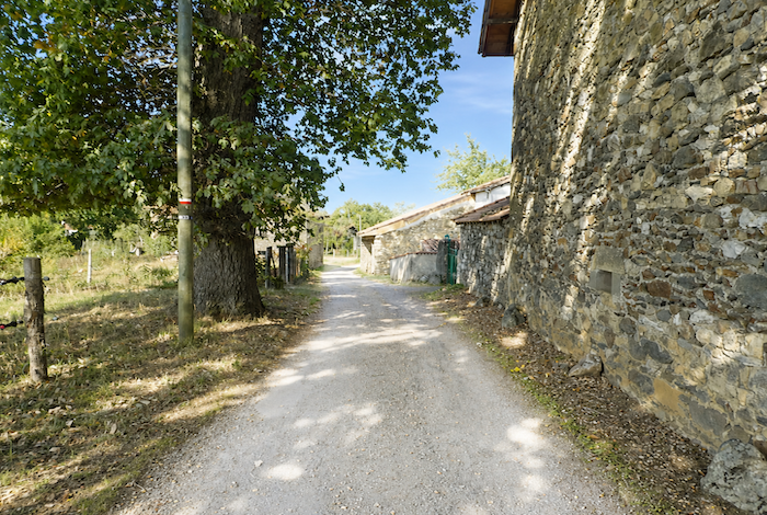
| Here, the descent reaches its greatest steepness just before the route reaches the railway line at the bottom of the dale. You may already see the town sign, yet the historic center still lies another kilometer and a half away. |
 |
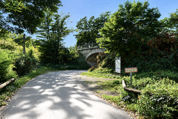 |
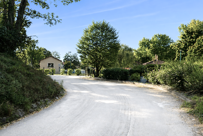
| The road gradually leaves the dense woodland behind, emerging little by little from the deep shade beneath the trees. It passes beneath the railway before reaching the Surgié campsite beside the Célé River. |
 |
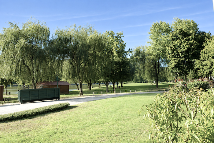 |
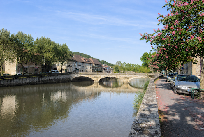
| The route then follows the peaceful banks of the Célé, whose remarkably clear waters flow beside the campsite before becoming somewhat less pure farther downstream as the river passes through the town. |
 |
 |
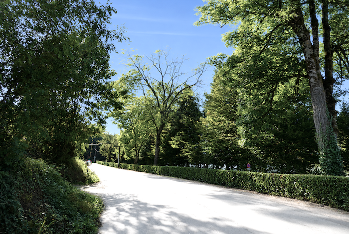
| The road continues beneath magnificent trees until it reaches the junction marking the entrance to the town, at the beginning of Allée Victor Hugo. |
 |
 |
| The Allée Victor Hugo is actually the great D849 departmental road, without end. |
 |
 |
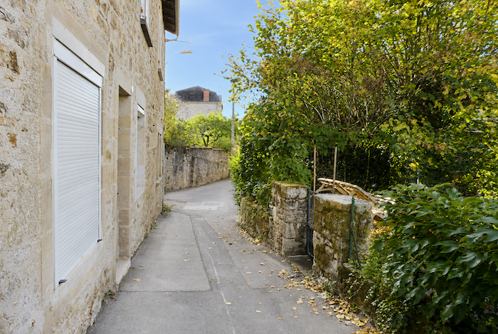
| Fortunately, shortly before reaching the town center, a small side road allows you to avoid this long avenue by drawing closer to the river beneath the trees. Simply follow this quieter route until you reach the bridge that finally leads into the historic heart of Figeac. |
 |
 |
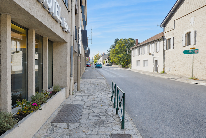
Visiting Figeac
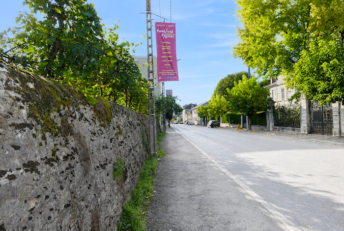
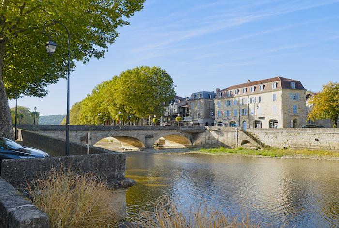
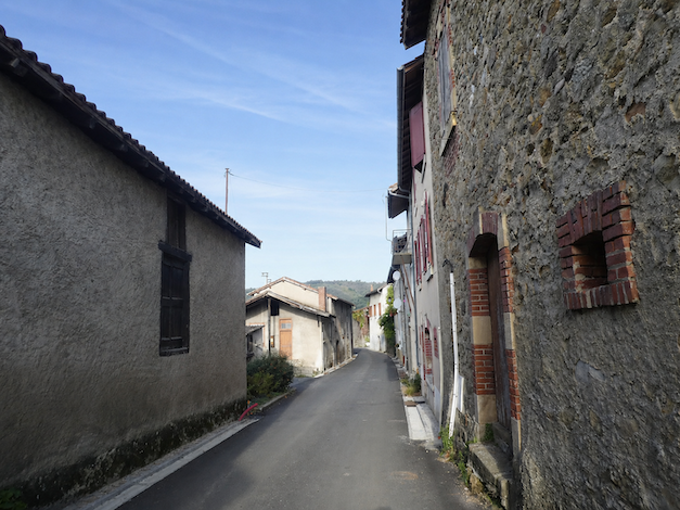
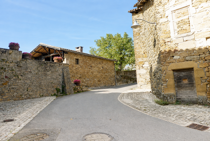
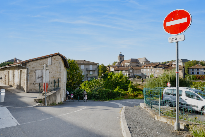
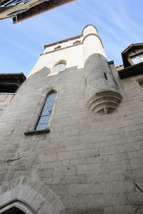
With a population of around 10,000, Figeac is one of the finest medieval towns in southwestern France. It owes its origins to a Benedictine abbey established here during the Middle Ages, and much of its prosperity grew from the constant flow of pilgrims travelling the Camino de Santiago. Between Conques and Cahors, Figeac became an essential stopping place. Legend, or perhaps history, also claims that the town derives its name from the Latin expression Fige acum, meaning « Plant a needle. » Pilgrims often lost their way in the vast forests surrounding Figeac. According to tradition, an abbot advised them simply to « plant a needle, » referring to the stone markers that guided travelers. This may explain the presence throughout the region of monuments known as aiguilles, slender obelisks erected in the ground to indicate the direction. During the Middle Ages, the town’s merchants grew so wealthy and influential that they eventually challenged the authority of the abbot. The king intervened, placing the town under the administration of a royal magistrate known as a viguier. The following centuries brought the devastation of the Black Death and the Hundred Years’ War, before a new period of prosperity encouraged the construction of the elegant townhouses that still grace the streets today. Sadly, the arrival of Protestant rule brought this flourishing period to an abrupt end. Churches were more often demolished than built. Fortunately for modern visitors, Figeac has preserved an exceptional architectural heritage. The Célé River divides the town into two parts, although the medieval quarter lies entirely on the right bank.
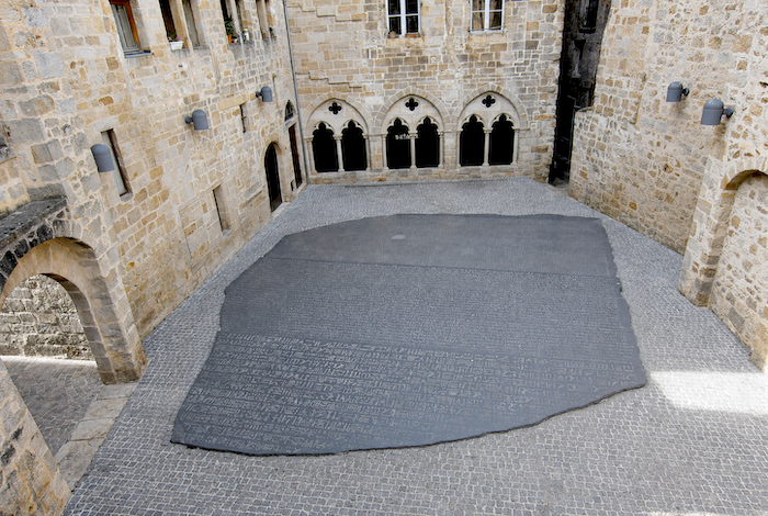
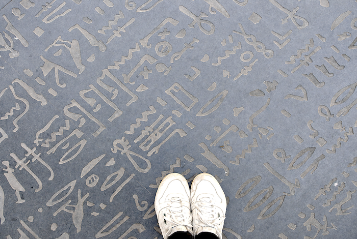
| So, shall we take a stroll through Figeac? Jean-François Champollion, the brilliant scholar who deciphered the Egyptian hieroglyphs, was born here in 1790. Although he actually spent very little of his life in the town beyond his earliest childhood, Figeac has transformed his birthplace into a fascinating museum. Just beside it lies the remarkable “Place des Écritures”, enclosed among medieval buildings. Covering the square is a monumental reproduction of the Rosetta Stone, carved from black Zimbabwe granite by the American artist Joseph Kosuth. The finest view of this extraordinary work, inaugurated in 1991, is from the elevated garden overlooking the square. |
 |
 |
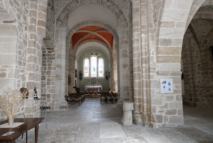
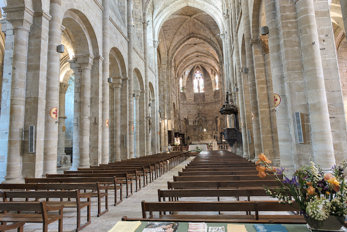
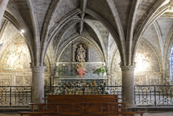
| The Church of Saint-Sauveur dates originally from the eleventh century, although it has been altered and enlarged over the centuries. Inside, visitors can admire magnificent painted wooden decorations together with beautiful stained-glass windows. |
 |
 |
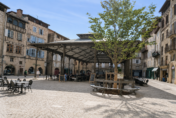
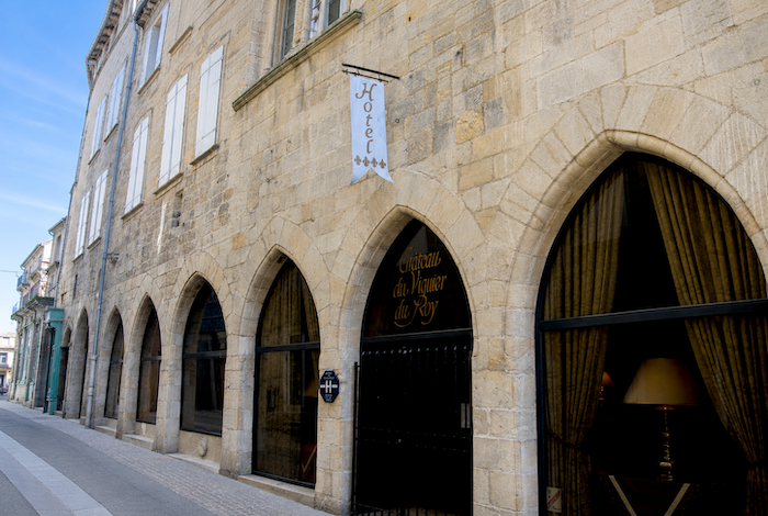
| A handsome covered market hall stands at the heart of the town, surrounded by cafés whose terraces offer welcome shade. Some pilgrims seeking a more luxurious stay may choose the splendid Hôtel du Viguier in the town center. This elegant establishment has recently reopened after remaining closed for many years. |
 |
 |
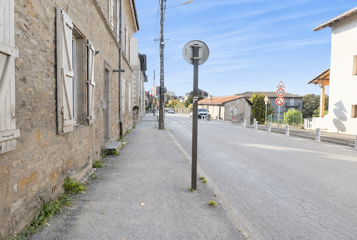
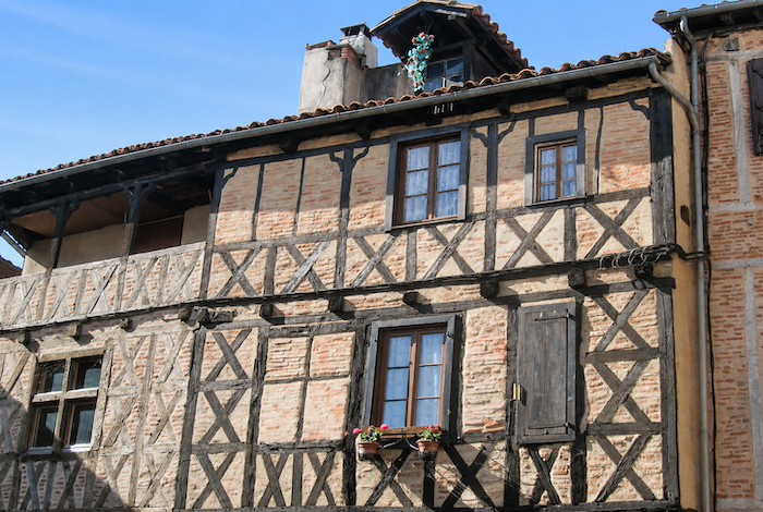
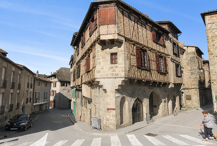
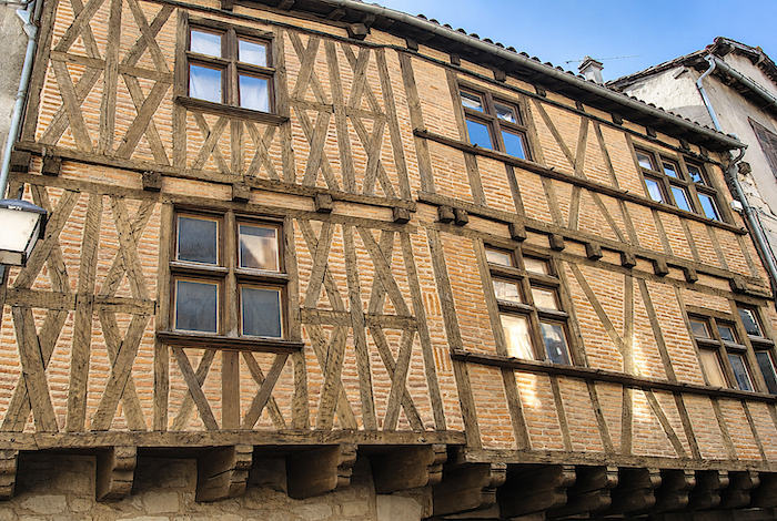
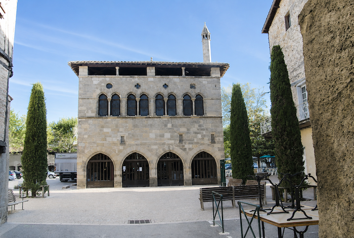
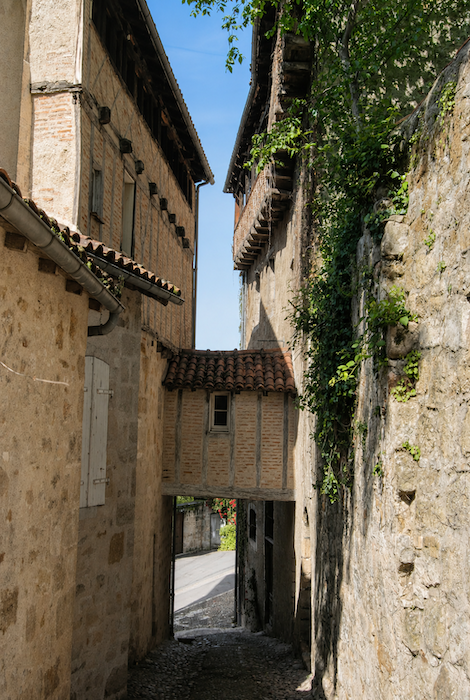
| The Tourist Office provides an excellent little guidebook. Simply follow the key symbols marked throughout the streets, and the booklet recounts the history of the principal monuments. Walking through Figeac creates the impression of stepping back into the days of the Benedictine abbey. Timber-framed houses succeed one another throughout the old town, displaying projecting upper storeys and finely crafted mullioned windows. The Hôtel de la Monnaie, recently renovated inside, now houses the Tourist Office. |
 |
 |
| In certain narrow streets, the houses seem almost to reach towards the sky. Beneath their roofs are “solheios”, open lofts that once served for drying hides or preserving food. One cannot help wondering whether the local master builders travelled more than once to Italy, inspired by the famous Bridge of Sighs, before recreating their own elegant versions at several places throughout the town |
 |
 |