On guard, gentlemen!
DIDIER HEUMANN, MILENA DALLA PIAZZA, ANDREAS PAPASAVVAS
We divided the course into several sections to make it easier to see. For each section, the maps show the course, the slopes found on the course, and the state of the roads. The courses were drawn on the “Wikilocs” platform. Today, it is no longer necessary to walk around with detailed maps in your pocket or bag. If you have a mobile phone or tablet, you can easily follow routes live.
For this stage, here is the link:
https://fr.wikiloc.com/itineraires-randonnee/de-la-romieu-a-condom-par-le-gr65-30707857
It is obviously not the case for all pilgrims to be comfortable with reading GPS and routes on a laptop, and there are still many places in France without an Internet connection. Therefore, you can find a book on Amazon that deals with this course. Click on the book title to open Amazon.
 |
The Camino de Santiago in France. VI. From Cahors to St Jean-Pied-de-Port (Via Podiensis) on GR65 track |
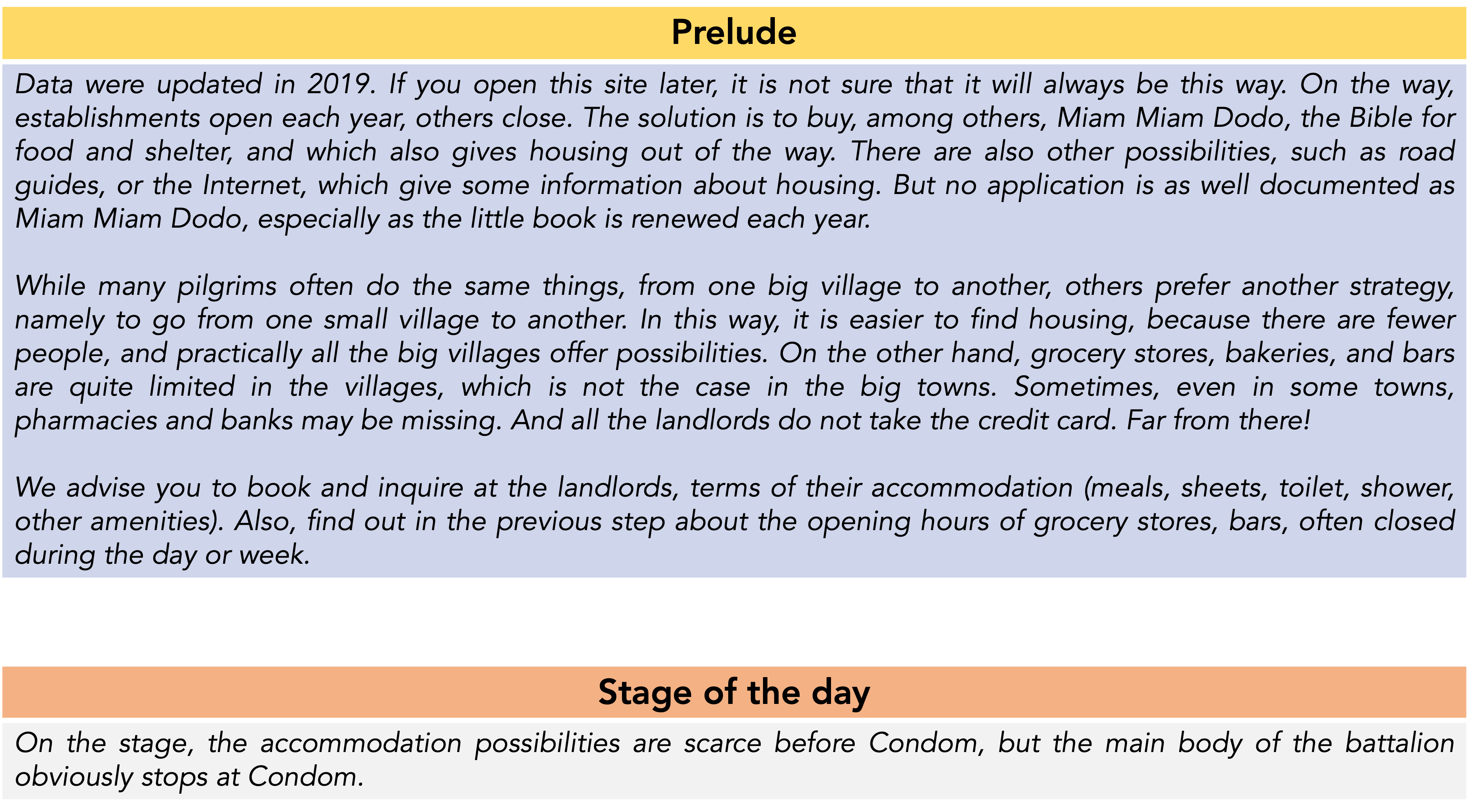
If you only want to consult lodging of the stage, go directly to the bottom of the page.
You’ll leave Lomagne for Ténarèze, a land of passage which borrowed its name from one of the ancient mythical routes of Gascony. It was the Way of Julius Caesar, also known as Ténarèze, a bridgeless route from Pyrenees to Bordeaux, between Garonne and Adour basins.

Today, the track takes you to Ténarèze, more particularly to Condomois, a sparsely wooded country that passes without transition from its neighbor Lectourois. The track runs south-west, towards the Pyrenees. It is a landscape of small plateaus, of medium altitude, and a wide valley, undulating around the Baïse River. The further west you go, the more the vines develop towards Bas Armagnac. Ténarèze has 38% of the surface area of vines and orchards in Gers. It is the second land for the production of Armagnac. Flocs and local wines do not have a great reputation. Cattle breeding, once very widespread, has become very discreet, not to say absent. But, as in neighboring Lomage, it is still a mosaic of more or less large plots, where cereals, sunflowers, orchards and market gardening flourish. Garlic and melon are also grown here. The best lands are devoted to wheat, the more ungrateful lands rather reserved for the vine. On the most uncultivated lands, most often at the bottom of streams, some scrubland also develops. In Ténarèze, the relief is lower than in Lomagne. The groves become even clearer to give way to barren landscapes covered with great crops.
|
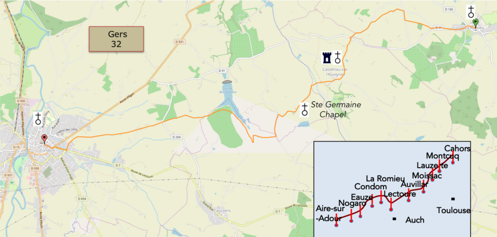
Ténarèze is the keystone of the Gascon fan. A fan, did you say? It is only to locate the rivers which cross the Gers to understand it. Most of the rivers that originate in the hinterland or further in the Hautes Pyrénées cross the Gers department Gers, joining Garonne River further north or Adour River in the west. We have already crossed Arrats River near Miradoux and Gers Rver near Lectoure. Today, we are reaching Baïse River basin. |
 |
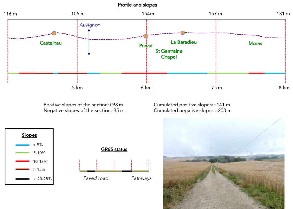
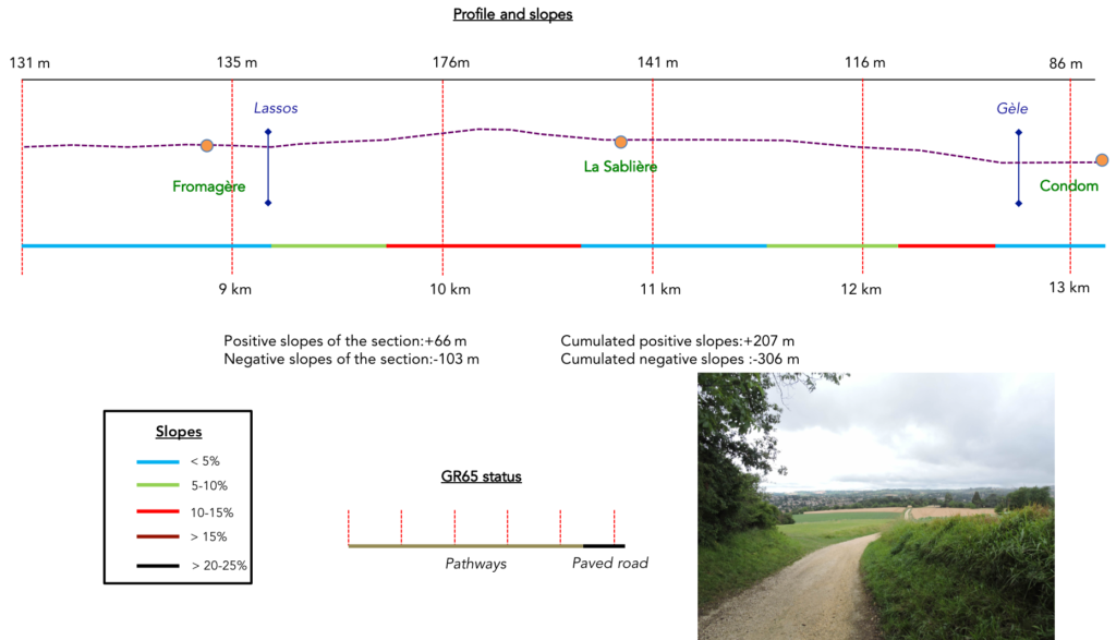
Difficulty of the course: Slope variations are very low (+207 meters/-306 meters) today. The stage is short, very short. But this is often the case in this region, where accommodation is scarce outside the main villages. Moreover, Condom deserves a stop. The course takes place without great major difficulty. They are just small ups and downs, from one hill to another, from one small dale to another, where the slopes rarely exceed 10%, except around Castelnau-sur- Auvignon. The route cuts for a moment the beautiful Bousquètara Lake.

In this stage, you will walk a little more on pathways than on paved road:
- Paved roads: 5.5 km
- Dirt roads: 7.7 km
Sometimes, for reasons of logistics or housing possibilities, these stages mix routes operated on different days, having passed several times on Via Podiensis. From then on, the skies, the rain, or the seasons can vary. But, generally this is not the case, and in fact this does not change the description of the course.
It is very difficult to specify with certainty the incline of the slopes, whatever the system you use.
For “real slopes”, reread the mileage manual on the home page.

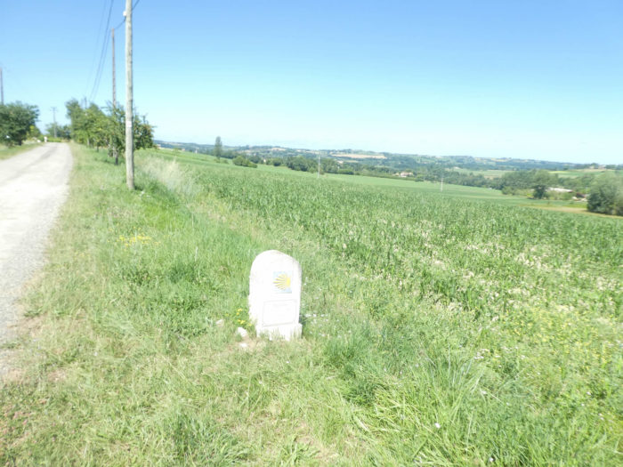
Section 1: In wheat and sunflowers.

General overview of the difficulties of the route: without any difficulty, except to pass the small Rampbuc bump.

|
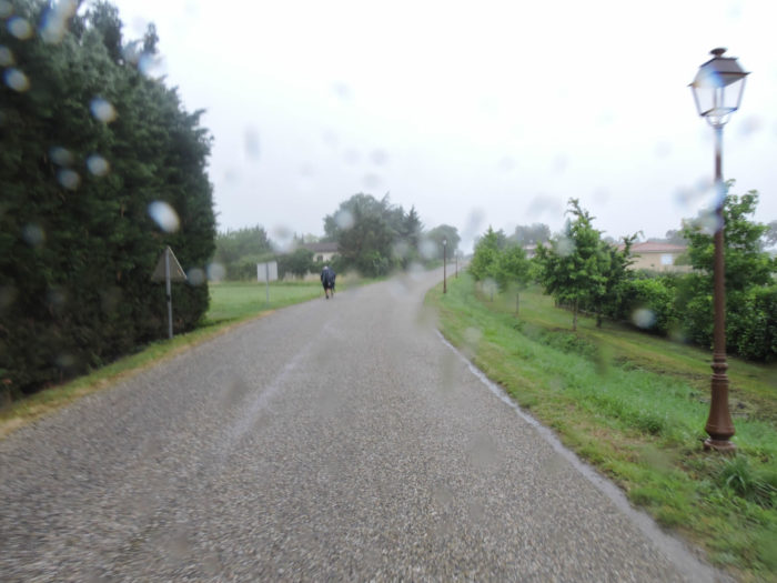
When the pilgrim walks in one go on the Camino de Santiago from Puy-en-Velay to Santiago, he can only be subject to variations in the weather. He has no choice. Having traveled the route several times, we were also able to make shorter stages by choosing more favorable weather periods. But even when you trust the weather forecast, surprises come along. Here we have encountered bad weather twice. So here are two images of the beginning of the track, in the rain, when you leave Adeline’s cats and the pilgrims progress curled up under their cape, shoulders pressed, hoods down their head. They advance like zombies, barely speaking to each other, jaws clenched as if to save life. They often look like Chinese shadows disappearing, then reappearing on the horizon line. |
|
 |
 |
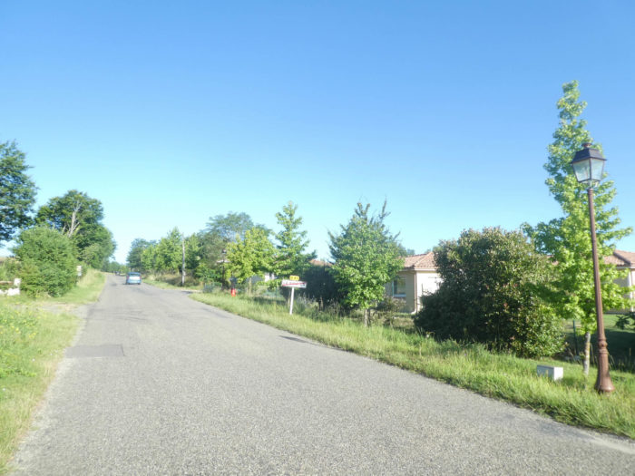
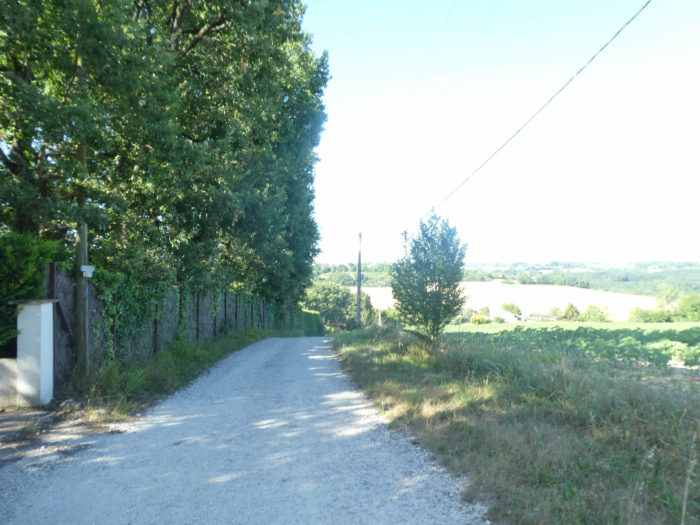
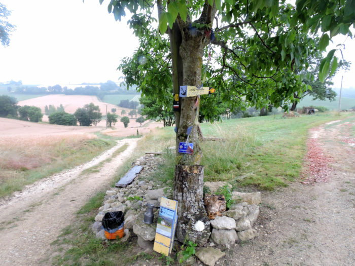
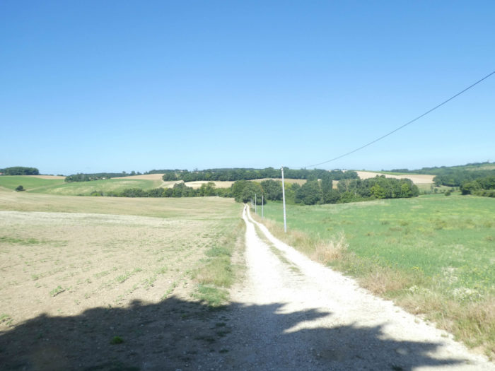
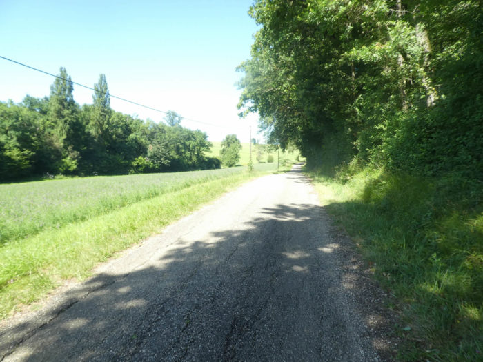
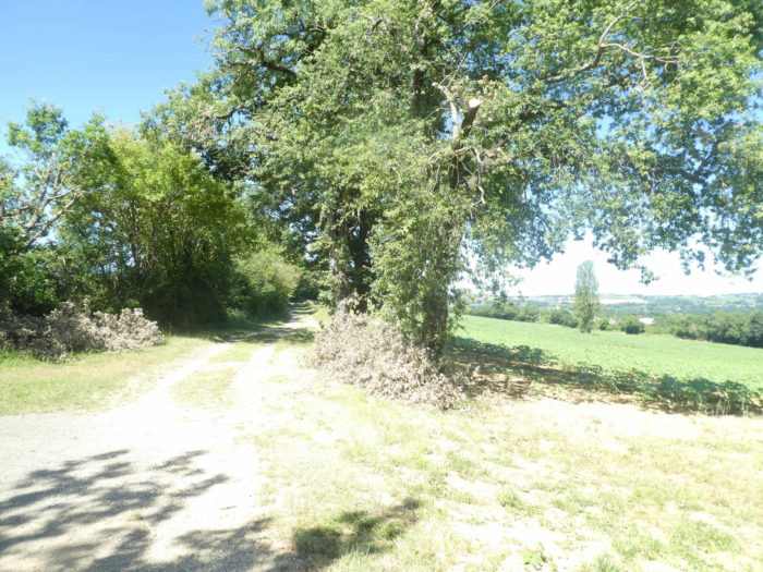
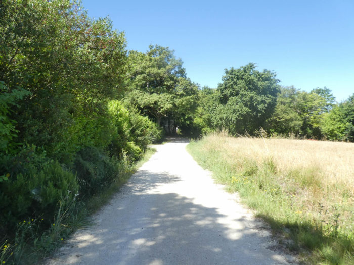
| For a third visit here, the weather was fine at the end of June. As soon as you leave the village, the GR65 starts on a pathway near the D41 departmental road. | |
 |
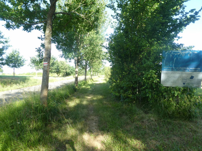 |
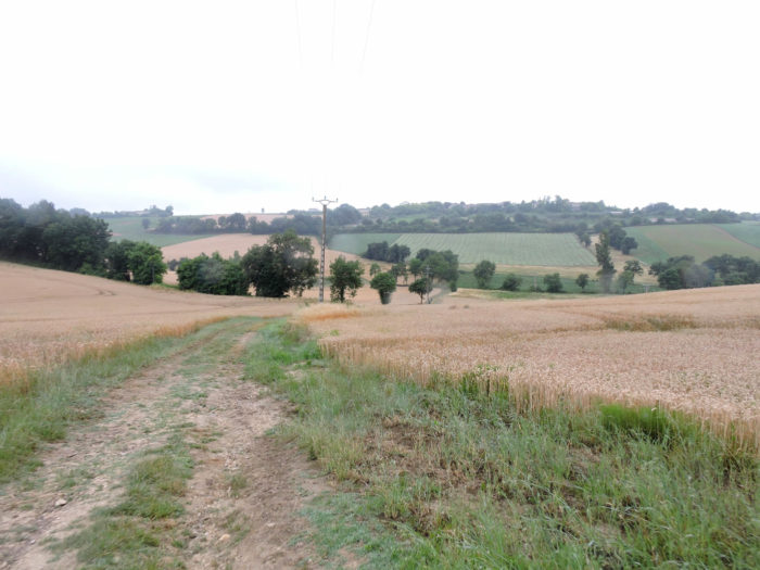
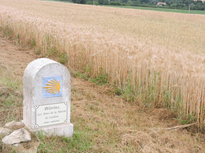
| The pathway runs under oaks and maples, with some hornbeams too. It crosses grain fields and meadows. Most of the wheat has already been harvested and there is often only standing oats and some spring wheat left. | |
 |
 |
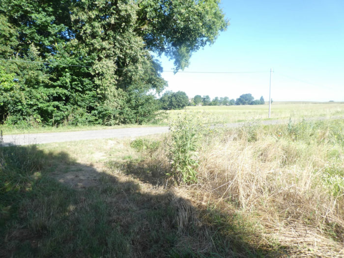
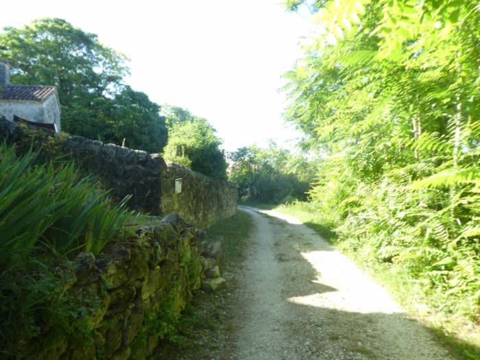
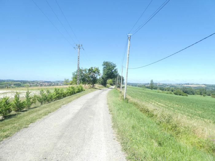
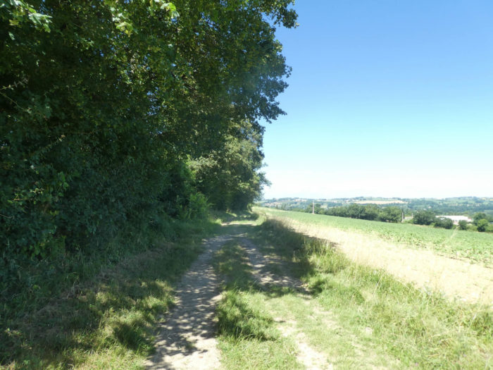
| Further on, at an intersection, a small road leaves the departmental road. The GR65 continues along the small road between undergrowth and countryside. | |
 |
 |
 |
 |
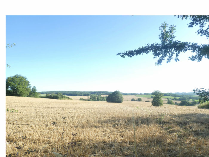
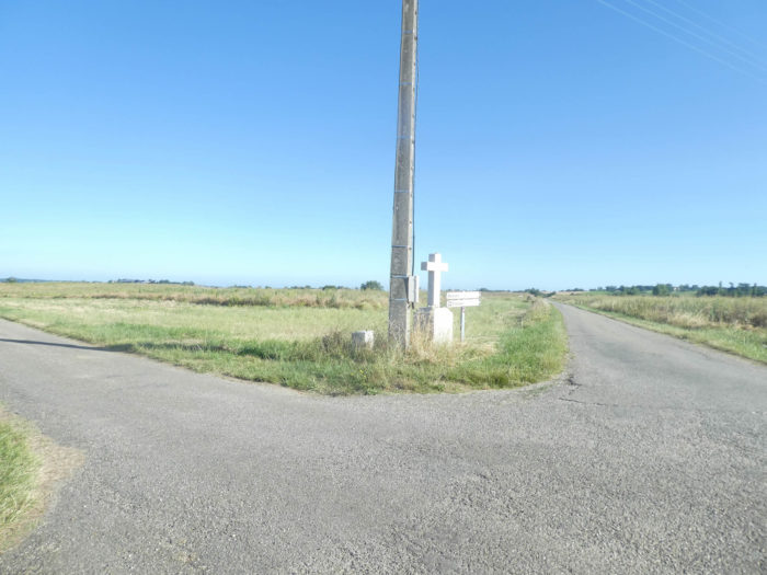
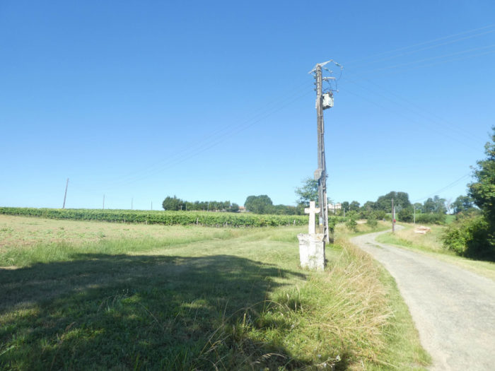
On exiting the undergrowth, it finds a road that it follows until a simple cross at the edge of a crossroads. You are here in the countryside.
 |
 |
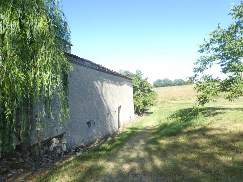
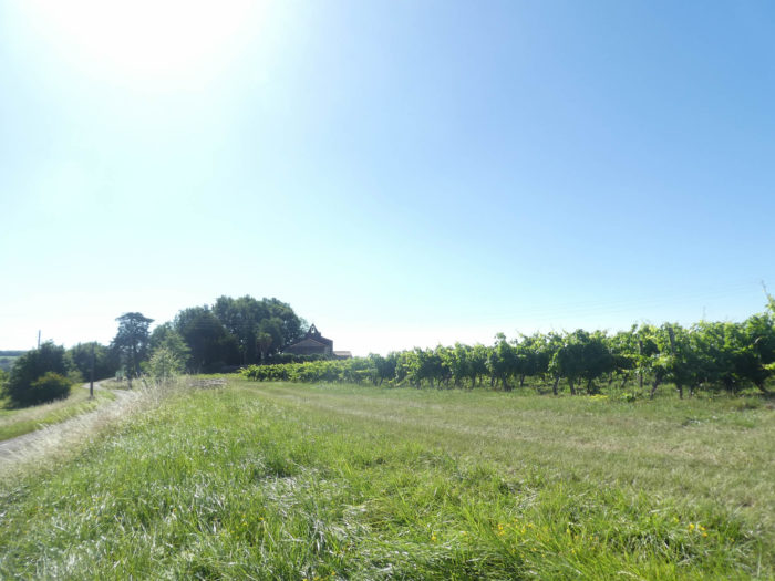
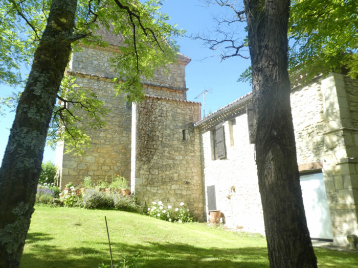
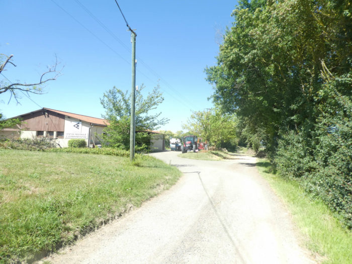
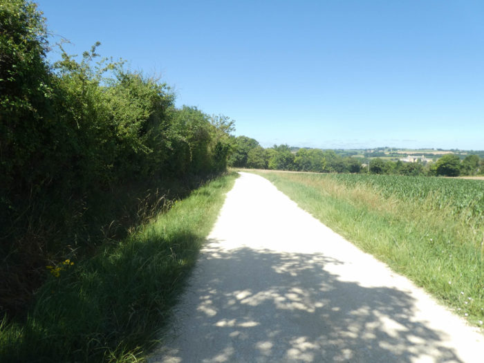
| The GR65 continues on tarmac across fields until you find a building, Château Maridac. | |
 |
 |
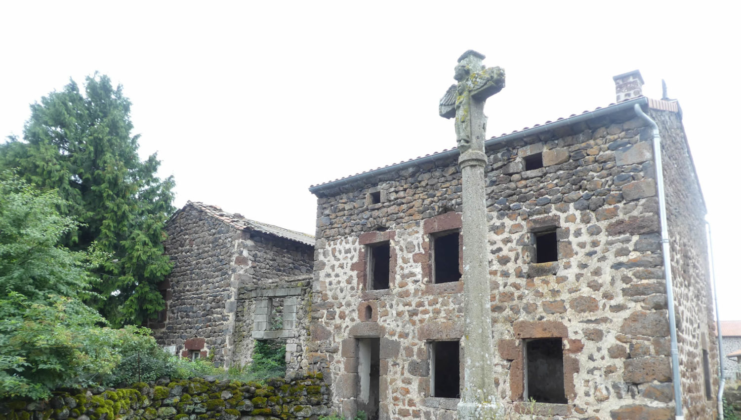
It’s not really a castle! It’s actually just a big farm, but a big, beautiful farm. In Gers, the stone houses are mostly made of limestone rubble, often hidden under lime plaster which only reveals the beautiful cut stones of the frames. Here none of that. The stones burst everywhere with their beautiful nakedness. The farm is like a big square mass under its enveloping roof. A large square tower outside the main building may have been a former dovecote.
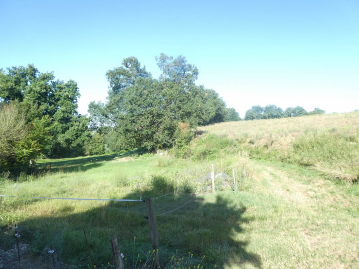
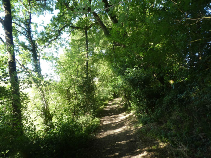
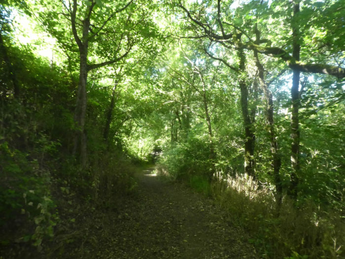
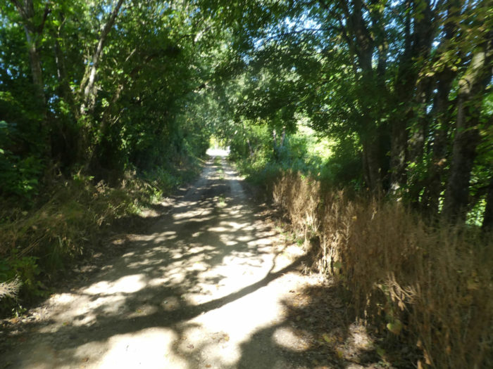
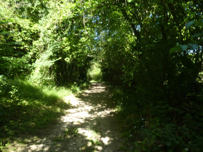
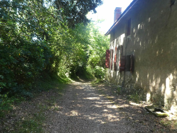
| Beyond the farm, a narrow lane slopes gently down into a fairly dense grove. Maple trees outnumber oaks, which is rare on the Camino de Santiago. | |
 |
 |
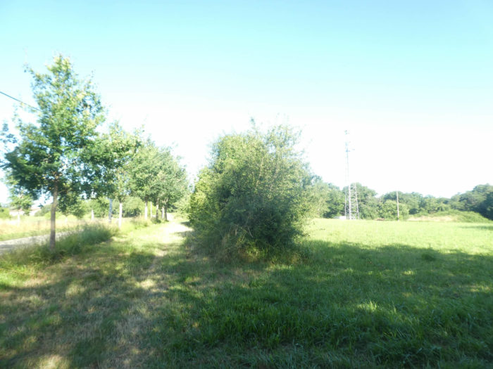
| Further down, the undergrowth becomes less dense and clearings appear. | |
 |
 |
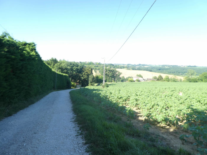
| The GR65 descends to join a paved road at the bottom of the dale along the sunflowers. It then crosses the discreet Marcasson, to immediately climb up the side of another hill. | |
 |
 |
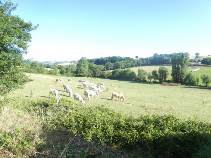
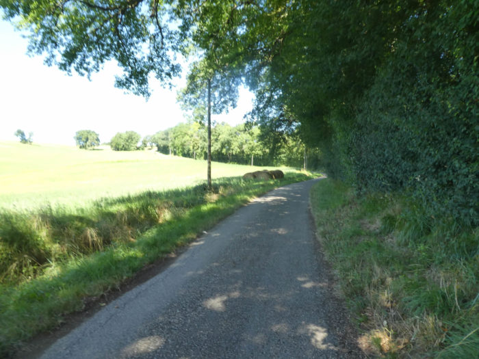
| The slope is quite steep, more than 10%. Under the maples and ash trees, a herd of White Aquitaine cows is hanging on the slope. | |
 |
 |
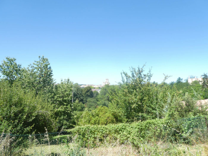
| At the top of the climb, the GR65 reaches a place known as Rmpbuc, where it joins the D41 departmental road. Opposite Castelnau-sur-L’Auvignon points at the top of another hill. | |
 |
 |
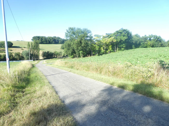
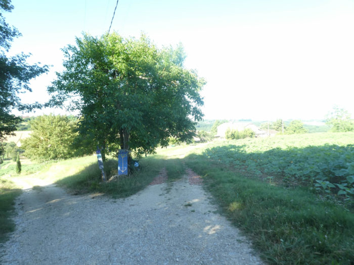
| A wide dirt road then descends through the sunflowers and soybeans at the bottom of the dale At the start, the slope is not very far from 20%. | |
 |
 |
| On the way, a donativo gîte is available, where you pay according to your financial means. | |
 |
 |
| Today everything is sunflower around here. During our last visit everything was cereal. Another country, right! | |
 |
 |
| At the bottom of the dale, the pathway crosses the Mourelot stream, which hardly expresses itself. | |
 |
 |
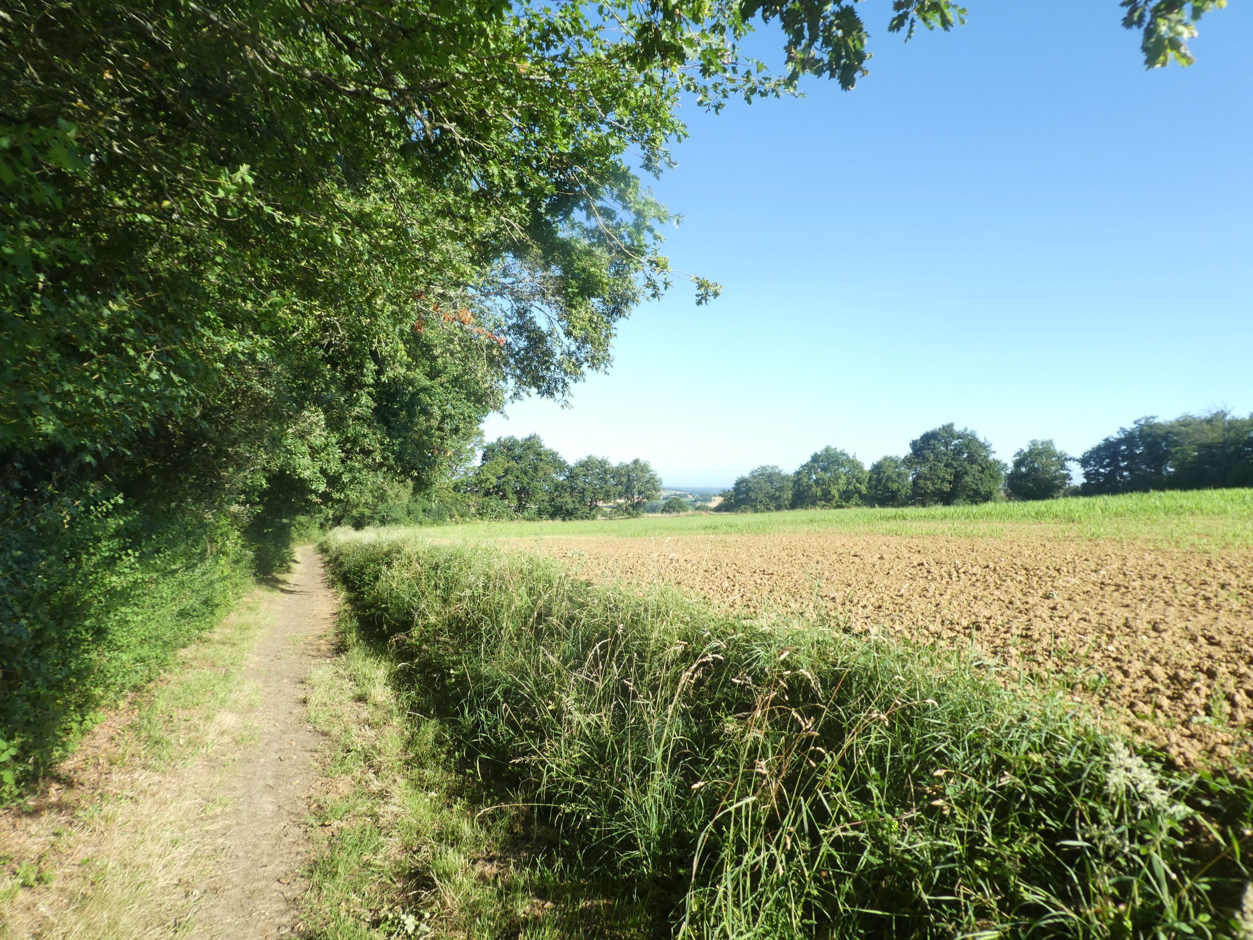
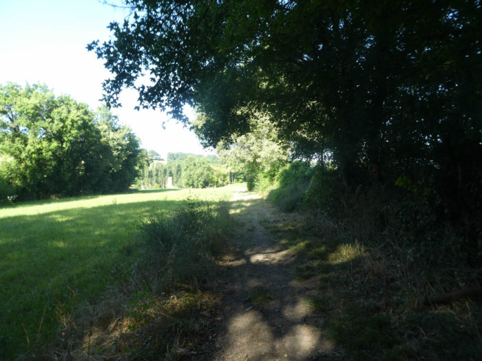
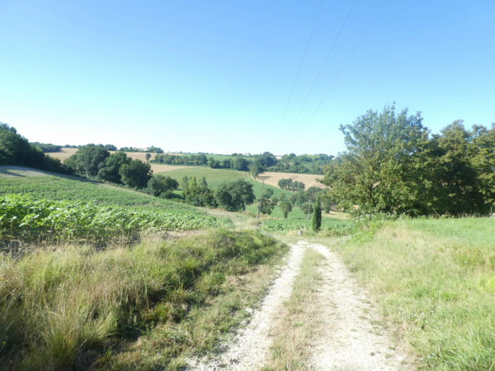
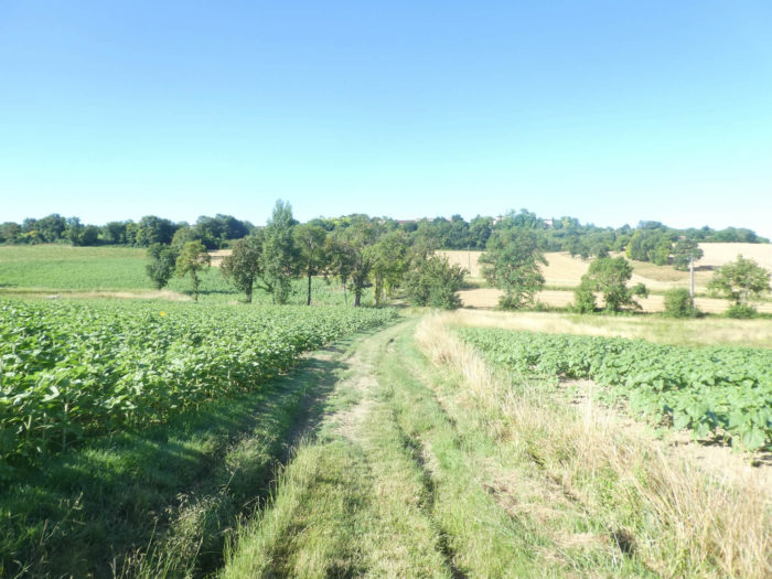
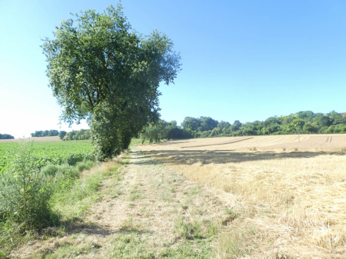
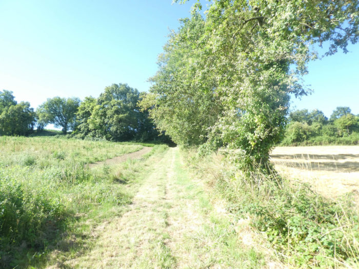
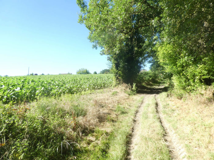
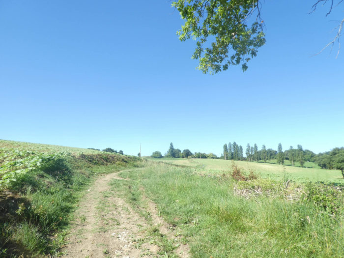
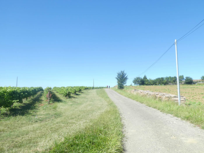
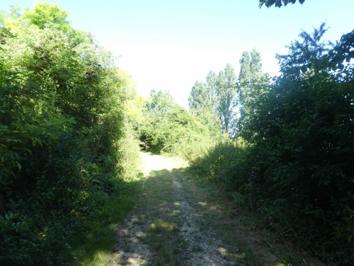
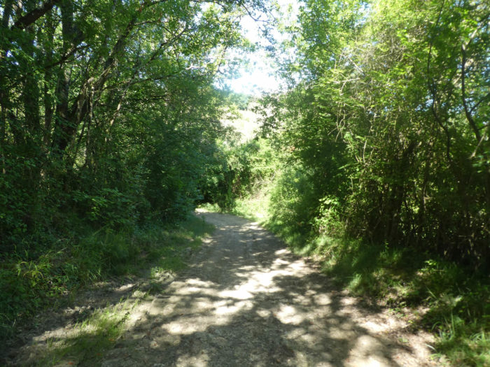
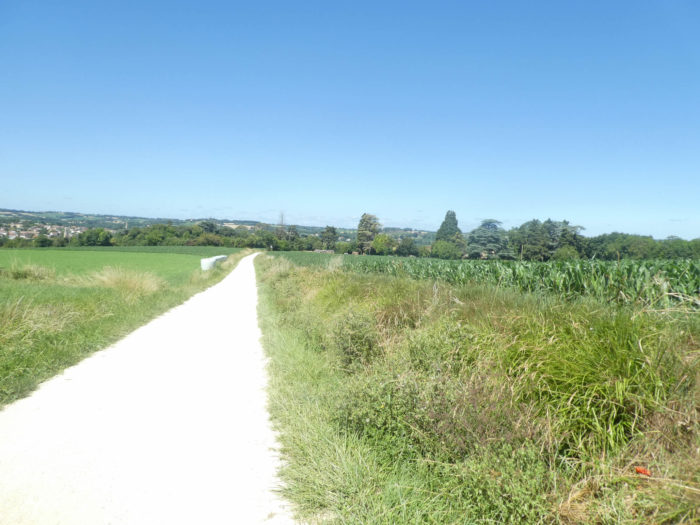
| Climbing to the other side of the dale begins gently on a wide grass pathway that runs through the sunflowers. Here wheat has already been harvested. | |
 |
 |
Section 2: With the resistance fighters of the last war.

General overview of the difficulties of the route: the passage to Castelnau requires a little sweat, with slopes often of almost 20%, especially uphill.
|
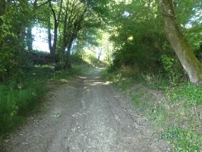
Further up, the slope is steeper, between 10% and 20%, in the undergrowth, where oaks and maples always dominate the game. |
|
 |
 |
|
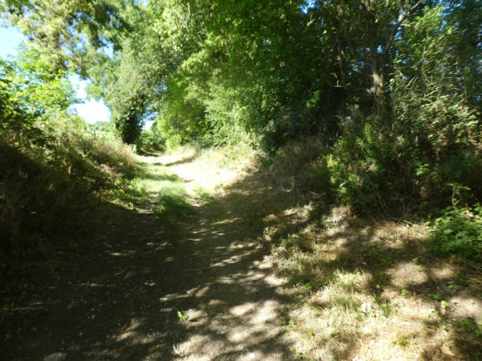
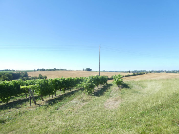
Still up, along the undergrowth, sunflowers are back again. |
|
 |
 |
|
At the top of the climb, the GR65 arrives in Castelnau-sur-Auvignon on the tarmac road. |
|
 |
 |
|
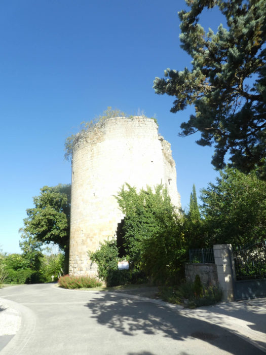
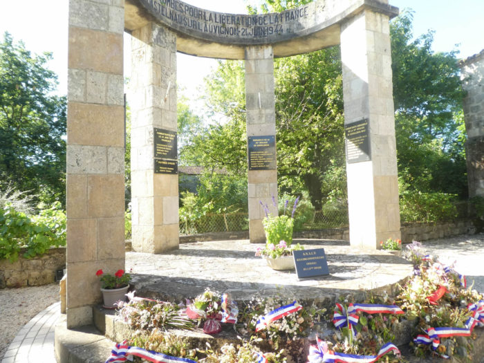
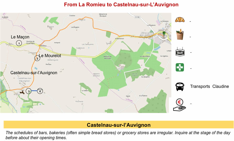
The clean and charming martyr village of Castelnau-sur-L’Auvignon (175 inhabitants), it is a cobbled street which has seen many heroes of the resistance during the Second World War. You can stay in the village. In the past, the GR65 did not make the detour to the memorial site and descended directly under the village towards the river. Since then, it has been a generous and good idea to remind passing pilgrims of certain heroic gestures of the tenebrous people of the last war. . |
|
 |
 |
|
In 1942, British Major George Reginald Starr, known as Colonel Hilaire, an SOE (Special Operations Service) officer, set up his network in the village, armed the local guerrillas, joined by Spanish guerrillas, former members of 1936, convinced of continue their struggle against fascism. On June 21, 1944, in the morning, a German column from Lectoure surrounded the village. There is great resistance, but the German push is becoming irresistible. The population of the village is then evacuated. The last resistance fighters, before fleeing, will blow up the tower of the medieval castle, causing losses among the German soldiers. There will also be many deaths and injuries among the French and the Spanish. In retaliation, the Germans almost completely destroyed the village. Today, the village holds the Croix de Guerre (War Cross) 1939-1945. |
|
 |
 |
 |
 |
|
Leaving the village, the slope is very steep, sometimes almost 20% in the maple undergrowth below the village to the river. This is where the GR variant arrives, which from Marsolan avoids La Romieu. |
|
 |
 |
 |
 |
|
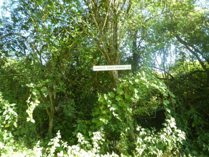
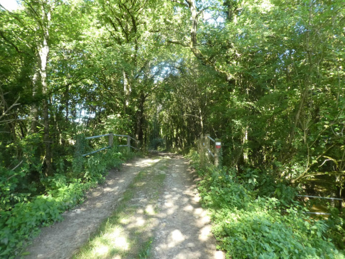
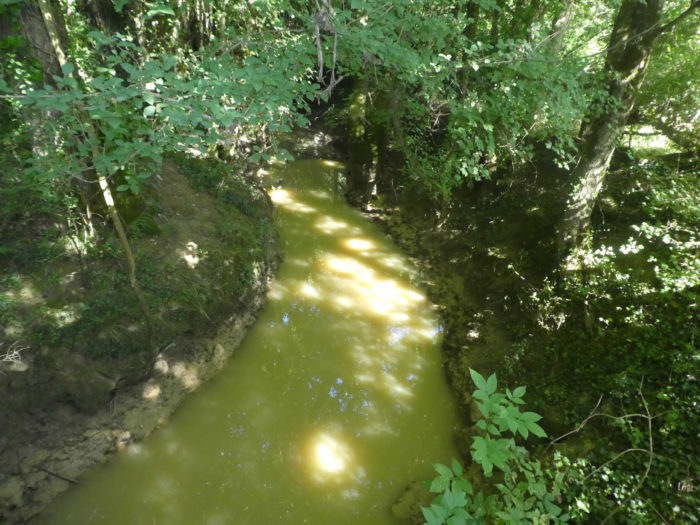
The pathway then takes the direction of Ste Germaine Chapel under the dense foliage of hardwoods, including many maples and ash trees, passing the bridge over Auvignon, a small river, let’s say rather a large stream, cloudy like all the courses of water from the region. |
|
 |
 |
 |
 |
|
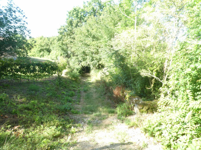
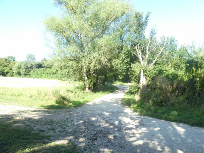
Beyond the river, the pathway leaves quickly in the clearings, at the foot of the fields. |
|
 |
 |
|
A grassy pathway then climbs, gently at first, then steadily sloping through the oilseeds. In Gers, the undergrowth has often been cut off to develop crops. So, it is hardly that near rivers that the undergrowth persists. Most of the time, you’ll only come across isolated trees, especially oaks and maples. |
|
 |
 |
|
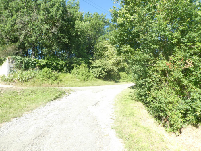
This is where the slope is steepest, when the grassy pathway grazes Prevail hamlet and reaches a paved road a stone’s throw from Ste Germaine Chapel. |
|
 |
 |
 |
 |
|
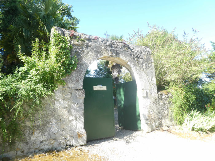
Ste Germaine Chapel, a high place of tranquility and simplicity, is nestled at the bottom of a pleasant park. The legends are tenacious, here as elsewhere. A hermit named Arnold Sans was retired to the region, accompanied by two Benedictine sisters Prima and Hermana. When Hermana was assassinated by the Normans, she imprinted on the rock with her head a mark which became a place of pilgrimage. After nine passages in this divine place, the headaches and colic disappeared like enchantment. Over time, Sancta Hermana became Sancta Germana, then Sainte Germaine. An association of volunteers is trying to renovate the site. Pilgrims like to stop at chapels and cemeteries. There are religious reasons, of course. Are they scavengers? Nay! In this type of place, the fresh water tap is always available to water the flowers, but also the throats. |
|
 |
 |
|
The road leaves the chapel in the vineyards. You are rapidly approaching the wines of Gascony and its famous Armagnac. |
|
 |
 |
|
It’s not just grapes that grow here. In this delicious and harmonious landscape, wheat was also planted, at least this year. |
|
 |
 |
|
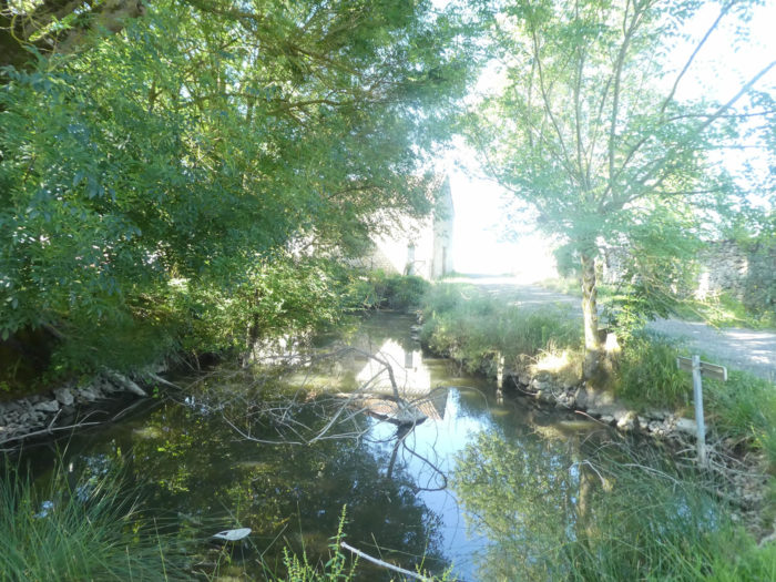
The road continues to climb gently to reach the entrance to Le Baradieu hamlet, near a jewel of a stretch of water hidden under the ash trees. |
|
 |
 |
|
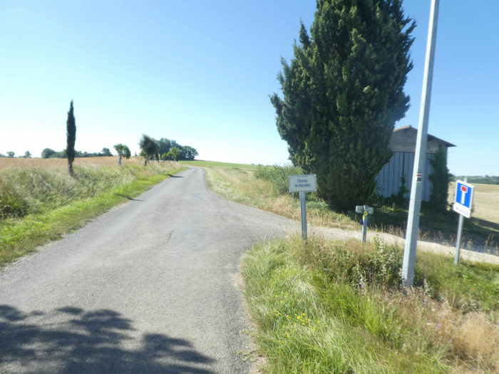
In the hamlet beautiful houses proudly display their stone rubble. |
|
 |
 |
|
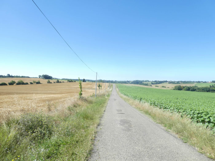
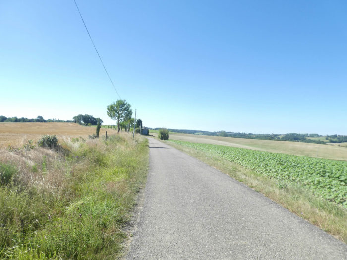
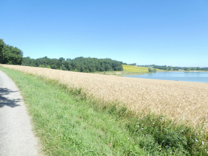
Then the road crosses a large plateau, between wheat and sunflowers … |
|
 |
 |
|
… until you branch off onto a wide dirt road that leads down to the undergrowth. Today, there are only sunflowers and soybeans, and large fields sown with green manure. |
|
 |
 |
But see how the country changes every year. During one of our trips here in the rain, a pilgrim would slope down into the wheat fields, playing Little Red Riding Hood, no doubt to go and carry some pancakes to her grandmother.

|
Further down, the GR65 gets at a place called Moras, where it crosses a new undergrowth… |
|
 |
 |
|
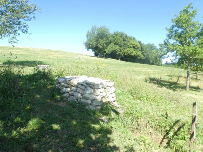
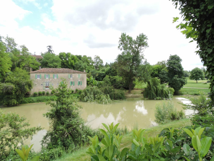
… to find yourself face to face with an imposing and magnificent stone building that emerges from the corner of the woods. The palace of Sleeping Beauty, lost in nature, in a way. |
|
 |
 |
|
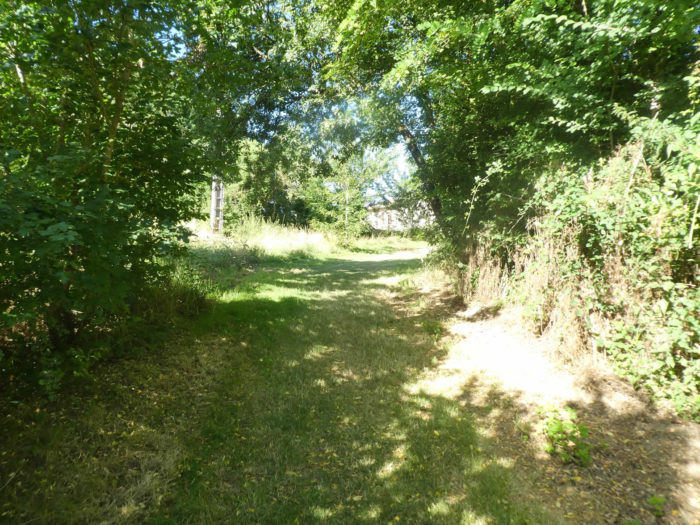
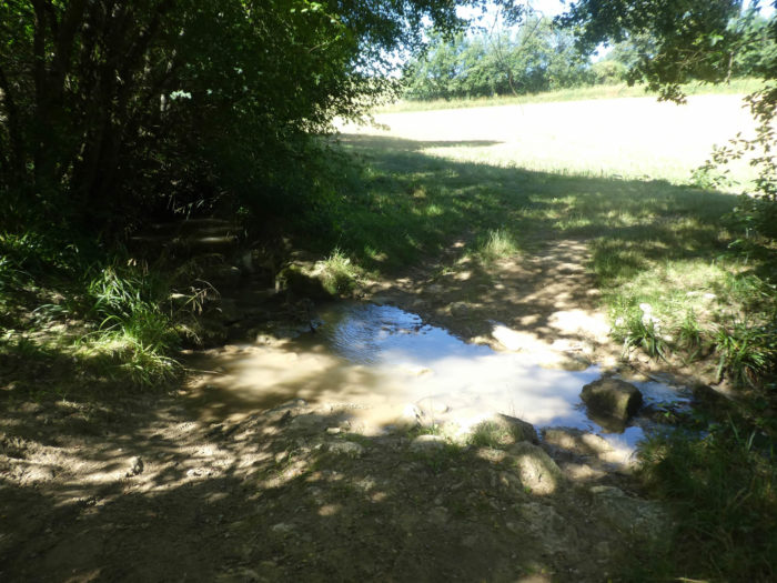
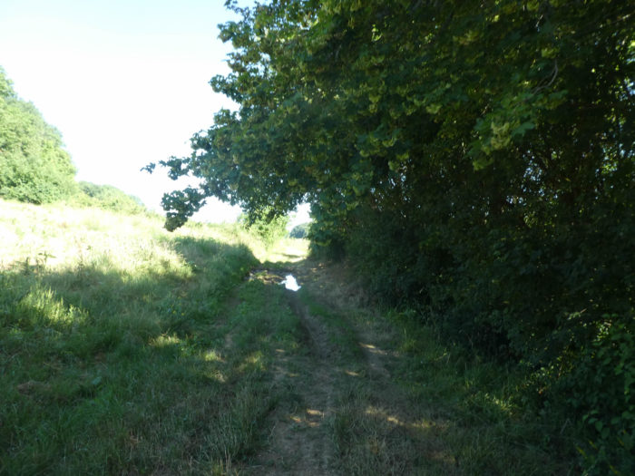
Here the GR65 remains in the often-dense undergrowth dominated by country maples, until you find a stream that you pass over stones, an obstacle that is more difficult to cross in heavy weather. |
|
 |
 |
 |
 |
Section 3: Departure towards the Musketeers via a peaceful lake.
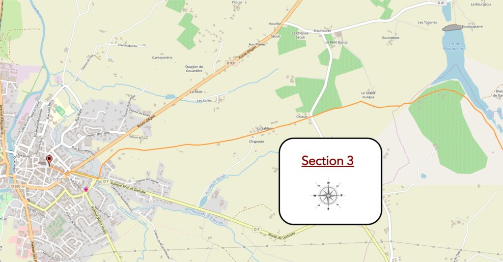 General overview of the difficulties of the route: course without any difficulty.
|
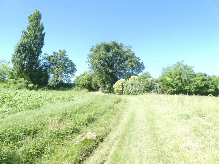
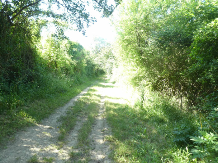
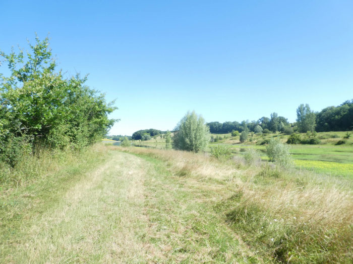
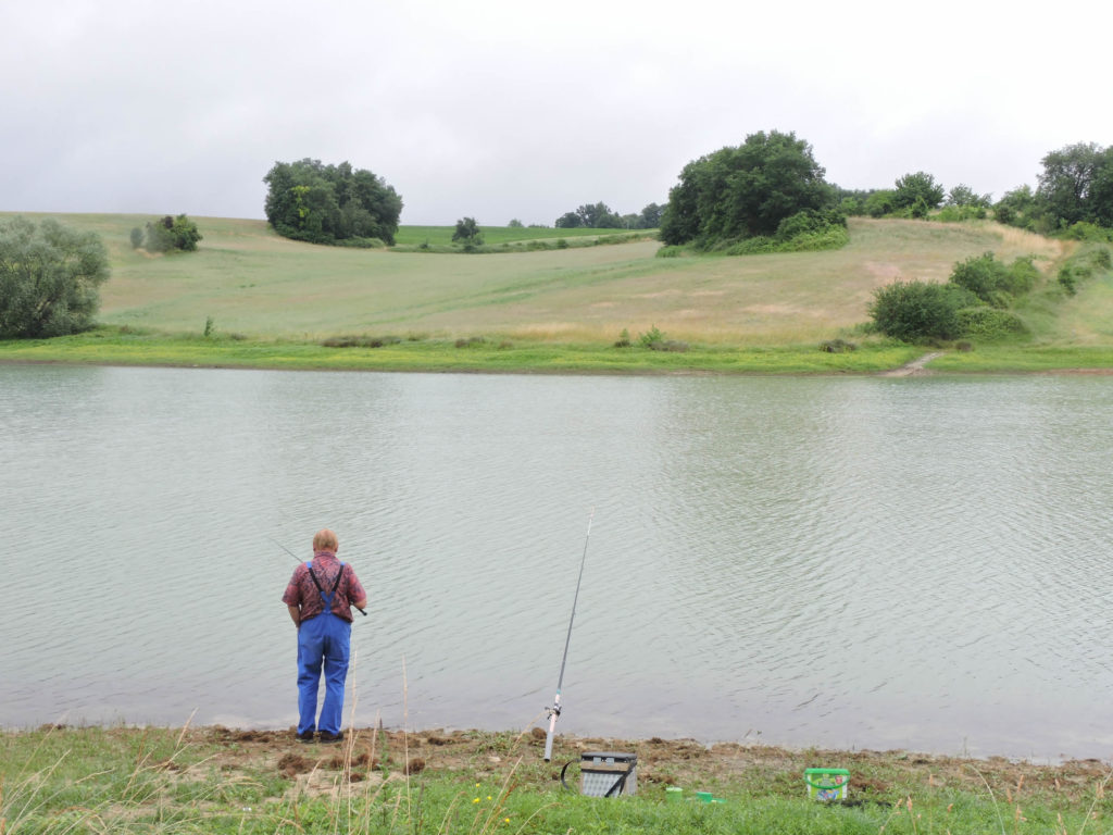
The pathway quickly emerges from the undergrowth to trail through the moor towards a lake. |
|
 |
 |
 |
 |
For your pleasure…
Wait for the video to load.
This year, the water is not abundant, we had known this lake more filled. This is the kingdom of carp, but the angler tells us that the proliferation of catfish is becoming a serious problem here.
|
In the middle of the lake, the GR65 climbs on the tar when entering Armagnac-Ténarèze area. |
|
 |
 |
|
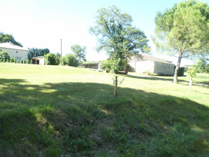
The climb ends in Fromagères hamlet and its large farm, nestled under large oak trees. With such a hamlet name (Cheese), there can only be cows here. They were very discreet during our last visit. |
|
 |
 |
|
A paved road slopes down from the hamlet, under oaks, sycamore maples and hornbeam, to Lassos brook. |
|
 |
 |
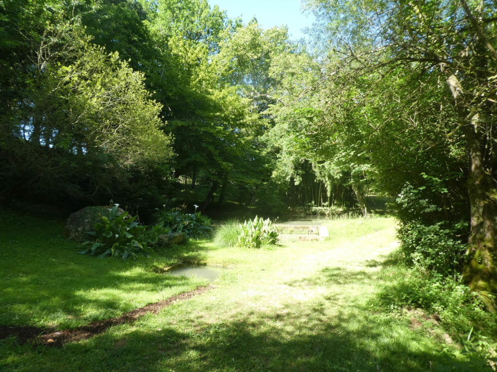
What is more beautiful than a small spot of greenery, near a small pond nestled under large trees where tranquility and magic reign, to relax, savor your pleasure and let your imagination wander?
|
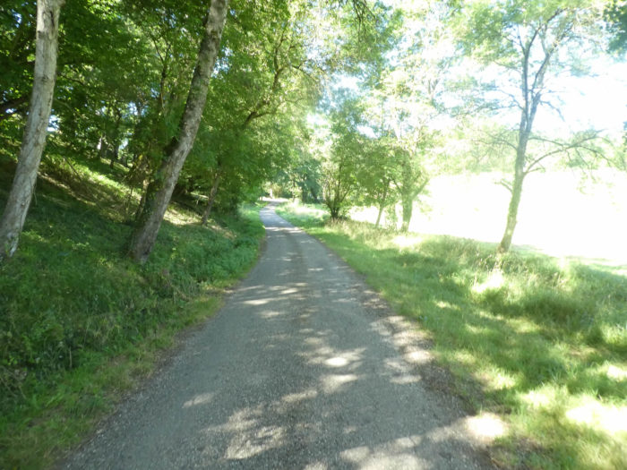
You never linger for long hours on the Camino de Santiago, because the road in front of you reminds you of reality, along the hardwood undergrowth and meadows. |
|
 |
 |
|
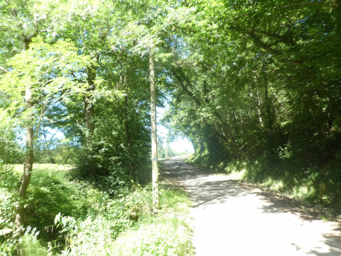
Soon after, the paved road begins to climb steadily towards the top of a hill. |
|
 |
 |
|
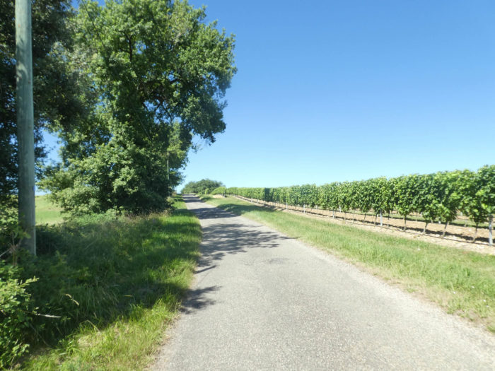
Up there, at the top of the ridge, under the tall ash trees, the vines are lined up. It almost already smells of Armagnac, or more often the miasma of pesticides. |
|
 |
 |
|
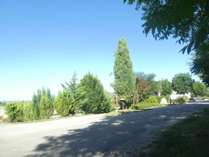
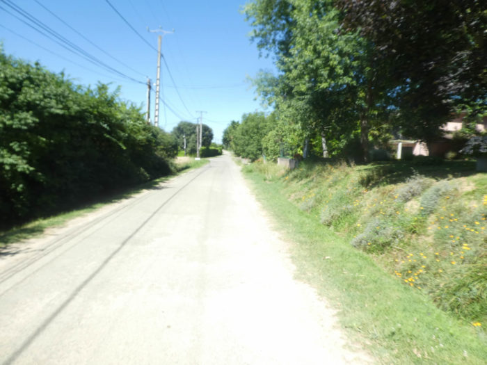
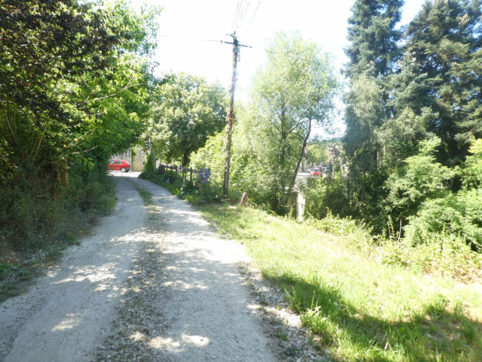
The area is inhabited here, and the road descends past residential houses hidden behind hedges. |
|
 |
 |
|
In the same setting the road crosses the extended village of La Sablière. It is not really a village, rather houses scattered on both sides of the road. From here you can already guess Condom on the plain. |
|
 |
 |
 |
 |
|
Here the fields are again very extensive on both sides of the road, with messages of friendliness towards the pilgrims. Today it’s corn, the previous time it was wheat. |
|
 |
 |
|
The paved road ends in a cul-de-sac near a large farm. |
|
 |
 |
|
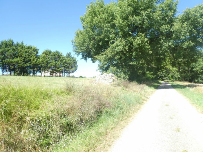
Further afield, a pathway will run around the undergrowth of maple and oak trees above the huge fields of sunflowers and corn. |
|
 |
 |
 |
 |
|
Condom isn’t far away. A wide dirt road slopes down there. |
|
 |
 |
|
The wide dirt road descends through the crops until it is at the entrance to a wood. |
|
 |
 |
|
What is quite astonishing here is that a pathway descends into the thickets, as if we were in the middle of nature, to say that we come a stone’s throw from a city of nearly 7,000 inhabitants. At the bottom of the descent, you can see St Barthélémy Church in front of you, now a museum of sacred art. |
|
 |
 |
 |
 |
|
A few tens of meters below, the cathedral rises in the distance behind the dense vegetation. The pathway then arrives at the gates of the city. |
|
 |
 |
Section 4: In Condom.
|
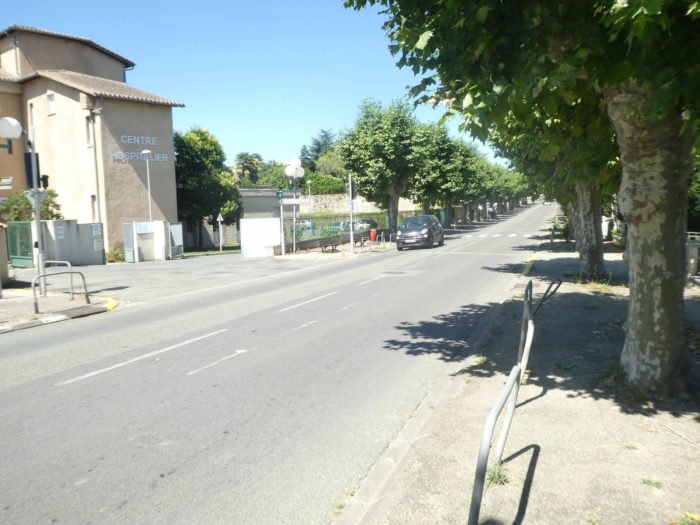
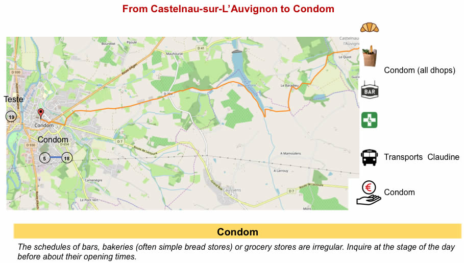
The GR65 then passes through the hospital district, crossing Gèle River, one of the two rivers that flow here. The city is located on a place of confluence of the two rivers, and it is from this particularity that it takes its name Condomagos, a Gallic term meaning “market of the confluence”. |
|
 |
 |
|
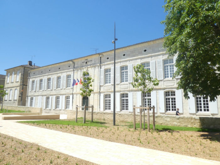
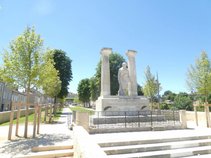
A little further on, the war memorial and the town hall stand on a large terrace. It’s gigantic. It feels like you’re in a city of over a million people. |
|
 |
 |
|
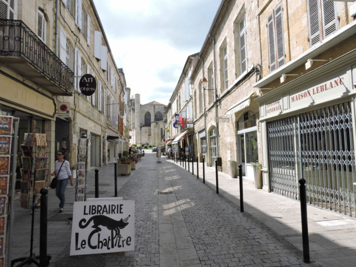
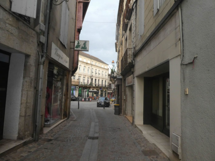
The city center is close by, much more discreet. A very shopping street leads to the cathedral square. |
|
 |
 |
|
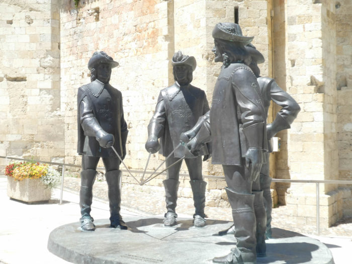
In the cathedral square, the statue of Artagnan and his faithful Athos, Portos and Aramis crossing iron is recent. It was offered in 2100 by a Russian sculptor, in love with the musketeers. |
|
 |
 |

|
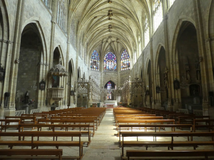
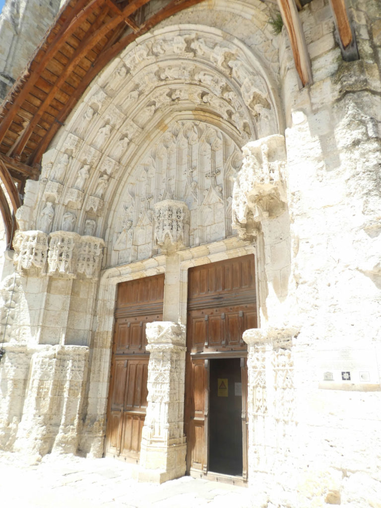
St Peter’s Church is a beautiful 16th century building. It was the seat of a now defunct bishopric. The luminous nave is particularly remarkable. The tympanum is also sober and of great majesty. |
|
 |
 |
|
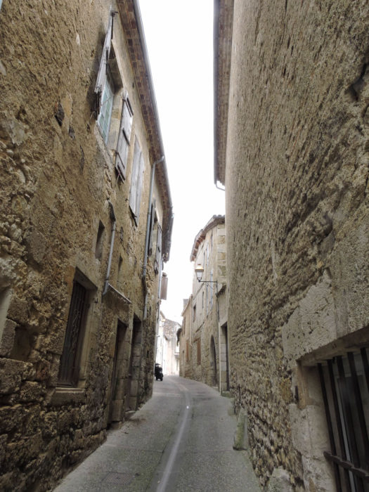
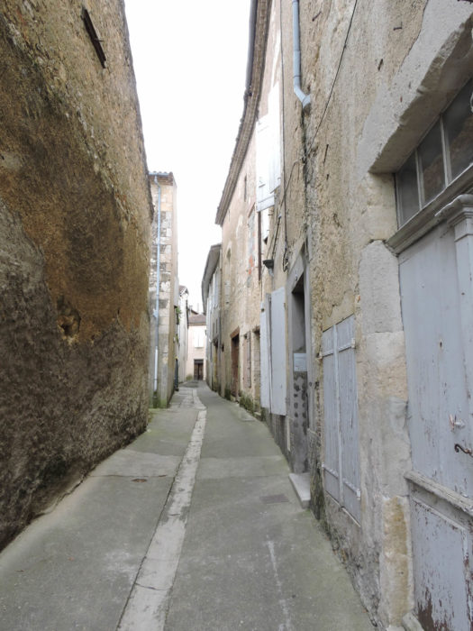
Another part of the city is also of great interest. It is below, at the level of the Baïse River. You’ll travel here the next day continuing the track. You can take narrow and picturesque alleys to reach it, along houses retaining their stone rubble structure. |
|
 |
 |
|
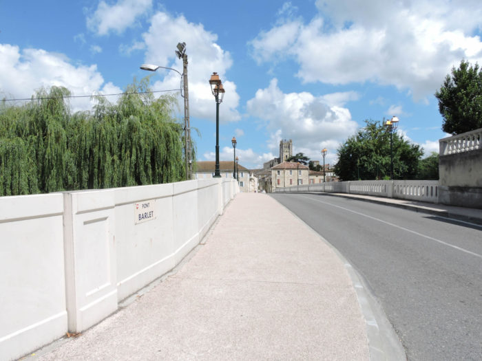
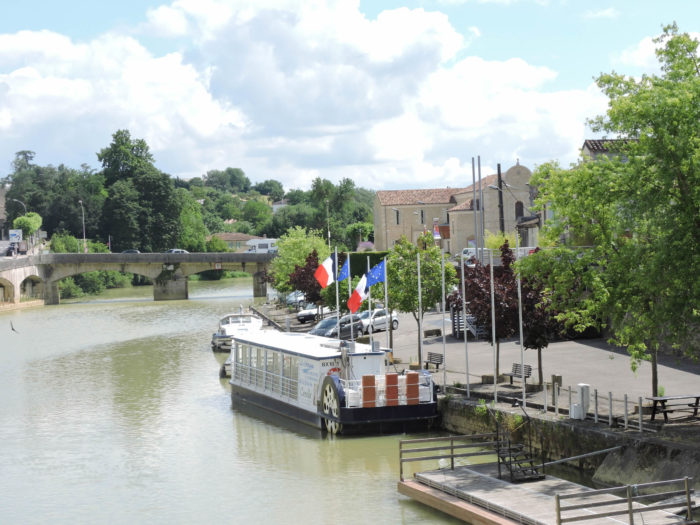
The Barlet Bridge was built in the 13th century. It was often remodeled because of its fragility. A small river activity still reigns today at the port on Baïse River. Another bridge crosses the river a little further. |
|
 |
 |
|
Two old mills face each other over the two banks of the Baïse River. Despite their rather dissimilar appearance today, they were built at the same time in the 13th century. One of Barlet’s two mills has kept its original appearance, practically intact. On the other hand, the great mills of Barlet have been altered over time. |
|
 |
 |
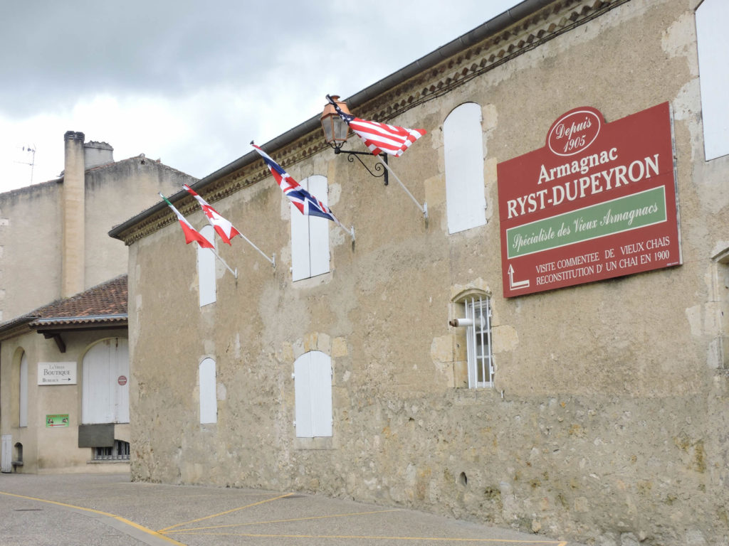
The course of the river was channeled long ago to ensure the export of Armagnac to Bordeaux, an activity that explains the greatness and prosperity of the city in the past. What few people know is that the renown of Armagnac, we owe it to the pilgrims of Compostela. Armagnac is as old as the pilgrimage. Pilgrims used it to heal their wounds, and also to boost morale. They were carrying vials of the precious liquid on the way there and back, advertising the medicinal liquor throughout the world. Even today you will come across cellars in the town even though the center of the Armagnac is lower in the southwest.
|
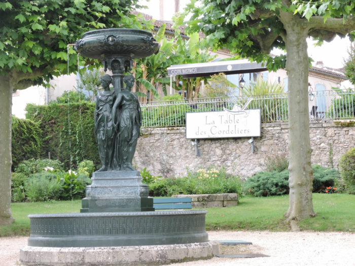
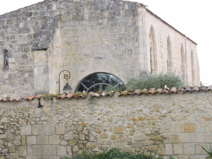
The city is completely bathed by the pilgrimage. The installation of a first hospital for pilgrims dates back to the beginning of the 14th century, followed a century later by the creation of a second, near the small church of St Jacques de la Bouquerie, a stone’s throw from Barlet Bridge. All these buildings are now gone. We cannot leave the city without mentioning the Table des Cordeliers and its jewel of a restaurant, nestled in an old chapel. This establishment was, decades ago, one of the best restaurants in France. Then there was a decline and the restaurant tried to rebuild its reputation. During our last visit, we learned that it was chiused, at least for now. |
|
 |
 |
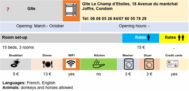
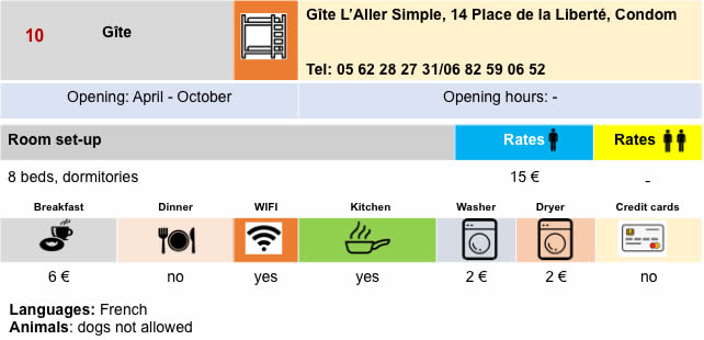
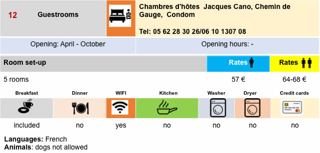
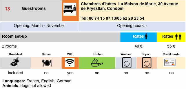
Lodging
 |
 |
 |
 |

 |
 |
 |
 |
 |
 |
 |
 |
 |
 |
 |
 |
 |
 |
Feel free to add comments. This is often how you move up the Google hierarchy, and how more pilgrims will have access to the site.
 |
Next stage : Stage 25: From Condom to Montréal-de-Gers |
 |
Back to menu |