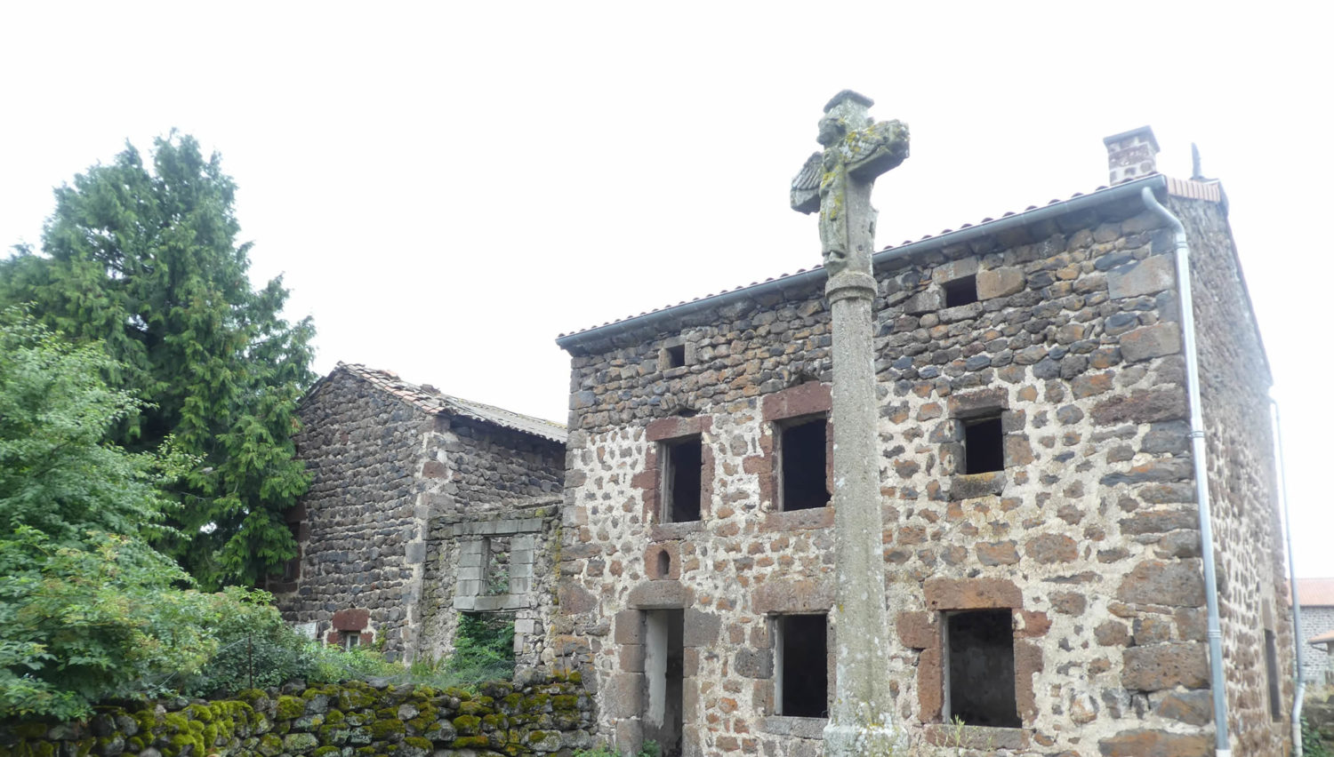
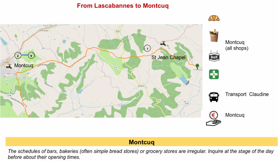
From one village to another, perched on the hills
DIDIER HEUMANN, MILENA DALLA PIAZZA, ANDREAS PAPASAVVAS
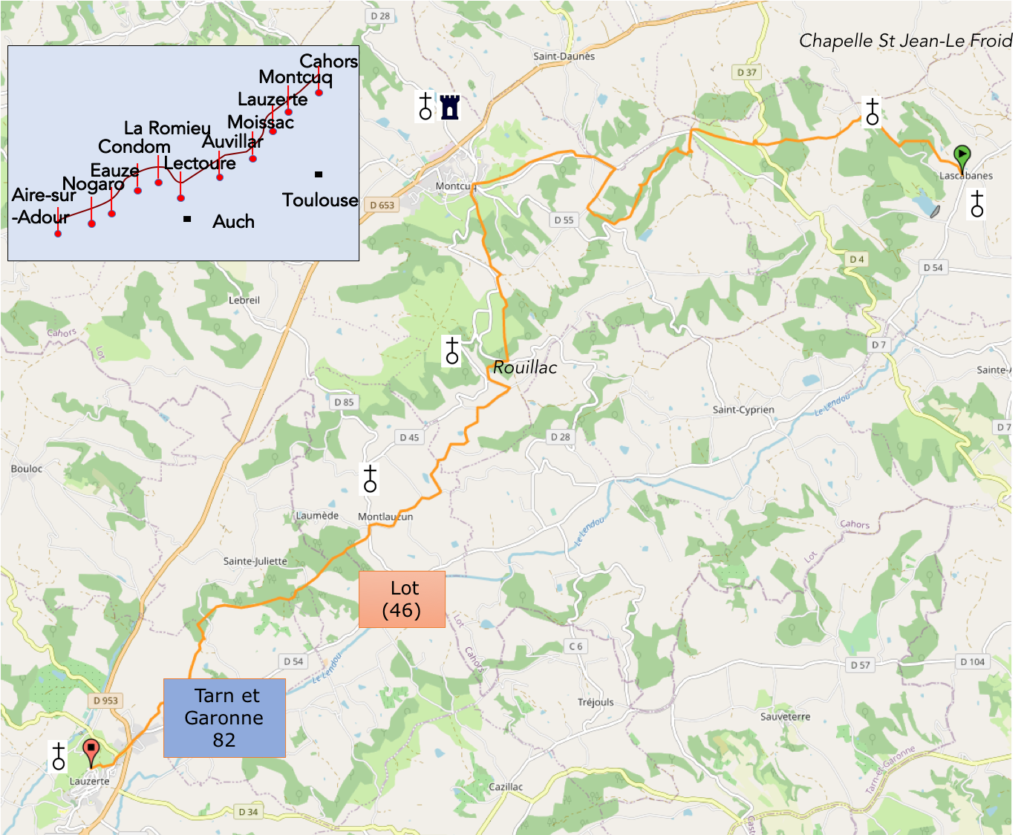
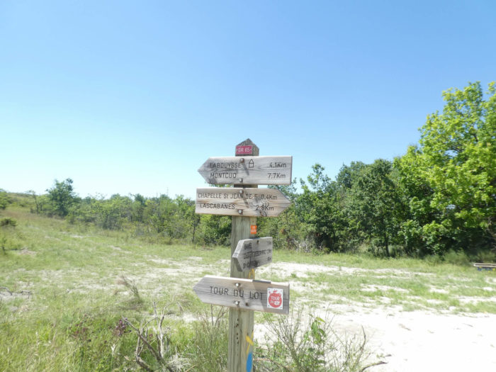
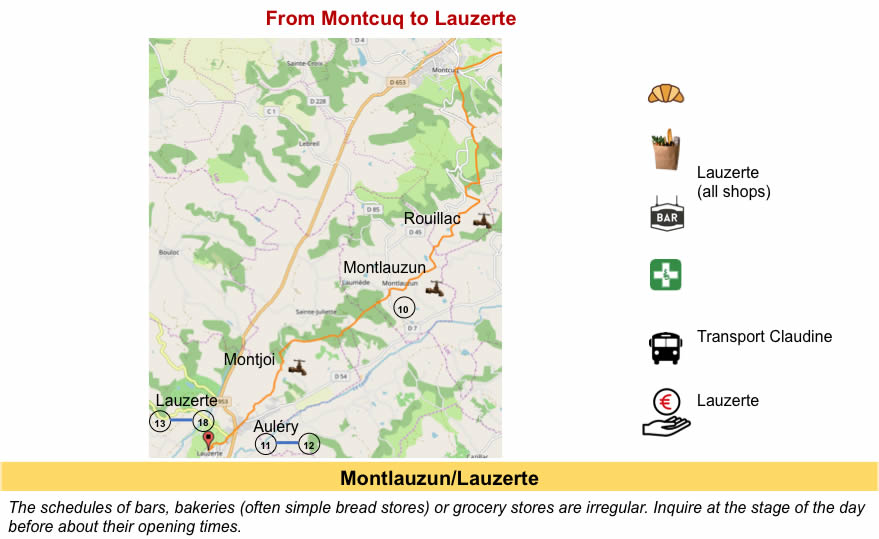
We divided the course into several sections to make it easier to see. For each section, the maps show the course, the slopes found on the course, and the state of the roads. The courses were drawn on the “Wikilocs” platform. Today, it is no longer necessary to walk around with detailed maps in your pocket or bag. If you have a mobile phone or tablet, you can easily follow routes live.
For this stage, here is the link:
https://fr.wikiloc.com/itineraires-randonnee/de-lascabannes-a-lauzerte-par-le-nouveau-gr65-54196085
It is obviously not the case for all pilgrims to be comfortable with reading GPS and routes on a laptop, and there are still many places in France without an Internet connection. Therefore, you can find a book on Amazon that deals with this course. Click on the book title to open Amazon.
If you only want to consult lodging of the stage, go directly to the bottom of the page.
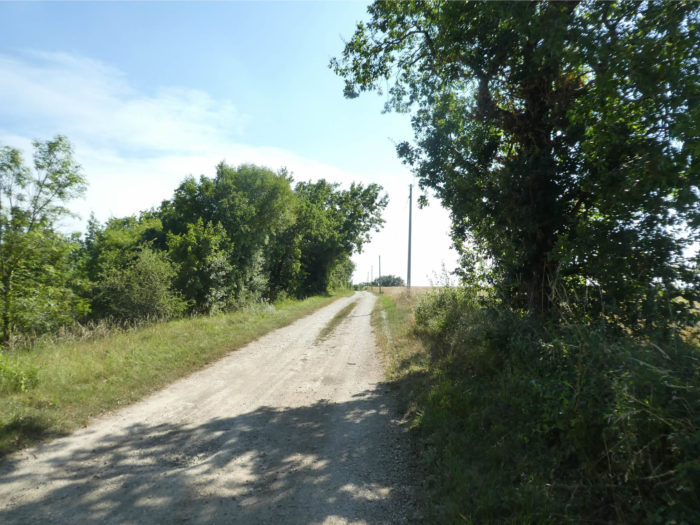
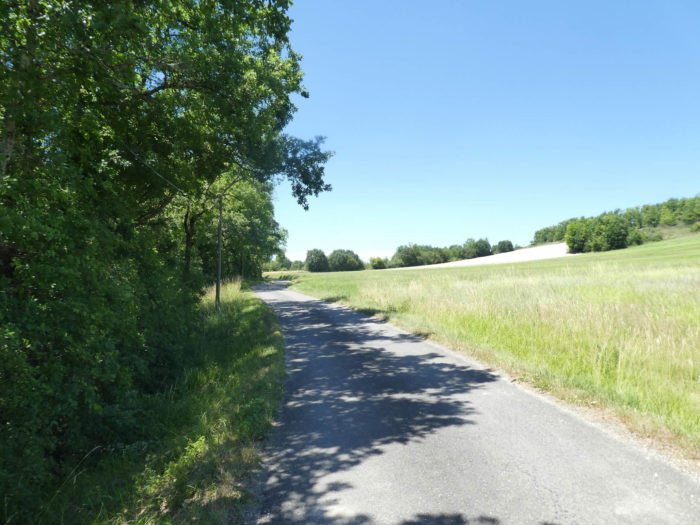
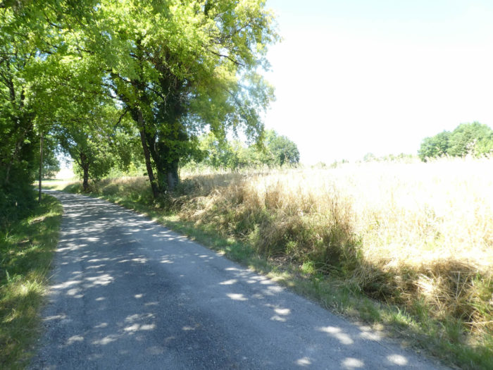
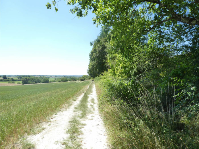
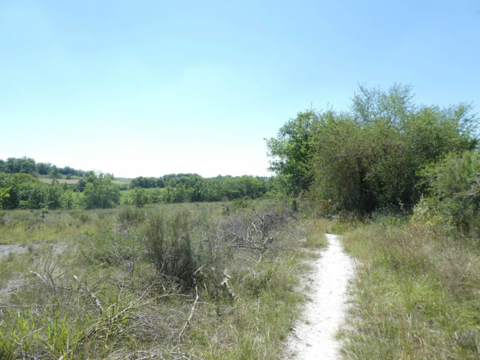
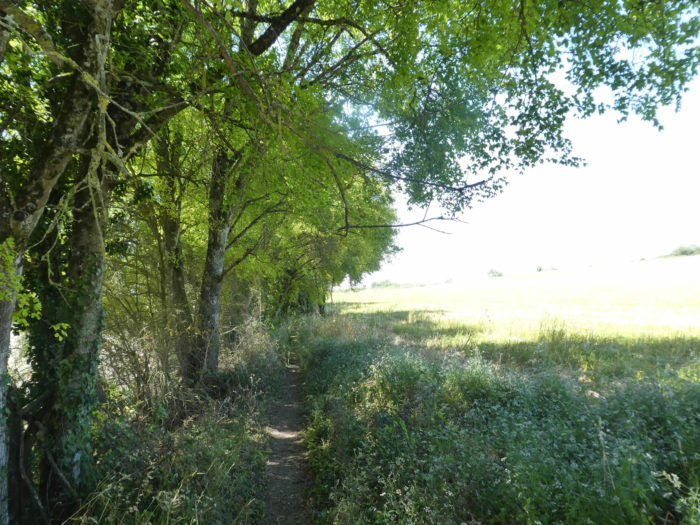
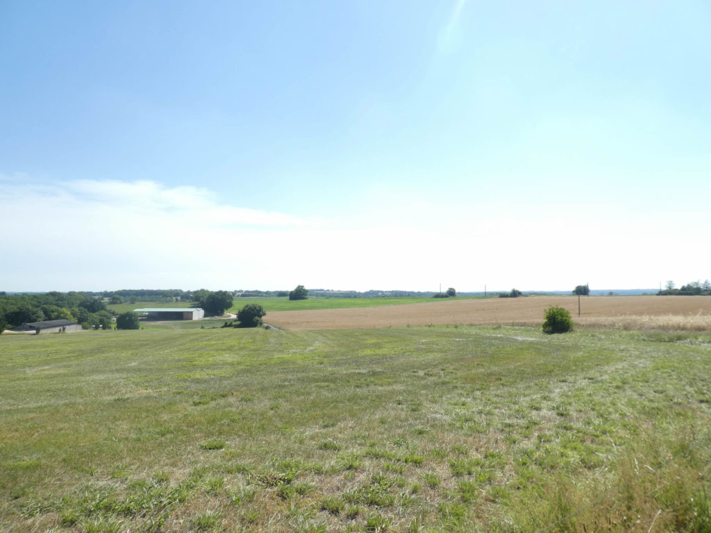
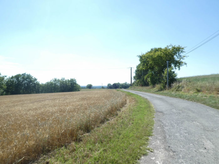
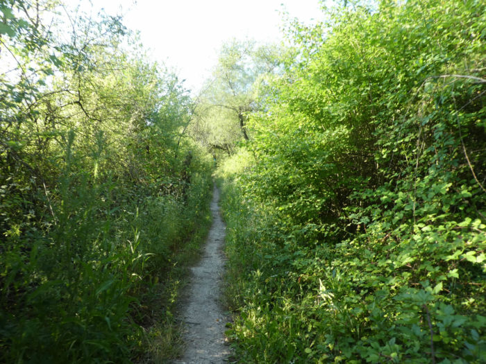
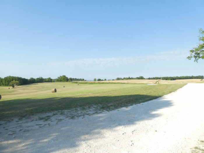
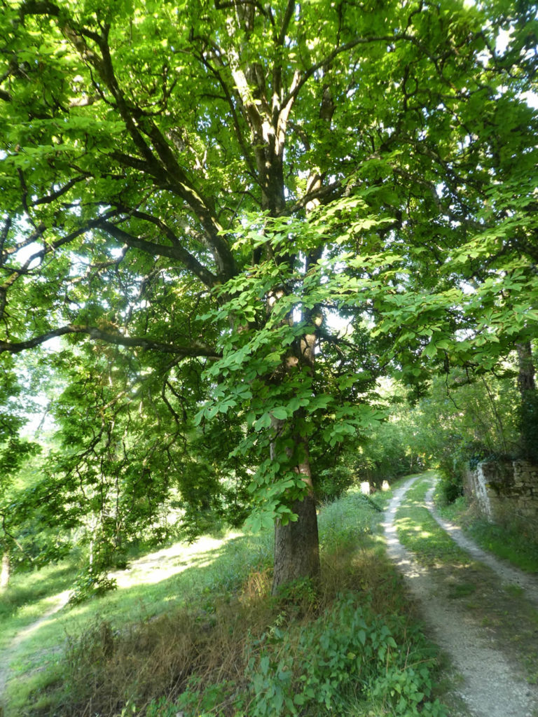
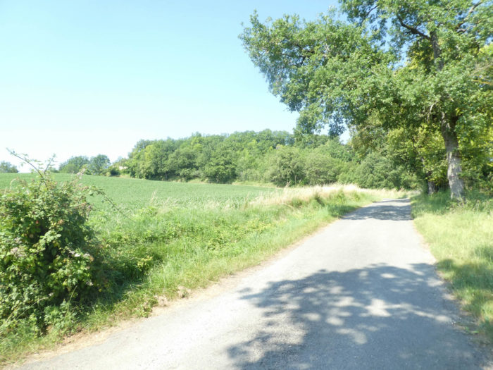
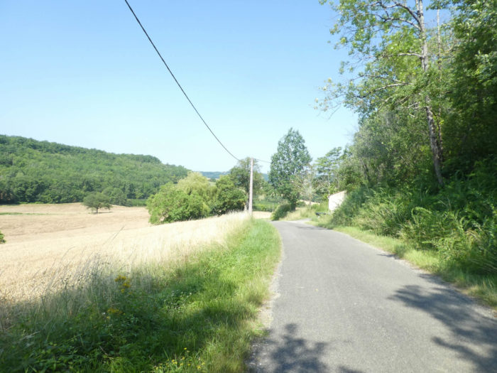
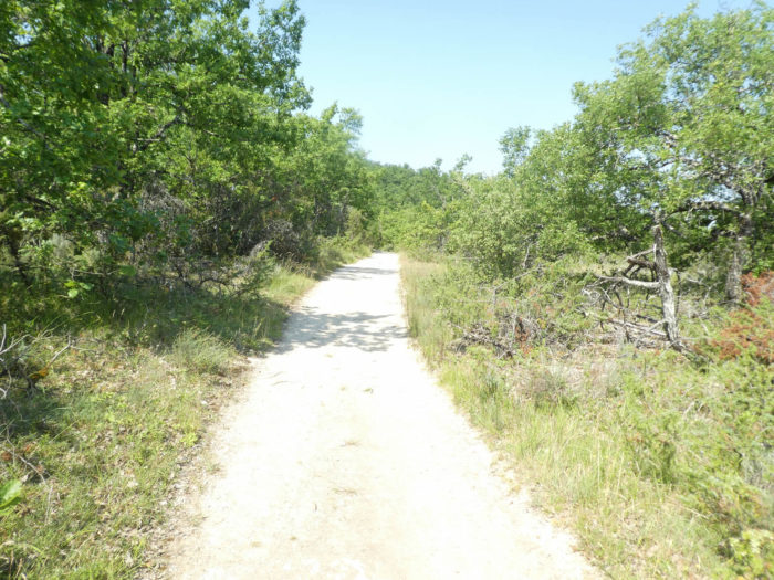
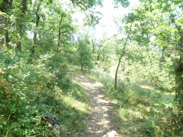
The day is still spent in the White Quercy, this vast plateau, sometimes with hills, having as its base large banks of limestone and marl. The soils, often made of soft limestone, clay or sand, range from the deepest white to light brown. The light often flatters the white limestone rubble of fairly opulent houses. The vegetation is already becoming almost Mediterranean. The small oaks still dominate the landscape, but you also see maples, chestnuts, thick boxwoods, and wild grasses. If, from Cahors to Lascabannes, the land reclaimed from the undergrowth was above all meadows, here the areas devoted to crops surpass the forage areas. The forest is greatly disappearing. The succession of plateaus and valleys makes all the richness of the landscape. The hillsides have gentle curves, highlighted by the furrows of ploughing. In the humid valleys, many poplars, alders and plane trees compete with the hedges, the clumps of trees around the farms, and the very numerous groves of oaks. The architecture of the houses and farms that form the rural heritage of White Quercy is characterized by low-pitched roofs covered with canal tiles, made of squared white rubble. The medieval landscape finds confirmation in the crossing of the villages, with their narrow streets, their small bastides, their ogival windows. Here the whiteness of the limestone still shines, sometimes nuanced with yellow, pink, even blue. Many dovecotes are still visible. The pastures bring a Mediterranean and wild note to the landscape, planted on small hills bristling with small oaks whose stunted silhouette stands out against the sky, dotted with junipers and brooms, which in spring undulate in the wind. The landscapes combine open horizons on the plateaus, shaded passages in the undergrowth, and beautiful perspectives on the hills and dales. In fact, the landscapes of the plateaus form a sort of backdrop in which the motifs of the valleys are inscribed. The country hesitates between a tradition of polyculture and livestock farming. The diversity and richness of the soil favor a polyculture which is available in cereals and fodder. But you also see the development of orchards where plums abound. Agen is not that far away. Elsewhere, vines, melon tunnels, tobacco complete the agricultural panoply.
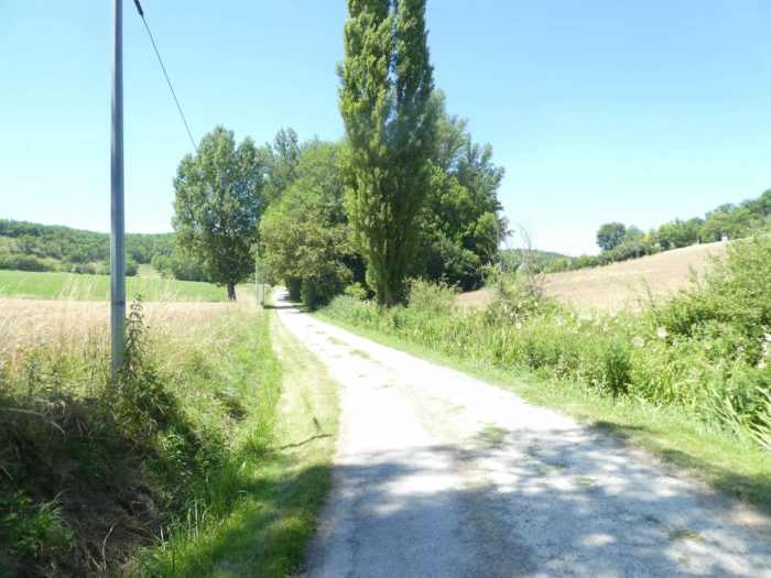
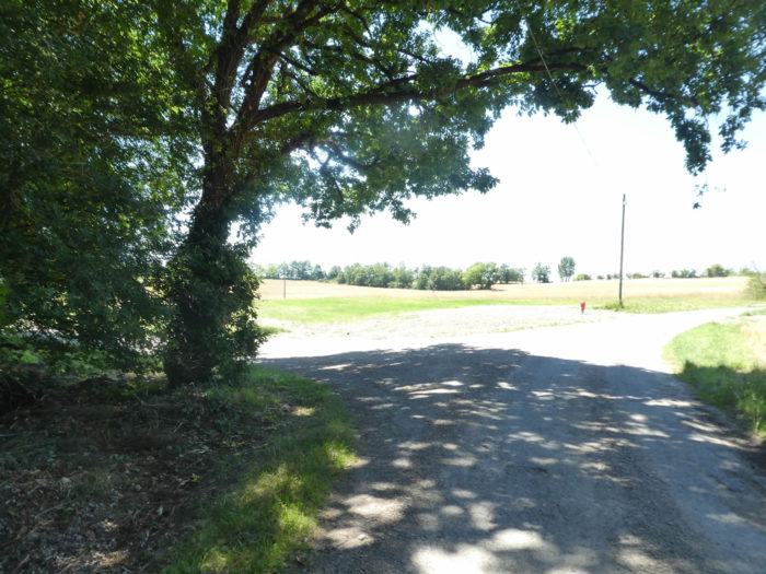
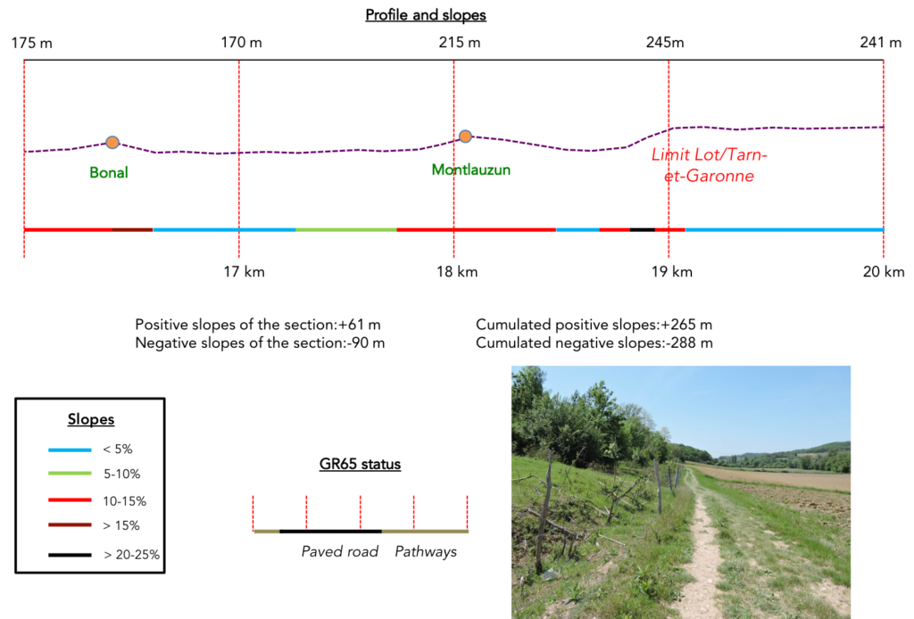
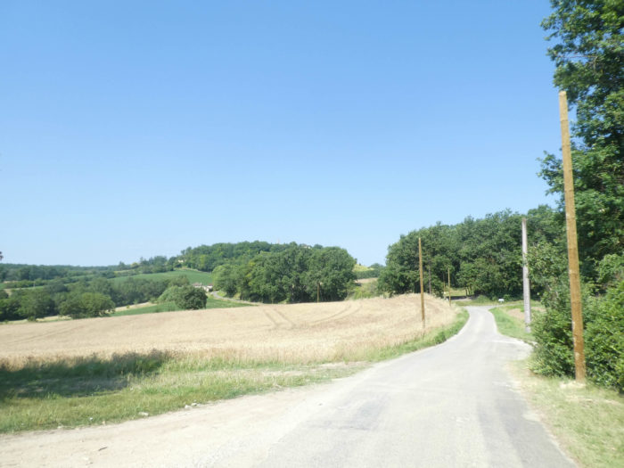
Today, the route runs between the departments of Lot and Tarn-et-Garonne. A few small valleys carve out a fairly horizontal landscape. You are gradually approaching the vast wheat and sunflower fields of the Tarn-et-Garonne department, which you reach at the end of the stage. Here again the organizers let themselves modify the GR65. It will now be nearly 5 stages that the route has been changed in recent years. Well, not always in a major way, but still! Here we will say that the change was beneficial. In the past, before Montcuq, you had to follow the departmental road over a long distance. Now the course has been replaced by a very beautiful gymkhana in the wilderness. THANKS.
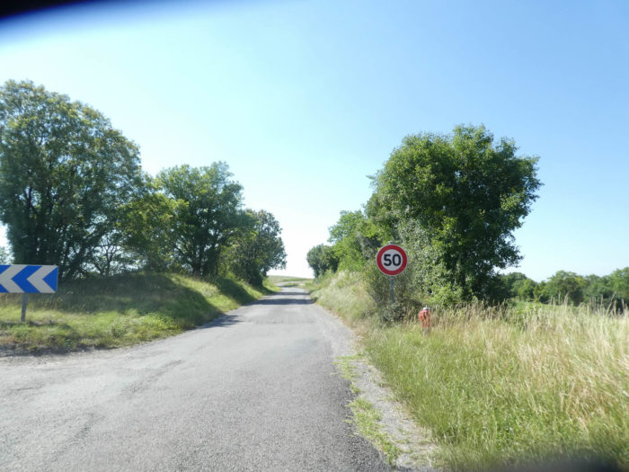
Difficulty of the course: The day’s slope variations are quite reasonable (+538 meters/-516 meters) for a long stage. In terms of the difficulties of the course, it’s a quiet day. There is little to report that a steep climb at the start of the stage, then a severe climb and a steep descent near Montlauzun, to which must be added the steep climb to Lauzerte hill at the end of the day.
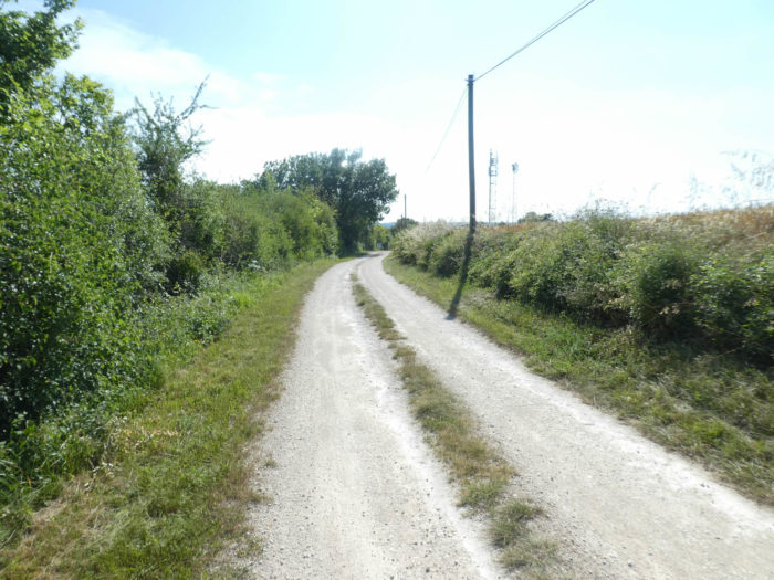
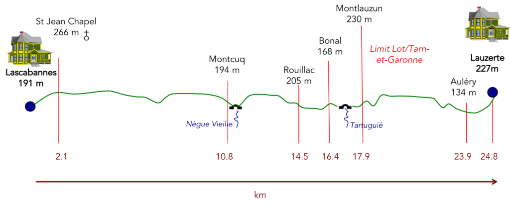 Dirt roads are clearly to the advantage:
- Paved roads: 6.6 km
- Dirt roads: 18.2 km
Sometimes, for reasons of logistics or housing possibilities, these stages mix routes operated on different days, having passed several times on Via Podiensis. From then on, the skies, the rain, or the seasons can vary. But, generally this is not the case, and in fact this does not change the description of the course.
It is very difficult to specify with certainty the incline of the slopes, whatever the system you use.
For “real slopes”, reread the mileage manual on the home page.

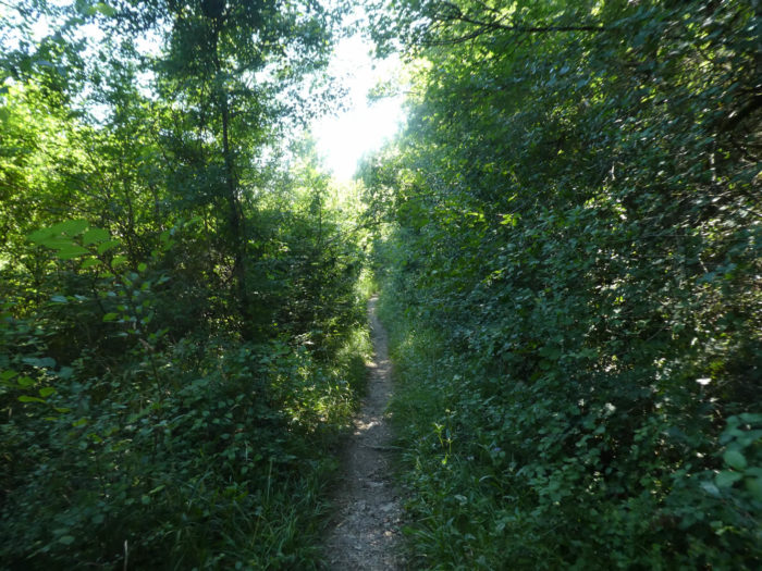
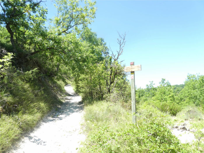
Section 1: To the end of the Quercy Causse.

General overview of the difficulties of the route: some fairly steep slopes to climb to the chapel of St Jean, then route without any difficulty.

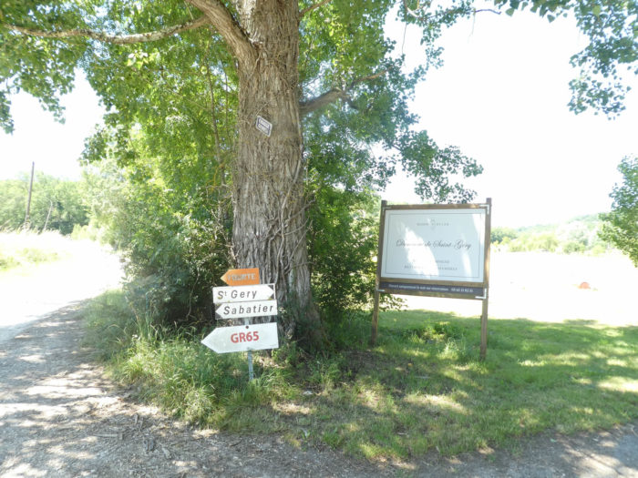
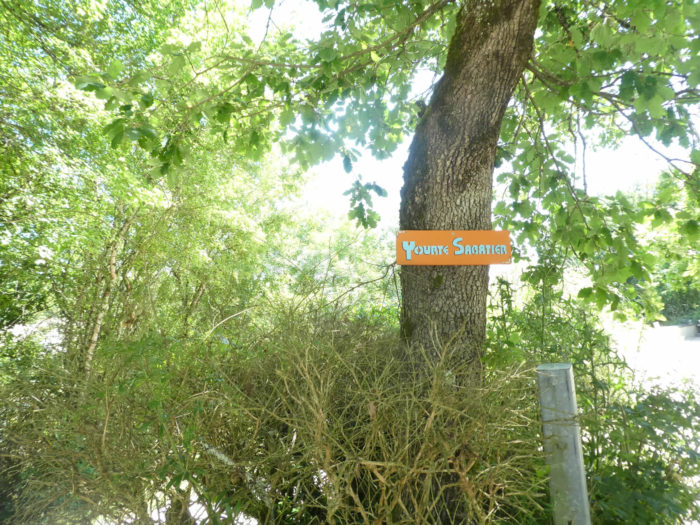
| Today, the GR65 starts from the church square and takes the direction of St Géry/Sabatier. |
 |
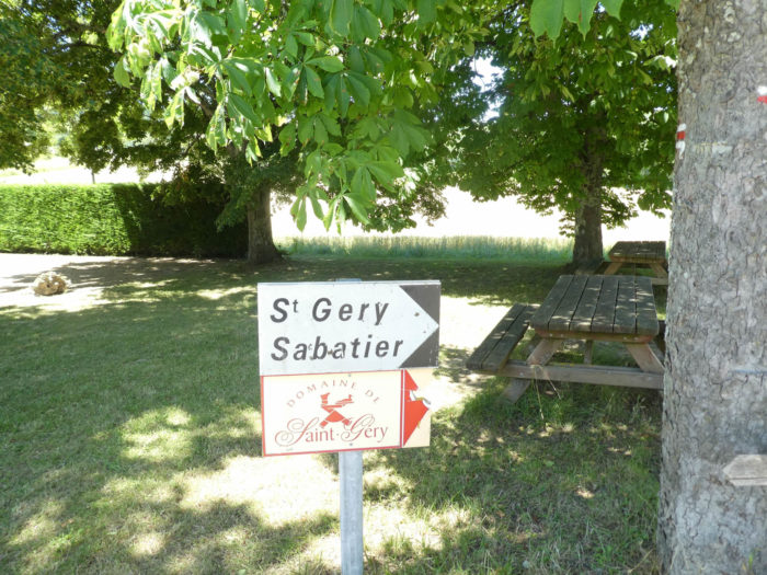 |
It is a small road, which slopes down in the meadows, the sunflower and the cereals to arrive at the entry of the estate of St Géry.
| Pilgrims do not go to the domain. Besides, what would they be doing there with their muddy shoes? They will simply follow the road which will later turn into a stony pathway which begins to climb up the hill. |
 |
 |
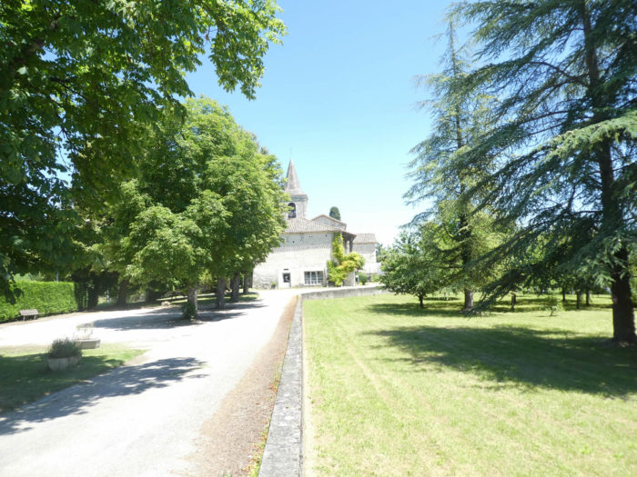
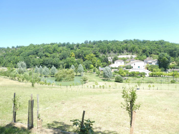
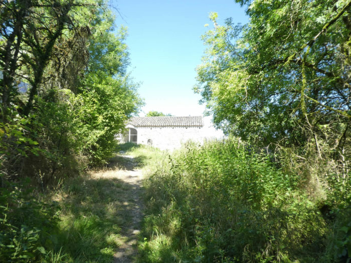
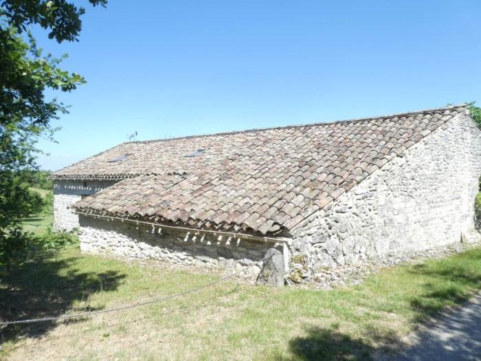
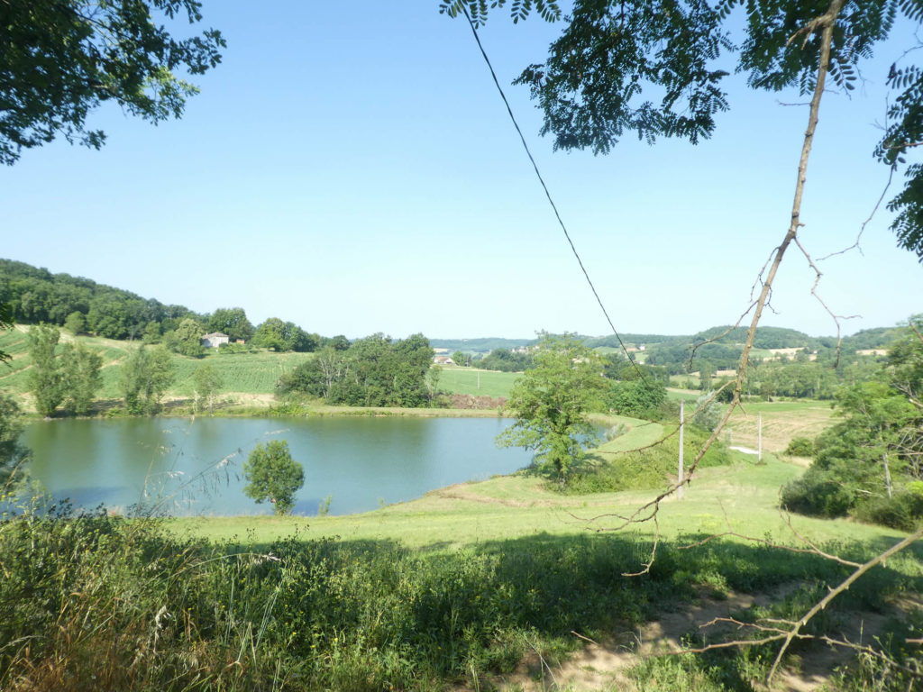
| Below lies the Domaine de St Géry, an august charming residence where, at a great distance from the paparazzi, wealthy people and crowned heads take refuge. From a distance it looks like a village, with a stately home, barn and dovecote above a jewel of a small lake. In fact, pilgrims should not stop here often, if at all. They may prefer, for pleasure or reluctance, the yurts of Sabatier, almost opposite. |
 |
 |
| The road climbs under oaks and ash trees to the place known as Sabatier, where you can spend the night in the yurt. |
 |
 |
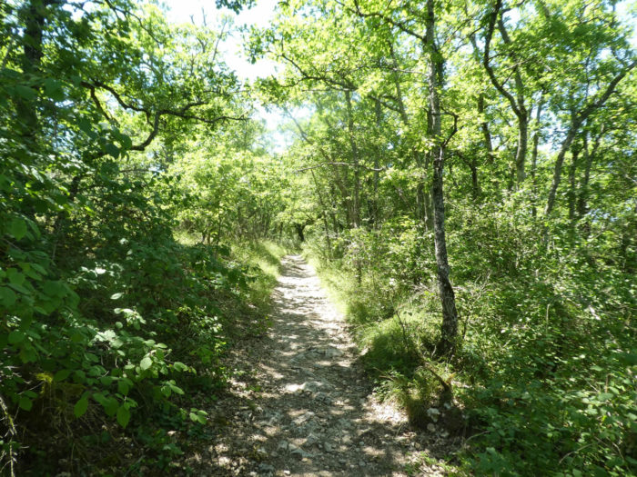
| From here you will be able to taste the delights of the causses once again. A very stony lane will climb to more than 10% slope. |
 |
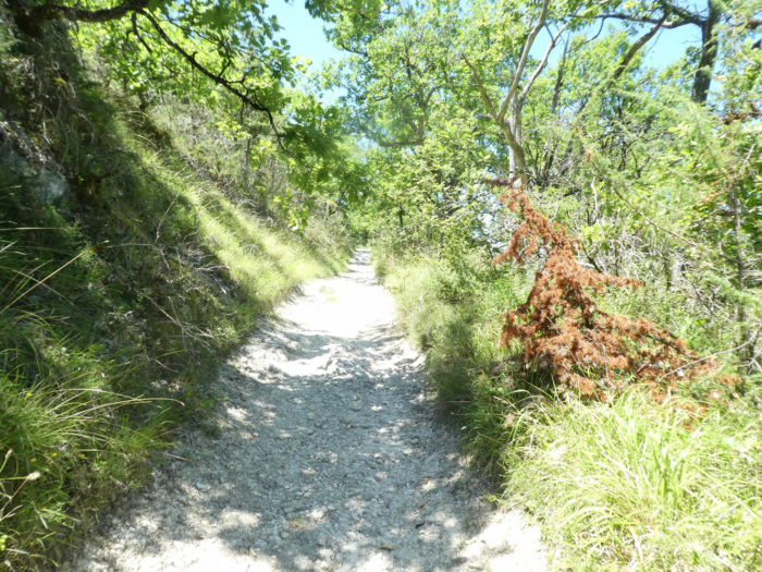 |
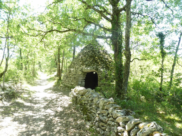
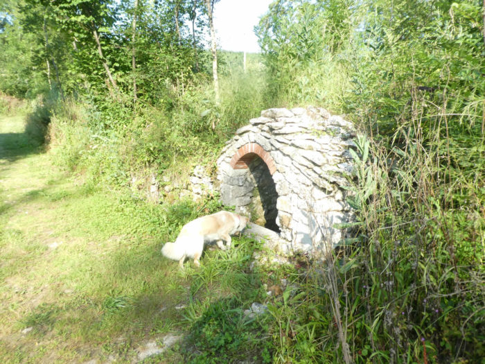
You are served the whole panoply on a platter, stones, oaks if you want some, and the inevitable “caselle” which opens its doors to you by the side of the road. These too, we had lost sight of for a long time. And there is less chance of finding any further on the way.
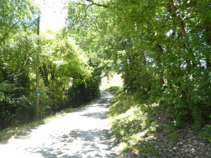
| Then a last wall covered with moss, and the track definitely leaves the causse to find again the ungrateful tar. |
 |
 |
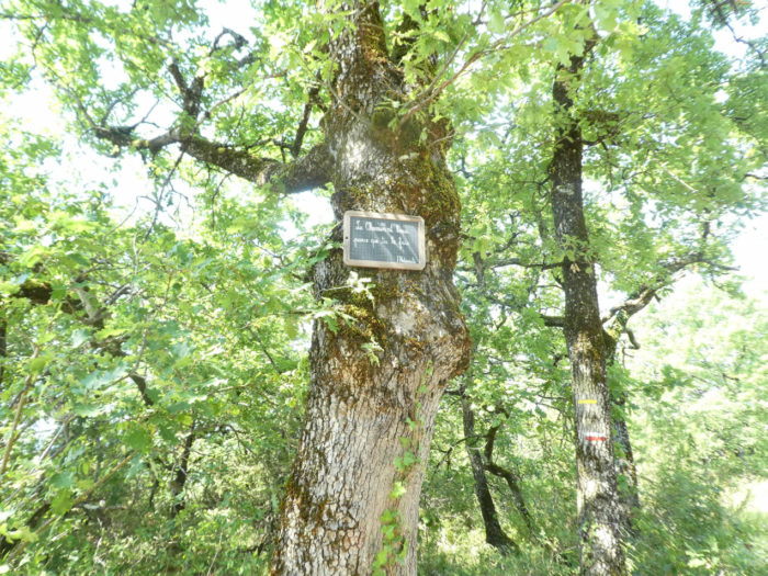
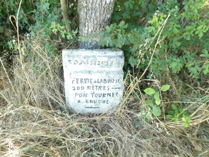
| The road then climbs gently through the countryside along oak and ash trees to the top of the hill. Here, a direction is indicated for Le Clos de Gamel, an accommodation outside the track. It must be said here that pilgrims often hesitate to make detours of more than 800 meters out of the route. They only do this if they have not found accommodation elsewhere. Miam Miam Dodo lists all these lodgings outside GR path. The other direction is for the chapel of St Jean Le Froid, a stone’s throw away. |
 |
 |
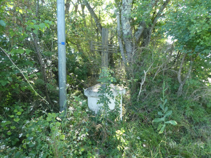
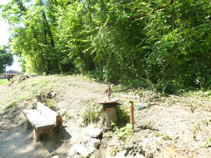
The chapel of St Jean Le Froid has recently been restored. For centuries, people have come here to rub themselves or drink water from a nearby spring. Rheumatism, it was said, disappeared as if by magic. Perhaps pilgrims also dip their feet in it to relieve their corns on their feet!

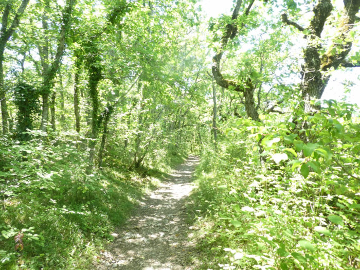
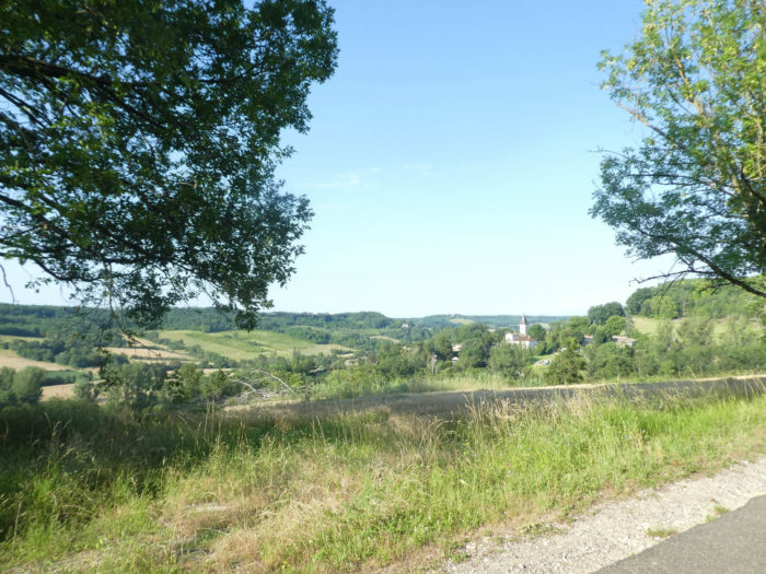
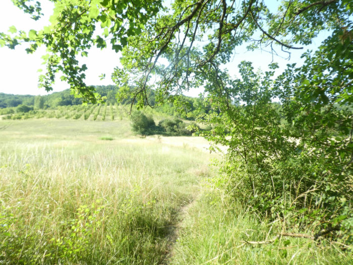
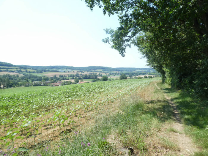
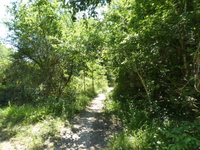
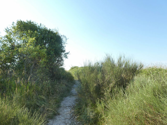
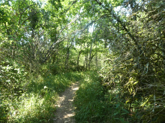
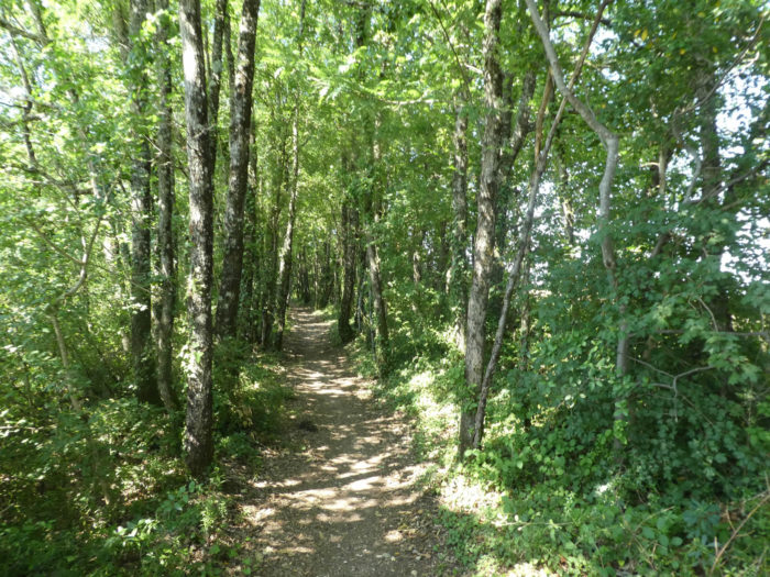
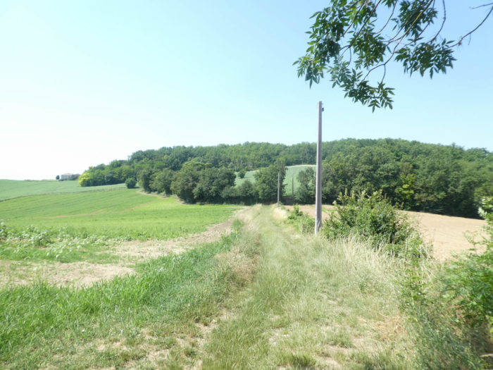
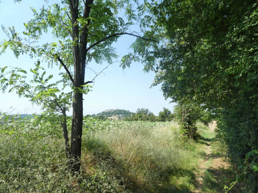
As soon as you leave the chapel, the landscape changes, metamorphoses in a spectacular way. You leave behind the hints of the causse, the groves of oaks for the endless crops of White Quercy, at the end of the Lot department. The horizons are much less cut out and the gaze carries very far, giving the feeling of an unreachable infinity. The Camino de Compostela definitely leaves the mountainous foothills of the Massif Central for the hills, and this until you find the Pyrenees, at the end of the journey.
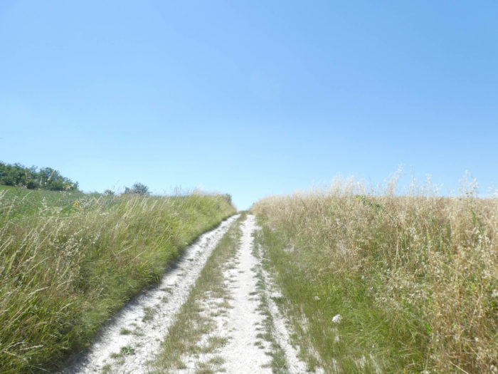
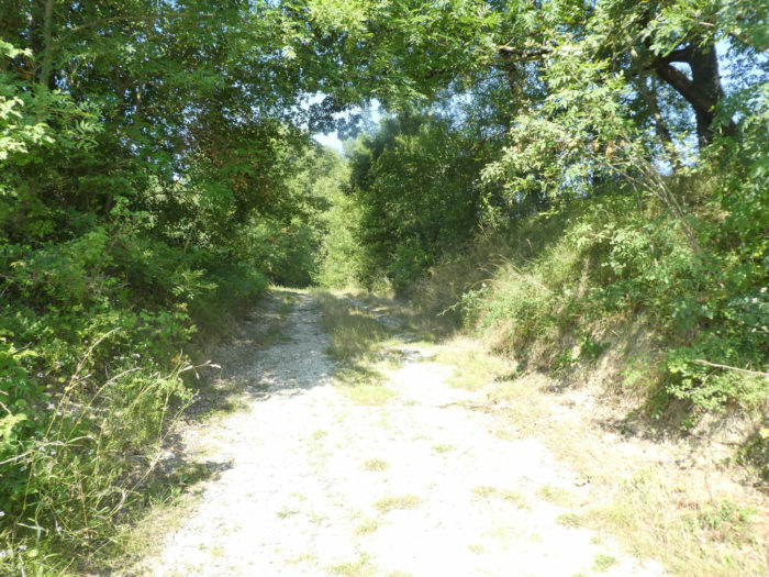
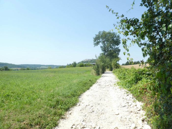
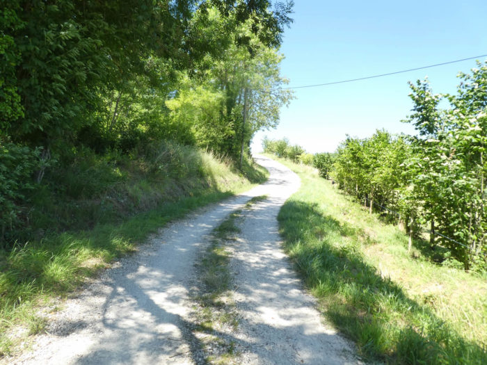
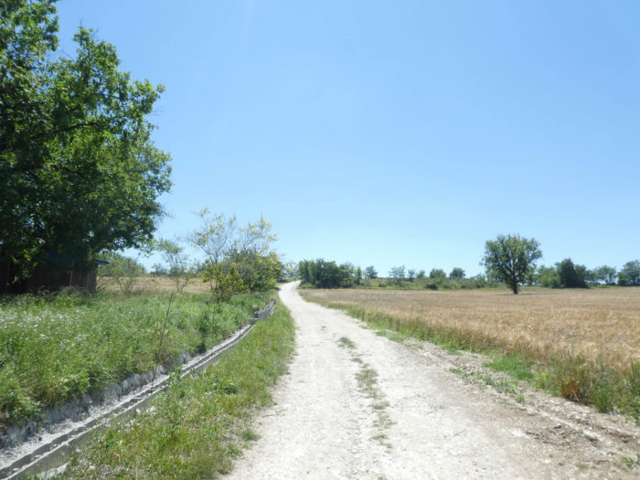
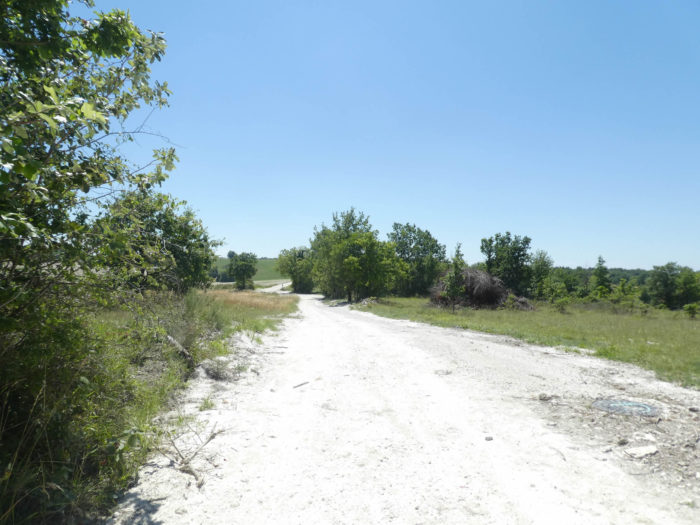
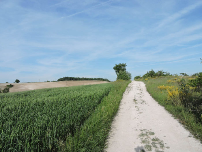
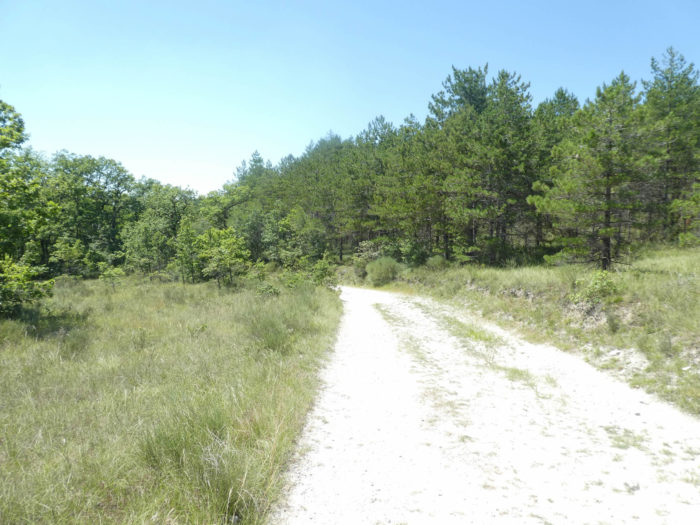
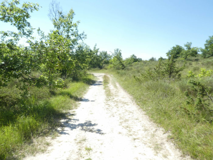
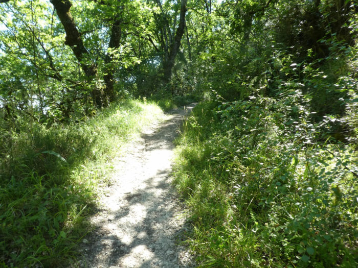
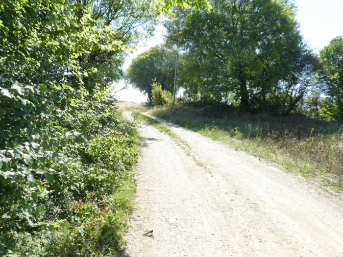
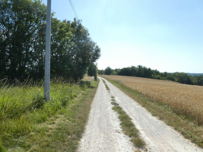
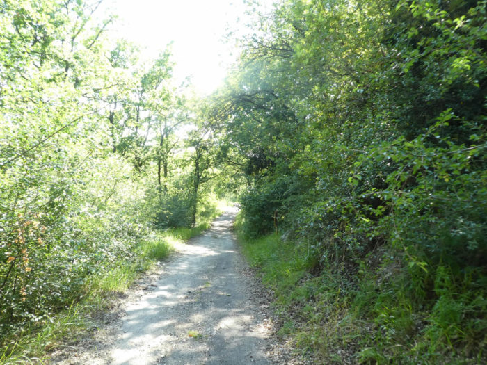
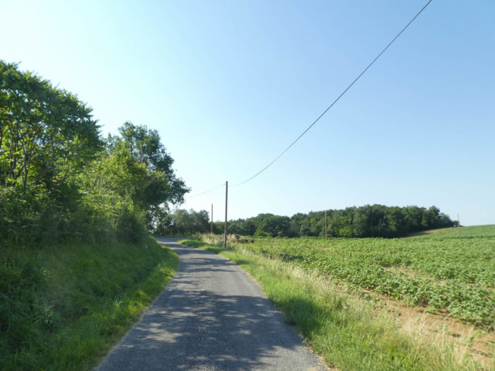
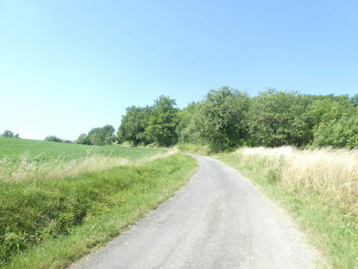
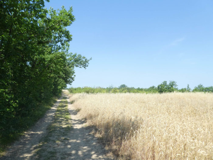
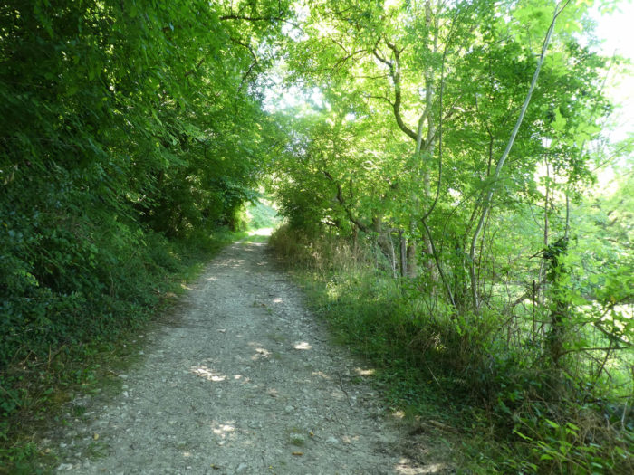
| A wide dirt road runs straight through the crops. You’ll have the feeling of walking on the sand, the ground is so white. Aren’t you crossing White Quercy, right? |
 |
 |
From Le Puy, the pilgrim has mainly known the moors, the mountain pastures, the rocks and the forests, in short, the beauty of “wild” nature, where it is good to meditate, isolate oneself, daydream in the midst of peaceful herds. Others will prefer to this anarchy the geometry, the straight lines, the perspectives, the beautiful arrangement of the vines, the wheat or the regularly alternating orchards. Many pilgrims will find their Eden here
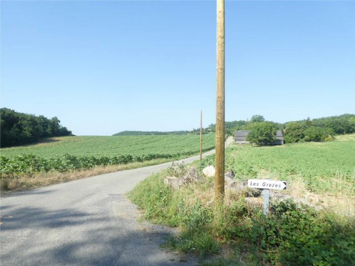
Solitary oaks or ash trees still haunt the fields. Shortly after, a new direction is given for the Clos de Gamel and Escayrac at the sisters, outside the course.
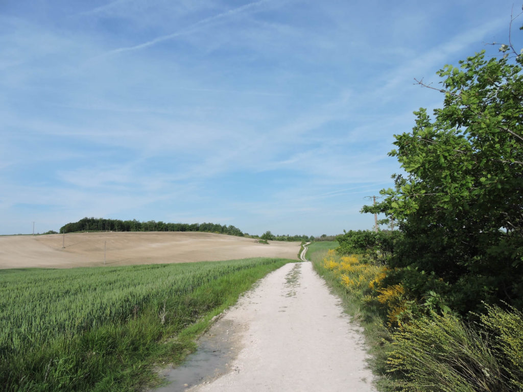
| Obviously, the landscapes vary according to the seasons. Sometimes you feel like you don’t recognize places that were familiar to you in a different light. So, we’re going to do a little exercise. Today, we are at the beginning of summer, and the wheat has been largely harvested. Therefore, the landscape becomes duller. So, let’s move here to late spring. It’s different, right? The ground is still just as white, but the brooms are still in bloom, and the wheat has just come up. For many hikers, the wheats look best when they are green and rippling in the wind. |
 |
 |
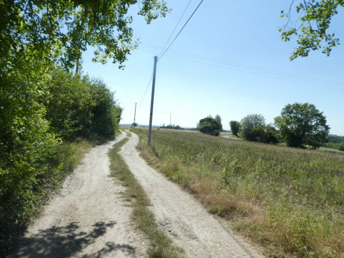
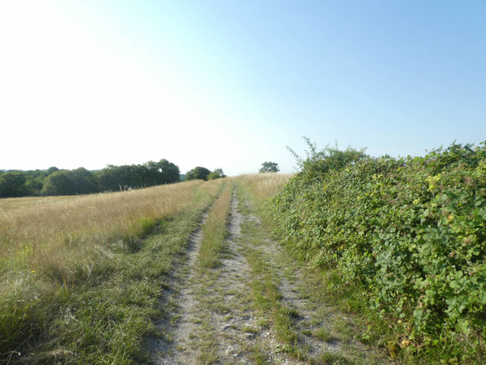
| The agricultural plots stretch as far as the eye can see, simply punctuated by groves, rows of trees, which create a less fragmented, almost linear landscape. The horizon is endless, looking mostly to fields of unharvested grain, or fields lying fallow or waiting for other crops. At the beginning of July, when we are passing here, there are only oats and triticale left to harvest. Noble winter and spring wheats have already been gleaned. |
 |
 |
| Soon after, the landscape becomes hillier. It almost looks like the return of the causses, with pines, ash trees, and even some hornbeams, rare in the region, lost among the oaks. |
 |
 |
| But the momentary causse closes again and it is the return to cereals. |
 |
 |
| Shortly after, the pathway climbs up a small hill, finding there a small agricultural road which it follows very shortly before finding the dirt ground again. |
 |
 |
Section 2: Almost at the end of the Lot department.
 General overview of the difficulties of the route: course without any difficulty.
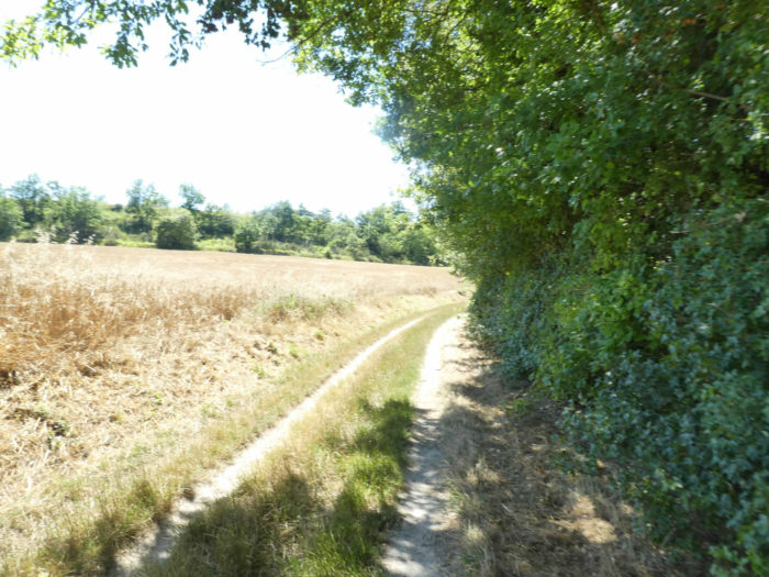
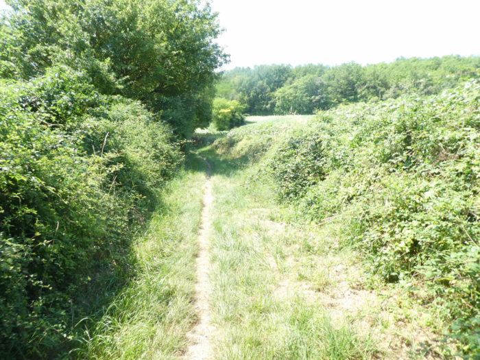
| And the game continues along the ridge, between hedges and grain fields … |
 |
 |
| … until GR path changes register for a small lane that runs through the weeds. Already here, the route of the GR65 has been modified. Formerly, it crossed the fields just above on a wide dirt road. The organizers preferred a more direct route in the undergrowth on a small lane. But, you will only gain 200 meters of walking on the stage. |
 |
 |
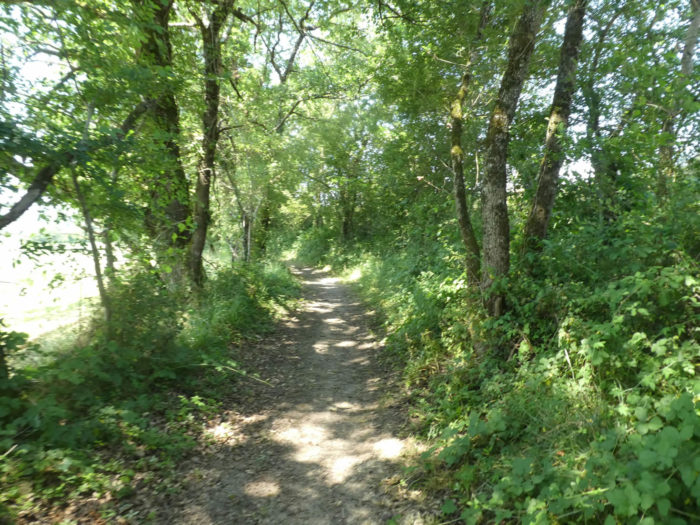
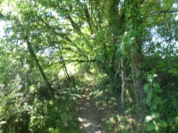
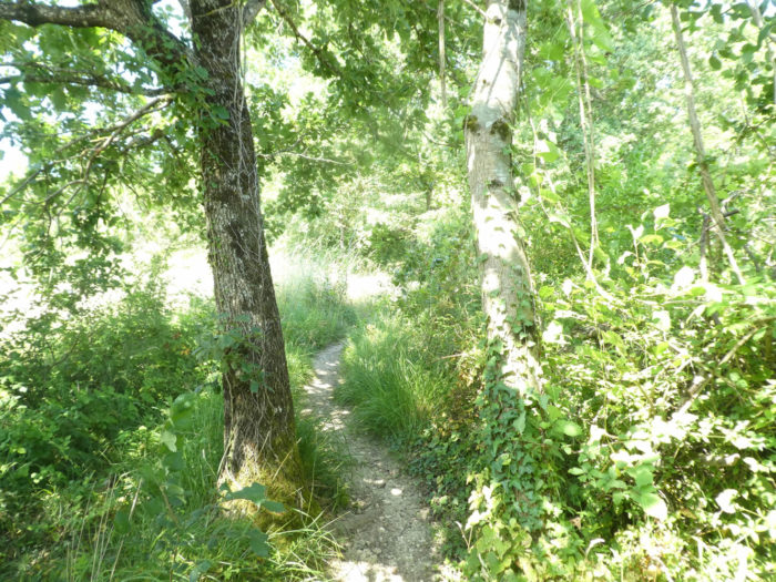
| In the undergrowth, you will find large oaks, but also dogwoods, Montpellier maples, hornbeam shoots and chestnut trees. |
 |
 |
| At the exit of the undergrowth, the lane joins the D4 departmental road, near a detour which leads to a gîte, off the track. |
 |
 |
| Formerly, the pathway went down a little higher, in the fields of cereals, especially wheat. It was breathtaking as far as the eye could see. But did the peasants want to divert the route, because they were tired of seeing the pilgrims parading in their fields? You’ll never know. But it does not matter, because if the cereal fields were majestic, the pathway came lower down on the departmental road, which you had to follow. So, the organizers came up with an alternative which, if it avoids the fields, is no less charming. |
 |
 |
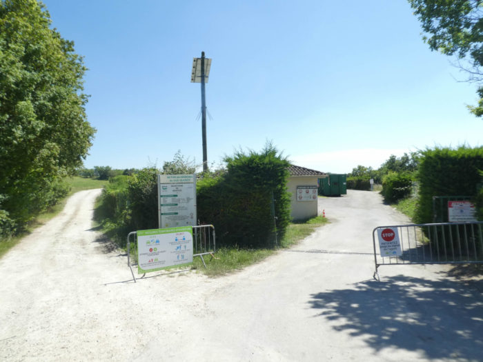
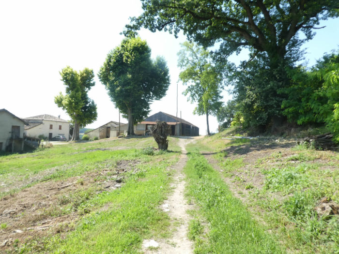
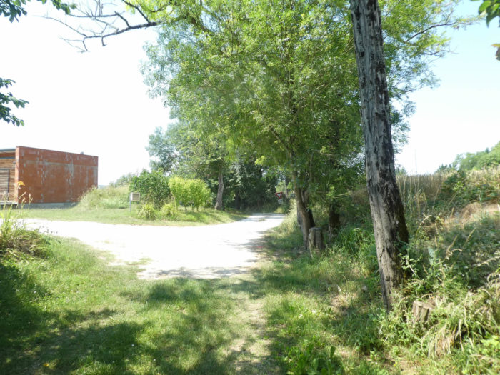
| Now you are at the Montcuq recycling center, on the D4 departmental road and a wide dirt road starts at a right angle to the road. |
 |
 |
| The dirt road flattens in the meadows. There’s ash and walnut around here. |
 |
 |
| Further afield, the pathway leaves the countryside for the undergrowth. |
 |
 |
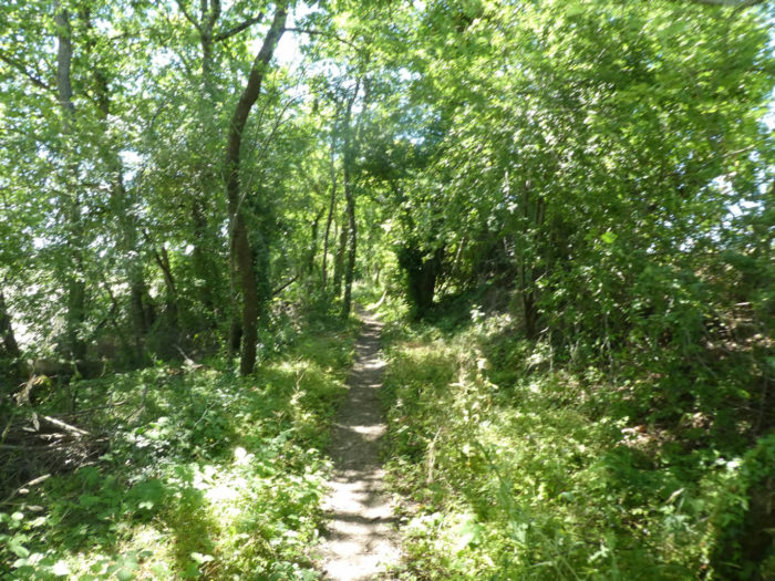
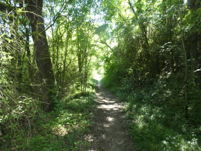
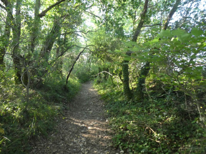
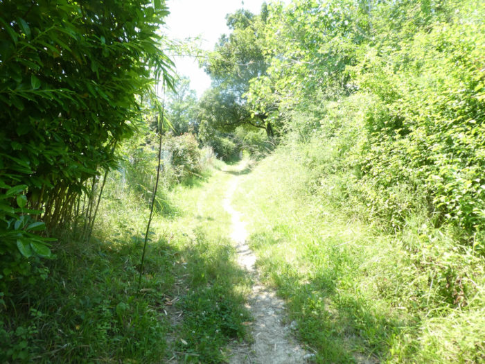
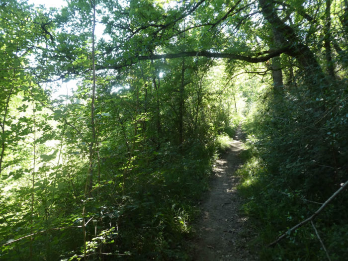
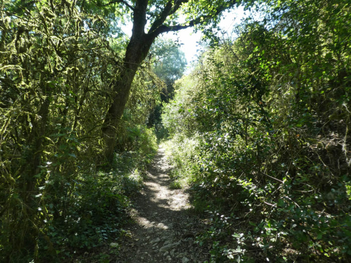
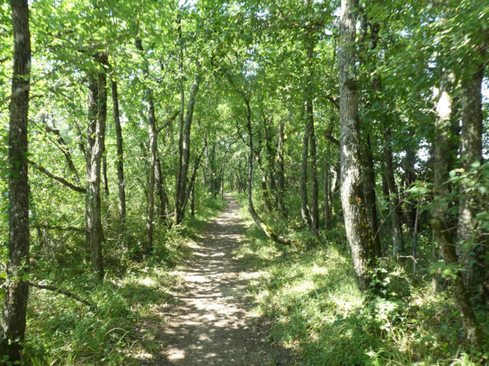
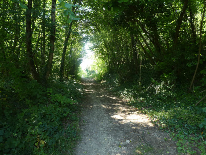
| It then enters a very beautiful undergrowth of thickly shaded deciduous trees, passes near a large limestone rock, hollowed out over the centuries like a cave. |
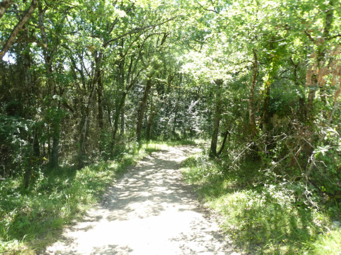 |
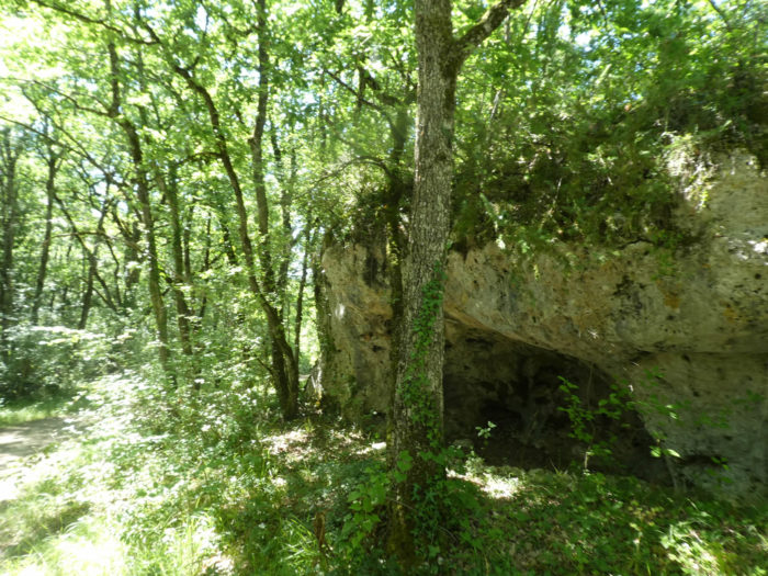 |
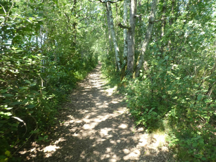
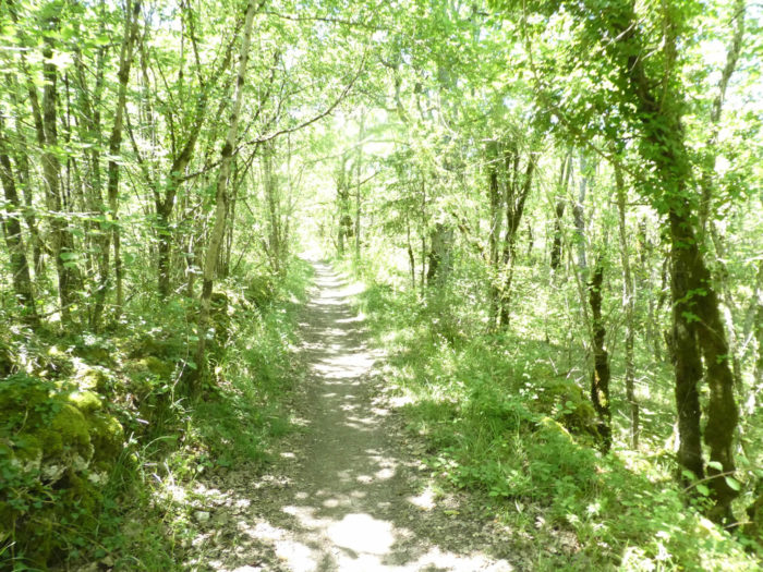
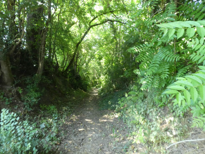
| The walk then becomes very pleasant, in the shade of the trees. Wide, the pathway narrows in oaks, chestnuts, hornbeam, maples and dogwoods. The humidity is quite present, which is synonymous with the presence of water. |
 |
 |
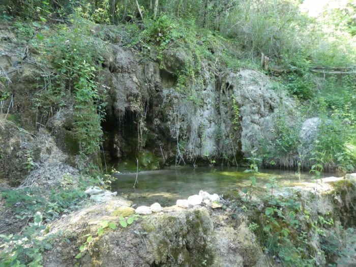
| Further on, the pathway crosses a fountain from another time, where water oozes from the rock, a true oasis of peace and happiness, in this wild nature. |
 |
 |

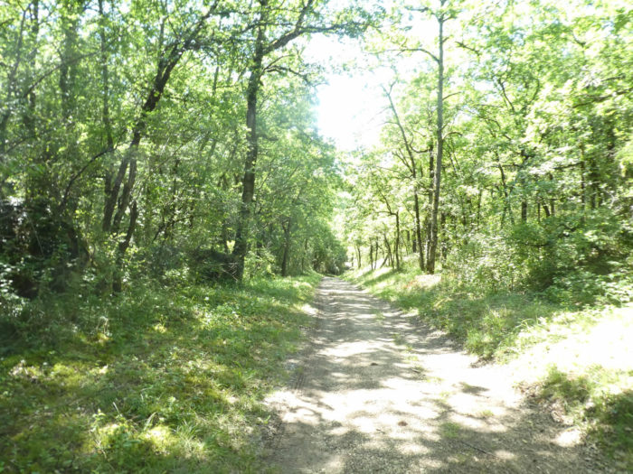
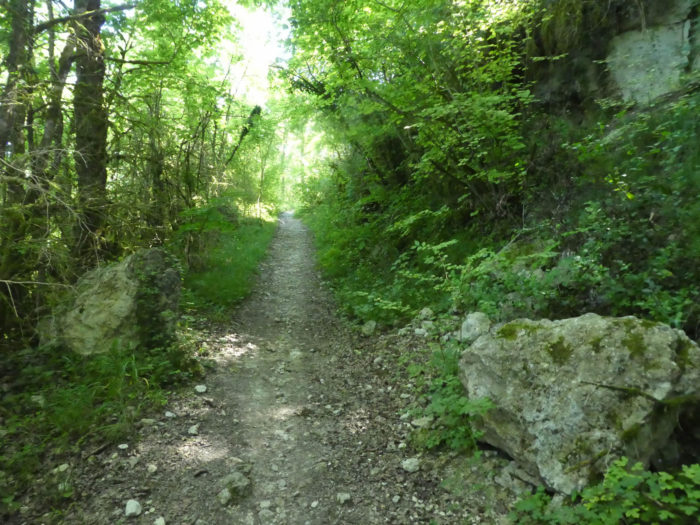
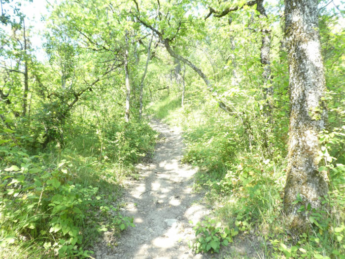
| Then the pathway runs deeper into the dense forest, where the shadow extinguishes the light, climbs a little along the discreet rocky ridge. |
 |
 |
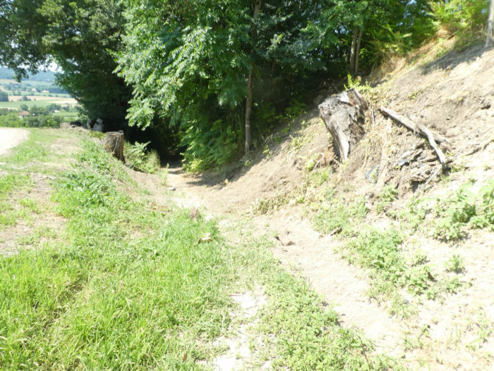
| Soon the slope becomes steeper and the undergrowth even thicker. The track here has also been recently deviated. |
 |
 |
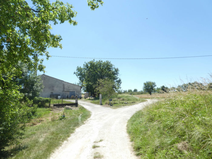
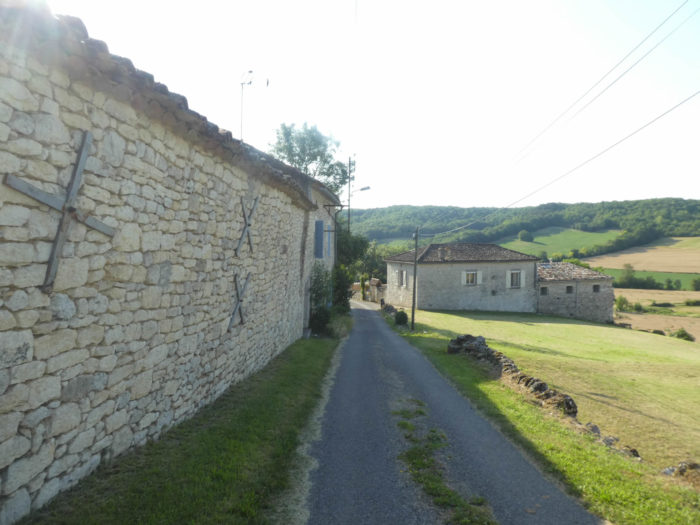
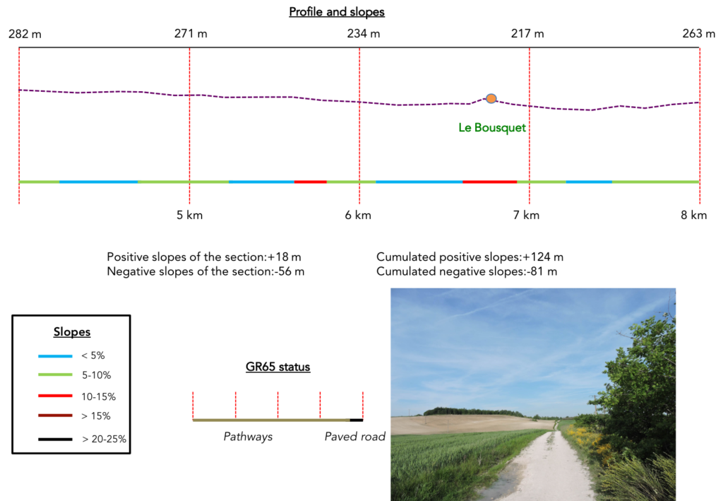
| At the top of the ramp, the pathway runs in front of the stone houses of Bousquet village. |
 |
 |
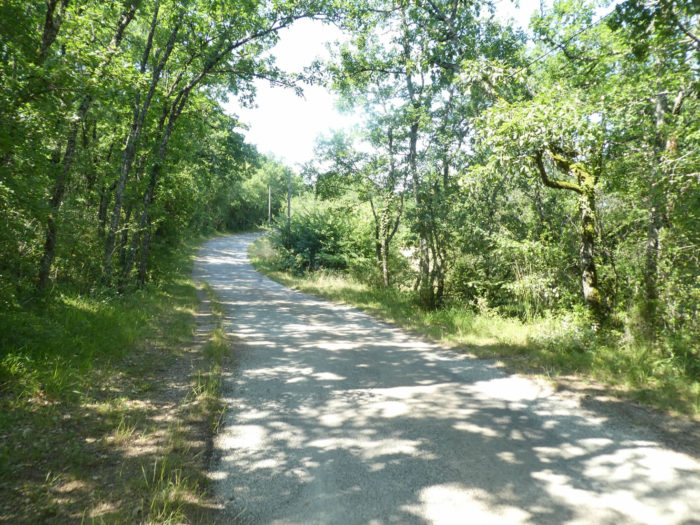
| It then bypasses the village, along the stone works. Then a paved road heads to the countryside. |
 |
 |
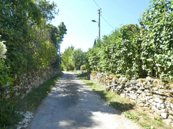
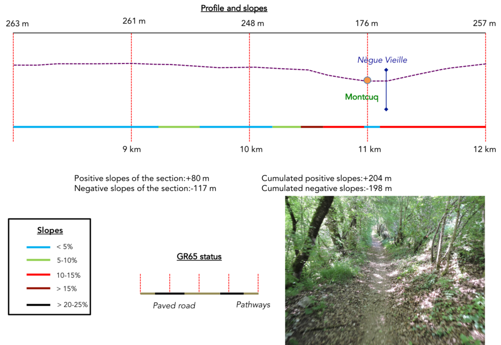
Section 3: Over hills and dales around Montcuq.
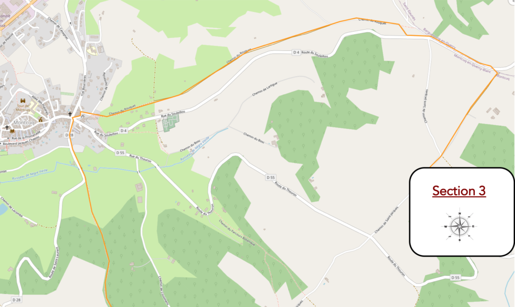 General overview of the difficulties of the route : hilly course, with marked slopes at the exit of Montcuq, often more than 15% in the undergrowth, when the pathway climbs up the hill.
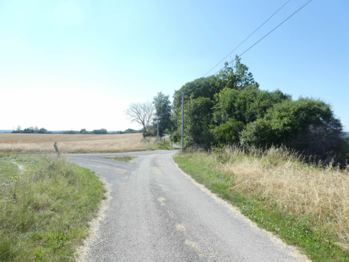
| From here, the GR65 will join the old GR route. Compared to the old track, it is hardly more than a kilometer more. Quickly, the tar gives way again to the dirt. |
 |
 |
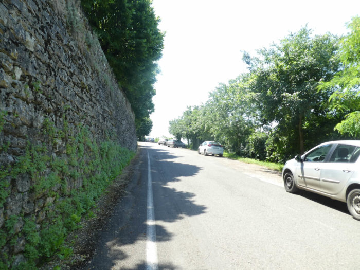
| Then, as you approach the departmental road, tar is back again. |
 |
 |
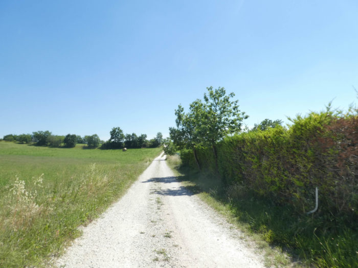
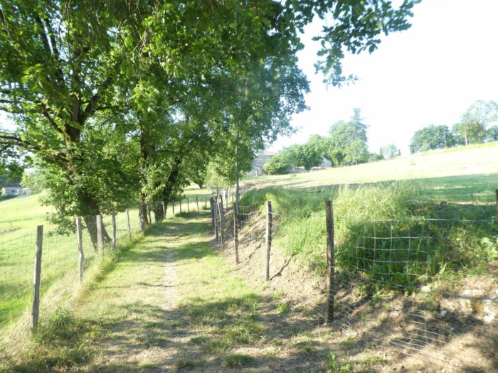
The paved road here flattens along a wide countryside, with farms. You are now far from the causses, in the last campaigns of Lot Department.
| You then join the D4 departmental road, nearly 2 kilometers to Montcuq, on the old GR. Today’s organizers have increasingly planned to create a strip of dirt along departmental roads, although it must be said that here it is not the traffic that is exuberant. |
 |
 |
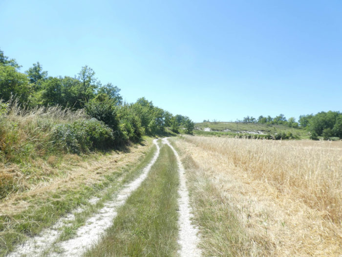
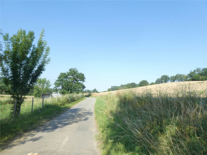
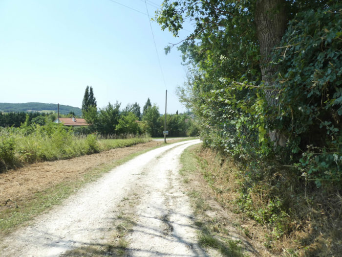
| Further afield, the GR65 follows the departmental road for some time before entering a smaller road, the Chemin du Rouquet. |
 |
 |
| So, here you leave for two kilometers of melancholy. On these routes, where nothing happens, you just have to put one foot in front of the other, take a look at the trees from time to time, if you find it interesting, or observe the fields that have already been harvested from others. It is necessary to furnish an empty space, well not empty for everyone, for the peasants at least. |
 |
 |
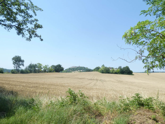
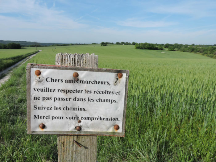
In this part of the country, the space is divided into peerages and cultures. At this time of year, there is little more than the less noble cereals left to harvest. But, of course, it becomes increasingly difficult to identify cereals for the untrained eye. There are more than ten varieties of wheat today, bread-making or not, which grow to different heights, which farmers plant to have, in addition, straw or not. Of all cereals, oats are often harvested last.
| At the end of the punishment for many pilgrims, the dirt road begins its descent towards Montcuq. |
 |
 |
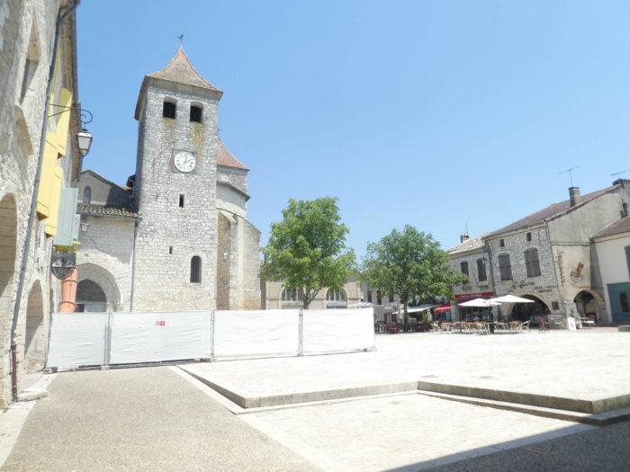
| The pathway arrives on the heights of Montcuq, whose old borough climbs to the top of a hill. At the bottom of the descent stands the Church of St Privat, a XVIIth century building, without any special character, shall we say. |
 |
 |
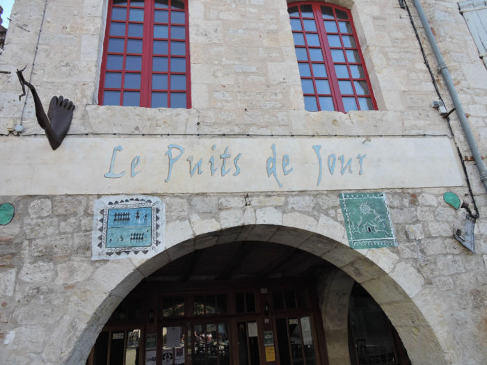
| The GR65 does not run through the old town. But, the city deserves a detour. Montcuq is a small place of less than 2,000 inhabitants. Its narrow streets with a very medieval appearance climb up to the attack of the church and the castle. Housing is quite present here. |
 |
 |
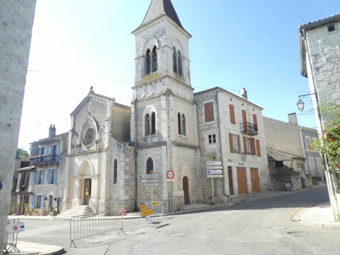
| At the top of the hill stands Saint Hilaire and its octagonal bell tower. The original church dates from the XIIth century. In the XVIth century, during the Wars of Religion, the Protestants set it on fire, leaving only the apse, the choir and the apses. It has since been completed. The current porch bell tower dates from the XIXth century. Right next door, on a rocky dome, still stands the dungeon of La Roque, reaching a height of 24 meters, the only vestige of a powerful fortified castle. |
 |
 |
| The GR65 leaves Montcuq, descending to the bottom of the small town, towards Rouillac. |
 |
 |
| At the bottom of the descent, it crosses the small stream of Nègue Vieille. Here is the end of the monotonous alternation of wheat fields. You will rediscover the mystery of the high forests bordering the meadows. |
 |
 |
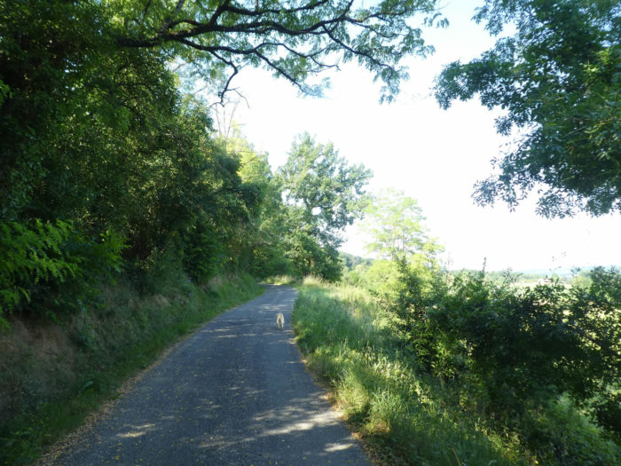
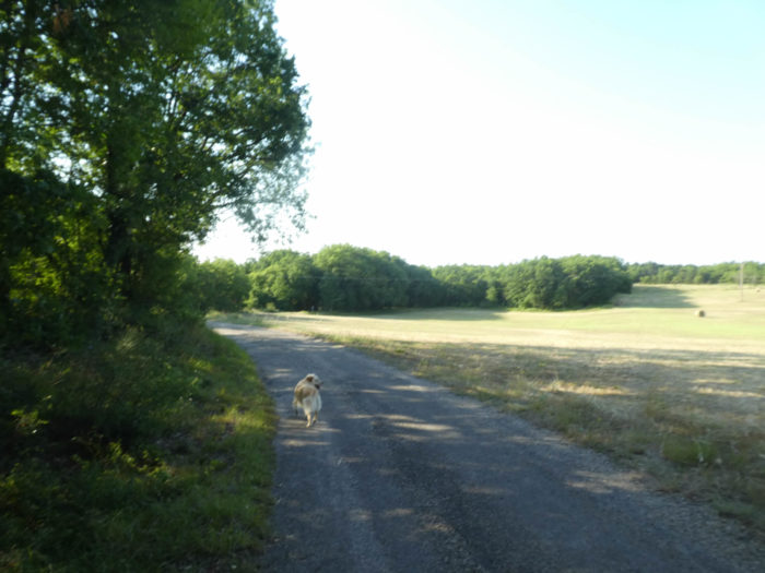
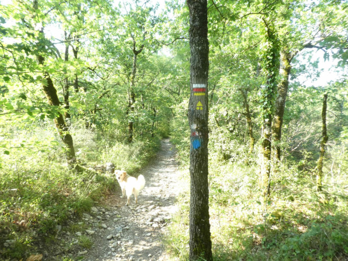
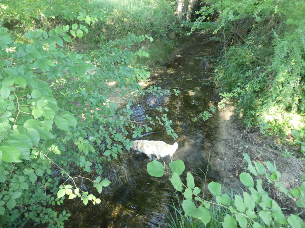
| Quickly, a small stony lane climbs quite toughly on the side of the hill, in the middle of maple trees, stunted oaks, puny chestnut trees and bower. We will walk a long way in the company of a Golden dog who took care of us in Montcuq. This breed is used to escapades in the presence of pilgrims. |
 |
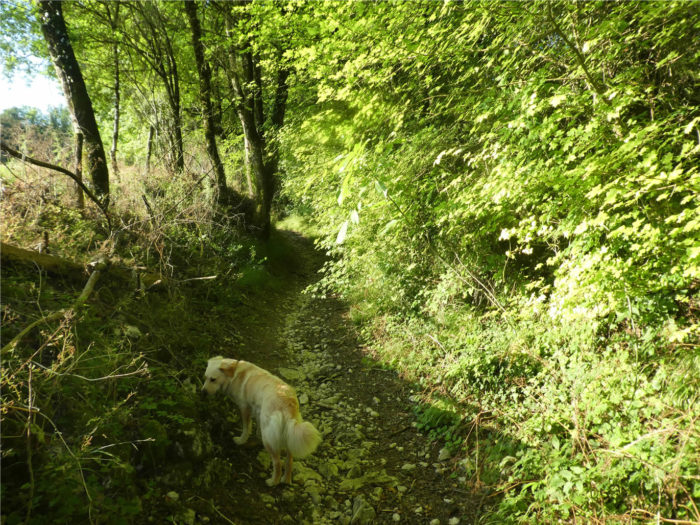 |
| The narrow pathway is a real treat for sporty pilgrims, less so for tired retirees, with stones for pleasure, with a slope often exceeding 10% for almost half a kilometer, sometimes small low walls covered with moss. All that’s missing are the mushrooms. Almost happiness! |
 |
 |
Section 4: Passing through the beautiful church of Rouillac.
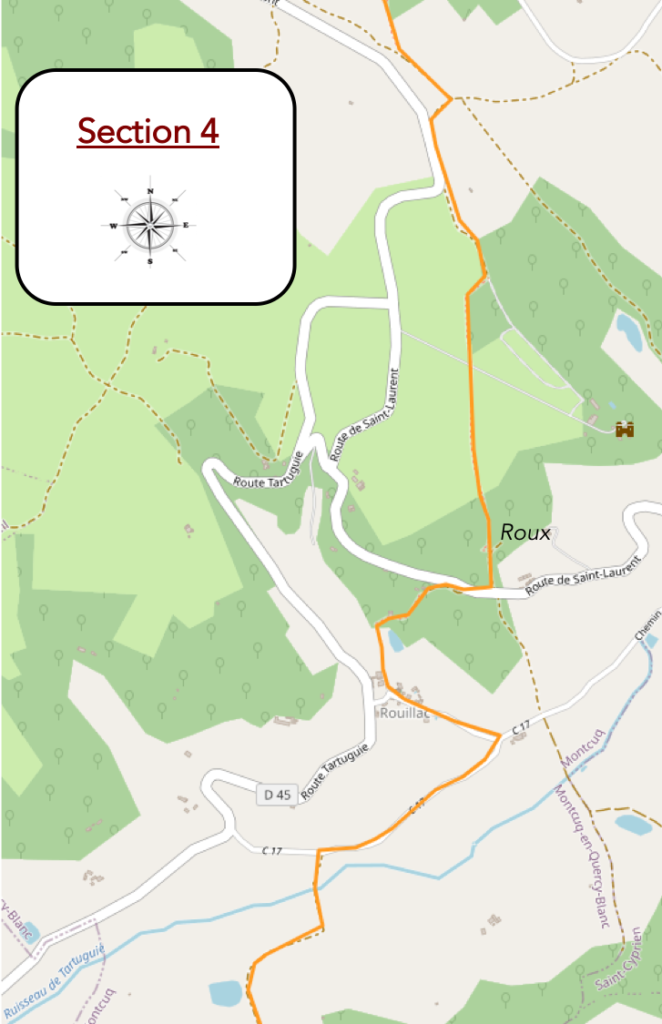
General overview of the difficulties of the route: course without great difficulty, but with slopes around Rouillac and beyond Tartuguié brook.

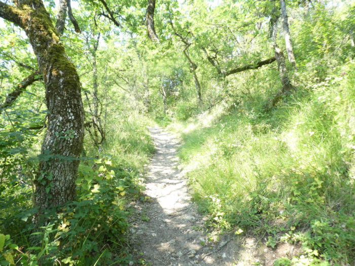
| At the top of the climb, the vegetation becomes more creeping, in the middle of bushes, grasses and broom. |
 |
 |
| At the top of the hill, the slope becomes more accommodating and GR path reaches the meadows on a small plateau. |
 |
 |
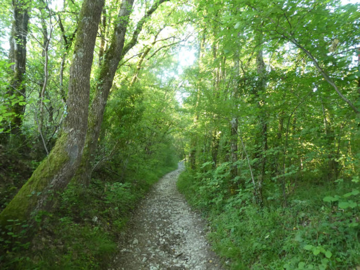
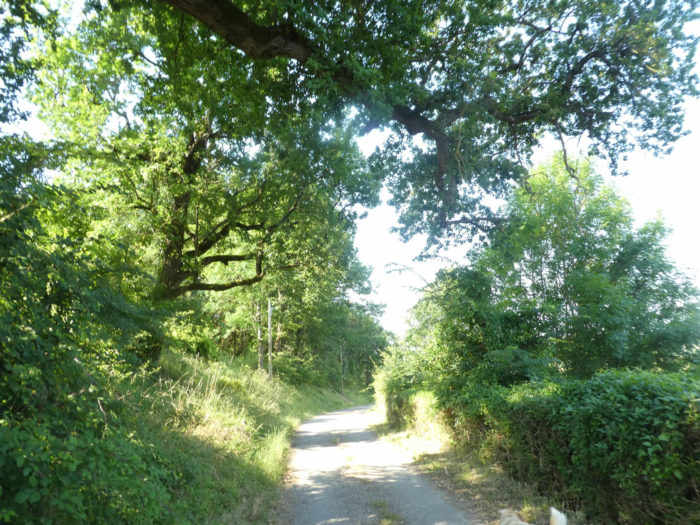
| The GR65 then flattens through the meadows on a paved road. This is often the case on the Santiago track. The undergrowth in the hills belongs to the pilgrim, but the plateaus belong to the peasants. Then the small stones and the dirt give way to the tar. Tractors get stuck less like this. So here there will be no exceptions. You’ll walk on tar in the countryside and on dirt roads in the undergrowth. There is no doubt that our companion dog knows where the Camino de Santiago is going. |
 |
 |
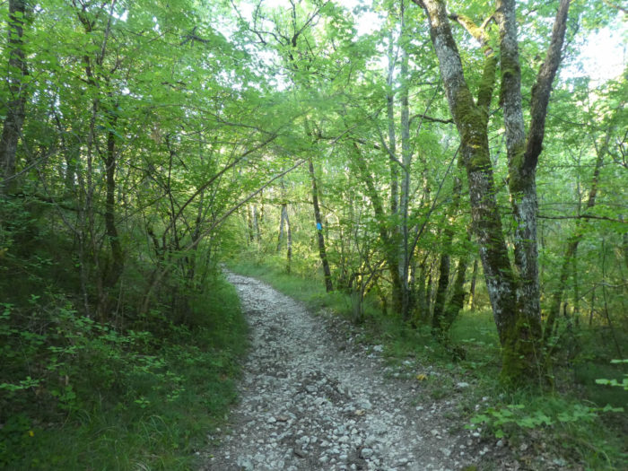
| At the fork that heads to Charry hamlet, GR path leaves the road for a small lane that winds through the meadows, along the undergrowth, then into the denser forest. |
 |
 |
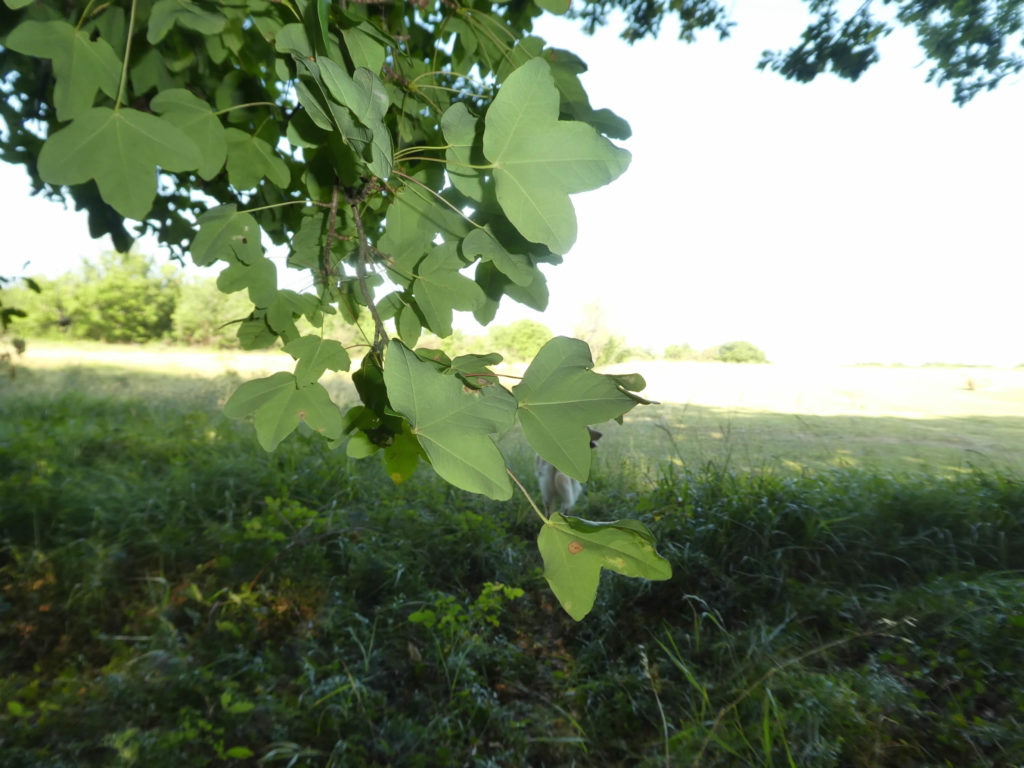
We have regularly reported the presence of the Montpellier maple. Here is a specimen. Unlike large maples, sycamore or country maple, its leaf is less cut. It’s not like the one on the Canadian flag, it’s simple and three-lobed. It is often a shrub with dense branches, but which can also sometimes exceed 15 m under favorable conditions. It is an undemanding and hardy tree, which tolerates limestone and arid soils very well. Therefore, it is abundant in the causses.
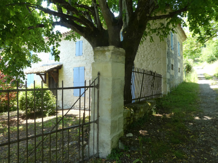
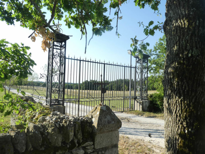
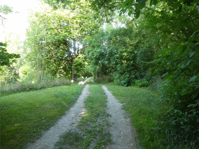
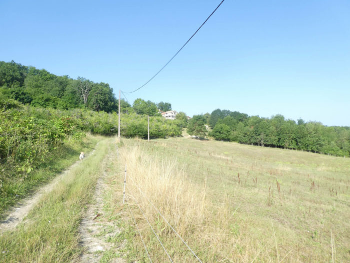
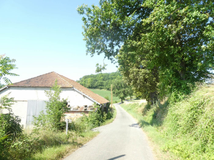
| Sometimes the pathway gets a little closer to the farms, as if to prove to you that there are not only endless undergrowth and meadows in the area. A large farmhouse on the edge of the woods houses horses behind its large wrought iron gate. This is what must be detected by our new friend for life. |
 |
 |
| In fact, the dog often turns back. “Haven’t you got more to do than stop and take pictures of little interest”? he must think. |
 |
 |
| Further on, the lane becomes steep, almost 20% grade, on rolling stones. The passage is short and lands on the paved road at a place called Roux. A mean dog here, at least not ours. From here you can see Rouillac on the other side of the road. |
 |
 |
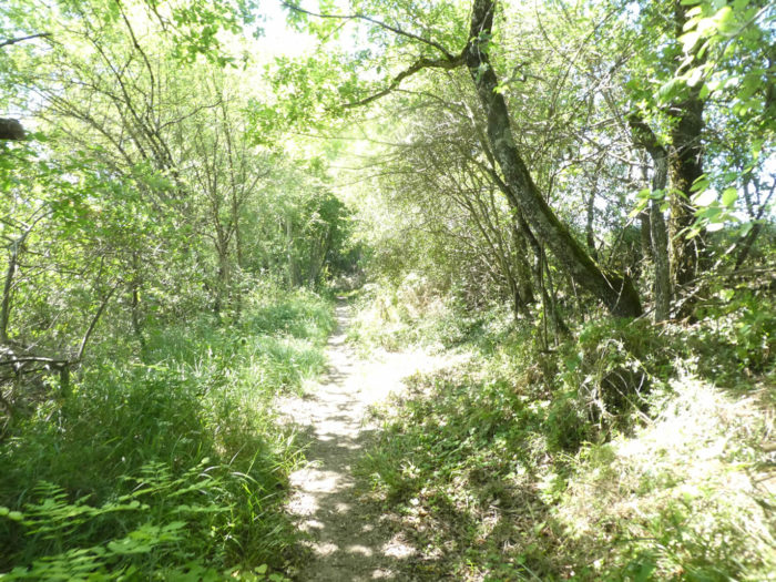
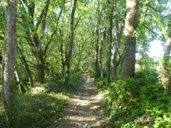
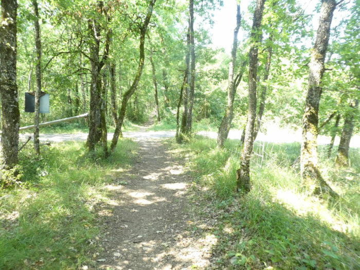
| After a short passage on the road which runs up, the GR65 descends in a bucolic undergrowth at will. Here grow majestic trees that are not those of the causses, large sycamore maples and enormous hornbeams. |
 |
 |
A hornbeam of this size, so majestic, you will not have the opportunity to meet often on the Santiago track. Most of the time, there are merely present as small bushes.
Just below, our friend will give up going to soak in the jewel of a small pond, peeking for a possible presence in the tumulus fountain from another age. It’s really full of grace around here.
| You are here at the bottom of a small wooded dale. Further ahead, the pathway slopes up towards the hamlet of Rouillac. |
 |
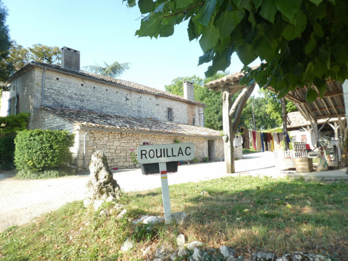 |
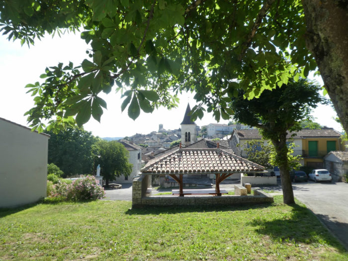
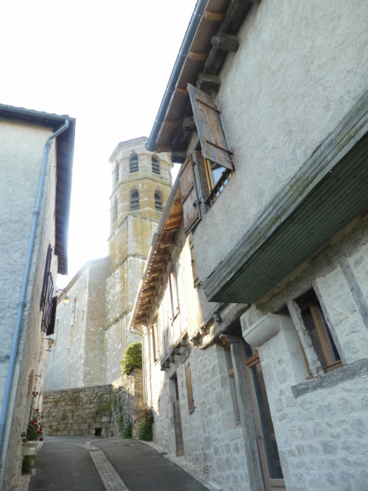
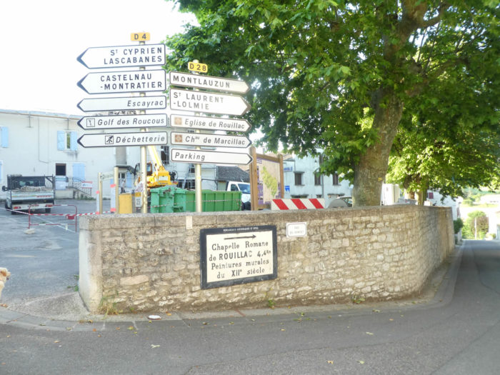
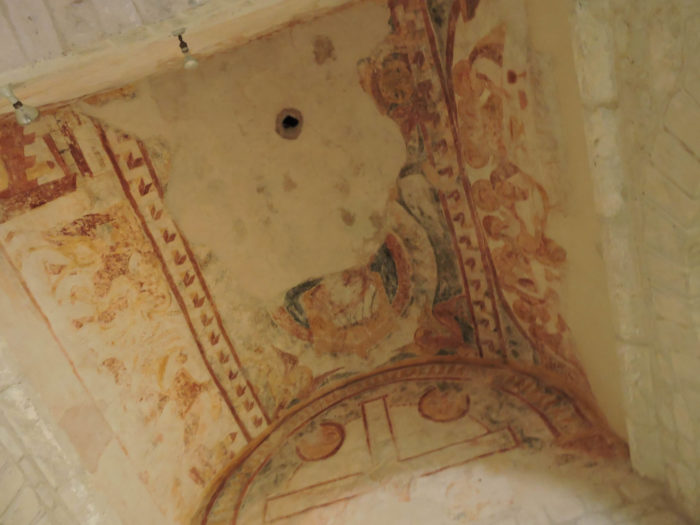
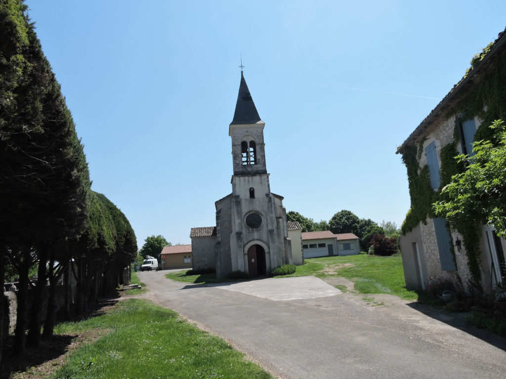
| The site here is also remarkable. Rouillac is a welcome stop, for its water point but above all for the magnificent frescoes in its church. It is a very beautiful Romanesque church, dating from the XIIh century, with magnificent murals in bright colors, true writings of the past. |
 |
 |
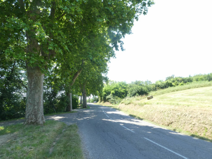
The GR65 leaves the pretty hamlet downhill, where the white rubble of the opulent houses reminds you that you are in the White Quercy. The slope is steep, more than 10% on the road which plunges towards the plain below.
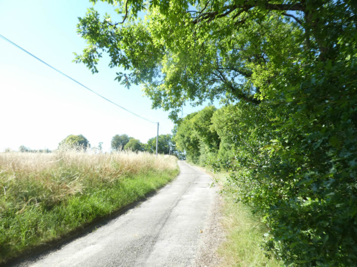
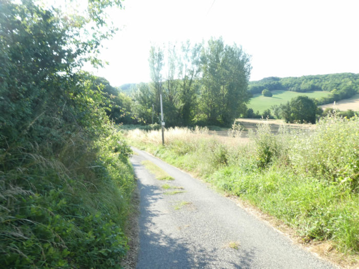
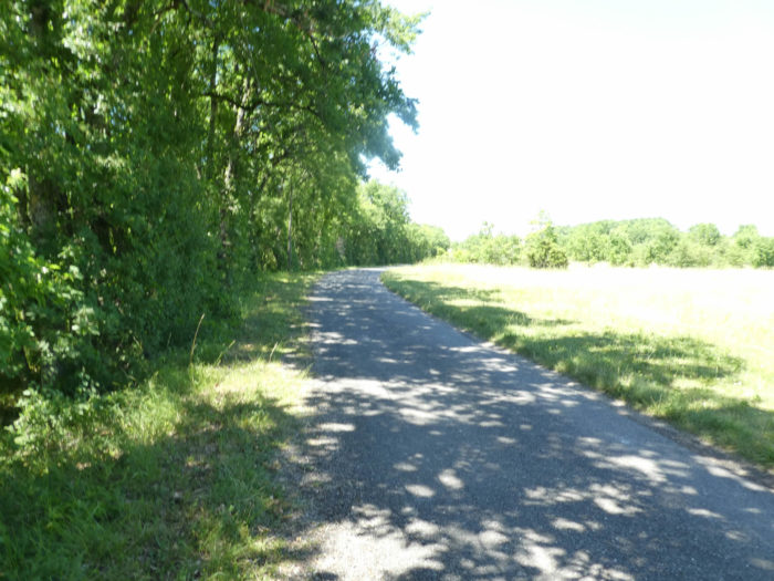
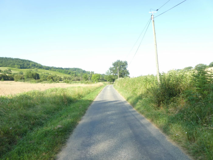
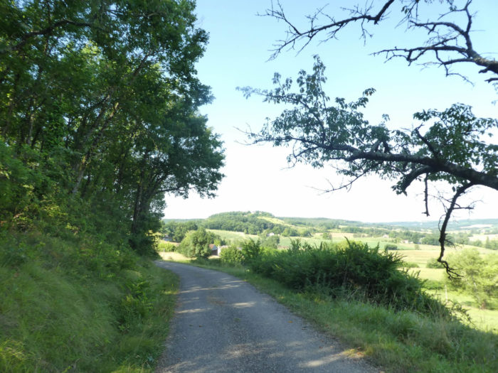
| At the bottom of the descent, a paved road awaits you, a road which flattens between meadows and cereals. |
 |
 |
| But our friend has a compass in his eye. He knows the route by heart and shows us where GR path leaves the main road for the countryside, where the Tartuguié stream flows a little further on. The dog must like to come and splash around here in the stream. |
 |
 |
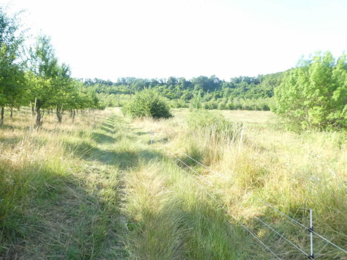
Further ahead, the GR65 runs through the tall grass along the hedges and begins to climb the hill.
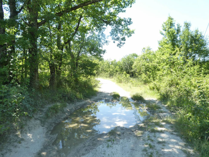
| Halfway up, it brushes against a stretch of water lost in the tall grass. |
 |
 |
Section 5: From the Lot department to that of Tarn-et-Garonne.
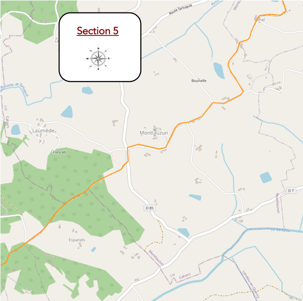
General overview of the difficulties of the route: tough section, to go from one department to another, with slopes often close to 35% uphill, but climbing is not eternal.
| The slope then becomes steeper, at nearly 15%, above the small lake to join the hardwood and walnut trees at the Bonal farm at the top of the hill. |
 |
 |
| Beyond Bonal, a paved road slopes down into the countryside along the undergrowth. Here, there is the whole range of hardwoods, sometimes even lime trees. Ash trees abound, as usual, along the roads. The dog is always with us. |
 |
 |
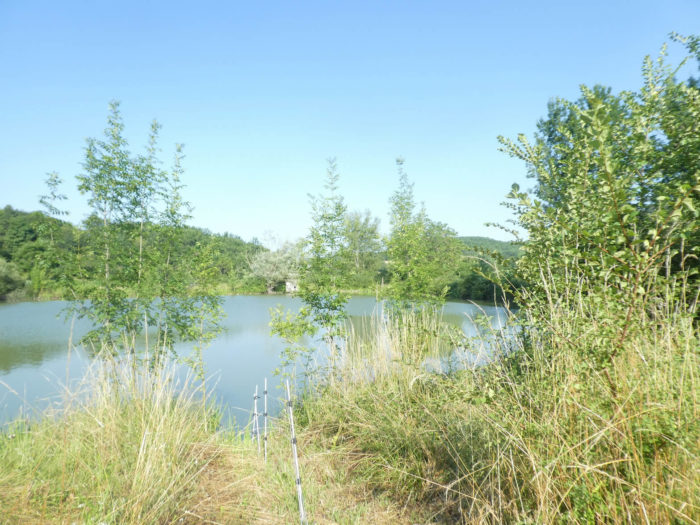
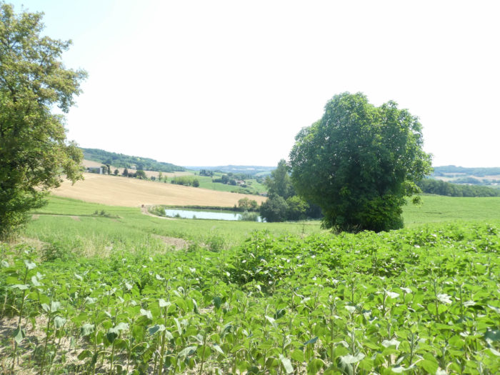
Further down, the road passes near the small Sorbier lake, a veritable symphony of warm greens, full of nuances and reflections.
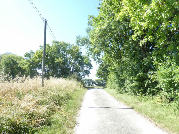
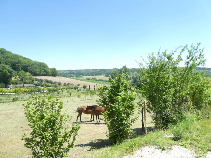
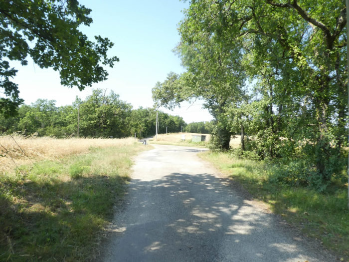
| At the bottom of the descent, the road crosses fields of sunflowers and soybeans. We did not see many oilseed fields in the Lot department. It will be for Tarn-et-Garonne, a stone’s throw from here. |
 |
 |
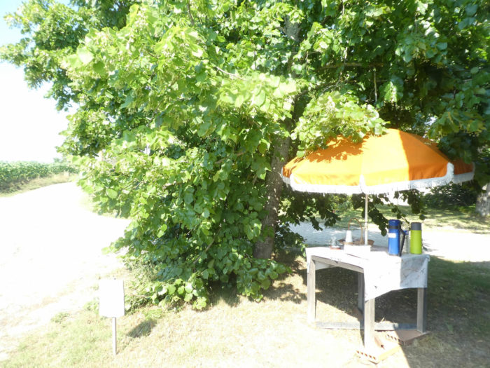
| At the edge of the road here is a farm and a refreshment stall under the lime trees. In these blessed places, few pilgrims continue straight on. Whether they are listed or just temporary stops, it is always a great pleasure to sip a coffee or syrup or have a snack there. In addition, this stop was profitable for a whole other reason. This is where we left our friend. These dogs, if they have a collar, do not all have the owner’s phone number. This one didn’t. So, the owner put it away for an hour. According to him, these dogs, which follow the pilgrims, always know how to return to the fold. Just release them later. Besides, the dog, we haven’t seen him since. |
 |
 |
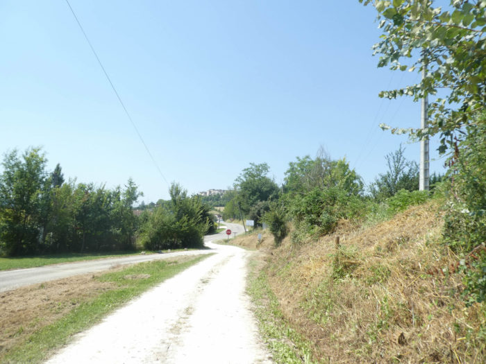
| Soon the bell tower of Montlauzun stands out on a hill in front of you, and the road heads gently towards it |
 |
 |
| Further up, the slope gradually steepens, in the middle of cereals and oilseeds. |
 |
 |
| The last section of the climb is very steep. Up to 20% slope. But it is not forever. |
 |
 |
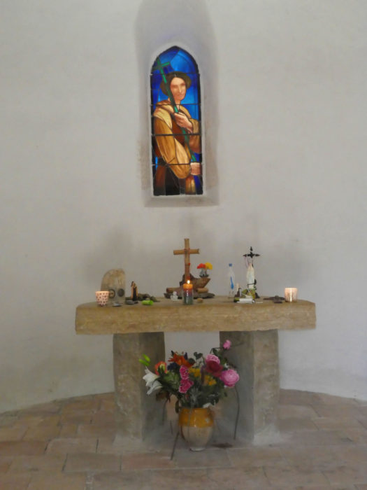
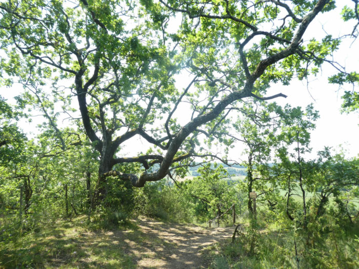
The road does not climb to the top of Montlauzun hill. However, the visit is worth the detour for the serenity of the site, the 360-degree perspective on the surrounding country, with its small church planted in the middle of the square. The church of St Jean, of unknown origin, has undergone transformations over the centuries to adopt a neo-Gothic style in the XIXth century. Others will stop there to stay in the old presbytery.
| A road with more than 10% slope descends from Montlauzun in a small dale. That’s when the GR65 leaves the paved road to climb into the undergrowth. |
 |
 |
| Quickly, the slope becomes demanding at the start of the narrow lane, more than 10%. Would the forest change? There are as many maple and chestnut trees as there are oaks. |
 |
 |
| Then the slope becomes very tough on a short stretch, at more than 20%, or even more. The rocks are outcropping on the ground. |
 |
 |
We’ve been through here before. Once upon a time, there was even a rope to help the weakest. The organizers eliminated it, arguing that we were not climbing the Alps Come on! Imagine, however, that in bad weather, climbing is less easy…
Wait for the video to load.
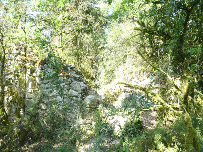
| Further up, the vegetation becomes denser, and the pathway crosses a “caselle” dismantled by time. |
 |
 |
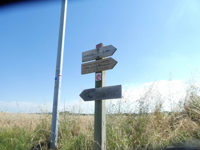
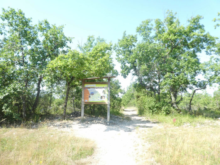
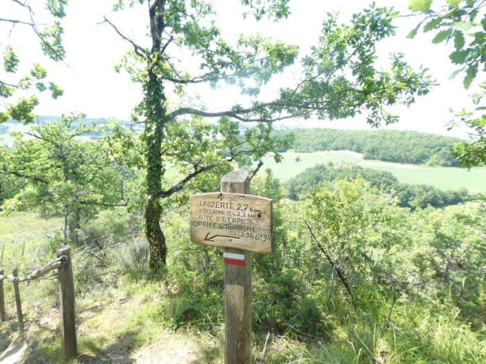
| Arriving at the top of the hill, the slope becomes conciliatory in the moor. This is where you leave Lot for Tarn-et-Garonne. The track crossed the Lot department over almost its entire width. A sign here announces the future wonders of Tarn-et-Garonne to come under the ward: Lauzerte, Moissac, Auvillar. |
 |
 |
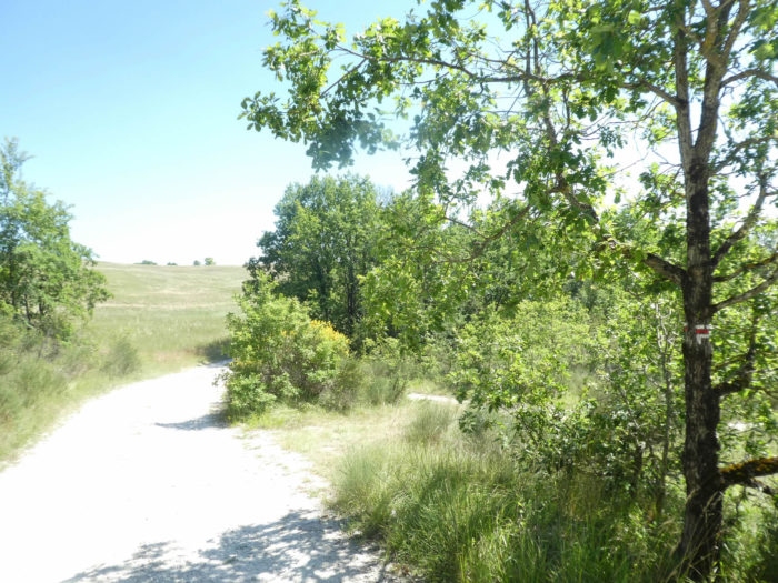
| Borders, everyone knows, are often artificial, a practical myth. The natural elements that define a territory are not limits because history or society has imposed them so. Nature doesn’t care like her first shirt. The small oaks will continue to proliferate, scrolling for miles, until you reach Lespinasse. |
 |
 |
| It’s as if the causses have migrated here, ignoring human borders. |
 |
 |
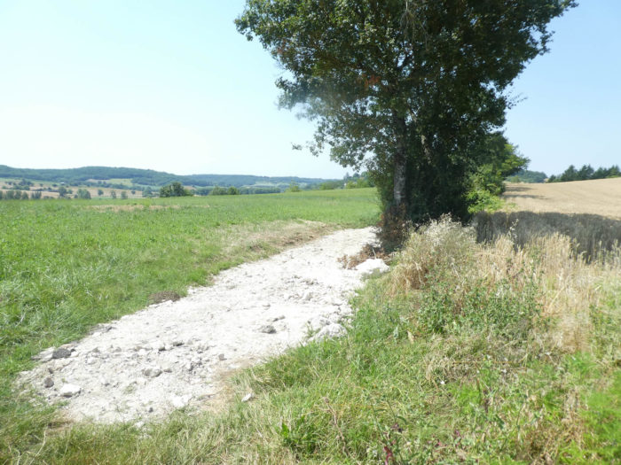
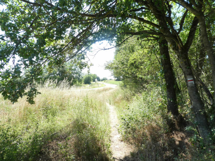
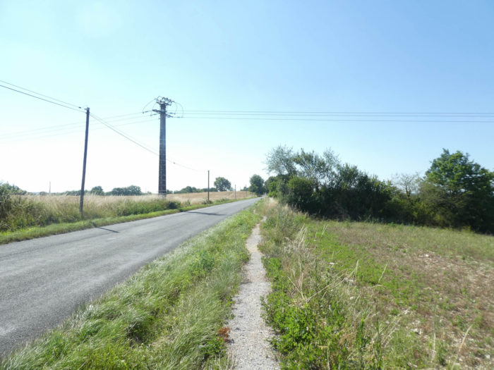
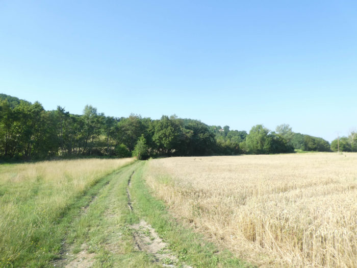
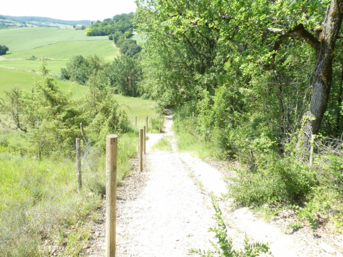
| Further on, the lane gives way to a wide dirt road that flattens between the undergrowth and the oat fields. It is arguably the only grain that succeeds in growing in this arid land. |
 |
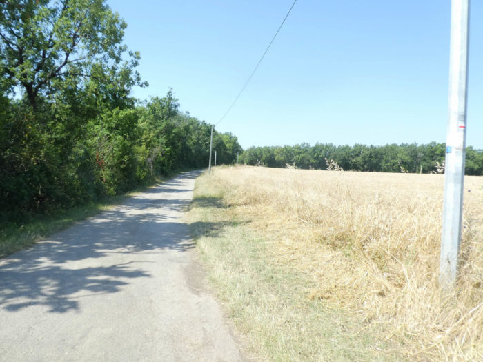 |
| There are sometimes tiny country roads that lead to residences around the woods. No doubt not second homes, but houses of peasants who have to make a living here. |
 |
 |
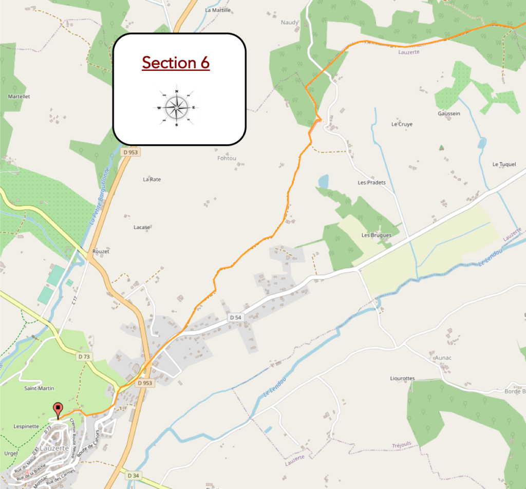
Section 6: Lauzerte, up there, perched on the hill.
General overview of the difficulties of the route: first a steep descent, here on the stairs, then a tough climb to the top of the hill at Lauzerte.

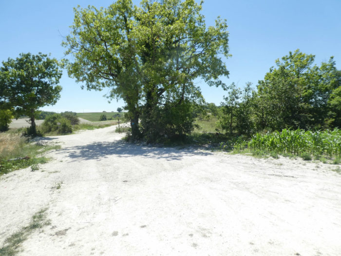
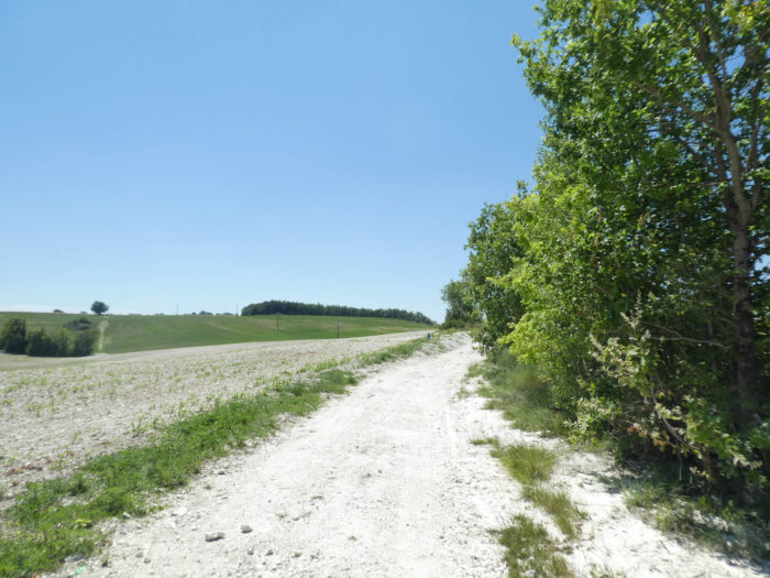
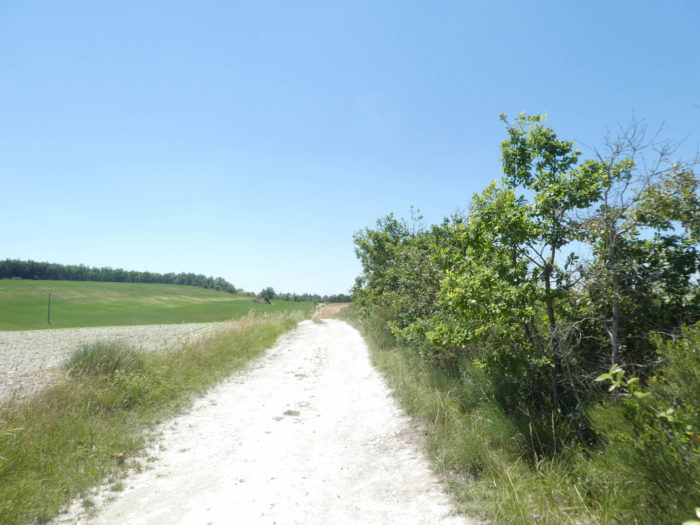
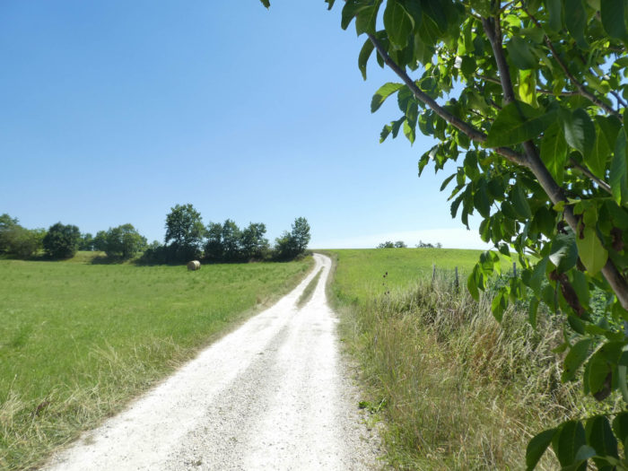
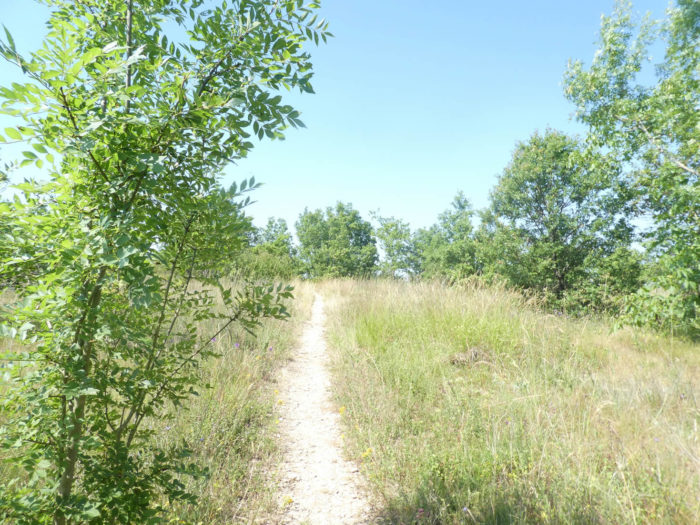
| Further afield, the wide dirt road continues for nearly a kilometer in this landscape of causses, unchanging. |
 |
 |
| Then, miracle! A first orchard, organized like a real orchard with long lines of trees lined up as if to go to war. Yes, my friends! Since Le Puy, we have almost never seen so many fruit trees lost in nature, never such perfect architecture and such a great profusion of happiness awaiting. You arrive in Tarn-et-Garonne, that’s for sure! |
 |
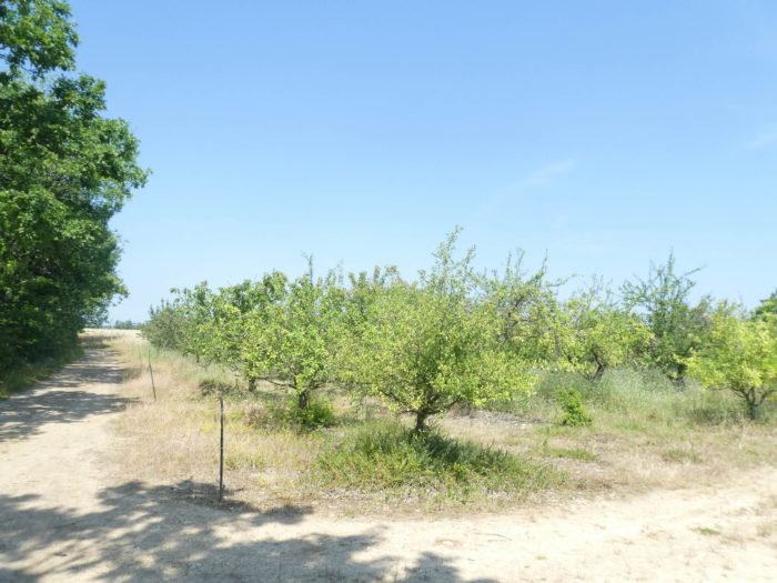 |
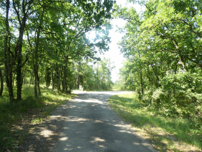
| You could imagine that the country is going to fall into another universe. Absolutely not, the presence of the orchard here is only temporary. And the track continues to progress in the shade of the oak trees. |
 |
 |
| You’ll arrive further on at the place called Lespinasse. Here you come out of this long ridge crossing and the pathway will slope down steeply. |
 |
 |
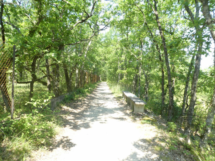
| The descent is largely on large concrete stairs. |
 |
 |
For your pleasure…
Wait for the video to load.
| At the bottom of the descent the GR65 follows meadows from one undergrowth to another, through the countryside. The vegetation is very dense in the region. |
 |
 |
| When you’ll come out of the undergrowth, it is to see the small Montjoie lake lost in the large sunflower fields. |
 |
 |
| At the top of a fairly steep hill, the pathway arrives at the peasant hamlet of Montjoie, where a water tap has been generously made available to walkers. |
 |
 |
| The pathway then alternates between sunflowers and thick undergrowth, where oaks are still very present, but where you also see many ash trees appear. |
 |
 |
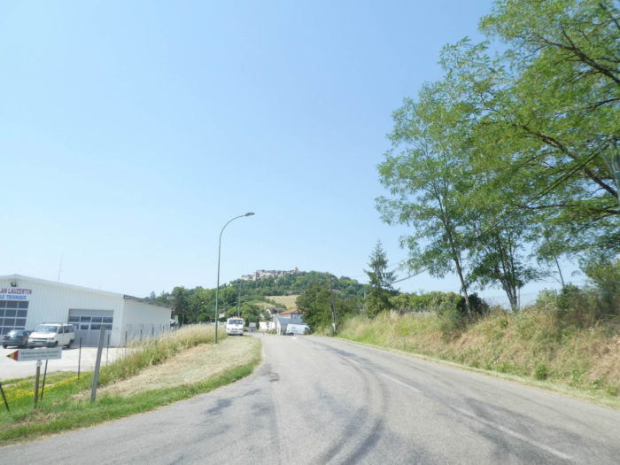
At the bend of an undergrowth, you will see on the horizon Lauzerte perched on its hill. Lauzerte seems close, within gunshot, but that is only an illusion. It’s like in the desert, where behind a dune there is always a second dune.
Further ahead, the pathway progresses in the undergrowth or more often at the edge, along large fields of cereals, sunflowers or fallow land. A each bend in the pathway, Lauzerte seems closer.
| Do not doubt it, you will still end up arriving in Lauzerte. Further on, a wide dirt road slopes down towards the city. |
 |
 |
| Lauzerte then finally appears before your eyes at the bottom of the descent. |
 |
 |
| By following the departmental road, you will reach Auléry, where the commercial area of the region is grouped. |
 |
 |
| A little more effort and you will have arrived safely, because the city is perched high up on the hill. A paved road first climbs towards the village, then the route turns into a small pathway. |
 |
 |
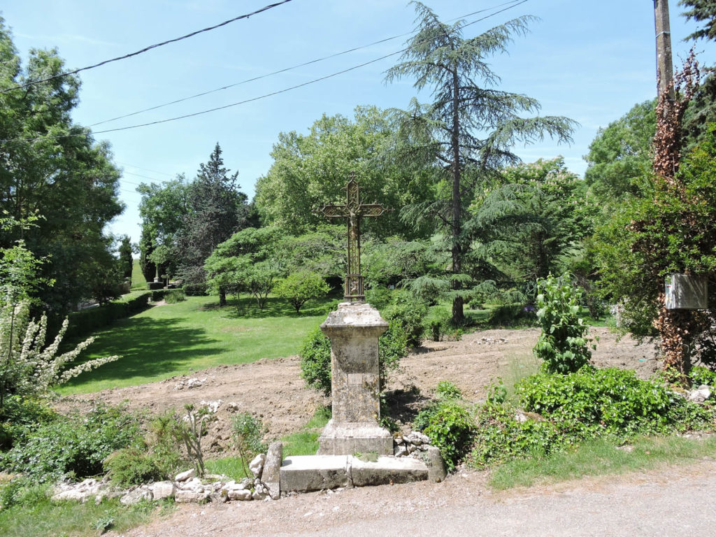
Lauzerte is deserved. The slope is very steep to reach the citadel.
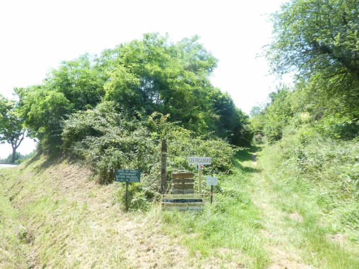
Further up, the pathway runs near the gîte des Figuiers, a major gathering place for pilgrims here. |
 |
 |
| However, you are not yet at the end of the effort. You will have to climb again in the undergrowth, before finding the last tar ramp that leads you to the citadel. |
 |
 |
 |
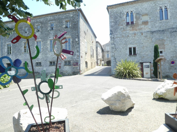 |
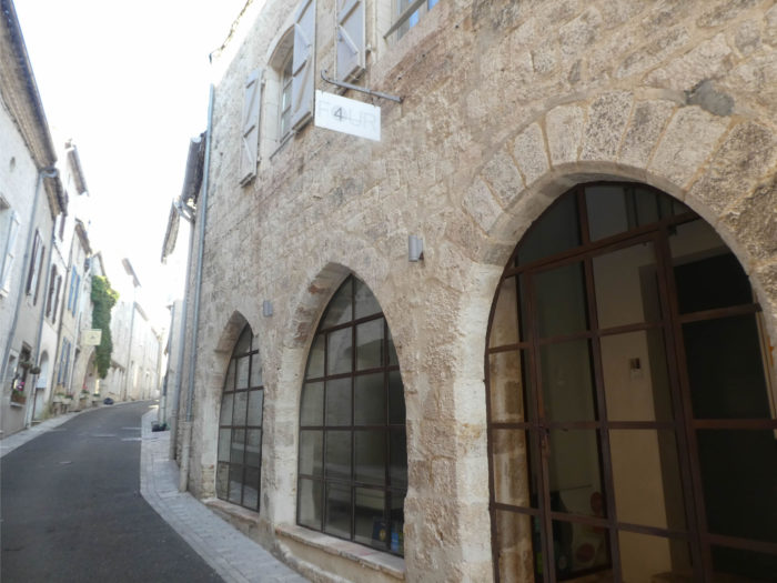
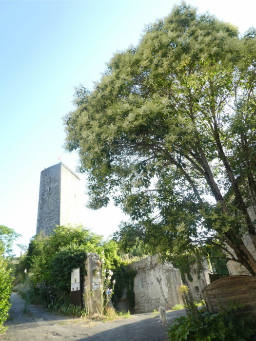
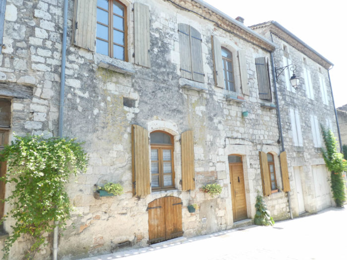
| Lauzerte is one of the most beautiful villages in France. There is no doubt about it. The city deserves it in every way. It was once a Roman oppidum, named Lucerna, lamp, being visible from afar like a light. The pilgrim knows something about it as he approaches, hypnotized at every turn of the road by the ramparts which hide the city, high up on its promontory.
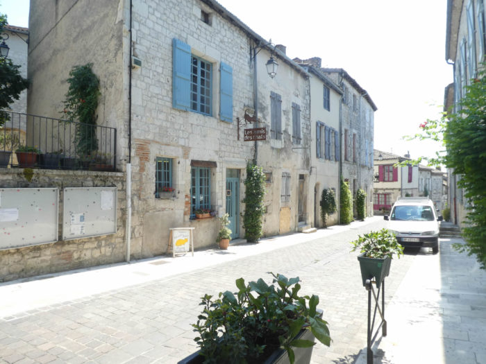
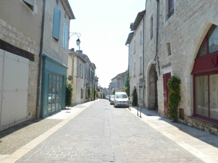
The small city, which had more than 3,500 inhabitants in previous centuries has gradually lost its inhabitants and now has less than 1,500. Still others will desert the place, it is almost written. Walking through the streets, you can easily guess that the old residences, in Gothic or Renaissance style, must have housed a prosperous population. The street is magnificent with its half-timbered houses. But here it is, this magnificent city often seems almost dead, with very beautiful buildings that are no doubt permanently closed. You only have to walk up and down the magnificent Grand Rue, to see that the shutters are drawn, perhaps for eternity. “For Sale” ads are popping up everywhere. |
 |
 |
 |
 |
| At the bottom of the Grand Rue, there is still a tower of the city walls. |
 |
 |
|
The pilgrim on the Camino de Santiago, after several stages spent in these magnificent places where life is dying, is no longer surprised to find that he is almost alone in the evening walking around, frequenting inns. He can only weep over the difficulties that the lives of the people of the place must generate.
Yet, in the middle of this largely extinct borough, there is a neighborhood that lives, the one located around St Barthélemy Church and Place des Cornières, a true architectural gem. The church, dating from the XIVth century, has undergone major changes over time. It has a very simple square bell tower. In the square, there are still buildings of a former monastery of mendicant monks, founded in the XIIth century, an order that disappeared during the French Revolution.
|
 |
 |
| People talk loudly and drink there on the terraces, when they are open. It would have been necessary to make an investigation to know the hours and the days of opening of the restaurants of the place. Are they also closed? Are they also closed, on this square where the pavement rises as if to augur a future boom? |
 |
 |
Local gastronomy
Tarn-et-Garonne alone produces 85% of pear volumes in the Midi-Pyrénées region. The two main varieties cultivated are Williams and Doyenné-du-Comice. Everyone knows the Williams, tasty and juicy. But, the Doyenné-du-comice, a year-end pear with remarkable flavor qualities, deserves special attention. You will also taste there in season the Buttered-hardy and the Passe-crassane. And if you’re lucky, you might also find the famous Auch pear, which is grown further down in the Gers. Mentioned since the XVth century, it is distinguished by the absence of seeds and its tasty flavor.
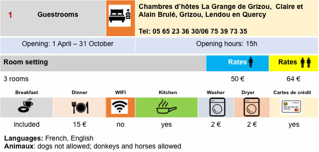
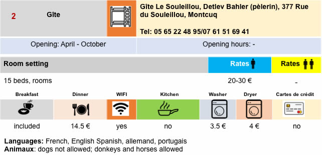
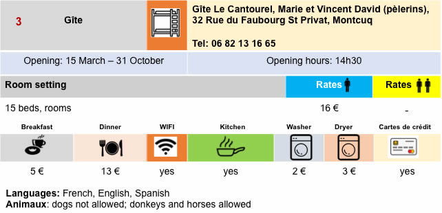
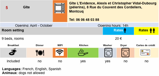
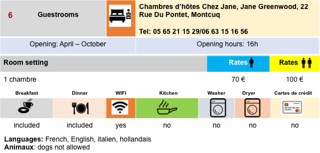
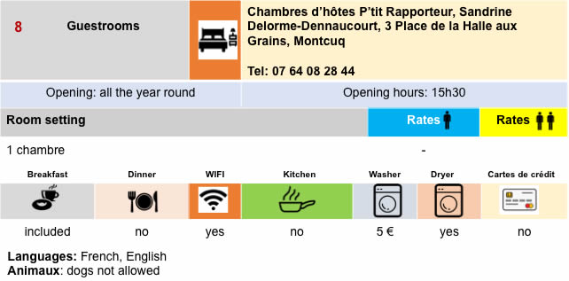
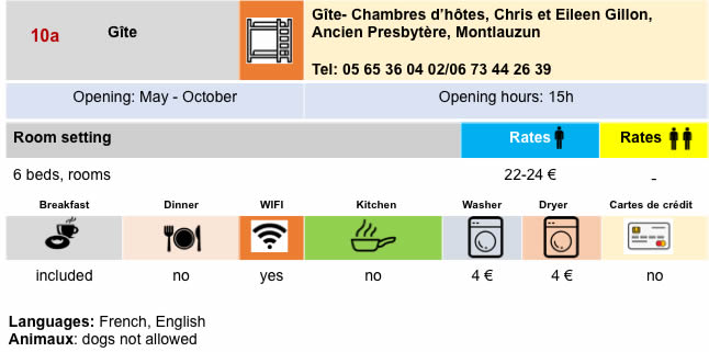
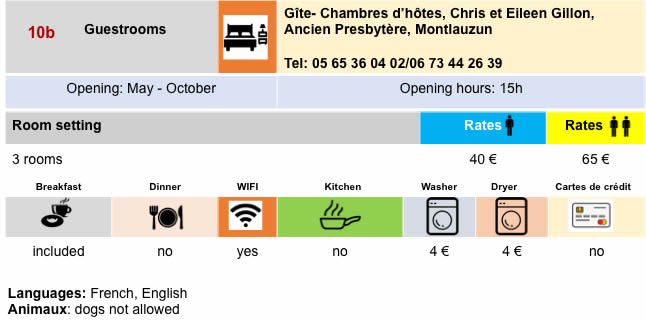
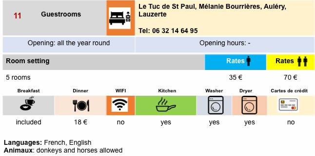
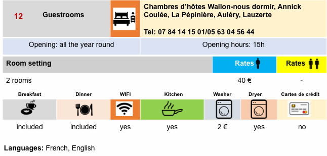
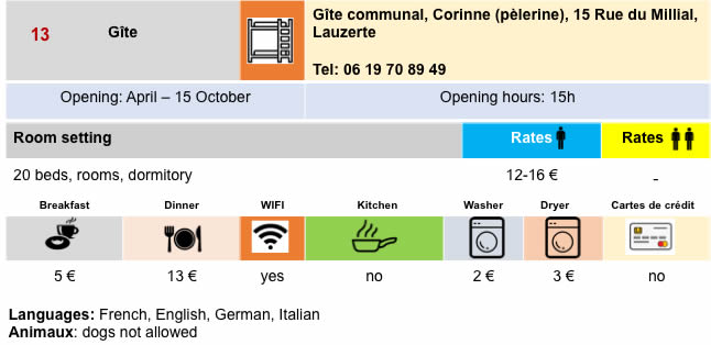
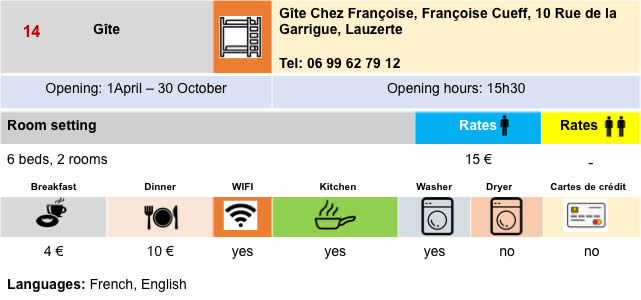
Lodging


Feel free to add comments. This is often how you move up the Google hierarchy, and how more pilgrims will have access to the site.
|
 |
Next stage : Stage 19: From Lauzerte to Moissac |
|
 |
Back to menu |