A first day in White Quercy
DIDIER HEUMANN, MILENA DALLA PIAZZA, ANDREAS PAPASAVVAS
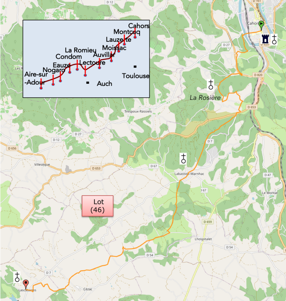
We divided the course into several sections to make it easier to see. For each section, the maps show the course, the slopes found on the course, and the state of the roads. The courses were drawn on the « Wikilocs » platform. Today, it is no longer necessary to walk around with detailed maps in your pocket or bag. If you have a mobile phone or tablet, you can easily follow routes live.
For this stage, here is the link:
https://fr.wikiloc.com/itineraires-randonnee/de-cahors-a-lascabannes-par-le-nouvau-gr65-53871606
It is obviously not the case for all pilgrims to be comfortable with reading GPS and routes on a laptop, and there are still many places in France without an Internet connection. Therefore, you can find a book on Amazon that deals with this course. Click on the book title to open Amazon.
If you only want to consult lodging of the stage, go directly to the bottom of the page.
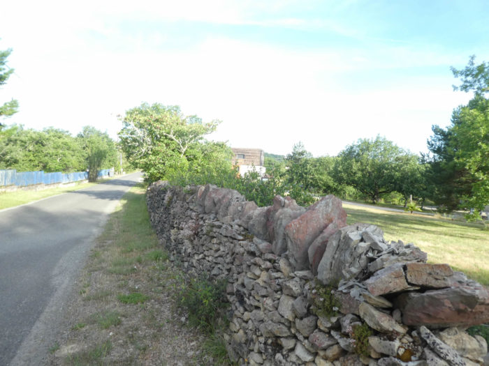
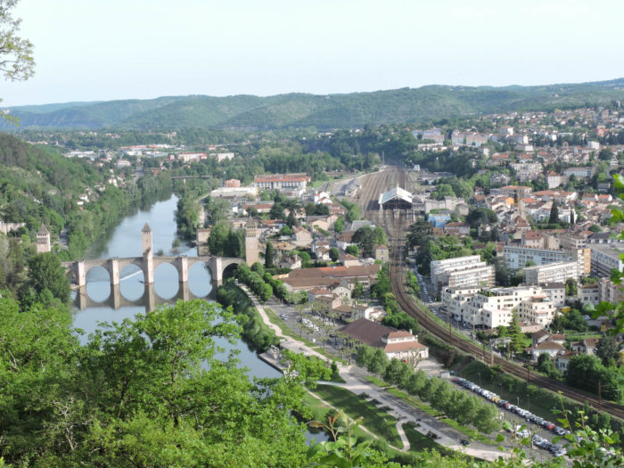
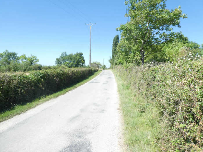
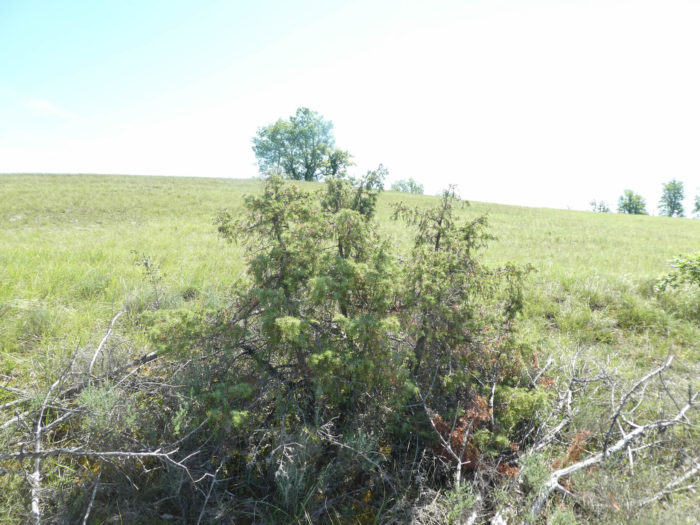
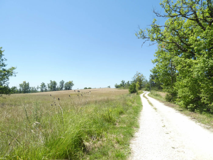
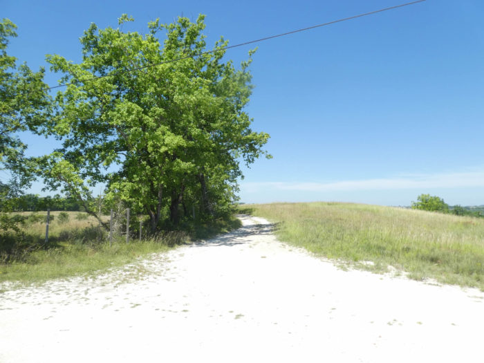
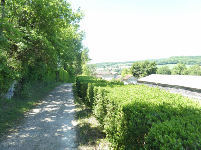
The Quercy Blanc (White Quercy) is a kind of low altitude plateau, carved out of small dales through which flow small rivers, hardly wider than large streams, on the border of Lot and Tarn et Garonne department. Leaving from Cahors, it is above all still a Causse country, where undergrowth abounds, with only the embryos of crops. Further on, you will have finished with the causses and you will gradually penetrate into a country of agricultural crops. Beyond Cahors, the Way of Santiago will gradually leave behind the foothills of the Causse du Quercy for the White Quercy. The region is located on the watershed line between the Lot and Garonne watersheds. It extends between the departments of Lot and Tarn-et-Garonne.
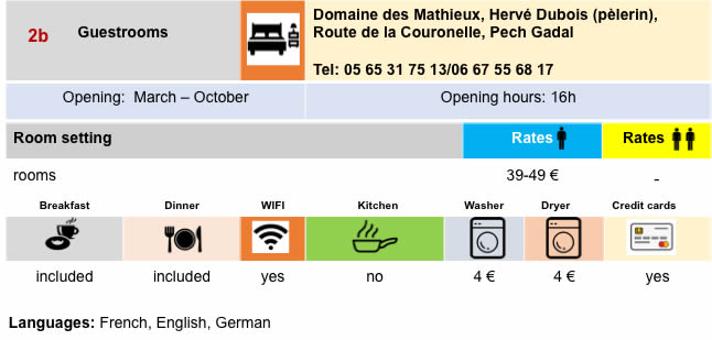
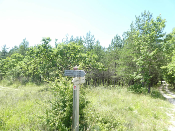
In contact with the causses, the White Quercy is especially recognizable by the whiteness of the ground and the walls of its houses. The land is mainly limestone, with a color bordering on white, hence its name. The landscapes are structured by the superposition of various layers of limestone and marl, white as chalk, on a plateau interspersed with spurs and wide valleys, where the alluvial soil is rich. But sometimes geology has also shaped iron-rich red clays. Today, you are still in the Lot department. The route heads south. Watch out here! This is a stage where there are not many accommodations. Book in advance. Attention also here, track organizers have modified the GR recently. In recent years, when you went to La Rosière, the route continued straight on to the Mathieux, where you could stay there. Today, the route no longer goes there. At La Rosière, it follows another route, and as a result, the entire climb to Labastide-Marnhac has been turned upside down. It has now almost become a tic to modify the GR. Why is that?
| A wide network of small parallel streams, with many ramifications, irrigates the whole of White Quercy. The physical aspect of the country recalls that of the plateaus of the Causses, lower in the south of France, but the landscapes are more open and the buildings more present. Today, natural spaces are still mainly in the form of hay meadows, large undergrowth covered with downy oaks that crown the plateaus. The feeling is that you have not really left the causses yet, and that livestock farming still dominates agriculture, at least in the first part of the trip. You will see tomorrow that the proportions are reversed between the agricultural hillsides and the wooded hills. Some pilgrims who do not appreciate monotonous lengths will say that, beyond Labastide-Marnhac, it is not, let’s put it this way, an out-of-the-ordinary stage. Others will say, on the contrary, the happiness of having spent an entire day in an almost virgin nature, even if there are repetitive lengths. |
 |
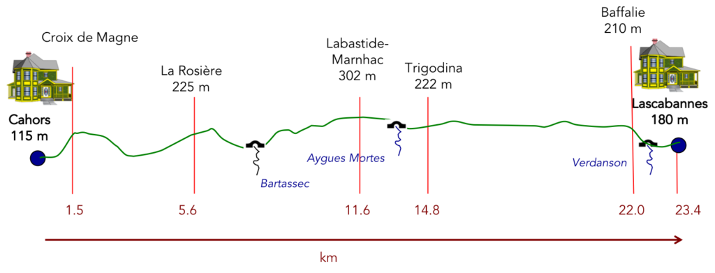
Difficulty of the course: Today, slope variations are very reasonable (+493 meters/439 meters). Admittedly, the route begins with a demanding climb above Cahors towards the Croix de Magne. Then the slope calms down, on a succession of ups and downs that you cross without problem, with however a rather demanding climb on the causse before Labastide-Marnhac. Then it’s easy for the rest of the stage.
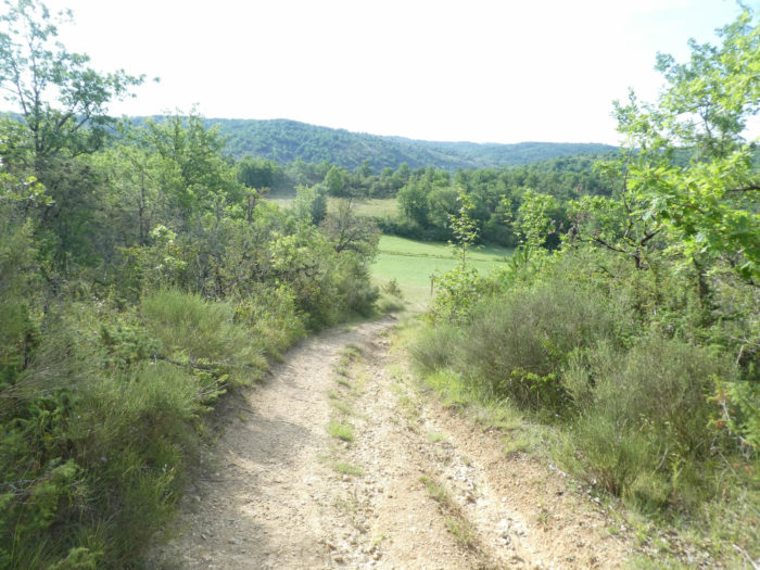
It is a stage where the dirt and pebble pathways take precedence over the tarmac, which also deserves to be mentioned:
- Paved roads: 6.7 km
- Dirt roads: 16.7 km
Sometimes, for reasons of logistics or housing possibilities, these stages mix routes operated on different days, having passed several times on Via Podiensis. From then on, the skies, the rain, or the seasons can vary. But, generally this is not the case, and in fact this does not change the description of the course.
It is very difficult to specify with certainty the incline of the slopes, whatever the system you use.
For « real slopes », reread the mileage manual on the home page.

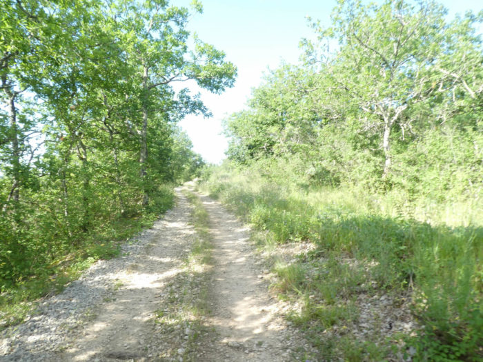
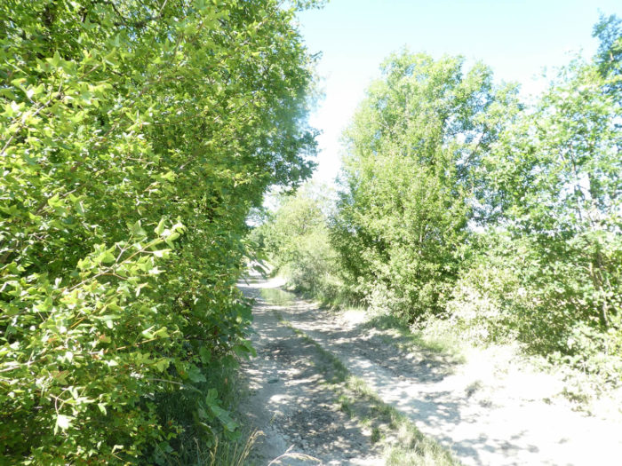
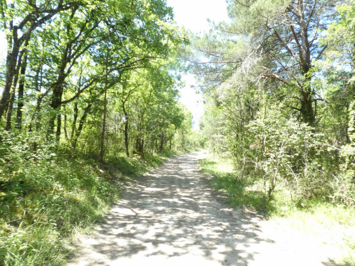
Section 1: A demanding climb above Cahors to the Magne Cross.

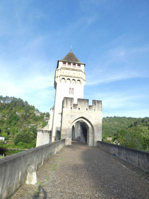
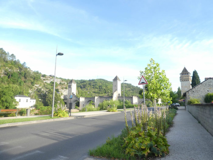
General overview of the difficulties of the route: a tough climb to Magne Cross after having crossed the Lot River on the Valentré Bridge.

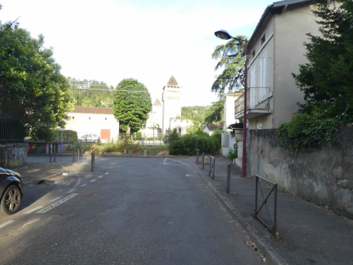
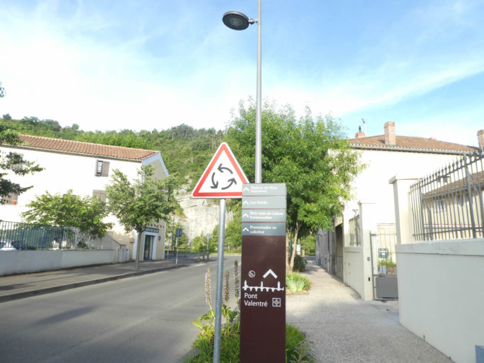
| If you spent the night in the center of Cahors, where the accommodation is grouped, you must reach the Valentré Bridge over the river. |
 |
 |
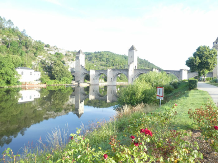
| “There are two things in a building: its use and its beauty. Its use belongs to the owner, its beauty to everyone ”(Victor Hugo, 1825). Some even go so far as to claim that bridges were built to allow pilgrims to cross waterways. |
 |
 |
|
Today, the Lot River flows peacefully and majestically. At the end of the Valentré Bridge, the GR65 will climb in twenty minutes to the top of one of the steep hills that surround the city.
|
 |
 |
You will never get tired of this wonder…
Wait for the video to load.
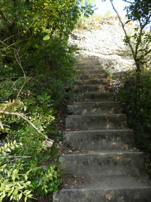
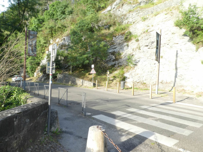
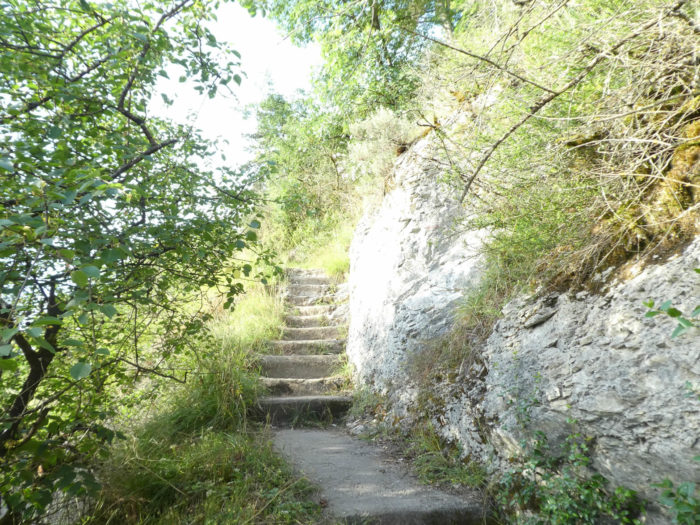
| For an hors d’oeuvre, it’s rather tough, first on big concrete stairs, sealed in the middle of the rocks, then carved into the rock. |
 |
 |
On the stairs, the slope is constant, of course steep….
Wait for the video to load.
As you climb, you see the majestic bridge gradually disappear, which illustrates well the power that the town must have possessed in the Middle Ages, with its seven arches, its three pointed towers, its crenellated parapets.

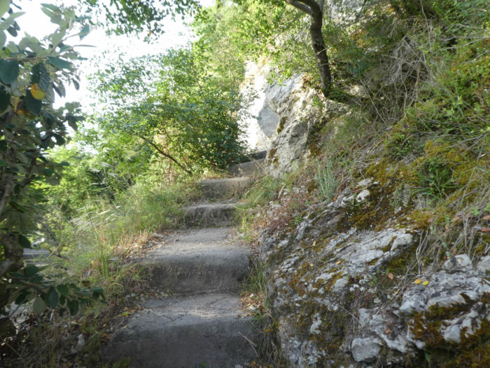
| At the top of the stairs, the slope softens on the shales. Here grow oaks, but also chestnuts, ashes and pines. |
 |
 |
| Further up, the pathway becomes stonier, slightly along the ledge where you can see the Lot River below. Sometimes holm oaks also grow, which is quite rare on the French Camino de Santiago. |
 |
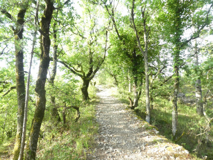 |
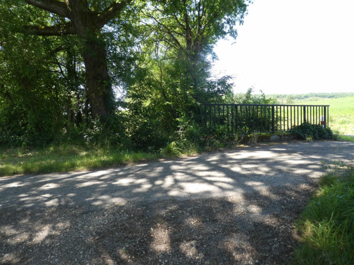
| Here you discover one of the many bridges that pass halfway up to avoid Cahors in a loop of the Lot. At the top of the ridge, the landscape opens up to more expansive moorland in less abundant vegetation. Further up, the ground is almost sand. |
 |
 |
| Further ahead, the GR65 arrives at the top of the ridge, 150 meters from the Magne Cross. |
 |
 |
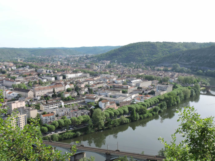
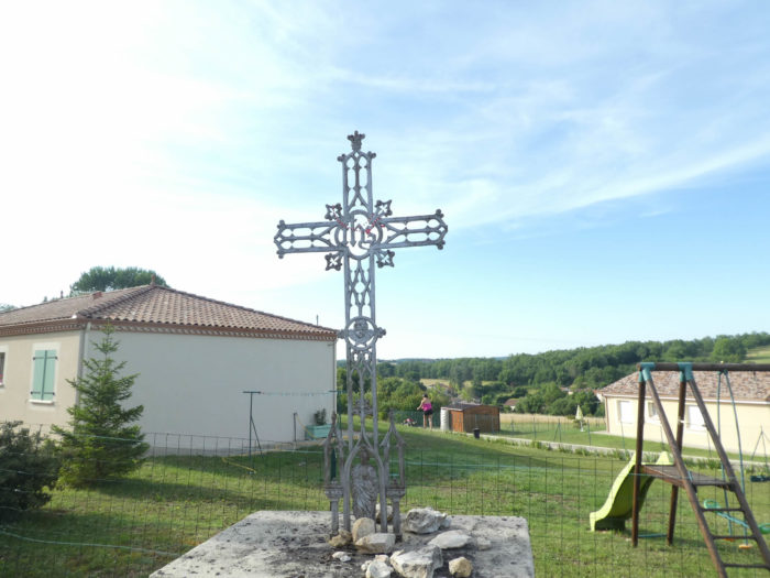
| The Magne Cross is worth a detour, which pilgrims do not always do, haunted by the idea of not respecting their walking schedule. The view of Cahors, taken in the blue loop of the river, is magnificent. The Valentré Bridge is nothing more than a dwarf thrown onto the river, the cupolas of the cathedral small bowls caught in the roofs of the city. |
 |
 |
| Alas, on the Camino de Santiago, the beautiful often quickly gives way to the banal. A small paved road descends along small villas, often without much character, twisting from Magne Cross to a crossroads. |
 |
 |
| Further afield, you’ll cross a series of small roads in the countryside … |
 |
 |
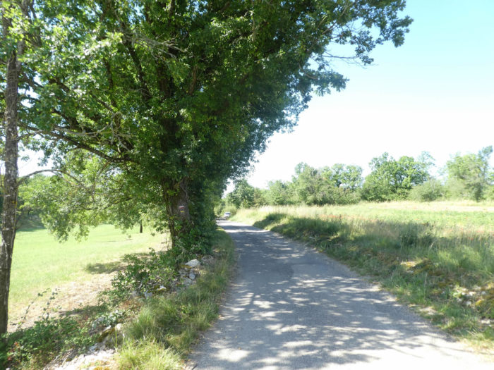
| … before sloping down resolutely, still on the paved road, on the other side of the ridge, along the D820 departmental road. When you arrive in Cahors by road, you quickly understand that Cahors is at the bottom of a valley and that you have to go down there. |
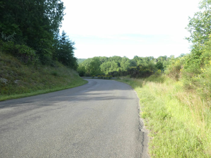 |
 |
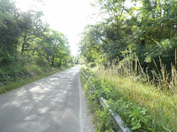
| The road then descends for a long time. A strip of dirt and grass allows walking on the small road that is not very busy, which is not the case on the large departmental road, just near. |
 |
 |
| At the bottom of the descent, the GR65 crosses the departmental road under a tunnel. |
 |
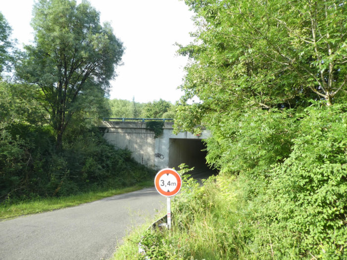 |
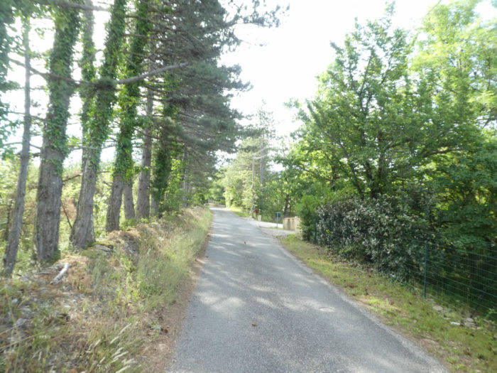
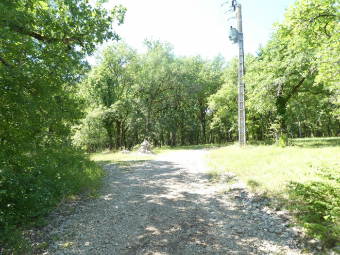
| Beyond the tunnel, a road climbs towards La Rosière to run through a place called Sous Arbouis. |
 |
 |
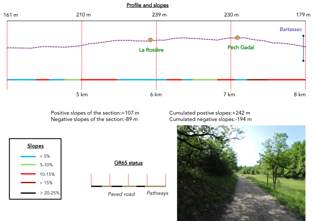
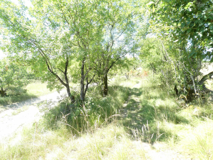
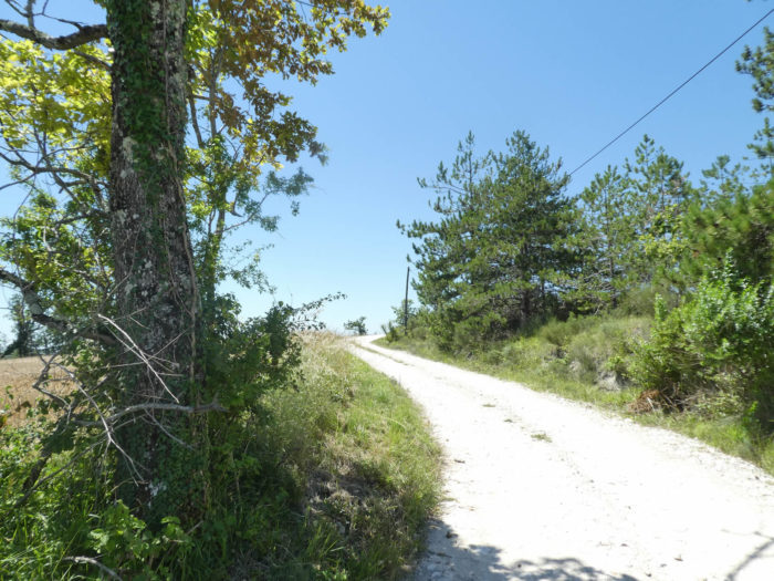
Section 2: In the countryside and under the oak trees.
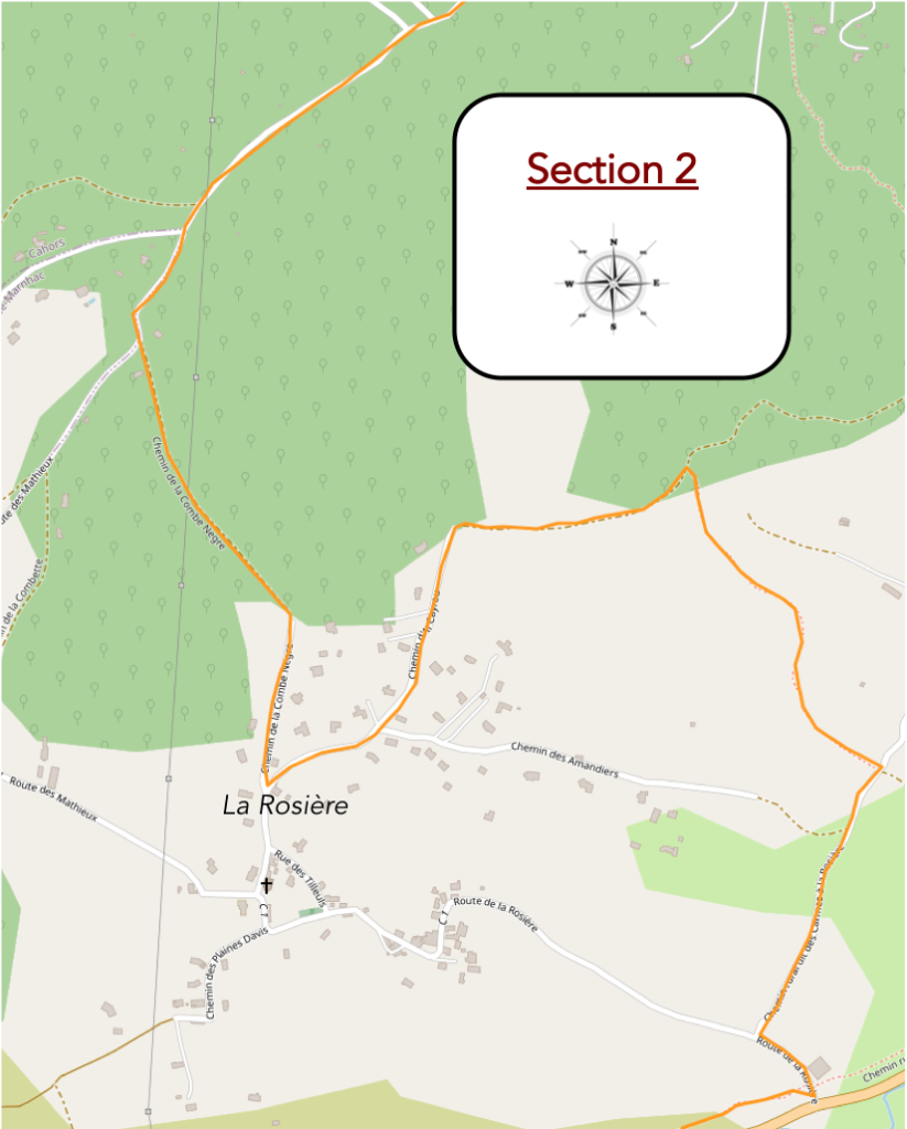
General overview of the difficulties of the route: without difficulty, except for a few slopes on La Rosière side.
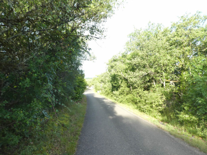
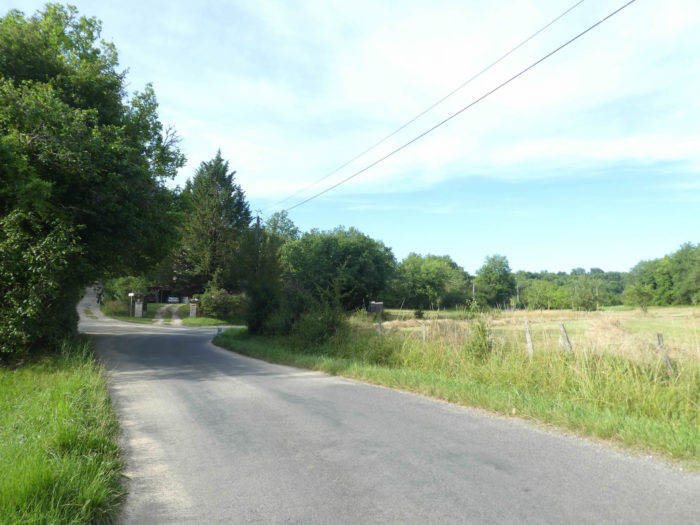
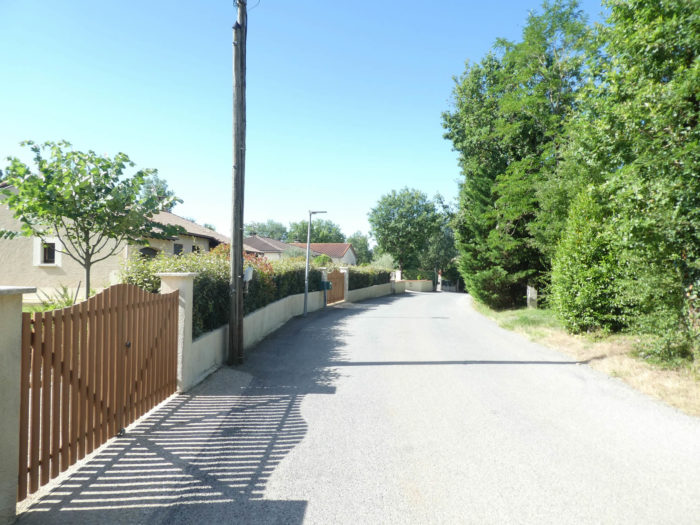
| For a good kilometer, the landscape hardly changes. The road slopes up very gently along the meadows, in the middle of common and green oak groves. You only see meadows, no cultivated fields. |
 |
 |
| The road climbs until you find a house by the side of the road. |
 |
 |
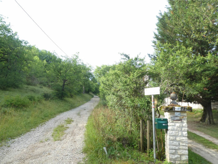
| The Camino de Santiago sometimes takes pity on the soles of the feet of its followers. Instead of following the paved road, it offers a short walk on the side of the hill, towards La Rosière. But it’s not that generous! The slope is sometimes demanding on the wide stony pathway. |
 |
 |
| You can scan the hedges to find a tree here that is not an oak. Apart from the bushes, rare Montpellier maples and hornbeams, it is almost useless as an exercise. When you cross the center of France, you easily realize that the oak has taken power and that it is not willing to leave its throne to other species. Only chestnut, maple, ash, and beech sometimes compete. |
 |
 |
| At the top of the climb, a paved road flattens to La Rosière village. |
 |
 |
You are here in front of a modification of GR path. Formerly, the GR65 left the village, straight for Les Mathieux. Only the mention of the gîte on the old GR remains. Now the GR65 turns here at a right angle. It was the GR of yesteryear, which, it is said, has regained its primary vocation.
| The road slopes up in recent housing estates at the top of the village. And always these beautiful crosses in the crossroads, all different, but all similar with the wishes posted by the pilgrims on the way. |
 |
 |
| Beyond a short stop, probably temporary and improvised, the road climbs up to the last subdivisions before the undergrowth. |
 |
 |
| At the dead end of the road, a very stony pathway plunges very steeply into the bushes and leafy trees. |
 |
 |
| On the same tough slope, it comes out of the woods and crosses the meadows. |
 |
 |
| The pathway descends and the further down you go, the less steep the slope becomes. All around, beyond the meadows, there are thick leafy forests. At the bottom of the descent, the pathway joins a road that comes from La Rosière. |
 |
 |
| Further down, the small road joins the large D653 departmental road, which goes from Cahors to Montcuq. |
 |
 |
| The GR65 then runs along the departmental road for a short time. The Bartassec stream, which flows through the valley, was swallowed by the road. |
 |
 |
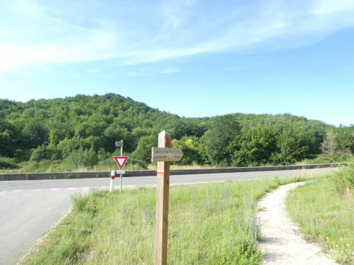
Section 3: Uphill towards the Labastide-Marnhac plateau.
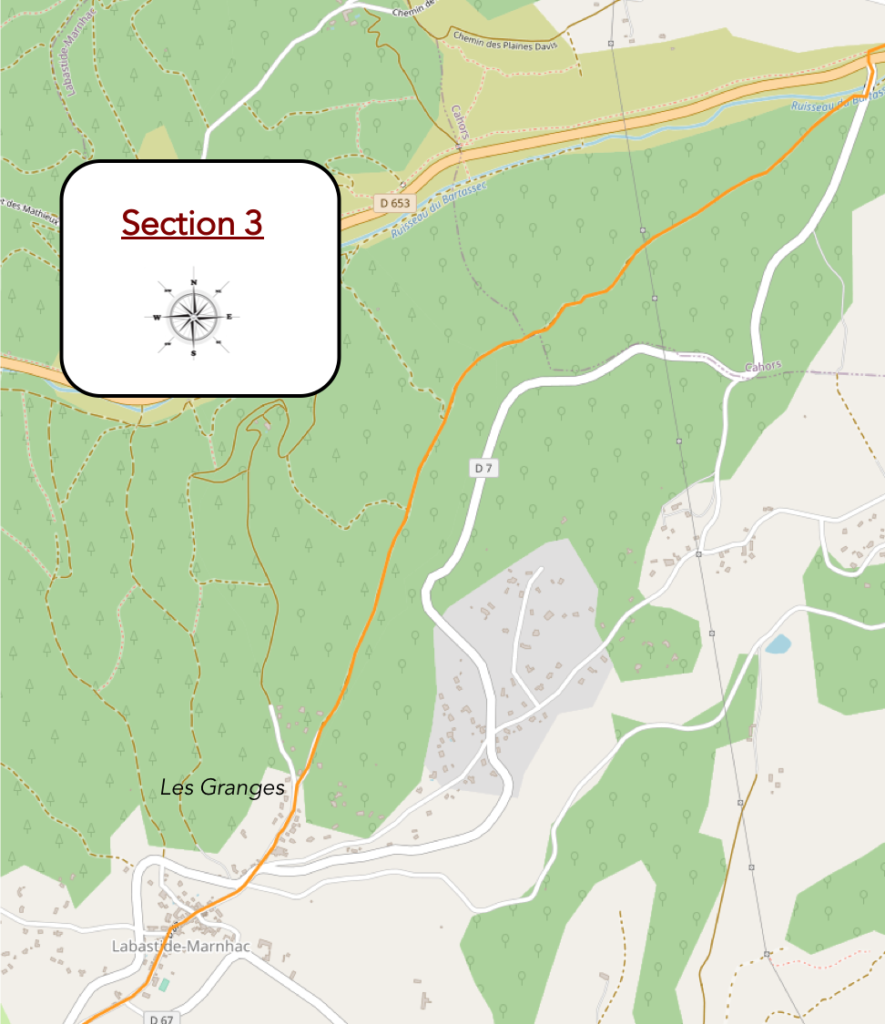
General overview of the difficulties of the route : you still take nearly 170 meters of vertical drop over 3 kilometers, often with steep slopes.

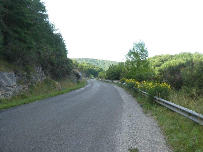
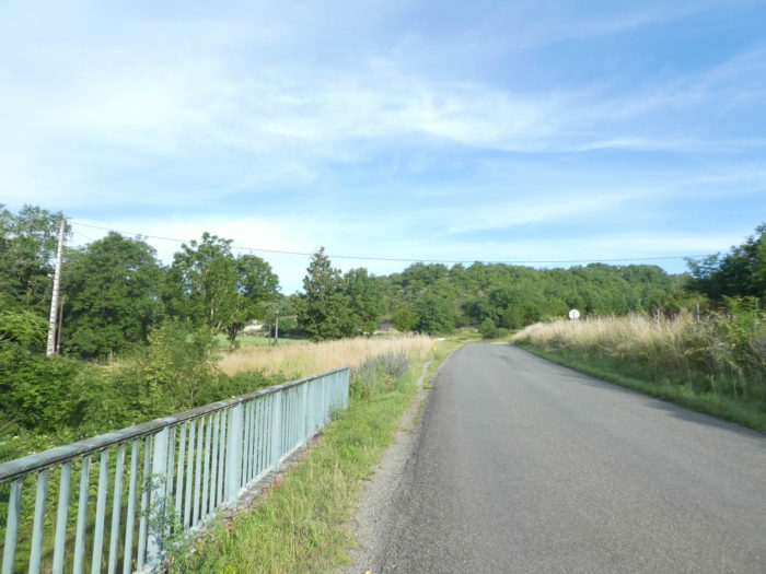
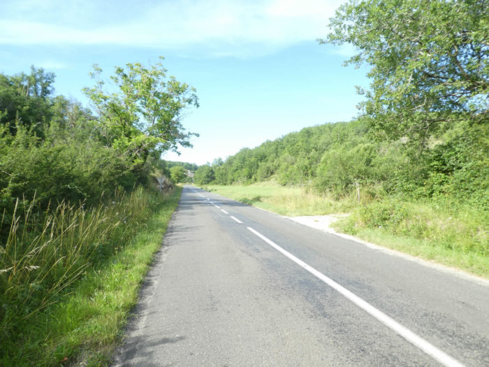
| Crossing the departmental road is no problem, as the traffic is not frenetic on the axis. Further afield, a pathway runs over the small plain. |
 |
 |
| Then the GR65 takes the road that leads to Labastide-Marnhac. But be careful here, it immediately leaves the road to climb into the causse, on the right. Pay attention here, as the course is not signaled with fanfare and trumpets. If you go straight, you will only have the choice to follow the road for a long time, which is not your intention, right? |
 |
 |
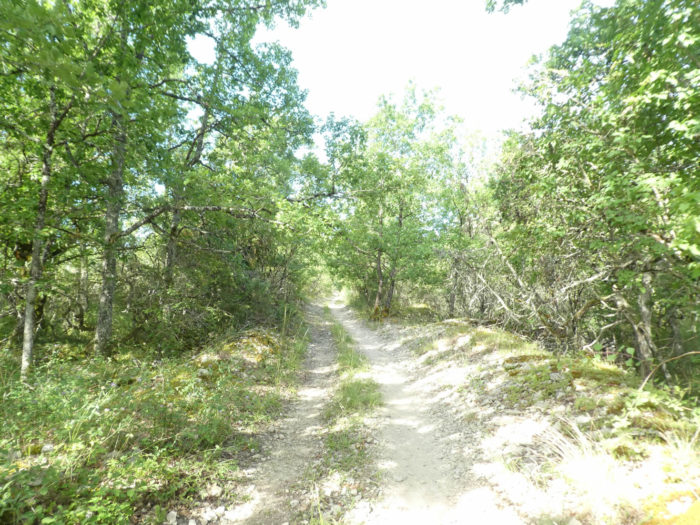
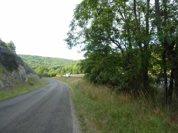
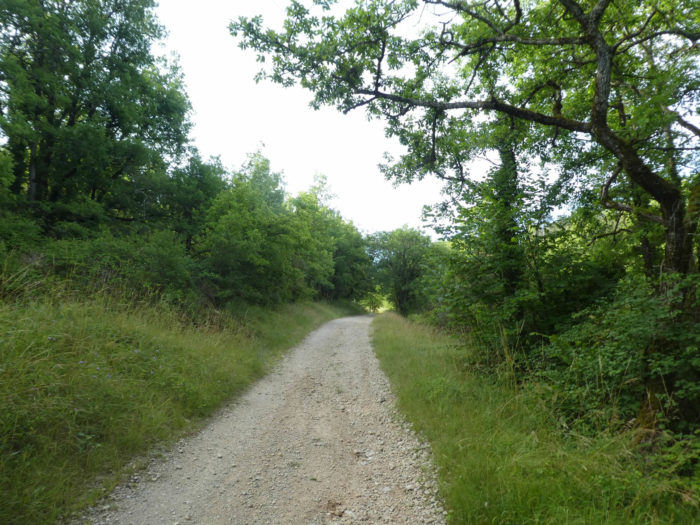
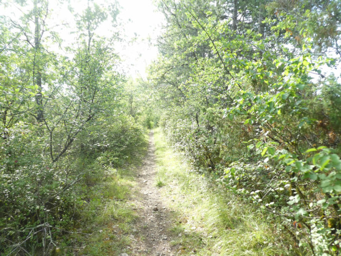
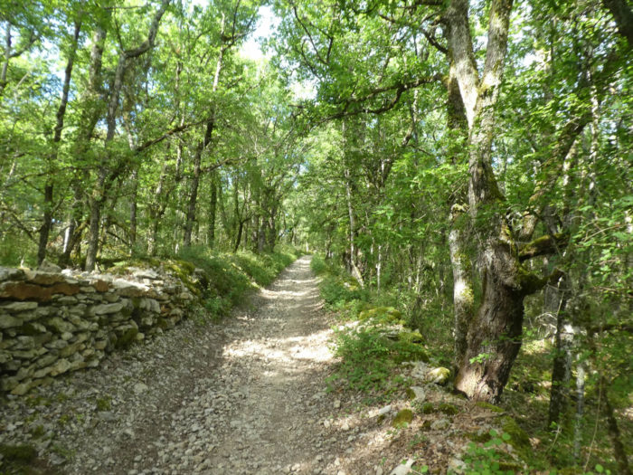
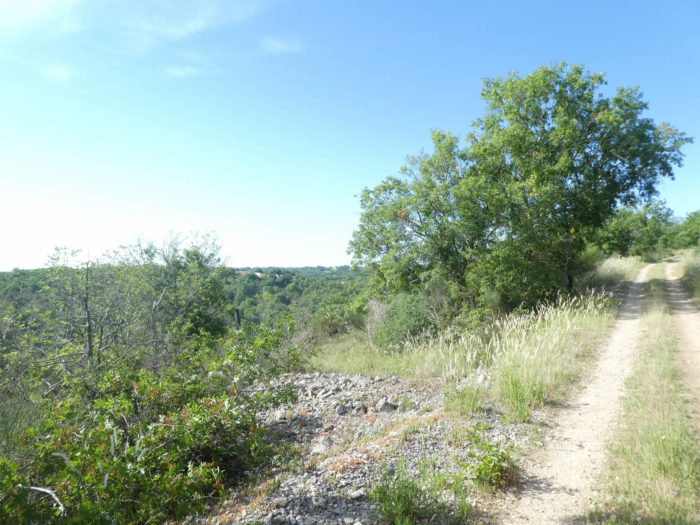
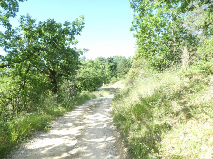
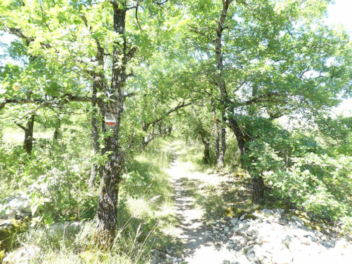
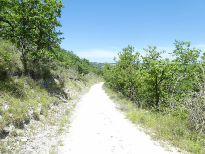
| Quickly, you’ll see that you have found the causses back and their rough vegetation. The slope is steep and the stones roll under your feet. |
 |
 |
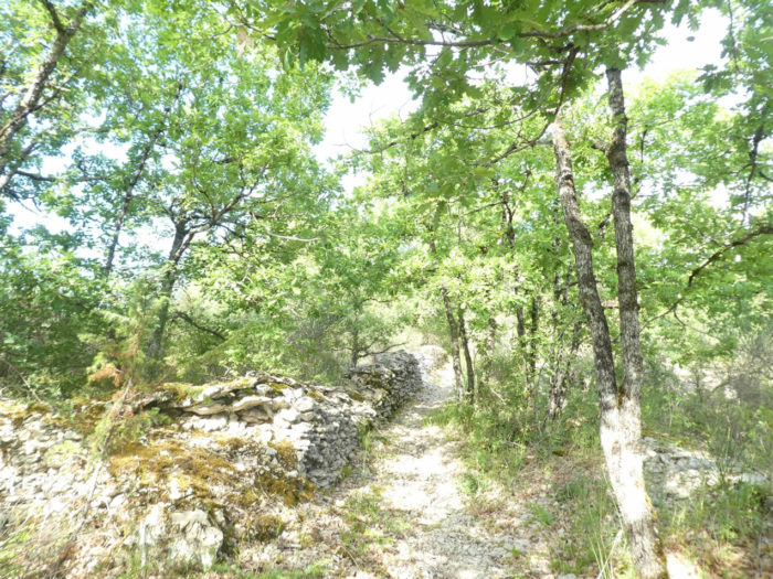
| In this wild nature of ruthless beauty, the holm oaks and the gall oaks have melted away. Soon only small downy oaks remain, the only ones growing on this barren soil. There are also, but more rarely, chestnut trees, Montpellier maples. |
 |
 |
| Further up, only beautiful ruins of a past activity remain, but which still bear the imprint of a page in the history of the region. What the hell could people keep here in this hostile nature? |
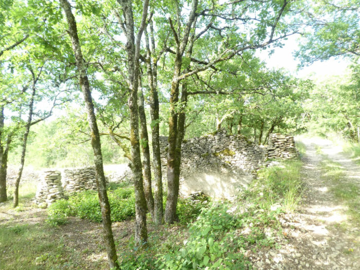 |
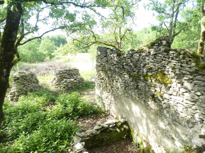 |
| Thank you to the organizers for passing the GR65 through this part of the causse which is more beautiful, wilder than where the track has passed in recent years. Seeing the color that the limestone takes on here, you understand why you are traveling in White Quercy. |
 |
 |
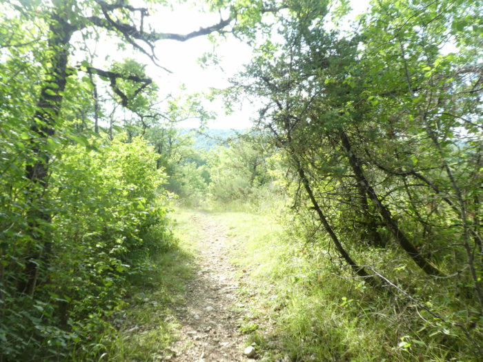
| Further up, the causse opens and the pathway will even slope down a little. Very toughly, to make you believe that you have reached the top of the hill. But this is just an illusion. |
 |
 |
| Because immediately the pathway climbs again. In front of you, at the same height, stands out Labastide-Marnhac behind the oaks. |
 |
 |
| You think you got there. Absolutely not, because the pathway will slope down again into a dale. |
 |
 |
| Shortly after, one last push, far from men, in these landscapes where silence and harmony reign, in this indomitable and eternal nature which makes fun of the hikers passing through that you are. |
 |
 |
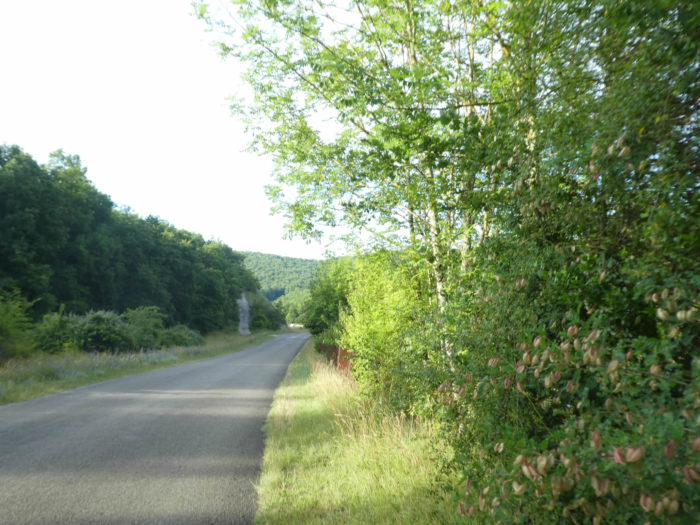
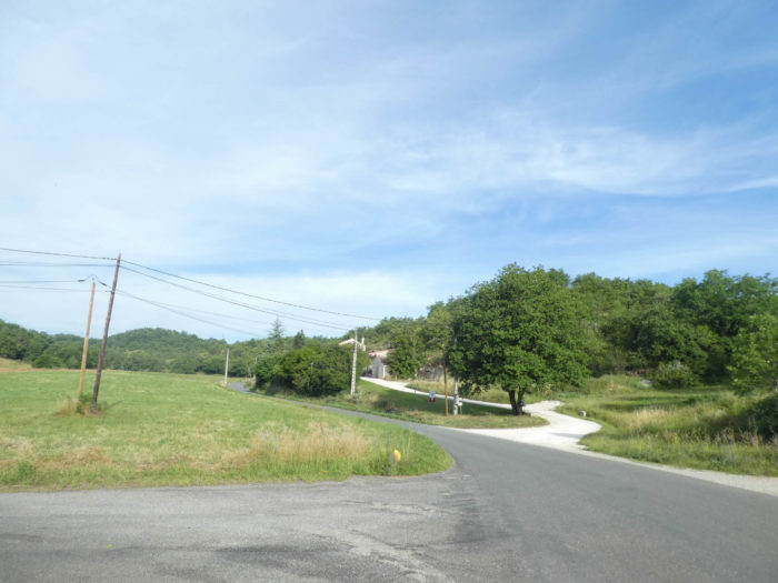
| Further ahead, the pathway leaves this extraordinary causse and a road leads to Les Granges, the recent housing estates at the top of the village. |
 |
 |
| It then arrives on the road that goes up from the valley, near a picnic spot. |
 |
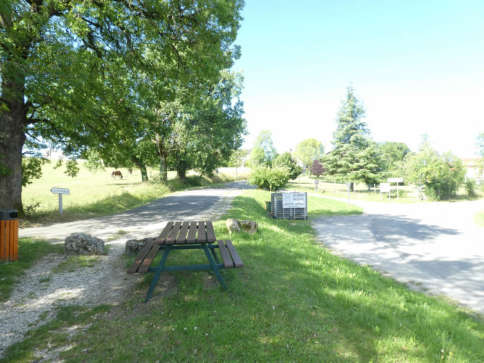 |
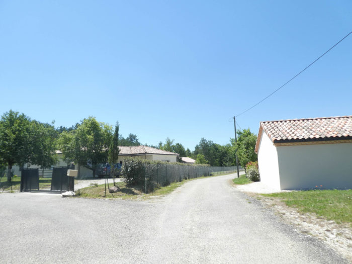
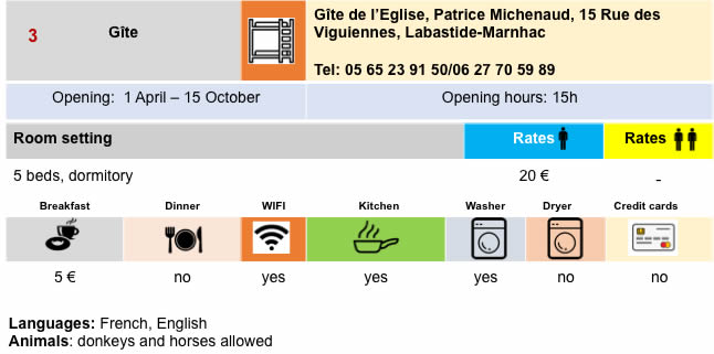
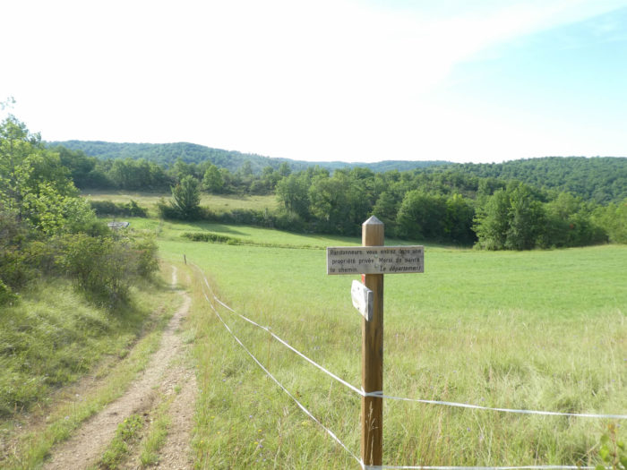
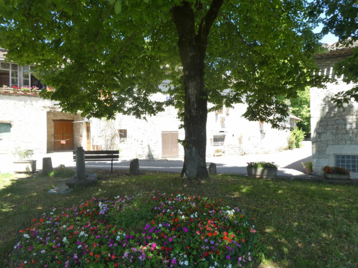
| Throughout this region, the villages are not large villages, and they are often quite far from each other. Stone and lime with their luminous colors, white or greyish, sign the identity of the villages. In the village you can find food and accommodation. |
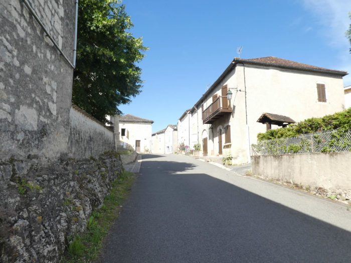 |
 |
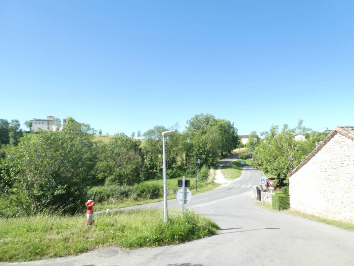
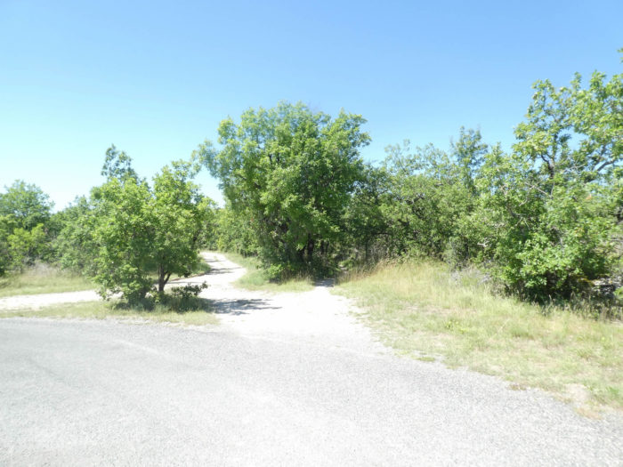
The GR65 comes out of Labastide-Marnhac, where you can even see vines. On these flat grounds, the great vintages should not be legion. The iron crosses, where pilgrims continue to pour out their wishes in the form of small stones, are gradually replacing the stone crosses that can be seen on the Camino de Santiago before Cahors.
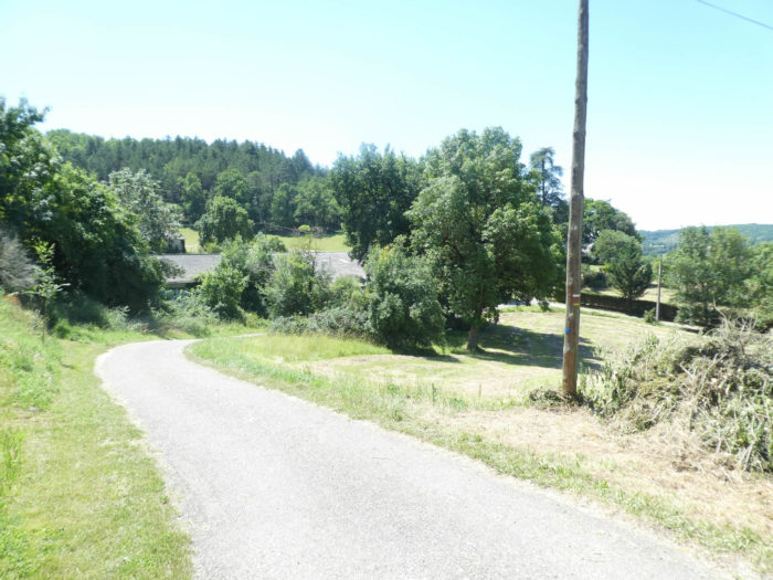
| Leaving Labastide-Marnhac, the GR65 transits towards a roundabout from where the D7 departmental road starts again. |
 |
 |
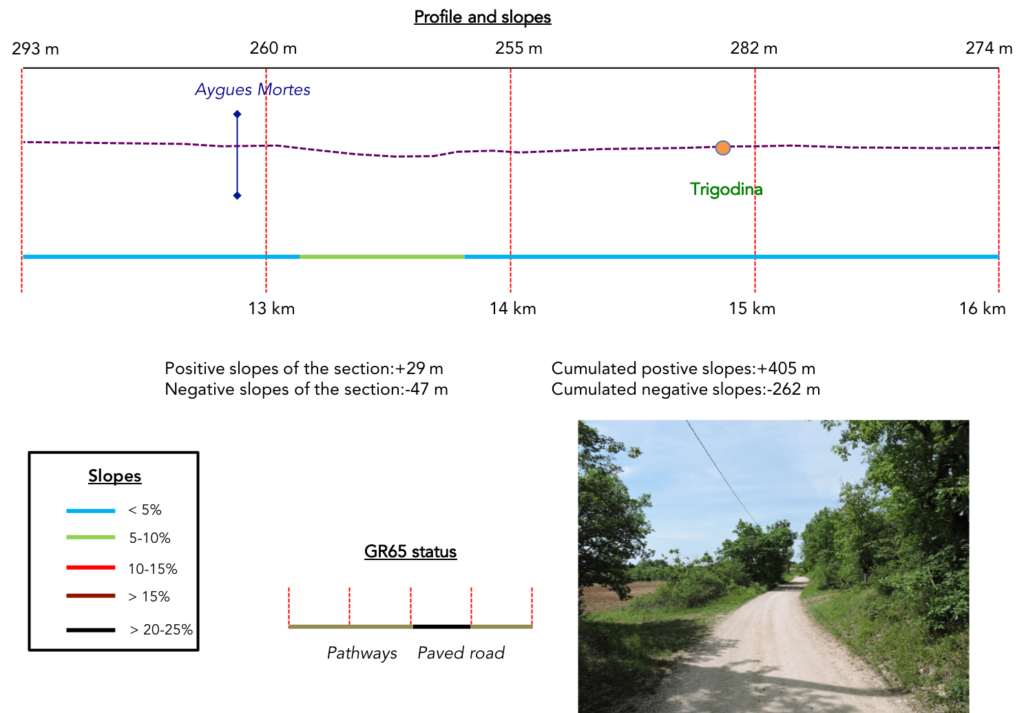
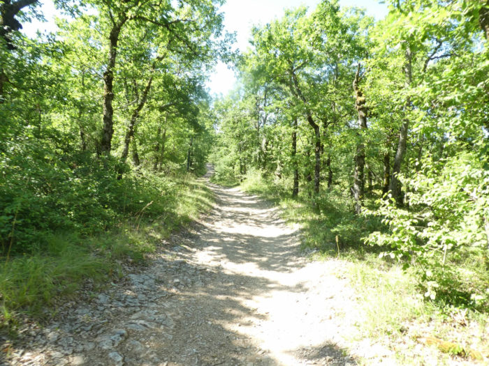
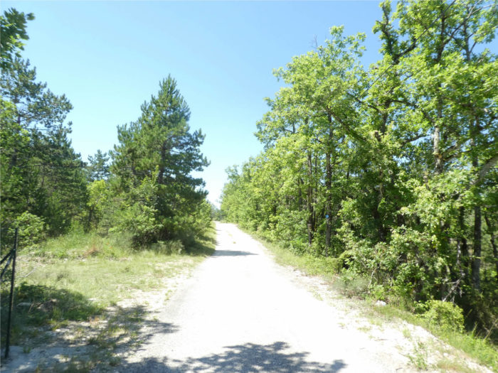
Section 4: Almost flat on the causse.
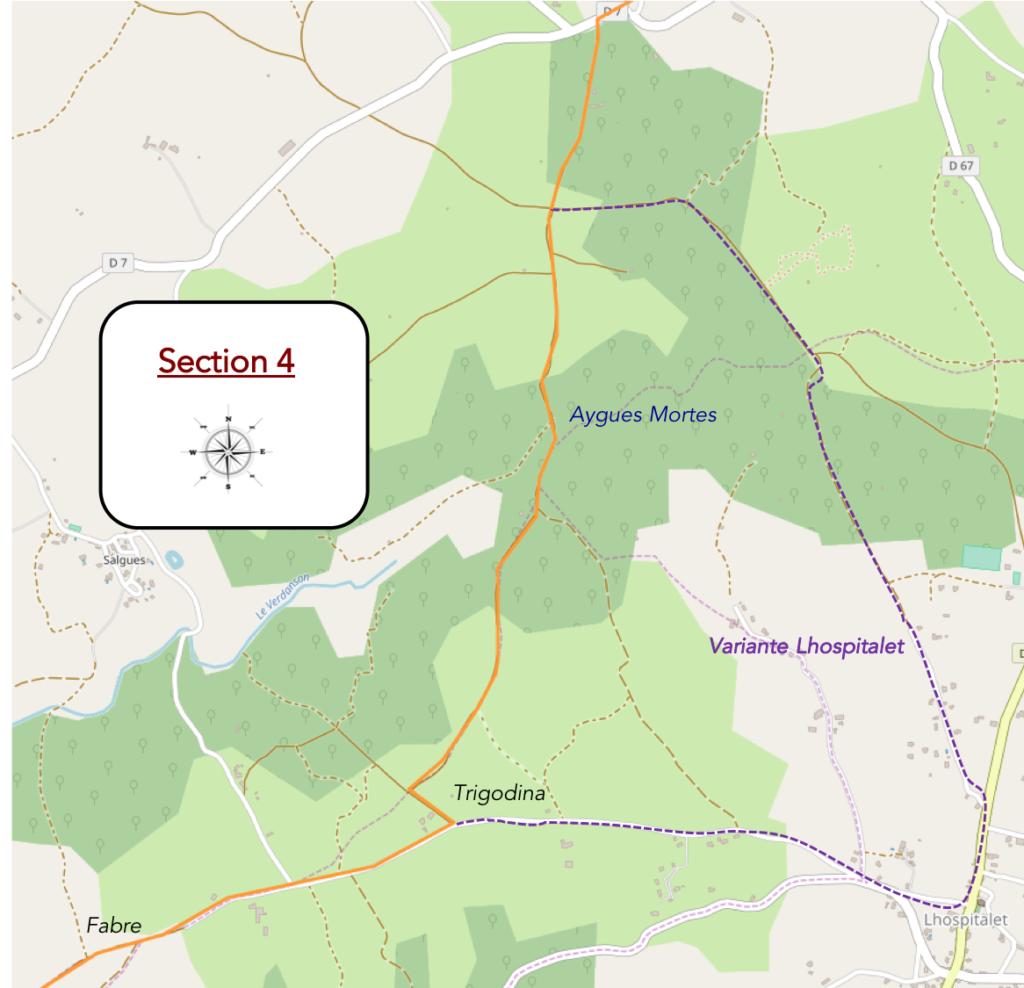
General overview of the difficulties of the route: course without any difficulty.
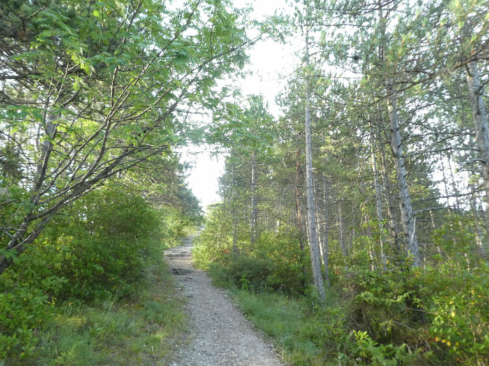
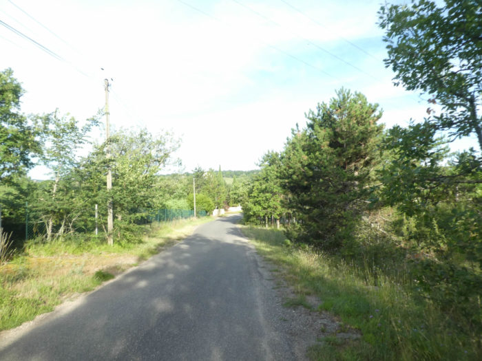
| The GR65 does not stay on the D7 departmental road. It again takes a wide dirt road that runs between the countryside and the undergrowth. |
 |
 |
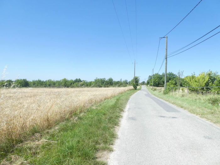
| But here it is no longer the majesty of the causse of a while ago. It is flat, in the middle of clumps of oaks that you will give up counting, and fields of cereals. Soon there is only barley, oats and triticale. Noble wheat does not grow on this ungrateful land. |
 |
 |
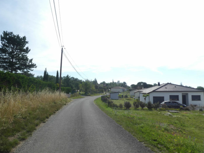
| The landscape becomes quite monotonous so to speak, and the pilgrim often starts daydreaming along the way, hoping for a surprise that might emerge from this uniformity of green. Will he then pay attention, along the way, to a deviation that allows to reach Lhospitalet, where you also find accommodation? It should be noted that accommodation is so scarce on the stage. In front of you stands a gentle hill. |
 |
 |
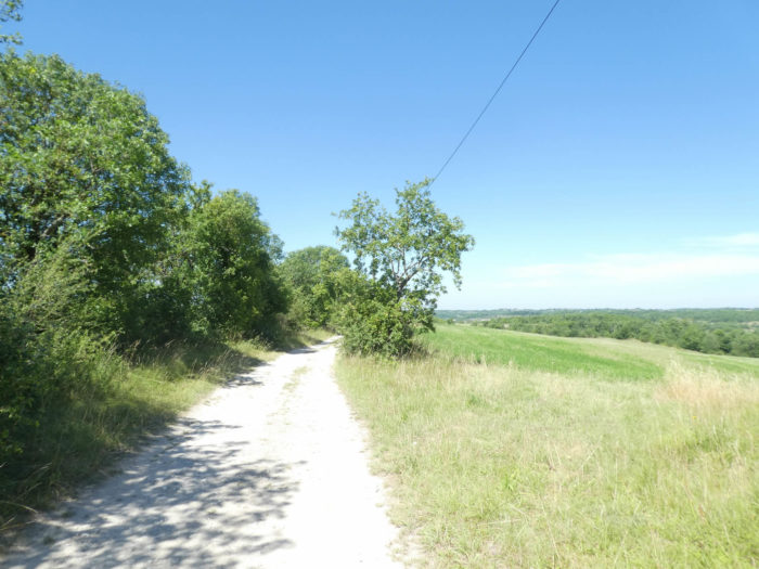
| The wide pathway runs mainly through the countryside, where the meadows dominate the fields. You’ll bathe in the melancholy of the meadows, with the nudity of the hilltops, where there remain only a few oaks with trembling foliage and sometimes Montpellier maples which dare to point their noses. |
 |
 |
| The wide dirt road descends very slightly towards the Aygues Mortes brook, which can hardly be seen in dry weather. In this arid land, there is hardly a place to soak your feet. |
 |
 |
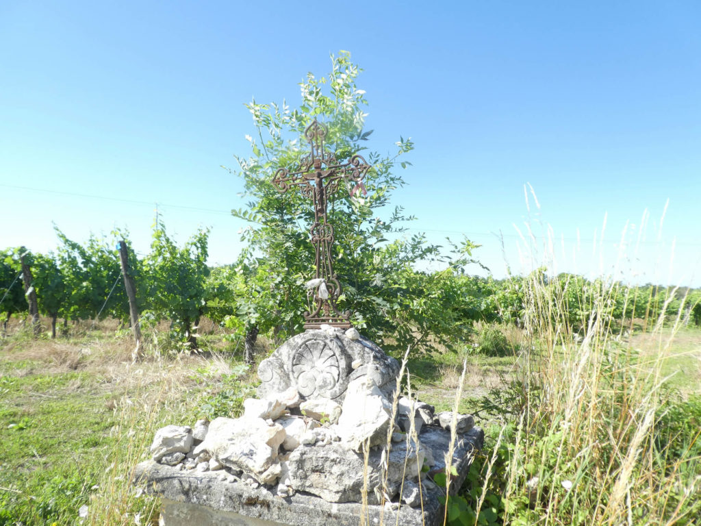
| The pathway hesitates between groves and clearings, brushes against a tumulus perhaps erected by pilgrims, glides under the refreshing shade of large oaks. A beautiful house, nestled under the trees, perhaps closed for eternity, still exudes an old-fashioned charm. |
 |
 |
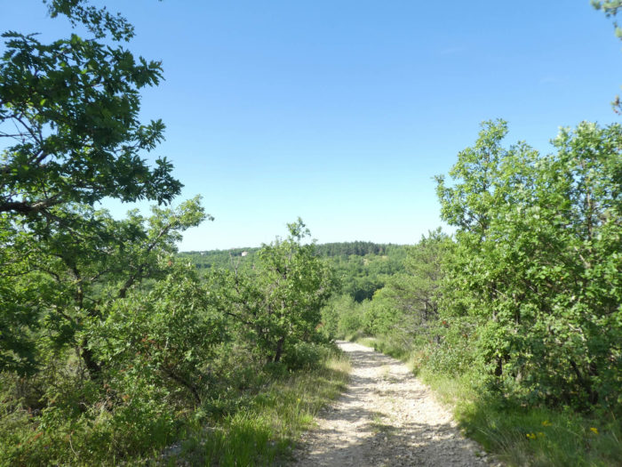
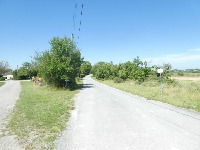
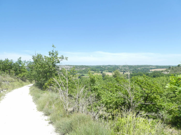
| Further on, the pilgrim, after a long period of lackluster walks, rediscovers the majesty of the causse and the trees. |
 |
 |
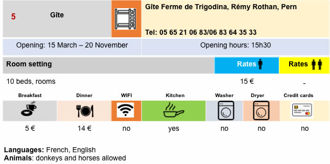
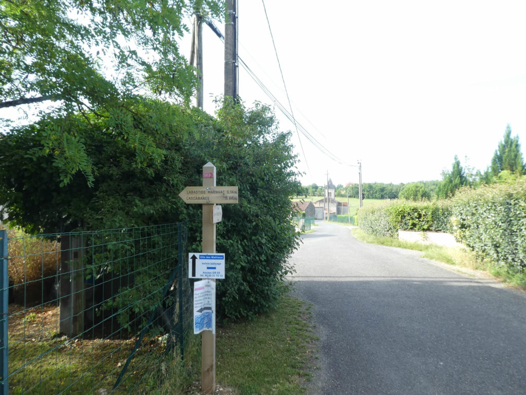
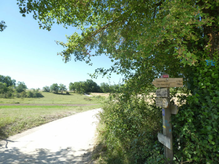
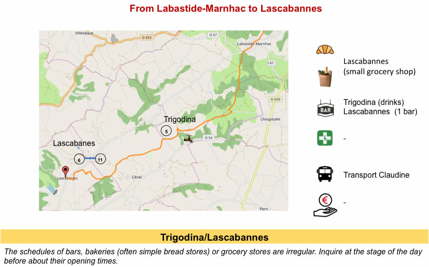
| Shortly after, the pathway approaches Trigodina. Here you are 8 kilometers to Lascabannes. |
 |
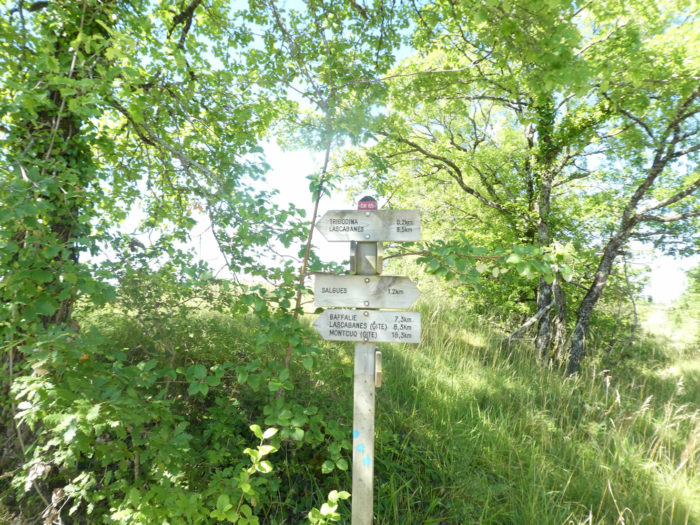 |
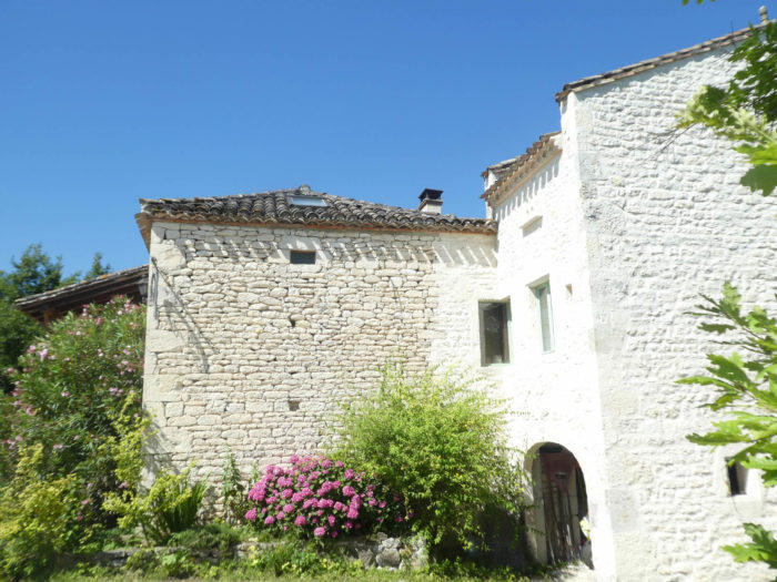
| At a place called Trigodina, in a beautiful and pleasant white stone farmhouse, accommodation and a small bar are available. |
 |
 |
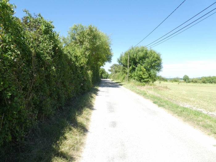
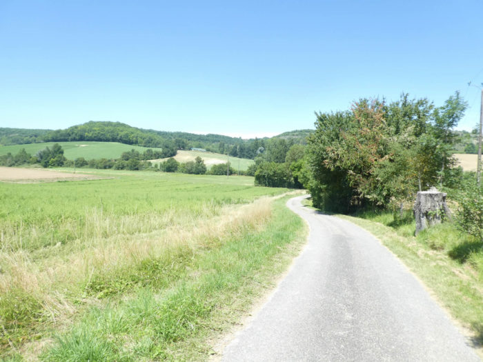
| Beyond Labastide Marnhac, the causse is not the most beautiful in the region. Beyond Trigodina, you will have to get used to it, follow a flat road, along meadows and cereal fields. |
 |
 |
| The straight road drags on until you reach the Fabre farm. For some pilgrims, the hedges bordering the road and a few rare meadows, all this will seem endless. |
 |
 |
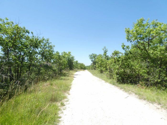
Section 5: Back to the nudity of the causse.
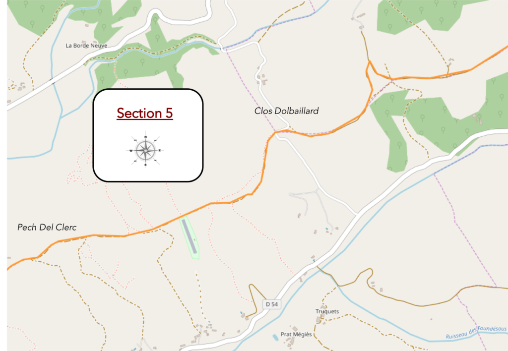
General overview of the difficulties of the route: course without any difficulty.
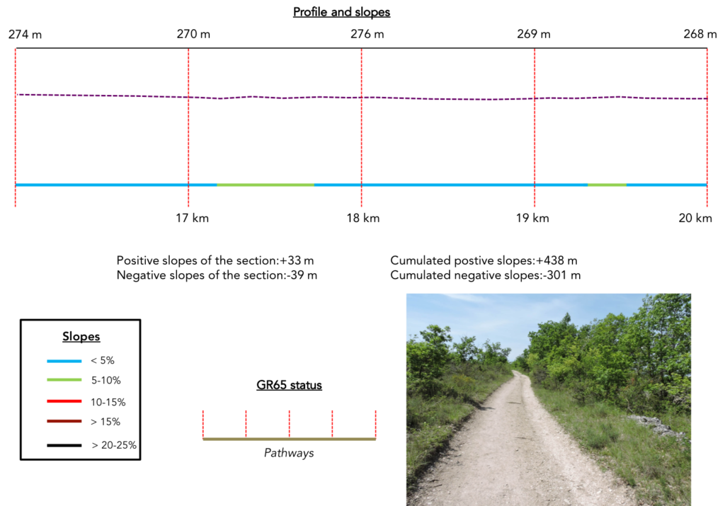
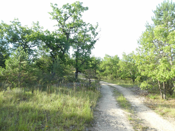
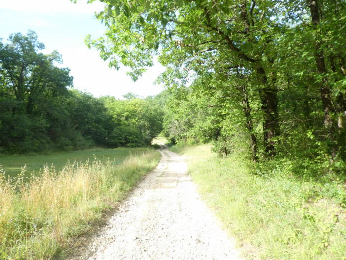
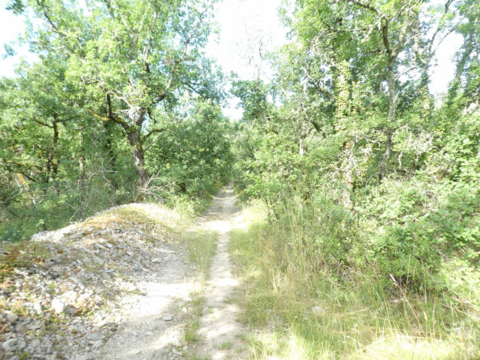
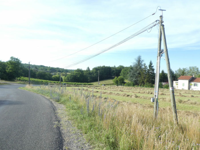
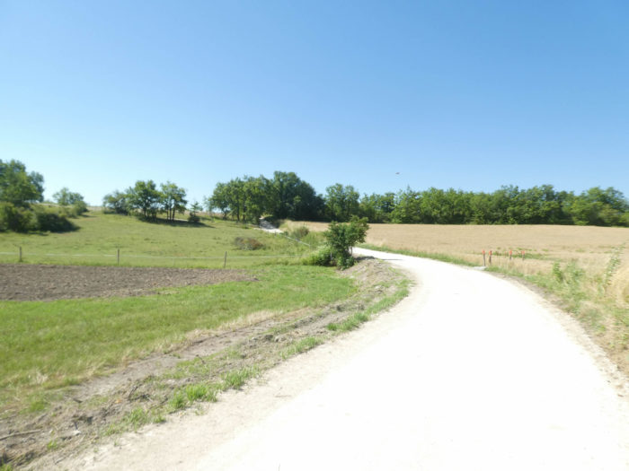
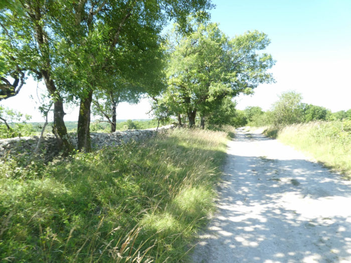
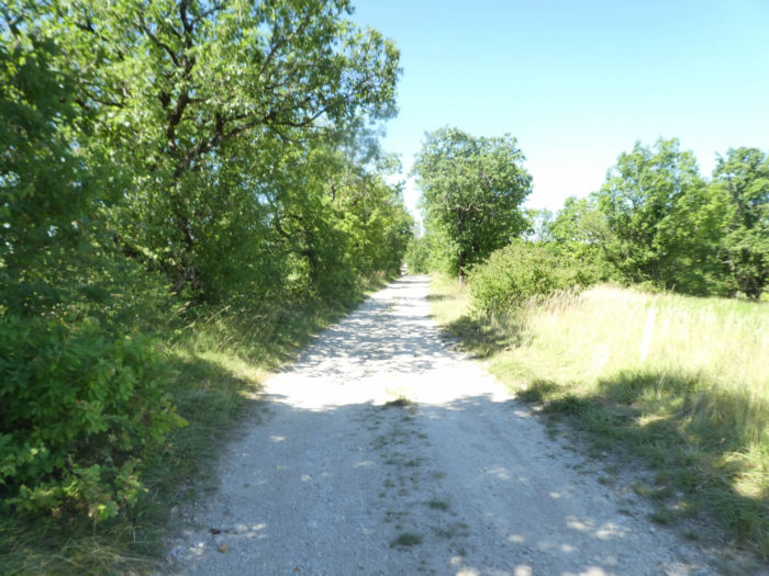
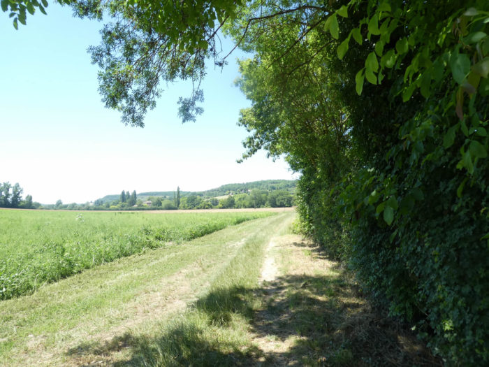
| From here, departure for a causse without limits. You’ll see no rocks, no mountain ranges, only a few objects calculated to inspire astonishment. The trees are lower, and the undergrowth overgrown with thick shrubbery along the dirt road, even warmer in the sun. Yet, men have to come here from time to time to cultivate what seems to be a barren land. |
 |
 |
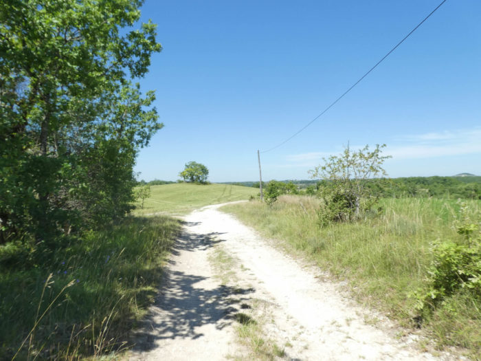
| It’s still just as flat, the landscapes pass by, follow one another, identical to the previous ones. The dirt road often gets lost in endless straight lines. From this bleak causse, so well freed from any obstacle in its isolation on the plateau, the horizon extends, solitary, to the vault of the sky, at the very end of the limit of the gaze. On the way, there are only localities, but no house, no human presence. |
 |
 |
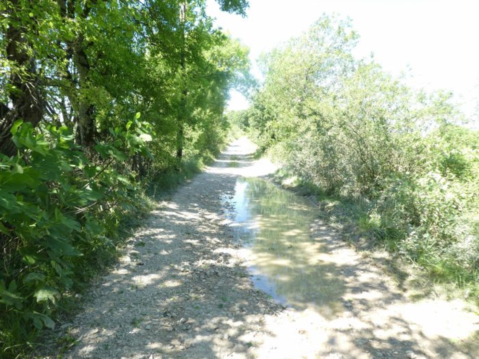
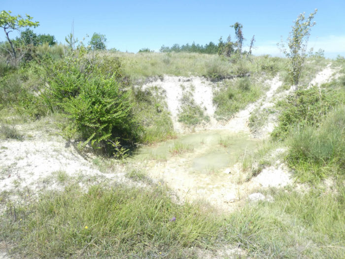
| Sometimes more stones on the track, sometimes a puddle left over from the old rains. Who is the water for here? To irrigate the oaks, or the maples and the maple trees of Montpelier which also grow a little here. |
 |
 |
| We will not be able to blame the pilgrims who were fatally bored on this causse. It’s like the track that crosses the Spanish Meseta, where for hundreds of kilometers nothing happens except the accumulated kilometers. It’s all about personal perspective, the ability to assimilate and find pleasure in hollow spaces. Here too, the pathway seems to lead nowhere. |
 |
 |
| Very rarely, the pathway narrows in the oak trees before widening again. Where are the sheep, the cows that we met before on the first stages of the Santiago track, in Aubrac and elsewhere? What would they eat here? A little dry grass or junipers? There are no farms here. The keeper of the Trigodina lodge told us that there was only one farmer left over the causses and that he was collecting hay from the others. |
 |
 |
| Further on, suddenly the face of the landscape changes. Not the trees, which are always the same. But the terrain becomes a little more rugged and the undergrowth more present. So, the organizers of the track have created a small lane parallel to the dirt road, to give you the illusion of a drastic change. |
 |
 |
| You can play leapfrog, way of saying, there is none, between the forest pathway and the dirt road, so white that it looks like sand. |
 |
 |
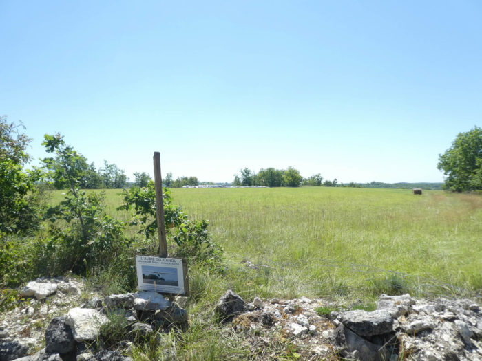
| A little further, in this wild and unspoiled nature, here is a small sign of men. What the pilgrims will remember here, for the most part, is that they have 5 kilometers left to reach Lascabannes. Fewer will be those who will regret leaving the causse so soon! |
 |
 |
| And this little game of hide and seek along the steppe, from one undergrowth to another, from the dirt road to the small lane continues. Come on! To silence negative people, we will say that the causse is again magically wild here. |
 |
 |
| Further on, the causse opens onto the meadows. Here people planted some sort of unlikely airport. You don’t have to queue here at the gate to catch your flight. |
 |
 |
| Further on, the GR65 has finished taking you from the small forest pathway to the dirt road. This is the dirt road, again wide and straight across the width of the causse. |
 |
|
| Shortly after, a sign announces Lascabannes less than 4 kilometers away. We’re gonna get out of this, right? will say some sorrowful spirits. |
|
 |
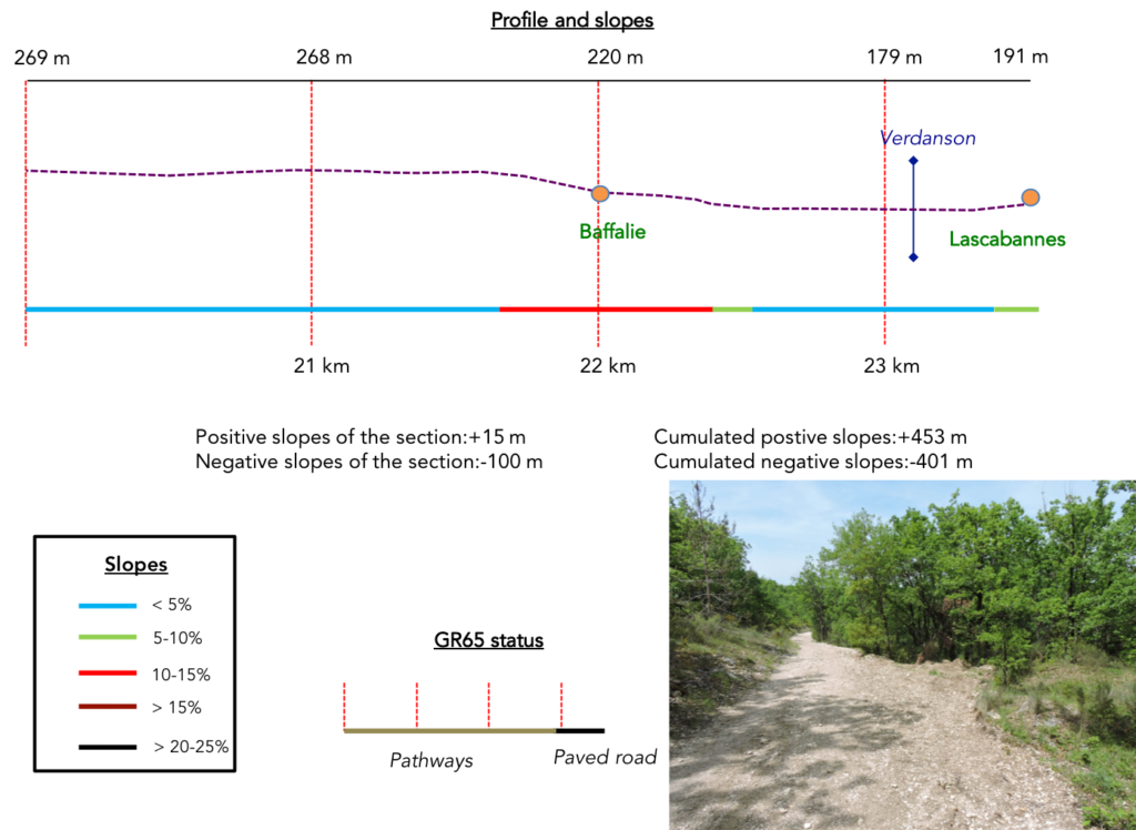
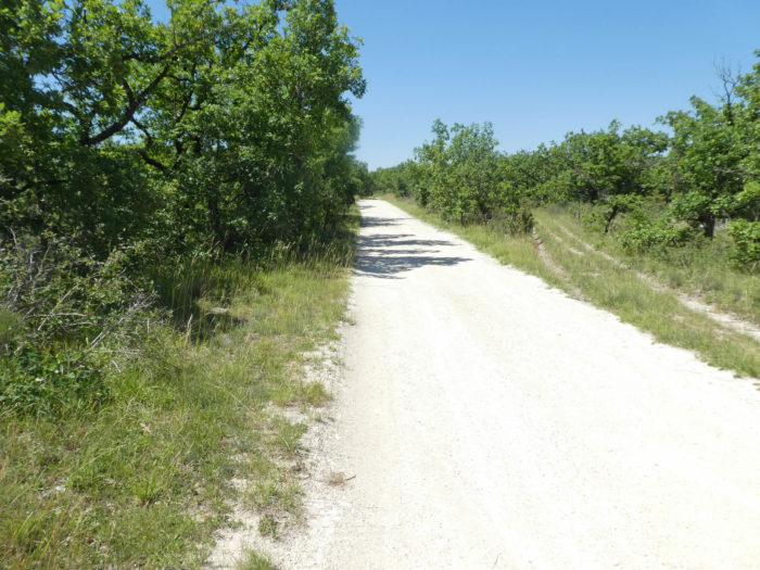
Section 6: Almost at the end of the Causses du Quercy.
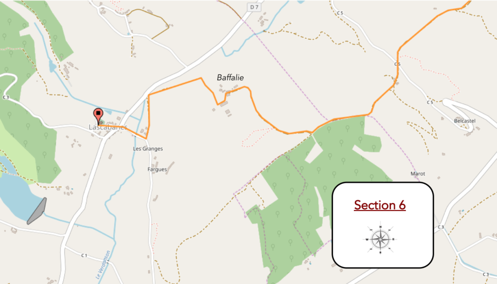
General overview of the difficulties of the route: course without any difficulty.
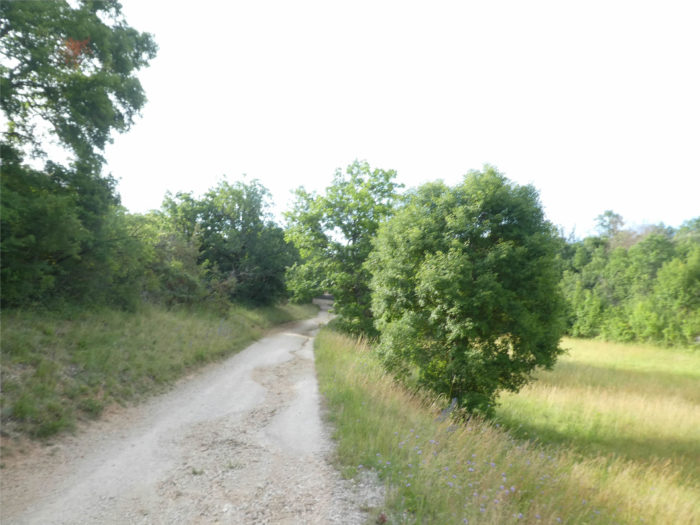
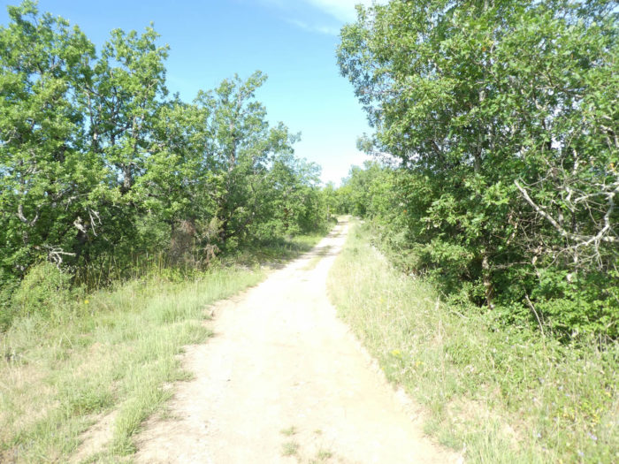
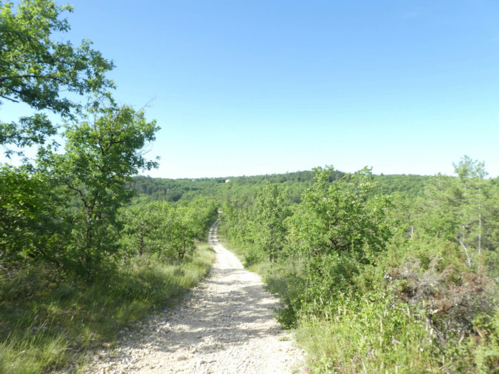
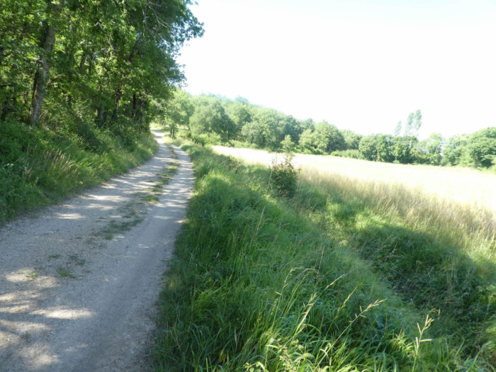
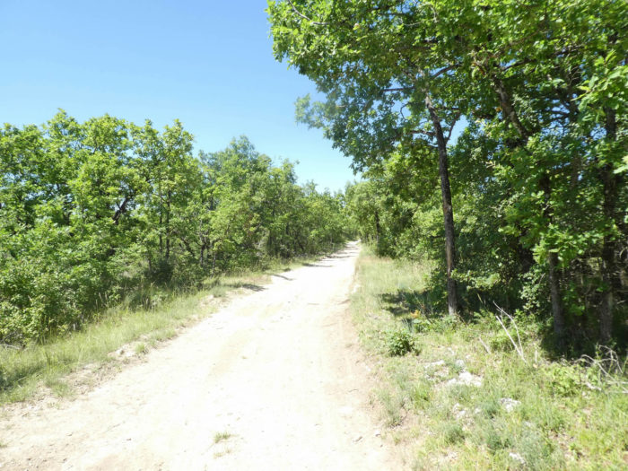
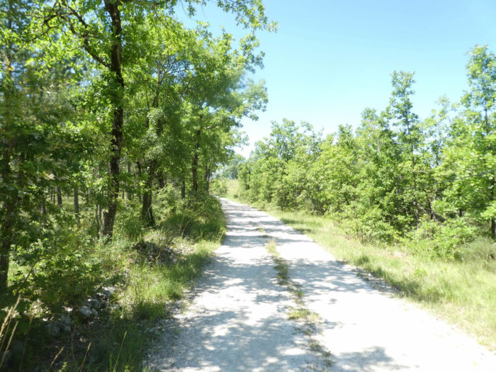
| However, it is not a sign that changes a landscape that hardly moves. The wide dirt road flattens again, on long straight lines, through groves of oaks, where you can also see some pines. The ground is white, the pebbles also for the majority. You are in White Quercy. |
 |
 |
| A little further on, here is a vague sign of the presence of humans in the form of a hut on the hill. But everything remains bare on the long dirt road that winds along, long, monotonous, seemingly endless and without surprises. |
 |
 |
| Suddenly something quivers. A large park, a picnic area, even a dwelling house. Would you get closer to Lascabannes? |
 |
 |
| Absolutely not. The long dirt road continues its unchanging course, along the undergrowth or the meadows. |
 |
 |
| The ground is sand, chalk. What do you want to grow here, if not oak? |
 |
 |
| Soon you are close to your goal, right? Lascabannes is less than two kilometers away and Baffalie almost within gun range. |
 |
 |
| Shortly after, the causse opens a little on the meadows. |
 |
 |
| Further on, the topology of the place finally changes. The dirt road begins to descend towards the open plain below. |
 |
 |
| The pathway heads soon to Baffalie, with its solid stone houses, near humans, so to speak. |
 |
 |
| You are nearing the goal. The GR65 then descends towards the plain, in the middle of meadows and a few rare crops. |
 |
 |
| At the bottom of the descent, the pathway leads through the meadows along a hedge through which a stream flows. |
 |
 |
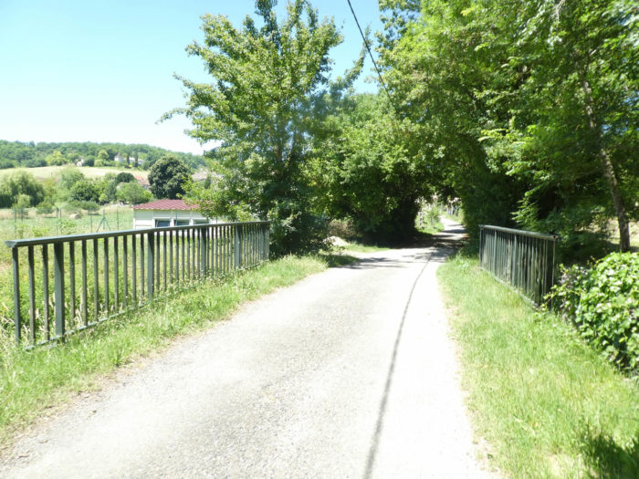
| Soon, the grassy pathway joins a small road that leads to Lascabannes. |
 |
 |
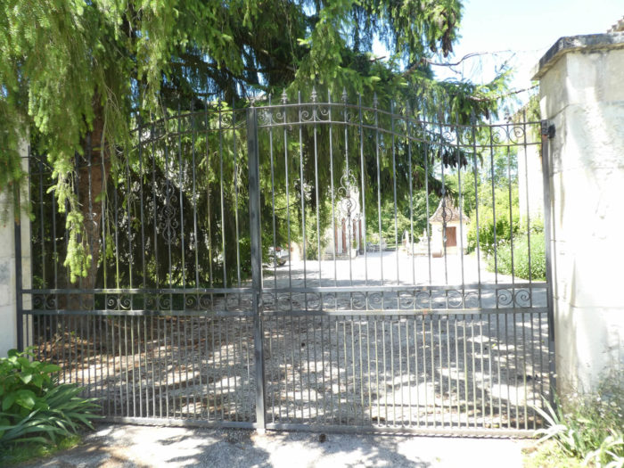
| You’ll come across a mansion nestled in a beautiful park by the side of the road. But this is not where you will be spending the night. |
 |
 |
| The paved road runs along the walls of the beautiful house, then crosses the Verdanson, the small stream that flows through the dale. |
 |
 |
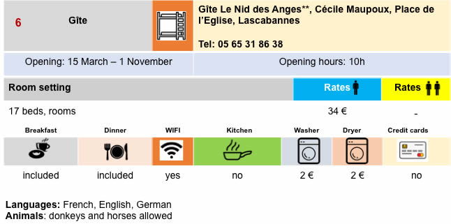
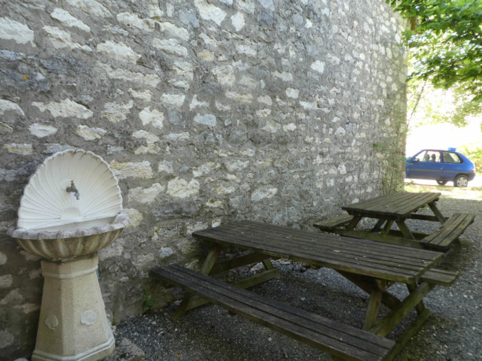
| Lascabannes is a beautiful, quiet village, with its charming and uniform white stone houses, with less than 200 inhabitants. It has been a stopover village for pilgrims to Santiago since the Middle Ages. |
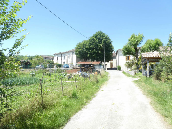 |
 |
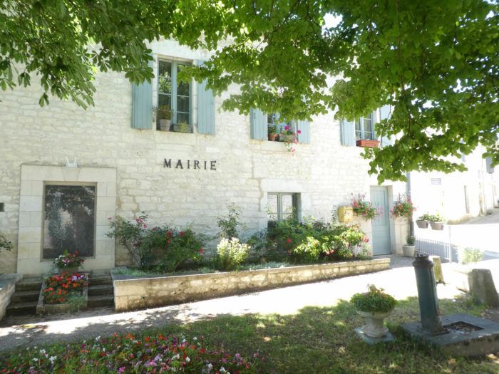
| The church is above the village in a large park. The presbytery, annexed to the Saint Georges church, is now used as a gîte and a small grocery store. As there are not many accommodation options, many pilgrims continue the journey to Montcuq, 11 kilometers further on, or before, at Clos de Gamel, or even at Escayrac, outside the track, at the sisters’. |
 |
 |
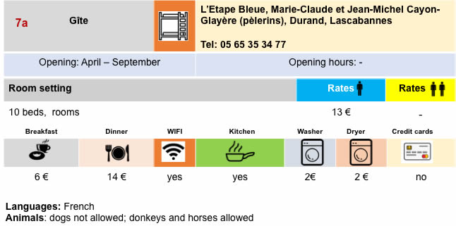
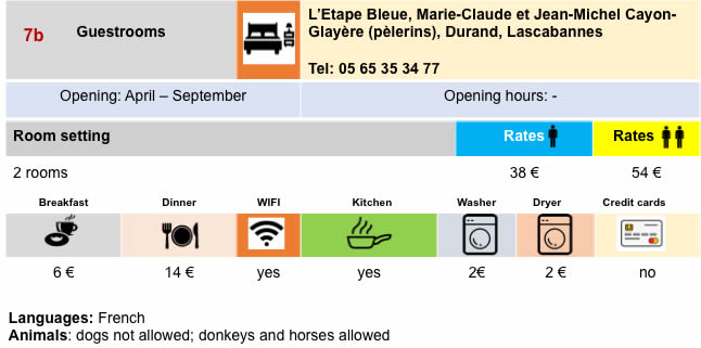
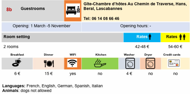
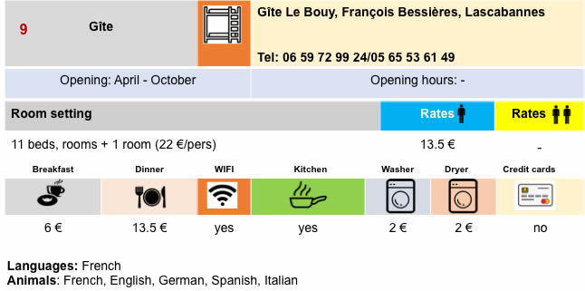
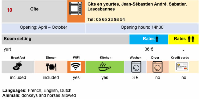
Lodging


Feel free to add comments. This is often how you move up the Google hierarchy, and how more pilgrims will have access to the site.
|
 |
Next stage : Stage 18: From Lascabannes to Lauzerte |
|
 |
Back to menu |