
Between Lot and Célé, on the tracks celebrated by UNESCO
DIDIER HEUMANN, MILENA DELLA PIAZZA, ANDREAS PAPASAVVAS
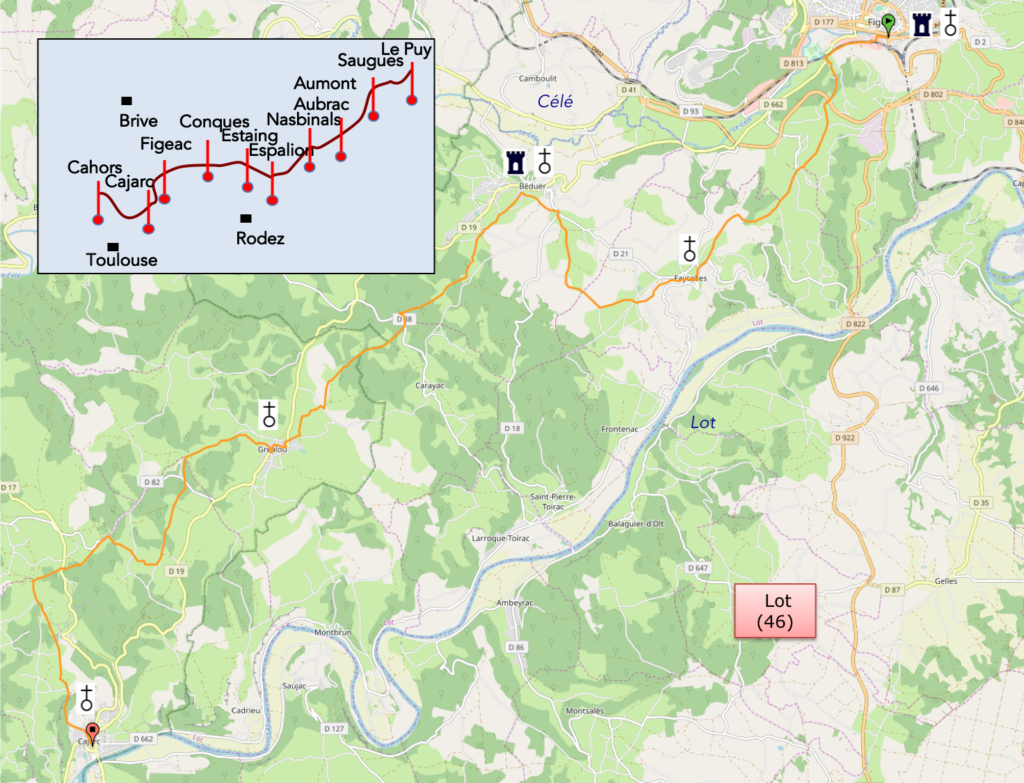
We divided the course into several sections to make it easier to see. For each section, the maps show the course, the slopes found on the course, and the state of the roads. The courses were drawn on the « Wikilocs » platform. Today, it is no longer necessary to walk around with detailed maps in your pocket or bag. If you have a mobile phone or tablet, you can easily follow routes live.
For this stage, here is the link:
https://fr.wikiloc.com/itineraires-randonnee/de-figeac-a-cajarc-par-le-nouveau-gr65-57350640
It is obviously not the case for all pilgrims to be comfortable with reading GPS and routes on a laptop, and there are still many places in France without an Internet connection. Therefore, you can find a book on Amazon that deals with this course. Click on the book title to open Amazon.
 |
The Camino de Santiago in France / V. From Puy-en-Velay to Cahors (Via Podiensis) on GR65 track |
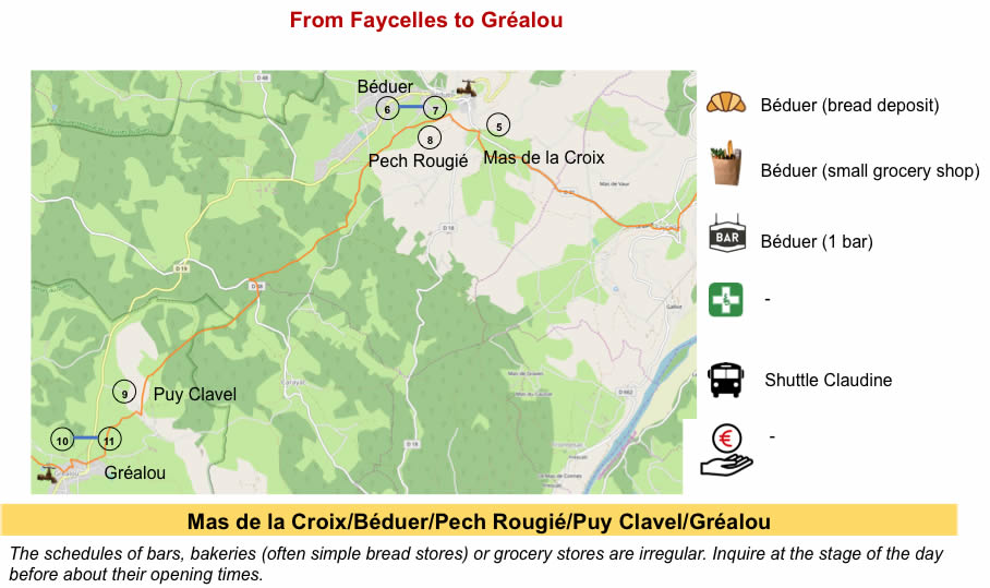
If you only want to consult lodging of the stage, go directly to the bottom of the page.
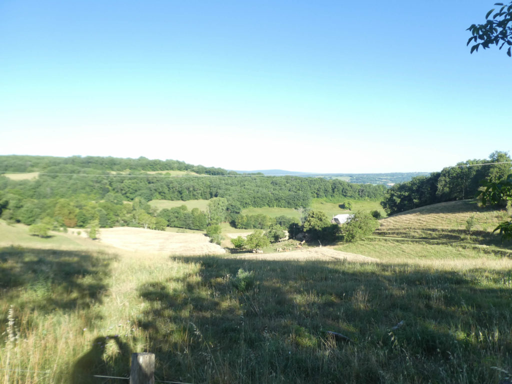
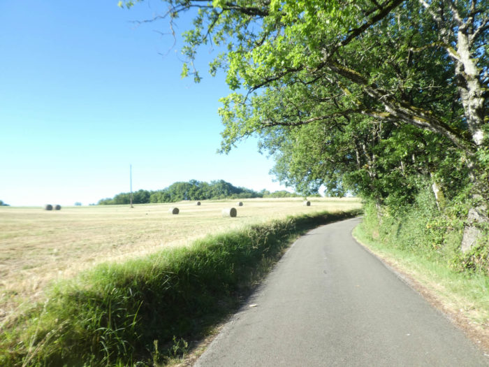
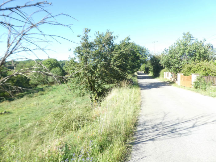
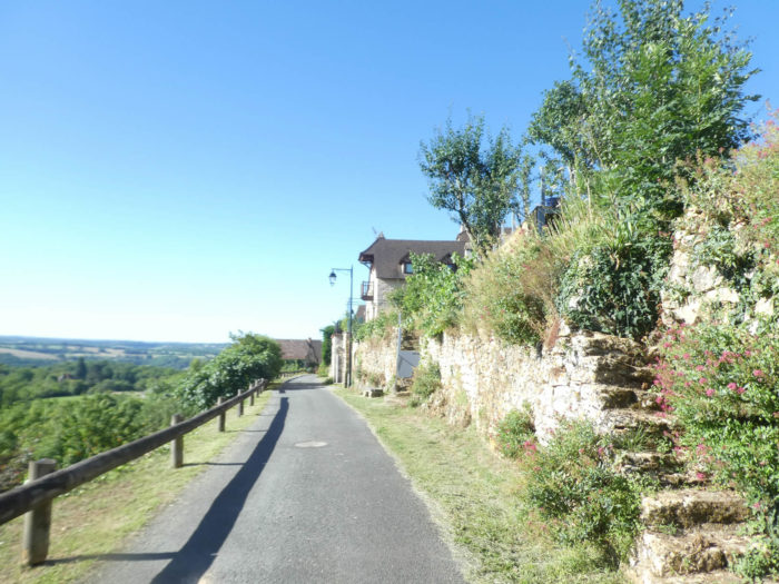
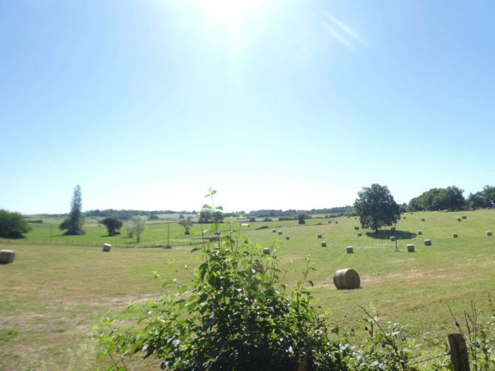
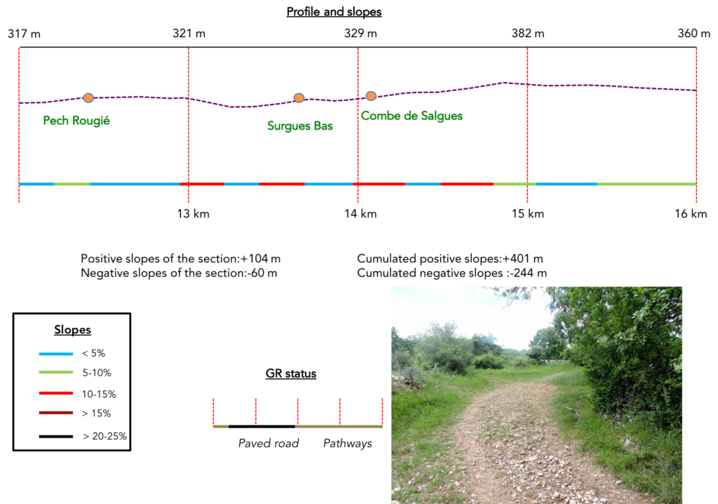
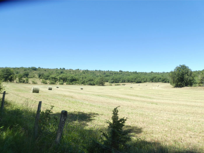
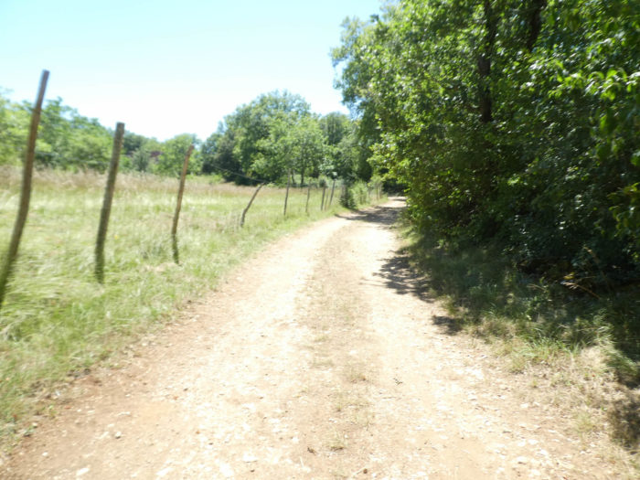
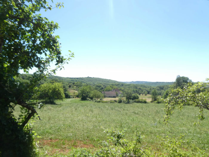
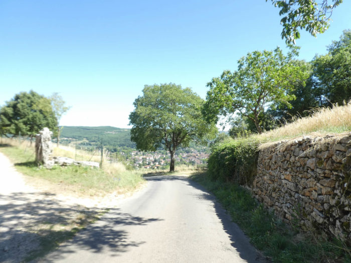
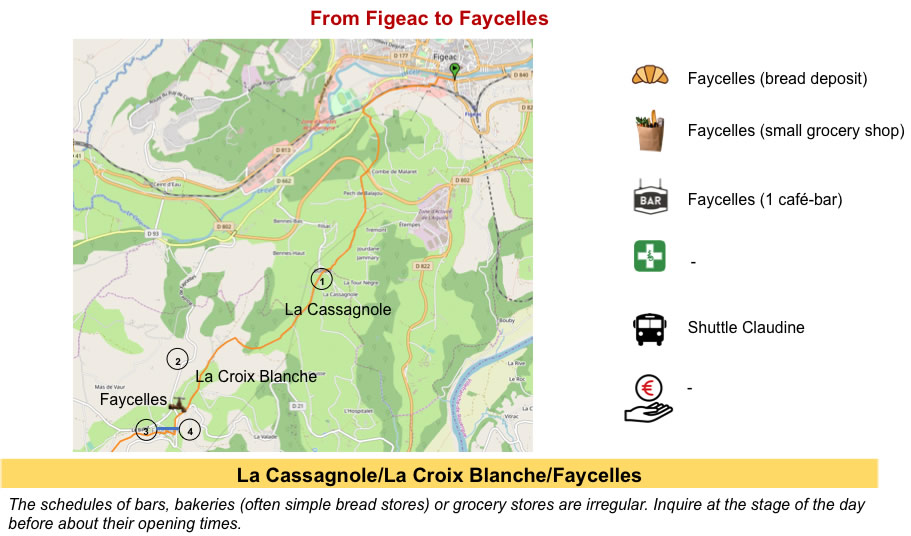
You are today in the causses, an arid land on the plateaus, and greener in the canyons. The most important causses in the region are the Causse of Gramat, near Rocamadour, and the Causse of Limogne, on which a good part of the stage takes place. These two causses belong to the Quercy Regional Park of Causses. You are in the Lot department and the track heads southwest.
What is a causse? This word comes from the Occitan cauce, which means lime, therefore limestone. Contrary to popular belief, its origin is more cultural than geological. It therefore has a peasant meaning, representing the eroded plateaus and the upper slopes of the valleys hollowed out by the rivers of the Massif Central, where they devote themselves mainly to breeding, with a little cereal crop, including triticale, barley, and a little wheat. Geologists attribute to this region the denominator of karstic relief. A karst is in fact a limestone massif most often, fractured, cracked, in which water circulates underneath. Let’s say a few words about karst. This word, which may appear barbaric, comes from a region of Slovenia known for the diversity of these limestone geological formations. In France, they call karst a causse. In karstic reliefs, water, rather flowing on the surface as in many regions, seeps into the subsoil. The water will gradually eat away at the rocks. The result is a complex network of cavities, caves and underground rivers. The Padirac chasm, near Rocamadour, is the most famous example. The route from Figeac to Cajarc will unfortunately not allow you to contemplate these wonderful caves offered by nature. Here are only arid high plateaus, with sometimes very slight canyons.
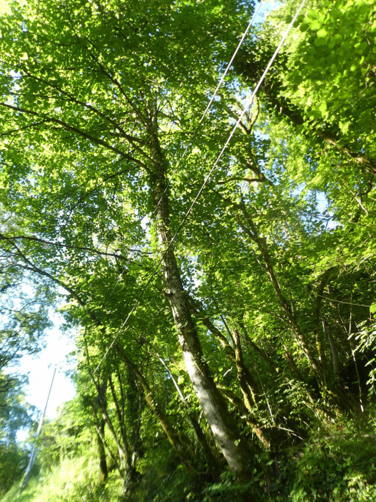
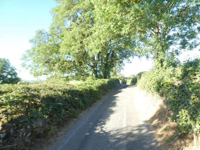
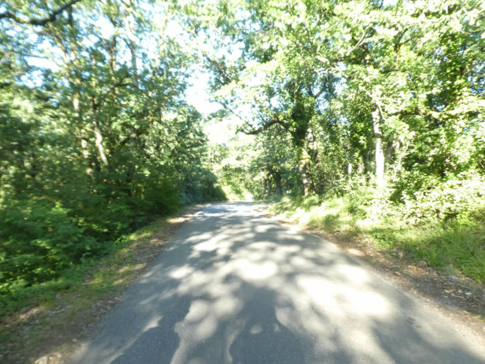
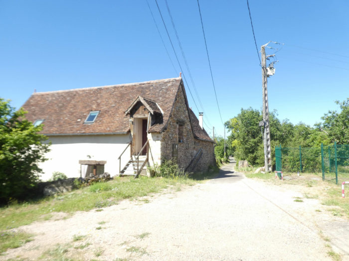
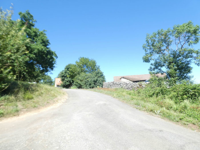
When, soon beyond Figeac, the pilgrim arrives at Béduer, he has before him a particular choice, either to continue on the GR65, the pilgrimage route, or to take the GR651, the variant of the Célé Valley. Today you’ll follow the GR65. Until Béduer, the two tracks merge. The variant by the Célé Valley will be treated in another chapter. The route is between Célé and Lot Rivers, on Limogne Causse. You’ll enter until Cahors into a huge forest of oaks. Here it is not the elegant cork oaks. These are common oaks, most often stunted and lean, which are also called downy oaks. But their shade is generous for the pilgrim who walks. Sometimes agriculture and animal husbandry are expressed at the top of the plateau, when the forest is less pressing.
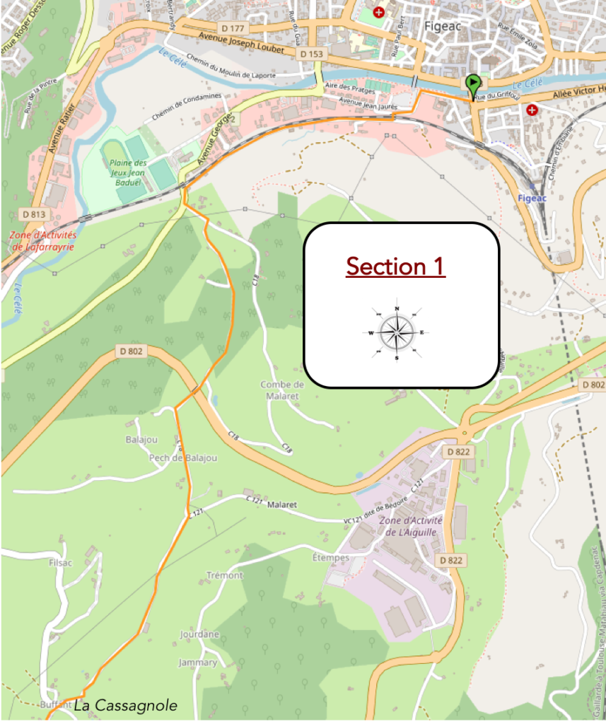
In the past, the GR65 climbed above Figeac heading to L’Aiguille du Cingle, where there is a beautiful obelisk, near an industrial area. Then a small road passed through the countryside to reach La Cassagnole. Since then, the route has been changed to avoid passing through the industrial area. The GR65 takes another route to arrive at la Cassagnole.
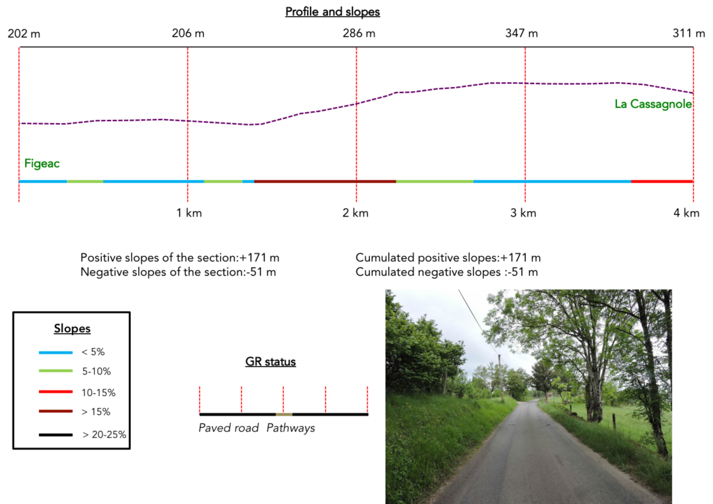
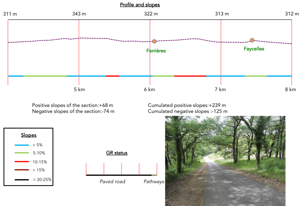
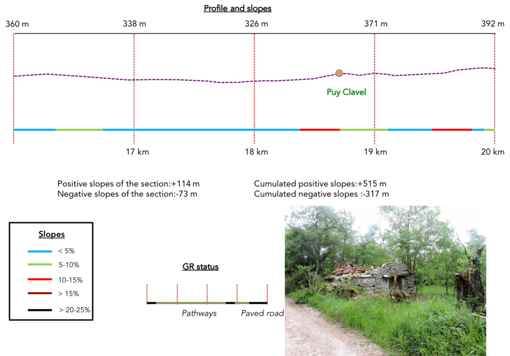
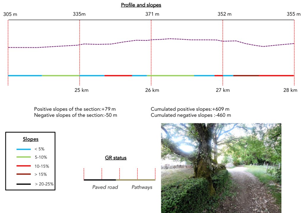
Difficulty of the course: Slope variations today (+595 meters /-618 meters) are pronounced, but the stage is long stage. You’ll walk up as much as you slope down. Yet, if not at the exit of Figeac where the slope is very steep and the descent to Cajarc, the stage of the day does not represent many difficulties. On the causse, the altitude varies from 300 meters to 400 meters.
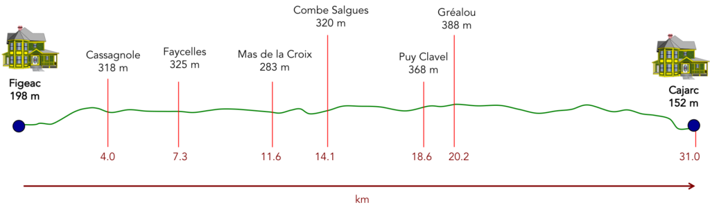
Today, you’ll travel more often on the paved road than on the dirt road. Fortunately, the most beautiful part, on the causse, is above all on magnificent pathways in the undergrowth:
- Paved roads: 17.9 km
- Dirt roads: 13.1 km
Sometimes, for reasons of logistics or housing possibilities, these stages mix routes operated on different days, having passed several times on Via Podiensis. From then on, the skies, the rain, or the seasons can vary. But, generally this is not the case, and in fact this does not change the description of the course.
It is very difficult to specify with certainty the incline of the slopes, whatever the system you use.
For « real slopes », reread the mileage manual on the home page.

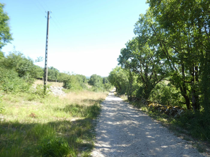
Section 1: The GR65 climbs again to the high plateau.
General overview of the difficulties of the route: the climb is often tough, sometimes at well over 15%. Once on the plateau, there is no more difficulty.
|
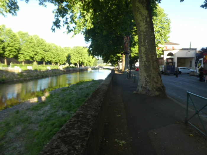
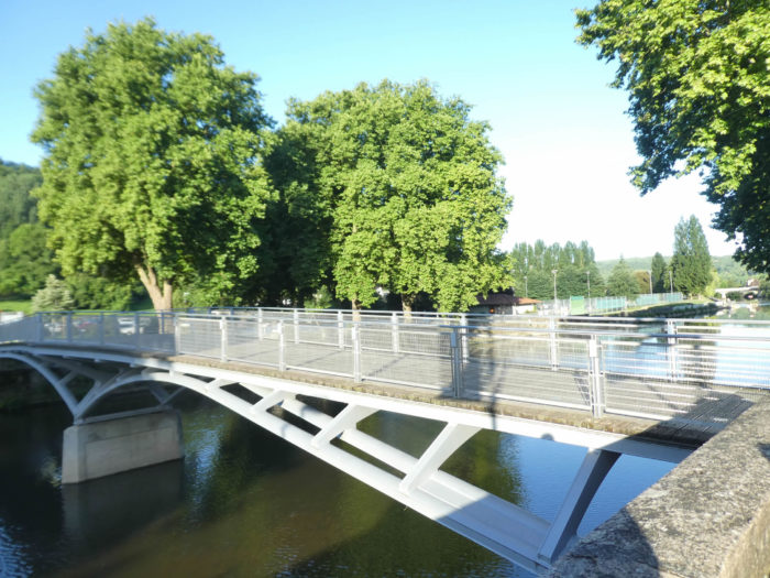
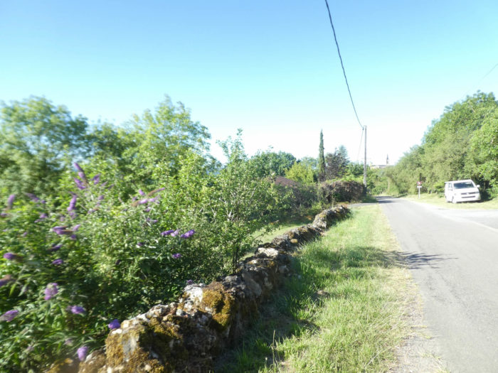
The weather is very nice today in the Lot department. We are at the start of summer. The Célé River, calm and blue, flows quietly. The GR65 follows the river a bit from the bridge over the river. |
|
 |
 |
| It crosses the river, then runs along a parking lot. | |
 |
 |
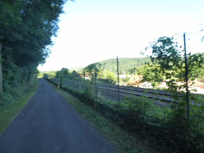
| A small road goes under the railroad tracks, and flattens alongside the railroad track. | |
 |
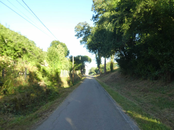 |
| The road runs along the rails for a long time until you find a small road that branches off to the left. | |
 |
 |
 |
 |
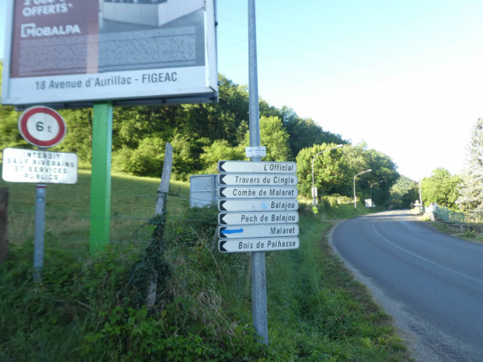
| The vacation is over. You will have to face a pretty terrible bump. The climb does not wait, direction Combe de Malaret. | |
 |
 |
 |
 |
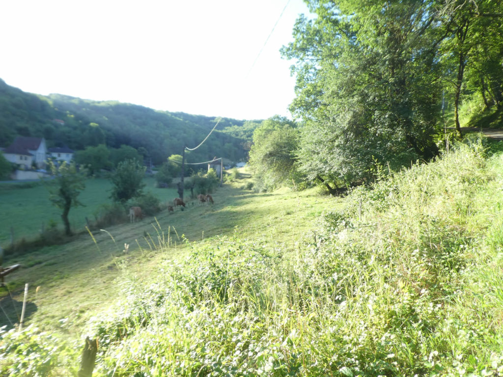
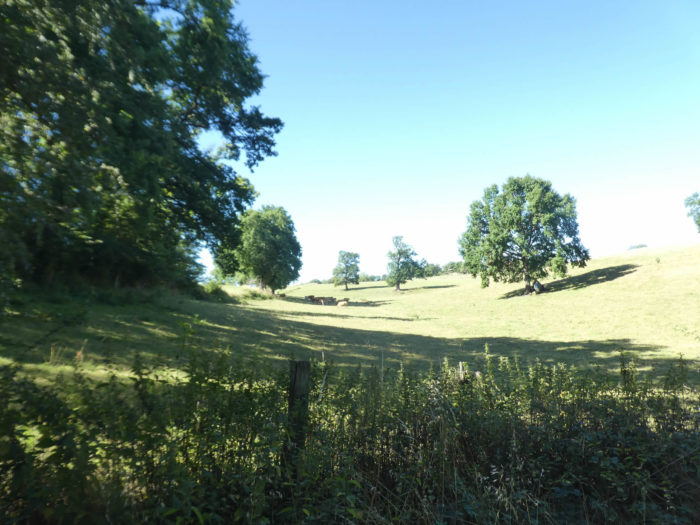
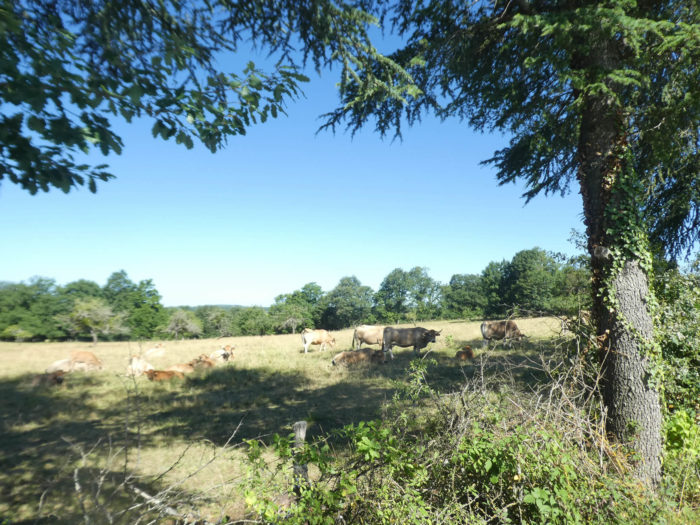
In the dale, the day is breaking over the meadows and the cattle.
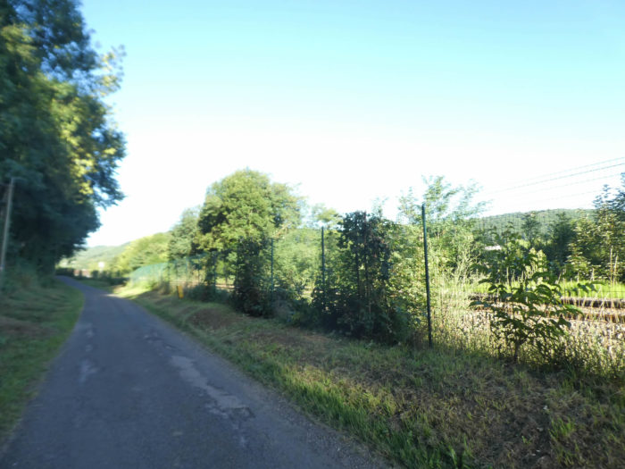
| The route toughly climbs on the bad tar. Oaks grow in abundance, as in all the causses, but also maple trees and beautiful hornbeams, which are for once higher than the usual bush bower. | |
 |
 |
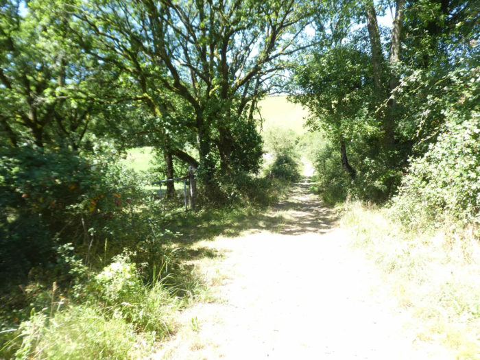
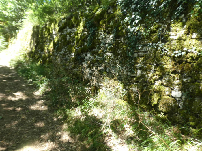
| Further up, the GR65 leaves the road for a pathway that continues through the undergrowth. You will have the feeling that the climb is over, as the pathway seems to flatten. Think again, the climb will soon continue at 20% slope. | |
 |
 |
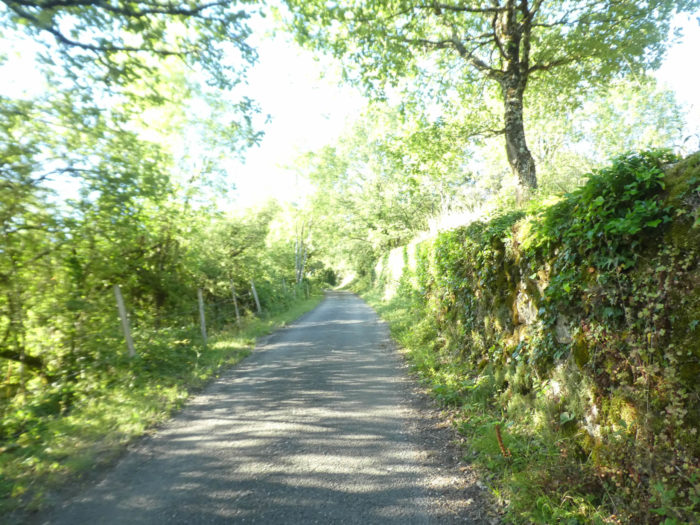
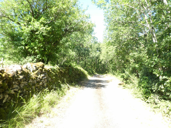
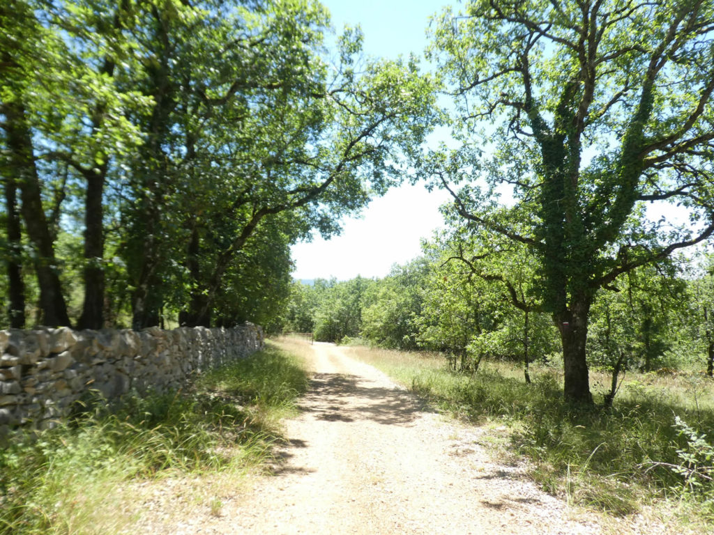
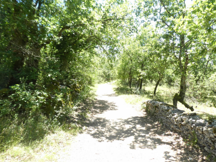
| In the undergrowth, the stony pathway discovers the customary characteristics of the causses with its stone walls where the moss often crawls. | |
 |
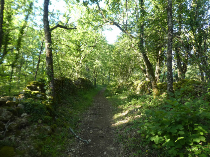 |
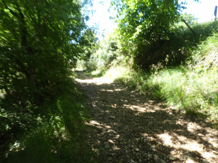
| Further up, the pathway comes out of the woods to find a small road which runs above the large D802 departmental road. | |
 |
 |
 |
 |
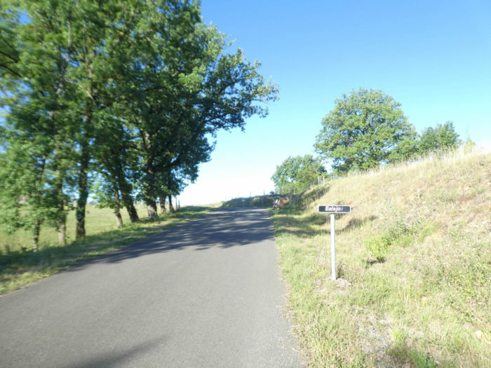
| The road climbs again, but on a much more reasonable slope towards Balajou, passes in front of a farm hidden under the lime trees. | |
 |
 |
| Balajou is not a real hamlet. It is just a few isolated farms that get lost in the open countryside, with here and there an oak or an ash tree decorating the landscape. | |
 |
 |
| Then the GR65 path joins the small road which leaves Malaret towards Faycelles. It is here, under the oak trees and along the compact hedges, that the new variant of the track joins the old route of the GR. | |
 |
 |
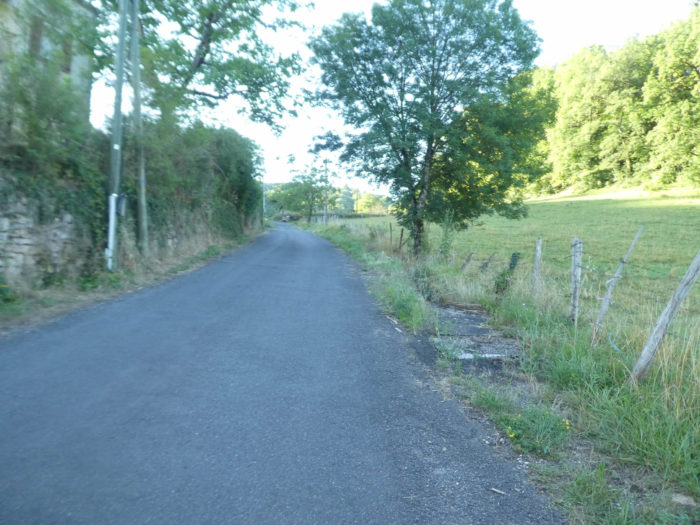
| After a tough climb, it’s time to recharge your batteries. The paved road nods for a few hundred meters in the meadows. | |
 |
 |
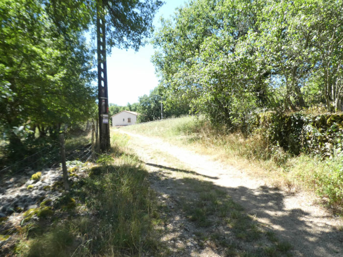
| Then it steadily slopes down towards the La Cassagnole crossroads. | |
 |
 |
Section 2: Through the little gem of Faycelles village.
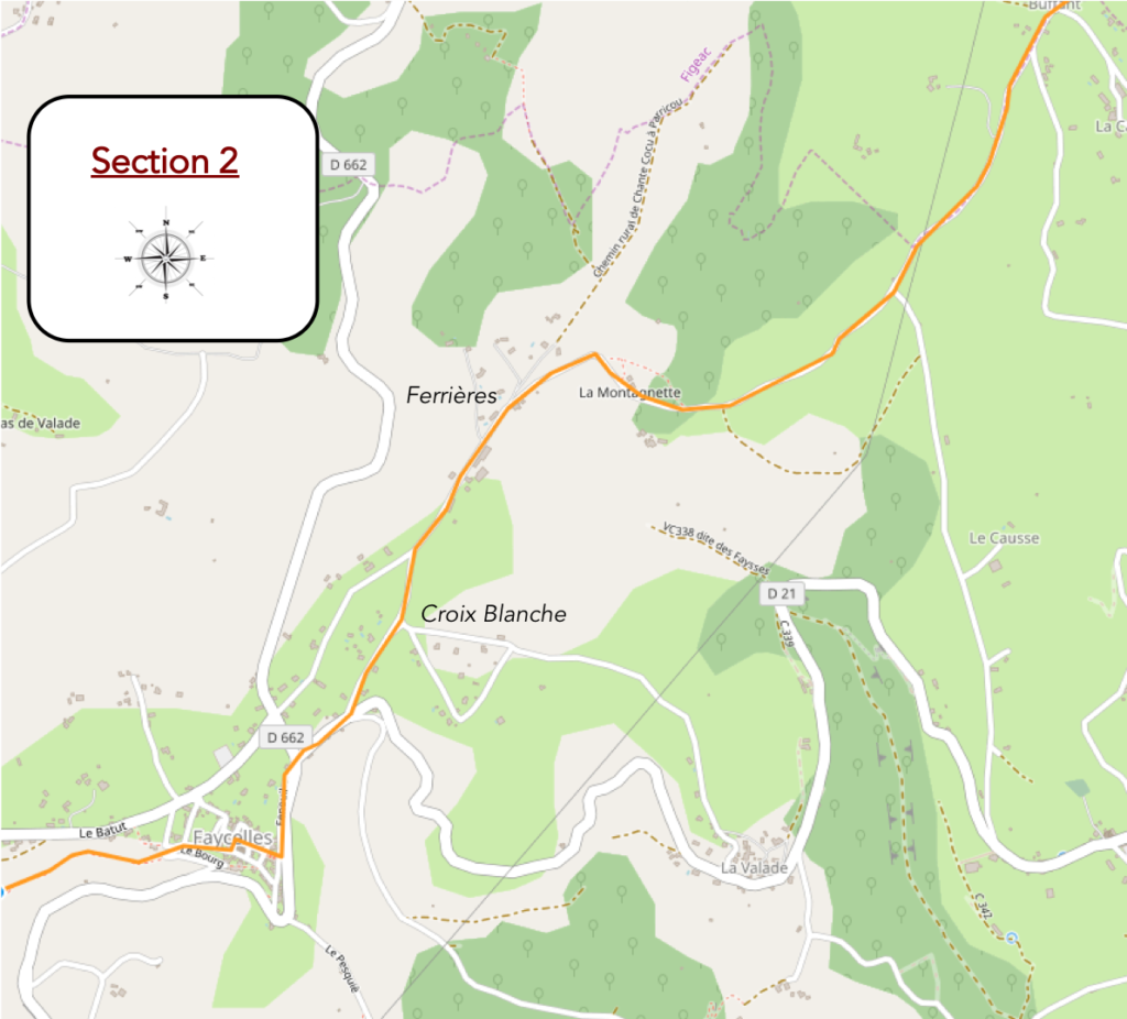
General overview of the difficulties of the route: course without any difficulty.
|
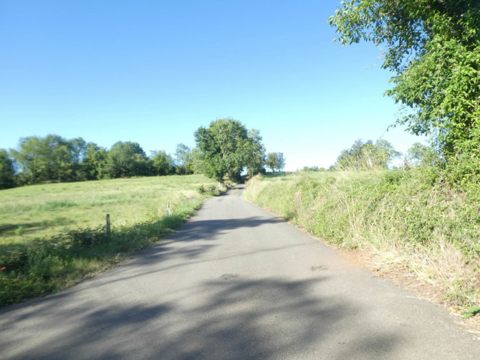
At the fork of La Cassagnole, the track will cross a quiet and peasant country. It is a sort of high plateau, a horizon of green meadows pierced here and there by a solitary ash tree or more often by large oaks which bring their share of freshness and shade. The climbs follow the descents on asphalt roads. The roads are so long that one can sometimes guess the advancing pilgrims on the horizon, often in groups. The paved road then climbs gently to the top of a hill to dawdle in the meadows. Sometimes a vehicle passes, the road being the main axis from Faycelles to Figeac. |
|
 |
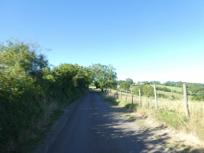 |
You have not actually reached the causse yet. You navigate in the foothills, in a country of gentle hills dotted here and there with groves, rare cultivated fields, vast meadows, sometimes with an isolated house which is lost in the vast nature.
|
From the top of the hill, the road winds through the countryside, sometimes with an old stone “caselle” which ends its old days at the corner of the woods. |
|
 |
 |
|
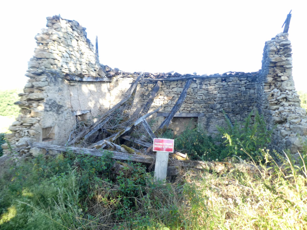
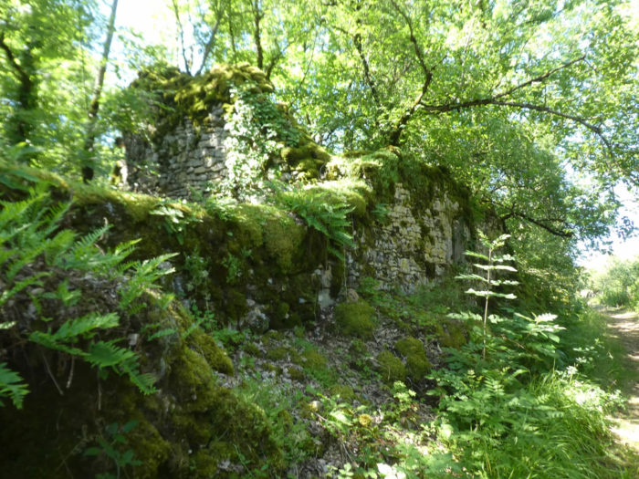
Further on, a ruined stone house, with its charred woods. |
|
 |
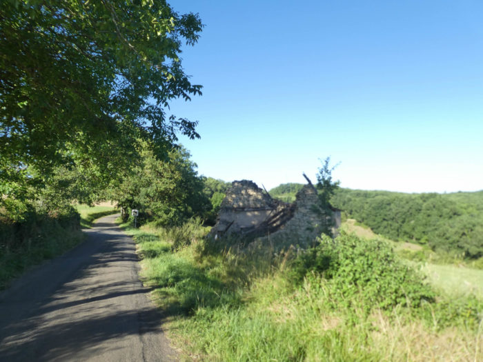 |
Private, you think you are dreaming! What could we do in this pile of rubble? Maybe picnic or steal some stones.
|
We are at the start of summer. If common wheat still grows in the fields, or triticale or oats, winter wheat has already been harvested and the meadows have already been mowed. |
|
 |
 |
|
Then the slope becomes steeper again, and the road slopes down under large oaks to the place of La Montagnette and its large park. |
|
 |
 |
|
Further ahead, the paved road dawdles again to reach the first houses of Ferrières. |
|
 |
 |
 |
 |
|
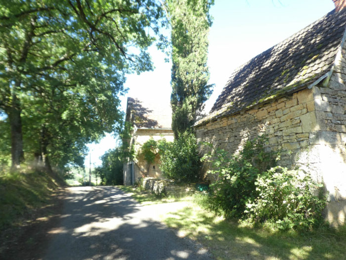
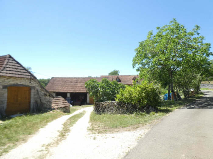
Ferrières is not a compact village, but a collection of stone mansions scattered under oaks, ash, walnut, and sometimes even pines. |
|
 |
 |
|
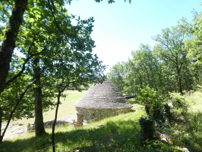
The “caselles”, these stone houses formerly occupied by shepherds, have already been encountered in the country. Here they are modernized “caselles”, which are like dovecotes which decorate the place. |
|
 |
 |
|
The road then leaves Ferrières to reach La Croix Blanche, another neighboring hamlet of Faycelles. |
|
 |
 |
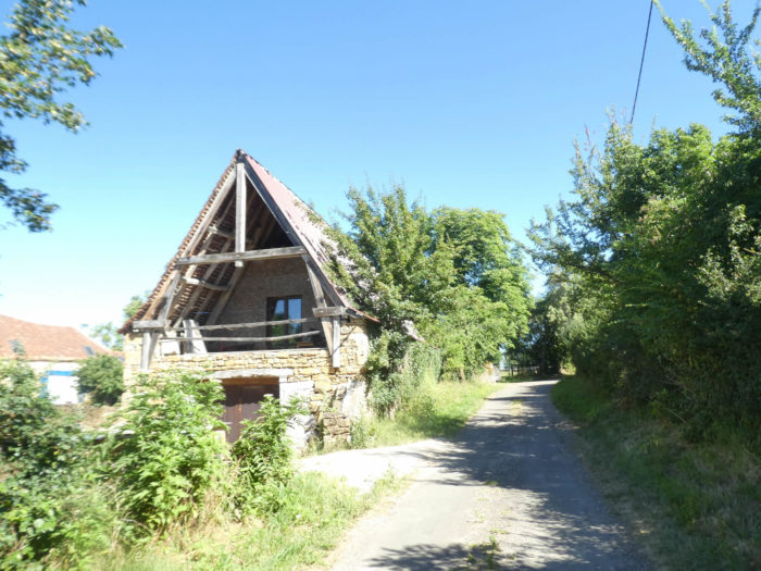
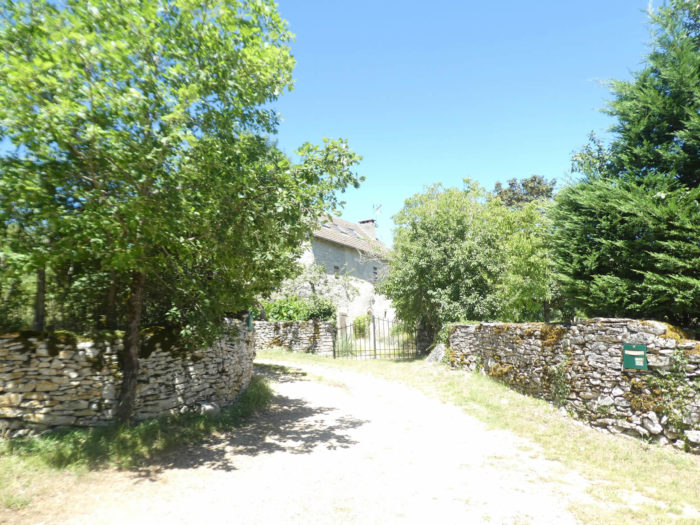
Here a beautiful house with its shiny “caselle”, where you can stay, is hidden under the large trees.

|
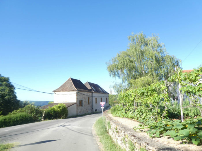
Faycelles is a stone’s throw from the Croix Blanche. the GR65 crosses the main road which avoids the village and runs along the stone walls towards the bottom of the village. |
|
 |
 |
 |
 |
|
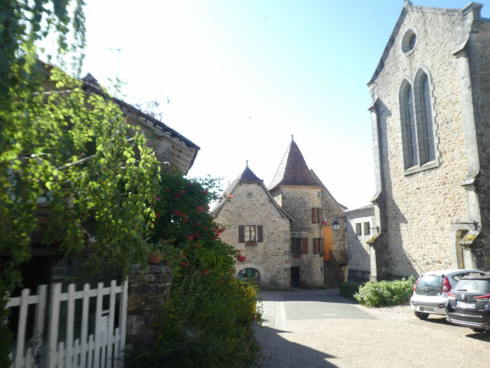
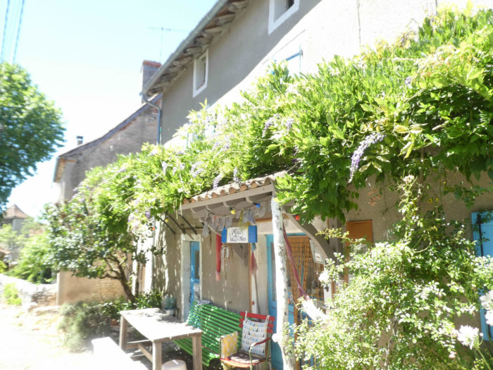
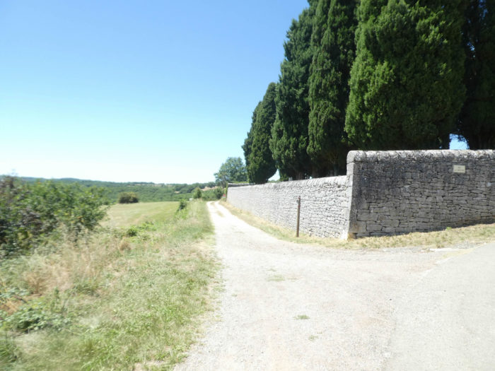
In Faycelles (600 inhabitants), beauty is at the rendezvous. Stairs lead to the center of the place. Perched on a small hill, the village enjoys an impregnable location. The small village with a medieval atmosphere stretches out in a picturesque site, with its beautiful exposed stone houses, most of the time flowered, its narrow streets. In the village, you can find accommodation, food and a picnic. |
|
 |
 |
|
A large square occupies the center of the village, where you also find the church. The church is of recent construction, built with materials from the old church. |
|
 |
 |
 |
 |
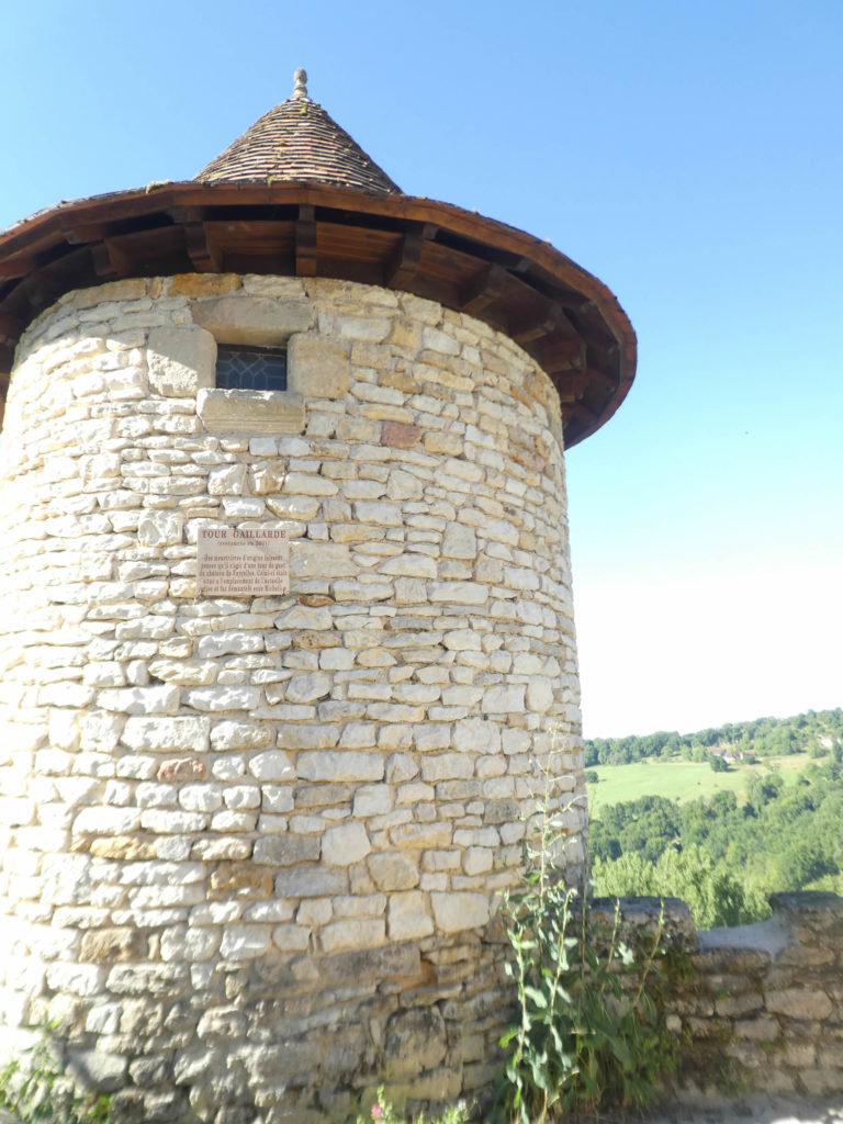
The small round watchtower overlooking the valley, the Gaillarde tower is all that remains of a castle which once stood in the center of the village until its destruction by Richelieu in the 17th century.
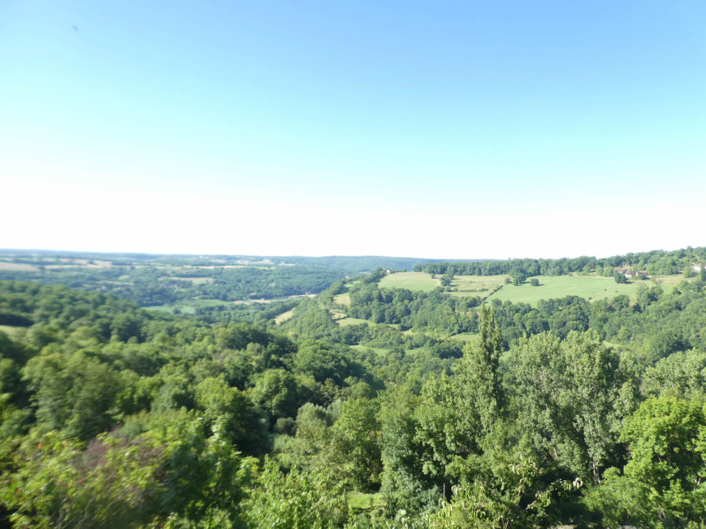
The view of the Lot valley below is as far as the eye can see. The eye discovers only thousands of trees on the horizon, immense and dense forests which advance and are lost in the interior of the country, the deep valley where the Lot flows peacefully, the high plateaus which follow one another. without being distinguished, effacing each other.
|
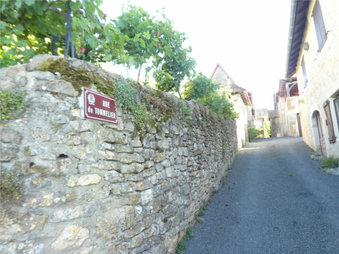
Formerly, the track left the village to take the departmental road towards Béduer. None of this today, The GR65 takes another axis. The roads to Compostela are never eternal as many pilgrims think. Now, the GR65 slopes down the Rue du Tonnelier and quickly leaves the village. |
|
 |
 |
|
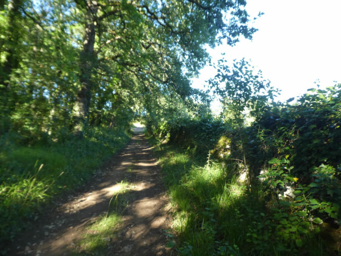
A small lane winds its way down between the weeds and stone walls under the thick foliage of the hardwoods. |
|
 |
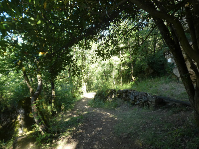 |
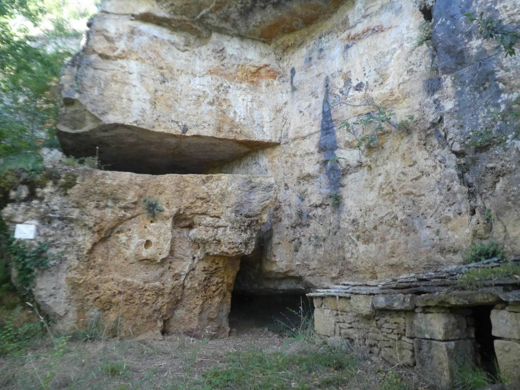
The pathway passes in front of a large cave carved out of the raw limestone, which will perhaps serve as a night refuge for penniless pilgrims or those fond of wild camping. There are quite a few of them on the way, especially young people.
|
Further on, at the bottom of the descent, the pathway nods, sometimes on large stones, sometimes on soil softer for the soles of the feet, along the rocks covered with moss, in the thick deciduous trees where the light hardly penetrates. |
|
 |
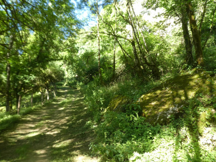 |
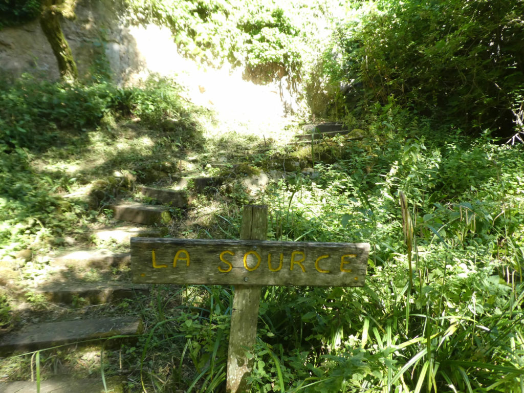
It passes near a place called La Source, perhaps also dried up, who knows? But the setting is so beautiful in the wilderness.
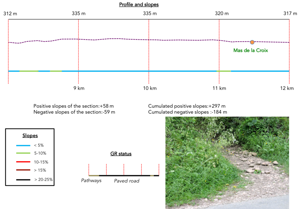
Section 3: Undulations in the countryside.
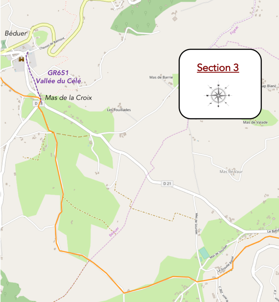
General overview of the difficulties of the route: course without any difficulty.
|
The lane then leaves the woods to slope up towards the first houses of La Graville Basse, a hamlet scattered in the countryside. |
|
 |
 |
|
It continues along the hedges, with every now and then a meager field of grain, wheat or oats. |
|
 |
 |
|
Further ahead, the dirt road reaches the road near a beautiful stone house which plays the great lords under the august ash trees. |
|
 |
 |
|
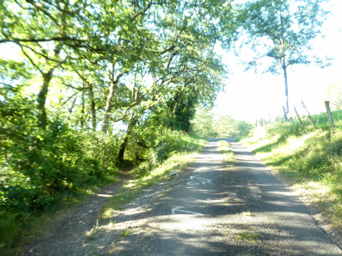
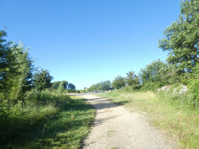
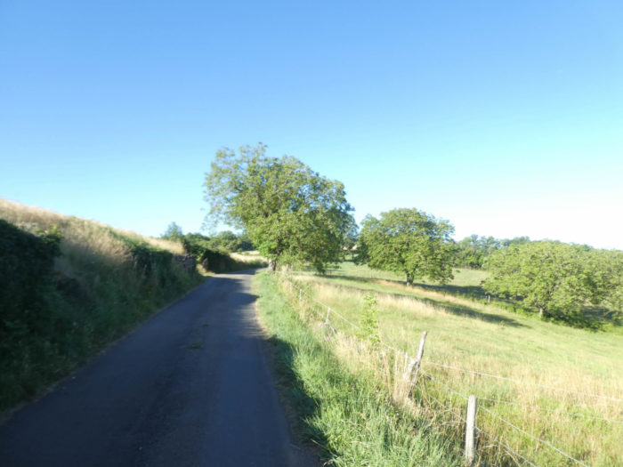
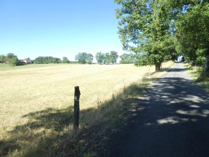
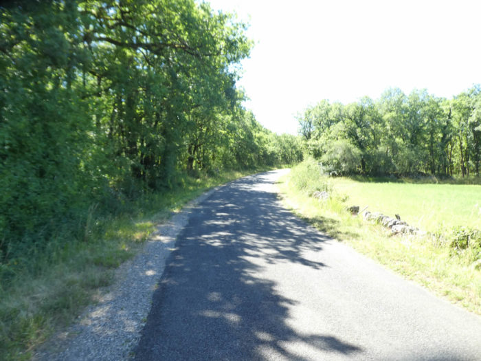
You are now off for a good deal of tar, but nature is so enchanting all around that that you likely won’t see the time pass. |
|
 |
 |
|
The country is wide, made up of vast meadows, with rare stone houses on the side of the road which sometimes come to cut the monotony and boredom that can develop among some pilgrims. |
|
 |
 |
|
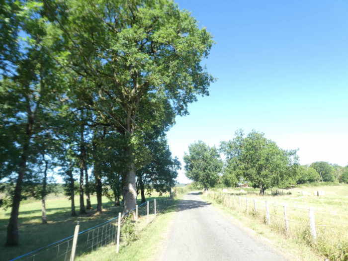
And the paved road runs through this uniform landscape, sometimes cut out of a small islet of oaks or isolated trees. |
|
 |
 |
|
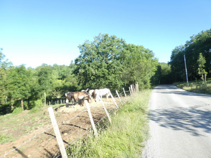
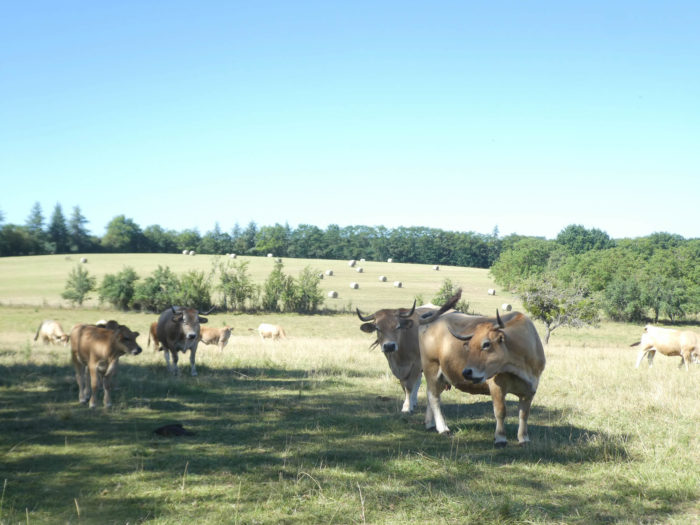
Here a herd of Aubrac cows. The cows are so tender, so beautiful with their eyes made up. Will we say the same of the bull which is eyeing us with a black eye? Don’t you come here to steal his beauties? |
|
 |
 |
 |
 |
|
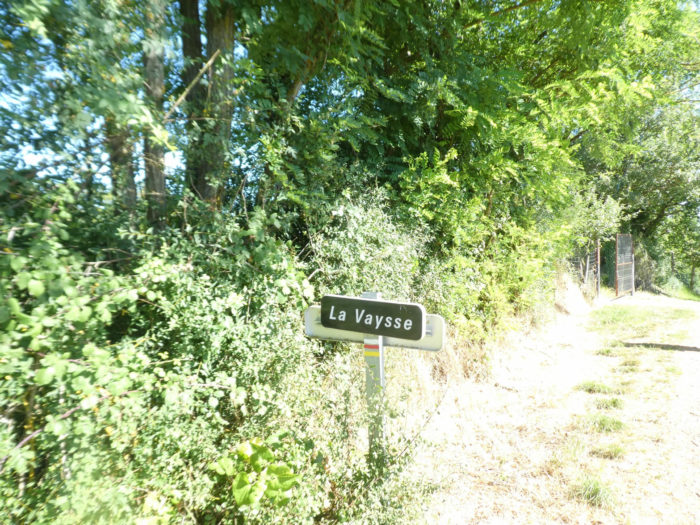
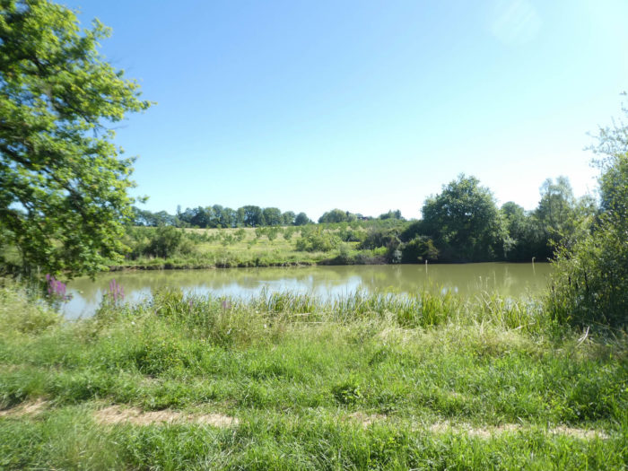
The road soon gets through a place known as La Vaysse, near a tiny lake. |
|
 |
 |
|
Shortly after, the new version of the GR65 joins the old route of the GR. Beyond this point, there has been no transformation of the route. |
|
 |
 |
|
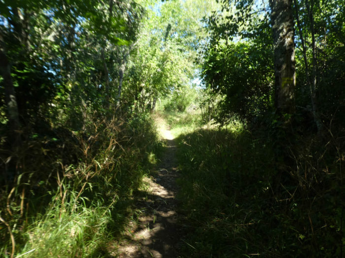
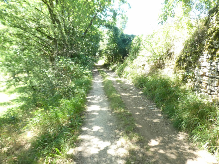
A small, very narrow pathway then runs through the thickets and brush. In bad weather this trail can be quite bogged down. |
|
 |
 |
|
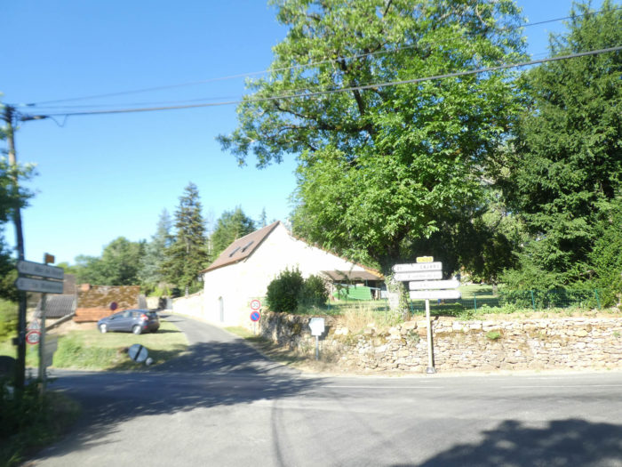
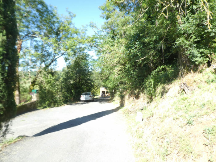
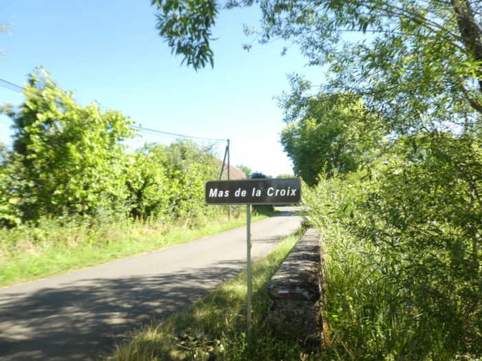
At the end of the lane, a small stretch of asphalt leads to Mas de la Croix. |
|
 |
 |
|
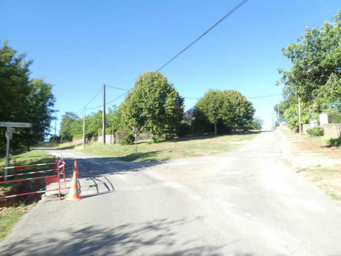
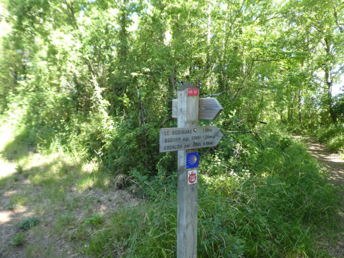
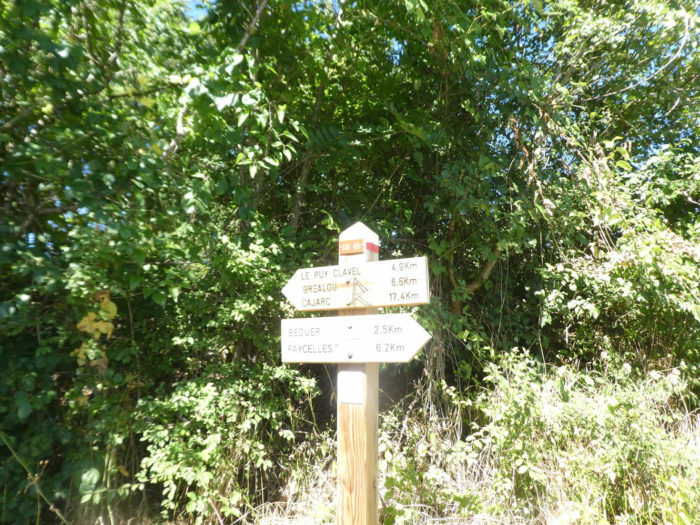
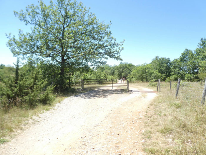
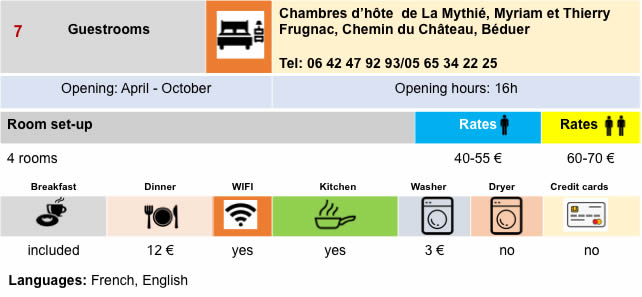
This is where the GR65 and the GR651 (which passes through the Célé valley) separate. You can stay at the Mas de la Croix. You can also eat and stay in Béduer, even if it is 300 meters off the track, on the GR651. From here today you’ll follow the GR65 path towards Cajarc. The variant through the Célé valley will be dealt with in another chapter. |
|
 |
 |
|
The GR65 avoids Béduer, enters a small road not far from the castle. |
|
 |
 |
Section 4: The GR65 gradually approaches the causse.
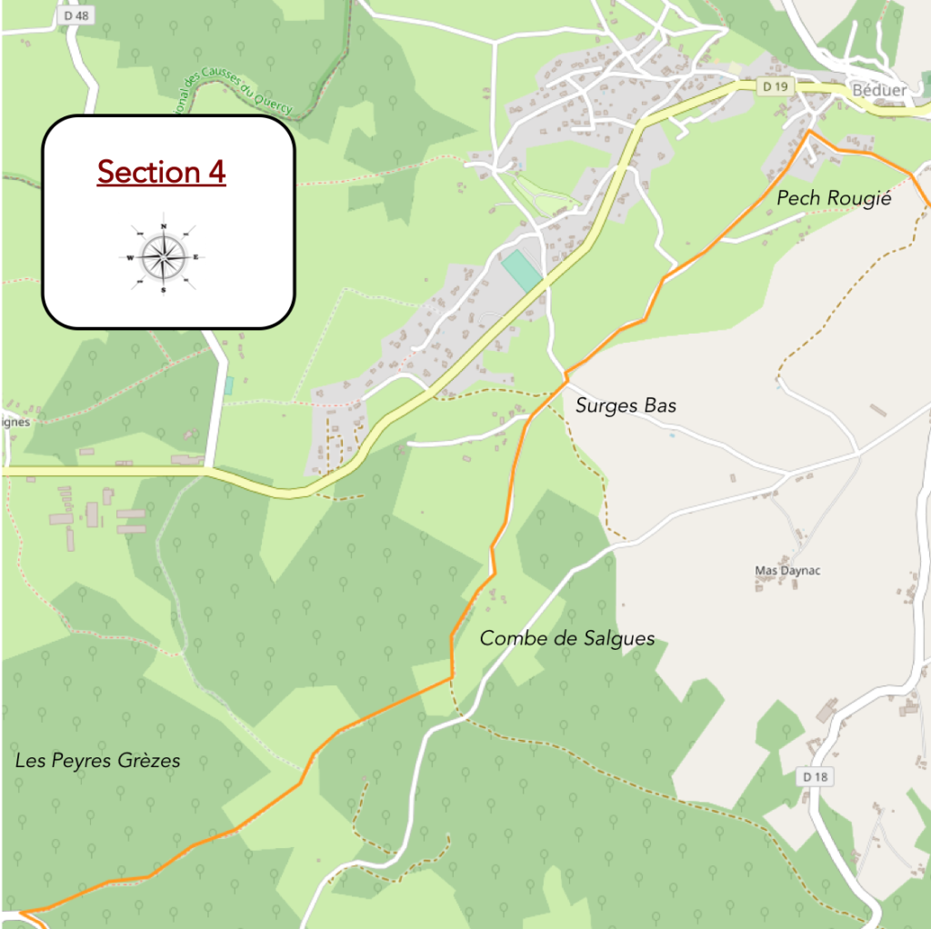
General overview of the difficulties of the route: some bumps without great importance.
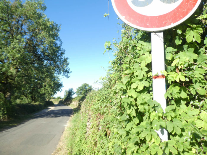
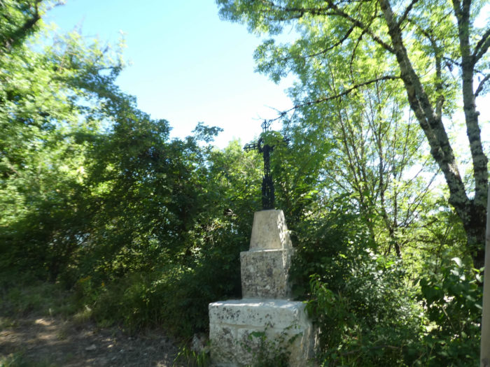
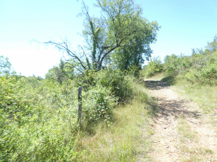
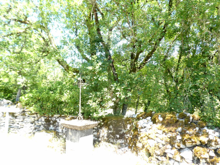
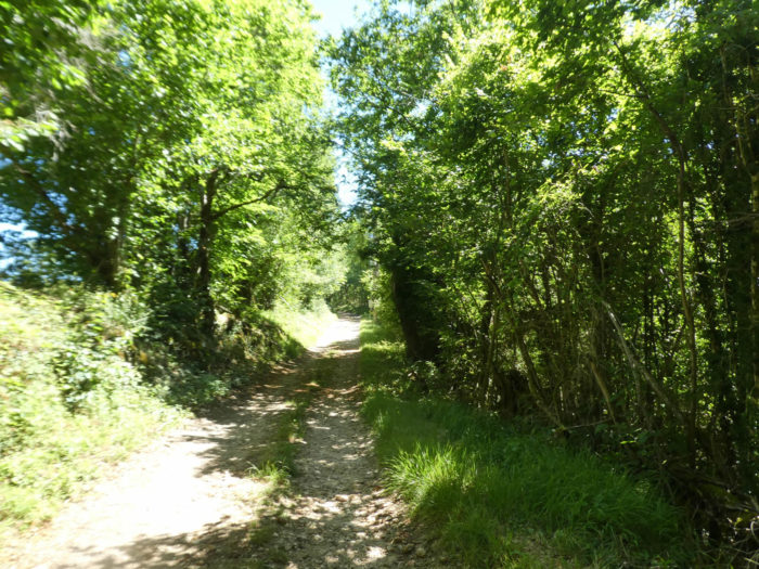
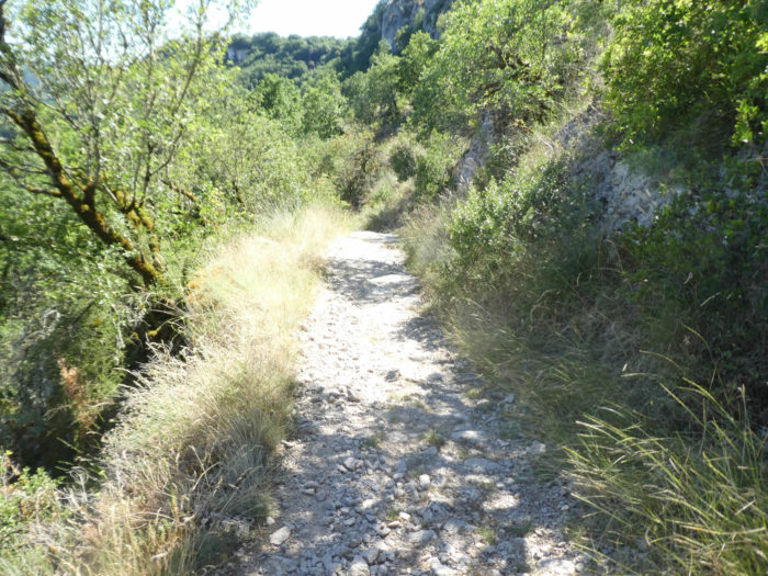
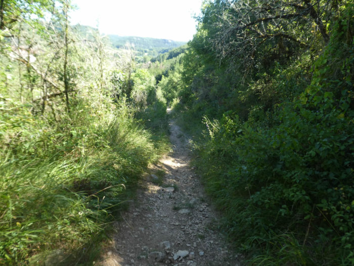
Near an iron cross, the GR65 leaves the paved road for a narrow and stony pathway heading to a place called Pech Rougié. This time, for sure, you reached the causses. If you have already tasted the pathways in the causses, you will hardly be surprised. Your feet remember it. For others, the learning is just beginning.

|
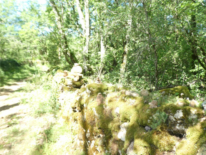
Limestone is not what is missing here. So, pilgrims like to make cairns, sometimes adding a stone. |
|
 |
 |
|
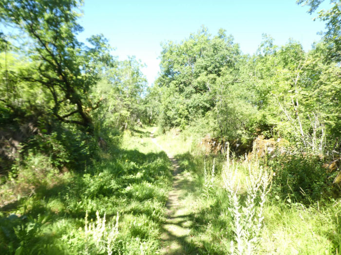
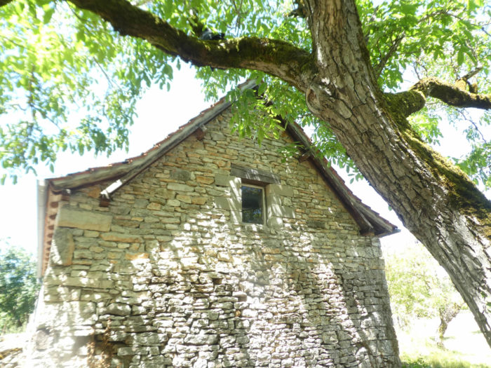
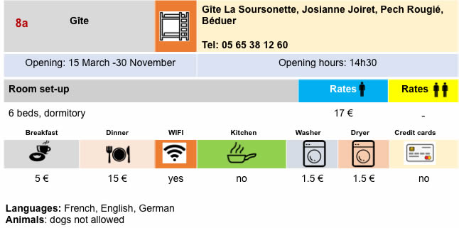
In the exuberant and creeping vegetation, underbrush and pubescent oak shoots, the pathway arrives at the top of the hump, at Pech Rougié, where there is a lodging and a small refreshment bar. |
|
 |
 |
|
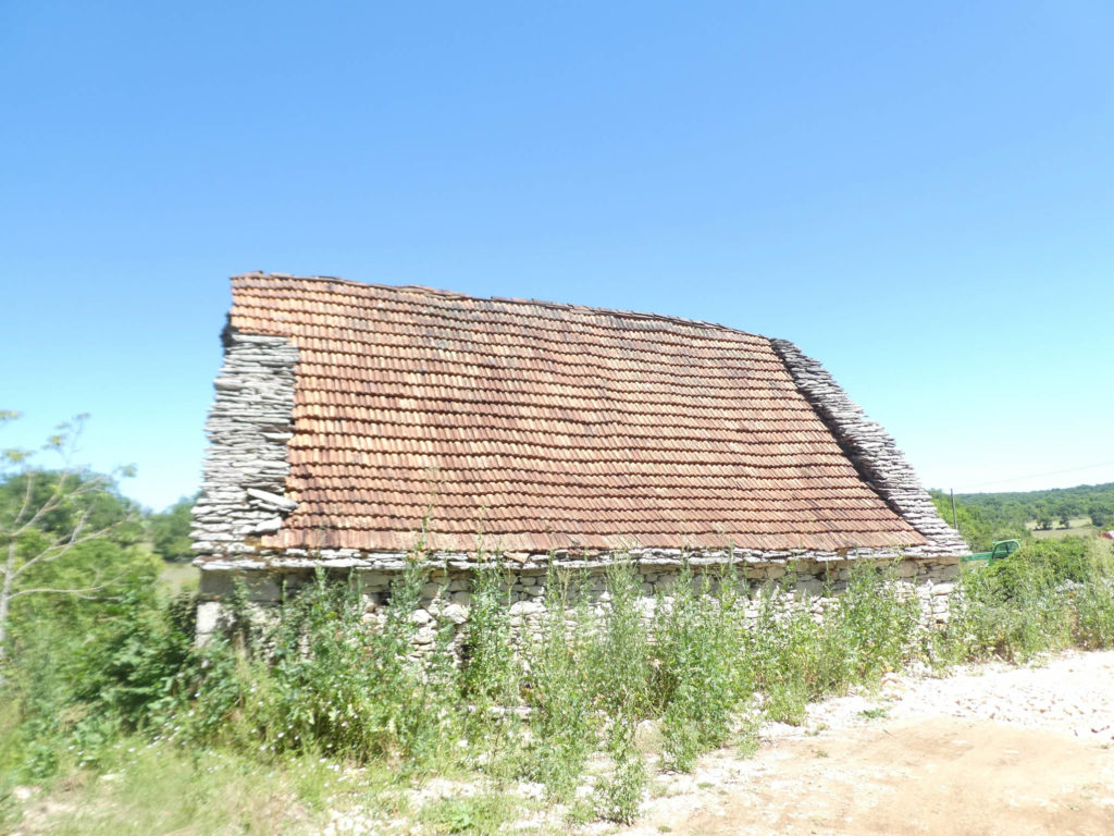
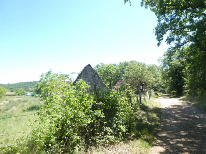
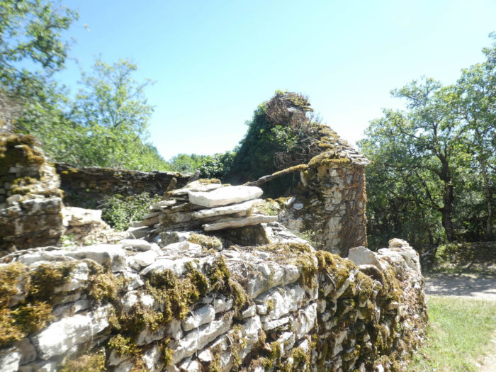
Beyond Pech Rougié, the GR65 plunges into the oak undergrowth, passes in front of a ruin. We have a kind of love for these majestic, moss-covered ruins which all bear witness to a laborious past, gone forever. Time passes and everything remains frozen. Only the memory remains. |
|
 |
 |
|
In these forests, there are not only oaks, although they are the overwhelming majority. You also see a few small country maples and a tree that you only encounter in the causses. This is the Montpellier maple, whose leaves have only three lobes in the shape of a triangle. On the way, another one of those magnificent stone ruins, which we cannot get enough of. |
|
 |
 |
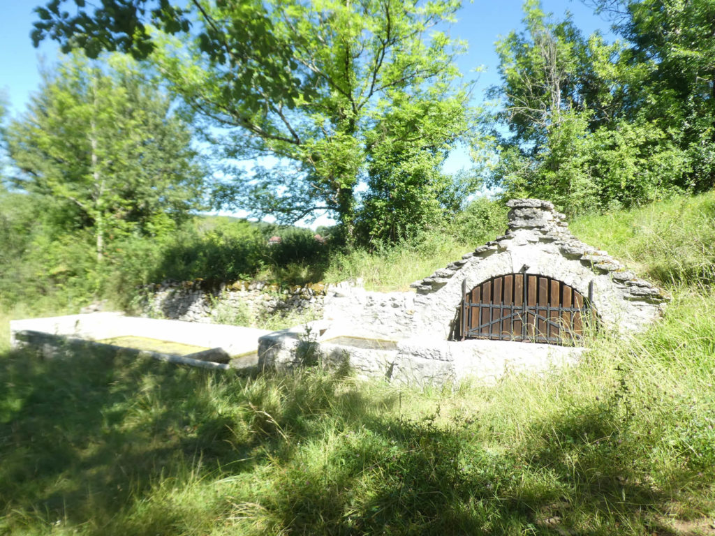
Further down, the pathway passes near the picturesque Fontieu fountain, which seems to have emerged from the Middle Ages.
|
But sometimes, when it comes out of the woods, the track rebels, leaves its pebbles which hurt the shoes for the resting grass. There is a little water here. Then the landscape becomes milder, calms down for a rustic spot, populated by a few sheep and cows grazing under the bushes. But the tenderness of the grass and the horizontality of the path never last forever on the Camino de Santiago. Here is the slope again when the pathway finds a small road to reach Surgues le Haut. |
|
 |
 |
|
The road climbs up to a small hamlet, not in fact to a few stone houses by the side of the road, which it is difficult to guess if life is still present here. |
|
 |
 |
|
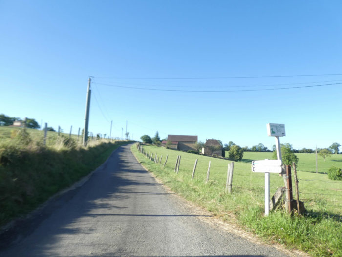
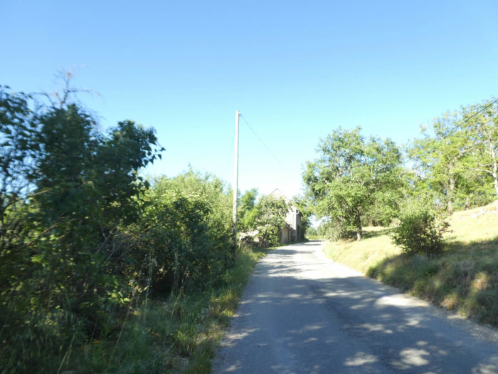
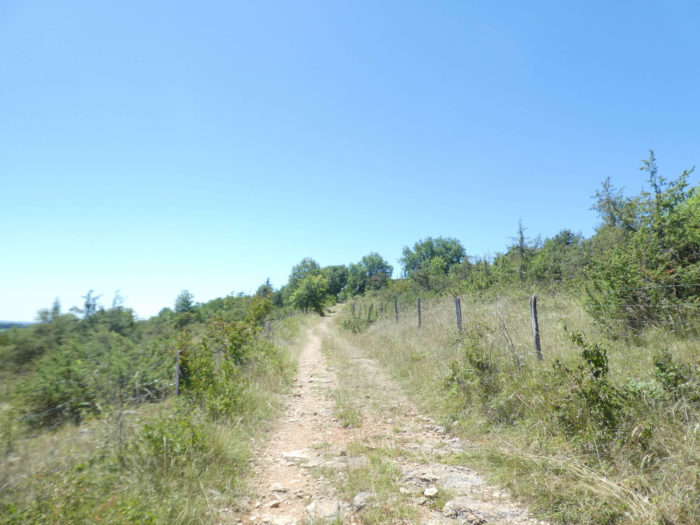
Here you are still 17 kilometers to Cajarc, almost halfway. Some pilgrims stop further, at Puy Clavel or Gréalou, to cut the pear in half. And the road climbs again, but gently sloping. |
|
 |
 |
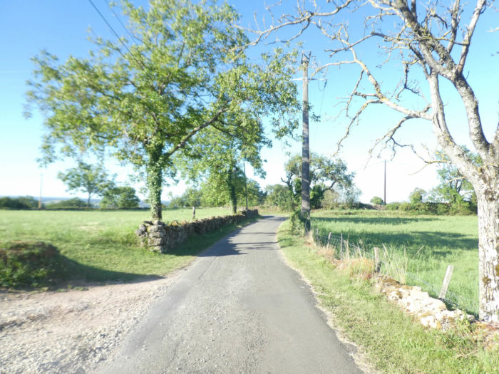
By the side of the road, a “caselle”, in its gray clothes stands silently. The “caselle” are as mysterious and ghostly as ever, in the fields or by the side of the road.
|
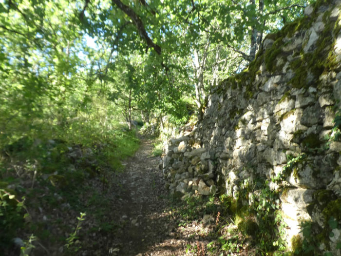
Further up, the GR65 heads to Combe de Salgues. Here the tar gives way to the gravel along the stone walls. |
|
 |
 |
|
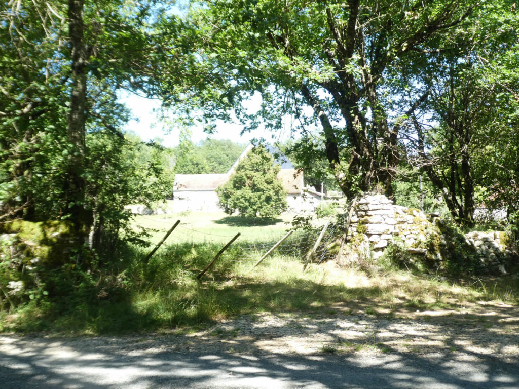
Combe de Salgues is just a large farm on the edge of the forest. This is where the route will leave civilization for a long time. |
|
 |
 |
|
So, a little more civilization or what’s left of it before heading back to the woods, the places that pilgrims love above all else. Solitude, nothing but the solitude of the trees. |
|
 |
 |
|
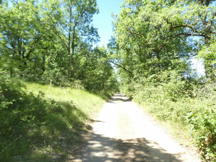
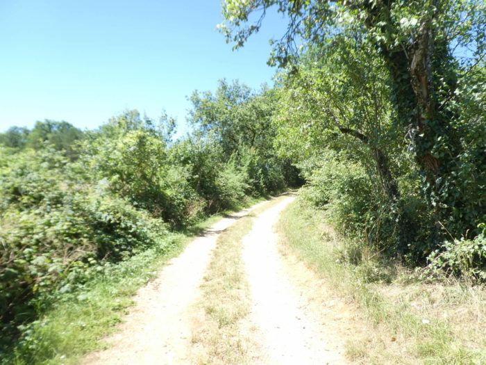
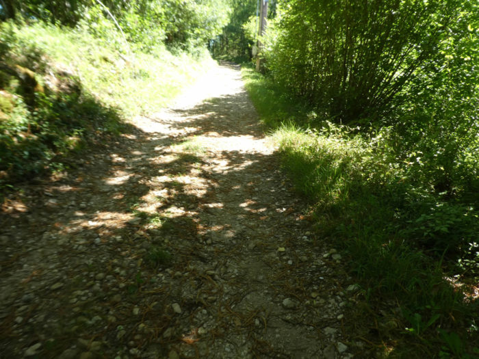
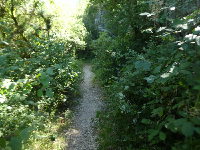
A narrow lane, often very stony, as maybe you like to find them in the causses, then climbs more steeply into the forest. It would be unthinkable to make an inventory of the plants found on the way. You would have to be a flora specialist. Yet, if there is hardly any boxwood and juniper, dogwoods, wild blackthorns, which swarm everywhere, viburnum, rockrose and brambles are very present here. |
|
 |
 |
|
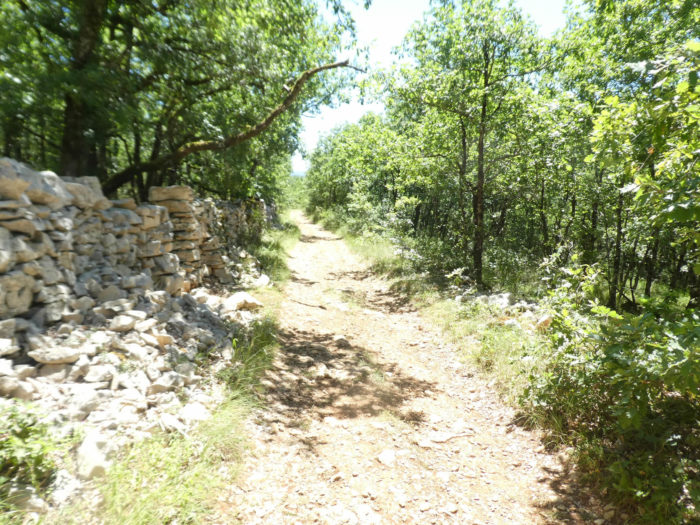
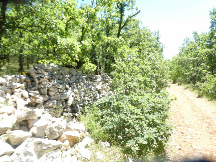
You may still wonder what were these innumerable low walls used for. In the past, they were supposed to be used to park sheep, which have now largely disappeared from this compact undergrowth. |
|
 |
 |
|
And above your heads, the hardwoods give you their shadow. There are no large trees, only puny downy oaks, tiny country maples and Montpellier maples. |
|
 |
 |
|
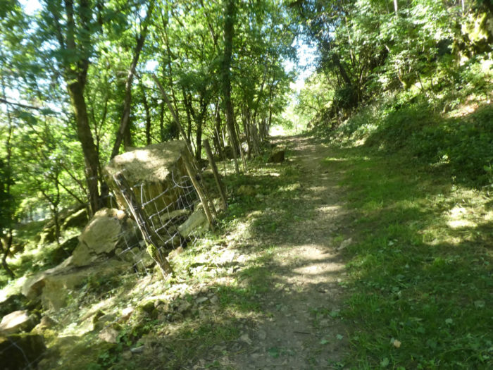
At the top of the climb, a large clearing, where the trees were cut. Are these fences to park sheep in, in a remote region of the world? |
|
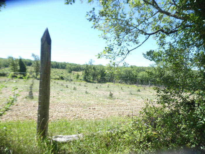 |
 |
|
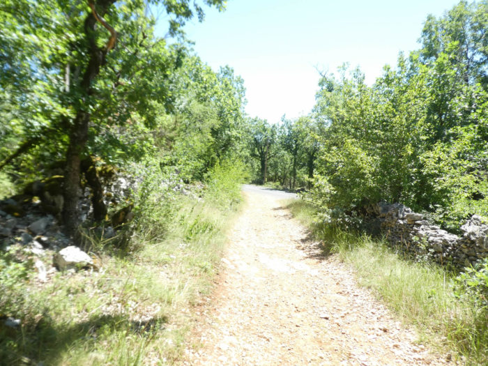
The pathway then begins to undulate again in the undergrowth before finding a small paved road. |
|
 |
 |
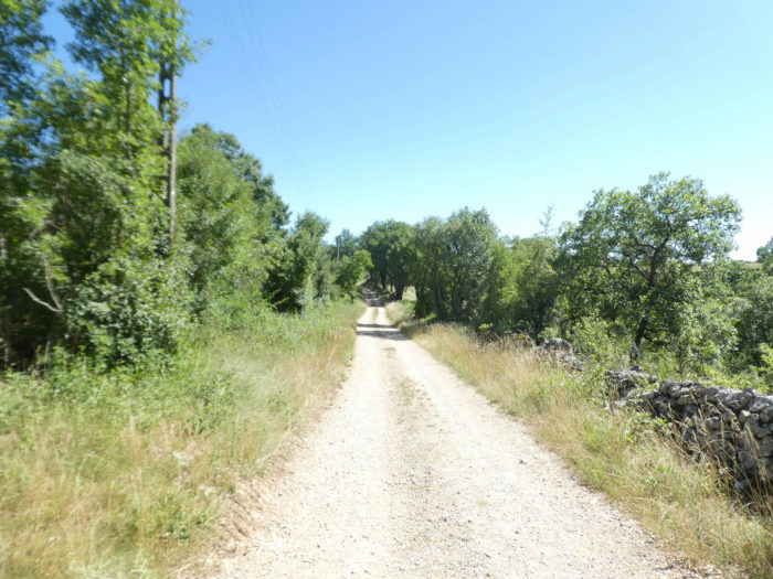
Section 5: Over the causse.
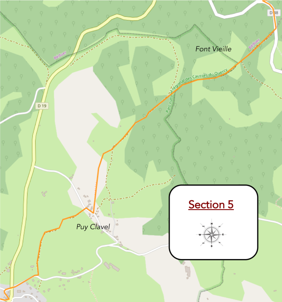
General overview of the difficulties of the route : course without any difficulty, on magnificent pathways.
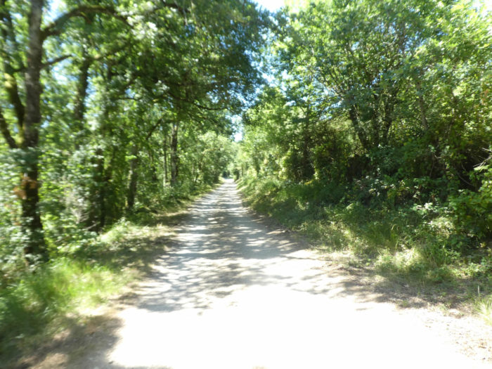
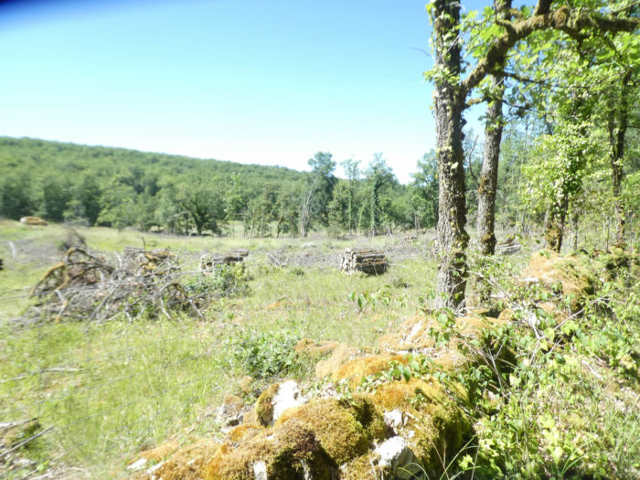
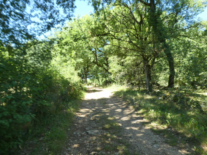
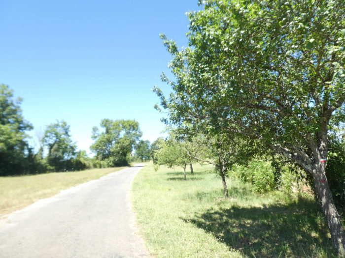
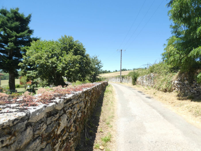
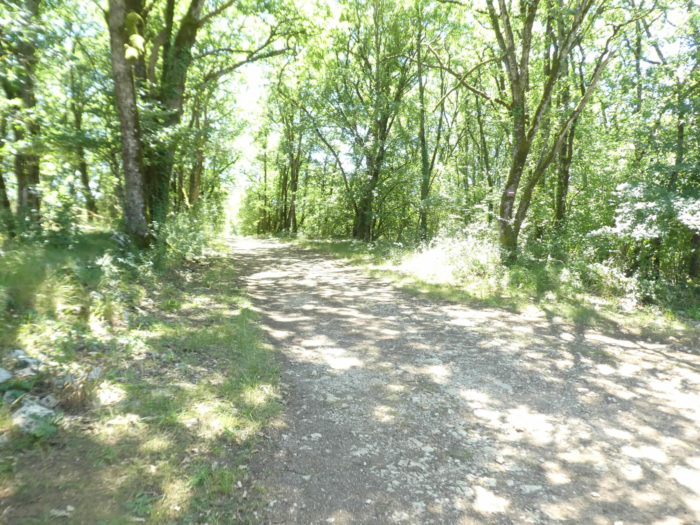
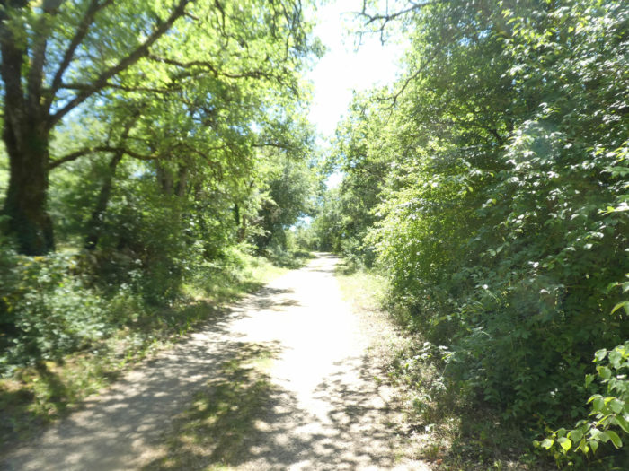
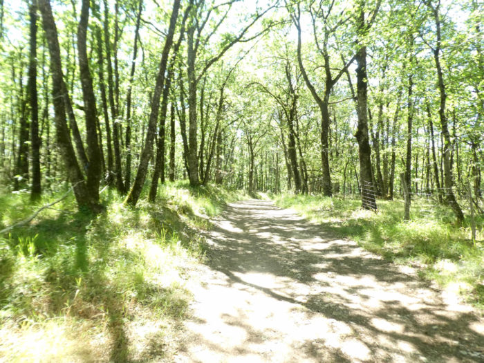
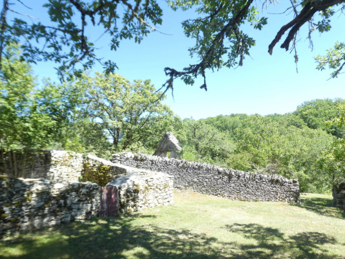
The hamlets are almost nothing, and you often find stone houses where life has disappeared. Nature is alive, constantly renewing itself, drawing its energy from its own reserves. Men’s homes quickly turn into ruins when they lose their use. Ruin is unfortunately the vocation of human architecture. Will we one day see the Causses as an archipelago of abandoned hamlets surrounded by wasteland, forests and maquis evolving according to their own energy? It is true that oaks live without asking man for anything. Perhaps we should explore the reasons why the 22.5 km of the Camino de Santiago from Faycelles to Cajarc were listed as World Heritage in the sections listed by Unesco? The return of Rousseau’s good savage in a way, right? However, the journey through the oaks remains an exceptional experience.
|
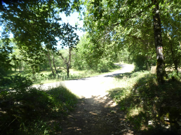
Near the place called Font Vieille, the GR65 leaves the undergrowth for a moment for the tar, for a few hundred meters. |
|
 |
 |
|
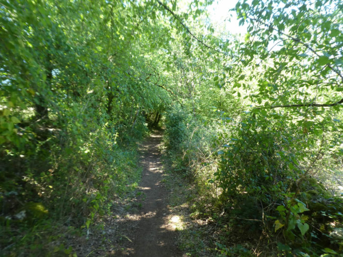
Further on, it is back to the dirt road, sometimes its raison d’être. And for nearly two kilometers, it runs in the same setting. Trees, and more trees. Tirelessly and always. To nausea for some, to fullness for others. It depends. |
|
 |
 |
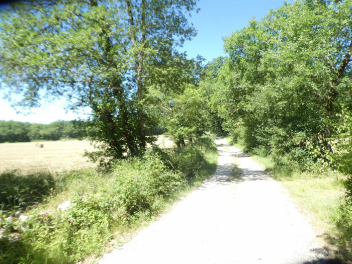 |
 |
|
Then confusedly in this wild and unspoiled nature, you sense that something is going to change. You’ll see a clearing appear, with human activity, mown meadows. |
|
 |
 |
|
And by the way, the scenario will change. The pathway, a little stonier, climbs to more than 10% in the almost short moor. There are even junipers and holly around here. |
|
 |
 |
|
Further up, you even have the feeling of reaching a fortress with a large wall above the pathway. |
|
 |
 |
|
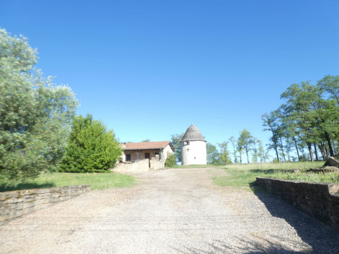
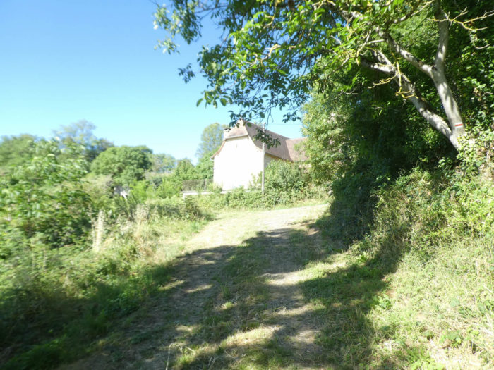
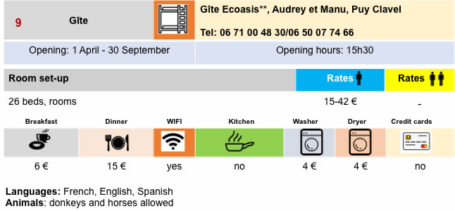
The end of the climb soon announces an embryo of human presence. The route ends up on the tar in the hamlet of Puy Clavel, but it’s not the crowds of great days. The stones of the walls hide their secrets. And yet, an ecologist has built here a little gem of a cottage on the top of the hill. You have to see with what nonchalance and happiness the pilgrims who stop here let themselves slide on their loungers to admire the landscape. |
|
 |
 |
|
Out of Puy Clavel, the GR65 still undulates slightly, most often uphill, sometimes in the undergrowth, most often in the countryside on a grassy pathway. Always the same trees, with the addition of ash trees, as you often find in more open spaces. The trees have also grown taller, since they have more room to blow. |
|
 |
 |
|
Then the pathway starts to climb again at the edge of the undergrowth. There’s a little water around here. In the Causses, water is so scarce here that it is worth mentioning, even if it is not necessarily drinkable. There is no river or stream of that name that crosses the causses. The worst poverty is the lack of water. Without water, there is no sustainable development. In the Causses, the population density is derisory. This explains that. |
|
 |
 |
|
Further up, the pathway becomes very stony, and the slope increases up to a 10% incline. |
|
 |
 |
|
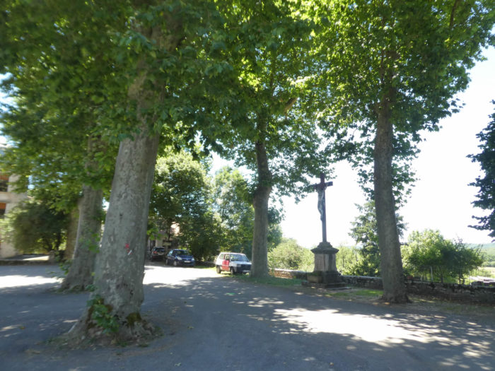
The slope softens again as you approach Gréalou. |
|
 |
 |
|
When you’ll arrive here you may have the feeling that you are going to find a large village, because the road runs for quite a long time on a small plateau, with isolated houses, before descending to the village. |
|
 |
 |
 |
 |
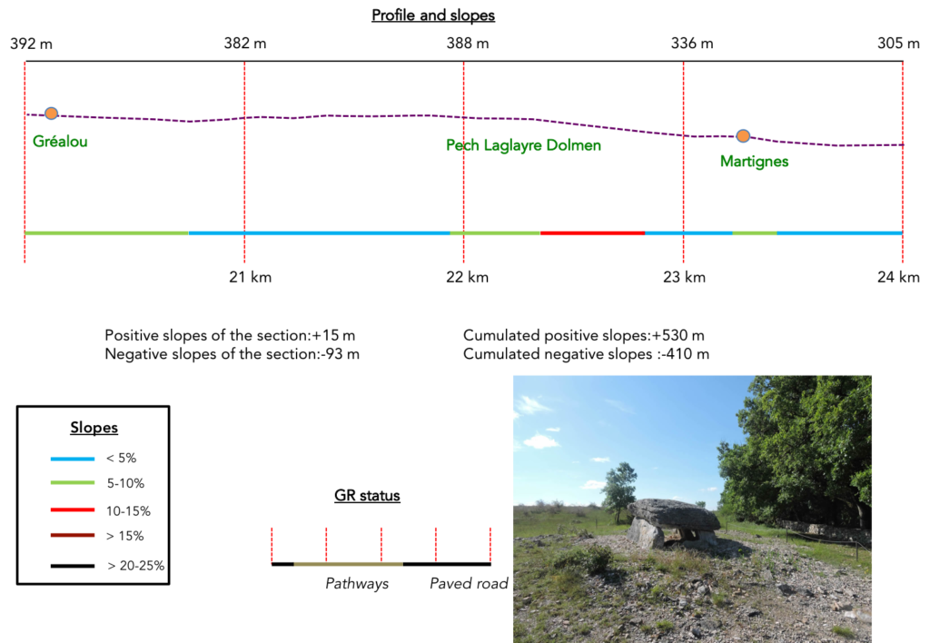
Section 6: Passing near the magnificent dolmen of Pech Laglaire.
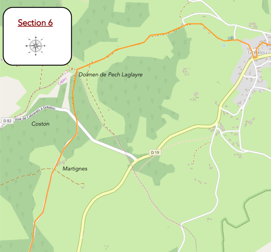
General overview of the difficulties of the route: course without any difficulty, on magnificent pathways.
|
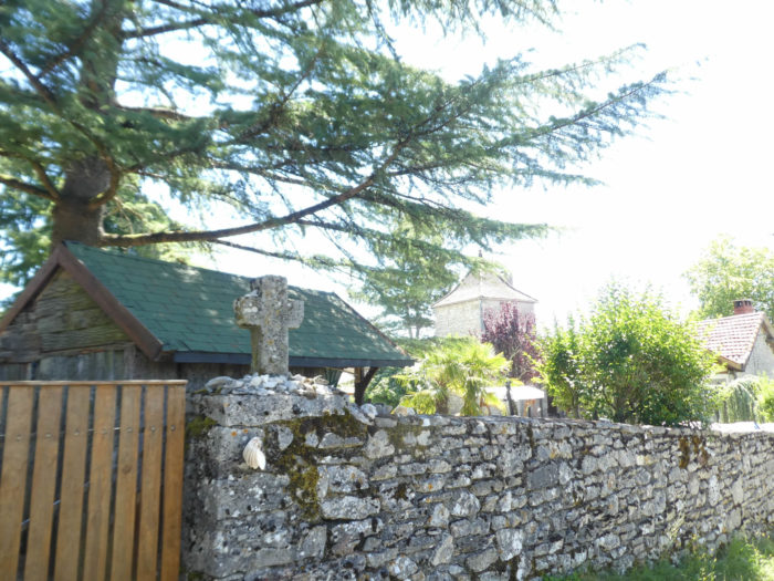
And yet, Gréalou has only 250 inhabitants in this stopover much appreciated by pilgrims. Here the water flows, which explains the presence of a larger village here. A picnic spot is provided, with a real tap of pure water. There is a grocery store here and you can even eat or stay in a gîte as incredible and charming as the owner, which is notoriously original. |
|
 |
 |
 |
 |
|
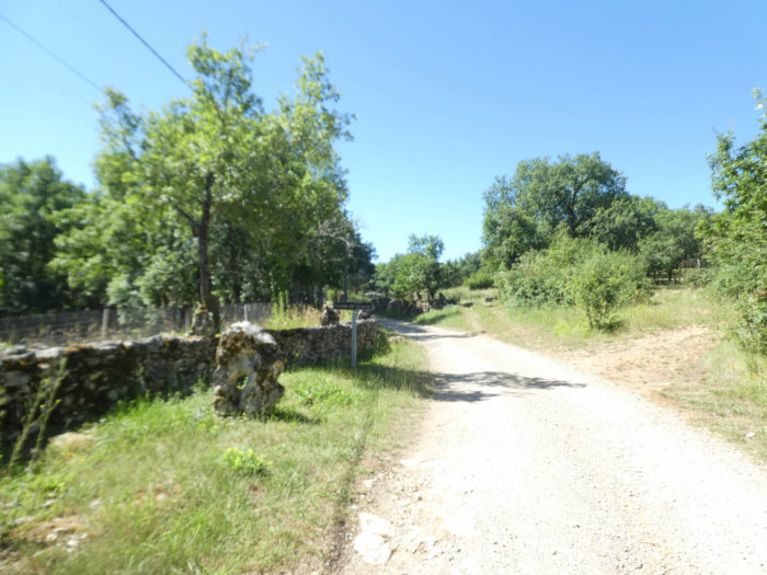
The GR65 leaves Gréalou on a paved road which quickly turns into a gravel path near the Mas de Trémoulet. |
|
 |
 |
|
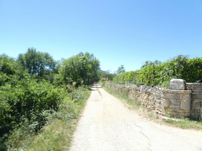
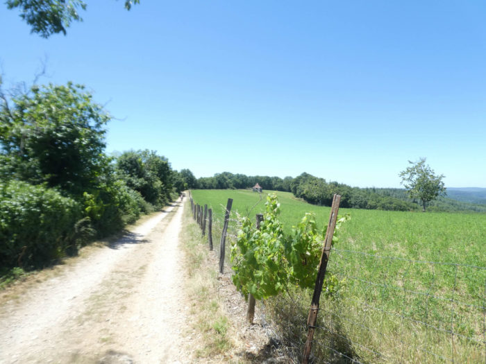
The route quite quickly becomes a wide dirt track that flattens sometimes in the countryside, sometimes in the undergrowth. On the way, there are even vines. |
|
 |
 |
|
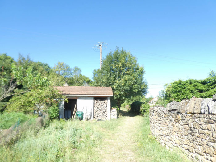
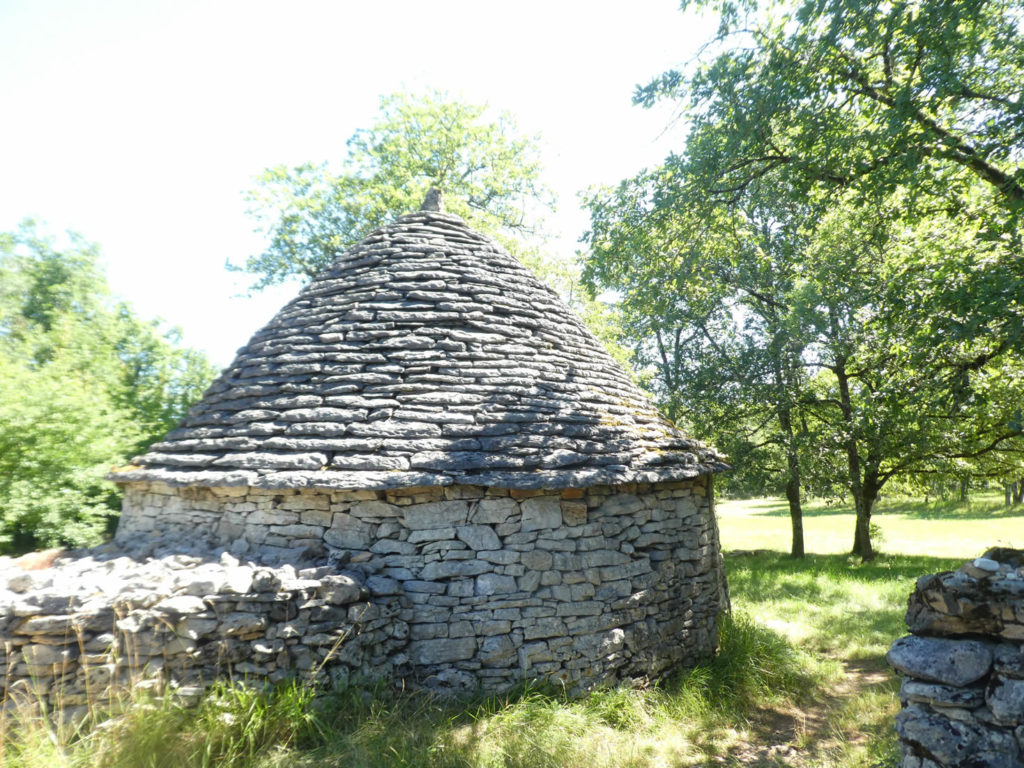
A “gariotte”, another name for “caselle”, from time to time in the meadows, a containment barrier for the cattle which must be present sometimes, oaks in profusion, sign an immutable panorama, always the same. |
|
 |
 |
|
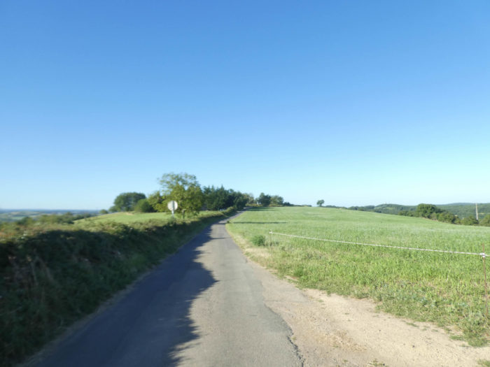
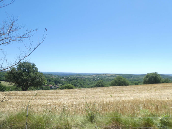
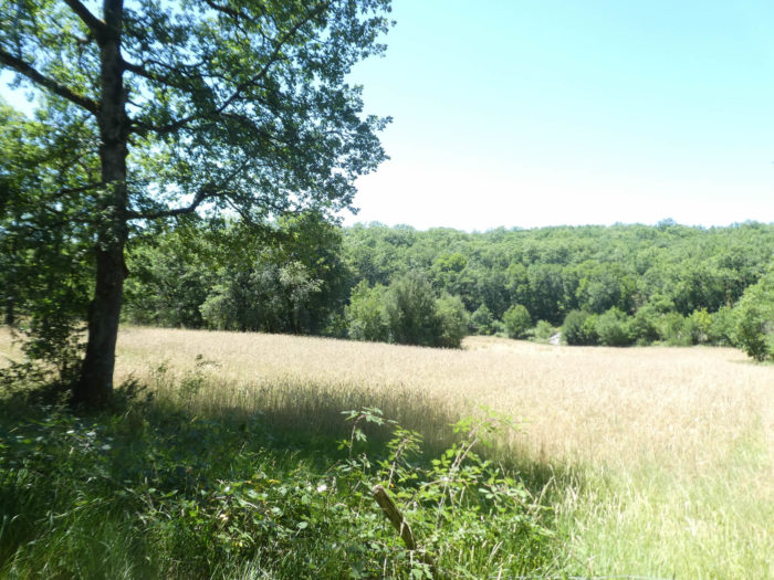
When the country opens up, you still see Grélaou behind the grain fields or the immensity of a causse that never ends. |
|
 |
 |
|
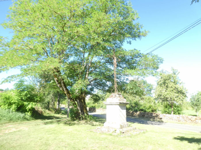
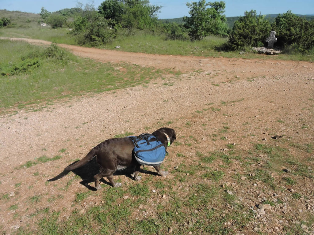
The semi-open countryside ends near the magnificent dolmen of Pech Laglaire and the stone cross facing it, hidden under the junipers. The site is quite exceptional, all imbued with religiosity and magic, on the edge of the woods. It is in this kind of place that wonder awakens and that nature offers to meditation. |
|
 |
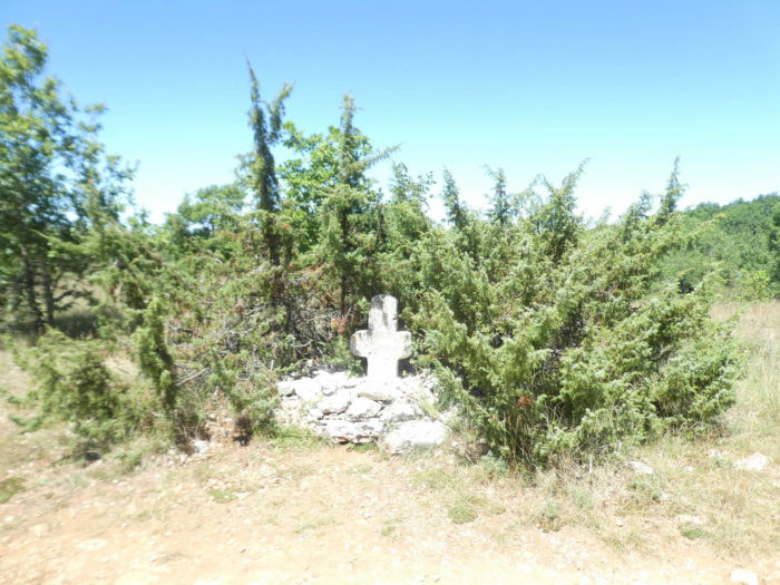 |
You may one day meet strange pilgrims here who also carry their load, or more comically, petanque players, who come here to share the life of pilgrims!
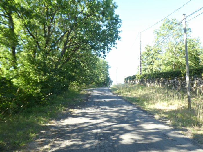
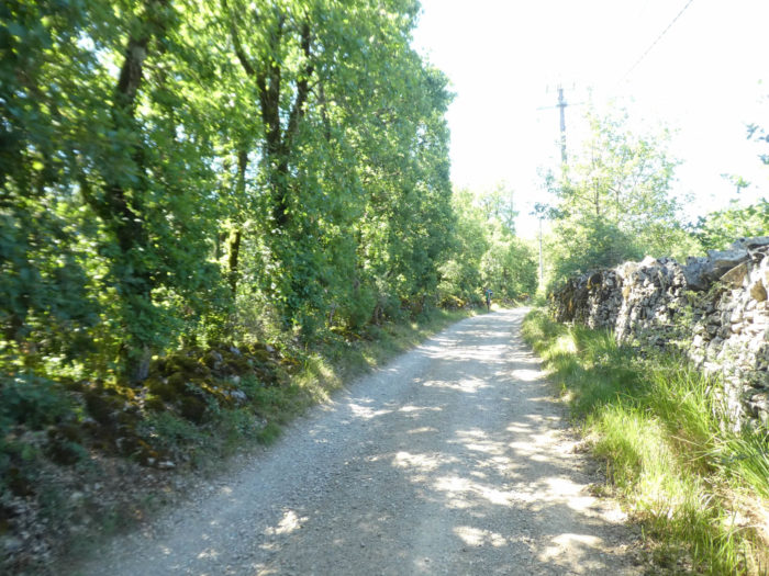
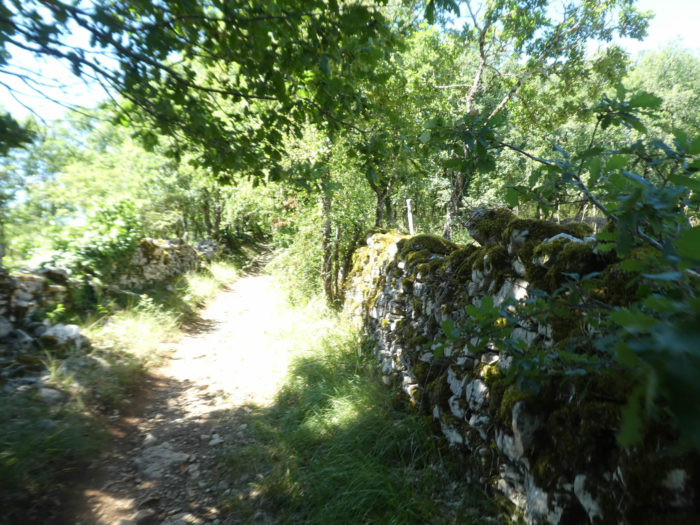
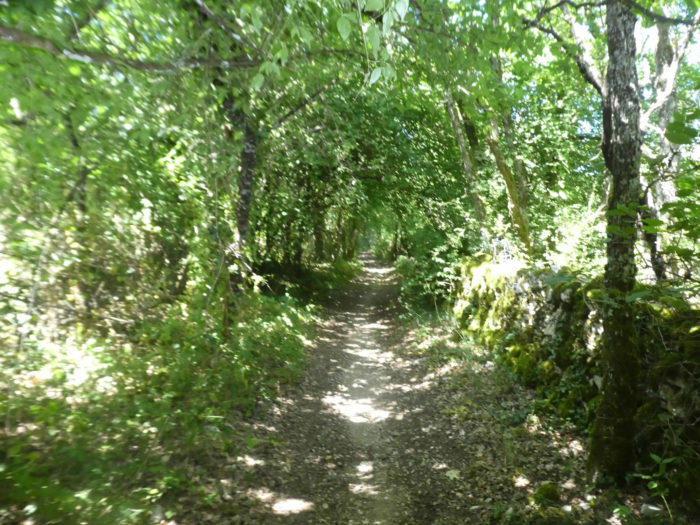
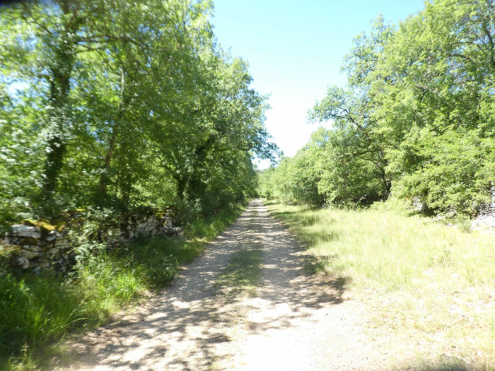
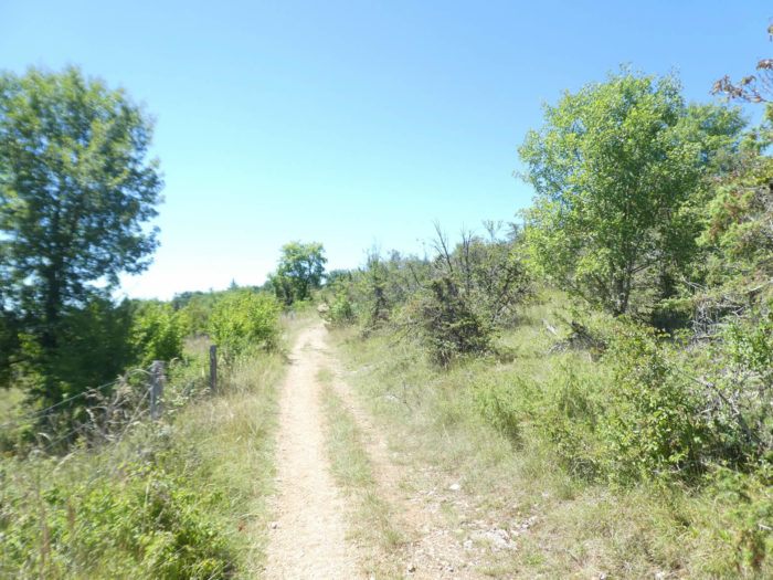
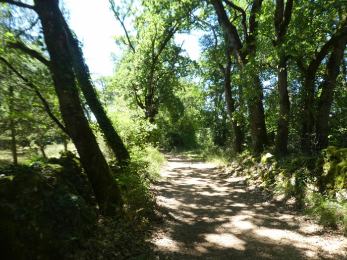
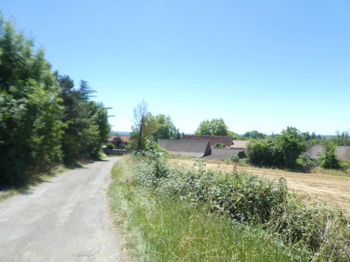
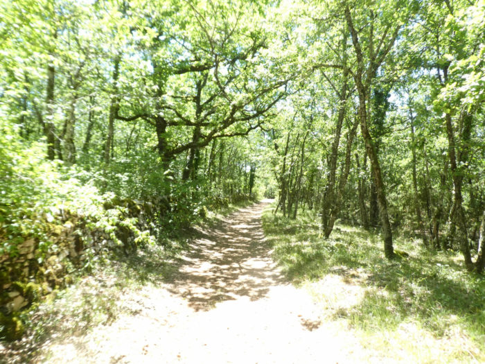
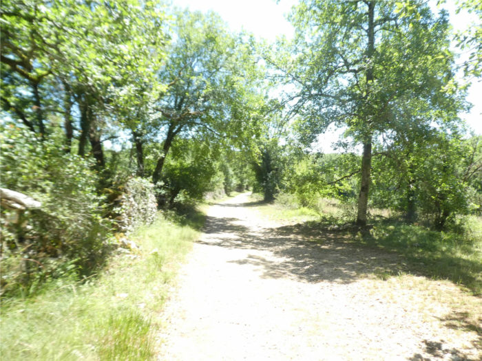
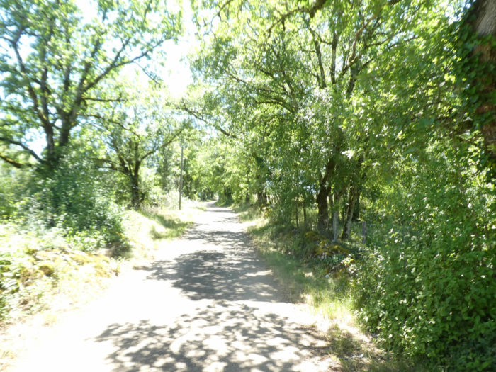
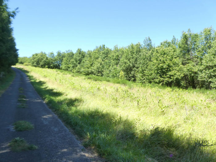
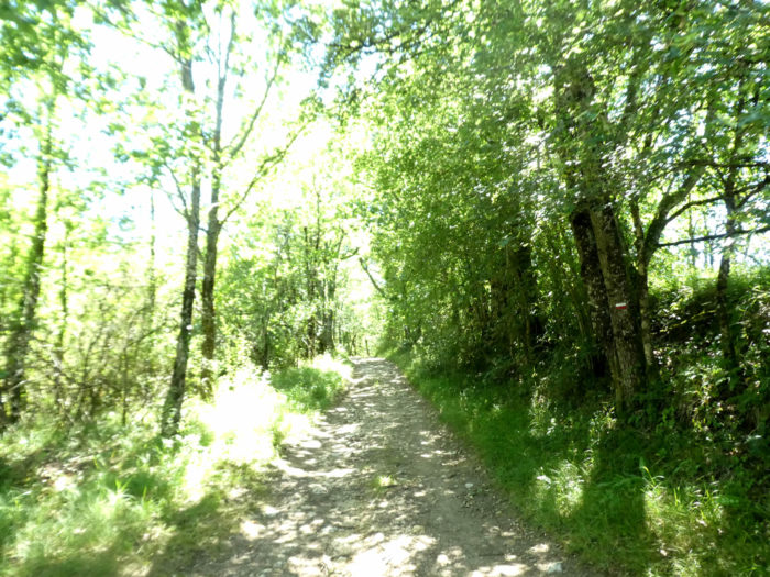
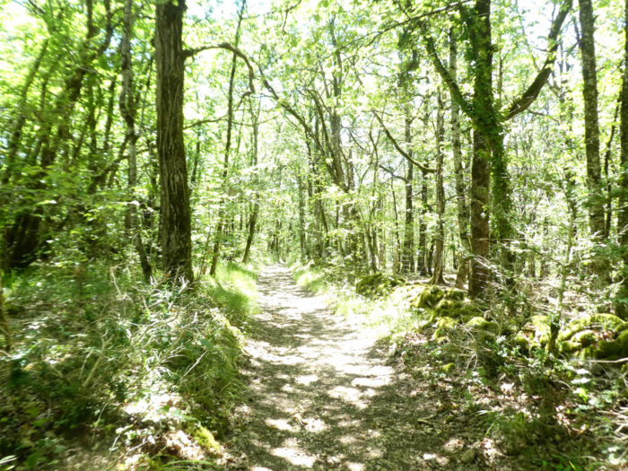
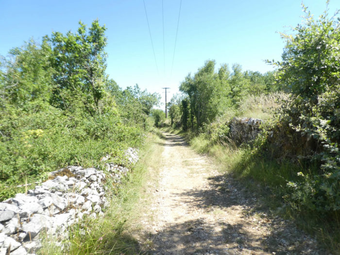
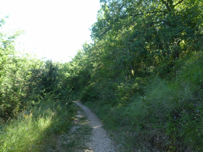
Further afield, the GR65 slopes down into the forest of Coston. Why not say it? How can you not be soothed by a wide pathway which undulates between the small walls covered with moss, the dry-stone sentry boxes, and above all, the countless stunted oaks, probably several hundred years old, which raise their big rough heads? These tracks have a scent of yesteryear, one that tells the story of the past, that of millions of pilgrims who may have struck the same stones with their boots. Who knows? You cross here one of the most beautiful landscapes of the Santiago track. We must also agree with the people who have classified this stretch of road as a UNESCO World Heritage Trail.
|
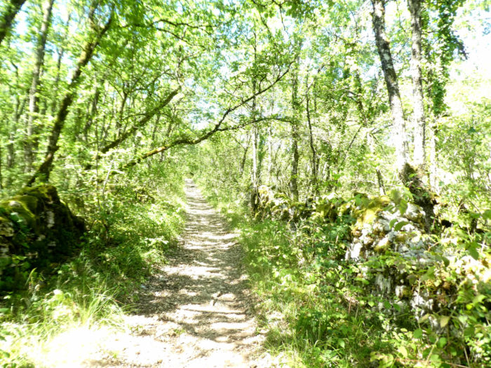
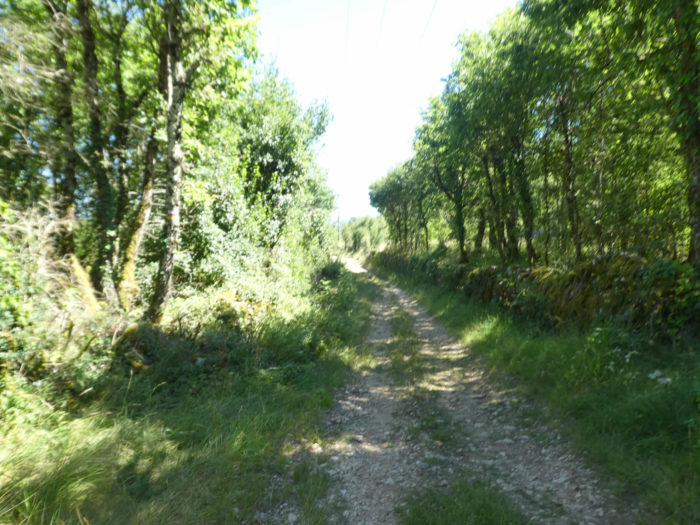
The pathway is wide, stony to perfection, in an ocean of greenery interspersed with low walls and bare trees. Always the same magic: the stones of the road, the ocher earth, the moss, the lichens and the thousands of small oaks which are silent. You see nothing but trees and stones. You can’t hear anything. Not a single bird song, only the sound of his footsteps crunching on the stone. |
|
 |
 |
|
At the bottom of the descent, the pathway only crosses a small road. |
|
 |
 |
|
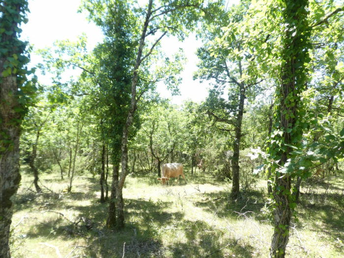
The magic continues on the other side of the road. A few Aubrac cows graze a rare grass. But here the cattle are rarer than the oaks. |
|
 |
 |
 |
 |
|
The pathway soon passes near the Martignes farm. Here Rocamadour cheese is made. You will never see the goats outside, as the AOC requires selective feeding. |
|
 |
 |
|
Beyond the farm, the forest becomes less compact, and the oaks leave a little more room for country maple and Montpellier maple. |
|
 |
 |
|
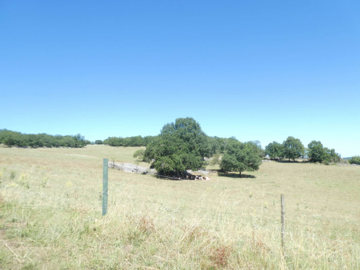
Soon the landscape changes. Large meadows, even modest fields of cereals, sometimes appear in the clearings. Sometimes you can make out the brown patch of a small herd in the distance against the hillside. |
|
 |
 |
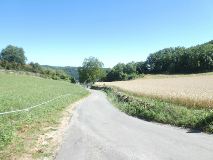
Section 7: Light ups and downs between countryside and undergrowth.

General overview of the difficulties of the route: course without great difficulty.
|
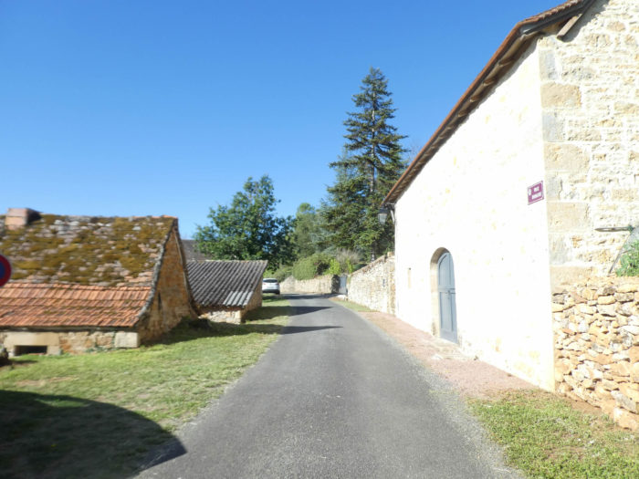
A wide dirt road then emerges, just before arriving at Le Pigeonnier and its rare stone houses with red roofs. When we last came here, they were remodeling the houses. |
|
 |
 |
|
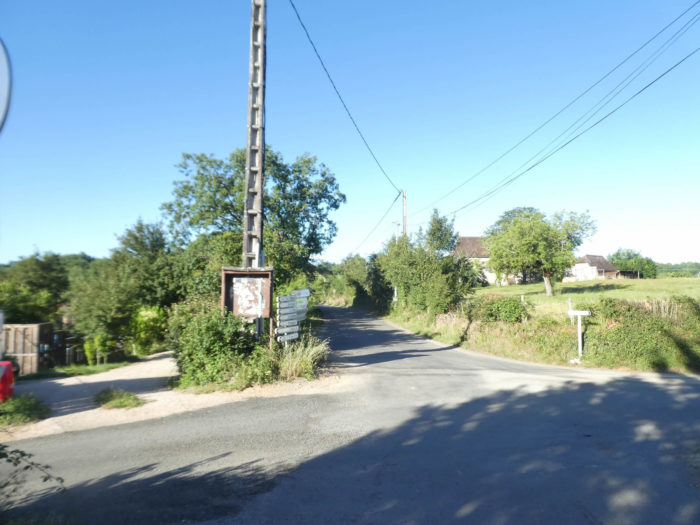
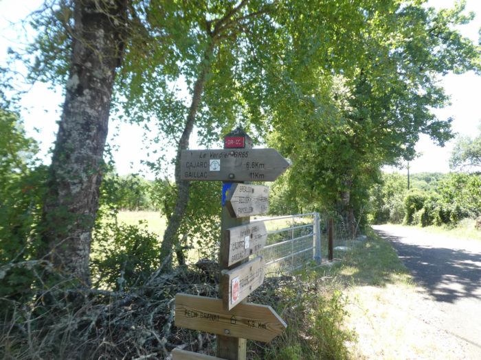
Here nature is softer, less wild, until you reach Le Verdier. Here you have a choice. Either you stay on the GR65, which will join Cajarc after 6.6 kilometers, or you follow the variant, which is not much shorter (5.7 kilometers). We will stay on the GR65. |
|
 |
 |
 |
 |
|
In Le Verdier, the dirt road quickly turns into a paved road. You’ll cross the hamlets that make up Le Verdier on asphalt uphill. |
|
 |
 |
 |
 |
|
There are a few more maples here, and sometimes nice mossy walls. |
|
 |
 |
|
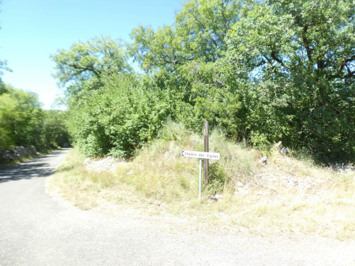
The route leaves Le Verdier via the Chemin des Vignes. For the moment, no vine on the horizon, only the rigor of the hardwoods of the causse. |
|
 |
 |
|
However, further up, there are a few vines buried under the tall grass, but no grapes grow there along this short ramp between 10% and 15% gradient. |
|
 |
 |
|
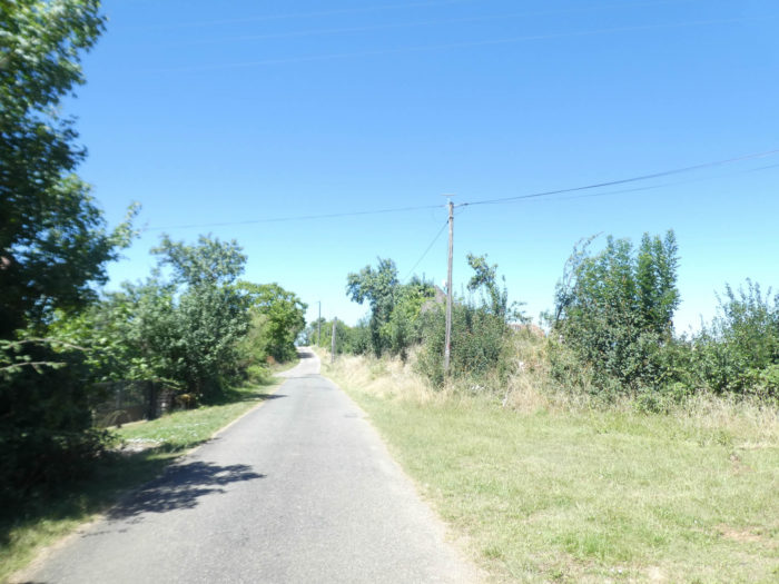
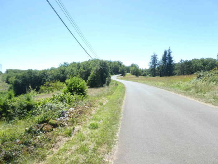
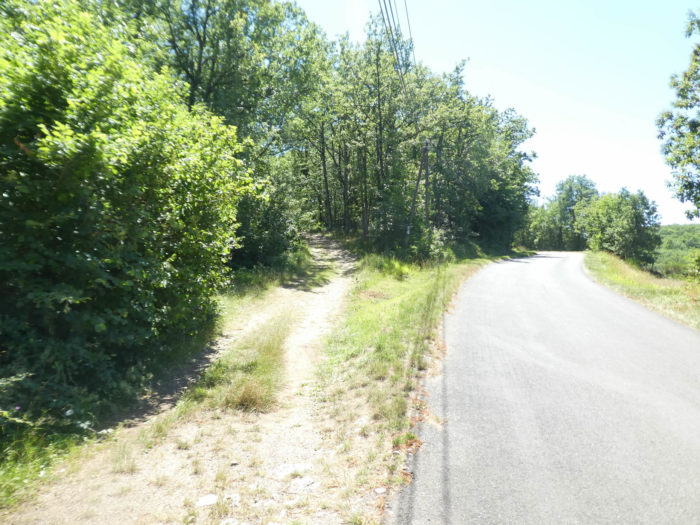
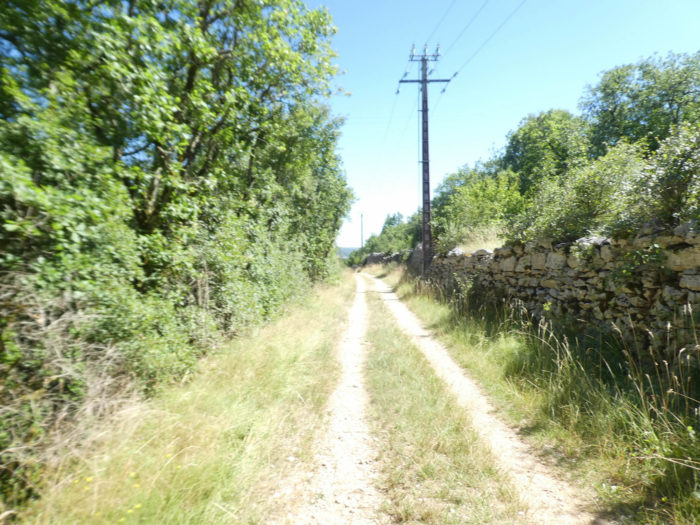
At the top of the climb, the GR65 joins a small road that runs on a rather open plateau. However, the it hardly likes large roads and prefers side roads. |
|
 |
 |
|
There, a pathway runs parallel to the road, first in the undergrowth, then in the meadows. |
|
 |
 |
You are near Pech Granat, which the GR65 skims without going through, 6 kilometers to Cajarc. 300 meters away, stands a rather exceptional gîte in lush greenery and undergrowth.

|
The pathway then flattens in the hardwoods. You are under the large antenna of Pech Granat. On the way, in spring, the toads give an impromptu concert. Today they are pretty quiet. |
|
 |
 |
|
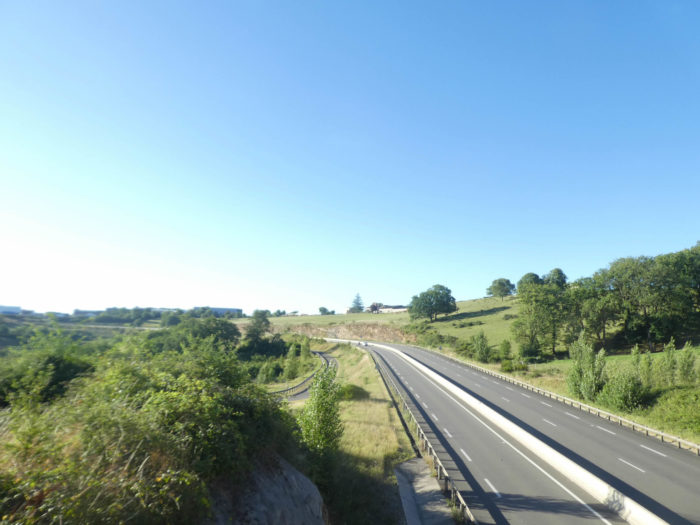
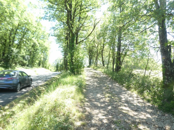
Shortly after, the pathway crosses and runs very little along the D12 departmental road, the road which joins Figeac to Cajarc. |
|
 |
 |
|
But quickly, the pathway, here slightly bumpy, resumes its rights in the wilderness, along low walls covered with moss. |
|
 |
 |
|
Sometimes oaks are skeletal like ship masts, as if they have nothing to eat or drink. |
|
 |
 |
|
Near Semberot, around the bend in the pathway then appear strange walls that time, moss, lichens, sun and rains have destroyed over time. A destroyed village, why? or something else. No doubt the work does not date back to prehistoric eras, but we have not gone further in elucidating this mystery. |
|
 |
 |
 |
 |
|
Shortly after, the pathway, again very stony, sharply slopes down into the undergrowth. All around reigns a small agricultural life. |
|
 |
 |
 |
 |
|
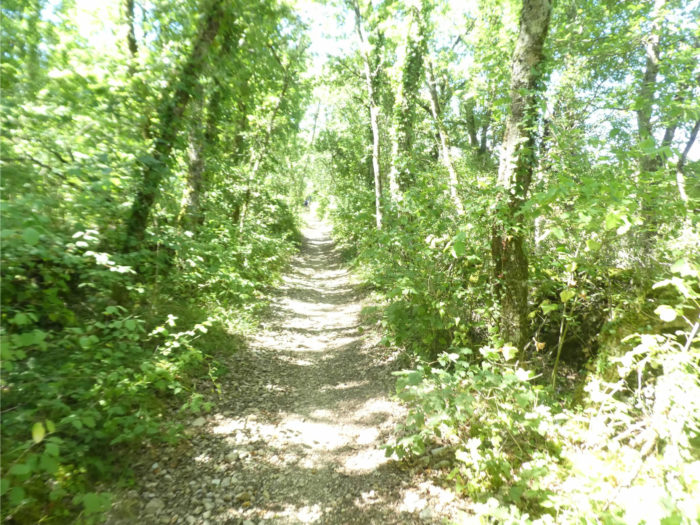
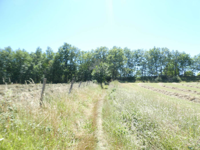
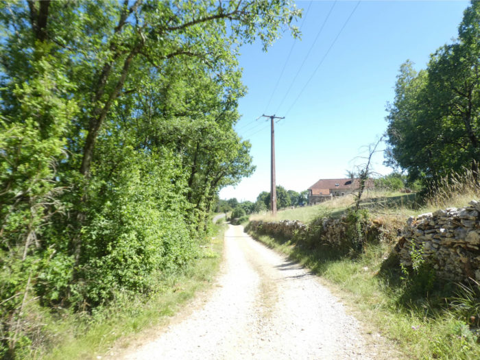
Then it slopes up again a little further, with still as many stones on the path and almost as much slope until a small road near Mas de Langarre. It is the law of the Camino de Santiago, up and down all the time. But when dense hardwoods provide shade, exercise is less damaging. |
|
 |
 |
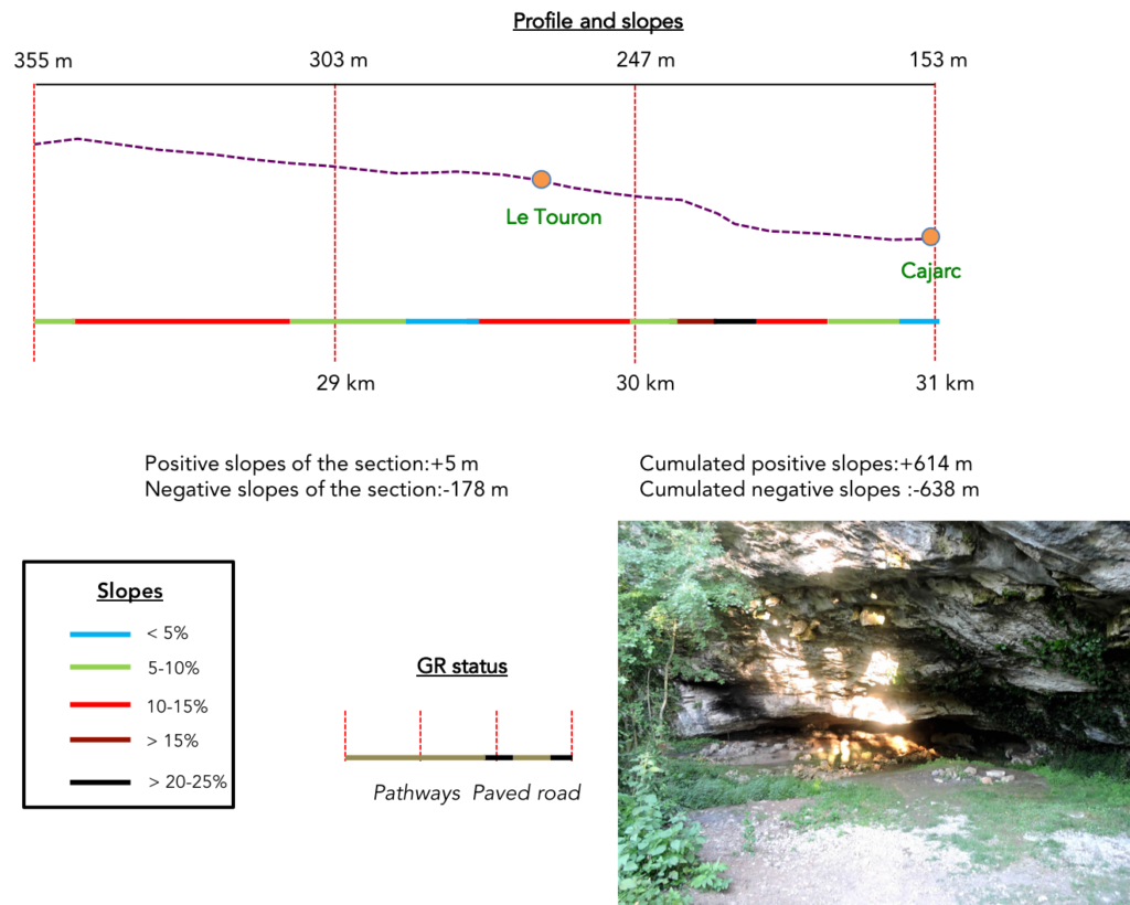
Section 8: Descent to Cajarc.
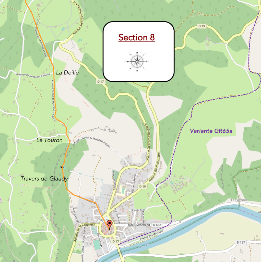
General overview of the difficulties of the route: demanding slopes in the cliffs above Cajarc.
|
From here the pathway climbs a little over the stones. These are still the same trees that have accompanied you today: messy oaks, modest maples, ash trees on the edge, hornbeam shoots, brambles and dogwoods along the tracks. There are no chestnuts or walnuts today to put under the pupil, and very few boxwood or juniper, large bushes of the causses. |
|
 |
 |
|
For today, the forest is closing. All that will remain are clumps of trees scattered throughout nature. As Cajarc approaches, agricultural life regains its rights a little more. |
|
 |
 |
|
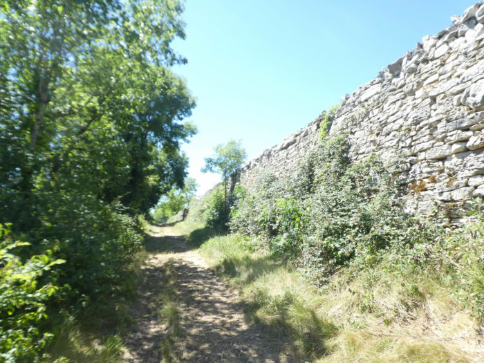
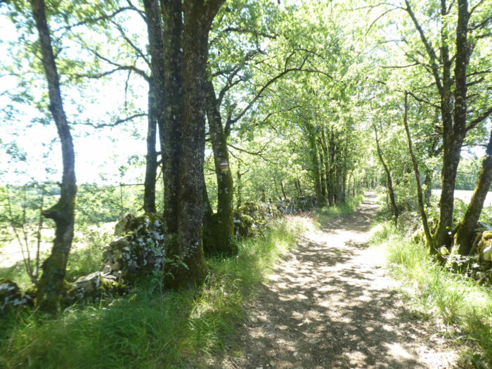
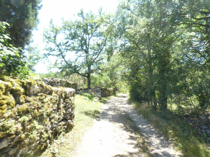
A wide dirt road slopes down, sometimes steeply, along stone walls, sometimes almost as high as fortresses. In the past, the peasants had more time, or at least they were more numerous to build these works designed to resist time. |
|
 |
 |
|
The pathway passes further down to La Deille, a farm whose beautiful “caselle” is incorporated into the estate. |
|
 |
 |
|
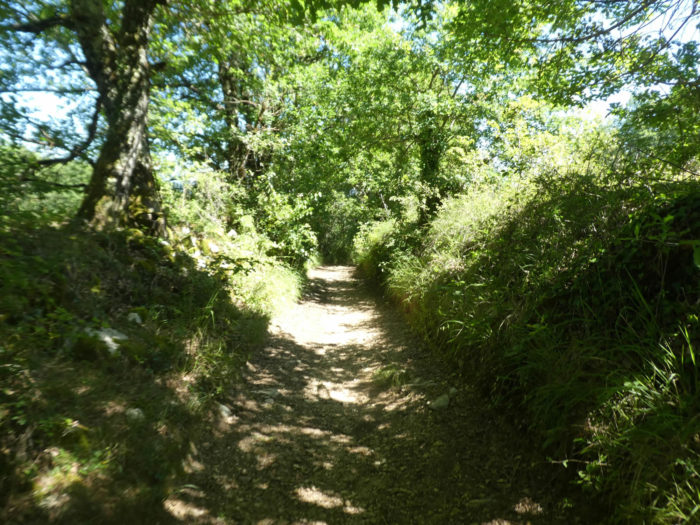
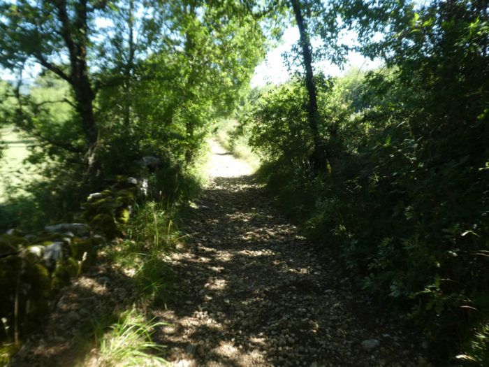
Now, the descent to Cajarc is already well handled. The wide dirt road descends on a gentler slope, between oaks and countryside, towards the hamlet of Le Touron, where it joins a paved road. |
|
 |
 |
 |
 |
|
Further down, the slope becomes more severe on the tar. Here there are meager fields of cereals and Aubrac cows in the meadows. |
|
 |
 |
 |
 |
|
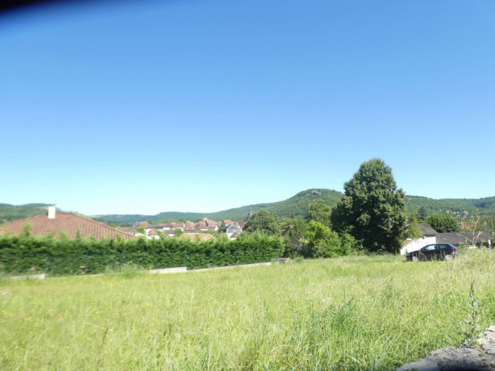
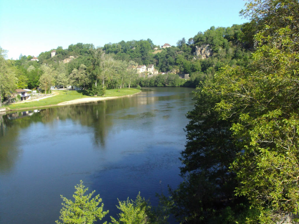
Quickly, from the top of the ridge, you may catch a glimpse over the splendid valley. Cajarc appears like a pearl in a shell set in a cirque of cliffs, at the foot of which meanders the majestic Lot River. |
|
 |
 |
|
The paved road then gives way to a small pathway, initially quite wide, which slopes down to the Roc de la Combe and Travers de Glaudy, the cliffs which dominate Cajarc. The descent to Cajarc is very steep in reddish hills. A real pleasure for the knees, sometimes more than 30% slope! Sometimes the descent is so steep, so direct, that it is difficult not to roll over the valley floor. |
|
 |
 |
As if you were there…
Wait for the video to load.
|
Further down, the pathway narrows through weeds and dogwoods, but the slope varies little. |
|
 |
 |
|
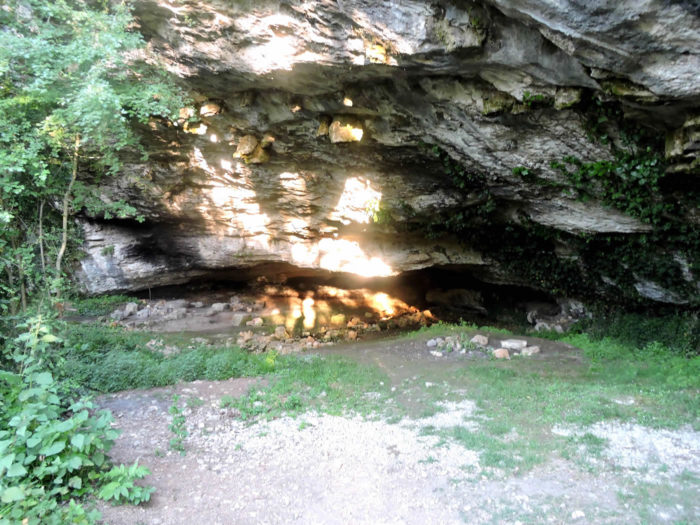
The pathway passes near a cave in the cliff. The cliff plays with the sunlight, giving a striking spectacle, sometimes unreal, which varies over the hours. The light and the shadows offer contrasts bringing out the blue and gray cornices, the deep crevices cut into the rock. |
|
 |
 |
|
But the slope does not soften down to the bottom of the descent, when the pathway arrives at La Peyrade, a suburb of Cajarc. |
|
 |
 |
 |
 |
|
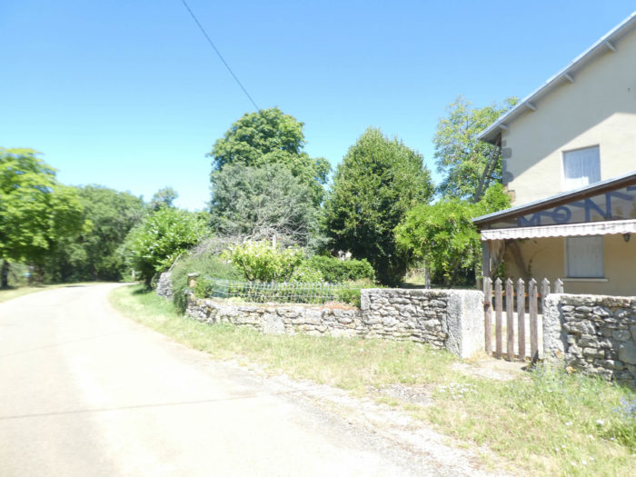
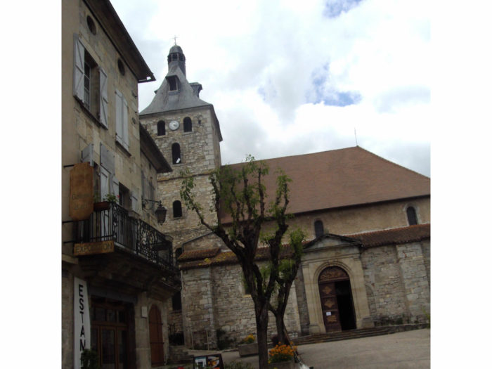
Cajarc (1,200 inhabitants) still has a fairly medieval appearance, with a road belt encircling the city center, the Boulevard du Tour de Ville. It is a small town, backing onto the Causse, on the banks of the Lot River. The houses, often charming, are quite high, with ground and first floors of stone. The top floor is sometimes built of wood with corbels. |
|
 |
 |
|
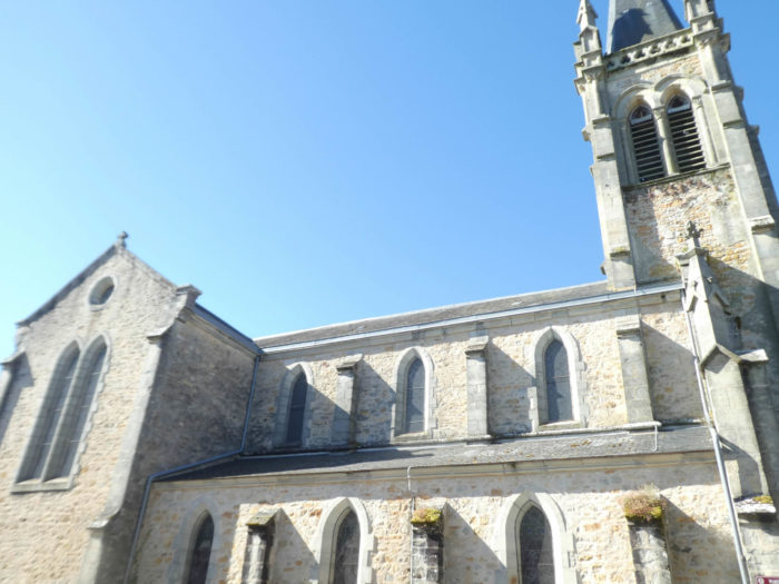
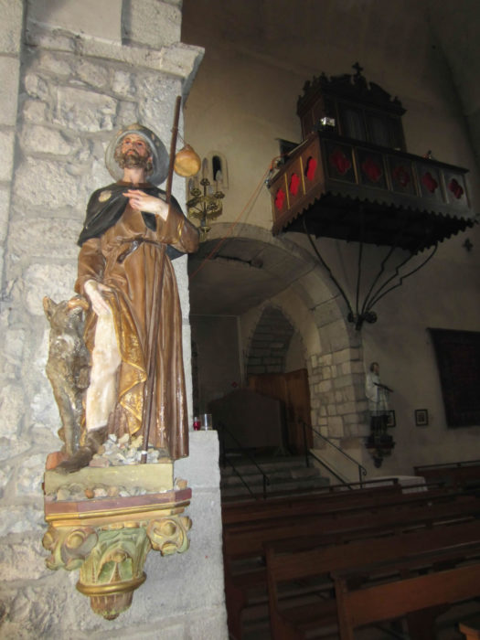
The 12th century St Etienne Church, once destroyed by Protestants, has been constantly renovated over time. |
|
 |
 |
|
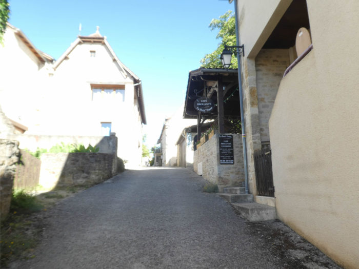
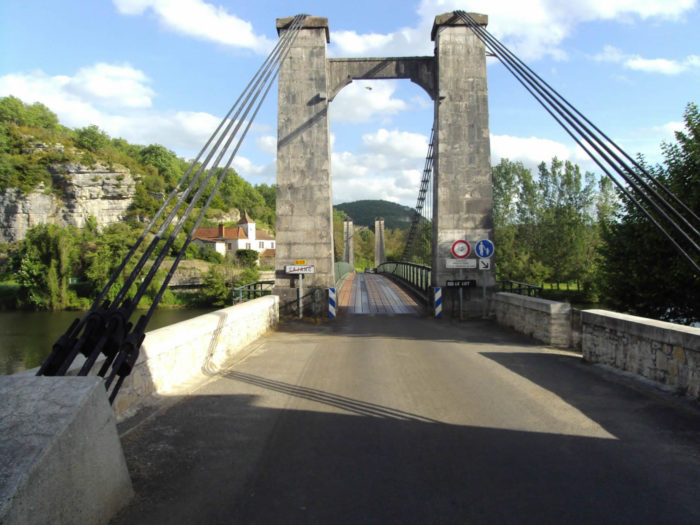
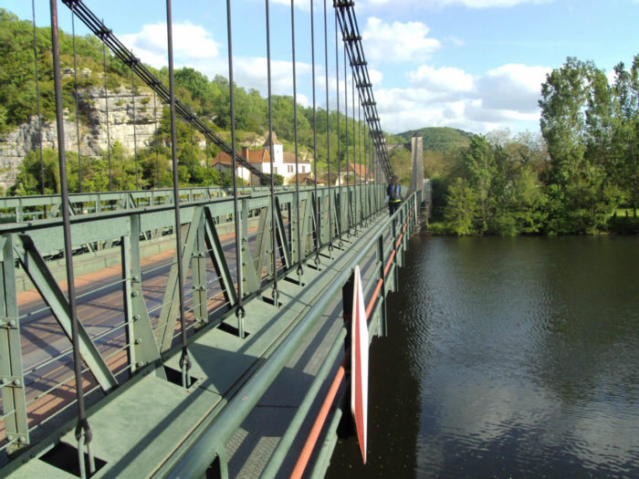
Among the celebrities of Cajarc, the French writer Françoise Sagan lived there and was buried not far from here. French President Pompidou had a home in the Causse. Comedian Coluche, on vacation, was a regular at Chez Moulinot cafe. It was this café that inspired Coluche in 1975 to write his sketch Le Schmilblic. Because there are Moulinots in Cajarc. The Moulinot café still exists, and perhaps still the dispensary of Monsieur Moulinot, a fishing tackle merchant. But of Coluche, they made an avenue of it and large photos are hung in the Café Moulinot. Cajarc has above all become a tourist site. First there are the fans of Coluche, who come on pilgrimage. And then there are the pilgrims who walk around the city with their sandals to relieve their feet. In the summer season, tourists are more numerous. So, the Santiago track, which has become a commercial enterprise for many small villages, remains more discreet in the cities of greater importance. Cajarc was once prosperous, with its many tanneries, mills, phosphate mines, and above all for its port on the banks of the Lot River, from where phosphates, wine or wood left for Cahors. Today, a suspension bridge crosses the river. |
|
 |
 |
Local gastronomy
Saffron, which comes from an Arab-Persian word for the color yellow. Real saffron are the stigmas of a flower (Sativus Linnaeus). Cajarc is the largest producer of saffron in the Lot. Saffron production extends over 7 departments, with 70 producers. In all, it produces between 6 and 8 kilograms, which represents more than 2 million flowers harvested by hand. It takes about 200 flowers to make one gram. Count around 30 € for 1 gram. It’s more expensive than gold!
For more information, see: http://www.safran-du-quercy.com
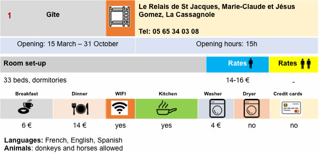
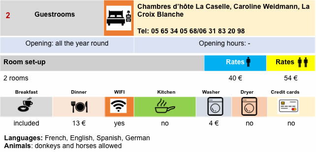
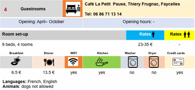
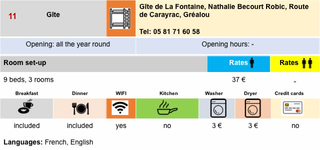
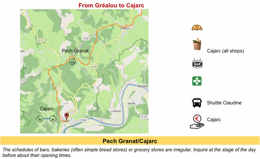
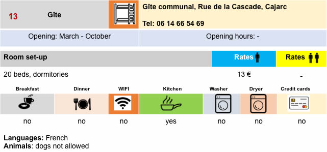
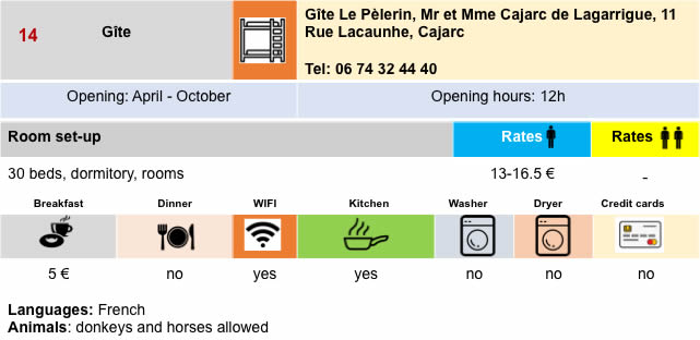
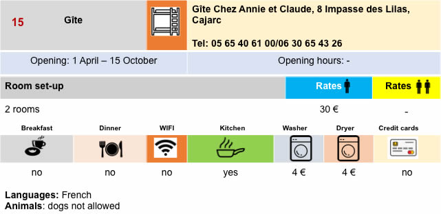
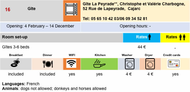
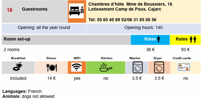
Lodging

 |
 |
 |
 |
 |
 |
 |
 |
 |
 |
 |
 |
 |
 |
 |
 |
 |
 |
 |
 |
 |
 |
Feel free to add comments. This is often how you move up the Google hierarchy, and how more pilgrims will have access to the site.
 |
Next stage : Stage 13: From Cajarc to Limogne-en-Qercy |
 |
Back to menu |