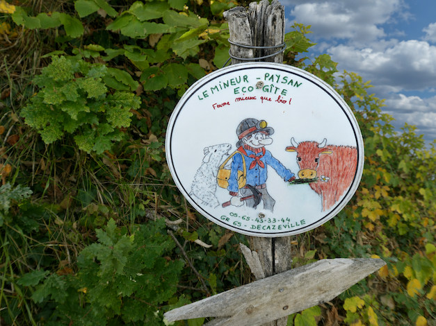
Returning to the Lot Valley on a route that few would call inspiring
DIDIER HEUMANN, MILENA DALLA PIAZZA, ANDREAS PAPASAVVAS
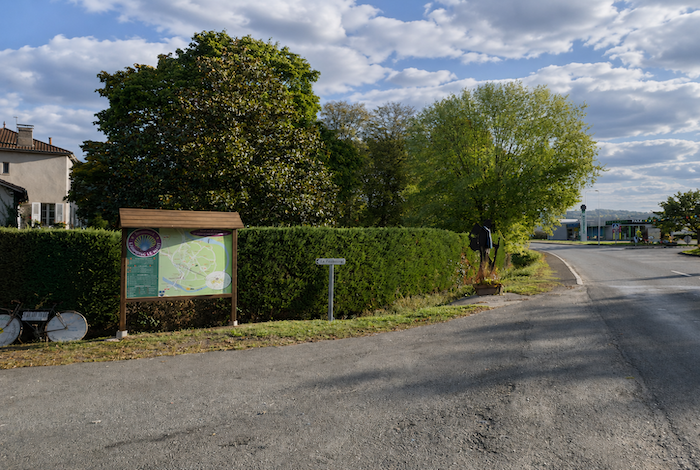
We divided the course into several sections to make it easier to see. For each section, the maps show the course, the slopes found on the course, and the state of the roads. The courses were drawn on the “Wikilocs” platform. Today, it is no longer necessary to walk around with detailed maps in your pocket or bag. If you have a mobile phone or tablet, you can easily follow routes live.
For this stage, here is the link:
https://fr.wikiloc.com/itineraires-randonnee/de-conques-a–le-haut-par-le-gr65-42542373-29068056
|
Not all pilgrims are necessarily comfortable using GPS devices or navigating with a smartphone, especially since there are still many areas without Internet access. That is why, to make your journey easier, a book dedicated to the Via Podiensis from Le Puy-en-Velay to Cahors is available on Amazon. Much more than a simple practical guide, this book accompanies you step by step, kilometer after kilometer, providing all the information you need for smooth planning and avoiding unpleasant surprises. Beyond its practical advice, it immerses you in the enchanting atmosphere of the Camino, capturing the beauty of the landscapes, the majesty of the trees, and the very essence of this spiritual adventure. Only the pictures are missing, everything else is there to transport you.
In addition, we have also published a second book which, with slightly fewer details but all the essential information, covers the entire route from Le Puy-en-Velay to Saint-Jean-Pied-de-Port. The choice of your journey is yours.
. |
 |
 |
If you only want to consult lodging of the stage, go directly to the bottom of the page.
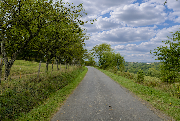
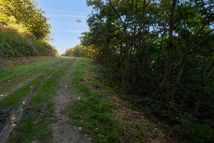
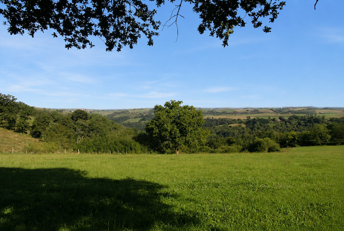
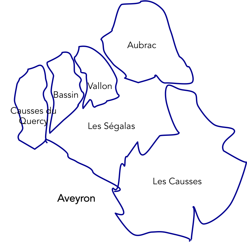
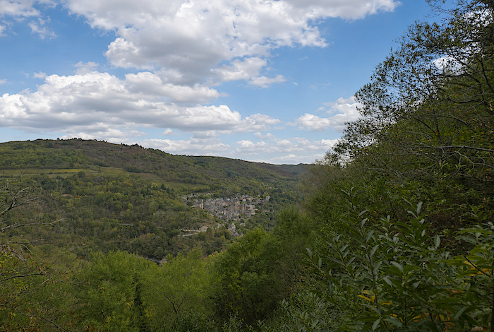
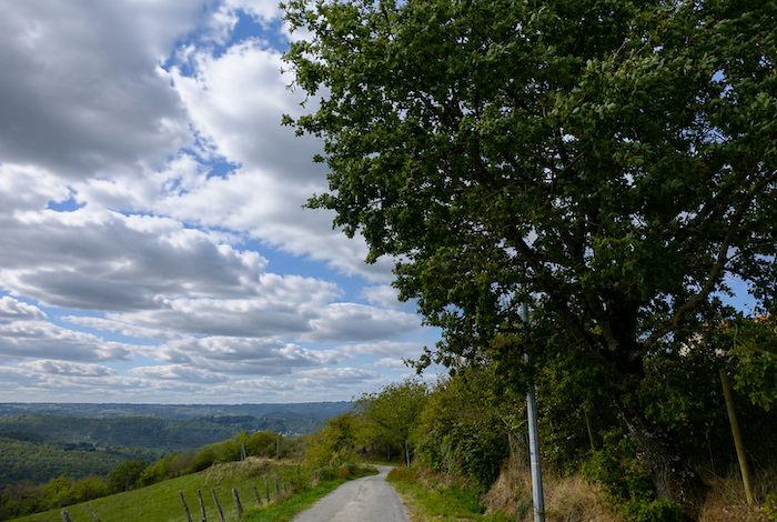
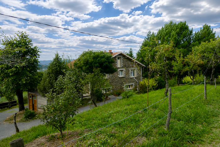
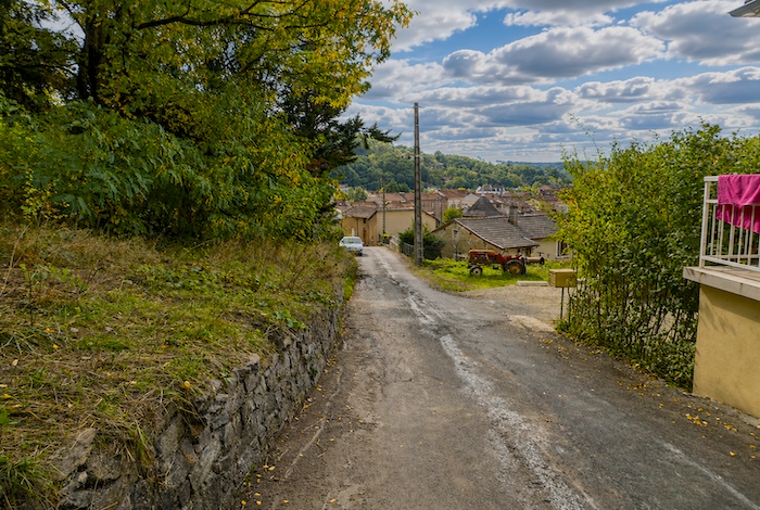
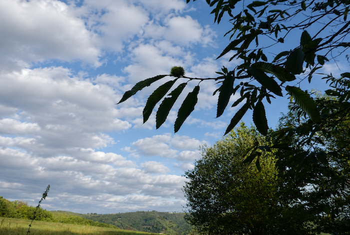
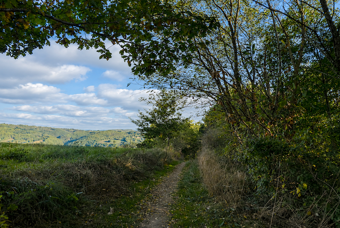
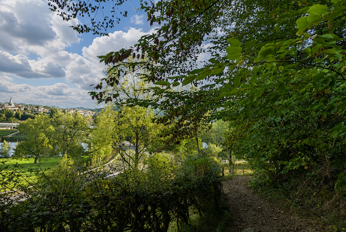
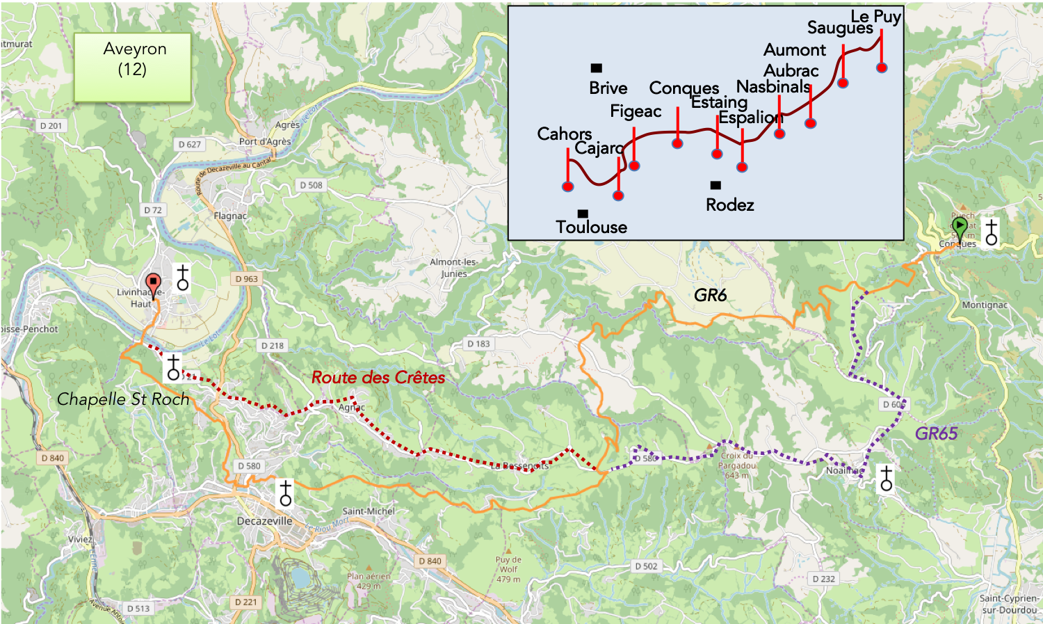
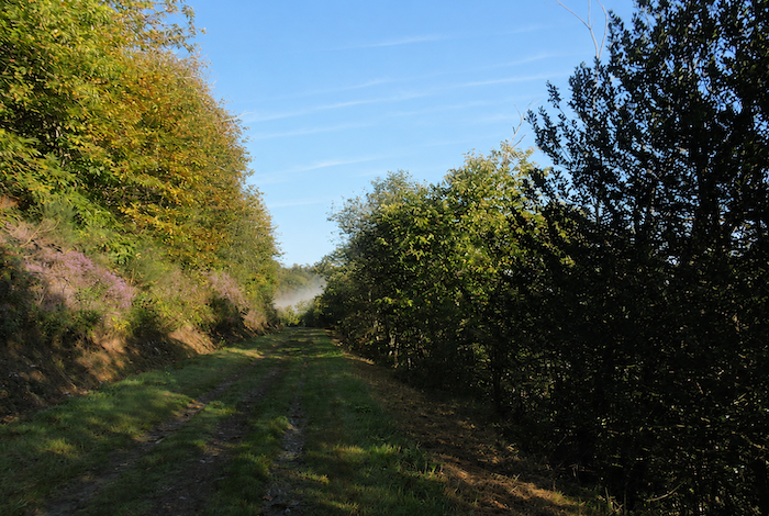
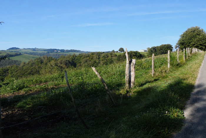
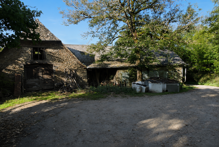
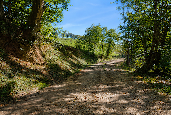
We have already left the Haut Rouergue and its lush green valleys behind for the Lot Valley, yet for one more day our route remains in the northern part of Aveyron, among beech, oak, and chestnut trees. The wooded slopes, hedgerow landscapes, and meadows crossed by little streams gradually give way to more open country with rather poor soils, where coal becomes the dominant feature. You are still in Aveyron, following the heights above the Lot Valley as you head west.
|
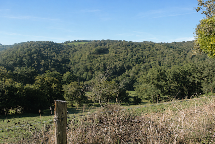
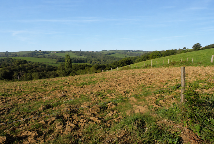
Let us take a brief look at the northern part of the Aveyron department through which we are travelling. After crossing the Aubrac plateau and the Vallon region, where we visited Conques, today’s route climbs back out of the valley before descending towards the Decazeville coal basin. The country around Conques, lying between the Decazeville basin and the Lot Valley, is part of the Ségala, a region whose acidic soils were once associated with rye fields, chestnut groves, and heathland. Since then, agriculture has gradually evolved. The intricate layering of geological formations, carved by the Lot and the Dourdou rivers, has created an exceptional diversity of rocks. While schist and granite form the core of this rolling plateau, limestone and sandstone also appear, adding shades of red and yellow to the green meadows. As a result, the villages of the region are built from grey schist and granite, pink sandstone, or golden limestone. The Decazeville coal basin was once one of the largest in France. During the First World War, more than 15,000 workers extracted coal here, the product of the accumulation and fossilization of ancient plant matter. Mining began in 1828, and the mining district eventually covered nearly fifty square kilometers. At the beginning of the 1960s, the mining basin was shaken by a landmark strike. More than 1,500 miners remained underground for over two months. The last mine finally closed in 2001. |
 |
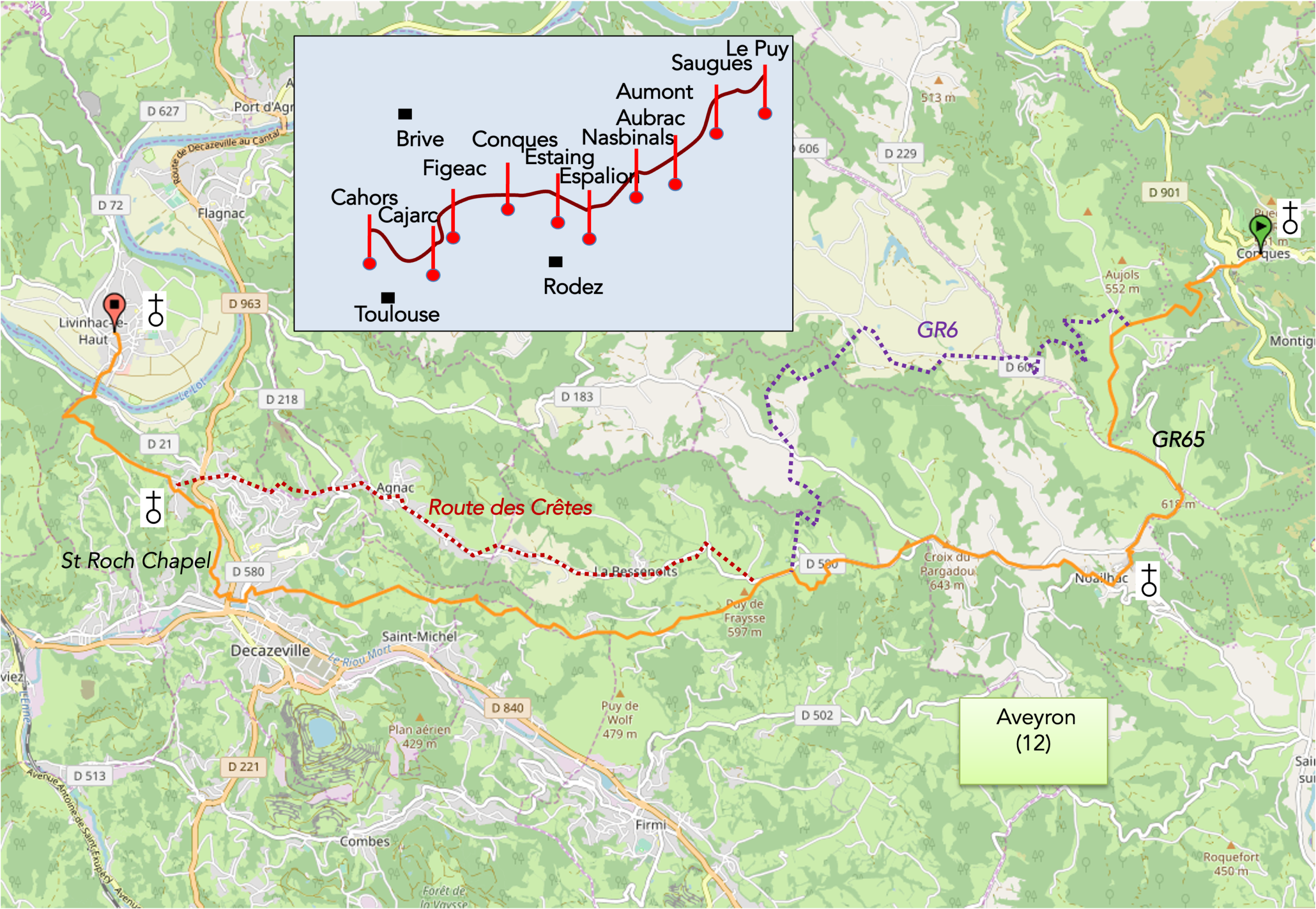
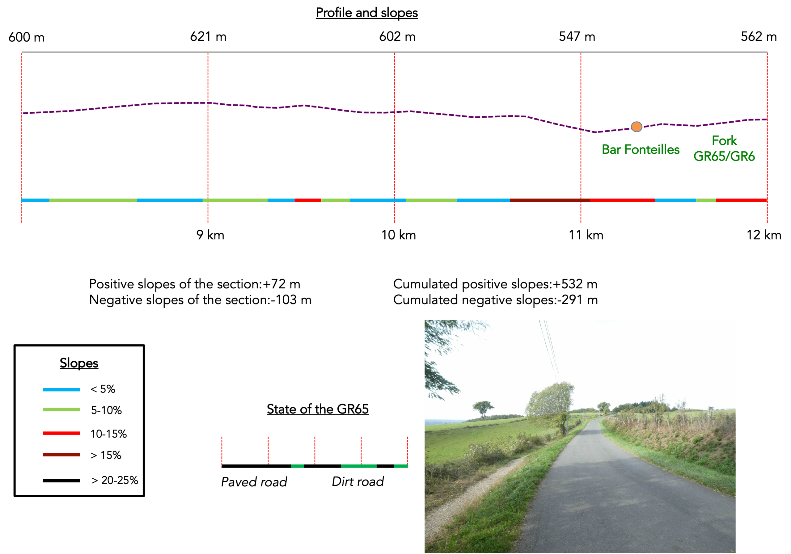
Today’s stage has become somewhat confusing because there are now two routes, the GR65 and the GR6, which sometimes merge and sometimes cross each other. In recent years, the GR65 and the GR6 have effectively swapped their alignments. We shall return to this story in a later chapter. Today we will follow the GR65, as most pilgrims do, because whenever people think of the Camino de Santiago, they almost automatically choose the GR65. This is a demanding stage, yet pilgrims who already have several days of walking behind them should complete it without great difficulty. Because the stage is long, some pilgrims prefer to divide it into two by spending the night in Decazeville. Few, if any, pilgrims would describe this as the most exciting stage of the Camino. Quite the opposite.
Difficulty level: Today’s elevation changes are considerable (+763 meters/- 849 meters). In fact, this is one of the most demanding stages of the GR65 in terms of elevation gain. The first part of the stage is particularly demanding, as is the final climb before reaching Livinhac. You must climb out of the Conques valley to reach the Decazeville basin, gaining more than 300 meters in elevation. Together with the climbs to Briffoul, Escluzels, and Roncevaux, this is among the toughest routes on the GR65, perhaps even the most physically demanding. Afterwards, most of the route becomes a long walk along quiet roads towards Decazeville. In places, the descent is quite steep. Finally, a long and demanding climb leads to St Roch before ending with a descent to Livinhac-le-Haut, beside the Lot River.
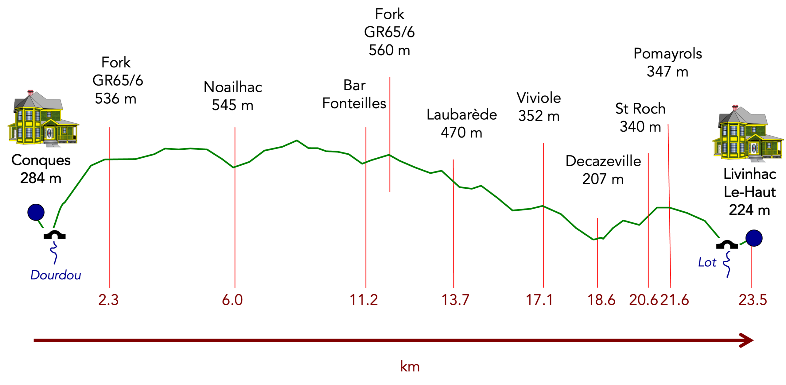
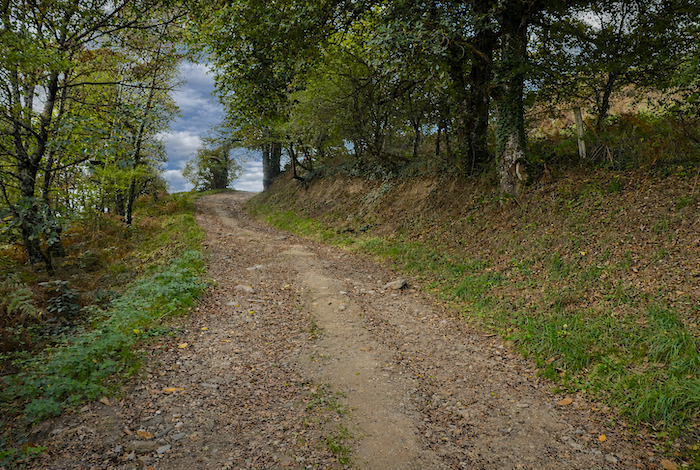
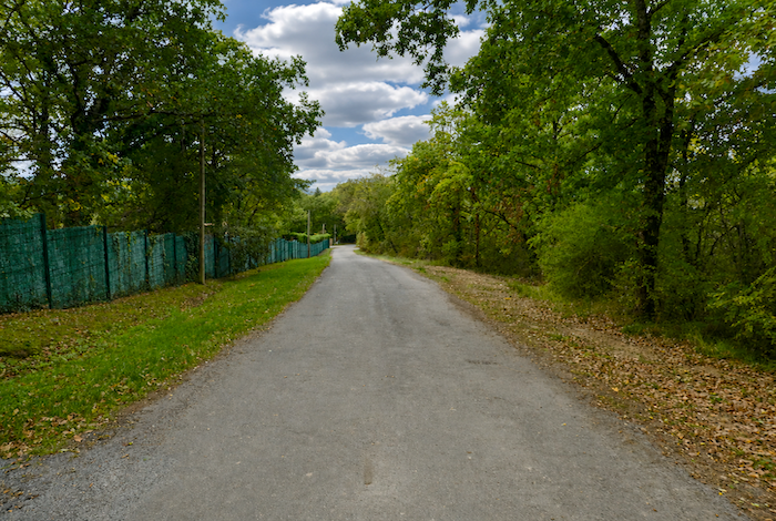
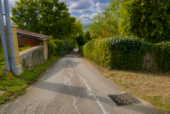
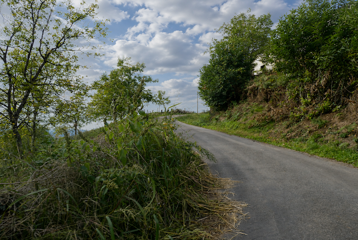
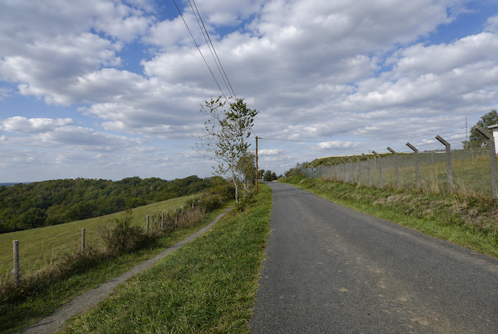
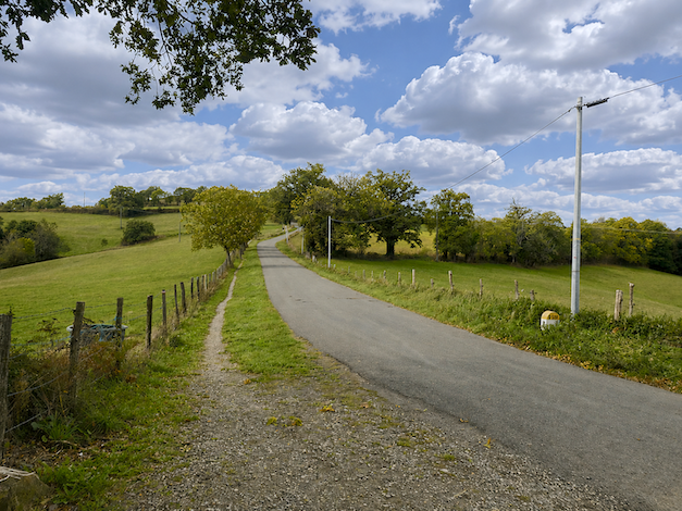
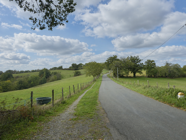
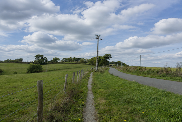
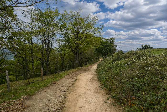
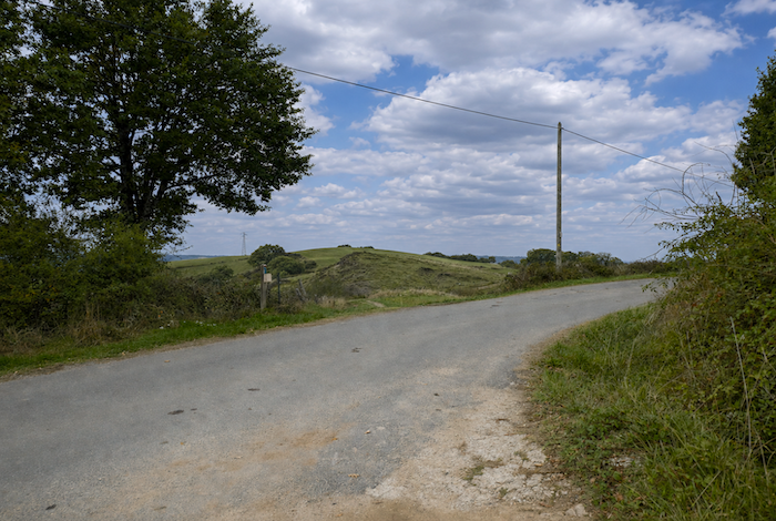
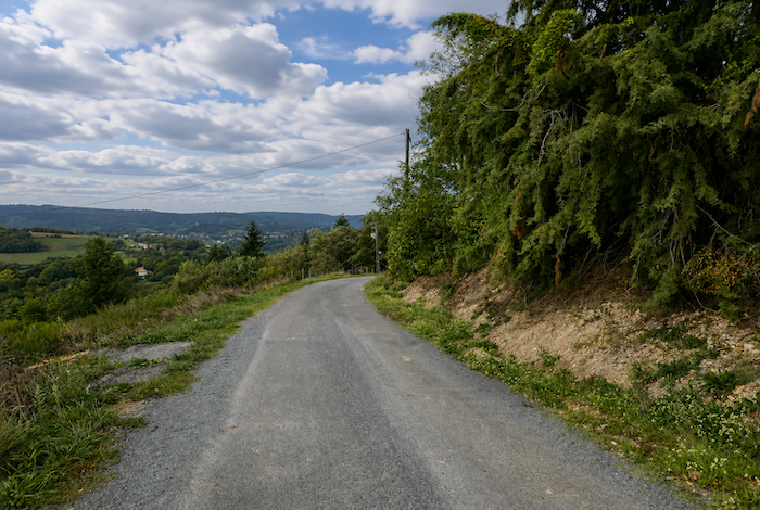
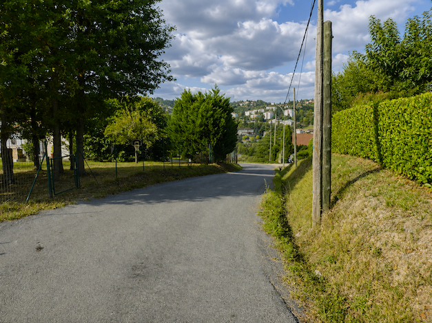
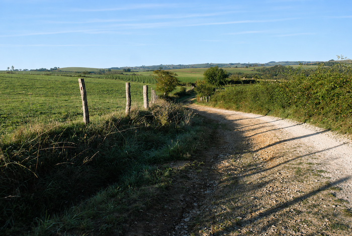
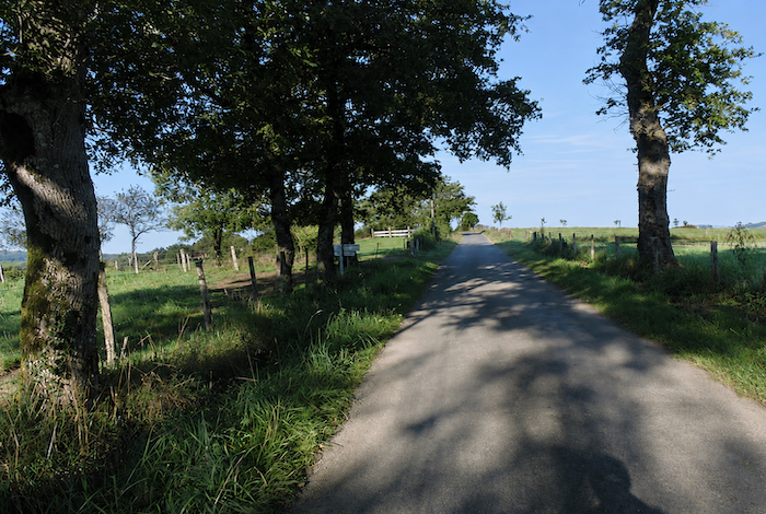
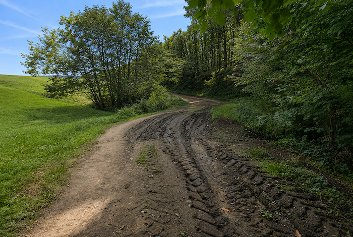
State of the GR65: Under the current alignment of the GR65, you are certainly going to become very familiar with asphalt. « You’re joking, » the path managers might reply. « It isn’t asphalt, it’s simply a strip of grass or dirt. » Yes, but it runs right alongside the asphalt road:
- Paved roads: 16.3 km
- Dirt roads:8.2 km
Sometimes, for reasons of logistics or housing possibilities, these stages mix routes operated on different days, having passed several times on Via Podiensis. From then on, the skies, the rain, or the seasons can vary. But, generally this is not the case, and in fact this does not change the description of the course.
It is very difficult to specify with certainty the incline of the slopes, whatever the system you use.
For « real slopes », reread the mileage manual on the home page.

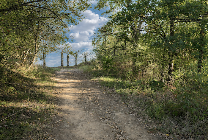
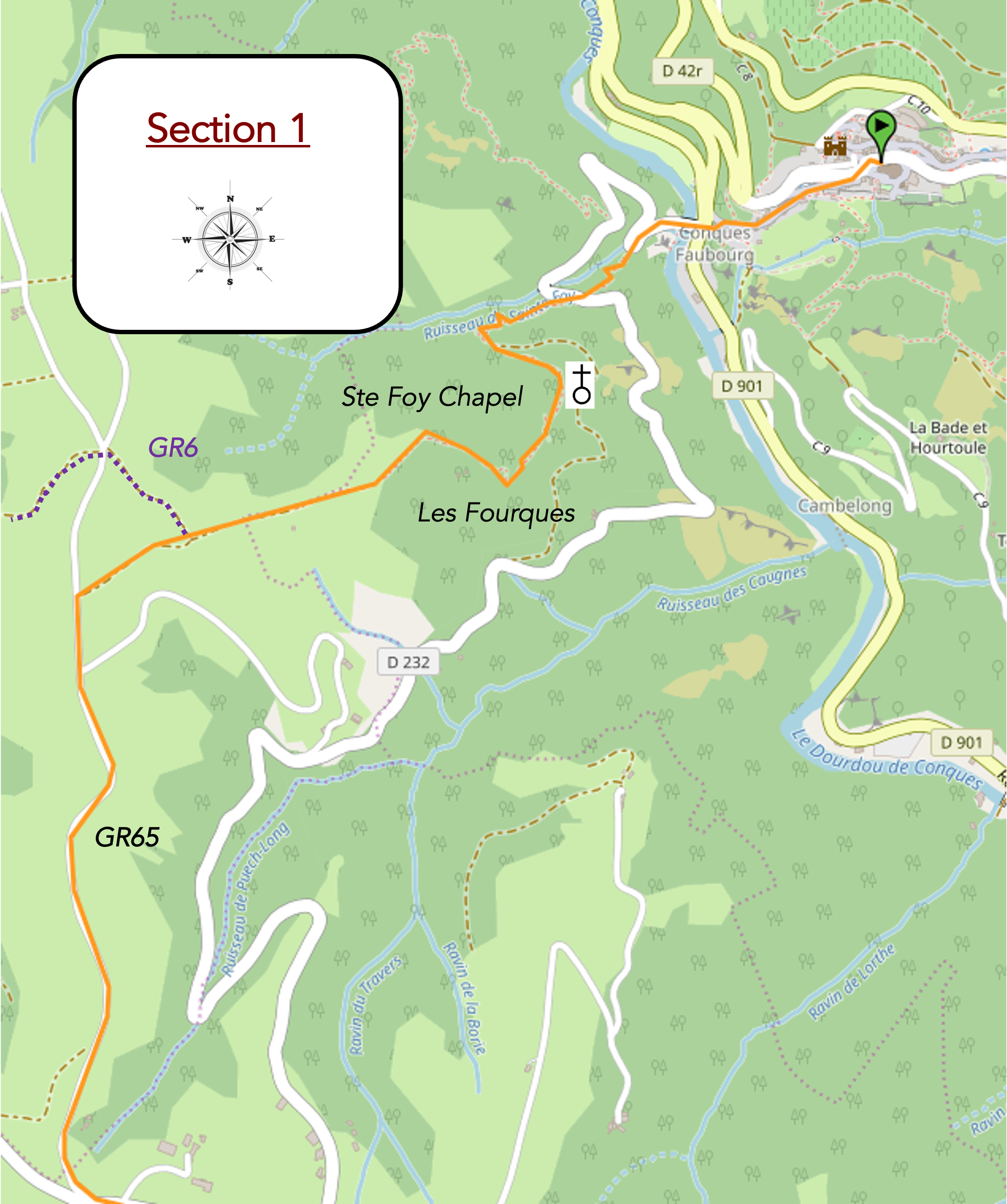
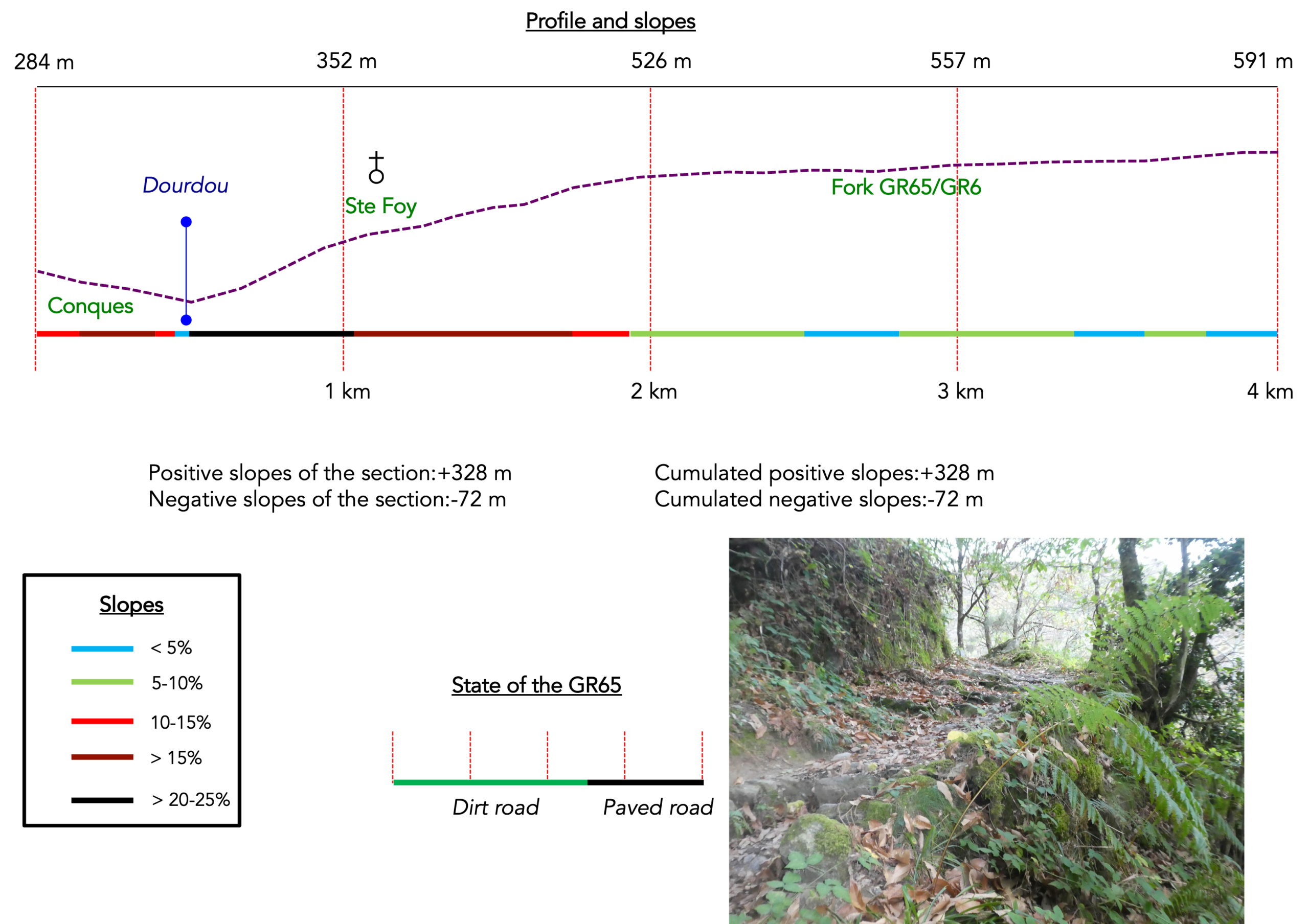
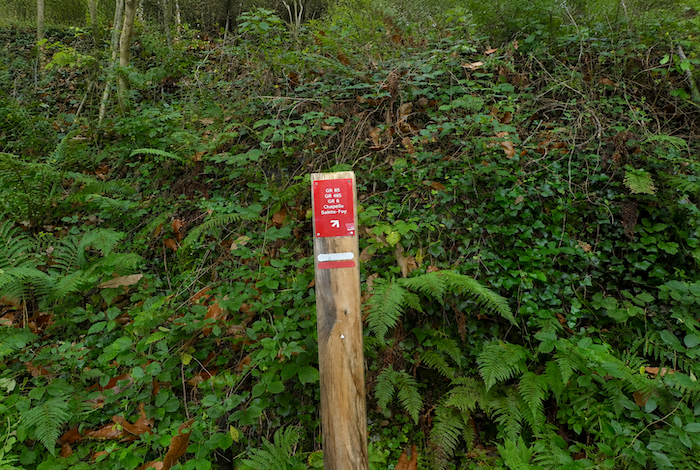
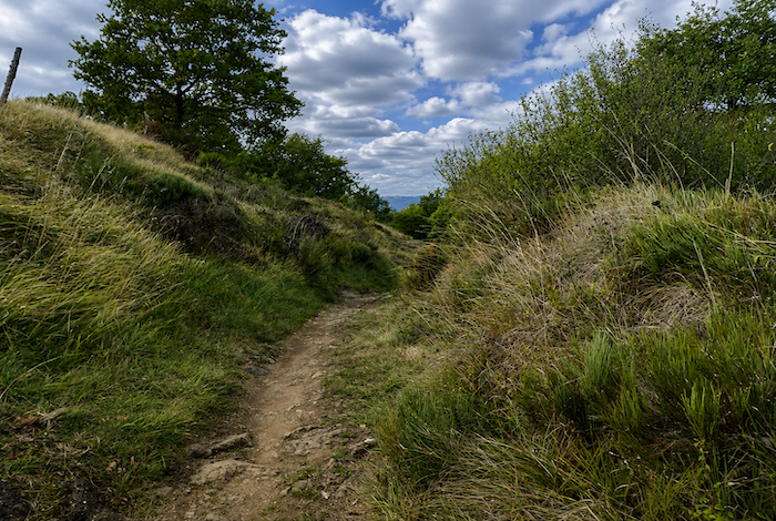
Section 1 : A steep climb via the beautiful chapel of Sainte-Foy
Overview of the route’s challenges: A very demanding route, with nearly two kilometers of climbing, often on gradients well above 15%.
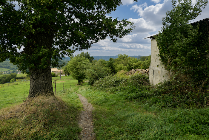
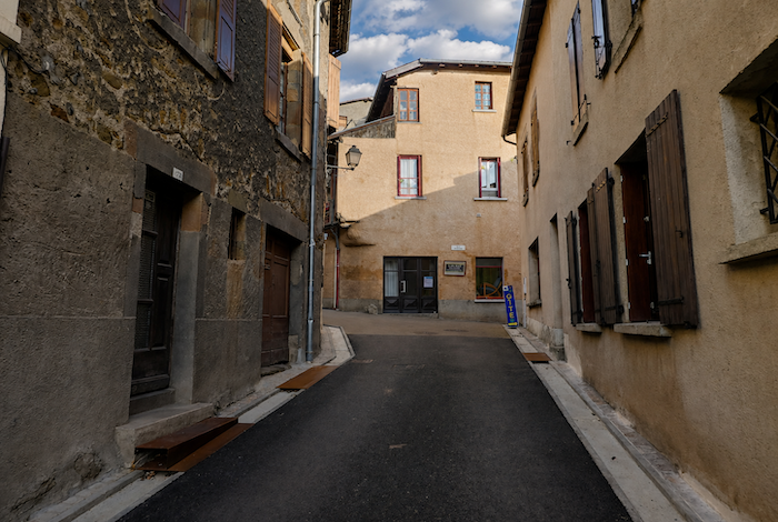
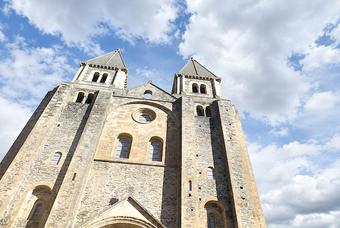
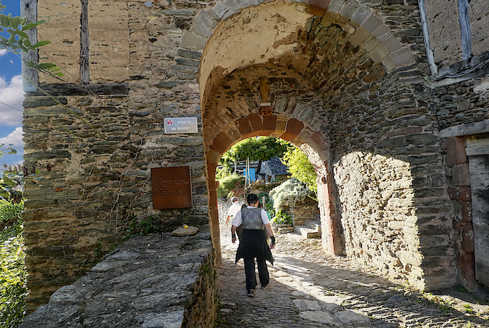
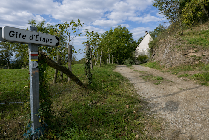
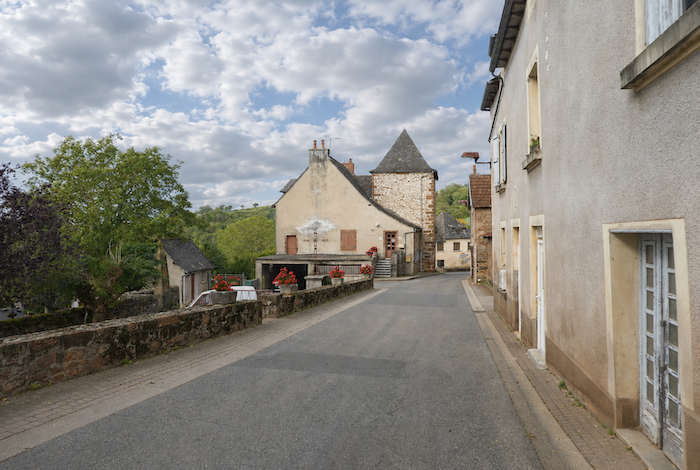
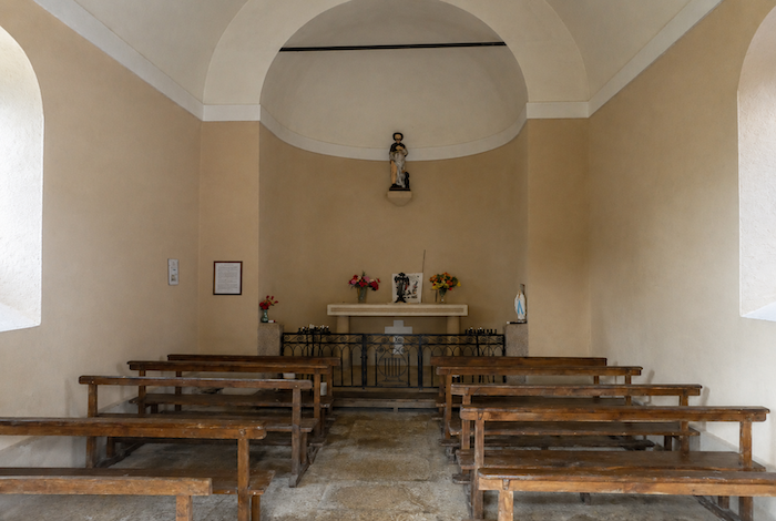
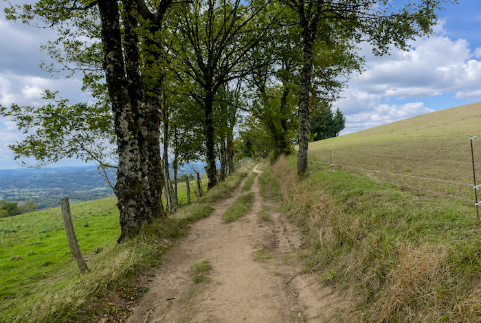
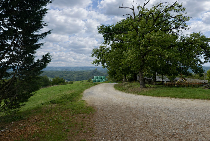
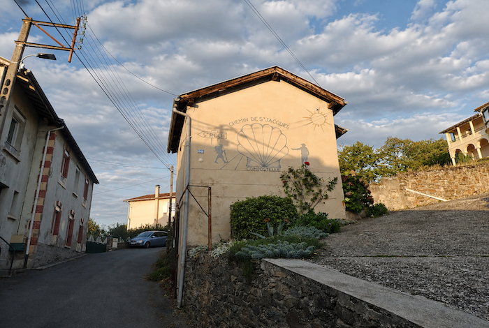
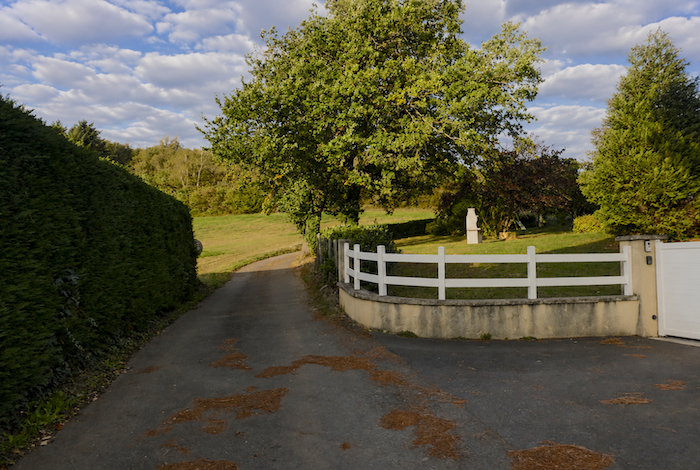
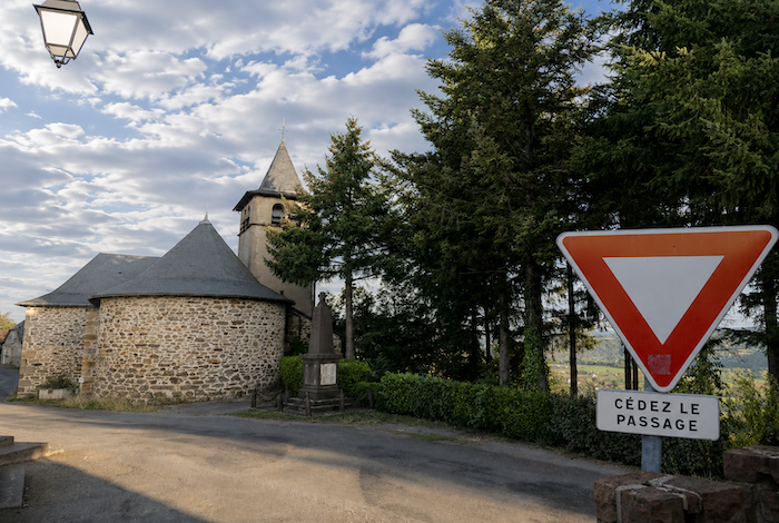
| In Conques, tourists gather mainly around the abbey church and its treasures. But at first light, when the streets are still bathed in hesitant morning light, almost no one remains except the pilgrims. The GR65 then leaves the village along Rue Charlemagne, passing through the Barry Gate. In the past, Conques was protected by fortified walls flanked by towers and pierced by four gates. Today, only two survive, including this one, standing as one of the last reminders of the medieval town. |
 |
 |
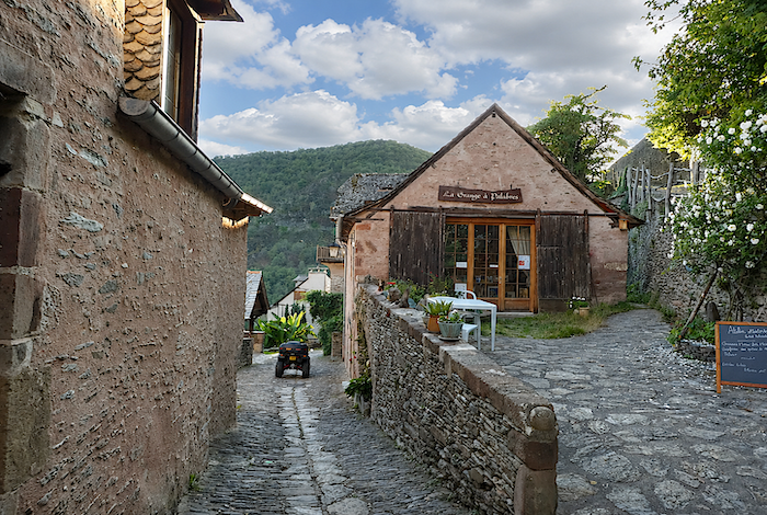
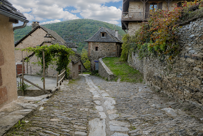
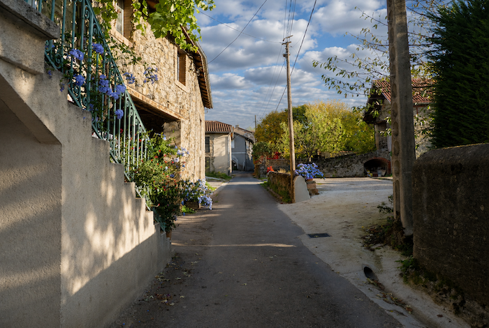
| From the very first slopes below the village, Rue Charlemagne becomes a narrow lane, steeply inclined and paved with fragile stones that become treacherously slippery in wet weather. Fortunately, a line of more regular paving stones has been laid along the center of the passage. Lower down, the lane passes an old bread oven, a silent witness to everyday life in centuries past. |
 |
 |
| Here there are no more souvenir shops or tourist stalls. High heels disappeared from the scene long ago. From this point onward, only the heavy boots of pilgrims echo through the silence as they descend towards the bridge. |
 |
 |
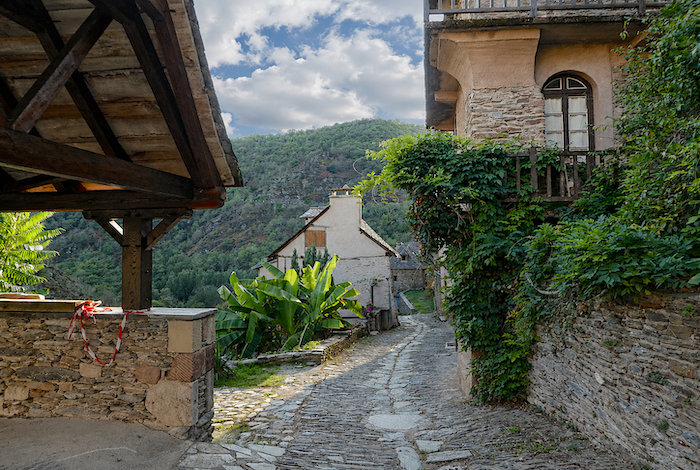
| This lower part of Conques is perhaps even more authentic than the upper village. Solid stone houses cling stubbornly to the hillside. Here, the gradient sometimes approaches 20%, discouraging many visitors. Only a handful of curious tourists venture this far down to admire the old Roman bridge. |
 |
 |
| The path then crosses the Dourdou on this magnificent bridge, whose brittle schist stones can be unforgiving on careless ankles. Below, the river usually flows peacefully, only rarely roaring beneath the ancient arches. |
 |
 |
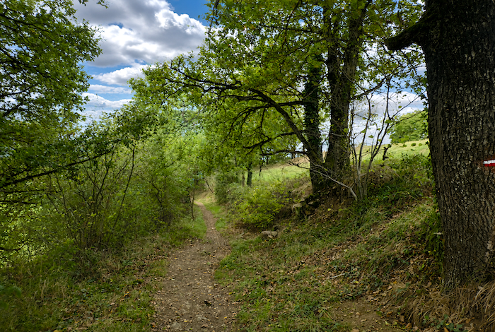
| Very soon, the route returns to the forest. High above, hidden behind the trees, lies the village of Noailhac. |
 |
 |
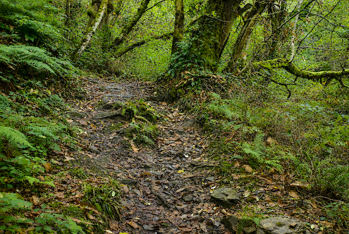
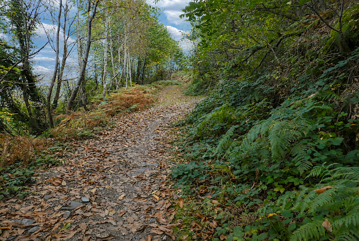
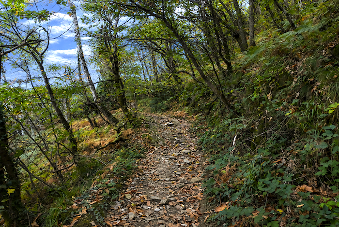
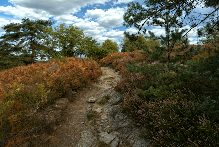
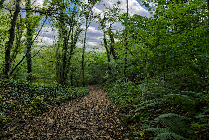
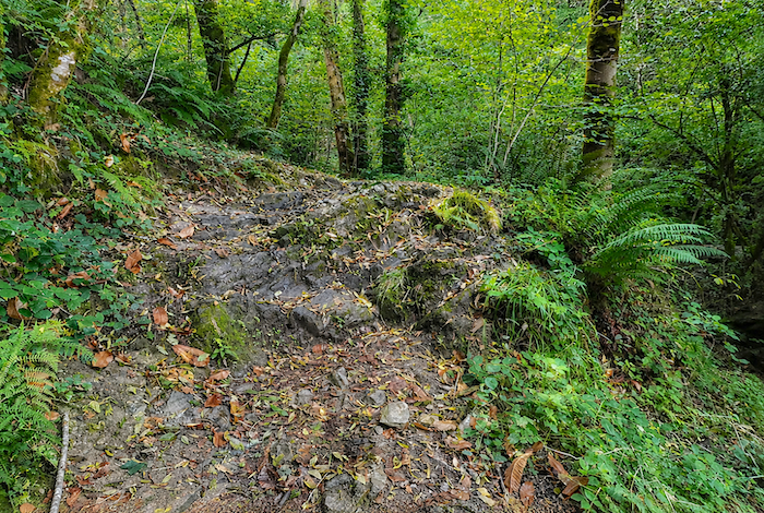
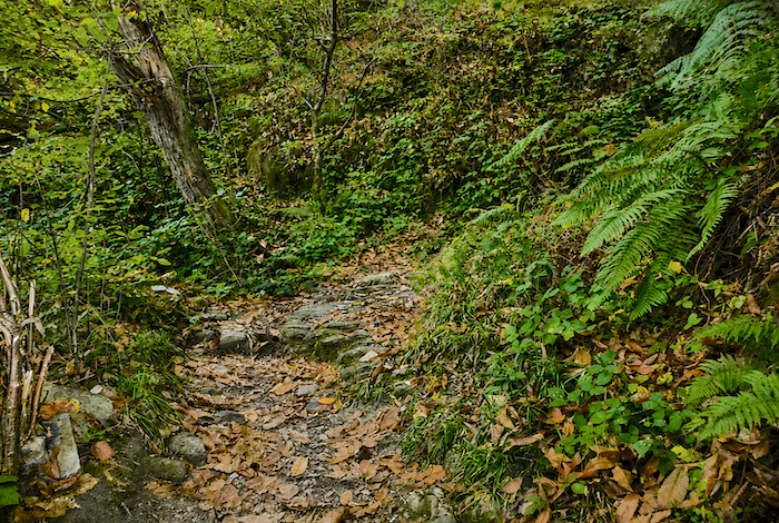
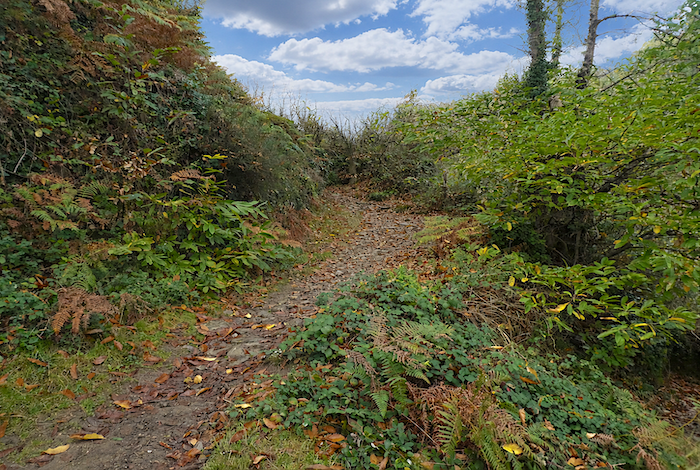
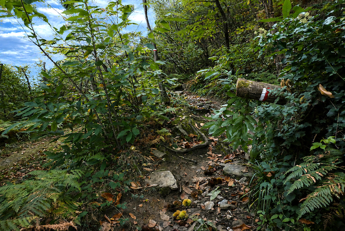
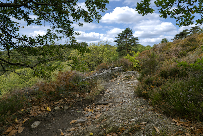
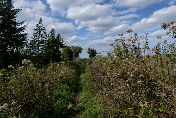
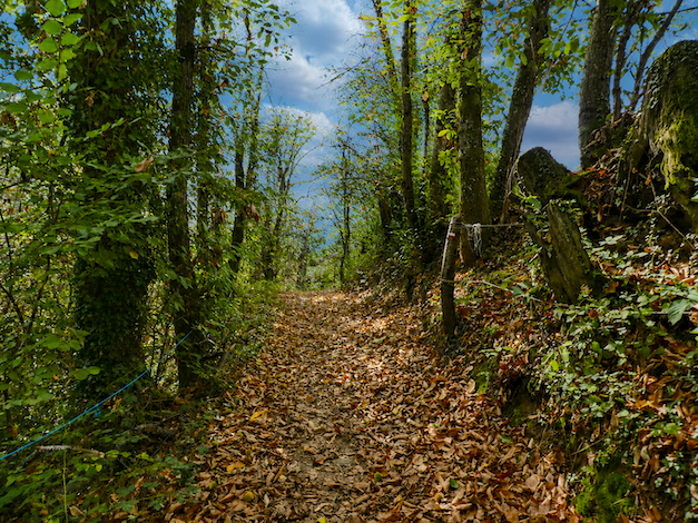
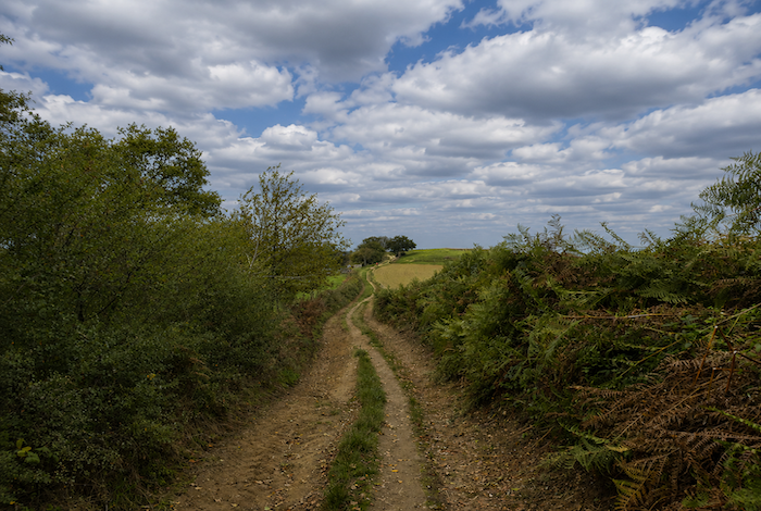
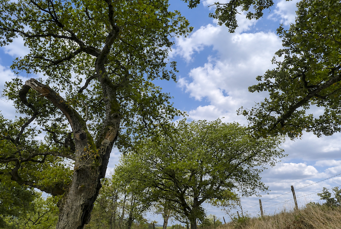
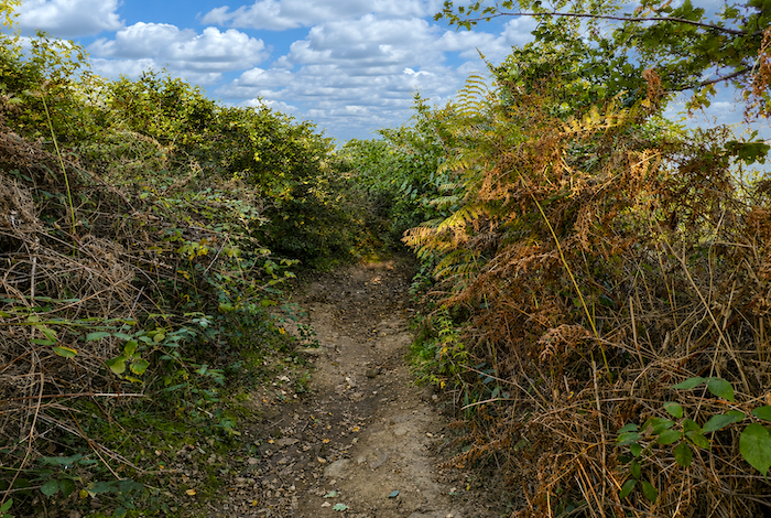
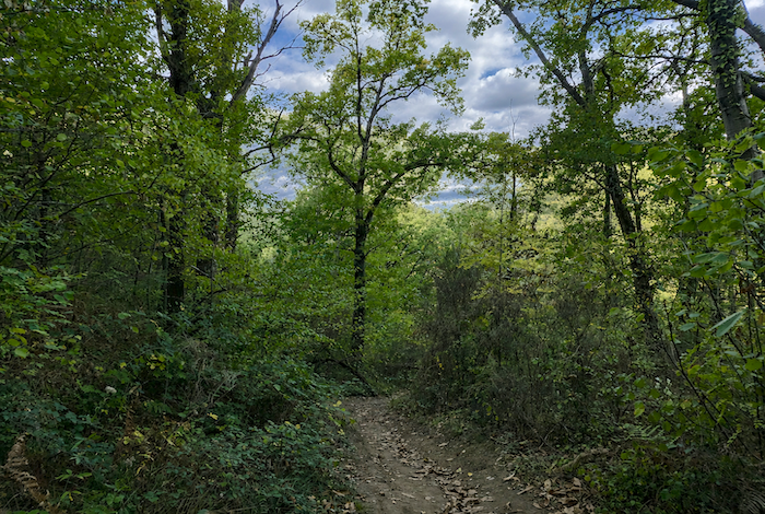
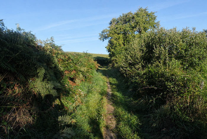
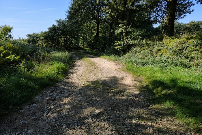
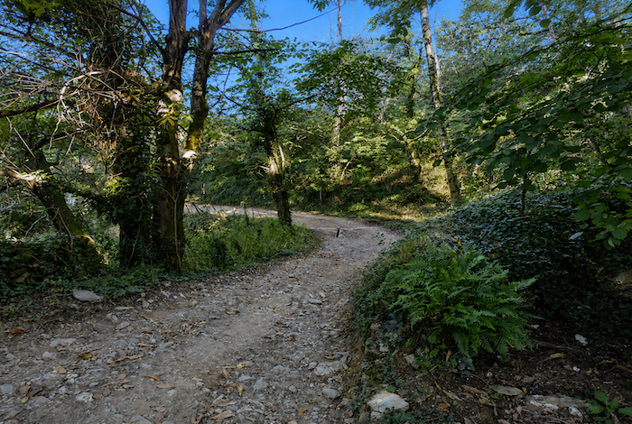
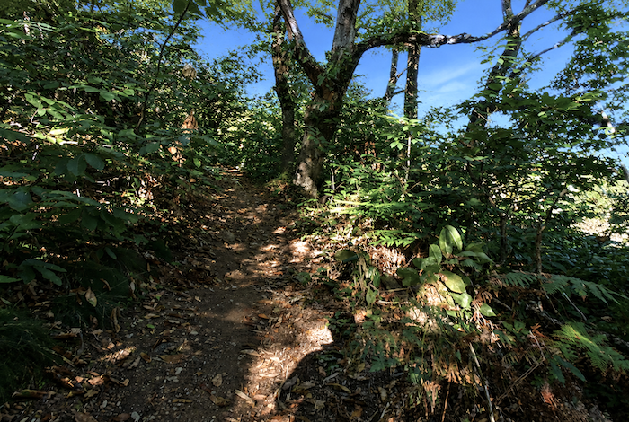
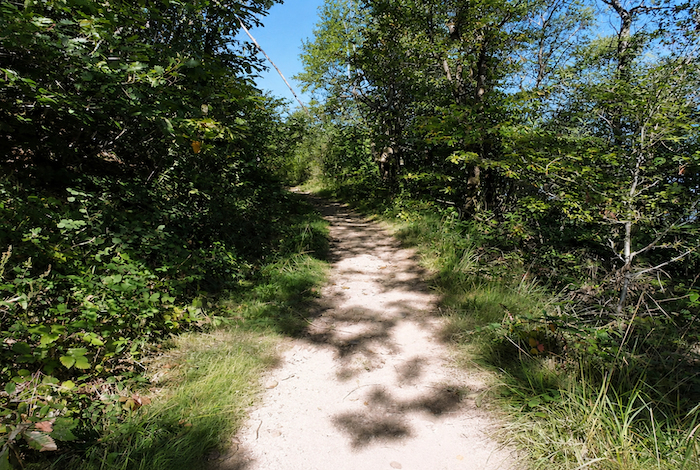
| Ahead of you, the route gives an unmistakable warning of what is to come, a punishing climb, and that is no exaggeration. Over little more than one kilometer, you must gain more than two hundred meters in elevation to reach the little Chapel of Sainte-Foy. A rough trail climbs across schist through luxuriant woodland filled with broadleaf trees and ferns. |
 |
 |
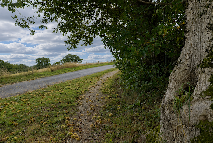
| Here, the small, gnarled chestnut trees reign supreme. In autumn, the ground is carpeted with fallen leaves and split chestnut husks, turning the trail into a true forest skating rink. |
 |
 |
| When the schist outcrops become less frequent, sticky clay takes over, clinging heavily to boots in wet weather. Yet chestnut trees are not the only inhabitants of this hillside. A few beech trees also emerge among the tall grasses and ferns, often surrounded by dense clusters of young shoots. |
 |
 |
| Higher up, the trail crosses a small road where hardly a vehicle ever seems to pass. It offers perhaps the first opportunity to catch your breath. |
 |
 |
| There is something both magnificent and almost unsettling about this climb. The bends seem endless before the chapel finally appears. You must keep a steady footing to avoid slipping on the large stones that protrude everywhere, some as sharp as blades, others as thick as slabs of rock. As for the gradient, it is often better not to think about it too much and simply grit your teeth. |
 |
 |
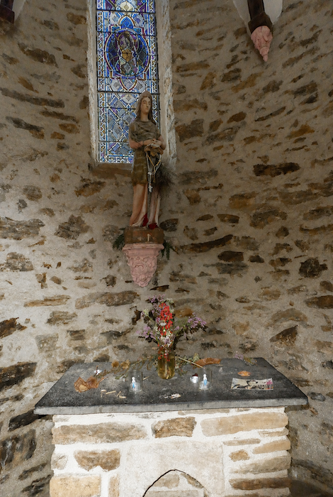
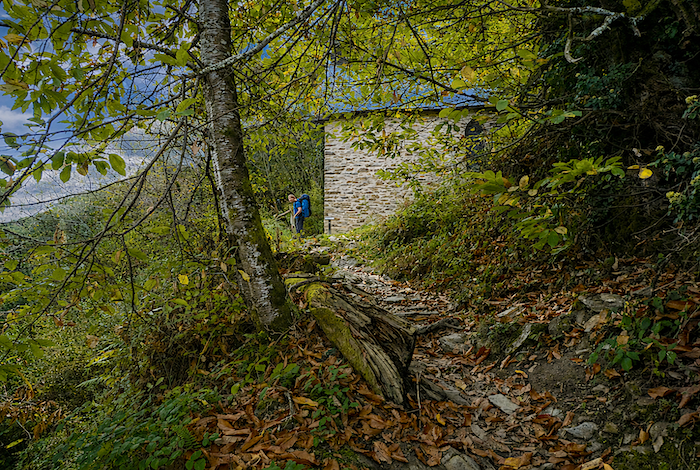
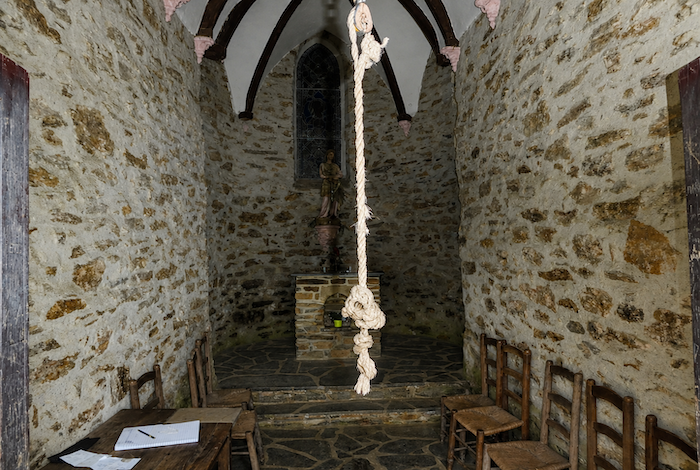
| Halfway up the hillside, the Chapel of Sainte-Foy finally comes into view, nestled in its green surroundings. Tradition says that when the chapel bell is rung, the bell of the abbey church in Conques answers in return. In reality, it almost never does. Yet the legend is part of the charm of this place. |
 |
 |
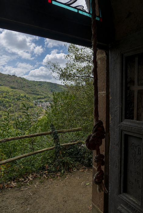
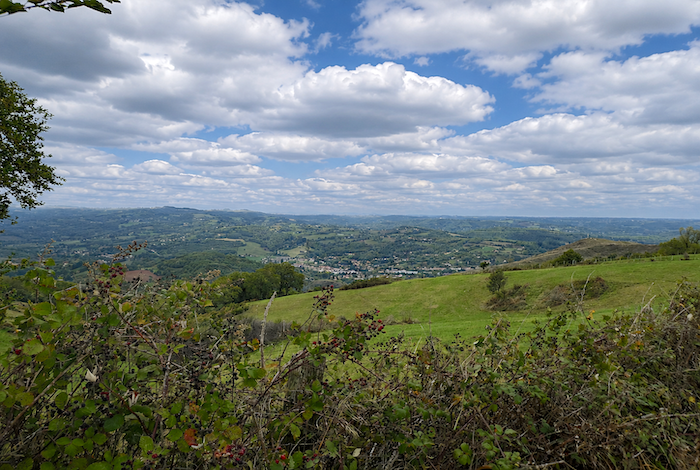
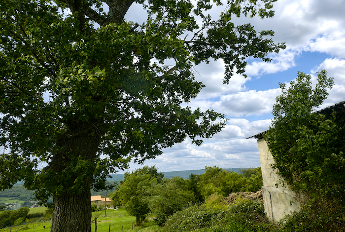
From here, the view over Conques is simply breathtaking. No pilgrim passes without stopping. And, truth be told, this welcome pause also provides the perfect excuse to recover after the ordeal of the climb.
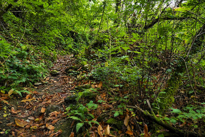
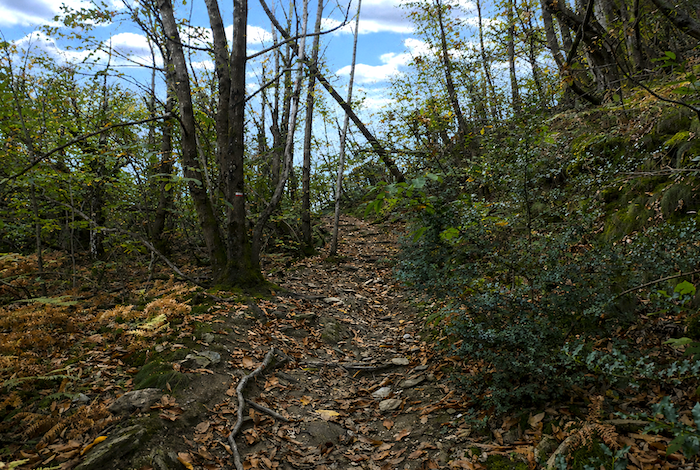
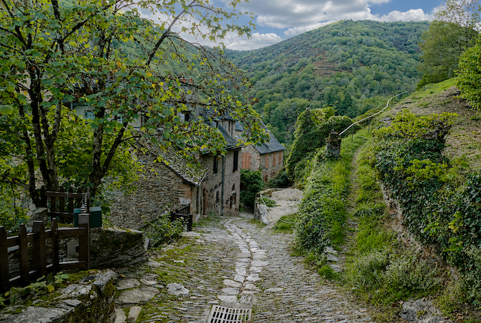
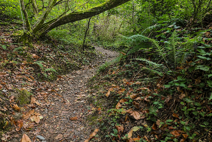
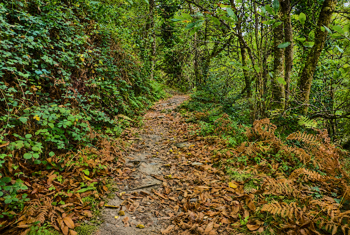
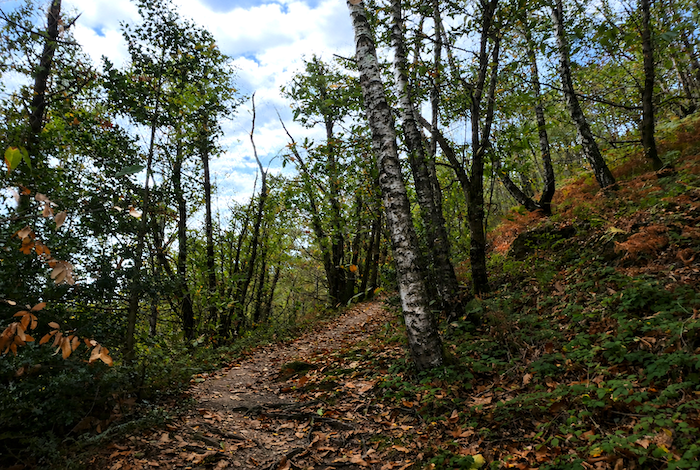
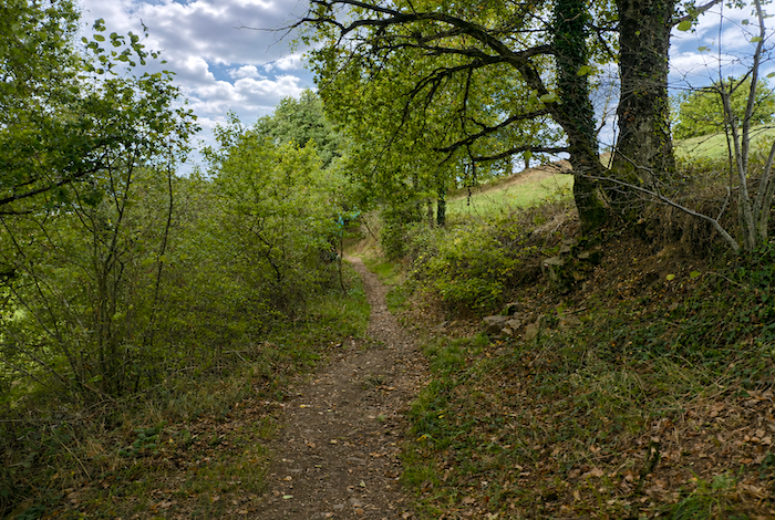
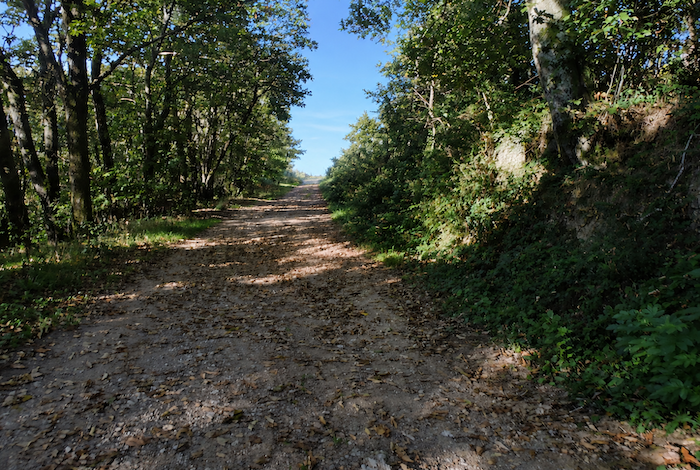
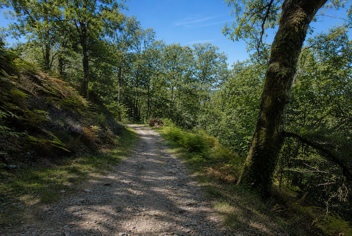
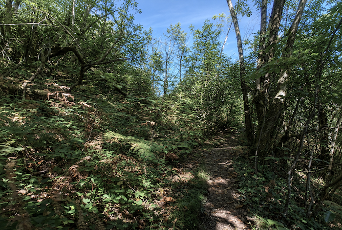
| The ascent, however, is far from over. The path continues relentlessly uphill through the forest. It becomes a little wider, remains just as rocky, and is perhaps slightly less abrupt, yet the slopes still frequently approach 20%. |
 |
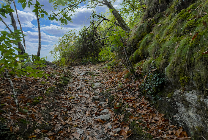 |
| For a long time, the scenery changes very little. There is still the relentless gradient, exposed schist, roots crossing the trail, and hundreds of chestnut trees. Some grow in dense clusters of shoots, so thick that they sometimes resemble a living wall of vegetation. |
 |
 |
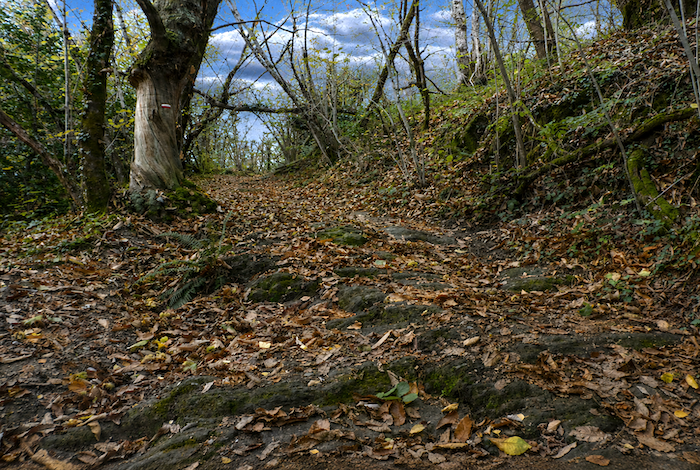
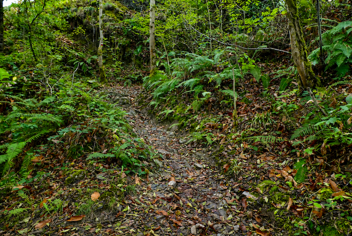
| The effort continues without respite along this steep path, where shining schist slabs alternate with twisted roots that obstruct your progress. Every step demands both concentration and endurance. |
 |
 |
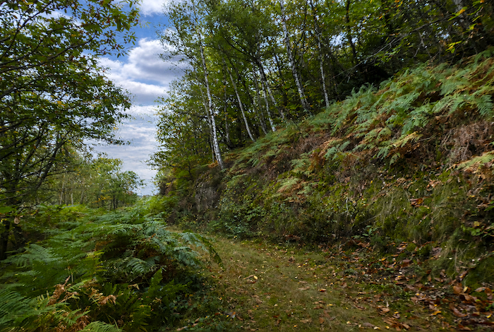
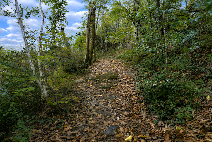
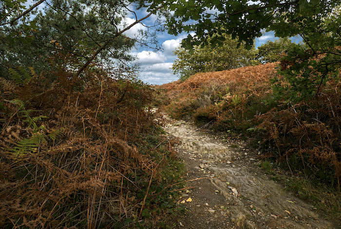
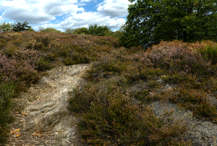
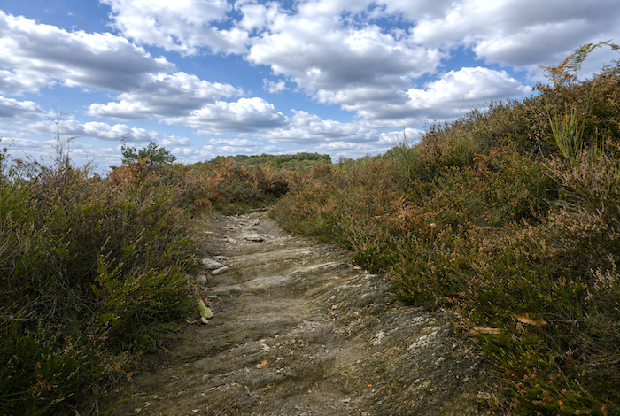
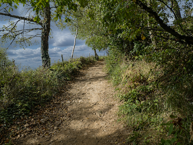
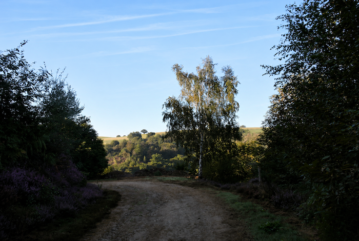
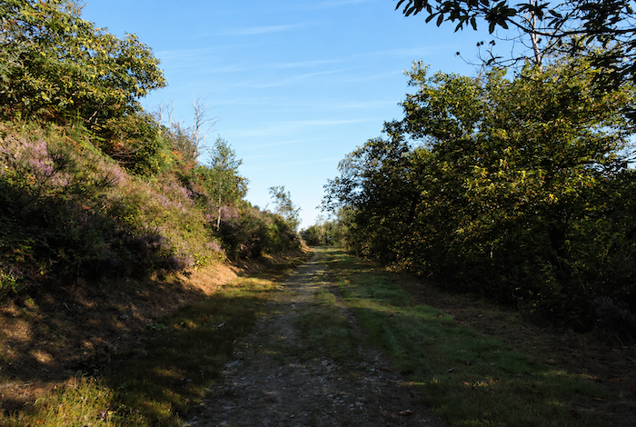
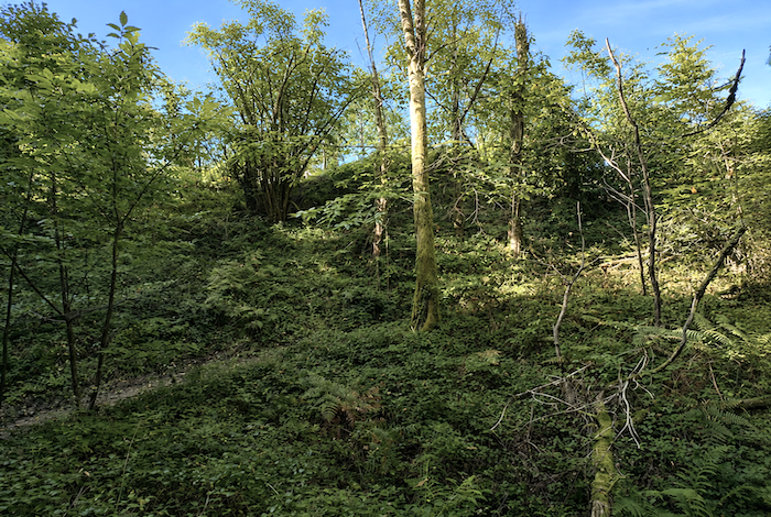
| Higher up, the path gradually leaves the dense forest behind and reaches open heathland. Yet the gradient offers no relief whatsoever. |
 |
 |
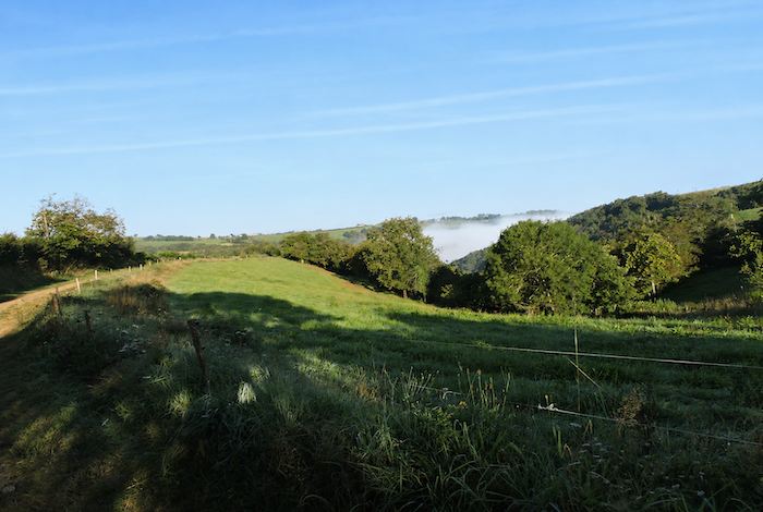
| The trail then crosses polished schist among the heather. If you are fortunate enough to walk here on a fine autumn day, the spectacle can become truly extraordinary as the first morning mists begin to fill the Conques valley. Golden ferns, purple heather, broom, and moss combine to create landscapes of almost unreal beauty, vast impressionist paintings spread across the mountainside itself. |
 |
 |
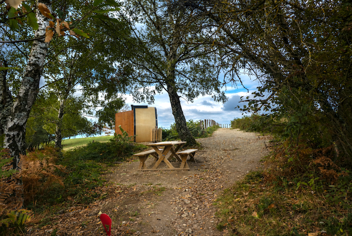
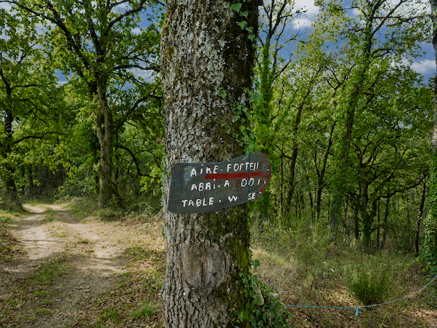
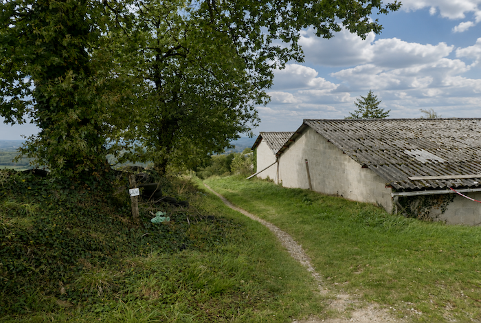
| Further on, the path finally seems to catch its breath. Beneath tall chestnut and ash trees, a picnic area appears, together with a dry toilet, a modest but welcome resting place after the demanding climb from Conques. |
 |
 |
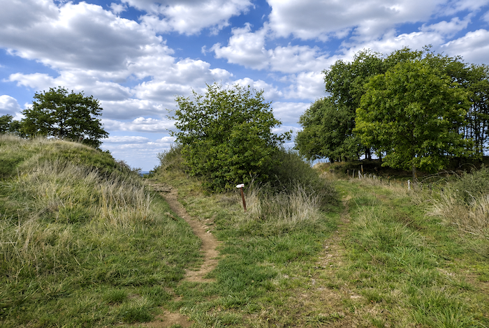
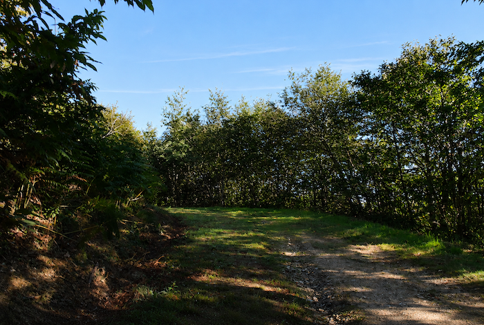
| The route then emerges onto a kind of open false plateau that rises gently towards the junction between the GR65 and the GR6. |
 |
 |
| Today we shall follow the GR65, which was once the GR6, while the GR6 itinerary will be described later in a parallel stage. |
 |
 |
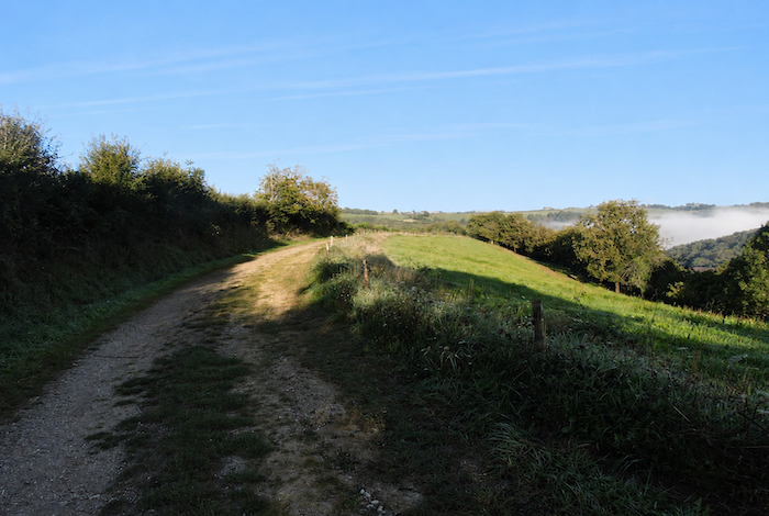
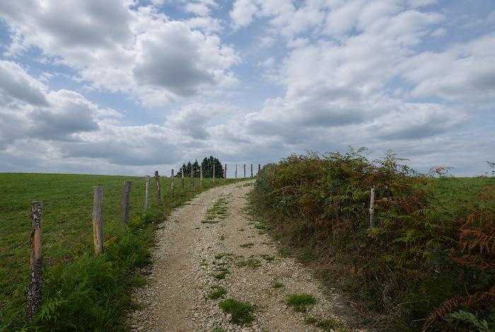
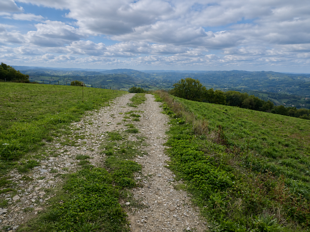
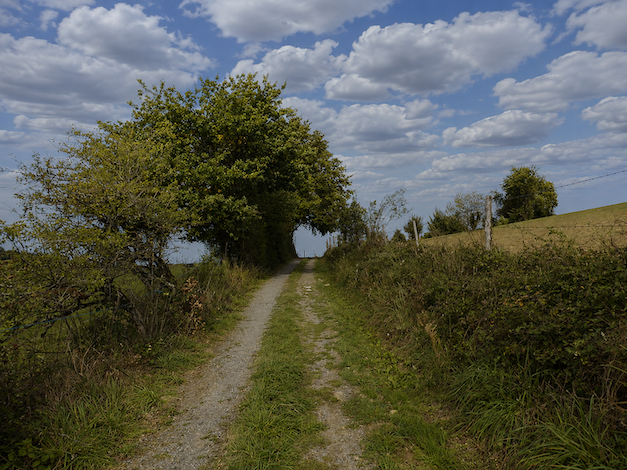
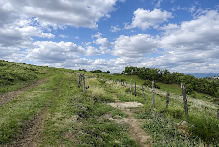
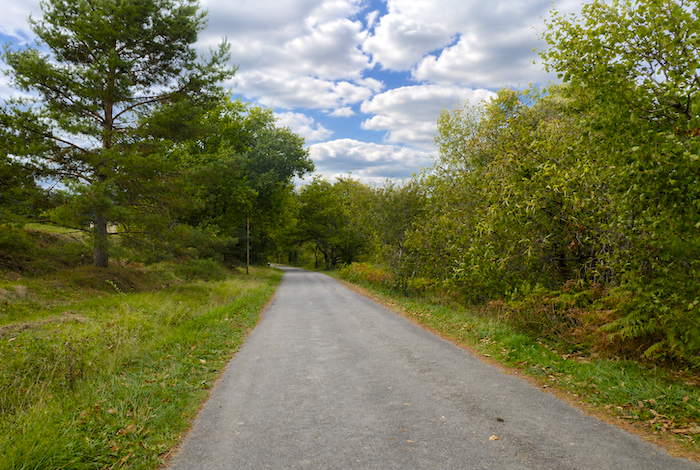
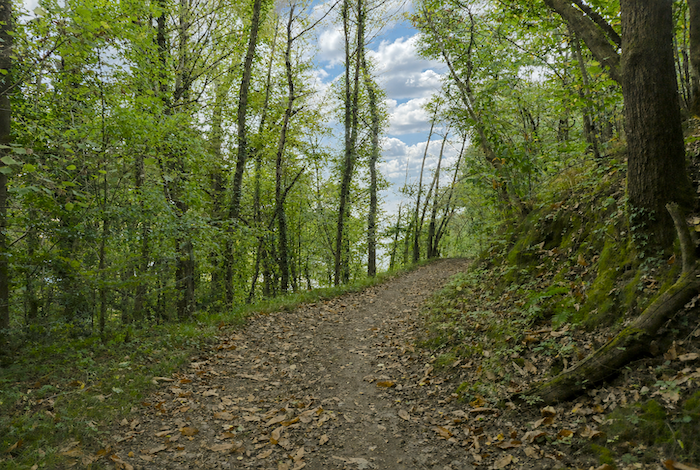
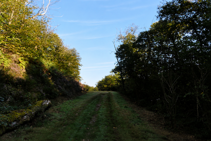
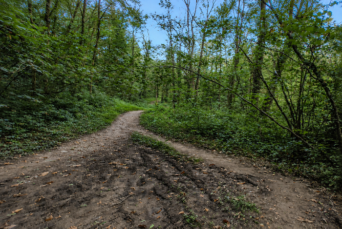
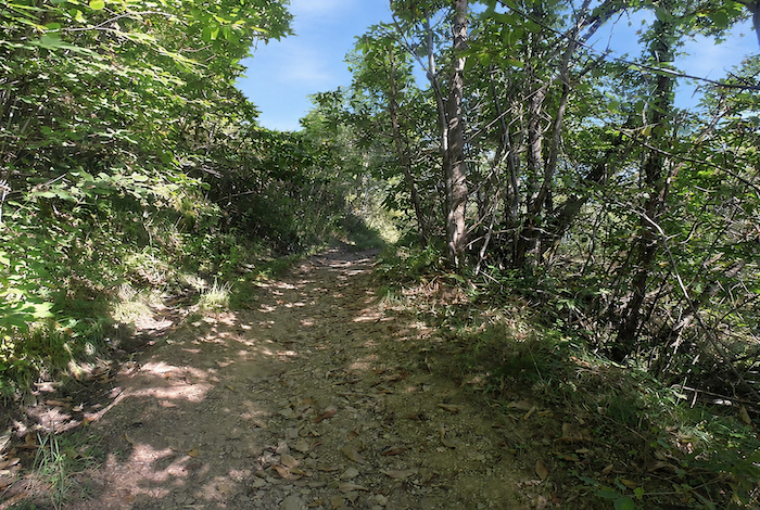
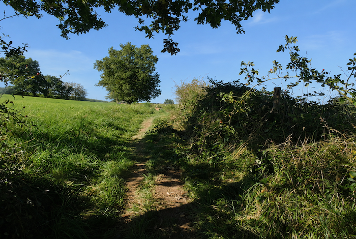
| A broad dirt path then stretches across the plateau through open pastures. |
 |
 |
| Before long, however, it rejoins a small road that climbs the hillside. |
 |
 |
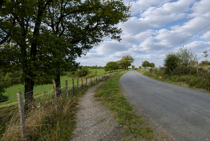
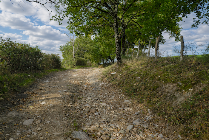
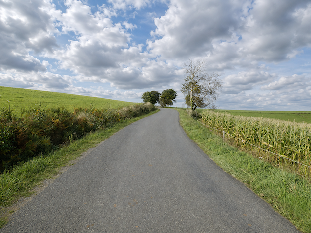
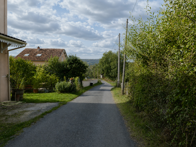
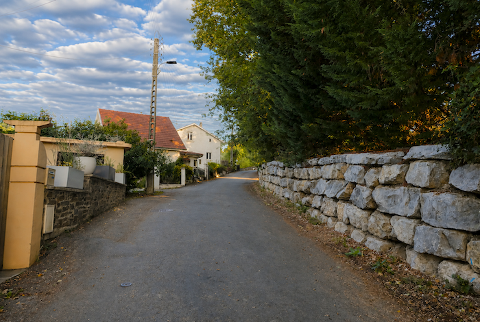
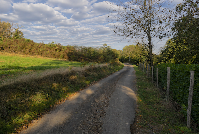
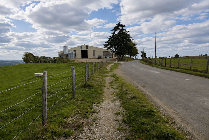
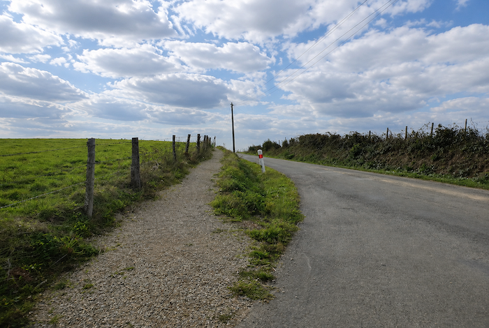
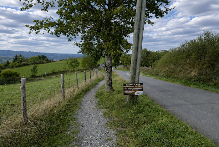
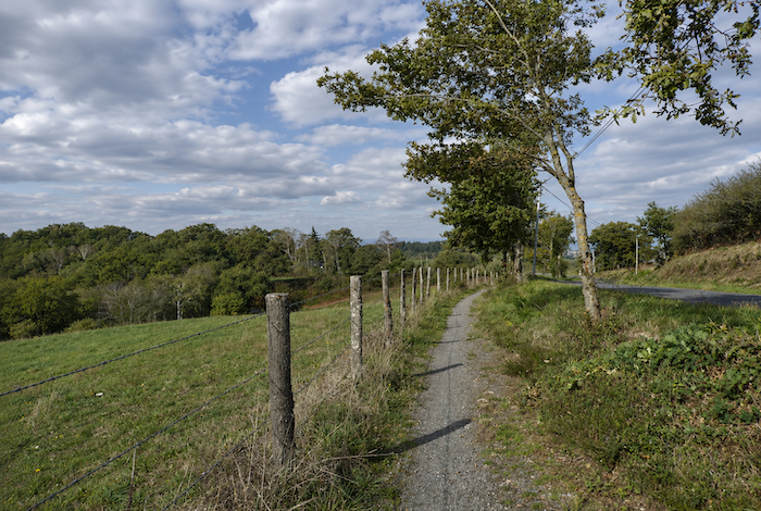
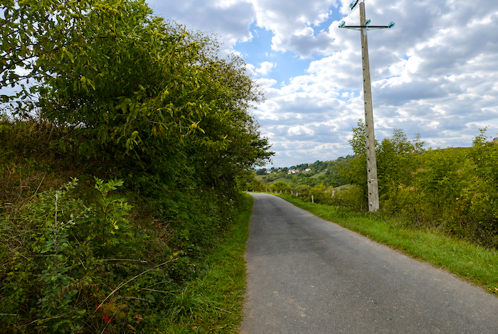
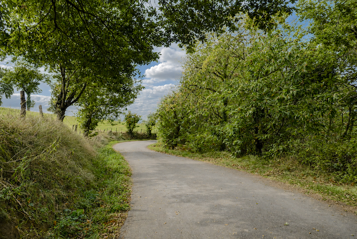
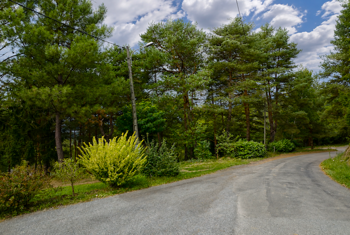
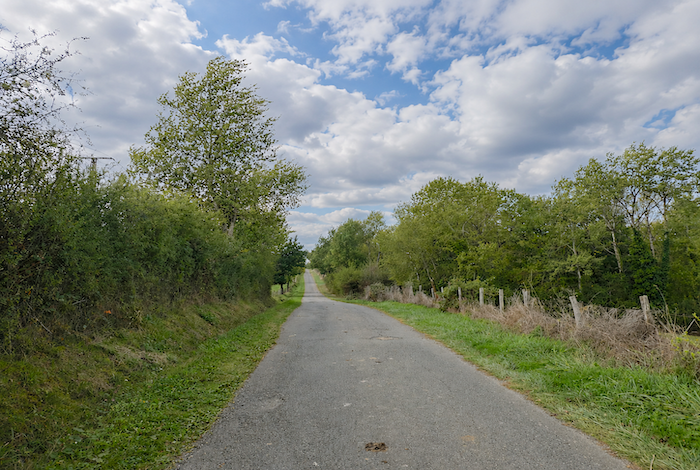
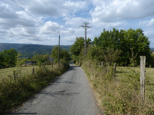
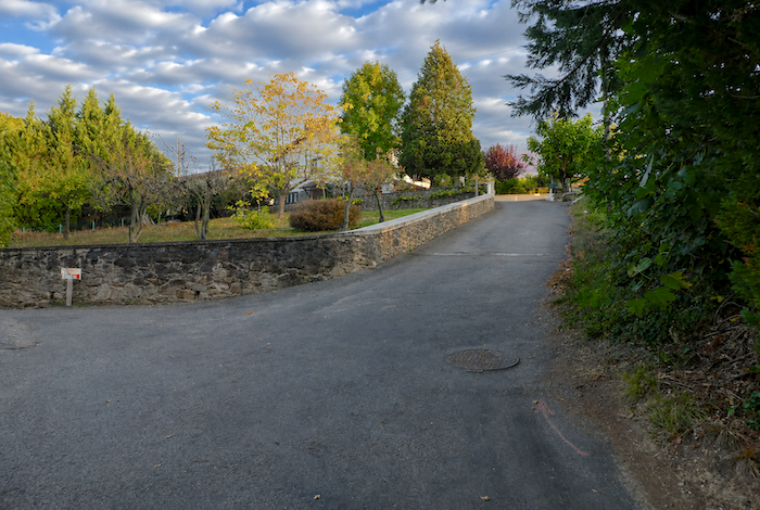
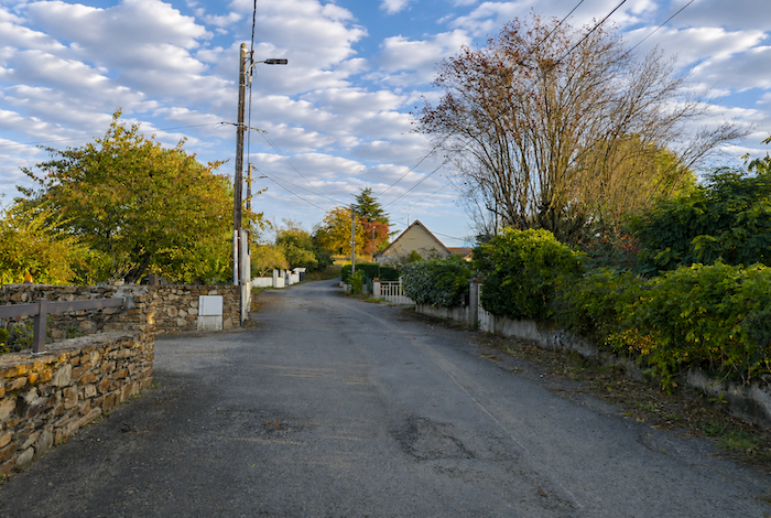
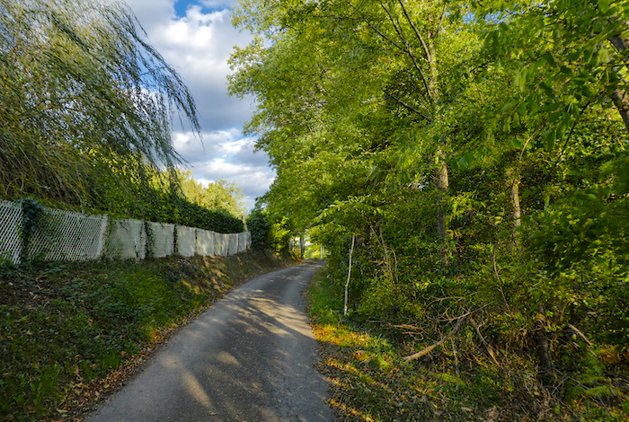
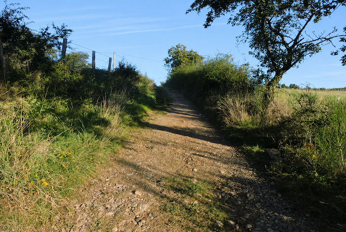
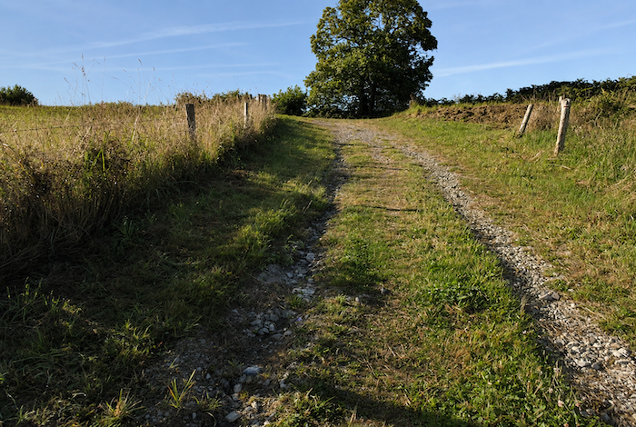
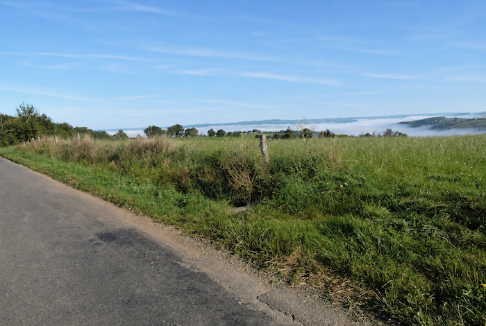
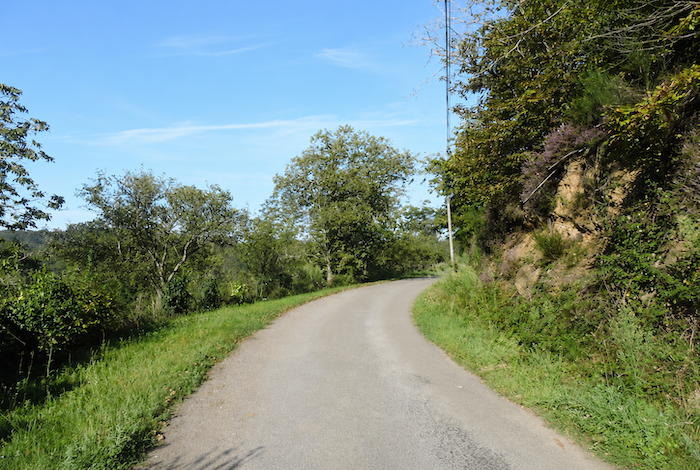
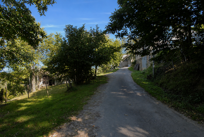
| From this point onward, it is asphalt all the way to Noailhac, the cold monotony of the road. In places, the well-intentioned designers of the new GR65 have added a strip of gravel to give pilgrims the illusion of walking on a genuine path. Yet, in the end, it makes little difference. Asphalt or gravel, your legs know perfectly well that you are still walking along a road. |
 |
 |
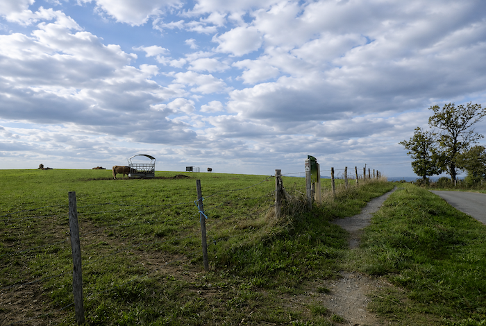
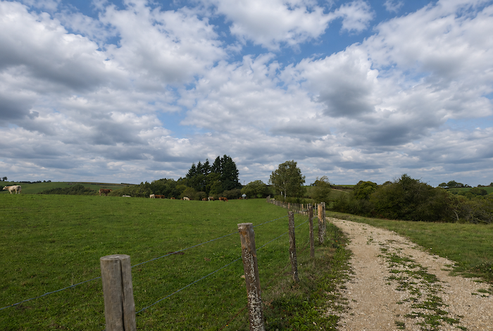
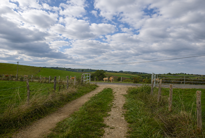
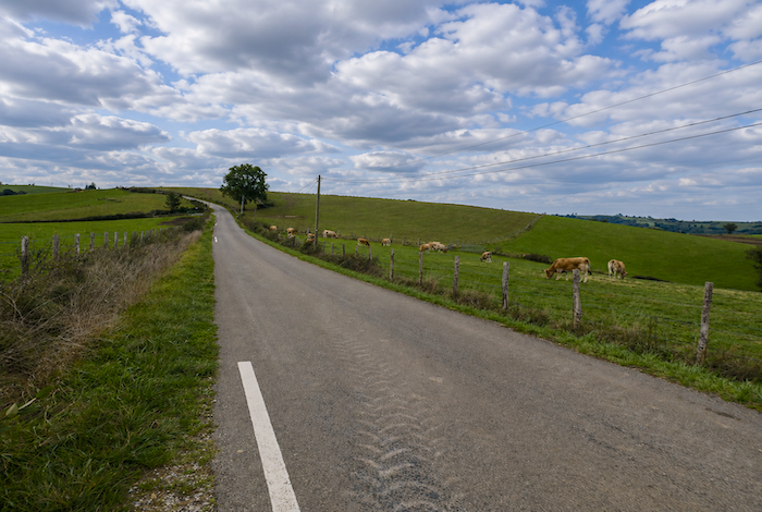
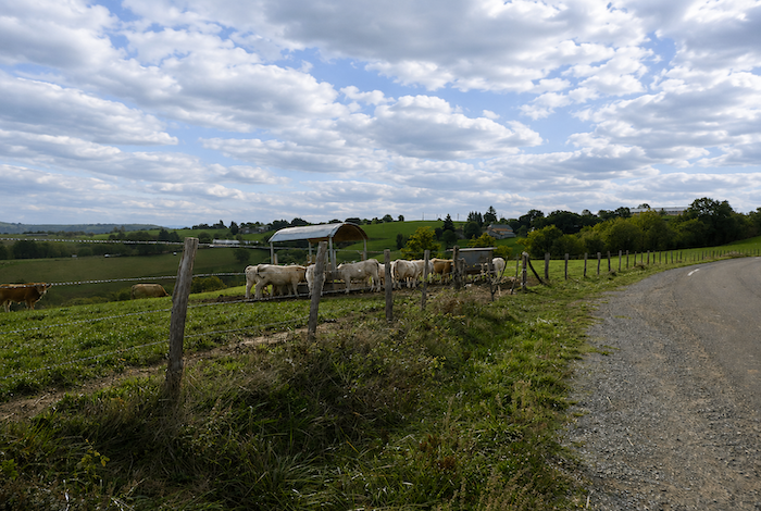
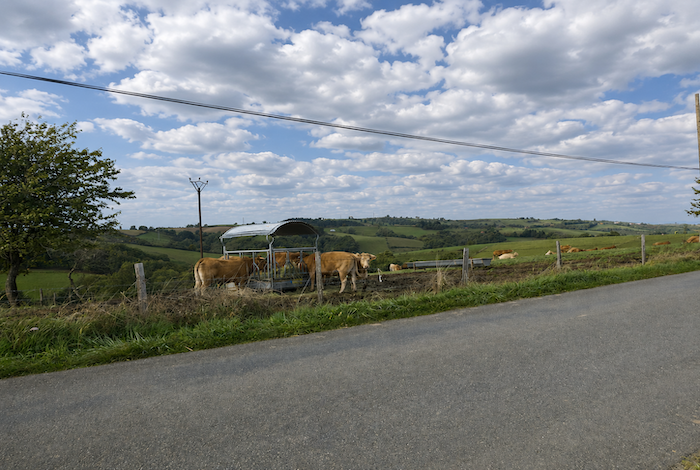
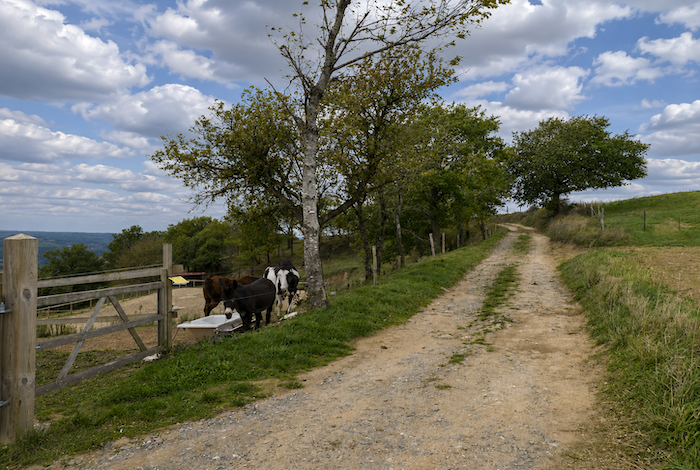
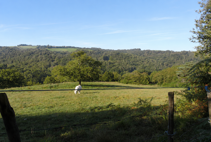
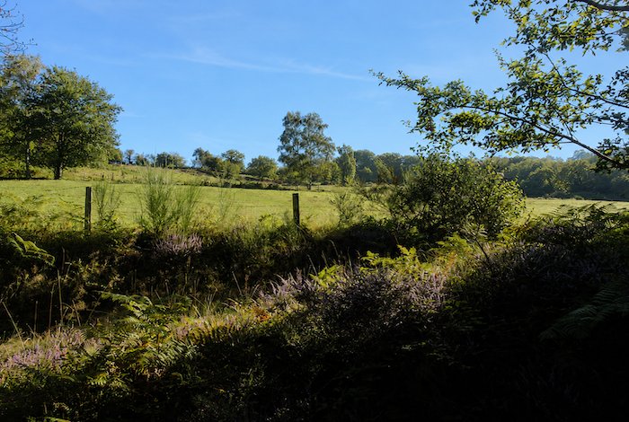
| It must nevertheless be said that almost no vehicles travel here. Your gaze can wander peacefully across the grazing cattle scattered through the hillside meadows. |
 |
 |
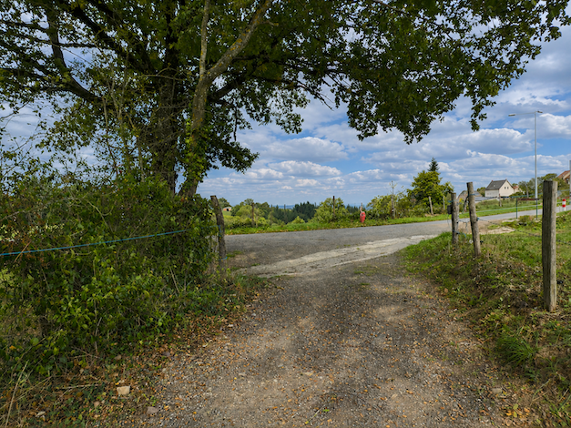
| Further on, another road joins at an intersection, but your route continues straight ahead without hesitation. |
 |
 |
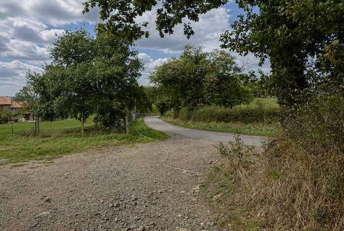
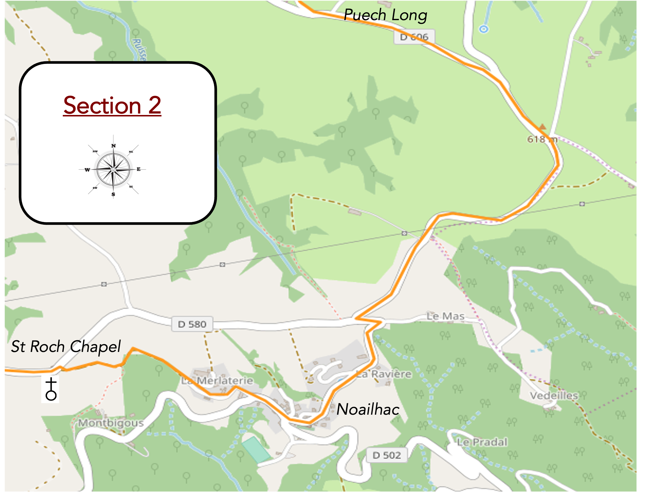
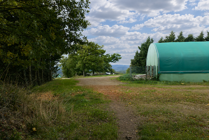
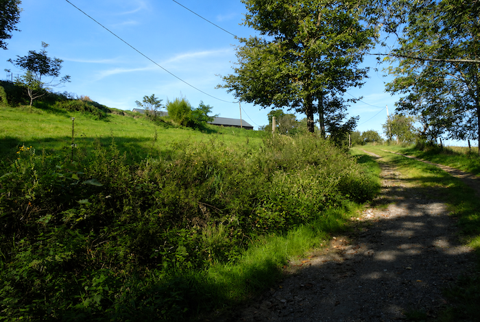
| The road continues climbing without any real interruption, although the gradient is now much kinder, until it reaches the D606, a departmental road where traffic fortunately remains very light. At the junction, the road passes the large farm of Puech Long, a spacious, modern, and functional agricultural property standing in the middle of the surrounding grazing land. |
 |
 |
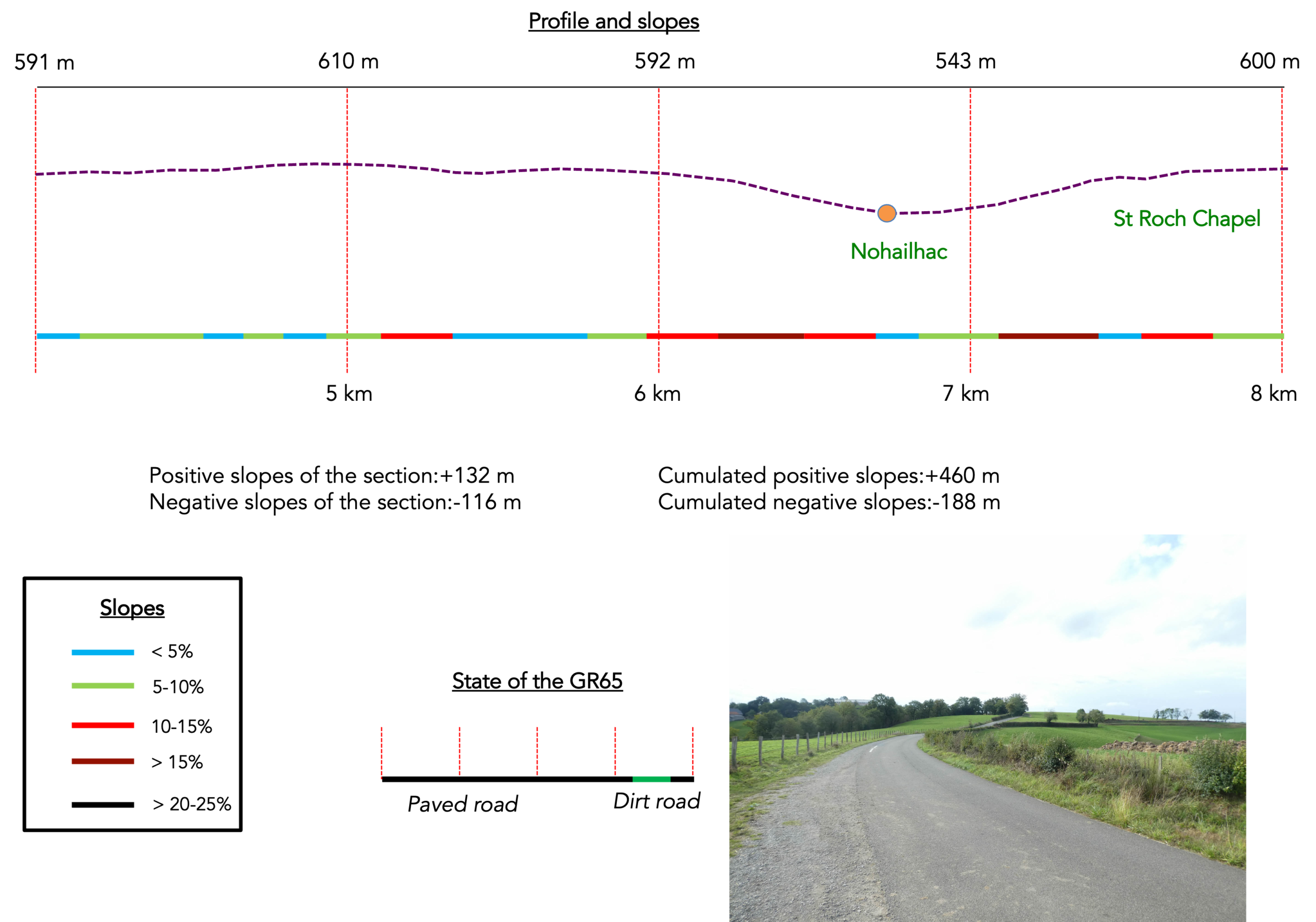
Section 2 : Passing through Noailhac
Overview of the route’s challenges: a route without any major difficulties, although there are a few steeper climbs on the way up to the Chapel of St Roch.
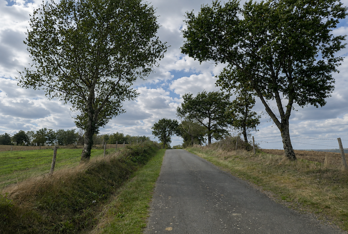
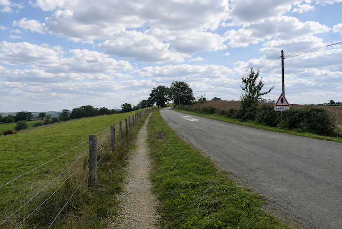
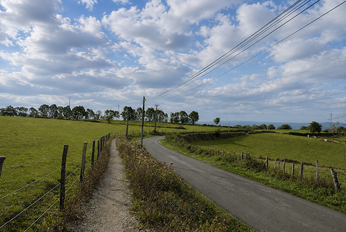
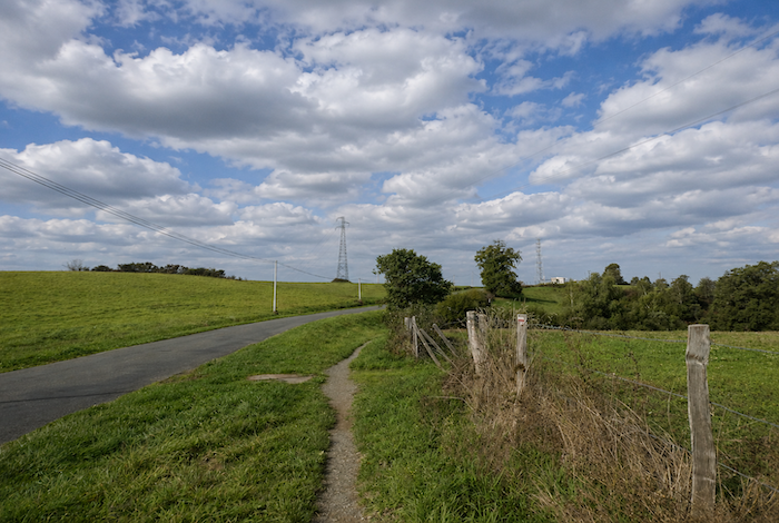
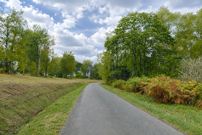
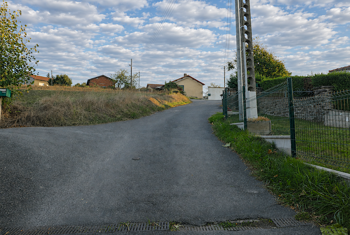
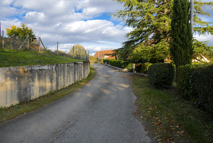
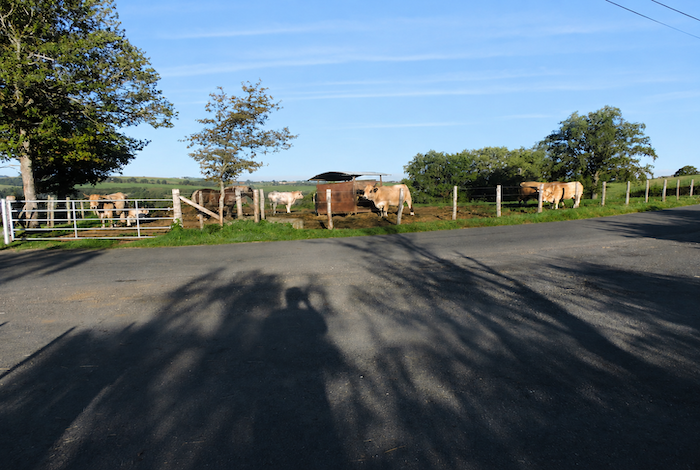
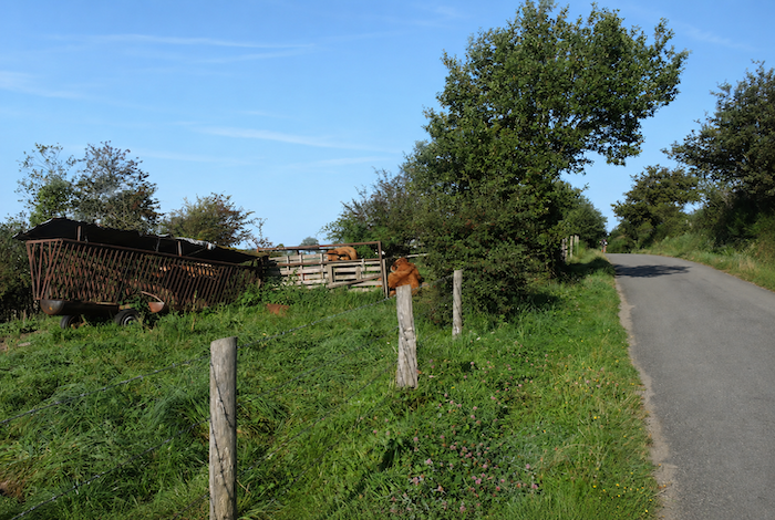
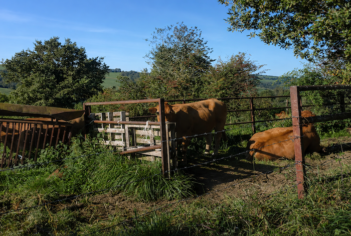
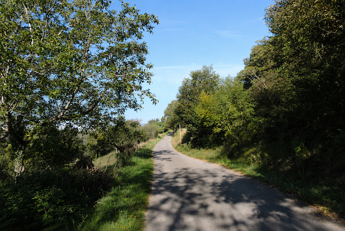
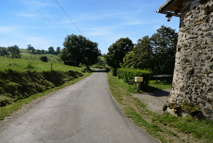
| Then, once again, comes the monotony of the ribbon of asphalt. Here, local farmers have evidently given up a narrow strip of land to allow the path to run alongside the road. The only features that bring a little life to the landscape are the cattle grazing in the surrounding pastures. Most are Limousin cattle, with the occasional Aubrac or Charolais scattered across the fields. As for crops, they occupy only a very modest place in the landscape. |
 |
 |
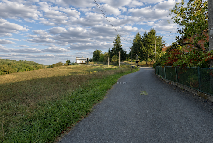
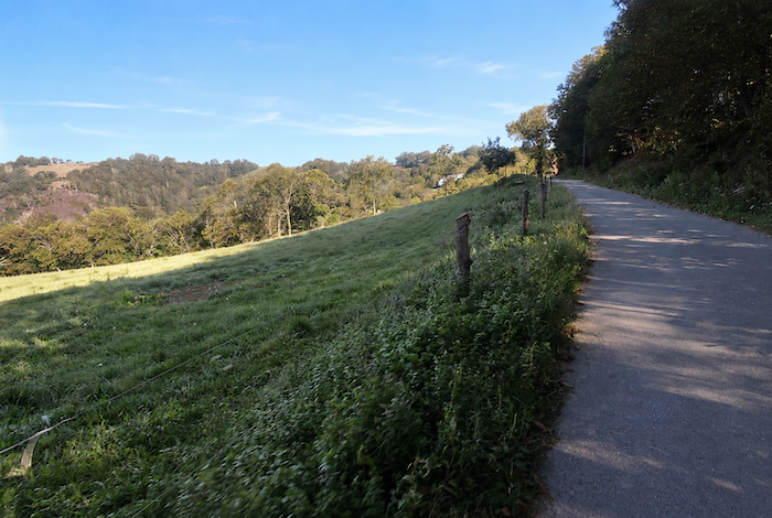
| In this uniform countryside, where the occasional solitary oak breaks the horizon, the road reaches another isolated crossroads on what feels like a windswept high plateau. |
 |
 |
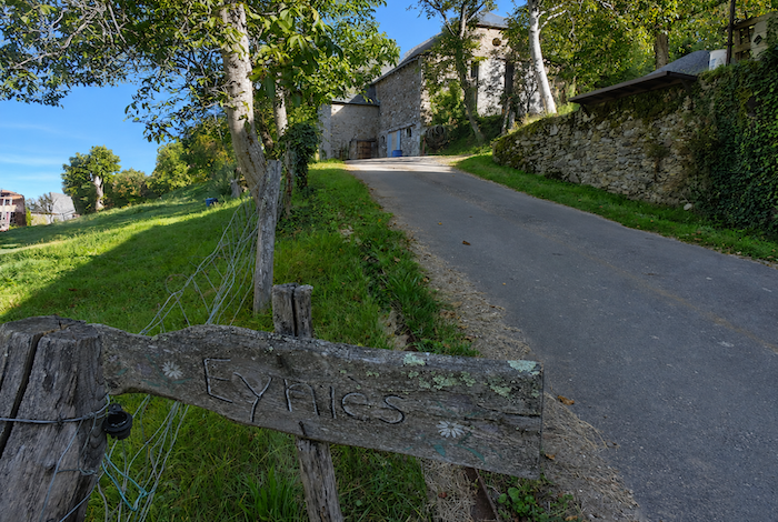
| Noailhac is now less than two kilometers away, and the road begins to roll gently along the ridge. |
 |
 |
| The scenery changes very little. There is still the road stretching endlessly across the heights, still the meadows, the herds, and this austere countryside that perhaps lacks just enough character or dramatic relief to truly stir the emotions. |
 |
 |
| At last, almost as though it too has grown weary, the road reaches the top of the hill. |
 |
 |
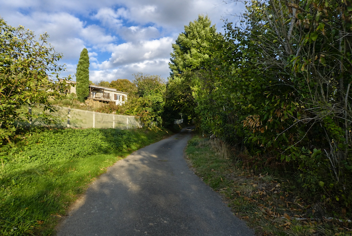
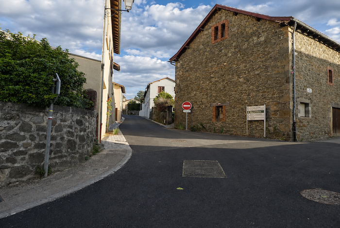
| It then descends towards Noailhac. Above the village, the GR65 briefly leaves the asphalt to follow a steep trail that cuts across the hillside, avoiding a wide bend in the road. |
 |
 |
| This shortcut rejoins the road beside the municipal gîte, slightly removed from the first houses of the village. |
 |
 |
| The road then continues its steady descent towards the village. |
 |
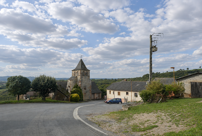 |
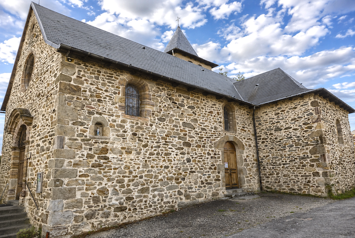
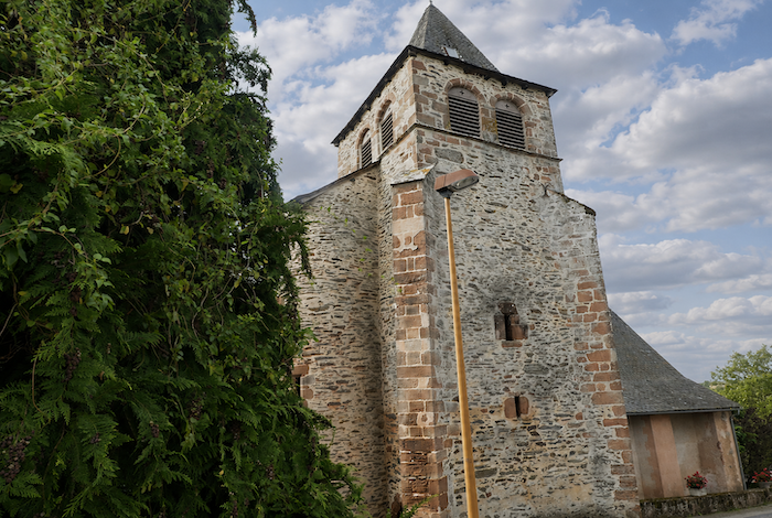
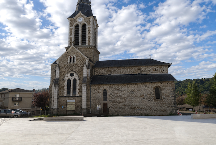
| It runs in front of the Church of St John the Baptist, rebuilt during the eighteenth century, plain and sturdy like so many rural churches clinging to the hillsides of Rouergue. |
 |
 |
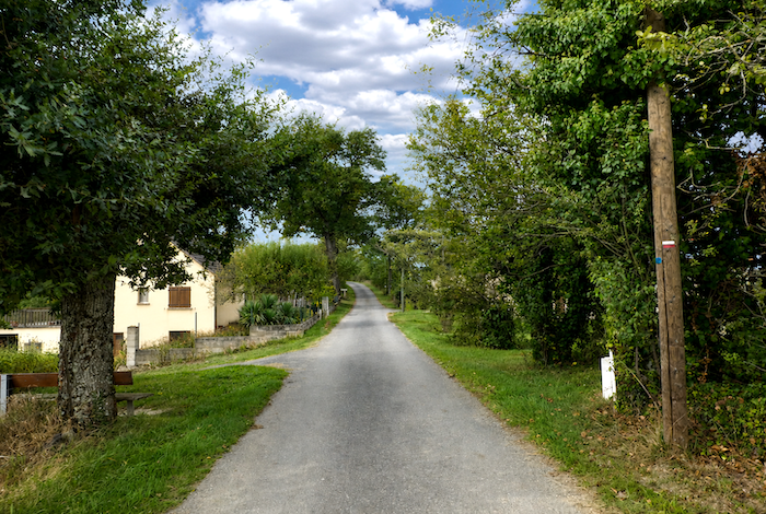
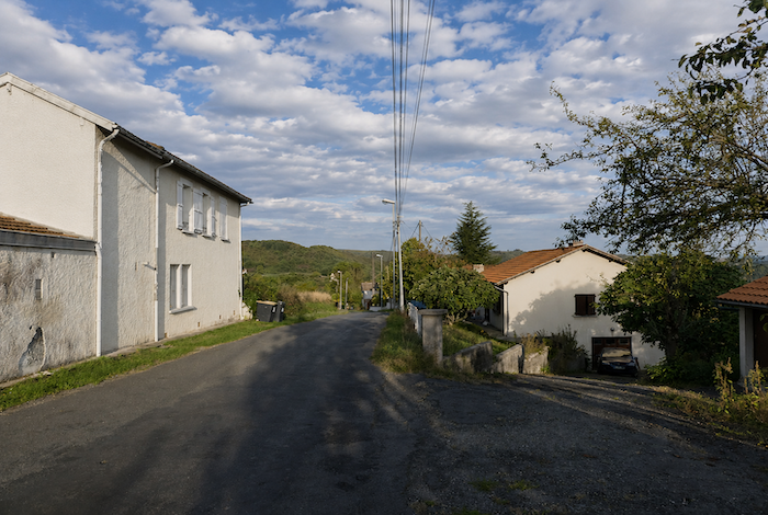
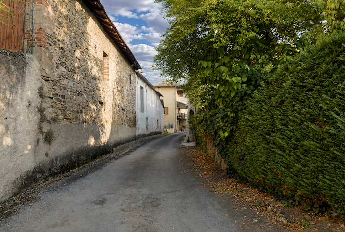
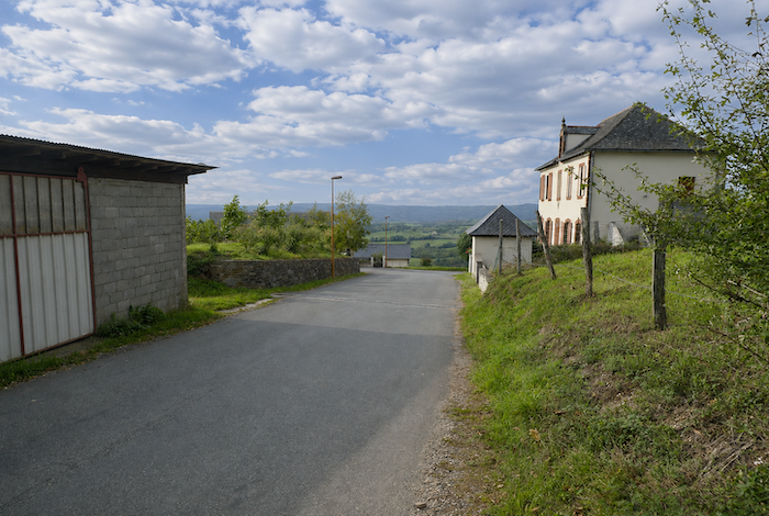
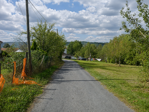
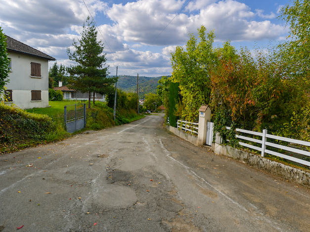
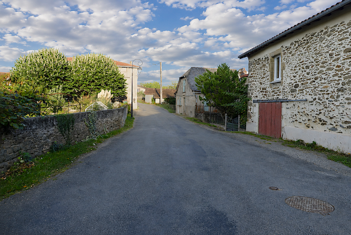
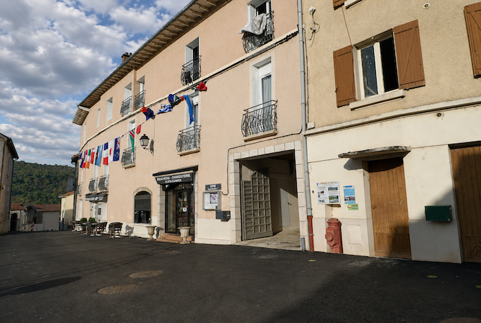
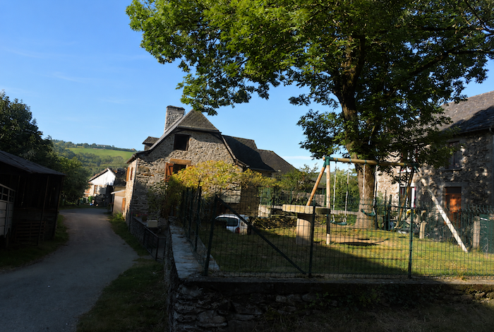
| The name Noailhac comes from the Latin novalis, meaning « newly cleared land » or « fallow land. » Many French villages share this same name, inherited from the great medieval clearings. In the past, Noailhac hosted an important livestock fair that attracted farmers and traders from across the region and even from neighboring departments. Yet the village remained far from the main transport routes, and this prosperity gradually faded away. Today, thanks to the rerouted GR65, the village, with its population of around 170 inhabitants, has regained a little of its former vitality. Pilgrims regularly fill the village bar and restaurant as well as the small grocery shop, bringing a quiet renewal to a community that had long been forgotten. |
 |
 |
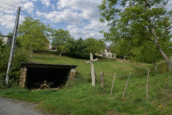
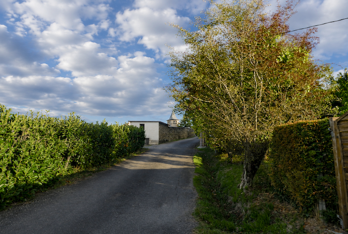
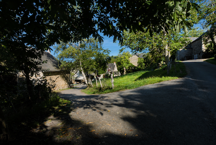
| The GR65 then crosses the village before climbing above the last houses along the road. Here begins a Way of the Cross dating from the first half of the twentieth century, made up of cement crosses, each decorated with a small wooden cross at its center. This stone procession accompanies pilgrims all the way to the Chapel of St Roch overlooking the village. |
 |
 |
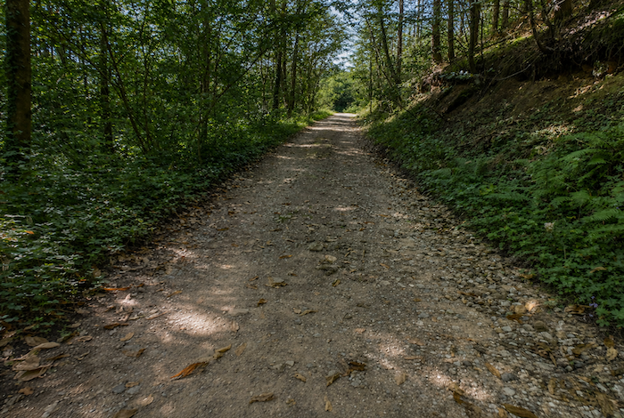
| Higher up, dirt replaces the asphalt. |
 |
 |
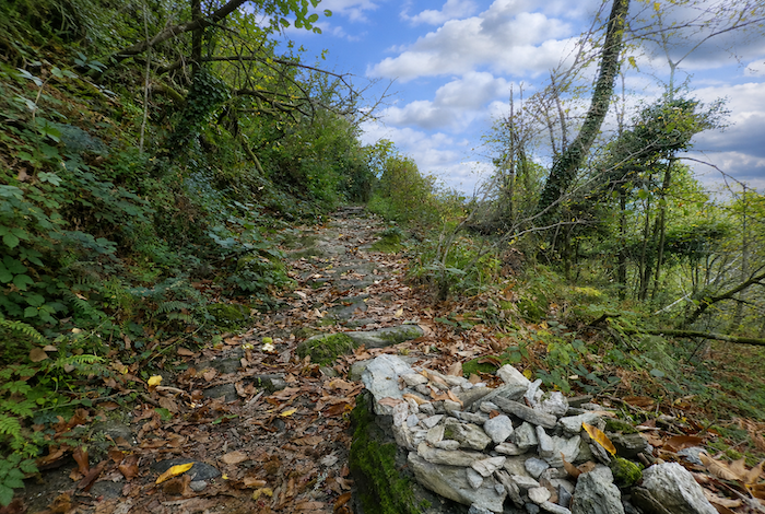
| The path becomes very rocky and climbs steeply, with gradients varying between 10 and 20 %. It winds beneath chestnut and oak trees, running beside the stations of the Way of the Cross like a penitential ascent through the forest. |
 |
 |
| The climb finally comes to an end at the top of the Way of the Cross, beside the Chapel of St Roch, on the edge of the D580, the departmental road that follows the long ridge towards Decazeville. |
 |
 |
| The chapel was built during the last century through a public subscription organized by the local inhabitants. Pilgrimages are still held here today, preserving an ancient tradition of devotion in these upland landscapes. |
 |
 |
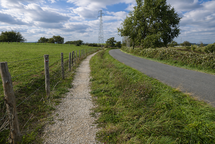
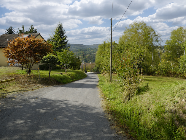
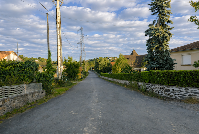
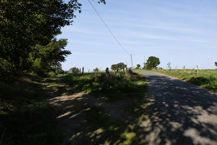
| From this point onward, you must once again become accustomed to walking on the road. To provide a little variety, a narrow strip of path sometimes runs alongside the asphalt, sometimes on the right, sometimes on the left, like a modest concession made to walkers. |
 |
 |
Section 3 : Everything Is decided near the refreshment stand
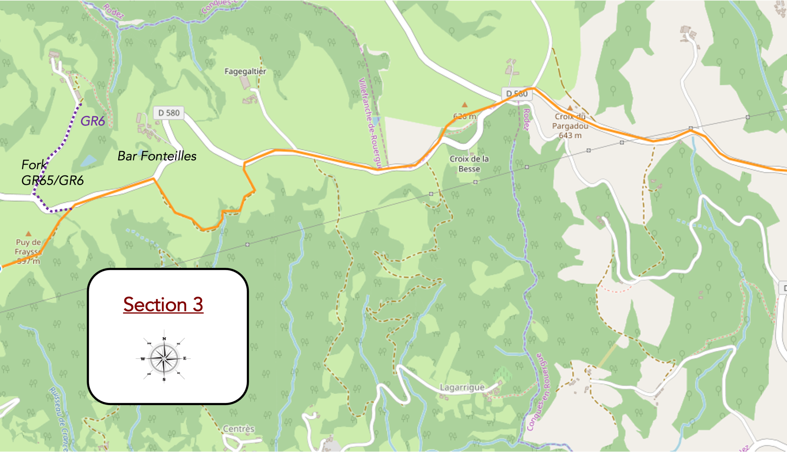
Overview of the route’s challenges: an easy route overall, apart from a more demanding detour just before the Fonteilles refreshment stand.
| You will no doubt love this narrow strip of path running alongside the road. What irony. Especially since hardly a vehicle passes here. |
 |
 |
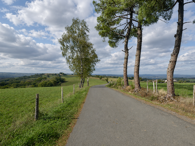
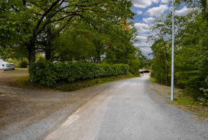
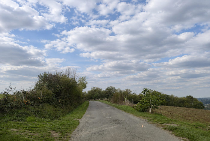
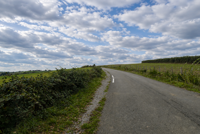
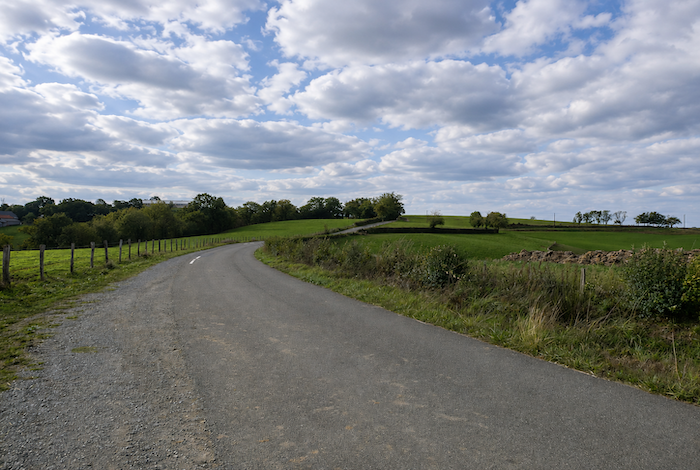
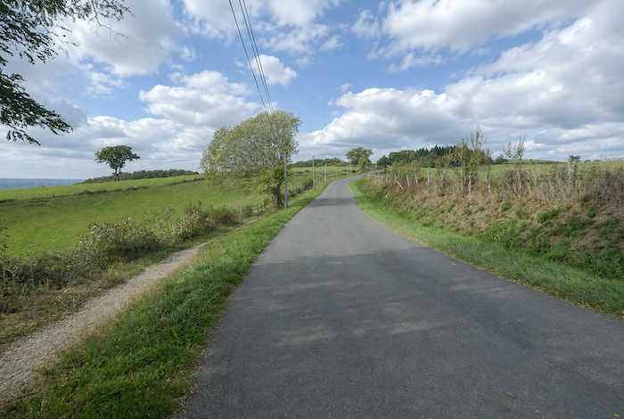
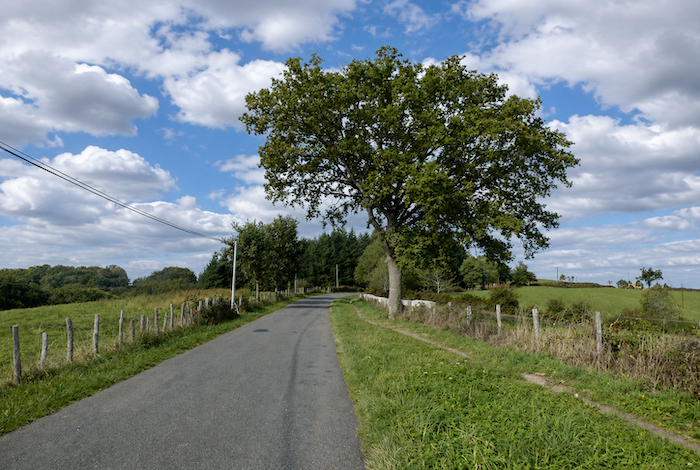
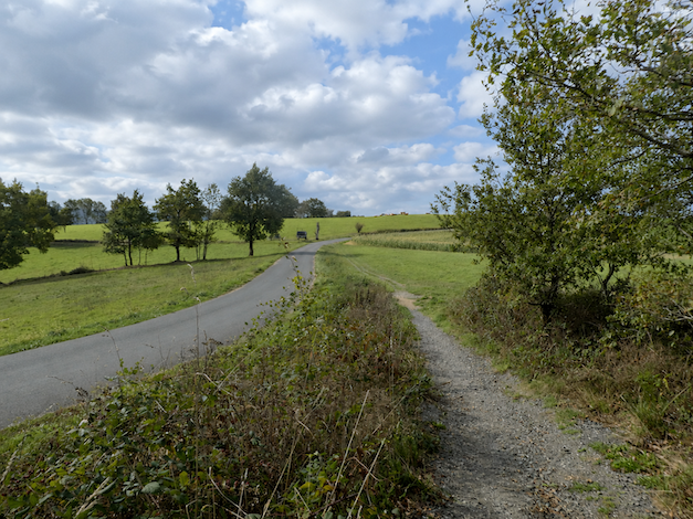
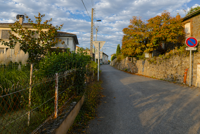
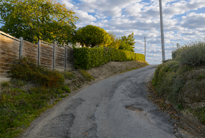
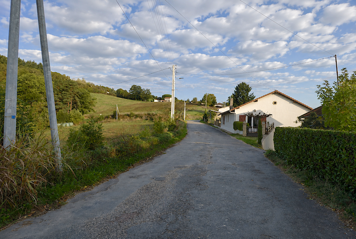
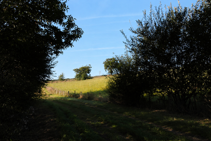
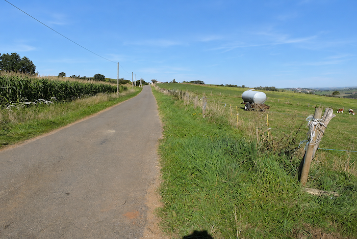
| The road winds through open meadows, interrupted here and there by clusters of oak and chestnut trees. Small country roads branch off towards tiny hamlets, scarcely larger than a pocket handkerchief, or towards isolated farms that barely reveal themselves in the landscape. At times, the route even gives the impression that it is finally about to leave the asphalt behind for good. A small embankment then appears, like a modest concession to the walker’s enjoyment. |
 |
 |
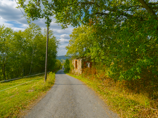
| The illusion does not last long. Barely a hundred meters later, the road returns, together with its token strip of path. If one is sometimes critical of those who redesigned the route, it is because the route once followed a very different course, genuinely crossing the woods on beautiful forest trails. Then came compromises, regulations, and no doubt the realities of local politics. |
 |
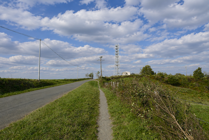 |
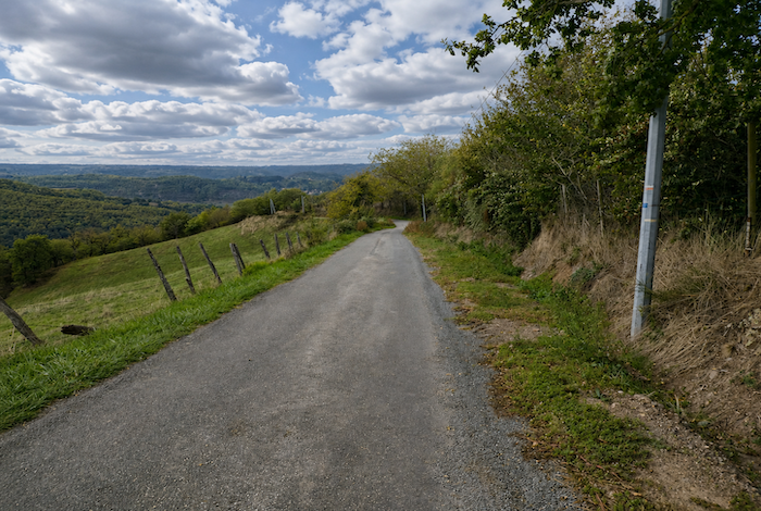
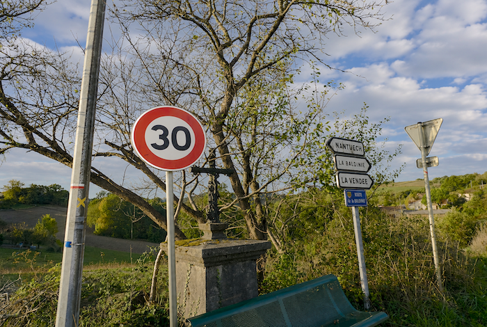
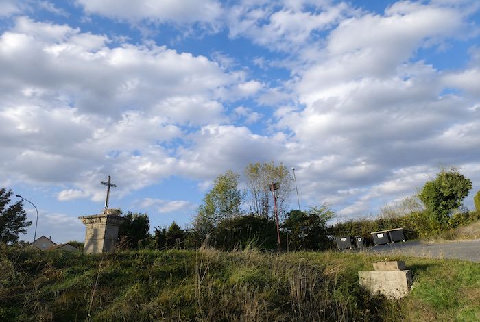
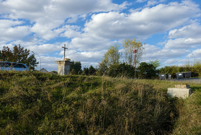
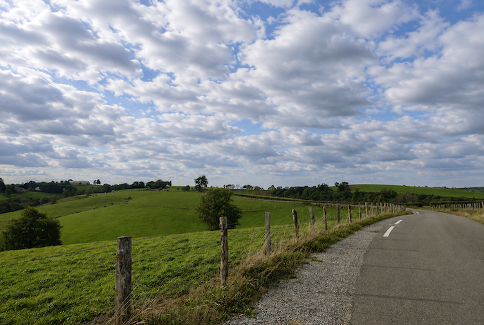
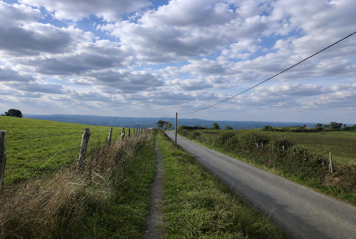
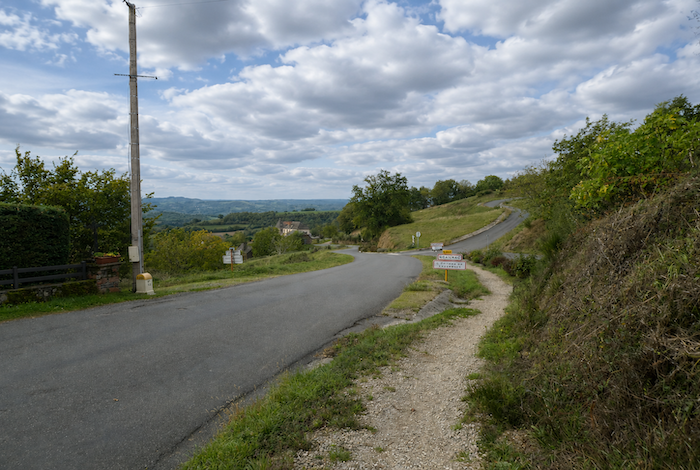
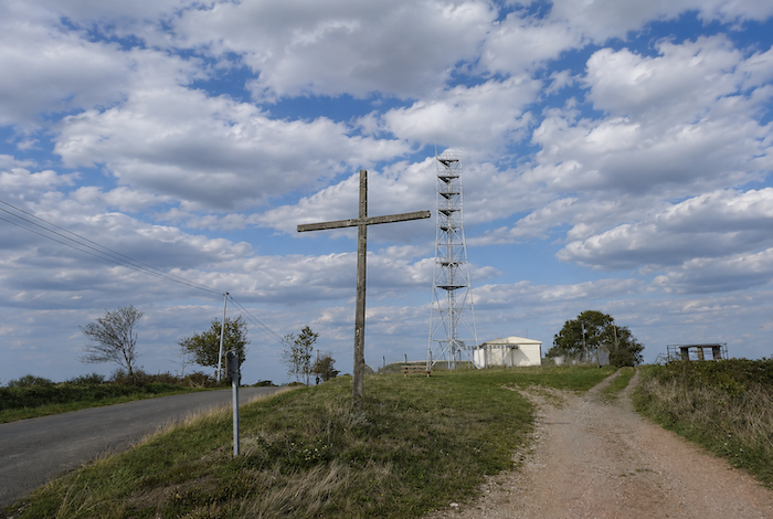
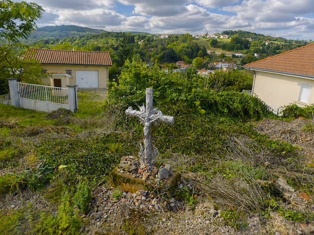
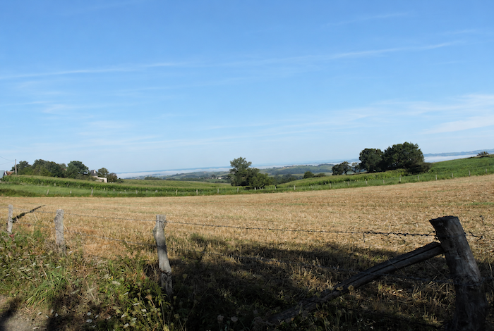
| The road soon reaches La “Croix du Pargadou”. A viewpoint here offers the opportunity to appreciate the geography of the region once more. You are standing at an elevation of 643 meters, and although your route continues towards Decazeville, you will soon have to lose more than 400 meters in altitude. |
 |
 |
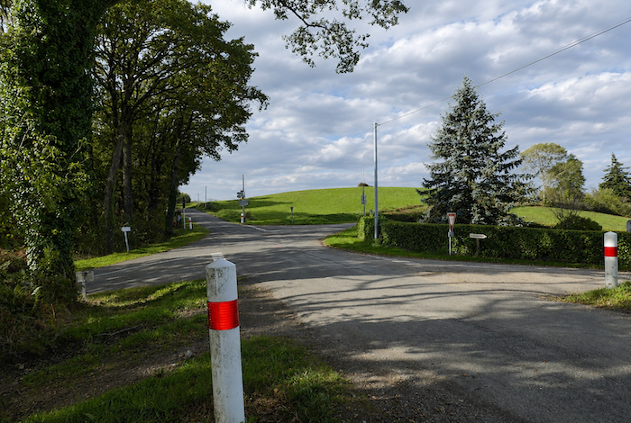
| Further on, the road crosses a broad junction where several small country lanes meet, all disappearing into this landscape of plateaus and rolling dales. |
 |
 |
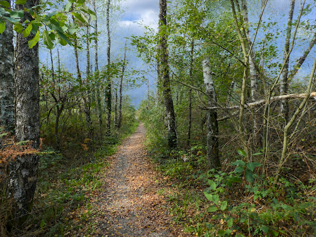
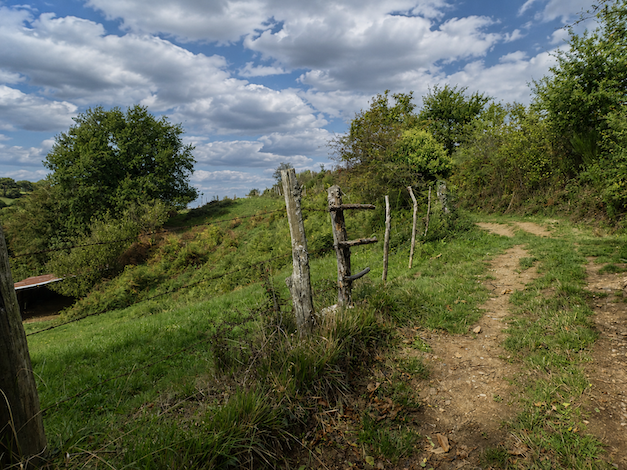
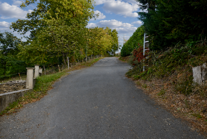
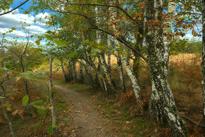
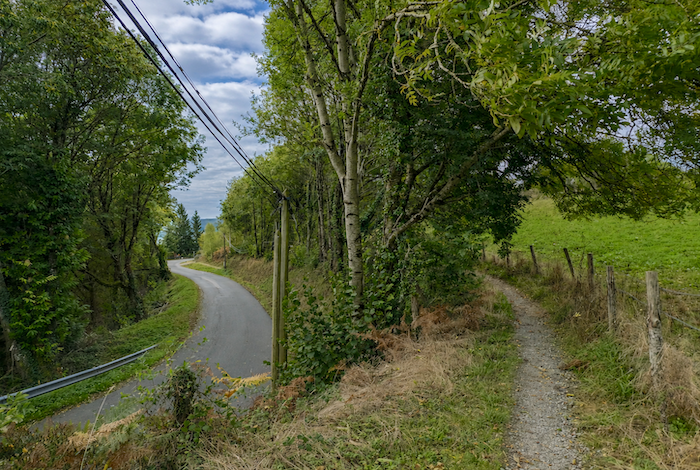
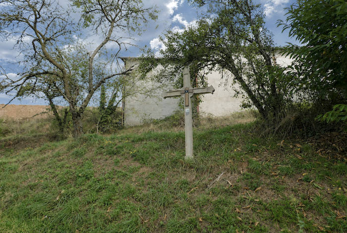
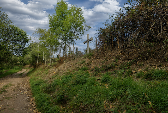
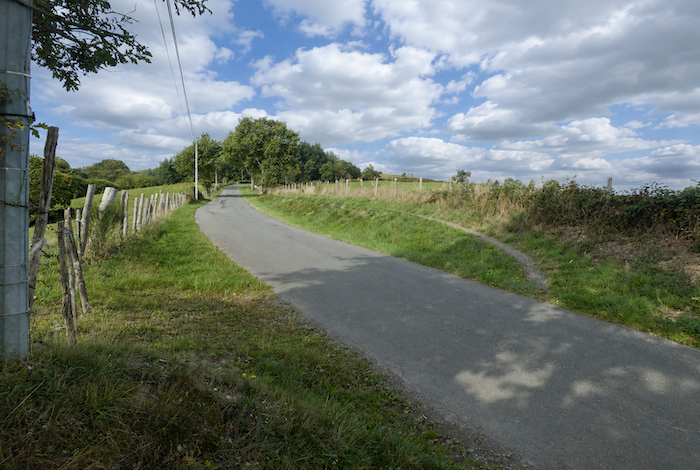
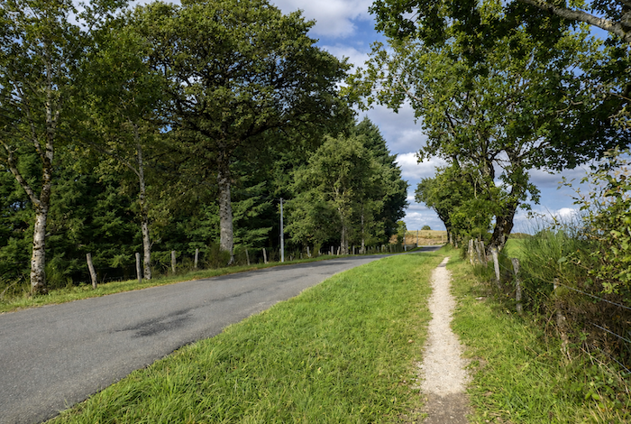
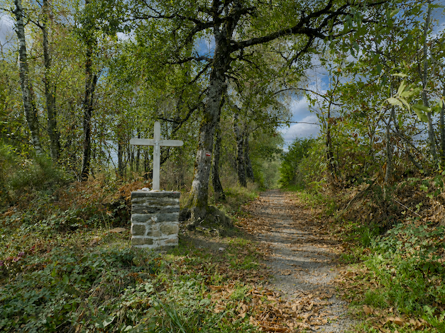
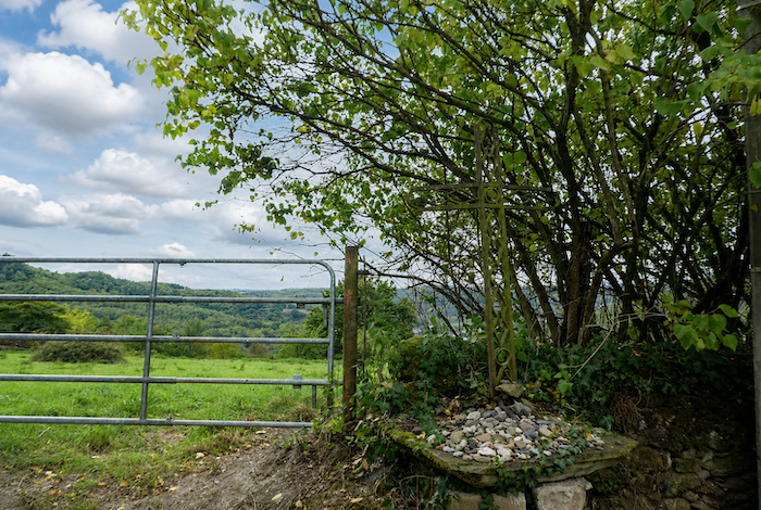
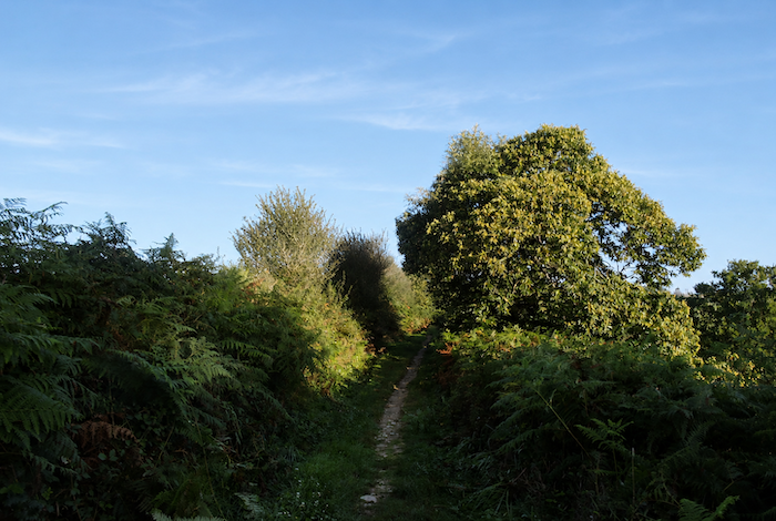
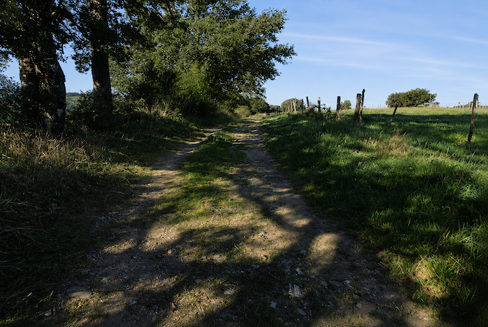
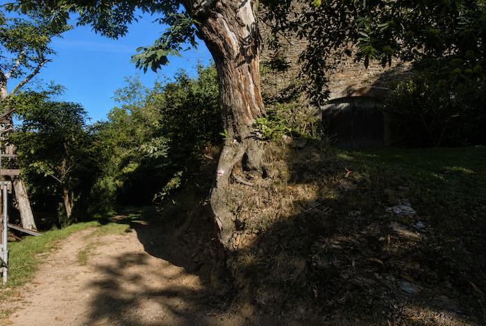
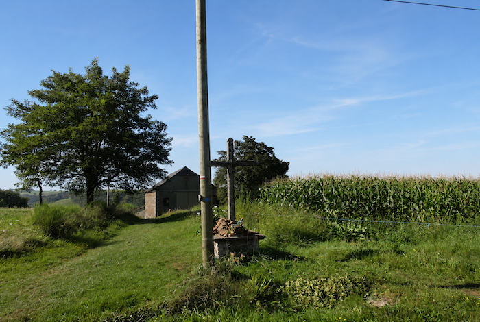
| Shortly afterwards, beside a cross standing at the roadside, the GR65 finally agrees to move away from the asphalt for a while. What a welcome relief it is to feel beaten earth beneath your boots again, beneath oak and chestnut trees whose pale trunks sometimes resemble birches from a distance. |
 |
 |
| This respite lasts little more than three hundred meters. Very soon, the road returns for another kilometer or more, bordered alternately by scattered fields and isolated pine trees growing among the oaks and chestnuts. |
 |
 |
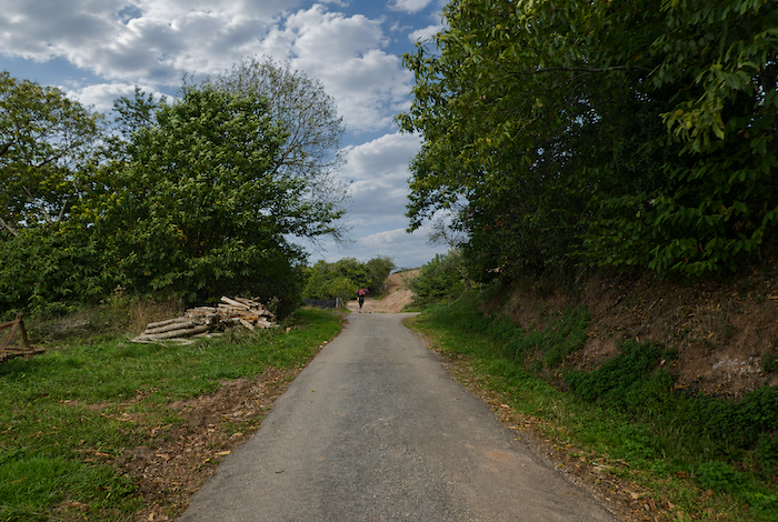
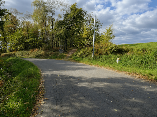
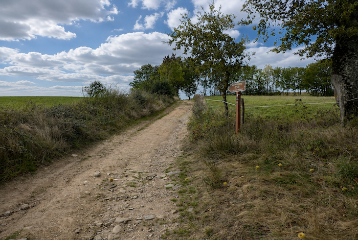
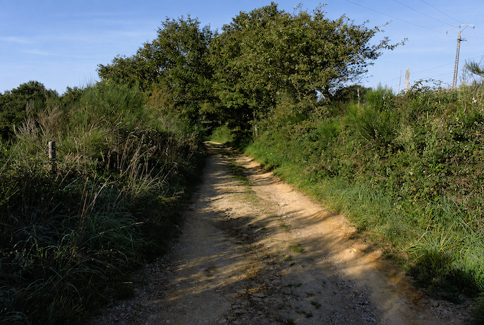
Then, quite suddenly, everything seems to change. A small sign beside the asphalt finally announces the possibility of a genuine path. Perhaps the designers of the new GR65 wanted to demonstrate that they too could offer a few fine woodland trails. Even so, you cannot help feeling a little suspicious. The reason soon becomes obvious.
| A path leaves the road and descends through the meadows along the hillside. |
 |
 |
| IIt gradually approaches the woodland, almost without resistance, as though naturally drawn towards the shade of the trees. |
 |
 |
| Once inside the forest, the path plunges between oak and chestnut trees on a slope approaching 20%. A sign even announces a refreshment stand a little farther on, like a promise of comfort after the effort. |
 |
 |
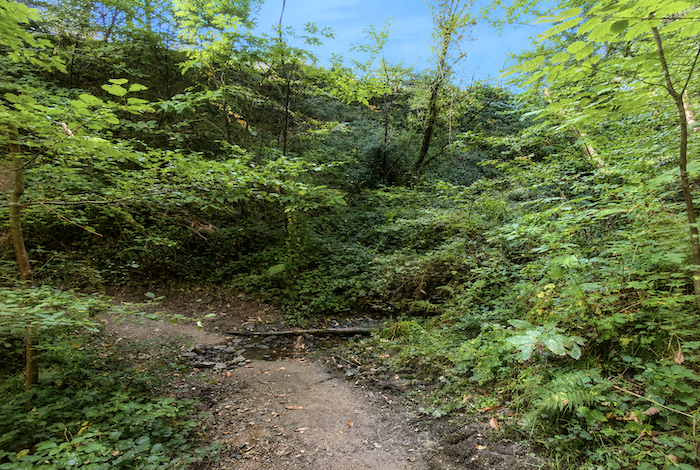
| At the bottom of this steep descent, the path pays a brief visit to a tiny unnamed stream, a discreet ribbon of water hidden away at the bottom of the dale. |
 |
 |
| But you must immediately climb back up again, almost as steeply as you came down. The path climbs steeply beneath the trees. |
 |
 |
| Then, after all that effort, the path rejoins… exactly the same road it left a little earlier, near Fonteilles. What a trick! You have earned yourself a demanding descent and an equally demanding climb, only to return a little farther along the same road. Still, perhaps it is excellent training for a pilgrim after all. |
 |
 |
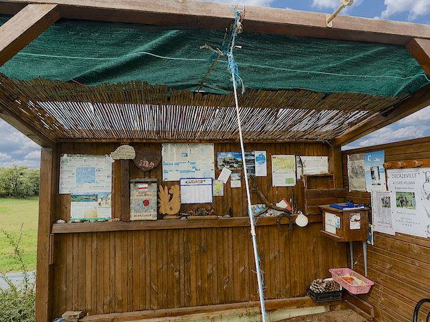
| So here comes the road once again, followed shortly afterwards by the eclectic little refreshment stand at Fonteilles, an improvised stop beside the roadside. |
 |
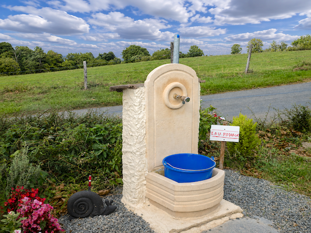 |
The refreshment stand is not open throughout the year. It mainly appears during the busiest pilgrimage periods. Even so, there will almost always be a supply of cool drinking water here, a welcome reward for tired pilgrims,
| A few hundred more meters along this soulless asphalt… |
 |
 |
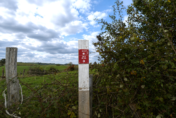
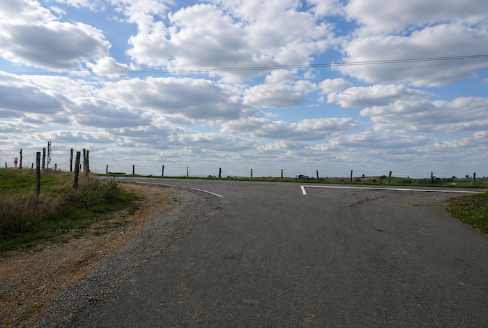
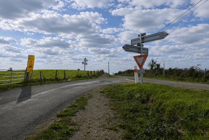
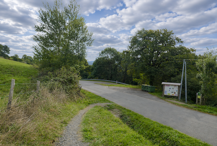
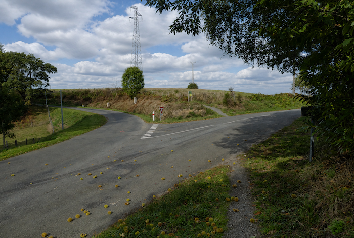
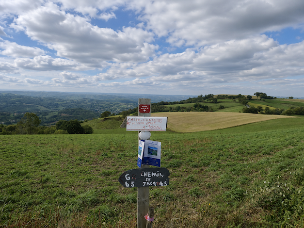
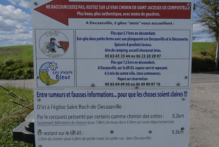
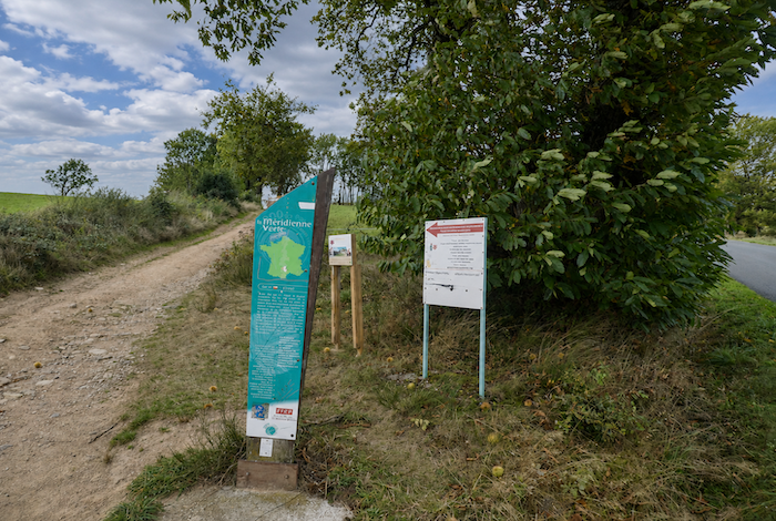
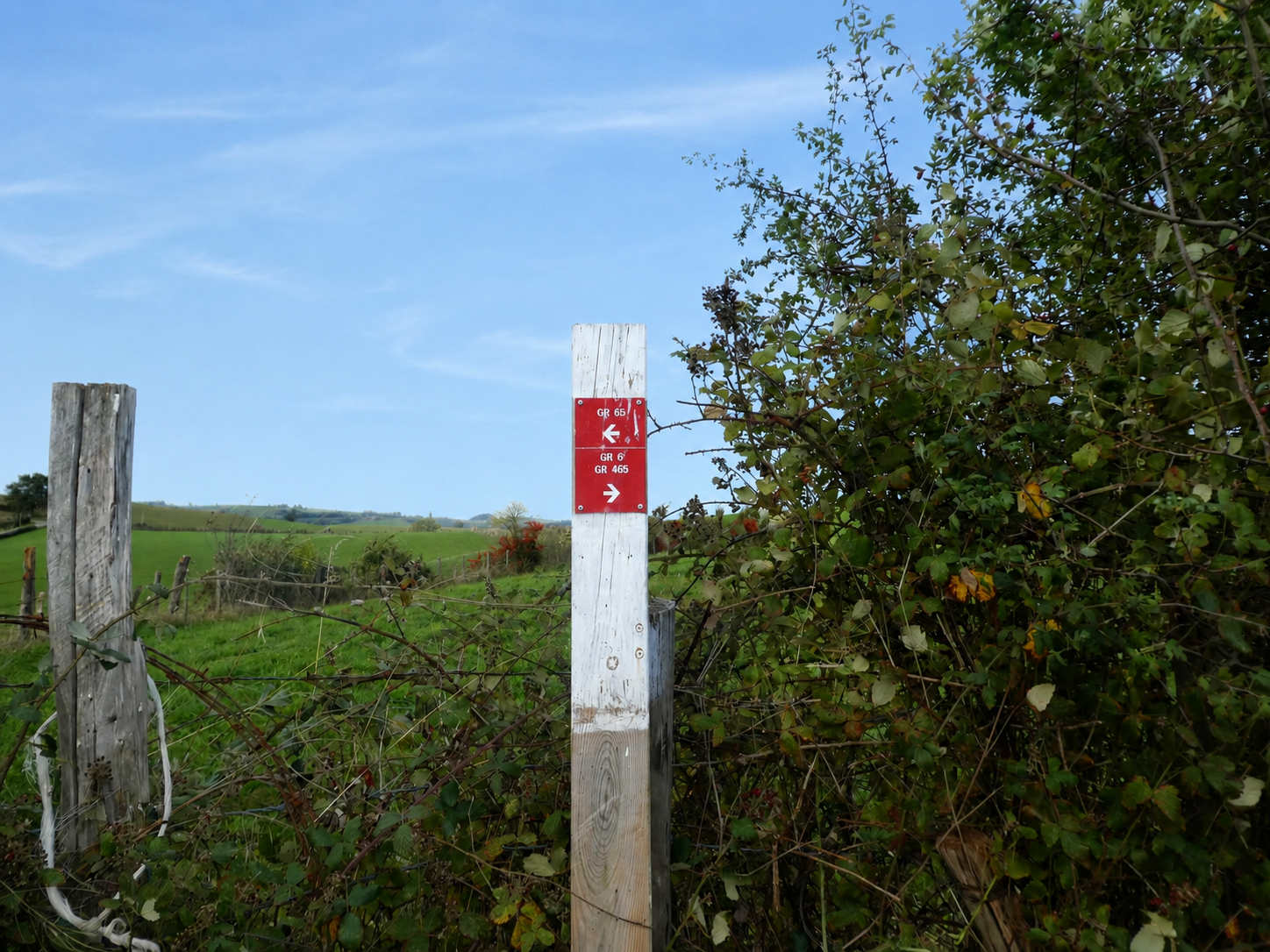
| …and the route reaches a genuinely strategic point, the junction of the GR65 and the GR6. A rather curious signpost stands here, almost absurd in its purpose. Who would decide to return to Conques, whether by the GR65 or the GR6? The sign only really makes sense for those walking the Camino in reverse. From this point onward, you follow the shared alignment of the GR65 and the GR6 towards Livinhac-le-Haut. In reality, the most useful sign is a discreet little notice explaining how the different routes fit together.
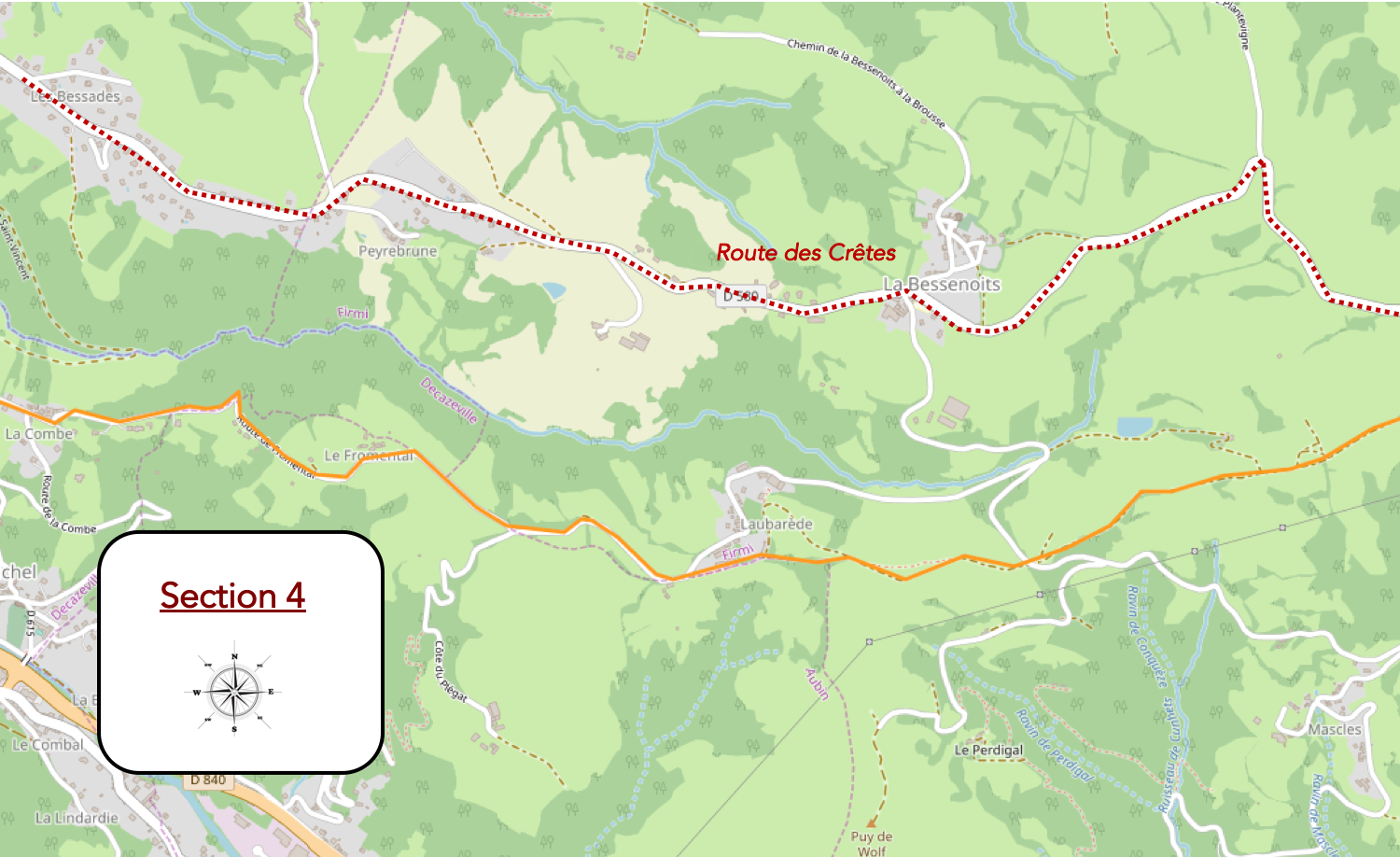
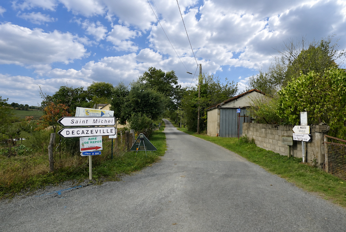
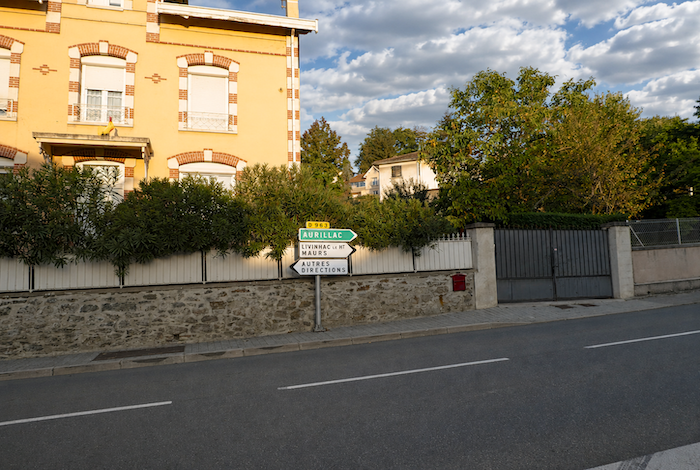
Some cynical observers even claim that this notice was installed to encourage pilgrims to spend the night in Decazeville. Who knows? Several options are available here. By simply staying on the road, it is possible to reach Livinhac-le-Haut directly via the “Route des Crêtes”(Ridge Route). The sign admits quite honestly that this alternative is mainly on asphalt. Even so, the road rolls gently across the heights without any major climbs or exhausting descents. The GR65 and GR6 promise rather less asphalt. That is true, but only partly. After a few pleasant sections across fields, the route quickly returns to paved roads. The real difference between the two alternatives lies above all in the elevation changes. The GR65 and GR6 descend all the way to the bottom of the valley at Decazeville before climbing steeply to St Roch and then descending once again towards the Lot Valley. So, the choice is yours. You may wish to follow faithfully the traditional alignment of the GR65 and GR6, even though, in truth, there is no single « true » Camino route. Or you may prefer to reach Livinhac-le-Haut more directly by taking the Ridge Route through Agnac, which rejoins the GR65 and GR6 near St Roch. To be completely honest, many walkers would probably benefit from choosing the the “Chemin des Crêtes” (Ridge Route). Nevertheless, since our purpose here is to describe the Camino along its principal alignment, we shall continue on the GR65 and GR6. |
 |
 |
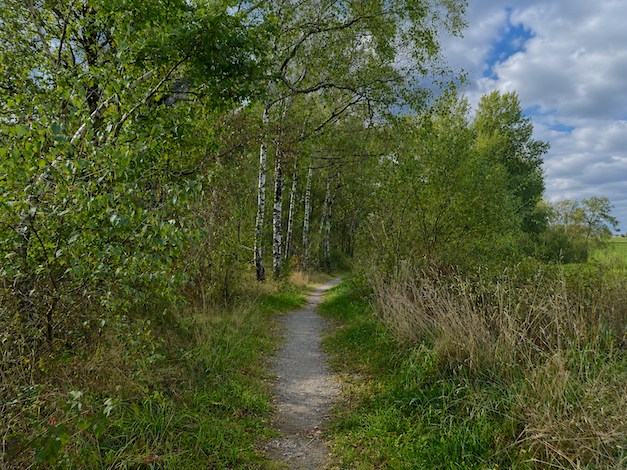
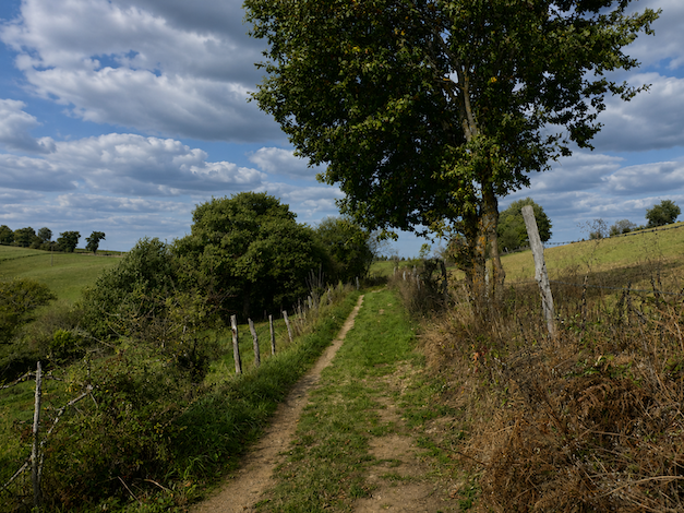
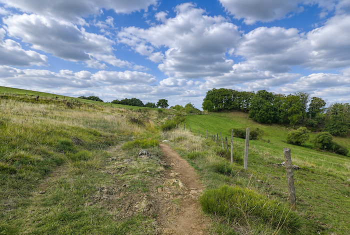
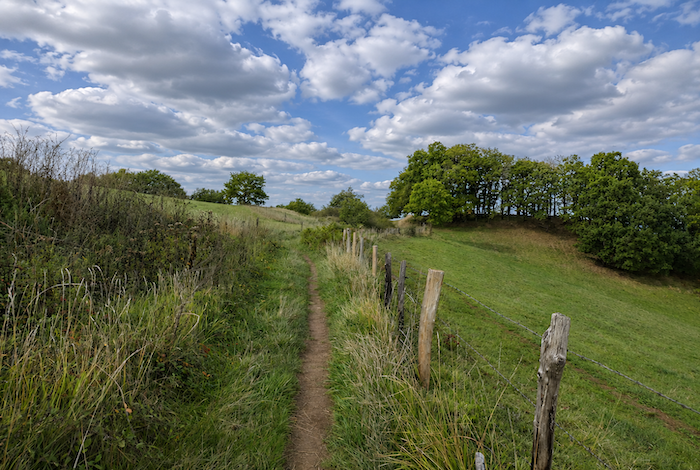
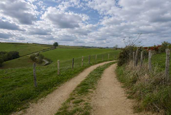
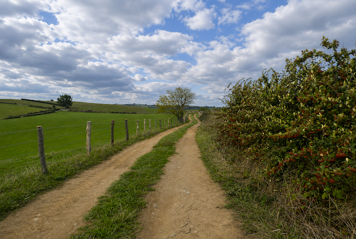
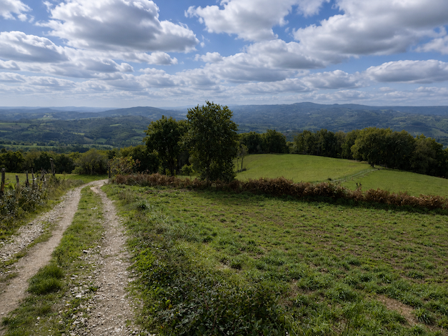
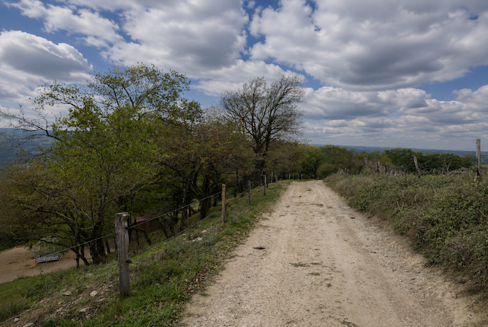
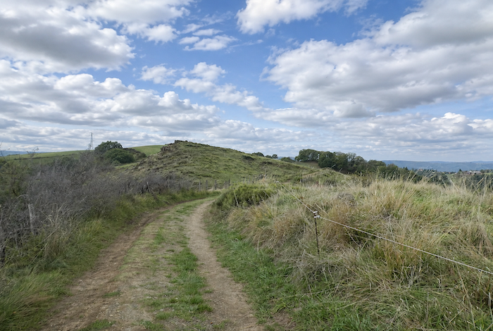
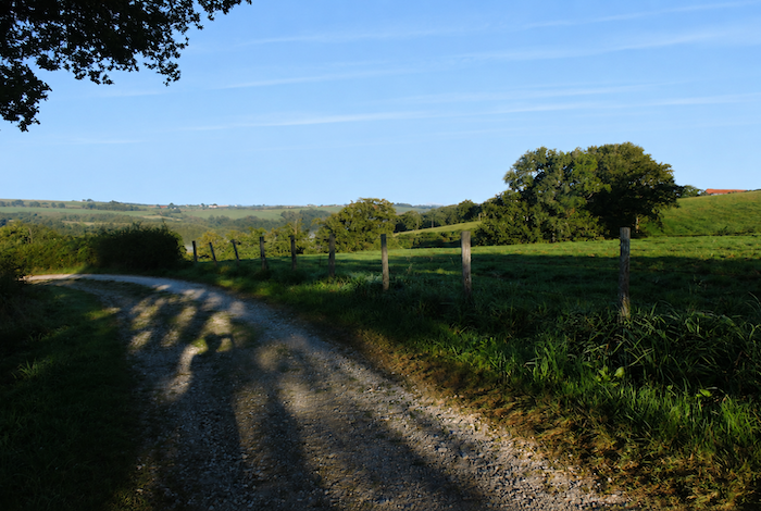
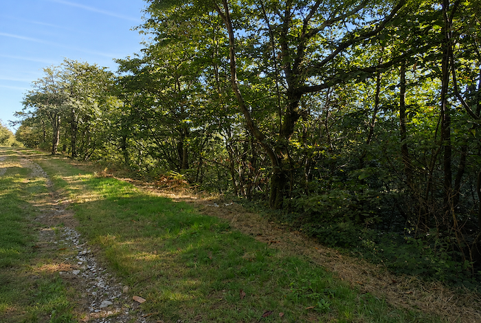
| Along this shared section, which from now on we shall simply call the GR65, the route follows the ridgeline. As promised, a genuine dirt and grassy path finally returns, gently undulating between meadows and cultivated fields alongside the hedgerows. |
 |
 |
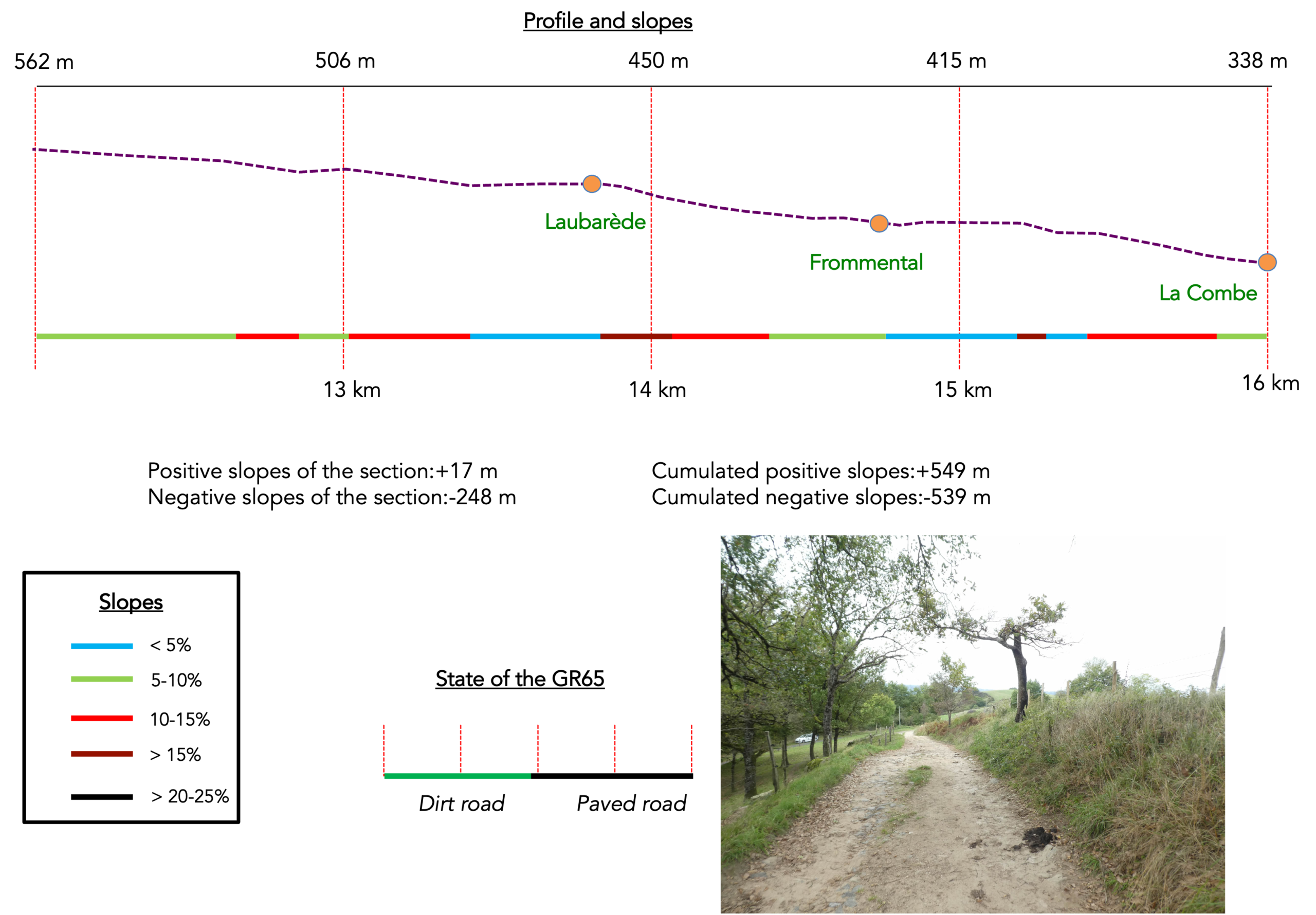
Section 4 : An endless descent towards Decazeville in the valley
Overview of the route’s challenges: There are no major difficulties here, since the route is almost entirely downhill, mostly on roads, with nearly 250 meters of descent along this section.
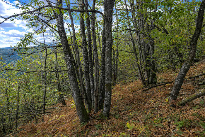
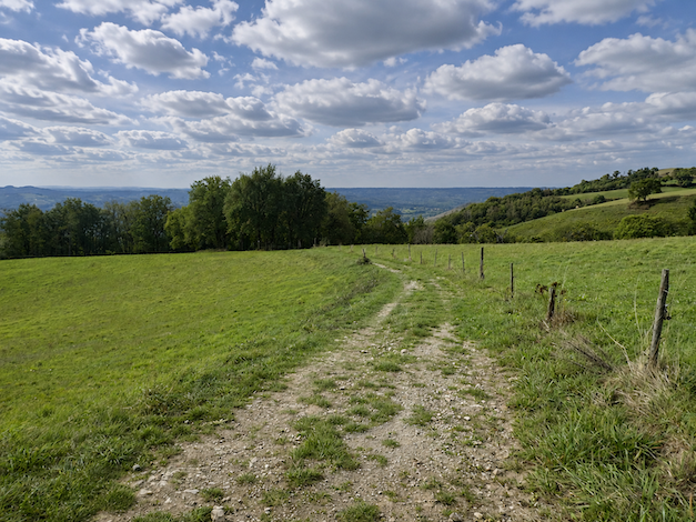
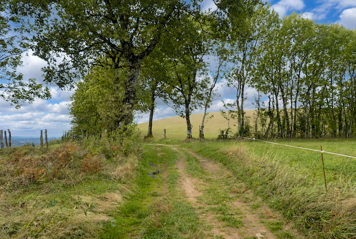
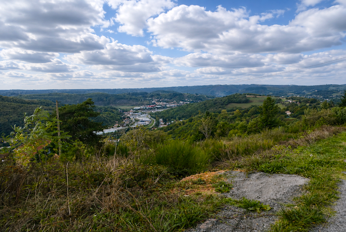
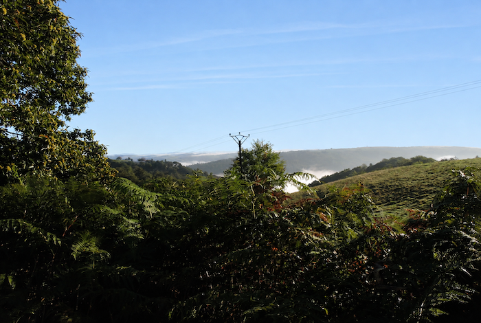
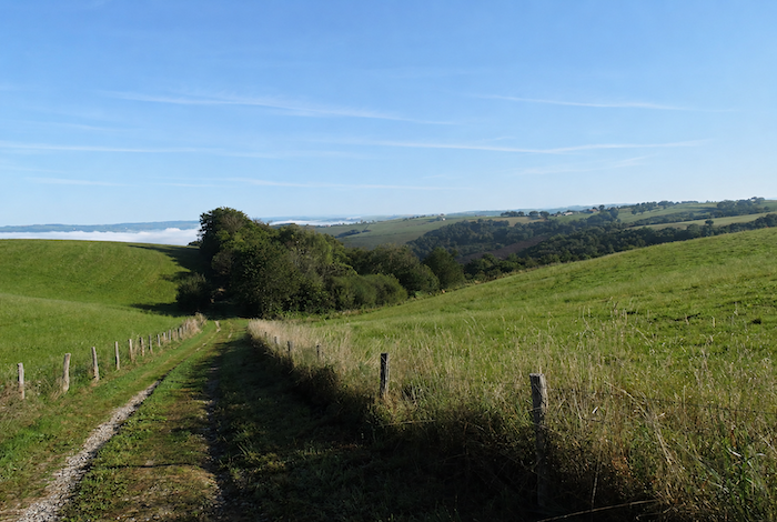
| The path follows the ridgeline. Far below stretches the broad plain of the Decazeville mining basin, a vast industrial scar carved into a landscape of hills and woodland. |
 |
 |
| Up here, the scenery bears little resemblance to the lush, green meadows one might expect. Instead, the landscape has the appearance of a harsh, sunburnt steppe, where a few solitary oaks survive among dense scrub and ferns scorched by the summer heat. |
 |
 |
| There is almost no cultivation here. Only tangled hedgerows, poor heathland, and the feeling of barren ground exposed to the winds sweeping across the heights. |
 |
 |
| Farther on, the path quietly passes a horse breeding farm. Down in the valley, the outline of Decazeville gradually emerges, still distant but already clearly visible in the mining basin below. |
 |
 |
| Along this long ridge, oak trees now dominate the landscape. They stand alone or in small groups, enduring among the dry ground and dense undergrowth. |
 |
 |
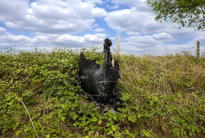
| Yet even these oaks bear the marks of hardship. Some still carry the scars left by wildfires, droughts, or storms that have swept across these uplands over the years. |
 |
 |
| Farther on, the path reaches a small road that is also followed by another long-distance trail crossing the Camino at this point. |
 |
 |
| Then, through this low, scrub-covered steppe, a grassy path continues steadily towards the end of the ridge. |
 |
 |
| Until now, the route has lost very little elevation since the GR65 and GR6 merged. Suddenly, however, everything changes. A narrow trail, at first winding and rocky, begins a sustained descent through a landscape that still feels wild, among shrubs, tall grasses, and stunted oak trees. |
 |
 |
| Lower down, this impression of untamed nature gradually fades, although the slope remains ever present along the narrow trail. |
 |
 |
| As the path leaves the woodland, it finally returns to civilization, if one can call it that, on the agricultural heights of Laubarède. |
 |
 |
| After a still demanding descent through meadows and past the scattered farms of this dispersed hamlet, the GR65 eventually rejoins the road. |
 |
 |
| And as soon as this modest form of « civilization » reappears near Laubarède, the pleasant little path promised by the sign at Fonteilles comes to an end. Gone are the beaten earth and rocky trail. Once again, asphalt takes over, and it will remain with you for a long time, all the way to Decazeville and even beyond. From here begins the long descent towards the mining town, a descent unfolding in a series of gradual stages. |
 |
 |
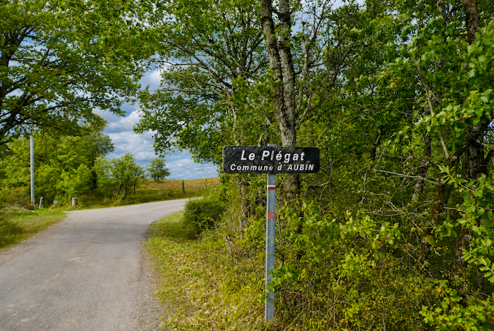
| Initially, however, the road drops quite steeply towards the little hamlet of Plégat, clinging to the hillside above the valley. |
 |
 |
| The descent to Decazeville feels endless, and that is no exaggeration. You need only look down towards the valley floor to appreciate just how much farther there is still to go. |
 |
 |
| A little farther on comes Fromentels. There is little to do here except watch the few cattle grazing in the fields or count the oak trees lining the roadside, while chestnut trees gradually become less common. On the opposite side of the hill runs, almost level, the Ridge Road, the alternative that perhaps should have been chosen back at the Fonteilles junction. |
 |
 |
| Eventually, you begin to feel that you will never actually reach Decazeville, so endlessly do these stretches of countryside succeed one another. It is not really the landscape that creates this feeling of weariness. It is above all the asphalt, the road that constantly lengthens the distance and slowly drains the walker’s energy. |
 |
 |
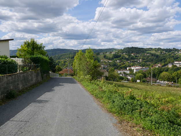
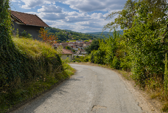
| Lower down, a break in the landscape finally allows you to understand the geography more clearly. The rooftops of Decazeville still appear far below the ridge, and the town itself spreads widely across the valley floor. |
 |
 |
| The road continues its relentless descent, sometimes on very steep gradients, passing near the hamlet of La Gaillardie, where a handful of scattered stone houses emerge from the woodland among pine trees growing on the hillside. |
 |
 |
| And still the road descends, endlessly, as though it can never satisfy its desire to reach the valley below. |
 |
 |
| Lower still, it reaches the hamlet of La Combe. |
 |
 |
Section 5 : Among the former miners before the steep climb to St Roch
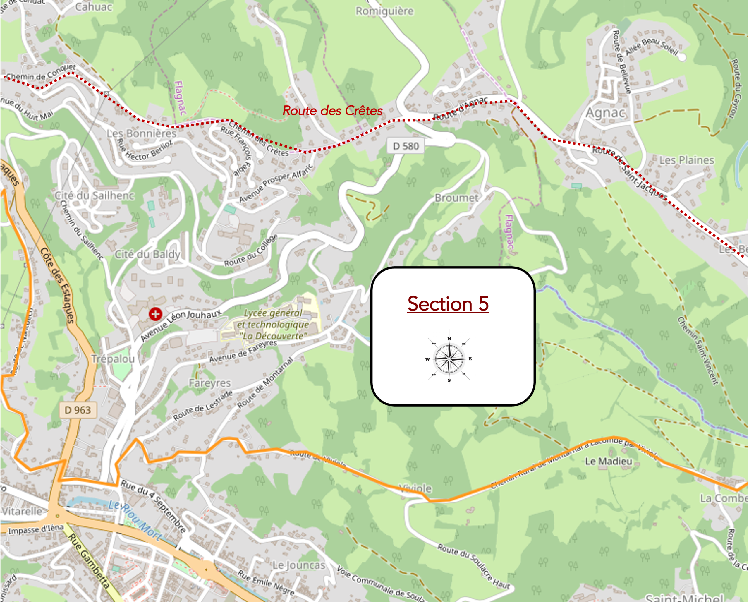
Overview of the route’s challenges: steep gradients both on the descent into Decazeville and on the demanding climb back up to the hill of St Roch.
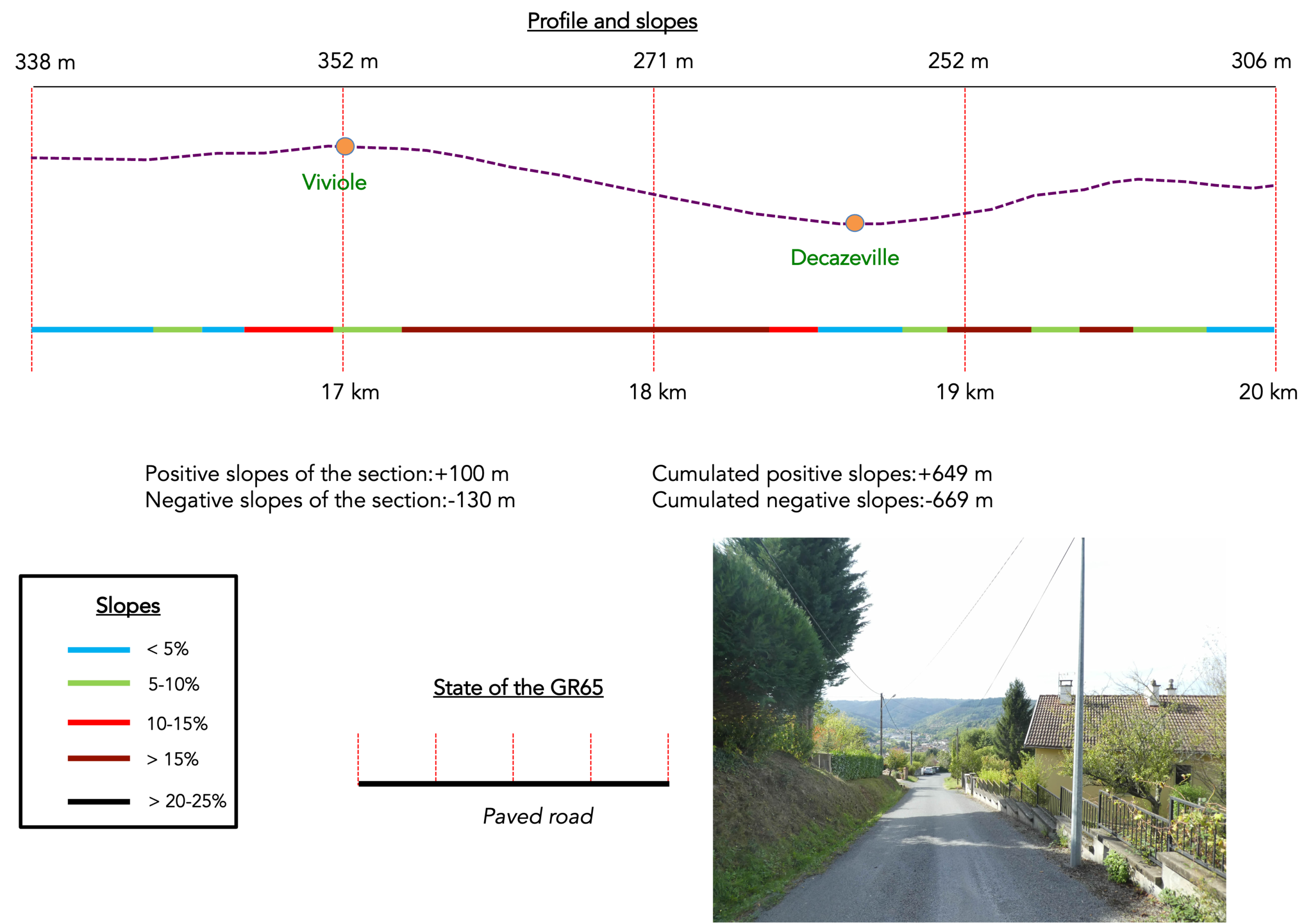
| At La Combe, however, an unpleasant surprise awaits you. You had innocently imagined that the road would finally descend all the way to Decazeville. Not at all. Instead, it suddenly begins climbing again towards Viviole. At first, the gradient is fairly gentle… |
 |
 |
| …then it becomes noticeably steeper. |
 |
 |
| And the climb drags on at your expense, long and monotonous, as though the route were determined to test the already weary legs of the pilgrim one last time. |
 |
 |
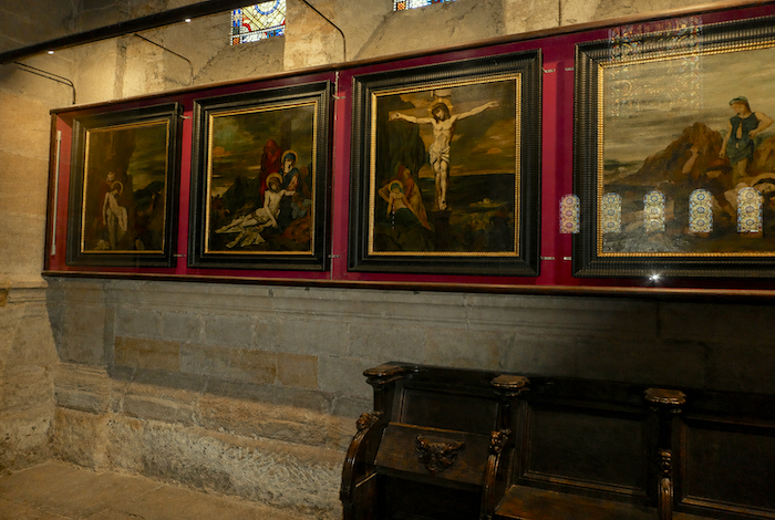
| At the top of the climb lies a large public park equipped with a drinking water point, dedicated to the local painter and sculptor Gustave Moreau. It was he who created the remarkable Stations of the Cross in the church of Decazeville. If you pause beside the fountain, you will probably see a few cars arriving to bring their dogs to the training sessions regularly held in the park. It is a curious contrast between modern life and the slow rhythm of pilgrimage. |
 |
 |
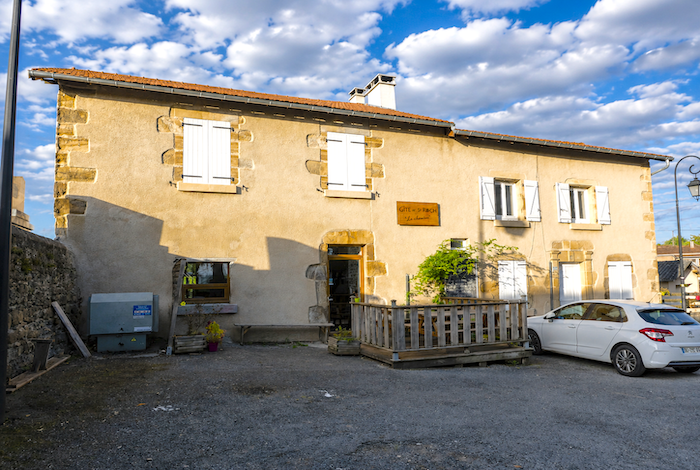
| Just beyond appears Viviole, bringing to an end this seemingly endless crossing of the ridge overlooking Decazeville. Accommodation is available here for walkers. |
 |
 |
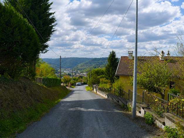
| Only from Viviole does the truly steep asphalt descent towards the upper outskirts of Decazeville begin. The road quickly runs through the hamlet and its sturdy stone houses without lingering. |
 |
 |
| Lower down, it continues through a number of scattered residential areas, with sections where the gradient sometimes reaches 20%. And naturally, every meter you descend now will have to be climbed again later. |
 |
 |
| As if determined to finish off the pilgrim’s legs completely, the slope seems to grow even steeper as Decazeville slowly draws nearer. |
 |
 |
| The steepest section comes at the very bottom of the descent, where the road finally reaches the outskirts of Decazeville. |
 |
 |
| Welcome to the kingdom of aching joints. On this deceptive slope, everything depends on the condition of your legs and knees, whether they bring you pain or relief. |
 |
 |
| A few more endless bends on this road that never seems to stop plunging towards the valley, and you will finally arrive in Decazeville. |
 |
 |
 |
 |
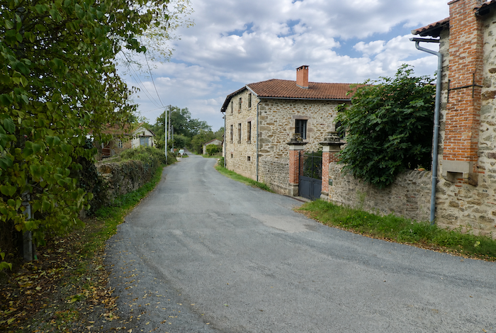
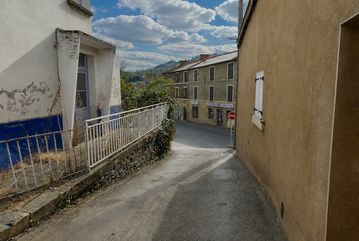
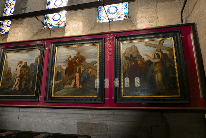
| Decazeville is a town literally divided in two by the main departmental road linking Figeac with Rodez. The GR65 does not actually pass through the town center. Instead, it remains on the upper outskirts, following the hills alongside the departmental road. Today, Decazeville has a population of around 6,000 inhabitants. The town was born during the nineteenth century following the discovery of major coal deposits, and it owes both its name and its existence to the Duke Decazes, who founded the mines and the town itself. In 1892, La Découverte, France’s first major open pit coal mine, was opened here. It formed an immense mining crater nearly one kilometer across and two hundred meters deep. Although the Camino does not pass directly by the site, this impressive former mine can still be seen from several viewpoints south of the town. The mines have now disappeared, leaving behind the often-moving traces of an extinct industrial world, rusting structures, abandoned buildings, and neglected wasteland that still bear witness to the region’s once mighty mining industry. Today, however, the town is seeking a new future. Pilgrims will naturally find places to eat and accommodation in Decazeville, although relatively few choose to spend the night here. One may still wonder why the Camino was routed through this area, especially since the route does not even pass through the heart of the town. It is worth remembering that this lengthy detour can be avoided by following the Ridge Route from the Fonteilles junction. However, if your itinerary includes a stop in Decazeville, take the time to visit the church and admire the magnificent Stations of the Cross created by Gustave Moreau. |
 |
 |
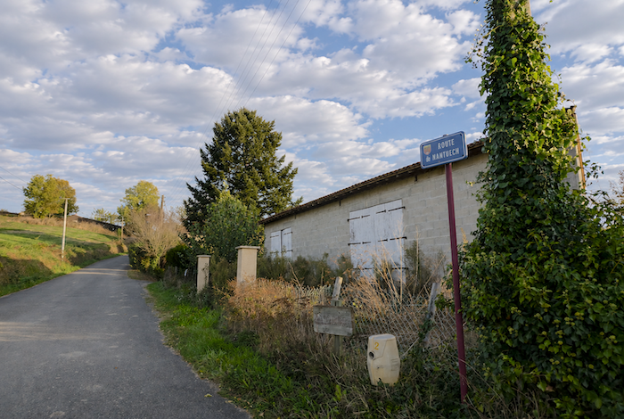
| Leaving Decazeville, the GR65 immediately begins gaining height once again towards the hill of St Roch, passing a small shelter provided for pilgrims on the edge of the town. The path then follows the Road of Nantuech for a climb that offers no respite whatsoever. |
 |
 |
| The road twists mischievously between villas clinging to the hillside. Here, one local resident has even left an outdoor tap available for walkers, fully aware of the demanding climb that awaits them. Such a simple gesture feels almost like an act of mountain hospitality. |
 |
 |
| The climb to St Roch is something that truly has to be earned. During the first part of the ascent, many sections approach gradients of 20%, and sometimes even steeper. Your legs soon begin to burn with the effort. |
 |
 |
| The small villas, where four-wheel drive vehicles are probably the wiser choice during winter, line the steep hillside one after another, almost suspended above the valley. Halfway up, walkers can finally catch their breath. The gradient eases for a short while, and the road even seems to descend slightly between the houses. |
 |
 |
| This brief respite does not last. The road soon begins climbing once more, fortunately with a slightly gentler gradient, still passing between houses and their carefully tended little gardens. |
 |
 |
| Higher up, the route changes direction and follows the “Chemin de Boutigou”. |
 |
 |
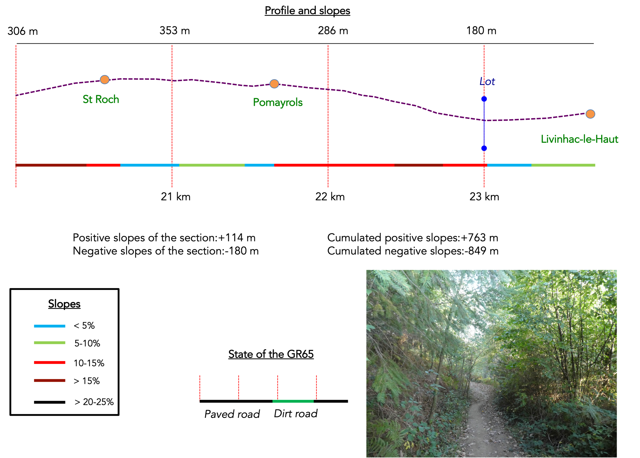
Section 6 : Descending to the Lot River
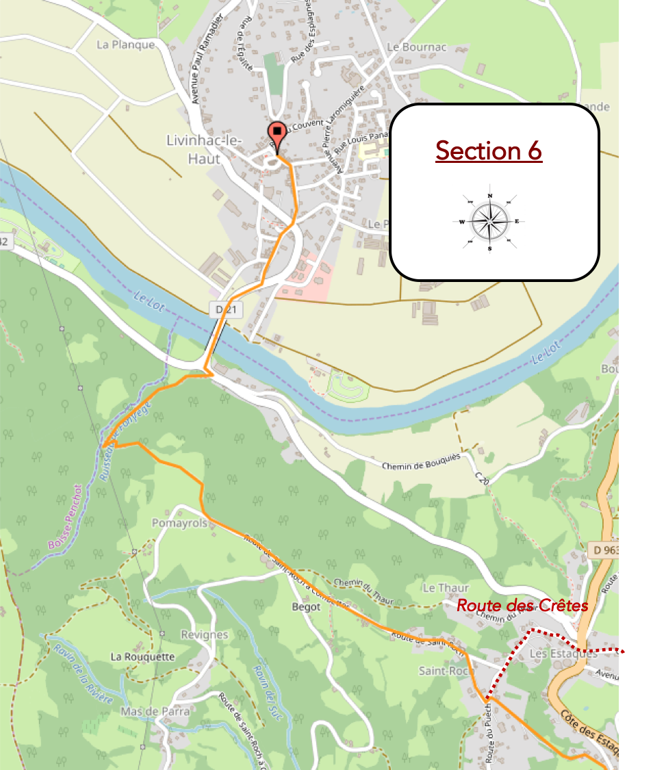
Overview of the route’s challenges: There is still some climbing as far as St Roch, followed by gentle undulations before often steep slopes through the woodland towards the Lot River, and finally a few more climbs to reach the center of Livinhac.
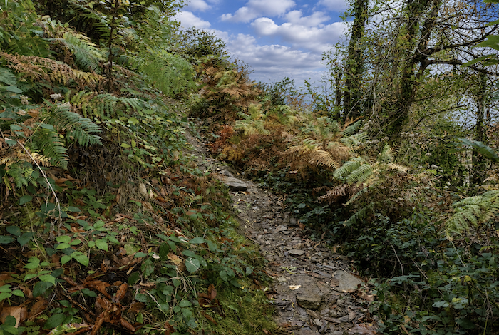
| Along the “Chemin de Boutigou”, the villas gradually give way to open countryside. Gardens disappear behind hedgerows, followed by woodland and grassy banks. The gradient, however, steepens once again and frequently exceeds 15%. |
 |
 |
| The road continues climbing until it reaches a small roadside cross standing just a short distance from St Roch. Here, at last, this demanding ascent finally comes to an end. Since leaving Decazeville, you have gained almost one hundred and fifty meters in elevation. |
 |
 |
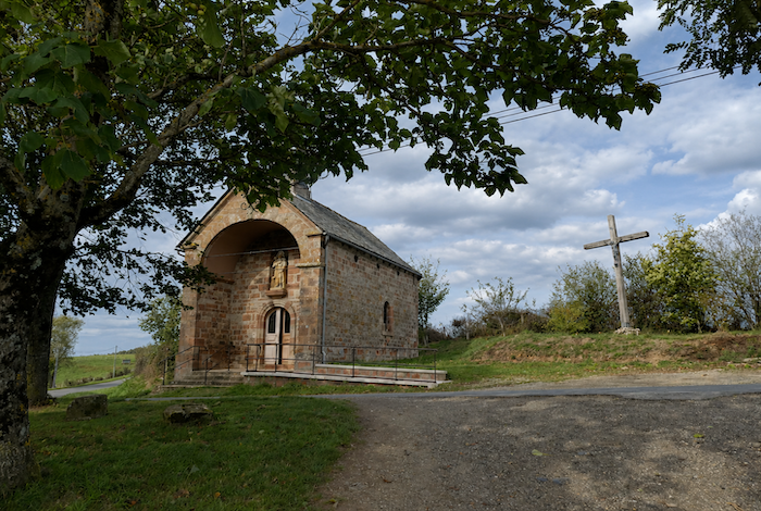
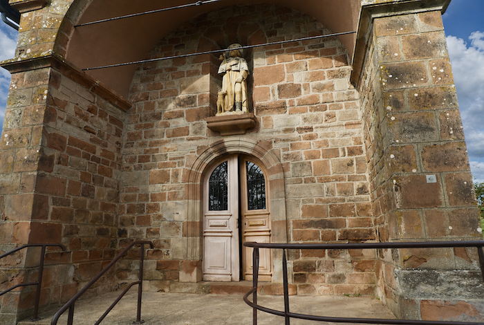
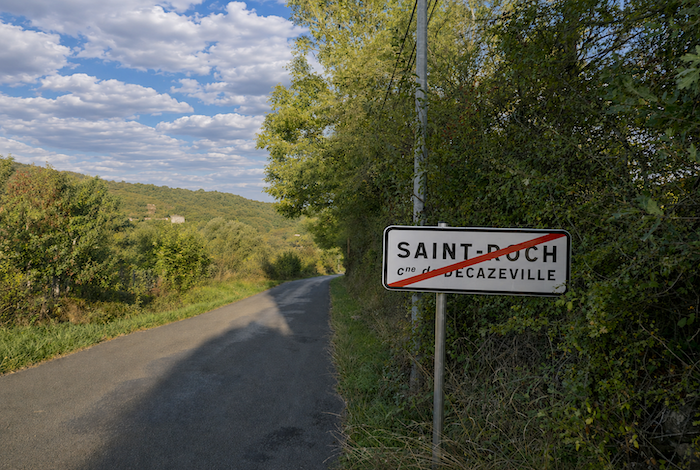
| The little road quickly reaches St Roch at the top of the hill. The small church, relatively recent by local standards, dates from the end of the eighteenth century and was enlarged at a later date. Accommodation is available directly opposite. This is also where pilgrims who chose the Ridge Route rejoin the main Camino. |
 |
 |
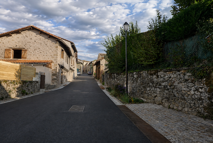
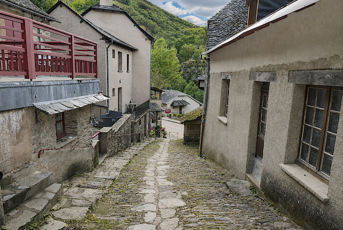
| The road then crosses the village on a gentle descent. St Roch stretches out along the hillside, lined with attractive detached houses watching quietly as pilgrims pass by. |
 |
 |
| A few more scattered homes cling to the slope before the road finally leaves St Roch behind. |
 |
 |
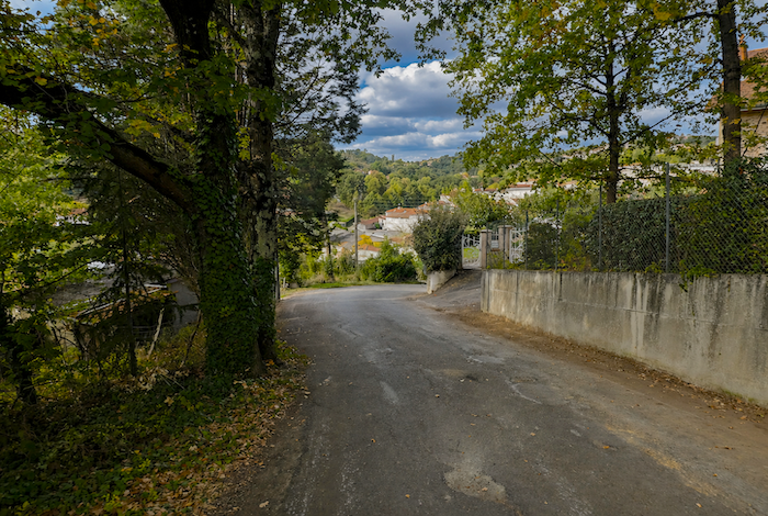
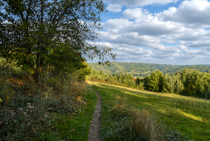
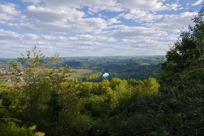
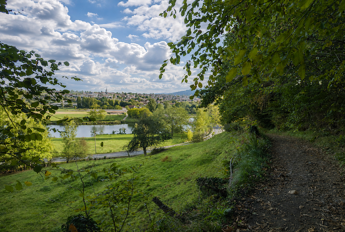
Below the hillside, the Lot Valley opens before you, where the river winds gently between the surrounding hills, flowing peacefully beneath the wooded slopes.
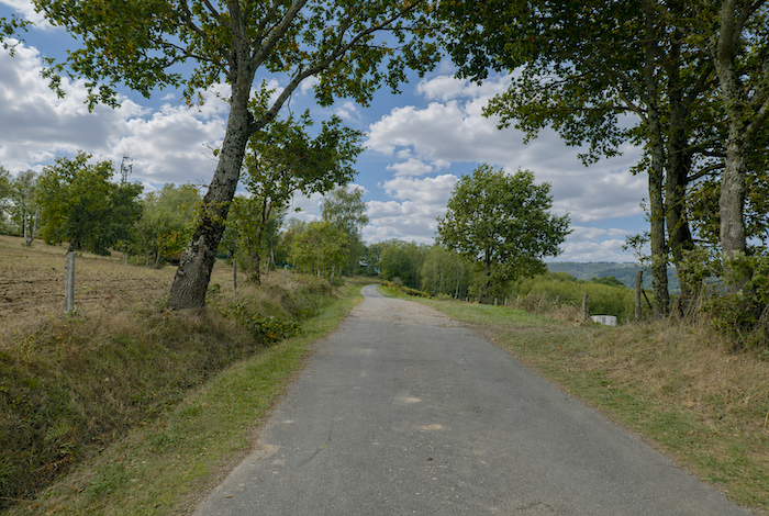
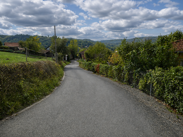
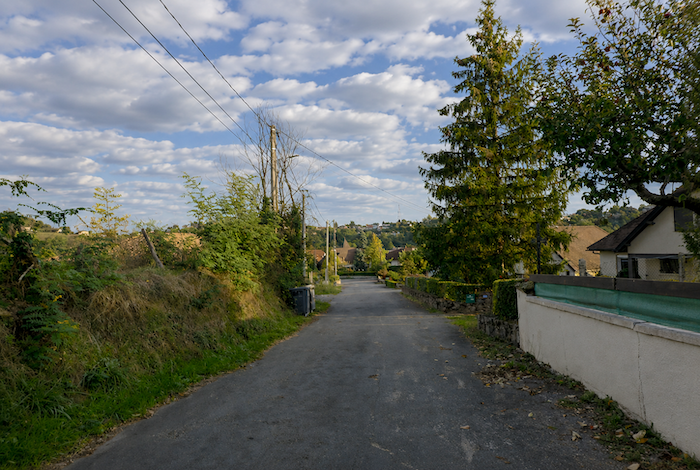
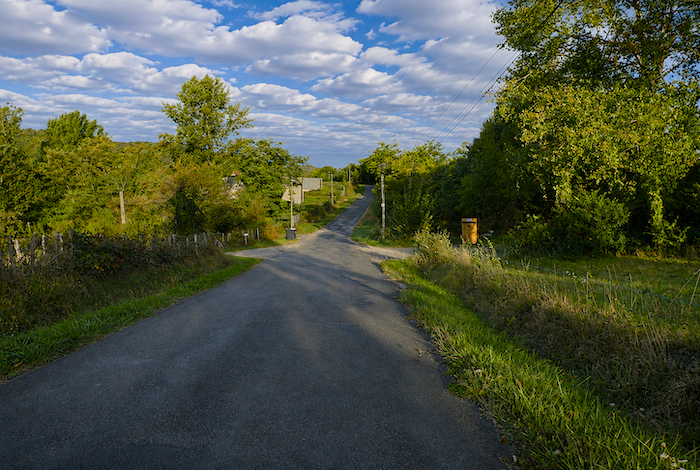
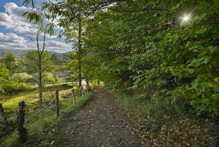
| The road then resumes its gentle undulations between hedgerows of oak and chestnut that frame the landscape. |
 |
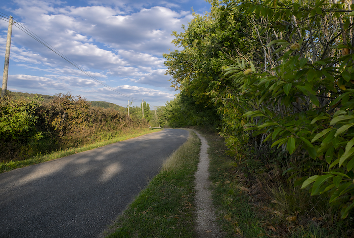 |
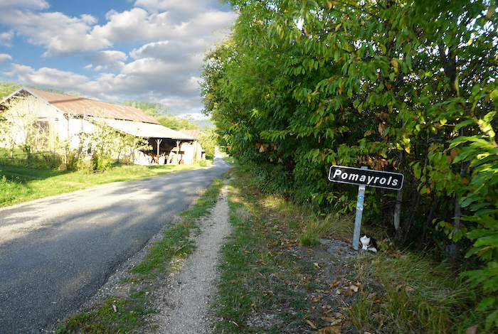
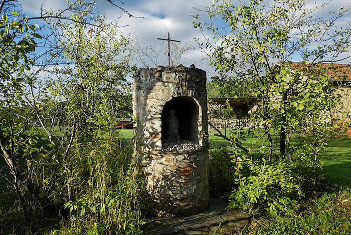
| Before long, it reaches Pomayrols, where a kindly saint watches silently over passing pilgrims. It is also here that, at last, walkers leave behind the road that has accompanied, and at times haunted, them throughout much of the day. |
 |
 |
| After one final short stretch of asphalt, a genuine path finally branches off, descending towards the forest. |
 |
 |
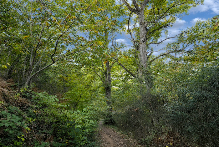
| At first, the path crosses fairly open woodland, where sunny clearings appear among graceful ash trees. |
 |
 |
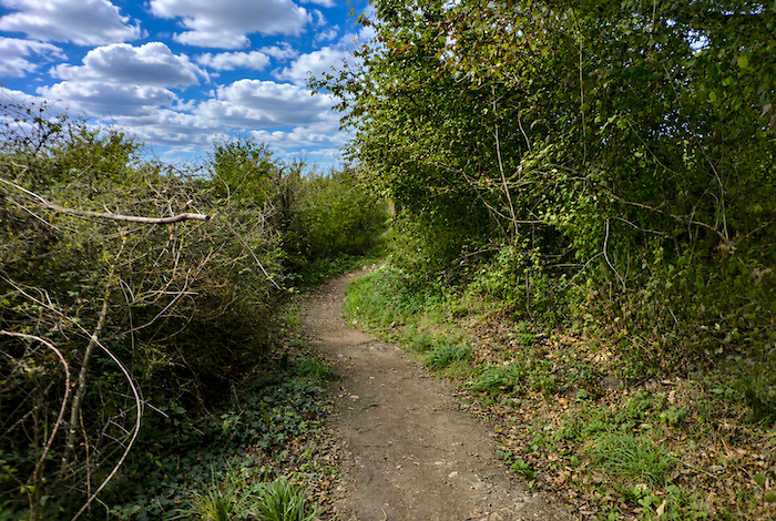
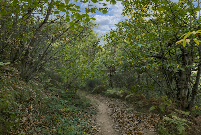
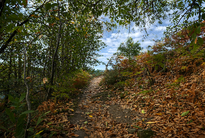
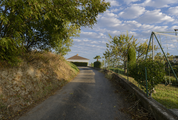
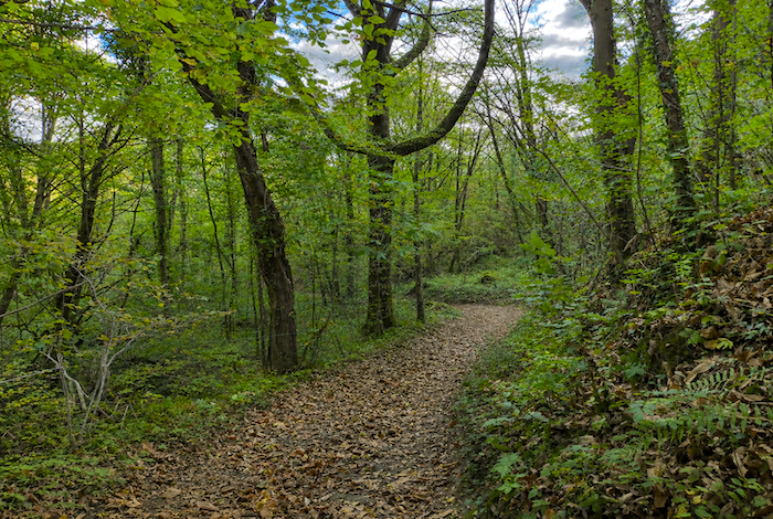
| Farther down, however, the path enters a much denser forest on a sustained descent. Chestnut, beech, and oak trees once again take complete possession of the landscape. Here, the path does not merely cross the forest. It winds through it, almost loses itself within it, absorbed by the hillside and by the untamed density of the woodland. |
 |
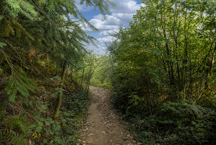 |
| The path twists endlessly beneath the trees, as though constantly hesitating over which direction to take. It weaves between twisted trunks, slips over exposed roots and damp stones, then suddenly steepens before easing again a few meters farther on. At every bend, the path seems determined to test the pilgrim’s legs a little more, while the forest closes around them in a silence woven from moss, fallen leaves, and interlacing branches. |
 |
 |
| Then, at the bottom of the descent, everything suddenly seems to settle into a gentle tranquility. |
 |
 |
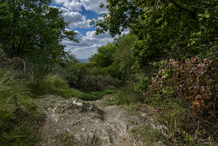
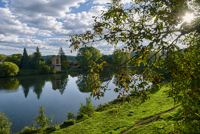
| Soon afterwards, through an opening in the trees, the Lot River finally comes into view, flowing peacefully across the valley floor below Livinhac-le-Haut. |
 |
 |
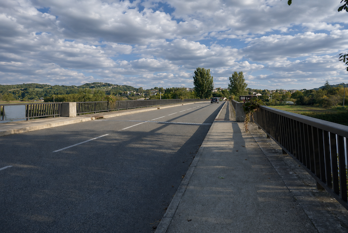
| You eventually cross the Lot just before reaching Livinhac-le-Haut. |
 |
 |
| You could spend hours gazing at the river. Its waters are so calm, so slow, and so silent that it becomes almost impossible to tell in which direction they are actually flowing. There is something deeply soothing about this place, almost majestic in its tranquility. |
 |
 |
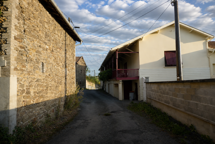
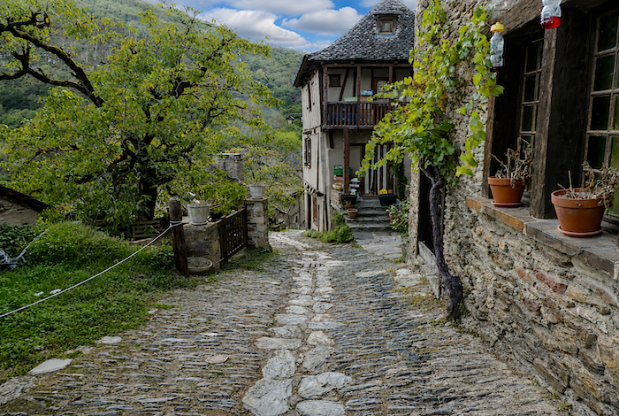
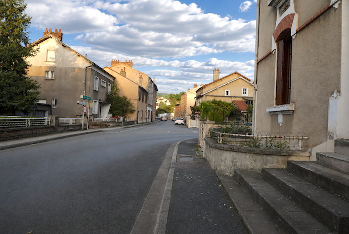
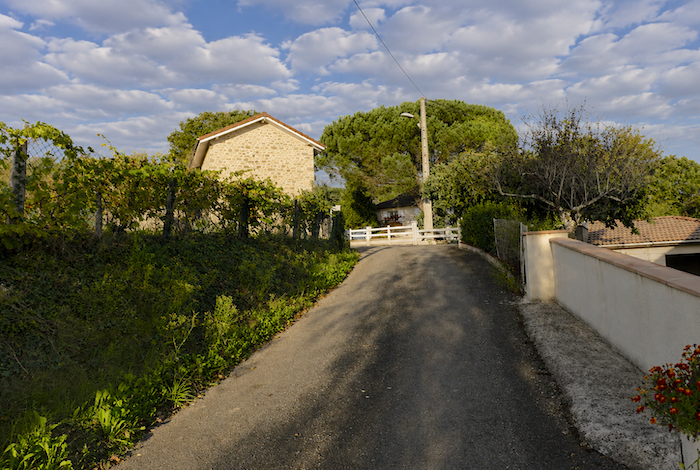
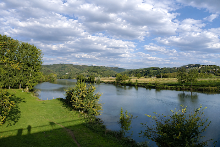
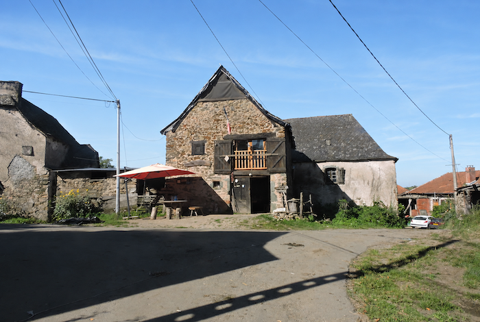
| Here, the Lot forms a broad meander within which the village nestles. Despite its name, Livinhac-le-Haut does not actually stand very high above the river. The name simply distinguishes it from Livinhac-le-Bas, situated a little farther down the valley. The village clings gently to the hillside, its old stone houses spreading through a network of narrow lanes. The GR65 then climbs gradually towards the heart of the village. |
 |
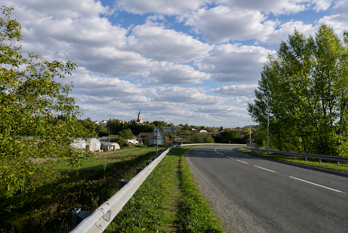 |
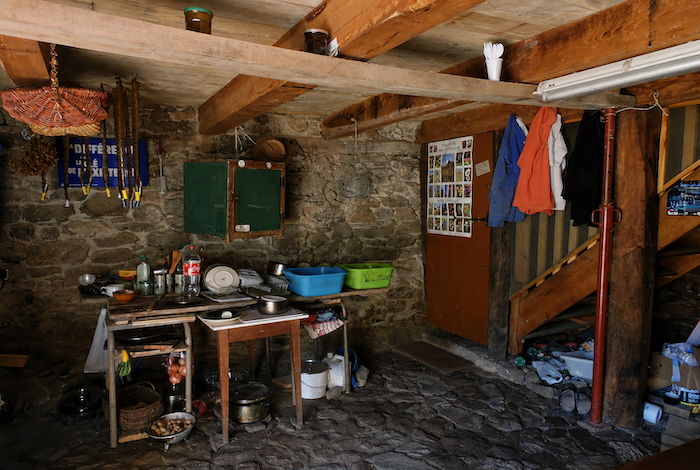
| Numerous pilgrim gîtes are scattered along the sloping streets of the lower part of the village. No one seems entirely able to explain why the Camino has flourished so successfully in Livinhac-le-Haut rather than in Decazeville, despite the latter being a much larger town. |
 |
 |
| The true heart of the village remains the public fountain standing at the foot of the church on Place du 16 Juin. It is here that local life still revolves, around the village shops and the everyday encounters that give the place its quiet vitality. |
 |
 |
Before continuing to the next stage, it may be worthwhile taking a look at the alternative GR6 route. Although the two itineraries share several sections, the GR6 offers considerably more genuine paths and far less asphalt as far as the Fonteilles refreshment stand. Beyond that point, the two routes merge once and for all.
The GR6 alternative: a little less asphalt, thankfully
In this region, from the Aubrac plateau onwards, the GR6 and the GR65 travel side by side. The Camino follows one for a while, then the other, and quite often they are one and the same. So where exactly does the GR6 go? It is a long-distance trail crossing southern France from Bordeaux to Nîmes. As far as this guide is concerned, it passes through Espalion, Estaing, Conques, Decazeville, and Figeac. Without even realizing it, you have already walked along parts of this route while believing you were simply following the GR65.
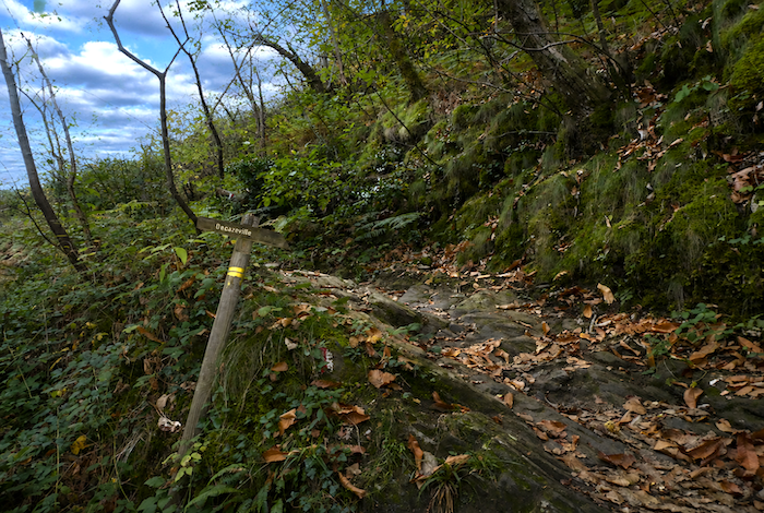
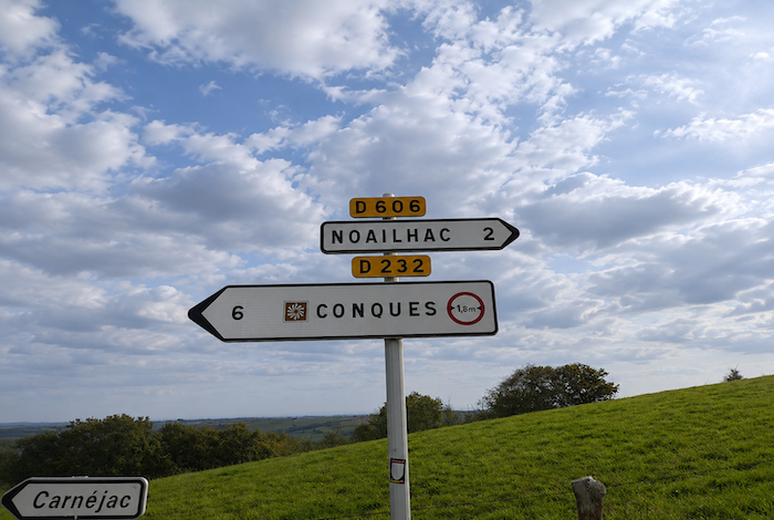
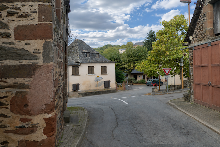
From Conques towards Figeac, however, things become more controversial. The two routes remain together until the junction leading to Noailhac. This is where everything changed. Until only a few years ago, the Camino followed the forest route from this junction, which was then the GR65. The road through Noailhac was simply the GR6 alternative. Today, the two routes have simply exchanged identities. For whose benefit? And why? There is probably a great deal of local politics behind the decision. That, however, is not our concern. By chance, we had a long conversation with the lady responsible for managing the trail network around Figeac, who explained just how difficult it is to modify established routes. In her own area, she cannot even obtain permission to move a route from a road onto a forest path. So how was it possible here to transfer a route that originally followed beautiful woodland paths onto the road instead? It is a question that is easier to ask than to answer. In reality, it changes very little. Walkers are free to choose whichever route they prefer. Yet pilgrims who are not well informed will almost certainly follow the GR65, simply because every guidebook and every website tells them to do so. They may well arrive in Livinhac that evening declaring that they were « bored to death » by the road to Noailhac. As far as we are concerned, there is no comparison. The GR6 is the better choice. Here, then, is the route if you decide to follow today’s GR6.
The elevation changes are very similar to those of the GR65. Most of the route consists of an endless succession of climbs and descents, particularly around the Brousse stream. Unlike the GR65, which immediately follows the road, the GR6 avoids kilometers of asphalt. Instead, it favors woodland, delights in descending into dales before climbing once again along the hillsides. This remains true until the two routes meet again near Fonteilles. Beyond that point, as you already know after following the GR65 stage, things become rather less enjoyable.
https://fr.wikiloc.com/itineraires-randonnee/de-conques-a-livinhac-le-haut-par-le-gr6-30063941
The first part of the stage is identical to the GR65 as far as the junction between the two routes, well above the Chapel of Sainte-Foy. In the past, when you reached this crossroads, a large sign clearly indicated the GR65 towards Prayssac. The route passing through Noailhac, then the former GR6, appeared only as a simple alternative to the GR65. Today, the roles have been reversed, as though the Camino itself had changed its memory.
| From the very first steps, a path climbs beside dense hedgerows that enclose the walker within an almost secret green corridor. |
 |
 |
| The path then climbs through broom and ferns before crossing a small asphalt road lost in the countryside. |
 |
 |
The whole region is crisscrossed by little asphalt roads leading either to forgotten hamlets or to lonely farms standing in the middle of open meadows. Here, the herds still consist largely of Aubrac cattle, although other breeds are gradually becoming more common in these pastures.
| A broad dirt path then descends through gently rolling countryside. Small hamlets appear on the horizon, but the pilgrim soon realizes that before reaching these peaceful villages, it will first be necessary to lose altitude and cross the valley below. The Camino always follows the same unchanging rule, first descend, then climb again. Yet nothing here feels exhausting. The path seems welcoming, almost benevolent. |
 |
 |
| Quite soon, the path enters the forest. For several kilometers it faithfully follows the hillside, tracing every curve of the valley carved by the Moulidiès stream, as though stubbornly refusing to leave its discreet course. |
 |
 |
| Most of the time the path progresses through grass on a gentle descent, although it occasionally climbs again through deep woodland cuttings. Depending on the hour, sunlight sets the trees ablaze with golden light, or dense shade invades the thick undergrowth, giving the forest an almost nocturnal atmosphere. As you walk here, you will probably spare a thought for your fellow pilgrims who are climbing the demanding ascent towards Noailhac. |
 |
 |
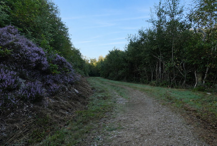
| Beneath beech, chestnut, oak, and birch trees, the banks glow with the purple shades of heather mingled with the deep green of the ferns. The whole forest seems to shimmer with a soft and silent light, suspended beyond the passing of time. |
 |
 |
| Soon afterwards, the path leaves the woodland, and a pleasant climb ends beside the road overlooking the dale. |
 |
 |
Looking back, your eyes follow the winding woodland you crossed only moments before, down there beside the Moulidiès stream. Beyond it, the plateaus of Noailhac stretch beneath the sky like vast silent lands.
| The GR6 then continues peacefully along an almost level country road. Meadows extend in every direction, interrupted only by the occasional cultivated field where warm ochre soil emerges from the earth. Agriculture remains secondary here. This is above all a land of livestock farmers and grazing herds. |
 |
 |
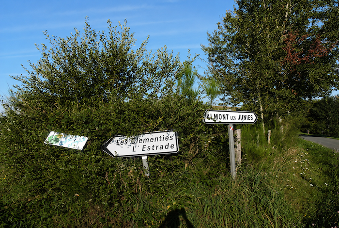
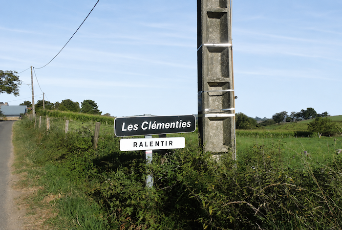
| Shortly afterwards, the GR6 heads towards Les Clémenties. |
 |
 |
| Along the roadside appears a small herd of Limousin cattle. After all, there was never any reason why Aubrac cattle alone should reign over these lands. |
 |
 |
| As you approach the hamlet, the landscape divides between two horizons. To the left, your gaze falls towards the dense woodland where the path will soon descend again. To the right, the land opens into a gently rolling plateau where a few modest cereal fields ripple quietly among the meadows. |
 |
 |
| The GR6 reaches the tiny hamlet. Les Clémenties consists of little more than three or four houses lined along the road; some built from solid sandstone and limestone blocks that still bear the marks of time. At the entrance, a sign politely asks motorists to slow down. One might imagine busy traffic, yet you will hardly encounter a single vehicle. Silence itself seems to live here. |
 |
 |
| No sooner have you left the hamlet than the GR6 once again follows a dirt path disappearing beneath the trees. |
 |
 |
| At first, the path descends gently through open countryside. It is broad, only lightly strewn with stones, and shaded by oaks and ash trees whose branches filter the sunlight. The gradient remains moderate and almost soothing. |
 |
 |
| Farther down, however, as the forest becomes denser, stones gradually invade the path while the slope steepens. Even so, the path loses nearly one hundred meters in elevation without ever becoming brutal before reaching Les Béfrénies. |
 |
 |
All around, the forests become dense, almost impenetrable. Thousands of chestnut trees, often thin and twisted, struggle for space beneath the more powerful oaks dominating the hillside.
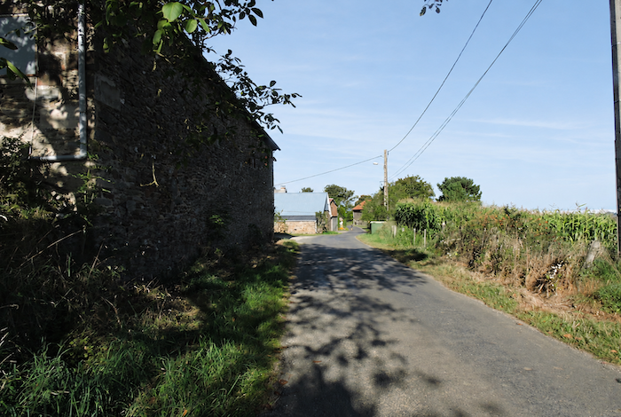
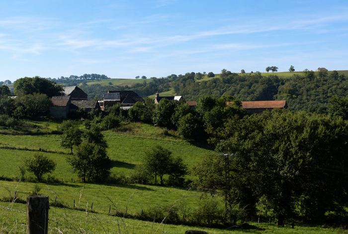
| At the bottom of the descent, the hamlet of Les Béfrénies appears just as deserted as the previous one. Here, you no longer find the massive stone houses typical of the Margeride or Aubrac regions. The homes are more modest, built from sandstone or limestone blocks bound together with mortar or lime. Yet in their very simplicity they possess a quiet and deeply rural beauty. |
 |
 |
| A small road then climbs the hillside. Oaks and chestnut trees still dominate the landscape, although a few ash trees and occasional maples appear among them. In places, the woodland becomes so dense that it seems almost impossible to penetrate. |
 |
 |
| The slope never becomes truly severe, rarely exceeding 10% before reaching the hamlet of Eyniès. |
 |
 |
| Eyniès is a true jewel. This remarkable village of stone houses seems to have been built in a single movement, each dwelling answering the next like sisters. In these remote lands, where everything appears deserted and silent, the charm of the place becomes even more powerful, as though time itself had chosen to slow its pace. |
 |
 |
| From Eyniès onwards, a genuine roller coaster awaits you, an endless succession of climbs and descents following every fold of the valley. Steep climbs and sudden descents now become the order of the day. Right from the start, a broad dirt path plunges decisively towards the Brousse stream. |
 |
 |
| The slope quickly becomes steep, sometimes even formidable, although the ground remains relatively free of loose stones. In places, the woodland becomes less dense, allowing fleeting clearings where sunlight filters timidly through the trees. |
 |
 |
| At the bottom of the descent, where sunlight struggles to reach beneath the canopy, the ground becomes clayey, spongy, and sometimes thoroughly muddy. During dry periods, the Brousse is little more than a narrow stream, crossed by a simple ford amid almost luxuriant vegetation. |
 |
 |
| On the far side of the stream, a narrow trail climbs abruptly among clusters of stunted chestnut trees clinging to the hillside. |
 |
 |
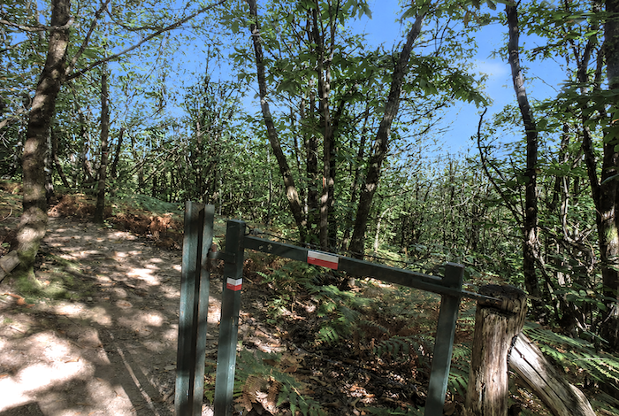
The trail climbs to a barrier standing like a silent warning, suggesting that it would be wiser not to venture farther into this woodland where one could easily lose the way. It also signals that the GR6 is about to descend once more towards the winding course of the Brousse stream.
| From here, the path drops once again towards another branch of the Brousse stream, faithfully following the whims of the dale. |
 |
 |
Everything here speaks of deep wilderness, of nature left entirely to itself. The place feels so untouched and untamed that the walker almost begins to wonder what has brought them into this timeless world.
| Then, immediately after crossing the stream once again, the trail rears sharply upward. It climbs steeply among angular stones, mud, and fallen leaves covering the forest floor. The gradient remains demanding until the woodland finally gives way to the more open countryside around Prayssac. |
 |
 |
| The trail gradually leaves the forest behind and returns to the open light of the countryside. Sunshine caresses the meadows and glides across the backs of motionless cattle grazing in the fields. On the horizon already appear the hills overlooking Decazeville, heralding new landscapes and new dales. |
 |
 |
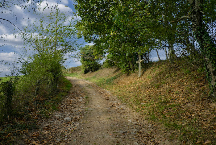
| The trail soon reaches a small road leading towards Prayssac, beside an old stone cross standing quietly by the roadside as a discreet landmark for passing hikers. |
 |
 |
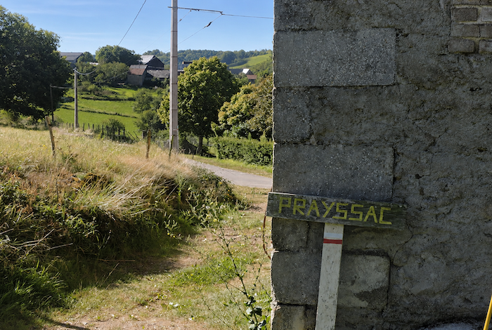
| Soon afterwards, a sign announces Prayssac below the little asphalt road, which the GR6 follows before descending gently towards the hamlet. |
 |
 |
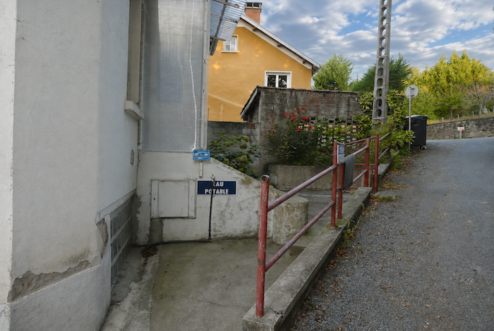
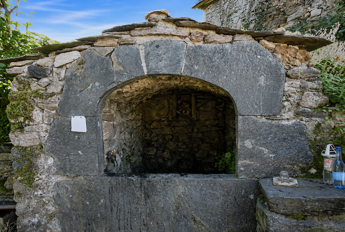
| The roadside sign gives no hint of an important settlement. Yet the houses possess undeniable charm, surrounded by carefully maintained little meadows that seem almost drawn with a ruler. How beautiful these hamlets appear as they sleep peacefully among woodland and pastures, far from the noise of the world. At the heart of the village, a charming stone alcove offers pilgrims a welcome supply of fresh water. |
 |
 |
| In years gone by, a delightful man with a passion for the Camino ran a little café in the old communal bread oven where walkers could eat and rest. It operated according to the donativo tradition, allowing each pilgrim to contribute whatever they wished. Jean-Luc, the owner, possessed the rare gift of remembering everyone’s first name, even when his improvised café was filled with pilgrims. When it was time to leave, he would call out your name before launching into the famous Ultreïa e suseia, perhaps the most iconic of all pilgrim songs. The words mean « go farther, go higher. » They express both the fellowship shared among pilgrims and the desire to surpass oneself, physically as well as spiritually, that so often accompanies the Camino. The Premonstratensian Fathers of Conques did much to popularize this refrain, which has become almost universal among pilgrims. Sadly, since the GR routes were rearranged in this region, this little haven of happiness has disappeared from the Camino. The number of pilgrims passing here has fallen sharply. |
 |
 |
| From Prayssac, a broad path of earth and grass descends towards the Moulinet stream. |
 |
 |
| The atmosphere becomes noticeably damper here, almost saturated with moisture and freshness. |
 |
 |
| After crossing the Moulinet stream, the GR6 immediately climbs again along a broad dirt path disappearing beneath the trees. The woodland atmosphere returns, cool, peaceful, and silent. |
 |
 |
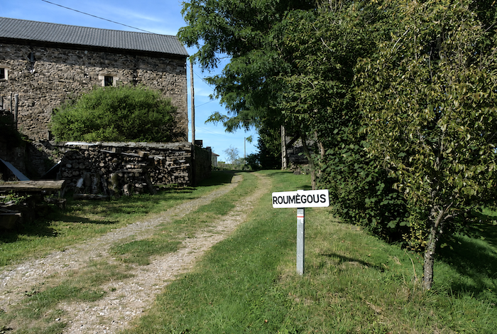
| Very quickly, the path reaches Roumégoux, no more than a handful of beautiful stone houses standing beside the woodland, as though sheltered by the forest edge. |
|
 |
| A small road then climbs gently through the meadows before reaching, a little higher up, the small departmental road coming from Noailhac, known locally as the “Chemin des Crêtes”(Ridge Road). By following this road to the right, you will reach Livinhac-le-Haut while remaining on the ridgeline. Walk back about one hundred meters along the road and you will find the exact point where the GR6 rejoins the GR65.
One final recommendation: choose the Ridge Route. It offers more open landscapes and spares you the long detour through Decazeville, whose interest from a pilgrim’s perspective remains rather limited. From this point onward, the GR6 merges permanently with the GR65. |
 |
 |
Accommodation on Via Podiensis
• Gîte- Chambres d’hôtes La Maison Vieille, Tallode; 06 15 30 44 36/06 18 11 38 06; Gîte and Guestroom, dinner, breakfast
• Gîte-Camping à la Ferme, Ramourouscle; 06 44 94 60 70; Tent, cuisine, grocery-assistance
• Gîte L’Escole, Marie-Anick Blanc, Montbonnet; 06 22 71 90 09; Gîte, dinner, breakfast
• Gîte La Grange, Christian et Françoise Gentes, Montbonnet; 04 71 57 54 44/06 20 74 47 43; Gîte, dinner, breakfast
• Gîte La Première Étape, Anne et Didier, pèlerins, Montbonnet; 06 21 47 18 96/09 83 87 26 13; Gîte, dinner, breakfast
• Camping municipal Le Marchat, St Privat d’Allier; 04 71 57 22 13 /mairie); tents
• L’Abri du Jacquet, Fréderic Pelletier, Le Bourg, St Privat d’Allier; 04 71 07 75 53; Gîte, cuisine, breakfast
• Gîte Accueil Randonneurs, Sandrine Bec, Le Bourg, St Privat d’Allier; 06 63 90 41 34-707 88 50 76 56; Gîte, dinner, breakfast
• Gîte Le Saint Privat, Salem Taupenas, Place de la Fontaine, St Privat d’Allier; 07 86 45 95 12; Gîte, dinner, breakfast
• Gîte Au Bord du Chemin, Le Saint Privat, Véronique, Le Bourg, St Privat d’Allier; 06 85 02 77 17; Gîte, dinner, breakfast
• Gîte Le Kompost’l, Mr et Mme Fel, St Privat d’Allier; 04 71 57 24 78; Gîte, dinner, breakfast, cuisine
• Écogite L’As de Cœur, Chloé et Raphaël, 350 Route de Grays, St Privat d’Allier; 06 35 22 71 17; Gîte, dinner, breakfast
• Gîte La Petite Place, Place de la Fontaine, St Privat d’Allier; 06 63 12 20 54/06 86 76 27 04; Gîte, breakfast, cuisine
• Chambres d’hôtes Le P’tit Camino, Maggy Bolagnon, Le Bourg, St Privat d’Allier; 04 71 09 03 87/06 18 57 38 39; Guestroom, breakfast
• Chambres d’hôtes Le Saint Bernard, Sabine Viala, Le Bourg, St Privat d’Allier; 06 12 29 80 55; Guestroom, dinner, breakfast
• La Cabourne, Le Bourg, St Privat d’Allier; 04 71 57 25 50; Gîte, dinner, breakfast
• Gîte- Chambres d’hôtes- Restaurant- Un Escargot dans sa Coquille, Le Bourg, St Privat d’Allier; 06 11 34 31 49; Gîte and Guestroom, dinner, breakfast
Year after year, the Camino de Santiago changes and reinvents itself with the seasons and the footsteps of pilgrims. Some accommodations close their doors, while others, modest or unexpected, come into being. It would therefore be unrealistic to claim to provide a fixed and exhaustive list. This guide includes only accommodations located directly on the route or within one kilometer of it. The selection was updated in 2026 and should therefore not undergo any major changes in the coming years. For those wishing to go further, one publication stands out as the essential reference: Miam Miam Dodo, easily available online. The main strength of this guide lies in its yearly updates. It not only lists accommodations located directly on the route, but also addresses slightly off the route, a valuable resource when heavy pilgrim traffic makes overnight stops more uncertain. It also contains a wealth of practical information: welcoming bars, restaurants along the way, and providential bakeries, all of which punctuate the journey. Alongside these traditional resources, another presence has become unavoidable: Airbnb. The platform has established itself as a major reference in the tourism landscape, even in the most discreet or less developed regions. However, as everyone knows, exact addresses are not displayed directly, which requires a degree of anticipation. On the Camino, finding a bed at the last minute can sometimes depend on sheer luck. But luck, by its very nature, cannot be considered a strategy. Booking ahead is therefore strongly recommended. Finally, when making arrangements, be sure to inquire about dinner and breakfast options. These details, seemingly minor, can greatly soften the hardships of a stage.
If one takes stock of accommodation capacity, there are around 85 beds available before reaching St Privat, suggesting that many pilgrims choose to stop earlier along the route. In St Privat itself, the offer expands to nearly 190 available beds. Since the Via Podiensis generally sees between 100 and 200 walkers, this stage should not present any particular difficulty in terms of accommodation. Nevertheless, booking in advance remains a wise precaution. These routes, winding through often sparsely populated territories, offer few shops. Restaurants are rare, as are grocery stores, which frequently take the form of small bread depots offering only a few vegetables and dairy products. However, it is possible to find food and refreshments in St Christophe-sur-Dolaison, Montbonnet, St -Privat-d’Allier, and Lac, welcome stops in these more isolated stretches. Water points, on the other hand, are fairly regular along the route: they can be found at St Christophe-sur-Dolaison, Ramourouscle, Montbonnet, and Le Chier. Some are equipped with sanitary facilities, often dry toilets, particularly at Montbonnet and Le Chier. Upon arrival, St Privat offers slightly more comfort. Lastly, many companies provide luggage transport or return-transfer services to the starting point. Among them, one stands out as an essential reference: La Malle Postale.
Feel free to add comments. This is often how you move up the Google hierarchy, and how more pilgrims will have access to the site.
|
 |
Next stage : Stage 14: From Livinhac-le-Haut to Figeac |
|
 |
Back to menu |